Perry-Castañeda Library
Map Collection
Vermont Historical Topographic Maps
All maps on this page were published by the U.S. Geological Survey and are in the public domain. The date given for each map is the date of latest survey. More information about these maps is available on the Topographic Maps Home Page.
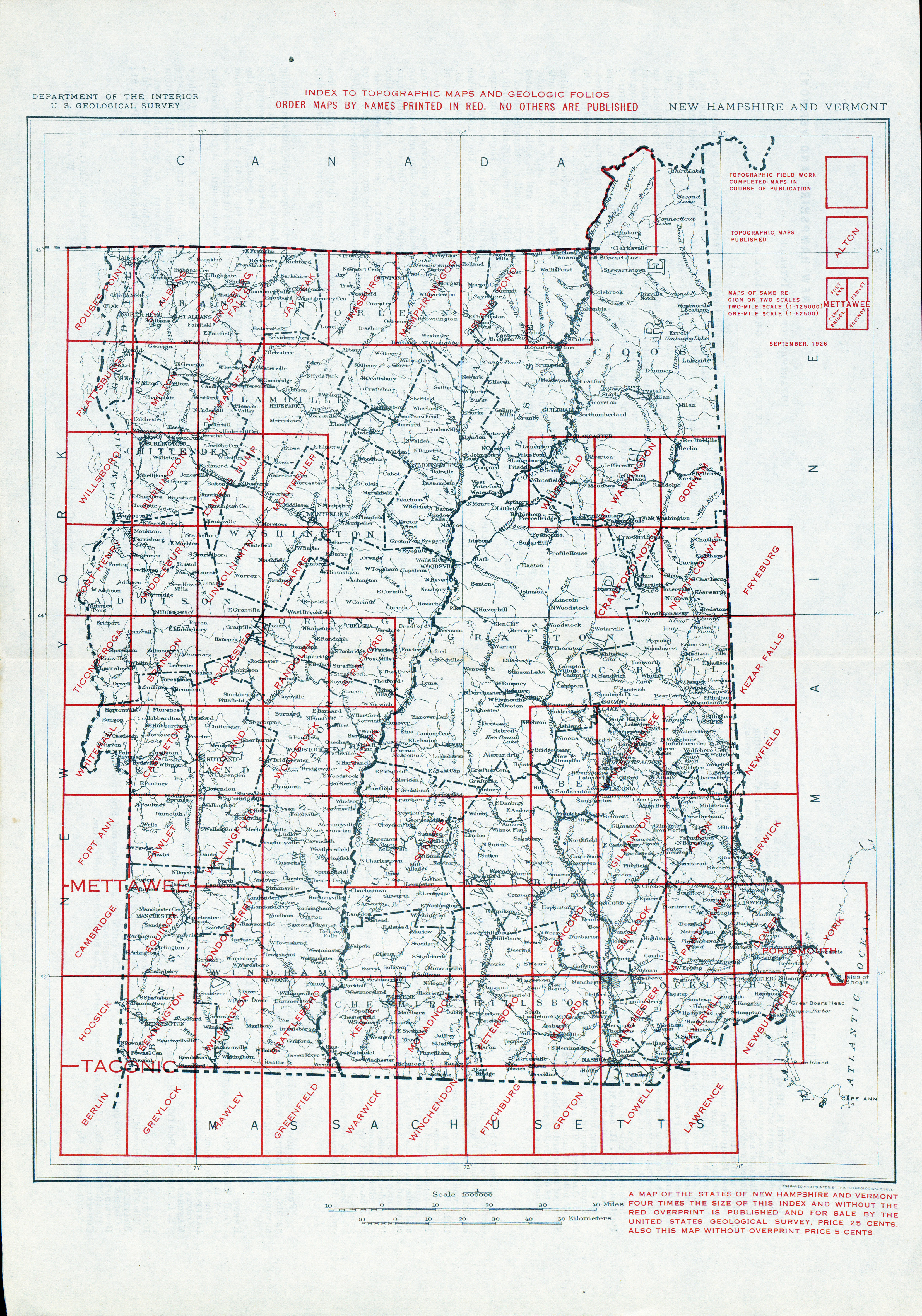
- Vermont - Topographic Map Index 1926 (5.9MB)
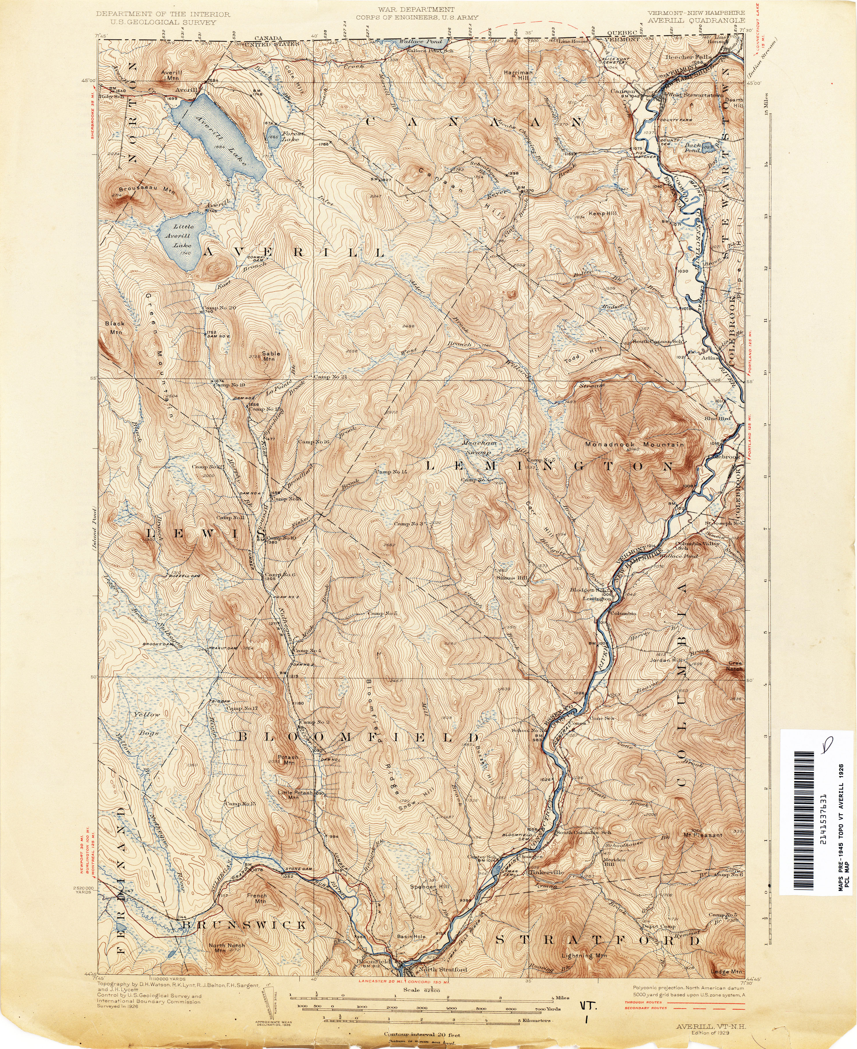
- Averill [Vermont, New Hampshire] 1926 1:62,500 (4.8MB)
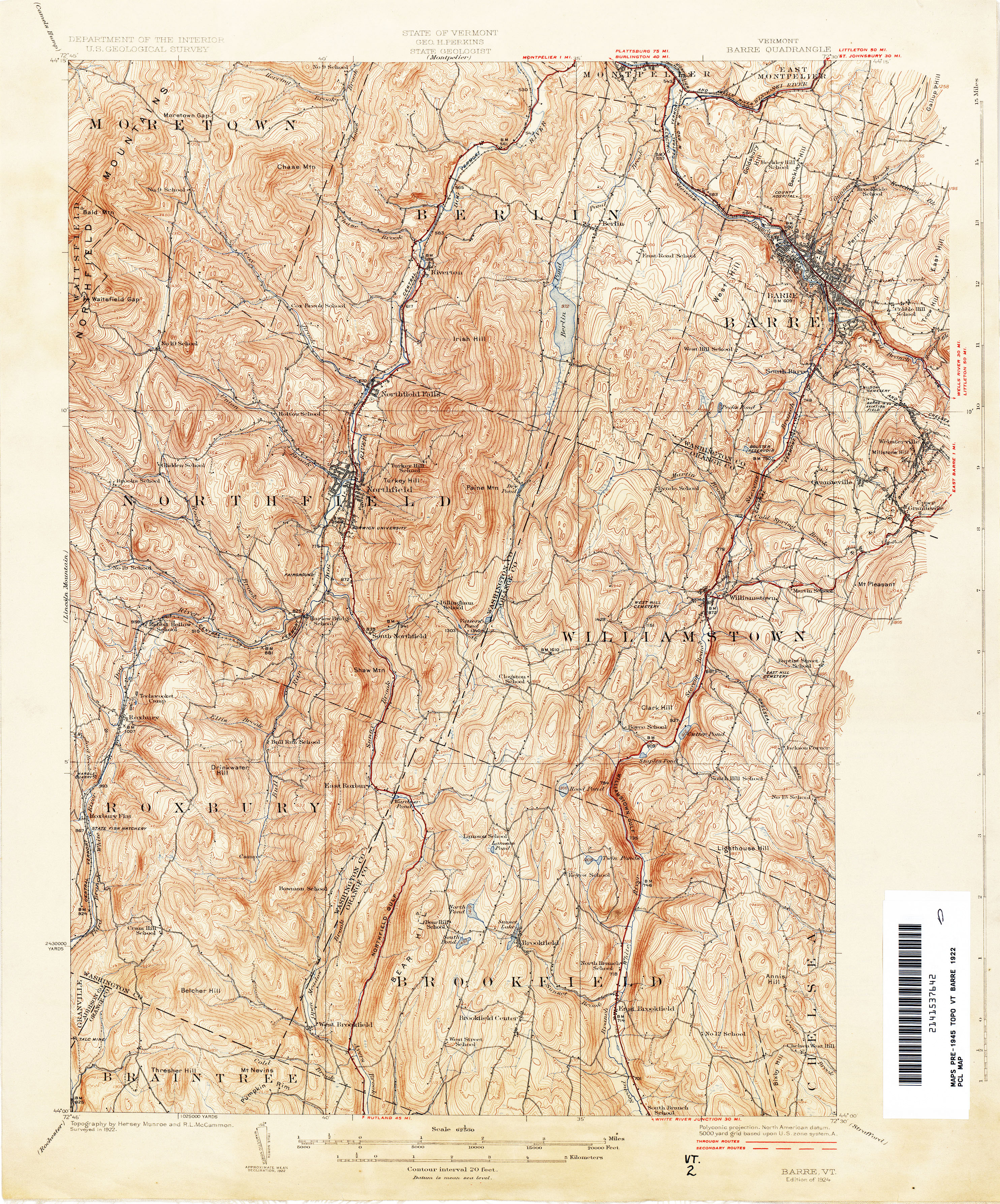
- Barre 1922 1:62,500 (5.4MB)
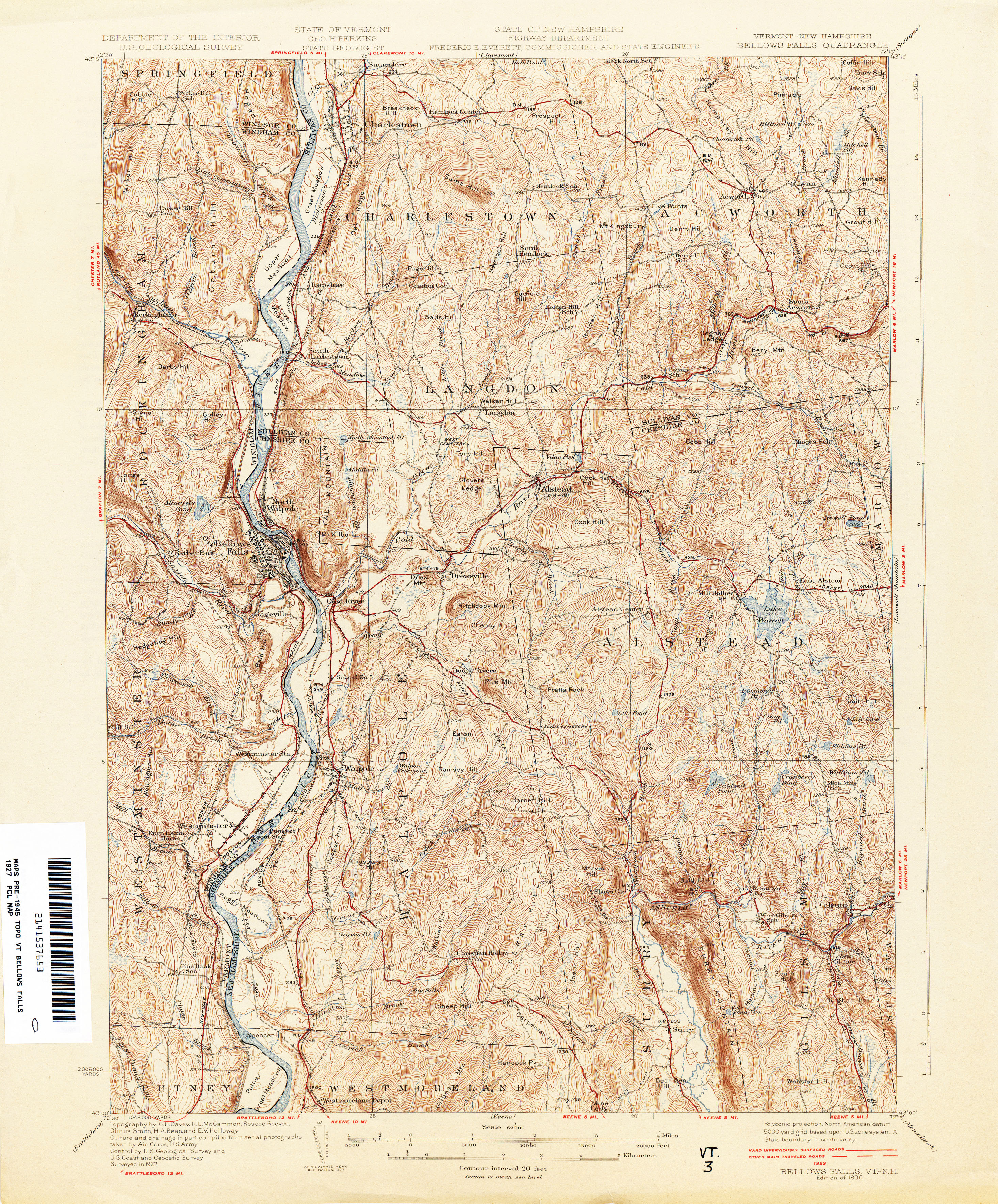
- Bellows Falls [Vermont, New Hampshire] 1927 1:62,500 (5.1MB)
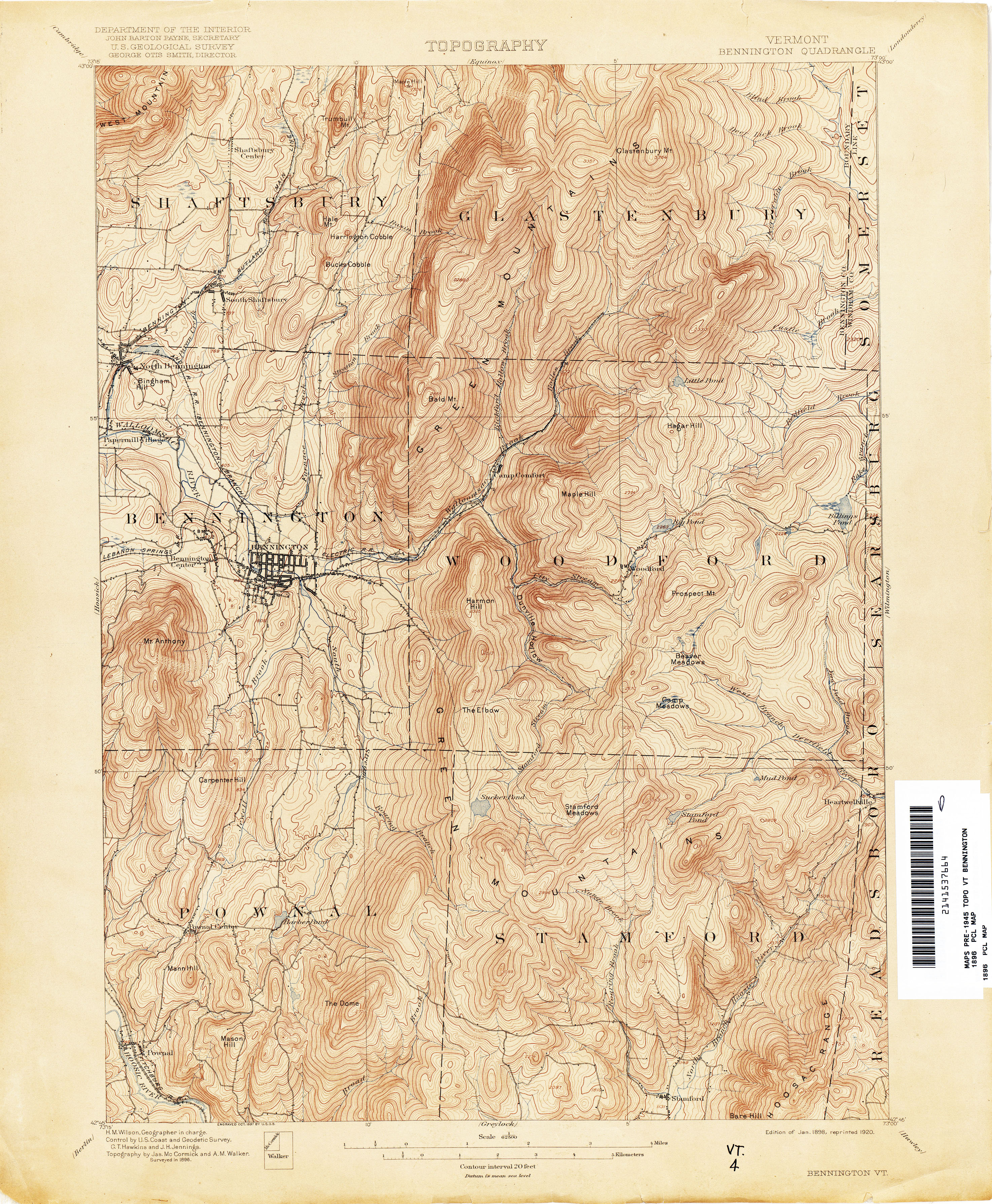
- Bennington 1896 1:62,500 (4.5MB)
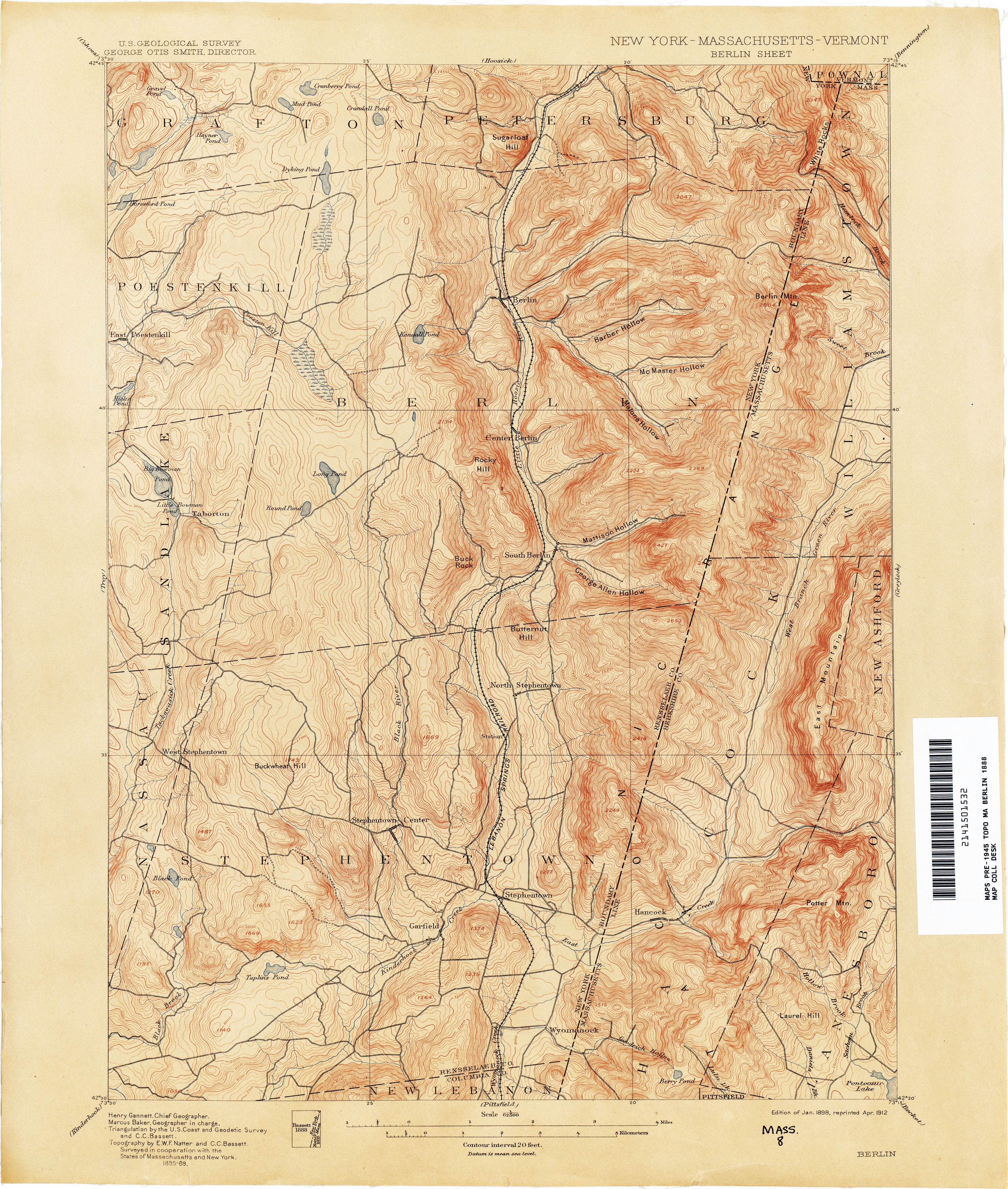
- Berlin [New York, Massachusetts, Vermont] 1888 1:62,500 (4.1MB)
- Bernardston [Massachusetts, Vermont] 1945 1:31,680 (4.7MB)
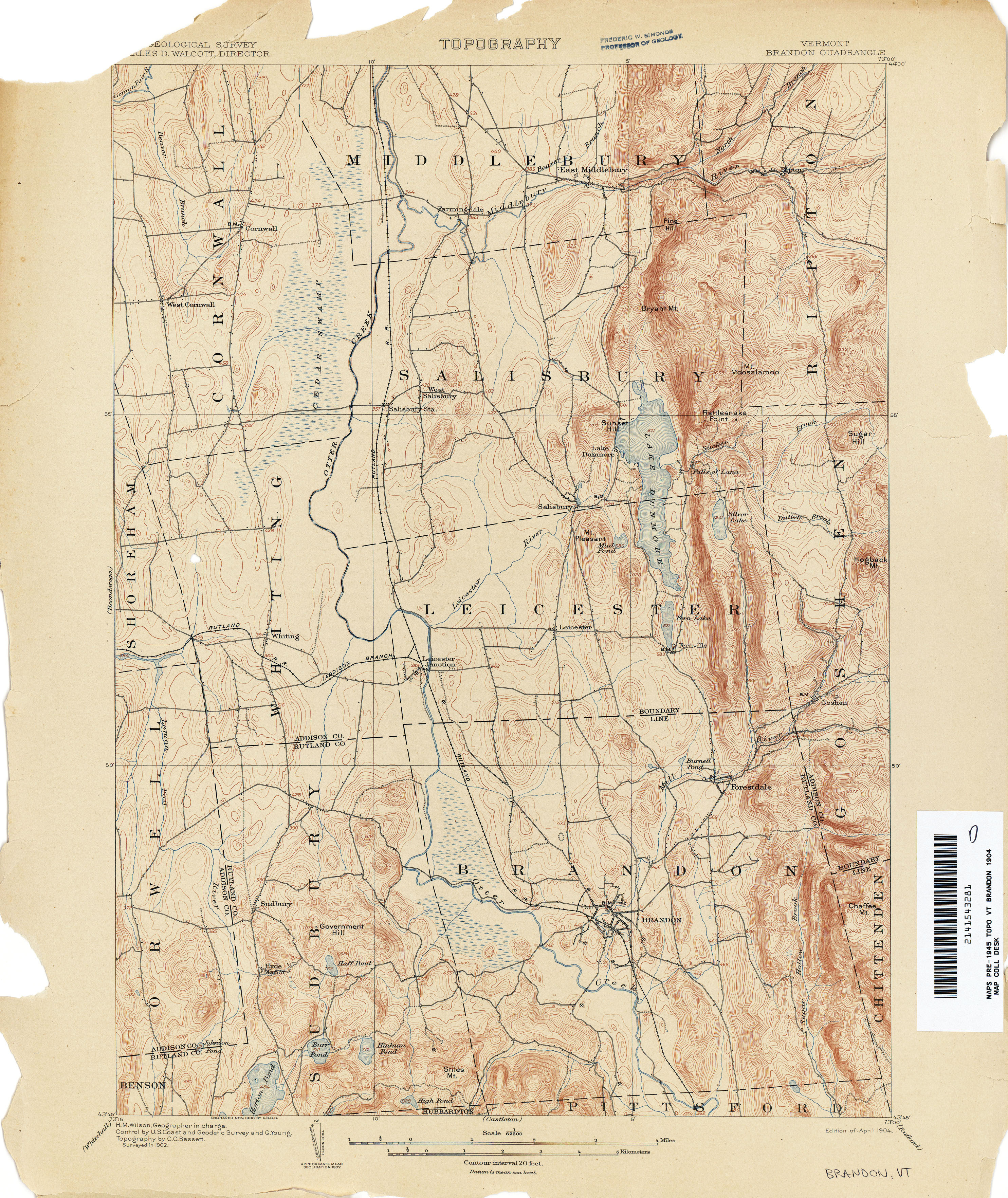
- Brandon 1902 1:62,500 (3.7MB)
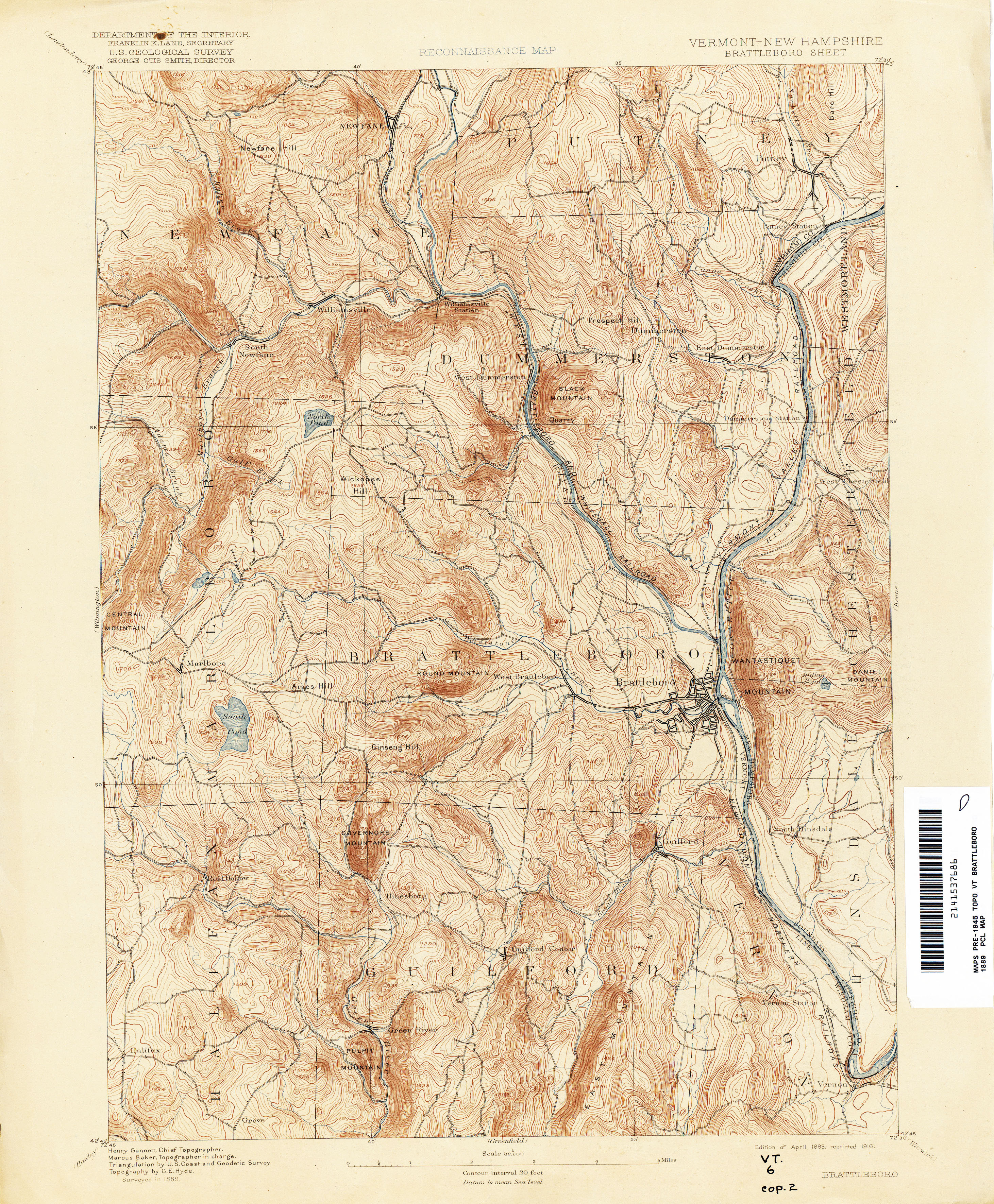
- Brattleboro [Vermont, New Hampshire] 1889 1:62,500 (4.5MB)
- Brattleboro [Vermont, New Hampshire] 1932 1:62,500 (5.2MB)
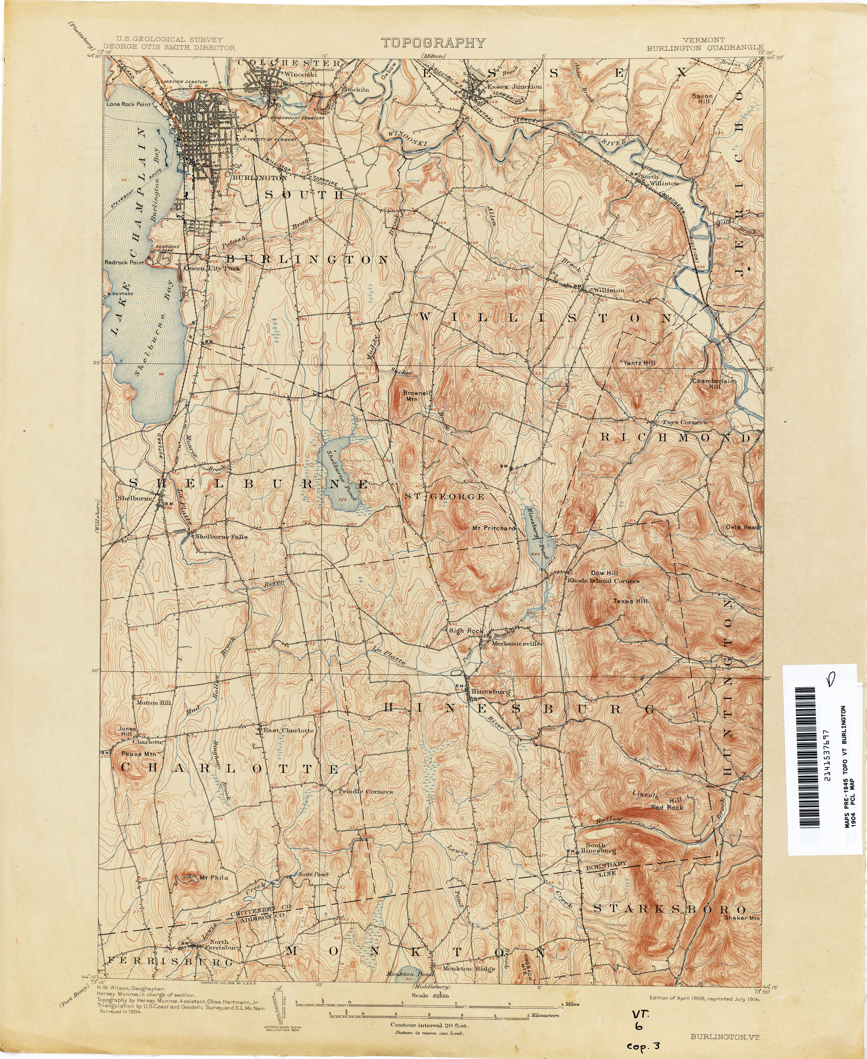
- Burlington1904 1:62,500 (3.9MB)
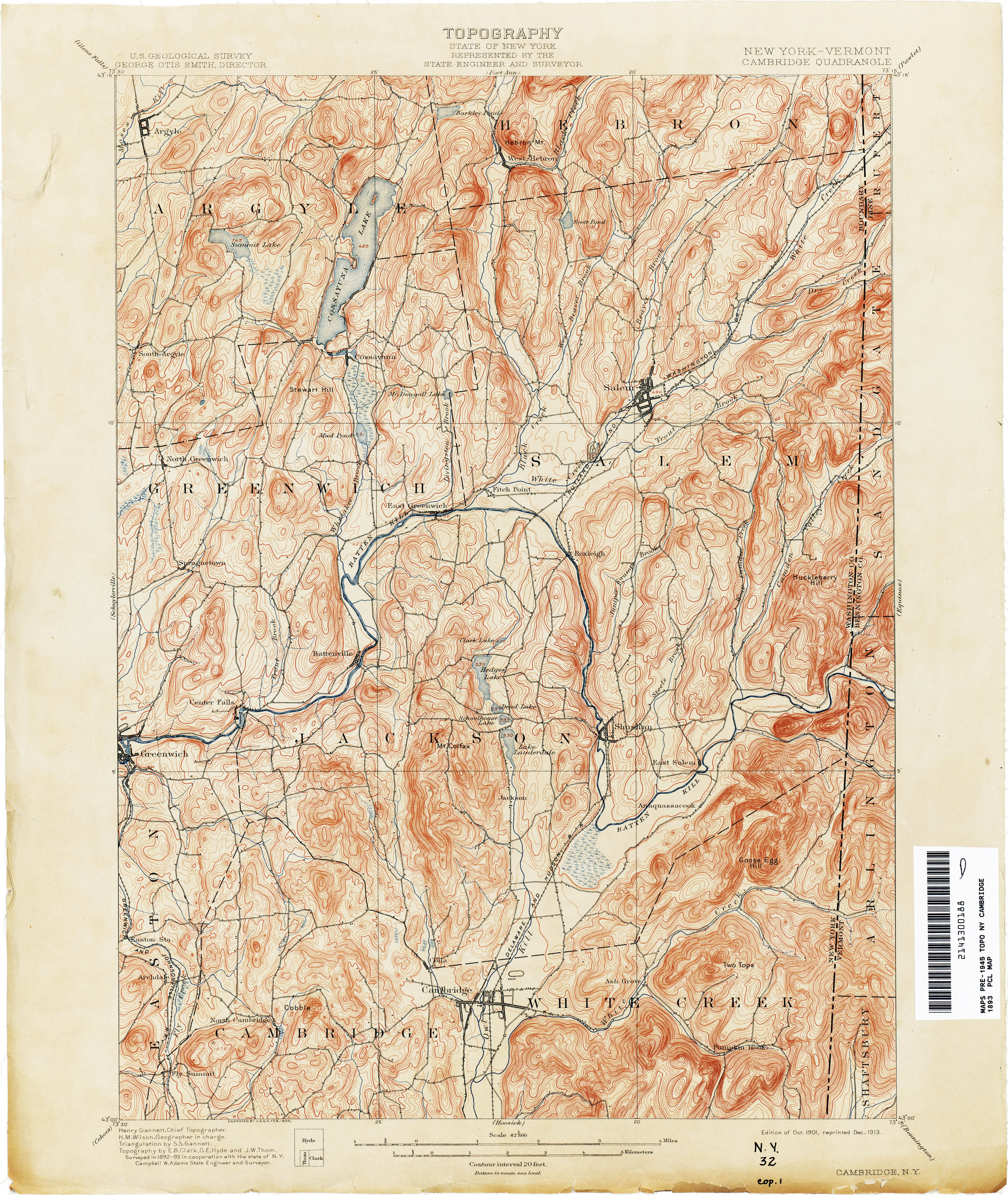
- Cambridge [New York, Vermont] 1893 1:62,500 (4.7MB)
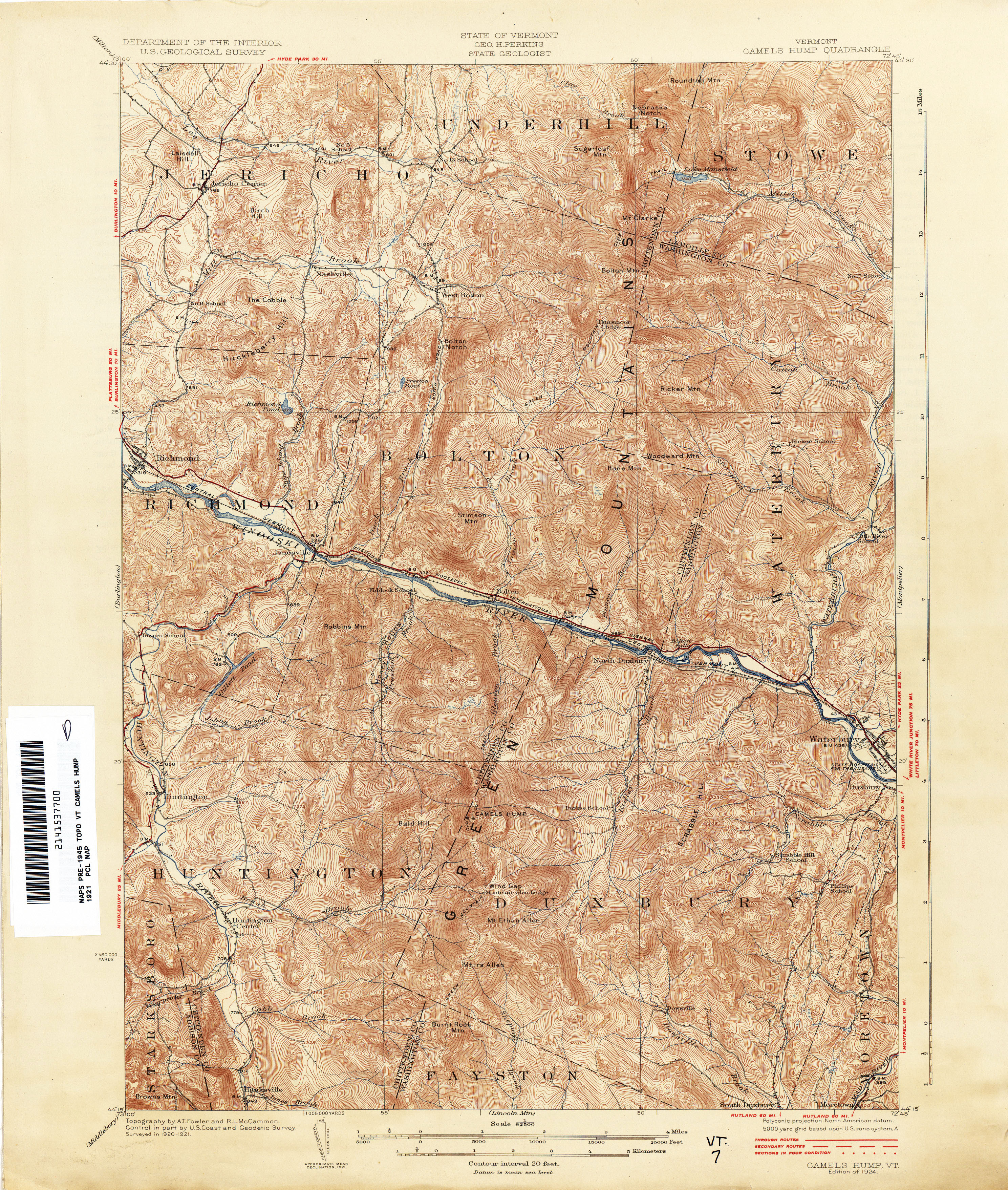
- Camels Hump 1921 1:62,500 (5.2MB)
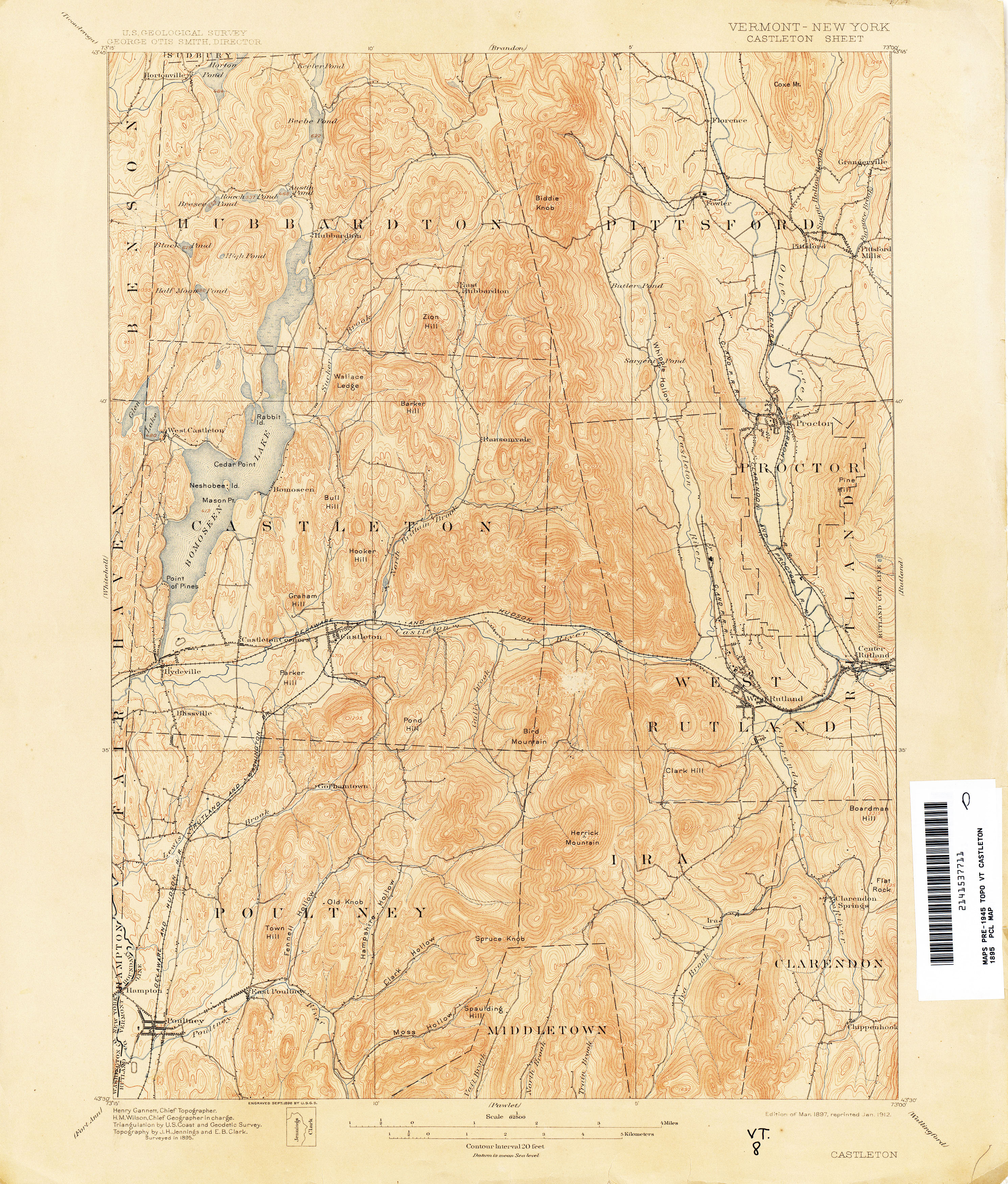
- Castleton [Vermont, New York] 1895 1:62,500 (4.0MB)
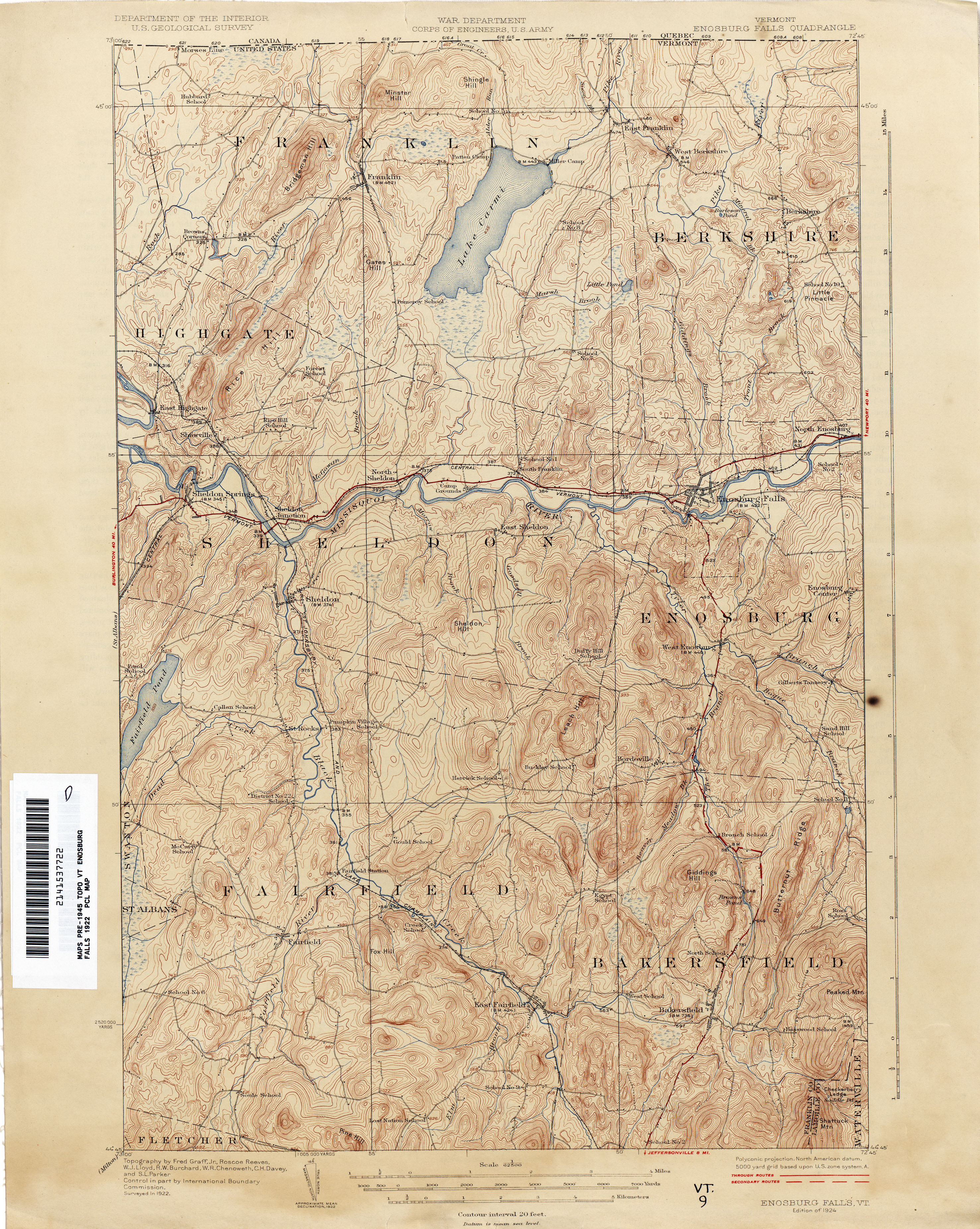
- Enosburg Falls 1922 1:62,500 (4.4MB)
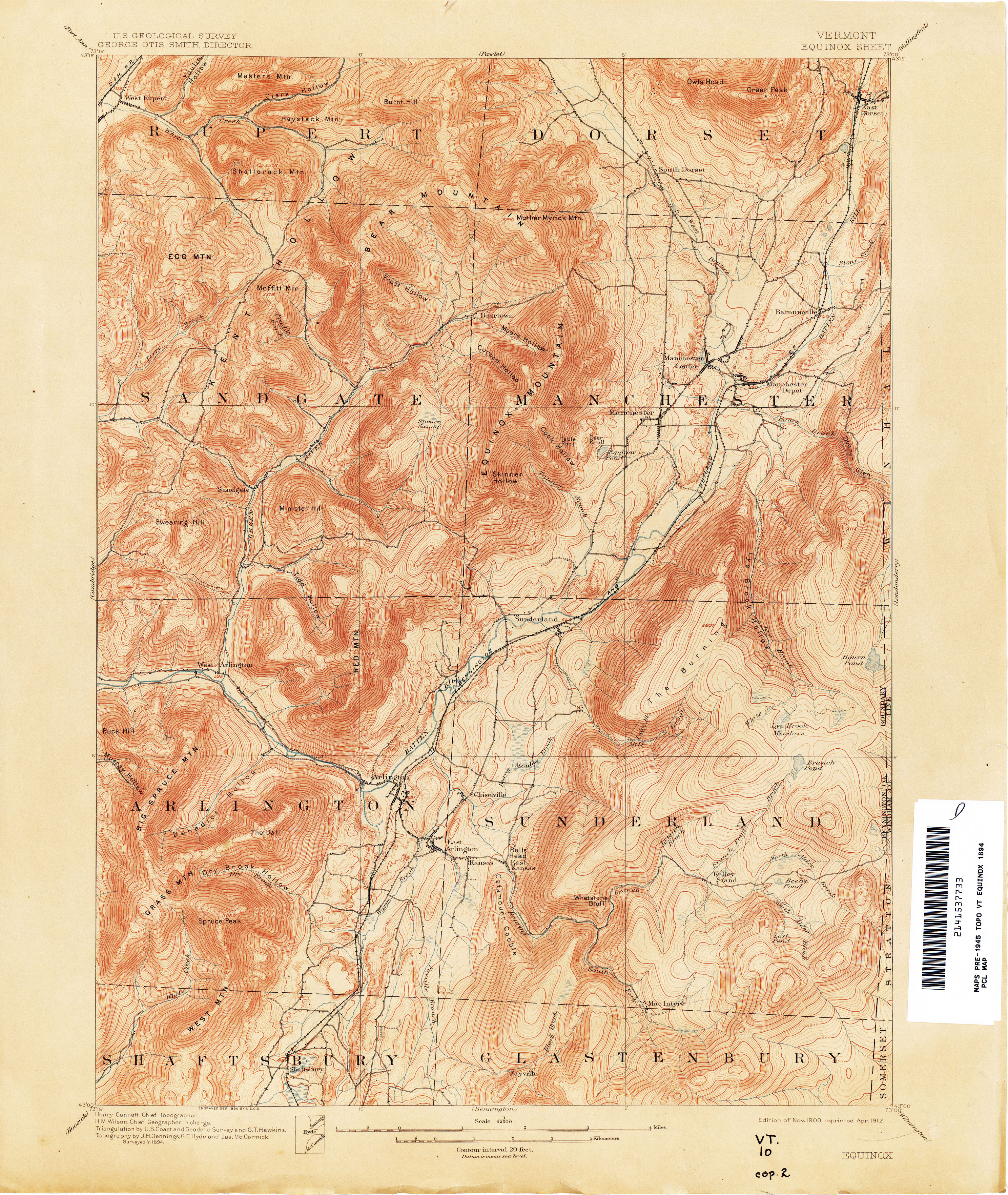
- Equinox 1894 1:62,500 (4.4MB)
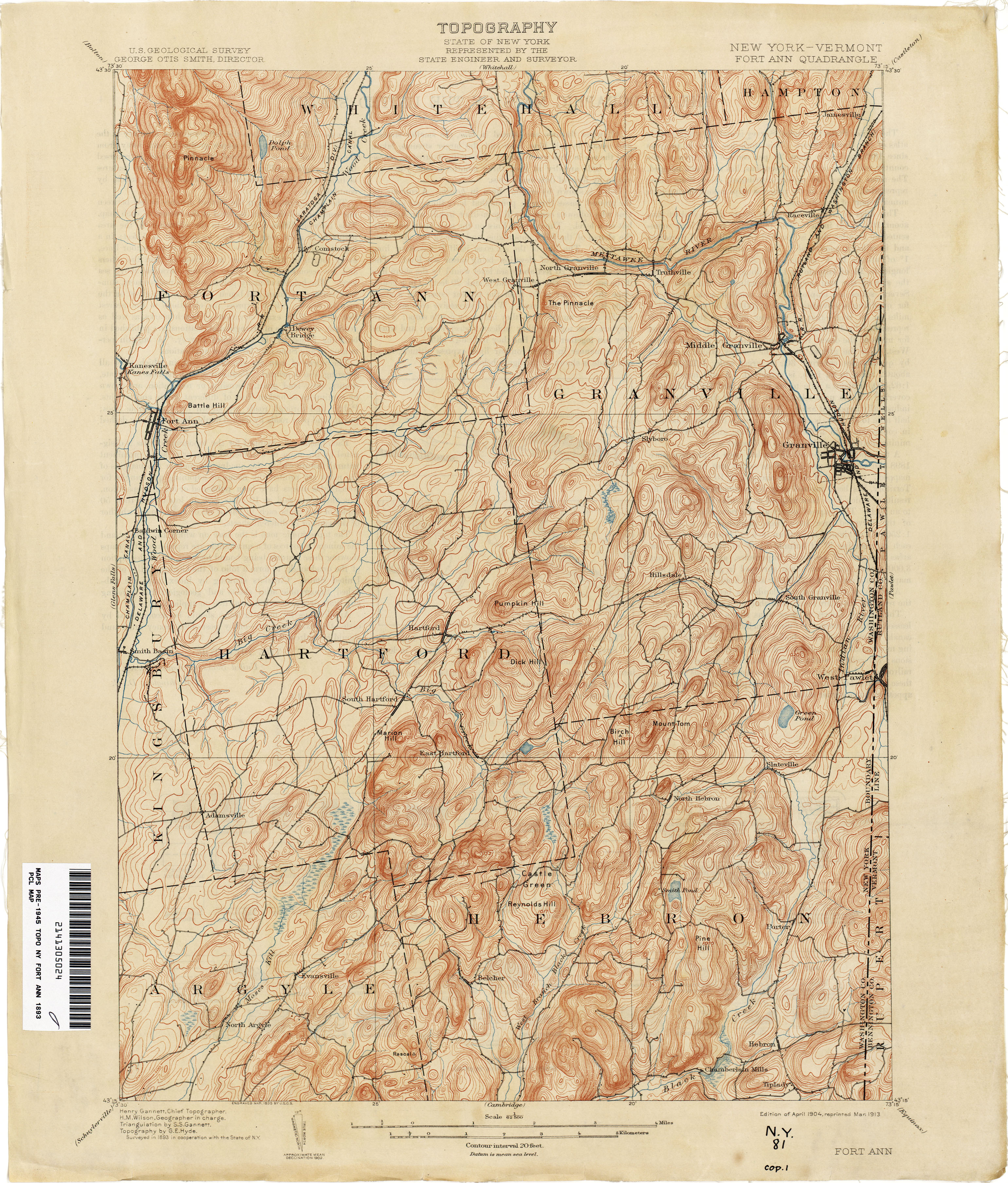
- Fort Ann [New York, Vermont] 1893 1:62,500 (3.9MB)
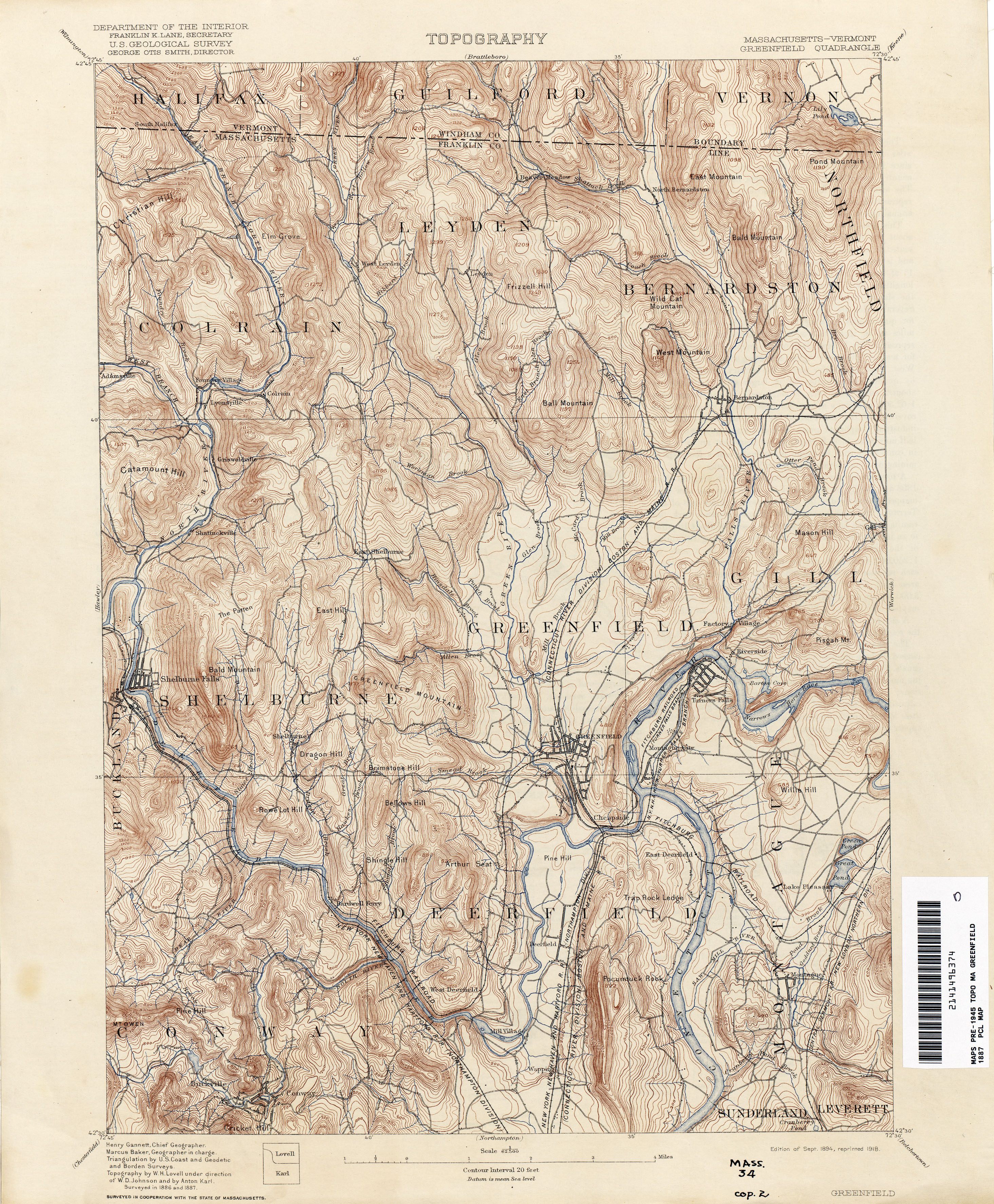
- Greenfield [Massachusetts, Vermont] 1887 1:62,500 (4.7MB)
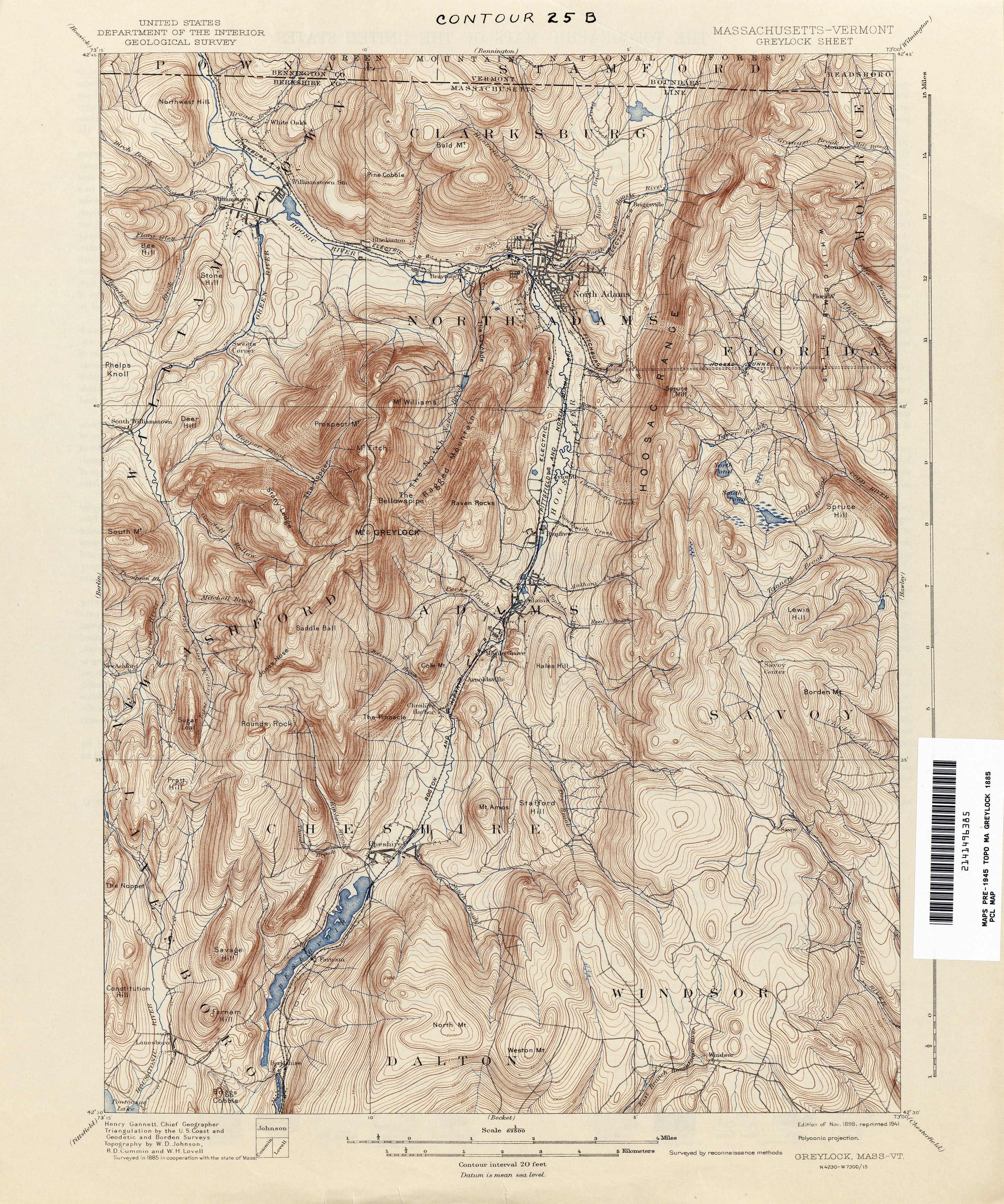
- Greylock [Massachusetts, Vermont] 1885 1:62,500 (4.8MB)
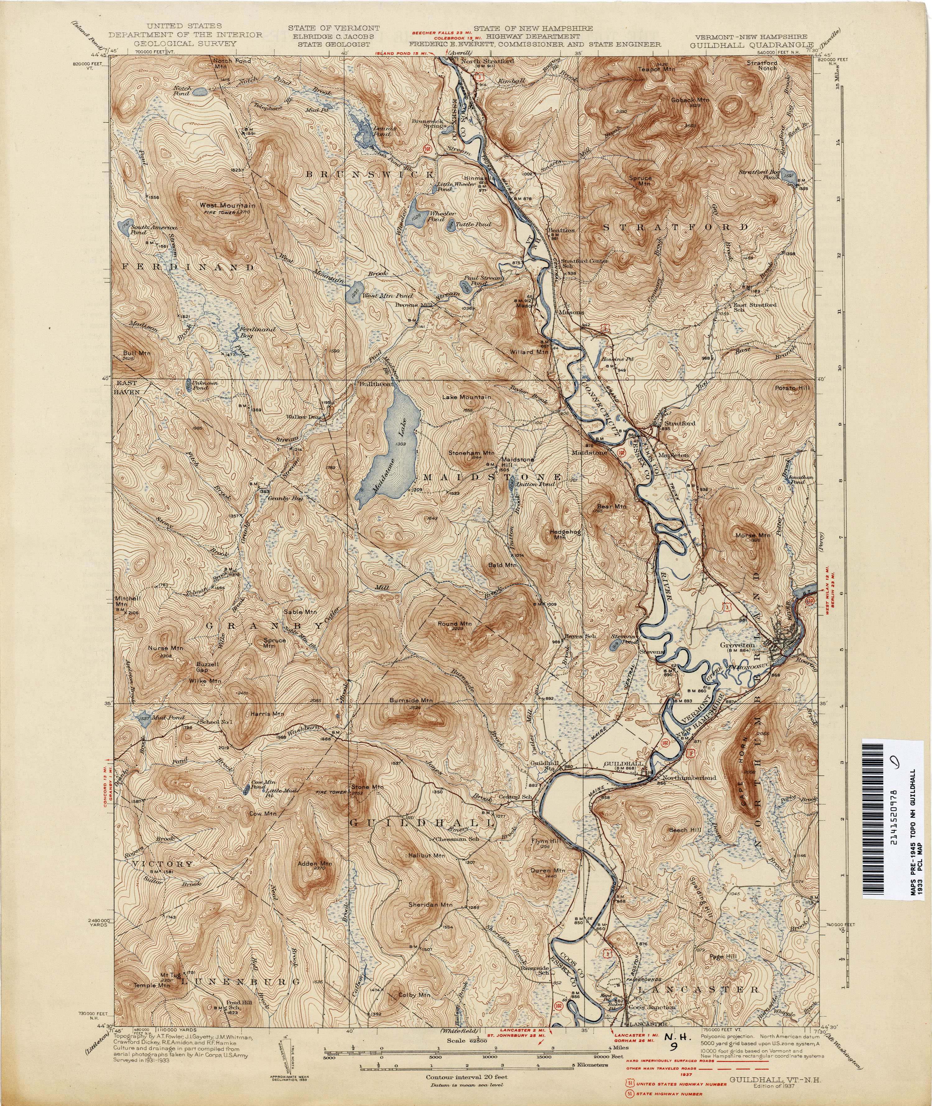
- Guildhall [Vermont, New Hampshire] 1933 1:62,500 (4.0MB)
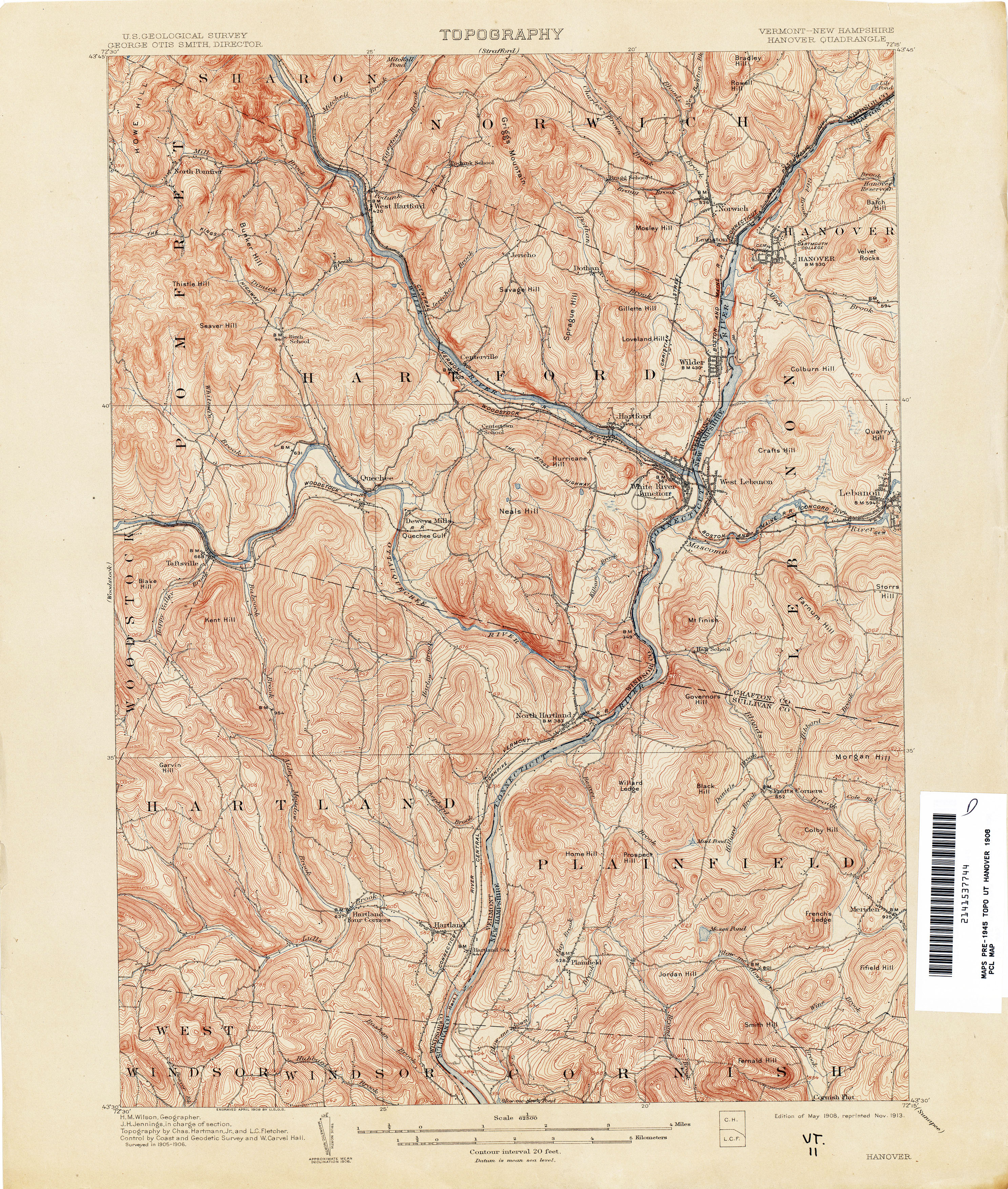
- Hanover [Vermont, New Hampshire] 1906 1:62,500 (5.1MB)
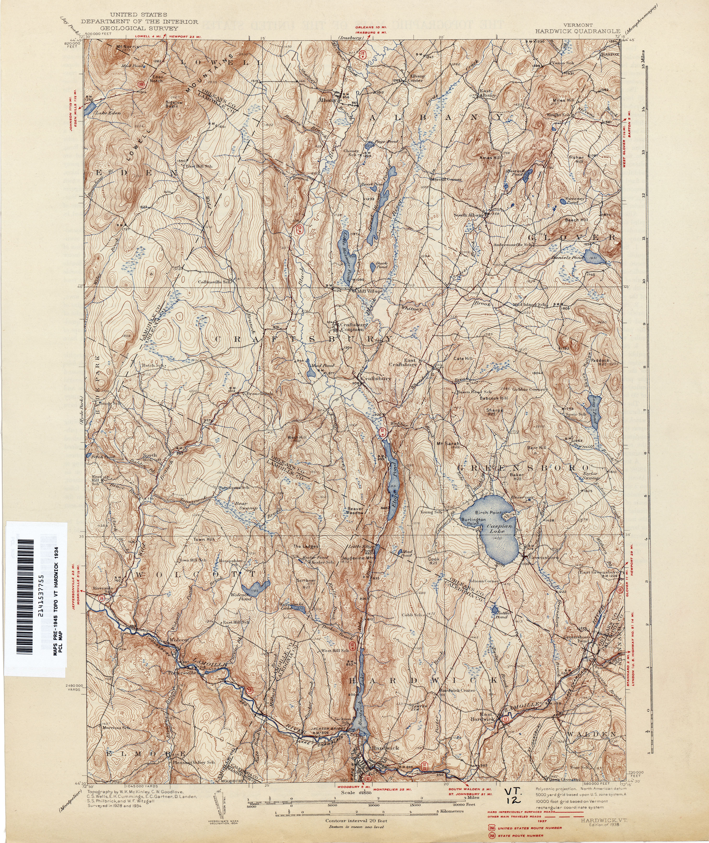
- Hardwick 1934 1:62,500 (4.8MB)
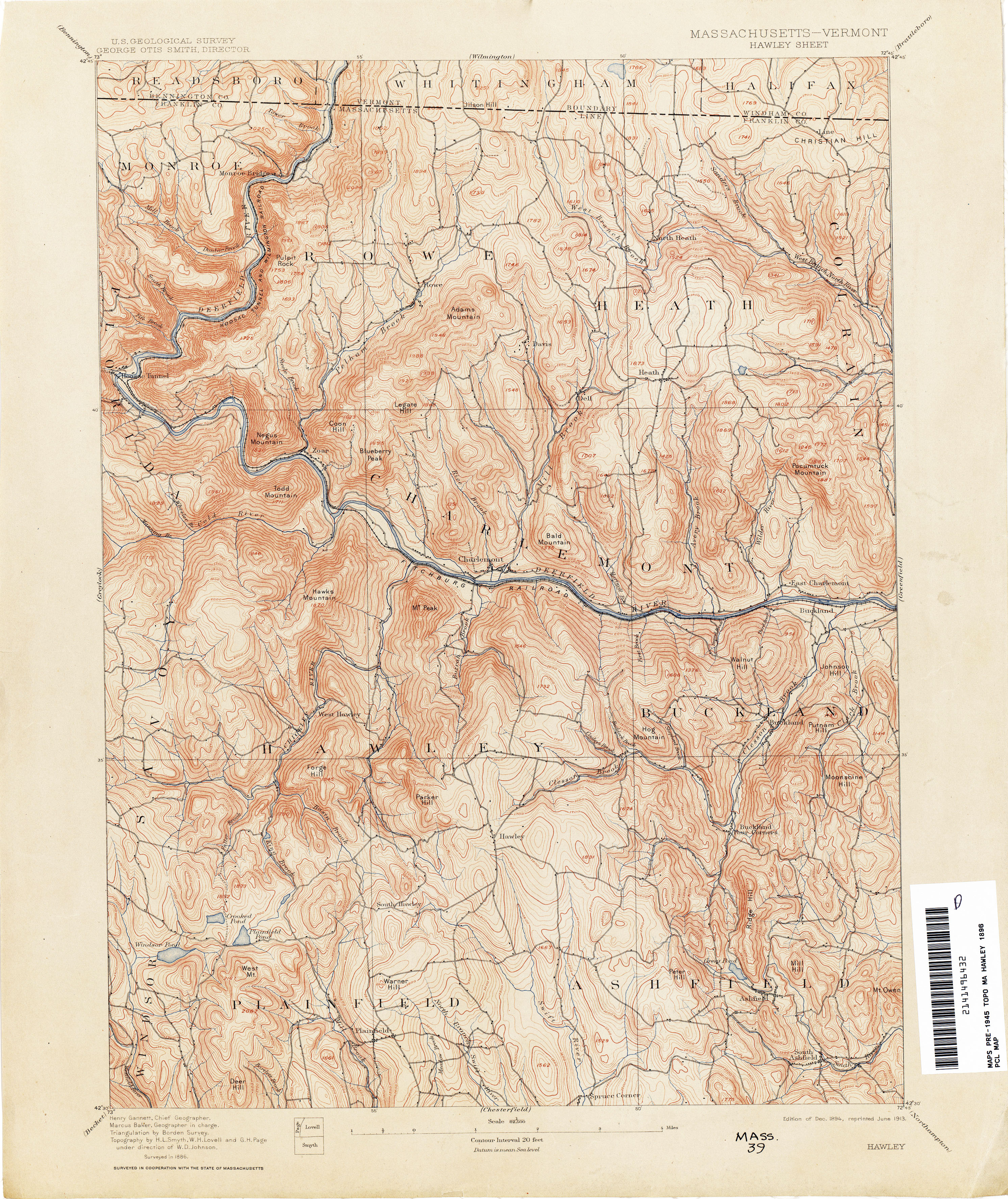
- Hawley [Massachusetts, Vermont] 1886 1:62,500 (4.5MB)
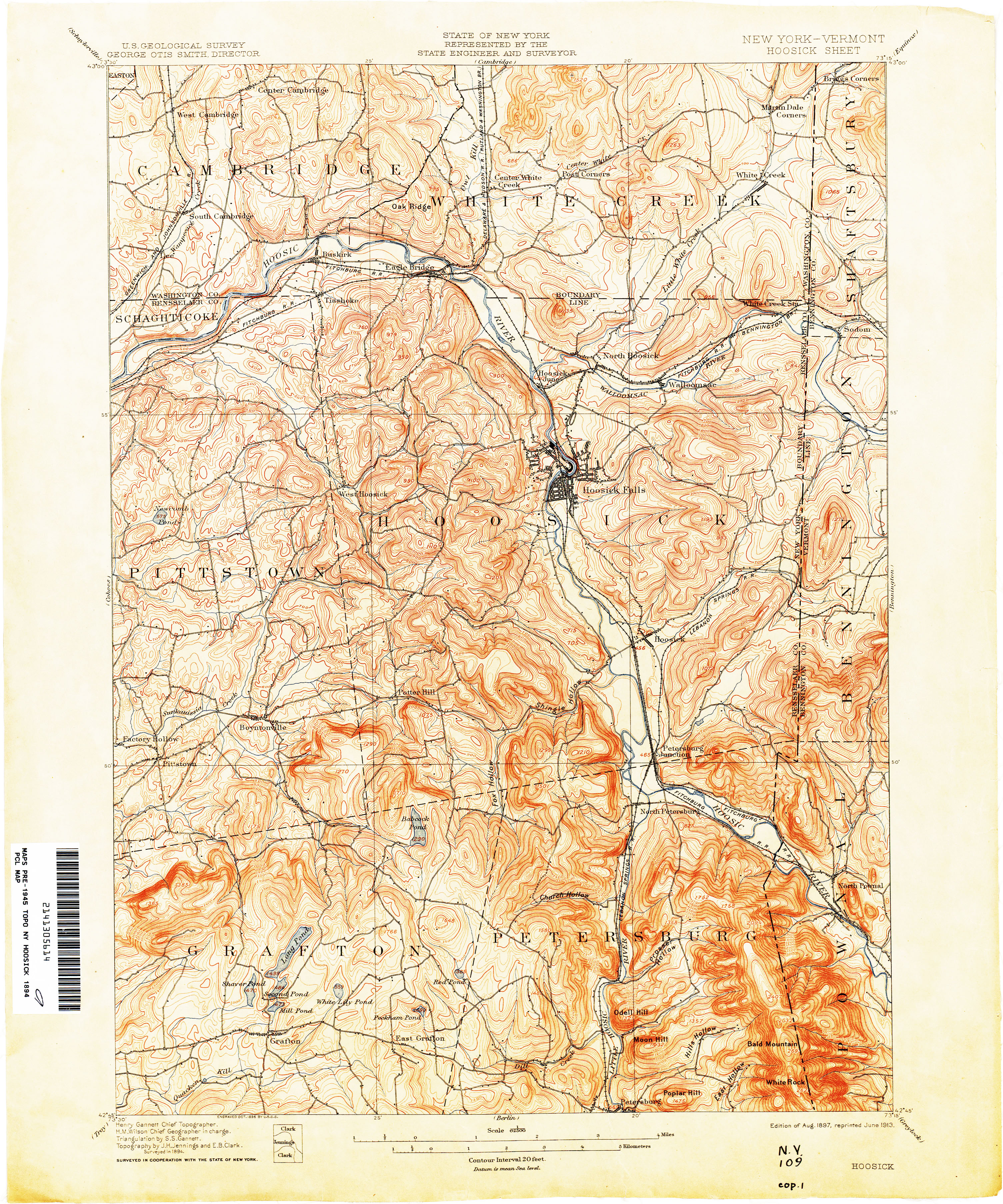
- Hoosick [New York, Vermont] 1894 1:62,500 (5.1MB)
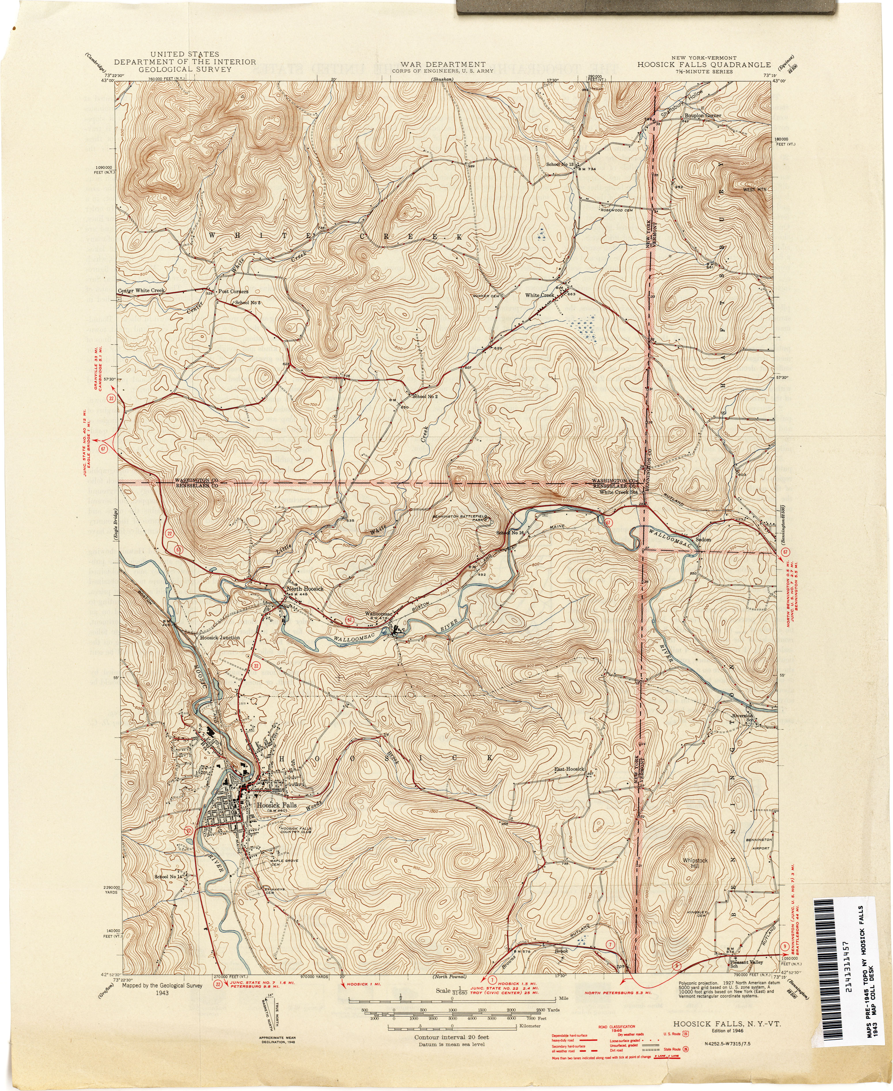
- Hoosick Falls [New York, Vermont] 1943 1:31,680 (3.7MB)
- Hyde Park 1927 1:62,500 (4.5MB)
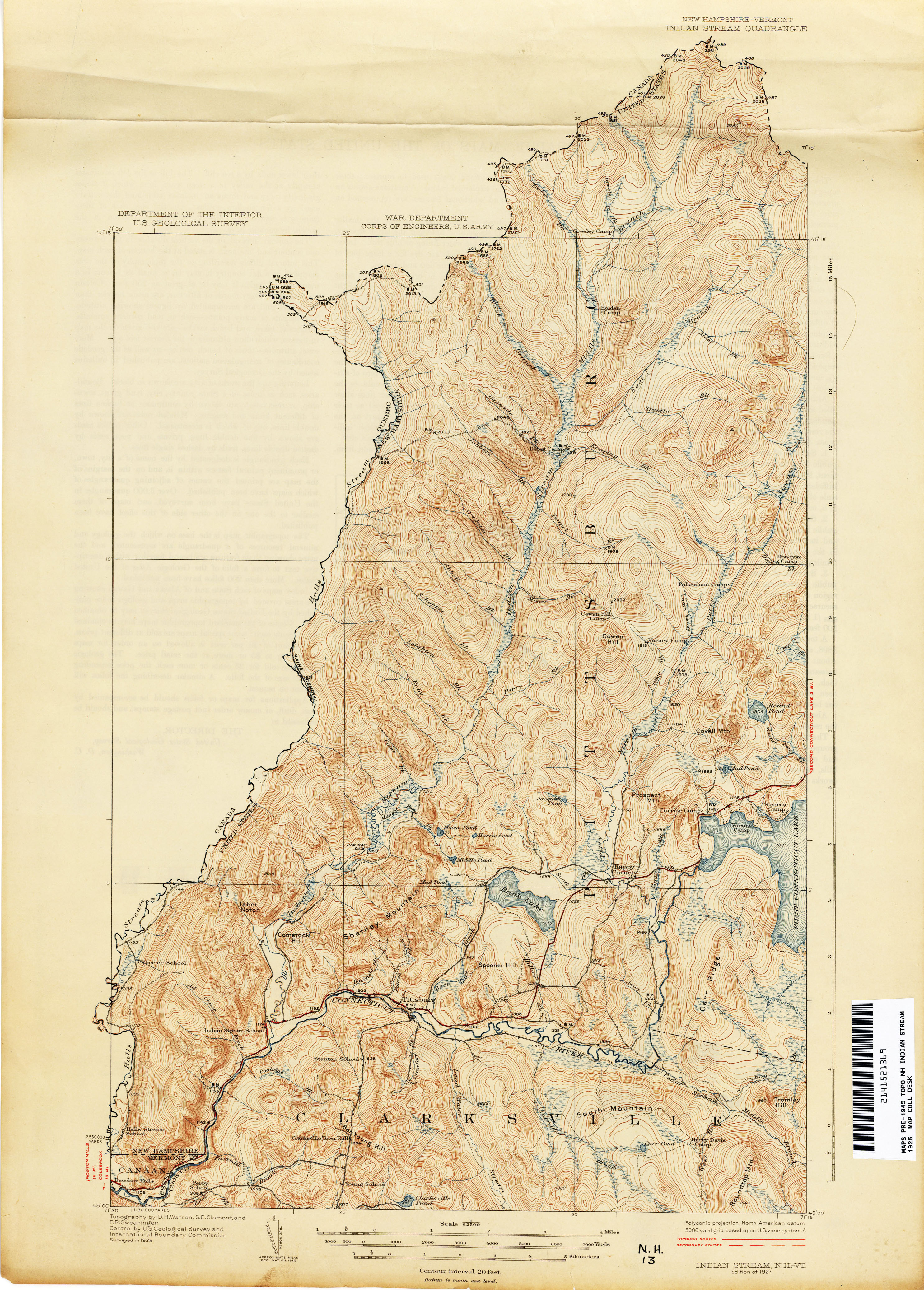
- Indian Stream [New Hampshire, Vermont] 1925 1:62,500 (3.5MB)
- Island Pond 1924 1:62,500 (4.7MB)
- Keene [New Hampshire, Vermont] 1895 1:62,500 (3.8MB)
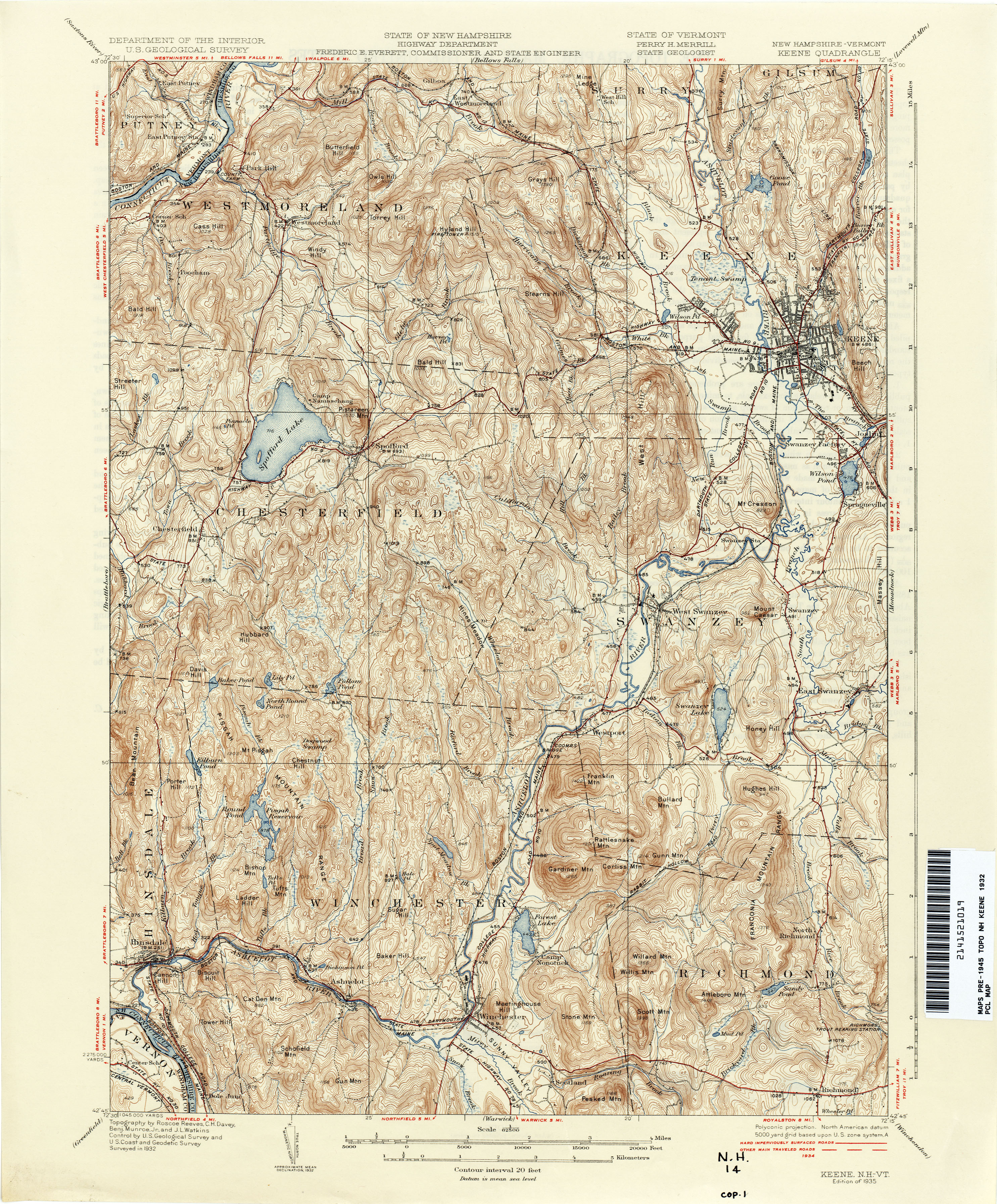
- Keene [New Hampshire, Vermont] 1932 1:62,500 (4.3MB)
- Lincoln Mountain 1919 1:62,500 (4.6MB)
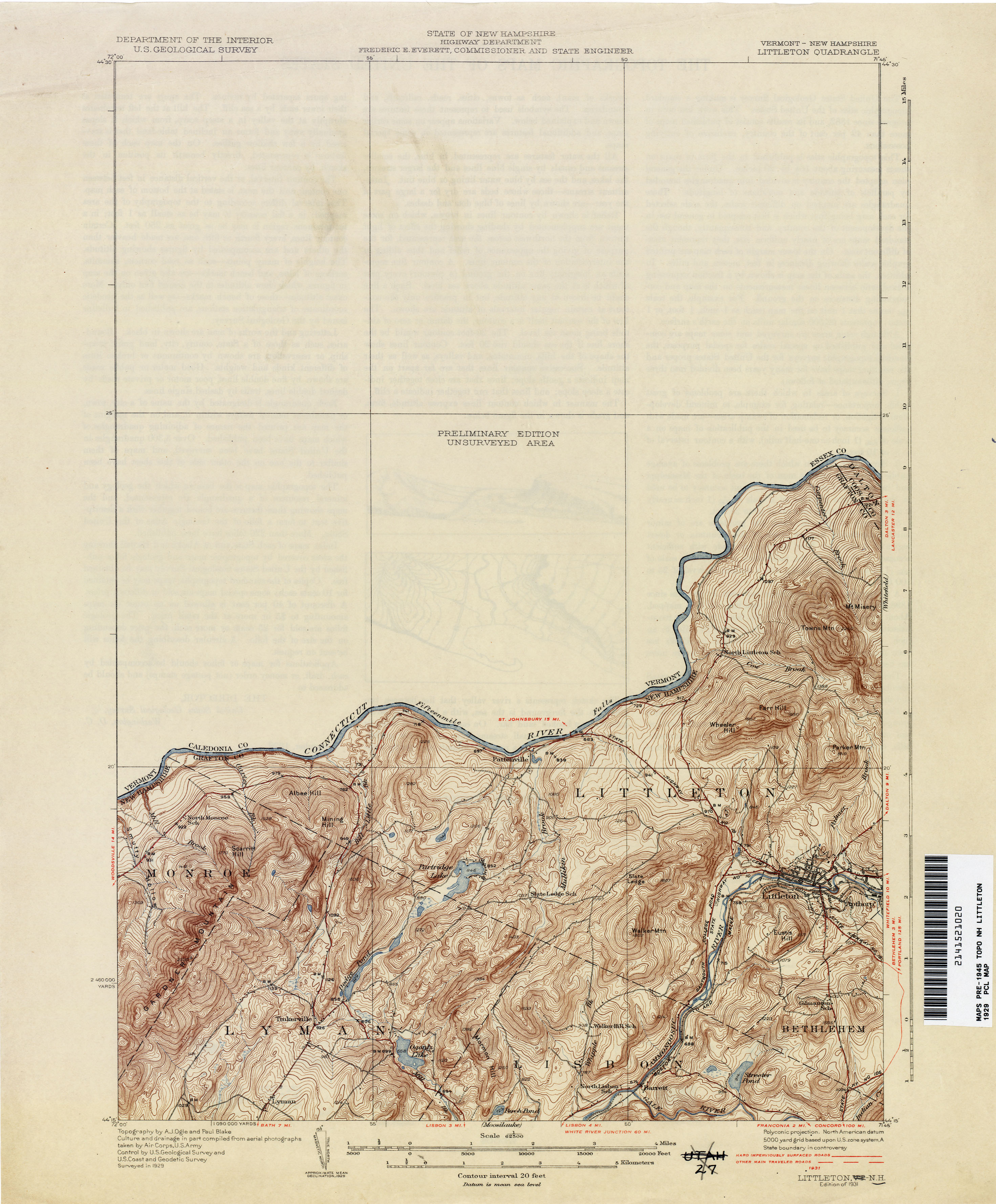
- Littleton [Vermont, New Hampshire] 1929 1:62,500 (2.3MB)
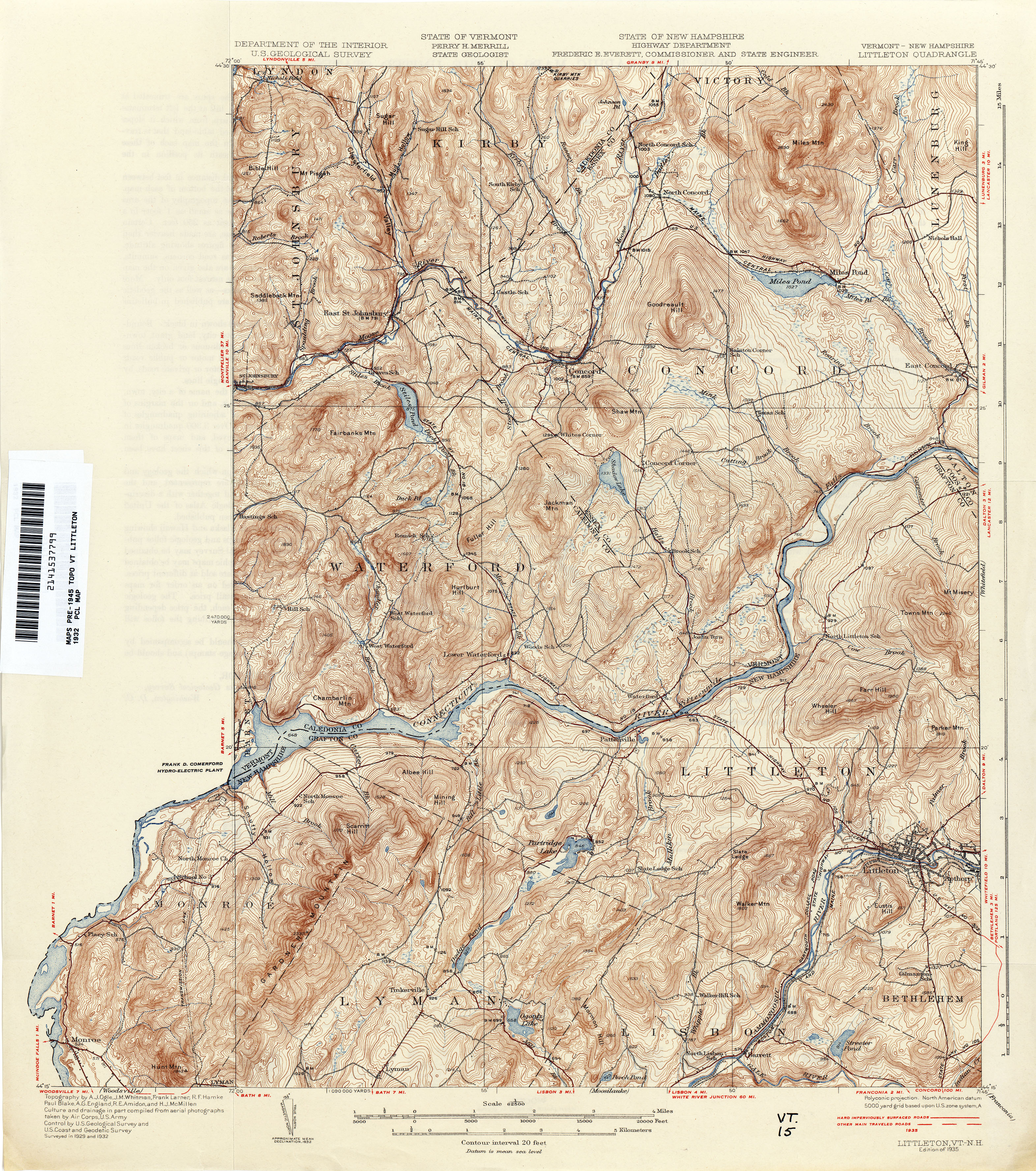
- Littletown [New Hampshire, Vermont] 1932 1:62,500 (5.6MB)
- Londonderry 1892 1:62,500 (4.1MB)
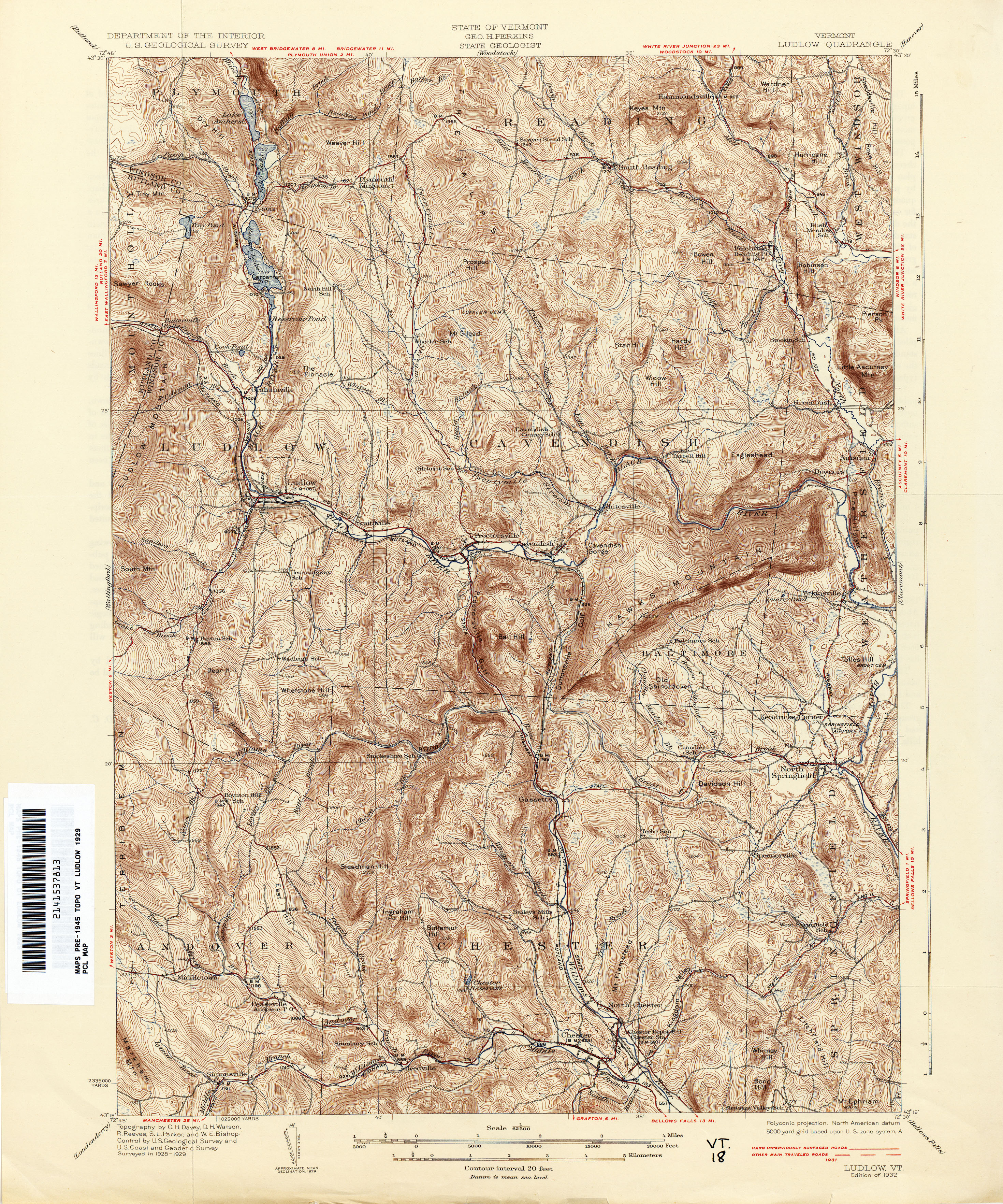
- Ludlow 1929 1:62,500 (5.5MB)
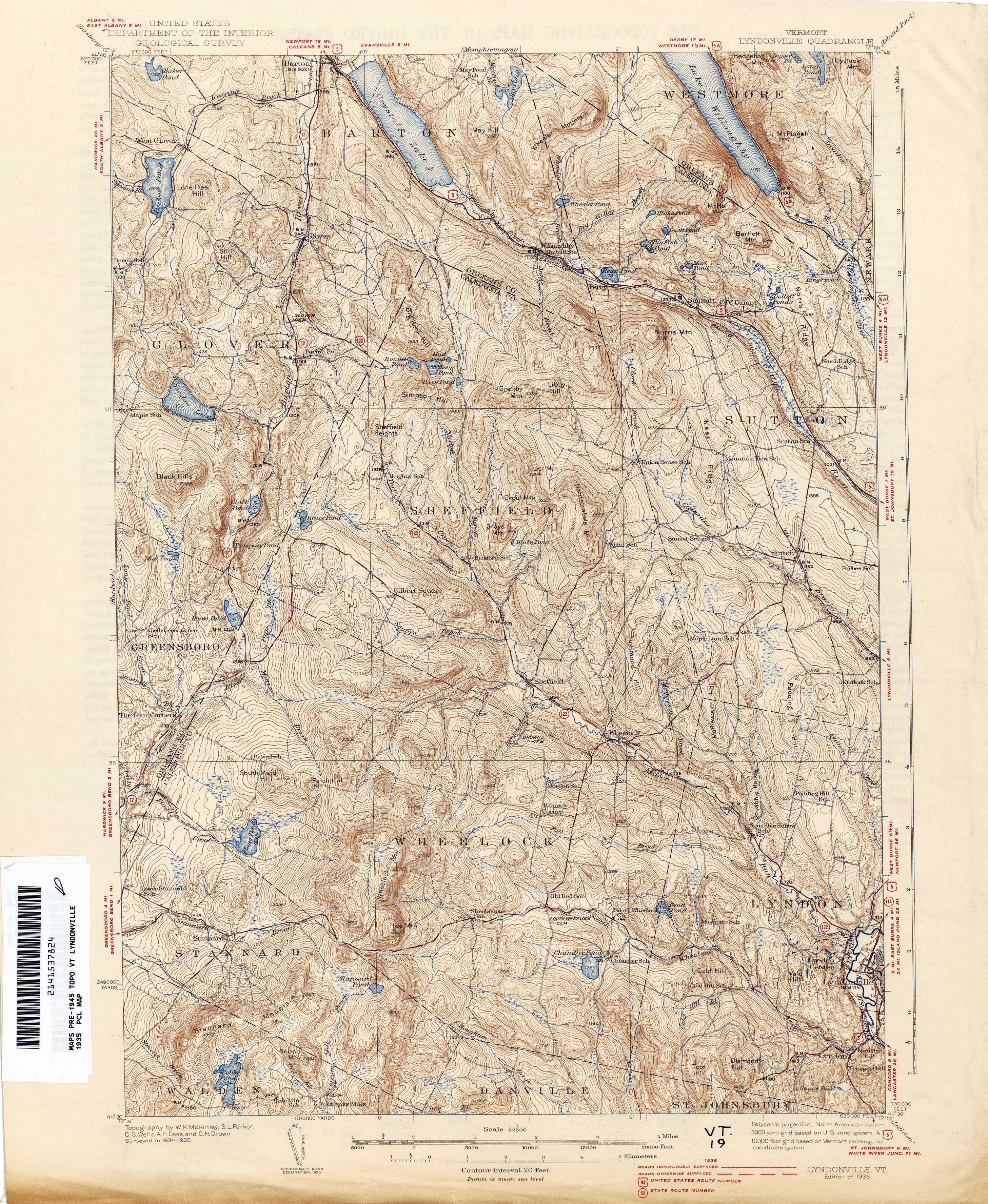
- Lyndonville 1935 1:62,500 (4.8MB)
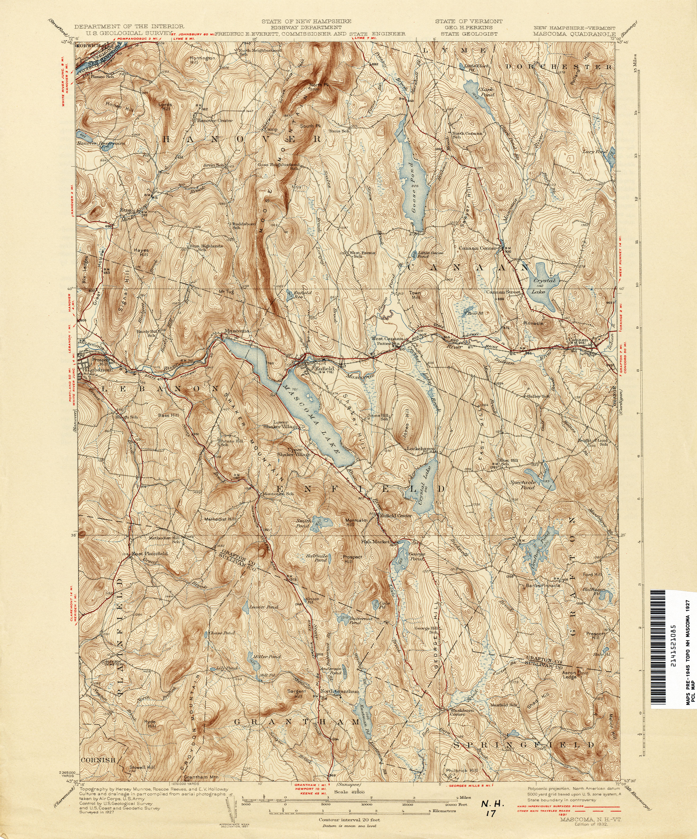
- Mascoma [New Hampshire, Vermont] 1927 1:62,500 (4.3MB)
- Memphremagog 1923 1:62,500 (4.5MB)
- Mettawee [New York, Vermont] 1894 1:125,000 (5.8MB)
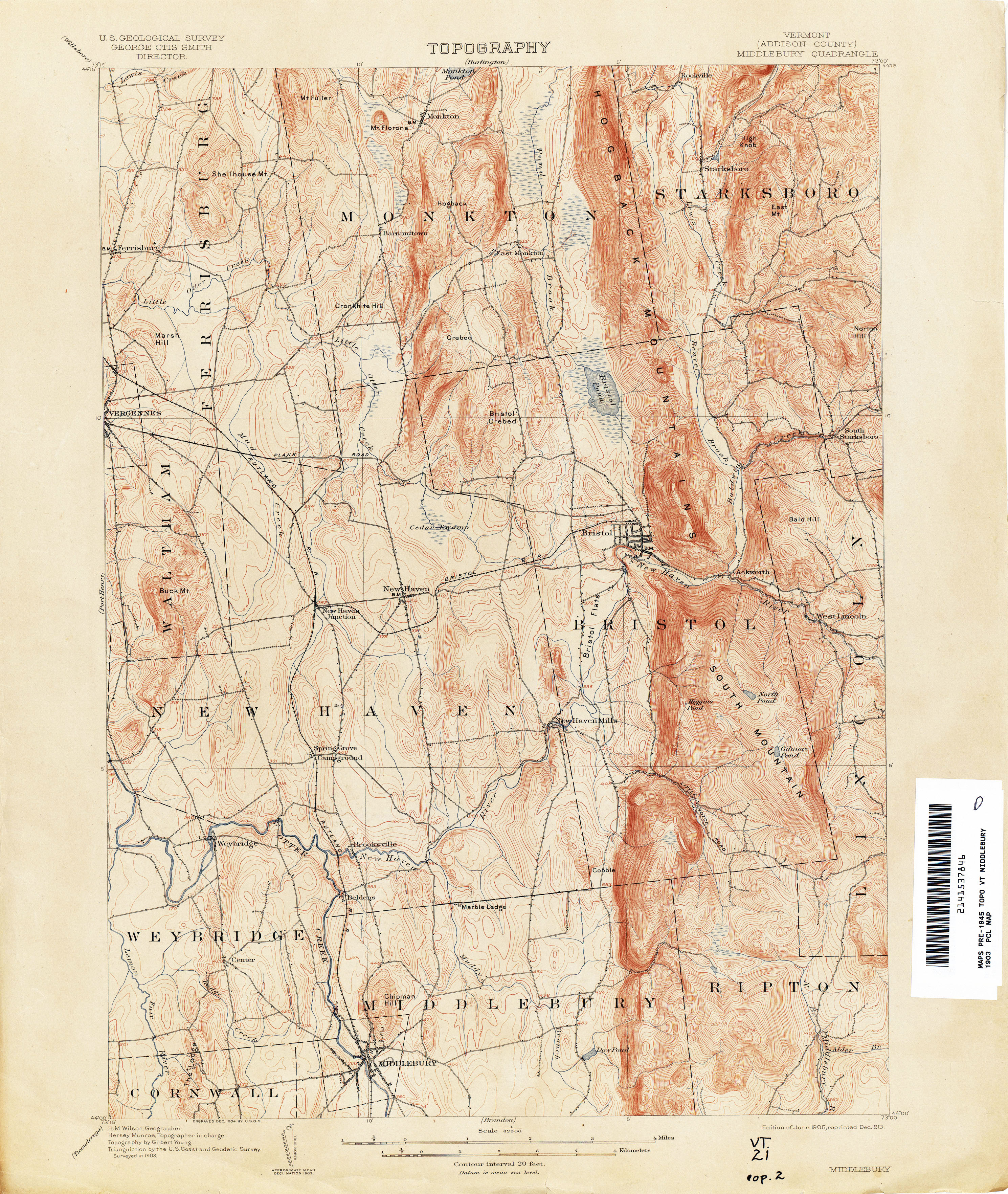
- Middlebury 1903 1:62,500 (3.8MB)
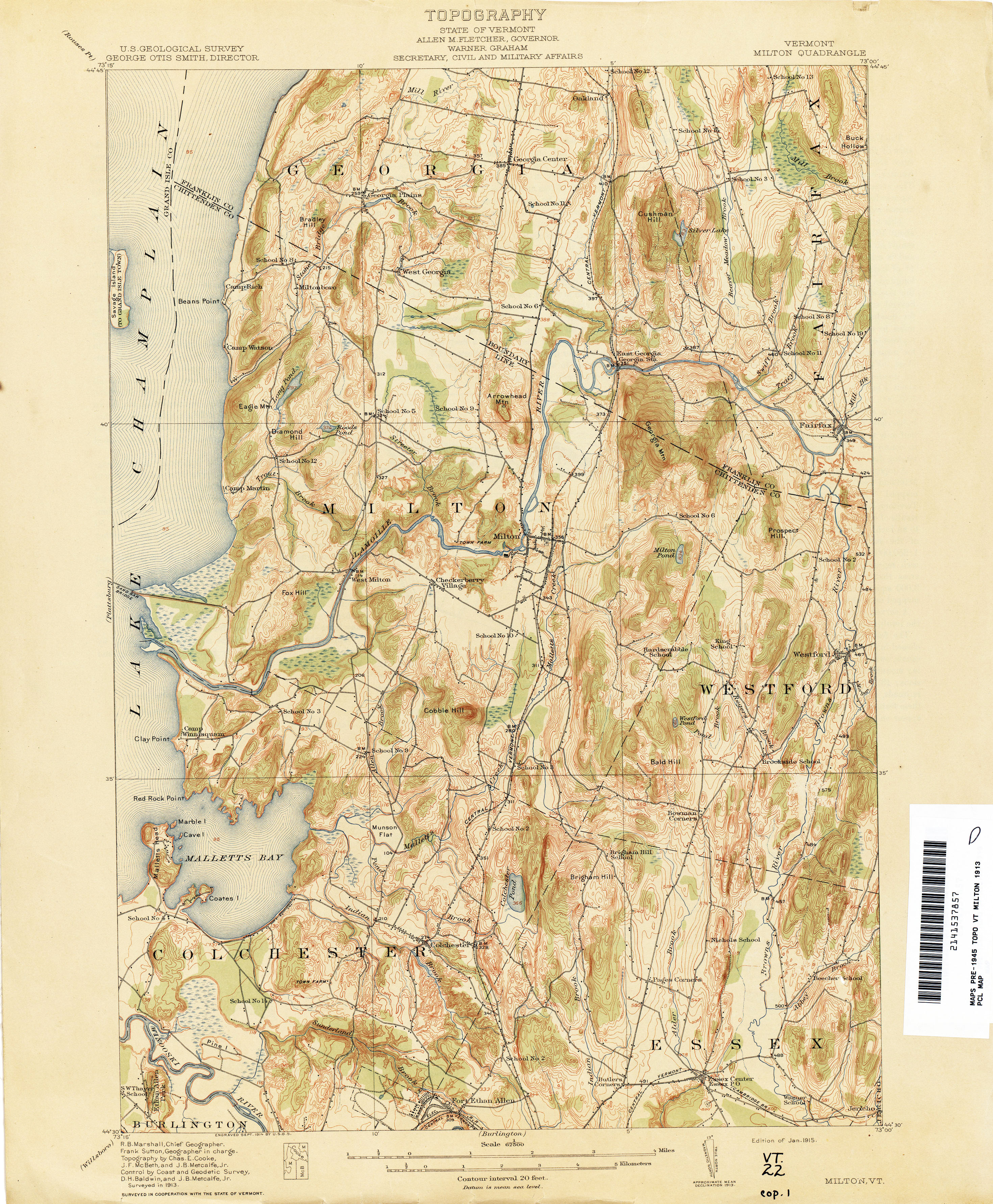
- Milton 1913 1:62,500 (3.9MB)
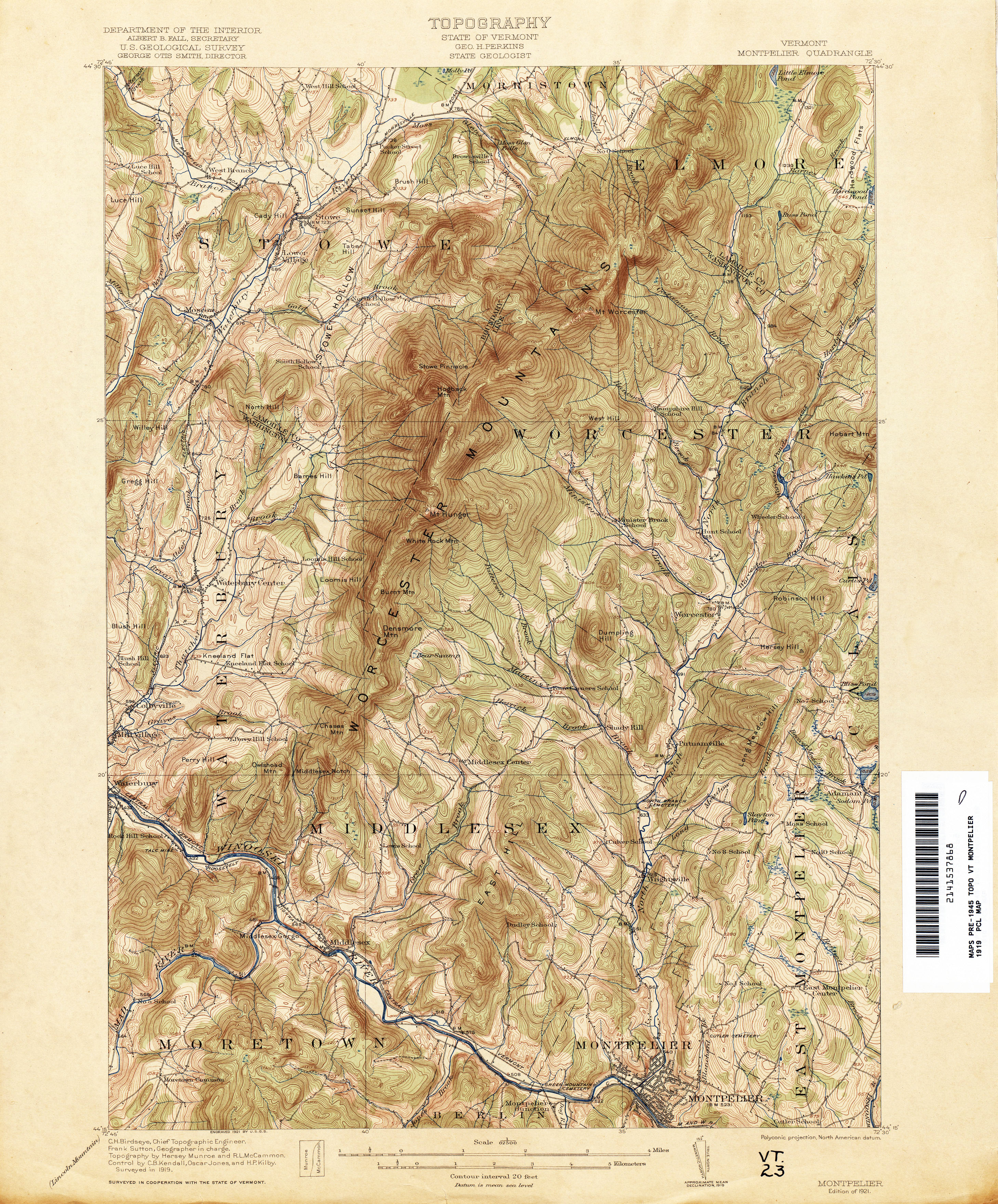
- Montpelier 1919 1:62,500 (4.6MB)
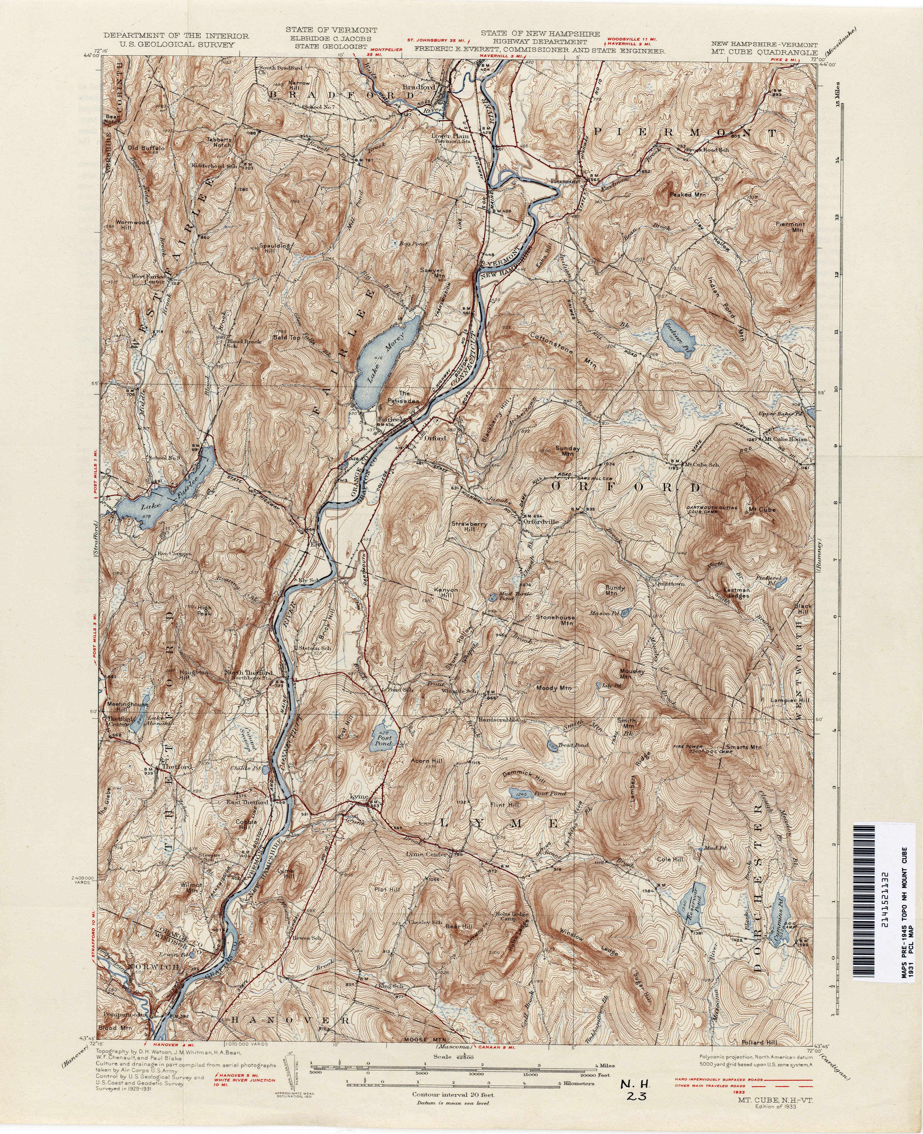
- Mount Cube [New Hampshire, Vermont] 1931 1:62,500 (4.3MB)
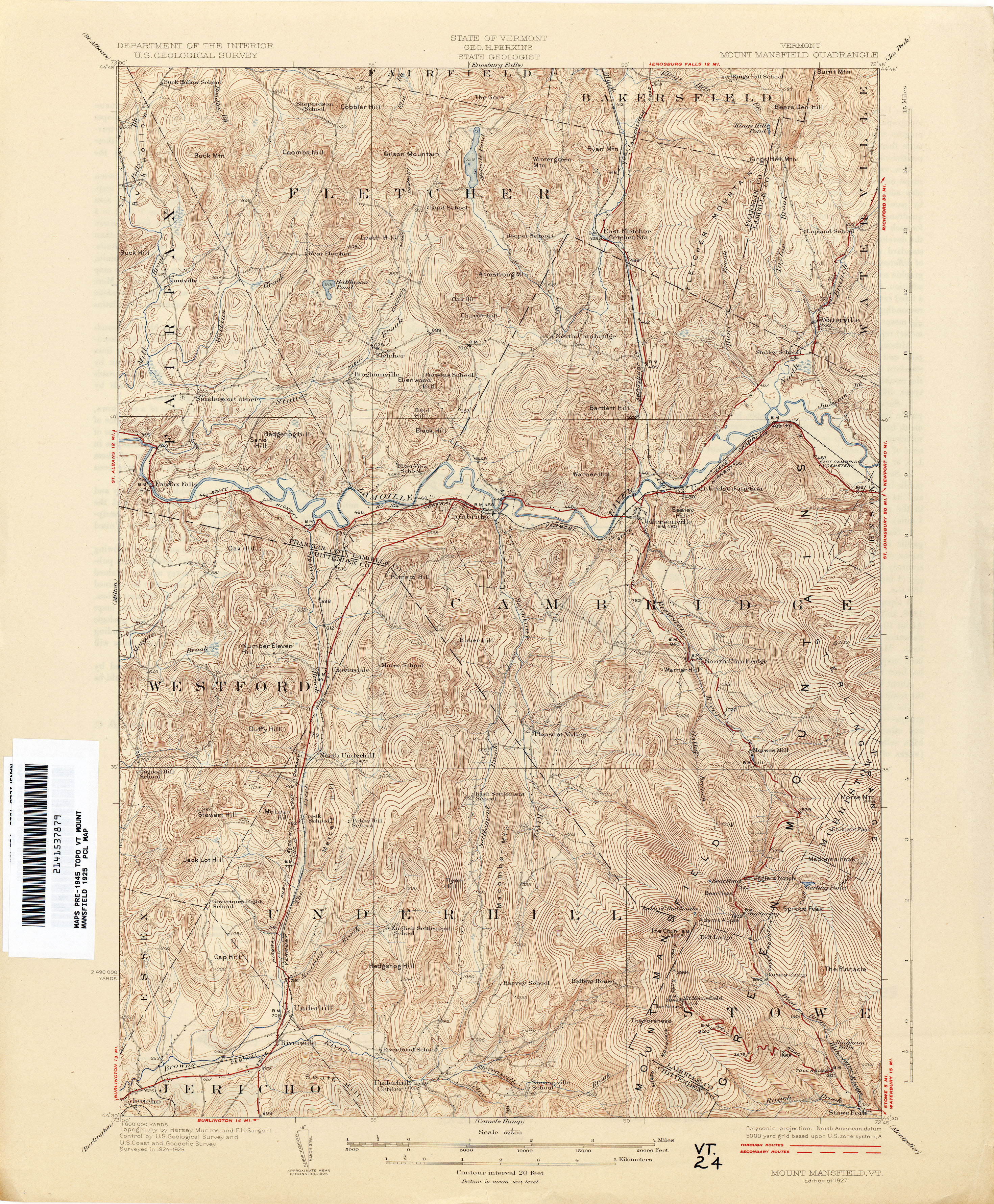
- Mount Mansfield 1925 1:62,500 (4.7MB)
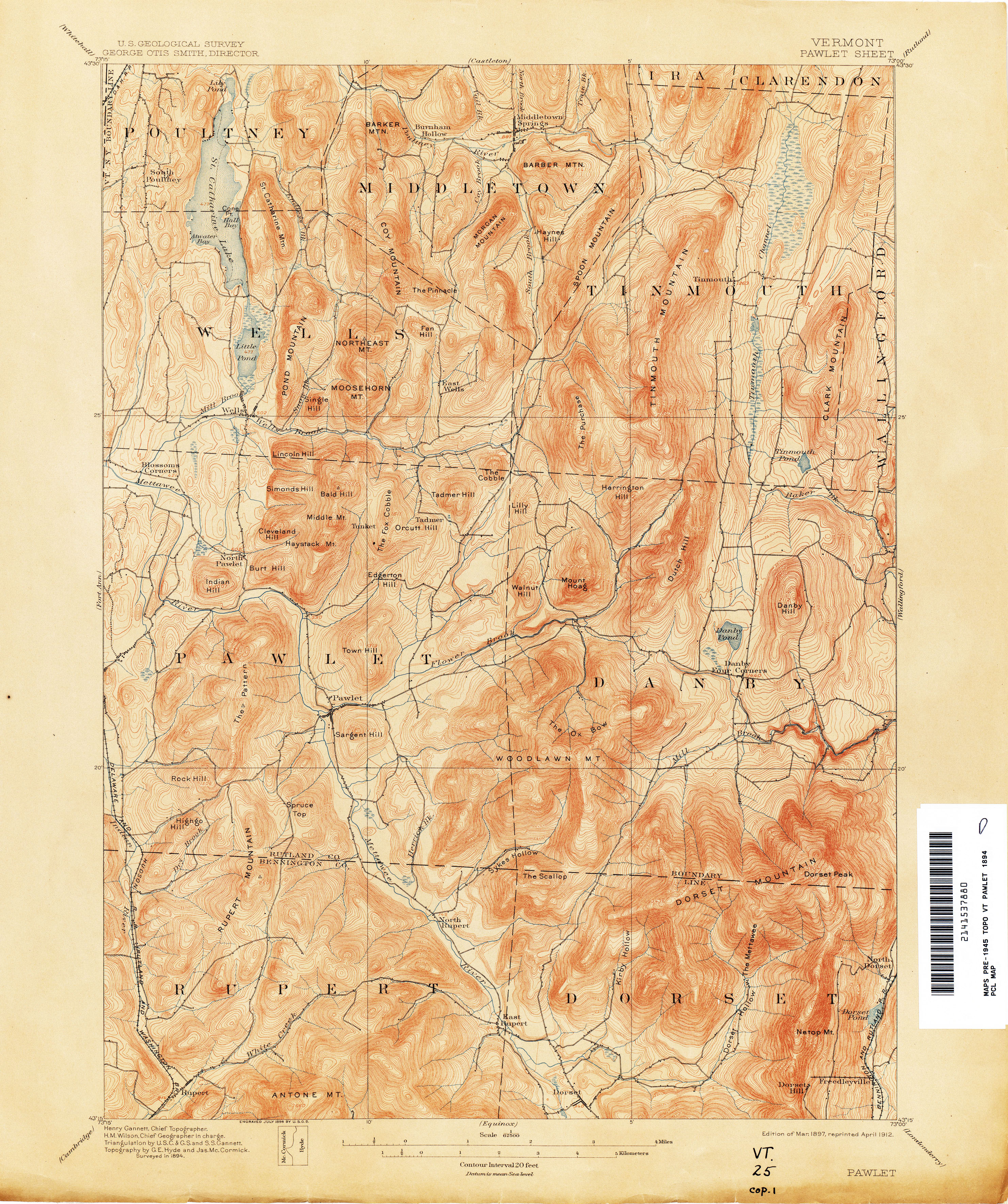
- Pawlet 1894 1:62,500 (4.2MB)
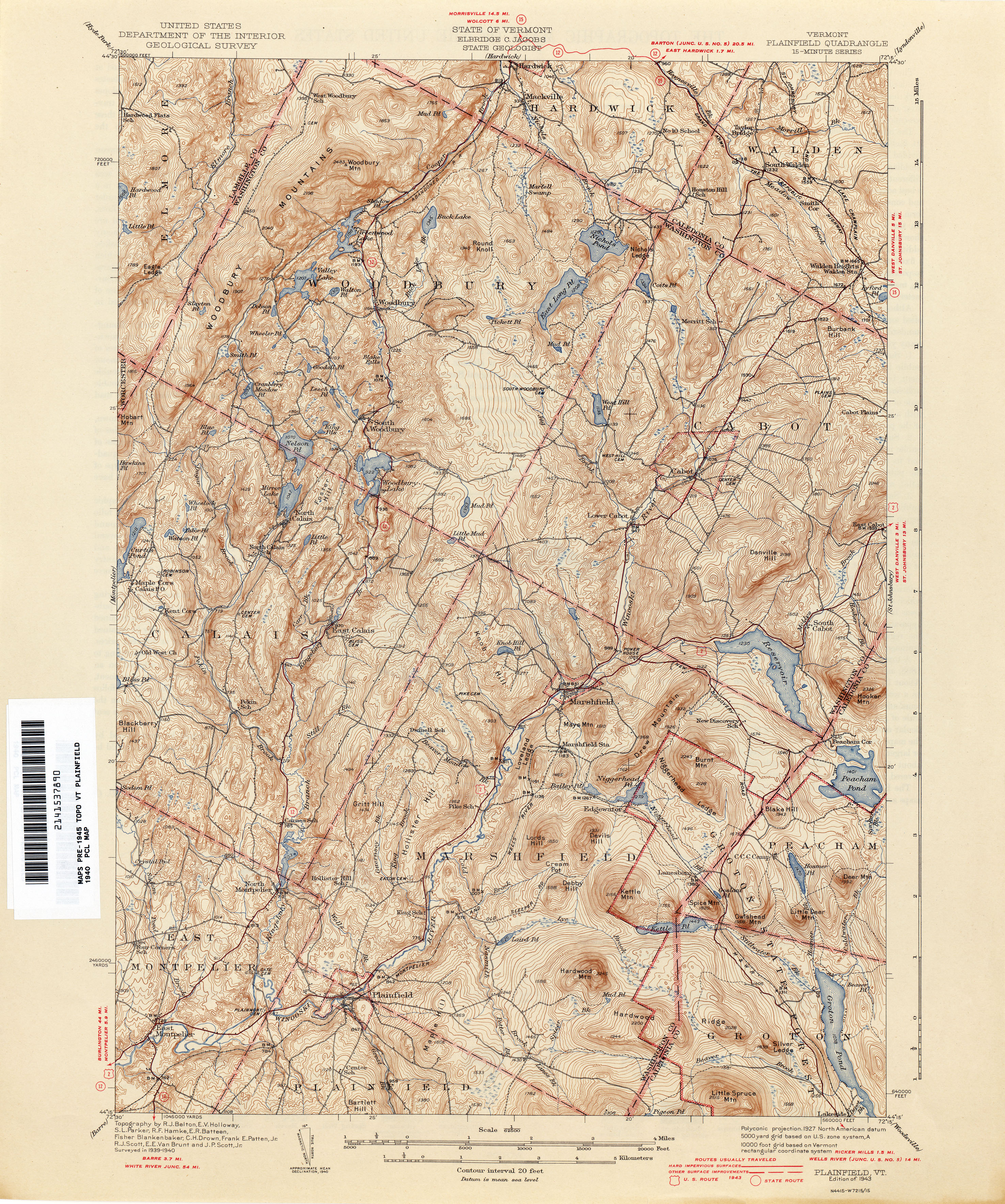
- Plainfield 1940 1:62,500 (5.2MB)
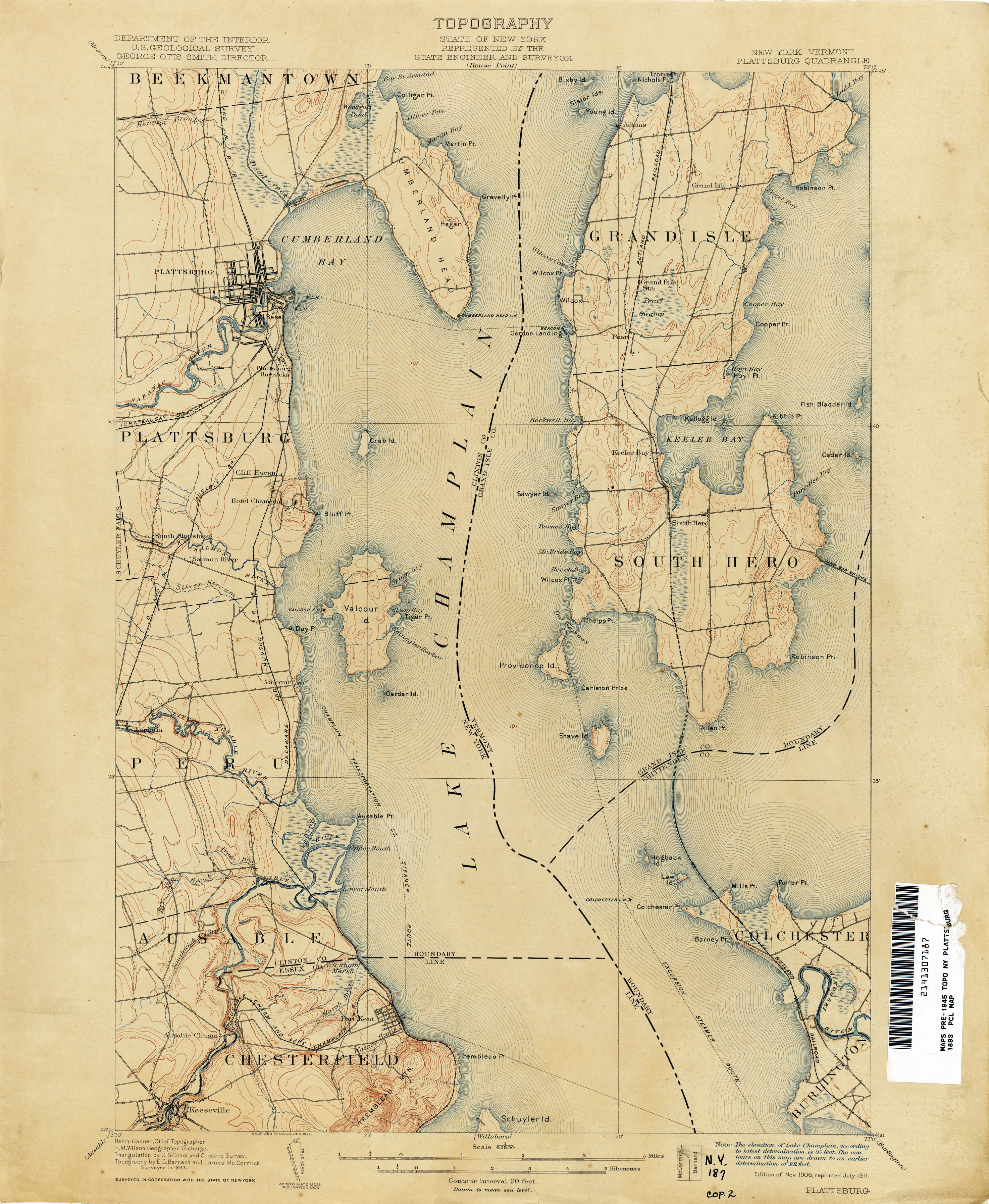
- Plattsburg [New York, Vermont] 1893 1:62,500 (3.2MB)
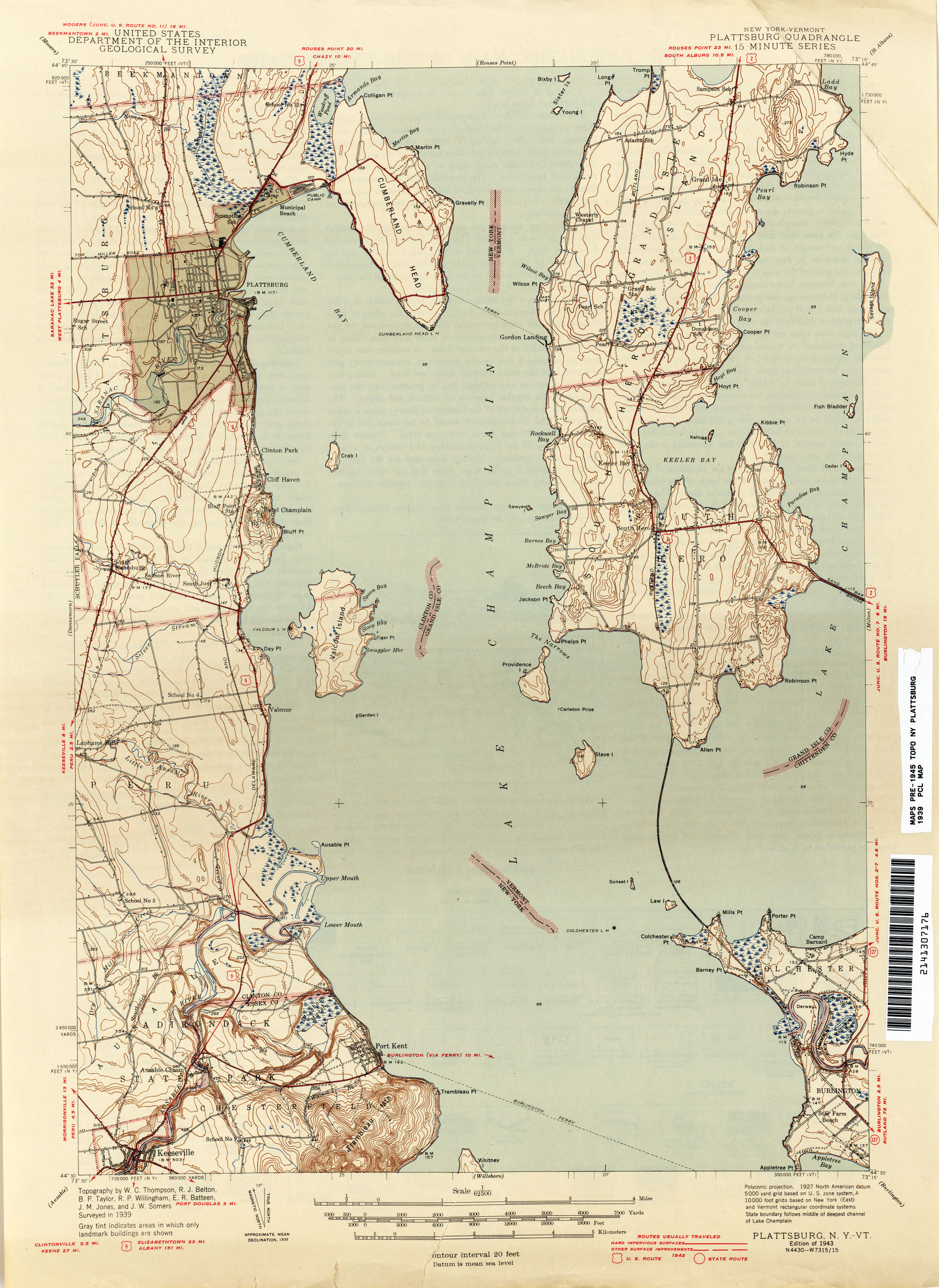
- Plattsburg [New York, Vermont] 1939 1:62,500 (2.3MB)
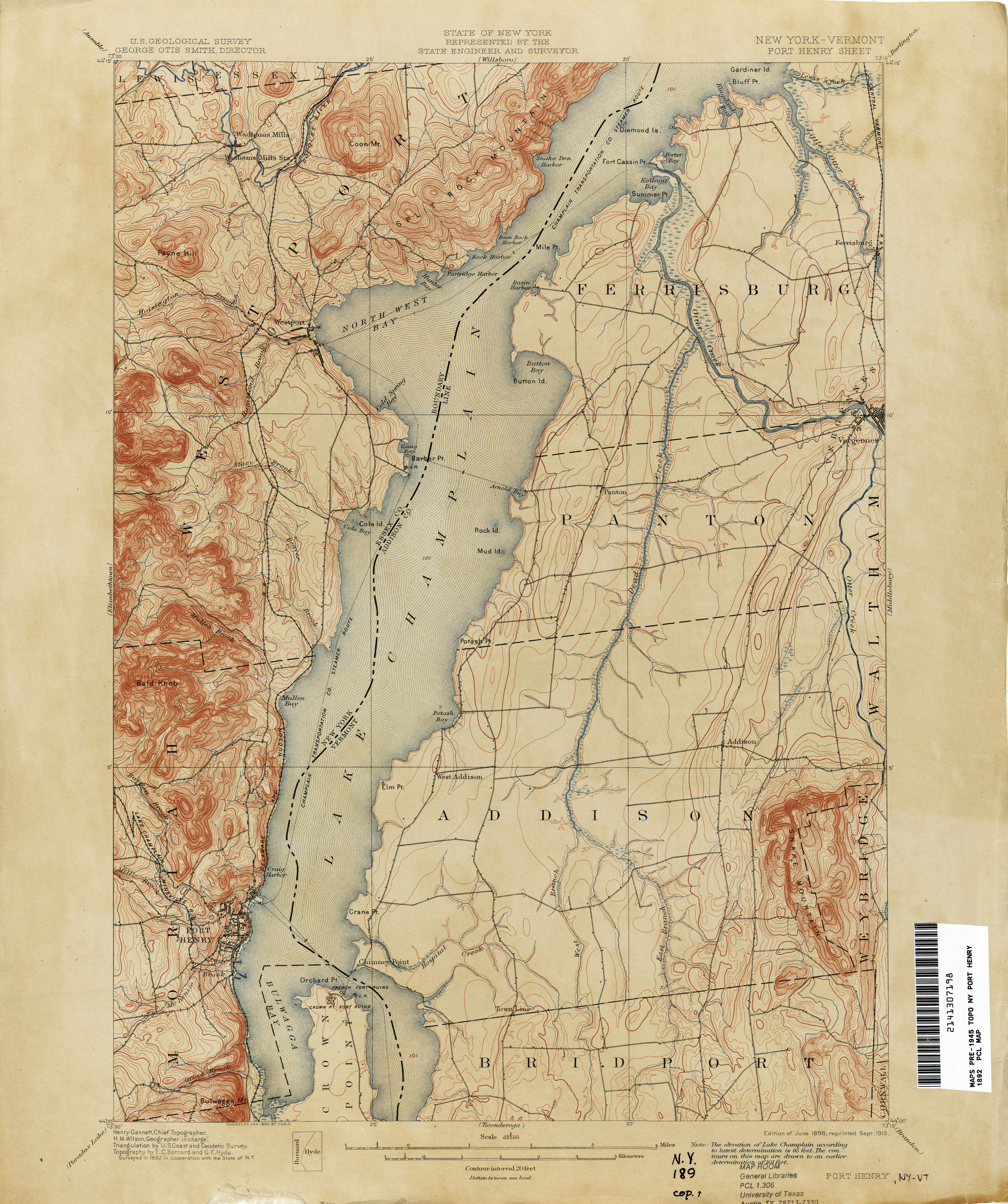
- Port Henry [New York, Vermont] 1892 1:62,500 (3.4MB)
- Proctor 1944 1:31,680 (4.2MB)
- Randolph 1924 1:62,500 (5.1MB)
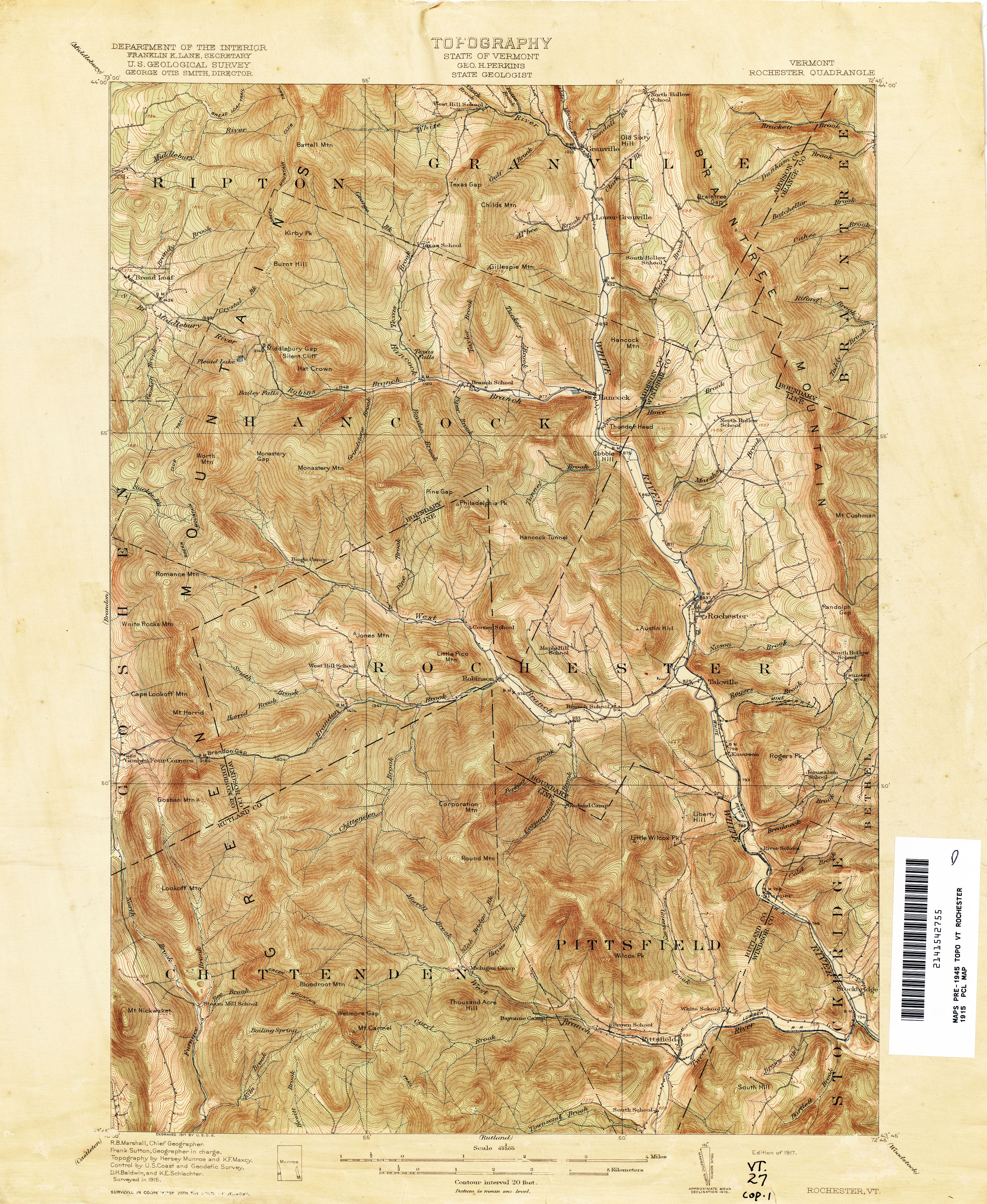
- Rochester 1915 1:62,500 (4.5MB)
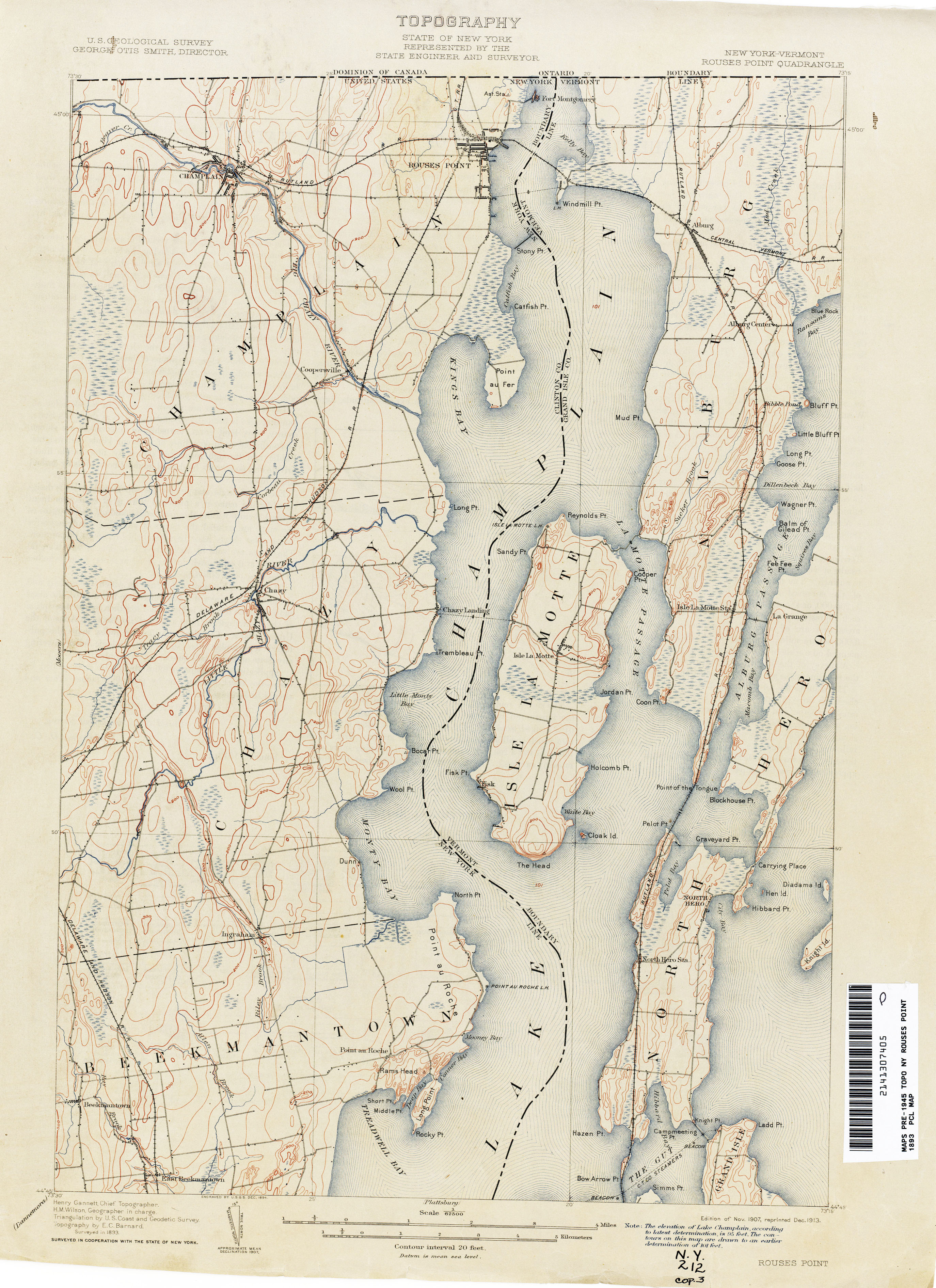
- Rouses Point [New York, Vermont] 1893 1:62,500 (2.8MB)
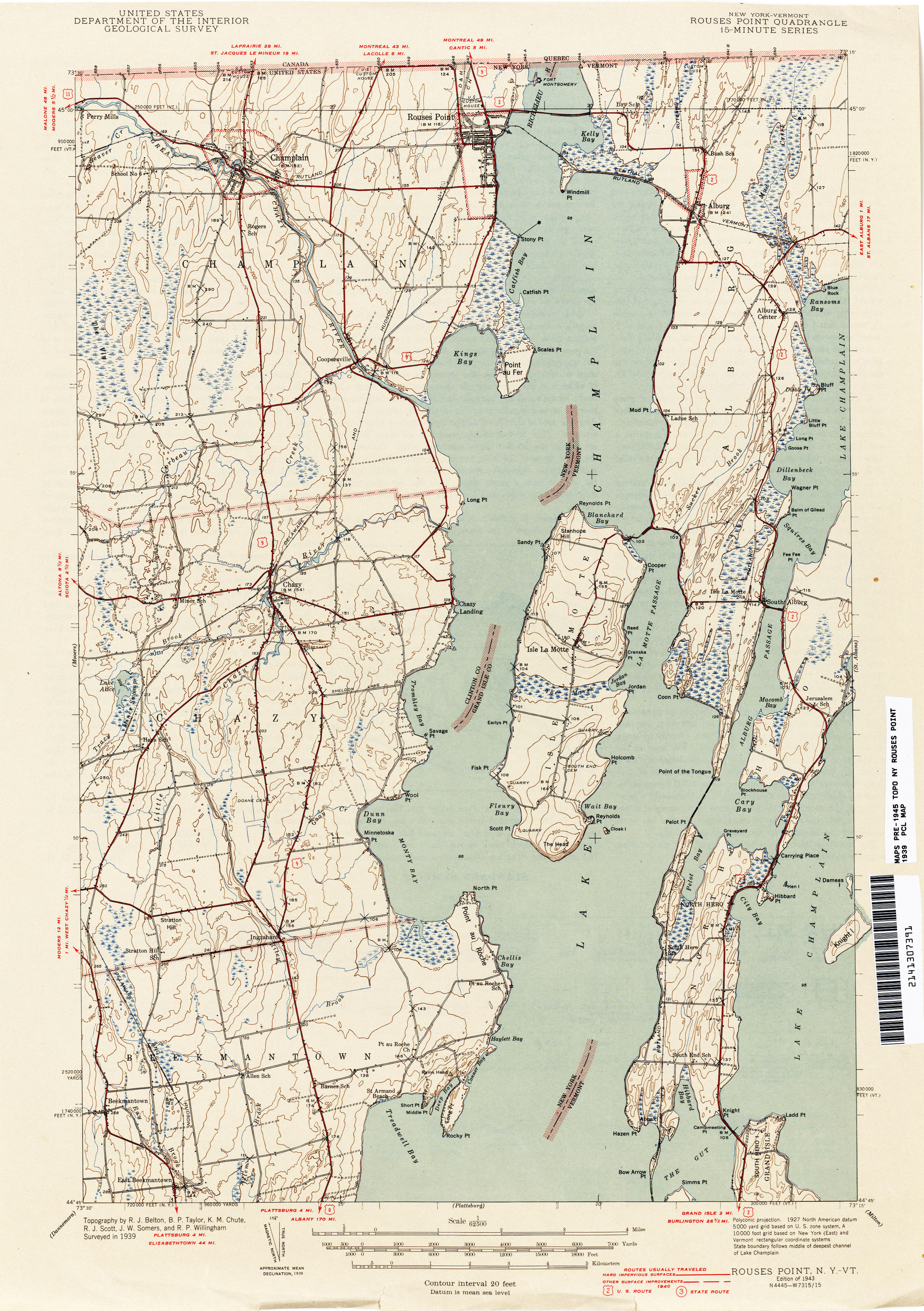
- Rouses Point [New York, Vermont] 1939 1:62,500 (2.7MB)
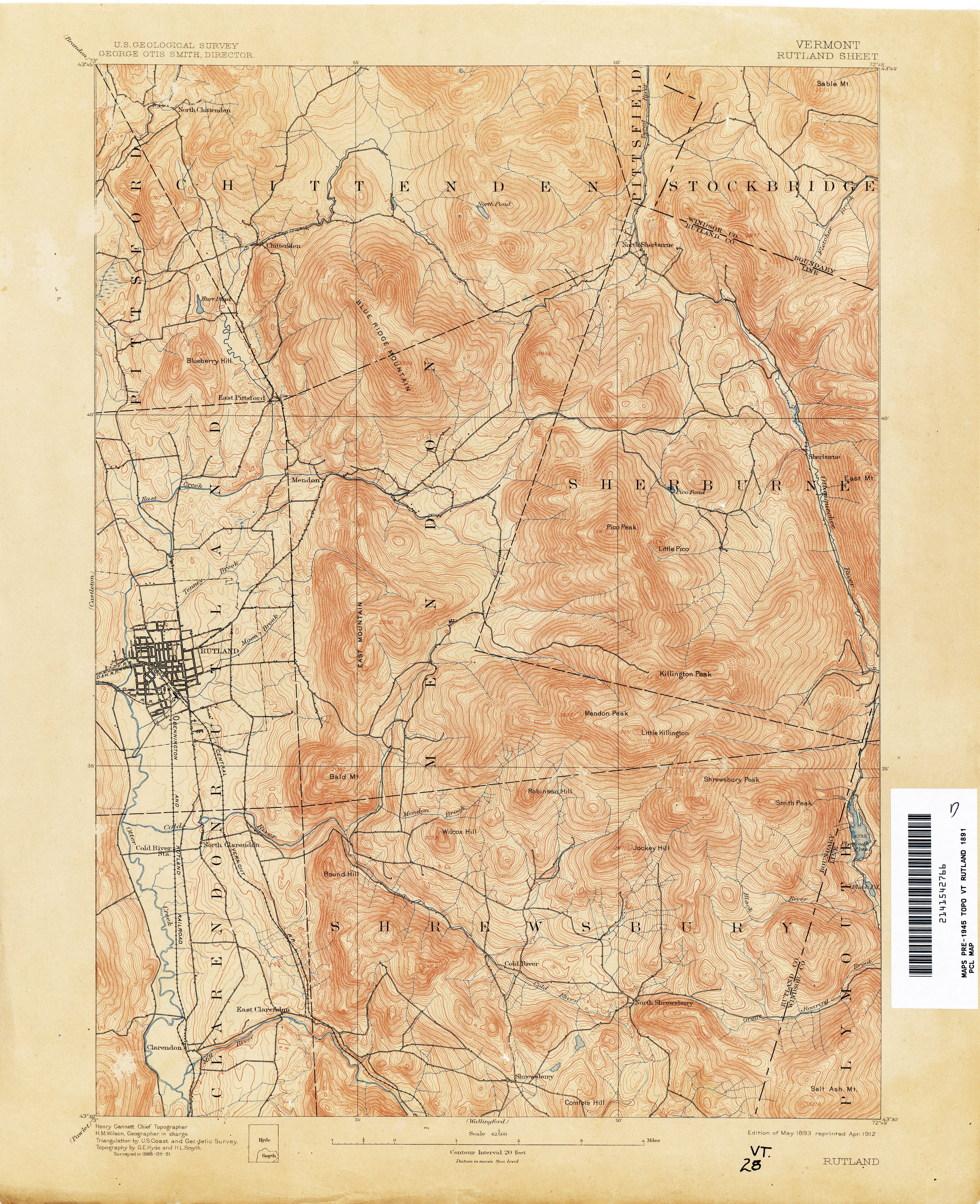
- Rutland 1891 1:62,500 (4.2MB)
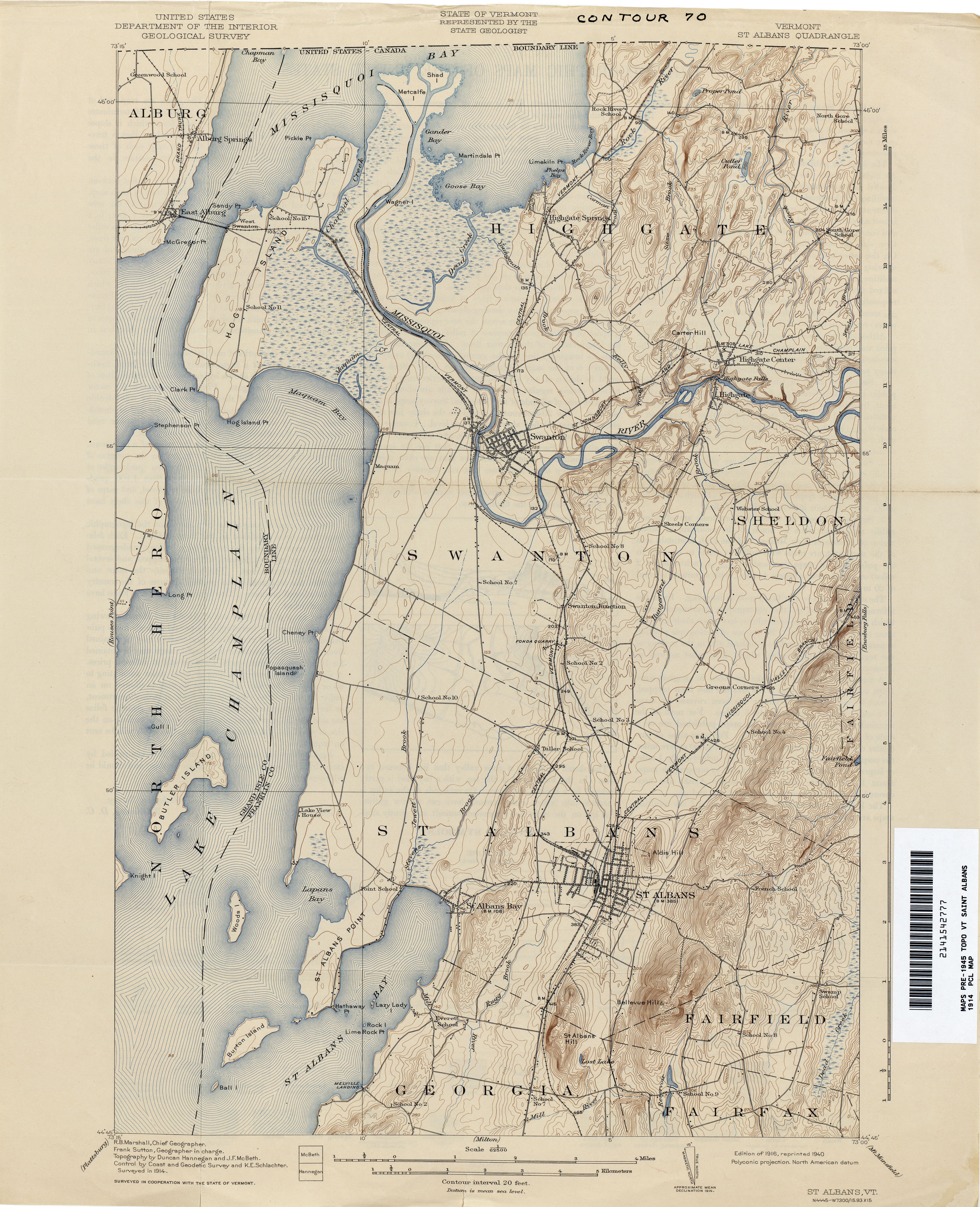
- Saint Albans 1914 1:62,500 (3.5MB)
- Saint Johnsbury [Vermont, New Hampshire] 1938 1:62,500 (5.3MB)
- Salem [New York, Vermont] 1944 1:31,680 (4.3MB)
- Saxtons River 1930 1:62,500 (5.4MB)
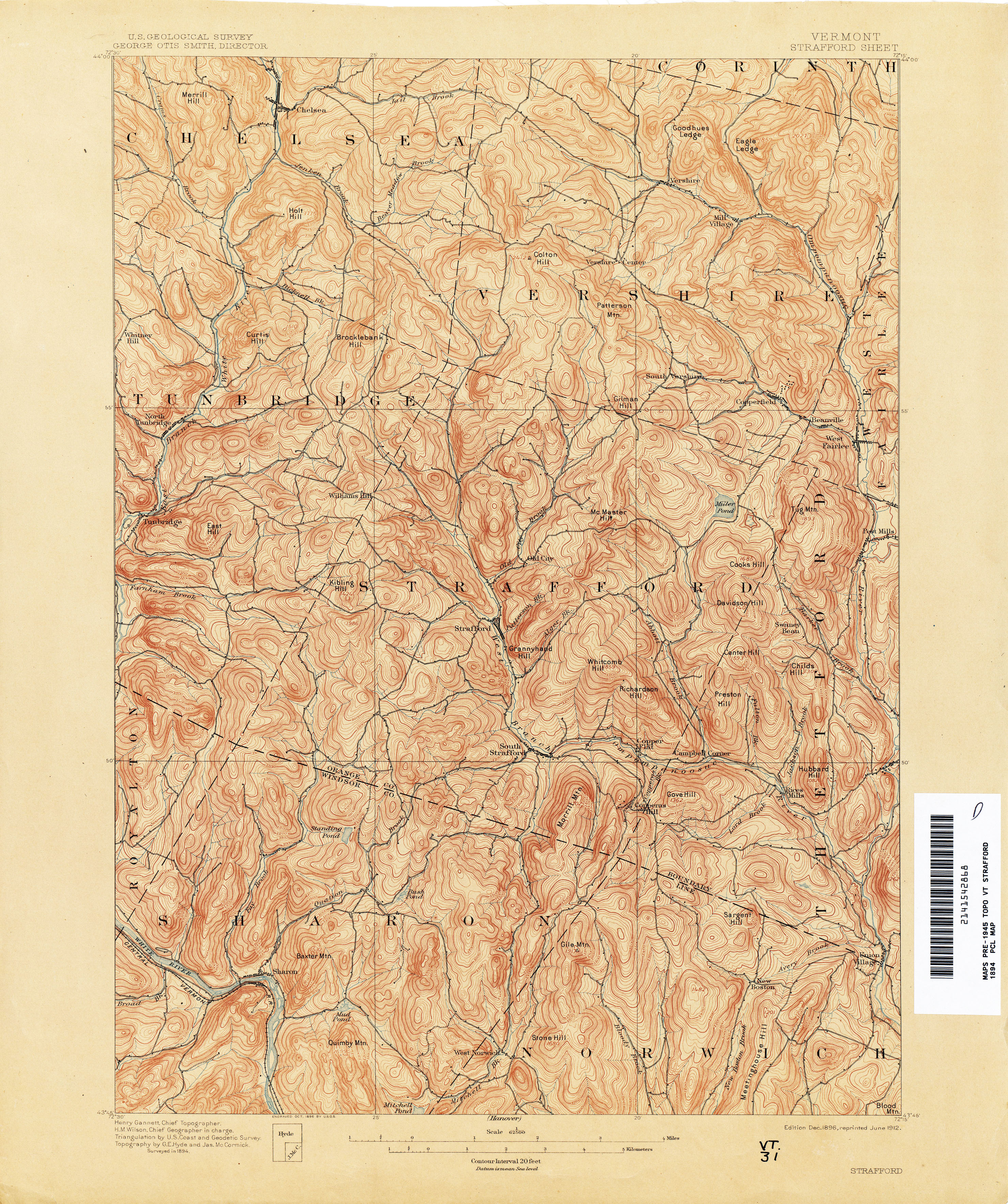
- Strafford 1894 1:62,500 (4.6MB)
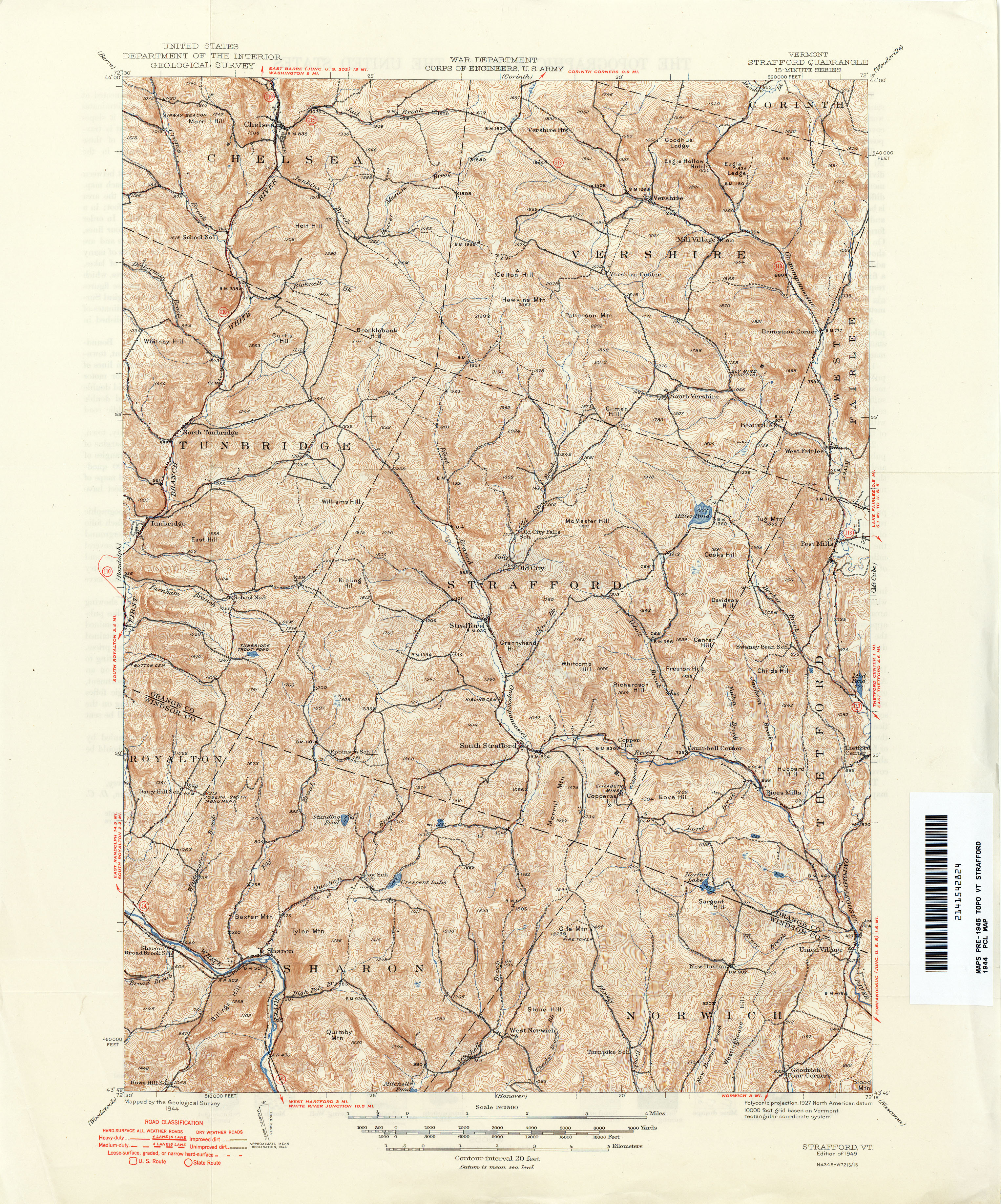
- Strafford 1944 1:62,500 (5.1MB)
- Taconic [New York, Massachusetts, Vermont] 1896 1:125,000 (5.2MB)
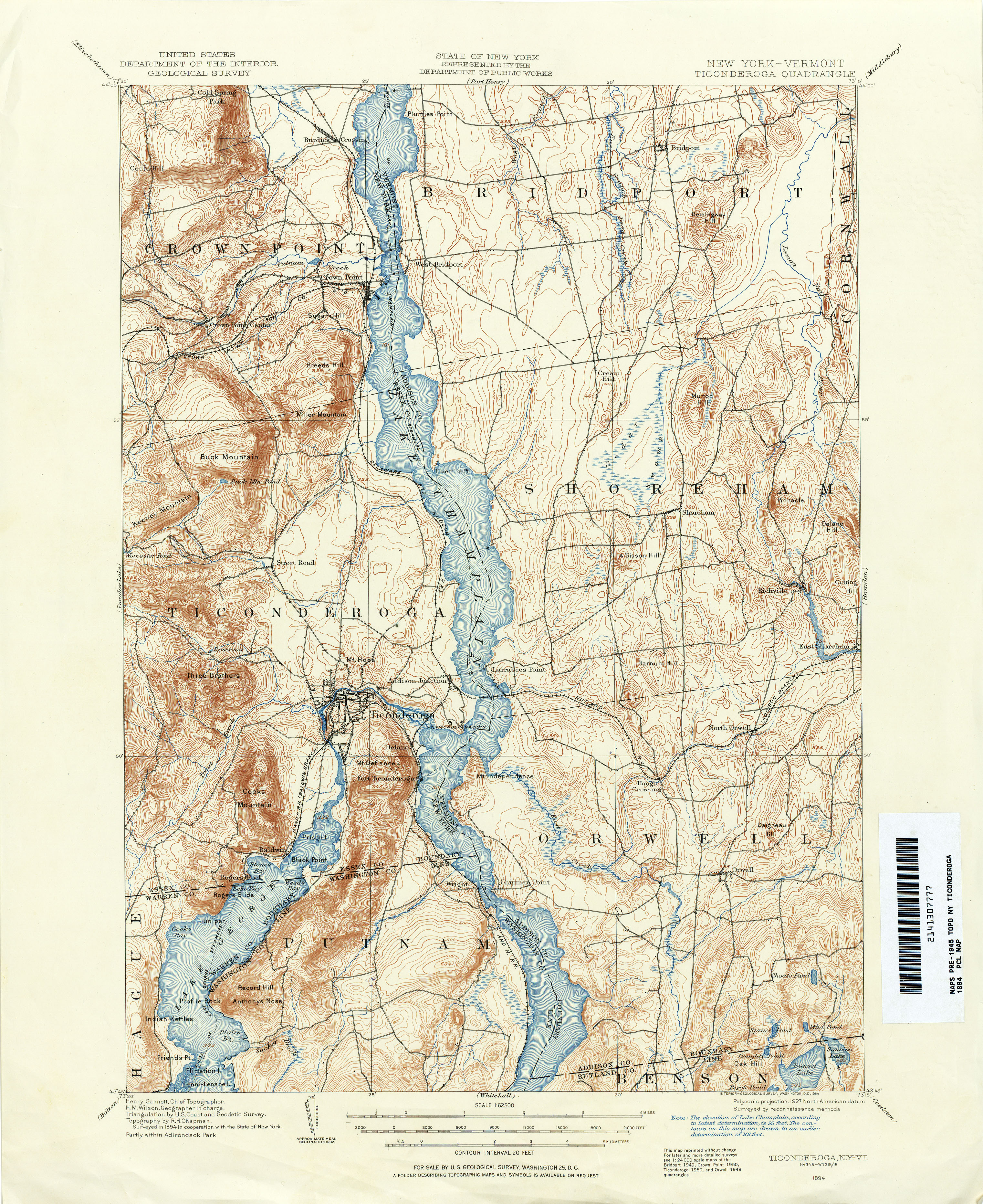
- Ticonderoga [New York, Vermont] 1894 1:62,500 (4.6MB)
- Wallingford 1891 1:62,500 (4.5MB)
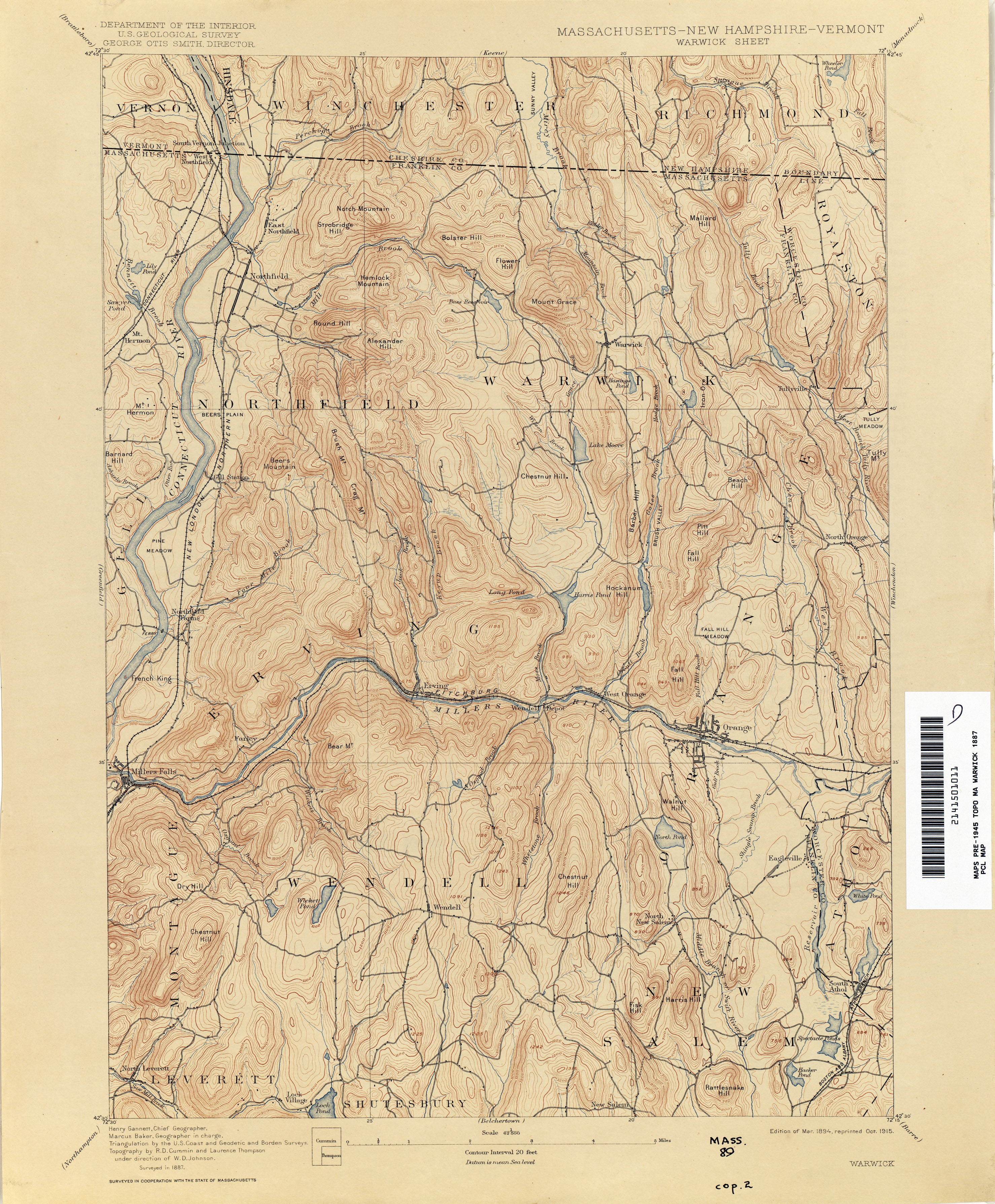
- Warwick [Massachusetts, New Hampshire, Vermont] 1887 1:62,500 (3.7MB)
- Whitefield [New Hampshire, Vermont] 1897 1:62,500 (3.6MB)
- Whitefield [New Hampshire, Vermont] 1935 1:62,500 (4.1MB)
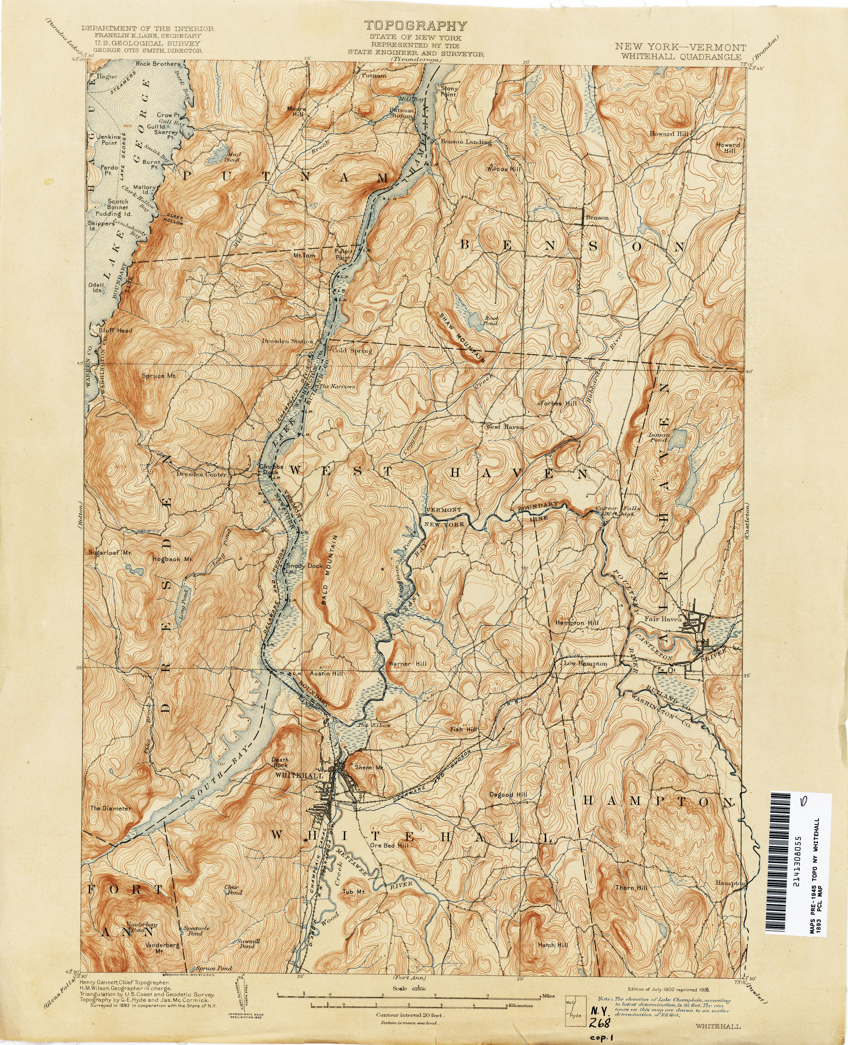
- Whitehall [New York, Vermont] 1893 1:62,500 (4.2MB)
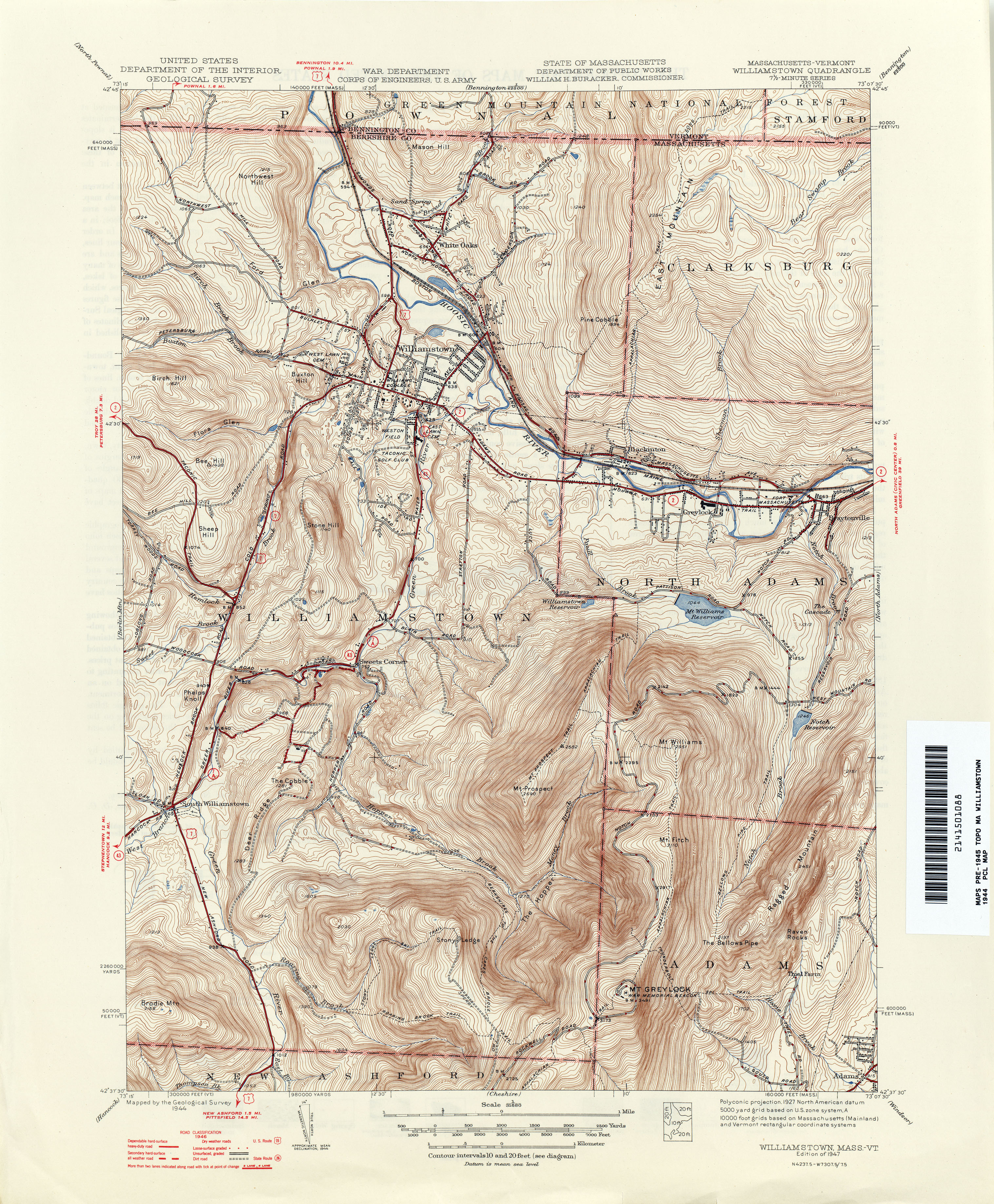
- Williamstown [Massachusetts, Vermont] 1944 1:31,680 (4.6MB)
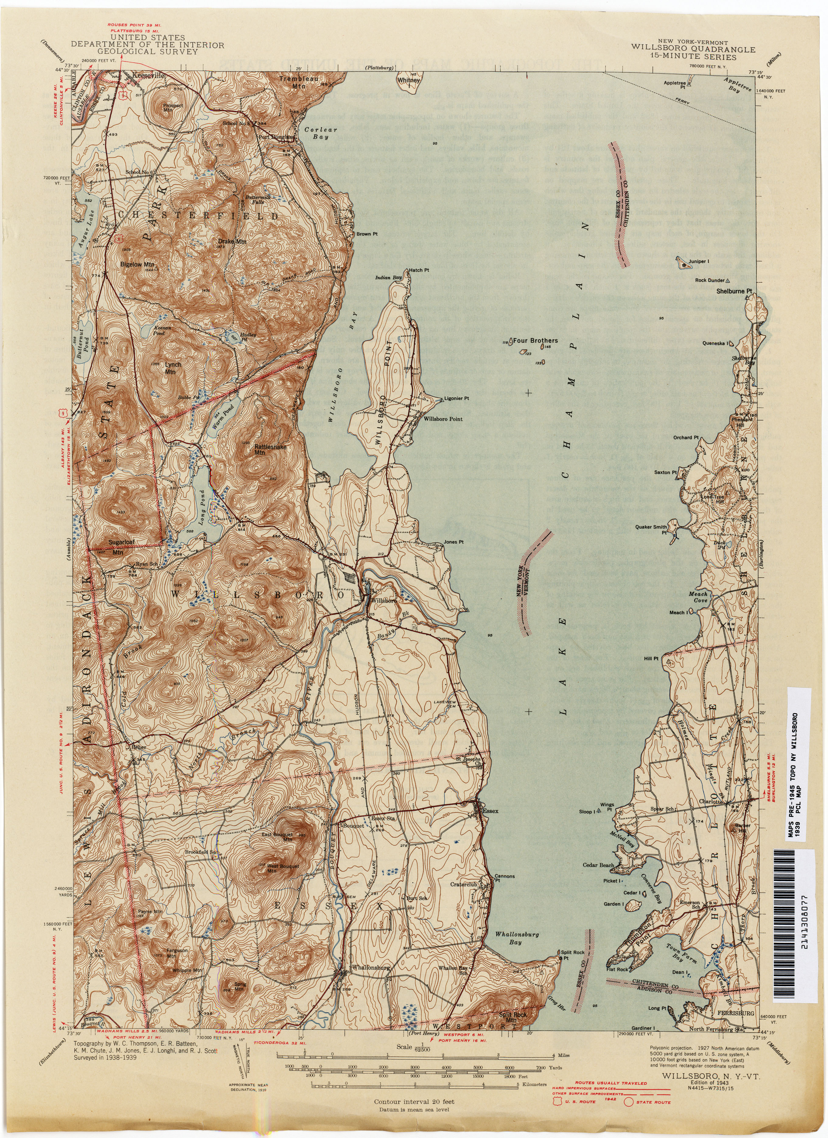
- Willsboro [New York, Vermont] 1893 1:62,500 (3.1MB)
- Willsboro [New York, Vermont] 1939 1:62,500(3.0MB)
- Wilmington 1889 1:62,500 (4.2MB)
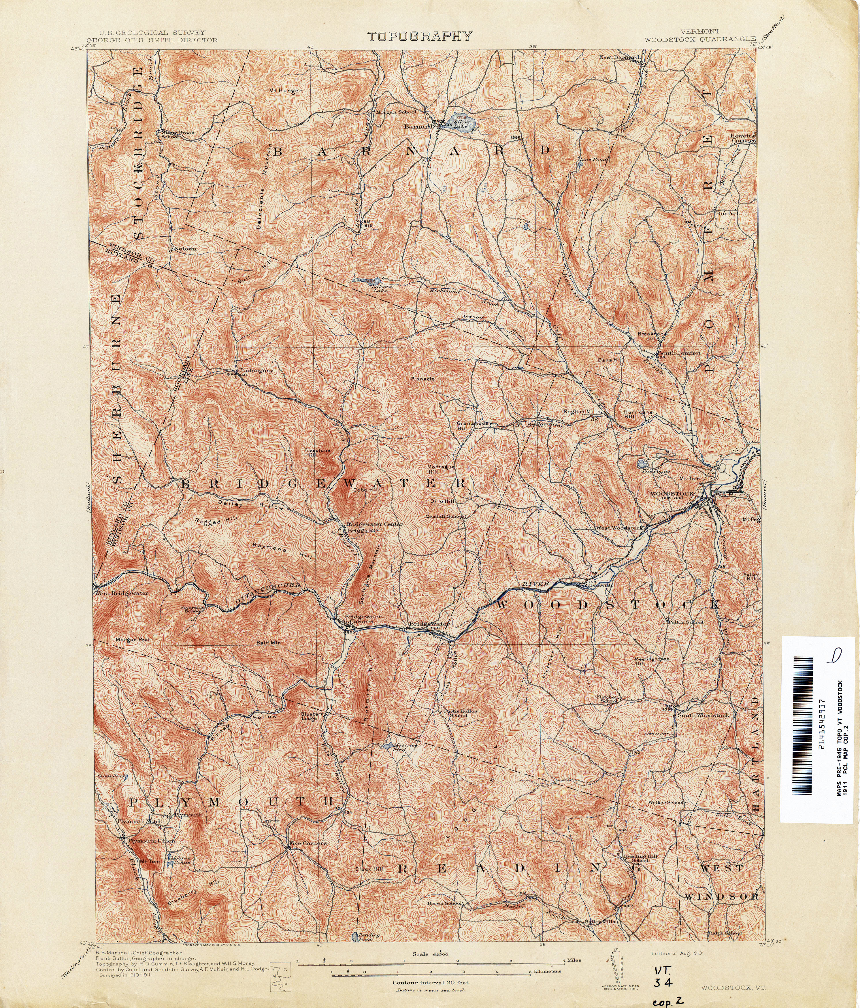
- Woodstock 1911 1:62,500 (5.1MB)
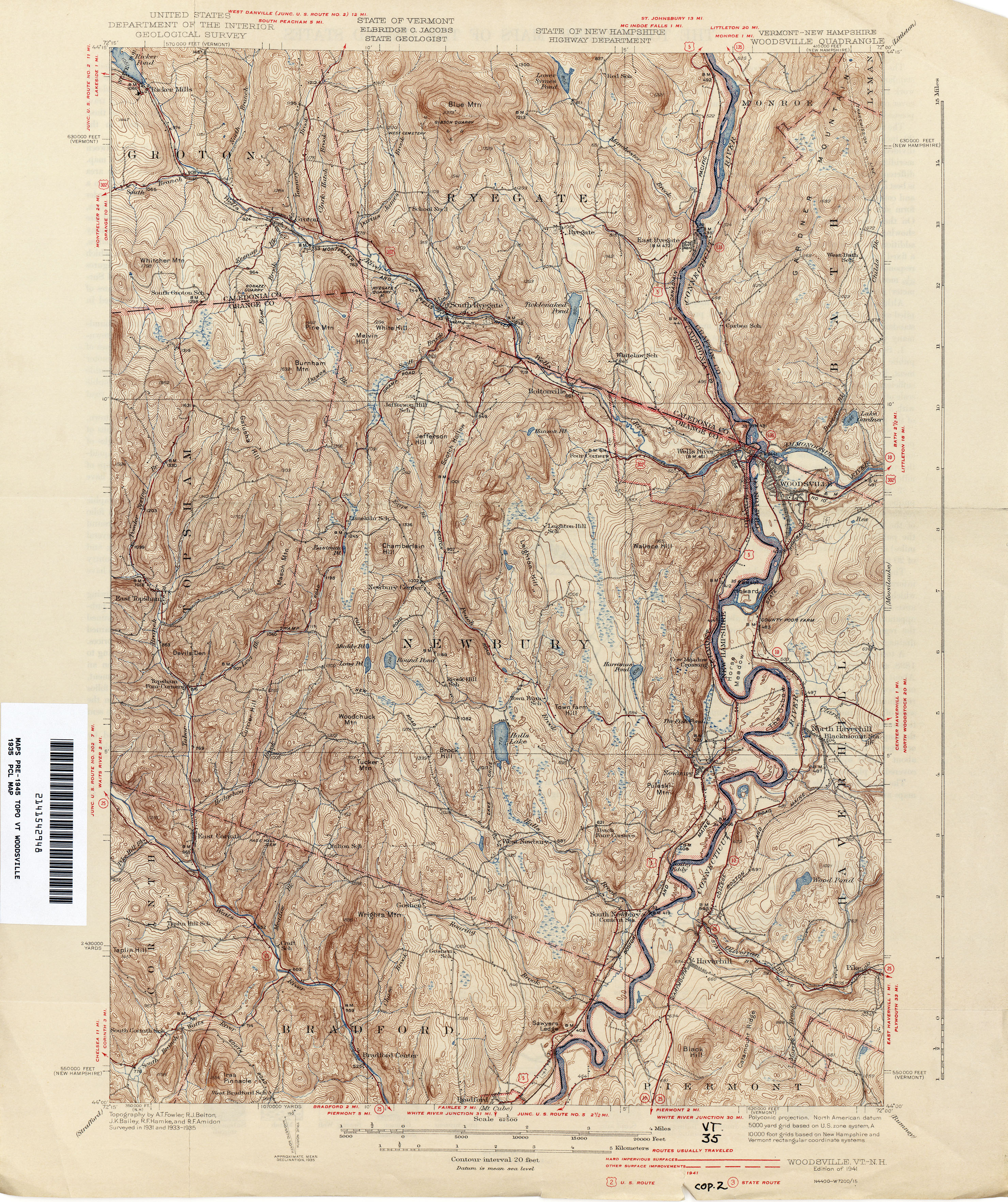
- Woodsville [Vermont, New Hampshire] 1935 1:62,500 (5.0MB)
Return to the top