Perry-Castañeda Library
Map Collection
Texas Topographic Maps
Maps in this online collection are from the Perry-Castañeda Library, Walter Geology Library and Dolph Briscoe Center for American History at the University of Texas at Austin as well as the Texas State Library. All maps on this site were published by the U.S. Geological Survey unless otherwise noted and are in the public domain. The date given for each map is the date of latest survey. The Geographic Names Information System allows searches of geographic names to determine which map sheets they appear on. Indexes are available for Texas - East and Texas - West for the 1:24,000 map series. Maps published prior to 1923 are on the Texas Historical Topographic Map Index. More information about these maps is available on the Topographic Maps Home Page. Note: To fully view the GeoPDF files use Adobe Reader as your default PDF viewer or download the files and open them within Adobe Reader.
A, B, C, D, E, F, G, H, I, J, K, L, M, N, O, P, Q, R, S, T, U, V, W, X, Y, Z
- Zapata 1:62,500 1942 (2.7 MB) U.S. Army. Corps of Engineers. Tactical Map
- Zapata 1:24,000 1979 (4.7MB)
- Zapata 1:100,000 1985 (5.6MB)
- Zapata 1:100,000 1985 [large] (20.2MB)
- Zapata 1:24,000 2008 (24.4MB) [GeoPDF]
- Zapata 1:24,000 2012 (25.6MB) [GeoPDF]
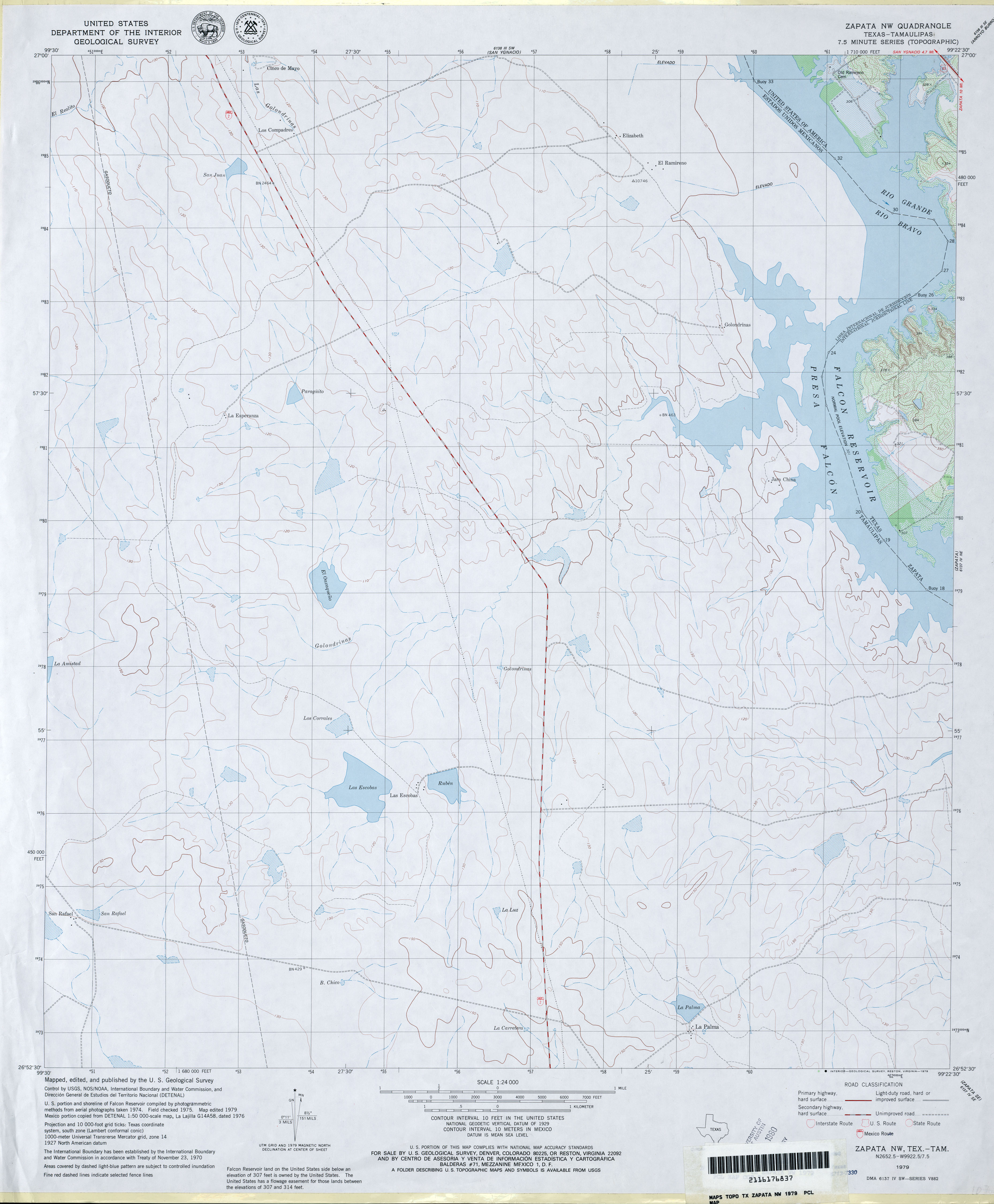
- Zapata NW 1:24,000 1979 (2.5MB)
- Zapata NW 1:24,000 2008 (23.7MB) [GeoPDF]
- Zapata NW 1:24,000 2012 (14.7MB) [GeoPDF]
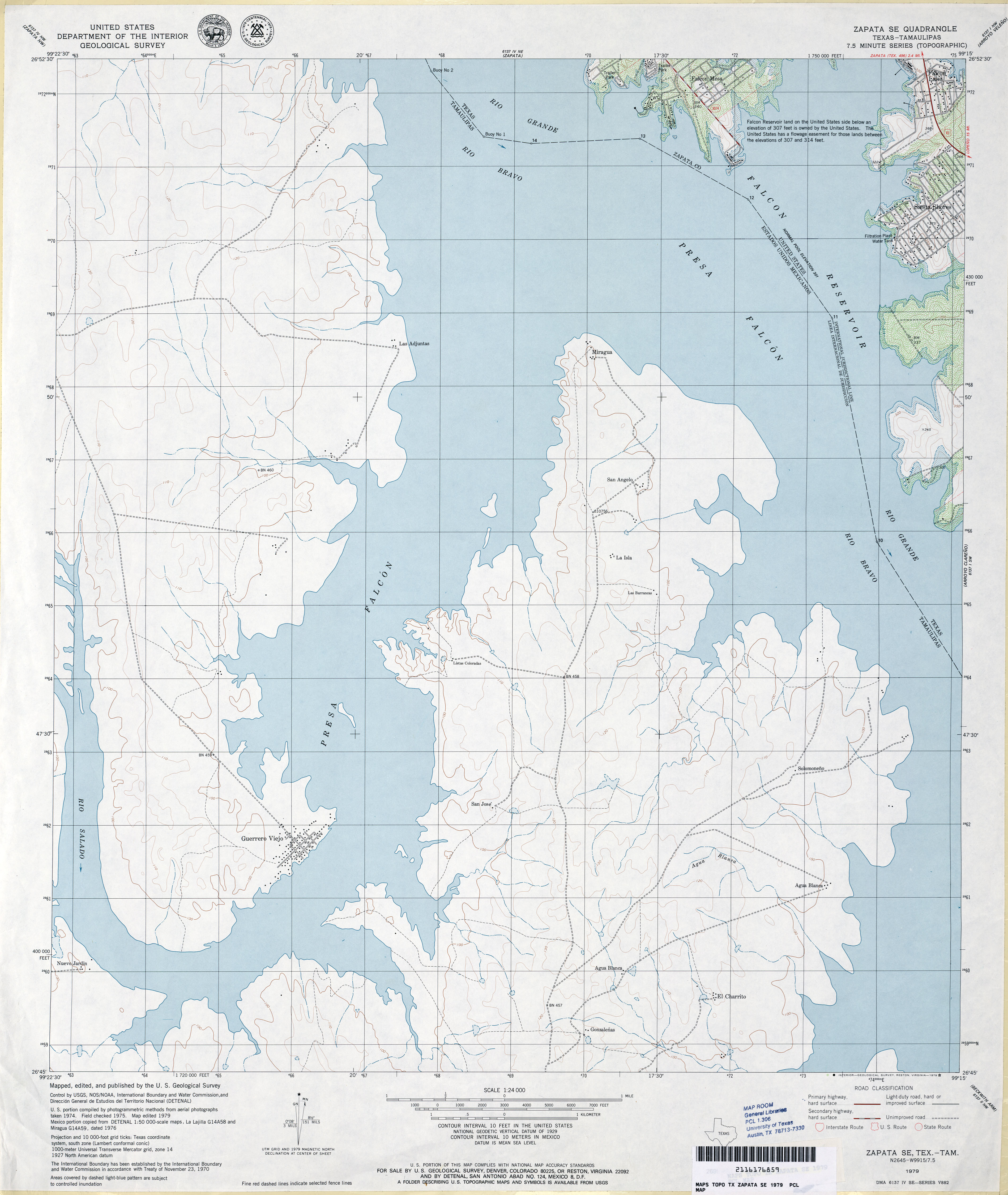
- Zapata SE 1:24,000 1979 (2.7MB)
- Zapata SE 1:24,000 2008 (18.9MB) [GeoPDF]
- Zapata SE 1:24,000 2012 (15.8MB) [GeoPDF]
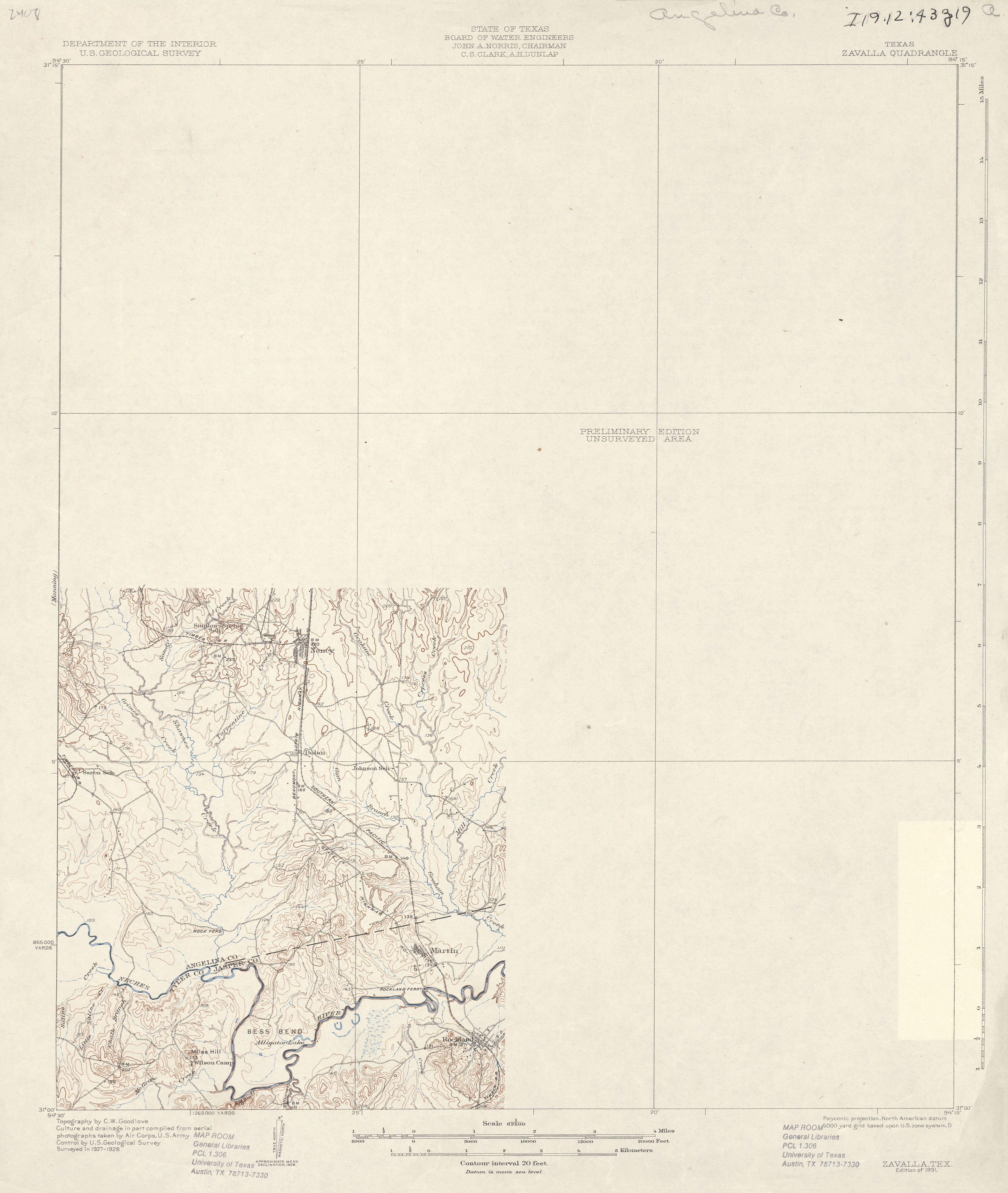
- Zavalla 1:62,500 1928 (1.9 MB)
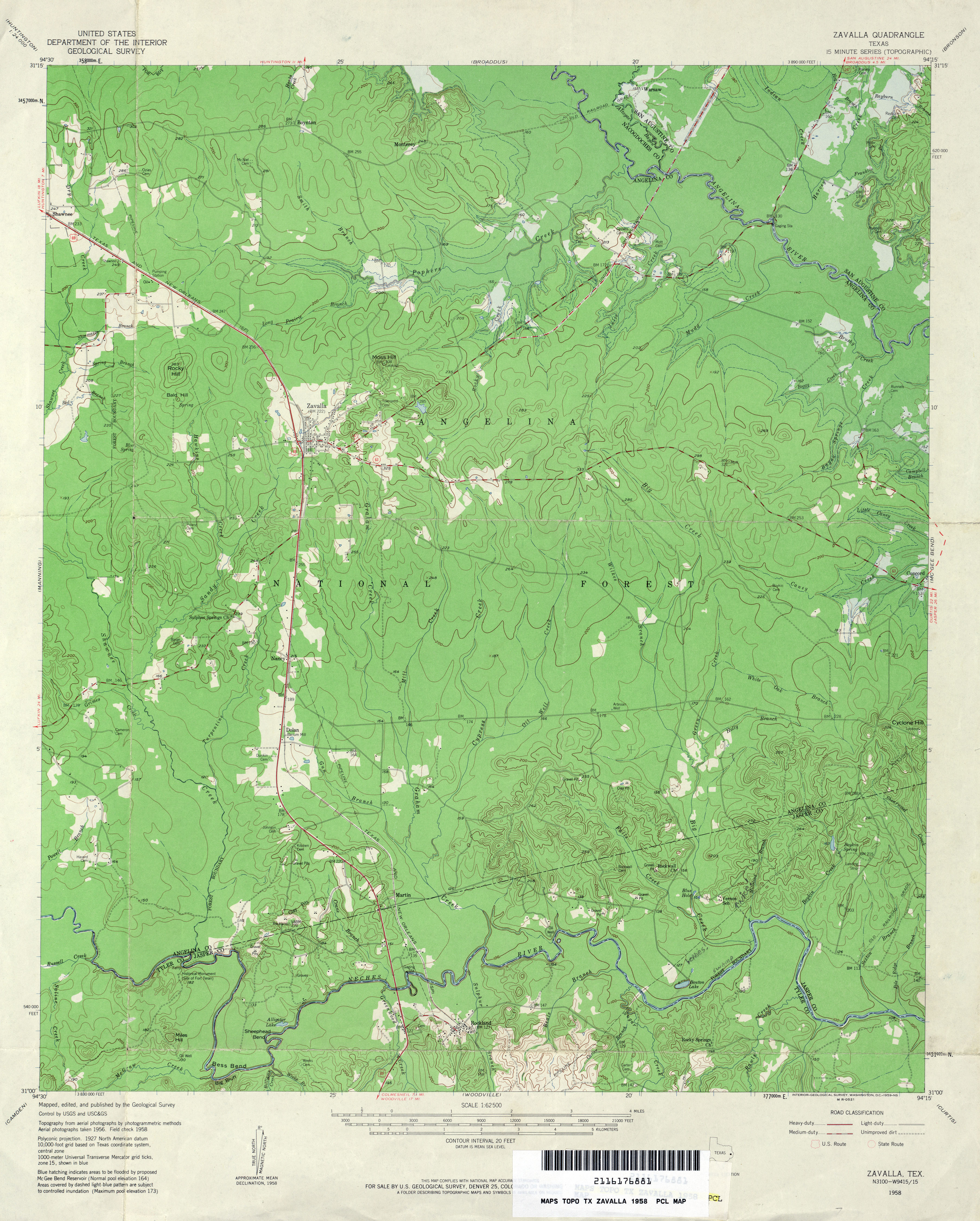
- Zavalla 1:62,500 1958 (3.9MB)
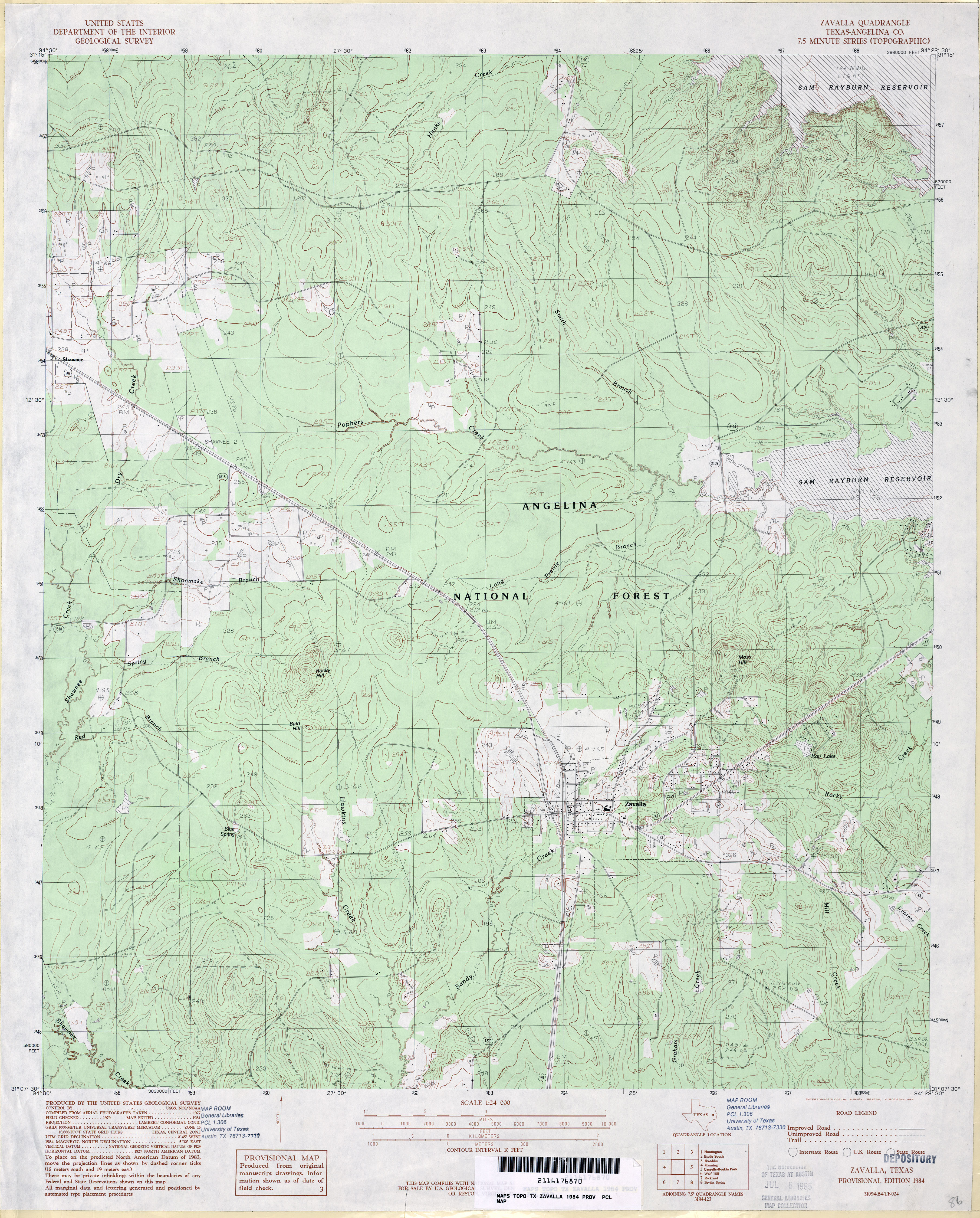
- Zavalla (Angelina County) 1:24,000 1984 (4.2MB)
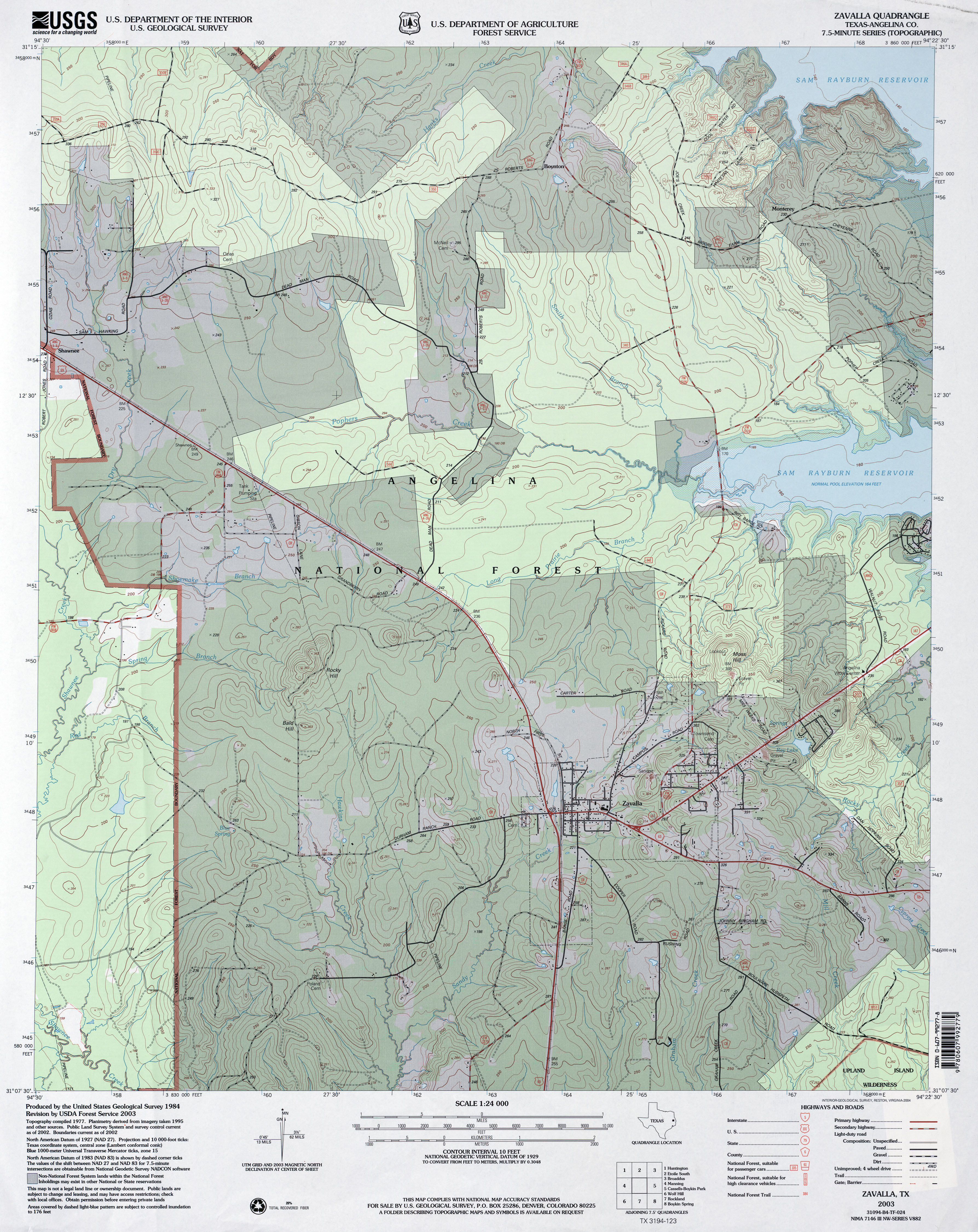
- Zavalla (Angelina County) 1:24,000 2003 (4.4MB)
- Zavalla 1:24,000 2008 (2.1MB) Texas Natural Resources Information System (TNRIS). [pdf]
- Zavalla 1:24,000 2008 (25.0MB) [GeoPDF]
- Zavalla 1:24,000 2013 (26.9MB) [GeoPDF]
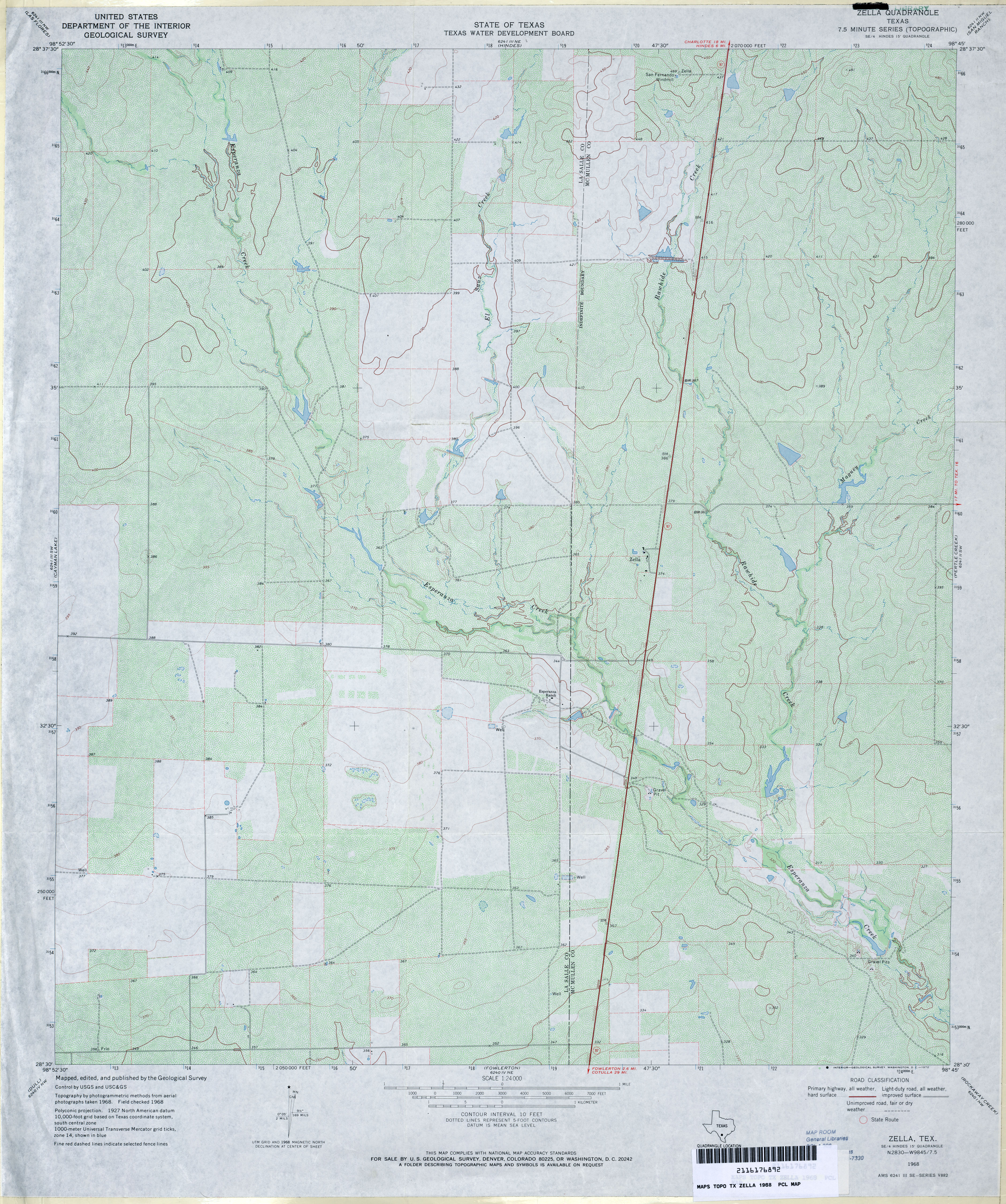
- Zella 1:24,000 1968 (4MB)
- Zella 1:24,000 2008 (17.9MB) [GeoPDF]
- Zella 1:24,000 2013 (21.9MB) [GeoPDF]
- Zephyr 1:62,500 1925 (2.6 MB) [includes Brownwood]
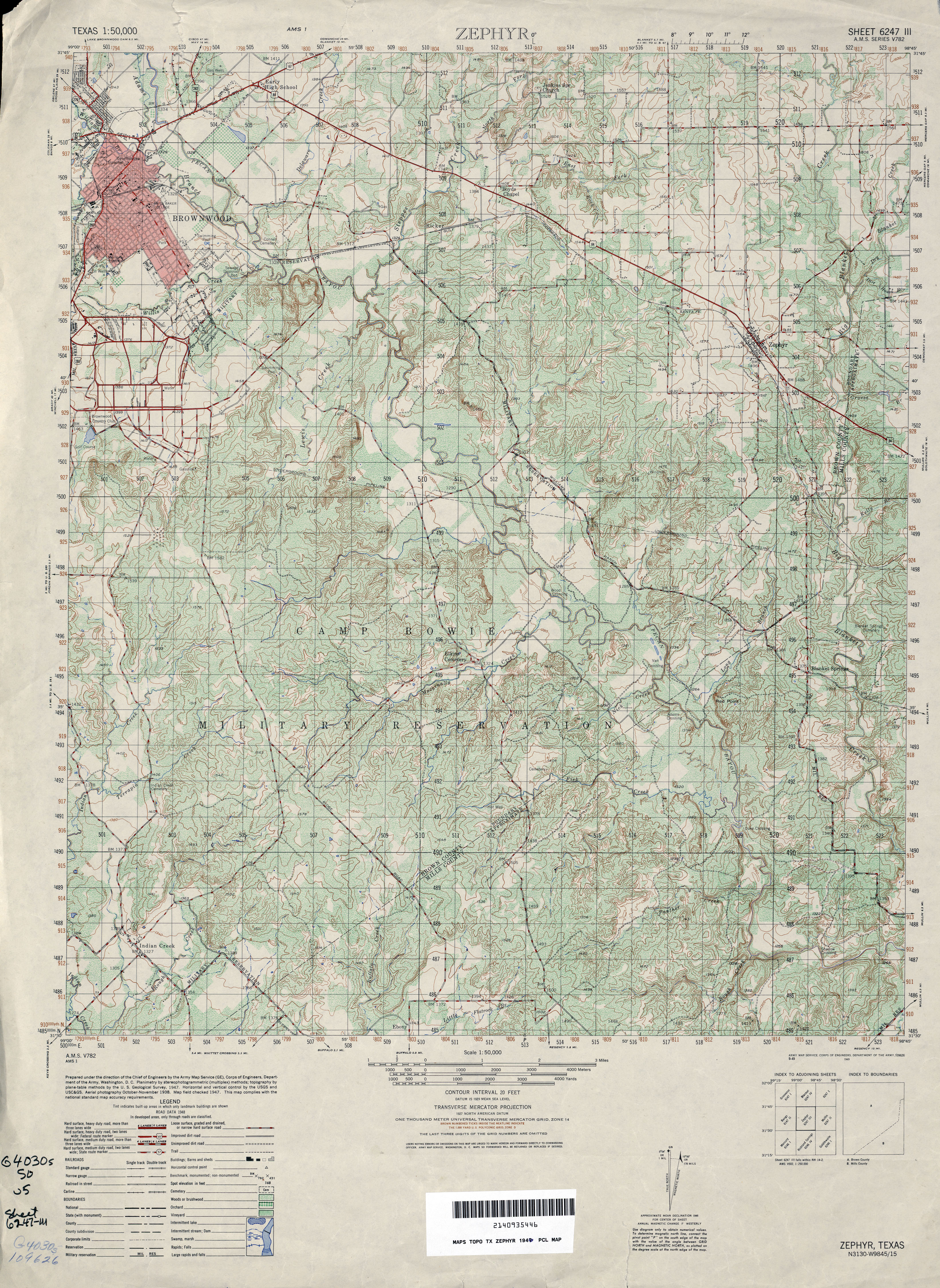
- Zephyr 1:50,000 1948 (5.3MB) U.S. Army Map Service, Series V782
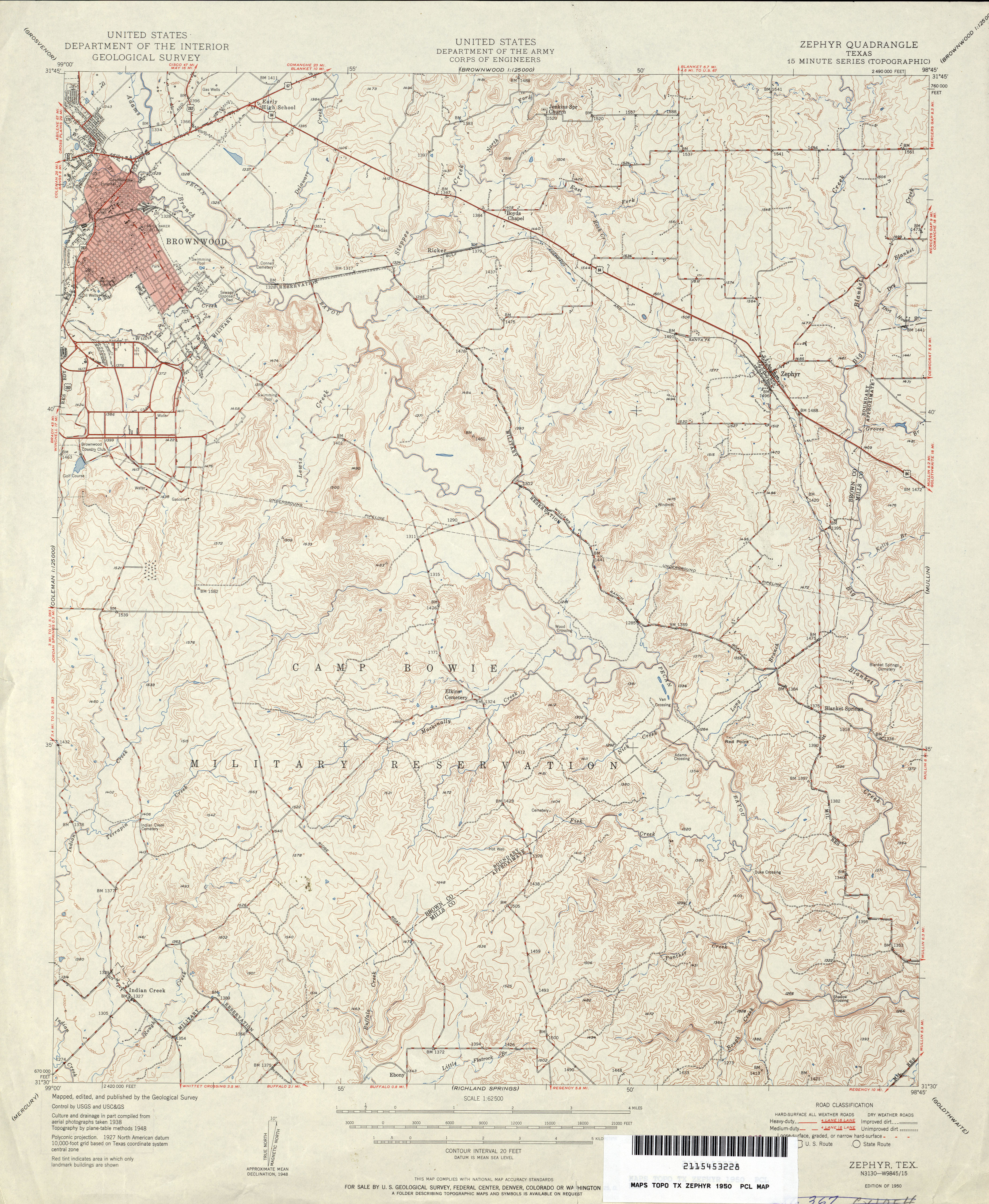
- Zephyr 1:62,500 1950 (4.3MB) U.S. Department of the Army Corps of Engineers
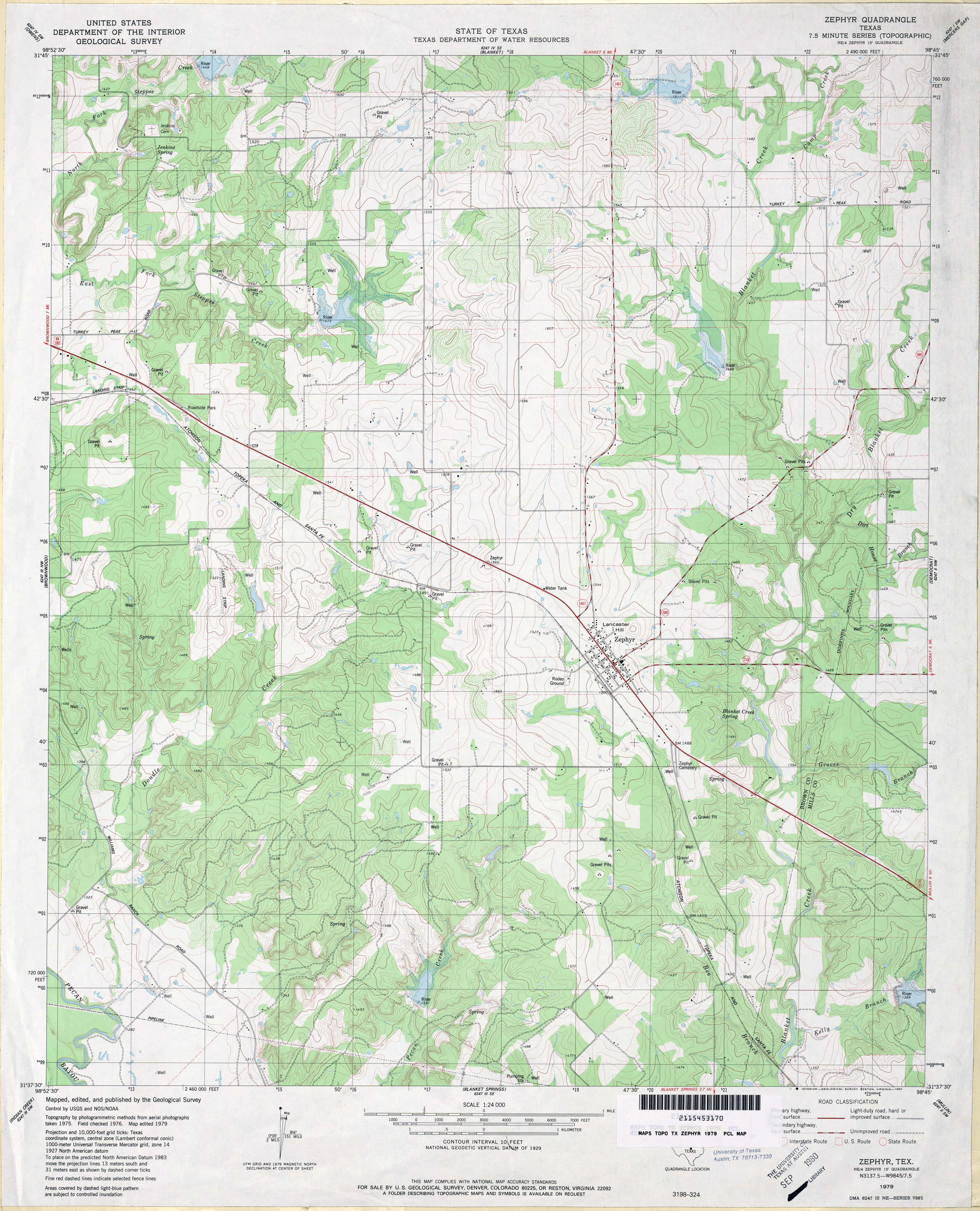
- Zephyr 1:24,000 1979 (4MB)
- Zephyr 1:24,000 2013 (23.1MB) [GeoPDF]
- Zuberbueler Bend (Val Verde County) 1:24,000 1972 (2.1MB)
- Zuberbueler Bend 1:24,000 2008 (20.7MB) [GeoPDF]
- Zuberbueler Bend 1:24,000 2013 (22.3MB) [GeoPDF]
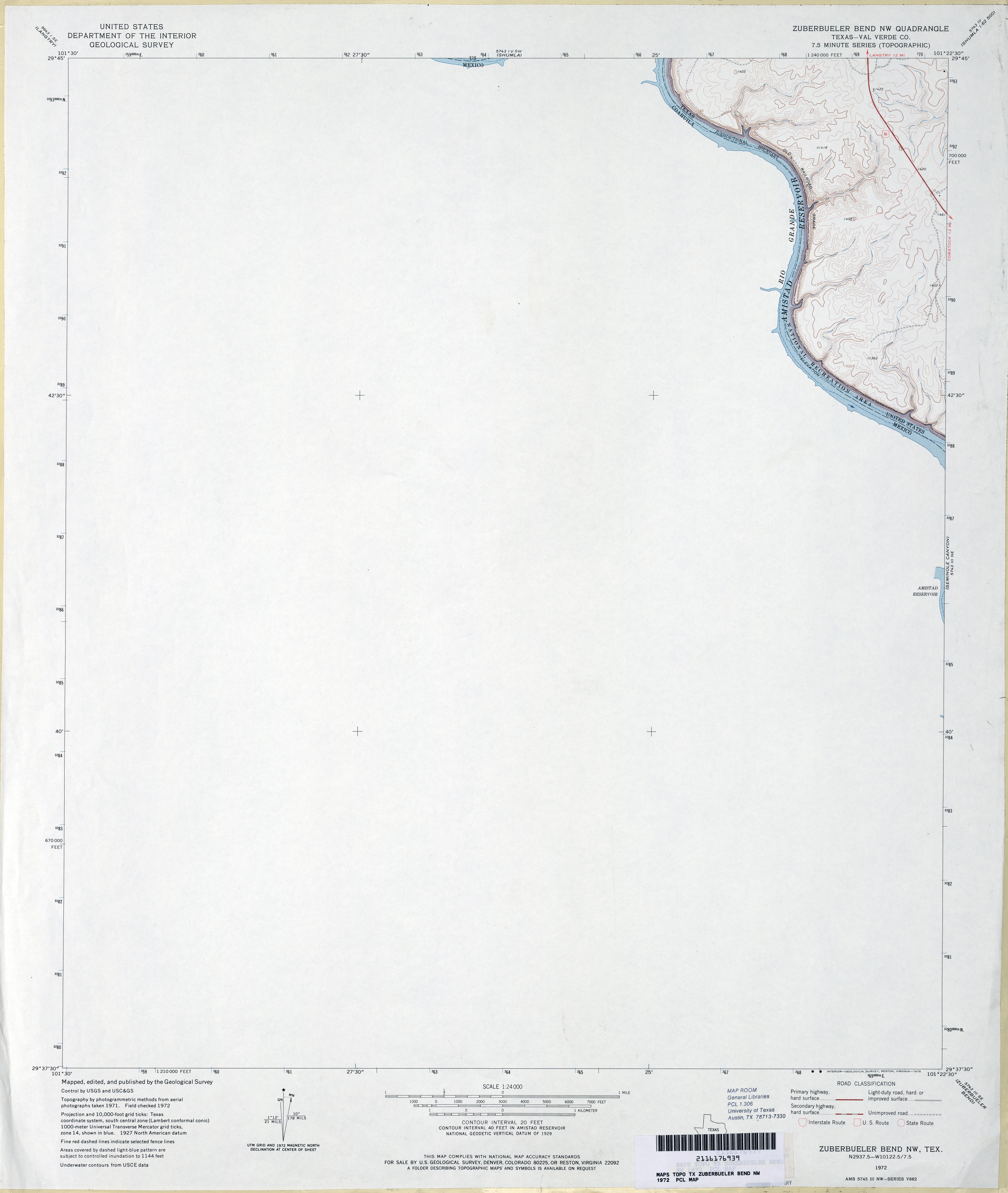
- Zuberbueler Bend NW (Val Verde County) 1:24,000 1972 (1.8MB)
- Zuberbueler Bend NW 1:24,000 2008 (21.1MB) [GeoPDF]
- Zuberbueler Bend NW 1:24,000 2013 (18.9MB) [GeoPDF]
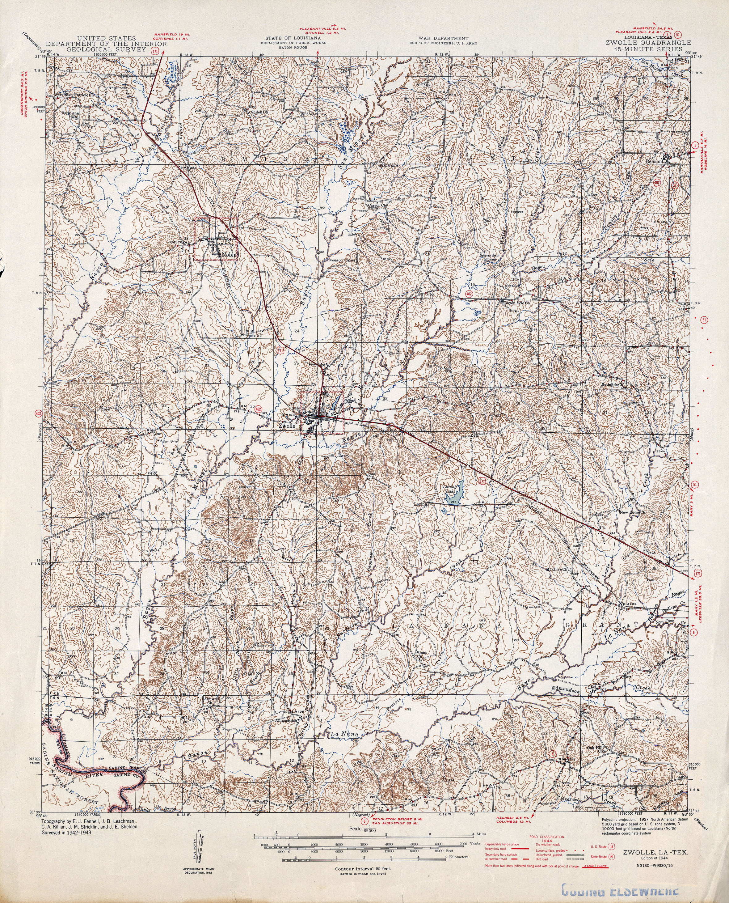
- Zwolle [Louisiana, Texas] 1:62,500 1944 (3.3MB)