Perry-Castañeda Library
Map Collection
Texas Topographic Maps
Maps in this online collection are from the Perry-Castañeda Library, Walter Geology Library and Dolph Briscoe Center for American History at the University of Texas at Austin as well as the Texas State Library. All maps on this site were published by the U.S. Geological Survey unless otherwise noted and are in the public domain. The date given for each map is the date of latest survey. The Geographic Names Information System allows searches of geographic names to determine which map sheets they appear on. Indexes are available for Texas - East and Texas - West for the 1:24,000 map series. Maps published prior to 1923 are on the Texas Historical Topographic Map Index. More information about these maps is available on the Topographic Maps Home Page. Note: To fully view the GeoPDF files use Adobe Reader as your default PDF viewer or download the files and open them within Adobe Reader.
A, B, C, D, E, F, G, H, I, J, K, L, M, N, O, P, Q, R, S, T, U, V, W, X, Y, Z
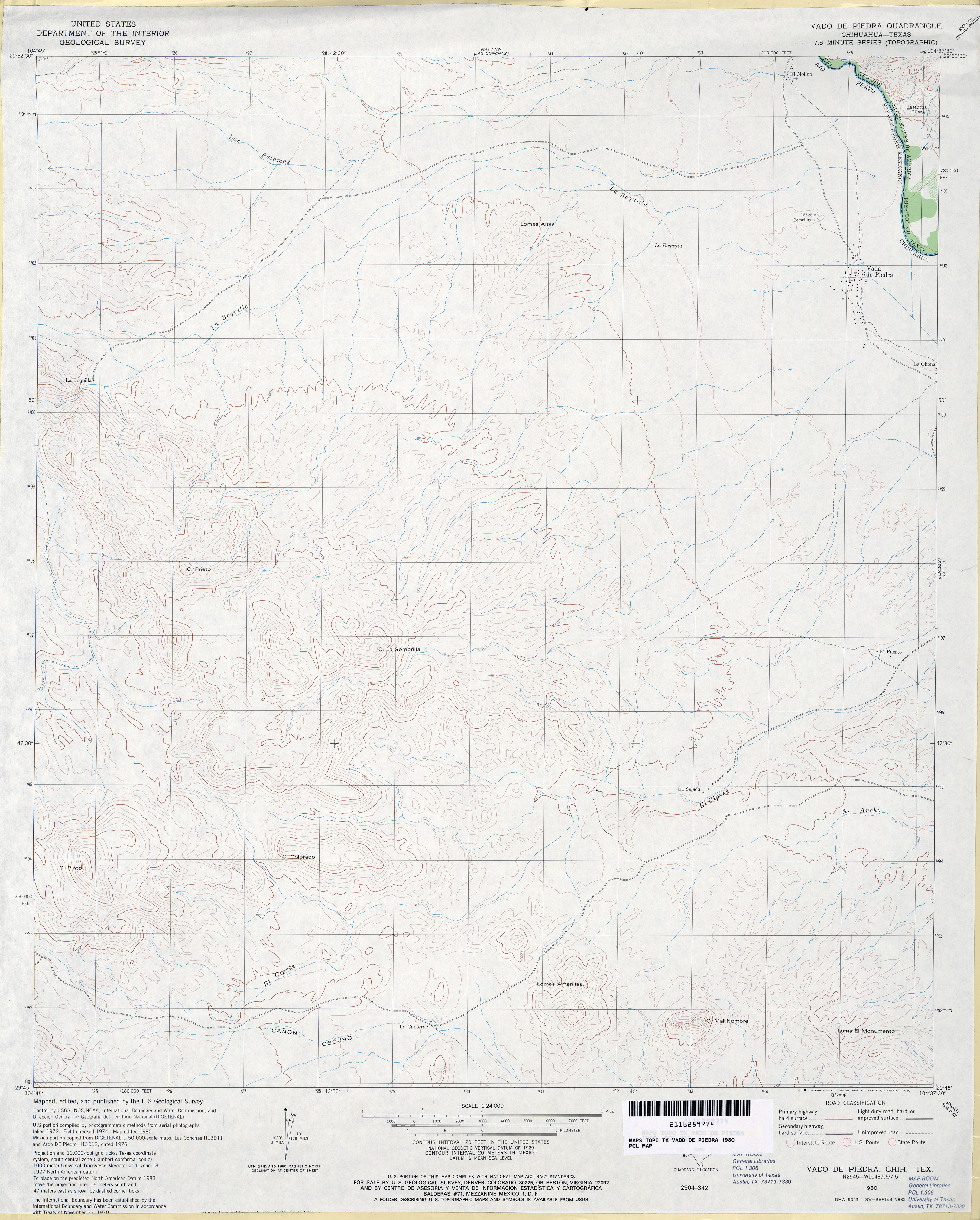
- Vado de Piedra 1:24,000 1980 (3.1MB)
- Vado de_Piedra 1:24,000 2008 (19.1MB) [GeoPDF]
- Vado De Piedra 1:24,000 2012 (10.4MB) [GeoPDF]
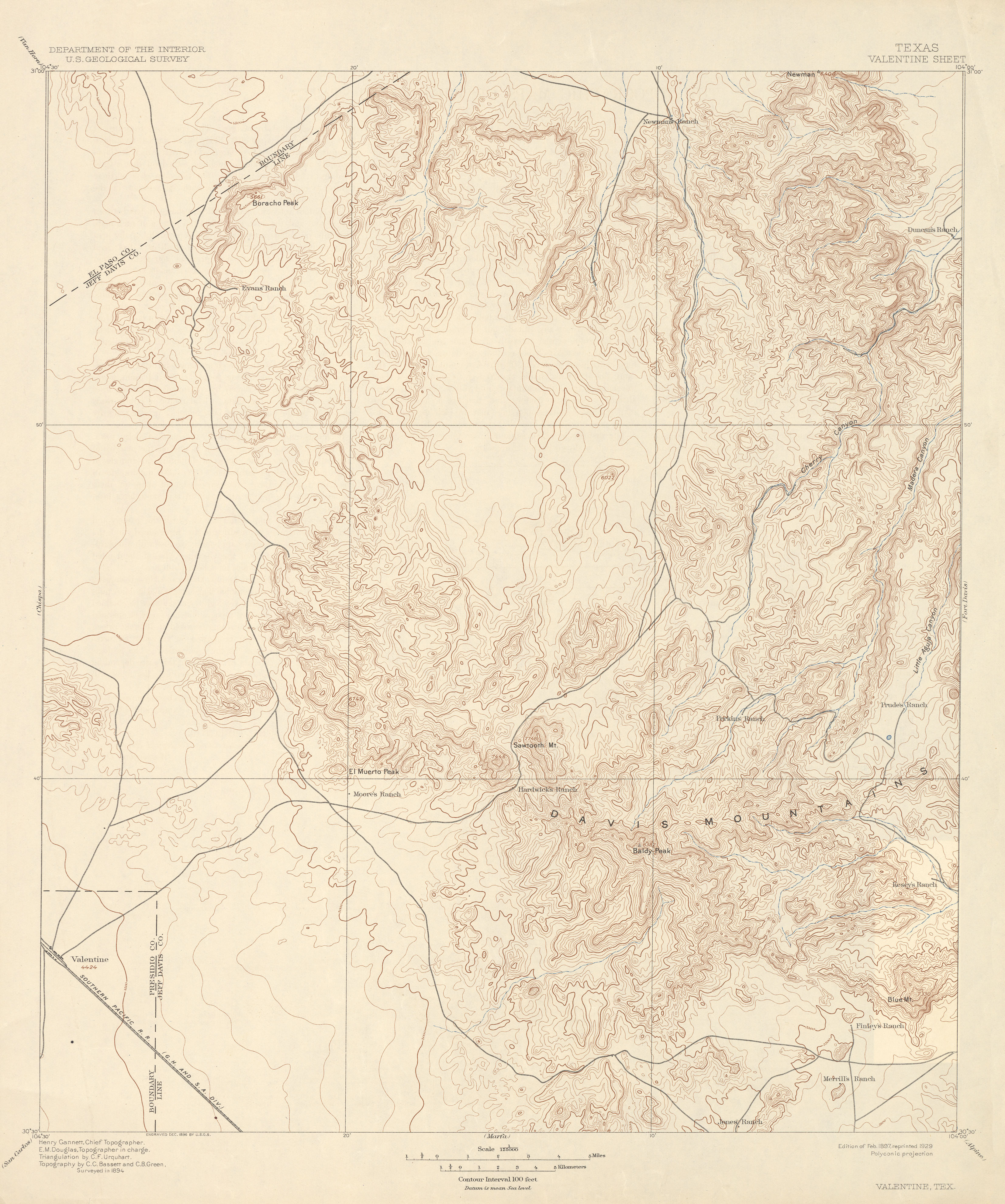
- Valentine 1:125,000 1894 (3.2 MB)
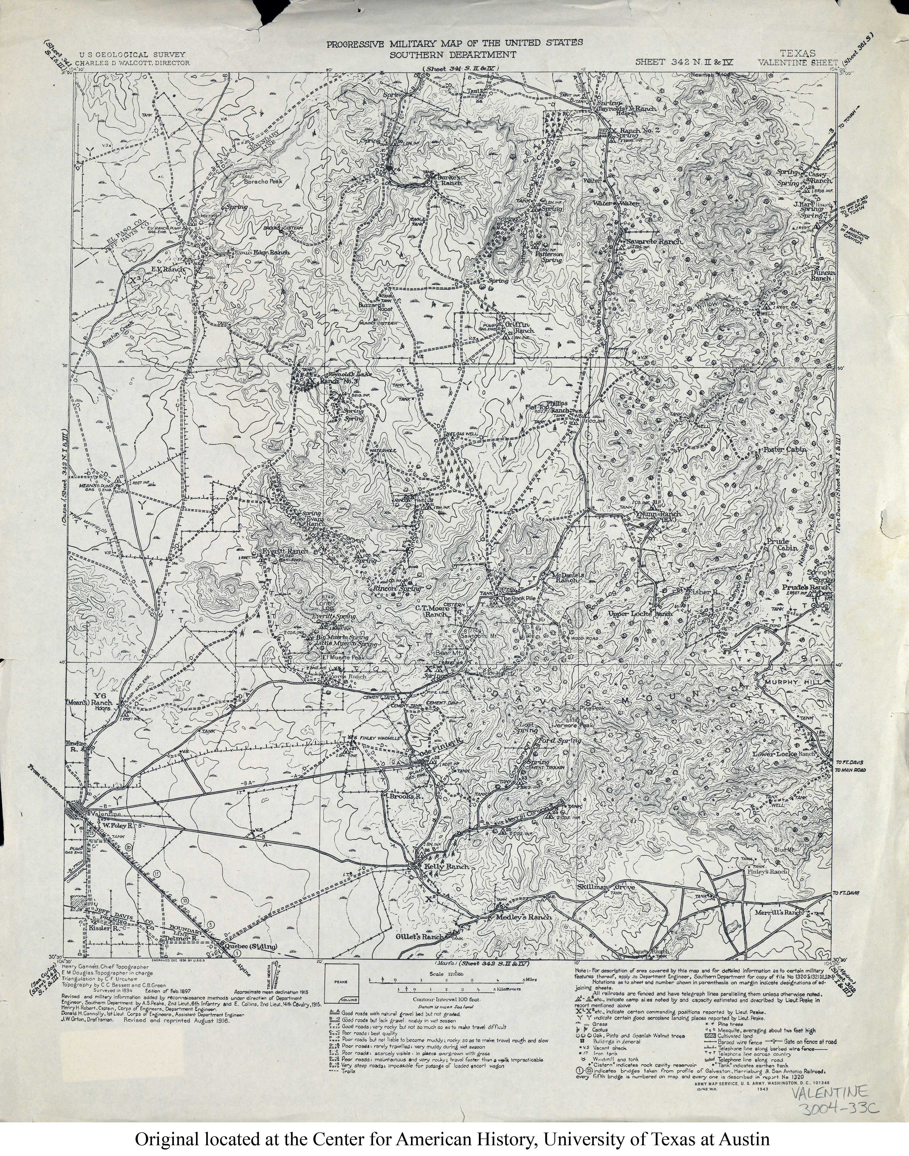
- Valentine 1:125,000 1916 (5.1MB)
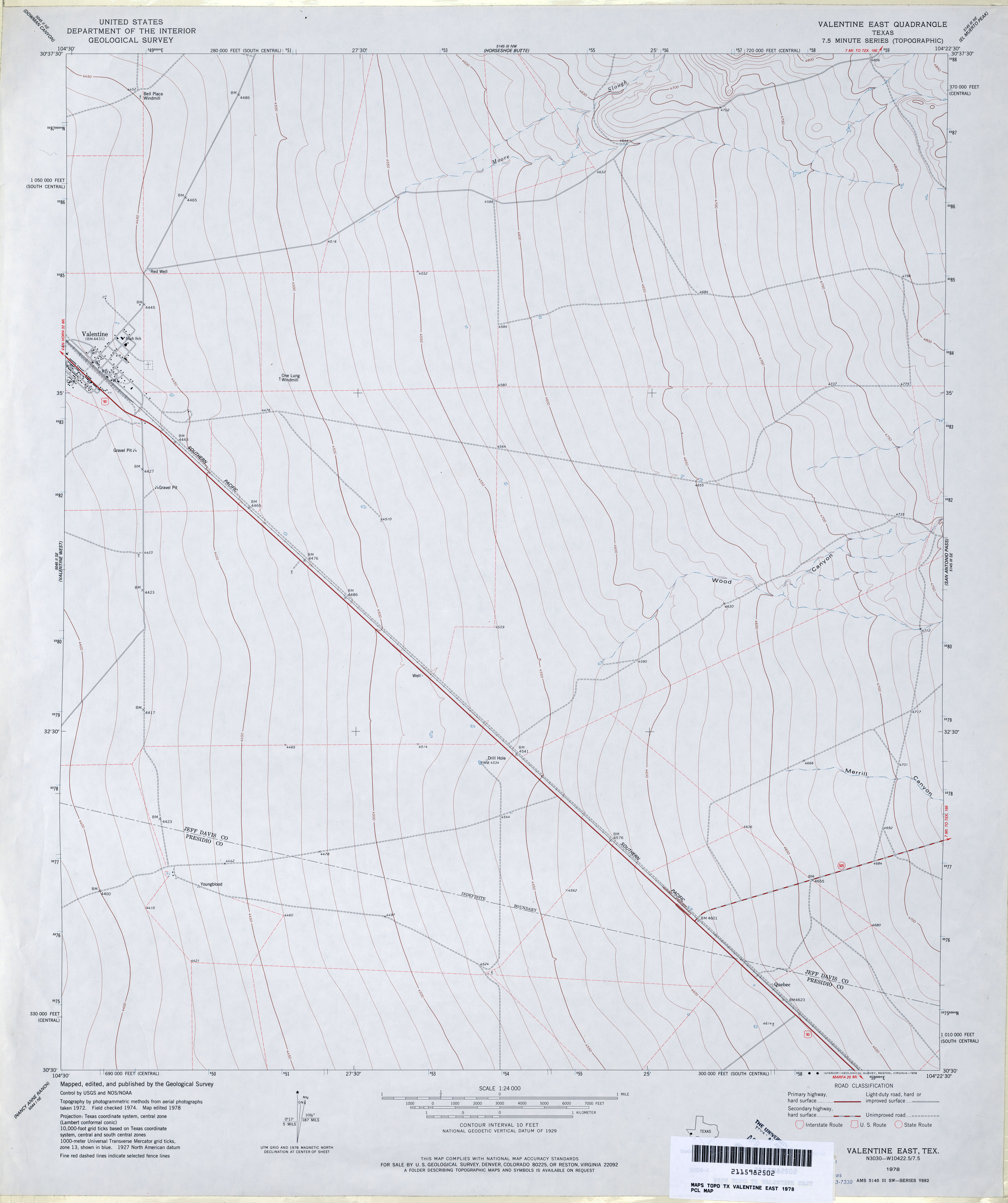
- Valentine East 1:24,000 1978 (2.3MB)
- Valentine East 1:24,000 2008 (13.5MB) [GeoPDF]
- Valentine East 1:24,000 2012 (18.8MB) [GeoPDF]
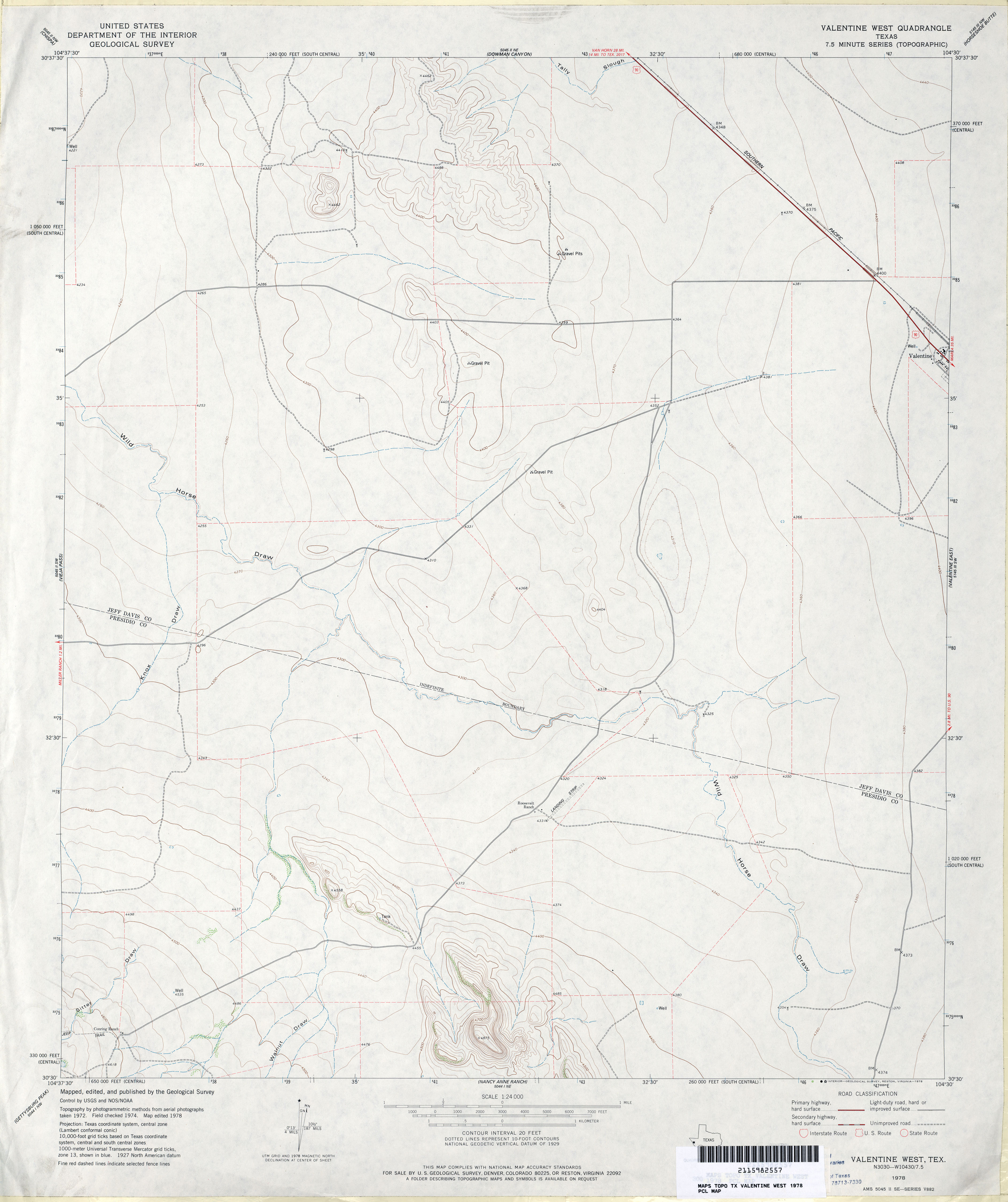
- Valentine West 1:24,000 1978 (2.5MB)
- Valentine West 1:24,000 2008 (17.7MB) [GeoPDF]
- Valentine West 1:24,000 2012 (22.1MB) [GeoPDF]
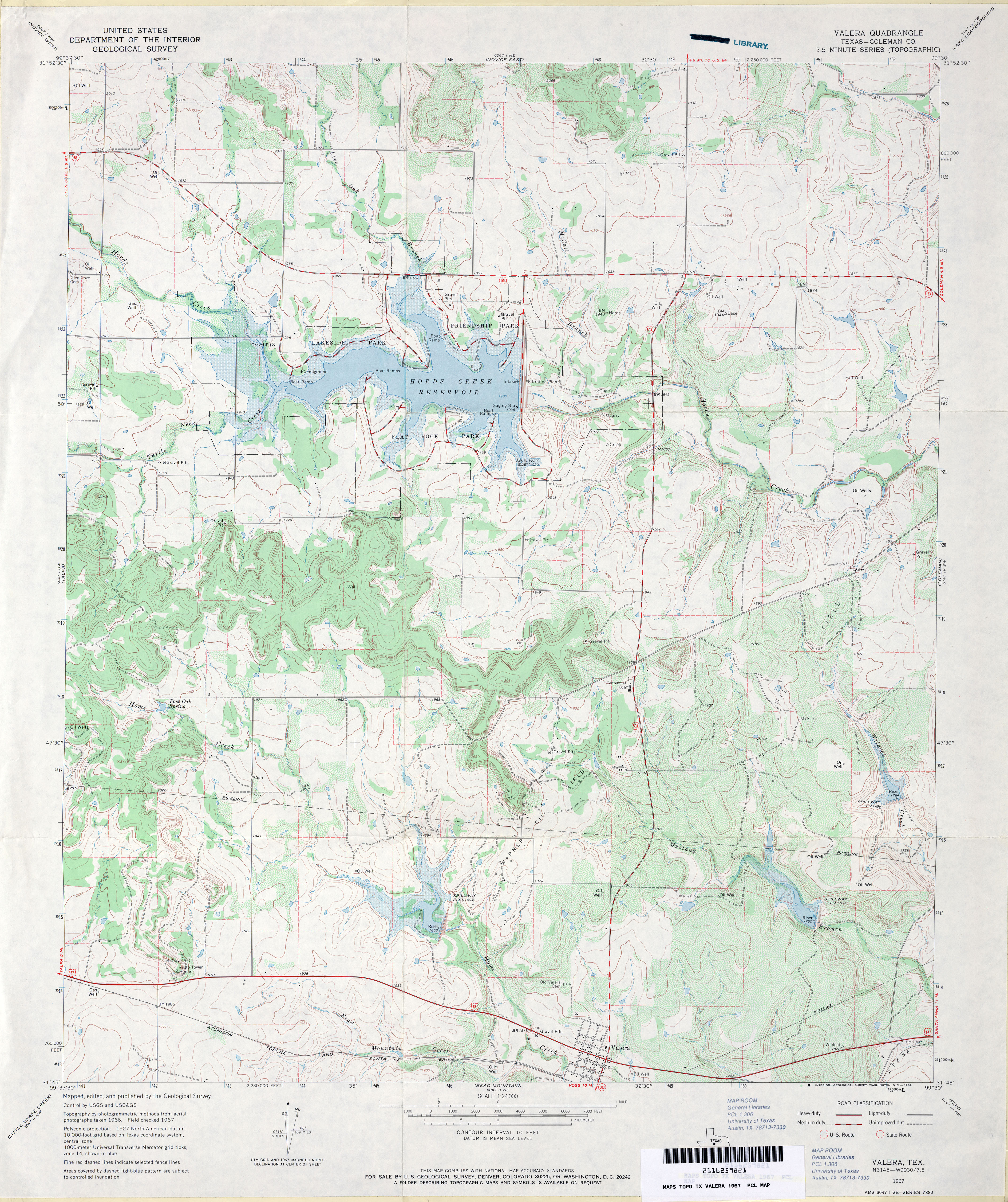
- Valera (Coleman County) 1:24,000 1967 (4.2MB)
- Valera 1:24,000 2008 (20.3MB) [GeoPDF]
- Valera 1:24,000 2013 (22.8MB) [GeoPDF]
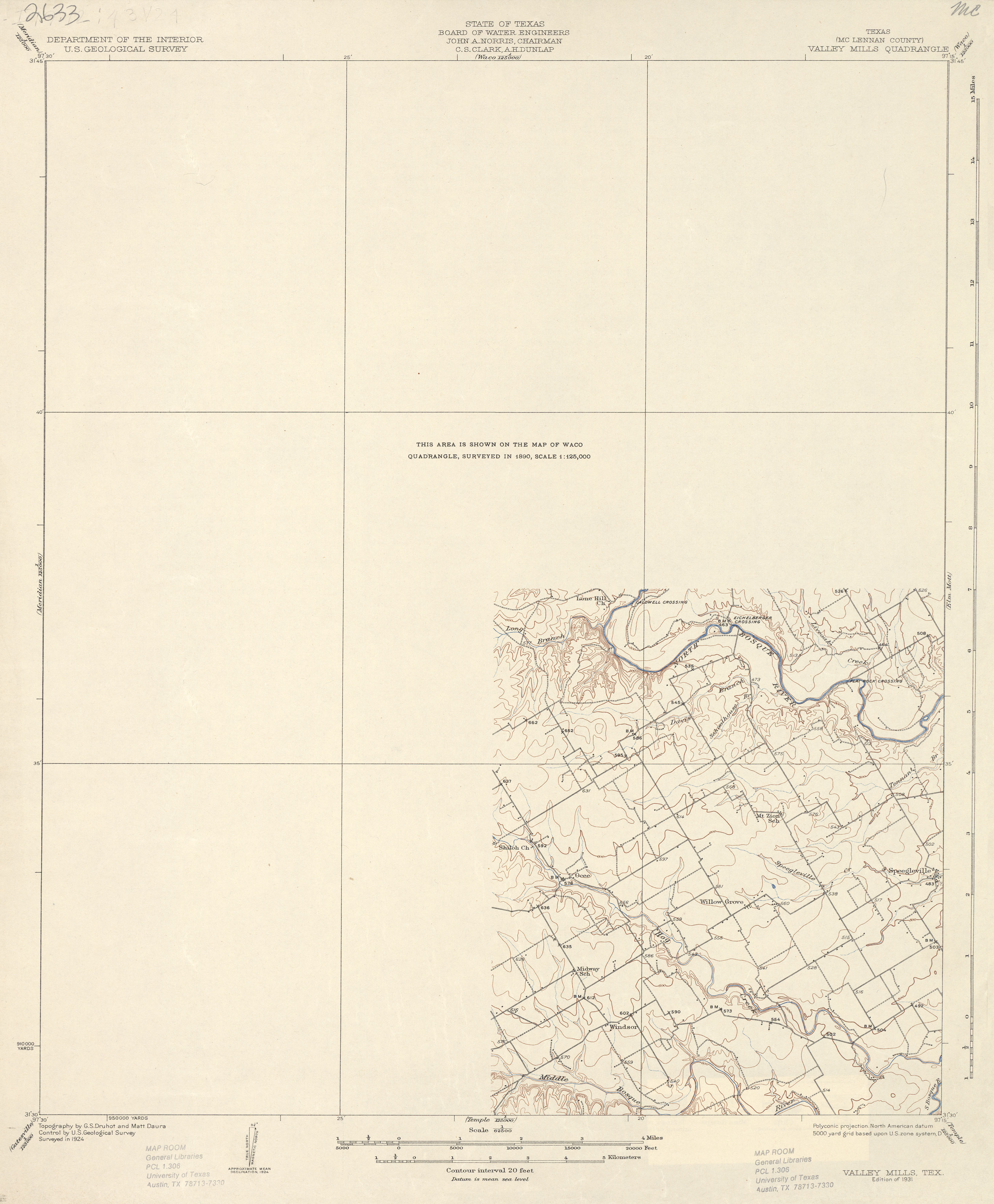
- Valley Mills (McLennan County) 1:62,500 1924 (1.7 MB)
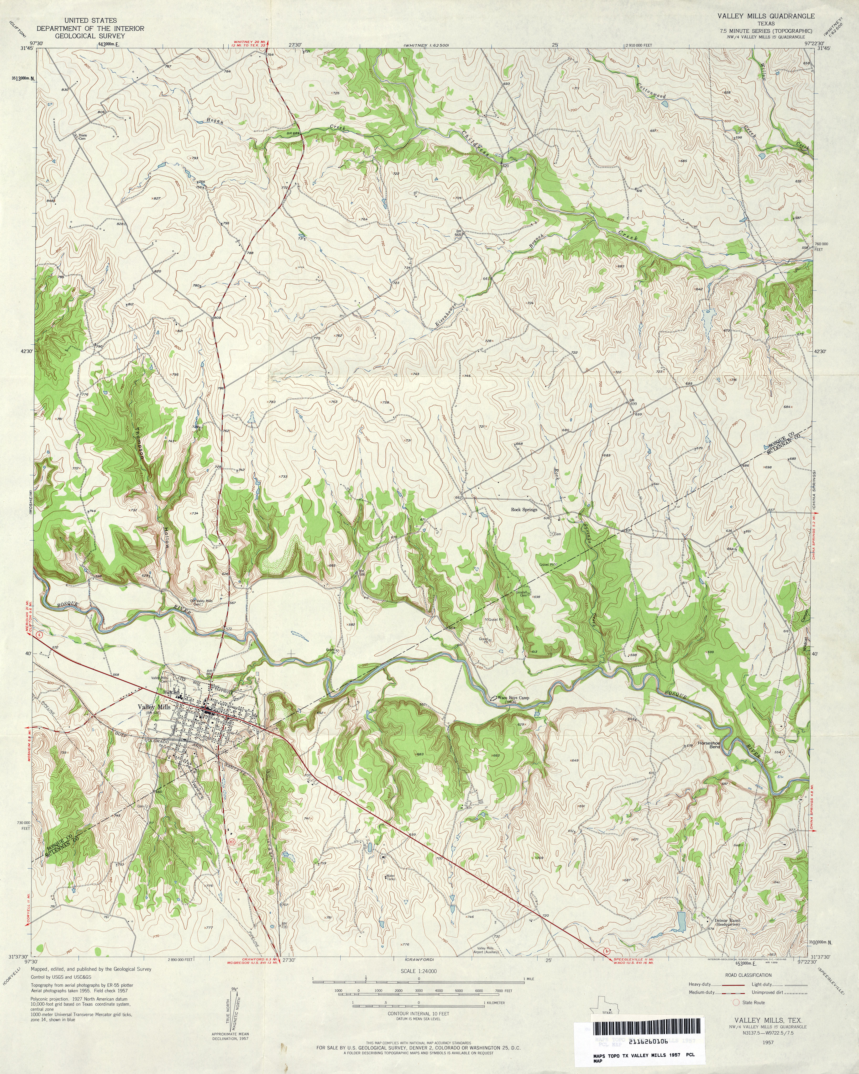
- Valley Mills 1:24,000 1957 (4.3MB)
- Valley Mills 1:24,000 1970 (4MB)
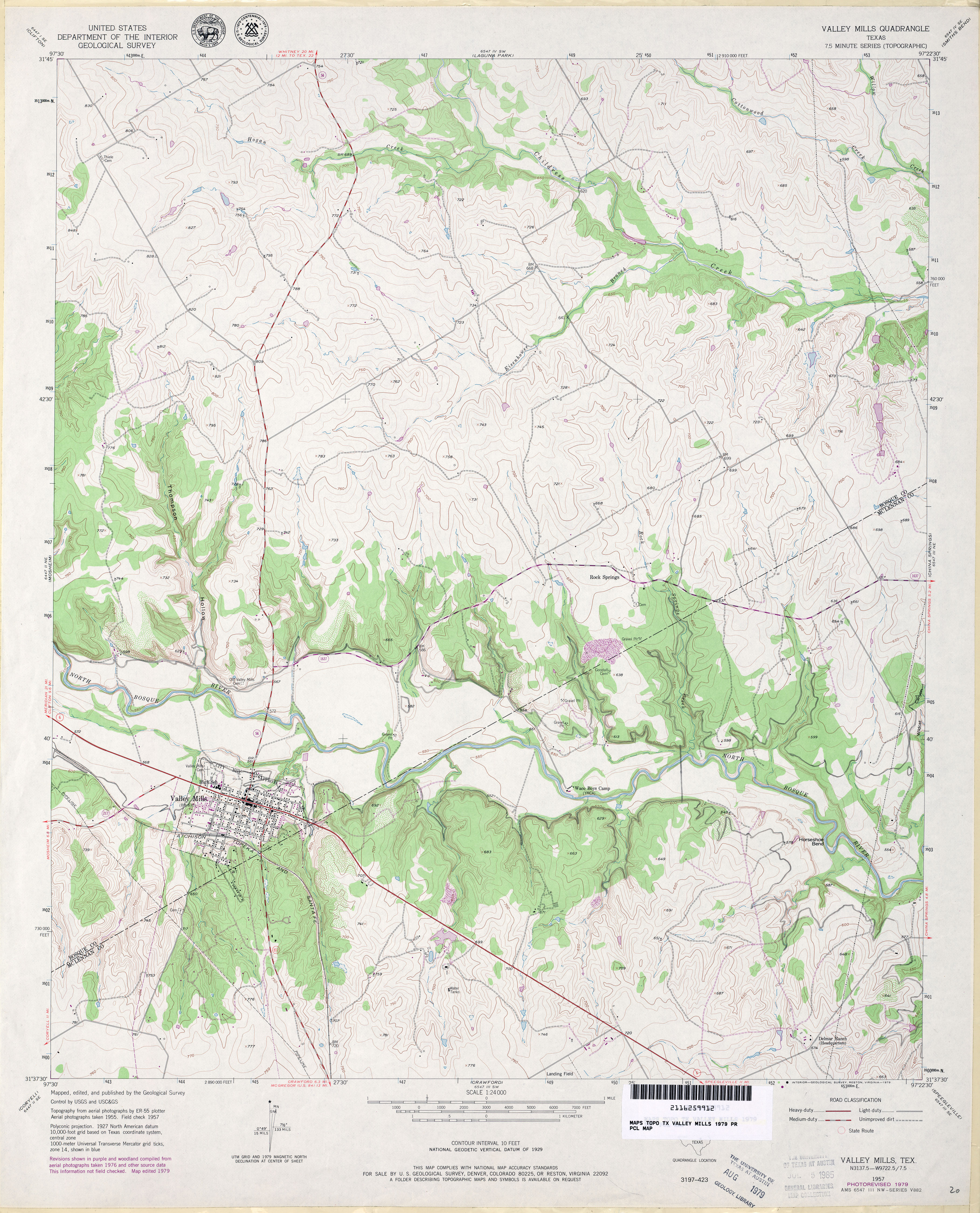
- Valley Mills 1:24,000 1979 (4MB)
- Valley Mills 1:24,000 2008 (15.2MB) [GeoPDF]
- Valley Mills 1:24,000 2012 (21.6MB) [GeoPDF]
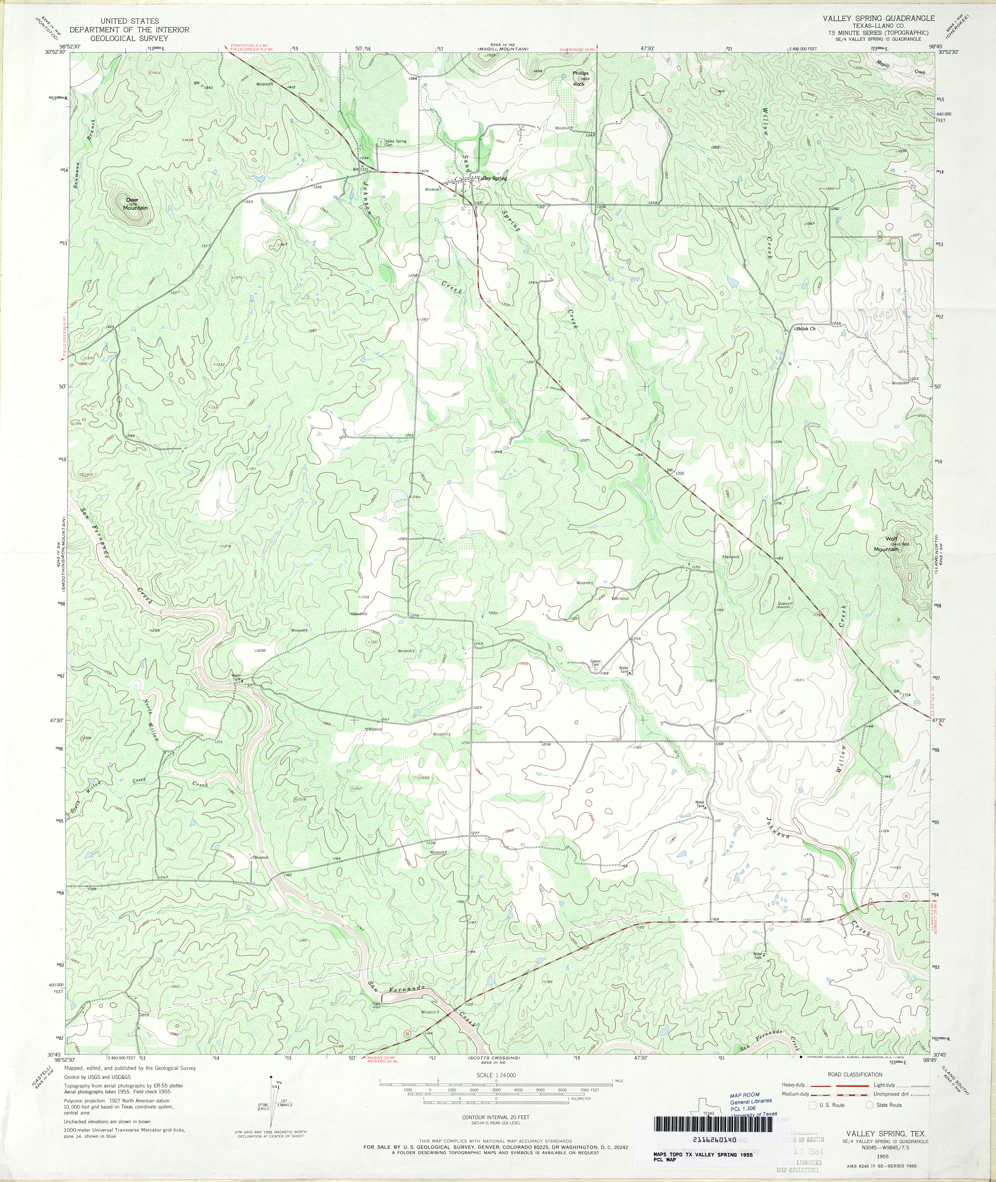
- Valley Spring (Llano County) 1:24,000 1955 (4.8MB)
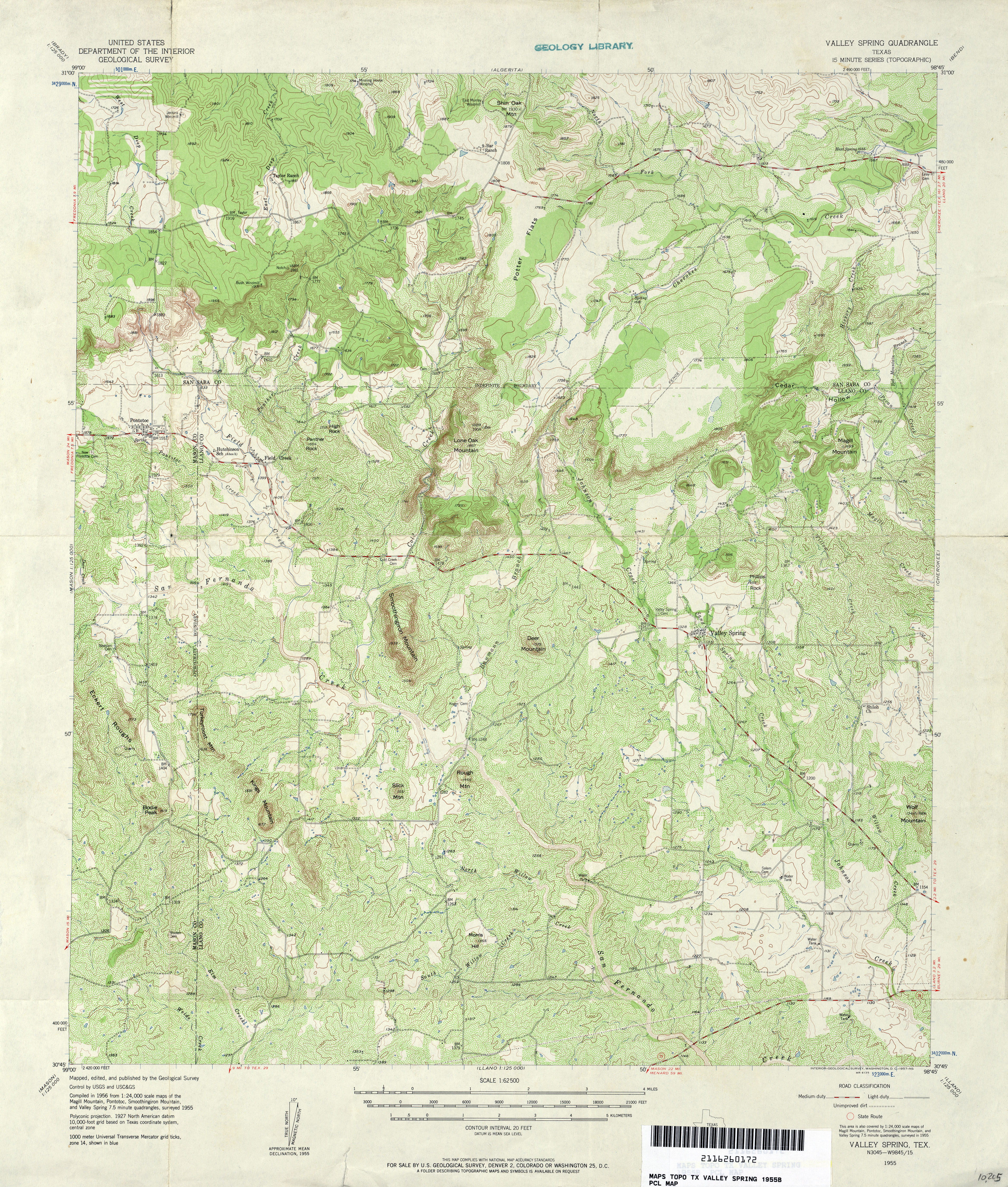
- Valley Spring 1:62,500 1955 (5.6MB)
- Valley Spring 1:24,000 2008 (22.0MB) [GeoPDF]
- Valley Spring 1:24,000 2012 (23.2MB) [GeoPDF]
- Valley View 1:24,000 1961 (3.3MB)
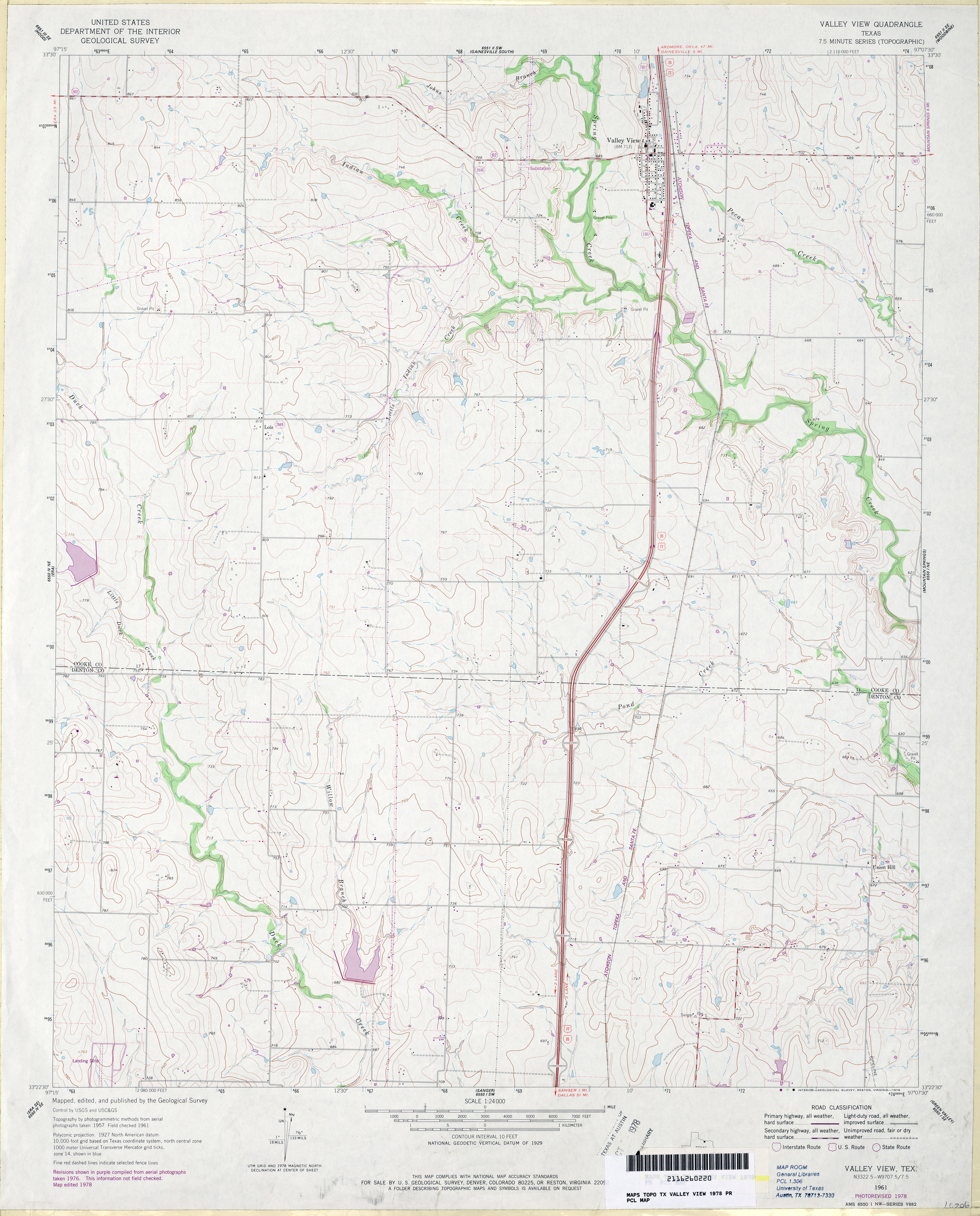
- Valley View 1:24,000 1978 (3.4MB)
- Valley View 1:24,000 2008 (10.5MB) [GeoPDF]
- Valley View 1:24,000 2013 (16.4MB) [GeoPDF]
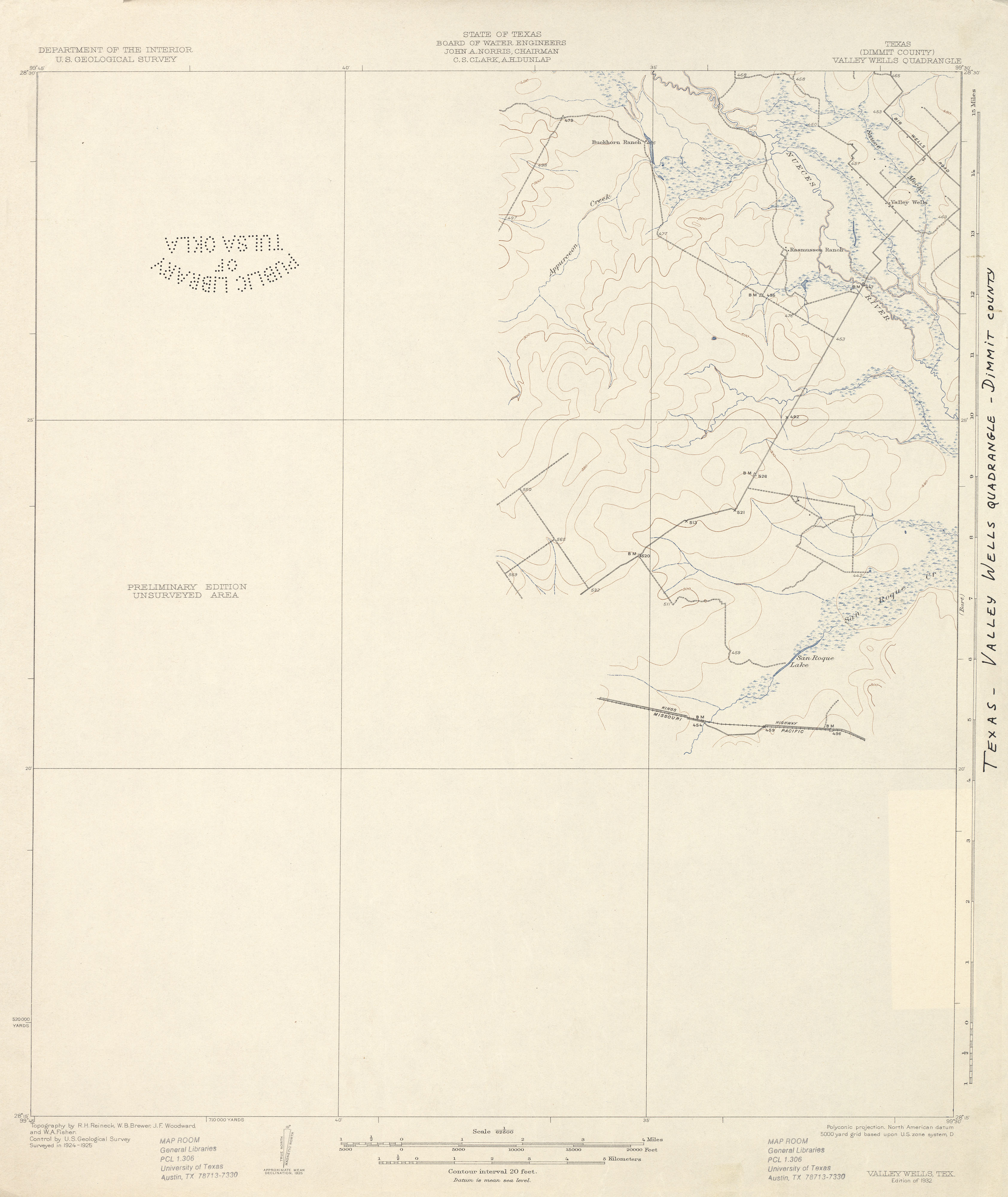
- Valley Wells (Dimmit County) 1:62,500 1925 (1.7 MB)
- Valley Wells (Dimmit County) 1:24,000 1974 (4.7MB)
- Valley Wells 1:24,000 2008 (18.3MB) [GeoPDF]
- Valley Wells 1:24,000 2013 (24.1MB) [GeoPDF]
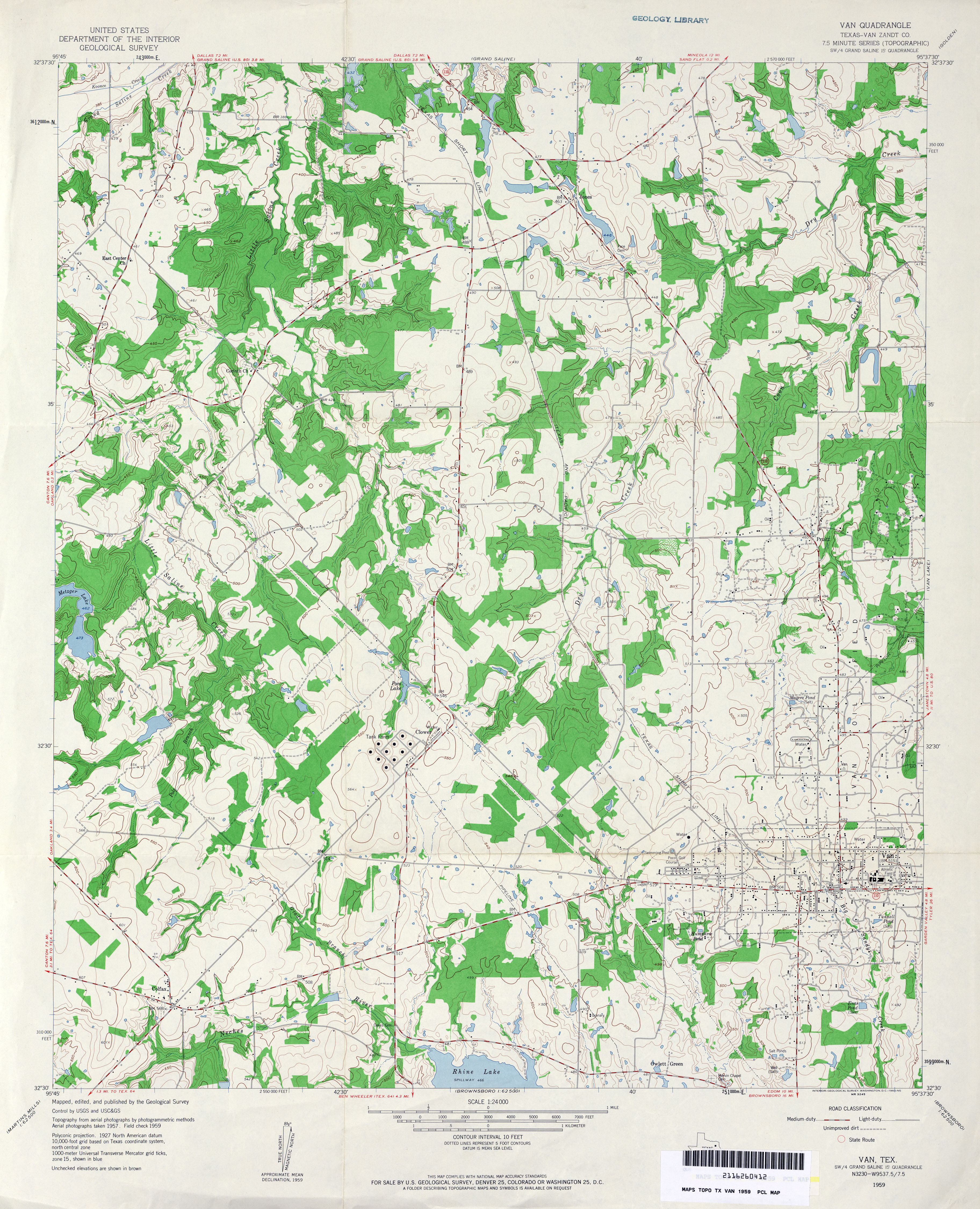
- Van (Van Zandt County) 1:24,000 1959 (4.2MB)
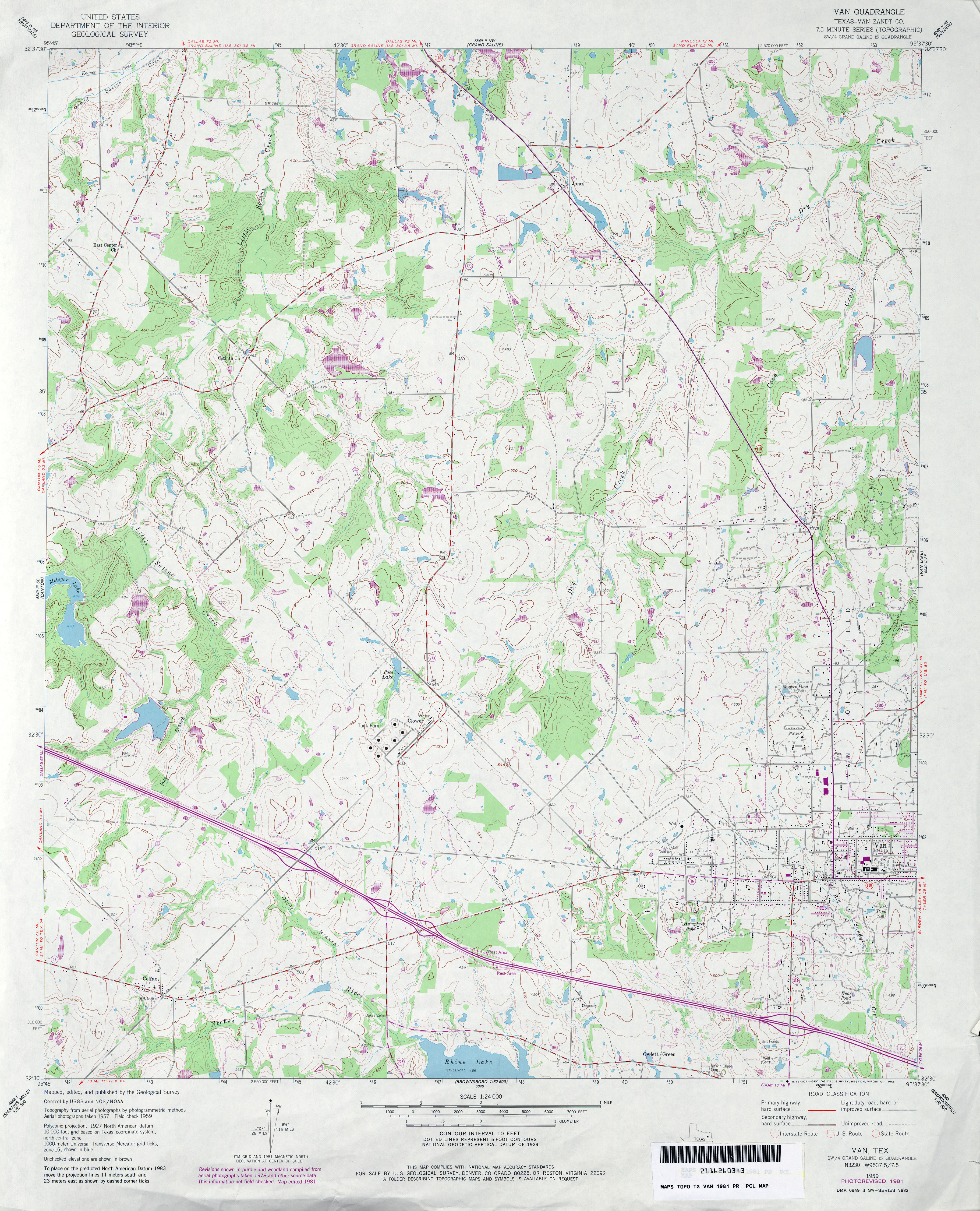
- Van (Van Zandt County) 1:24,000 1981 (4.1MB)
- Van 1:24,000 2009 (18.5MB) [GeoPDF]
- Van 1:24,000 2012 (21.9MB) [GeoPDF]
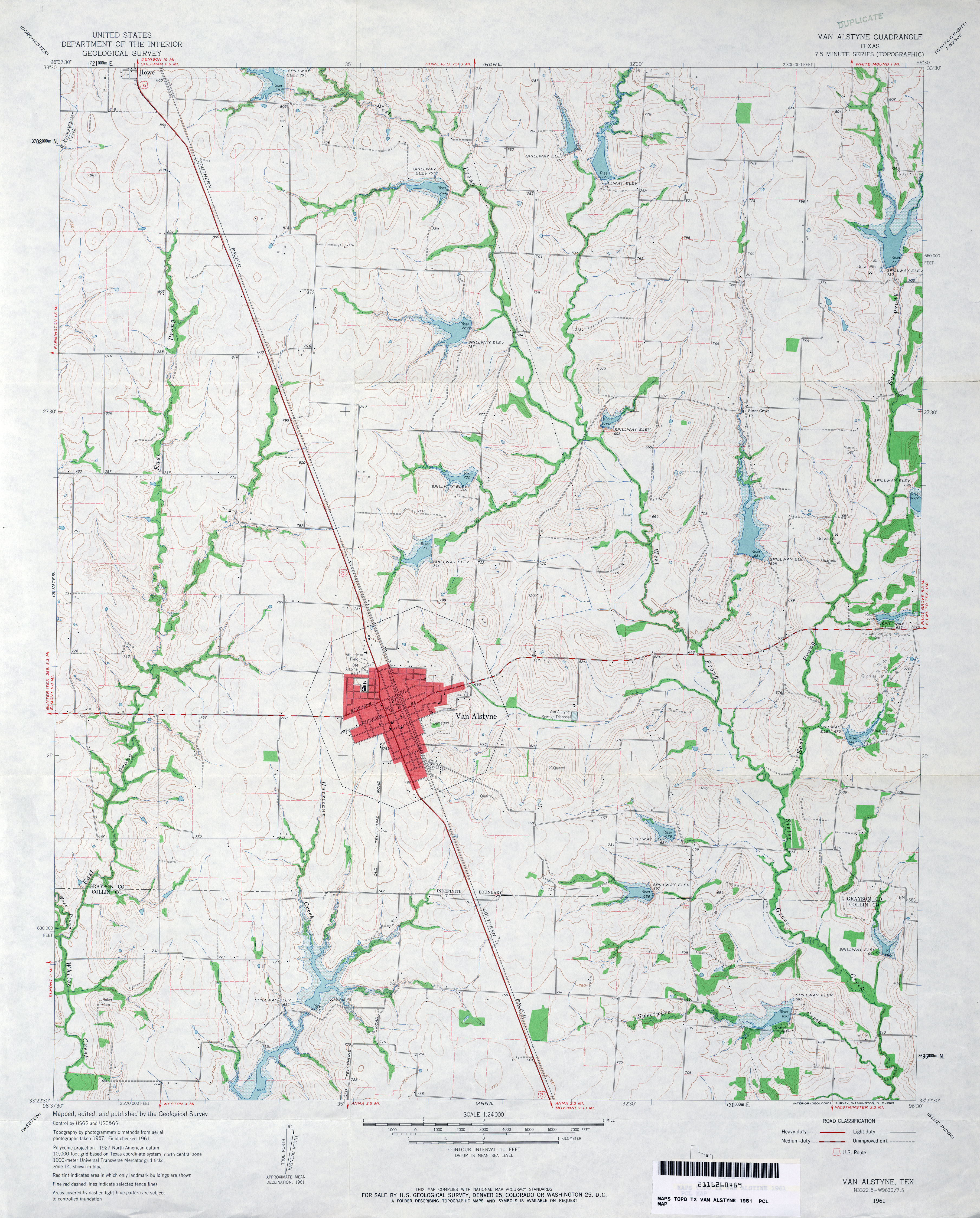
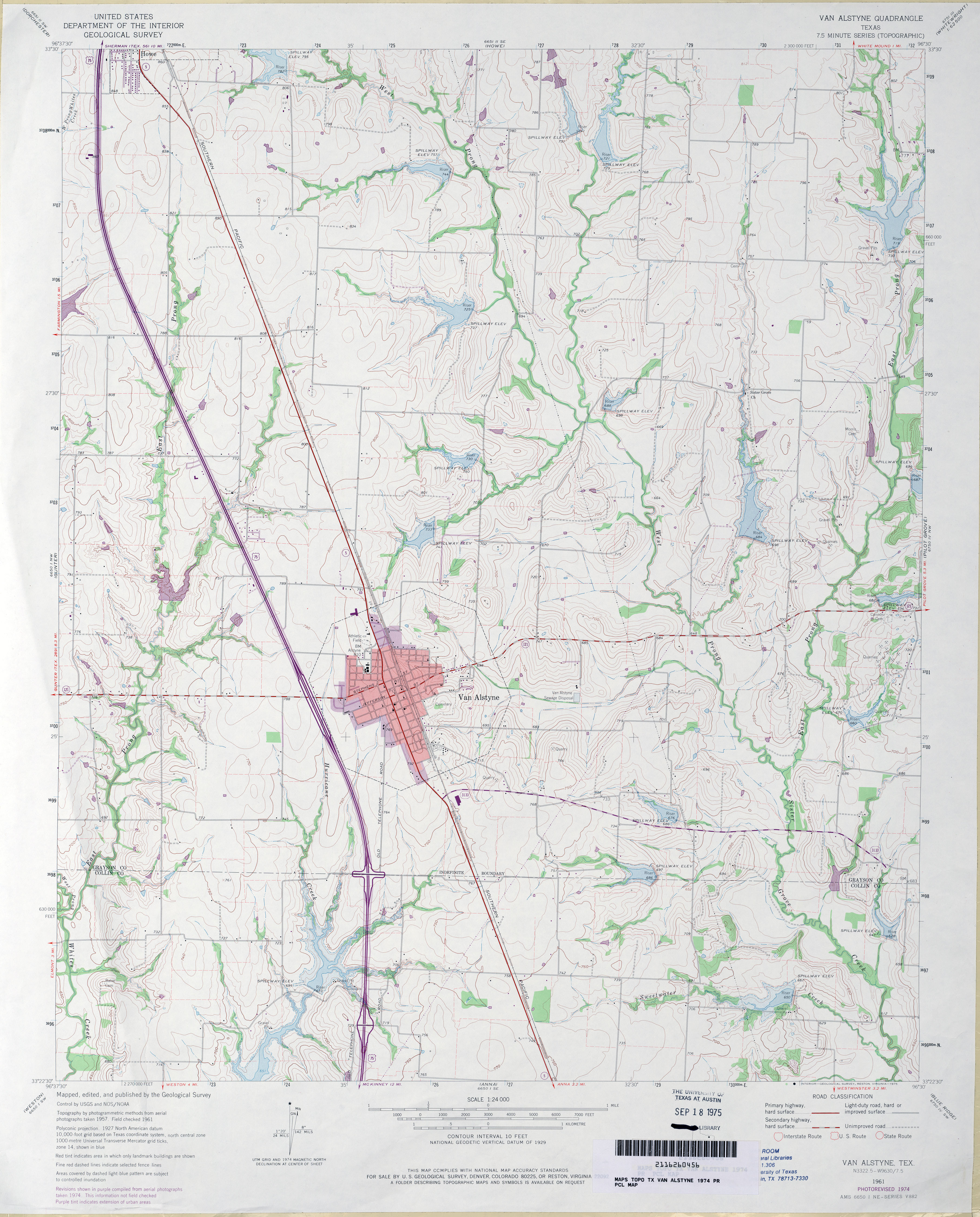
- Van Alstyne 1:24,000 1961 (3.7MB)
- Van Alstyne 1:24,000 1974 (3.6MB)
- Van Alstyne 1:24,000 2008 (13.4MB) [GeoPDF]
- Van Alstyne 1:24,000 2013 (19.2MB) [GeoPDF]
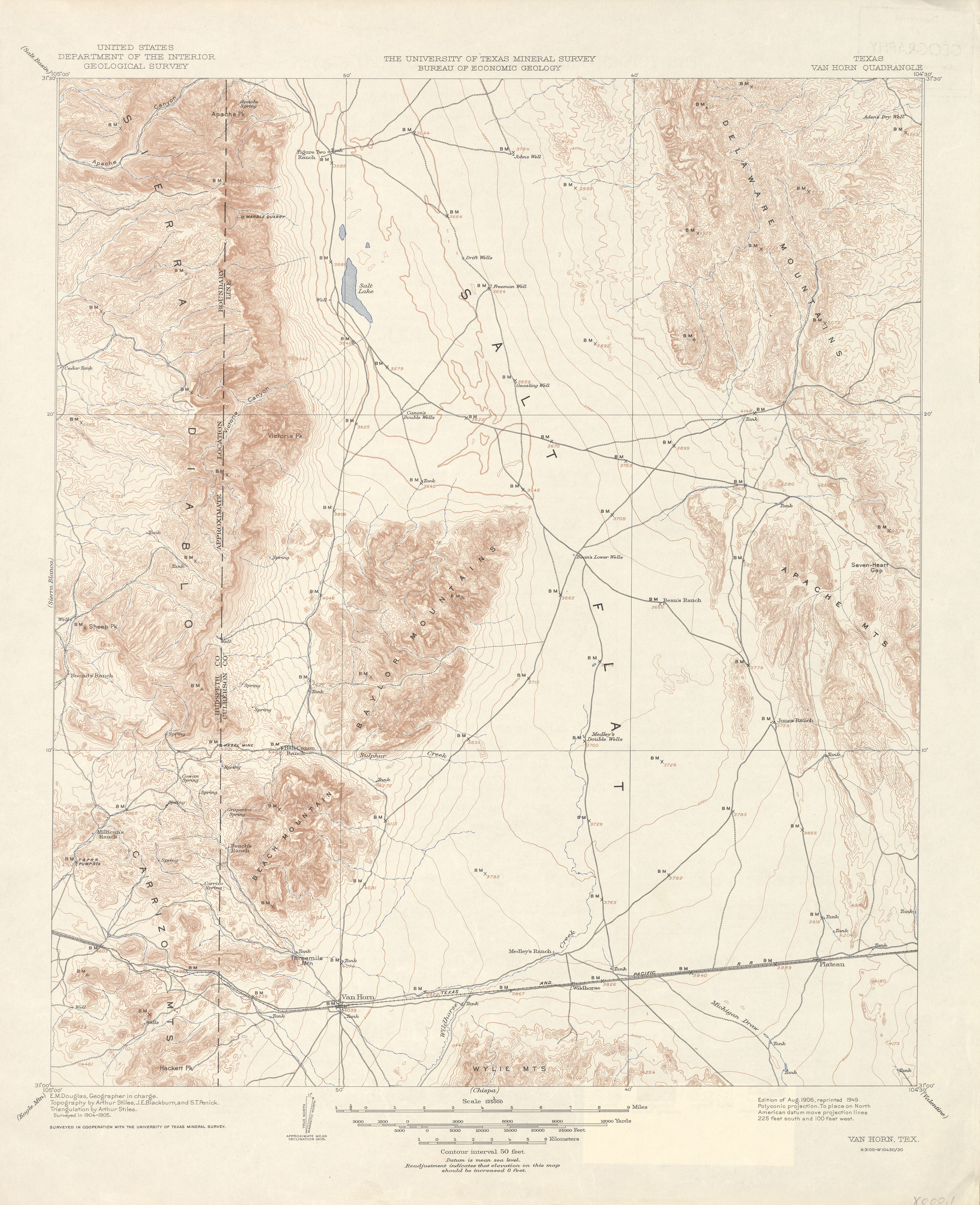
- Van Horn 1:125,000 1905 (3.4 MB)
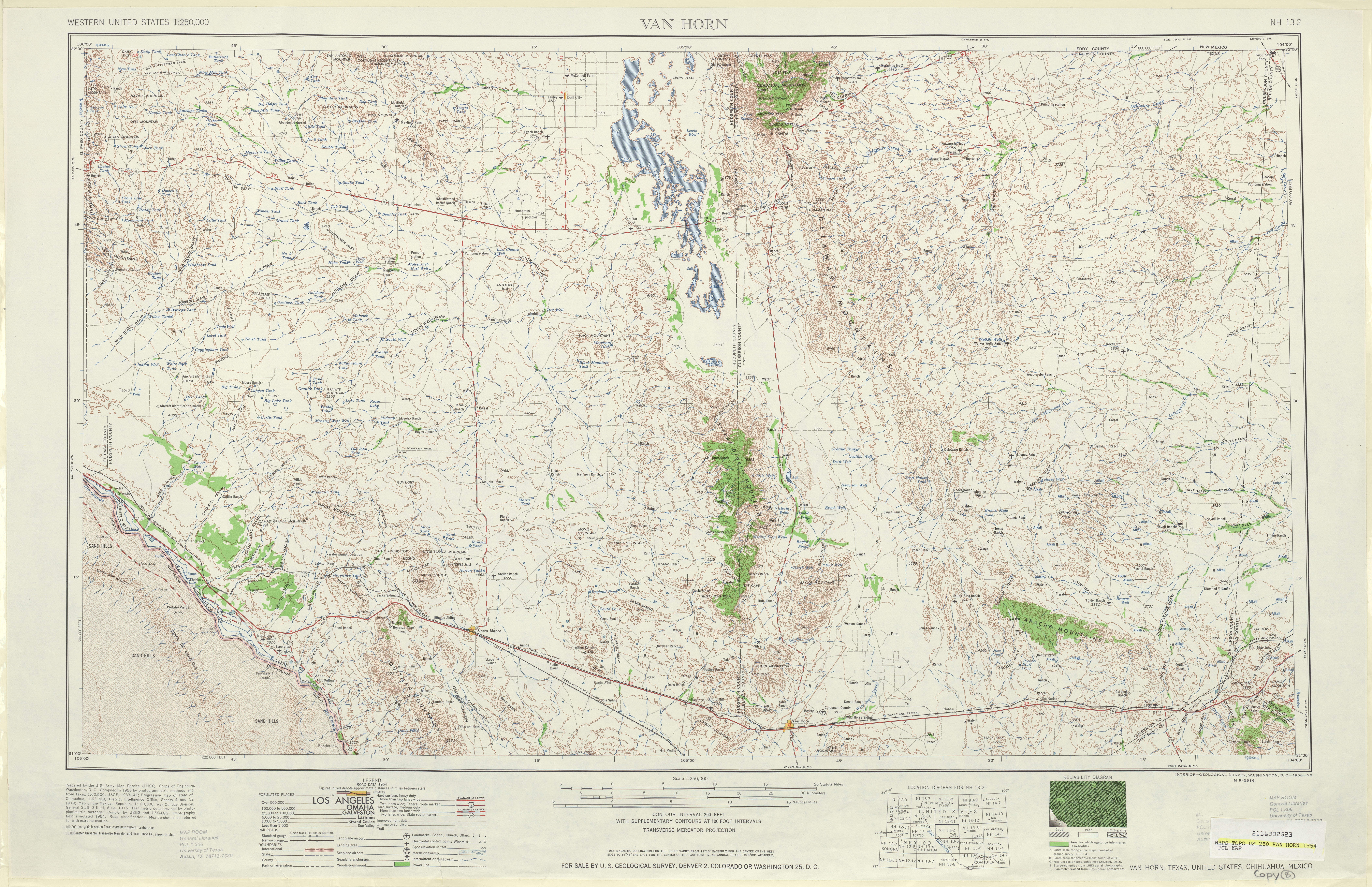
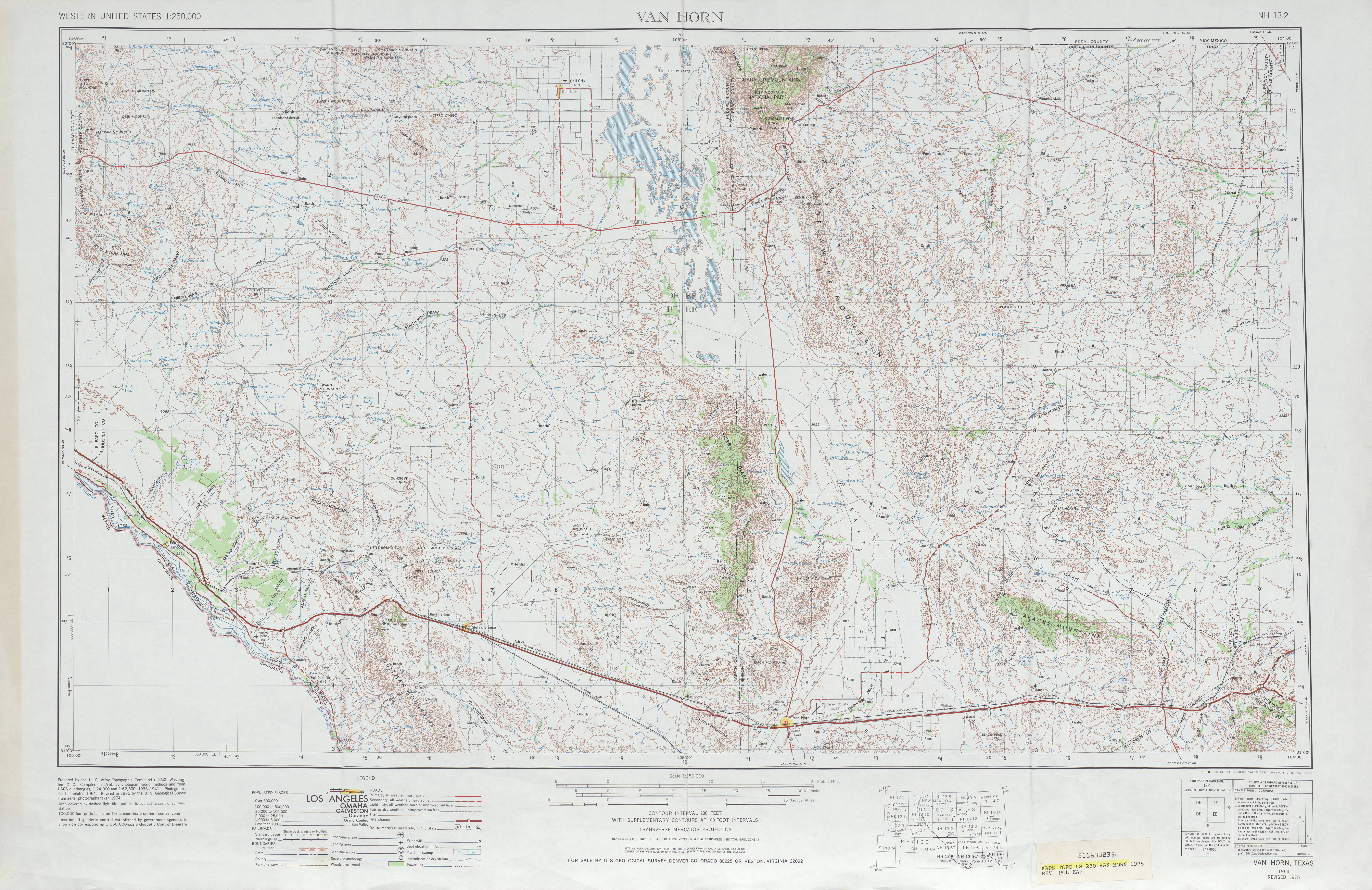
- Van Horn 1:250,000 1954 (7.9MB)
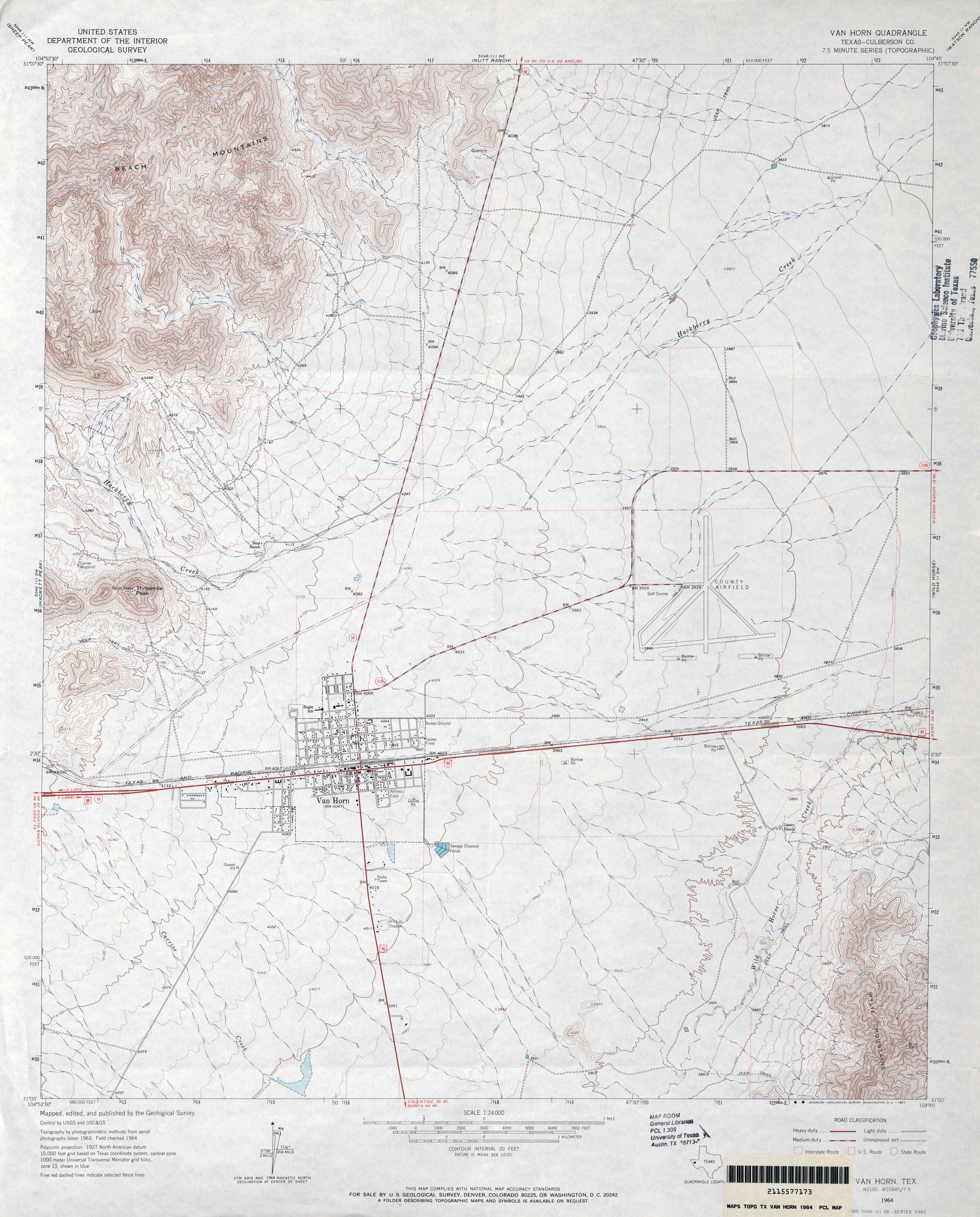
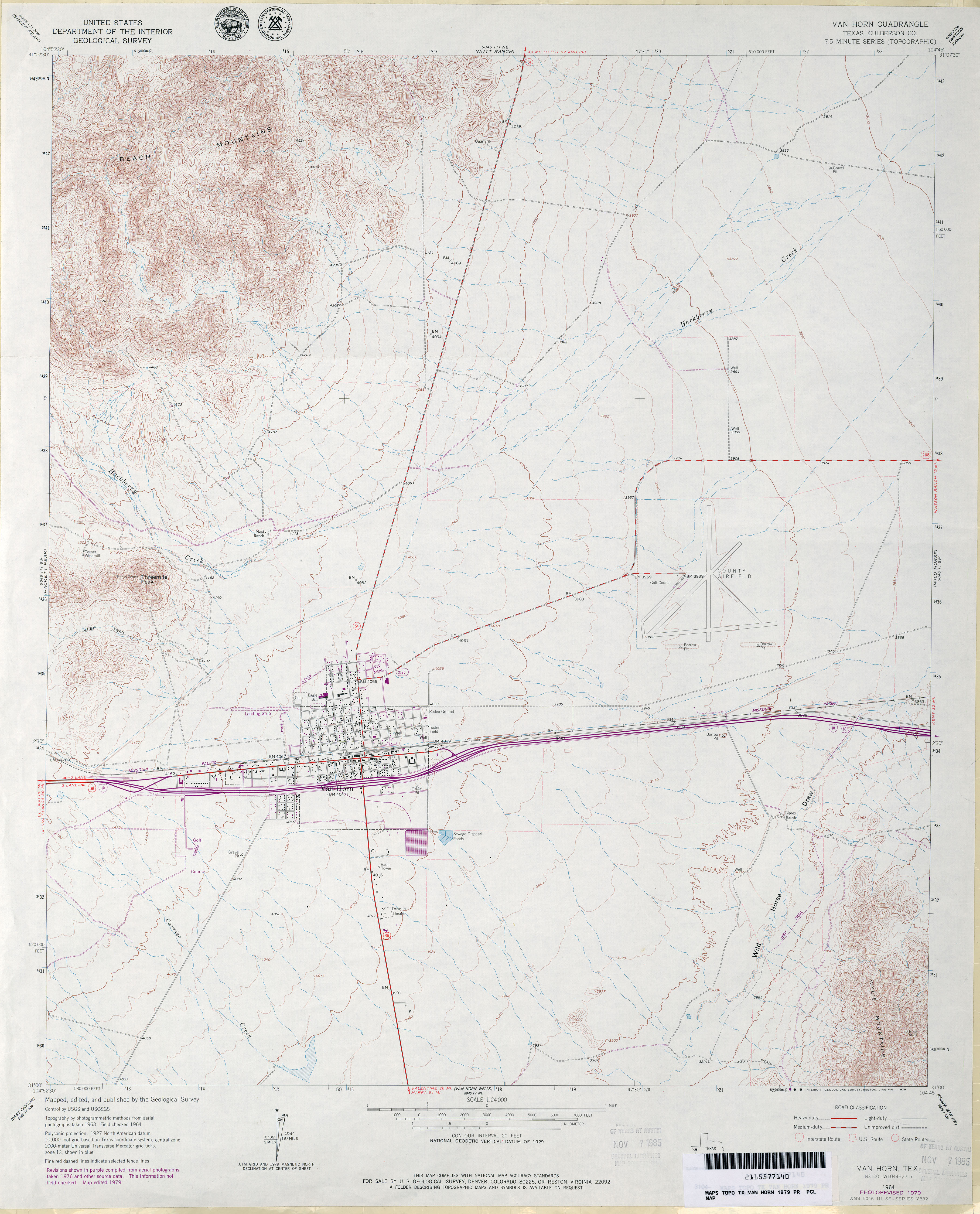
- Van Horn (Culberson County) 1:24,000 1964 (3.7MB)
- Van Horn 1:250,000 1964 (7.9MB)
- Van Horn 1:250,000 1975 (7.7MB)
- Van Horn (Culberson County) 1:24,000 1979 (3.6MB)
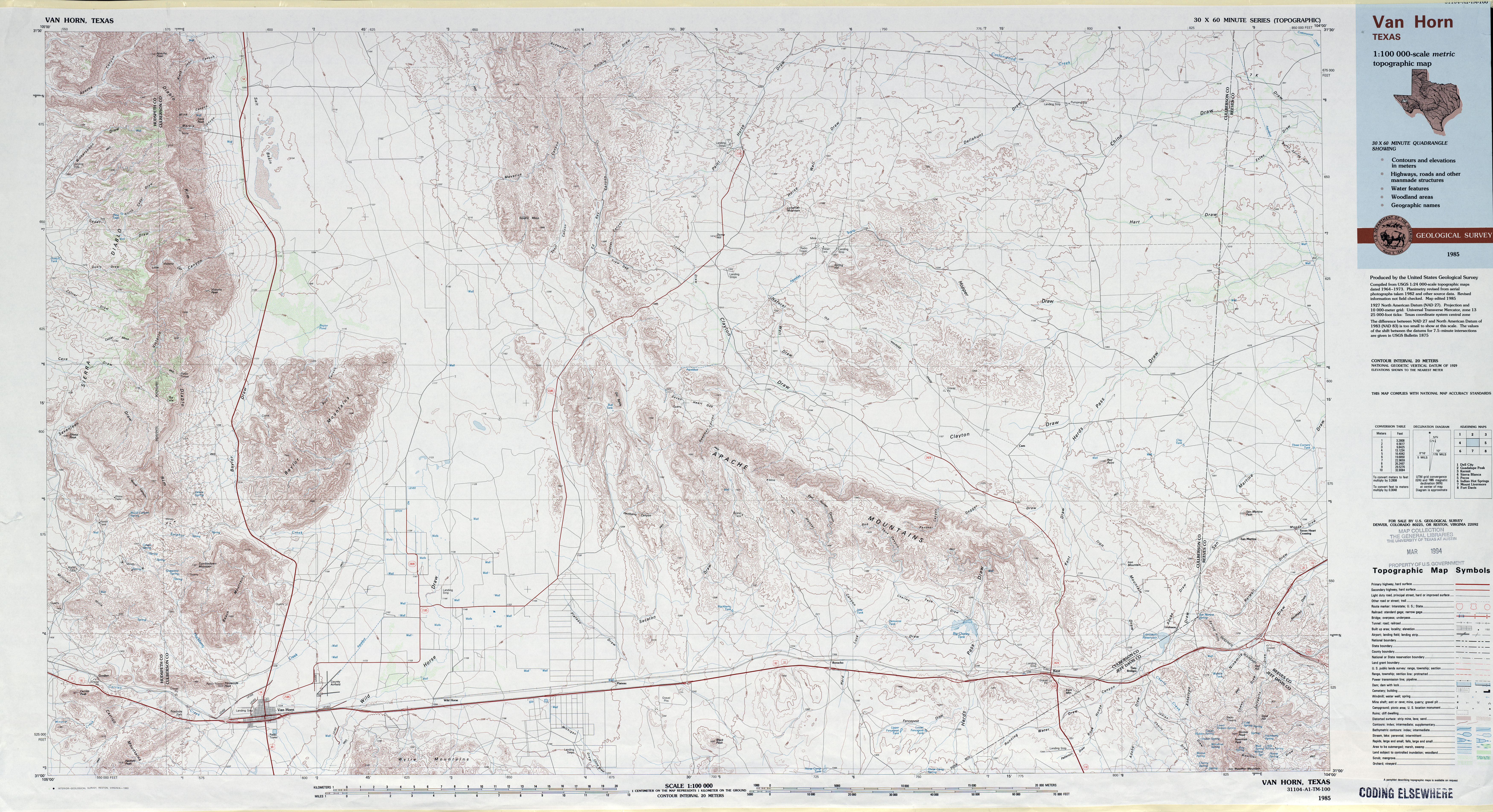
- Van Horn 1:100,000 1985 (7.6MB)
- Van Horn 1:24,000 2008 (19.8MB) [GeoPDF]
- Van Horn 1:24,000 2012 (23.9MB) [GeoPDF]
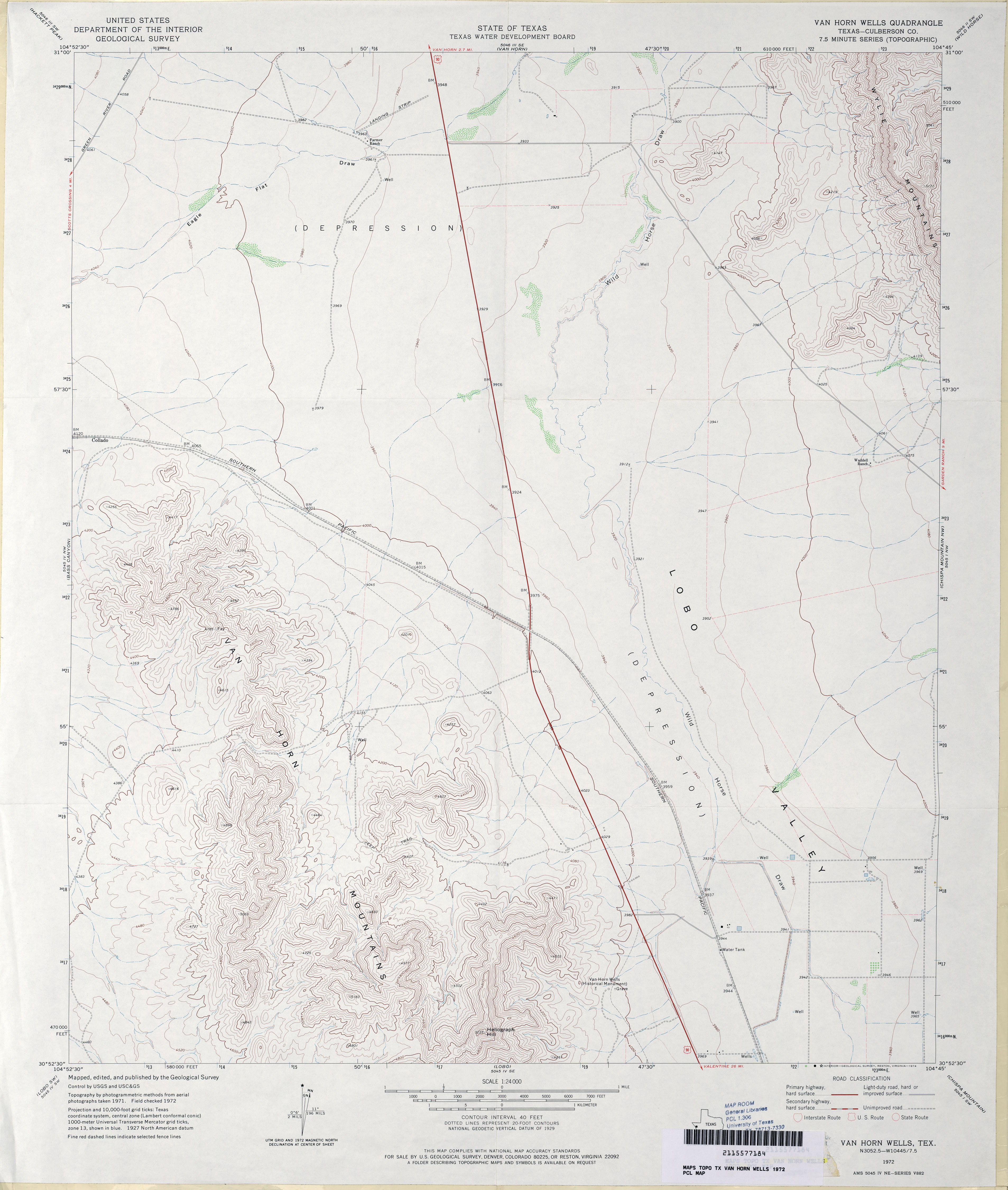
- Van Horn Wells (Culberson County) 1:24,000 1972 (3MB)
- Van Horn Wells 1:24,000 2008 (18.0MB) [GeoPDF]
- Van Horn Wells 1:24,000 2012 (21.6MB) [GeoPDF]
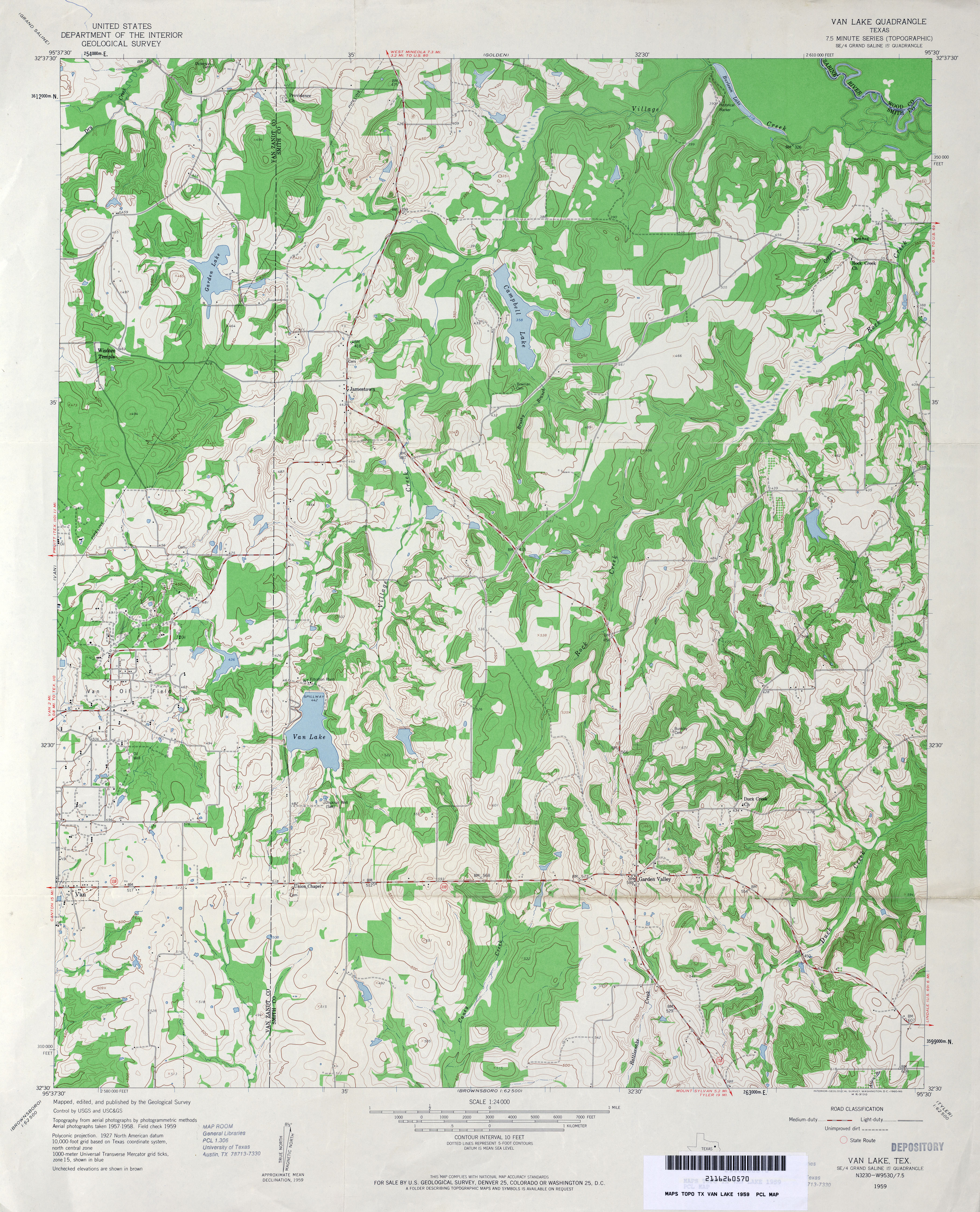
- Van Lake 1:24,000 1959 (4.5MB)
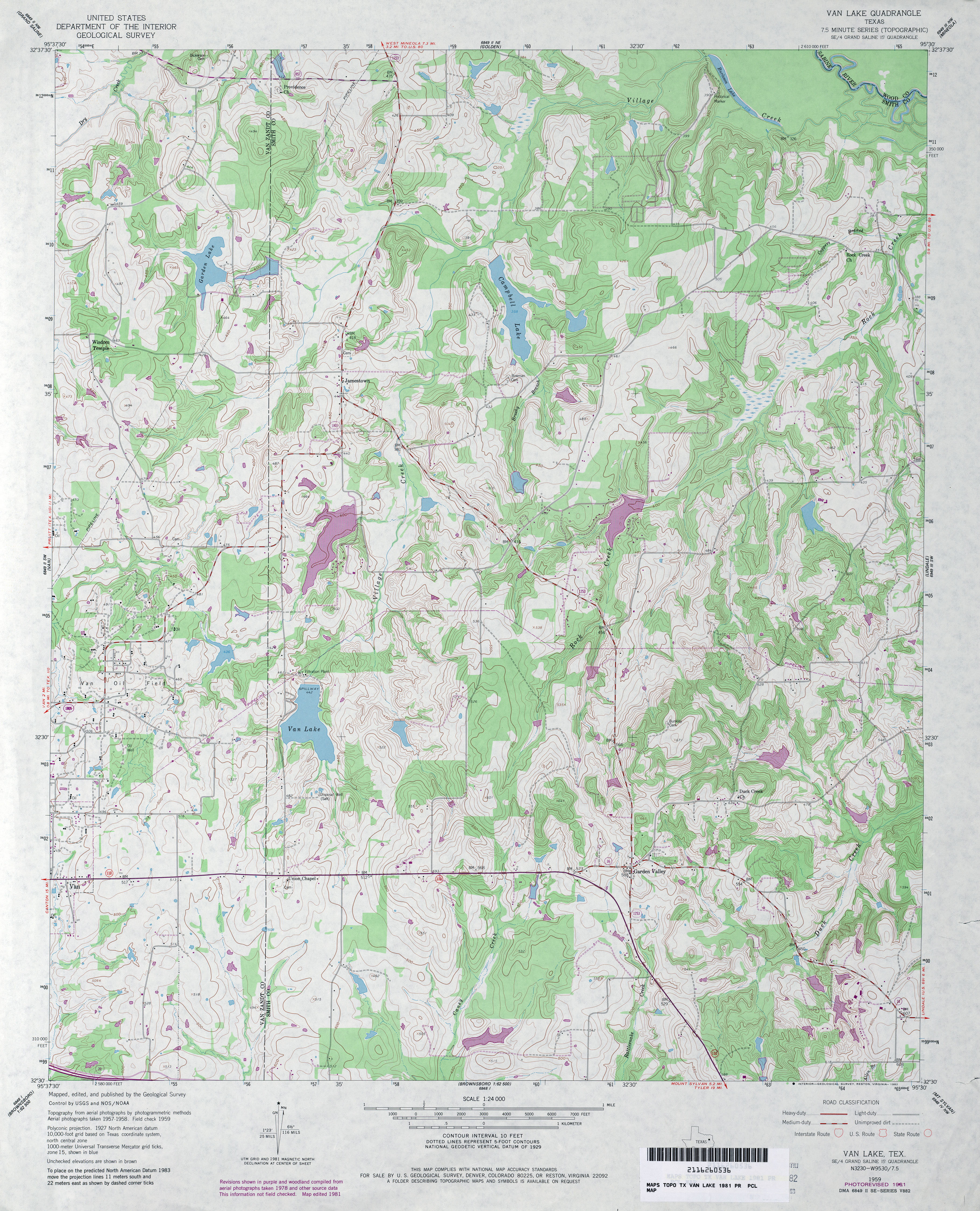
- Van Lake 1:24,000 1981 (4.7MB)
- Van Lake 1:24,000 2009 (21.2MB) [GeoPDF]
- Van Lake 1:24,000 2012 (24.3MB) [GeoPDF]
- Van Raub 1:24,000 1953 (6.2MB) U.S. Department of the Army Corps of Engineers
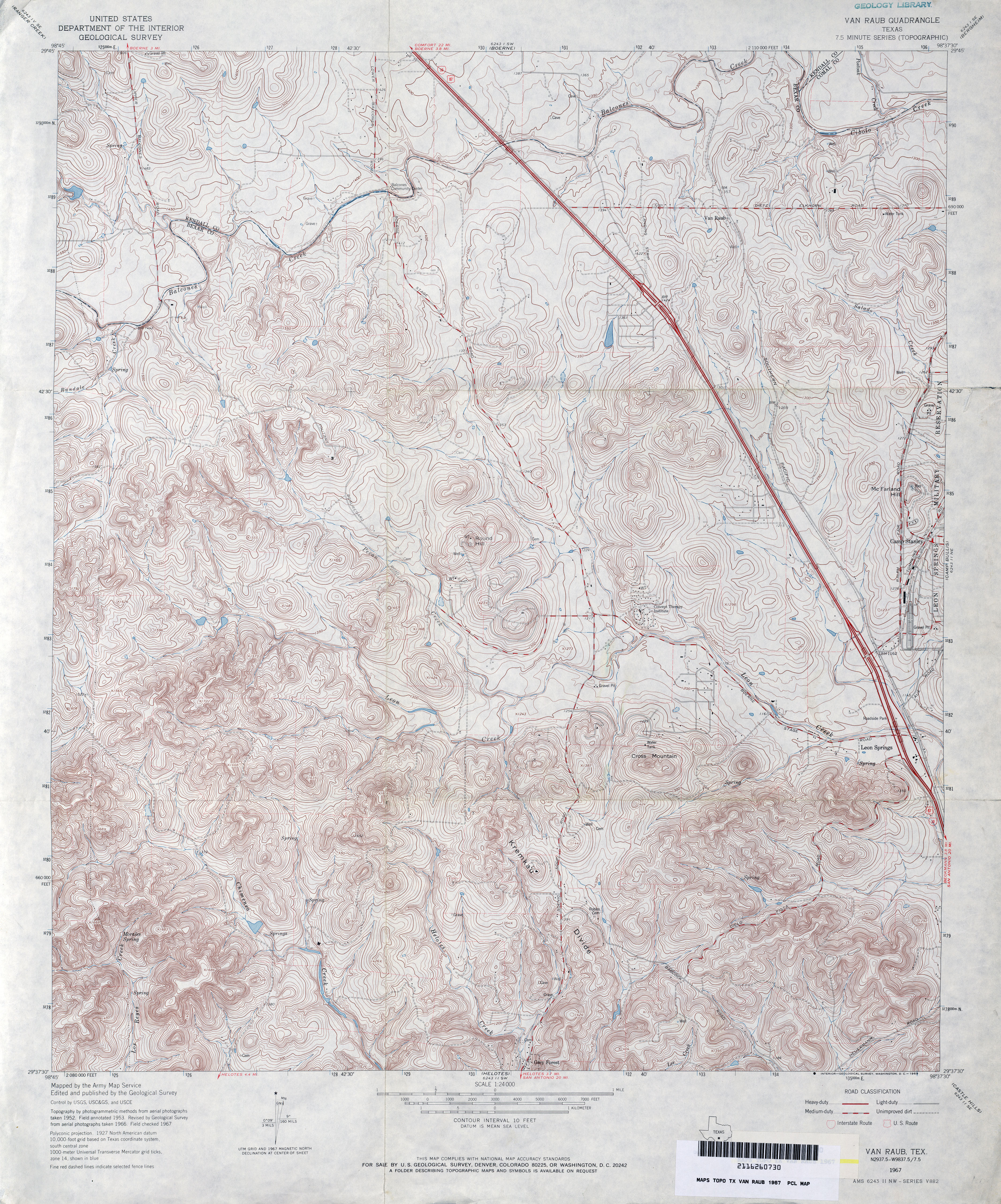
- Van Raub 1:24,000 1967 (6.2MB)
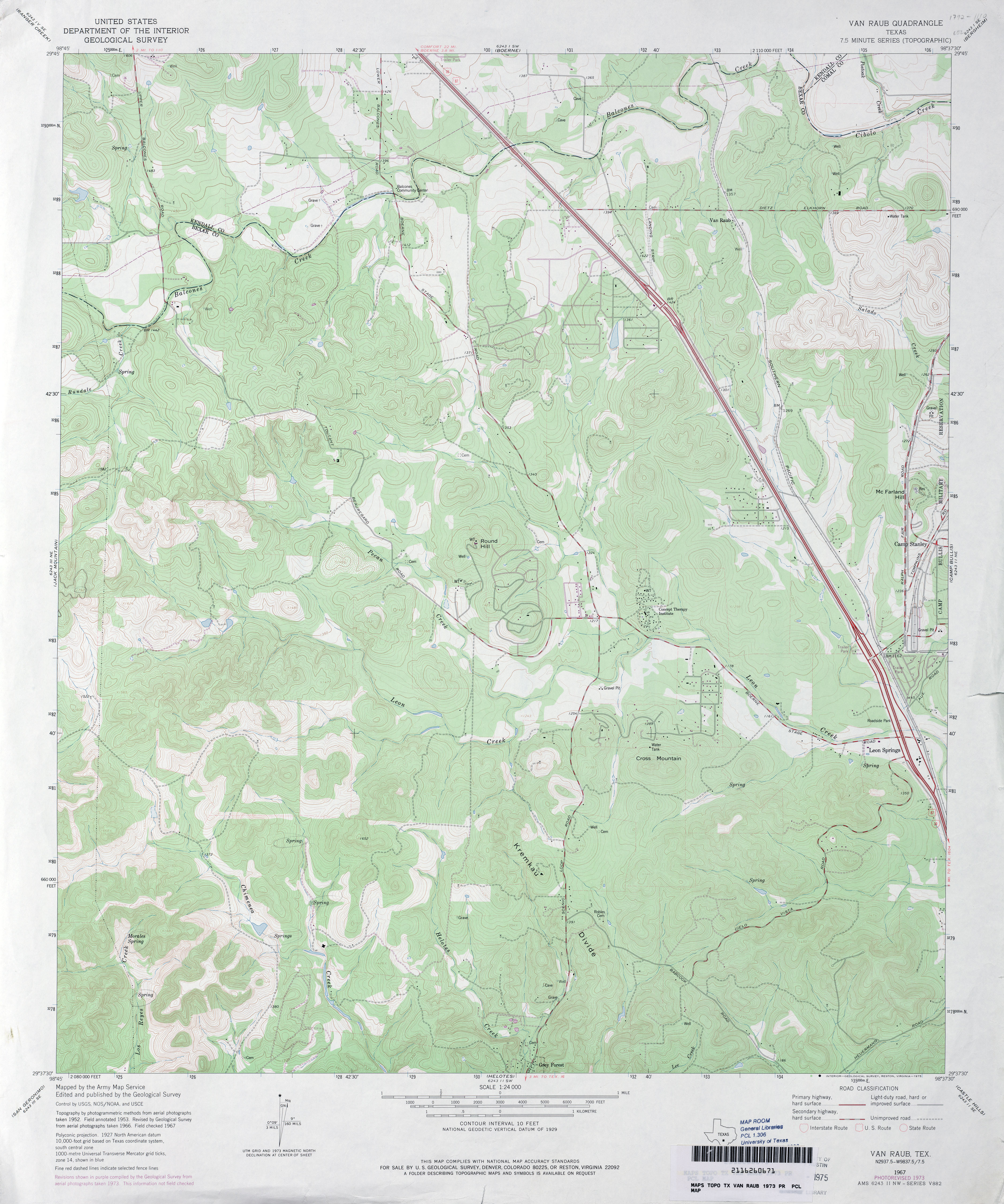
- Van Raub 1:24,000 1973 (4MB)
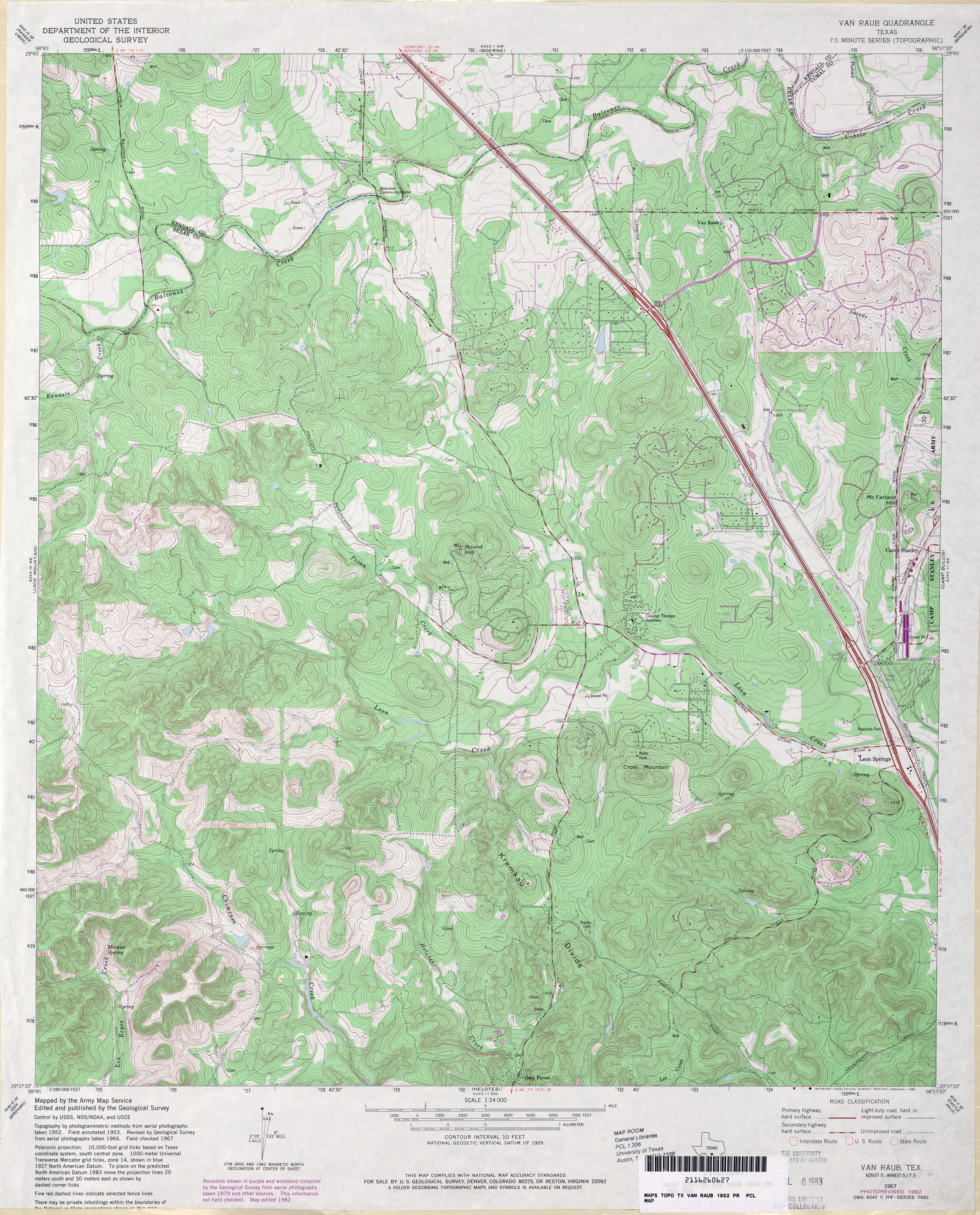
- Van Raub 1:24,000 1982 (5.8MB)
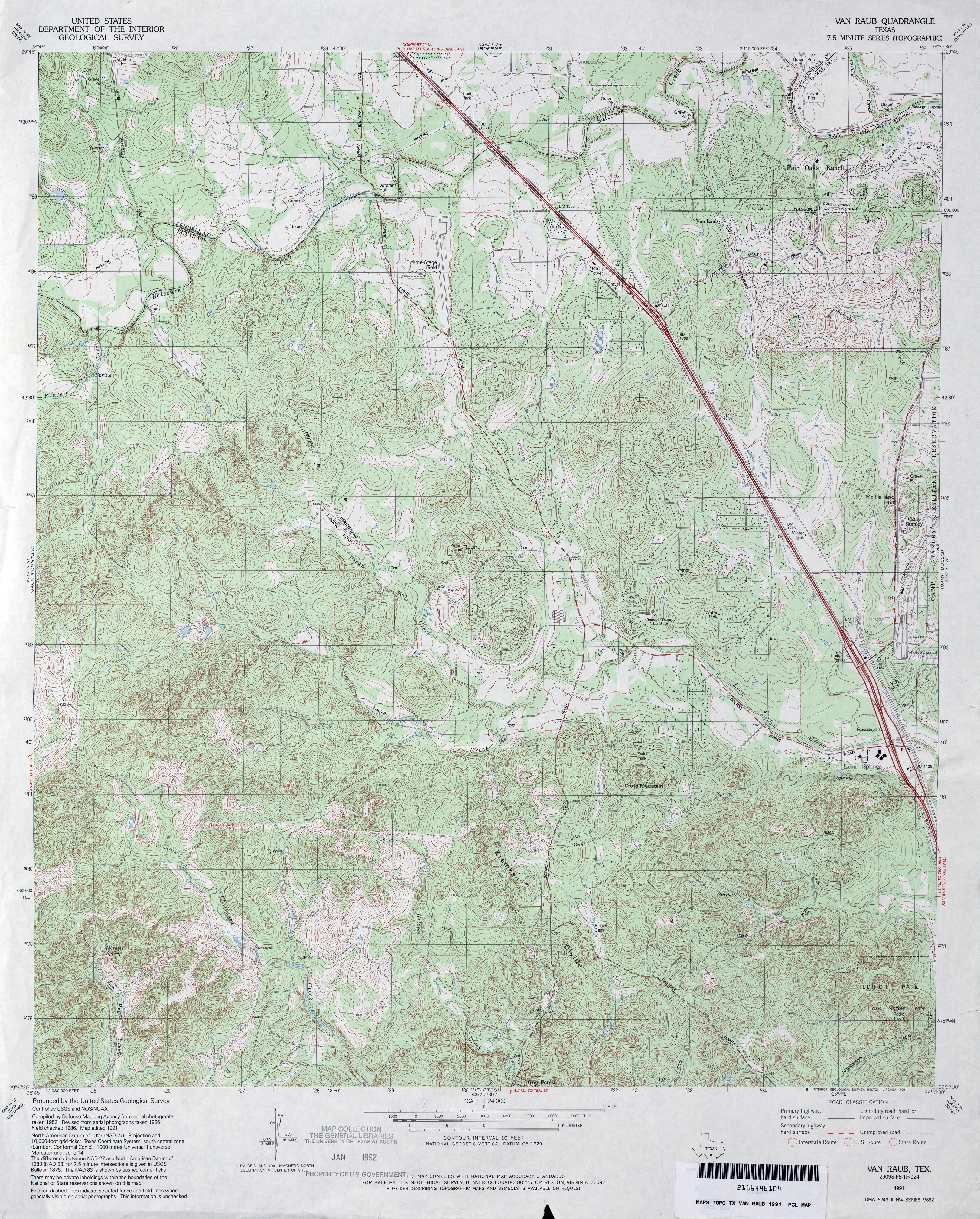
- Van Raub 1:24,000 1991 (6.2MB)
- Van Raub 1:24,000 2008 (23.1MB) [GeoPDF]
- Van Raub 1:24,000 2013 (30.1MB) [GeoPDF]
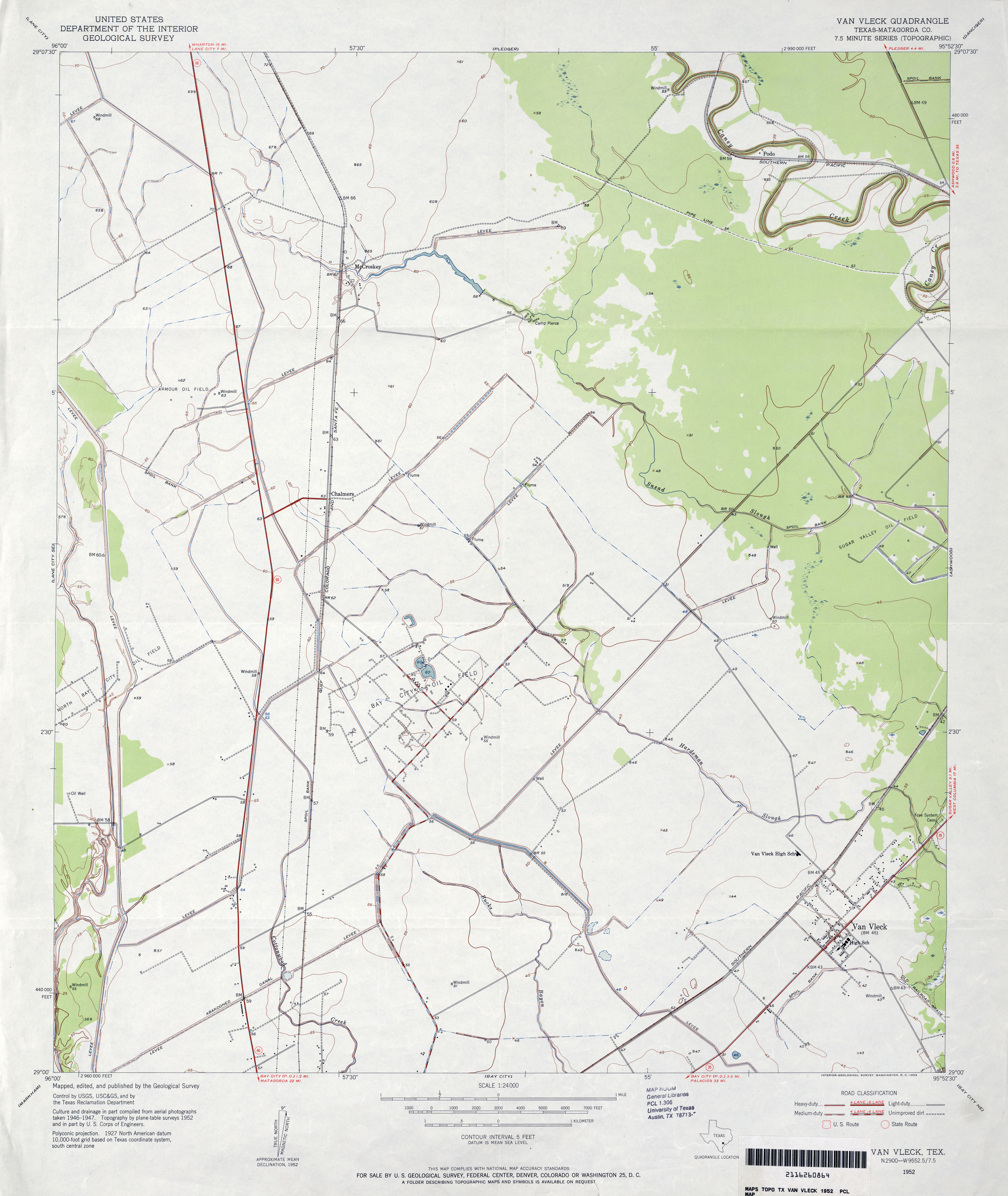
- Van Vleck (Matagorda County) 1:24,000 1952 (2.9MB)
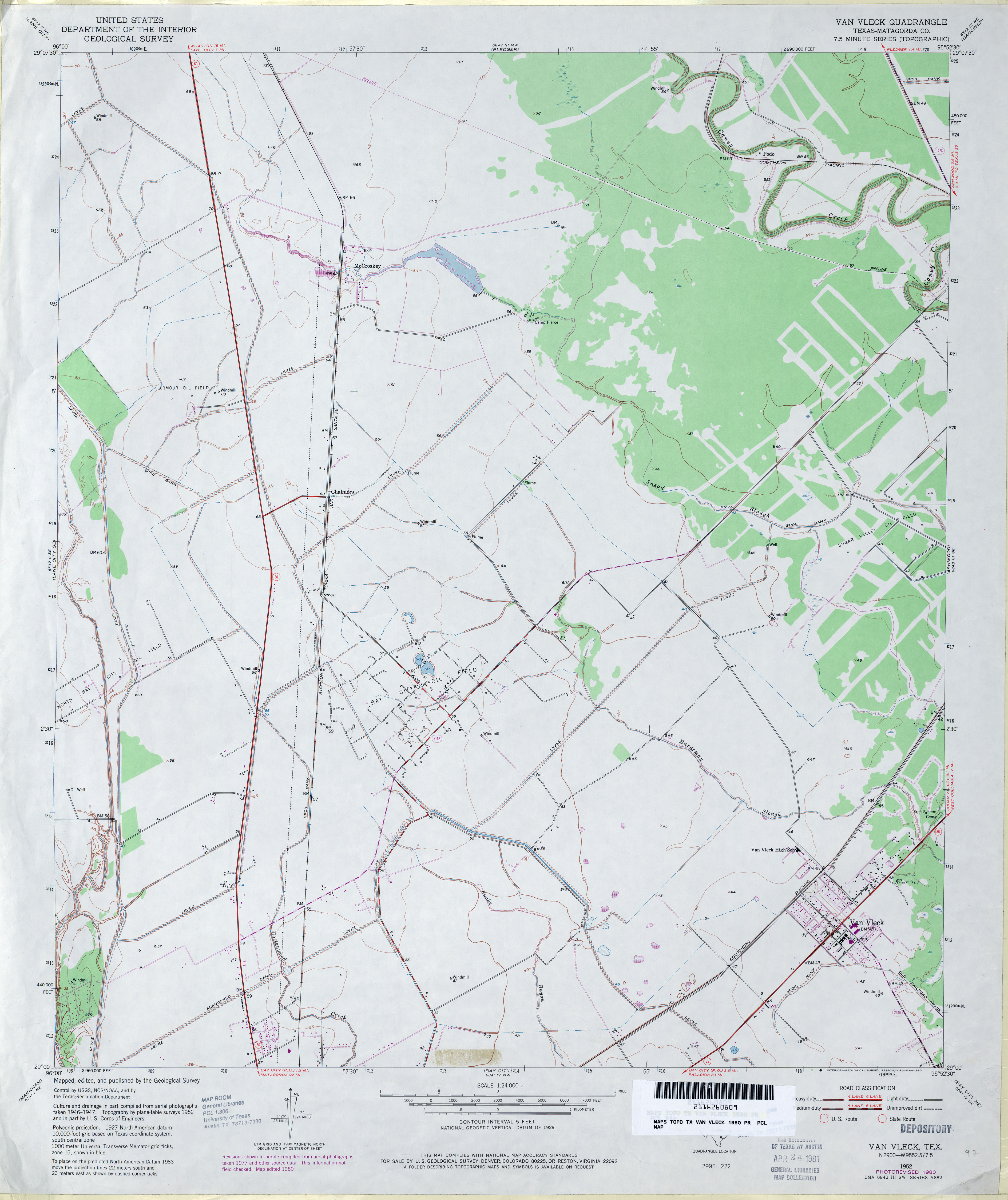
- Van Vleck (Matagorda County) 1:24,000 1980 (2.8MB)
- Van Vleck 1:24,000 2009 (16.1MB) [GeoPDF]
- Van Vleck 1:24,000 2013 (17.4MB) [GeoPDF]
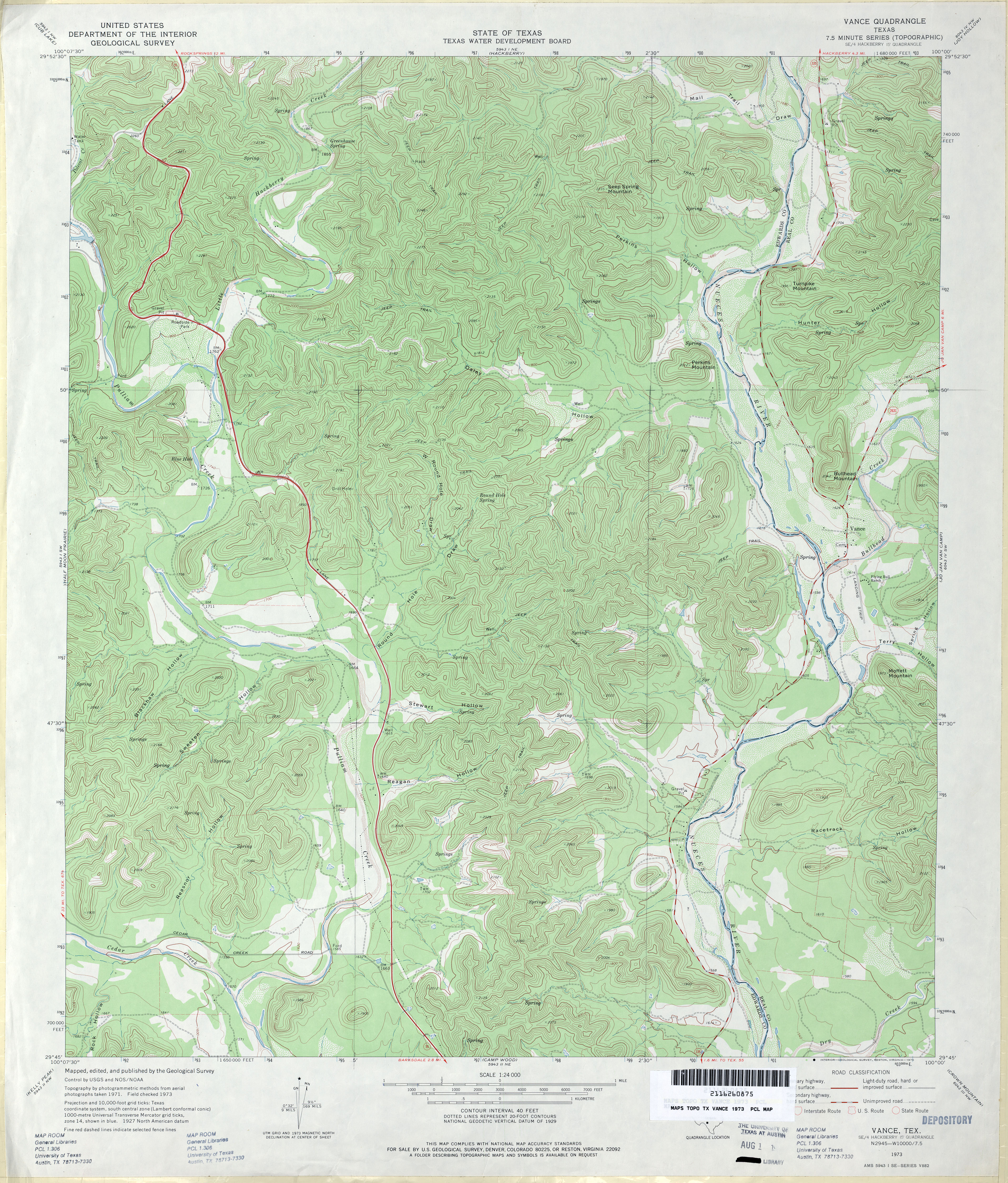
- Vance 1:24,000 1973 (5.2MB)
- Vance 1:24,000 2008 (25.6MB) [GeoPDF]
- Vance 1:24,000 2012 (31MB) [GeoPDF]
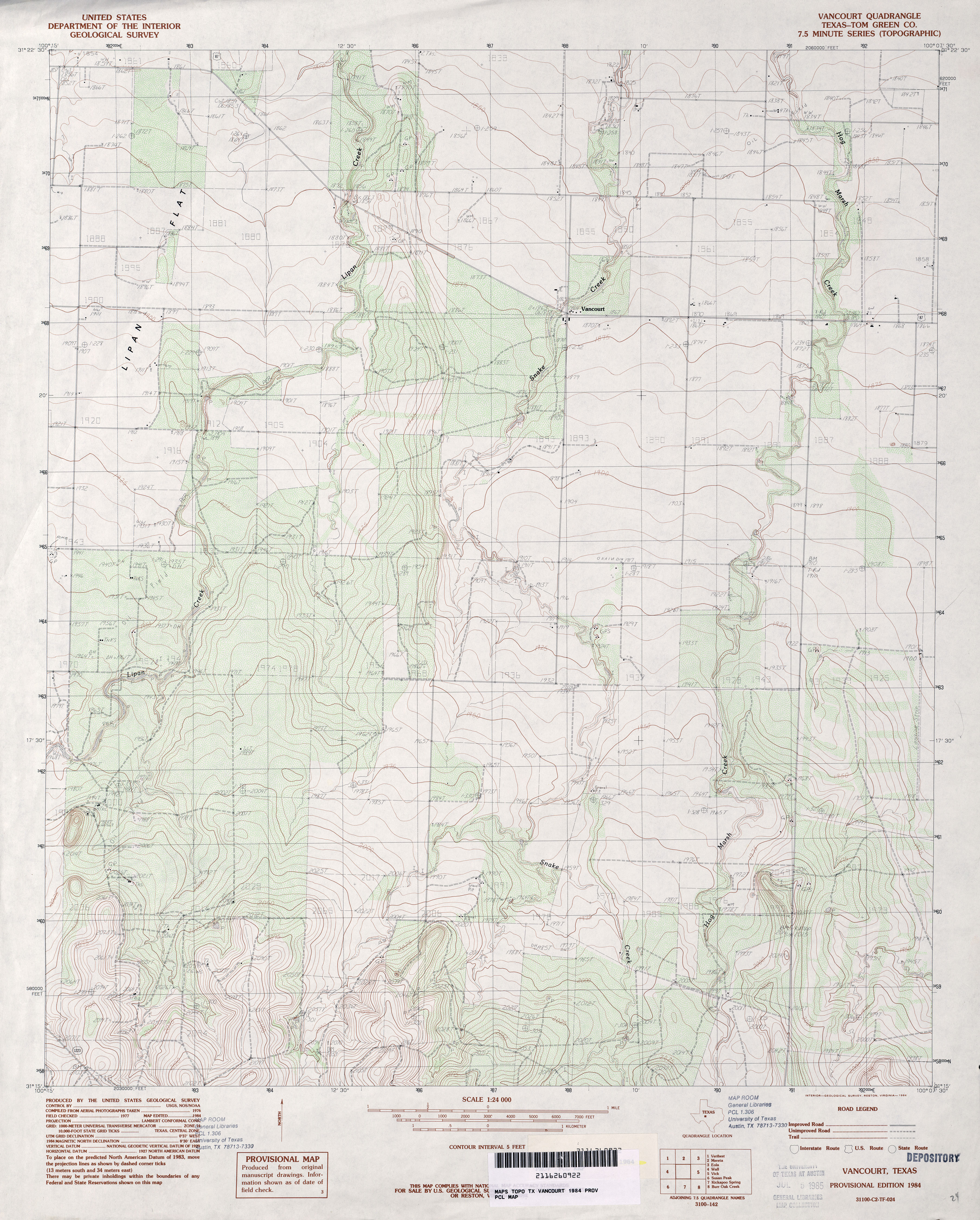
- Vancourt (Tom Green County) 1:24,000 1984 (4MB)
- Vancourt 1:24,000 2008 (15.9MB) [GeoPDF]
- Vancourt 1:24,000 2012 (21.5MB) [GeoPDF]
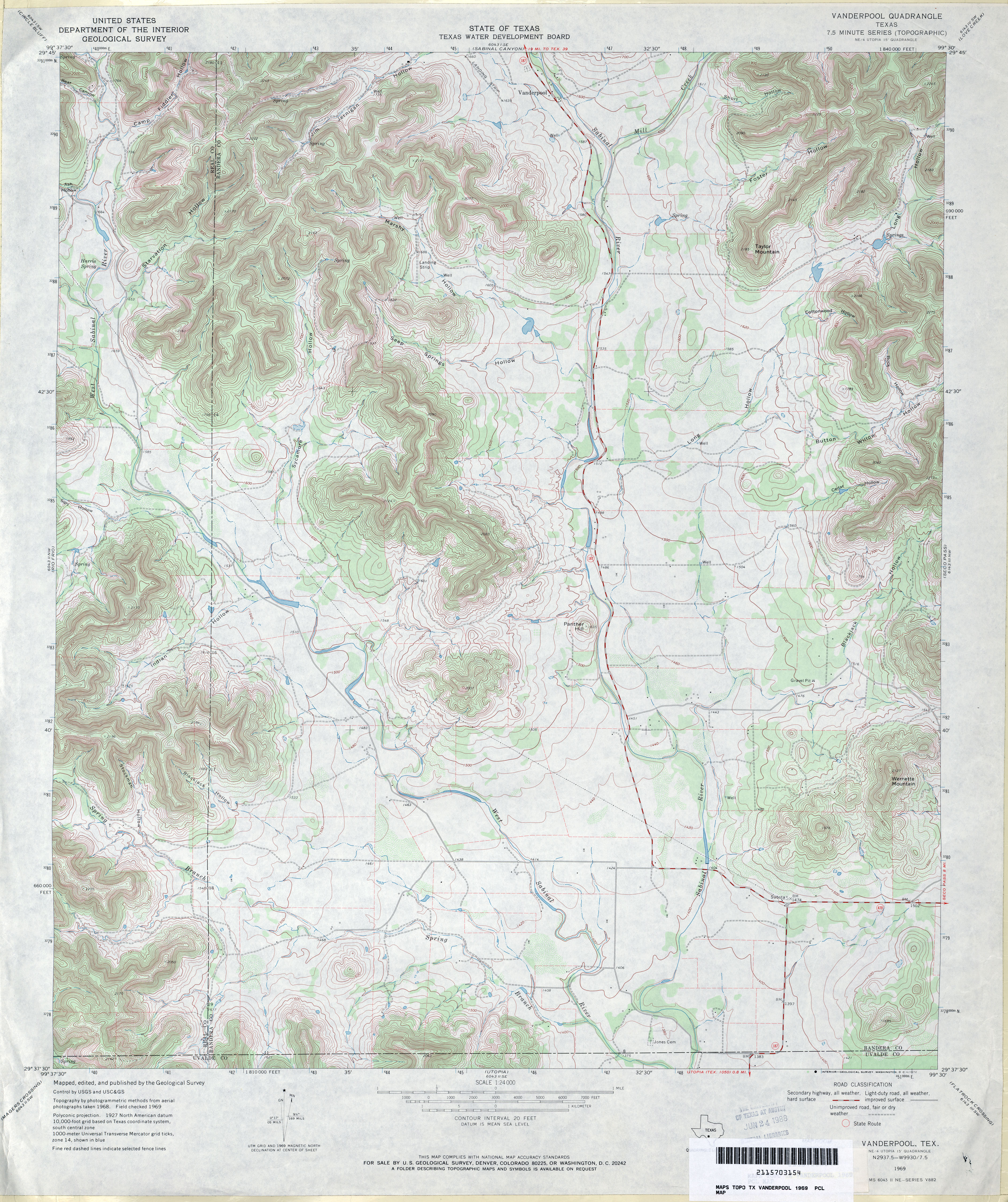
- Vanderpool 1:24,000 1969 (5.2MB)
- Vanderpool 1:24,000 2008 (19.8MB) [GeoPDF]
- Vanderpool 1:24,000 2013 (26.8MB) [GeoPDF]
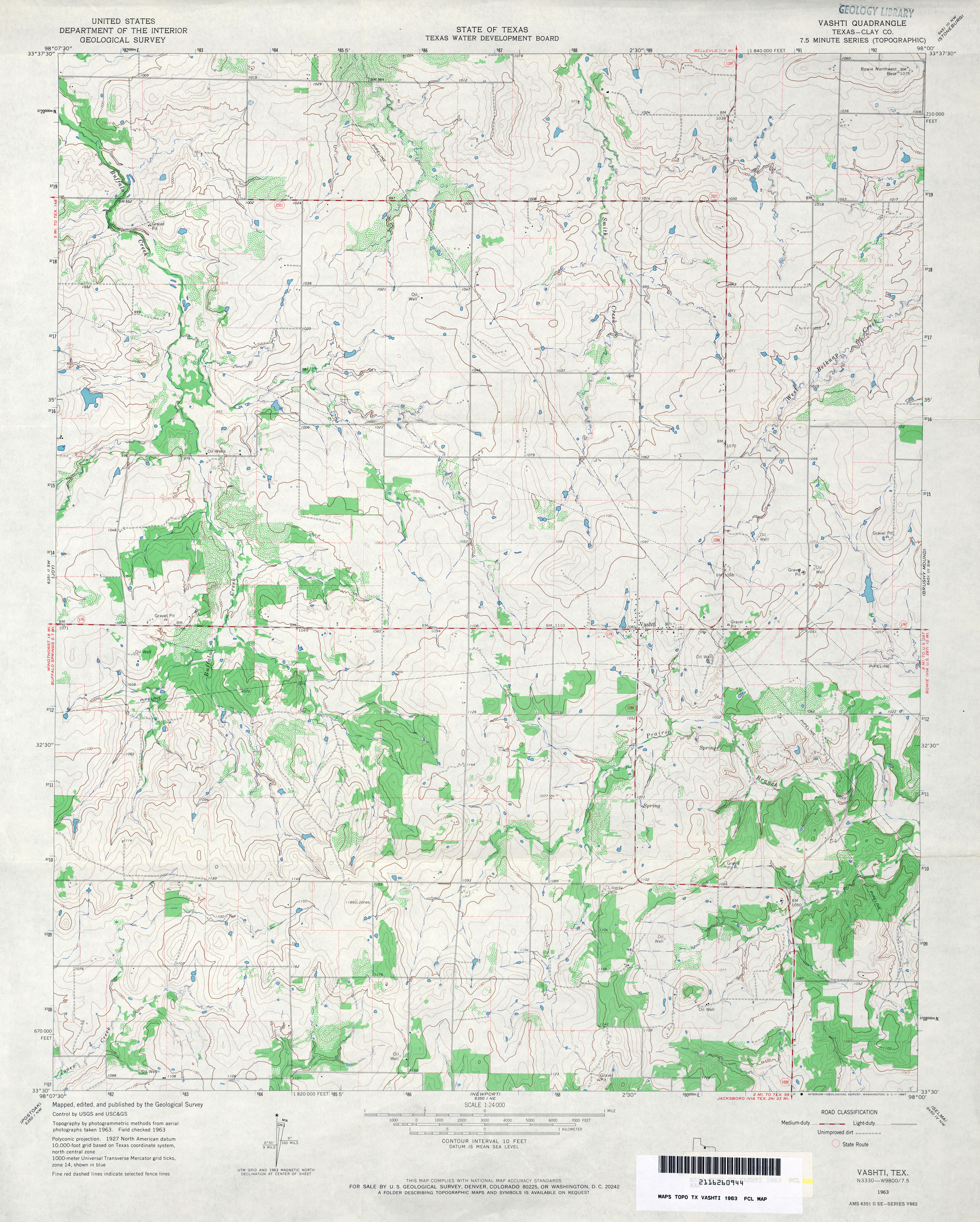
- Vashti (Clay County) 1:24,000 1963 (4MB)
- Vashti 1:24,000 2008 (14.0MB) [GeoPDF]
- Vashti 1:24,000 2012 (16.7MB) [GeoPDF]
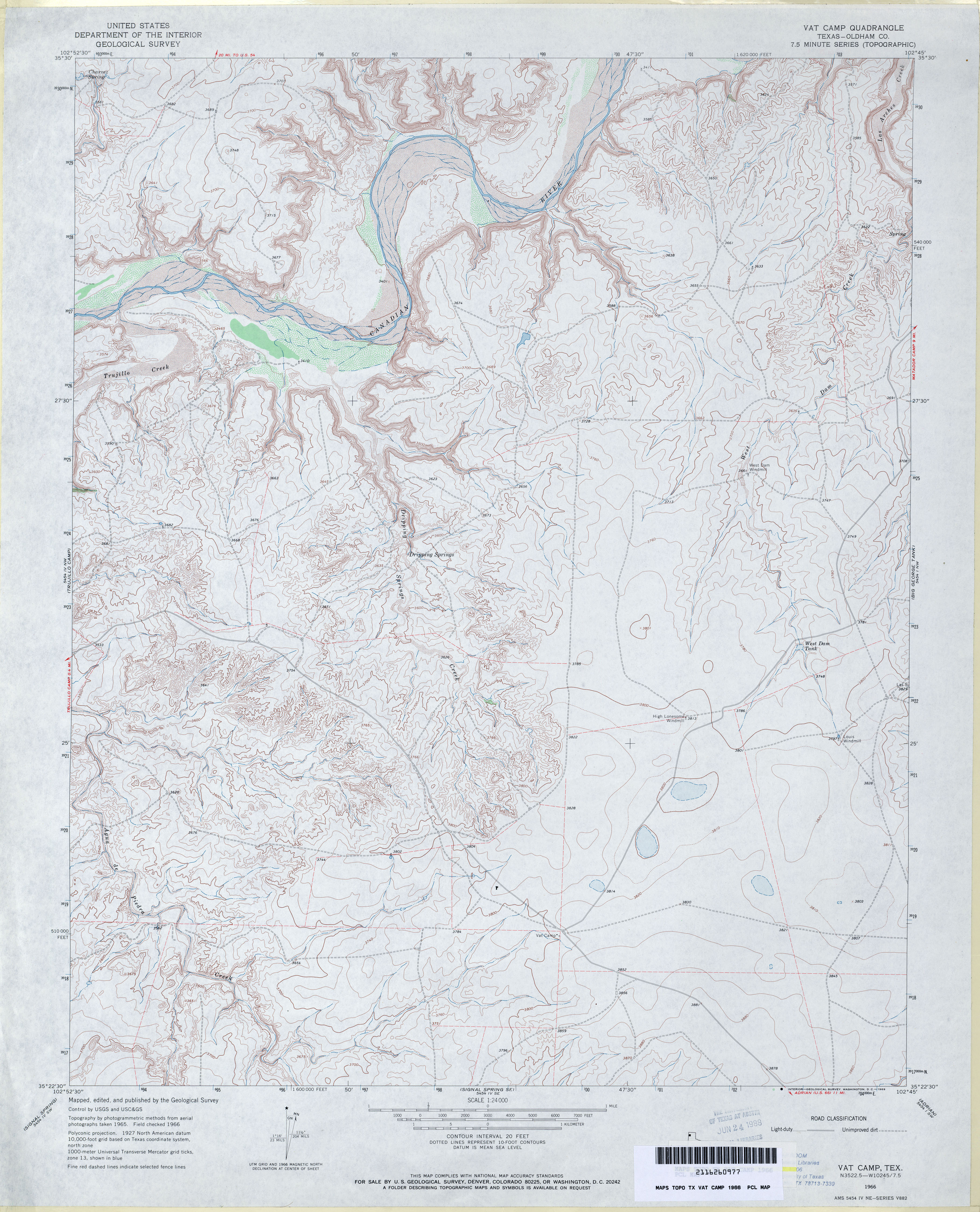
- Vat Camp (Oldham County) 1:24,000 1966 (4.1MB)
- Vat Camp 1:24,000 2008 (15.0MB) [GeoPDF]
- Vat Camp 1:24,000 2012 (20.6MB) [GeoPDF]
- Veach 1:24,000 1984 (4.4MB)
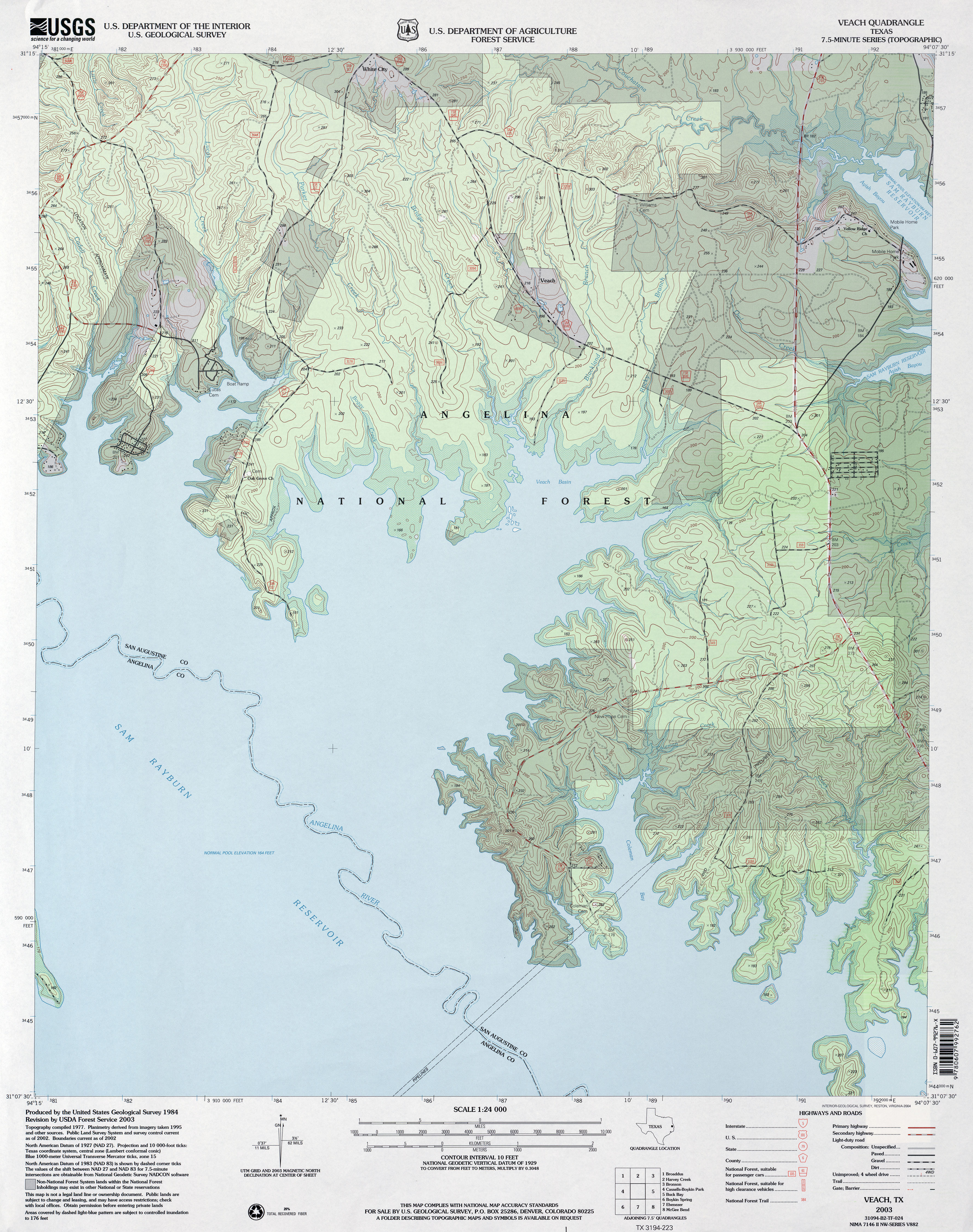
- Veach 1:24,000 2003 (4.2MB)
- Veach 1:24,000 2008 (2MB) Texas Natural Resources Information System (TNRIS). [pdf]
- Veach 1:24,000 2013 (23.7MB) [GeoPDF]
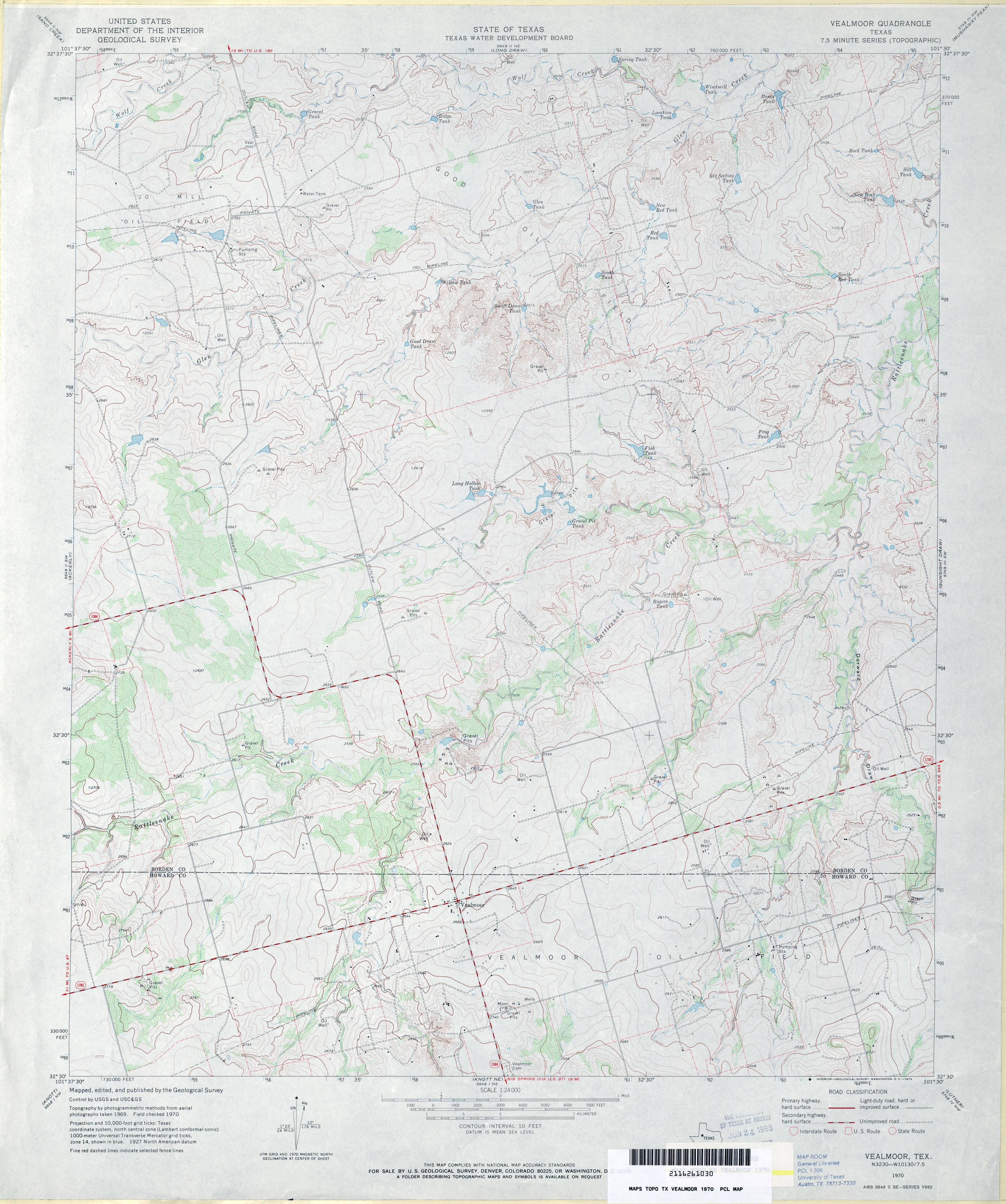
- Vealmoor 1:24,000 1970 (3.8MB)
- Vealmoor 1:24,000 2008 (16.0MB) [GeoPDF]
- Vealmoor 1:24,000 2012 (22.9MB) [GeoPDF]
- Vega 1:100,000 1985 (7MB)
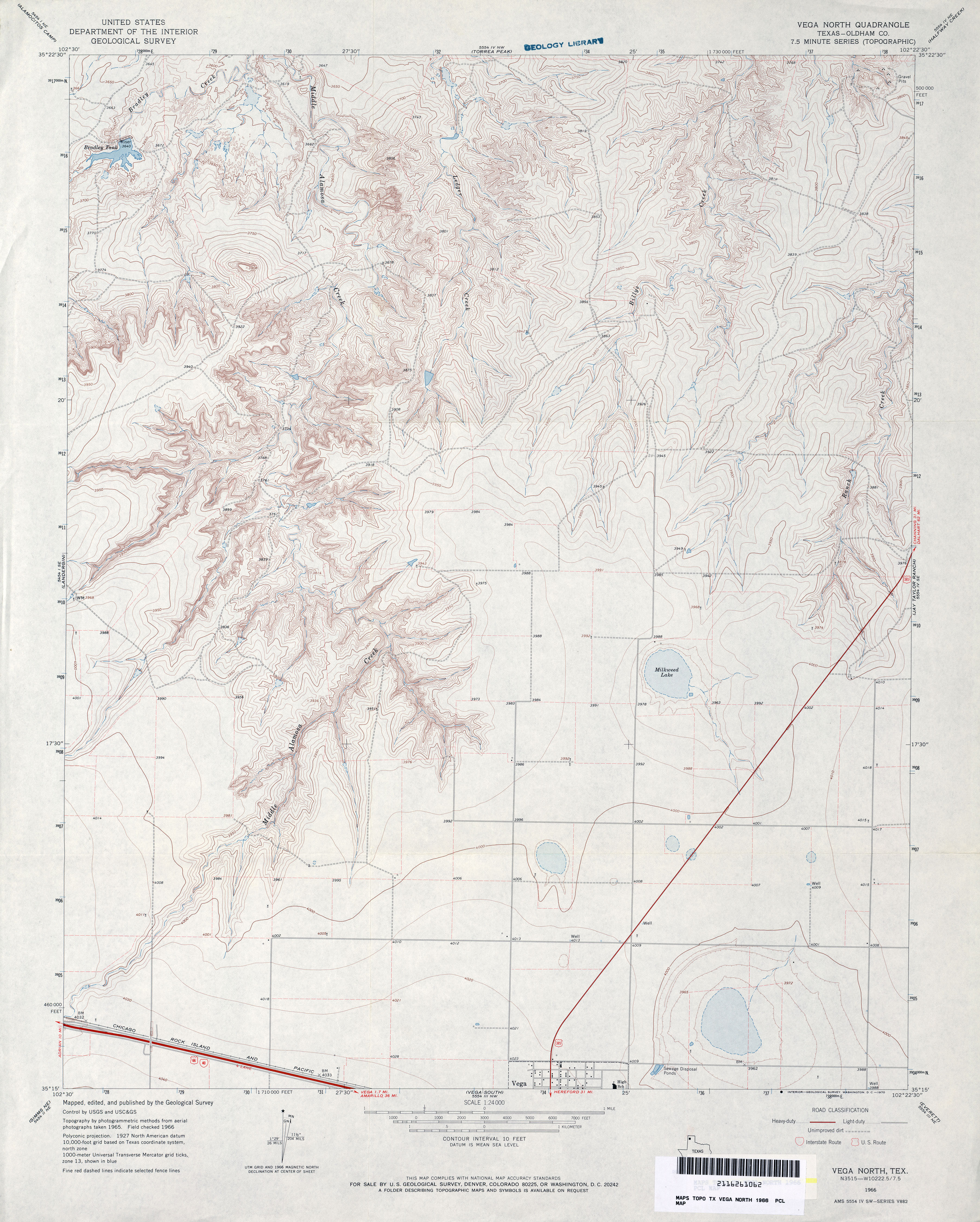
- Vega North (Oldham County) 1:24,000 1966 (3.9MB)
- Vega North 1:24,000 2008 (12.3MB) [GeoPDF]
- Vega North 1:24,000 2012 (17.4MB) [GeoPDF]
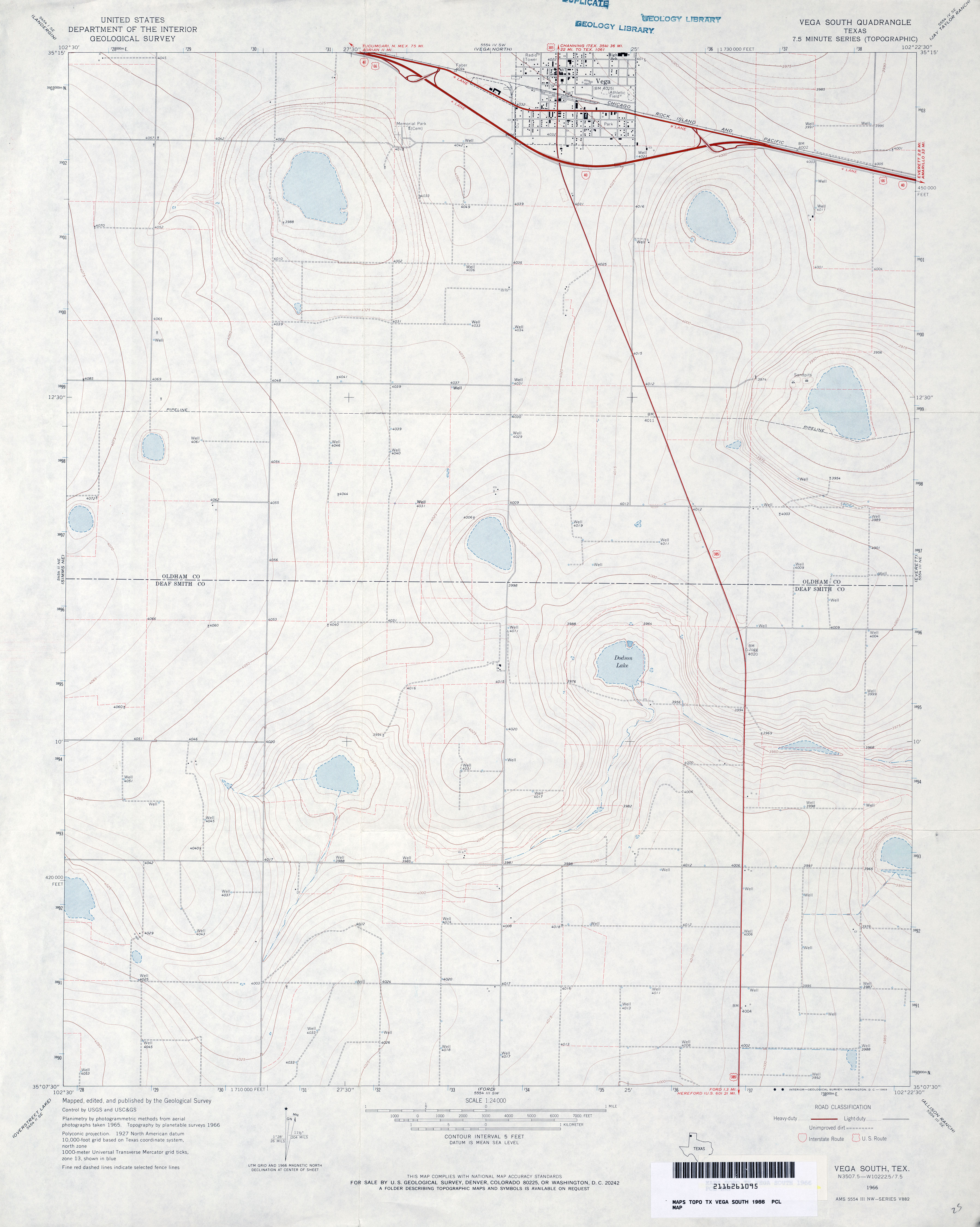
- Vega South 1:24,000 1966 (2.6MB)
- Vega South 1:24,000 2008 (8.0MB) [GeoPDF]
- Vega South 1:24,000 2012 (13.9MB) [GeoPDF]
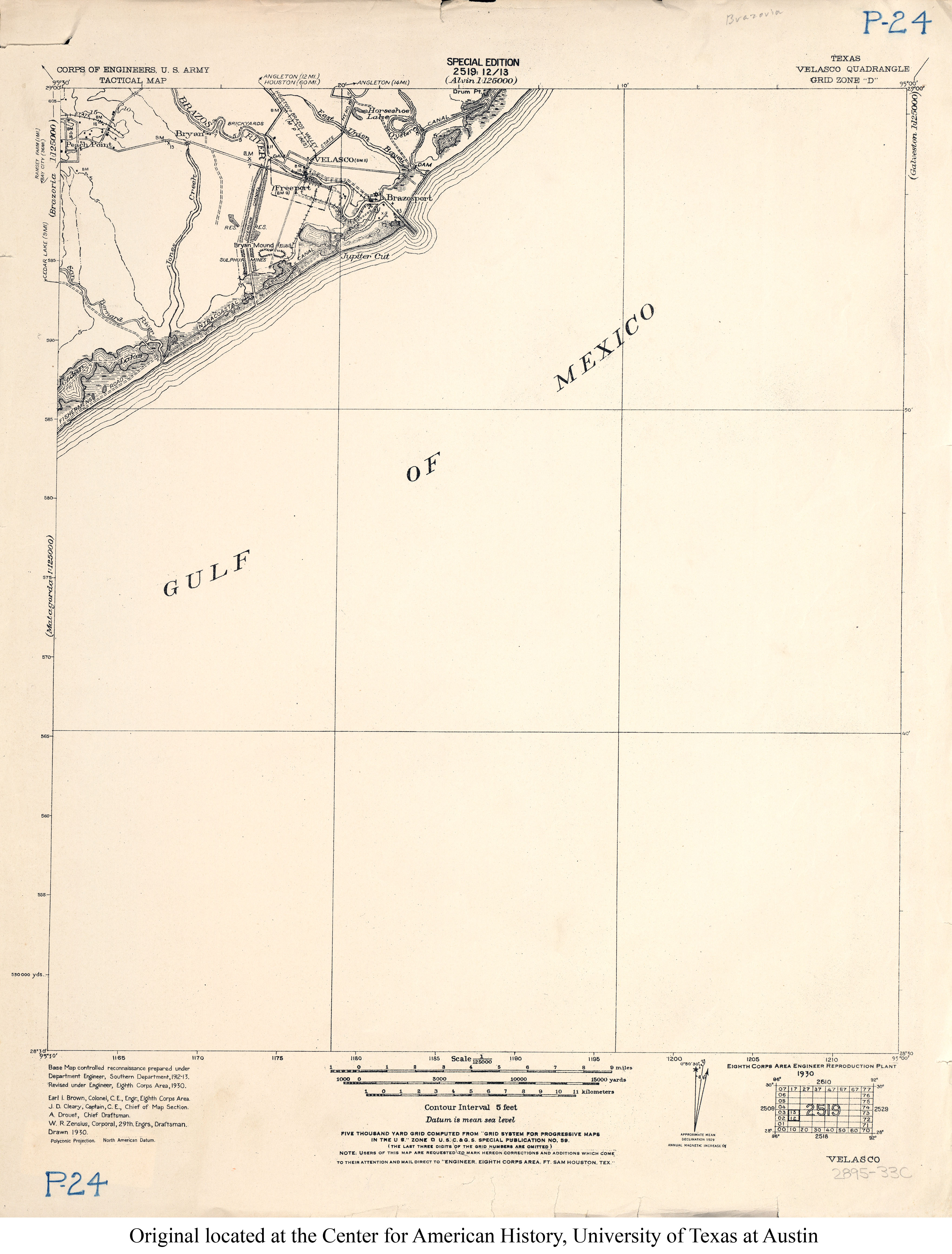
- Velasco 1:125,000 1930 (2.1MB) U.S. Army. Corps of Engineers. Tactical Map
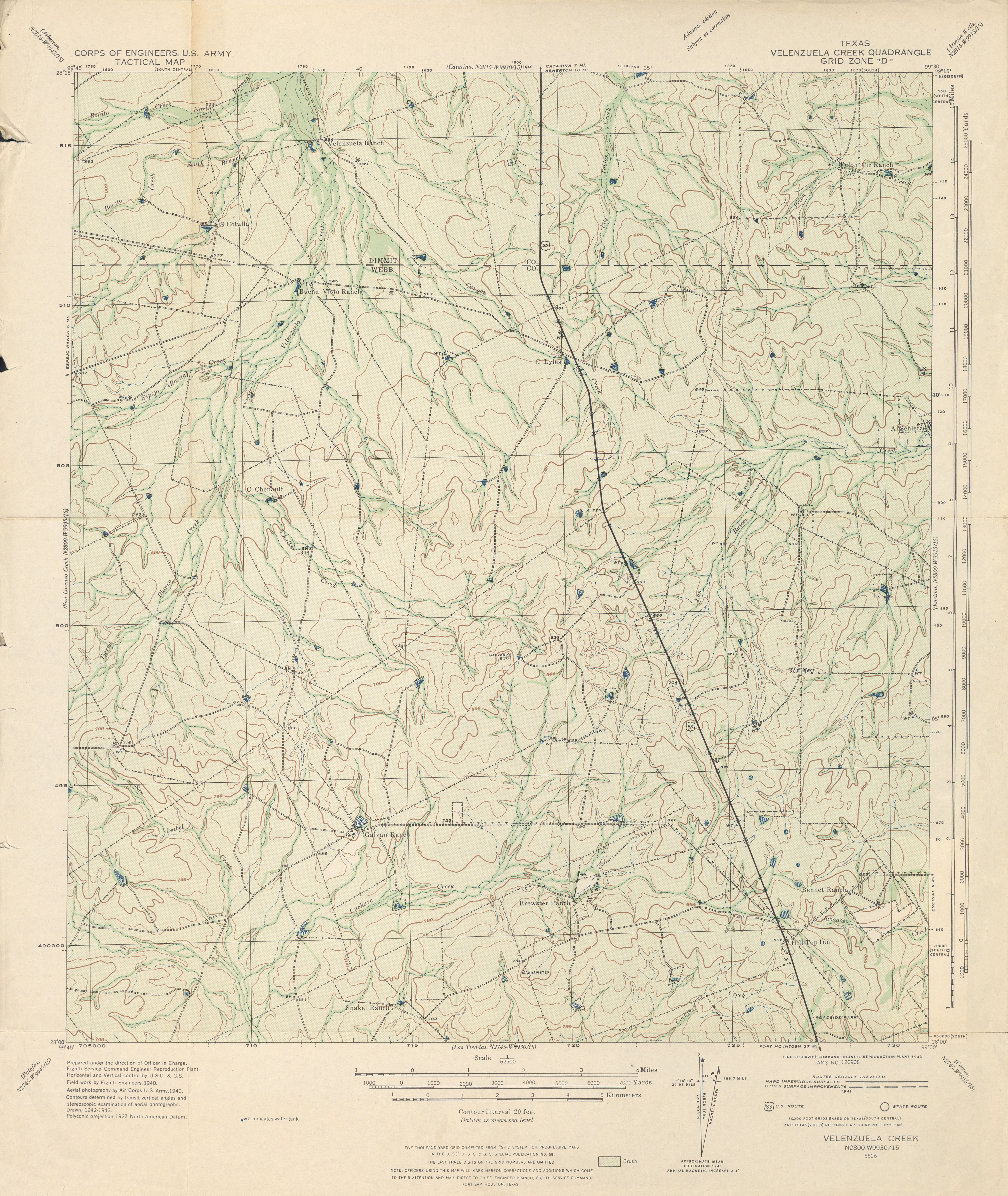
- Velenzuela Creek 1:62,500 1943 (3.7 MB) U.S. Army. Corps of Engineers. Tactical Map
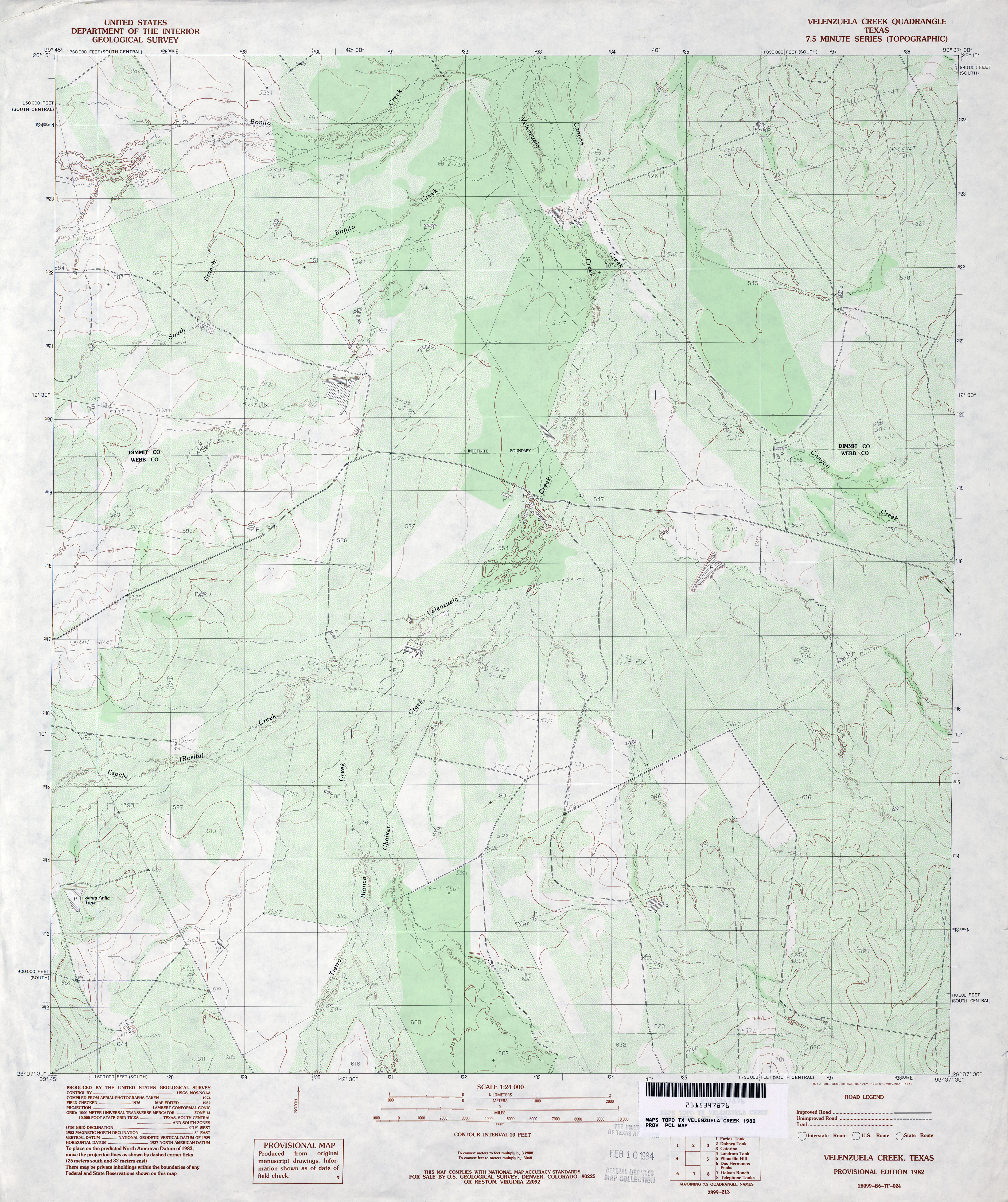
- Velenzuela Creek 1:24,000 1982 (4.1MB)
- Velenzuela Creek 1:24,000 2008 (17.4MB) [GeoPDF]
- Velenzuela Creek 1:24,000 2013 (25.6MB) [GeoPDF]
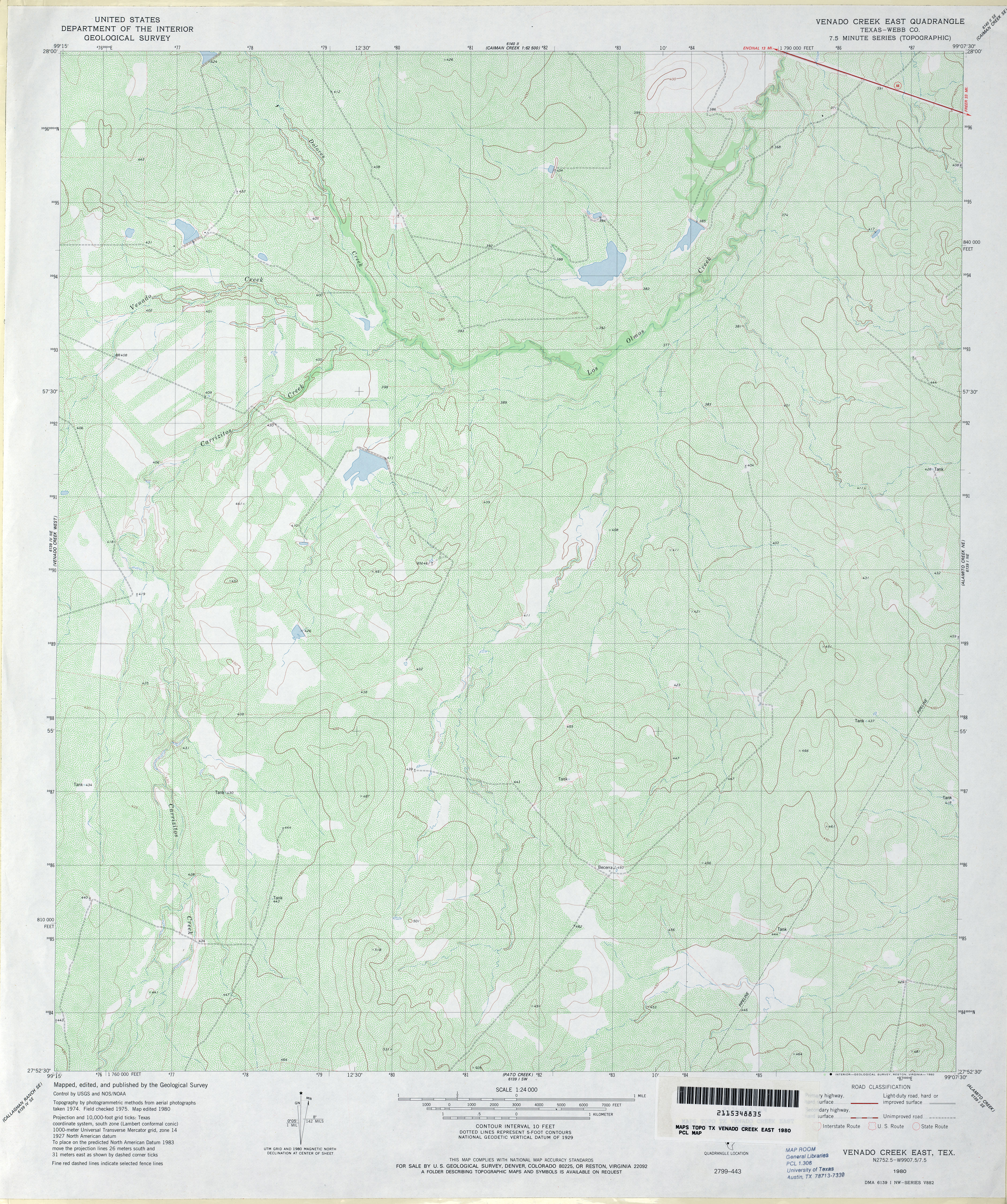
- Venado Creek East (Webb County) 1:24,000 1980 (4.9MB)
- Venado Creek East 1:24,000 2008 (16.6MB) [GeoPDF]
- Venado Creek East 1:24,000 2013 (25.5MB) [GeoPDF]
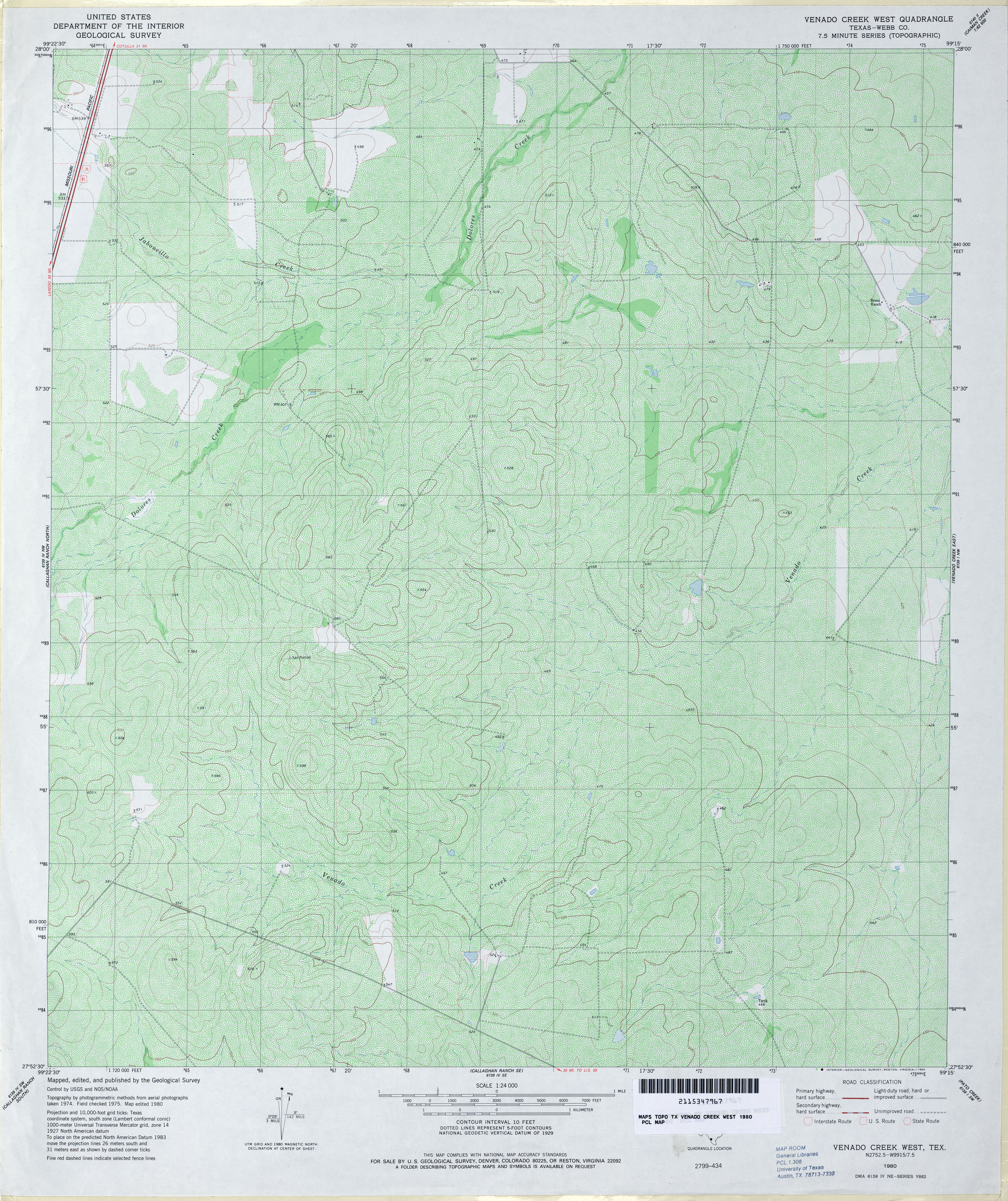
- Venado Creek West (Webb County) 1:24,000 1980 (6.1MB)
- Venado Creek West 1:24,000 2008 (17.8MB) [GeoPDF]
- Venado Creek West 1:24,000 2013 (25.8MB) [GeoPDF]
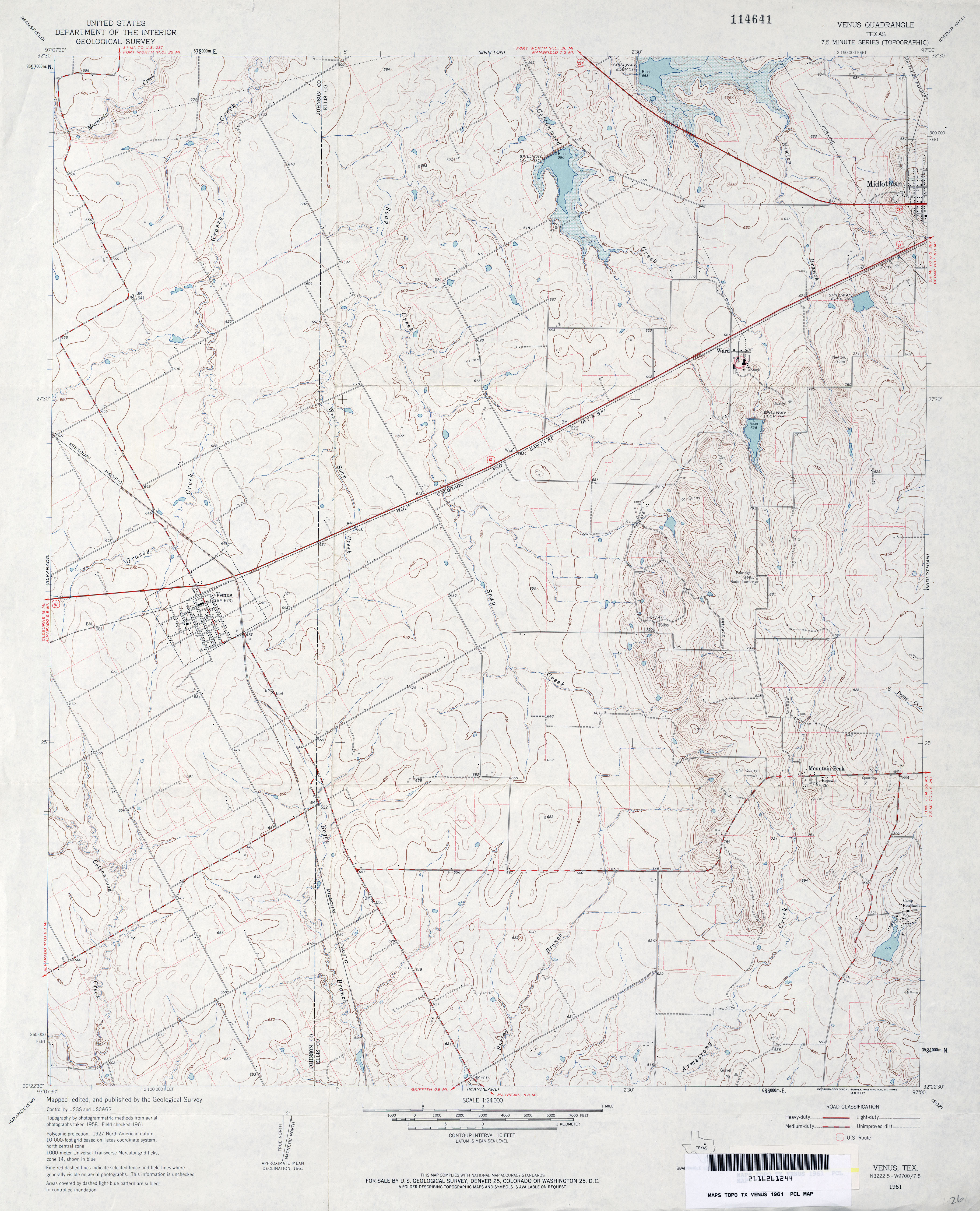
- Venus 1:24,000 1961 (3.7MB)
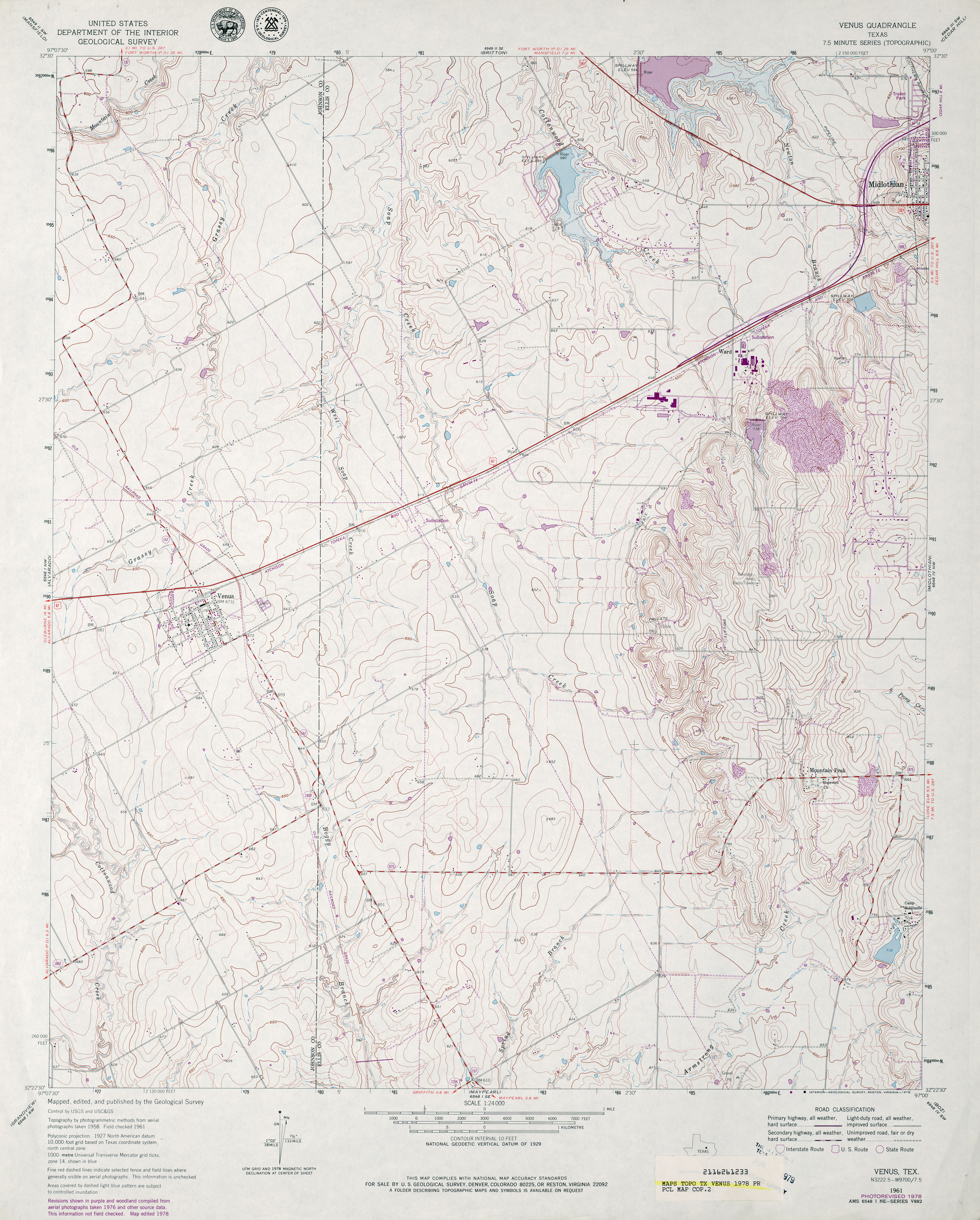
- Venus 1:24,000 1978 (4.3MB)
- Venus 1:24,000 2008 (14.5MB) [GeoPDF]
- Venus 1:24,000 2012 (19.3MB) [GeoPDF]
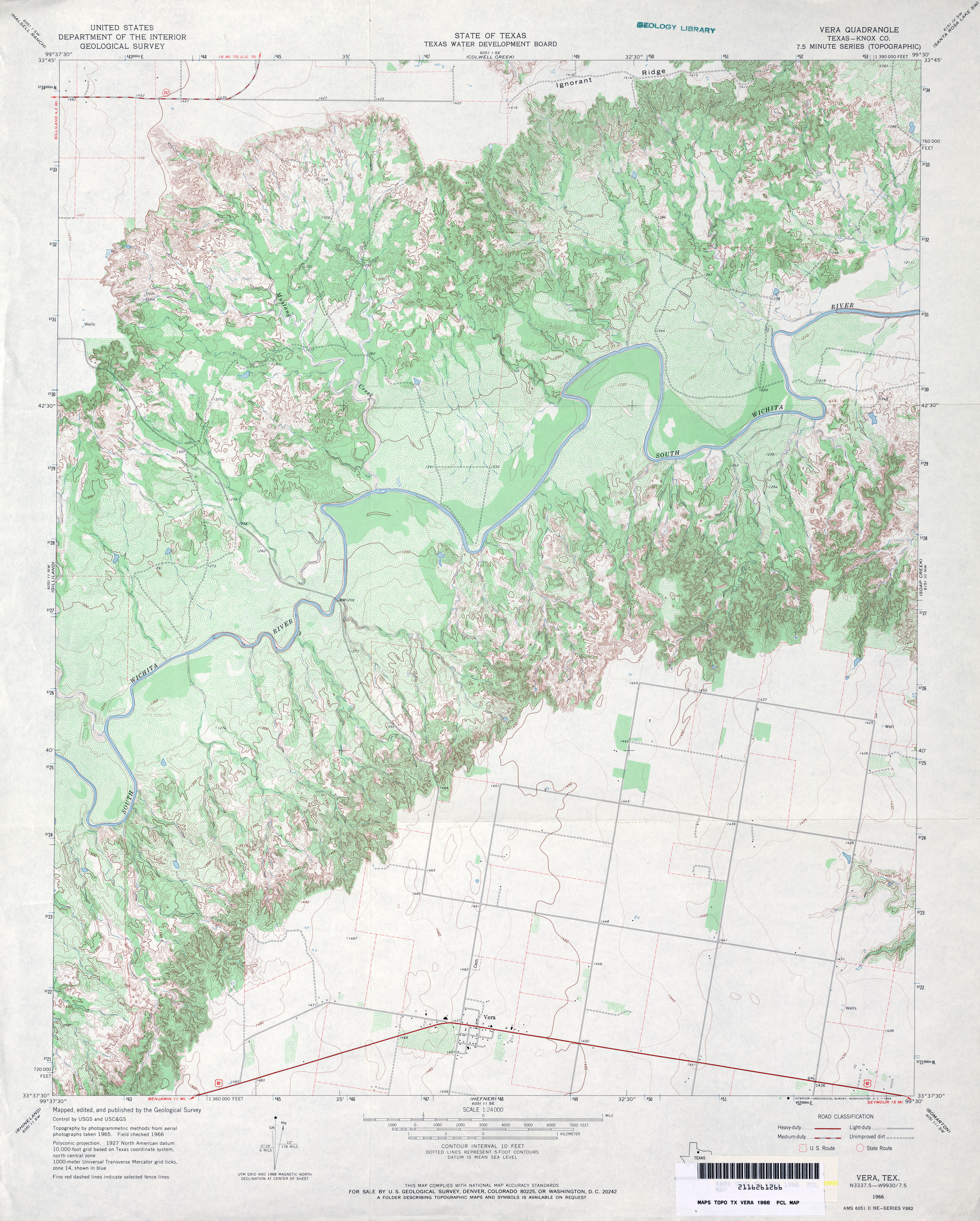
- Vera (Knox County) 1:24,000 1966 (4.6MB)
- Vera 1:24,000 2008 (16.9MB) [GeoPDF]
- Vera 1:24,000 2013 (24.3MB) [GeoPDF]
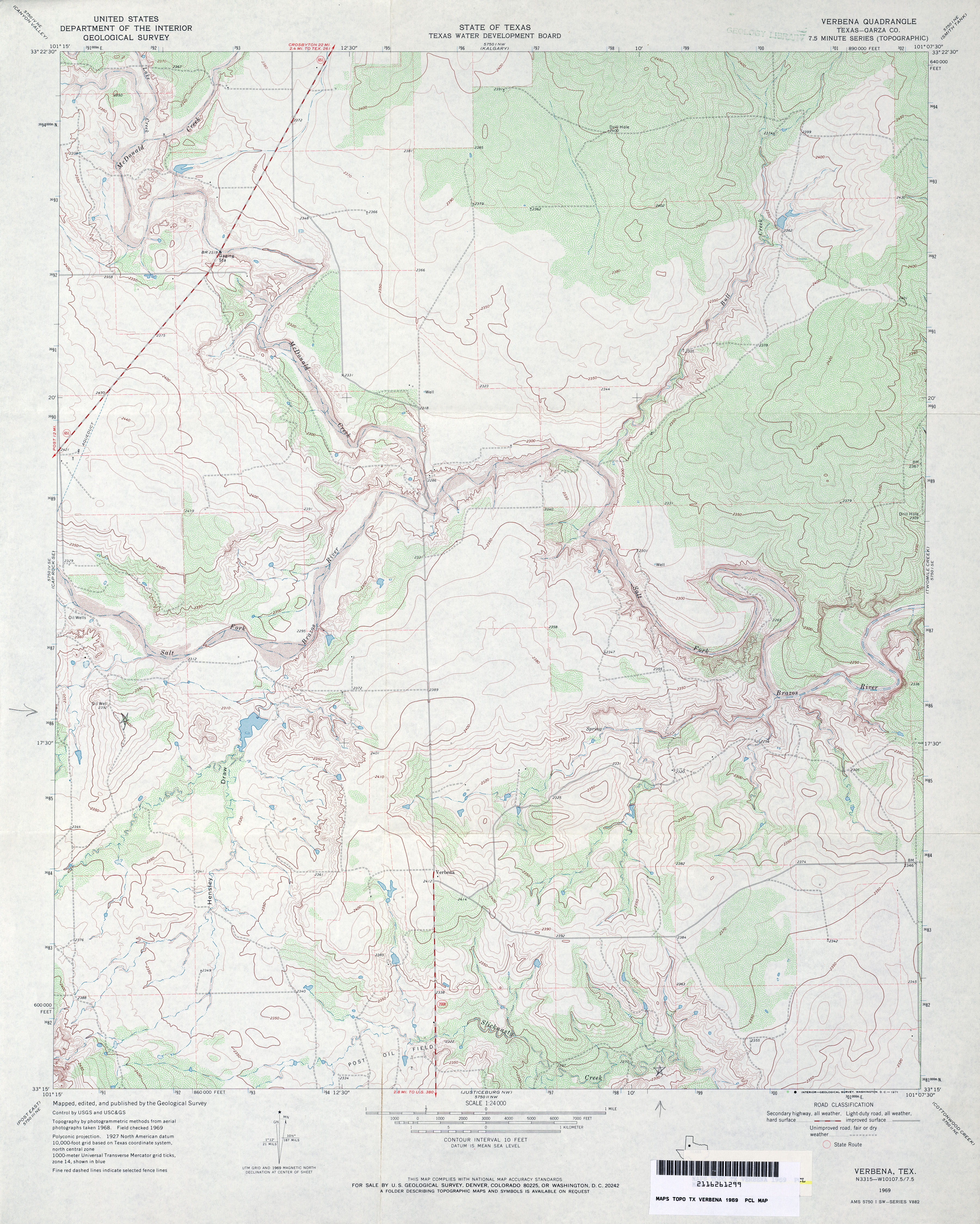
- Verbena (Garza County) 1:24,000 1969 (4.2MB)
- Verbena 1:24,000 2008 (13.9MB) [GeoPDF]
- Verbena 1:24,000 2012 (20.9MB) [GeoPDF]
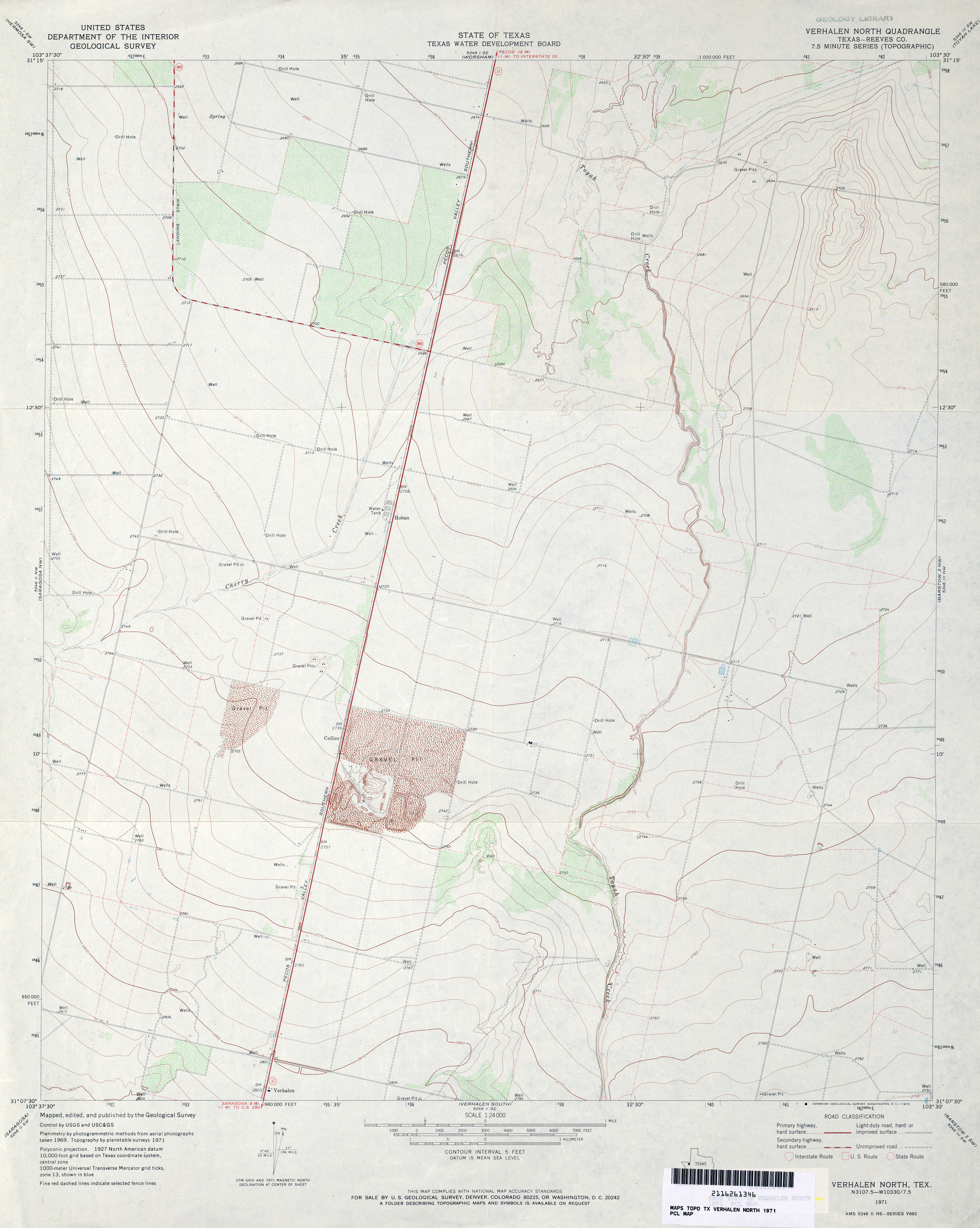
- Verhalen North (Reeves County) 1:24,000 1971 (3MB)
- Verhalen North 1:24,000 2008 (21.3MB) [GeoPDF]
- Verhalen North 1:24,000 2012 (24.9MB) [GeoPDF]
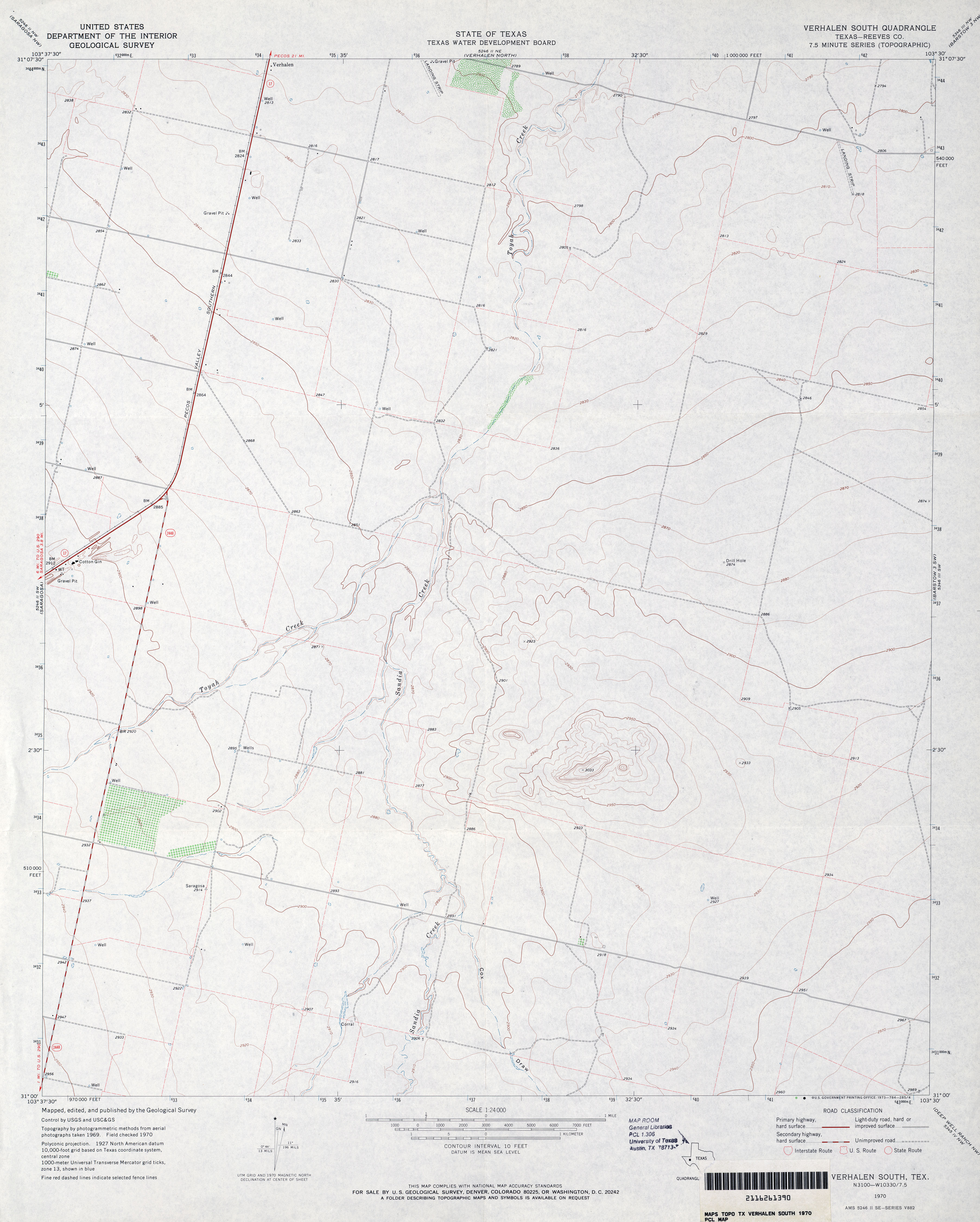
- Verhalen South (Reeves County) 1:24,000 1970 (2.6MB)
- Verhalen South 1:24,000 2008 (18.6MB) [GeoPDF]
- Verhalen South 1:24,000 2012 (22.8MB) [GeoPDF]
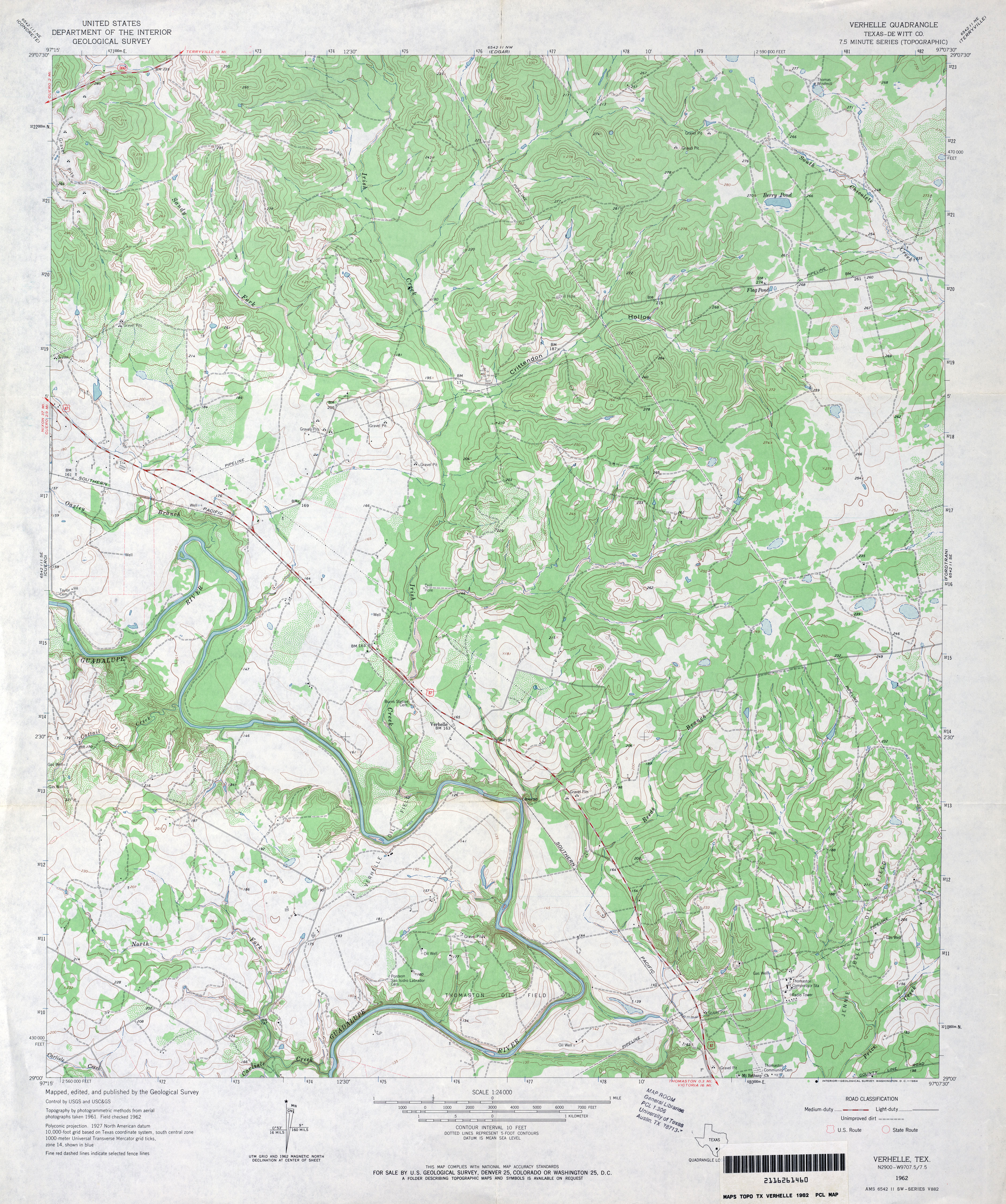
- Verhelle (De Witt County) 1:24,000 1962 (4.6MB)
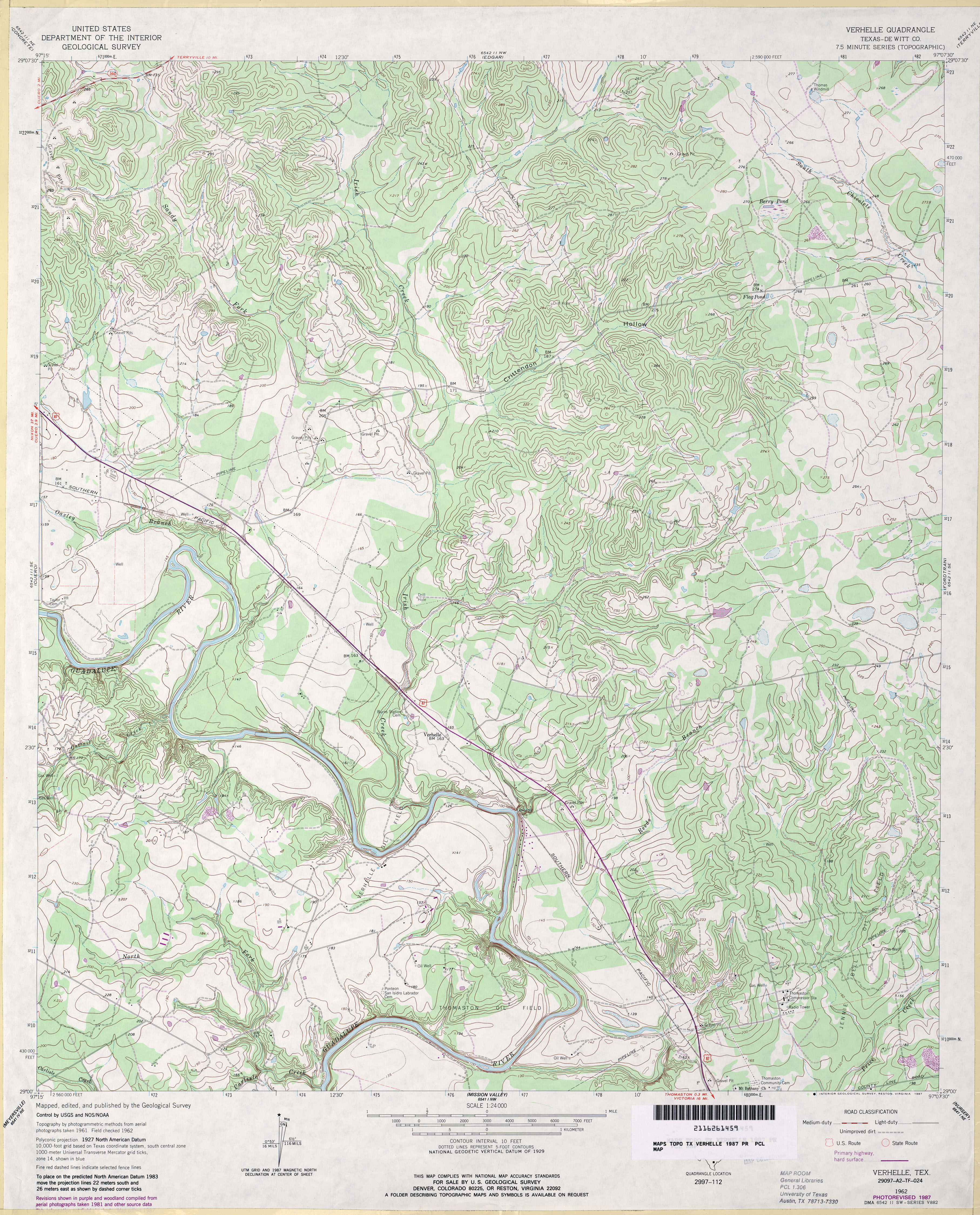
- Verhelle (De Witt County) 1:24,000 1987 (4.7MB)
- Verhelle 1:24,000 2009 (17.1MB) [GeoPDF]
- Verhelle 1:24,000 2013 (27.7MB) [GeoPDF]
- Veribest (Tom Green County) 1:24,000 1984 (3.3MB)
- Veribest 1:24,000 2008 (12.5MB) [GeoPDF]
- Veribest 1:24,000 2012 (18.5MB) [GeoPDF]
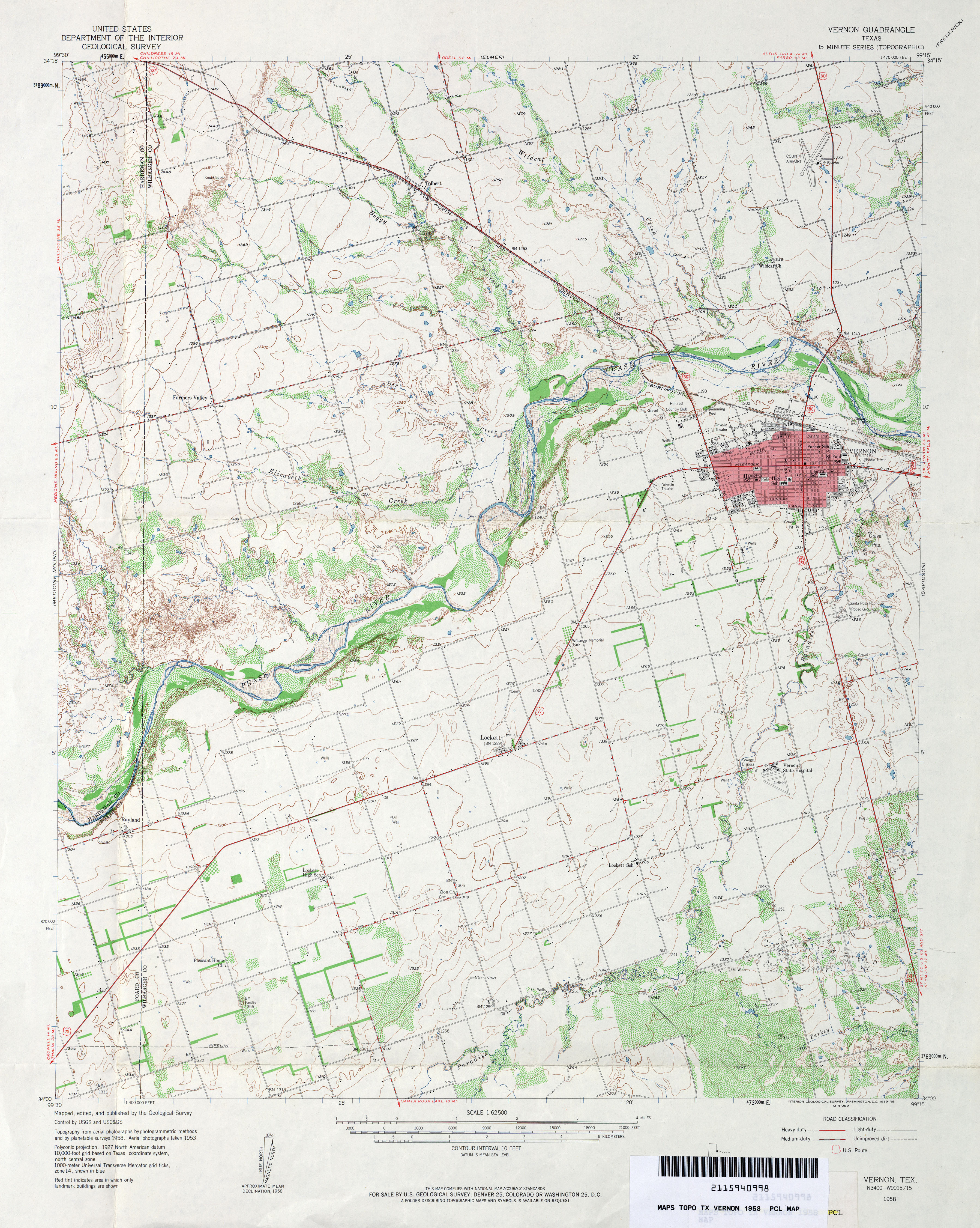
- Vernon 1:62,500 1958 (4.1MB)
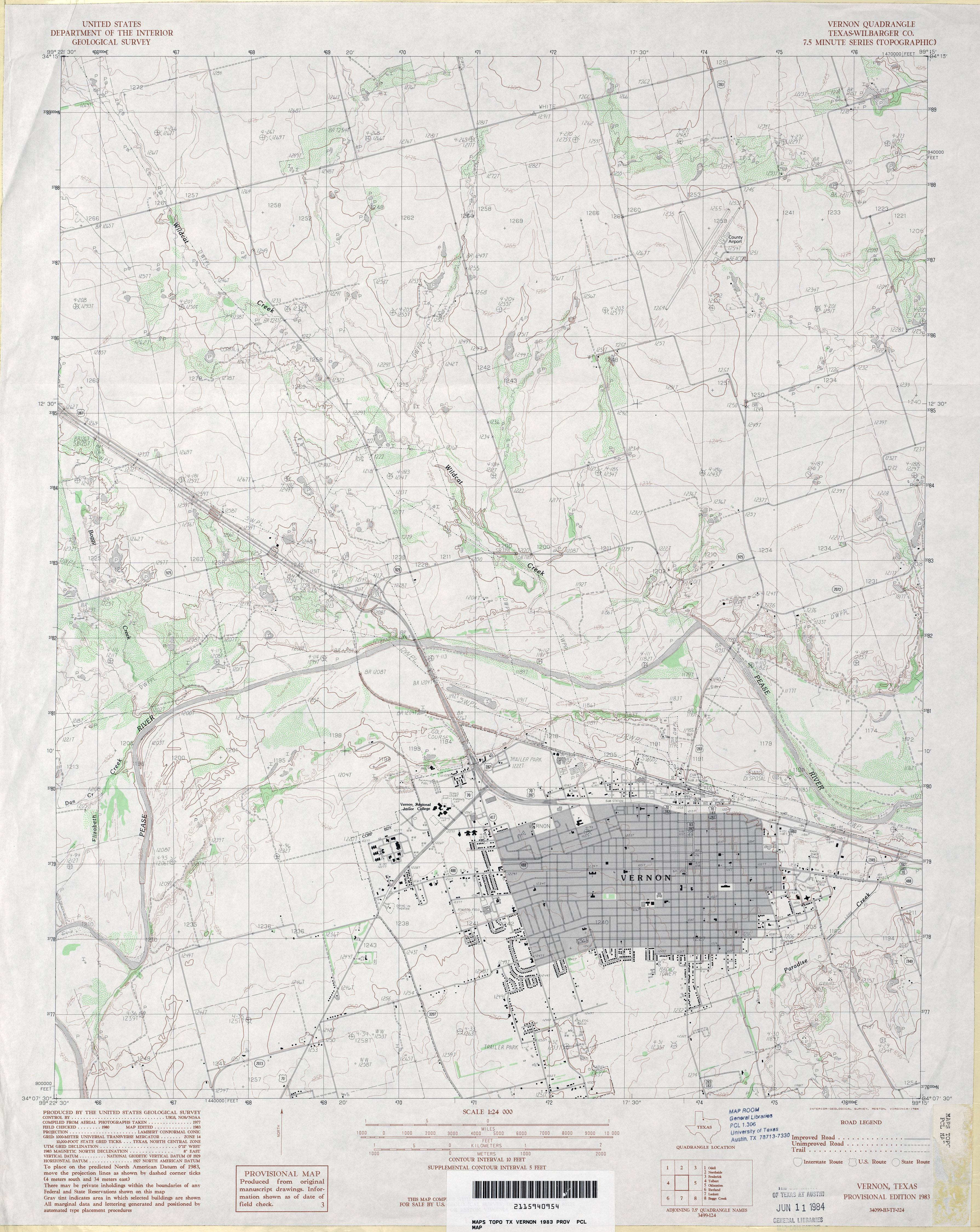
- Vernon (Wilbarger County) 1:24,000 1983 (3.6MB)
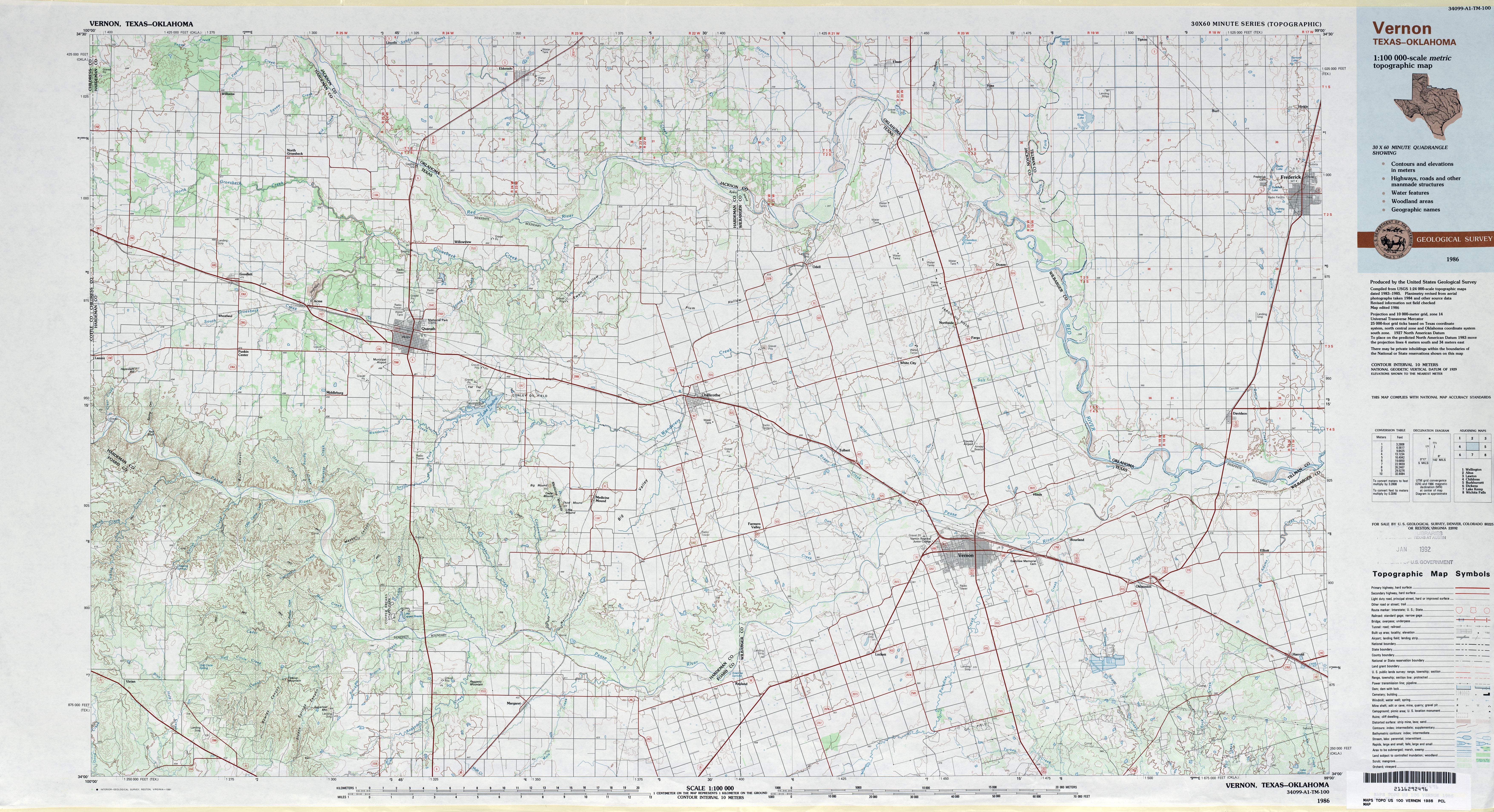
- Vernon 1:100,000 1986 (7MB)
- Vernon 1:24,000 2008 (11.2MB) [GeoPDF]
- Vernon 1:24,000 2012 (17.3MB) [GeoPDF]
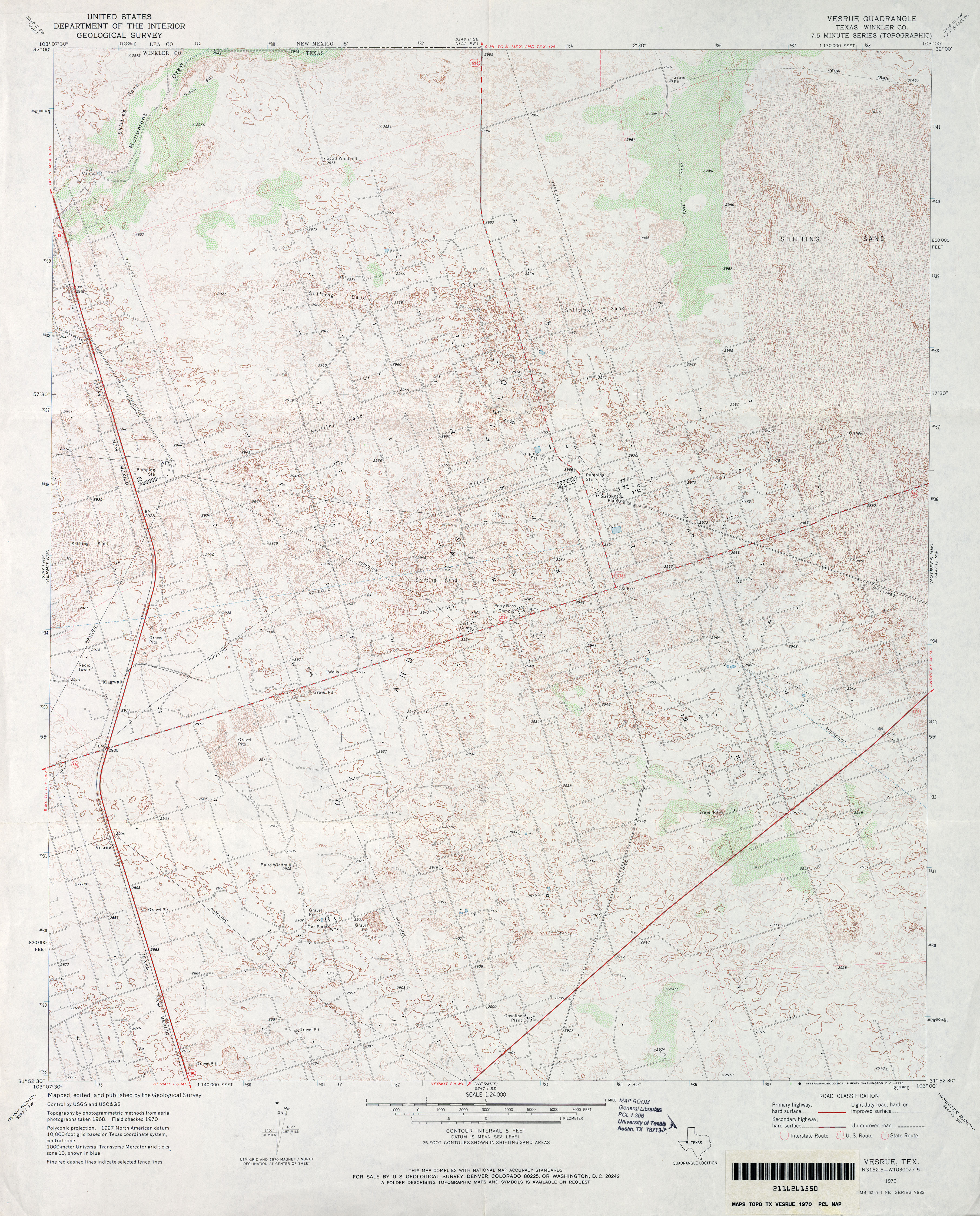
- Vesrue (Winkler County) 1:24,000 1970 (4.6MB)
- Vesrue 1:24,000 2008 (23.1MB) [GeoPDF]
- Vesrue 1:24,000 2012 (24.1MB) [GeoPDF]
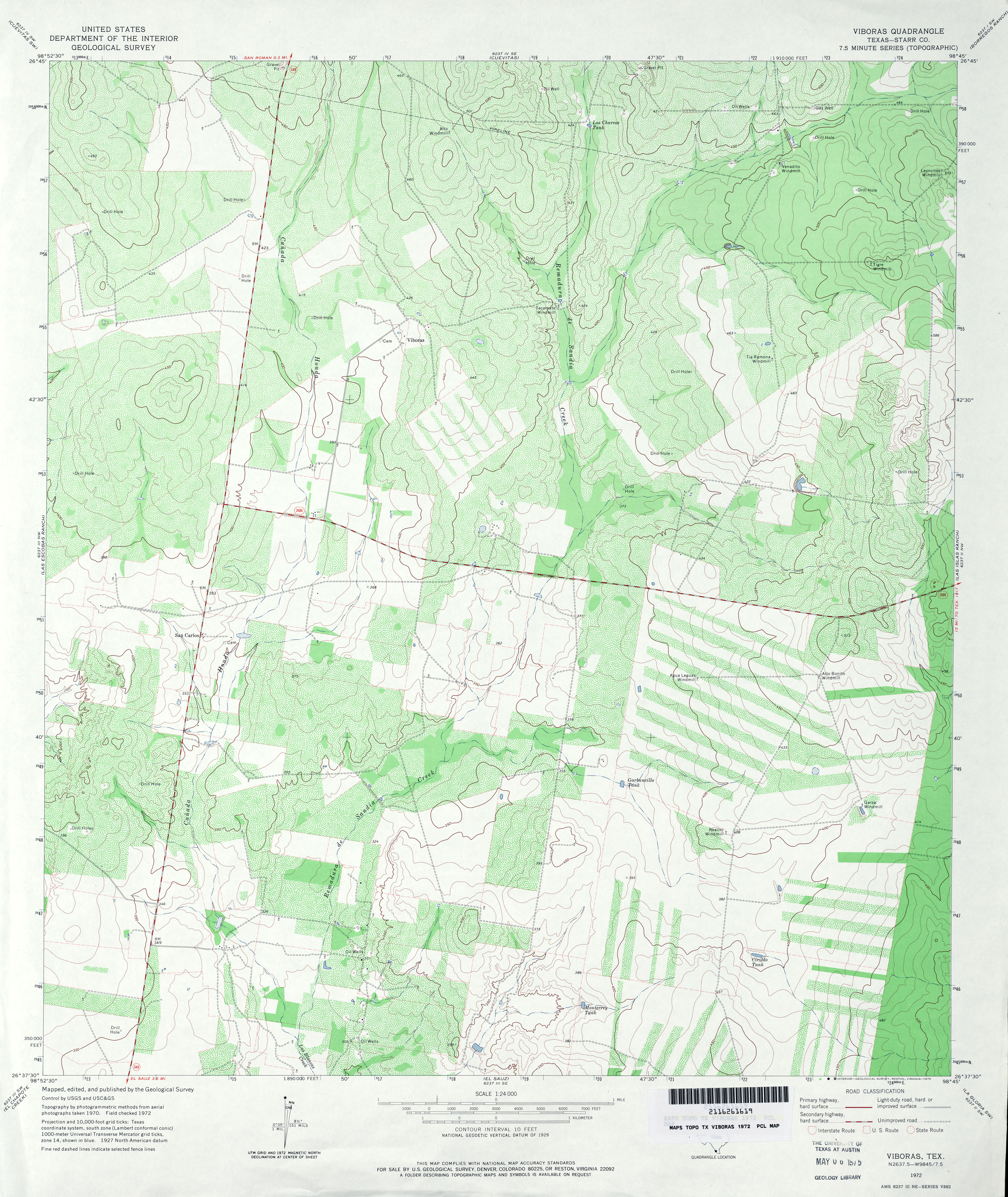
- Viboras (Starr County) 1:24,000 1972 (4.8MB)
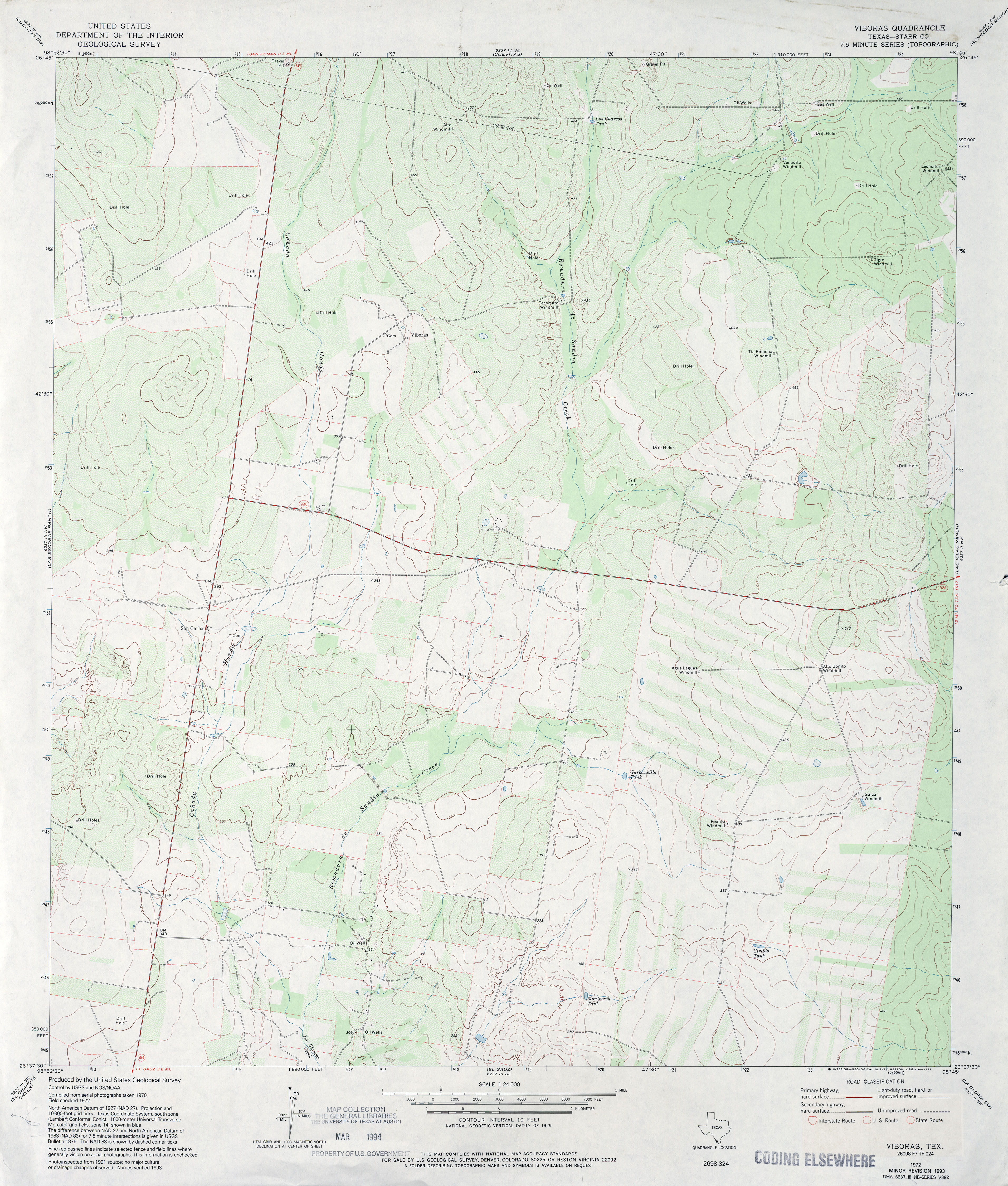
- Viboras (Starr County) 1:24,000 1993 (3.9MB)
- Viboras 1:24,000 2008 (23.3MB) [GeoPDF]
- Viboras 1:24,000 2012 (24.8MB) [GeoPDF]
- Vick 1:24,000 1984 (4.4MB)
- Vick 1:24,000 2008 (17.6MB) [GeoPDF]
- Vick 1:24,000 2012 (22.9MB) [GeoPDF]
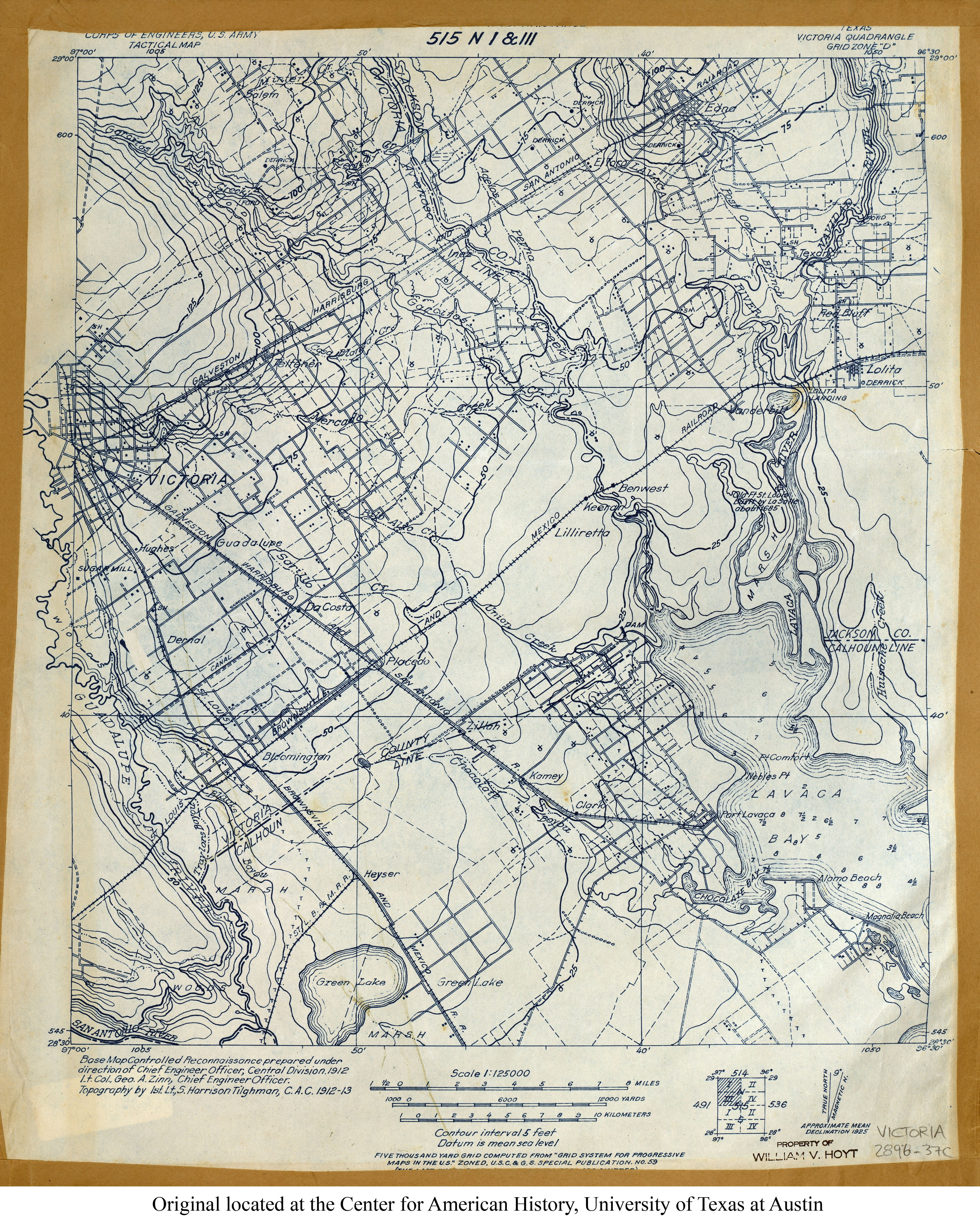
- Victoria 1:125,000 1913 (4.8MB) U.S. Army. Corps of Engineers. Tactical Map
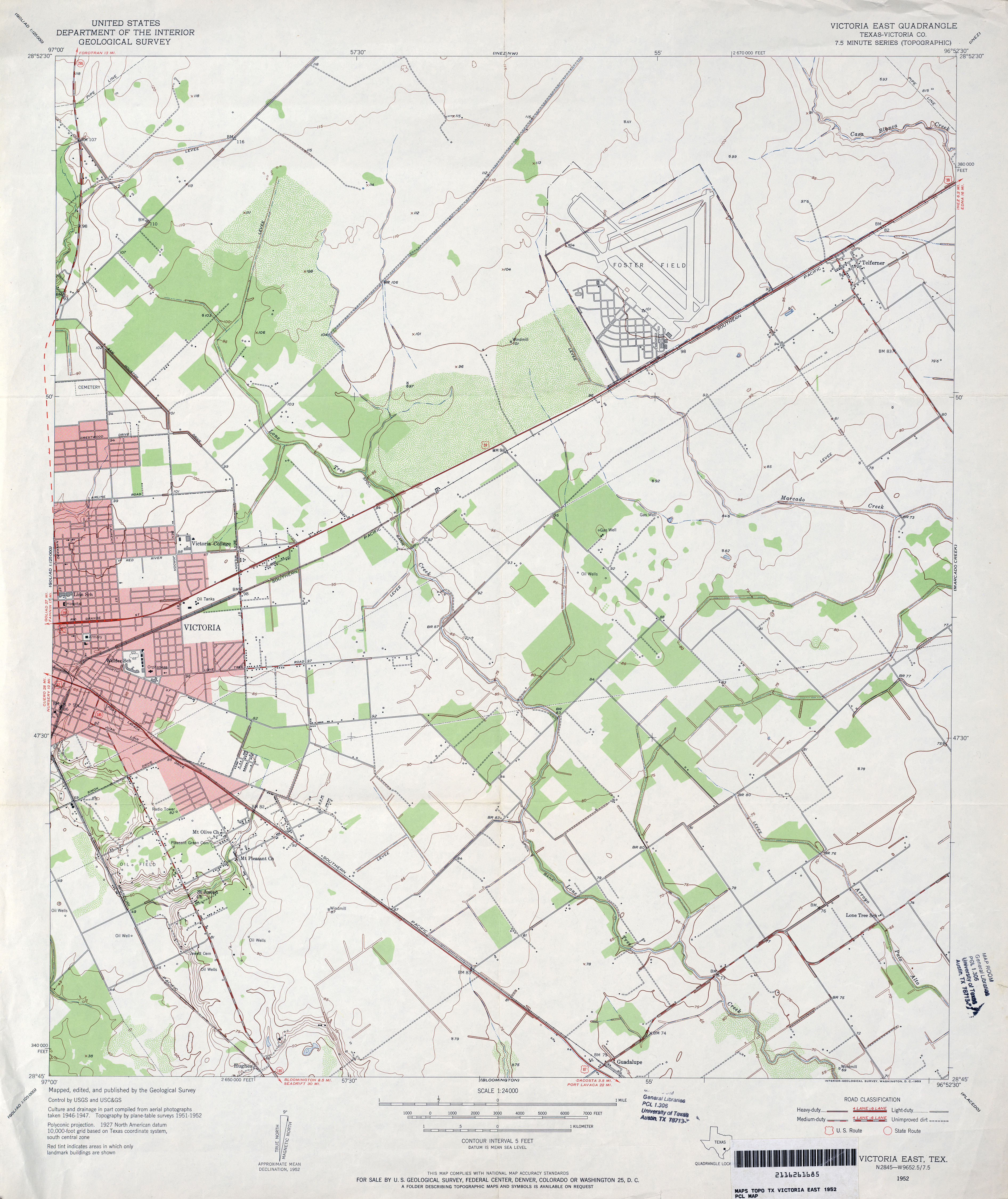
- Victoria East (Victoria County) 1:24,000 1952 (3.5MB)
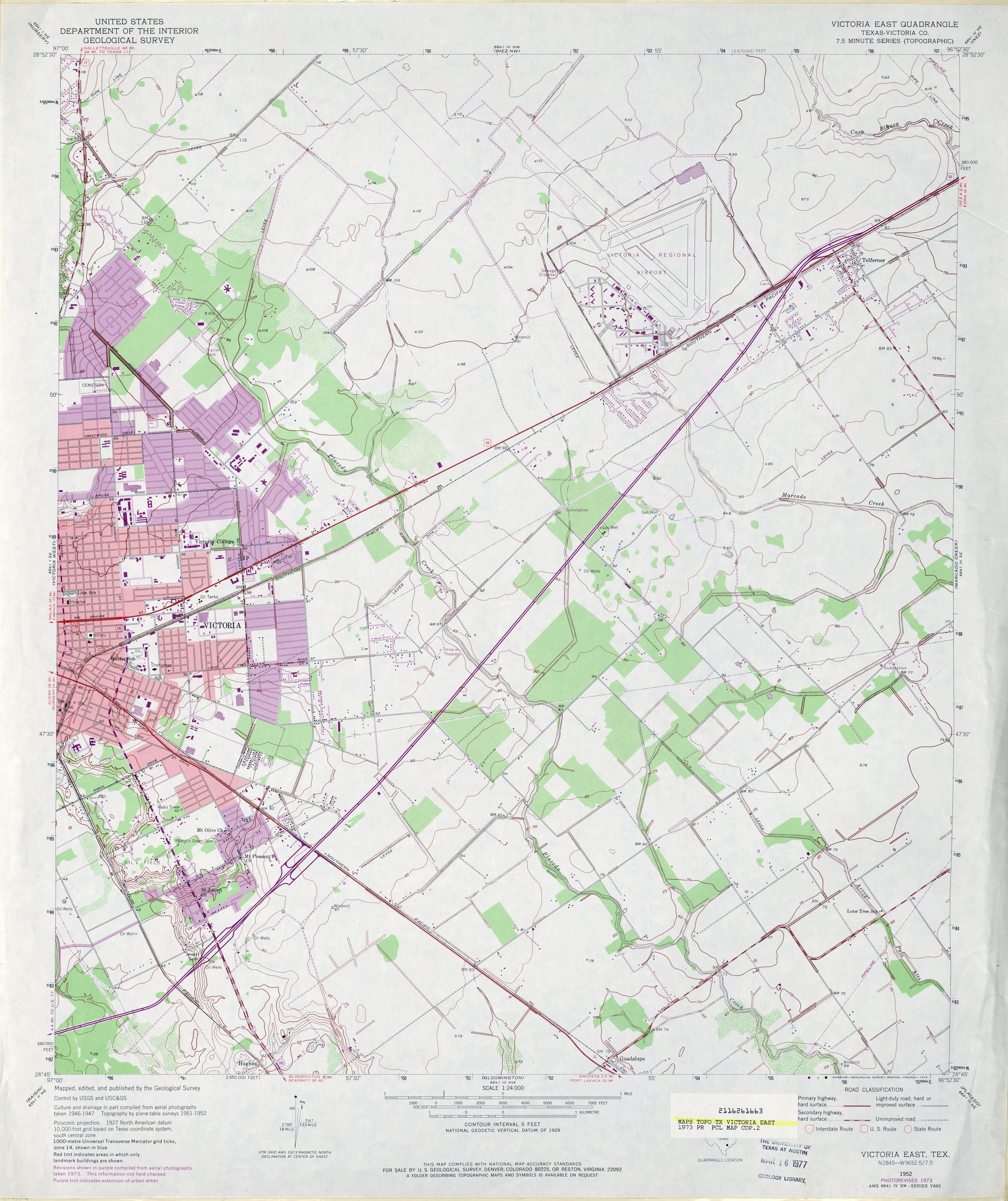
- Victoria East (Victoria County) 1:24,000 1973 (3.5MB)
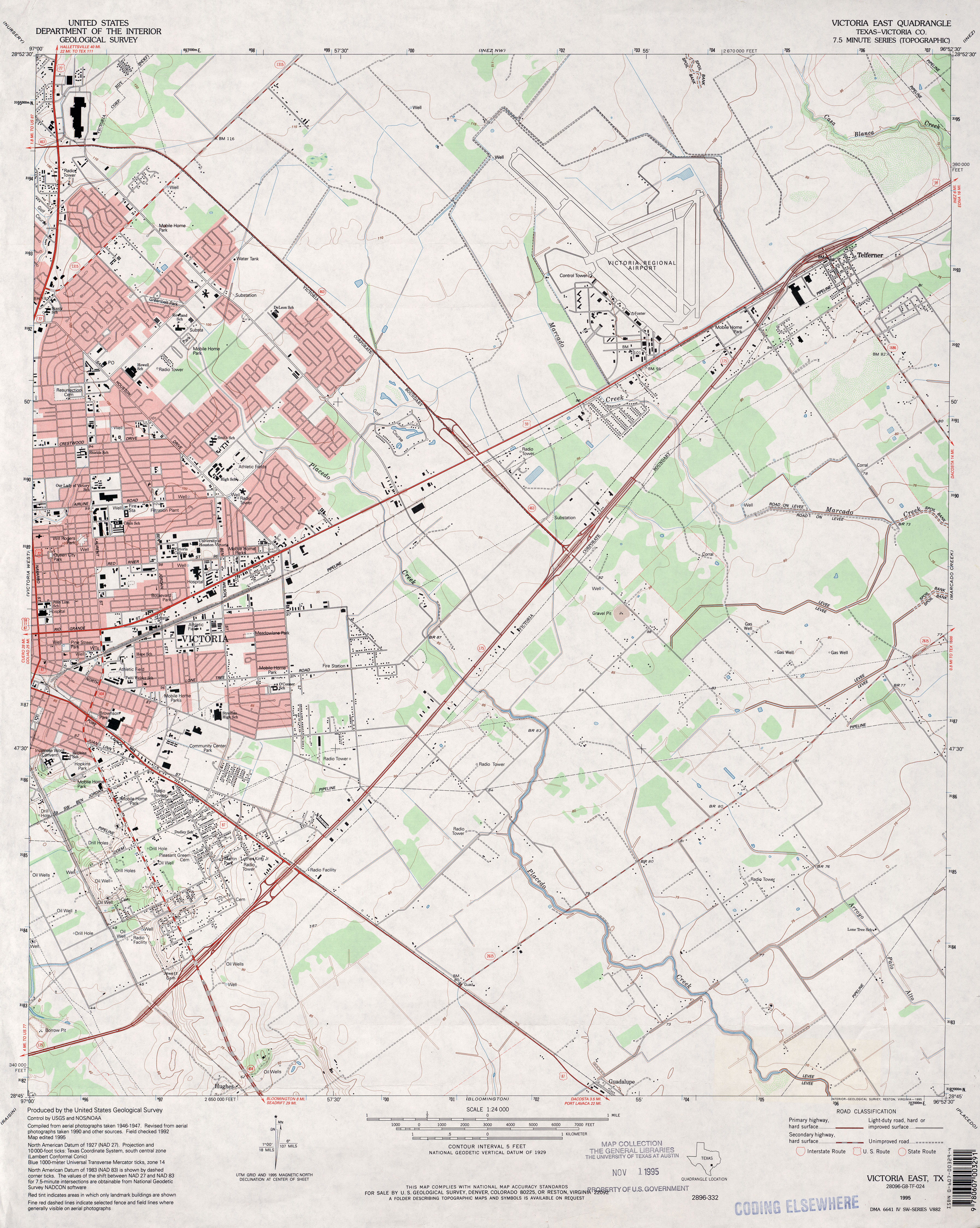
- Victoria East (Victoria County) 1:24,000 1995 (3.7MB)
- Victoria East 1:24,000 2008 (13.8MB) [GeoPDF]
- Victoria East 1:24,000 2013 (22.2MB) [GeoPDF]
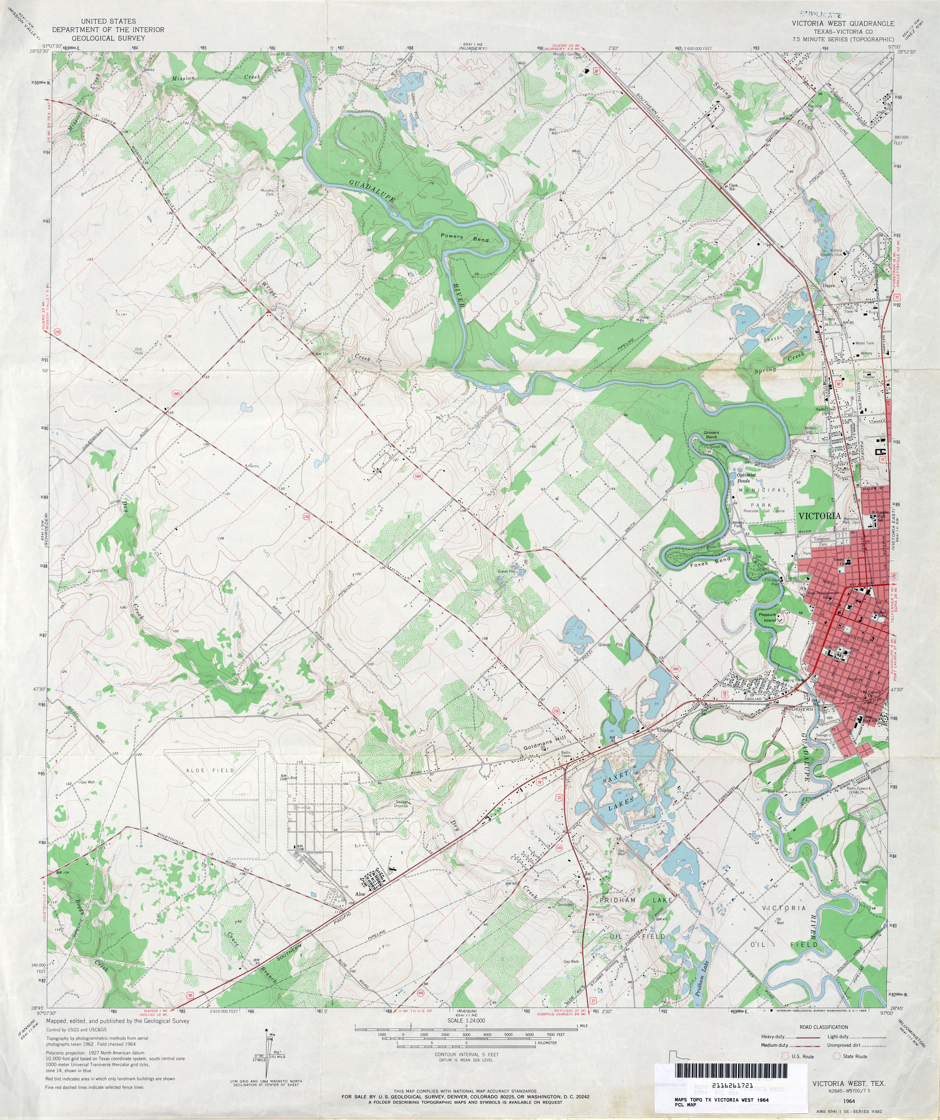
- Victoria West (Victoria County) 1:24,000 1964 (3.9MB)
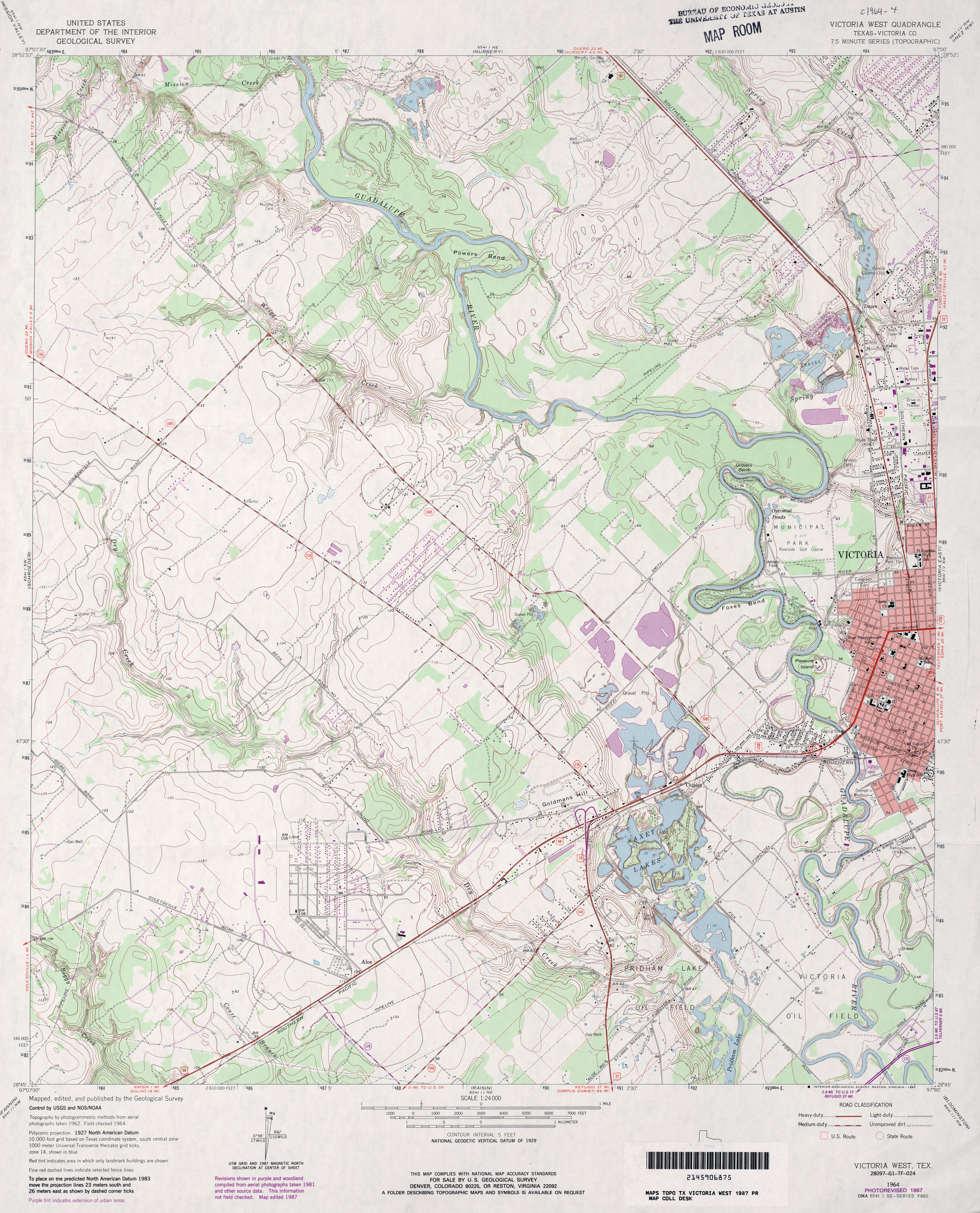
- Victoria West (Victoria County) 1:24,000 1987 (4.4MB)
- Victoria West 1:24,000 2009 (16.1MB) [GeoPDF]
- Victoria West 1:24,000 2013 (24.8MB) [GeoPDF]
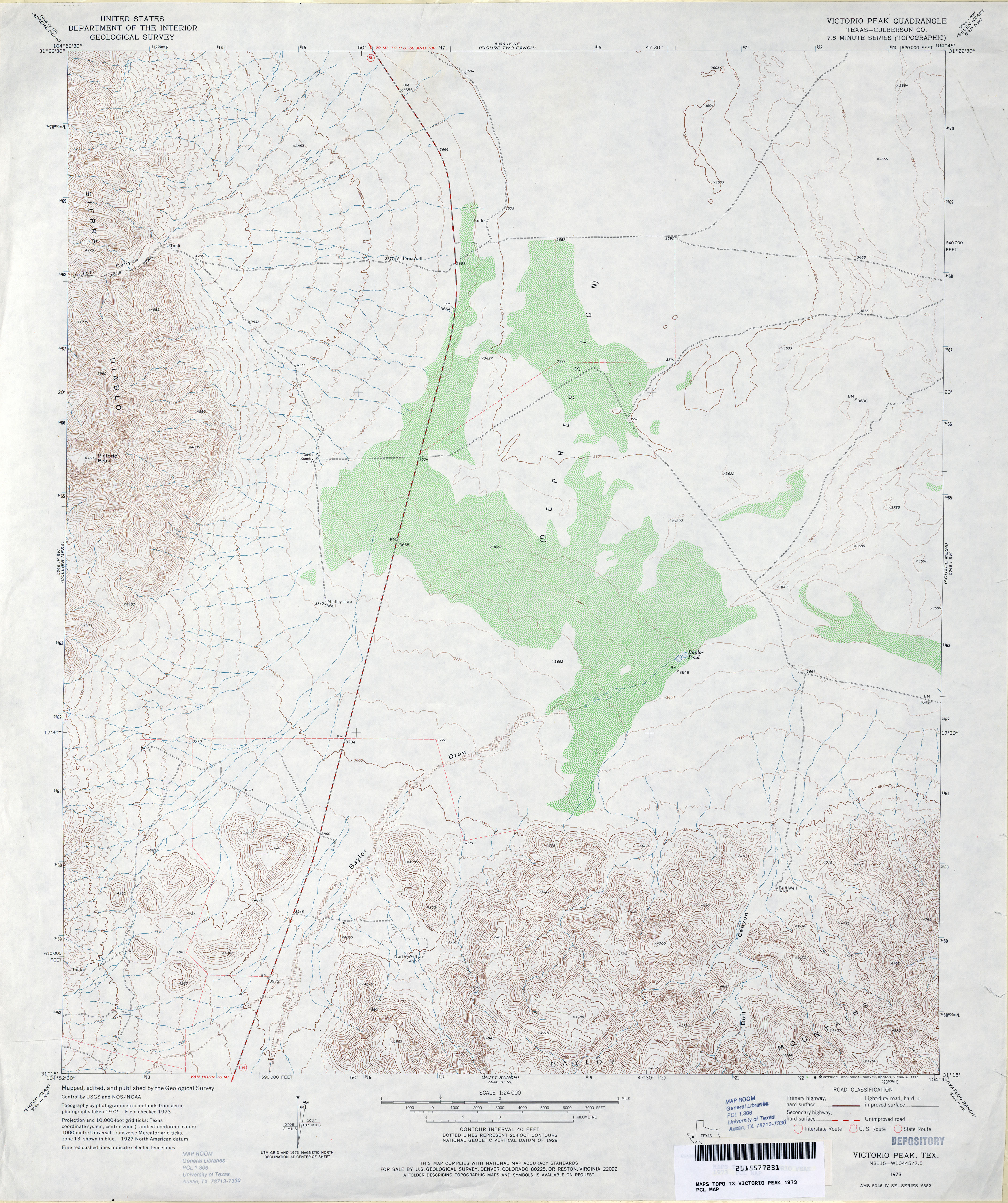
- Victorio Peak (Culberson County) 1:24,000 1973 (4.1MB)
- Victorio Peak 1:24,000 2012 (22.5MB) [GeoPDF]
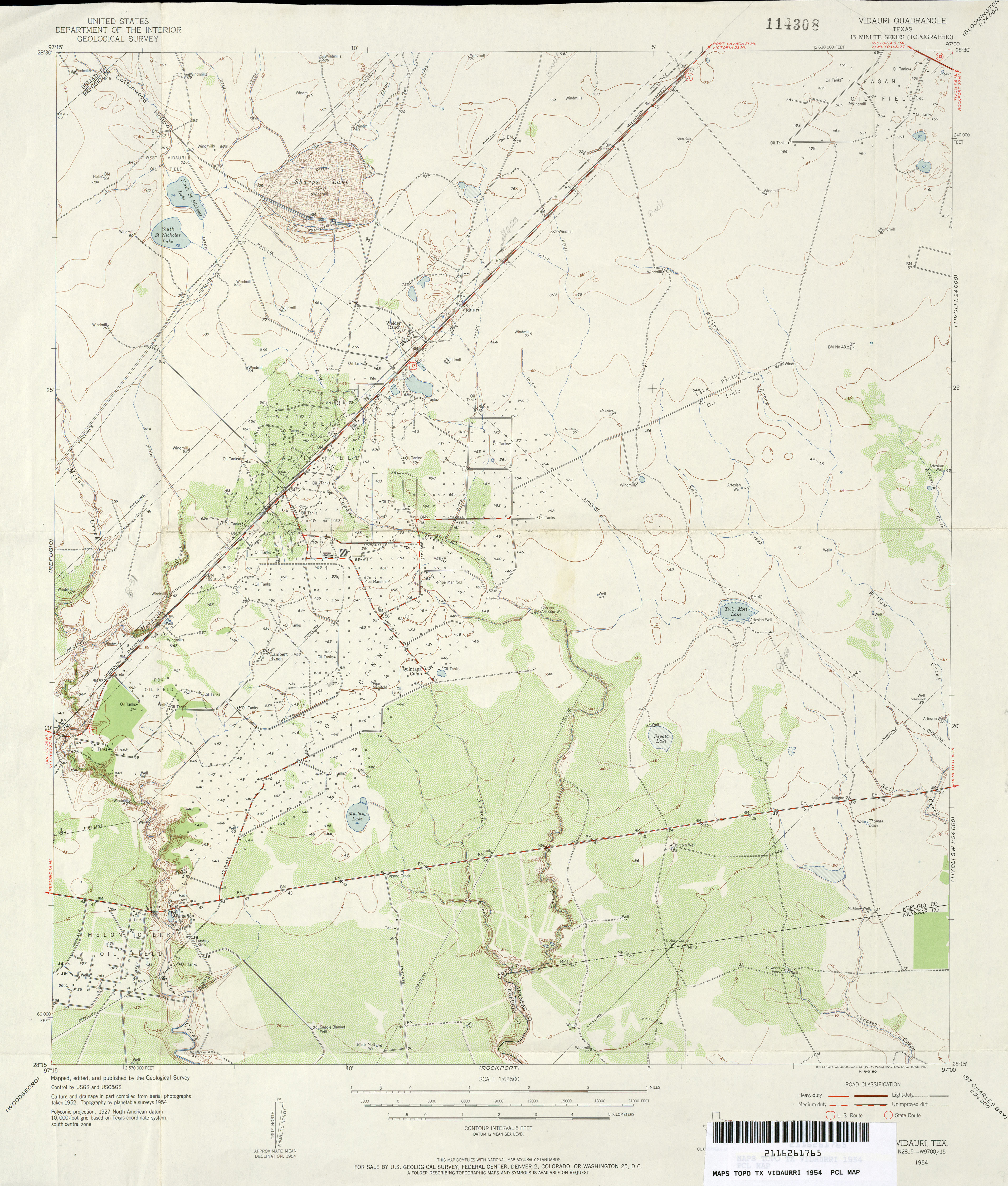
- Vidaurri 1:62,500 1954 (3.5MB)
- Vidaurri 1:24,000 1978 (3.5MB) 7.5 Minute Series Orthophotomap
- Vidaurri 1:24,000 2009 (12.4MB) [GeoPDF]
- Vidaurri 1:24,000 2013 (19.5MB) [GeoPDF]
- Vieja Pass 1:24,000 1978 (4.1MB)
- Vieja Pass 1:24,000 2008 (17.0MB) [GeoPDF]
- Vieja Pass 1:24,000 2012 (21.5MB) [GeoPDF]
- View (Taylor County) 1:24,000 1984 (4.8MB)
- View 1:24,000 2008 (21.6MB) [GeoPDF]
- View 1:24,000 2012 (27.1MB) [GeoPDF]
- Vigo Park 1:24,000 1965 (2.7MB)
- Vigo Park 1:24,000 2008 (8.2MB) [GeoPDF]
- Vigo Park 1:24,000 2012 (14.9MB) [GeoPDF]
- Village Mills (Hardin County) 1:24,000 1984 (3.4MB)
- Village Mills 1:24,000 2009 (23.6MB) [GeoPDF]
- Village Mills 1:24,000 2013 (24.8MB) [GeoPDF]
- Vincent 1:24,000 1951 (4.4MB)
- Vincent 1:24,000 1976 (3.8MB)
- Vincent 1:24,000 2008 (13.5MB) [GeoPDF]
- Vincent 1:24,000 2012 (22.6MB) [GeoPDF]
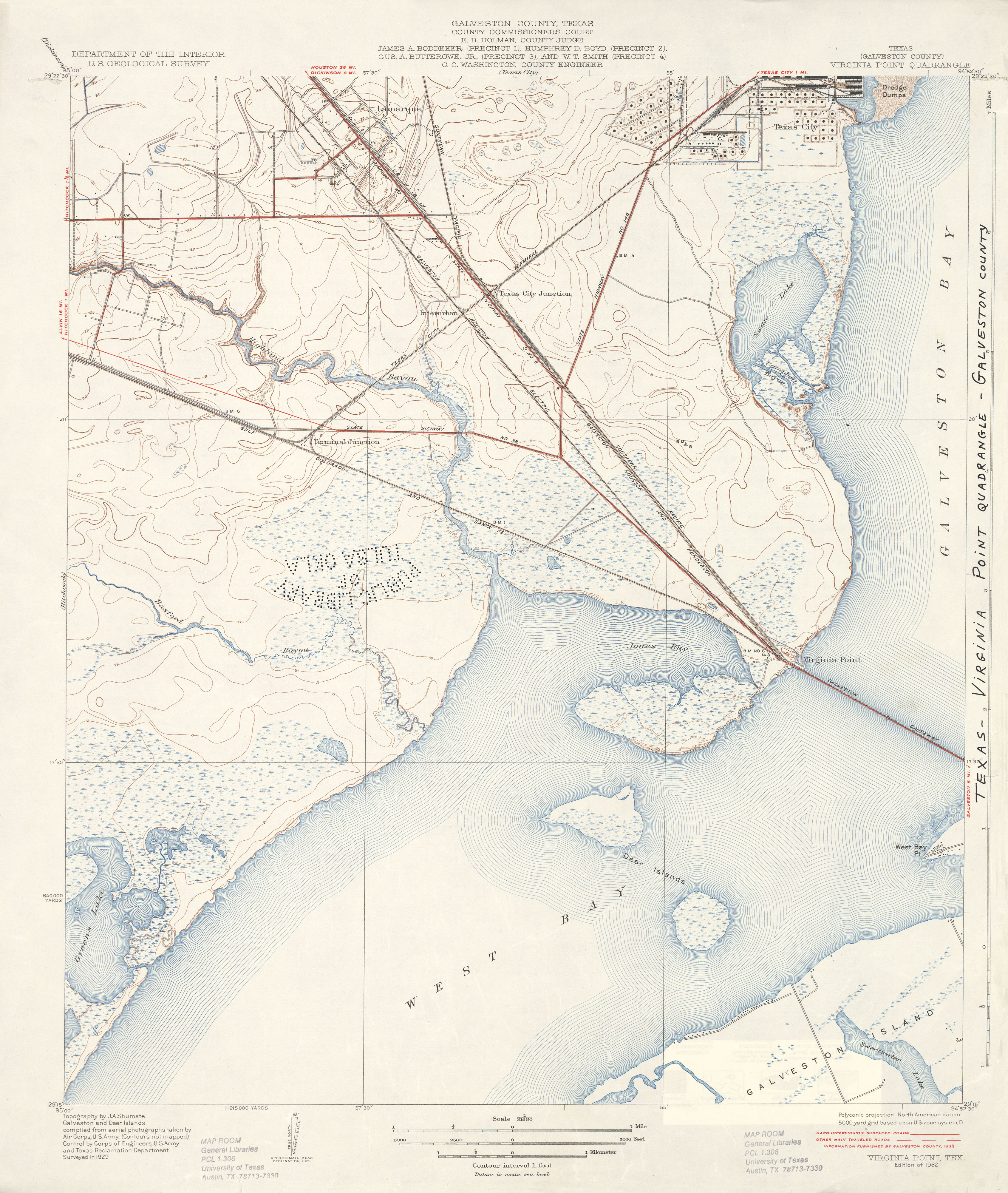
- Virginia Point (Galveston County) 1:31,680 1929 survey, 1943 overprint (3.5 MB)
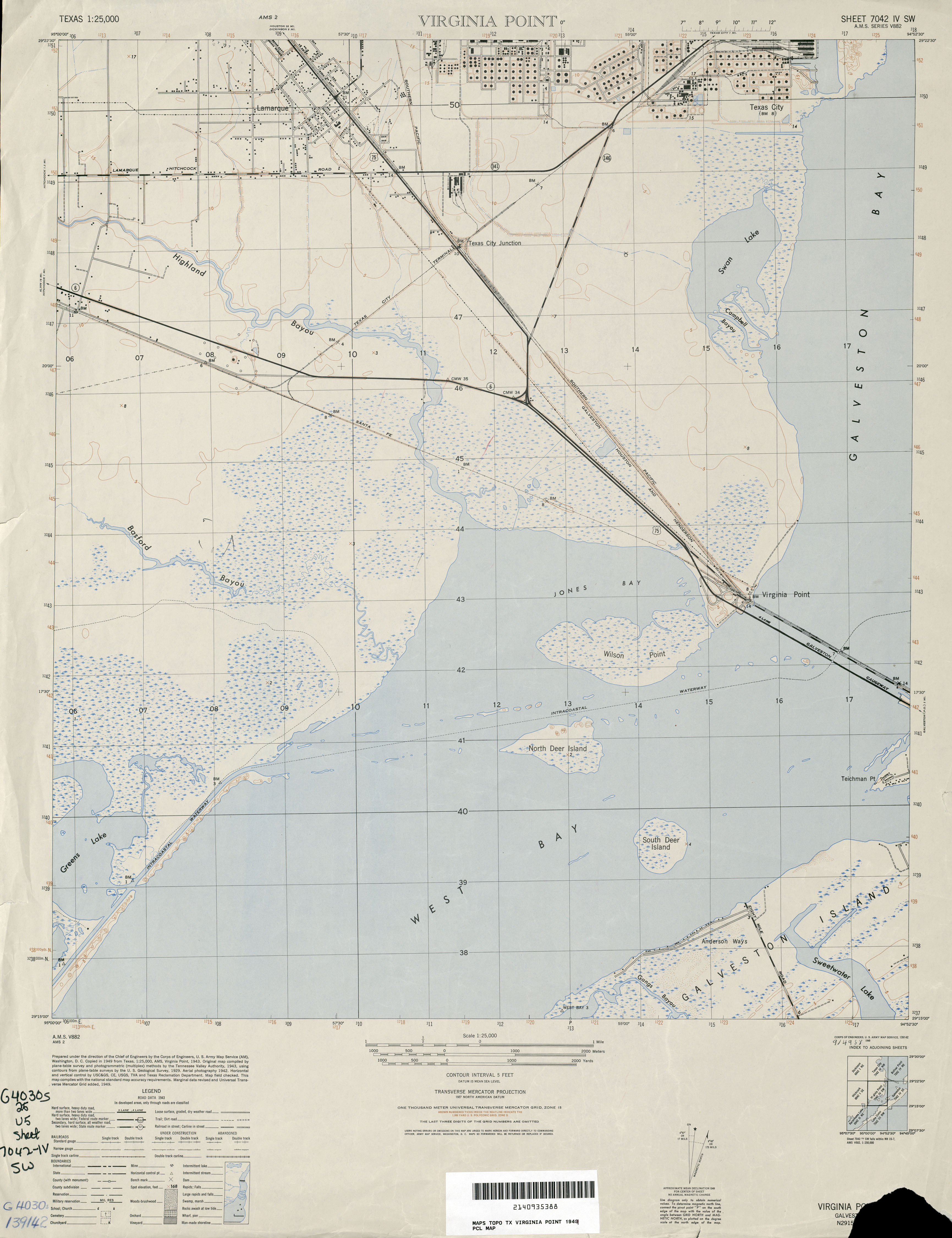
- Virginia Point 1:25,000 1949 (2.6MB) U.S. Army Map Service, Series V882
- Virginia Point (Galveston County) 1:24,000 1954 (3.5MB) U.S. Department of the Army Corps of Engineers
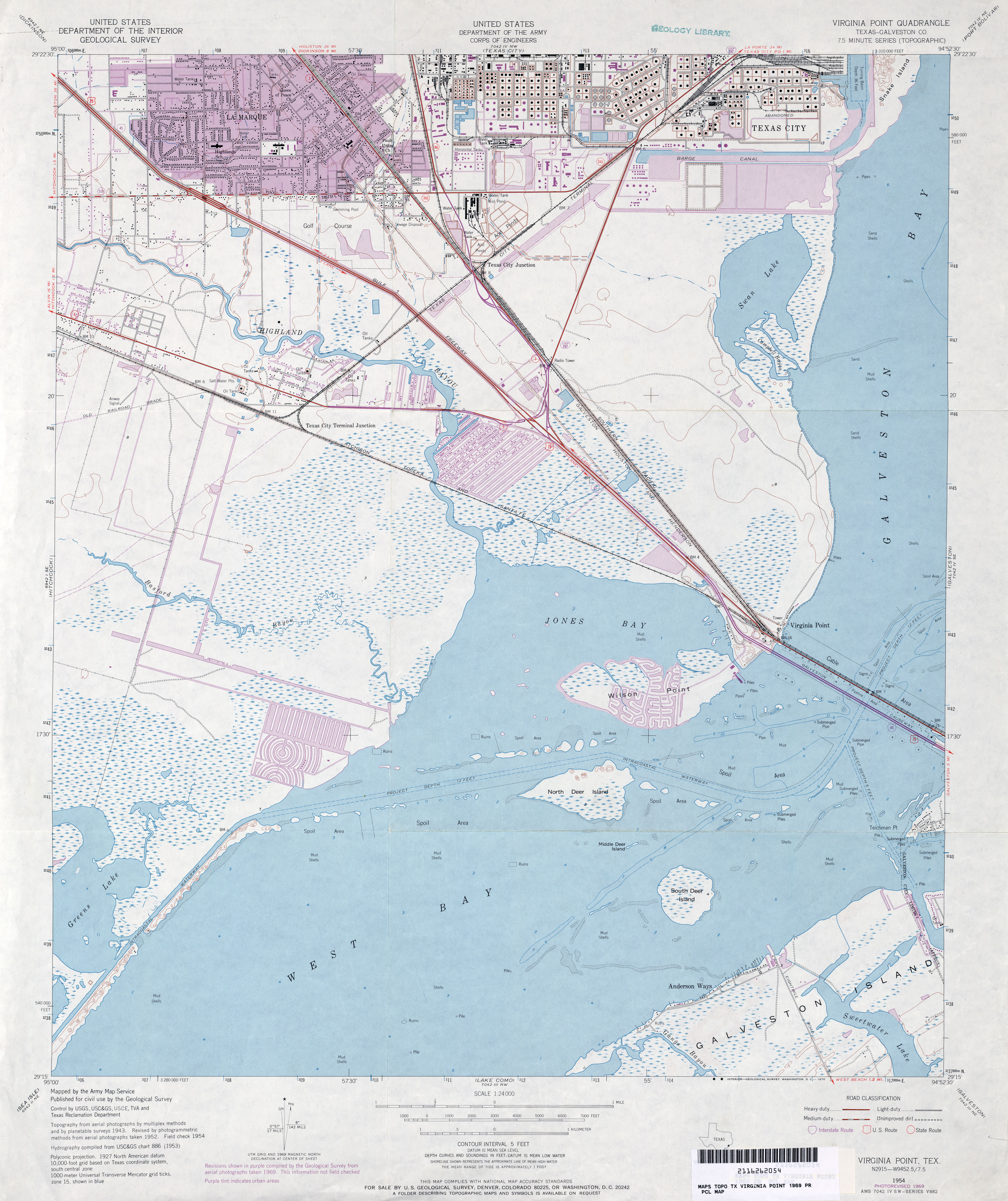
- Virginia Point (Galveston County) 1:24,000 1969 (3.7MB) U.S. Department of the Army Corps of Engineers
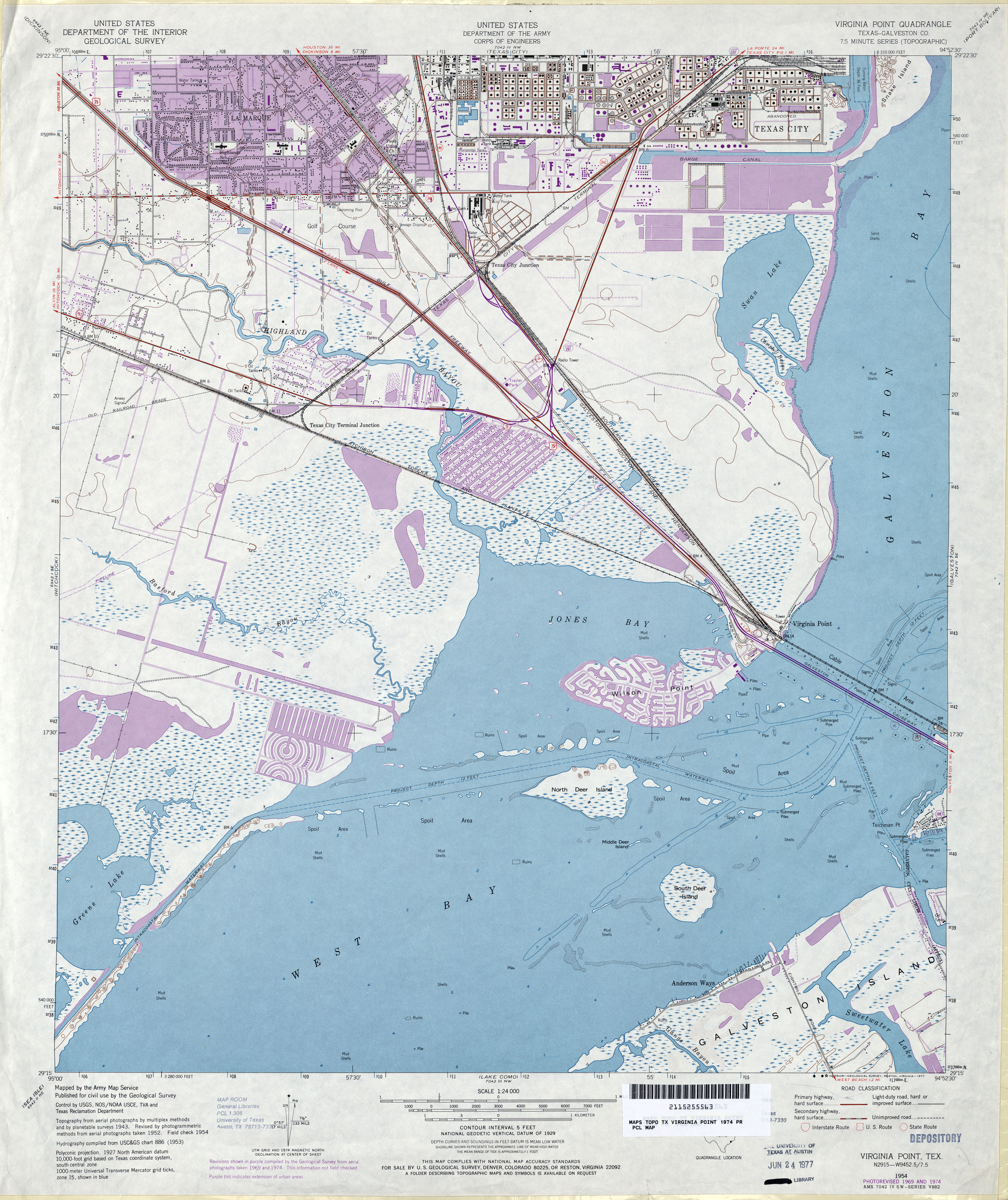
- Virginia Point (Galveston County) 1:24,000 1974 (4.3MB) U.S. Department of the Army Corps of Engineers
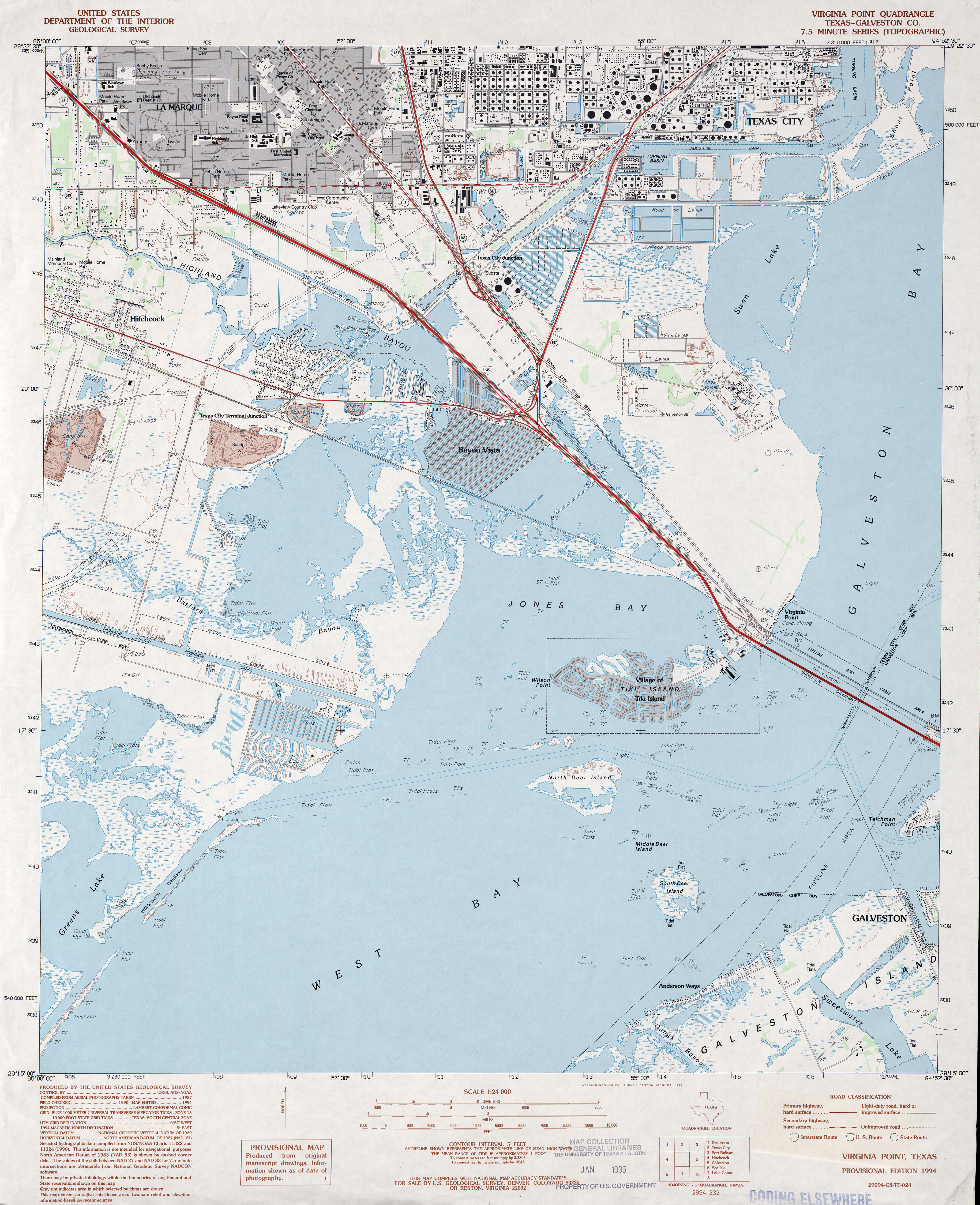
- Virginia Point (Galveston County) 1:24,000 1994 (3.9MB)
- Virginia Point (Galveston County) 1:24,000 1995 (4MB)
- Virginia Point 1:24,000 2008 (1.7MB) Texas Natural Resources Information System (TNRIS). [pdf]
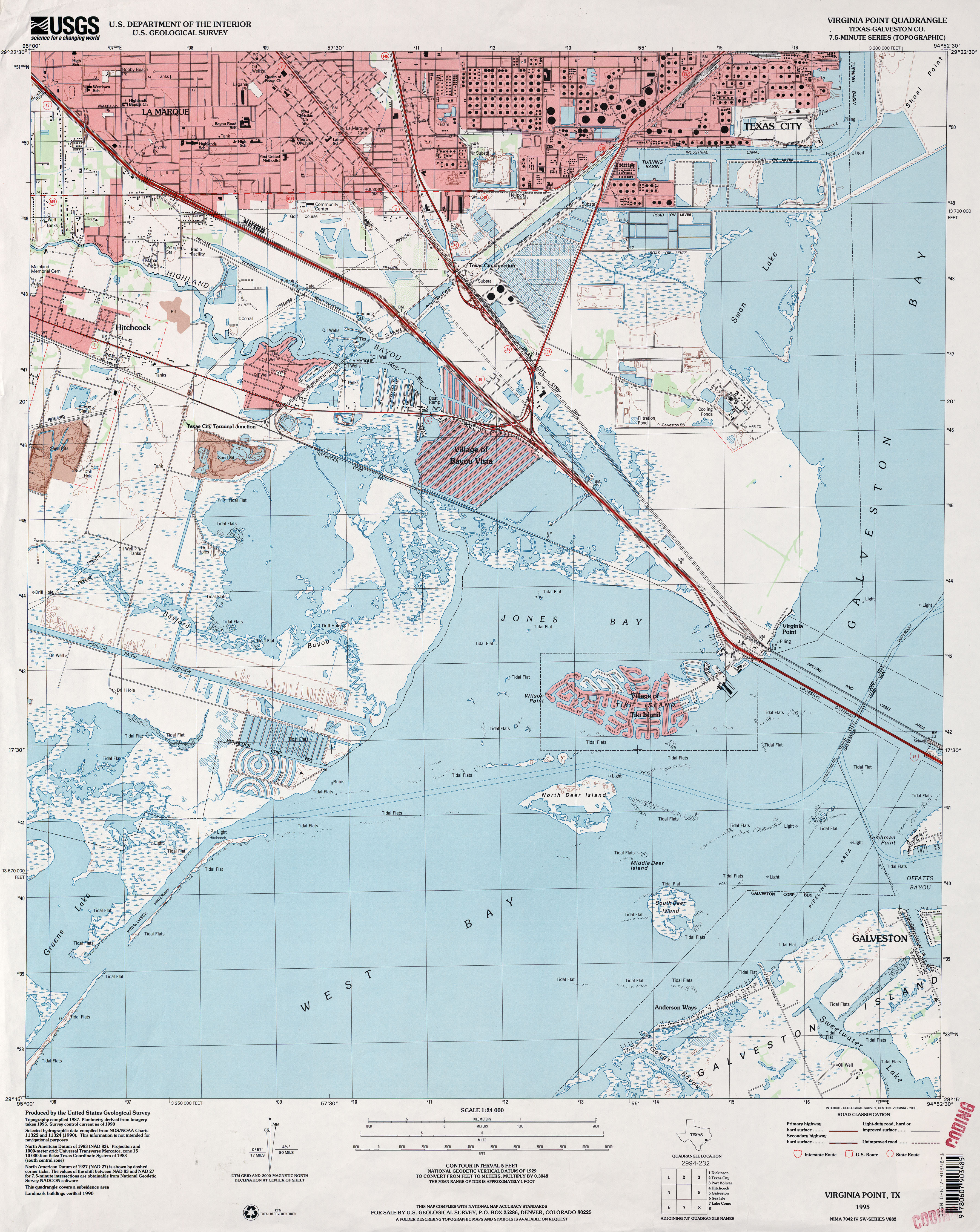
- Virginia Point 1:24,000 2009 (13.7MB) [GeoPDF]
- Virginia Point 1:24,000 2013 (18MB) [GeoPDF]
- Vivian 1:62,500 1927 (2.8 MB)
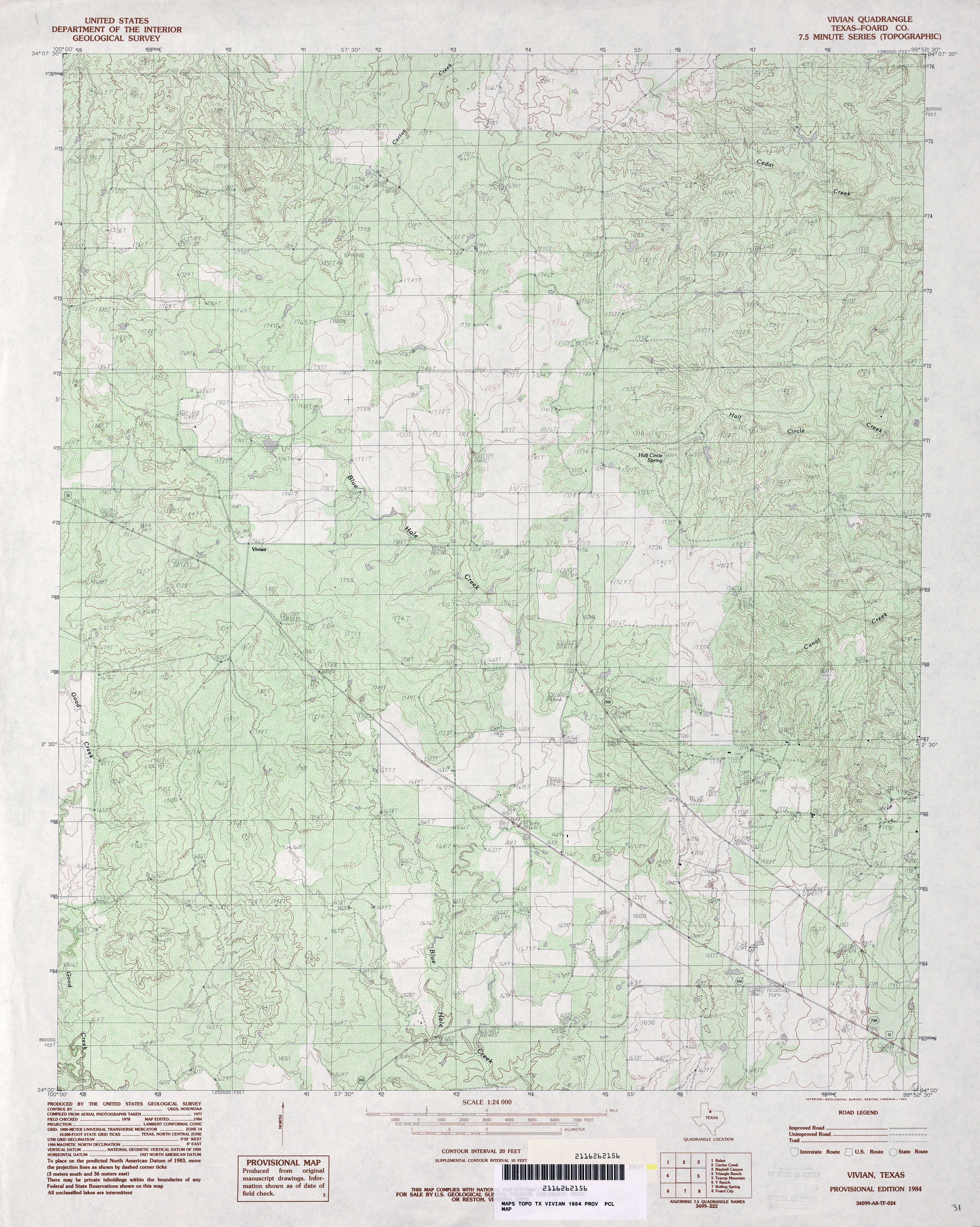
- Vivian (Foard County) 1:24,000 1984 (5.4MB)
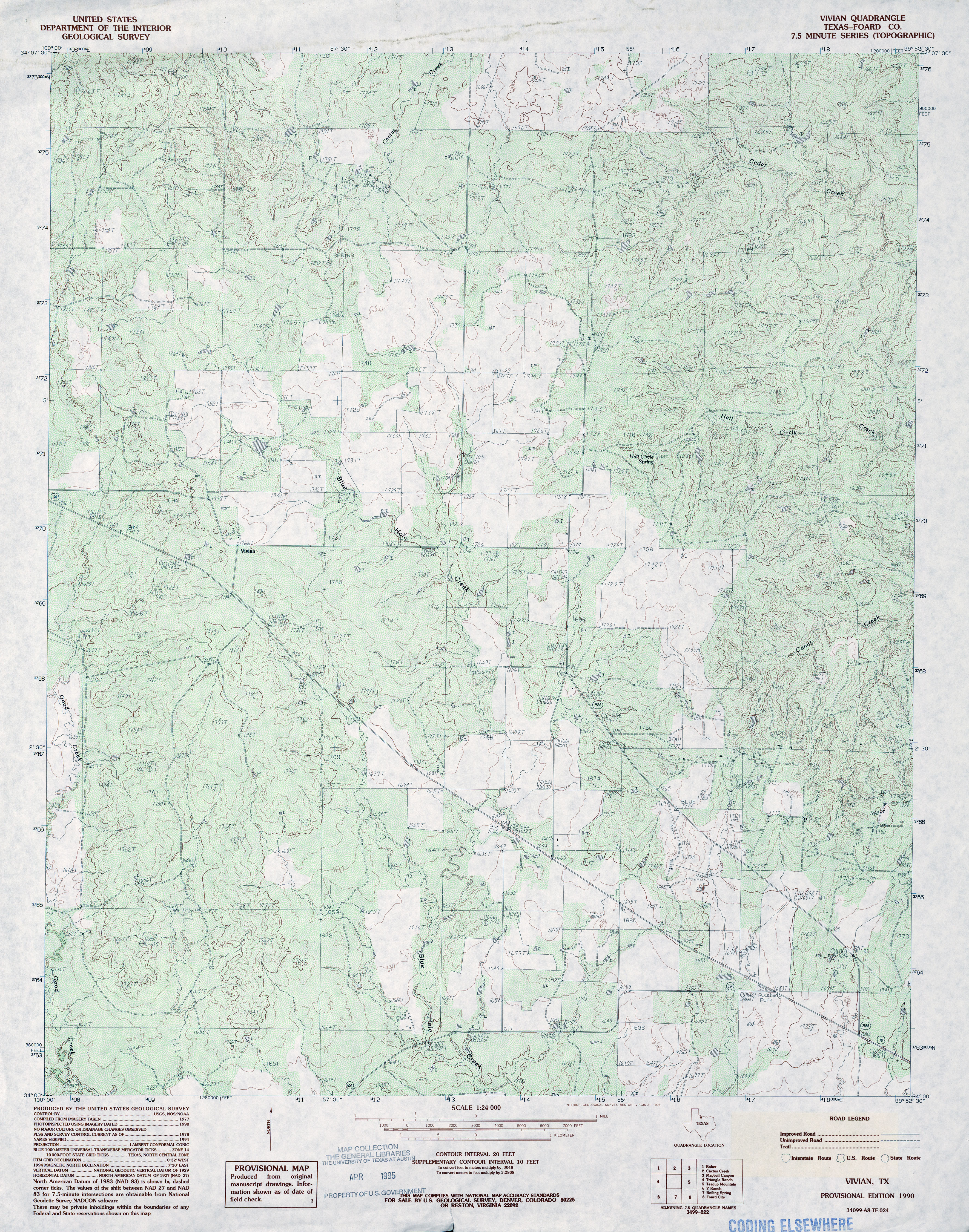
- Vivian (Foard County) 1:24,000 1990 (5.2MB)
- Vivian 1:24,000 2008 (17.5MB) [GeoPDF]
- Vivian 1:24,000 2012 (23.7MB) [GeoPDF]
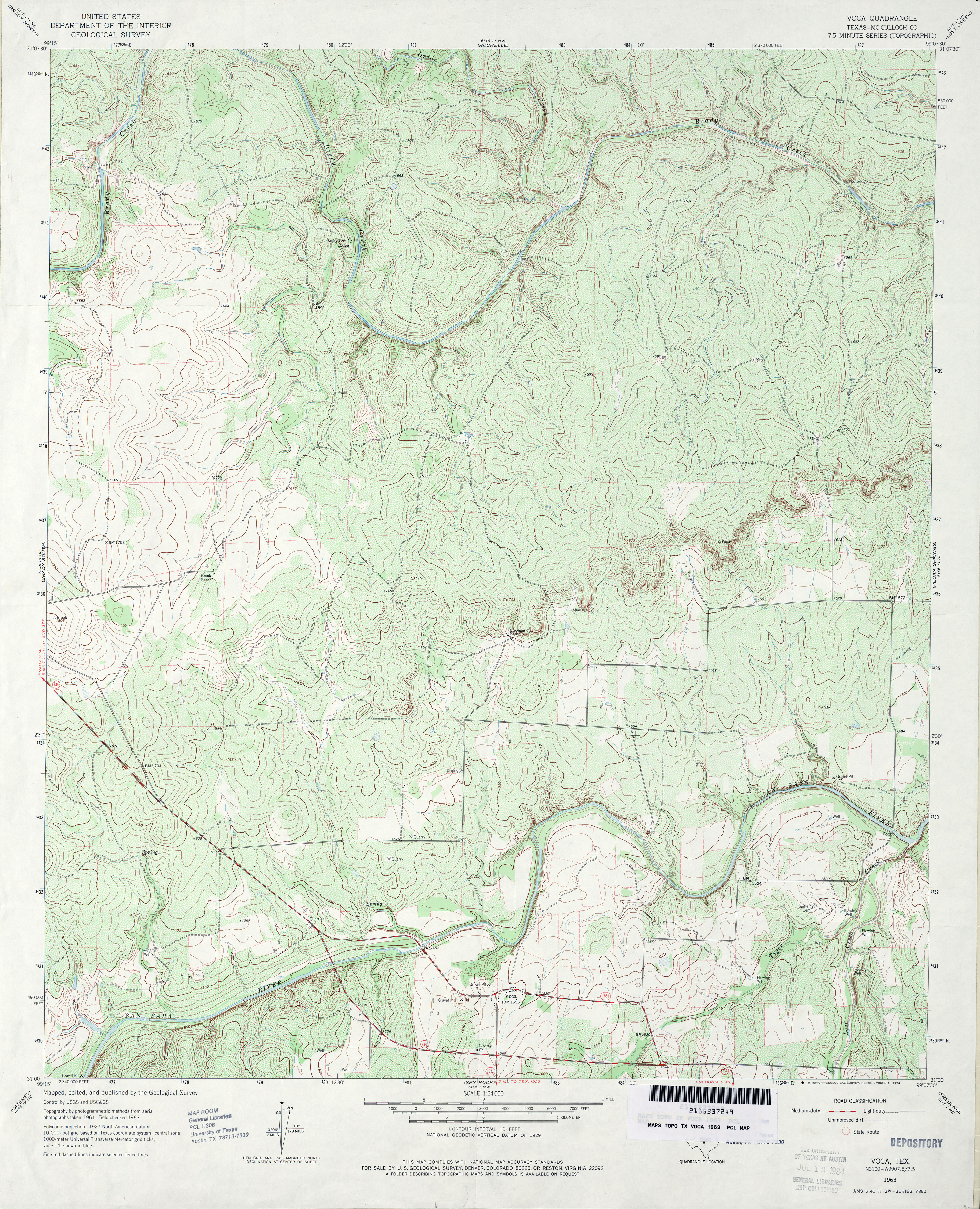
- Voca (McCulloch County) 1:24,000 1963 (5.6MB)
- Voca 1:24,000 2008 (23.4MB) [GeoPDF]
- Voca 1:24,000 2012 (25.6MB) [GeoPDF]
- Voss 1:62,500 1925 (2.0 MB)
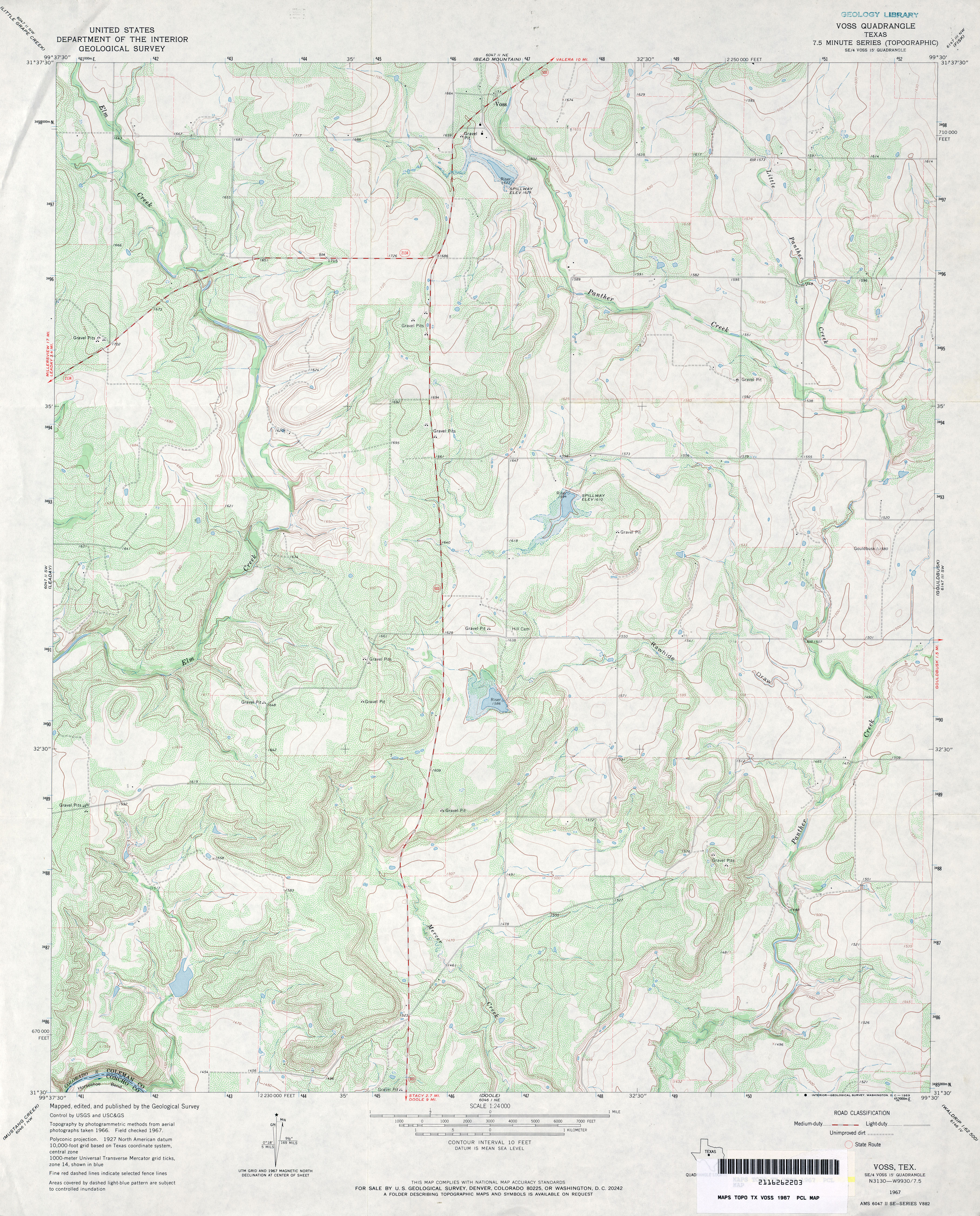
- Voss 1:24,000 1967 (4.3MB)
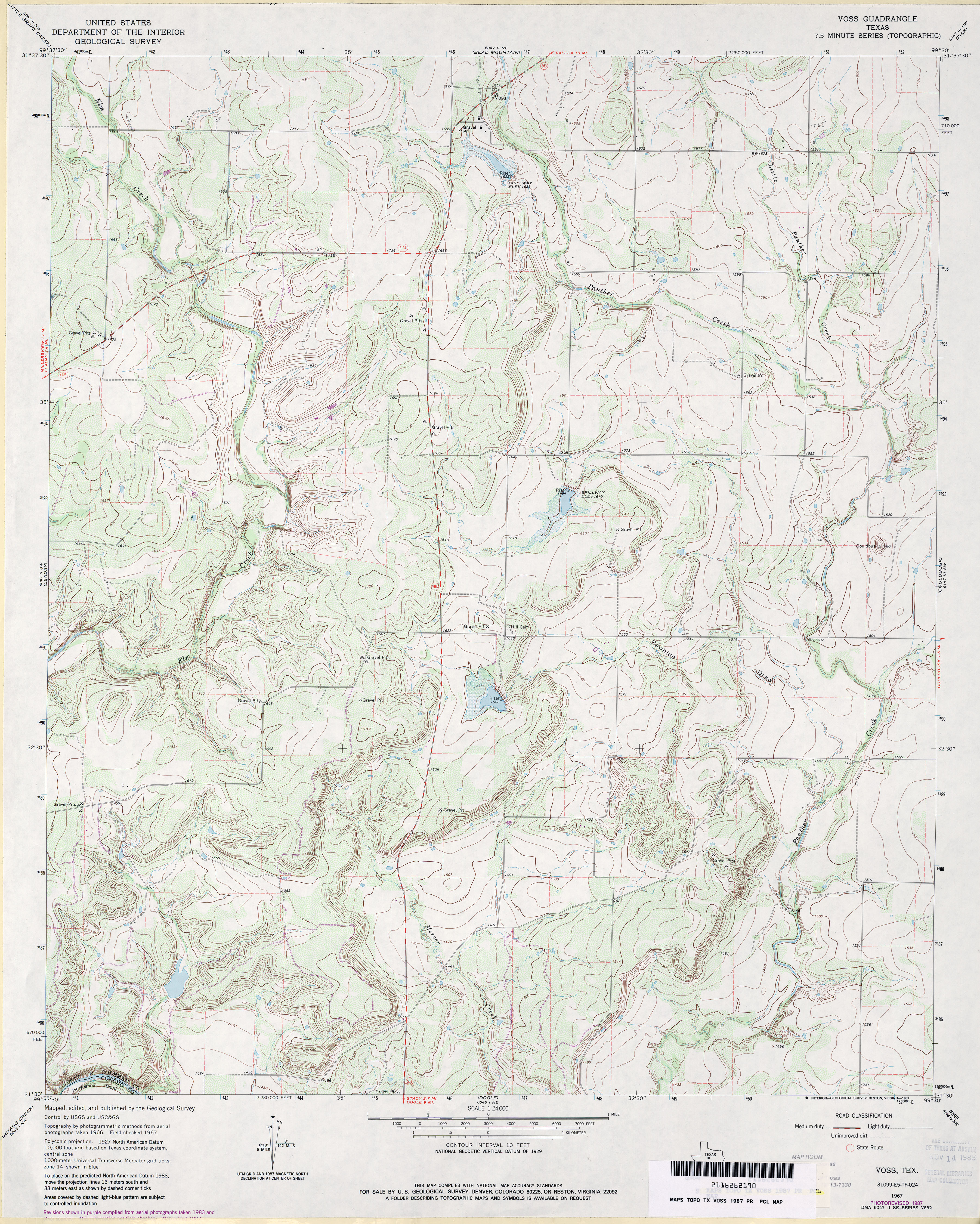
- Voss 1:24,000 1987 (4.3MB)
- Voss 1:24,000 2008 (20.3MB) [GeoPDF]
- Voss 1:24,000 2013 (23.1MB) [GeoPDF]
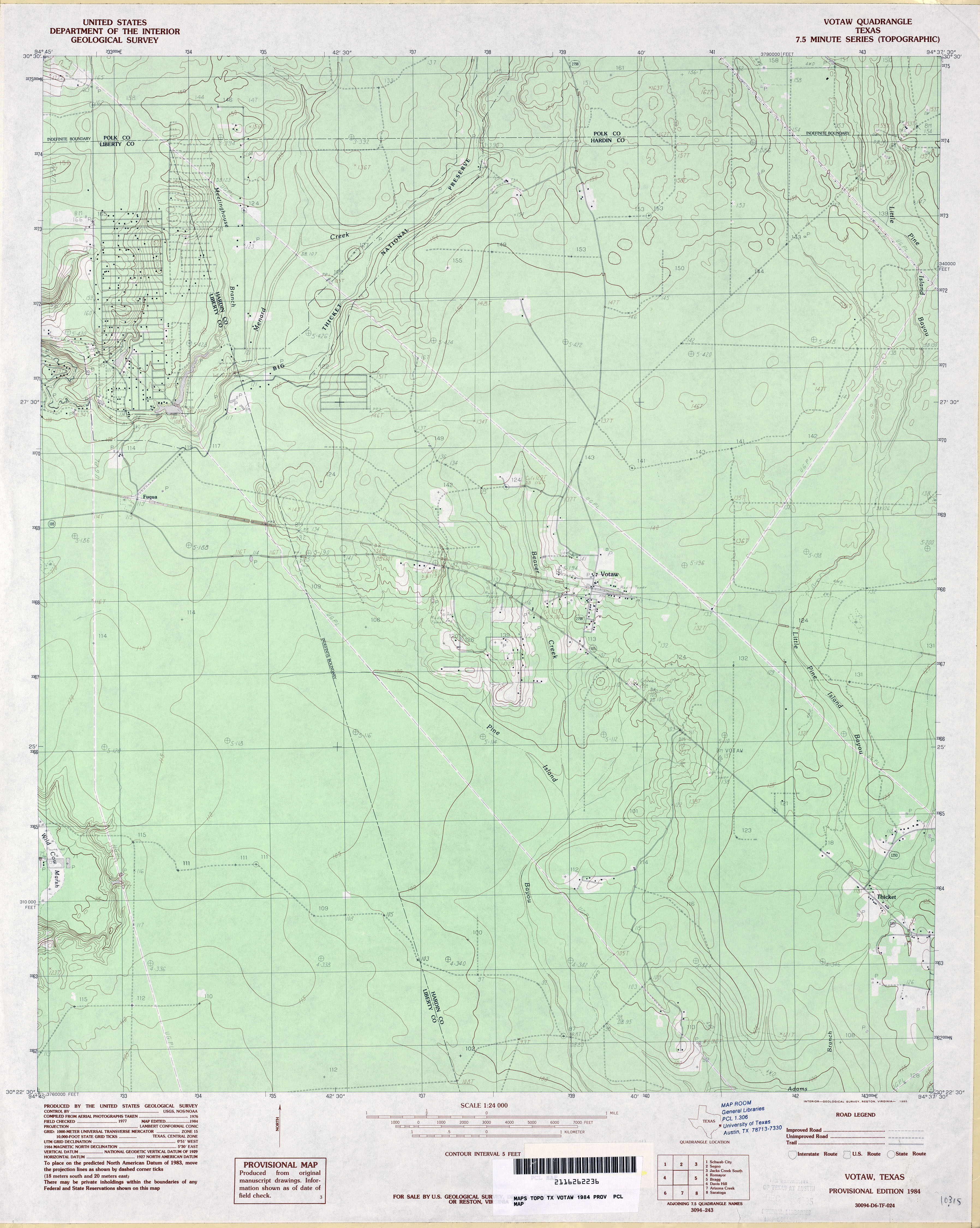
- Votaw 1:24,000 1984 (3.4MB)
- Votaw 1:24,000 2009 (24.0MB) [GeoPDF]
- Votaw 1:24,000 2013 (23.2MB) [GeoPDF]
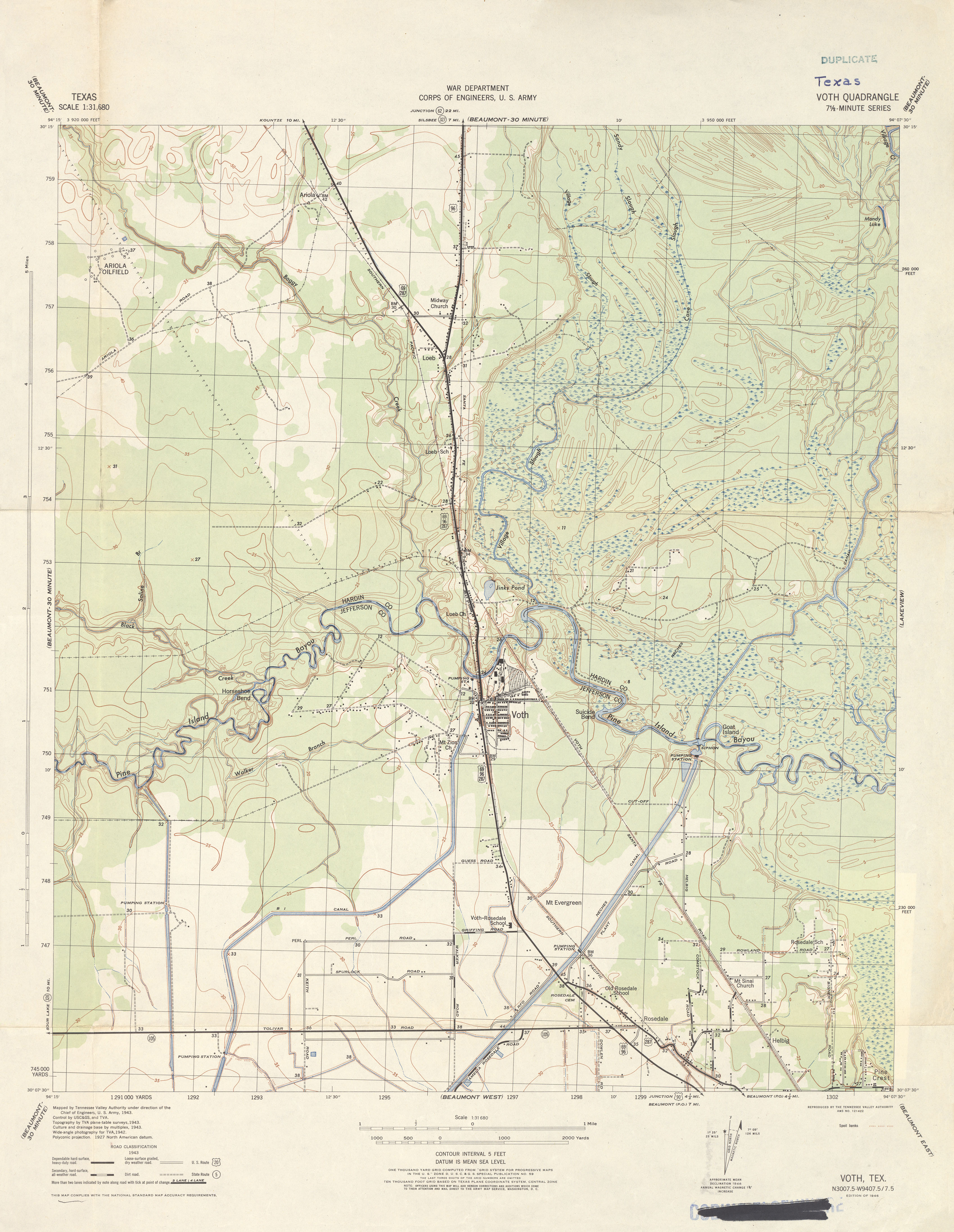
- Voth 1:31,680 1943 (3.1 MB) Tennessee Valley Authority
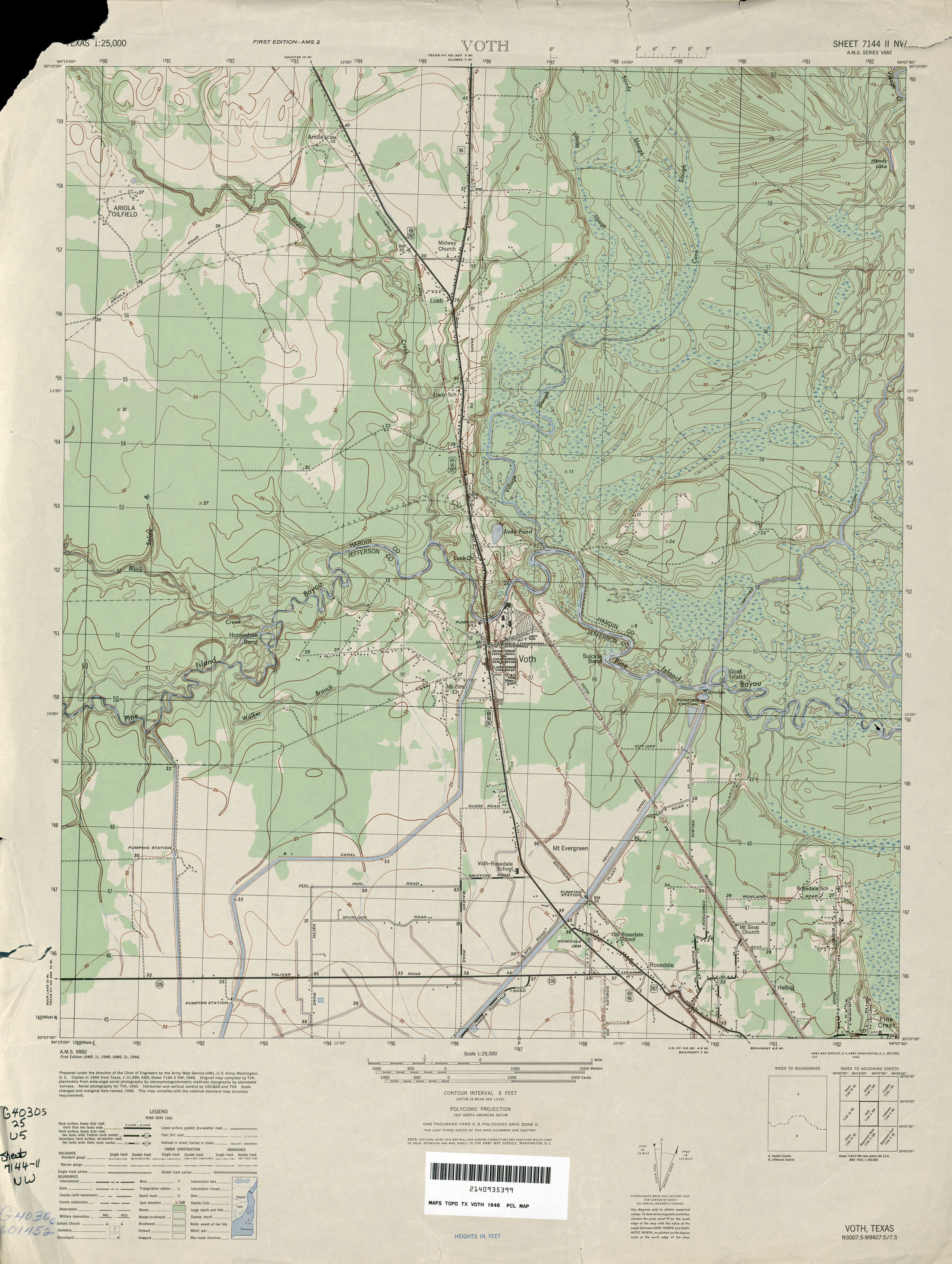
- Voth 1:25,000 1946 (3.3MB)
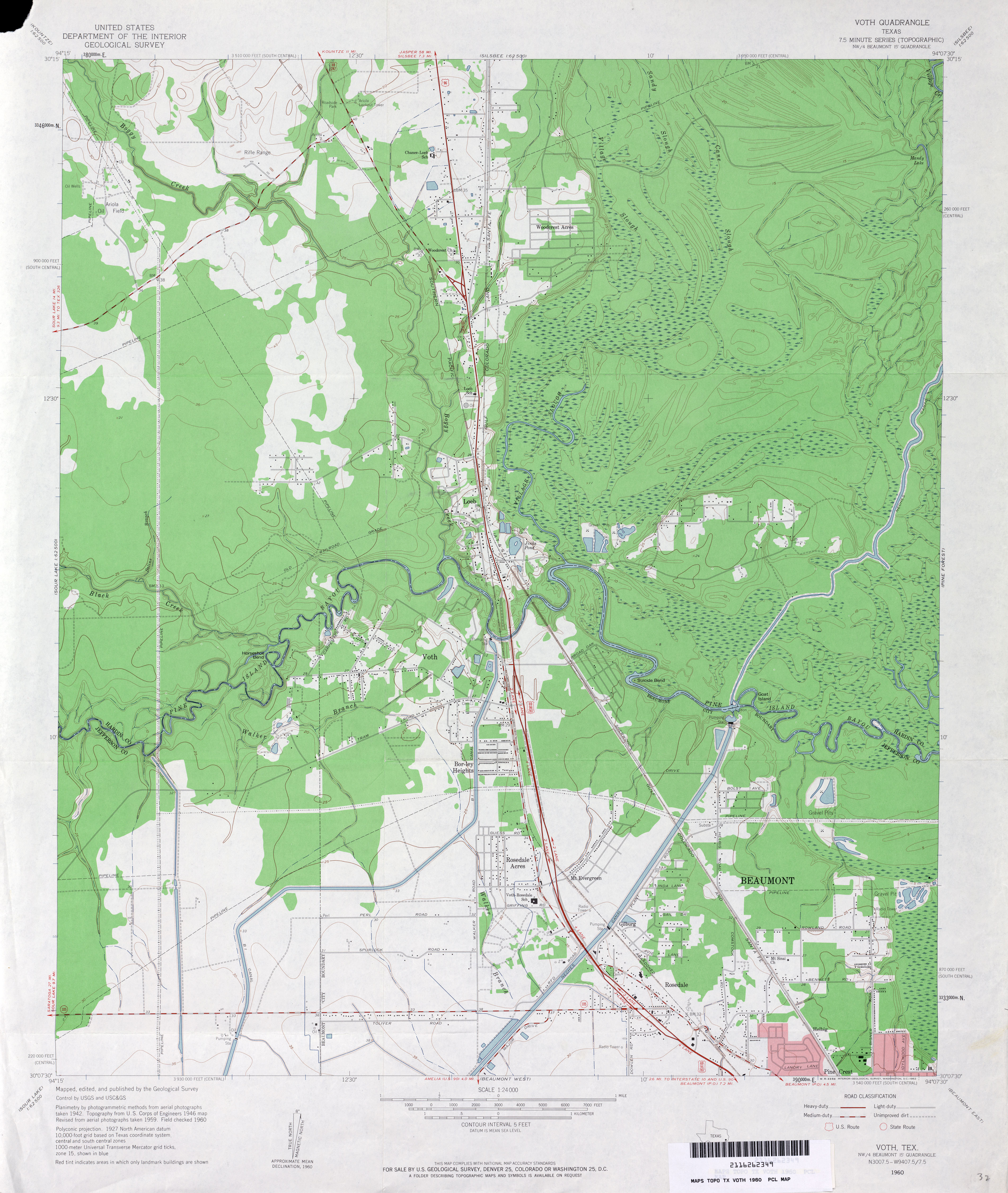
- Voth 1:24,000 1960 (3.5MB)
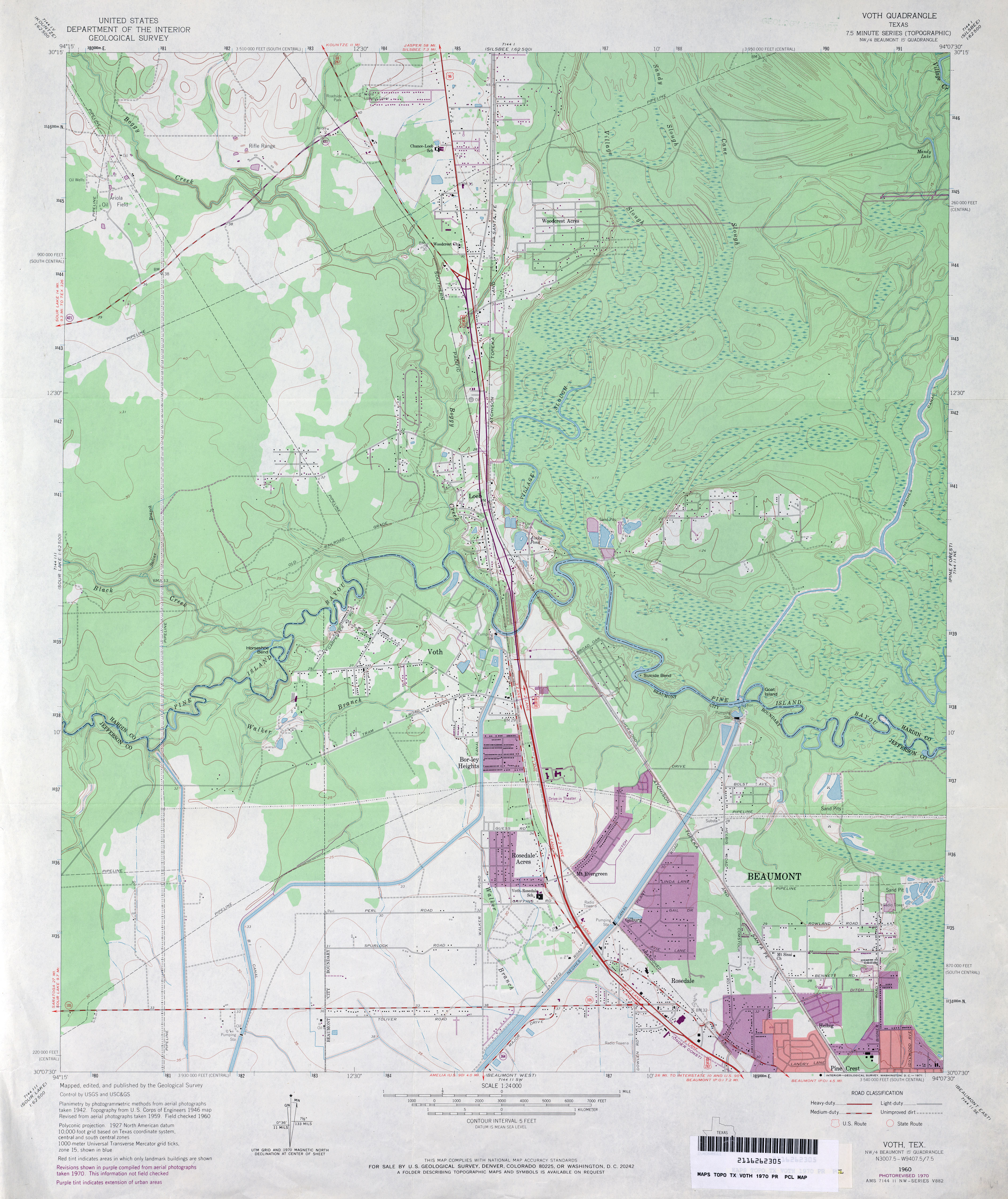
- Voth 1:24,000 1970 (3.6MB)
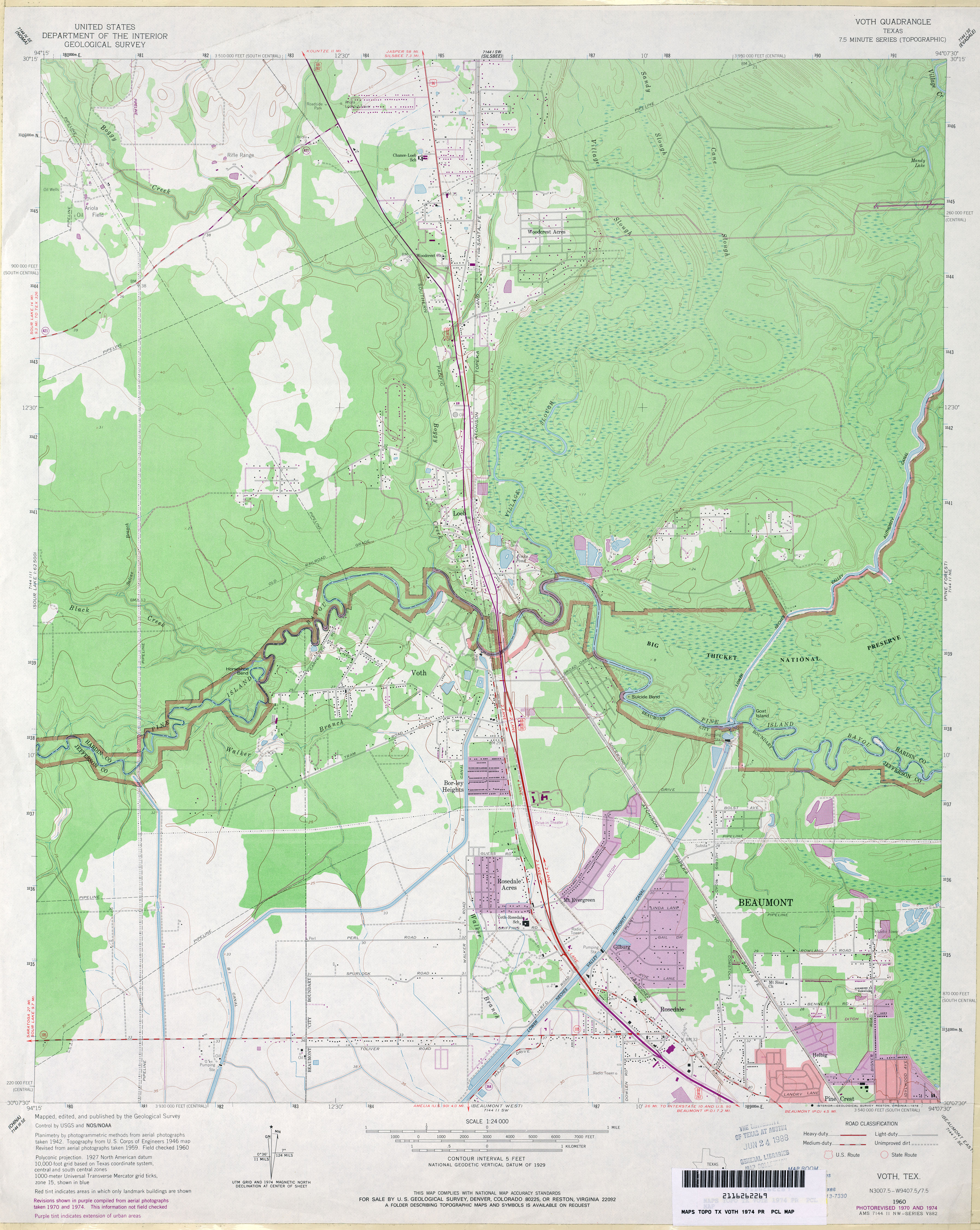
- Voth 1:24,000 1974 (3.8MB)
- Voth 1:24,000 1993 (4.3MB)
- Voth 1:24,000 2009 (24.1MB) [GeoPDF]
- Voth 1:24,000 2013 (24.1MB) [GeoPDF]