Perry-Castañeda Library
Map Collection
Texas Topographic Maps
Maps in this online collection are from the Perry-Castañeda Library, Walter Geology Library and Dolph Briscoe Center for American History at the University of Texas at Austin as well as the Texas State Library. All maps on this site were published by the U.S. Geological Survey unless otherwise noted and are in the public domain. The date given for each map is the date of latest survey. The Geographic Names Information System allows searches of geographic names to determine which map sheets they appear on. Indexes are available for Texas - East and Texas - West for the 1:24,000 map series. Maps published prior to 1923 are on the Texas Historical Topographic Map Index. More information about these maps is available on the Topographic Maps Home Page. Note: To fully view the GeoPDF files use Adobe Reader as your default PDF viewer or download the files and open them within Adobe Reader.
A, B, C, D, E, F, G, H, I, J, K, L, M, N, O, P, Q, R, S, T, U, V, W, X, Y, Z
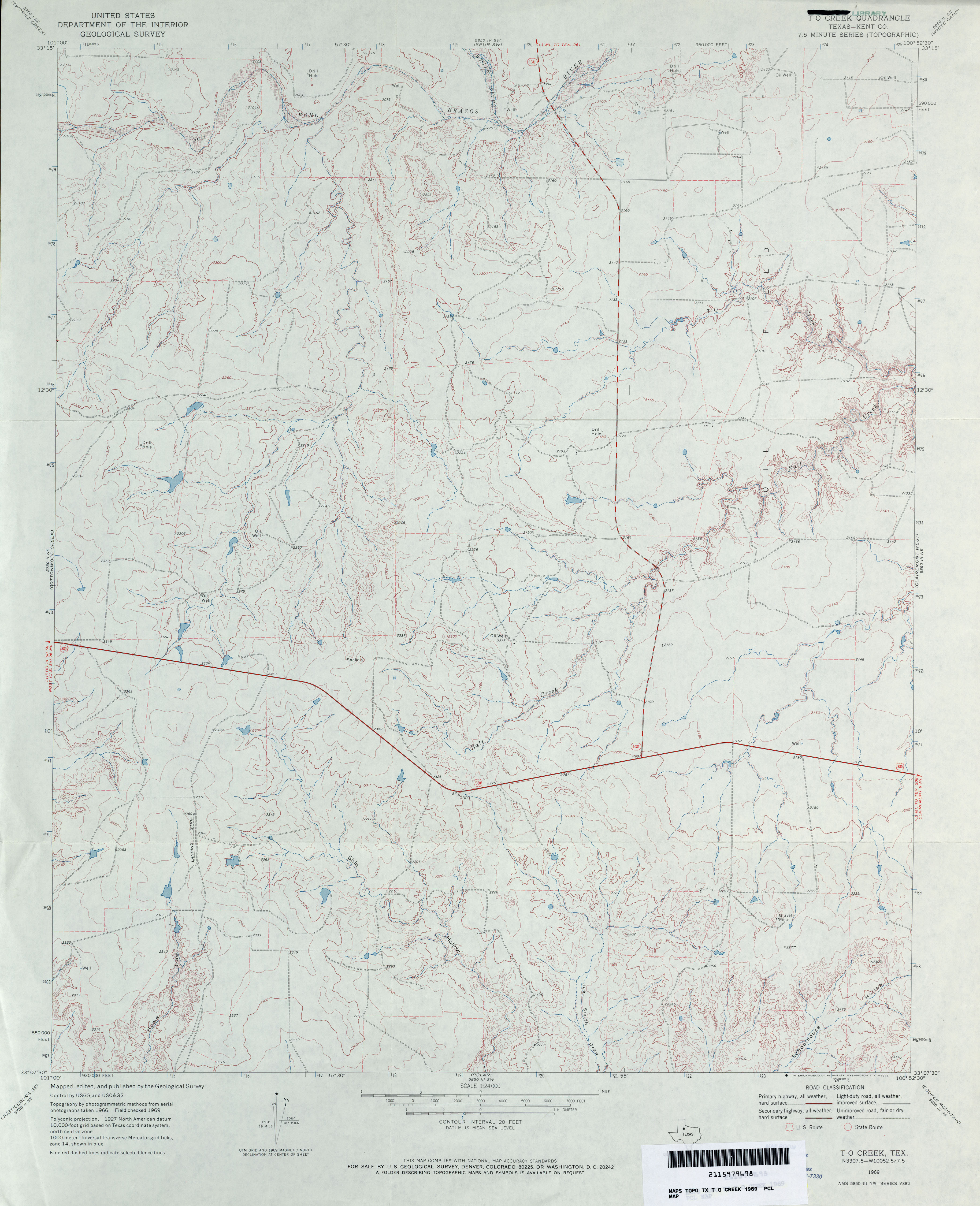
- T-O Creek (Kent County) 1:24,000 1969 (3.3MB)
- T-O Creek 1:24,000 2008 (15.6MB) [GeoPDF]
- T-O Creek 1:24,000 2012 (23.5MB) [GeoPDF]
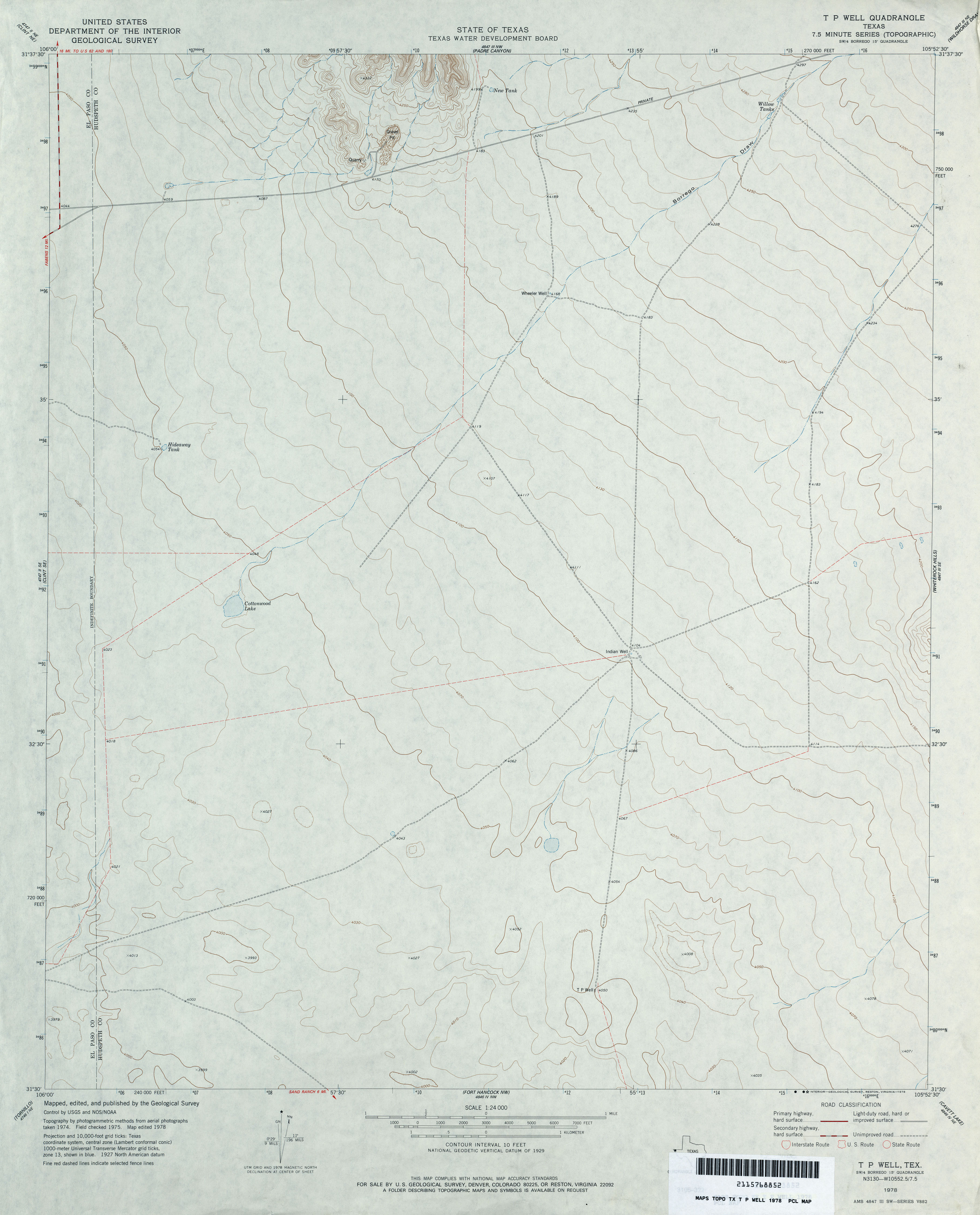
- T P Well 1:24,000 1978 (2.4MB)
- T P Well 1:24,000 2008 (22.8MB) [GeoPDF]
- T P Well 1:24,000 2013 (25.2MB) [GeoPDF]
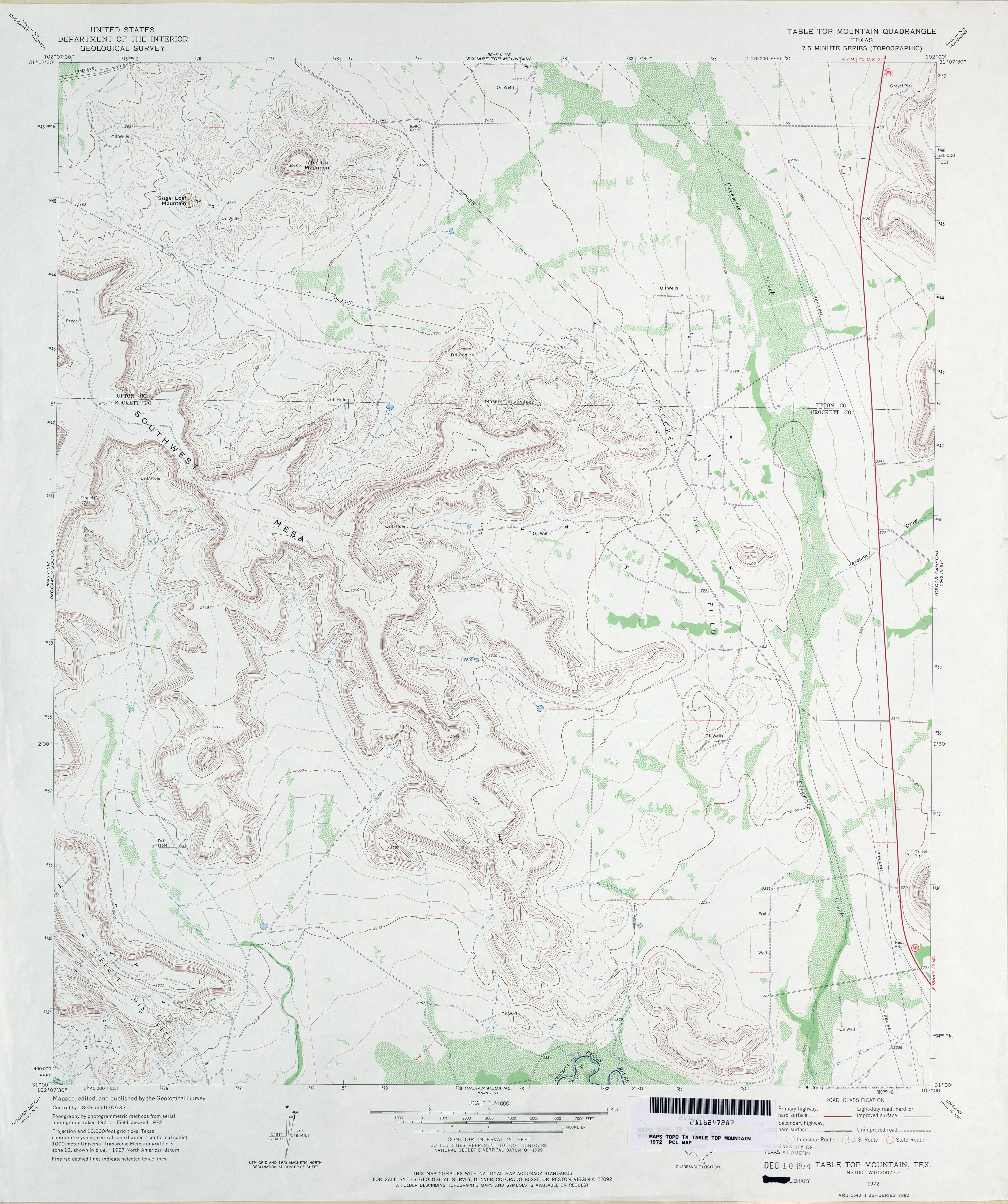
- Table Top Mountain 1:24,000 1972 (3.5MB)
- Table Top Mountain 1:24,000 2008 (20.9MB) [GeoPDF]
- Table Top Mountain 1:24,000 2012 (27.9MB) [GeoPDF]
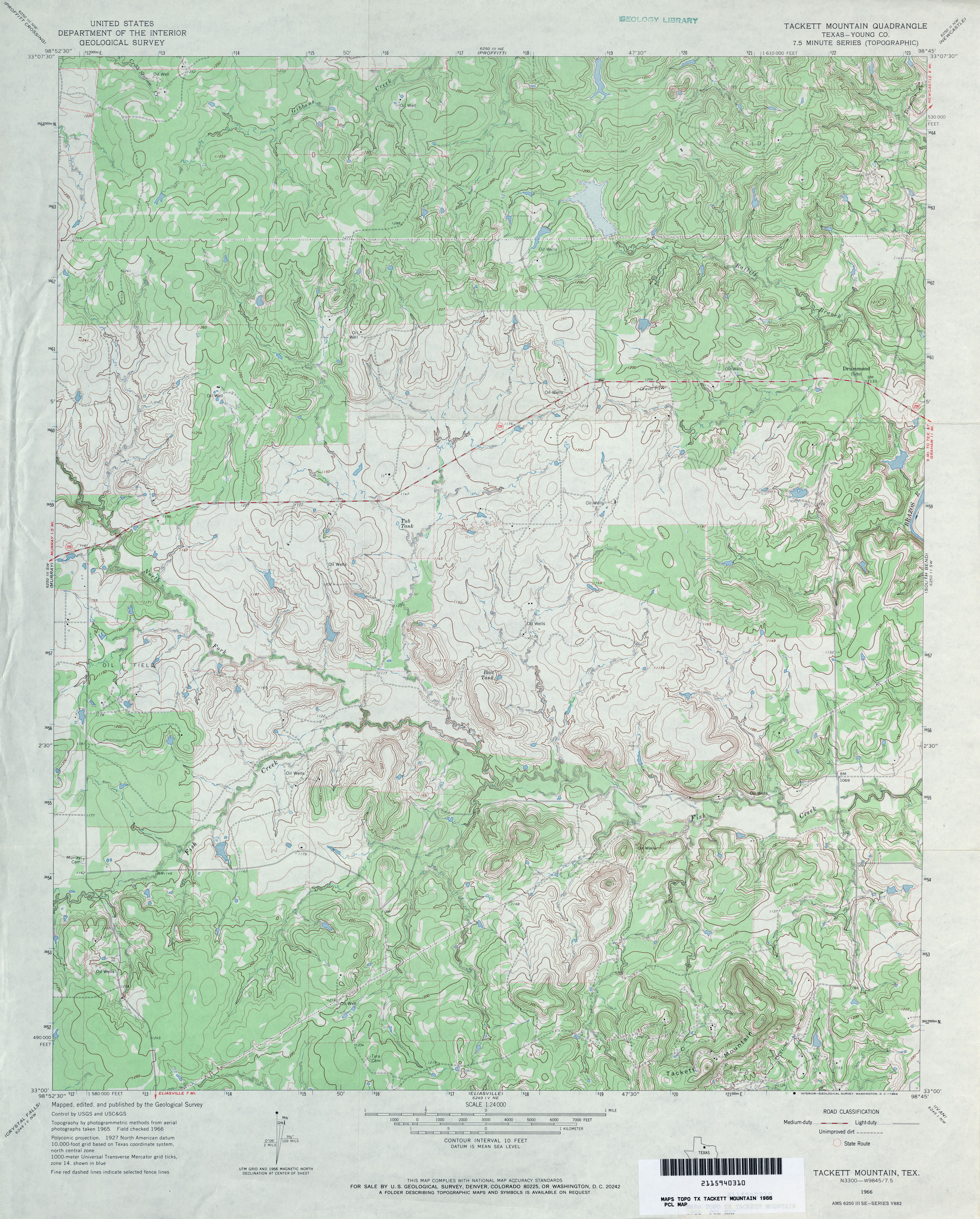
- Tackett Mountain (Young County) 1:24,000 1966 (4.4MB)
- Tackett Mountain 1:24,000 2008 (20.1MB) [GeoPDF]
- Tacket Mountain 1:24,000 2012 (23MB) [GeoPDF]
- Tacubaya (Brooks County) 1:24,000 1972 (4.1MB)
- Tacubaya (Brooks County) 1:24,000 1993 (3.6MB)
- Tacubaya 1:24,000 2009 (19.1MB) [GeoPDF]
- Tacubaya 1:24,000 2012 (22.2MB) [GeoPDF]
- Taft 1:24,000 1969 (2.4MB)
- Taft 1:24,000 1975 (2.4MB)
- Taft 1:24,000 2008 (7.8MB) [GeoPDF]
- Taft 1:24,000 2013 (13.2MB) [GeoPDF]
- Tahoka (Lynn County) 1:24,000 1969 (3.4MB)
- Tahoka (Lynn County) 1:24,000 1981 (2.9MB)
- Tahoka 1:24,000 2008 (11.2MB) [GeoPDF]
- Tahoka 1:24,000 2012 (17.3MB) [GeoPDF]
- Tahoka SW (Lynn County) 1:24,000 1969 (2.6MB)
- Tahoka SW 1:24,000 2008 (9.0MB) [GeoPDF]
- Tahoka SW 1:24,000 2012 (14.7MB) [GeoPDF]
- Talco 1:24,000 1964 (3.7MB)
- Talco 1:24,000 2009 (16.5MB) [GeoPDF]
- Talco 1:24,000 2013 (21.9MB) [GeoPDF]
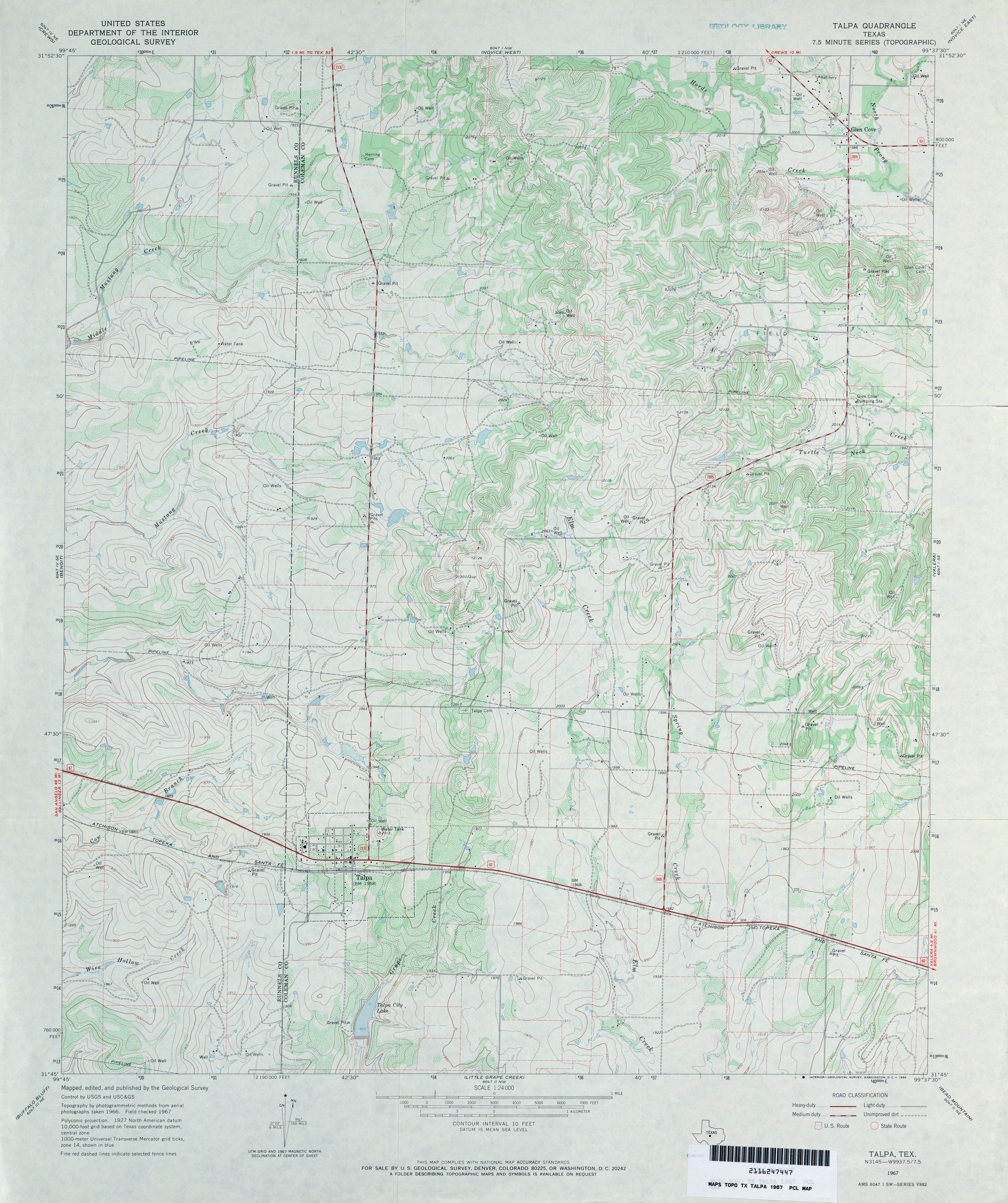
- Talpa 1:24,000 1967 (3.9MB)
- Talpa 1:24,000 1987 (4.1MB)
- Talpa 1:24,000 2008 (19.1MB) [GeoPDF]
- Talpa 1:24,000 2012 (22.5MB) [GeoPDF]
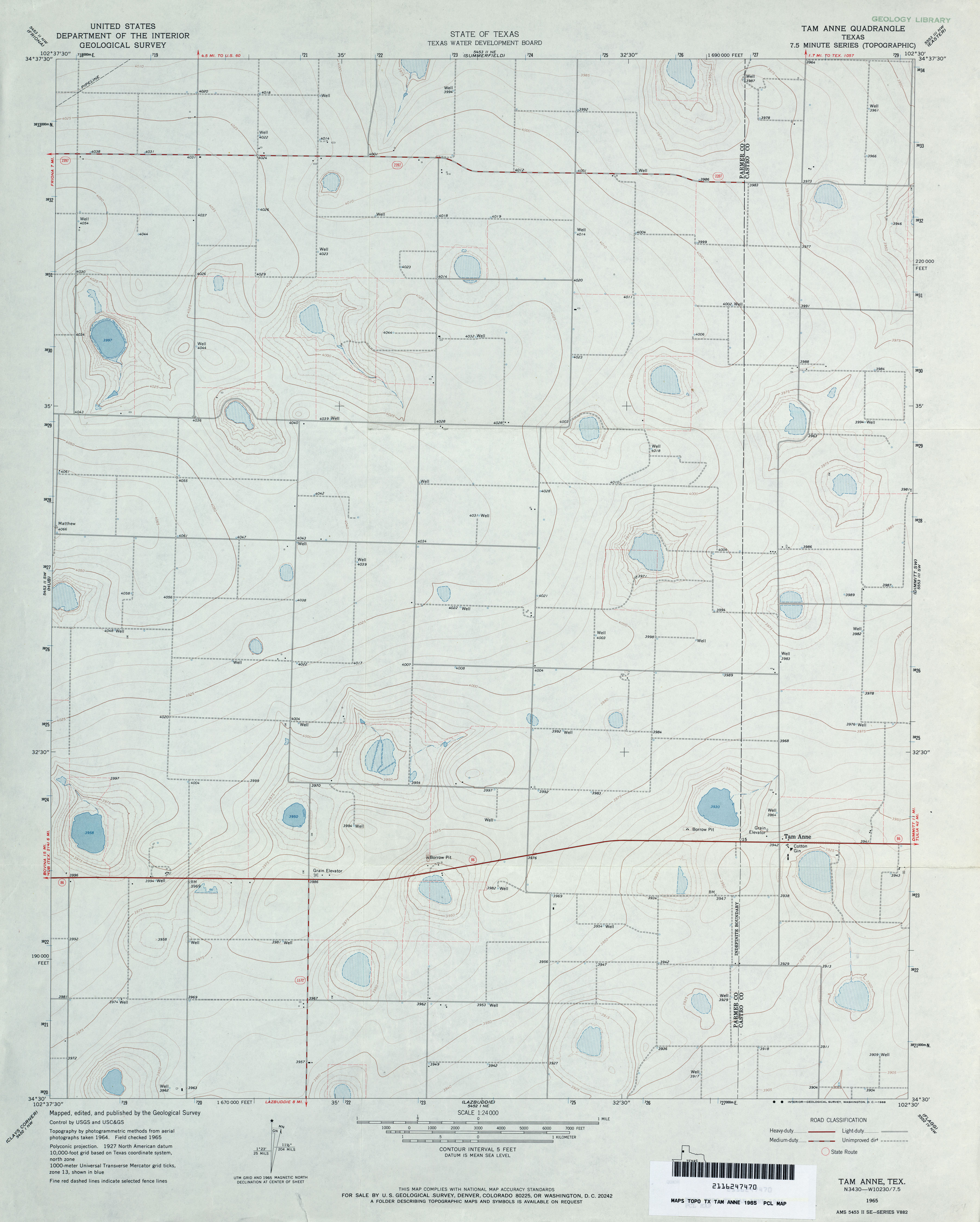
- Tam Anne 1:24,000 1965 (2.5MB)
- Tam Anne 1:24,000 2008 (9.2MB) [GeoPDF]
- Tam Anne 1:24,000 2012 (12.5MB) [GeoPDF]
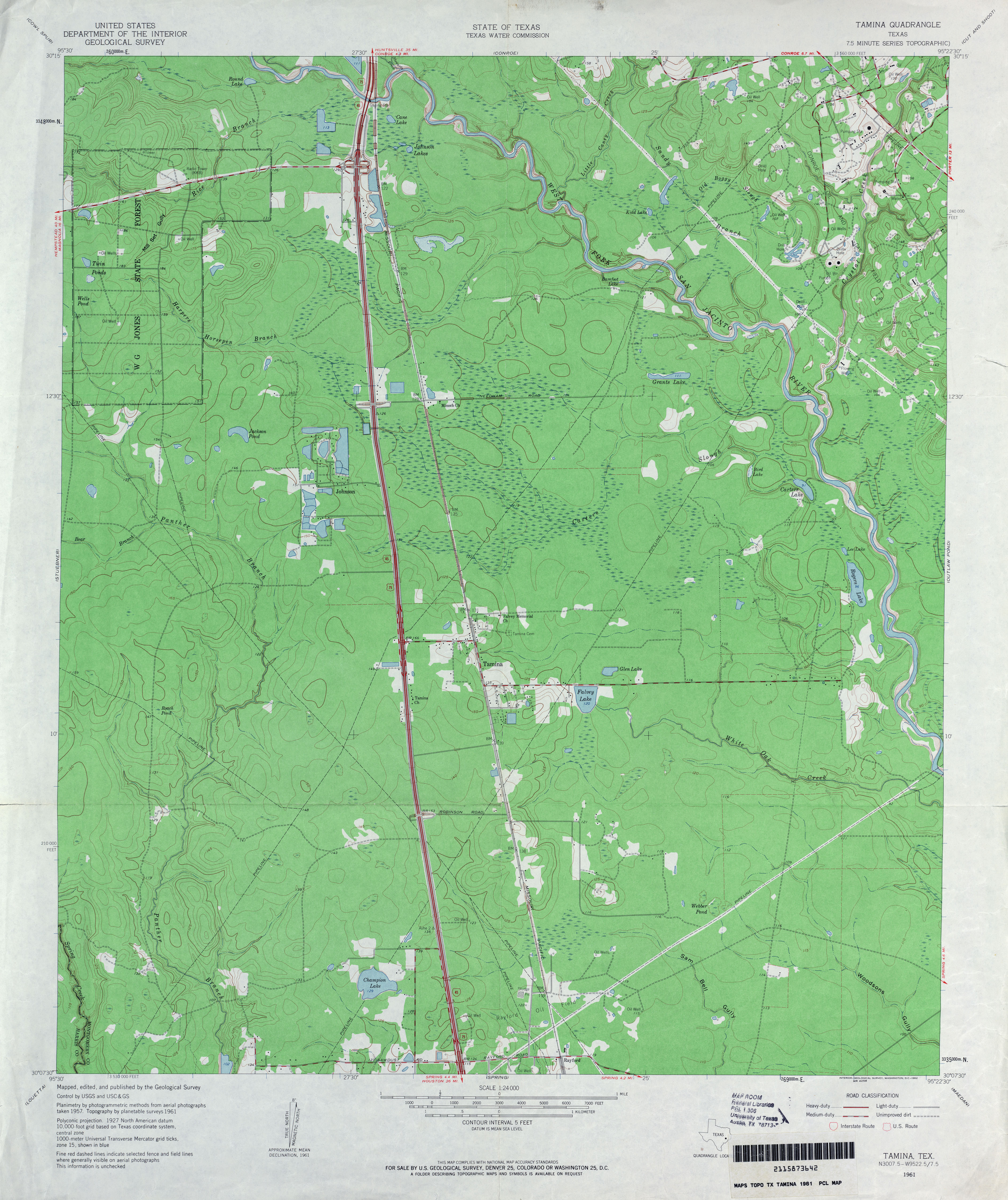
- Tamina 1:24,000 1961 (3.7MB)
- Tamina 1:24,000 1979 (4.1MB)
- Tamina 1:24,000 2009 (26.0MB) [GeoPDF]
- Tamina 1:24,000 2013 (26.3MB) [GeoPDF]
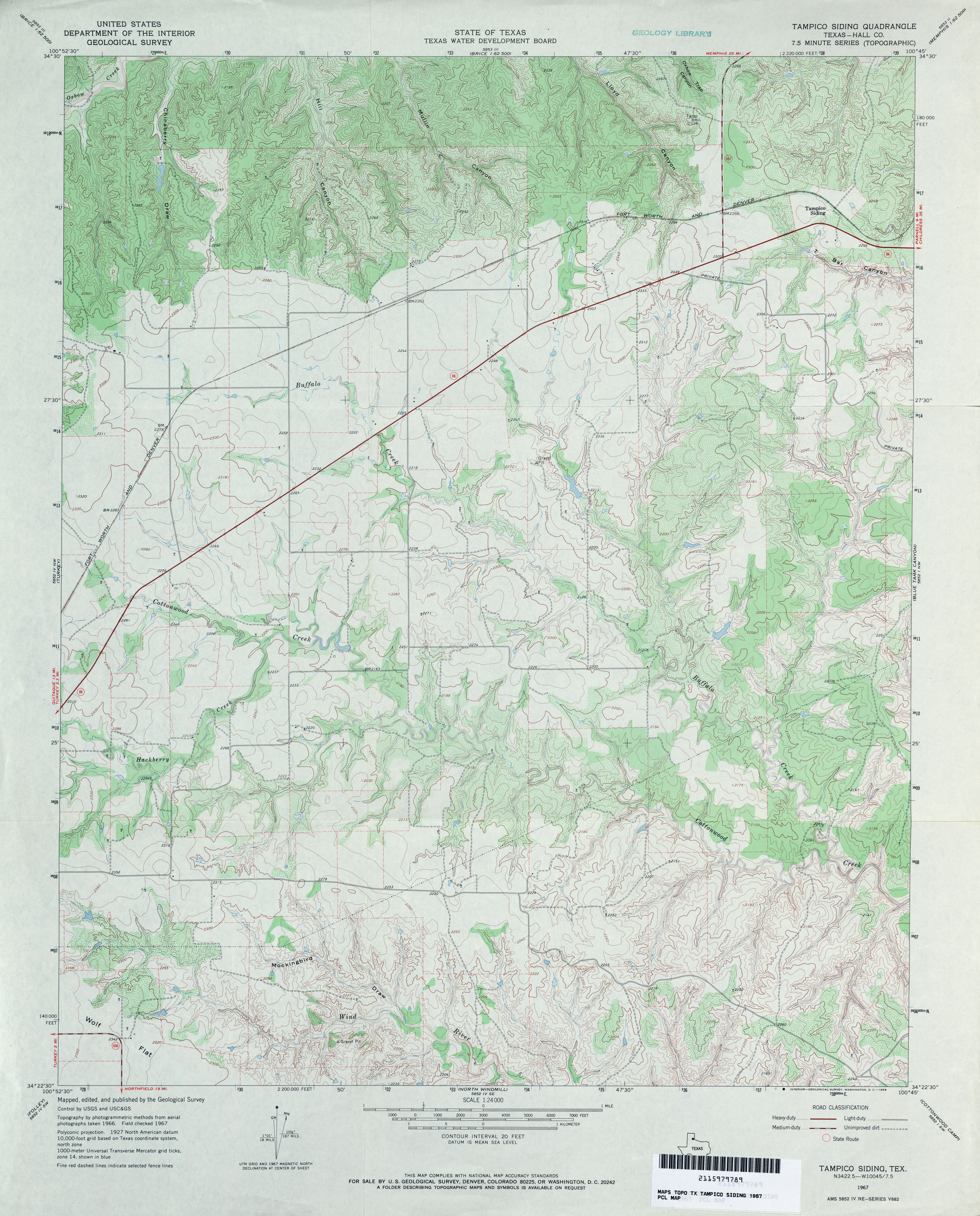
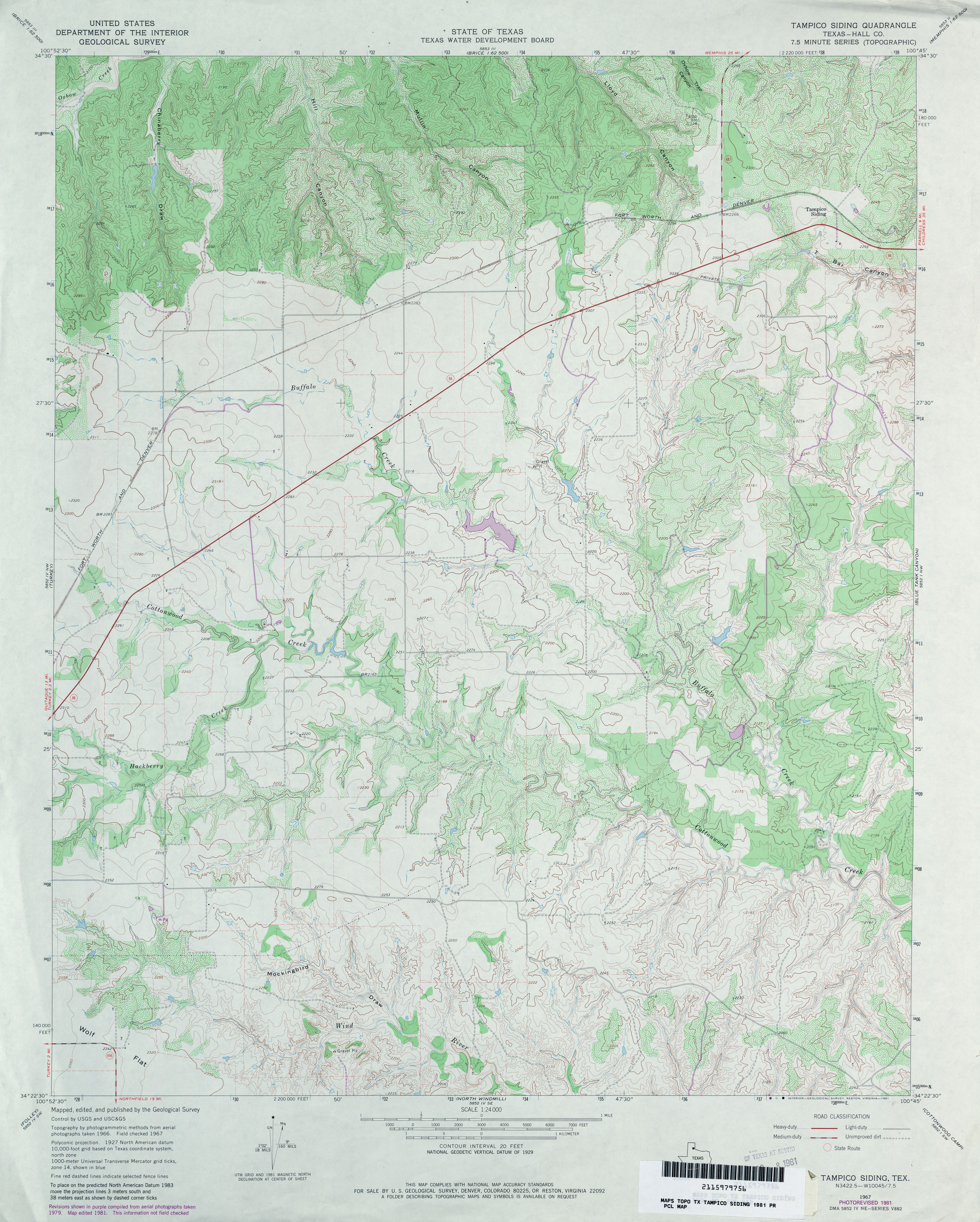
- Tampico Siding (Hall County) 1:24,000 1967 (4.1MB)
- Tampico Siding (Hall County) 1:24,000 1981 (4.2MB)
- Tampico Siding 1:24,000 2009 (17.8MB) [GeoPDF]
- Tampico Siding 1:24,000 2012 (22.9MB) [GeoPDF]
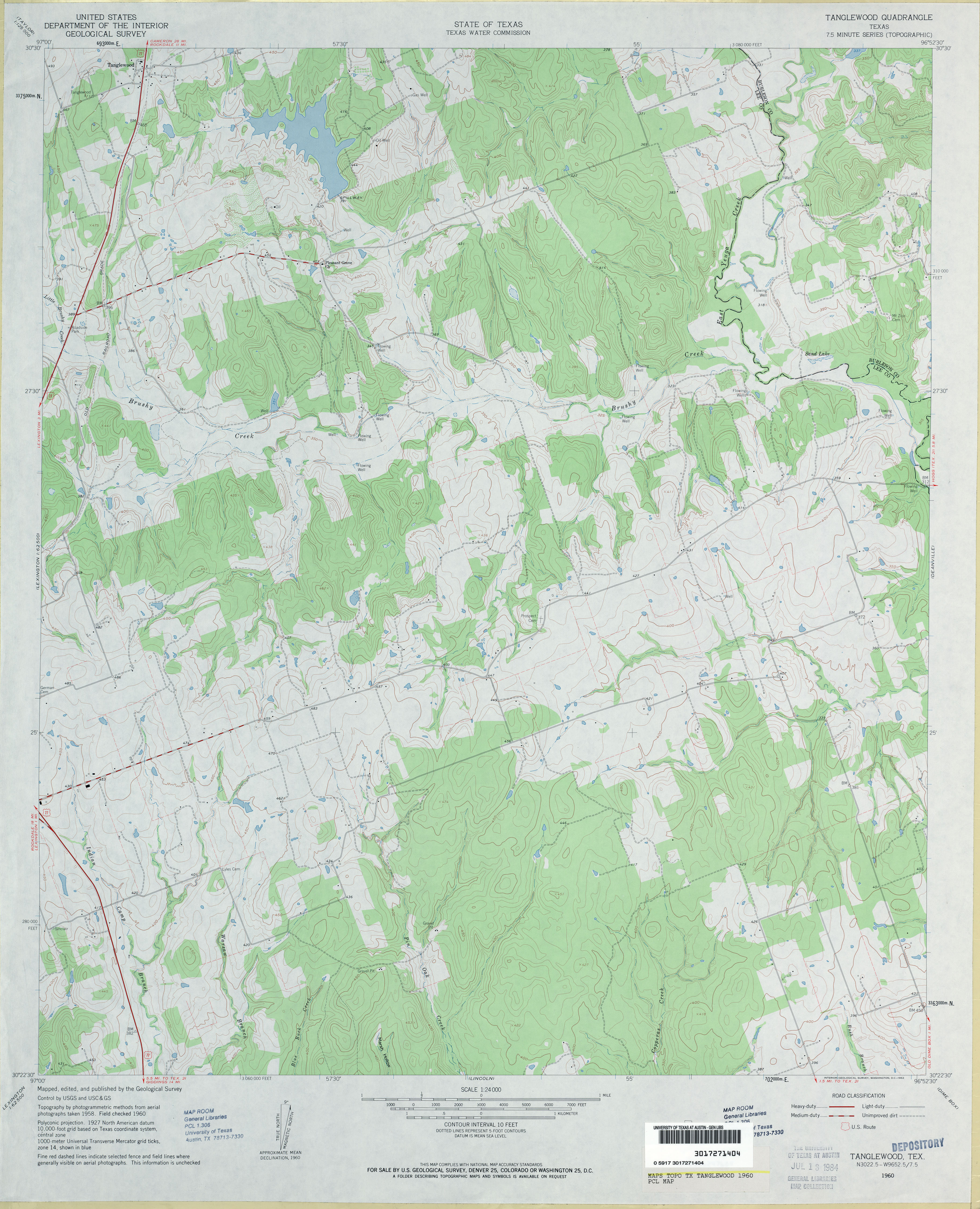
- Tanglewood 1:24,000 1960 (3.5MB)
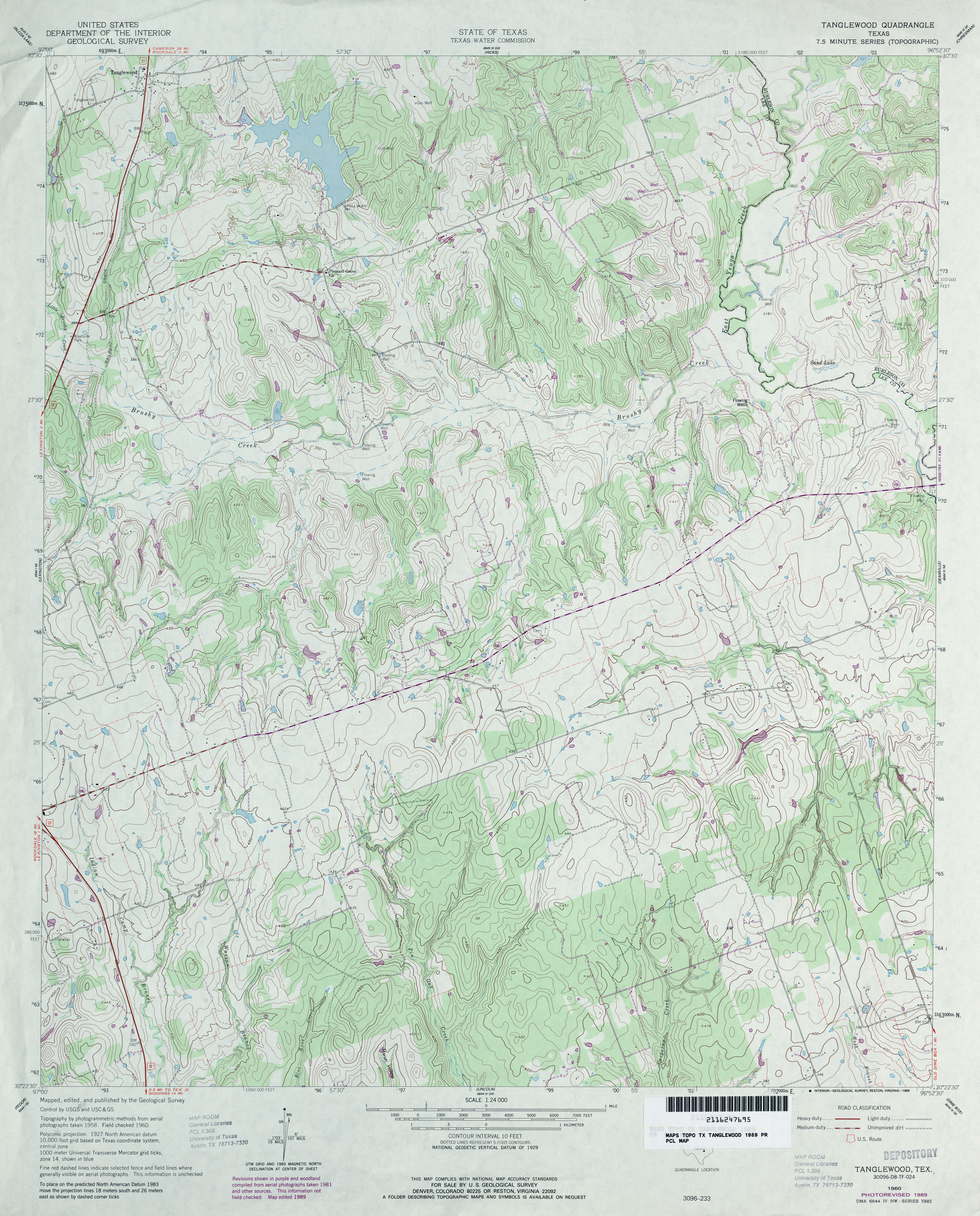
- Tanglewood 1:24,000 1989 (4.2MB)
- Tanglewood 1:24,000 2008 (13.9MB) [GeoPDF]
- Tanglewood 1:24,000 2013 (24.1MB) [GeoPDF]
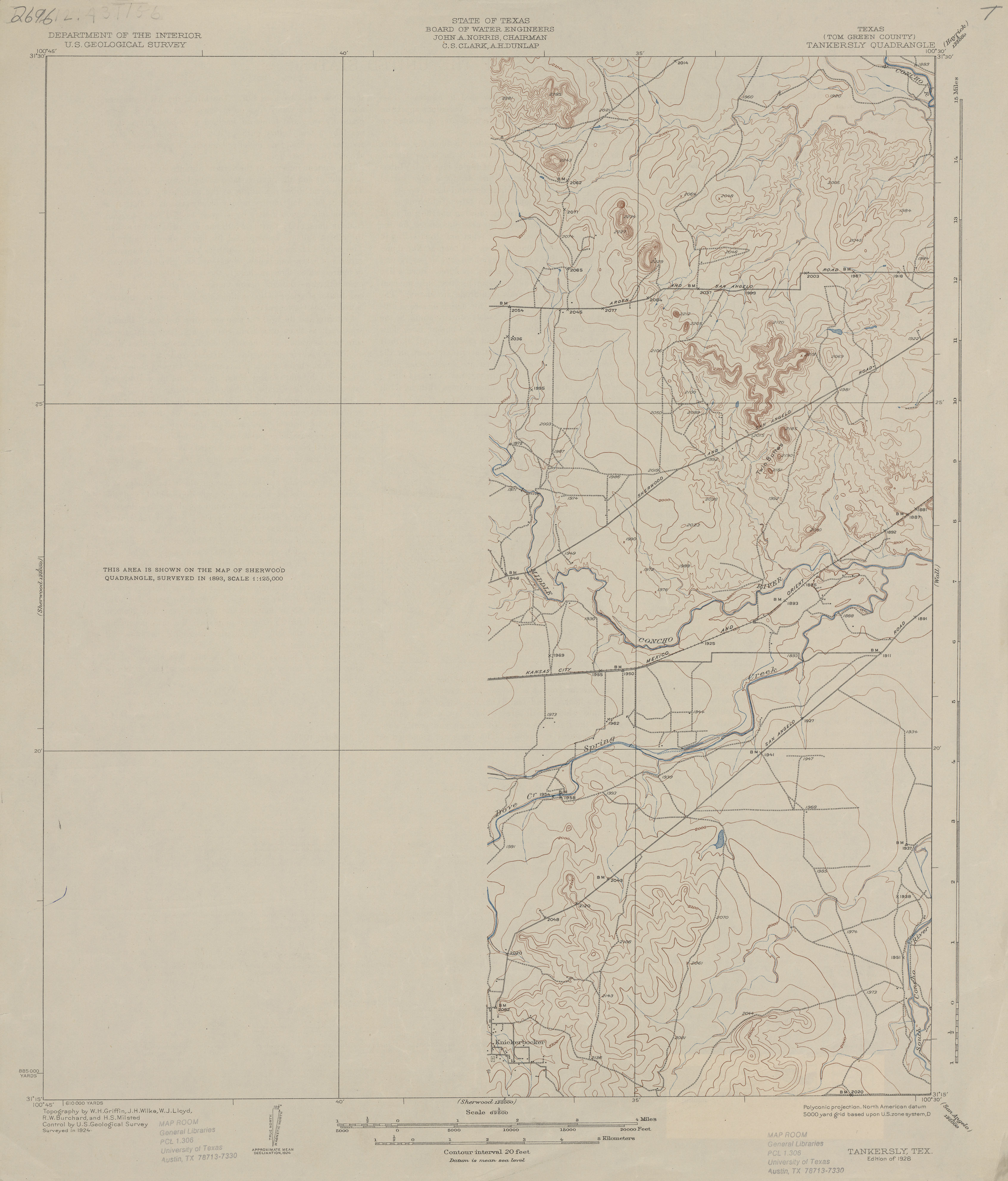
- Tankersly (Tom Green County) 1:62,500 1924 (1.8 MB)
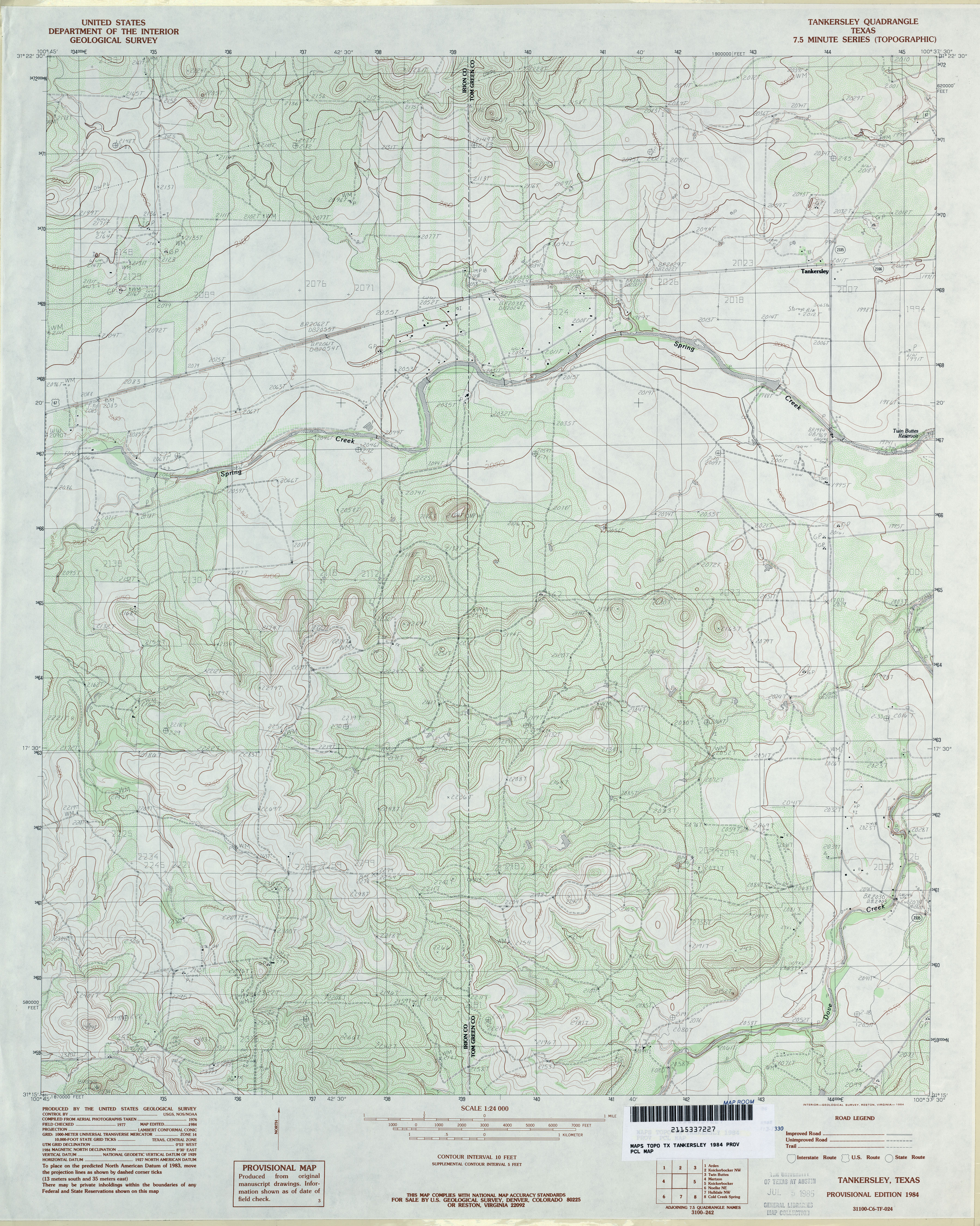
- Tankersley 1:24,000 1984 (4.4MB)
- Tankersley 1:24,000 2008 (21.6MB) [GeoPDF]
- Tankersley 1:24,000 2013 (26.4MB) [GeoPDF]
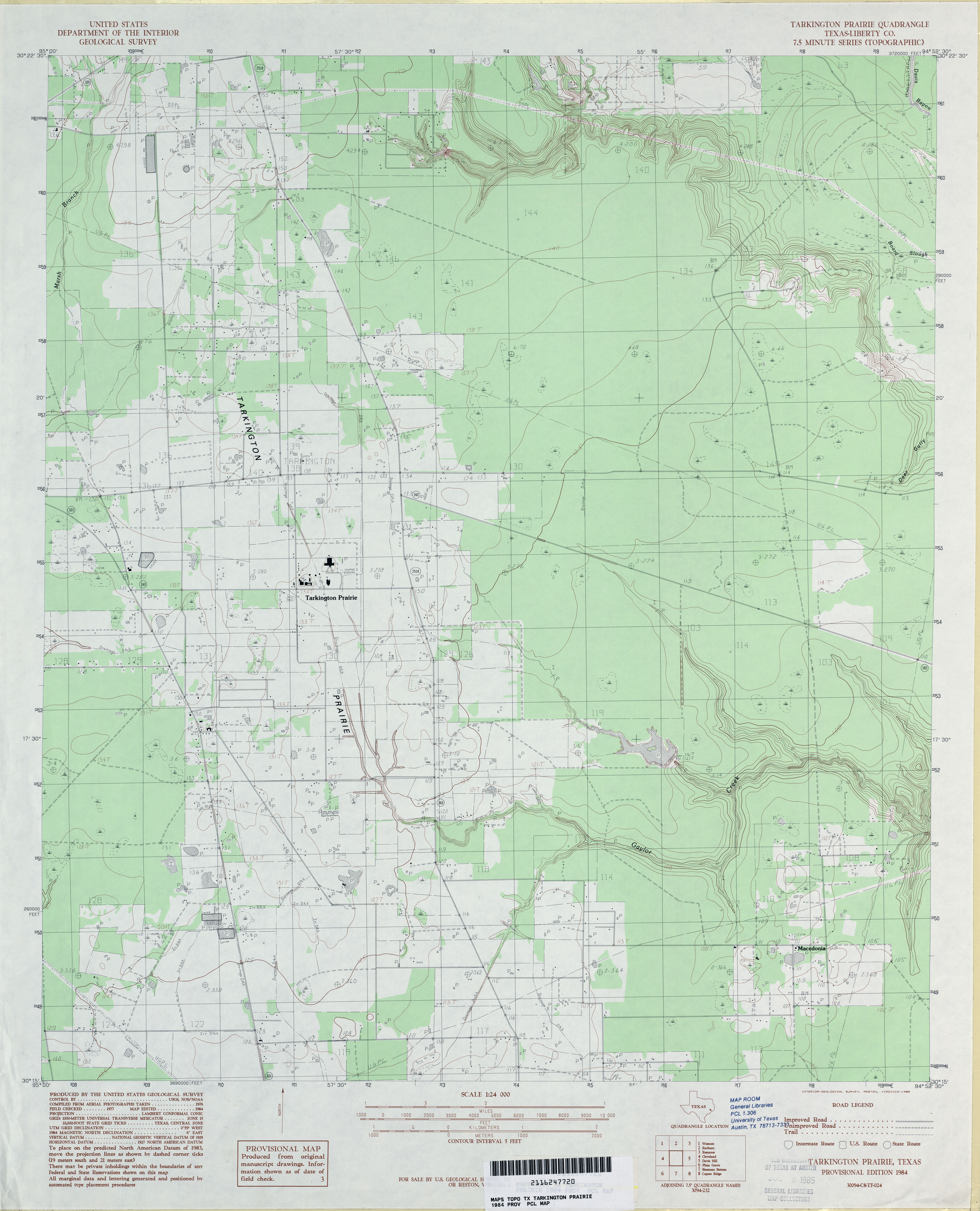
- Tarkington Prairie (Liberty County) 1:24,000 1984 (2.9MB)
- Tarkington Prairie 1:24,000 2009 (21.6MB) [GeoPDF]
- Tarkington Prairie 1:24,000 2013 (20.6MB) [GeoPDF]
- Tarida Ranch 1:62,500 1920 (4.1 MB)
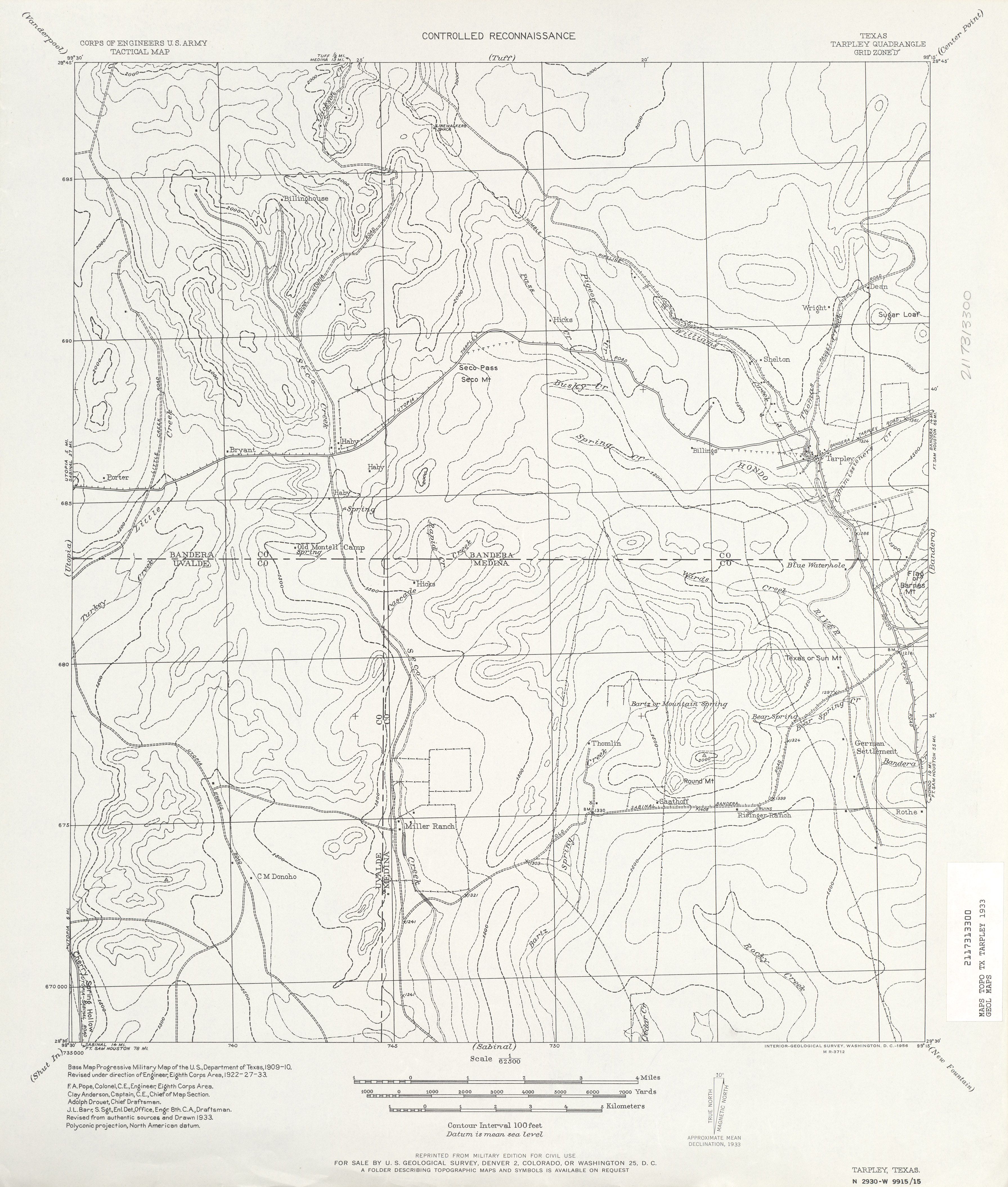
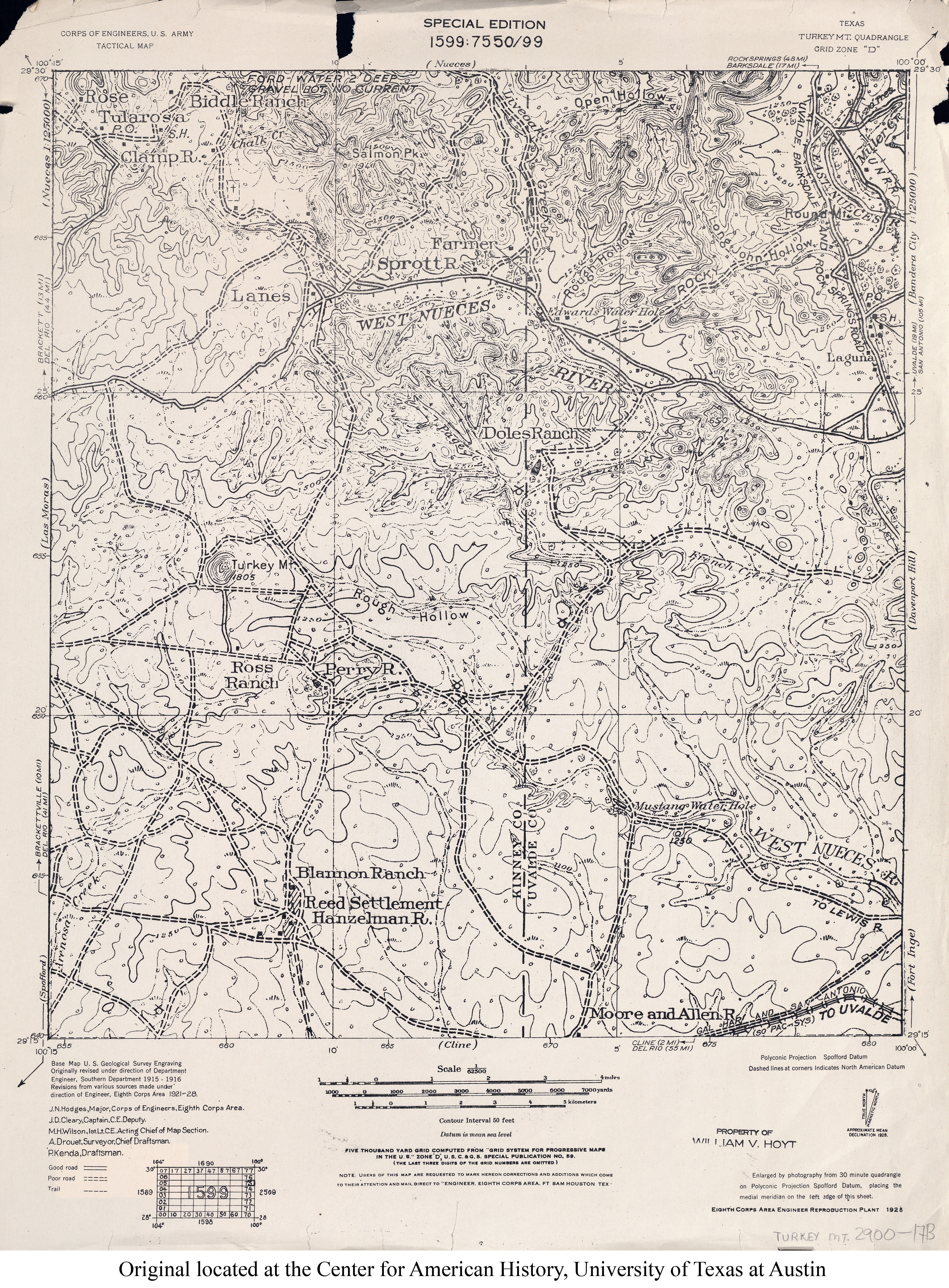
- Tarpley 1:62,500 1933 (3.2 MB) U.S. Army. Corps of Engineers. Tactical Map
- Tarpley 1:24,000 1964 (5.1MB)
- Tarpley 1:24,000 2008 (22.0MB) [GeoPDF]
- Tarpley 1:24,000 2013 (28.6MB) [GeoPDF]
- Tarpley Pass 1:24,000 1964 (5.5MB)
- Tarpley Pass 1:24,000 2008 (22.1MB) [GeoPDF]
- Tarpley Pass 1:24,000 2013 (29.2MB) [GeoPDF]
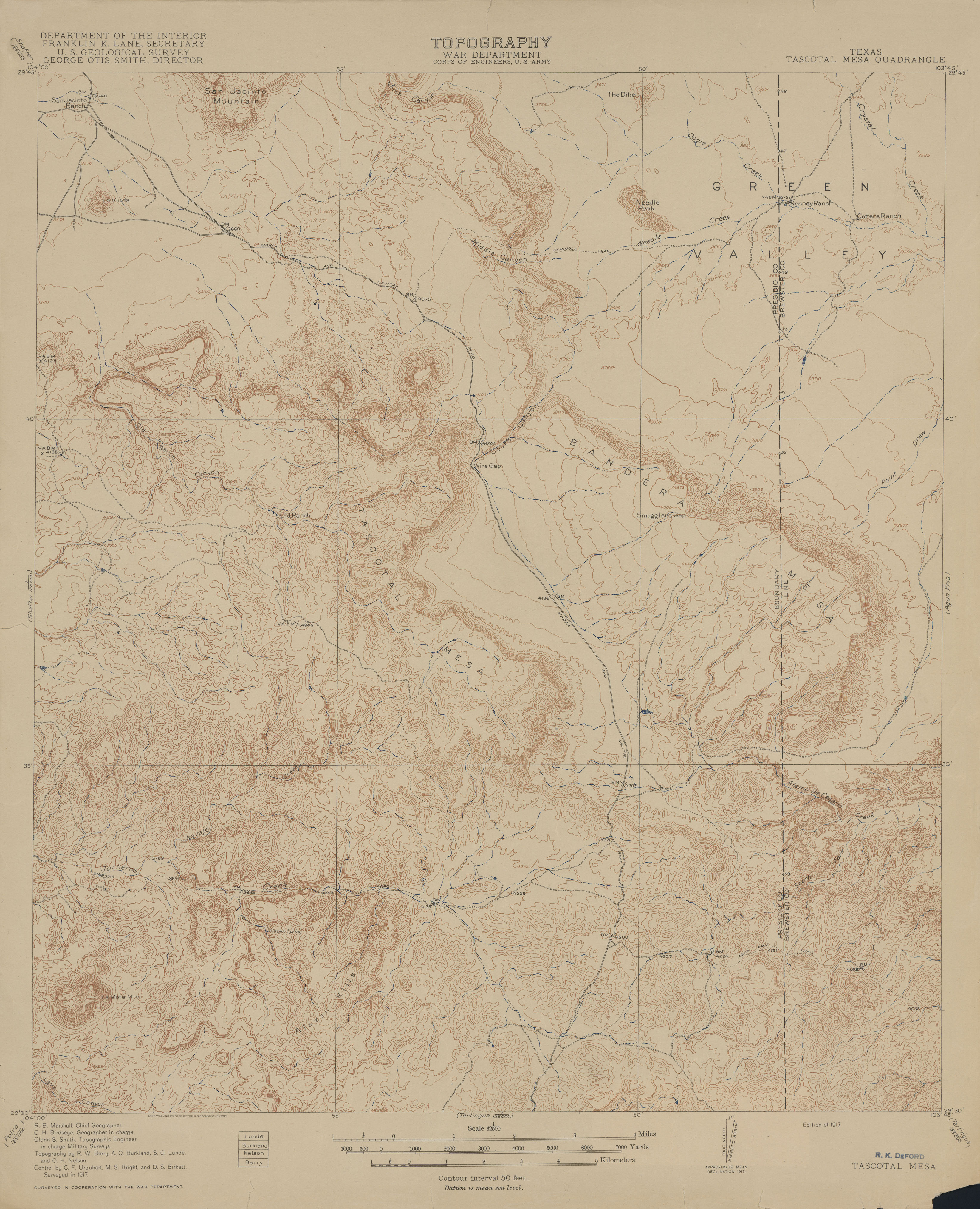
- Tascotal Mesa 1:62,500 1917 (3.0 MB)
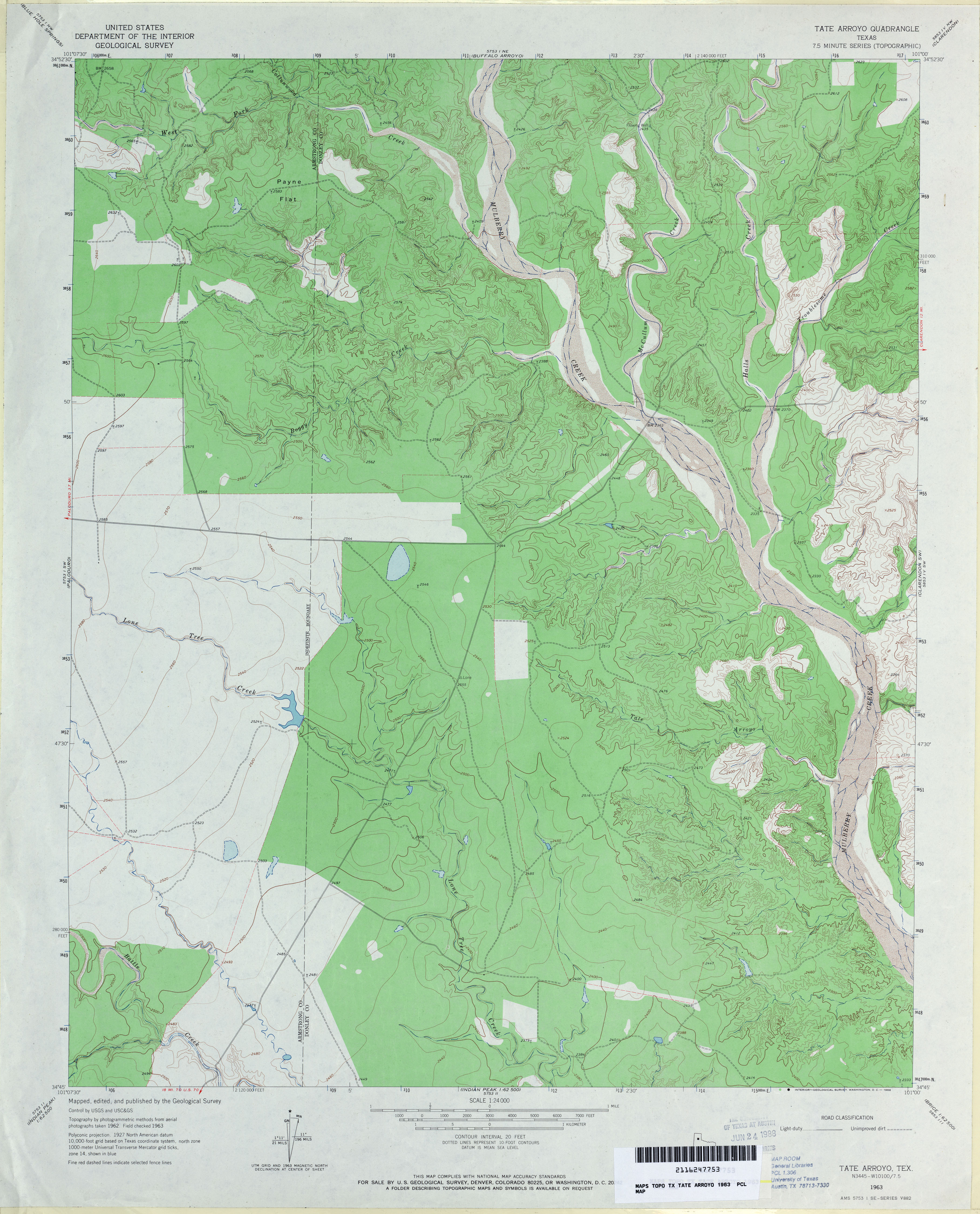
- Tate Arroyo 1:24,000 1963 (3.6MB)
- Tate Arroyo 1:24,000 2008 (18.7MB) [GeoPDF]
- Tate Arroyo 1:24,000 2012 (23.5MB) [GeoPDF]
- Tater Patch Lake 1:24,000 2009 (24.6MB) [GeoPDF]
- Tater Patch Lake 1:24,000 2013 (24.1MB) [GeoPDF]
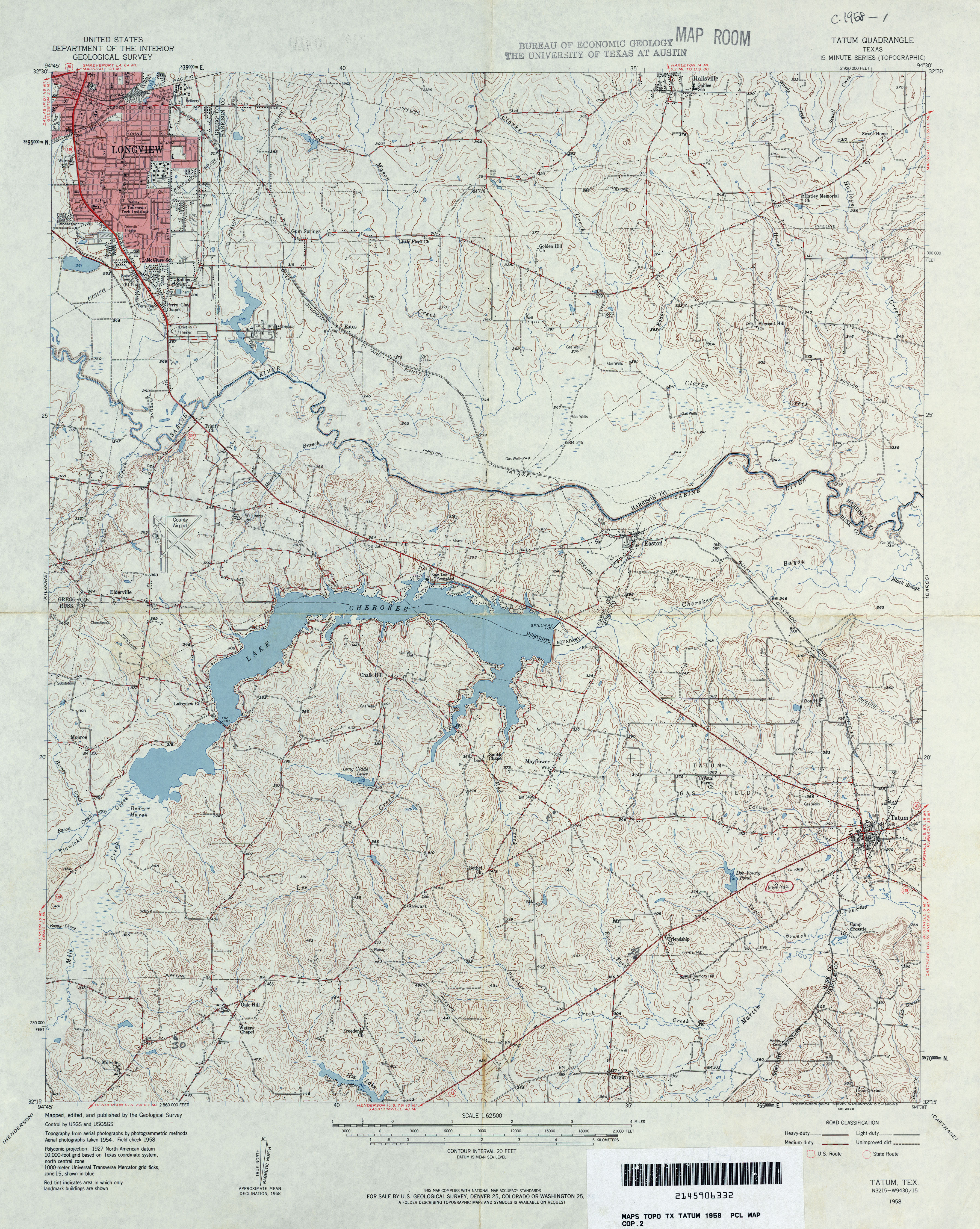
- Tatum 1:62,500 1958 (4.9MB)
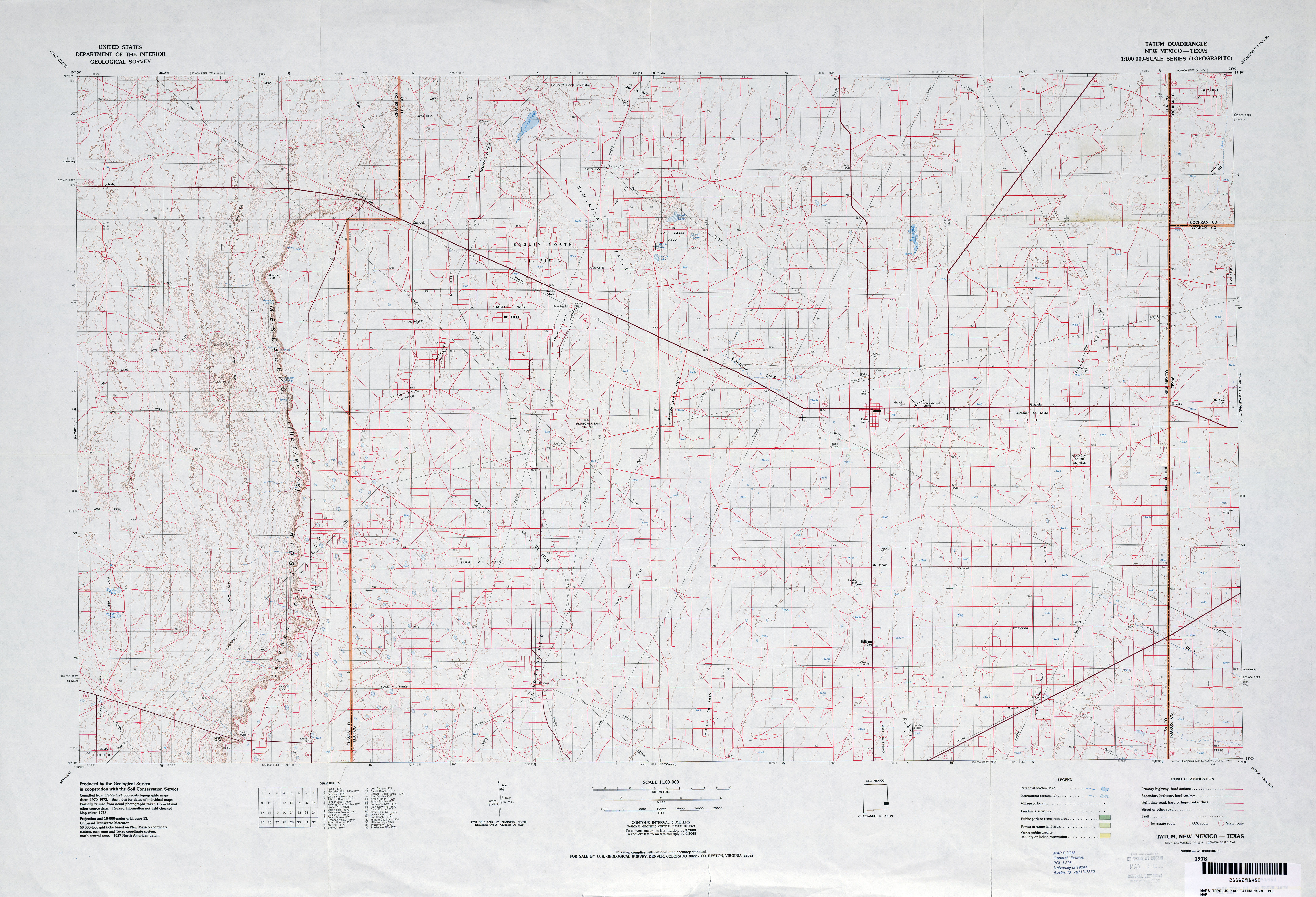
- Tatum 1:100,000 1978 (6.5MB)
- Tatum (New Mexico) 1:24,000 1983 (5.1MB)
- Tatum 1:24,000 2009 (20.3MB) [GeoPDF]
- Tatum 1:24,000 2013 (24.9MB) [GeoPDF]
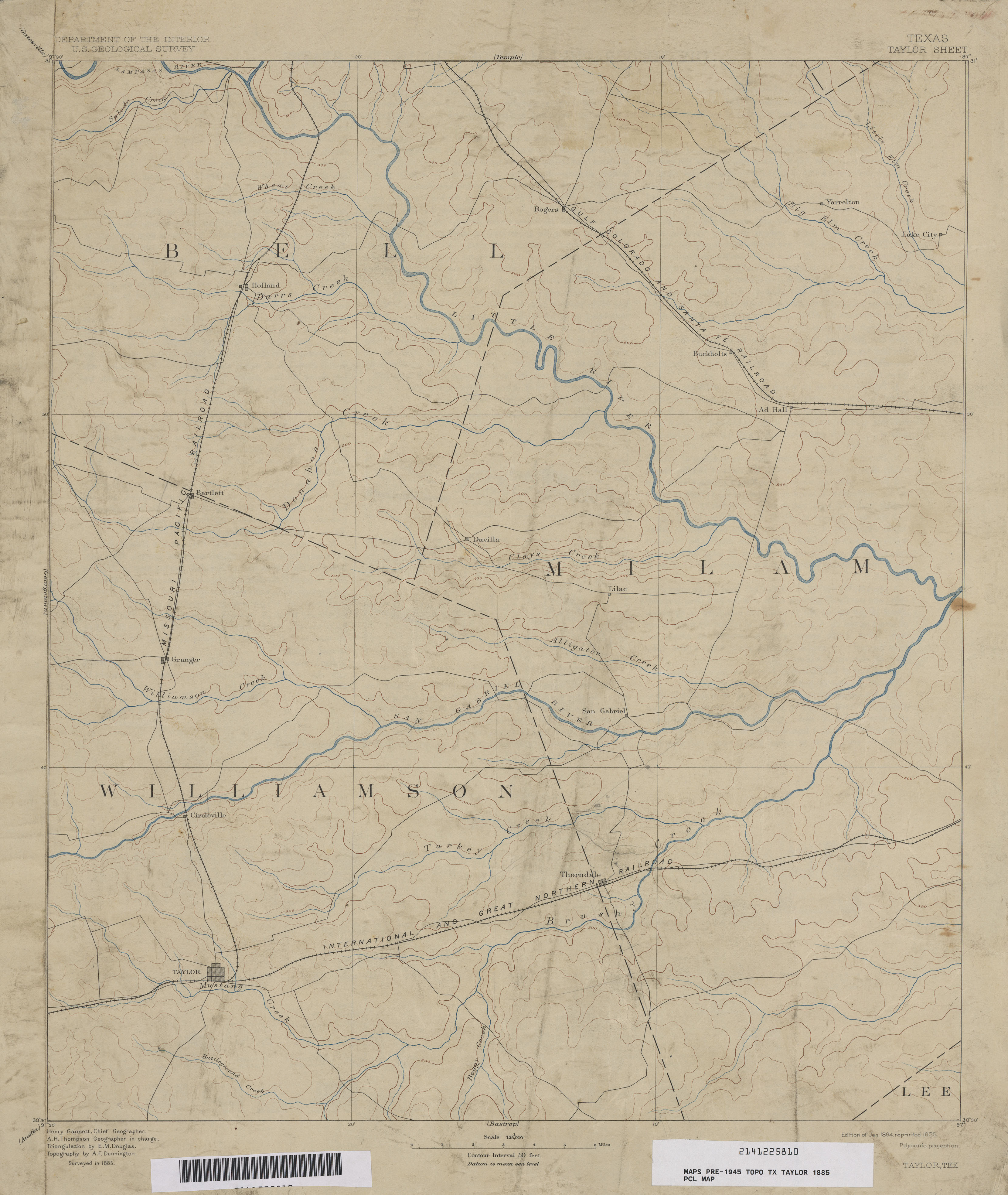
- Taylor 1:125,000 1885 (2.1 MB)
- Taylor (Williamson County) 1:24,000 1964 (3.5MB)
- Taylor 1:50,000 1981 (3.5MB) U.S. Defense Mapping Agency, Edition 1-DMA, Series V782
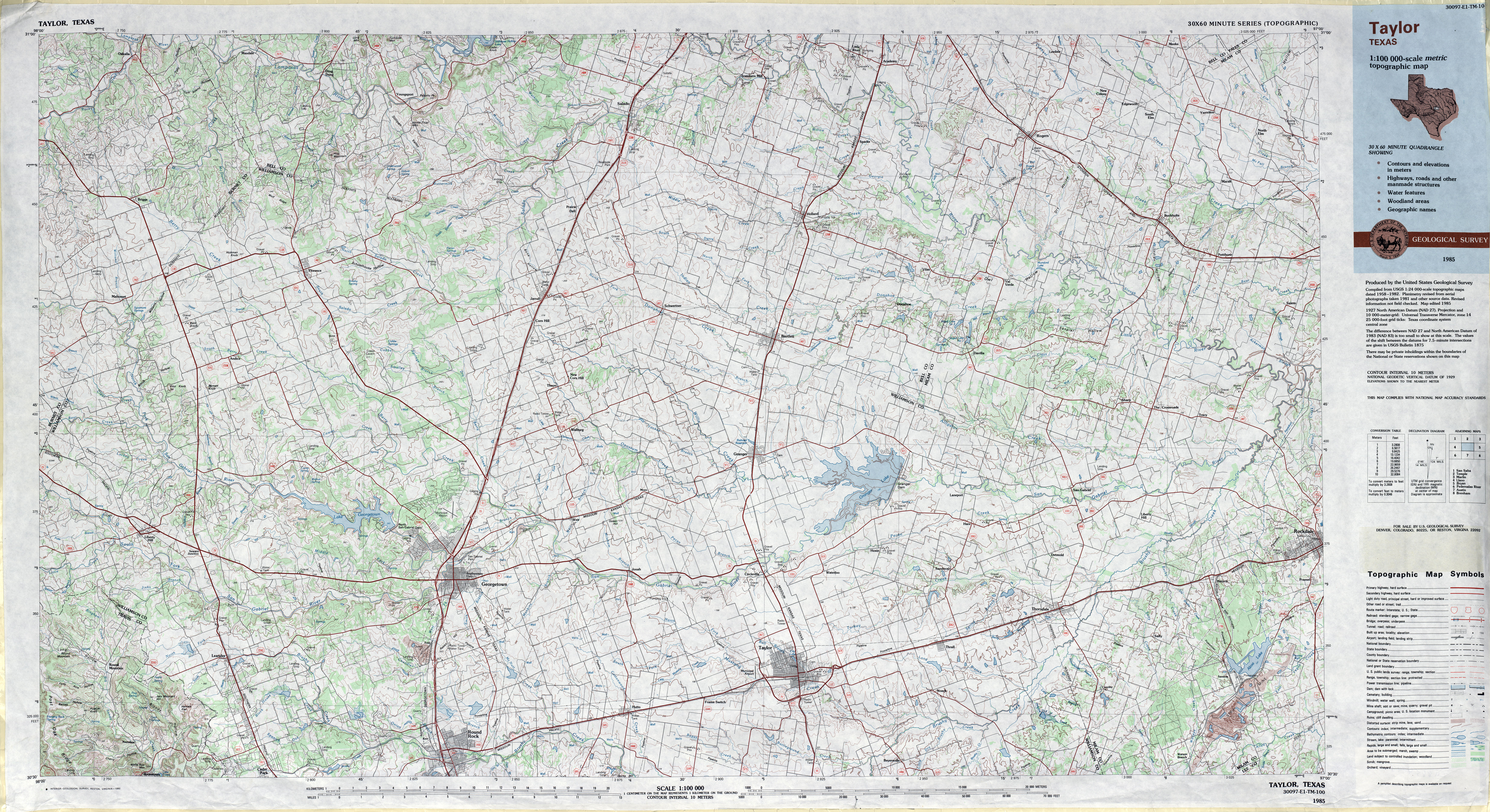
- Taylor 1:100,000 1985 (8.8MB)
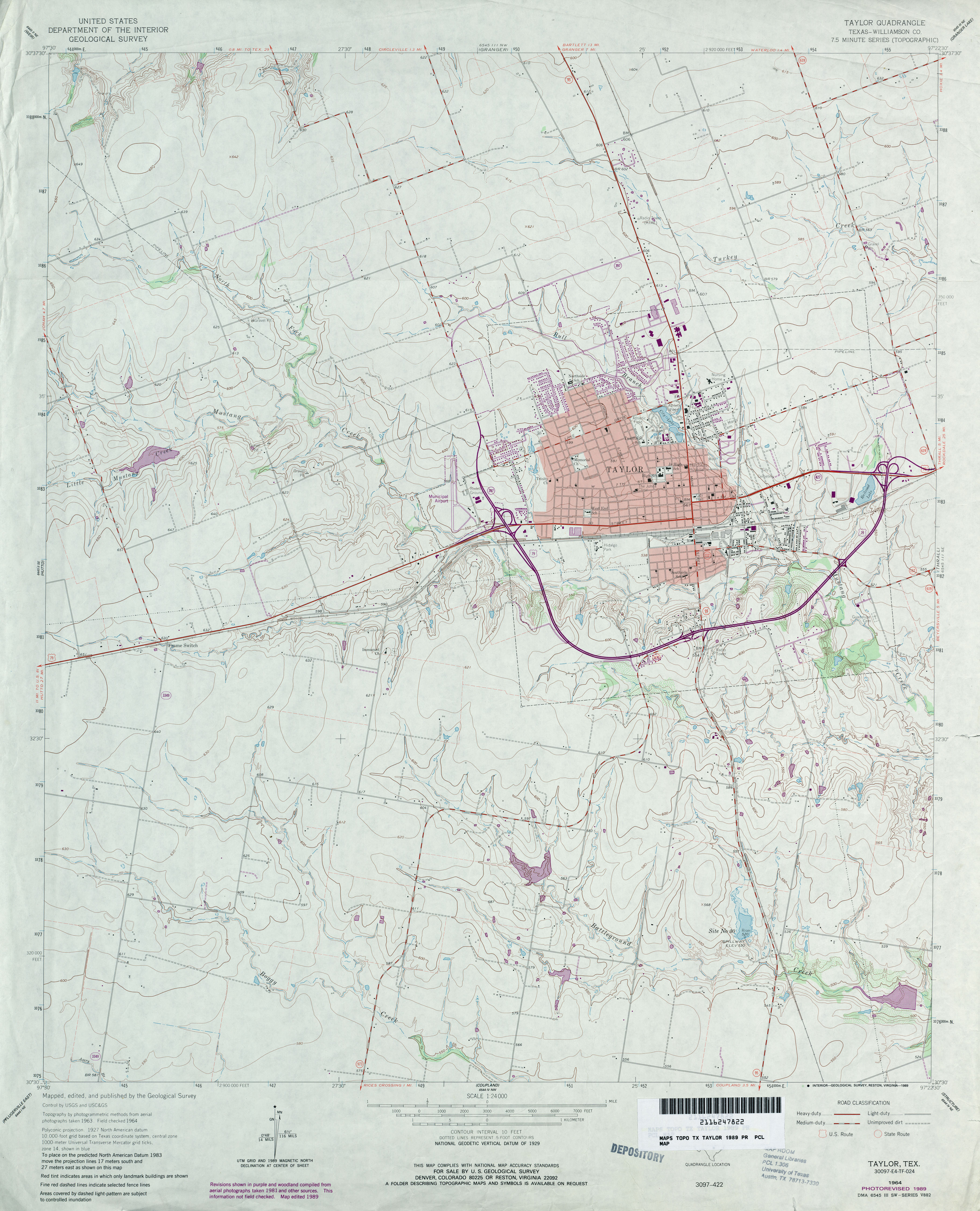
- Taylor (Williamson County) 1:24,000 1989 (3.4MB)
- Taylor [Williamson County] 1:24,000 2008 (10.0MB) [GeoPDF]
- Taylor [Williamson County] 1:24,000 2013 (16.7MB) [GeoPDF]
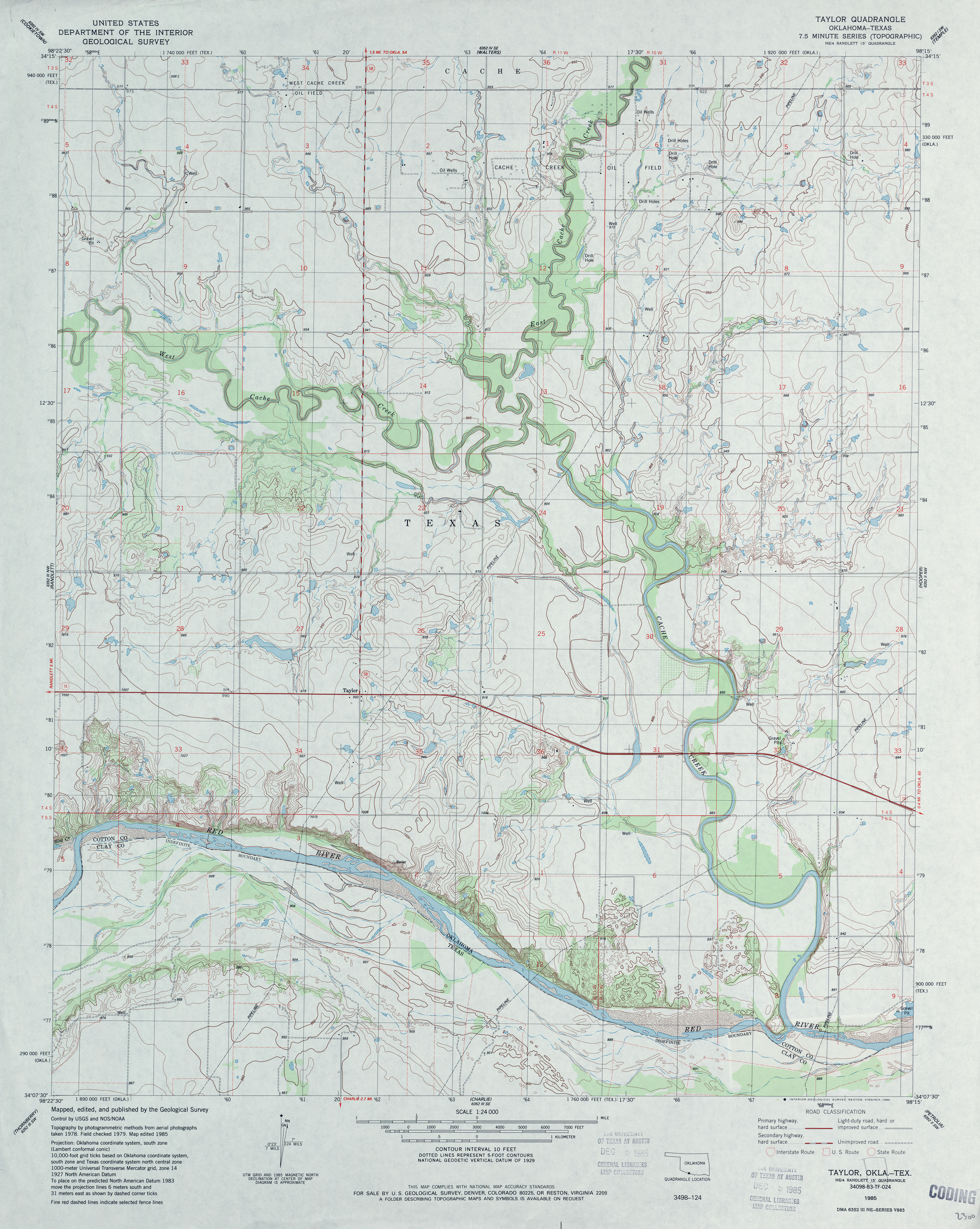
- Taylor [Oklahoma, Texas] 1:24,000 1985 (3.9MB)
- Taylor [Oklahoma, Texas] 1:24,000 2008 (16.2MB) [GeoPDF]
- Taylor [Oklahoma, Texas] 1:24,000 2012 (18.8MB) [GeoPDF]
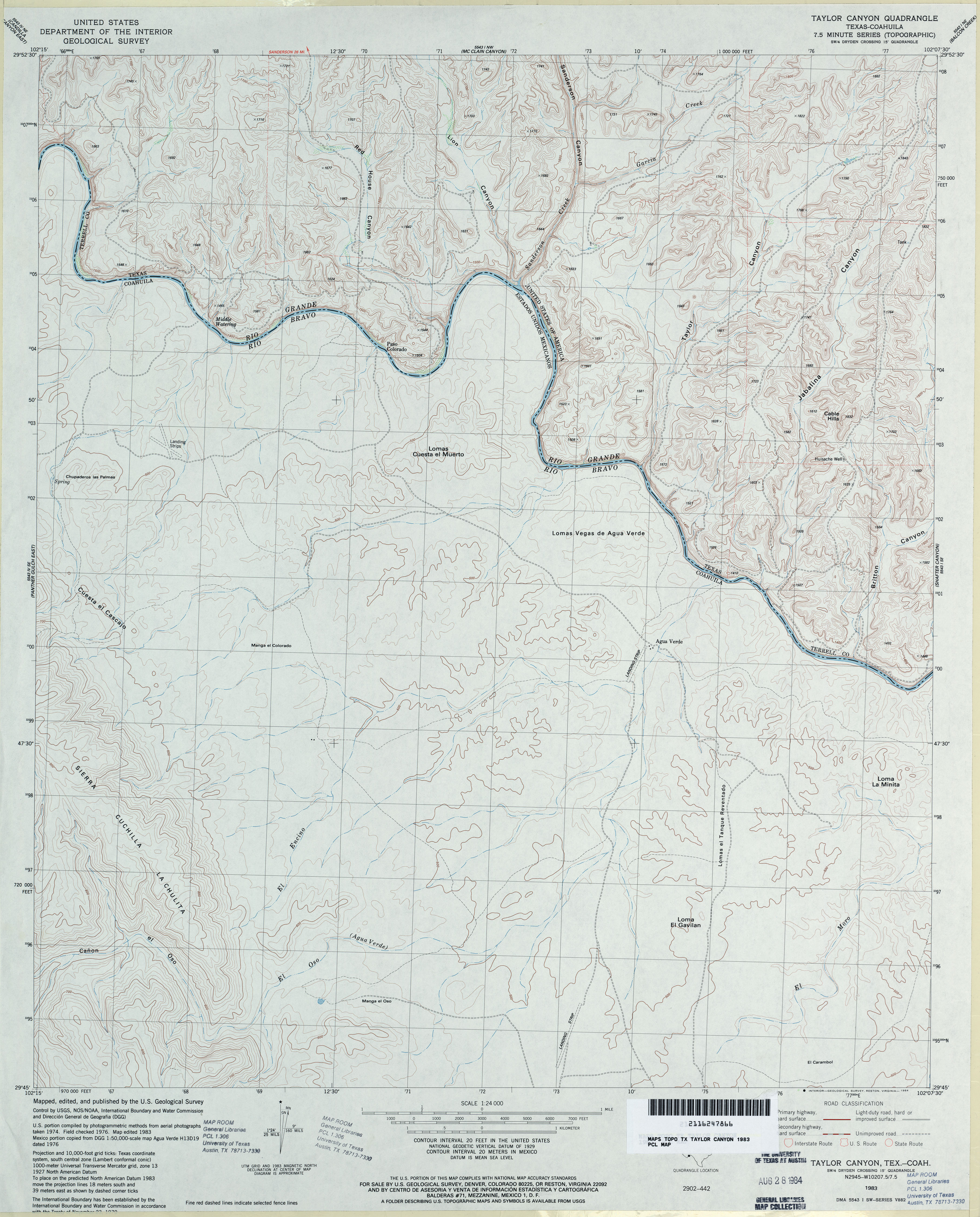
- Taylor Canyon 1:24,000 1983 (3.8MB)
- Taylor Canyon 1:24,000 2008 (20.7MB) [GeoPDF]
- Taylor Canyon 1:24,000 2013 (23.3MB) [GeoPDF]
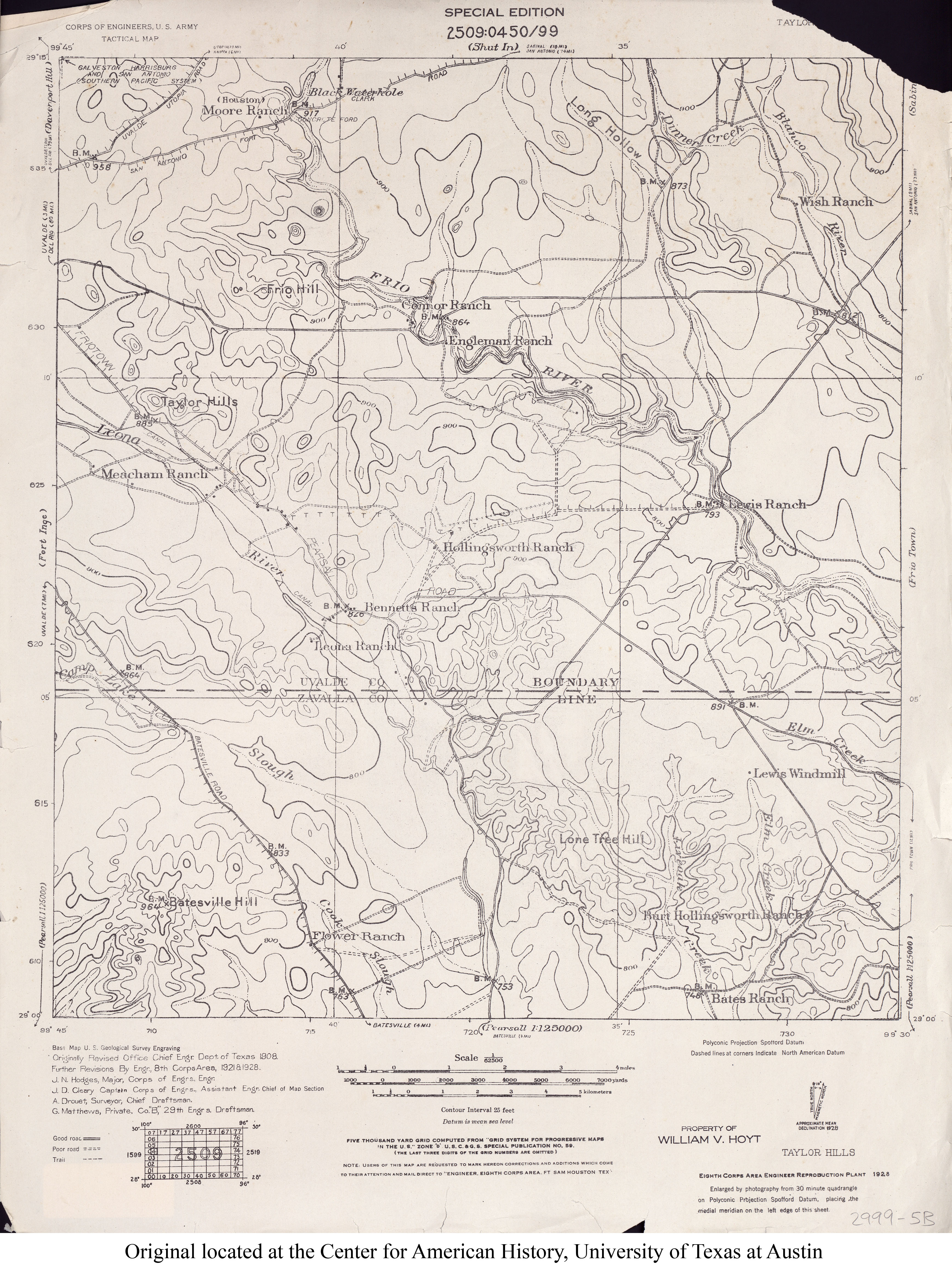
- Taylor Hills 1:62,500 1928 (3.2MB) U.S. Army. Corps of Engineers. Tactical Map
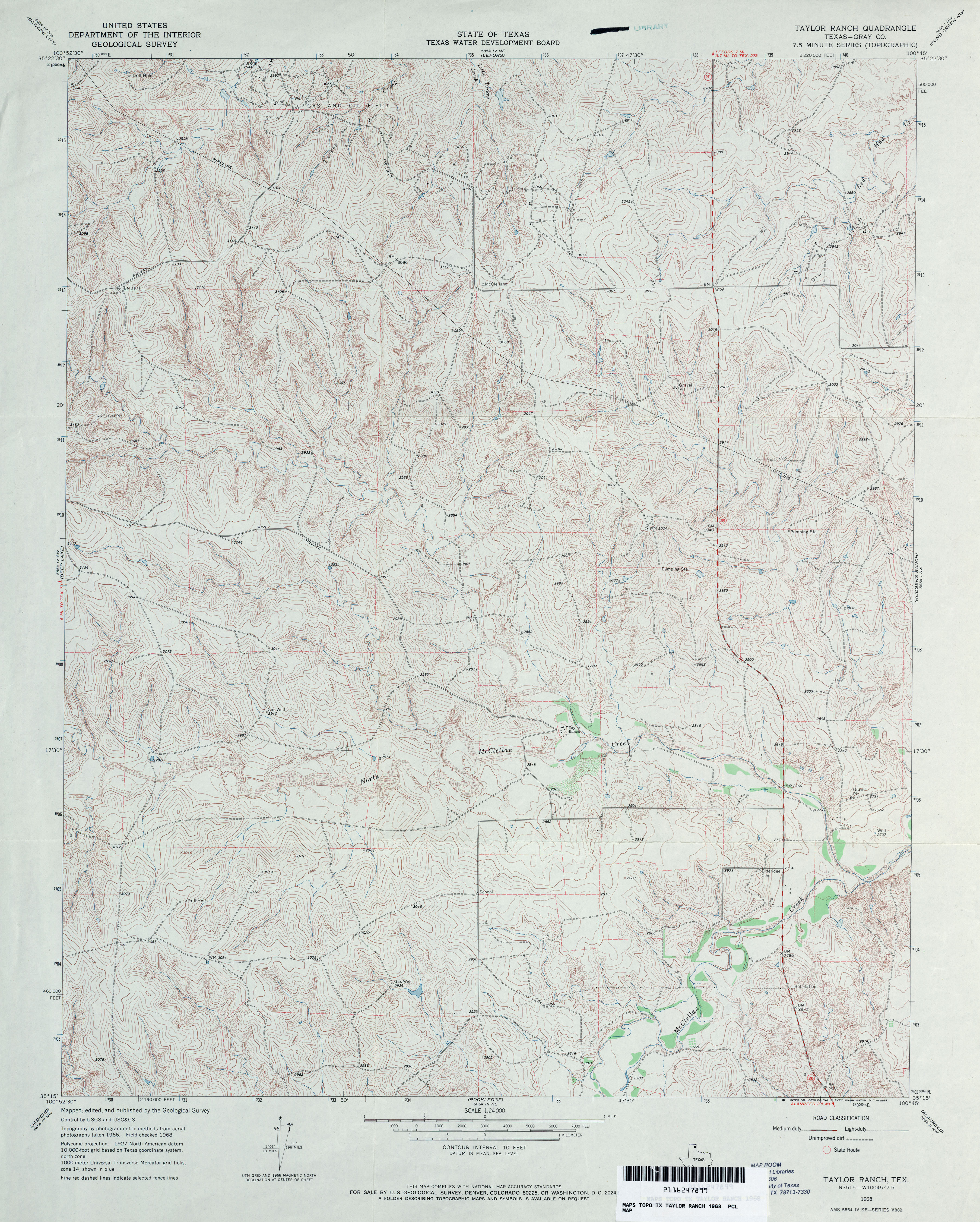
- Taylor Ranch (Gray County) 1:24,000 1968 (4.6MB)
- Taylor Ranch 1:24,000 2008 (12.3MB) [GeoPDF]
- Taylor Ranch 1:24,000 2012 (18.9MB) [GeoPDF]
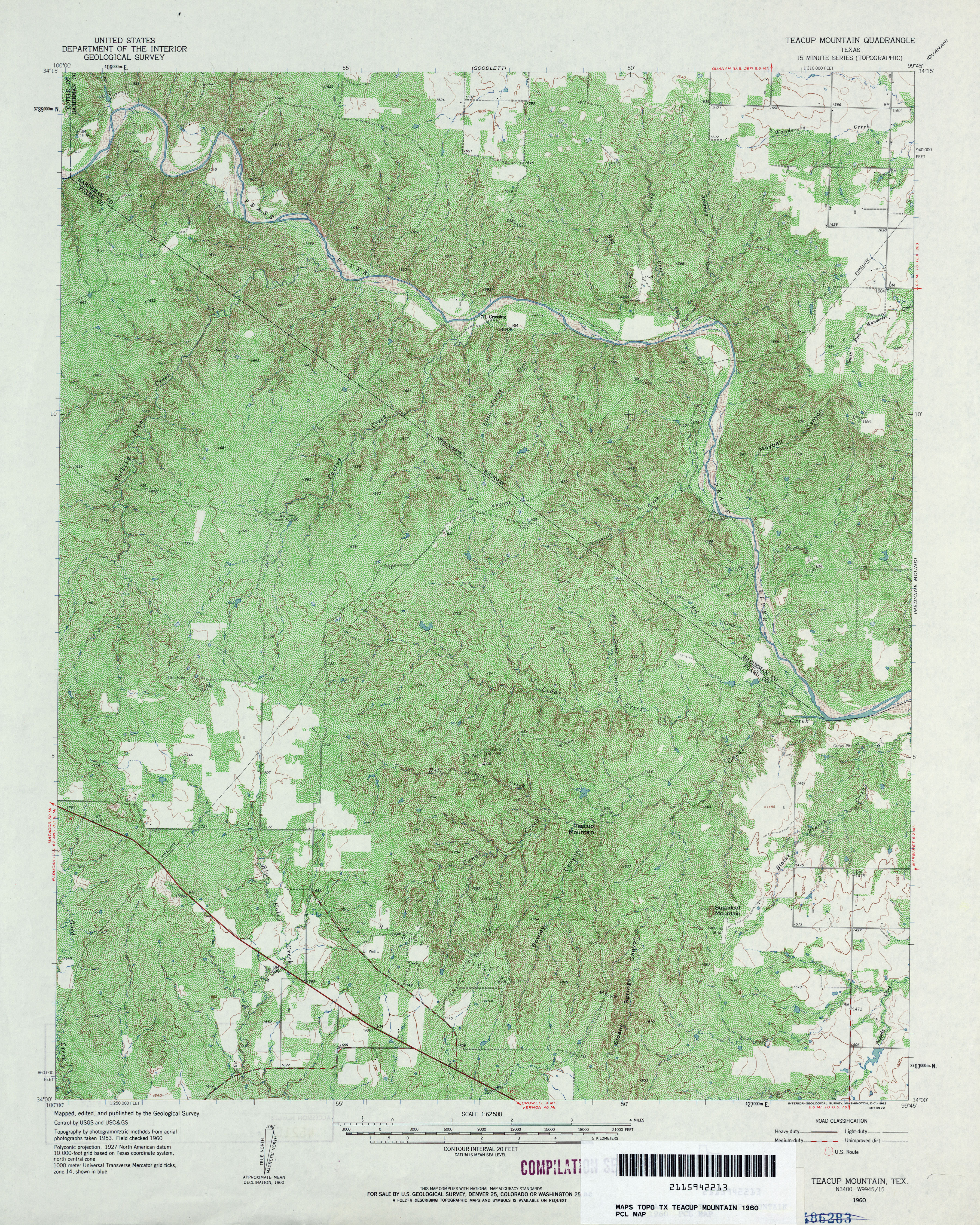
- Teacup Mountain 1:62,500 1960 (6.8MB)
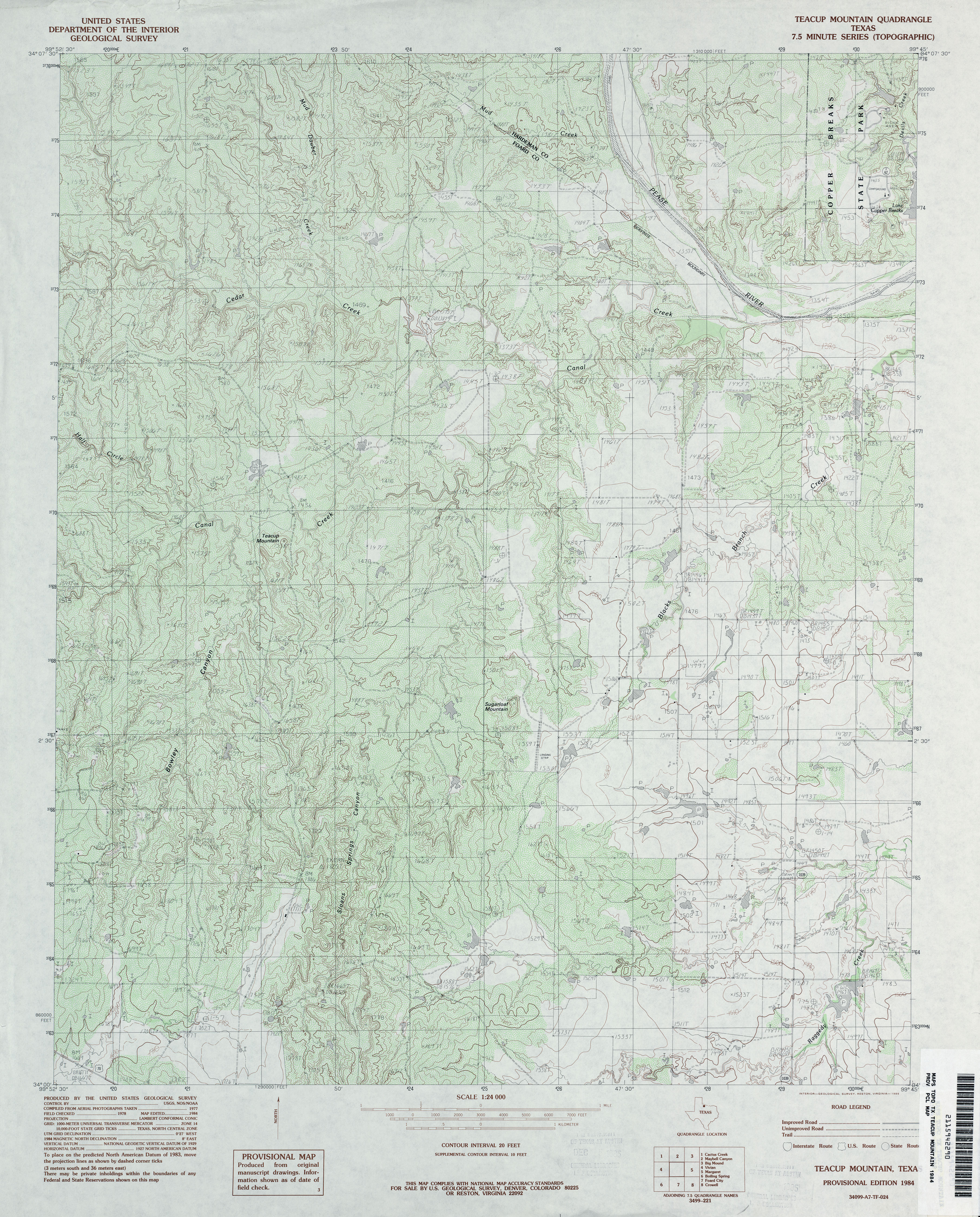
- Teacup Mountain 1:24,000 1984 (4.7MB)
- Teacup Mountain 1:24,000 1990 (4.9MB)
- Teacup Mountain 1:24,000 2008 (19.3MB) [GeoPDF]
- Teacup Mountain 1:24,000 2012 (27.5MB) [GeoPDF]
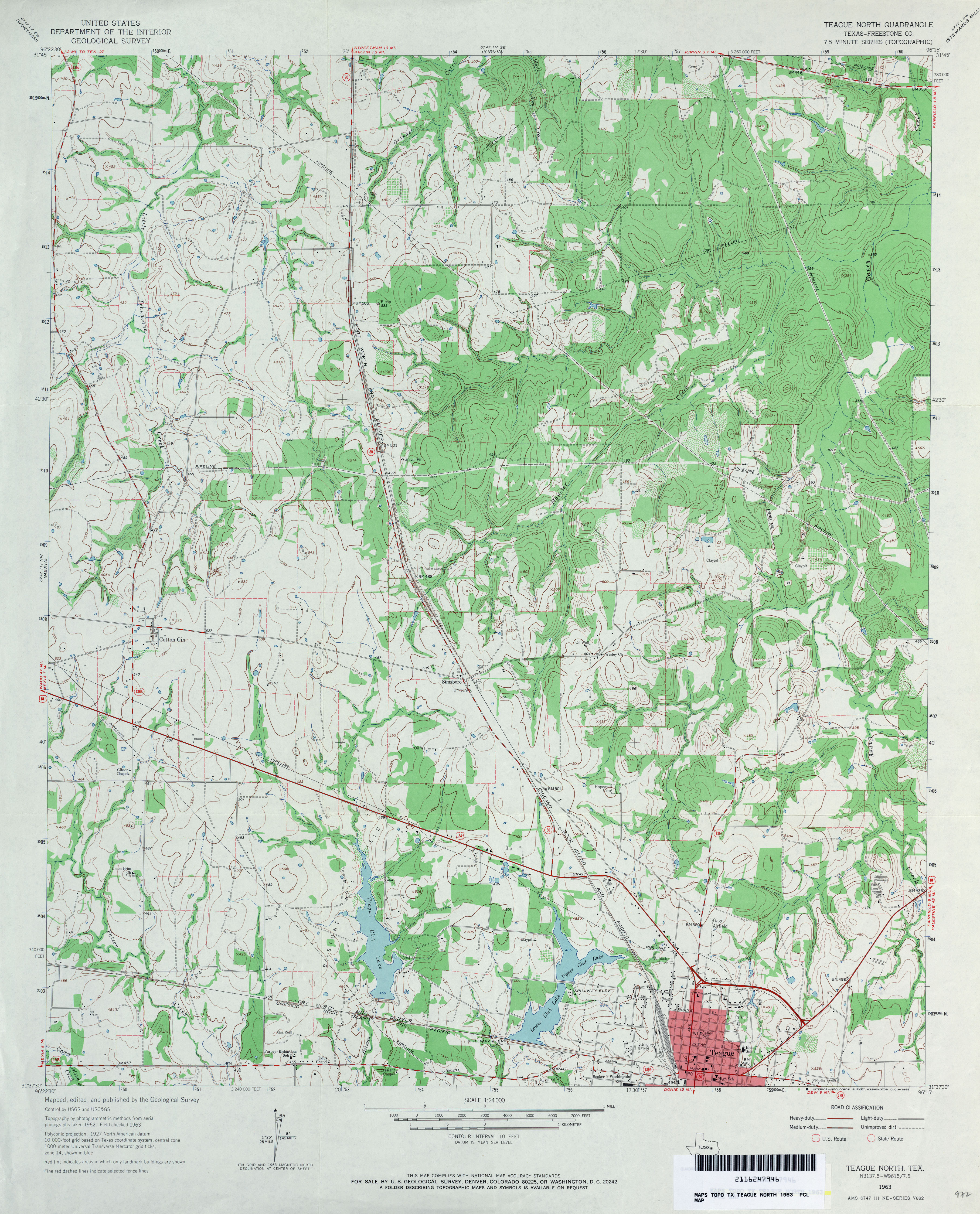
- Teague North (Freestone County) 1:24,000 1963 (4.2MB)
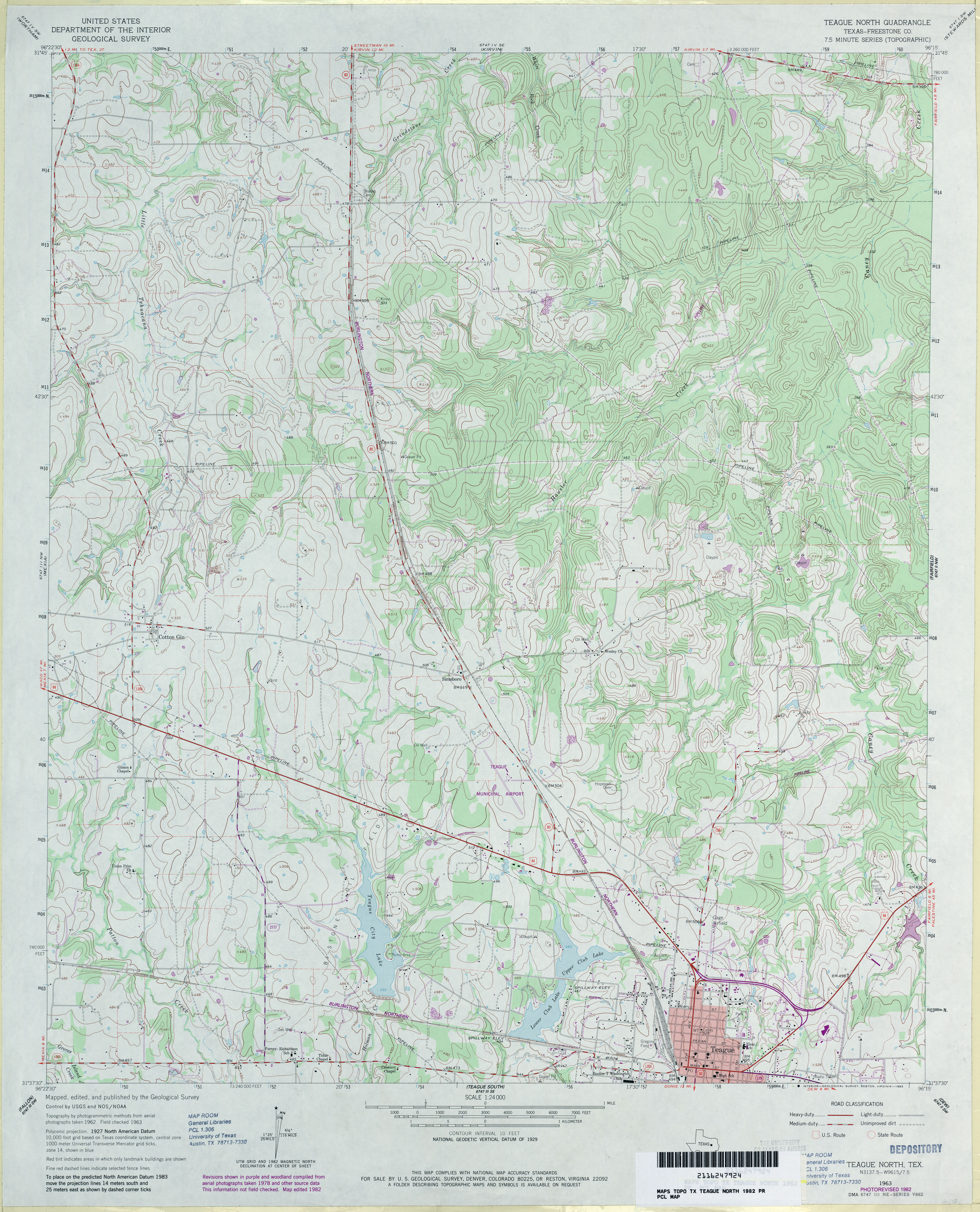
- Teague North (Freestone County) 1:24,000 1982 (4.2MB)
- Teague North 1:24,000 2008 (19.0MB) [GeoPDF]
- Teague North 1:24,000 2013 (23.1MB) [GeoPDF]
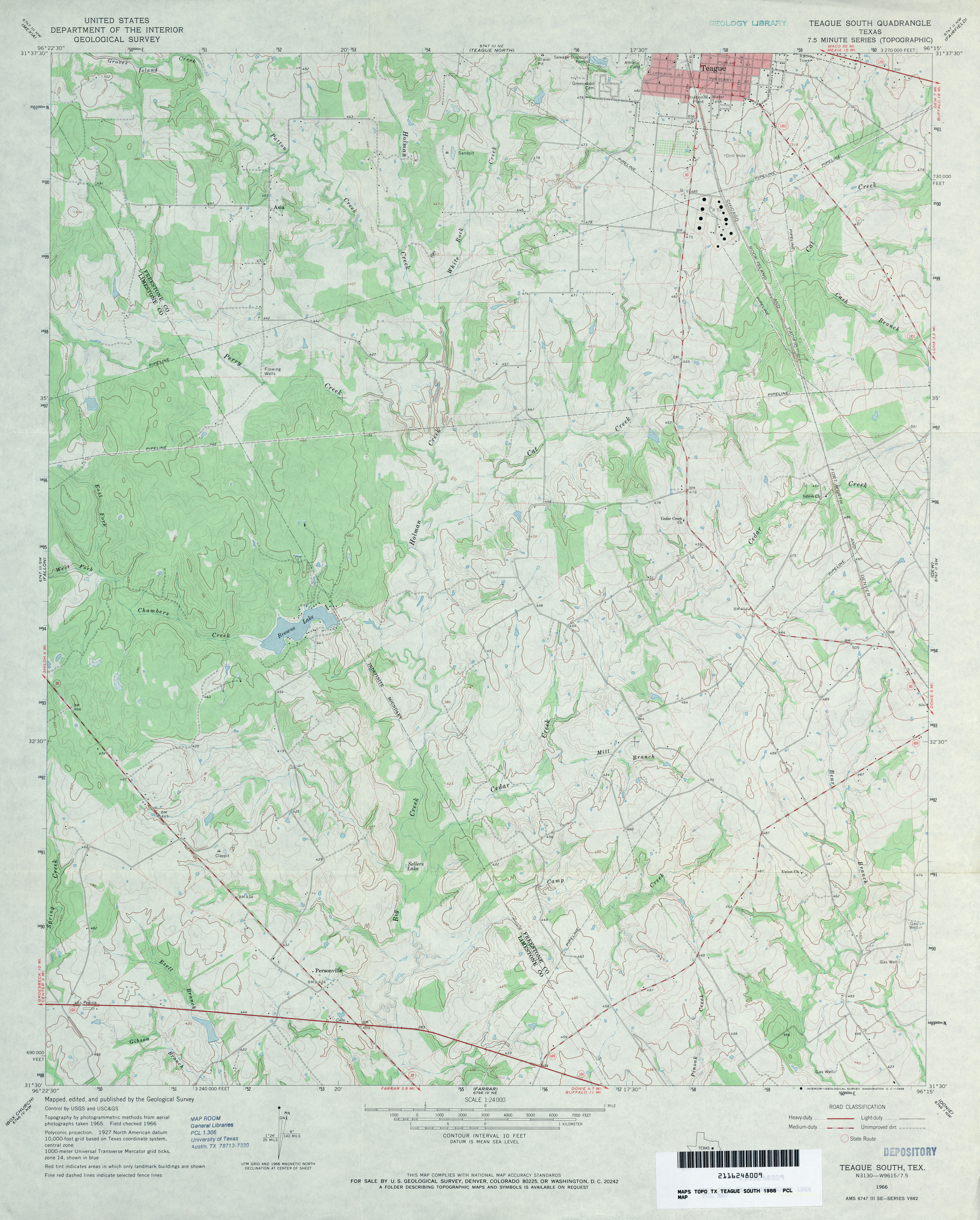
- Teague South 1:24,000 1966 (3.6MB)
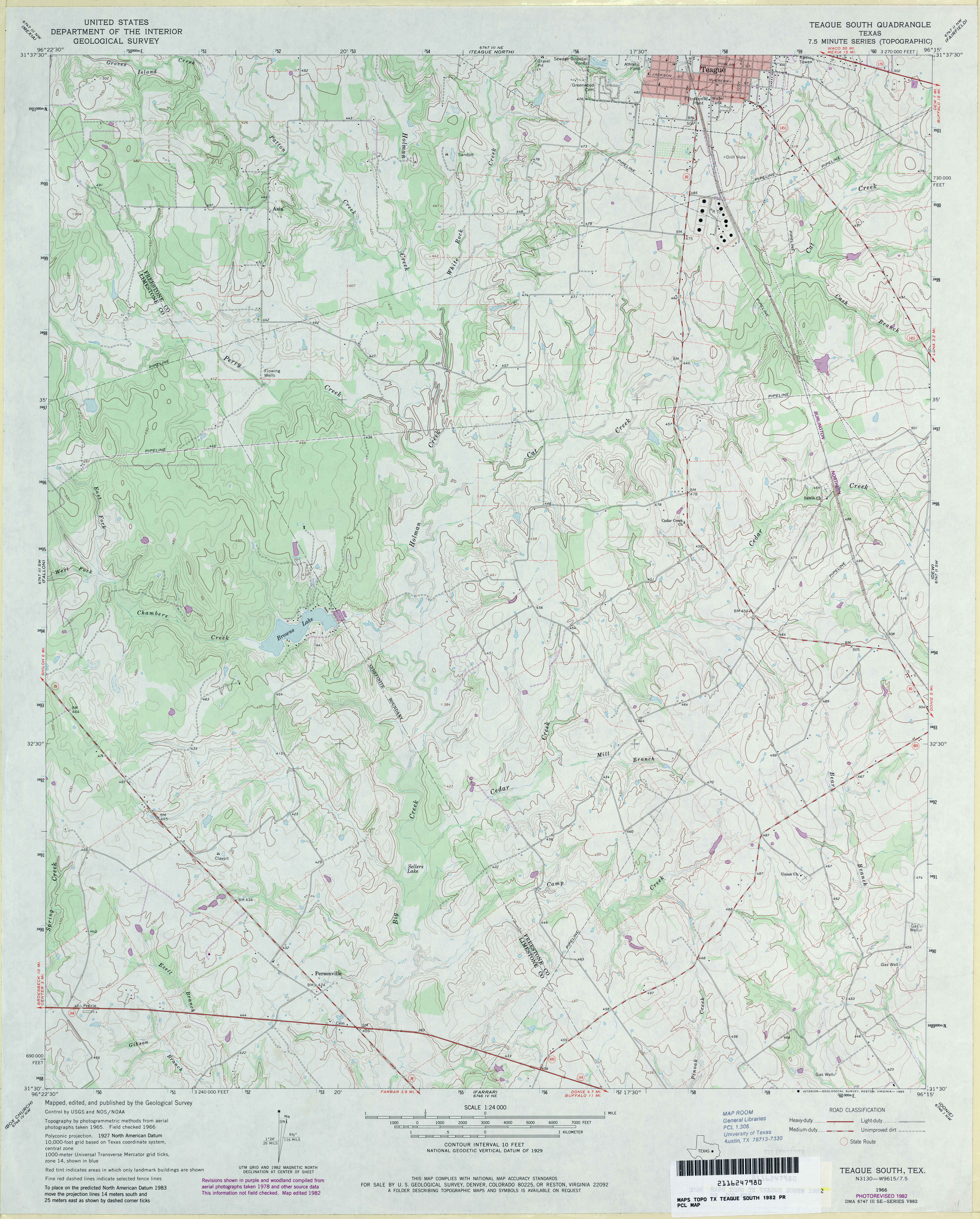
- Teague South 1:24,000 1982 (3.8MB)
- Teague South 1:24,000 2008 (18.0MB) [GeoPDF]
- Teague South 1:24,000 2013 (23.1MB) [GeoPDF]
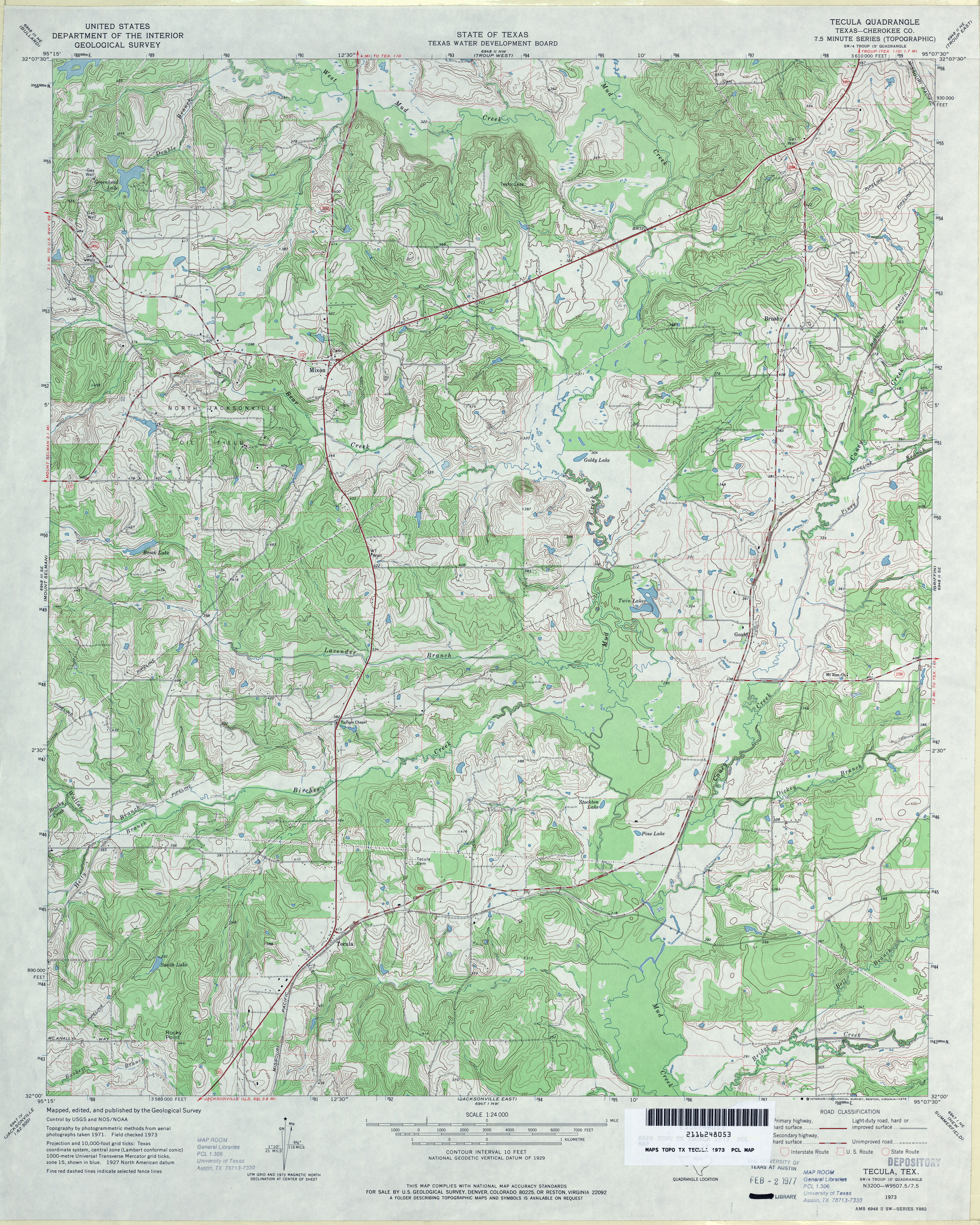
- Tecula (Cherokee County) 1:24,000 1973 (5MB)
- Tecula 1:24,000 2009 (21.1MB) [GeoPDF]
- Tecula 1:24,000 2012 (24.6MB) [GeoPDF]
- Tee Pee City 1:24,000 1966 (5.9MB)
- Tee Pee City 1:24,000 1981 (5.5MB)
- Tee Pee City 1:24,000 2008 (17.5MB) [GeoPDF]
- Tee Pee City 1:24,000 2012 (23.5MB) [GeoPDF]
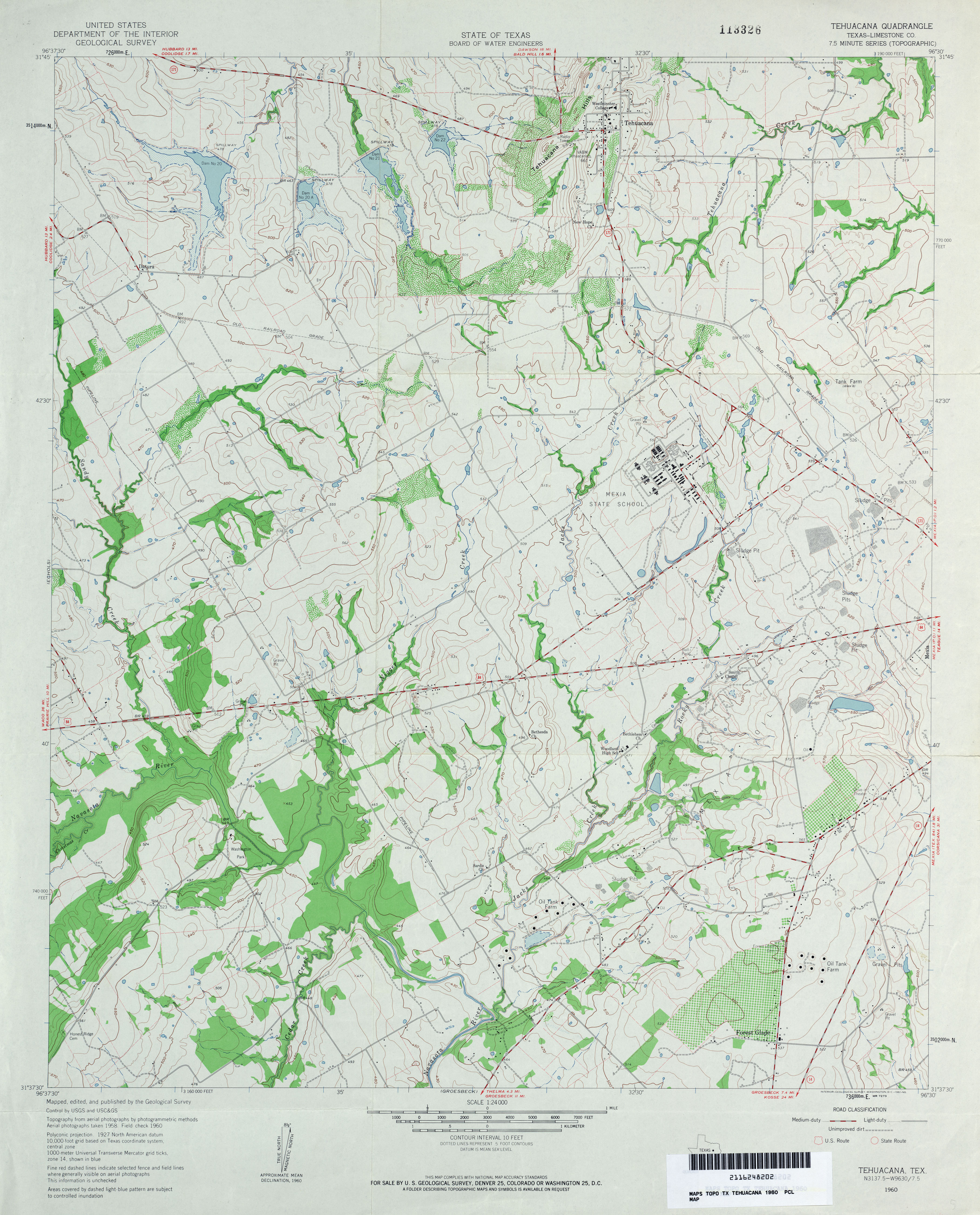
- Tehuacana (Limestone County) 1:24,000 1960 (3.7MB)
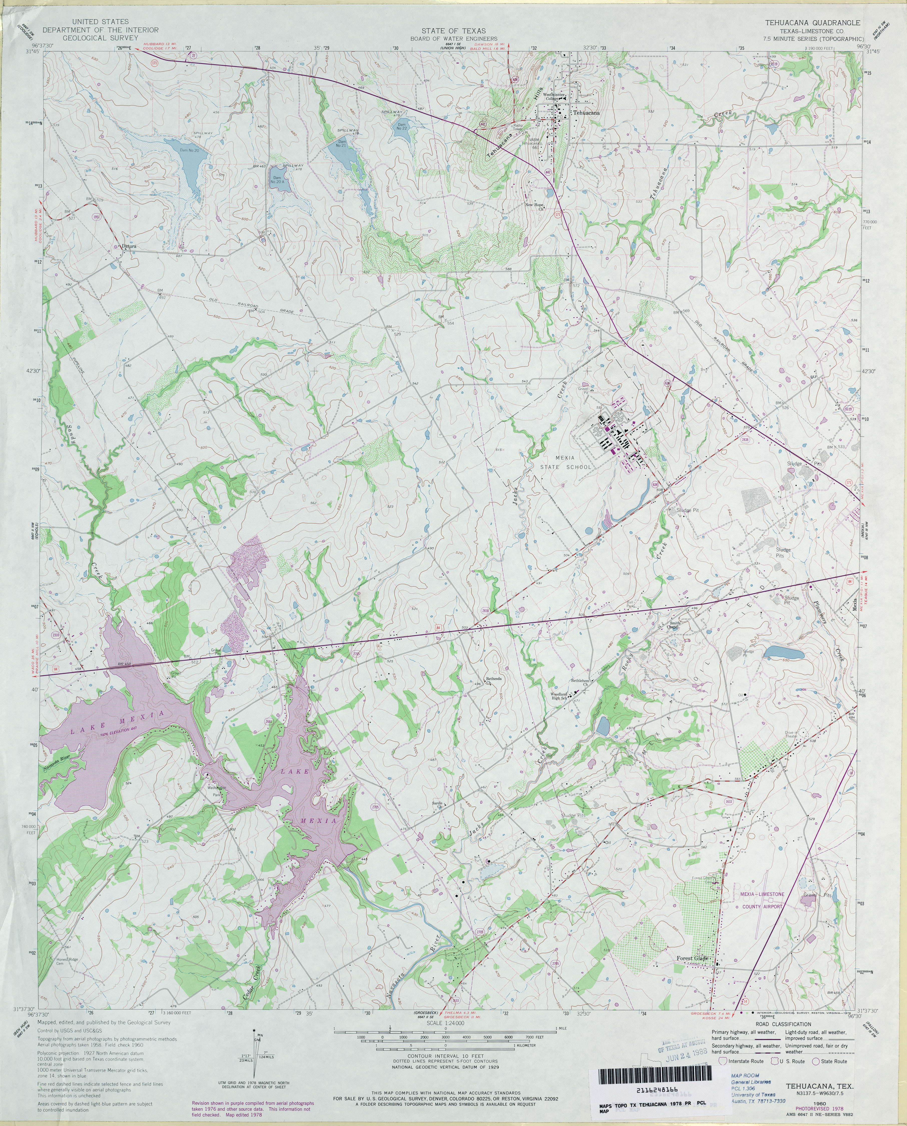
- Tehuacana (Limestone County) 1:24,000 1978 (3.7MB)
- Tehuacana 1:24,000 2008 (16.9MB) [GeoPDF]
- Tehuacana 1:24,000 2013 (21.4MB) [GeoPDF]
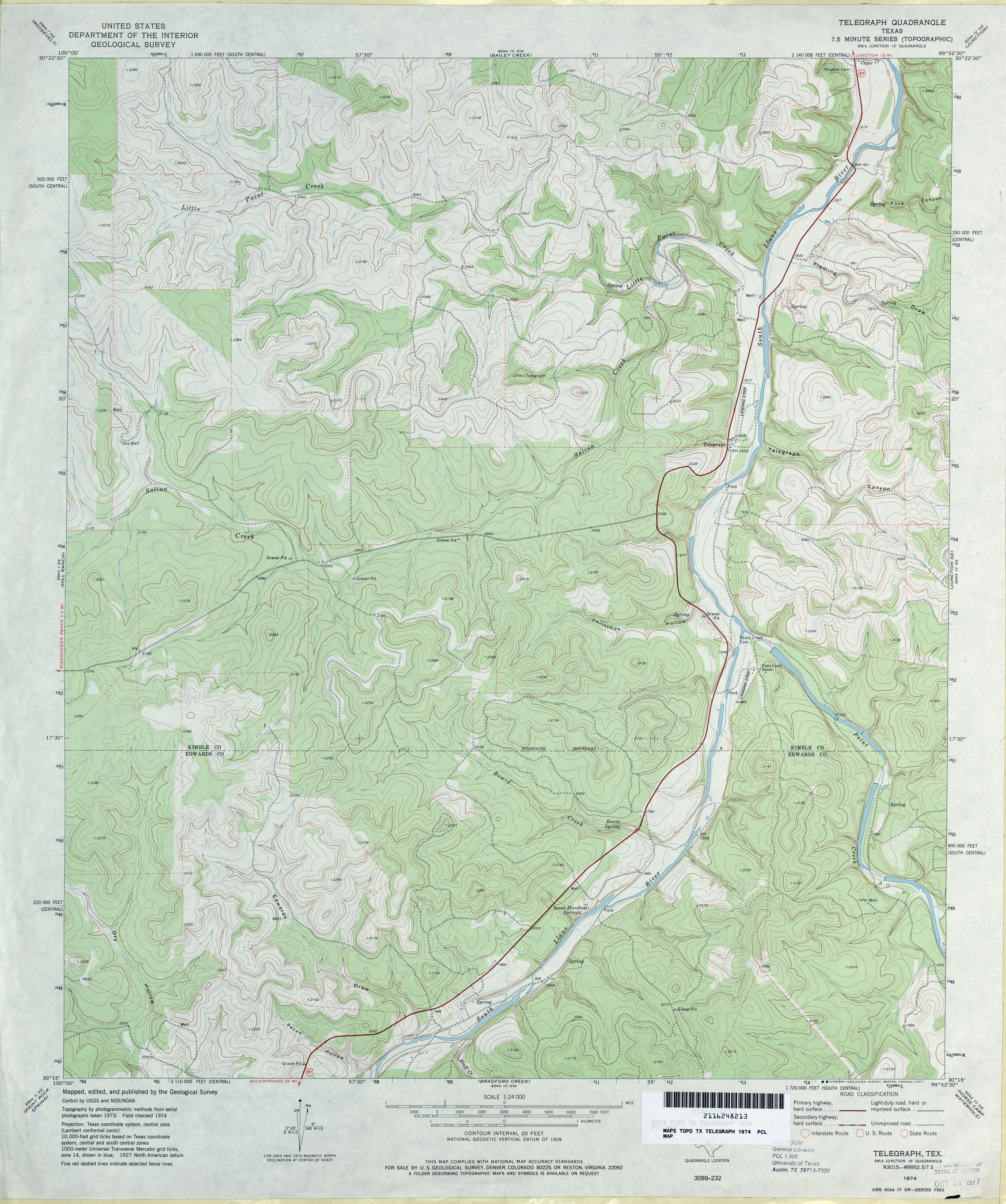
- Telegraph 1:24,000 1974 (4MB)
- Telegraph 1:24,000 2008 (24.1MB) [GeoPDF]
- Telegraph 1:24,000 2012 (32.3MB) [GeoPDF]
- Telephone 1:24,000 1980 (3.4MB)
- Telephone 1:24,000 2008 (11.8MB) [GeoPDF]
- Telephone 1:24,000 2013 (21MB) [GeoPDF]
- Telephone Canyon (Val Verde County) 1:24,000 1979 (5.6MB)
- Telephone Canyon 1:24,000 2008 (24.1MB) [GeoPDF]
- Telephone Canyon 1:24,000 2013 (36.3MB) [GeoPDF]
- Telephone Tanks (Webb County) 1:24,000 1982 (4.3MB)
- Telephone Tanks 1:24,000 2008 (17.8MB) [GeoPDF]
- Telephone Tanks 1:24,000 2013 (24.6MB) [GeoPDF]
- Tell North 1:24,000 1967 (4.2MB)
- Tell North 1:24,000 1981 (4.5MB)
- Tell North 1:24,000 2008 (13.4MB) [GeoPDF]
- Tell North 1:24,000 2012 (19.7MB) [GeoPDF]
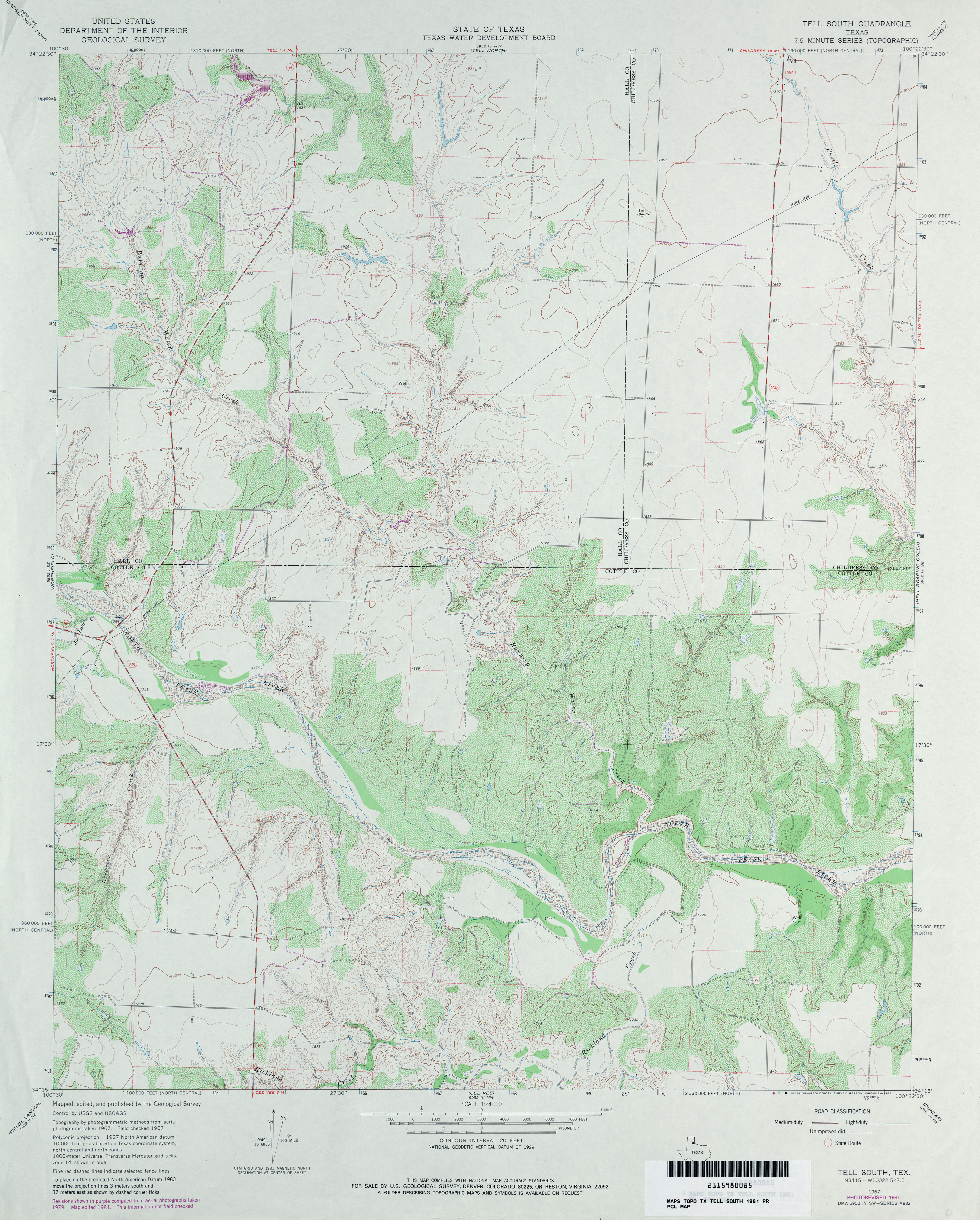
- Tell South 1:24,000 1967 (3.8MB)
- Tell South 1:24,000 1981 (4.2MB)
- Tell South 1:24,000 2008 (15.4MB) [GeoPDF]
- Tell South 1:24,000 2012 (20.7MB) [GeoPDF]
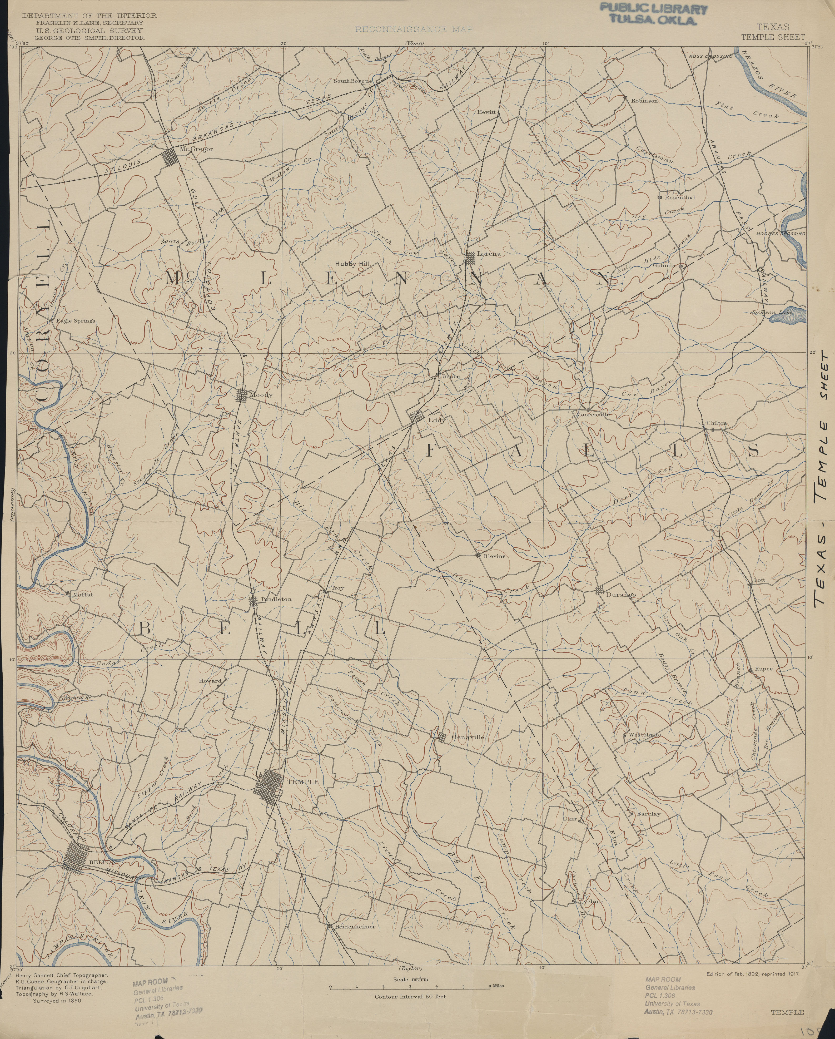
- Temple 1:125,000 1890 (2.7 MB)
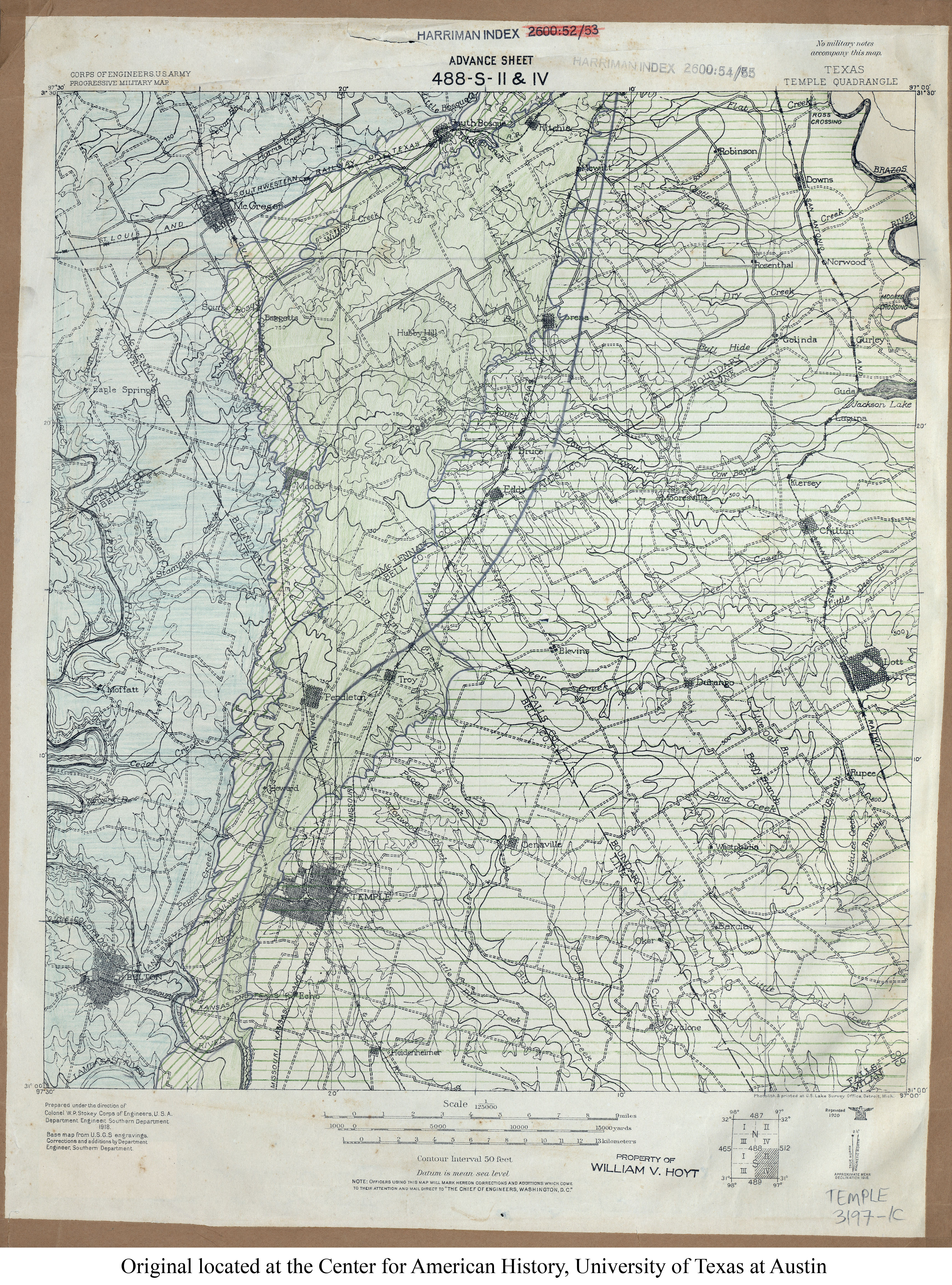
- Temple 1:125,000 1918 (4.6MB) U.S. Army. Corps of Engineers. Progressive Military Map
- Temple (Bell County) 1:24,000 1965 (3.9MB)
- Temple (Bell County) 1:24,000 1974 (3.5MB)
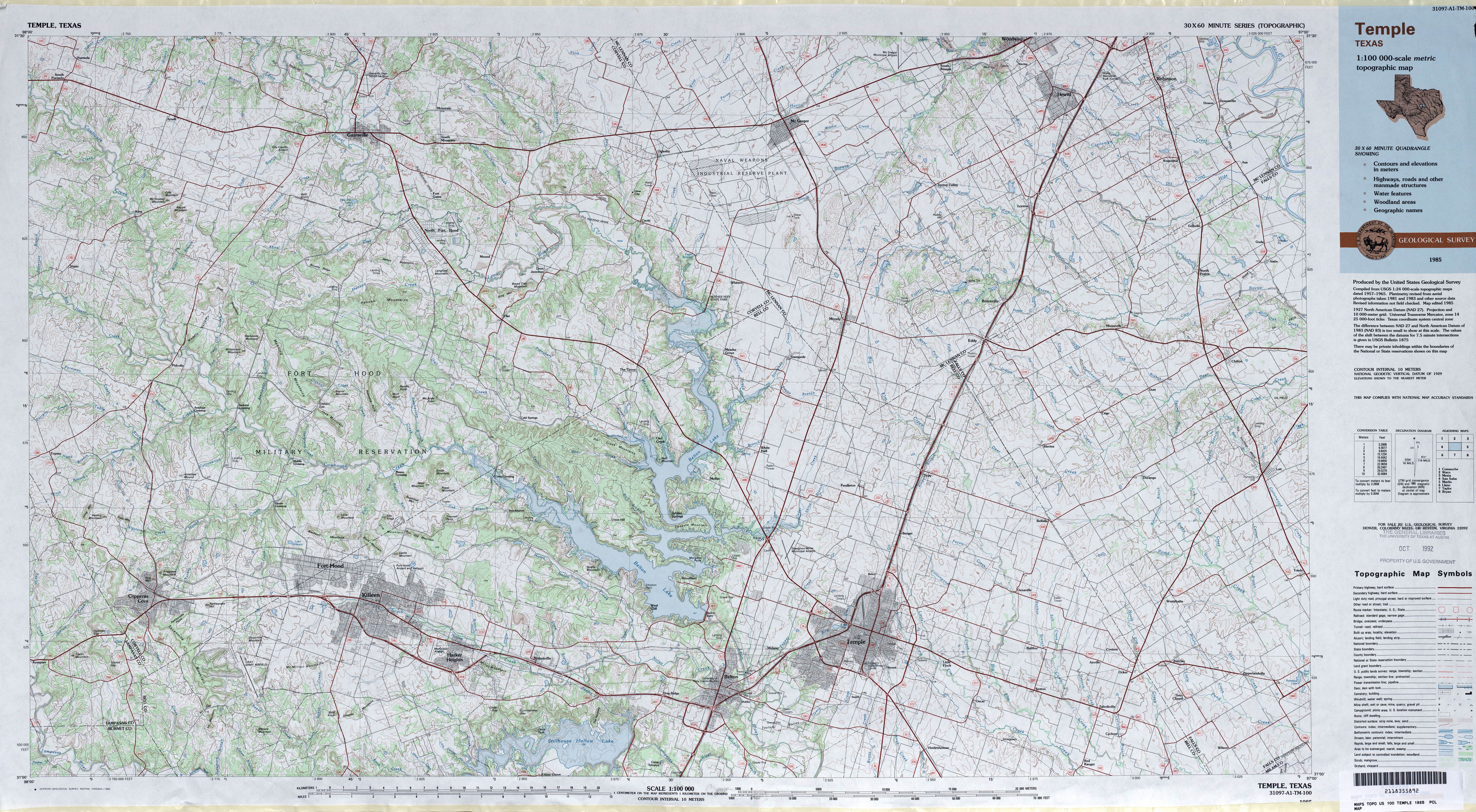
- Temple 1:100,000 1985 (9.1MB)
- Temple (Bell County) 1:24,000 1993 (4.4MB)
- Temple 1:24,000 2008 (14.1MB) [GeoPDF]
- Temple 1:24,000 2012 (20.6MB) [GeoPDF]
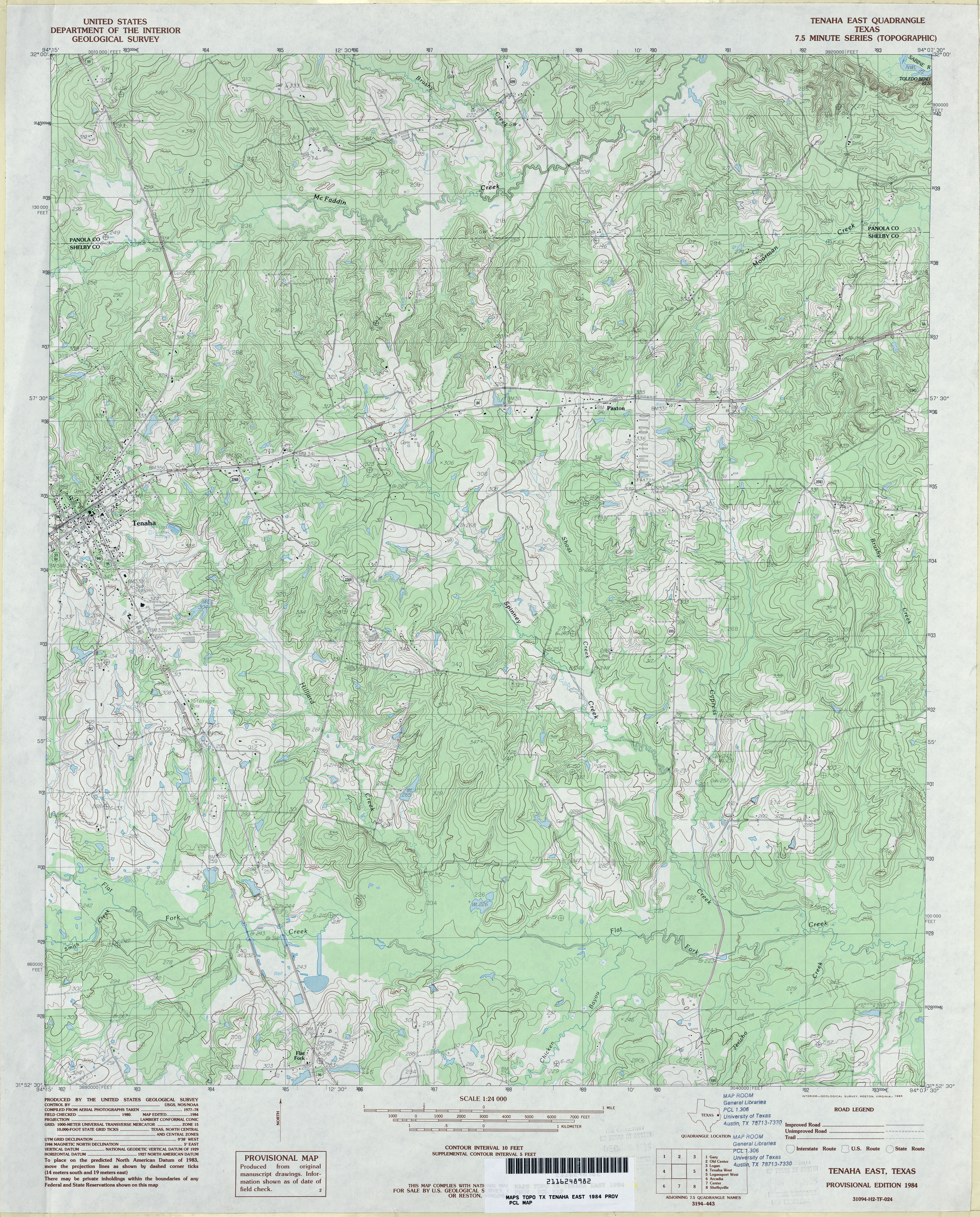
- Tenaha East 1:24,000 1984 (4.9MB)
- Tenaha East 1:24,000 2009 (22.3MB) [GeoPDF]
- Tenaha East 1:24,000 2013 (24.7MB) [GeoPDF]
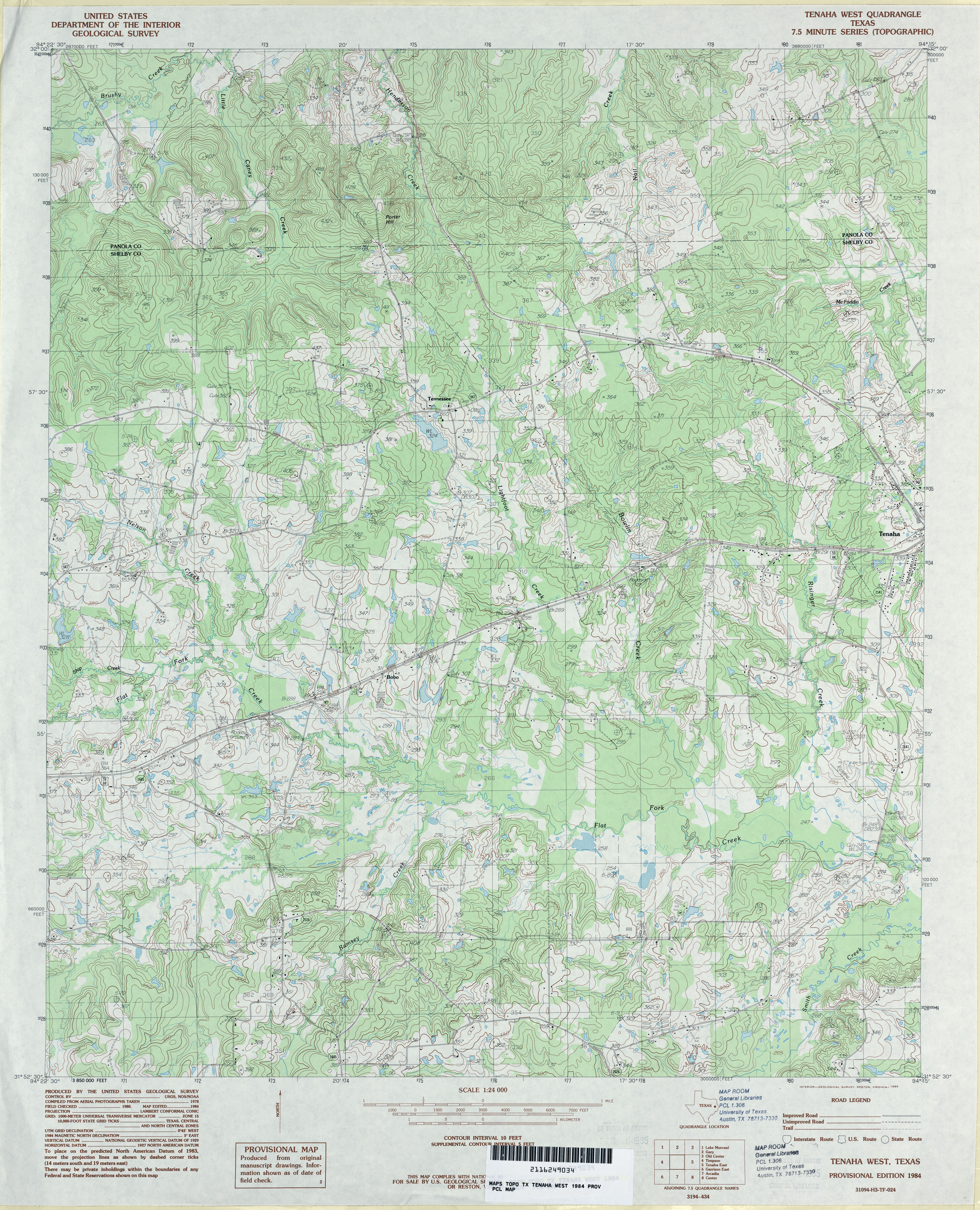
- Tenaha West 1:24,000 1984 (5MB)
- Tenaha West 1:24,000 2009 (22.3MB) [GeoPDF]
- Tenaha West 1:24,000 2013 (24.8MB) [GeoPDF]
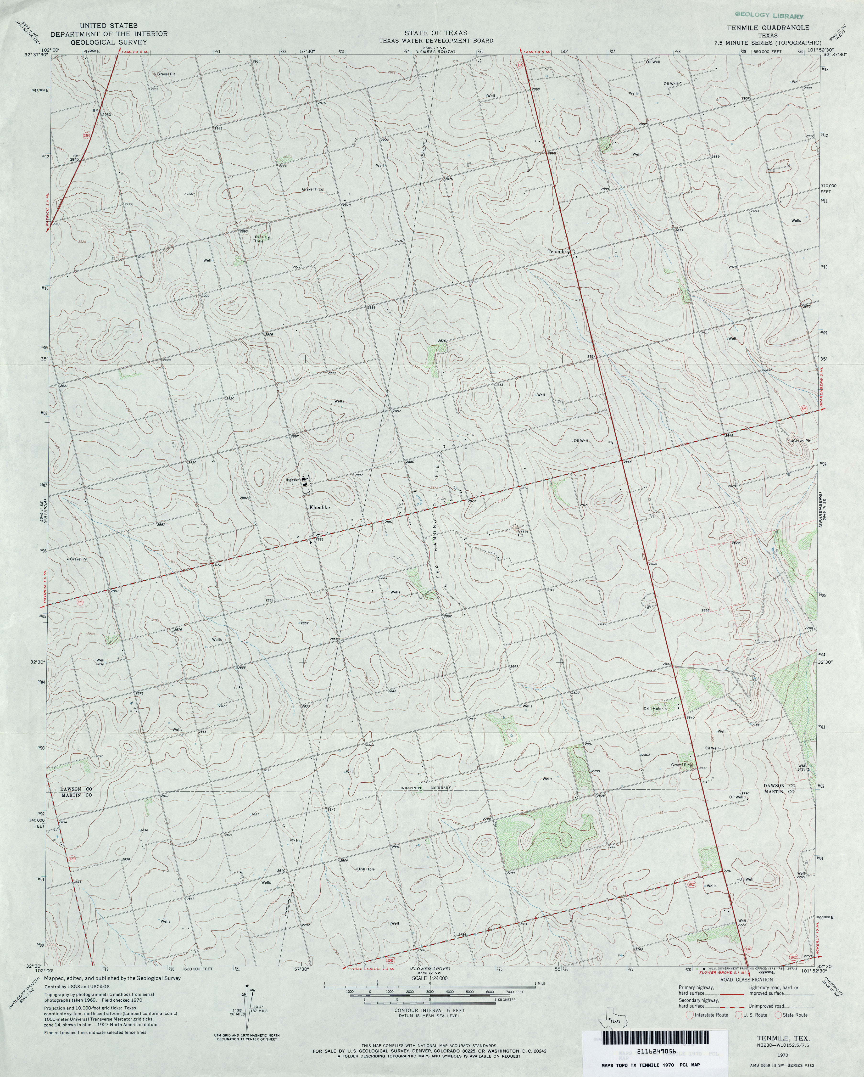
- Tenmile 1:24,000 1970 (3.2MB)
- Tenmile 1:24,000 2008 (9.1MB) [GeoPDF]
- Tenmile 1:24,000 2012 (16.6MB) [GeoPDF]
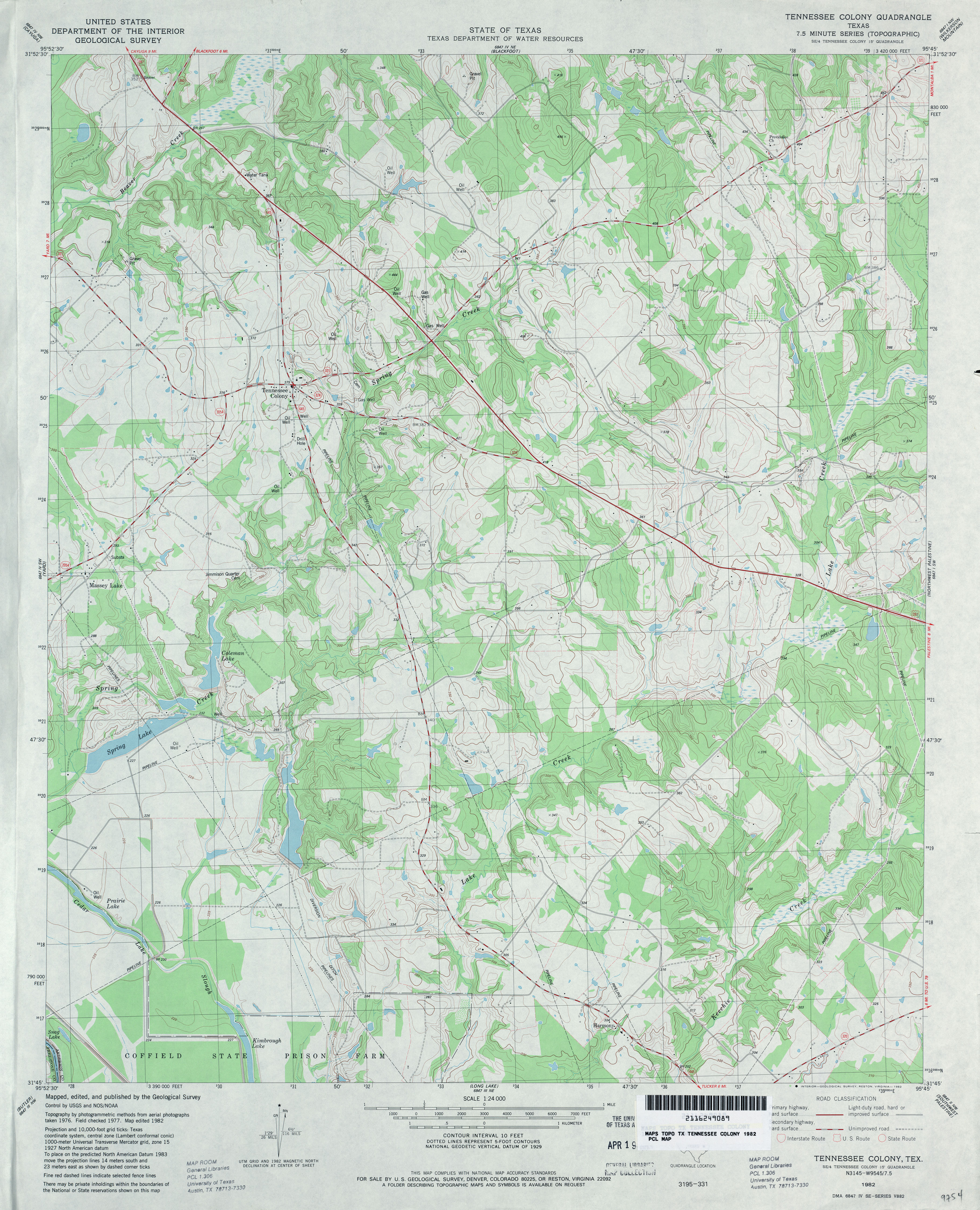
- Tennessee Colony 1:24,000 1982 (4.1MB)
- Tennessee Colony 1:24,000 2009 (18.3MB) [GeoPDF]
- Tennessee Colony 1:24,000 2013 (22.4MB) [GeoPDF]
- Tennyson 1:24,000 1984 (4.7MB)
- Tennyson 1:24,000 2008 (21MB) [GeoPDF]
- Tennyson 1:24,000 2012 (27.4MB) [GeoPDF]
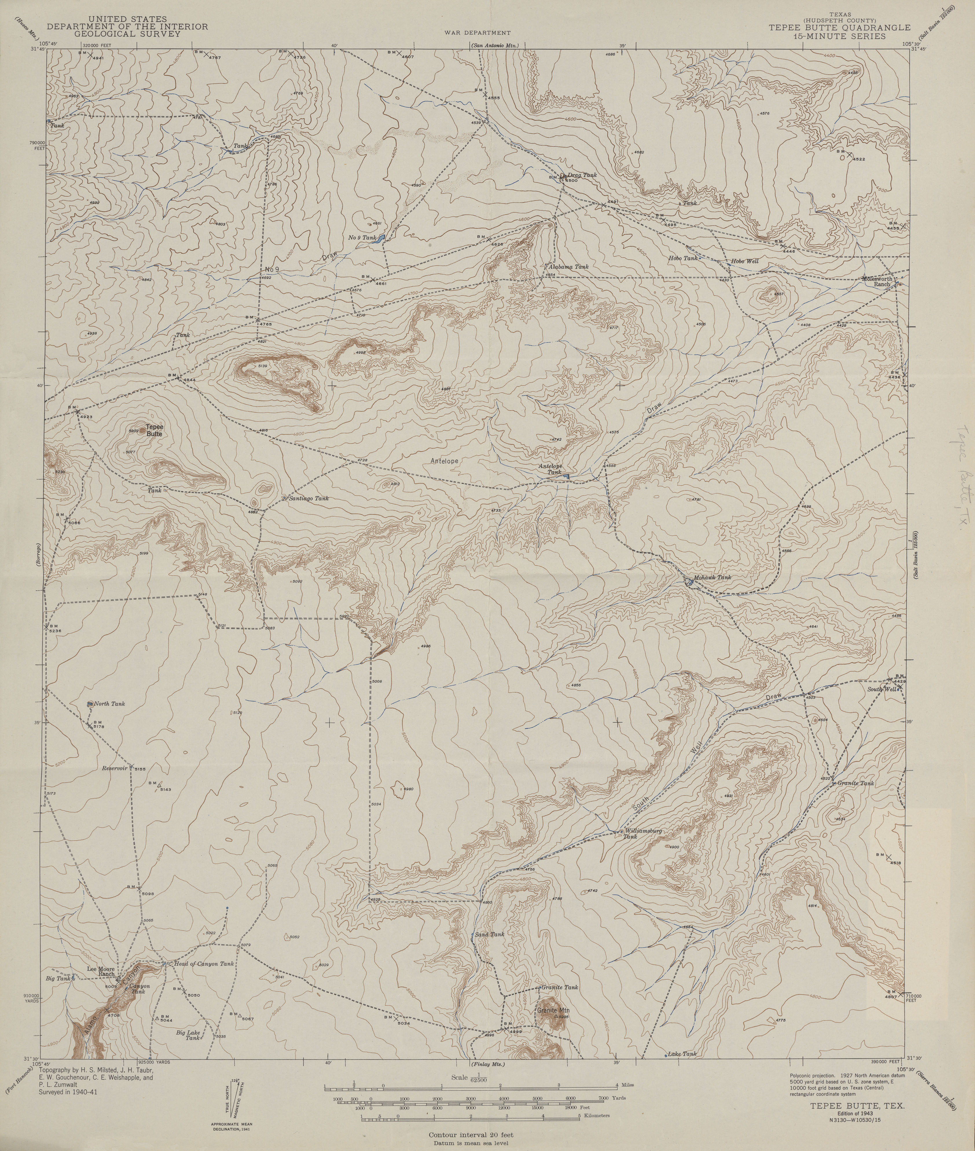
- Tepee Butte 1:62,500 1941 (2.5 MB)
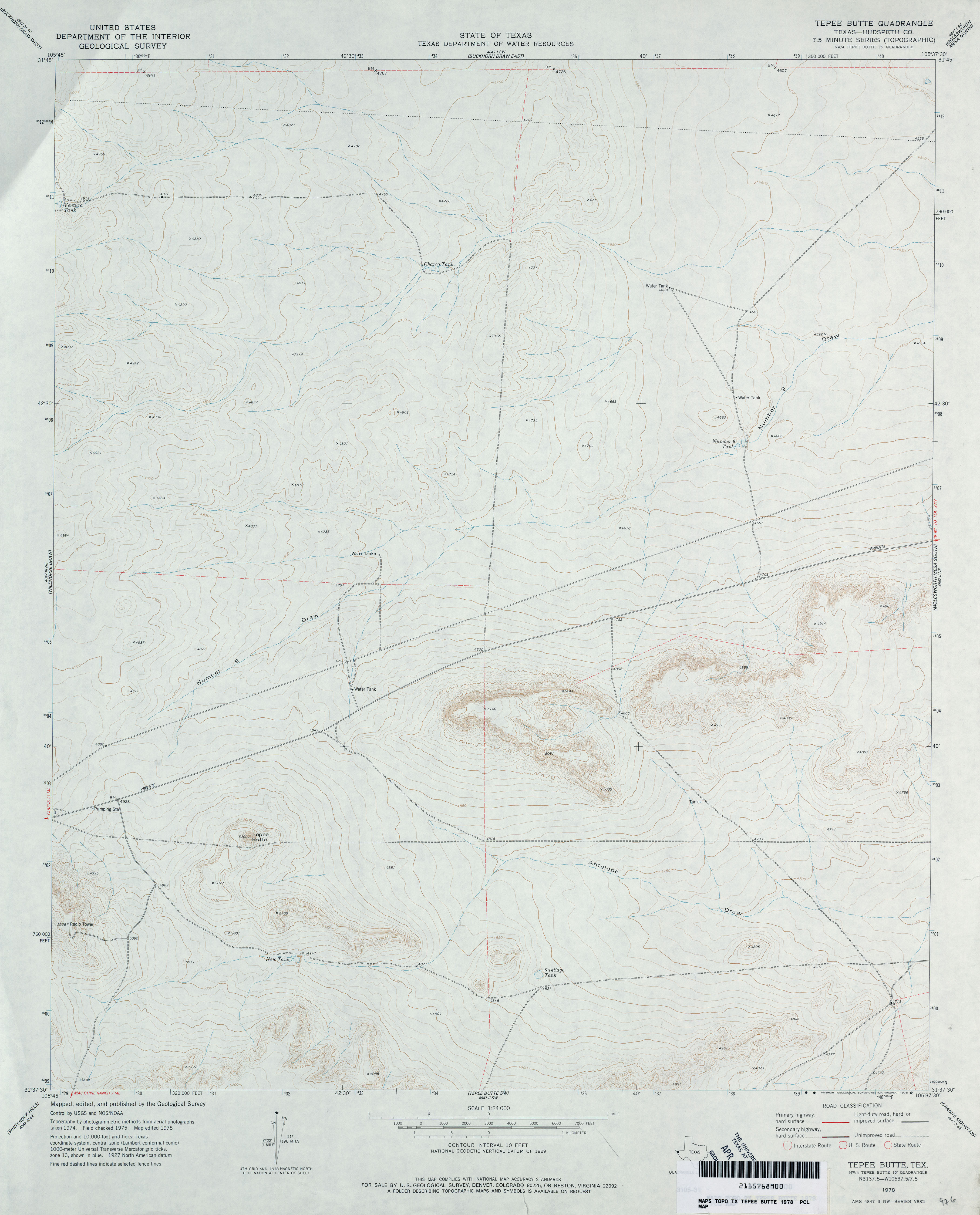
- Tepee Butte (Hudspeth County) 1:24,000 1978 (2.8MB)
- Tepee Butte 1:24,000 2008 (15.8MB) [GeoPDF]
- Tepee Butte 1:24,000 2012 (22.6MB) [GeoPDF]
- Tepee Butte SW (Hudspeth County) 1:24,000 1978 (2.8MB)
- Tepee Butte SW 1:24,000 2008 (13.9MB) [GeoPDF]
- Tepee Butte SW 1:24,000 2013 (21.8MB) [GeoPDF]
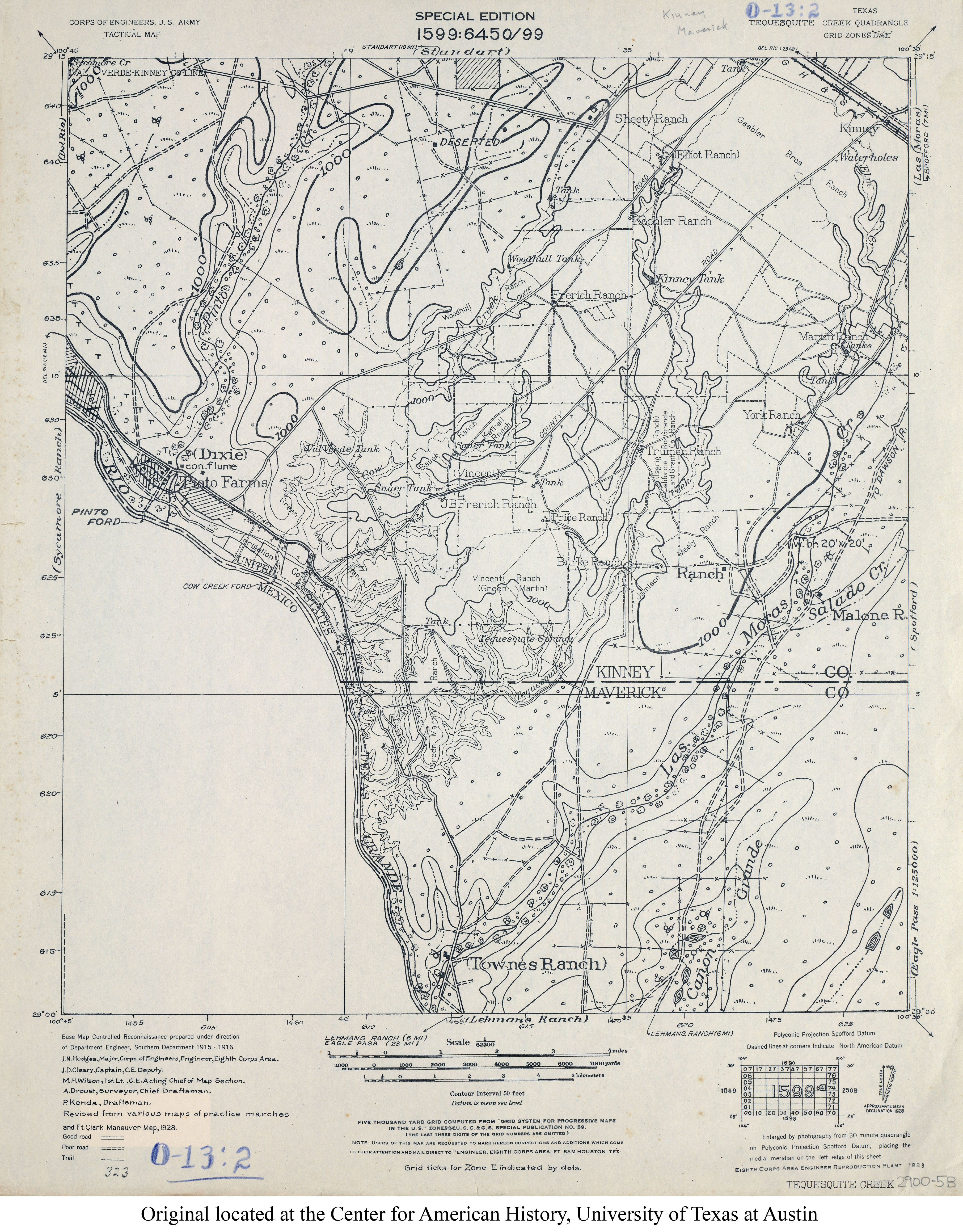
- Tequesquite Creek 1:62,500 1928 (3.6MB) U.S. Army. Corps of Engineers. Tactical Map
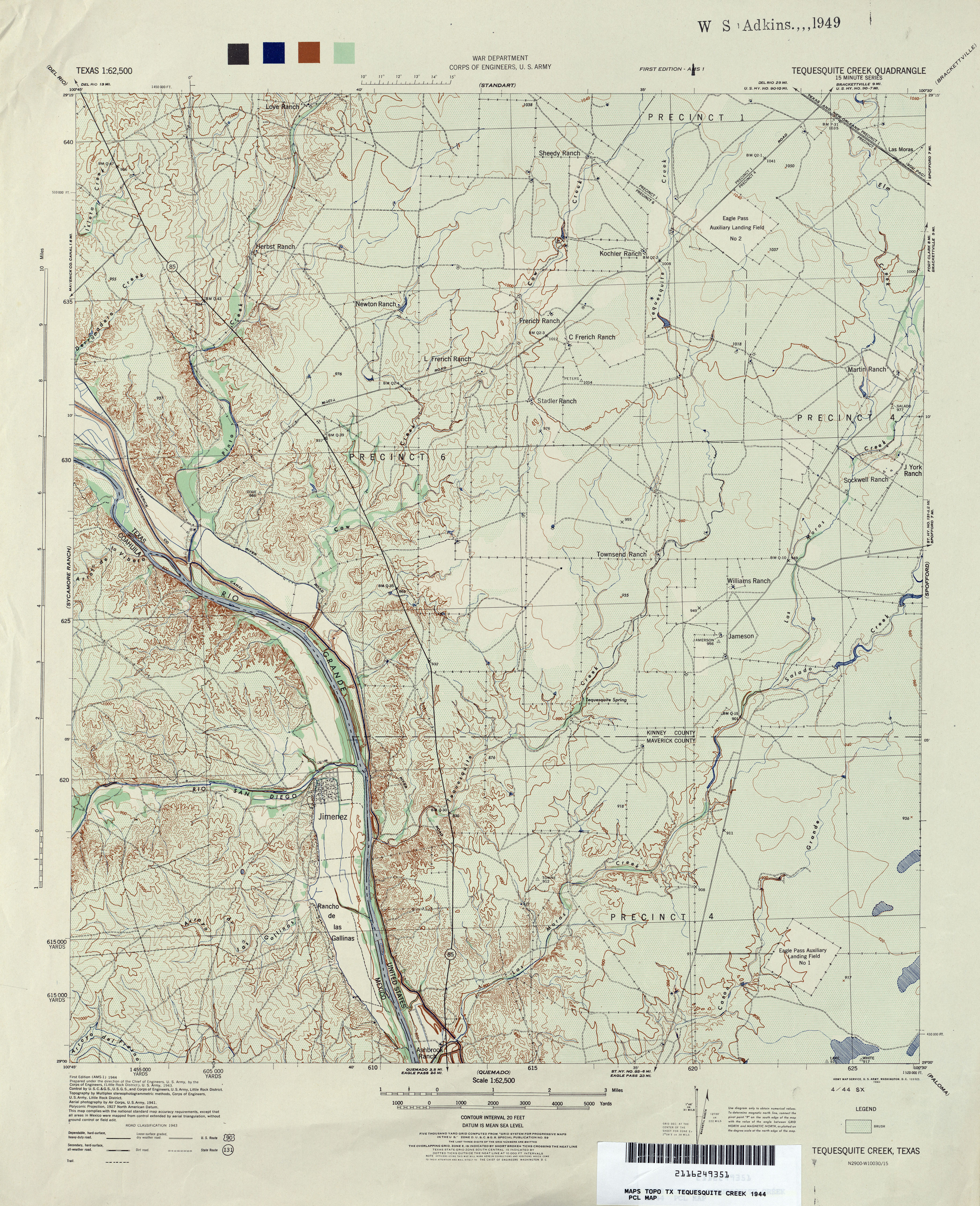
- Tequesquite Creek 1:62,500 1944 (5MB) U.S. Army Corps of Engineers, War Department
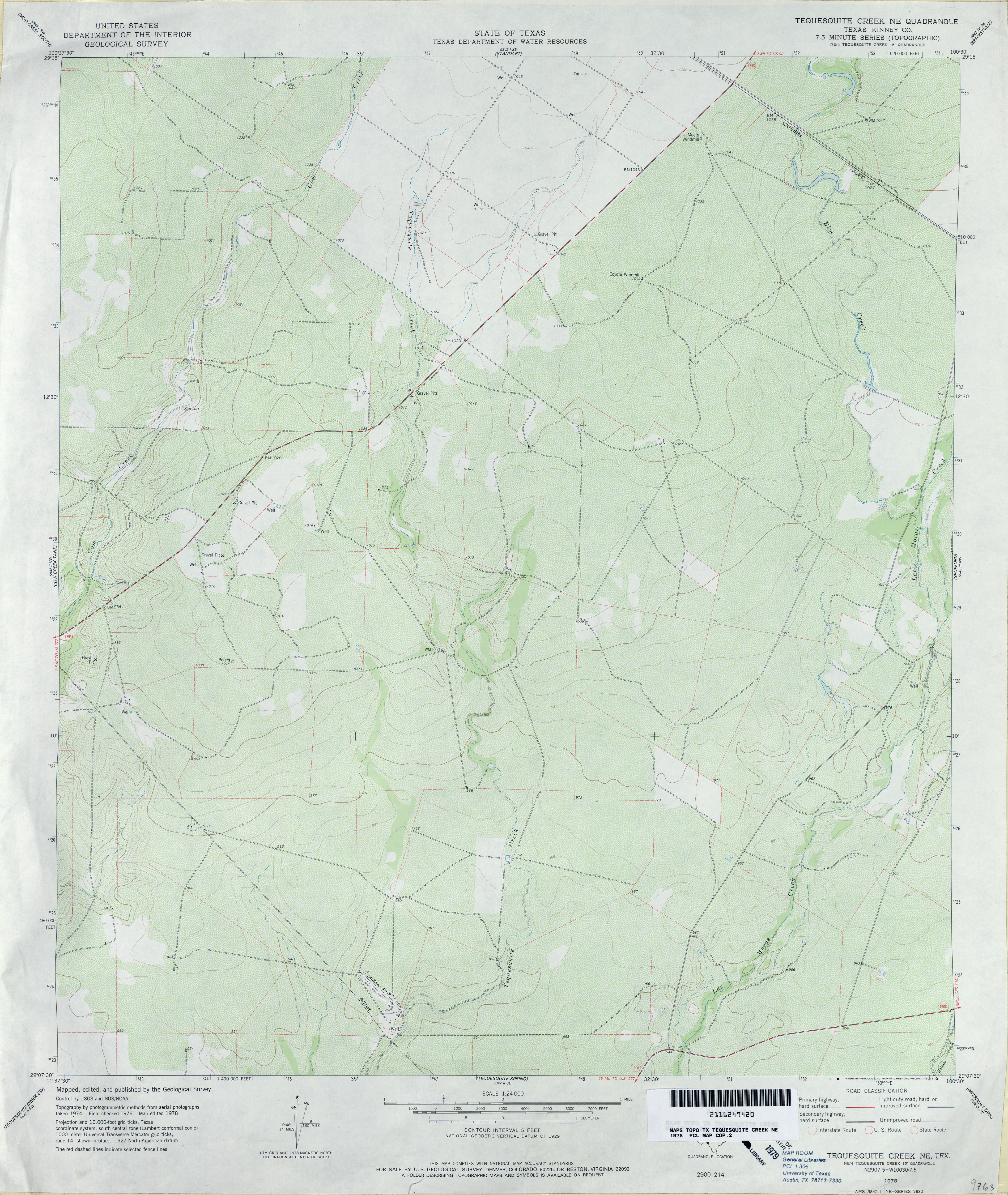
- Tequesquite Creek NE (Kinney County) 1:24,000 1978 (4.2MB)
- Tequesquite Creek NE 1:24,000 2008 (20.2MB) [GeoPDF]
- Tequesquite Creek NE 1:24,000 2012 (29.6MB) [GeoPDF]
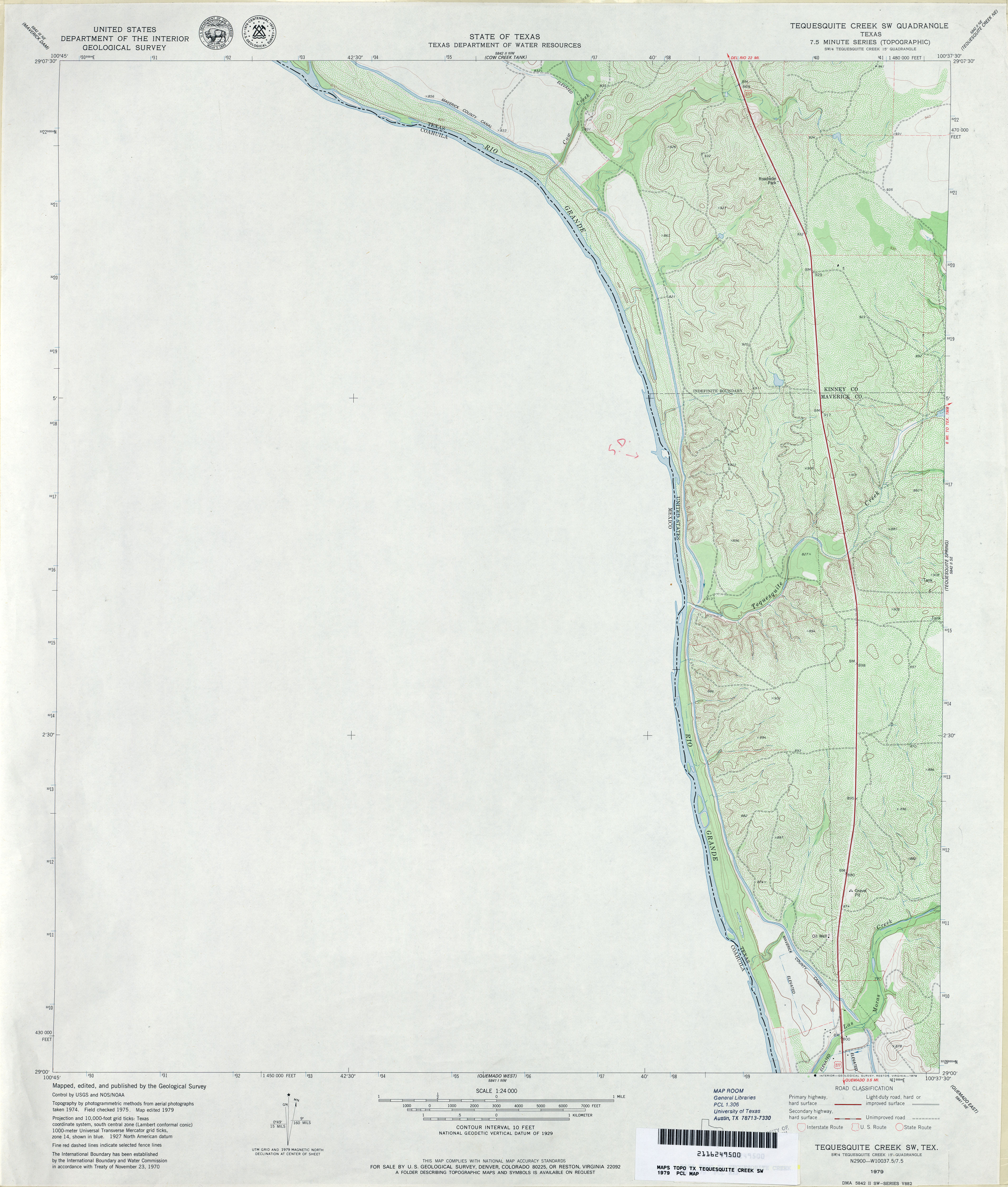
- Tequesquite Creek SW 1:24,000 1979 (2.9MB)
- Tequesquite Creek SW 1:24,000 2008 (22.1MB) [GeoPDF]
- Tequesquite Creek SW 1:24,000 2013 (22.8MB) [GeoPDF]
- Tequesquite Spring 1:24,000 1978 (4MB)
- Tequesquite Spring 1:24,000 2008 (20.0MB) [GeoPDF]
- Tequesquite Spring 1:24,000 2013 (29.4MB) [GeoPDF]
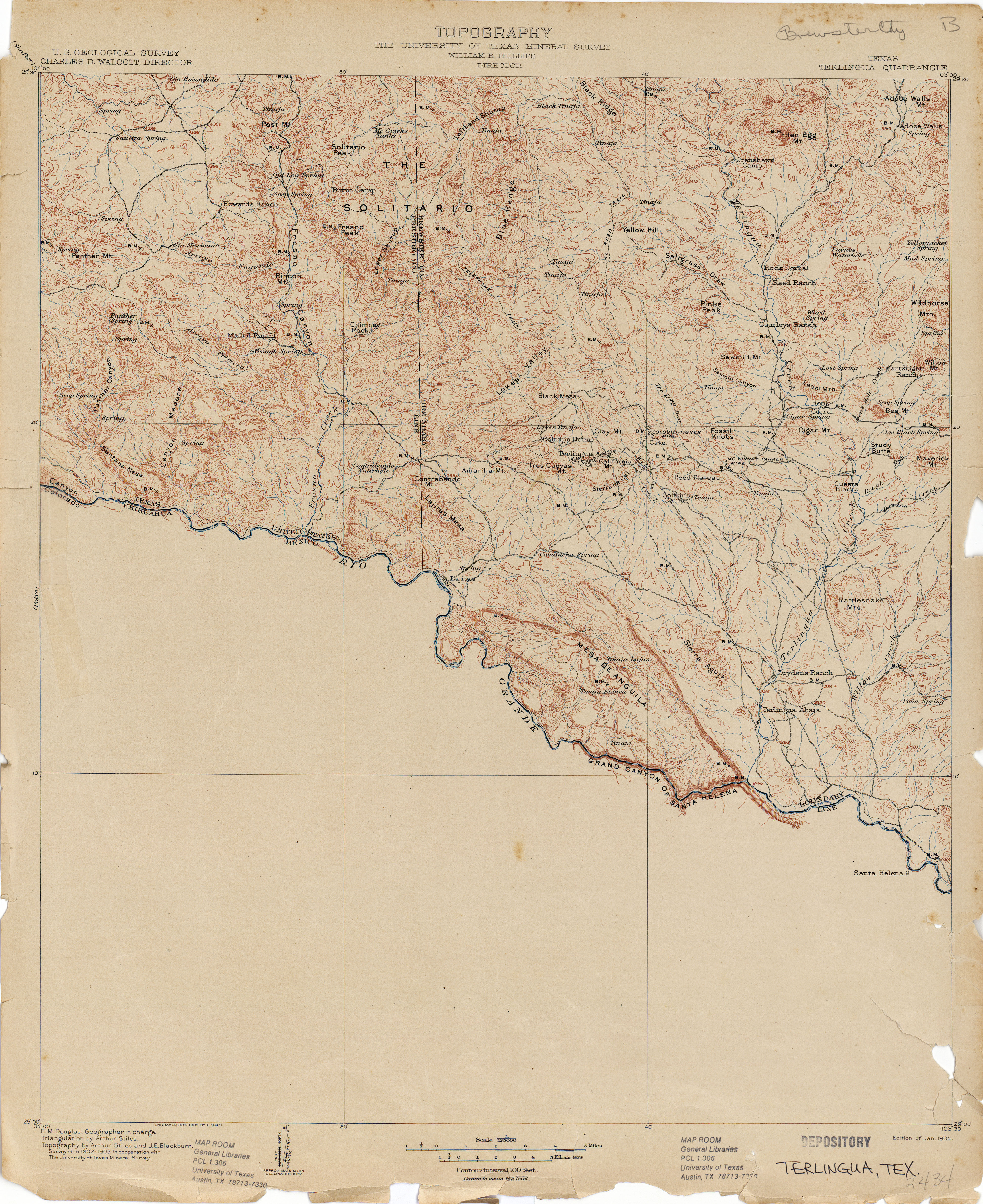
- Terlingua 1:125,000 1903 [Edition of 1904] (5.6MB)
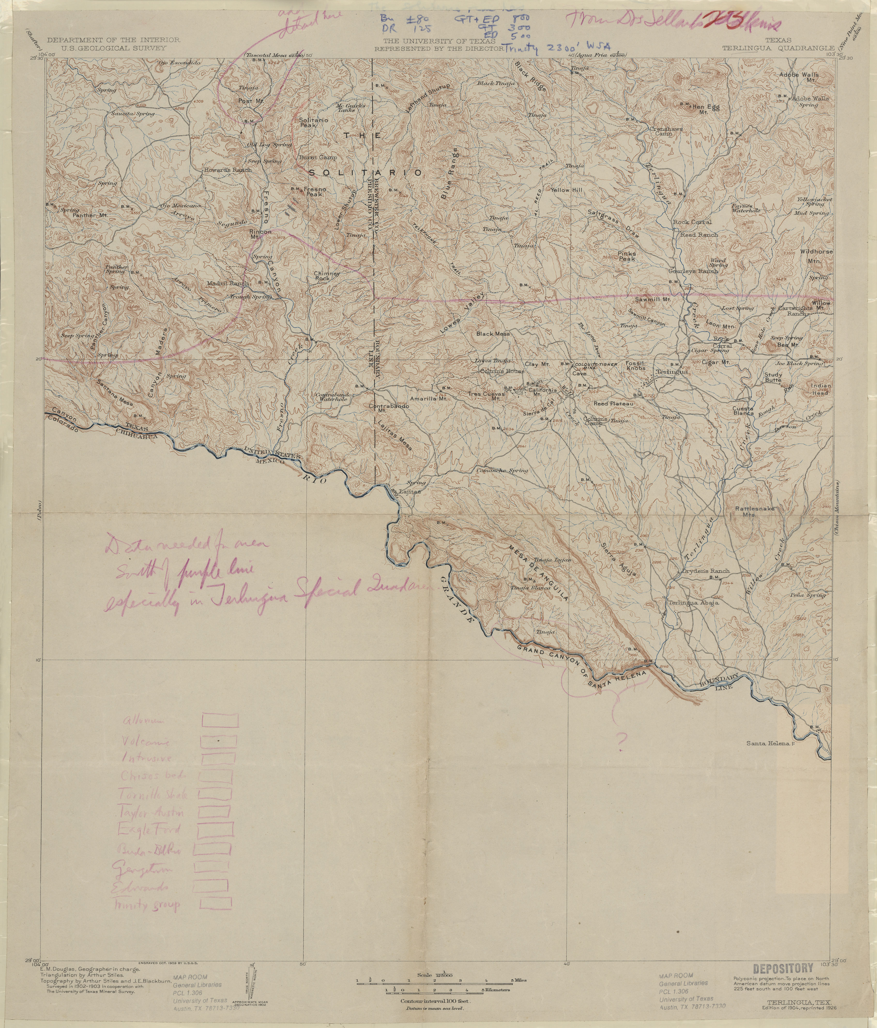
- Terlingua 1:125,000 1903 [Edition of 1904, reprinted 1926] (2.5 MB)
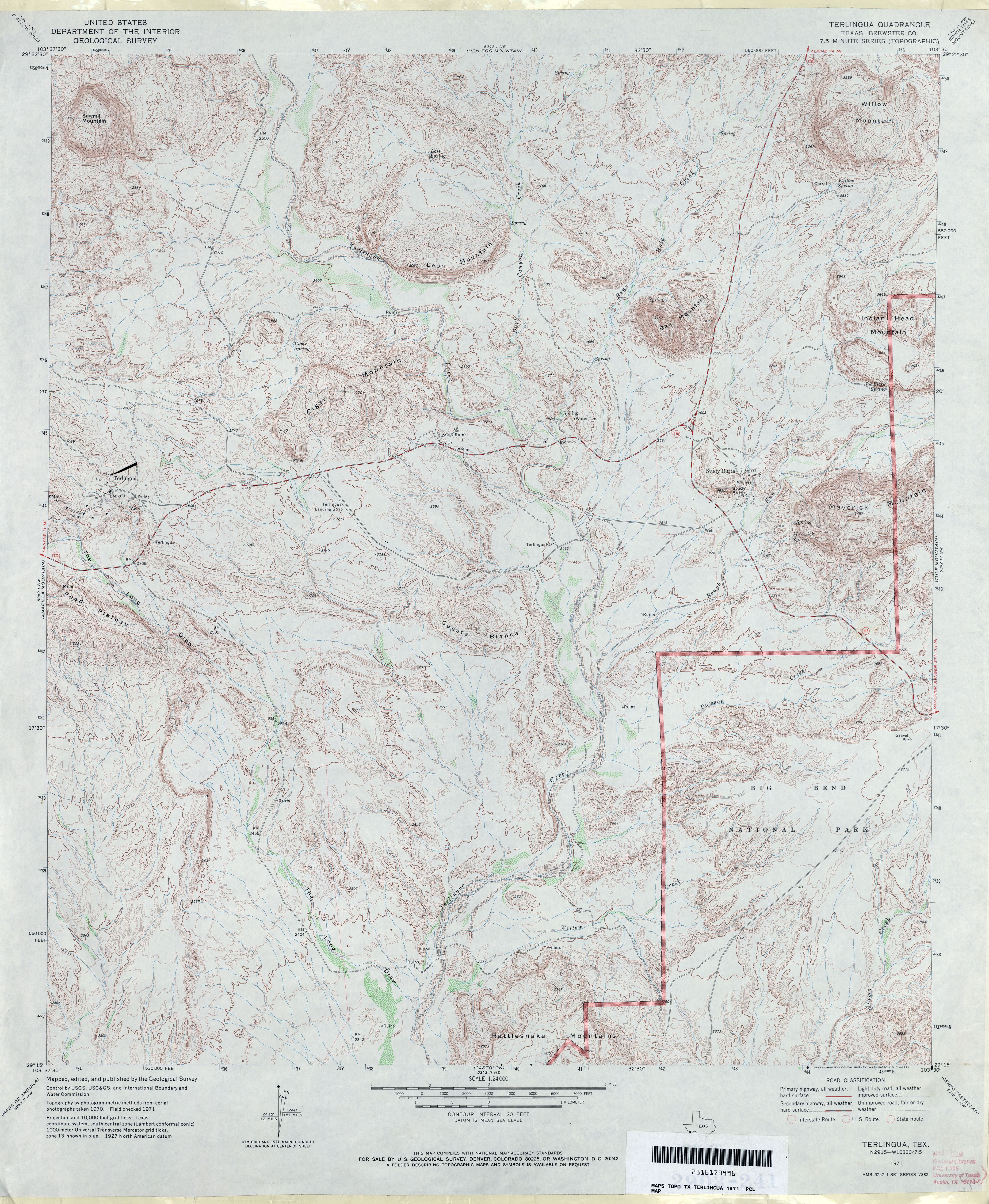
- Terlingua (Brewster County) 1:24,000 1971 (4.9MB)
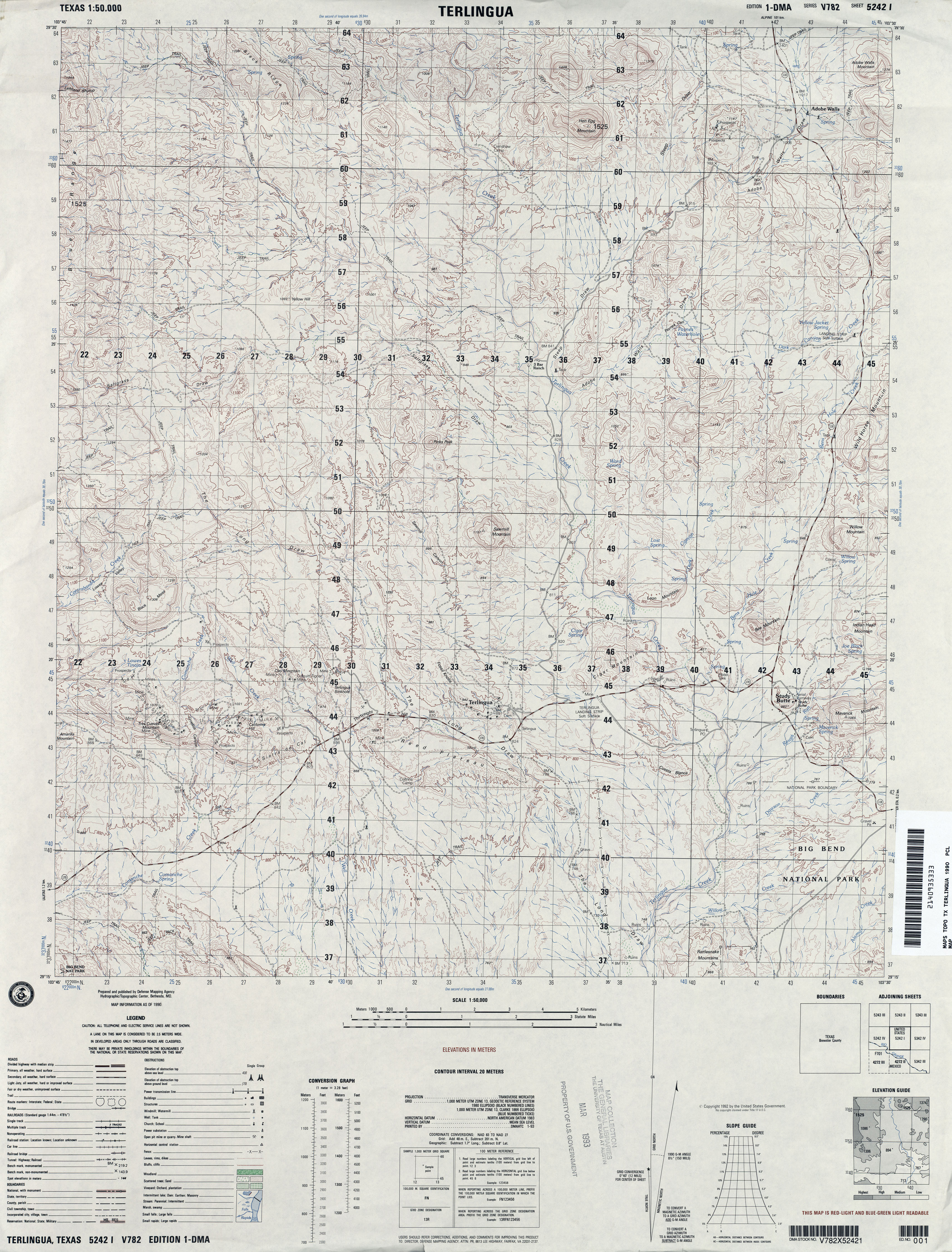
- Terlingua 1:50,000 1990 (4.5MB) U.S. Defense Mapping Agency, Edition 1-DMA, Series V782
- Terlingua 1:24,000 2008 (22.7MB) [GeoPDF]
- Terlingua 1:24,000 2012 (25.7MB) [GeoPDF]
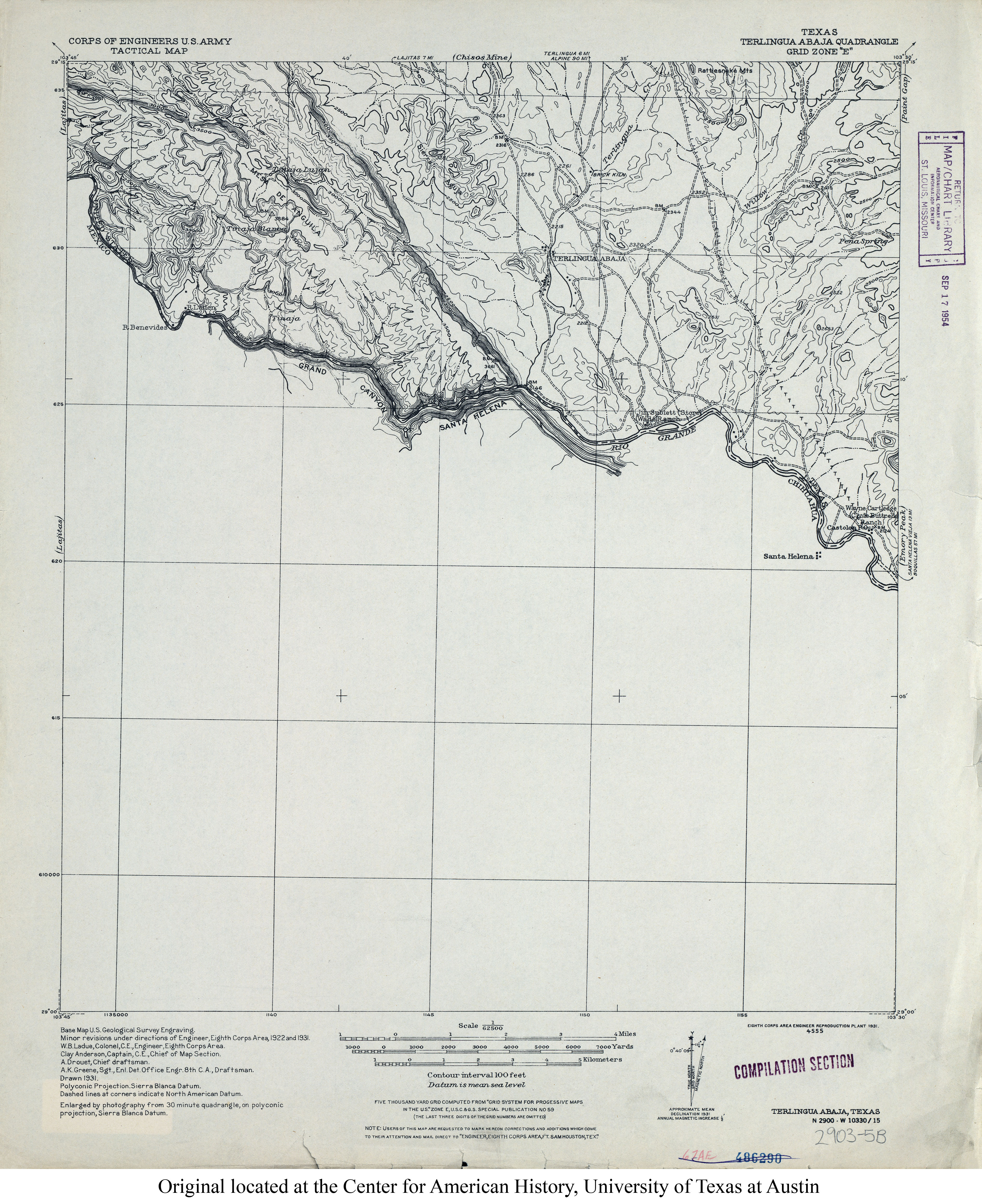
- Terlingua Abaja 1:62,500 1931 (3.4MB) U.S. Army. Corps of Engineers. Tactical Map
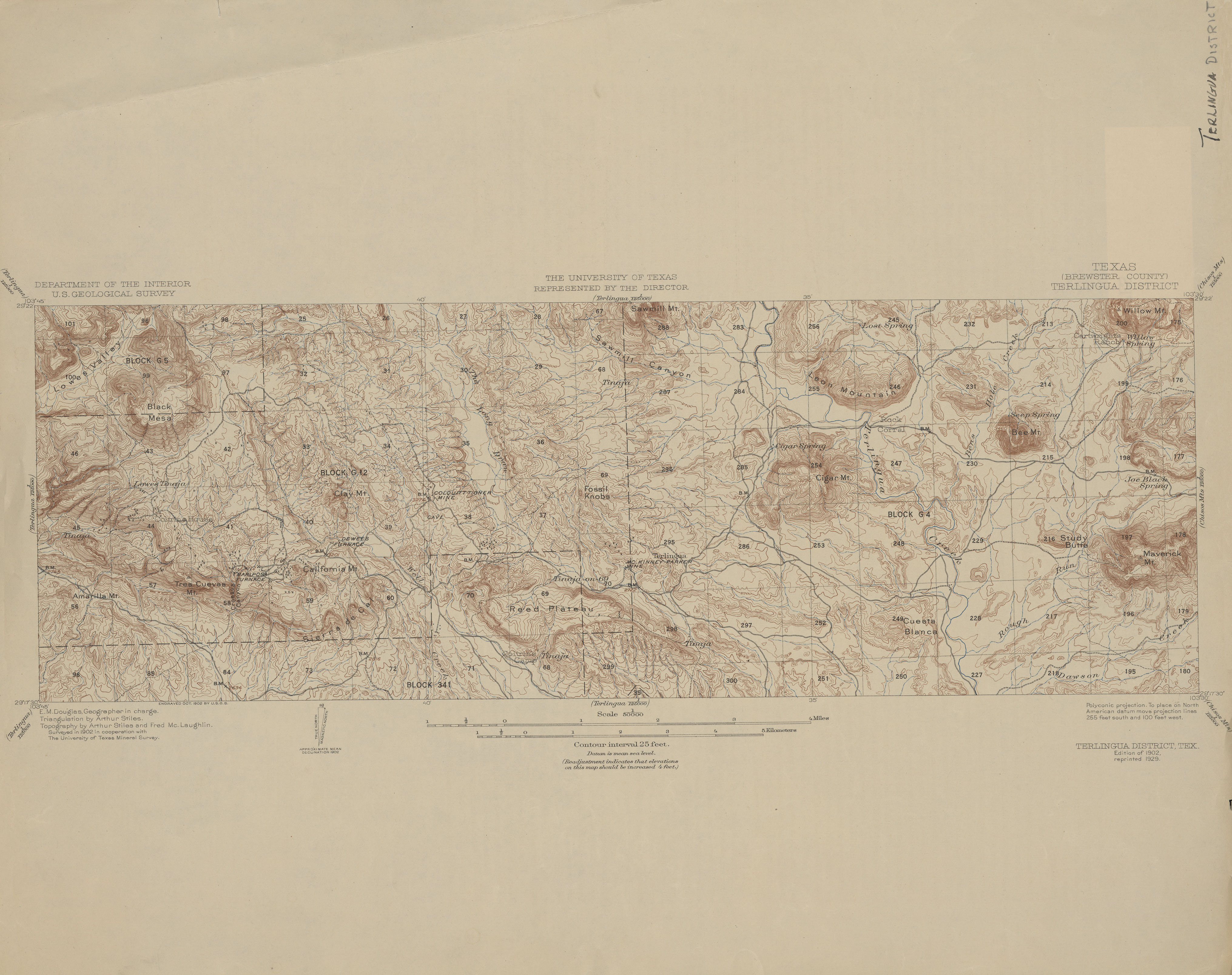
- Terlingua District (Brewster County) 1:50,000 1902, Reprinted 1929 (2.5 MB)
- Terlingua Special Map (Brewster County) 1:50,000 1902 (5.3MB)
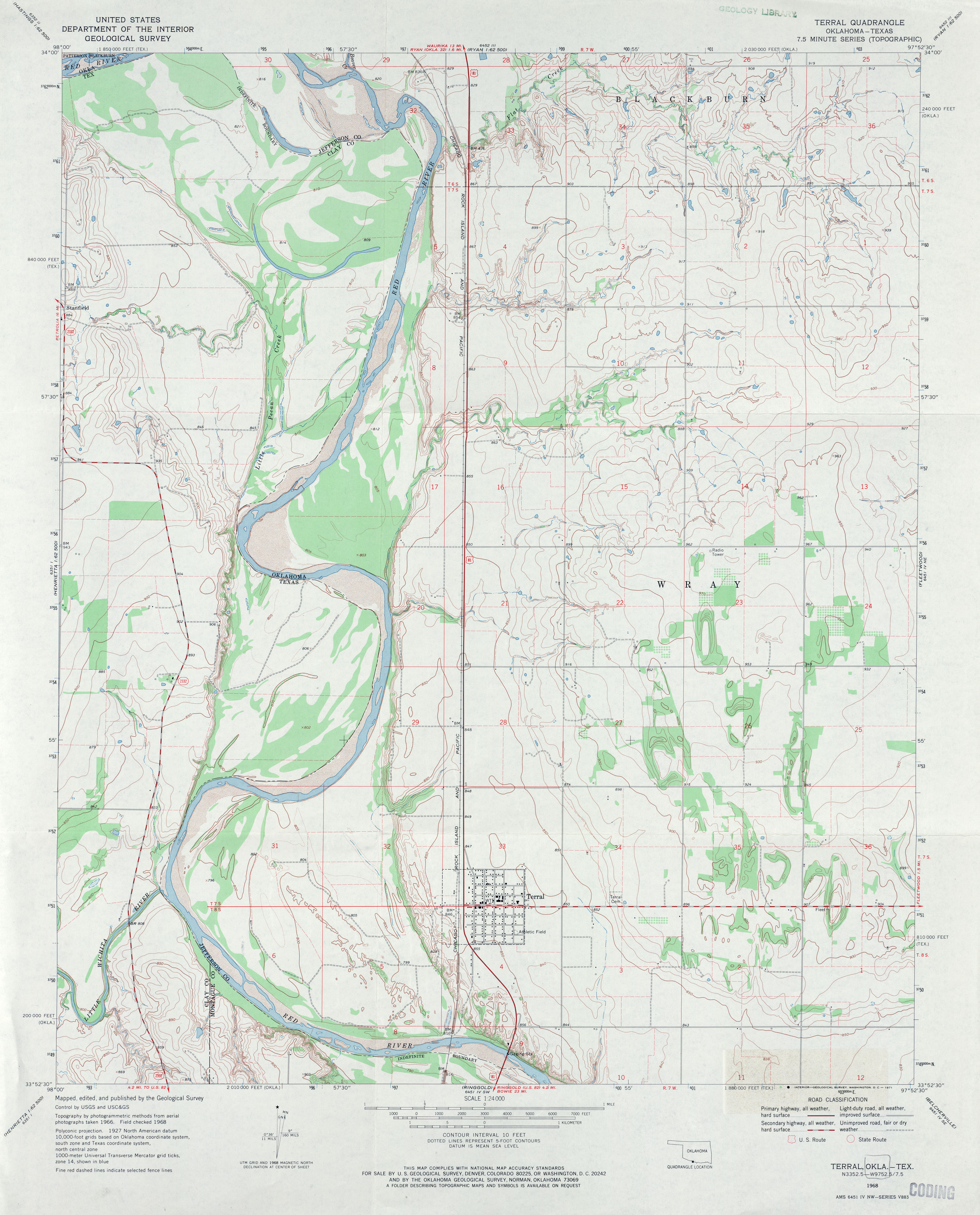
- Terral [Oklahoma, Texas] 1:24,000 1968 (3.4MB)
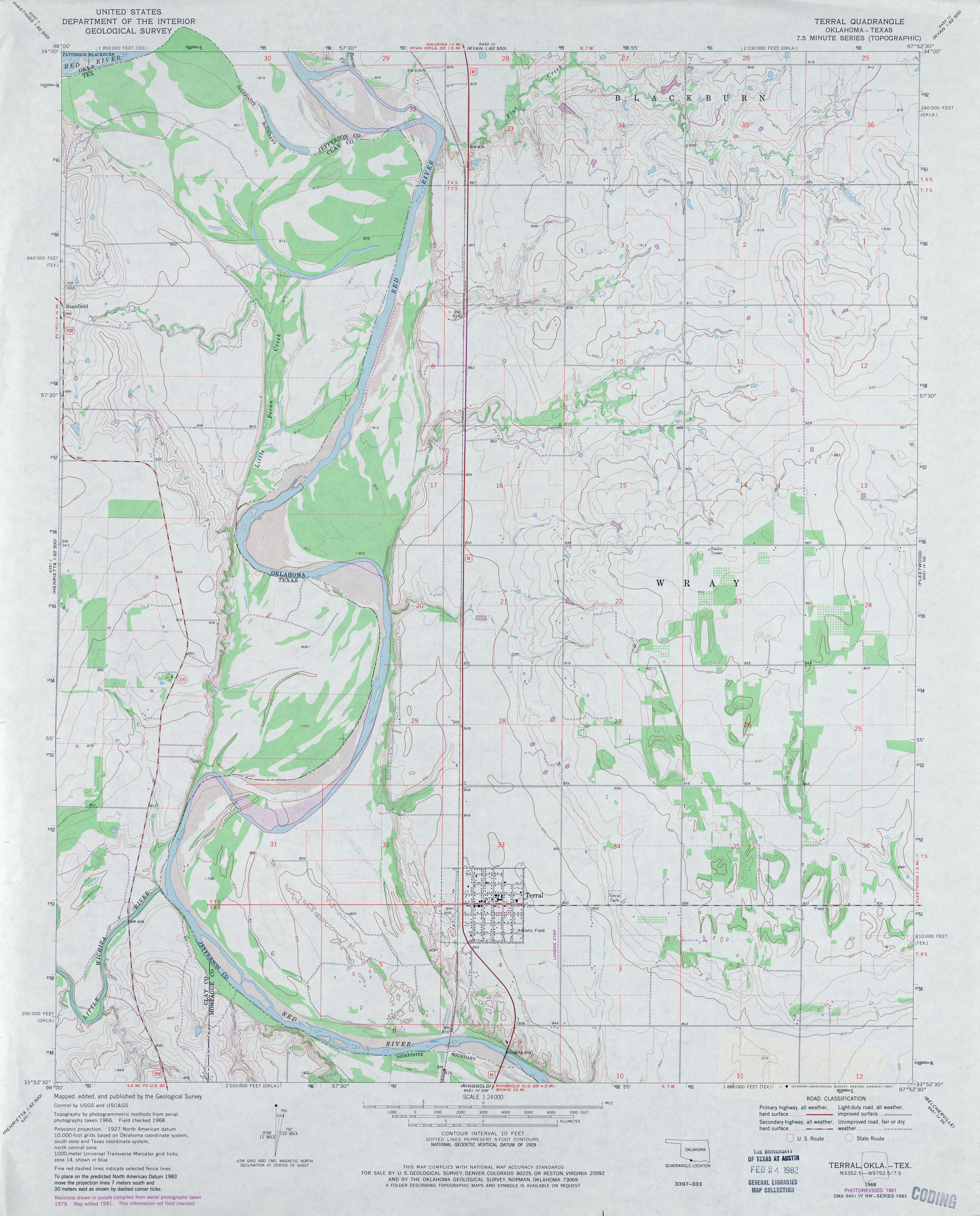
- Terral [Oklahoma, Texas] 1:24,000 1981 (3.5MB)
- Terral [Oklahoma, Texas] 1:24,000 2008 (12.3MB) [GeoPDF]
- Terral [Oklahoma, Texas] 1:24,000 2013 (17.8MB) [GeoPDF]
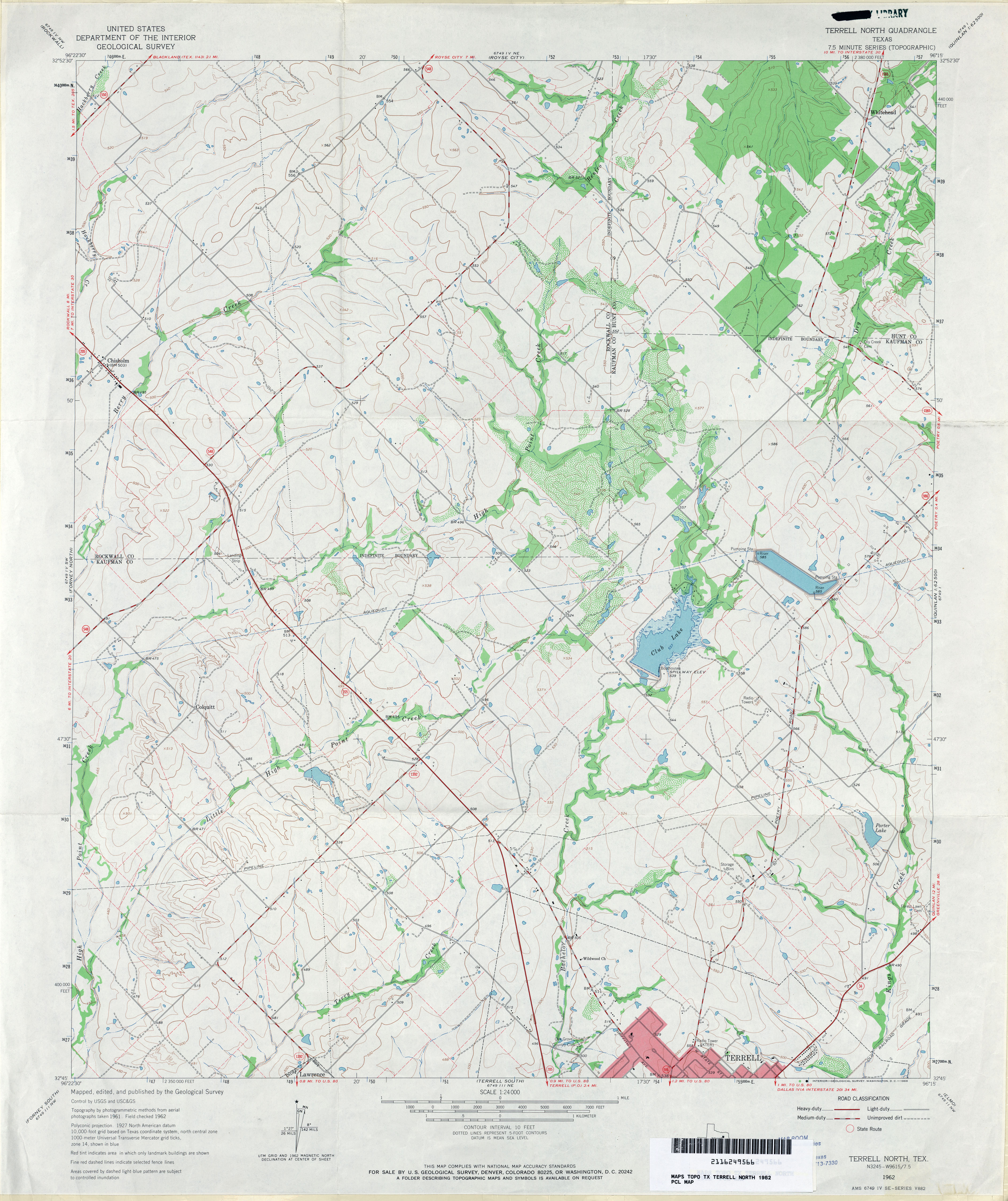
- Terrell North 1:24,000 1962 (3.6MB)
- Terrell North 1:24,000 2009 (16.0MB) [GeoPDF]
- Terrell North 1:24,000 2012 (20MB) [GeoPDF]
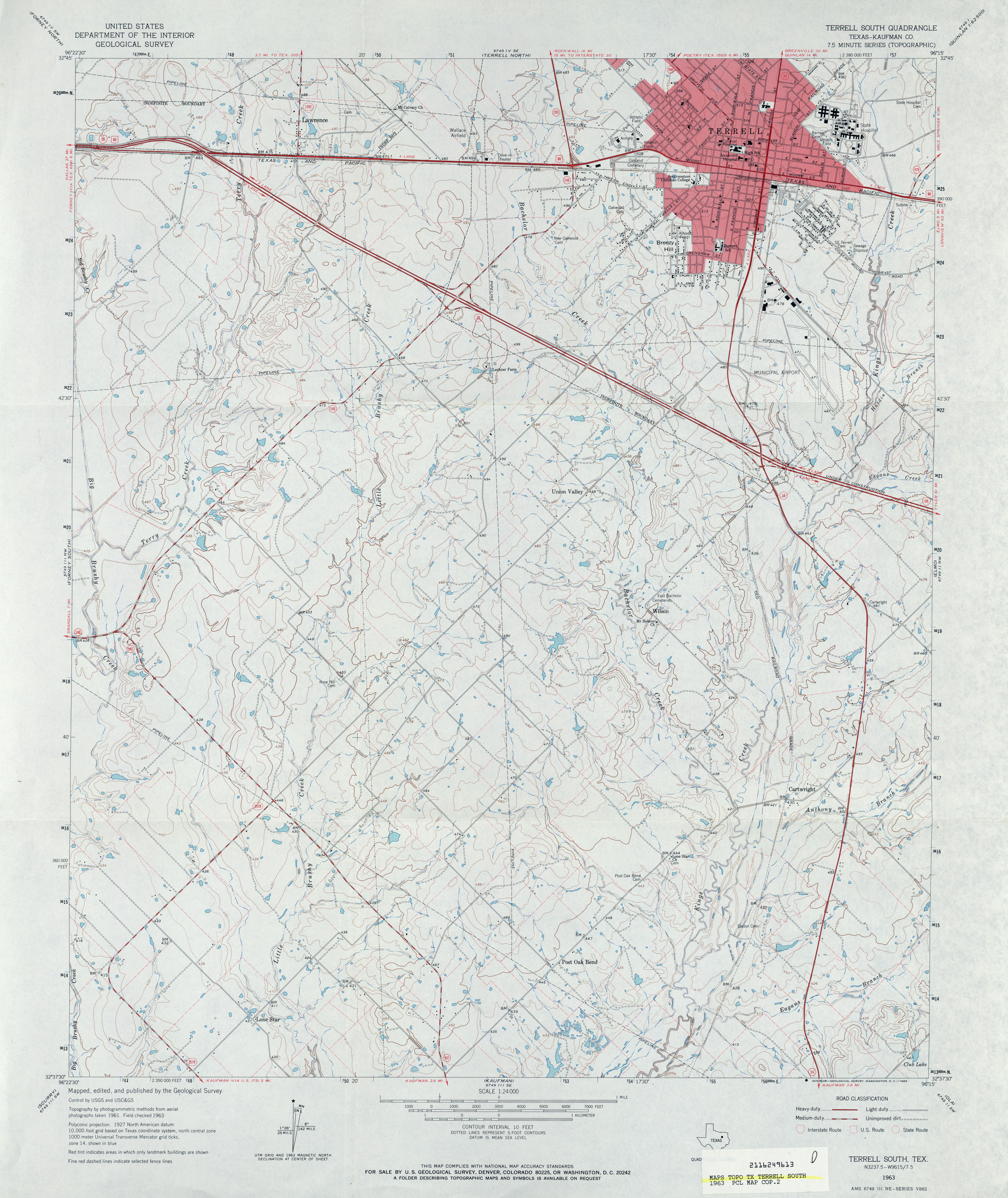
- Terrell South (Kaufman County) 1:24,000 1963 (3.9MB)
- Terrell South 1:24,000 2009 (17.7MB) [GeoPDF]
- Terrell South 1:24,000 2012 (21.1MB) [GeoPDF]
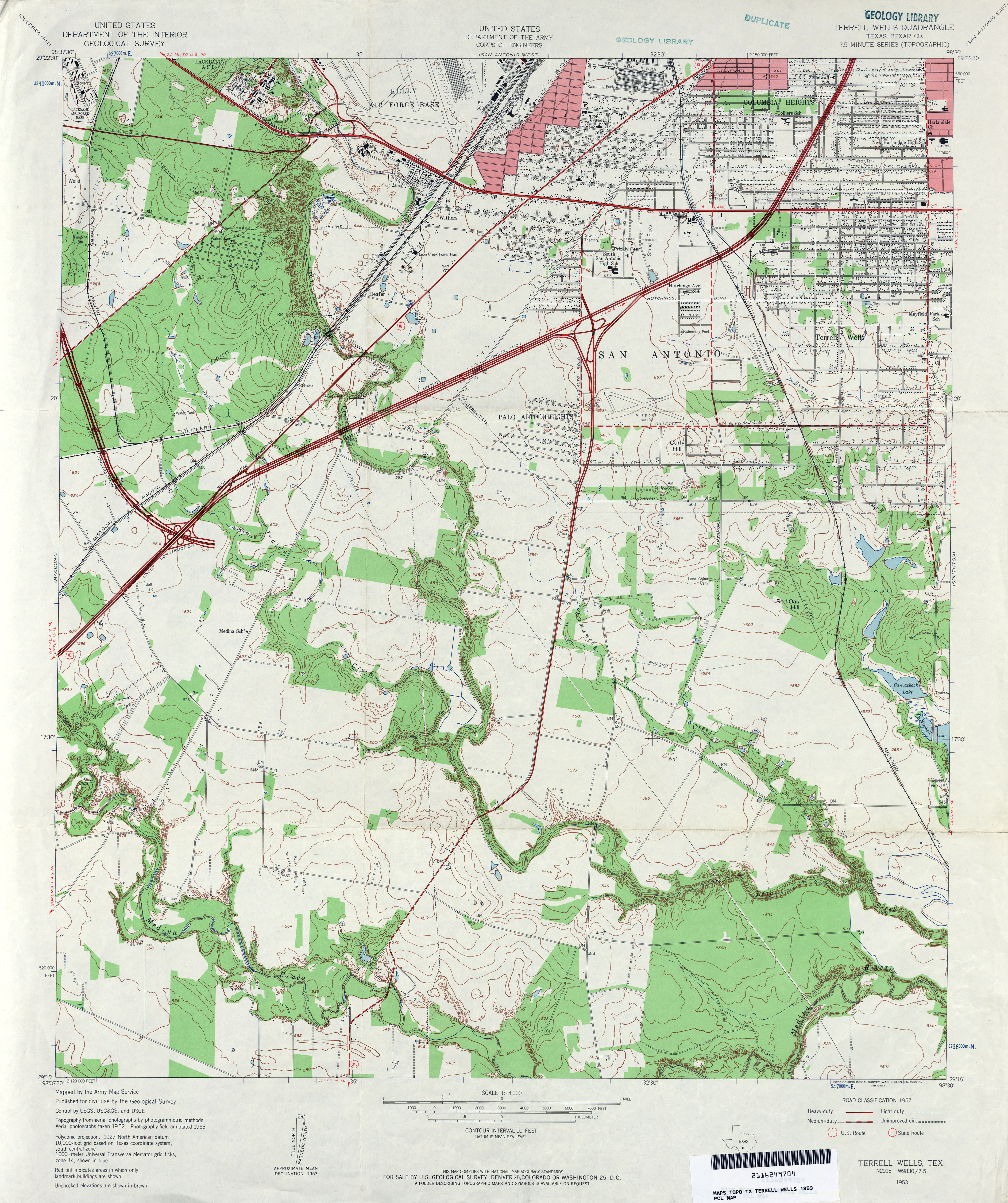
- Terrell Wells (Bexar County) 1:24,000 1953 (4.2MB) U.S. Department of the Army Corps of Engineers
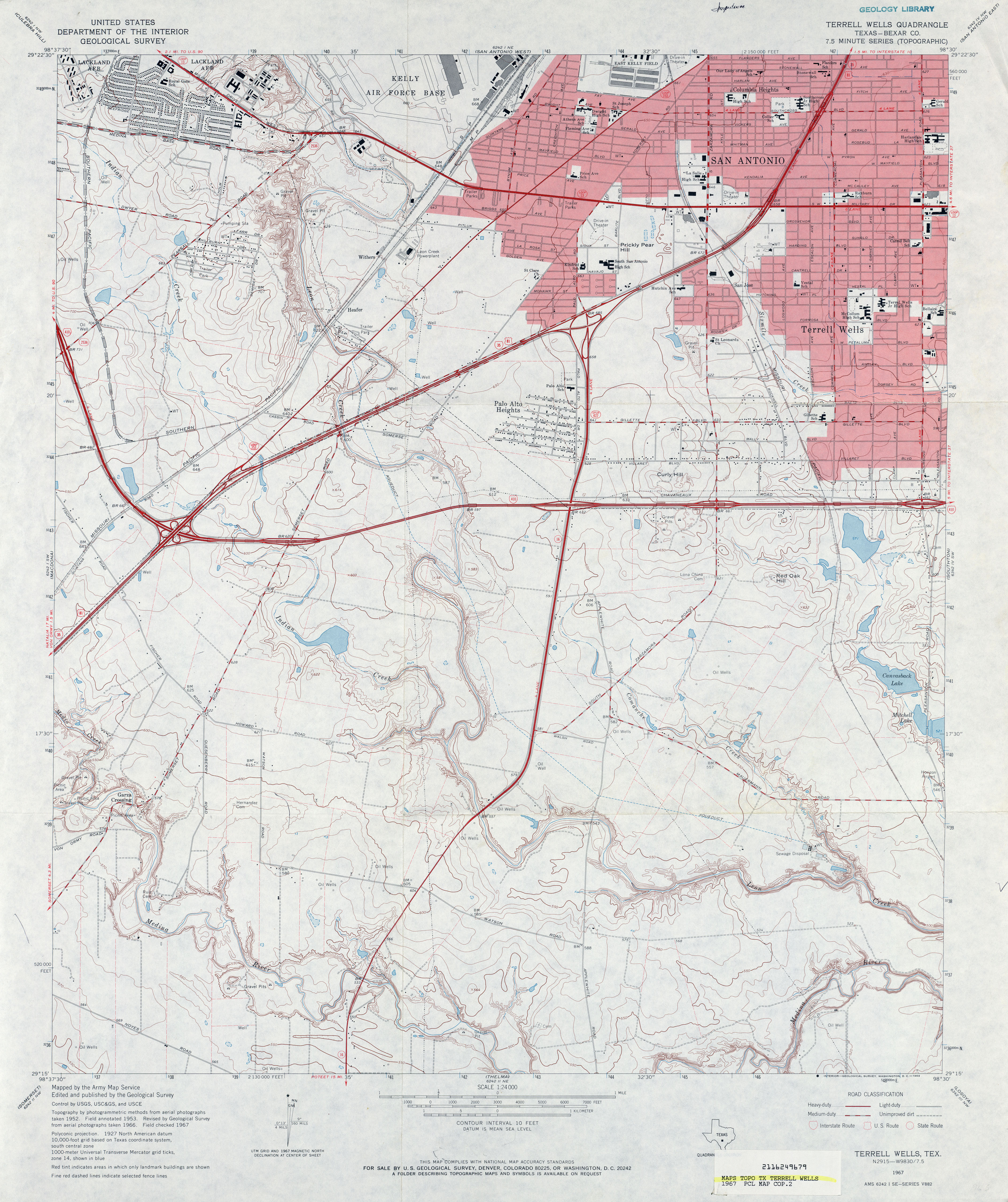
- Terrell Wells (Bexar County) 1:24,000 1967 (4.1MB)
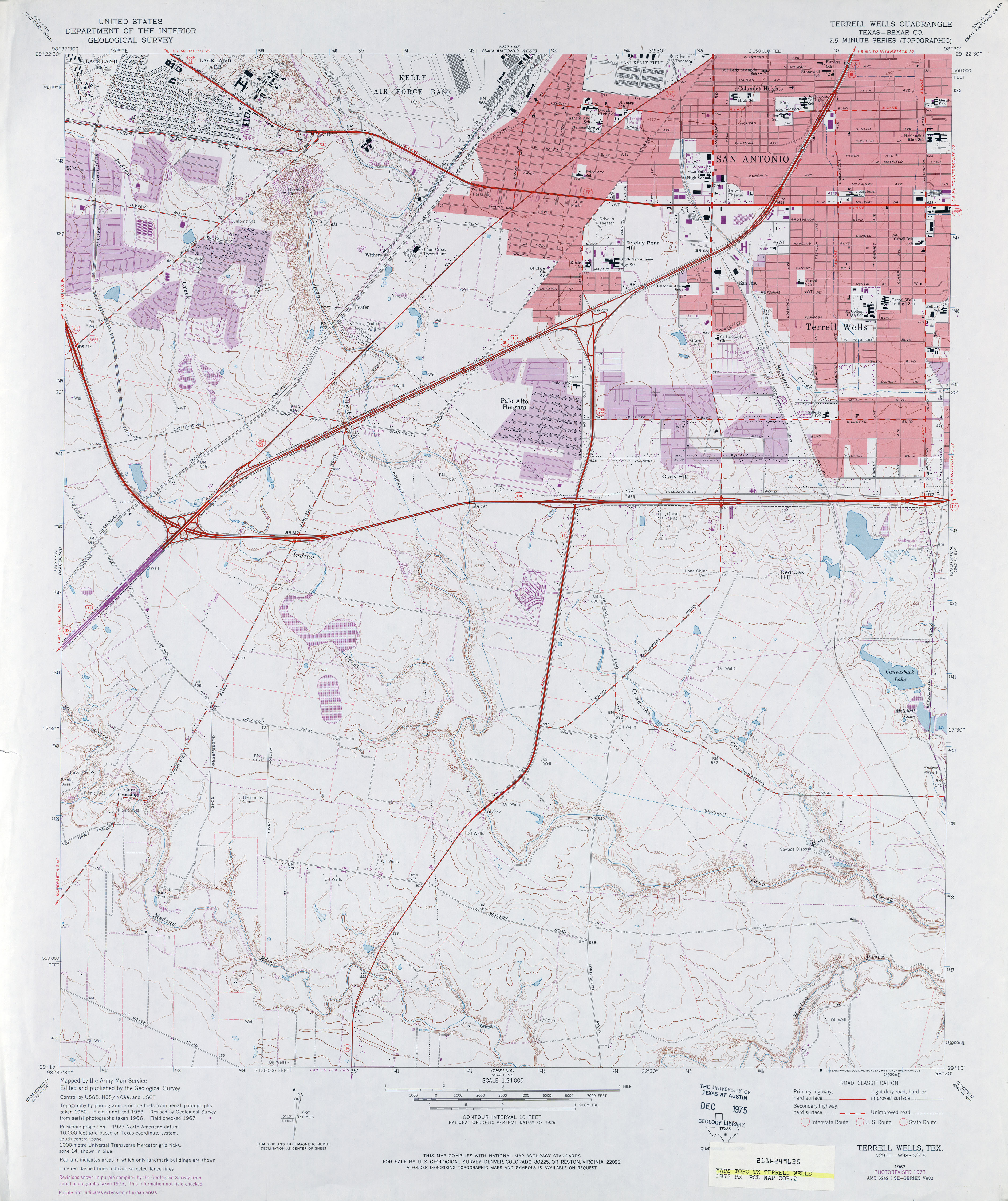
- Terrell Wells (Bexar County) 1:24,000 1973 (3.8MB)
- Terrell Wells (Bexar County) 1:24,000 1992 (4.5MB)
- Terrell Wells 1:24,000 2008 (18.0MB) [GeoPDF]
- Terrell Wells 1:24,000 2013 (24.2MB) [GeoPDF]
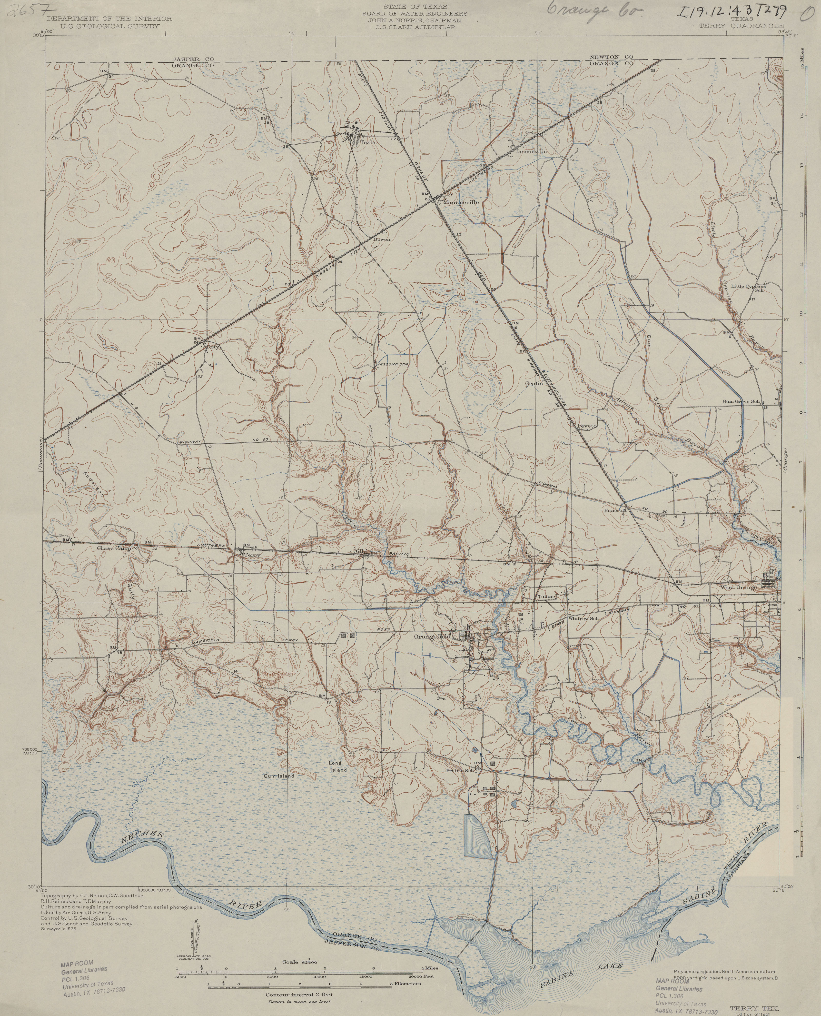
- Terry 1:62,500 1926 (3.0 MB)
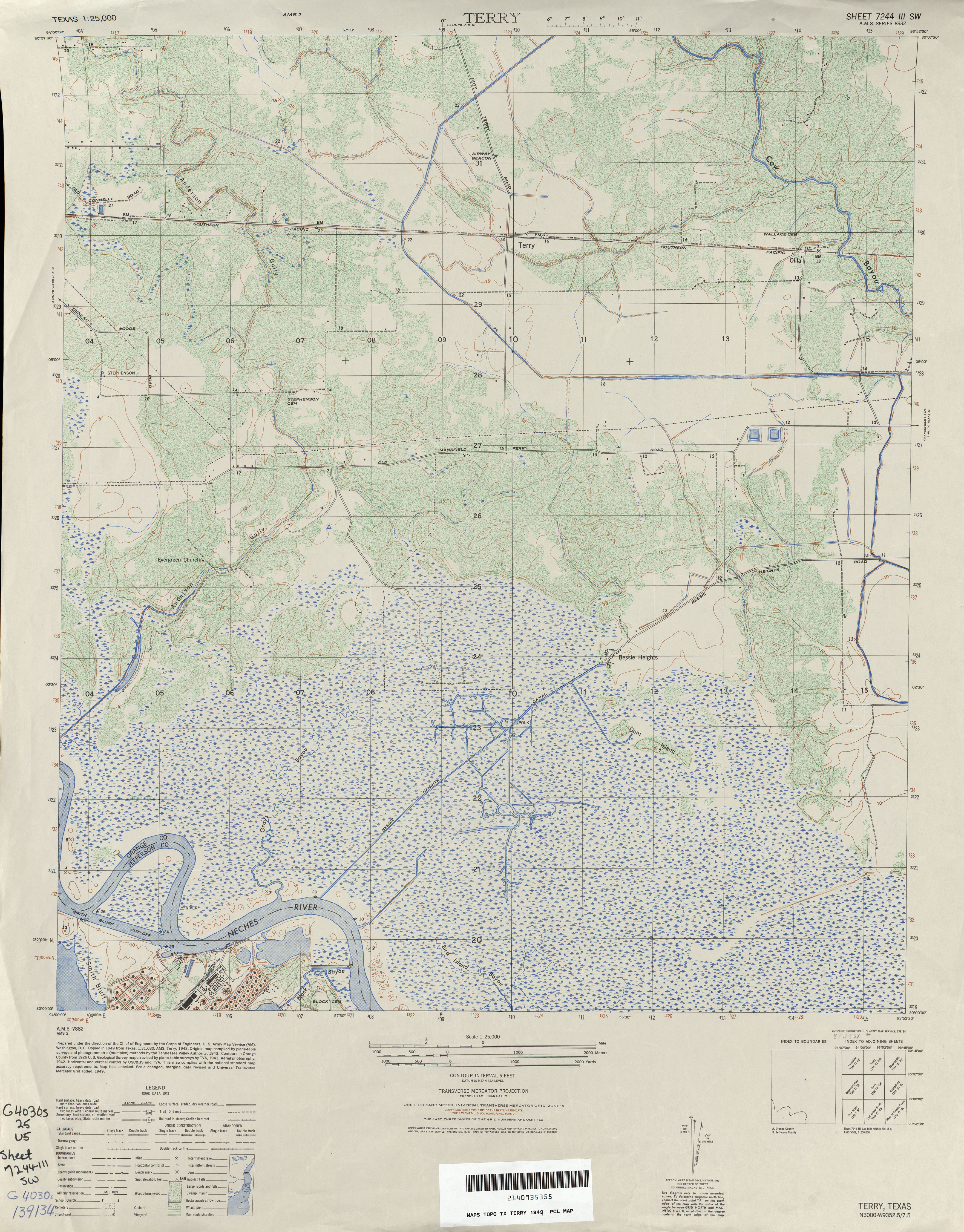
- Terry 1:25,000 1949 (4.5MB) U.S. Army Map Service, Series V882
- Terry 1:24,000 1957 (4MB) U.S. Department of the Army Corps of Engineers
- Terry 1:24,000 1970 (3.9MB) U.S. Department of the Army Corps of Engineers
- Terry 1:24,000 1974 (3.7MB) U.S. Department of the Army Corps of Engineers
- Terry 1:24,000 2009 (18.8MB) [GeoPDF]
- Terry 1:24,000 2012 (19.9MB) [GeoPDF]
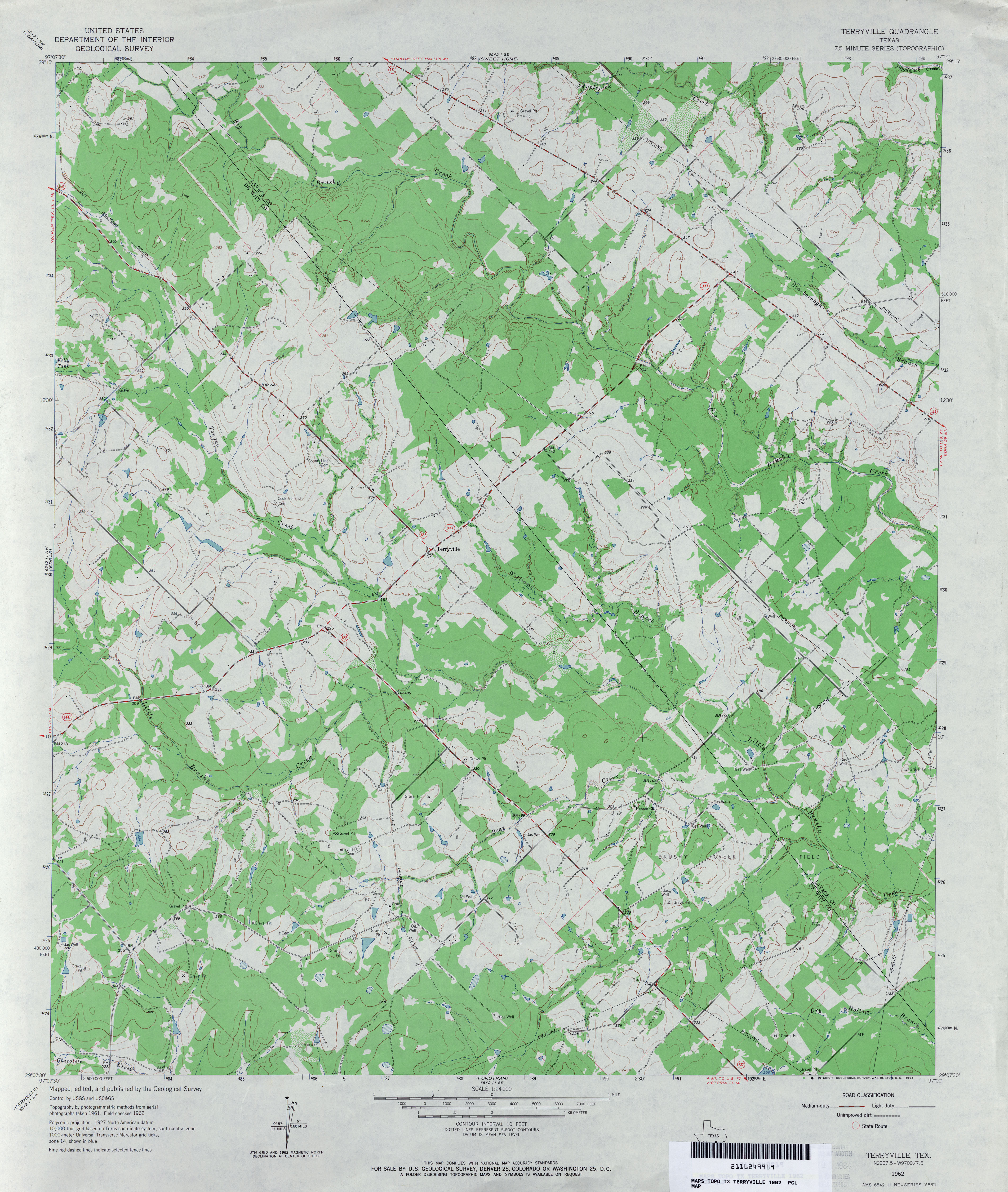
- Terryville 1:24,000 1962 (3.8MB)
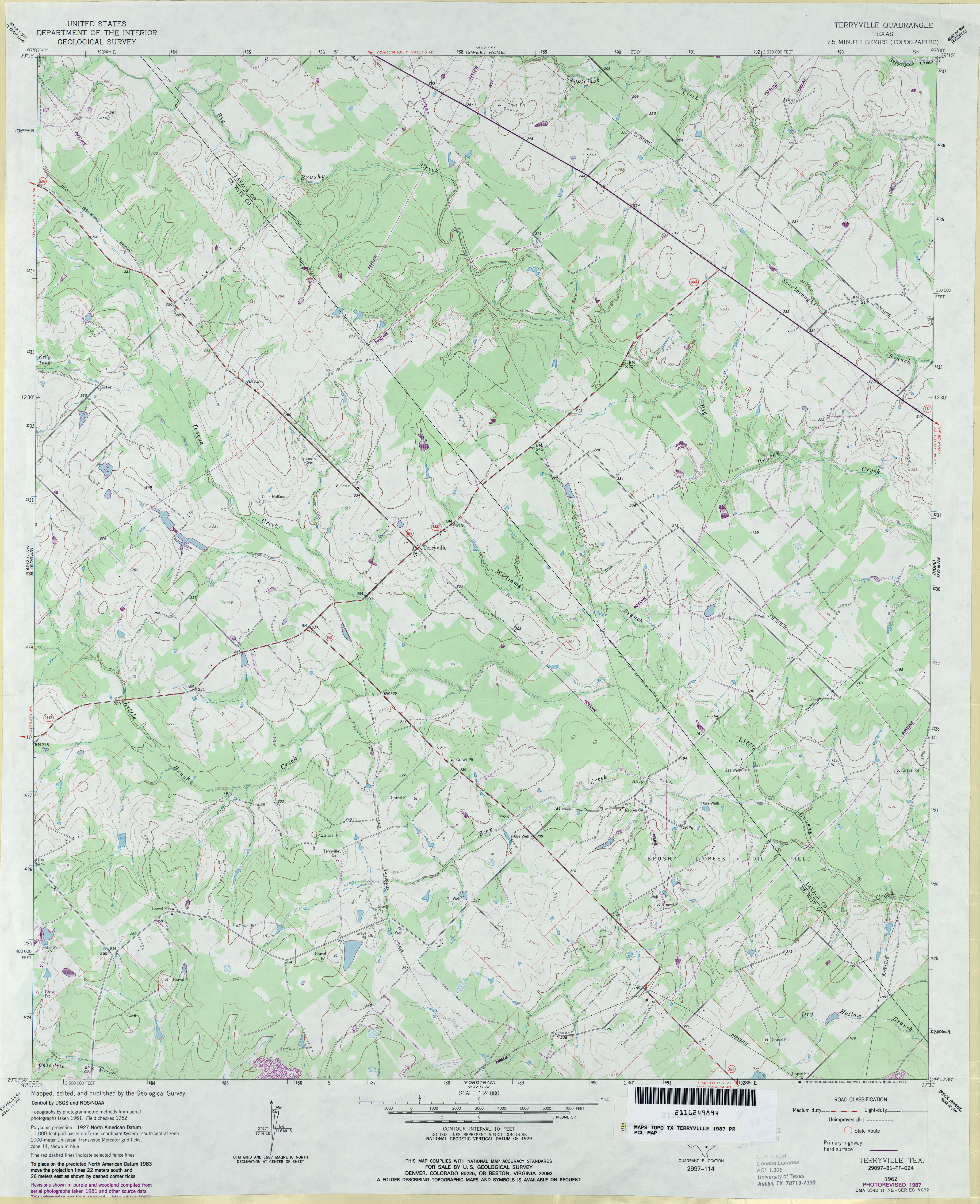
- Terryville 1:24,000 1987 (3.6MB)
- Terryville 1:24,000 2009 (16.6MB) [GeoPDF]
- Terryville 1:24,000 2013 (27.2MB) [GeoPDF]
- Tesnus (Brewster County) 1:24,000 1968 (4.5MB)
- Tesnus 1:24,000 2008 (22.3MB) [GeoPDF]
- Tesnus 1:24,000 2012 (27.3MB) [GeoPDF]
- Tesnus NE 1:24,000 1968 (4.2MB)
- Tesnus NE 1:24,000 2008 (24.2MB) [GeoPDF]
- Tesnus NE 1:24,000 2012 (32MB) [GeoPDF]
- Tesnus SE (Brewster County) 1:24,000 1968 (5.5MB)
- Tesnus SE 1:24,000 2008 (23.6MB) [GeoPDF]
- Tesnus SE 1:24,000 2012 (31.9MB) [GeoPDF]
- Texarkana 1:62,500 1906 (2.8 MB)
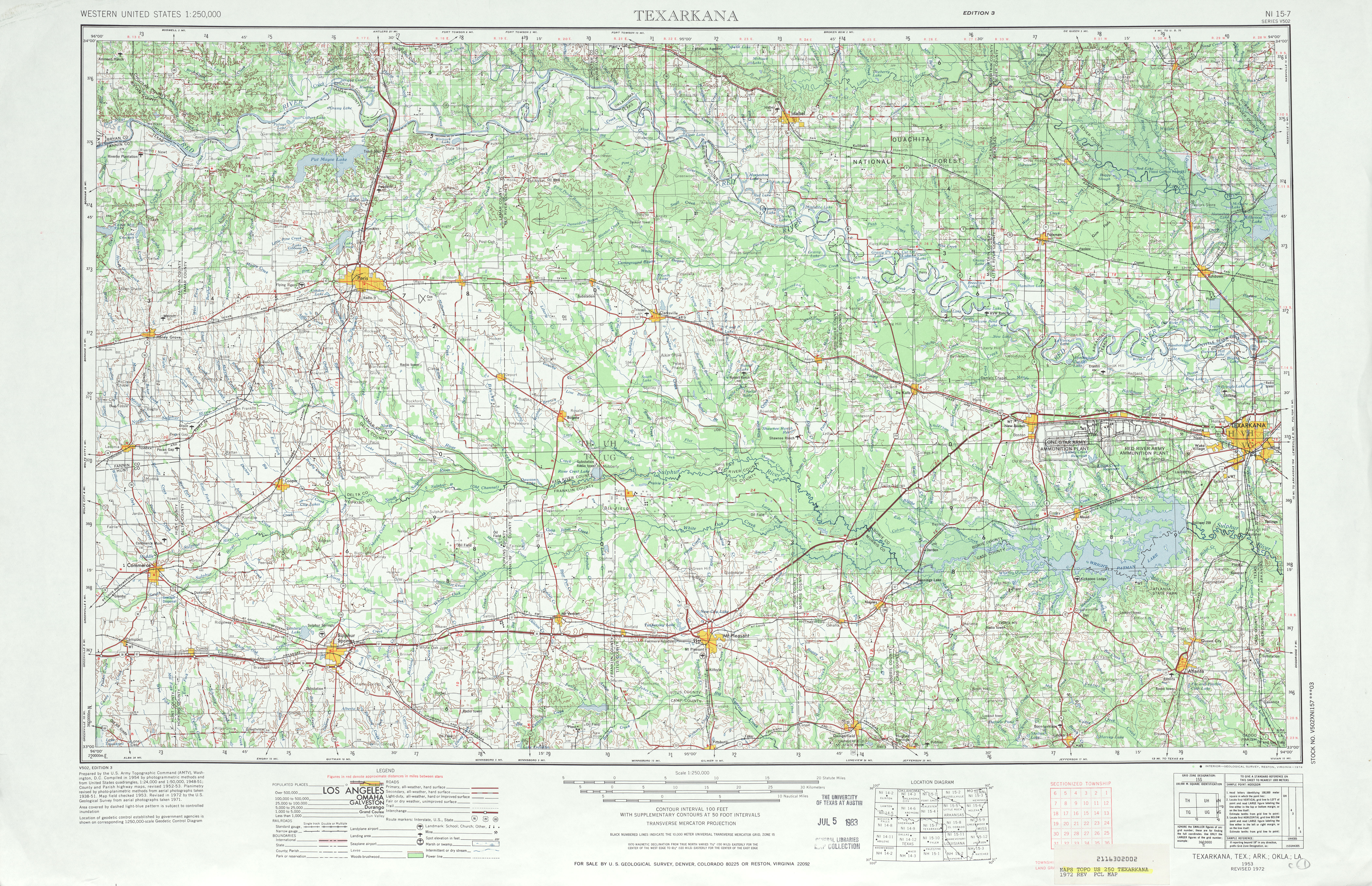
- Texarkana 1:250,000 1953 (9.8MB)
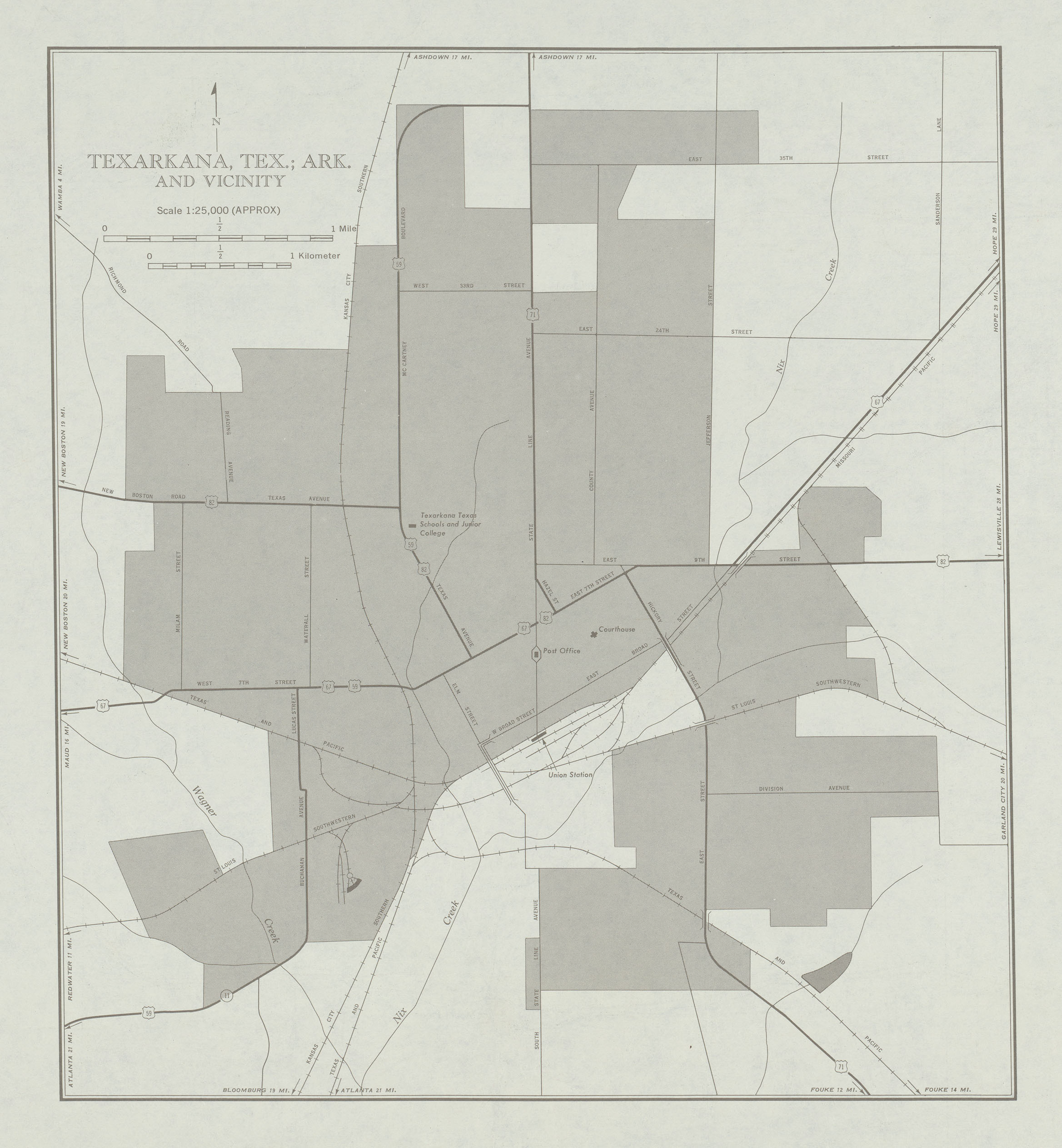
- Texarkana 1:250,000 1953 [verso] [Texarkana, Tex., Ark. and Vicinity] (1.4MB)
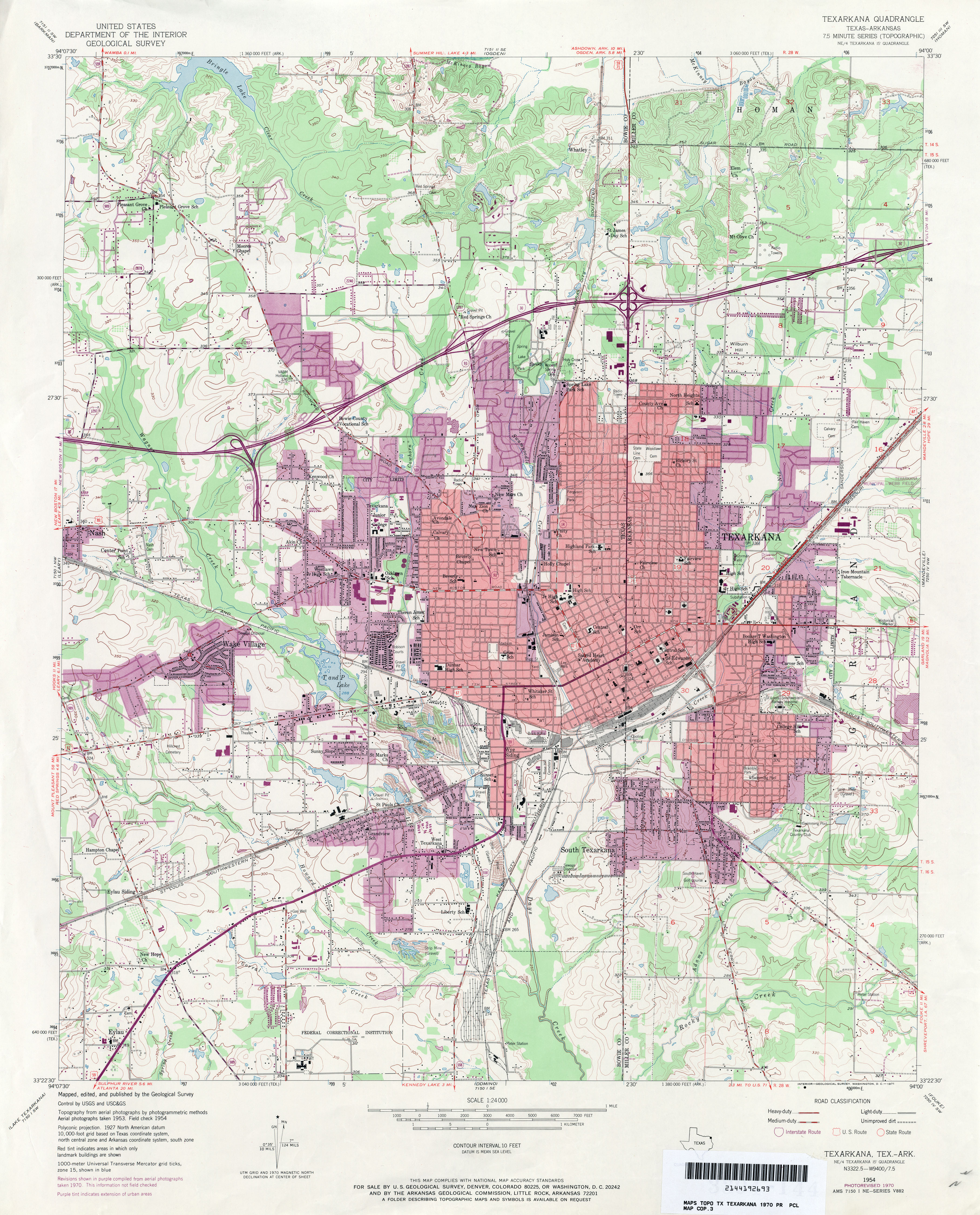
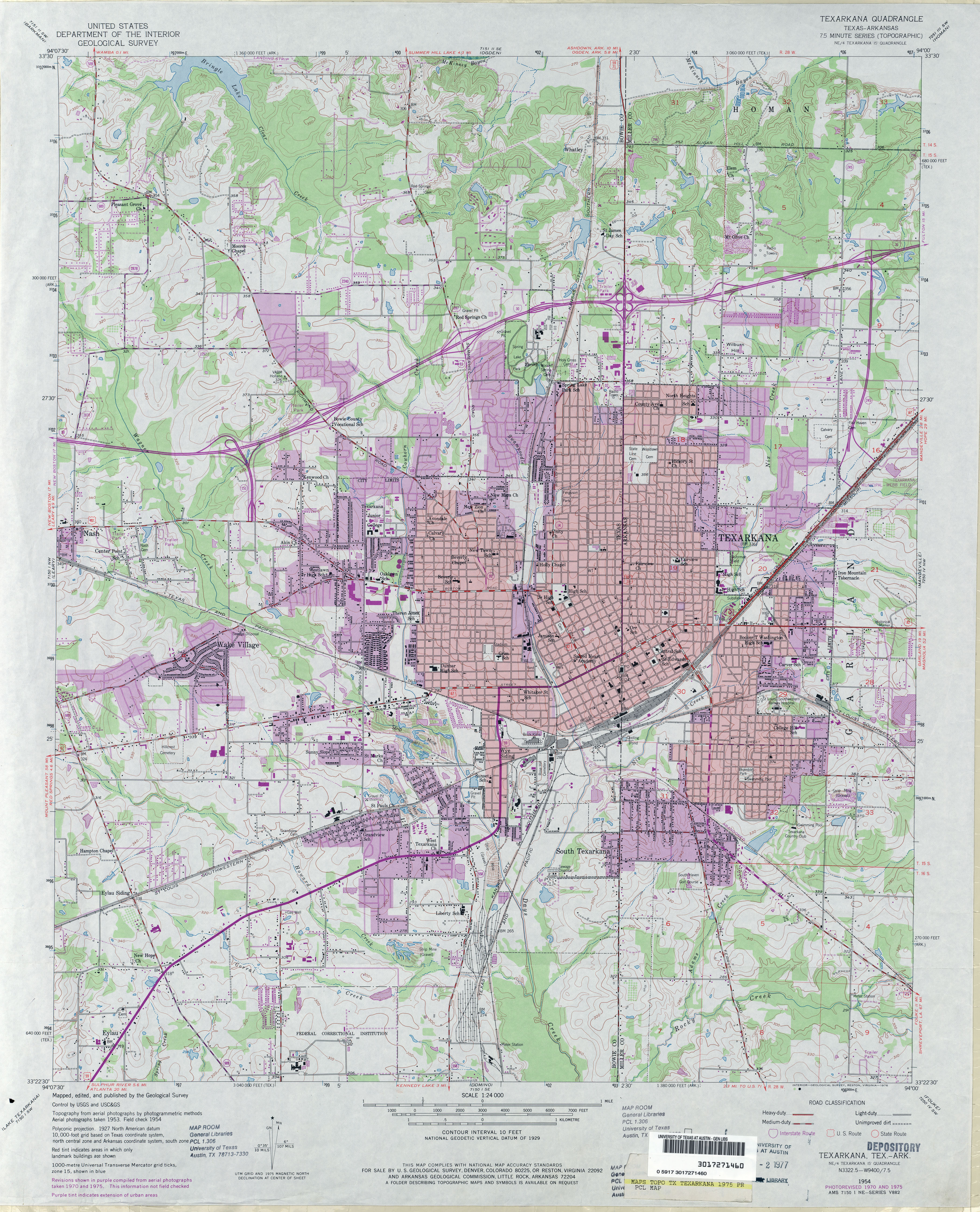
- Texarkana 1:24,000 1954 (4.6MB)
- Texarkana 1:24,000 1970 (4.3MB)
- Texarkana 1:250,000 1972 (8.9MB)
- Texarkana 1:24,000 1975 (4.5MB)
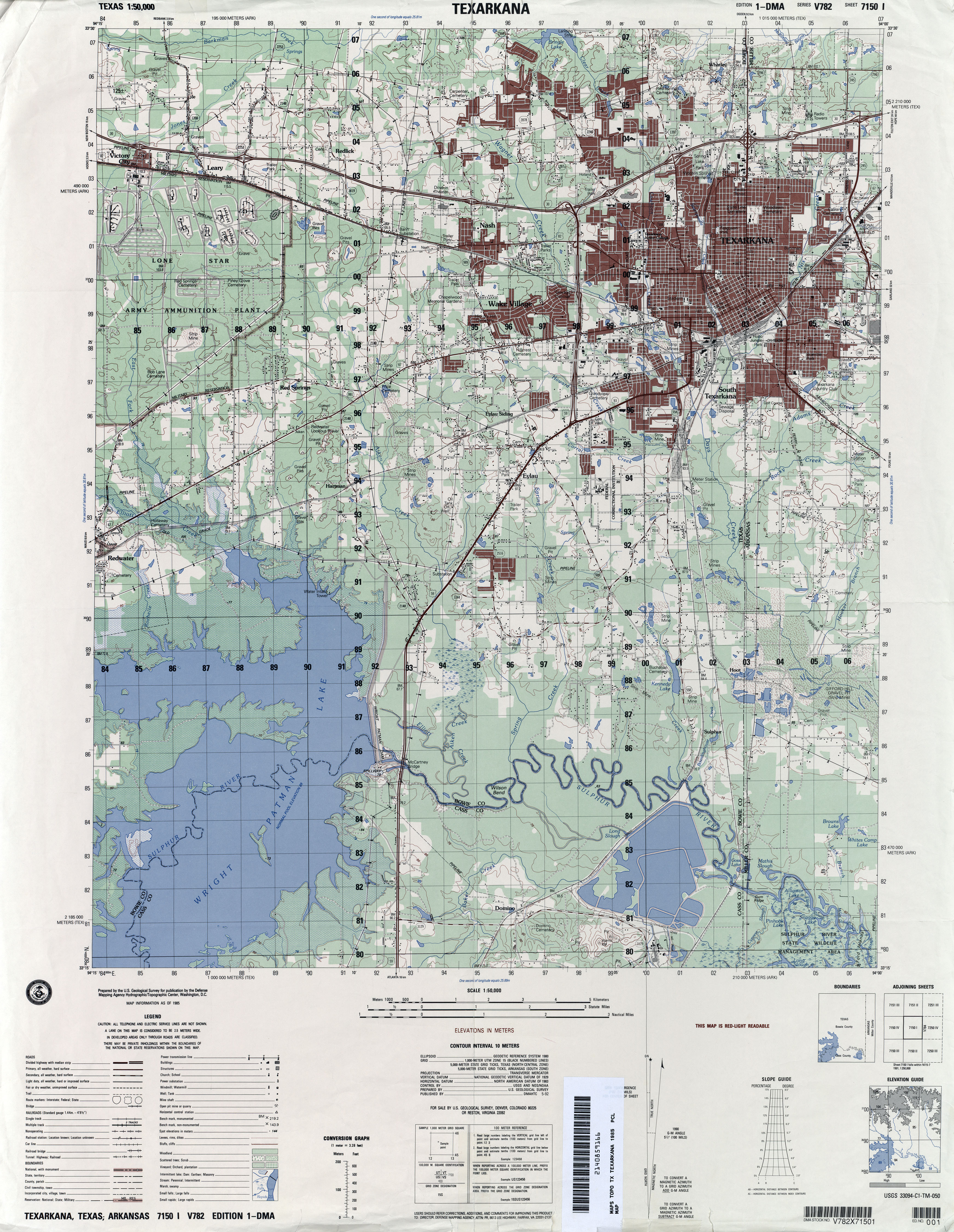
- Texarkana 1:50,000 1985 (4.3MB) U.S. Defense Mapping Agency, Edition 1-DMA, Series V782
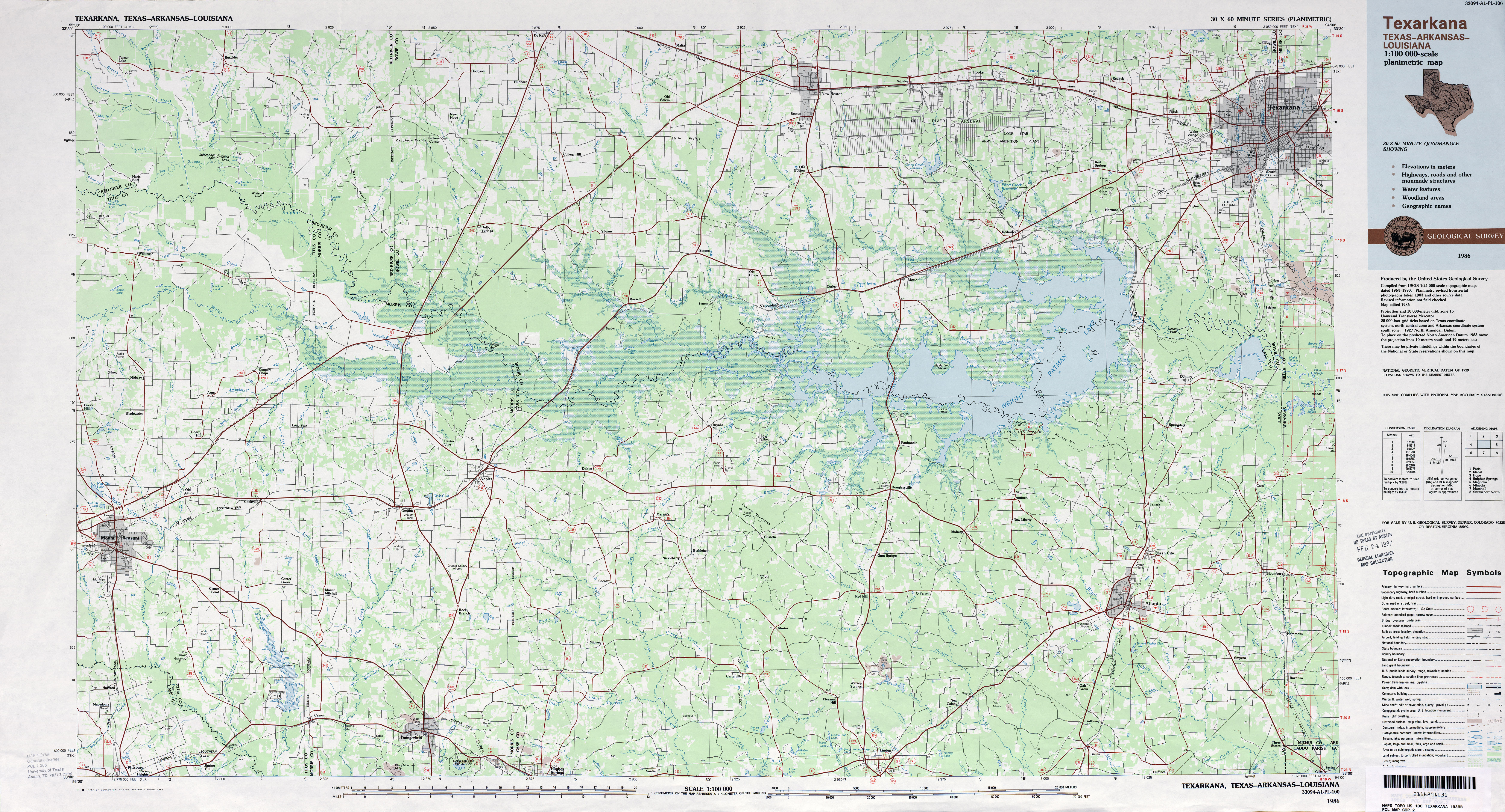
- Texarkana 1:100,000 1986 (6.6MB) Planimetric Map
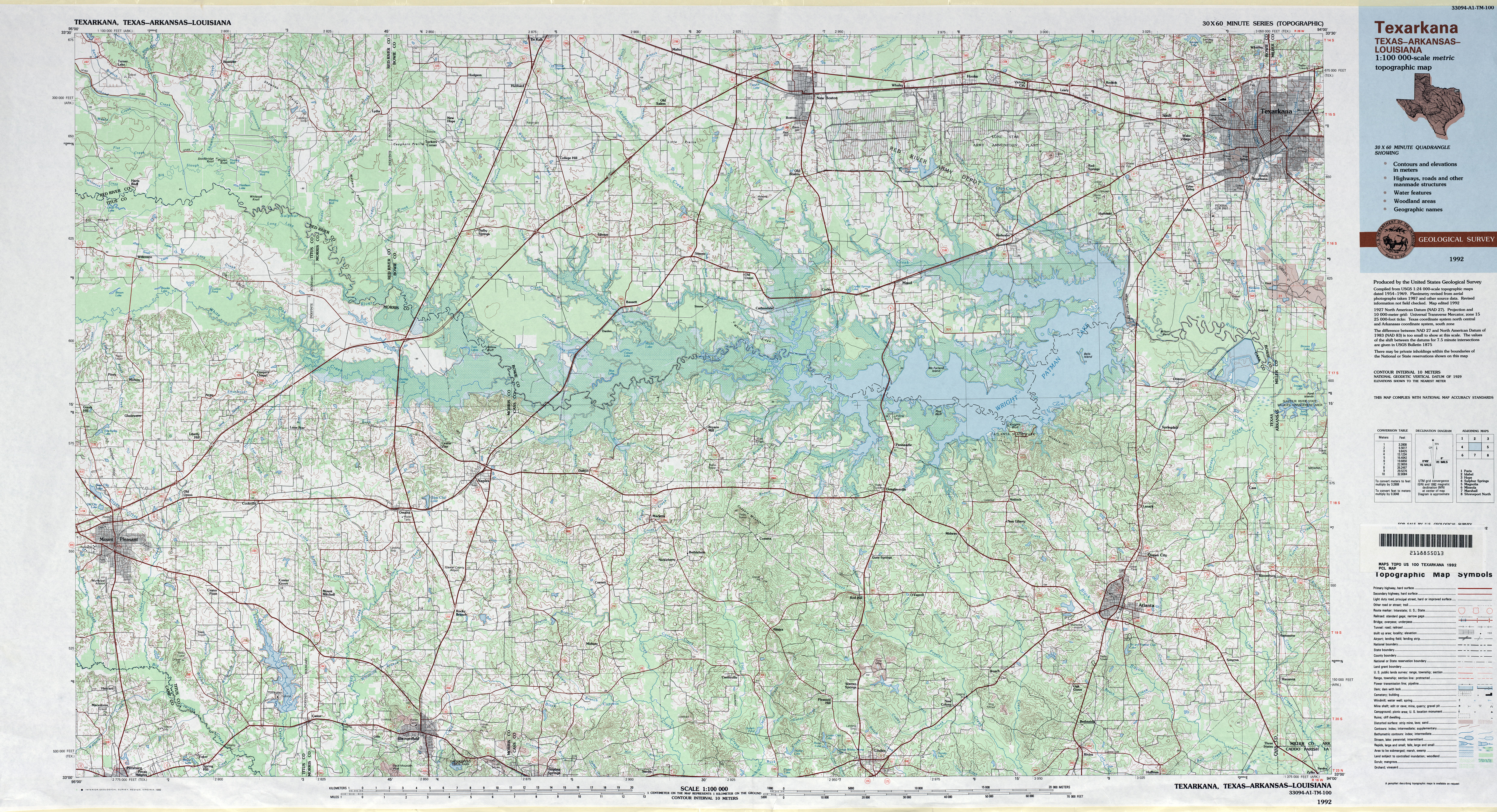
- Texarkana 1:100,000 1992 (9.5MB)
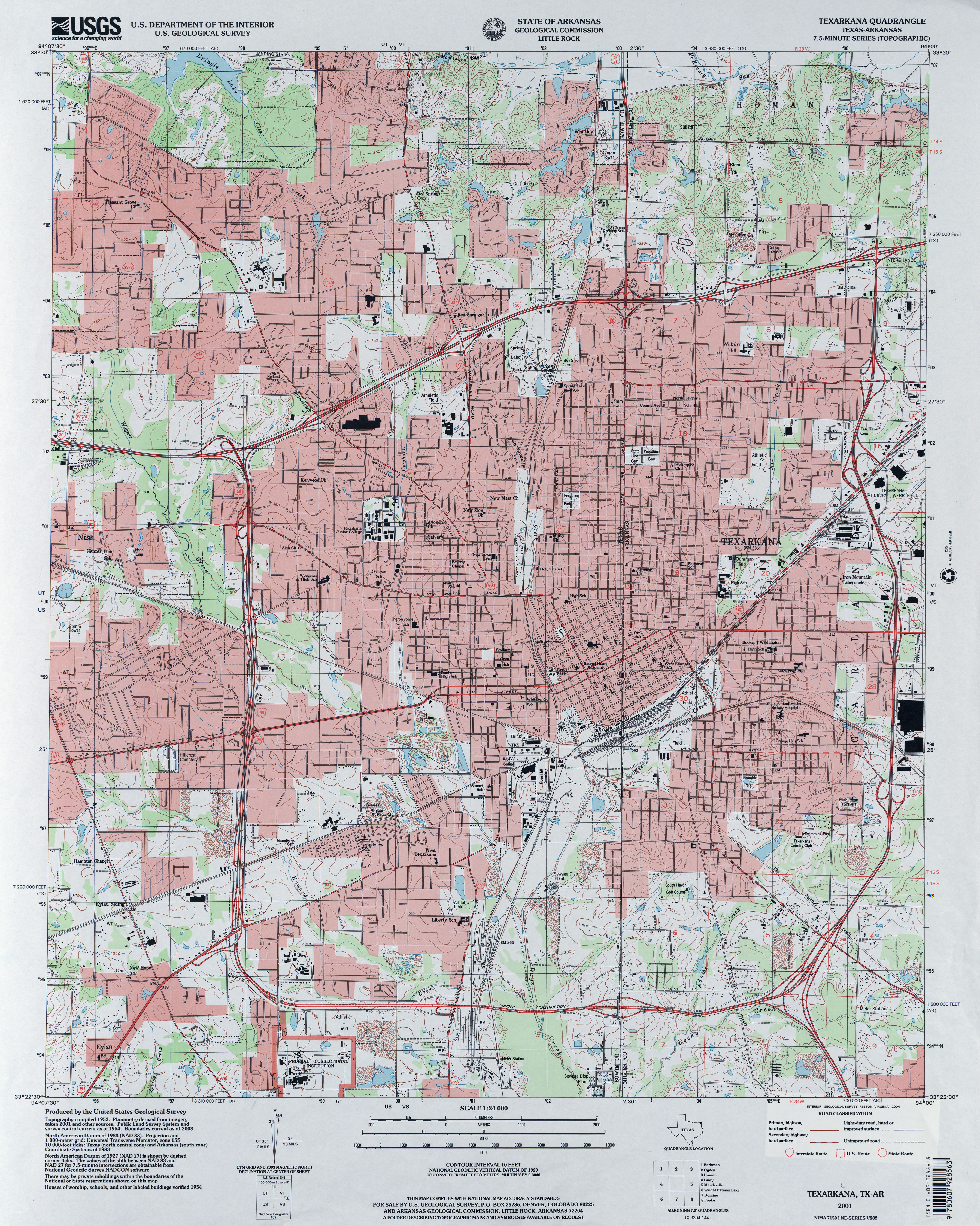
- Texarkana 1:24,000 2001 (4.8MB)
- Texarkana [Texas, Arkansas] 1:24,000 2009 (18.3MB) [GeoPDF]
- Texarkana 1:24,000 2013 (24.3MB) [GeoPDF]
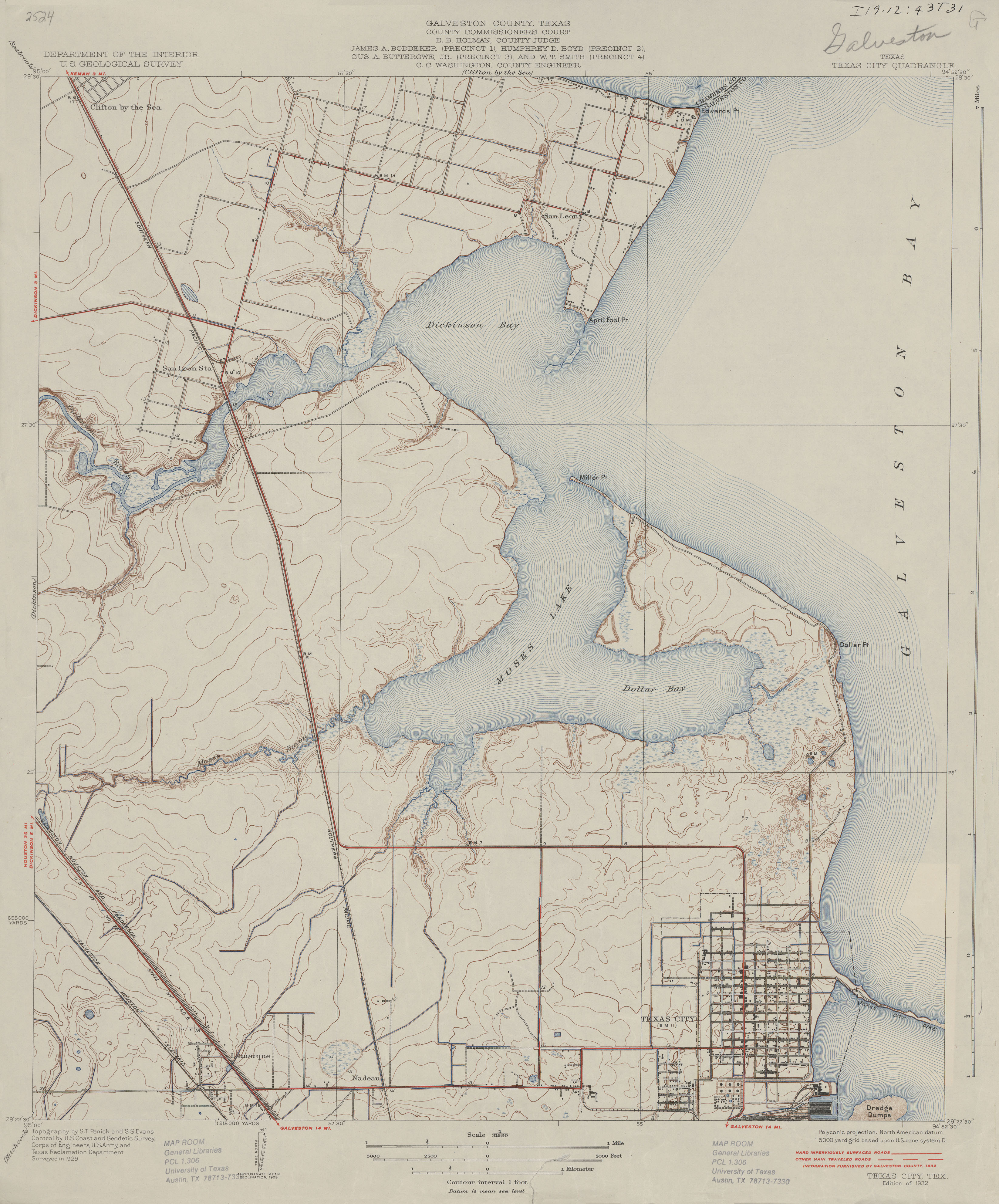
- Texas City 1:31,680 1929 survey, 1932 overprint (2.8 MB)
- Texas City 1:24,000 1952 (2.8MB) U.S. Department of the Army Corps of Engineers
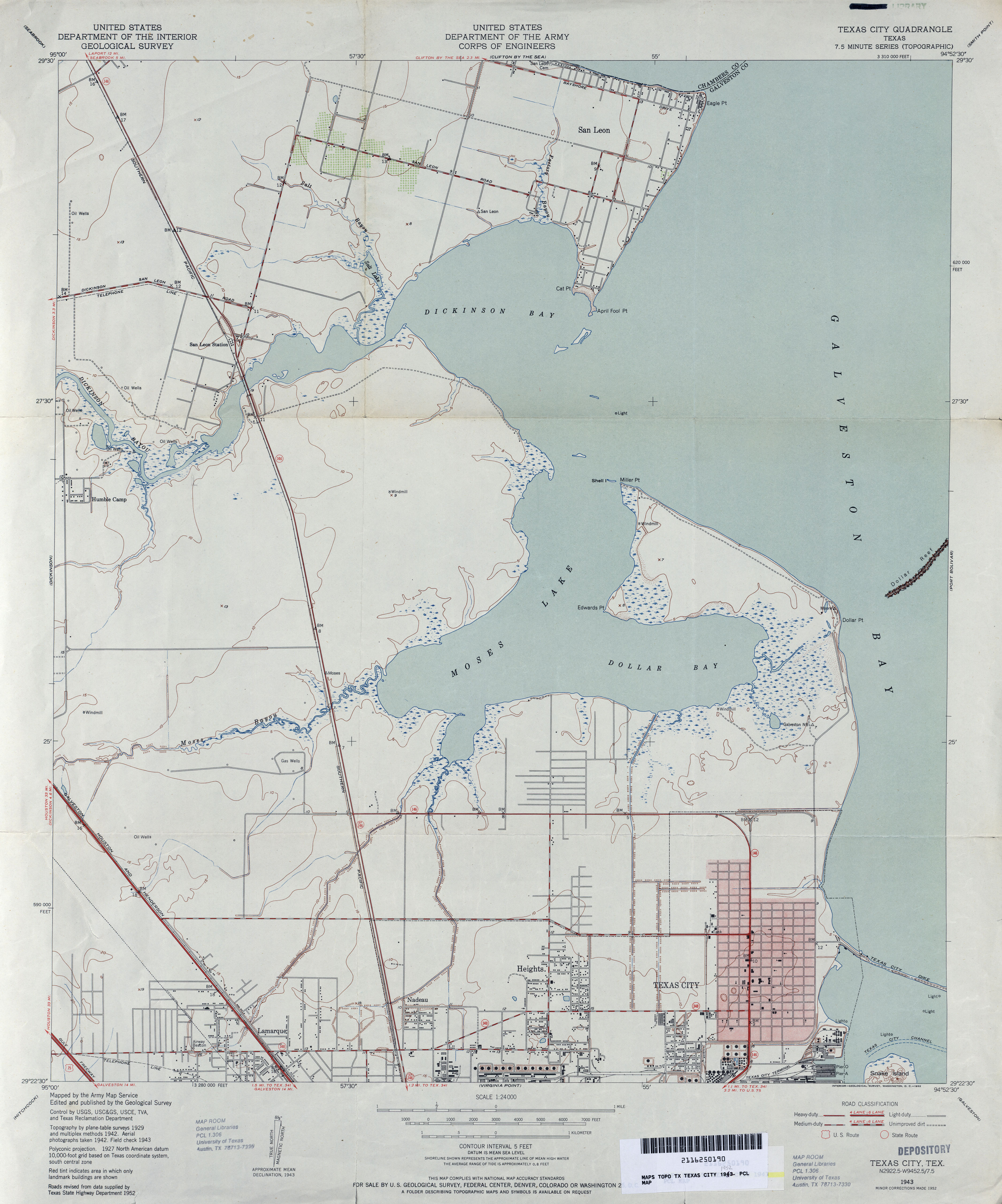
- Texas City 1:24,000 1954 (2.9MB) U.S. Department of the Army Corps of Engineers
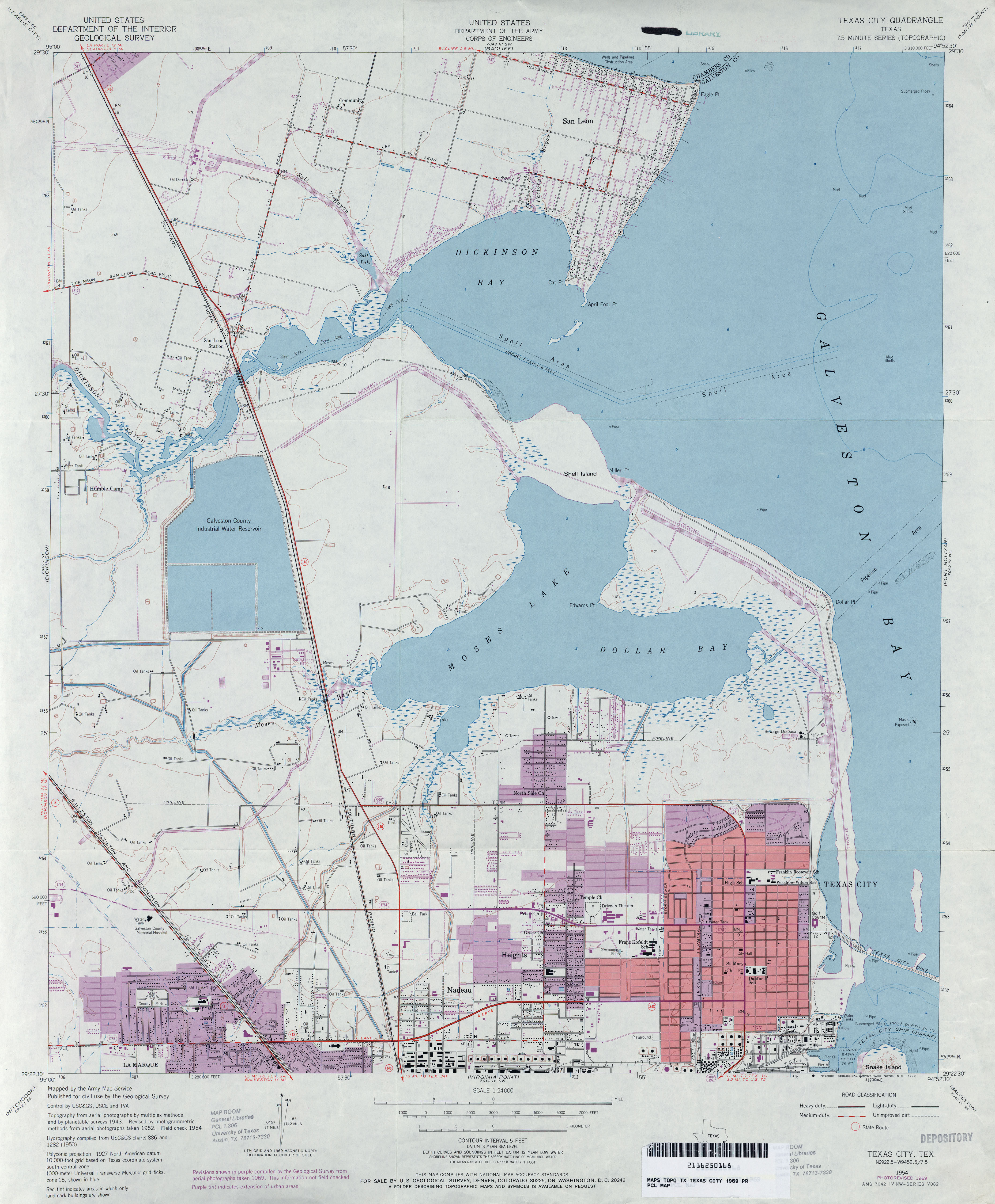
- Texas City 1:24,000 1969 (3.2MB) U.S. Department of the Army Corps of Engineers
- Texas City 1:24,000 1974 (3.5MB) U.S. Department of the Army Corps of Engineers
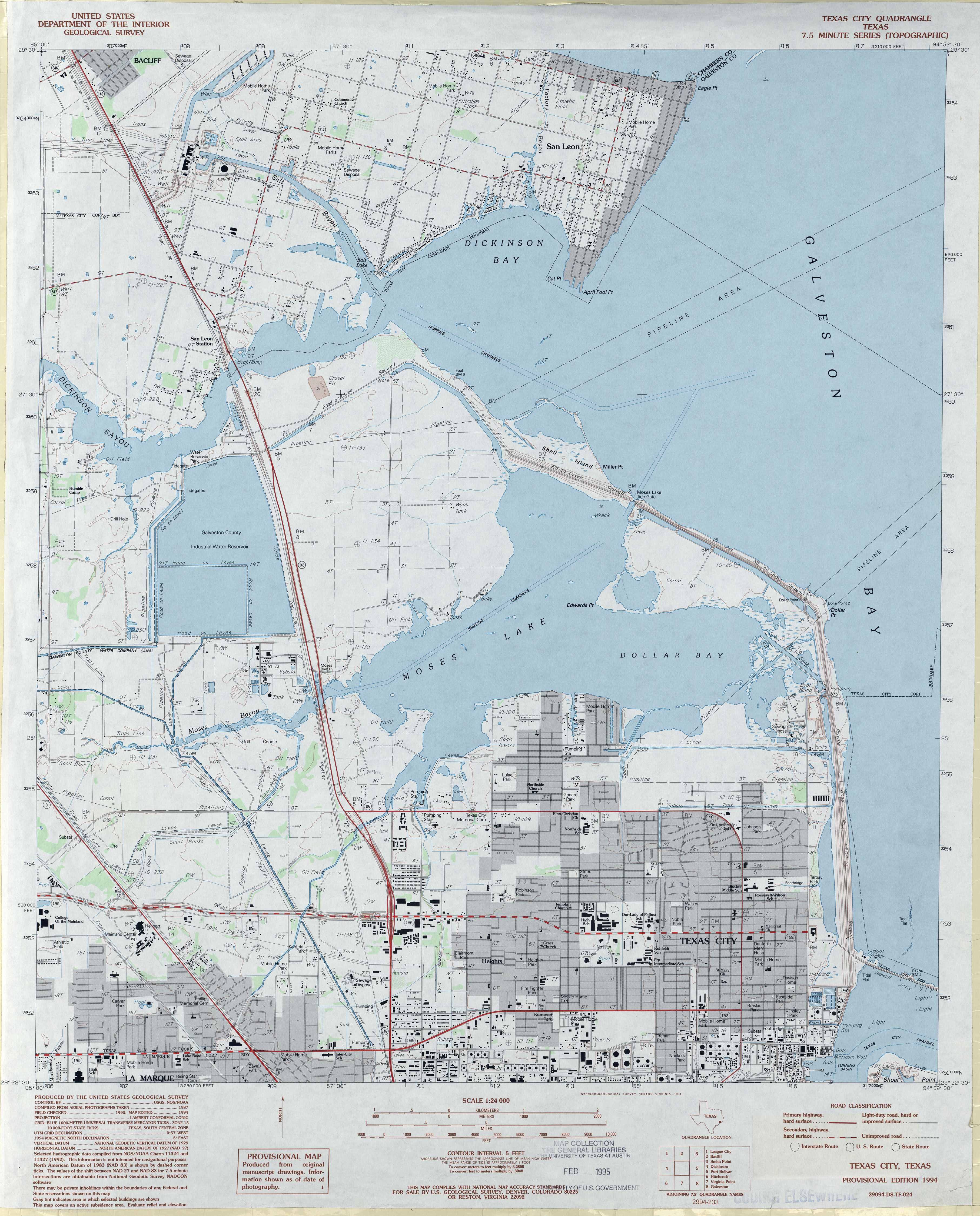
- Texas City 1:24,000 1994 (3.5MB)
- Texas City 1:24,000 2008 (1MB) Texas Natural Resources Information System (TNRIS). [pdf]
- Texas City 1:24,000 2009 (13.7MB) [GeoPDF]
- Texas City 1:24,000 2013 (18.7MB) [GeoPDF]
- Texas Mountain (Medina County) 1:24,000 1969 (5.2MB)
- Texas Mountain 1:24,000 2008 (22.2MB) [GeoPDF]
- Texas Mountain 1:24,000 2013 (28.1MB) [GeoPDF]
- Texas Point 1:31,680 1943 (2.4 MB) Tennessee Valley Authority
- Texas Point 1:25,000 1944 (3MB) U.S. Army Map Service, Series V882
- Texas Point 1:24,000 1957 (2.8MB) U.S. Department of the Army Corps of Engineers
- Texas Point 1:24,000 1970 (3MB) U.S. Department of the Army Corps of Engineers
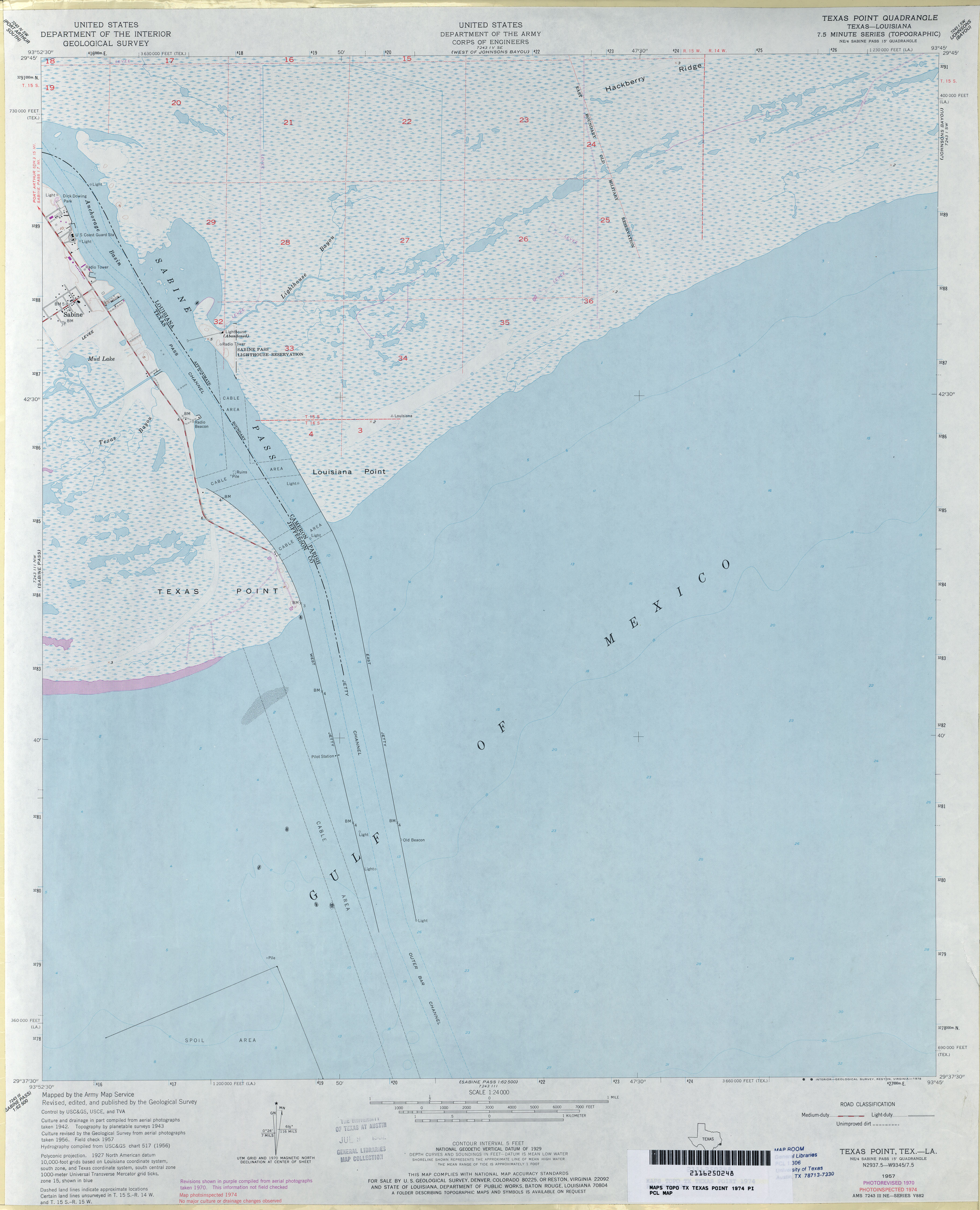
- Texas Point 1:24,000 1974 (2.5MB) U.S. Department of the Army Corps of Engineers
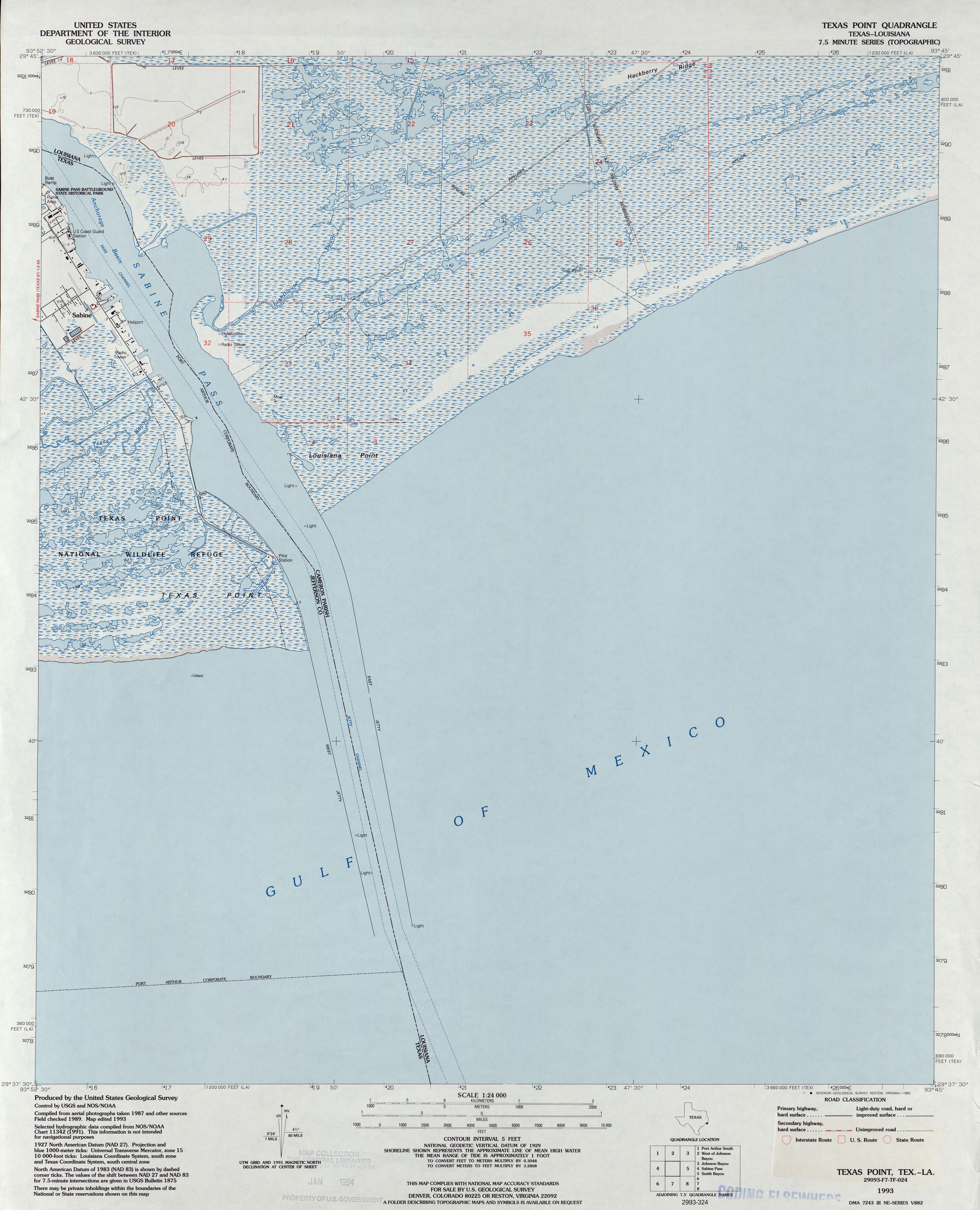
- Texas Point 1:24,000 1993 (3.4MB)
- Texas Point 1:24,000 2009 (8.8MB) [GeoPDF]
- Texas Point 1:24,000 2013 (15.3MB) [GeoPDF]
- Texhoma North 1:24,000 2012 (14.8MB) [GeoPDF]
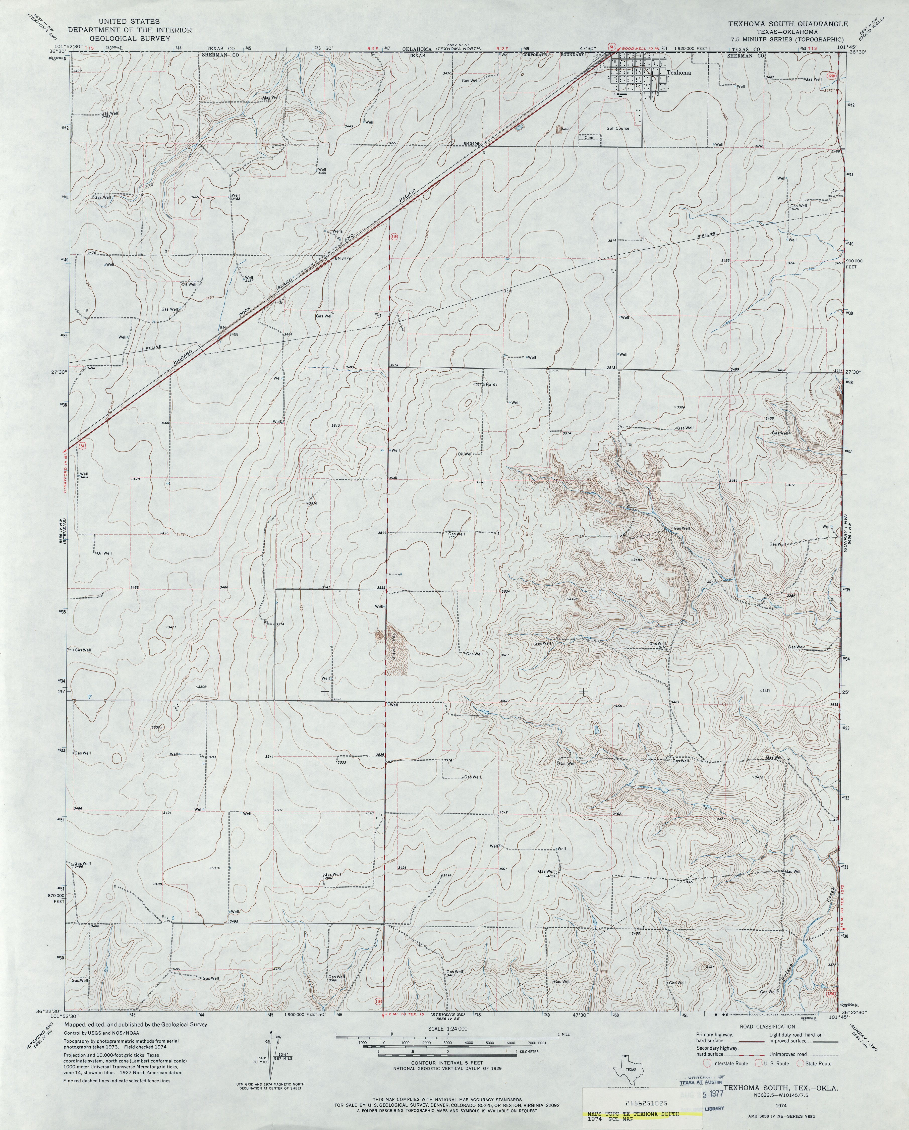
- Texhoma South 1:24,000 1974 (3.3MB)
- Texhoma South 1:24,000 2008 (8.8MB) [GeoPDF]
- Texhoma South 1:24,000 2012 (15.6MB) [GeoPDF]
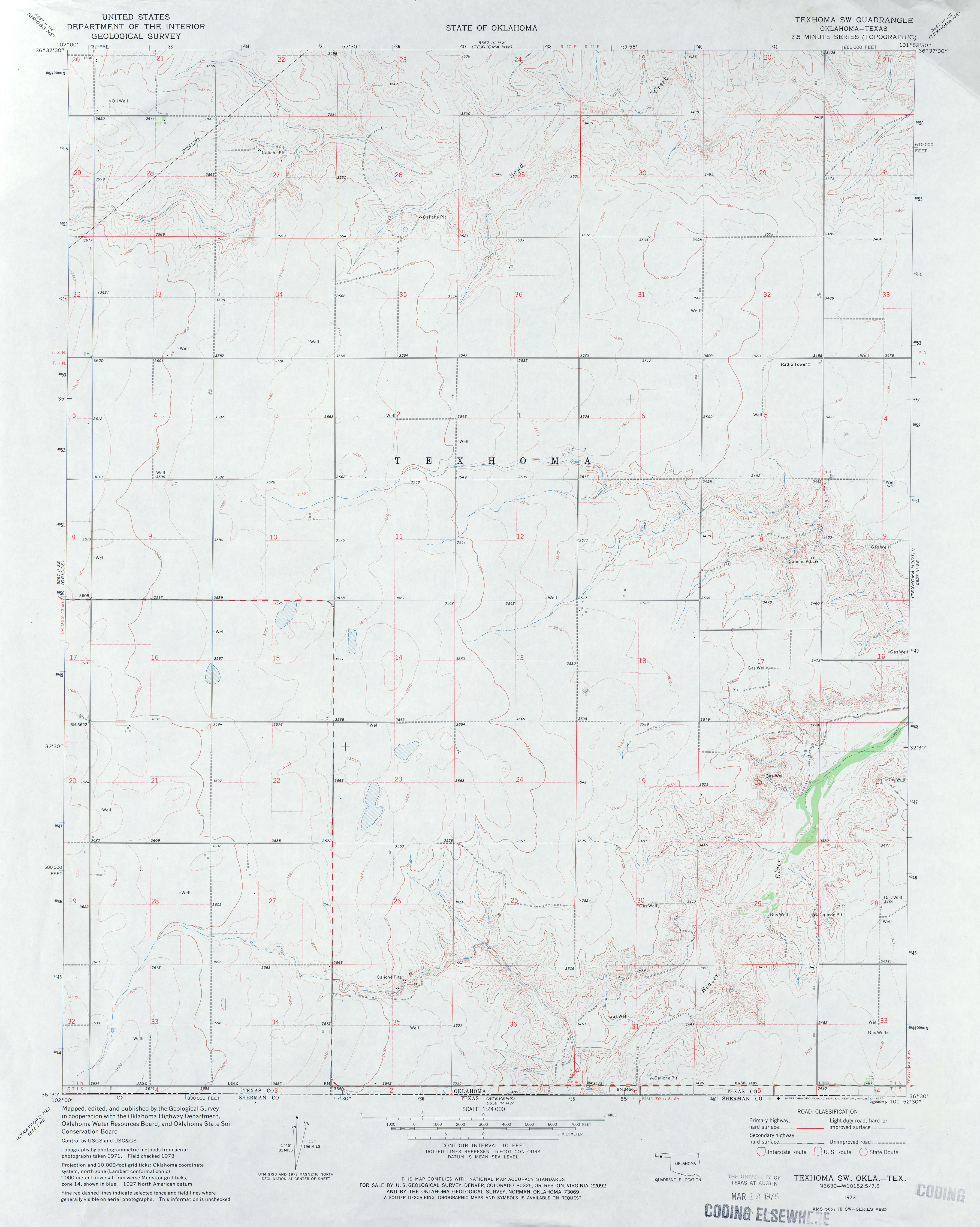
- Texhoma SW 1:24,000 1973 (2.8MB)
- Texhoma SW 1:24,000 2012 (13.8MB) [GeoPDF]
- Texla 1:24,000 1943 (2.6MB) Tennessee Valley Authority
- Texla 1:24,000 1957 (2.9MB) U.S. Department of the Army Corps of Engineers
- Texla 1:24,000 1970 (2.8MB) U.S. Department of the Army Corps of Engineers
- Texla 1:24,000 1975 (2.7MB) U.S. Department of the Army Corps of Engineers
- Texla 1:24,000 2009 (24.1MB) [GeoPDF]
- Texla 1:24,000 2012 (23.1MB) [GeoPDF]
- Texline North [New Mexico, Texas] 1:24,000 1970 (3.2MB)
- Texline North [Texas, New Mexico] 1:24,000 1998 (3.9MB)
- Texline North [Texas, New Mexico] 1:24,000 2009 (18.0MB) [GeoPDF]
- Texline North [Texas, New Mexico] 1:24,000 2012 (22.5MB) [GeoPDF]
- Texline South 1:24,000 1970 (2.8MB)
- Texline South 1:24,000 1998 (3.3MB)
- Texline South [Texas, New Mexico] 1:24,000 2009 (18.9MB) [GeoPDF]
- Texline South [Texas, New Mexico] 1:24,000 2012 (21.2MB) [GeoPDF]
- Texon (Reagan County) 1:24,000 1970 (3MB)
- Texon 1:24,000 2008 (23.1MB) [GeoPDF]
- Texon 1:24,000 2012 (29.8MB) [GeoPDF]
- Texon SE 1:24,000 1970 (3.2MB)
- Texon SE 1:24,000 2008 (25.9MB) [GeoPDF]
- Texon SE 1:24,000 2012 (31.1MB) [GeoPDF]
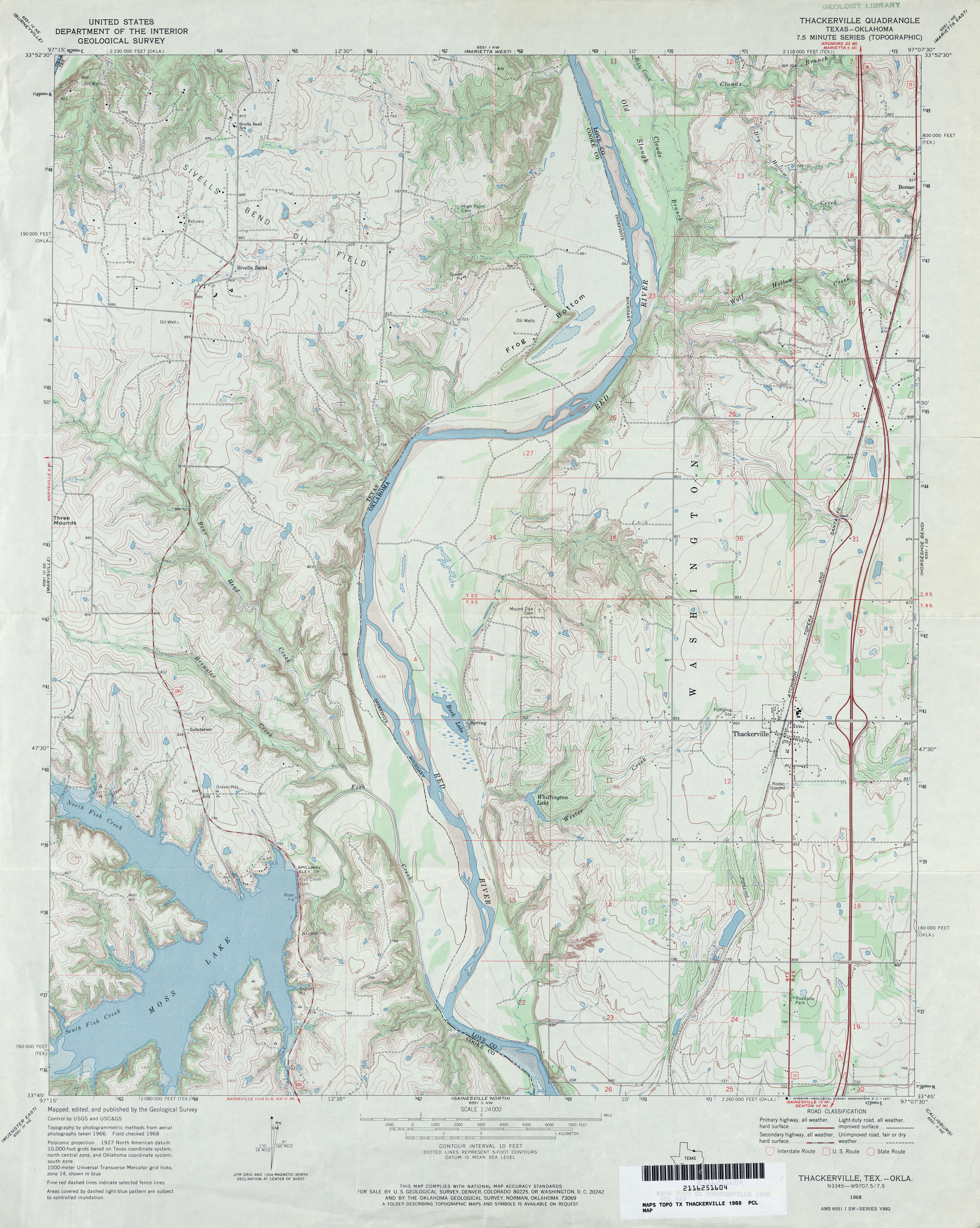
- Thackerville [Texas, Oklahoma] 1:24,000 1968 (4.2MB)
- Thackerville [Oklahoma, Texas] 1:24,000 2008 (15.1MB) [GeoPDF]
- Thackerville [Oklahoma, Texas] 1:24,000 2012 (22.1MB) [GeoPDF]
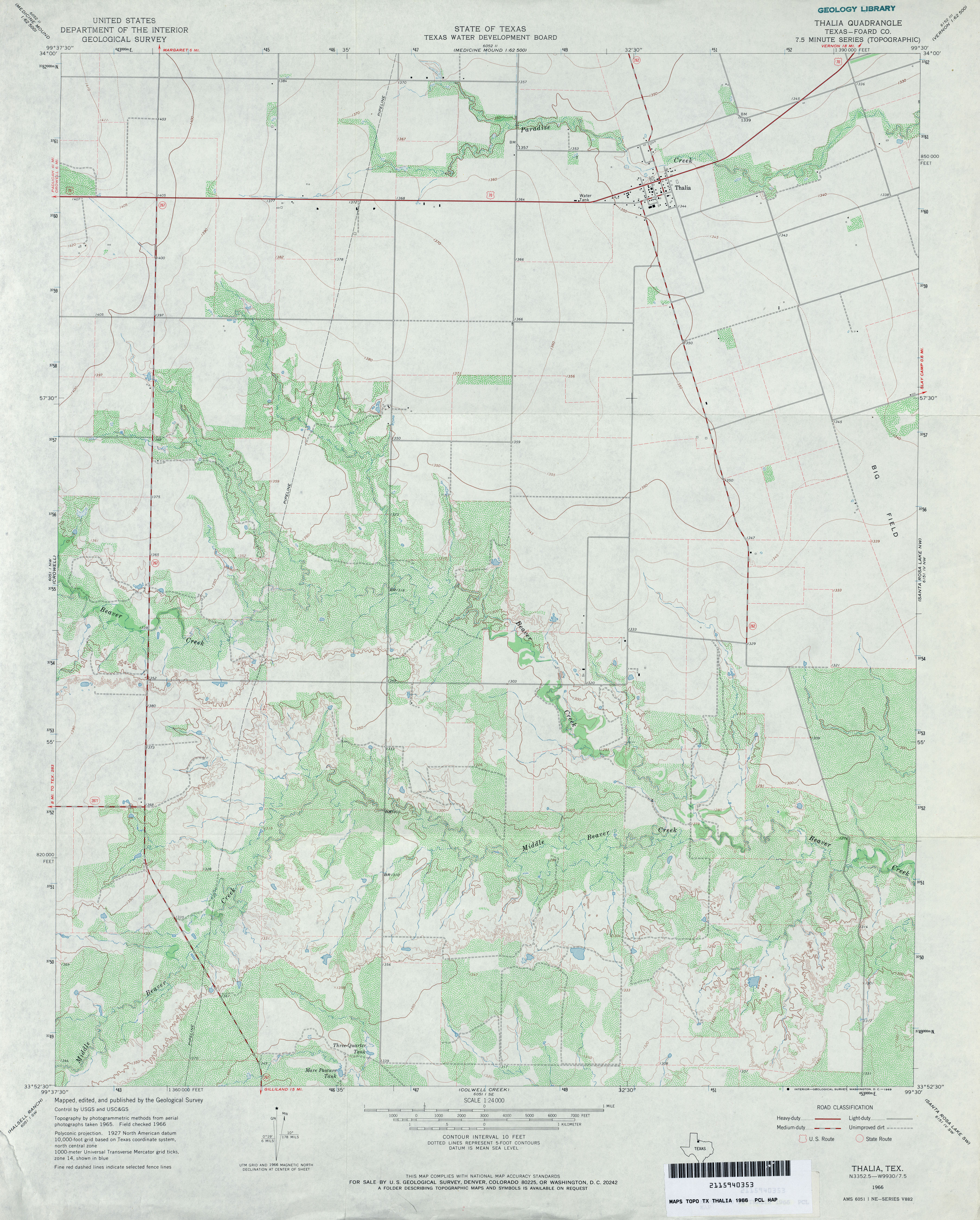
- Thalia (Foard County) 1:24,000 1966 (3.5MB)
- Thalia 1:24,000 2008 (10.0MB) [GeoPDF]
- Thalia 1:24,000 2012 (17.2MB) [GeoPDF]
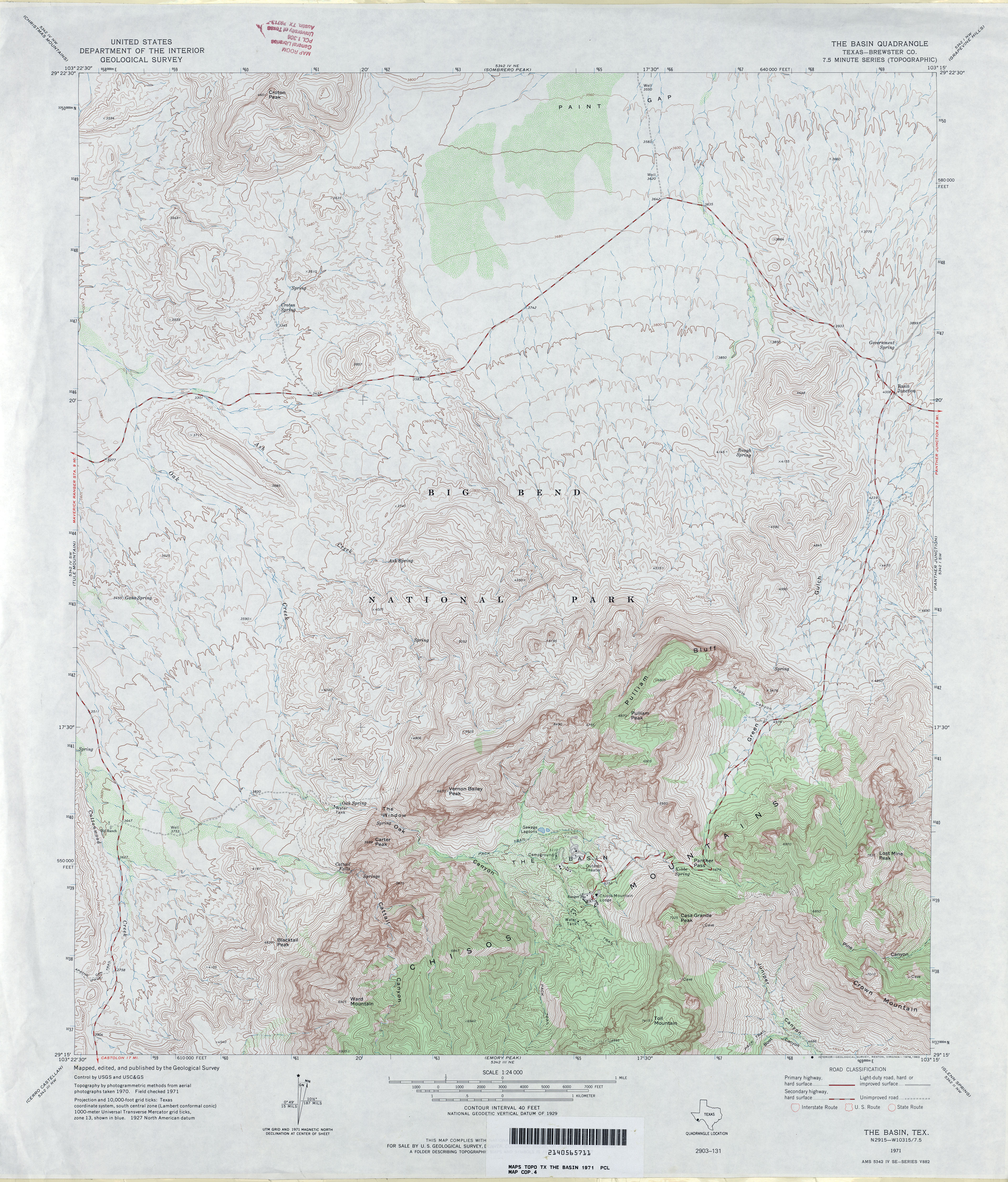
- The Basin (Brewster County) 1:24,000 1971 (5MB)
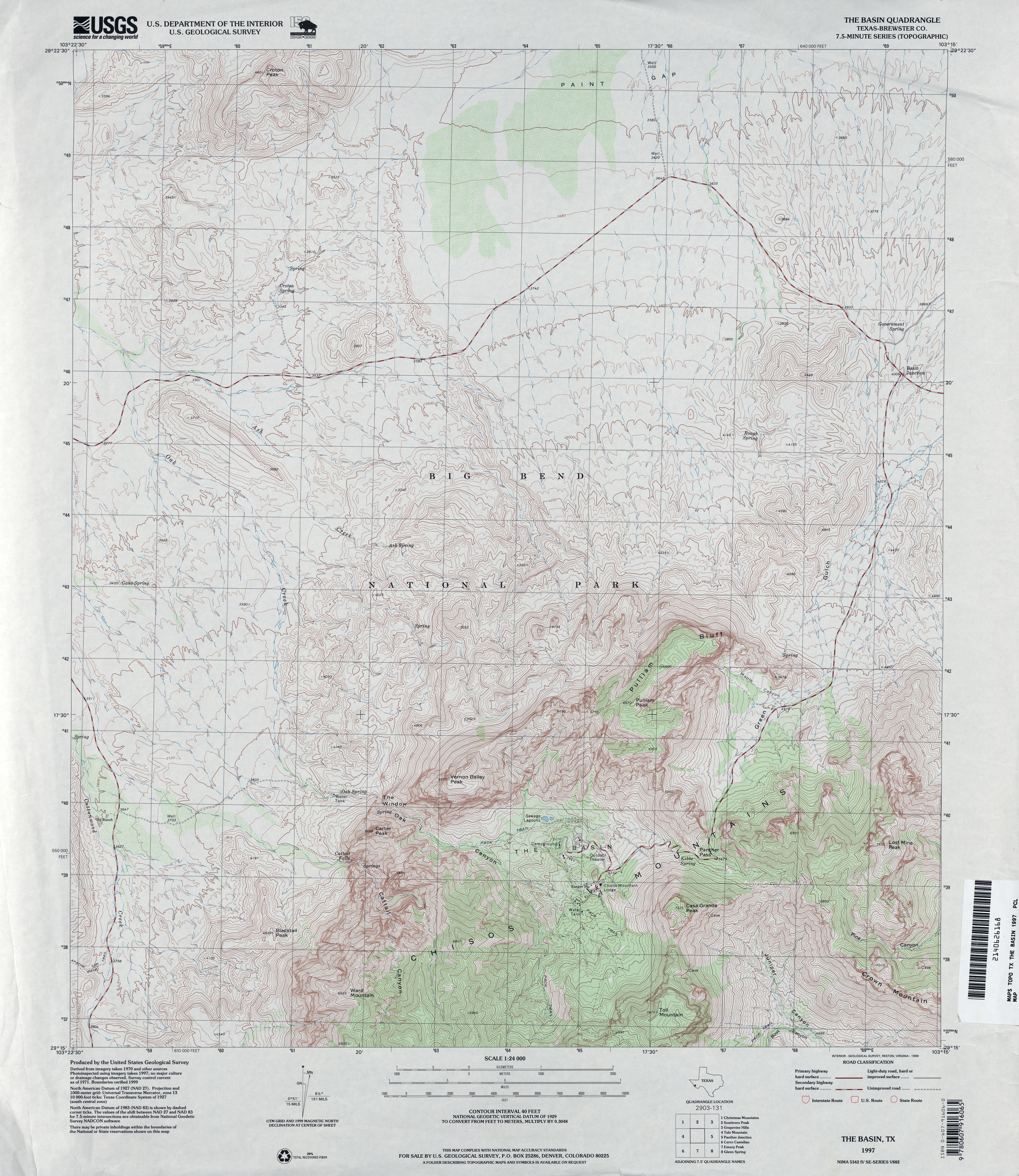
- The Basin (Brewster County) 1:24,000 1997 (5MB)
- The Basin 1:24,000 2012 (25.6MB) [GeoPDF]
- The Falls 1:24,000 1974 (3.7MB)
- The Falls 1:24,000 2008 (21.2MB) [GeoPDF]
- The Falls 1:24,000 2012 (30MB) [GeoPDF]
- The Jetties (Galveston County) 1:31,680 1932 (1.2 MB)
- The Jetties (Galveston County) 1:24,000 1952 (1.8MB) U.S. Department of the Army Corps of Engineers
- The Jetties (Galveston County) 1:24,000 1954 (1.9MB) U.S. Department of the Army Corps of Engineers
- The Jetties (Galveston County) 1:24,000 1969 (2.1MB) U.S. Department of the Army Corps of Engineers
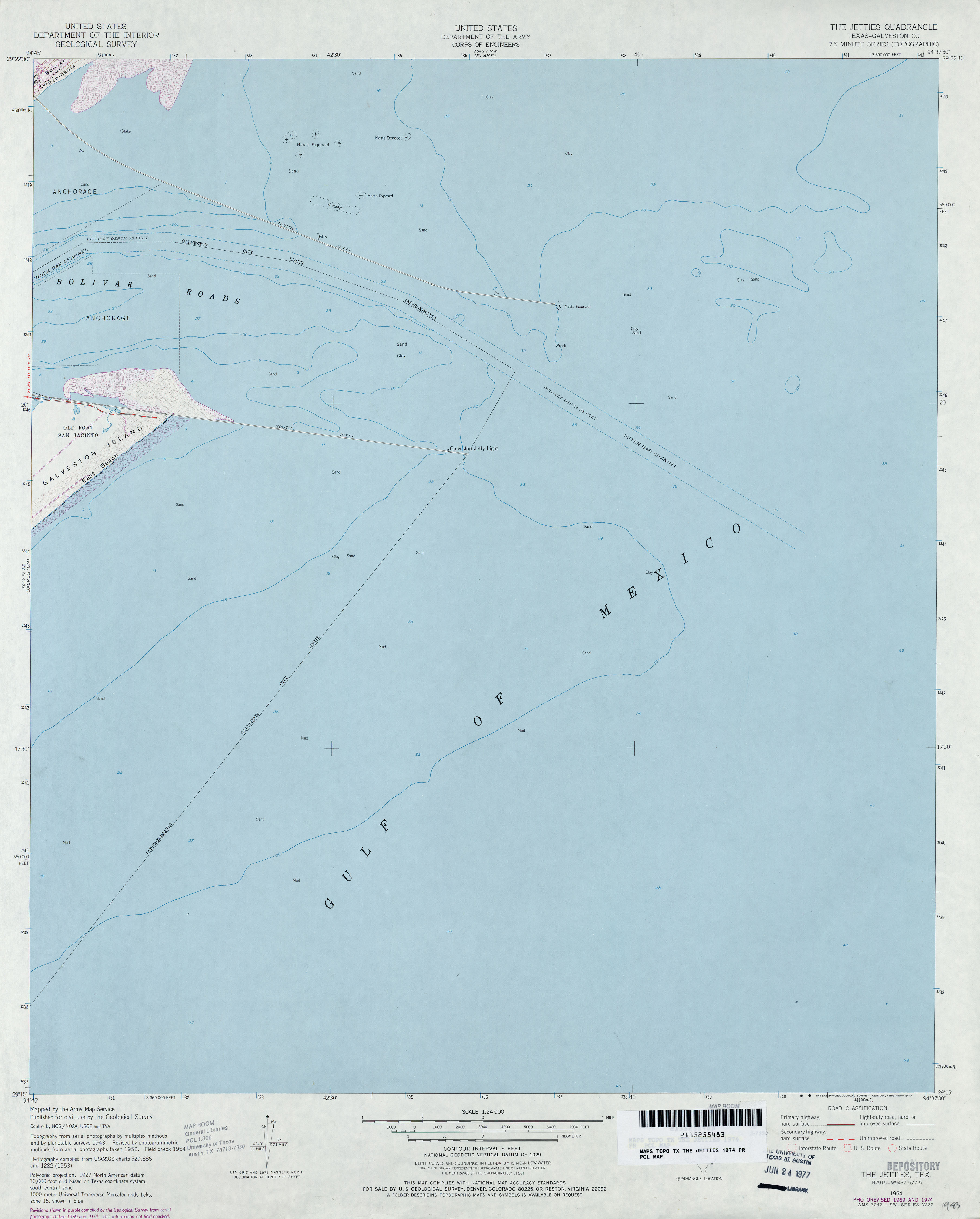
- The Jetties (Galveston County) 1:24,000 1974 (1.9MB) U.S. Department of the Army Corps of Engineers
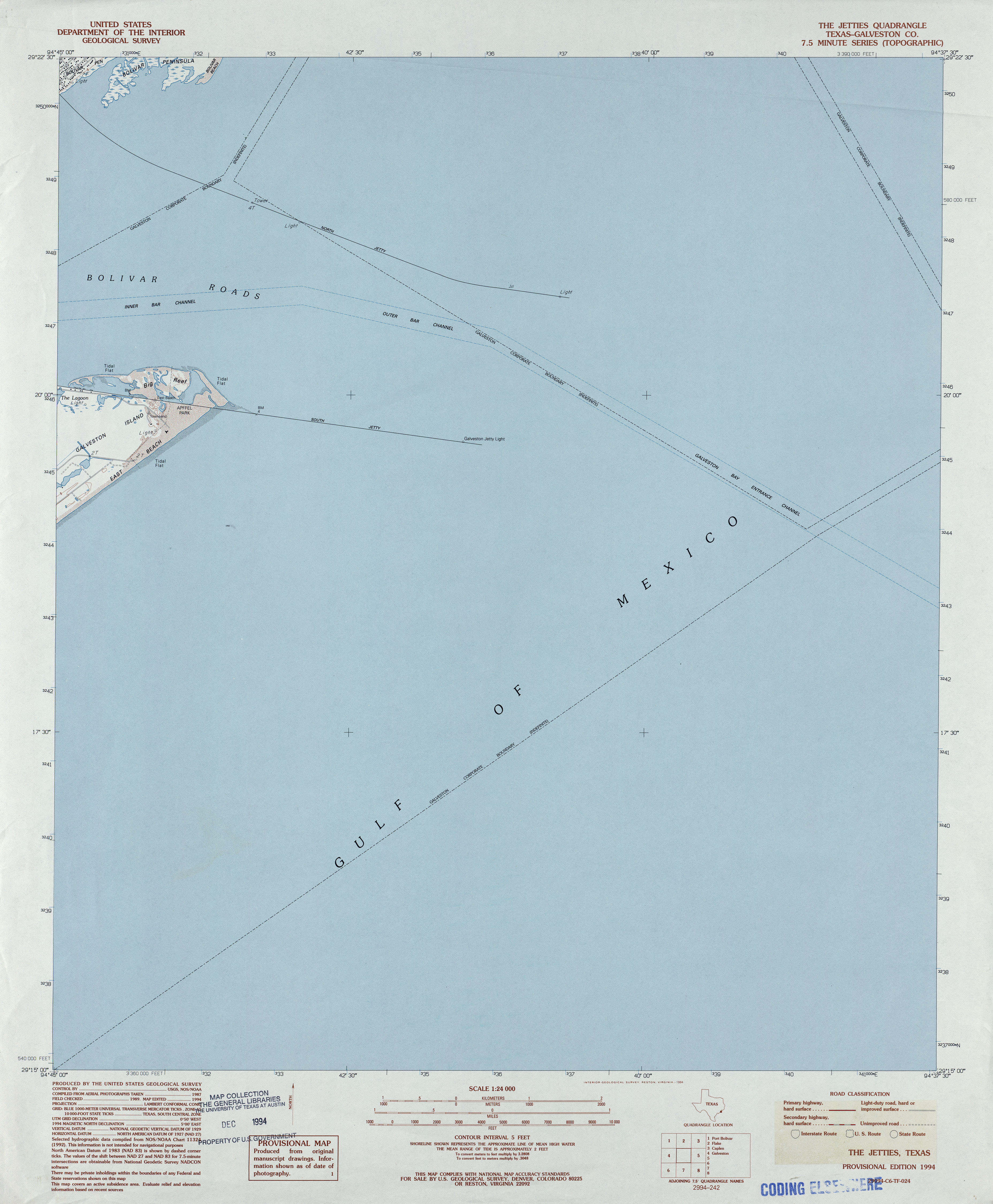
- The Jetties (Galveston County) 1:24,000 1994 (2.4MB)
- The Jetties 1:24,000 2008 (852KB) Texas Natural Resources Information System (TNRIS). [pdf]
- The Jetties 1:24,000 2009 (10.9MB) [GeoPDF]
- The Jetties 1:24,000 2013 (11.4MB) [GeoPDF]
- The Palisades (Randall County) 1:24,000 1960 (3.4MB)
- The Palisades (Randall County) 1:24,000 1967 (3.4MB)
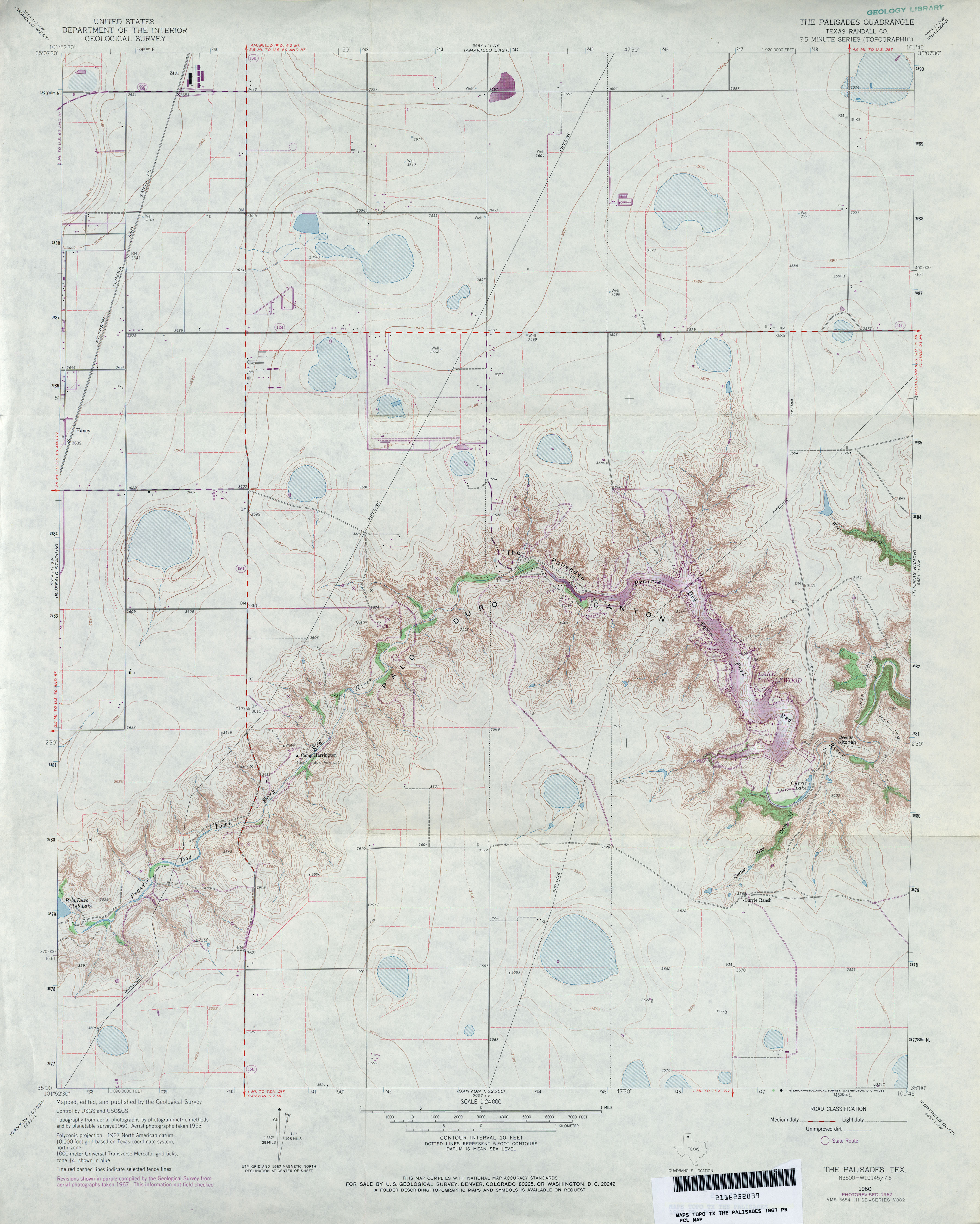
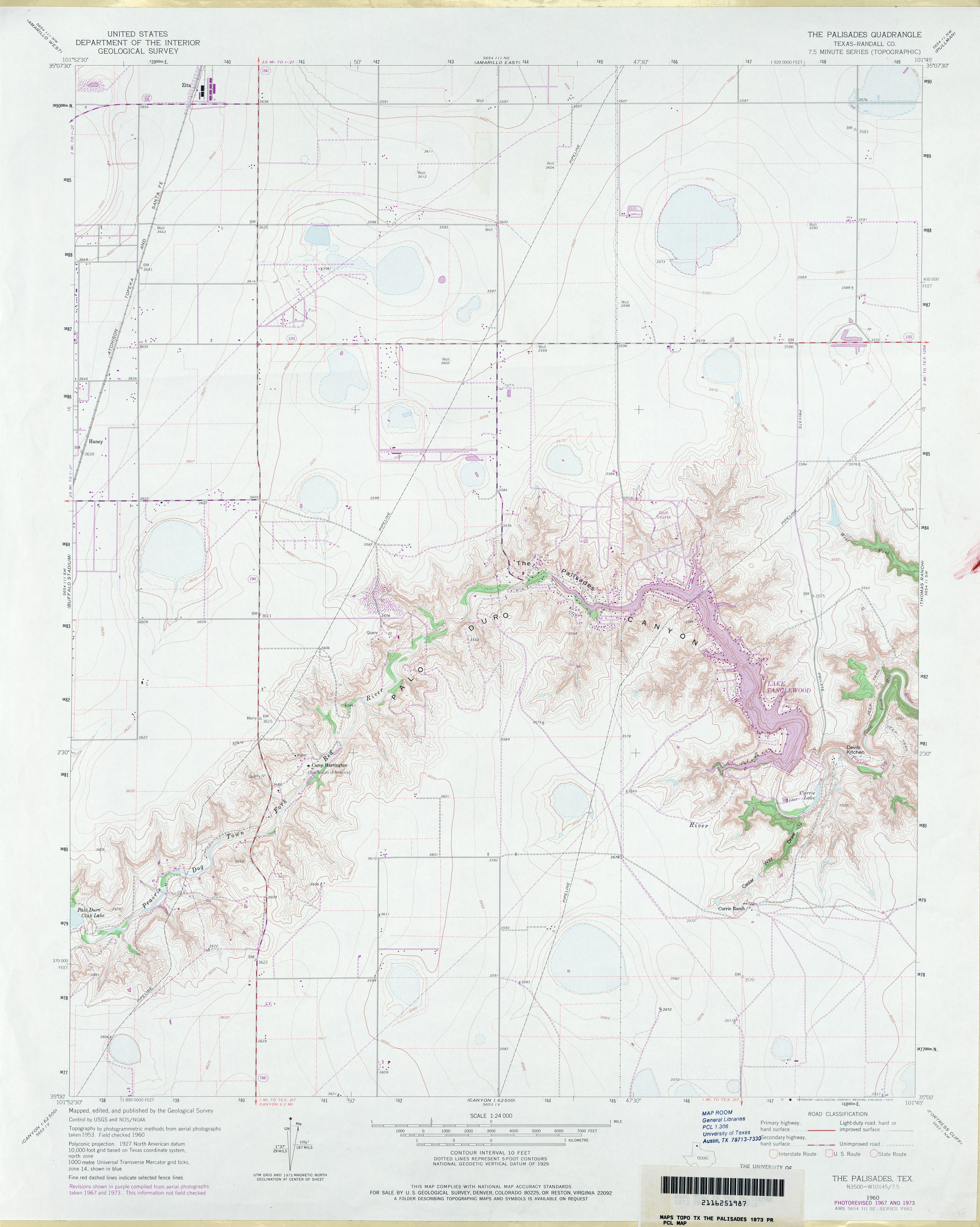
- The Palisades (Randall County) 1:24,000 1973 (3MB)
- The Palisades 1:24,000 2008 (13.0MB) [GeoPDF]
- The Palisades 1:24,000 2013 (20MB) [GeoPDF]
- The Solitario 1:24,000 1971 (4.7MB)
- The Solitario 1:24,000 2008 (24.1MB) [GeoPDF]
- The Solitario 1:24,000 2012 (27.5MB) [GeoPDF]
- The White Kitchen (La Salle County) 1:24,000 1969 (4.8MB)
- The White Kitchen 1:24,000 2008 (18.1MB) [GeoPDF]
- The White Kitchen 1:24,000 2012 (25.1MB) [GeoPDF]
- Thelma 1:24,000 1958 (4.6MB) U.S. Department of the Army Corps of Engineers
- Thelma 1:24,000 1973 (4.4MB) U.S. Department of the Army Corps of Engineers
- Thelma 1:24,000 2008 (19.0MB) [GeoPDF]
- Thelma 1:24,000 2013 (25.2MB) [GeoPDF]
- Thomas (Upshur County) 1:24,000 1960 (4.4MB)
- Thomas (Upshur County) 1:24,000 1980 (4.1MB)
- Thomas 1:24,000 2009 (20.3MB) [GeoPDF]
- Thomas 1:24,000 2012 (23.4MB) [GeoPDF]
- Thomas Ranch (Randall County) 1:24,000 1956 (3.2MB)
- Thomas Ranch (Randall County) 1:24,000 1967 (3.1MB)
- Thomas Ranch (Randall County) 1:24,000 1973 (2.5MB)
- Thomas Ranch 1:24,000 2008 (12.3MB) [GeoPDF]
- Thomas Ranch 1:24,000 2012 (18MB) [GeoPDF]
- Thomas Springs 1:24,000 1961 (4.2MB)
- Thomas Springs 1:24,000 1987 (4.3MB)
- Thomas Springs 1:24,000 2008 (17.9MB) [GeoPDF]
- Thomas Springs 1:24,000 2013 (25.7MB) [GeoPDF]
- Thompsons 1:24,000 1953 (3.4MB)
- Thompsons 1:24,000 1980 (3.6MB)
- Thompsons 1:24,000 2009 (18.7MB) [GeoPDF]
- Thompsons 1:24,000 2013 (19MB) [GeoPDF]
- Thompsonville 1:24,000 1972 (5MB)
- Thompsonville 1:24,000 2008 (19.1MB) [GeoPDF]
- Thompsonville 1:24,000 2013 (24.9MB) [GeoPDF]
- Thornberry 1:24,000 1972 (3.5MB)
- Thornberry 1:24,000 2008 (11.0MB) [GeoPDF]
- Thornberry 1:24,000 2012 (17.2MB) [GeoPDF]
- Thorndale 1:24,000 1964 (4.5MB)
- Thorndale 1:24,000 1989 (4.3MB)
- Thorndale 1:24,000 2008 (12.9MB) [GeoPDF]
- Thorndale 1:24,000 2012 (23.4MB) [GeoPDF]
- Thornton (Limestone County) 1:24,000 1966 (3.4MB)
- Thornton 1:24,000 2008 (15.8MB) [GeoPDF]
- Thornton 1:24,000 2013 (20.7MB) [GeoPDF]
- Thorson Gully 1:24,000 1984 (2.9MB)
- Thorson Gully 1:24,000 2009 (21.8MB) [GeoPDF]
- Thorson Gully 1:24,000 2013 (22.3MB) [GeoPDF]
- Thrall (Williamson County) 1:24,000 1964 (4MB)
- Thrall (Williamson County) 1:24,000 1989 (3.9MB)
- Thrall 1:24,000 2008 (9.3MB) [GeoPDF]
- Thrall 1:24,000 2012 (19.4MB) [GeoPDF]
- Three Bluff Draw 1:24,000 1973 (5.2MB)
- Three Bluff Draw 1:24,000 2008 (19.0MB) [GeoPDF]
- Three Bluff Draw 1:24,000 2012 (23.9MB) [GeoPDF]
- Three Bluff Draw NE 1:24,000 1973 (5.1MB)
- Three Bluff Draw NE 1:24,000 2012 (22.2MB) [GeoPDF]
- Three Bluff Draw NW 1:24,000 1973 (3.7MB)
- Three Bluff Draw NW 1:24,000 2008 (18.7MB) [GeoPDF]
- Three Bluff Draw NW 1:24,000 2012 (23.2MB) [GeoPDF]
- Three Bluff Draw SW (Reagan County) 1:24,000 1973 (4.2MB)
- Three Bluff Draw SW 1:24,000 2008 (19.6MB) [GeoPDF]
- Three Bluff Draw SW 1:24,000 2012 (24.5MB) [GeoPDF]
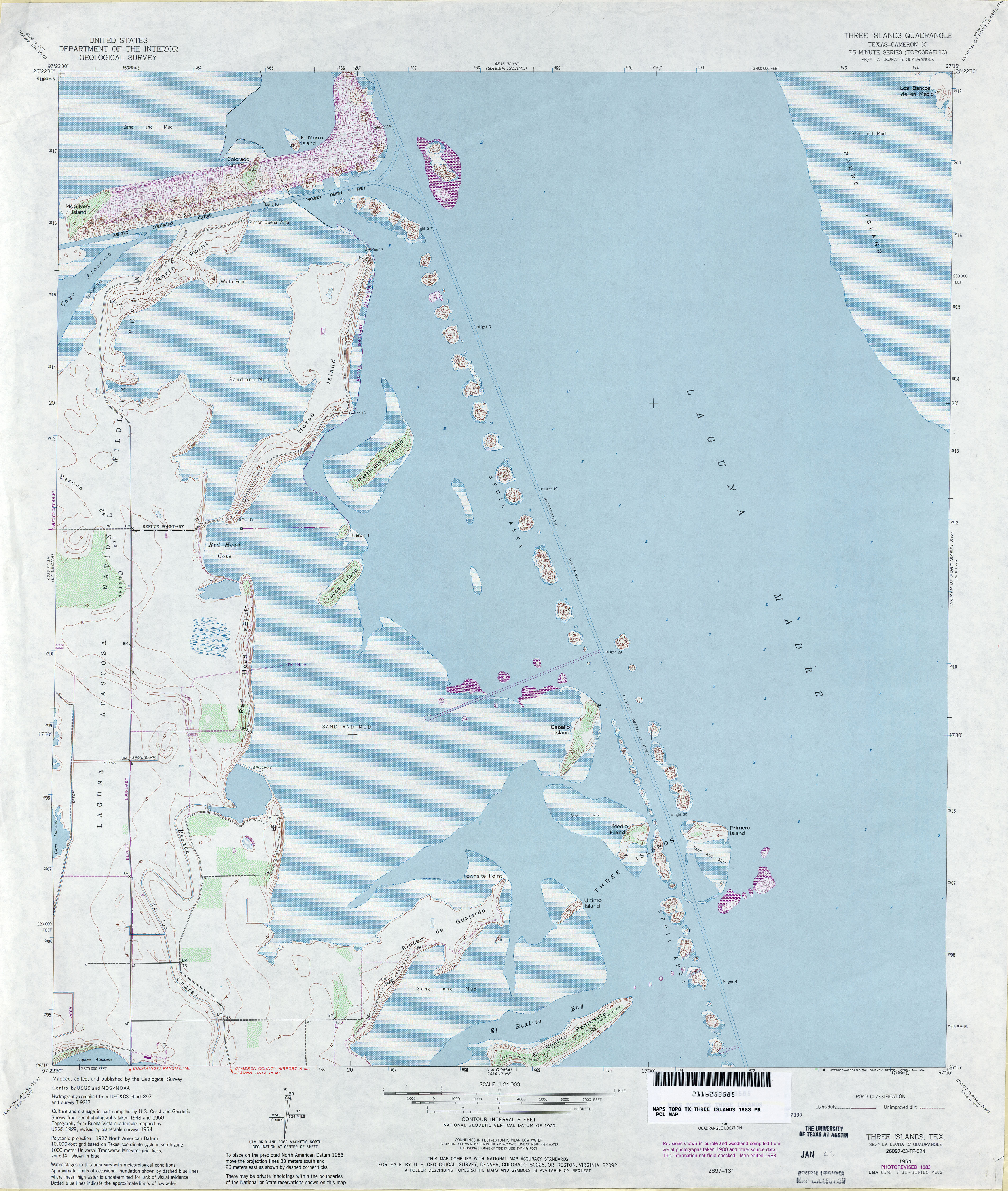
- Three Islands (Cameron County) 1:24,000 1954 (2.6MB)
- Three Islands (Cameron County) 1:24,000 1970 (2.7MB)
- Three Islands (Cameron County) 1:24,000 1983 (4MB)
- Three Islands 1:24,000 2009 (28.9MB) [GeoPDF]
- Three Islands 1:24,000 2013 (14.2MB) [GeoPDF]
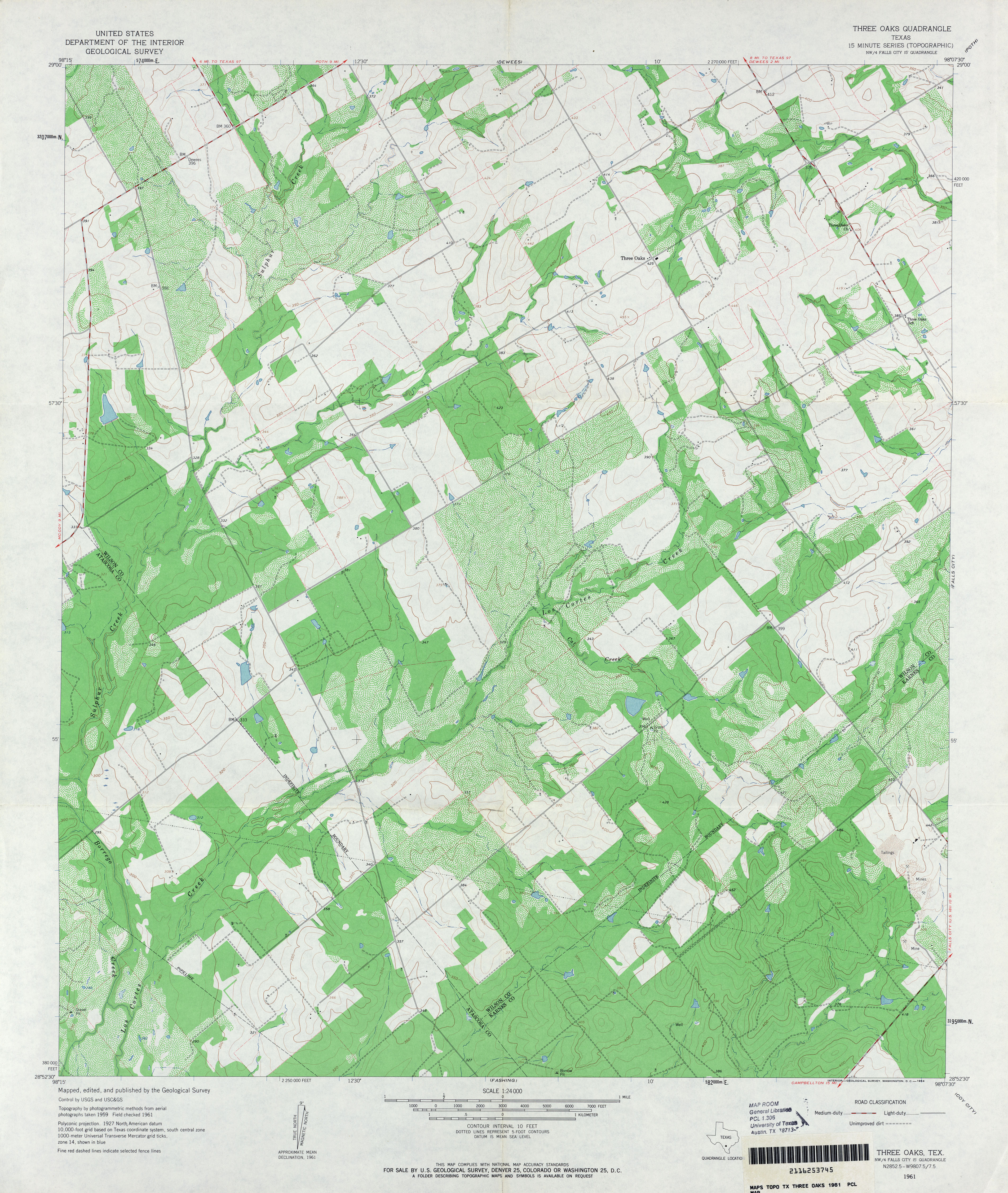
- Three Oaks 1:24,000 1961 (4.2MB)
- Three Oaks 1:24,000 2008 (13.1MB) [GeoPDF]
- Three Oaks 1:24,000 2012 (22.5MB) [GeoPDF]
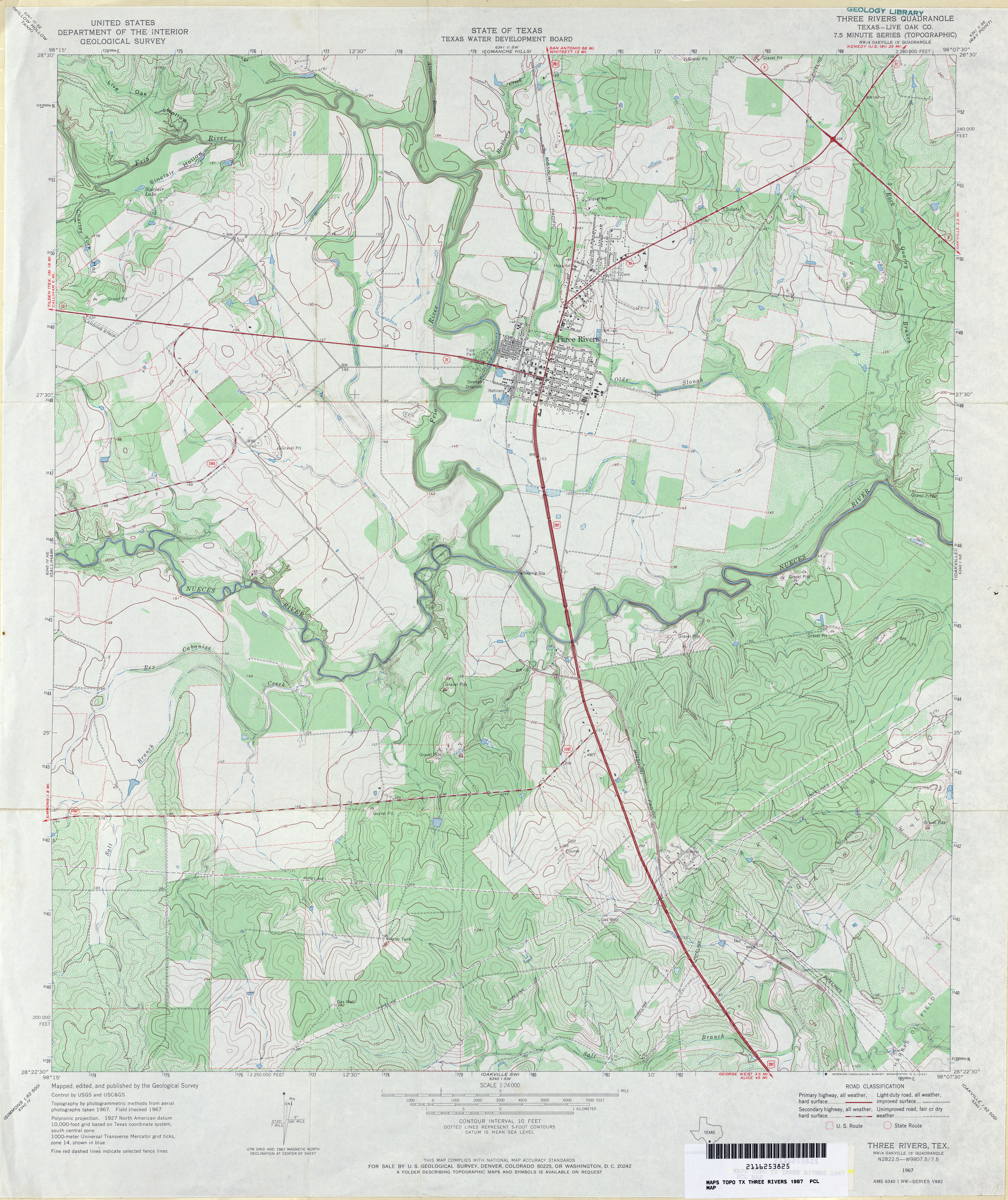
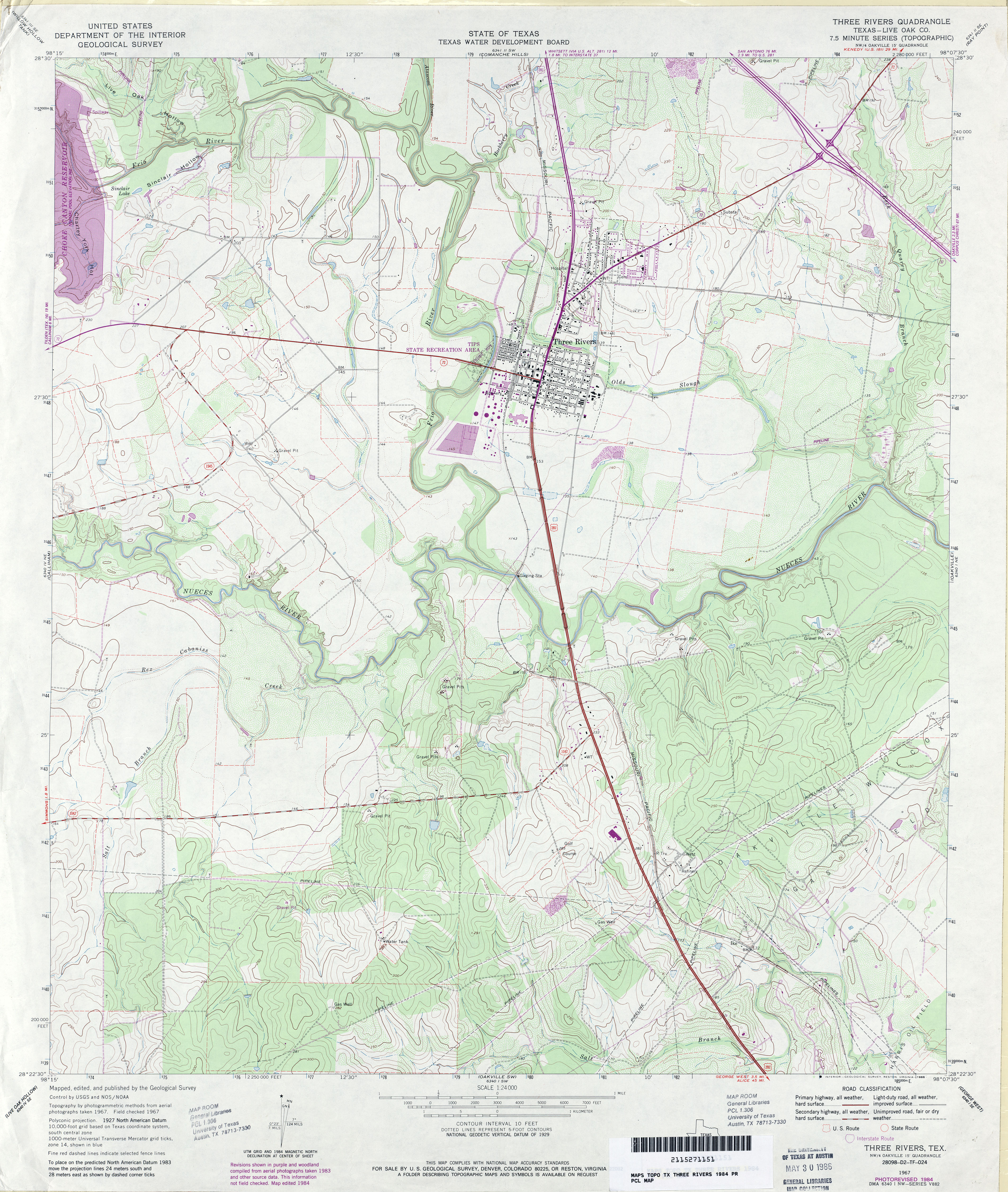
- Three Rivers (Live Oak County) 1:24,000 1967 (4.4MB)
- Three Rivers (Live Oak County) 1:24,000 1984 (4.5MB)
- Three Rivers 1:24,000 2008 (15.8MB) [GeoPDF]
- Three Rivers 1:24,000 2013 (23.1MB) [GeoPDF]
- Three Way School (Bailey County) 1:24,000 1968 (2.4MB)
- Three Way School 1:24,000 2008 (8.9MB) [GeoPDF]
- Three Way School 1:24,000 2012 (13.1MB) [GeoPDF]
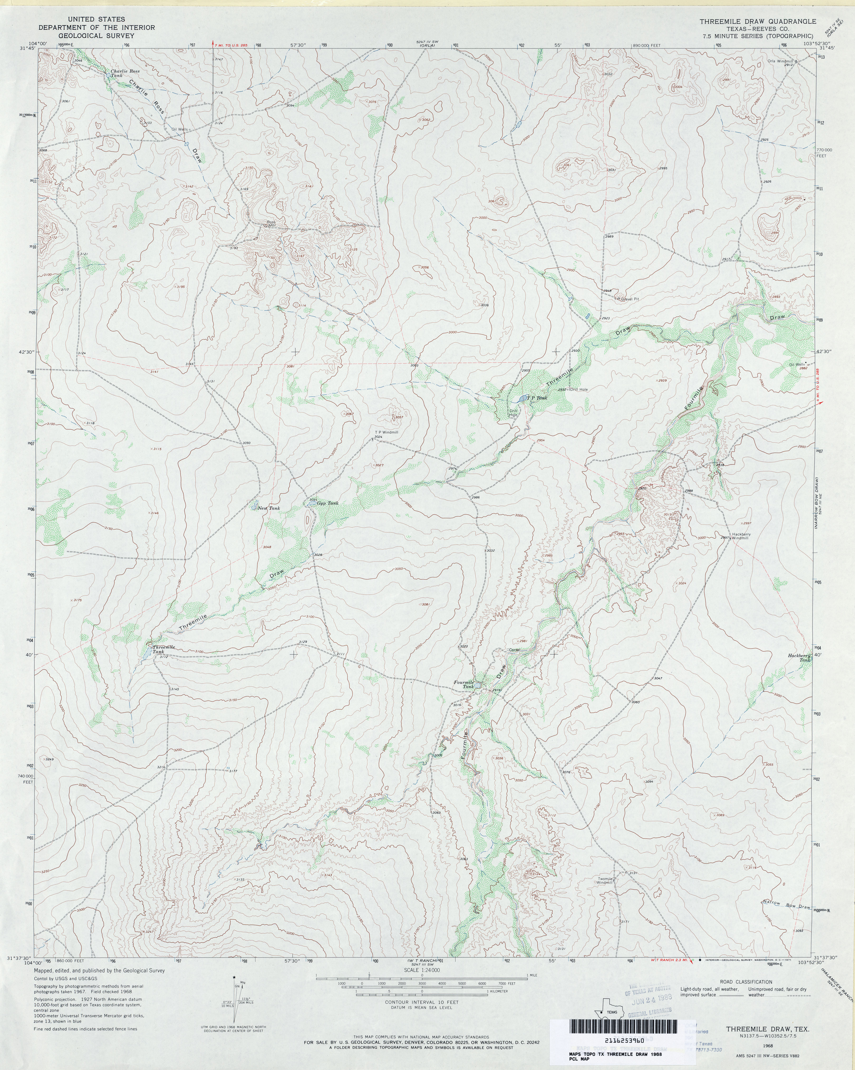
- Threemile Draw (Reeves County) 1:24,000 1968 (3MB)
- Threemile Draw 1:24,000 2008 (19.7MB) [GeoPDF]
- Threemile Draw 1:24,000 2012 (22.3MB) [GeoPDF]
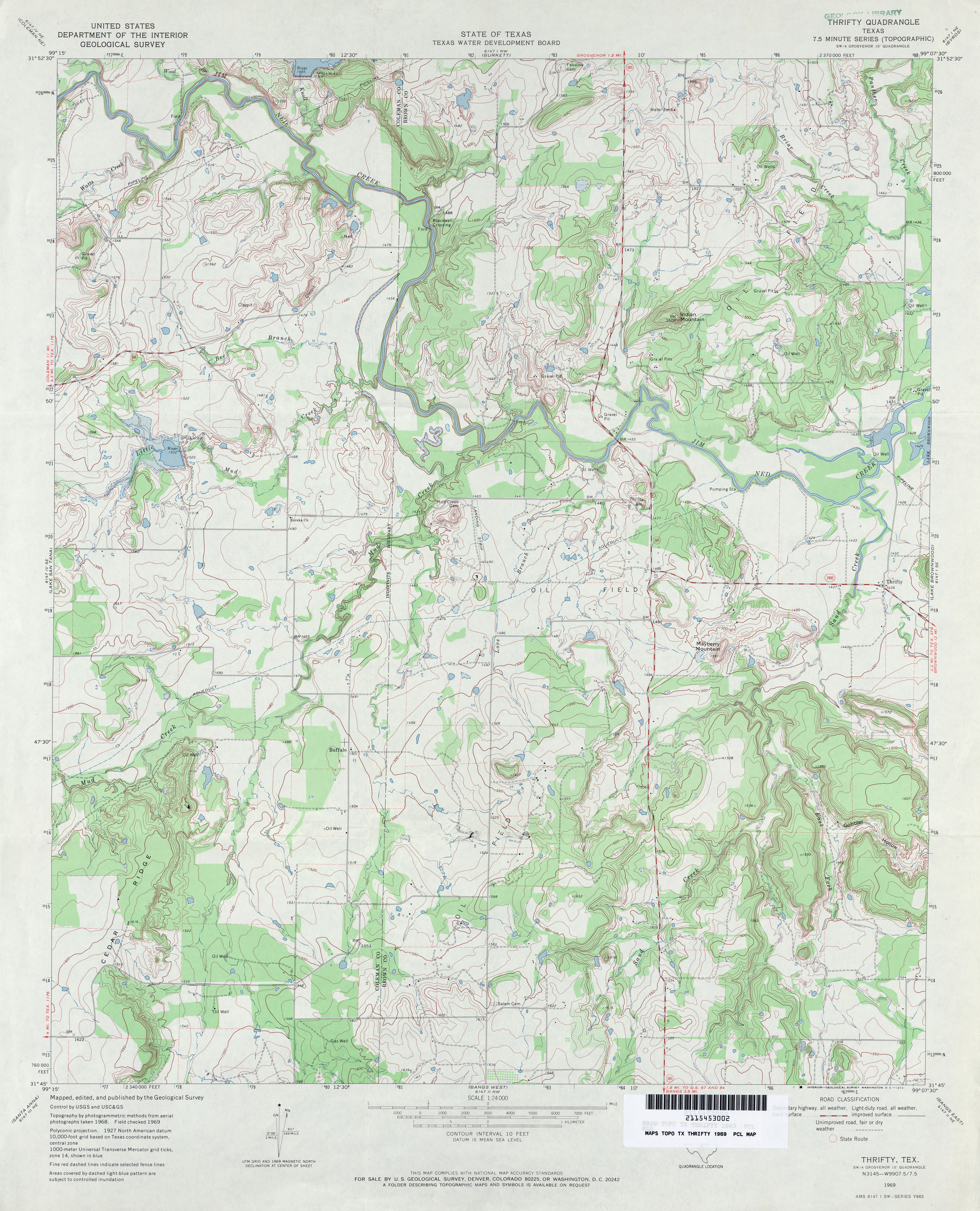
- Thrifty 1:24,000 1969 (4.3MB)
- Thrifty 1:24,000 1977 (4.1MB)
- Thrifty 1:24,000 2008 (20.4MB) [GeoPDF]
- Thrifty 1:24,000 2013 (24.2MB) [GeoPDF]
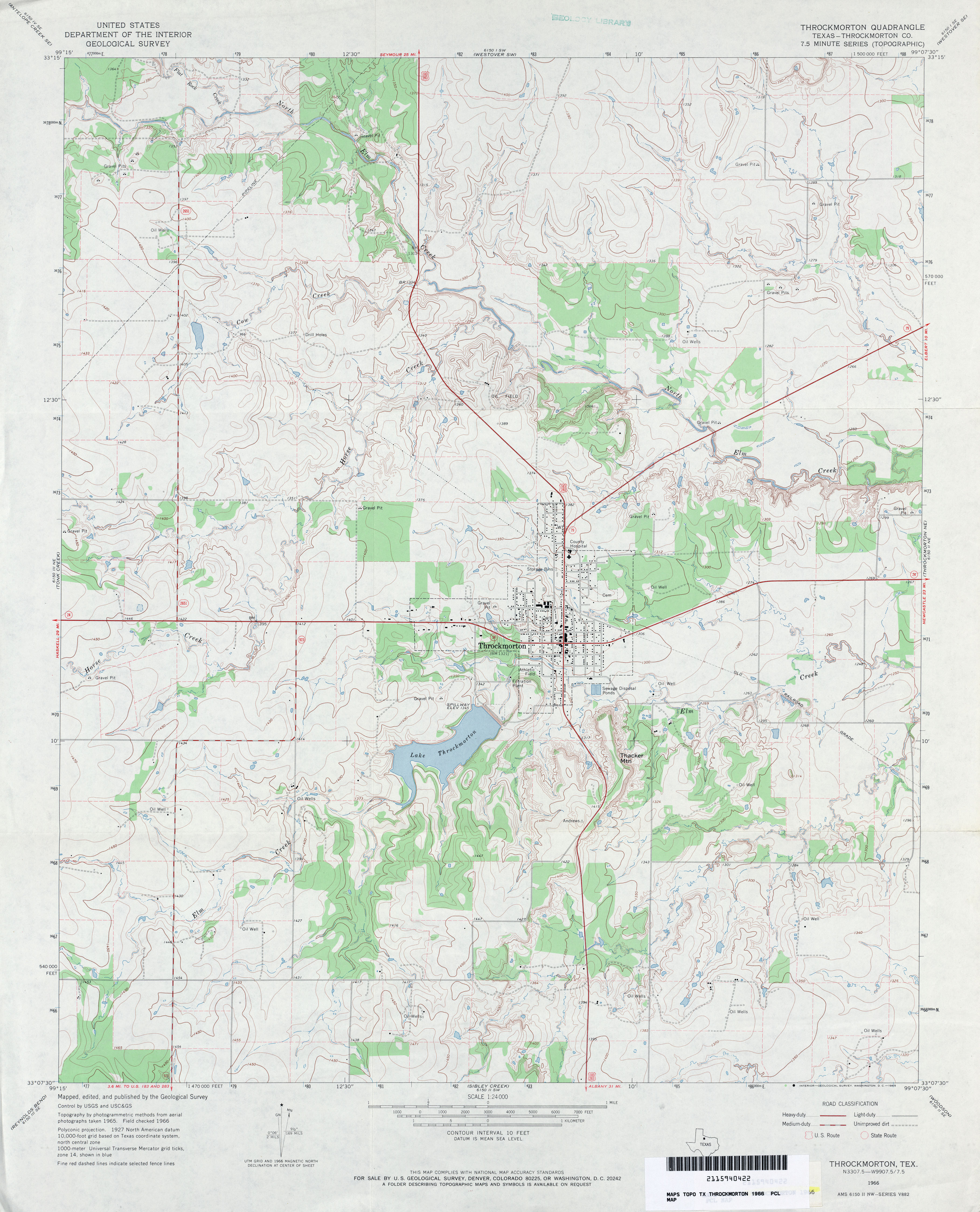
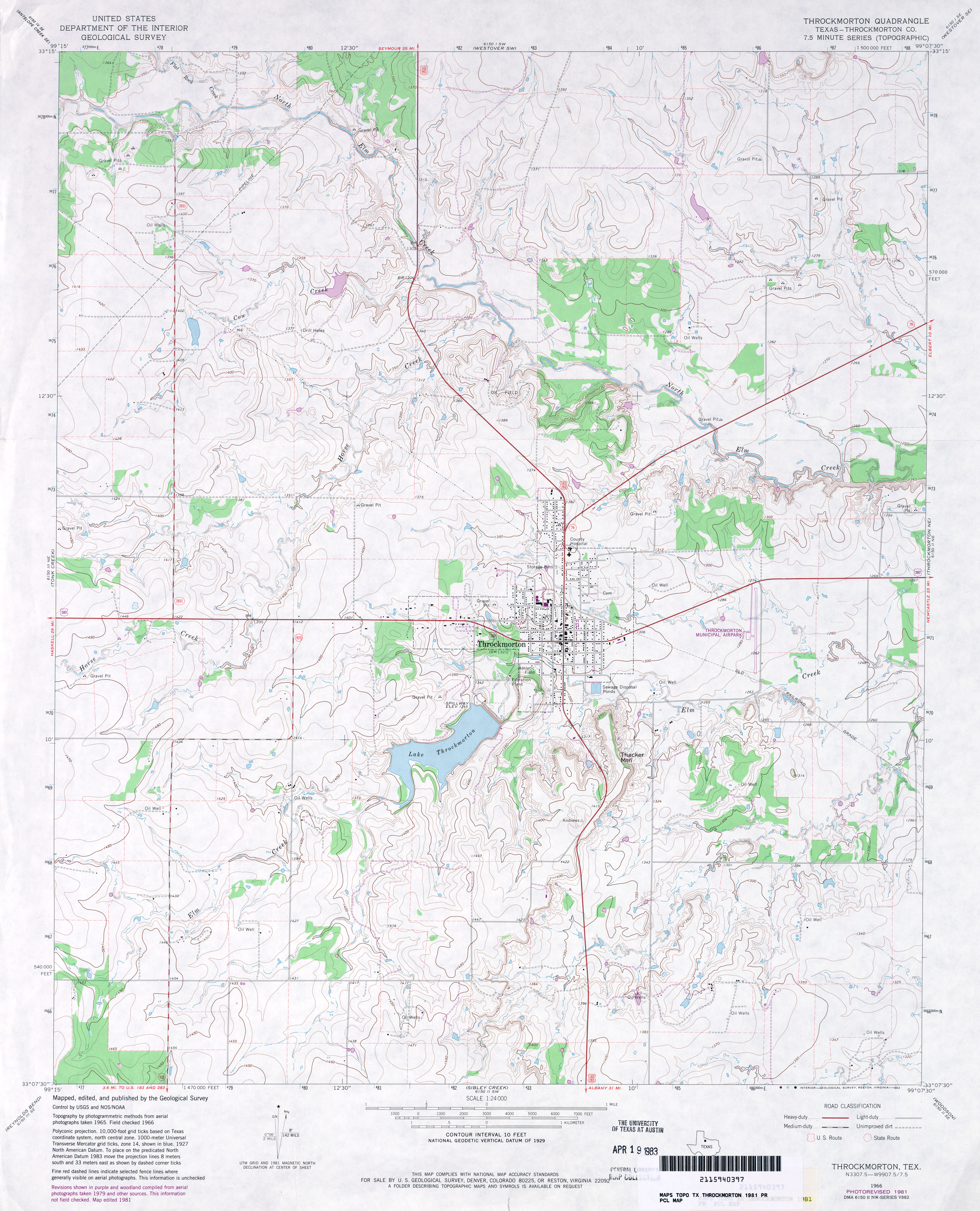
- Throckmorton (Throckmorton County) 1:24,000 1966 (3.5MB)
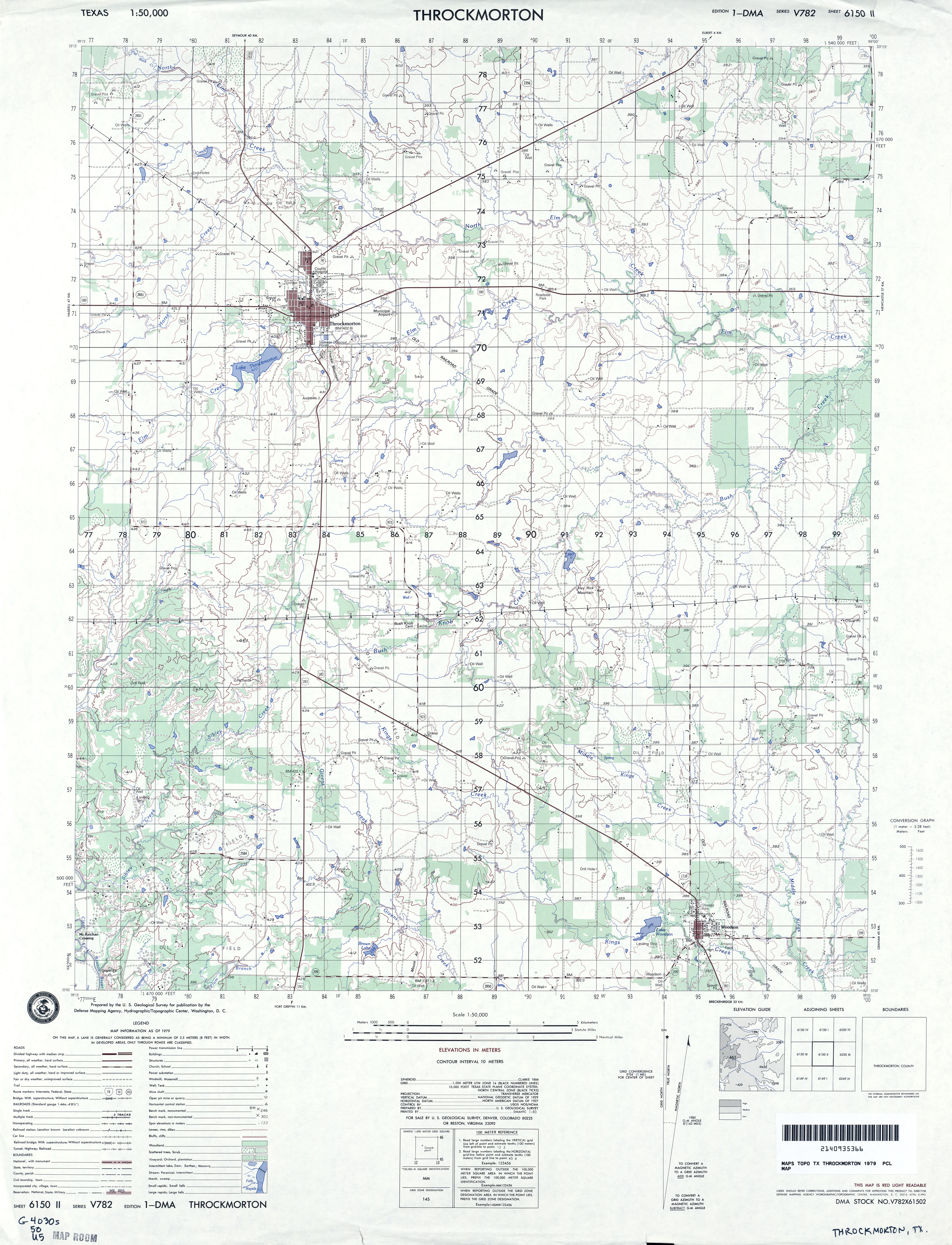
- Throckmorton 1:50,000 1979 (3.4MB) U.S. Defense Mapping Agency, Edition 1-DMA, Series V782
- Throckmorton (Throckmorton County) 1:24,000 1981 (3.7MB)
- Throckmorton 1:24,000 2008 (12.5MB) [GeoPDF]
- Throckmorton 1:24,000 2013 (18.4MB) [GeoPDF]
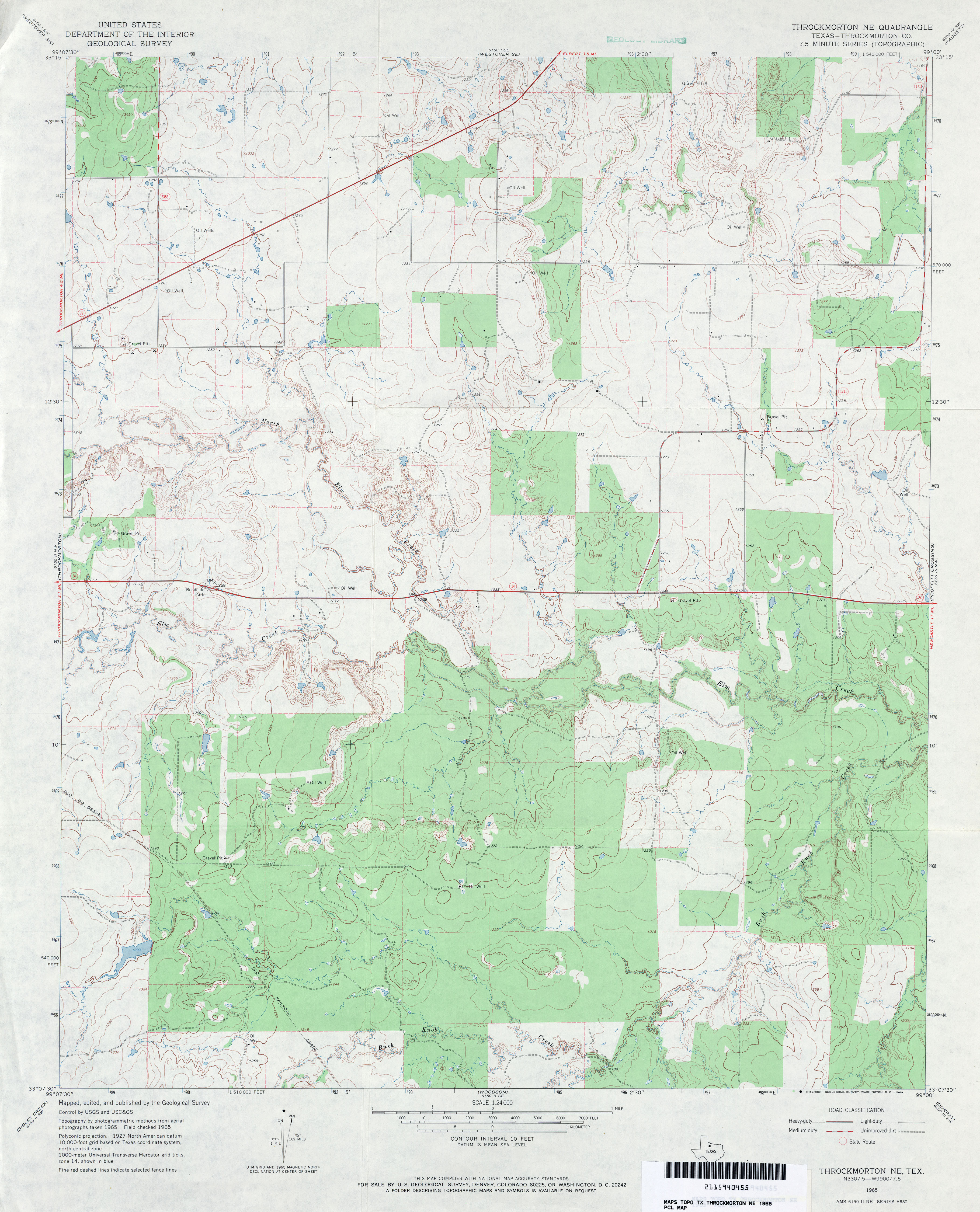
- Throckmorton NE (Throckmorton County) 1:24,000 1965 (3.5MB)
- Throckmorton NE 1:24,000 2008 (13.3MB) [GeoPDF]
- Throckmorton NE 1:24,000 2013 (19.4MB) [GeoPDF]
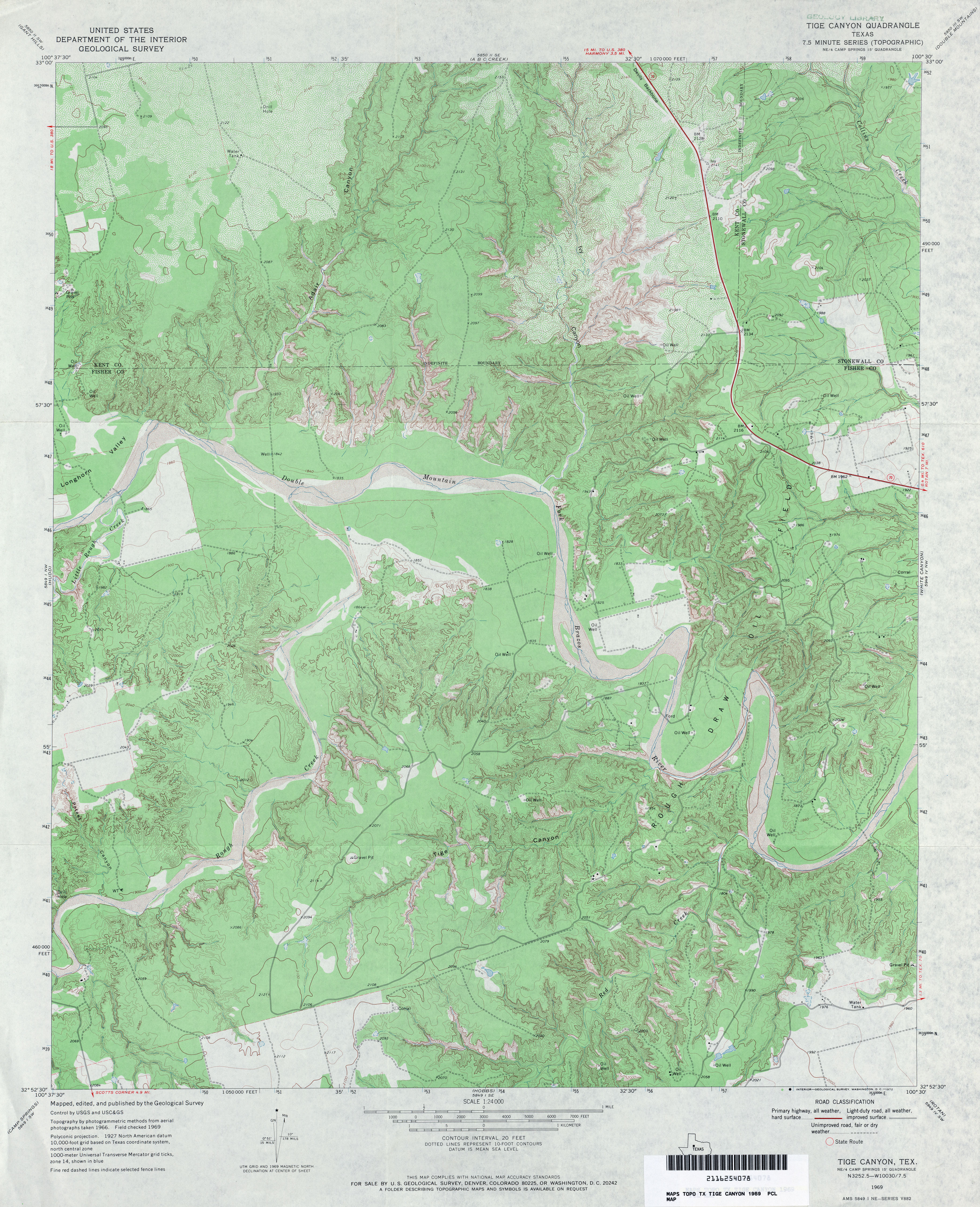
- Tige Canyon 1:24,000 1969 (4.5MB)
- Tige Canyon 1:24,000 2008 (20.4MB) [GeoPDF]
- Tige Canyon 1:24,000 2012 (28.2MB) [GeoPDF]
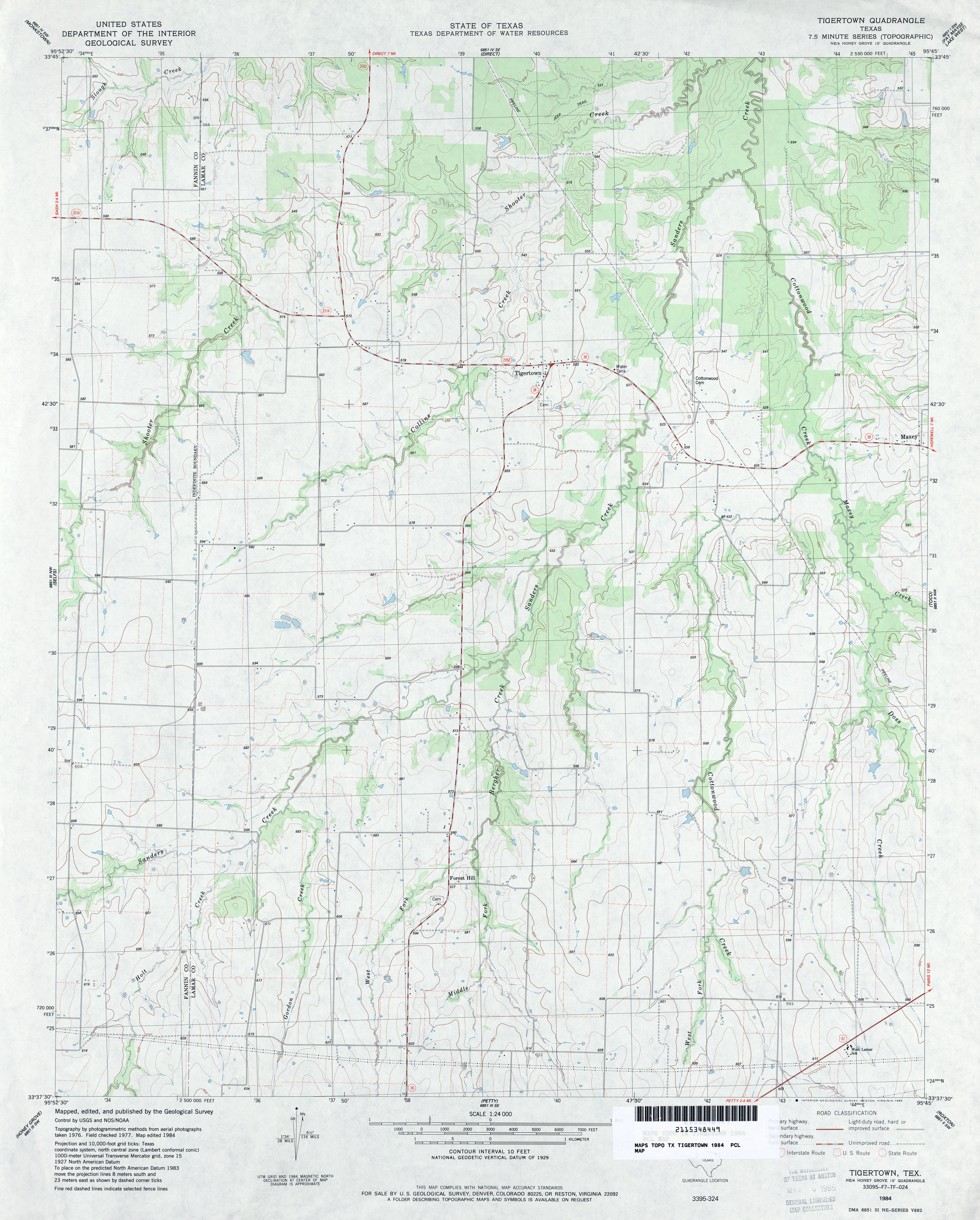
- Tigertown 1:24,000 1984 (3.4MB)
- Tigertown 1:24,000 2008 (15.6MB) [GeoPDF]
- Tigertown 1:24,000 2013 (19MB) [GeoPDF]
- Tilden (Mc Mullen County) 1:62,500 1925 (2.6 MB)
- Tilden (McMullen County) 1:24,000 1968 (4.3MB)
- Tilden 1:24,000 2008 (19.6MB) [GeoPDF]
- Tilden 1:24,000 2012 (23.8MB) [GeoPDF]
- Timber Creek 1:24,000 1964 (4.9MB)
- Timber Creek 1:24,000 2008 (22.1MB) [GeoPDF]
- Timber Creek 1:24,000 2013 (27.5MB) [GeoPDF]
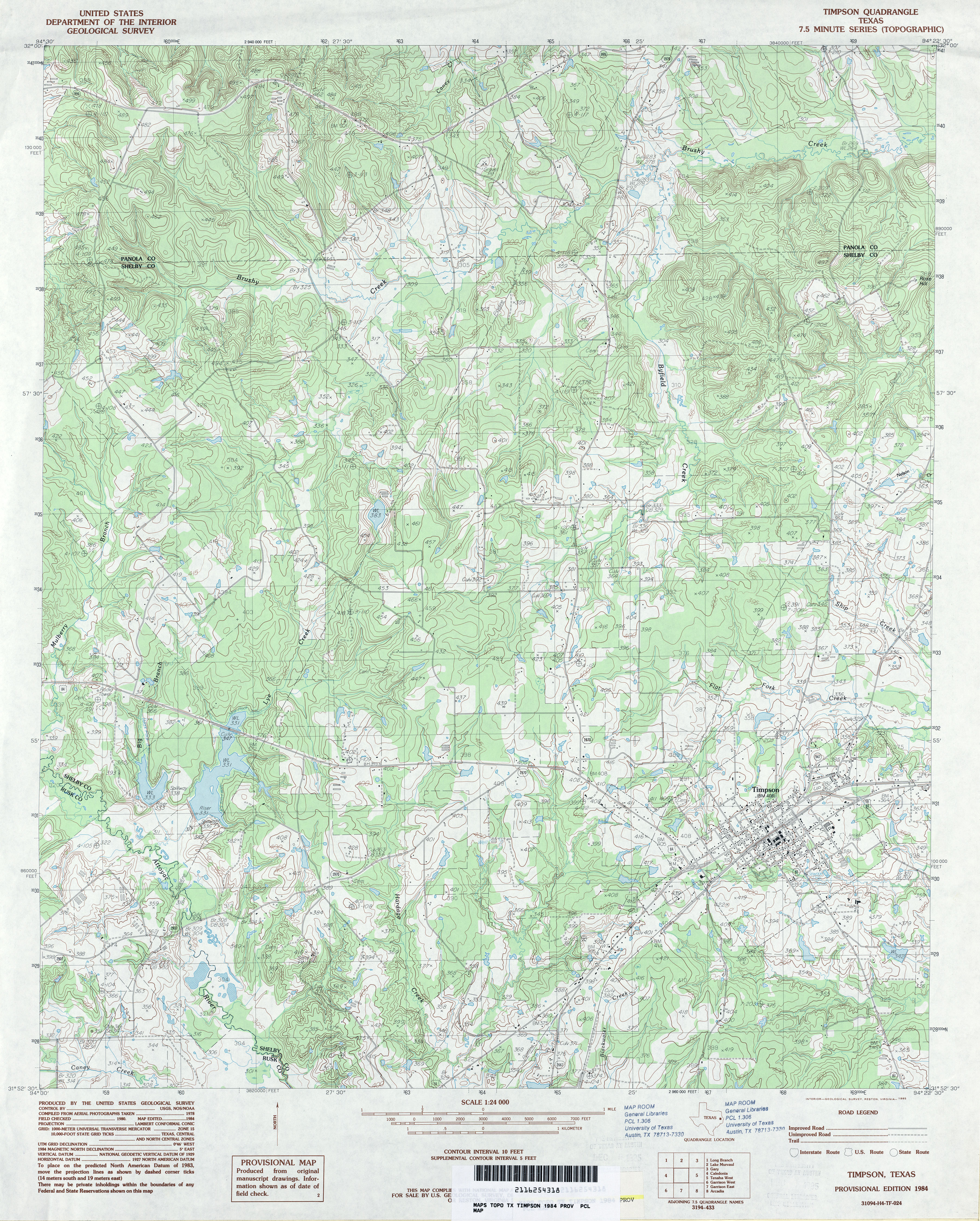
- Timpson 1:62,500 1958 (5.2MB)
- Timpson 1:24,000 1984 (5.4MB)
- Timpson 1:24,000 2009 (21.6MB) [GeoPDF]
- Timpson 1:24,000 2013 (24.1MB) [GeoPDF]
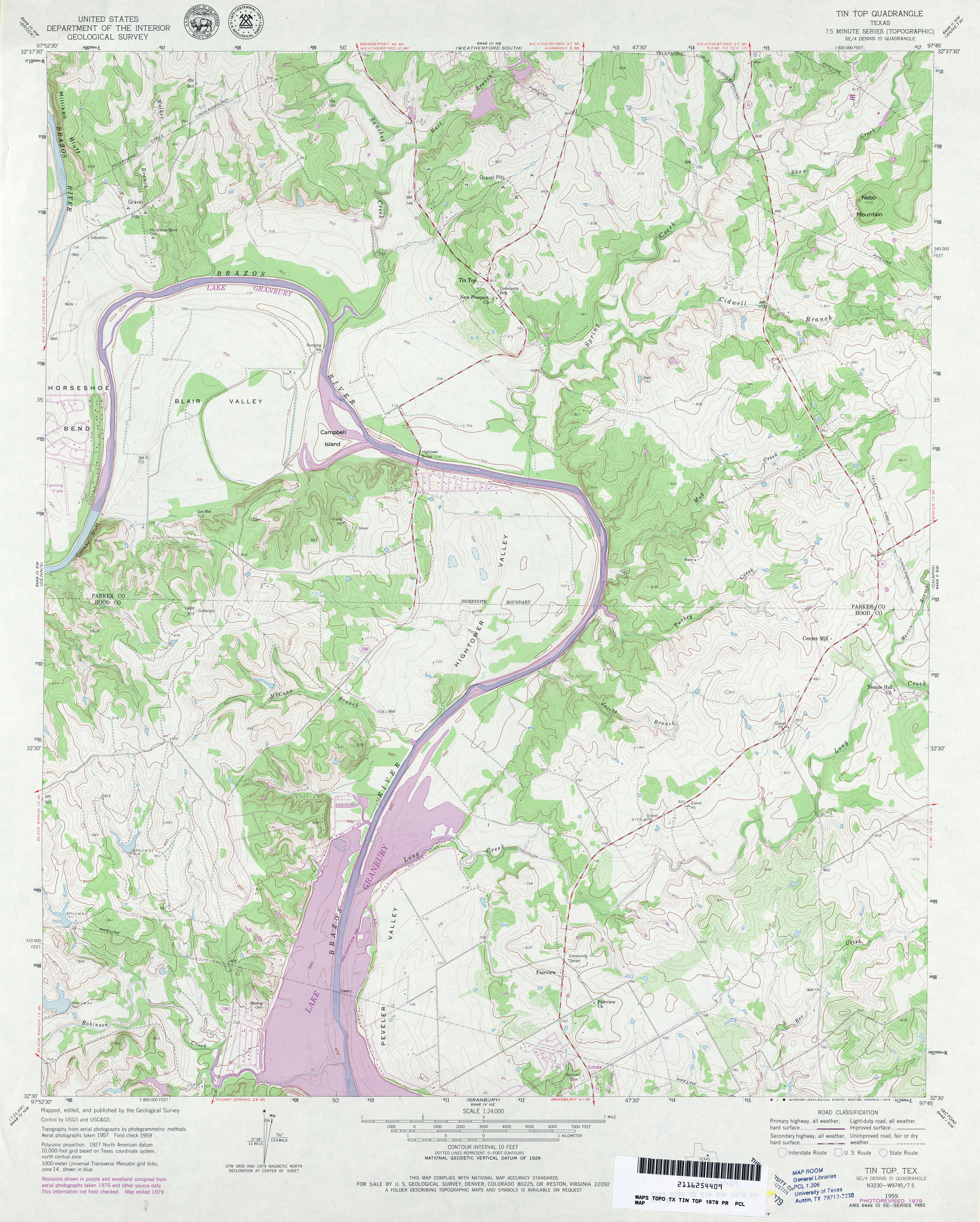
- Tin Top 1:24,000 1959 (4.1MB)
- Tin Top 1:24,000 1979 (4.6MB)
- Tin Top 1:24,000 2008 (18.7MB) [GeoPDF]
- Tin Top 1:24,000 2012 (22.9MB) [GeoPDF]
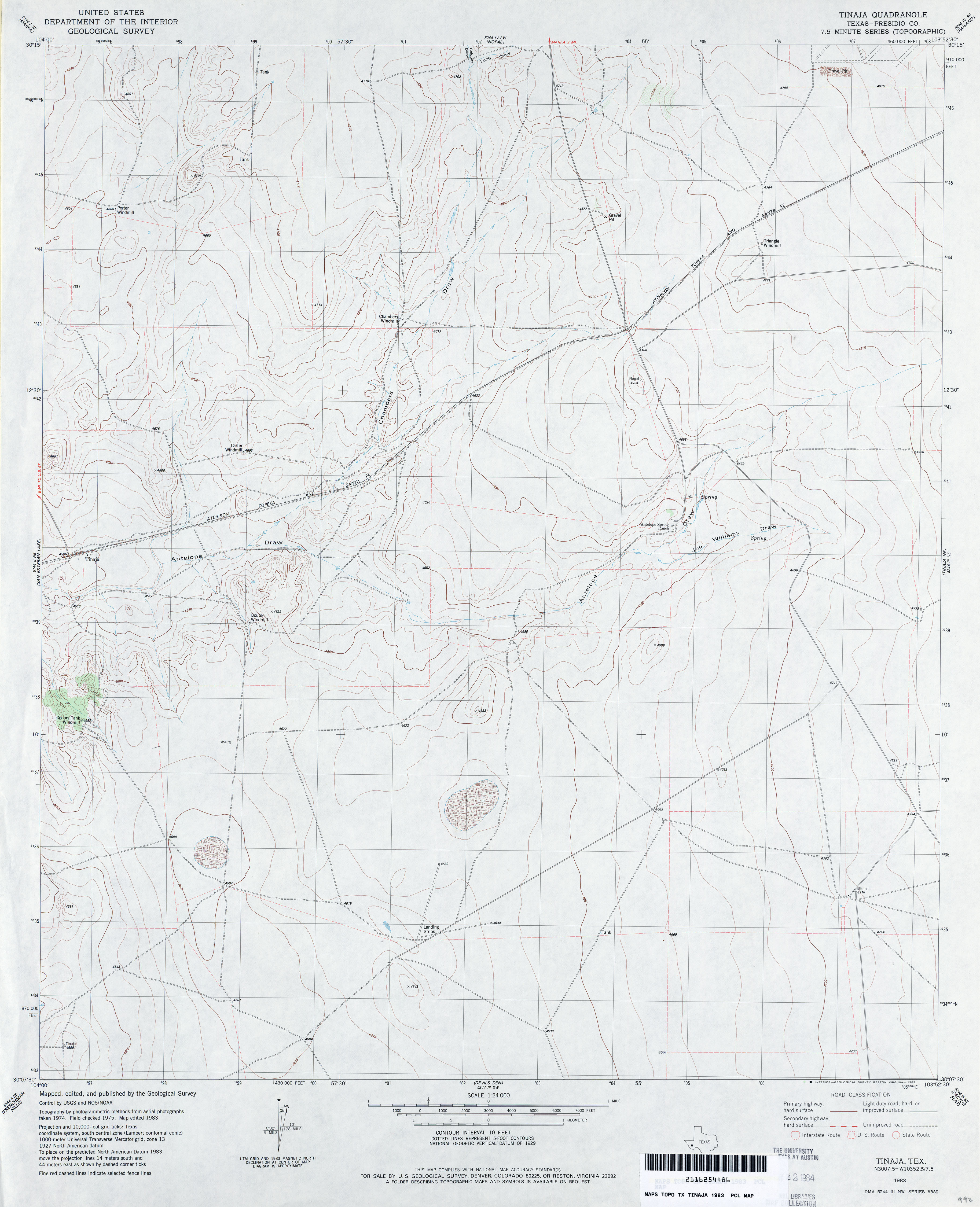
- Tinaja (Presidio County) 1:24,000 1983 (2.8MB)
- Tinaja 1:24,000 2008 (13.8MB) [GeoPDF]
- Tinaja 1:24,000 2012 (21.4MB) [GeoPDF]
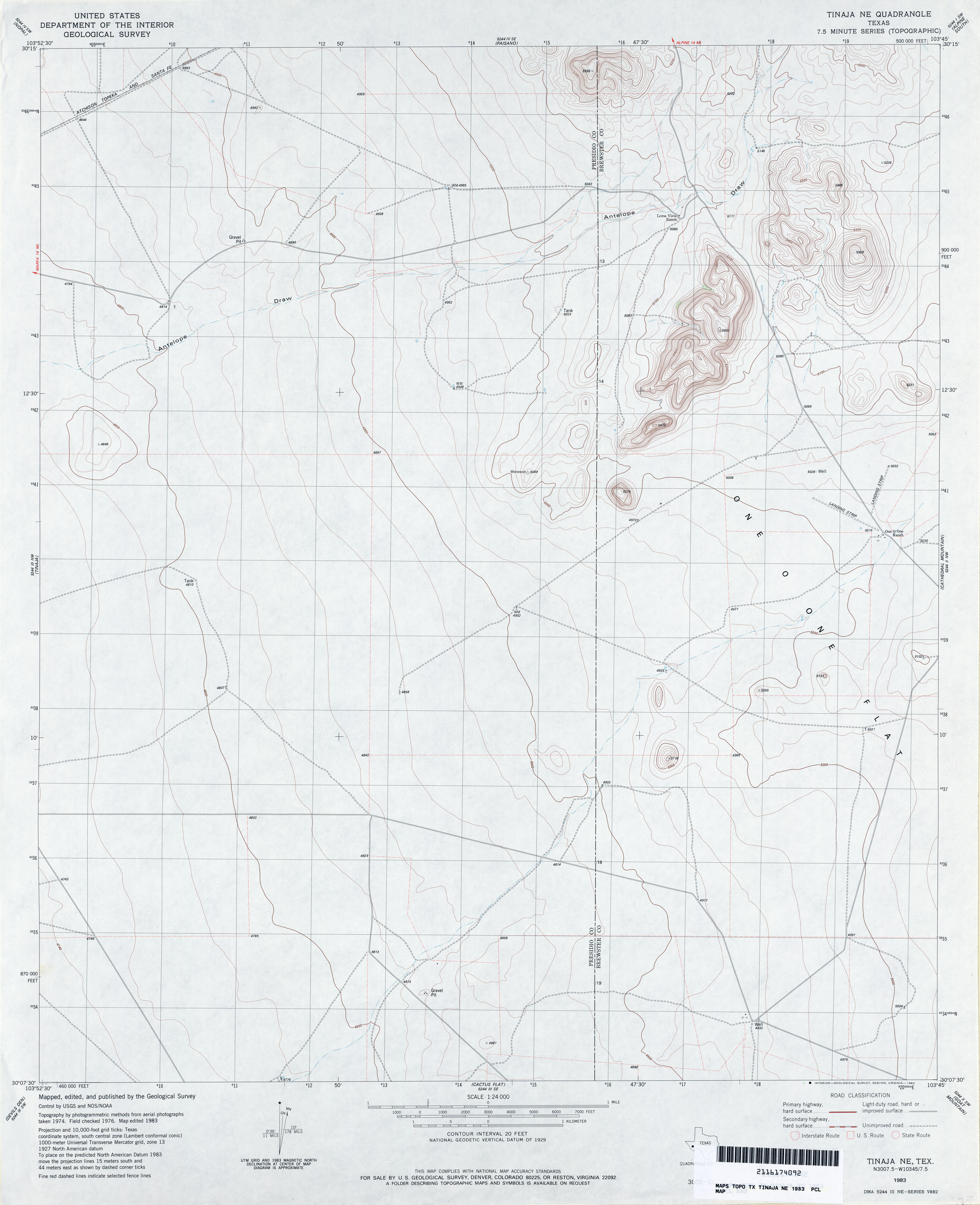
- Tinaja NE 1:24,000 1983 (2.5MB)
- Tinaja NE 1:24,000 2008 (14.8MB) [GeoPDF]
- Tinaja NE 1:24,000 2012 (20.1MB) [GeoPDF]
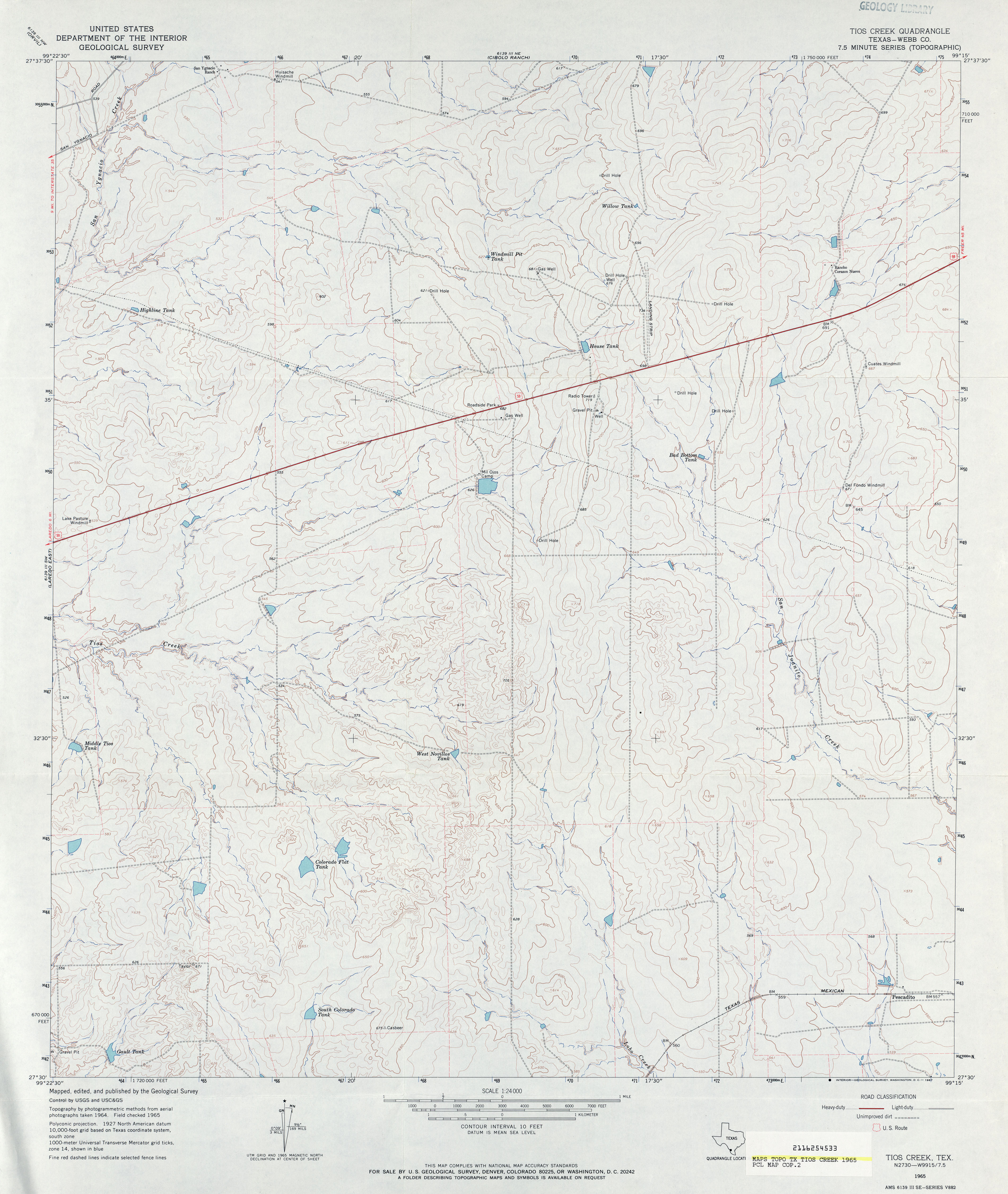
- Tios Creek (Webb County) 1:24,000 1965 (3.4MB)
- Tios Creek 1:24,000 2008 (19.6MB) [GeoPDF]
- Tios Creek 1:24,000 2013 (27MB) [GeoPDF]
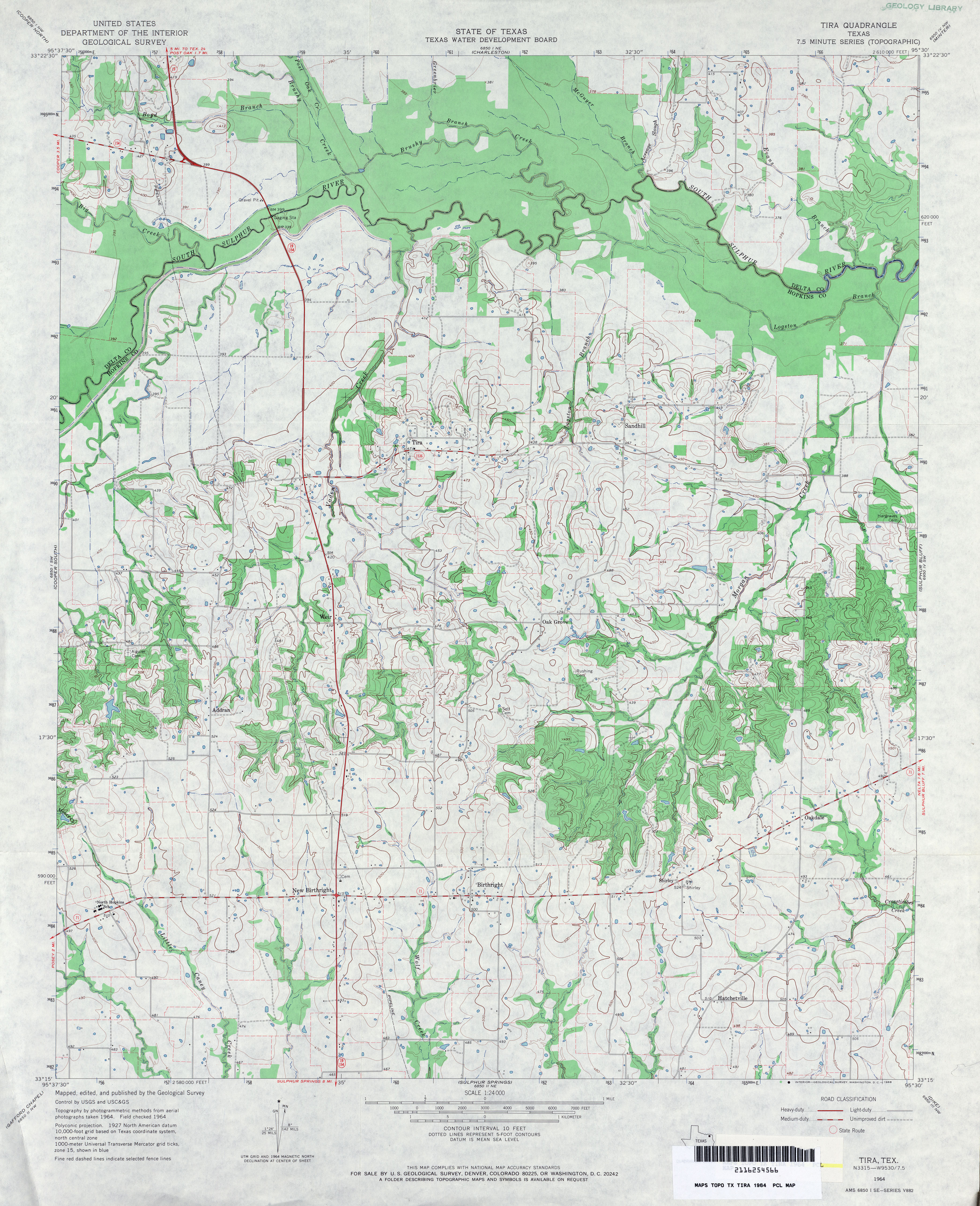
- Tira 1:24,000 1964 (4.1MB)
- Tira 1:24,000 2008 (18.9MB) [GeoPDF]
- Tira 1:24,000 2013 (23.3MB) [GeoPDF]
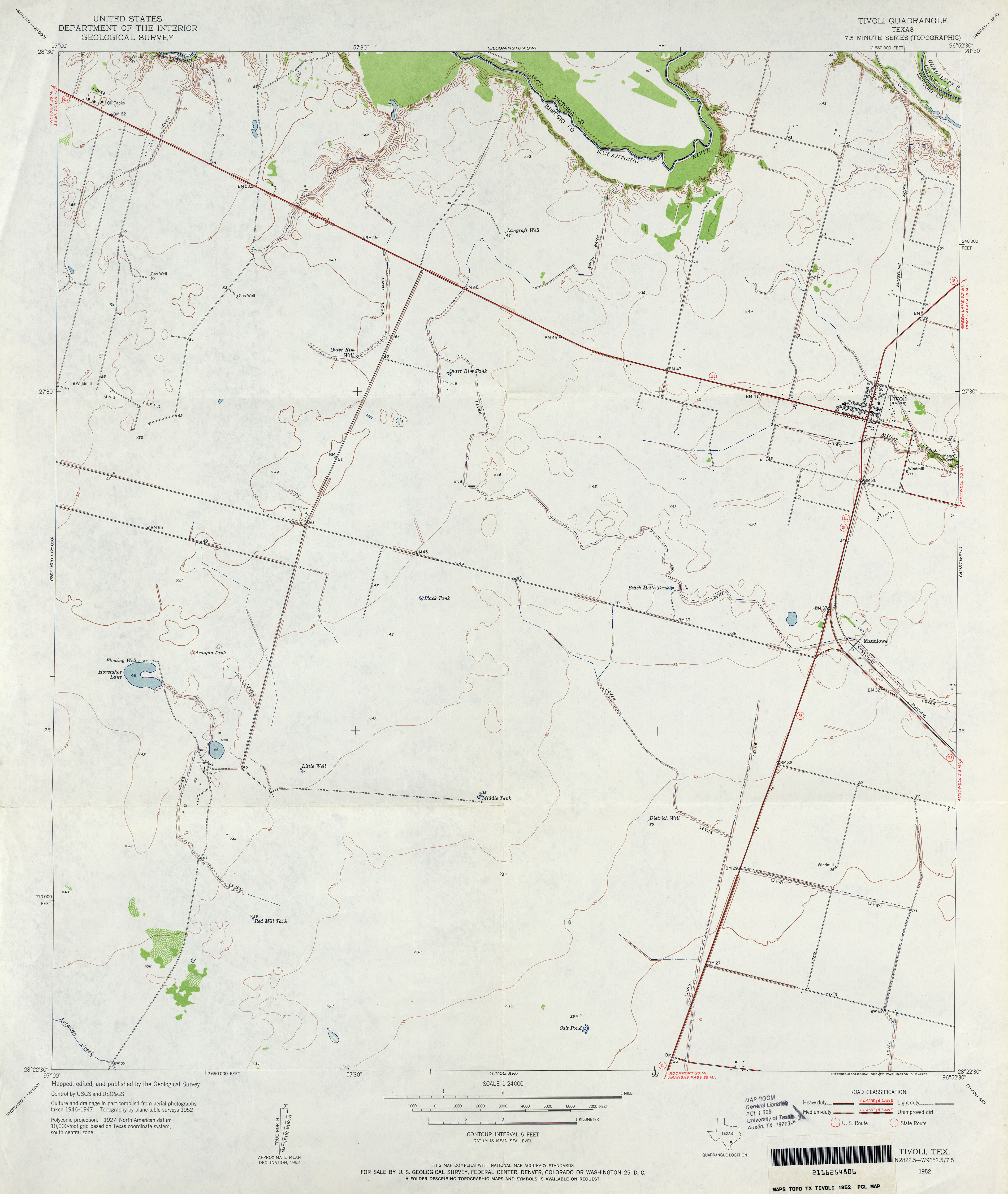
- Tivoli 1:24,000 1952 (2.5MB)
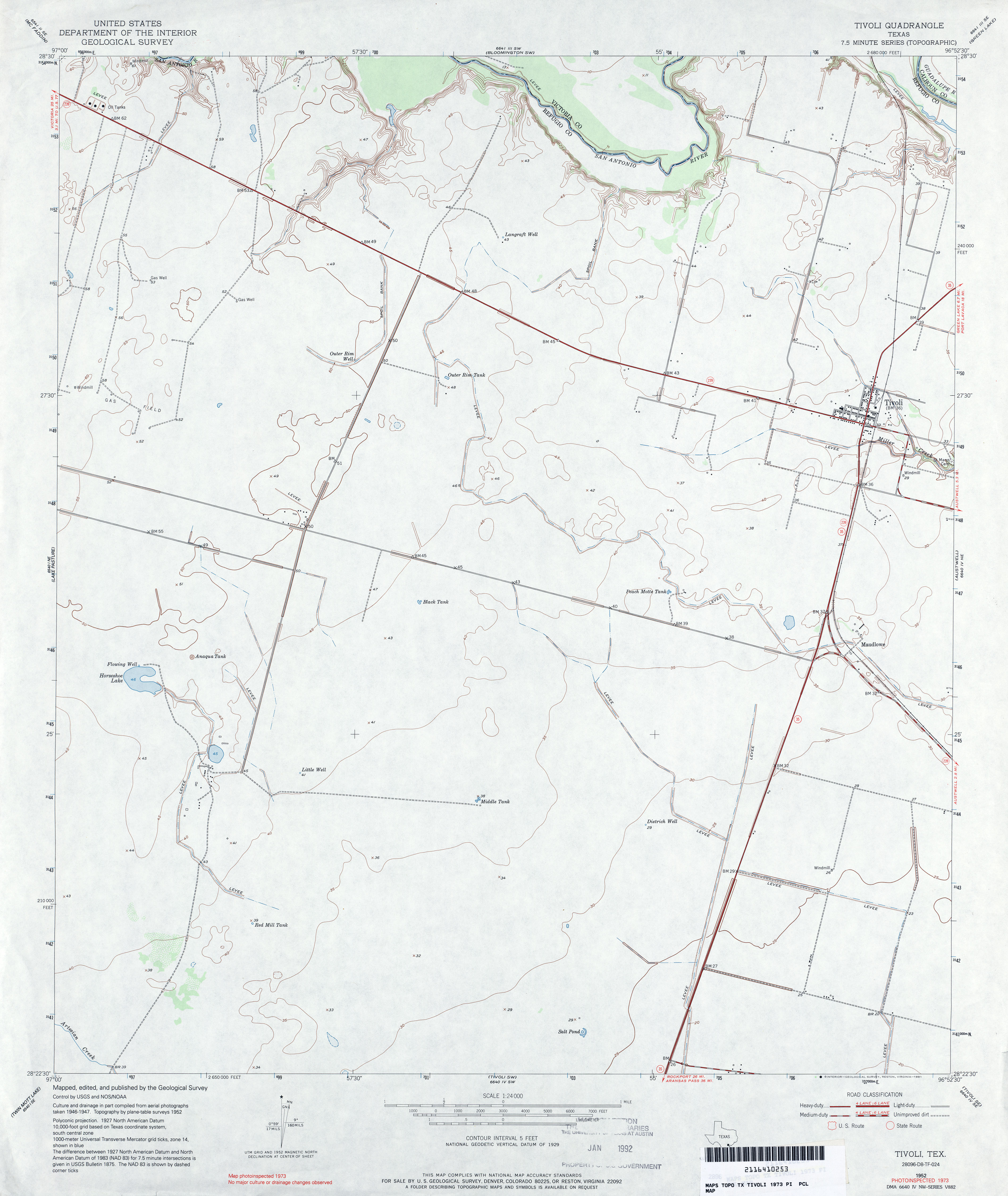
- Tivoli 1:24,000 1973 (2.7MB)
- Tivoli 1:24,000 2008 (9.5MB) [GeoPDF]
- Tivoli 1:24,000 2013 (17MB) [GeoPDF]
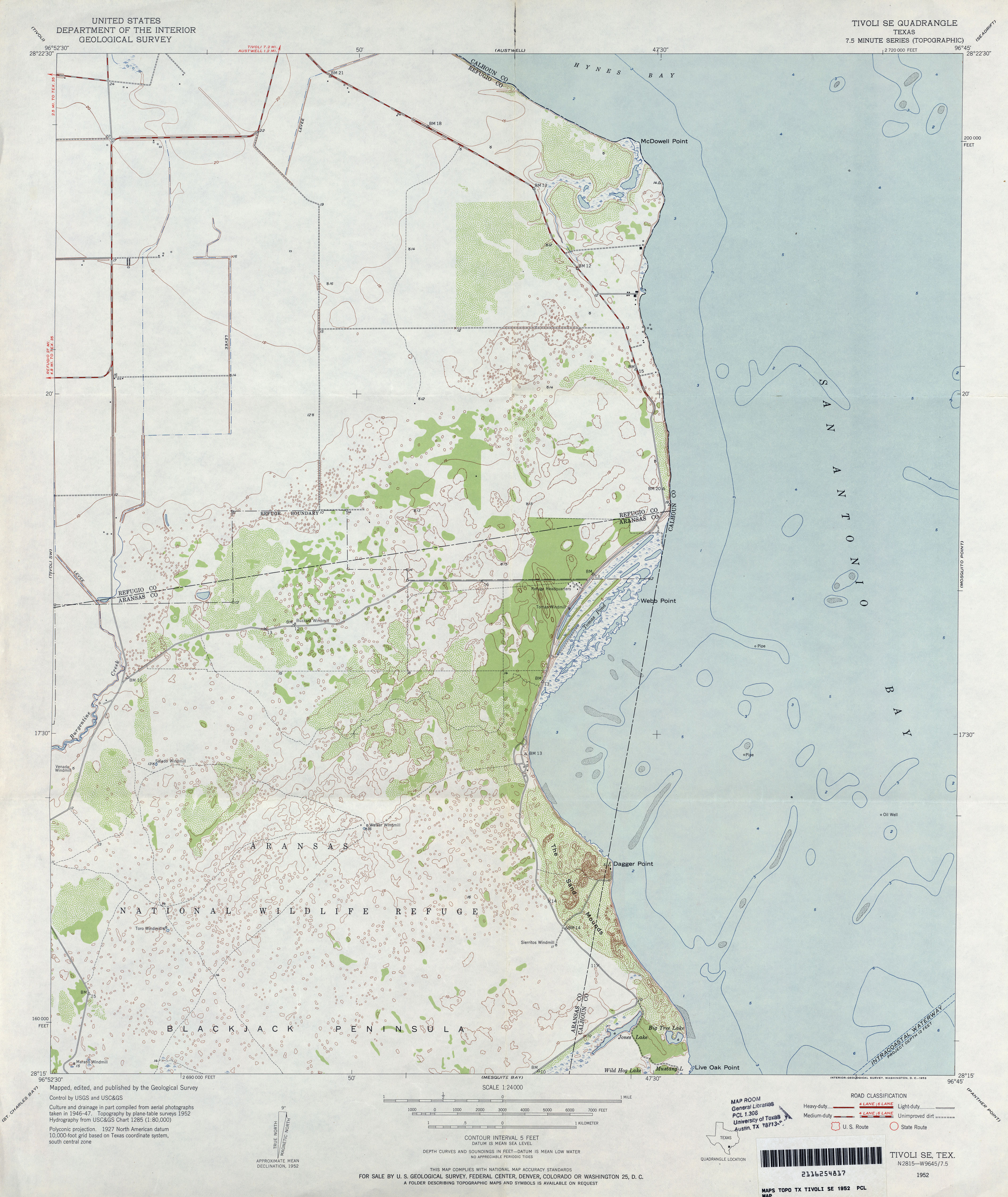
- Tivoli SE 1:24,000 1952 (3MB)
- Tivoli SE 1:24,000 2008 (1.9MB) Texas Natural Resources Information System (TNRIS). [pdf]
- Tivoli SE 1:24,000 2008 (9.4MB) [GeoPDF]
- Tivoli SE 1:24,000 2013 (18.4MB) [GeoPDF]
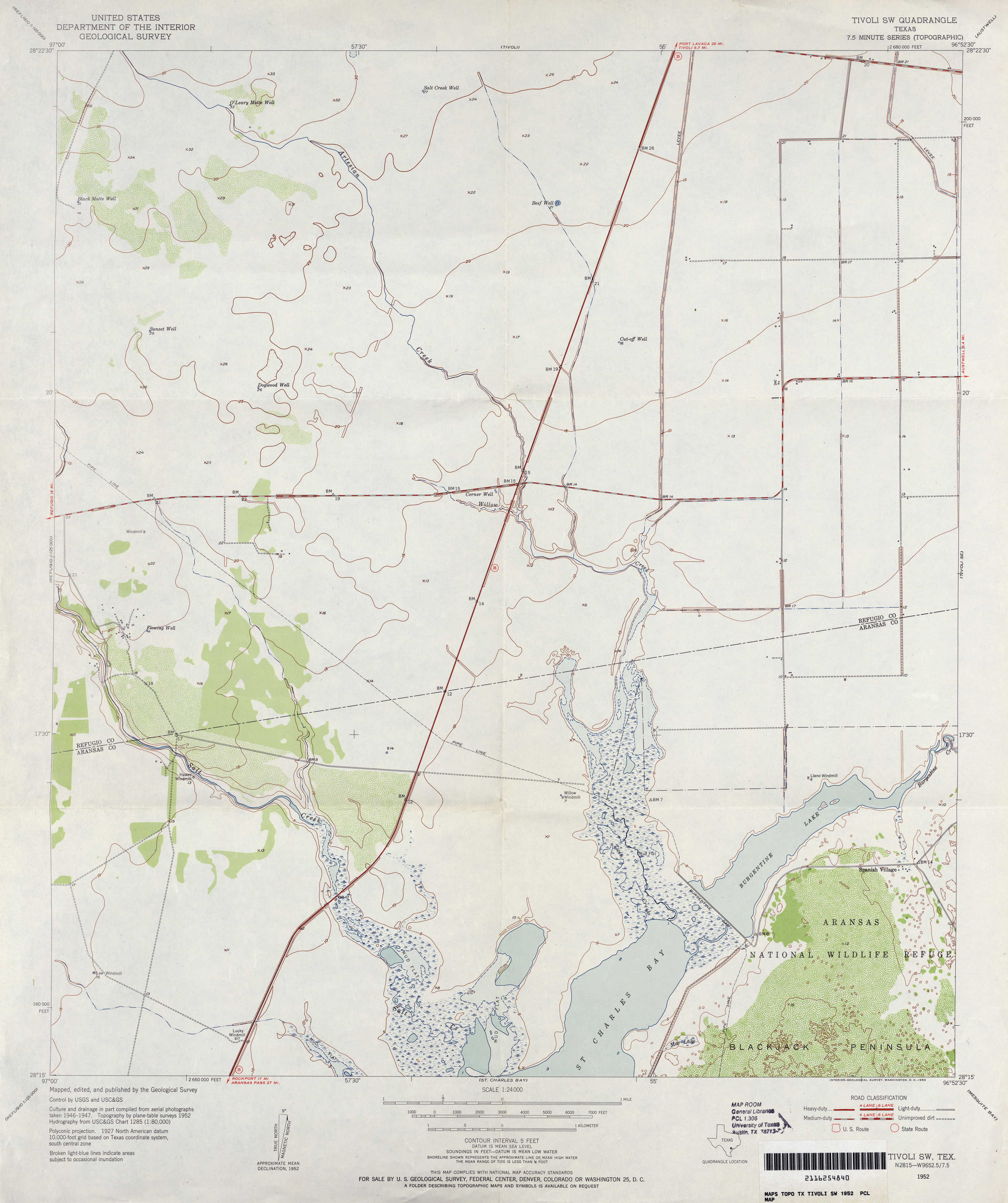
- Tivoli SW 1:24,000 1952 (2.7MB)
- Tivoli SW 1:24,000 2008 (3.4MB) Texas Natural Resources Information System (TNRIS). [pdf]
- Tivoli SW 1:24,000 2008 (9.9MB) [GeoPDF]
- Tivoli SW 1:24,000 2013 (17.7MB) [GeoPDF]
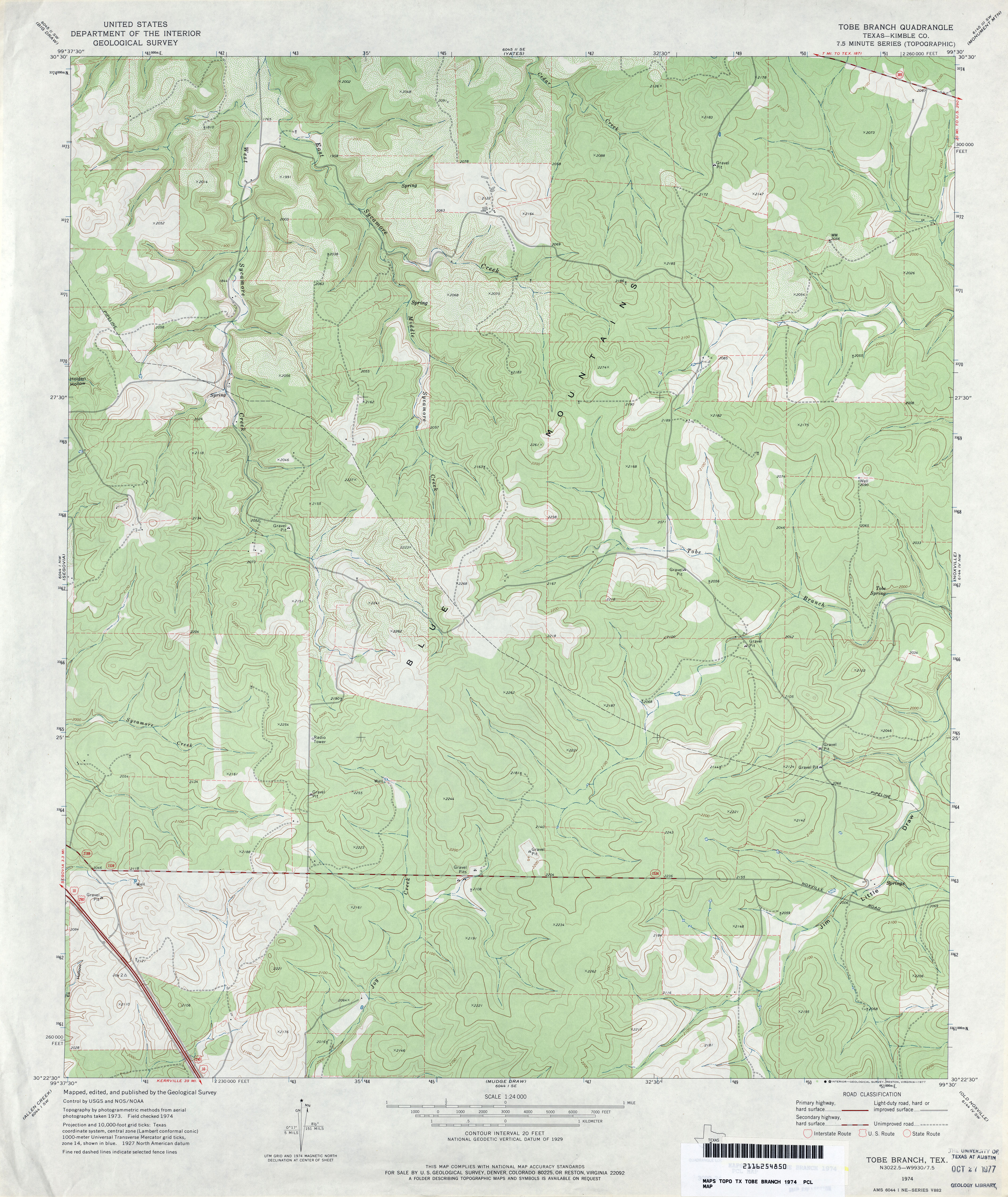
- Tobe Branch (Kimble County) 1:24,000 1974 (4MB)
- Tobe Branch 1:24,000 2008 (22.8MB) [GeoPDF]
- Tobe Branch 1:24,000 2012 (31.1MB) [GeoPDF]
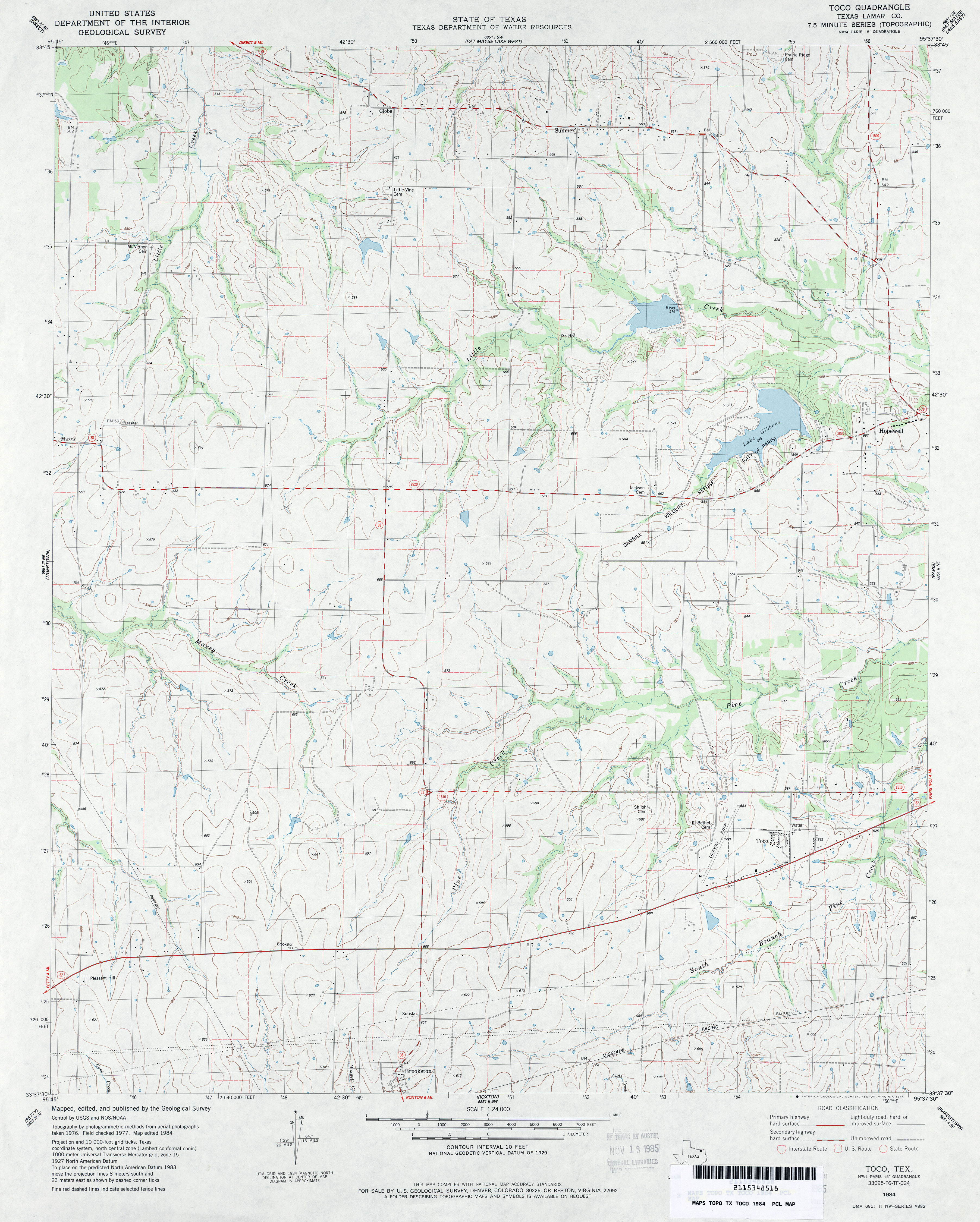
- Toco (Lamar County) 1:24,000 1984 (3.6MB)
- Toco 1:24,000 2008 (13.4MB) [GeoPDF]
- Toco 1:24,000 2013 (18.5MB) [GeoPDF]
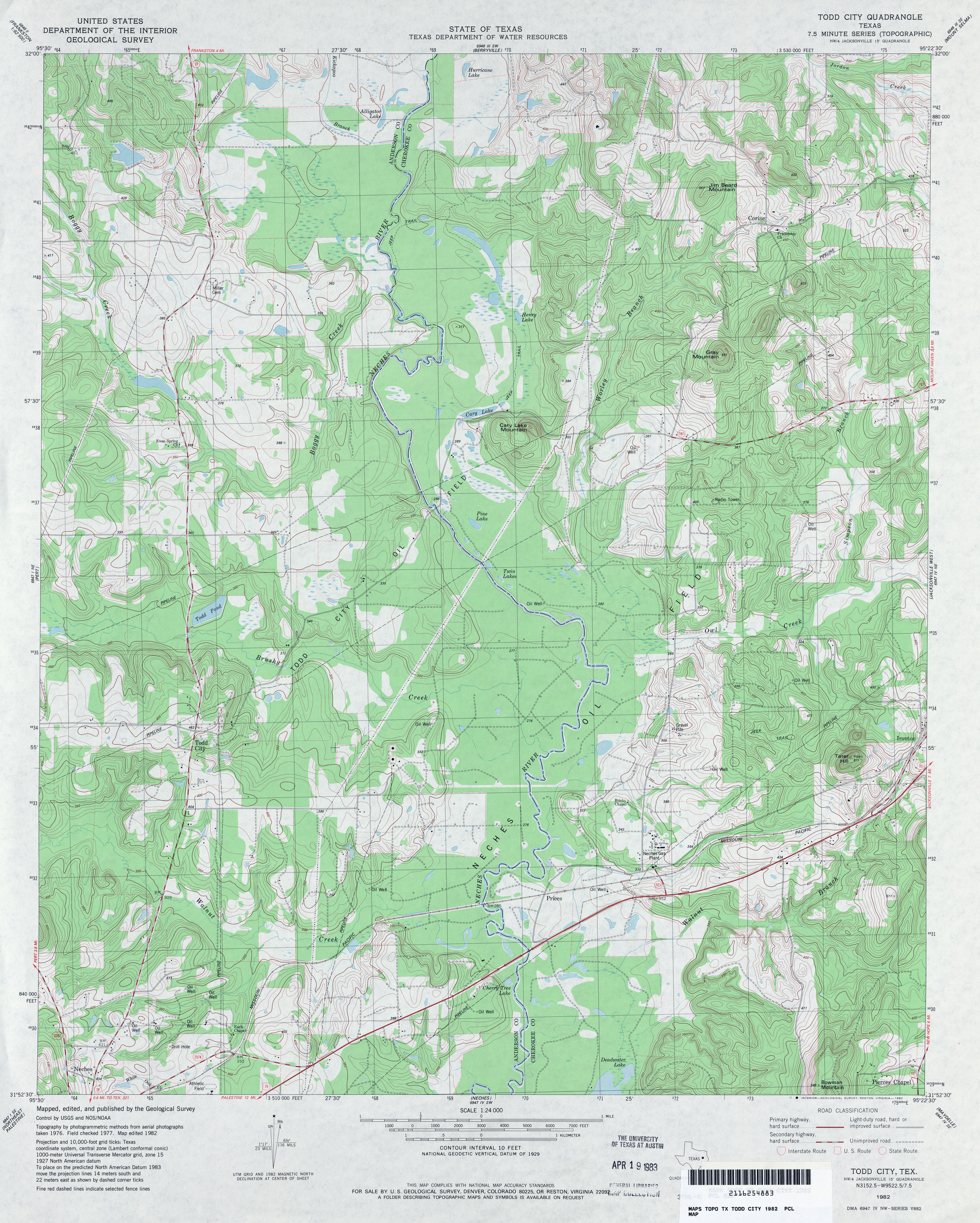
- Todd City 1:24,000 1982 (4.7MB)
- Todd City 1:24,000 2009 (22.2MB) [GeoPDF]
- Todd City 1:24,000 2013 (23.9MB) [GeoPDF]
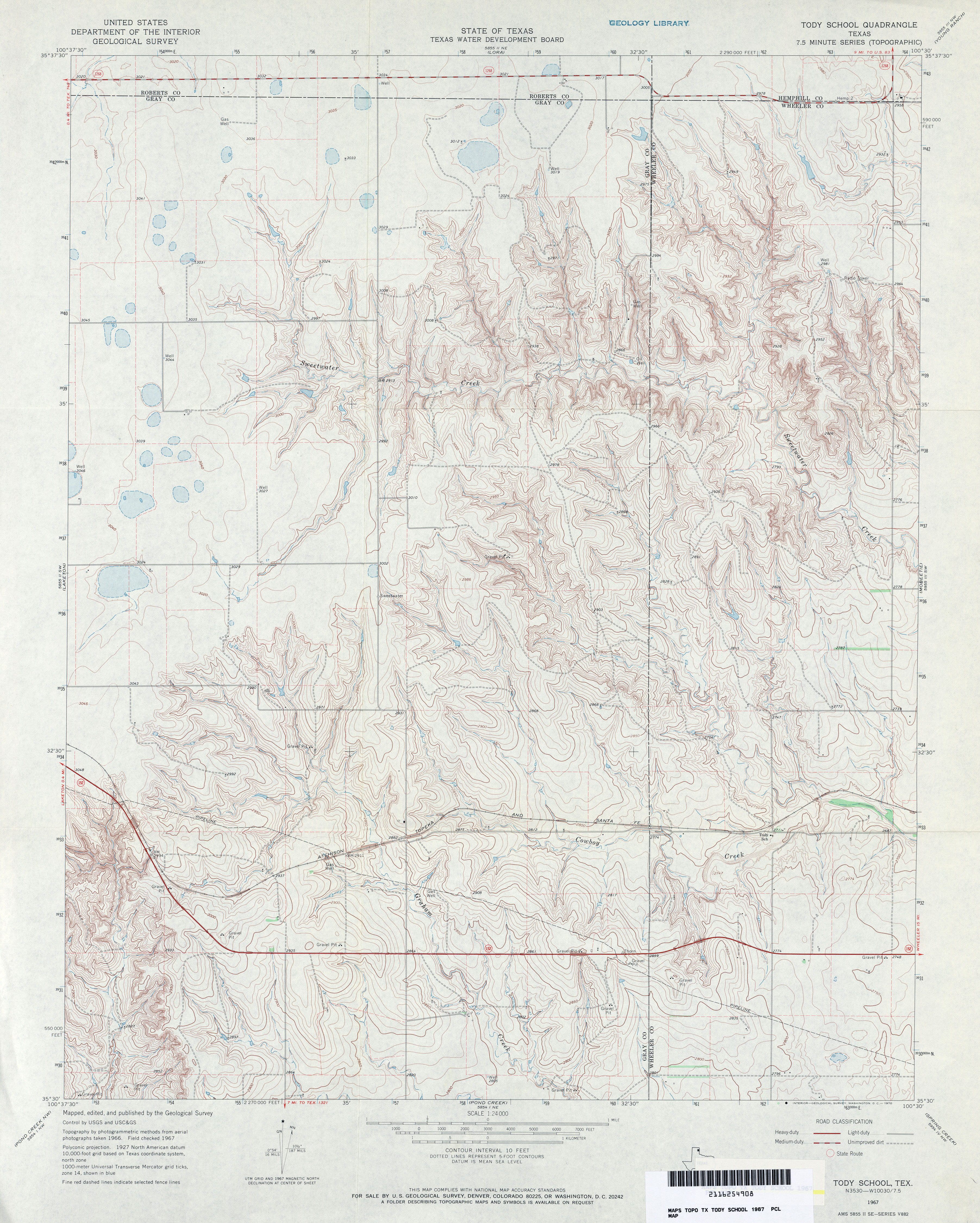
- Tody School 1:24,000 1967 (4.2MB)
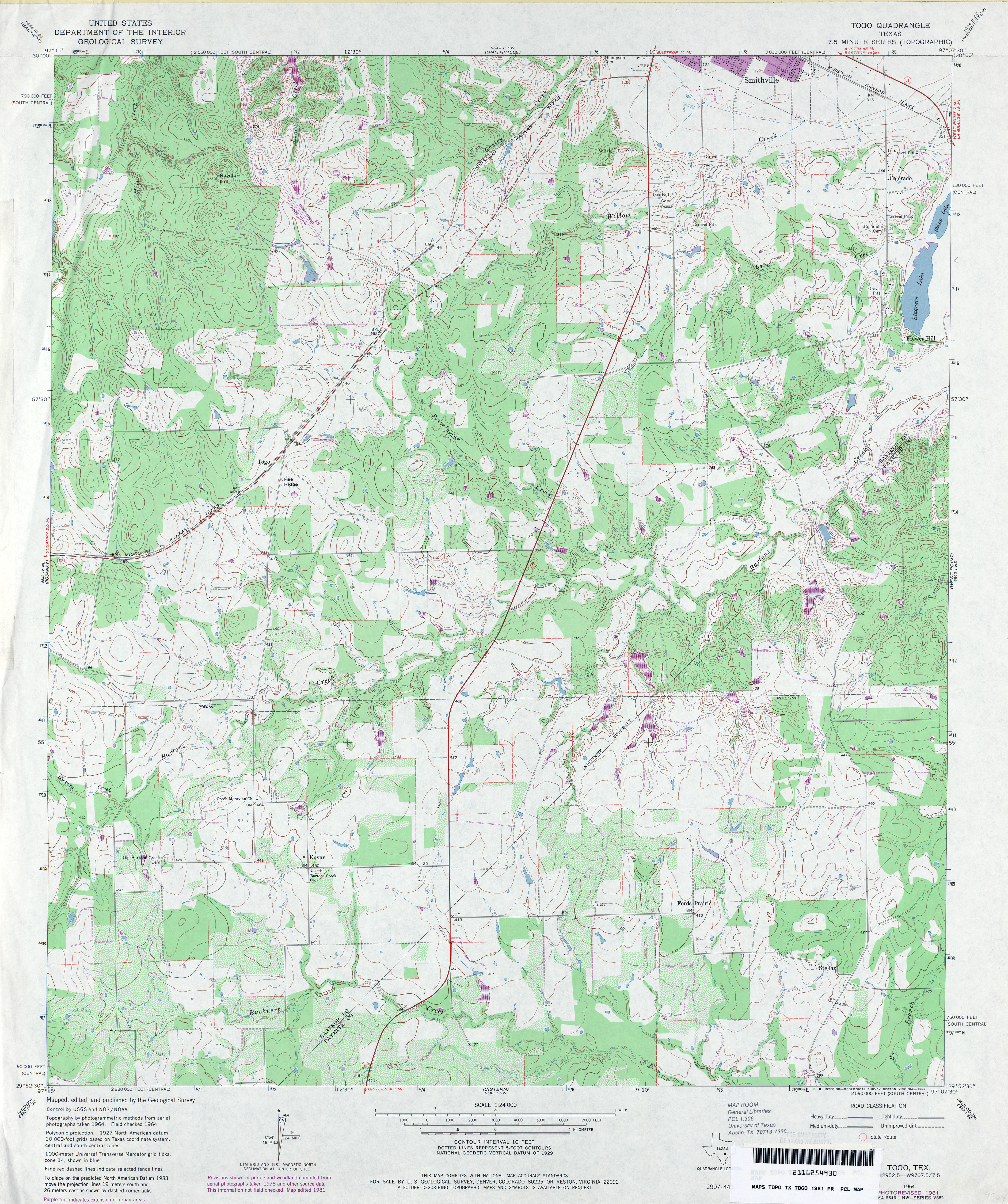
- Togo 1:24,000 1964 (4.3MB)
- Togo 1:24,000 1981 (4.8MB)
- Togo 1:24,000 2008 (16.8MB) [GeoPDF]
- Togo 1:24,000 2013 (26.8MB) [GeoPDF]
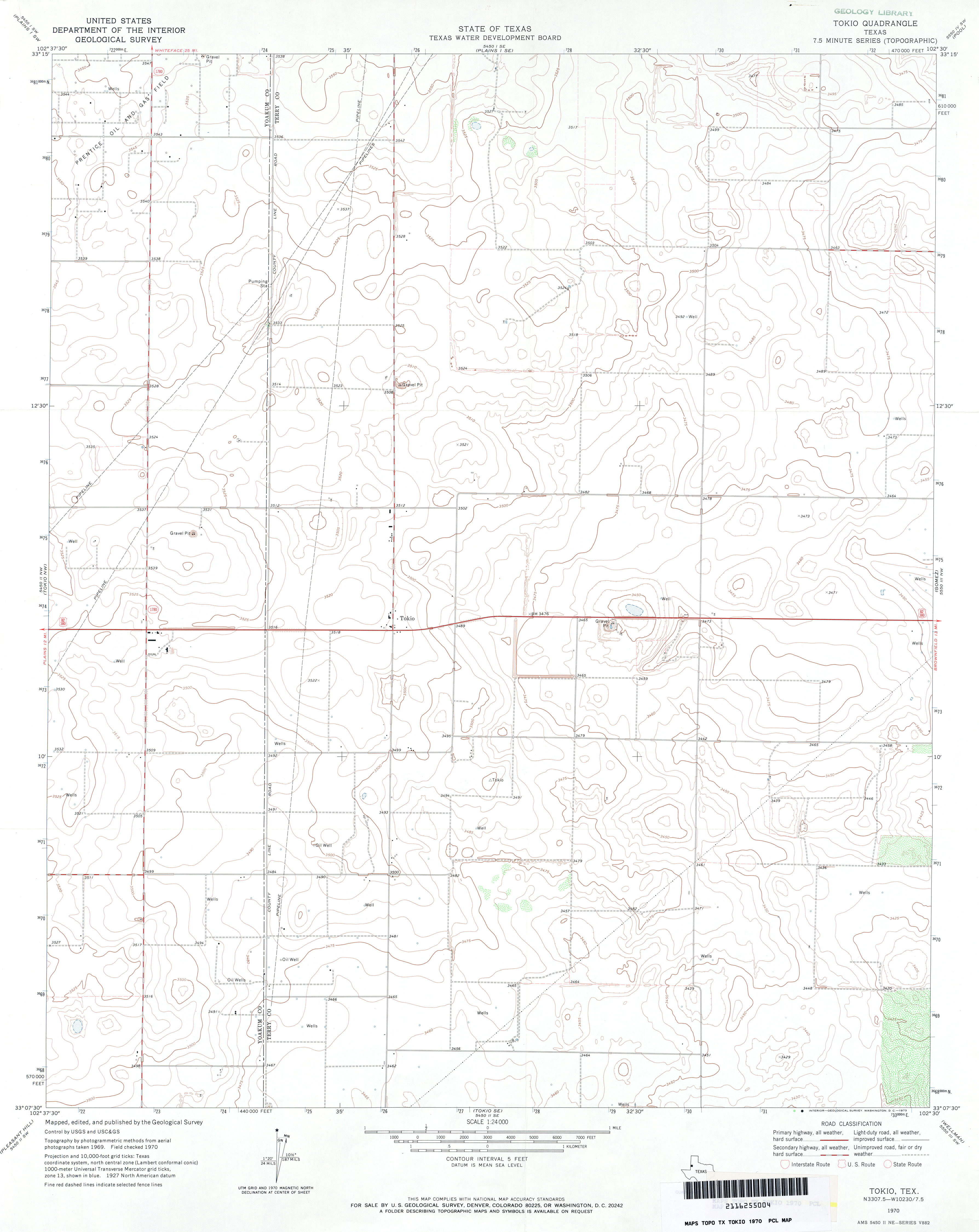
- Tokio 1:24,000 1970 (2.3MB)
- Tokio 1:24,000 2008 (10.2MB) [GeoPDF]
- Tokio 1:24,000 2012 (15.3MB) [GeoPDF]
- Tokio NW (Yoakum County) 1:24,000 1970 (2.9MB)
- Tokio NW 1:24,000 2008 (10.4MB) [GeoPDF]
- Tokio NW 1:24,000 2012 (15.1MB) [GeoPDF]
- Tokio SE 1:24,000 1970 (3.1MB)
- Tokio SE 1:24,000 2008 (10.8MB) [GeoPDF]
- Tokio SE 1:24,000 2012 (15.9MB) [GeoPDF]
- Tolar (Hood County) 1:62,500 1923 (1.8 MB)
- Tolar (Hood County) 1:24,000 1960 (4.5MB)
- Tolar (Hood County) 1:24,000 1979 (4.2MB)
- Tolar 1:24,000 2008 (16.3MB) [GeoPDF]
- Tolar 1:24,000 2012 (22.2MB) [GeoPDF]
- Tolbert 1:24,000 1983 (3.5MB)
- Tolbert 1:24,000 2008 (9.4MB) [GeoPDF]
- Tolbert 1:24,000 2012 (15.8MB) [GeoPDF]
- Tom 1:24,000 1951 (3.4MB)
- Tom 1:24,000 1975 (3.6MB)
- Tom 1:24,000 2009 (22.1MB) [GeoPDF]
- Tom 1:24,000 2012 (23.9MB) [GeoPDF]
- Tomball (Harris County) 1:24,000 1962 (3.6MB)
- Tomball (Harris County) 1:24,000 1979 (3.8MB)
- Tomball (Harris County) 1:24,000 1995 (4.4MB)
- Tomball 1:24,000 2009 (25.3MB) [GeoPDF]
- Tomball 1:24,000 2013 (26.3MB) [GeoPDF]
- Toms Canyon 1:24,000 1968 (3.3MB)
- Toms Canyon 1:24,000 1979 (4.1MB)
- Toms Canyon 1:24,000 2008 (23.9MB) [GeoPDF]
- Toms Canyon 1:24,000 2012 (30.4MB) [GeoPDF]
- Tonk Creek (Throckmorton County) 1:24,000 1966 (3.7MB)
- Tonk Creek (Throckmorton County) 1:24,000 1981 (3.7MB)
- Tonk Creek 1:24,000 2008 (12.4MB) [GeoPDF]
- Tonk Creek 1:24,000 2013 (17.9MB) [GeoPDF]
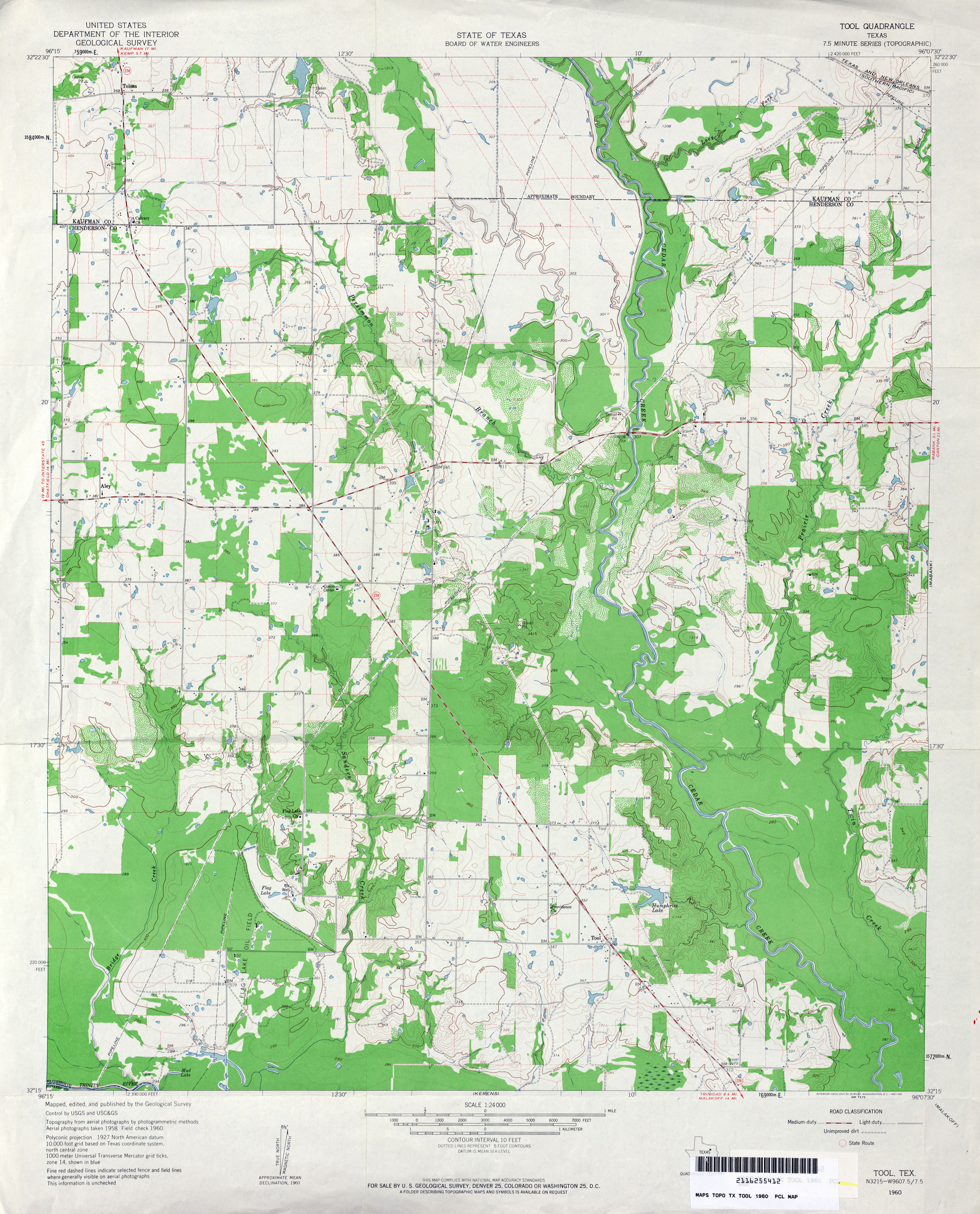
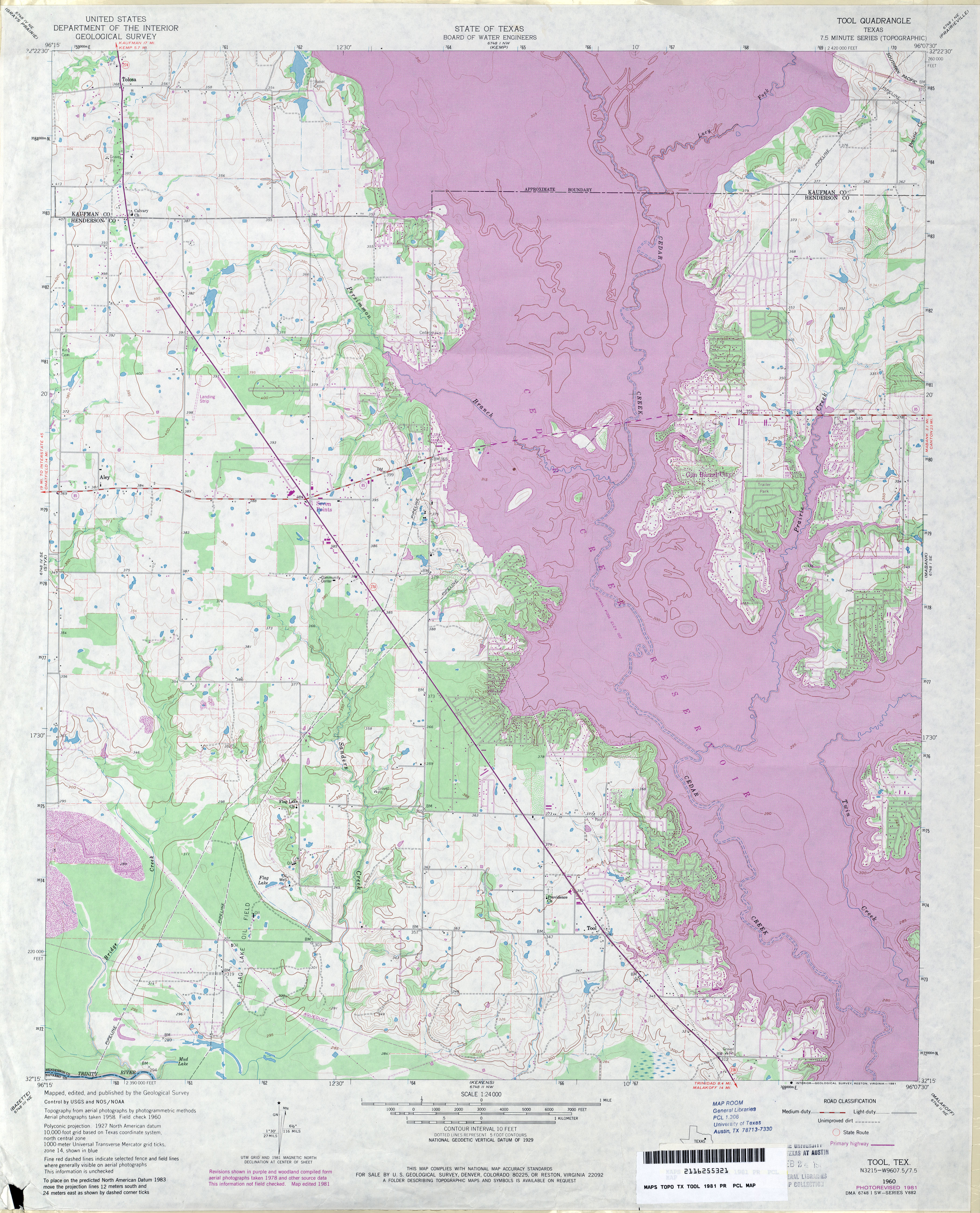
- Tool 1:24,000 1960 (3.5MB)
- Tool 1:24,000 1972 (4.9MB)
- Tool 1:24,000 1981 (4.9MB)
- Tool 1:24,000 2012 (19.8MB) [GeoPDF]
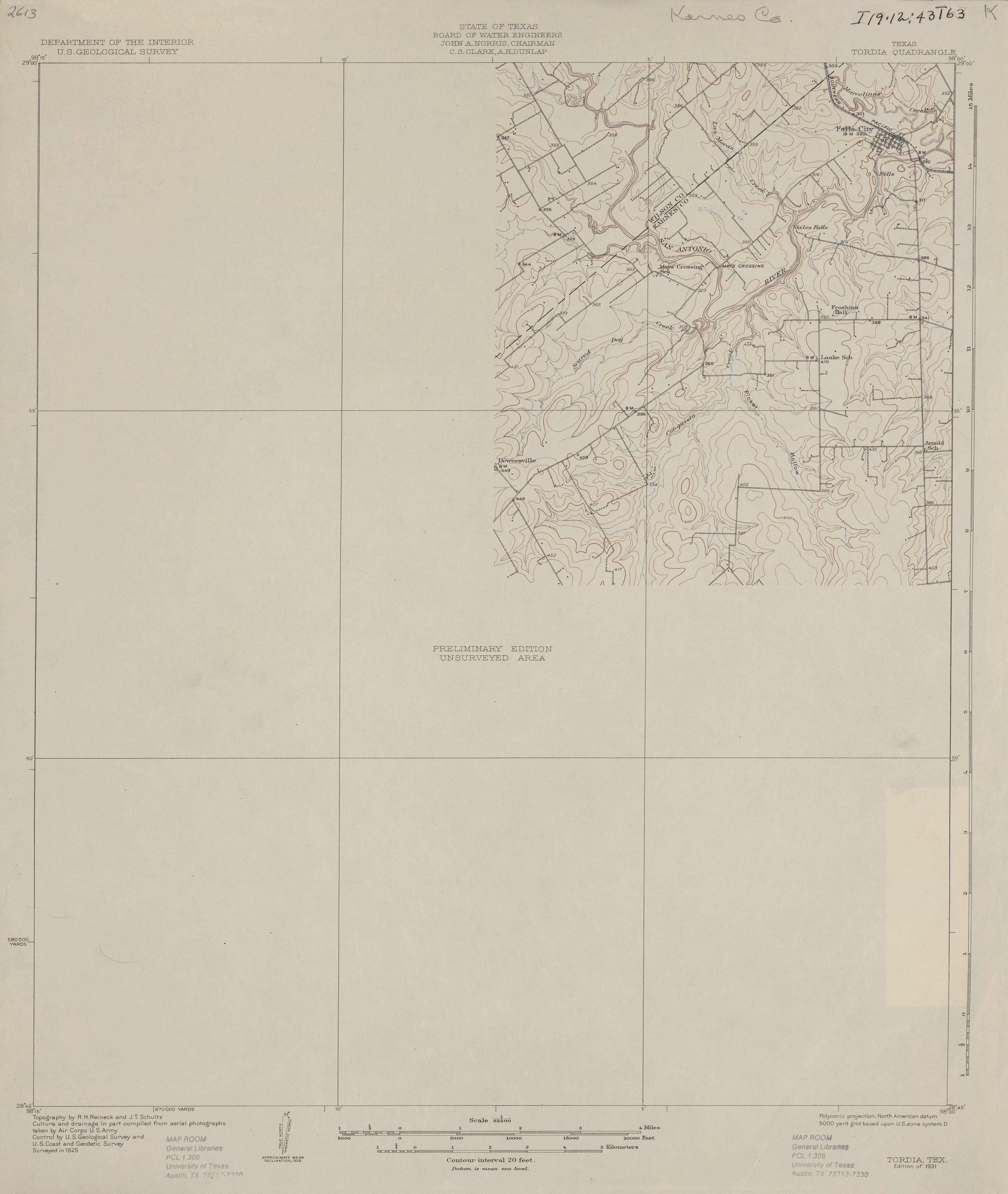
- Tordia 1:62,500 1925 (1.6 MB)
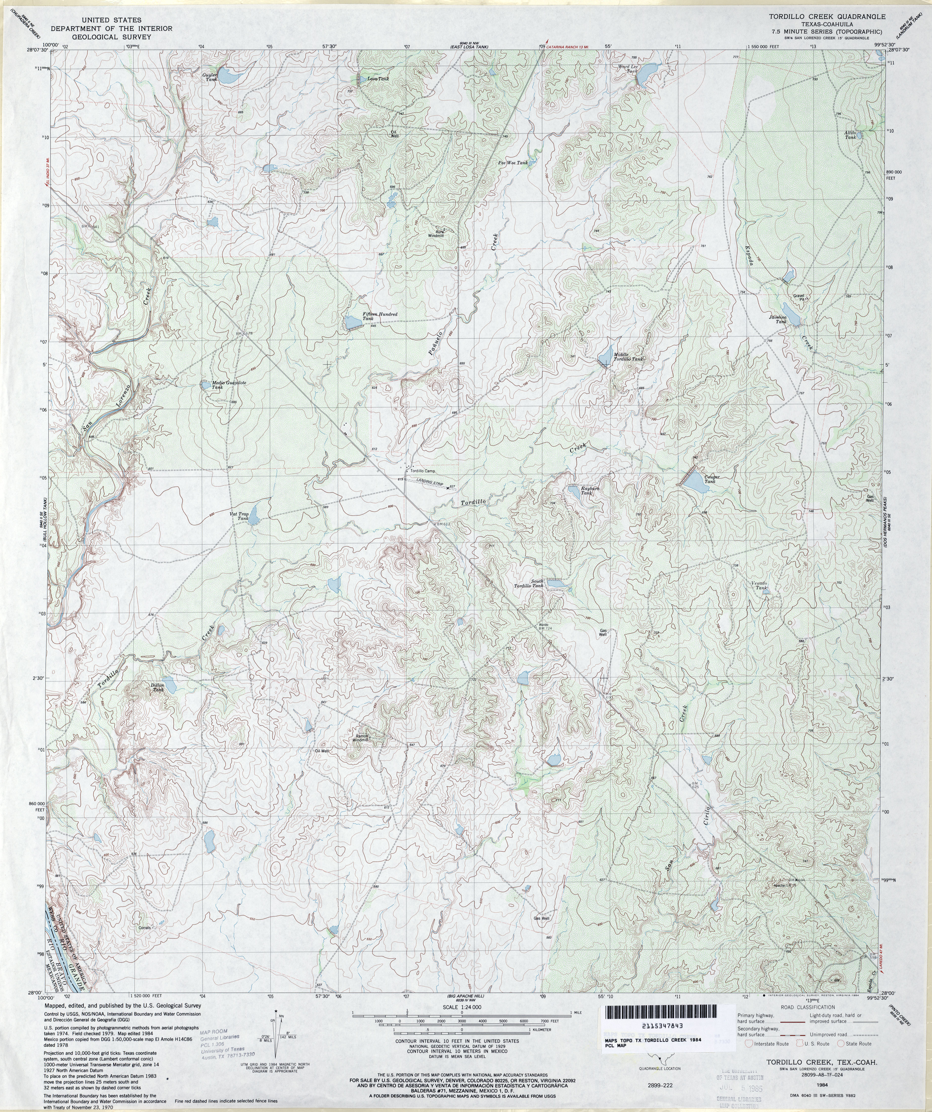
- Tordillo Creek 1:24,000 1984 (4.3MB)
- Tordillo Creek 1:24,000 2008 (18.9MB) [GeoPDF]
- Tordillo Creek 1:24,000 2013 (30.1MB) [GeoPDF]
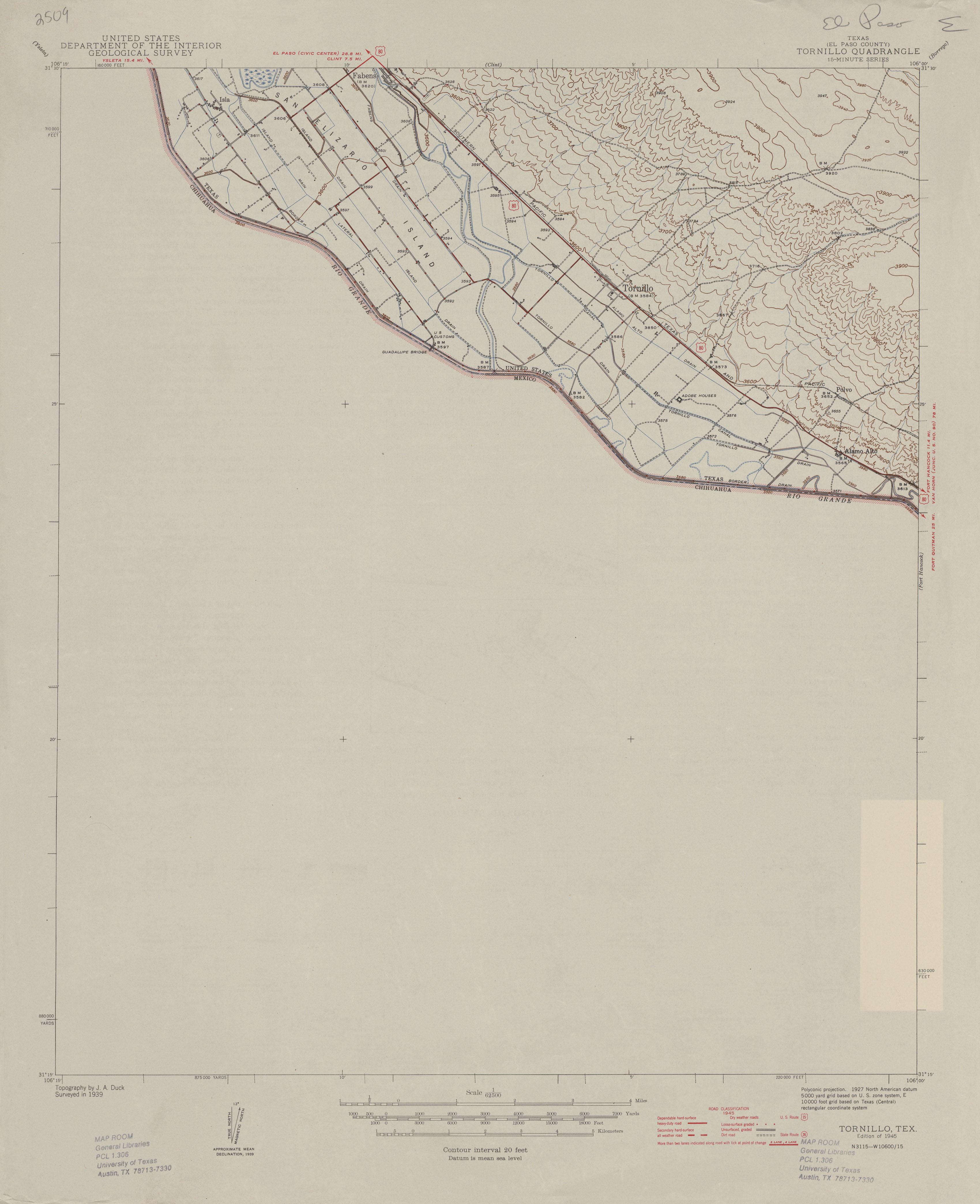
- Tornillo (El Paso County) 1:62,500 1939 survey, 1945 overprint (1.7 MB)
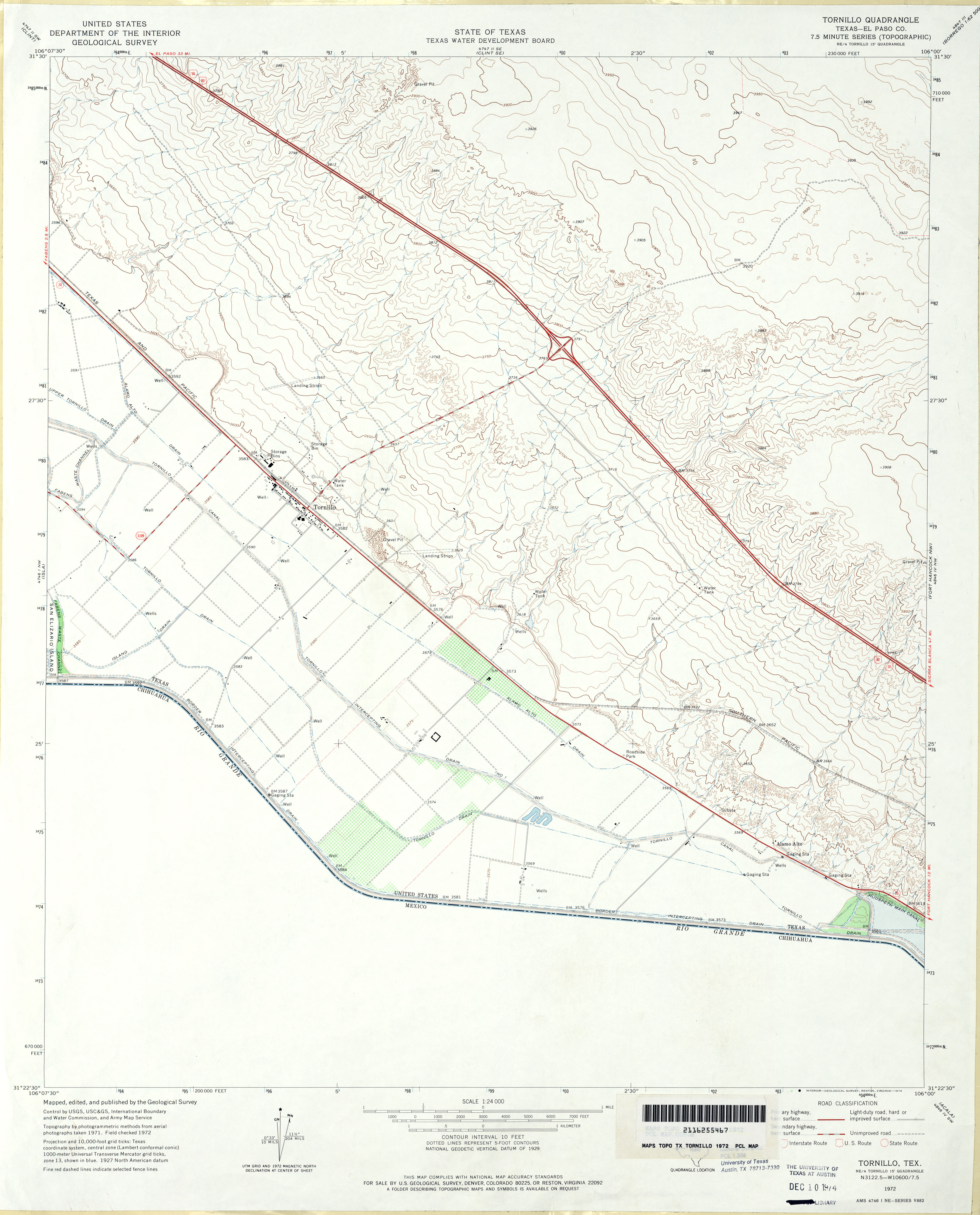
- Tornillo (El Paso County) 1:24,000 1972 (2.7MB)
- Tornillo 1:100,000 1985 (5.9MB)
- Tornillo 1:100,000 1985 [large] (22.8MB)
- Tornillo 1:24,000 2008 (19.8MB) [GeoPDF]
- Tornillo 1:24,000 2012 (23.8MB) [GeoPDF]
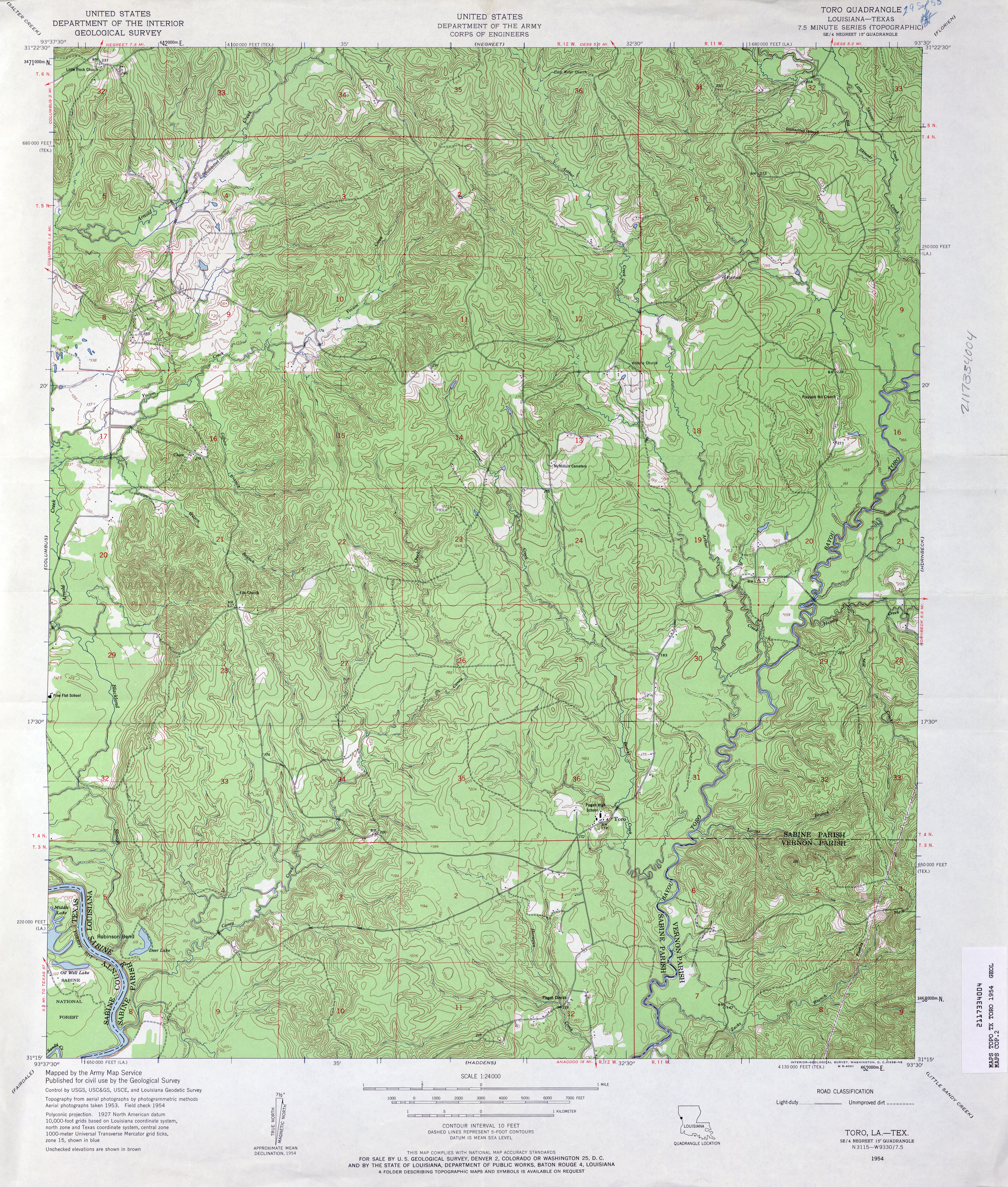
- Toro 1:24,000 1954 (5.3MB) U.S. Department of the Army Corps of Engineers
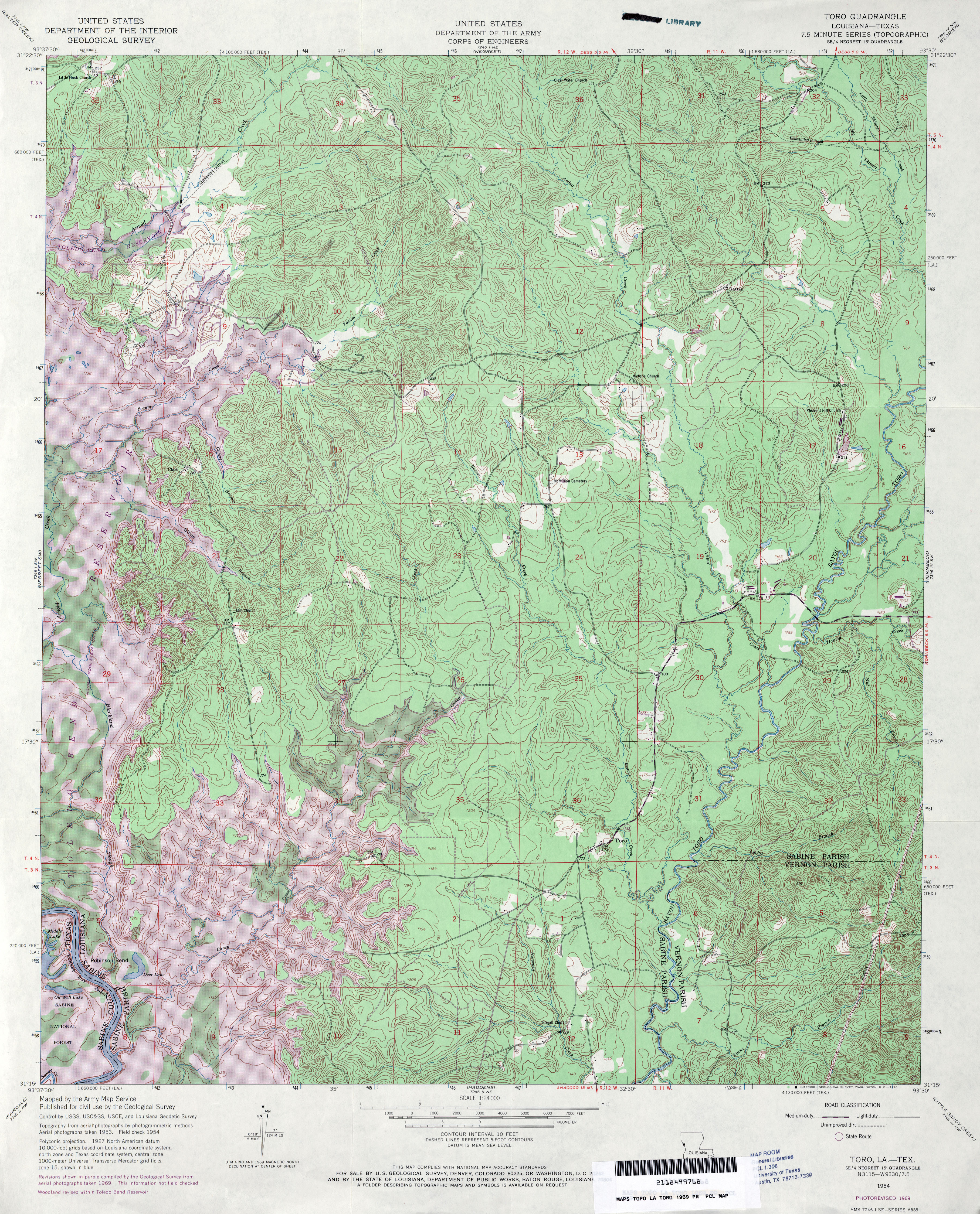
- Toro 1:24,000 1969 (5.4MB) U.S. Department of the Army Corps of Engineers
- Toro 1:24,000 1985 (4.1MB)
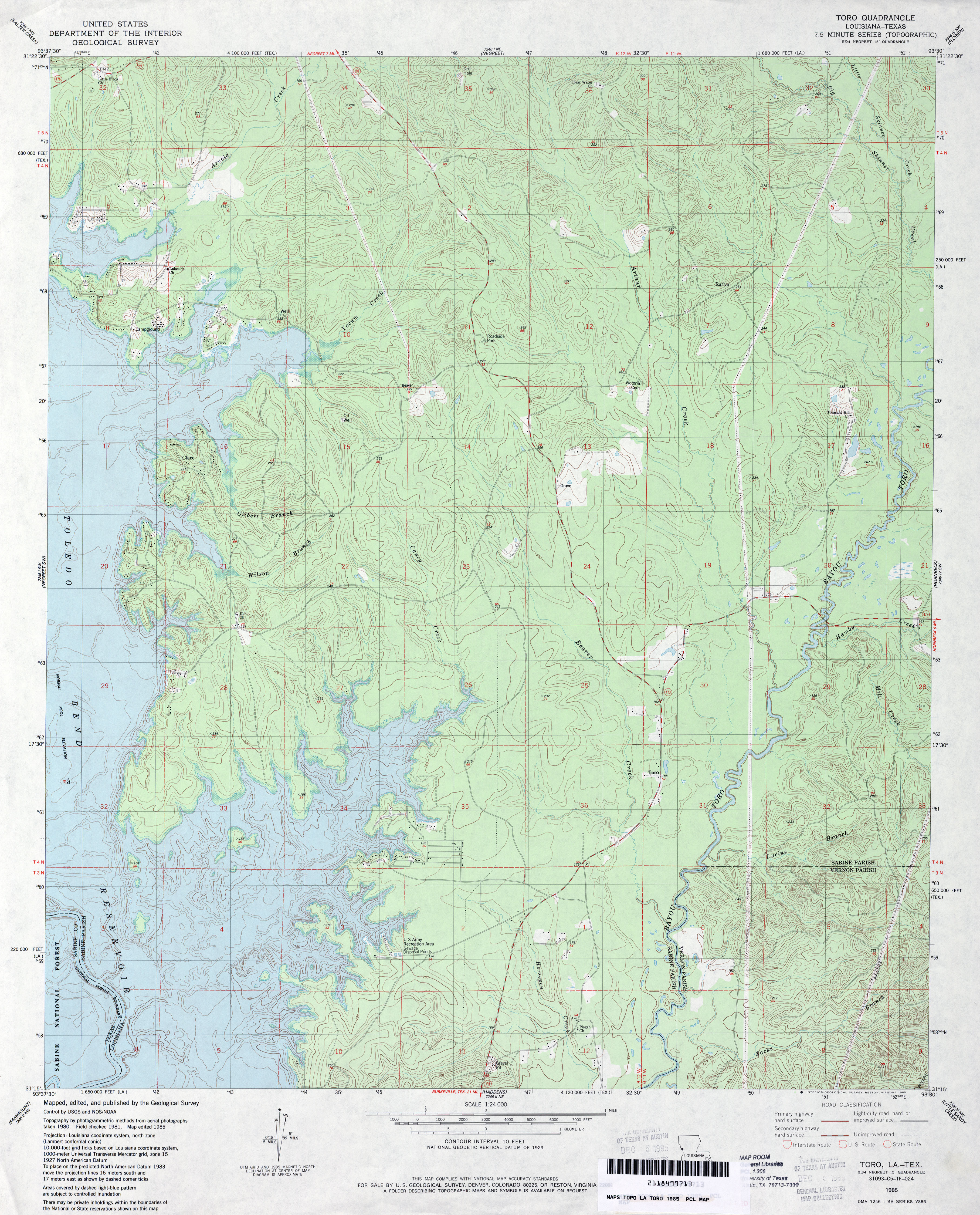
- Toro 1:24,000 2010 (30.7MB) [GeoPDF]
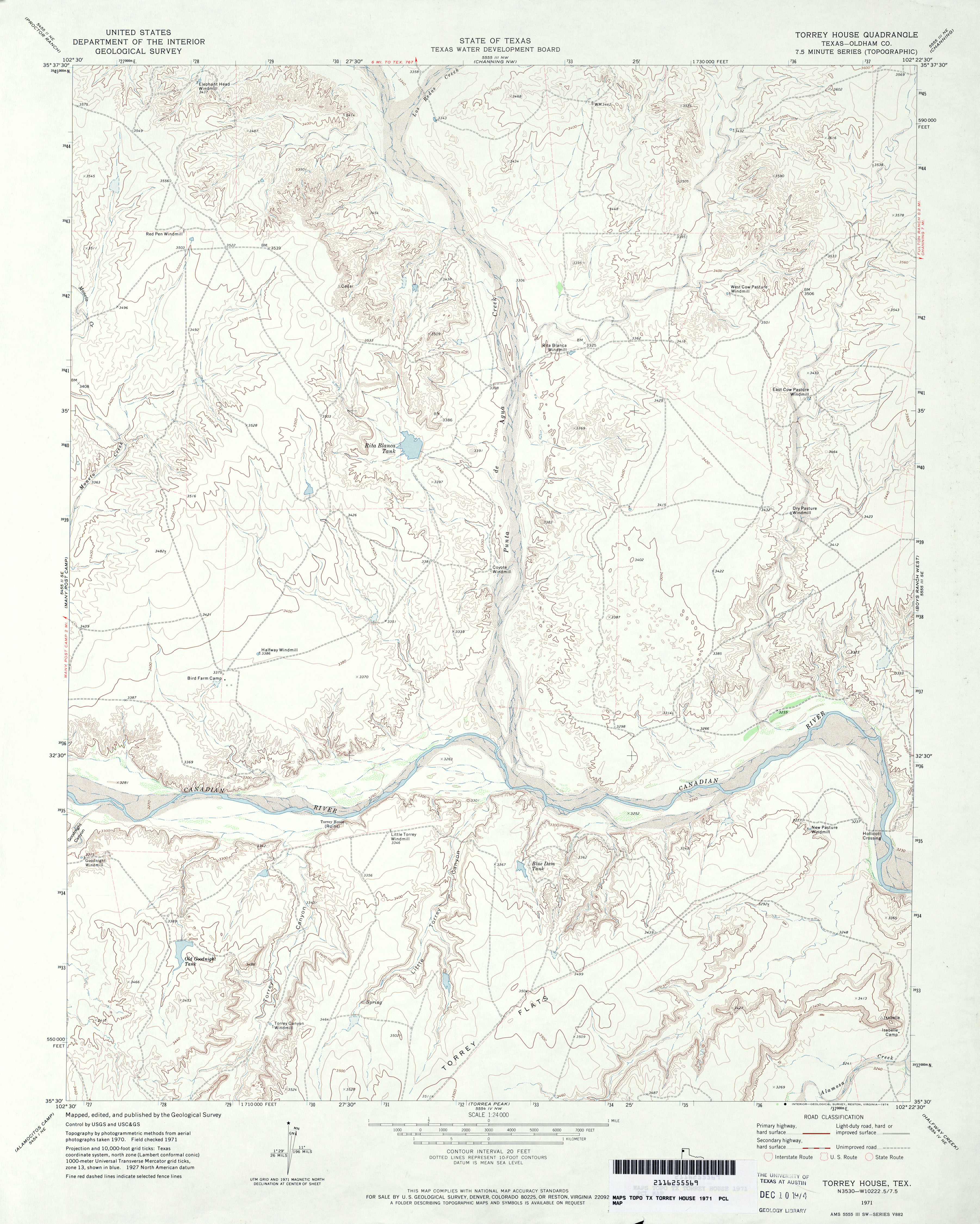
- Torrey House (Oldham County) 1:24,000 1971 (3.6MB)
- Torrey House 1:24,000 2008 (17.0MB) [GeoPDF]
- Torrey House 1:24,000 2012 (21MB) [GeoPDF]
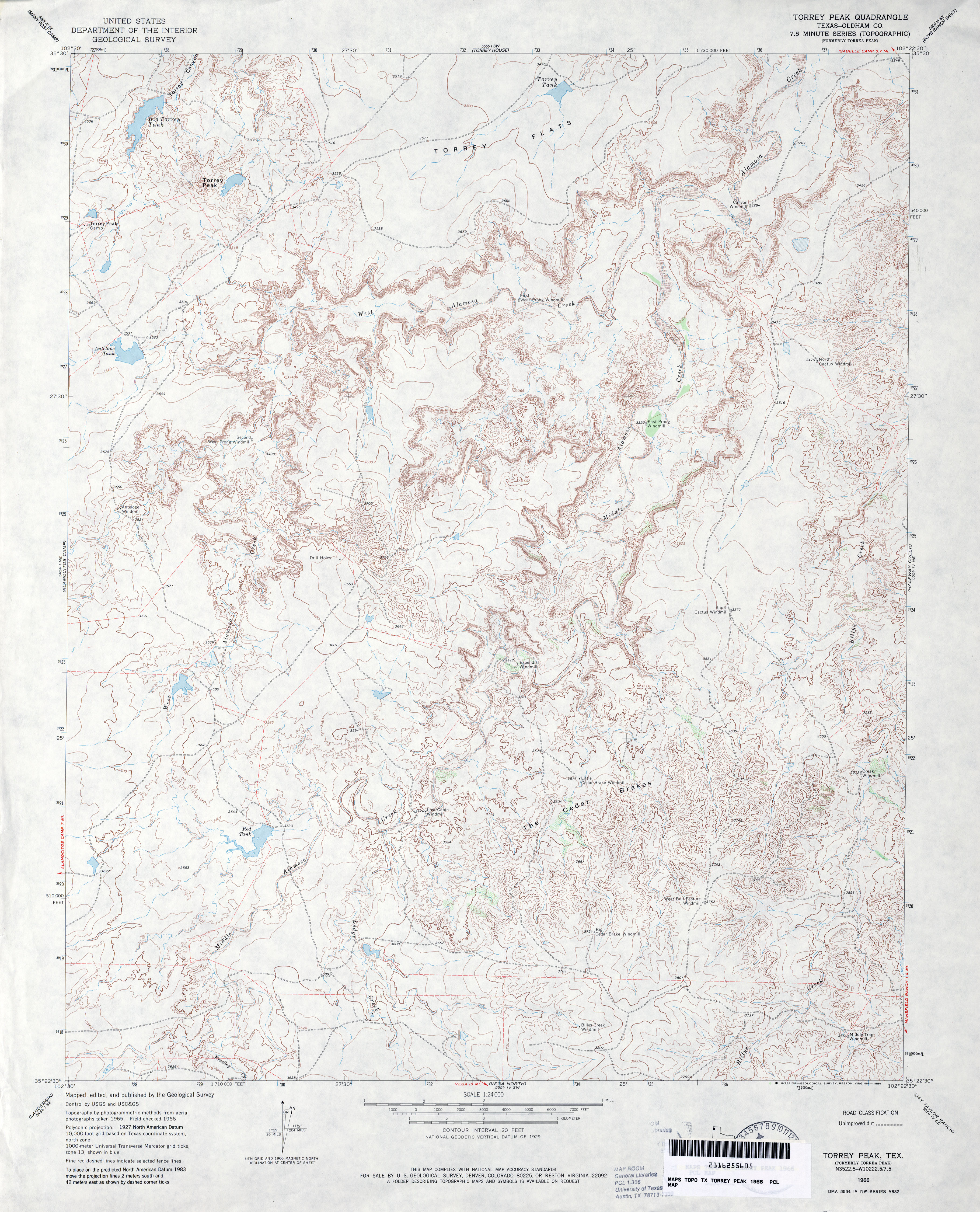
- Torrey Peak (Oldham County) 1:24,000 1966 (3.9MB)
- Torrey Peak 1:24,000 2008 (17.3MB) [GeoPDF]
- Torrey Peak 1:24,000 2012 (21.8MB) [GeoPDF]
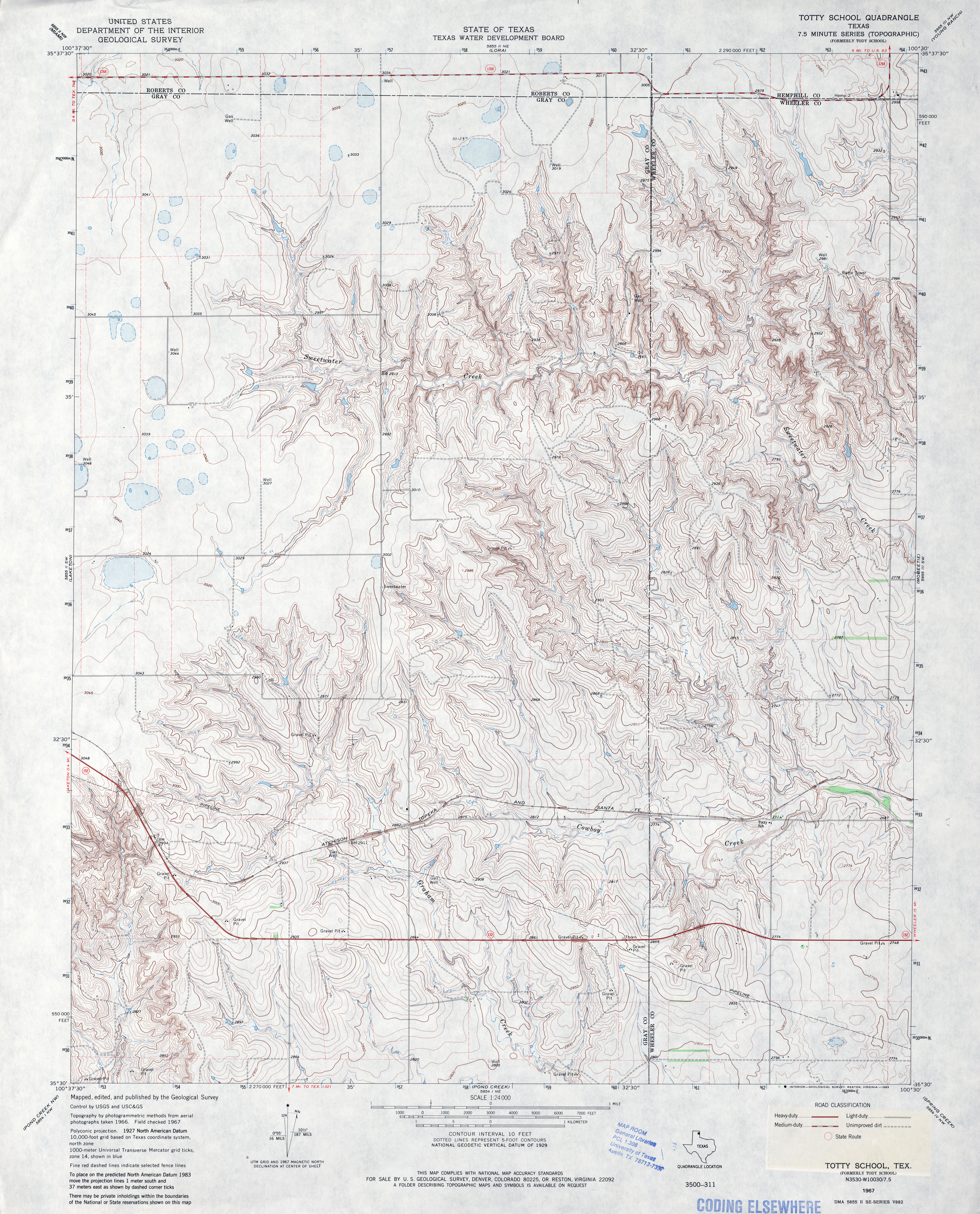
- Totty School 1:24,000 1967 (4.3MB)
- Totty School 1:24,000 2012 (17.6MB) [GeoPDF]
- Tovar Creek East (Maverick County) 1:24,000 1982 (4.2MB)
- Tovar Creek East 1:24,000 2008 (19.4MB) [GeoPDF]
- Tovar Creek East 1:24,000 2012 (28.7MB) [GeoPDF]
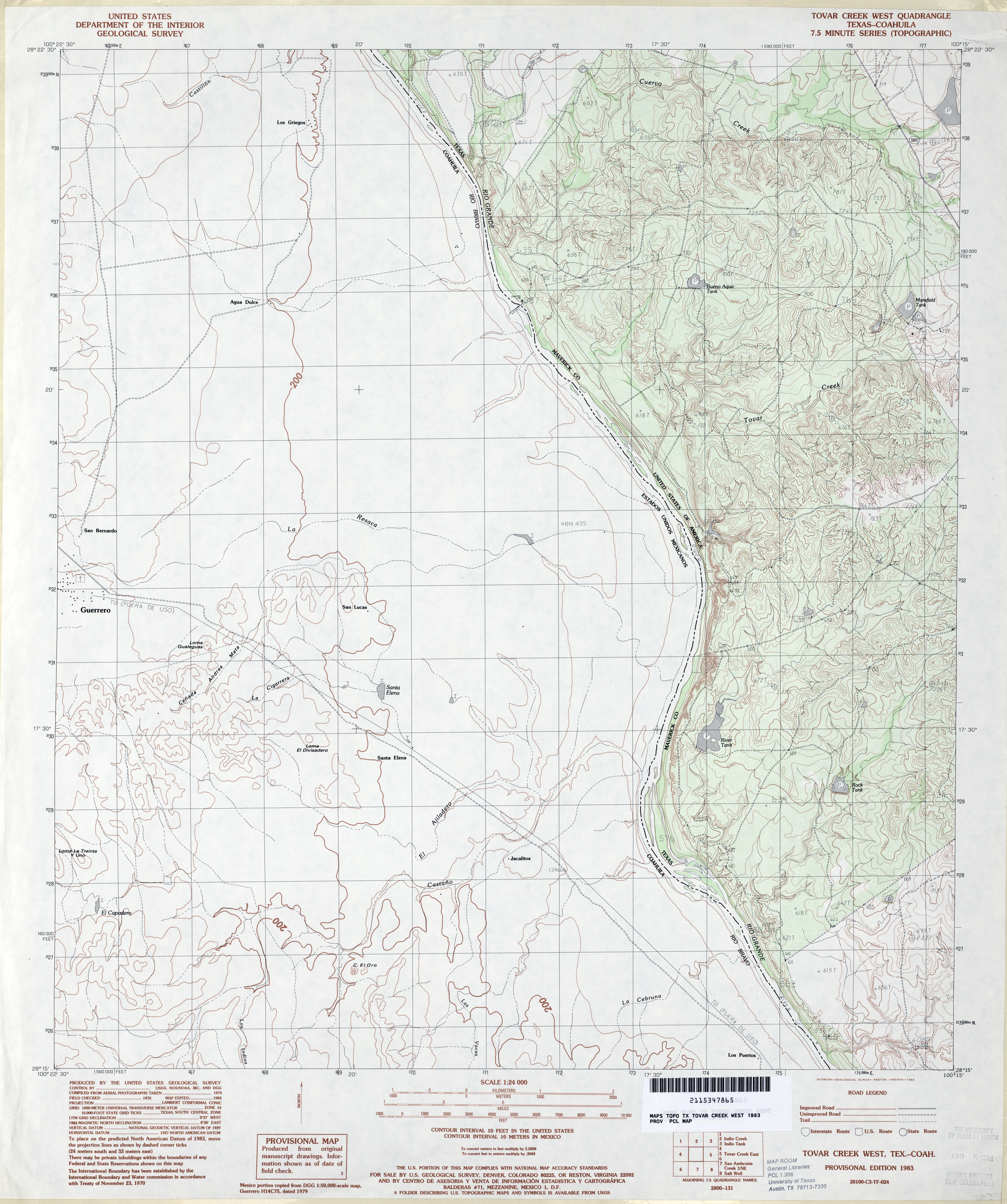
- Tovar Creek West 1:24,000 1983 (3.4MB)
- Tovar Creek West 1:24,000 2008 (18.5MB) [GeoPDF]
- Tovar Creek West 1:24,000 2012 (23.7MB) [GeoPDF]
- Tovrea Ranch (Dallam County) 1:24,000 1973 (2.8MB)
- Tovrea Ranch (Dallam County) 1:24,000 1998 (3.1MB)
- Tovrea Ranch 1:24,000 2008 (8.6MB) [GeoPDF]
- Tovrea Ranch 1:24,000 2012 (14.2MB) [GeoPDF]
- Tow 1:62,500 1925 (1.8 MB)
- Tow 1:24,000 1967 (4.1MB)
- Tow 1:24,000 1976 (4.1MB)
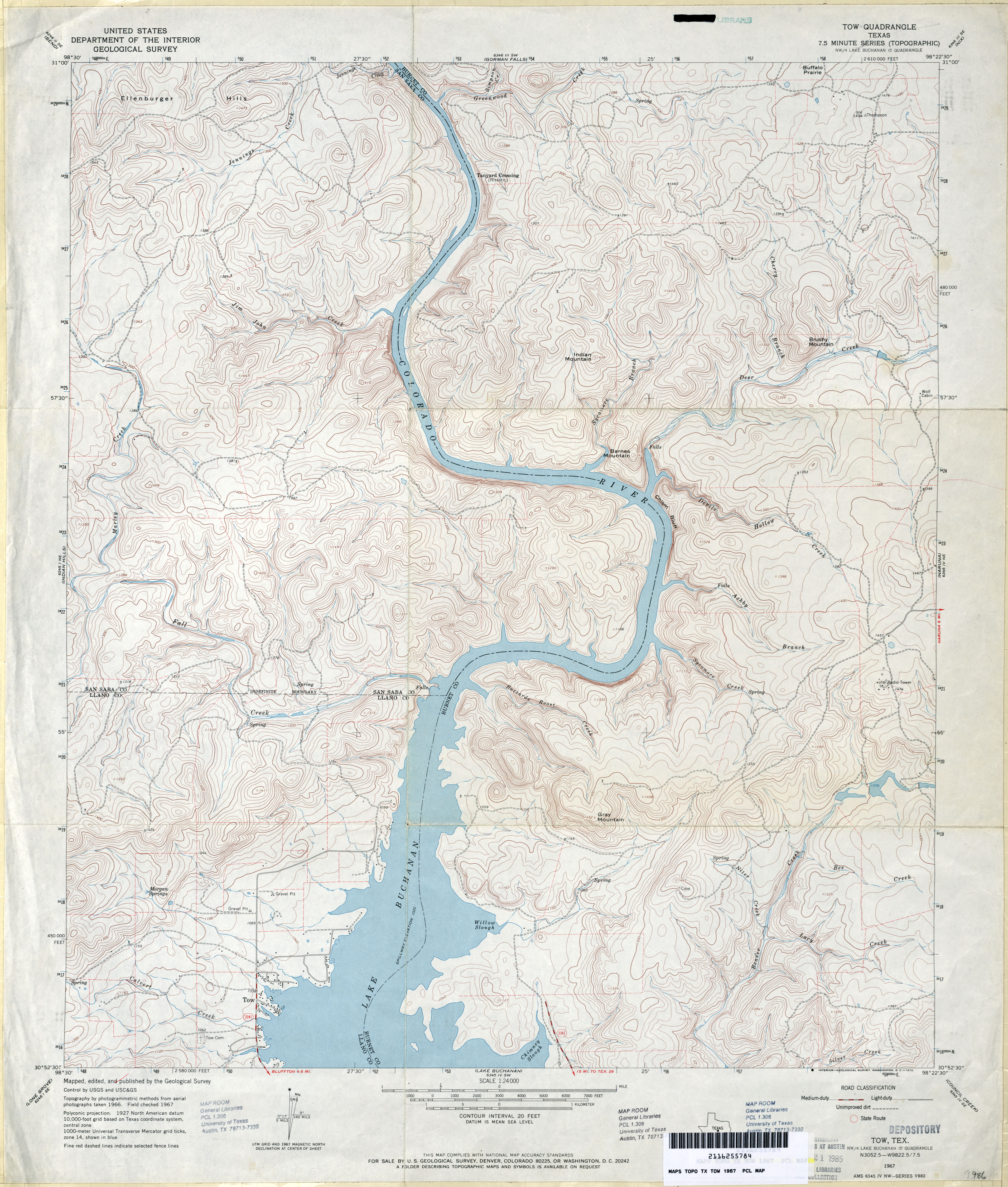
- Tow 1:24,000 2008 (20.0MB) [GeoPDF]
- Tow 1:24,000 2012 (28MB) [GeoPDF]
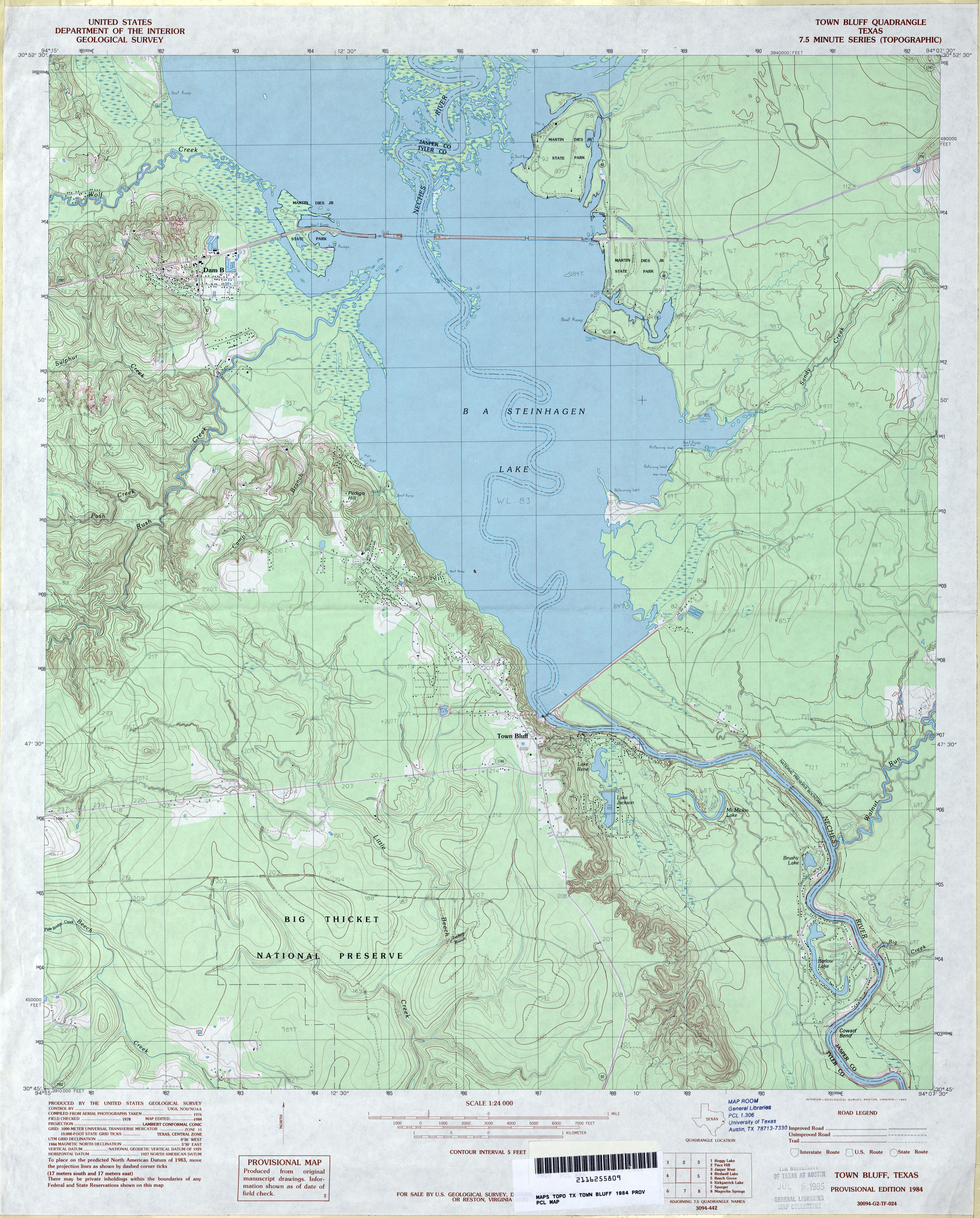
- Town Bluff 1:24,000 1984 (3.7MB)
- Town Bluff 1:24,000 2009 (22.8MB) [GeoPDF]
- Town Bluff 1:24,000 2013 (24.6MB) [GeoPDF]
- Toyah 1:125,000 1928 (2.8MB)
- Toyah (Reeves County) 1:24,000 1970 (2.6MB)
- Toyah 1:24,000 2008 (18.4MB) [GeoPDF]
- Toyah 1:24,000 2013 (22.5MB) [GeoPDF]
- Toyah Lake (Reeves County) 1:24,000 1963 (4.4MB)
- Toyah Lake 1:24,000 2008 (30.6MB) [GeoPDF]
- Toyah Lake 1:24,000 2013 (25.7MB) [GeoPDF]
- Toyah NW (Reeves County) 1:24,000 1970 (2.3MB)
- Toyah NW 1:24,000 2008 (21.6MB) [GeoPDF]
- Toyah NW 1:24,000 2013 (21.6MB) [GeoPDF]
- Toyah SW (Reeves County) 1:24,000 1970 (2.7MB)
- Toyah SW 1:24,000 2008 (20.5MB) [GeoPDF]
- Toyah SW 1:24,000 2013 (20.5MB) [GeoPDF]
- Toyahvale 1:24,000 1972 (2.9MB)
- Toyahvale 1:24,000 2008 (19.8MB) [GeoPDF]
- Toyahvale 1:24,000 2012 (22.7MB) [GeoPDF]
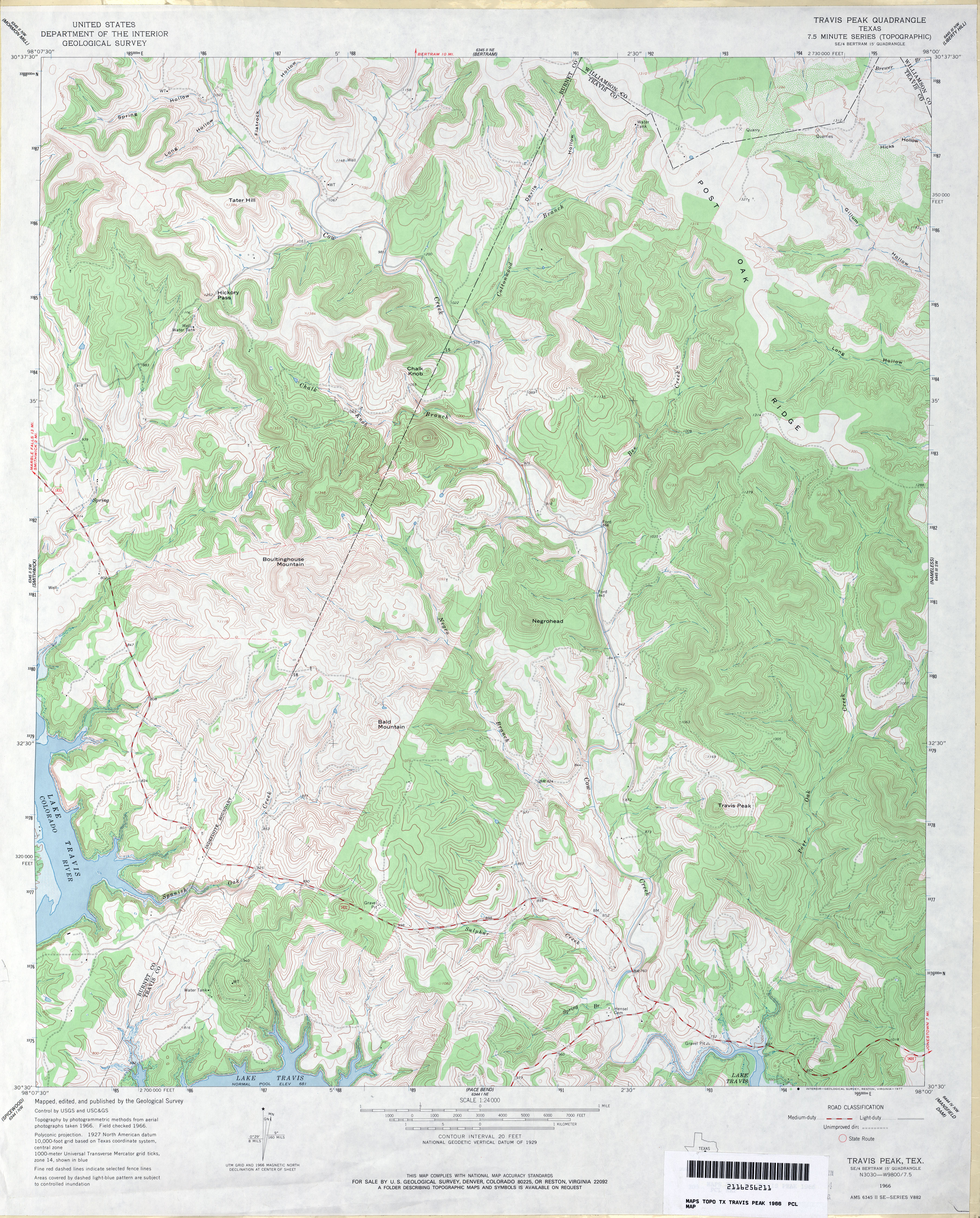
- Travis Peak 1:24,000 1966 (4.3MB)
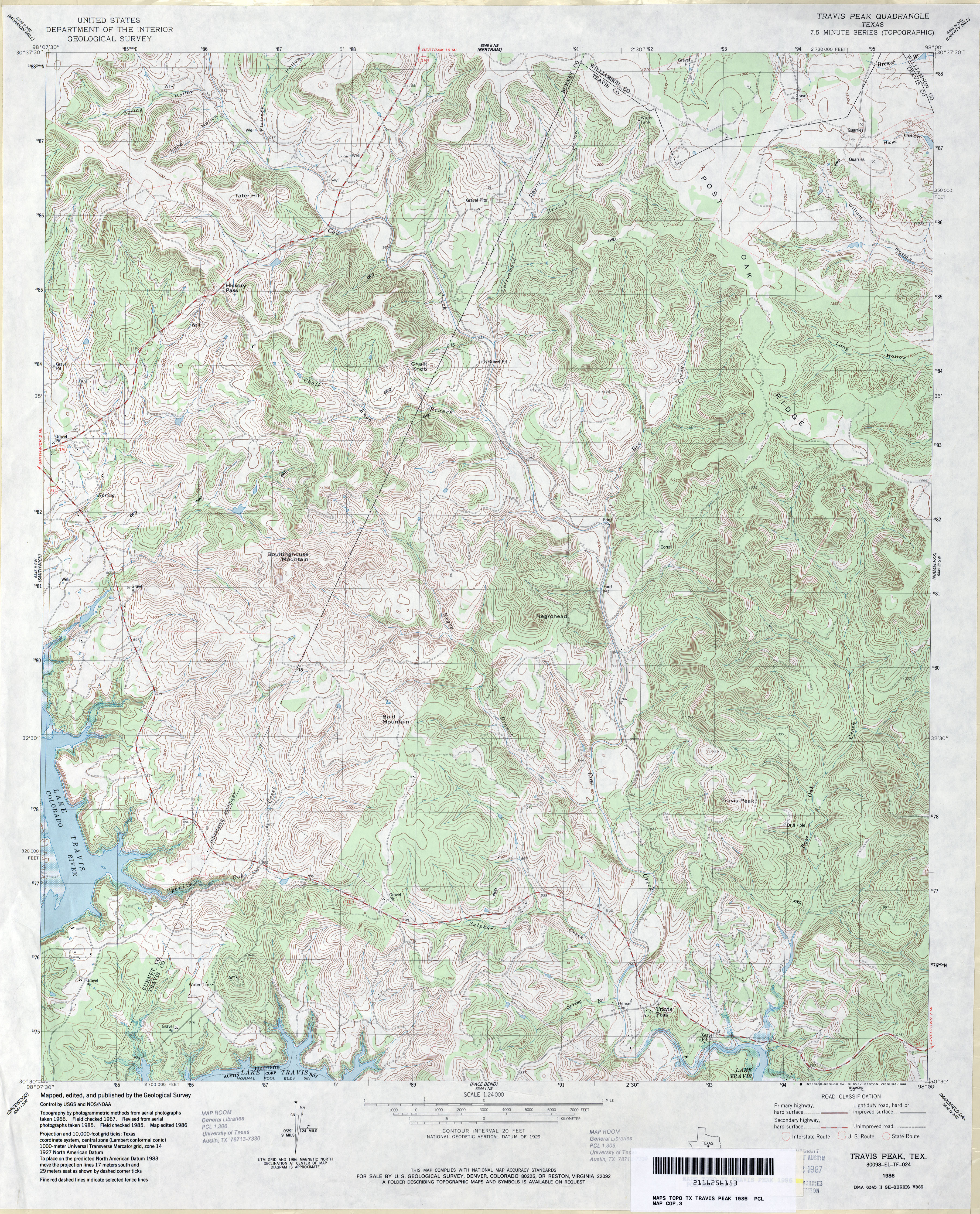
- Travis Peak 1:24,000 1986 (5MB)
- Travis Peak 1:24,000 2008 (20.9MB) [GeoPDF]
- Travis Peak 1:24,000 2012 (30.3MB) [GeoPDF]
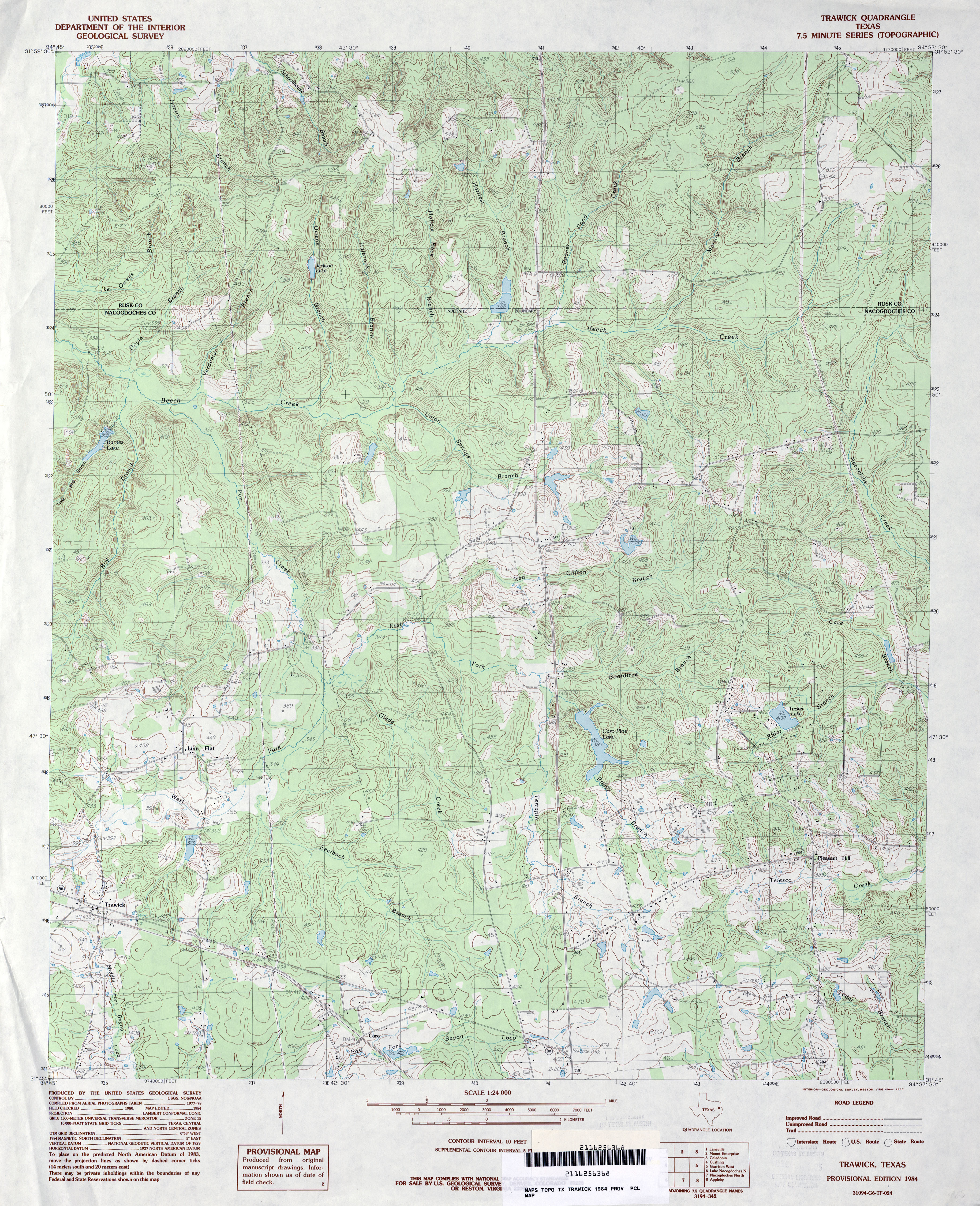
- Trawick 1:24,000 1984 (4.7MB)
- Trawick 1:24,000 2009 (23.3MB) [GeoPDF]
- Trawick 1:24,000 2013 (26.5MB) [GeoPDF]
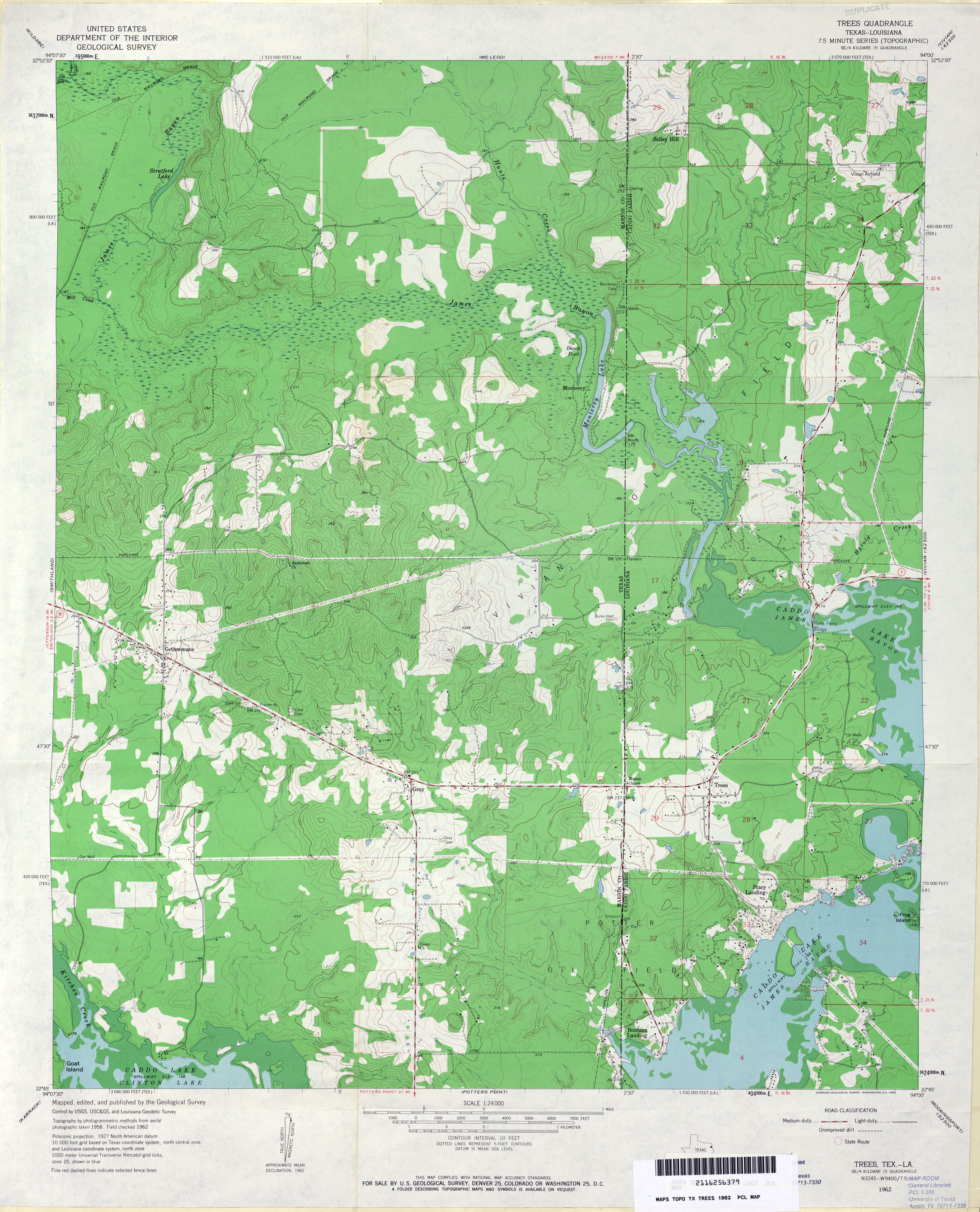
- Trees 1:24,000 1962 (3.3MB)
- Trees 1:24,000 2009 (23.2MB) [GeoPDF]
- Trees 1:24,000 2012 (21.9MB) [GeoPDF]
- Trenton (Fannin County) 1:24,000 1964 (3.6MB)
- Trenton 1:24,000 2008 (12.8MB) [GeoPDF]
- Trenton 1:24,000 2013 (19.8MB) [GeoPDF]
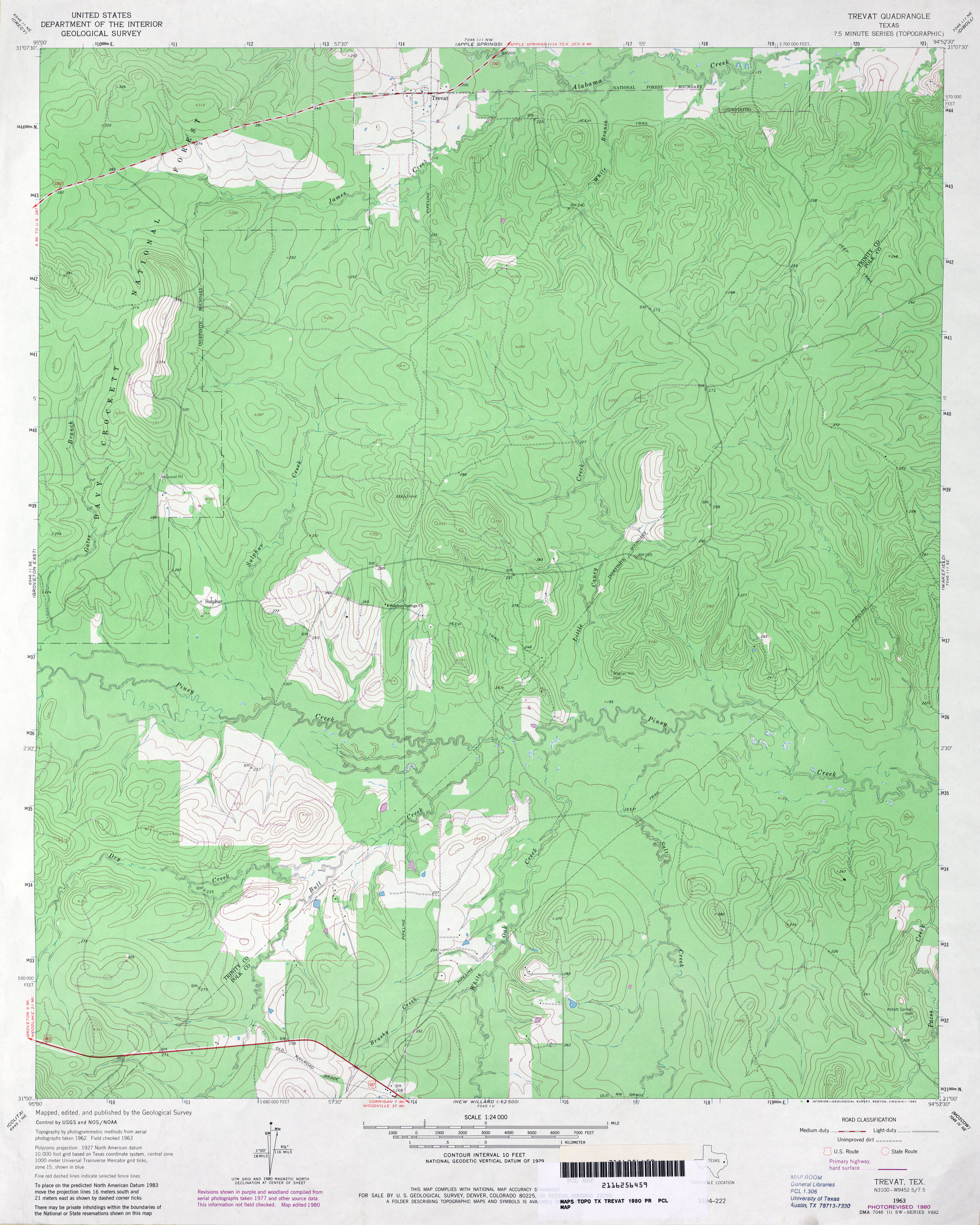
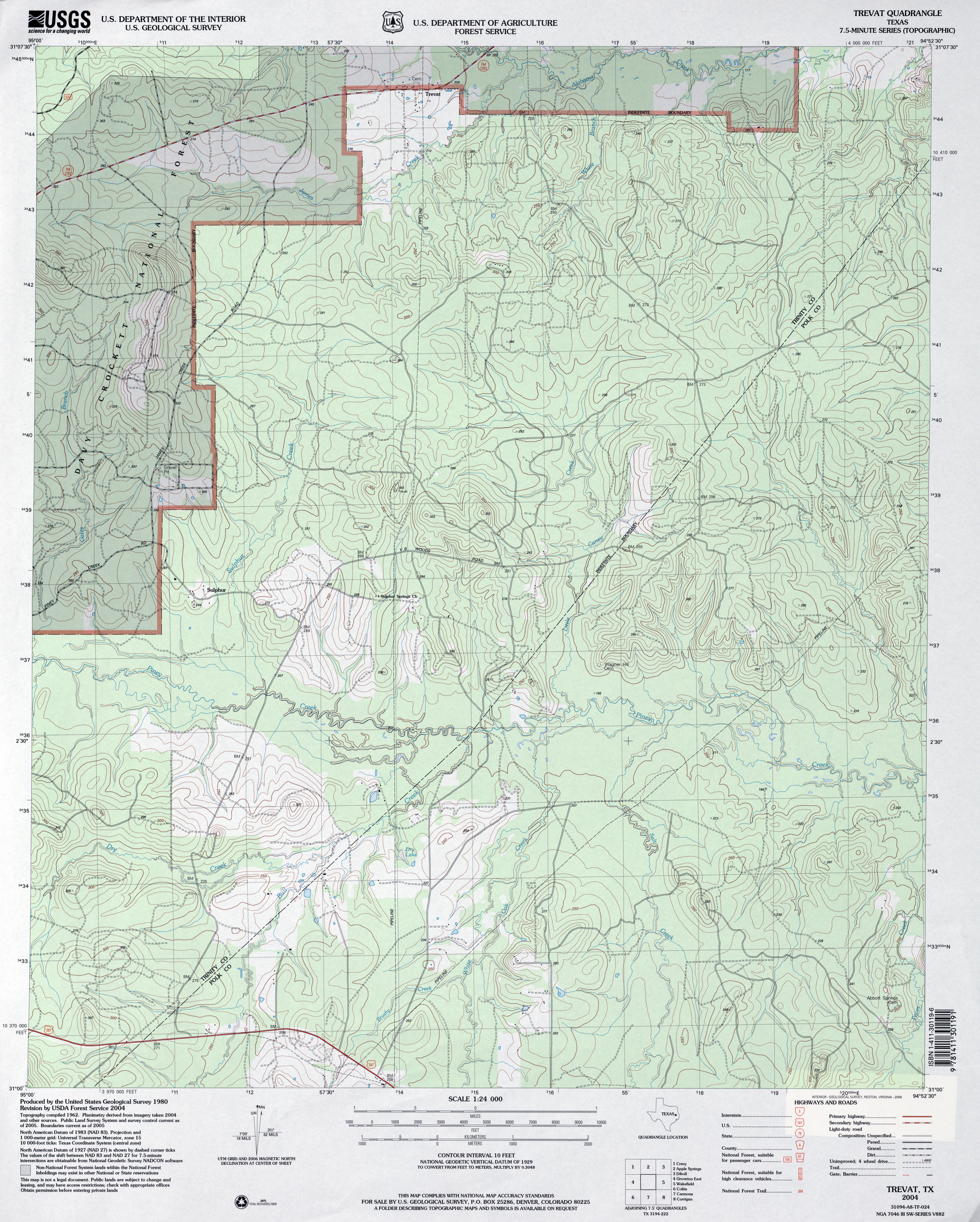
- Trevat 1:24,000 1963 (3.3MB)
- Trevat 1:24,000 1980 (3.5MB)
- Trevat 1:24,000 2004 (3.8MB)
- Trevat 1:24,000 2009 (24.8MB) [GeoPDF]
- Trevat 1:24,000 2013 (27.5MB) [GeoPDF]
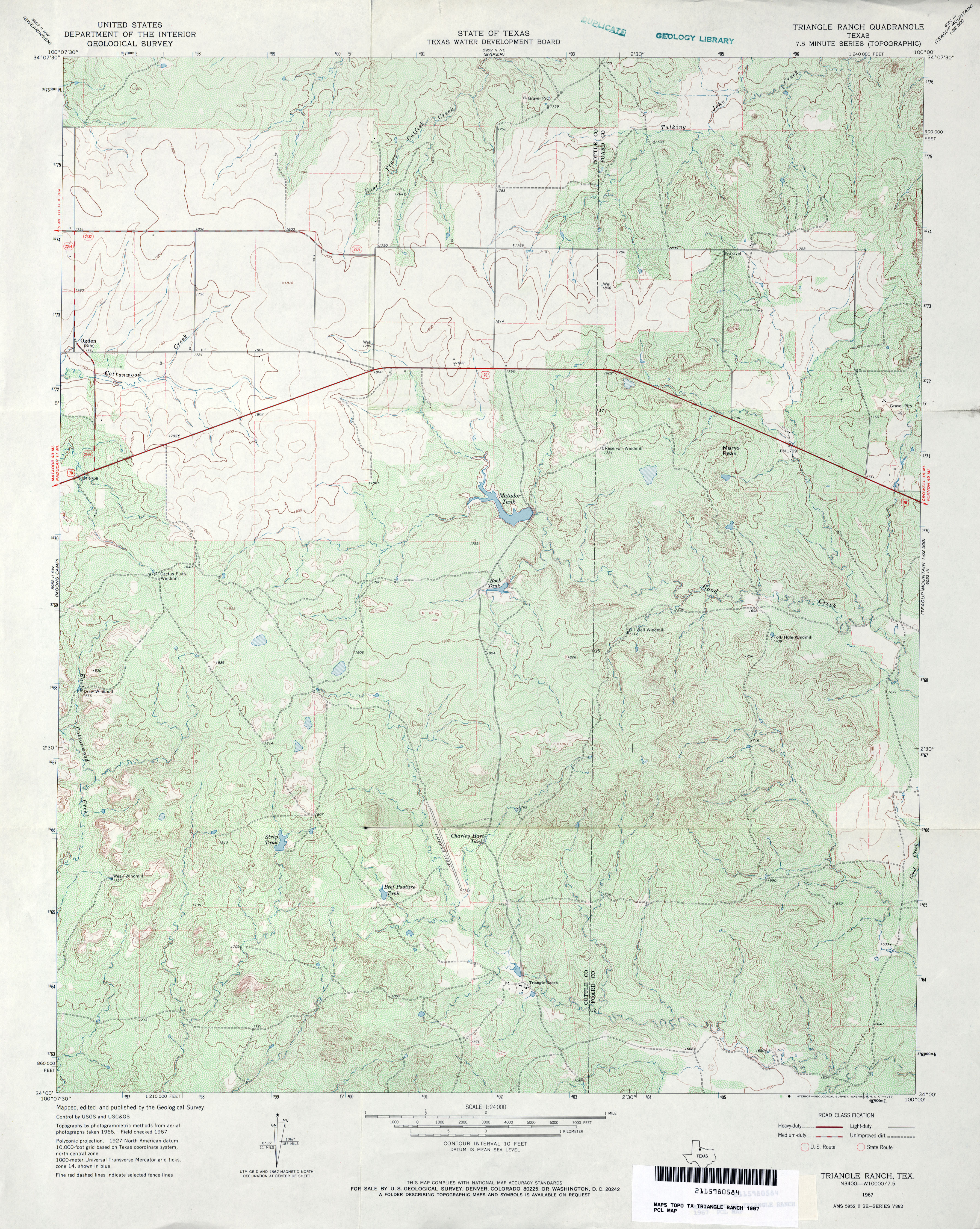
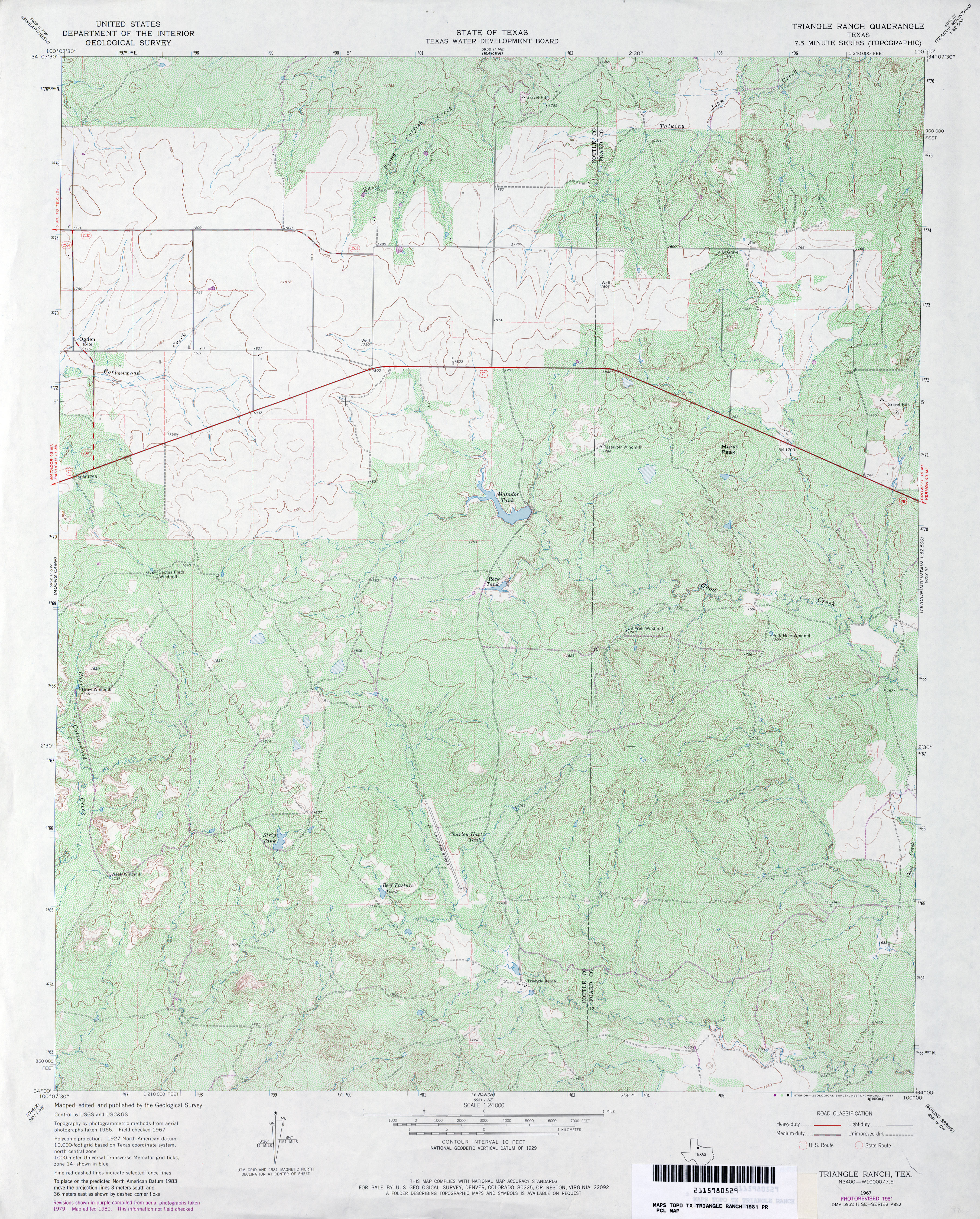
- Triangle Ranch 1:24,000 1967 (4.2MB)
- Triangle Ranch 1:24,000 1981 (4.7MB)
- Triangle Ranch 1:24,000 2008 (14.1MB) [GeoPDF]
- Triangle Ranch 1:24,000 2012 (21MB) [GeoPDF]
- Trickham 1:24,000 1962 (4.1MB)
- Trickham 1:24,000 1978 (3.8MB)
- Trickham 1:24,000 2008 (18.3MB) [GeoPDF]
- Trickham 1:24,000 2013 (22.2MB) [GeoPDF]
- Trinity East 1:24,000 1960 (3.7MB)
- Trinity East 1:24,000 1972 (4.6MB)
- Trinity East 1:24,000 2009 (21.8MB) [GeoPDF]
- Trinity East 1:24,000 2013 (25MB) [GeoPDF]
- Trinity West 1:24,000 1960 (3.6MB)
- Trinity West 1:24,000 1972 (4MB)
- Trinity West 1:24,000 2009 (21.1MB) [GeoPDF]
- Trinity West 1:24,000 2013 (23.8MB) [GeoPDF]
- Trio (Uvalde County) 1:24,000 1969 (4MB)
- Trio 1:24,000 2008 (18.0MB) [GeoPDF]
- Trio 1:24,000 2013 (23.7MB) [GeoPDF]
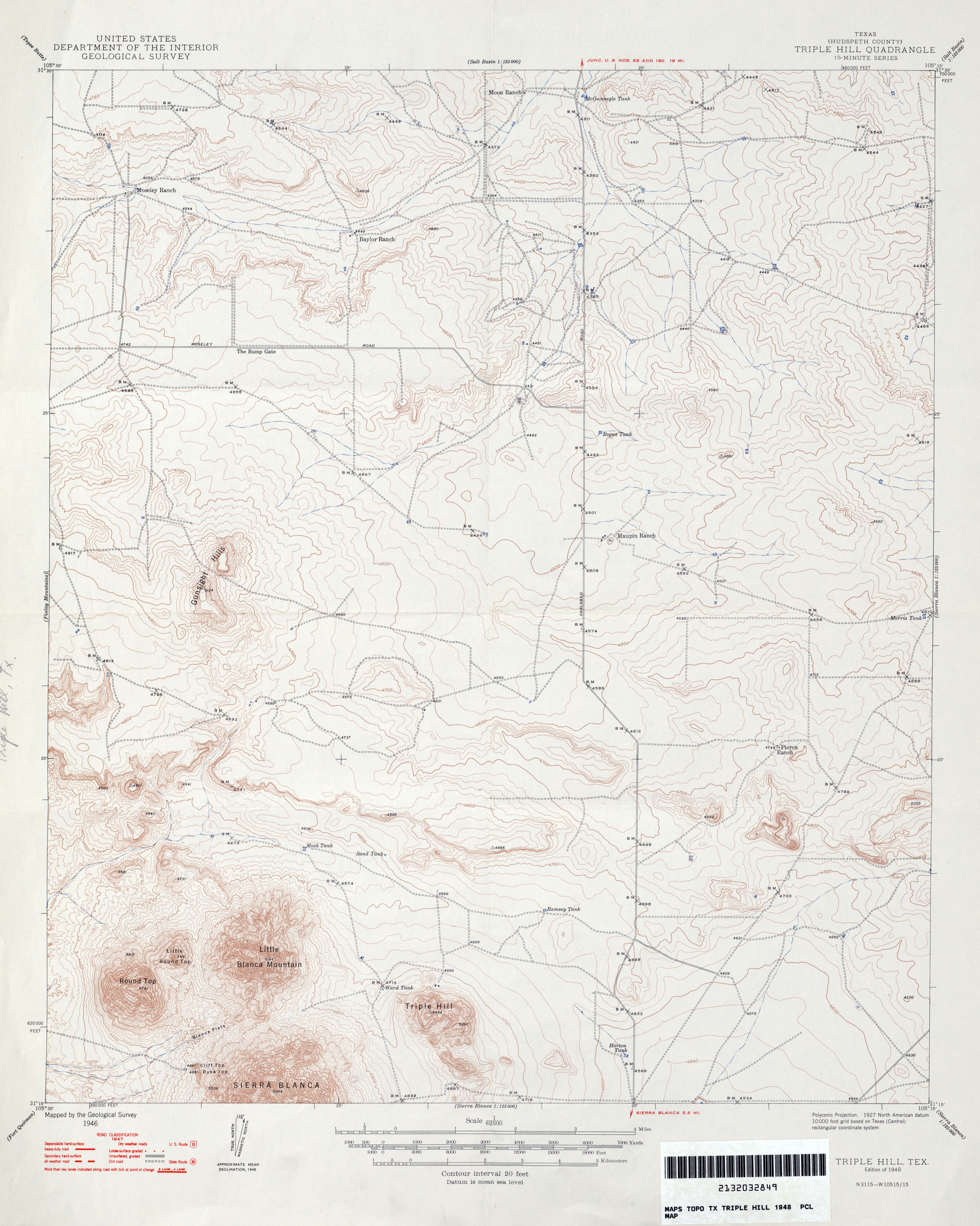
- Triple Hill (Hudspeth County) 1:62,500 1948 (2.9MB)
- Trosado Tank (Maverick County) 1:24,000 1974 (2.6MB)
- Trosado Tank 1:24,000 2008 (22.2MB) [GeoPDF]
- Trosado Tank 1:24,000 2012 (31.3MB) [GeoPDF]
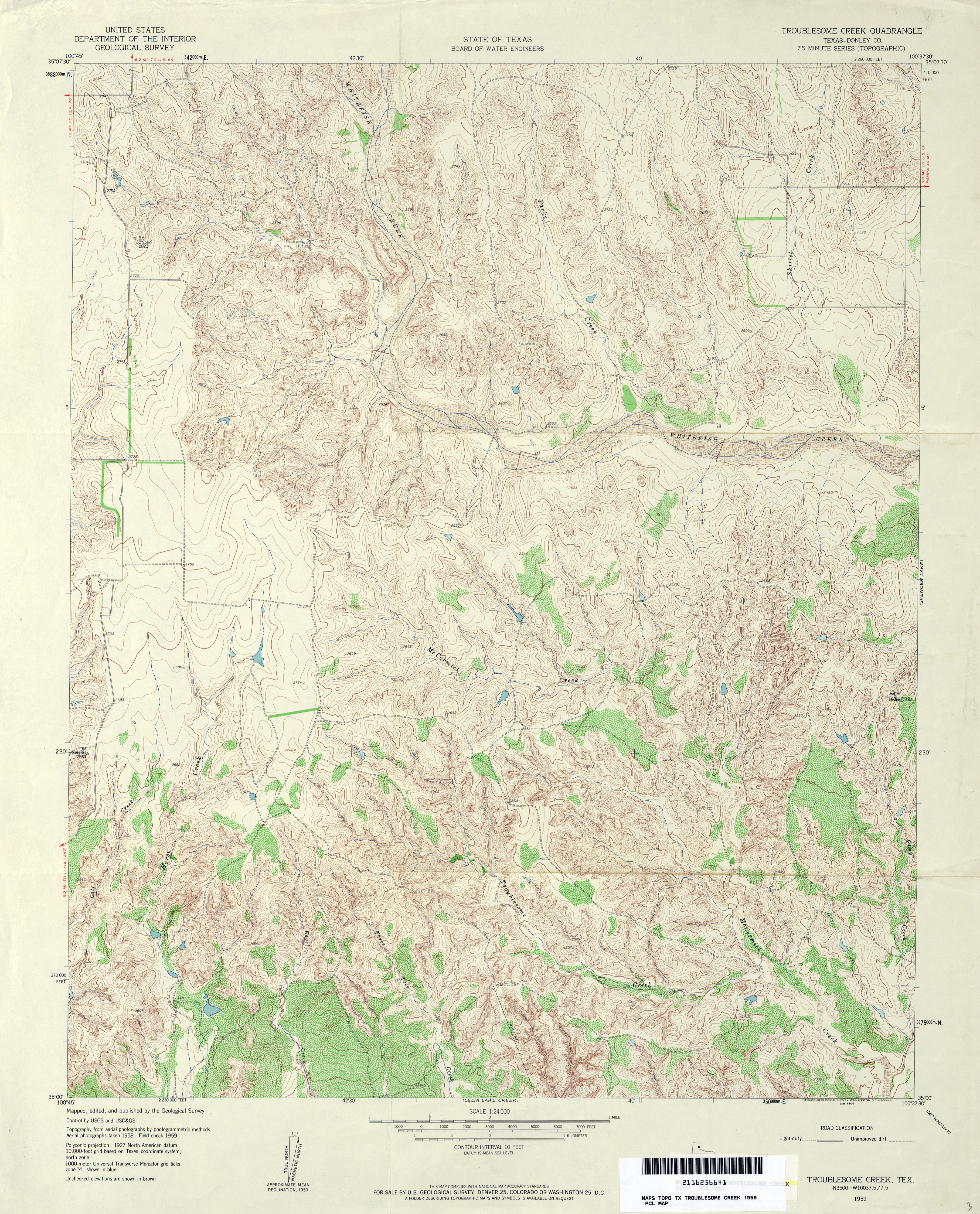
- Troublesome Creek (Donley County) 1:24,000 1959 (4.8MB)
- Troublesome Creek 1:24,000 2008 (16.6MB) [GeoPDF]
- Troublesome Creek 1:24,000 2012 (22.5MB) [GeoPDF]
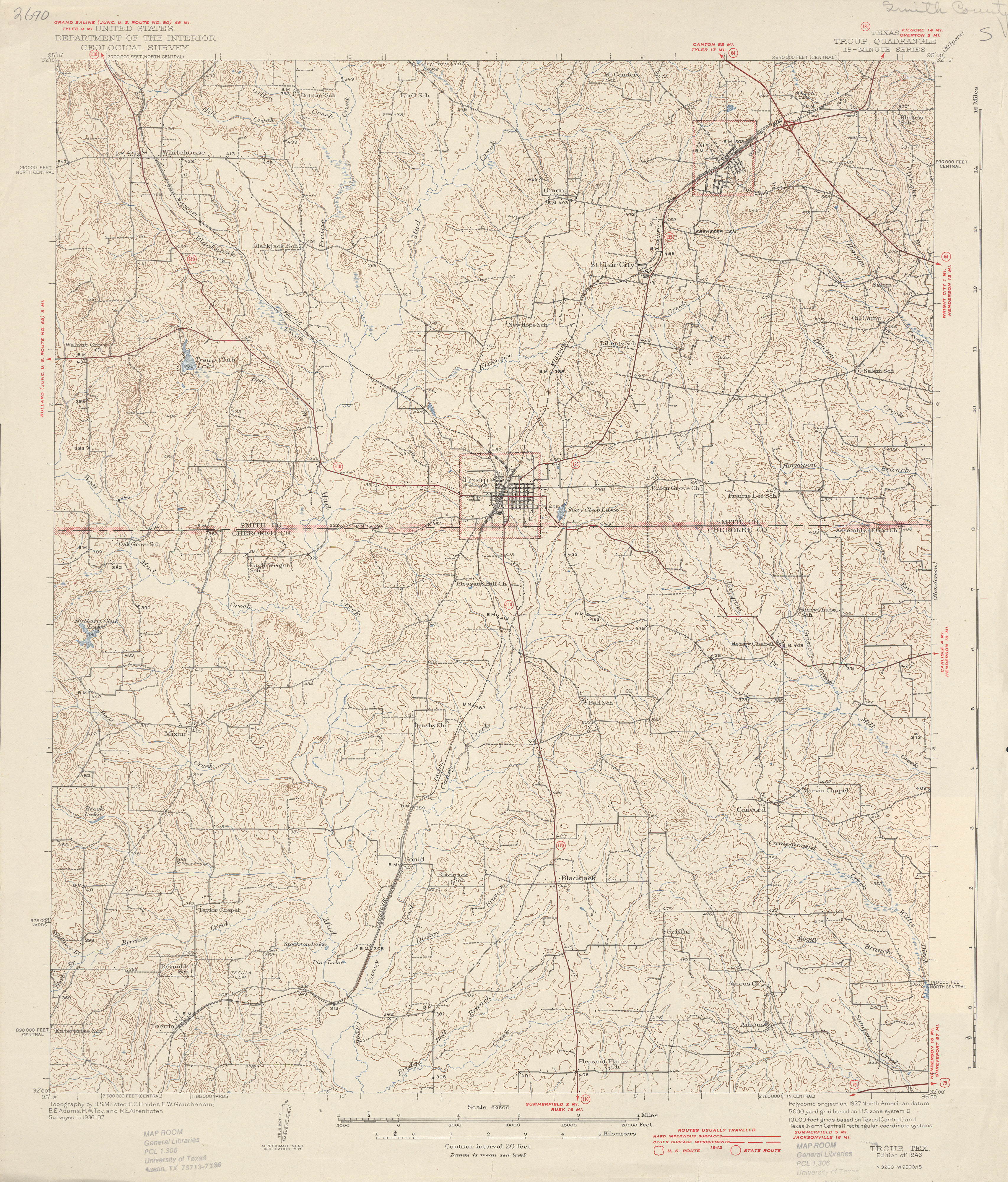
- Troup 1:62,500 1937 survey, 1942 overprint (4.3 MB)
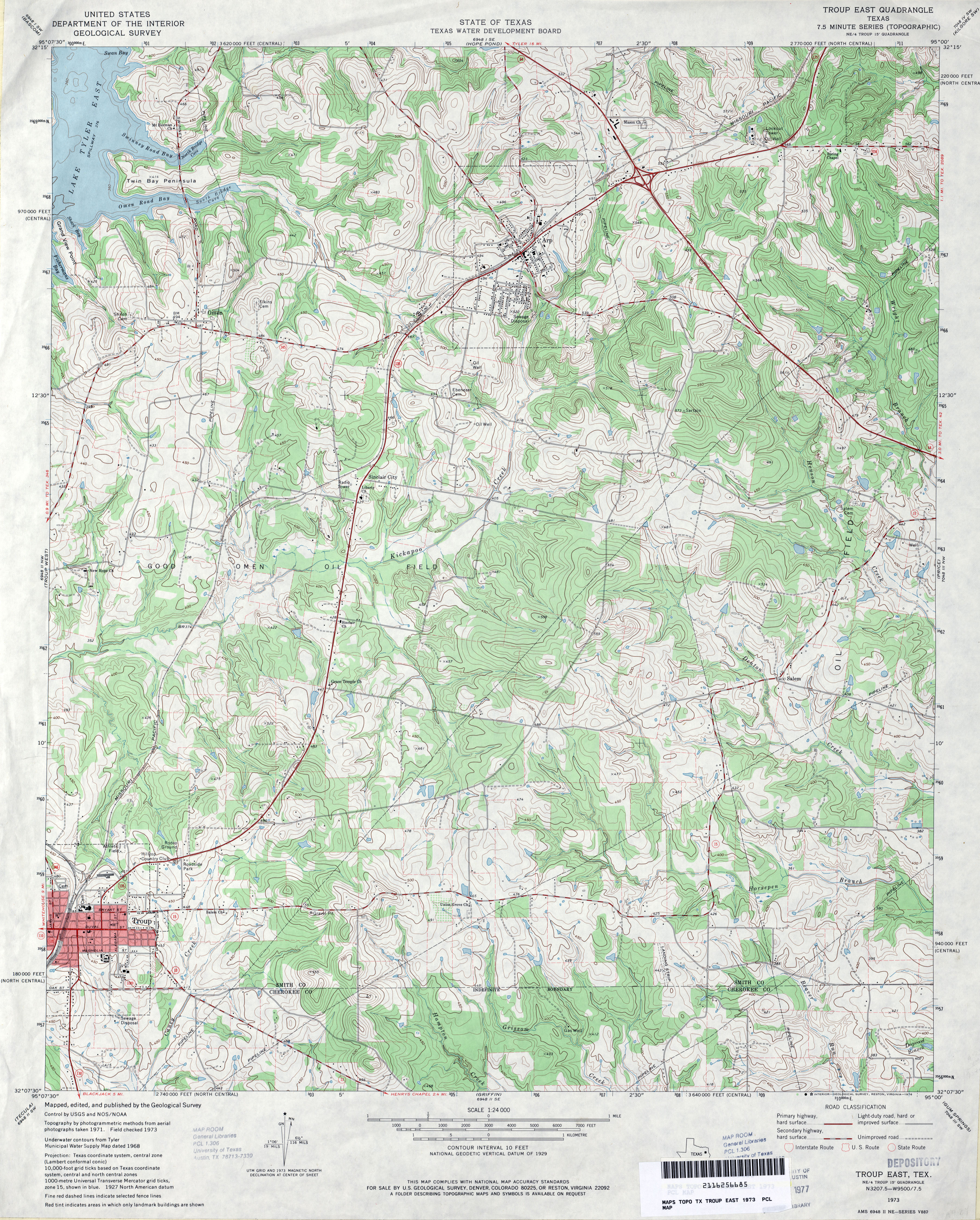
- Troup East 1:24,000 1973 (4.5MB)
- Troup East 1:24,000 2009 (20.7MB) [GeoPDF]
- Troup East 1:24,000 2012 (24.9MB) [GeoPDF]
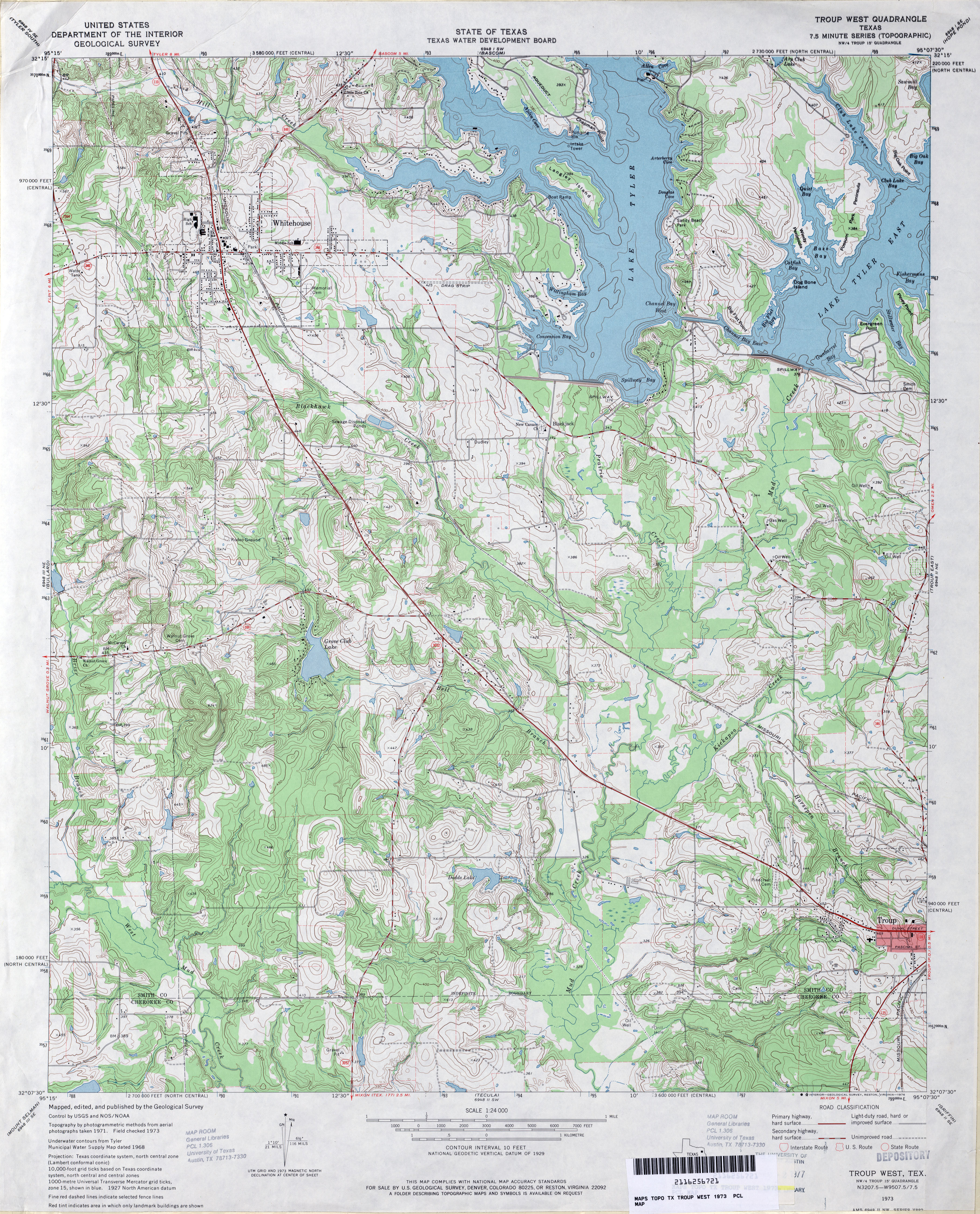
- Troup West 1:24,000 1973 (4.6MB)
- Troup West 1:24,000 2009 (21.4MB) [GeoPDF]
- Troup West 1:24,000 2012 (25.6MB) [GeoPDF]
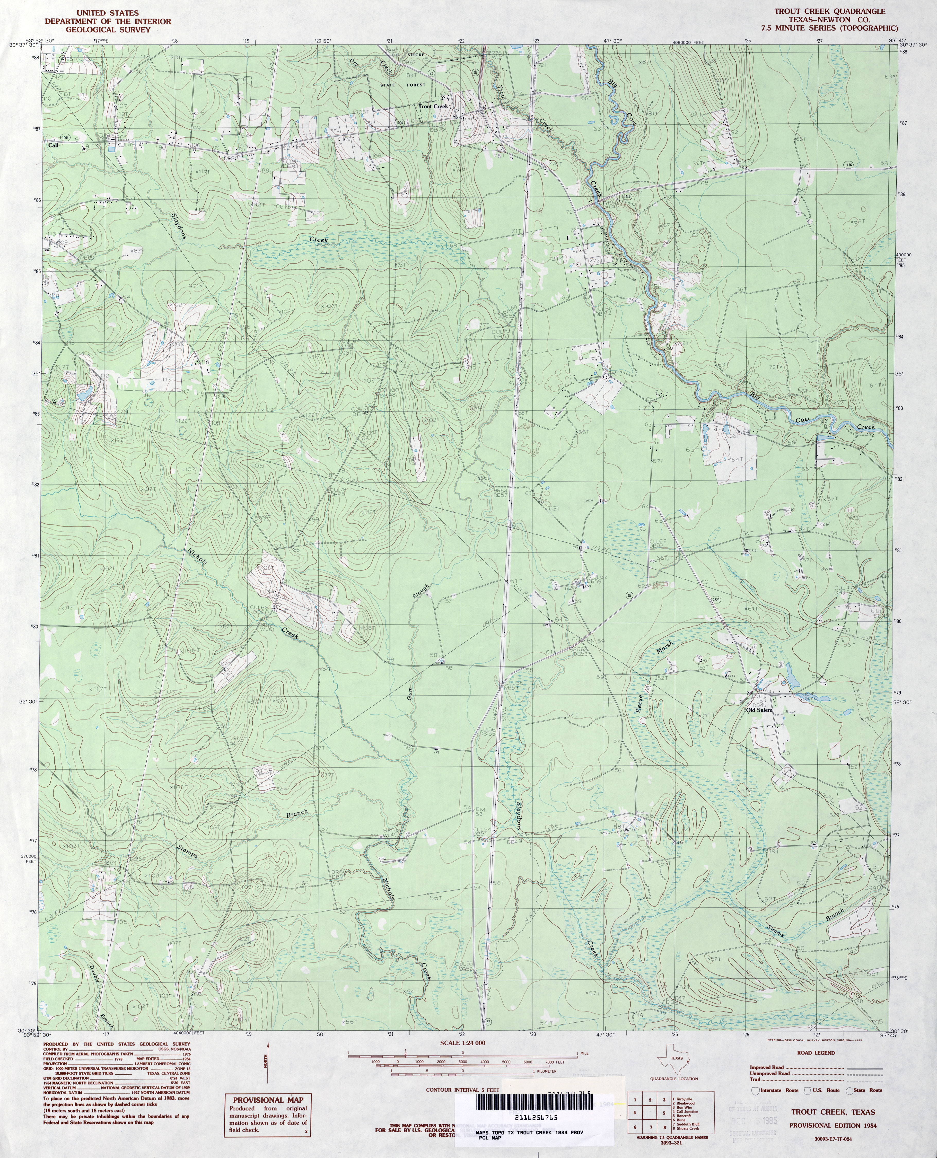
- Trout Creek (Newton County) 1:24,000 1984 (3.5MB)
- Trout Creek 1:24,000 2009 (24.3MB) [GeoPDF]
- Trout Creek 1:24,000 2012 (22.2MB) [GeoPDF]
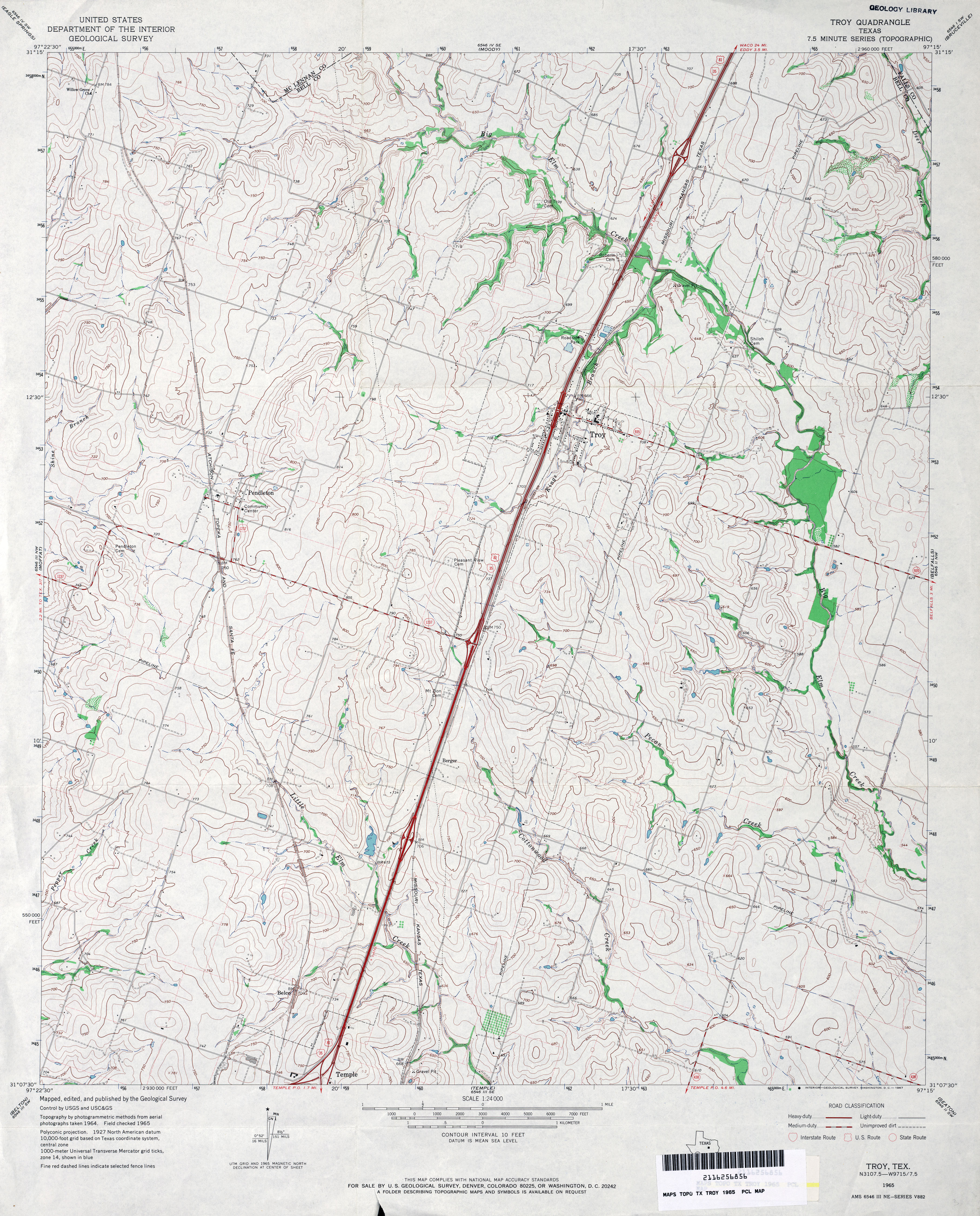
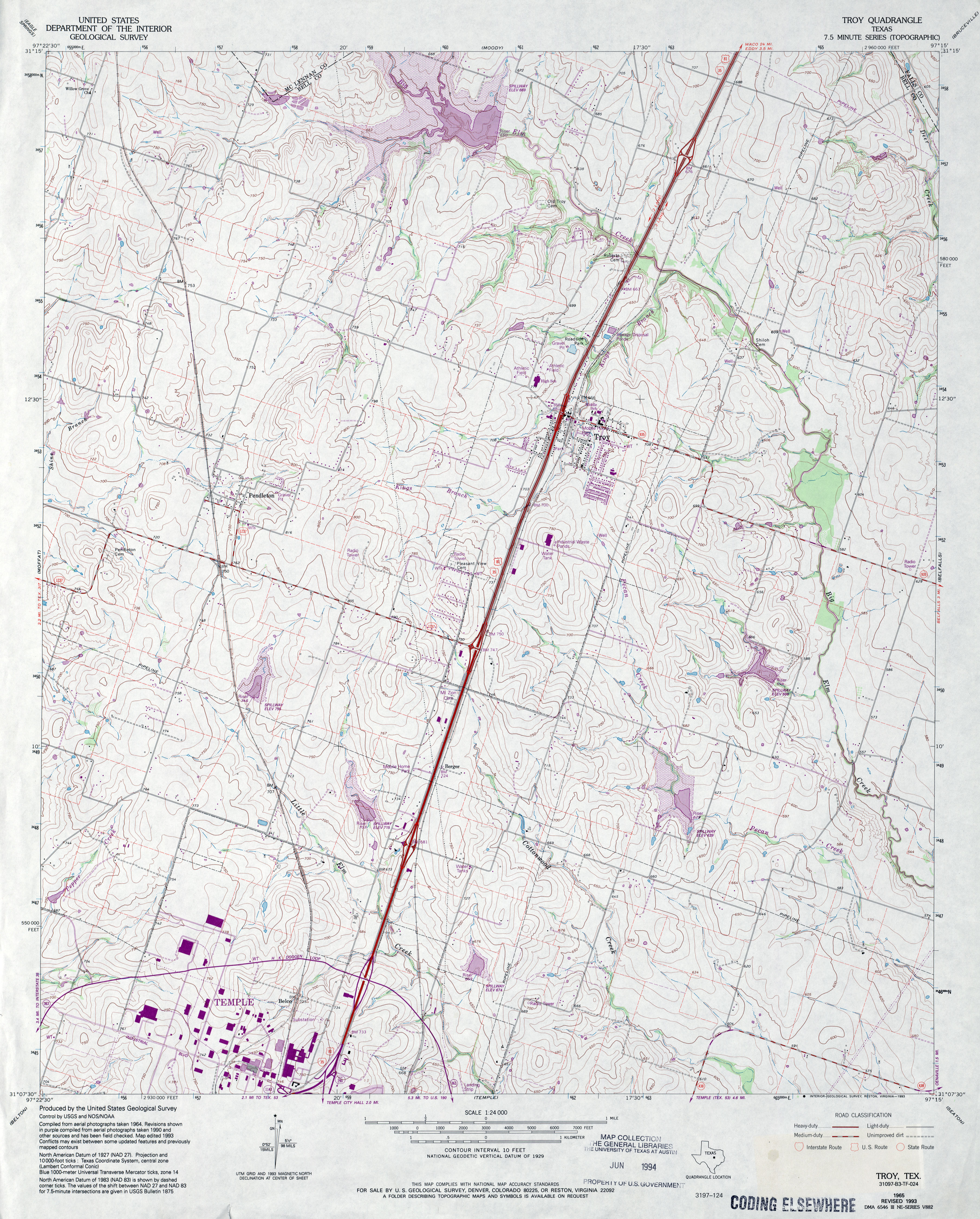
- Troy 1:24,000 1965 (4.3MB)
- Troy 1:24,000 1978 (4.1MB)
- Troy 1:24,000 1993 (4.1MB)
- Troy 1:24,000 2008 (12.9MB) [GeoPDF]
- Troy 1:24,000 2013 (19.2MB) [GeoPDF]
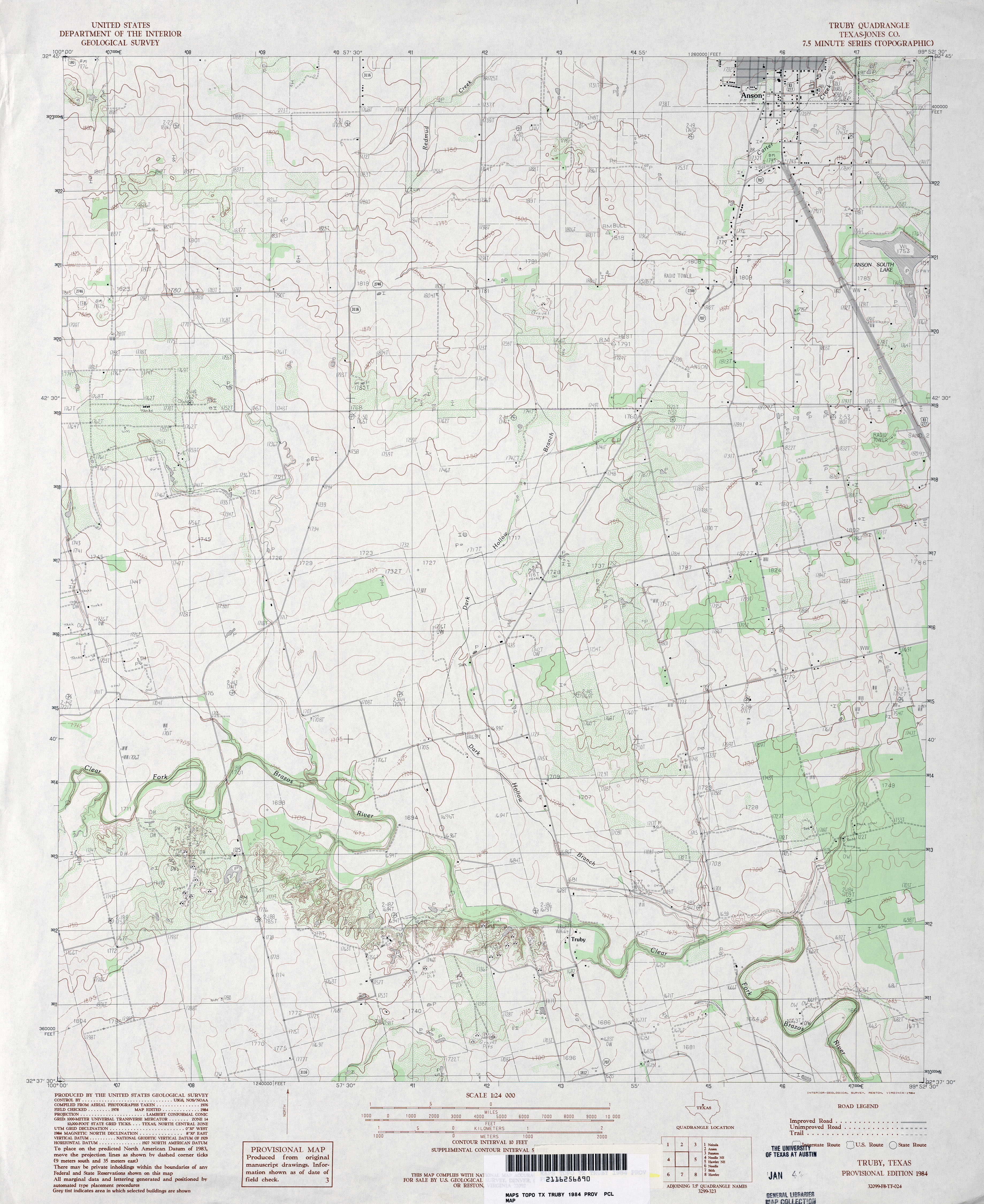
- Truby (Jones County) 1:24,000 1984 (3.7MB)
- Truby 1:24,000 2008 (11.2MB) [GeoPDF]
- Truby 1:24,000 2012 (17.7MB) [GeoPDF]
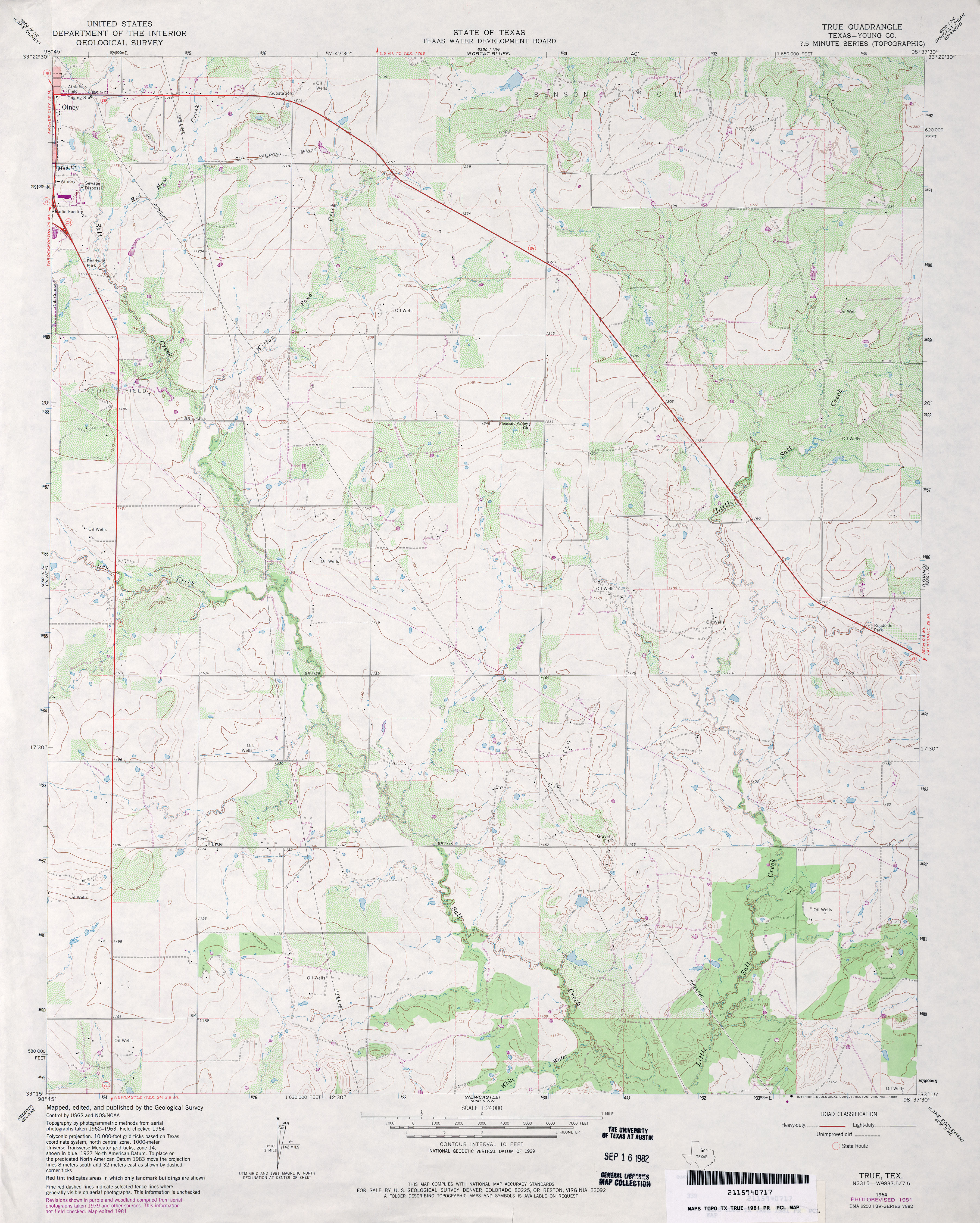
- True (Young County) 1:24,000 1964 (4MB)
- True (Young County) 1:24,000 1981 (3.8MB)
- True 1:24,000 2008 (13.0MB) [GeoPDF]
- True 1:24,000 2012 (17.5MB) [GeoPDF]
- Trujillo Camp (Oldham County) 1:24,000 1966 (4.1MB)
- Trujillo Camp 1:24,000 2008 (14.7MB) [GeoPDF]
- Trujillo Camp 1:24,000 2012 (20.2MB) [GeoPDF]
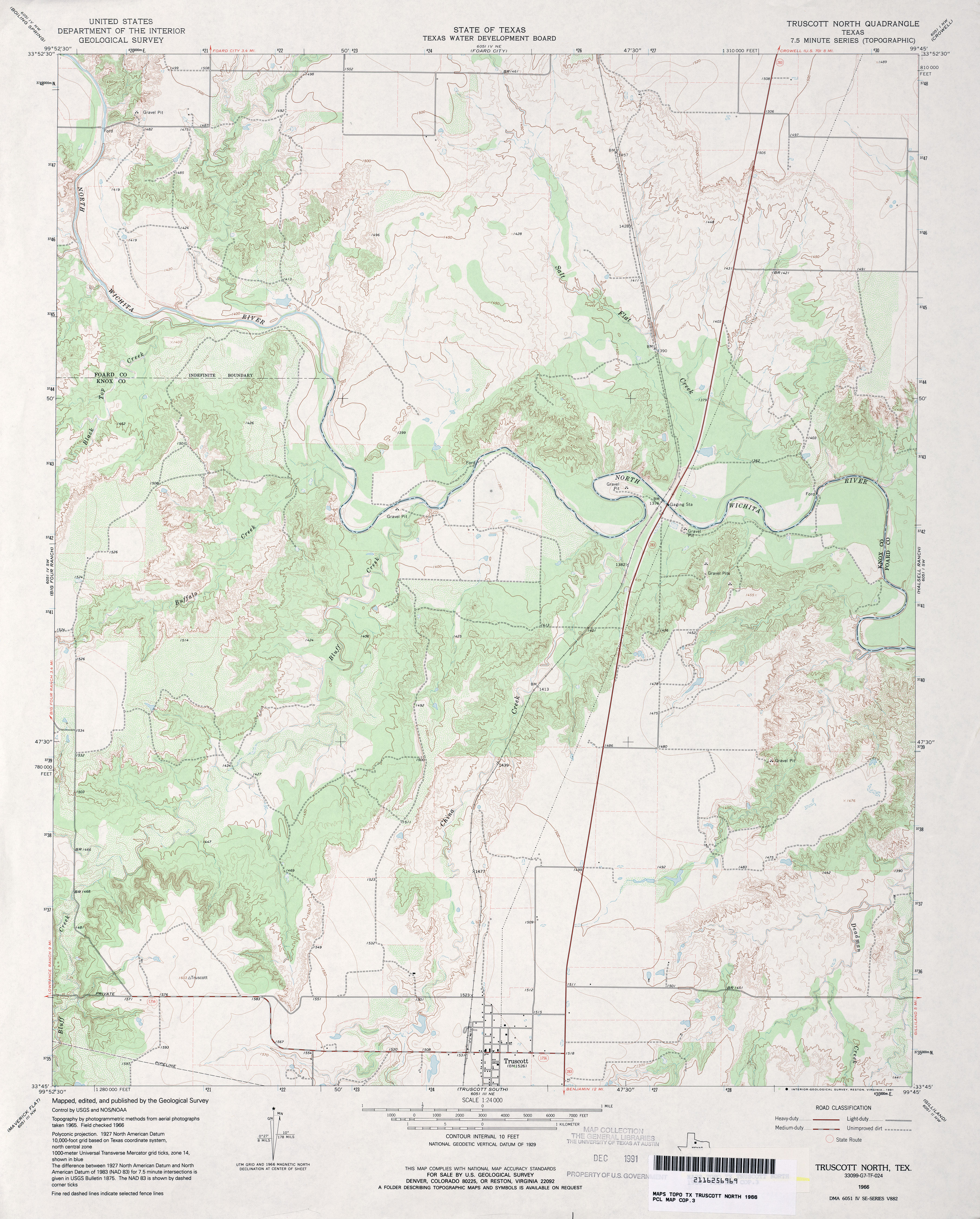
- Truscott North 1:24,000 1966 (3.7MB)
- Truscott North 1:24,000 2013 (25MB) [GeoPDF]
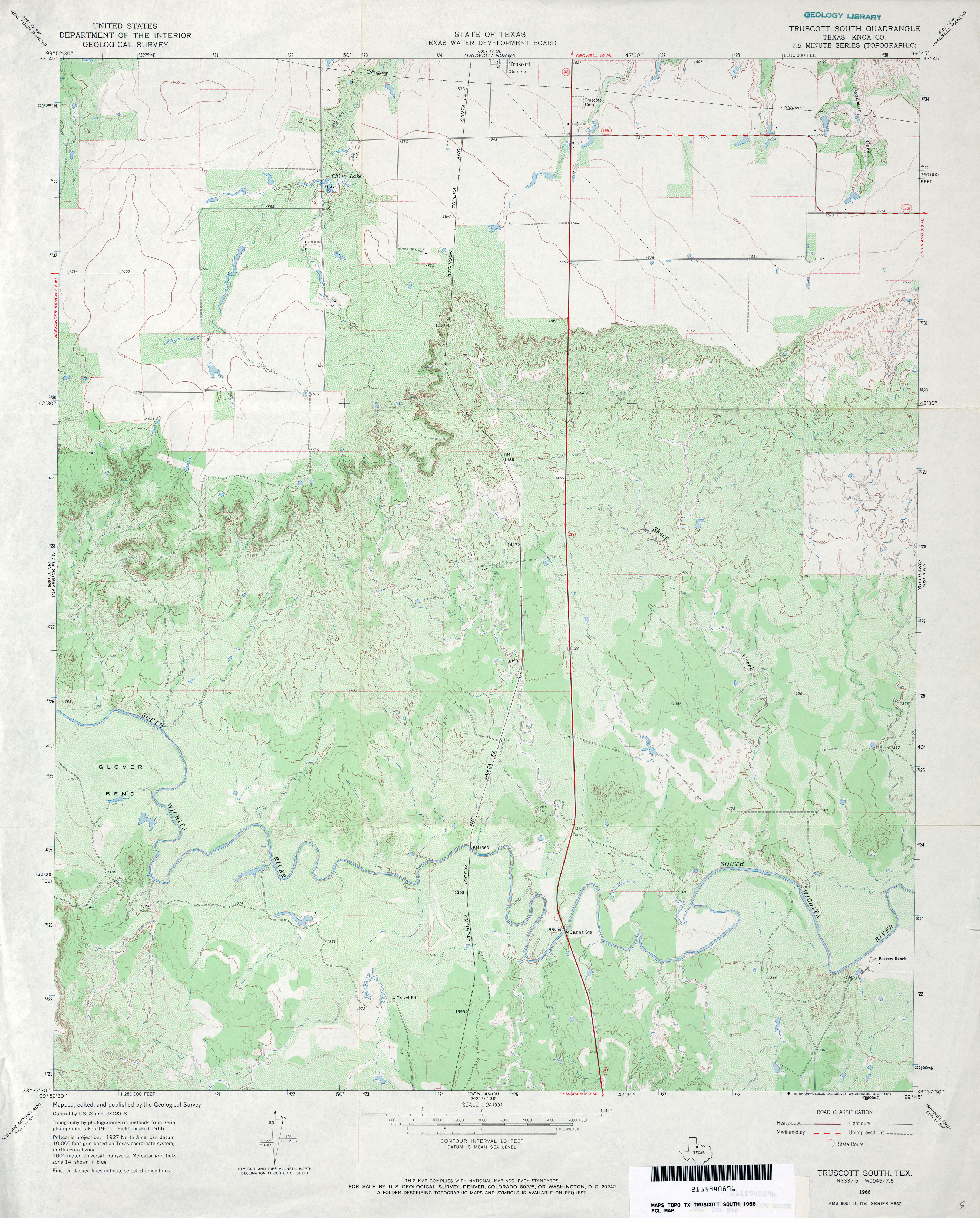
- Truscott South (Knox County) 1:24,000 1966 (4.1MB)
- Truscott South 1:24,000 2008 (16.0MB) [GeoPDF]
- Truscott South 1:24,000 2013 (23.3MB) [GeoPDF]
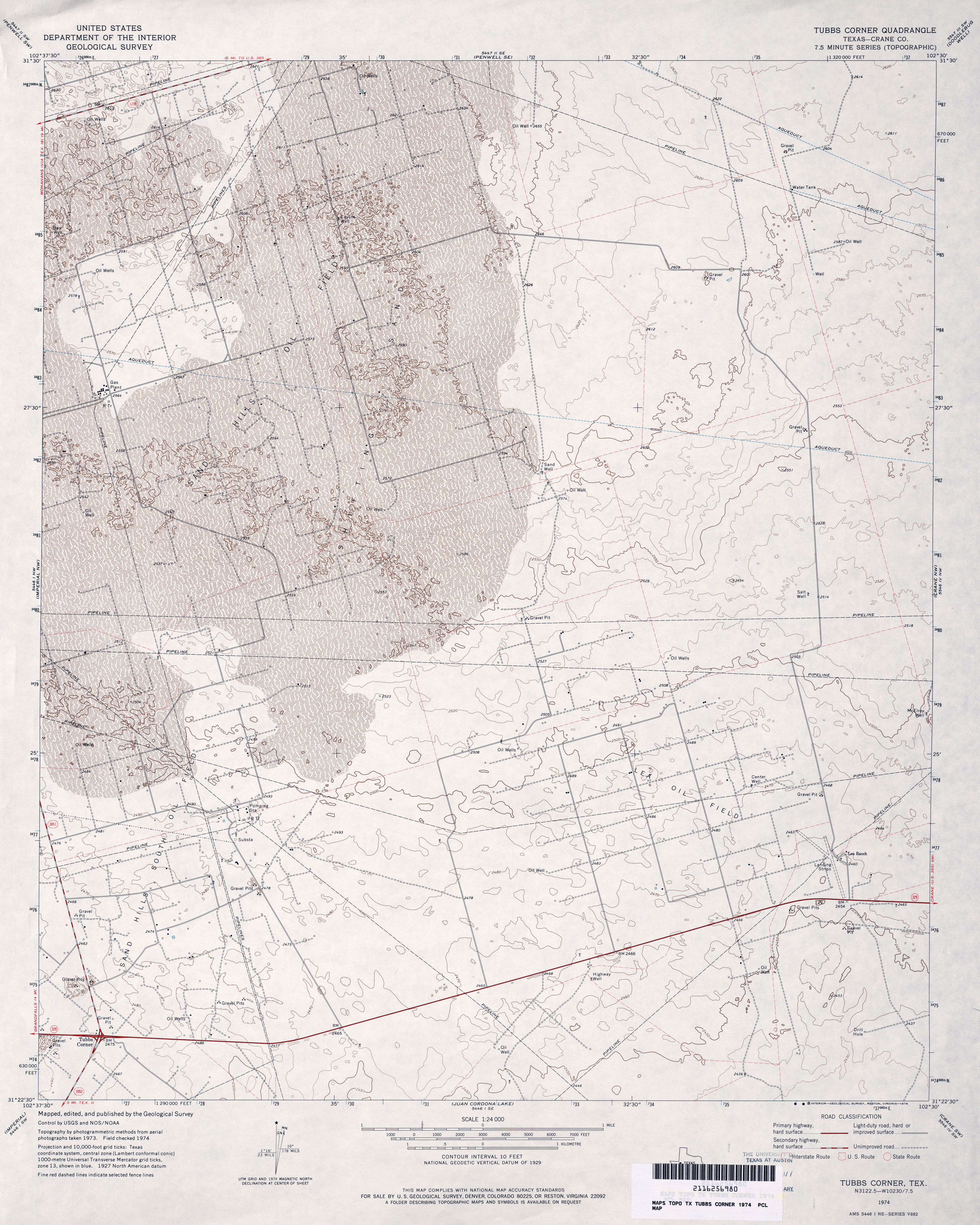
- Tubbs Corner (Crane County) 1:24,000 1974 (4.5MB)
- Tubbs Corner 1:24,000 2008 (23.1MB) [GeoPDF]
- Tubbs Corner 1:24,000 2012 (26.5MB) [GeoPDF]
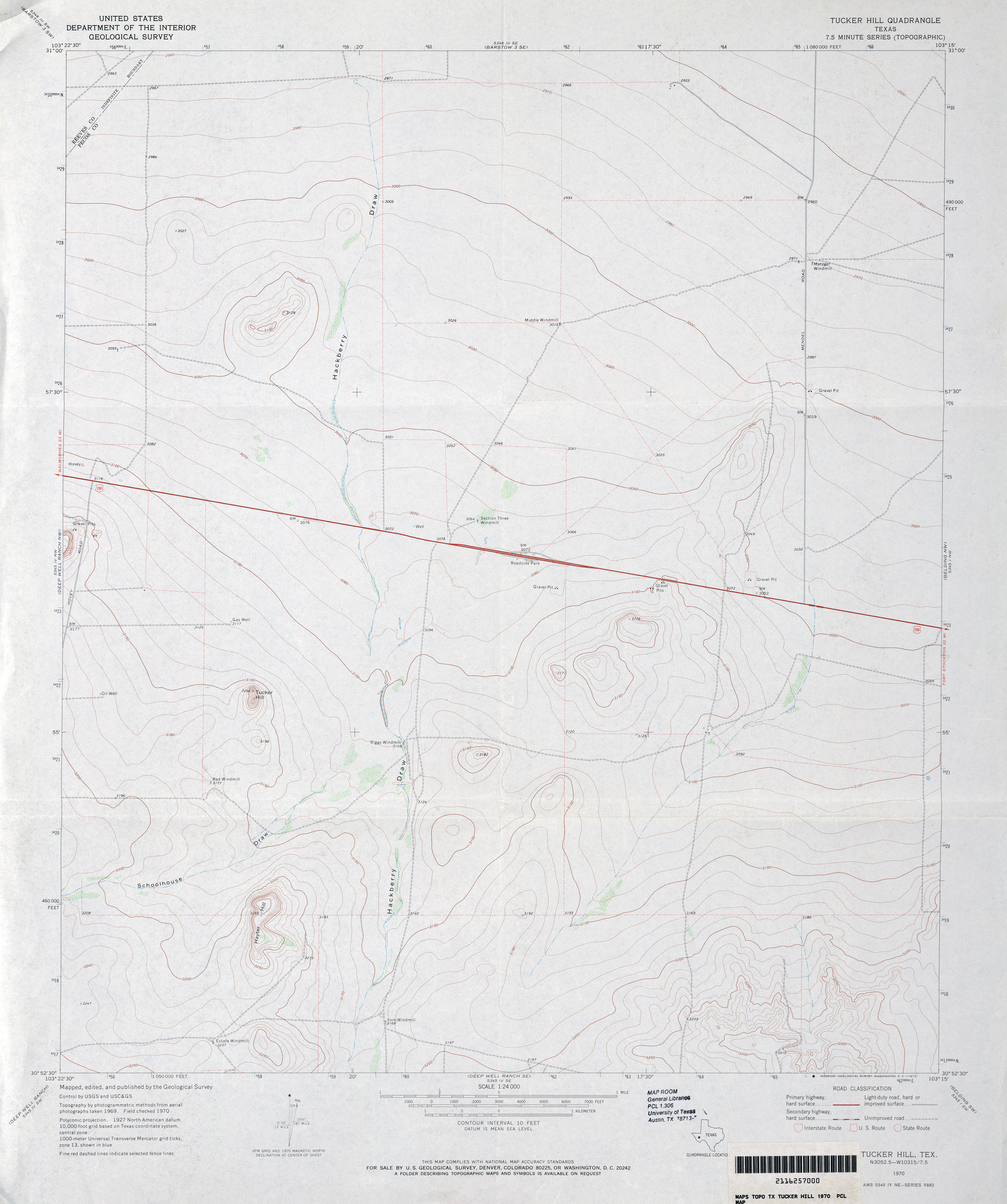
- Tucker Hill 1:24,000 1970 (2.7MB)
- Tucker Hill 1:24,000 2008 (20.4MB) [GeoPDF]
- Tucker Hill 1:24,000 2012 (26.4MB) [GeoPDF]
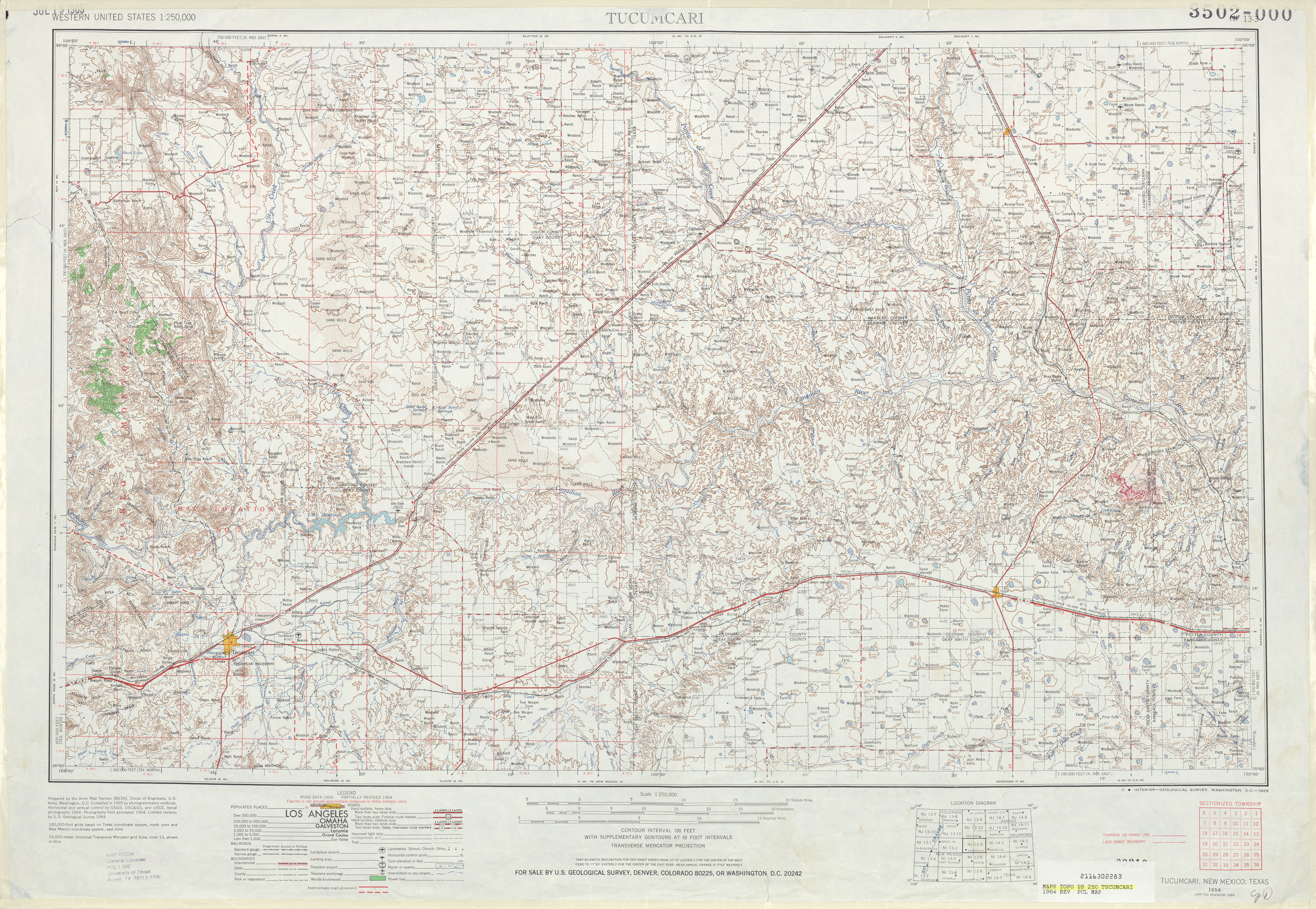
- Tucumcari (New Mexico) 1:250,000 1964 (7.8MB)
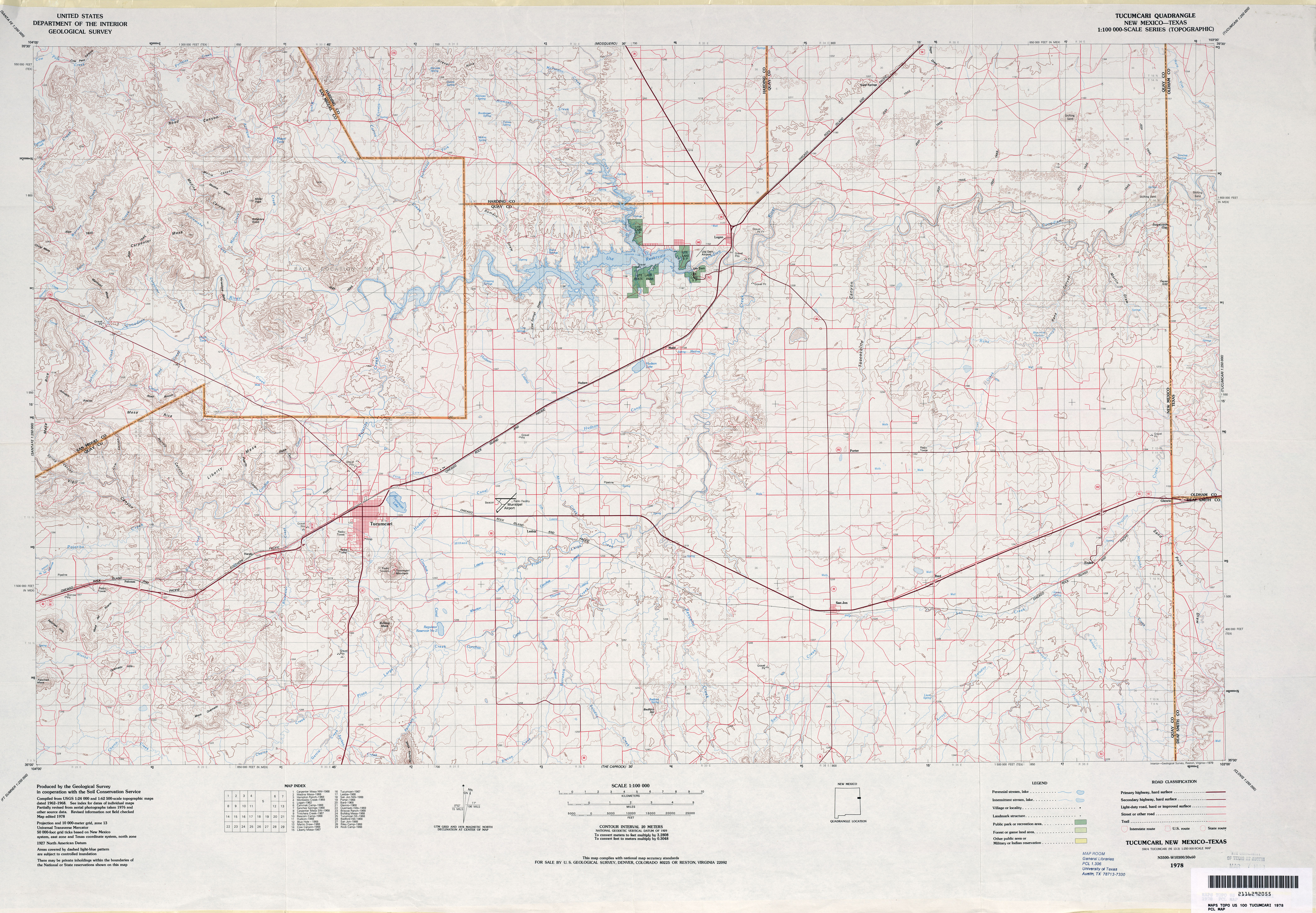
- Tucumcari (New Mexico) 1:100,000 1978 (7.4MB)
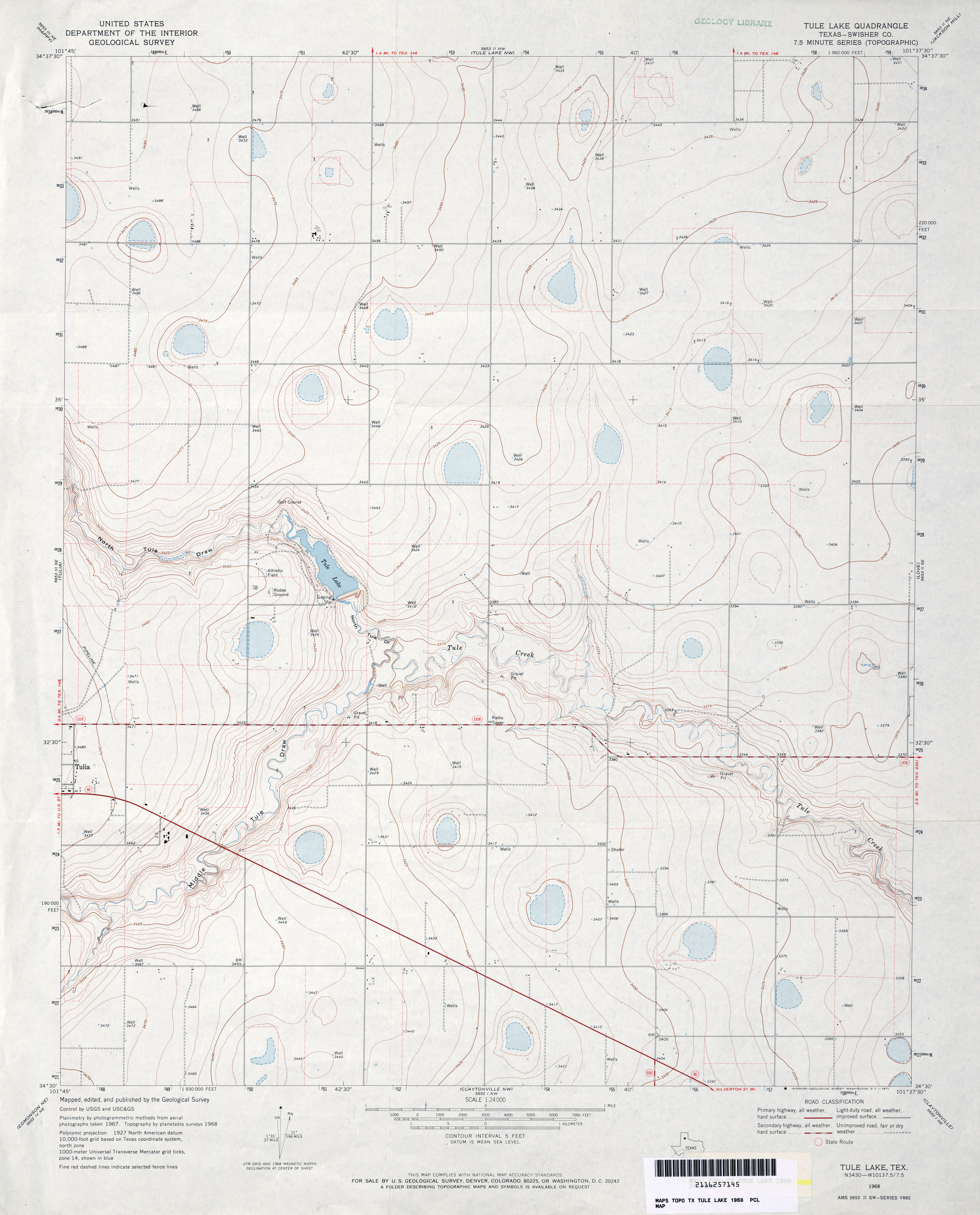
- Tule Lake (Swisher County) 1:24,000 1968 (2.9MB)
- Tule Lake 1:24,000 2008 (8.8MB) [GeoPDF]
- Tule Lake 1:24,000 2012 (15.2MB) [GeoPDF]
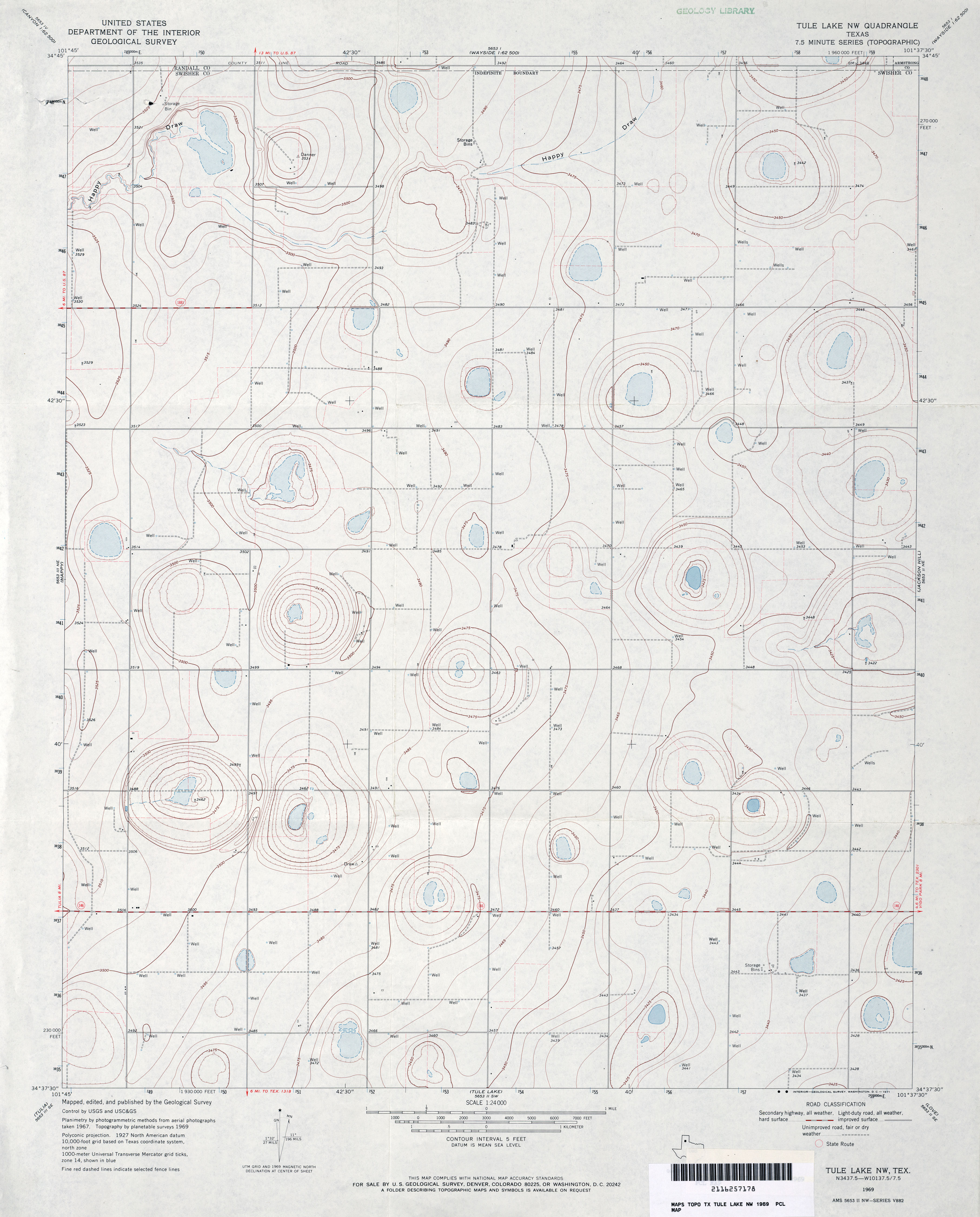
- Tule Lake NW 1:24,000 1969 (2.9MB)
- Tule Lake NW 1:24,000 2008 (7.6MB) [GeoPDF]
- Tule lake NW 1:24,000 2012 (13.6MB) [GeoPDF]
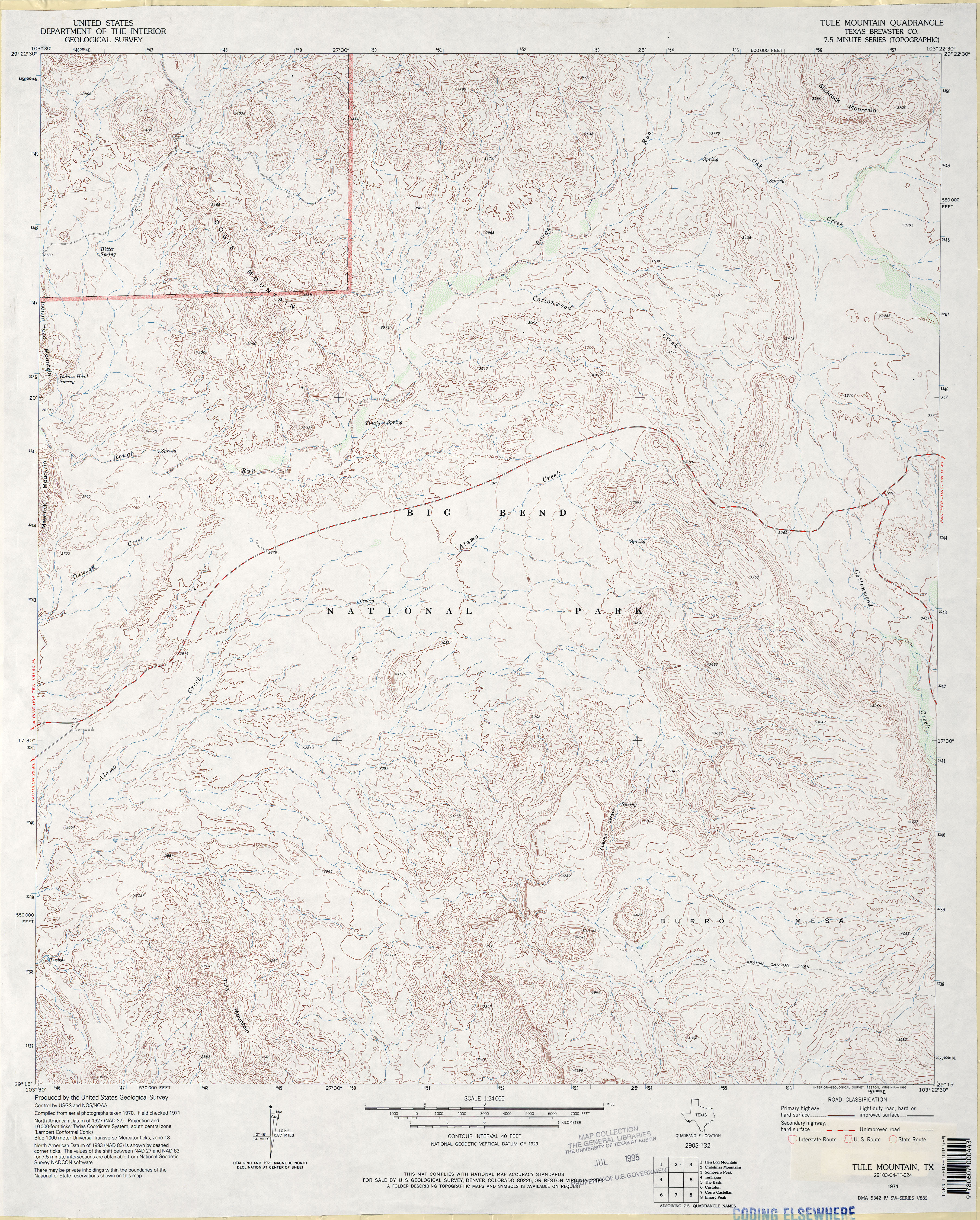
- Tule Mountain (Brewster County) 1:24,000 1971 (4.8MB)
- Tule Mountain 1:24,000 2008 (23.7MB) [GeoPDF]
- Tule Mountain 1:24,000 2012 (24.9MB) [GeoPDF]
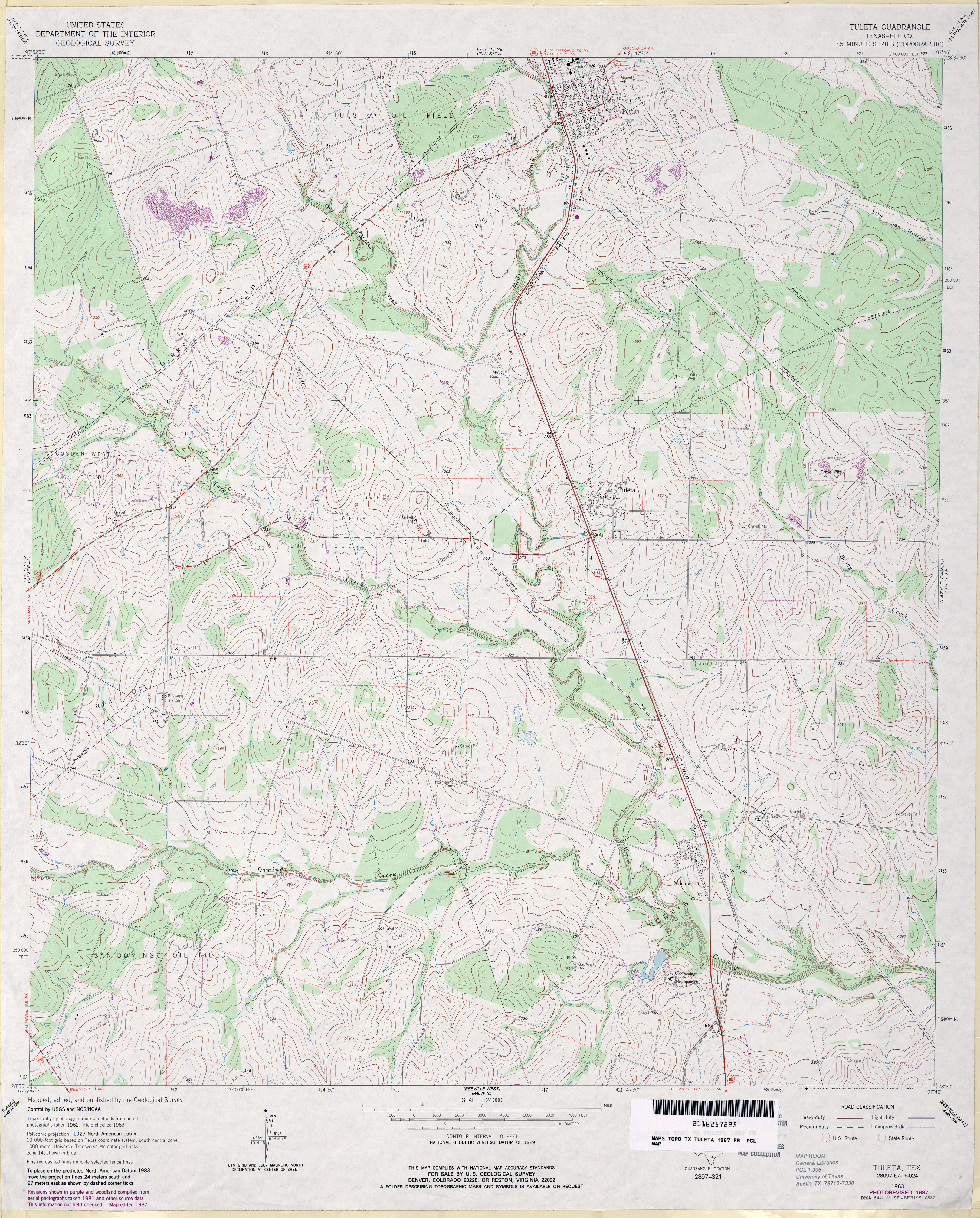
- Tuleta (Bee County) 1:24,000 1963 (5.3MB)
- Tuleta (Bee County) 1:24,000 1987 (4.4MB)
- Tuleta 1:24,000 2008 (15.8MB) [GeoPDF]
- Tuleta 1:24,000 2013 (22.1MB) [GeoPDF]
- Tulia (Swisher County) 1:24,000 1965 (3.1MB)
- Tulia (Swisher County) 1:24,000 1981 (3.1MB)
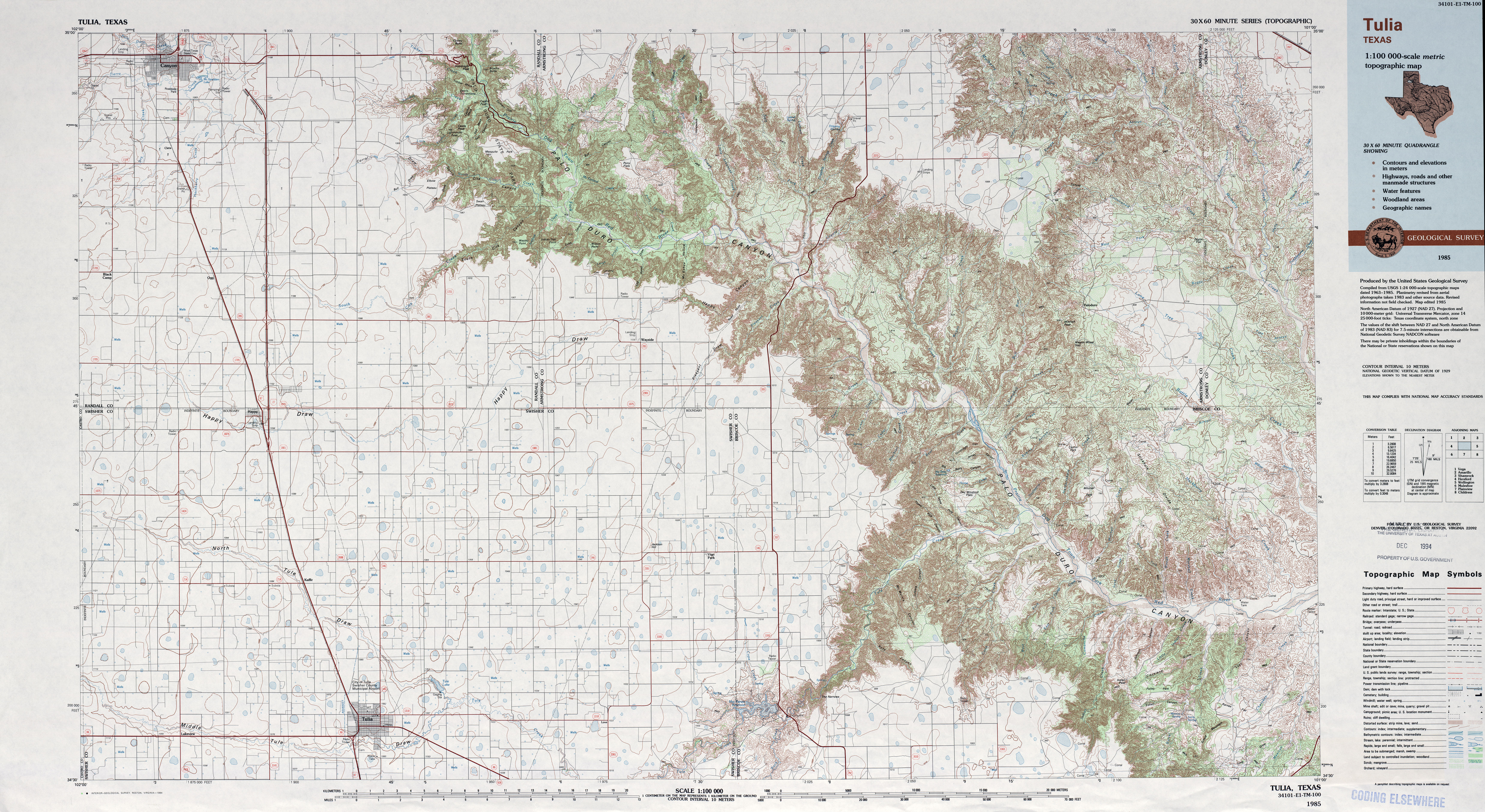
- Tulia 1:100,000 1985 (8.7MB)
- Tulia 1:24,000 2008 (9.3MB) [GeoPDF]
- Tulia 1:24,000 2012 (15.6MB) [GeoPDF]
- Tulia NW 1:24,000 1966 (2.9MB)
- Tulia NW 1:24,000 2008 (8.5MB) [GeoPDF]
- Tulia NW 1:24,000 2012 (14.1MB) [GeoPDF]
- Tulsita 1:24,000 1963 (5.2MB)
- Tulsita 1:24,000 1987 (4.4MB)
- Tulsita 1:24,000 2008 (14.7MB) [GeoPDF]
- Tulsita 1:24,000 2013 (19.9MB) [GeoPDF]
- Tunis 1:24,000 1962 (4.2MB)
- Tunis 1:24,000 1989 (4.4MB)
- Tunis 1:24,000 2008 (11.9MB) [GeoPDF]
- Tunis 1:24,000 2013 (22.4MB) [GeoPDF]
- Turcotte (Kenedy County) 1:24,000 1979 (3.6MB)
- Turcotte 1:24,000 2009 (16.5MB) [GeoPDF]
- Turcotte 1:24,000 2013 (21.9MB) [GeoPDF]
- Turkey 1:24,000 1967 (4.3MB)
- Turkey 1:24,000 1981 (4.6MB)
- Turkey 1:24,000 2008 (21.8MB) [GeoPDF]
- Turkey 1:24,000 2012 (26.8MB) [GeoPDF]
- Turkey Creek (Erath County) 1:24,000 1965 (4.4MB)
- Turkey Creek 1:24,000 2008 (19.1MB) [GeoPDF]
- Turkey Creek 1:24,000 2012 (23.4MB) [GeoPDF]
- Turkey Knob 1:24,000 1964 (5.4MB)
- Turkey Knob 1:24,000 1982 (5.4MB)
- Turkey Knob 1:24,000 2008 (22.4MB) [GeoPDF]
- Turkey Knob 1:24,000 2013 (28MB) [GeoPDF]
- Turkey Mt. 1:62,500 1928 (4.3MB) U.S. Army. Corps of Engineers. Tactical Map
- Turkey Mountain 1:62,500 1938 survey, 1943 overprint (4.3 MB)
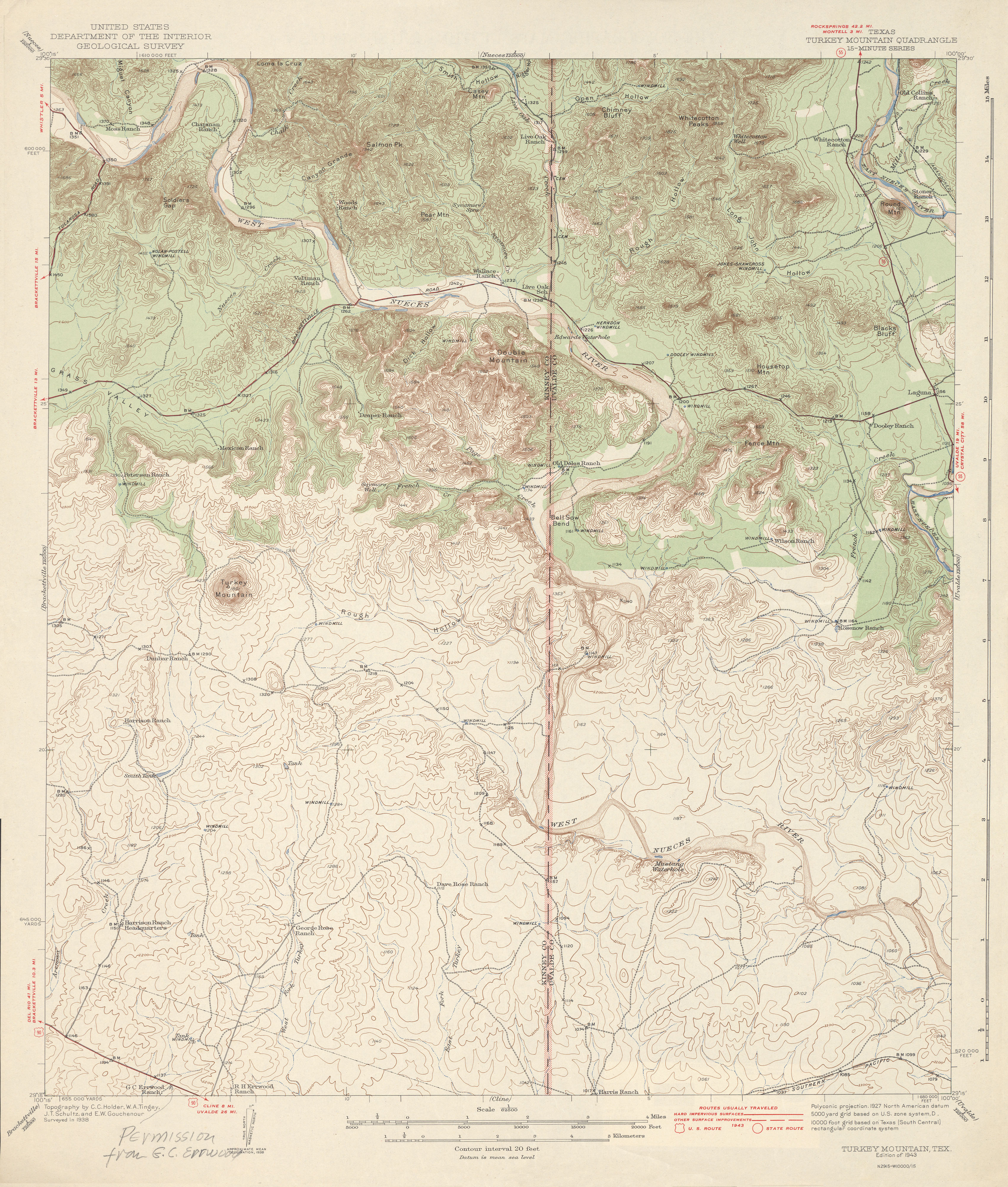
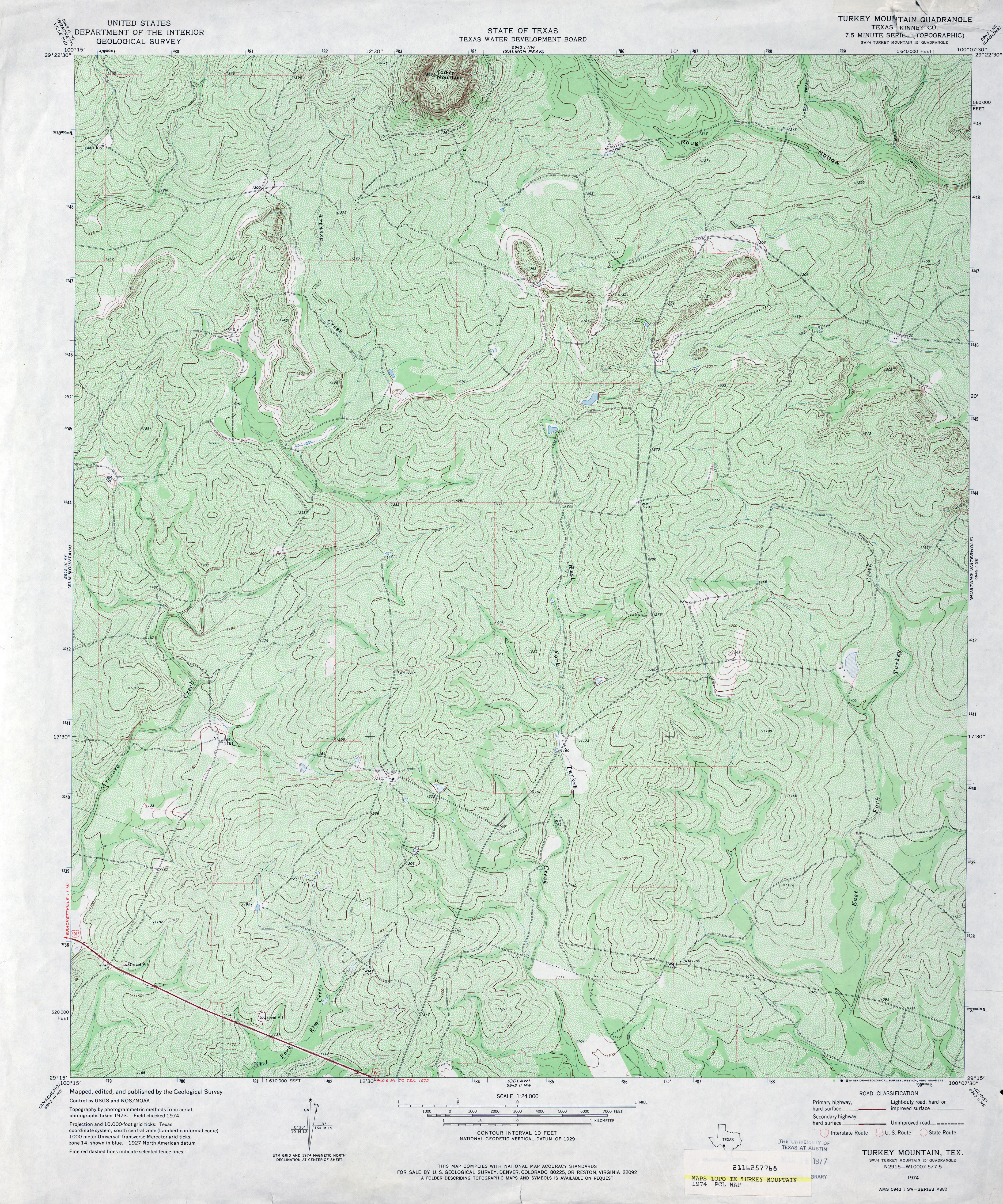
- Turkey Mountain (Kinney County) 1:24,000 1974 (5.9MB)
- Turkey Mountain 1:24,000 2008 (21.7MB) [GeoPDF]
- Turkey Mountain 1:24,000 2012 (30MB) [GeoPDF]
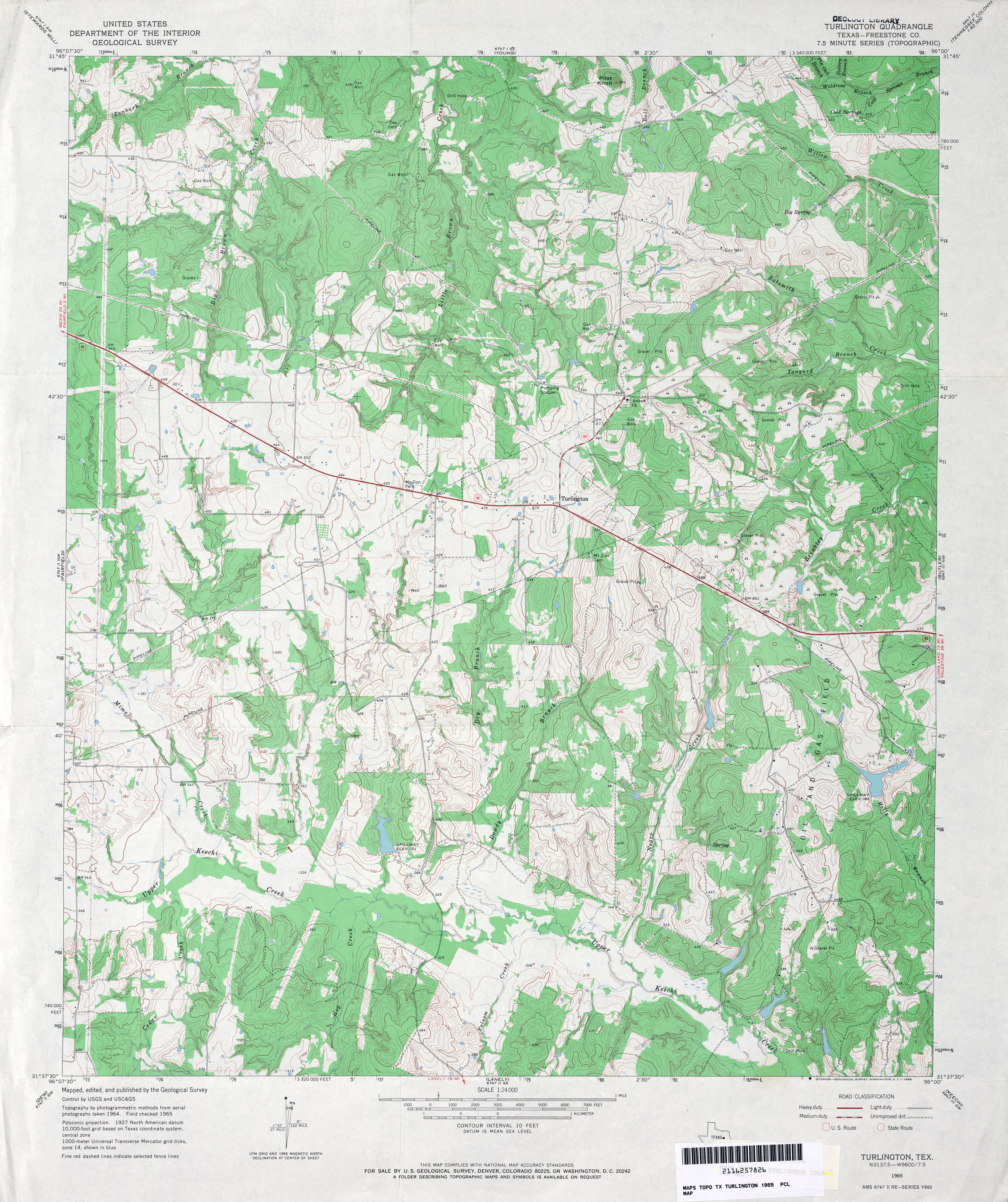
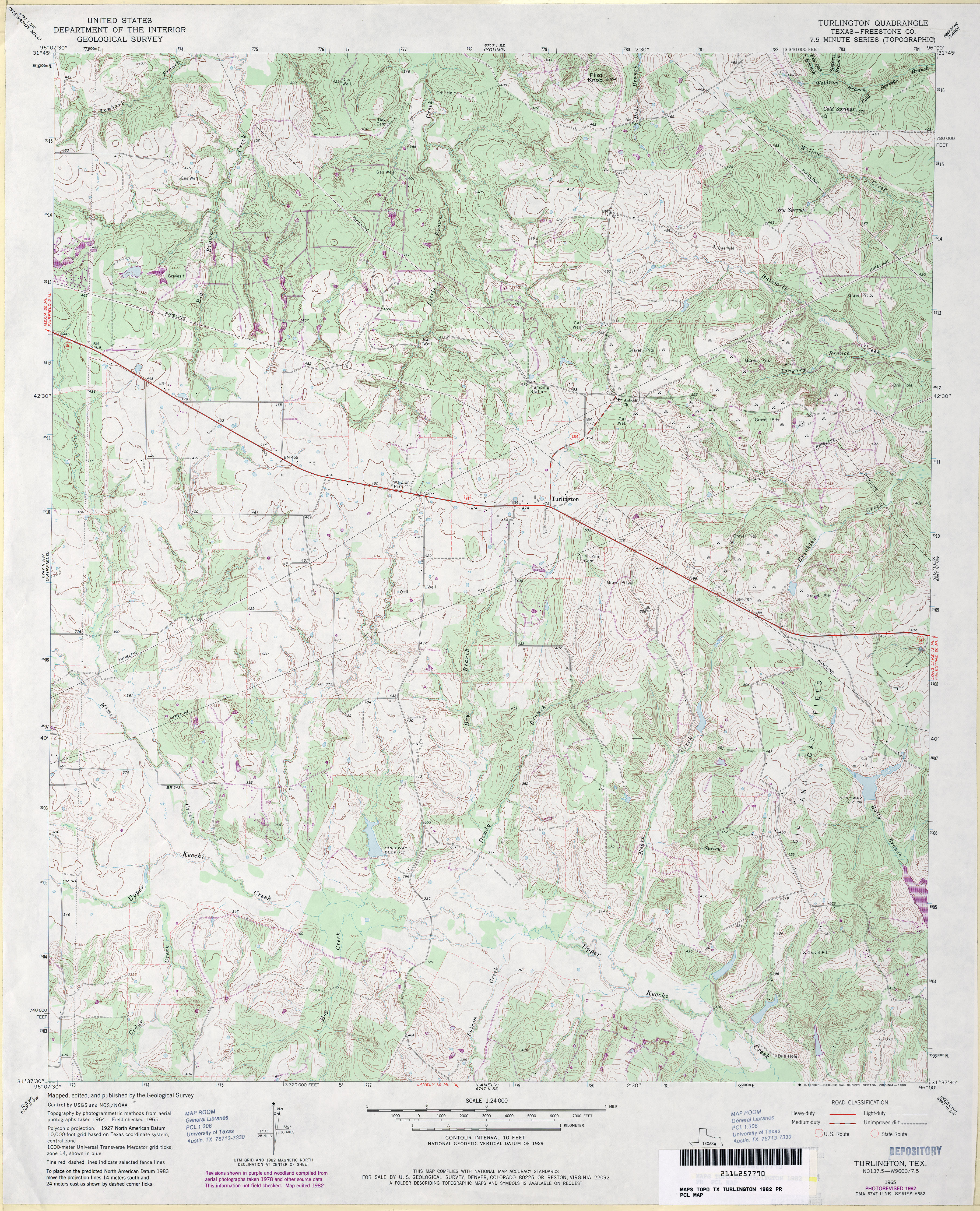
- Turlington (Freestone County) 1:24,000 1965 (4.6MB)
- Turlington (Freestone County) 1:24,000 1982 (4.9MB)
- Turlington 1:24,000 2008 (17.2MB) [GeoPDF]
- Turlington 1:24,000 2013 (24.9MB) [GeoPDF]
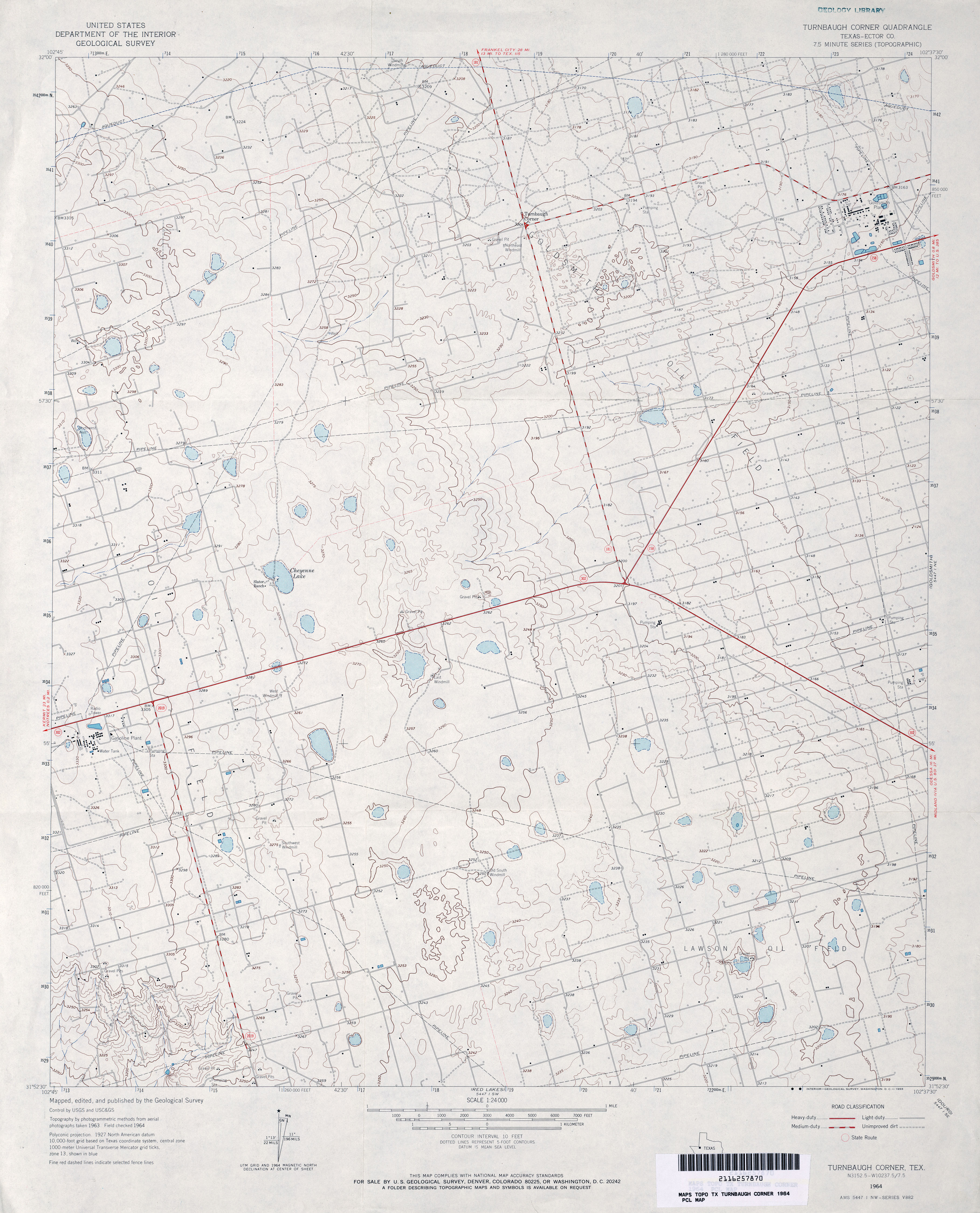
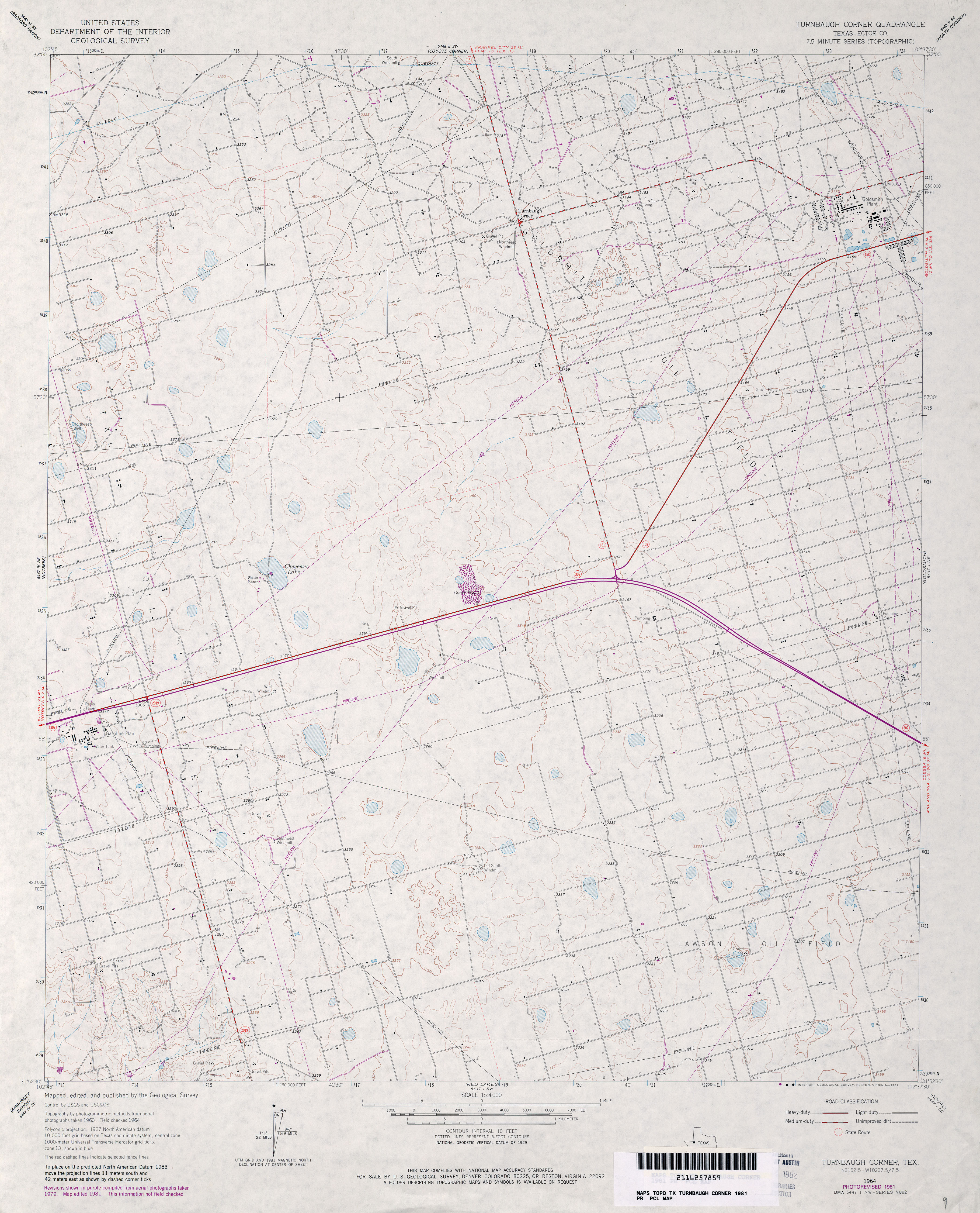
- Turnbaugh Corner (Ector County) 1:24,000 1964 (3.4MB)
- Turnbaugh Corner (Ector County) 1:24,000 1981 (3.4MB)
- Turnbaugh Corner 1:24,000 2008 (20.0MB) [GeoPDF]
- Turnbaugh Corner 1:24,000 2012 (21.7MB) [GeoPDF]
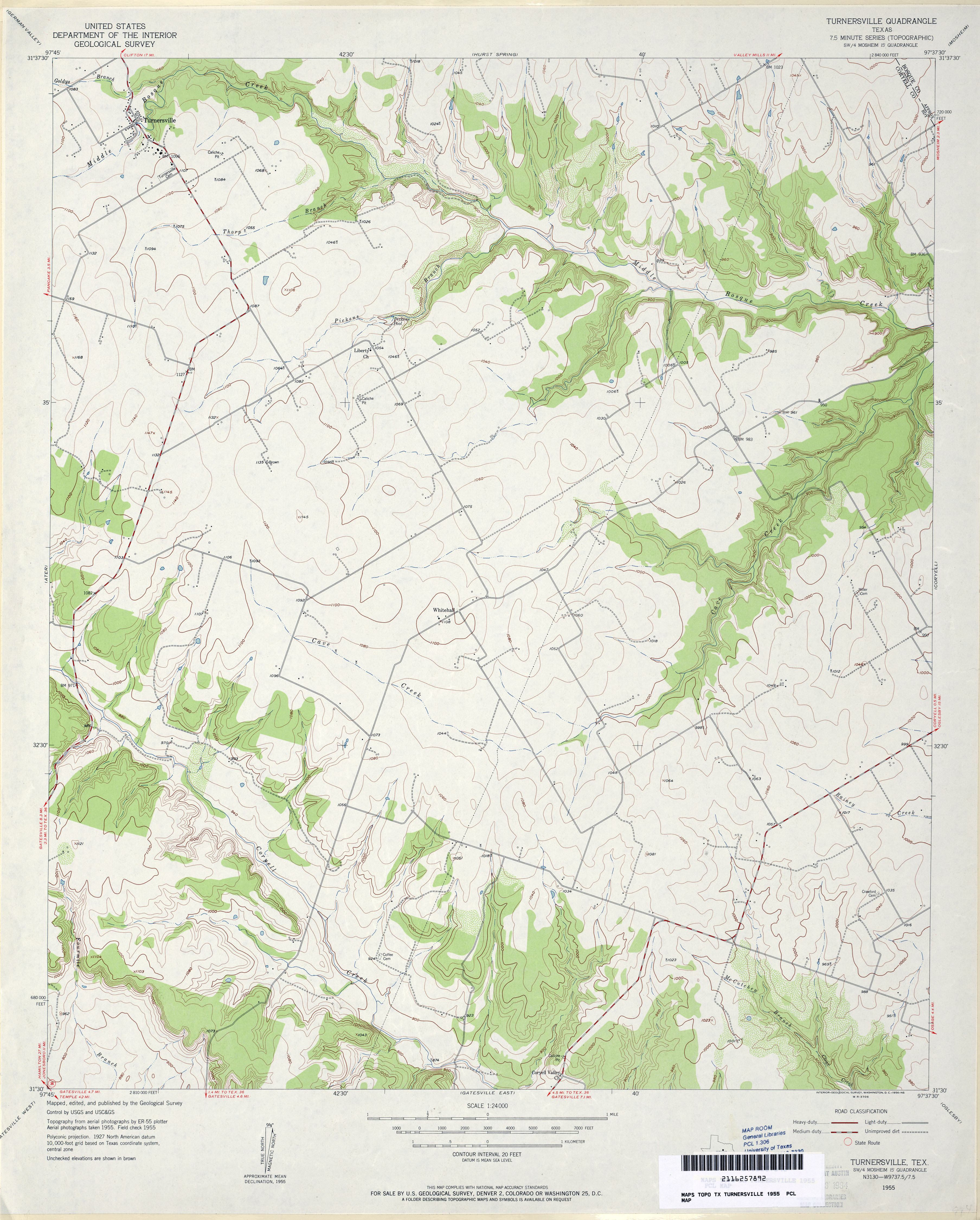
- Turnersville 1:24,000 1955 (3.5MB)
- Turnersville 1:24,000 1976 (3.7MB)
- Turnersville 1:24,000 2008 (14.1MB) [GeoPDF]
- Turnersville 1:24,000 2012 (18.6MB) [GeoPDF]
- Turney Draw NE (Edwards County) 1:24,000 1971 (3.4MB)
- Turney Draw NE 1:24,000 2008 (21.8MB) [GeoPDF]
- Turney Draw NE 1:24,000 2012 (31.5MB) [GeoPDF]
- Turney Draw NW 1:24,000 1973 (5.1MB)
- Turney Draw NW 1:24,000 2008 (21.3MB) [GeoPDF]
- Turney Draw NW 1:24,000 2012 (31.3MB) [GeoPDF]
- Turney Draw SE (Edwards County) 1:24,000 1971 (5MB)
- Turney Draw SE 1:24,000 2008 (24.0MB) [GeoPDF]
- Turney Draw SE 1:24,000 2012 (33.2MB) [GeoPDF]
- Turtle Bay 1:24,000 1952 (2.7MB)
- Turtle Bay 1:24,000 1973 (2.5MB)
- Turtle Bay 1:24,000 1995 (2.9MB)
- Turtle Bay 1:24,000 2008 (10.6MB) [GeoPDF]
- Turtle bay 1:24,000 2013 (17.1MB) [GeoPDF]
- Turtle Creek (Mason County) 1:24,000 1968 (6MB)
- Turtle Creek (Mason County) 1:24,000 1979 (5.3MB)
- Turtle Creek 1:24,000 2008 (27.2MB) [GeoPDF]
- Turtle Creek 1:24,000 2012 (29.4MB) [GeoPDF]
- Turtle Hole Camp (Motley County) 1:24,000 1967 (4.2MB)
- Turtle Hole Camp (Motley County) 1:24,000 1981 (4.6MB)
- Turtle Hole Camp 1:24,000 2008 (16.2MB) [GeoPDF]
- Turtle Hole Camp 1:24,000 2012 (22.7MB) [GeoPDF]
- Tuscola (Taylor County) 1:24,000 1967 (3.3MB)
- Tuscola 1:24,000 2008 (15MB) [GeoPDF]
- Tuscola 1:24,000 2012 (21.5MB) [GeoPDF]
- Tuxedo 1:24,000 1965 (2.8MB)
- Tuxedo 1:24,000 1981 (2.7MB)
- Tuxedo 1:24,000 2008 (10.9MB) [GeoPDF]
- Tuxedo 1:24,000 2012 (17.1MB) [GeoPDF]
- Twelvemile Camp 1:24,000 1967 (4MB)
- Twelvemile Camp 1:24,000 2008 (25.4MB) [GeoPDF]
- Twelvemile Camp 1:24,000 2012 (32.3MB) [GeoPDF]
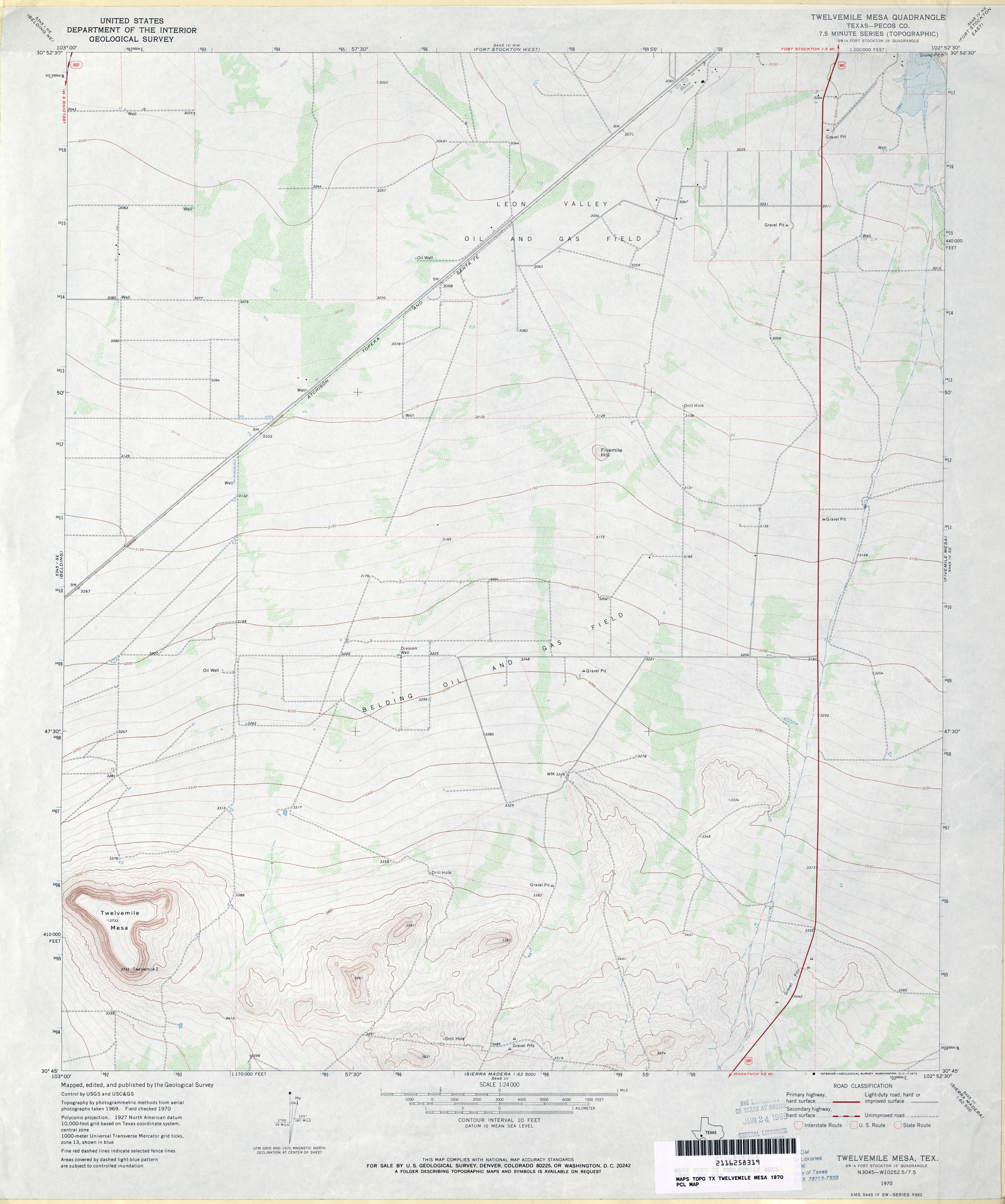
- Twelvemile Mesa (Pecos County) 1:24,000 1970 (2.9MB)
- Twelvemile Mesa 1:24,000 2008 (24.9MB) [GeoPDF]
- Twelvemile Mesa 1:24,000 2012 (26.8MB) [GeoPDF]
- Twin Buttes (Tom Green County) 1:24,000 1957 (5.2MB)
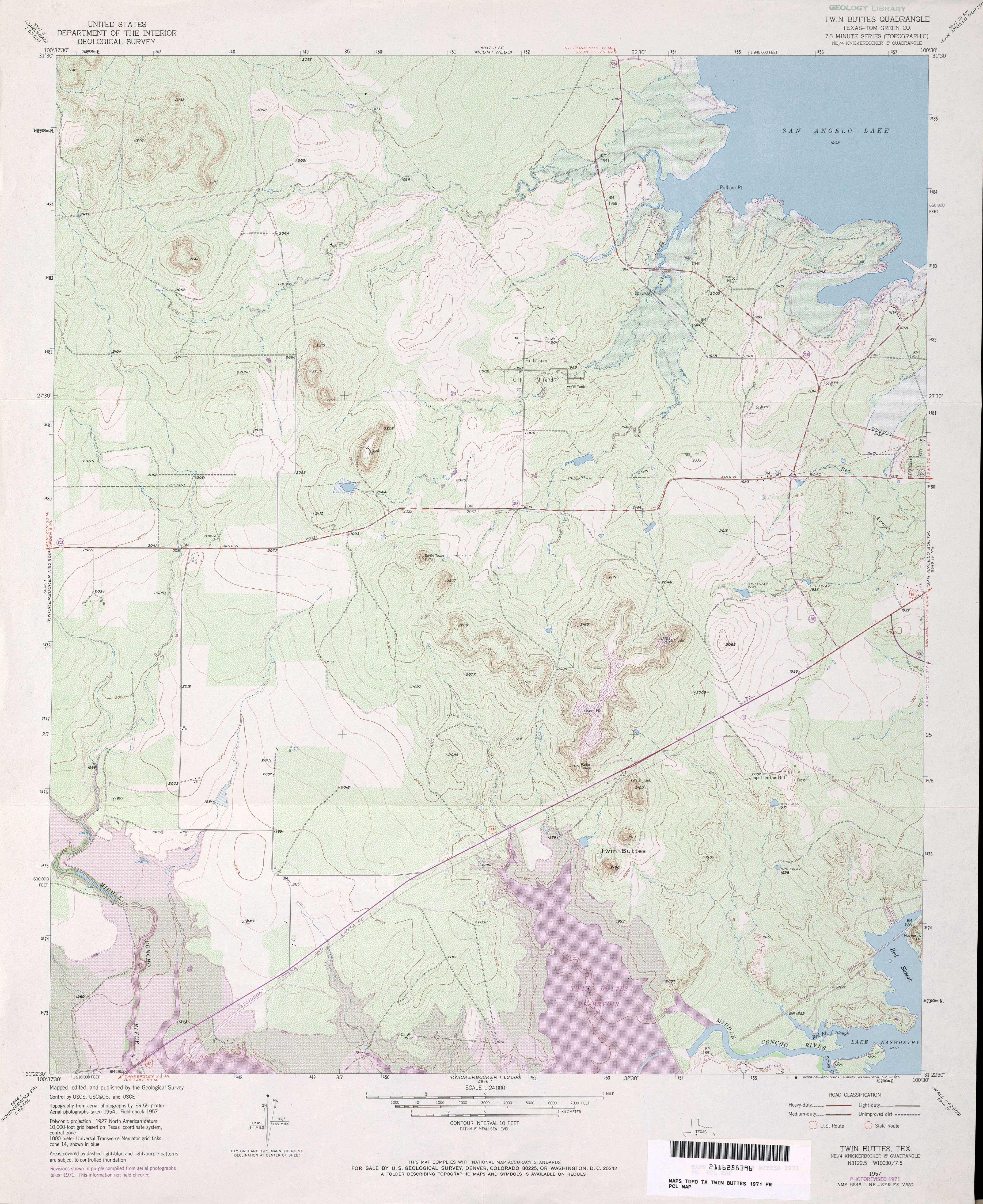
- Twin Buttes (Tom Green County) 1:24,000 1971 (4.3MB)
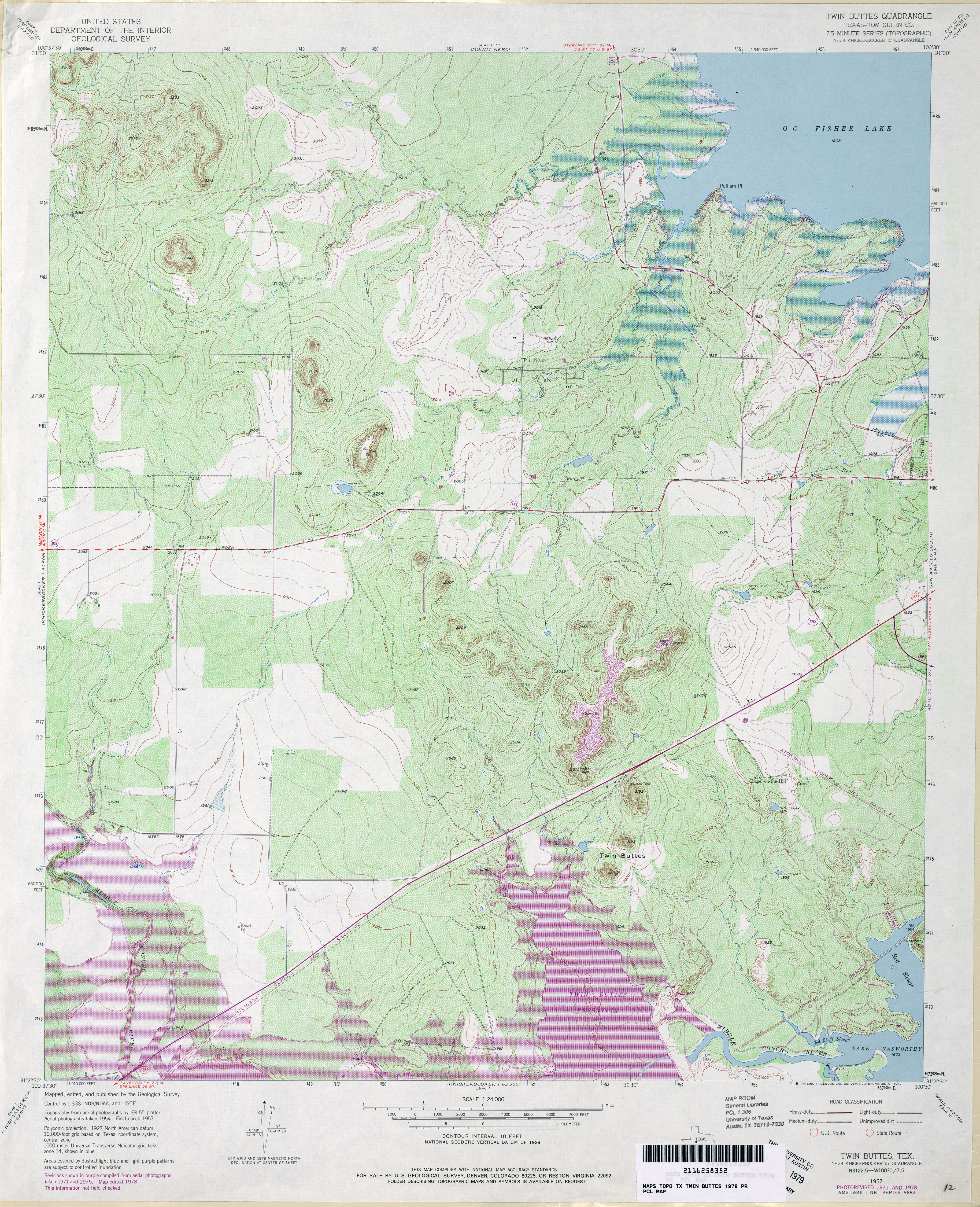
- Twin Buttes (Tom Green County) 1:24,000 1978 (5.8MB)
- Twin Buttes 1:24,000 2008 (21.2MB) [GeoPDF]
- Twin Buttes 1:24,000 2013 (27.3MB) [GeoPDF]
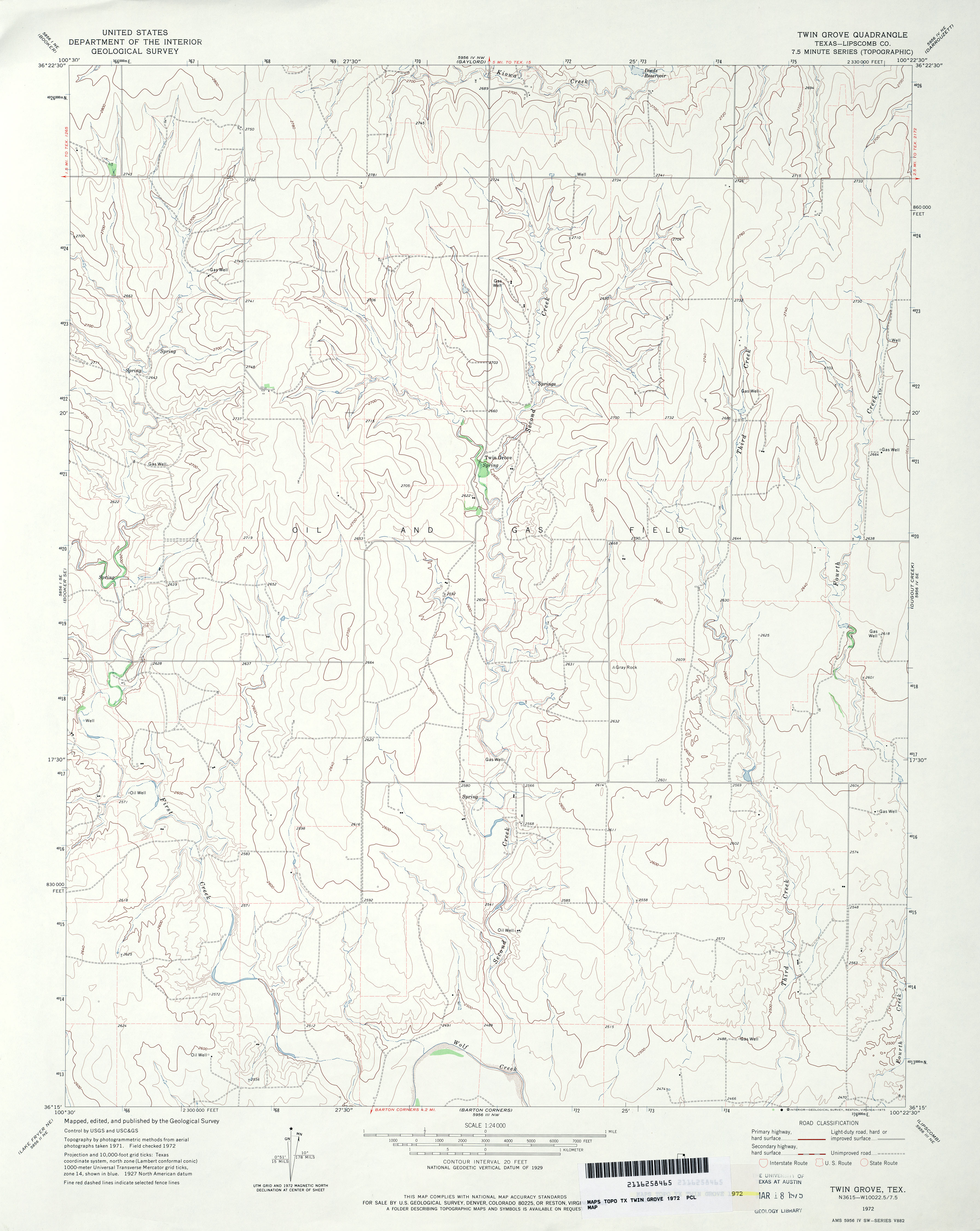
- Twin Grove (Lipscomb County) 1:24,000 1972 (3MB)
- Twin Grove 1:24,000 2008 (9.8MB) [GeoPDF]
- Twin Grove 1:24,000 2012 (16.8MB) [GeoPDF]
- Twin Hollow 1:24,000 1969 (4.8MB)
- Twin Hollow 1:24,000 2008 (21.5MB) [GeoPDF]
- Twin Hollow 1:24,000 2013 (27.5MB) [GeoPDF]
- Twin Lakes 1:24,000 1965 (3MB)
- Twin Lakes 1:24,000 2008 (7.3MB) [GeoPDF]
- Twin Lakes 1:24,000 2012 (12.8MB) [GeoPDF]
- Twin Mott Lake 1:24,000 1978 (3.3MB) 7.5 Minute Series Orthophotomap
- Twin Mott Lake 1:24,000 2008 (3.6MB) Texas Natural Resources Information System (TNRIS). [pdf]
- Twin Mott Lake 1:24,000 2009 (13.3MB) [GeoPDF]
- Twin Mott Lake 1:24,000 2013 (20.7MB) [GeoPDF]
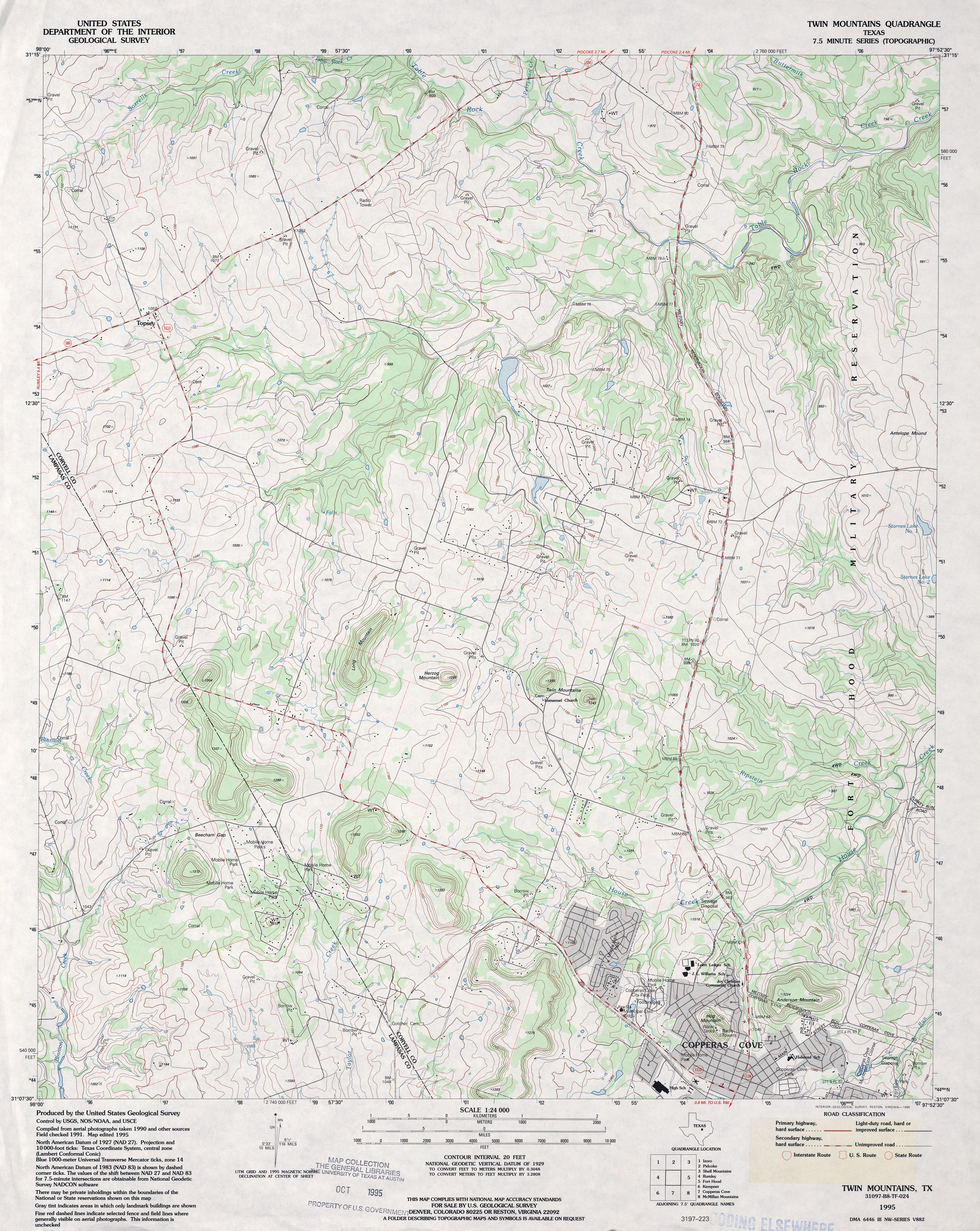
- Twin Mountains 1:24,000 1947 (4.1MB) U.S. Department of the Army Corps of Engineers
- Twin Mountains 1:24,000 1958 (4.5MB) U.S. Department of the Army Corps of Engineers
- Twin Mountains 1:24,000 1978 (4.6MB) U.S. Department of the Army Corps of Engineers
- Twin Mountains 1:24,000 1995 (4.4MB)
- Twin Mountains 1:24,000 2008 (18.6MB) [GeoPDF]
- Twin Mountains 1:24,000 2012 (24.9MB) [GeoPDF]
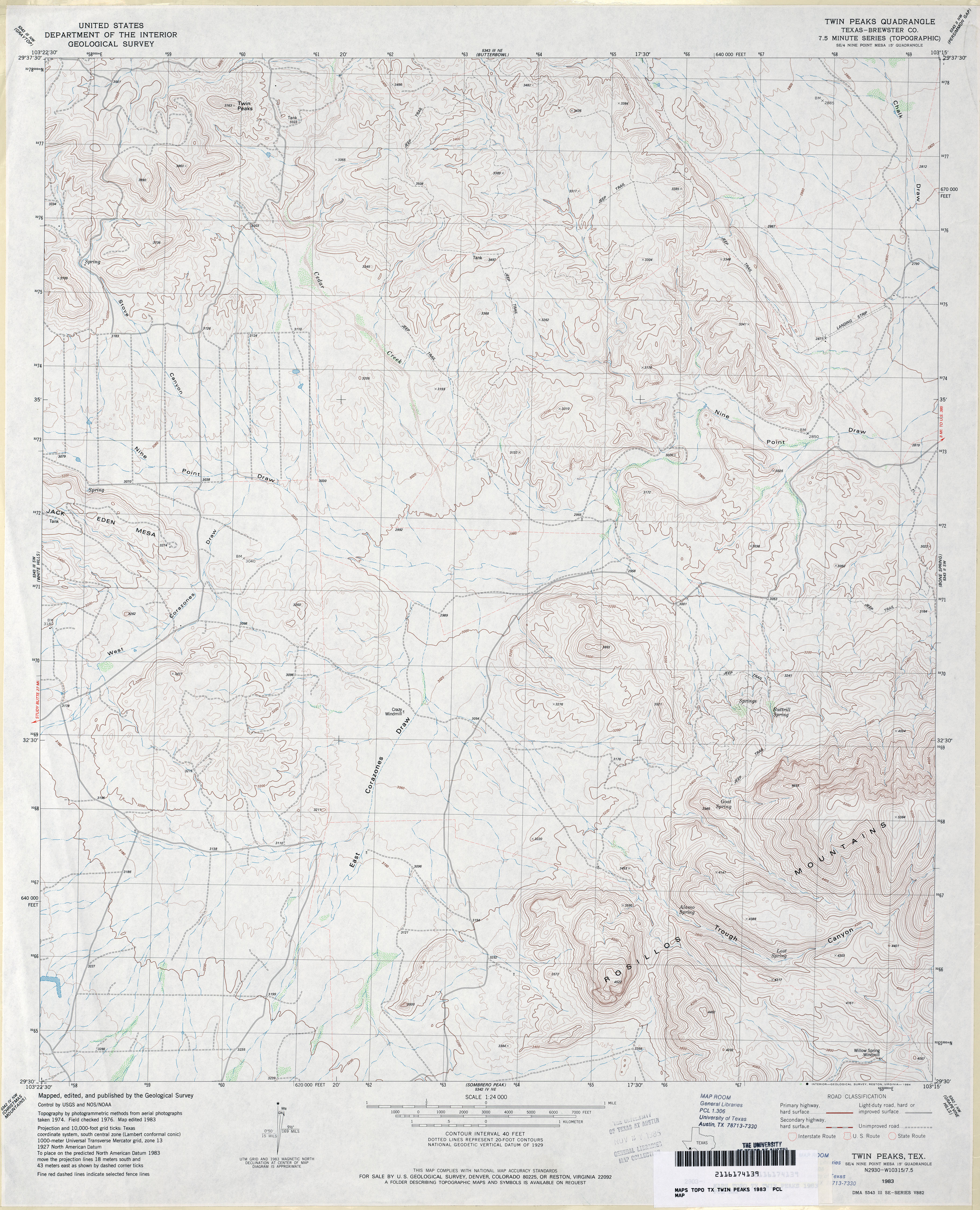
- Twin Peaks (Brewster County) 1:24,000 1983 (4.1MB)
- Twin Peaks 1:24,000 2008 (24.1MB) [GeoPDF]
- Twin Peaks 1:24,000 2012 (23.9MB) [GeoPDF]
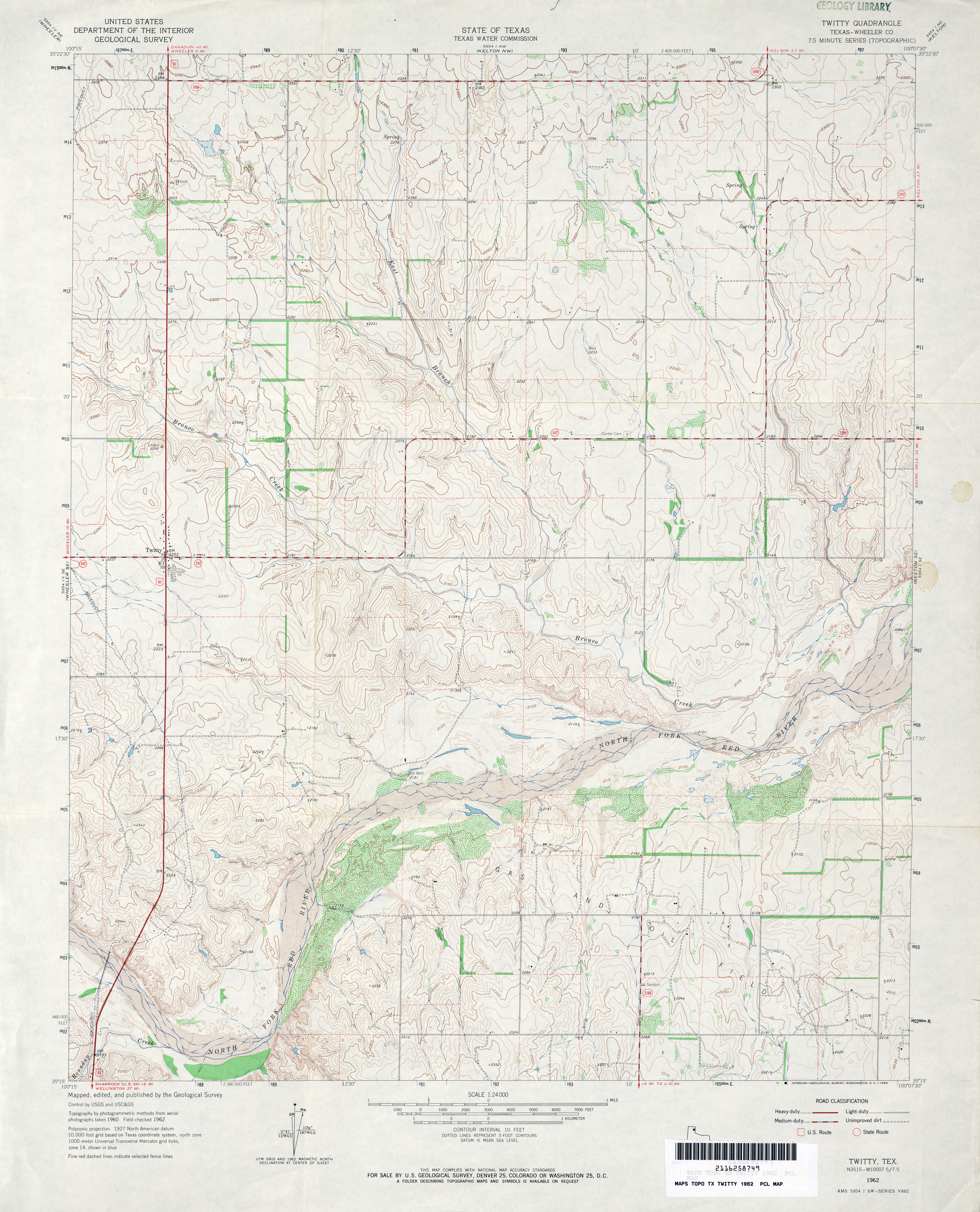
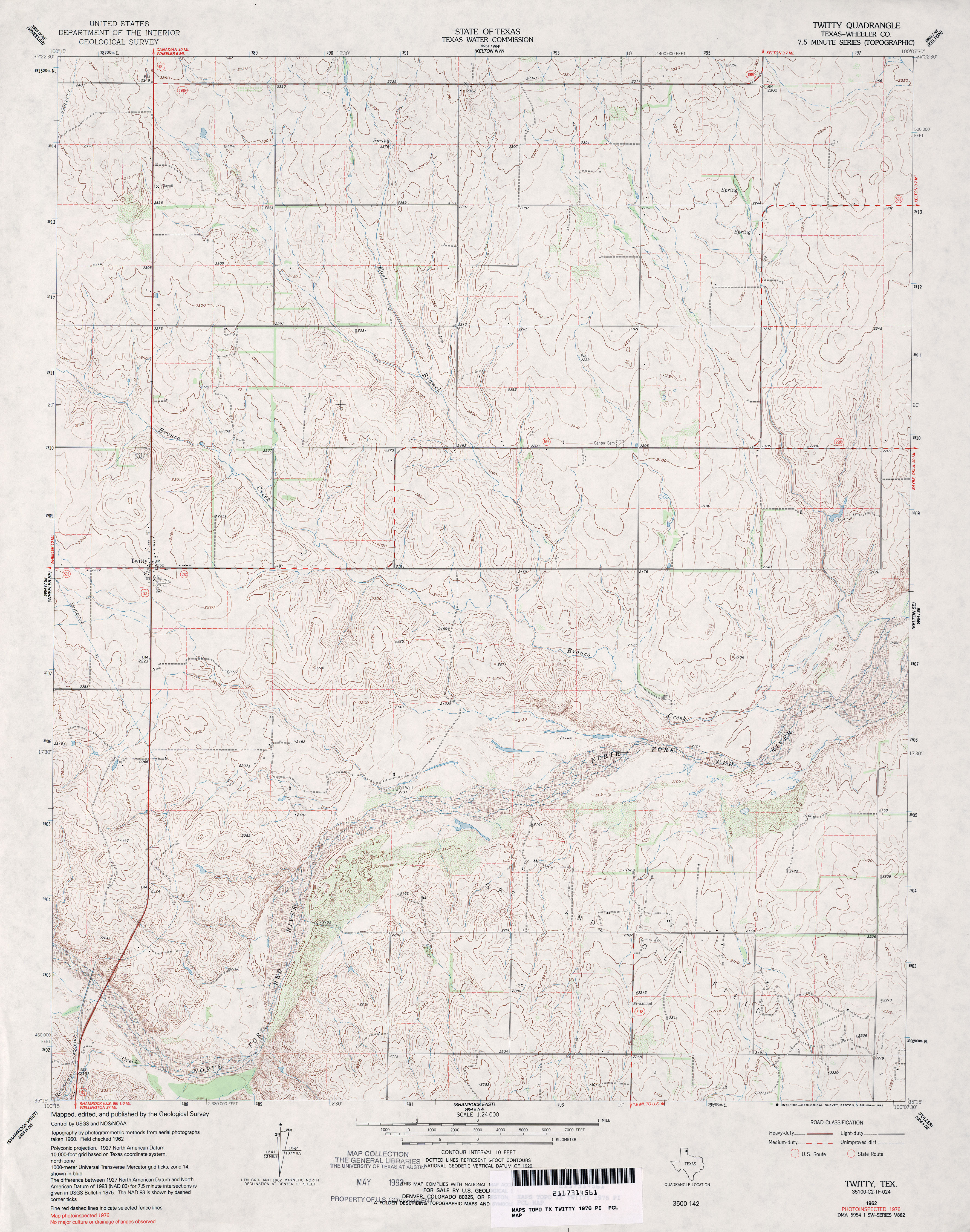
- Twitty (Wheeler County) 1:24,000 1962 (3.9MB)
- Twitty (Wheeler County) 1:24,000 1976 (4.1MB)
- Twitty 1:24,000 2008 (12.0MB) [GeoPDF]
- Twitty 1:24,000 2012 (18MB) [GeoPDF]
- Two B Ranch (Yoakum County) 1:24,000 1971 (2.9MB)
- Two B Ranch 1:24,000 2008 (13.1MB) [GeoPDF]
- Two B Ranch 1:24,000 2012 (17.9MB) [GeoPDF]
- Two B Ranch NW 1:24,000 1971 (3MB)
- Two B Ranch NW 1:24,000 2008 (13.0MB) [GeoPDF]
- Two B Ranch NW 1:24,000 2012 (18.2MB) [GeoPDF]
- Two B Ranch SW (Yoakum County) 1:24,000 1971 (3.2MB)
- Two B Ranch SW 1:24,000 2008 (11.2MB) [GeoPDF]
- Two B Ranch SW 1:24,000 2012 (16.4MB) [GeoPDF]
- Two Mill Draw East (Culberson County) 1:24,000 1973 (3.4MB)
- Two Mill Draw East 1:24,000 2008 (22.3MB) [GeoPDF]
- Two Mill Draw East 1:24,000 2012 (23.2MB) [GeoPDF]
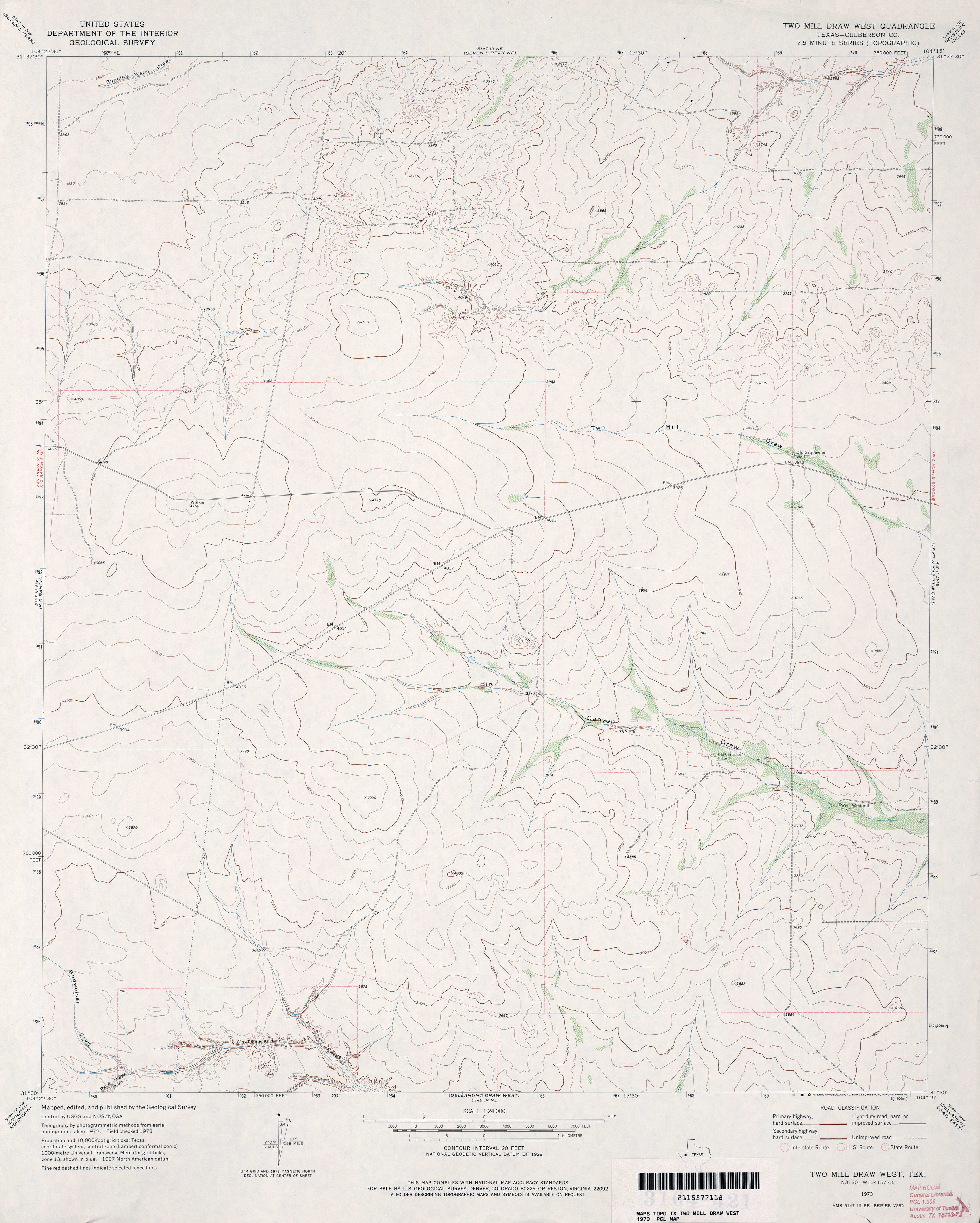
- Two Mill Draw West (Culberson County) 1:24,000 1973 (2.8MB)
- Two Mill Draw West 1:24,000 2008 (23.6MB) [GeoPDF]
- Two Mill Draw West 1:24,000 2012 (24.2MB) [GeoPDF]
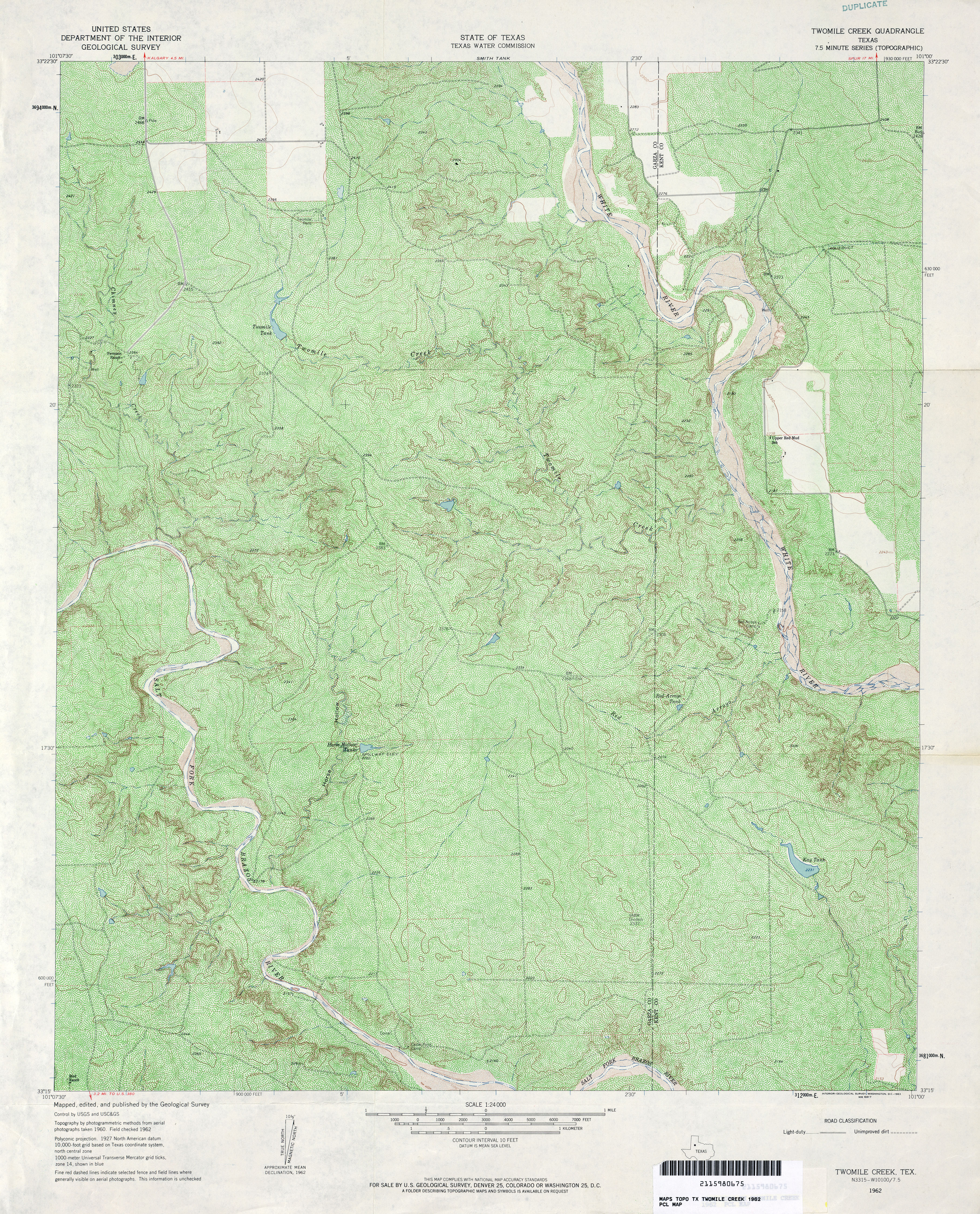
- Twomile Creek 1:24,000 1962 (6.3MB)
- Twomile Creek 1:24,000 2008 (14.6MB) [GeoPDF]
- Twomile Creek 1:24,000 2012 (24MB) [GeoPDF]
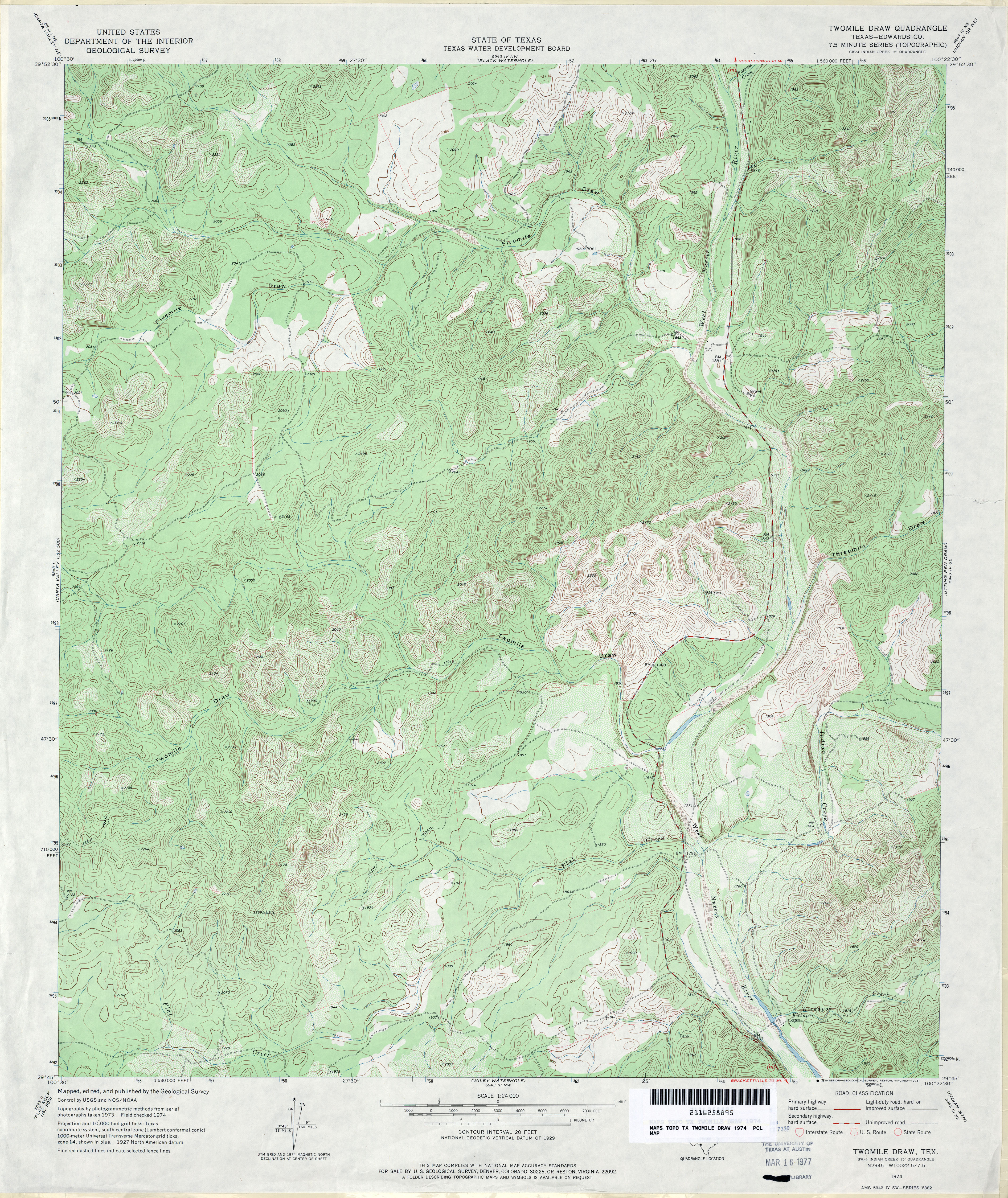
- Twomile Draw (Edwards County) 1:24,000 1974 (5.4MB)
- Twomile Draw 1:24,000 2008 (24.8MB) [GeoPDF]
- Twomile Draw 1:24,000 2012 (32.9MB) [GeoPDF]
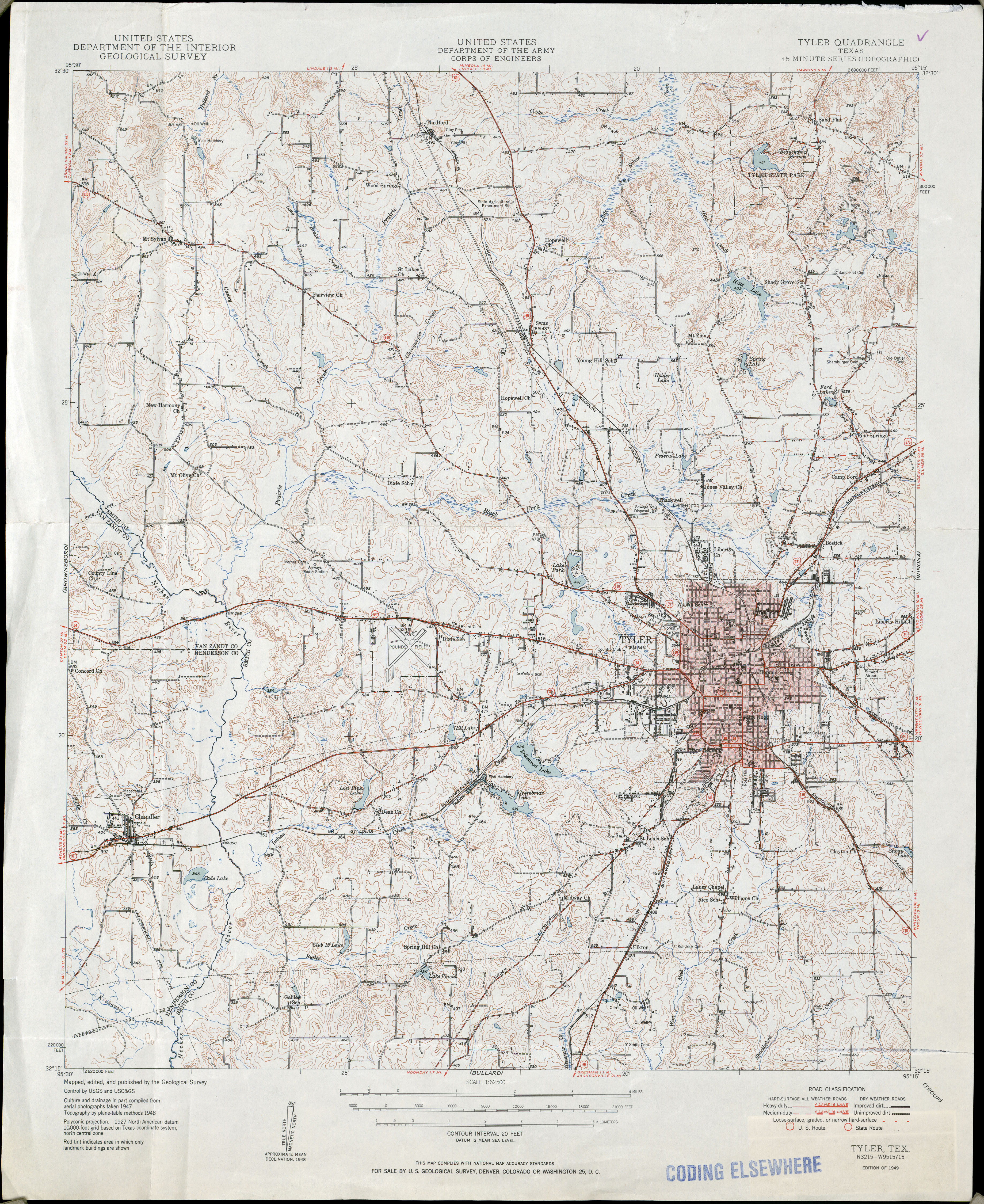
- Tyler 1:62,500 1949 (5.2MB) U.S. Department of the Army Corps of Engineers
- Tyler 1:250,000 1955 (11.3MB)
- Tyler 1:250,000 1955 [verso] [Tyler, Texas and Vicinity; Marshall, Texas and Vicinity] (3.0MB)
- Tyler 1:250,000 1963 (8.9MB)
- Tyler 1:250,000 1977 (9.4MB)
- Tyler 1:250,000 1984 (9.3MB)
- Tyler 1:100,000 1985 (6.5MB) Planimetric Map
- Tyler 1:100,000 1991 (9.9MB)
- Tyler North (Smith County) 1:24,000 1966 (4.7MB)
- Tyler North (Smith County) 1:24,000 1973 (5.1MB)
- Tyler North 1:24,000 2008 (22.6MB) [GeoPDF]
- Tyler North 1:24,000 2012 (25.9MB) [GeoPDF]
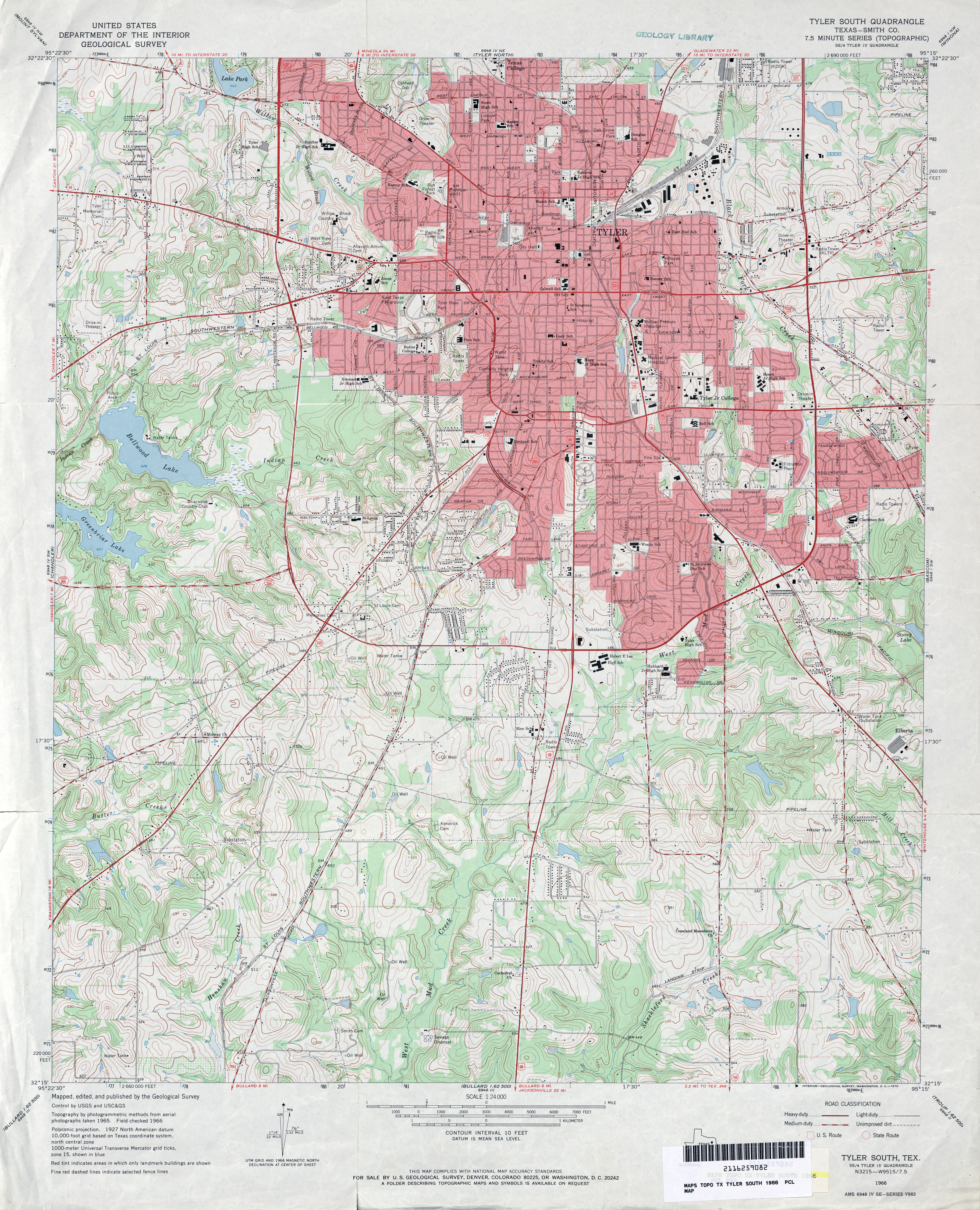
- Tyler South (Smith County) 1:24,000 1966 (5.1MB)
- Tyler South (Smith County) 1:24,000 1973 (5MB)
- Tyler South 1:24,000 2009 (24.9MB) [GeoPDF]
- Tyler South 1:24,000 2012 (27.7MB) [GeoPDF]
- Tynan 1:24,000 1979 (3.4MB)
- Tynan 1:24,000 2009 (10.9MB) [GeoPDF]
- Tynan 1:24,000 2013 (17.4MB) [GeoPDF]