Perry-Castañeda Library
Map Collection
Texas Topographic Maps
Maps in this online collection are from the Perry-Castañeda Library, Walter Geology Library and Dolph Briscoe Center for American History at the University of Texas at Austin as well as the Texas State Library. All maps on this site were published by the U.S. Geological Survey unless otherwise noted and are in the public domain. The date given for each map is the date of latest survey. The Geographic Names Information System allows searches of geographic names to determine which map sheets they appear on. Indexes are available for Texas - East and Texas - West for the 1:24,000 map series. Maps published prior to 1923 are on the Texas Historical Topographic Map Index. More information about these maps is available on the Topographic Maps Home Page. Note: To fully view the GeoPDF files use Adobe Reader as your default PDF viewer or download the files and open them within Adobe Reader.
A, B, C, D, E, F, G, H, I, J, K, L, M, N, O, P, Q, R, S, T, U, V, W, X, Y, Z
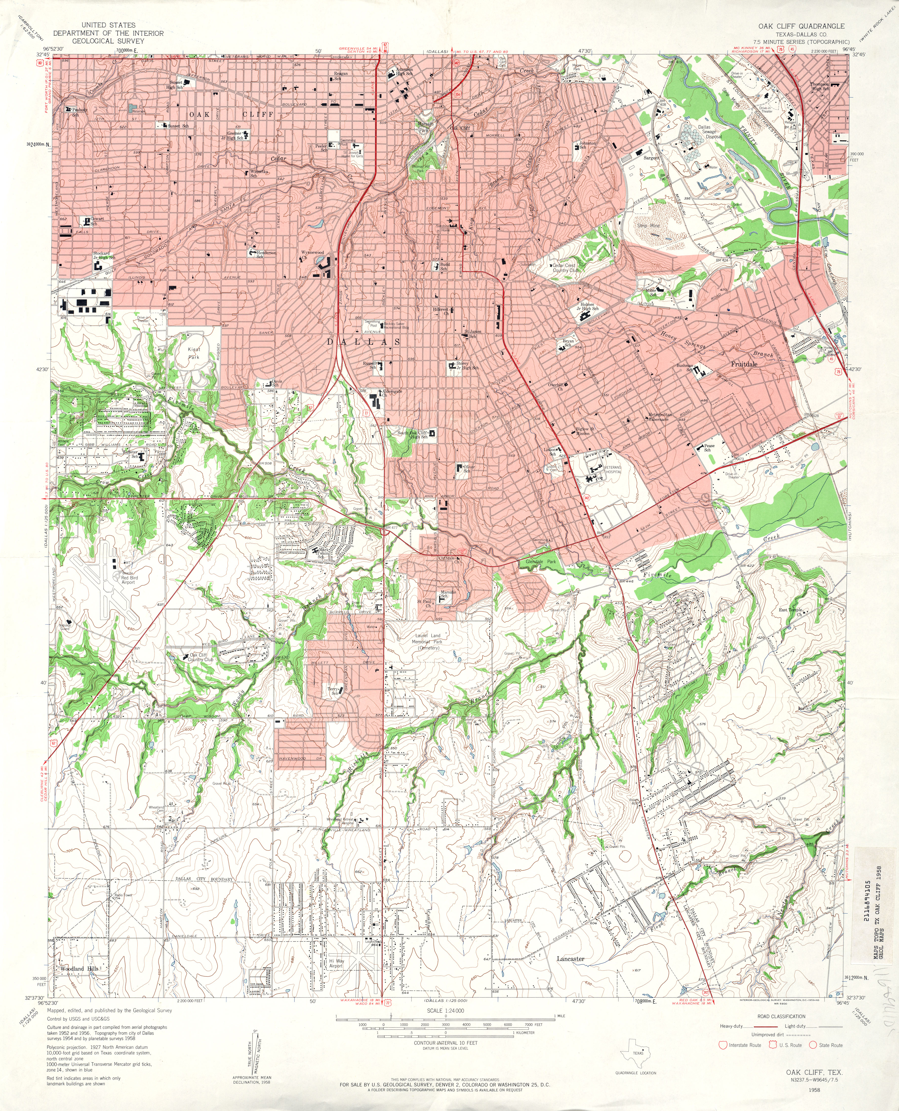
- Oak Cliff (Dallas County) 1:24,000 1958 (4.7MB)
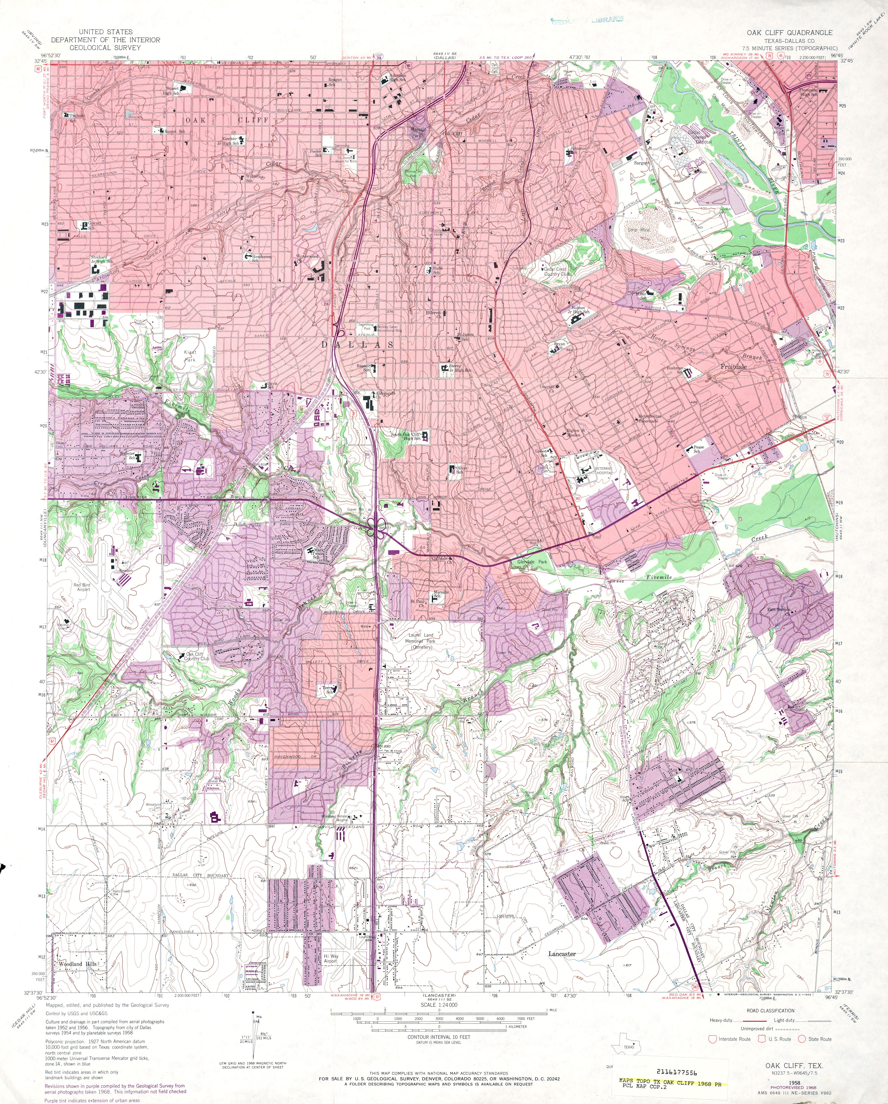
- Oak Cliff (Dallas County) 1:24,000 1968 (4.8MB)
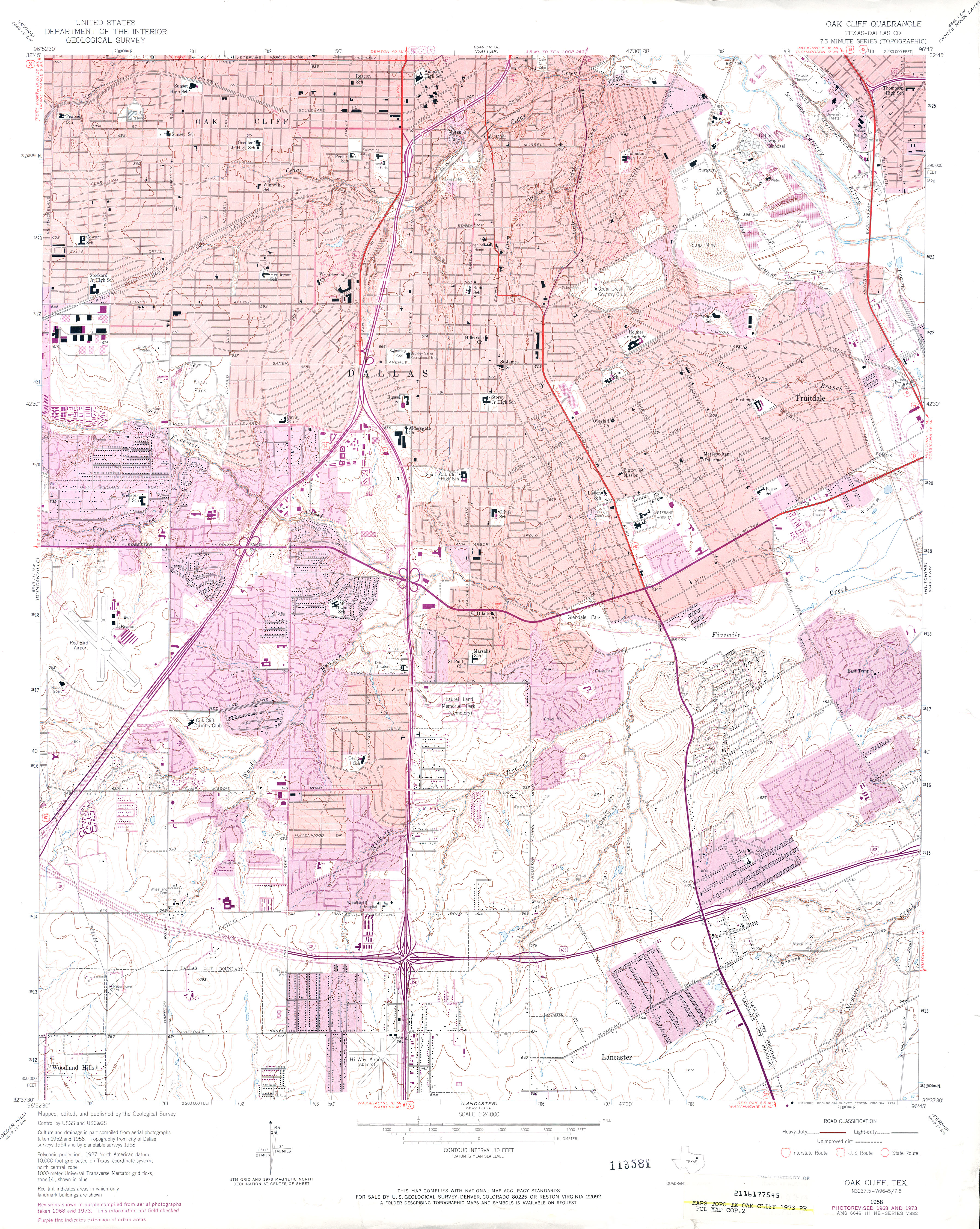
- Oak Cliff (Dallas County) 1:24,000 1973 (4.6MB)
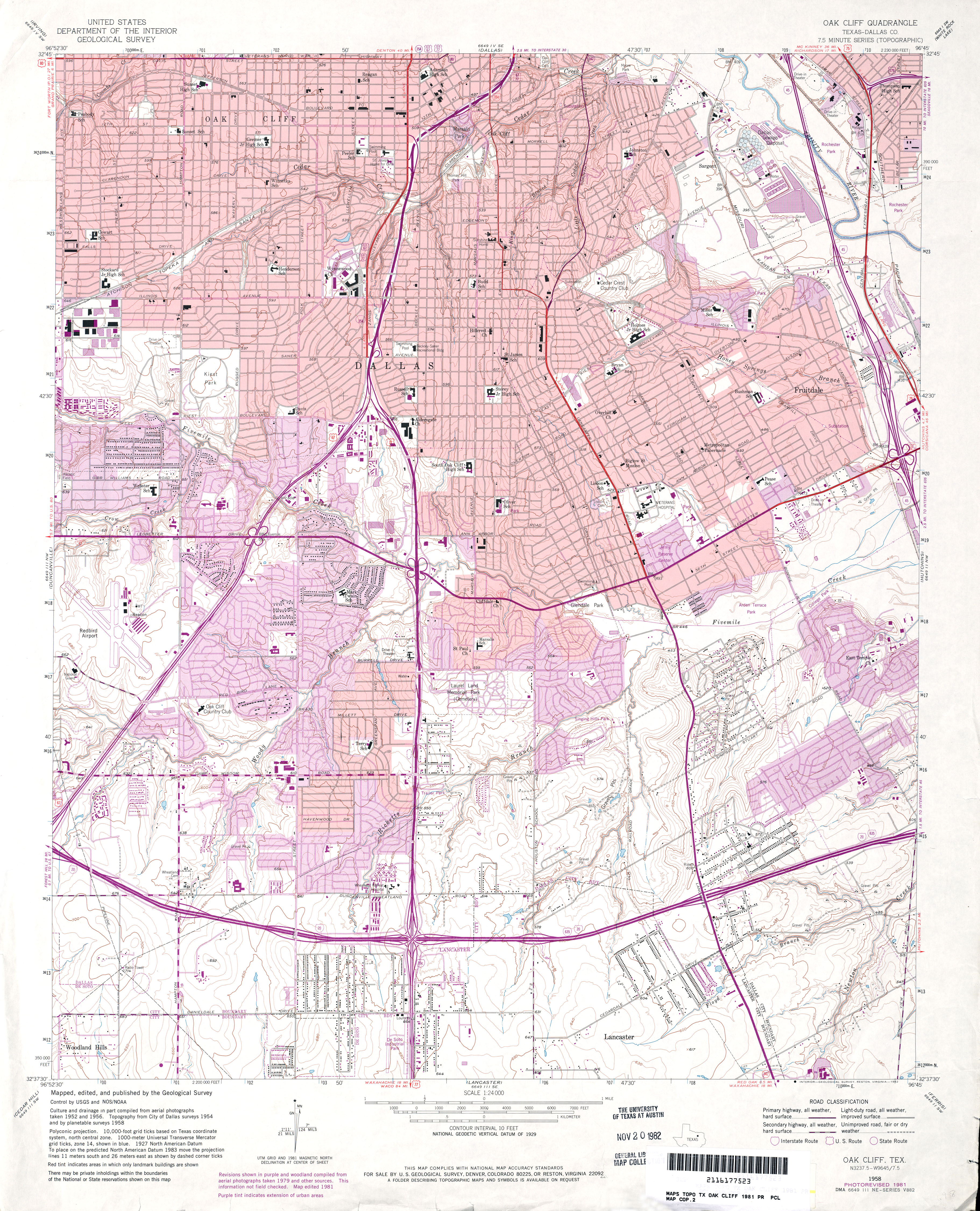
- Oak Cliff (Dallas County) 1:24,000 1981 (5MB)
- Oak Cliff 1:24,000 2008 (22.2MB) [GeoPDF]
- Oak Cliff 1:24,000 2012 (25.4MB) [GeoPDF]
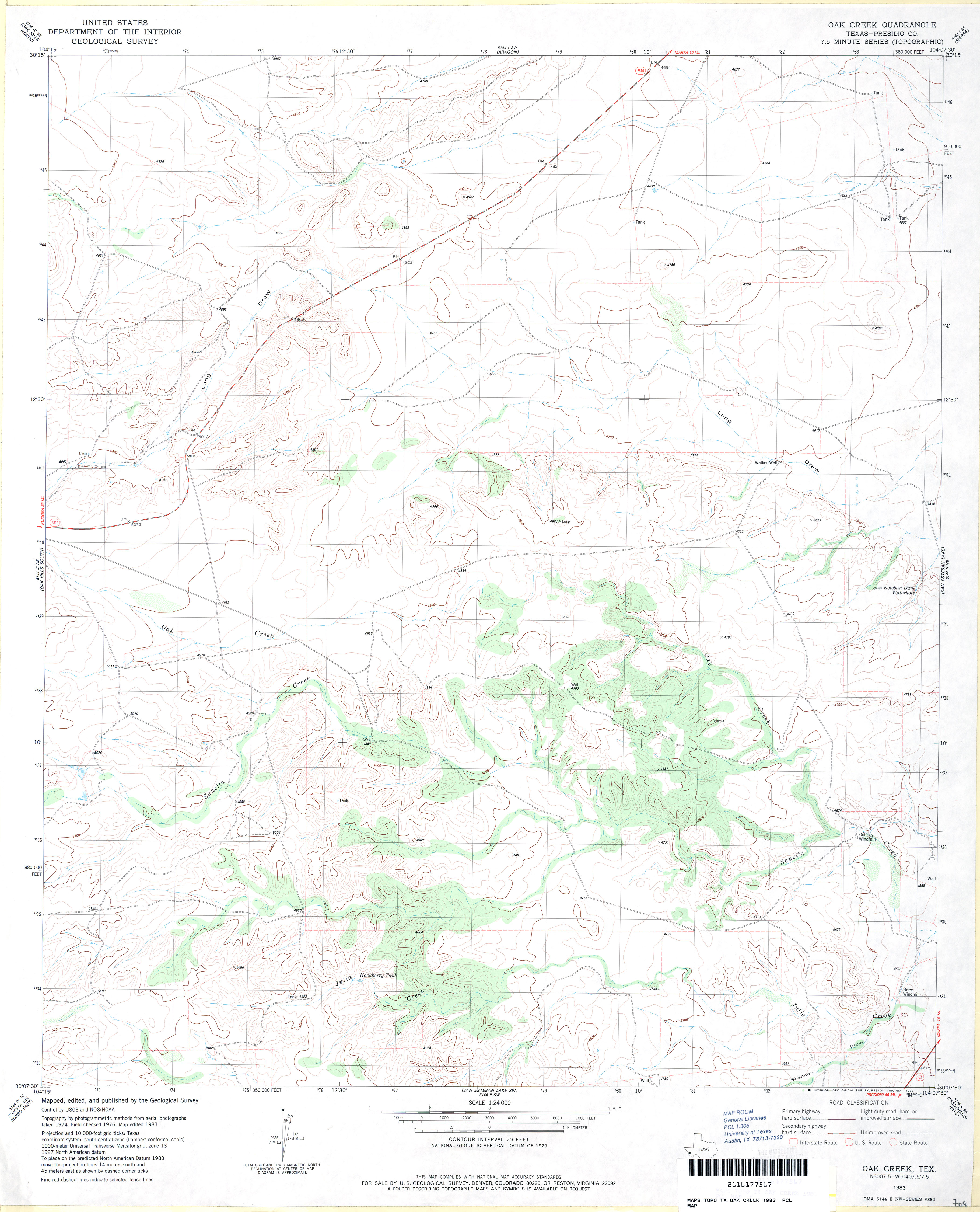
- Oak Creek (Presidio County) 1:24,000 1983 (3MB)
- Oak Creek 1:24,000 2008 (13.7MB) [GeoPDF]
- Oak Creek 1:24,000 2012 (20.8MB) [GeoPDF]
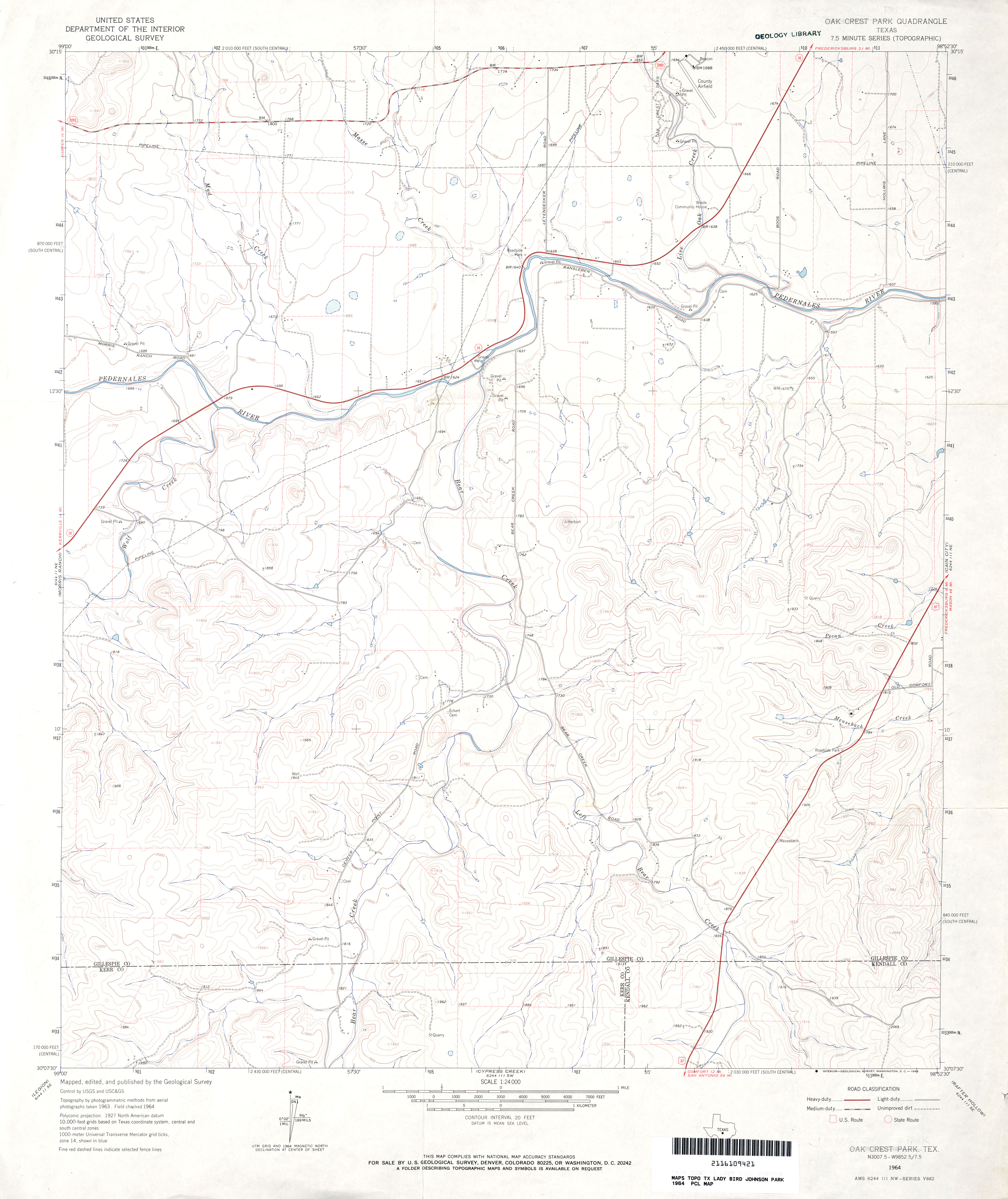
- Oak Crest Park 1:24,000 1964 (2.9MB)
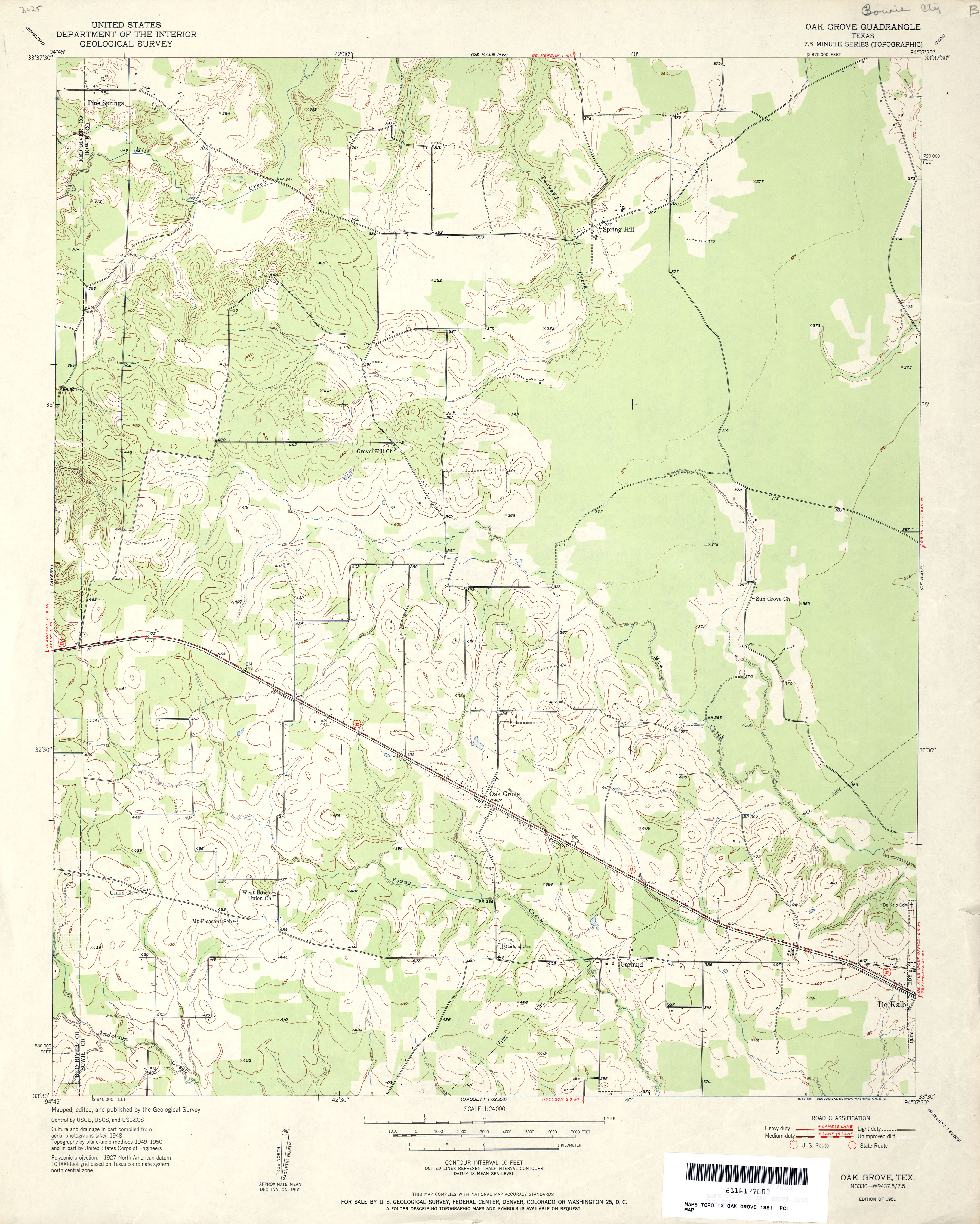
- Oak Grove 1:24,000 1951 (3.3MB)
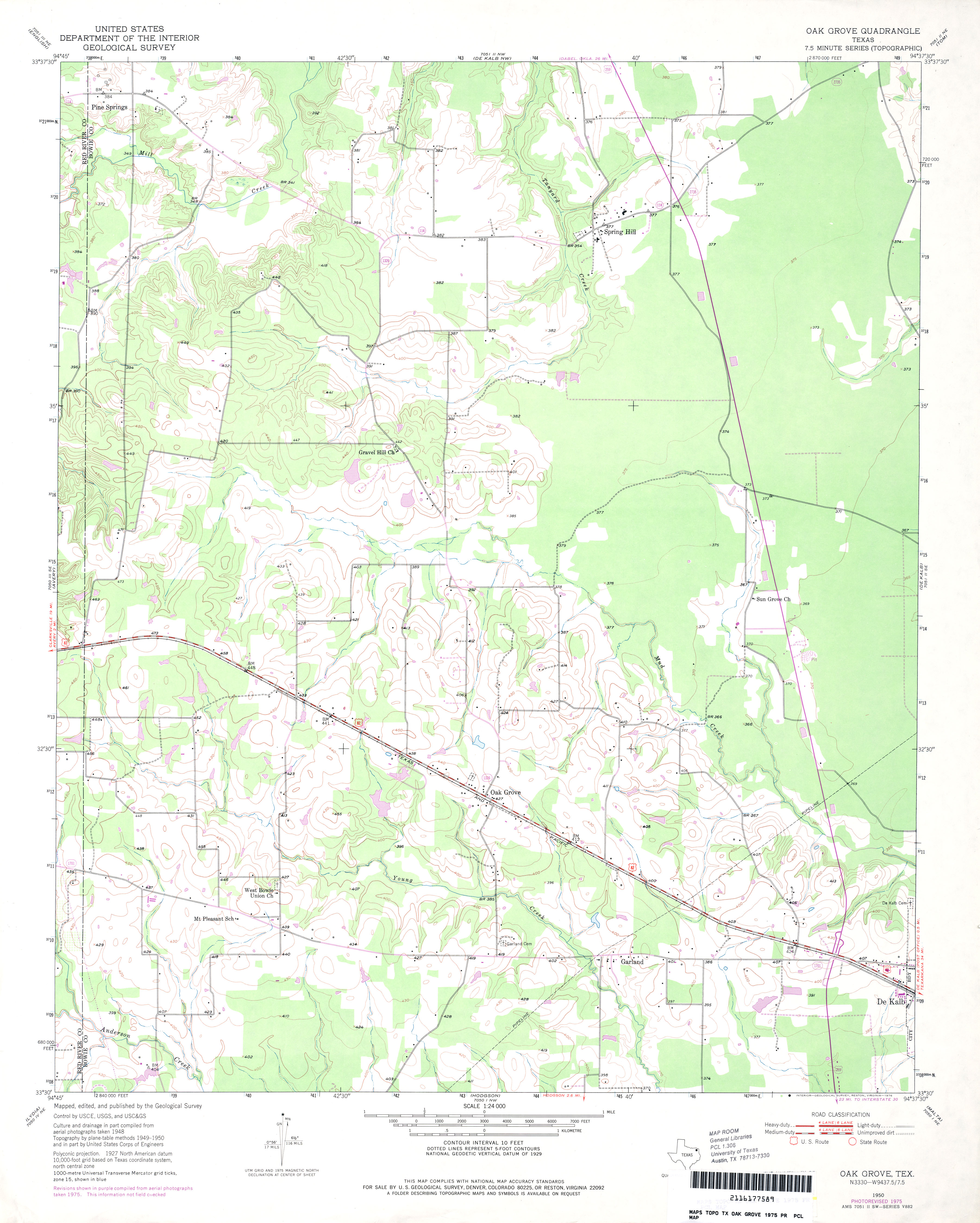
- Oak Grove 1:24,000 1975 (2.9MB)
- Oak Grove 1:24,000 2009 (15.0MB) [GeoPDF]
- Oak Grove 1:24,000 2012 (21.4MB) [GeoPDF]
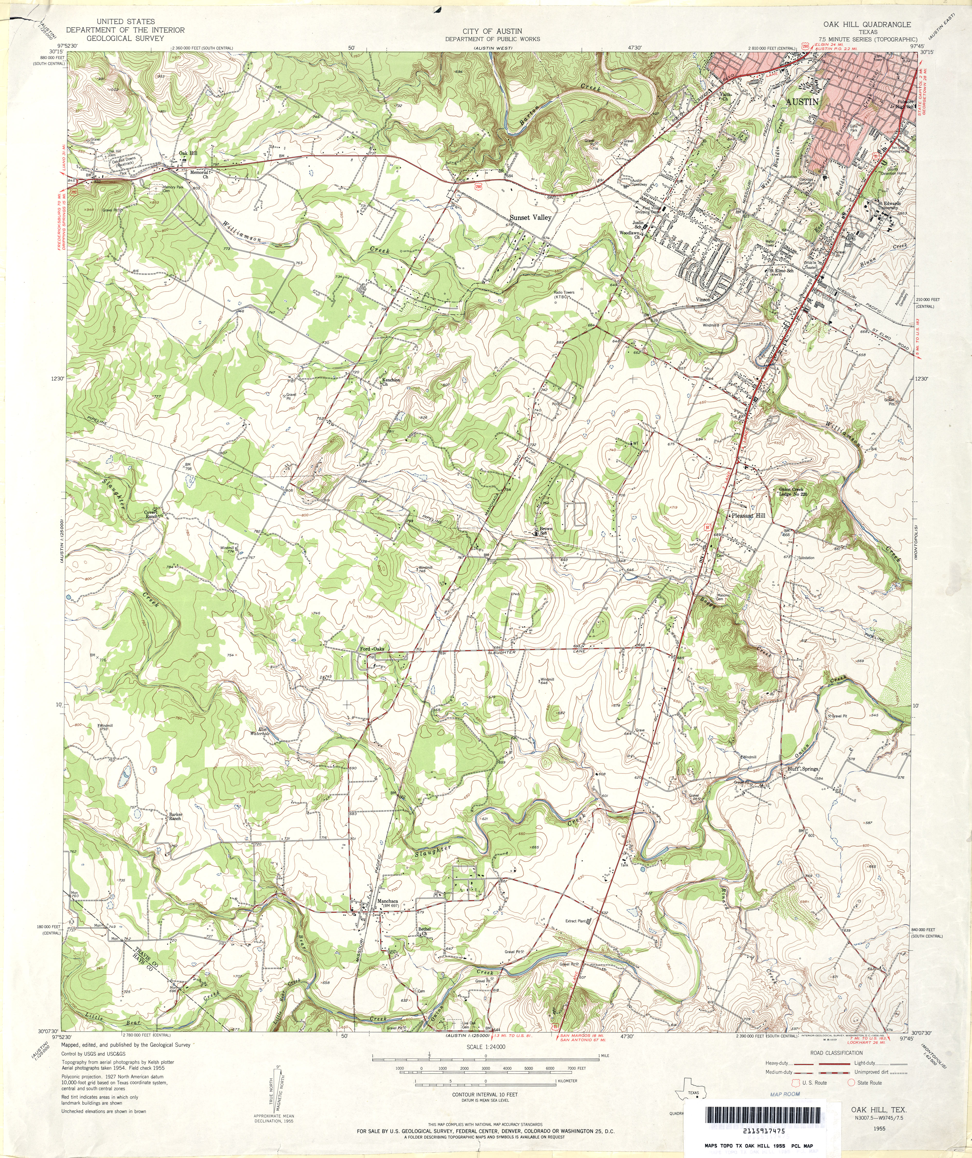
- Oak Hill 1:24,000 1955 (4.8MB)
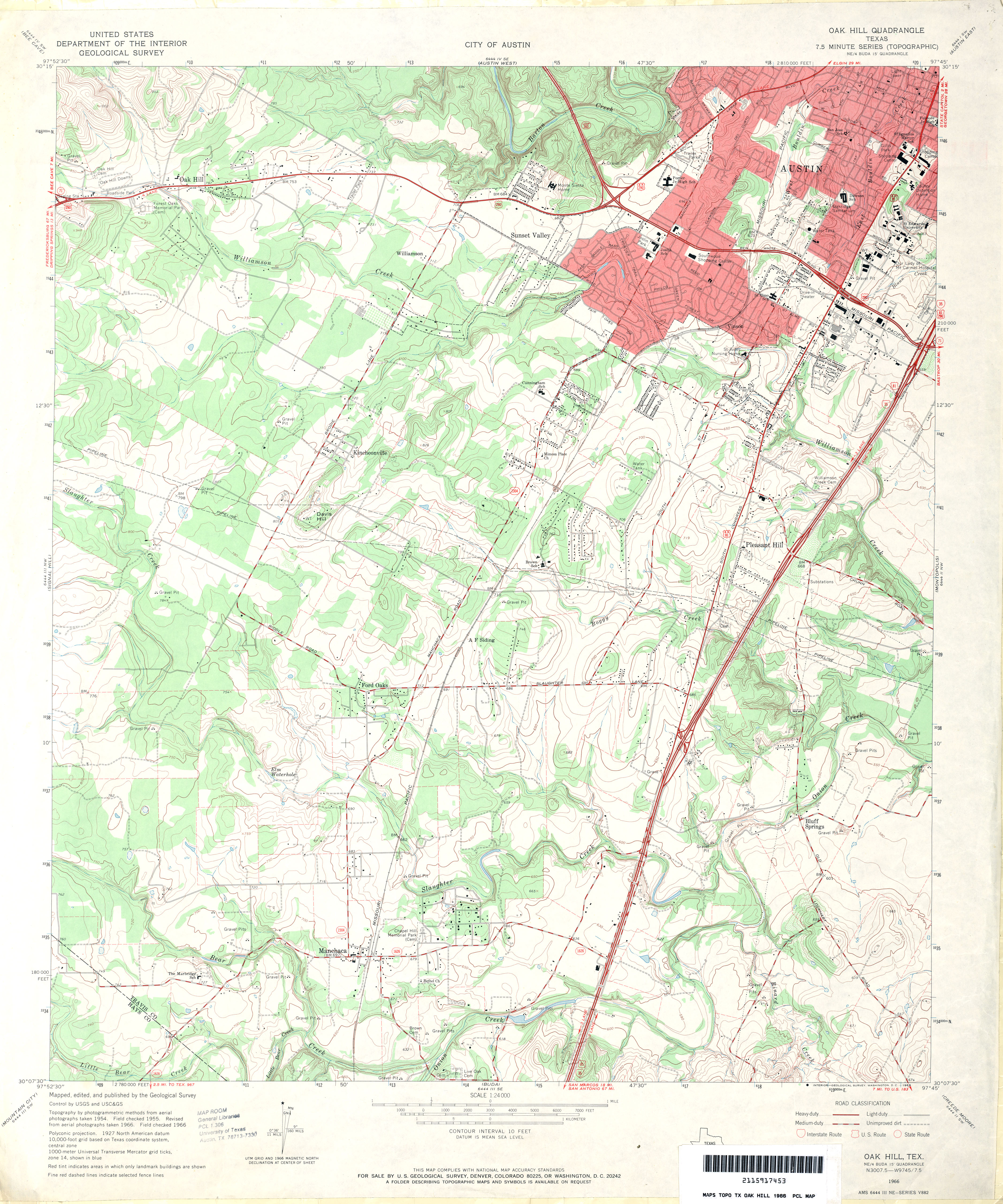
- Oak Hill 1:24,000 1966 (4.3MB)
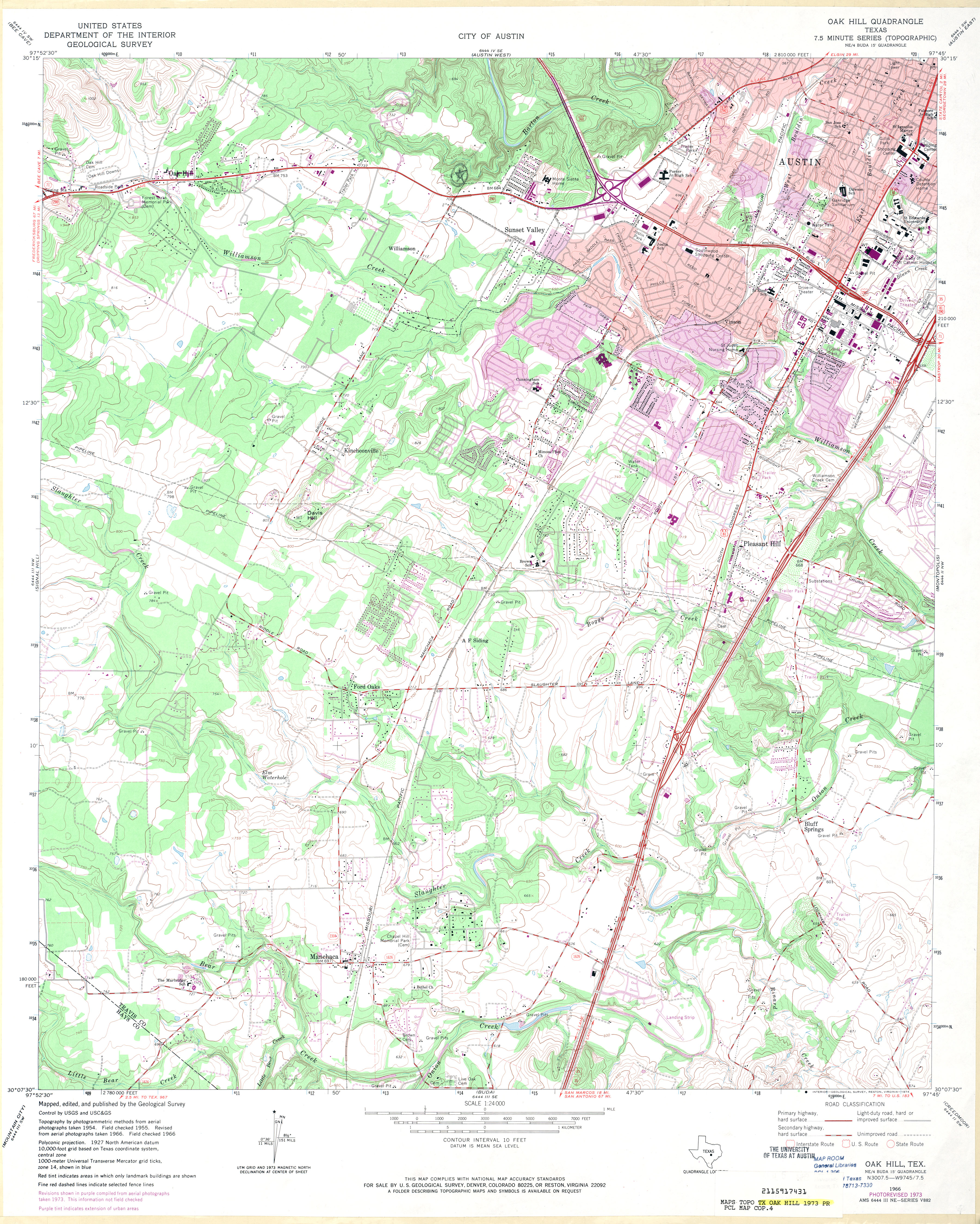
- Oak Hill 1:24,000 1973 (4.5MB)
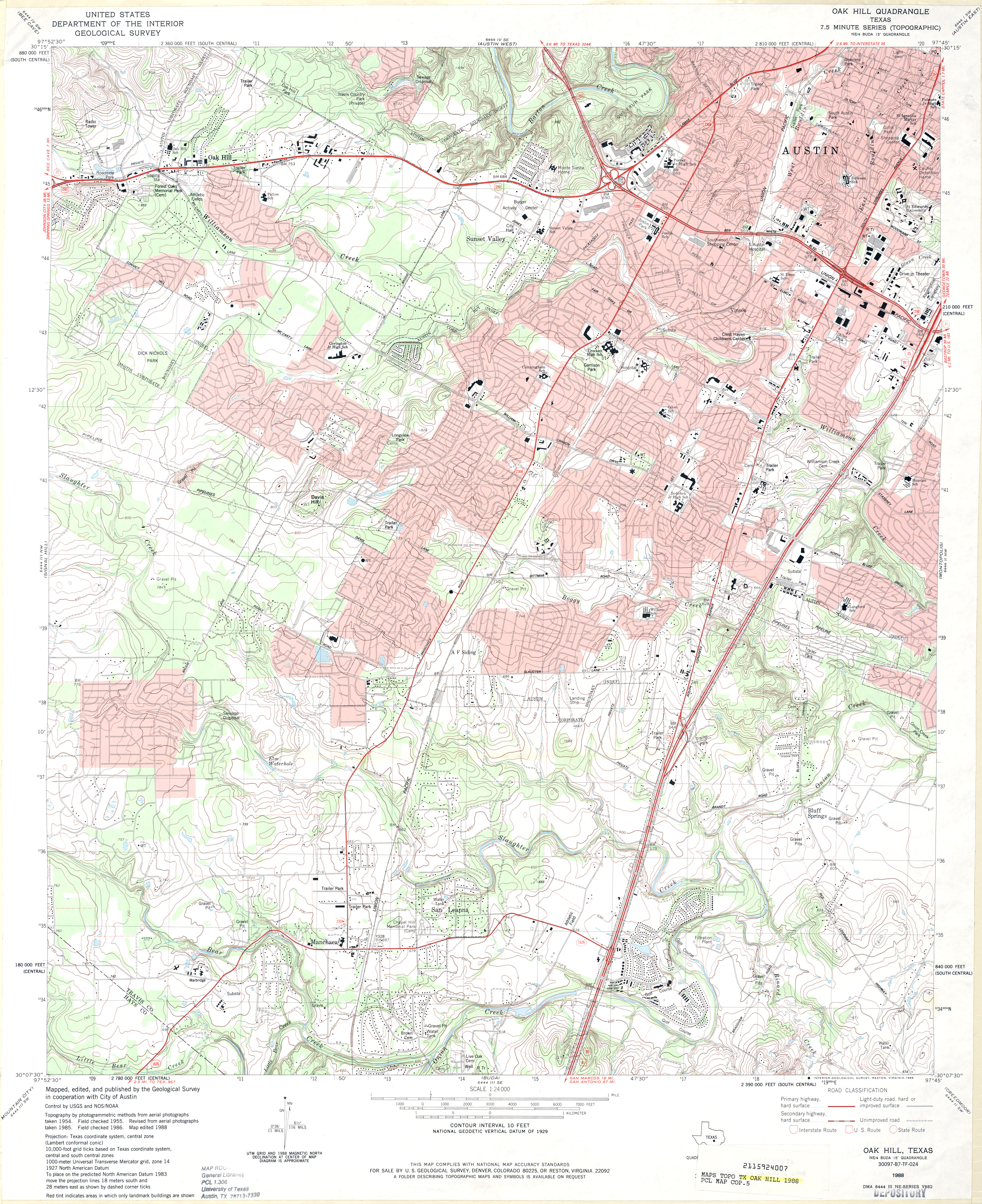
- Oak Hill 1:24,000 1988 (4.8MB)
- Oak Hill 1:24,000 2008 (19.6MB) [GeoPDF]
- Oak Hill 1:24,000 2013 (30.8MB) [GeoPDF]
- Oak Hills North (Presidio County) 1:24,000 1983 (2.4MB)
- Oak Hills North 1:24,000 2008 (15.2MB) [GeoPDF]
- Oak Hills North 1:24,000 2012 (24MB) [GeoPDF]
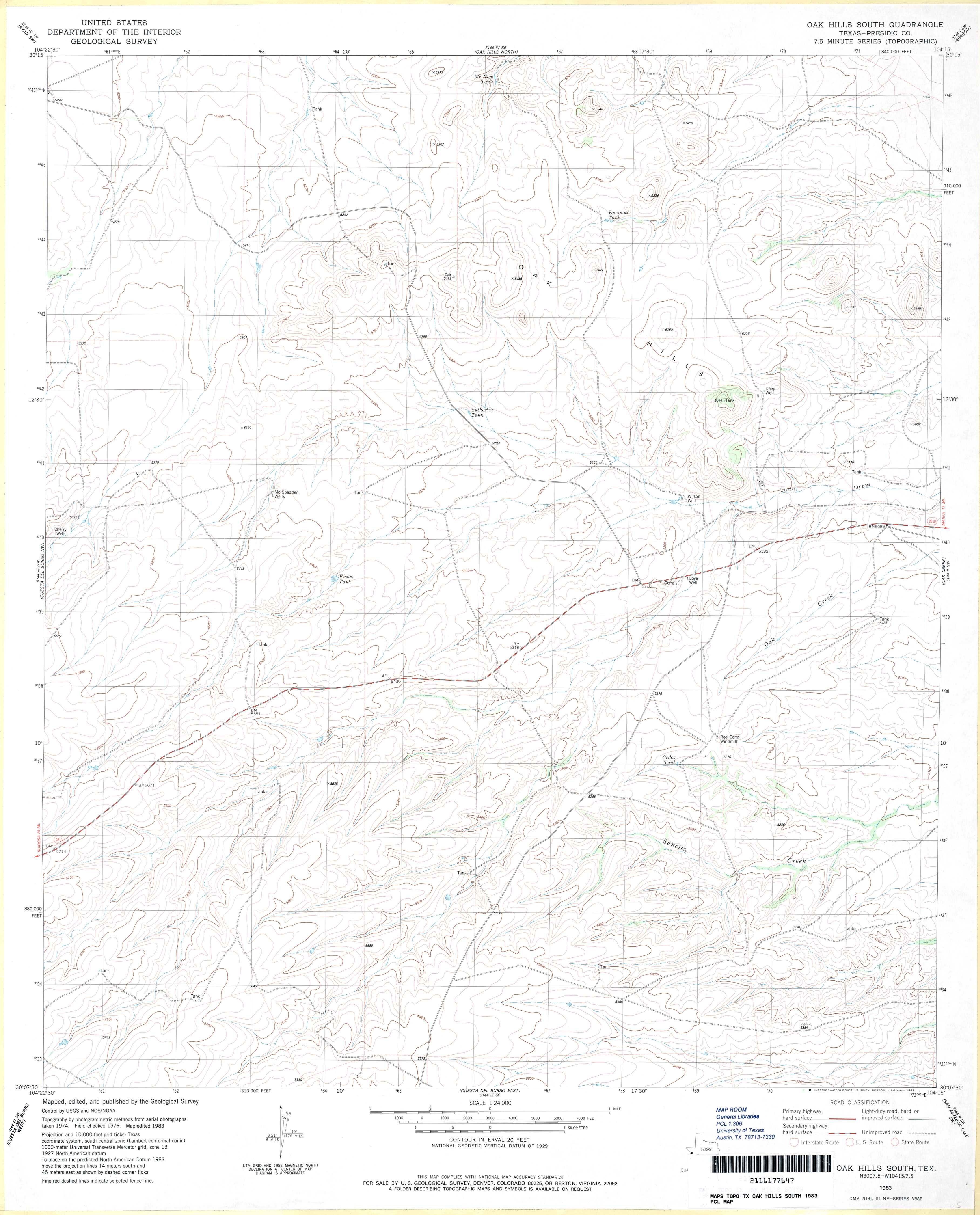
- Oak Hills South (Presidio County) 1:24,000 1983 (3.1MB)
- Oak Hills South 1:24,000 2008 (14.0MB) [GeoPDF]
- Oak Hills South 1:24,000 2012 (20.6MB) [GeoPDF]
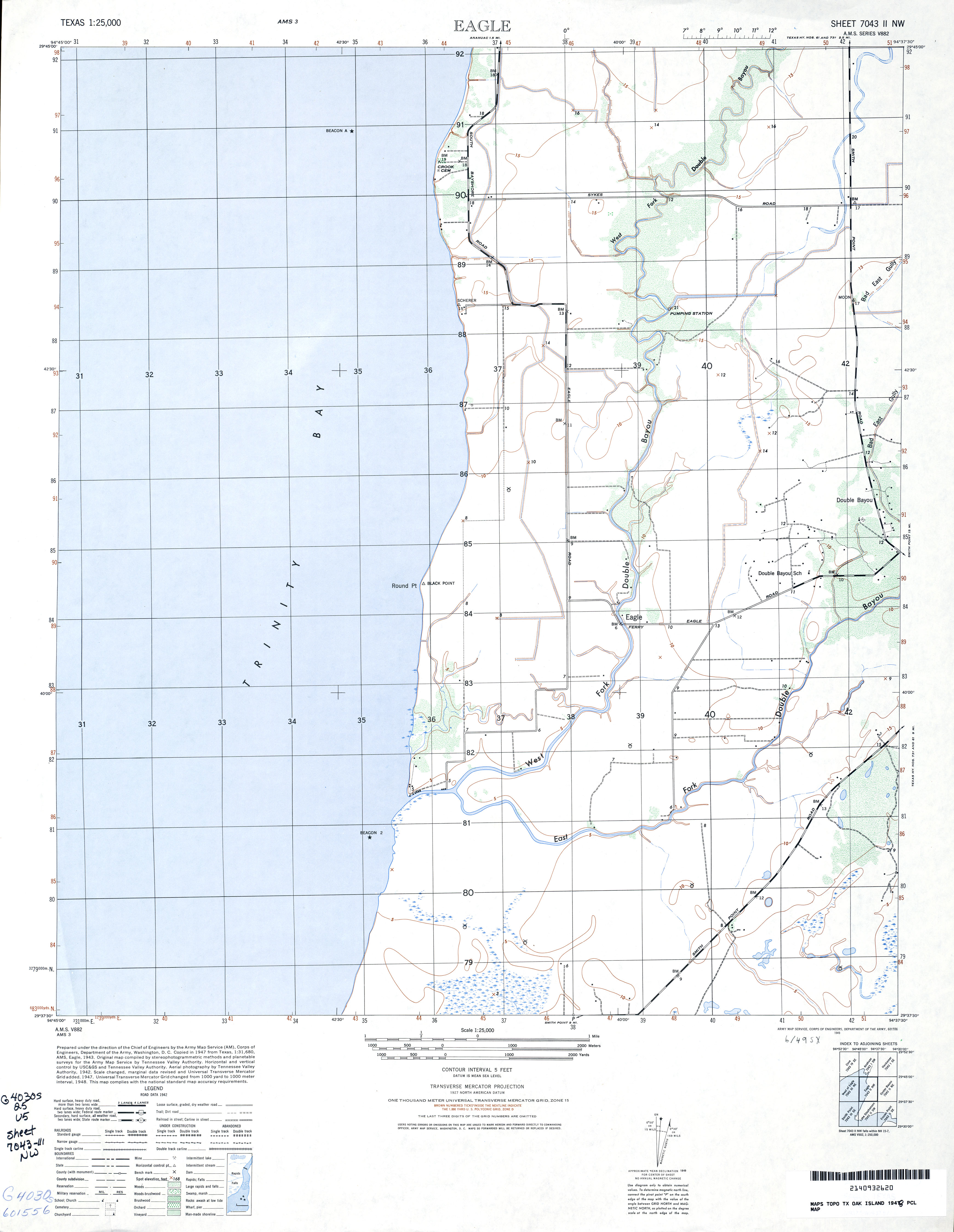
- Oak Island 1:25,000 1948 (2.4MB) U.S. Army Map Service, Edition AMS-3, Series V882
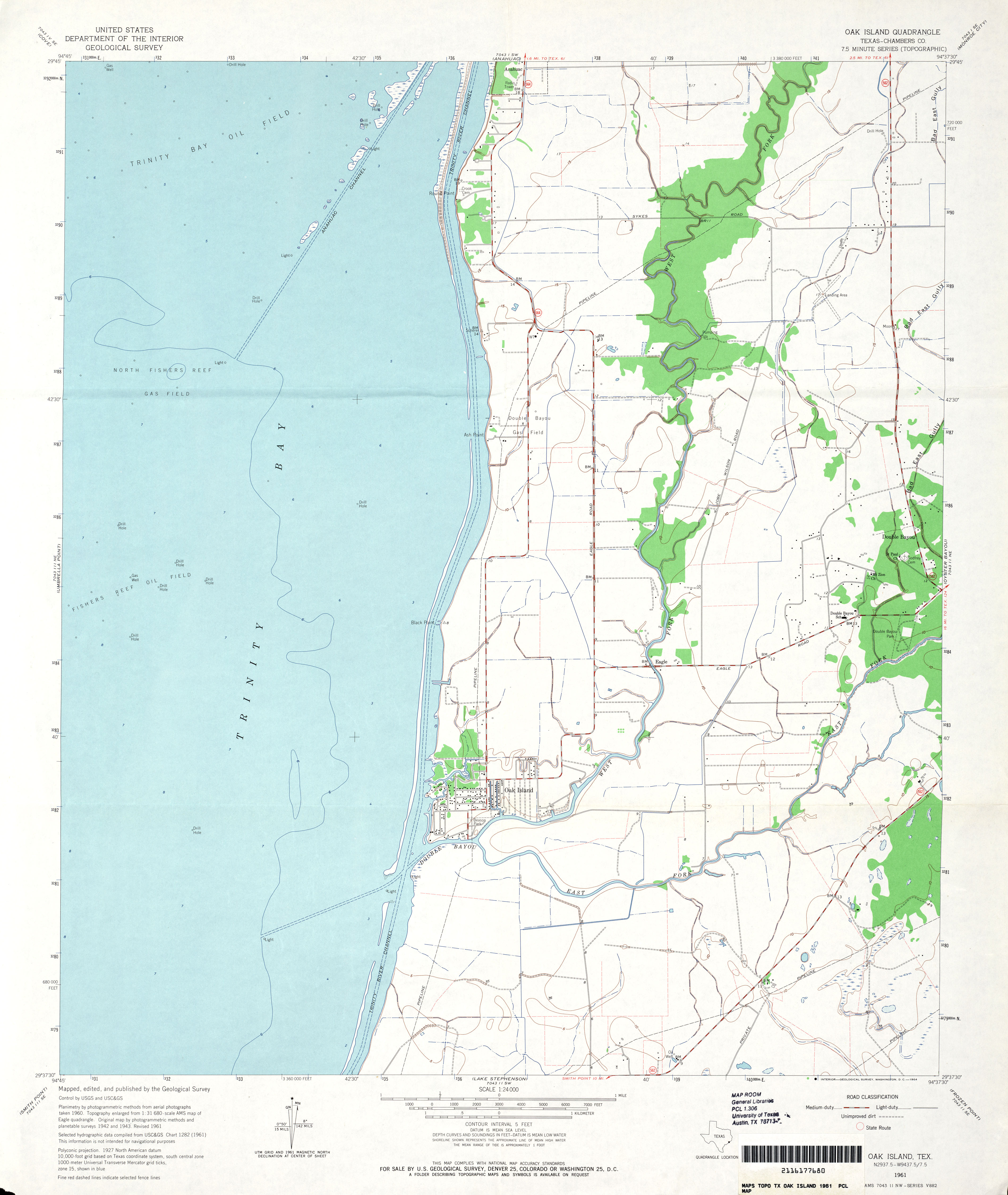
- Oak Island (Chambers County) 1:24,000 1961 (2.5MB)
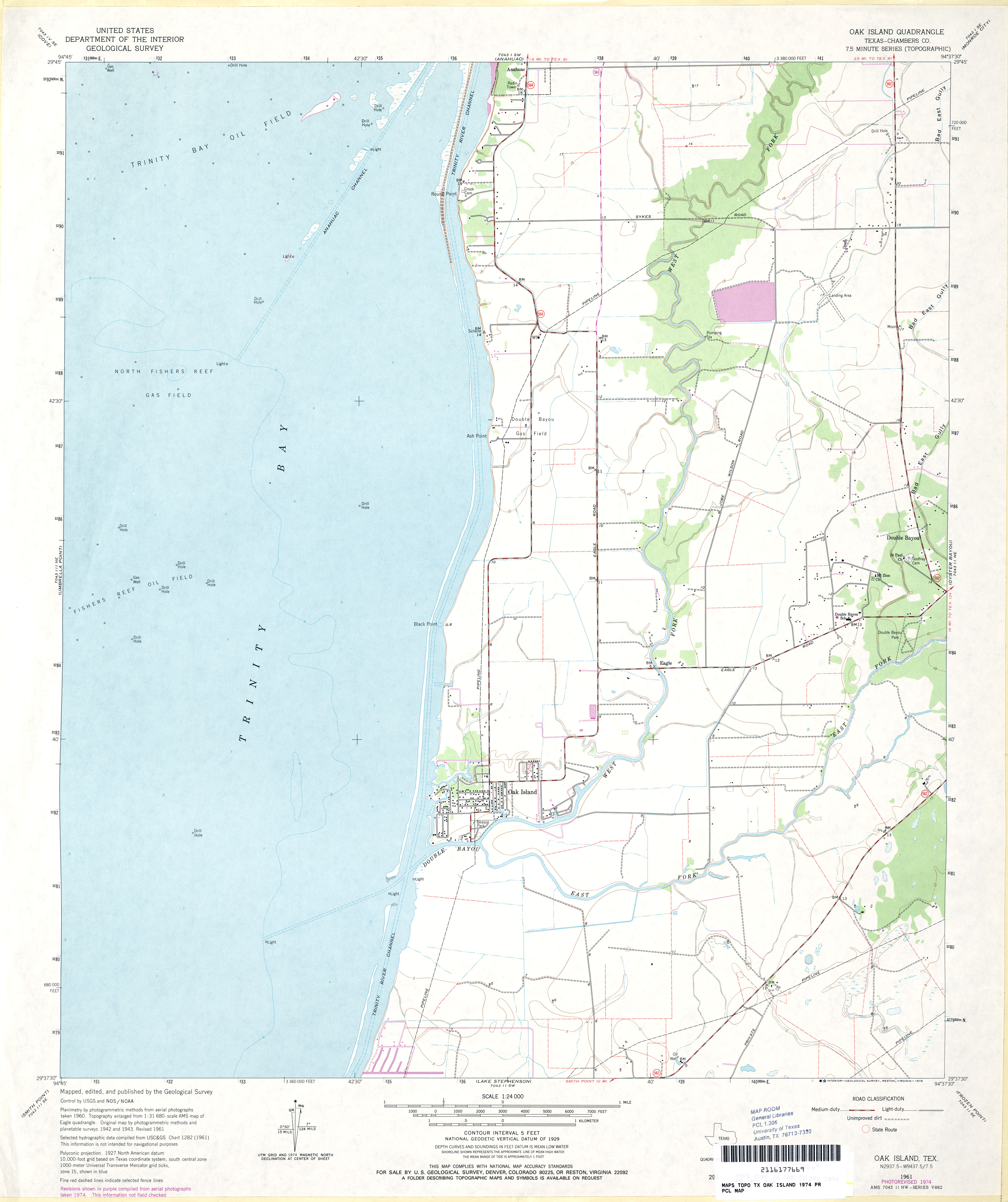
- Oak Island (Chambers County) 1:24,000 1974 (2.4MB)
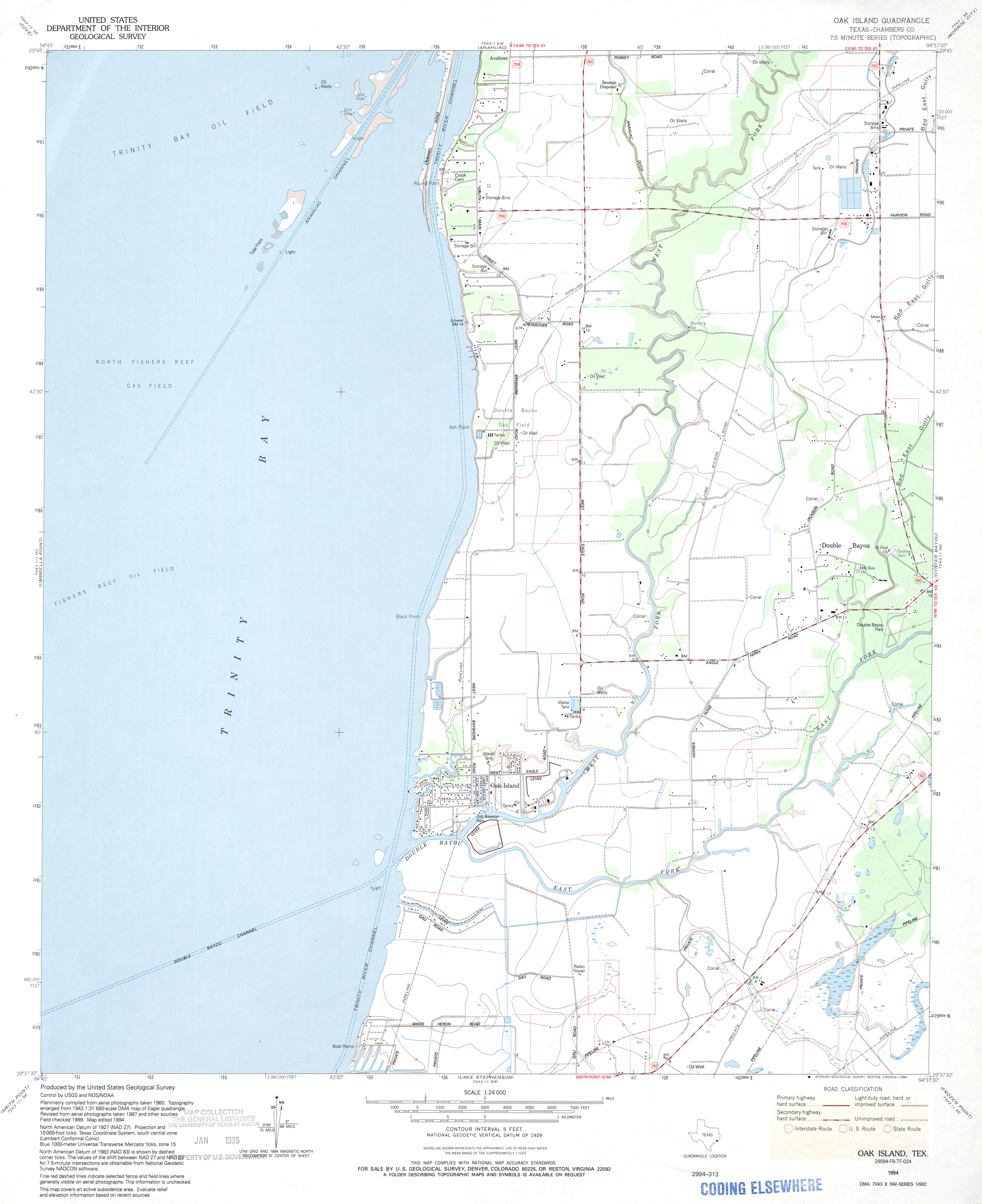
- Oak Island (Chambers County) 1:24,000 1994 (2.4MB)
- Oak Island 1:24,000 2009 (17.9MB) [GeoPDF]
- Oak Island 1:24,000 2013 (17.5MB) [GeoPDF]
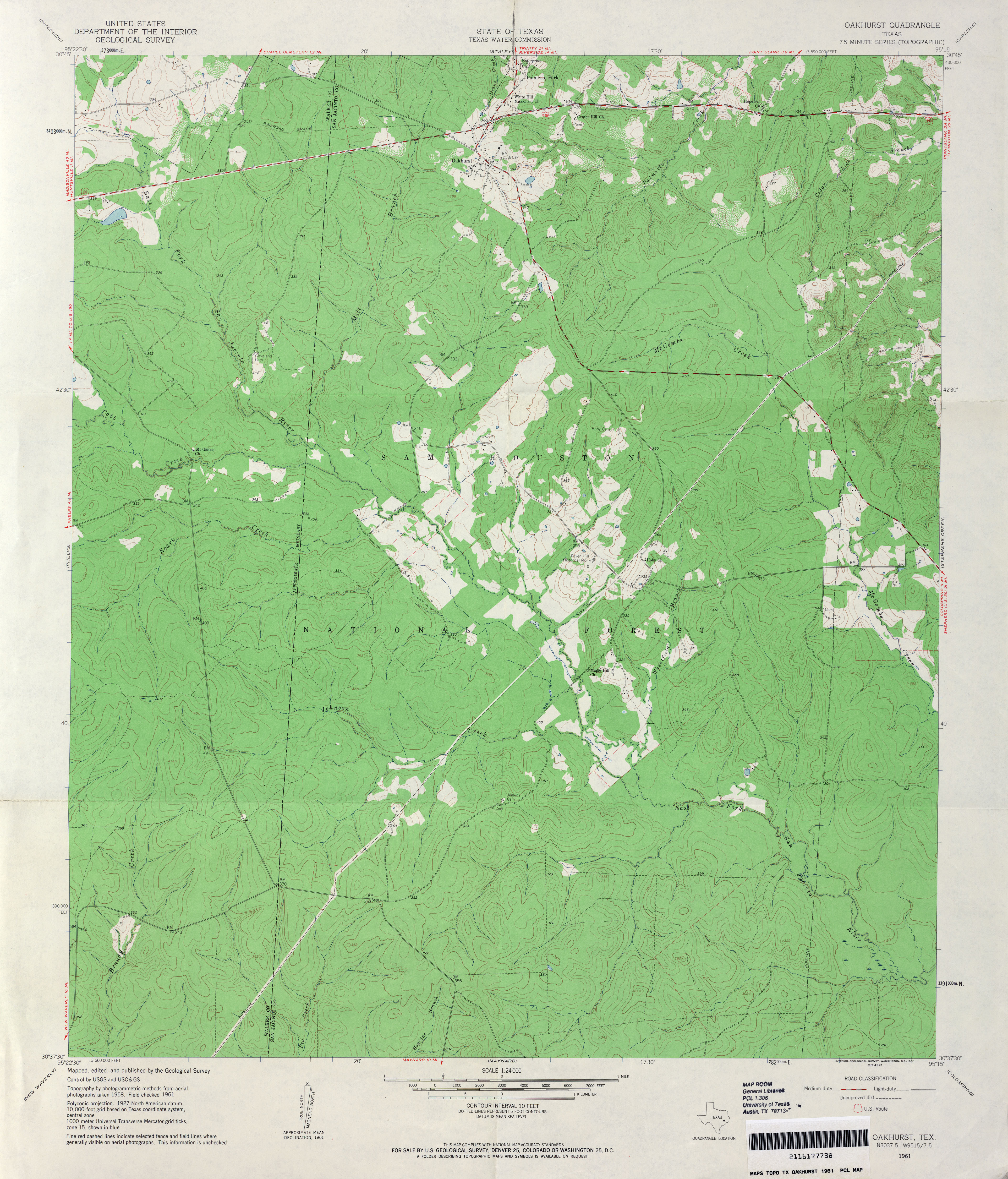
- Oakhurst 1:24,000 1961 (3.8MB)
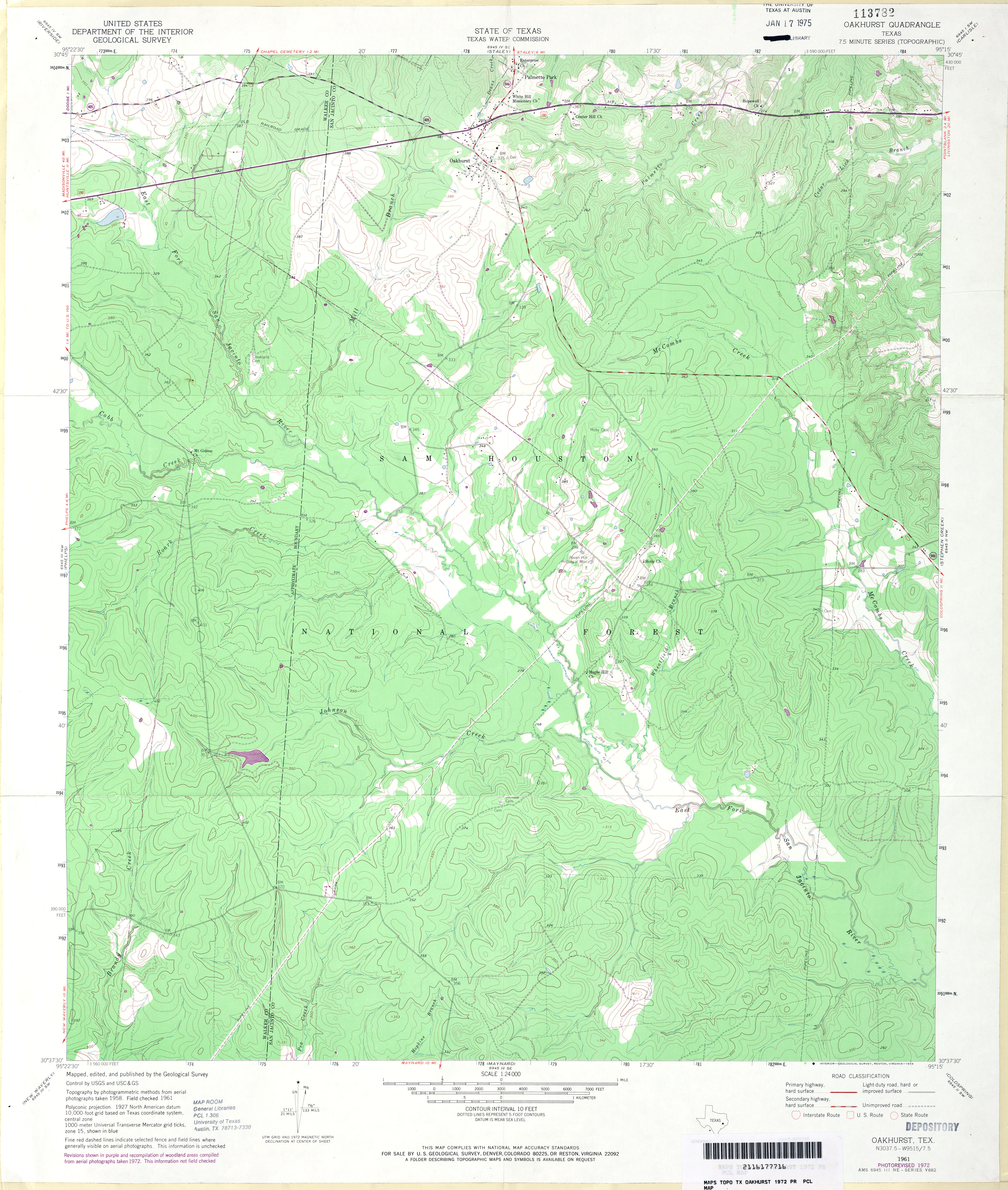
- Oakhurst 1:24,000 1972 (4MB)
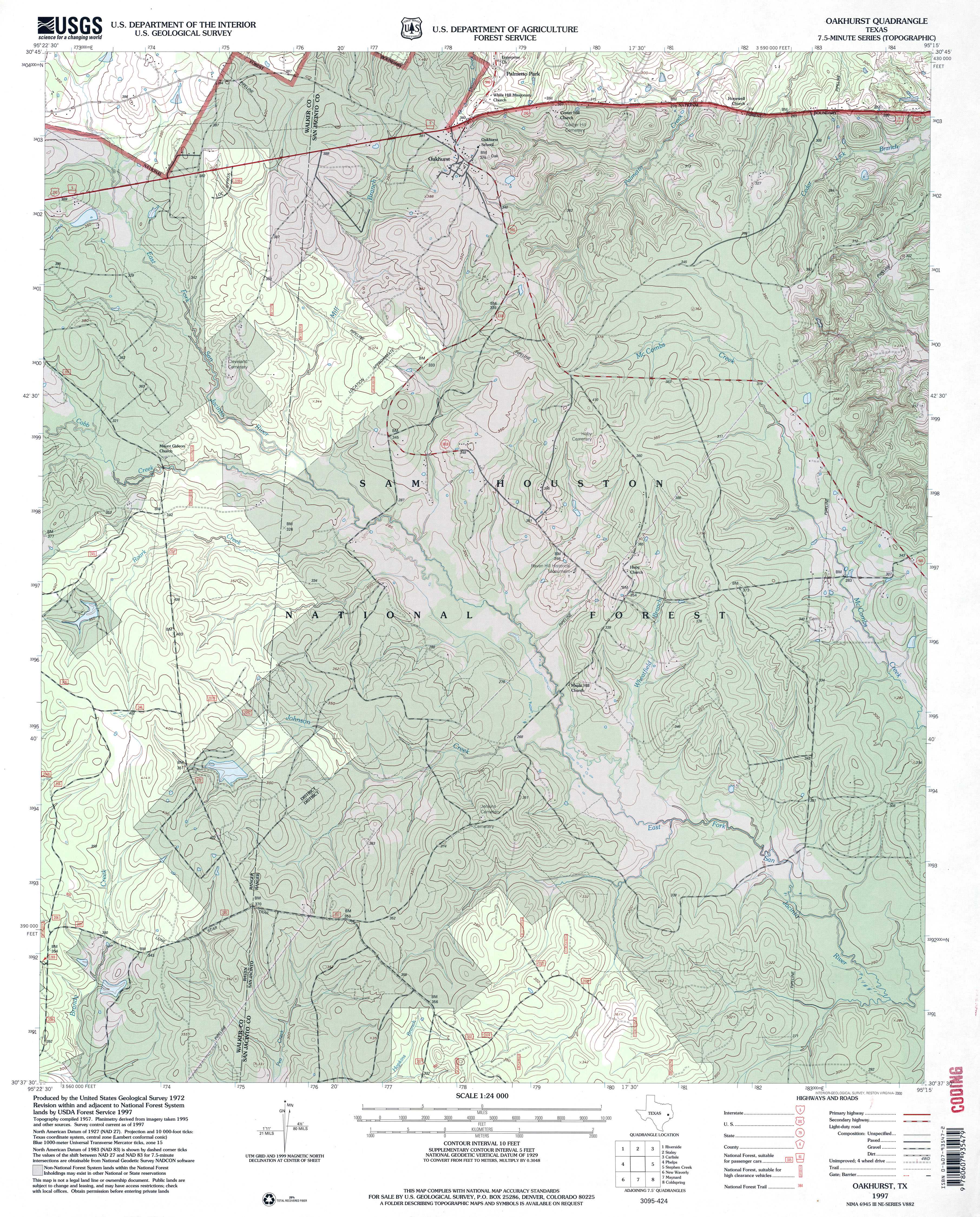
- Oakhurst 1:24,000 1997 (5.2MB)
- Oakhurst 1:24,000 2009 (25.8MB) [GeoPDF]
- Oakhurst 1:24,000 2013 (23.6MB) [GeoPDF]
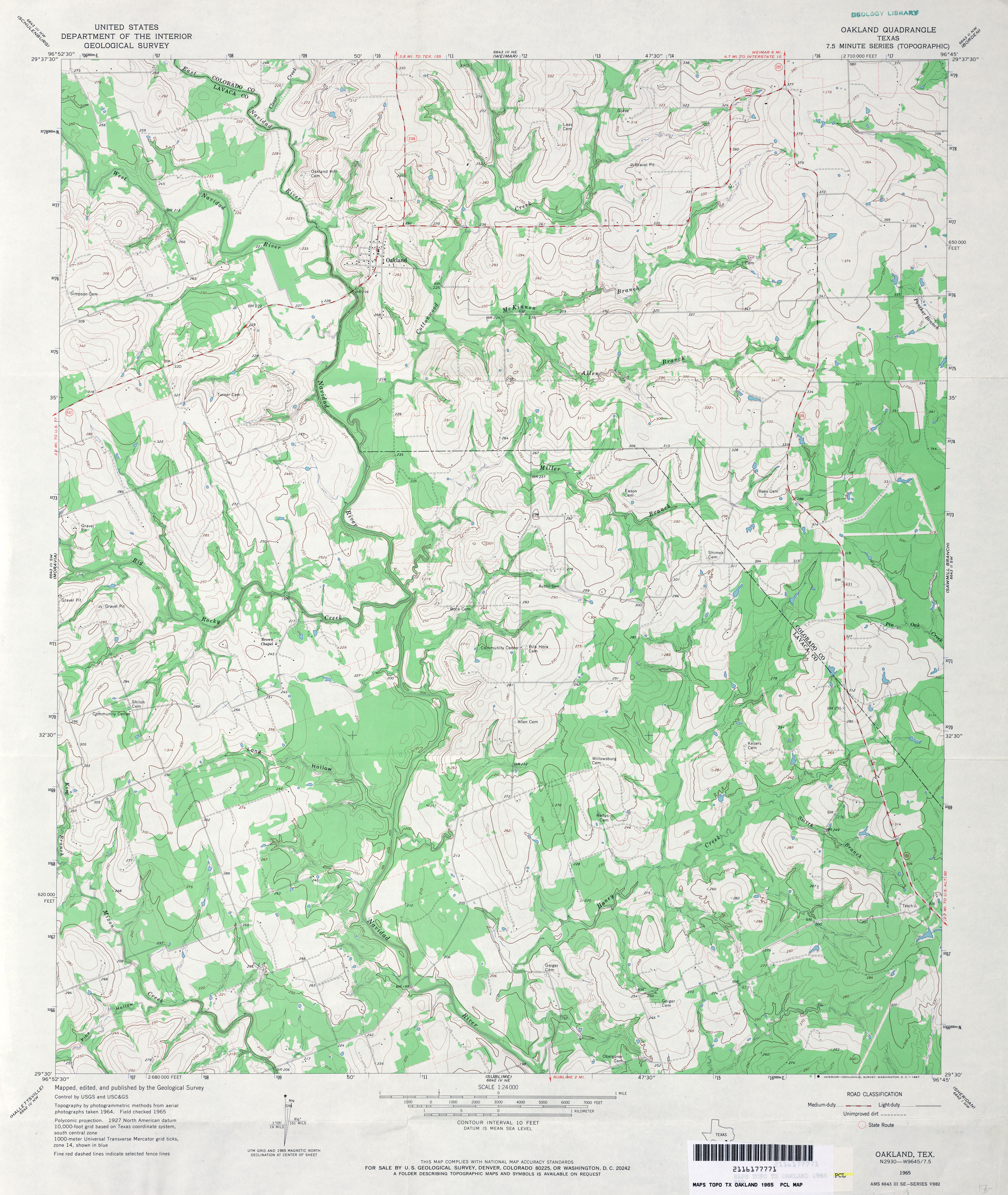
- Oakland 1:24,000 1965 (4.1MB)
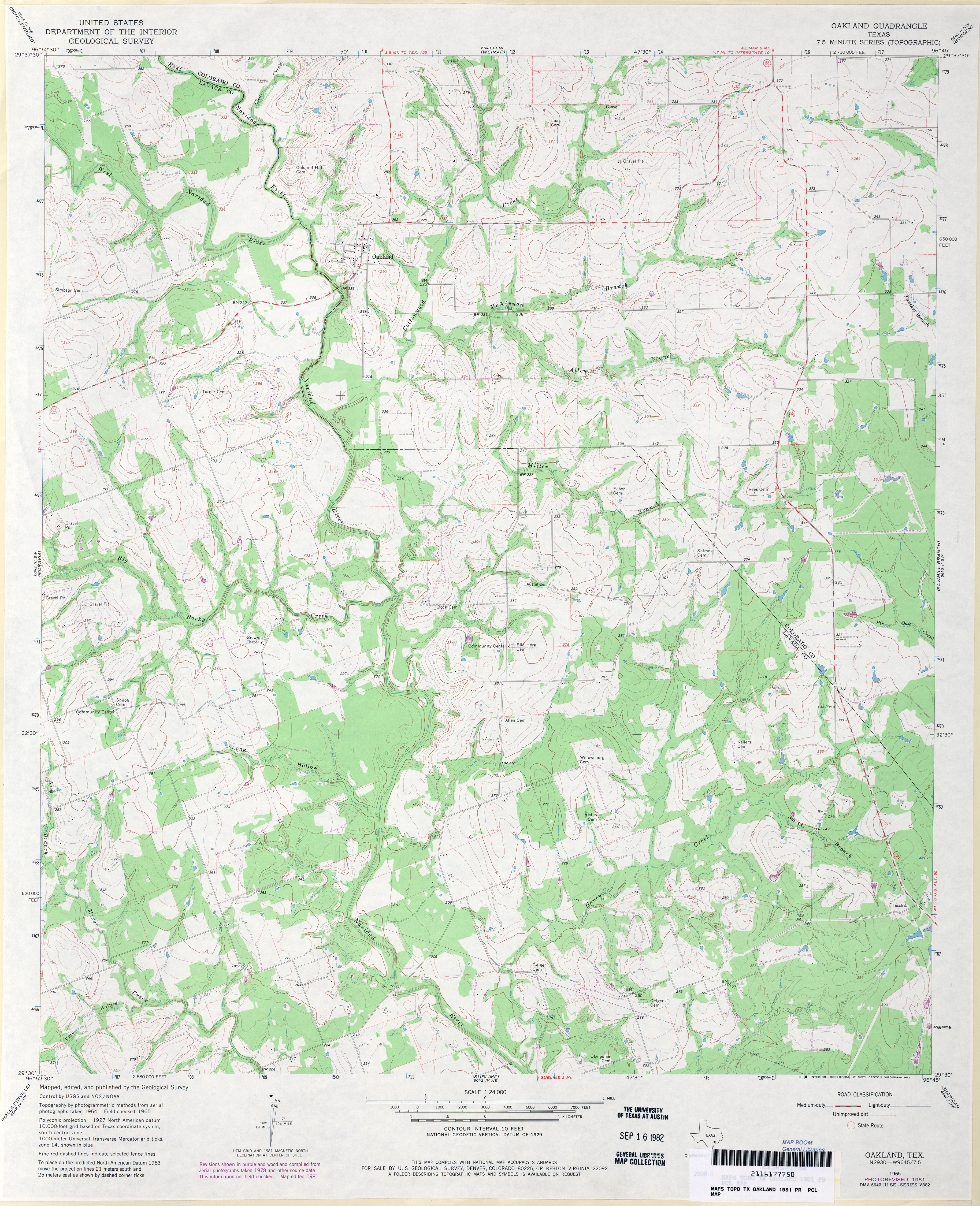
- Oakland 1:24,000 1981 (3.9MB)
- Oakland 1:24,000 2008 (14.8MB) [GeoPDF]
- Oakland 1:24,000 2013 (23.1MB) [GeoPDF]
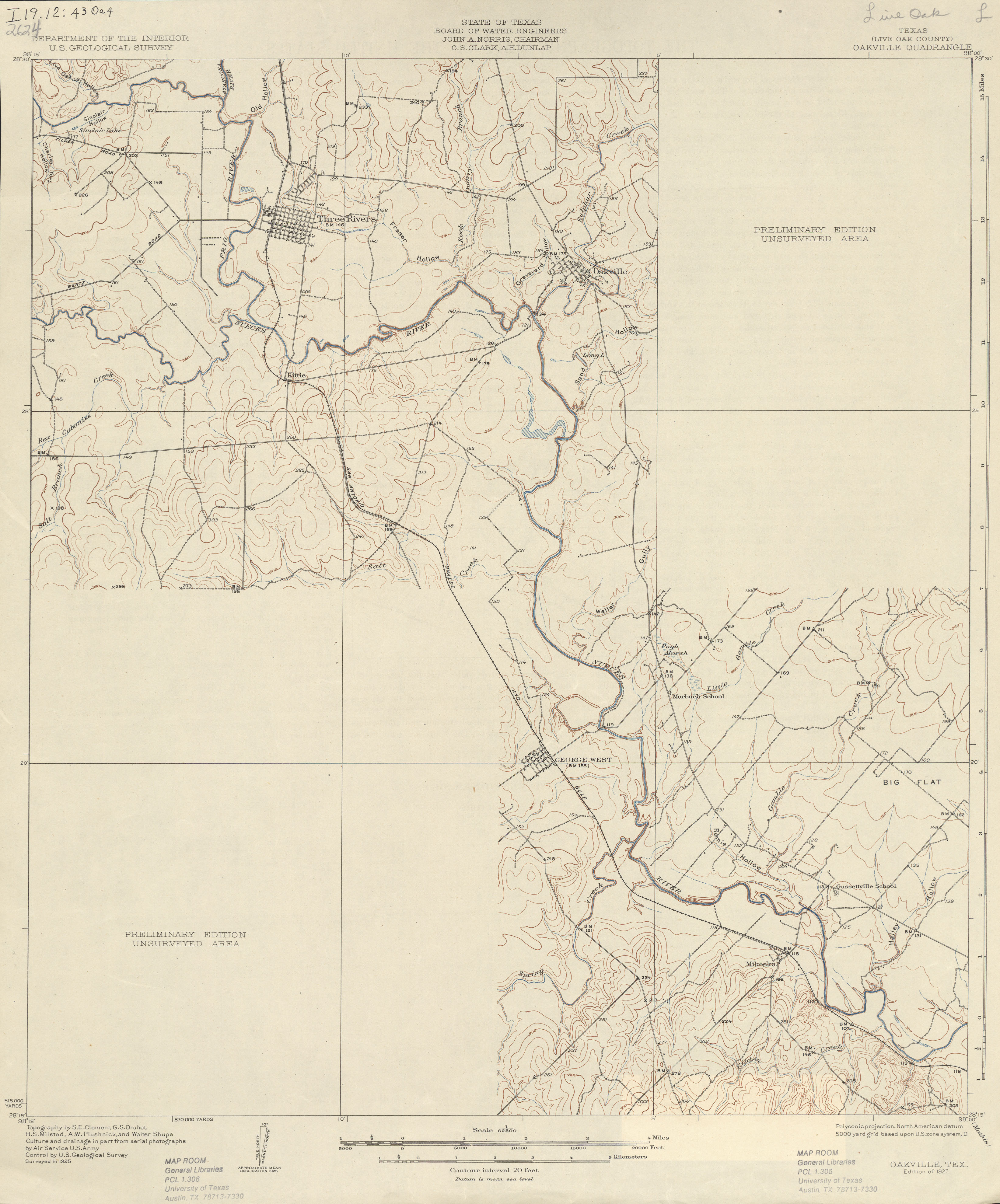
- Oakville (Live Oak County) 1:62,500 1925 (2.3 MB)
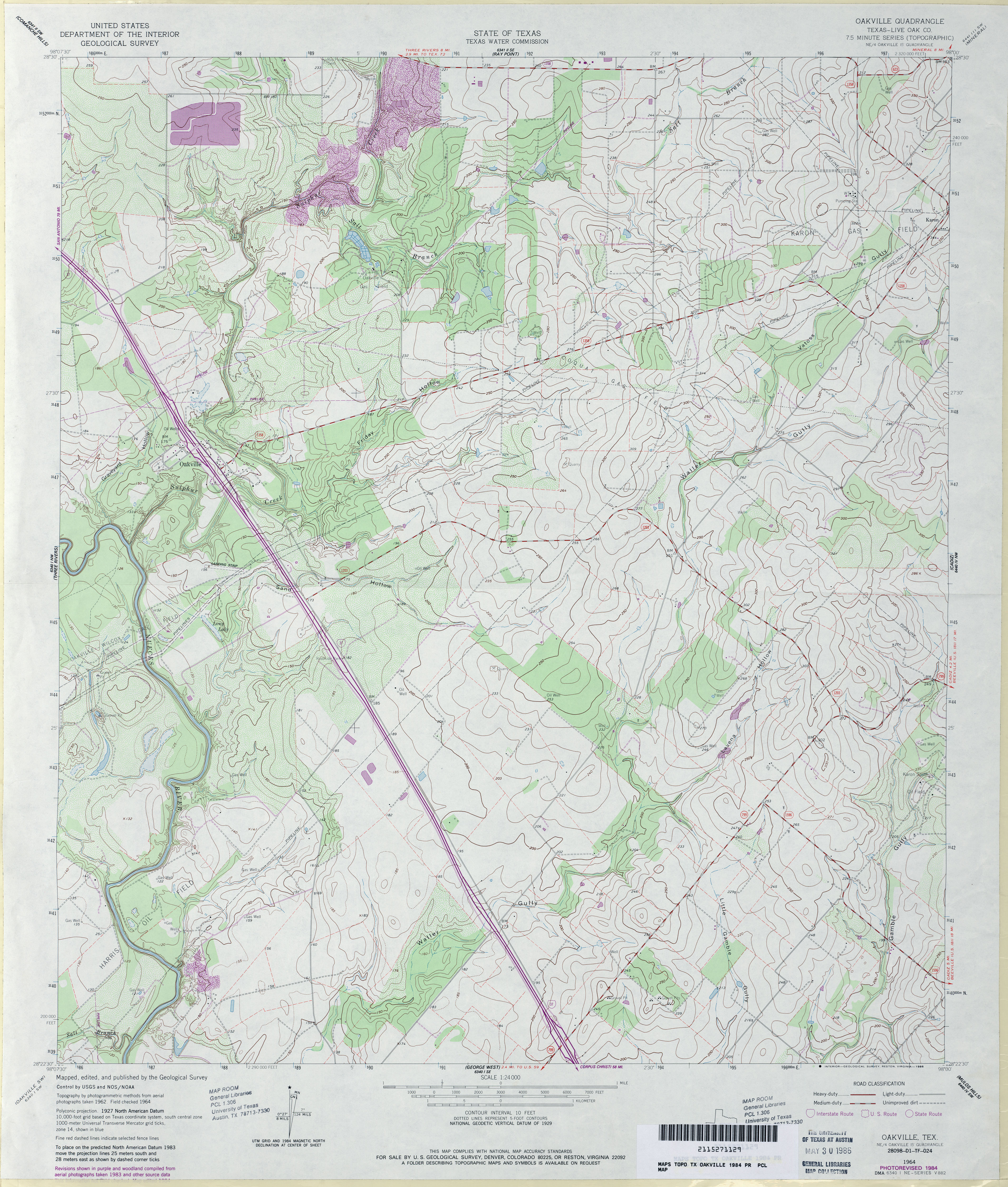
- Oakville (Live Oak County) 1:24,000 1964 (4.6MB)
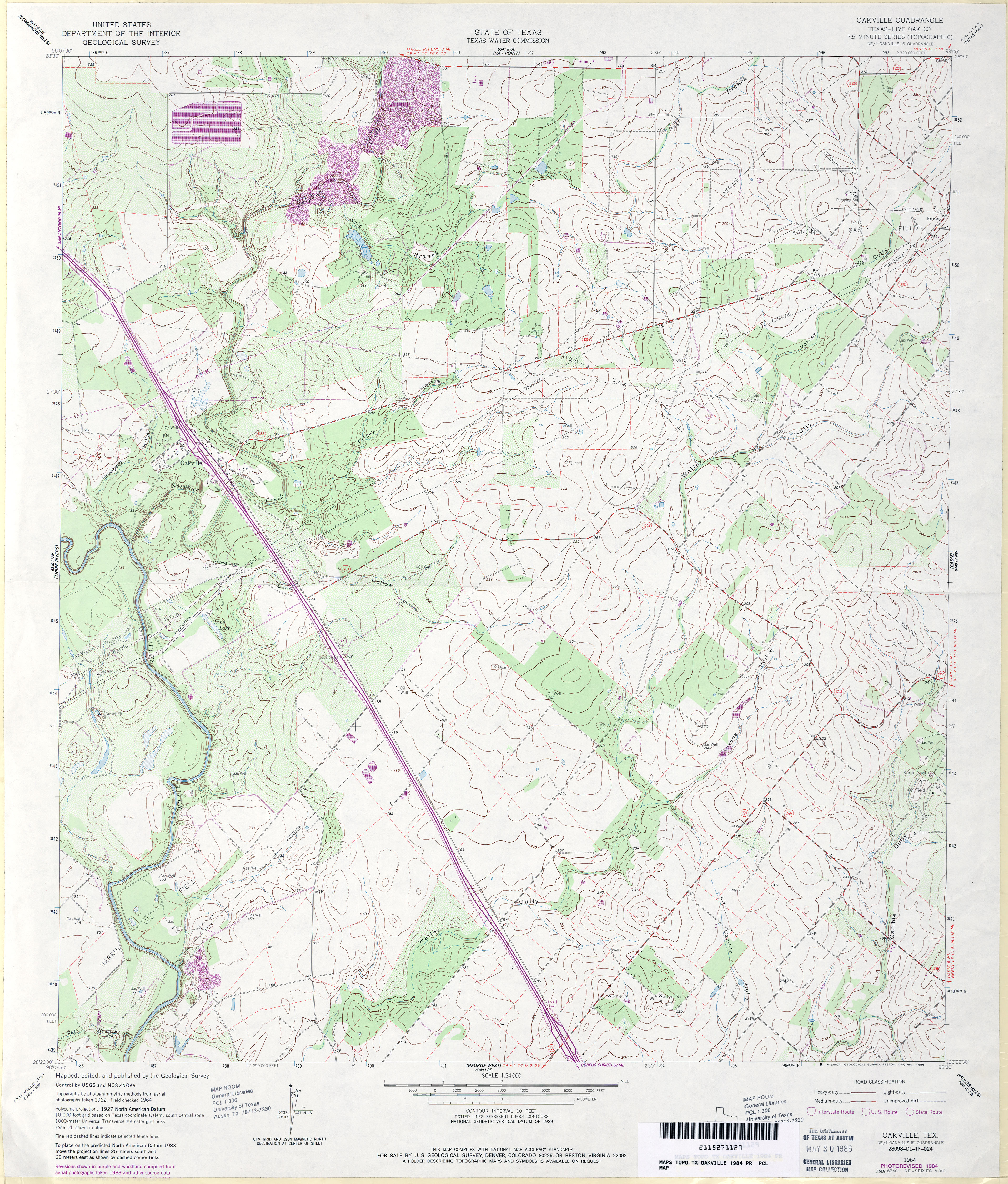
- Oakville (Live Oak County) 1:24,000 1984 (4.4MB)
- Oakville 1:24,000 2008 (13.9MB) [GeoPDF]
- Oakville 1:24,000 2012 (20MB) [GeoPDF]
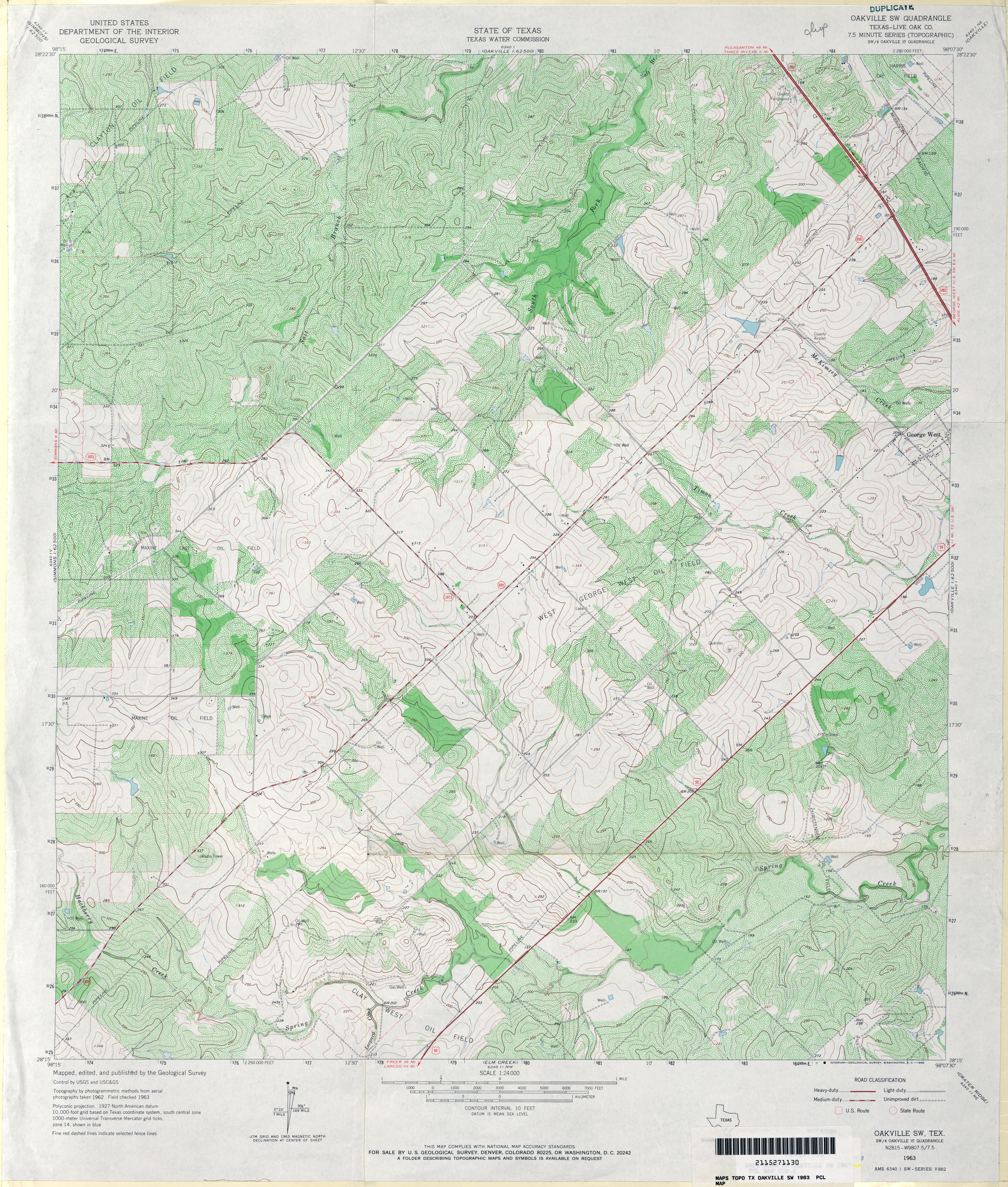
- Oakville SW (Live Oak County) 1:24,000 1963 (5.5MB)
- Oakville SW 1:24,000 2008 (14.5MB) [GeoPDF]
- Oakville SW 1:24,000 2013 (22.2MB) [GeoPDF]
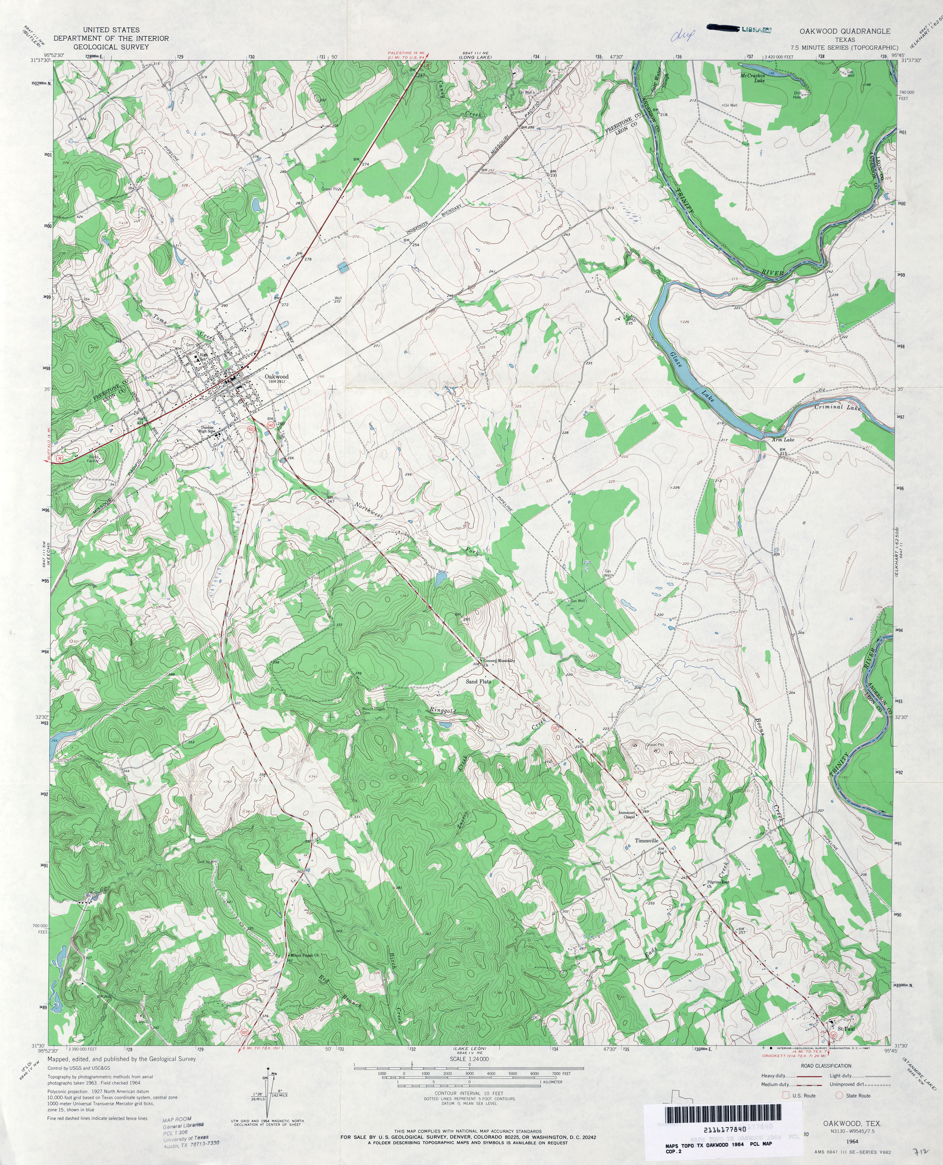
- Oakwood 1:24,000 1964 (4.1MB)
- Oakwood 1:24,000 2009 (16.2MB) [GeoPDF]
- Oakwood 1:24,000 2013 (22.2MB) [GeoPDF]
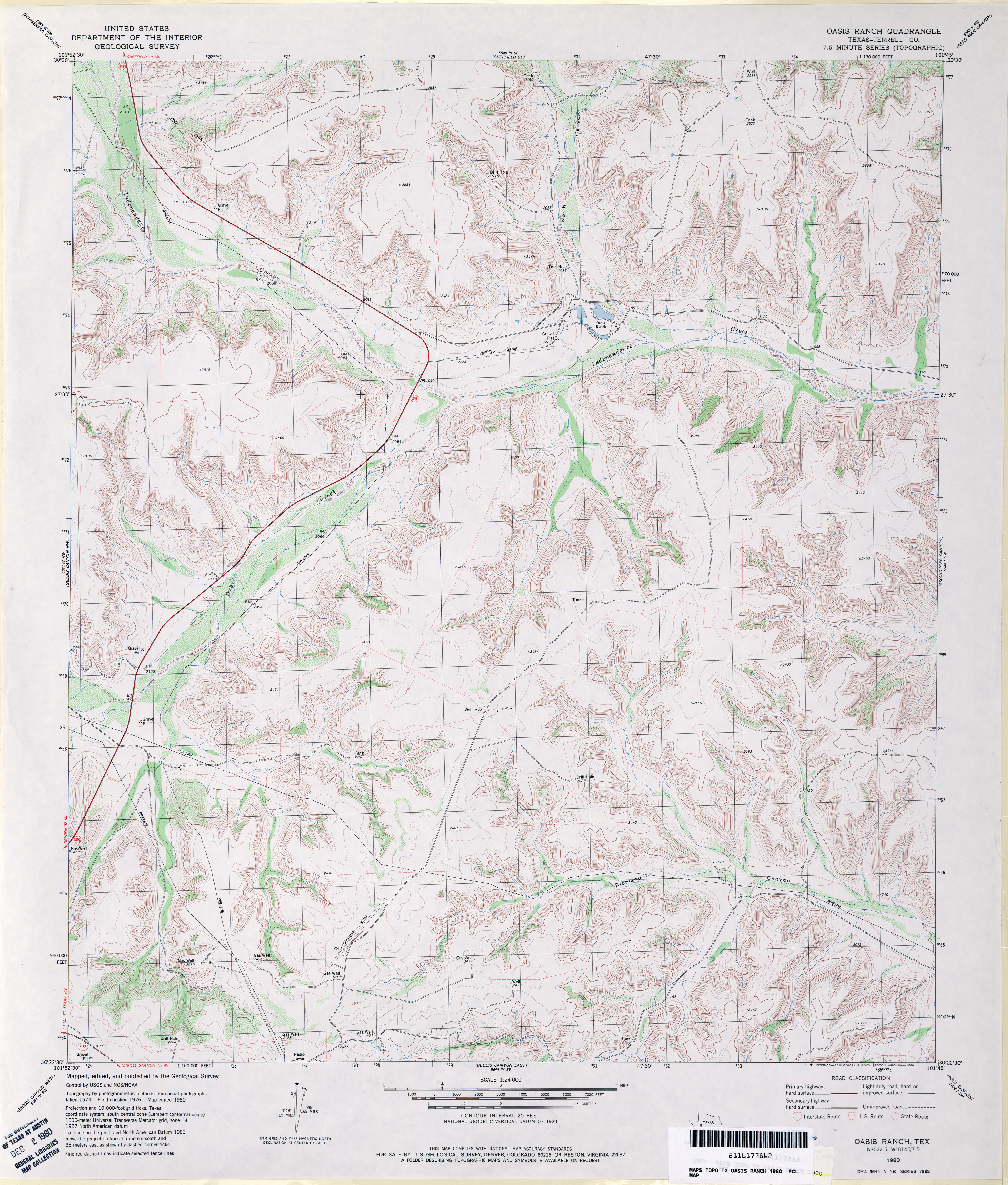
- Oasis Ranch (Terrell County) 1:24,000 1980 (4.4MB)
- Oasis Ranch 1:24,000 2008 (23.2MB) [GeoPDF]
- Oasis Ranch 1:24,000 2012 (31.2MB) [GeoPDF]
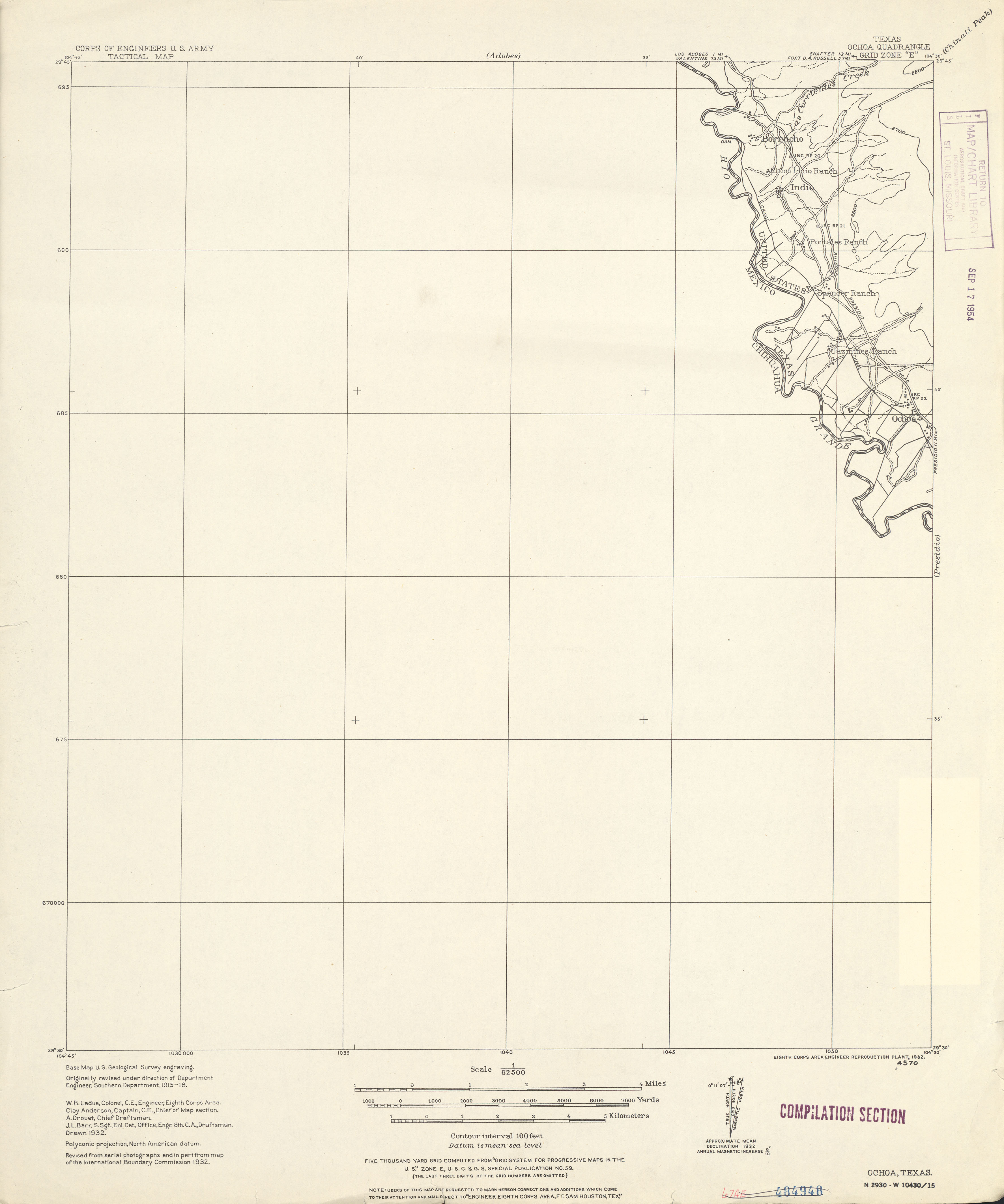
- Ochoa 1:62,500 1932 (1.5 MB) U.S. Army. Corps of Engineers. Tactical Map
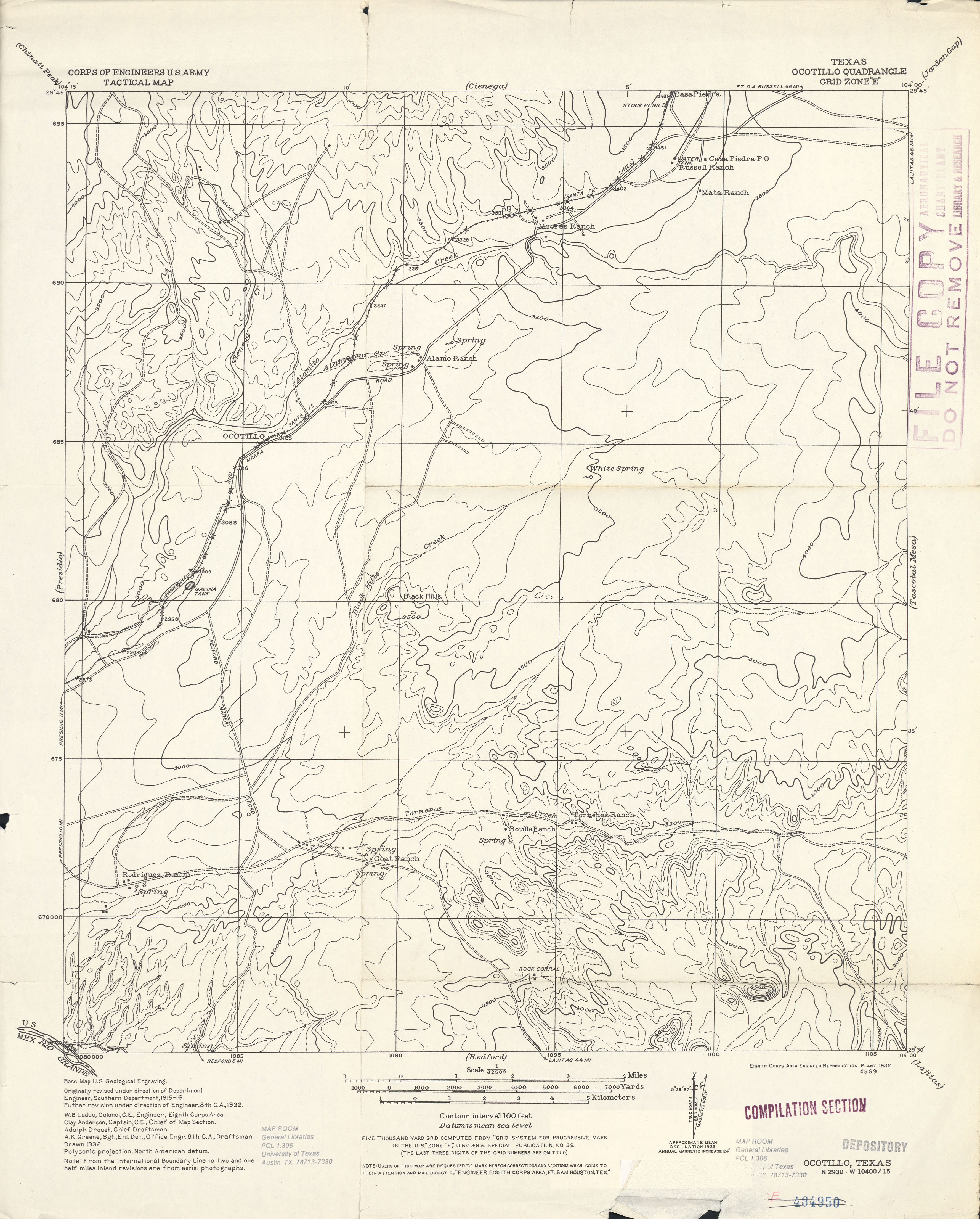
- Ocotillo 1:62,500 1932 (2.6 MB) U.S. Army. Corps of Engineers. Tactical Map
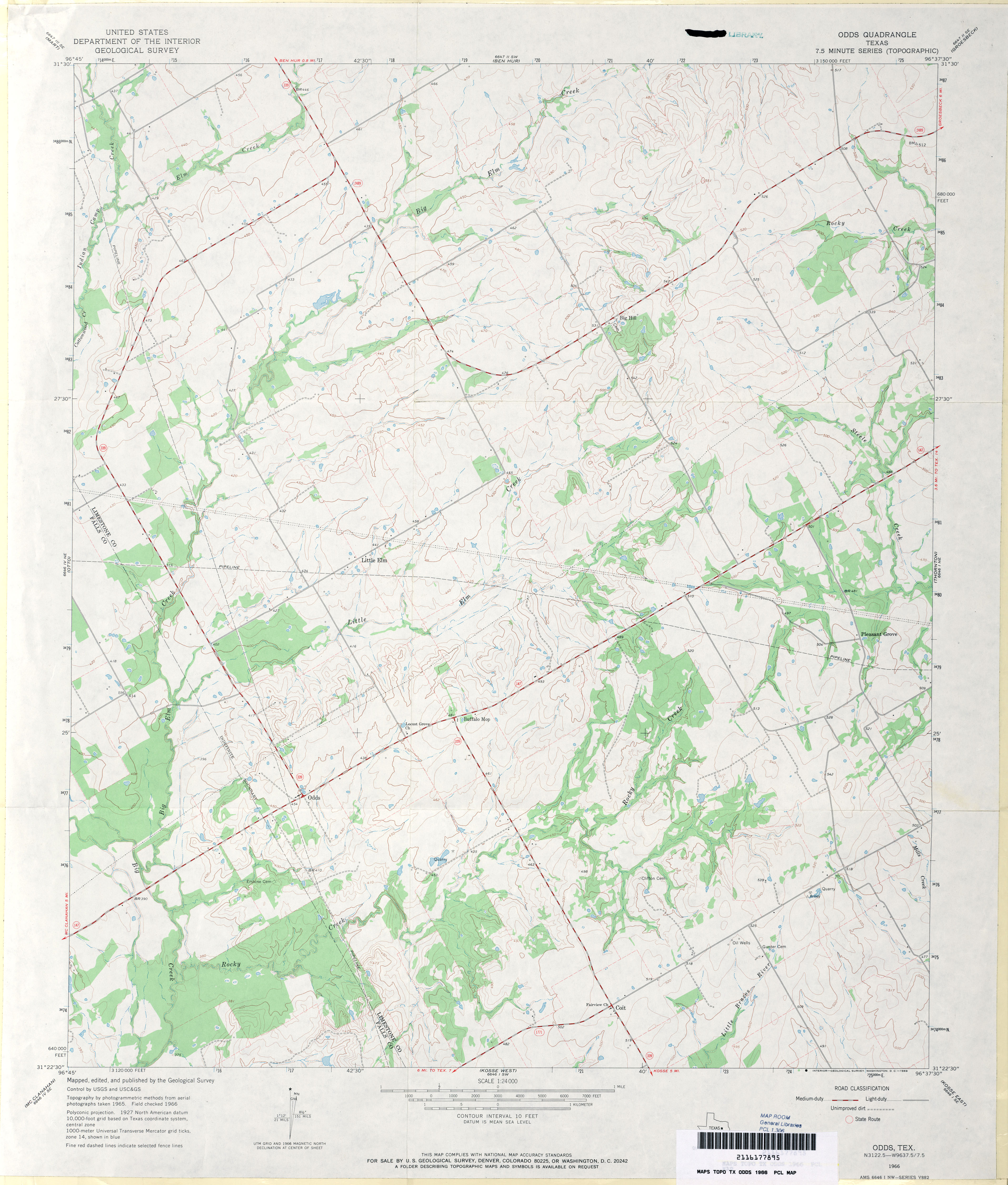
- Odds 1:24,000 1966 (3.3MB)
- Odds 1:24,000 2008 (14.5MB) [GeoPDF]
- Odds 1:24,000 2013 (21MB) [GeoPDF]
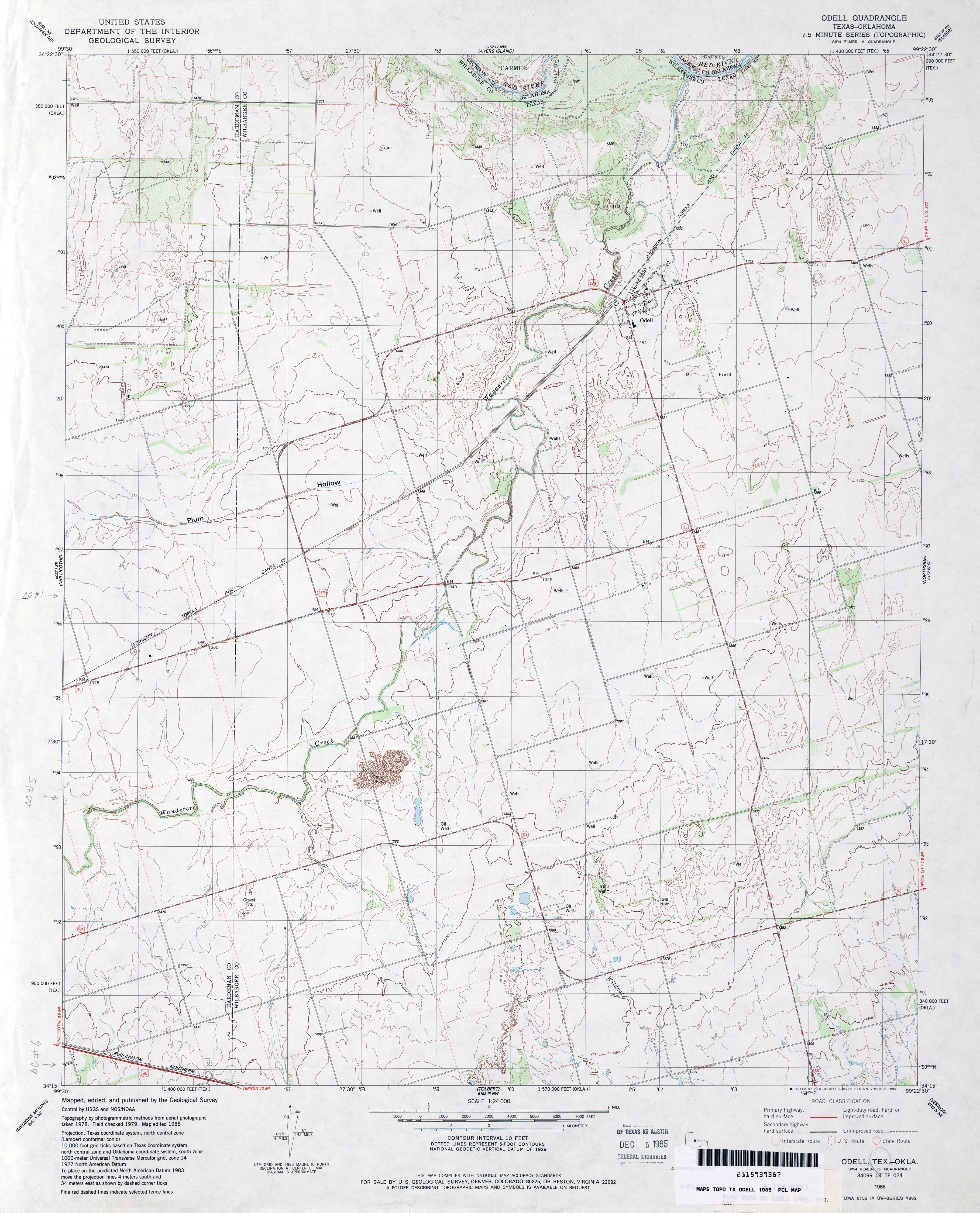
- Odell 1:24,000 1985 (3.5MB)
- Odell 1:24,000 2008 (9.0MB) [GeoPDF]
- Odell 1:24,000 2012 (15.7MB) [GeoPDF]
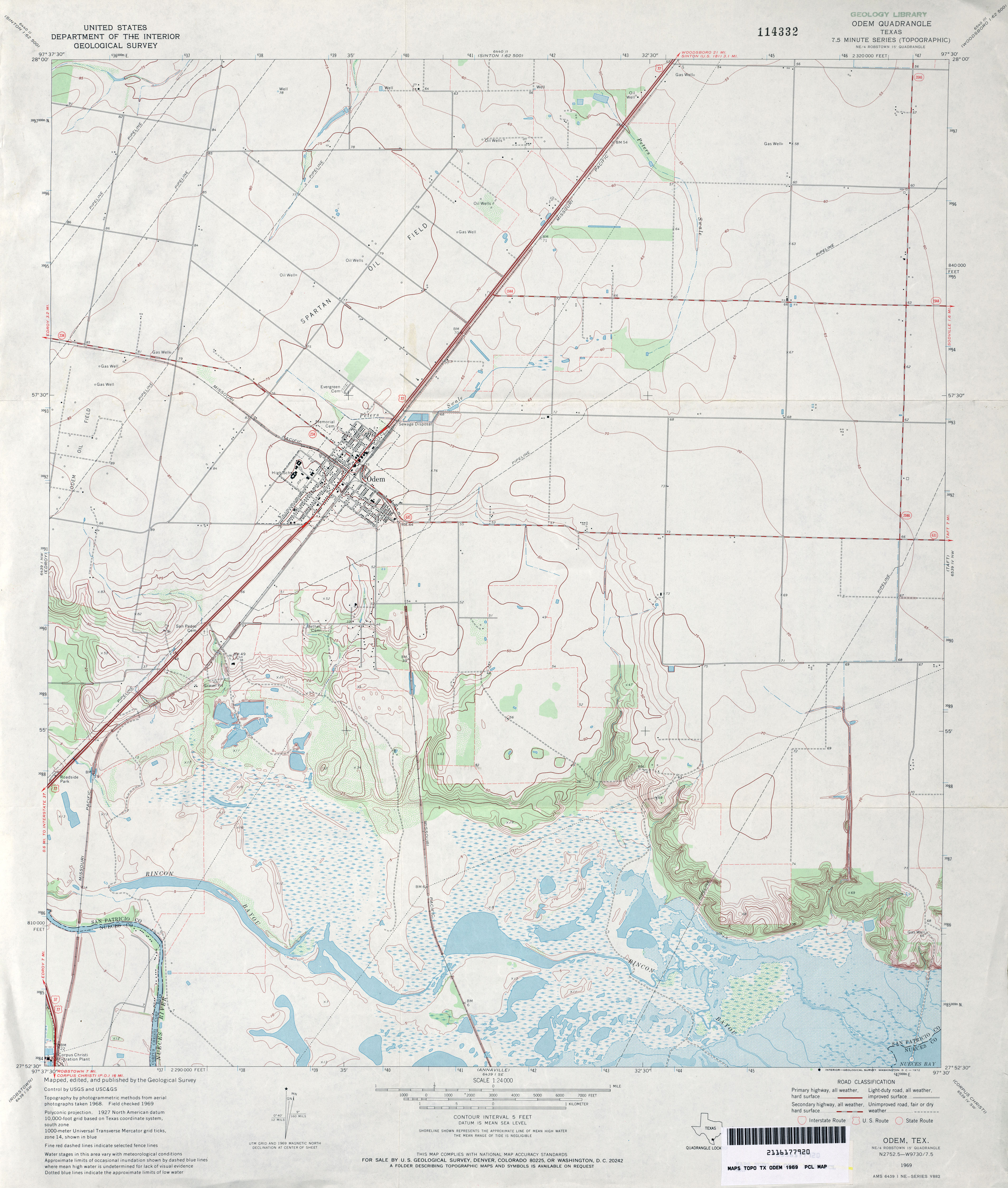
- Odem 1:24,000 1969 (3.4MB)
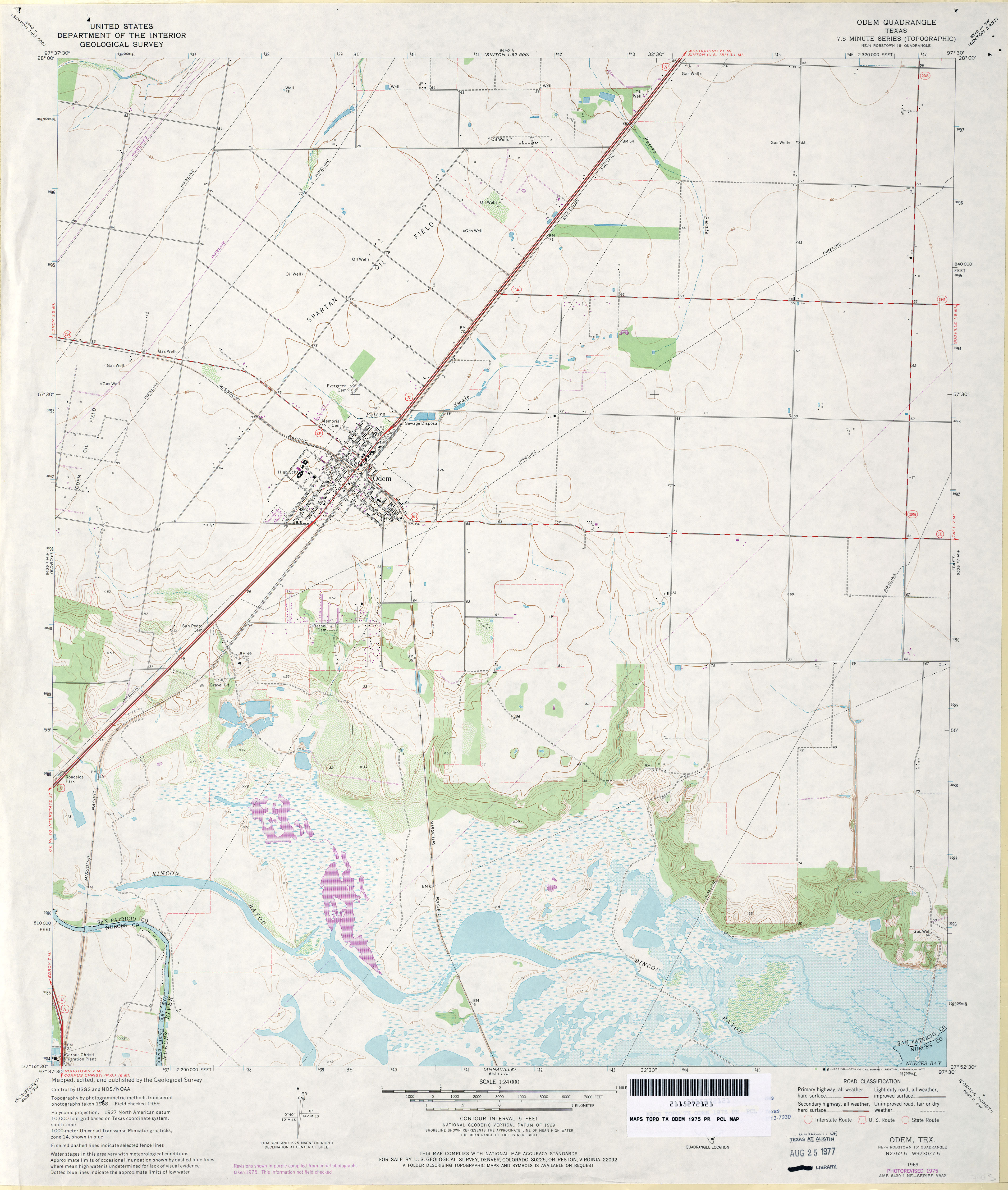
- Odem 1:24,000 1975 (3.1MB)
- Odem 1:24,000 2008 (10.1MB) [GeoPDF]
- Odem 1:24,000 2013 (17MB) [GeoPDF]
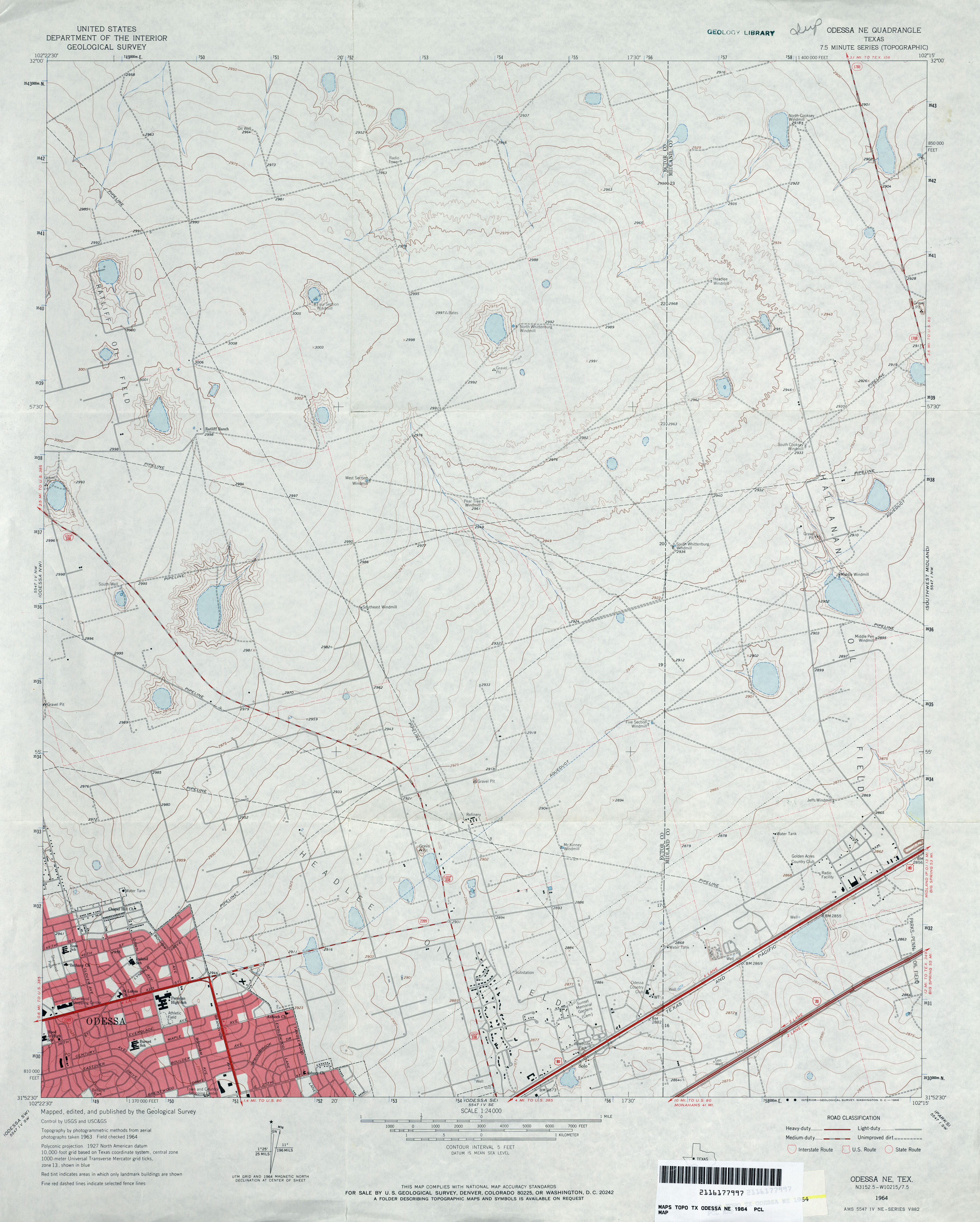
- Odessa NE 1:24,000 1964 (3.2MB)
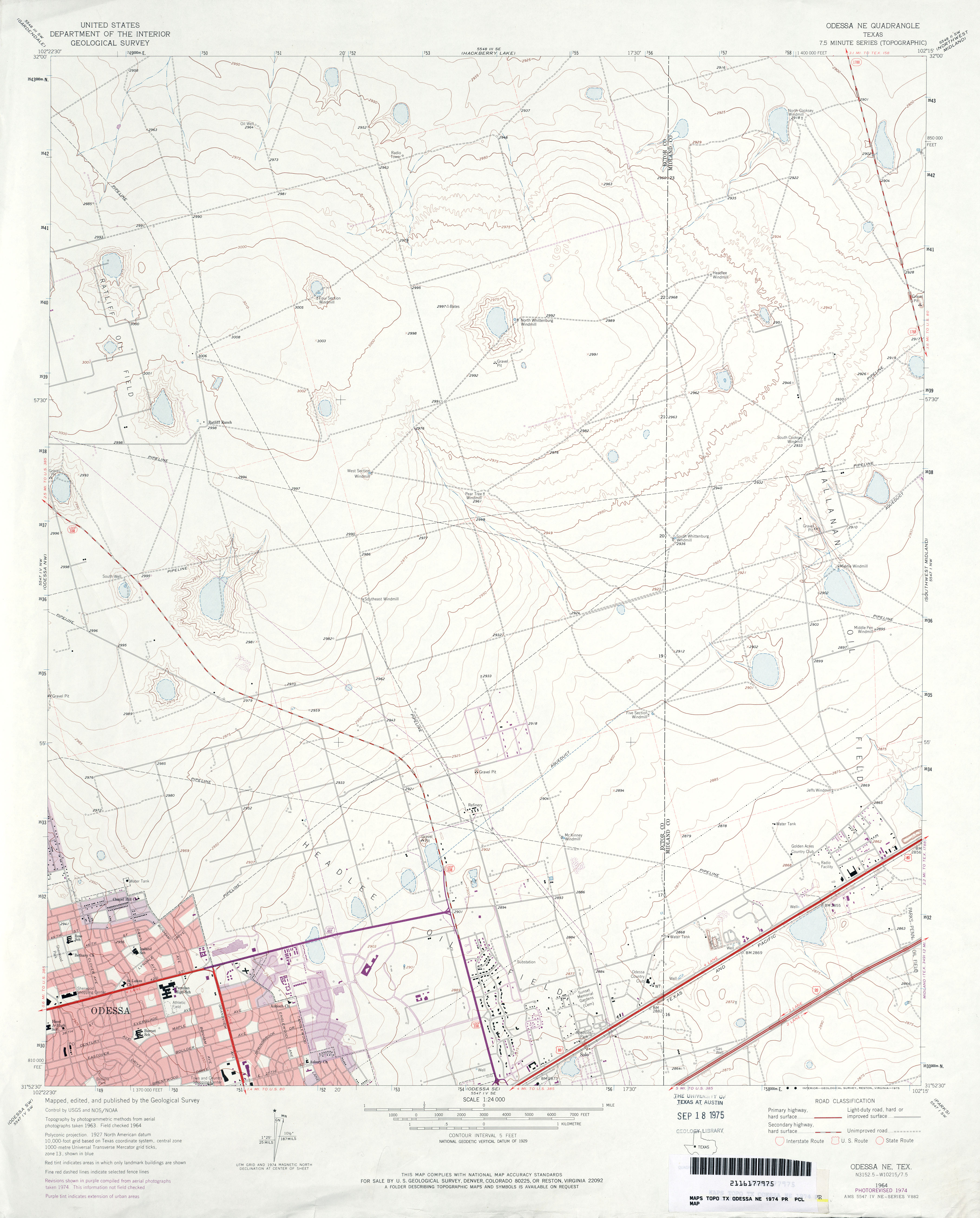
- Odessa NE 1:24,000 1974 (2.9MB)
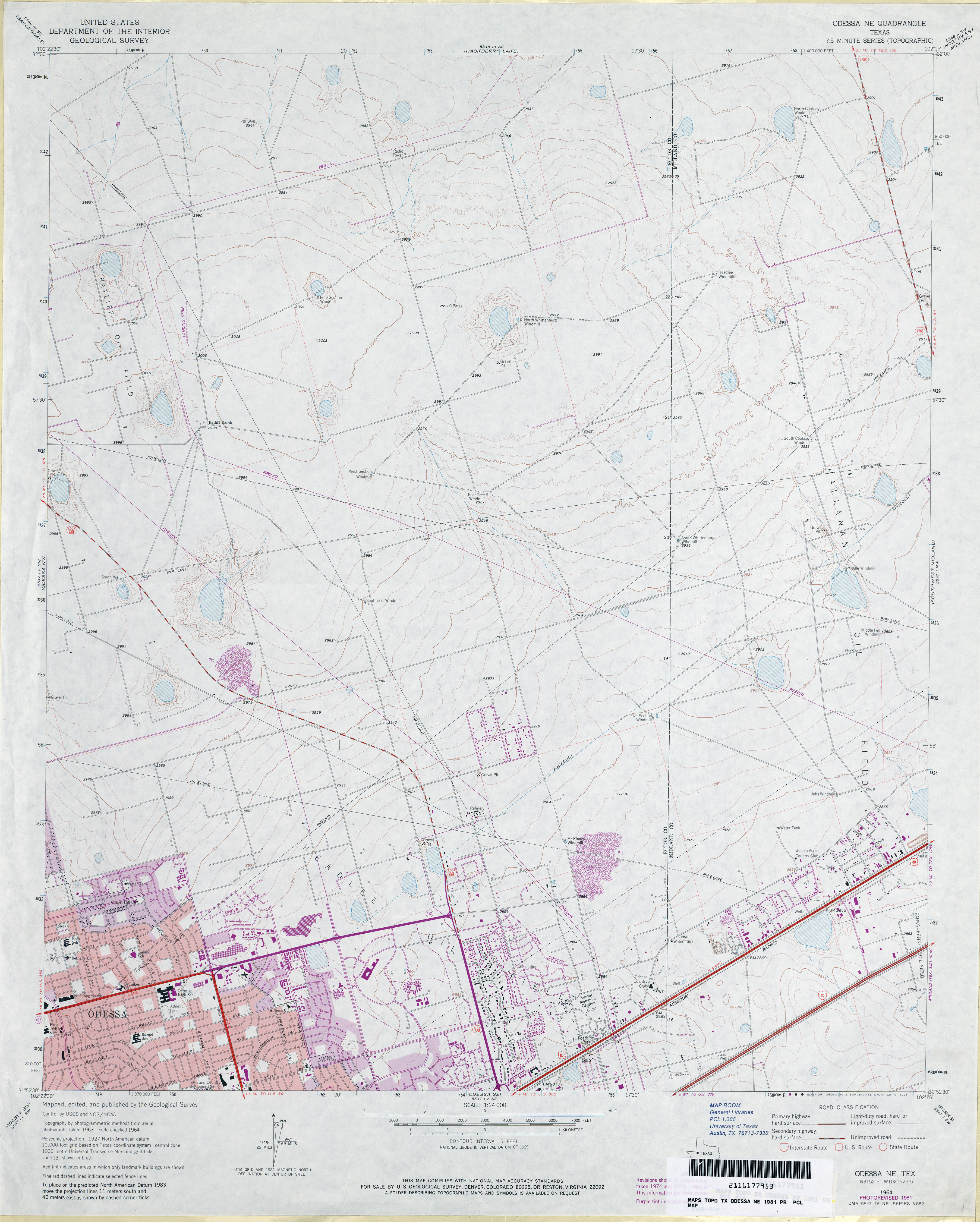
- Odessa NE 1:24,000 1981 (3.3MB)
- Odessa NE 1:24,000 2008 (20.4MB) [GeoPDF]
- Odessa NE 1:24,000 2012 (21.7MB) [GeoPDF]
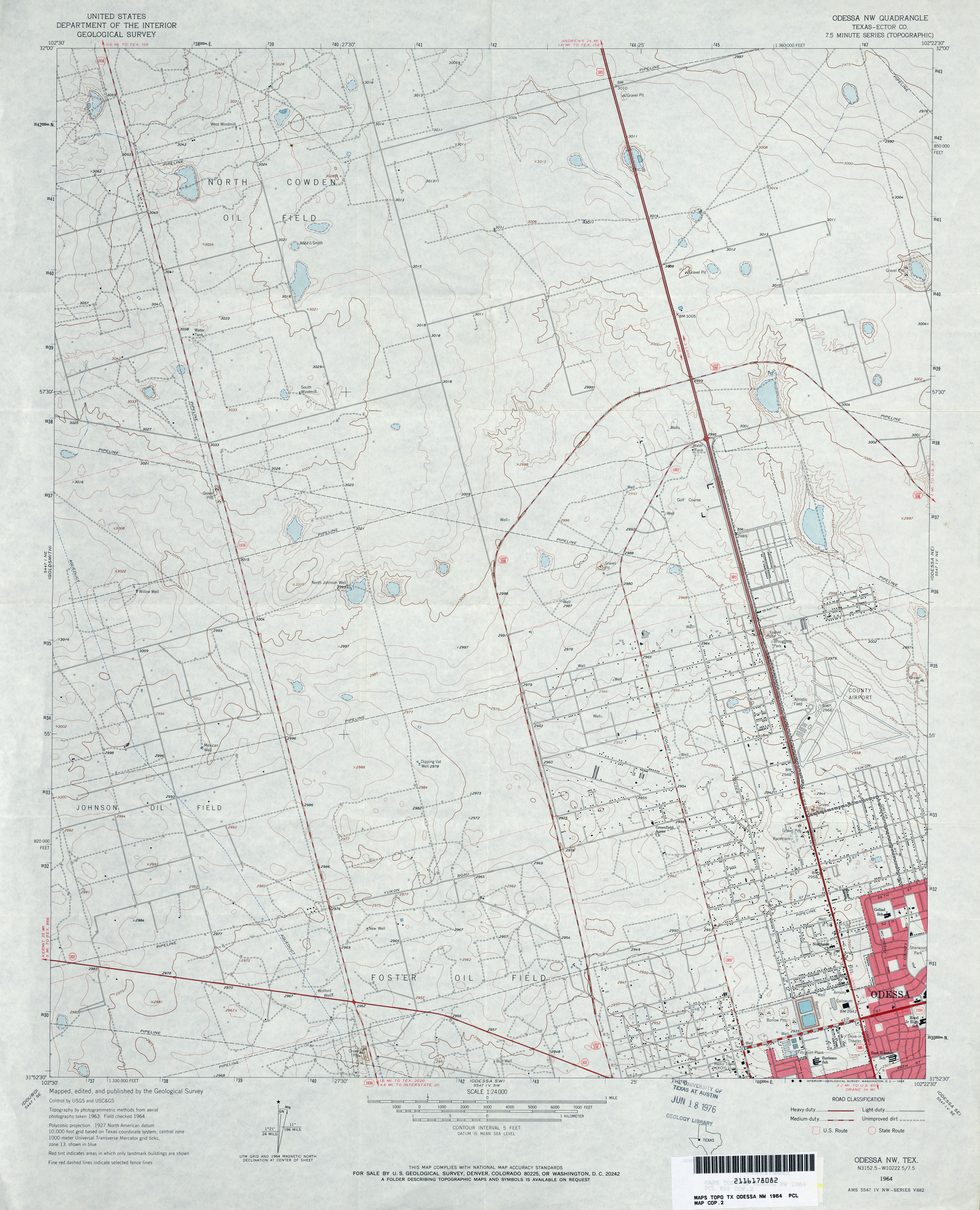
- Odessa NW (Ector County) 1:24,000 1964 (3.2MB)
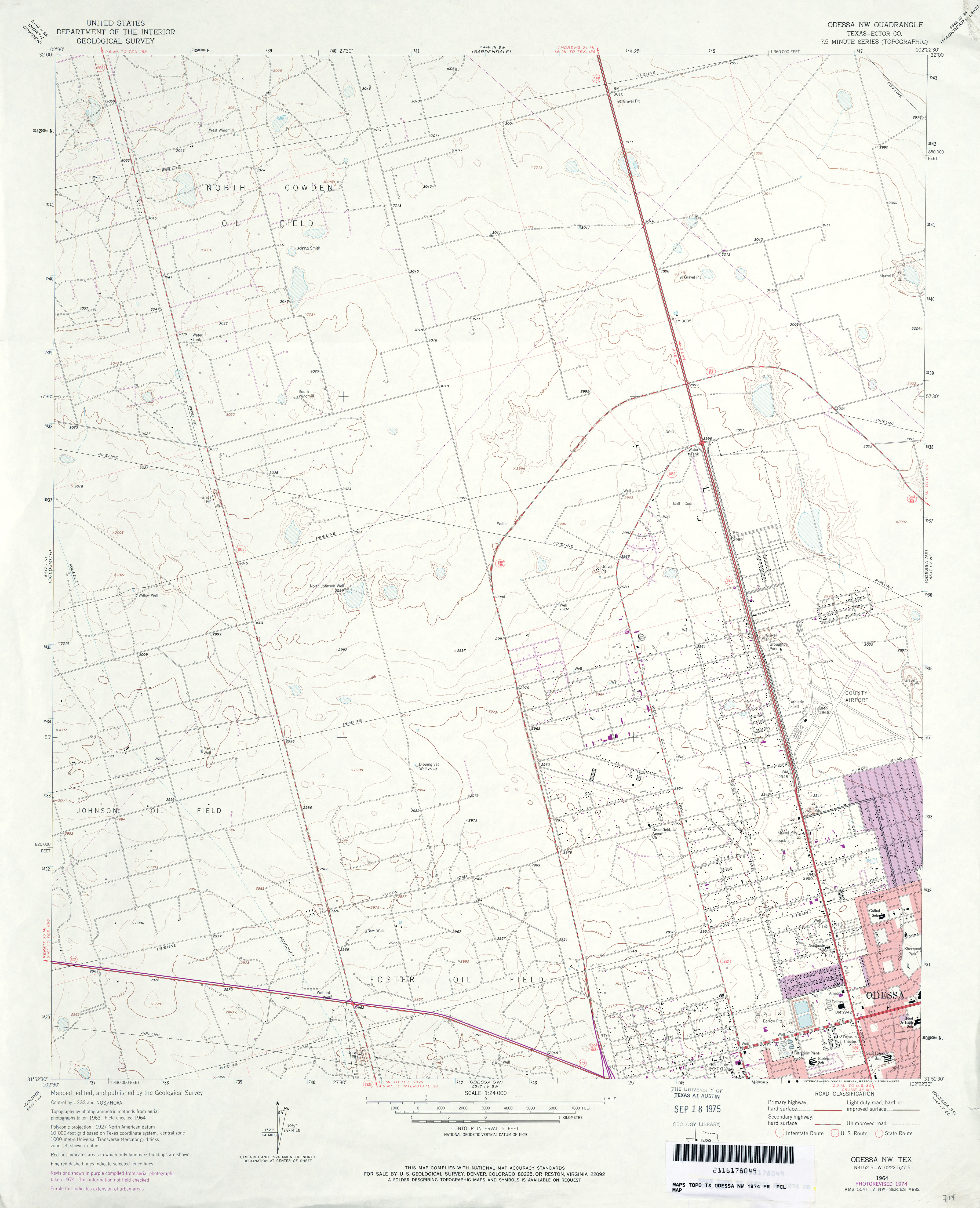
- Odessa NW (Ector County) 1:24,000 1974 (2.9MB)
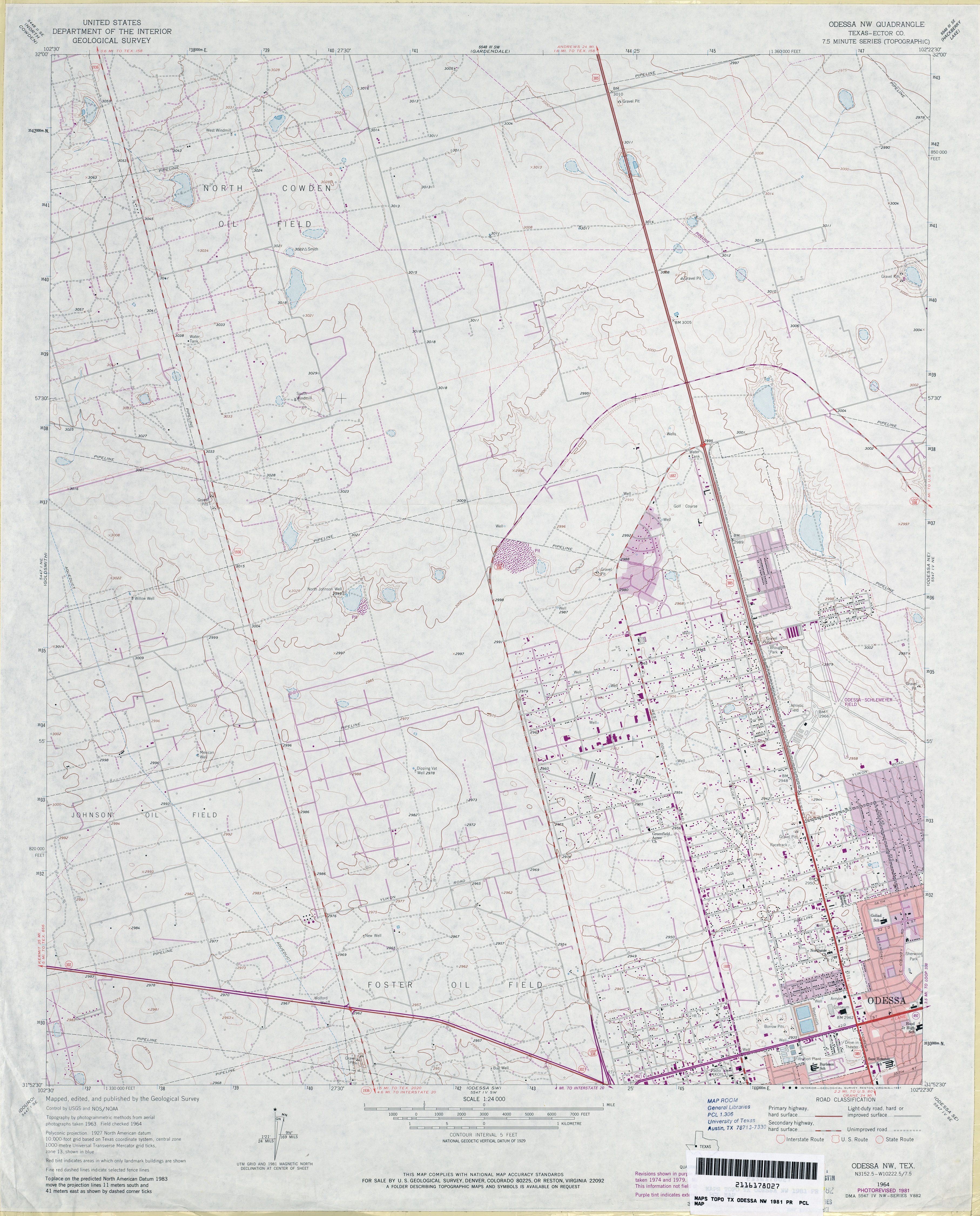
- Odessa NW (Ector County) 1:24,000 1981 (3.4MB)
- Odessa NW 1:24,000 2008 (20.2MB) [GeoPDF]
- Odessa NW 1:24,000 2013 (21.9MB) [GeoPDF]
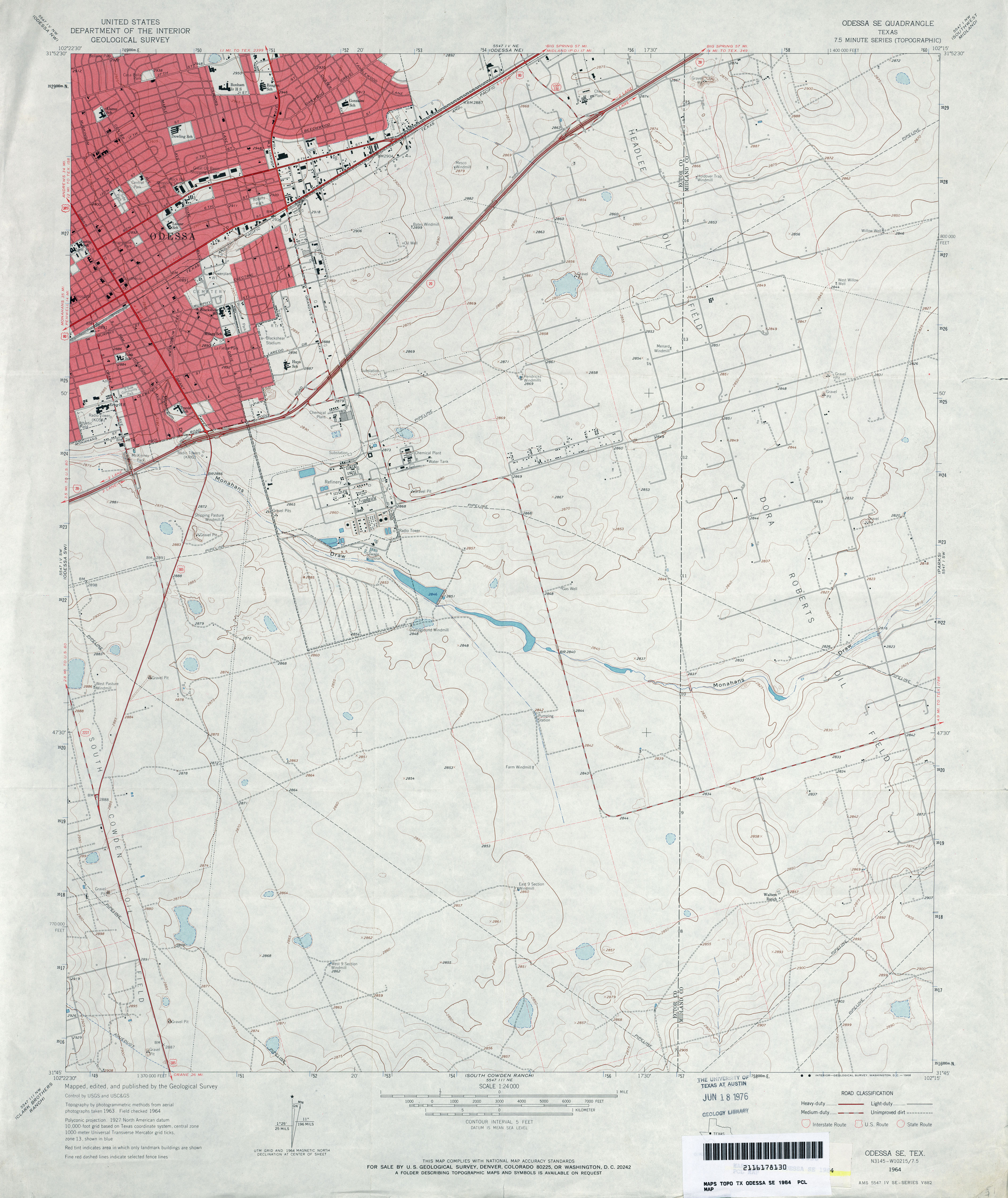
- Odessa SE 1:24,000 1964 (3.4MB)
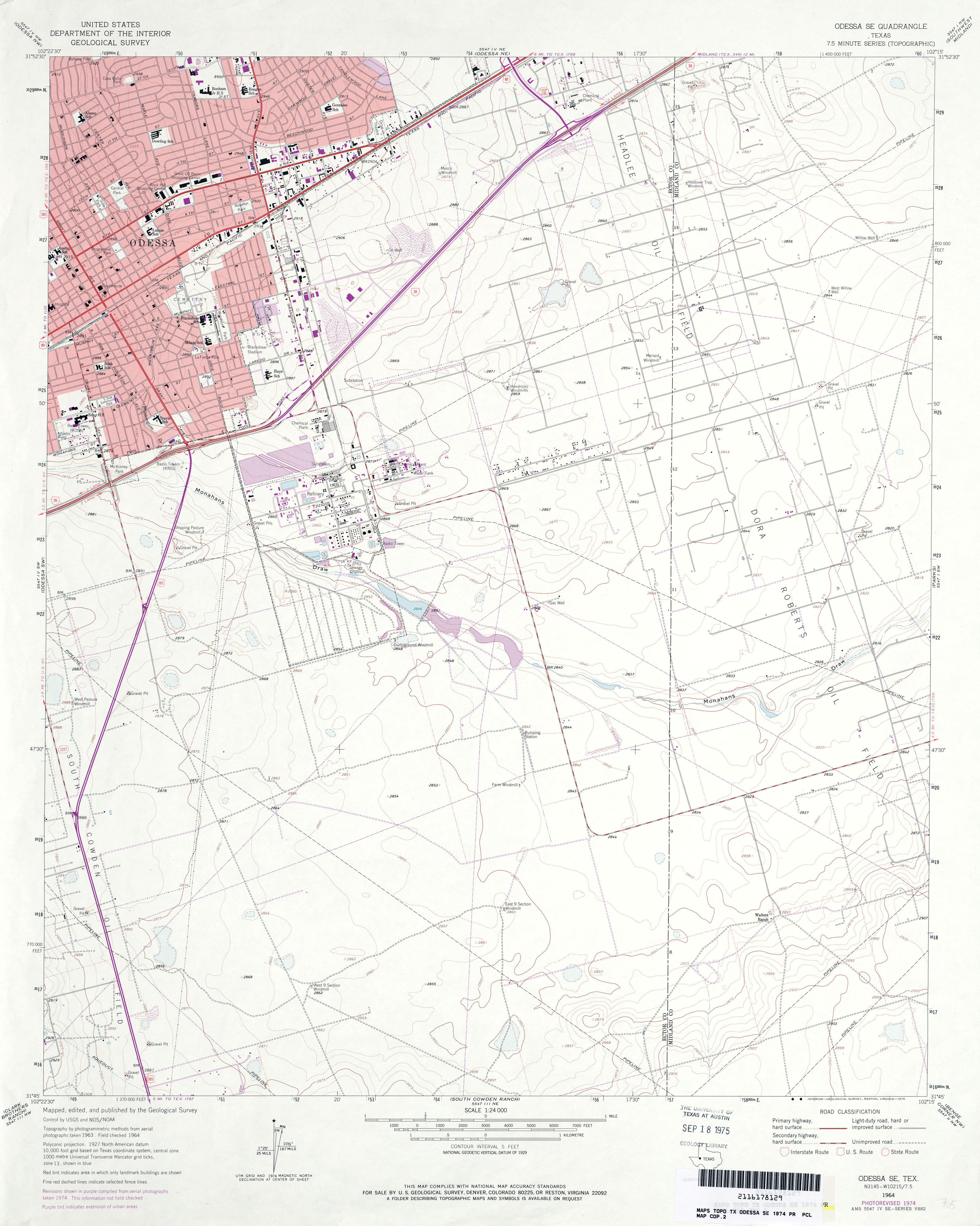
- Odessa SE 1:24,000 1974 (3MB)
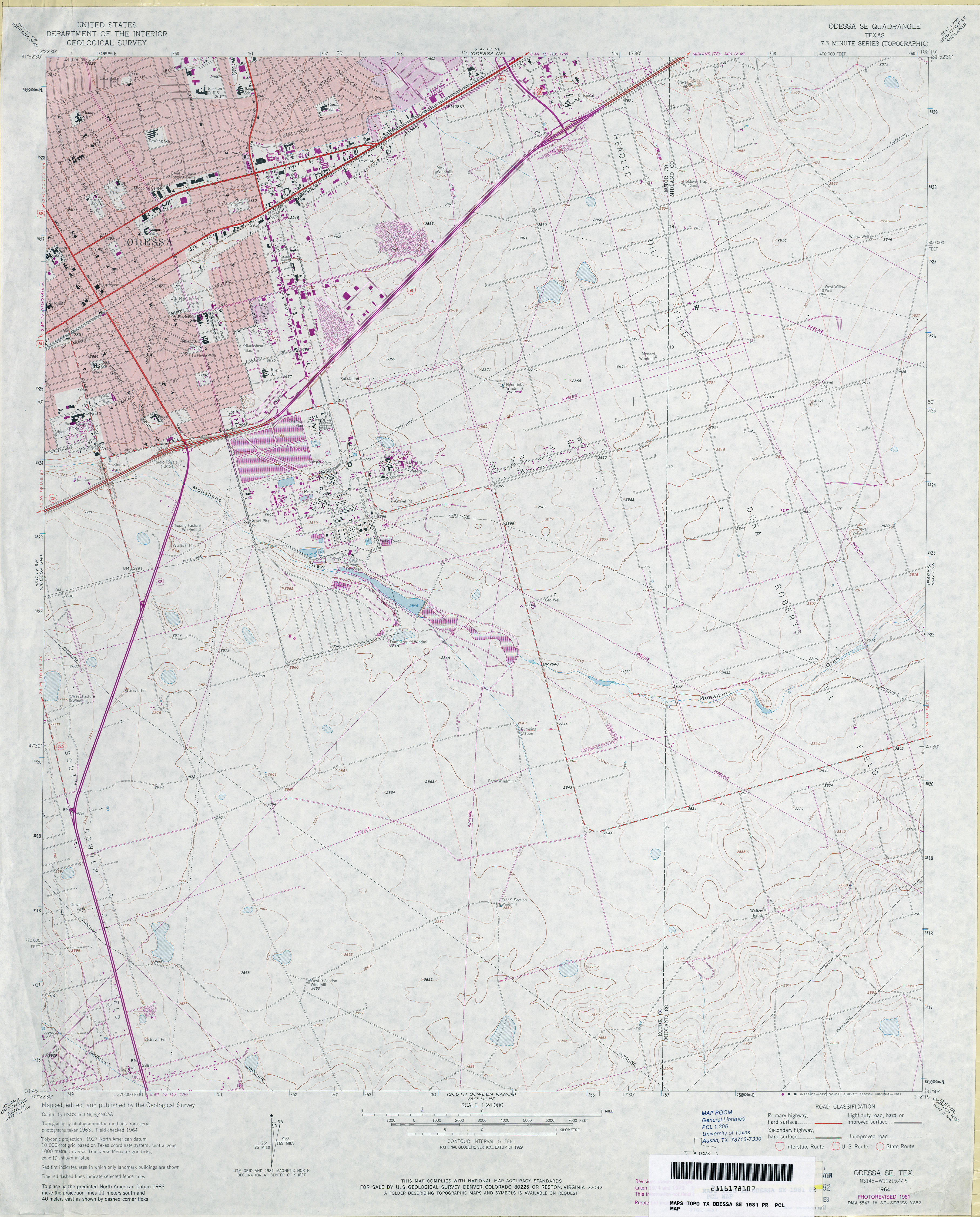
- Odessa SE 1:24,000 1981 (3.5MB)
- Odessa SE 1:24,000 2008 (22.4MB) [GeoPDF]
- Odessa SE 1:24,000 2012 (23.4MB) [GeoPDF]
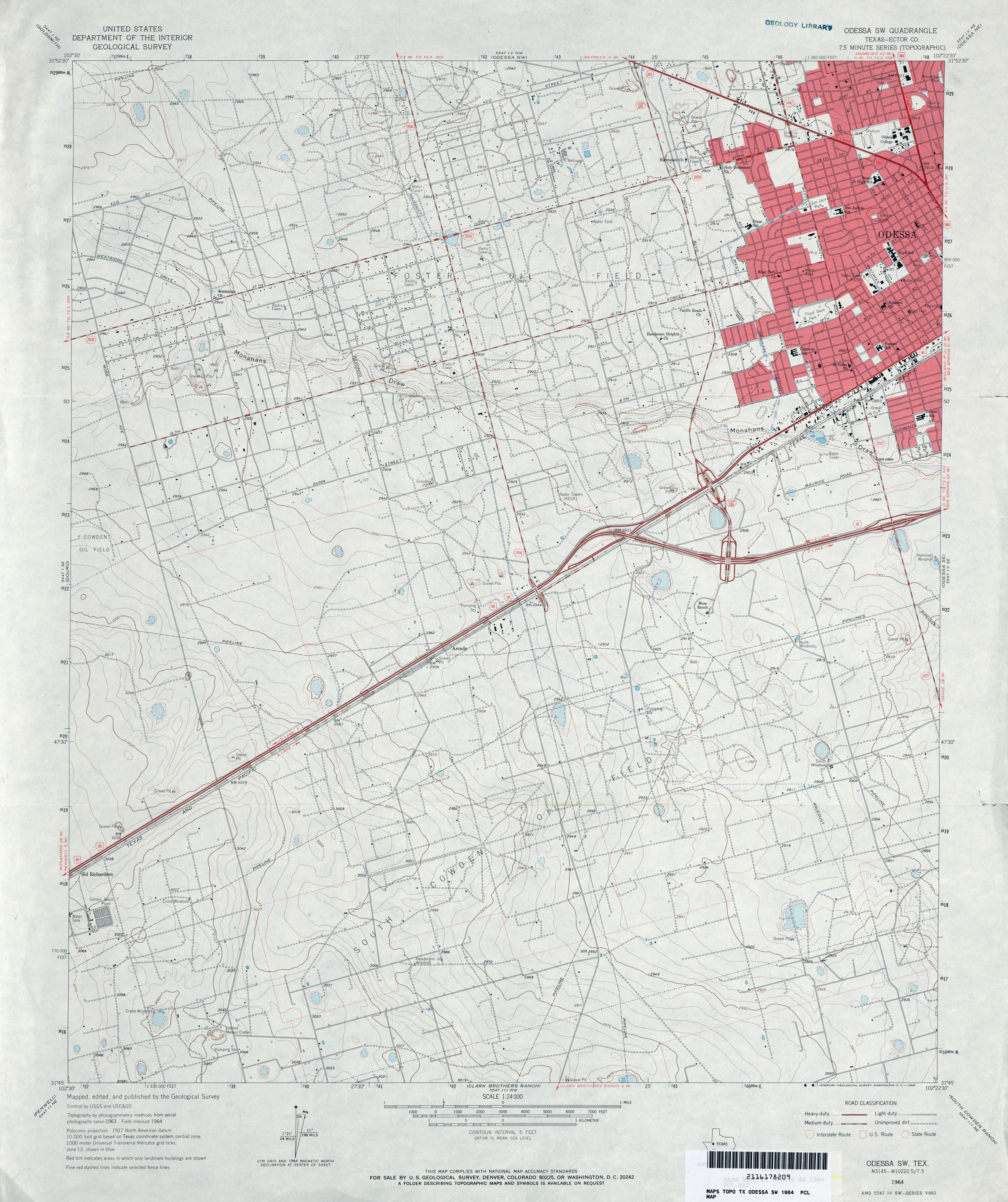
- Odessa SW (Ector County) 1:24,000 1964 (3.7MB)
- Odessa SW (Ector County) 1:24,000 1974 (3.4MB)
- Odessa SW (Ector County) 1:24,000 1981 (3.8MB)
- Odessa SW 1:24,000 2008 (22.2MB) [GeoPDF]
- Odessa SW 1:24,000 2012 (24.6MB) [GeoPDF]
- Odlaw (Kinney County) 1:24,000 1974 (5.1MB)
- Odlaw 1:24,000 2008 (21.8MB) [GeoPDF]
- Odlaw 1:24,000 2012 (30.9MB) [GeoPDF]
- O'Donnell 1:24,000 1969 (3MB)
- O�Donnell 1:24,000 2008 (8.3MB) [GeoPDF]
- O'Donnell 1:24,000 2012 (17.4MB) [GeoPDF]
- Ogden [Arkansas, Texas] 1:24,000 1951 (3.5MB)
- Ogden [Arkansas, Texas] 1:24,000 1970 (3.7MB)
- Ogden [Arkansas, Texas] 1:24,000 1975 (3.7MB)
- Ogden [Arkansas, Texas] 1:24,000 2010 (21MB) [GeoPDF]
- Ogden [Arkansas, Texas] 1:24,000 2011 (21MB) [GeoPDF]
- Ogg (Randall County) 1:24,000 1984 (3.1MB)
- Ogg 1:24,000 2008 (7.1MB) [GeoPDF]
- Ogg 1:24,000 2012 (13.9MB) [GeoPDF]
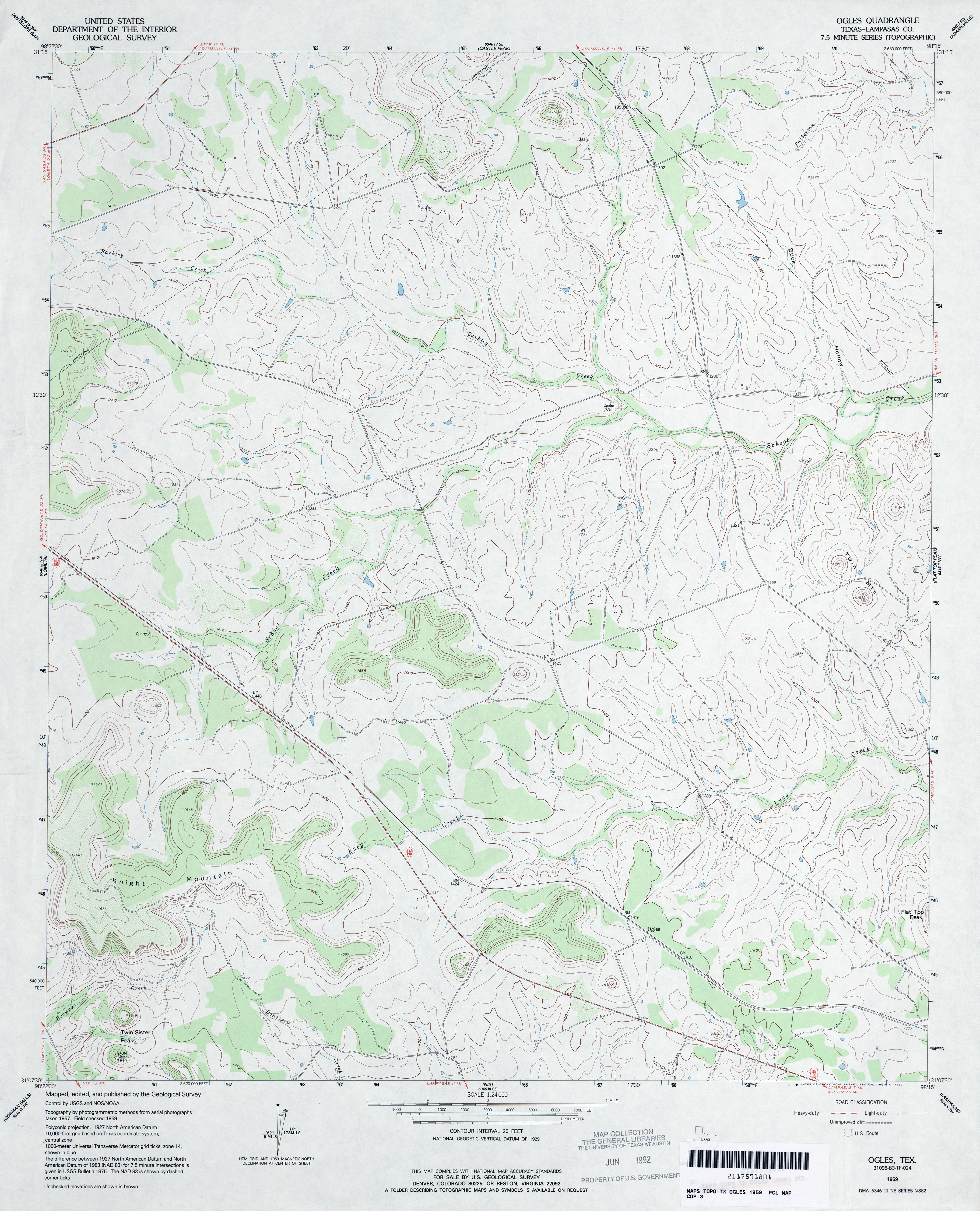
- Ogles (Lampasas County) 1:24,000 1959 (3.5MB)
- Ogles 1:24,000 2008 (16.3MB) [GeoPDF]
- Ogles 1:24,000 2012 (21.7MB) [GeoPDF]
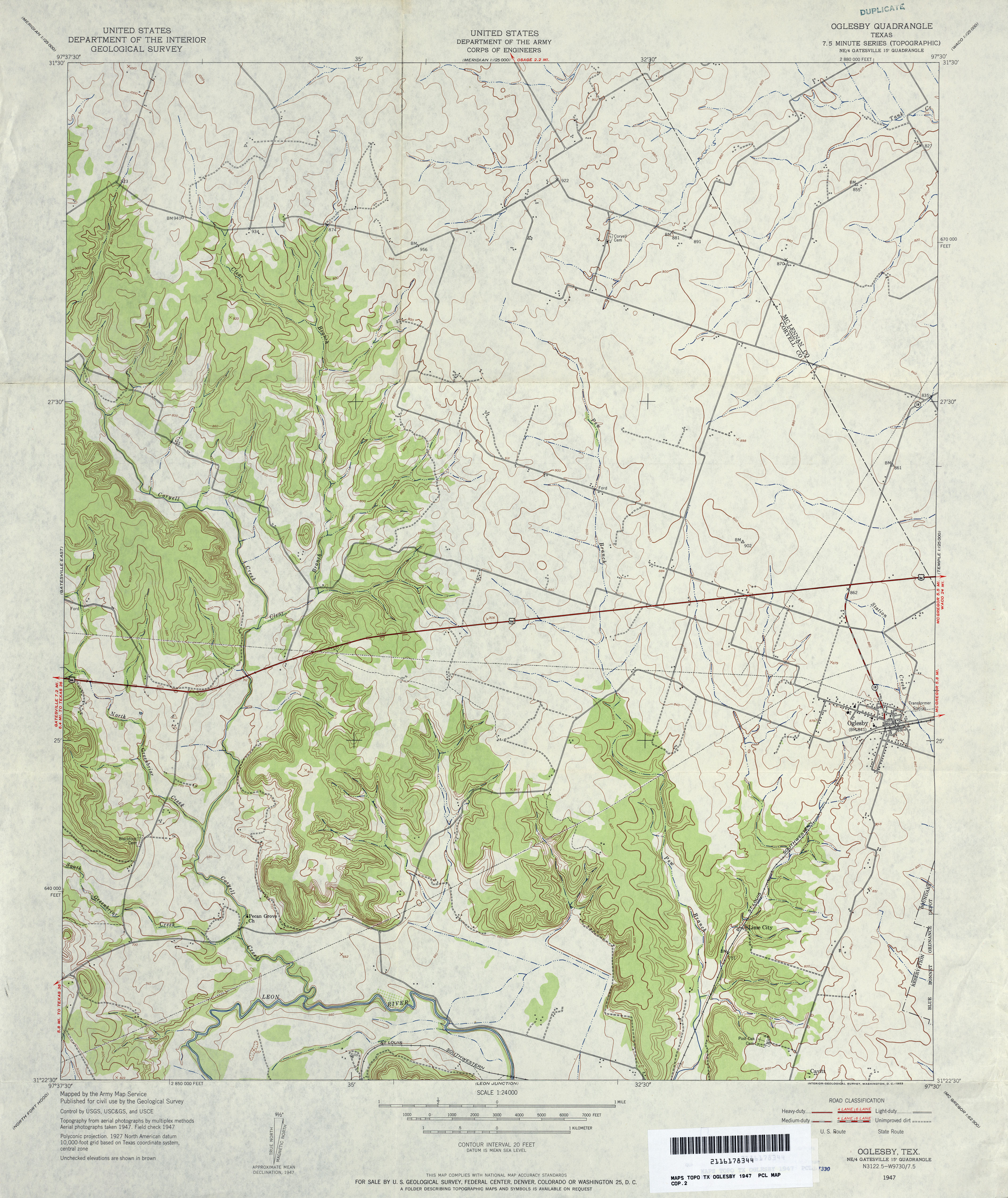
- Oglesby 1:24,000 1947 (3.8MB) U.S. Department of the Army Corps of Engineers
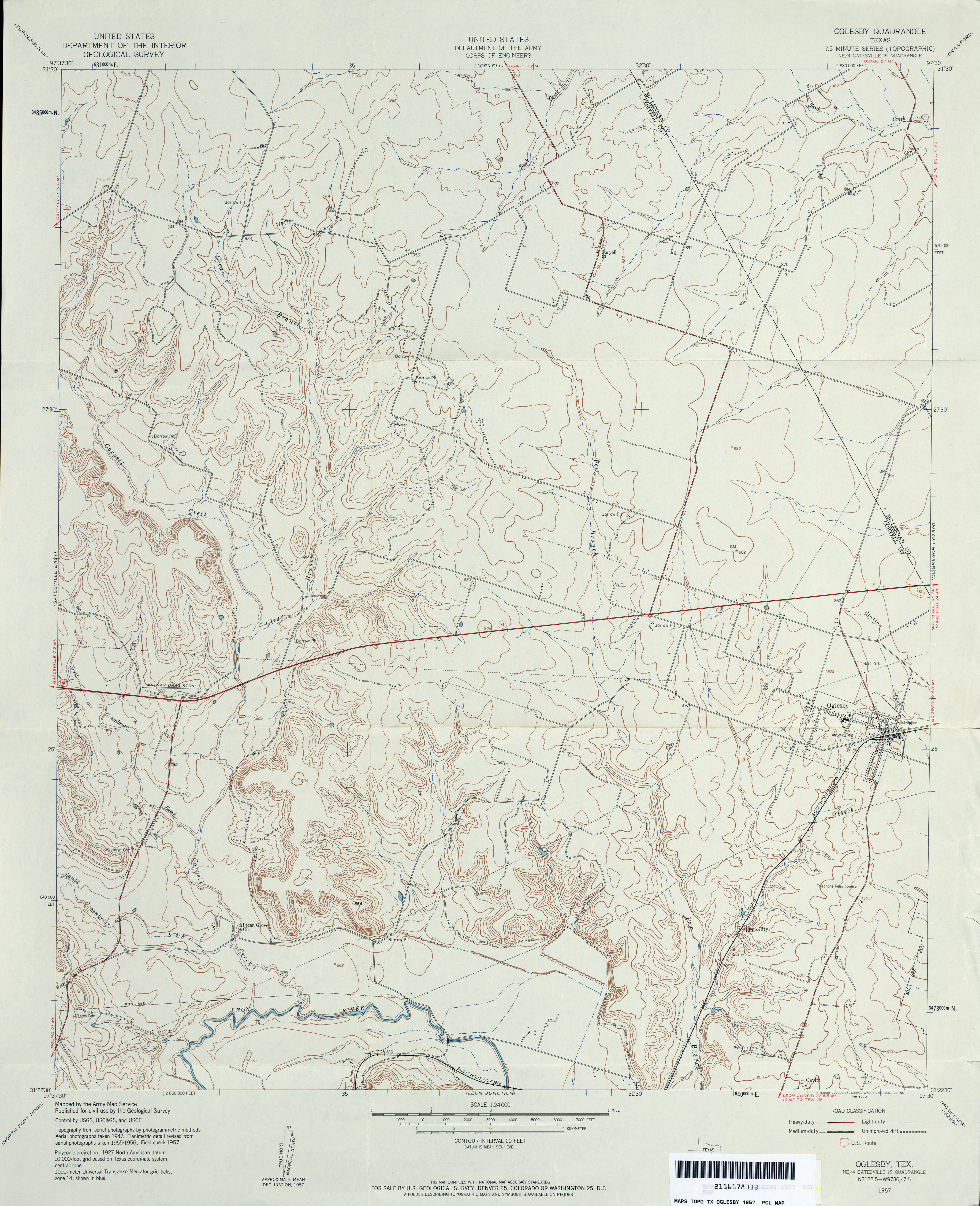
- Oglesby 1:24,000 1957 (3.5MB) U.S. Department of the Army Corps of Engineers
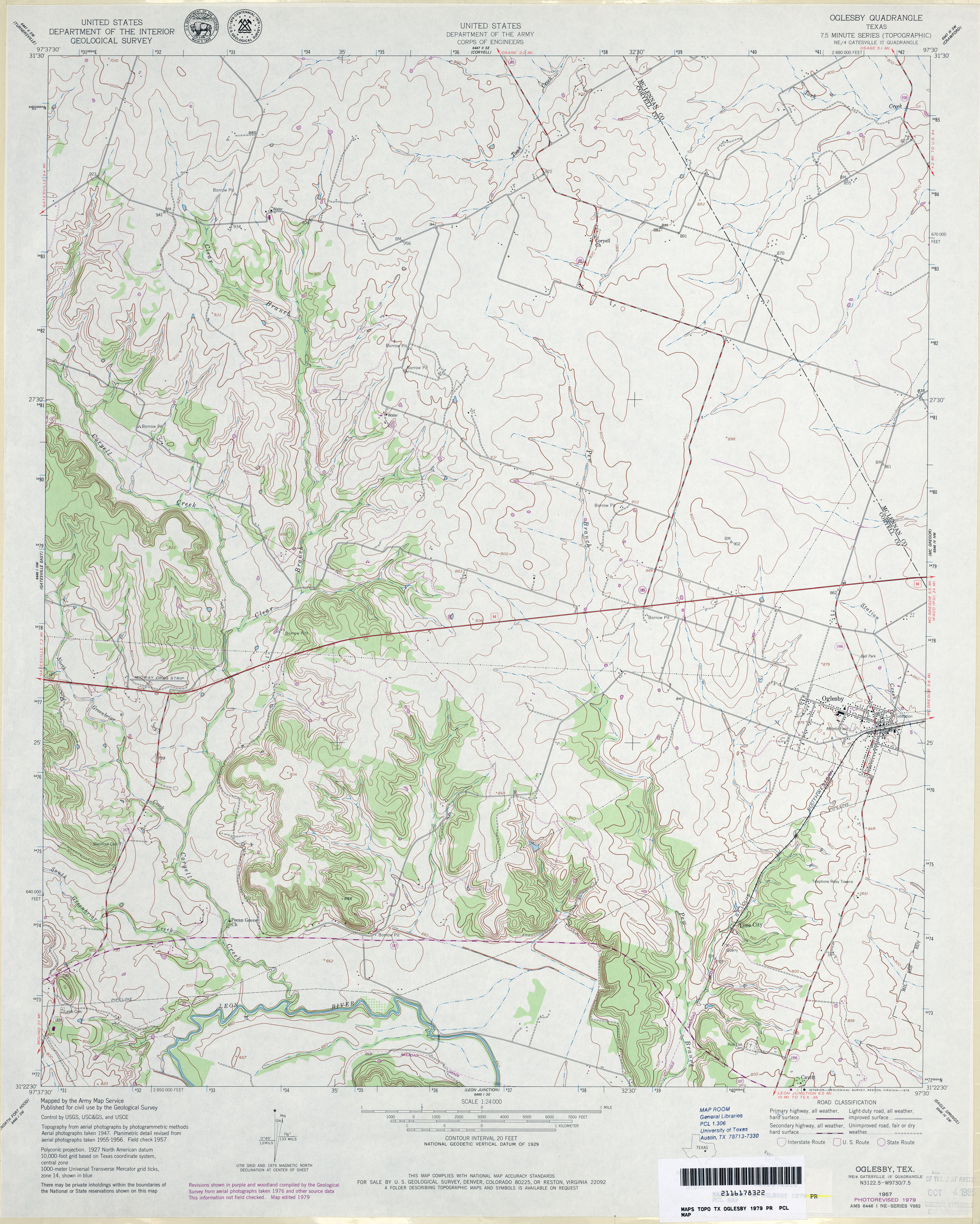
- Oglesby 1:24,000 1979 (3.8MB) U.S. Department of the Army Corps of Engineers
- Oglesby 1:24,000 1994 (3.4MB)
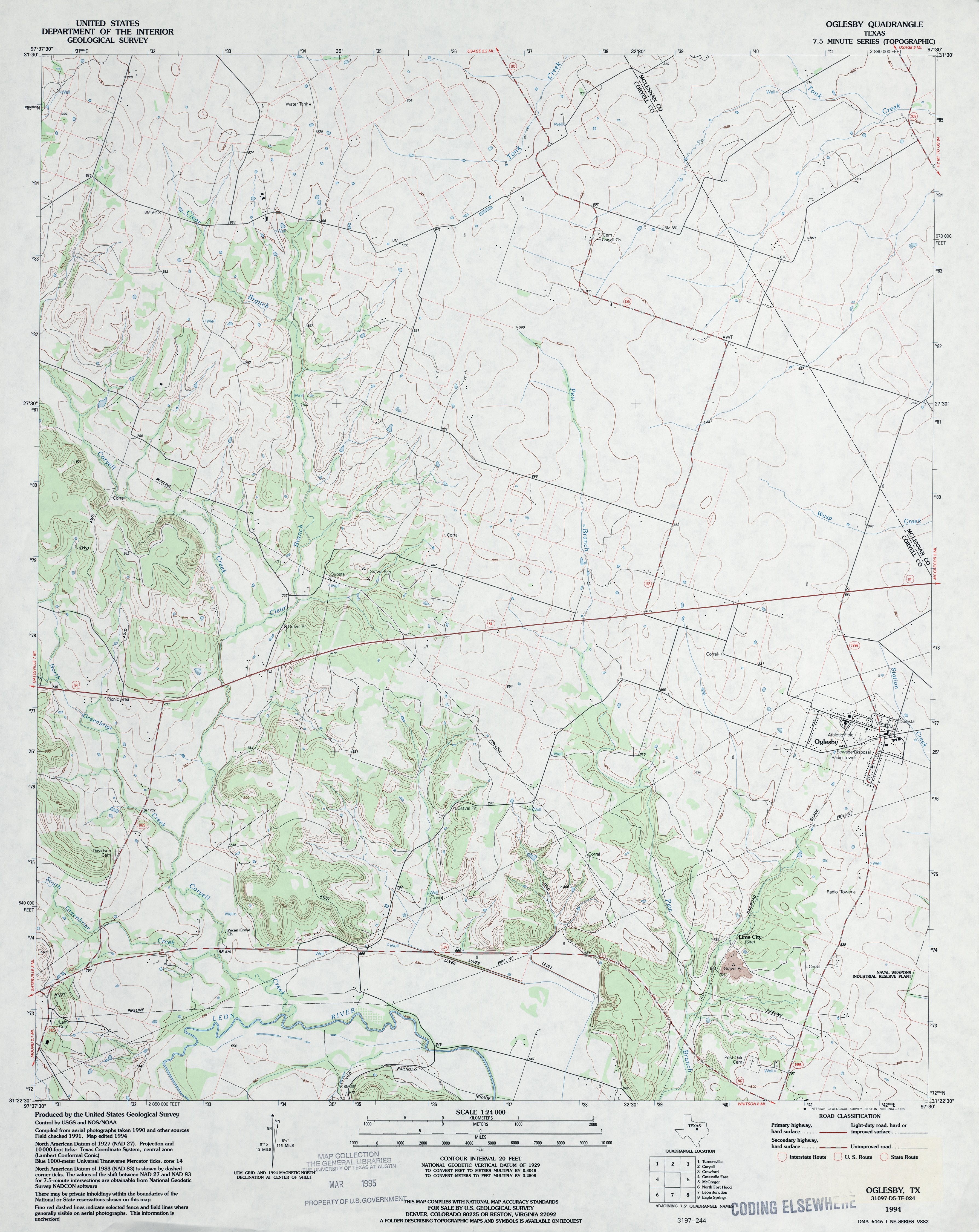
- Oglesby 1:24,000 2008 (12.8MB) [GeoPDF]
- Oglesby 1:24,000 2012 (19.6MB) [GeoPDF]
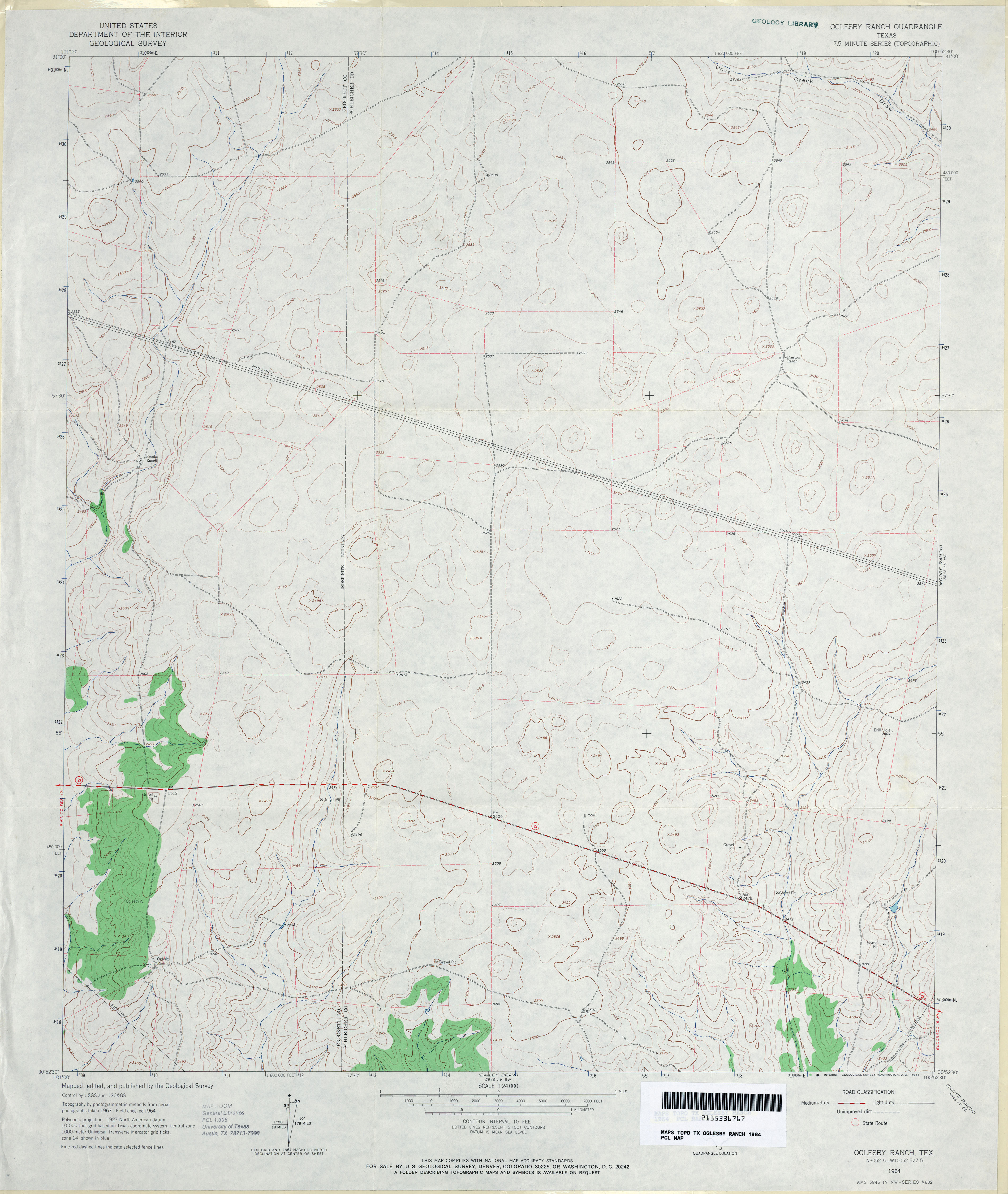
- Oglesby Ranch 1:24,000 1964 (3MB)
- Oglesby Ranch 1:24,000 2008 (13.1MB) [GeoPDF]
- Oglesby Ranch 1:24,000 2012 (23.1MB) [GeoPDF]
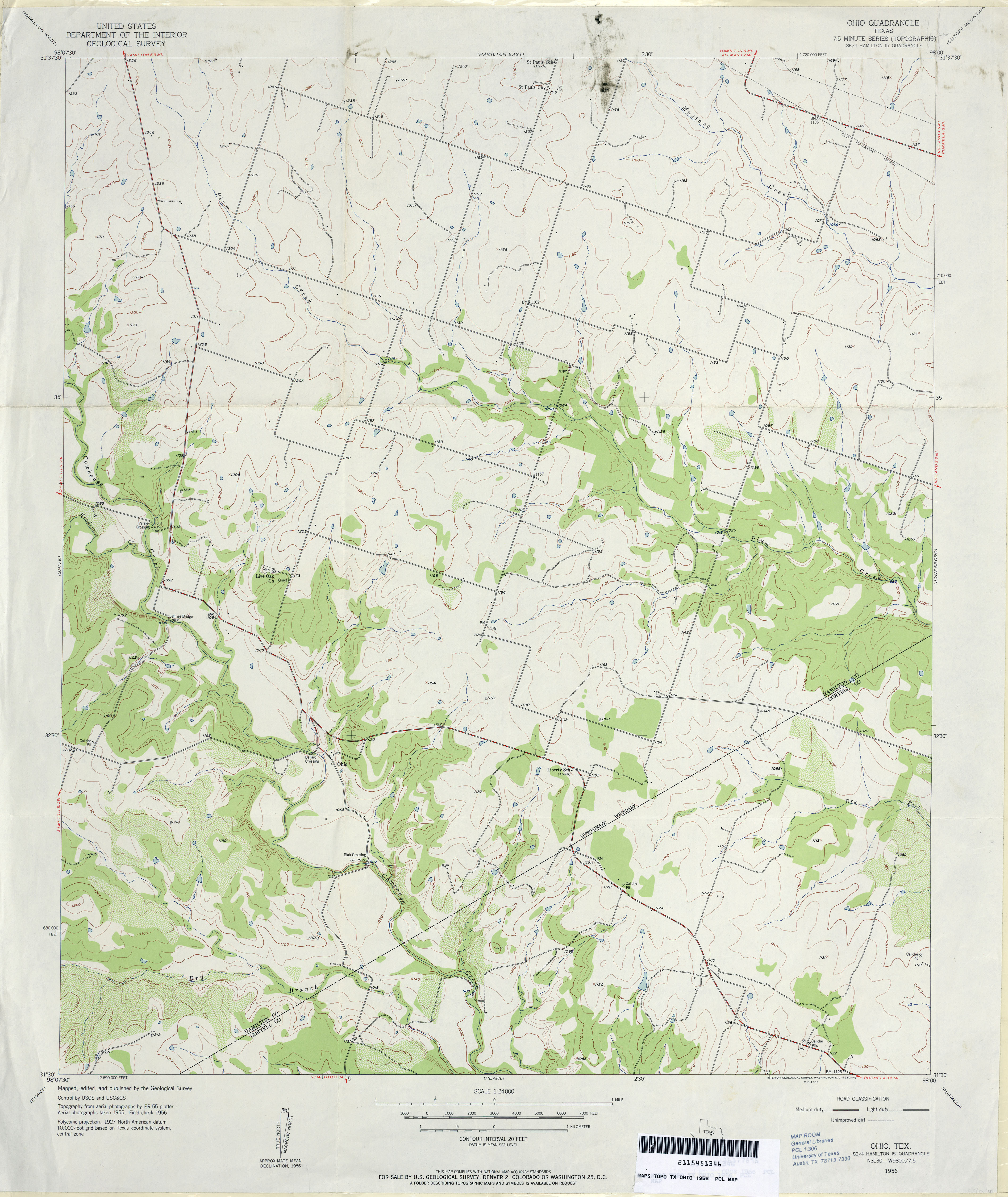
- Ohio 1:24,000 1956 (3.2MB)
- Ohio 1:24,000 2008 (14.4MB) [GeoPDF]
- Ohio 1:24,000 2012 (20.1MB) [GeoPDF]
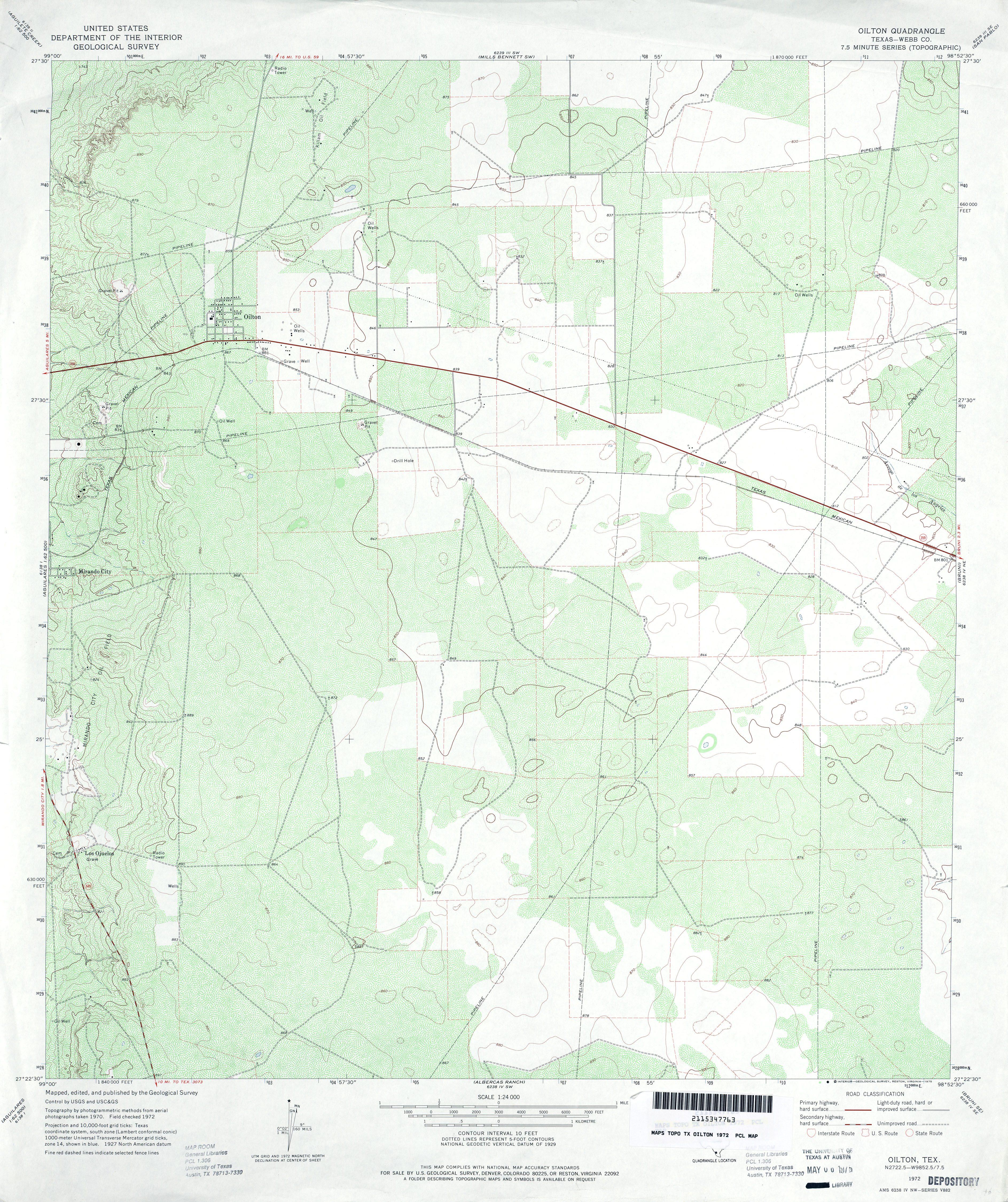
- Oilton (Webb County) 1:24,000 1972 (4.4MB)
- Oilton 1:24,000 2008 (16.8MB) [GeoPDF]
- Oilton 1:24,000 2013 (24.5MB) [GeoPDF]
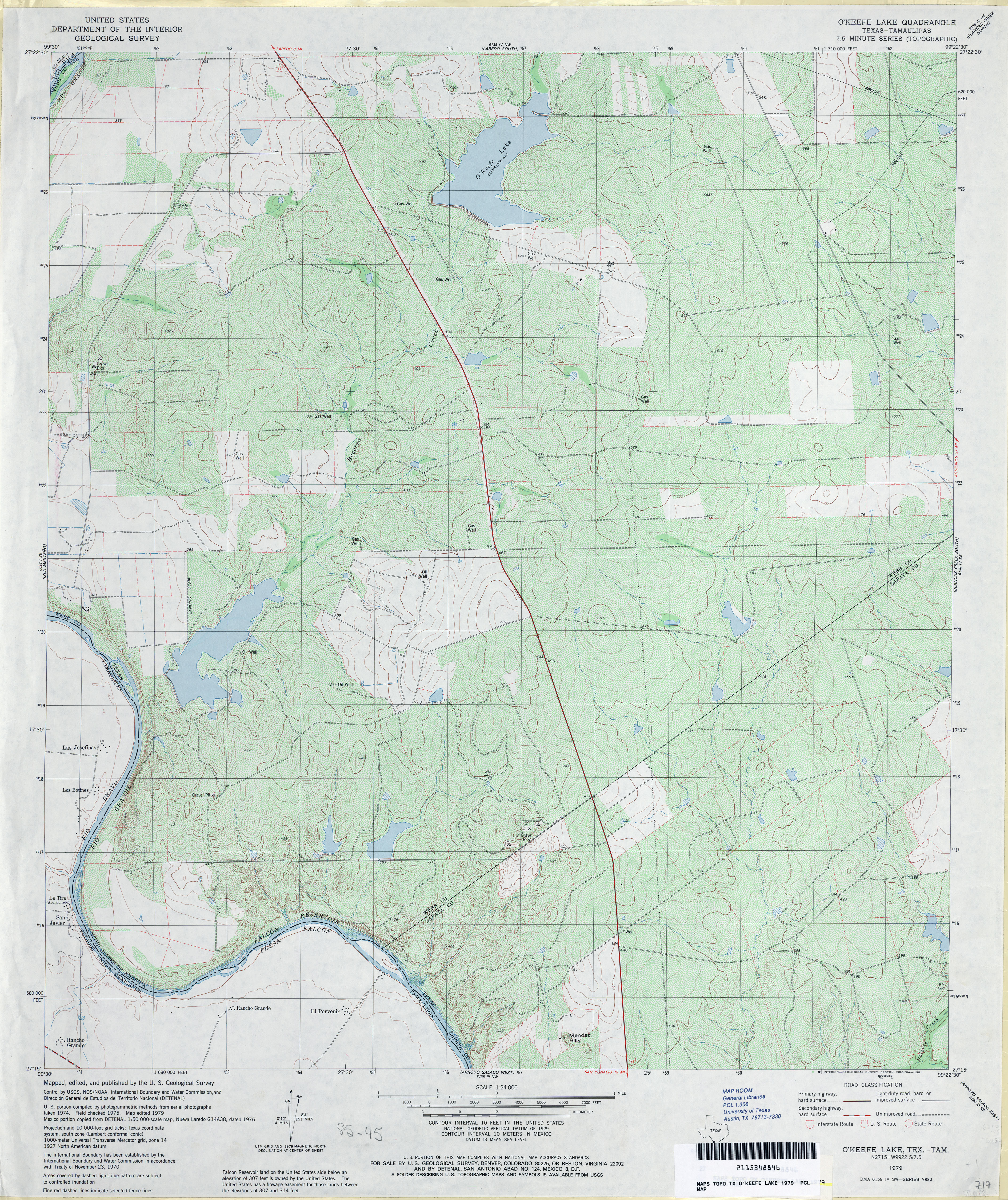
- O'Keefe Lake 1:24,000 1979 (5.3MB)
- O�Keefe Lake 1:24,000 2008 (18.5MB) [GeoPDF]
- O'Keefe Lake 1:24,000 2013 (25.7MB) [GeoPDF]
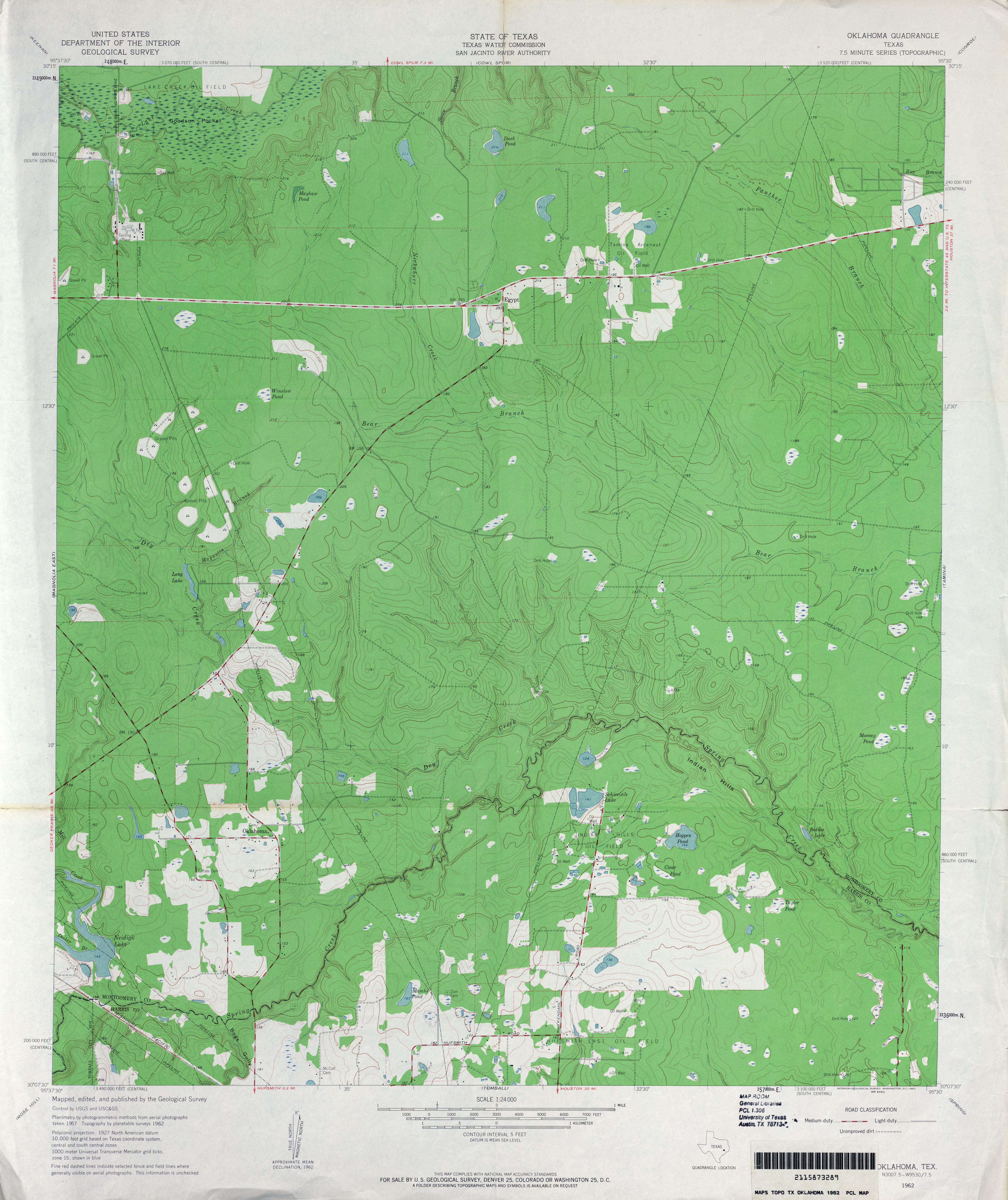
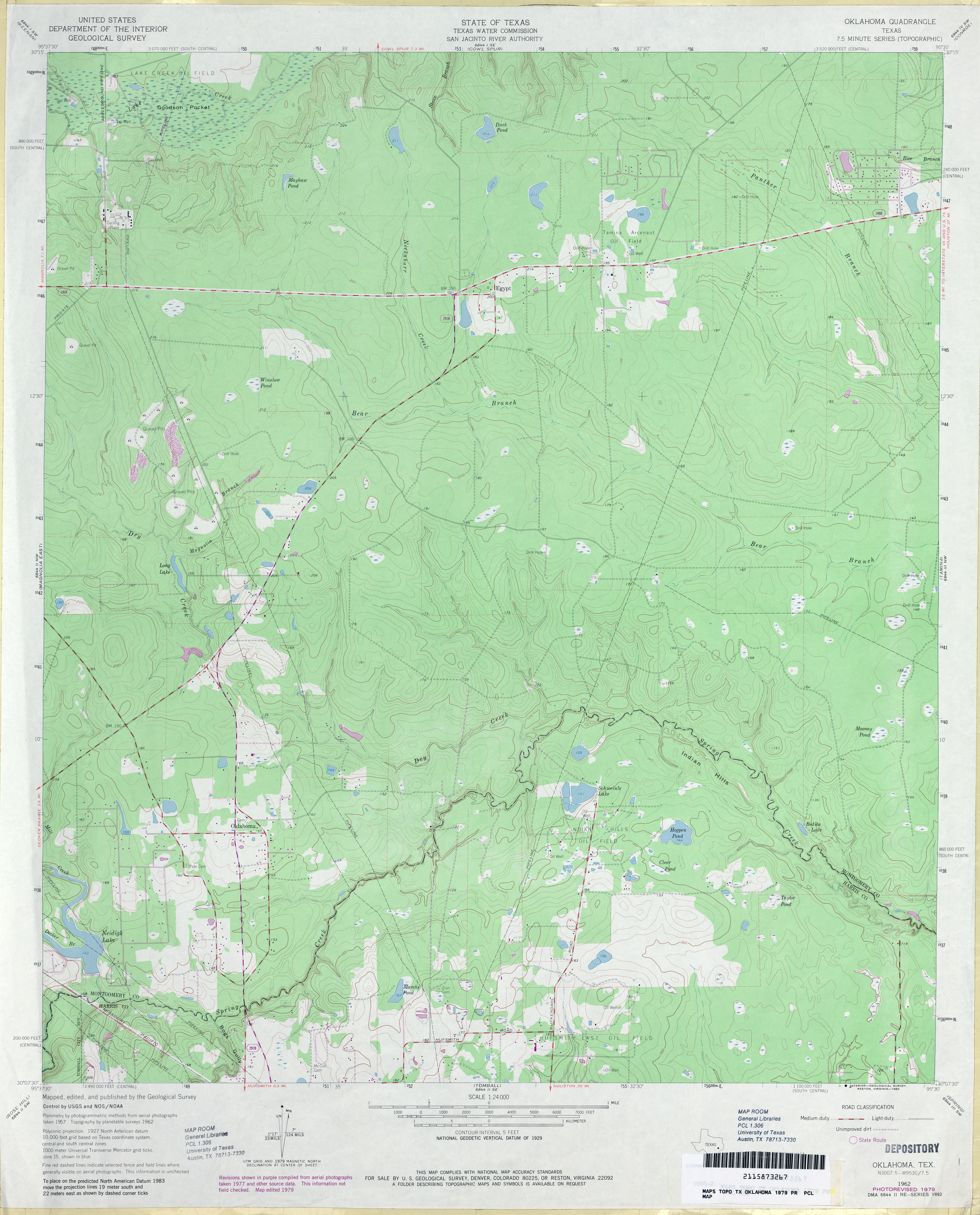
- Oklahoma 1:24,000 1962 (3.5MB)
- Oklahoma 1:24,000 1979 (3.4MB)
- Oklahoma 1:24,000 2009 (27.1MB) [GeoPDF]
- Oklahoma 1:24,000 2013 (27.4MB) [GeoPDF]
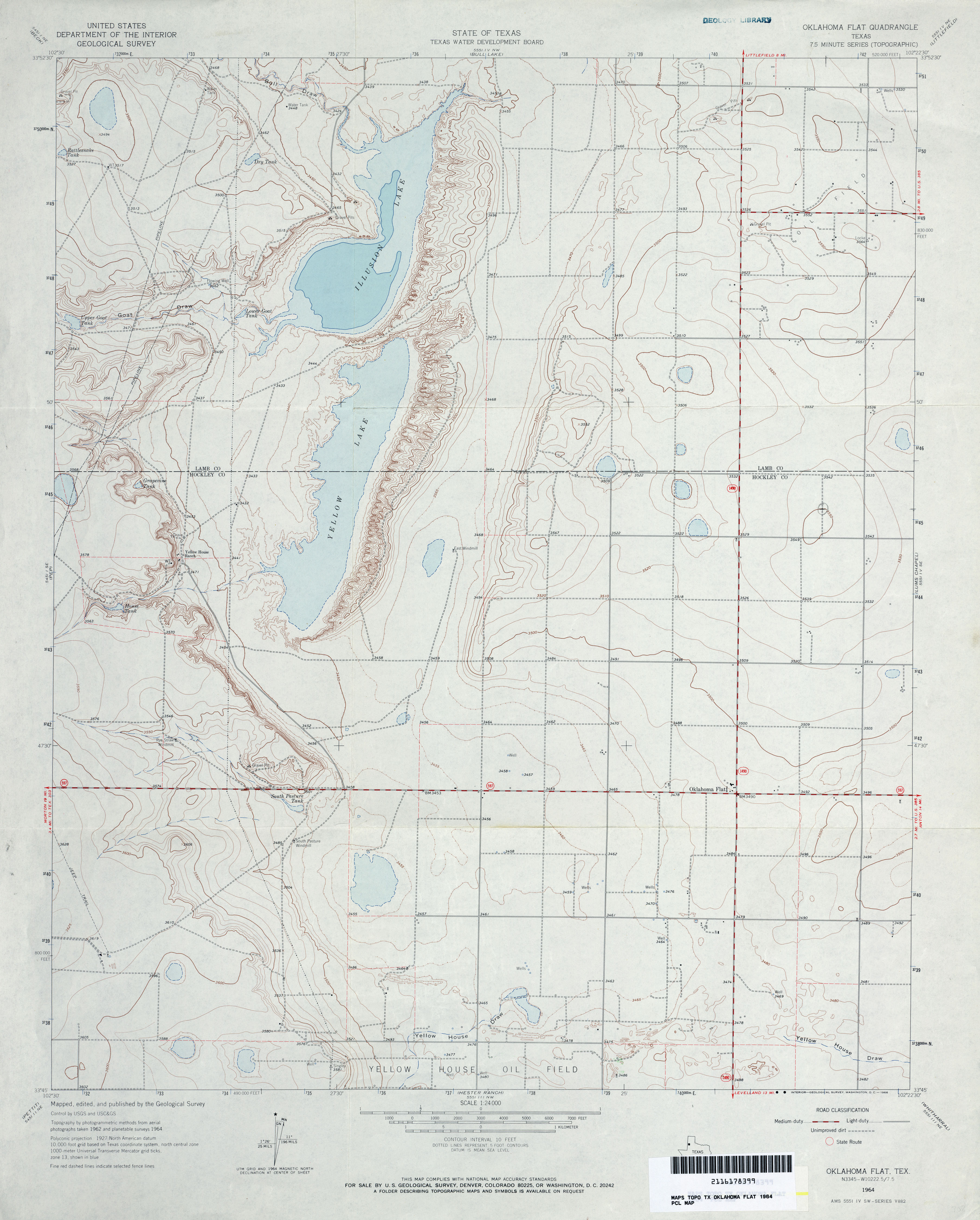
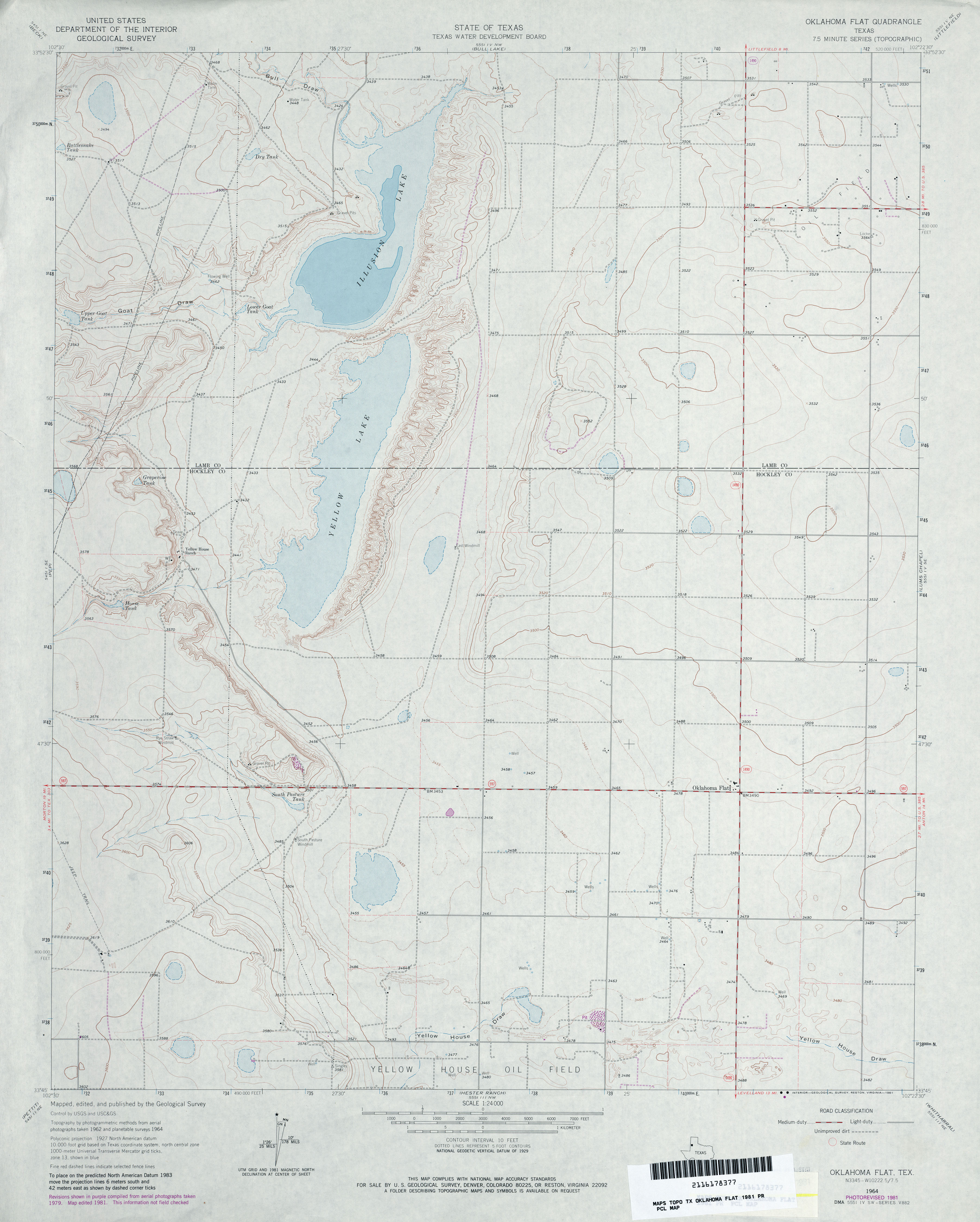
- Oklahoma Flat 1:24,000 1964 (3MB)
- Oklahoma Flat 1:24,000 1981 (2.8MB)
- Oklahoma Flat 1:24,000 2008 (14.4MB) [GeoPDF]
- Oklahoma Flat 1:24,000 2012 (17.3MB) [GeoPDF]
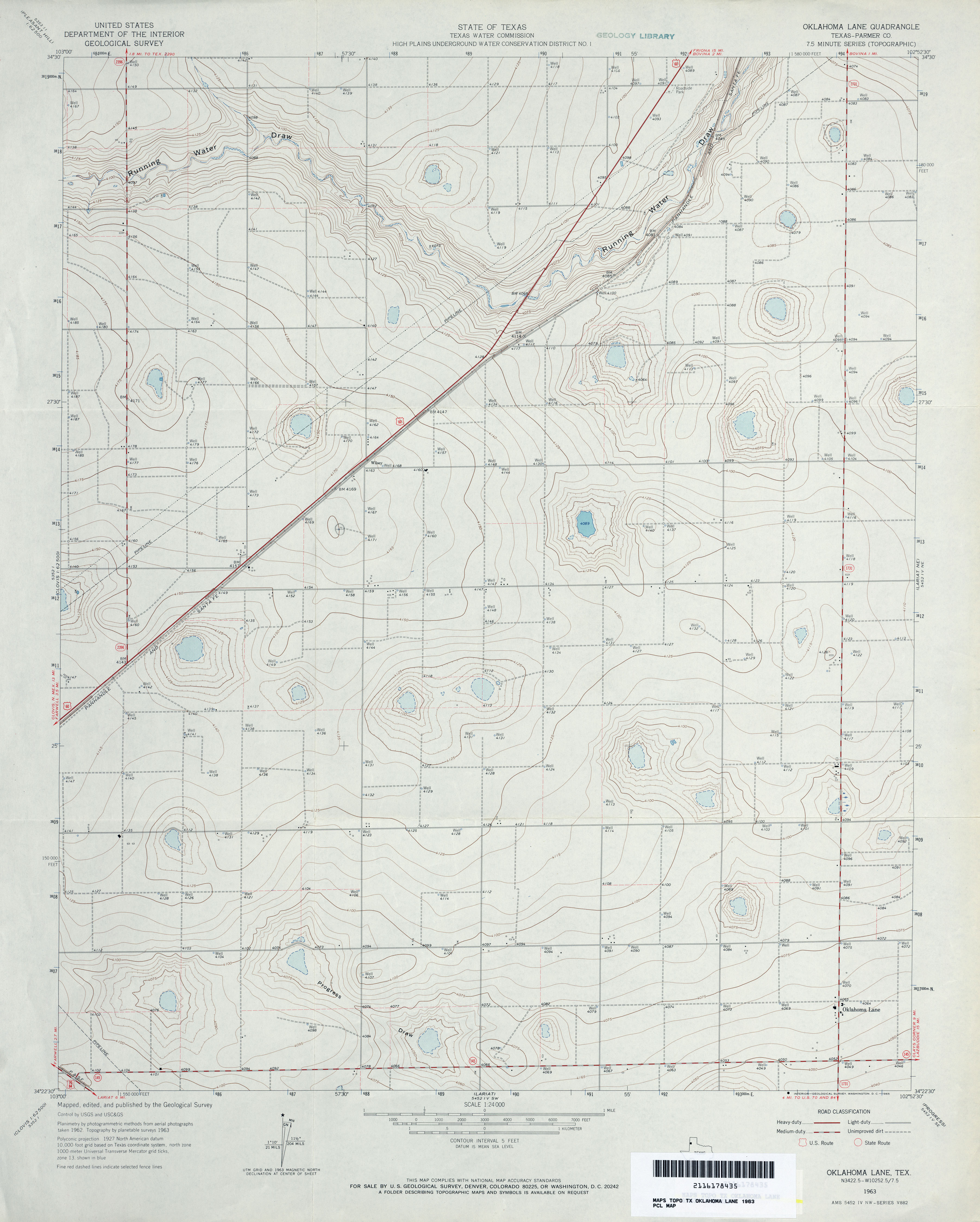
- Oklahoma Lane (Parmer County) 1:24,000 1963 (2.9MB)
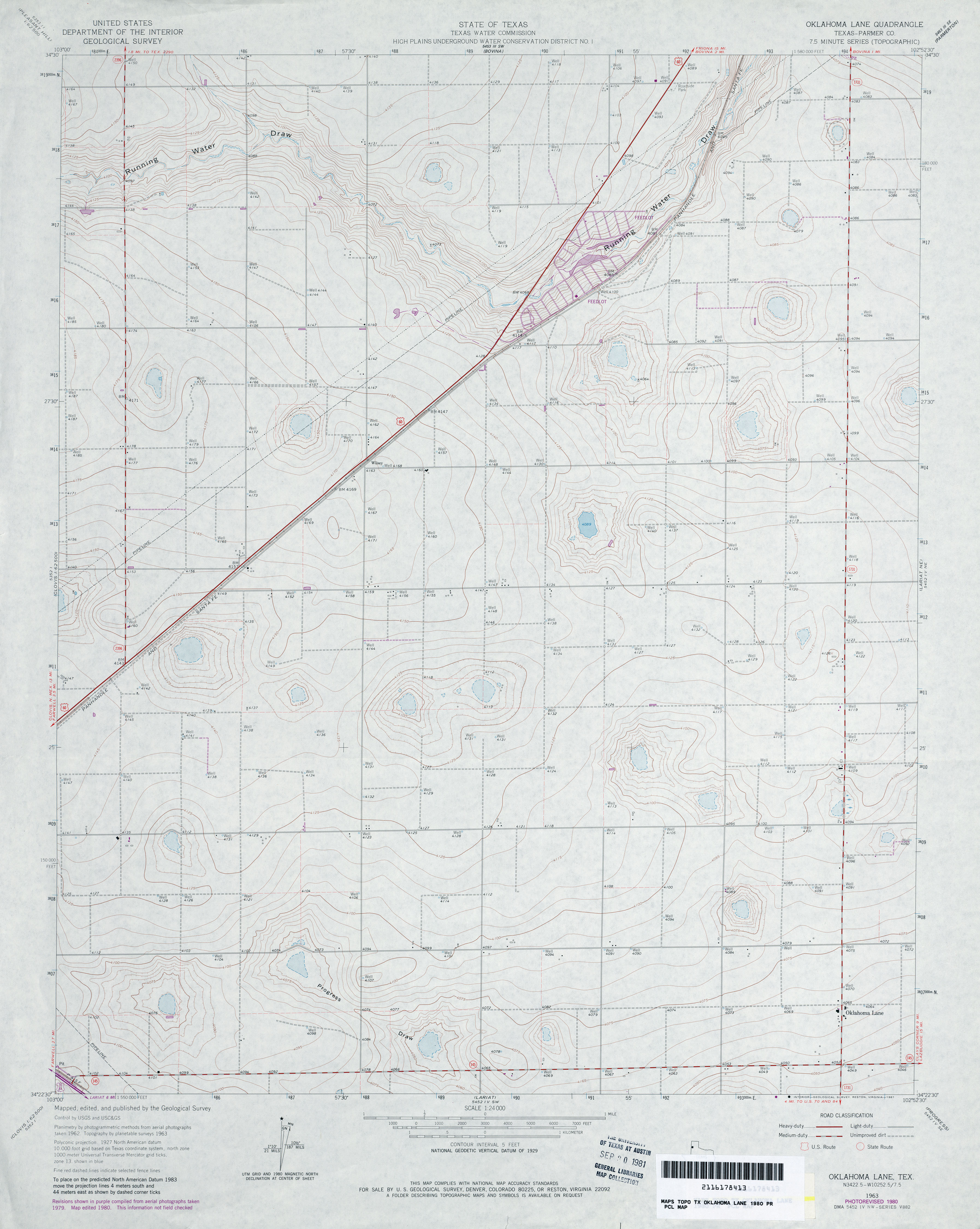
- Oklahoma Lane (Parmer County) 1:24,000 1980 (2.9MB)
- Oklahoma Lane 1:24,000 2008 (9.6MB) [GeoPDF]
- Oklahoma Lane 1:24,000 2012 (13.7MB) [GeoPDF]
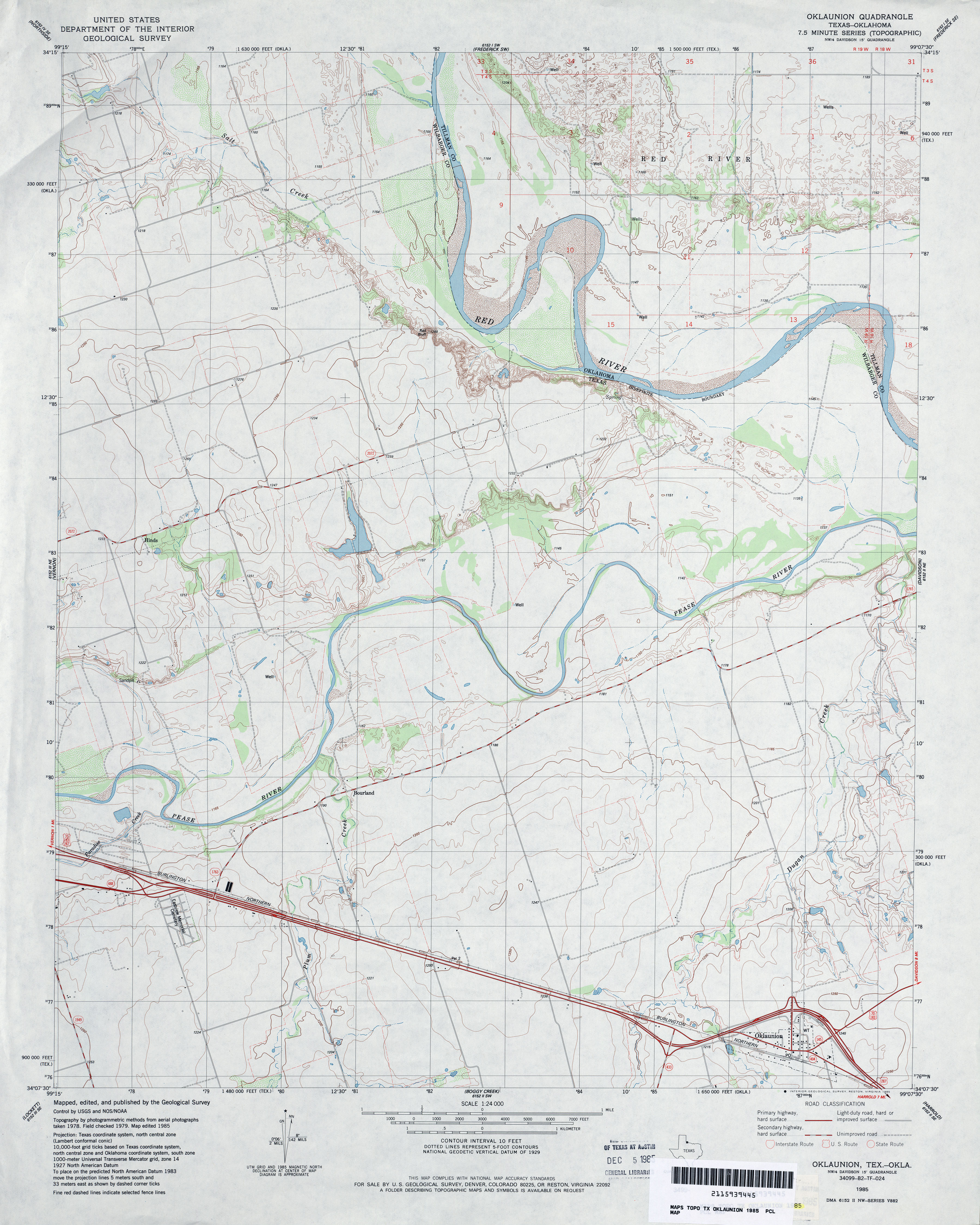
- Oklaunion 1:24,000 1985 (3.5MB)
- Oklaunion 1:24,000 2008 (12.5MB) [GeoPDF]
- Oklaunion 1:24,000 2012 (17.6MB) [GeoPDF]
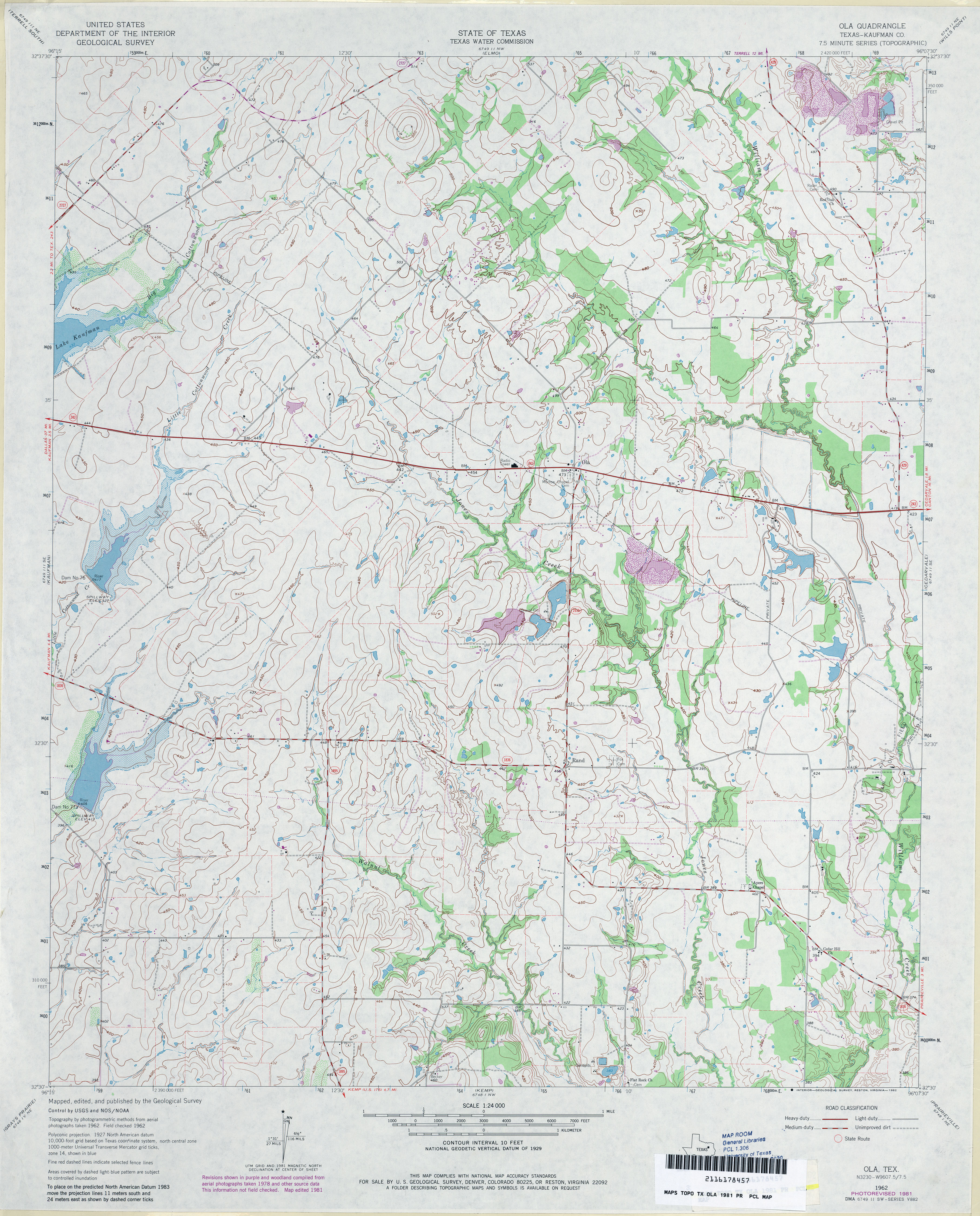
- Ola (Kaufman County) 1:24,000 1962 (3.7MB)
- Ola (Kaufman County) 1:24,000 1981 (4.1MB)
- Ola 1:24,000 2009 (16.0MB) [GeoPDF]
- Ola 1:24,000 2012 (19.7MB) [GeoPDF]
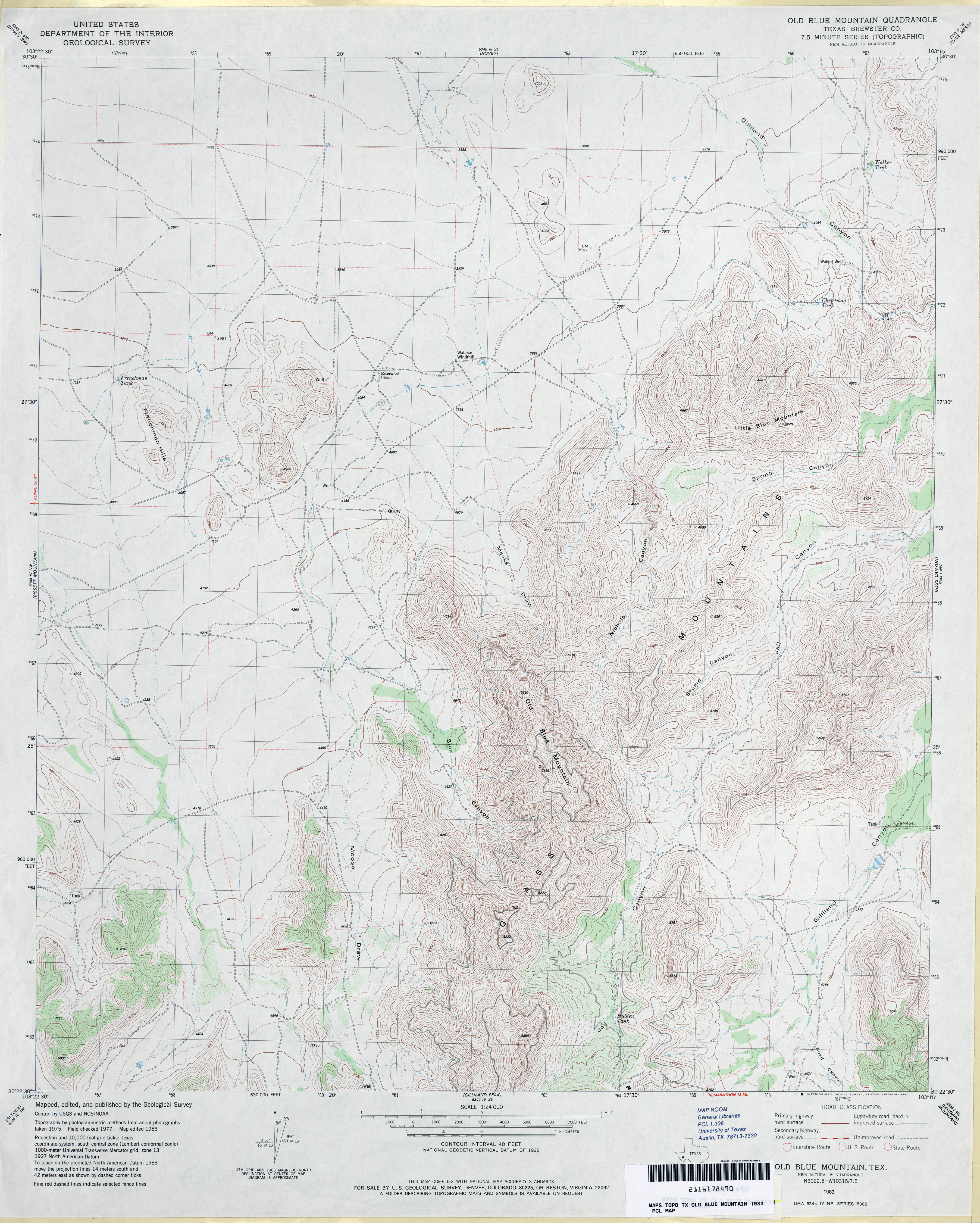
- Old Blue Mountain (Brewster County) 1:24,000 1983 (4MB)
- Old Blue Mountain 1:24,000 2008 (25.5MB) [GeoPDF]
- Old Blue Mountain 1:24,000 2012 (28.6MB) [GeoPDF]
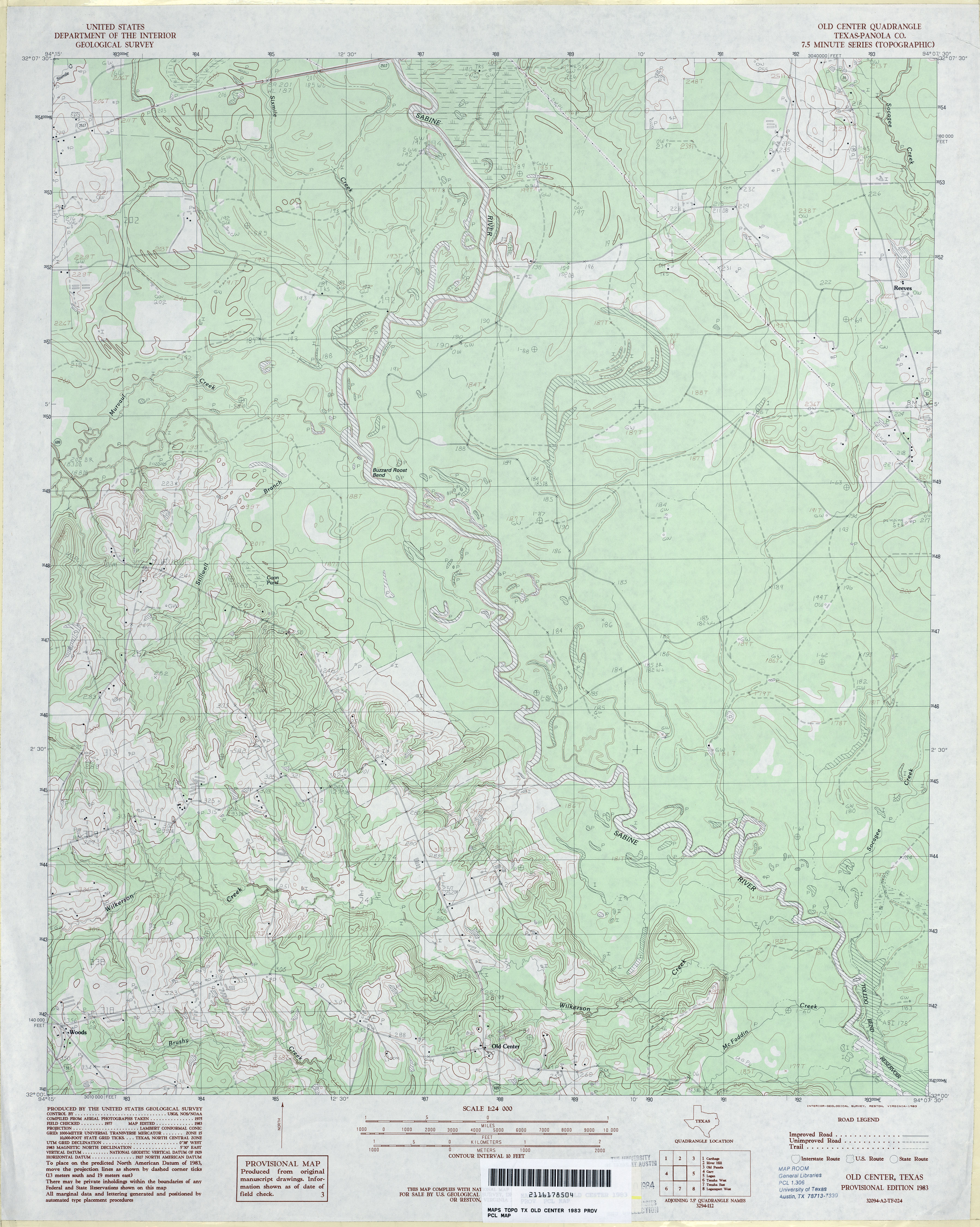
- Old Center (Panola County) 1:24,000 1983 (3.8MB)
- Old Center 1:24,000 2009 (21.5MB) [GeoPDF]
- Old Center 1:24,000 2013 (23.8MB) [GeoPDF]
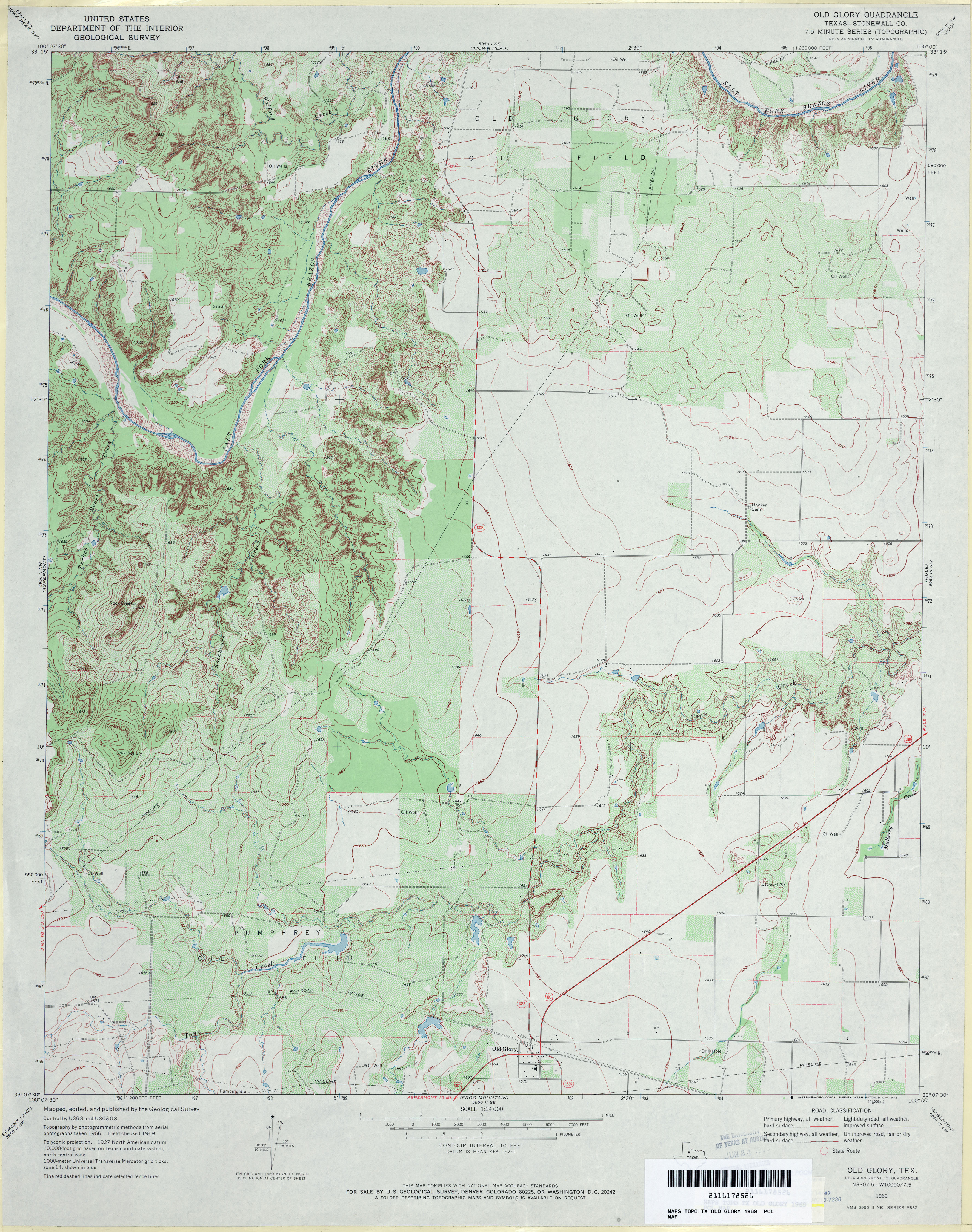
- Old Glory (Stonewall County) 1:24,000 1969 (4.3MB)
- Old Glory 1:24,000 2008 (16.1MB) [GeoPDF]
- Old Glory 1:24,000 2012 (22.4MB) [GeoPDF]
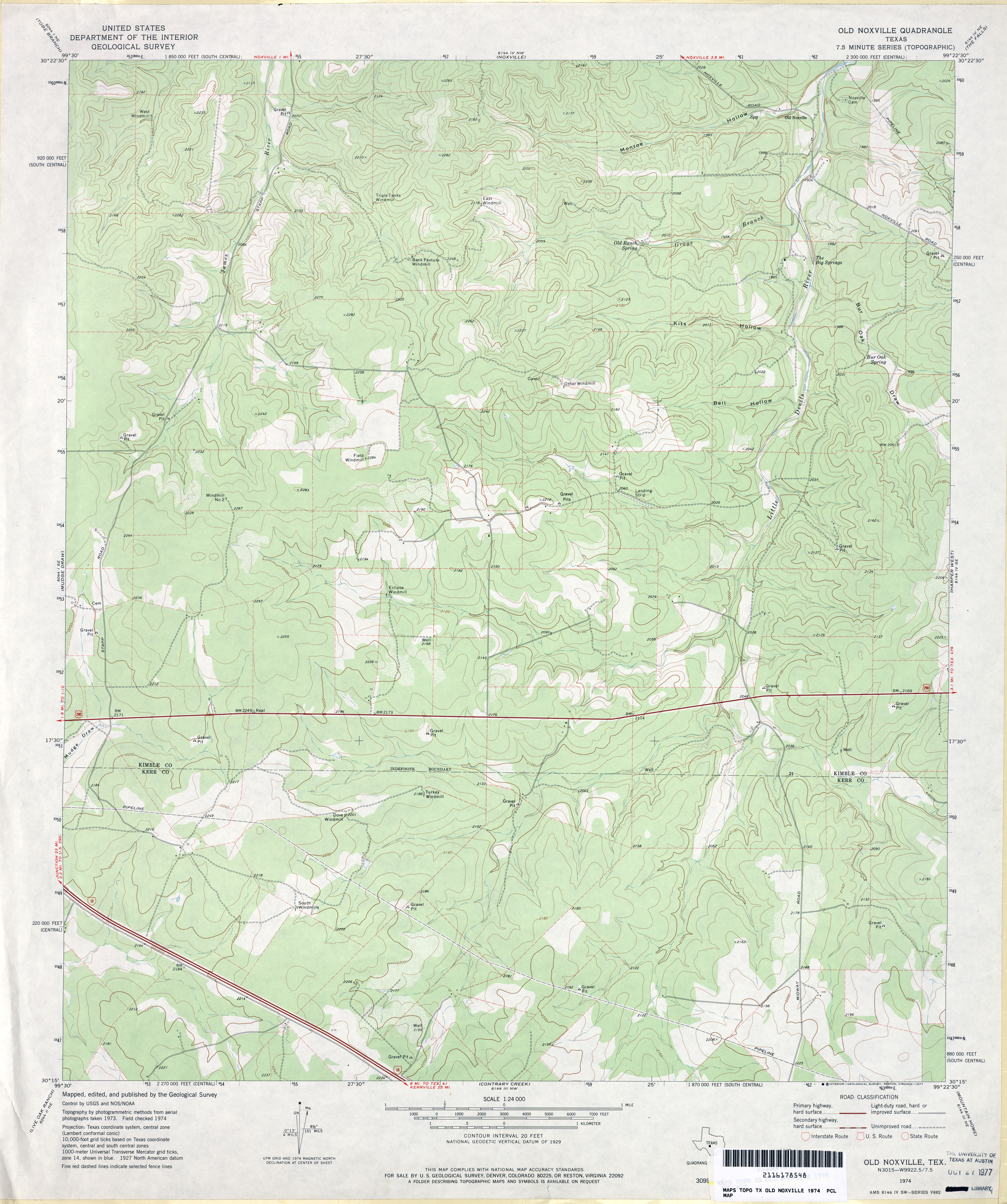
- Old Noxville 1:24,000 1974 (3.5MB)
- Old Noxville 1:24,000 2008 (19.0MB) [GeoPDF]
- Old Noxville 1:24,000 2012 (27.4MB) [GeoPDF]
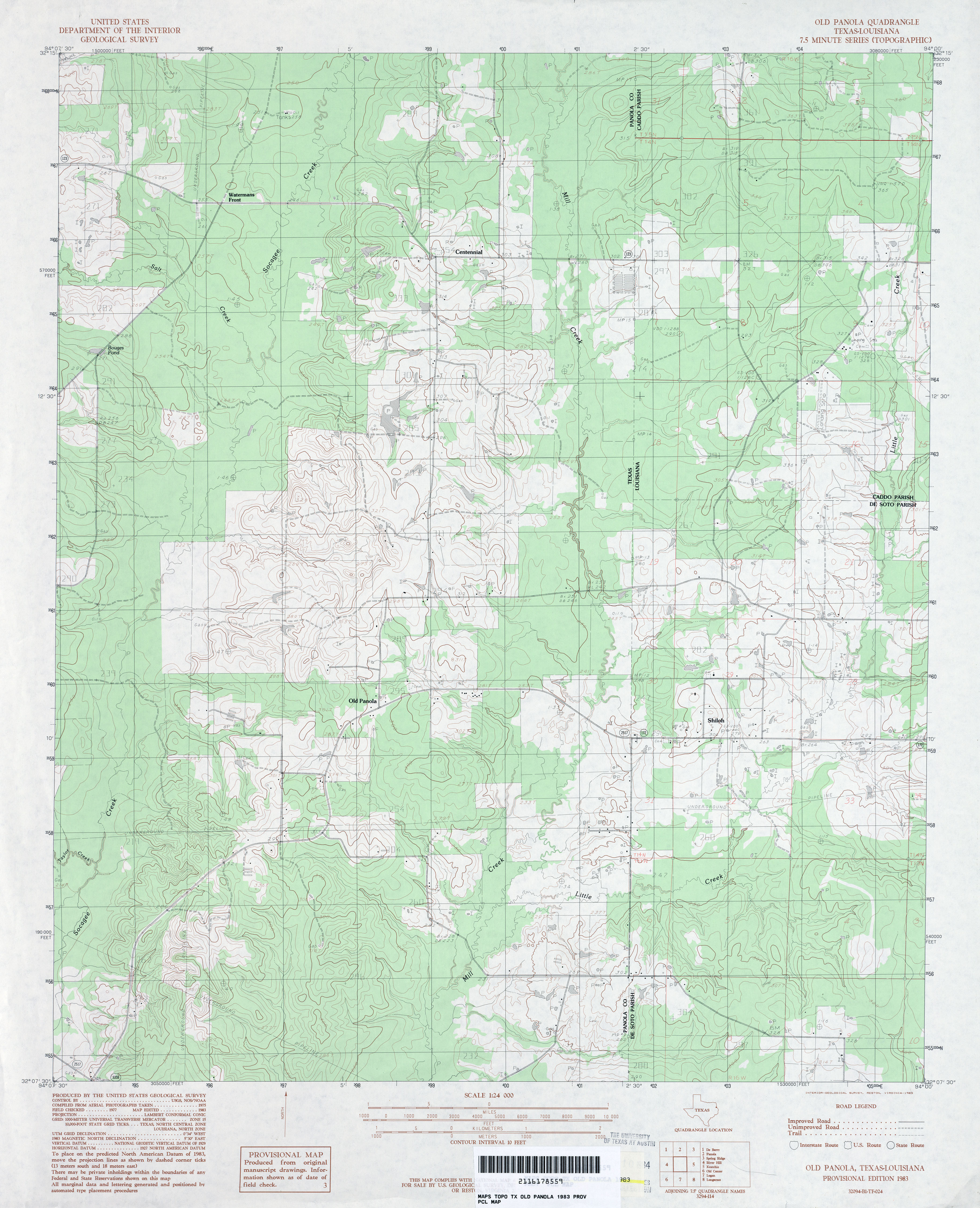
- Old Panola 1:24,000 1983 (3.6MB)
- Old Panola 1:24,000 2009 (21.0MB) [GeoPDF]
- Old Panola 1:24,000 2013 (24MB) [GeoPDF]
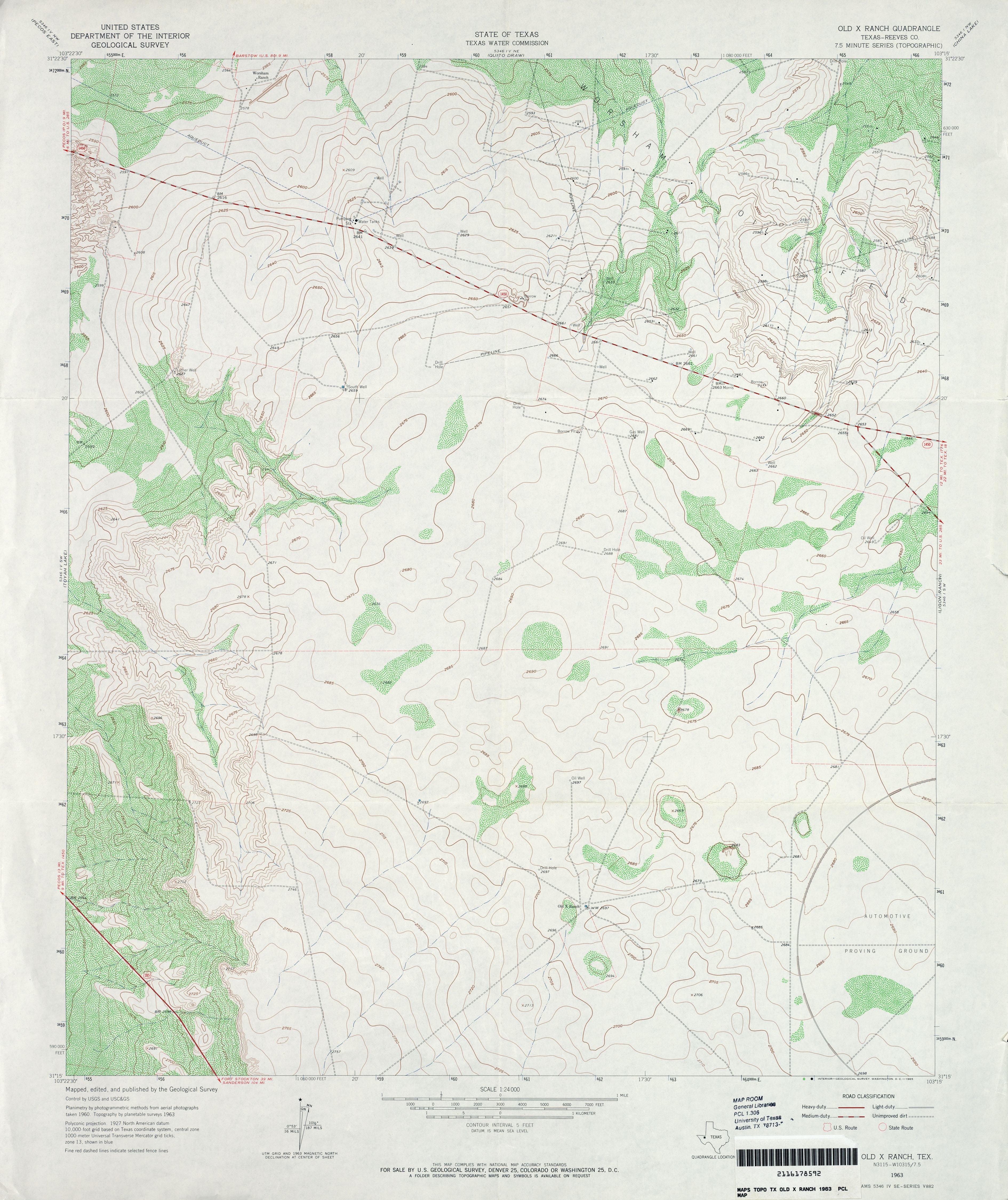
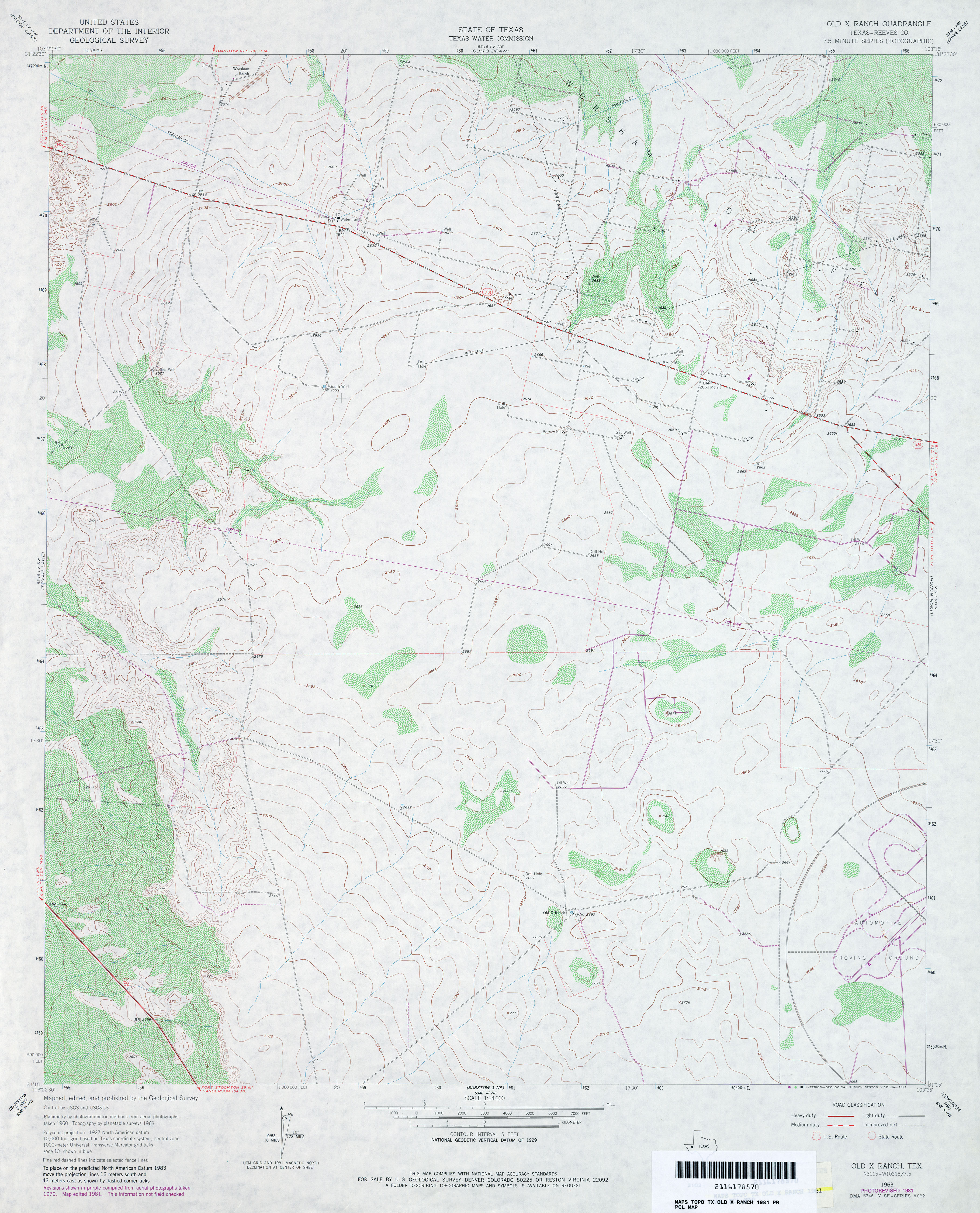
- Old X Ranch (Reeves County) 1:24,000 1963 (3.6MB)
- Old X Ranch (Reeves County) 1:24,000 1981 (3.7MB)
- Old X Ranch 1:24,000 2008 (20.7MB) [GeoPDF]
- Old X Ranch 1:24,000 2012 (24.6MB) [GeoPDF]
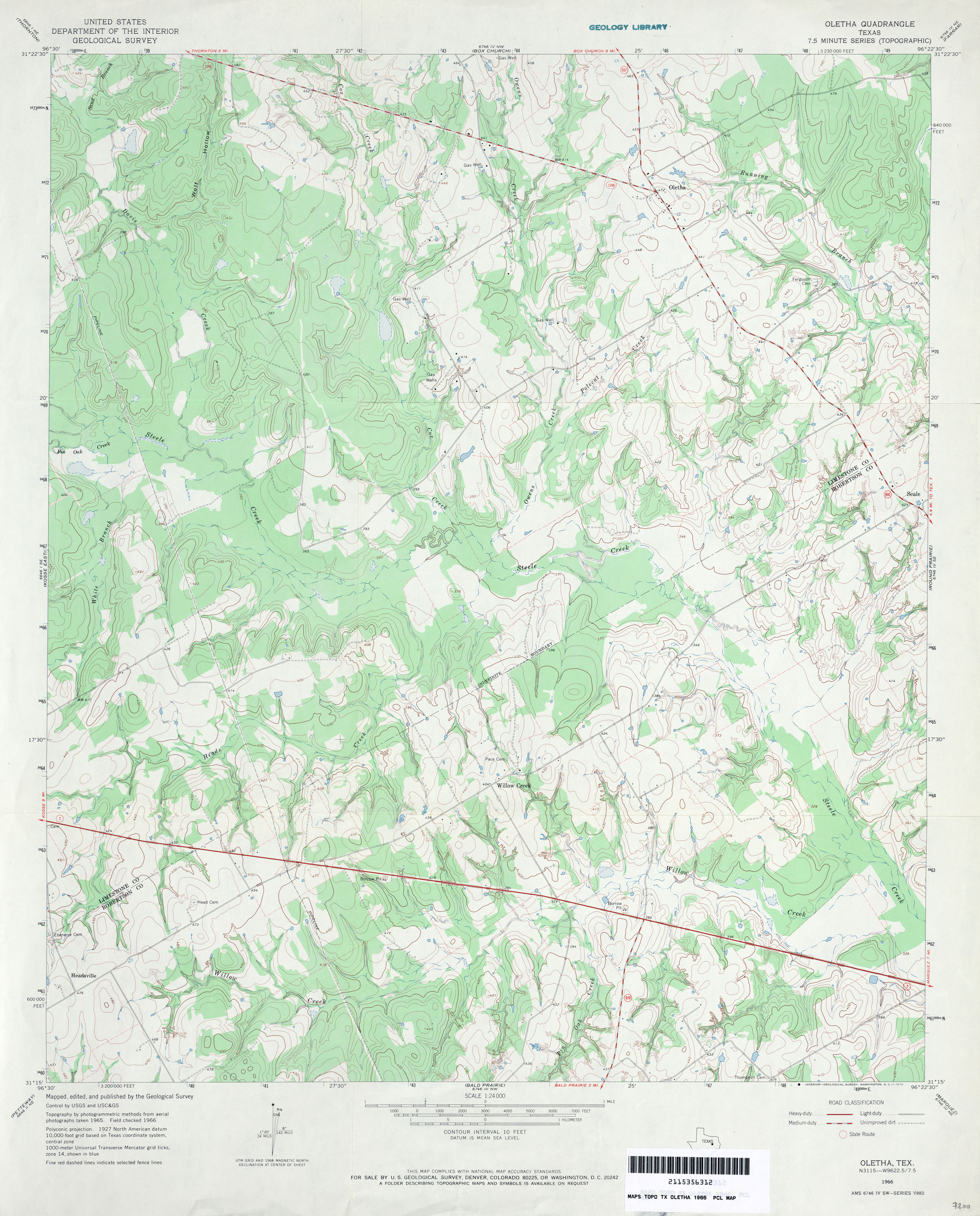
- Oletha 1:24,000 1966 (3.8MB)
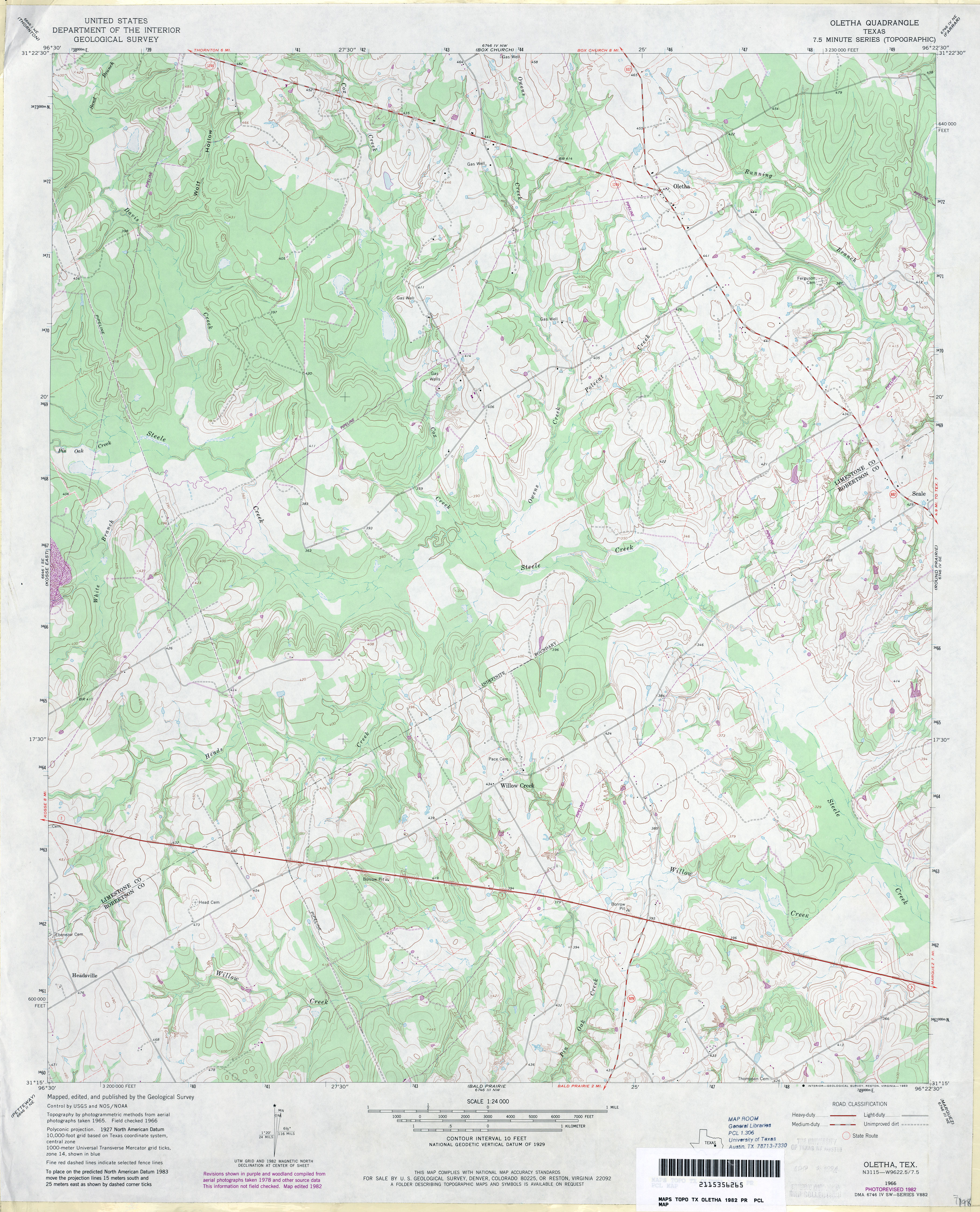
- Oletha 1:24,000 1982 (4MB)
- Oletha 1:24,000 2008 (17.7MB) [GeoPDF]
- Oletha 1:24,000 2013 (23.6MB) [GeoPDF]
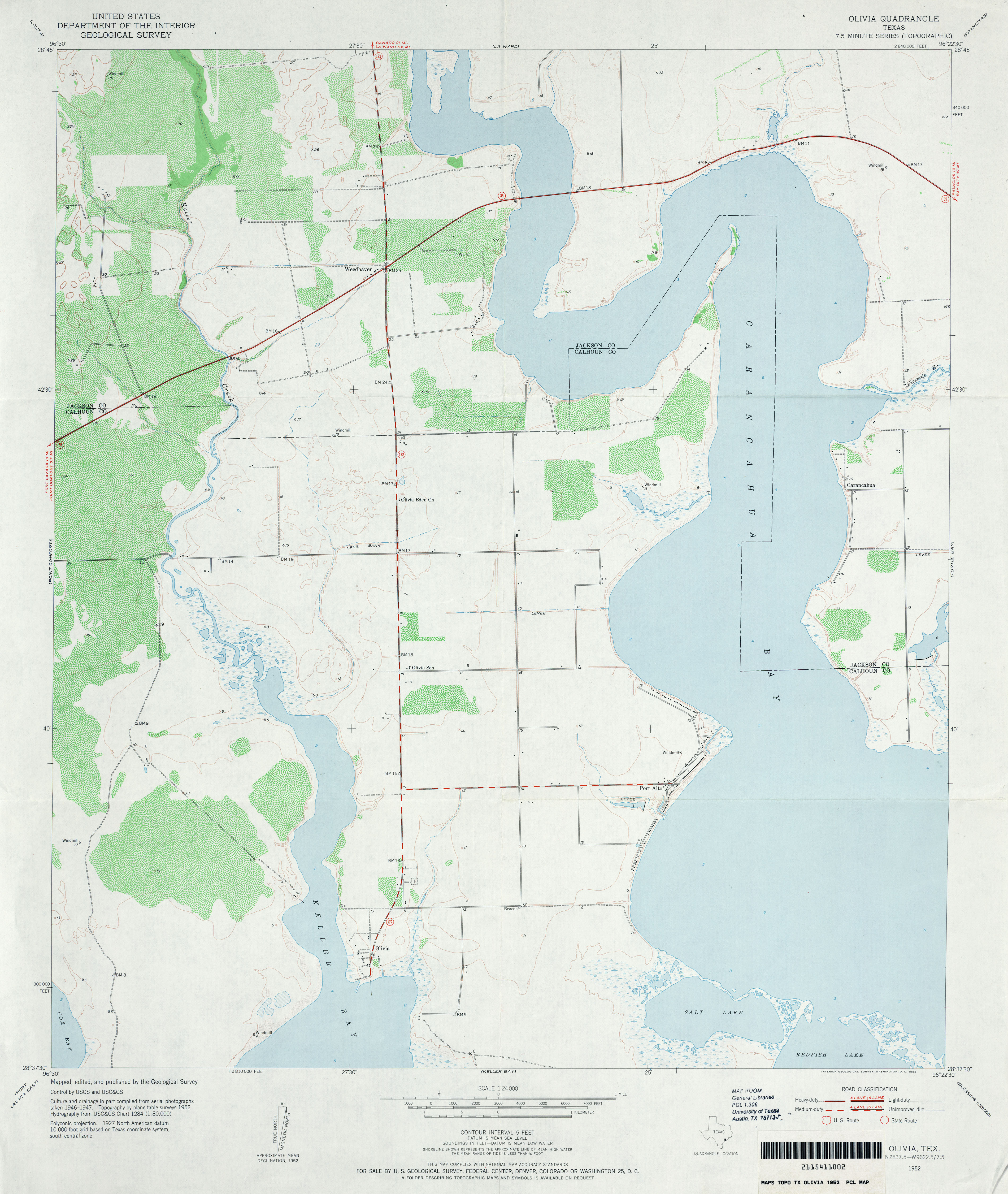
- Olivia 1:24,000 1952 (3.1MB)
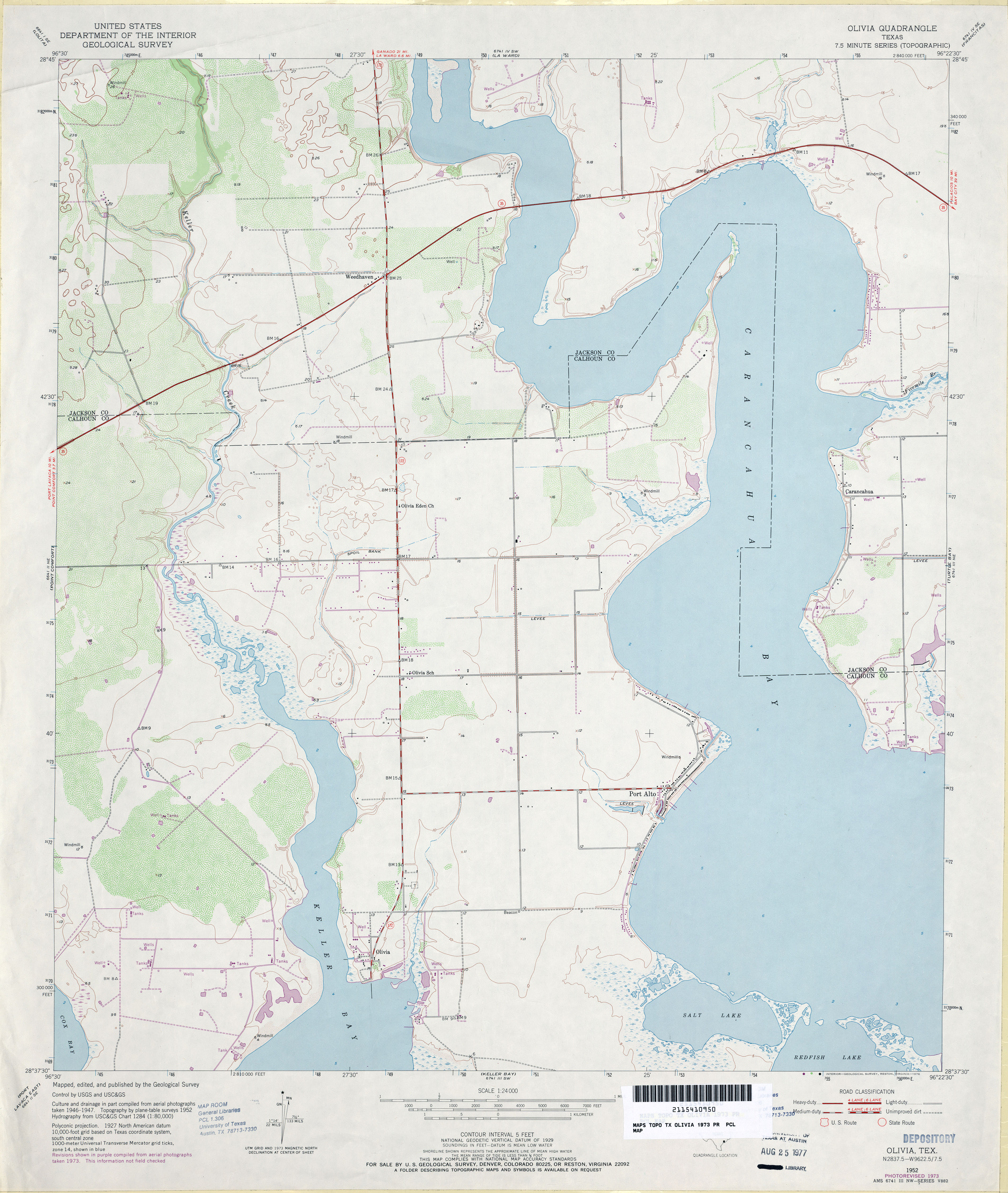
- Olivia 1:24,000 1973 (2.9MB)
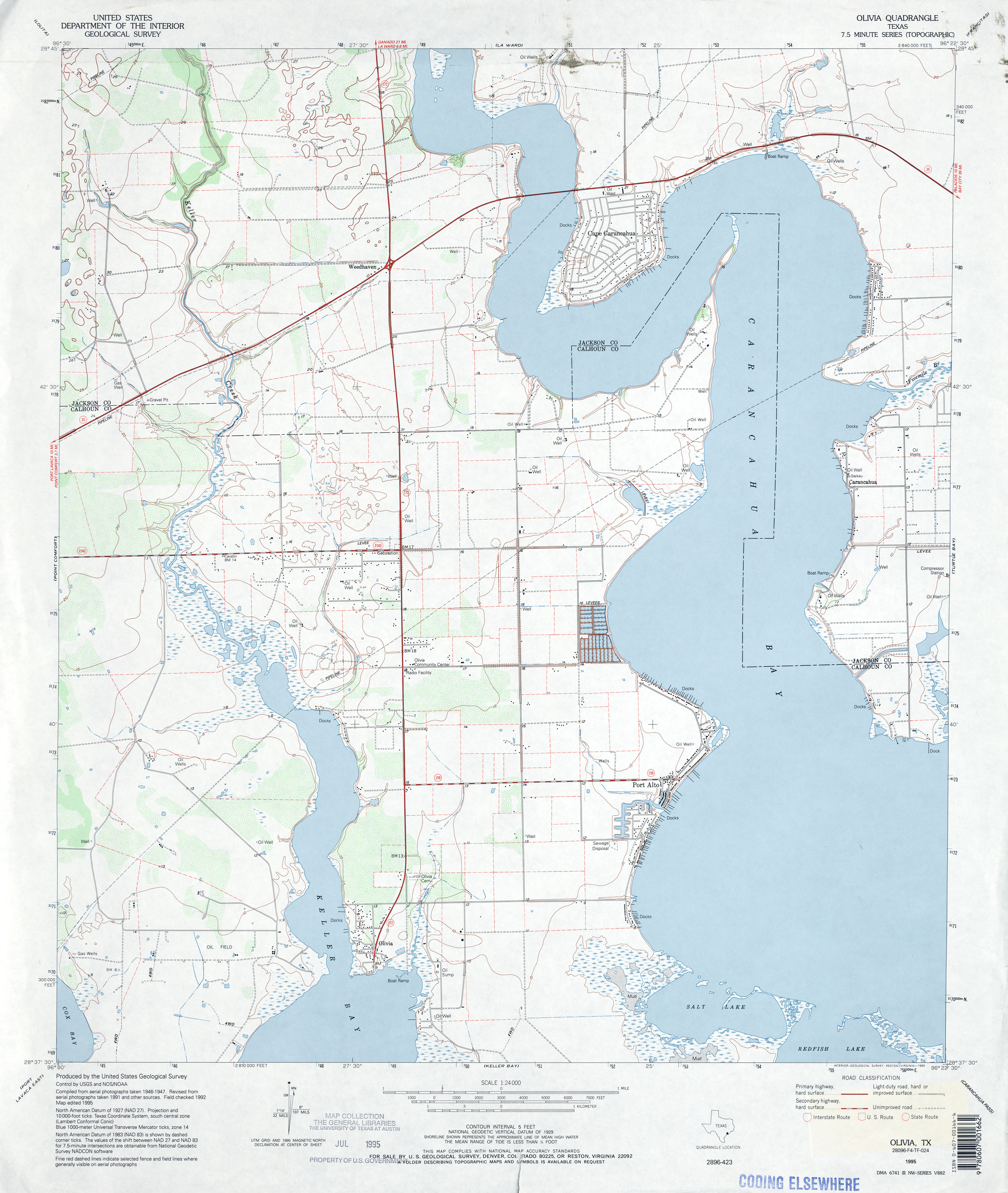
- Olivia 1:24,000 1995 (3.3MB)
- Olivia 1:24,000 2008 (10.9MB) [GeoPDF]
- Olivia 1:24,000 2013 (20.3MB) [GeoPDF]
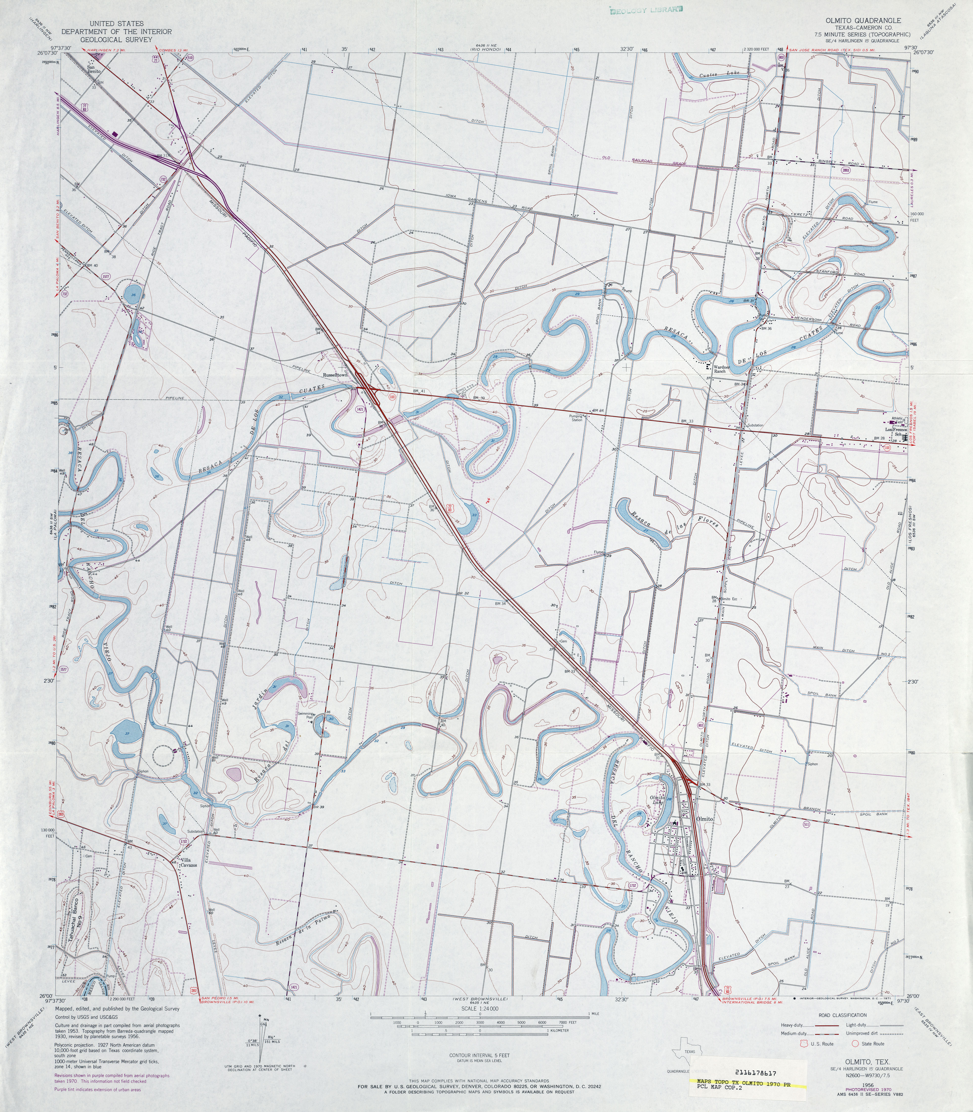
- Olmito (Cameron County) 1:24,000 1956 (3.1MB)
- Olmito (Cameron County) 1:24,000 1970 (3.4MB)
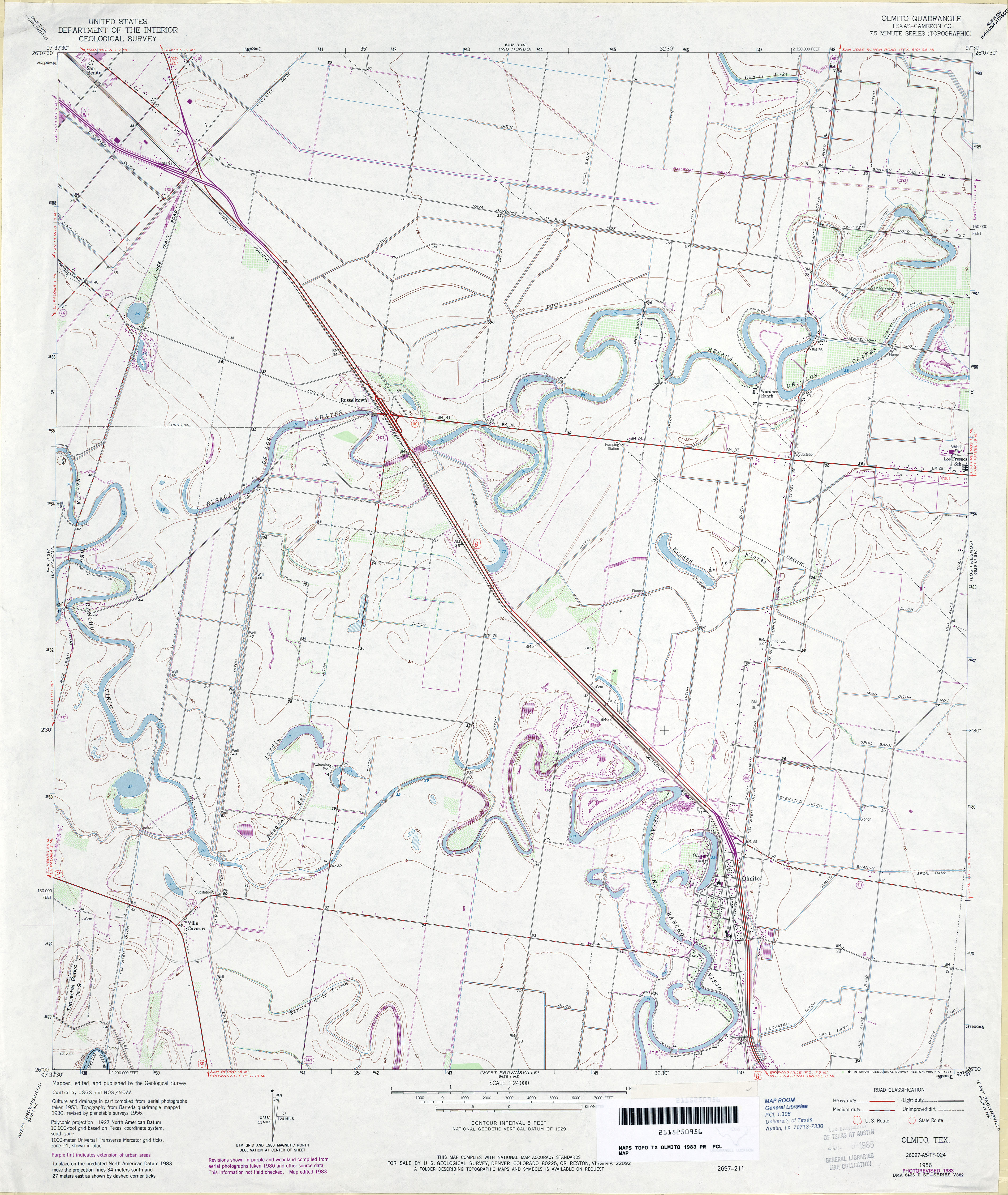
- Olmito (Cameron County) 1:24,000 1983 (3.7MB)
- Olmito 1:24,000 2009 (18.8MB) [GeoPDF]
- Olmito 1:24,000 2013 (19.4MB) [GeoPDF]
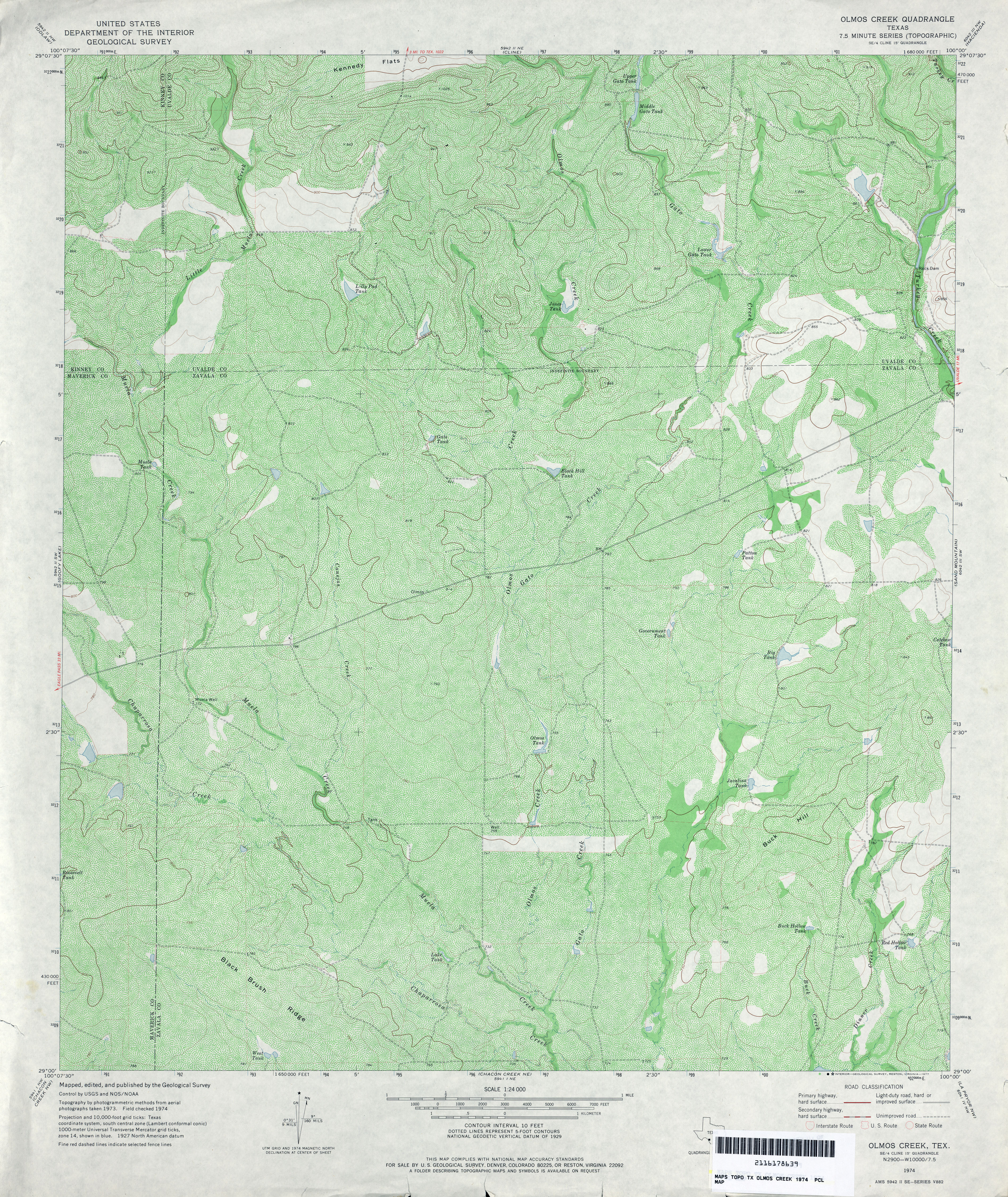
- Olmos Creek 1:24,000 1974 (5.9MB)
- Olmos Creek 1:24,000 2008 (20.2MB) [GeoPDF]
- Olmos Creek 1:24,000 2013 (31.1MB) [GeoPDF]
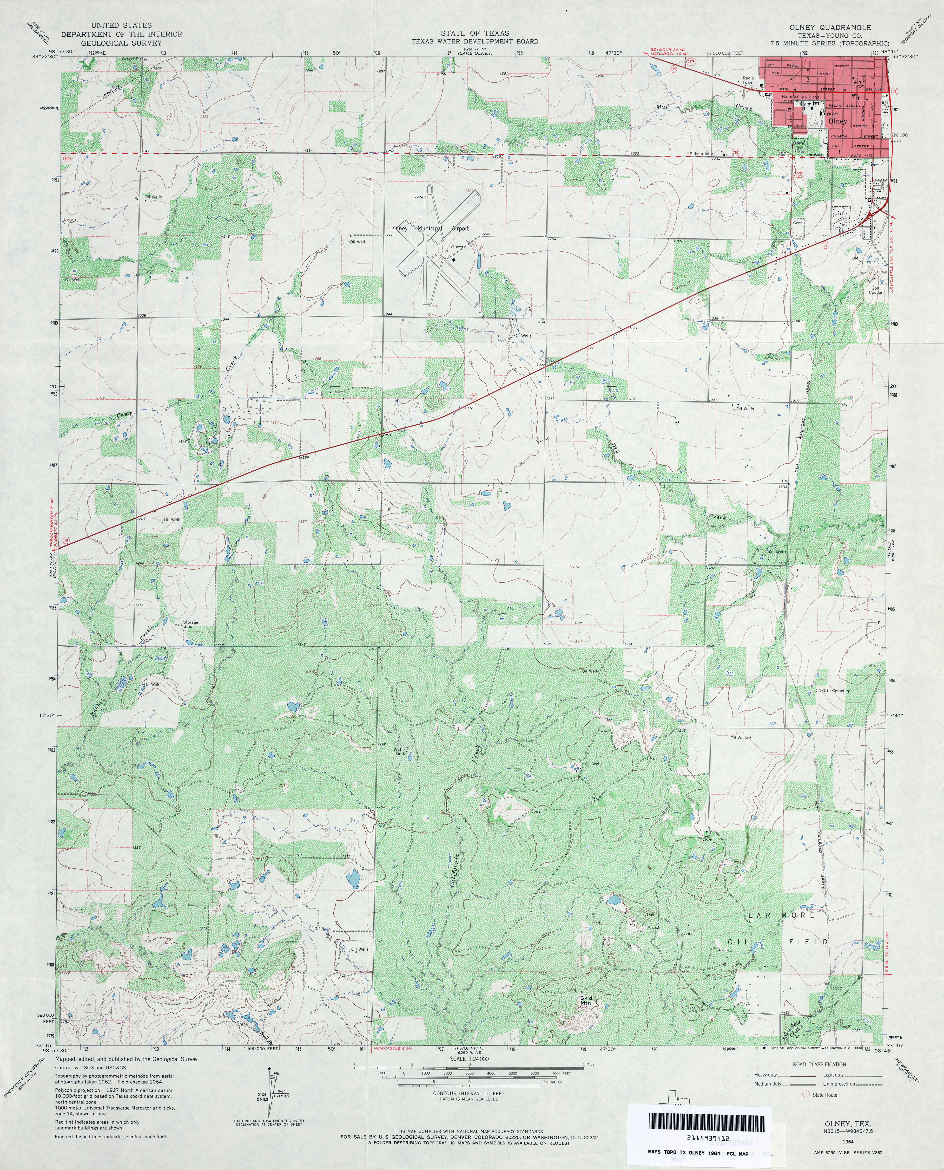
- Olney (Young County) 1:24,000 1964 (4.3MB)
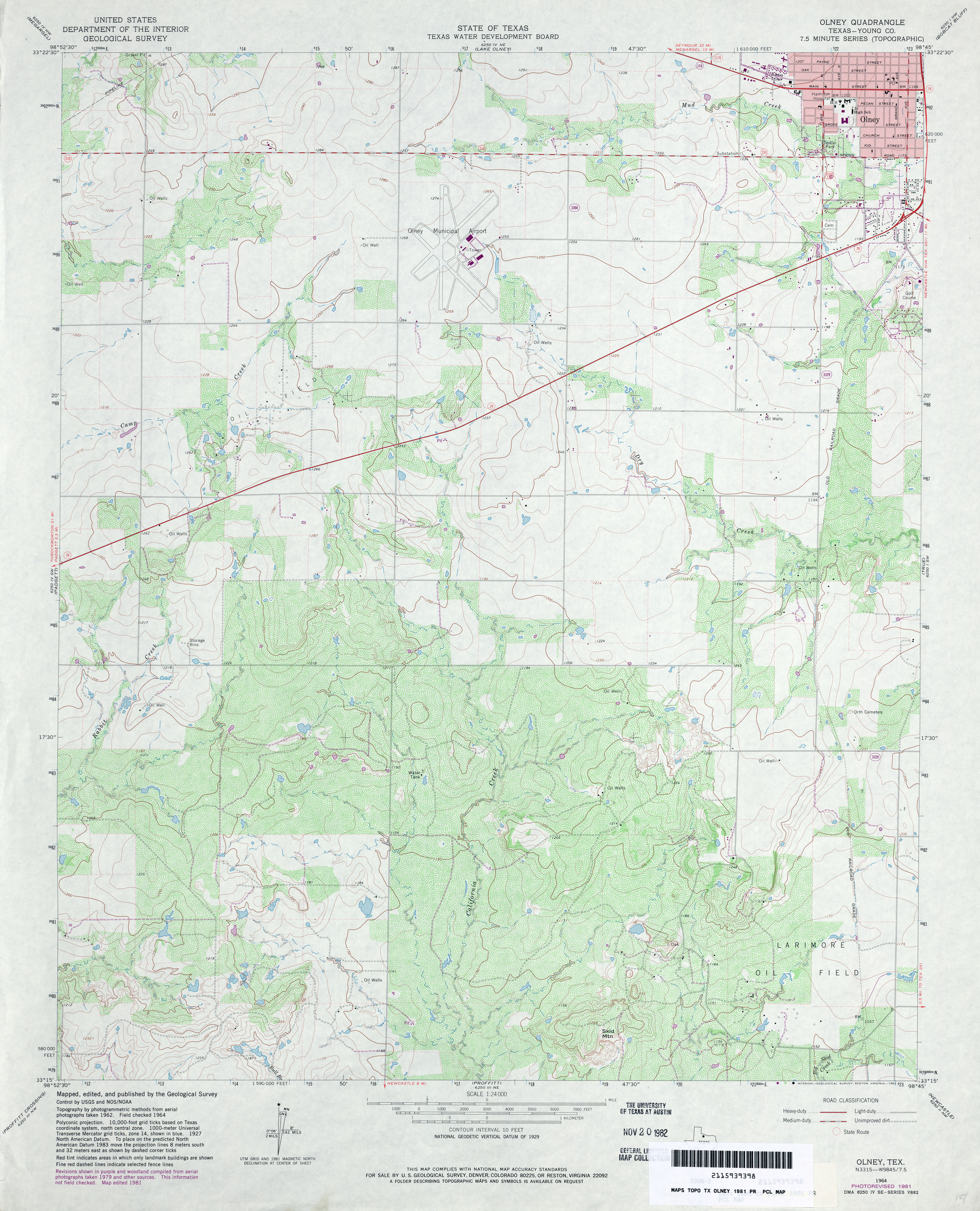
- Olney (Young County) 1:24,000 1981 (4.2MB)
- Olney 1:24,000 2008 (12.9MB) [GeoPDF]
- Olney 1:24,000 2012 (17.8MB) [GeoPDF]
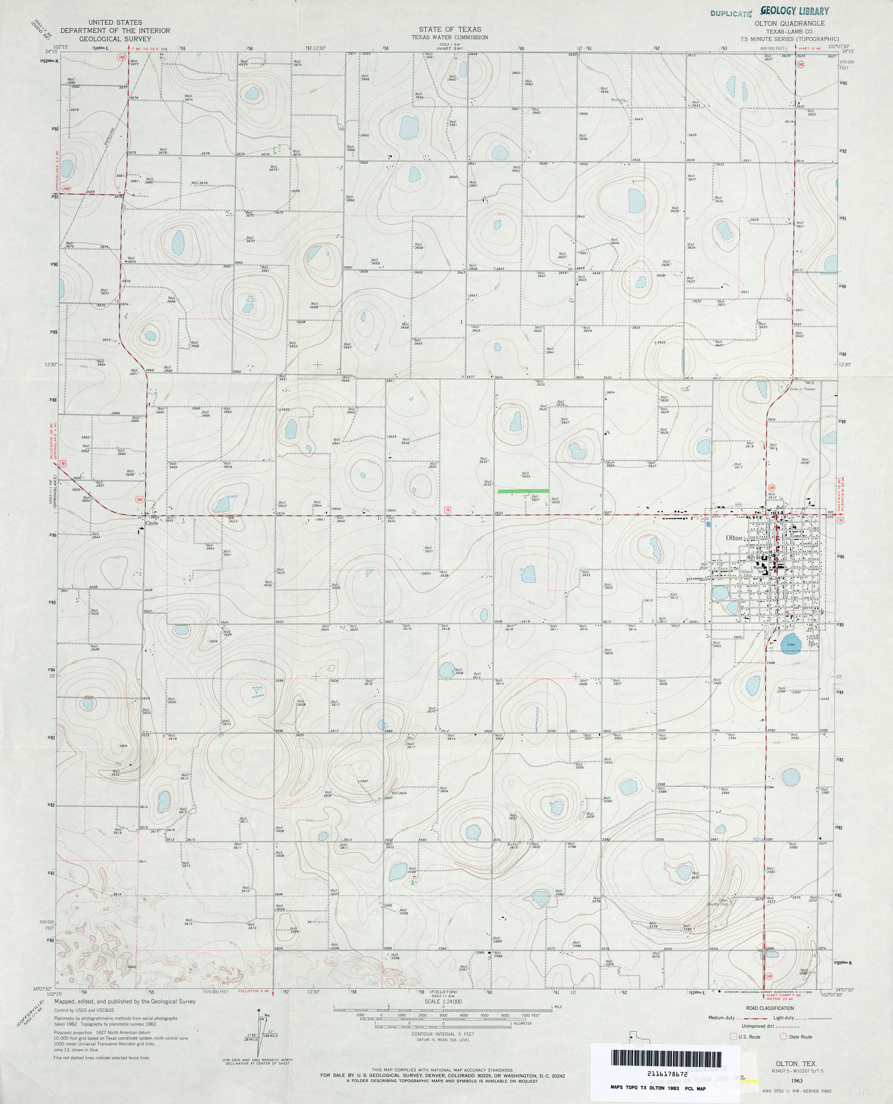
- Olton (Lamb County) 1:24,000 1963 (2.6MB)
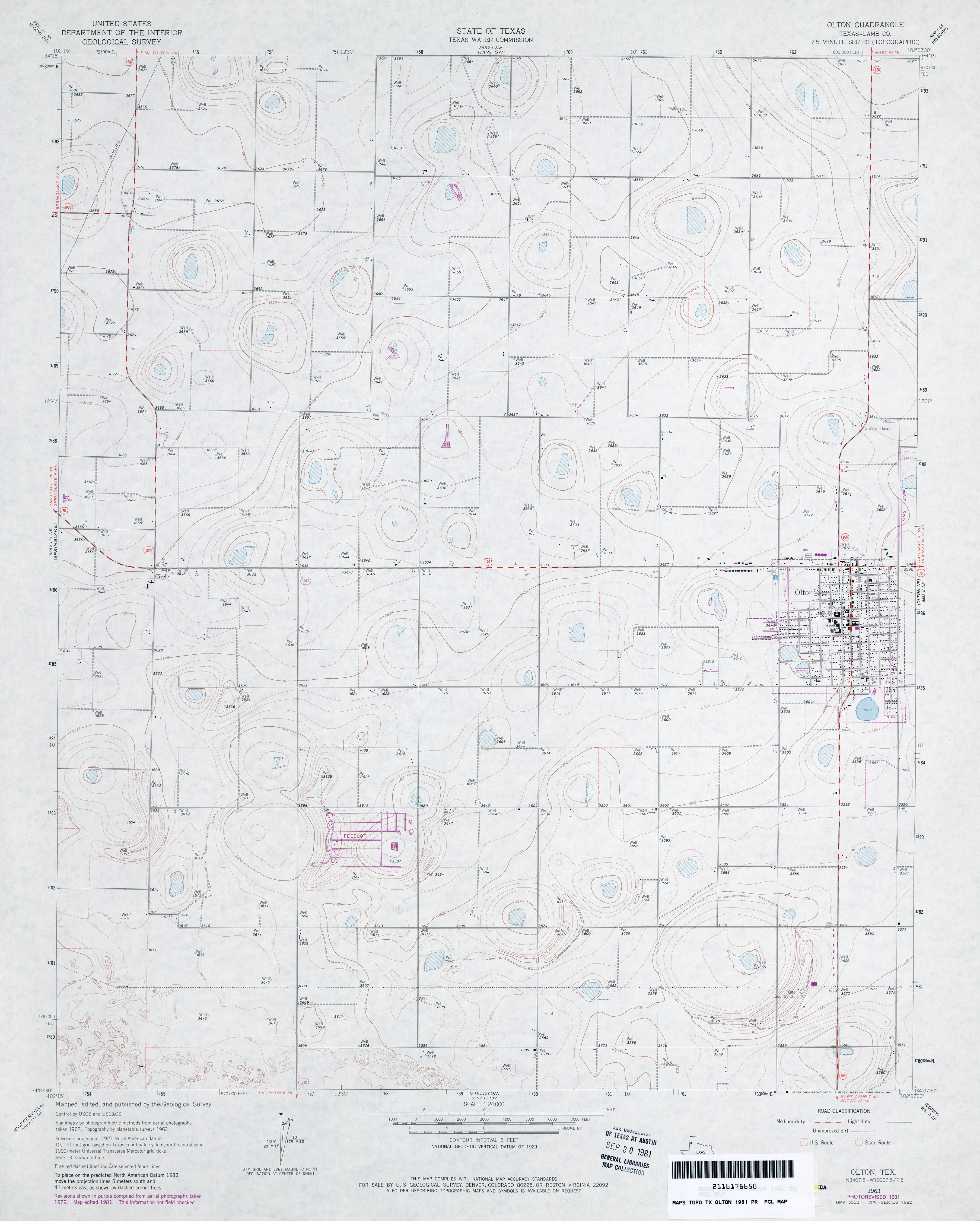
- Olton (Lamb County) 1:24,000 1981 (2.8MB)
- Olton 1:24,000 2008 (9.6MB) [GeoPDF]
- Olton 1:24,000 2012 (13.8MB) [GeoPDF]
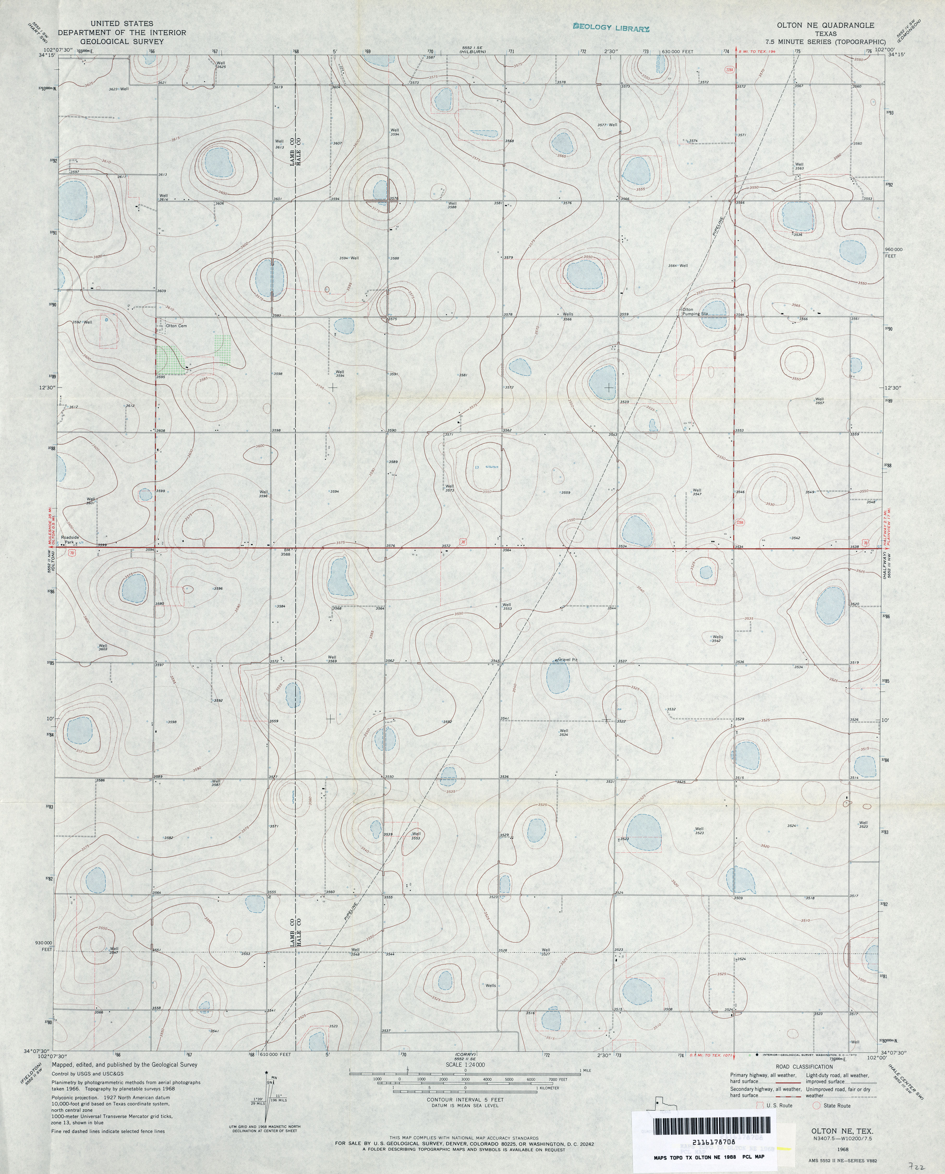
- Olton NE 1:24,000 1968 (2.8MB)
- Olton NE 1:24,000 2008 (9.6MB) [GeoPDF]
- Olton NE 1:24,000 2012 (14.1MB) [GeoPDF]
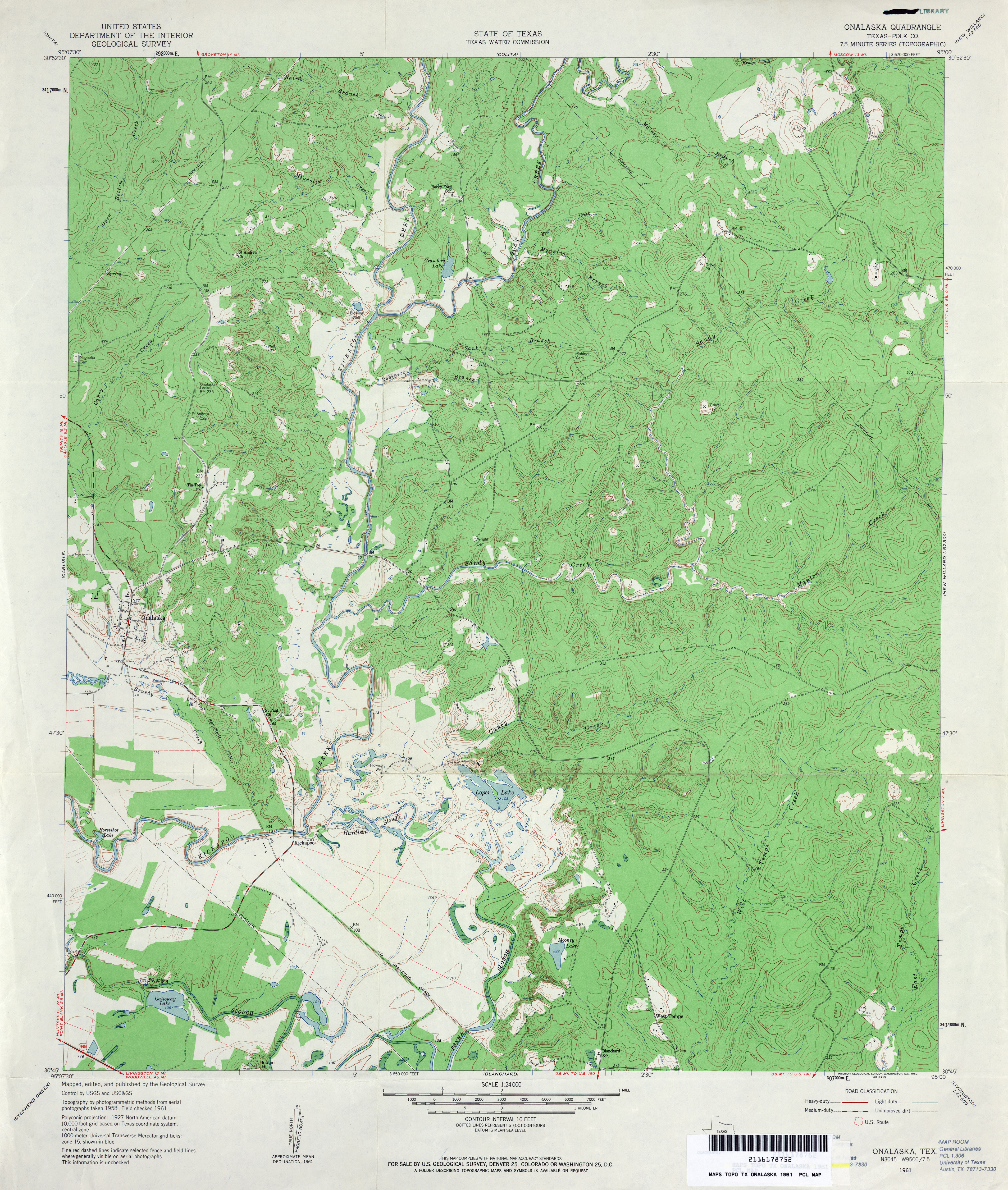
- Onalaska (Polk County) 1:24,000 1961 (4.7MB)
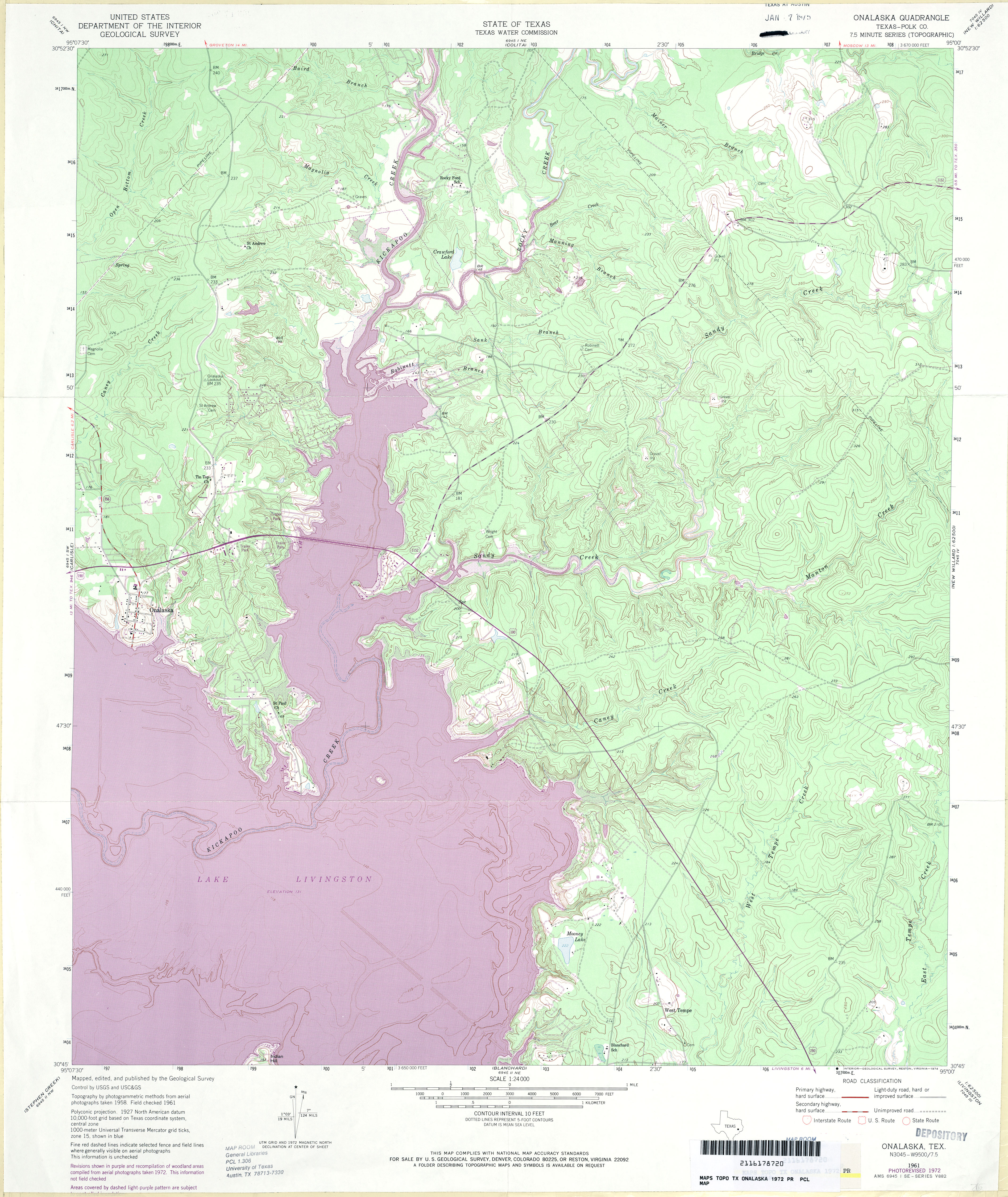
- Onalaska (Polk County) 1:24,000 1972 (5.4MB)
- Onalaska 1:24,000 2009 (22.6MB) [GeoPDF]
- Onalaska 1:24,000 2013 (24.7MB) [GeoPDF]
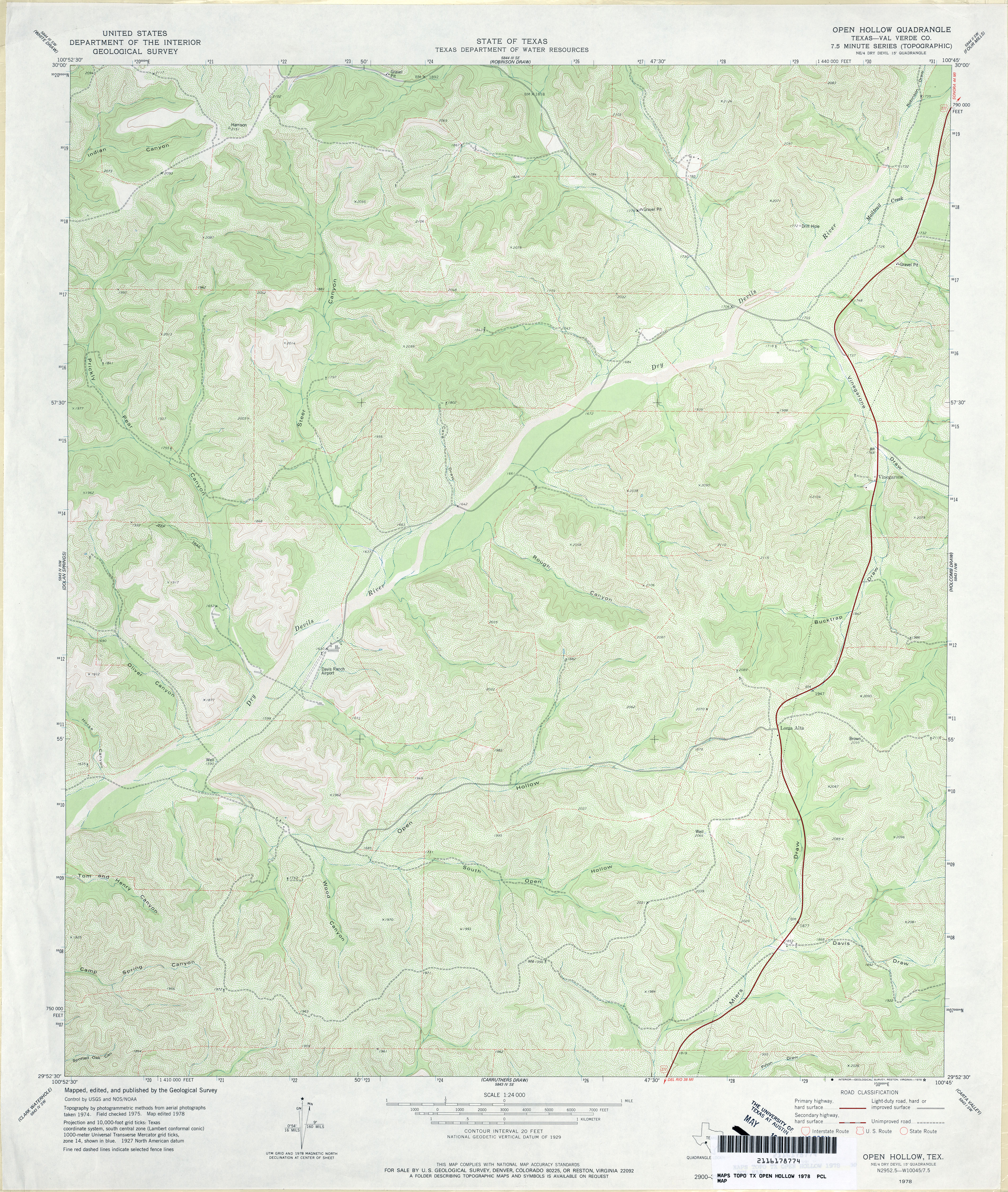
- Open Hollow (Val Verde County) 1:24,000 1978 (5.1MB)
- Open Hollow 1:24,000 2008 (29.8MB) [GeoPDF]
- Open Hollow 1:24,000 2013 (37.4MB) [GeoPDF]
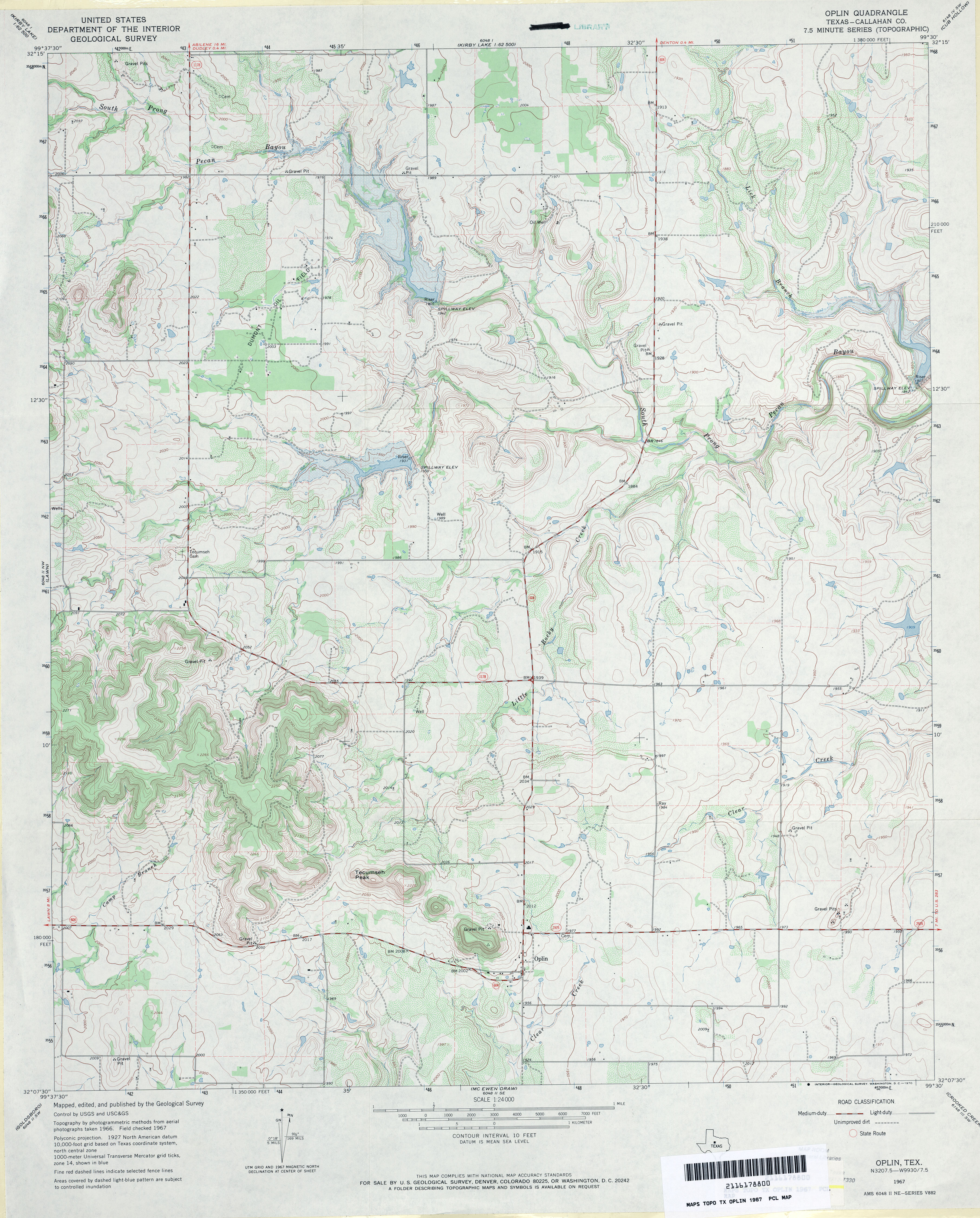
- Oplin (Callahan County) 1:24,000 1967 (3.8MB)
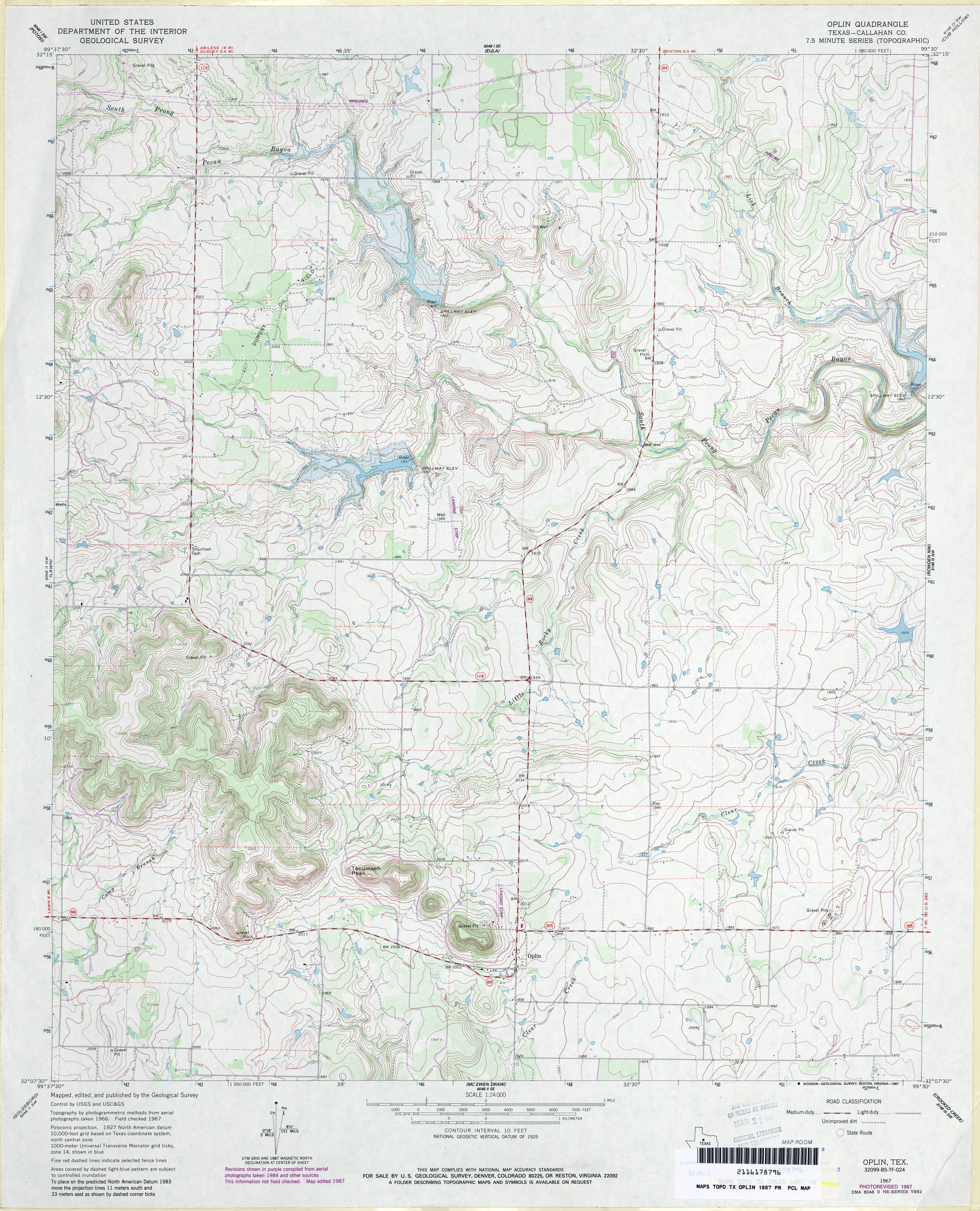
- Oplin (Callahan County) 1:24,000 1987 (4.4MB)
- Oplin 1:24,000 2008 (15.4MB) [GeoPDF]
- Oplin 1:24,000 2012 (22.6MB) [GeoPDF]
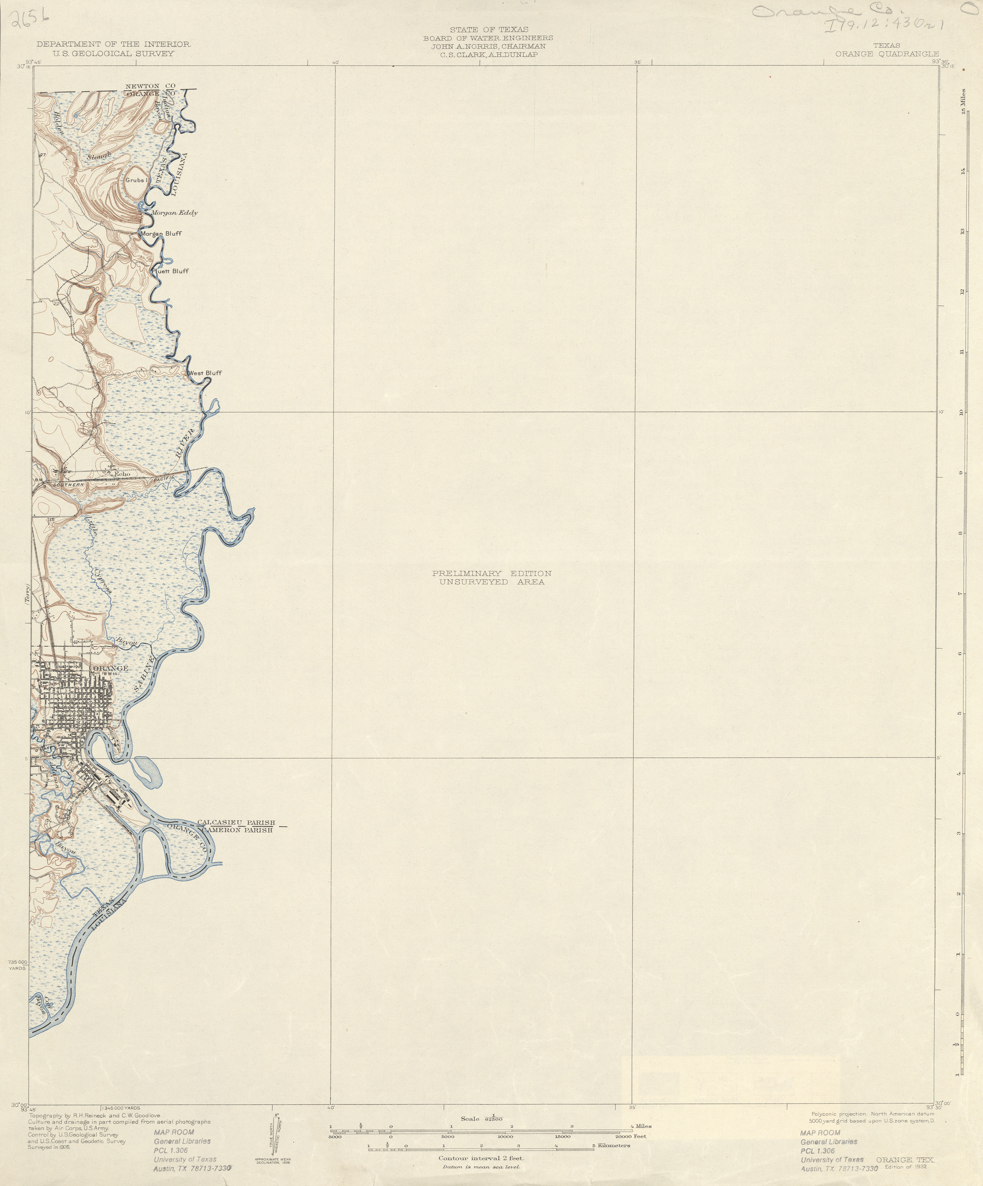
- Orange 1:62,500 1926 (1.6 MB)
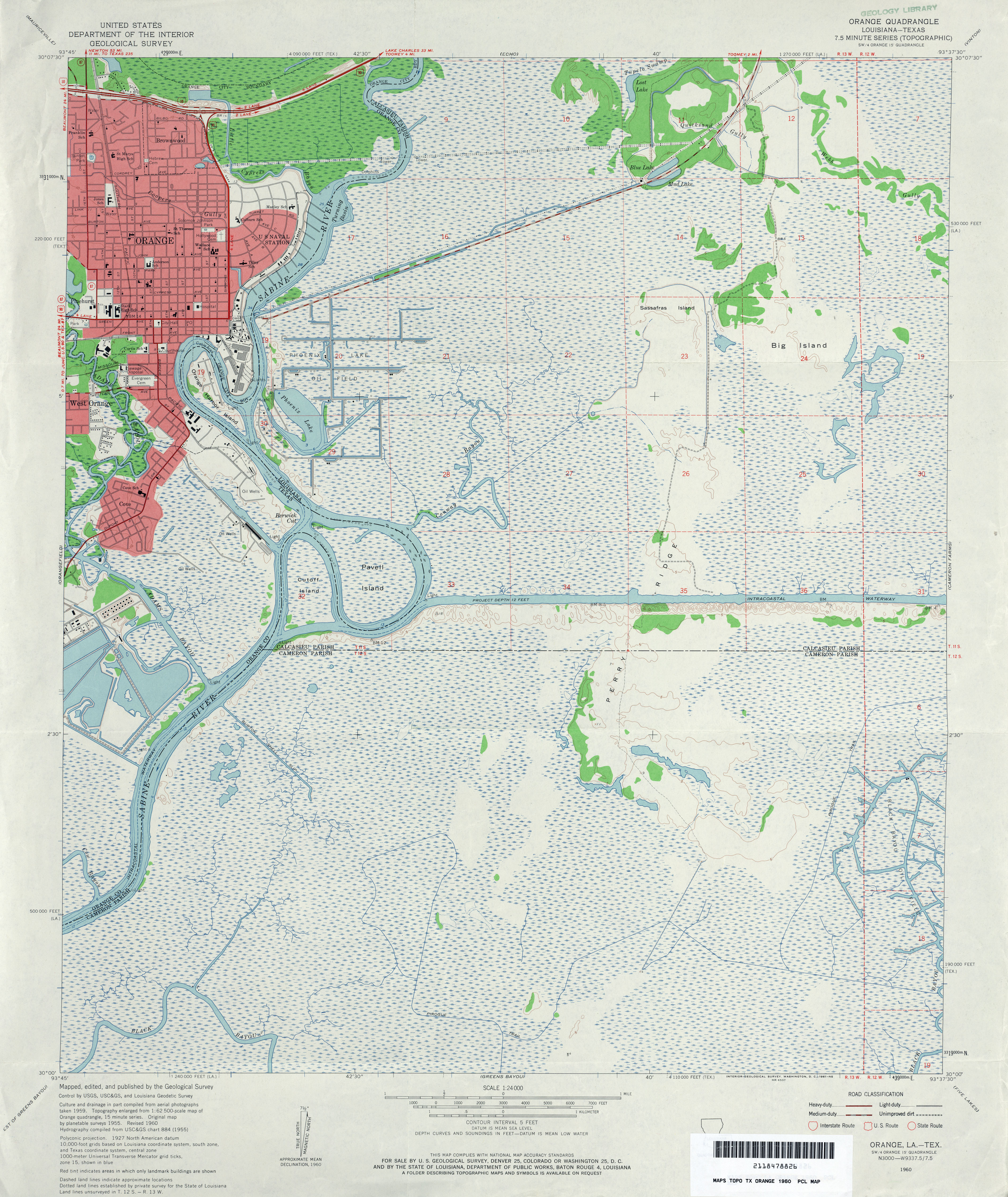
- Orange 1:24,000 1960 (4.5MB)
- Orange 1:24,000 1970 (5.1MB)
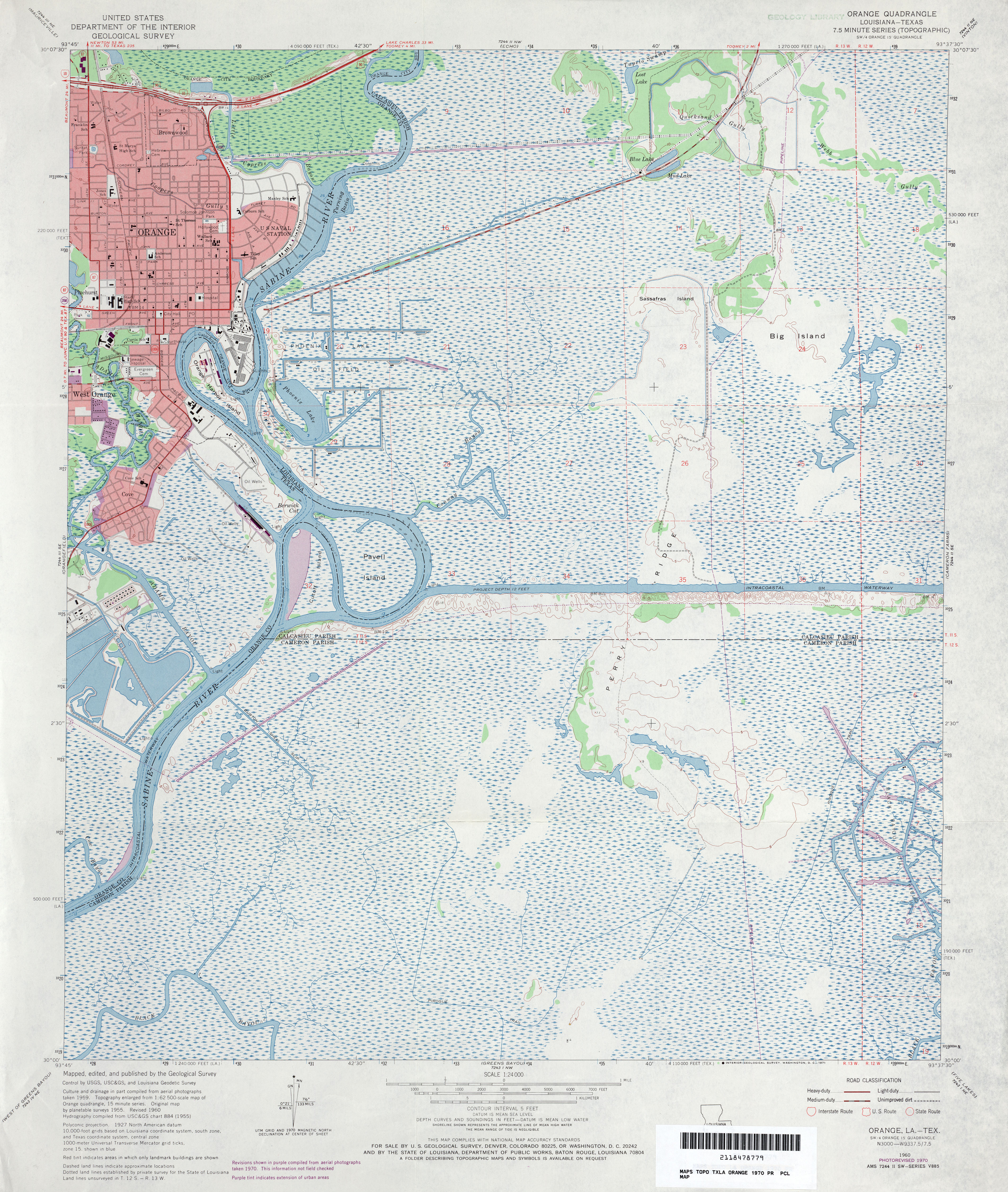
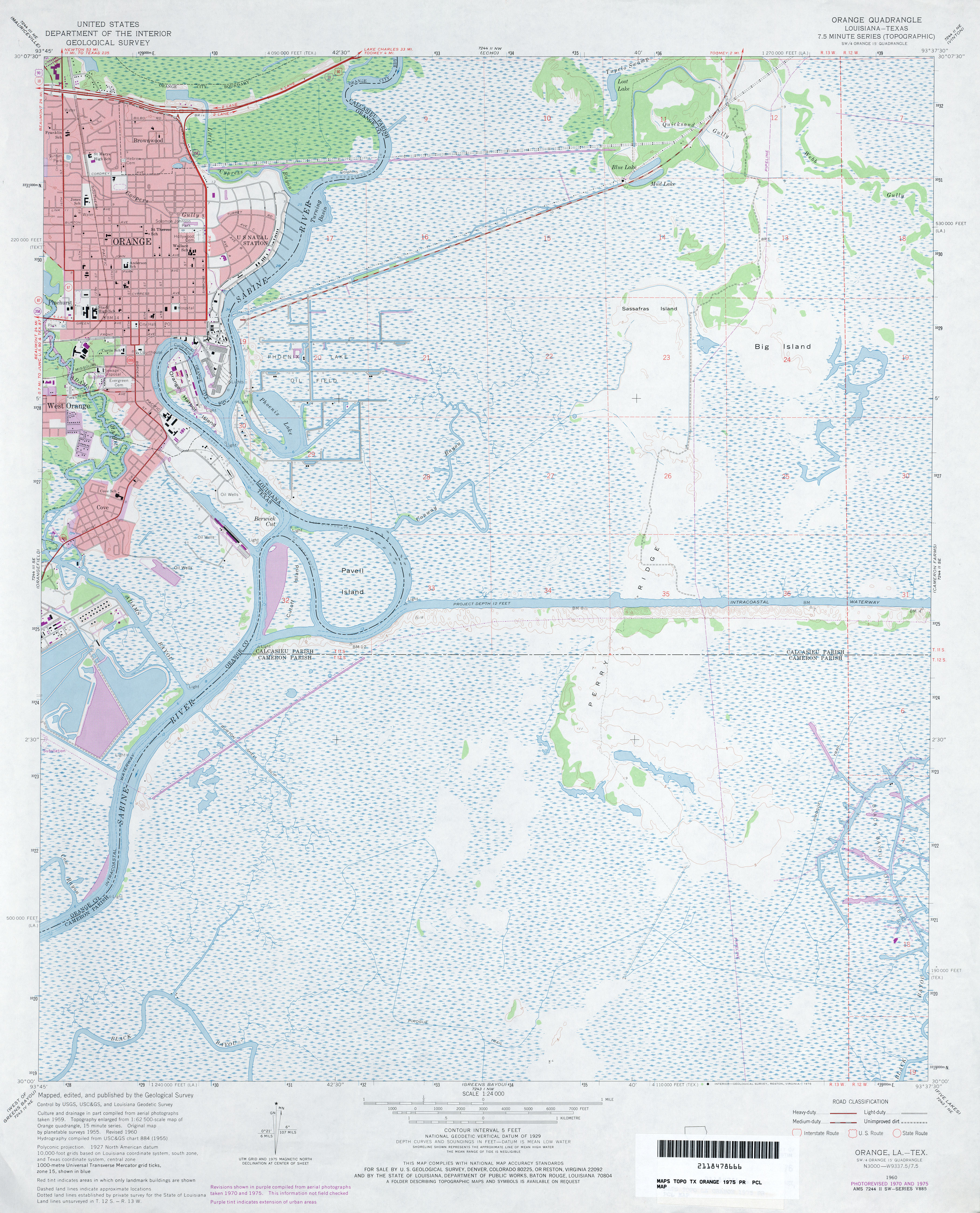
- Orange 1:24,000 1975 (4.5MB)
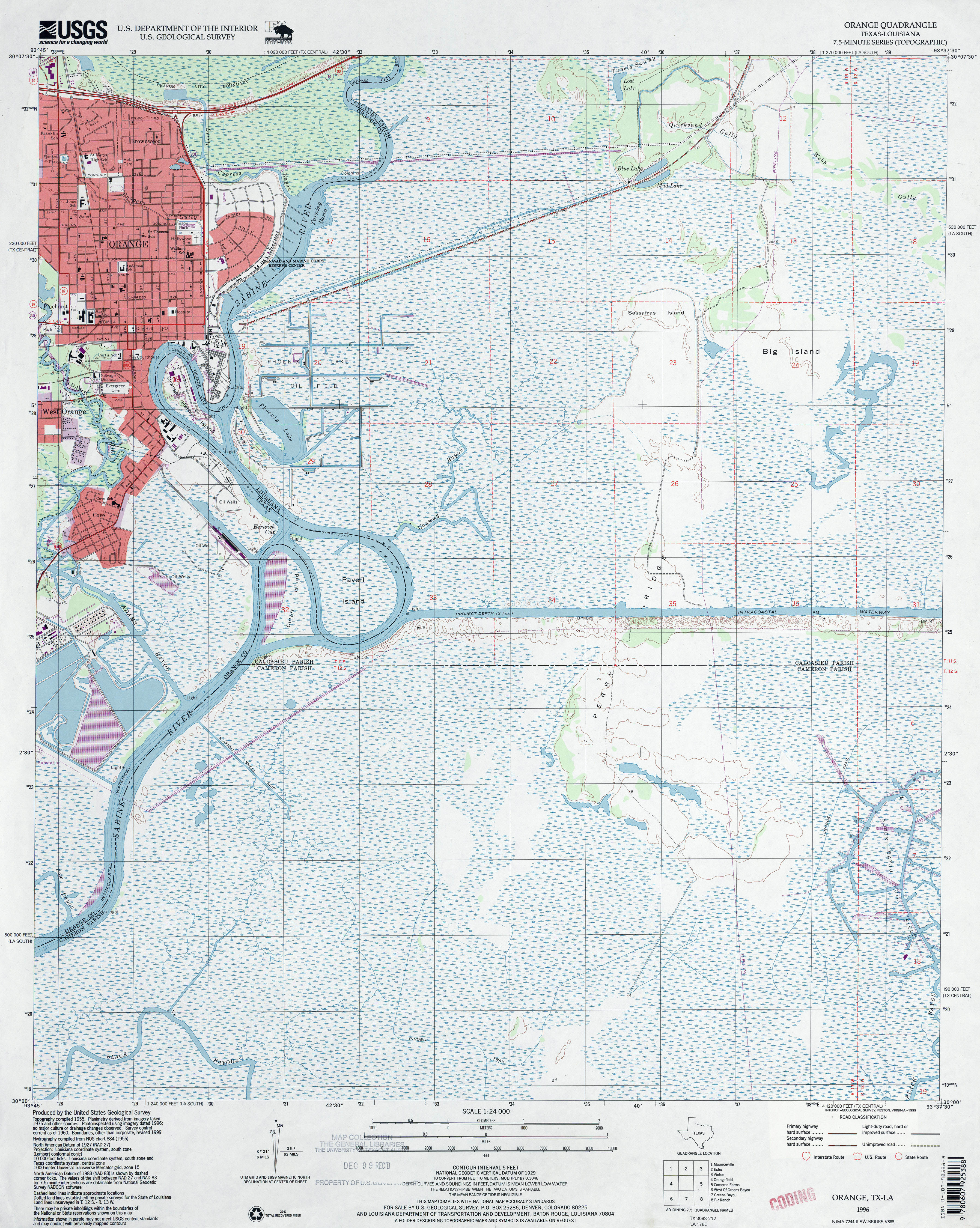
- Orange 1:24,000 1996 (5MB)
- Orange 1:24,000 2009 (17.7MB) [GeoPDF]
- Orange 1:24,000 2013 (22.6MB) [GeoPDF]
- Orange Grove 1:62,500 1954 (3.8MB)
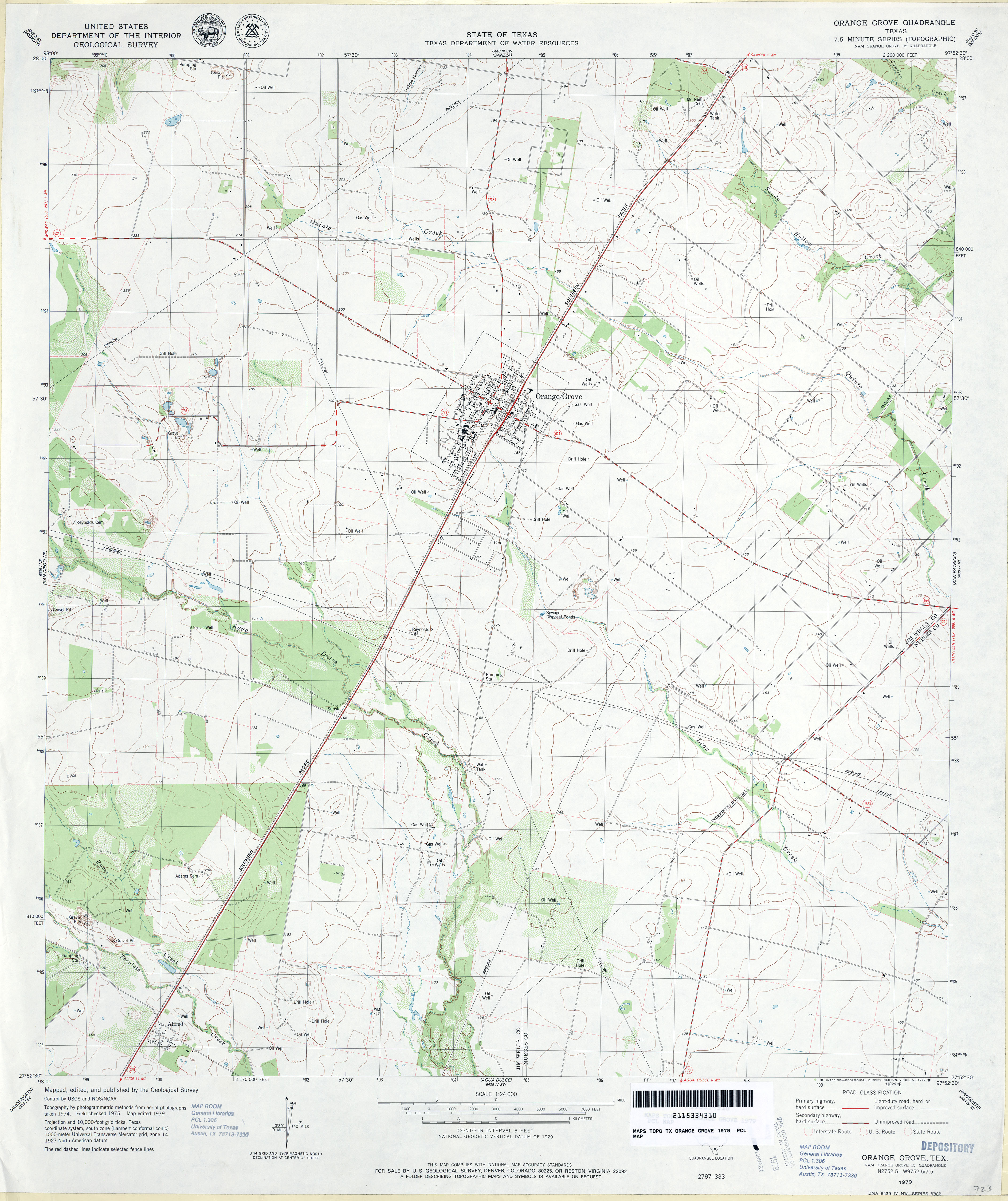
- Orange Grove 1:24,000 1979 (3.5MB)
- Orange Grove 1:24,000 2008 (13.2MB) [GeoPDF]
- Orange Grove 1:24,000 2013 (18.9MB) [GeoPDF]
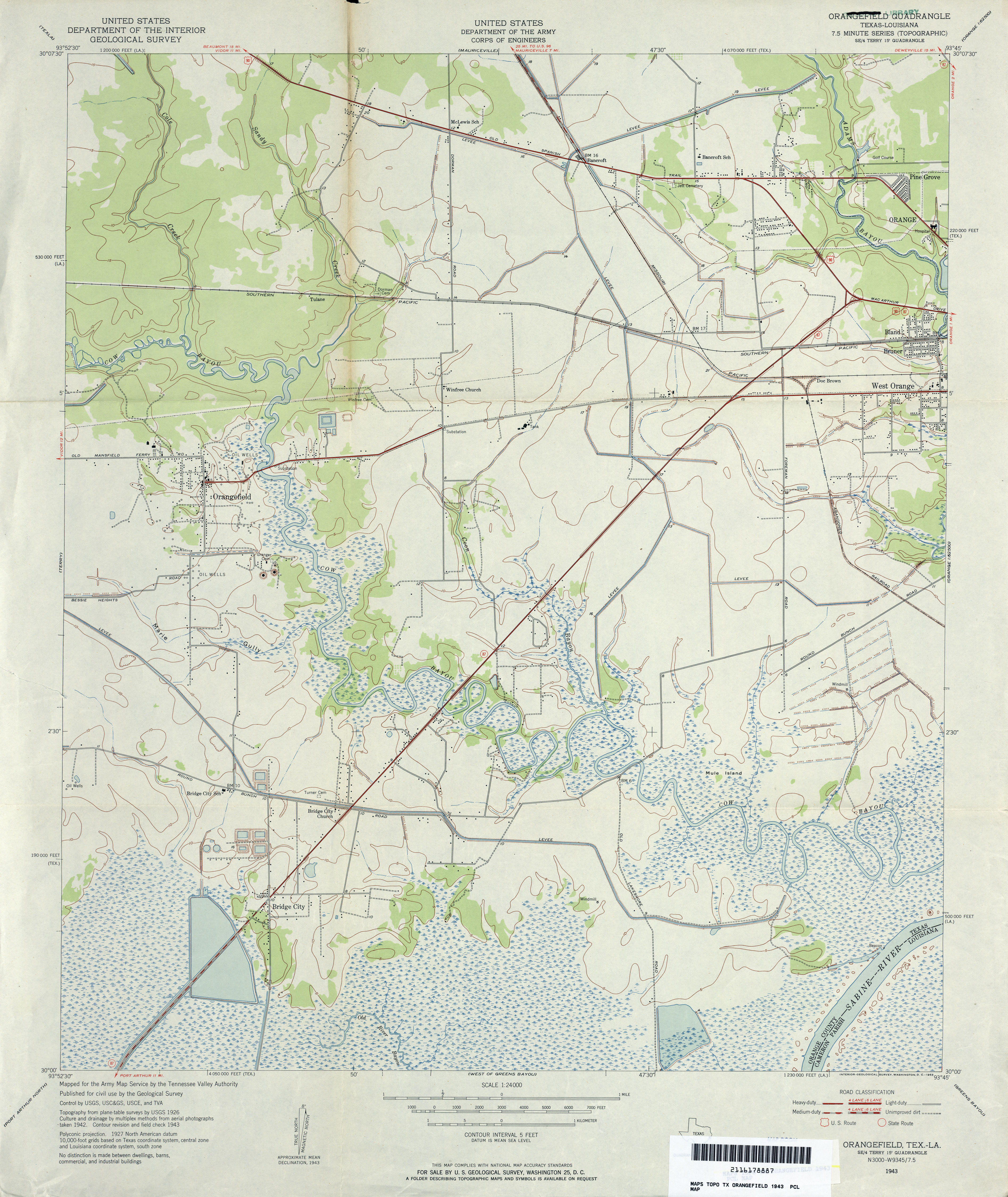
- Orangefield 1:24,000 1943 (3.7MB) Tennessee Valley Authority
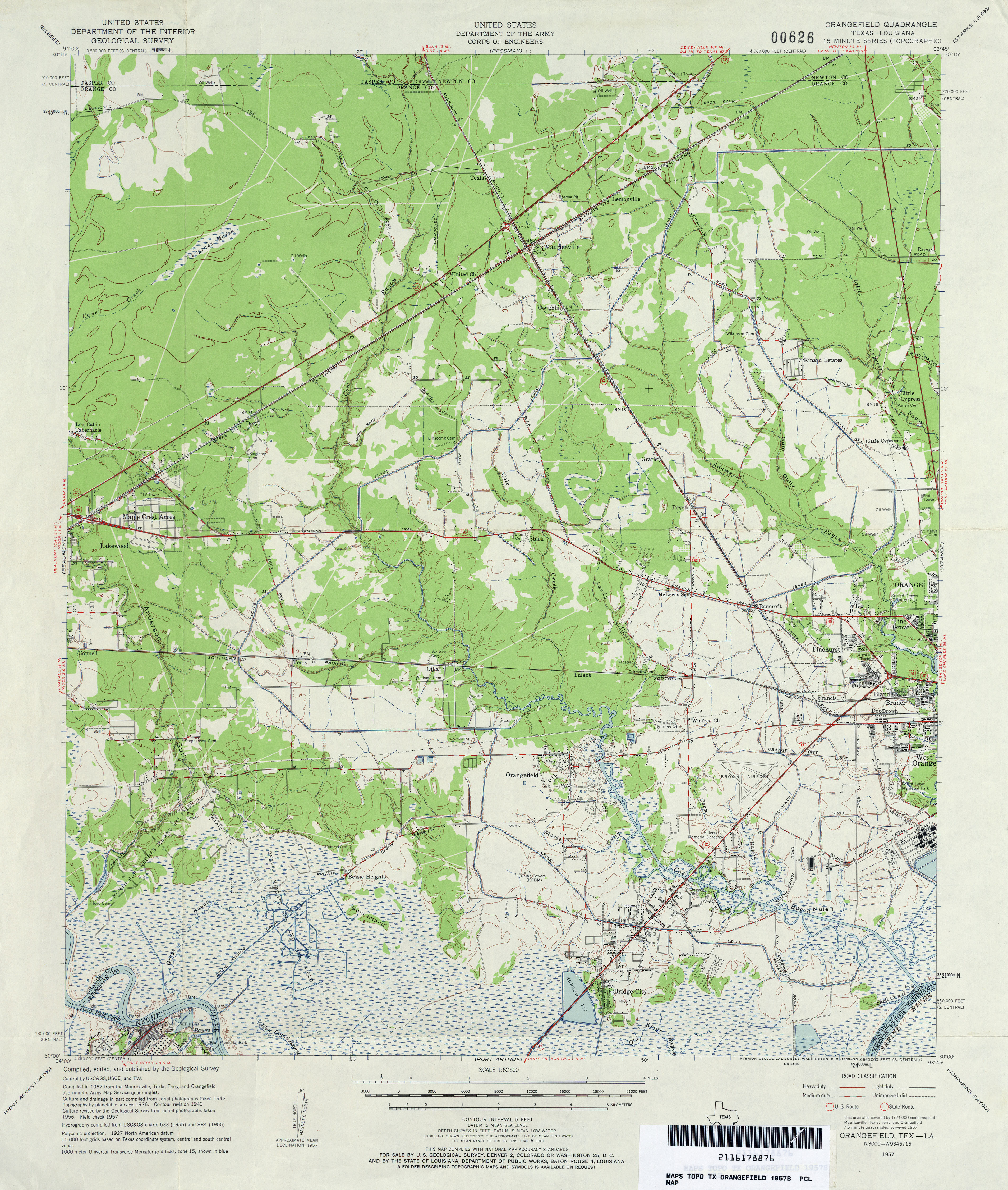
- Orangefield 1:24,000 1957 (4MB) U.S. Department of the Army Corps of Engineers
- Orangefield 1:62,500 1957 (4.5MB) U.S. Department of the Army Corps of Engineers
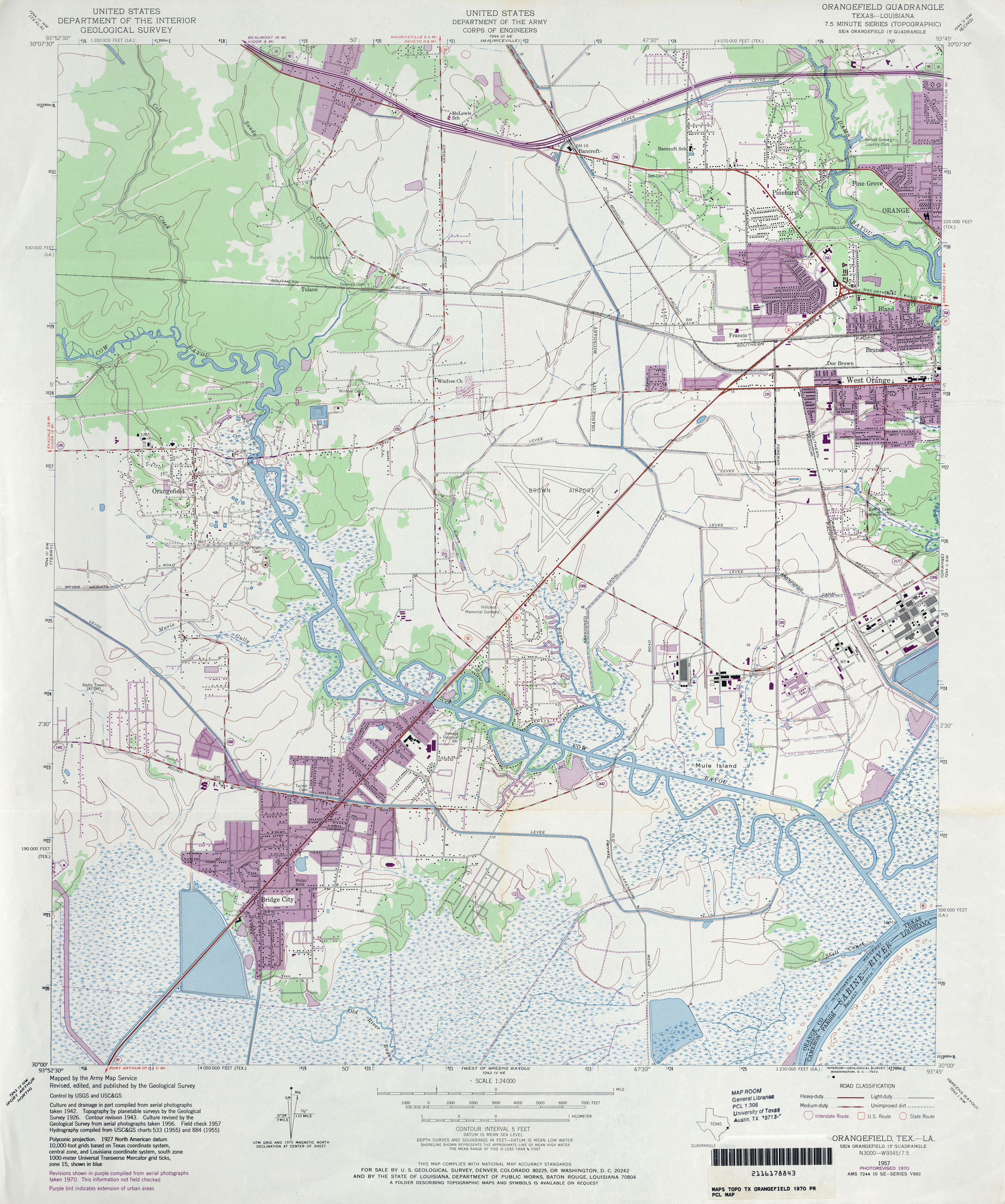
- Orangefield 1:24,000 1970 (4.1MB) U.S. Department of the Army Corps of Engineers
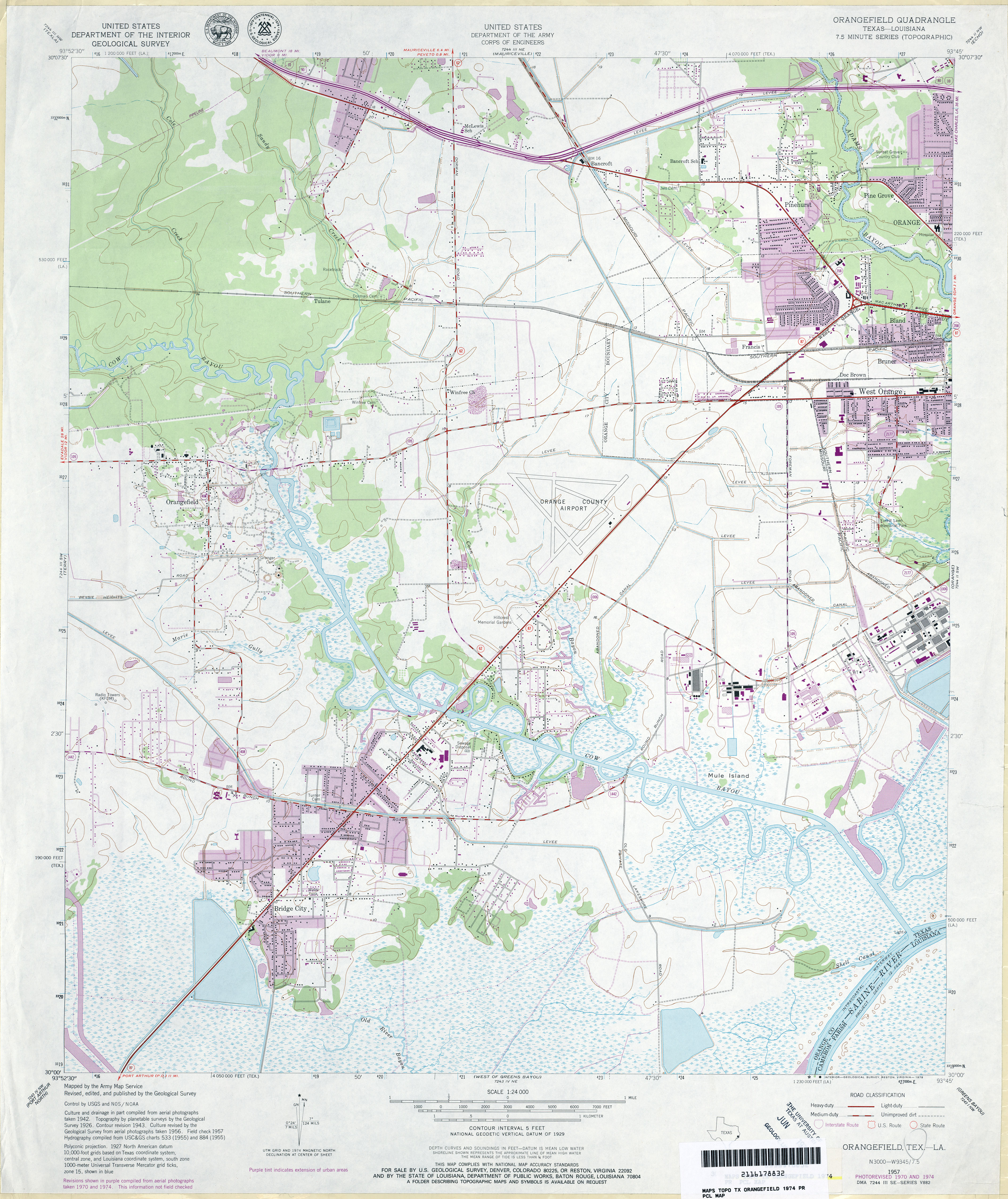
- Orangefield 1:24,000 1974 (4.1MB) U.S. Department of the Army Corps of Engineers
- Orangefield 1:24,000 2009 (20.4MB) [GeoPDF]
- Orangefield 1:24,000 2012 (21.6MB) [GeoPDF]
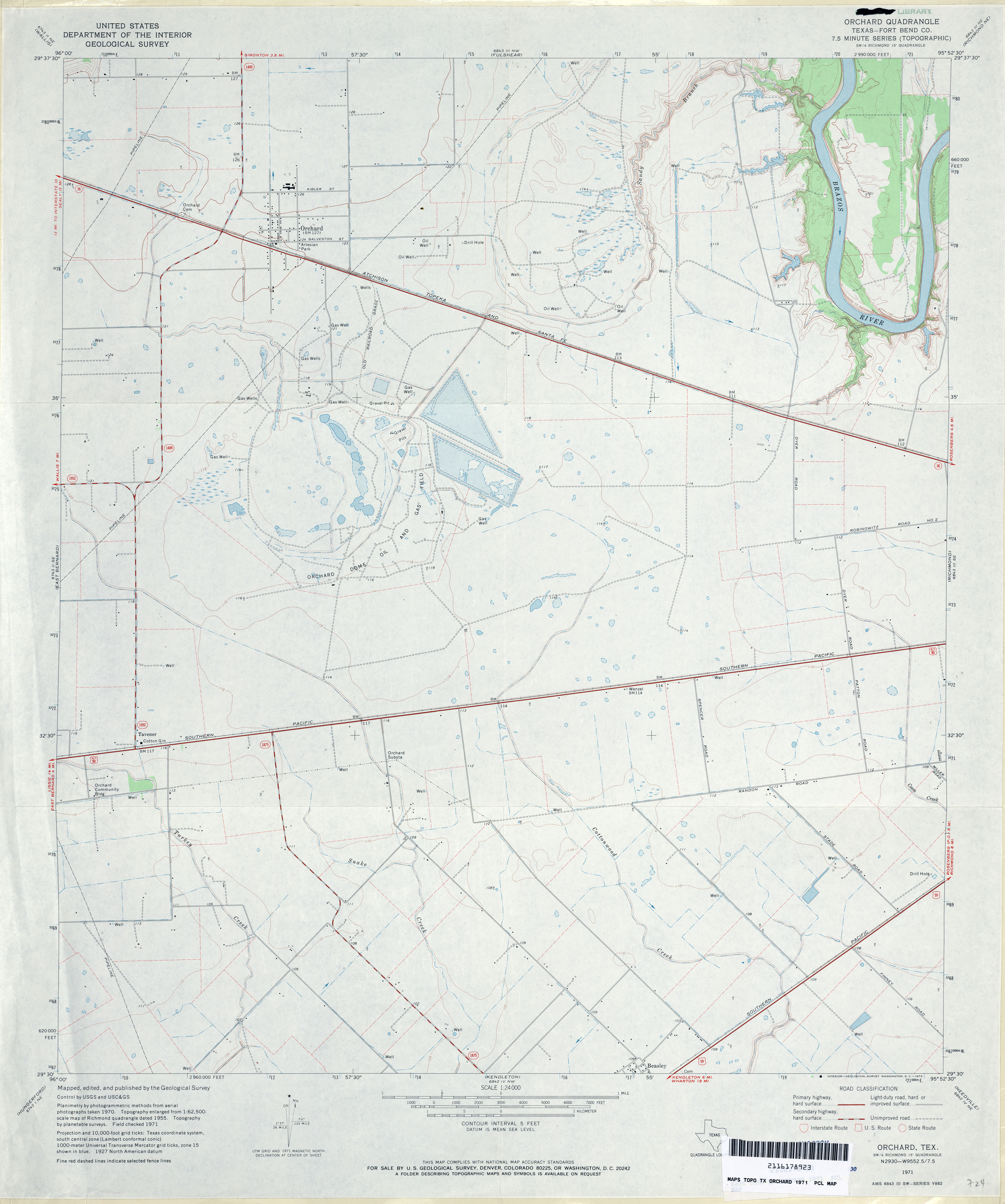
- Orchard (Fort Bend County) 1:24,000 1971 (2.8MB)
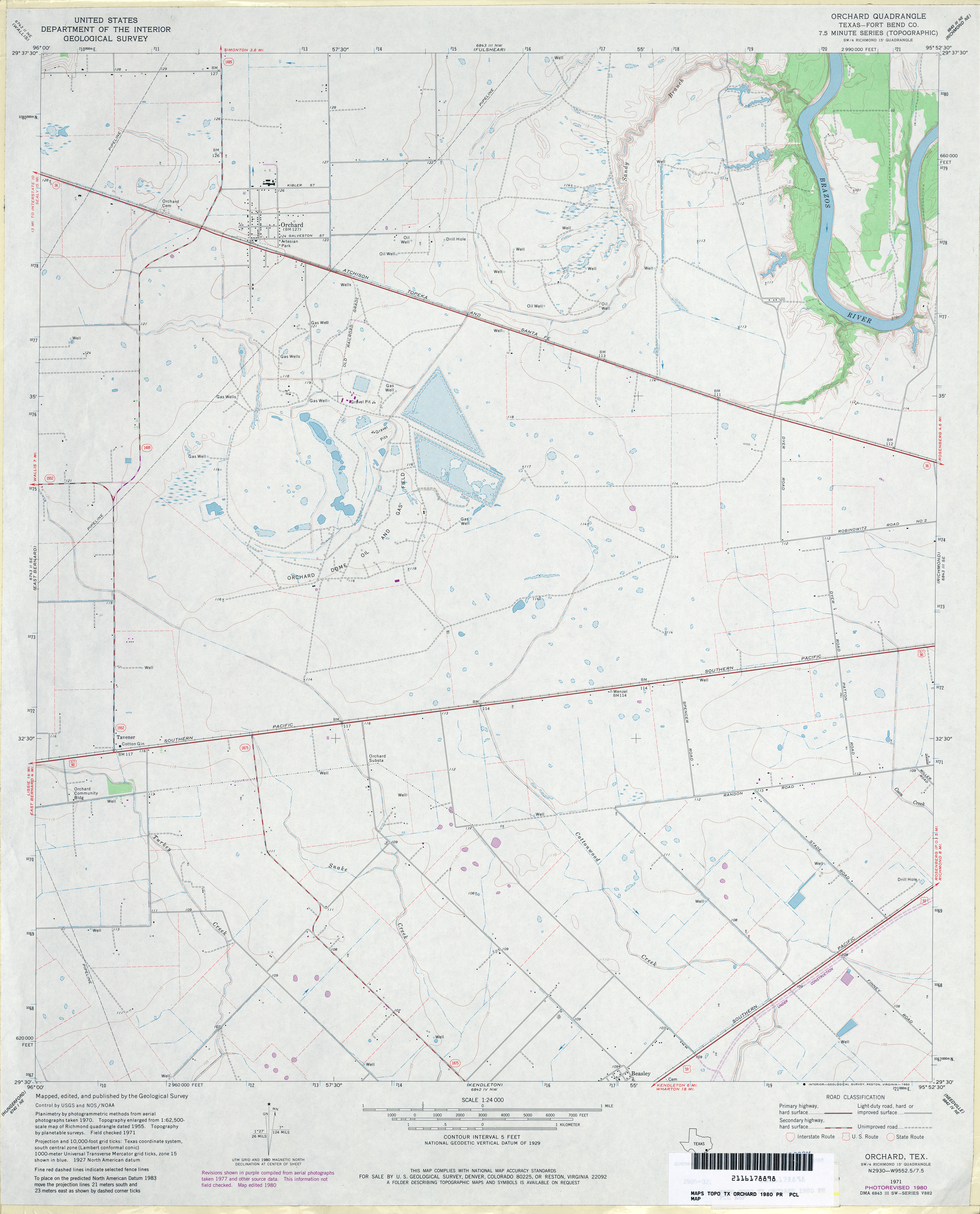
- Orchard (Fort Bend County) 1:24,000 1980 (2.8MB)
- Orchard 1:24,000 2009 (13.4MB) [GeoPDF]
- Orchard 1:24,000 2013 (16.2MB) [GeoPDF]
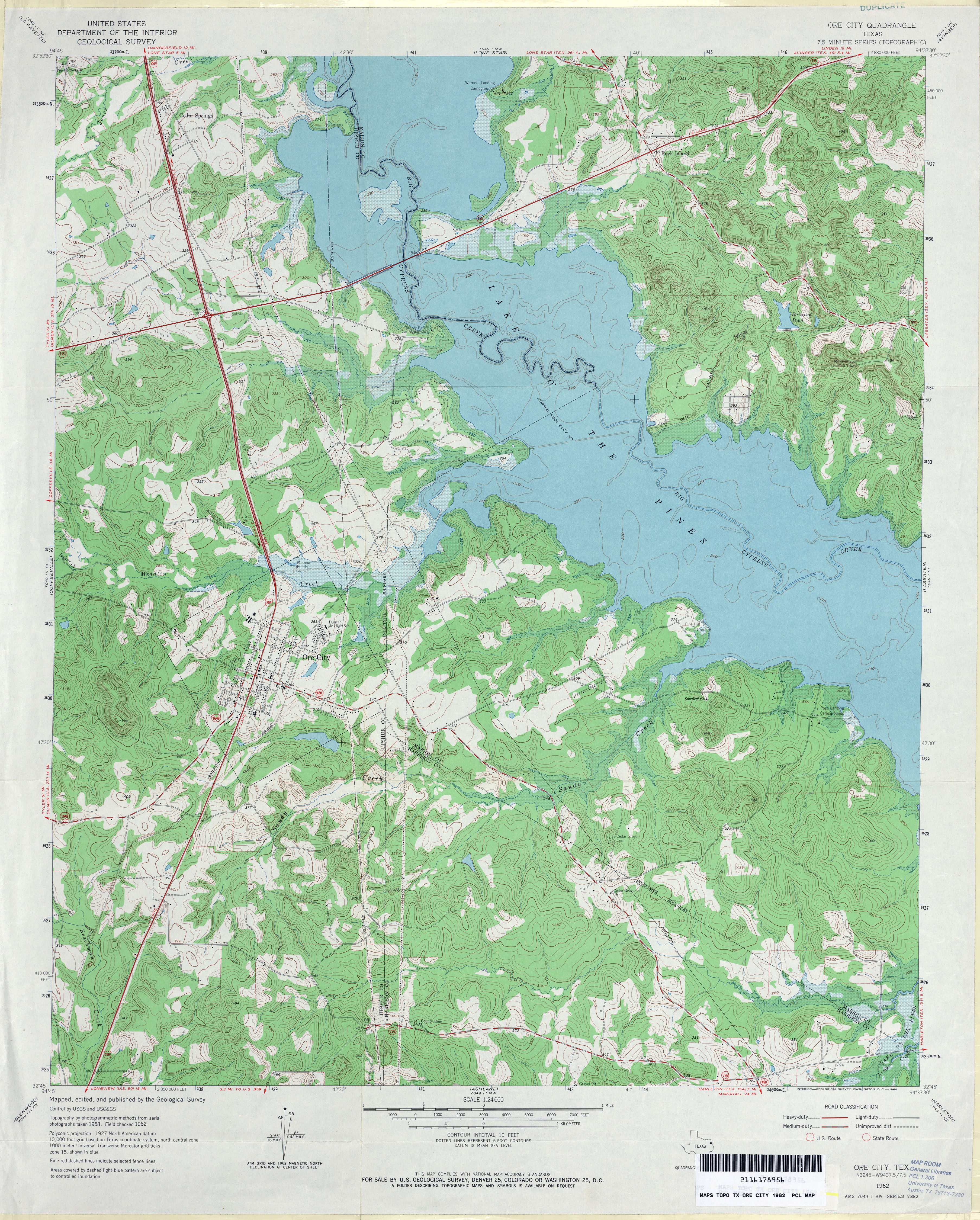
- Ore City 1:24,000 1962 (4.8MB)
- Ore City 1:24,000 2009 (19.9MB) [GeoPDF]
- Ore City 1:24,000 2013 (25.7MB) [GeoPDF]
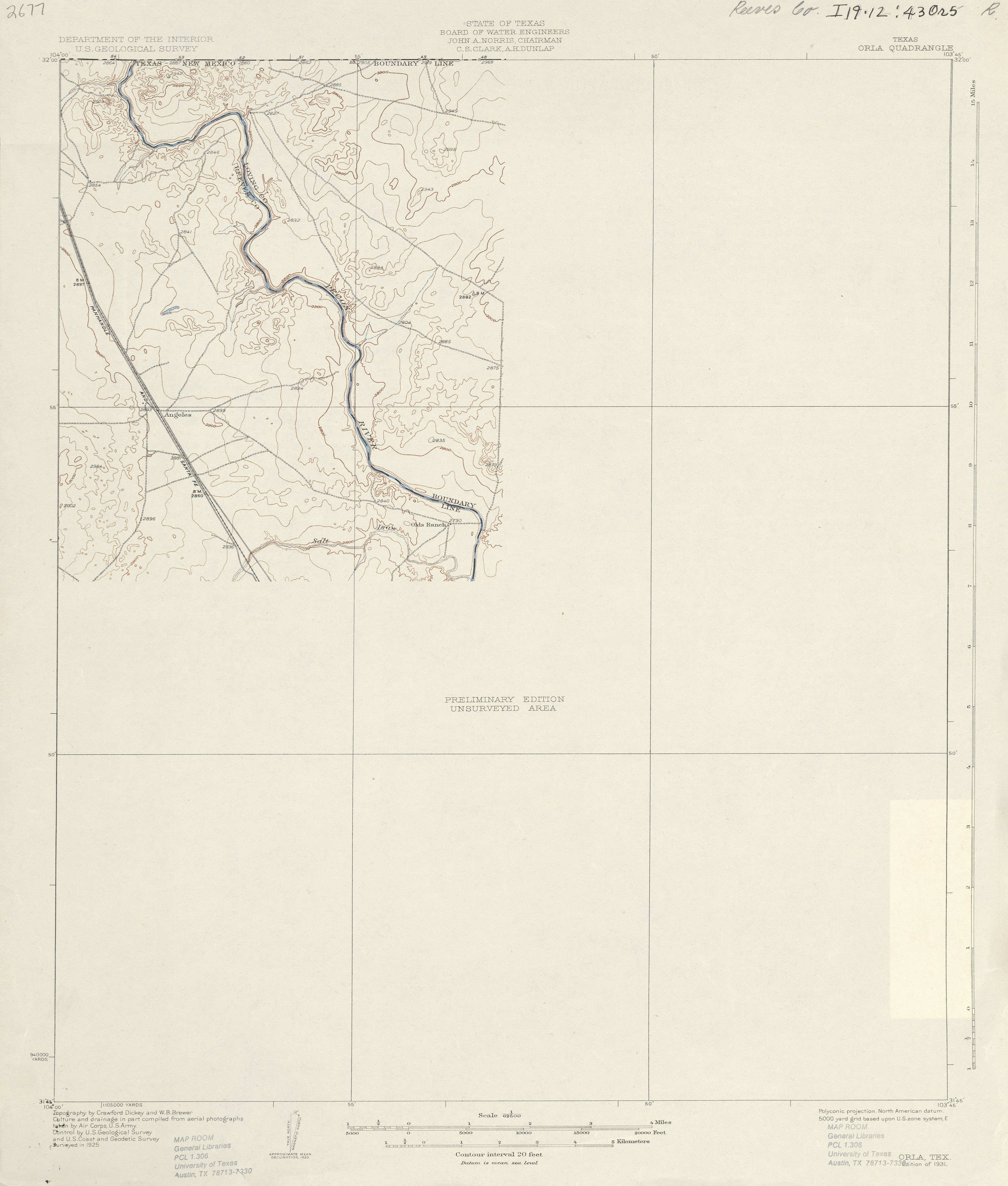
- Orla 1:62,500 1925 (1.6 MB)
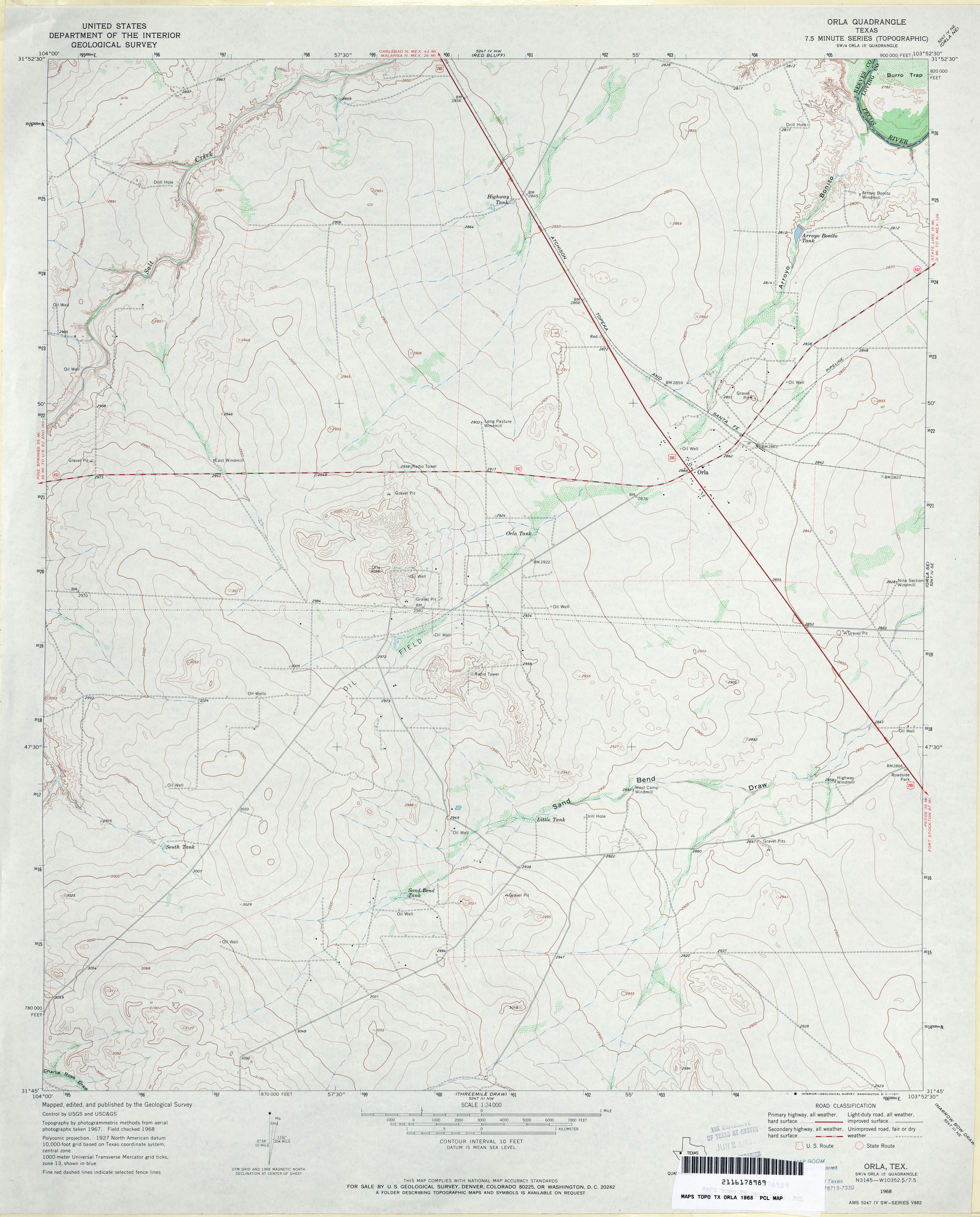
- Orla 1:24,000 1968 (2.9MB)
- Orla 1:24,000 2008 (19.6MB) [GeoPDF]
- Orla 1:24,000 2013 (23.3MB) [GeoPDF]
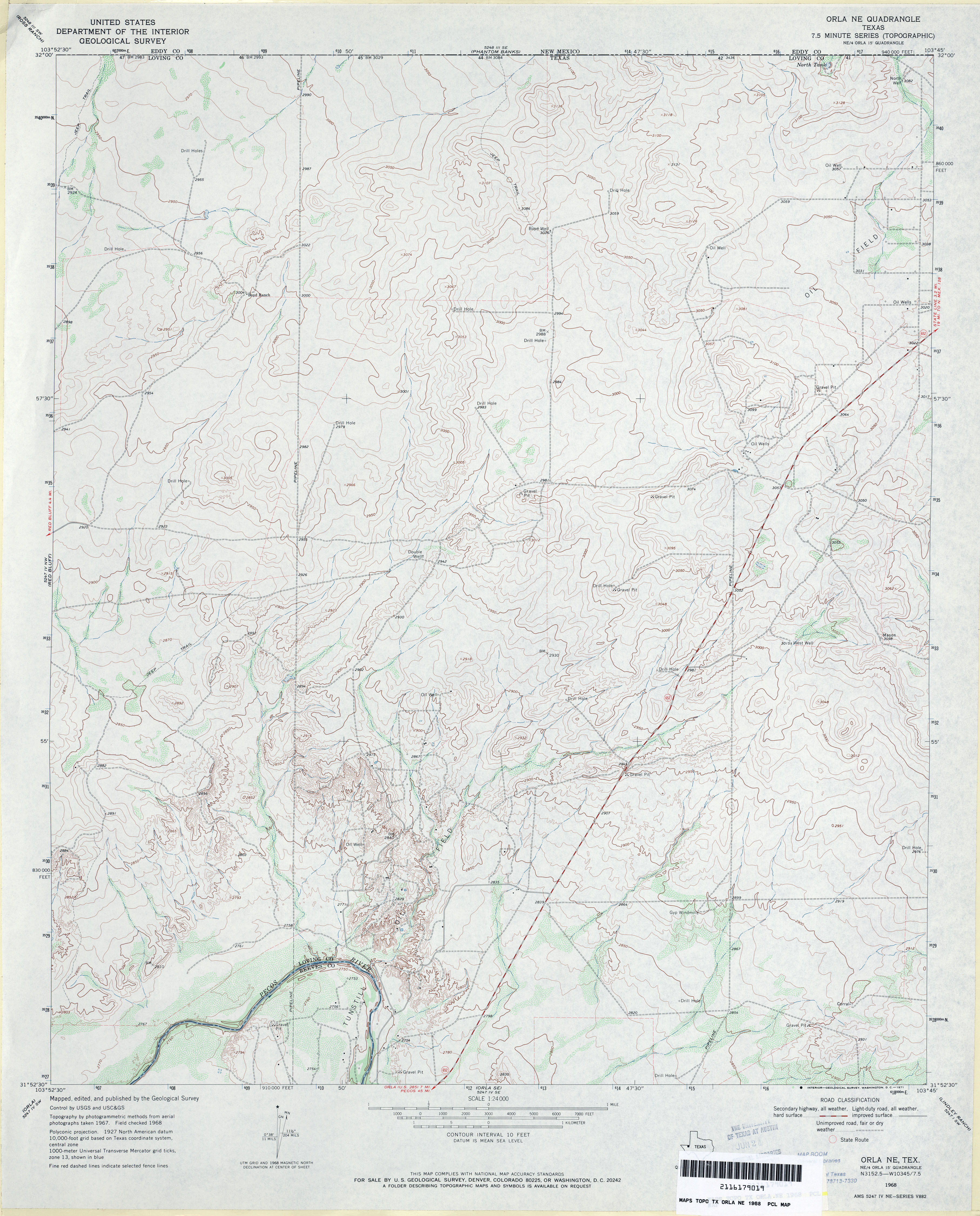
- Orla NE 1:24,000 1968 (3.6MB)
- Orla NE 1:24,000 2008 (20.2MB) [GeoPDF]
- Orla NE 1:24,000 2012 (27.1MB) [GeoPDF]
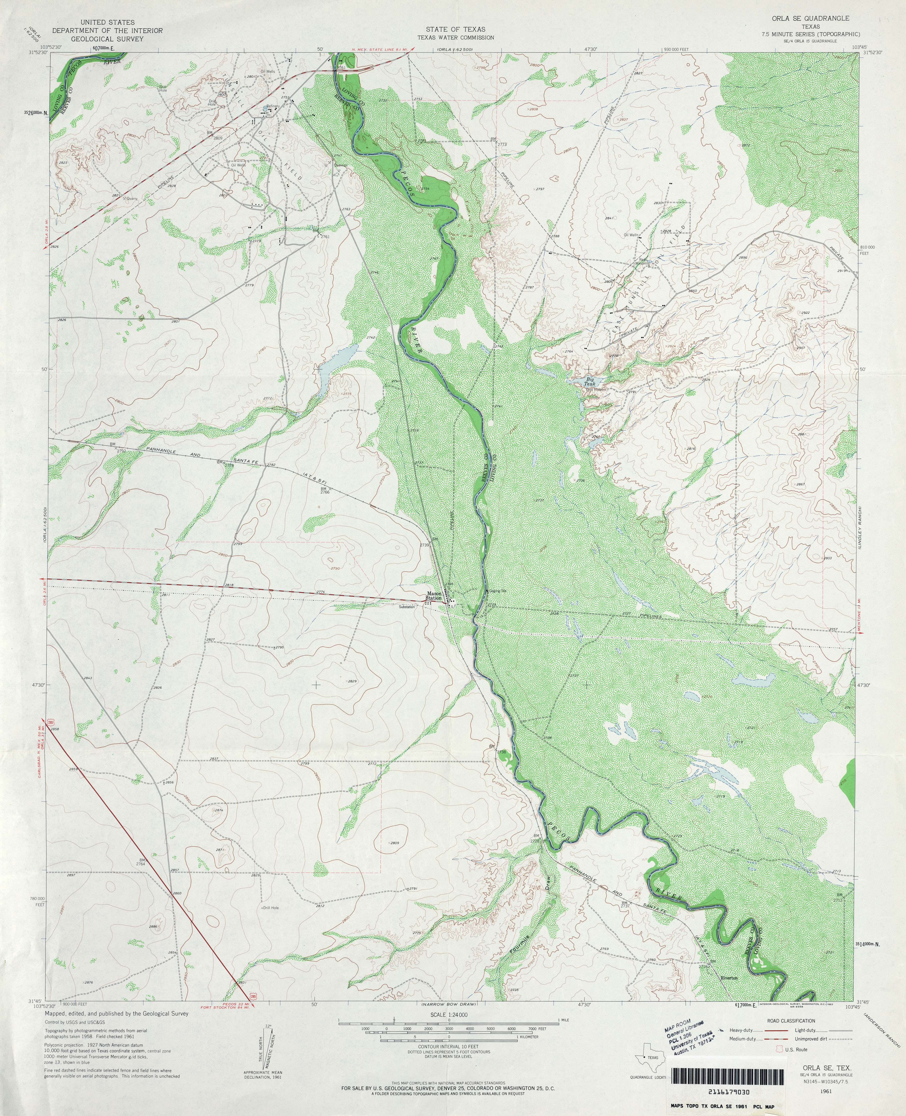
- Orla SE 1:24,000 1961 (3.9MB)
- Orla SE 1:24,000 2008 (18.2MB) [GeoPDF]
- Orla SE 1:24,000 2013 (26.3MB) [GeoPDF]
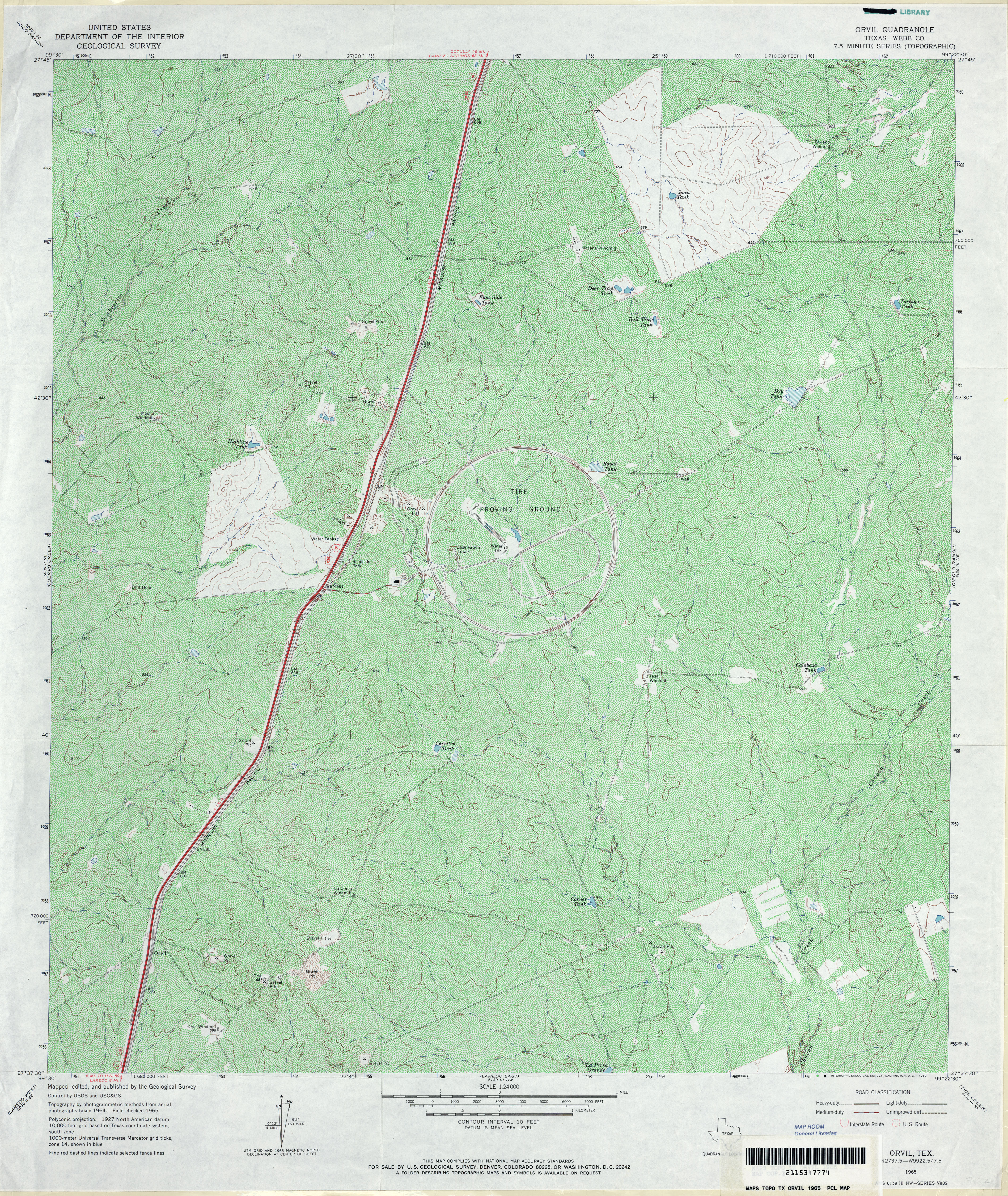
- Orvil (Webb County) 1:24,000 1965 (7MB)
- Orvil 1:24,000 2008 (20.3MB) [GeoPDF]
- Orvil 1:24,000 2013 (27MB) [GeoPDF]
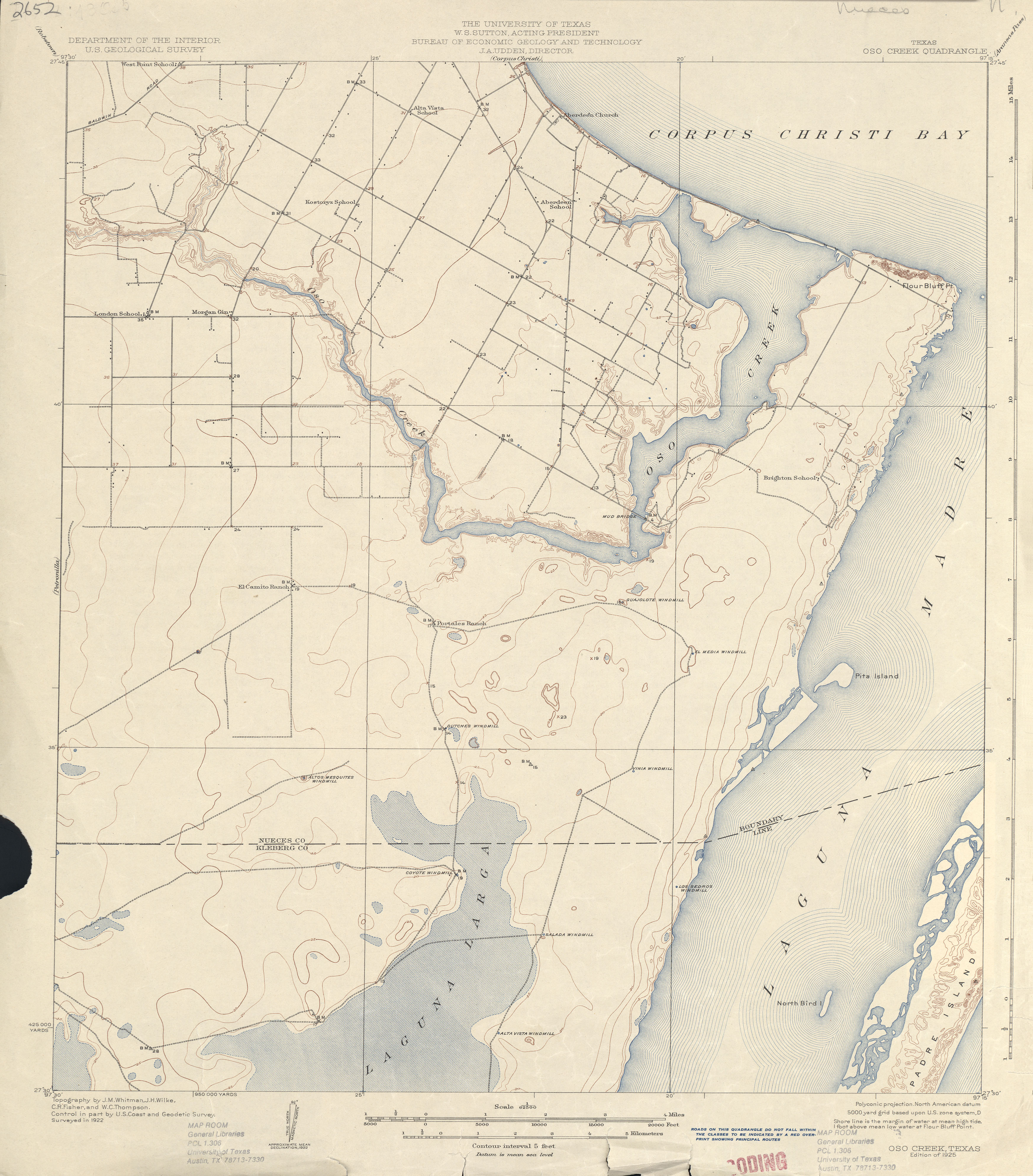
- Oso Creek 1:62,500 1922 (3.0 MB)
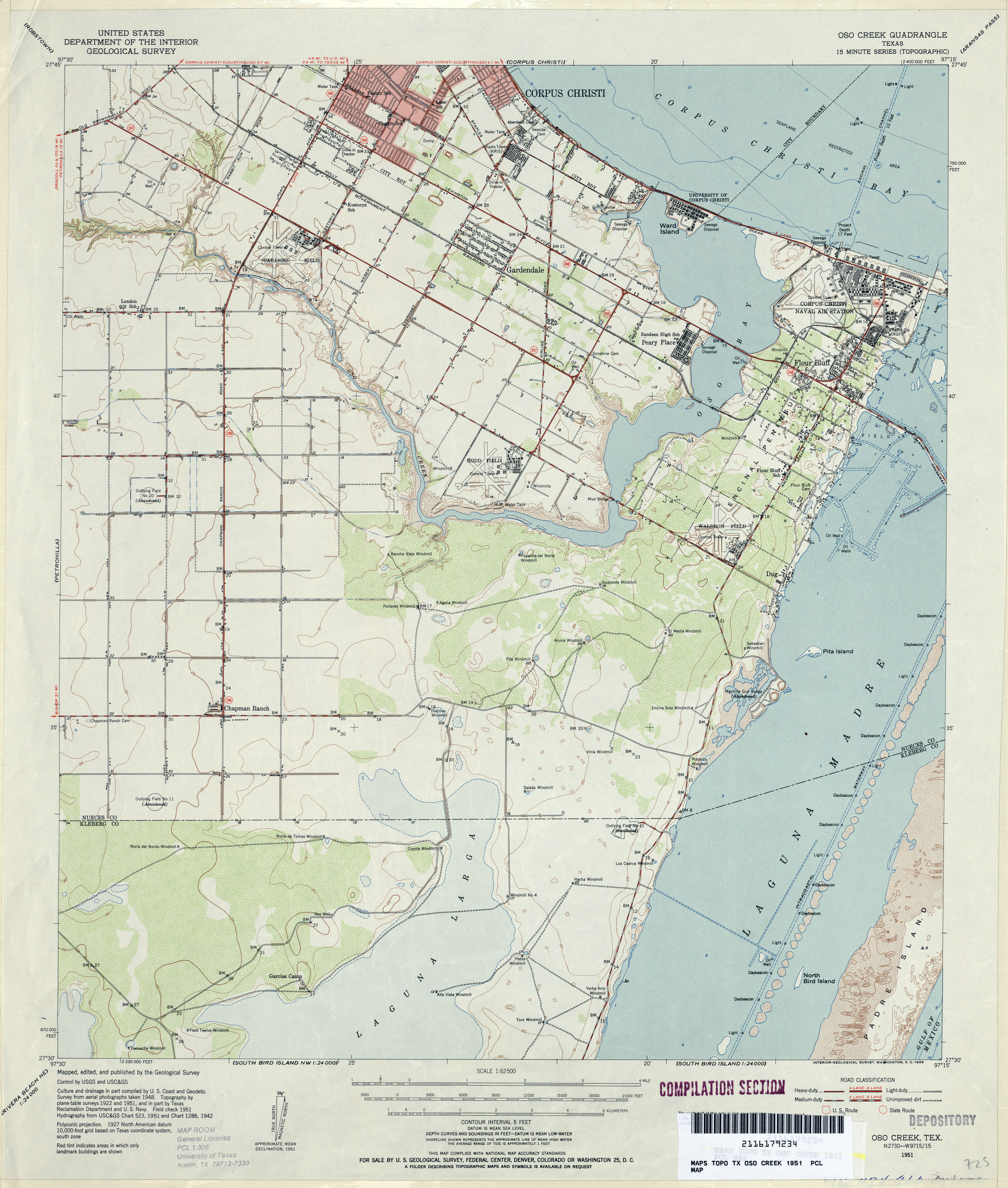
- Oso Creek 1:62,500 1951 (3.9MB)
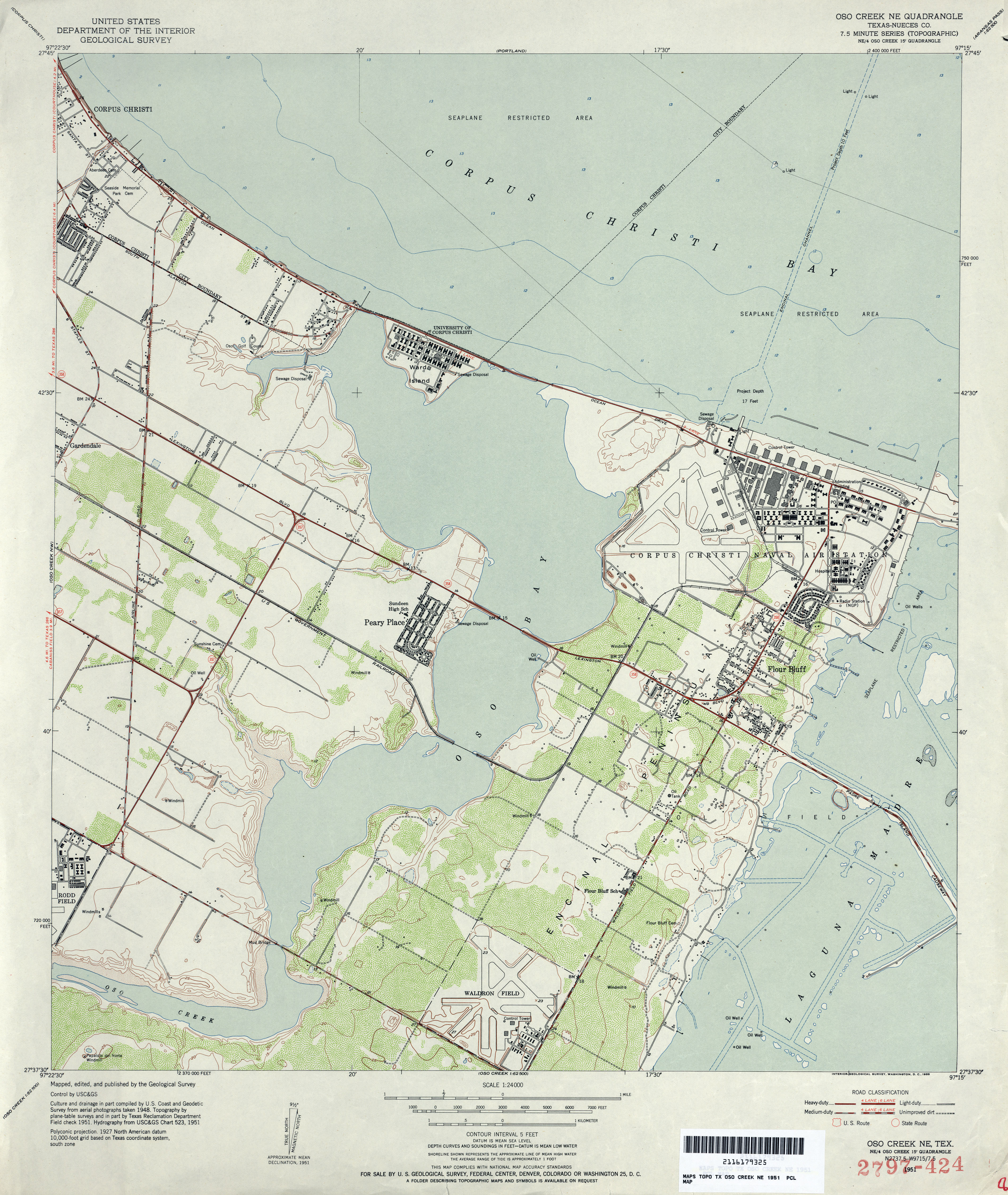
- Oso Creek NE (Nueces County) 1:24,000 1951 (3.6MB)
- Oso Creek NE (Nueces County) 1:24,000 1968 (3.5MB)
- Oso Creek NE (Nueces County) 1:24,000 1975 (3.5MB)
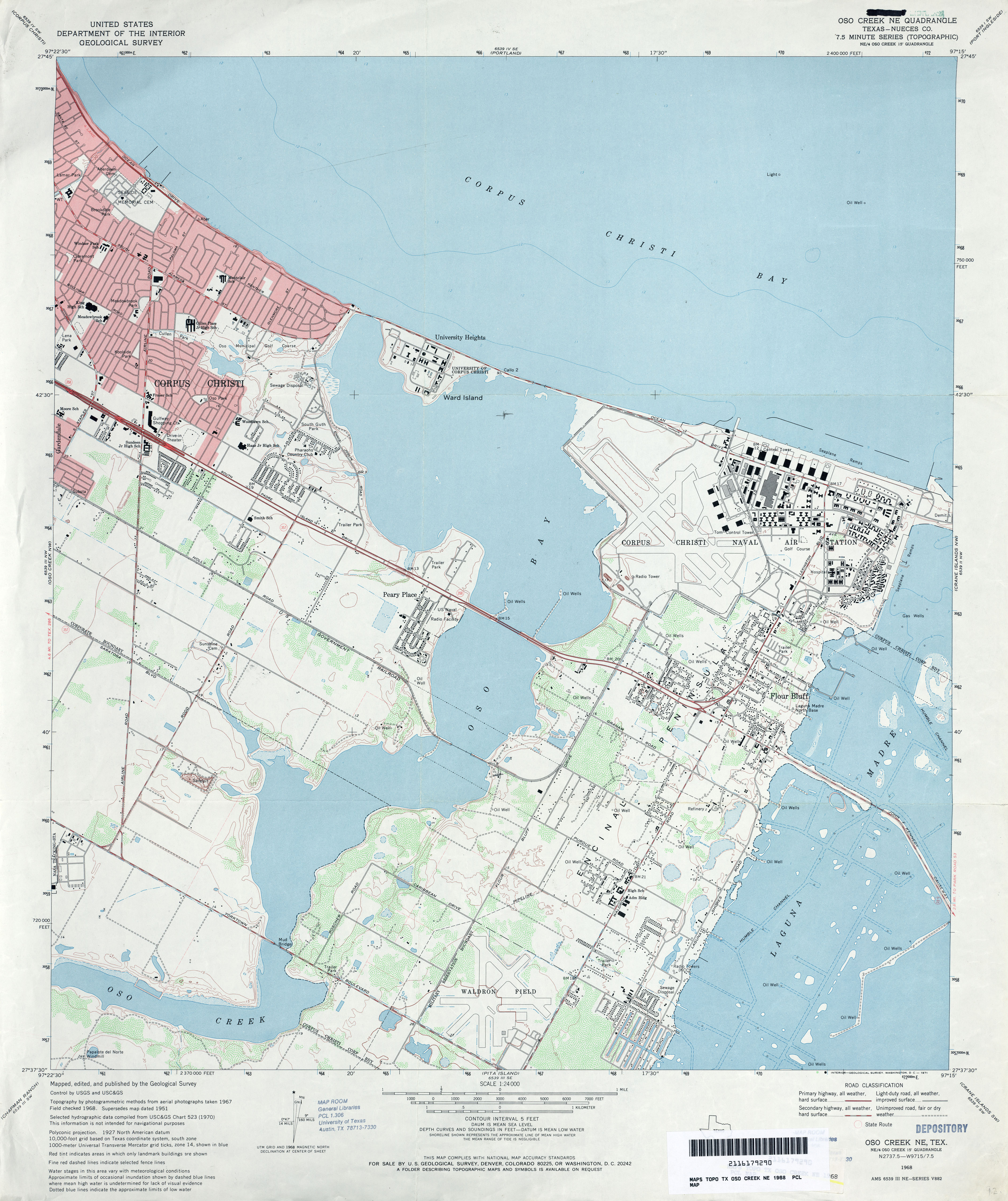
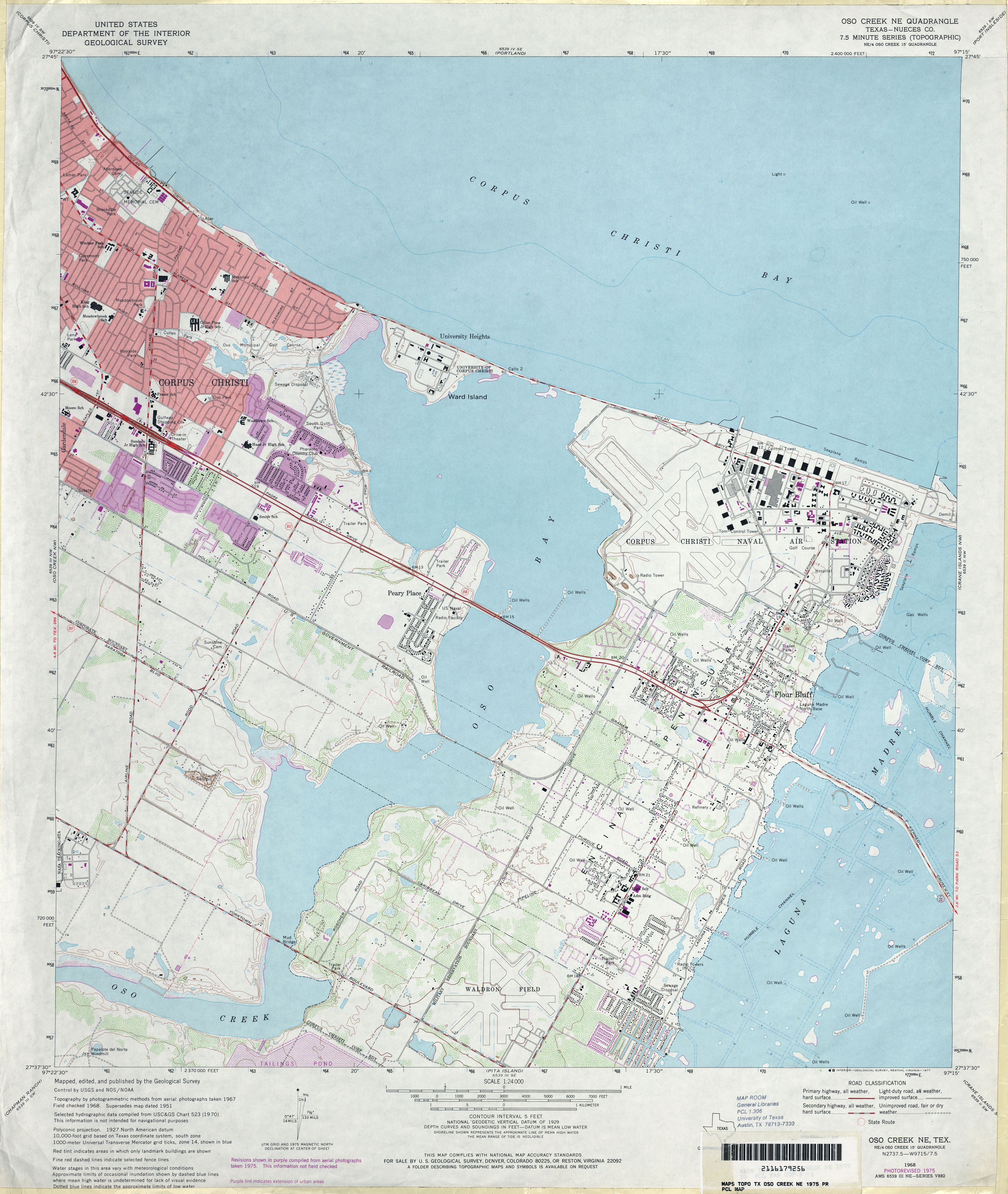
- Oso Creek NE 1:24,000 2008 (13.7MB) [GeoPDF]
- Oso Creek NE 1:24,000 2013 (21.6MB) [GeoPDF]
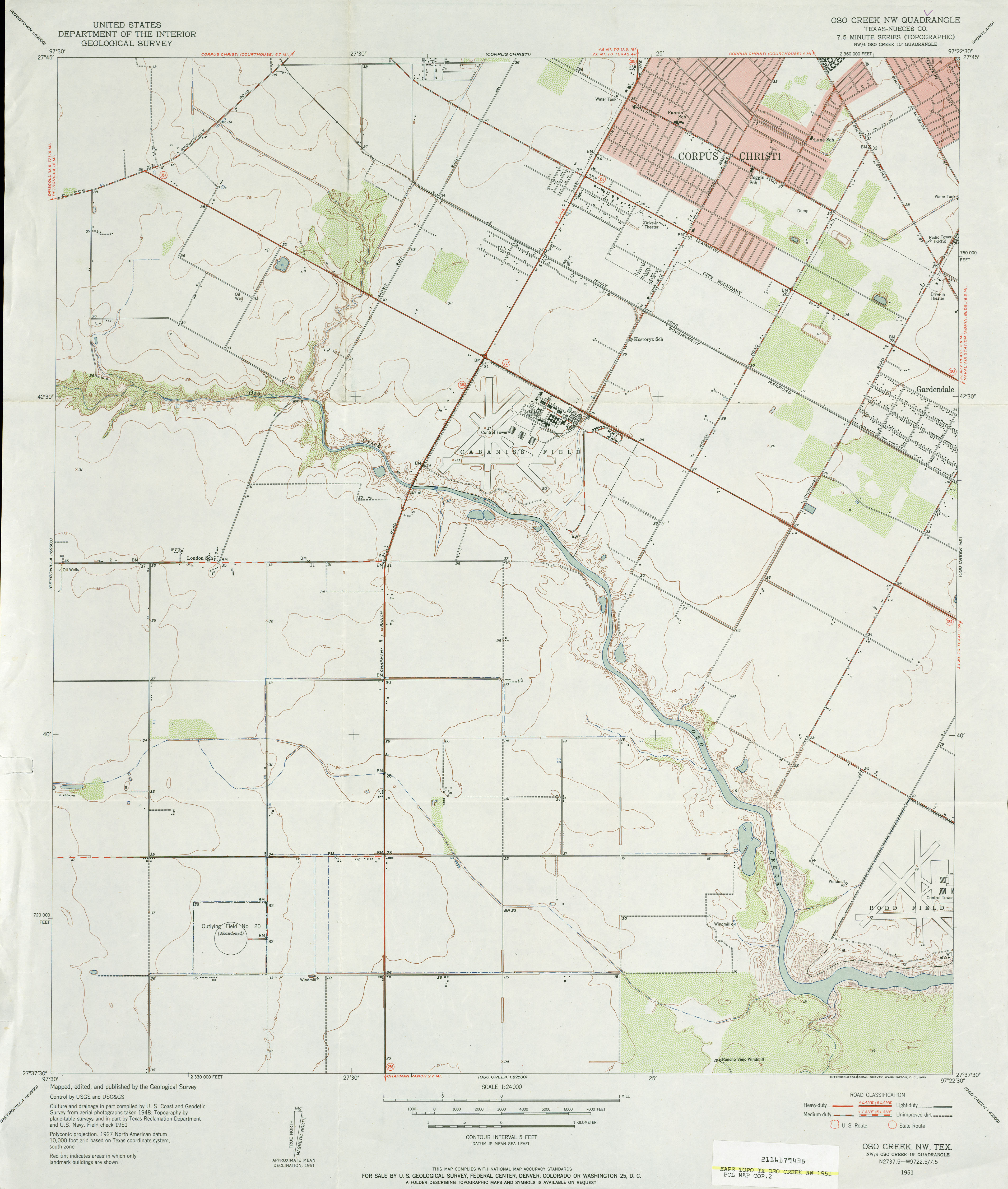
- Oso Creek NW (Nueces County) 1:24,000 1951 (2.9MB)
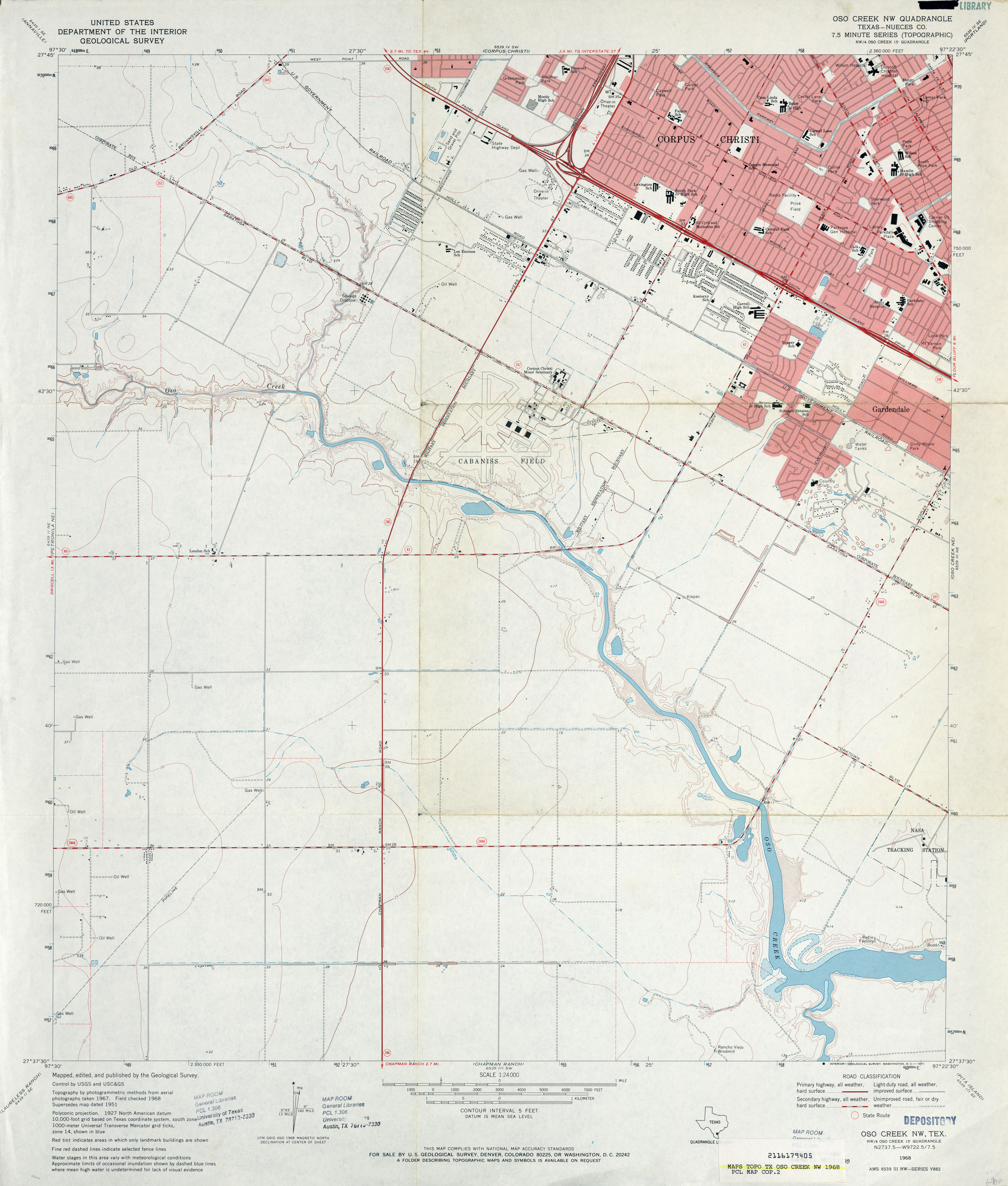
- Oso Creek NW (Nueces County) 1:24,000 1968 (3.1MB)
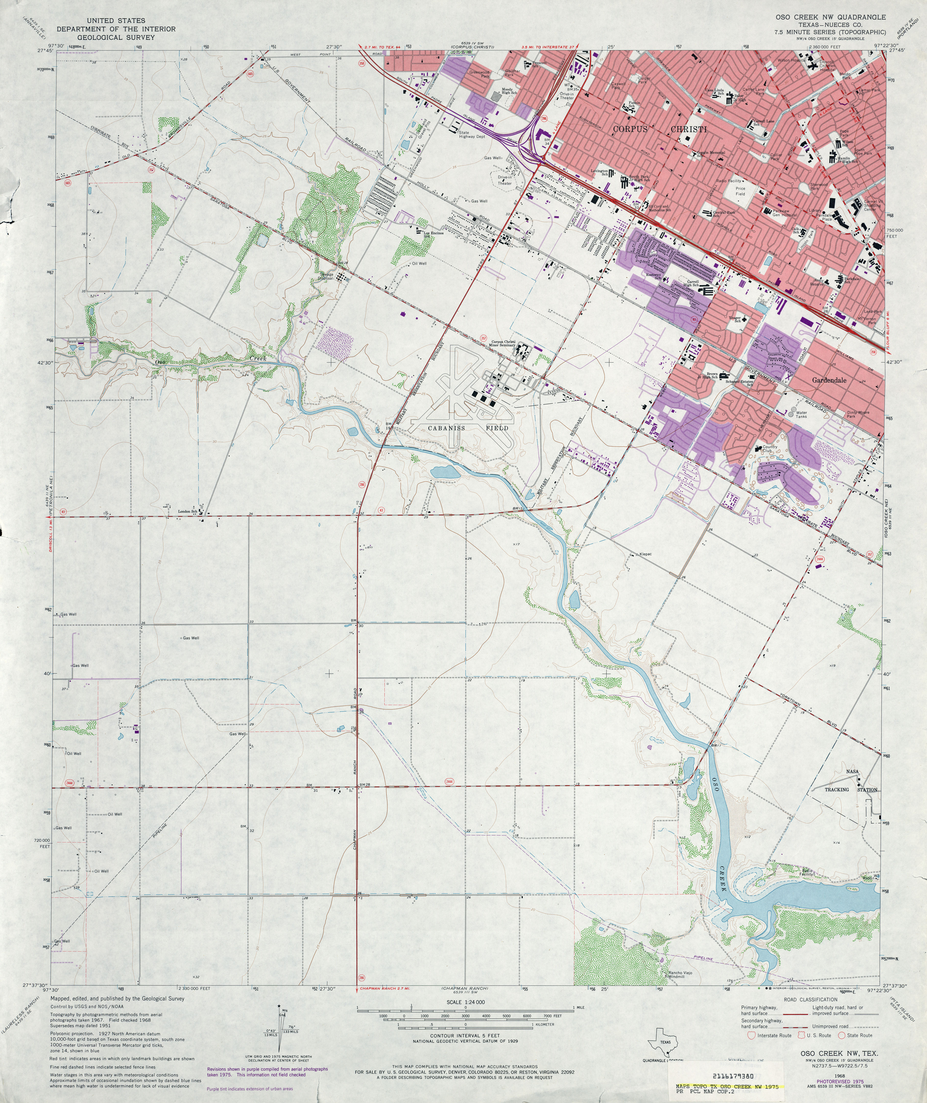
- Oso Creek NW (Nueces County) 1:24,000 1975 (3.3MB)
- Oso Creek NW 1:24,000 2008 (13.7MB) [GeoPDF]
- Oso Creek NW 1:24,000 2013 (20.5MB) [GeoPDF]
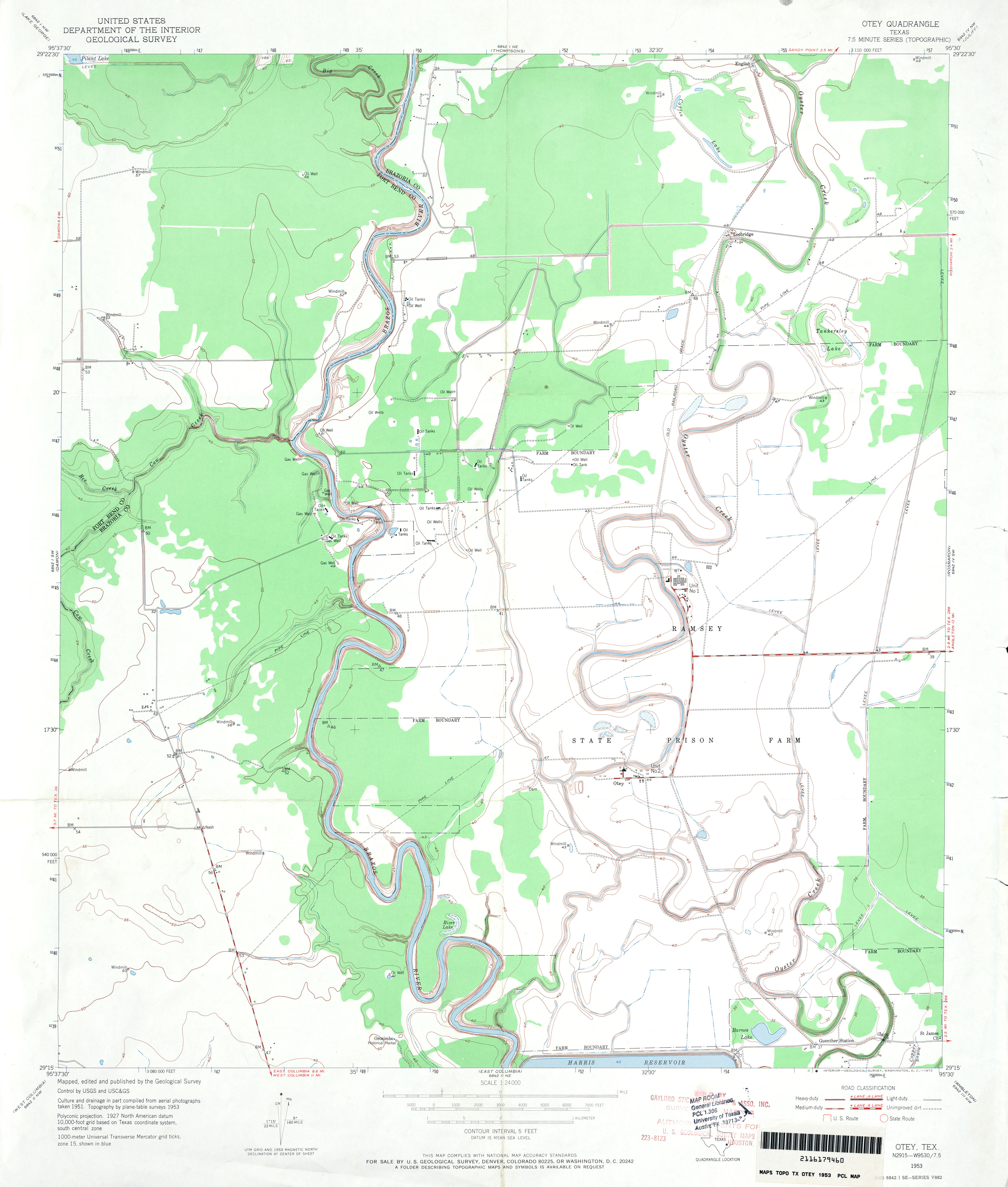
- Otey 1:24,000 1953 (2.7MB)
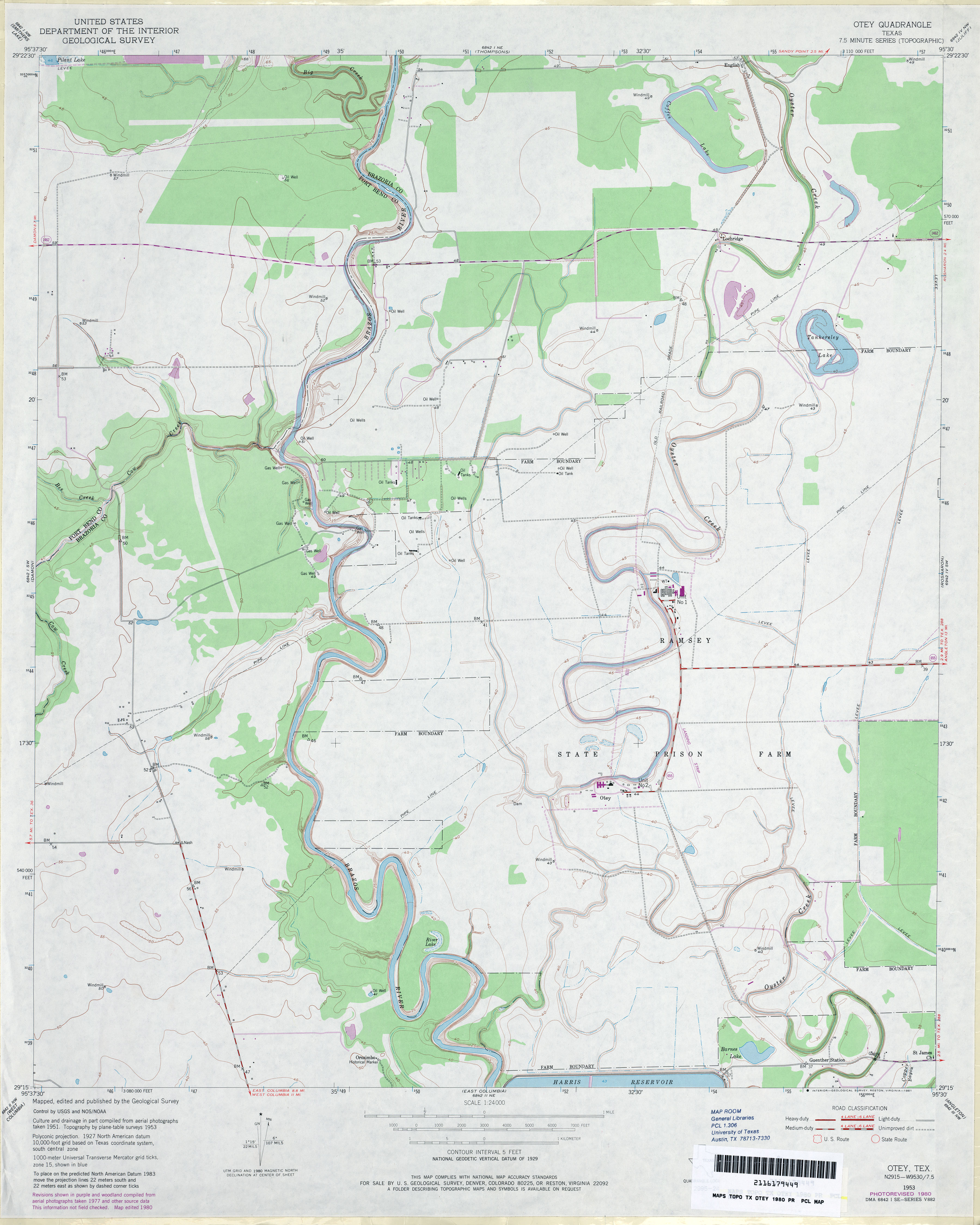
- Otey 1:24,000 1980 (2.9MB)
- Otey 1:24,000 2009 (16.1MB) [GeoPDF]
- Otey 1:24,000 2013 (17.3MB) [GeoPDF]
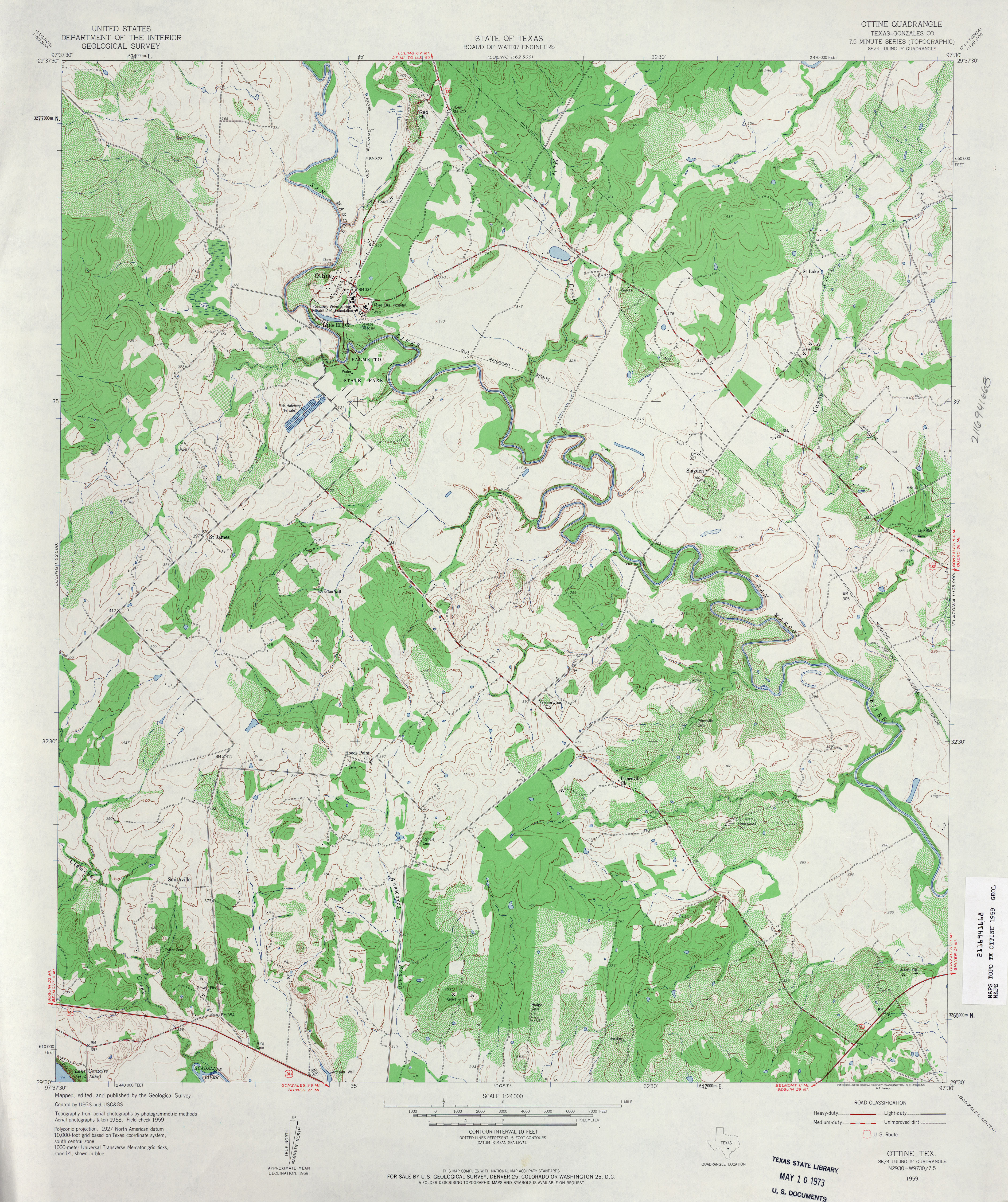
- Ottine (Gonzales County) 1:24,000 1959 (4.5MB)
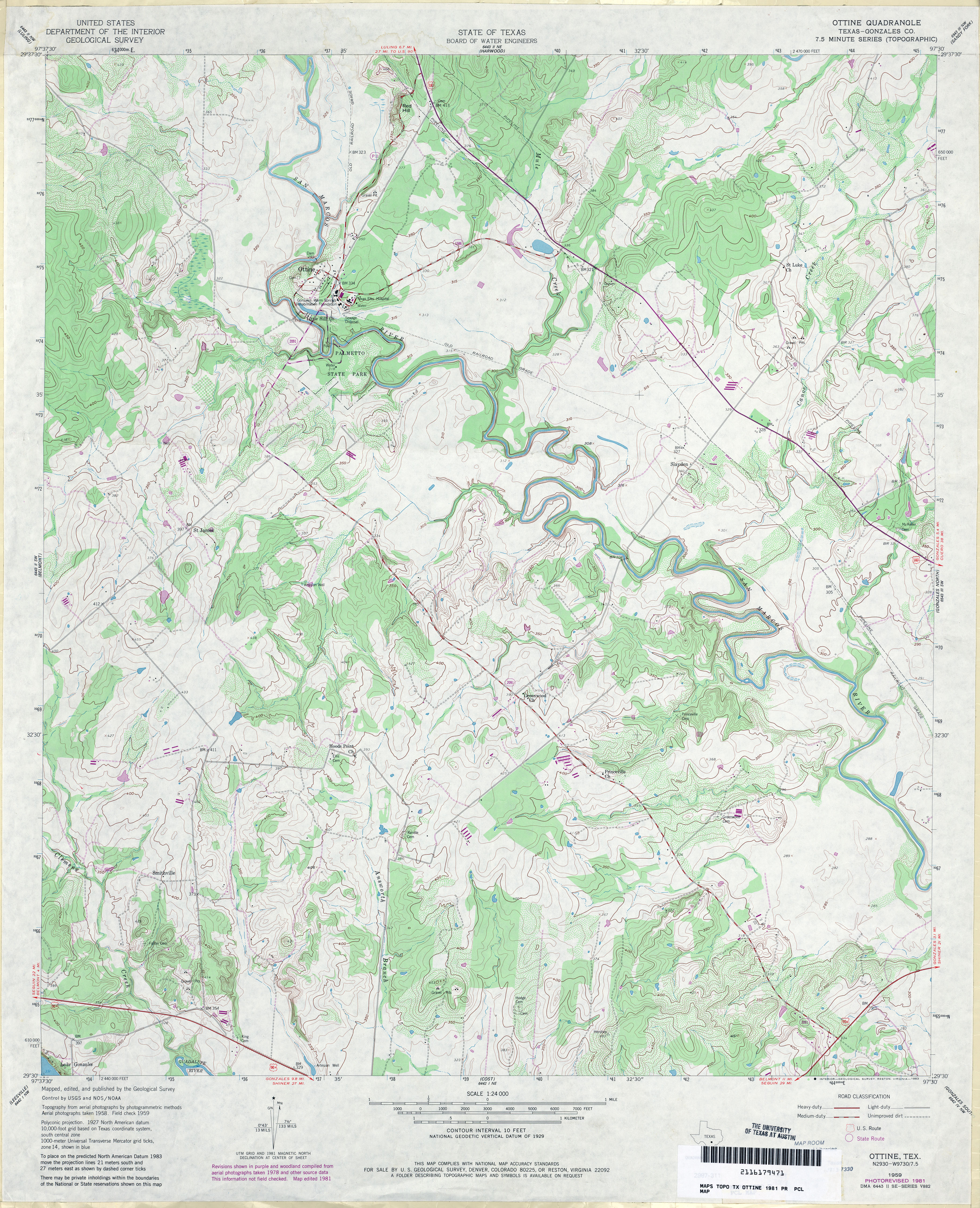
- Ottine (Gonzales County) 1:24,000 1981 (4.6MB)
- Ottine 1:24,000 2008 (14.2MB) [GeoPDF]
- Ottine 1:24,000 2013 (24MB) [GeoPDF]
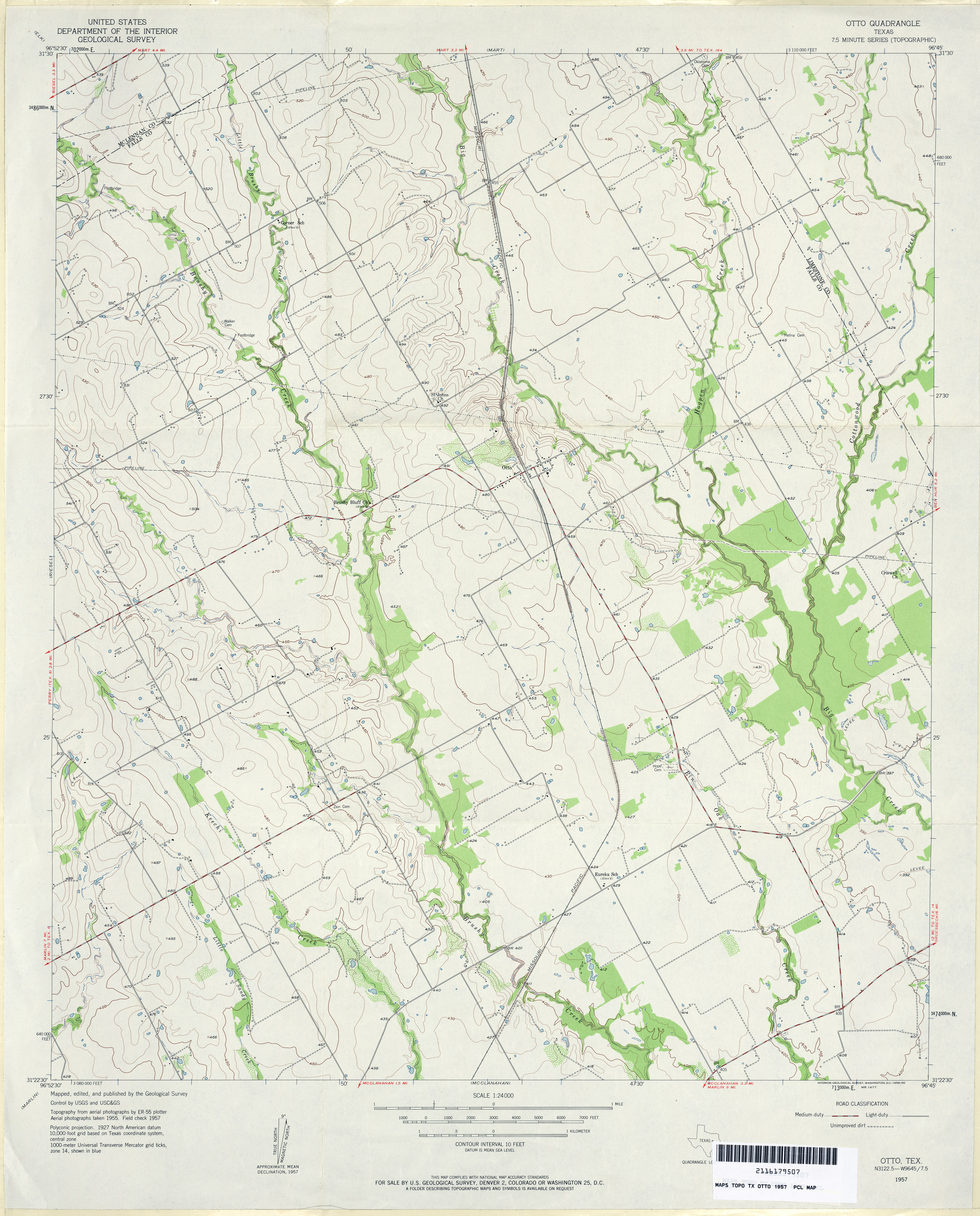
- Otto 1:24,000 1957 (3.2MB)
- Otto 1:24,000 2008 (11.1MB) [GeoPDF]
- Otto 1:24,000 2013 (19.5MB) [GeoPDF]
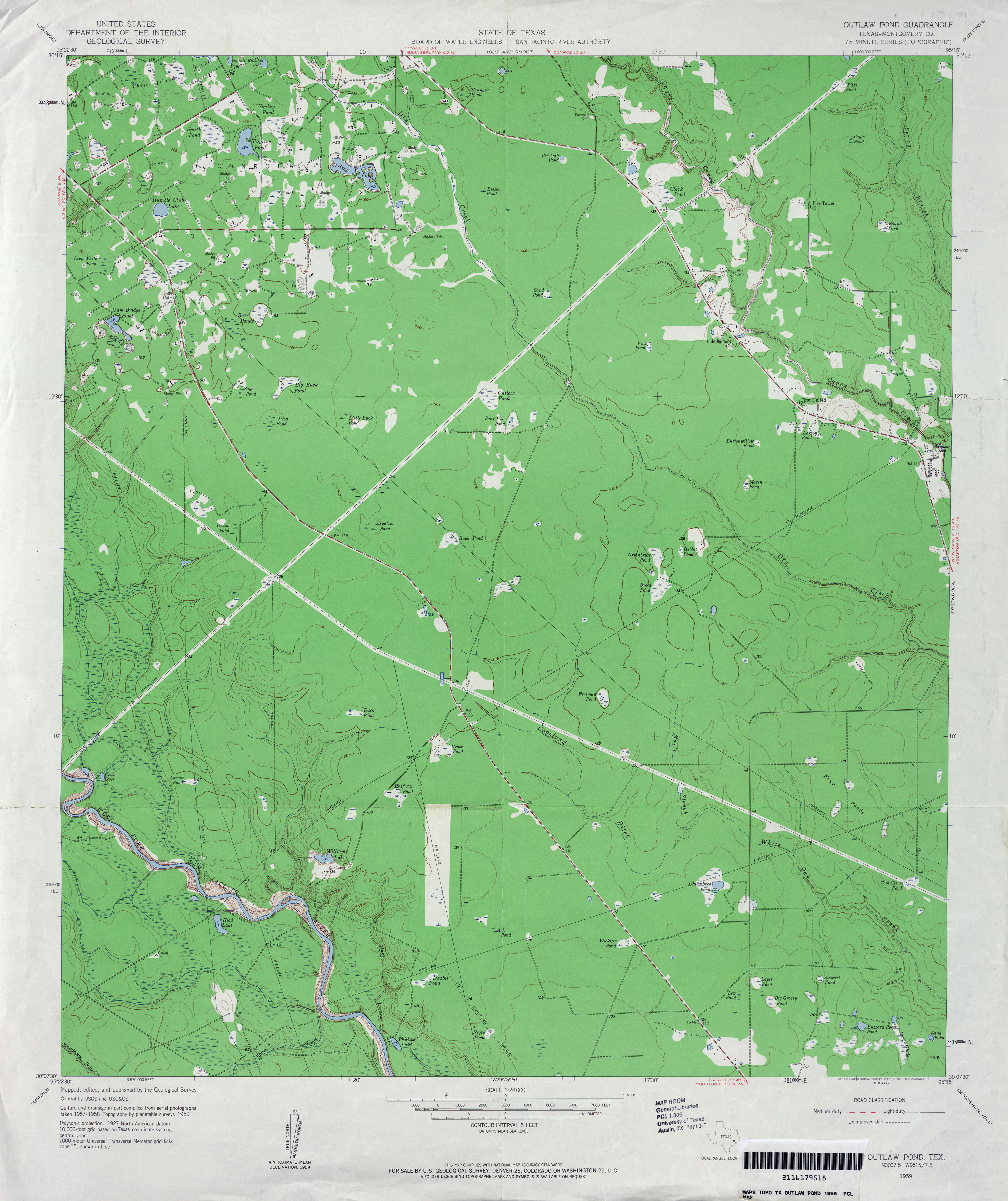
- Outlaw Pond (Montgomery County) 1:24,000 1959 (3.3MB)
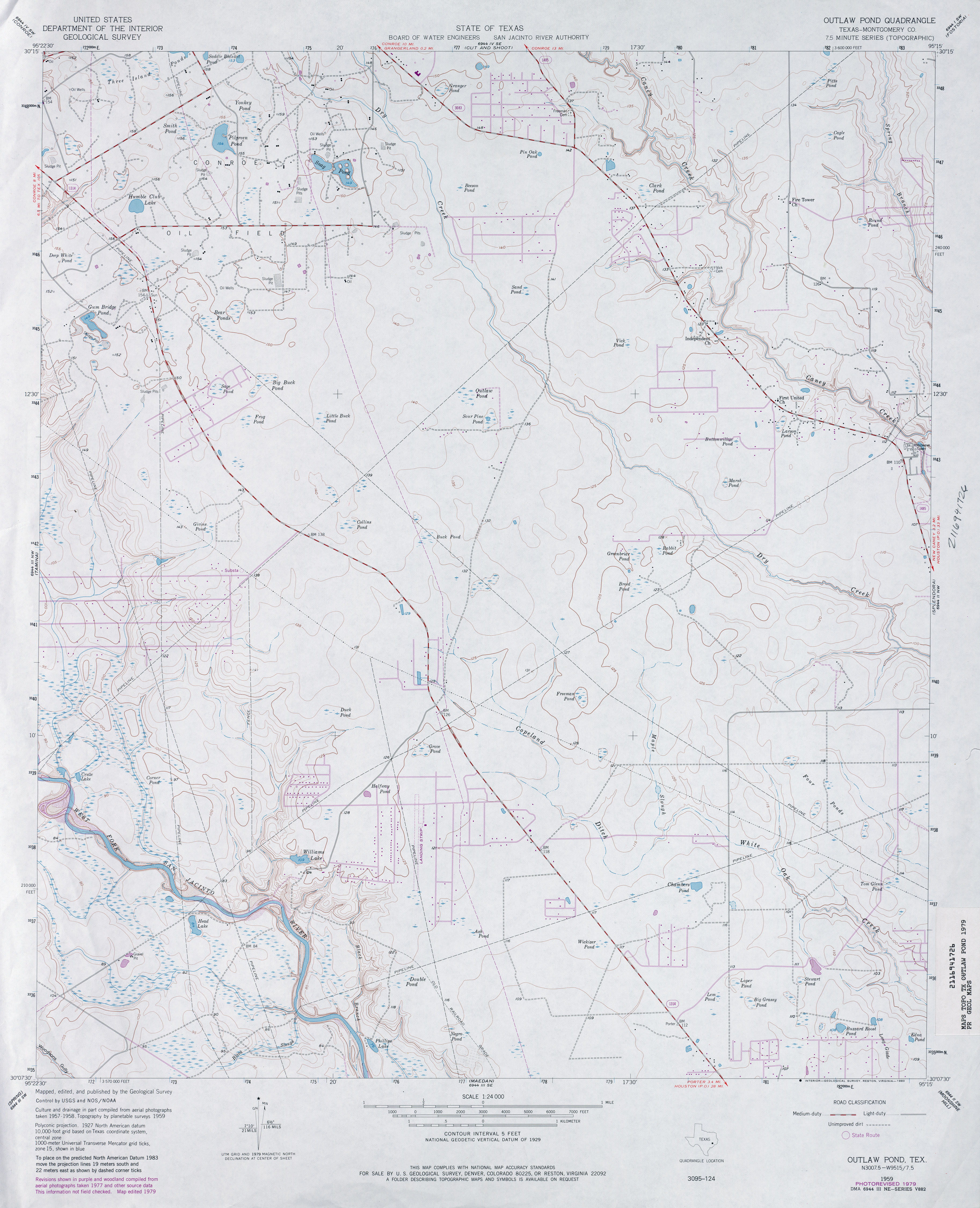
- Outlaw Pond (Montgomery County) 1:24,000 1979 (3.1MB)
- Outlaw Pond 1:24,000 2009 (24.9MB) [GeoPDF]
- Outlaw Pond 1:24,000 2013 (24.4MB) [GeoPDF]
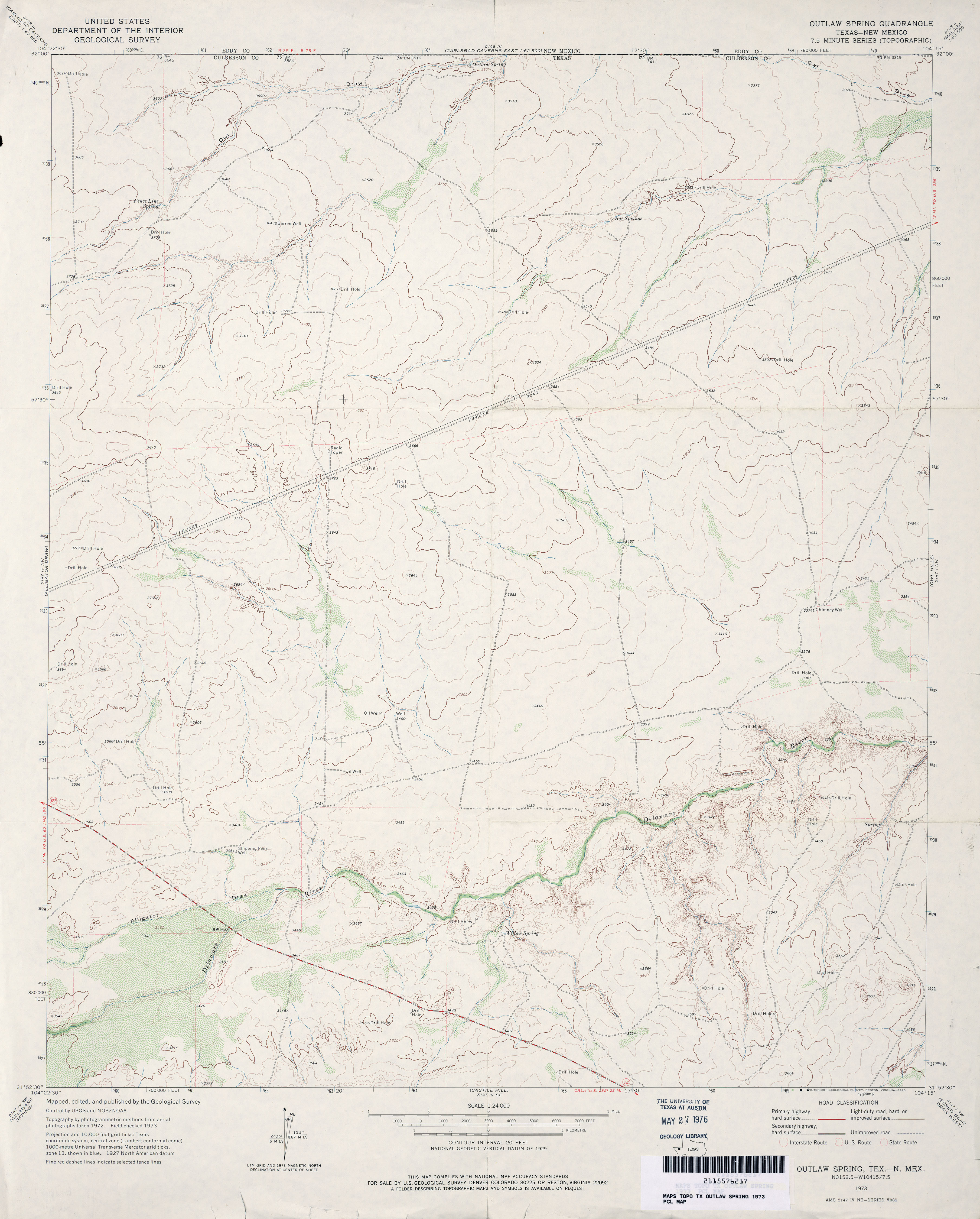
- Outlaw Spring 1:24,000 1973 (2.9MB)
- Outlaw Spring 1:24,000 2009 (22.9MB) [GeoPDF]
- Outlaw Spring 1:24,000 2013 (25.3MB) [GeoPDF]
- Overstreet Lake (Deaf Smith County) 1:24,000 1966 (2.4MB)
- Overstreet Lake 1:24,000 2008 (7.5MB) [GeoPDF]
- Overstreet Lake 1:24,000 2012 (12.9MB) [GeoPDF]
- Owego 1:24,000 1972 (2.8MB)
- Owego 1:24,000 2008 (19.5MB) [GeoPDF]
- Owego 1:24,000 2012 (24.4MB) [GeoPDF]
- Owens (Brown County) 1:24,000 1966 (4MB)
- Owens (Brown County) 1:24,000 1978 (4MB)
- Owens 1:24,000 2008 (17.5MB) [GeoPDF]
- Owens 1:24,000 2013 (21.6MB) [GeoPDF]
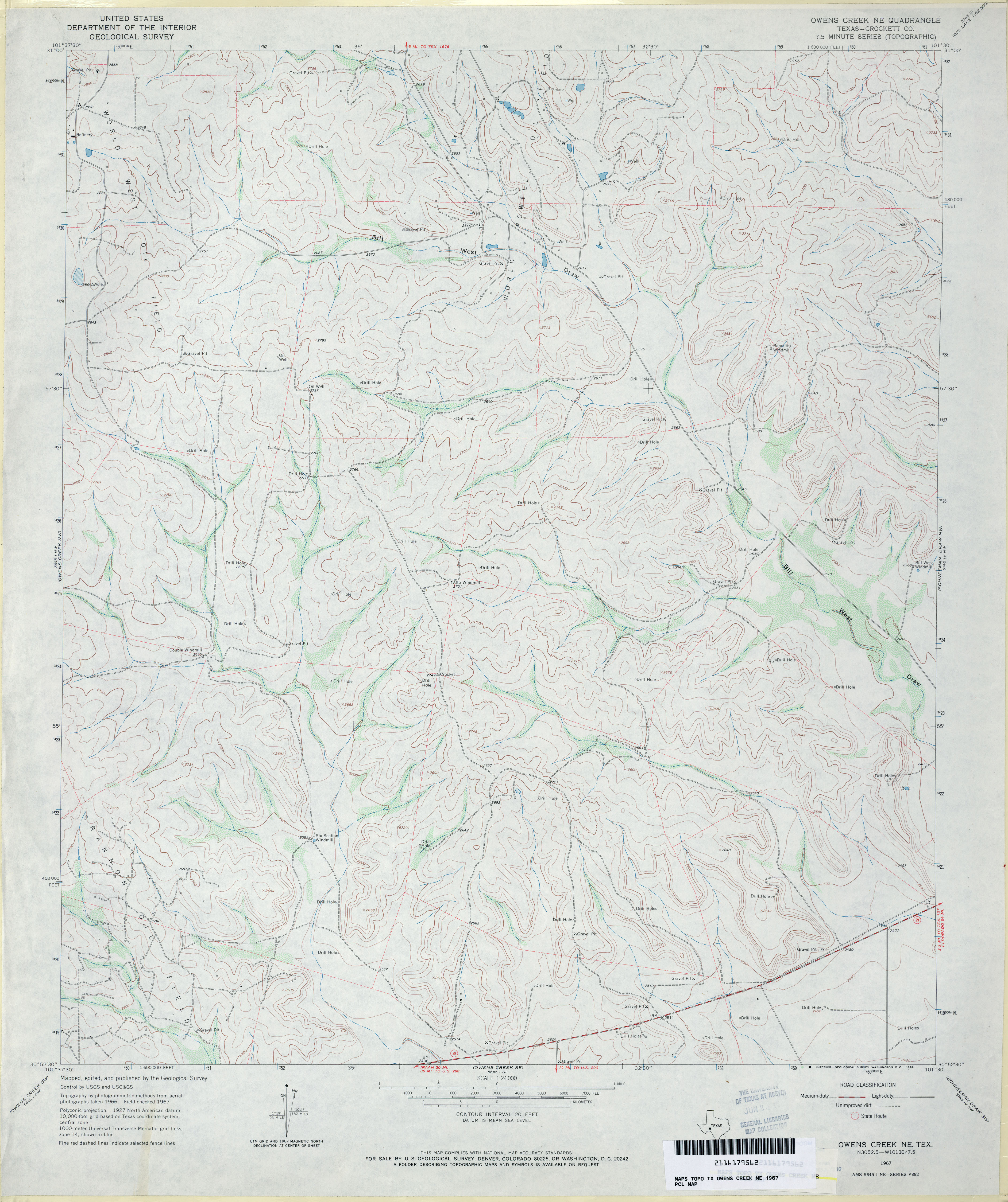
- Owens Creek NE (Crockett County) 1:24,000 1967 (3.4MB)
- Owens Creek NE 1:24,000 2008 (26.9MB) [GeoPDF]
- Owens Creek NE 1:24,000 2012 (33.3MB) [GeoPDF]
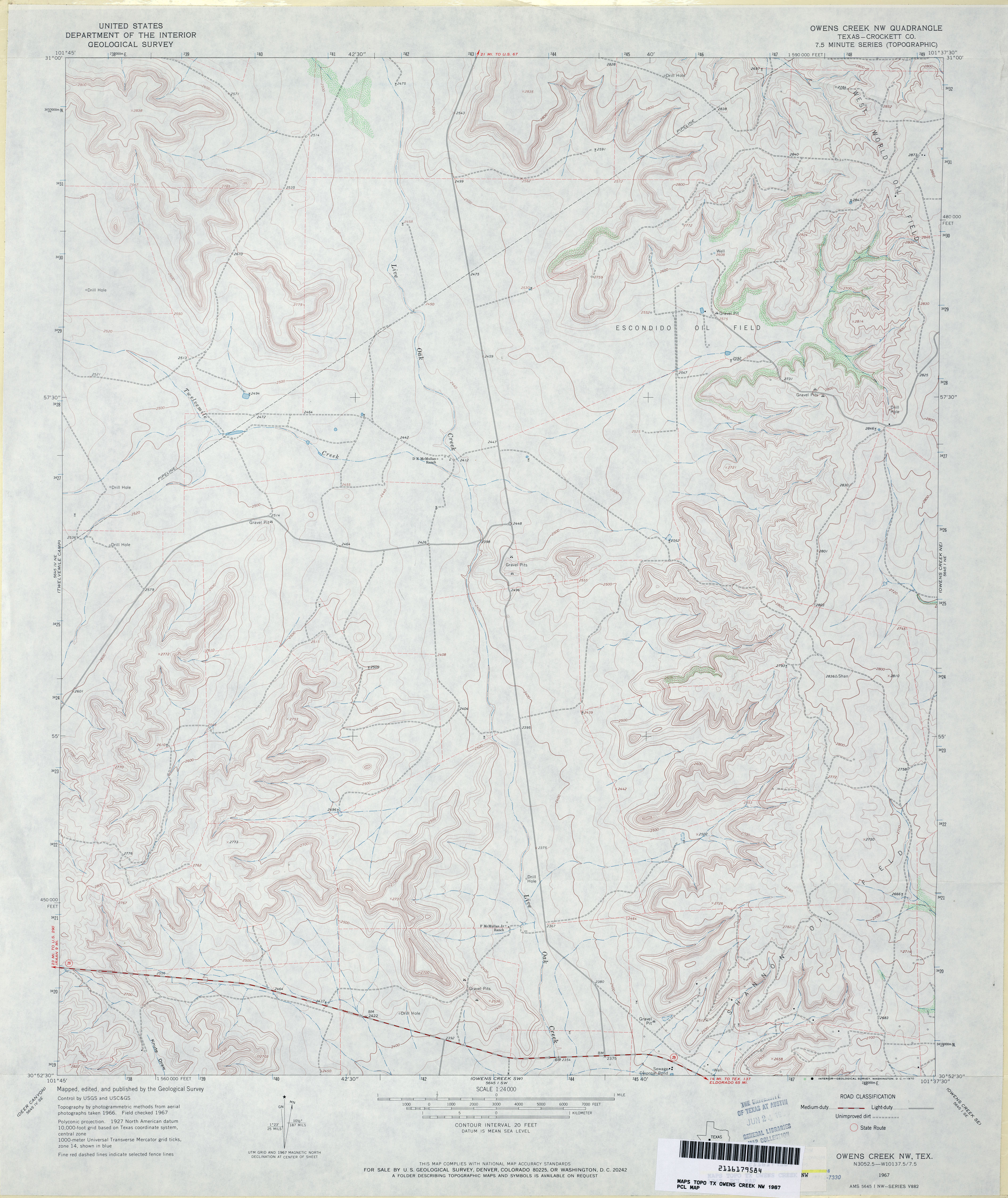
- Owens Creek NW (Crockett County) 1:24,000 1967 (3.4MB)
- Owens Creek NW 1:24,000 2008 (25.0MB) [GeoPDF]
- Owens Creek NW 1:24,000 2012 (32.7MB) [GeoPDF]
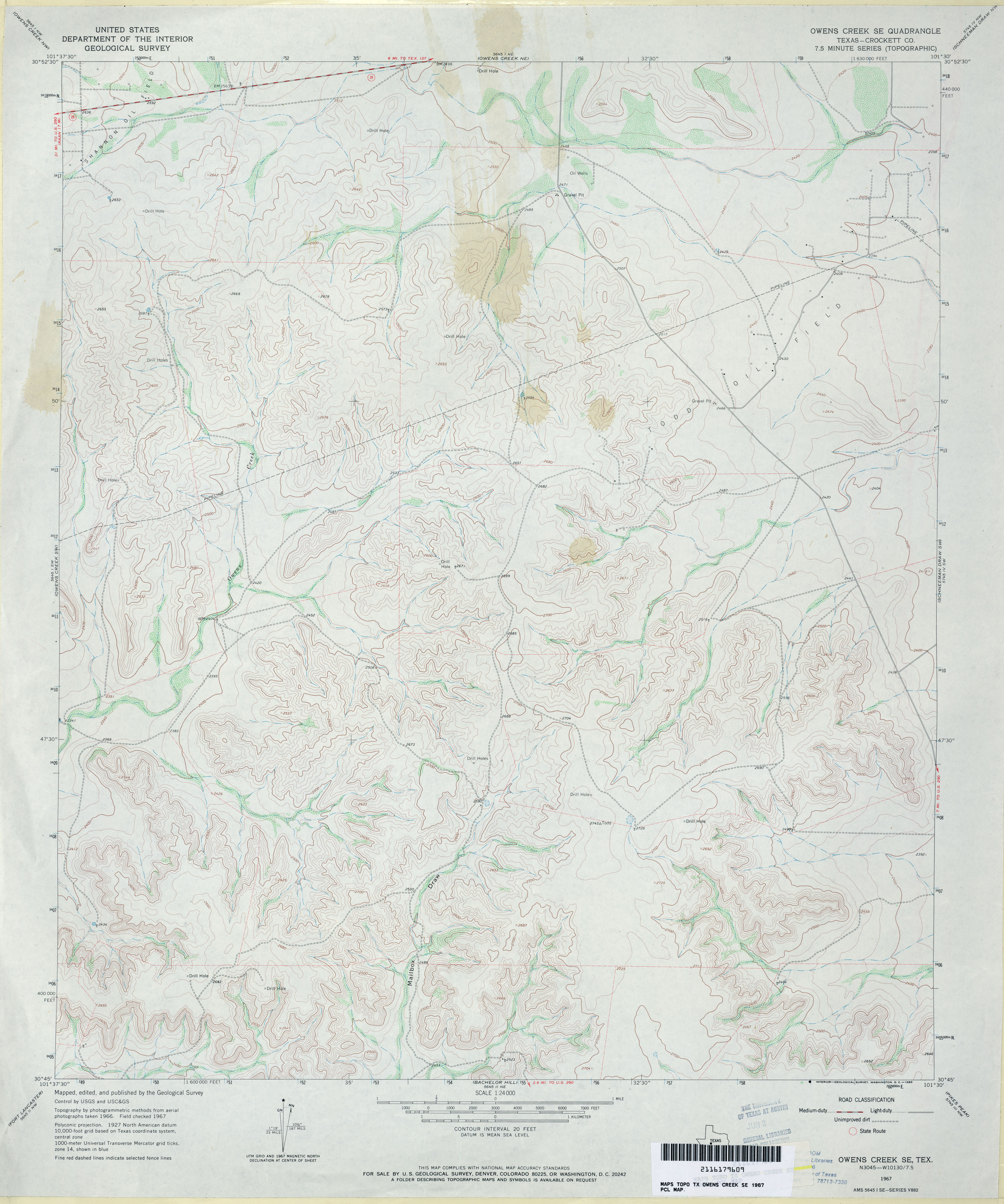
- Owens Creek SE (Crockett County) 1:24,000 1967 (3.4MB)
- Owens Creek SE 1:24,000 2008 (26.8MB) [GeoPDF]
- Owens Creek SE 1:24,000 2012 (35.2MB) [GeoPDF]
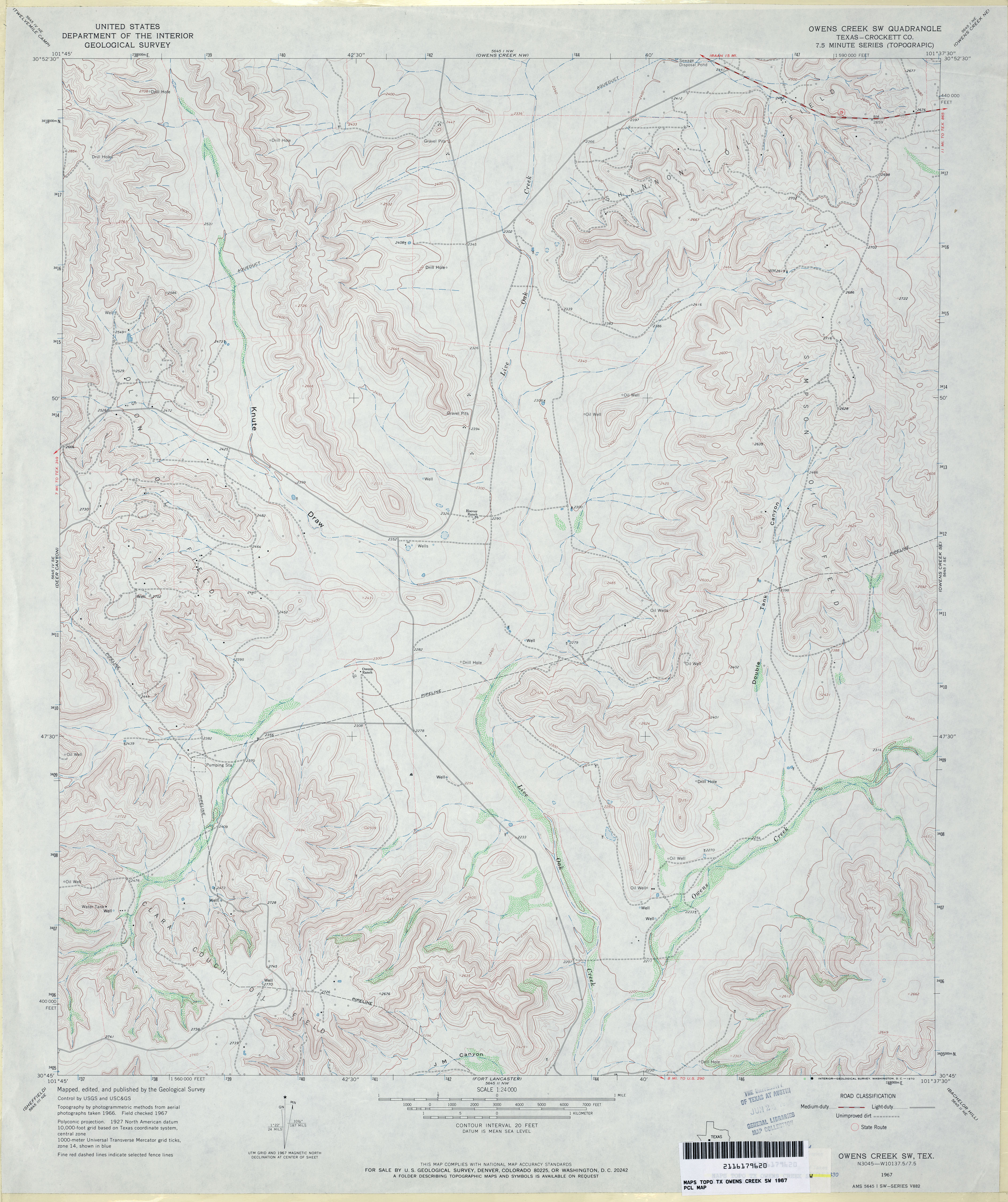
- Owens Creek SW (Crockett County) 1:24,000 1967 (3.8MB)
- Owens Creek SW 1:24,000 2008 (26.2MB) [GeoPDF]
- Owens Creek SW 1:24,000 2012 (34.3MB) [GeoPDF]
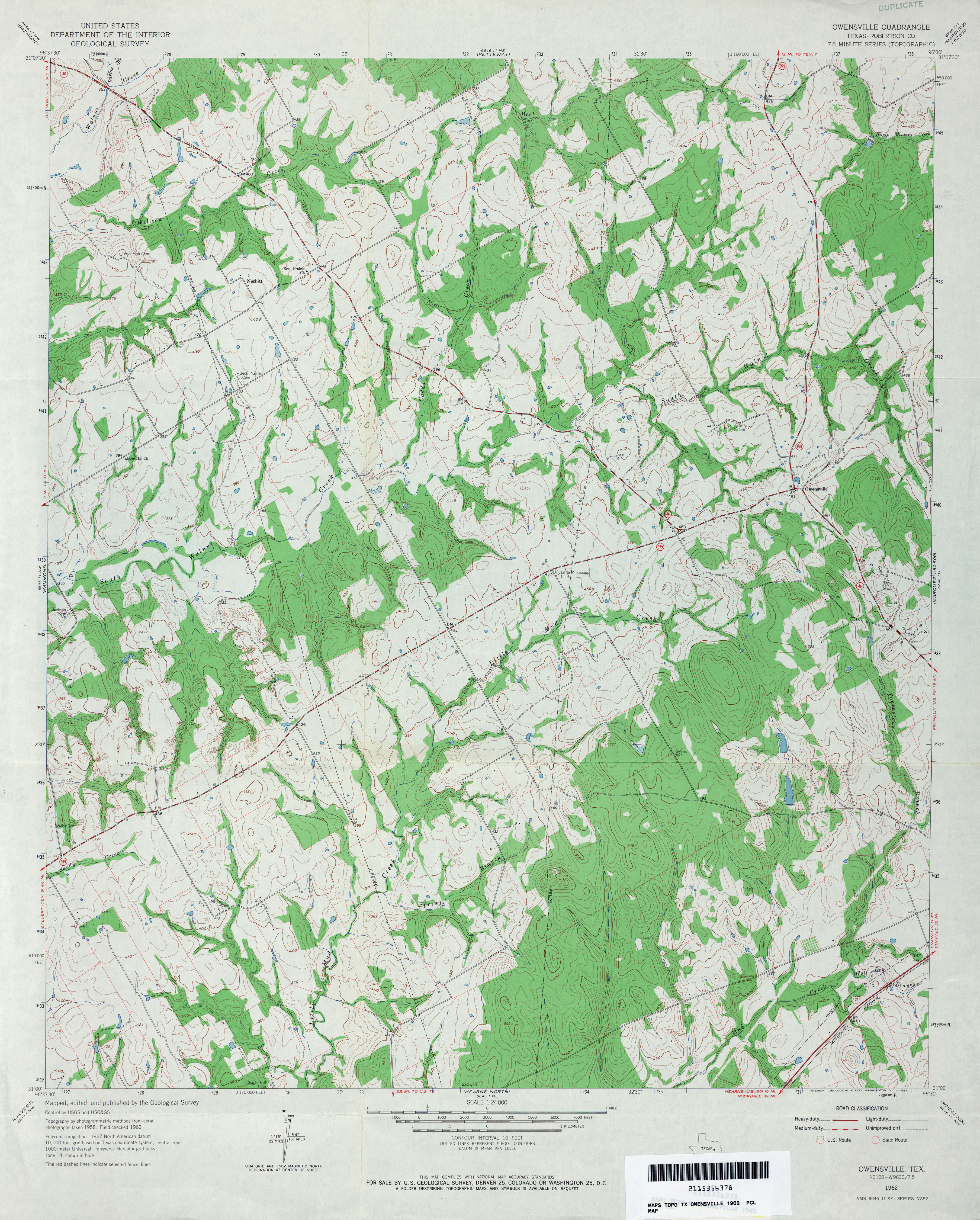
- Owensville (Robertson County) 1:24,000 1962 (4.3MB)
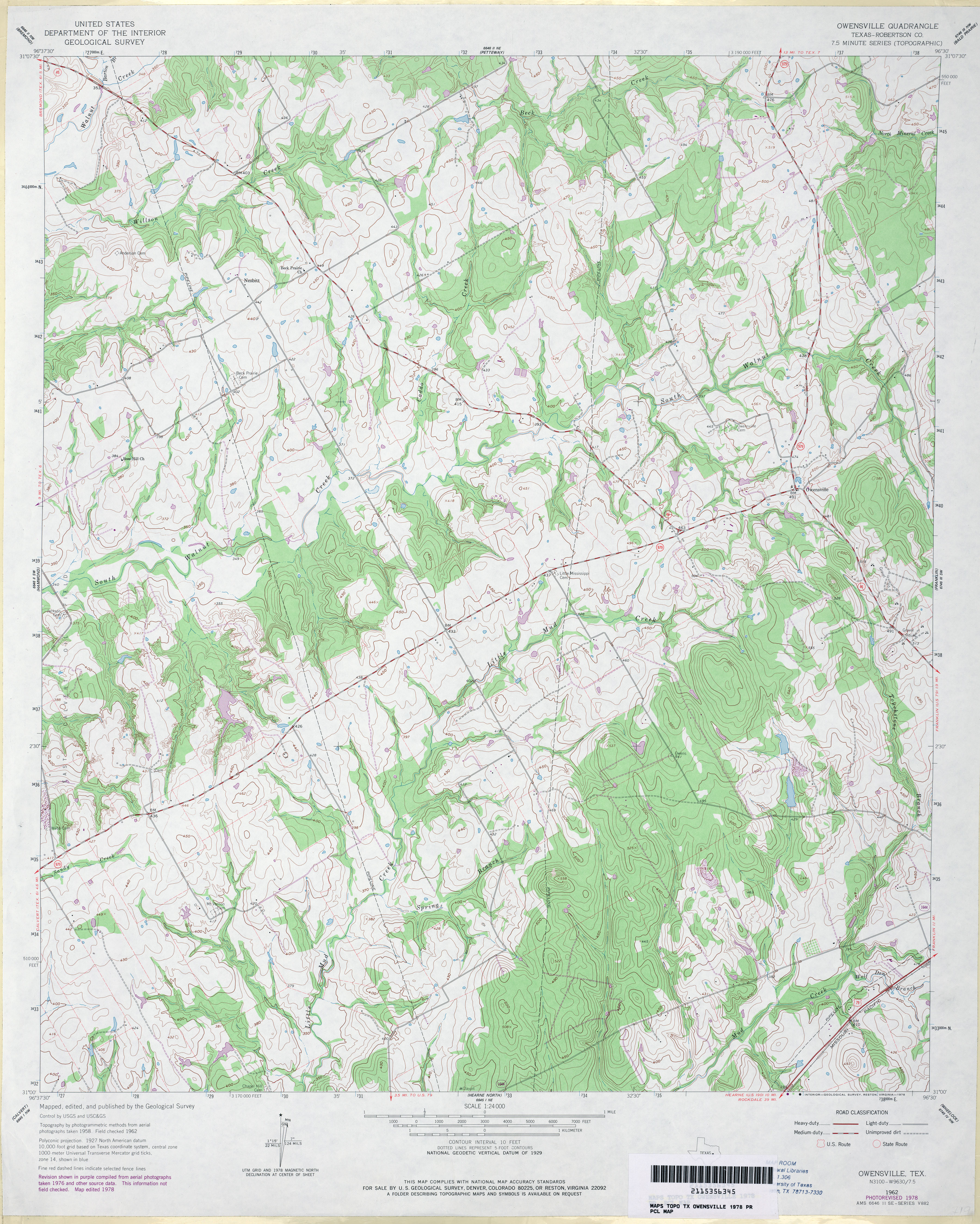
- Owensville (Robertson County) 1:24,000 1978 (4.4MB)
- Owensville 1:24,000 2008 (17.2MB) [GeoPDF]
- Owensville 1:24,000 2013 (23.1MB) [GeoPDF]
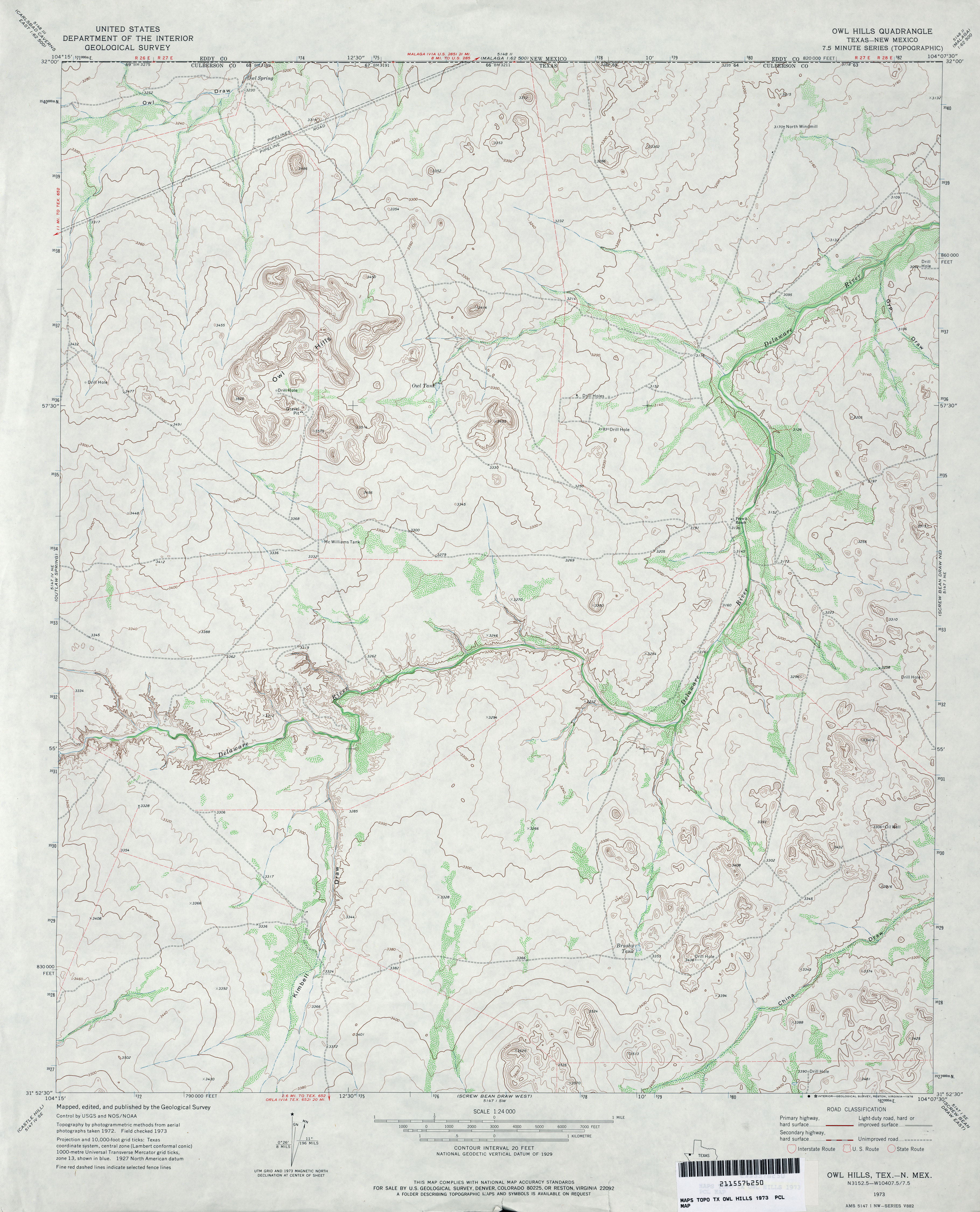
- Owl Hills 1:24,000 1973 (3.4MB)
- Owl Hills 1:24,000 2012 (24.3MB) [GeoPDF]
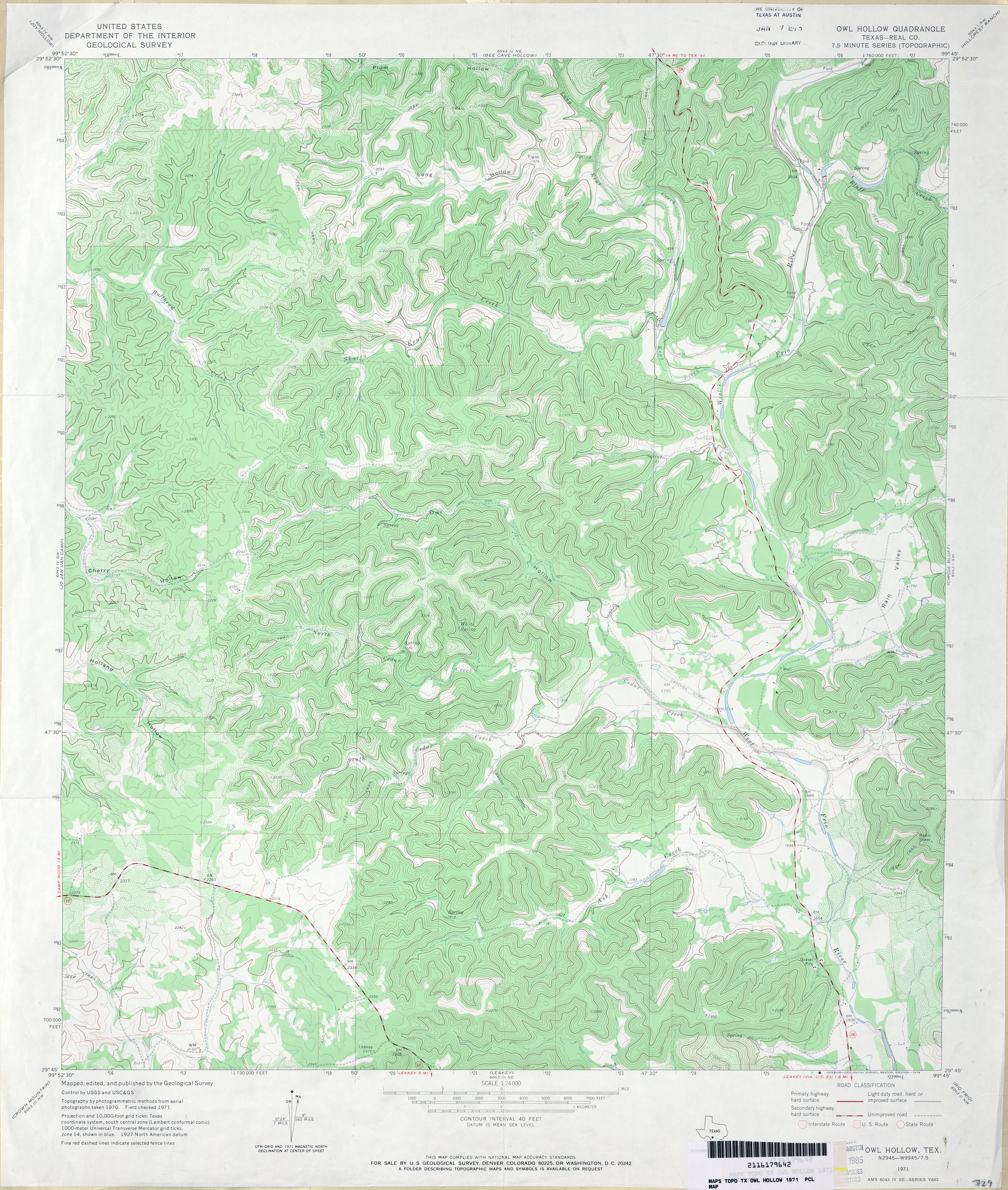
- Owl Hollow (Real County) 1:24,000 1971 (4.9MB)
- Owl Hollow 1:24,000 2008 (24.6MB) [GeoPDF]
- Owl Hollow 1:24,000 2013 (29.6MB) [GeoPDF]
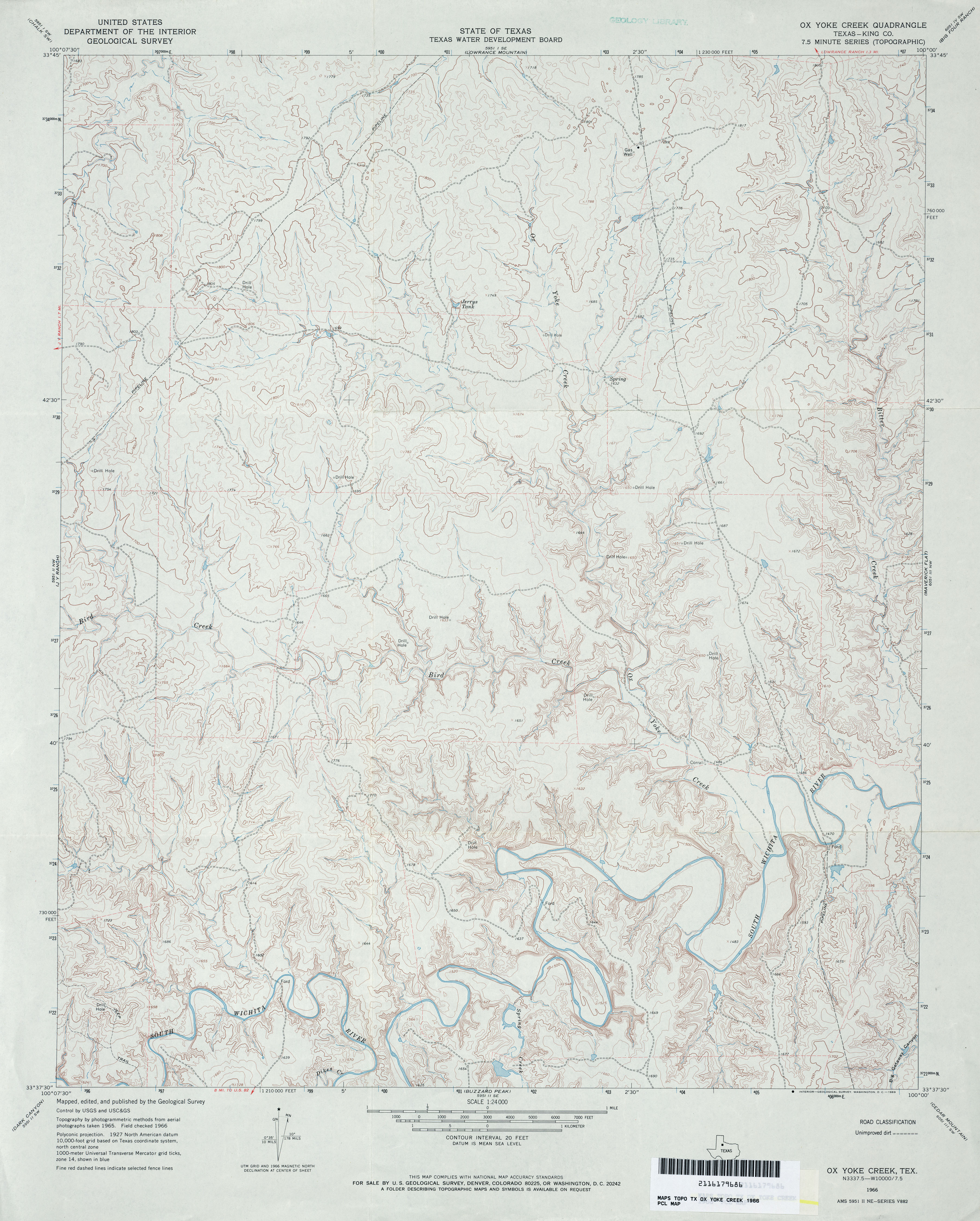
- Ox Yoke Creek (King County) 1:24,000 1966 (3.8MB)
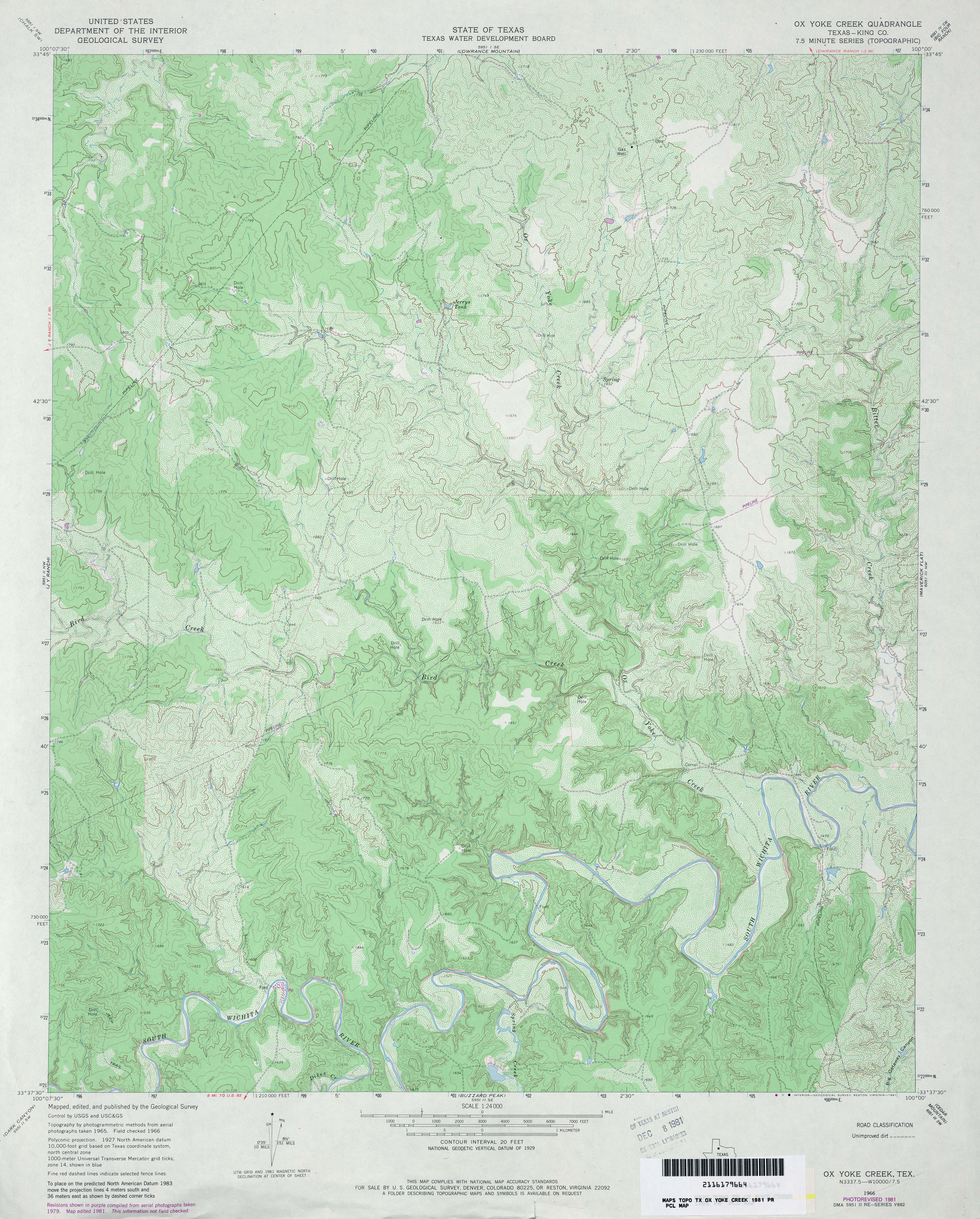
- Ox Yoke Creek (King County) 1:24,000 1981 (4.8MB)
- Ox Yoke Creek 1:24,000 2008 (21.6MB) [GeoPDF]
- Ox Yoke Creek 1:24,000 2012 (30.1MB) [GeoPDF]
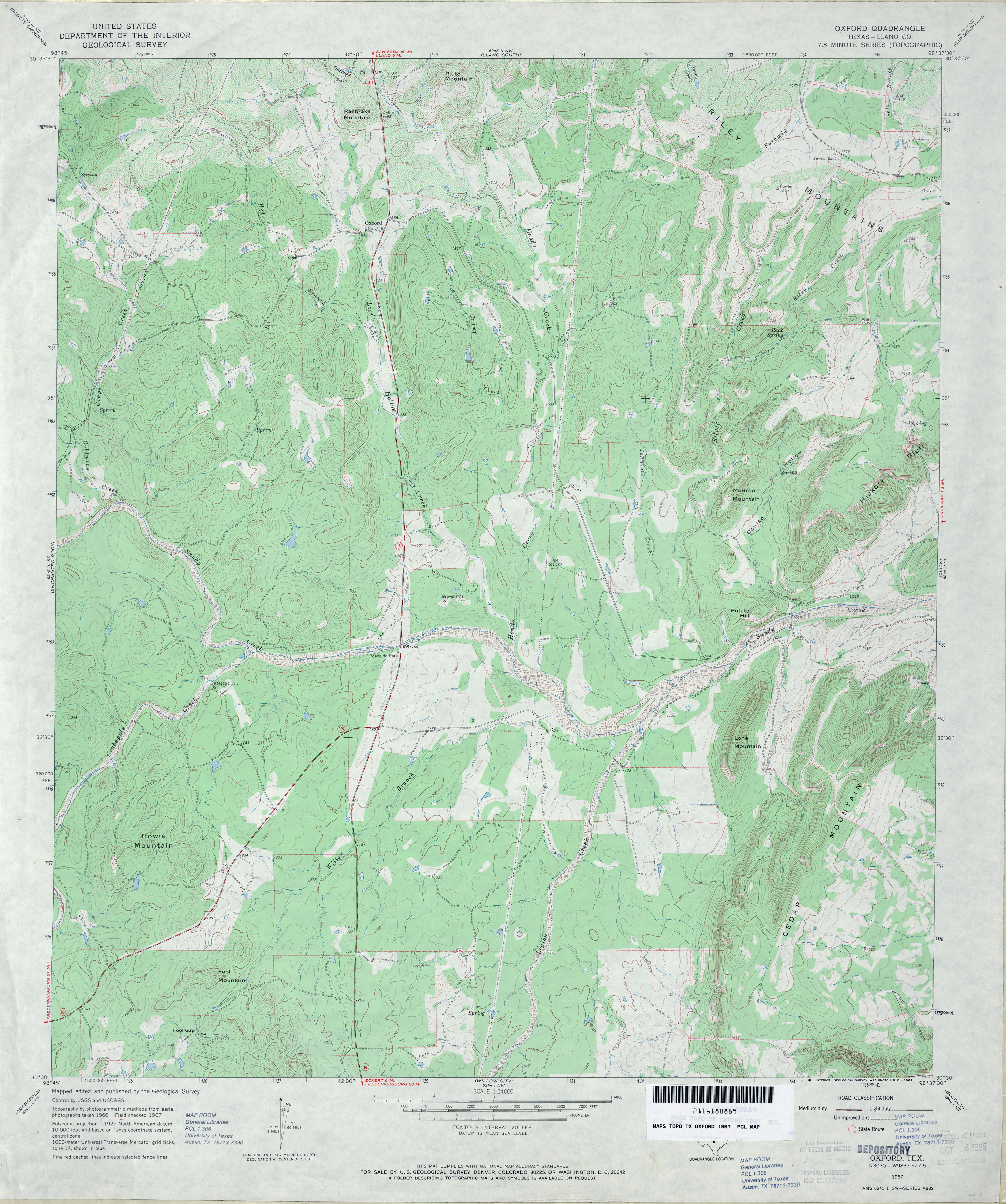
- Oxford (Llano County) 1:24,000 1967 (4.2MB)
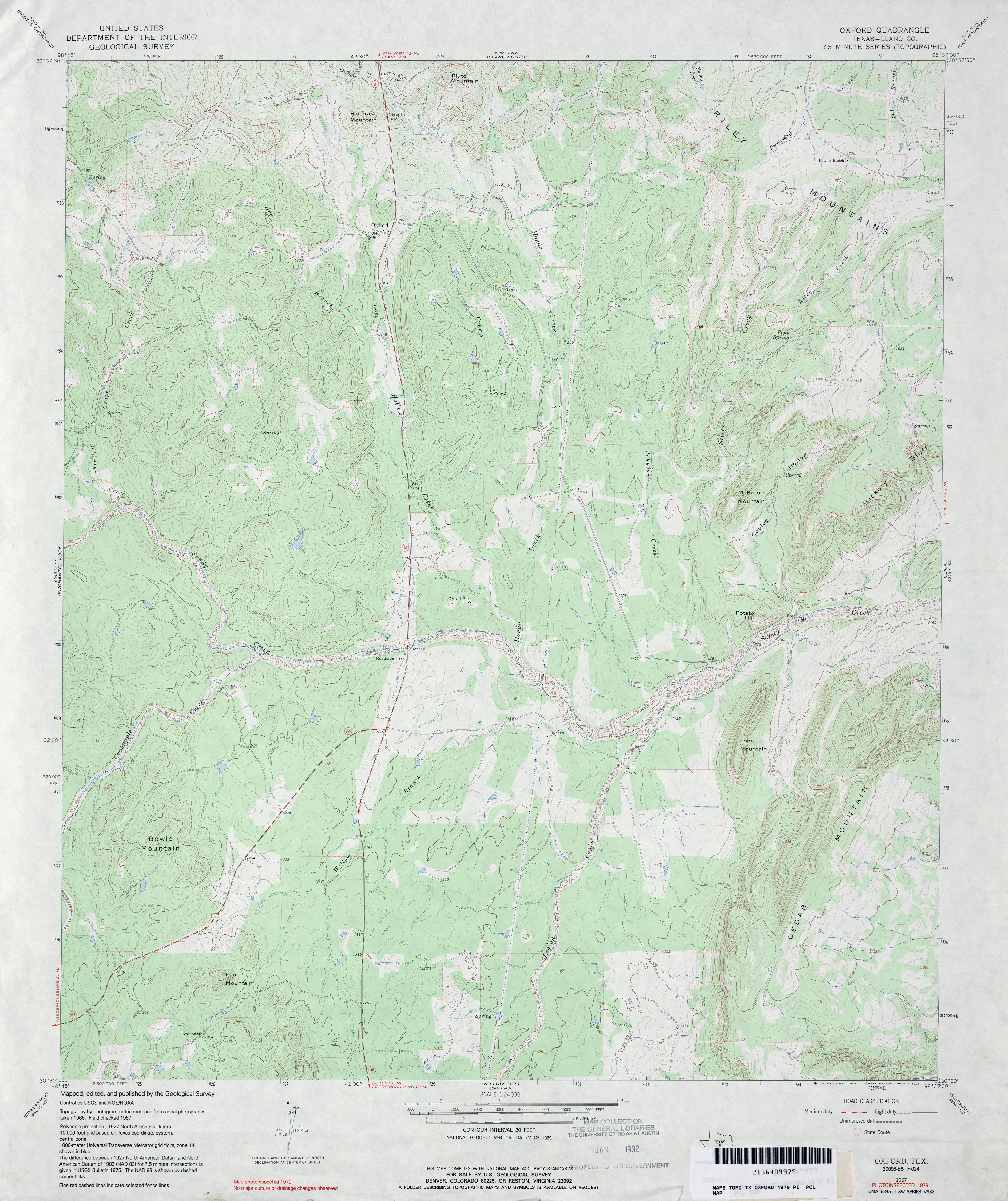
- Oxford (Llano County) 1:24,000 1979 (4.1MB)
- Oxford 1:24,000 2008 (20.2MB) [GeoPDF]
- Oxford 1:24,000 2012 (28.4MB) [GeoPDF]
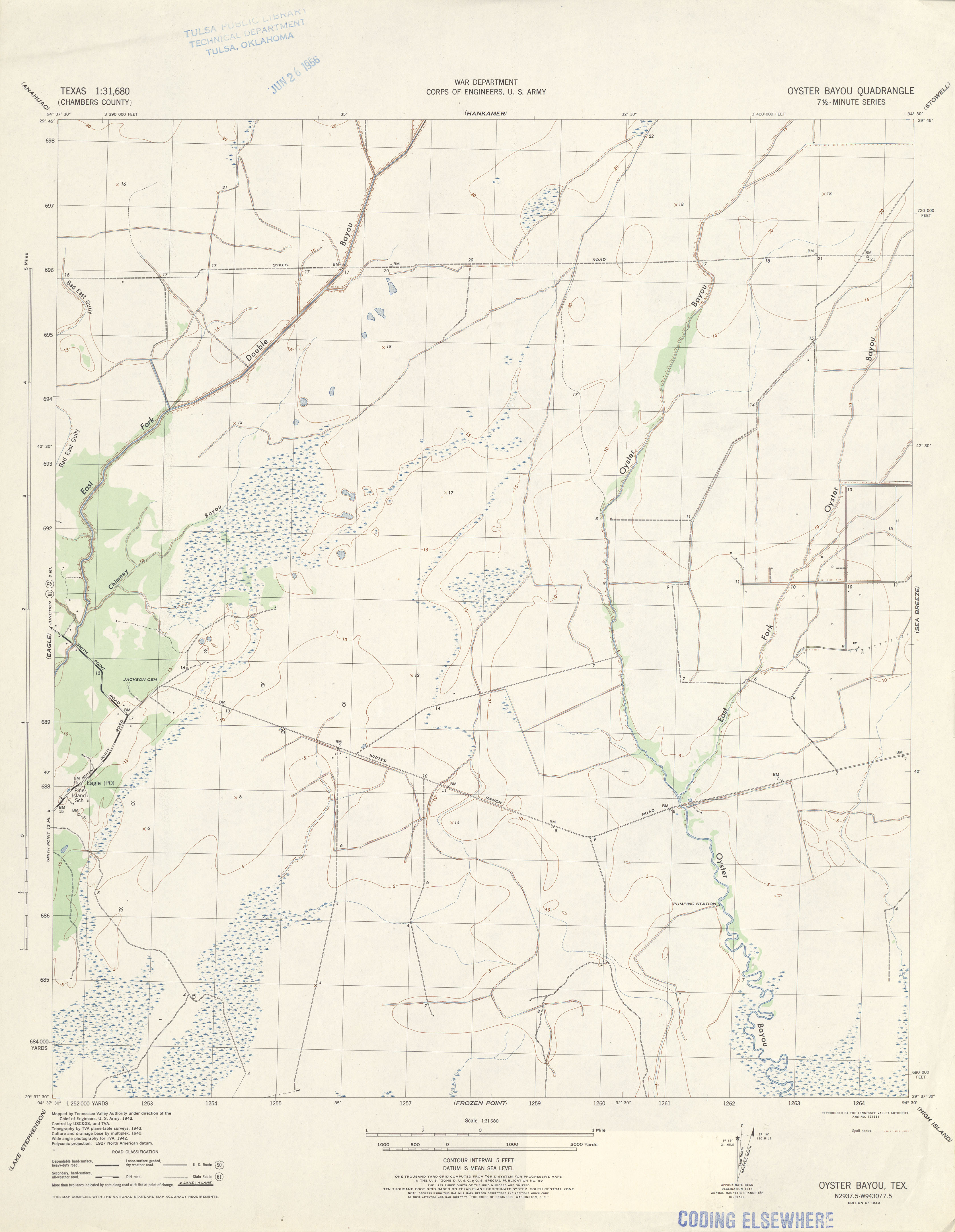
- Oyster Bayou (Chambers County) 1:31,680 1943 (2.2 MB) Tennessee Valley Authority
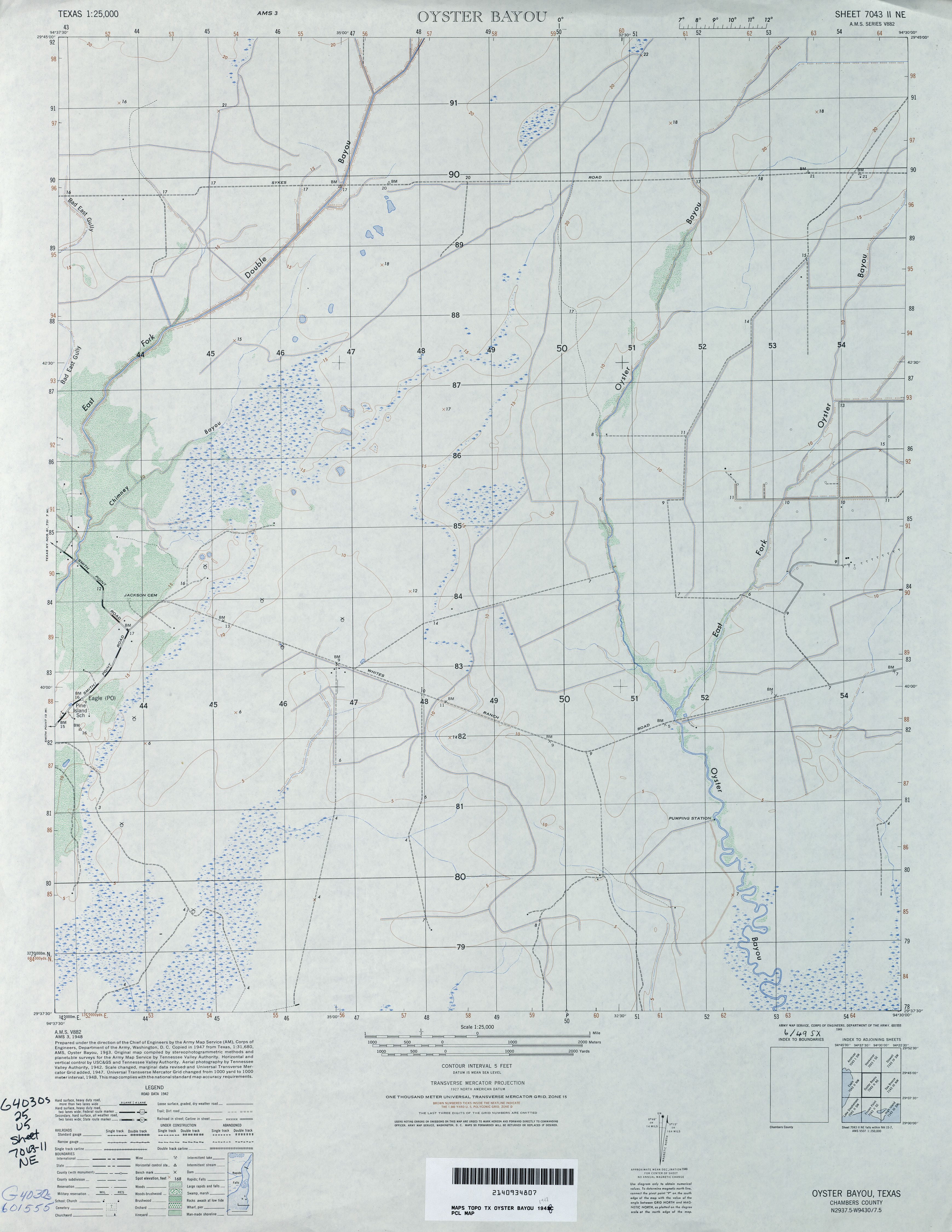
- Oyster Bayou 1:25,000 1948 (2.5MB) U.S. Army Map Service, Series V882
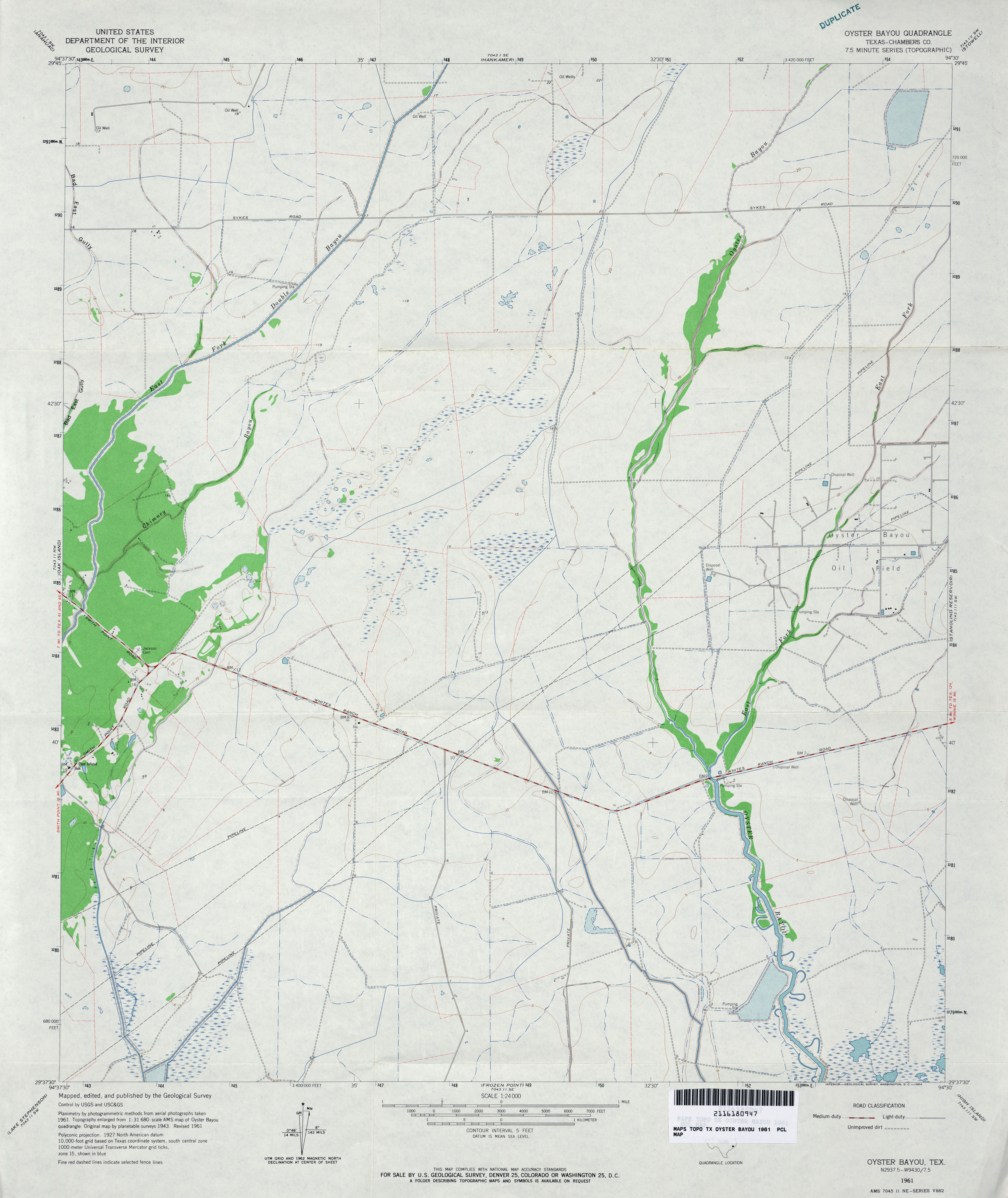
- Oyster Bayou (Chambers County) 1:24,000 1961 (2.8MB)
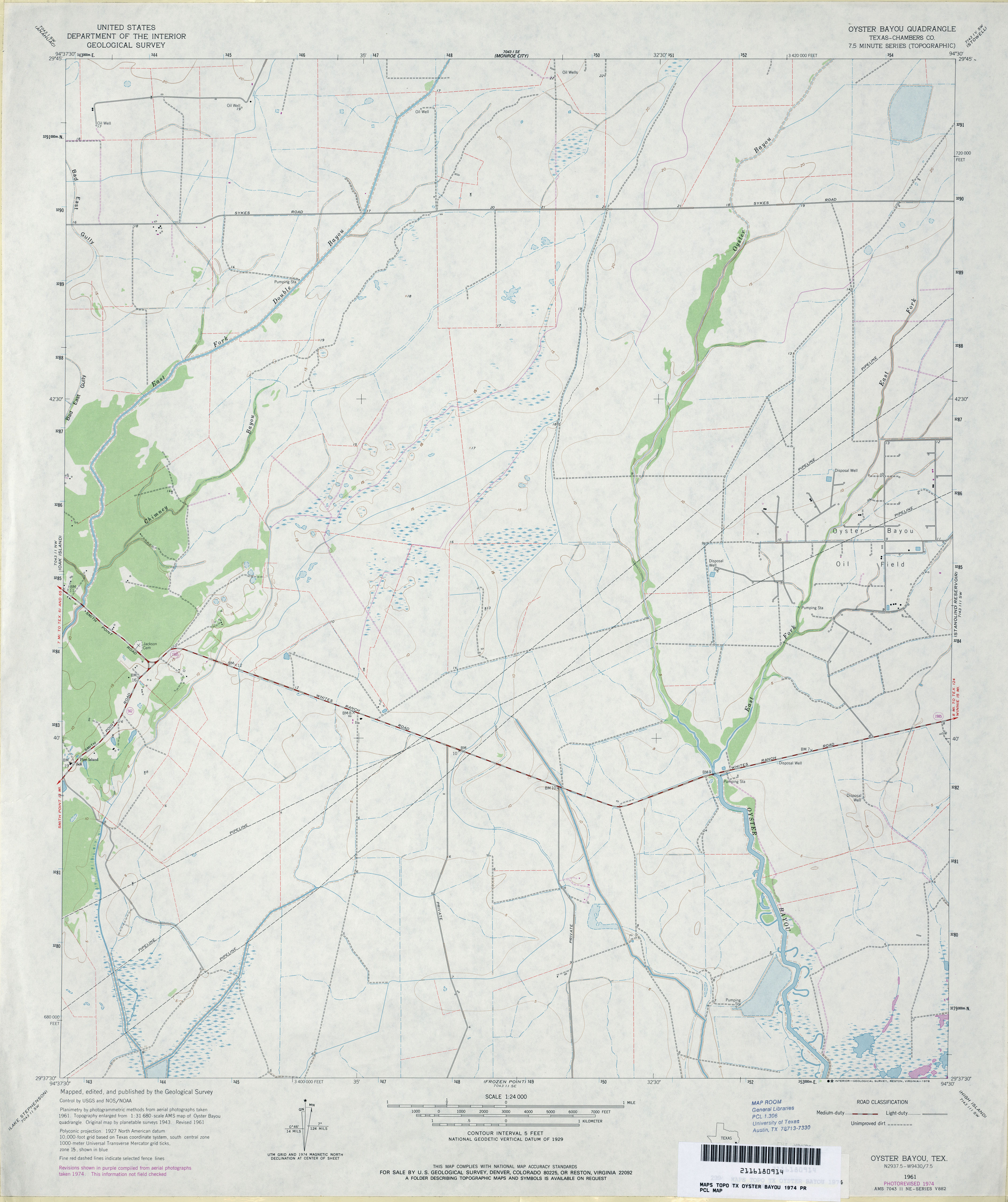
- Oyster Bayou (Chambers County) 1:24,000 1974 (2.7MB)
- Oyster Bayou (Chambers County) 1:24,000 1994 (3.1MB)
- Oyster Bayou 1:24,000 2009 (15.5MB) [GeoPDF]
- Oyster Bayou 1:24,000 2013 (16.2MB) [GeoPDF]
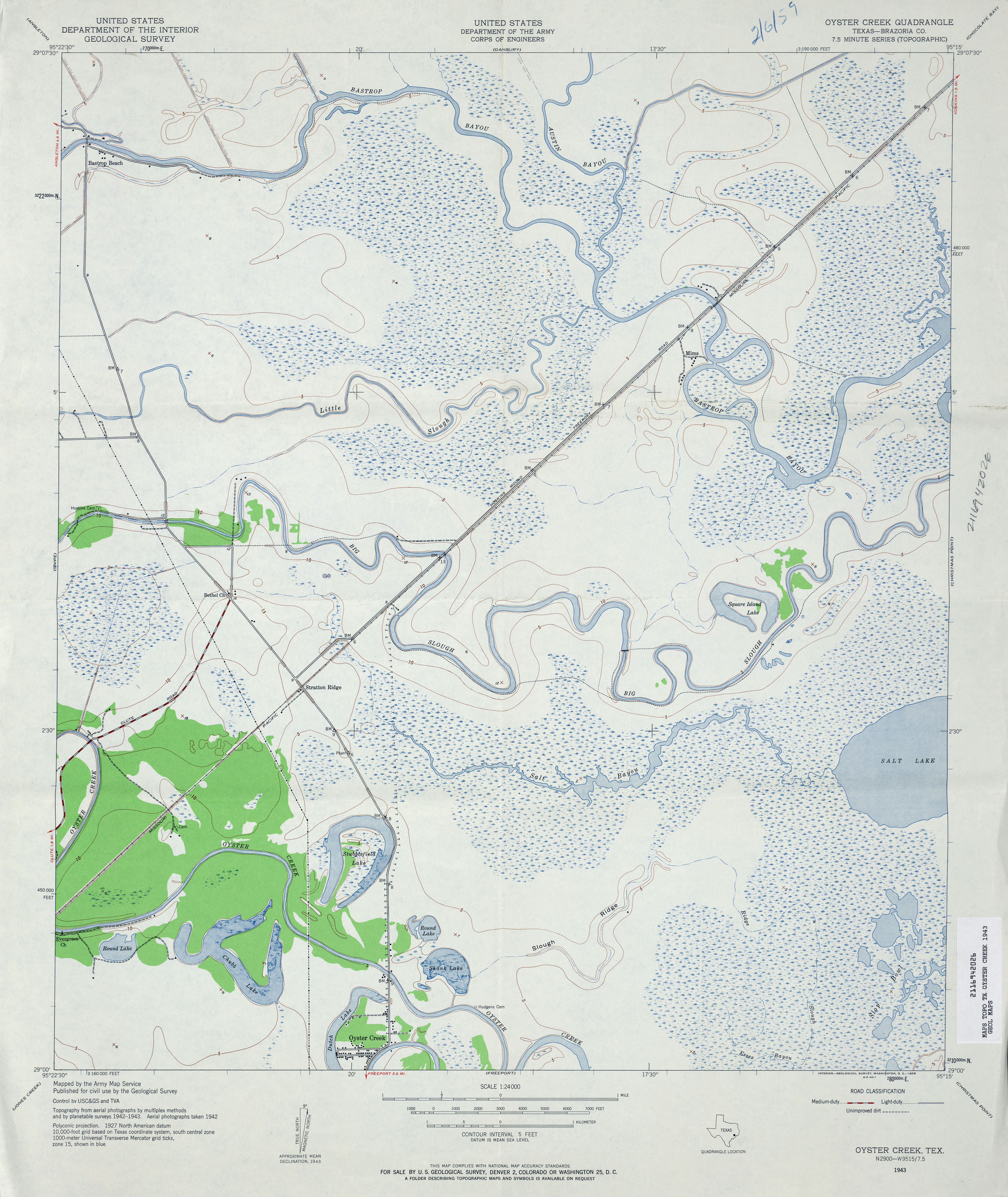
- Oyster Creek (Brazoria County) 1:24,000 1943 (3.8MB) U.S. Department of the Army Corps of Engineers
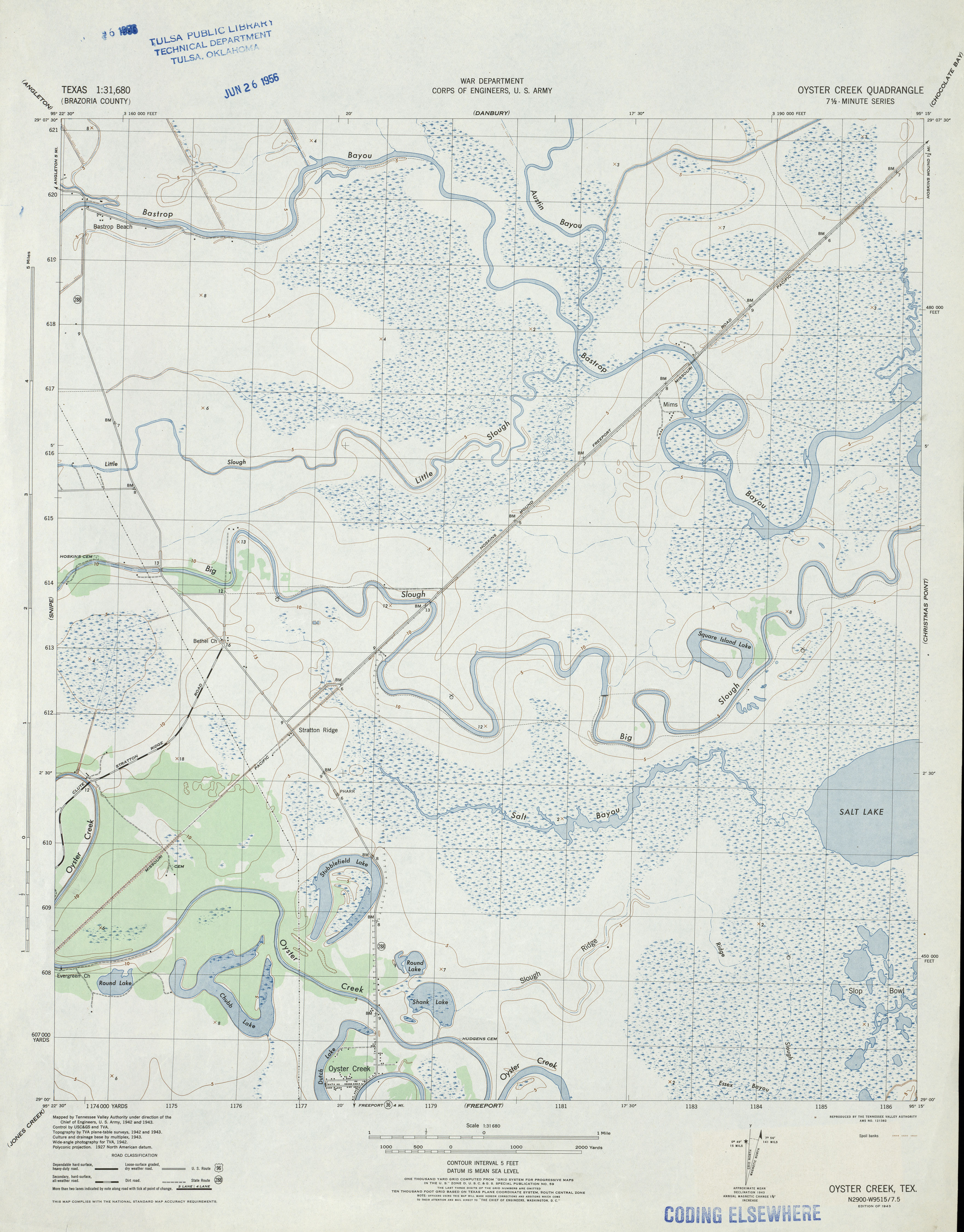
- Oyster Creek 1:31,680 1943 (3.4MB) Tennessee Valley Authority
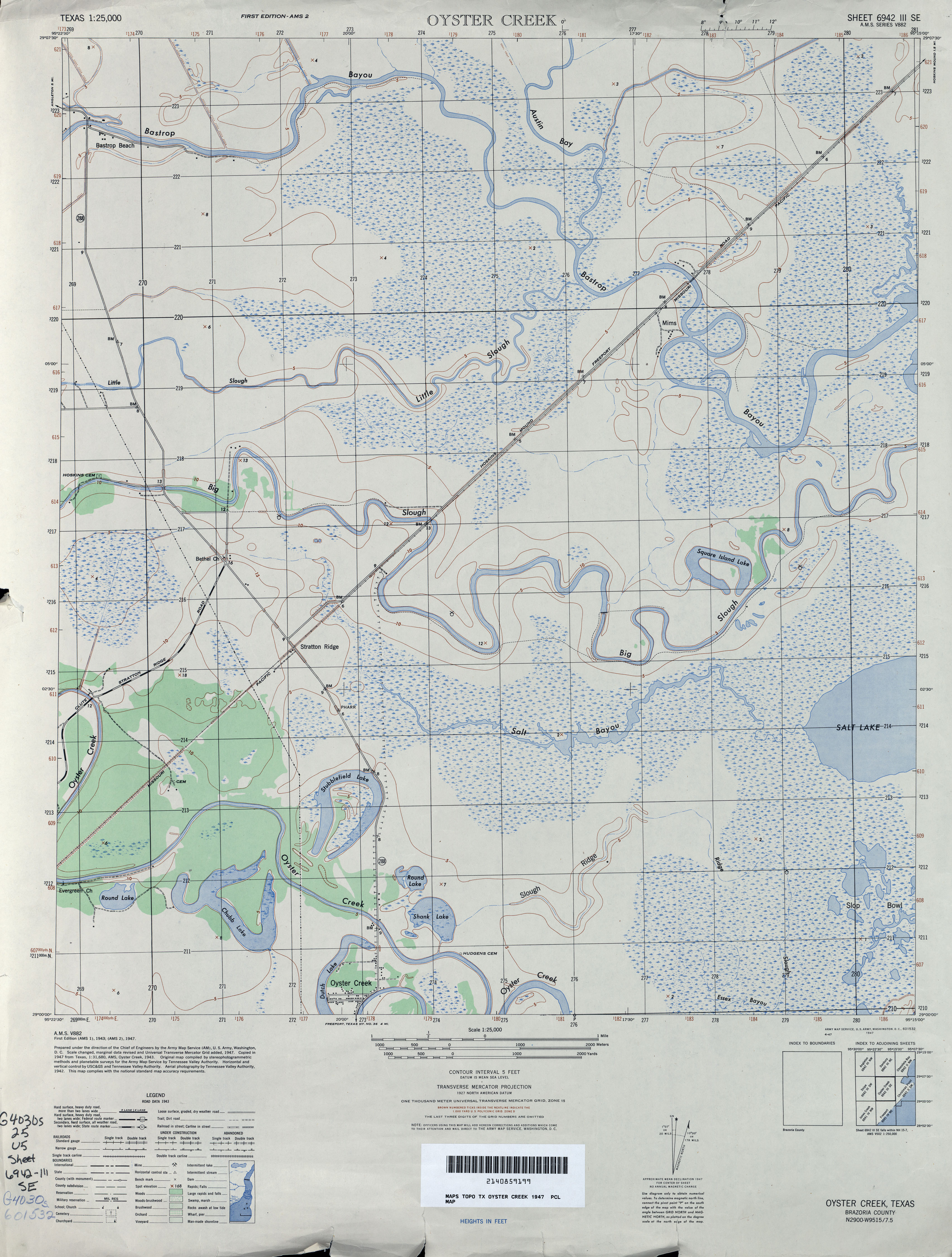
- Oyster Creek 1:25,000 1947 (3.4MB) U.S. Army Map Service, Series V882
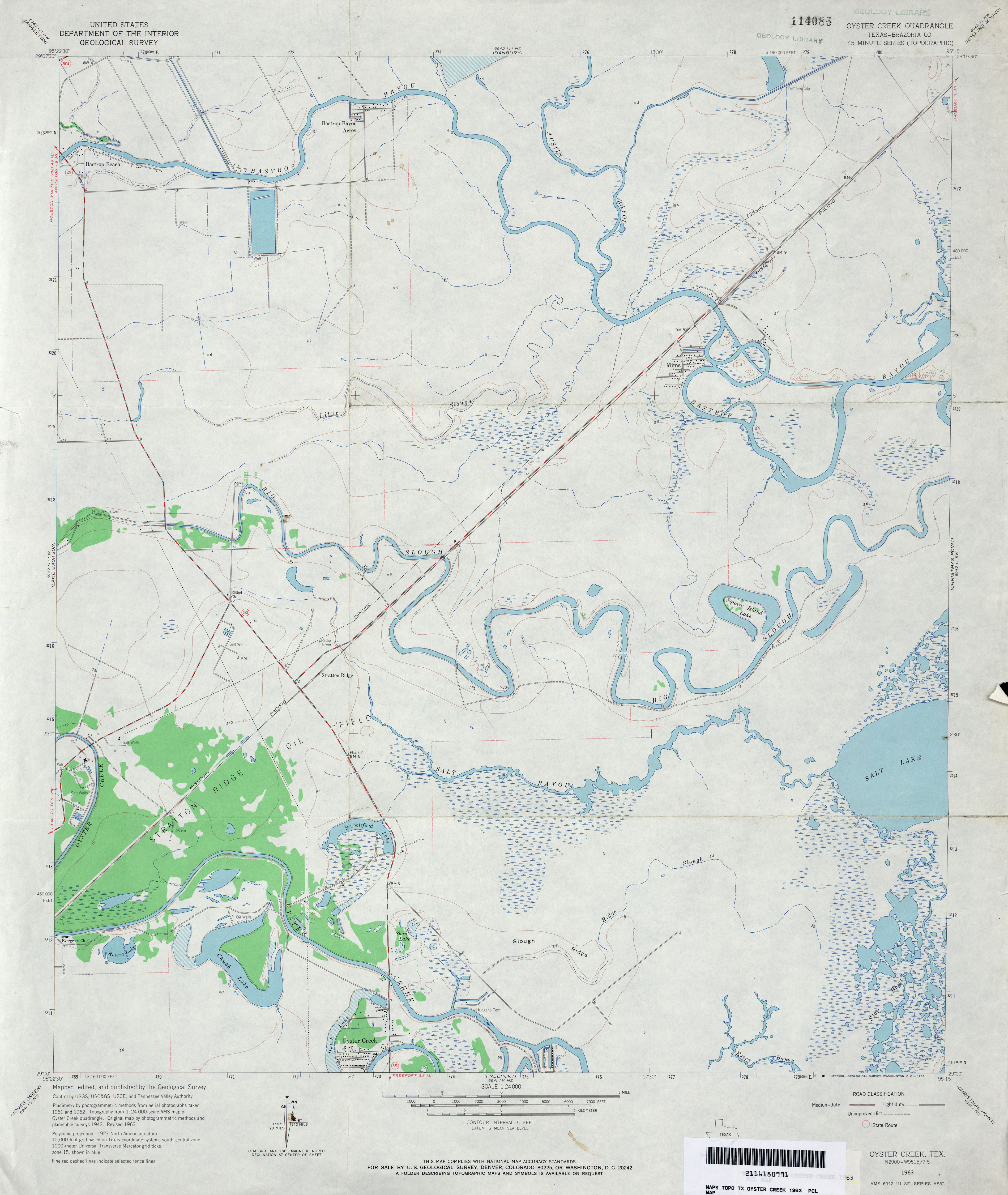
- Oyster Creek (Brazoria County) 1:24,000 1963 (3MB)
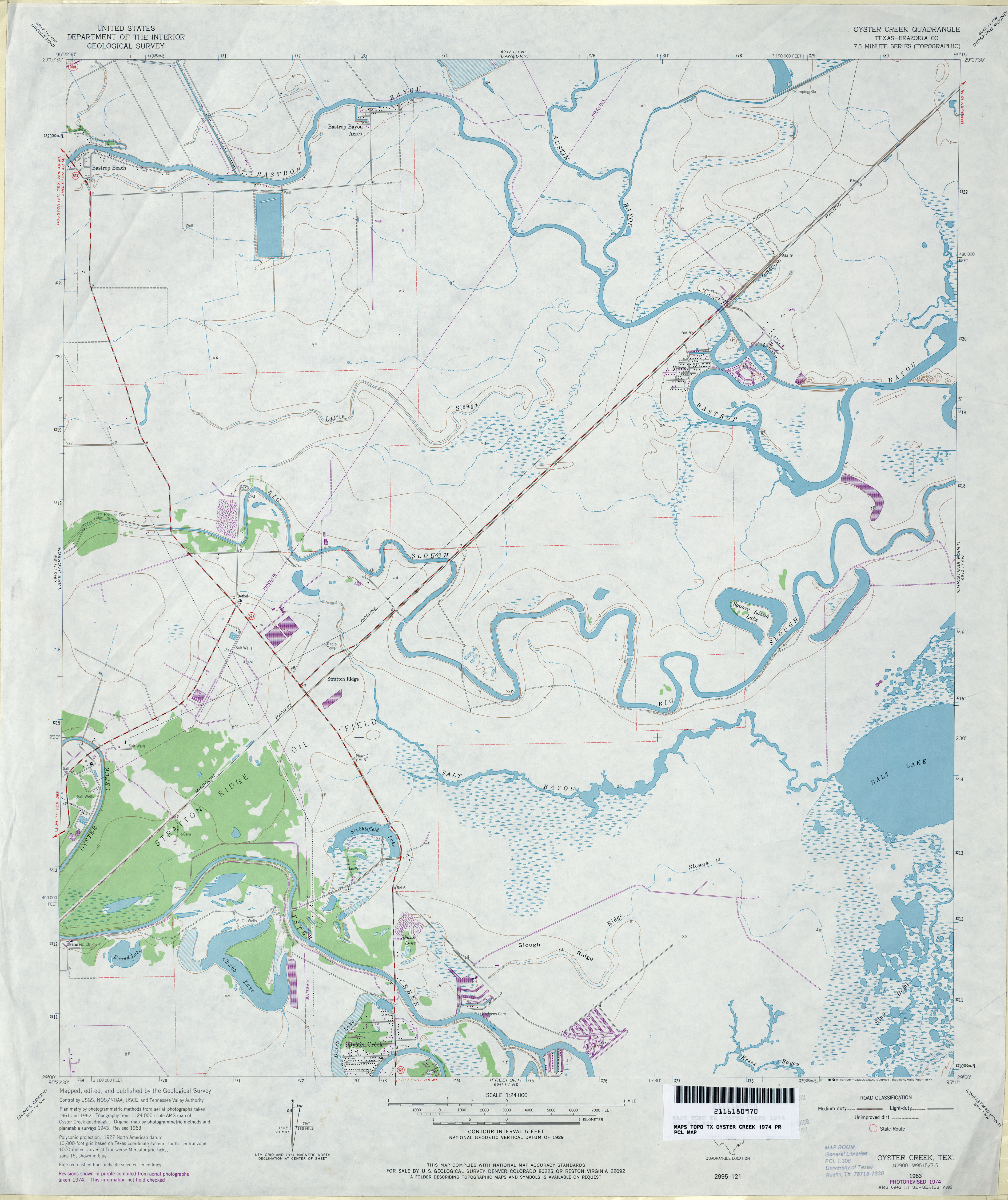
- Oyster Creek (Brazoria County) 1:24,000 1974 (3MB)
- Oyster Creek 1:24,000 2009 (15.3MB) [GeoPDF]
- Oyster Creek 1:24,000 2013 (17.5MB) [GeoPDF]
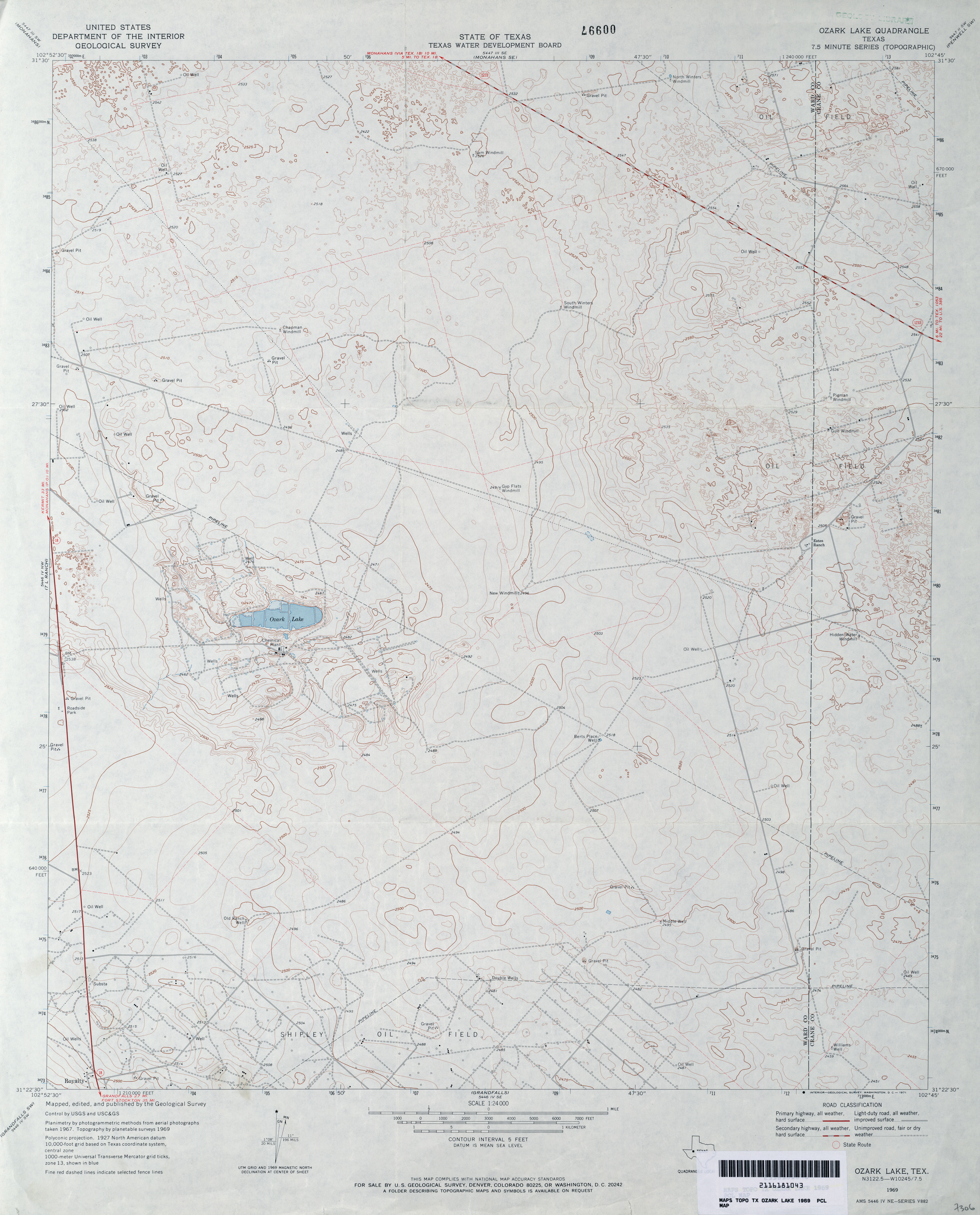
- Ozark Lake 1:24,000 1969 (3.1MB)
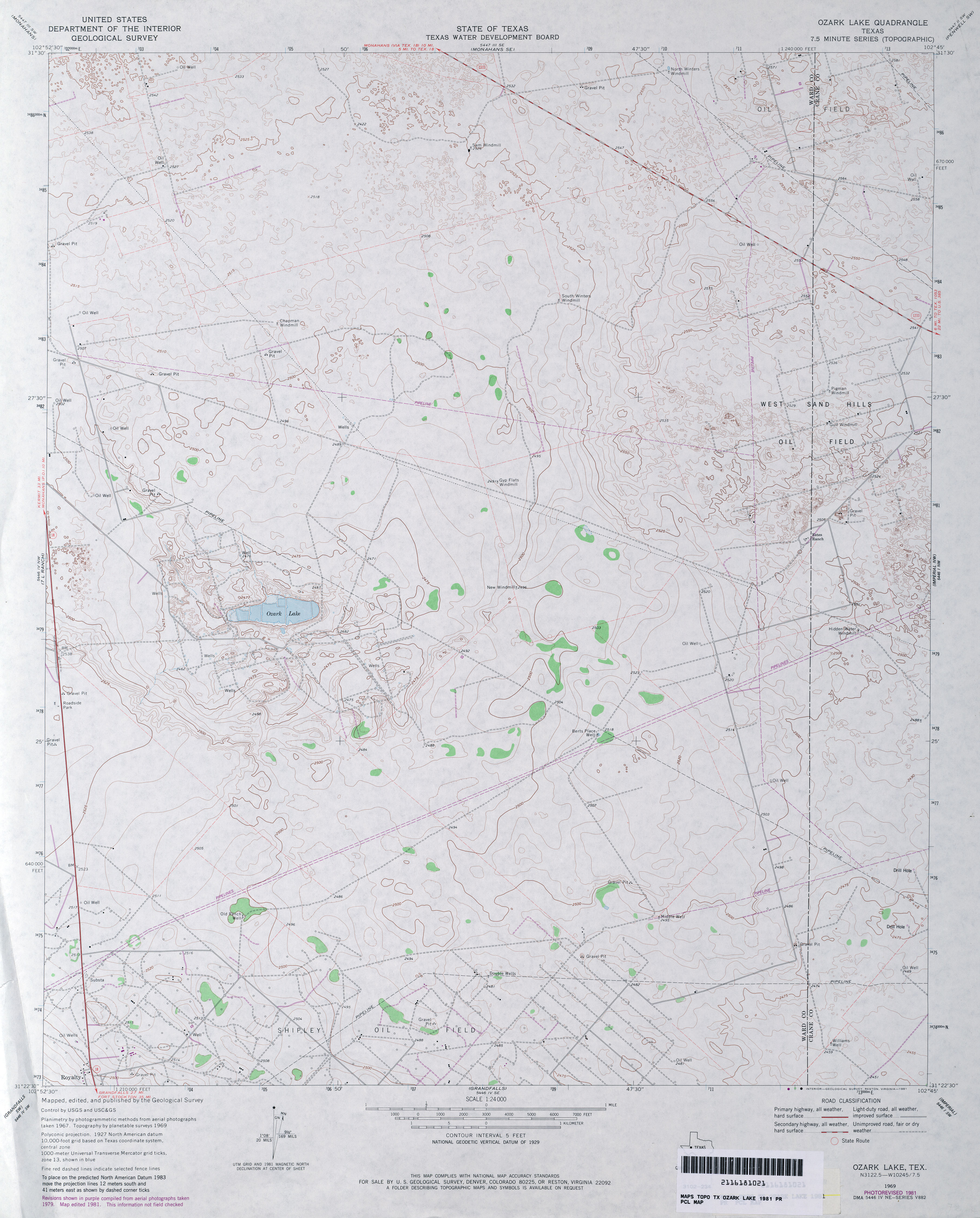
- Ozark Lake 1:24,000 1981 (3.2MB)
- Ozark Lake 1:24,000 2008 (20.7MB) [GeoPDF]
- Ozark Lake 1:24,000 2012 (23.7MB) [GeoPDF]
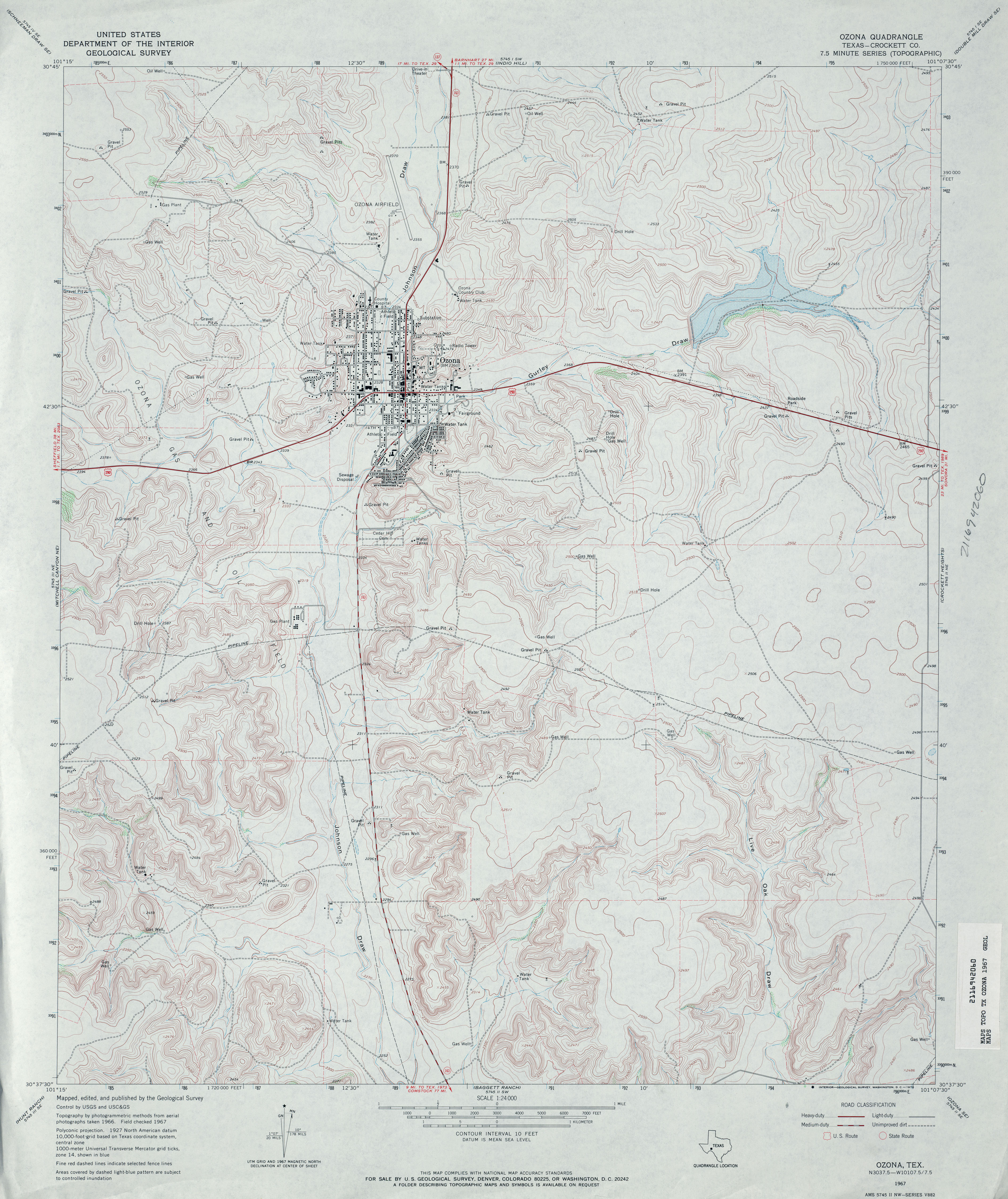
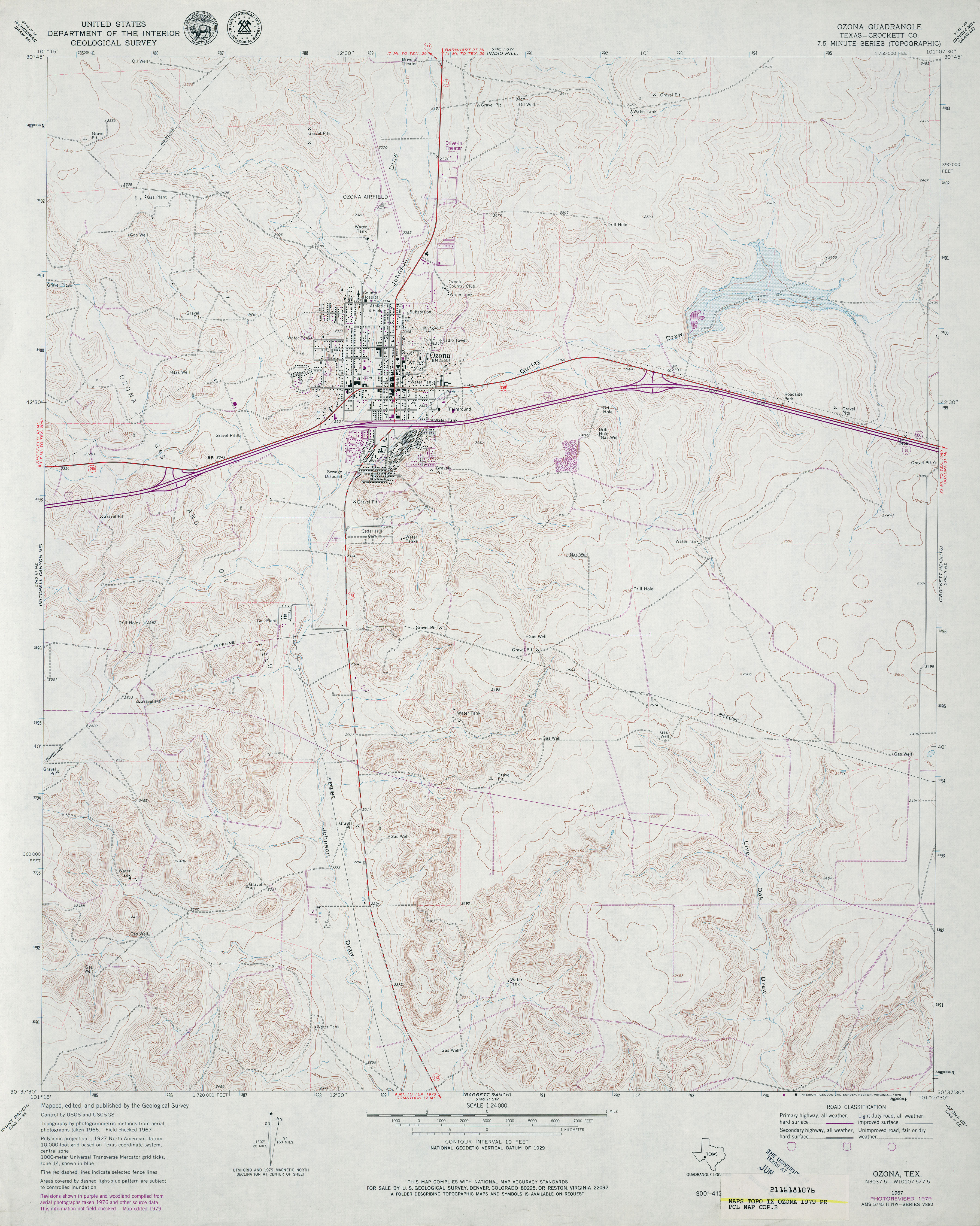
- Ozona (Crockett County) 1:24,000 1967 (4MB)
- Ozona (Crockett County) 1:24,000 1979 (4MB)
- Ozona 1:24,000 2008 (26.0MB) [GeoPDF]
- Ozona 1:24,000 2012 (31.9MB) [GeoPDF]
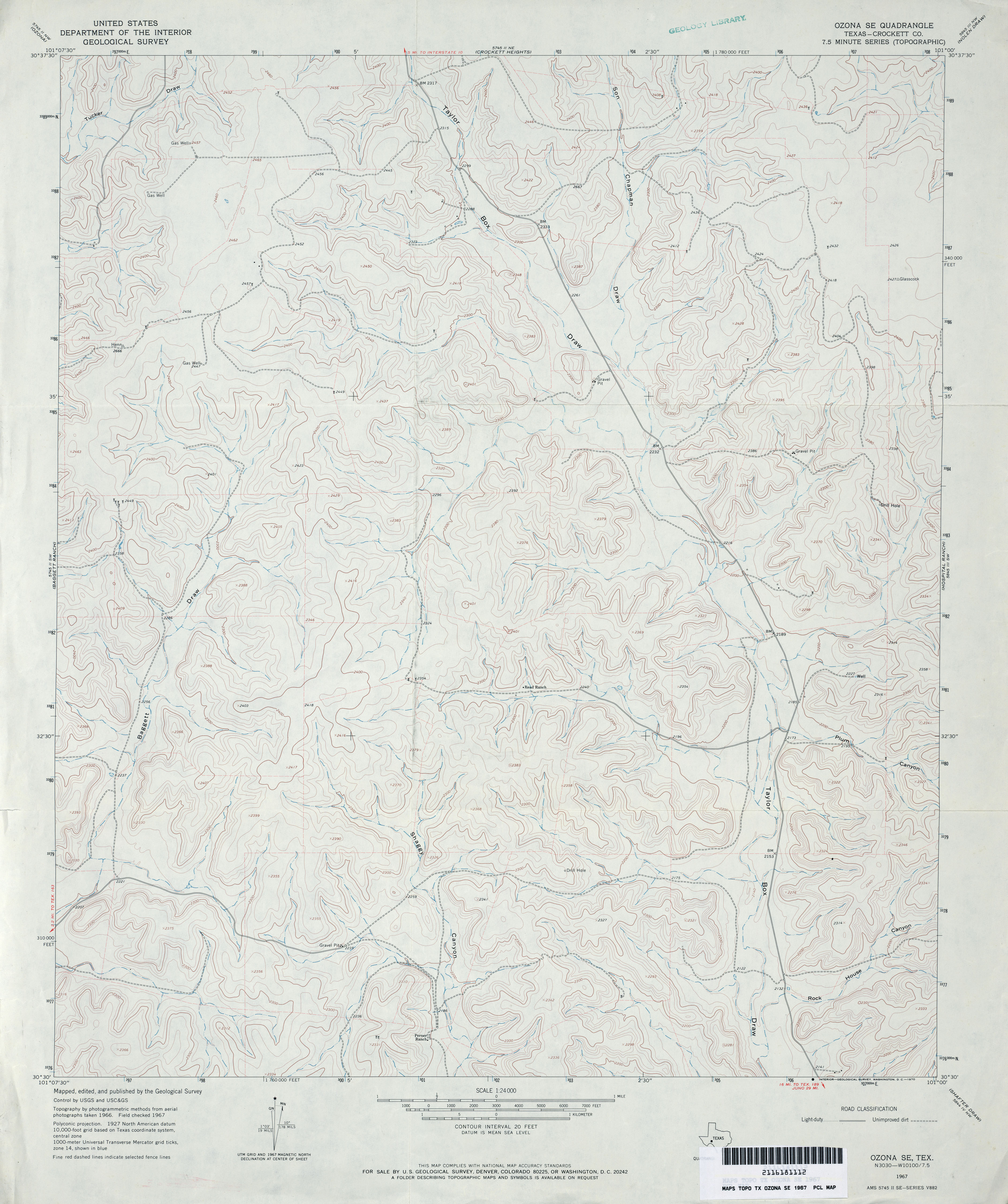
- Ozona SE (Crockett County) 1:24,000 1967 (3.4MB)
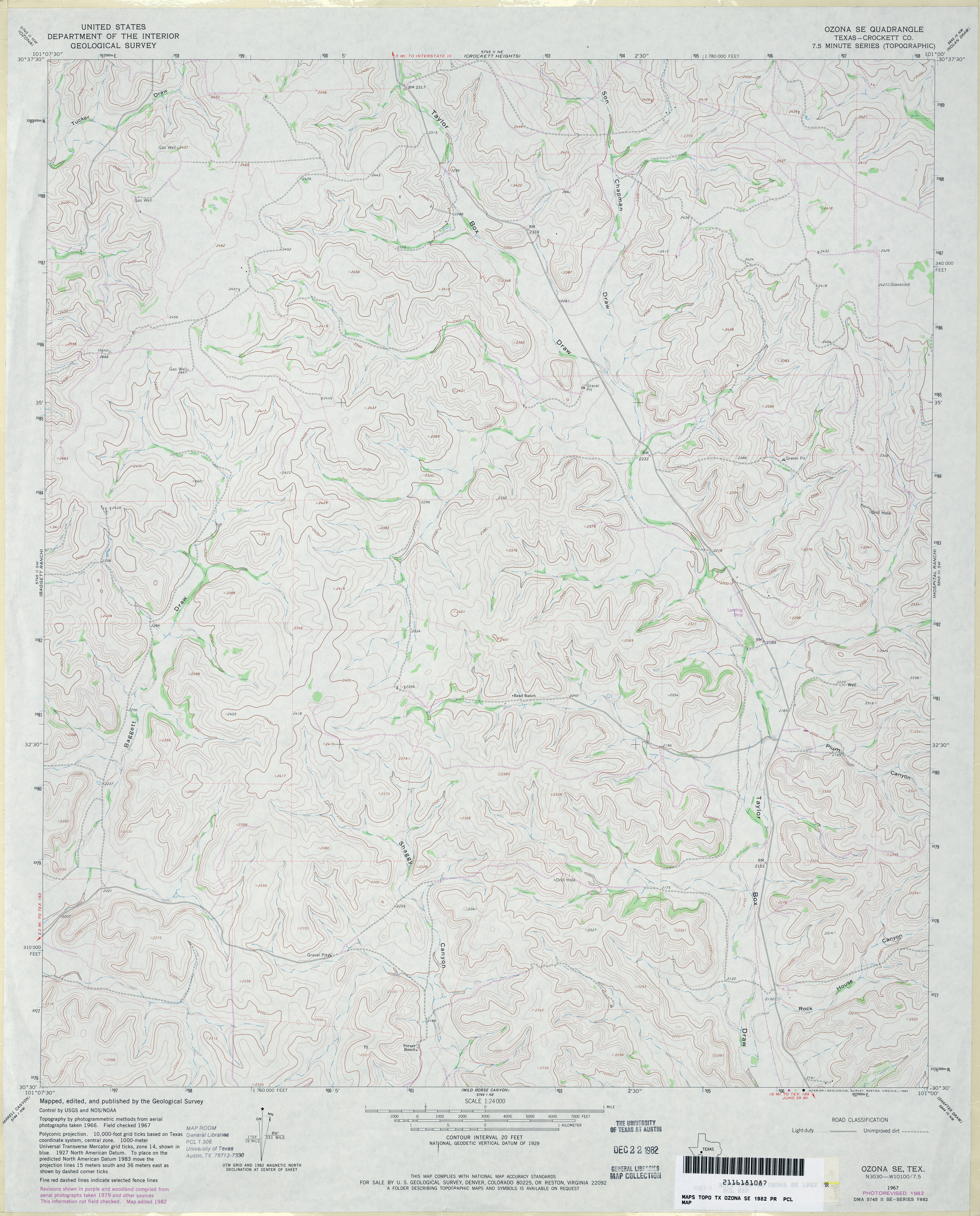
- Ozona SE (Crockett County) 1:24,000 1982 (3.8MB)
- Ozona SE 1:24,000 2008 (22.0MB) [GeoPDF]
- Ozona SE 1:24,000 2012 (32.6MB) [GeoPDF]
Return to the top