Perry-Castañeda Library
Map Collection
Connecticut Historical Topographic Maps
All maps on this page were published by the U.S. Geological Survey and are in the public domain. The date given for each map is the date of latest survey. More information about these maps is available on the Topographic Maps Home Page.
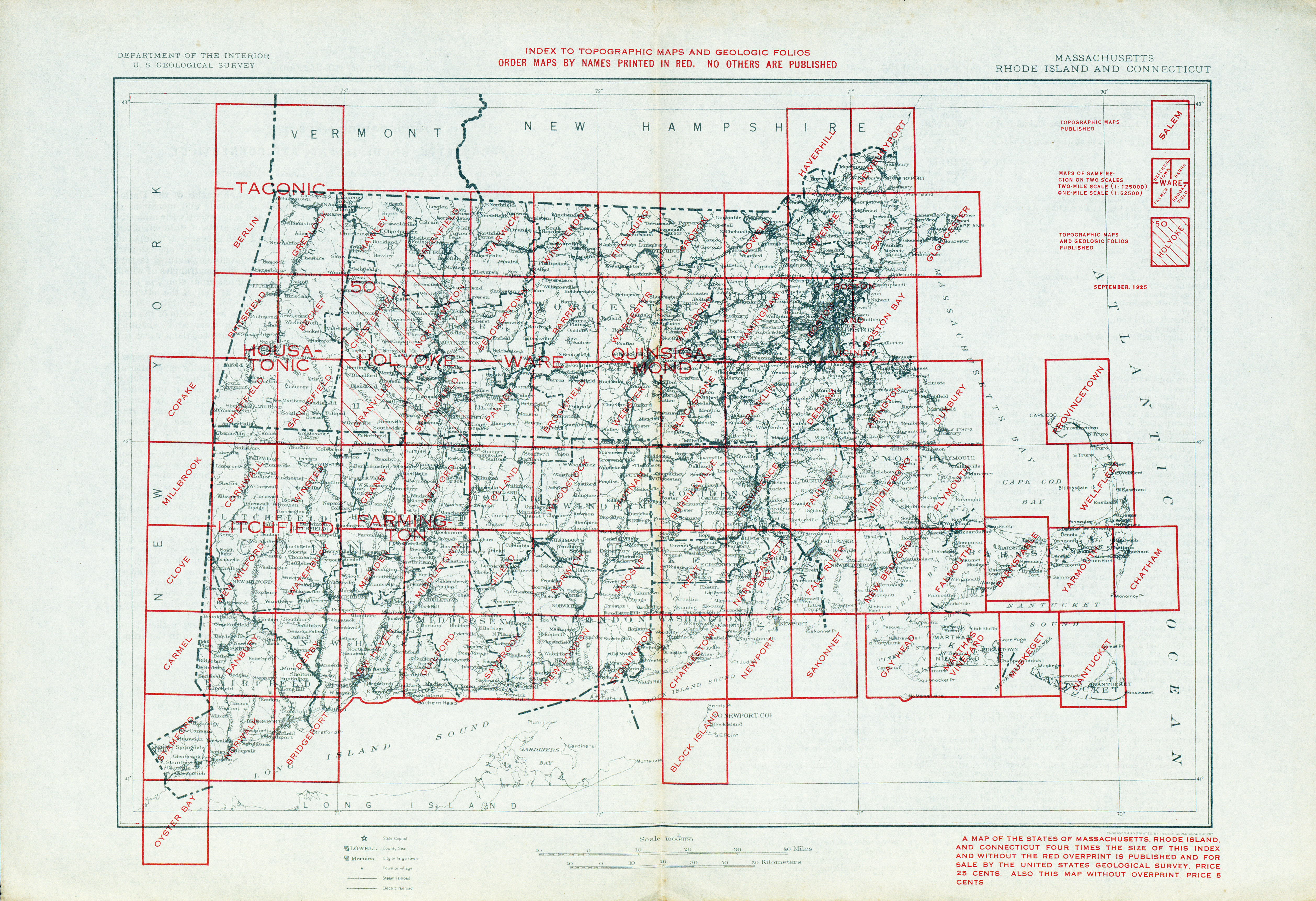
- Connecticut - Topographic Map Index 1925 (5.6MB)
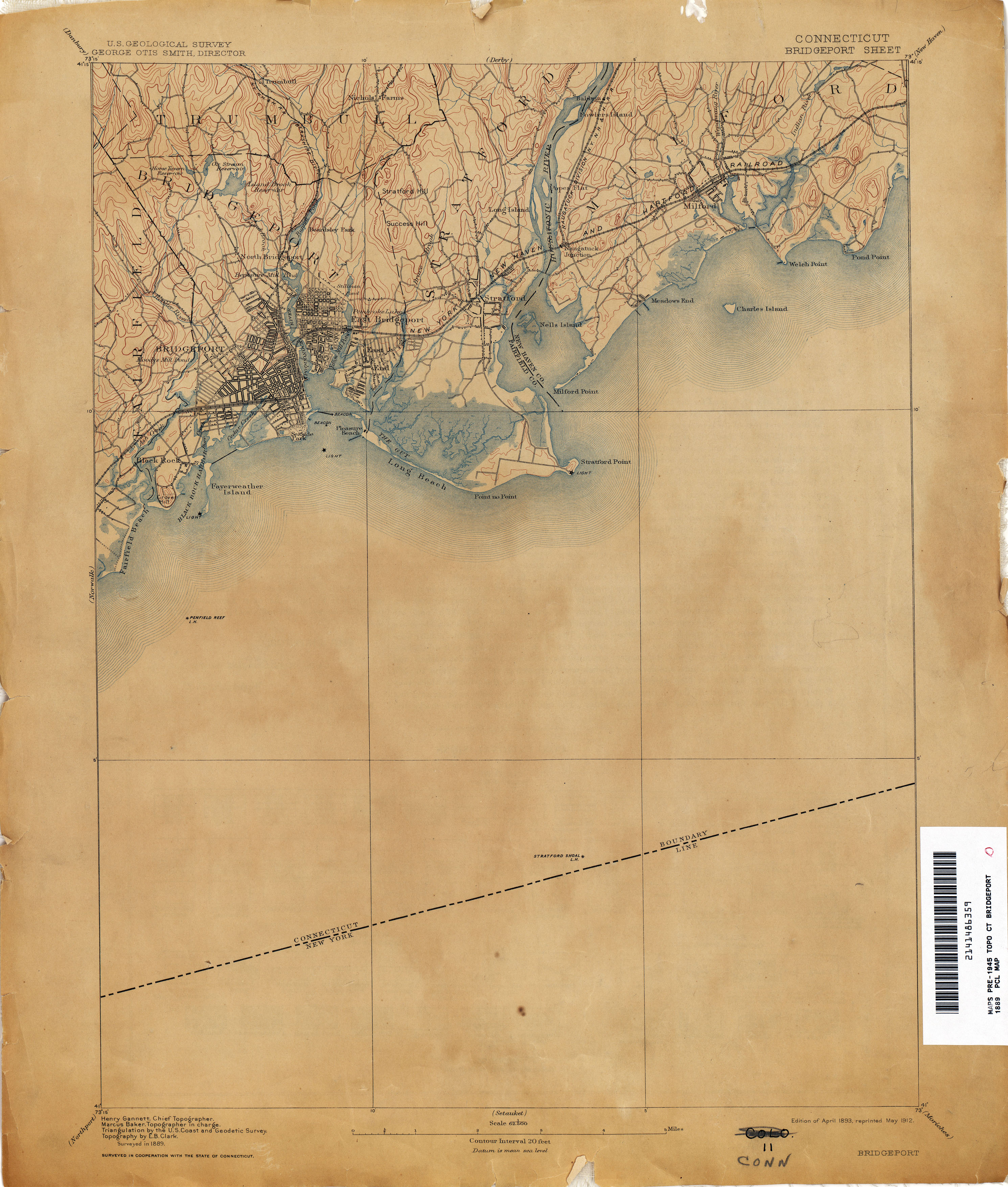
- Bridgeport 1889 1:62,500 (2.3MB)
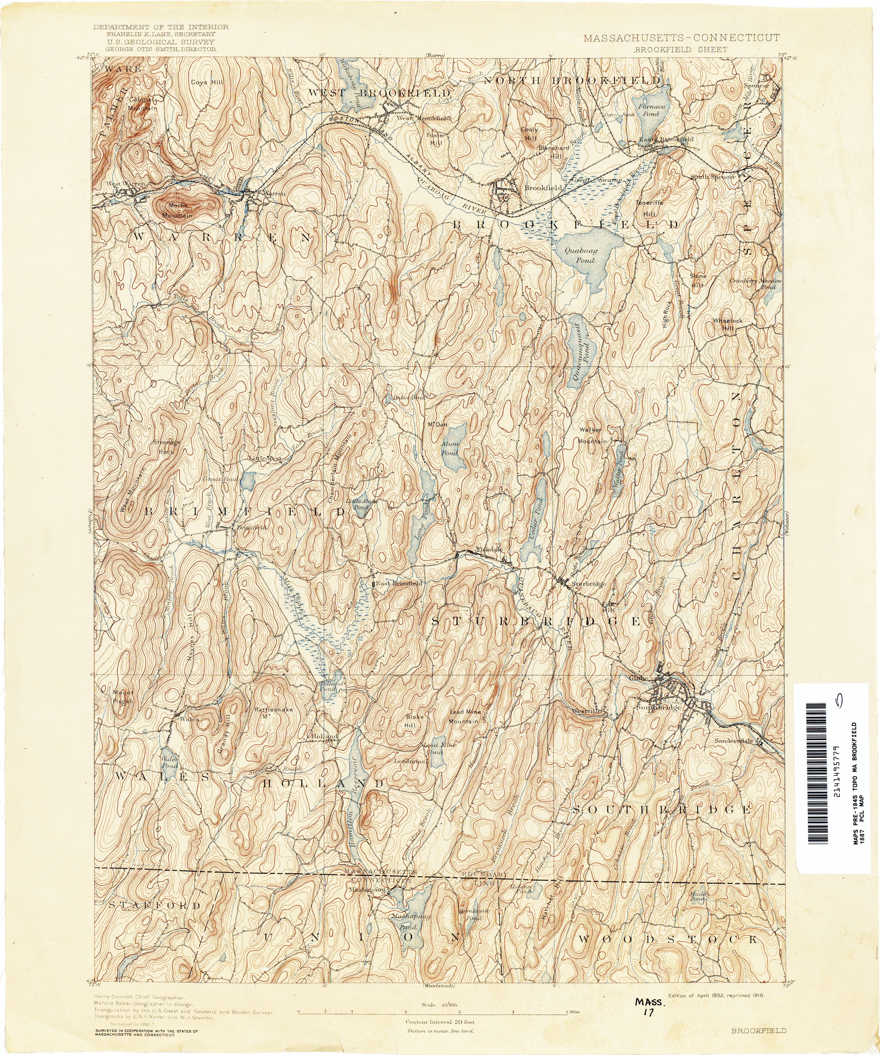
- Brookfield [Massachusetts, Connecticut] 1887 1:62,500 (4.2MB)
- Carmel [New York, Connecticut] 1890 1:62,500 (4.5MB)
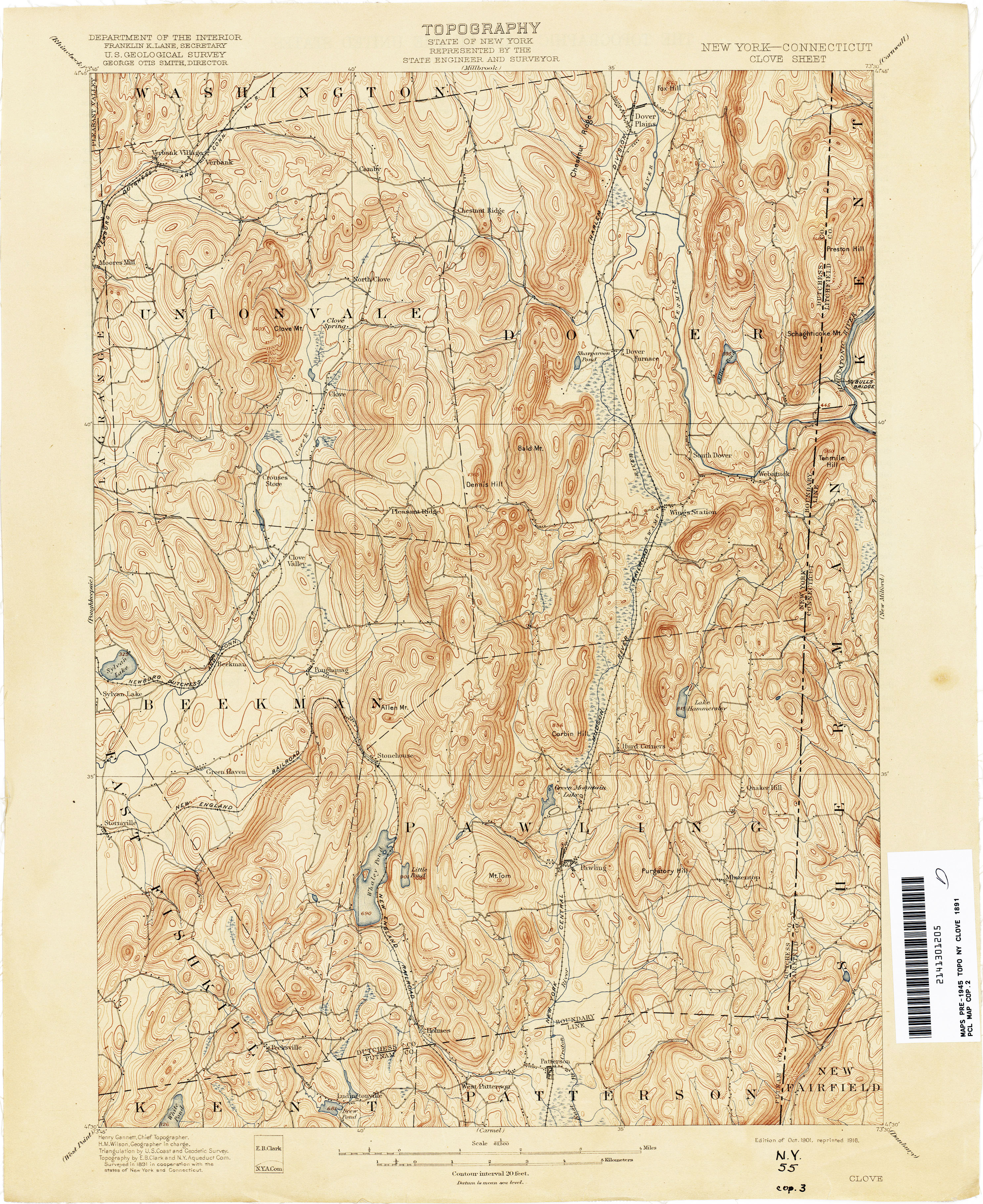
- Clove [New York, Connecticut] 1891 1:62,500 (3.9MB)
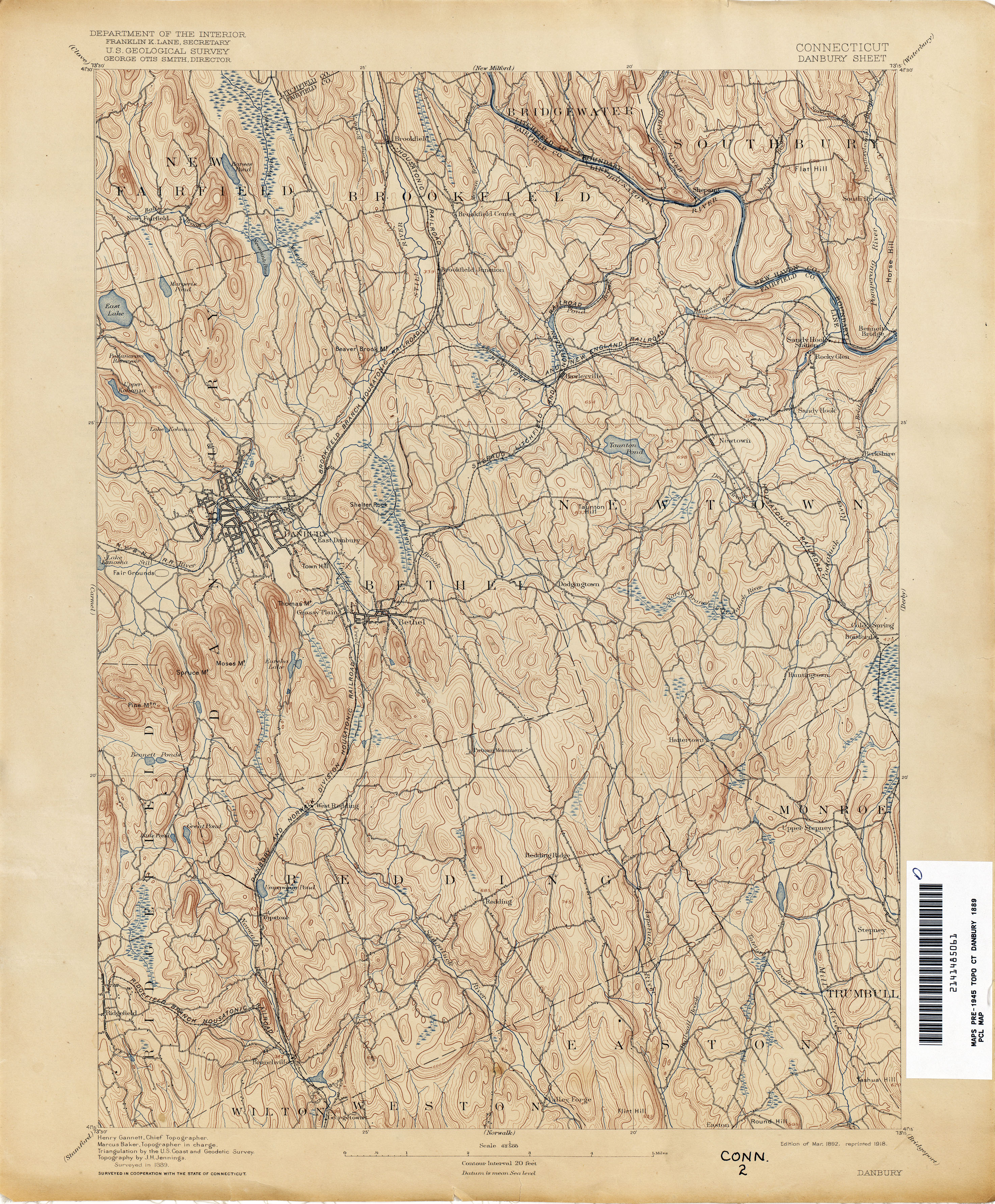
- Danbury 1889 1:62,00 (4.2MB)
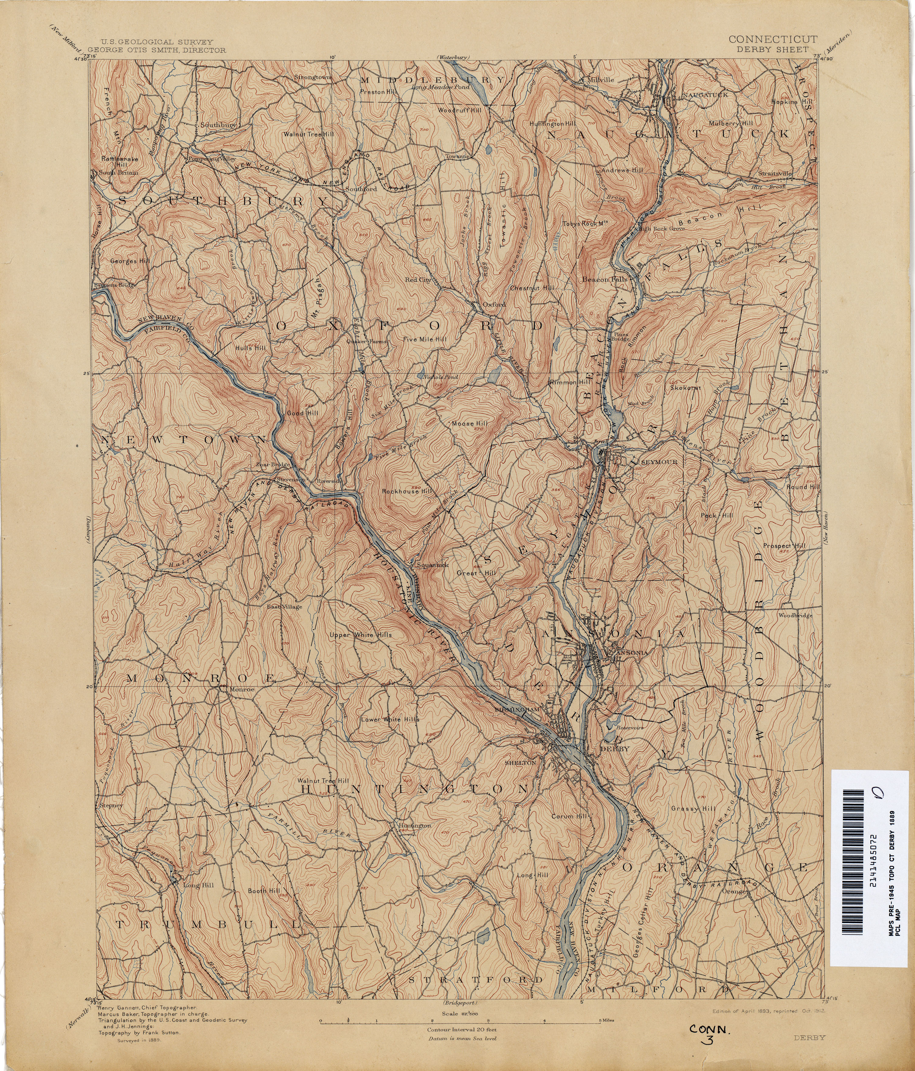
- Derby 1889 1:62,500 (4.1MB)
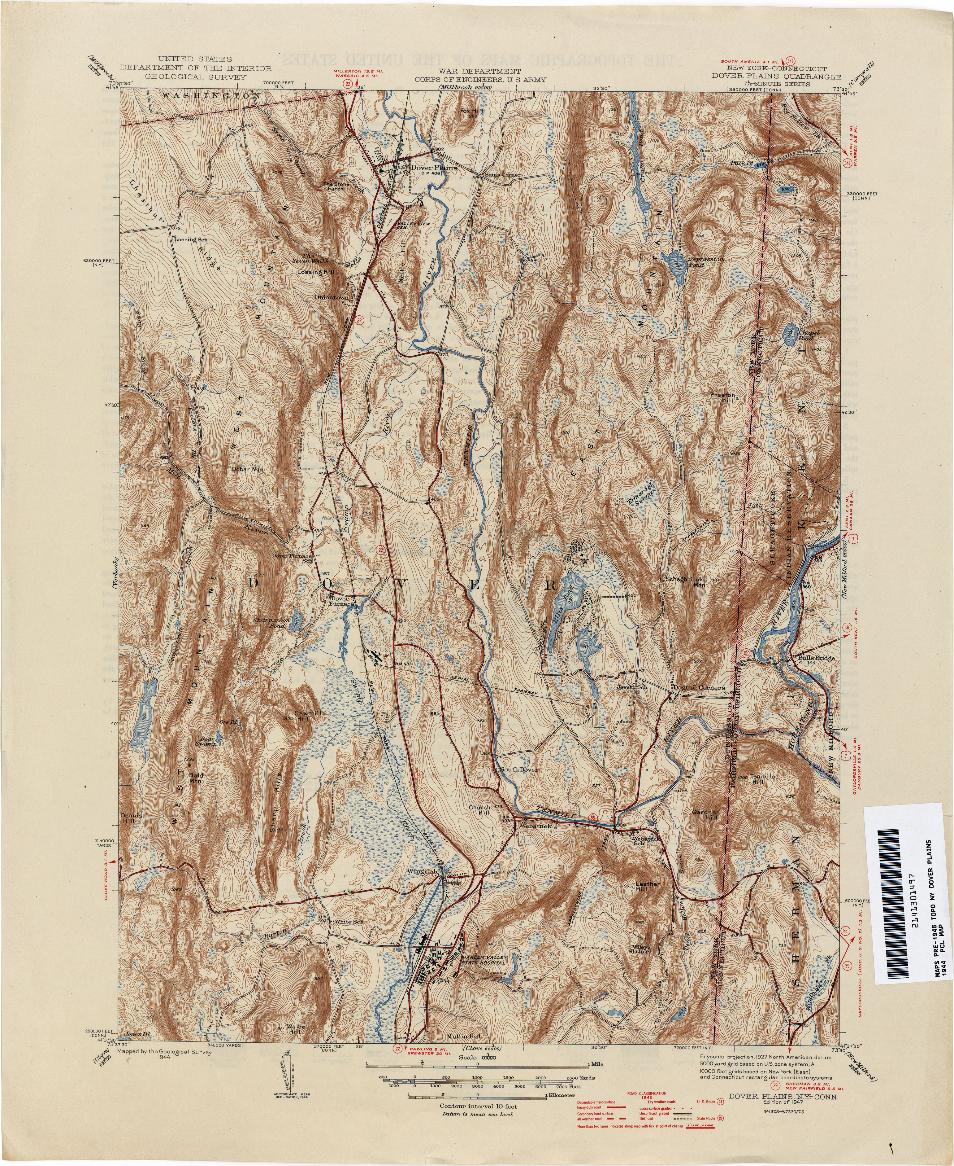
- Dover Plains [New York, Connecticut] 1944 1:31,680 (4.8MB)
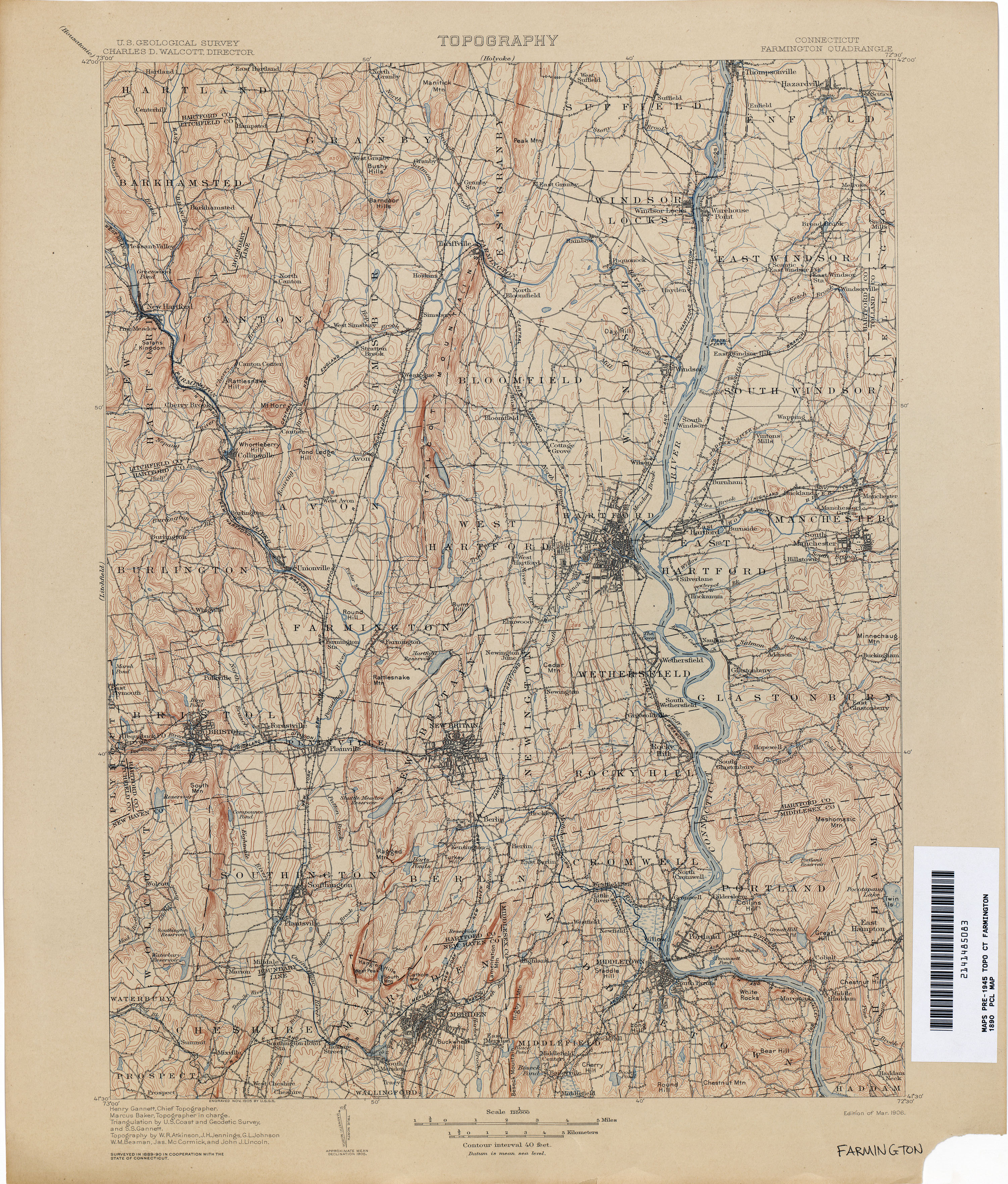
- Farmington 1890 1:125,000 (4.3MB)
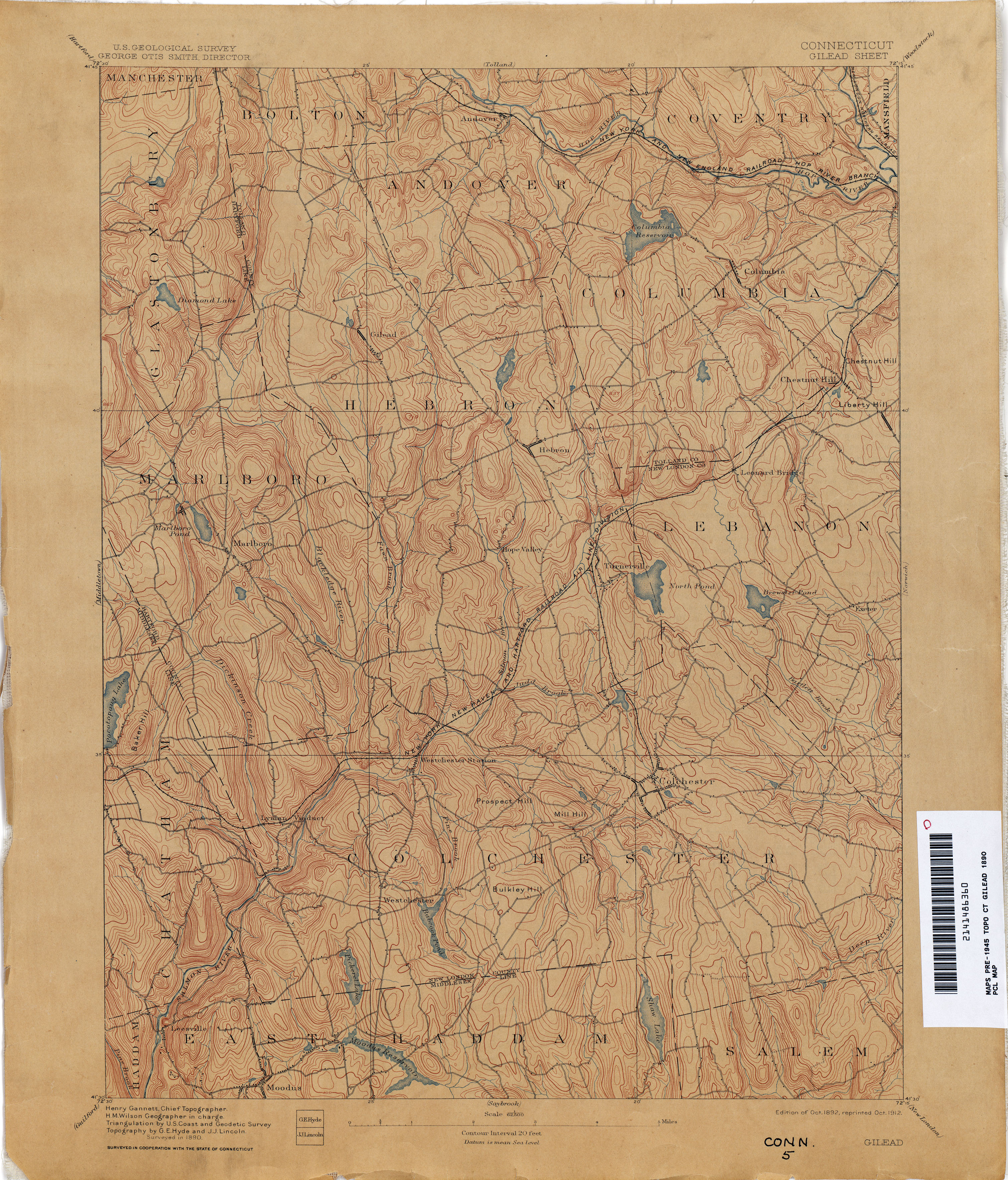
- Gilead 1890 1:62,500 (3.6MB)
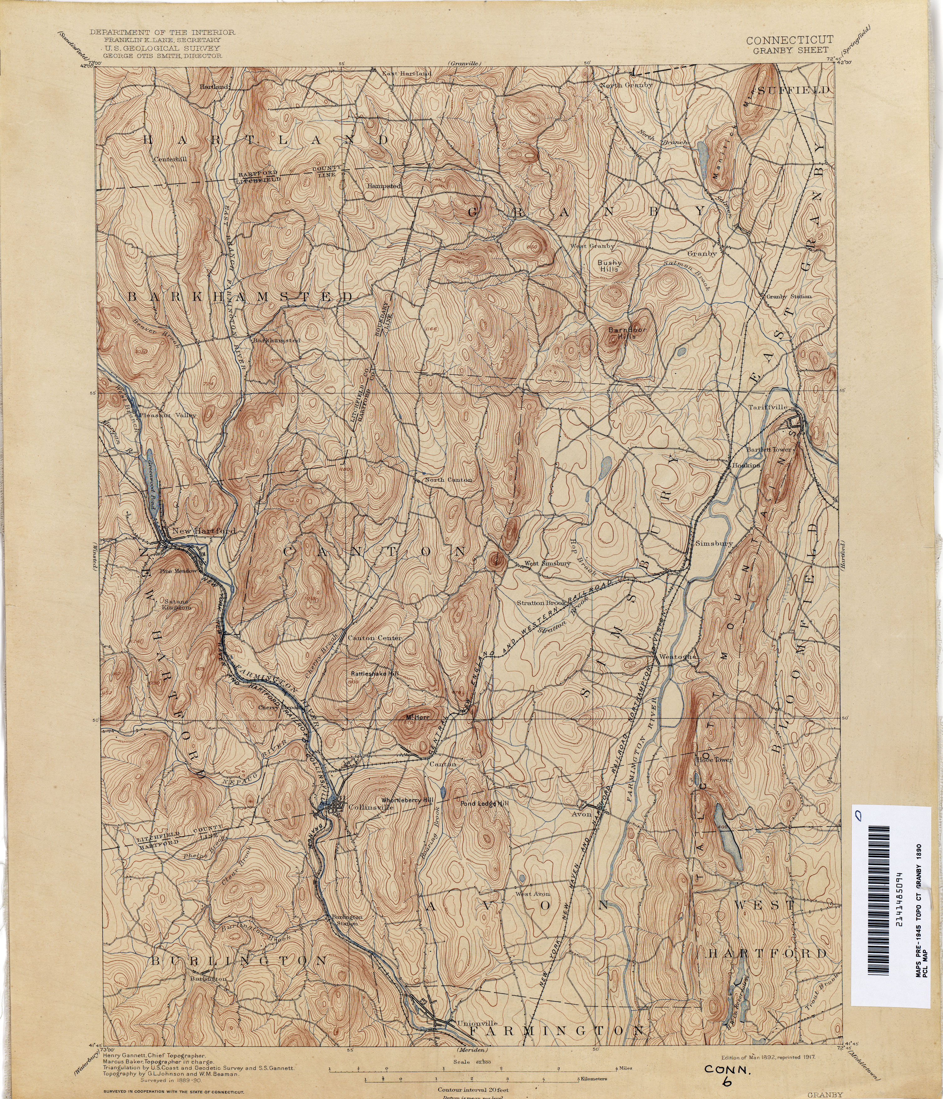
- Granby1890 1:62,500 (4.0MB)
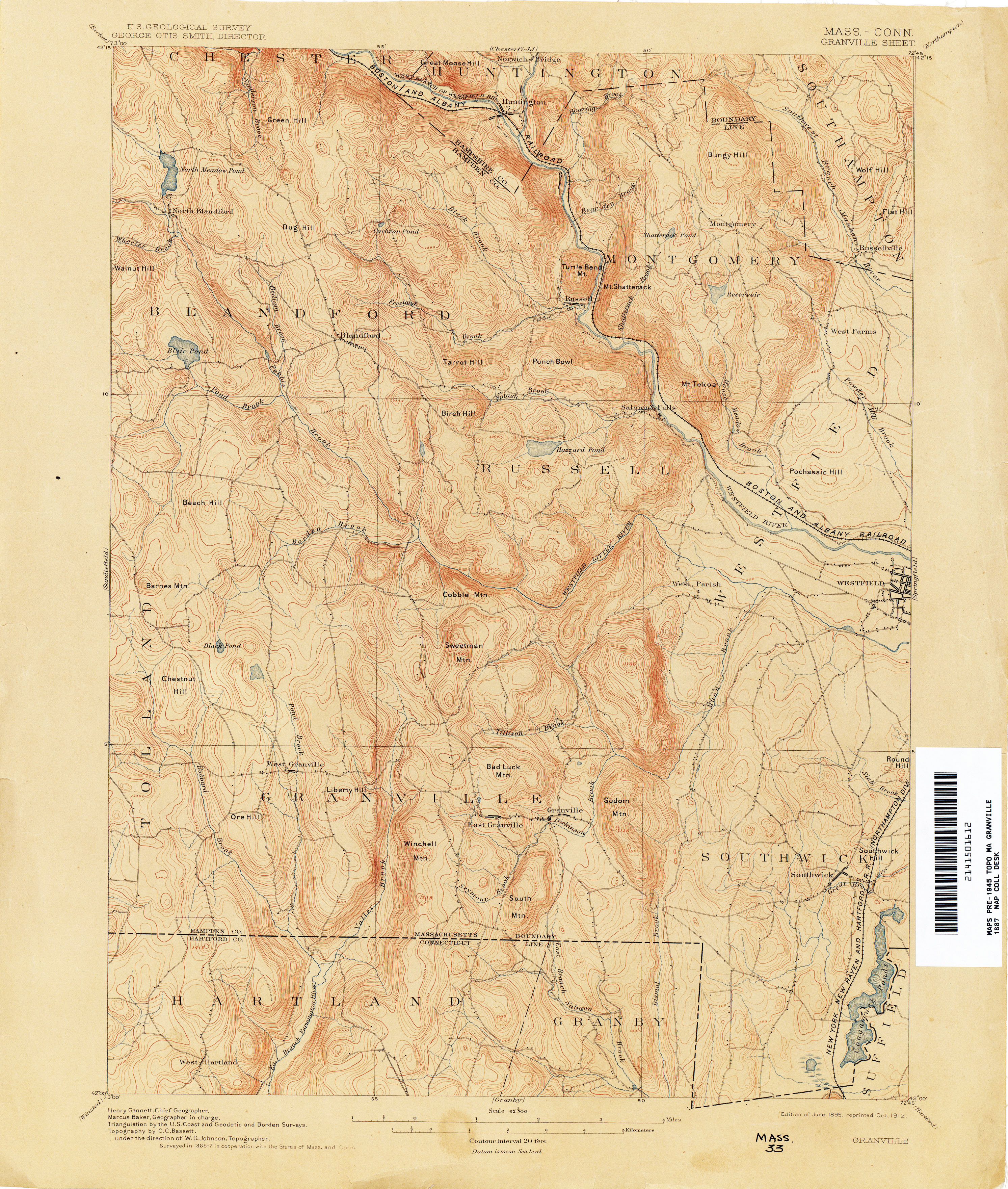
- Granville [Masschusetts, Connecticut] 1943 1:62,500 (3.6MB)
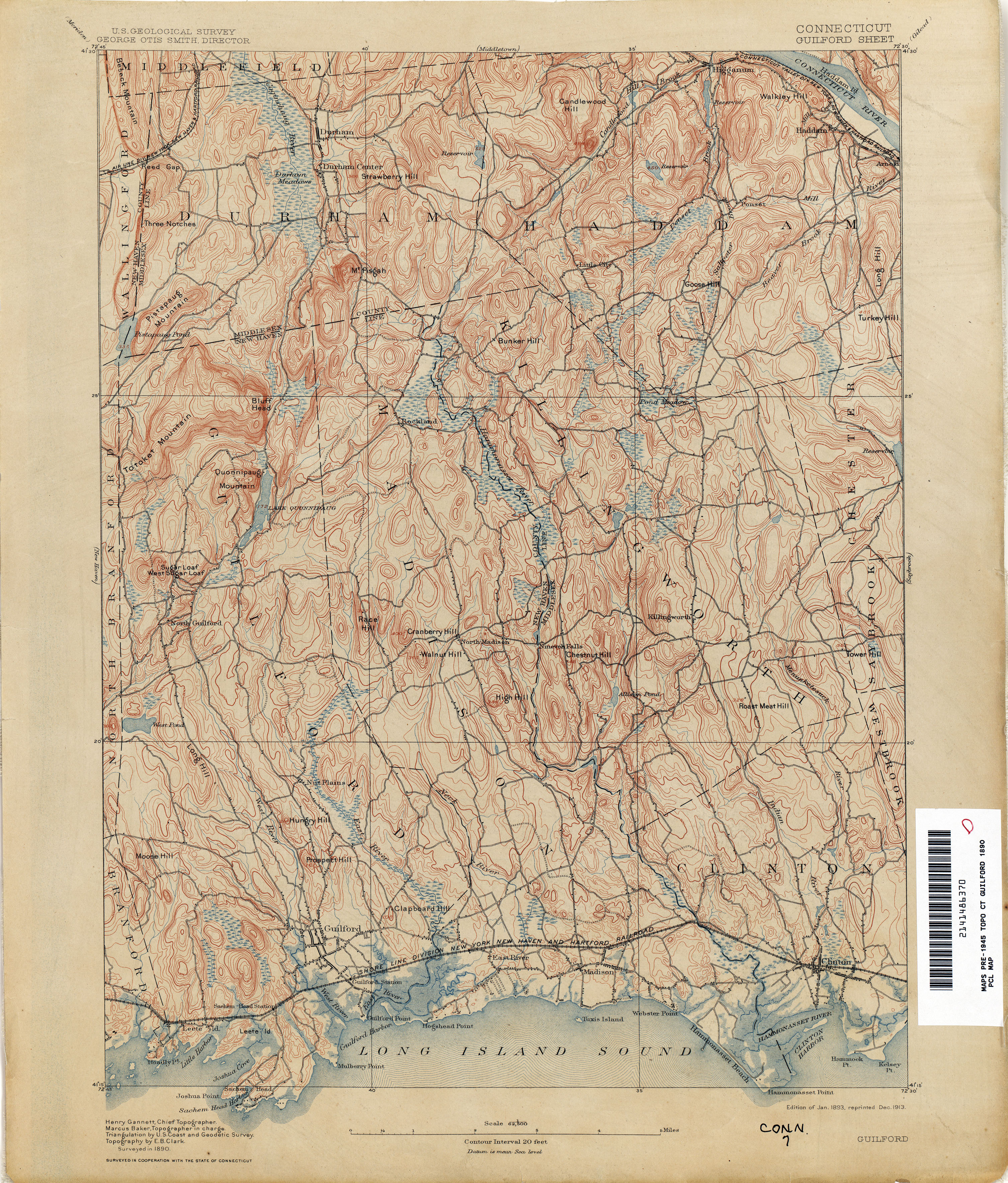
- Guilford1890 1:62,500 (4.3MB)
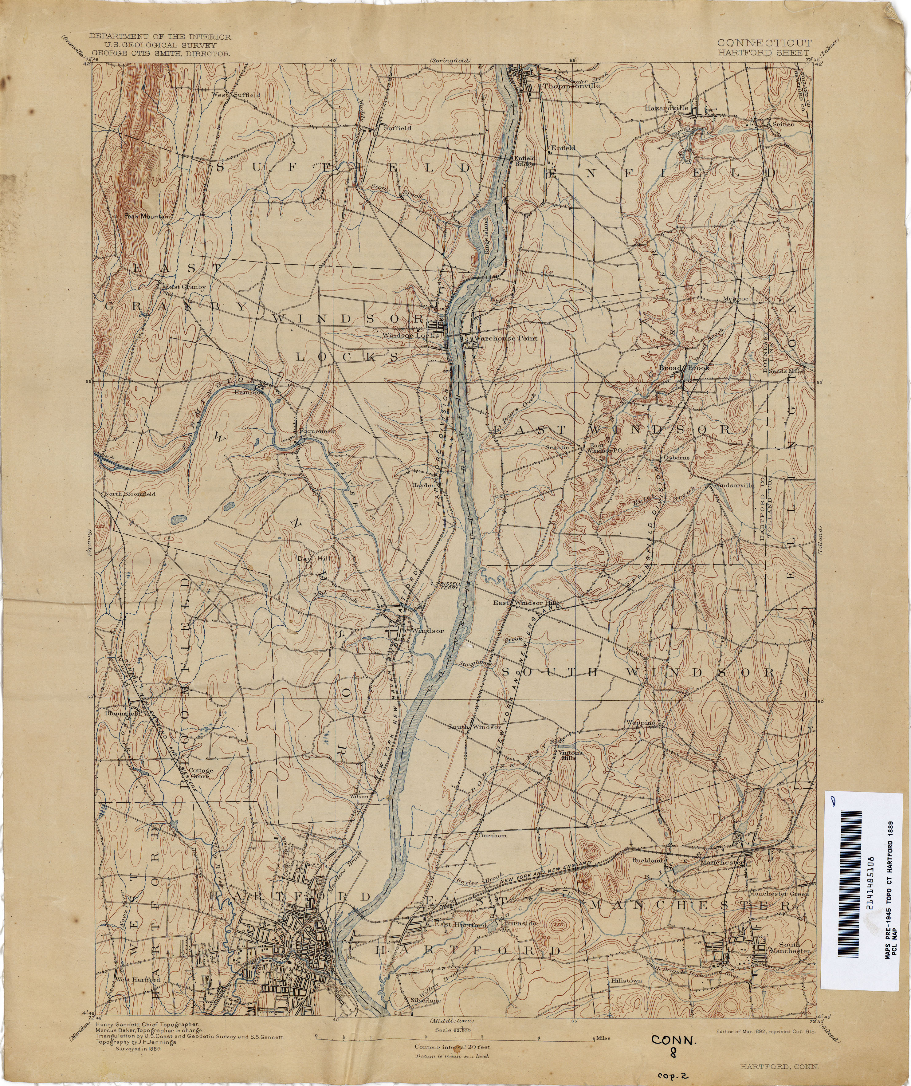
- Hartford1889 1:62,500 (3.1MB)
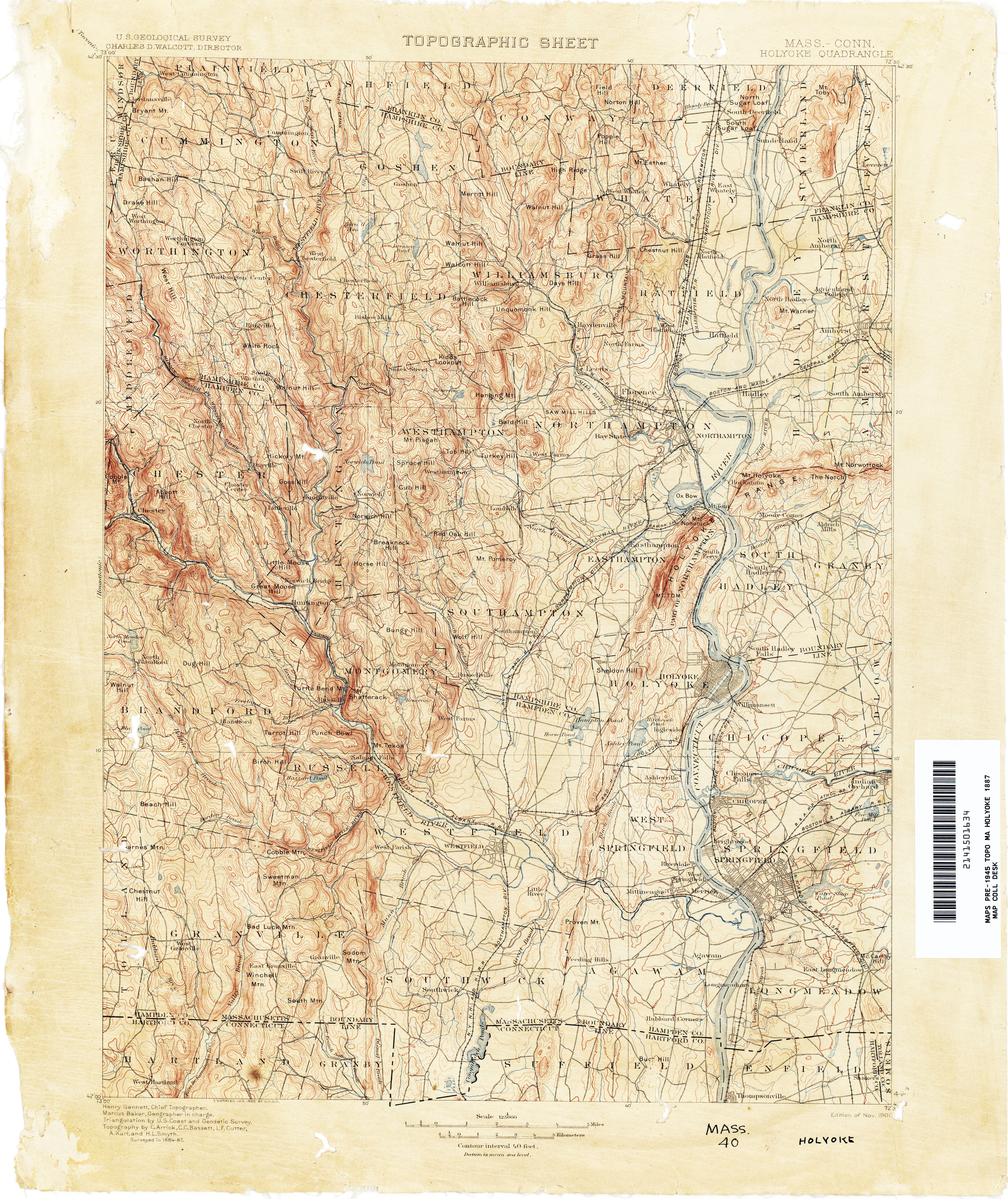
- Holyoke [Massachusetts, Connecticut] 1887 1:125,000 (4.0MB)
- Housatonic [Massachusetts, New York, Connecticut] 1888 1:125,000 (4.2MB)
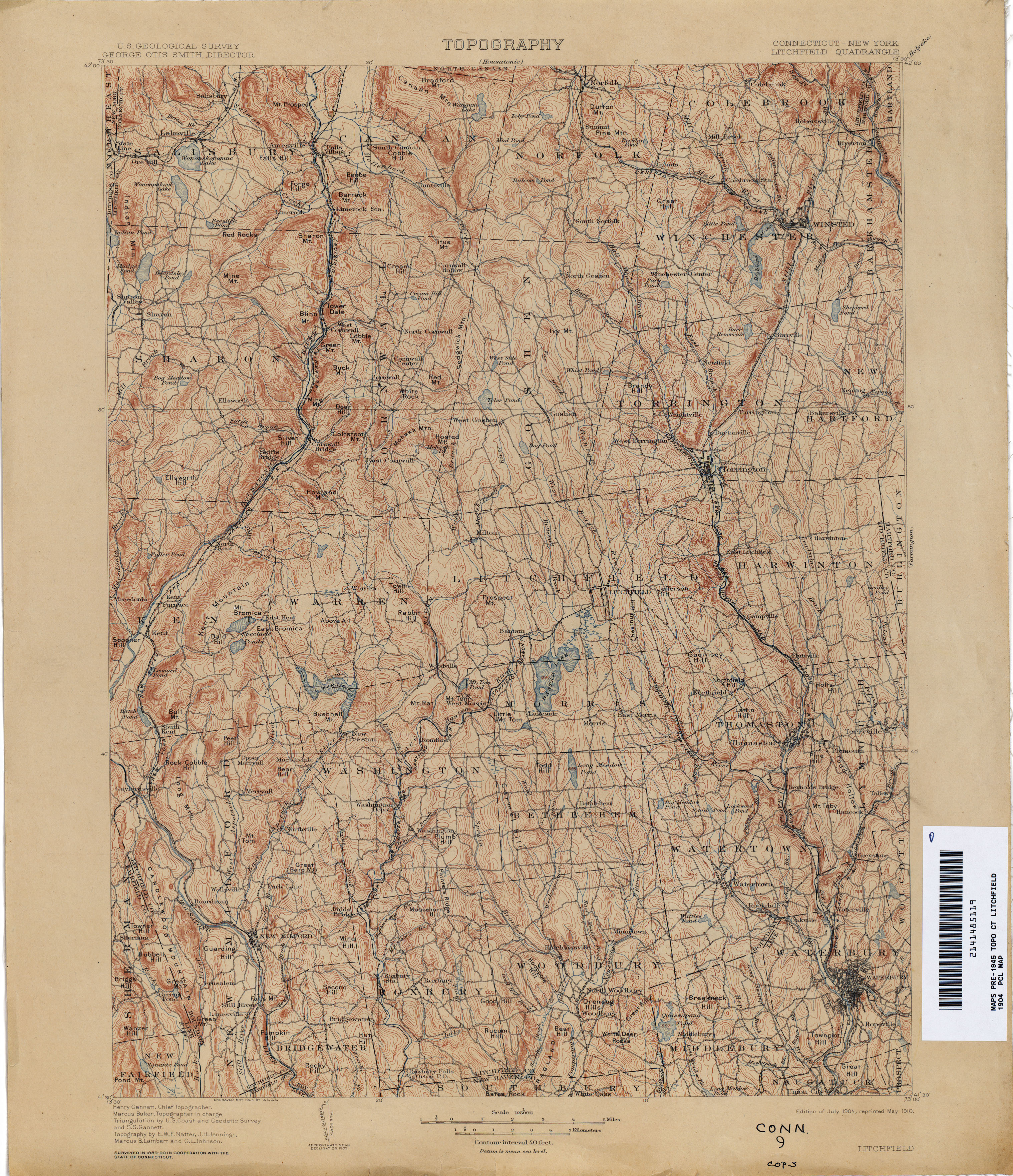
- Litchfield [Conneticut, New York] 1890 1:125,000 (4.4MB)
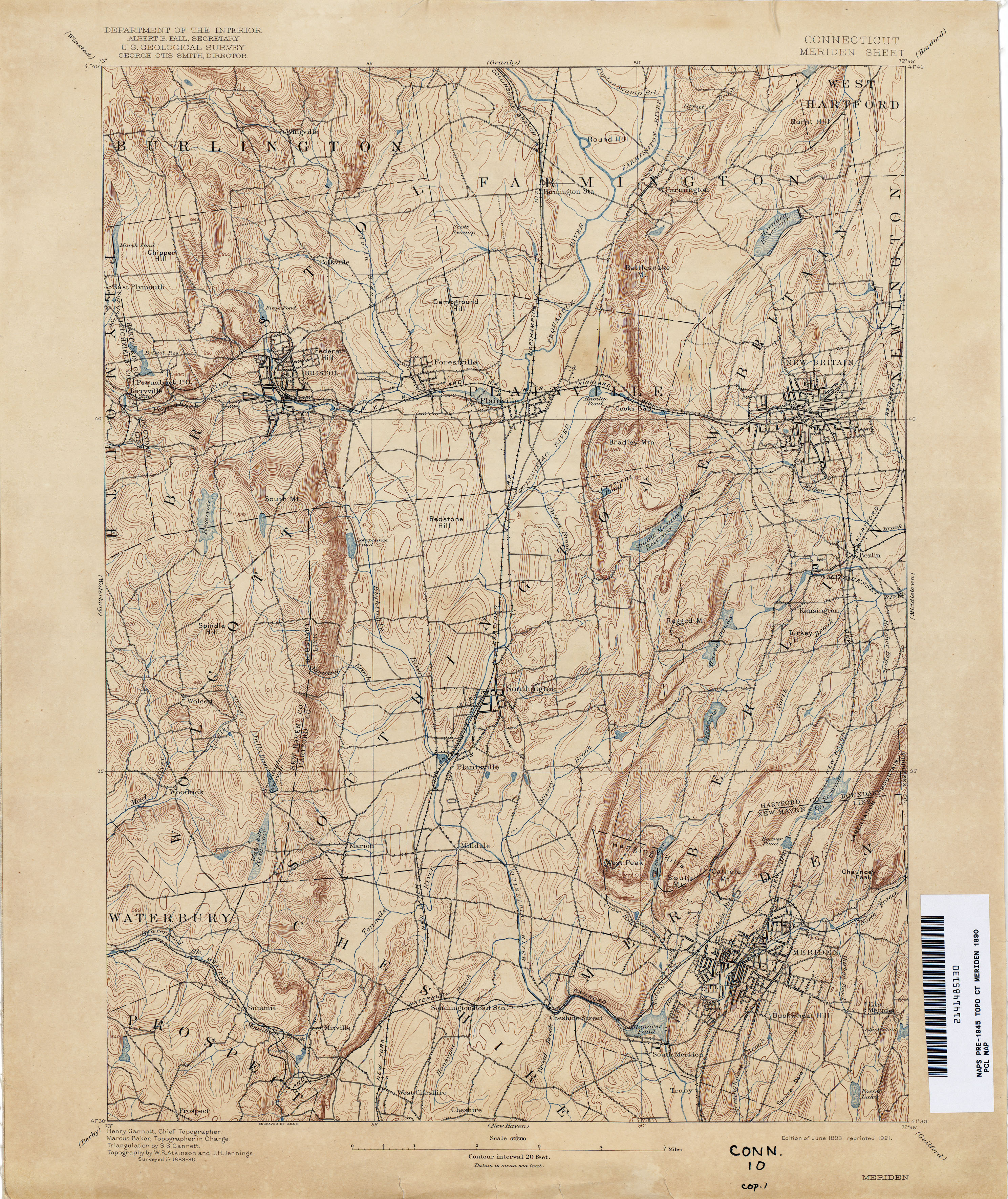
- Meriden 1890 1:62,500 (3.9MB)
- Middletown 1890 1:62,500 (3.9MB)
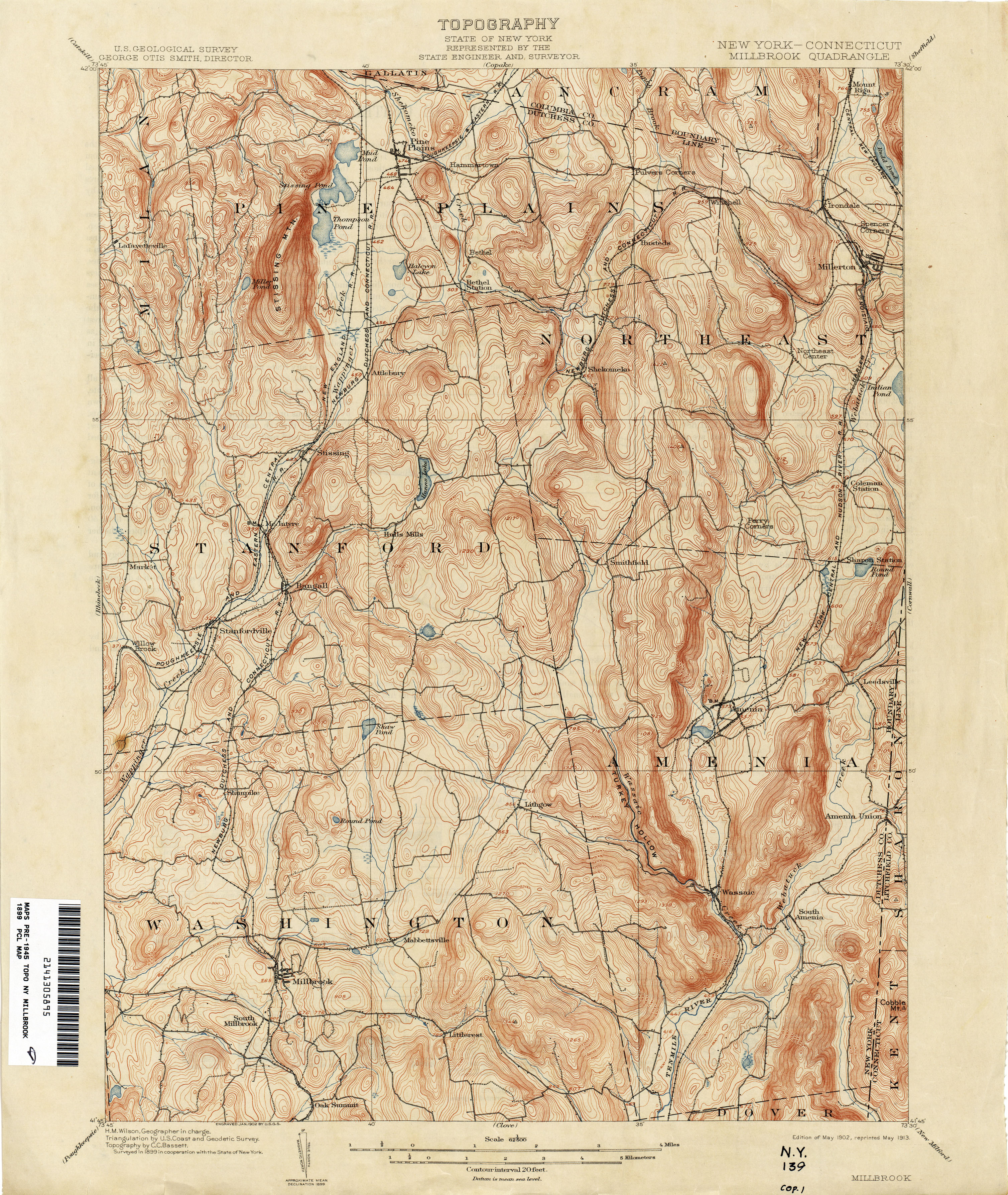
- Millbrook [New York, Connecticut] 1899 1:62,500 (4.2MB)
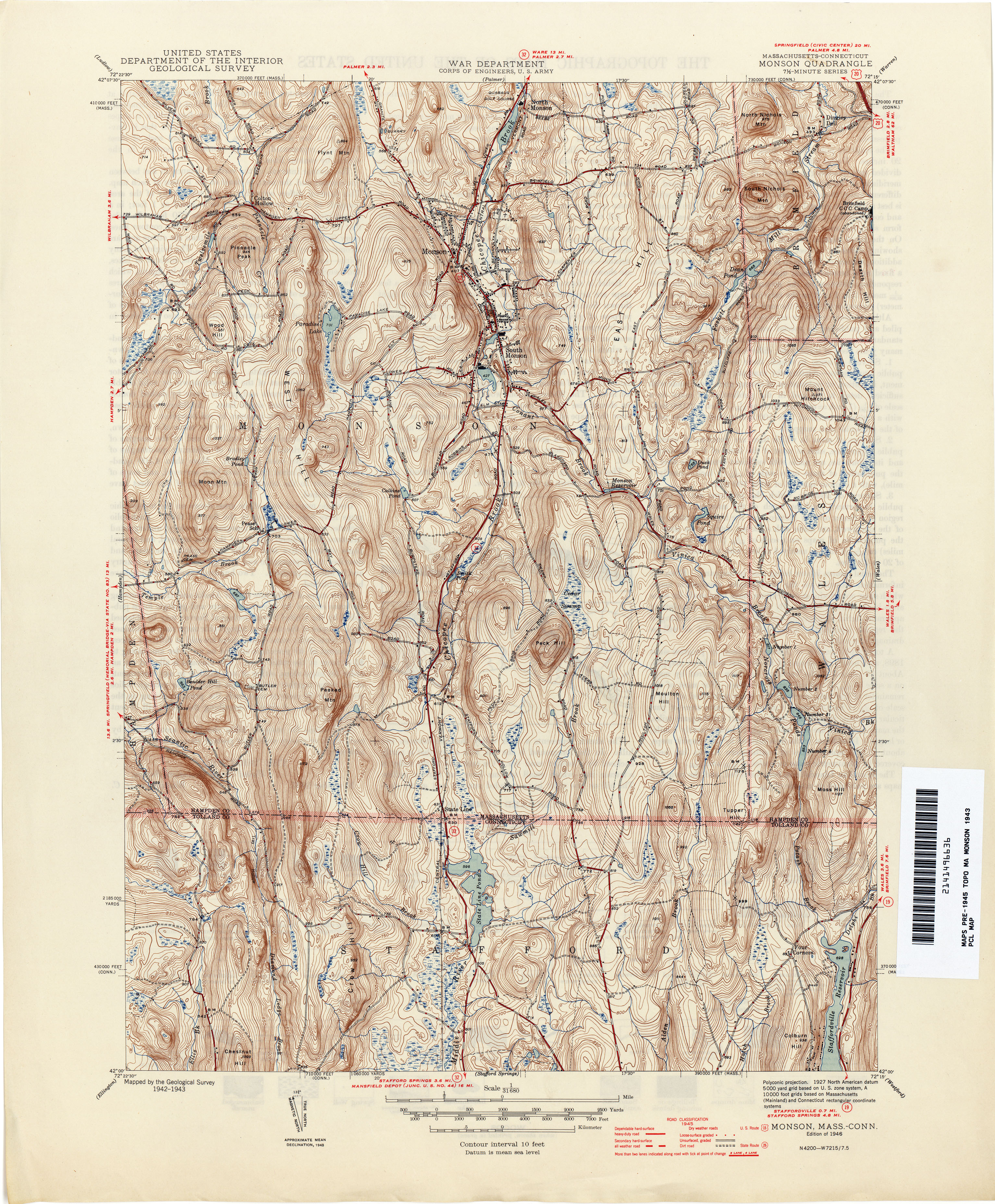
- Monson [Massachusetts, Connecticut] 1943 1:31,680 (4.9MB)
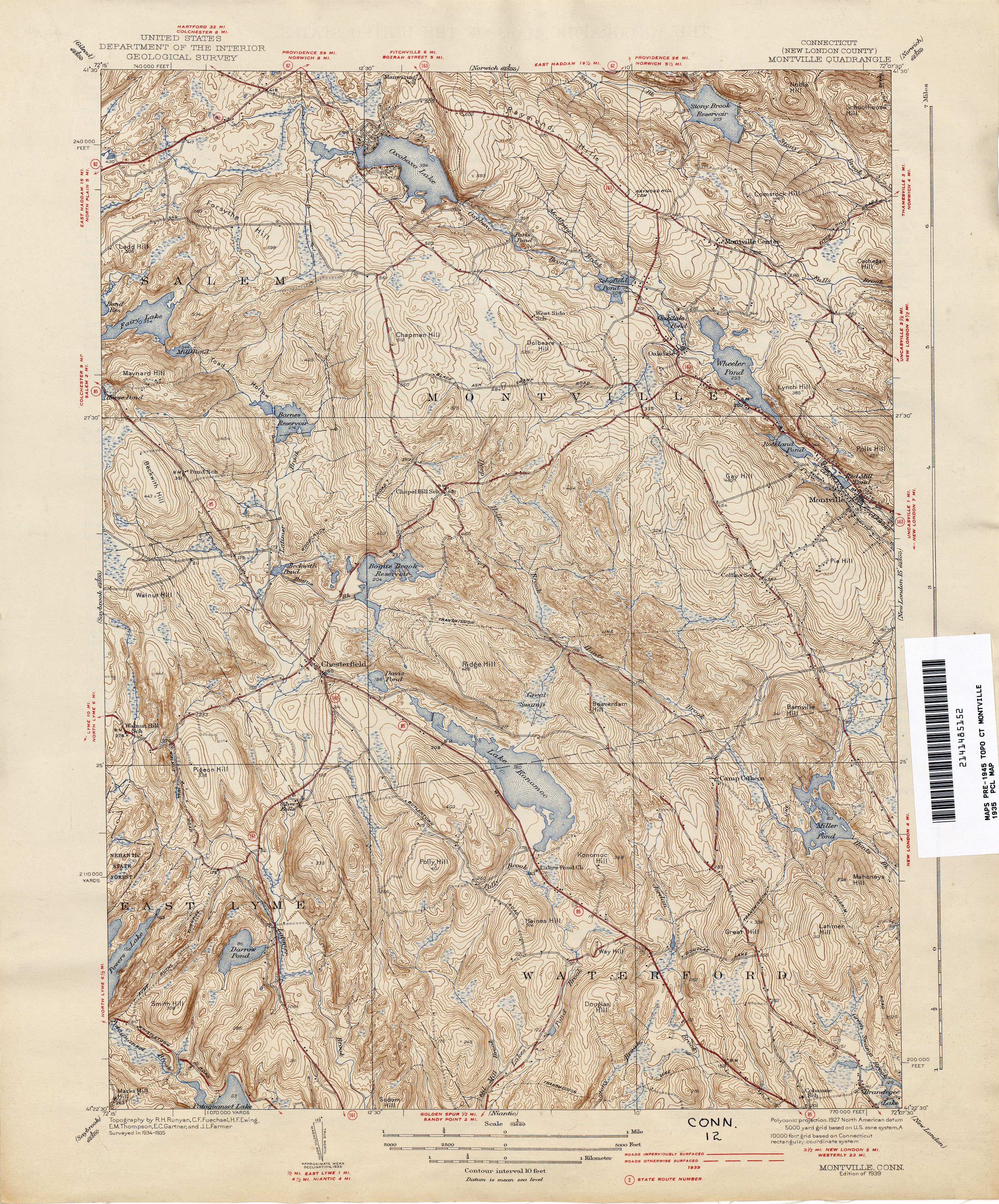
- Montville 1935 1:31,680 (4.7MB)
- Moosup [Connecticut, Rhode Island] 1888 1:62,500 (3.7MB)
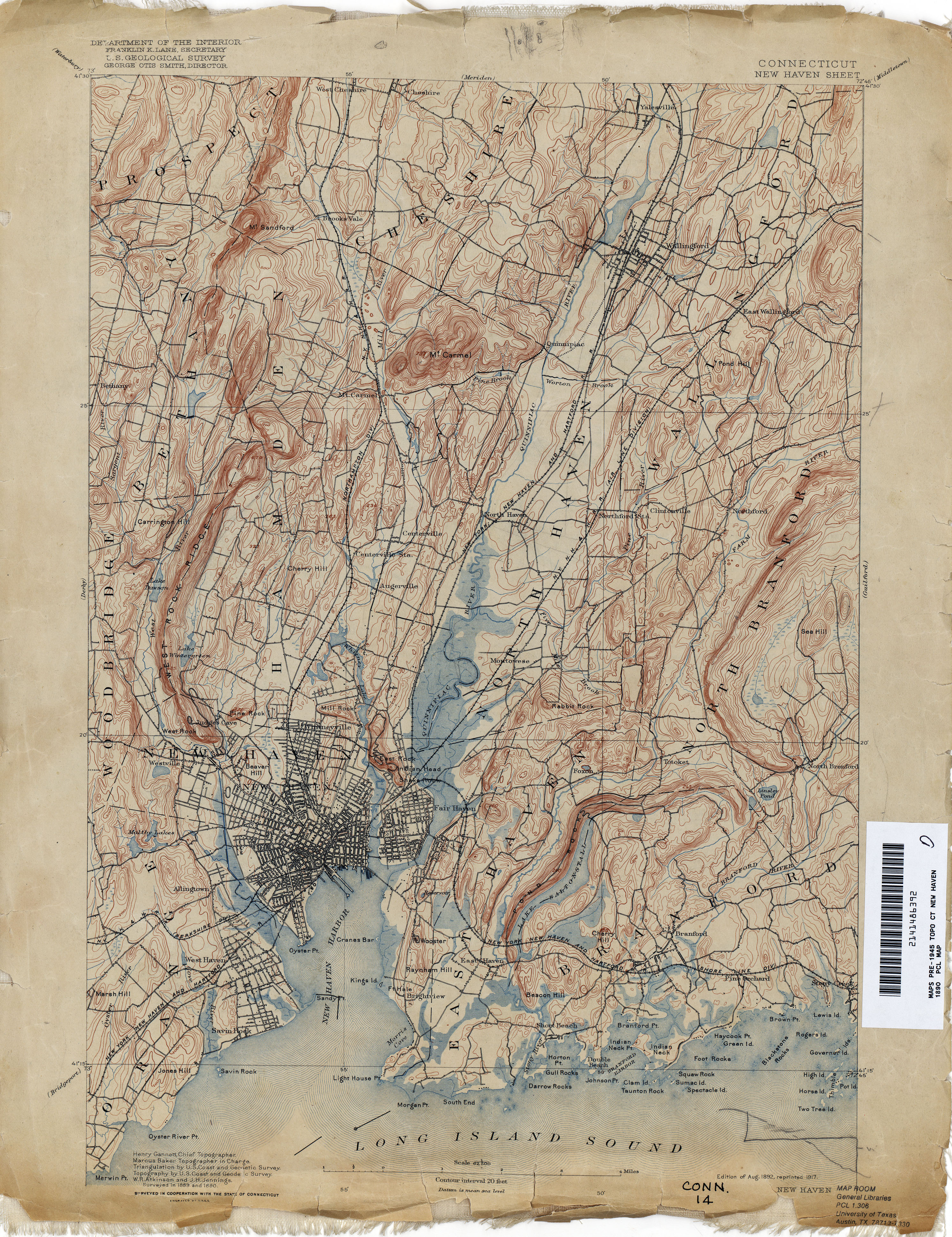
- New Haven 1890 1:62,500 (4.5MB)
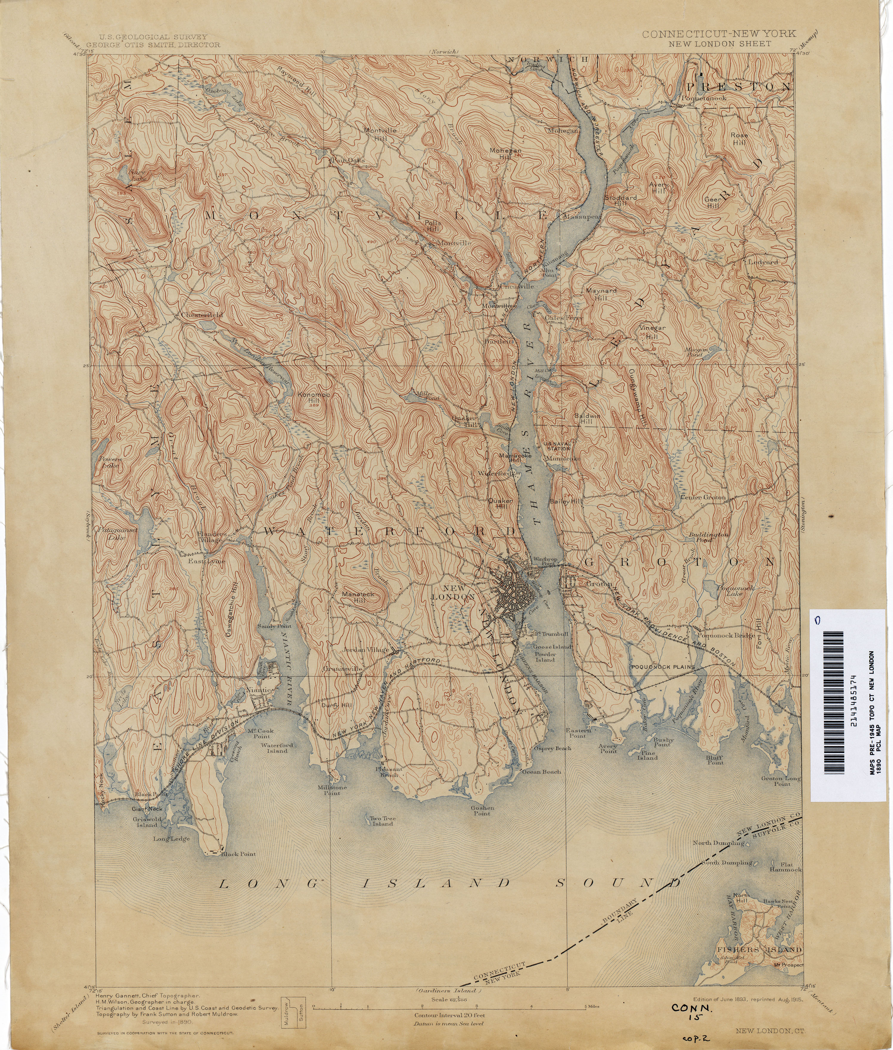
- New London [Connecticut, New York] 1890 1:62,500 (3.5MB)
- New London [Connecticuut, New York] 1934 1:31,680 (3.4MB)
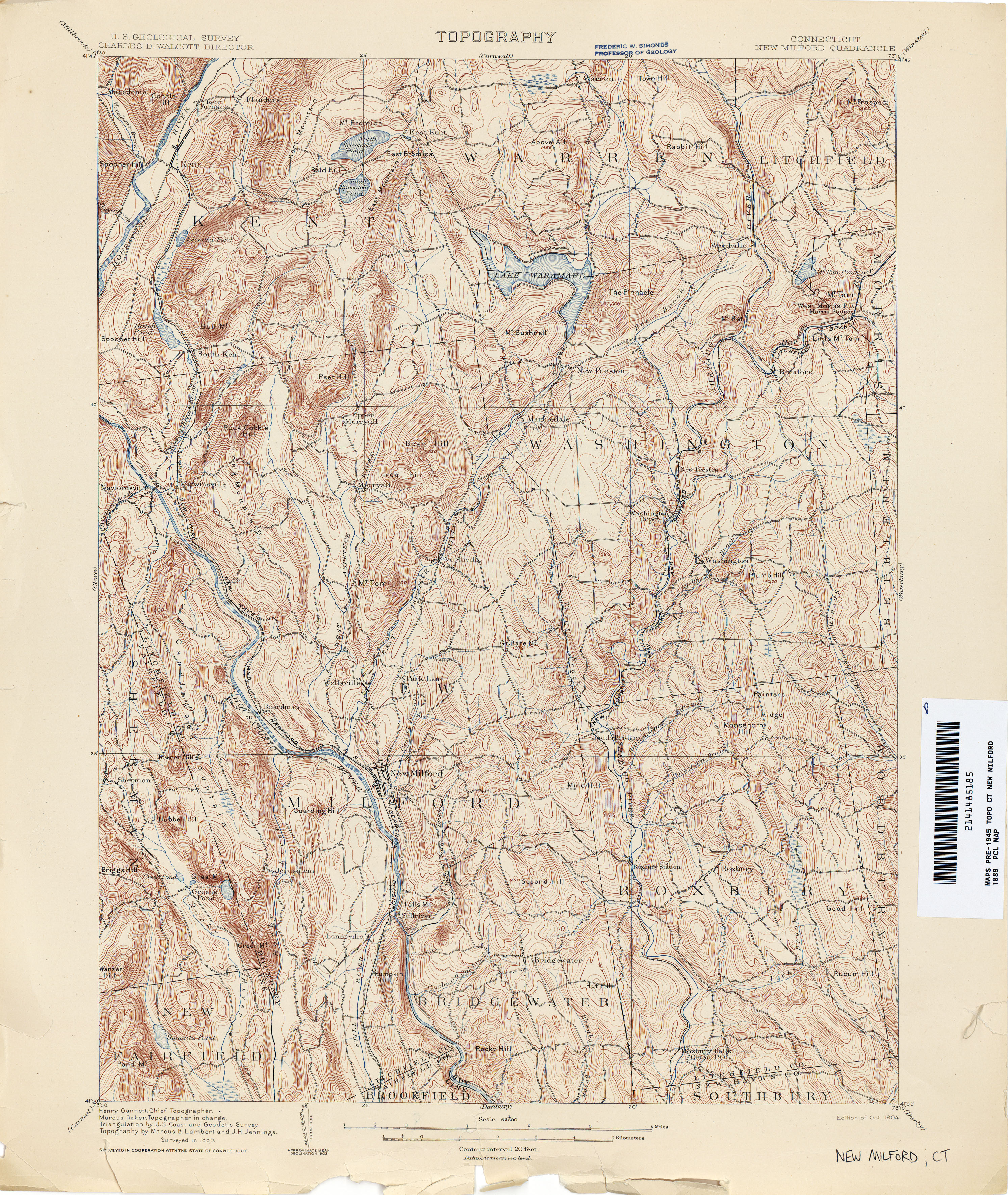
- New Milford 1889 1:62,500 (3.7MB)
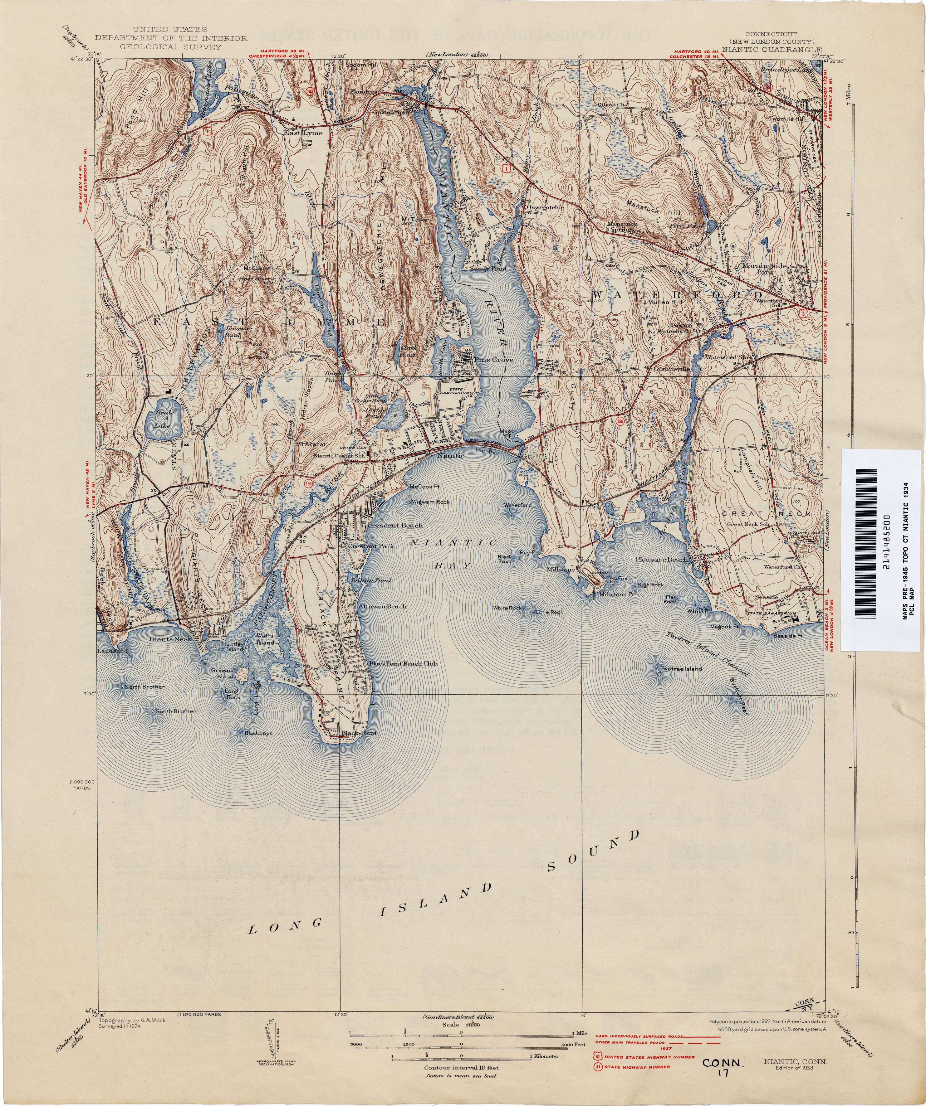
- Niantic 1934 1:31,680 (3.5MB)
- Norwalk 1890 1:62,500 (3.5MB)
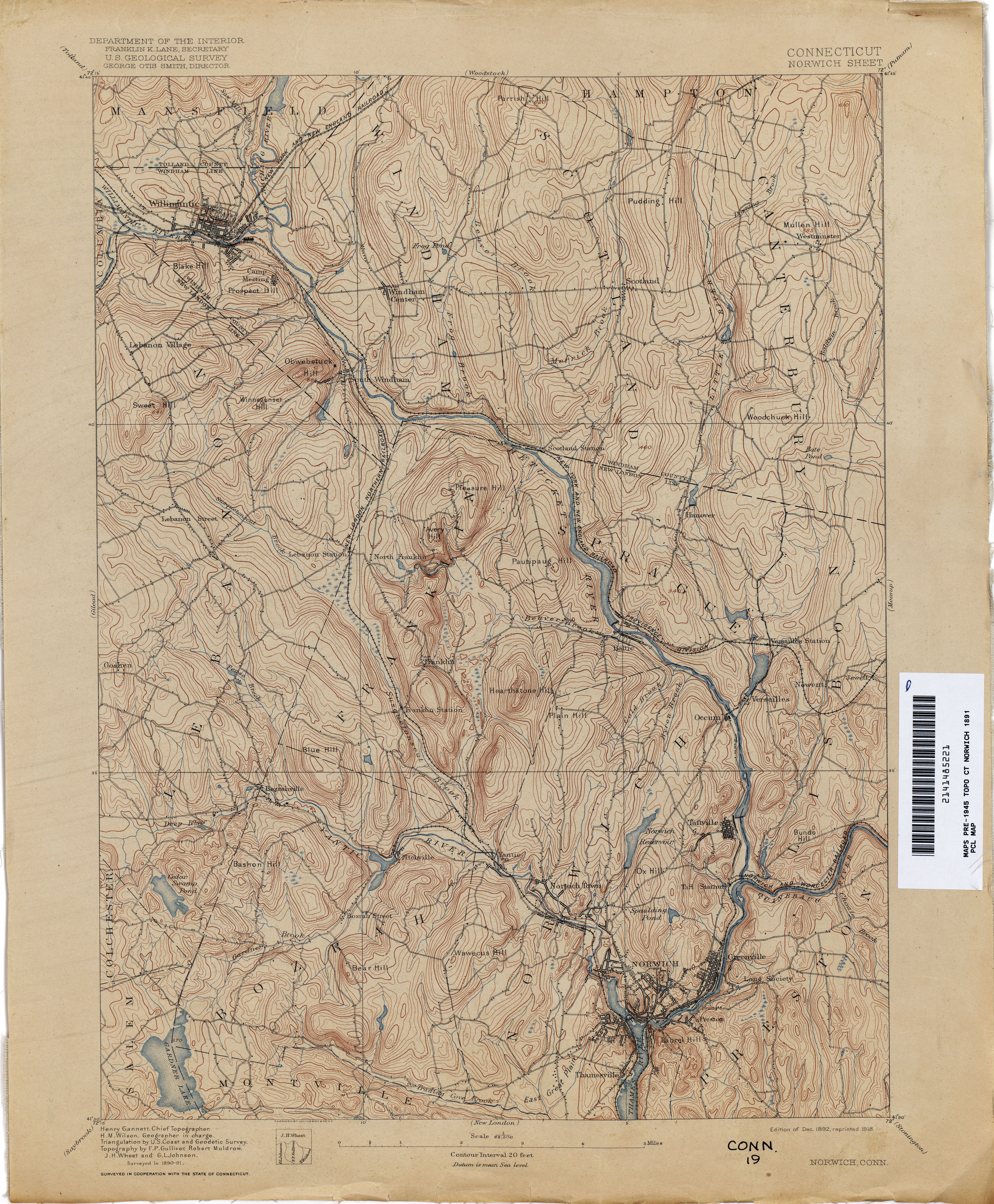
- Norwich 1891 1:62,500 (3.8MB)
- Old Mystic 1942 1:31,680 (4.2MB)
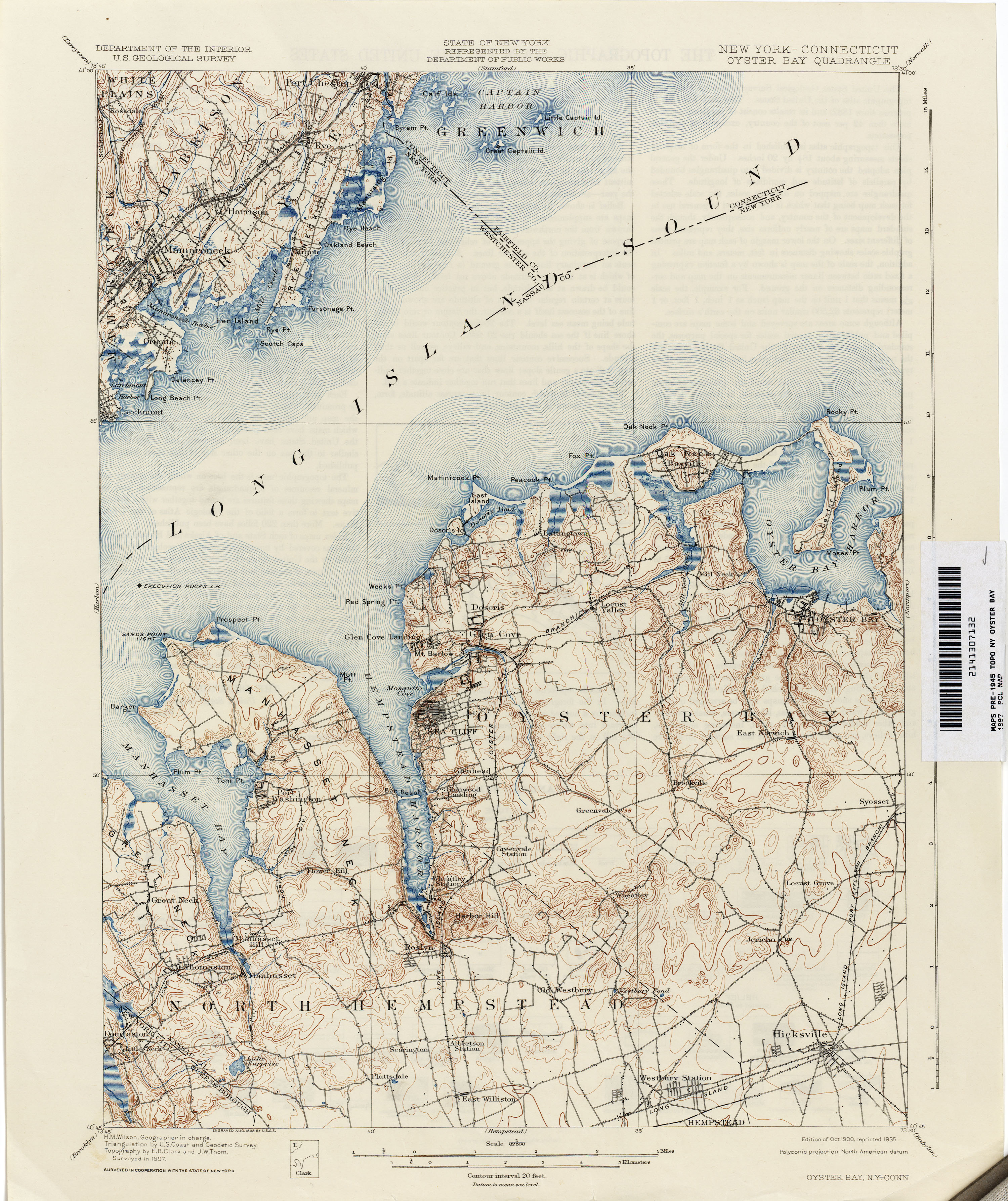
- Oyster Bay [New York, Connecticut] 1897 1:62,500 (3.2MB)
- Palmer [Massachusetts, Connecticut] 1887 1:62,500 (3.8MB)
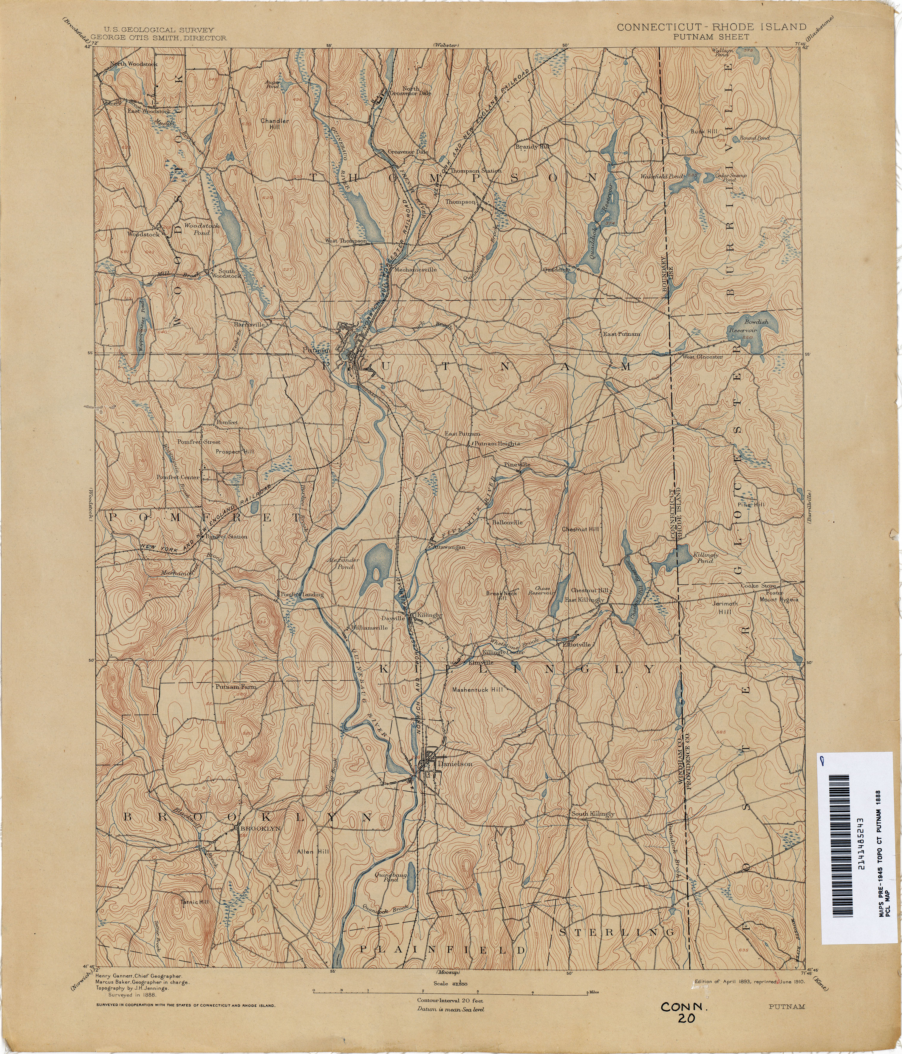
- Putnam [Connecticut, Rhode Island] 1888 1:62,500 (3.6MB)
- Quinsigamond [Massachusetts, Connecticut, Rhode Island] 1887 1:125,000 (4.5MB)
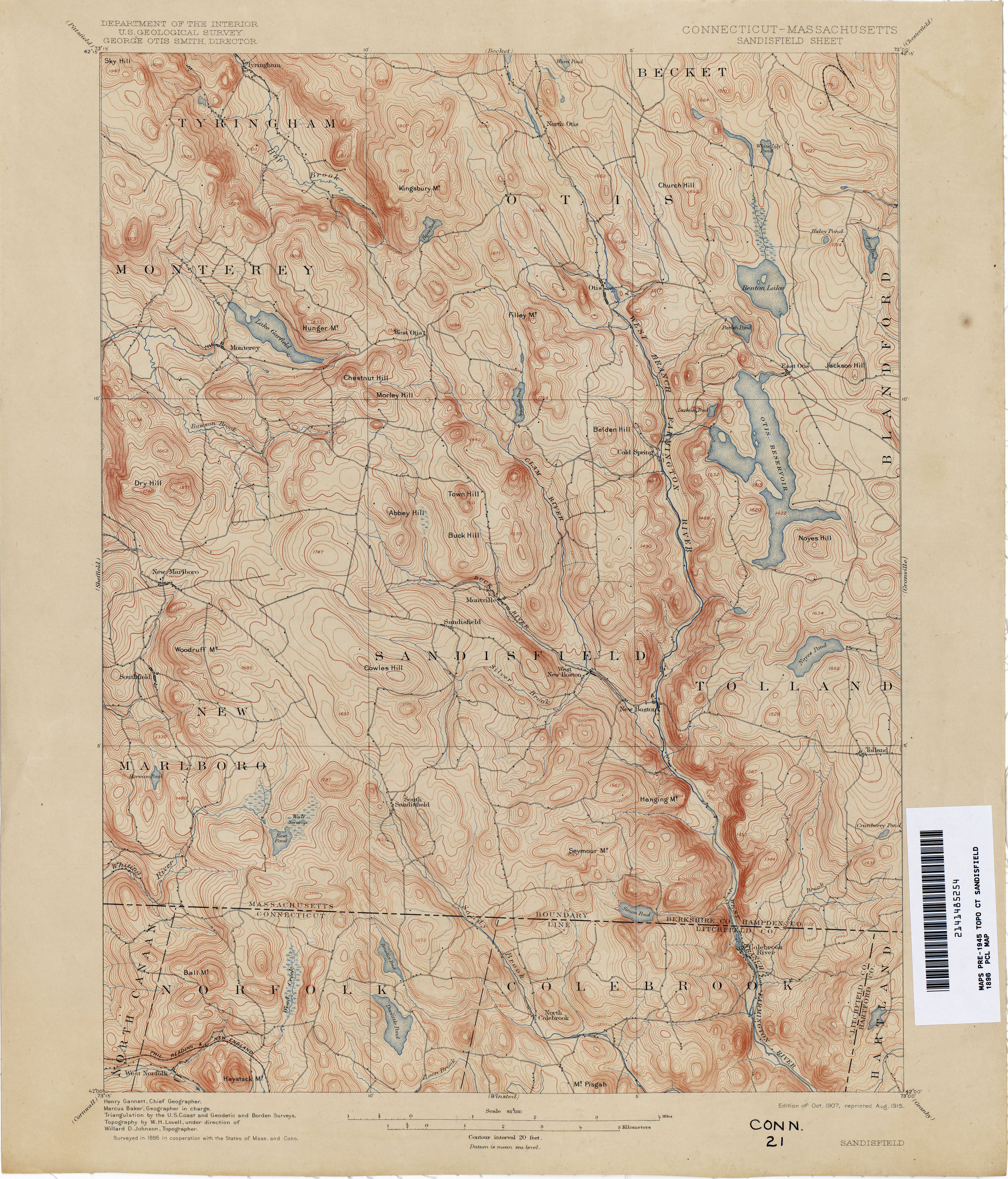
- Sandisfield [Connecticut, Massachusetts] 1886 1:62,500 (3.7MB)
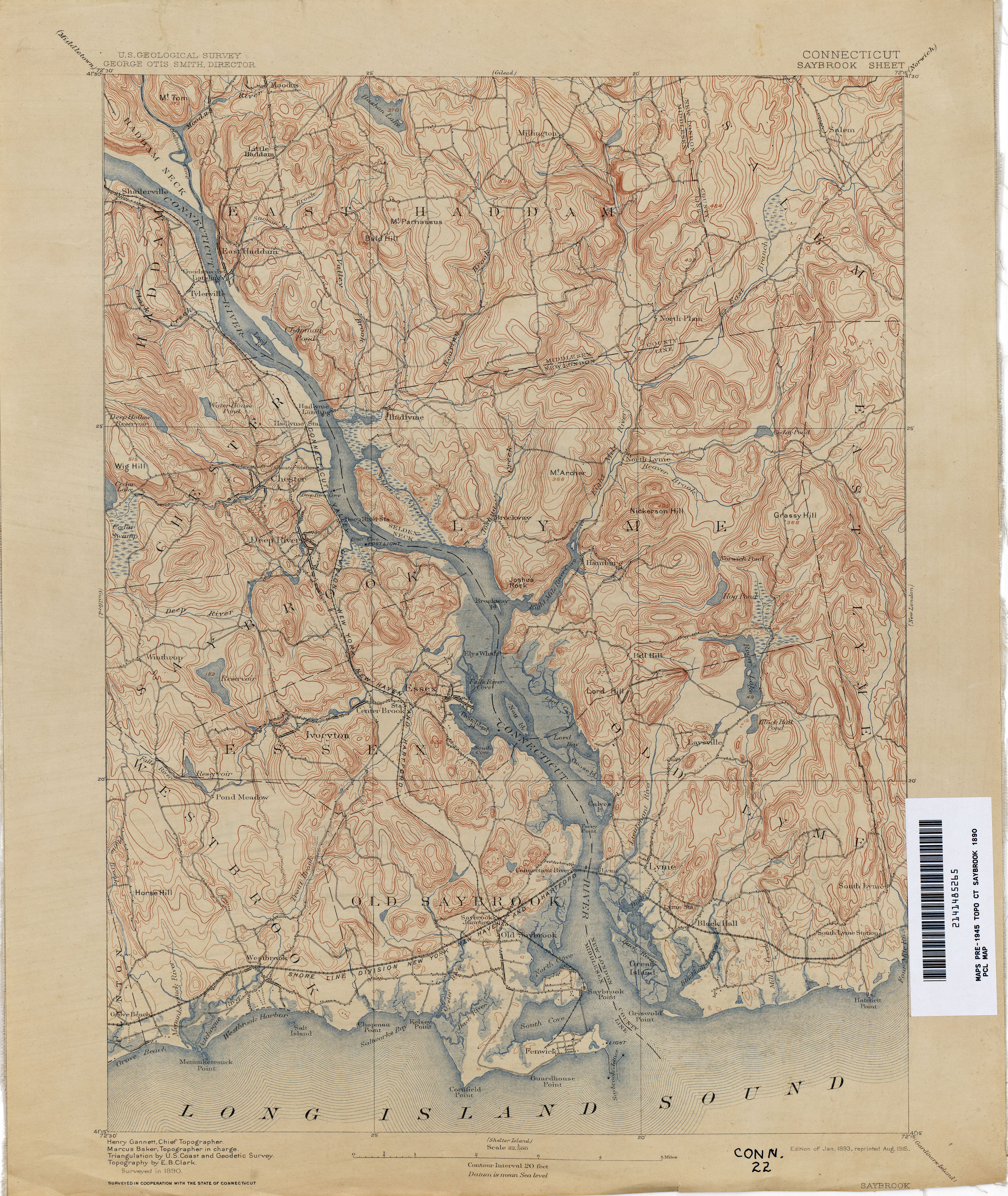
- Saybrook 1890 1:62,500 (3.8MB)
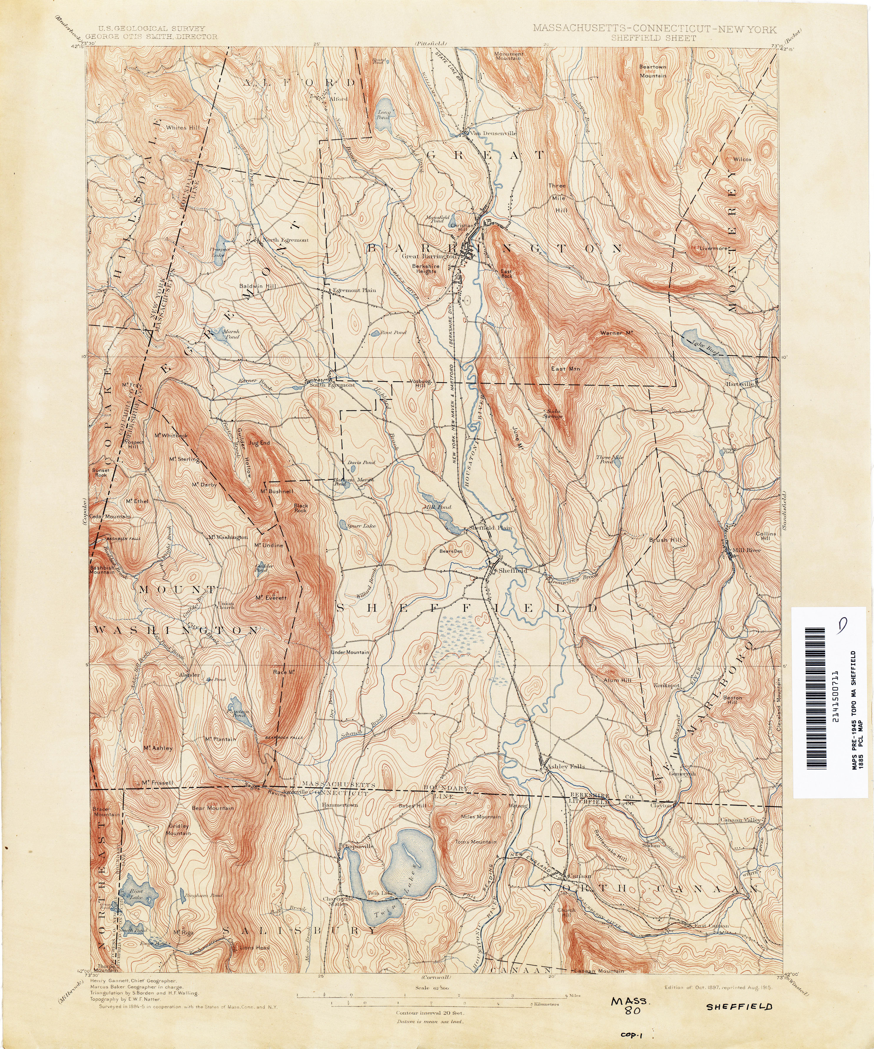
- Sheffield [Massachusetts, Connecticut, New York] 1885 1:62,500 (3.9MB)
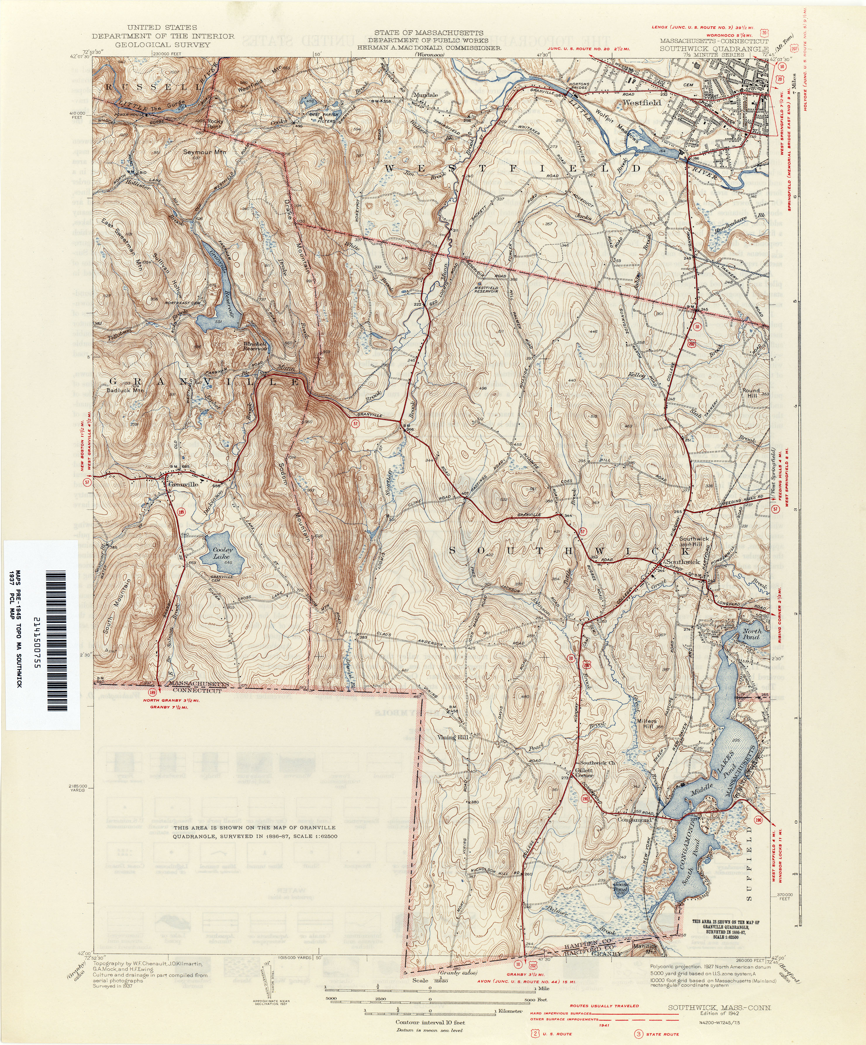
- Southwick [Massachusetts, Connecticut] 1937 1:31,680 (3.8MB)
- Springfield [Massachusetts, Connecticut] 1887 1:62,500 (3.3MB)
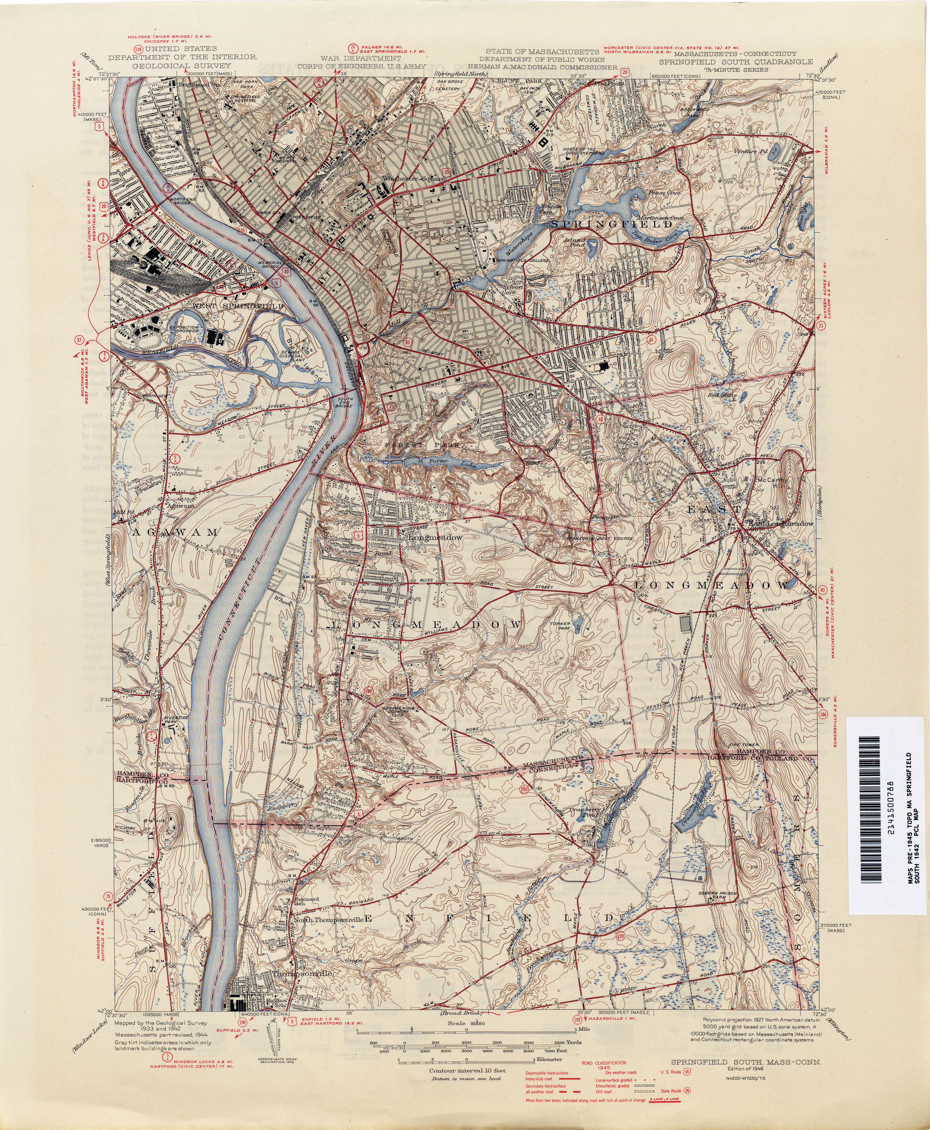
- Springfield South [Massachusetts, Connecticut] 1942 1:31,680 (4.1MB)
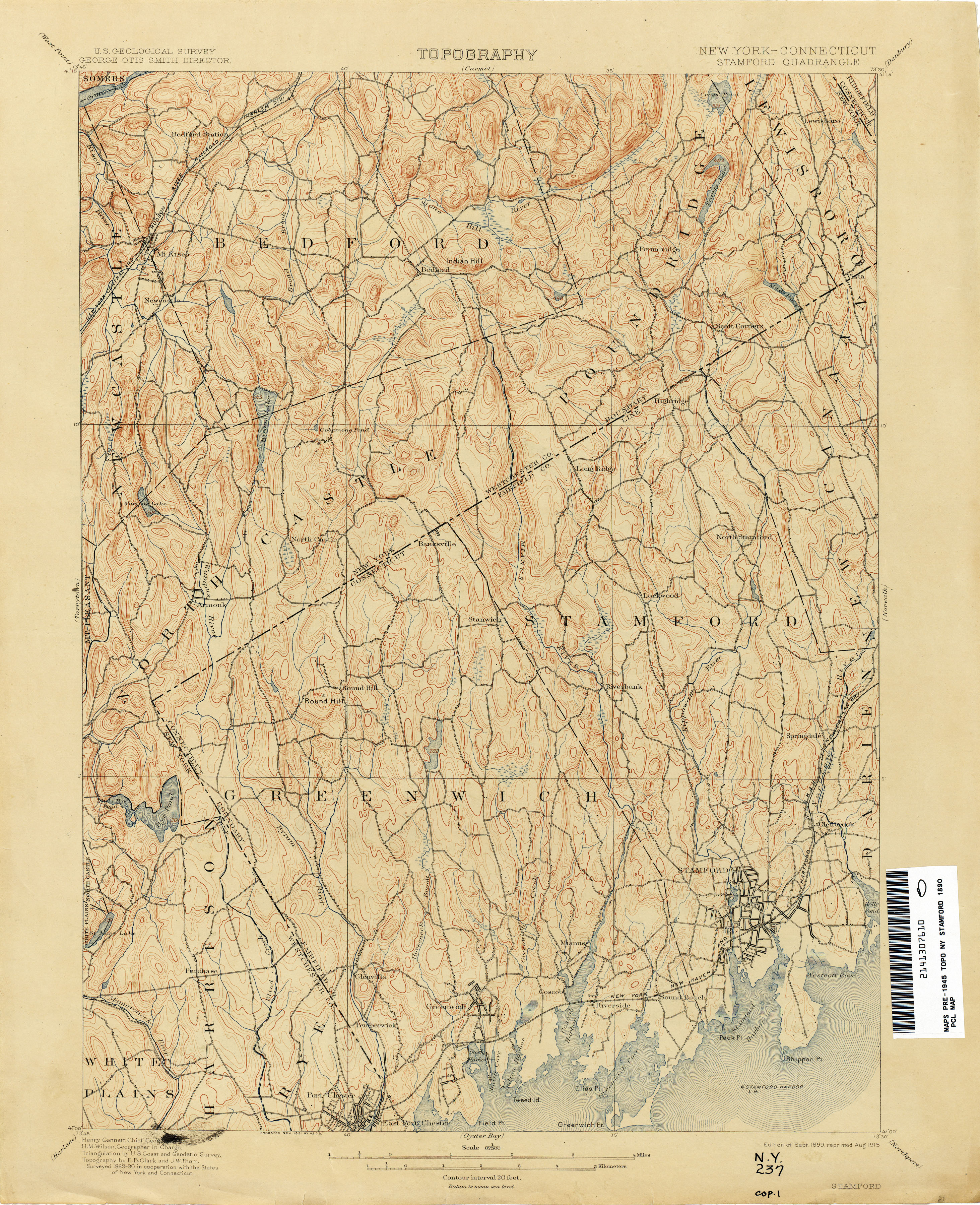
- Stamford [New York, Connecticut] 1890 1:62,500 (3.9MB)
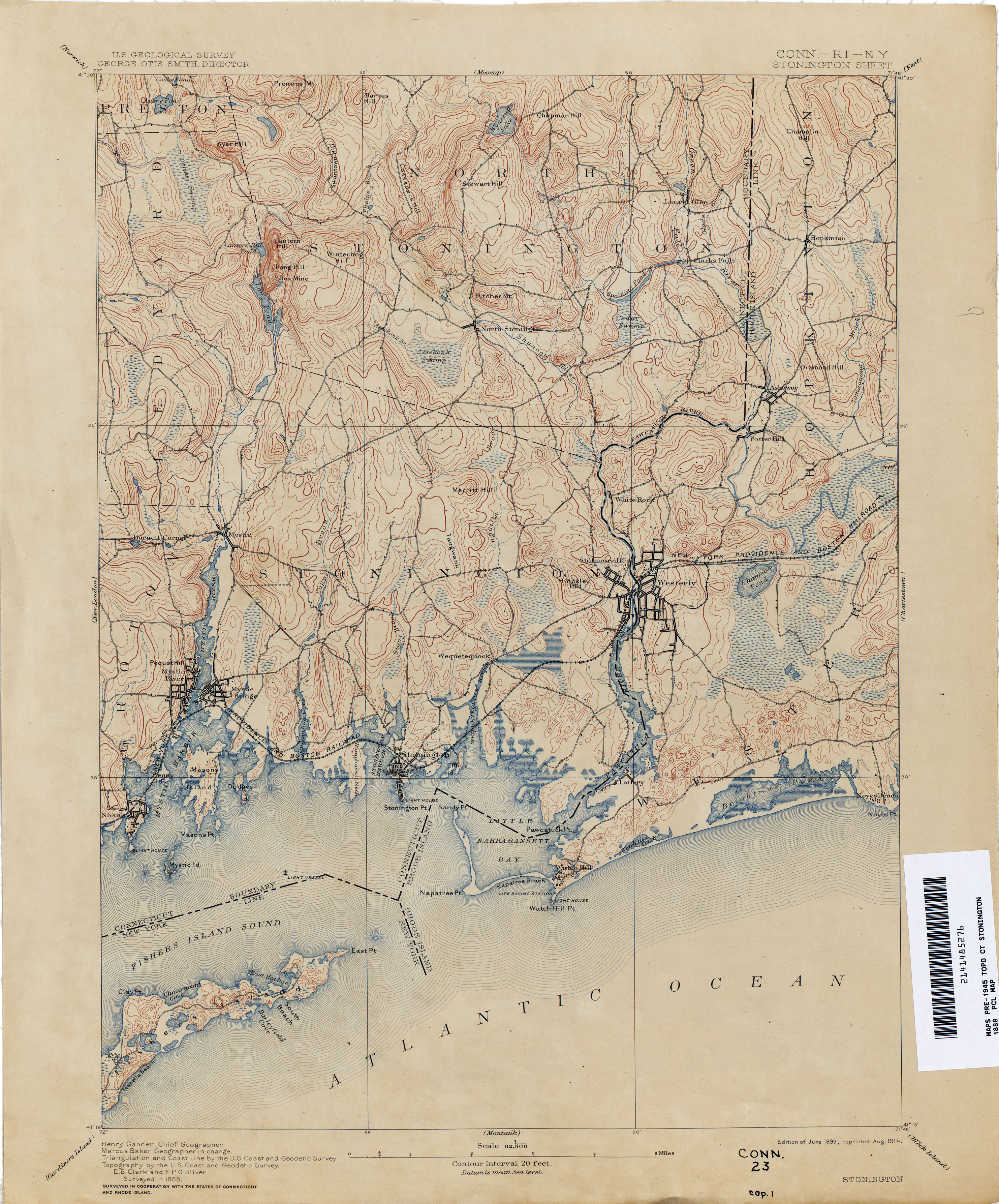
- Stonington [Connecticut, Rhode Island, New York] 1888 1:62,500 (3.4MB)
- Tolland 1890 1:62,500 (3.5MB)
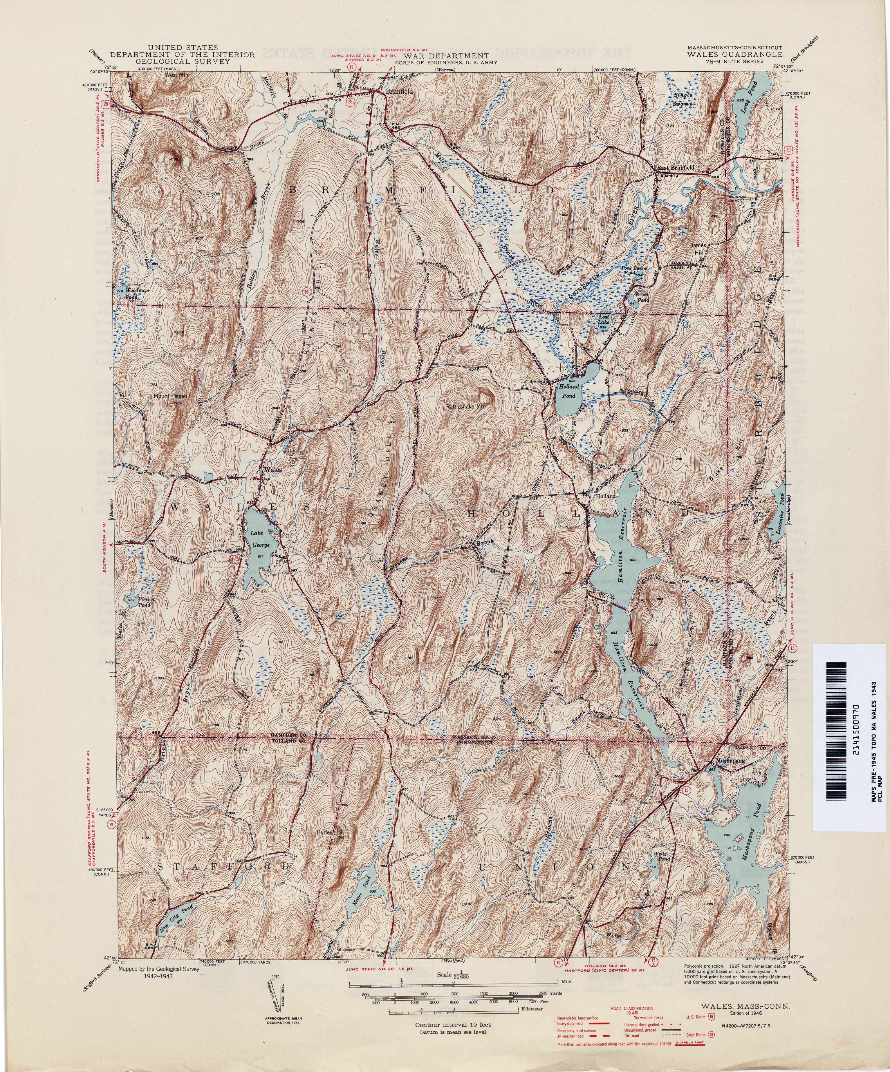
- Wales [Massachusetts, Connecticut] 1943 1:31,680 (4.8MB)
- Ware [Massachusetts, Connecticut] 1887 1:125,000 (4.2MB)
- Watch Hill [Rhode Island, Connecticut] 1942 1:31,680 (2.3MB)
- Waterbury 1890 1:62,500 (4.7MB)
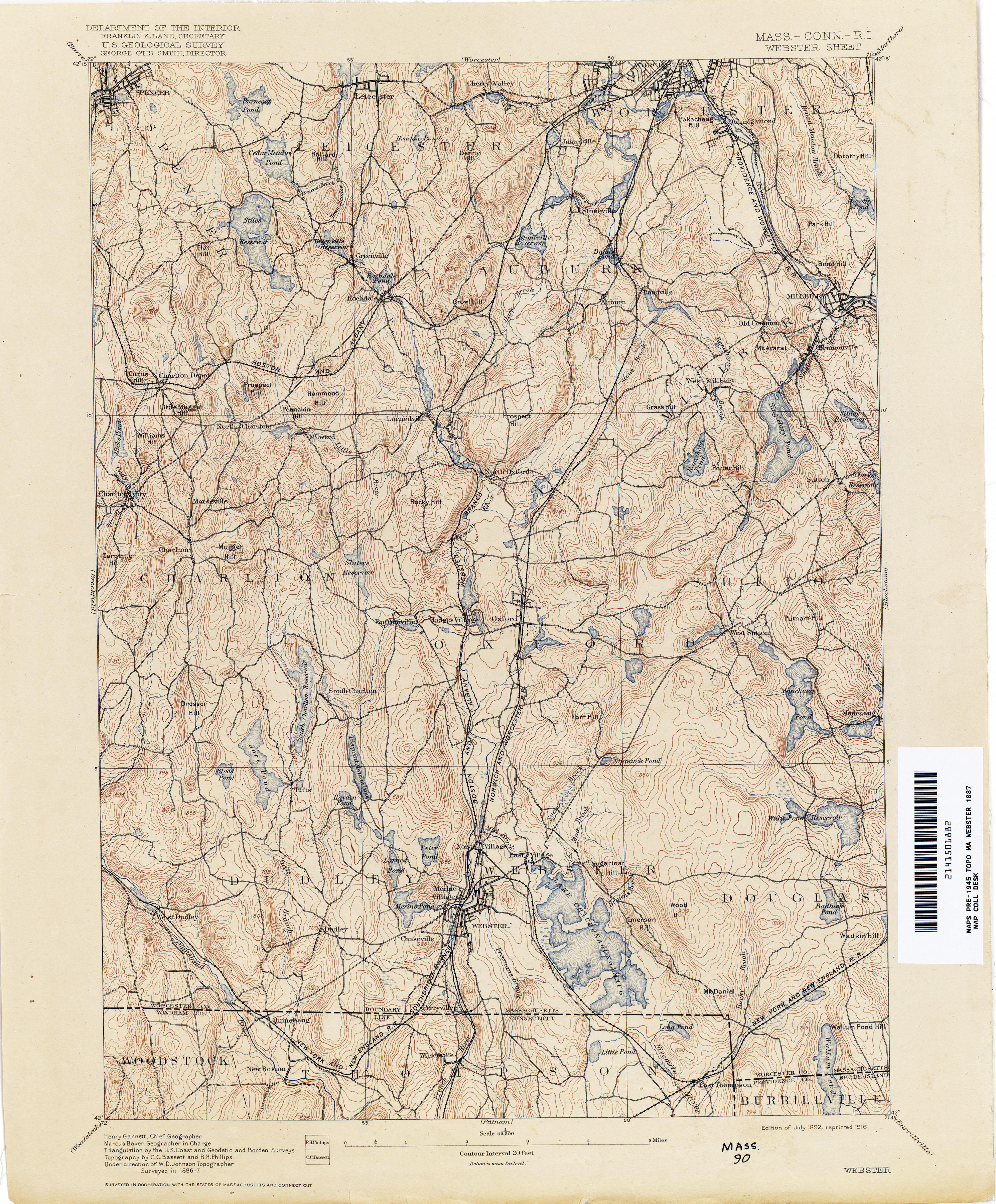
- Webster [Massachusetts, Connecticut, Rhode Island] 1887 1:62,500 (3.9MB)
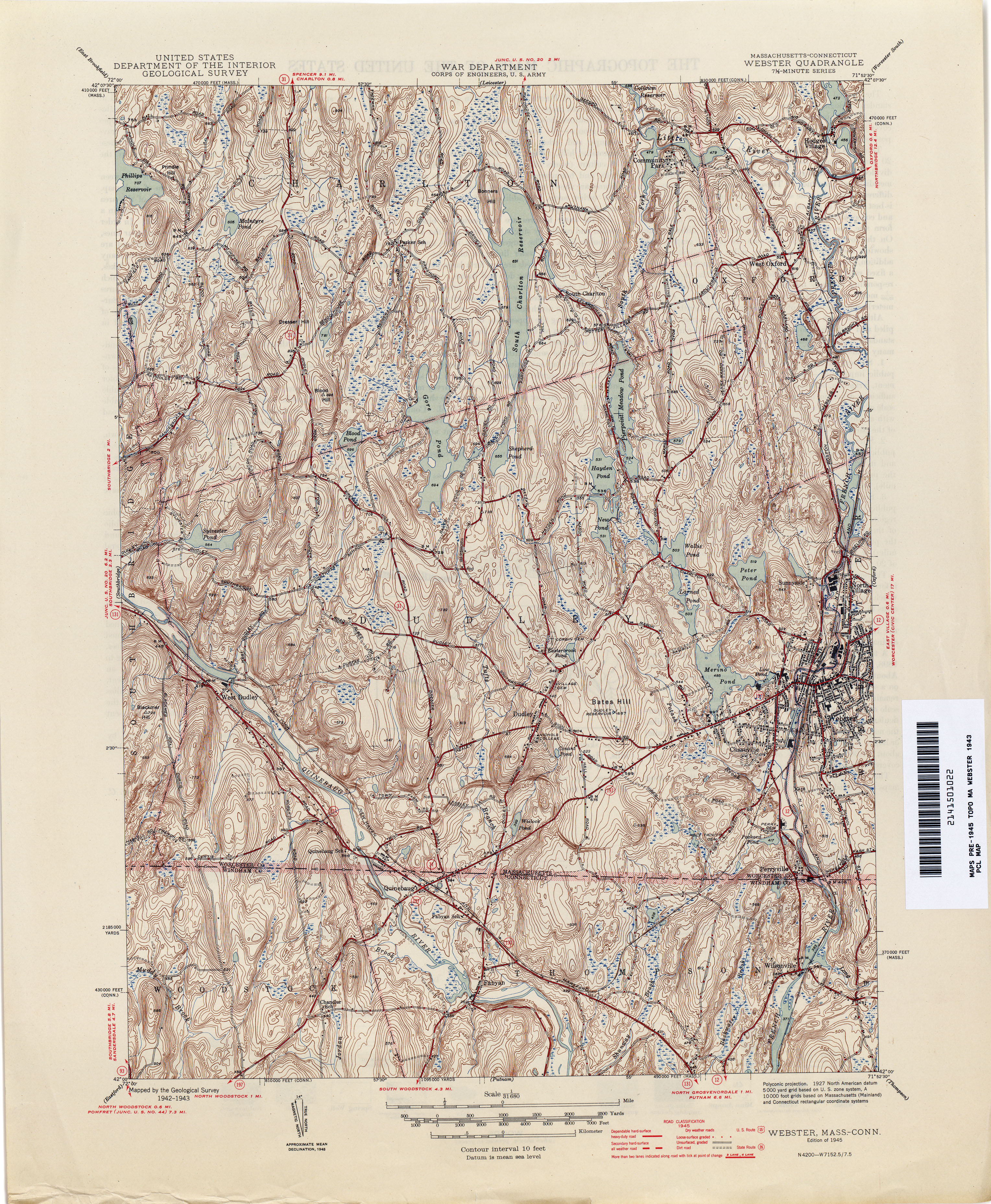
- Webster [Massachusetts, Connecticut] 1943 1:31,680 (4.8MB)
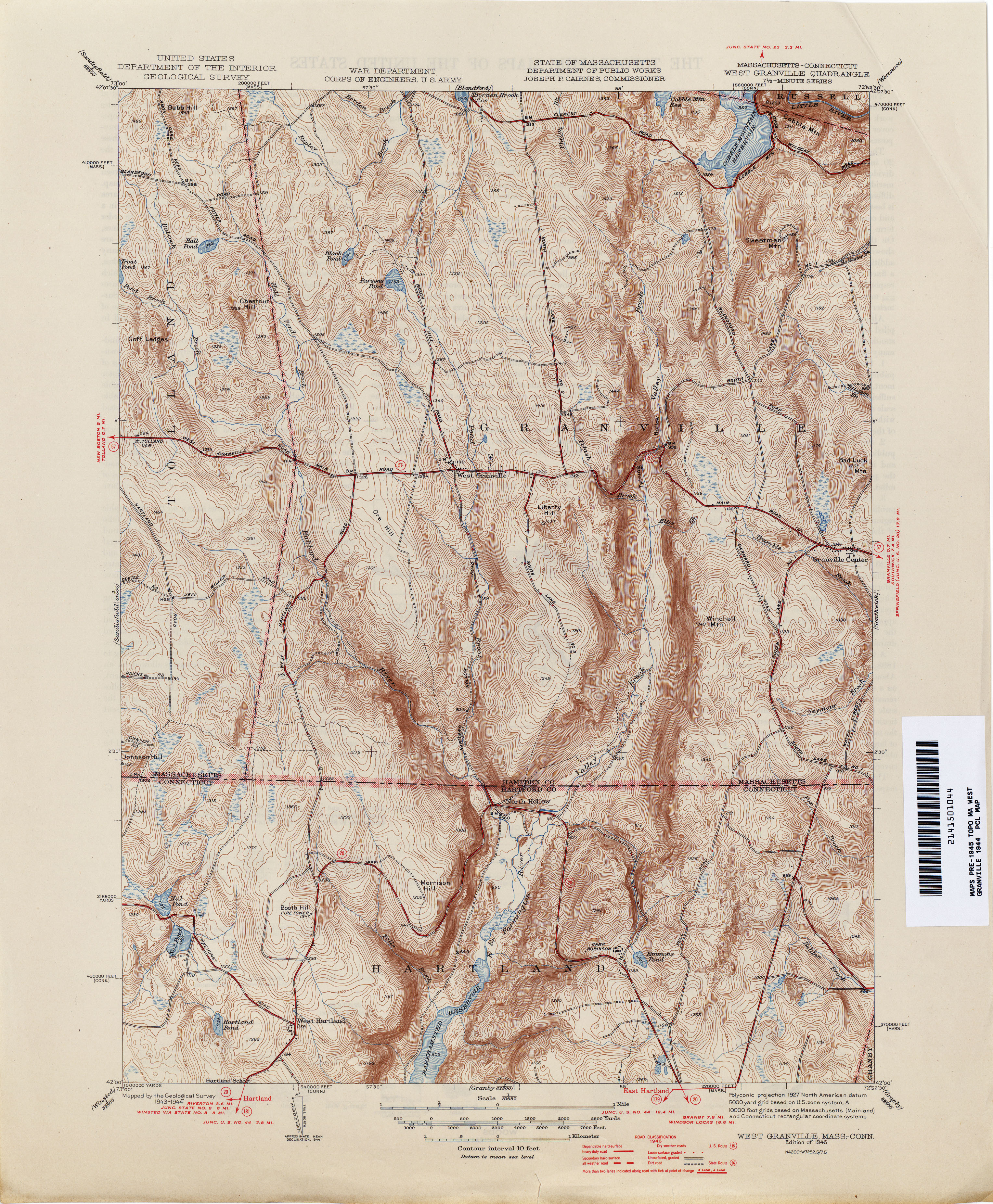
- West Granville [Massachusetts, Connecticut] 1944 1:31,680 (2.4MB)
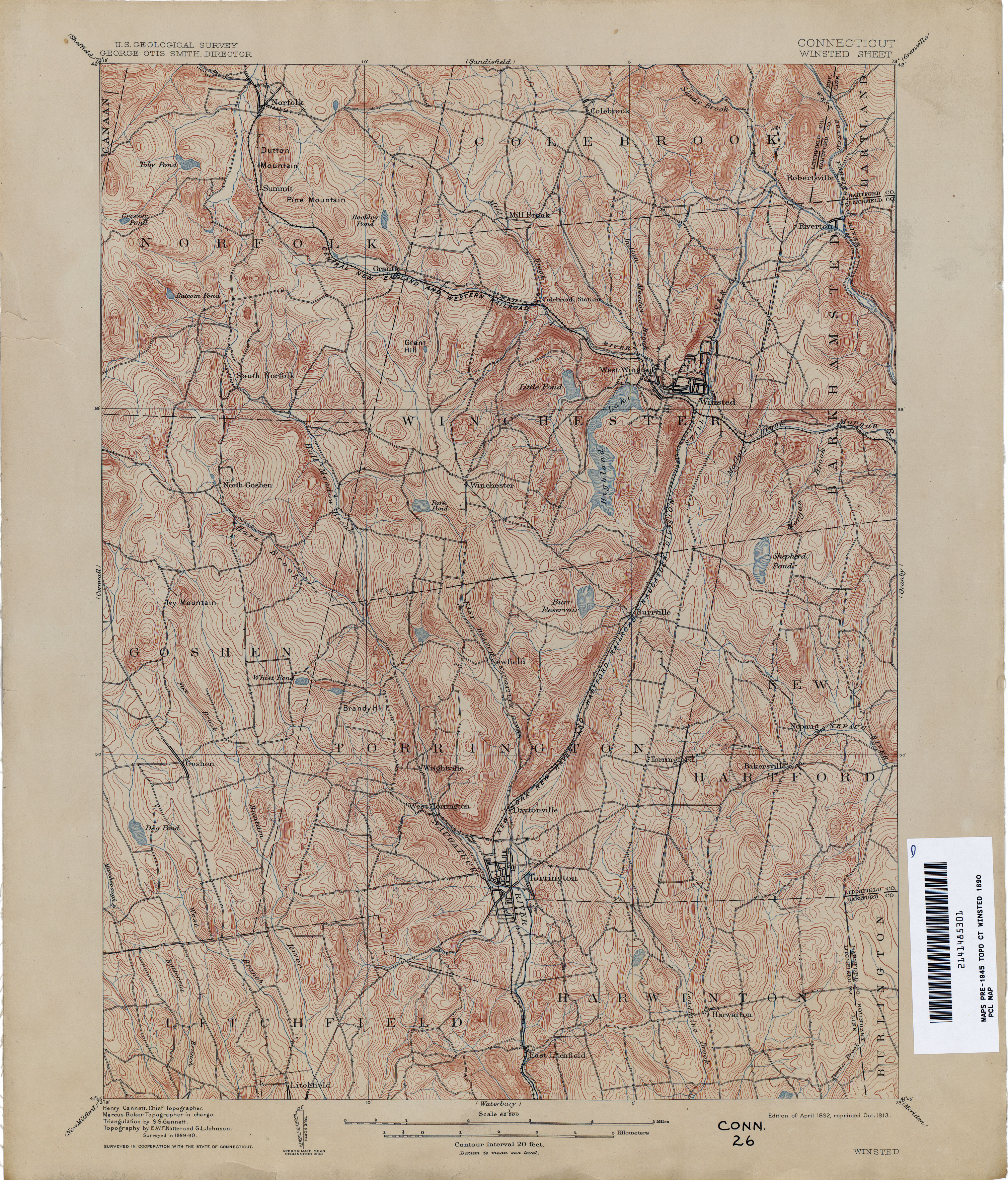
- Winsted 1890 1:62,500 (4.5MB)
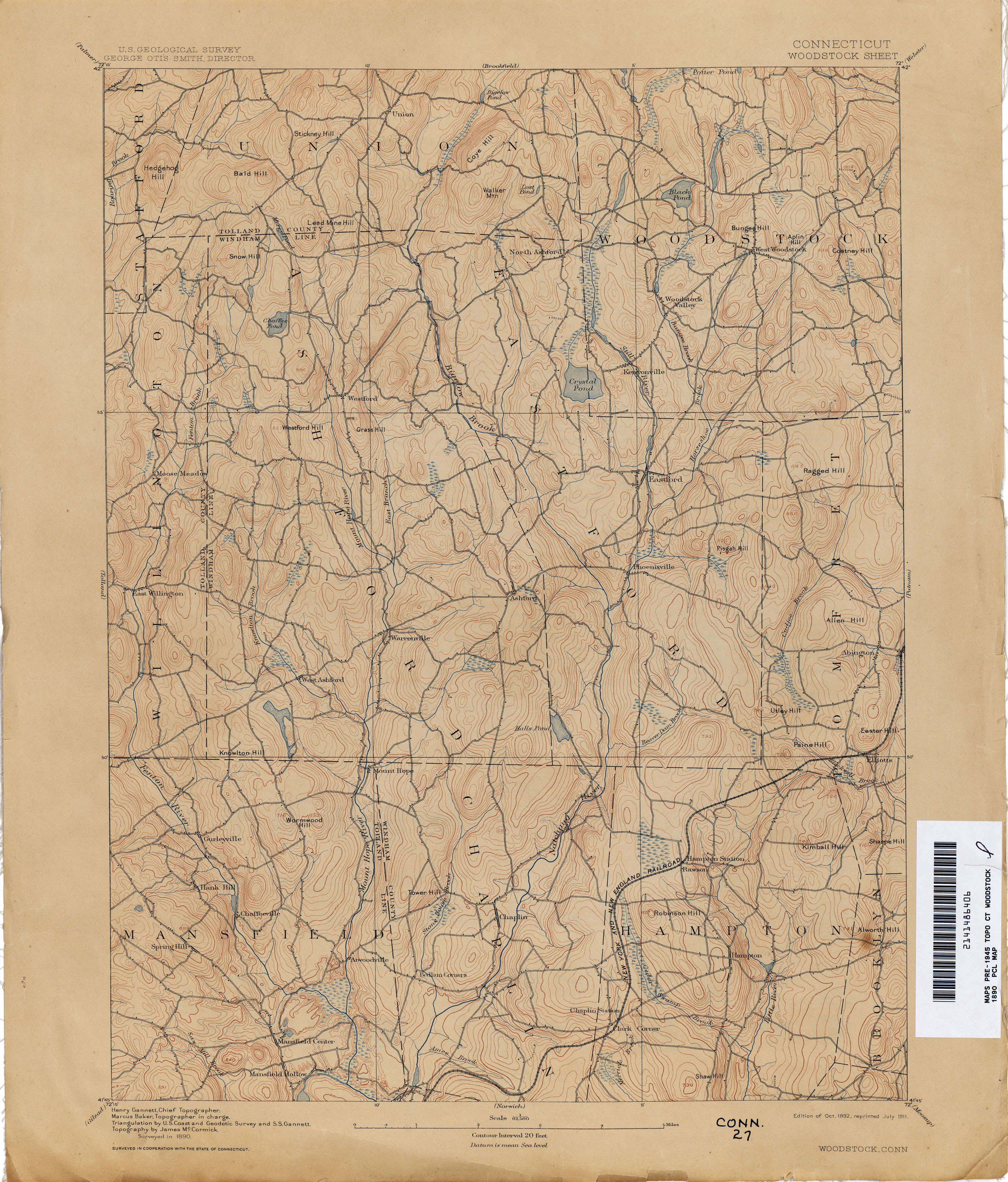
- Woodstock 1890 1:62,500 (3.3MB)
Return to the top