Perry-Castañeda Library
Map Collection
Mali Maps
The following maps were produced by the U.S. Central Intelligence Agency, unless otherwise indicated.
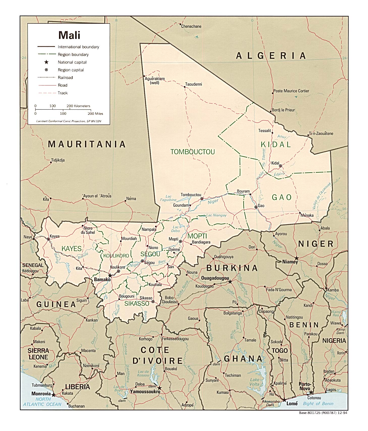
Country Maps- Mali (Political) 1994 (513K) and pdf format (517K)
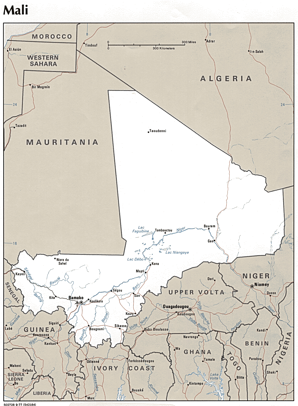
- Mali (Political) 1977 (415K)
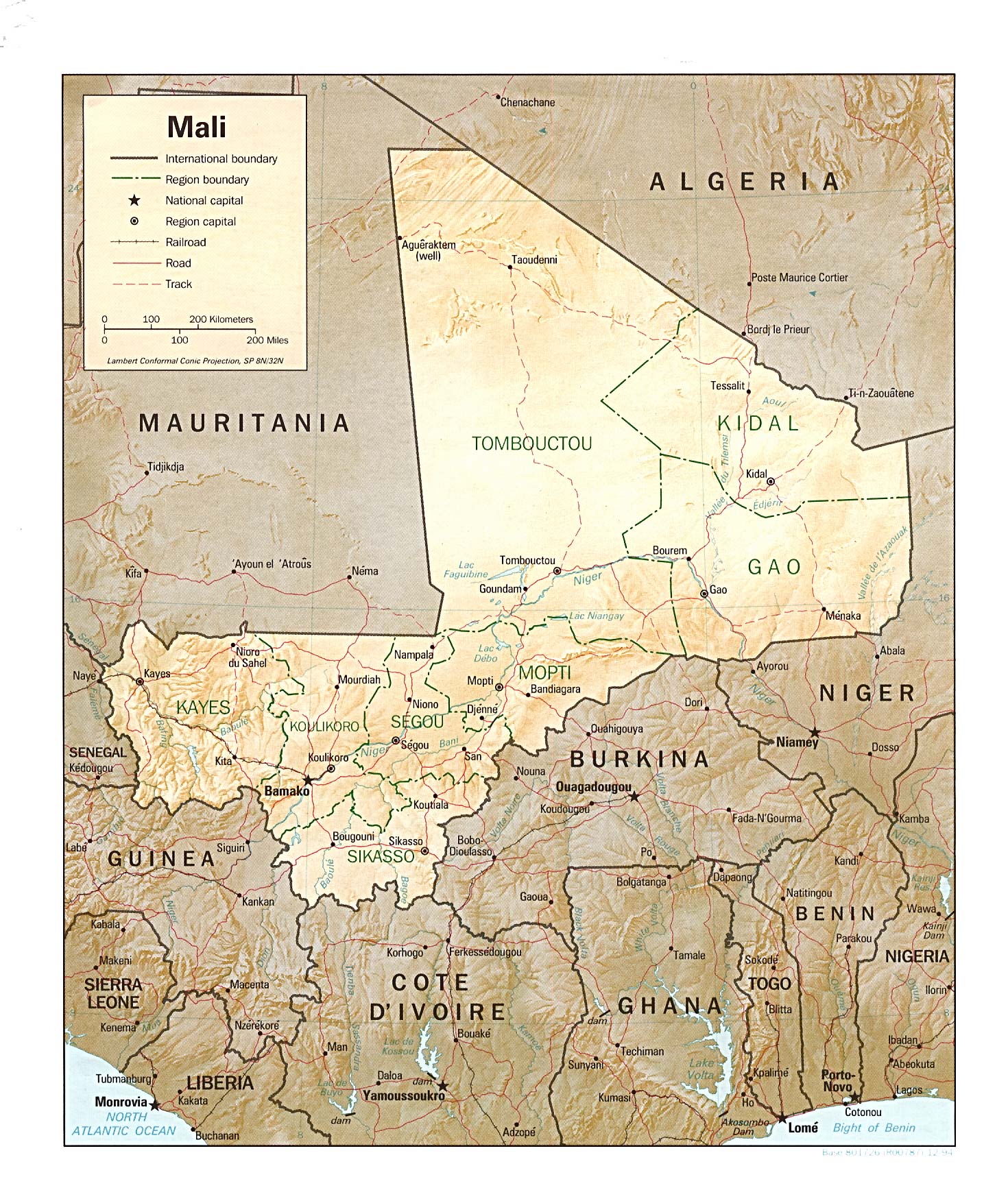
- Mali (Shaded Relief) 1994 (554K) and pdf format (557K)
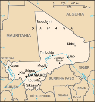
- Mali (Small Map) 2016 (22.1K)
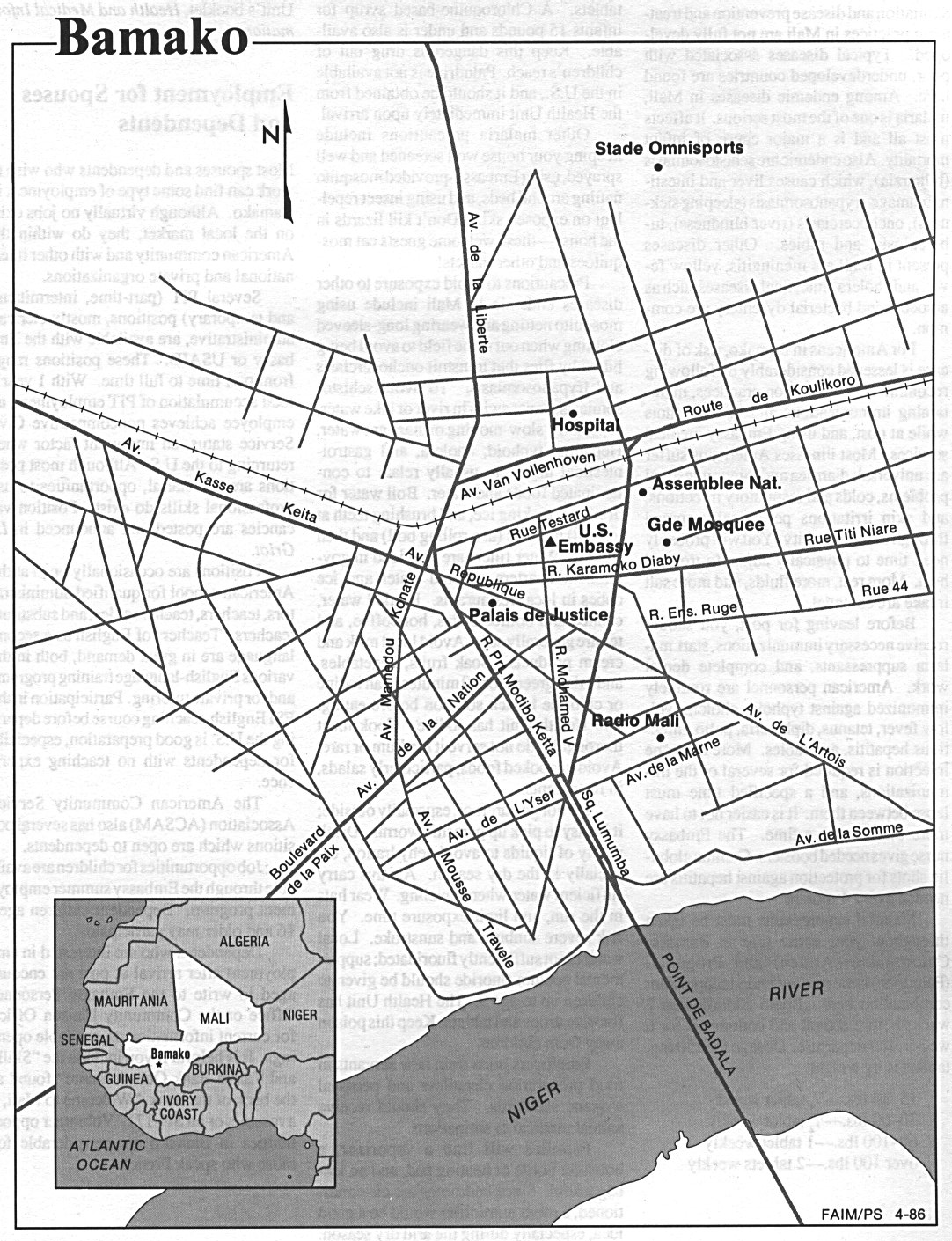
- Bamako U.S. Dept. of State 1986 (436K)
- 1:2,000,000 - Africa Topographic Maps U.S. Army Map Service, Series 2201
- Sheets 7, 11, 12, 16 and 17 include all of Mali
- 1:1,000,000 - International Map of the World U.S. Army Map Service
- This series includes most of Mali
- 1:1,000,000 - Operational Navigation Chart Series U.S. Defense Mapping Agency Aerospace Center
- This series includes all of Mali. Not for navigational use
- 1:500,000 - Tactical Pilotage Chart Series U.S. Defense Mapping Agency Aerospace Center
- This series includes parts of southern and eastern Mali. Not for navigational use
- 1:250,000 - Joint Operations Graphic Series U.S. National Imagery and Mapping Agency
- This series covers areas around Bamako. Not for navigational use
- 1:250,000 - West Africa Topographic Maps U.S. Army Map Service, Series N504
- This series covers parts of southern Mali
- 1:200,000 - French West Africa Topographic Maps U.S. Army Map Service, 1940-
- This historical series covers parts of what is now Mali
- Sheets 7, 11, 12, 16 and 17 include all of Mali
Maps on Other Web Sites
- Mali Maps (ReliefWeb)
- Ebola Outbreak in West Africa - Current Map (CDC)
- Bamako (OpenStreetMap)
- Kayes (OpenStreetMap)
- City Map Sites
- Country Map Sites