Iran, Series 1501, Joint Operations Graphic (Air) 1:250,000 [Not for navigational use]
U.S. National Imagery and Mapping Agency. Earlier sheets produced by the U.S. Defense Mapping Agency.
Complete list of map images in this collection:
- Clickable Index Map (2.5 MB)
- NG 38-3 Madinat Al Malik Khalid Alaskariyah, Saudi Arabia (MB) [GeoPDF]
- NG 38-4 Qaryat Al Ulya, Saudi Arabia (13.8MB) [GeoPDF]
- NG 38-6 Buraydah, Saudi Arabia (10.3MB) [GeoPDF]
- NG 38-7 Al Artawiyah, Saudi Arabia (13.3MB) [GeoPDF]
- NG 38-8 Maqala, Saudi Arabia (13.5MB) [GeoPDF]
- NG 38-10 Al Midhnab, Saudi Arabia (8.8MB) [GeoPDF]
- NG 38-11 Marah, Saudi Arabia (8.4MB) [GeoPDF]
- NG 38-12 Rumah, Saudi Arabia (14.1MB) [GeoPDF]
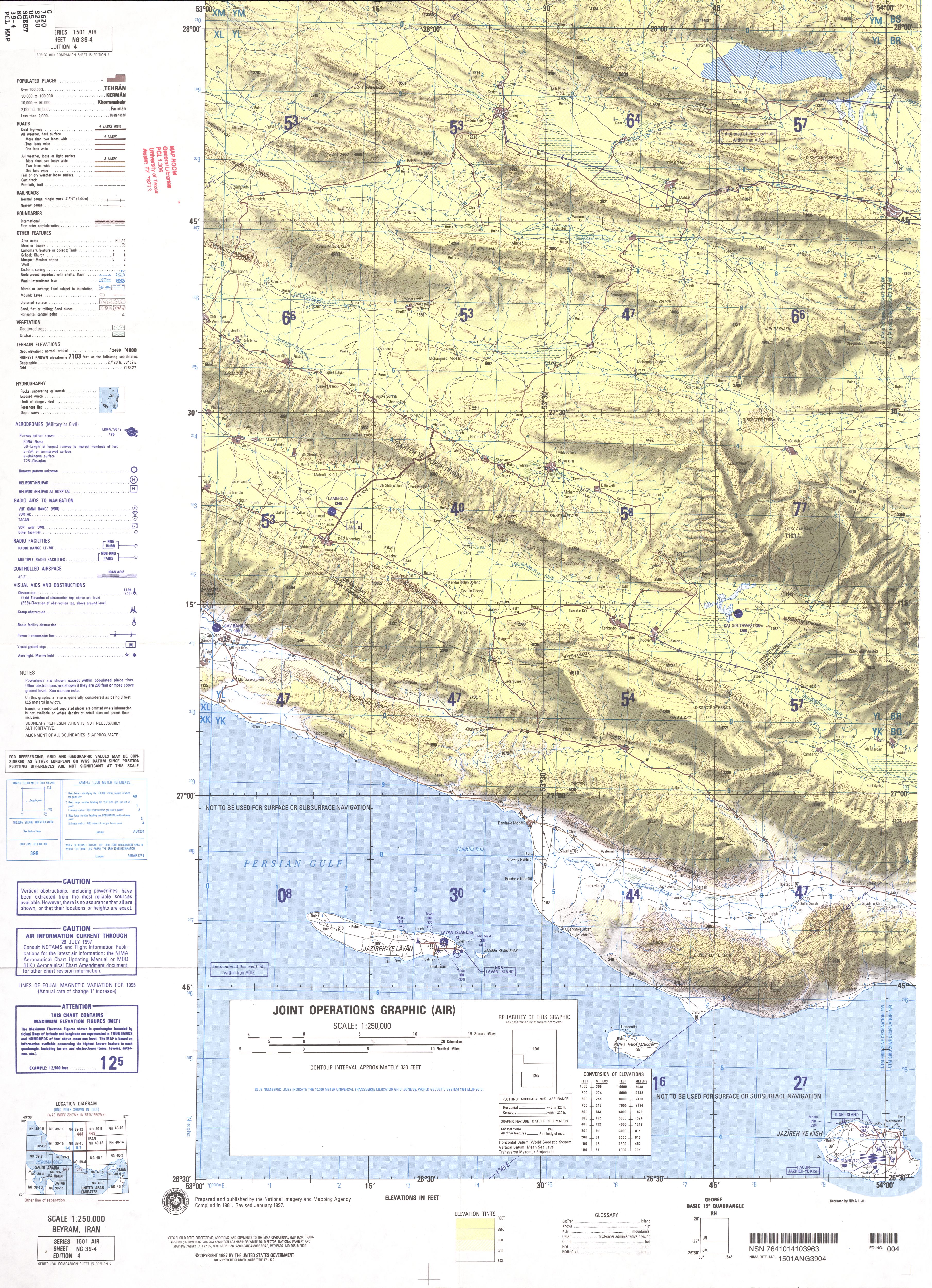
- NG 39-4 Beyram, Iran (4.5 MB)
- NG 40-2 Bandar Abbas, Iran (5.1 MB)
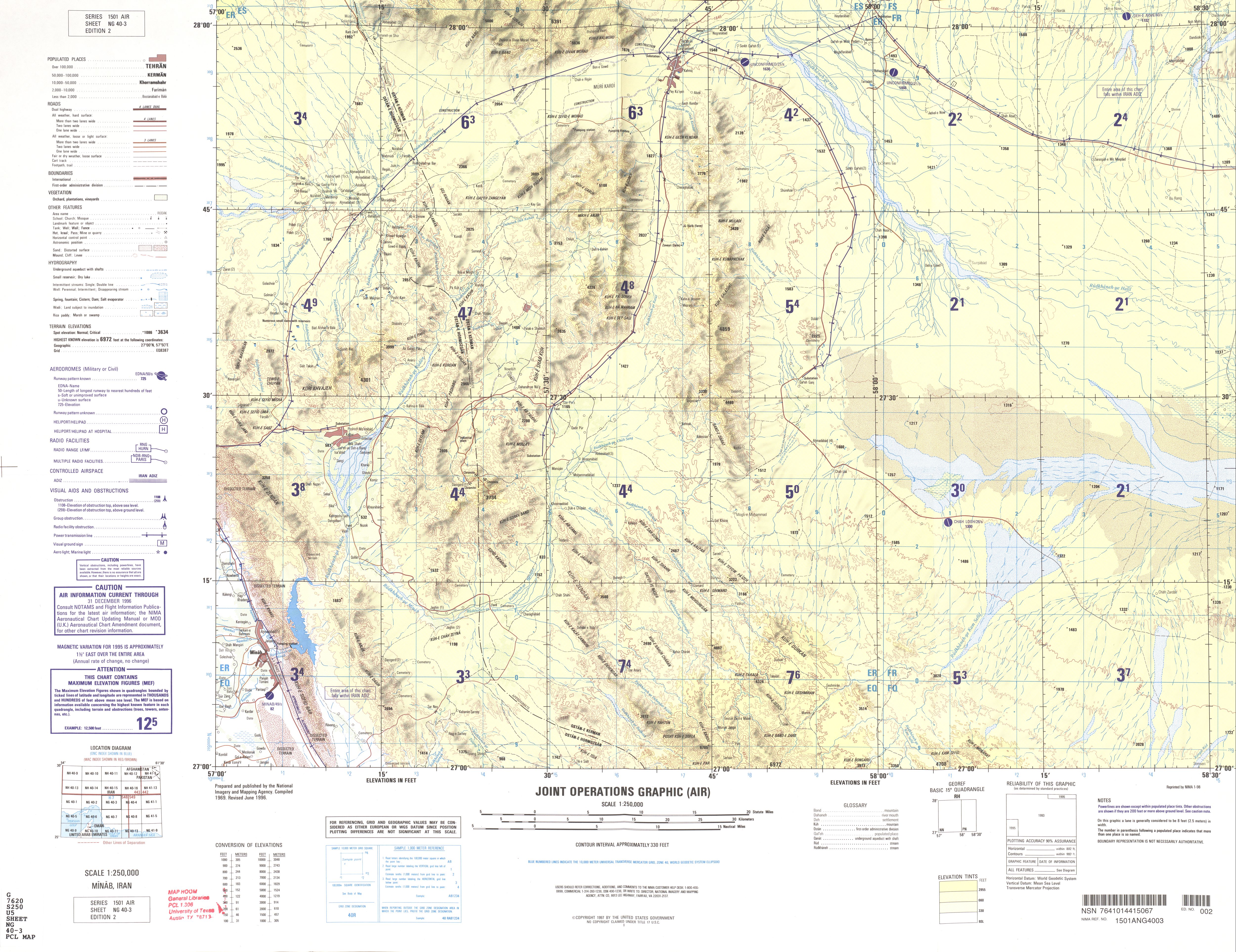
- NG 40-3 Minab, Iran (4.2 MB)
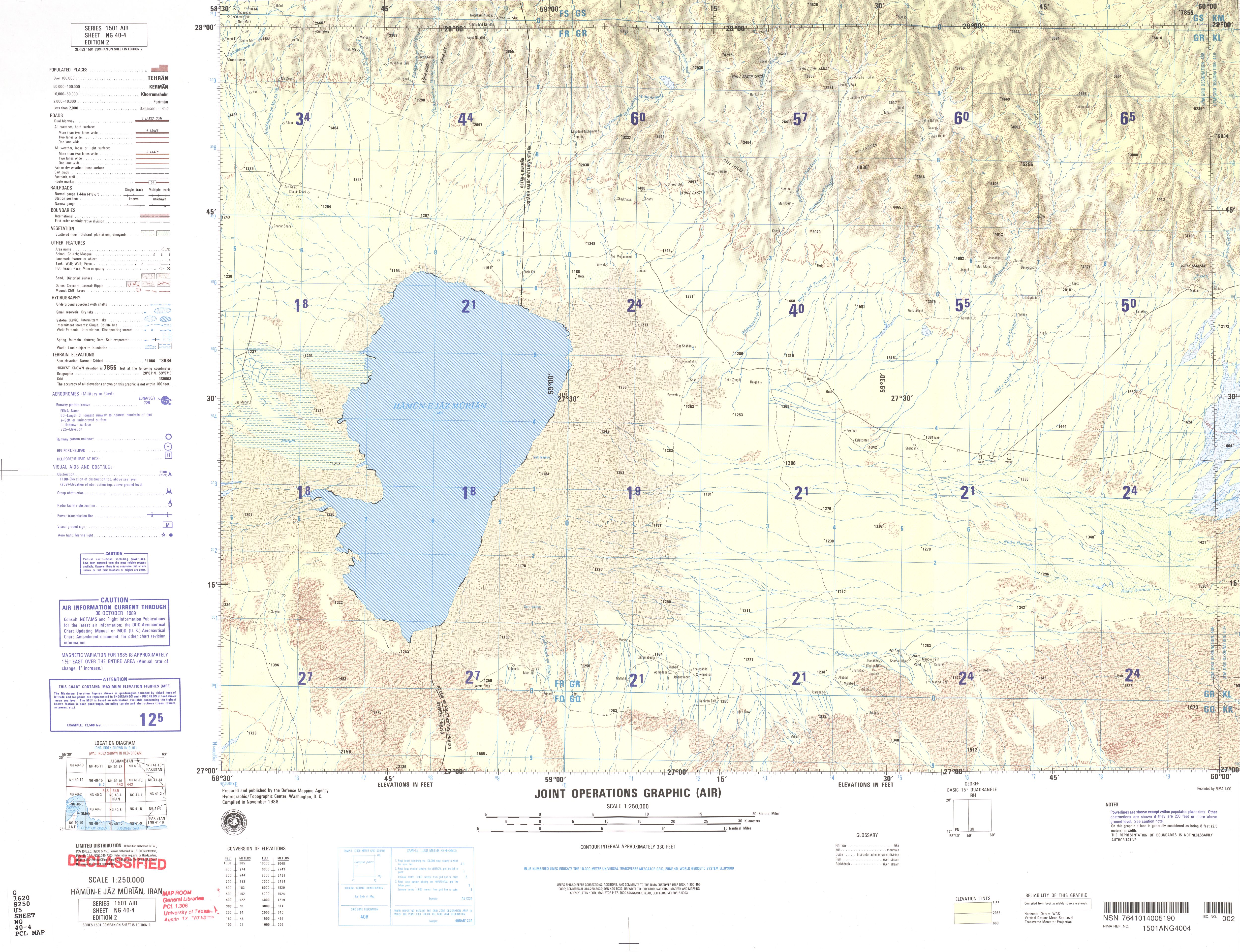
- NG 40-4 Humun-e Jaz Murian, Iran (4.1 MB)
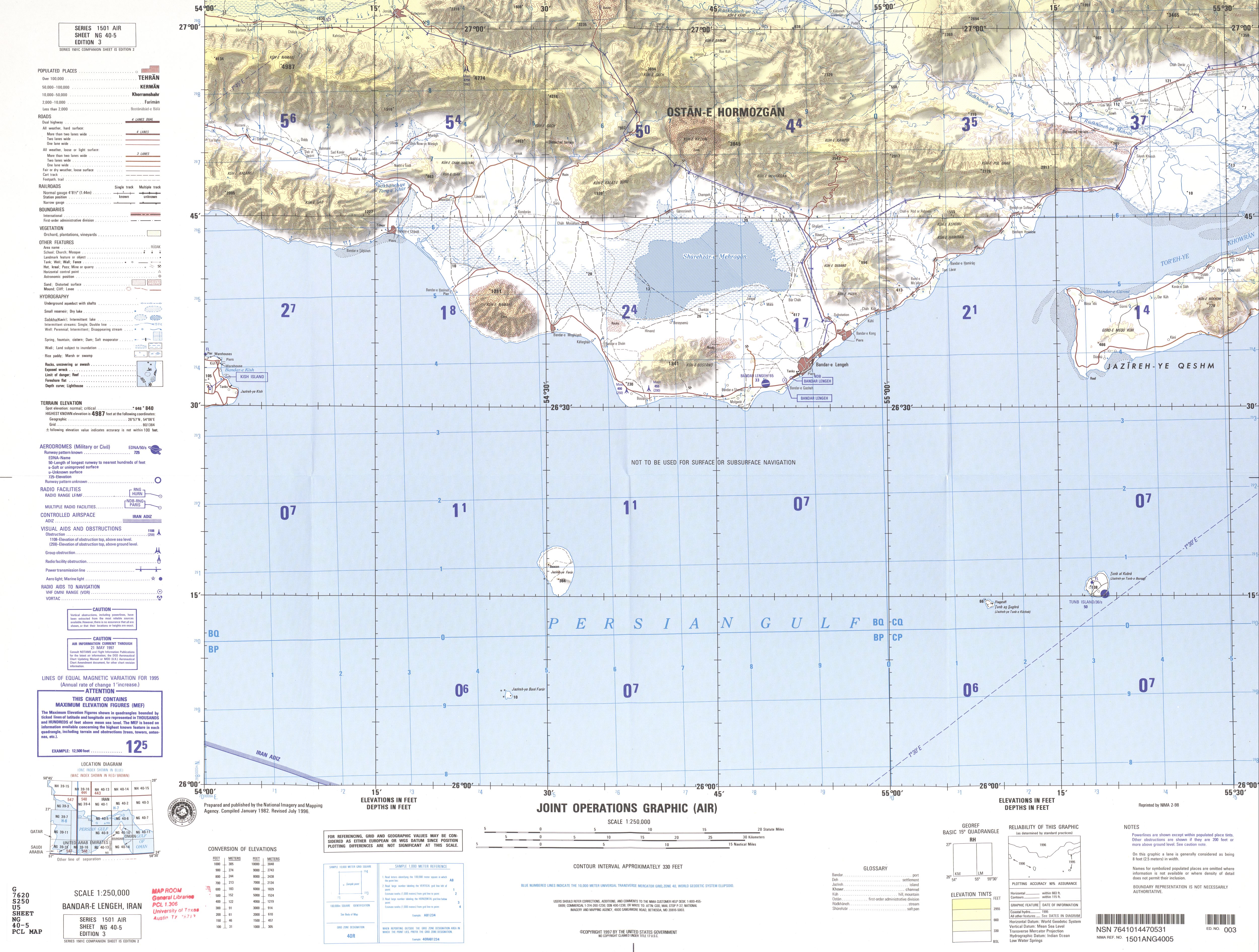
- NG 40-5 Bandar-e Lengeh, Iran (3.7 MB)
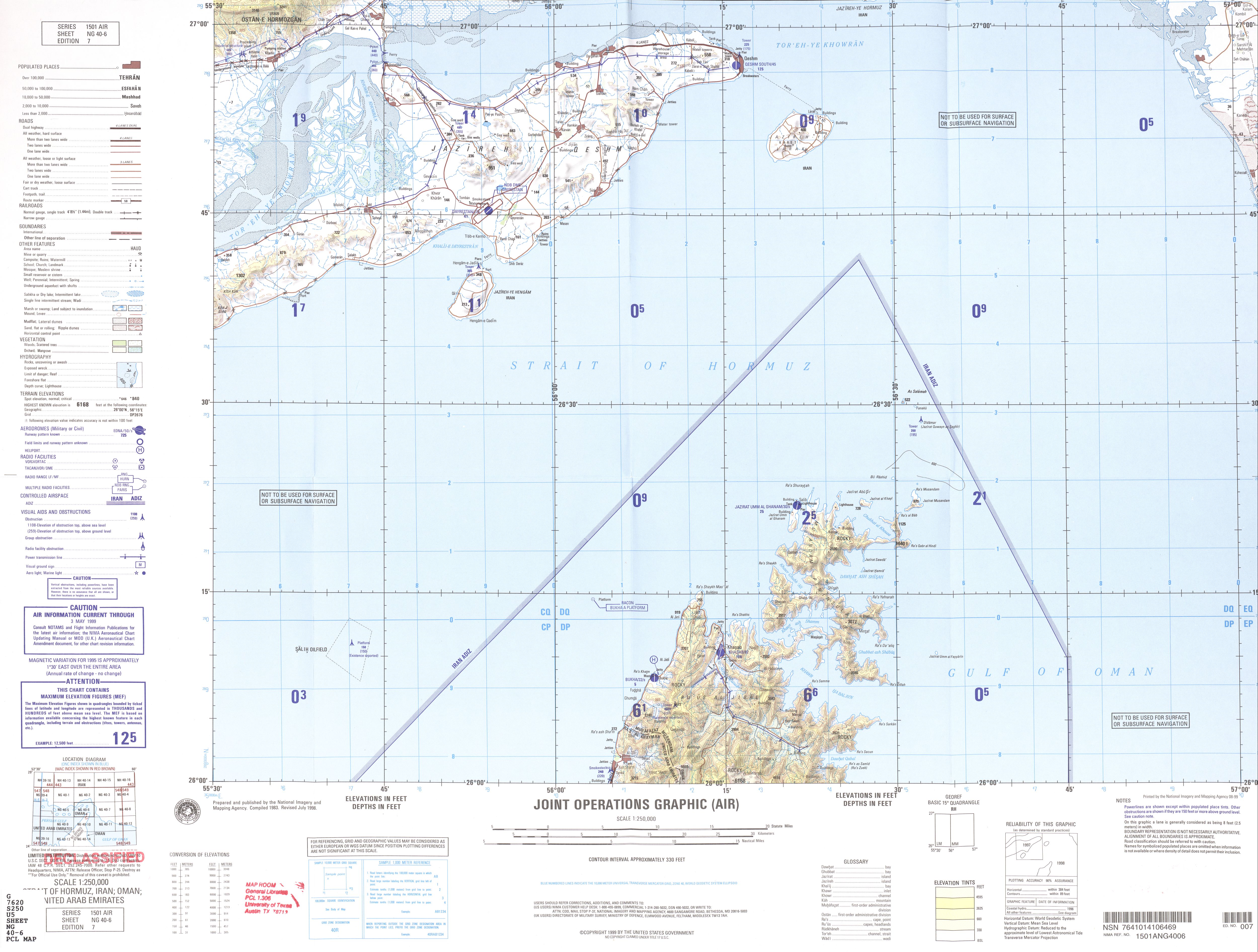
- NG 40-6 Strait of Hormuz, Iran; Oman; United Arab Emirates (2.8 MB)
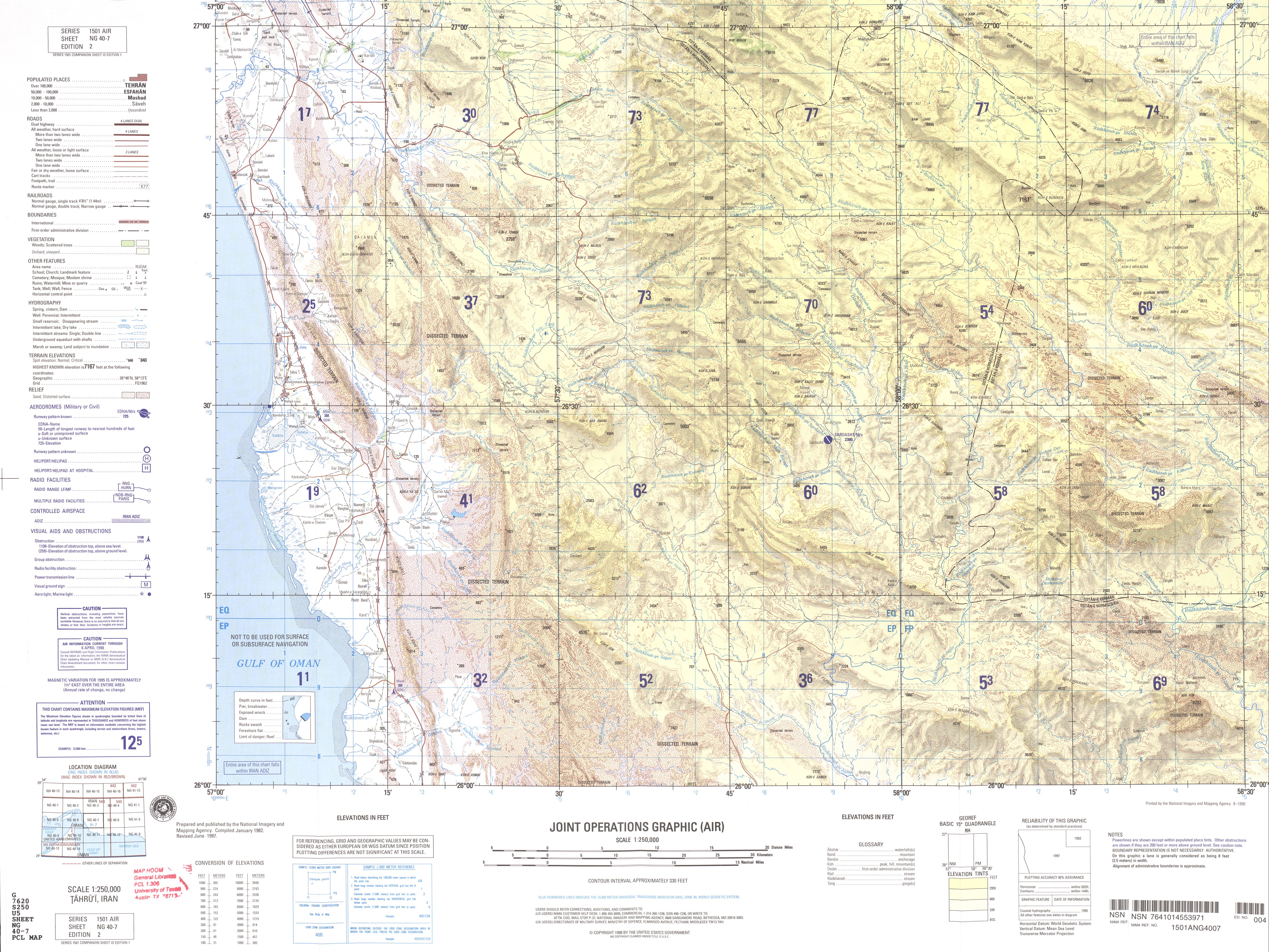
- NG 40-7 Tahru'i, Iran (4.9 MB)
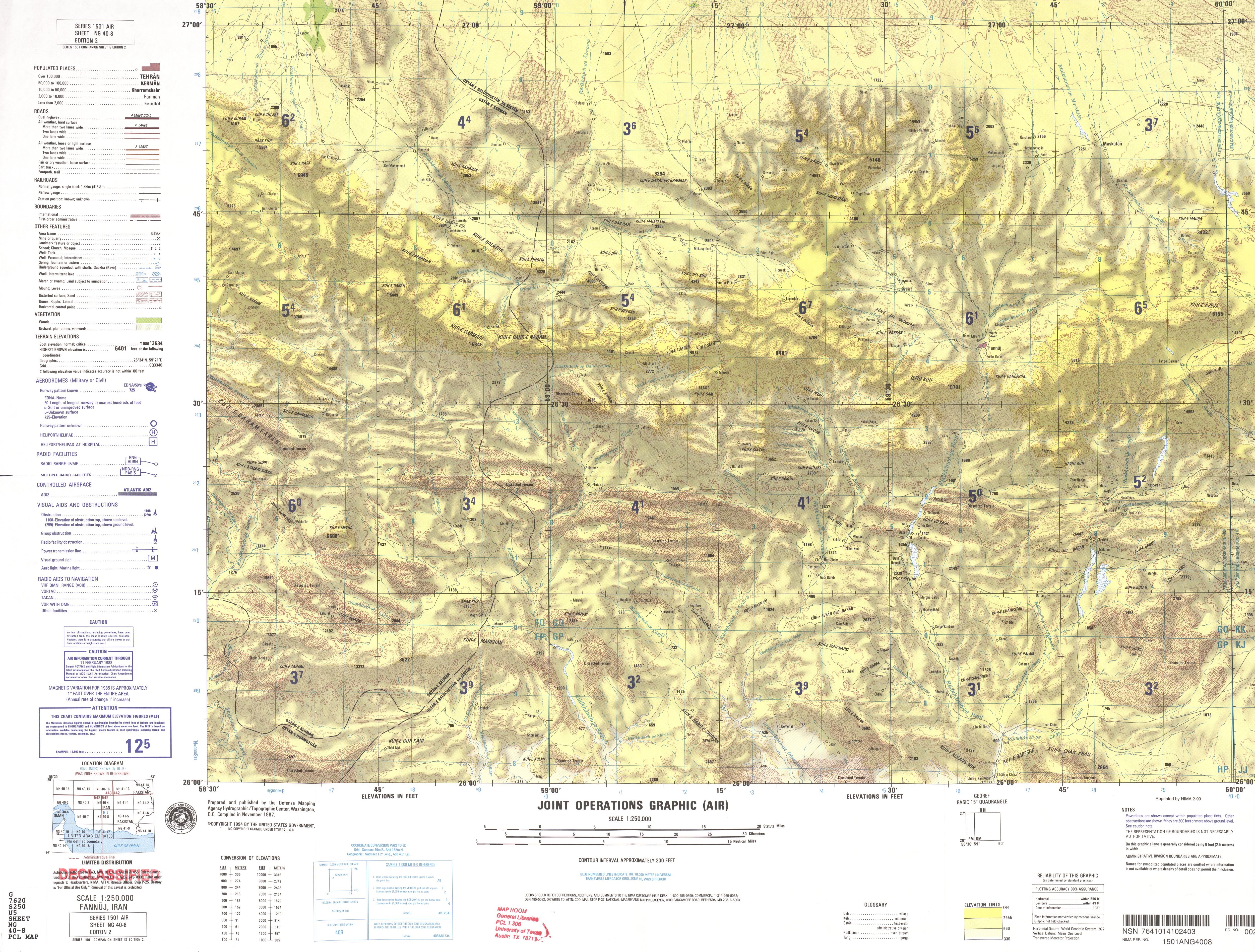
- NG 40-8 Fannuj, Iran (5.2 MB)
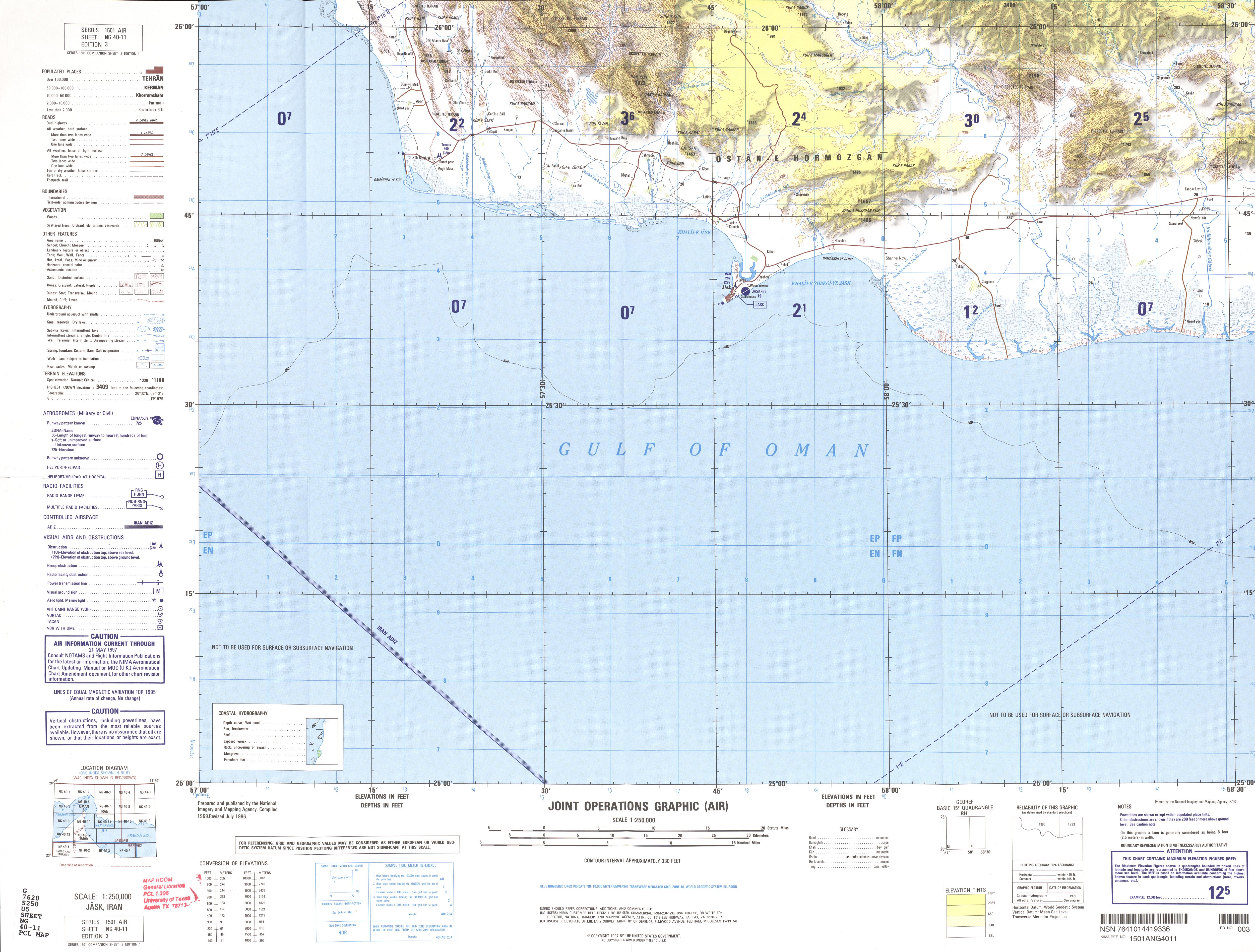
- NG 40-11 Jask, Iran (3.5 MB)
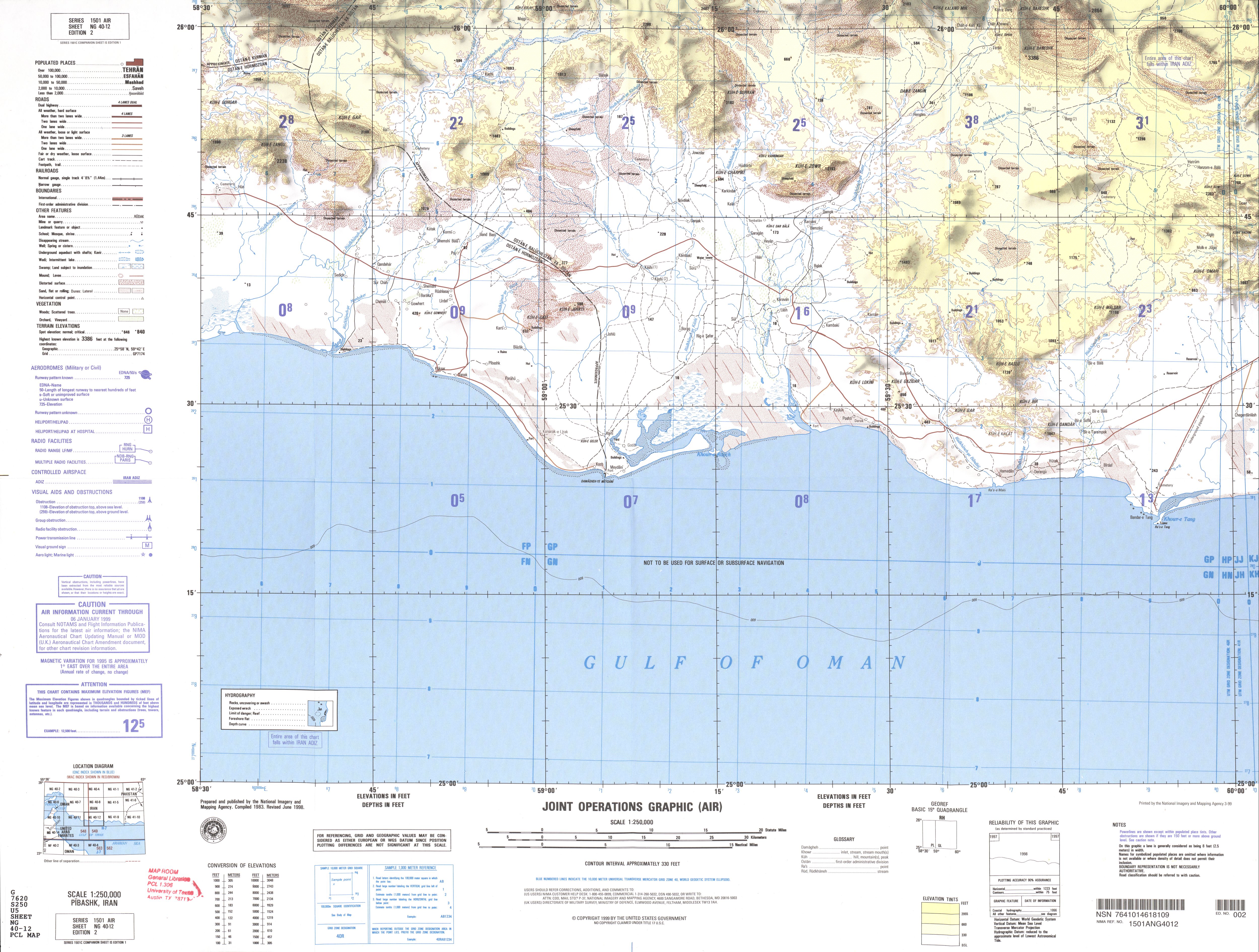
- NG 40-12 Pibashk, Iran (3.8 MB)
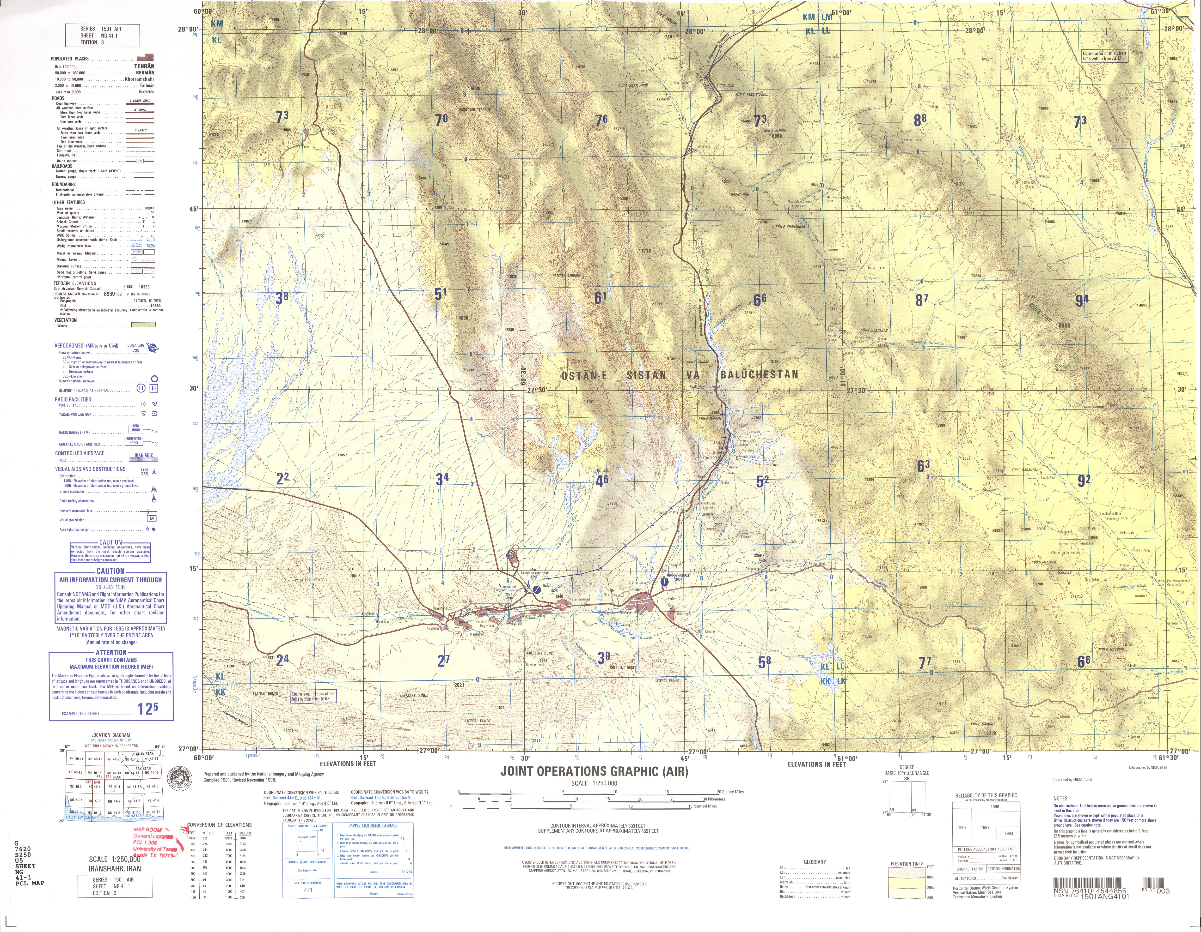
- NG 41-1 Iranshahr, Iran (4.8 MB)
- NG 41-2 Saravan, Iran; Pakistan (4.1 MB)
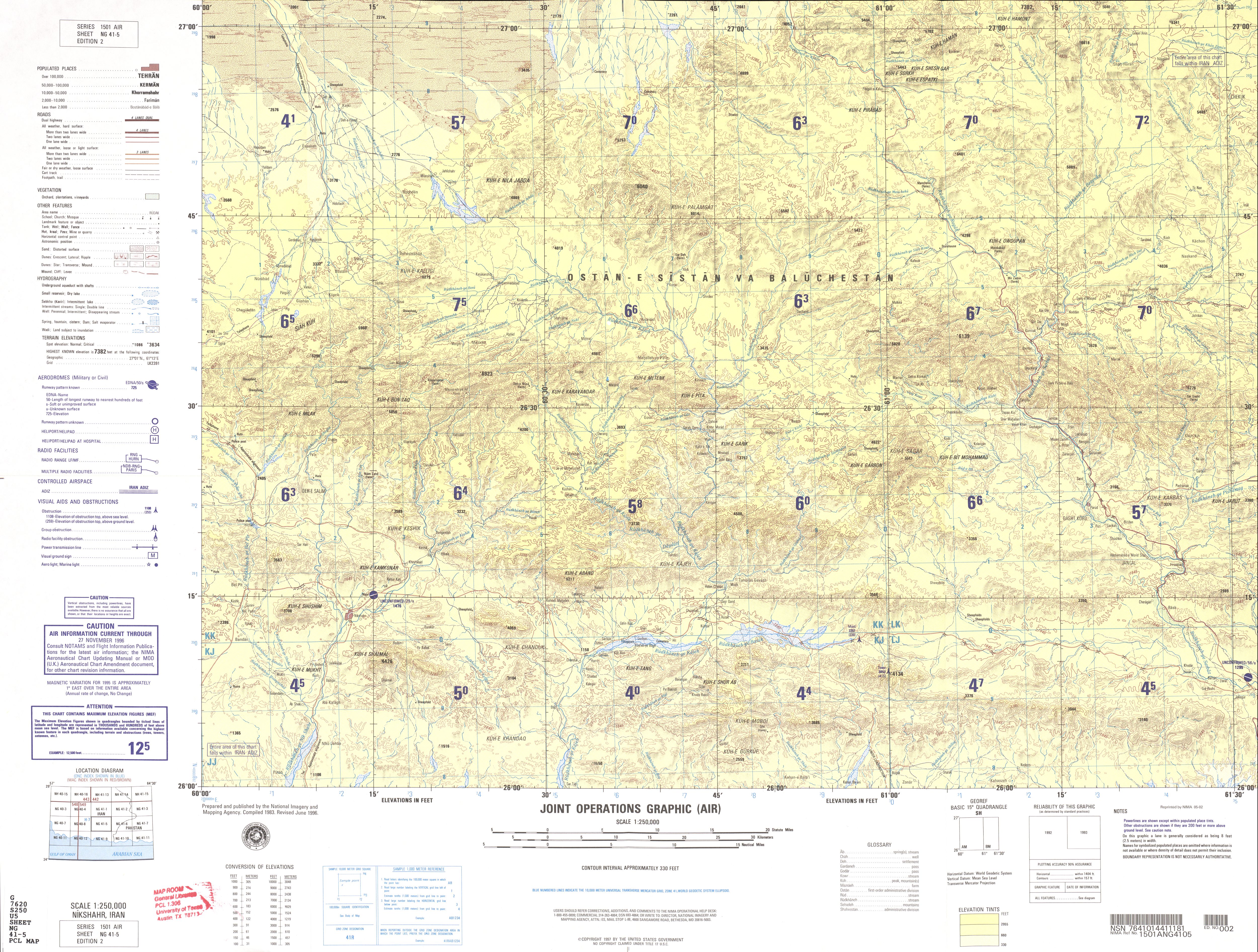
- NG 41-5 Nikshahr, Iran (5.1 MB)
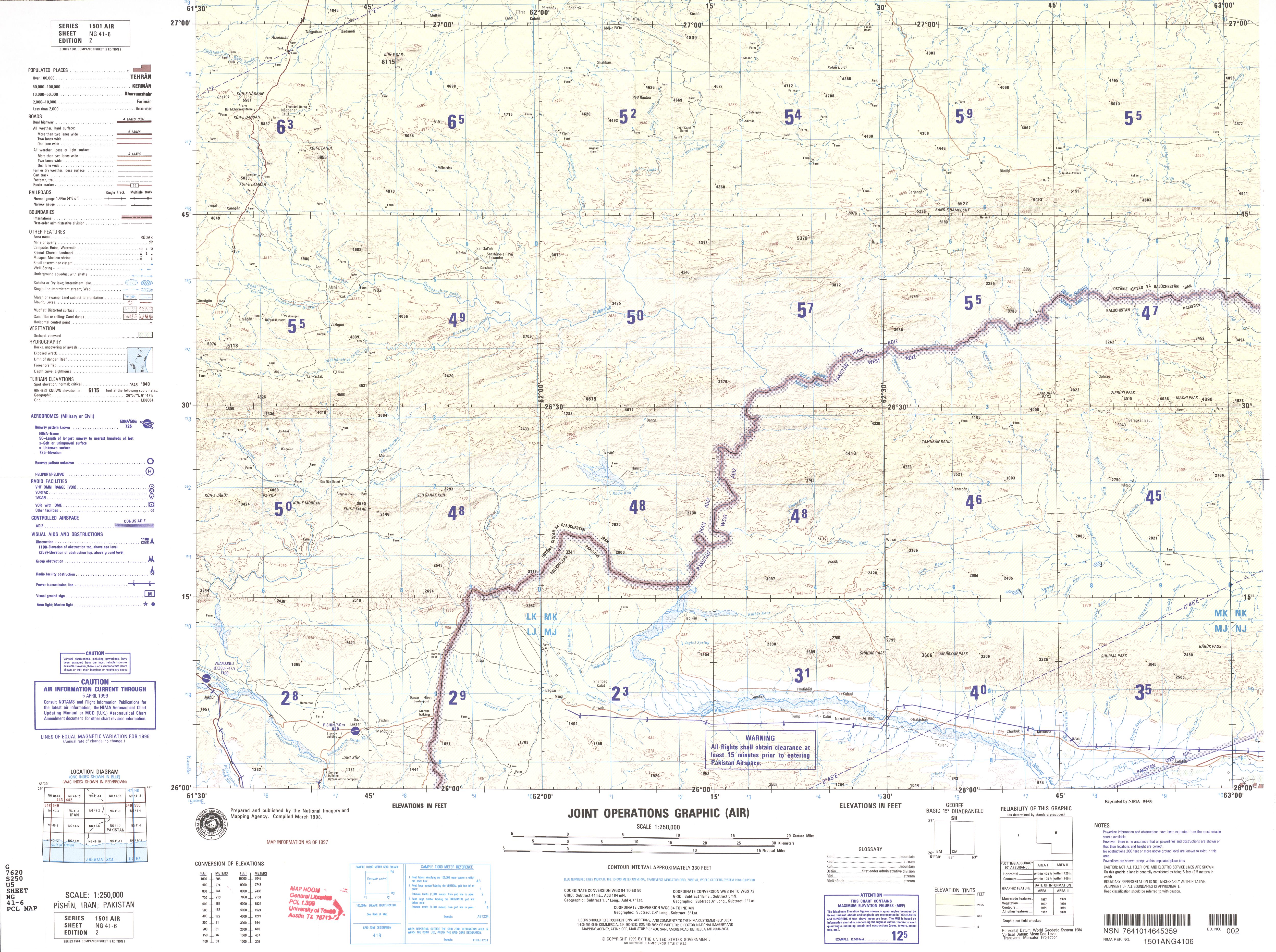
- NG 41-6 Pishin, Iran (3.7 MB)
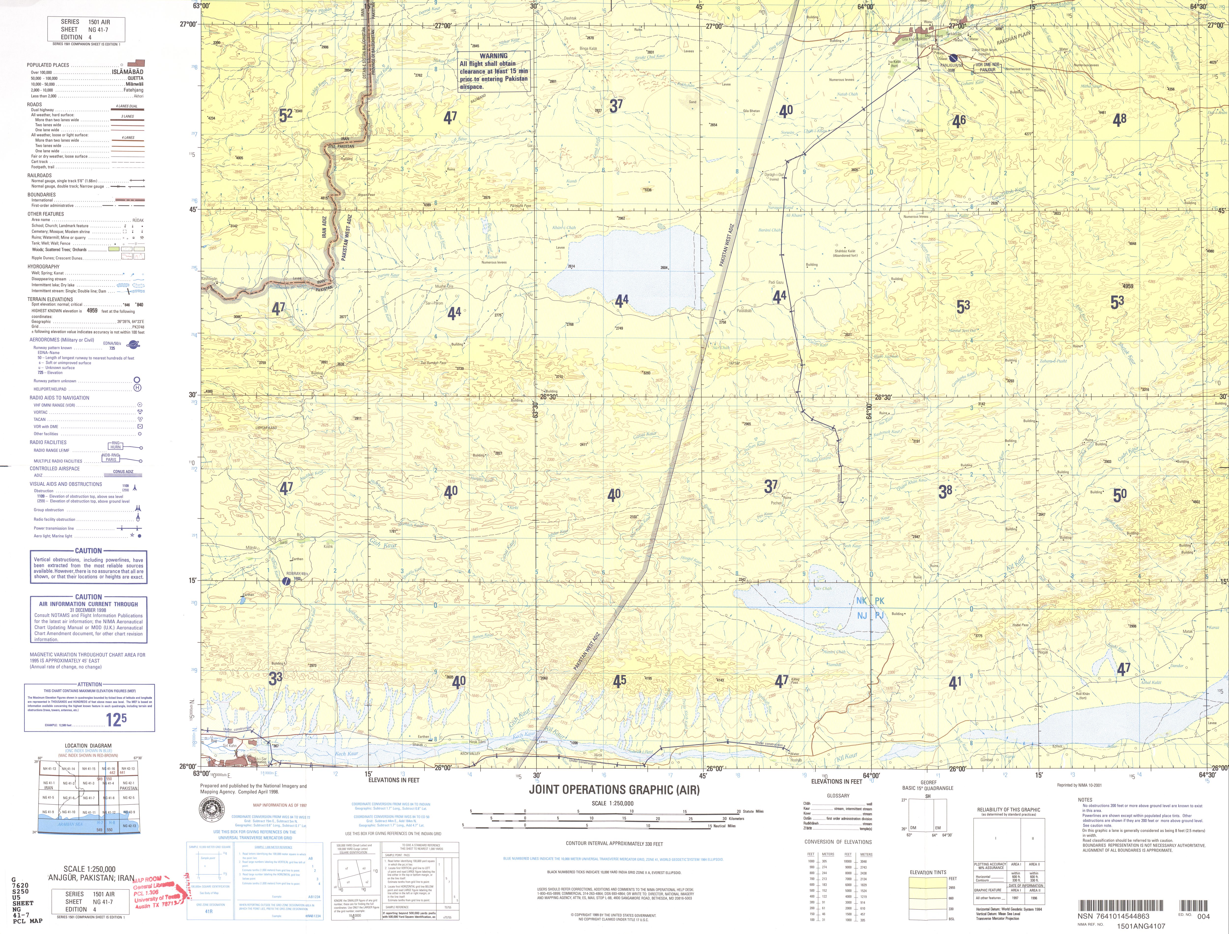
- NG 41-7 Panjgur, Pakistan; Iran (3.6 MB)
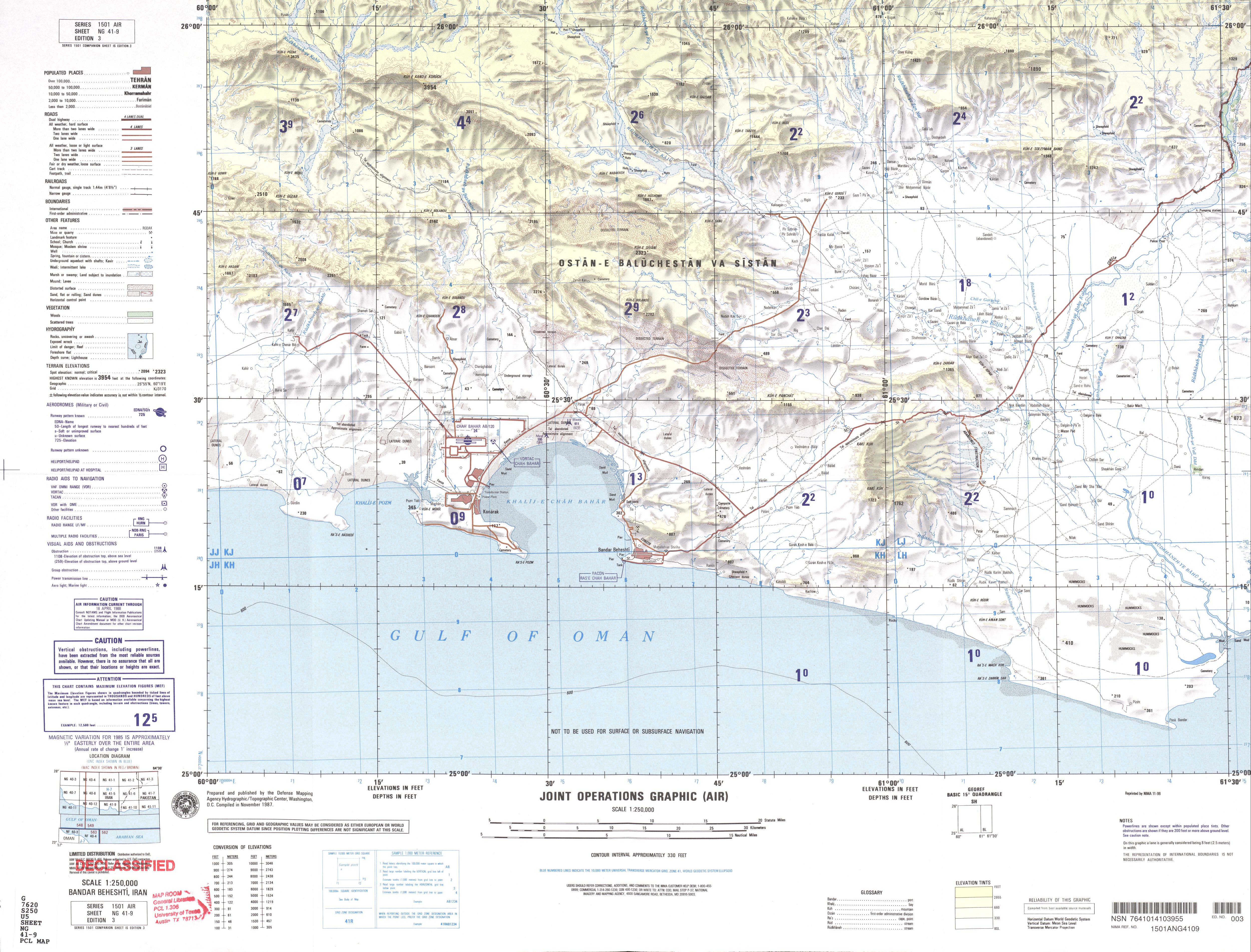
- NG 41-9 Bandar Beheshti, Iran (3.7 MB)
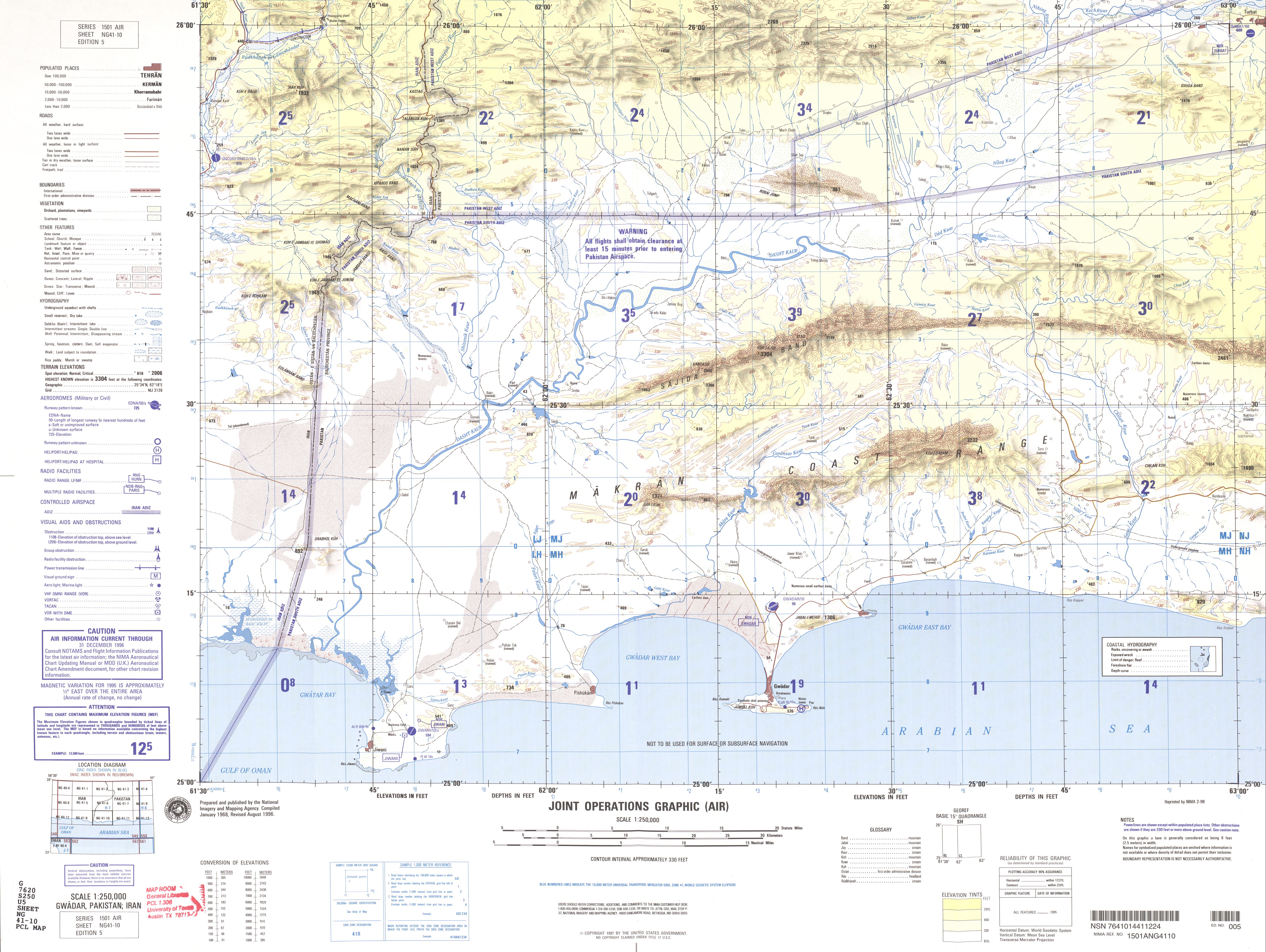
- NG 41-10 Gwadar, Pakistan; Iran (3.7 MB)
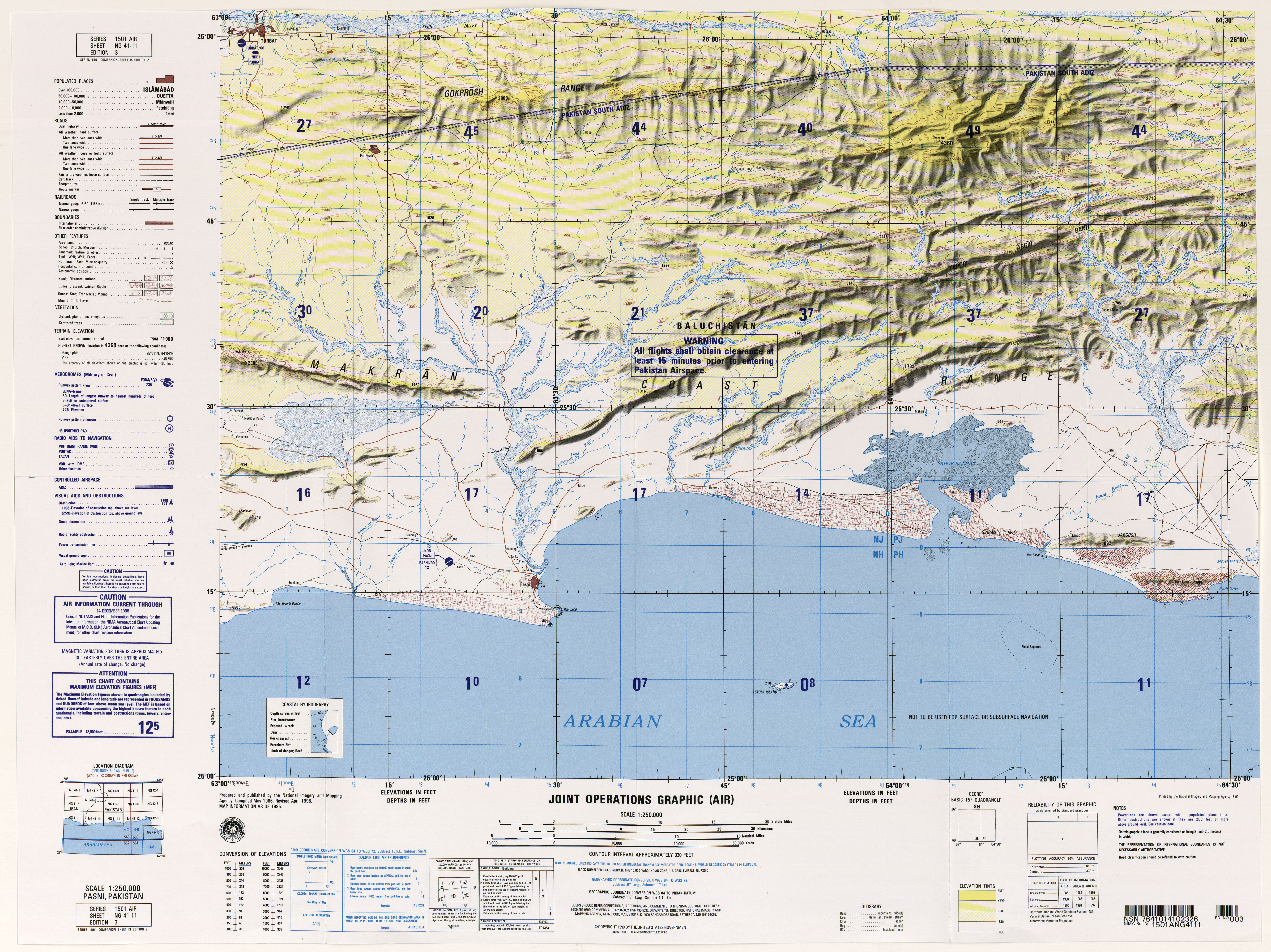
- NG 41-11 Pasni, Pakistan (6.7MB)
- NH 38-4 Al Amarah, Iraq; Iran (37.4MB)
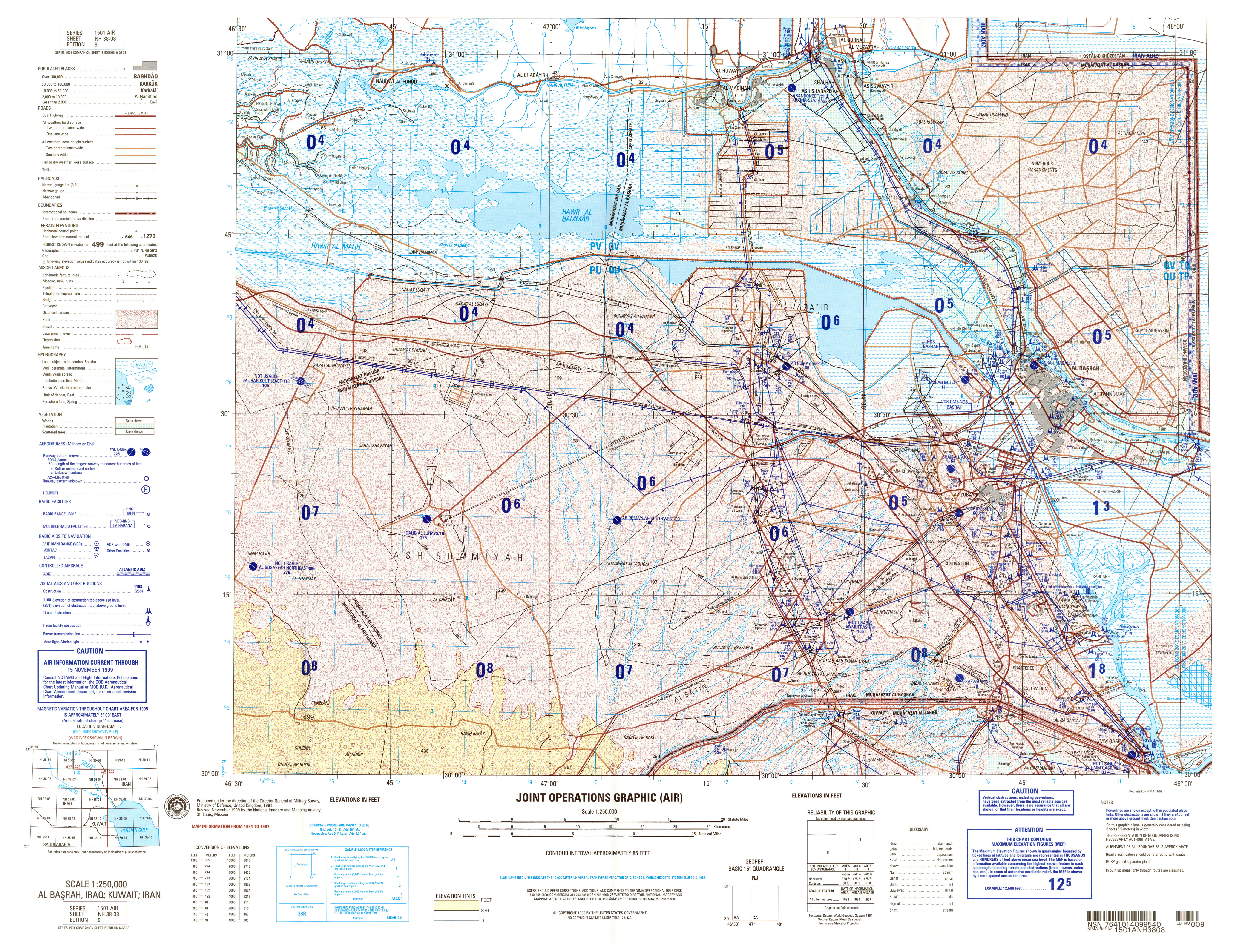
- NH 38-8 Al Basrah, Iraq (8.7MB)
- NH 38-15 Hafar Al Batin, Saudi Arabia (7.5MB) [GeoPDF]
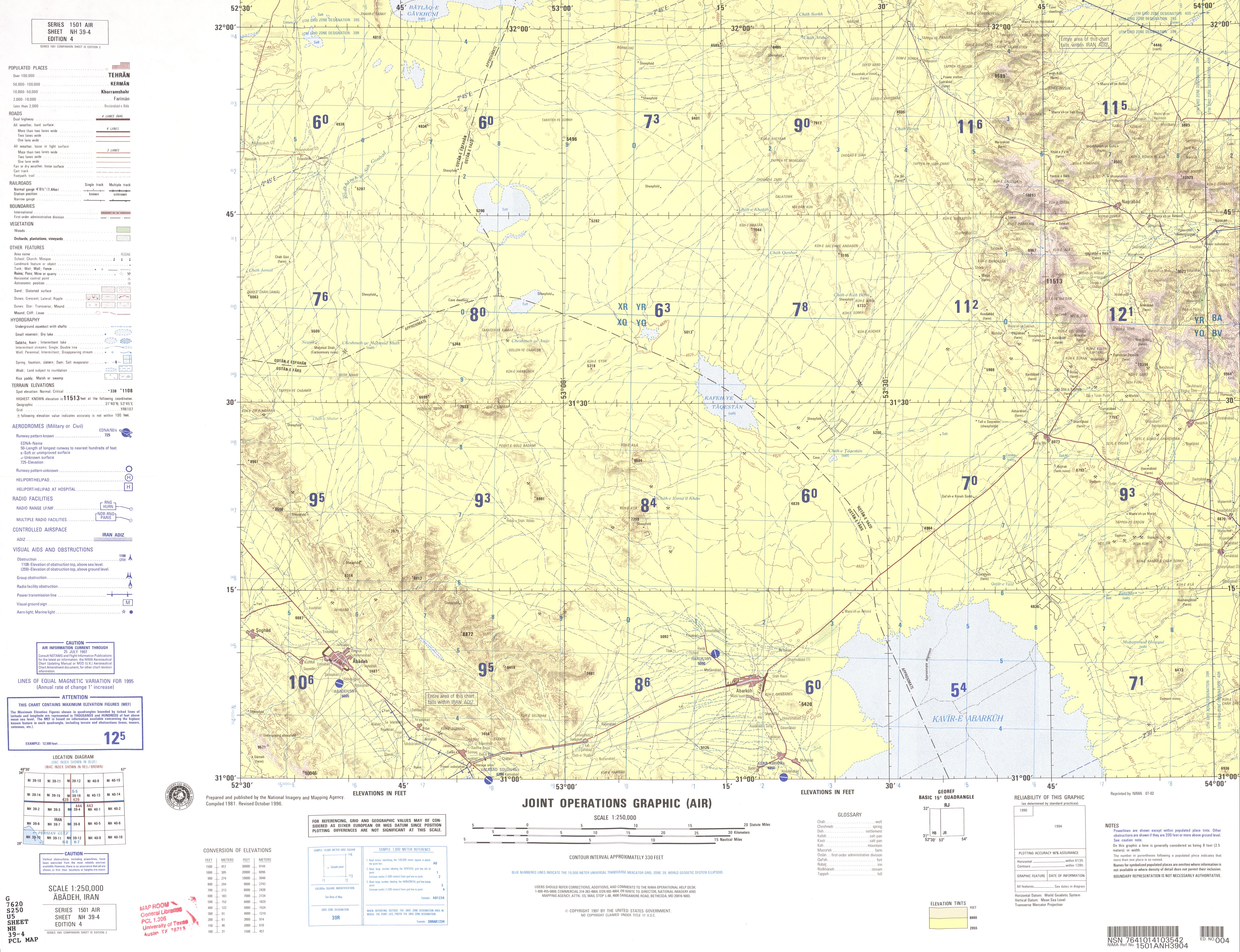
- NH 39-4 Abadeh, Iran (3.7 MB)
- NH 39-5 Abadan, Iran; Kuwait (21.5MB)
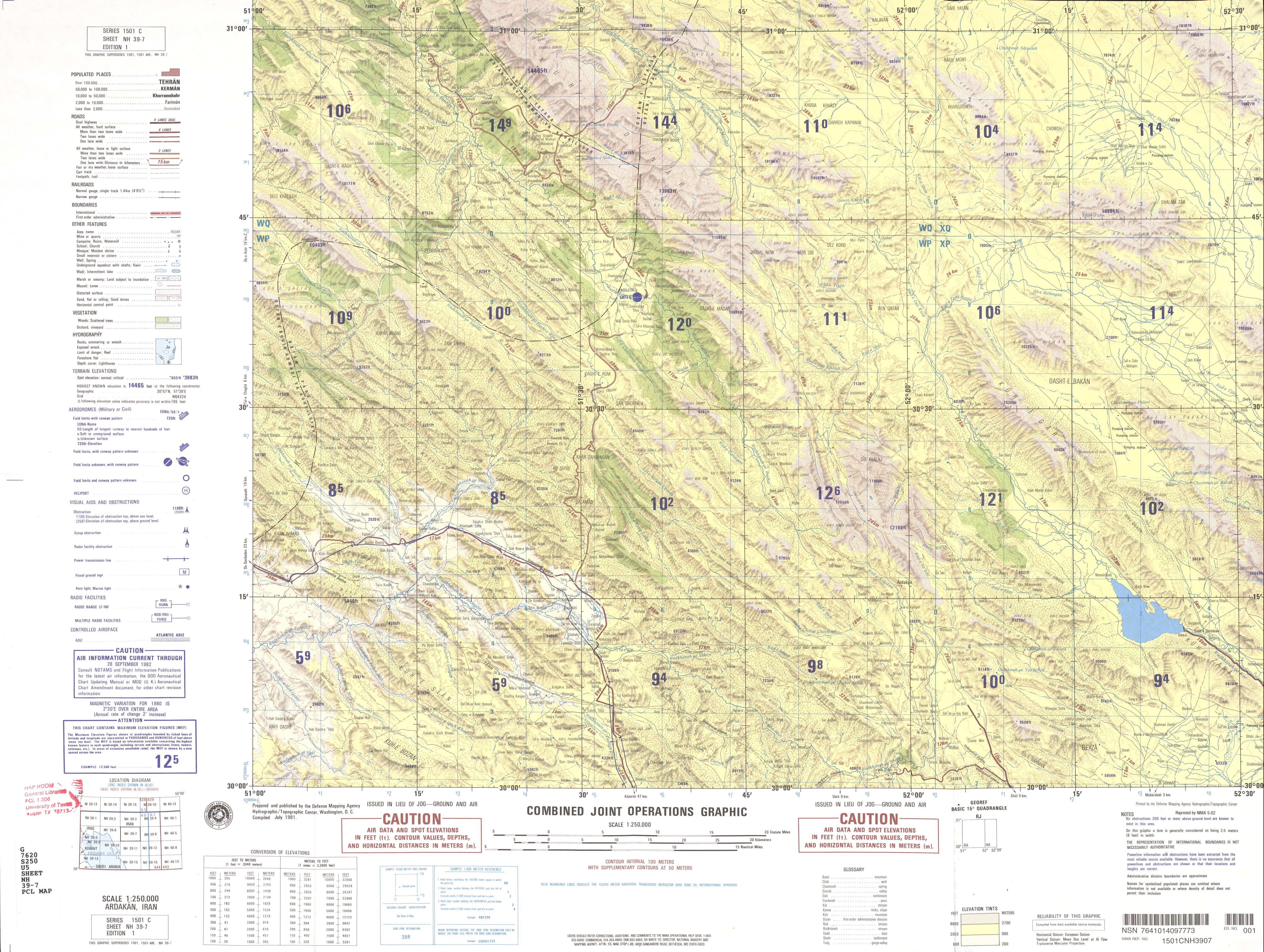
- NH 39-7 Ardakan, Iran (4.8 MB)
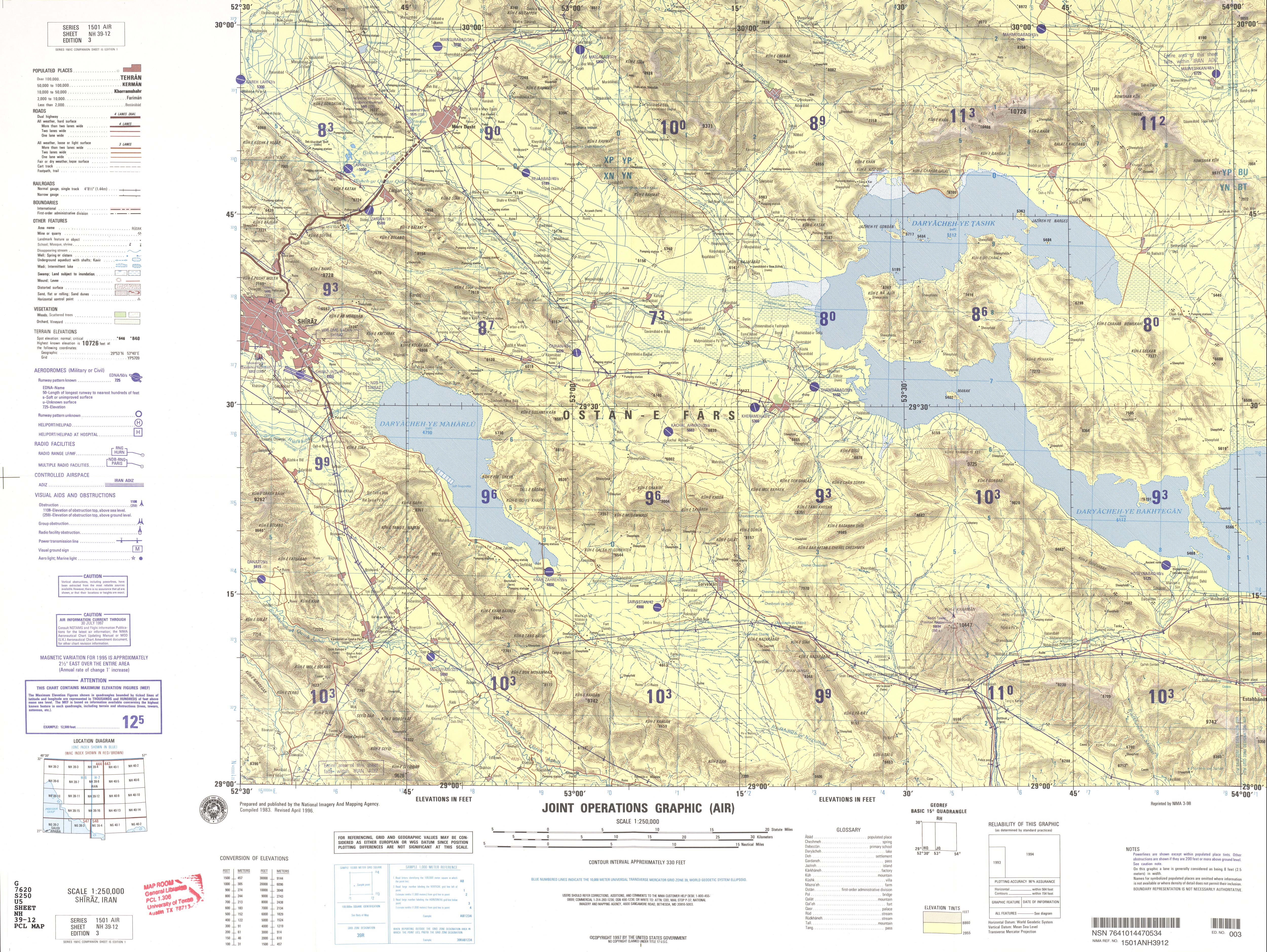
- NH 39-12 Shiraz, Iran (5.0 MB)
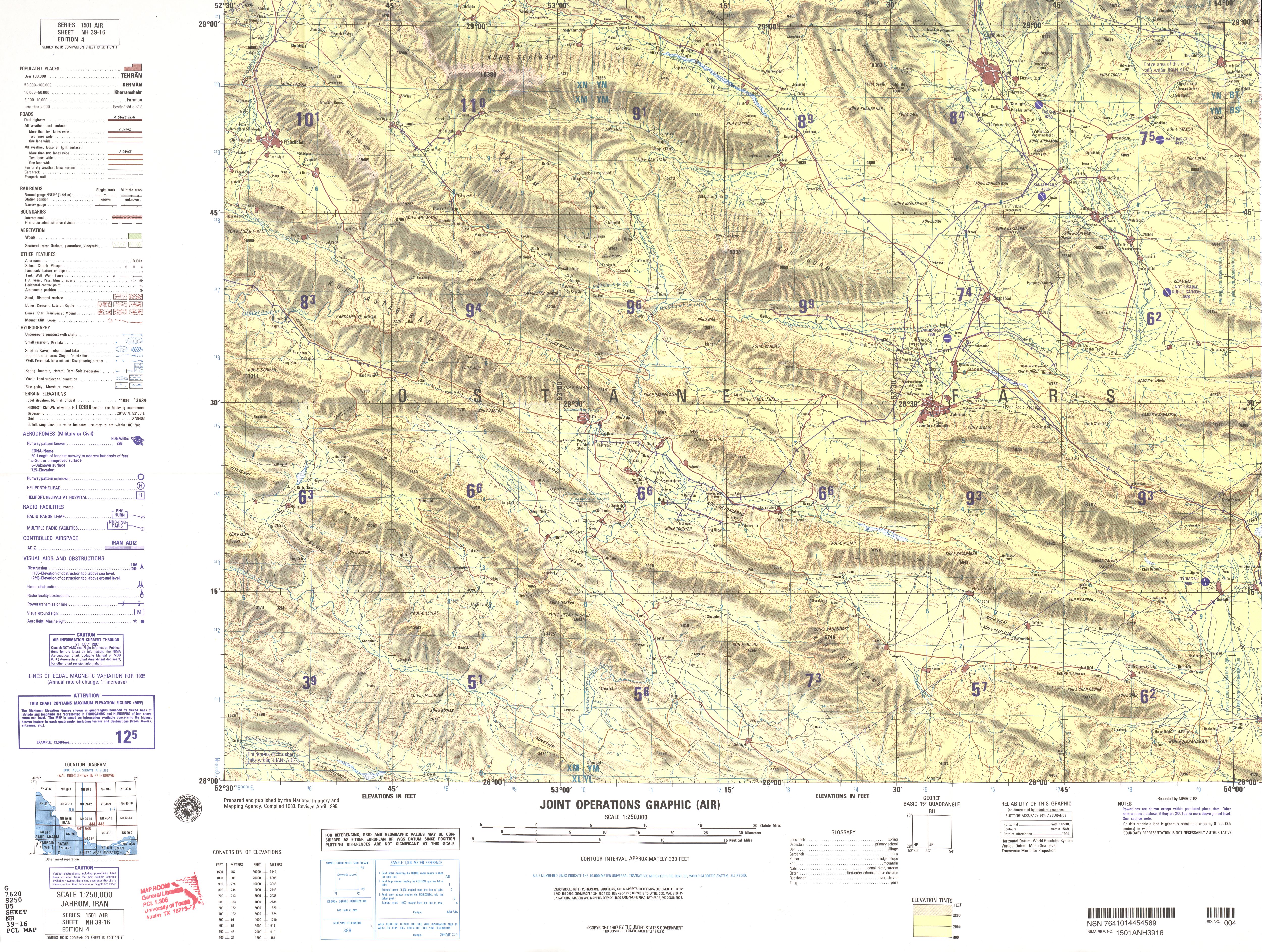
- NH 39-16 Jahrom, Iran (5.2 MB)
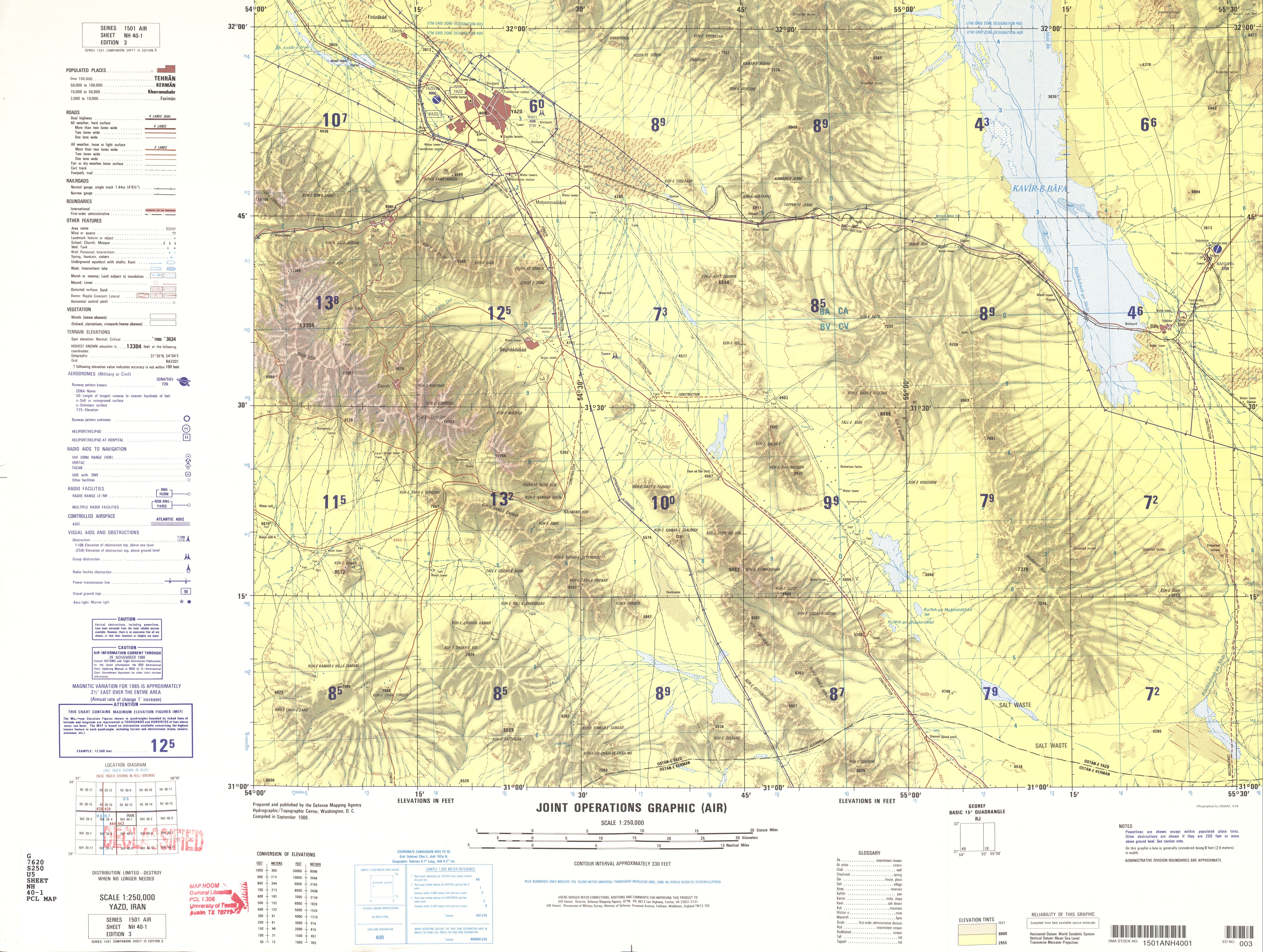
- NH 40-1 Yazd, Iran (4.1 MB)
- NH 40-2 Ravar, Iran (4.5 MB)
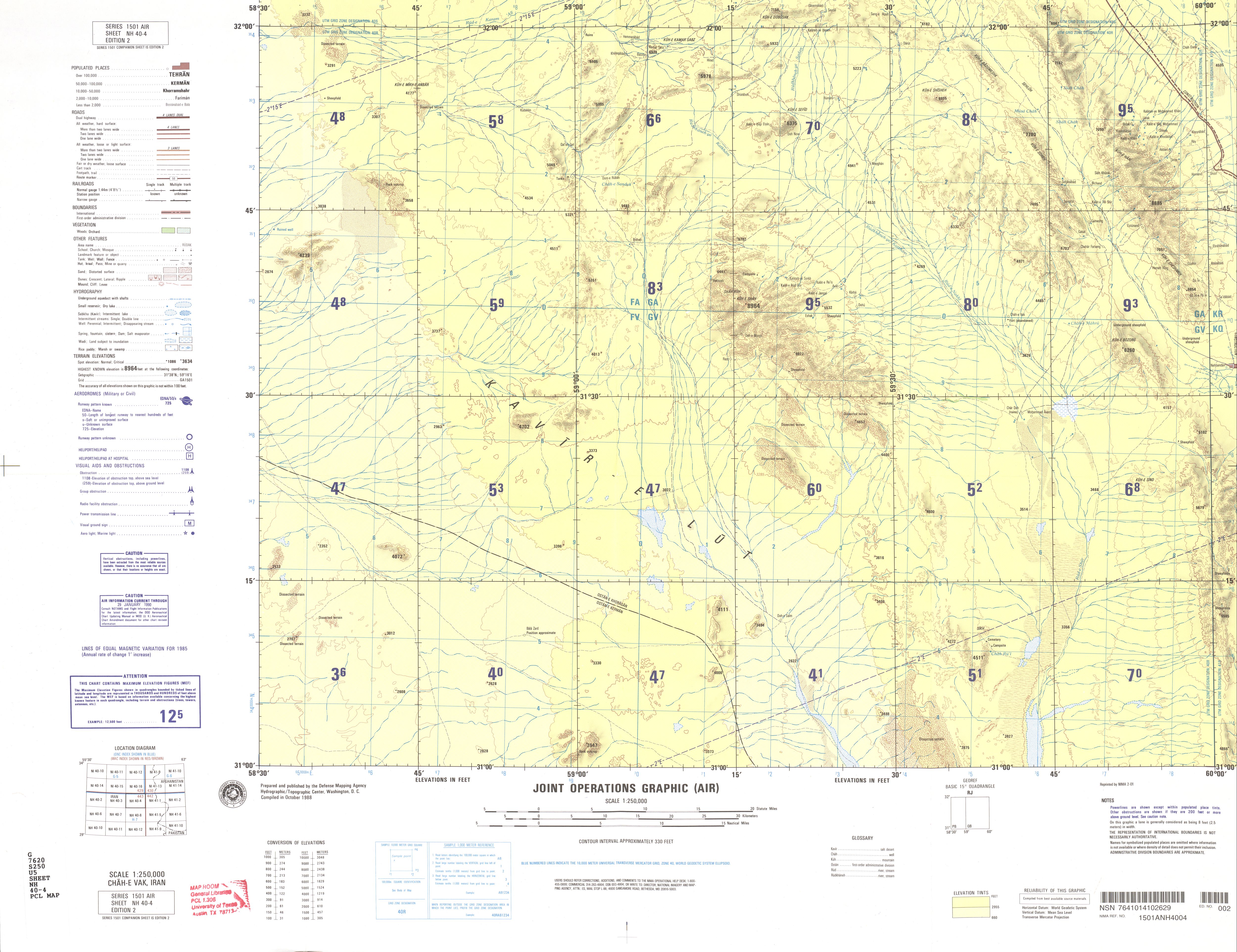
- NH 40-4 Chah-e Vak, Iran (3.1 MB)
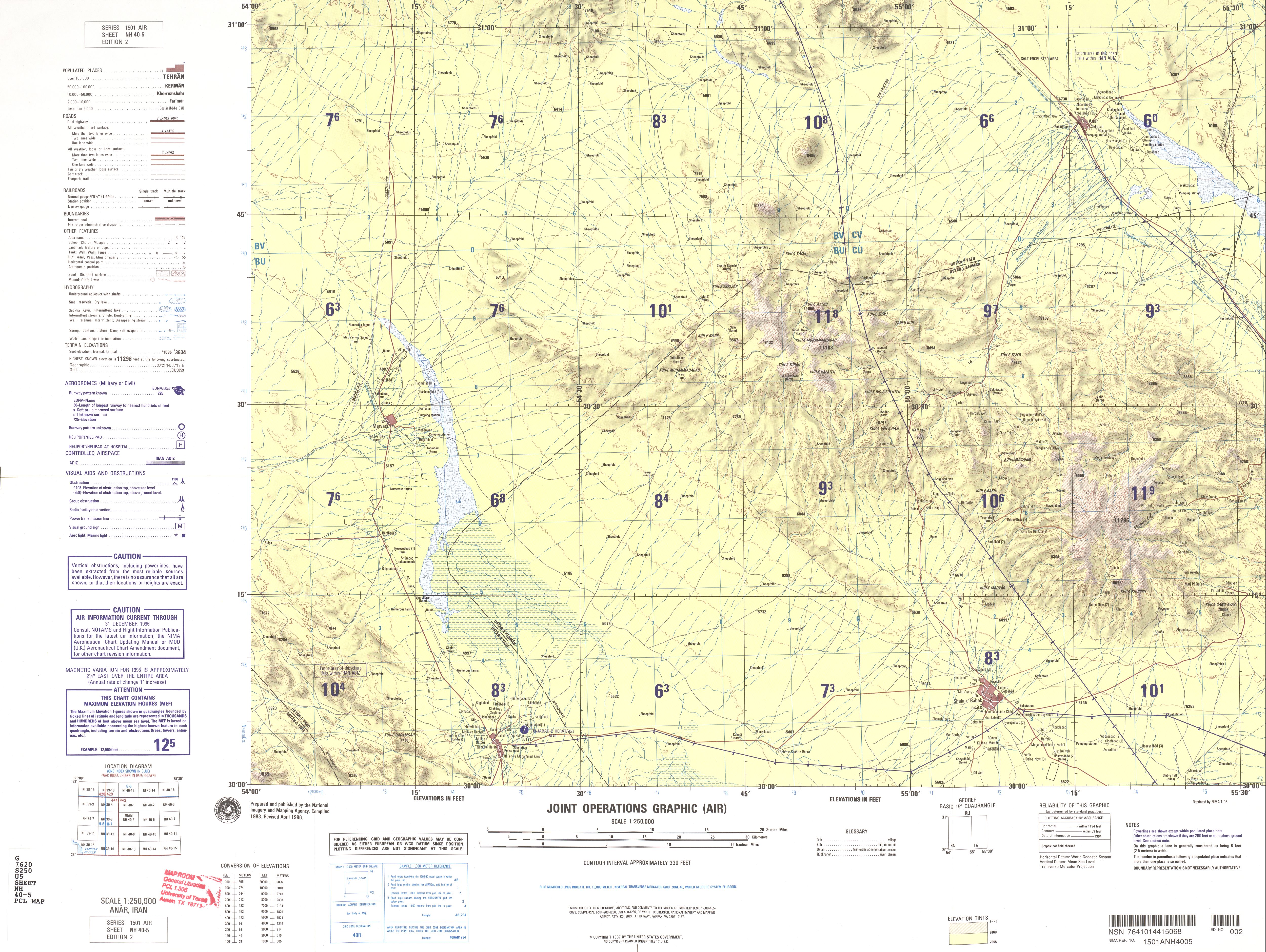
- NH 40-5 Anar, Iran (3.7 MB)
- NH 40-6 Rafsanjan, Iran (4.7 MB)
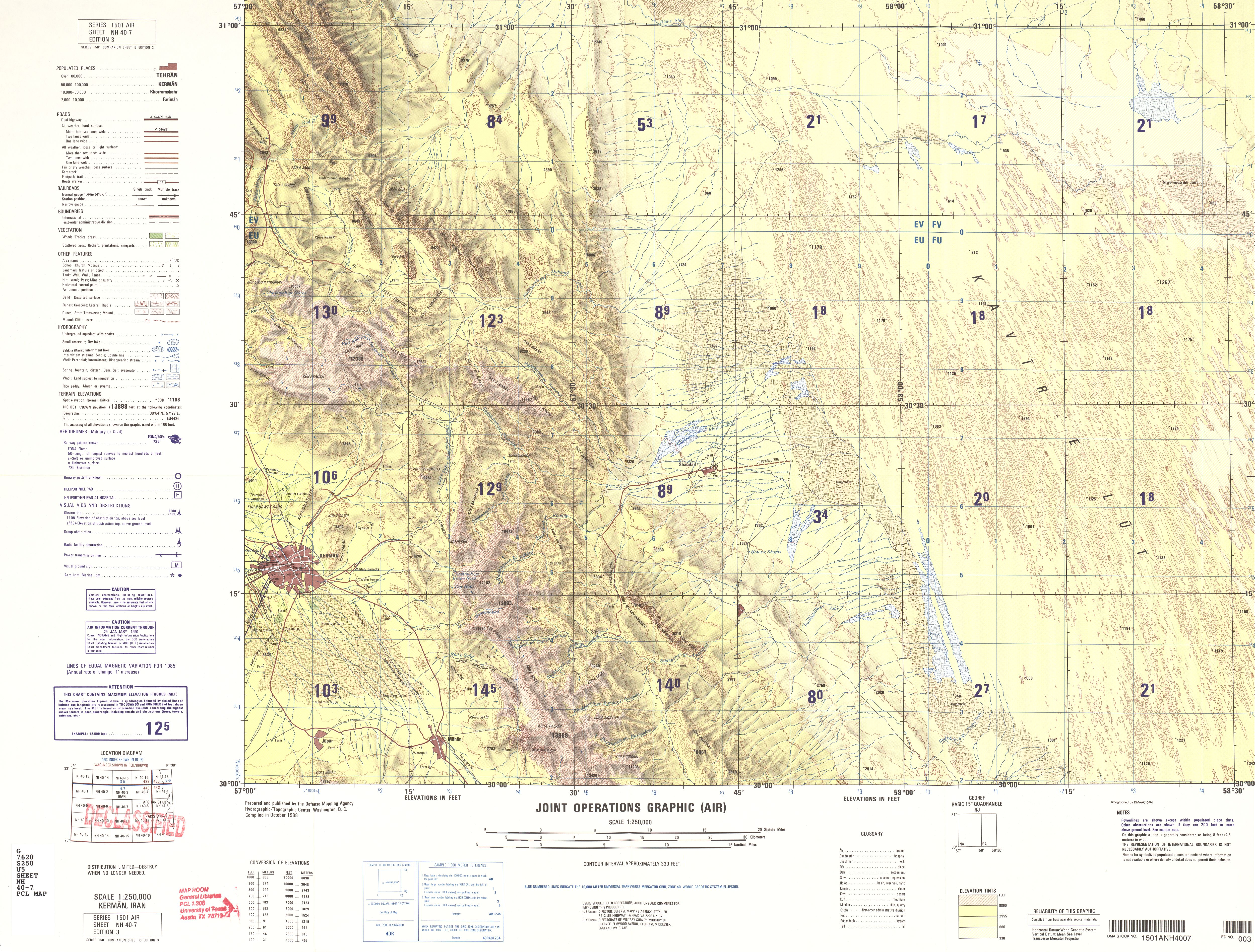
- NH 40-7 Kerman, Iran (4.7 MB)
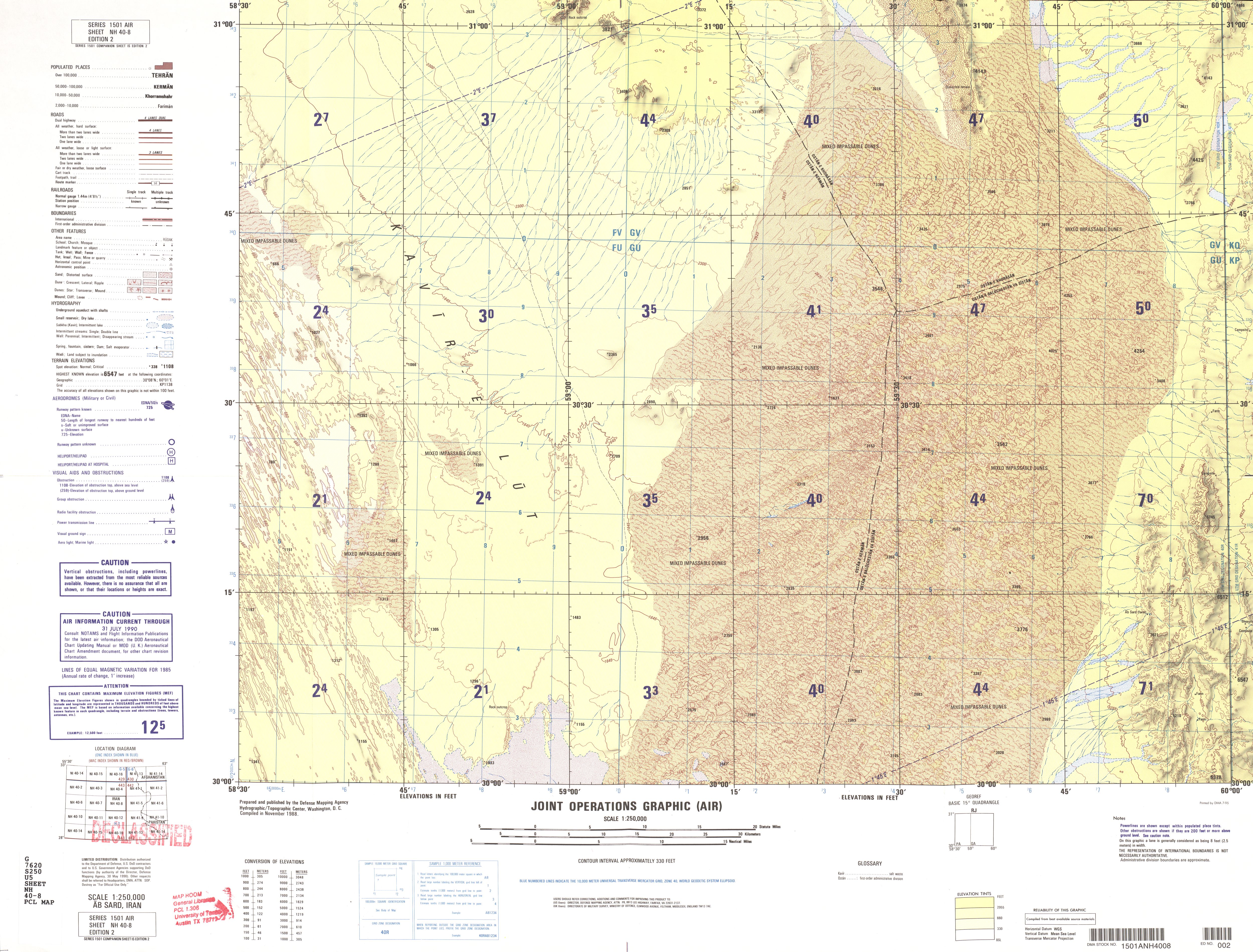
- NH 40-8 Ab Sard, Iran (4.7 MB)
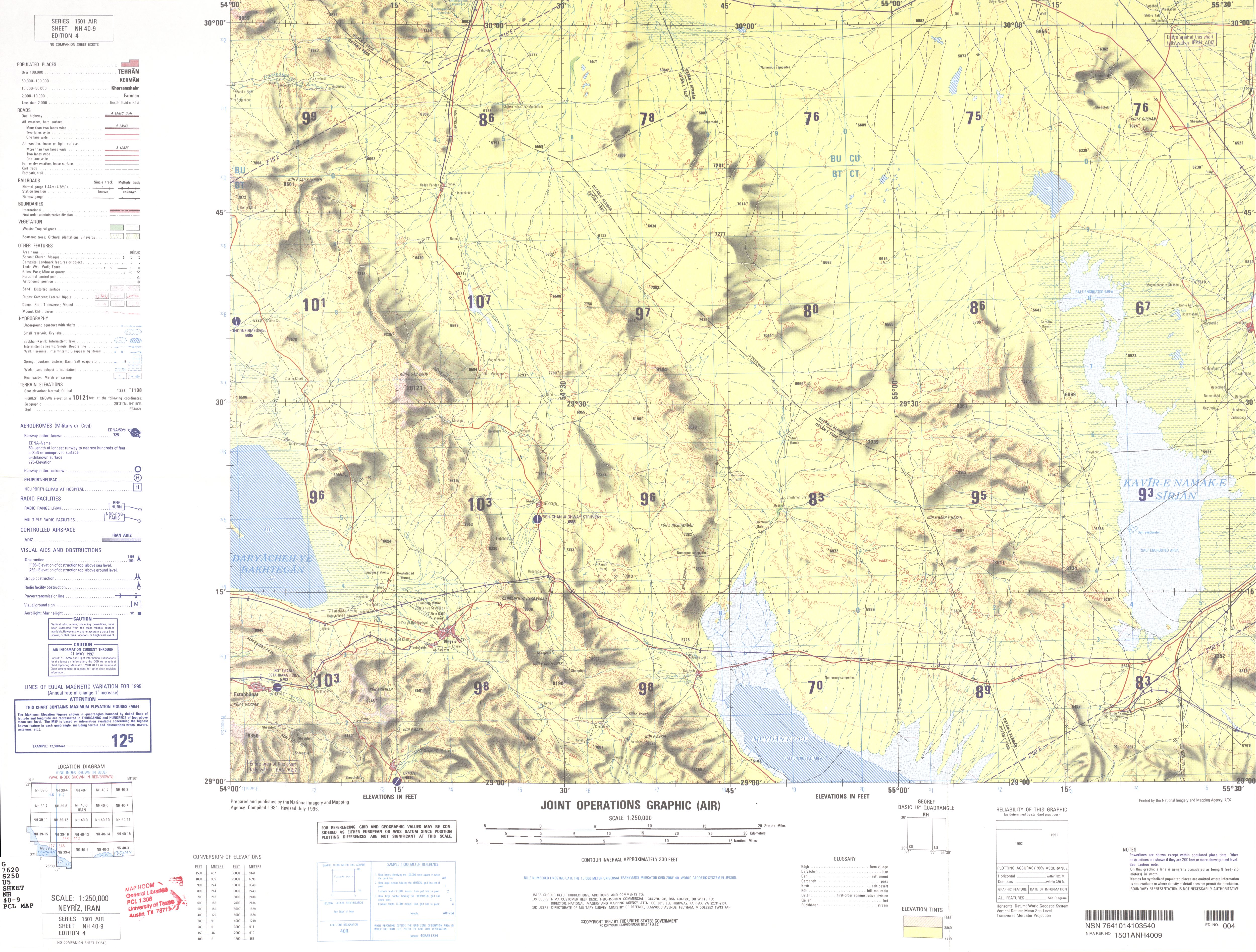
- NH 40-9 Neyriz, Iran (3.3 MB)
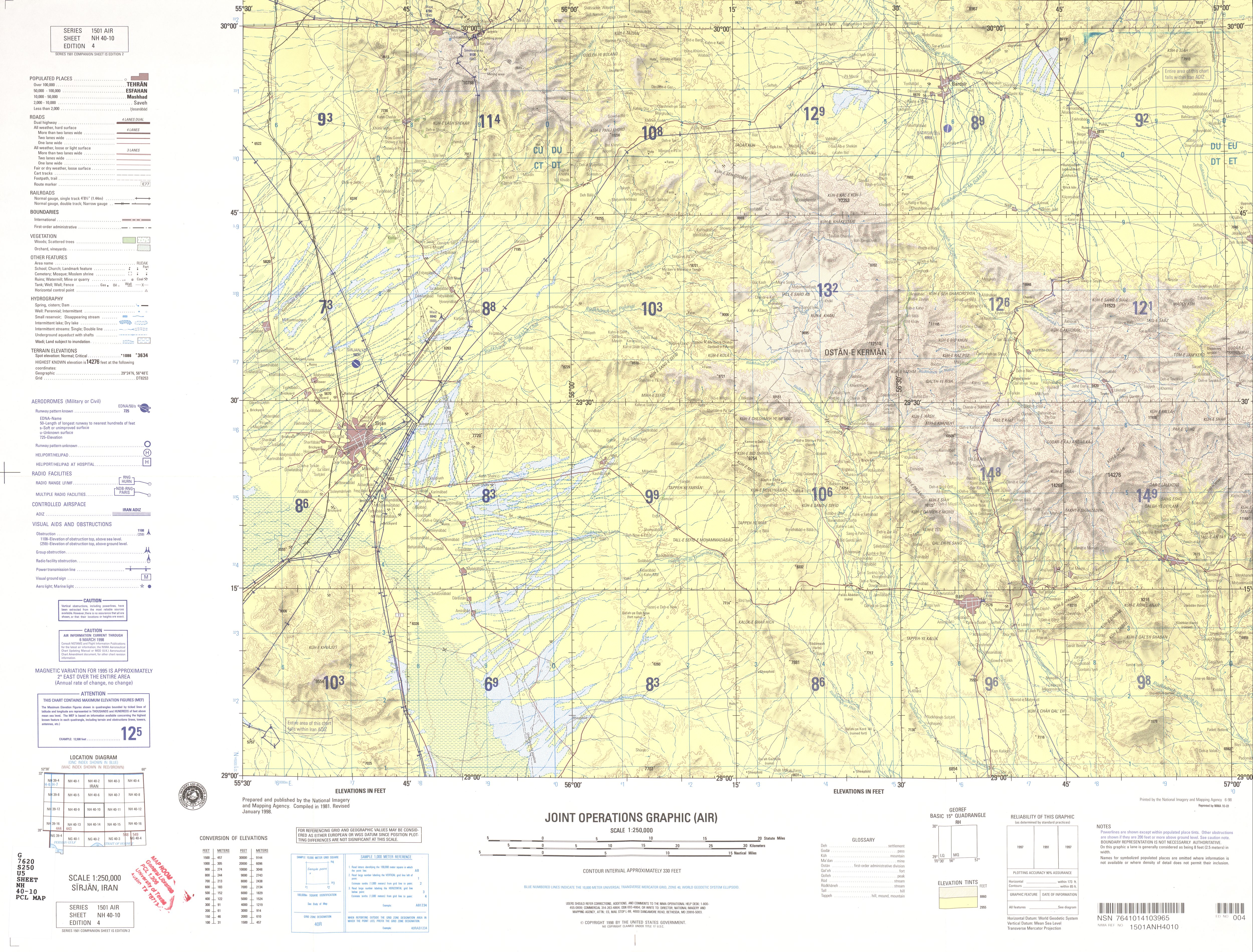
- NH 40-10 Sirjan, Iran (4.3 MB)
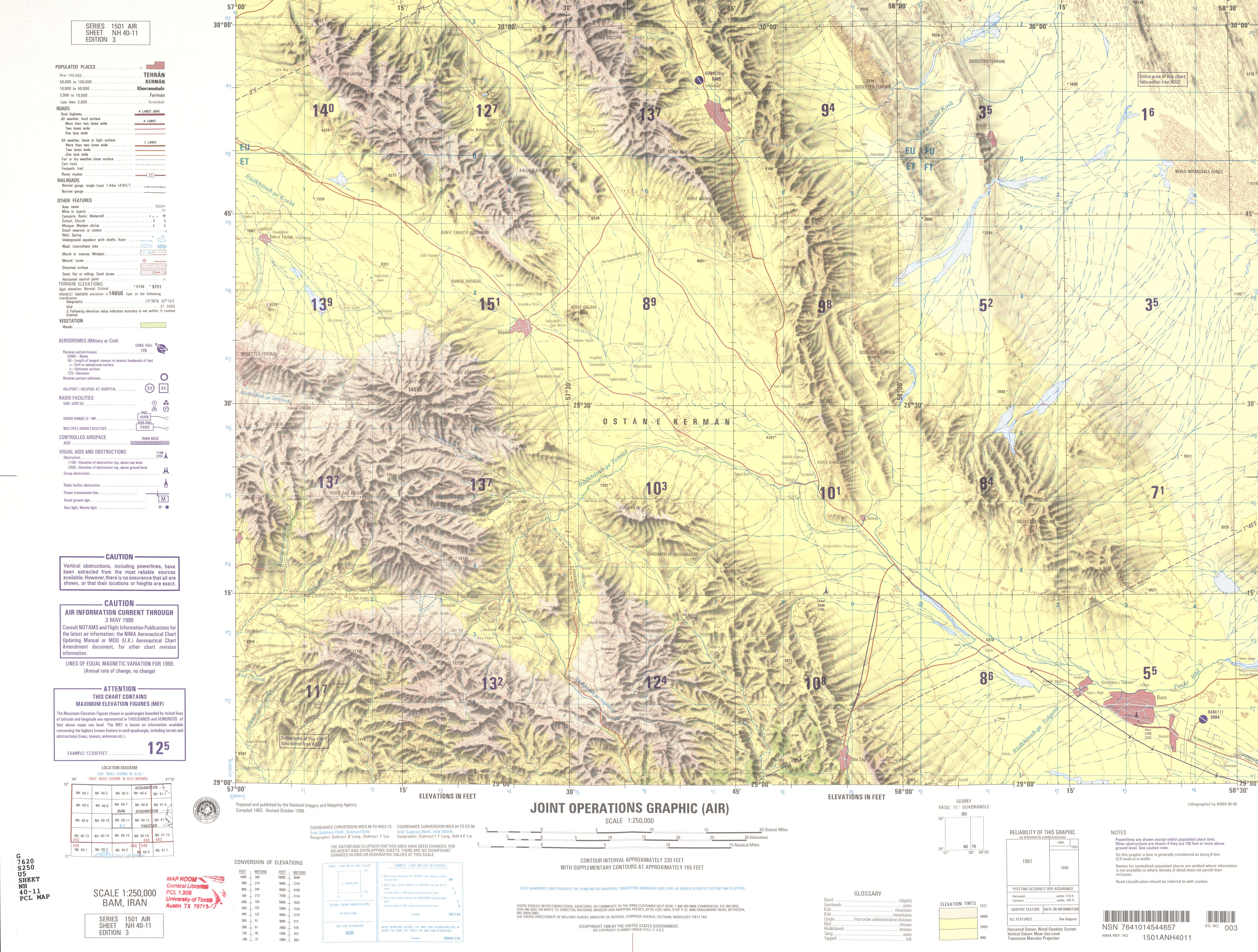
- NH 40-11 Bam, Iran (4.0 MB)
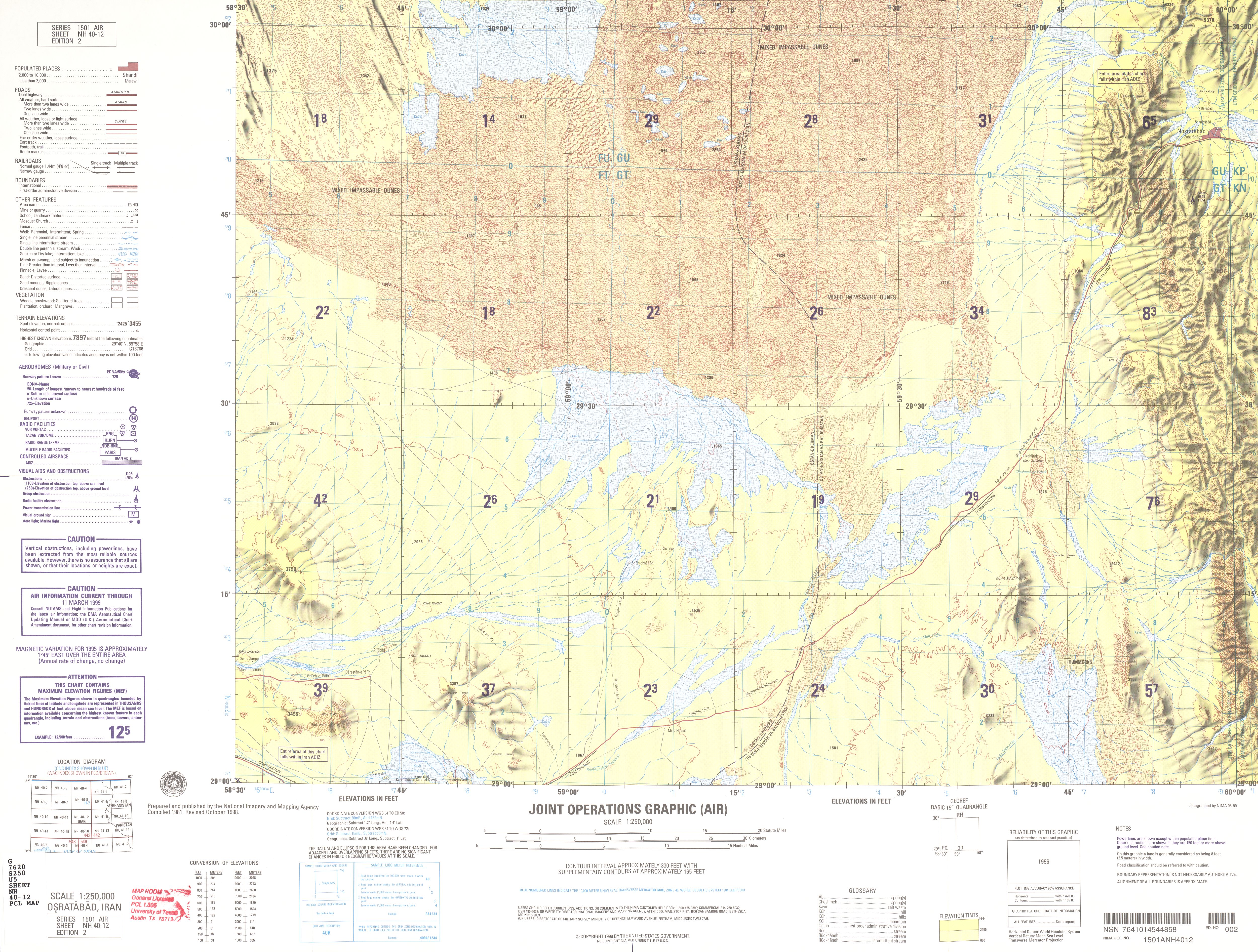
- NH 40-12 Nosratabad, Iran (4.4 MB)
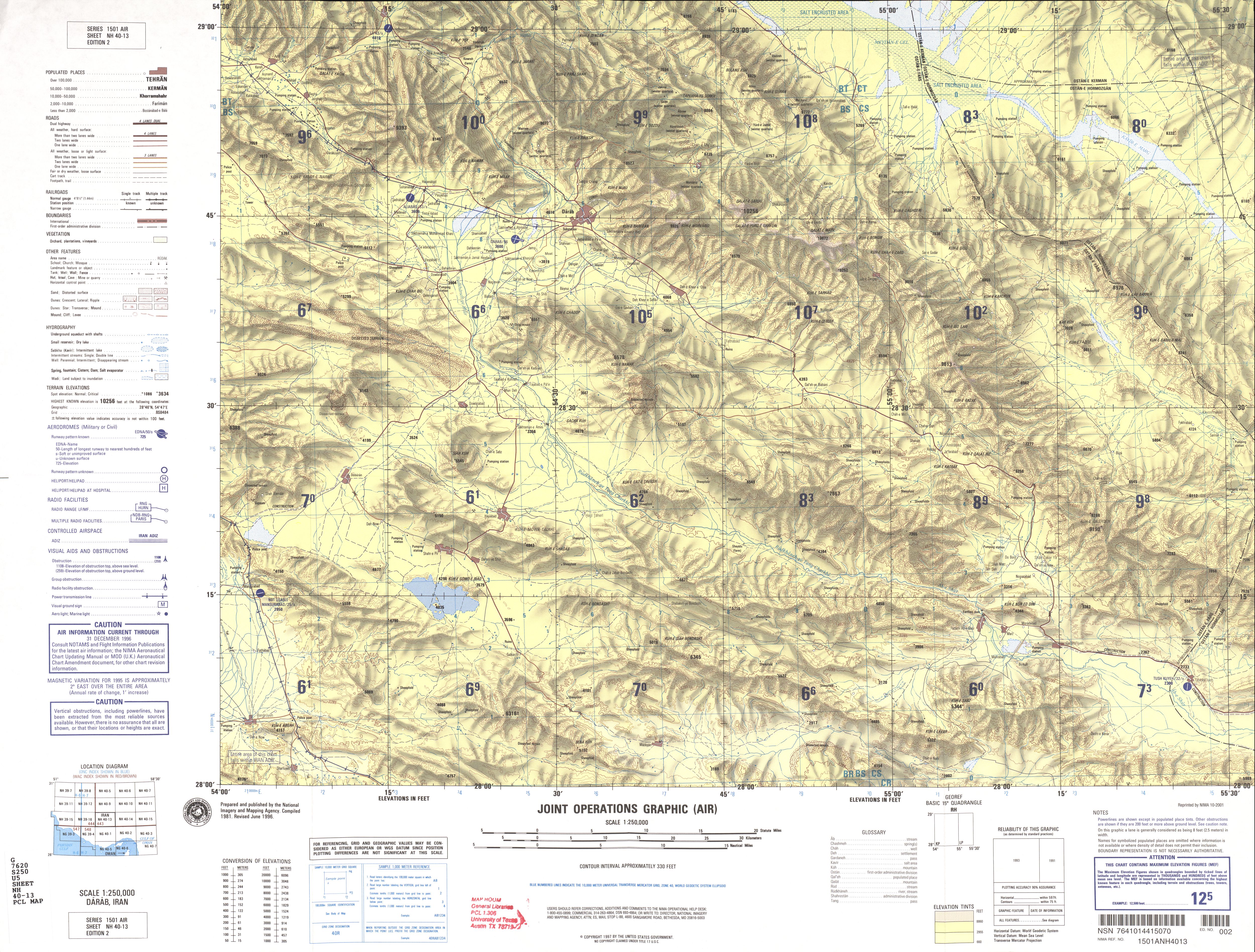
- NH 40-13 Darab, Iran (5.0 MB)
- NH 40-14 Dowlatabad, Iran (4.4 MB)
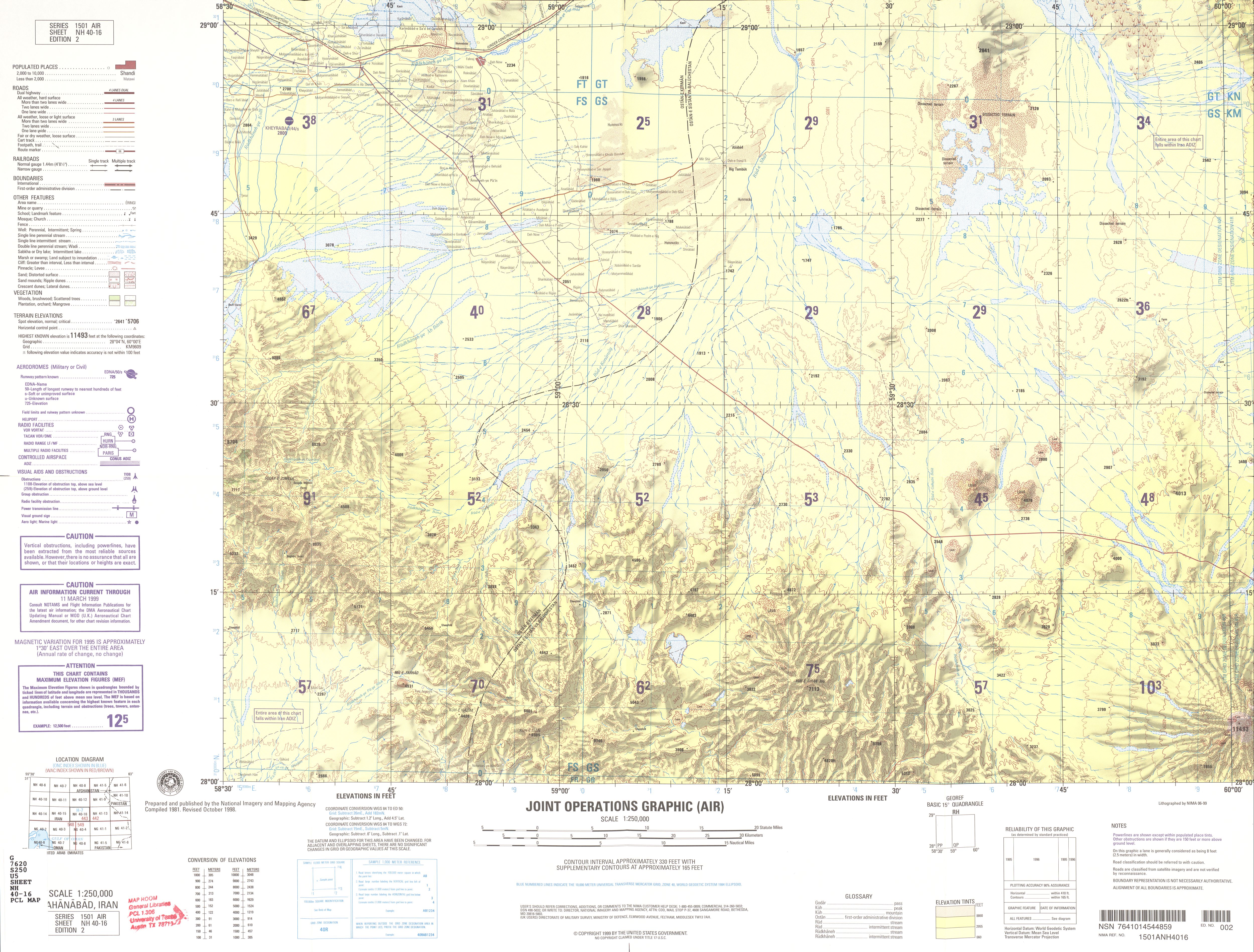
- NH 40-16 Jahanabad, Iran (3.9 MB)
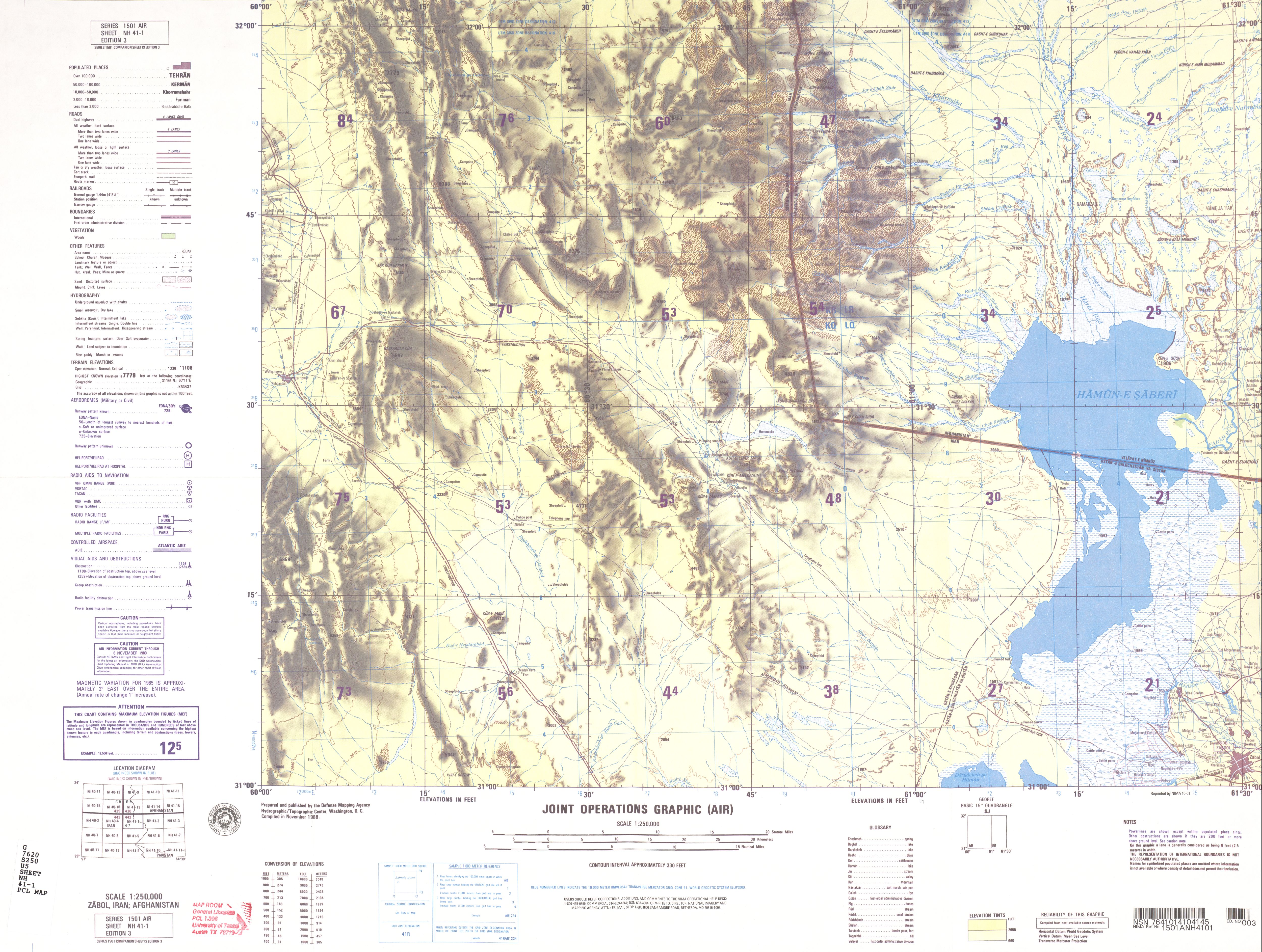
- NH 41-1 Zabol, Iran; Afghanistan (3.2 MB)
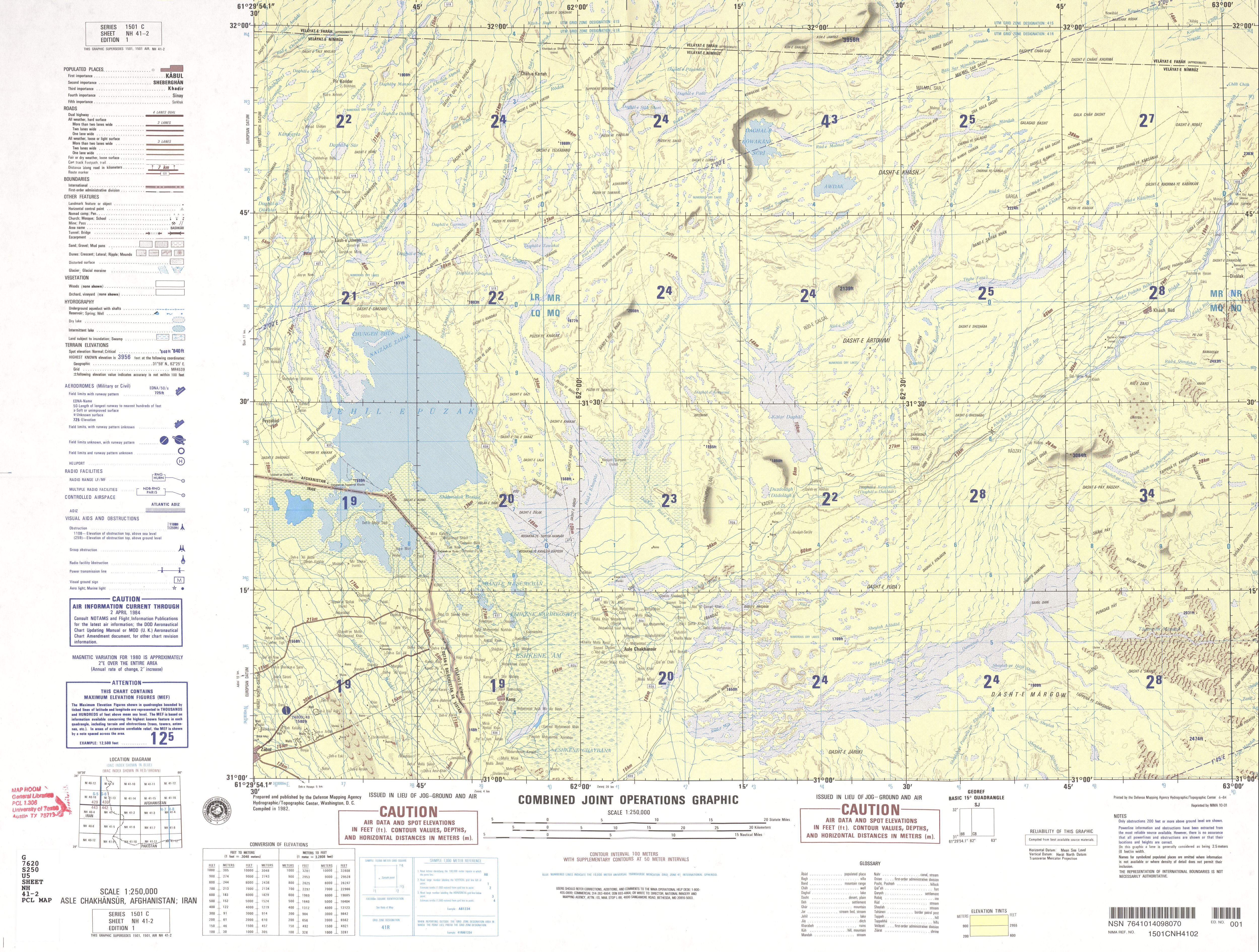
- NH 41-2 Asle Chakhansur, Afghanistan, Iran (4.3 MB)
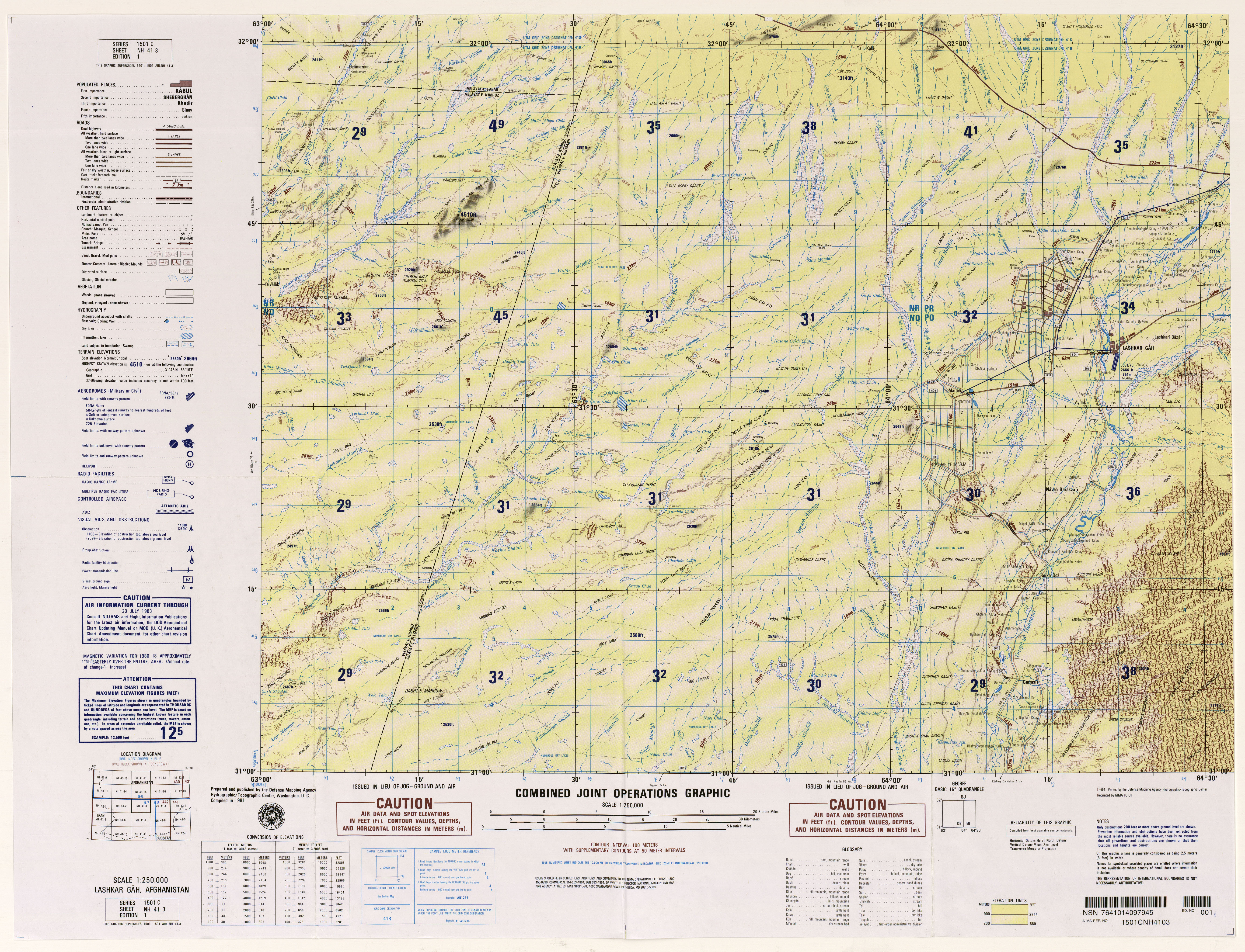
- NH 41-3 Lashkar Gah, Afghanistan (7.5MB)
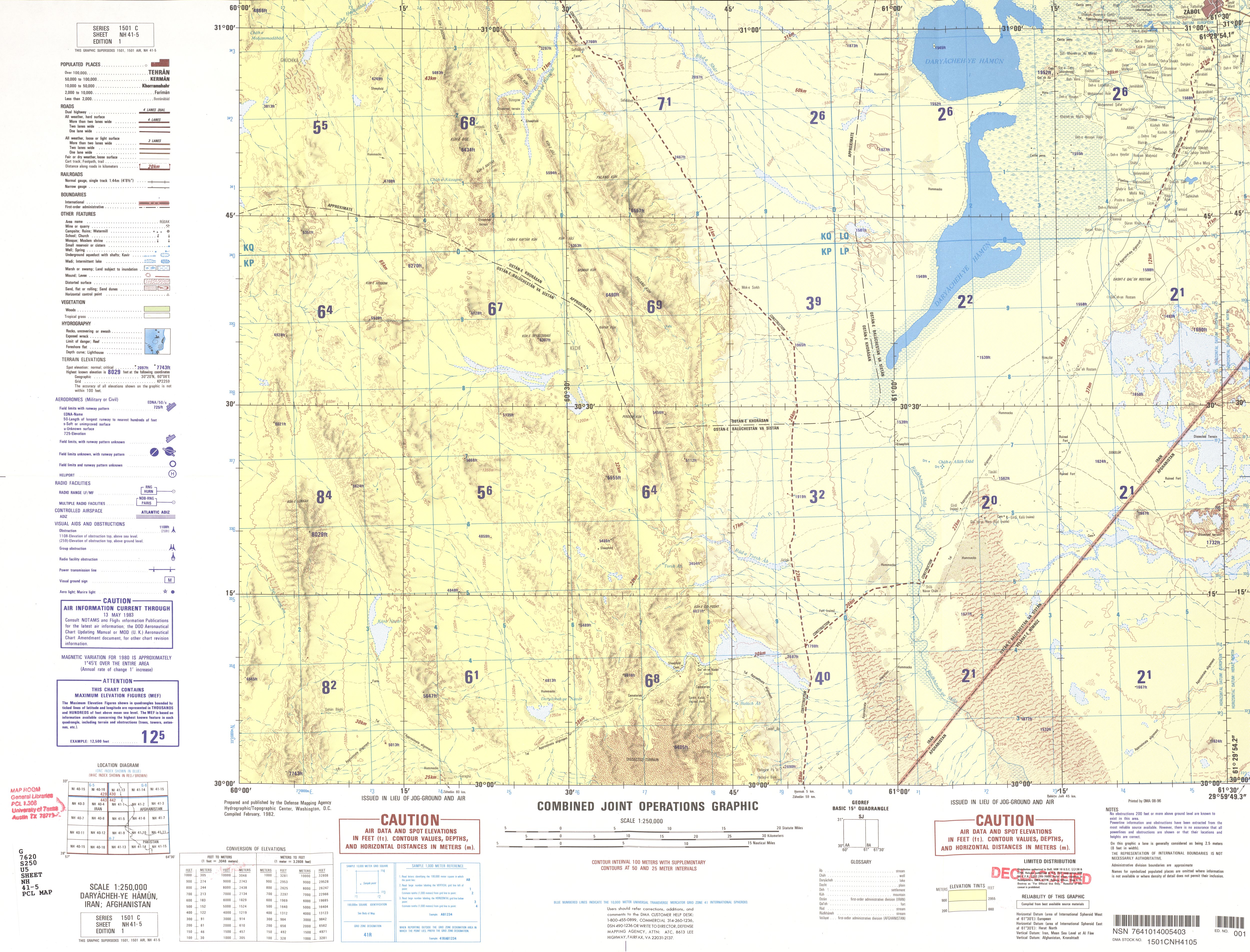
- NH 41-5 Daryacheh-ye Hamun, Iran, Afghanistan (3.7 MB)
- NH 41-6 Chahar Borjak, Afghanistan; Iran (3.9 MB)
- NH 41-7 Taghaz, Afghanistan (6.2MB)
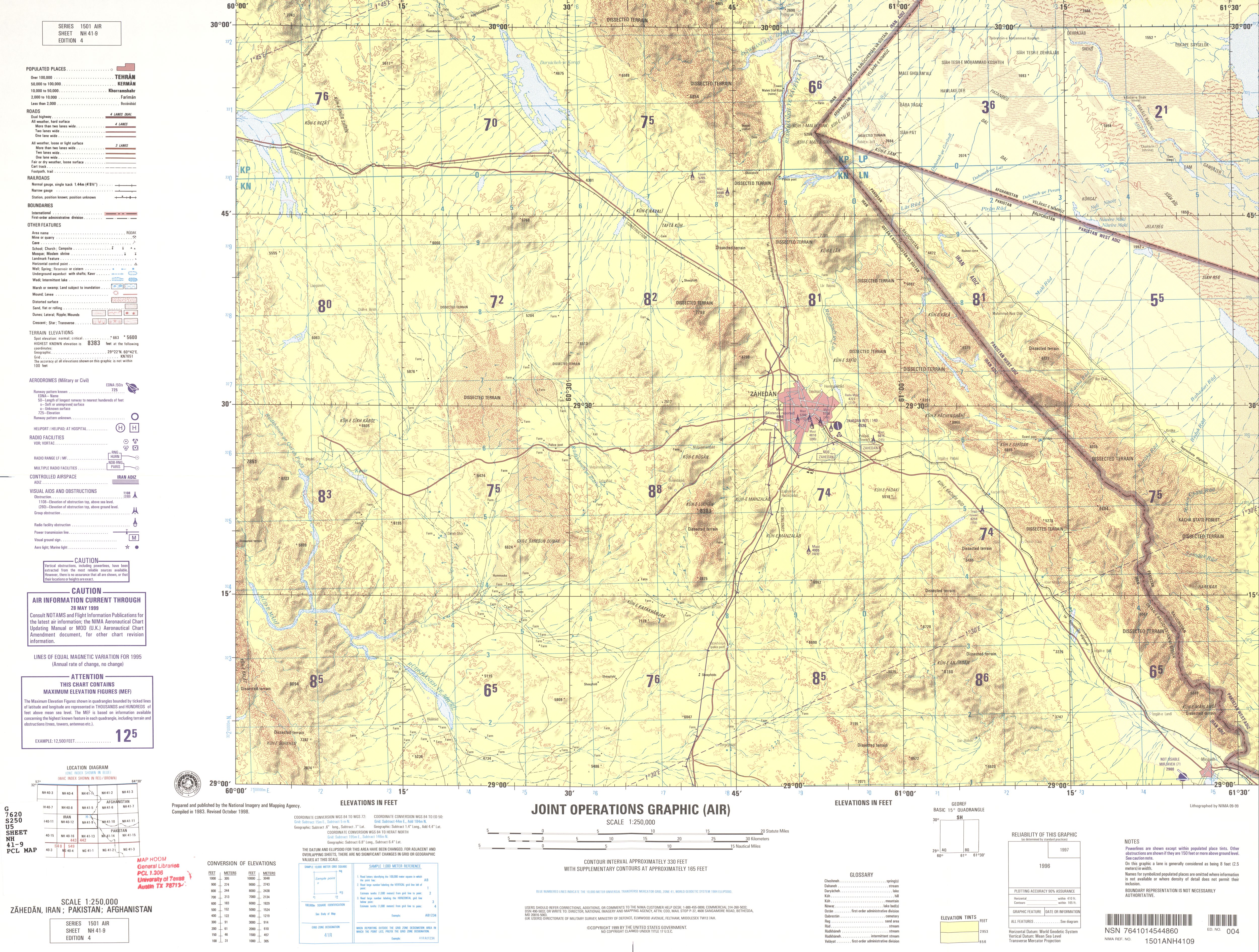
- NH 41-9 Zahedan, Iran; Pakistan; Afghanistan (4.3 MB)
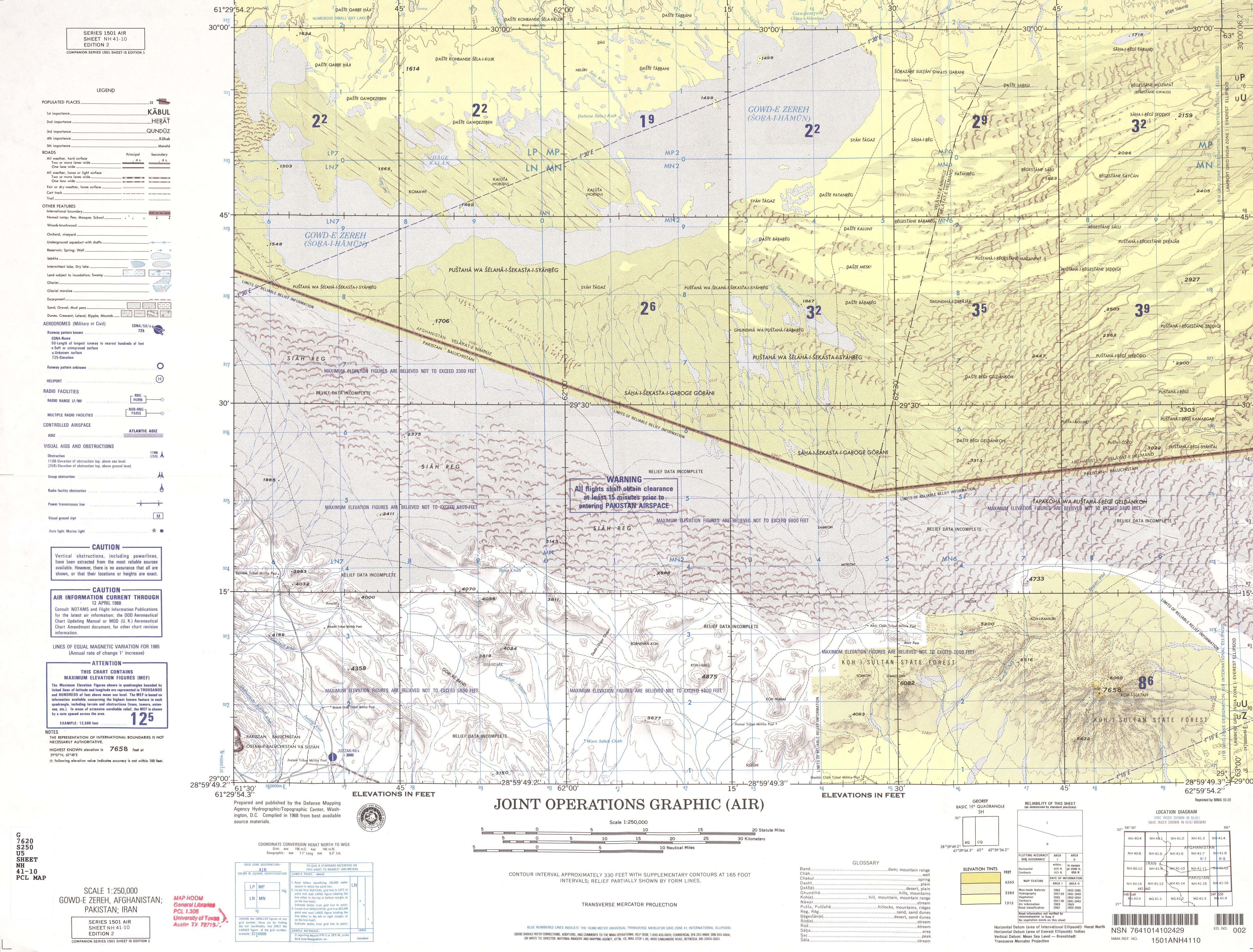
- NH 41-10 Gowd-e Zereh, Afghanistan; Pakistan; Iran (5.1 MB)
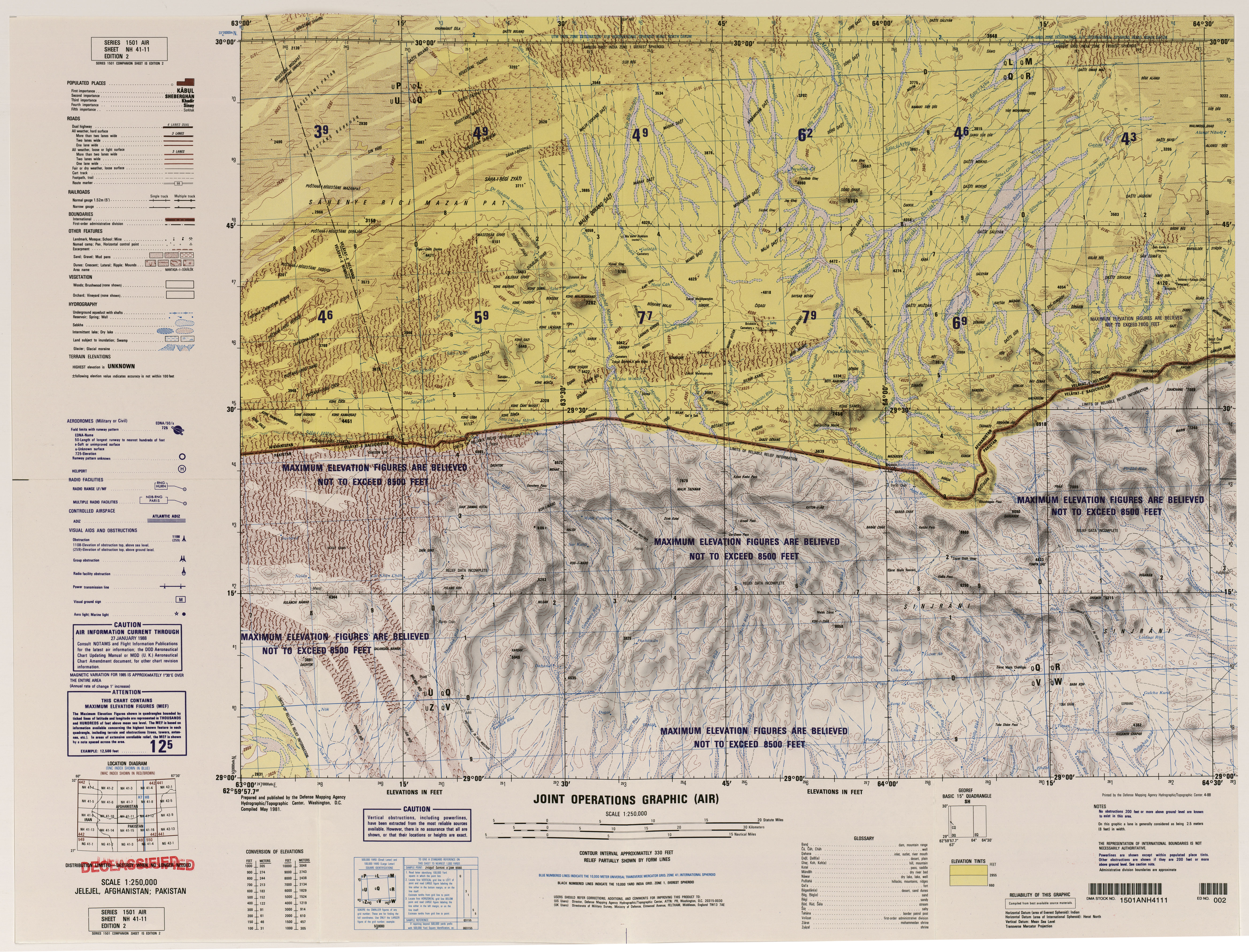
- NH 41-11 Jelejel, Afghanistan (6.7MB)
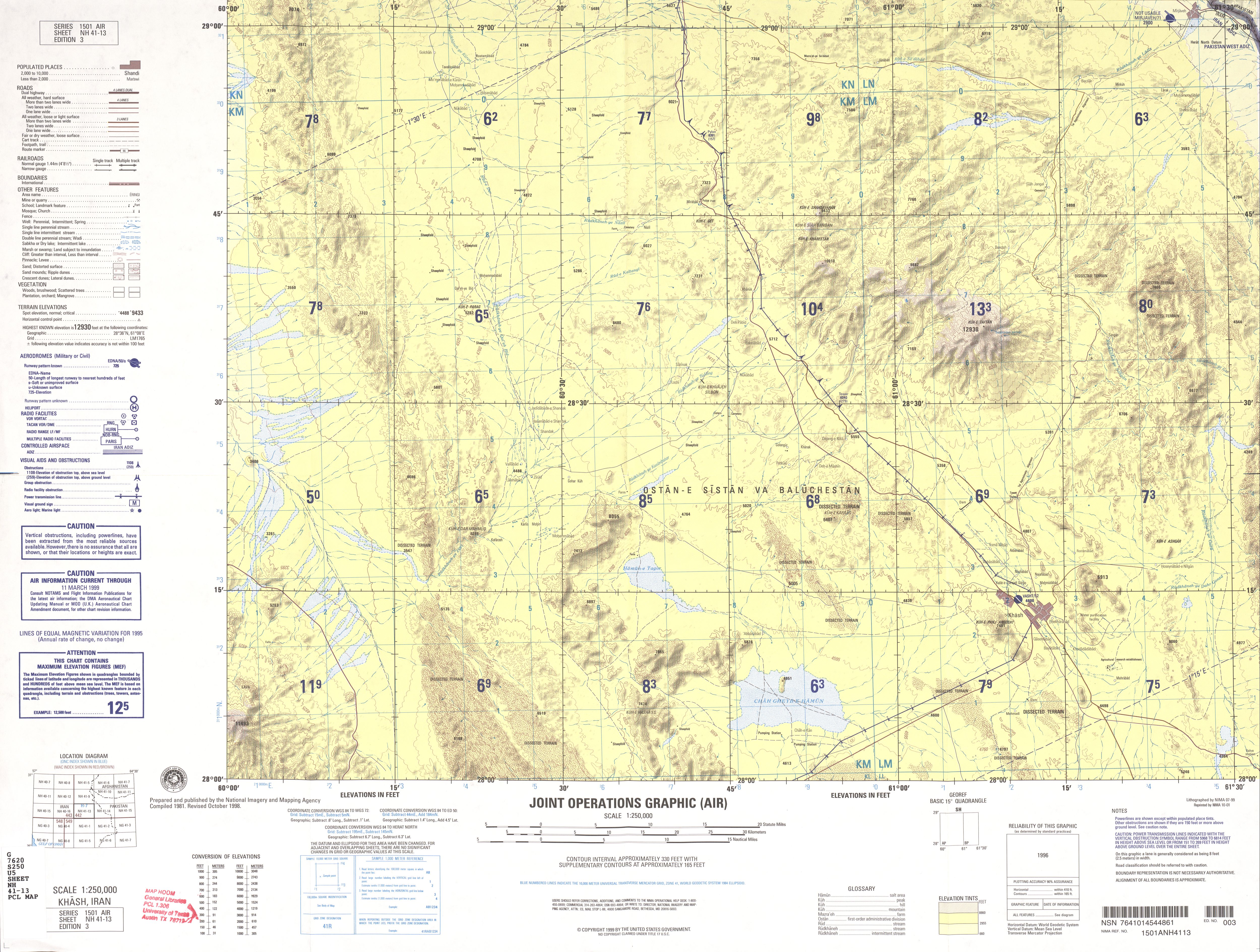
- NH 41-13 Khash, Iran (3.8 MB)
- NH 41-14 Nok Kundi, Pakistan; Iran (3.8 MB)
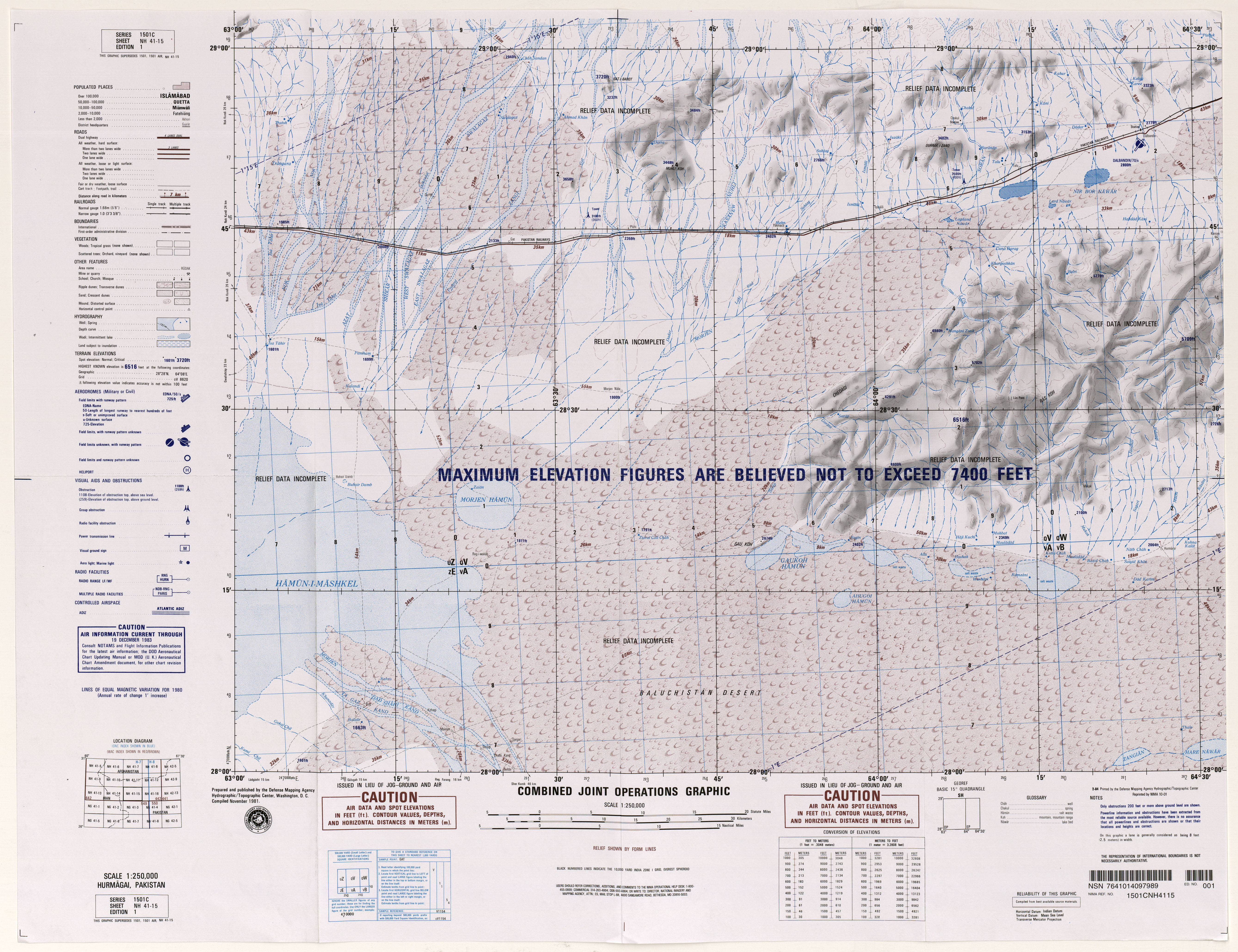
- NH 41-15 Hurmagai, Pakistan (6.8MB)
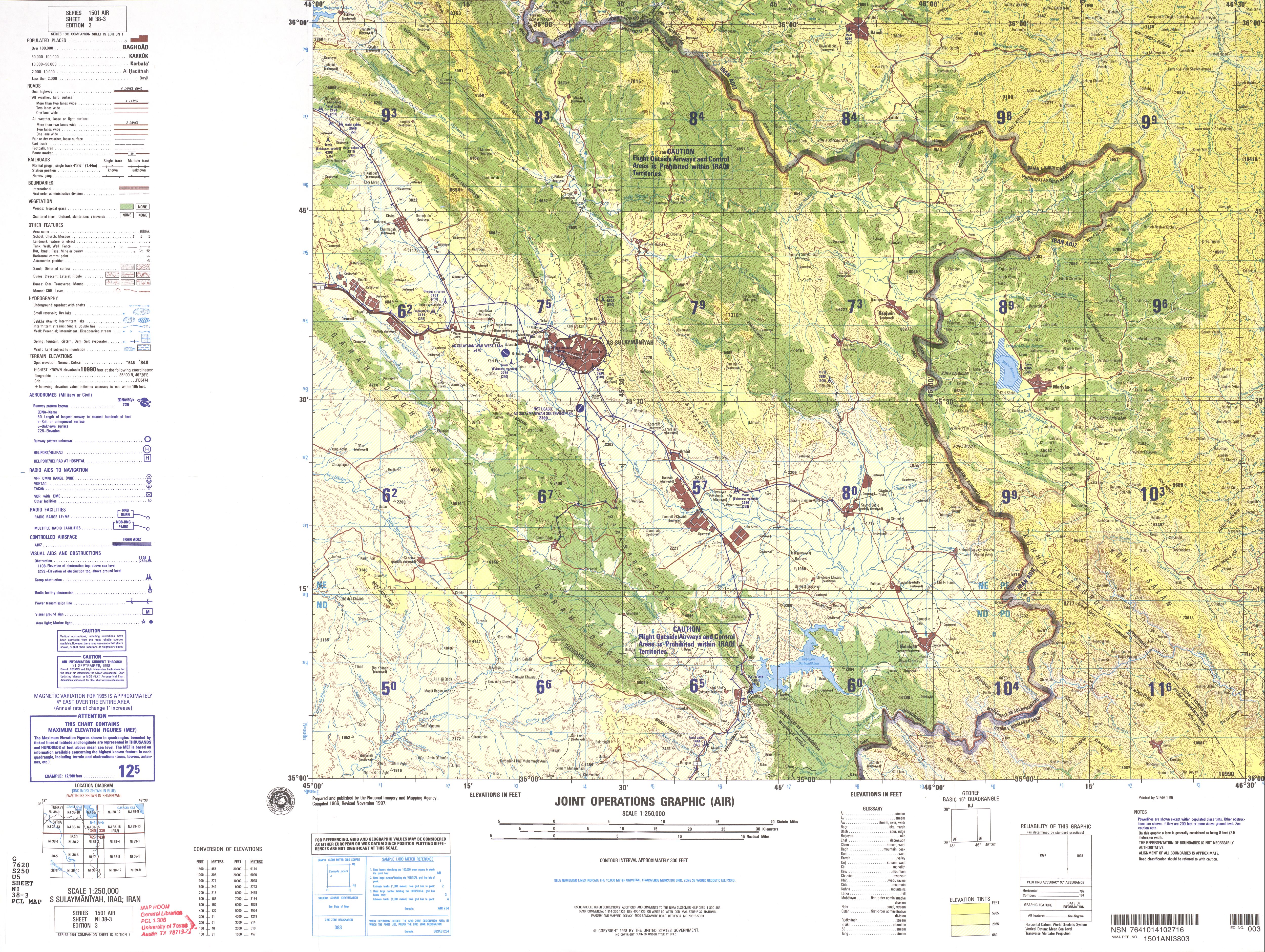
- NI 38-3 As Sulaymaniyah, Iraq; Iran (5.4 MB)
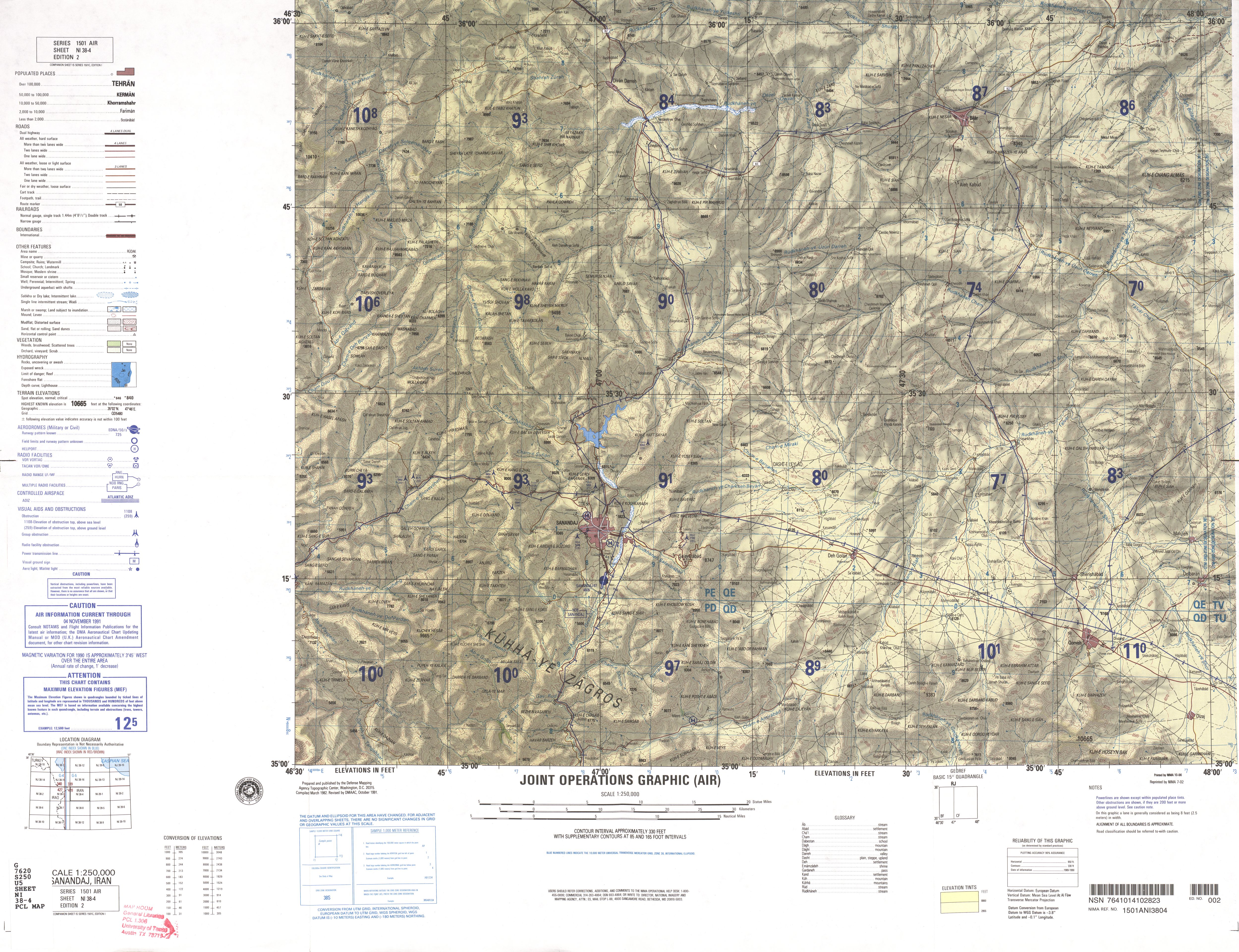
- NI 38-4 Sanandaj, Iran (4.9 MB)
- NI 38-7 Qasr-e Shirin, Iran; Iraq (5.6 MB)
- NI 38-8 Kermanshah, Iran (4.5 MB)
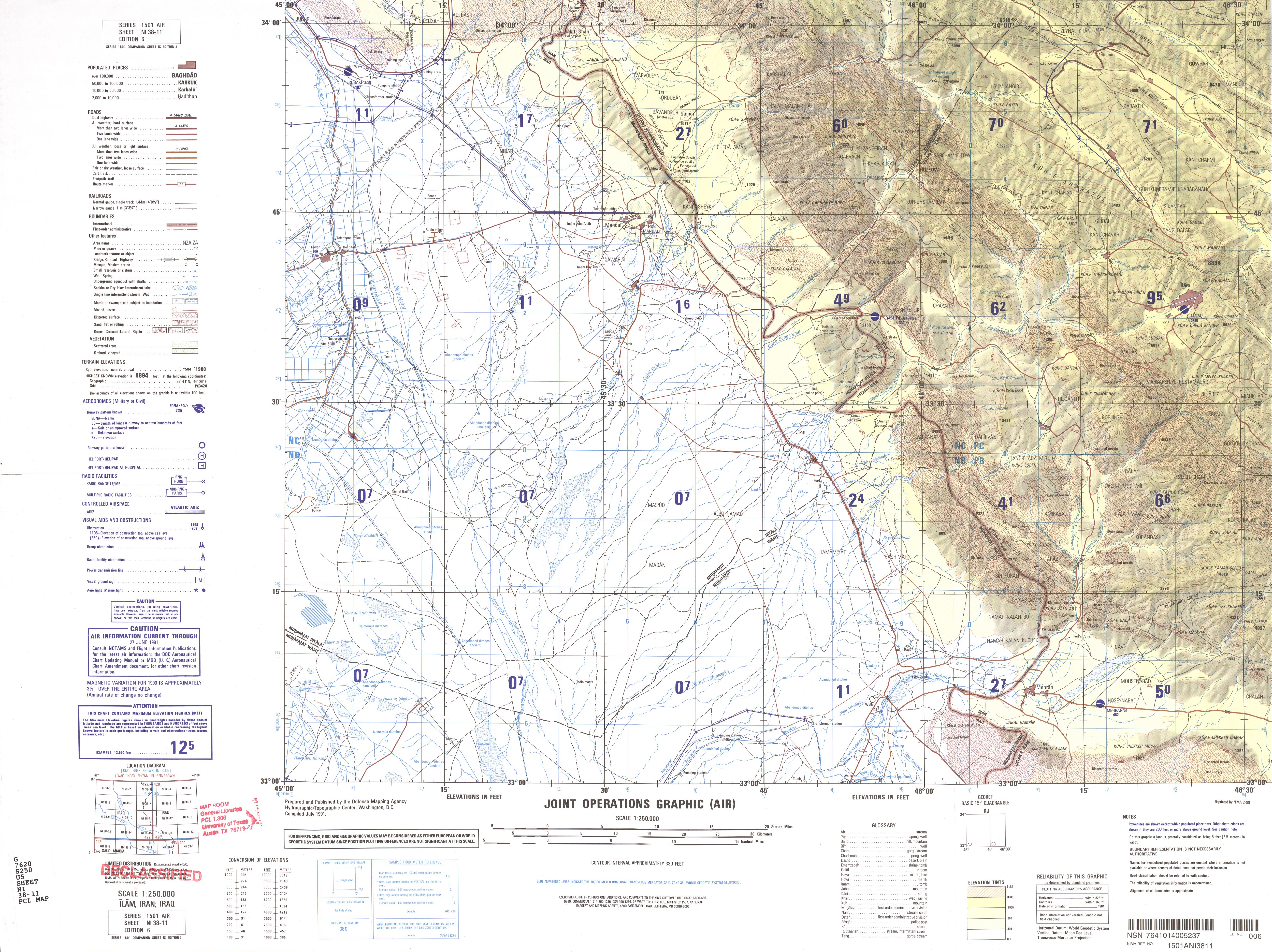
- NI 38-11 Ilam, Iran; Iraq (4.1 MB)
- NI 38-12 Kuh Dasht, Iran (4.9 MB)
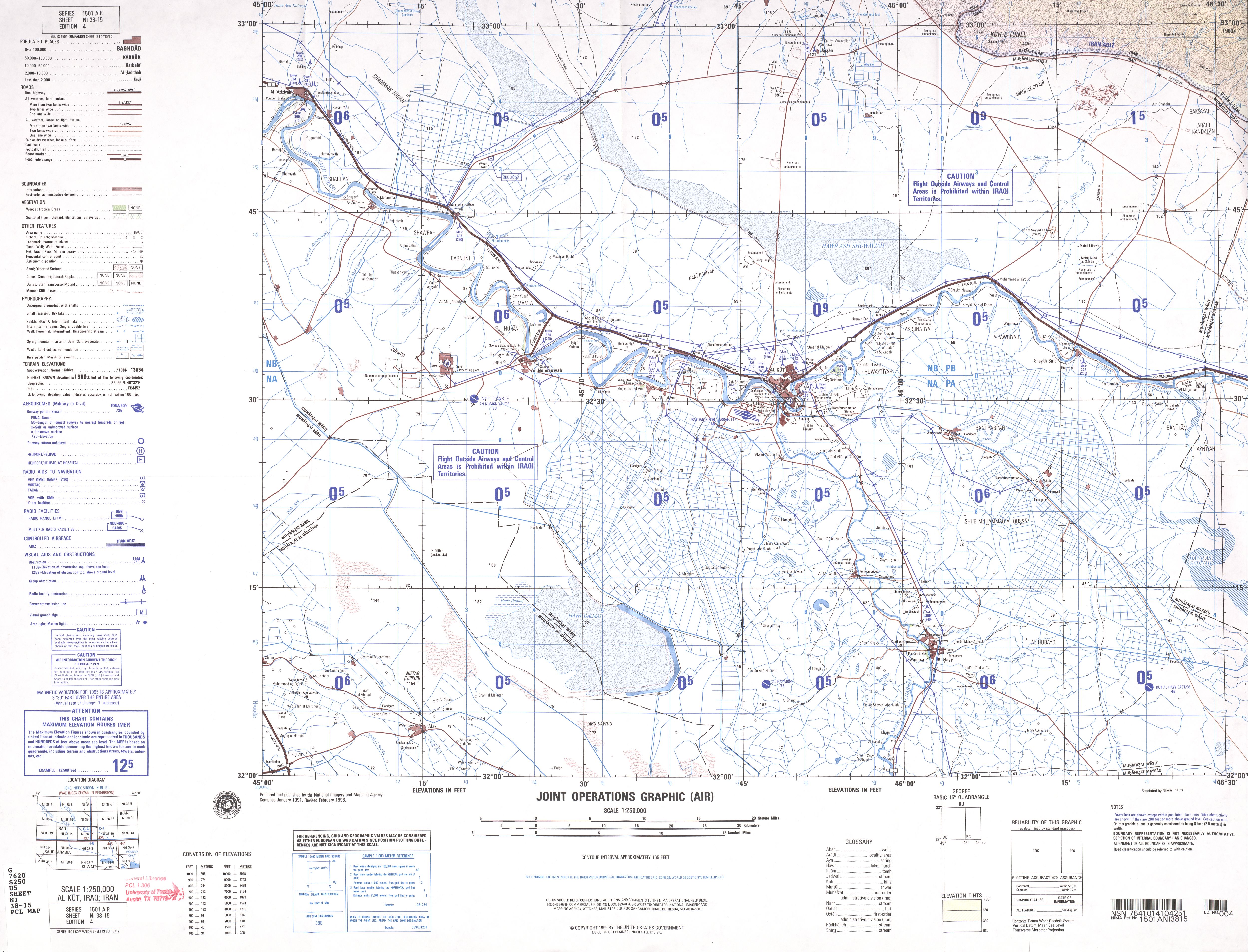
- NI 38-15 Al Kut, Iraq; Iran (3.3 MB)
- NI 38-16 Dehloran, Iran; Iraq (4.5 MB)
- NI 39-1 Kabudar Ahang, Iran (4.2 MB)
- NI 39-3 Tehran, Iran (3.5 MB)
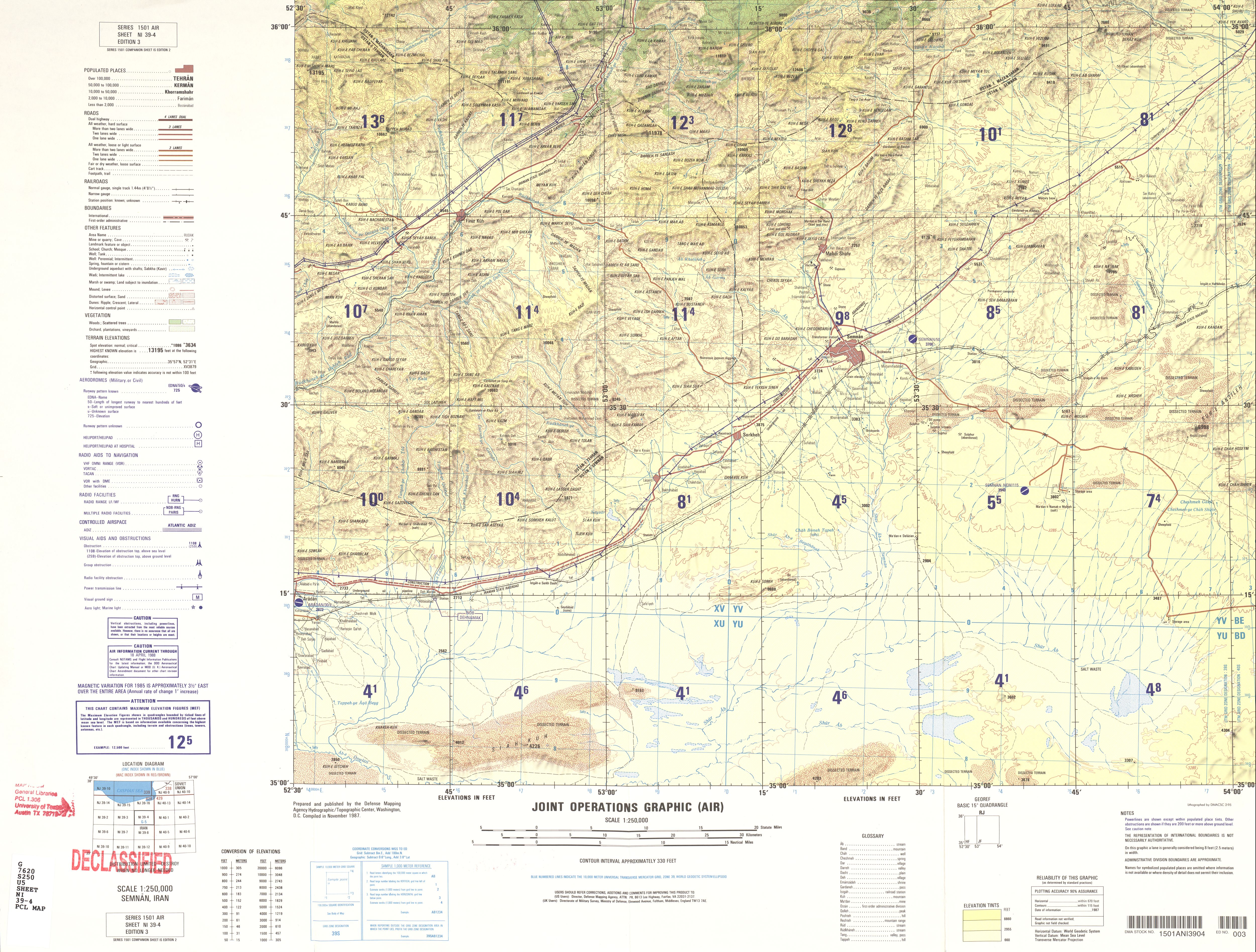
- NI 39-4 Semnan, Iran (4.3 MB)
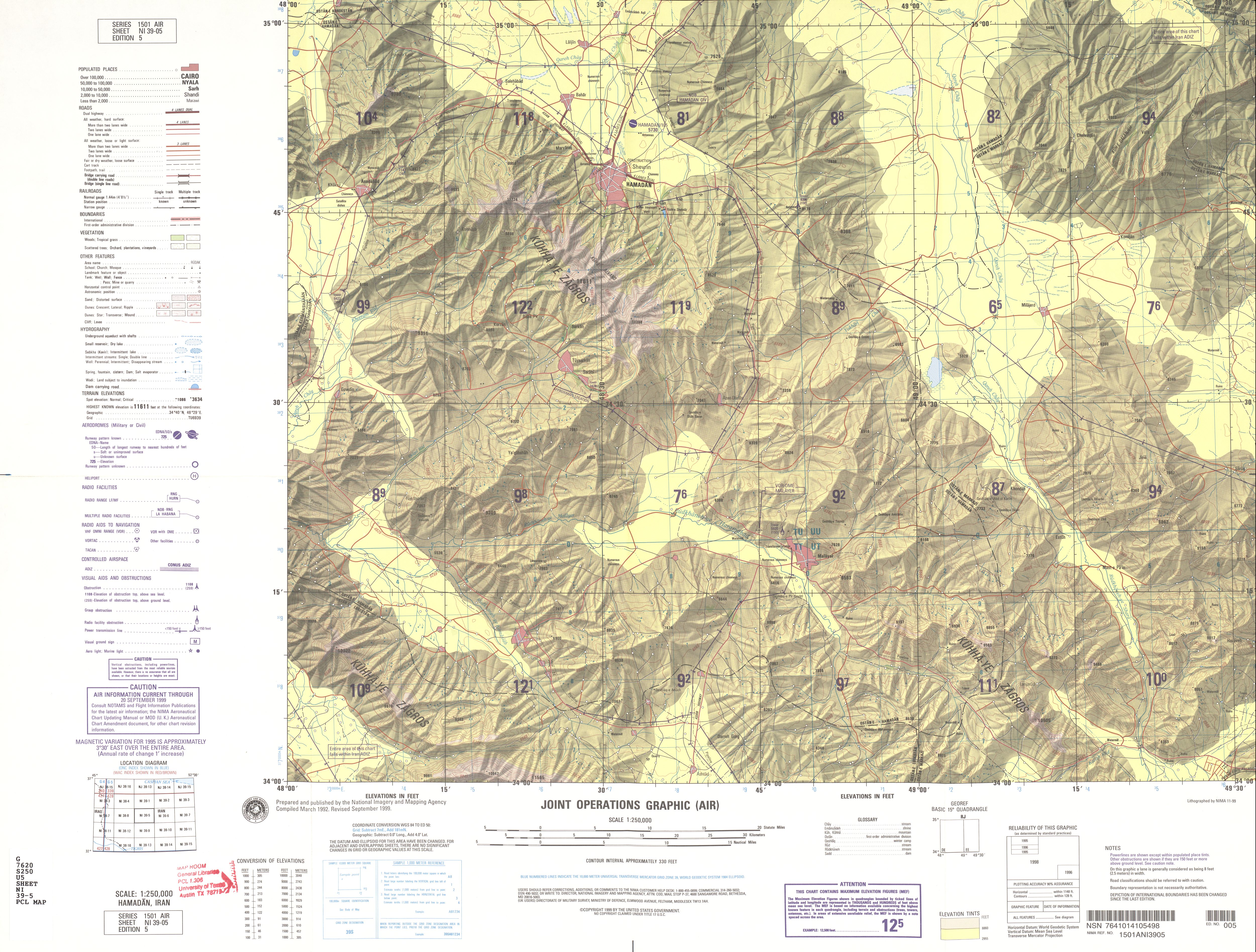
- NI 39-5 Hamadan, Iran (4.2 MB)
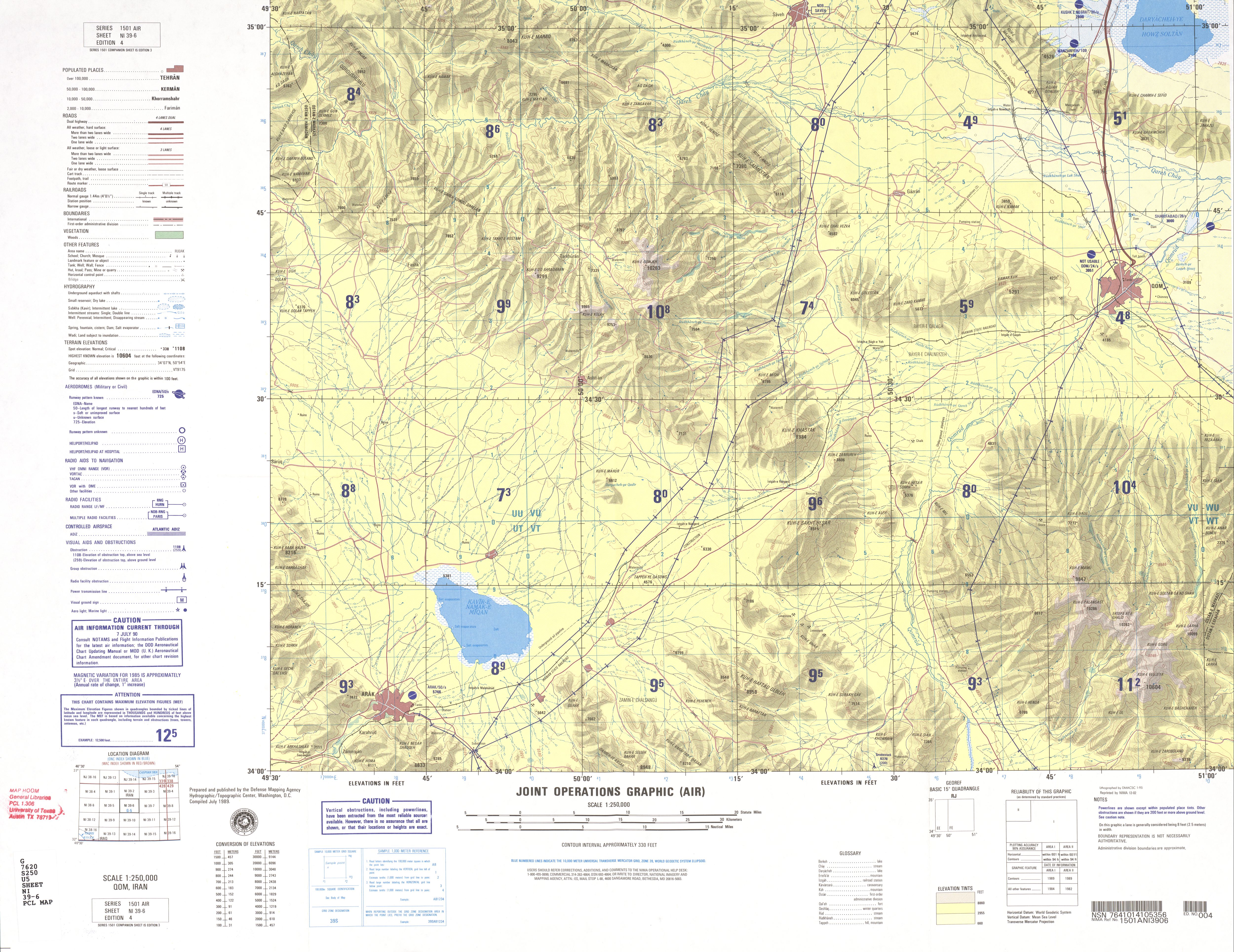
- NI 39-6 Qom, Iran (4.1 MB)
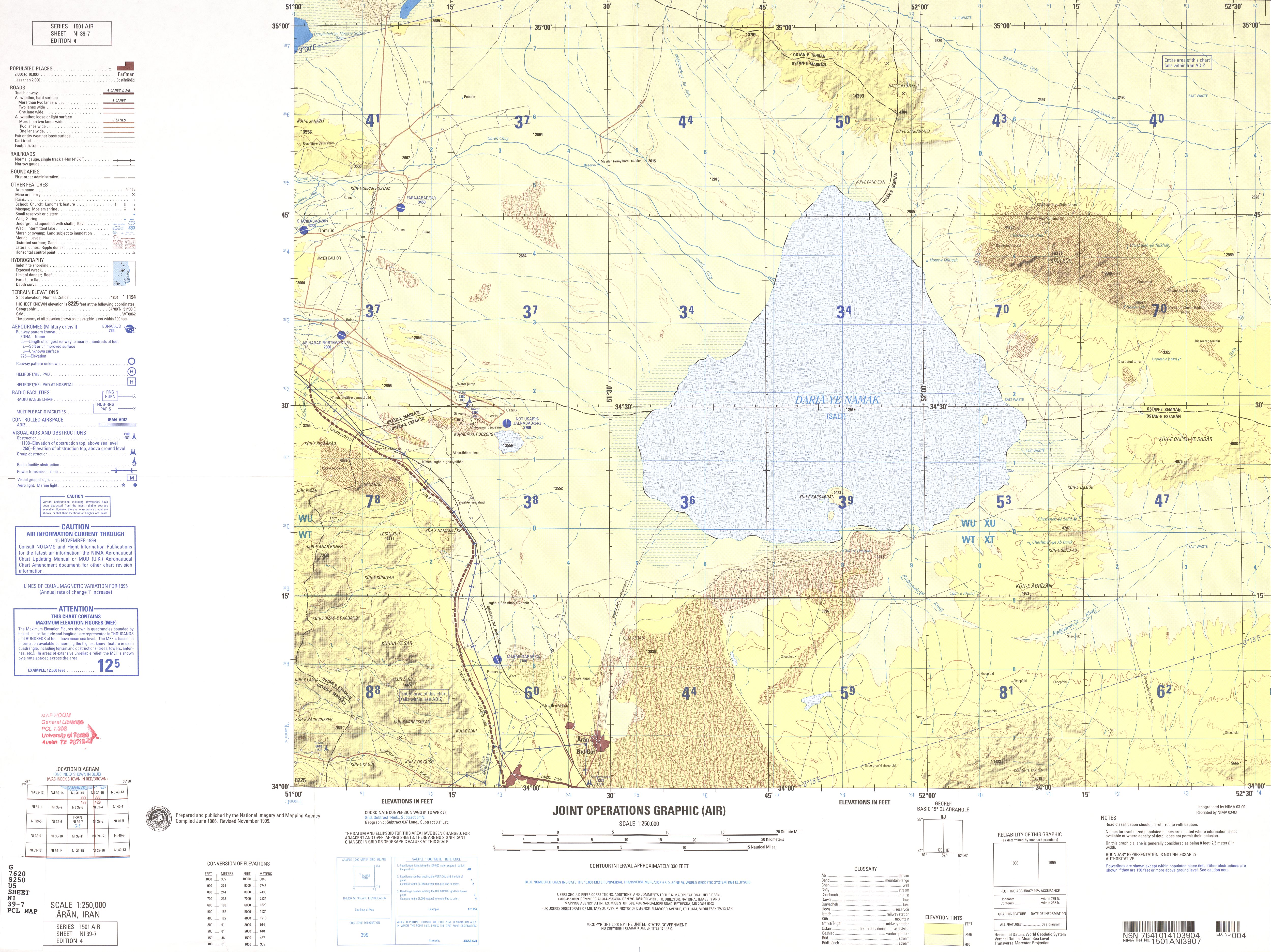
- NI 39-7 Aran, Iran (3.4 MB)
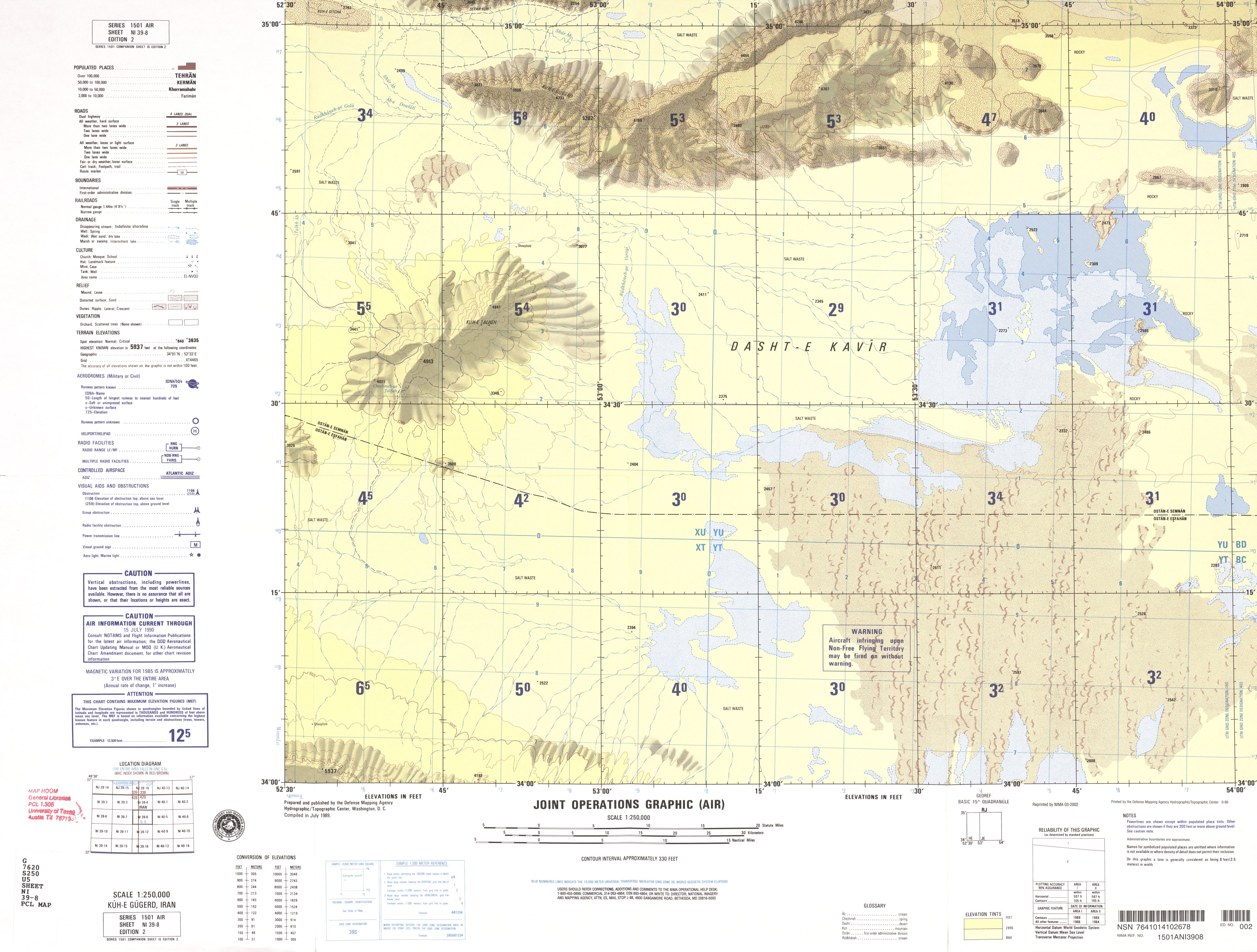
- NI 39-8 Kuh-e Gugerd, Iran (3.8 MB)
- NI 39-9 Khorramabad, Iran (5.3 MB)
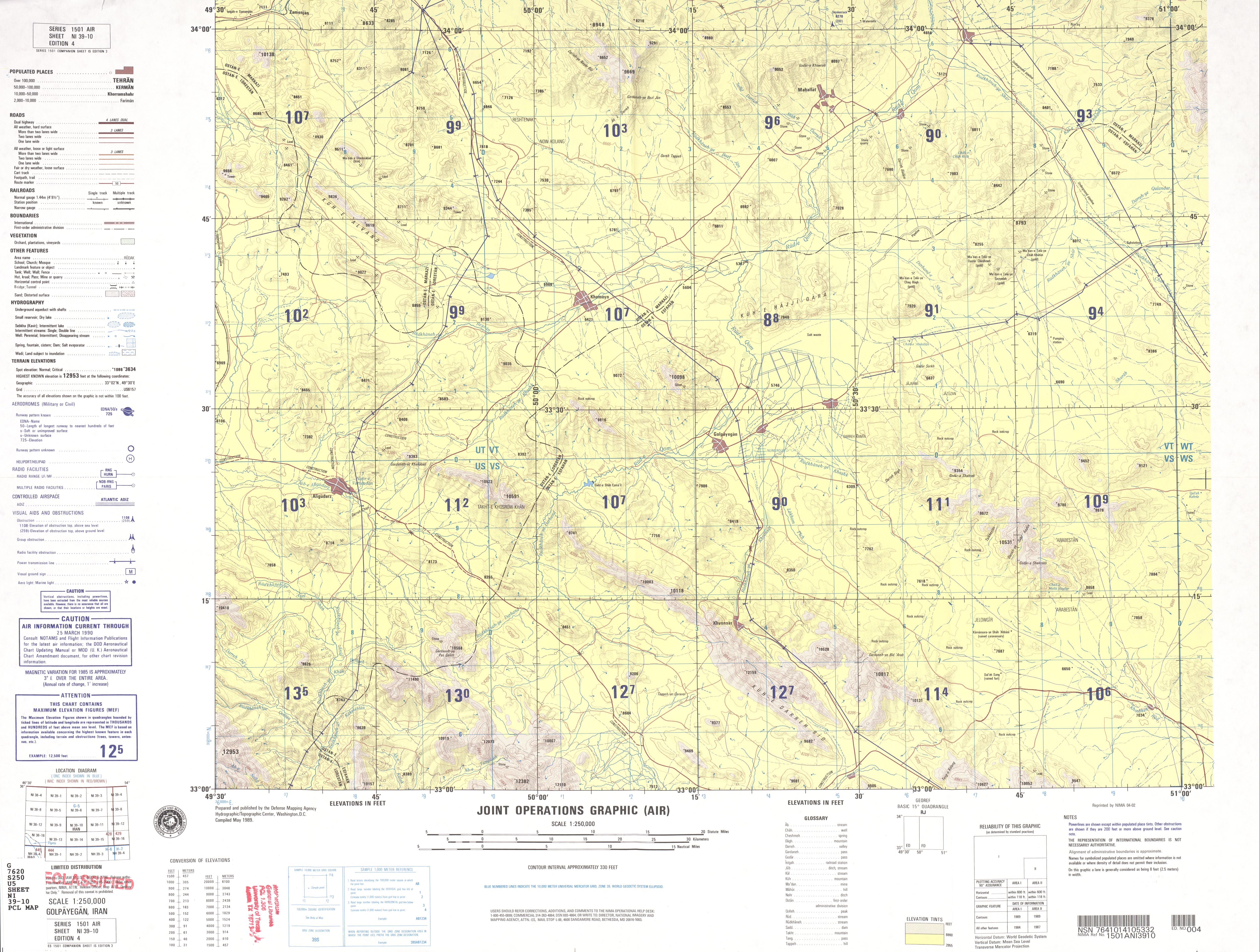
- NI 39-10 Golpayegan, Iran (3.8 MB)
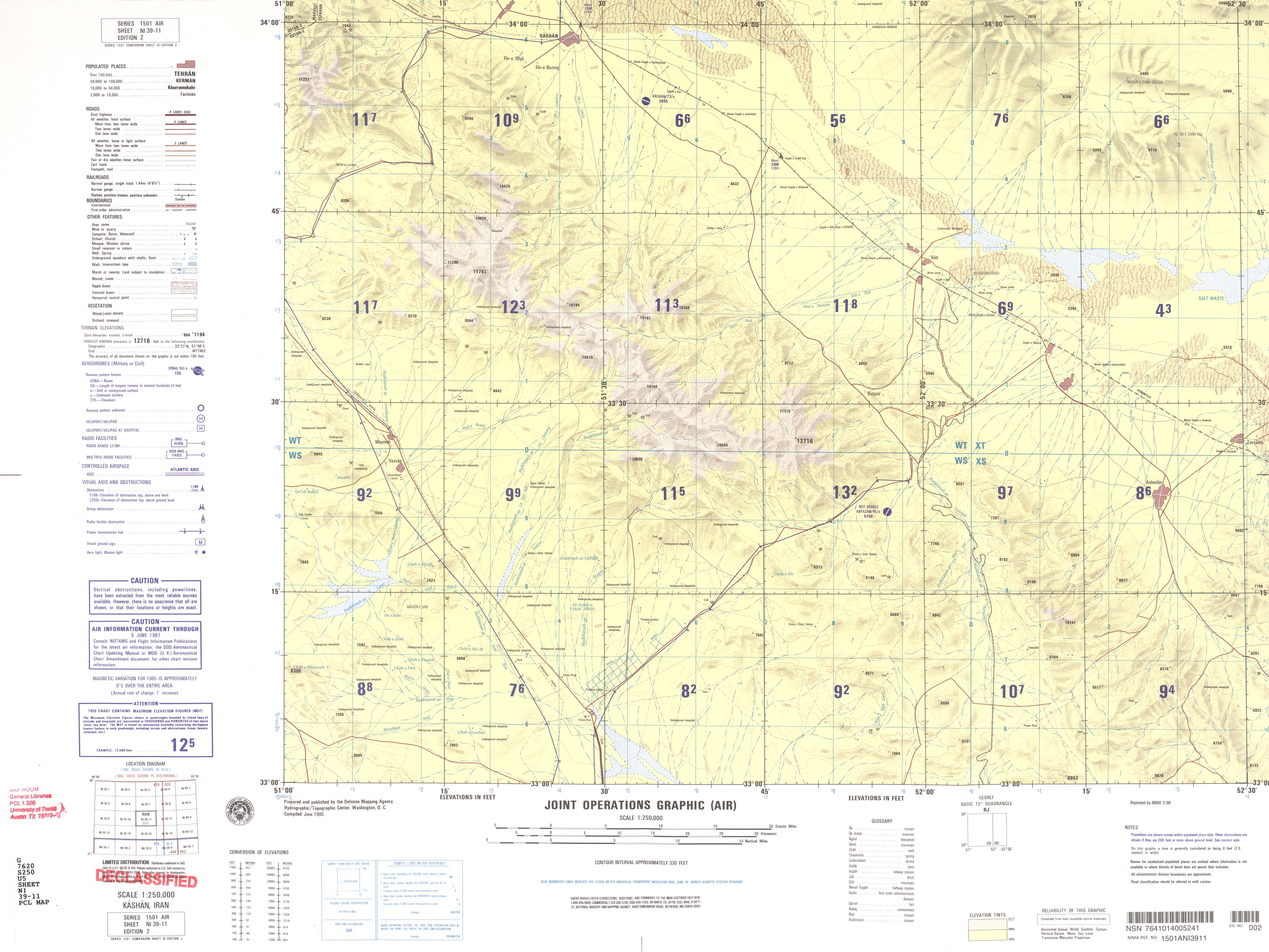
- NI 39-11 Kashan, Iran (3.1 MB)
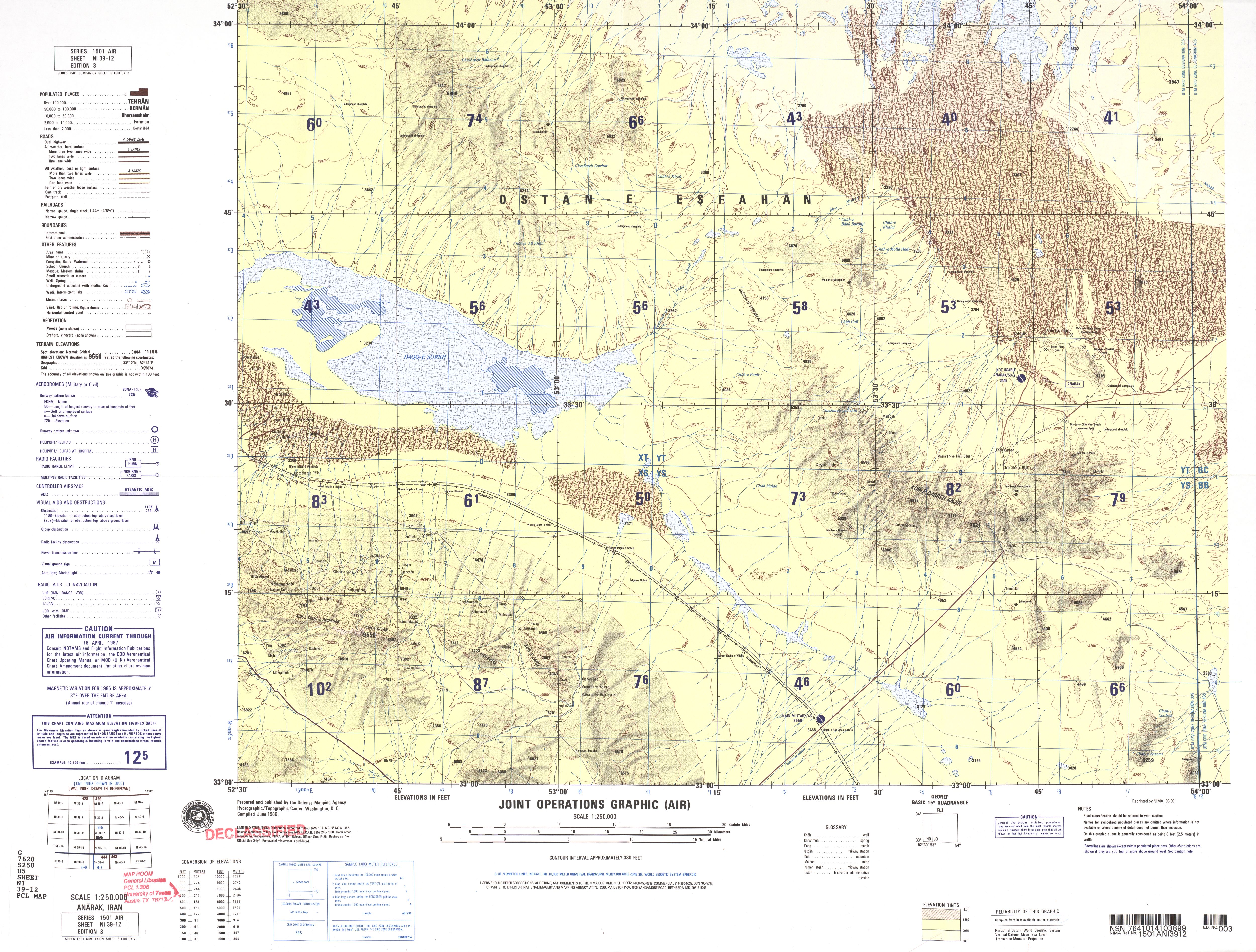
- NI 39-12 Anarak, Iran (4.1 MB)
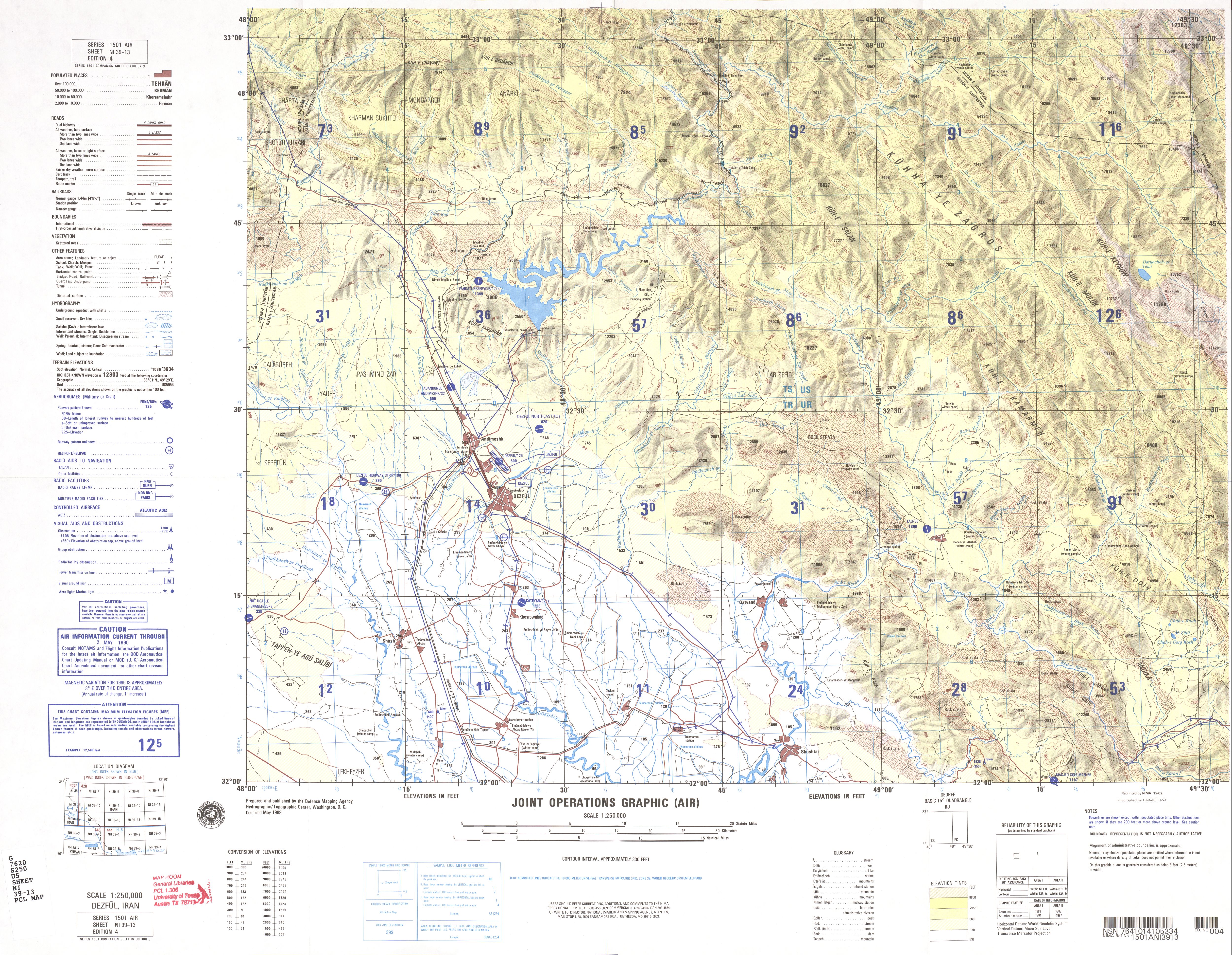
- NI 39-13 Dezful, Iran (4.6 MB)
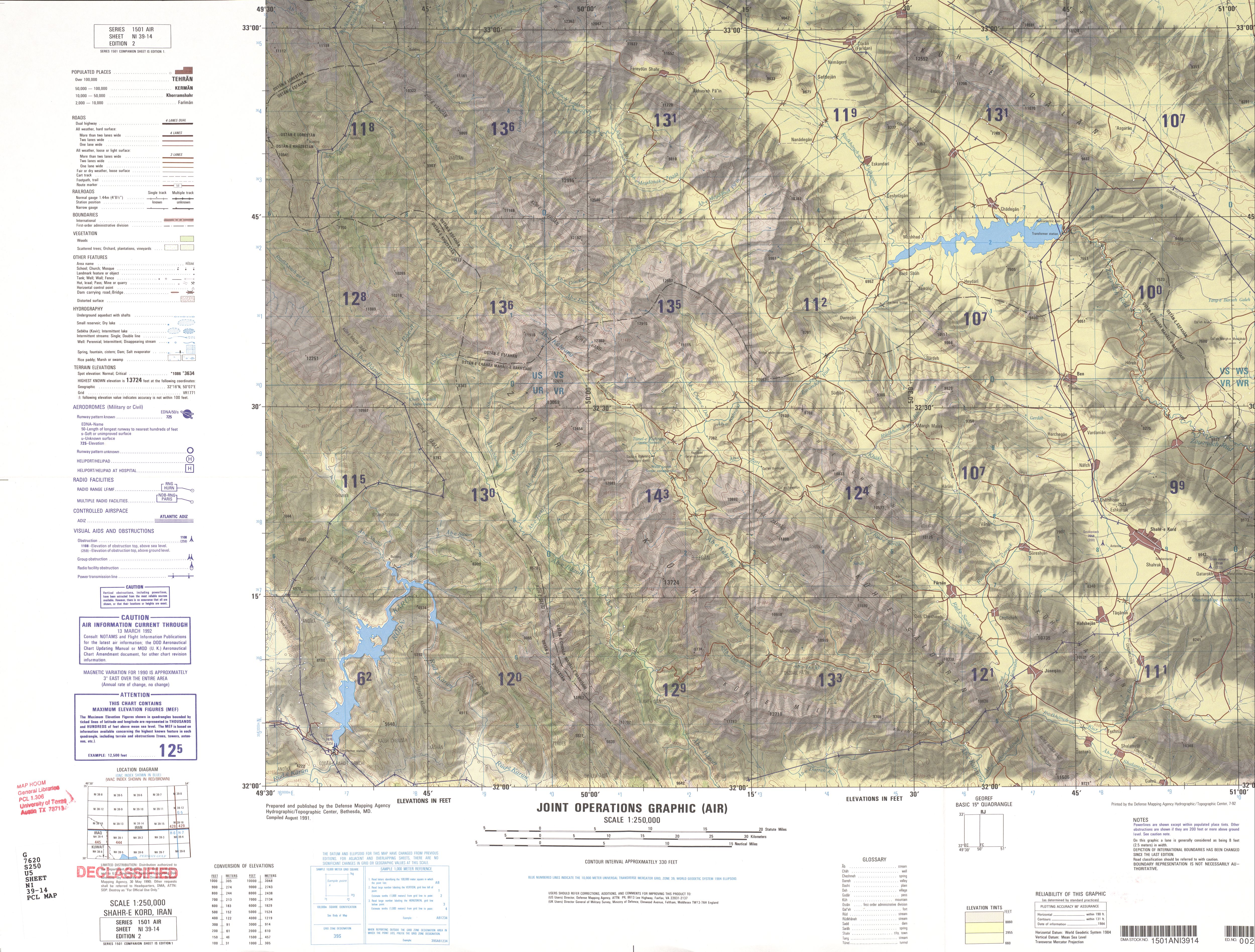
- NI 39-14 Shahr-e Kord, Iran (4.8 MB)
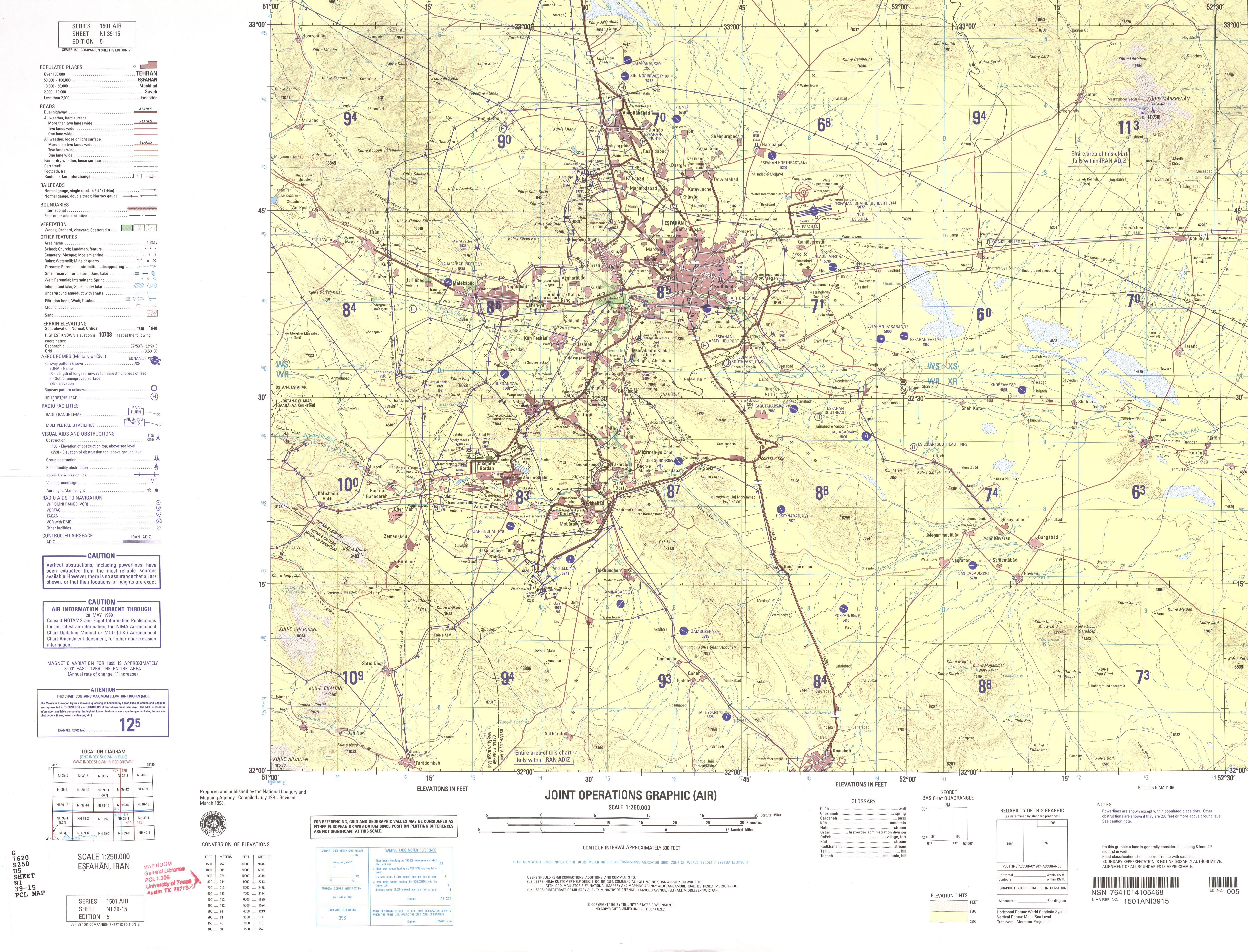
- NI 39-15 Eshafan, Iran (3.7 MB)
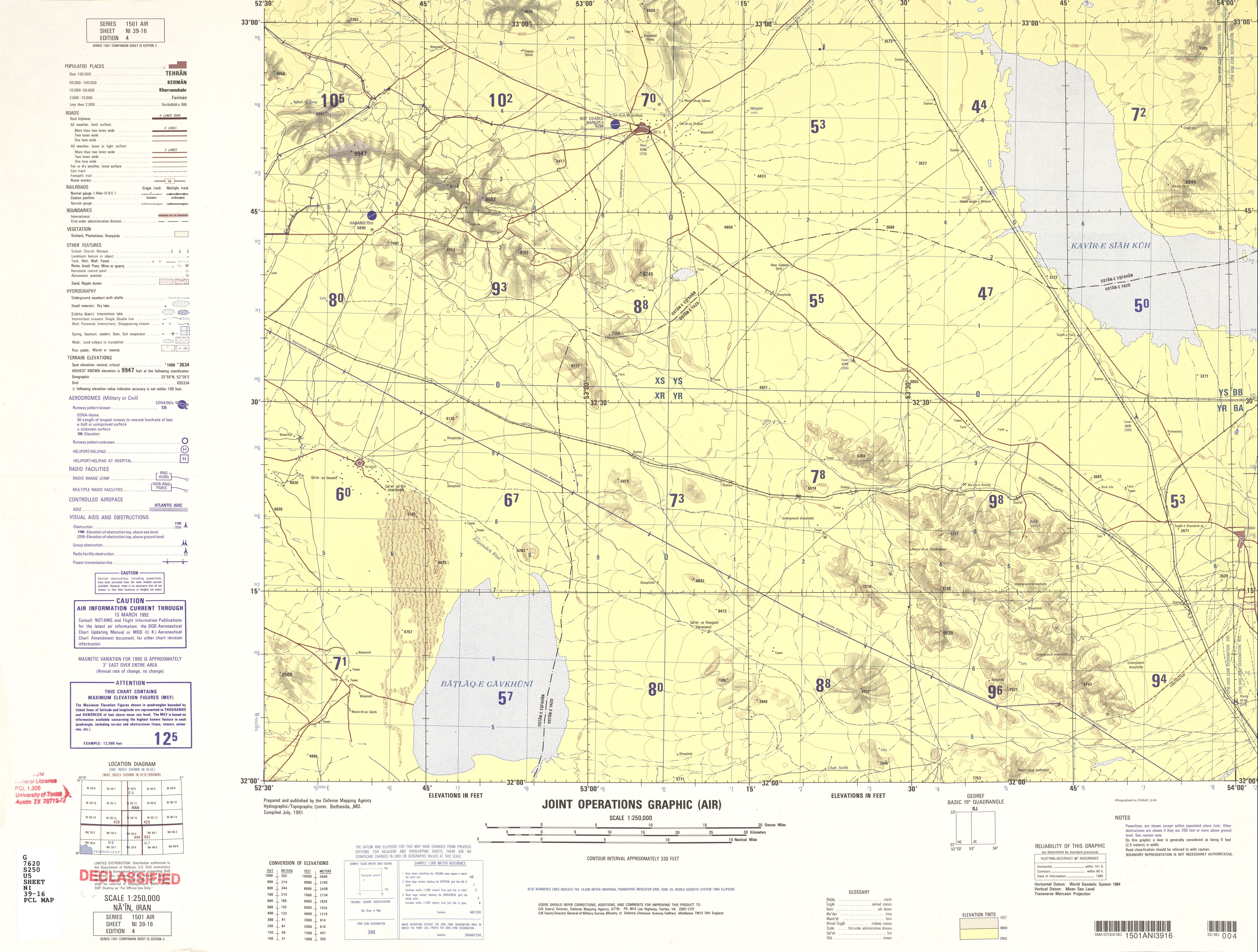
- NI 39-16 Na'in, Iran (3.2 MB)
- NI 40-1 Qusheh, Iran (3.0 MB)
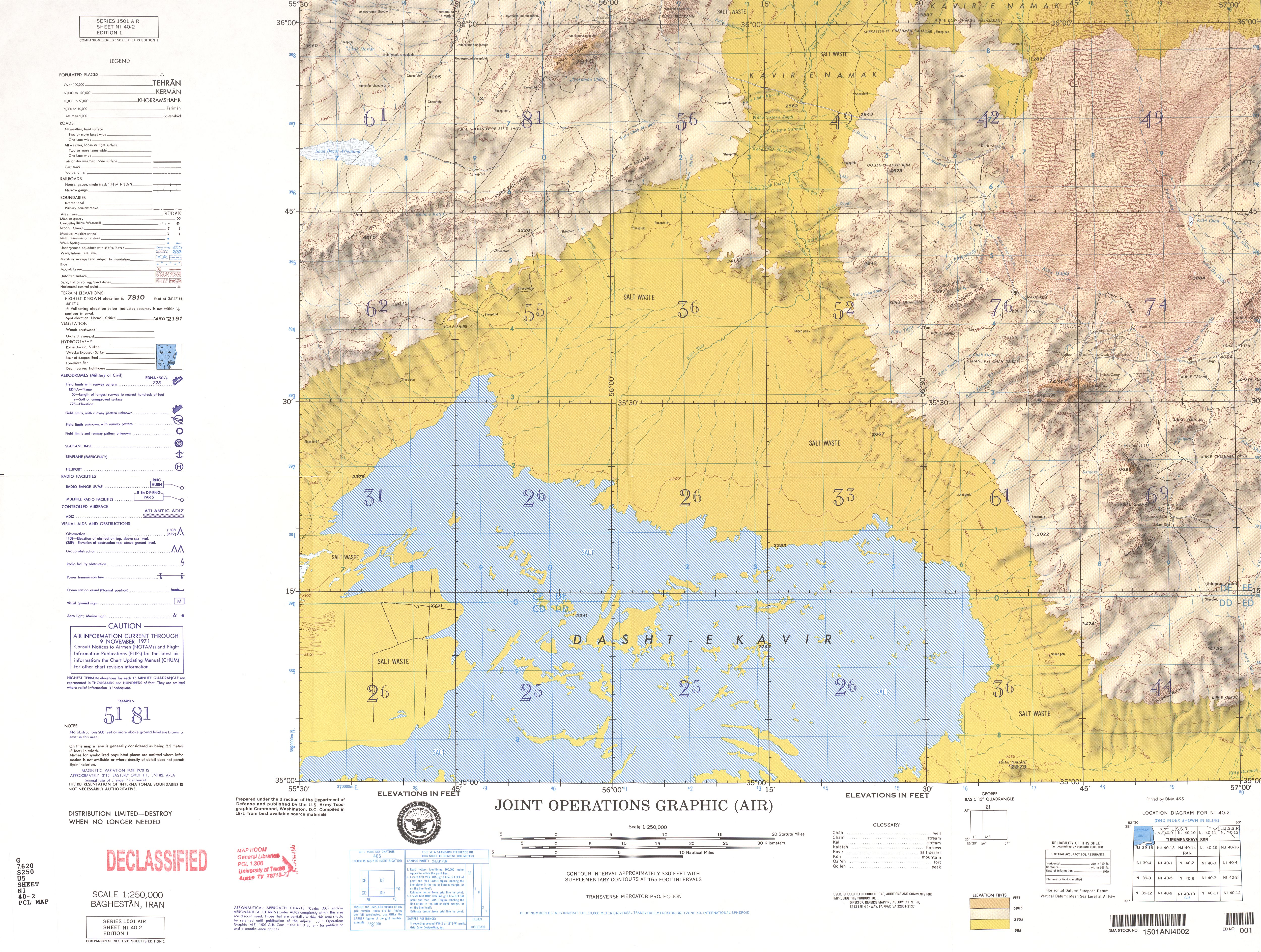
- NI 40-2 Baghestan, Iran (4.8 MB)
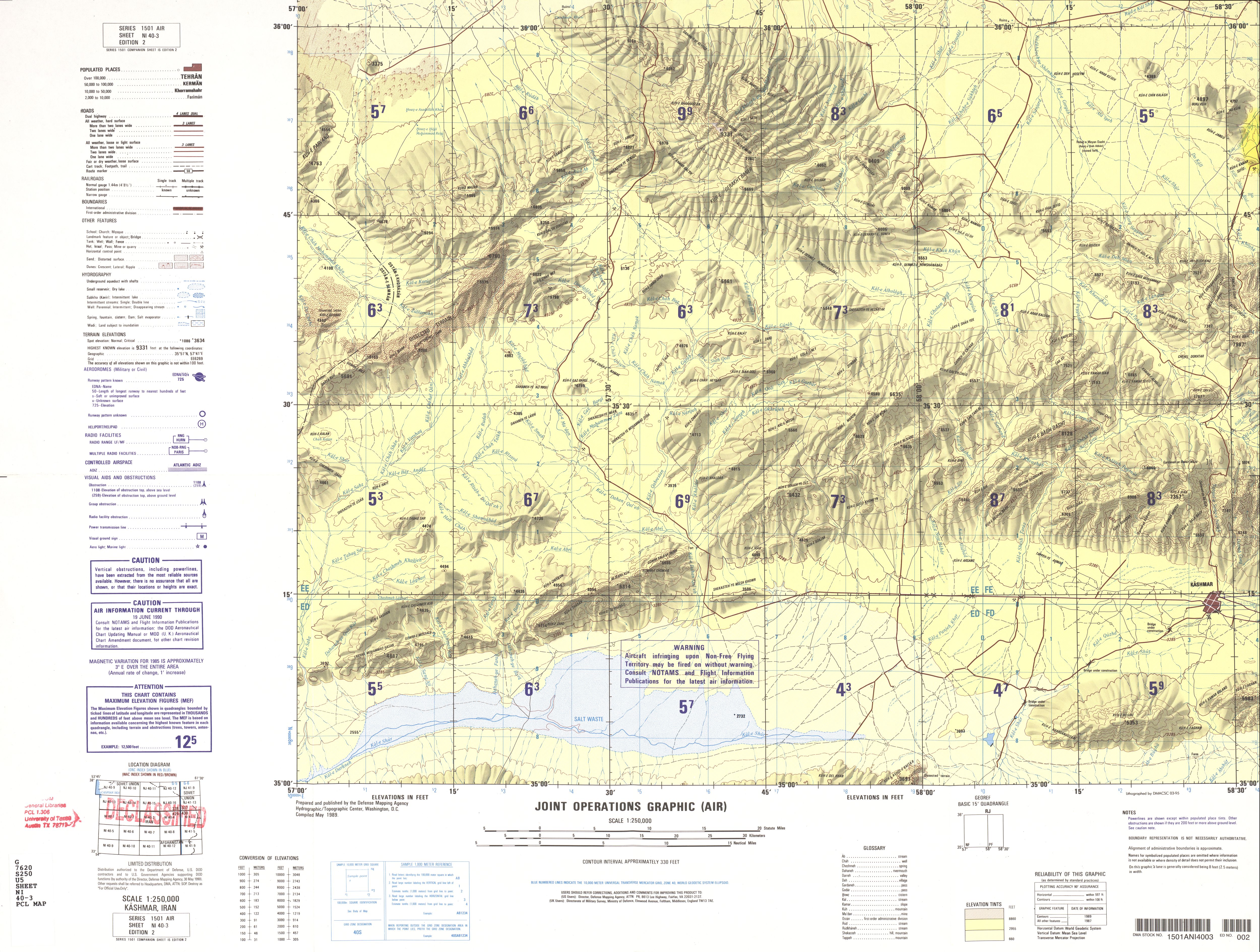
- NI 40-3 Kashmar, Iran (4.0 MB)
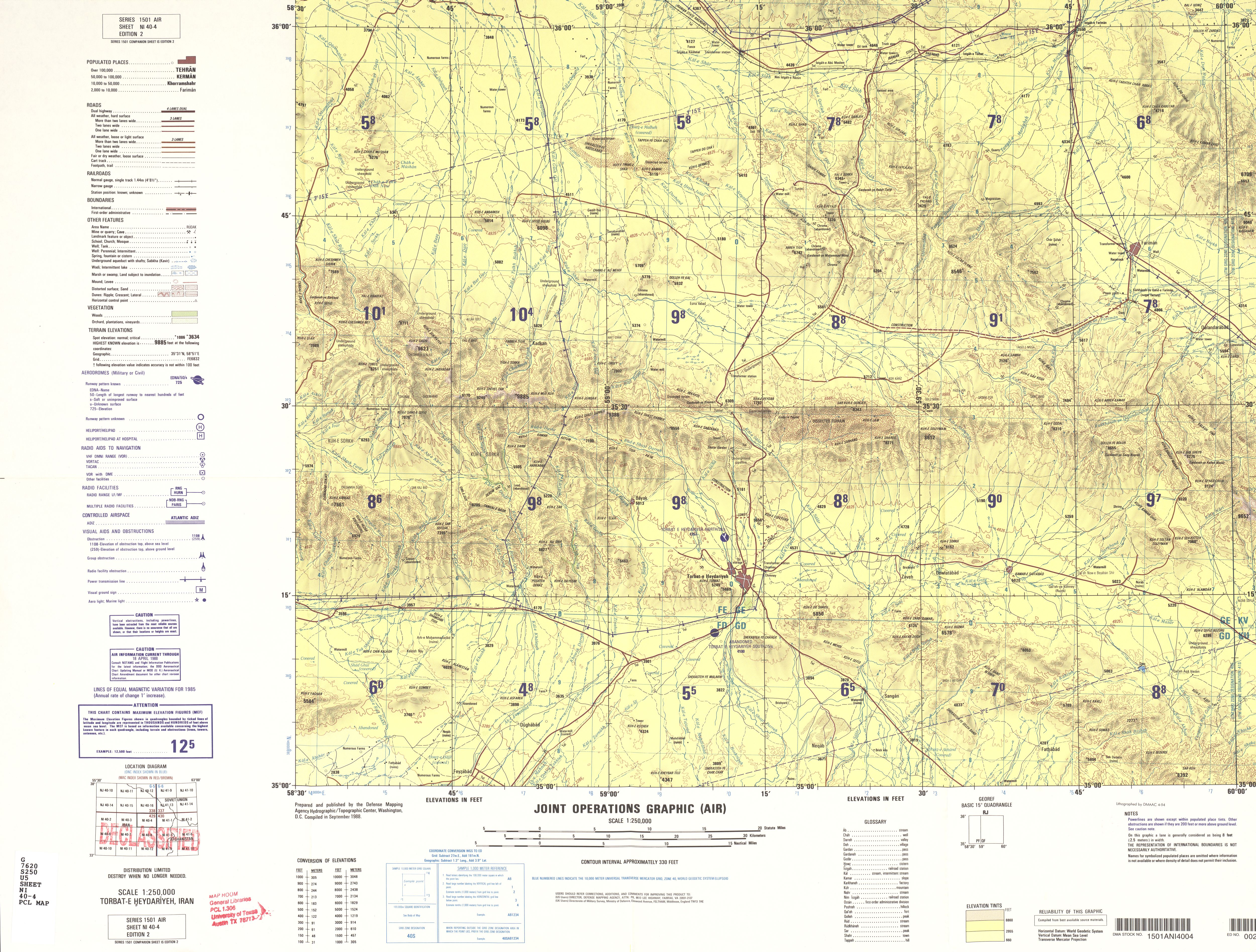
- NI 40-4 Torbat-e Heydariyeh, Iran (4.4 MB)
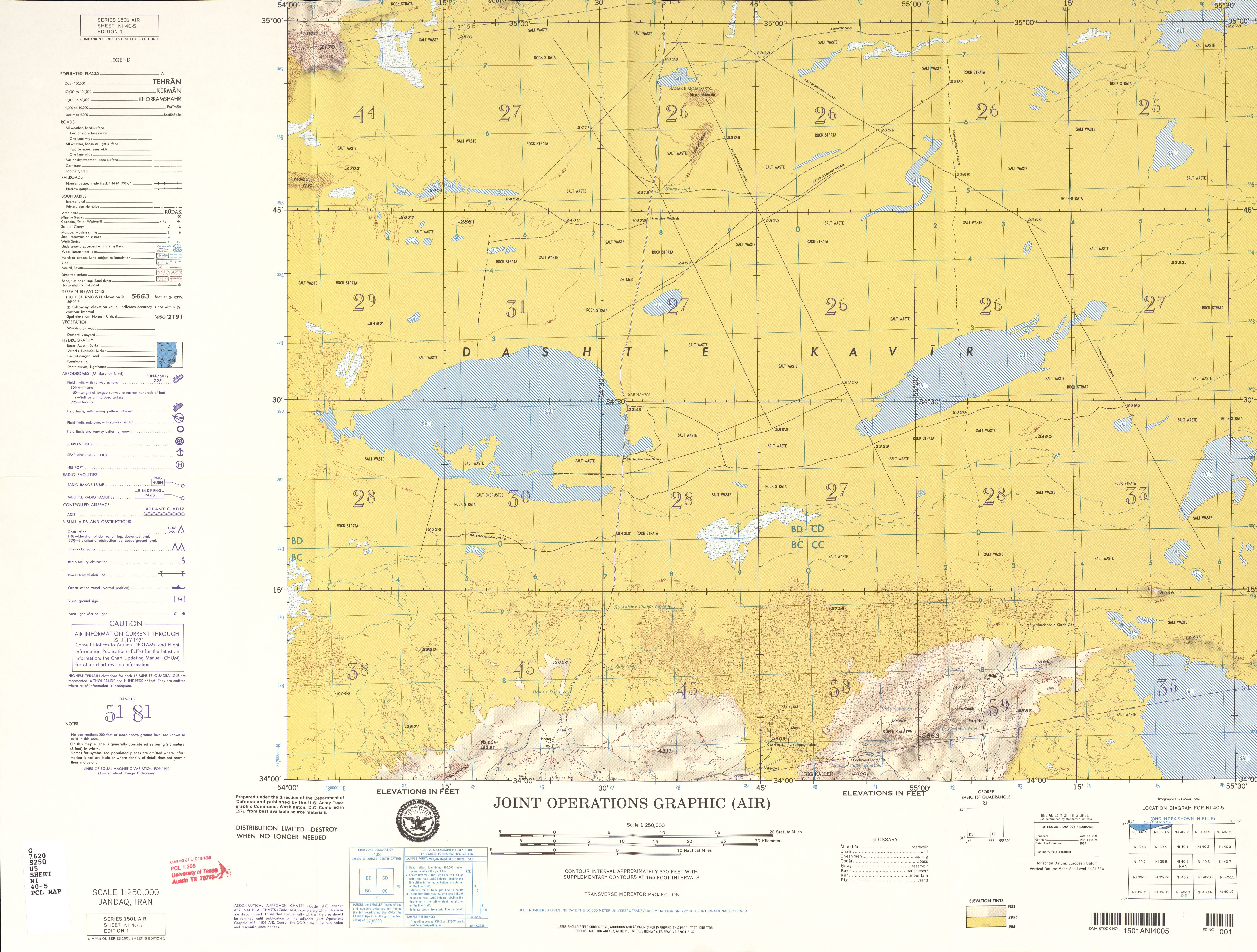
- NI 40-5 Jandaq, Iran (3.9 MB)
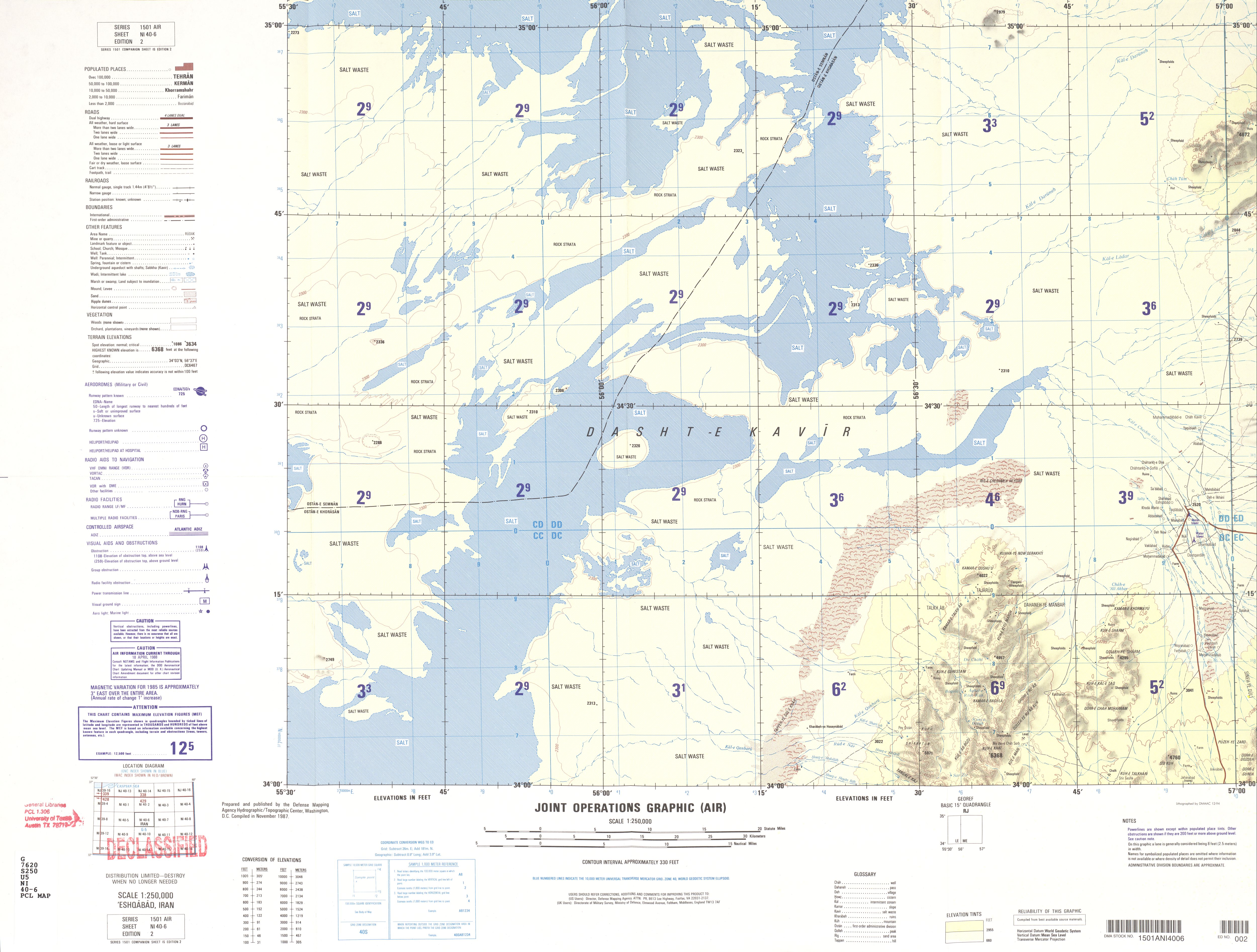
- NI 40-6 Eshqabad, Iran (3.6 MB)
- NI 40-7 Ferdows, Iran (3.5 MB)
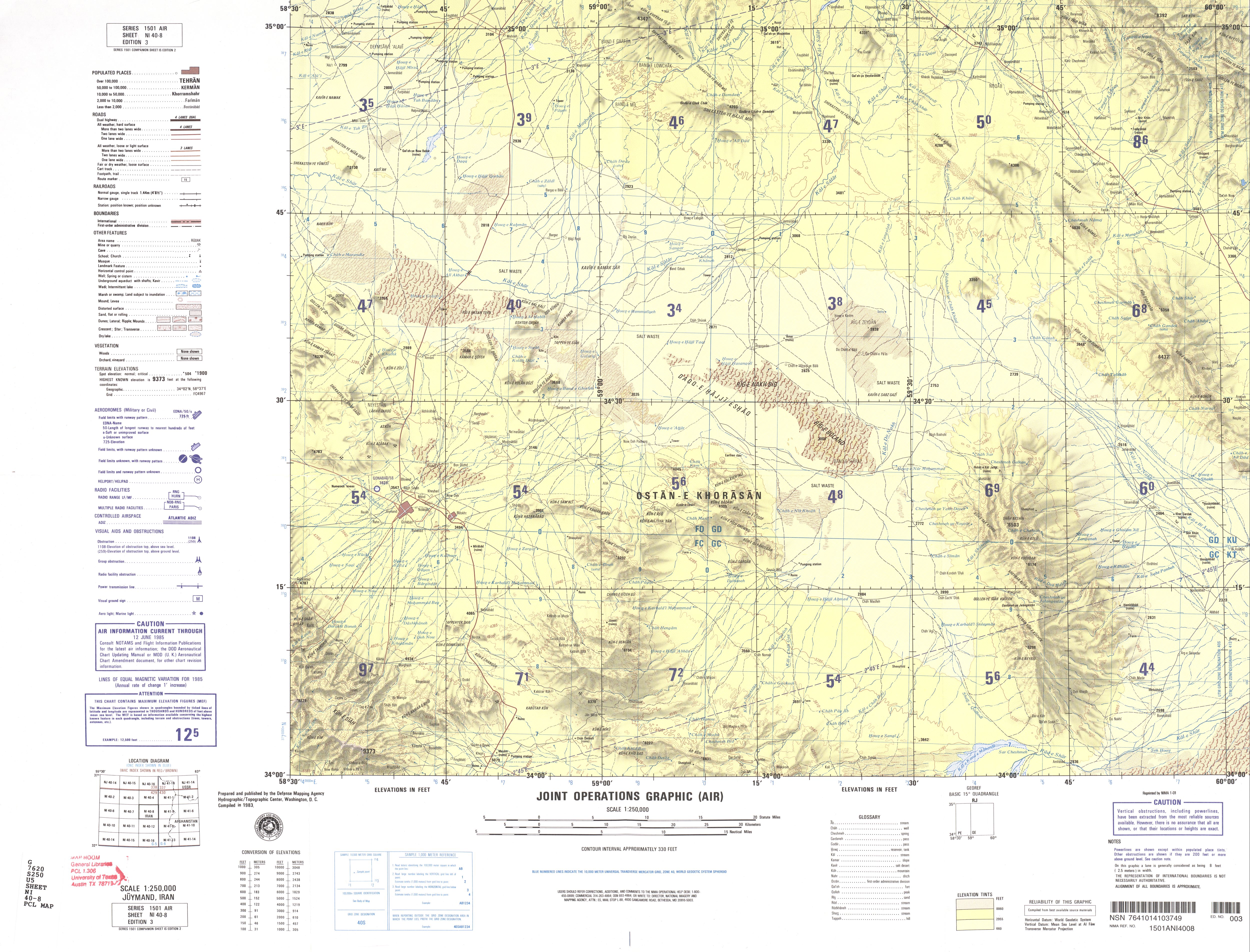
- NI 40-8 Juymand, Iran (3.8 MB)
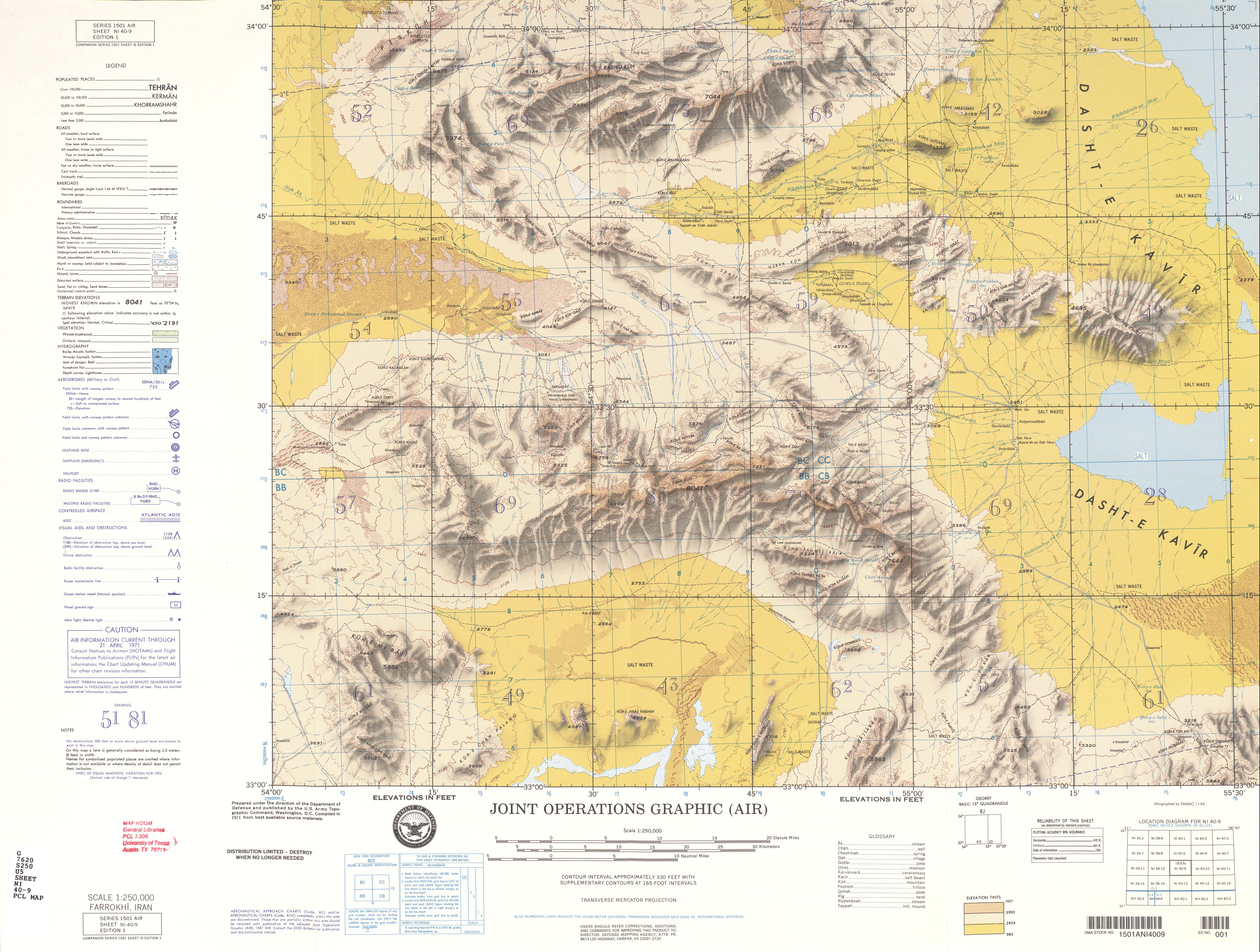
- NI 40-9 Farrokhi, Iran (5.0 MB)
- NI 40-10 Tabas, Iran (4.7 MB)
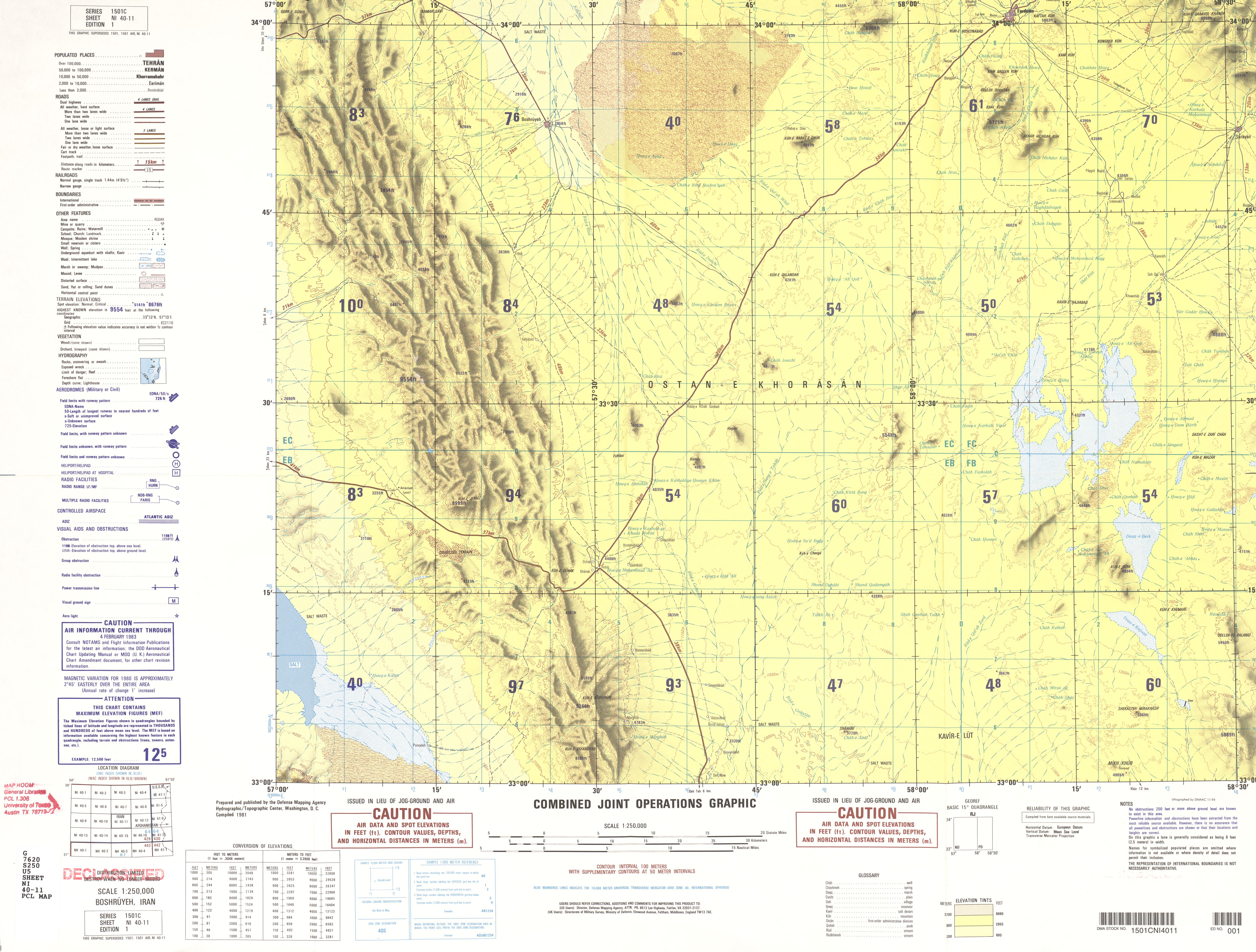
- NI 40-11 Boshruyeh, Iran (3.6 MB)
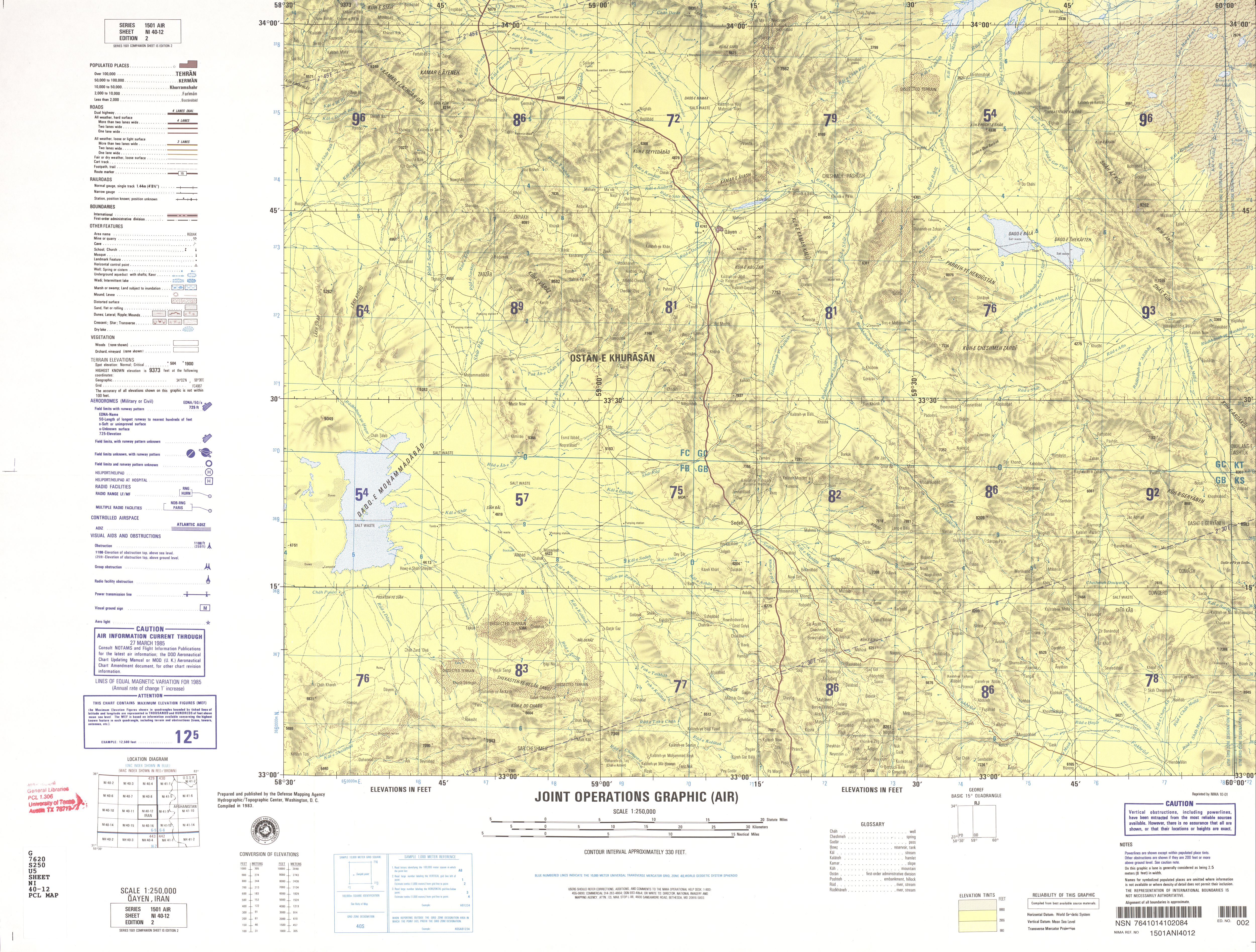
- NI 40-12 Qayen, Iran (4.2 MB)
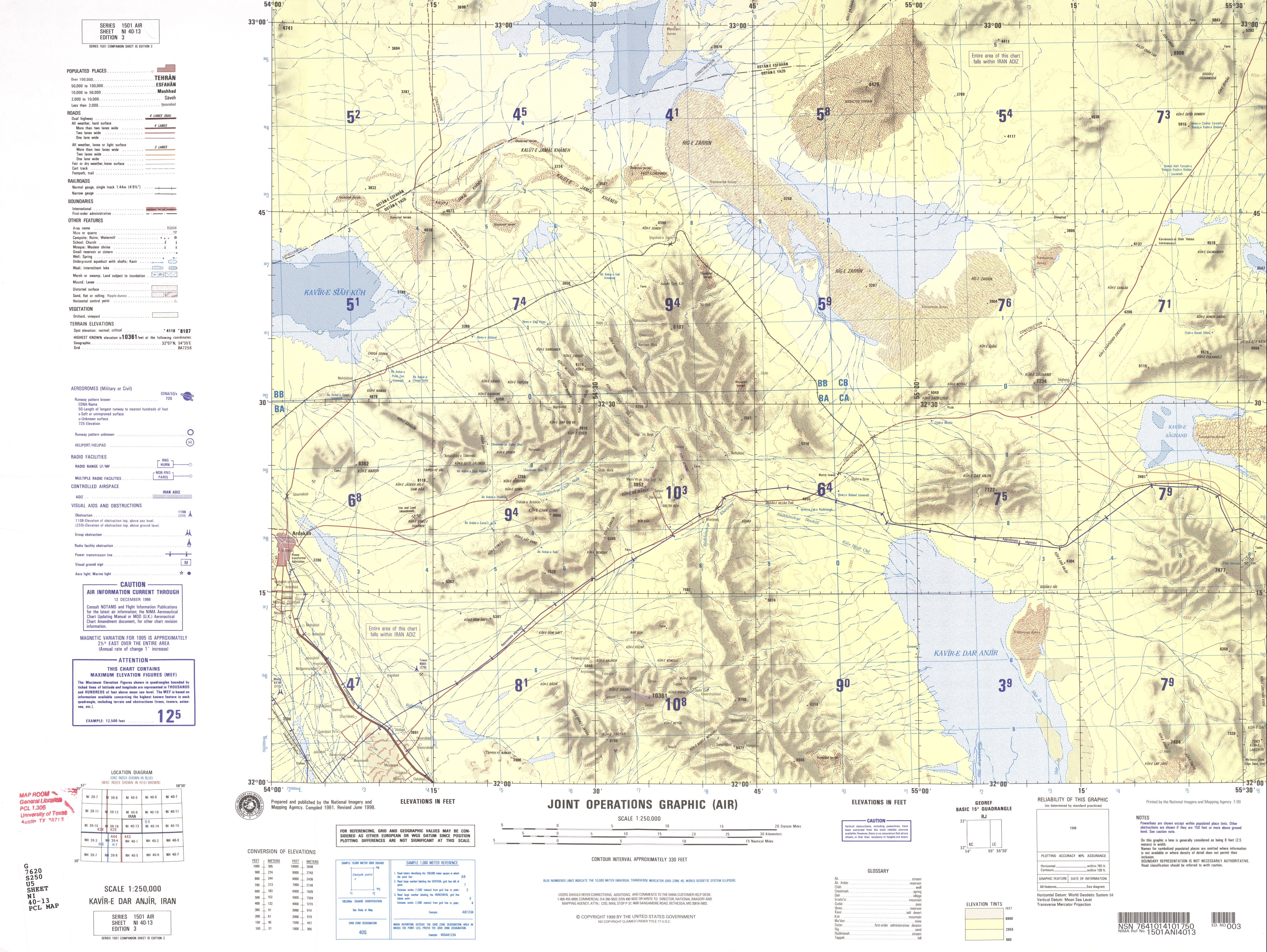
- NI 40-13 Kavir-e Dar Anjir, Iran (3.7 MB)
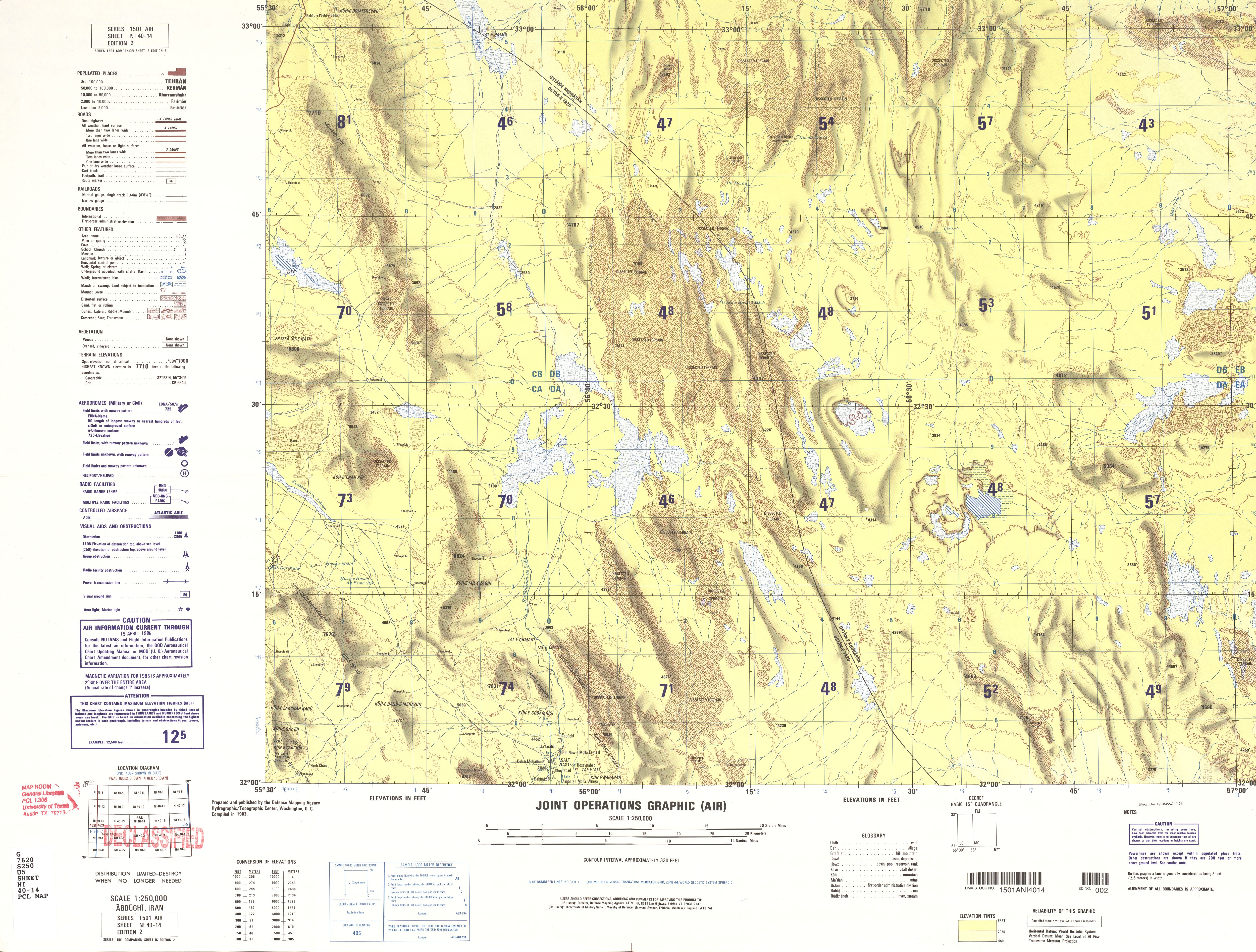
- NI 40-14 Abdughi, Iran (4.1 MB)
- NI 40-15 Khur, Iran (2.8 MB)
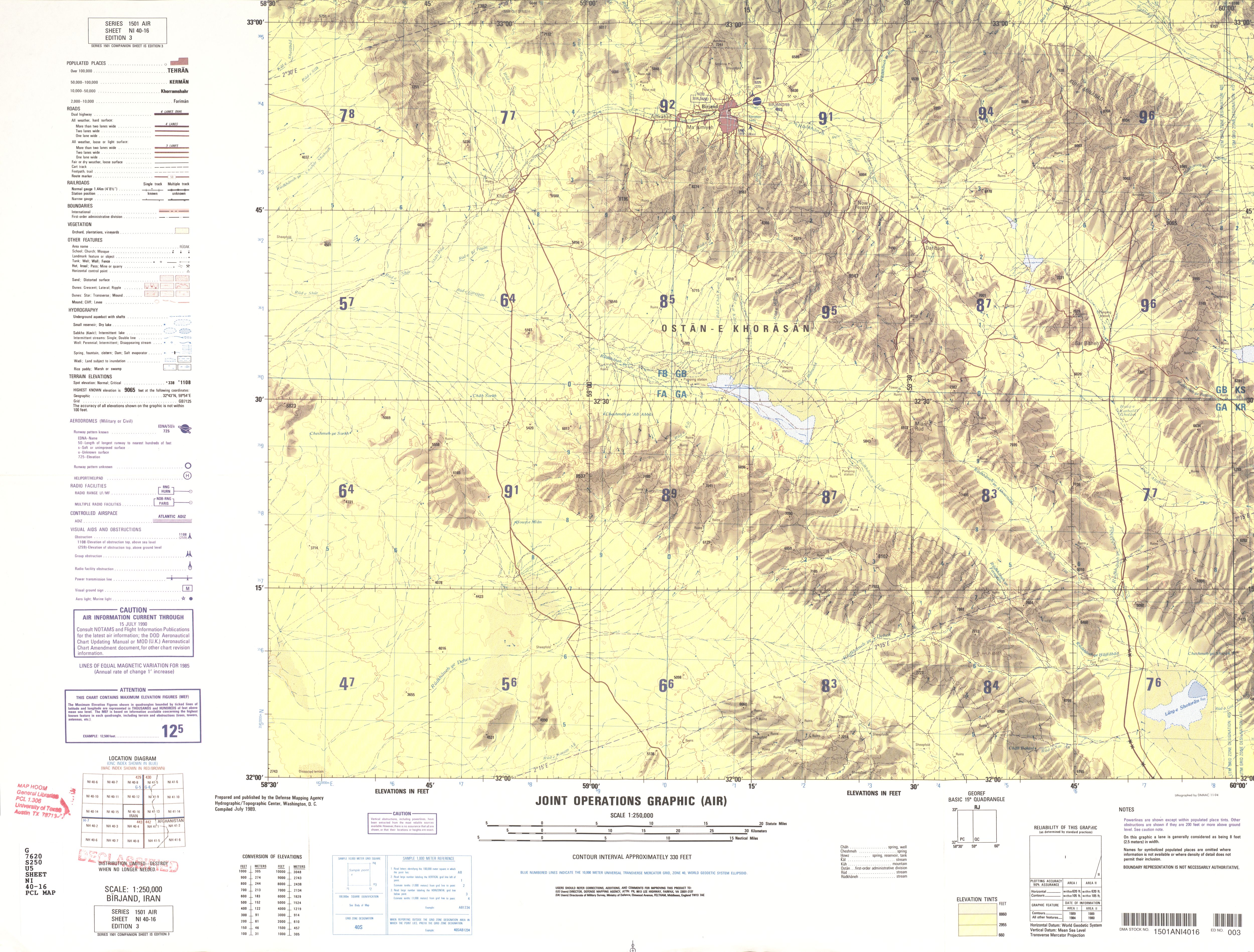
- NI 40-16 Birjand, Iran (3.6 MB)
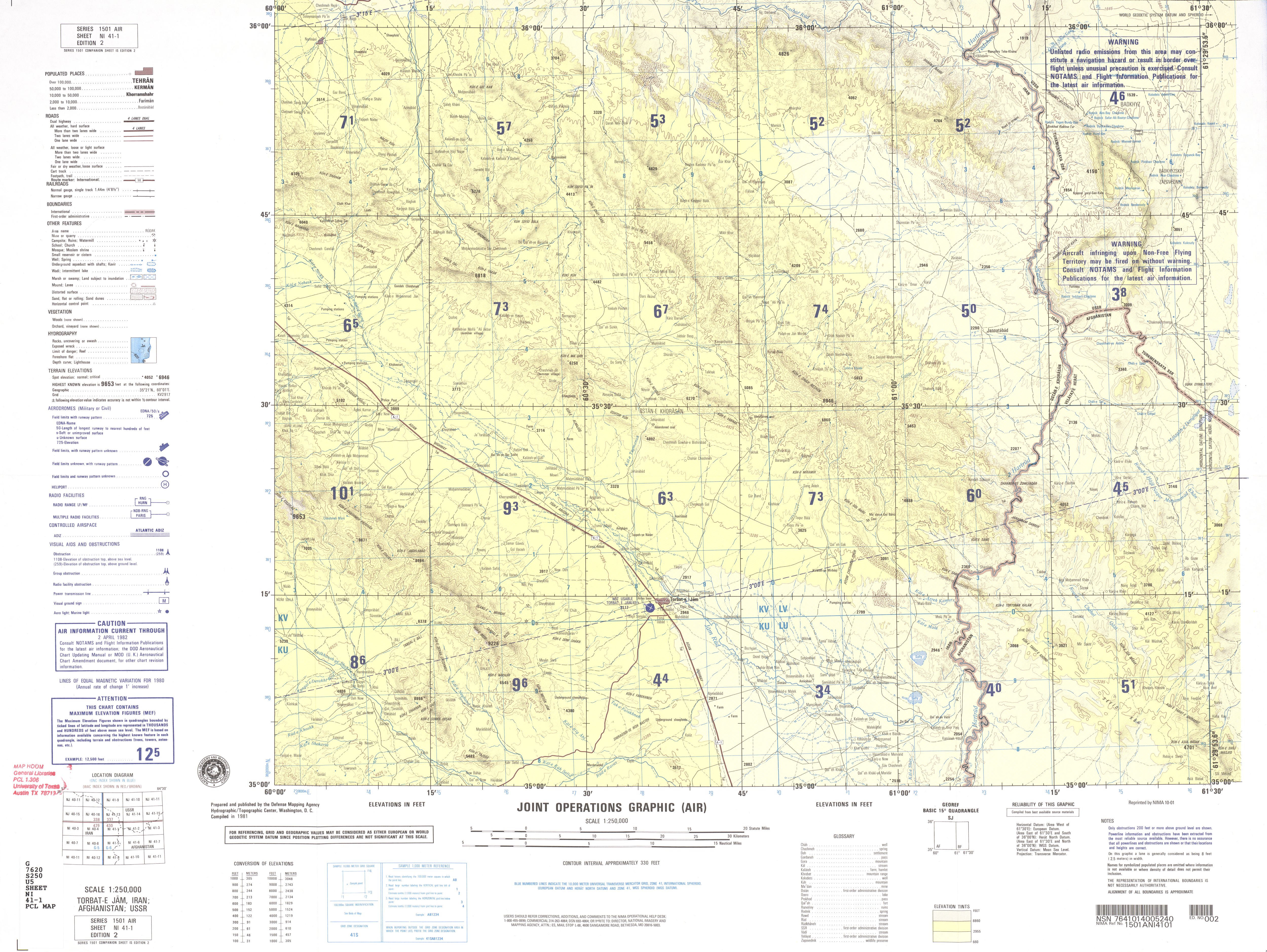
- NI 41-1 Torbat-e Jam, Iran; Afghanistan; USSR (3.8 MB)
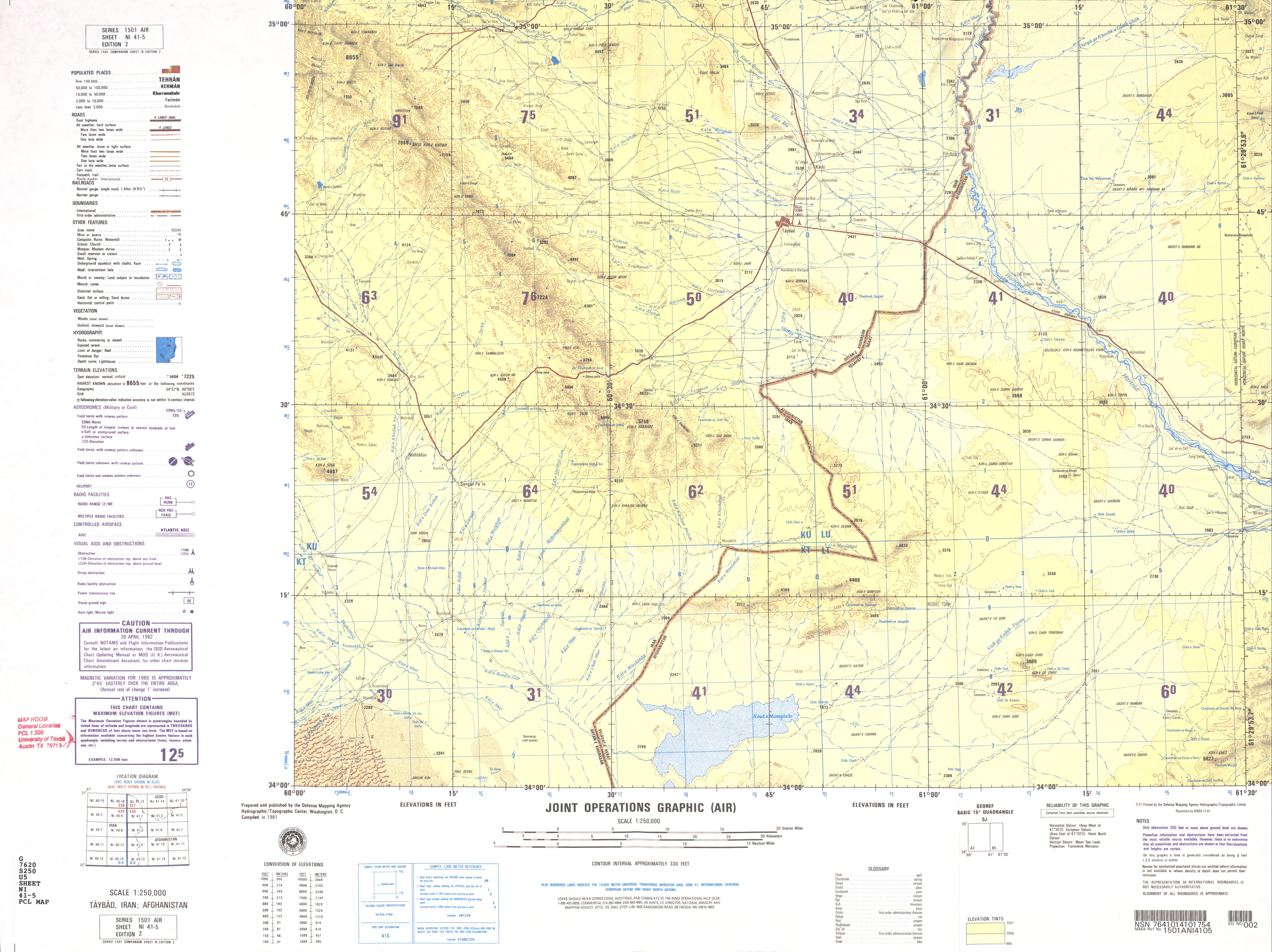
- NI 41-5 Taybad, Iran; Afghanistan (2.7 MB)
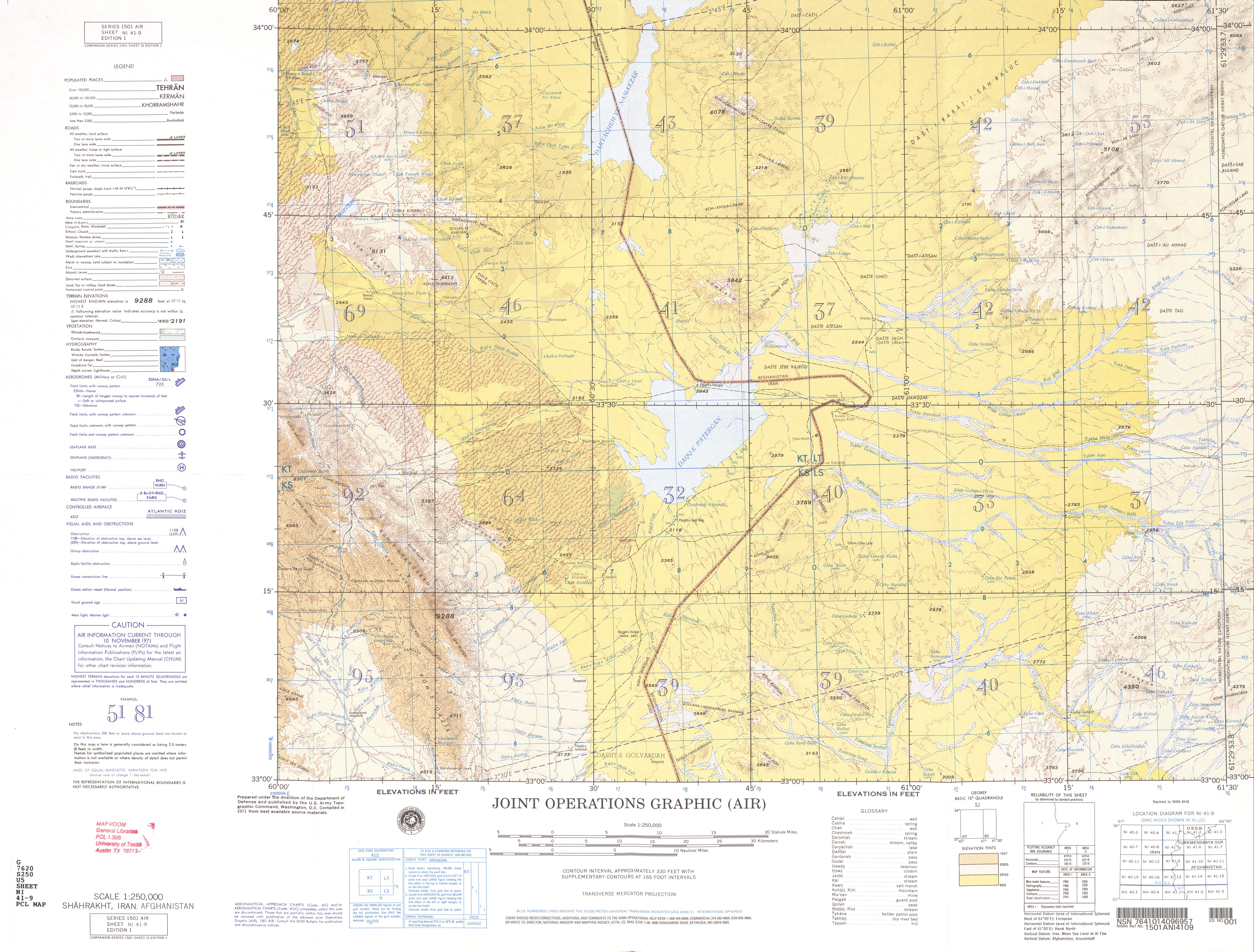
- NI 41-9 Shahrakht, Iran; Afghanistan (4.4 MB)
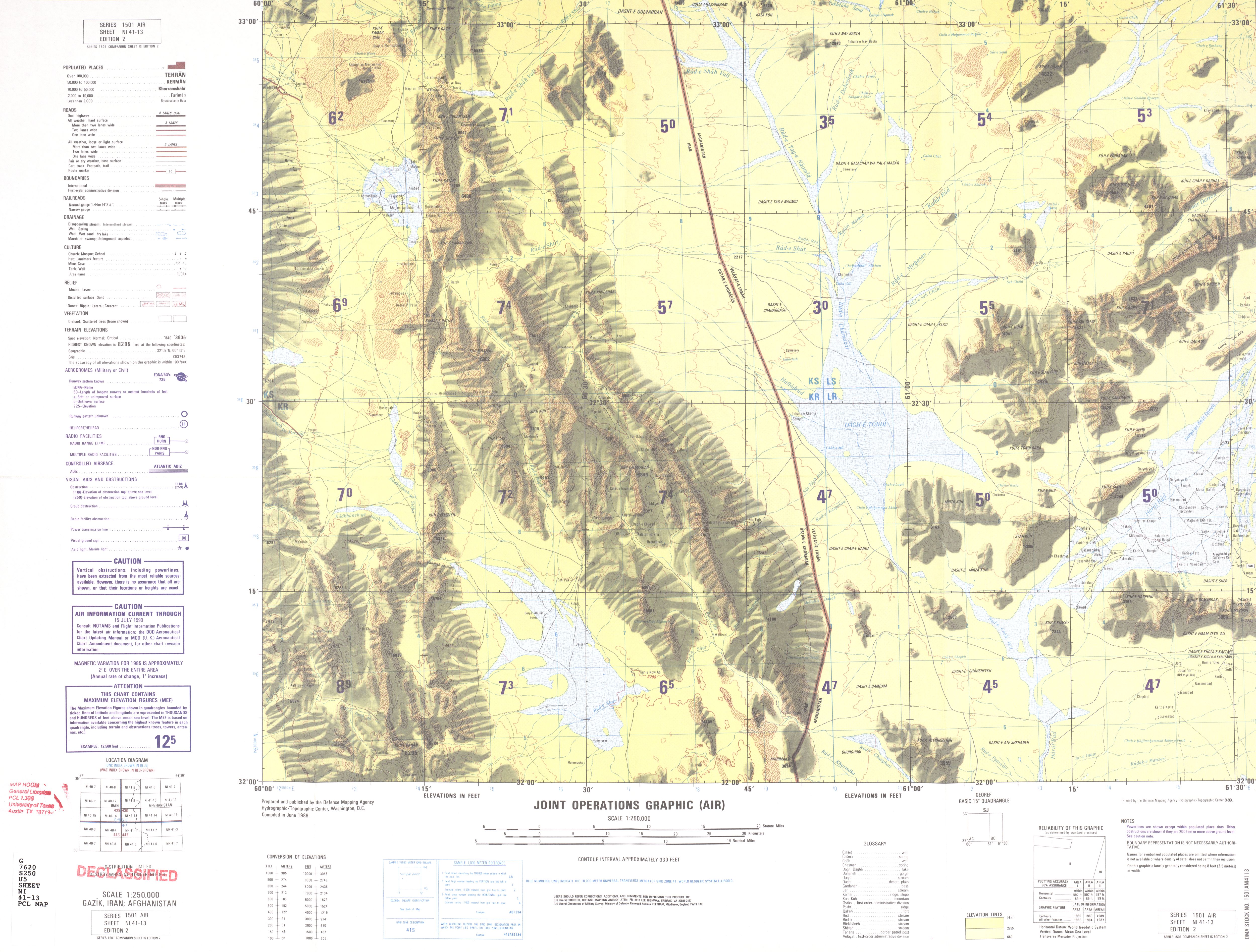
- NI 41-13 Gazik, Iran; Afghanistan (2.9 MB)
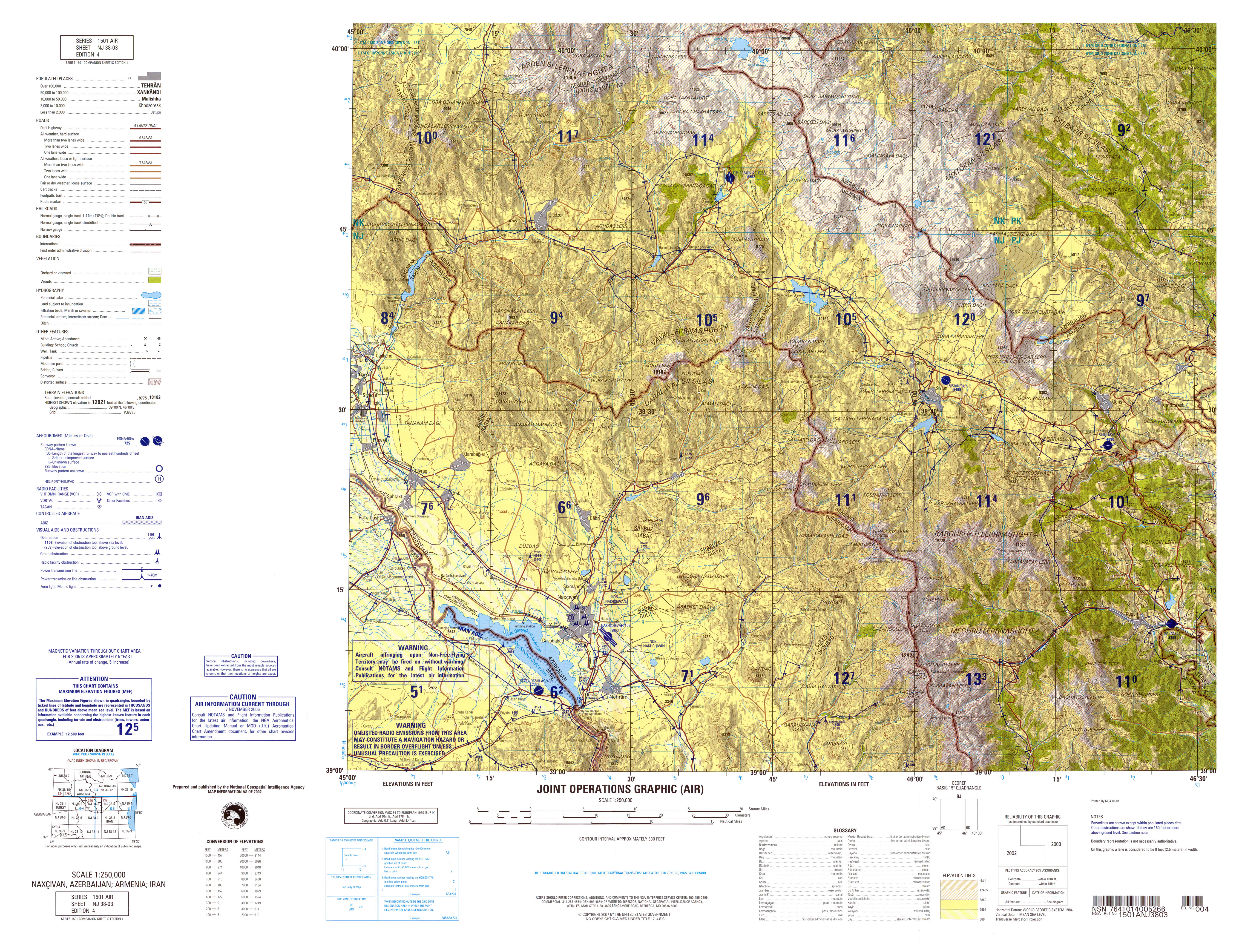
- NJ 38-3 Naxcivan, Azerbaijan; Armenia; Iran (9.0MB) [GeoPDF]
- NJ 38-3 Nakhichevan, USSR; Iran 1981 (4.3 MB) [JPEG]
- NJ 38-3 Naxcivan, Azerbaijan; Armenia; Iran 2006 (7.2MB) [JPEG]
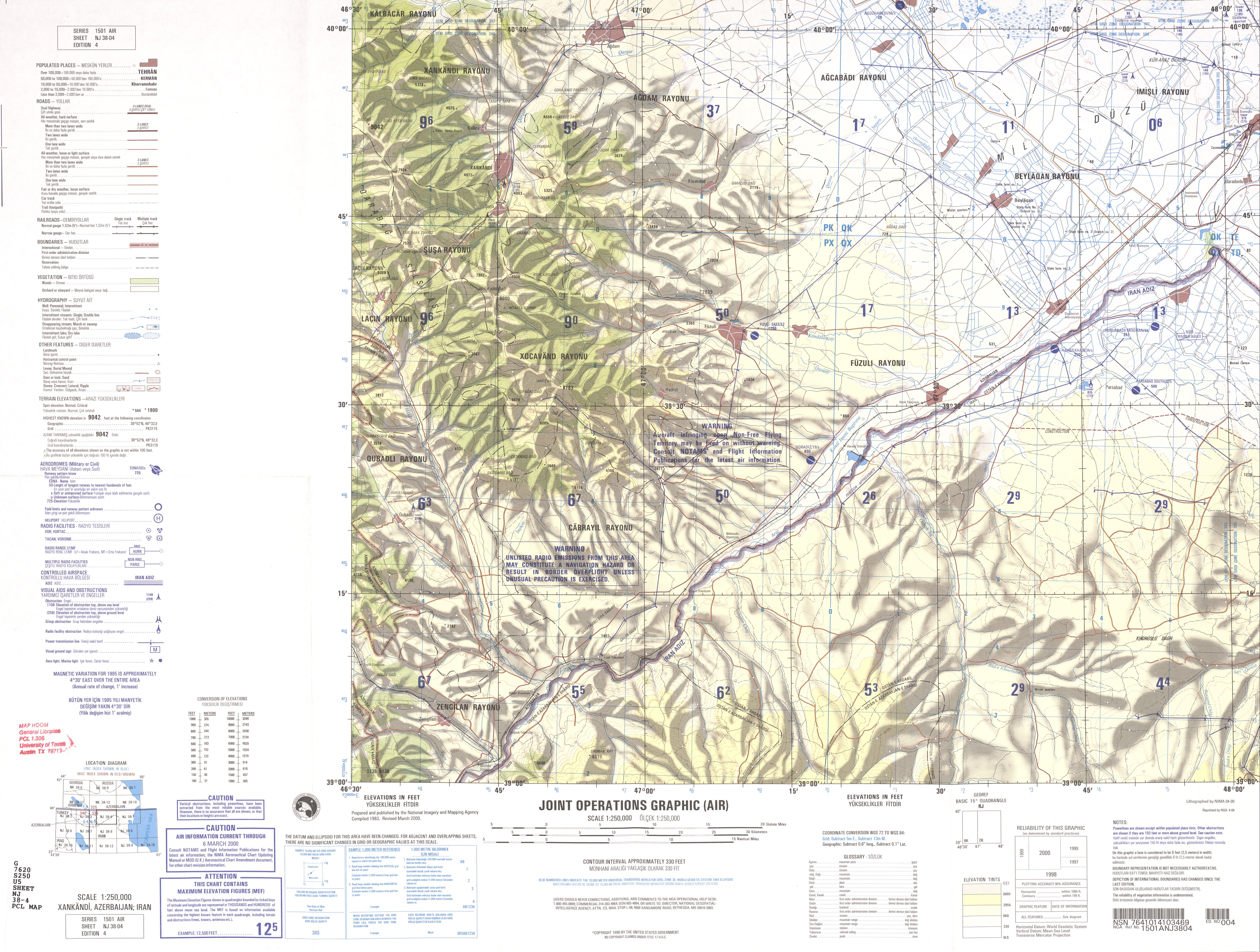
- NJ 38-4 Xankandi, Azerbaijan; Armenia; Iran (7.8MB) [PDF]
- NJ 38-4 Xankandi, Azerbaijan; Iran 2000 (4.1 MB) [JPEG]
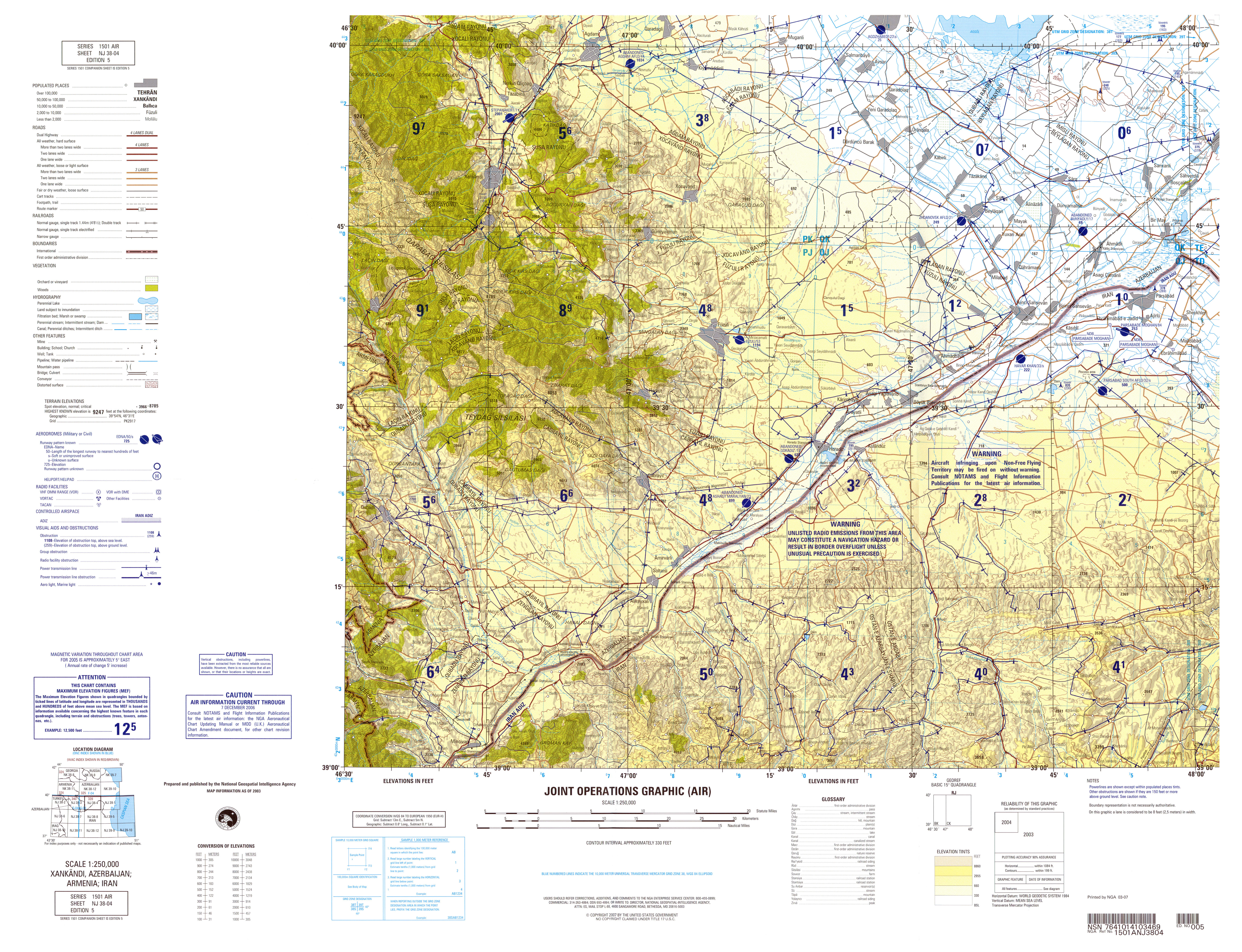
- NJ 38-4 Xankandi, Azerbaijan; Armenia; Iran 2006 (7.3MB) [JPEG]
- NJ 38-7 Tabriz, Iran; Azerbaijan; Armenia (6.4MB) [GeoPDF]
- NJ 38-7 Tabriz, Iran; Azerbaijan; Armenia (4.2 MB) [JPEG]
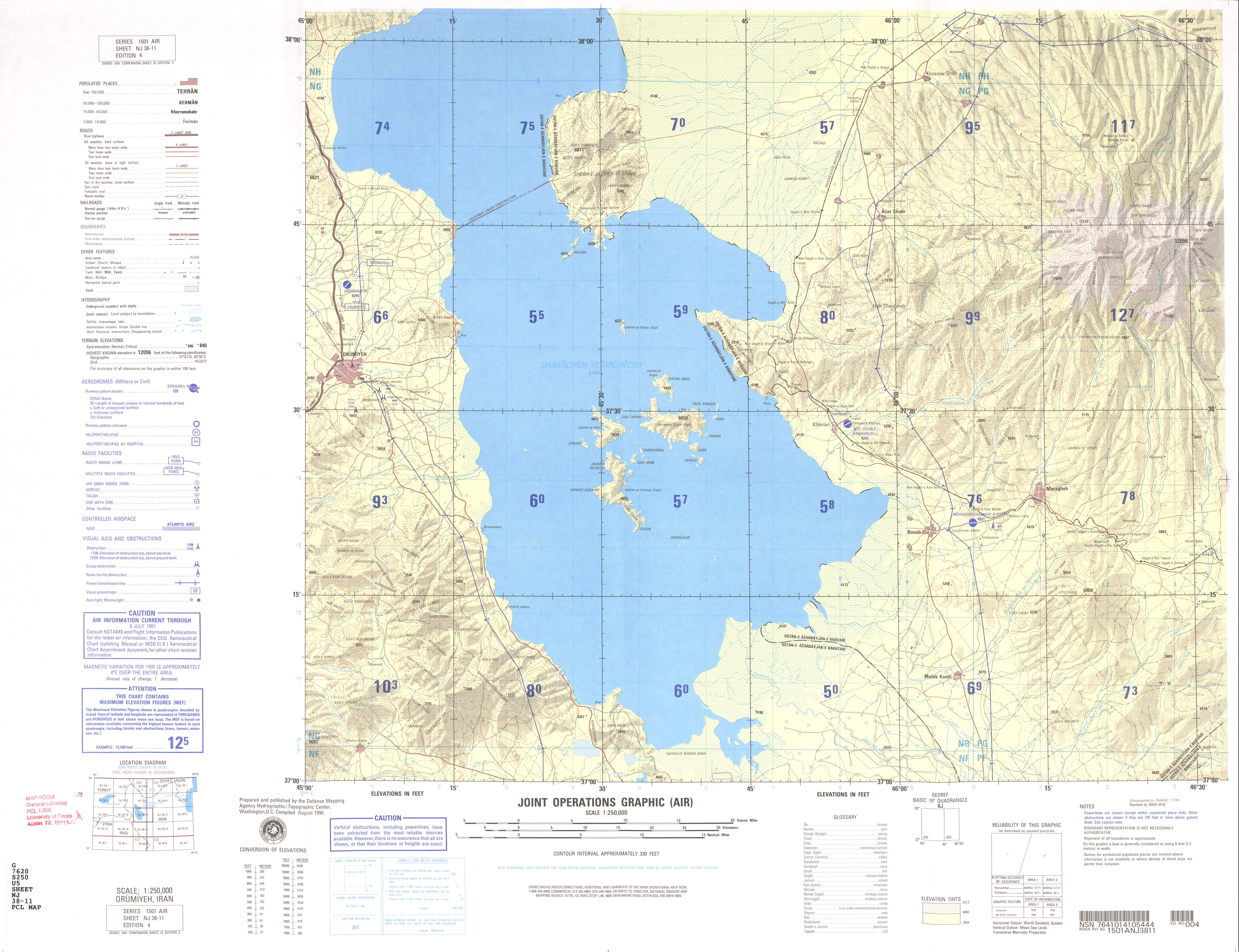
- NJ 38-11 Orumiyeh, Iran (3.6 MB)
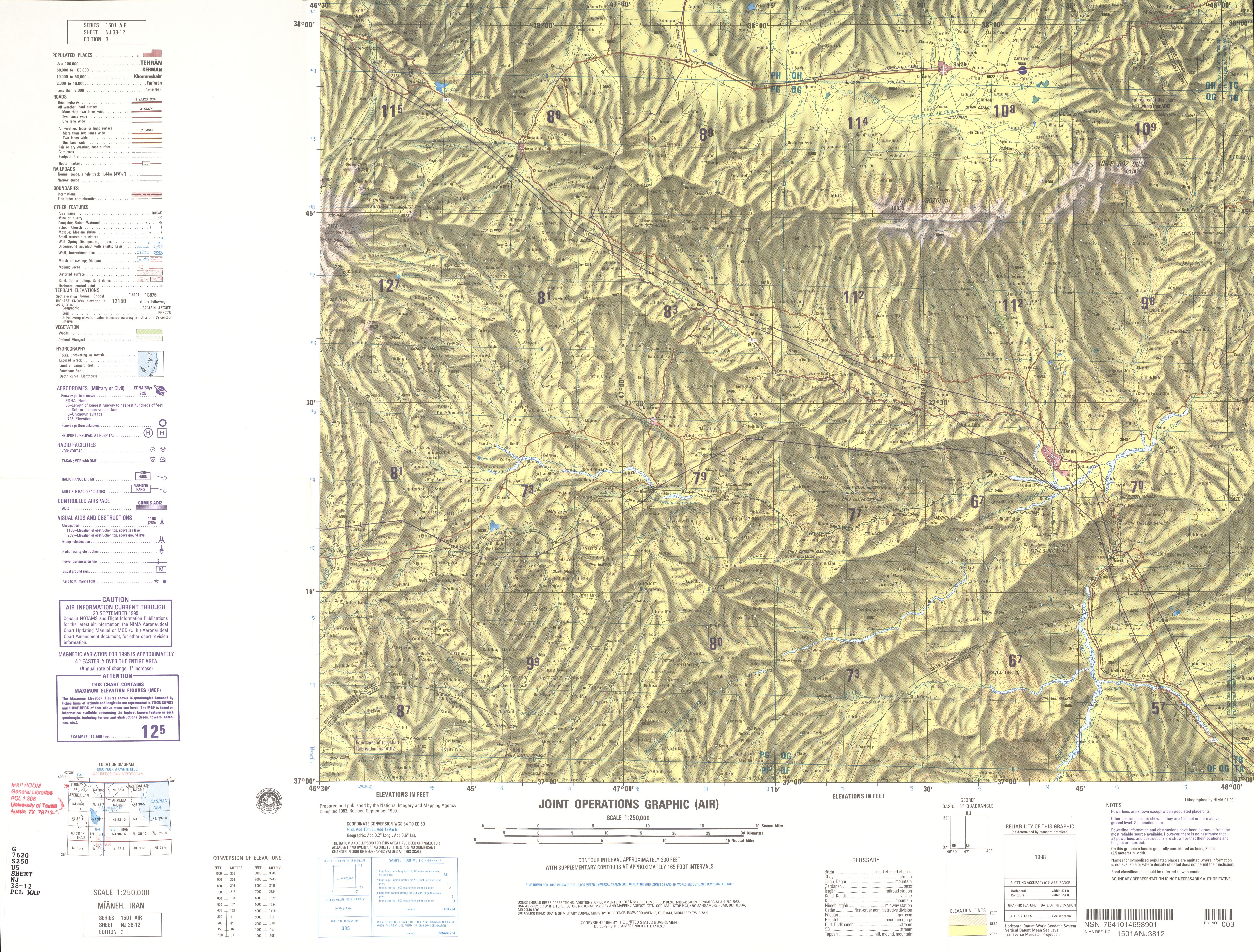
- NJ 38-12 Mianeh, Iran (5.0 MB)
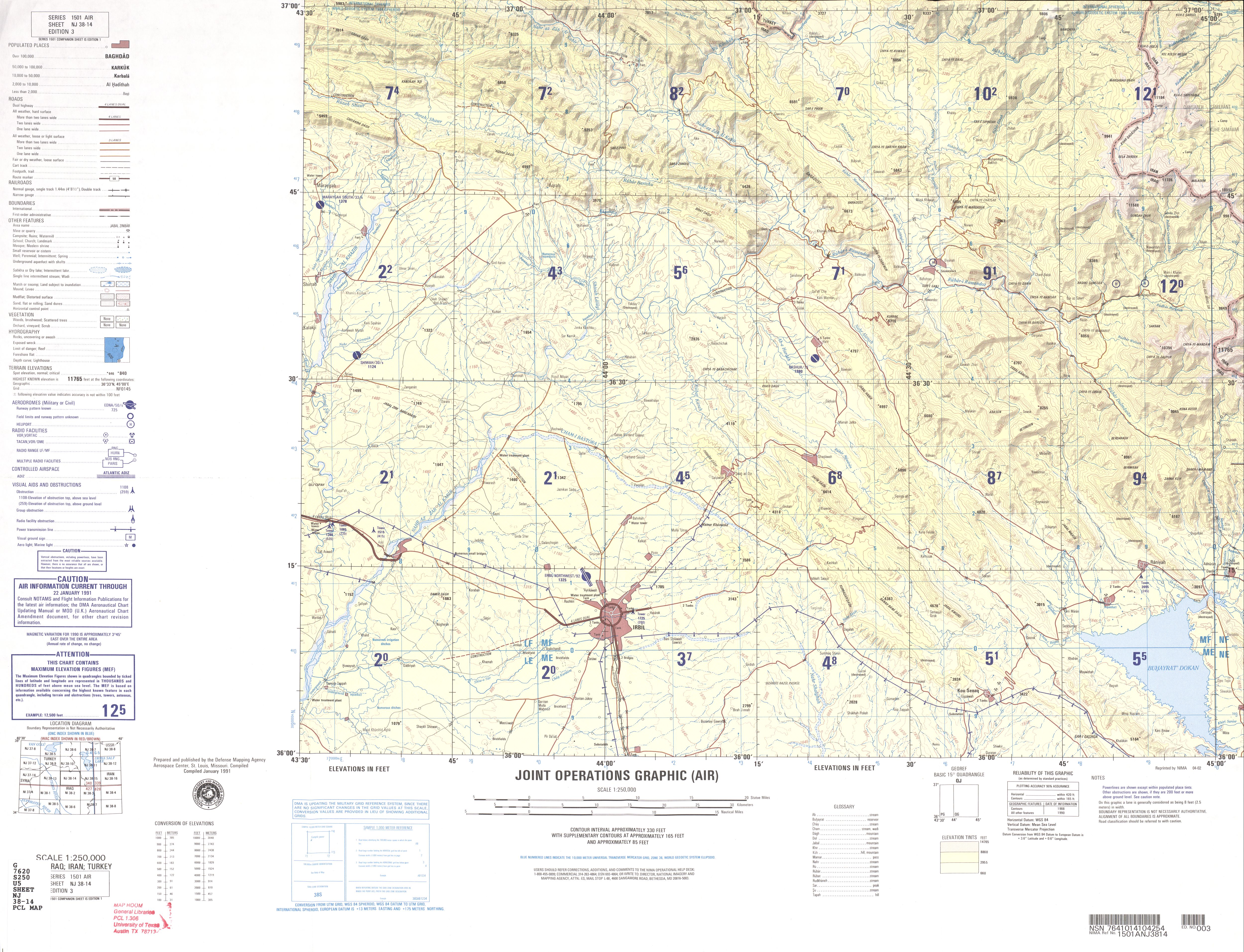
- NJ 38-14 Irbil, Iraq; Iran; Turkey (3.9 MB)
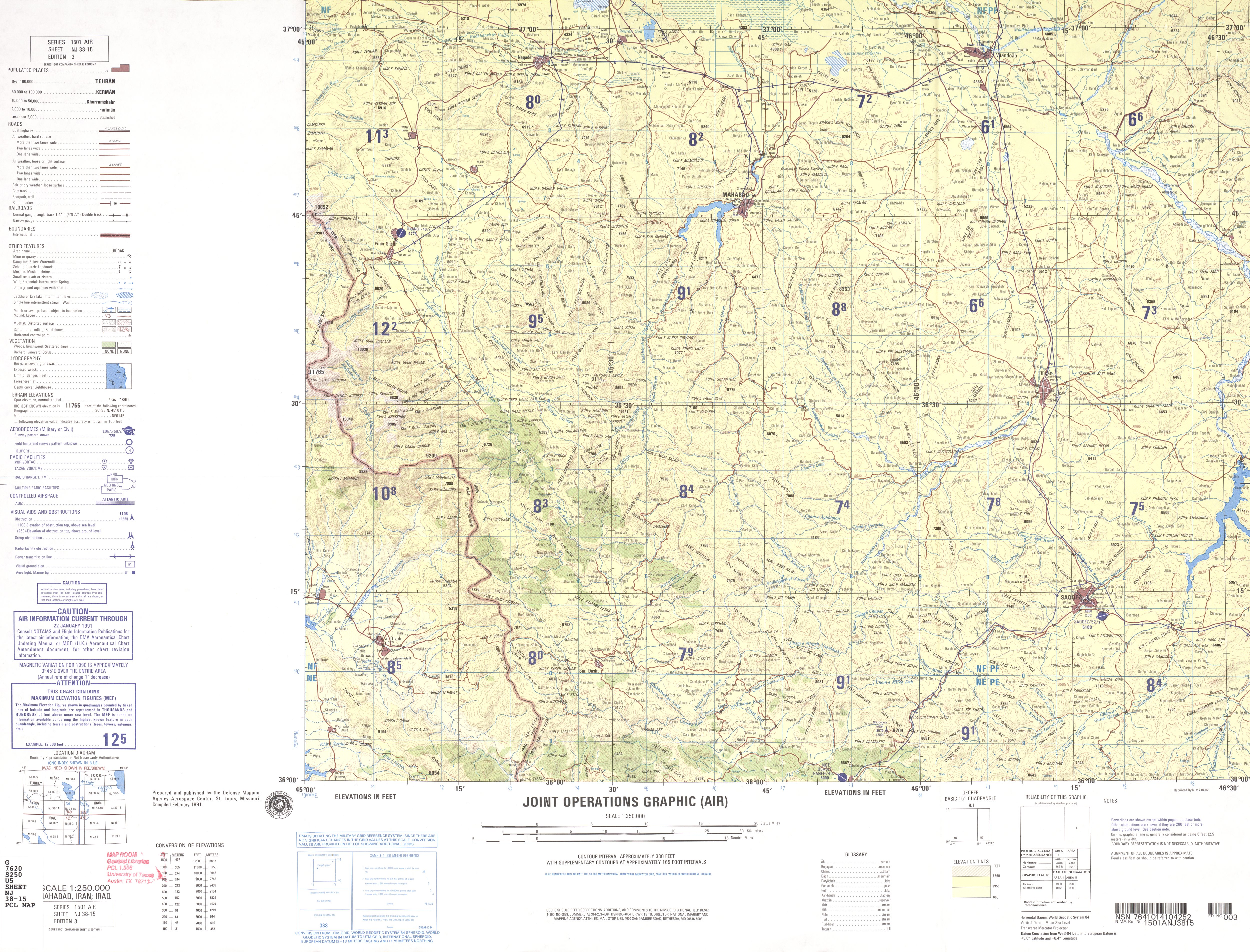
- NJ 38-15 Mahabad, Iran; Iraq (4.4 MB)
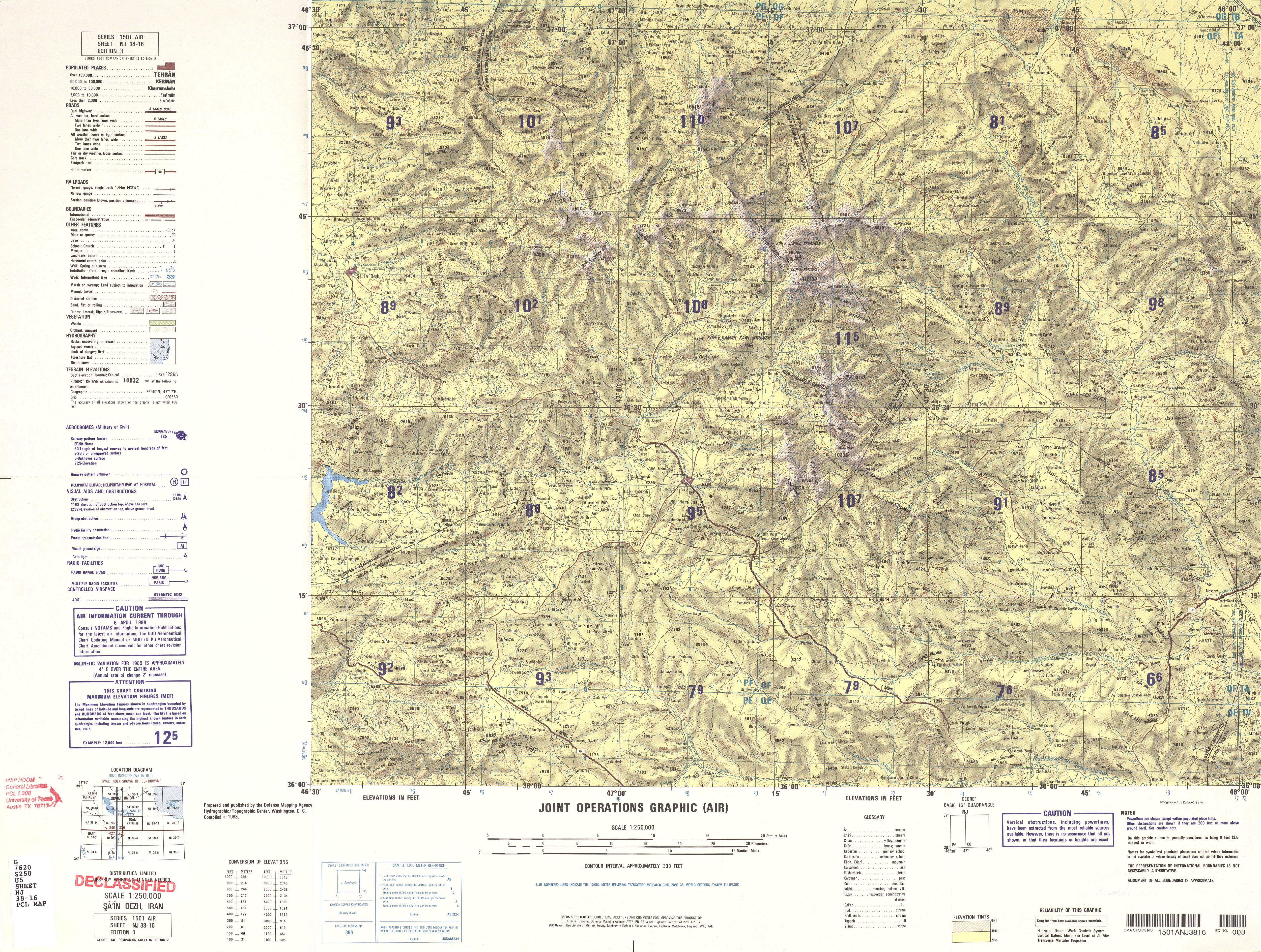
- NJ 38-16 Sa'in Dezh, Iran (5.3 MB)
- NJ 39-1 Salyan, Azerbaijan; Iran (8.6MB) [GeoPDF]
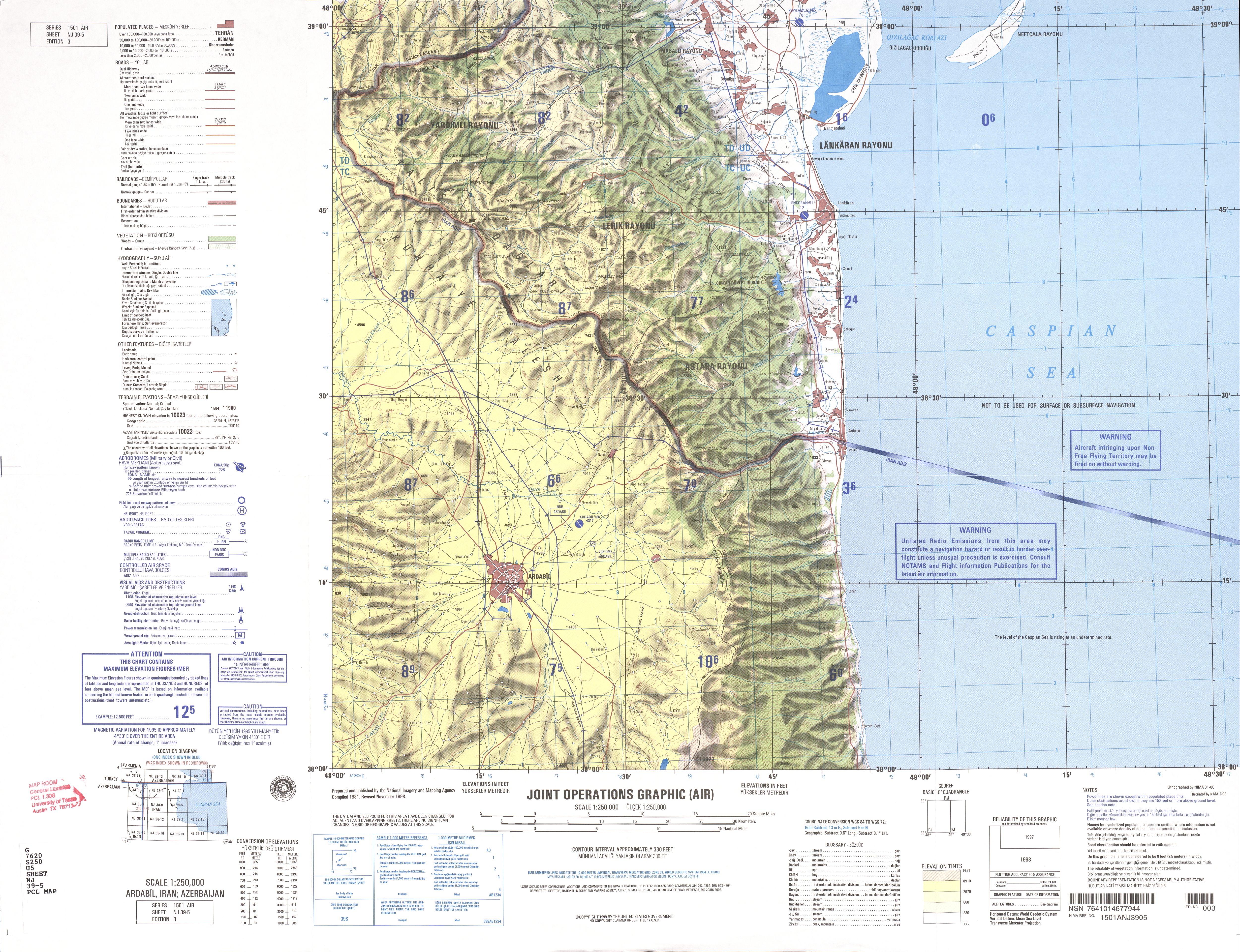
- NJ 39-5 Ardabil, Iran; Azerbaijan (8.0MB) [GeoPDF]
- NJ 39-5 Ardabal, Iran; Azerbaijan (4.0 MB) [JPEG]
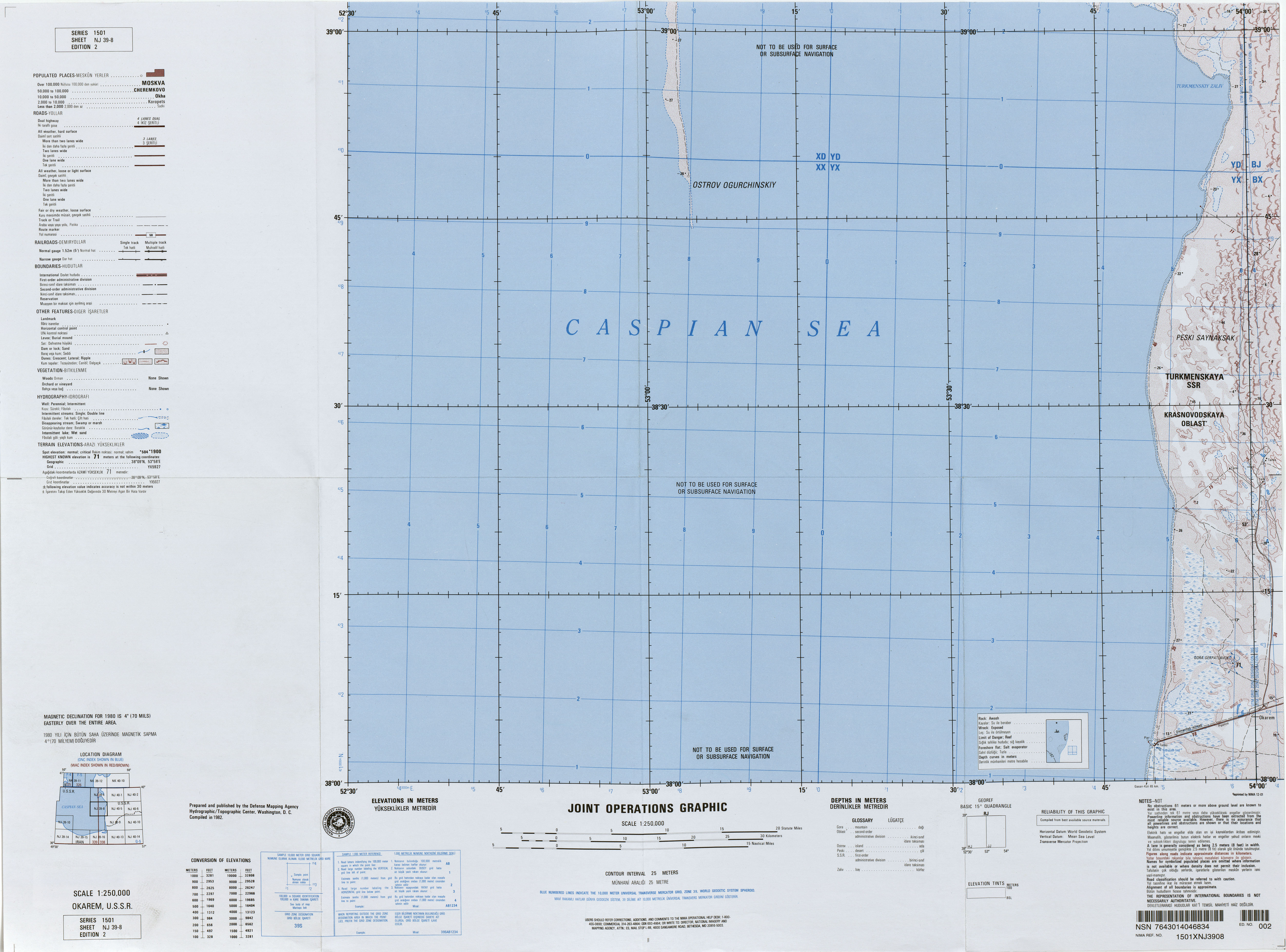
- NJ 39-8 Okarem, U.S.S.R. (3.8MB)
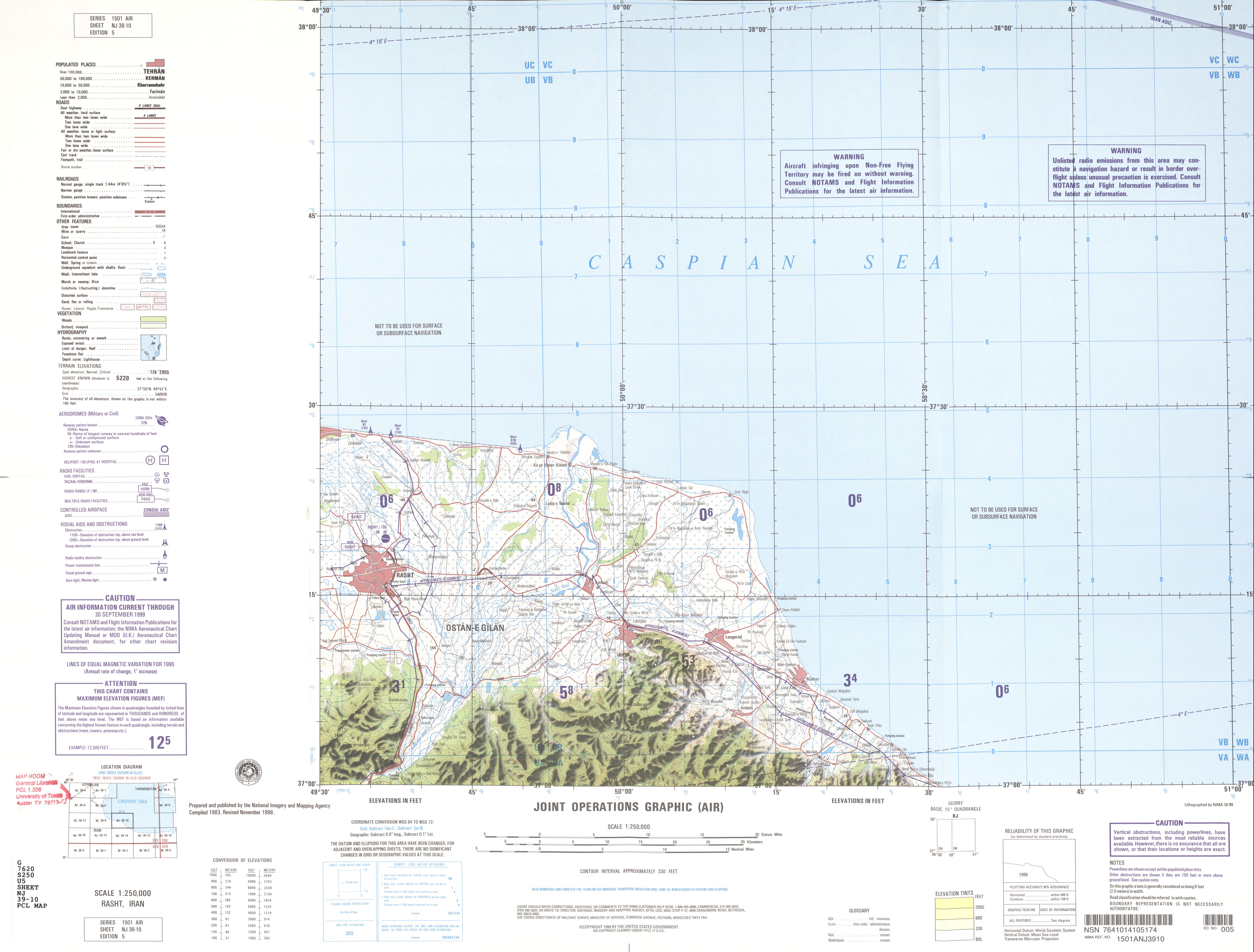
- NJ 39-10 Rasht, Iran (2.6 MB)
- NJ 39-14 Qazvin, Iran (5.0 MB)
- NJ 39-15 Amol, Iran (4.7 MB)
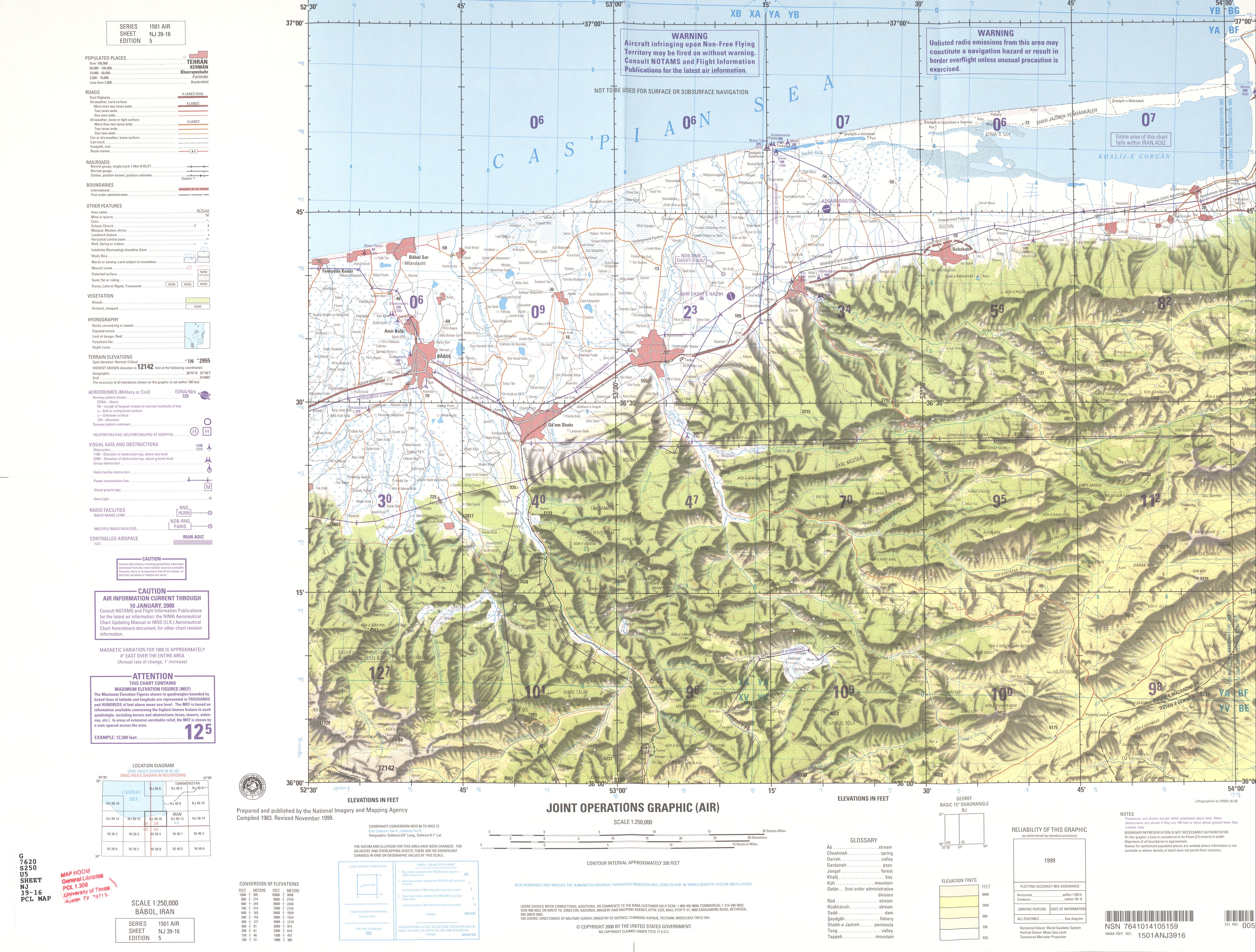
- NJ 39-16 Babol, Iran (3.8 MB)
- NJ 40-1 Nebit Dag, U.S.S.R. (8.9MB) [GeoPDF]
- NJ 40-2 Kazandzhik, U.S.S.R. (9.1MB) [GeoPDF]
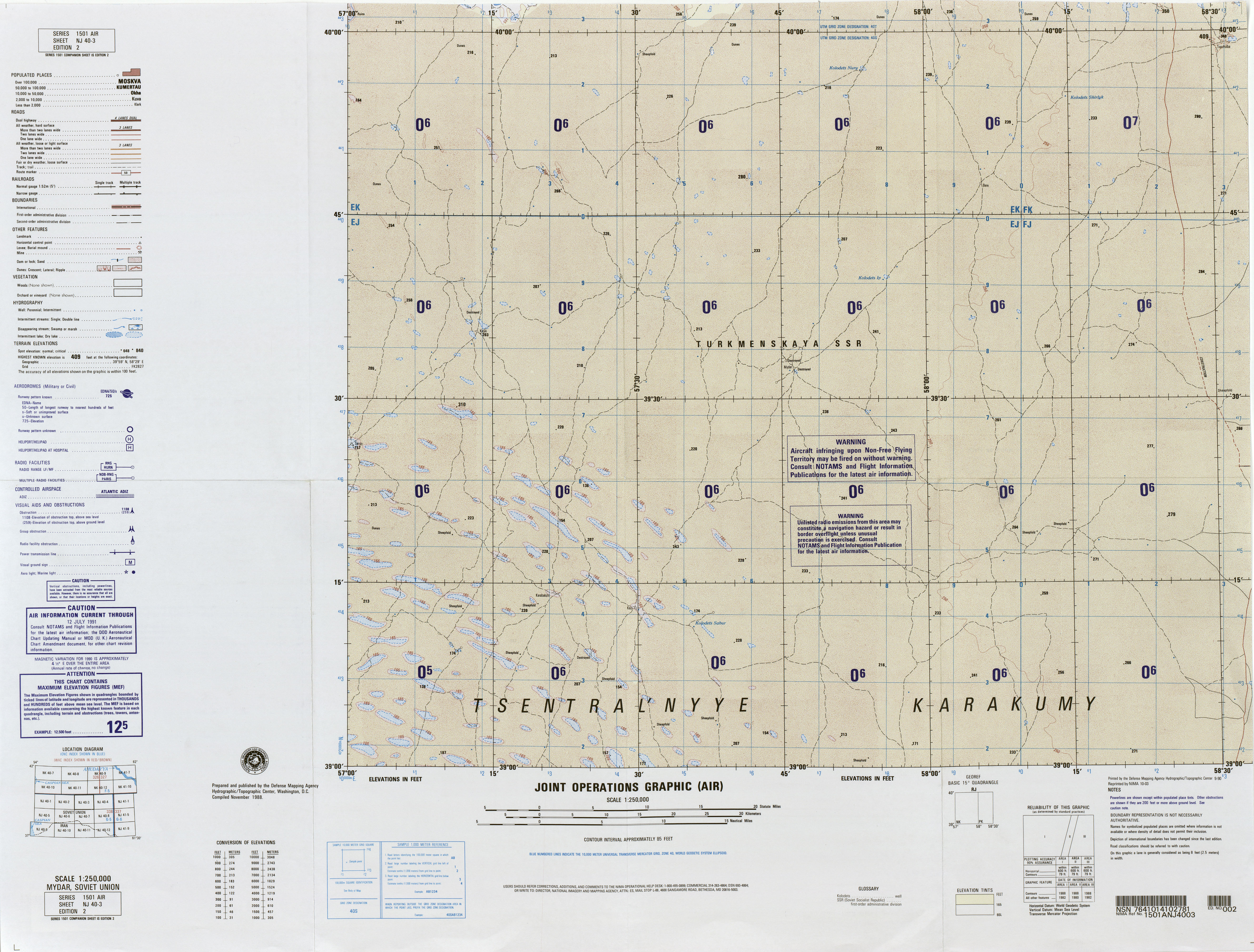
- NJ 40-3 Mydar, Soviet Union (9.2MB)
- NJ 40-4 Yerbent, Soviet Union (11.6MB) [GeoPDF]
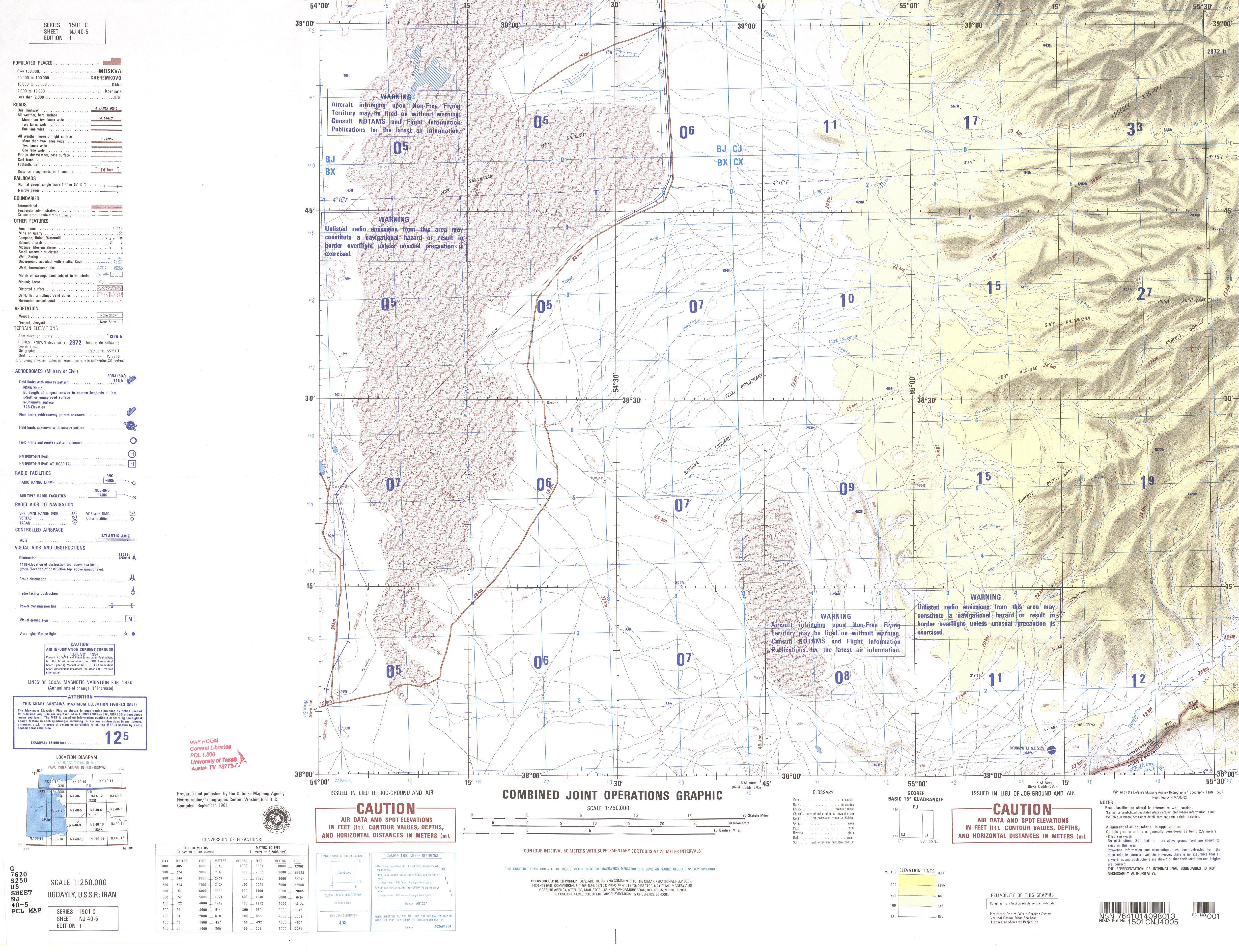
- NJ 40-5 Bugdayly, USSR; Iran (3.5 MB)
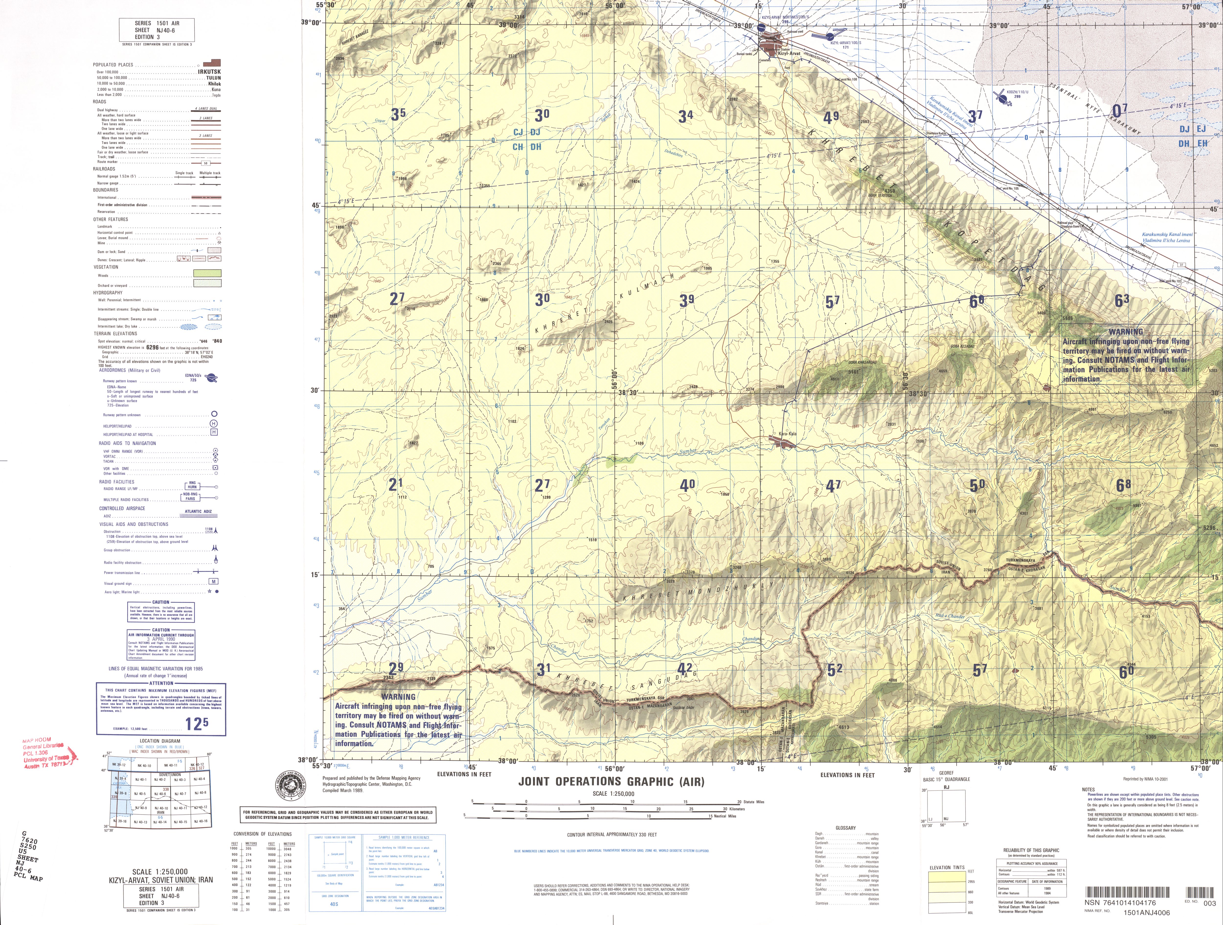
- NJ 40-6 Kizyl-Arvat, Soviet Union; Iran (3.7 MB)
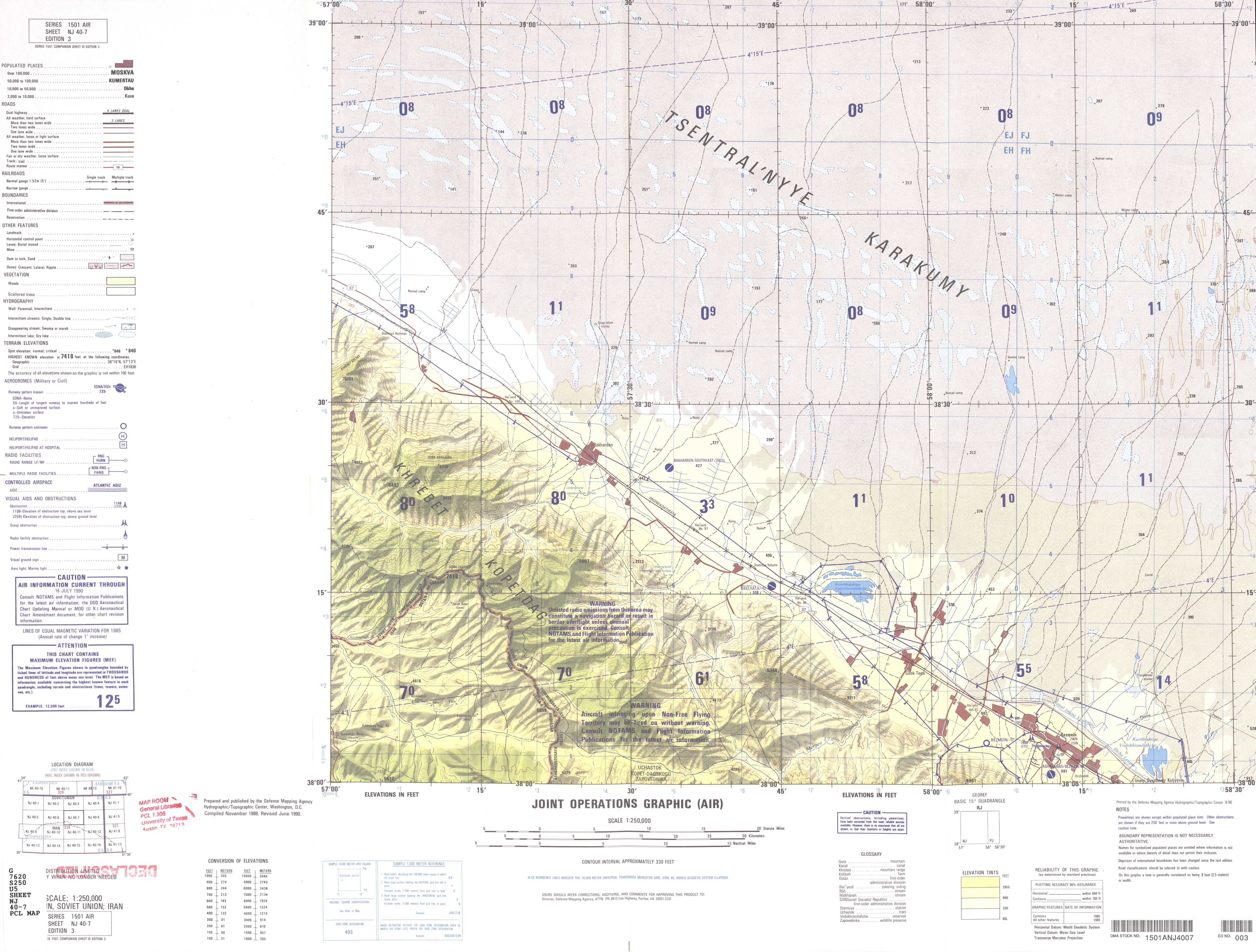
- NJ 40-7 Bezmein, Soviet Union; Iran (4.3 MB)
- NJ 40-8 Bakhardok, Soviet Union (11.5MB) [GeoPDF]
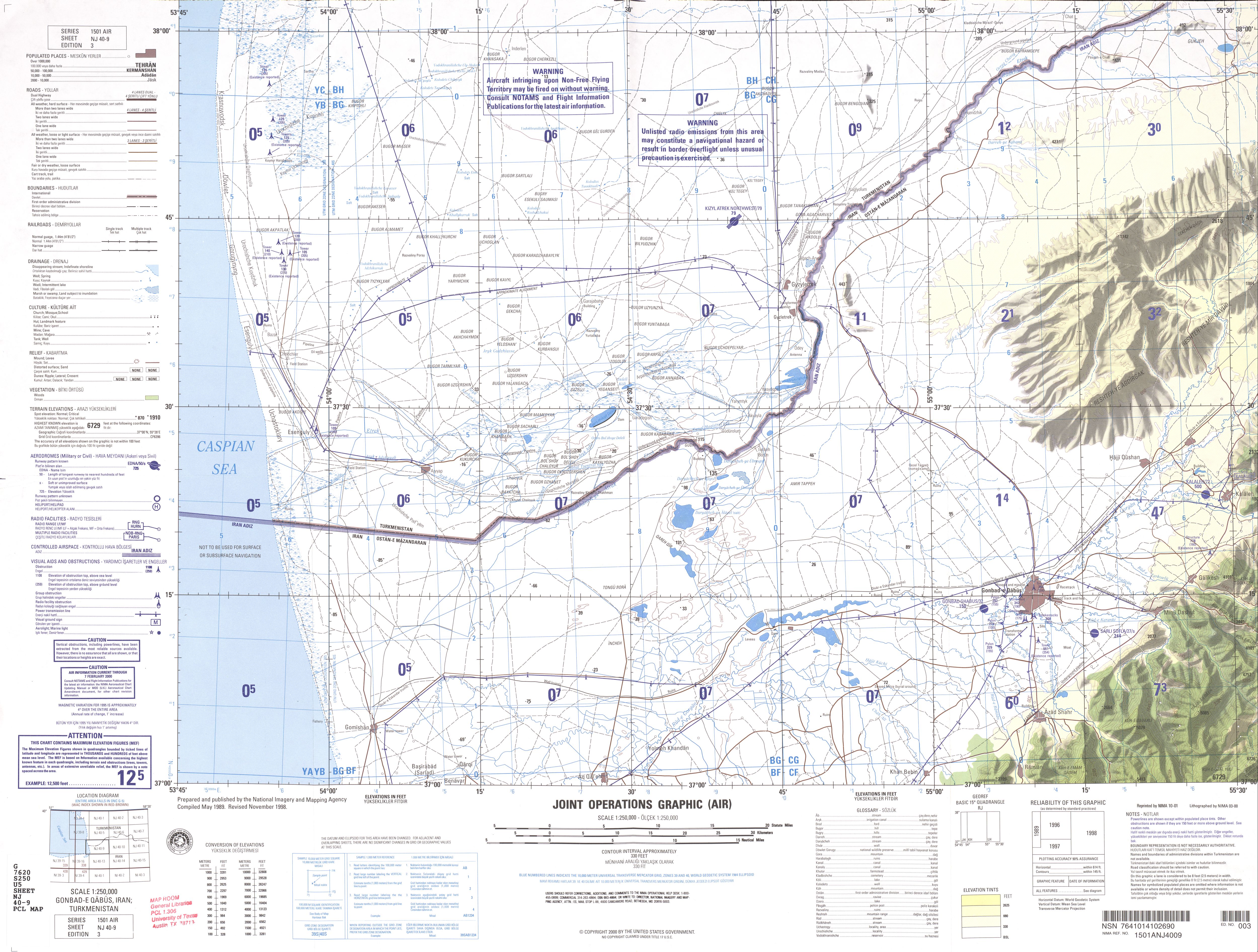
- NJ 40-9 Gonbad-e-Qabus, Iran; Turkmenistan (32.5MB) [GeoPDF]
- NJ 40-9 Gonbad-e Qabus, Iran; Turkmenistan (3.5 MB) [JPEG]
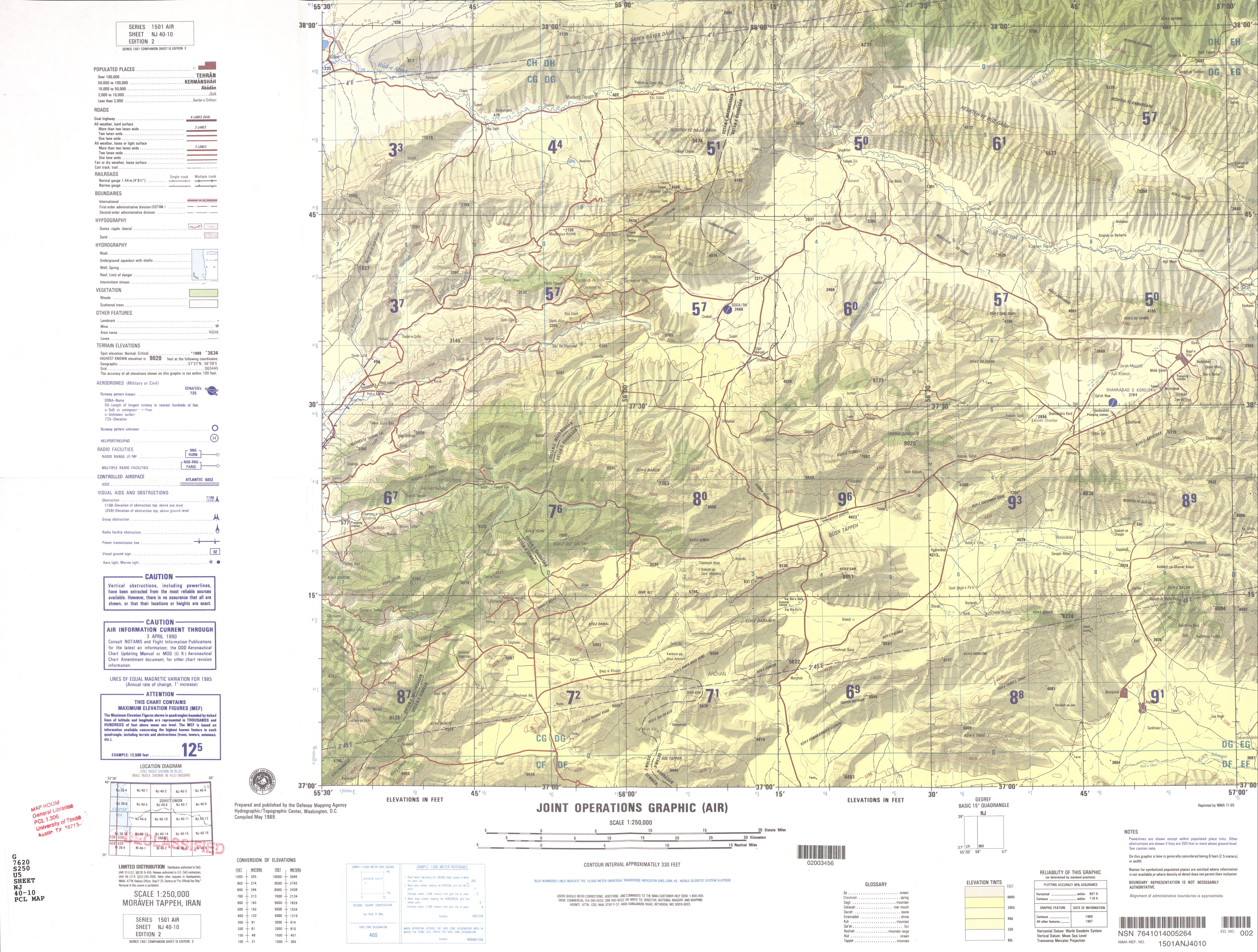
- NJ 40-10 Moraveh Tappeh, Iran (44.2MB) [GeoPDF]
- NJ 40-10 Moraveh Tappeh, Iran (3.4 MB) [JPEG]
- NJ 40-11 Ashgabat, Turkmenistan; Iran (5.4 MB)
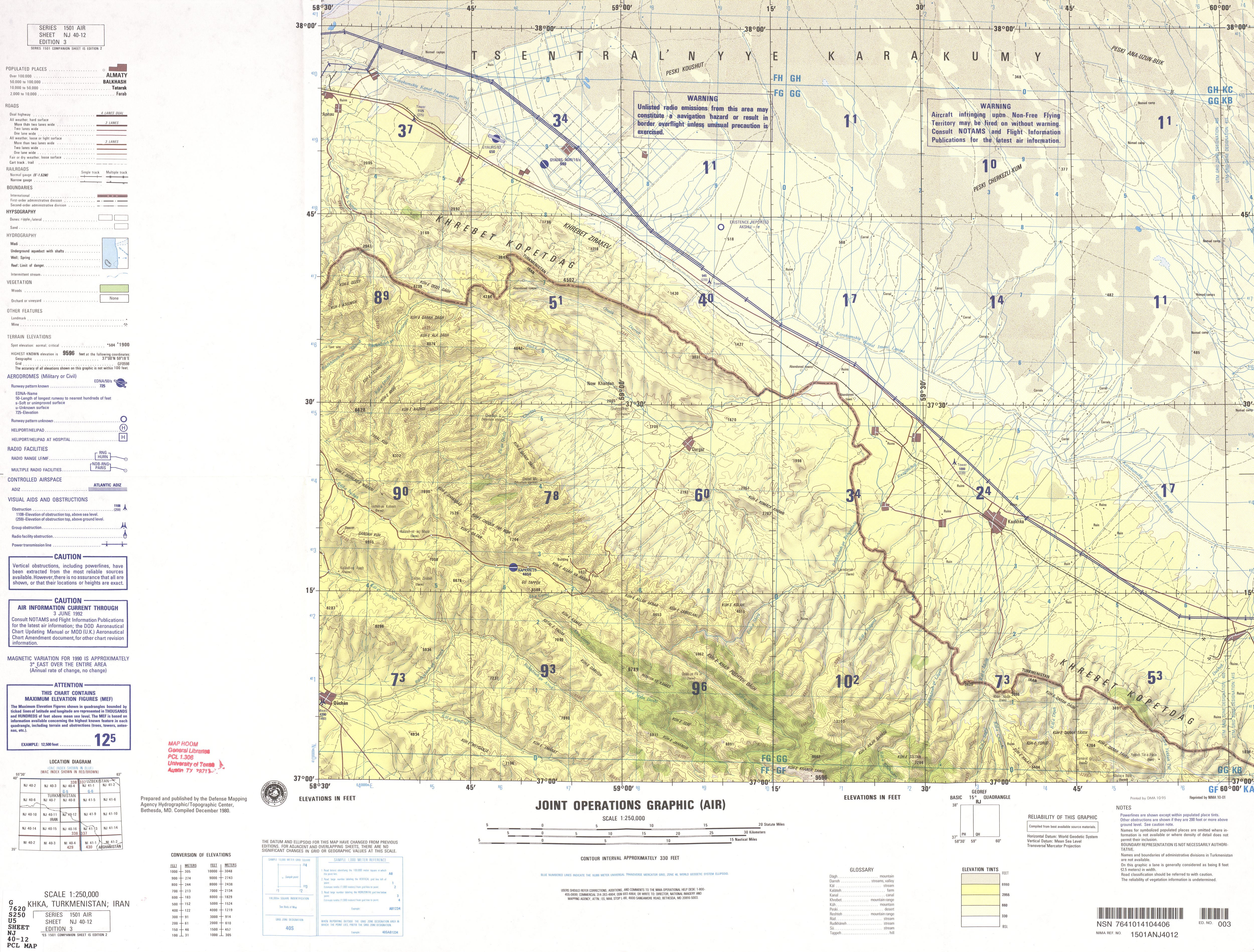
- NJ 40-12 Kaakhka, Turkmenistan; Iran (4.5 MB)
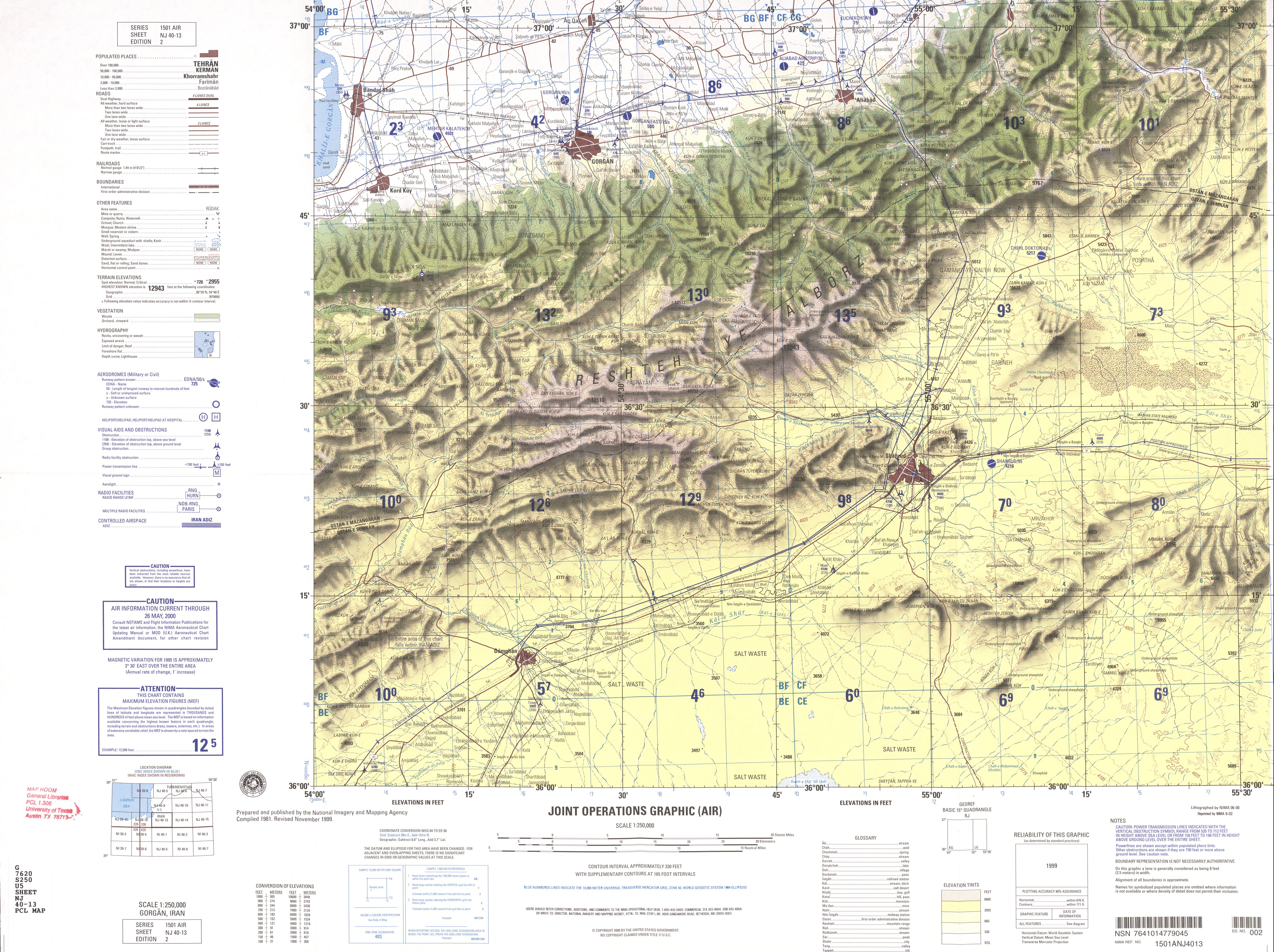
- NJ 40-13 Gorgan, Iran (4.6 MB)
- NJ 40-14 Miamey, Iran (3.8 MB)
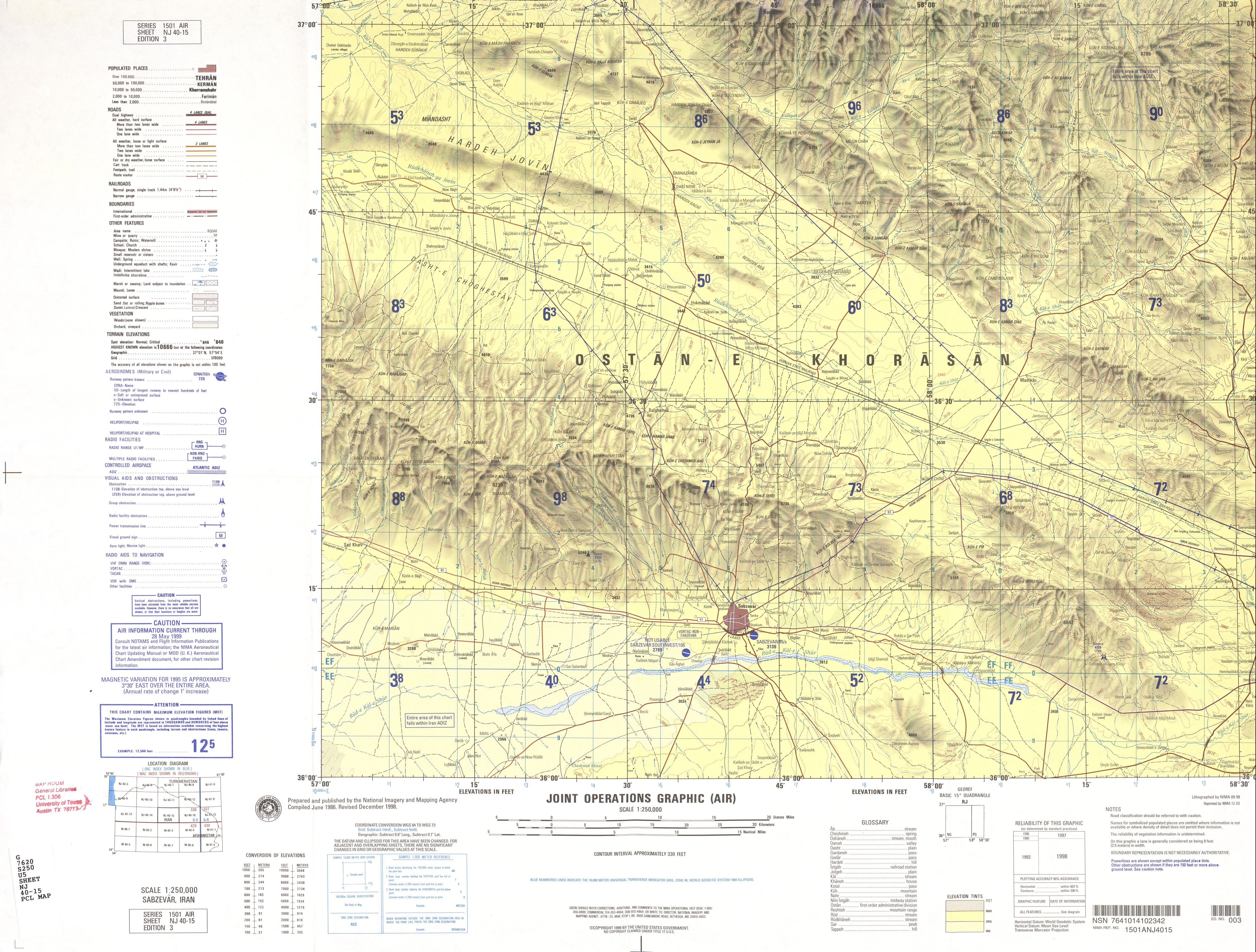
- NJ 40-15 Sabzevar, Iran (3.9 MB)
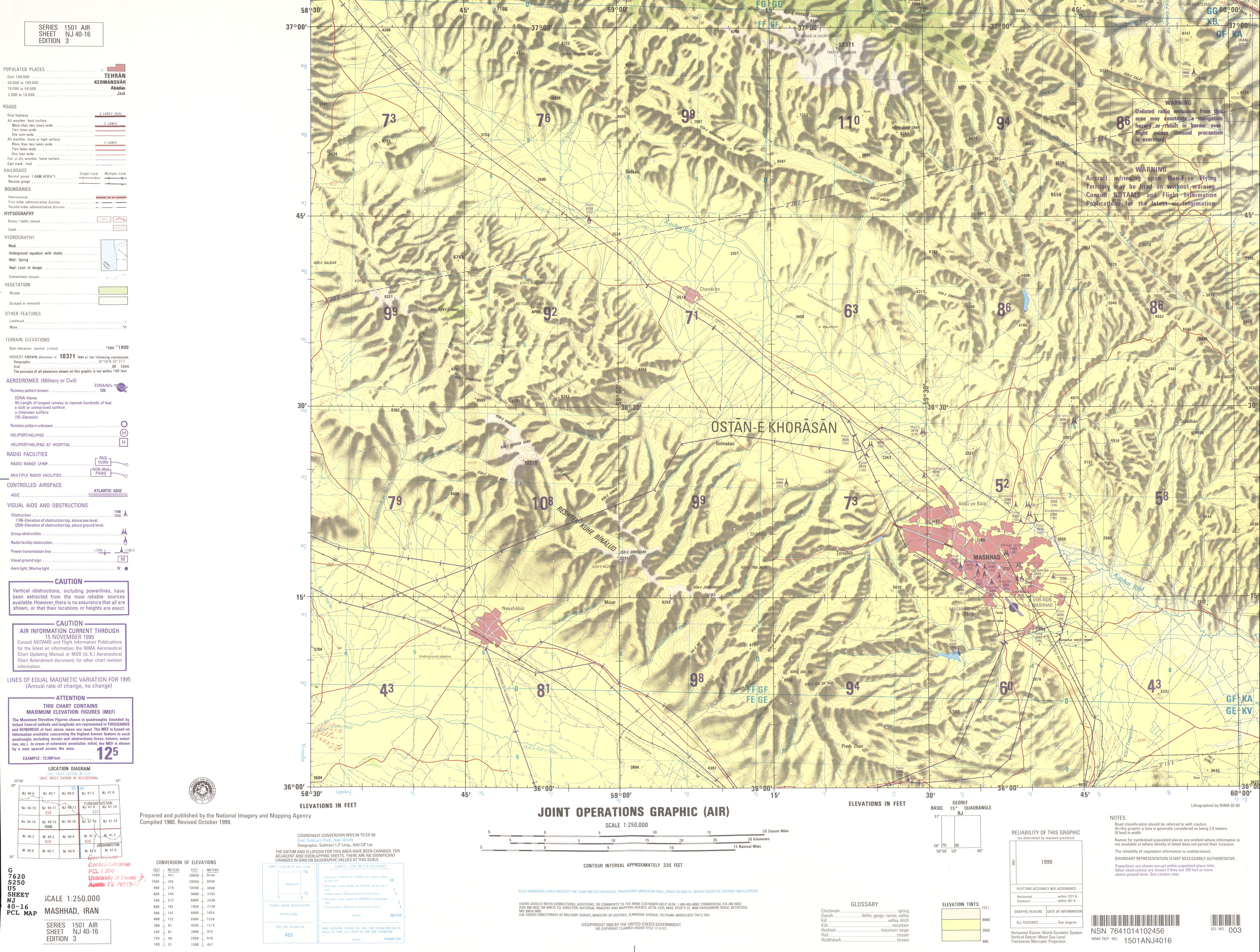
- NJ 40-16 Mashhad, Iran (3.9 MB)
- NJ 41-1 Kolodets Khatam, U.S.S.R. (8.9MB) [GeoPDF]
- NJ 41-2 Neftezavodsk, Soviet Union (11.0MB) [GeoPDF]
- NJ 41-3 Bukhara, Soviet Union (21.7MB)
- NJ 41-5 Khankui, Soviet Union (10.6MB) [GeoPDF]
- NJ 41-6 Uch-Adzhi, Soviet Union (9.5MB) [GeoPDF]
- NJ 41-7 Sayat, U.S.S.R. (7.3MB) [GeoPDF]
- NJ 41-9 Tedzhen, Soviet Union (8.8MB) [GeoPDF]
- NJ 41-10 Mary, Soviet Union (6.8MB) [GeoPDF]
- NJ 41-11 Nichka, U.S.S.R. (9.7MB) [GeoPDF]
- NJ 41-13 Sarakhs, Iran; Soviet Union (7.2MB) [GeoPDF]
- NJ 41-13 Sarakhs, Iran; Soviet Union (3.4 MB) [JPEG]
- NJ 41-14 Tashkepri, Turkmenistan (9.9MB) [GeoPDF]
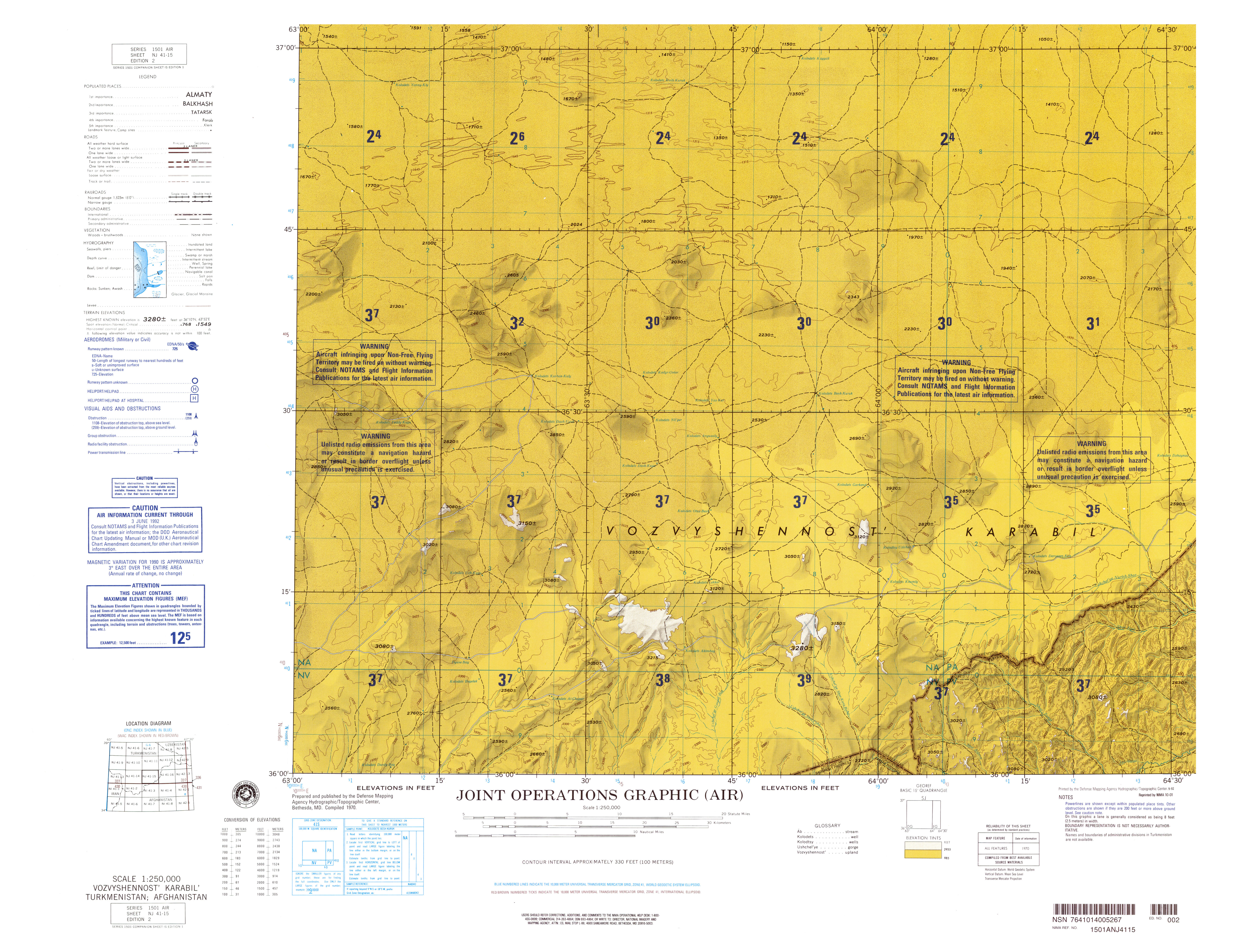
- NJ 41-15 Vozvyshennost Karabil, Turkmenistan; Afghanistan (6.5MB)
- NG 38-3 Madinat Al Malik Khalid Alaskariyah, Saudi Arabia (MB) [GeoPDF]