Perry-Castañeda Library
Map Collection
Maps of the Americas
The following maps were produced by the U.S. Central Intelligence Agency, unless otherwise indicated.
- Canada, Mexico and United States Online Map Collections
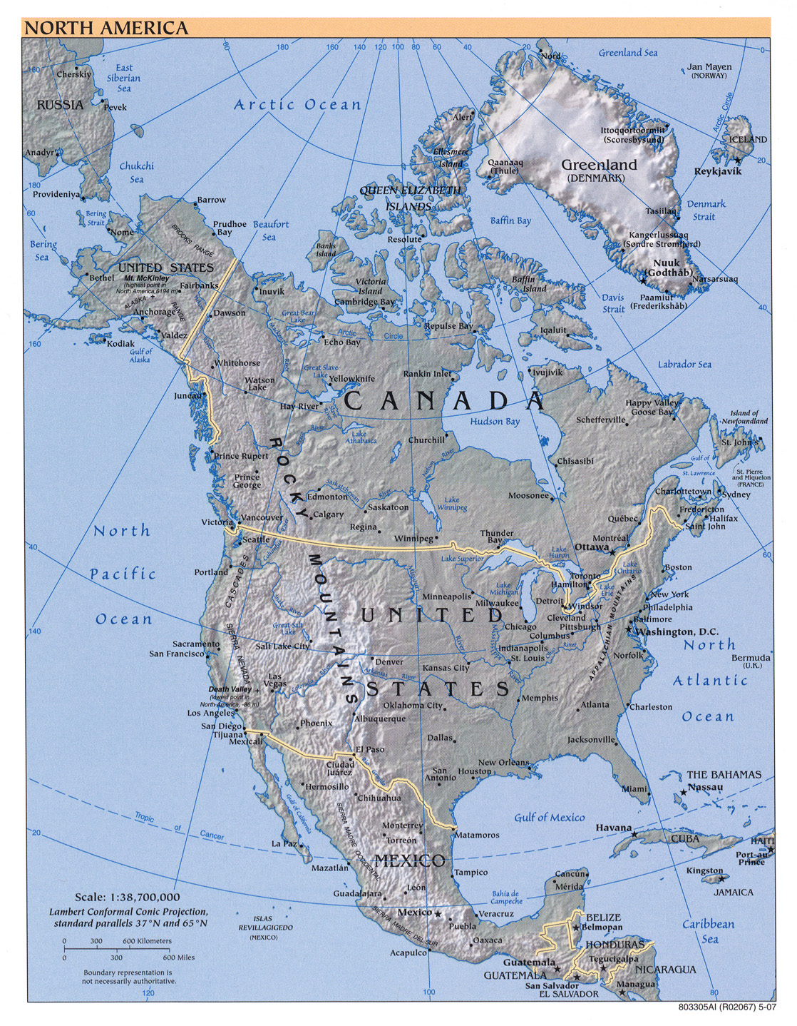
- North America (Reference Map) 2010 (619K) [pdf format]
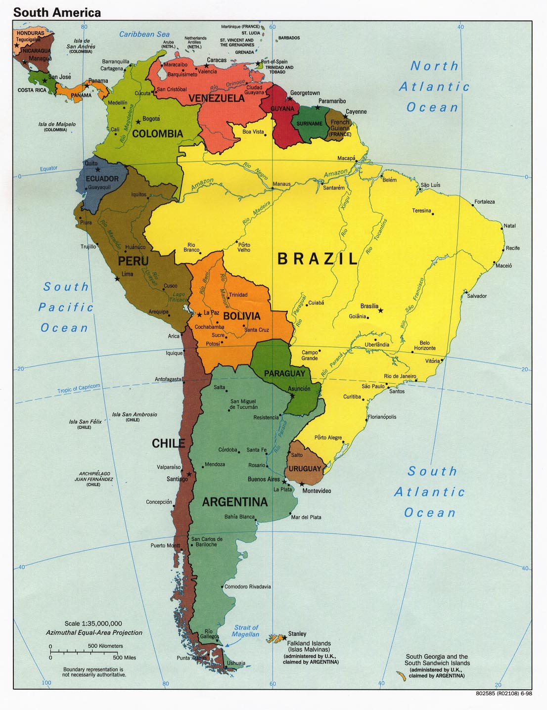
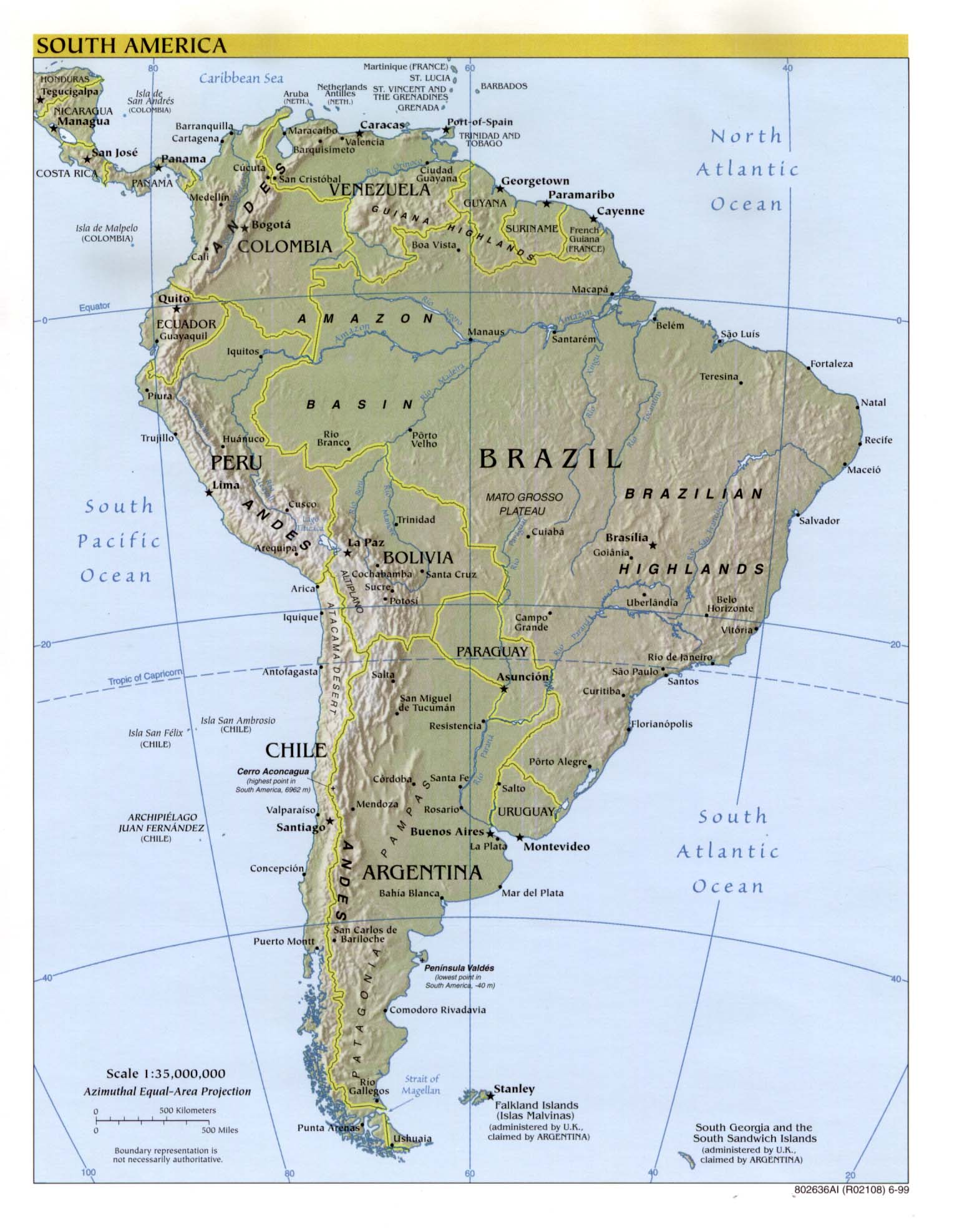
- South America (Reference Map) 2010 (438K) [pdf format]
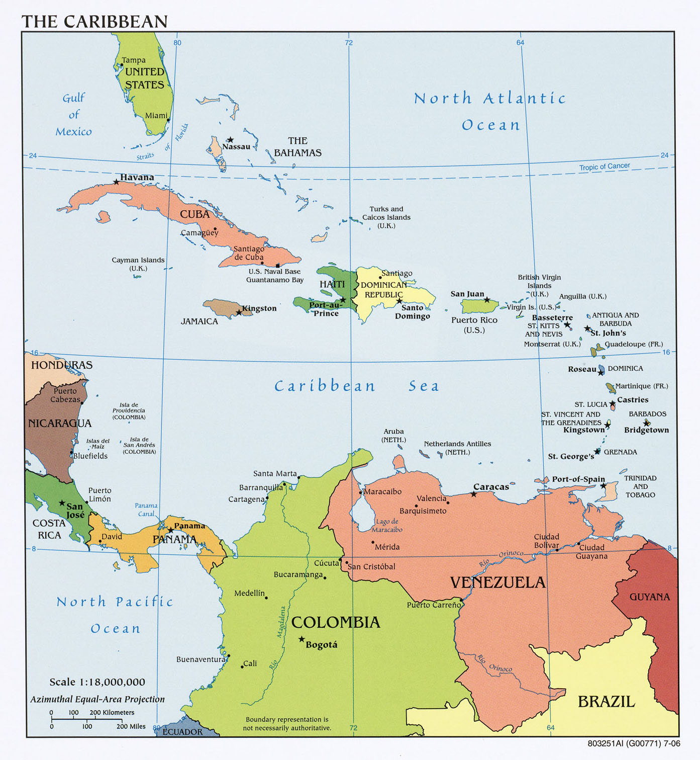
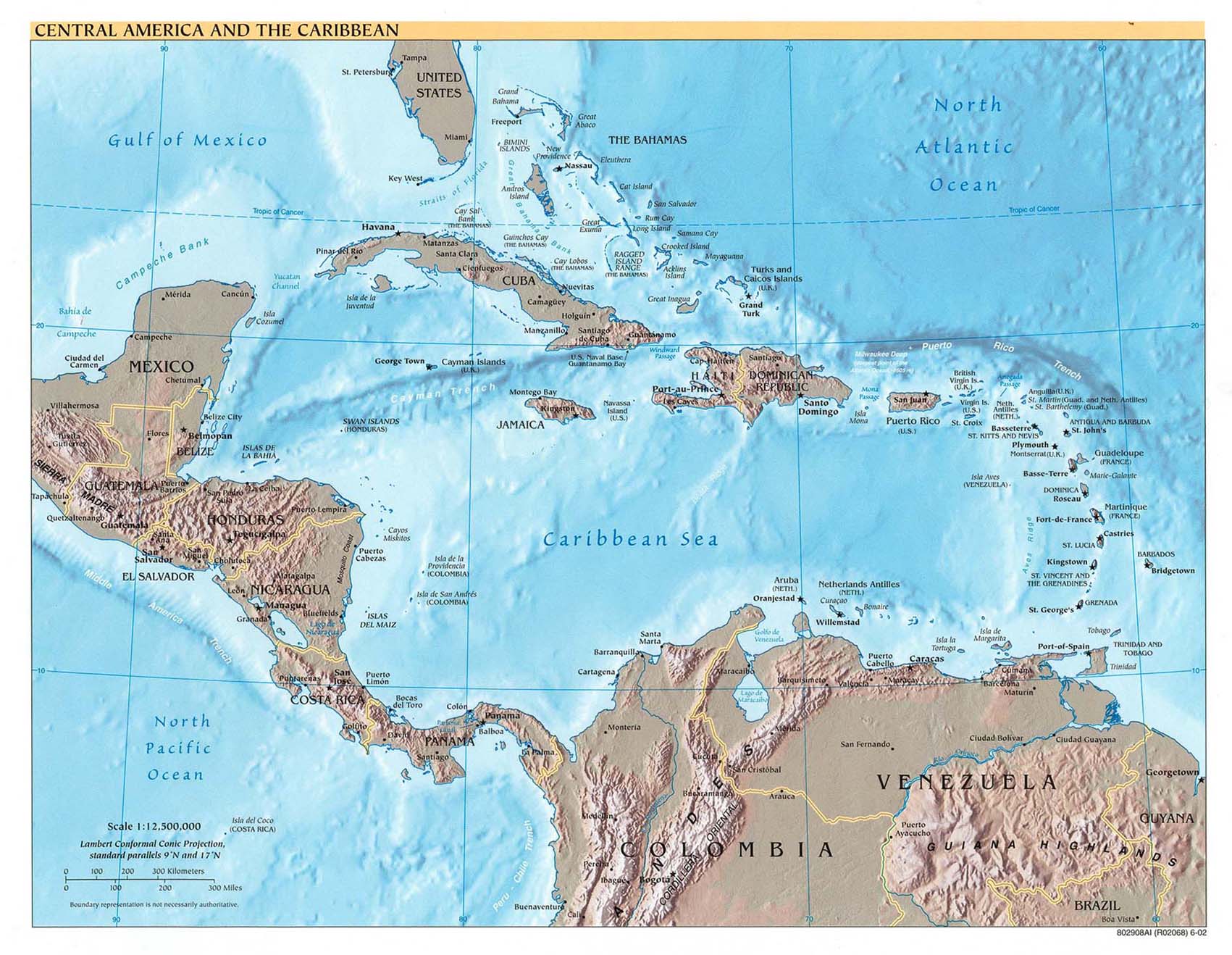
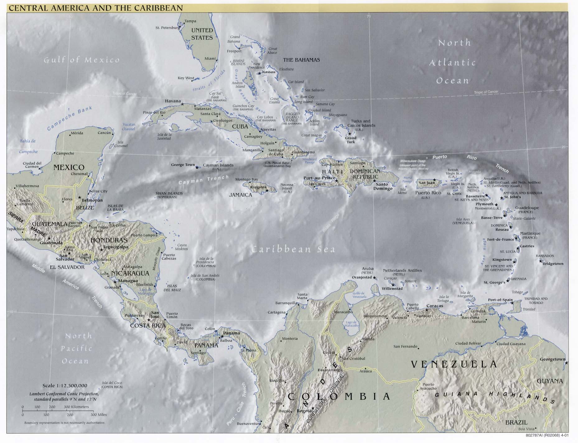
- Central America and the Caribbean (Reference Map) 2013 (709K) [pdf format]
- Americas Historical Maps
A, B, C, D, E, F, G, H, I, J, K, L, M, N, O, P, Q, R, S, T, U, V, W, X, Y, Z
- Americas - Aeronautical Charts - Joint Operations Graphic Series 1:250,000 [Not for navigational use]
- Americas - Aeronautical Charts - Operational Navigation Chart Series 1:1,000,000 [Not for navigational use]
- Americas - Aeronautical Charts - Tactical Pilotage Chart Series 1:500,000 [Not for navigational use]
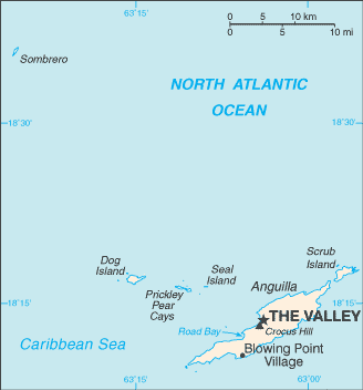
- Anguilla (Small Map) 2016 (6.4K)
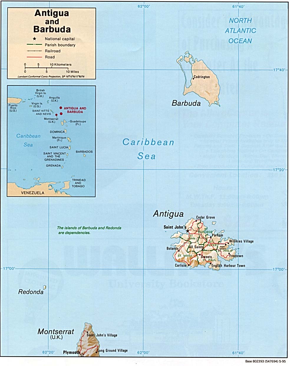
- Antigua and Barbuda (Shaded Relief) 1995 (162K)
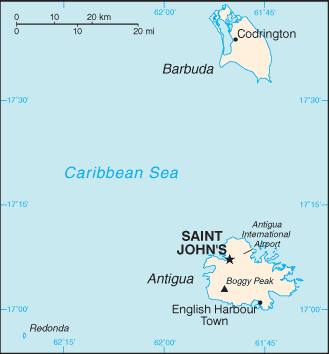
- Antigua and Barbuda (Small Map) 2016 (6K)
- Argentina Maps
- Aruba (Political) 1989 (172K)
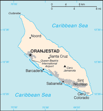
- Aruba (Small Map) 2016 (8K)
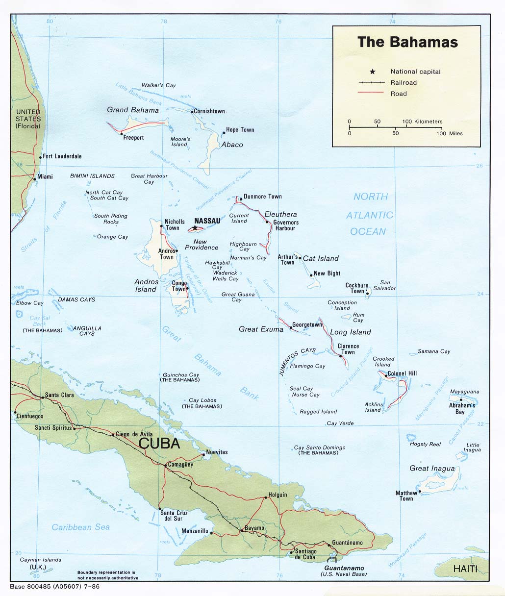
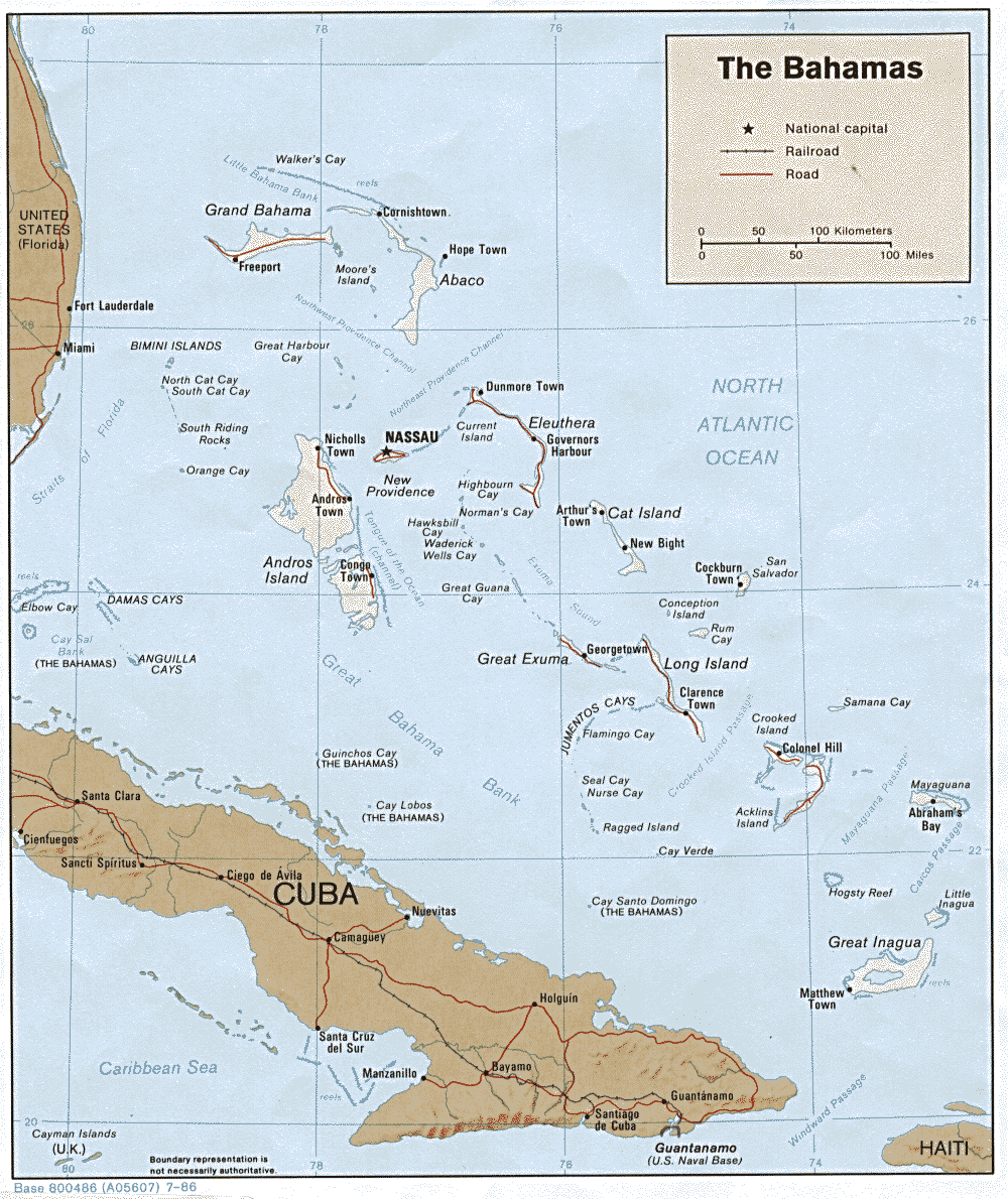
- Bahamas (Political) 1986 (169K)
- Bahamas (Shaded Relief) 1986 (271K)
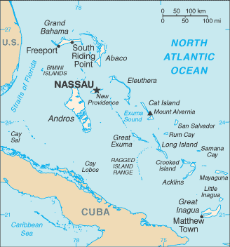
- Bahamas (Small Map) 2016 (13.3K)
- Barbados Maps
- Belize Maps
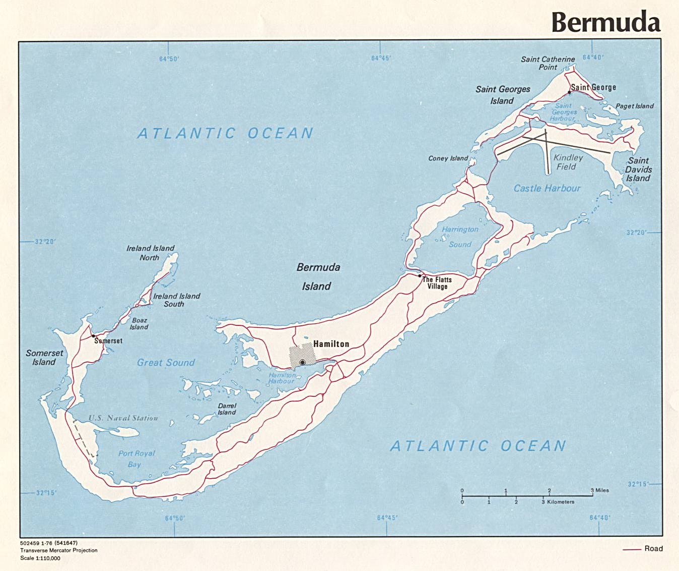
- Bermuda (Political) 1976 (325K)
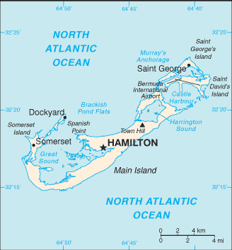
- Bermuda (Small Map) 2016 (11.2K)
- Bolivia Maps
- Brazil Maps
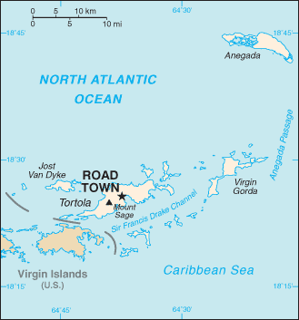
- British Virgin Islands (Small Map) 2016 (9.2K)
- Canada Maps
- Caribbean (Political) 2006 (464KB)
- Caribbean (Political) 1988 (195K)
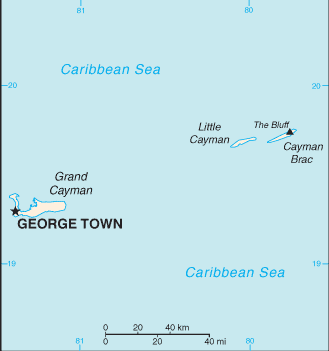
- Cayman Islands (Political) 1976 (103K) and pdf format (106K)
- Cayman Islands (Small Map) 2016 (4.6K)
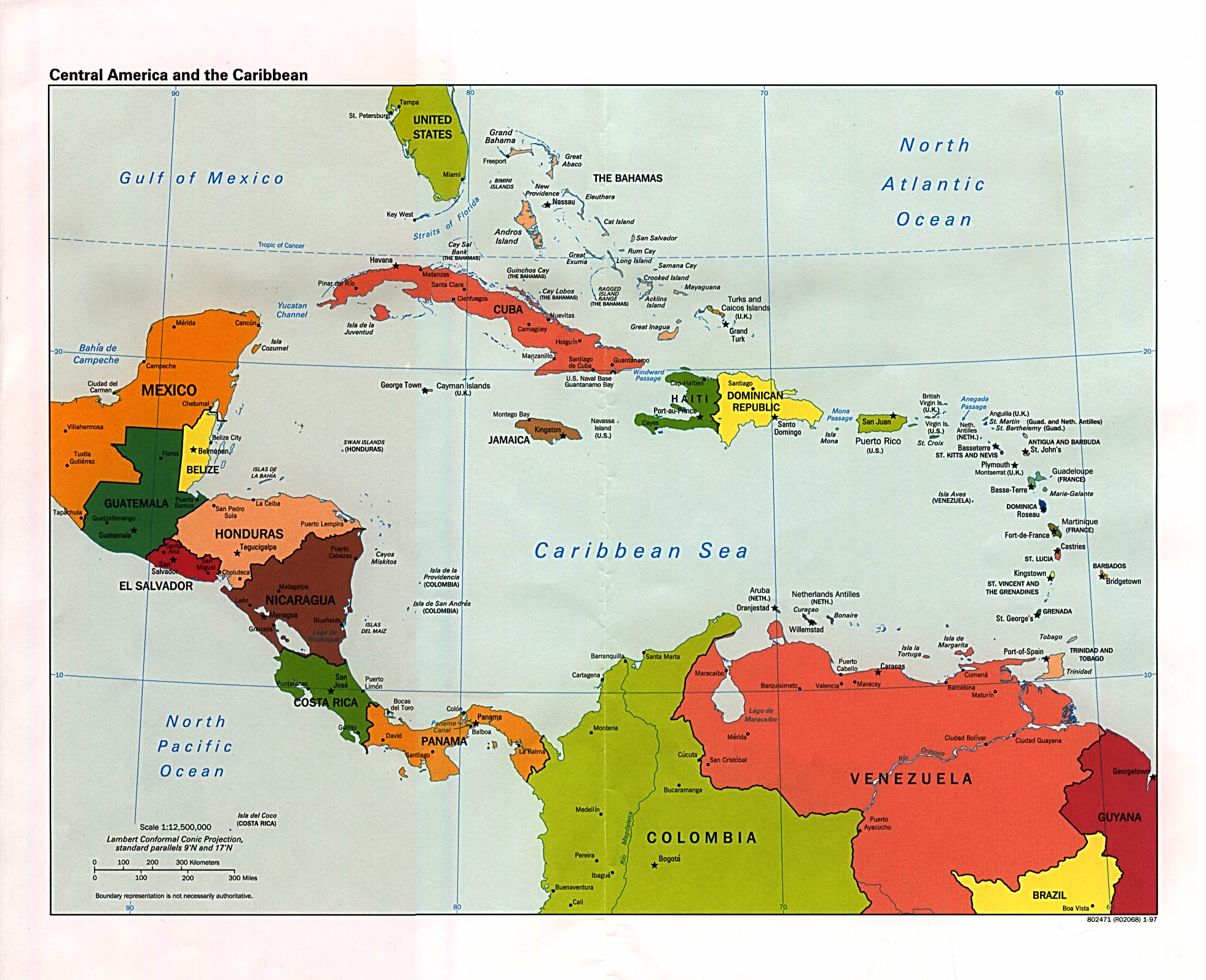
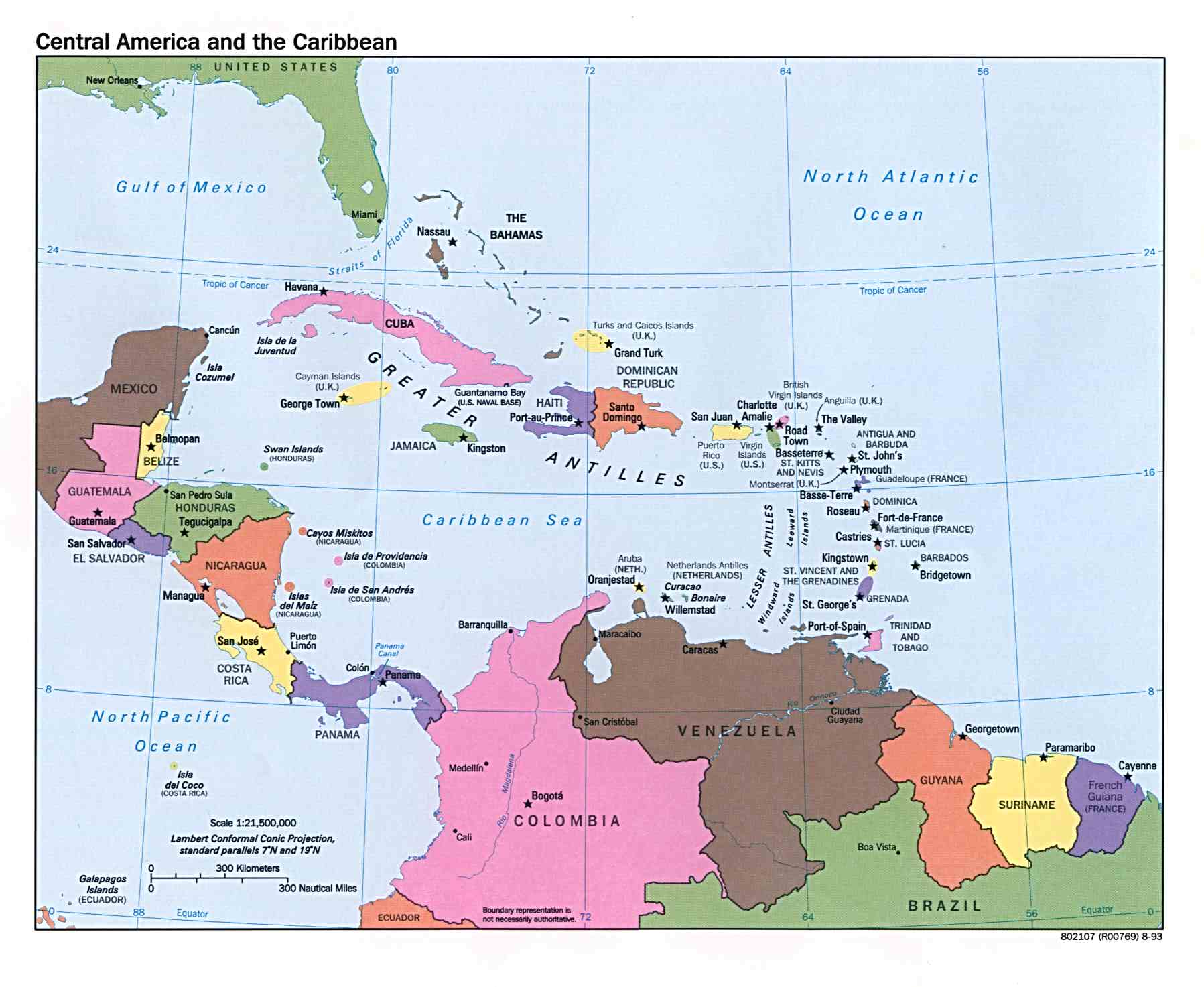
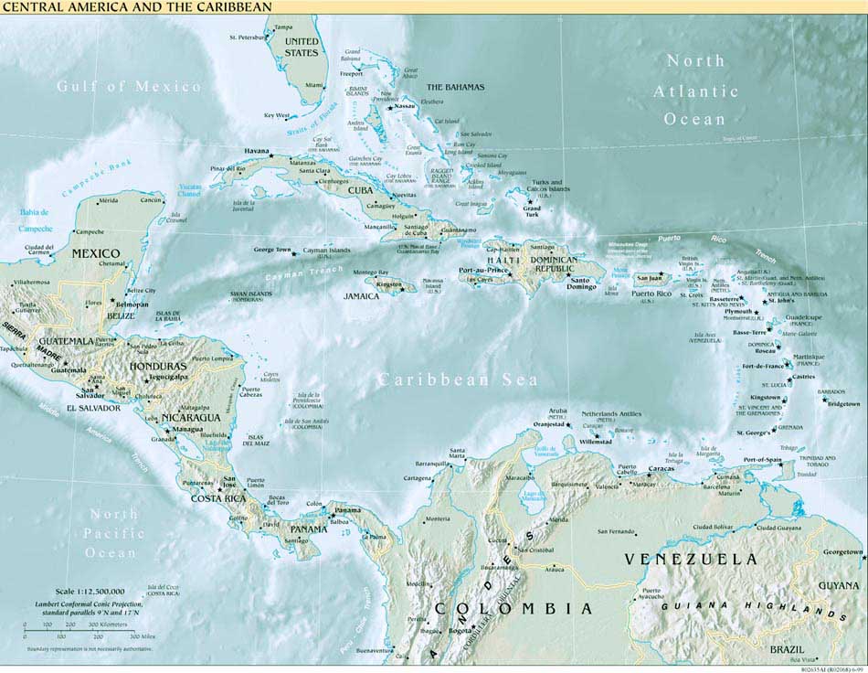
- Central America and the Caribbean (Political) 2013 (356K) [pdf format]
- Central America and the Caribbean (Political) 2012 (1.5MB) [pdf format]
- Central America and the Caribbean (Political) 1997 (434K) and pdf format (421K)
- Central America and the Caribbean (Political) 1995 (476K)
- Central America and the Caribbean (Political) 1993 (156K)
- Central America and the Caribbean (Political) 1997 (1.3MB) [pdf format]
- Central America and the Caribbean (Reference Map) 2013 (709K) [pdf format]
- Central America and the Caribbean (Reference Map) 2012 (628K) [pdf format]
- Central America and the Caribbean (Reference Map) 2011 (606K) [pdf format]
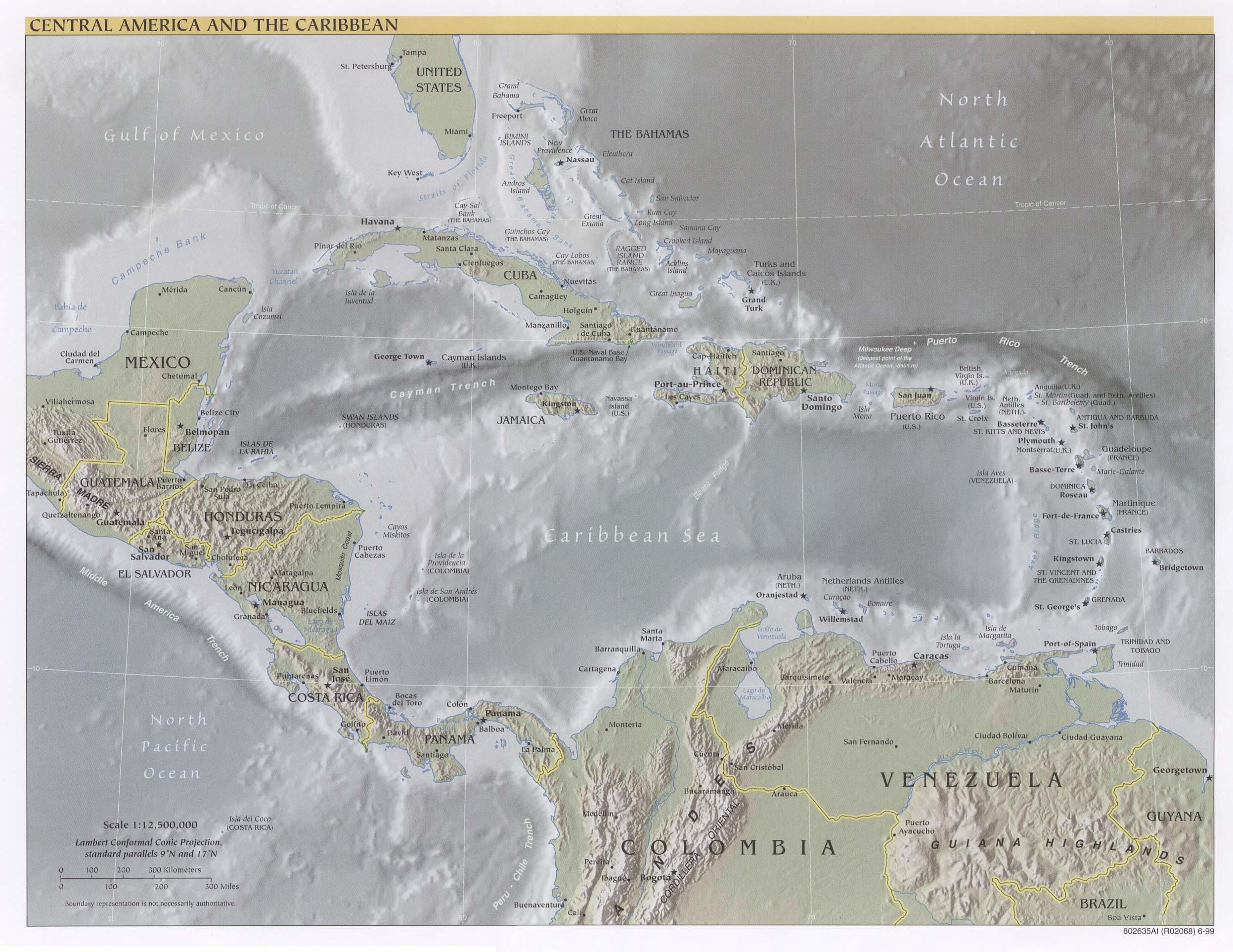
- Central America and the Caribbean (Reference Map) 2010 (603K) [pdf format]
- Central America and the Caribbean (Reference Map) 2002 (310K) and pdf format (311K)
- Central America and the Caribbean (Reference Map) 2001 (275K)
- Central America and the Caribbean (Reference Map) 1999 (111K) and larger jpeg (460K)
- Central America and the Caribbean (Reference Map) 2001 (1.5MB) [pdf format]
- Central America and the Caribbean (Reference Map - for printing) 2001 (1.5MB) [pdf format]
- Central America and the Caribbean (Reference Map) 2000 (709K) [pdf format]
- Central America and the Caribbean (Reference Map) 1999 (520K) [pdf format]
- Chile Maps
- Colombia Maps
- Costa Rica Maps
- Cuba Maps
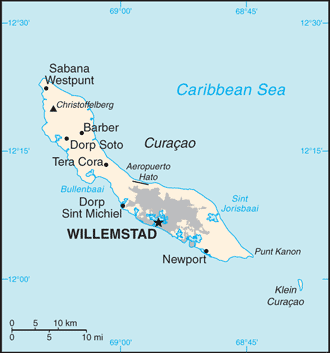
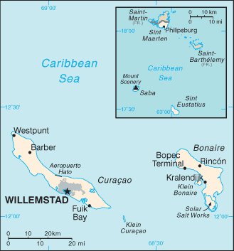
- Curacao (Small Map) 2016 (4.6K)
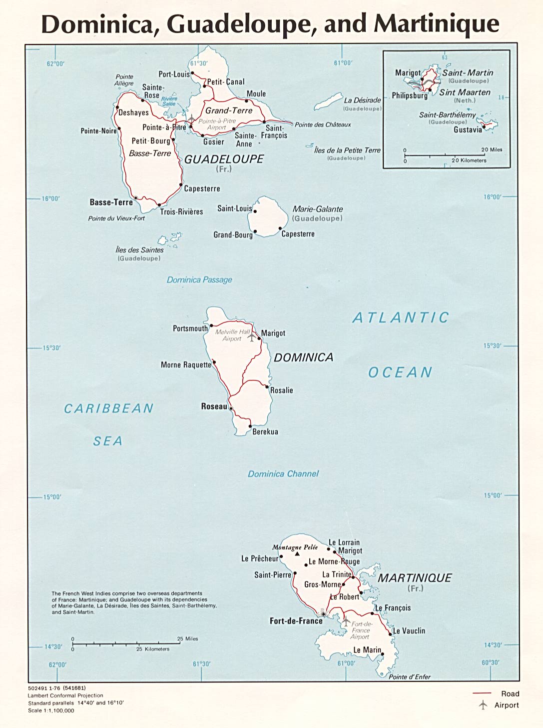
- Dominica, Guadeloupe, and Martinique (Political) 1976 (174K)
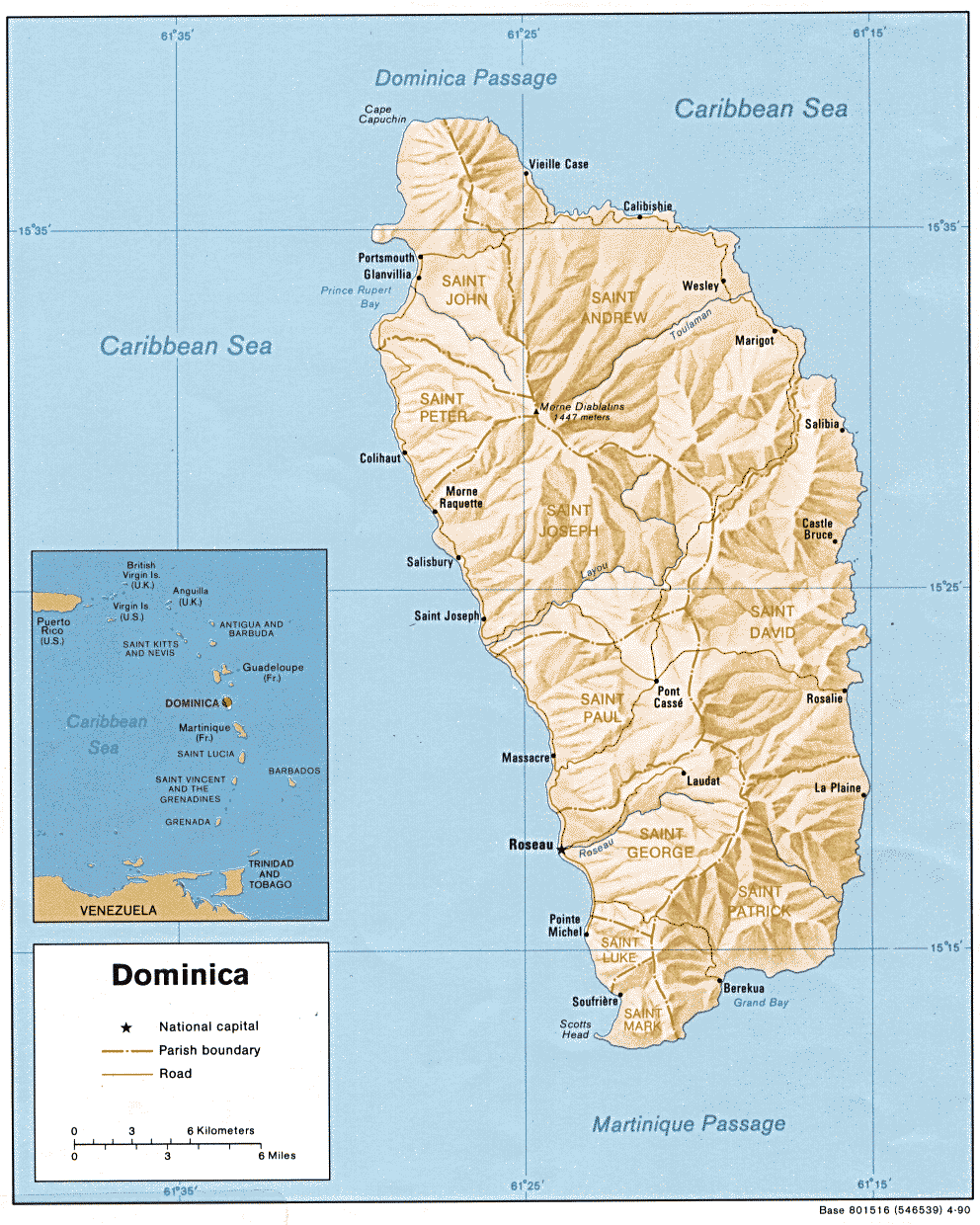
- Dominica (Shaded Relief) 1990 (245K)
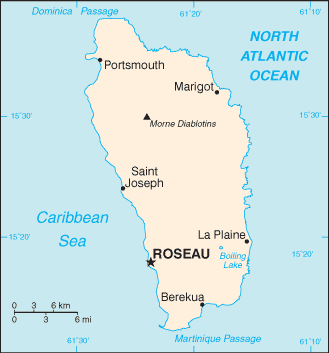
- Dominica (Small Map) 2016 (7.6K)
- Dominican Republic Maps
- Ecuador Maps
- El Salvador Maps
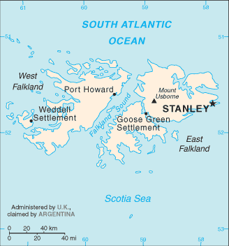
- Falkland Islands (Shaded Relief) 1982 (177K)
- Falkland Islands (Islas Malvinas) (Small Map) 2016 (11.5K)
- French Guiana Maps
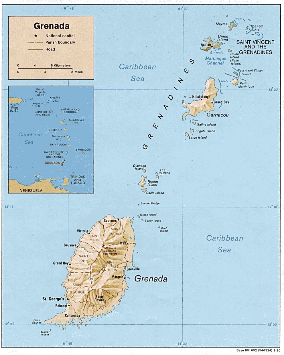
- Grenada (Shaded Relief) 1990 (210K) and pdf format (185K)
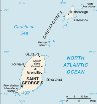
- Grenada (Small Map) 2016 (9.1K)
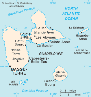
- Guadeloupe (Small Map) 2007 (11K)
- Guatemala Maps
- Guyana Maps
- Haiti Maps
- Honduras Maps
- Jamaica Maps
- Latin America (Political) 1990 (264K)
- Latin America - Aeronautical Charts [37 maps] Operational Navigation Chart Series, original scale 1:1,000,000. Not for Navigational Use.
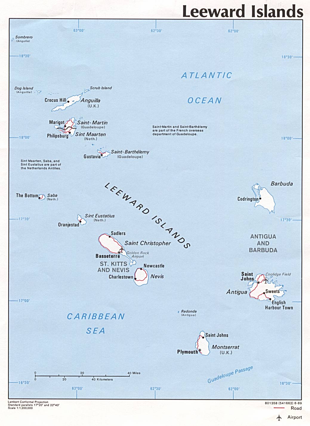
- Leeward Islands (Political) 1989 (166K)
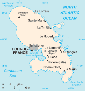
- Martinique (Small Map) 2006 (8K)
- Mexico Maps
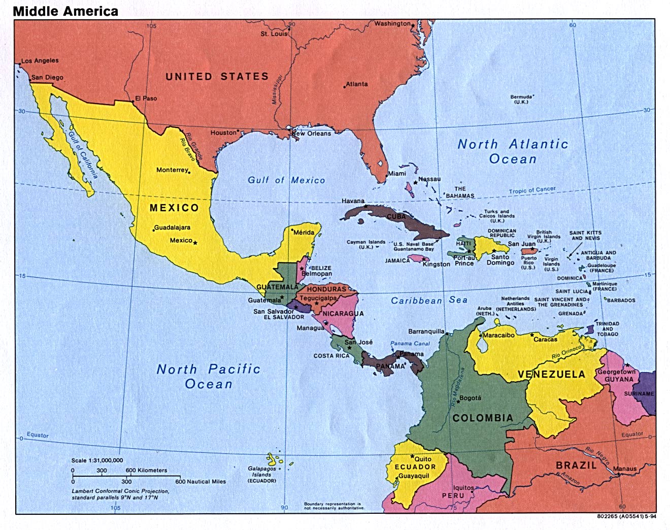
- Middle America (Political) 1994 (290K)
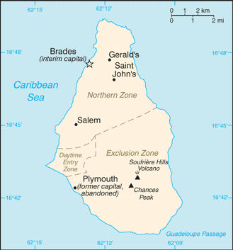
- Montserrat (Small Map) 2016 (15.6K)
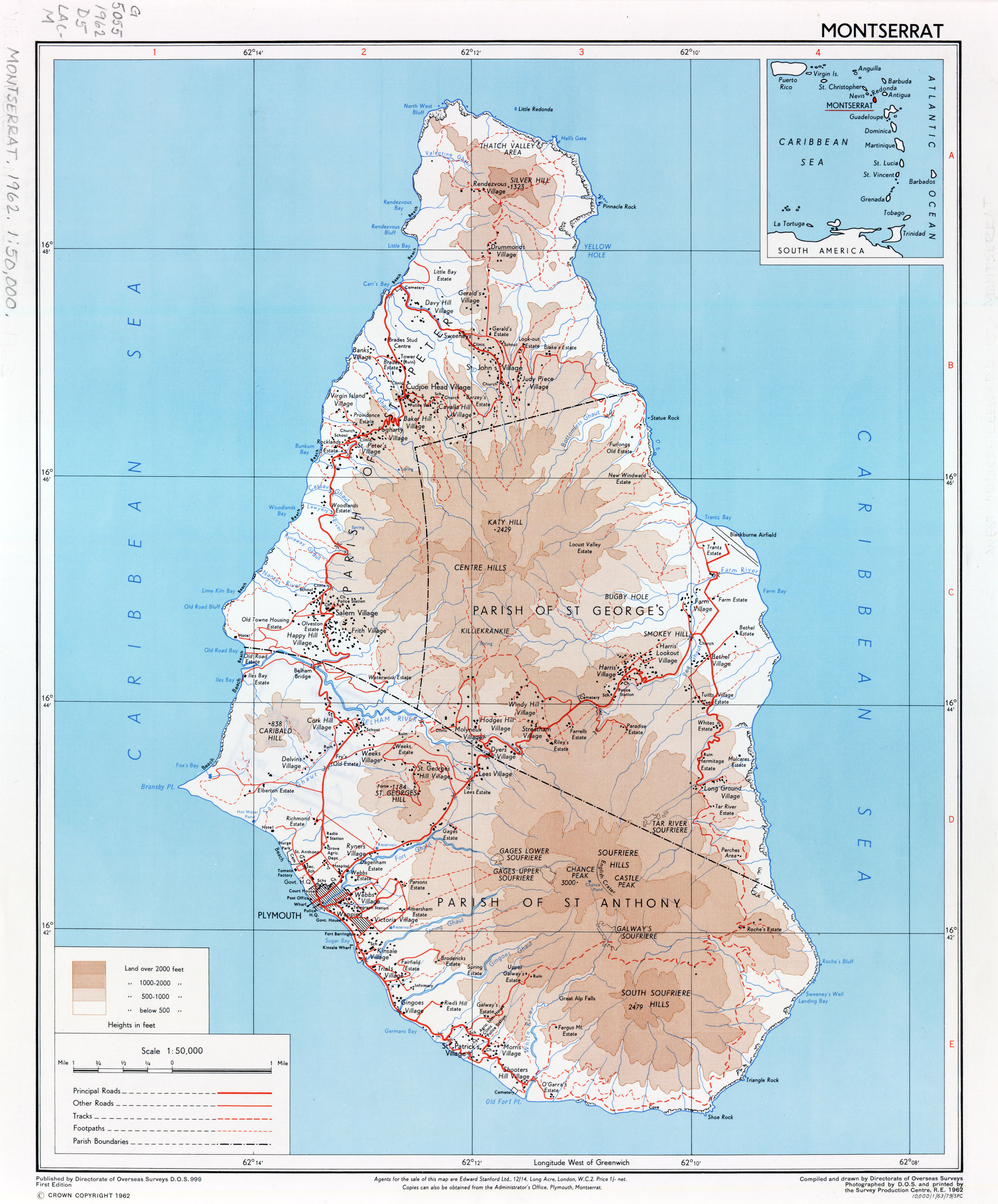
- Montserrat 1:50,000, Directorate of Overseas Surveys, D.O.S. 999, First Edition, 1962 (2.3MB)
- Navassa Island (U.S.) Maps
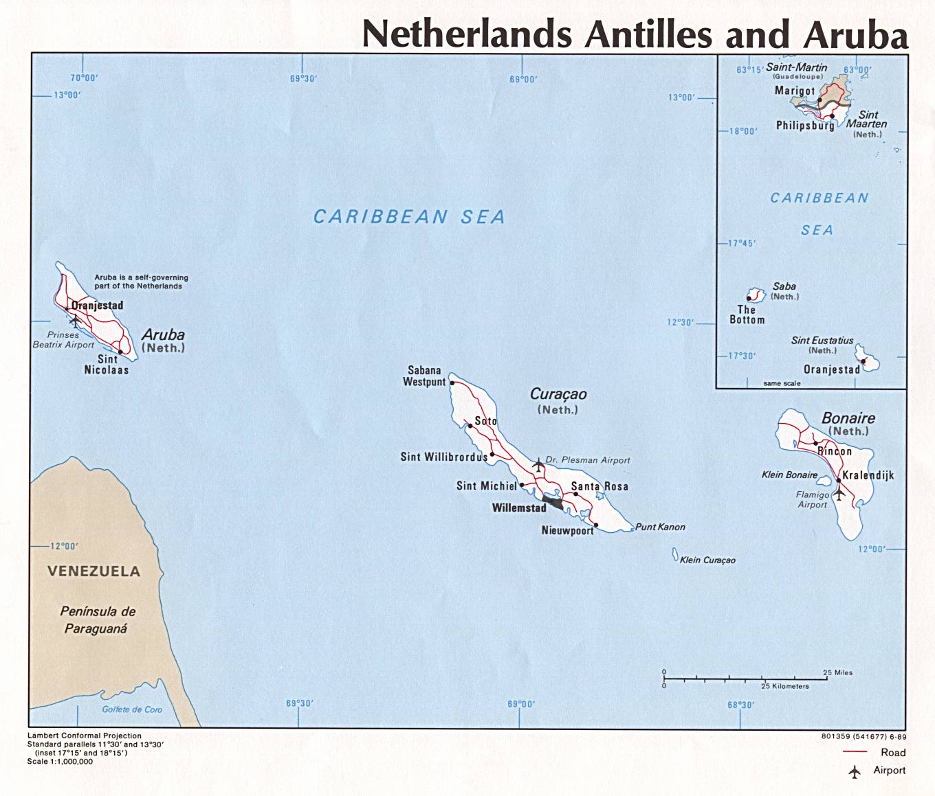
- Netherlands Antilles, Aruba (Political) 1989 (172K) and pdf format (174K)
- Netherlands Antilles (Small Map) 2010 (10K)
- Nicaragua Maps
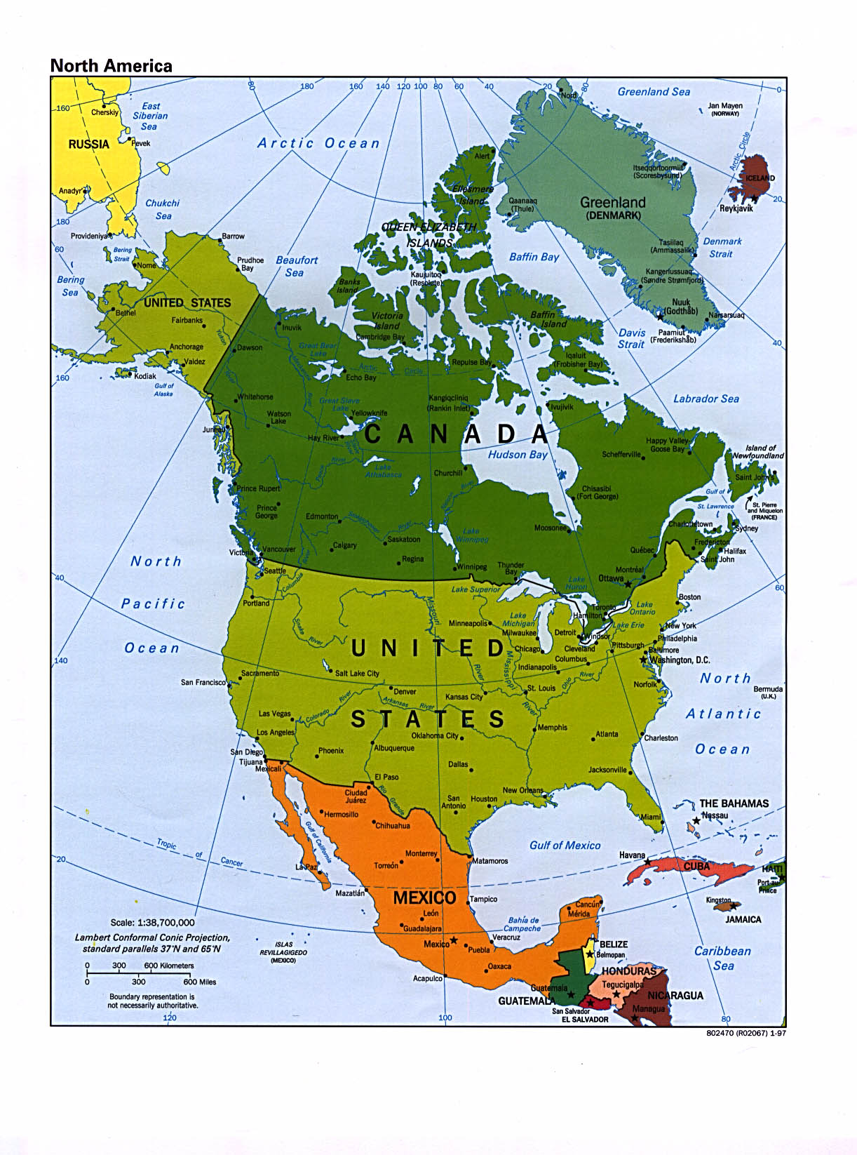
- North America (Political) 2012 (3.6MB) [pdf format]
- North America (Political) 2006 (753KB)
- North America (Political) 1997 (374K)
- North America (Political) 1995 (555K)
- North America (Political) 1992 (209K)
- North America (Political) 1997 (1.9MB) [pdf format]
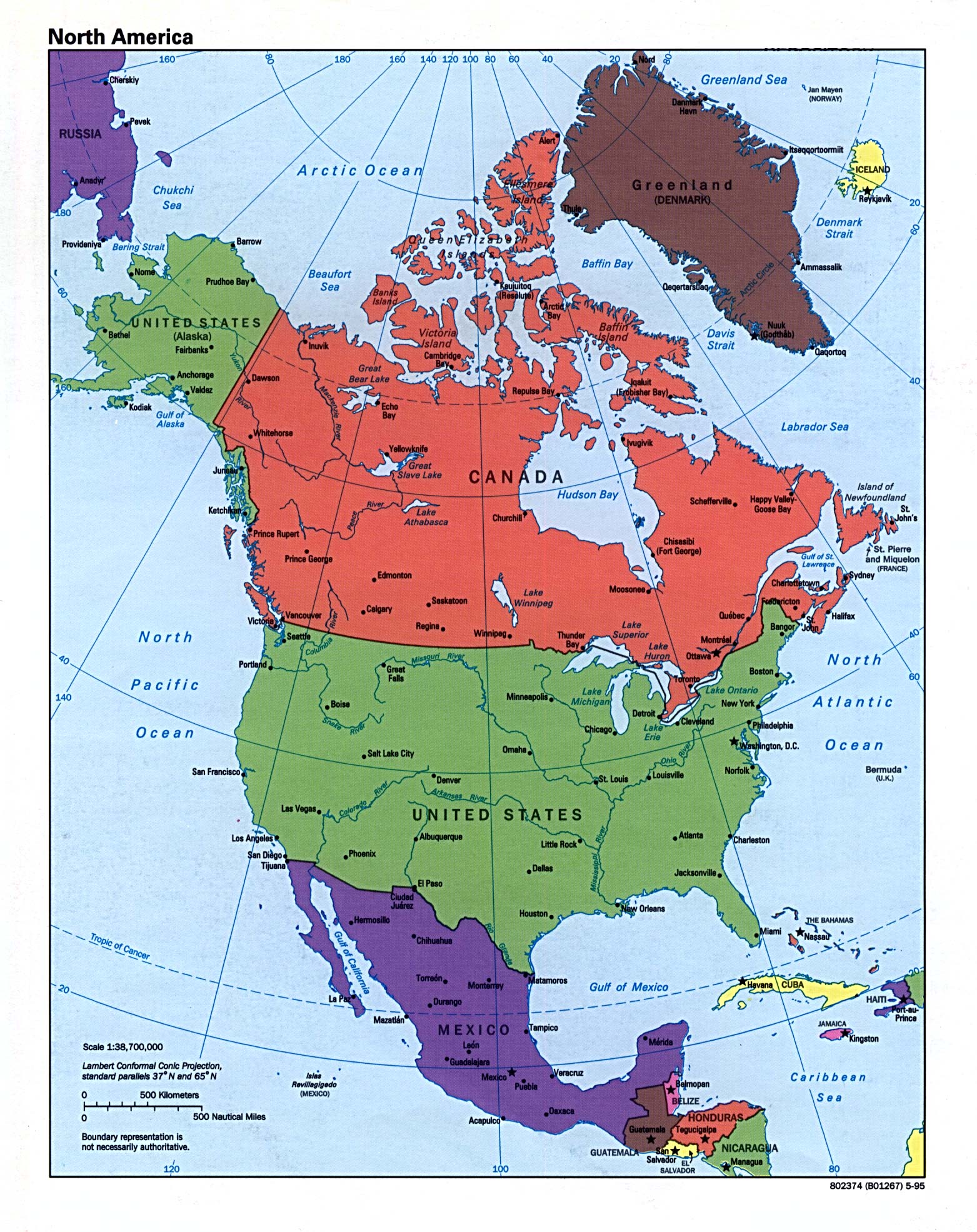
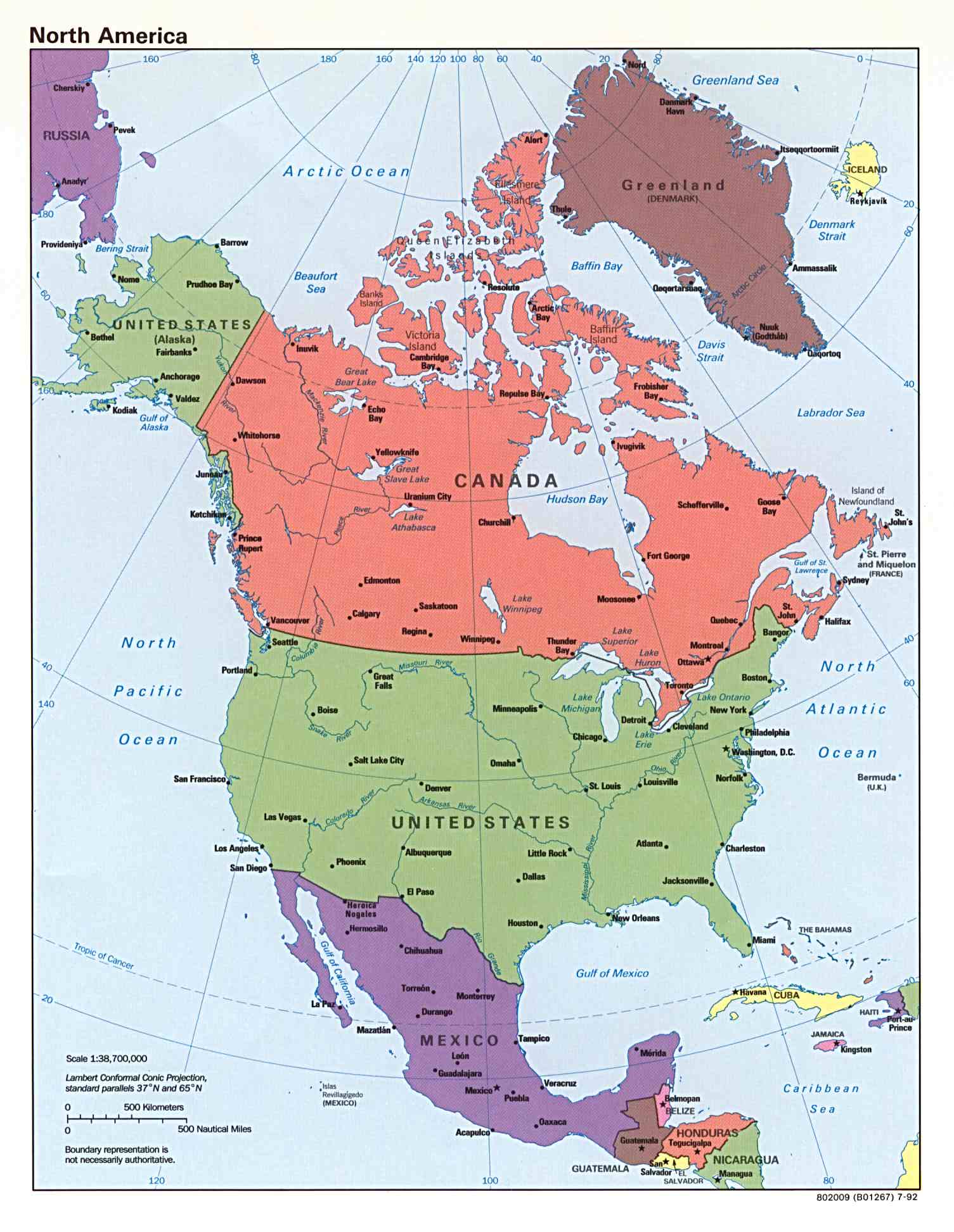
- North America (Reference Map) 2010 (619K) [pdf format]
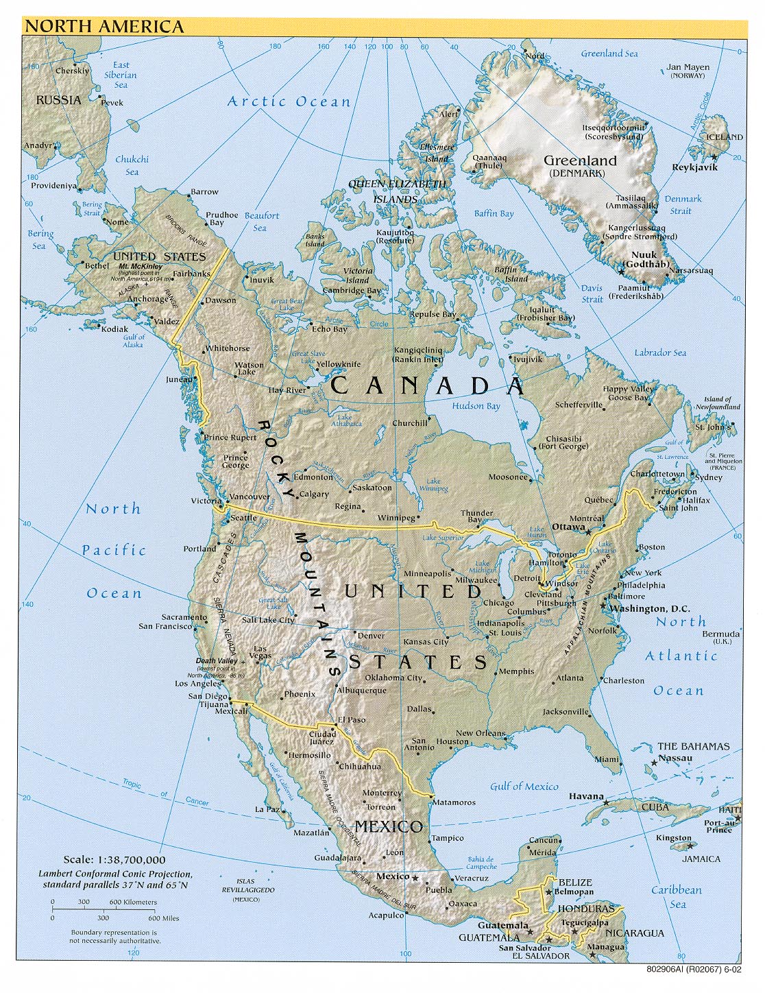
- North America (Reference Map) 2007 (942K)
- North America (Reference Map) 2007 (411K) [pdf format]
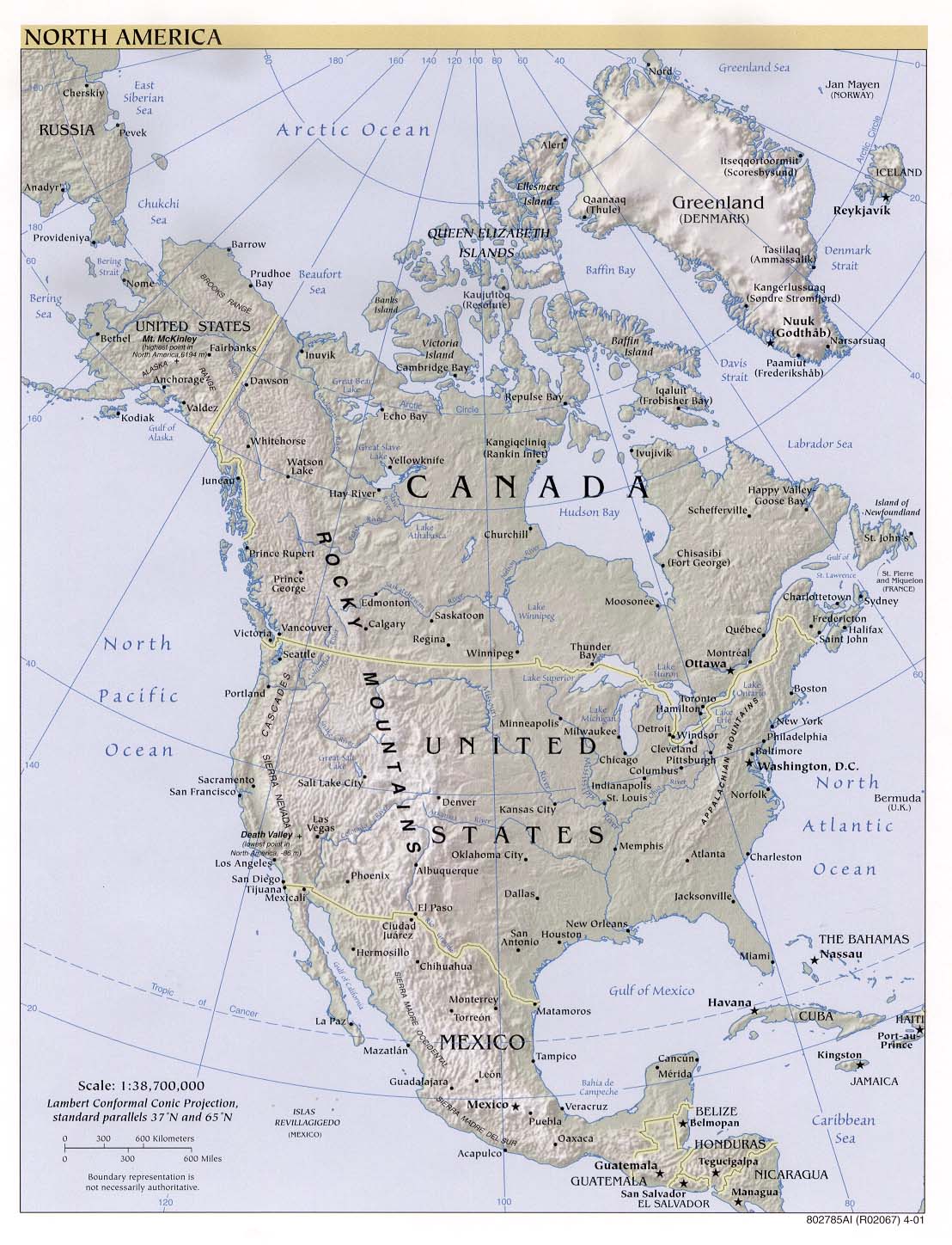
- North America (Reference Map) 2002 (311K)
- North America (Reference Map) 2002 (267K) [pdf format]
- North America (Reference Map) 2001 (251K)
- North America (Reference Map) 2001 (998K) [pdf format]
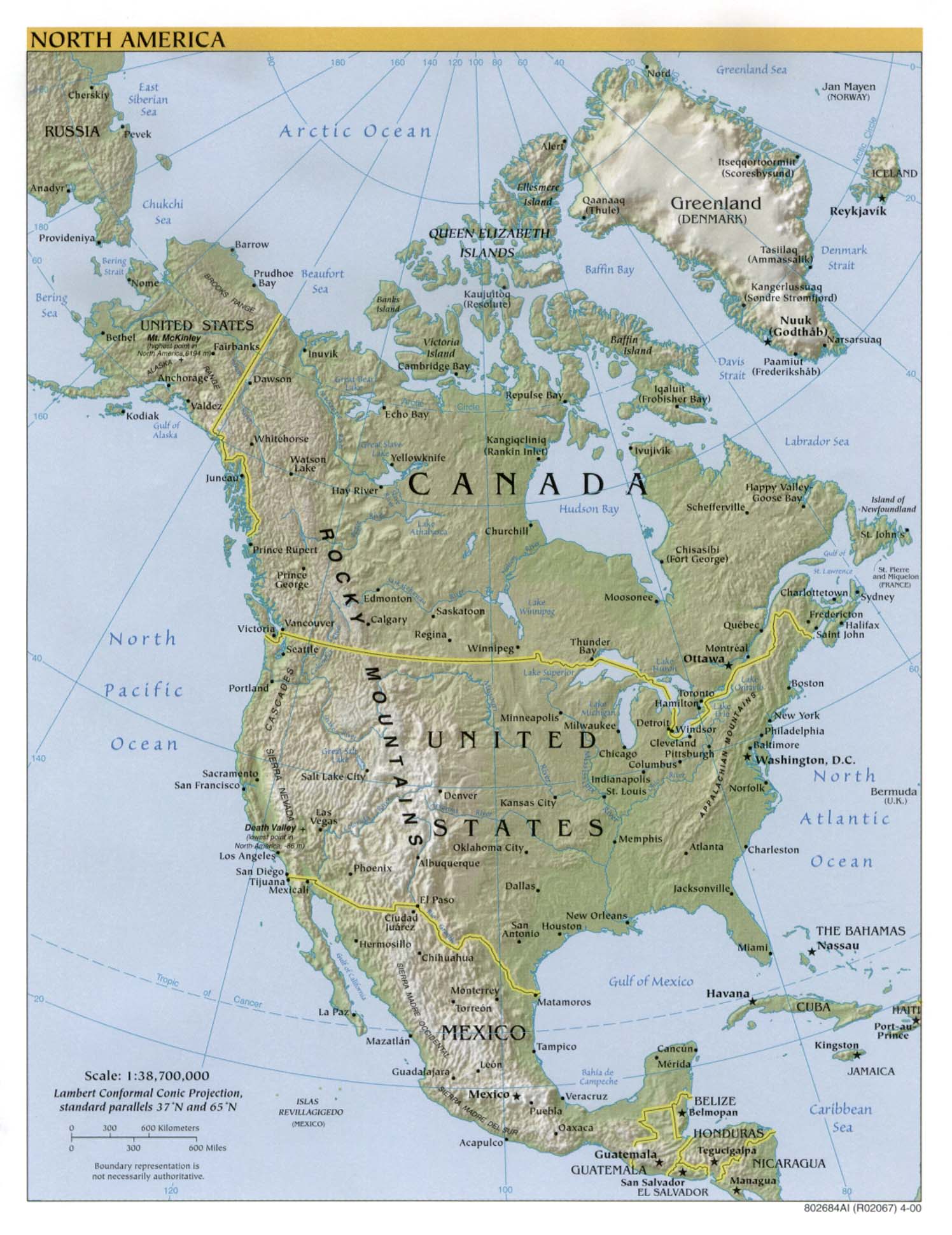
- North America (Reference Map) 2000 (294K)
- North America (Reference Map) 2000 (774K) [pdf format]
- North America (Reference Map) 1999 (206K)
- North America (Reference Map) 1999 (539K) [pdf format]
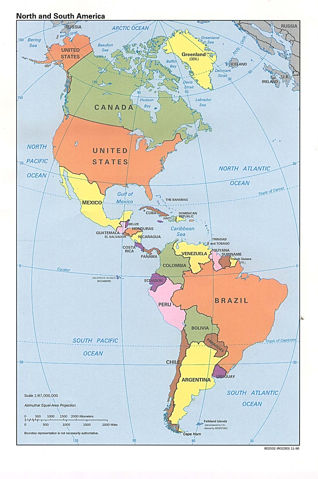
- North and South America (Political) 1996 (315K)
- Panama Maps
- Paraguay Maps
- Peru Maps
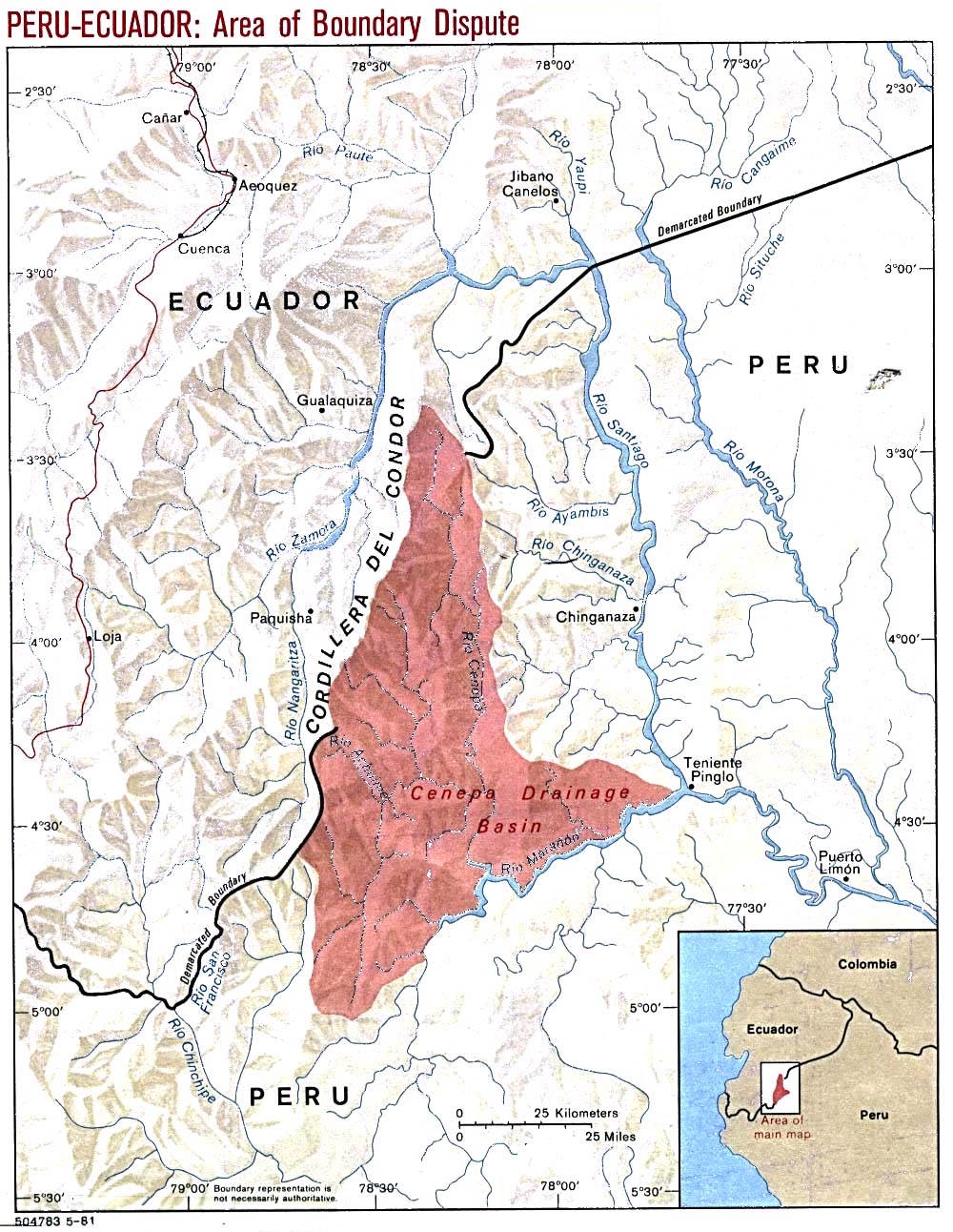
- Peru-Ecuador (Area of Boundary Dispute) 1981 (288K)
- Puerto Rico Maps
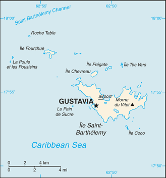
- Saint Barthelemy (Small Map) 2016 (11.7K)
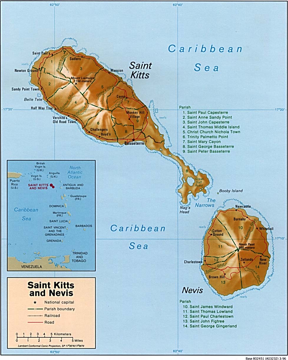
- Saint Kitts and Nevis (Shaded Relief) 1996 (190K)and pdf format (193K)
- [Saint Kitts] Saint Christopher and Nevis (Shaded Relief) 1983 (200K) and pdf format (203K)
- Saint Kitts and Nevis (Small Map) 2016 (7.4K)
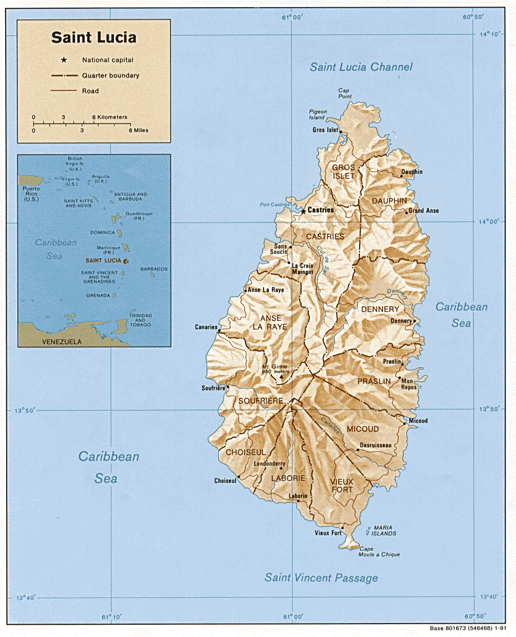
- Saint Lucia (Shaded Relief) 1991 (234K) and pdf format (253K)
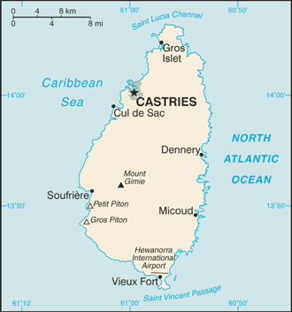
- Saint Lucia (Small Map) 2016 (13.3K)
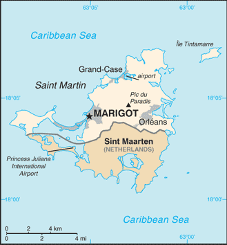
- Saint Martin (Small Map) 2016 (17.5K)
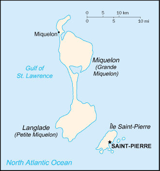
- Saint Pierre and Miquelon (France) (Small Map) 2016 (6.6K)
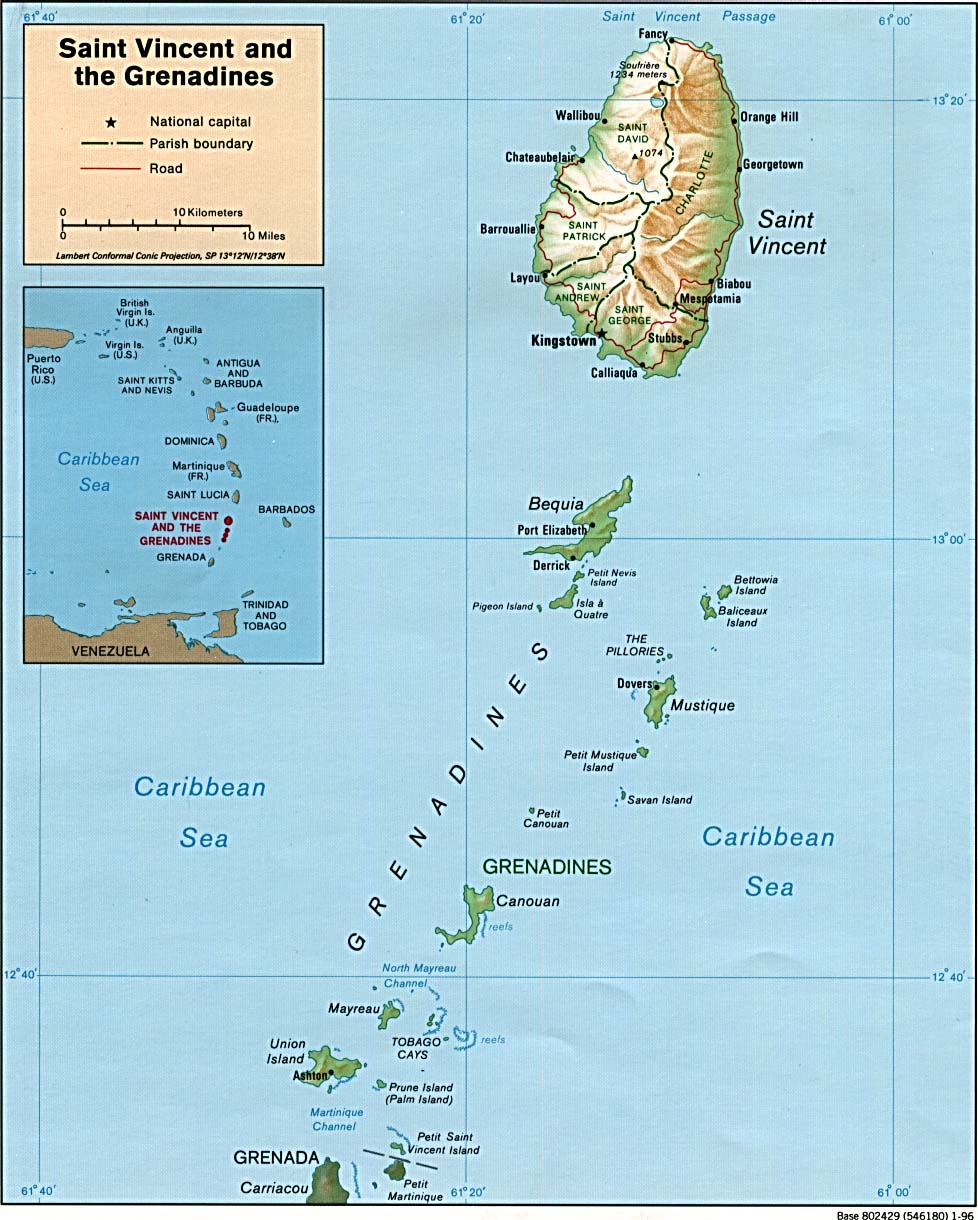
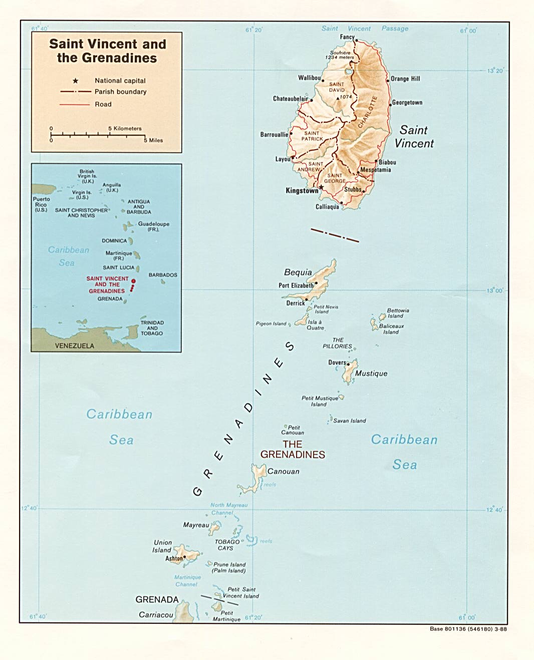
- Saint Vincent and the Grenadines (Shaded Relief) 1996 (191K) and pdf format (193K)
- Saint Vincent and the Grenadines (Shaded Relief) 1988 (277K) and pdf format (277K)
- Saint Vincent and the Grenadines (Small Map) 2016 (9.5K)
- Sint Maarten (Small Map) 2016 (17K)
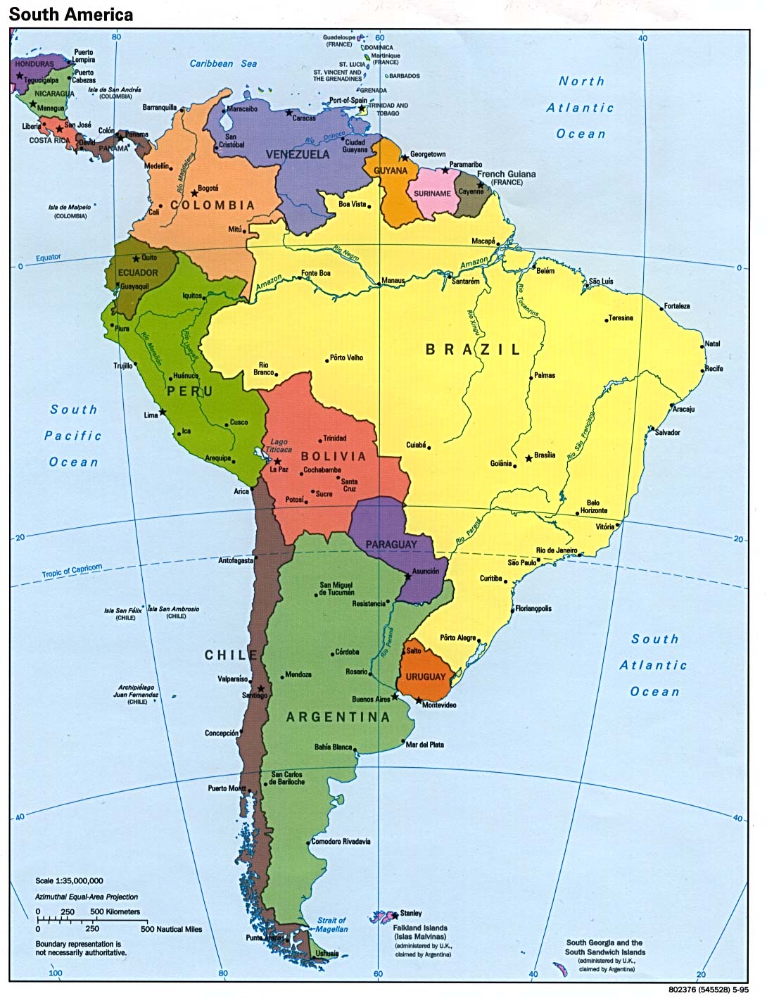
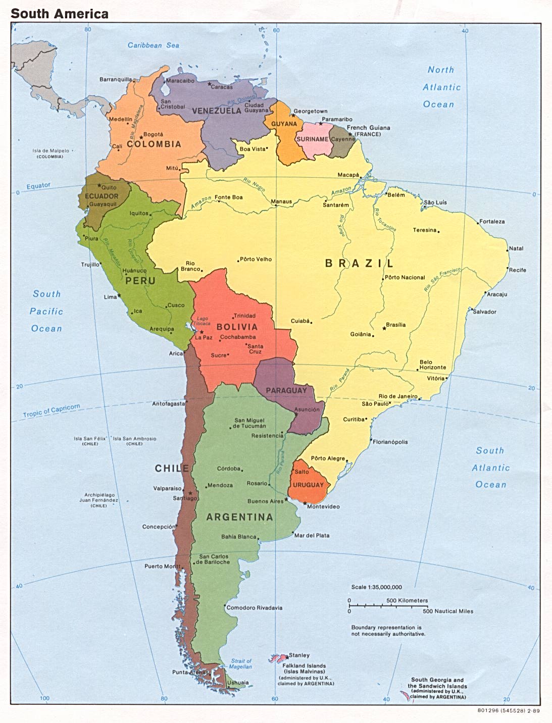
- South America (Political) 2012 (1.7MB) [pdf format]
- South America (Political) 1998 (323K)
- South America (Political) 1995 (229K)
- South America (Political) 1989 (208K)
- South America (Political) 1997 (1MB) [pdf format]
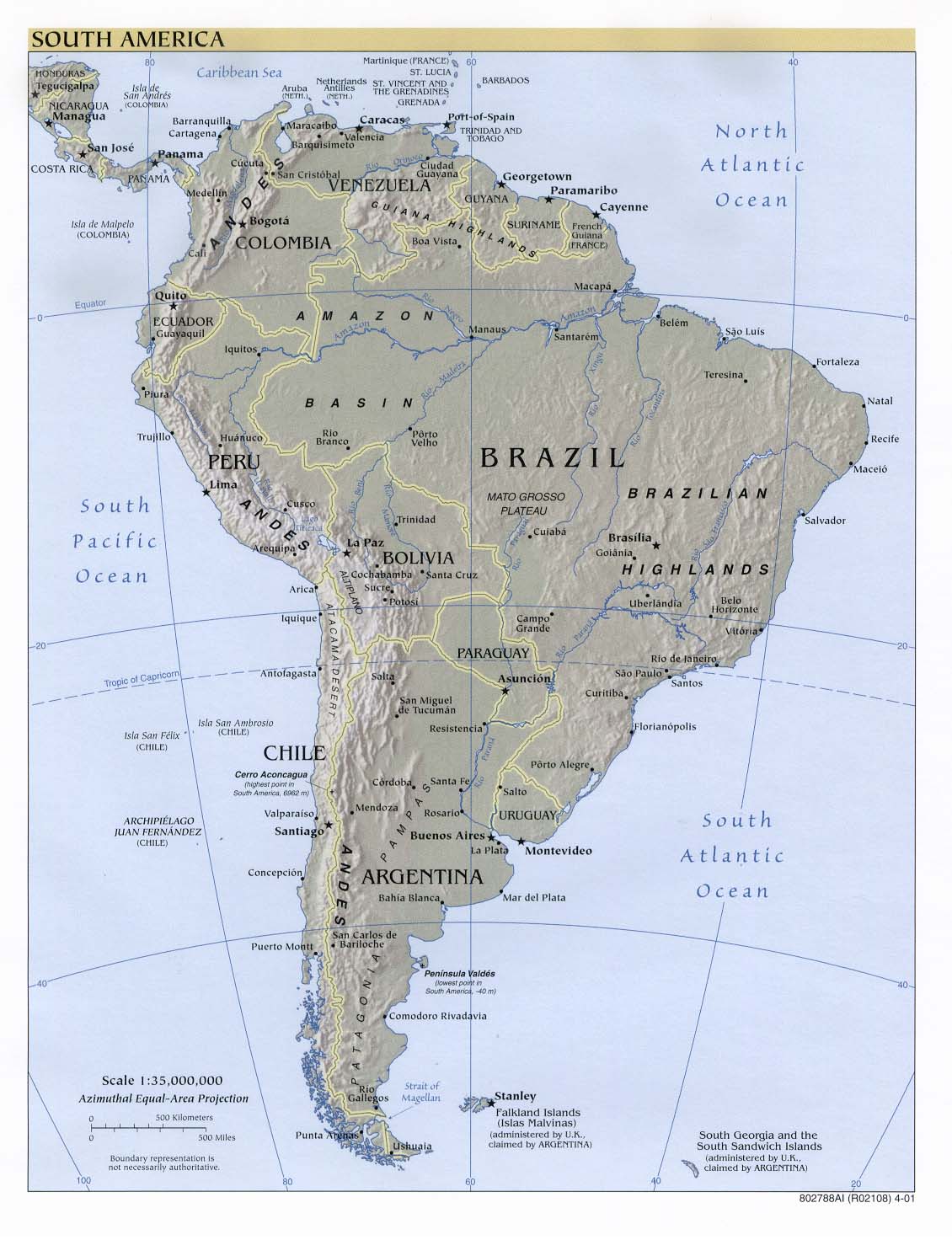
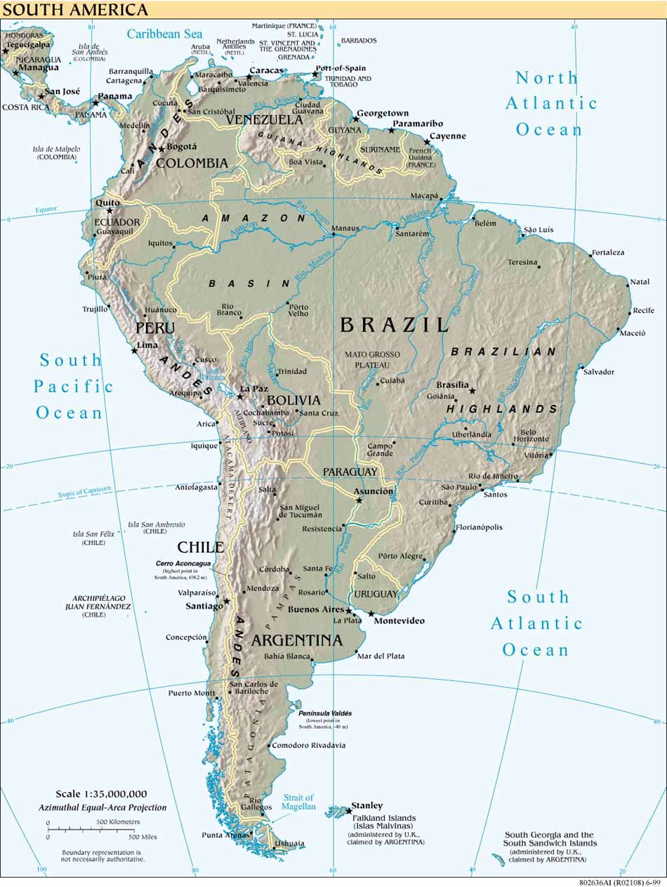
- South America (Reference Map) 2011 (440K) [pdf format]
- South America (Reference Map) 2010 (438K) [pdf format]
- South America (Reference Map) 2004 (506K) and pdf format (959K)
- South America (Reference Map) 2002 (242K) and pdf format (245K)
- South America (Reference Map) 2001 (191K)
- South America (Reference Map) 1999 (157K) larger jpeg image (267K)
- South America (Reference Map) 2001 (774K) [pdf format]
- South America (Reference Map) 2000 (704K) [pdf format]
- South America (Reference Map) 1999 (539K) [pdf format]
- Suriname Maps
- Swan Islands (Honduras) (Nautical Chart) original scale 1:100,000 Defense Mapping Agency 1985 (175K) Not for navigational use
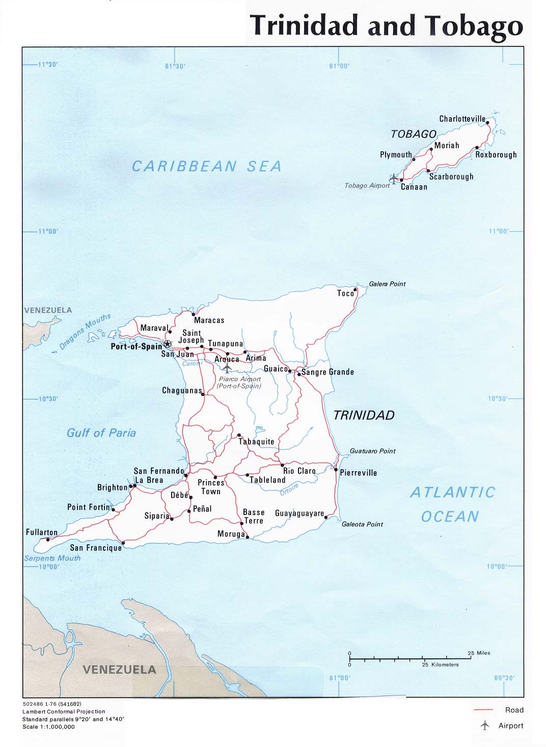
- Trinidad and Tobago (Political) 1976 (127K) and pdf format (132K)
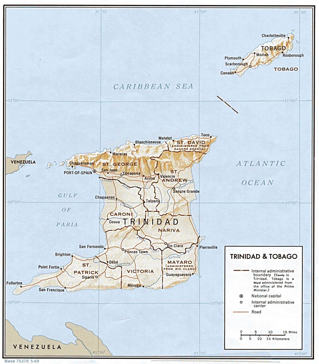
- Trinidad and Tobago (Shaded Relief) 1969 (245K)
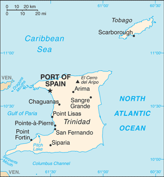
- Trinidad and Tobago (Small Map) 2016 (19.3K)
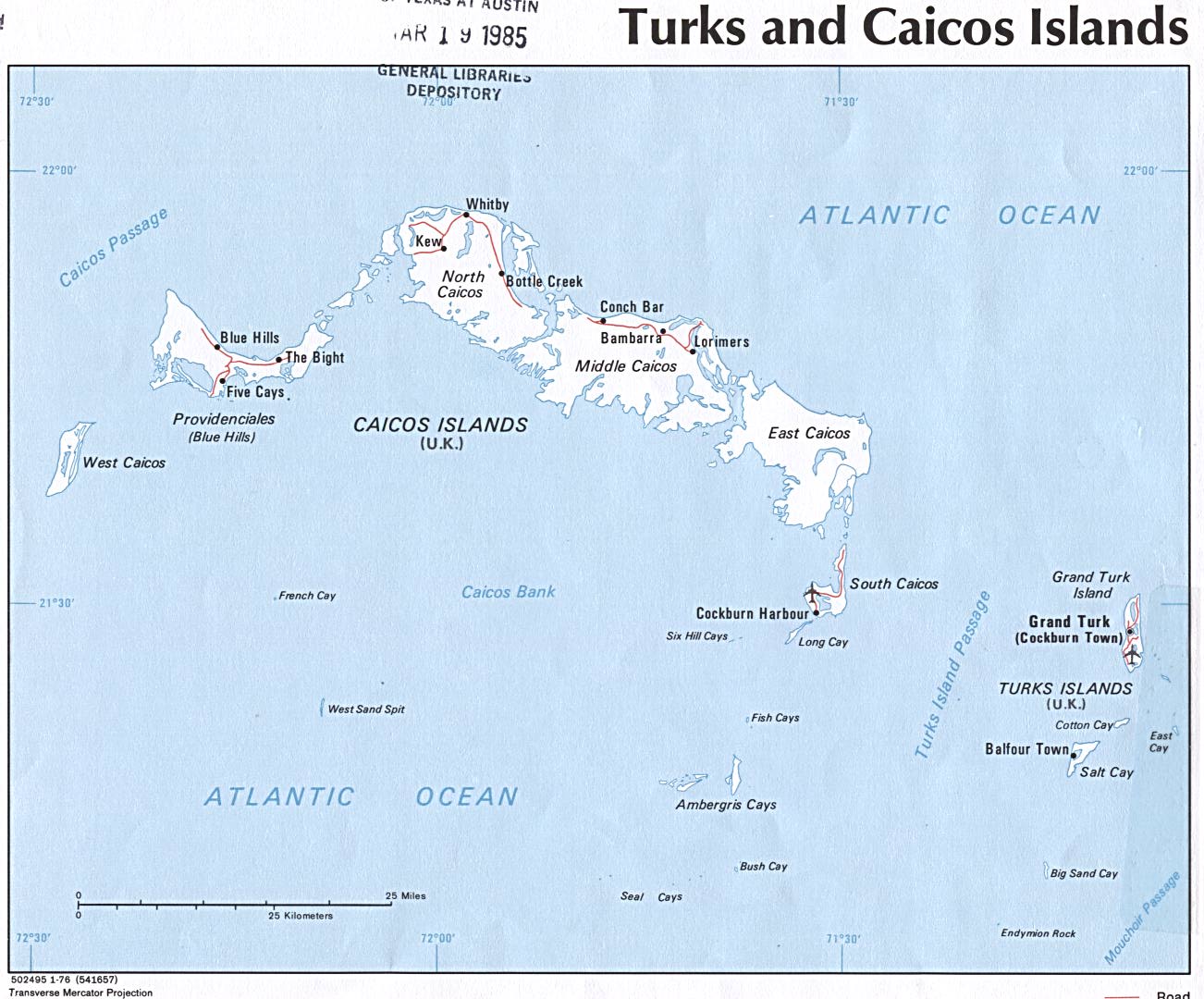
- Turks and Caicos Islands (Political) 1976 (183K) and pdf format (186K)
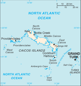
- Turks and Caicos Islands (Small Map) 2016 (9.8K)
- United States Maps
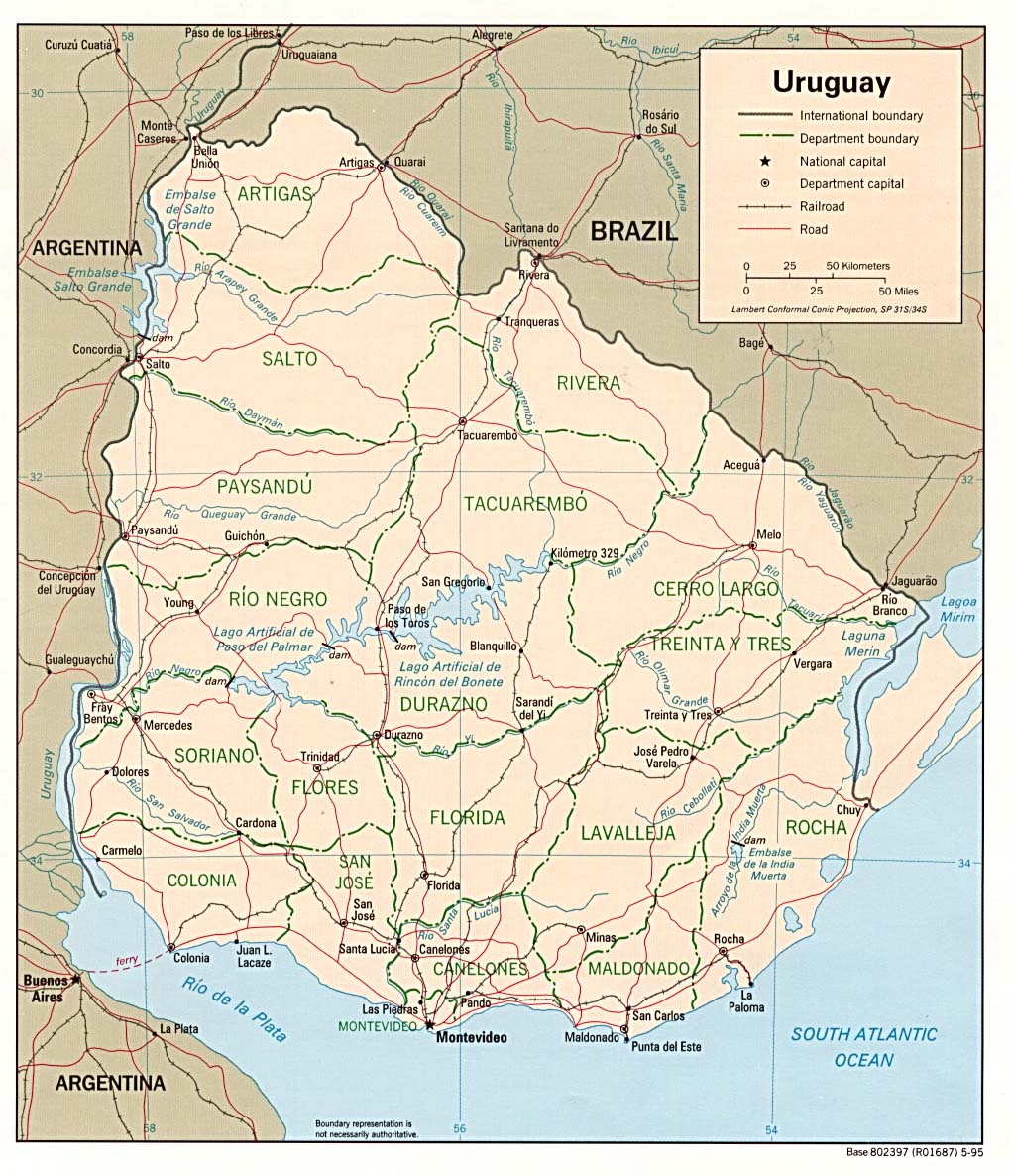
- Uruguay (Political) 1995 (255K) and pdf format (304K)
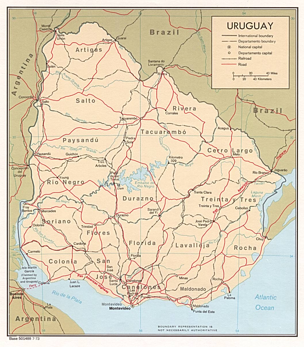
- Uruguay (Political) 1973 (256K) and pdf format (258K)
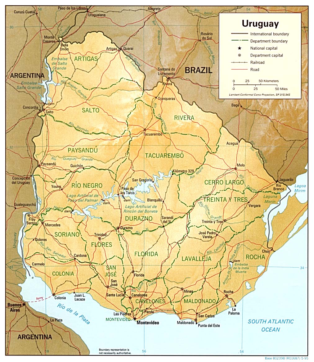
- Uruguay (Shaded Relief) 1995 (295K) and pdf format (299K)
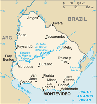
- Uruguay (Small Map) 2016 (19.4K)
- Venezuela Maps
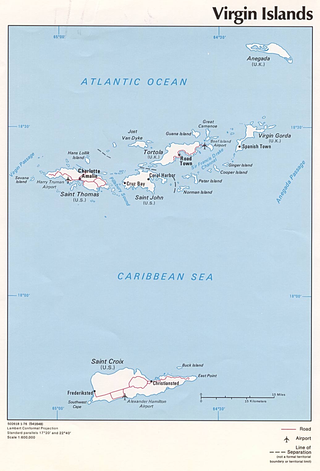
- Virgin Islands (Political) 1976 (142K)
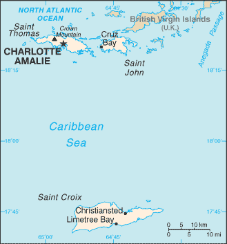
- Virgin Islands (Small Map) 2016 (9.2K)
- Virgin Islands (U.S.) Maps
![[Saint Kitts] Saint Christopher and Nevis](americas/stchristophernevis.jpg)