Perry-Castañeda Library
Map Collection
Texas Topographic Maps
Maps in this online collection are from the Perry-Castañeda Library, Walter Geology Library and Dolph Briscoe Center for American History at the University of Texas at Austin as well as the Texas State Library. All maps on this site were published by the U.S. Geological Survey unless otherwise noted and are in the public domain. The date given for each map is the date of latest survey. The Geographic Names Information System allows searches of geographic names to determine which map sheets they appear on. Indexes are available for Texas - East and Texas - West for the 1:24,000 map series. Maps published prior to 1923 are on the Texas Historical Topographic Map Index. More information about these maps is available on the Topographic Maps Home Page. Note: To fully view the GeoPDF files use Adobe Reader as your default PDF viewer or download the files and open them within Adobe Reader.
A, B, C, D, E, F, G, H, I, J, K, L, M, N, O, P, Q, R, S, T, U, V, W, X, Y, Z
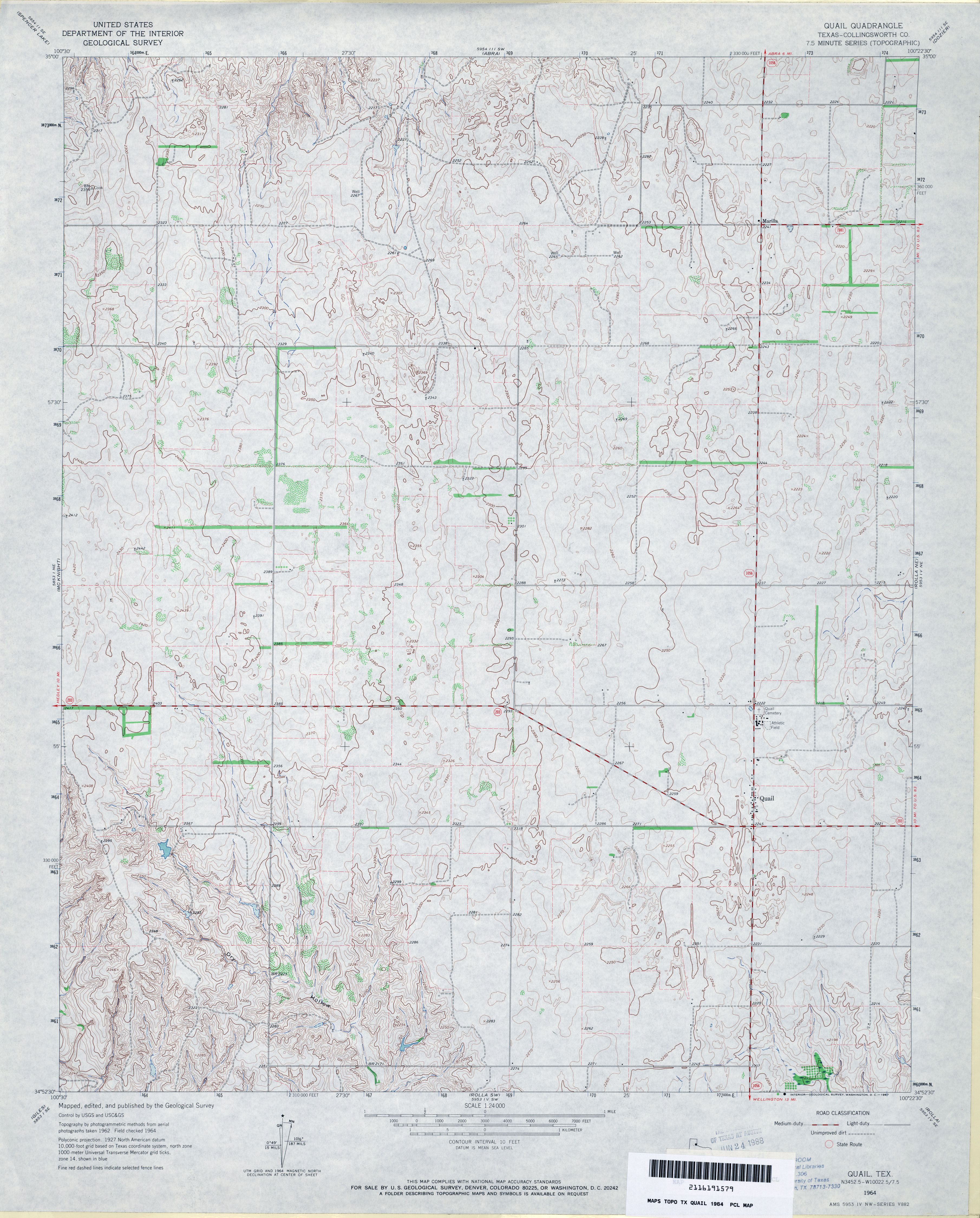
- Quail (Collingsworth County) 1:24,000 1964 (3.5MB)
- Quail 1:24,000 2008 (12.5MB) [GeoPDF]
- Quail 1:24,000 2012 (18.2MB) [GeoPDF]
- Quanah 1:62,500 1960 (3.7MB)
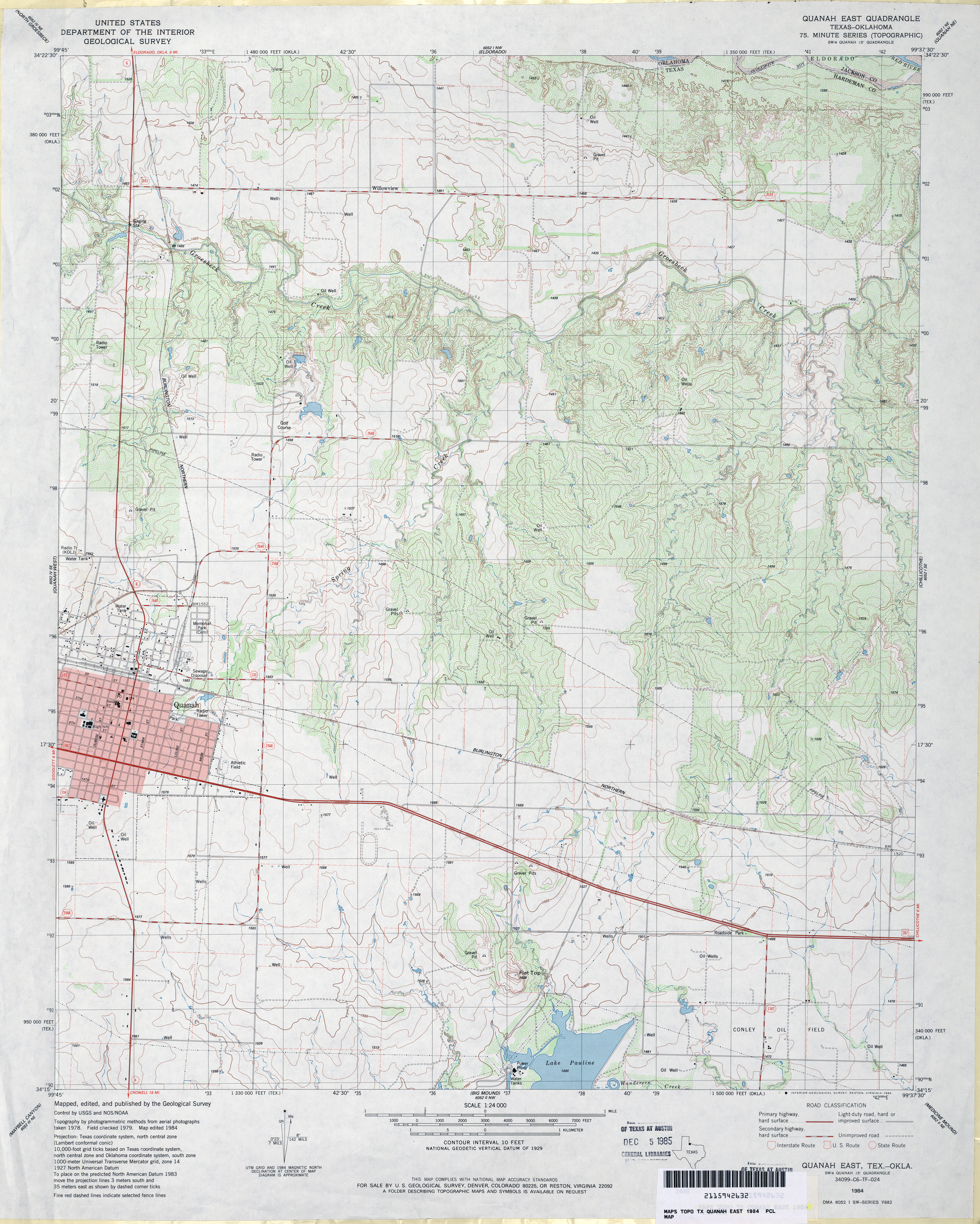
- Quanah East 1:24,000 1984 (4.2MB)
- Quanah East 1:24,000 2008 (12.7MB) [GeoPDF]
- Quanah East 1:24,000 2012 (19.3MB) [GeoPDF]
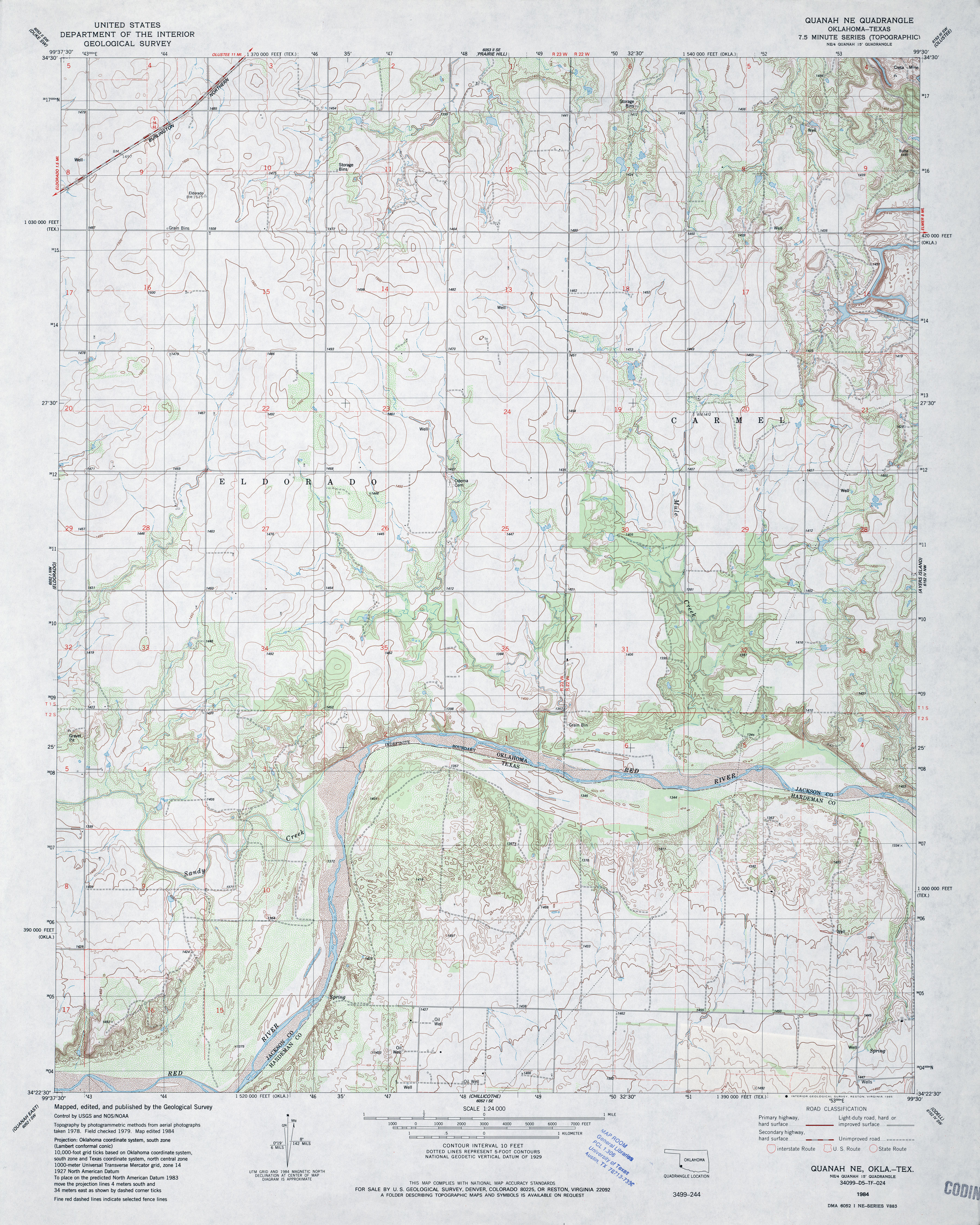
- Quanah NE 1:24,000 1984 (4.3MB)
- Quanah NE [Oklahoma, Texas] 1:24,000 2008 (16.7MB) [GeoPDF]
- Quanah NE 1:24,000 2012 (17.5MB) [GeoPDF]
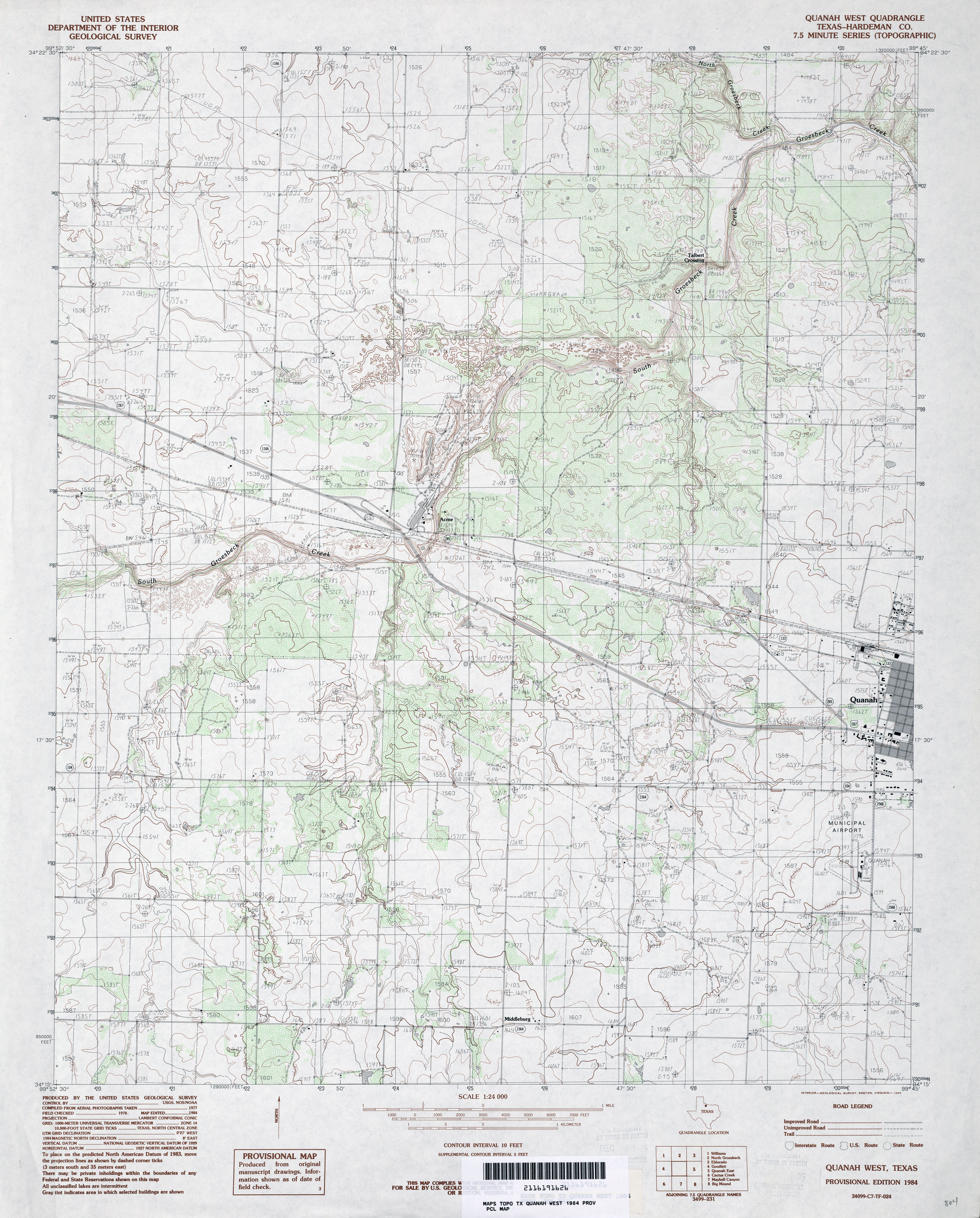
- Quanah West (Hardeman County) 1:24,000 1984 (4.1MB)
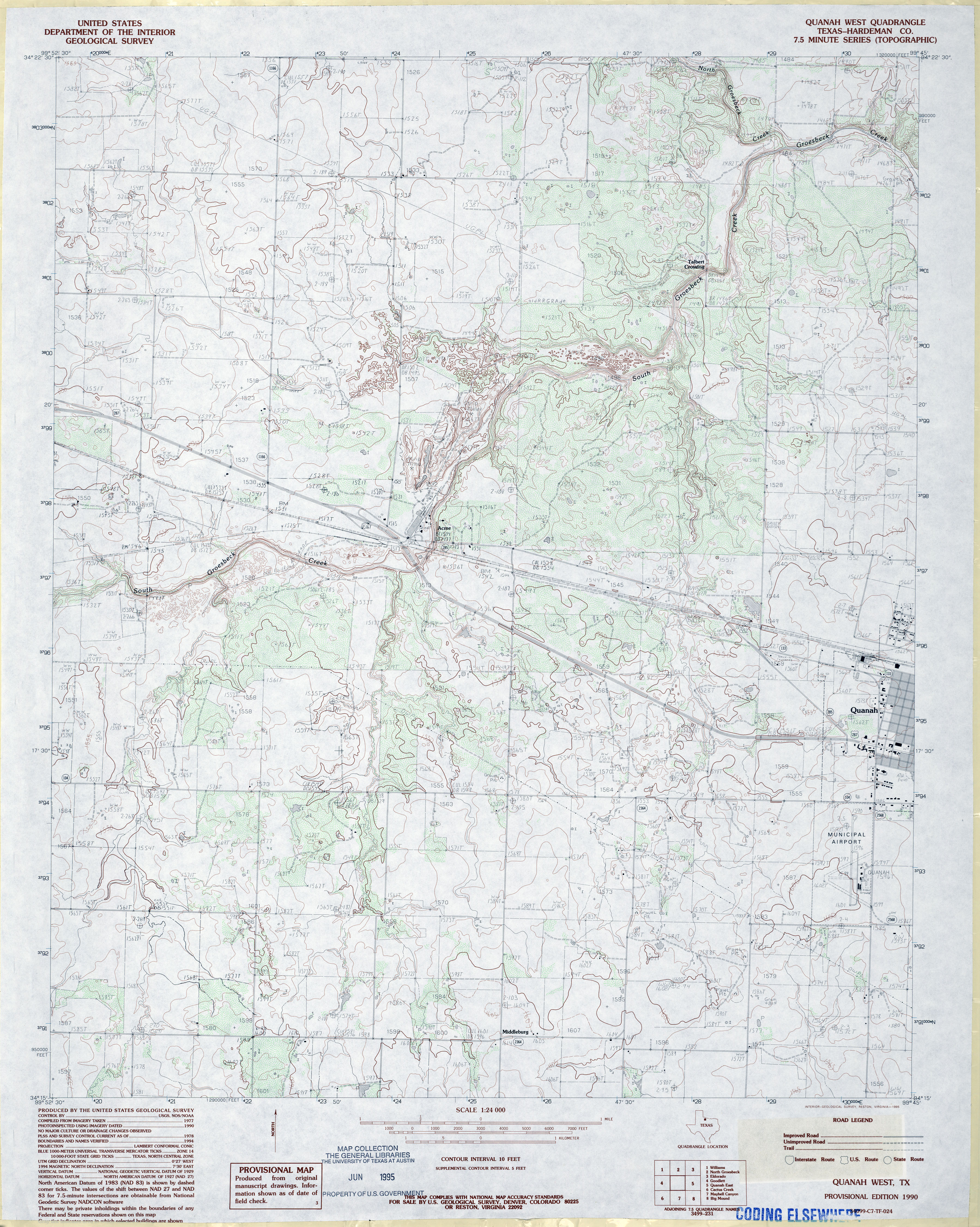
- Quanah West (Hardeman County) 1:24,000 1990 (4MB)
- Quanah West 1:24,000 2008 (11.4MB) [GeoPDF]
- Quanah West 1:24,000 2012 (18.4MB) [GeoPDF]
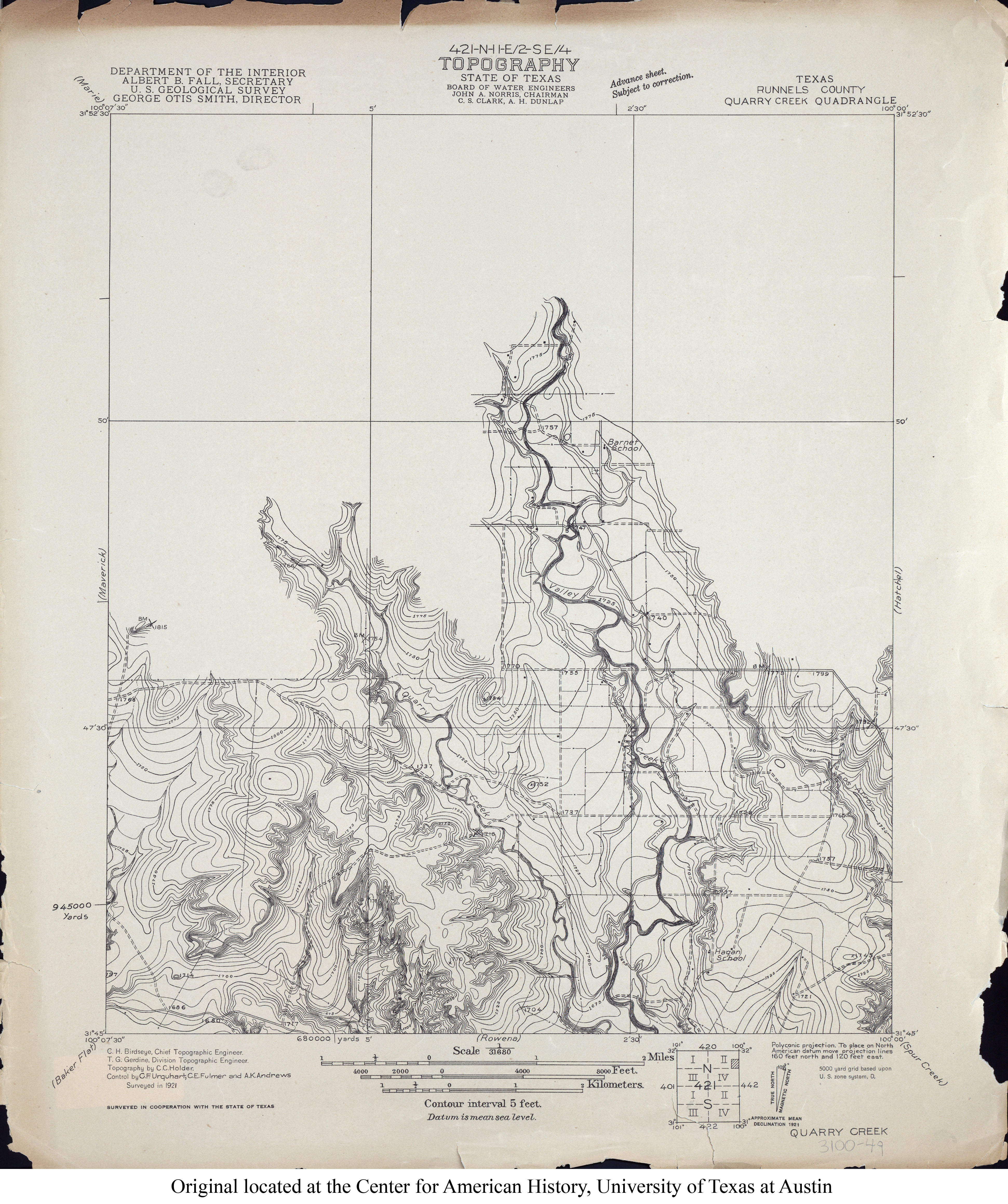
- Quarry Creek (Runnels County) 1:31,680 1921 (3.3MB)
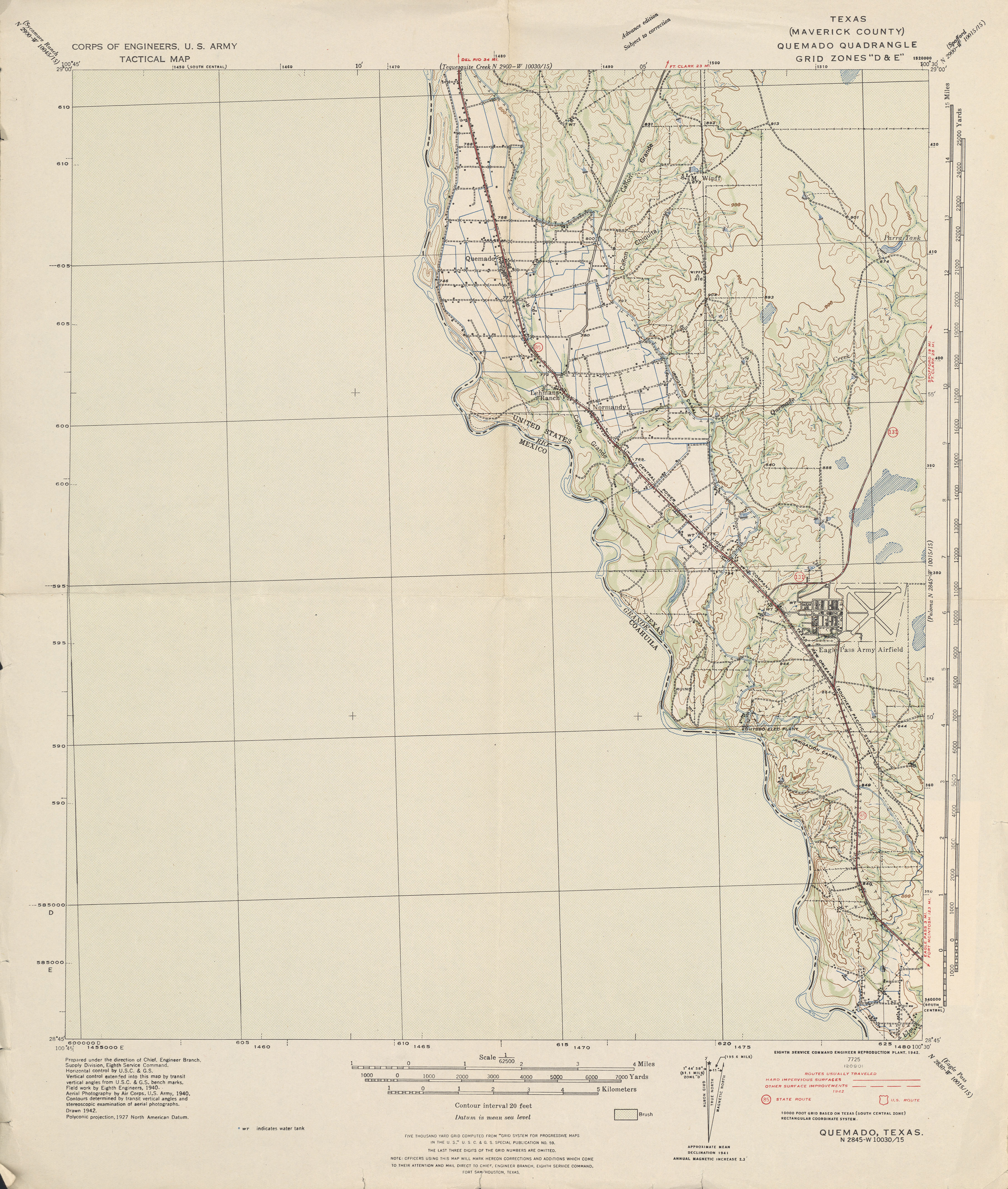
- Quemado 1:62,500 1940 survey, 1942 overprint (3.0 MB) U.S. Army. Corps of Engineers. Tactical Map
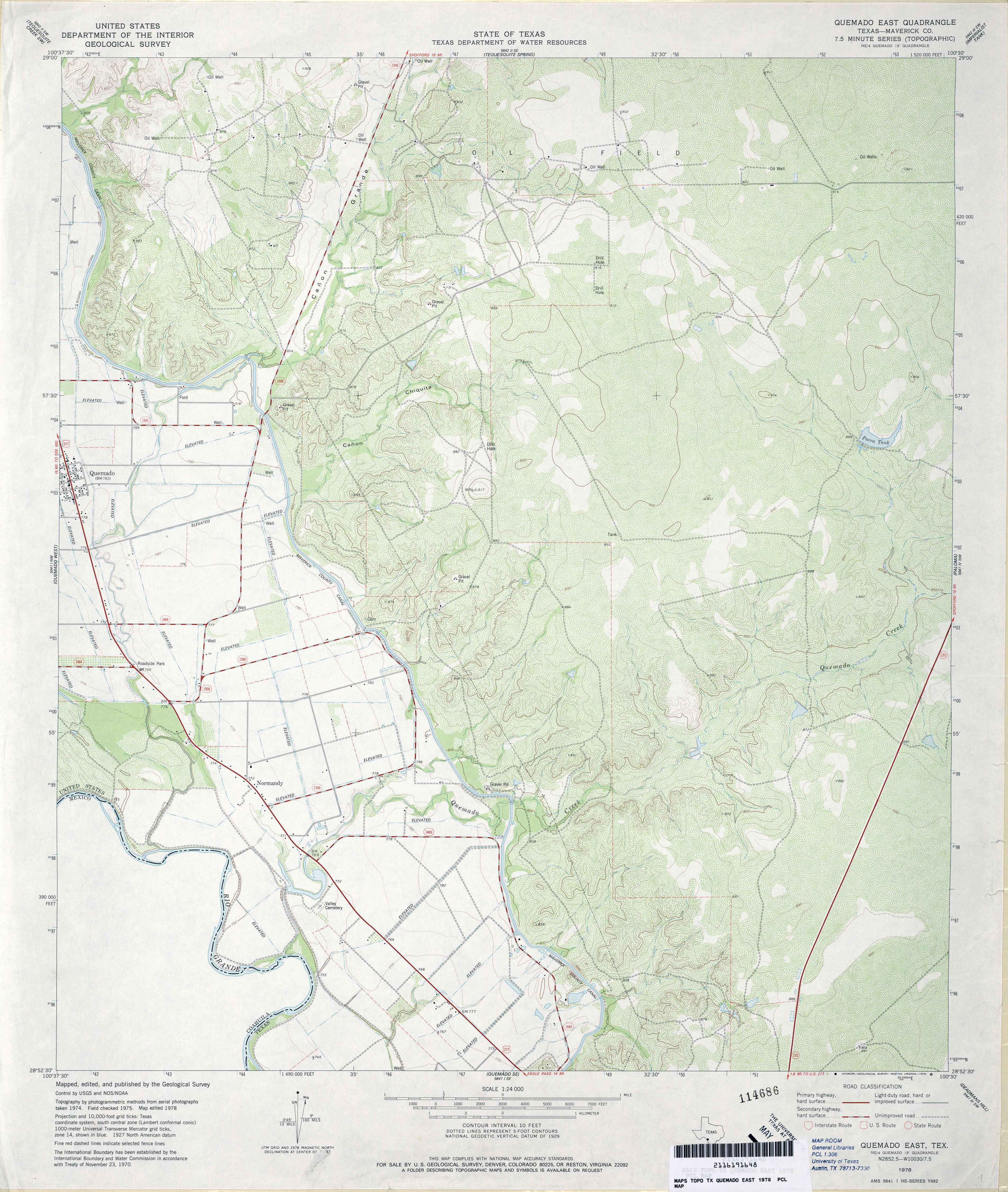
- Quemado East (Maverick County) 1:24,000 1978 (4.4MB)
- Quemado East 1:24,000 2008 (19.4MB) [GeoPDF]
- Quemado East 1:24,000 2012 (26.7MB) [GeoPDF]
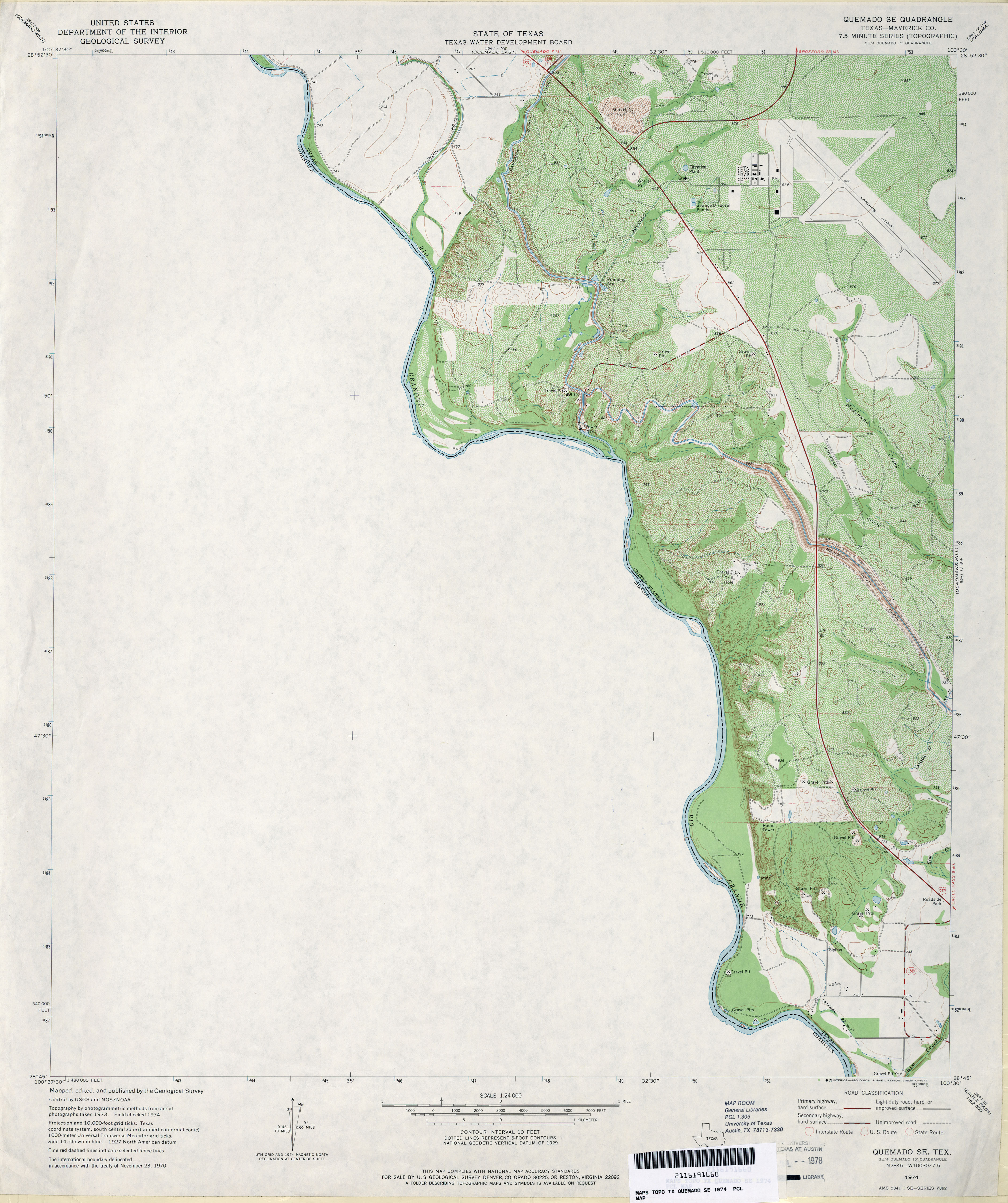
- Quemado SE (Maverick County) 1:24,000 1974 (3.2MB)
- Quemado SE 1:24,000 2008 (19.9MB) [GeoPDF]
- Quemado SE 1:24,000 2012 (22.3MB) [GeoPDF]
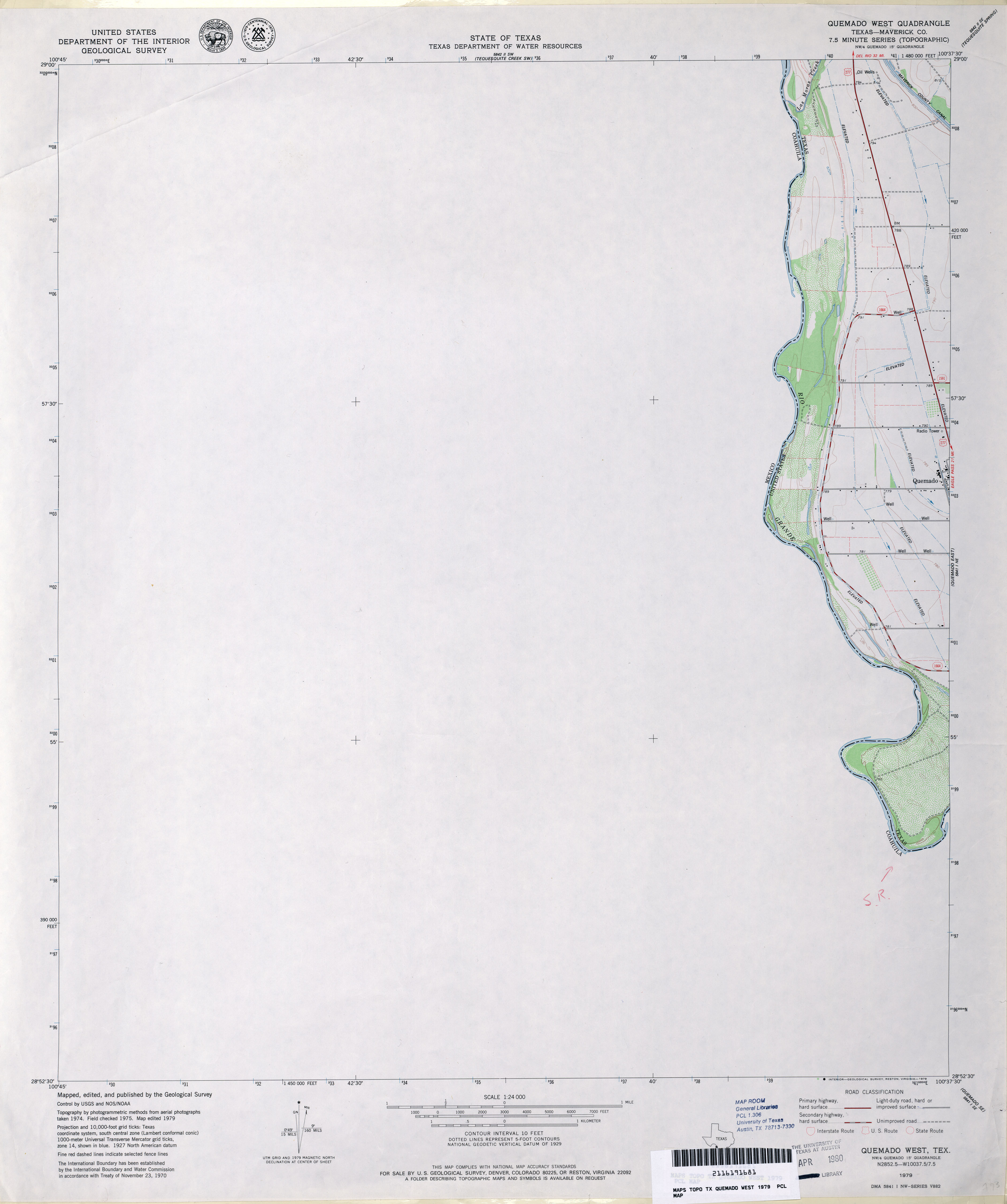
- Quemado West (Maverick County) 1:24,000 1979 (1.6MB)
- Quemado West 1:24,000 2008 (20.1MB) [GeoPDF]
- Quemado West 1:24,000 2012 (14.8MB) [GeoPDF]
- Quihi (Medina County) 1:24,000 1969 (3.6MB)
- Quihi 1:24,000 2008 (17.0MB) [GeoPDF]
- Quihi 1:24,000 2013 (22.4MB) [GeoPDF]
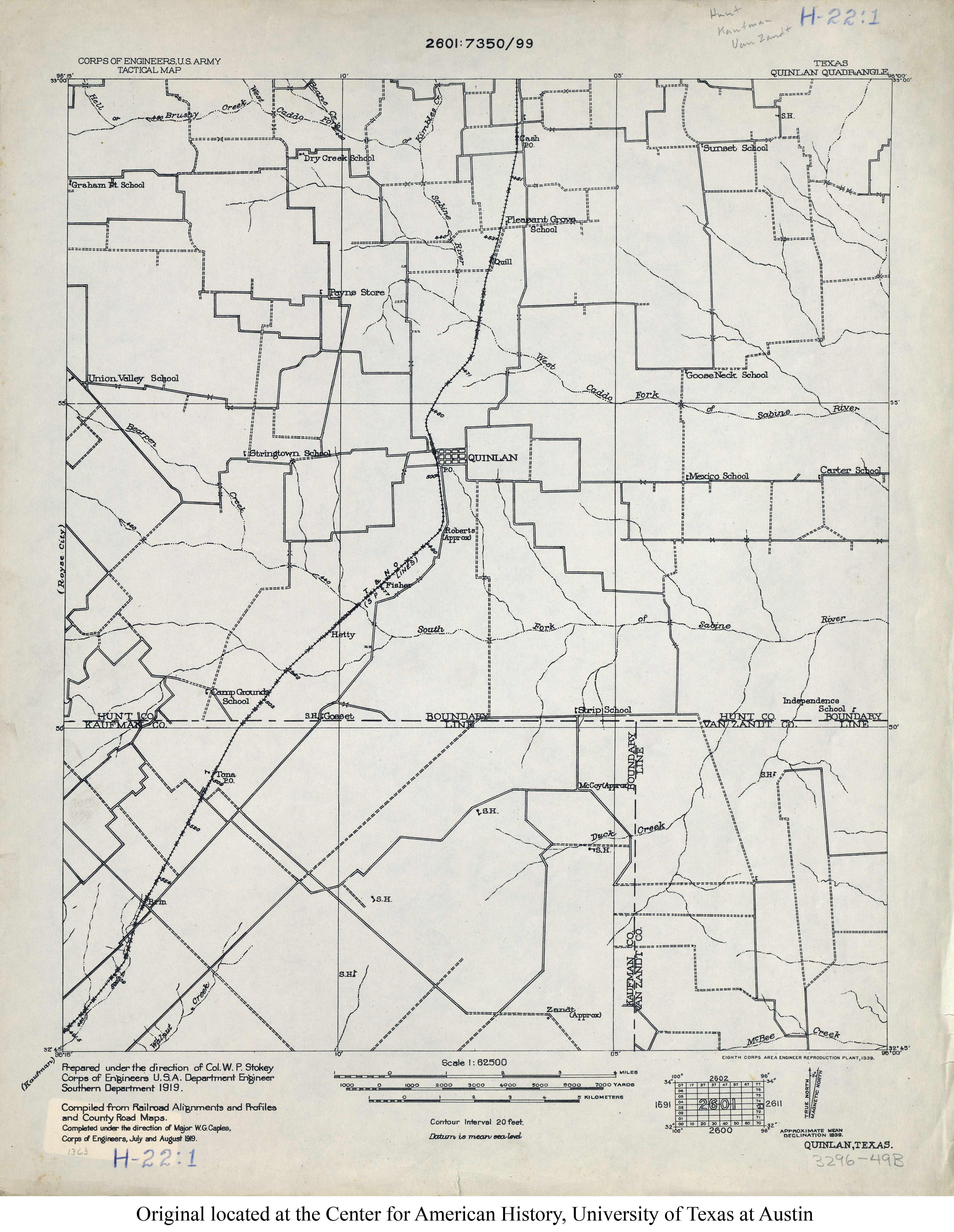
- Quinlan 1:62,500 1919 (2.7MB) U.S. Army. Corps of Engineers. Tactical Map
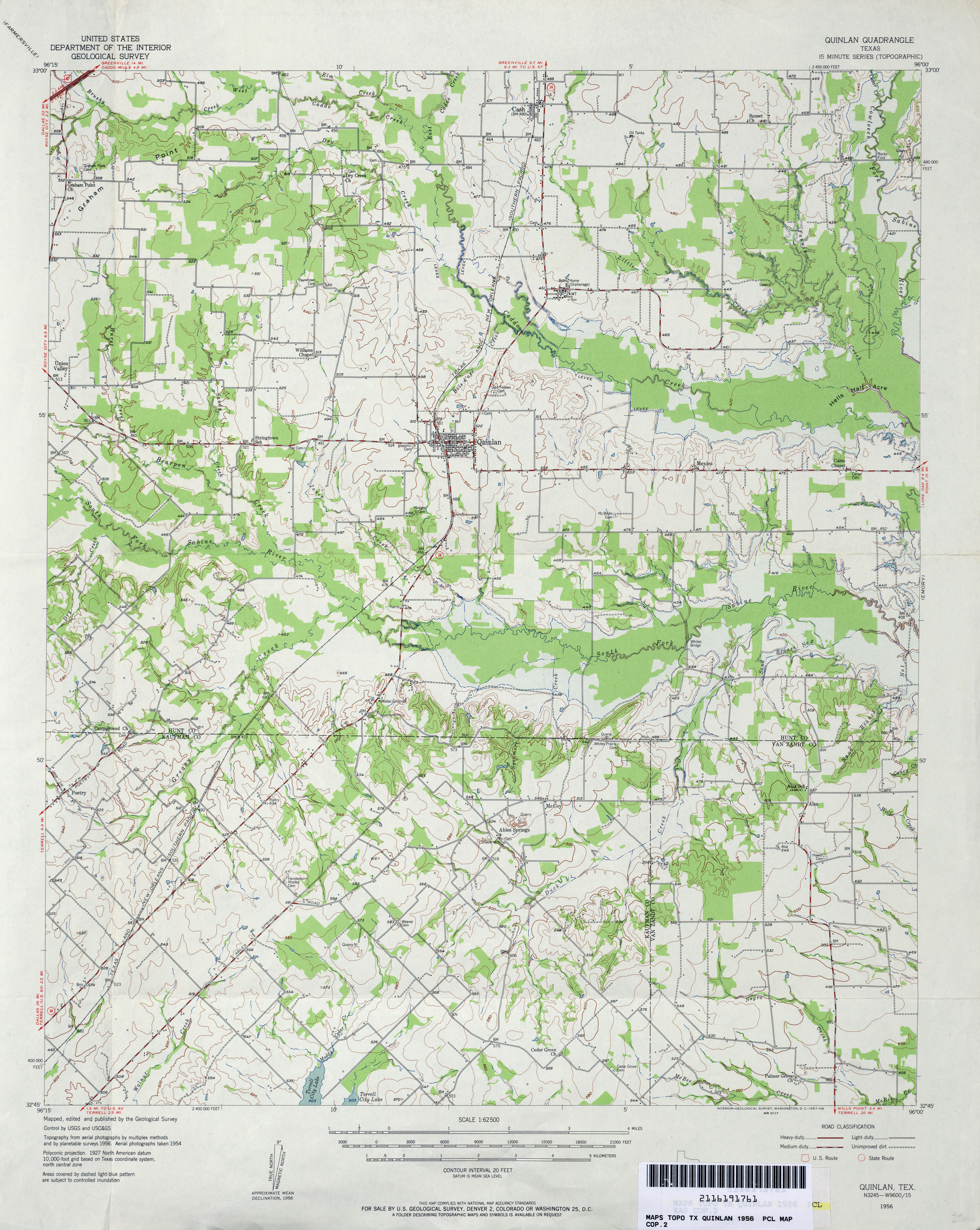
- Quinlan 1:62,500 1956 (3.8MB)
- Quinlan (Hunt County) 1:24,000 1979 (3.5MB)
- Quinlan 1:24,000 2008 (19.1MB) [GeoPDF]
- Quinlan 1:24,000 2012 (21.2MB) [GeoPDF]
- Quinn Creek 1:24,000 1979 (3.7MB)
- Quinn Creek 1:24,000 2008 (19.3MB) [GeoPDF]
- Quinn Creek 1:24,000 2012 (24.8MB) [GeoPDF]
- Quintana (Refugio County) 1:24,000 1979 (3.4MB) 7.5 Minute Series Orthophotomap
- Quintana 1:24,000 2008 (5.8MB) Texas Natural Resources Information System (TNRIS). [pdf]
- Quintana 1:24,000 2009 (14.2MB) [GeoPDF]
- Quintana 1:24,000 2013 (20.9MB) [GeoPDF]
- Quitaque 1:24,000 1967 (3.2MB)
- Quitaque 1:24,000 2008 (14.9MB) [GeoPDF]
- Quitaque 1:24,000 2012 (19.4MB) [GeoPDF]
- Quitaque Peaks 1:24,000 1967 (3.8MB)
- Quitaque Peaks 1:24,000 2008 (20.9MB) [GeoPDF]
- Quitaque Peaks 1:24,000 2012 (26.2MB) [GeoPDF]
- Quitman (Wood County) 1:24,000 1960 (4.2MB)
- Quitman (Wood County) 1:24,000 1980 (4.4MB)
- Quitman 1:24,000 2009 (20.6MB) [GeoPDF]
- Quitman 1:24,000 2012 (24.7MB) [GeoPDF]
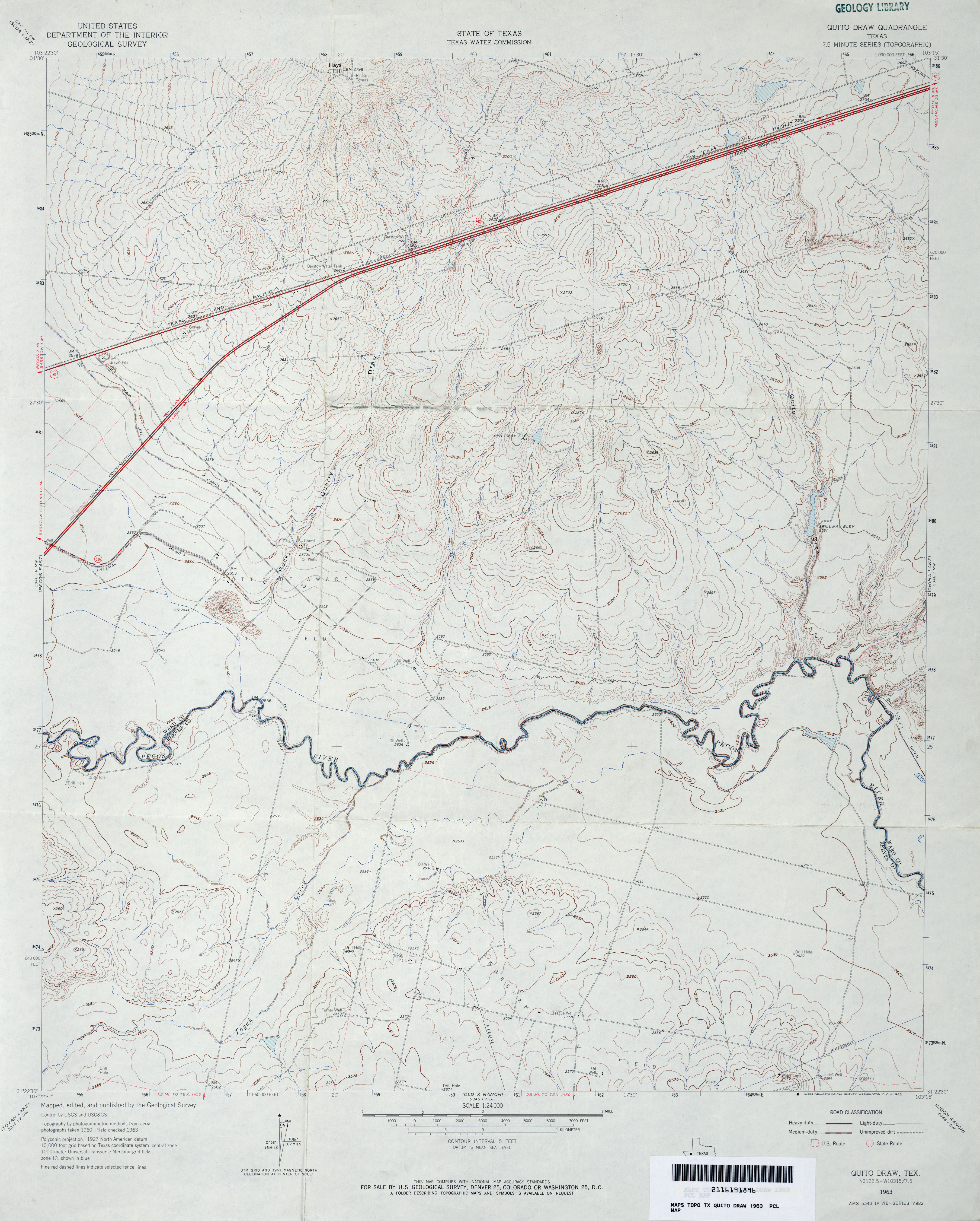
- Quito Draw 1:24,000 1963 (3.5MB)
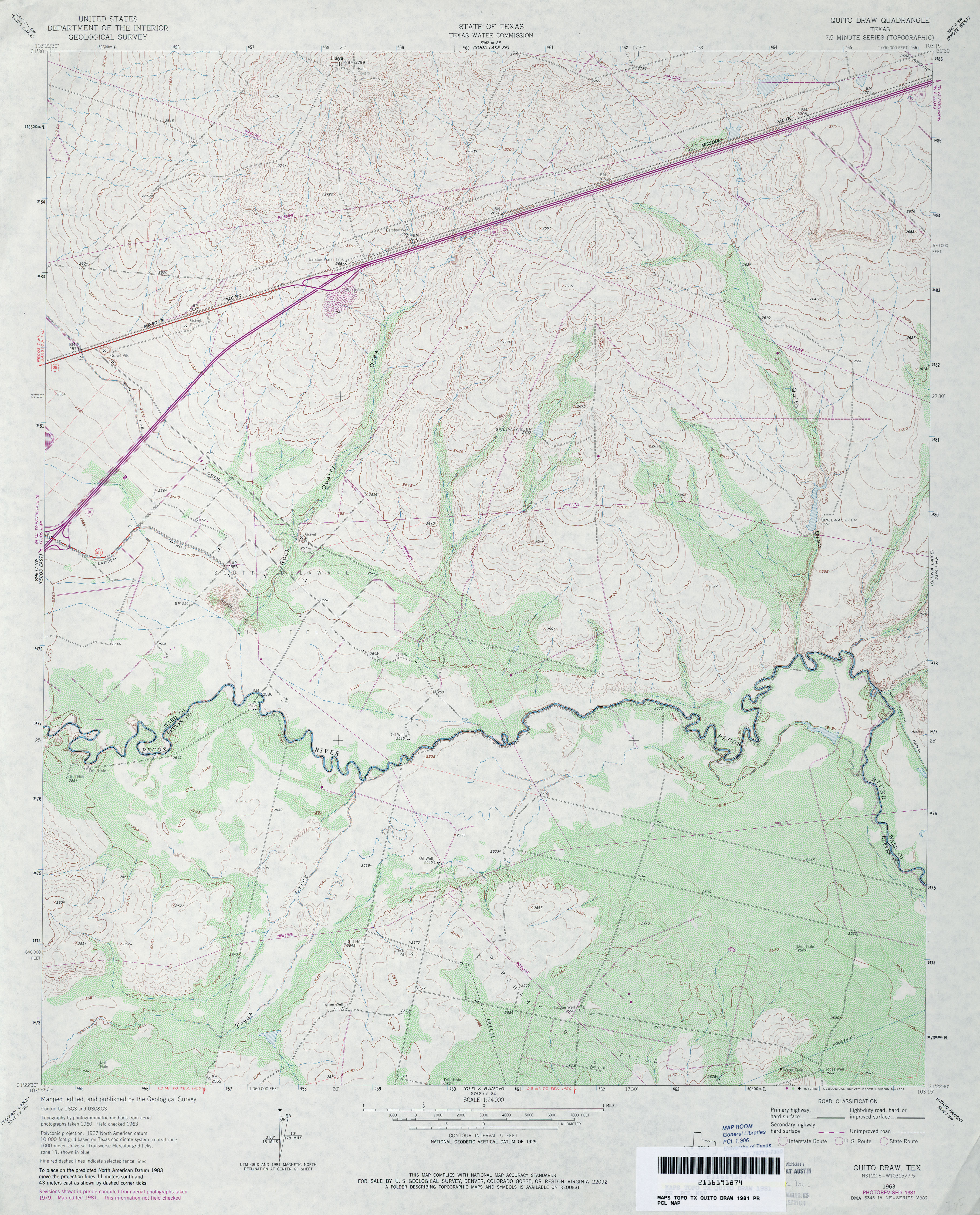
- Quito Draw 1:24,000 1981 (4.3MB)
- Quito Draw 1:24,000 2008 (22.7MB) [GeoPDF]
- Quito Draw 1:24,000 2012 (27.4MB) [GeoPDF]
Return to the top