Perry-Castañeda Library
Map Collection
Texas Topographic Maps
Maps in this online collection are from the Perry-Castañeda Library, Walter Geology Library and Dolph Briscoe Center for American History at the University of Texas at Austin as well as the Texas State Library. All maps on this site were published by the U.S. Geological Survey unless otherwise noted and are in the public domain. The date given for each map is the date of latest survey. The Geographic Names Information System allows searches of geographic names to determine which map sheets they appear on. Indexes are available for Texas - East and Texas - West for the 1:24,000 map series. Maps published prior to 1923 are on the Texas Historical Topographic Map Index. More information about these maps is available on the Topographic Maps Home Page. Note: To fully view the GeoPDF files use Adobe Reader as your default PDF viewer or download the files and open them within Adobe Reader.
A, B, C, D, E, F, G, H, I, J, K, L, M, N, O, P, Q, R, S, T, U, V, W, X, Y, Z
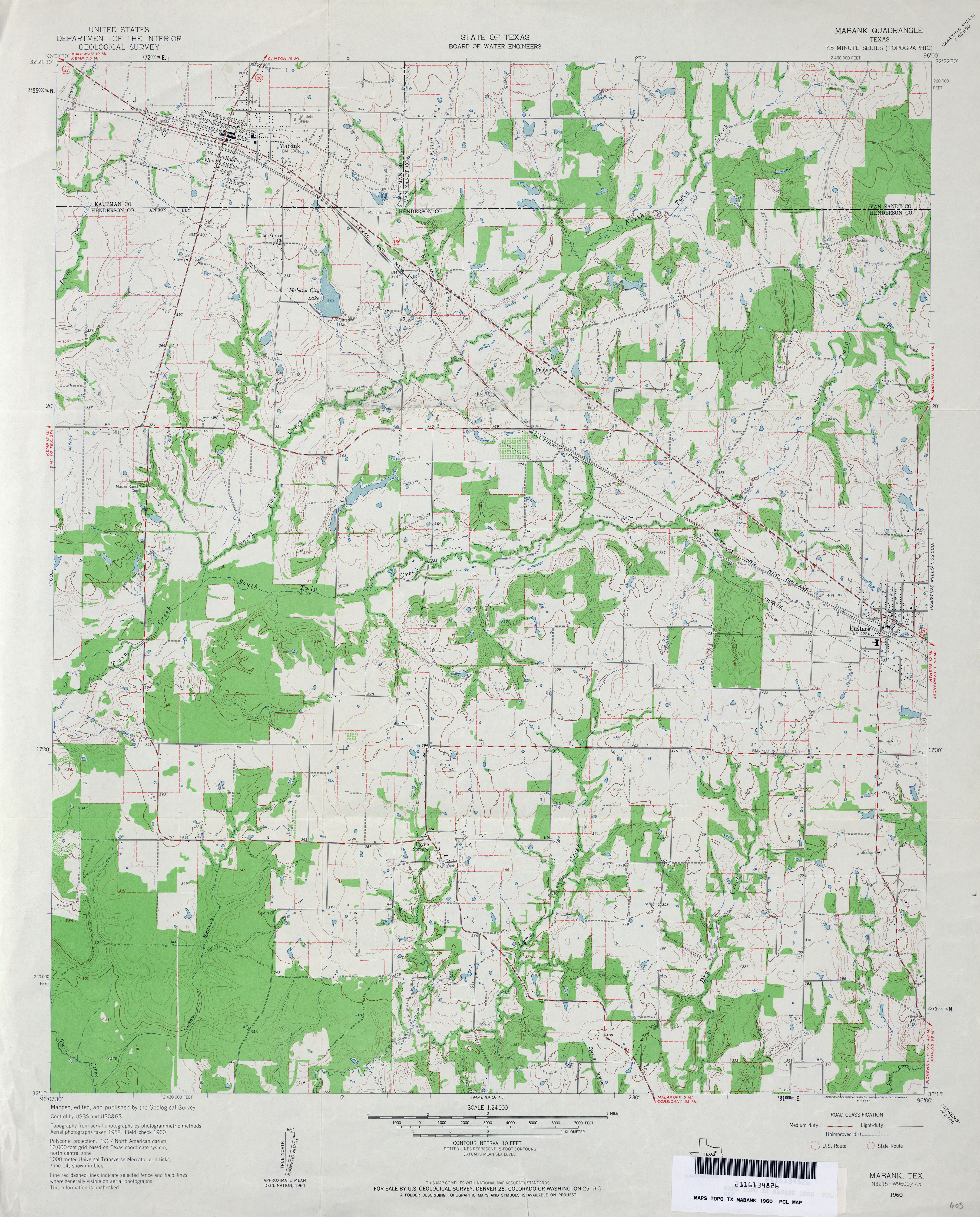
- Mabank 1:24,000 1960 (3.9MB)
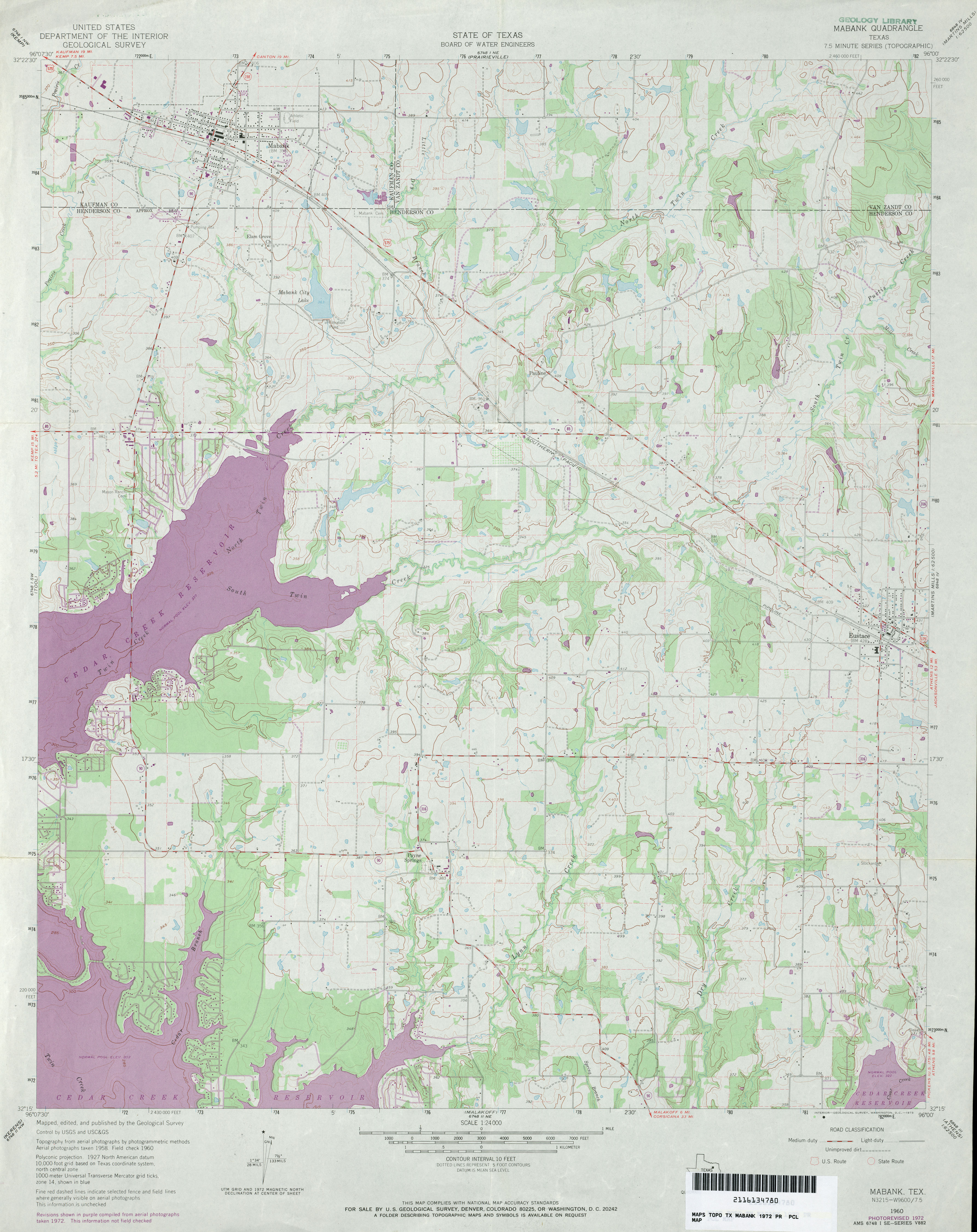
- Mabank 1:24,000 1972 (3.7MB)
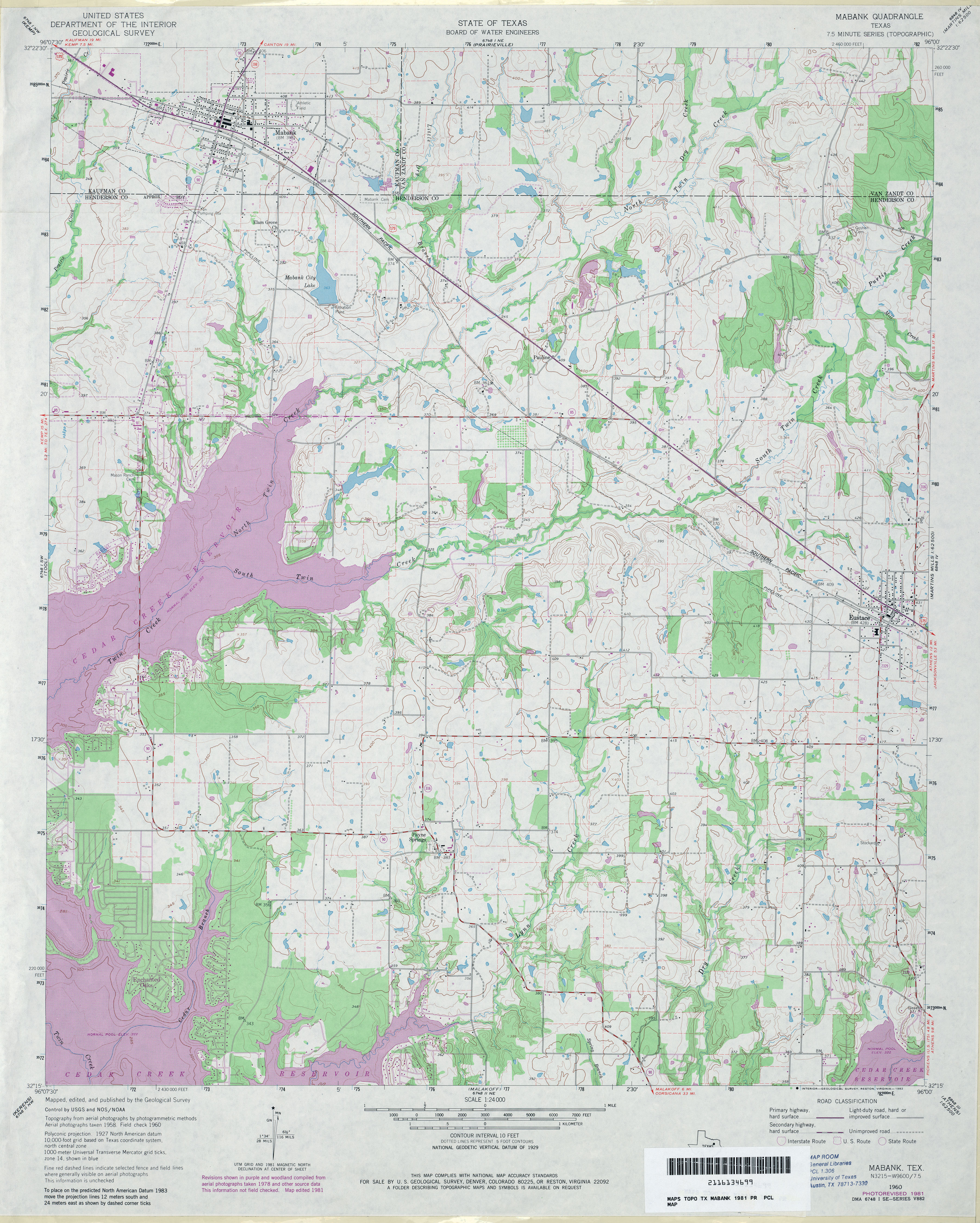
- Mabank 1:24,000 1981 (4.4MB)
- Mabank 1:24,000 2009 (15.1MB) [GeoPDF]
- Mabank 1:24,000 2012 (21.7MB) [GeoPDF]
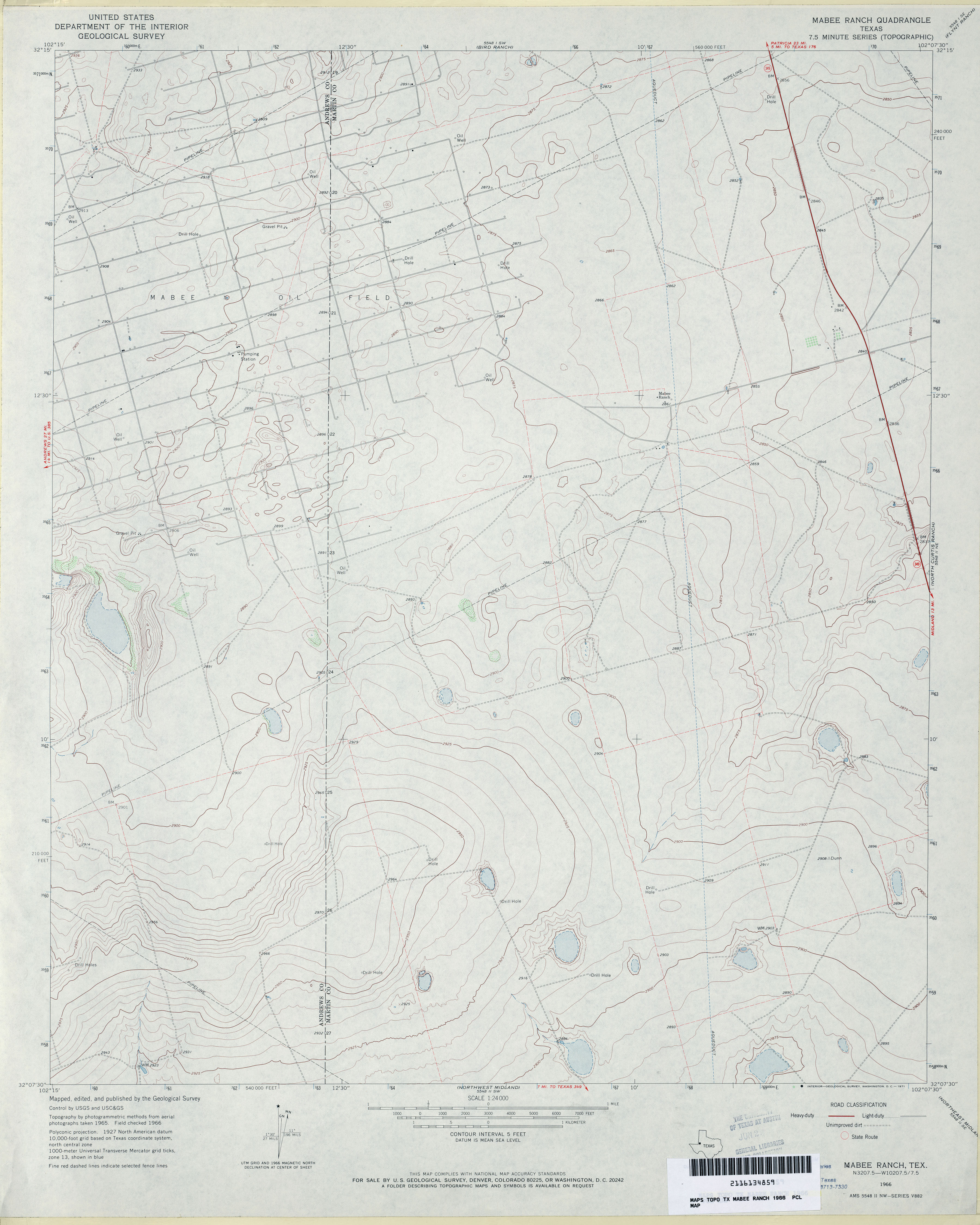
- Mabee Ranch 1:24,000 1966 (2.7MB)
- Mabee Ranch 1:24,000 2008 (15.4MB) [GeoPDF]
- Mabee Ranch 1:24,000 2012 (18.8MB) [GeoPDF]
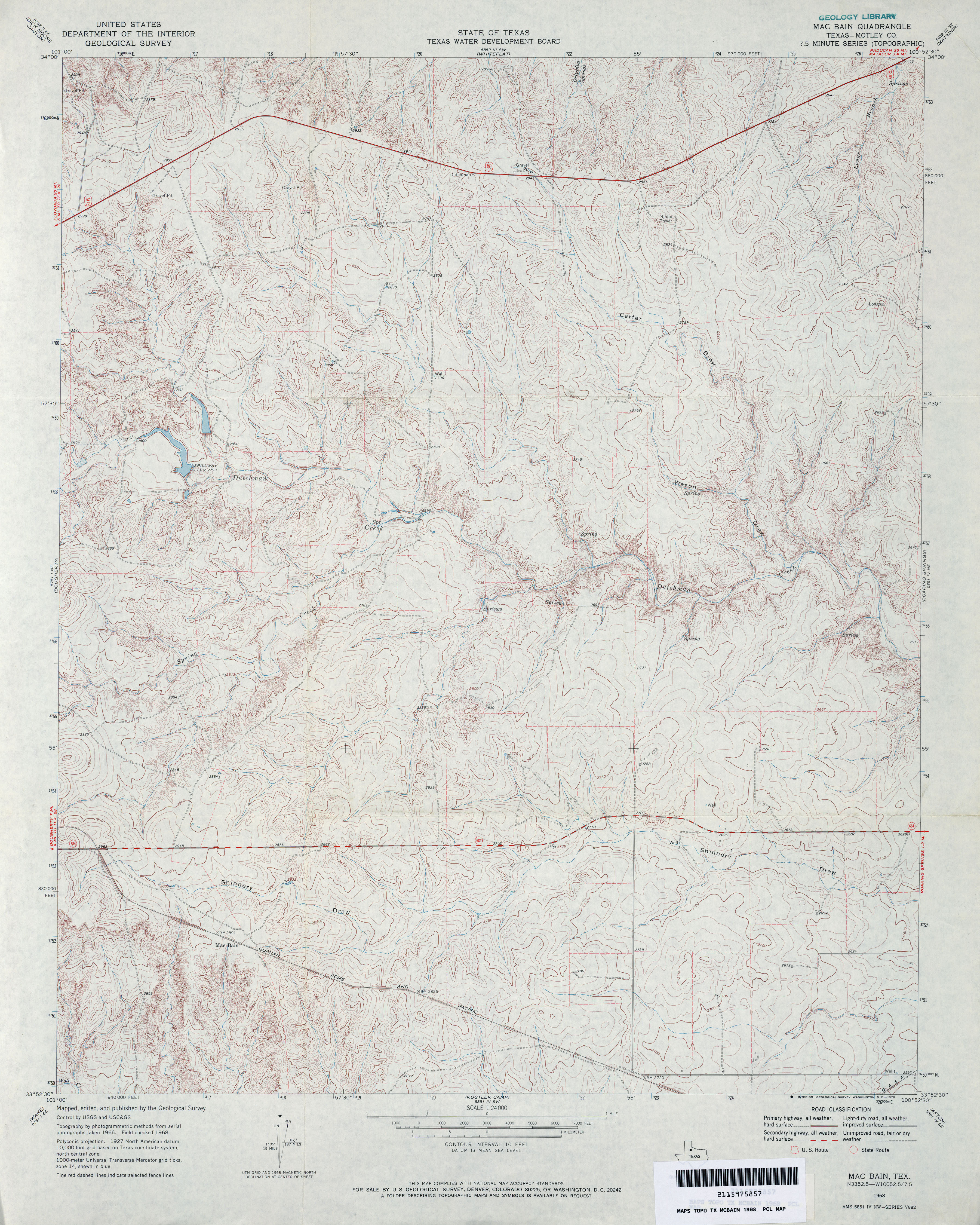
- MacBain (Motley County) 1:24,000 1968 (4.4MB)
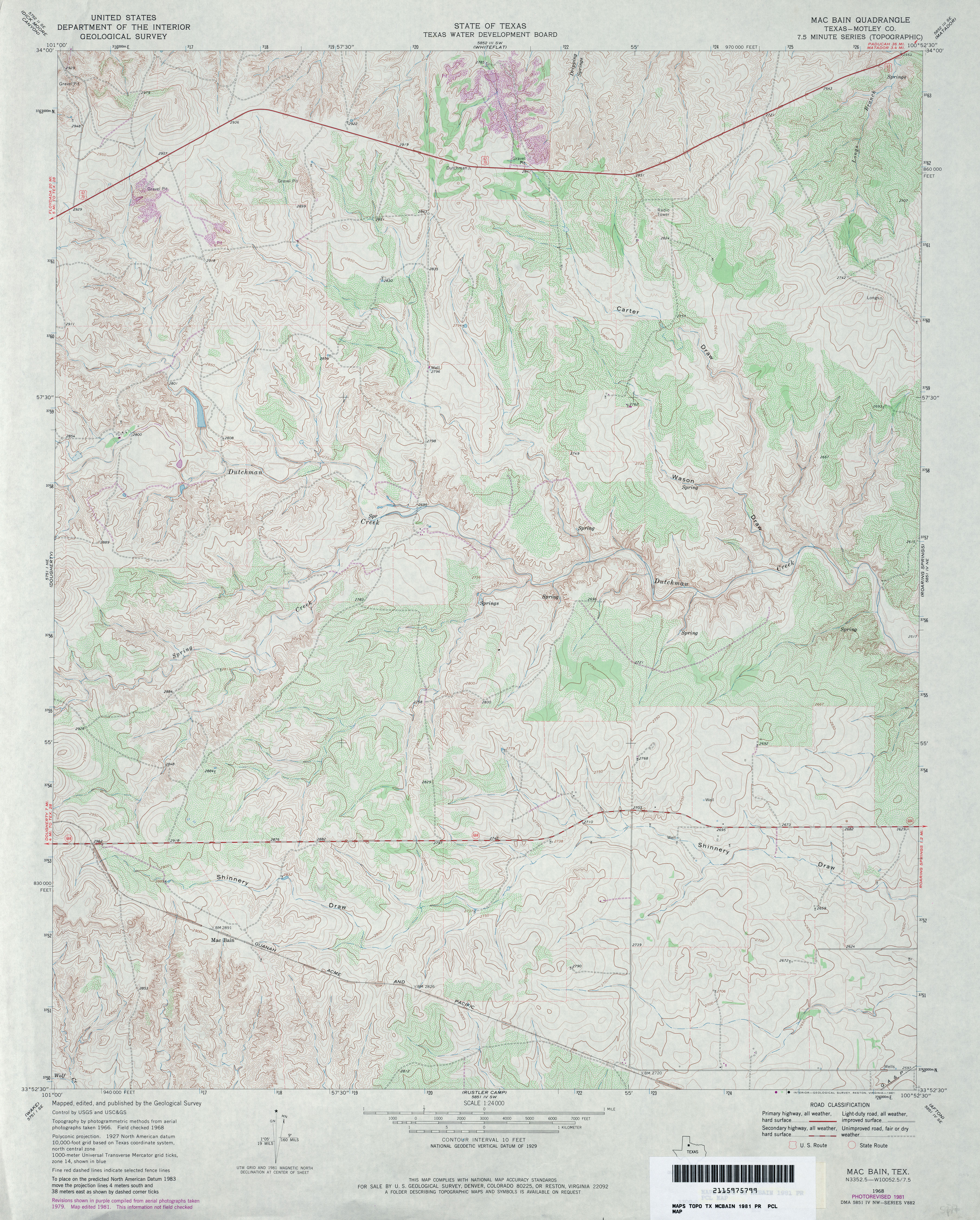
- MacBain (Motley County) 1:24,000 1981 (4.5MB)
- Mac Bain 1:24,000 2012 (21.9MB) [GeoPDF]
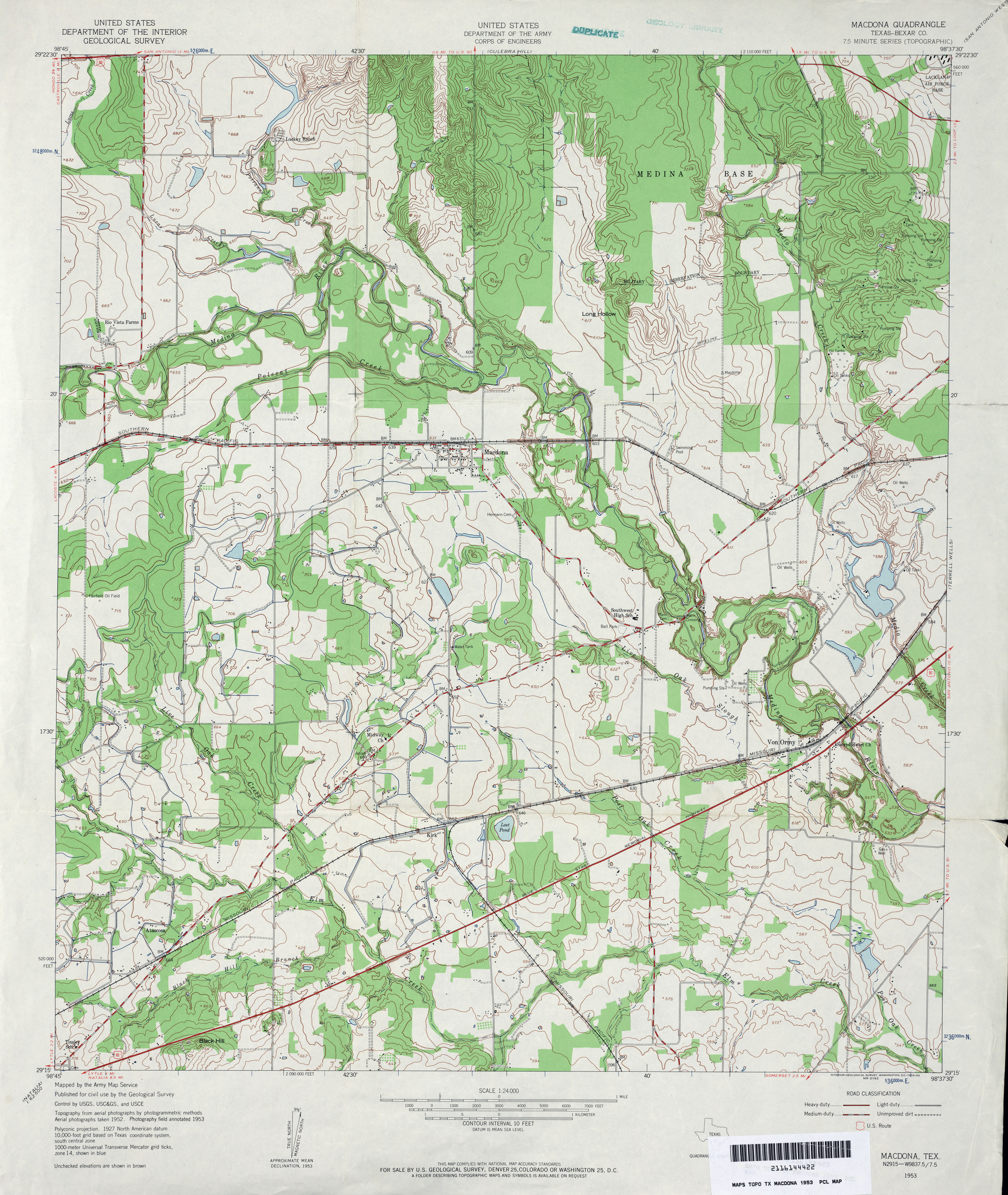
- Macdona (Bexar County) 1:24,000 1953 (4.1MB)
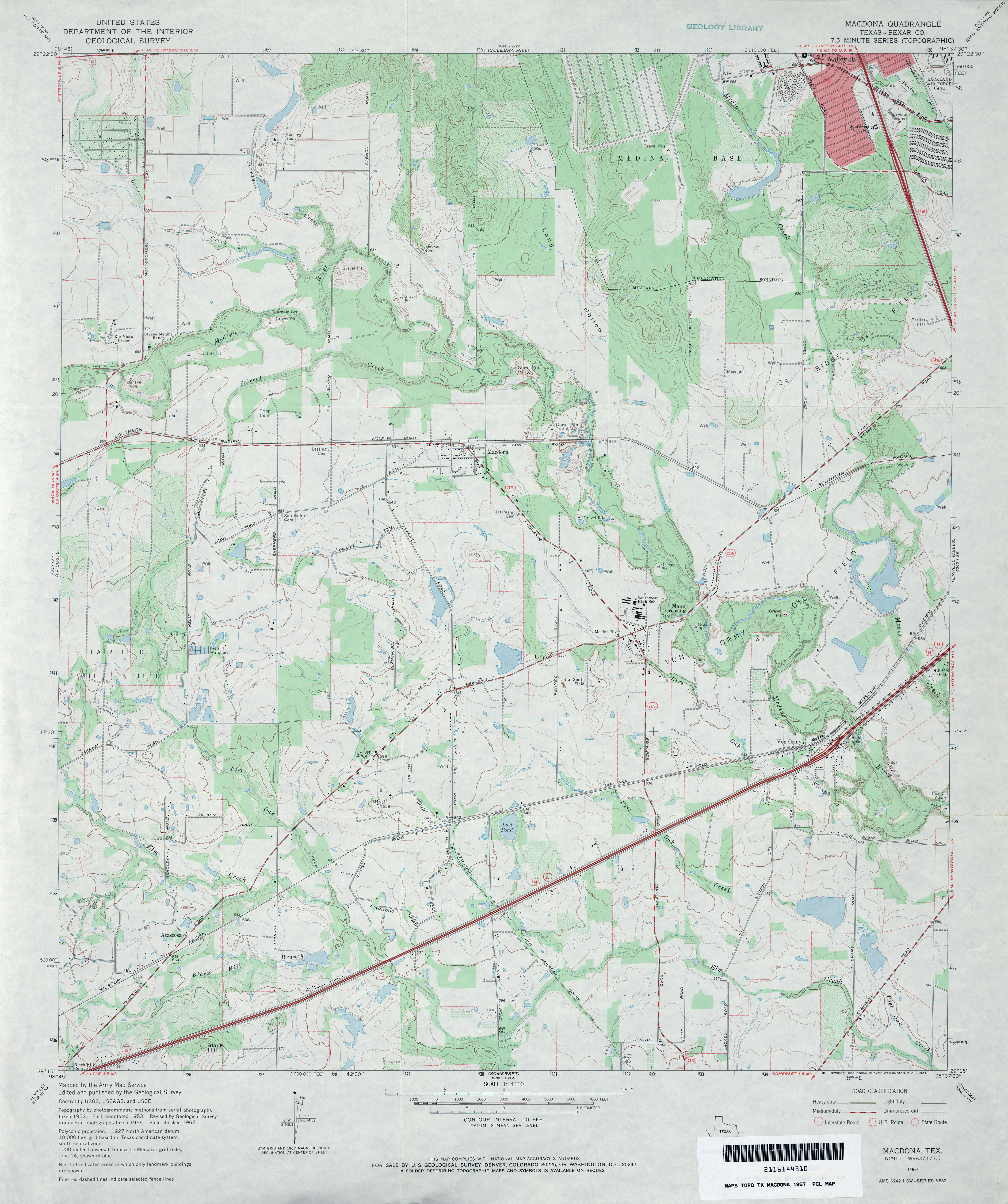
- Macdona (Bexar County) 1:24,000 1967 (3.7MB)
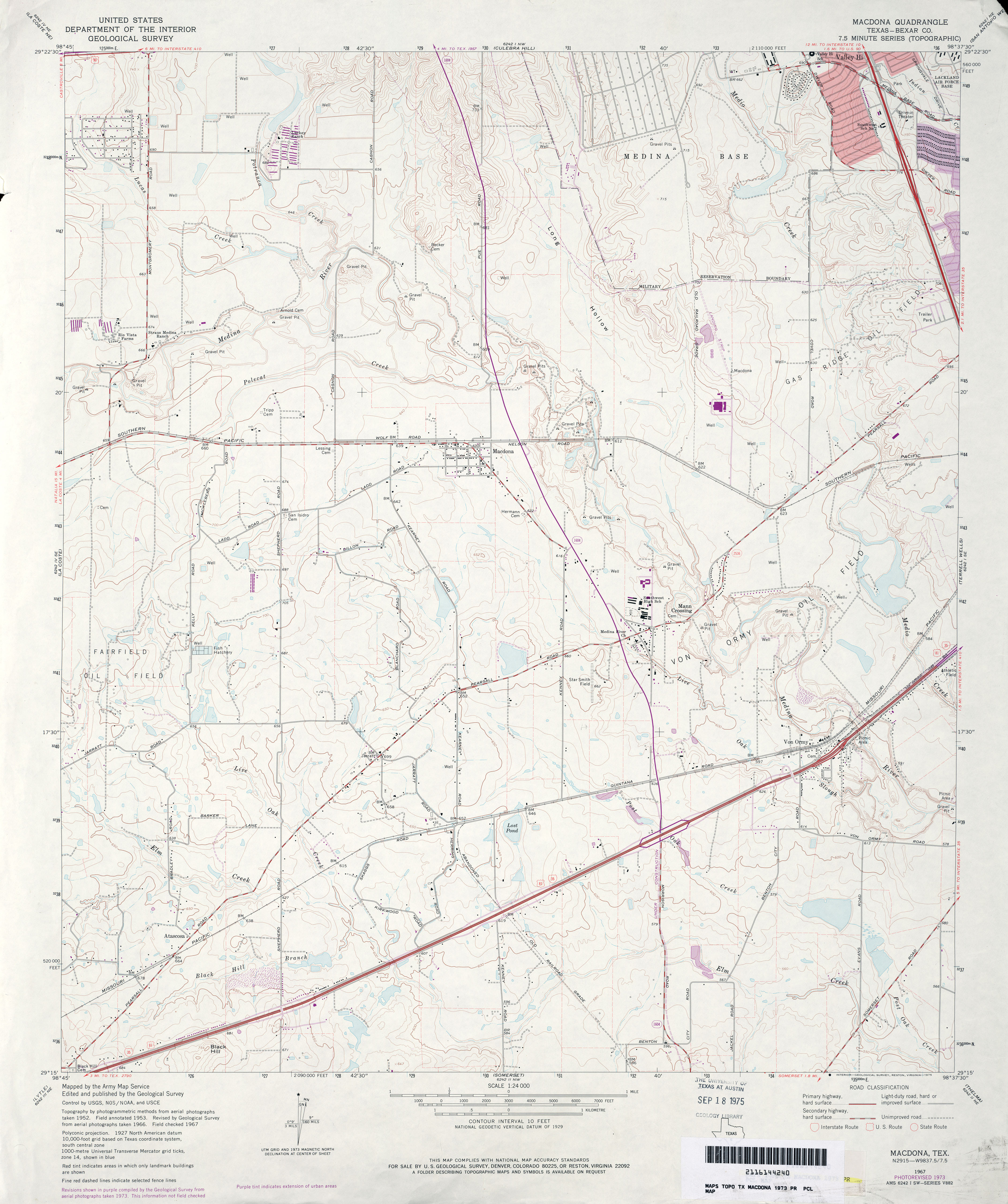
- Macdona (Bexar County) 1:24,000 1973 (3.5MB)
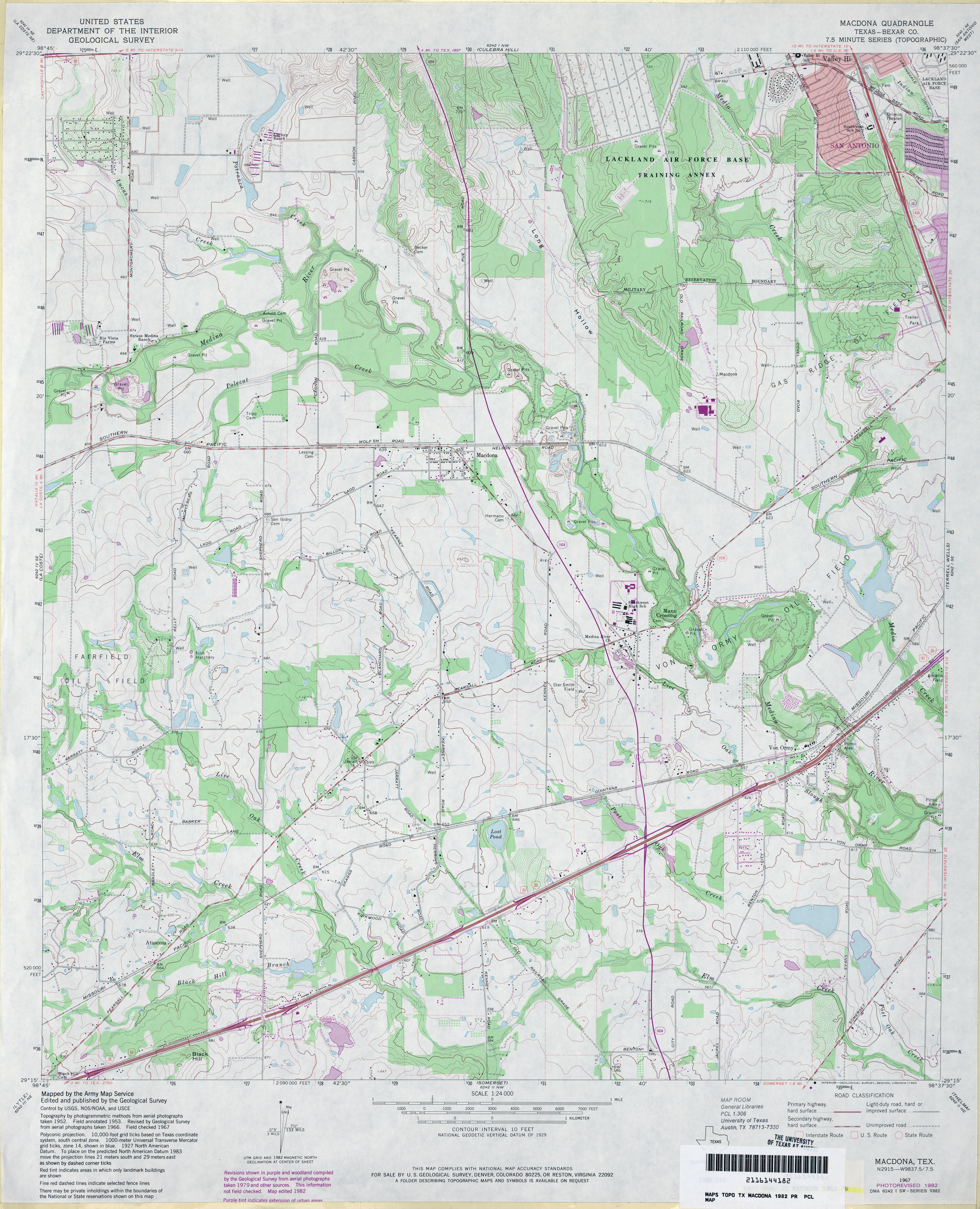
- Macdona (Bexar County) 1:24,000 1982 (4MB)
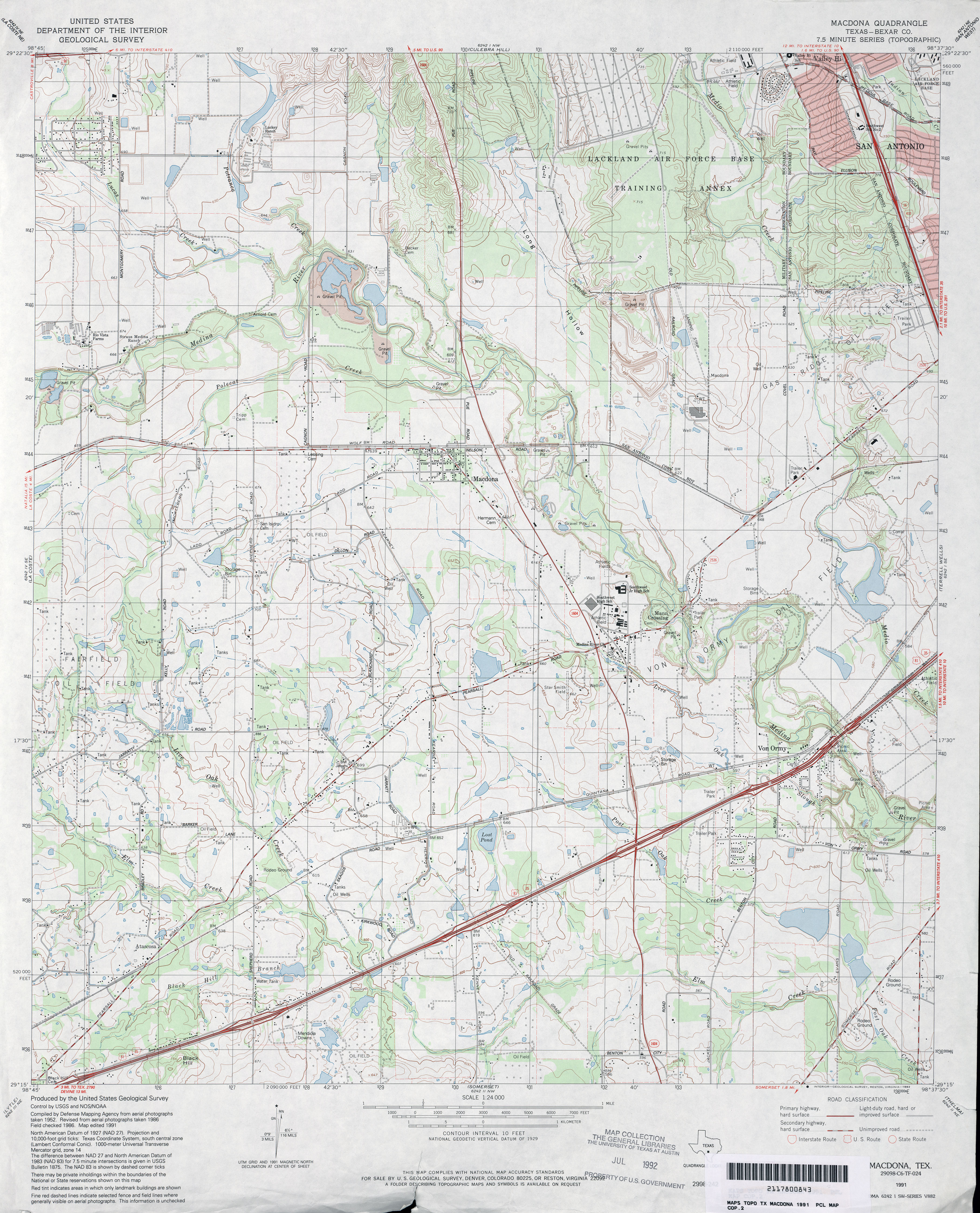
- Macdona (Bexar County) 1:24,000 1991 (4.3MB)
- Macdona 1:24,000 2008 (17.0MB) [GeoPDF]
- Macdona 1:24,000 2013 (23.1MB) [GeoPDF]
- MacDonald Lake (Dimmit County) 1:24,000 1982 (4MB)
- Macdonald Lake 1:24,000 2008 (19.1MB) [GeoPDF]
- MacDonald Lake 1:24,000 2013 (26.5MB) [GeoPDF]
- Madisonville (Madison County) 1:24,000 1963 (4.1MB)
- Madisonville 1:24,000 2009 (18.0MB) [GeoPDF]
- Madisonville 1:24,000 2013 (20.6MB) [GeoPDF]
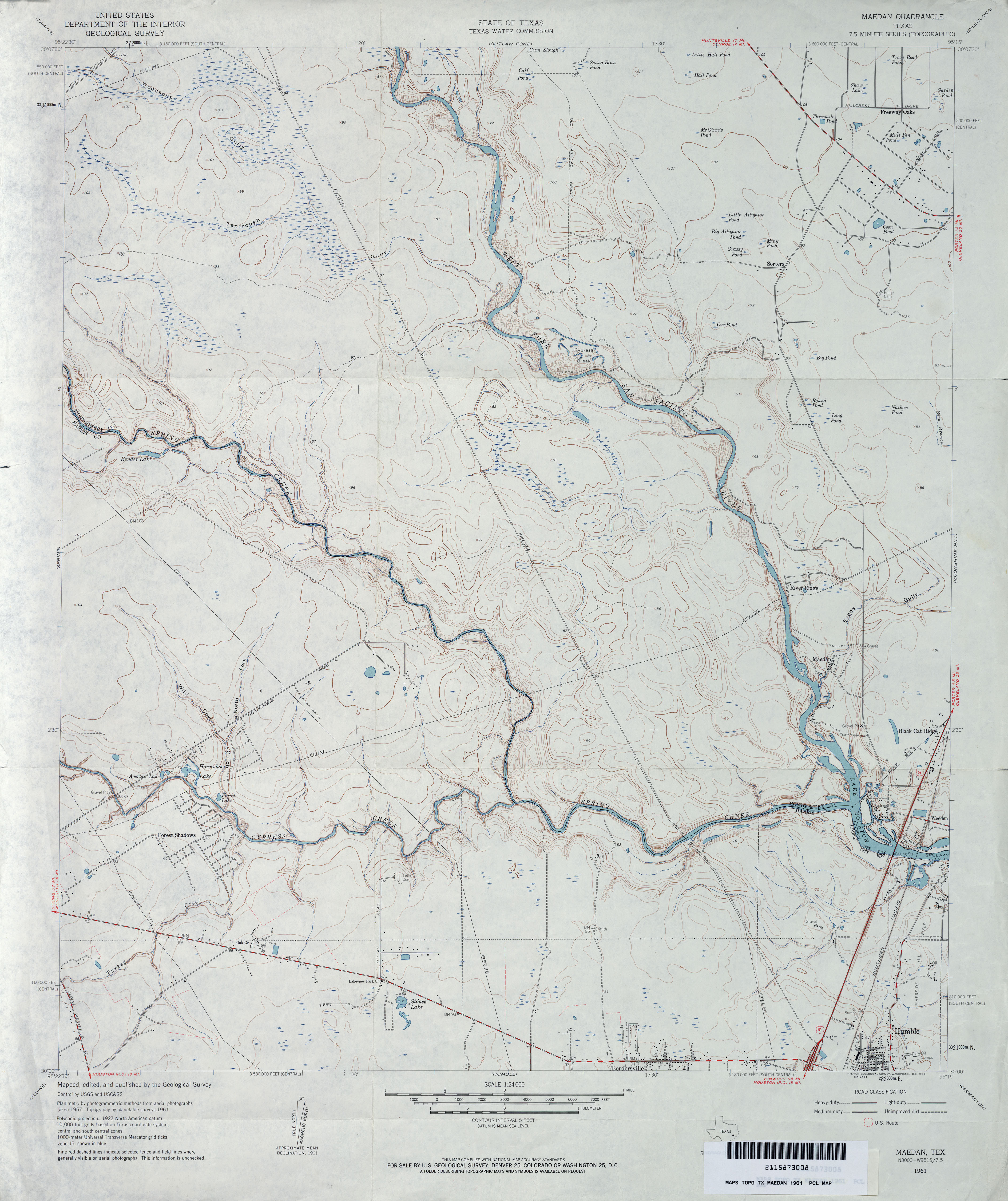
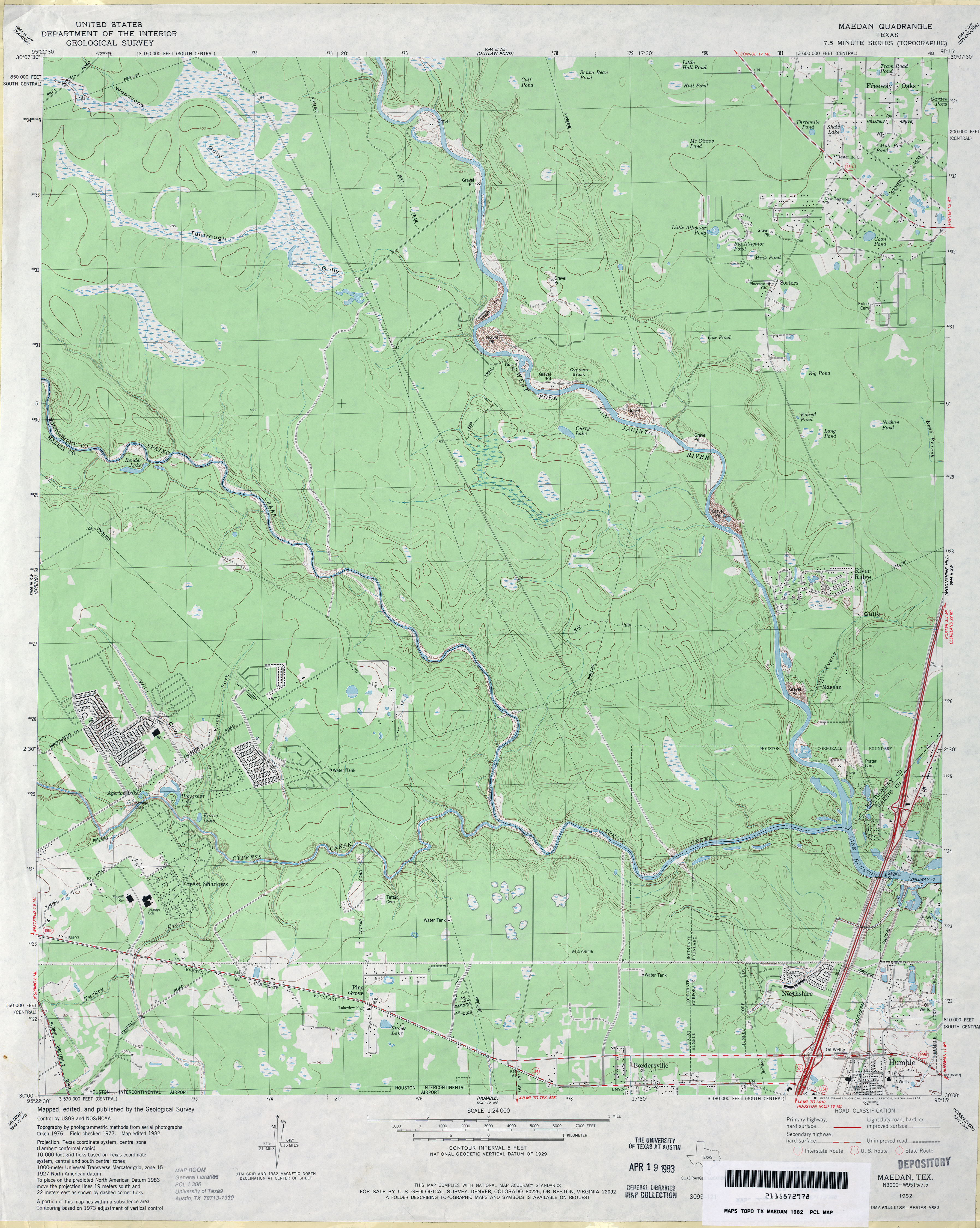
- Maedan 1:24,000 1961 (3.3MB)
- Maedan 1:24,000 1982 (3.6MB)
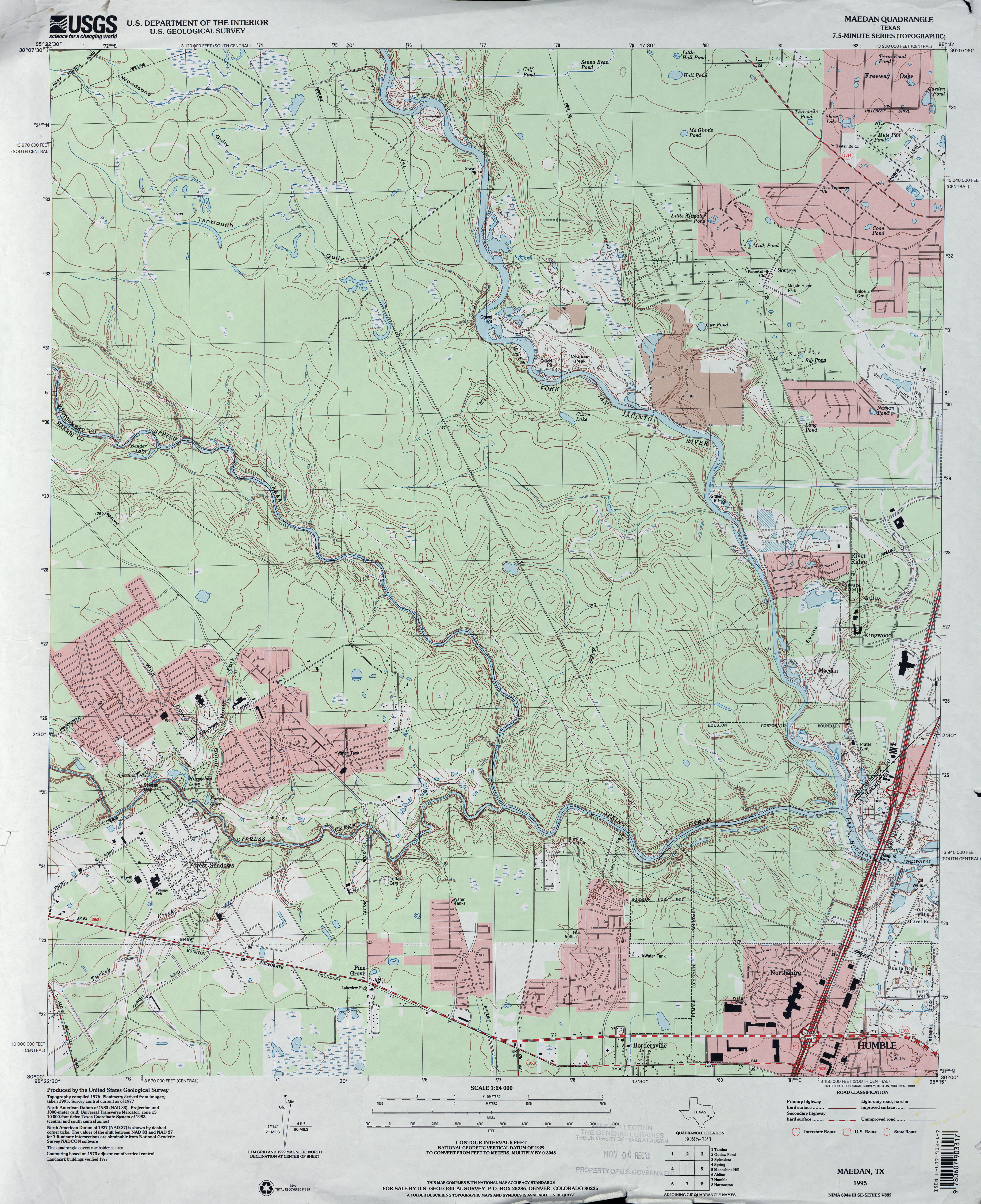
- Maedan 1:24,000 1995 (4.1MB)
- Maedan 1:24,000 2009 (24.5MB) [GeoPDF]
- Maedan 1:24,000 2013 (25.8MB) [GeoPDF]
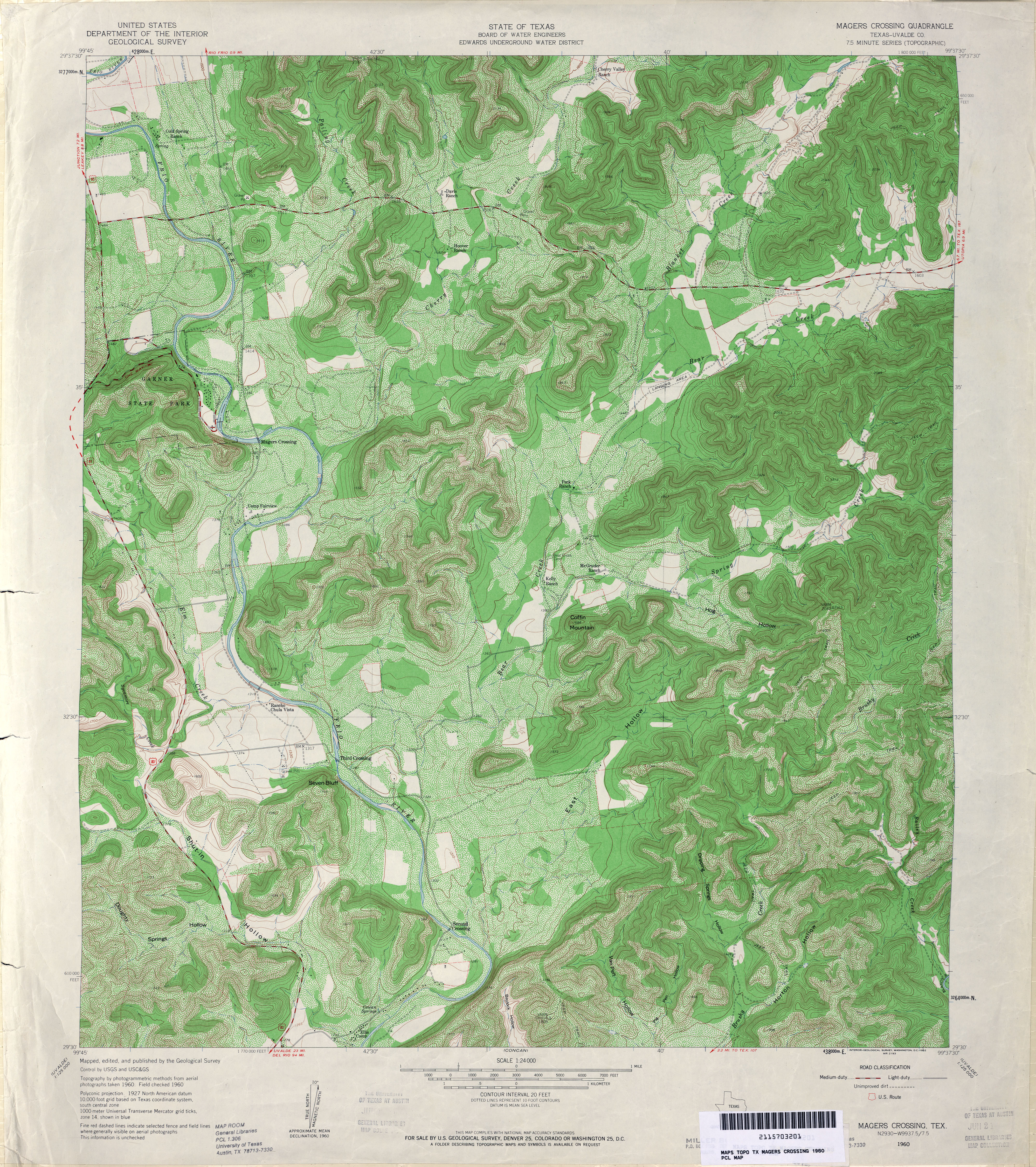
- Magers Crossing (Uvalde County) 1:24,000 1960 (6.3MB)
- Magers Crossing 1:24,000 2008 (23.2MB) [GeoPDF]
- Magers Crossing 1:24,000 2013 (28.3MB) [GeoPDF]
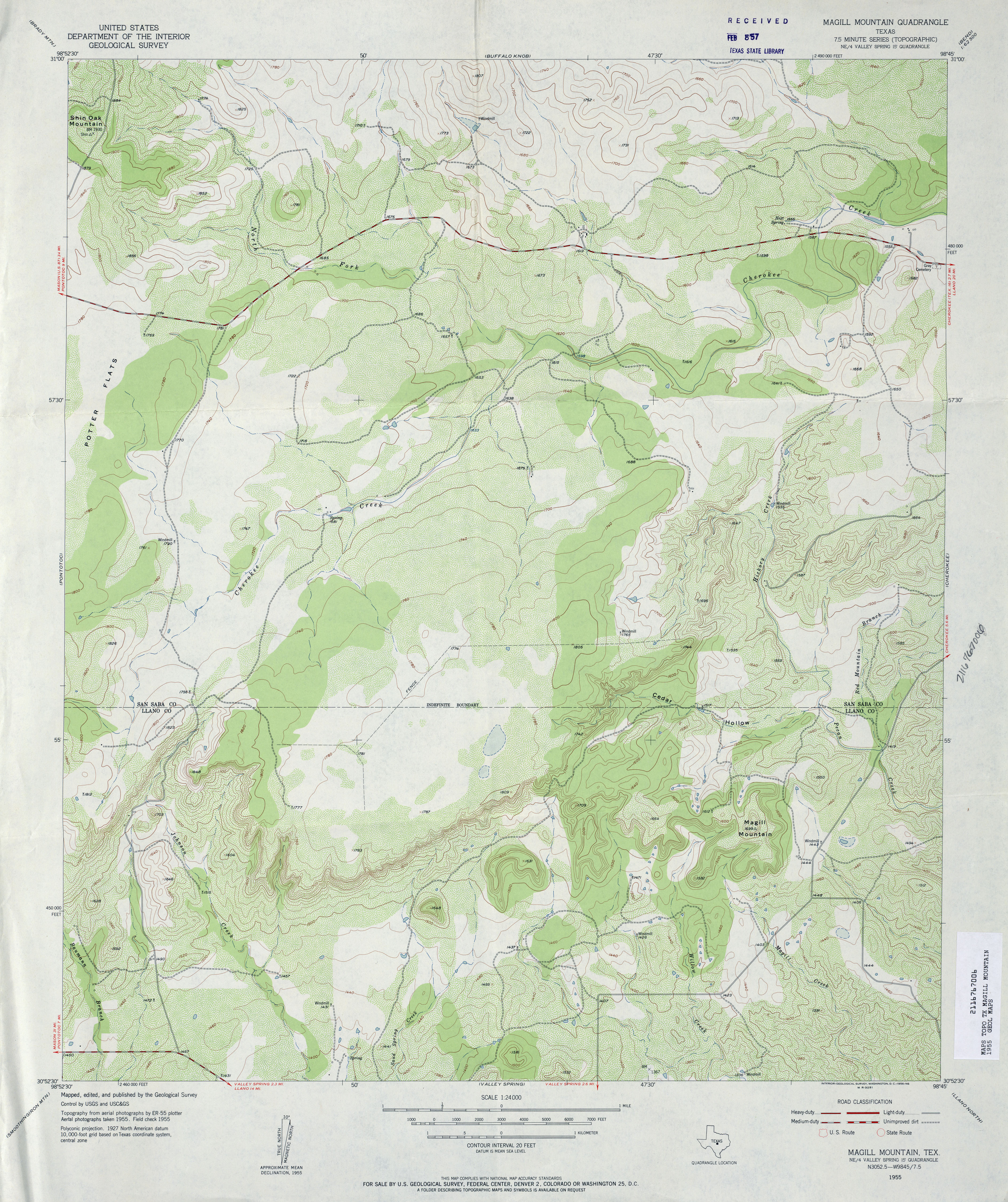
- Magill Mountain 1:24,000 1955 (4.2MB)
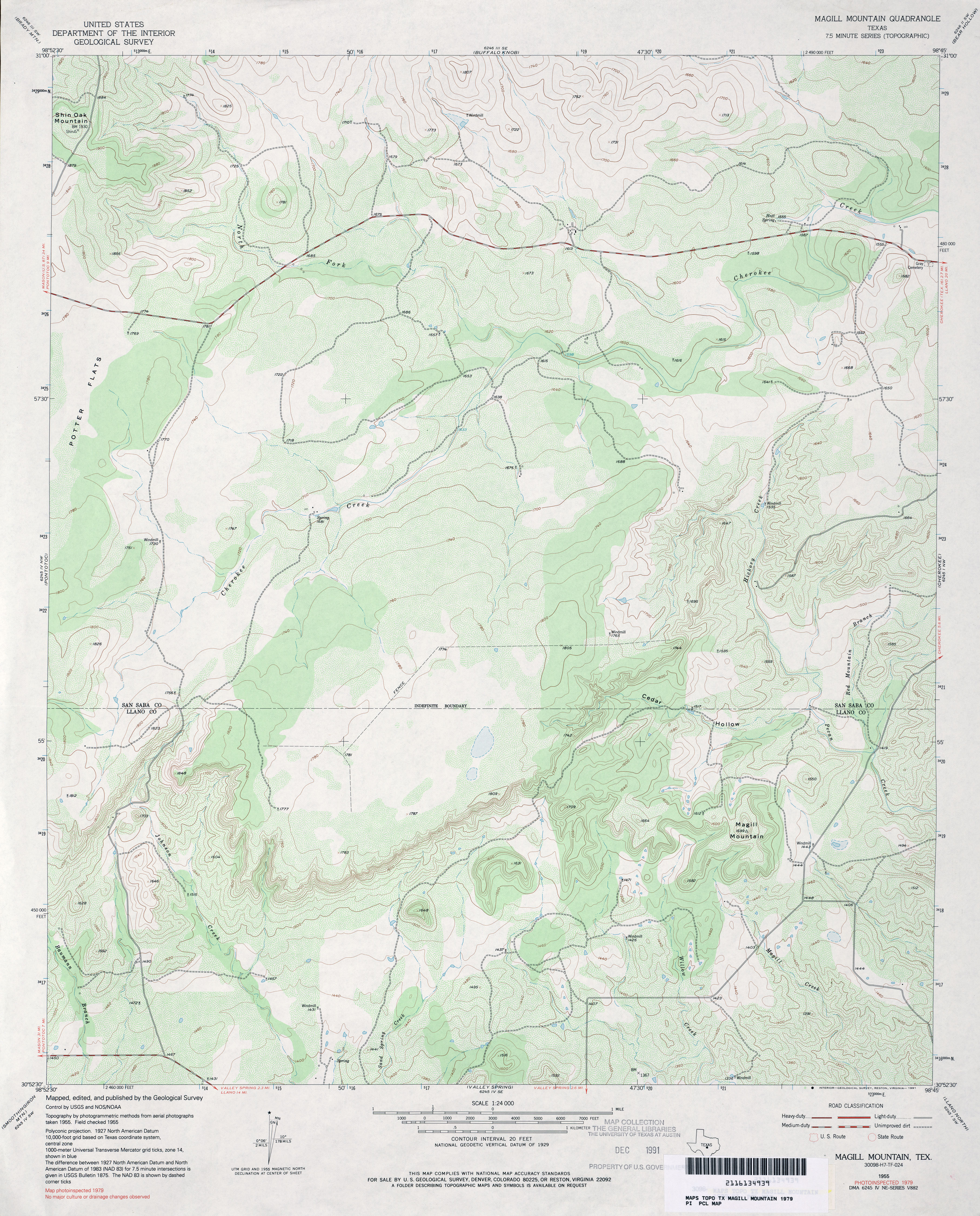
- Magill Mountain 1:24,000 1979 (3.8MB)
- Magill Mountain 1:24,000 2008 (16.5MB) [GeoPDF]
- Magill Mountain 1:24,000 2012 (23.1MB) [GeoPDF]
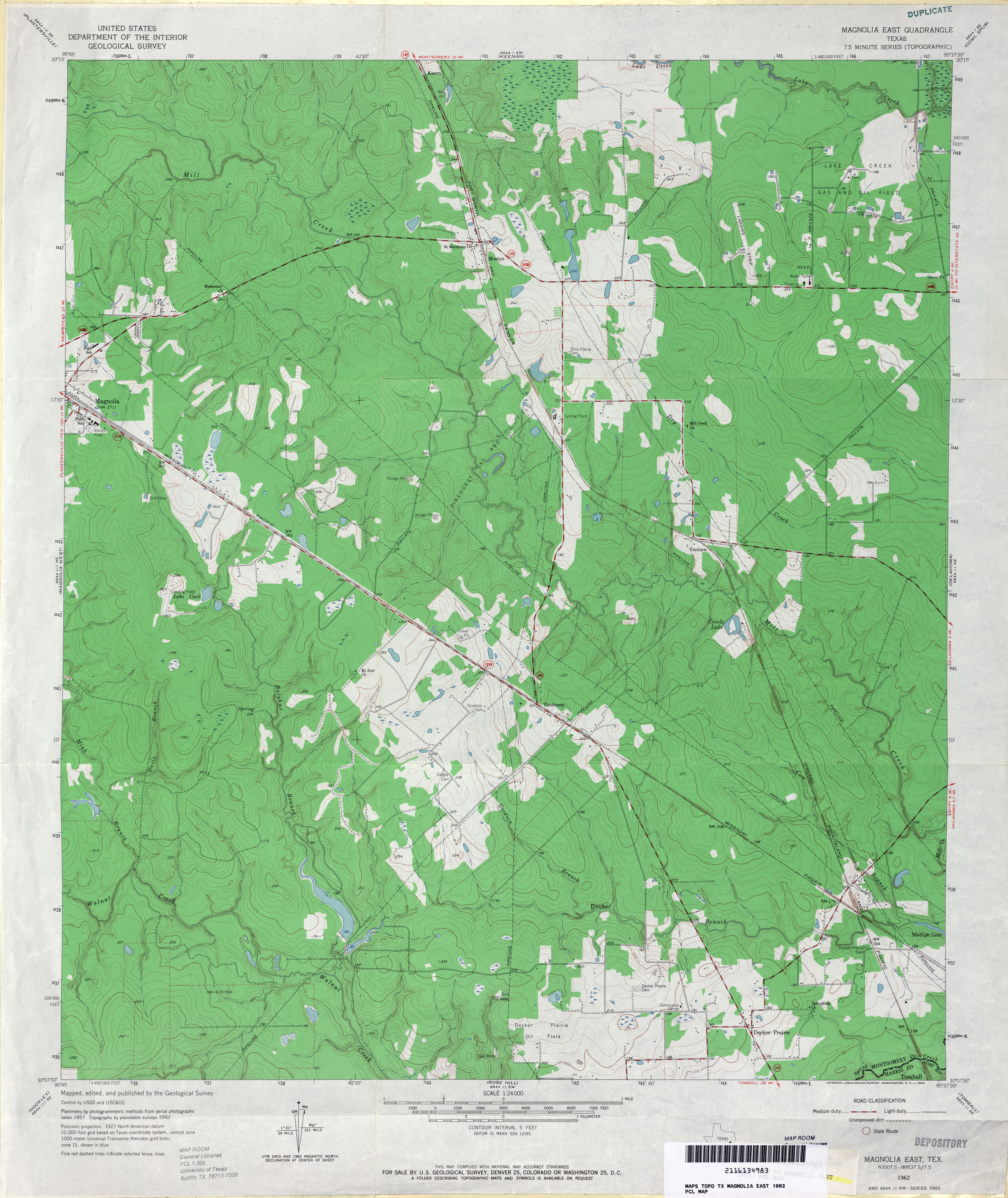
- Magnolia East 1:24,000 1962 (3.8MB)
- Magnolia East 1:24,000 1979 (4.2MB)
- Magnolia East 1:24,000 2009 (25.8MB) [GeoPDF]
- Magnolia East 1:24,000 2013 (25.3MB) [GeoPDF]
- Magnolia Springs 1:24,000 1984 (4MB)
- Magnolia Springs 1:24,000 2009 (23.8MB) [GeoPDF]
- Magnolia Springs 1:24,000 2013 (23.8MB) [GeoPDF]
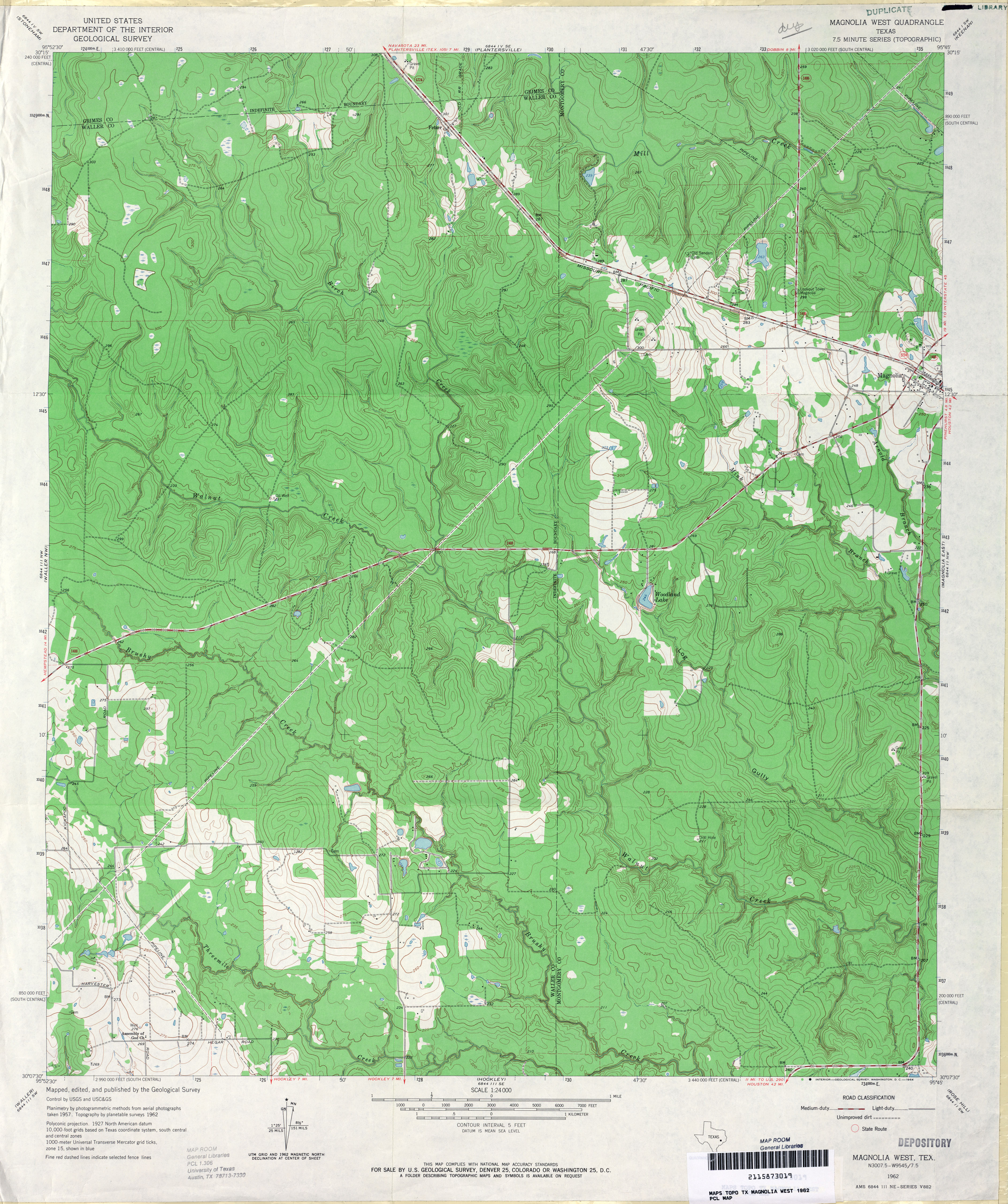
- Magnolia West 1:24,000 1962 (4.4MB)
- Magnolia West 1:24,000 1979 (4.6MB)
- Magnolia West 1:24,000 2009 (25.4MB) [GeoPDF]
- Magnolia West 1:24,000 2013 (24.9MB) [GeoPDF]
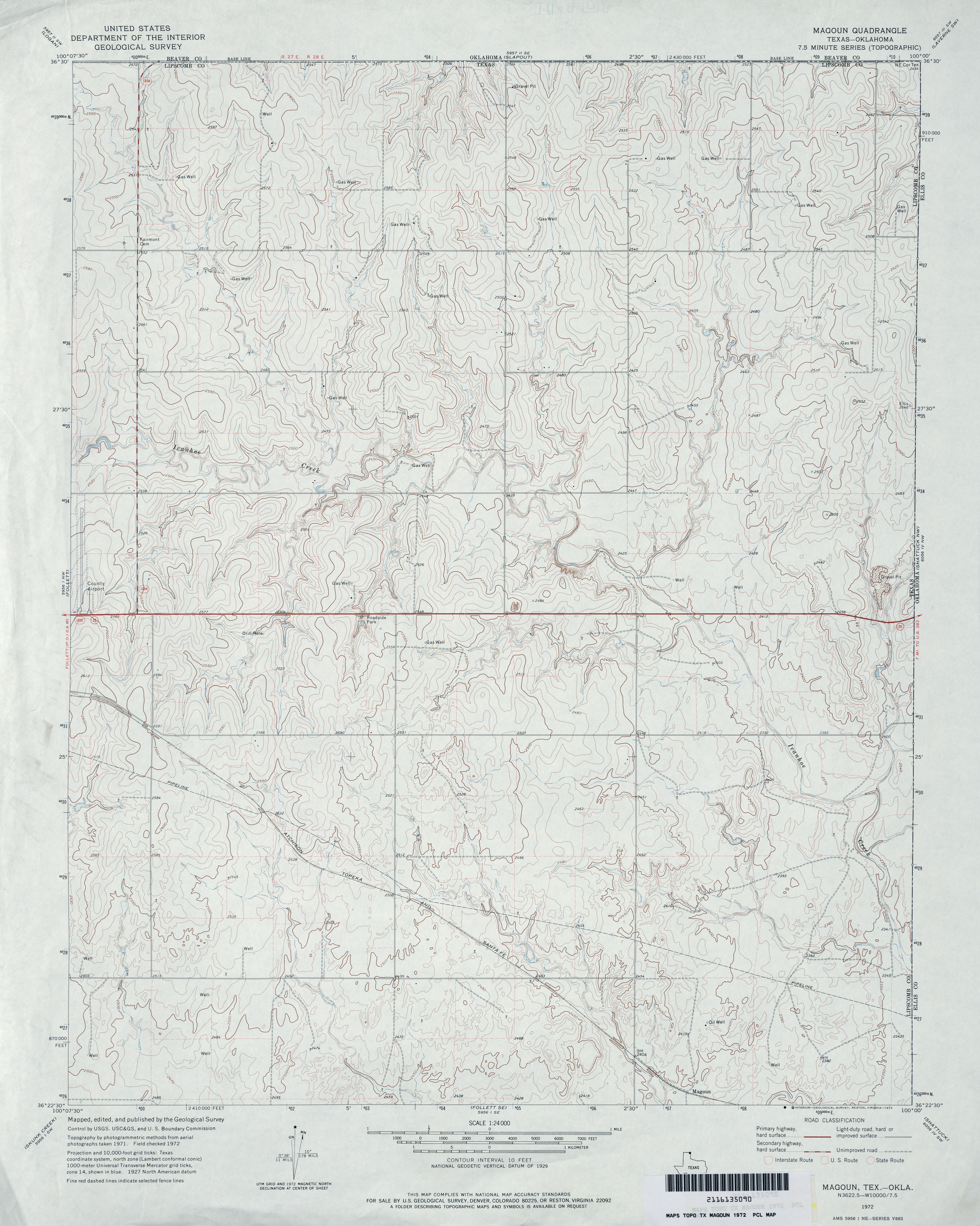
- Magoun 1:24,000 1972 (3.6MB)
- Magoun 1:24,000 2008 (11.4MB) [GeoPDF]
- Magoun 1:24,000 2012 (16.9MB) [GeoPDF]
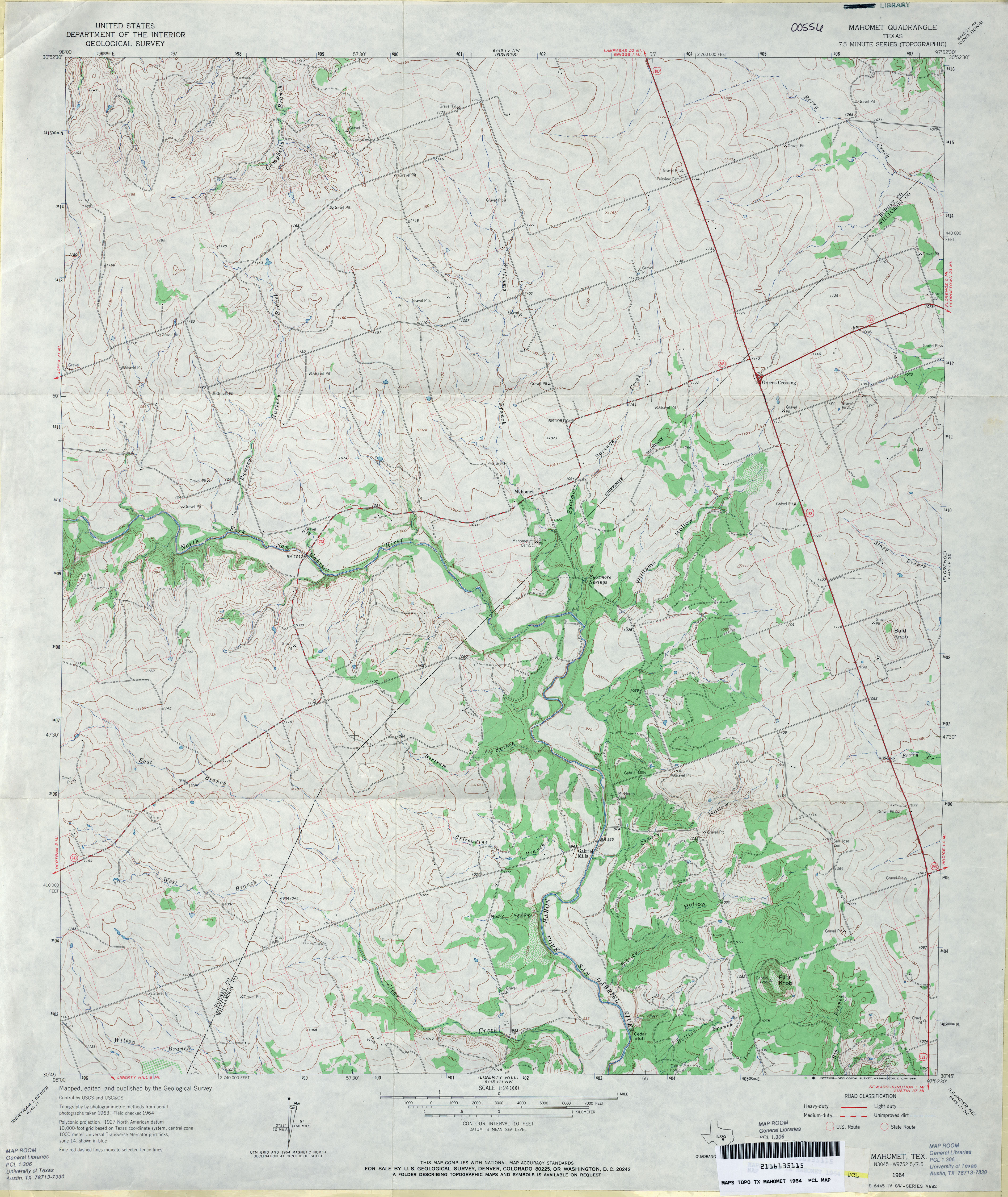
- Mahomet 1:24,000 1964 (3.9MB)
- Mahomet 1:24,000 2008 (14.7MB) [GeoPDF]
- Mahomet 1:24,000 2012 (21.2MB) [GeoPDF]
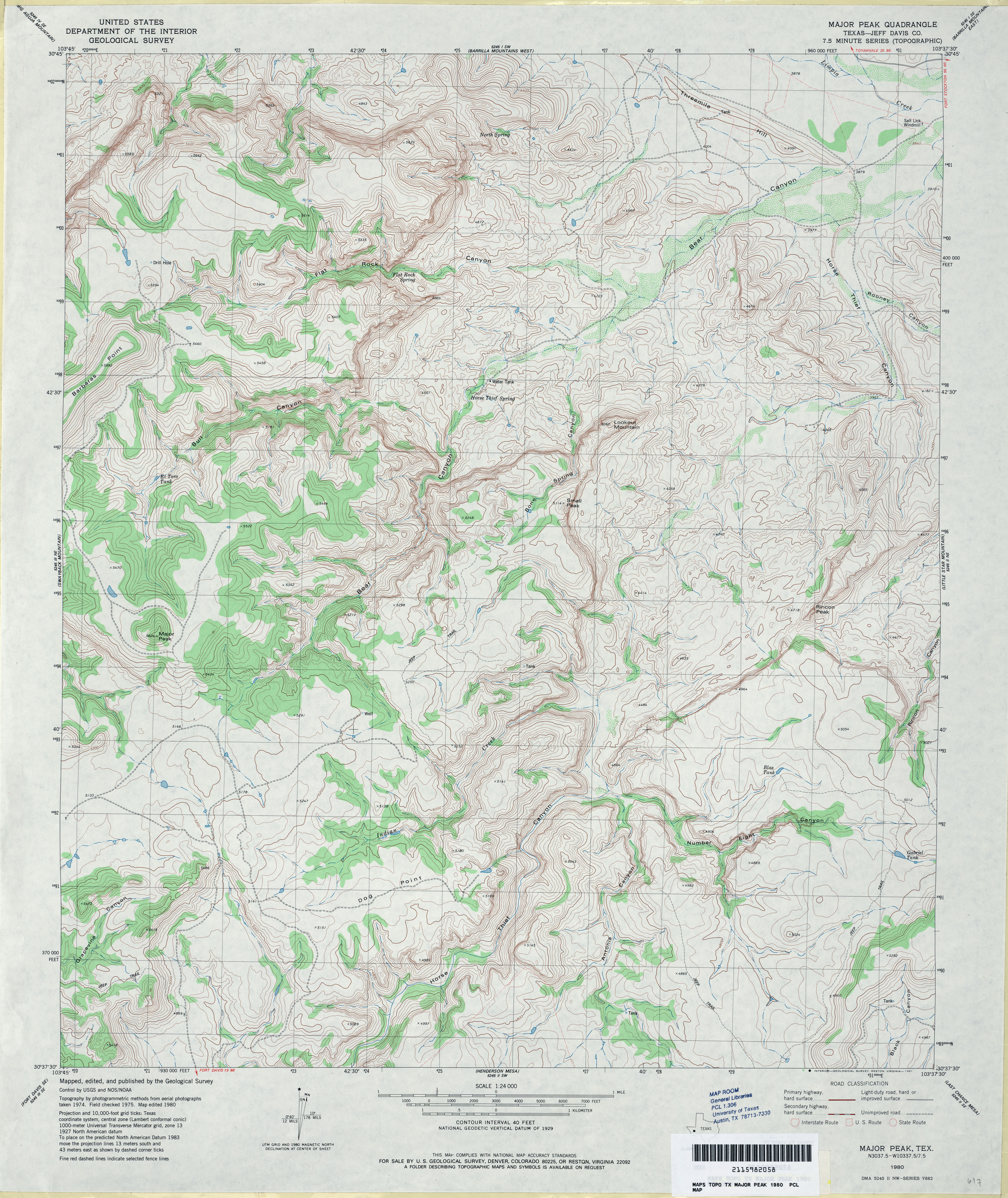
- Major Peak (Jeff Davis County) 1:24,000 1980 (4.8MB)
- Major Peak 1:24,000 2008 (19.0MB) [GeoPDF]
- Major Peak 1:24,000 2012 (24.1MB) [GeoPDF]
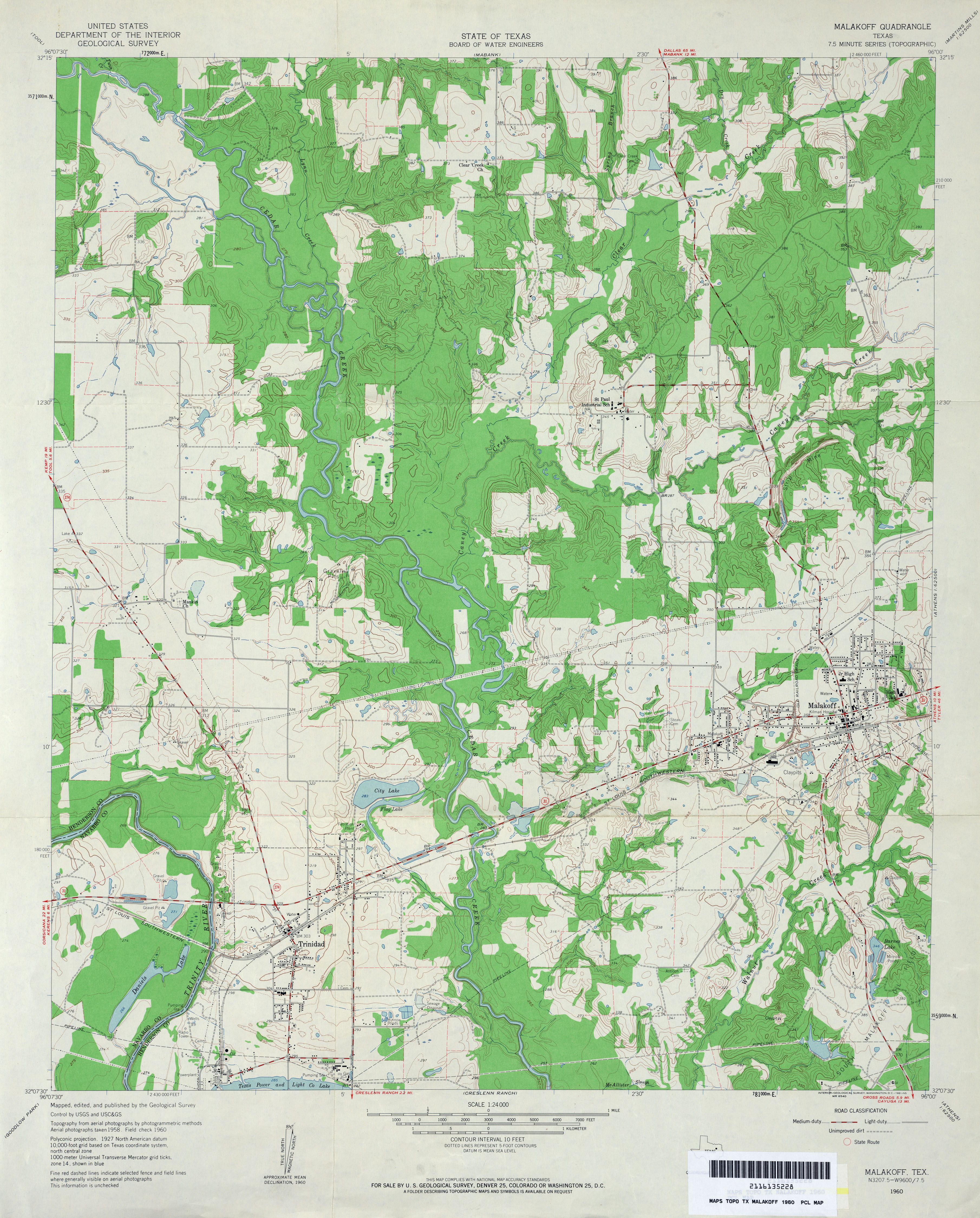
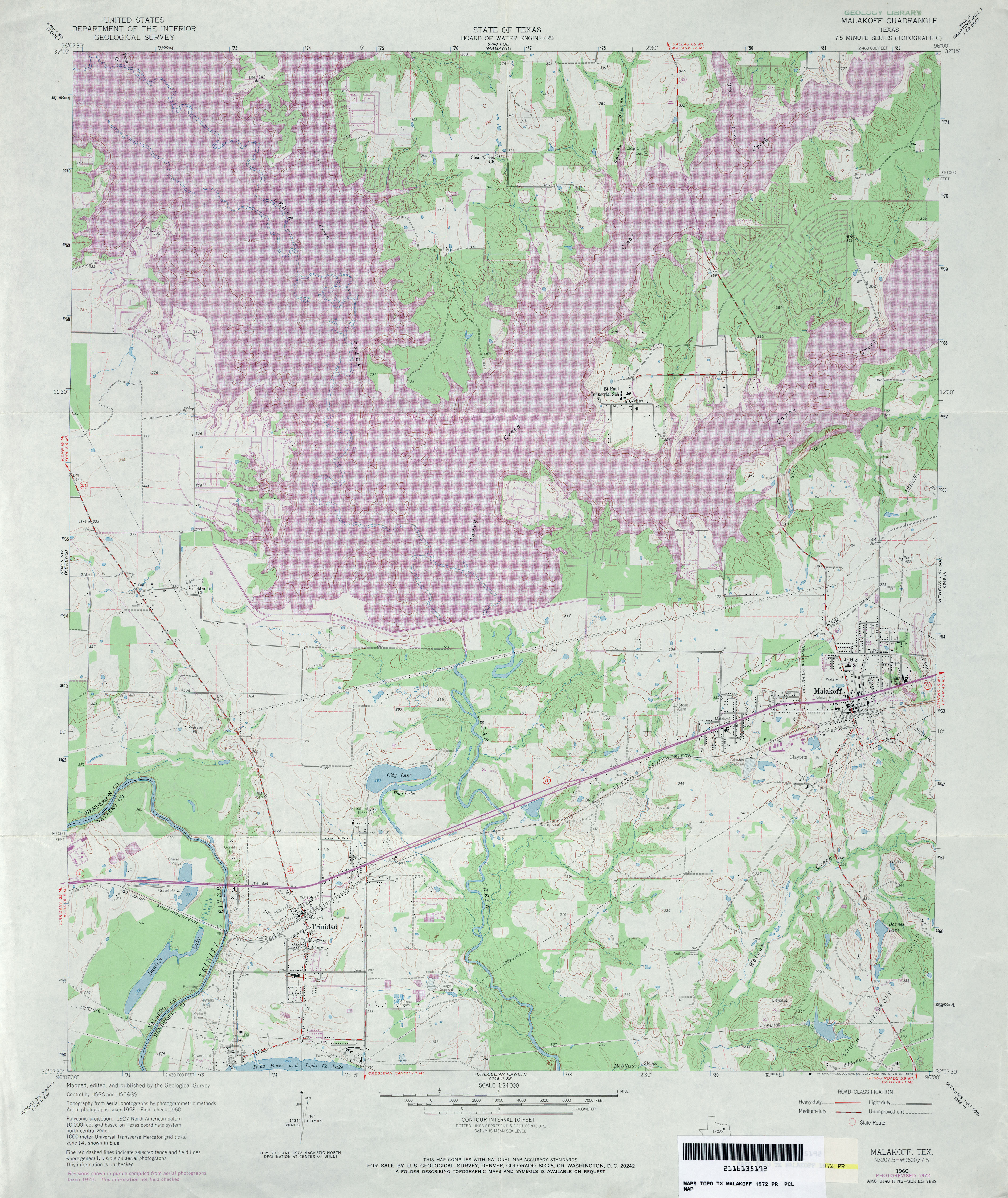
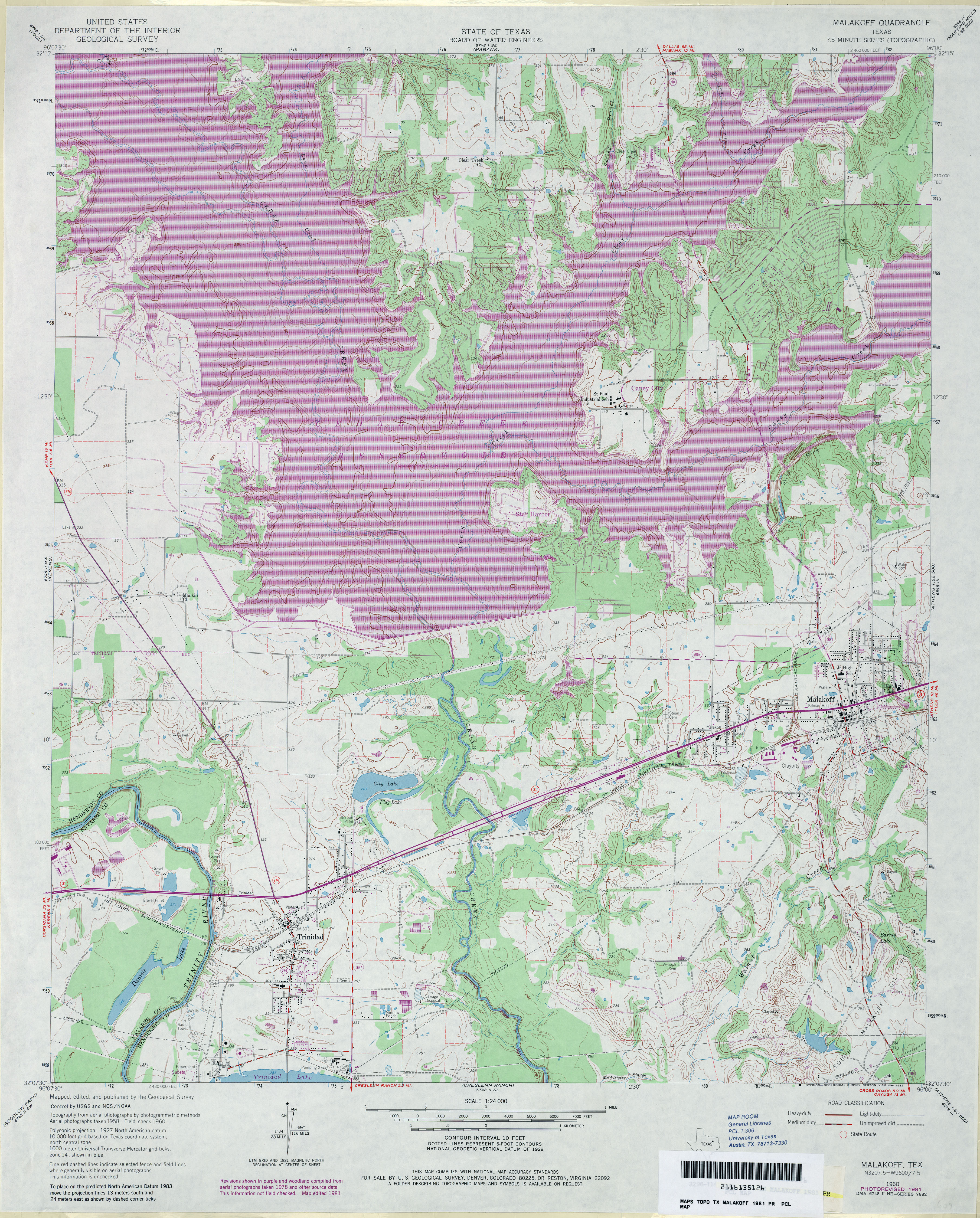
- Malakoff 1:24,000 1960 (4.1MB)
- Malakoff 1:24,000 1972 (4.7MB)
- Malakoff 1:24,000 1981 (5.5MB)
- Malakoff 1:24,000 2009 (14.0MB) [GeoPDF]
- Malakoff 1:24,000 2012 (21MB) [GeoPDF]
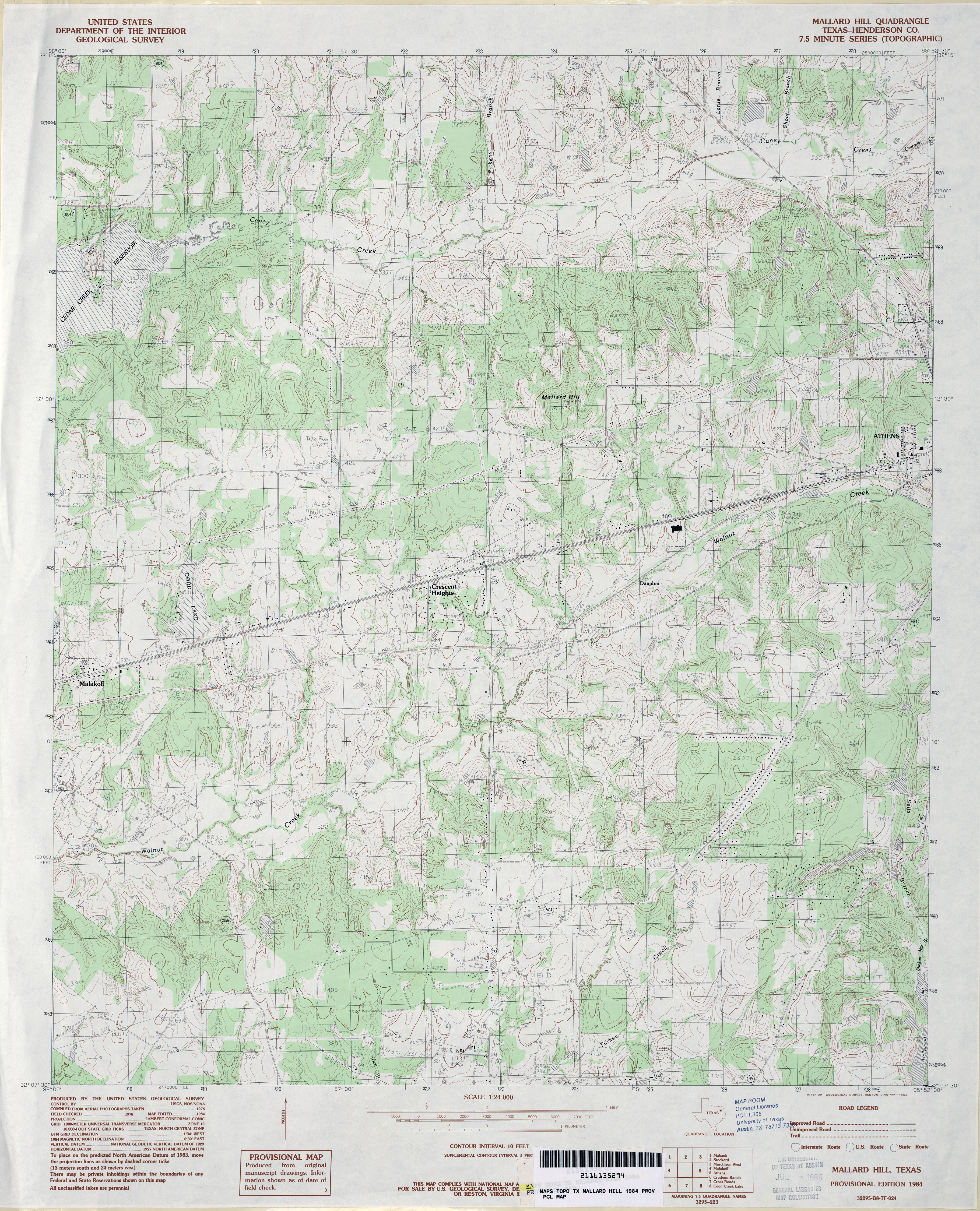
- Mallard Hill (Henderson County) 1:24,000 1984 (4.5MB)
- Mallard Hill 1:24,000 2009 (20.9MB) [GeoPDF]
- Mallard Hill 1:24,000 2013 (24.2MB) [GeoPDF]
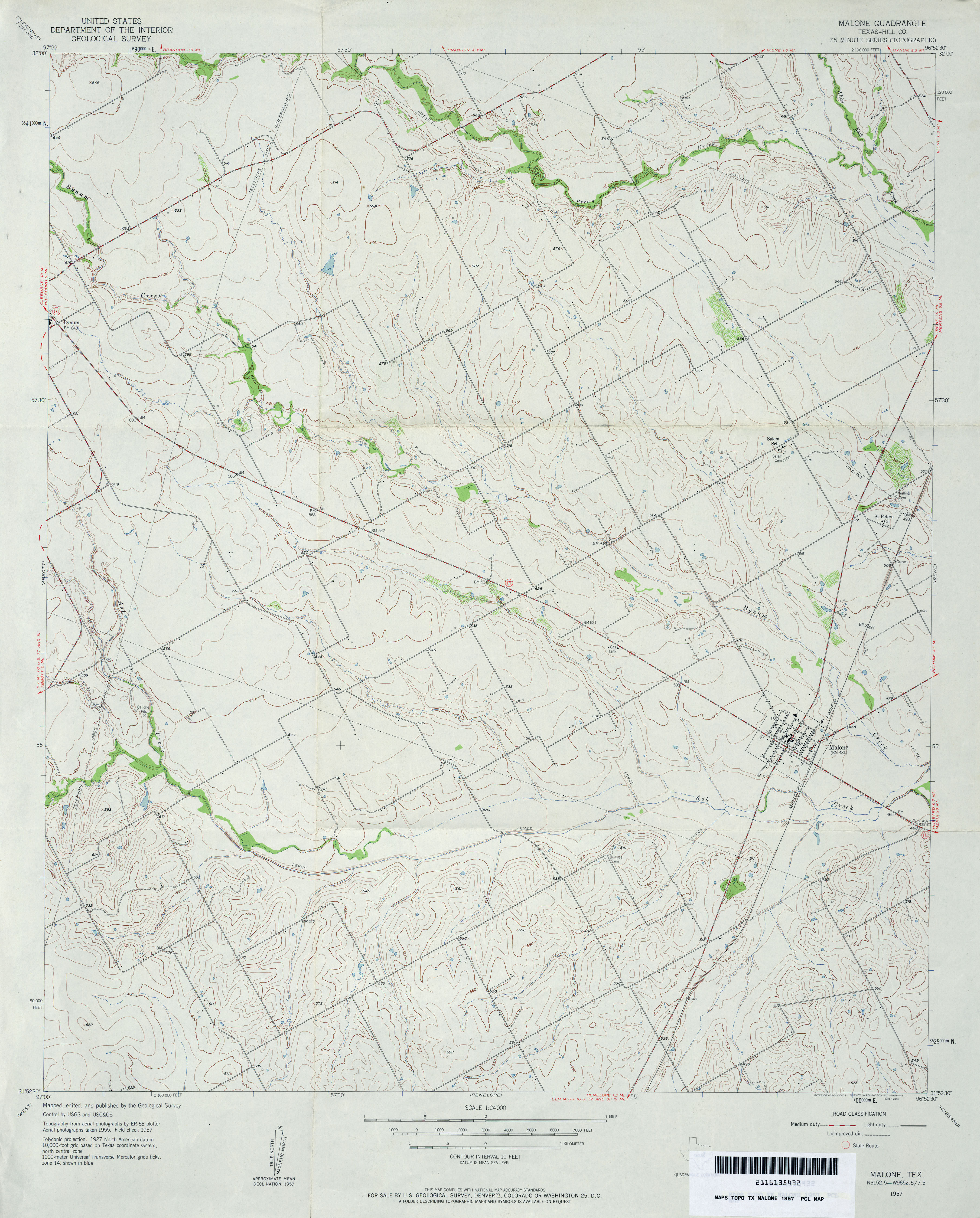
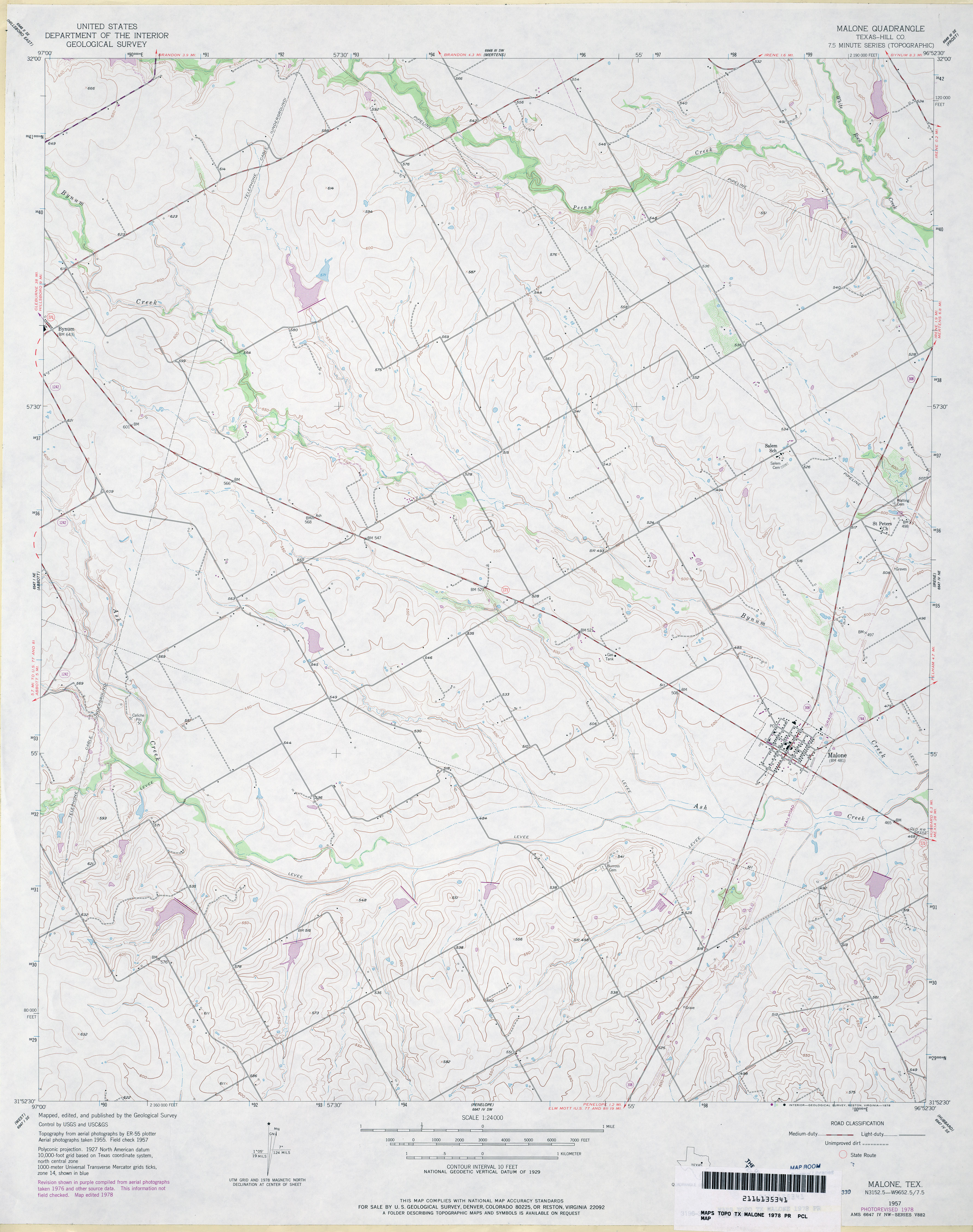
- Malone (Hill County) 1:24,000 1957 (3.4MB)
- Malone (Hill County) 1:24,000 1978 (3.2MB)
- Malone 1:24,000 2008 (12.2MB) [GeoPDF]
- Malone 1:24,000 2013 (17.2MB) [GeoPDF]
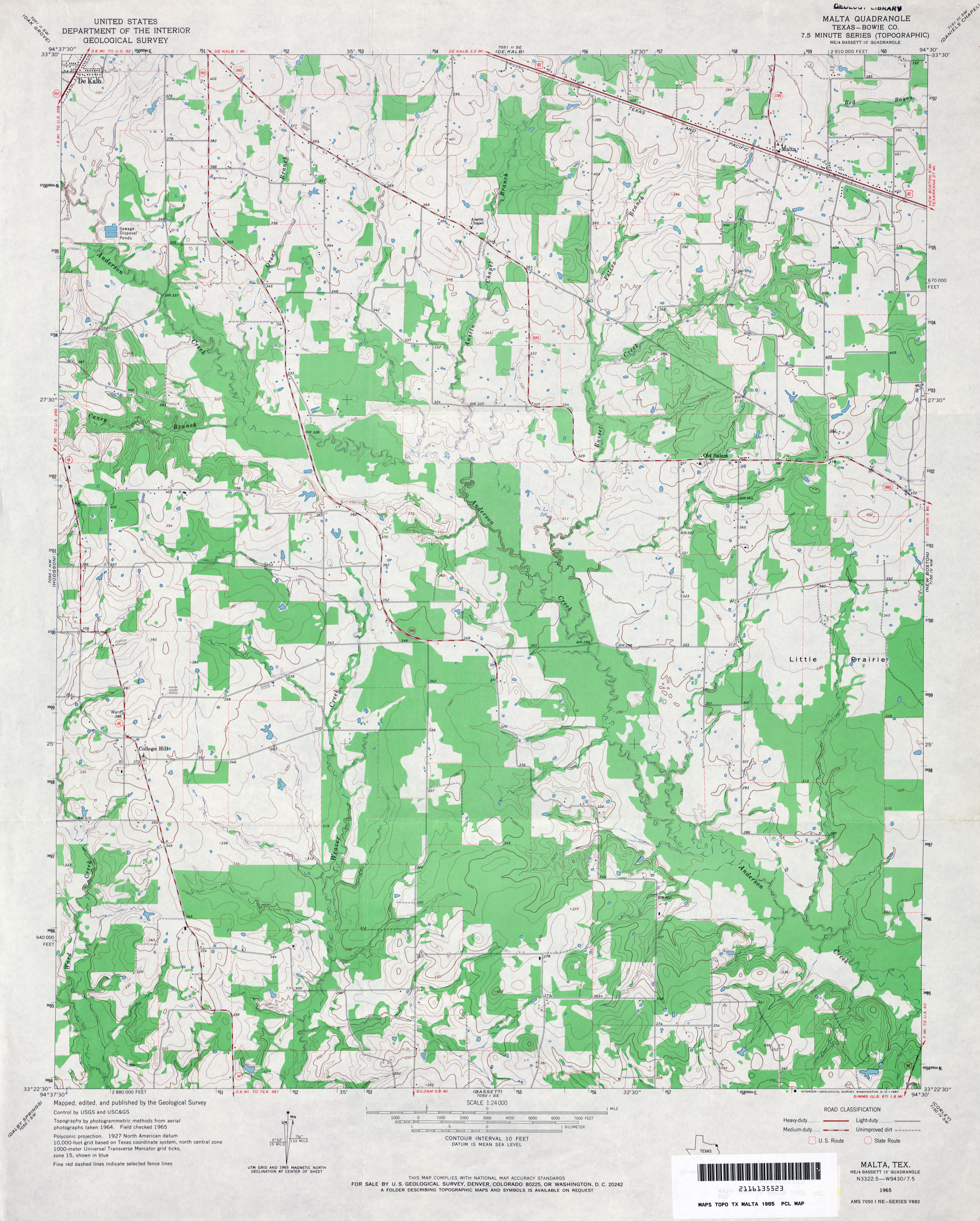
- Malta (Bowie County) 1:24,000 1965 (3MB)
- Malta (Bowie County) 1:24,000 1975 (3MB)
- Malta 1:24,000 2009 (14.8MB) [GeoPDF]
- Malta 1:24,000 2012 (19.9MB) [GeoPDF]
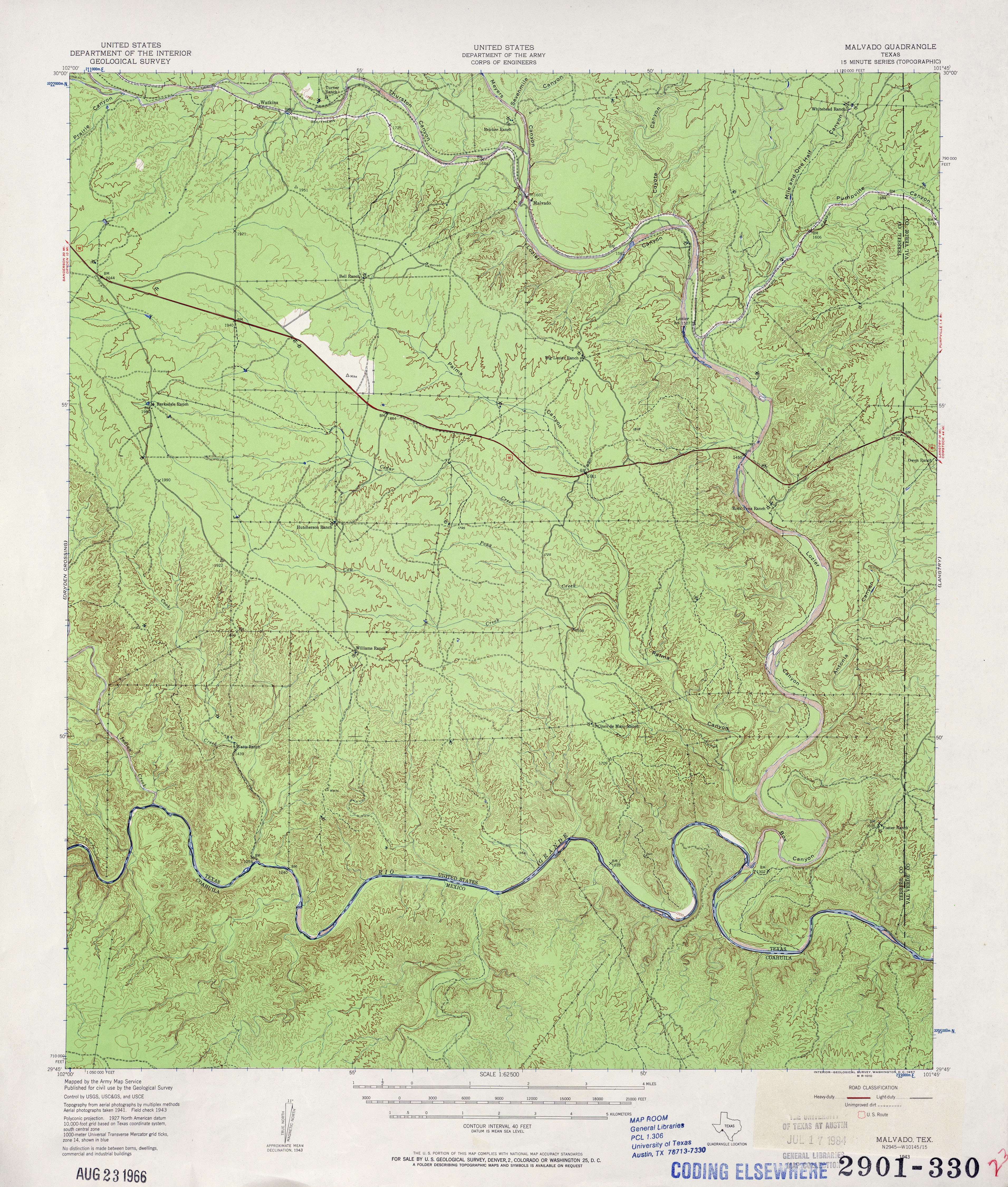
- Malvado 1:62,500 1943 (5.4MB)
- Malvado 1:50,000 1947 (6.4MB) U.S. Army Map Service, Series V782
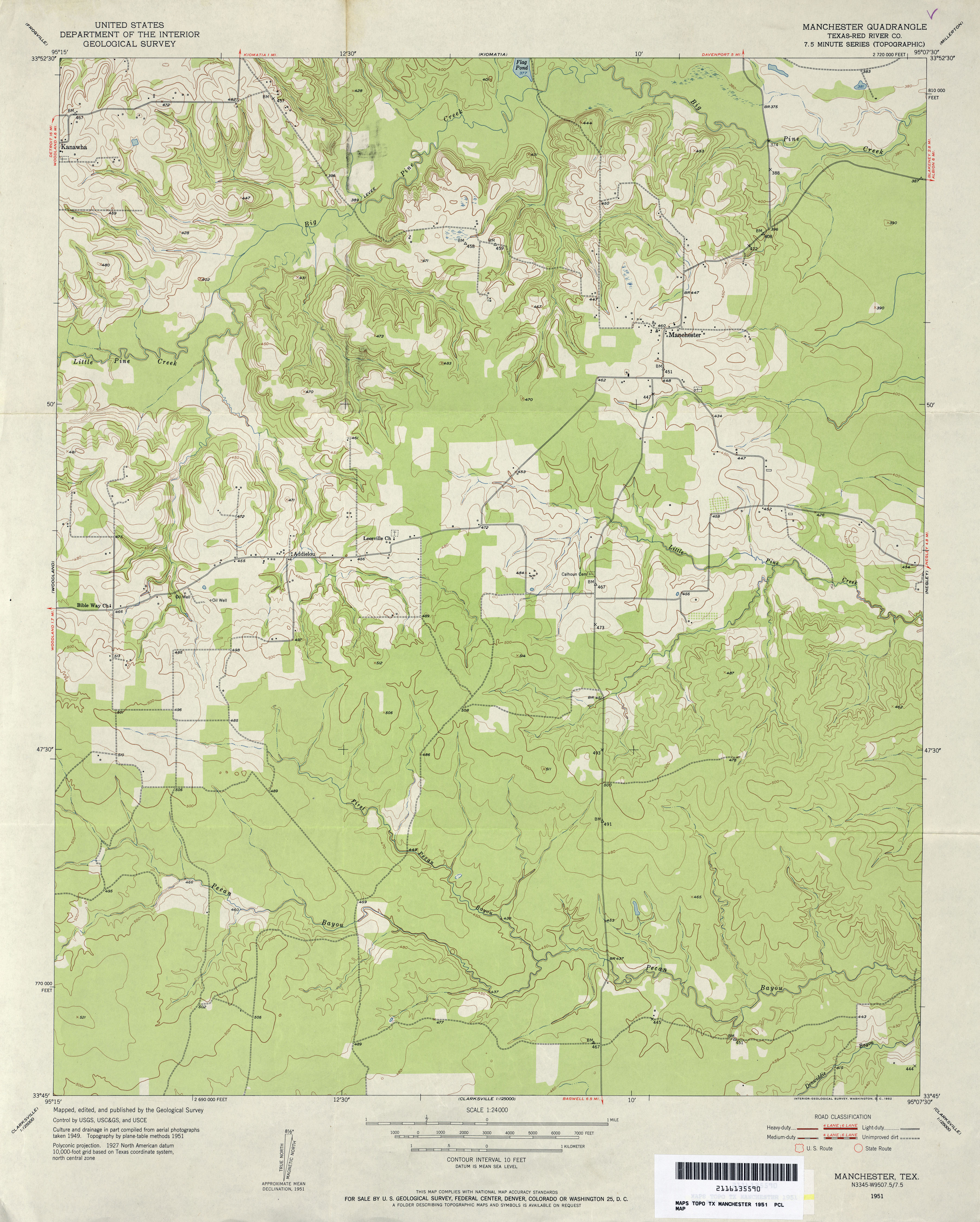
- Manchester (Red River County) 1:24,000 1951 (3.4MB)
- Manchester 1:24,000 2008 (18.9MB) [GeoPDF]
- Manchester 1:24,000 2013 (25.7MB) [GeoPDF]
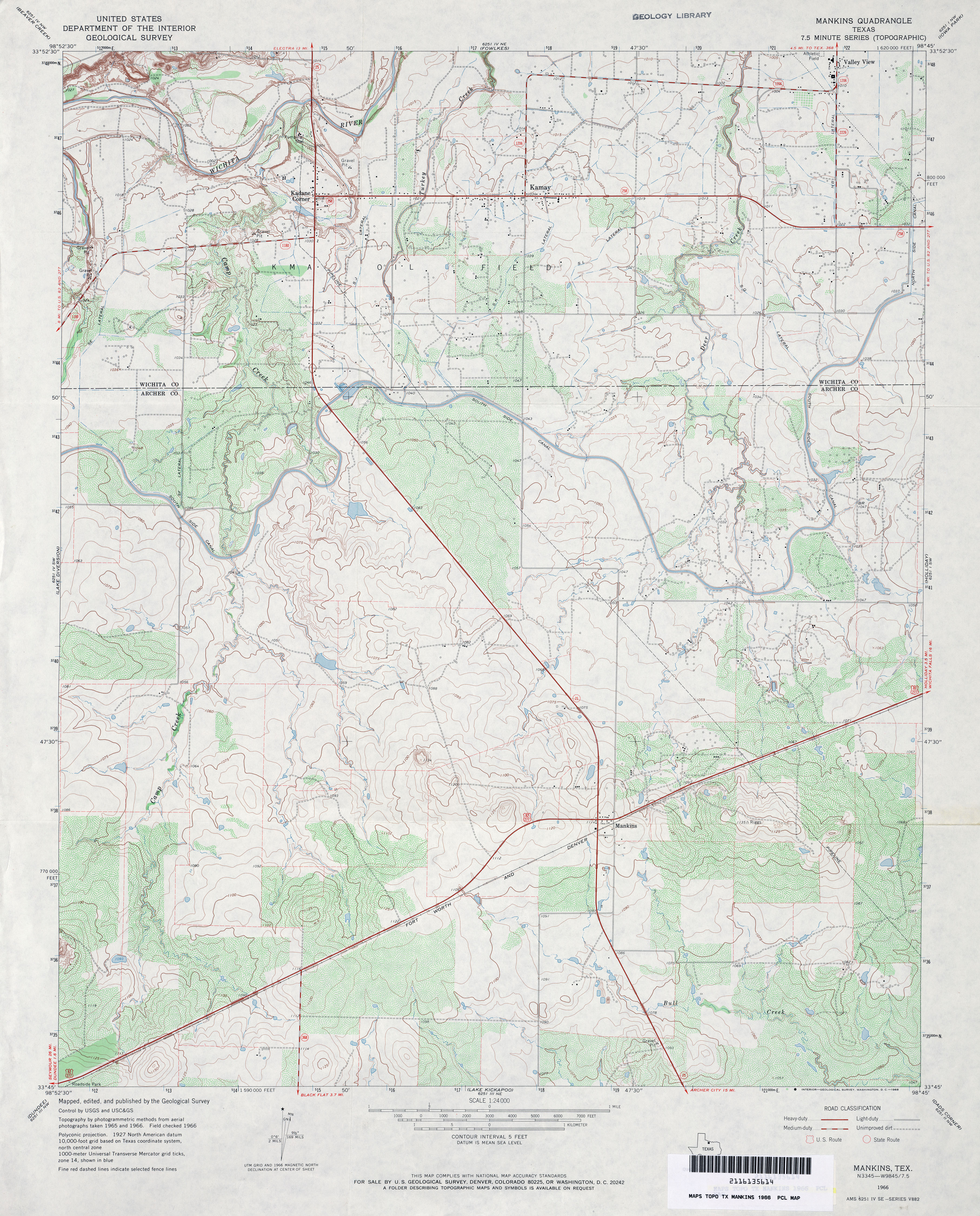
- Mankins 1:24,000 1966 (4.1MB)
- Mankins 1:24,000 2008 (12.7MB) [GeoPDF]
- Mankins 1:24,000 2012 (17.1MB) [GeoPDF]
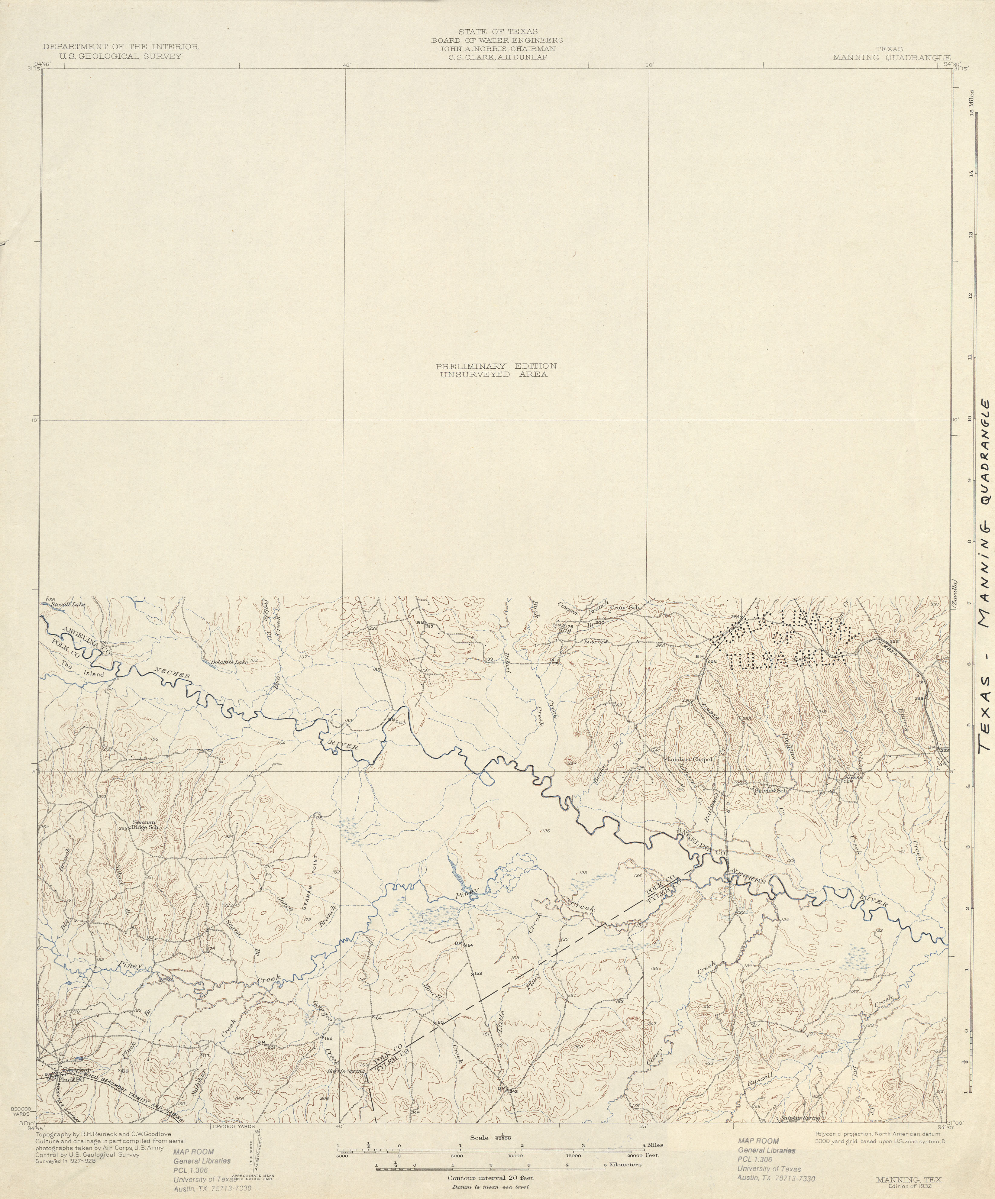
- Manning 1:62,500 1928 (2.5 MB)
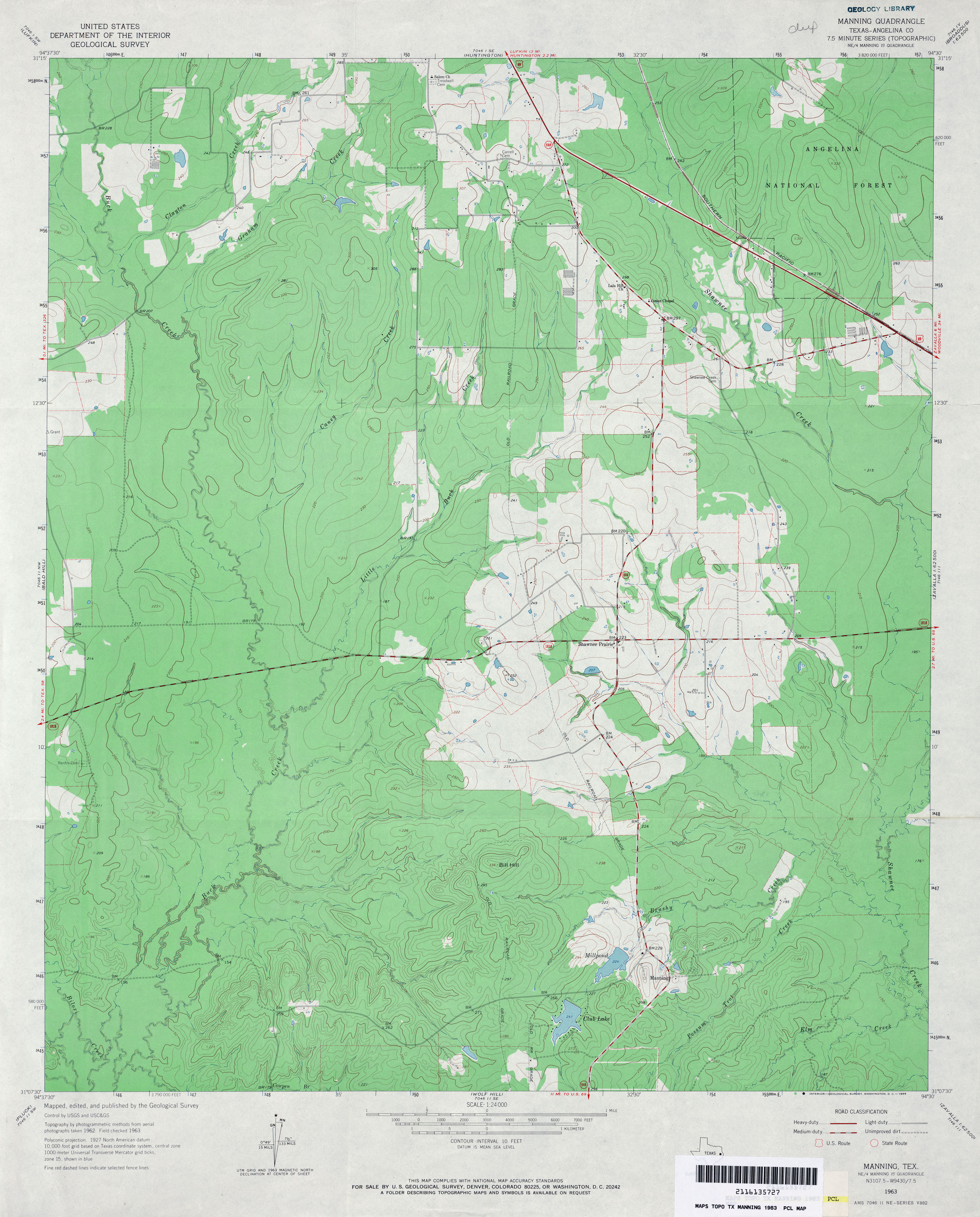
- Manning (Angelina County) 1:24,000 1963 (3.4MB)
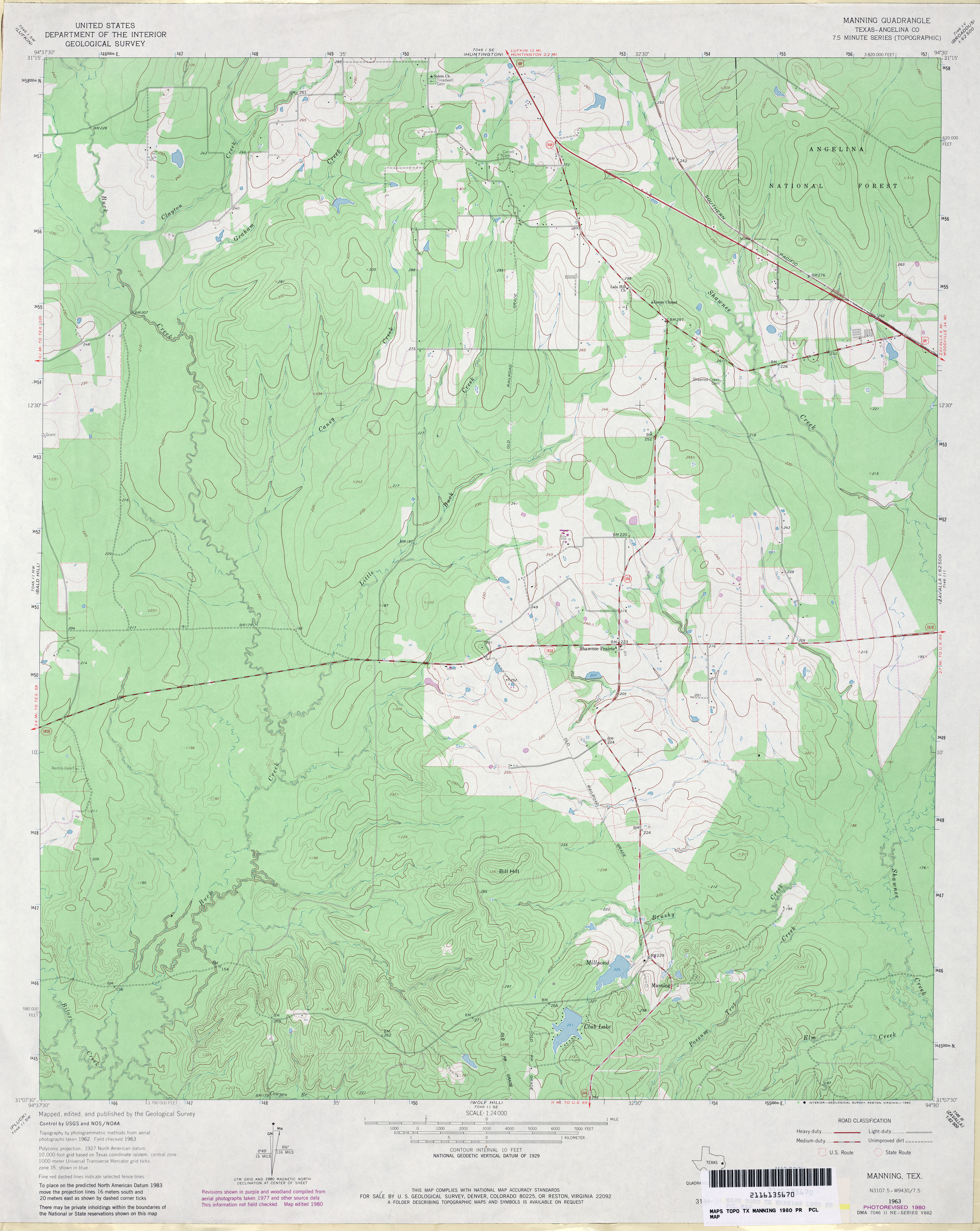
- Manning (Angelina County) 1:24,000 1980 (3.5MB)
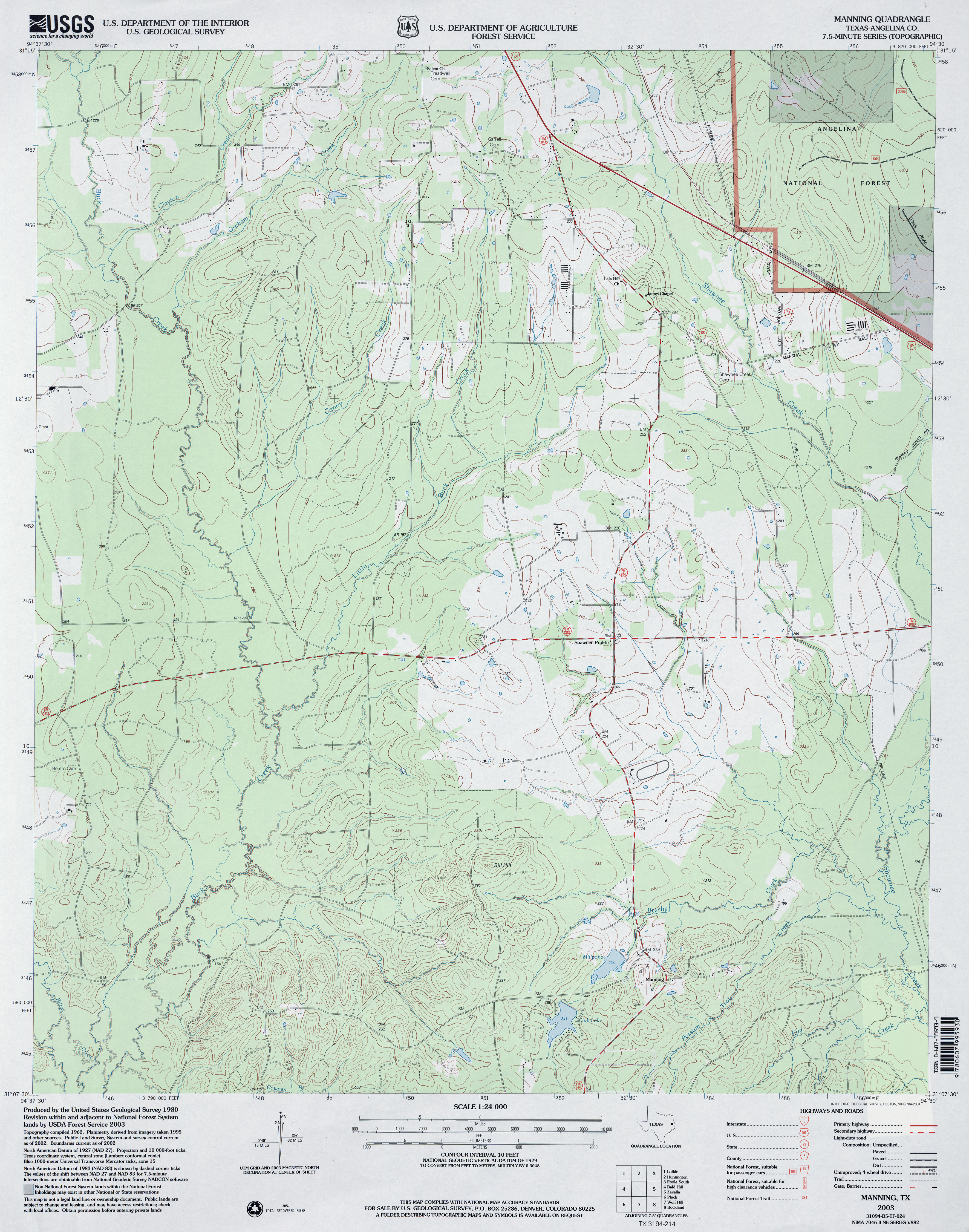
- Manning (Angelina County) 1:24,000 2003 (3.7MB)
- Manning 1:24,000 2008 (1.6MB) Texas Natural Resources Information System (TNRIS). [pdf]
- Manning 1:24,000 2008 (23.8MB) [GeoPDF]
- Manning 1:24,000 2013 (24.6MB) [GeoPDF]
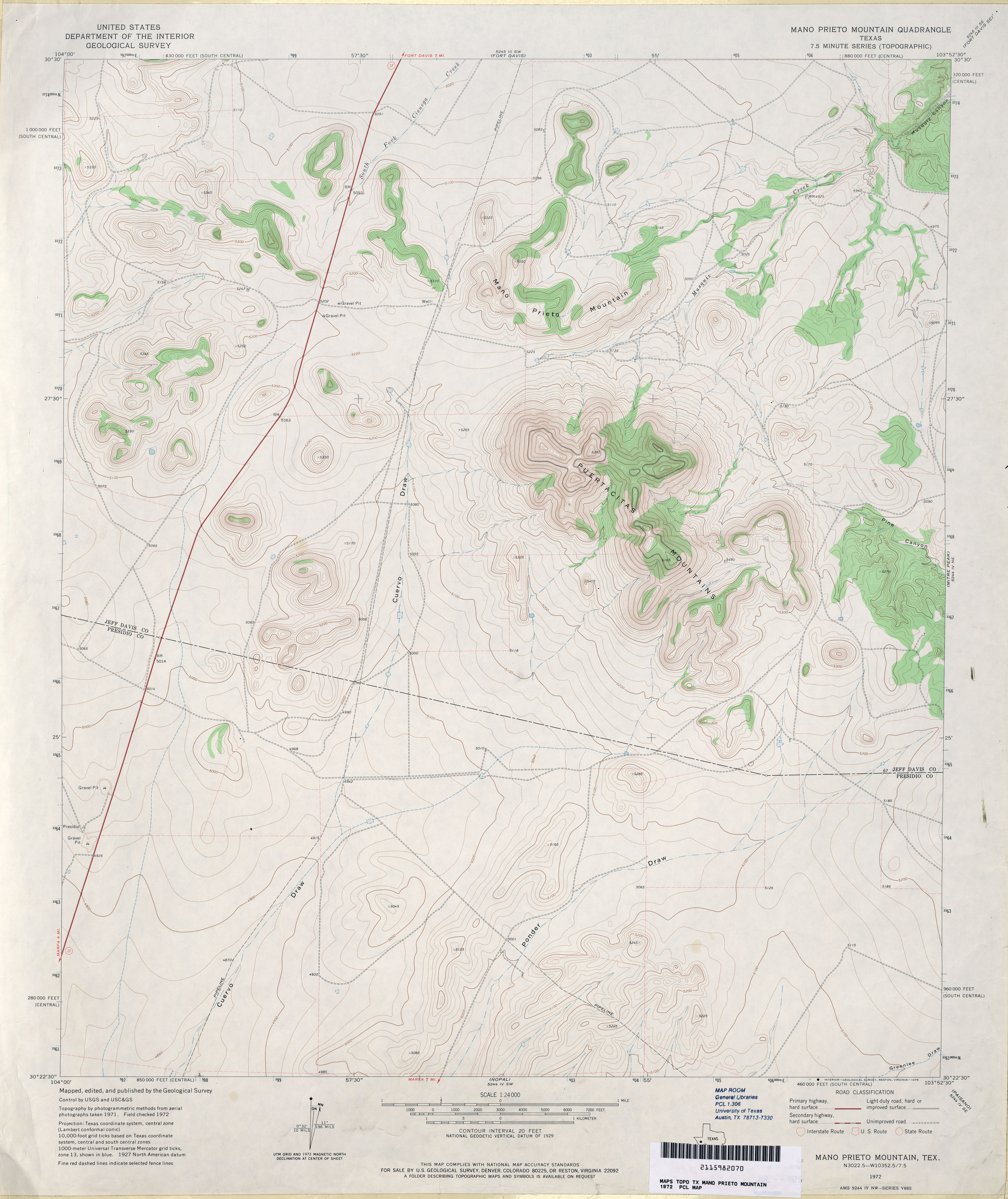
- Mano Prieto Mountain 1:24,000 1972 (3.3MB)
- Mano Prieto Mountain 1:24,000 2008 (12.8MB) [GeoPDF]
- Mano Prieto Mountain 1:24,000 2012 (20.4MB) [GeoPDF]
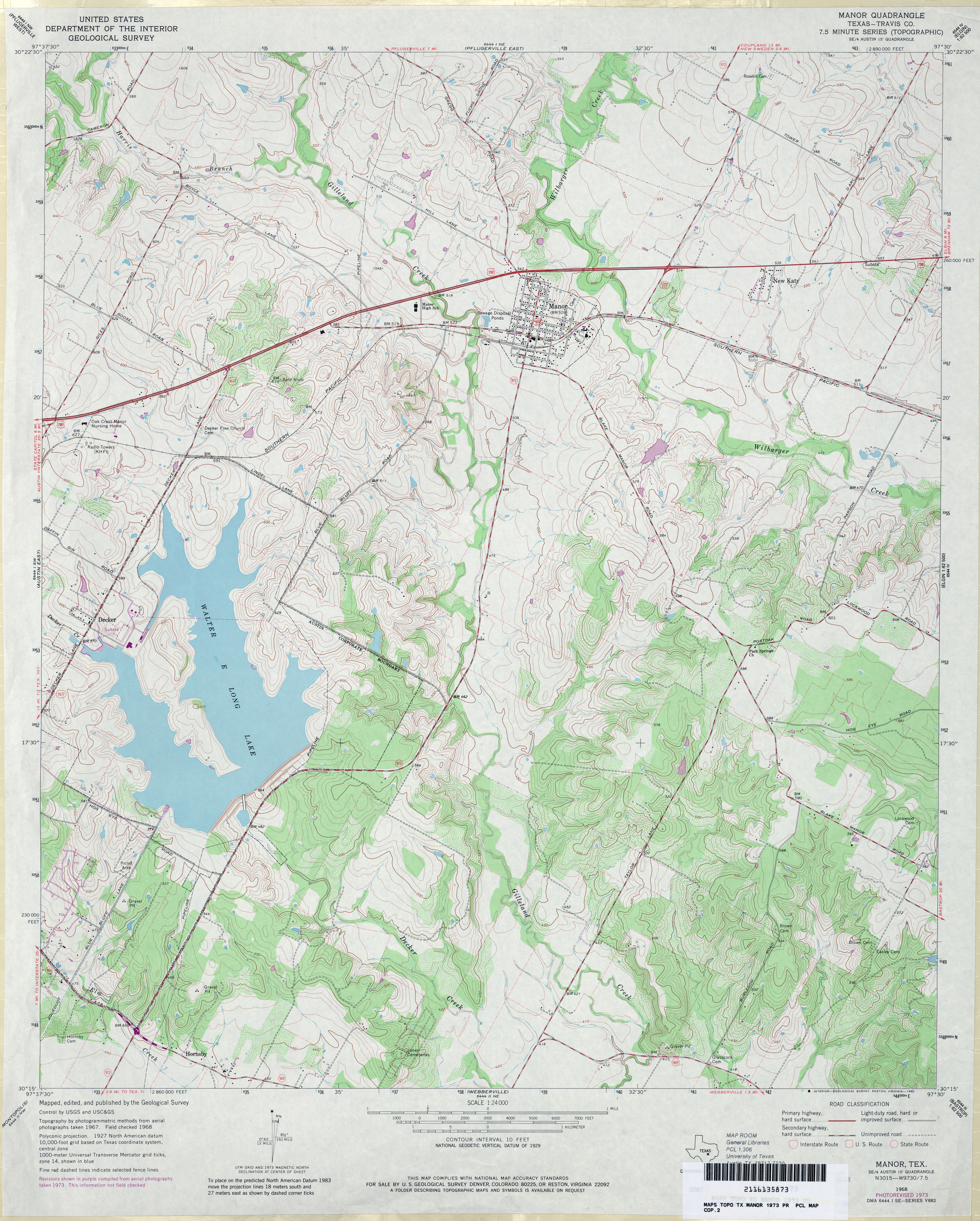
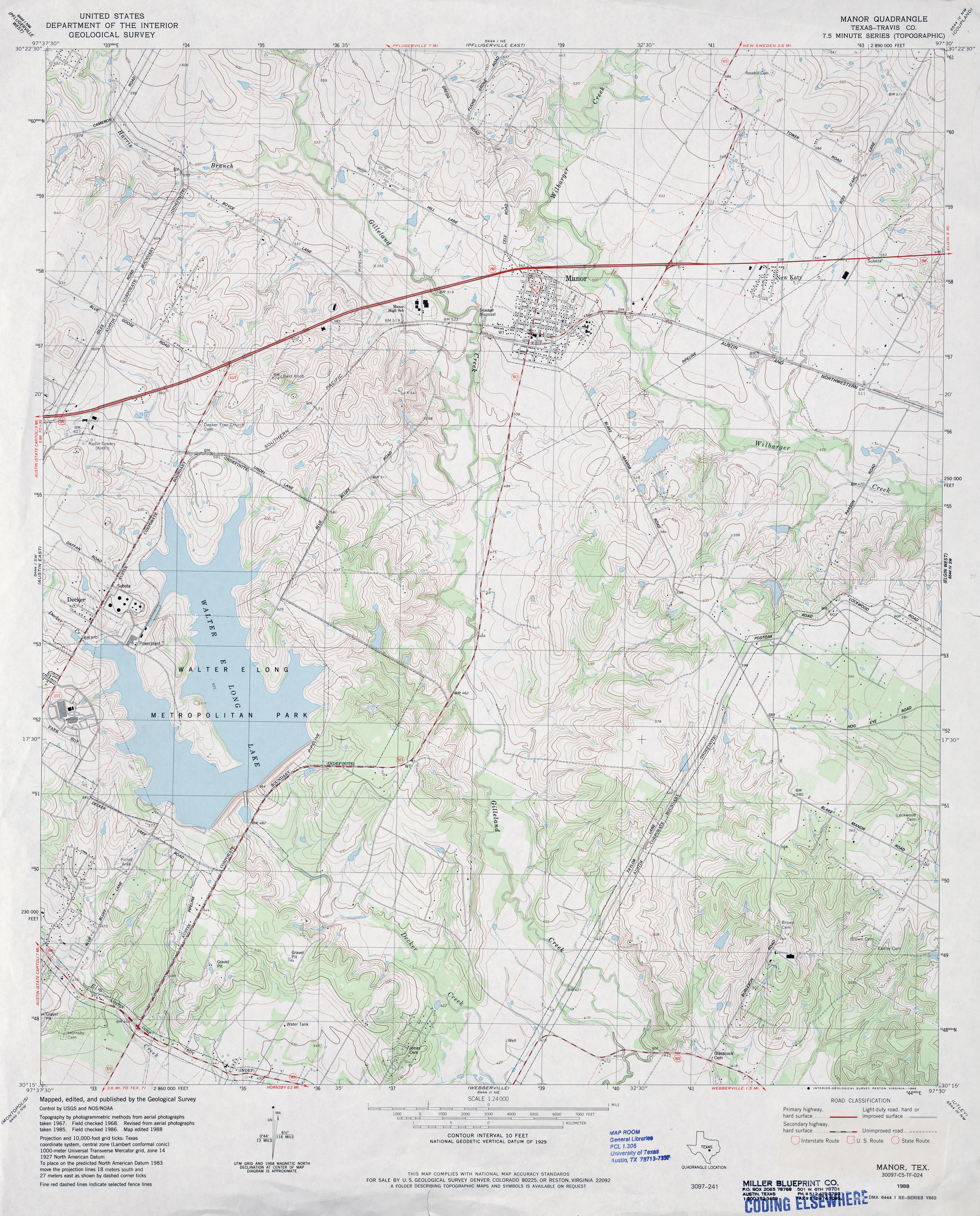
- Manor (Travis County) 1:24,000 1968 (3.8MB)
- Manor (Travis County) 1:24,000 1973 (4.5MB)
- Manor (Travis County) 1:24,000 1988 (4.6MB)
- Manor 1:24,000 2008 (14.8MB) [GeoPDF]
- Manor 1:24,000 2013 (24.9MB) [GeoPDF]
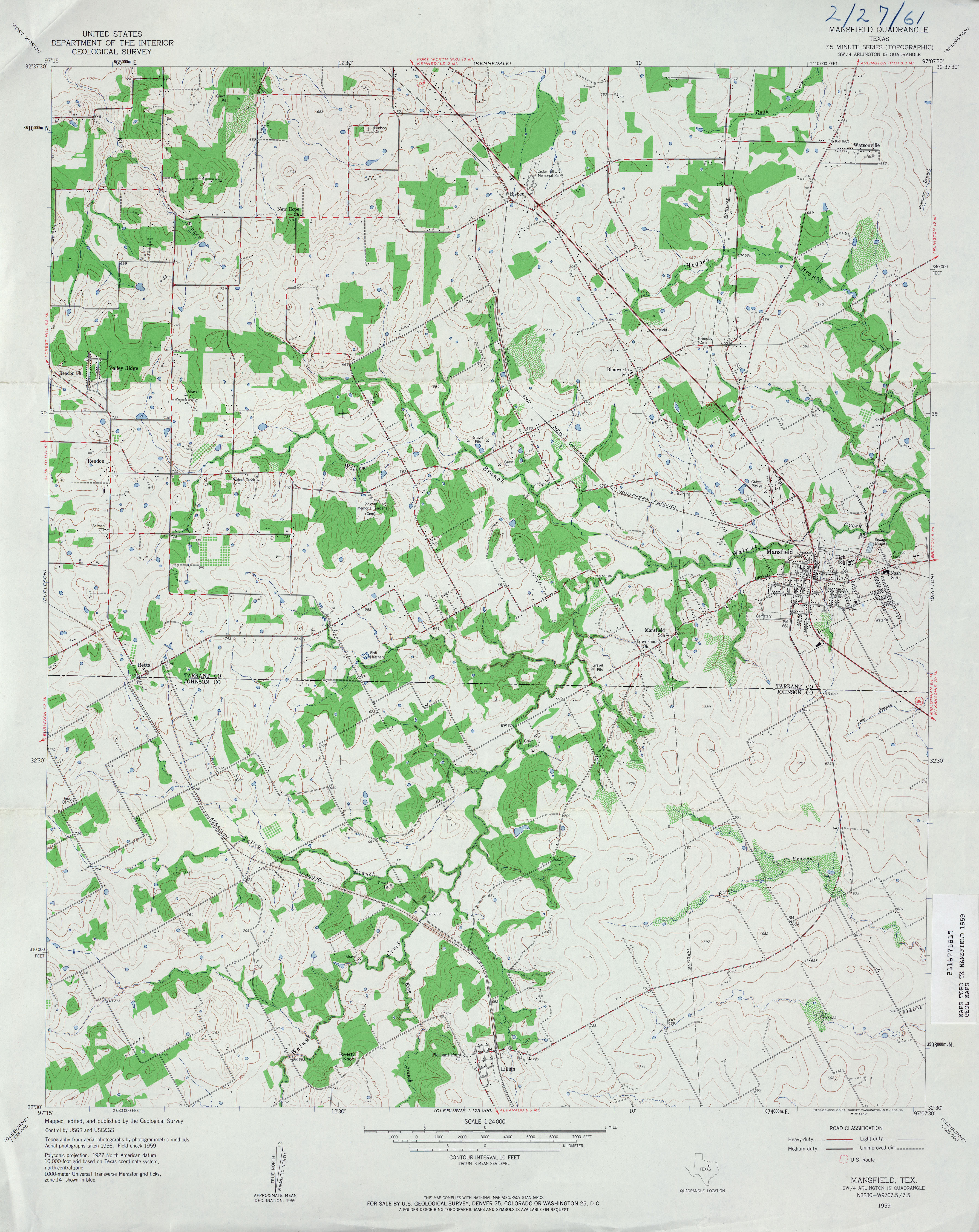
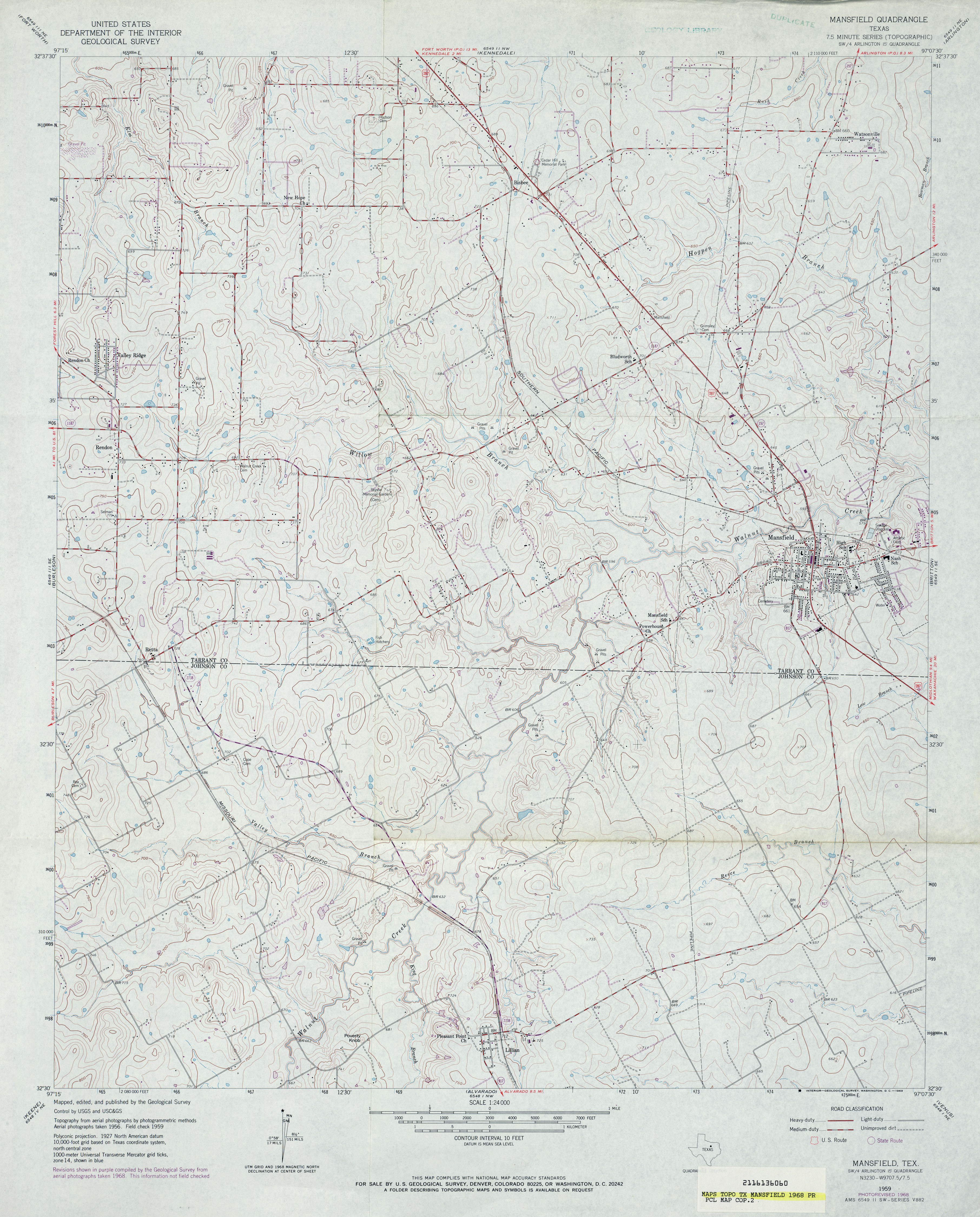
- Mansfield 1:24,000 1959 (3.8MB)
- Mansfield 1:24,000 1968 (3.9MB)
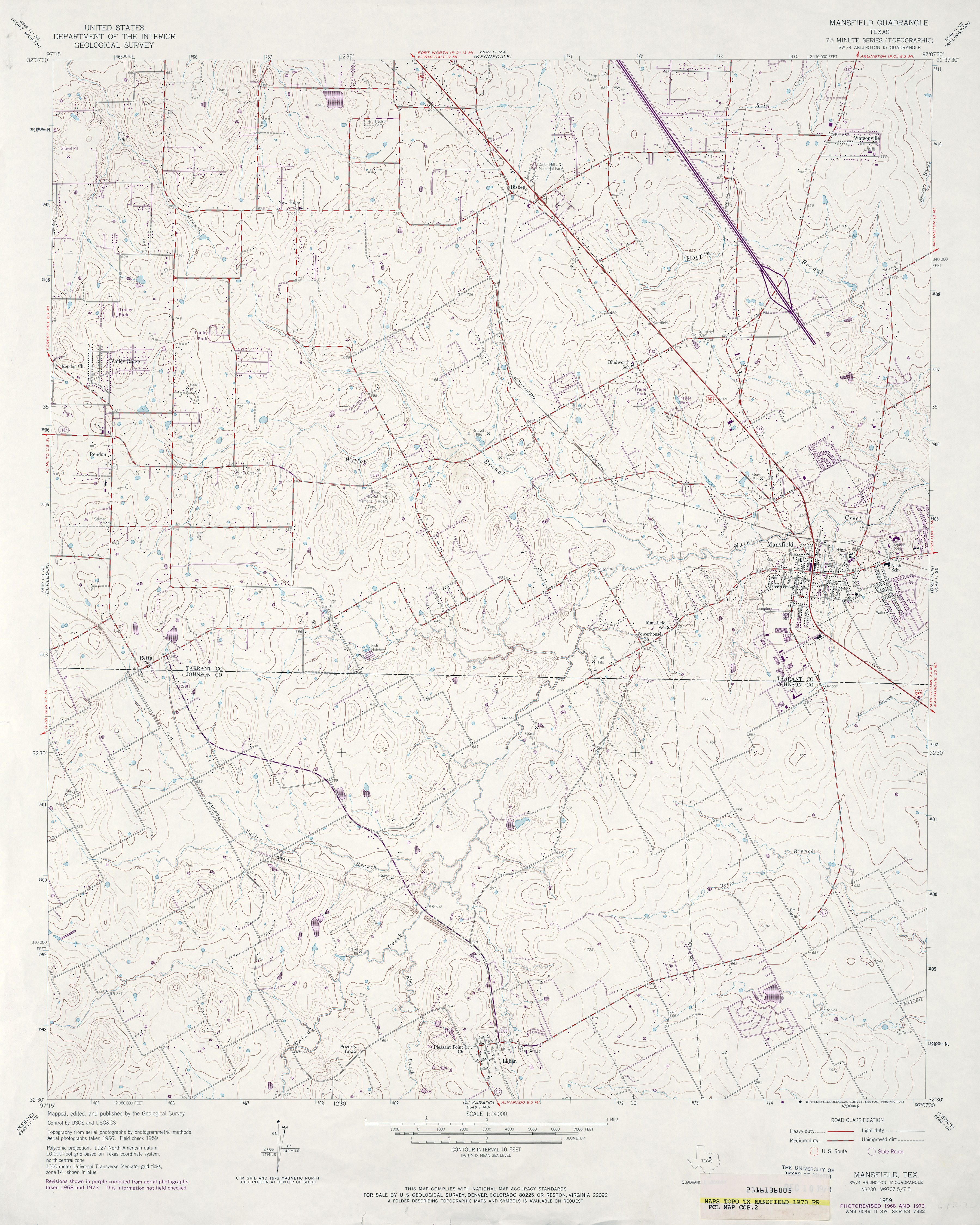
- Mansfield 1:24,000 1973 (3.9MB)
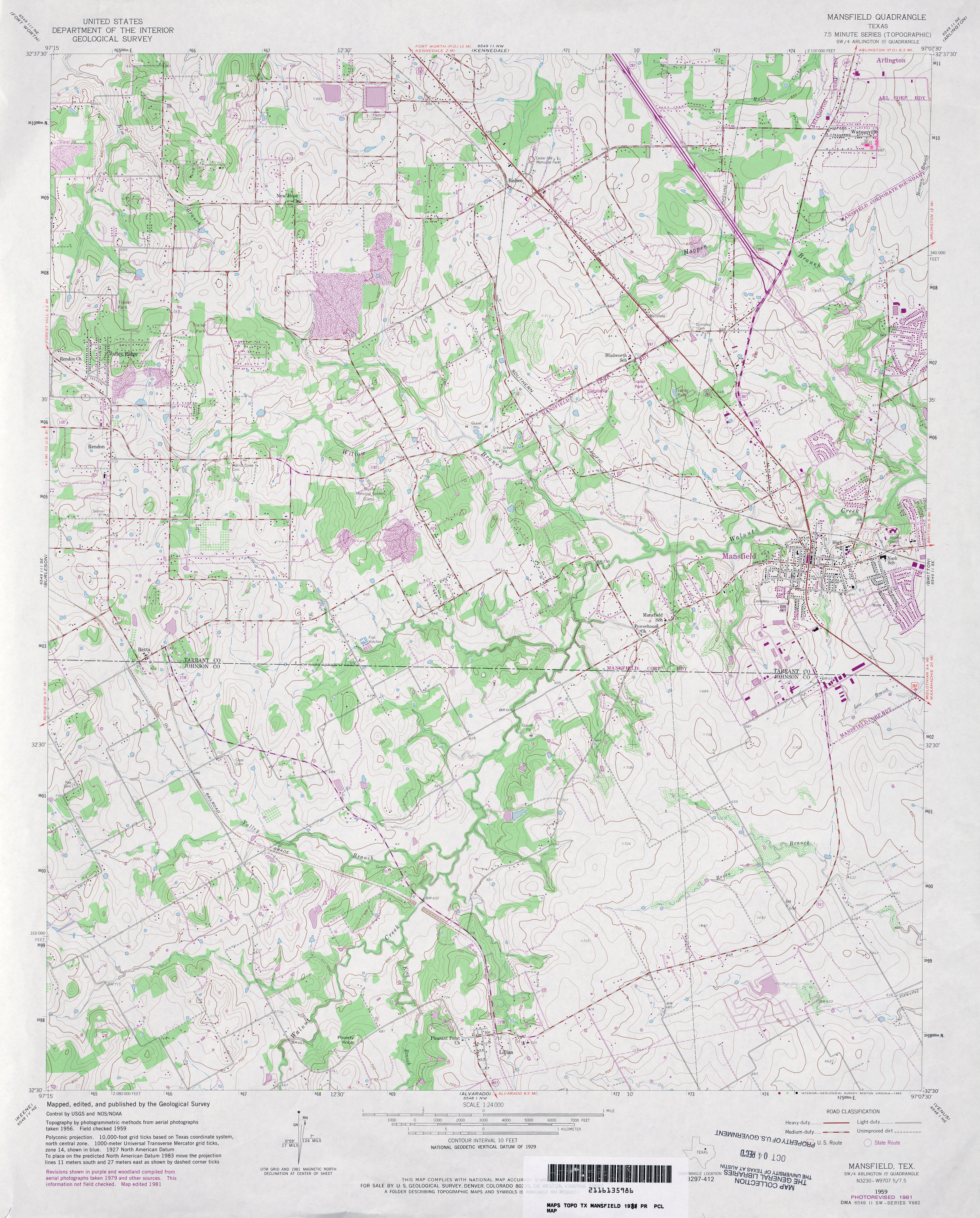
- Mansfield 1:24,000 1981 (4.3MB)
- Mansfield 1:24,000 2008 (19.0MB) [GeoPDF]
- Mansfield 1:24,000 2012 (23.2MB) [GeoPDF]
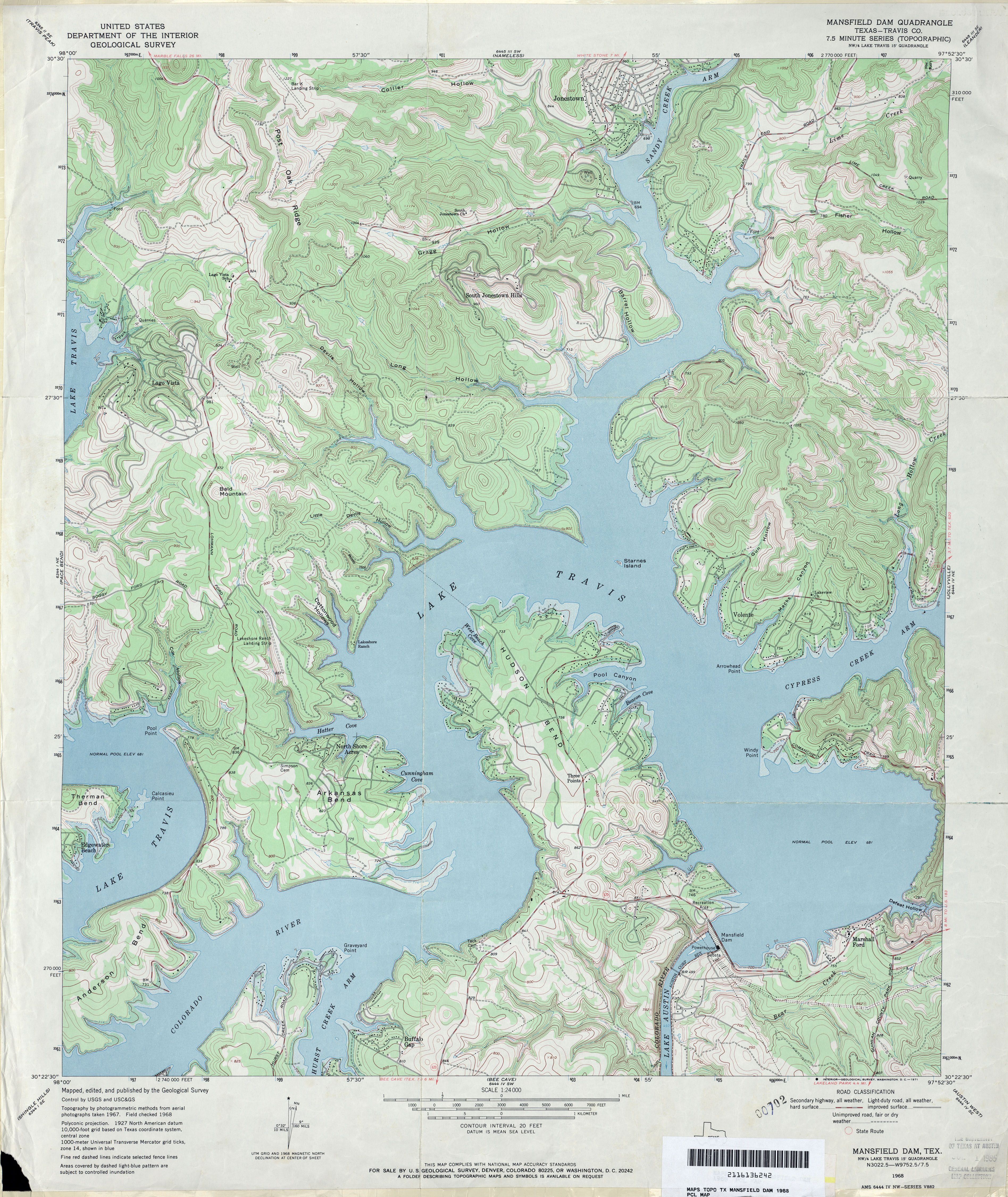
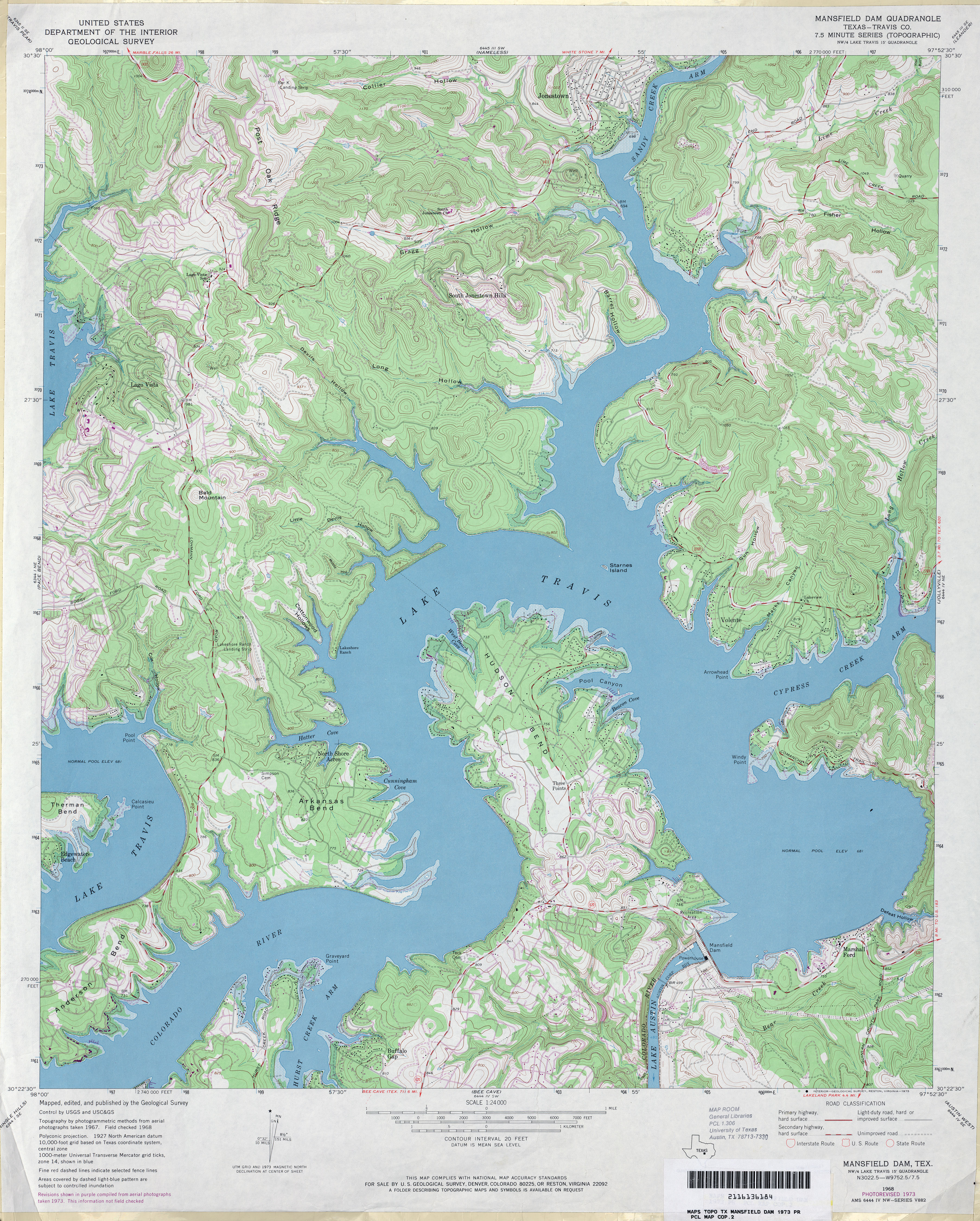
- Mansfield Dam (Travis County) 1:24,000 1968 (4.8MB)
- Mansfield Dam (Travis County) 1:24,000 1973 (5.2MB)
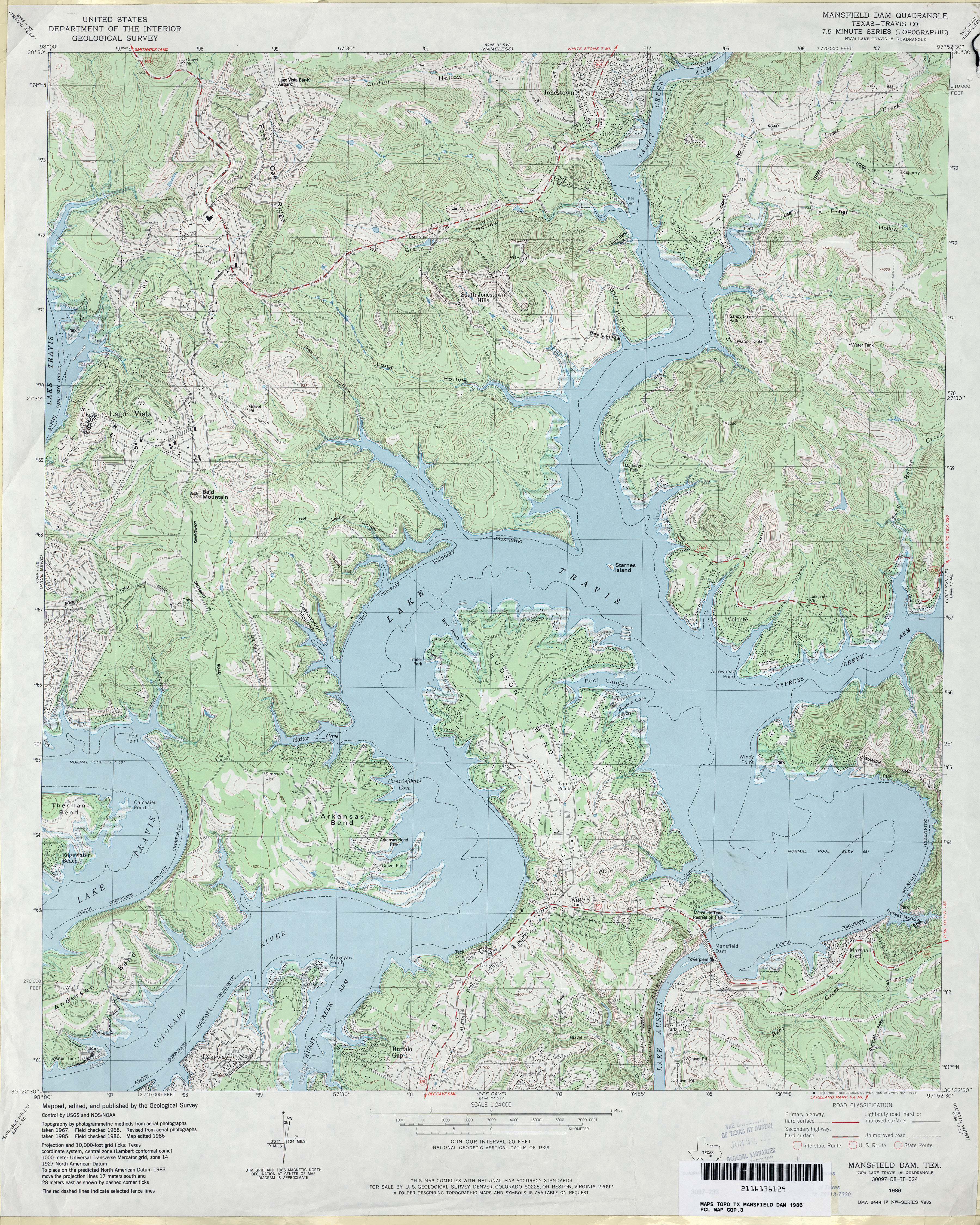
- Mansfield Dam (Travis County) 1:24,000 1986 (5.3MB)
- Mansfield Dam 1:24,000 2008 (21.6MB) [GeoPDF]
- Mansfield Dam 1:24,000 2013 (29.8MB) [GeoPDF]
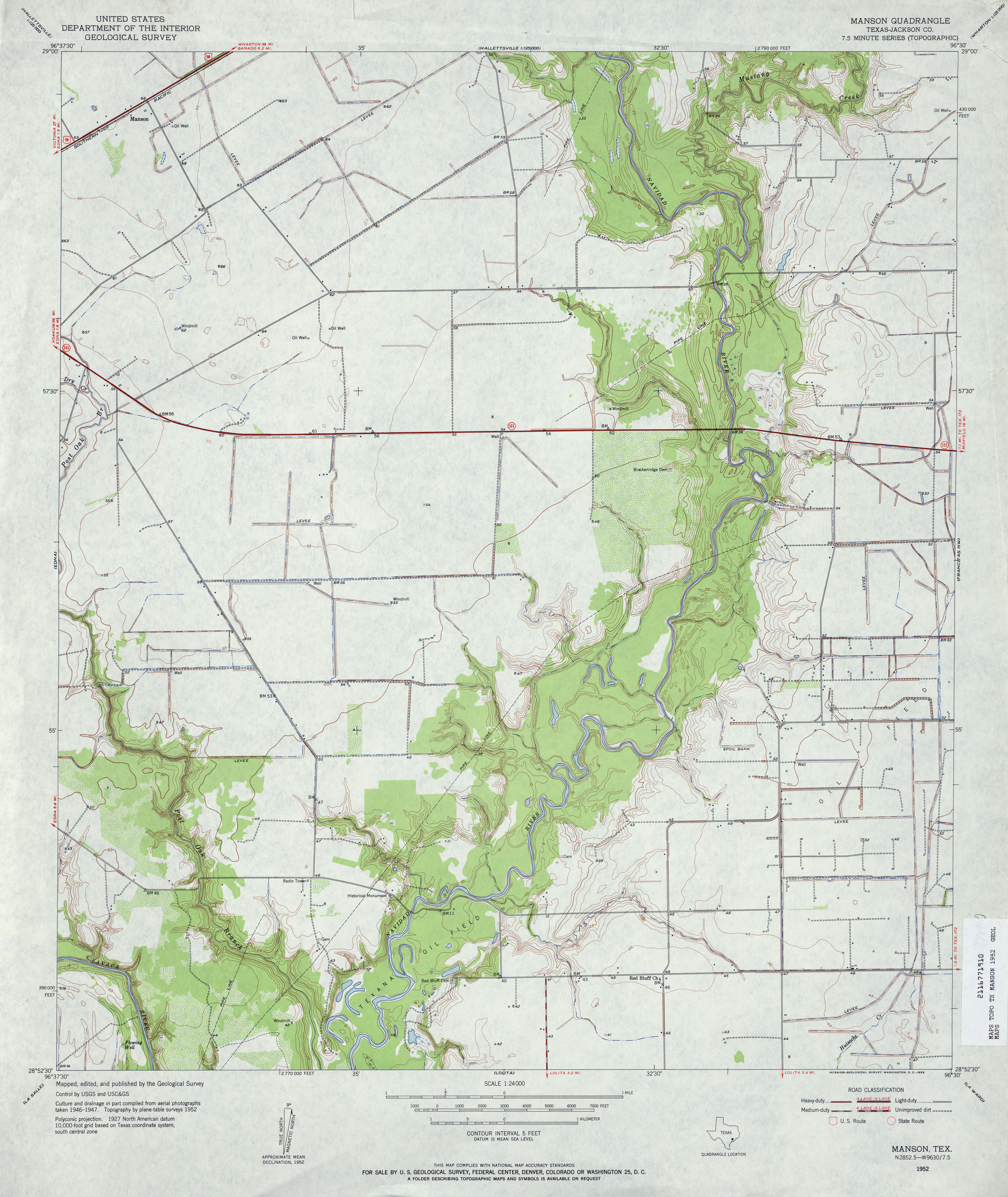
- Manson (Jackson County) 1:24,000 1952 (3.7MB)
- Manson (Jackson County) 1:24,000 1973 (3.3MB)
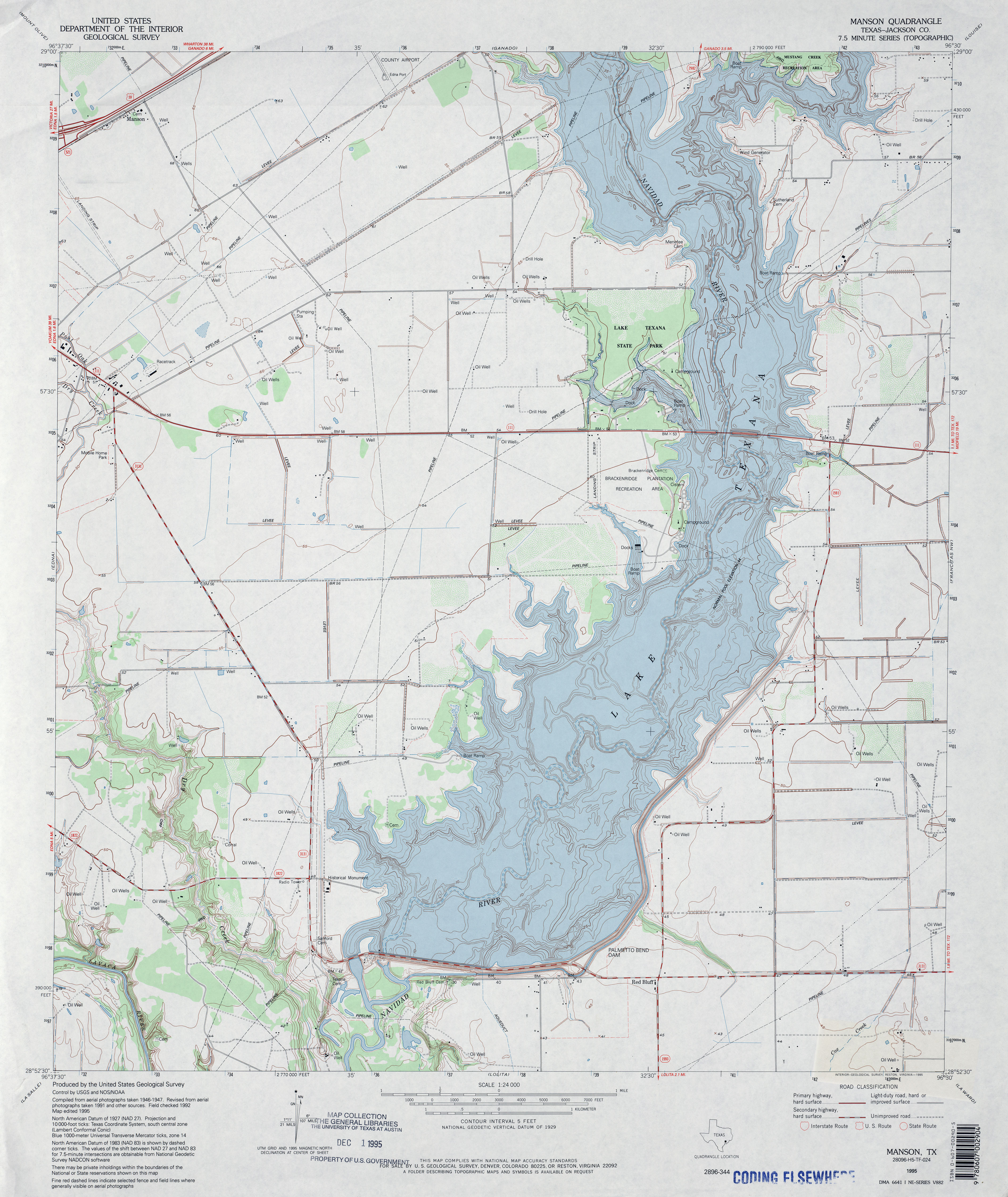
- Manson (Jackson County) 1:24,000 1995 (3.6MB)
- Manson 1:24,000 2008 (9.6MB) [GeoPDF]
- Manson 1:24,000 2013 (17.5MB) [GeoPDF]
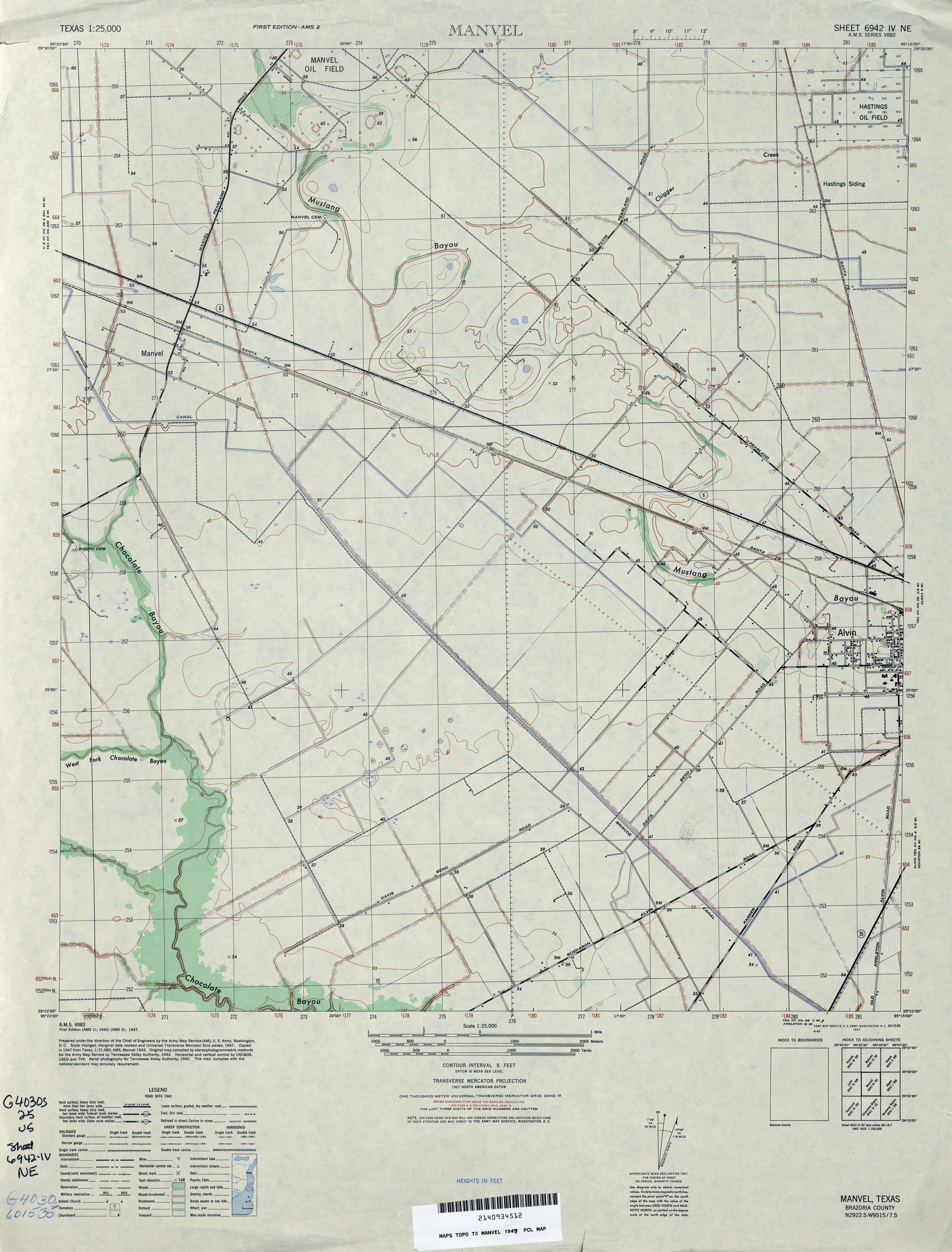
- Manvel 1:25,000 1947 (2.9MB) U.S. Army Map Service, Series V882
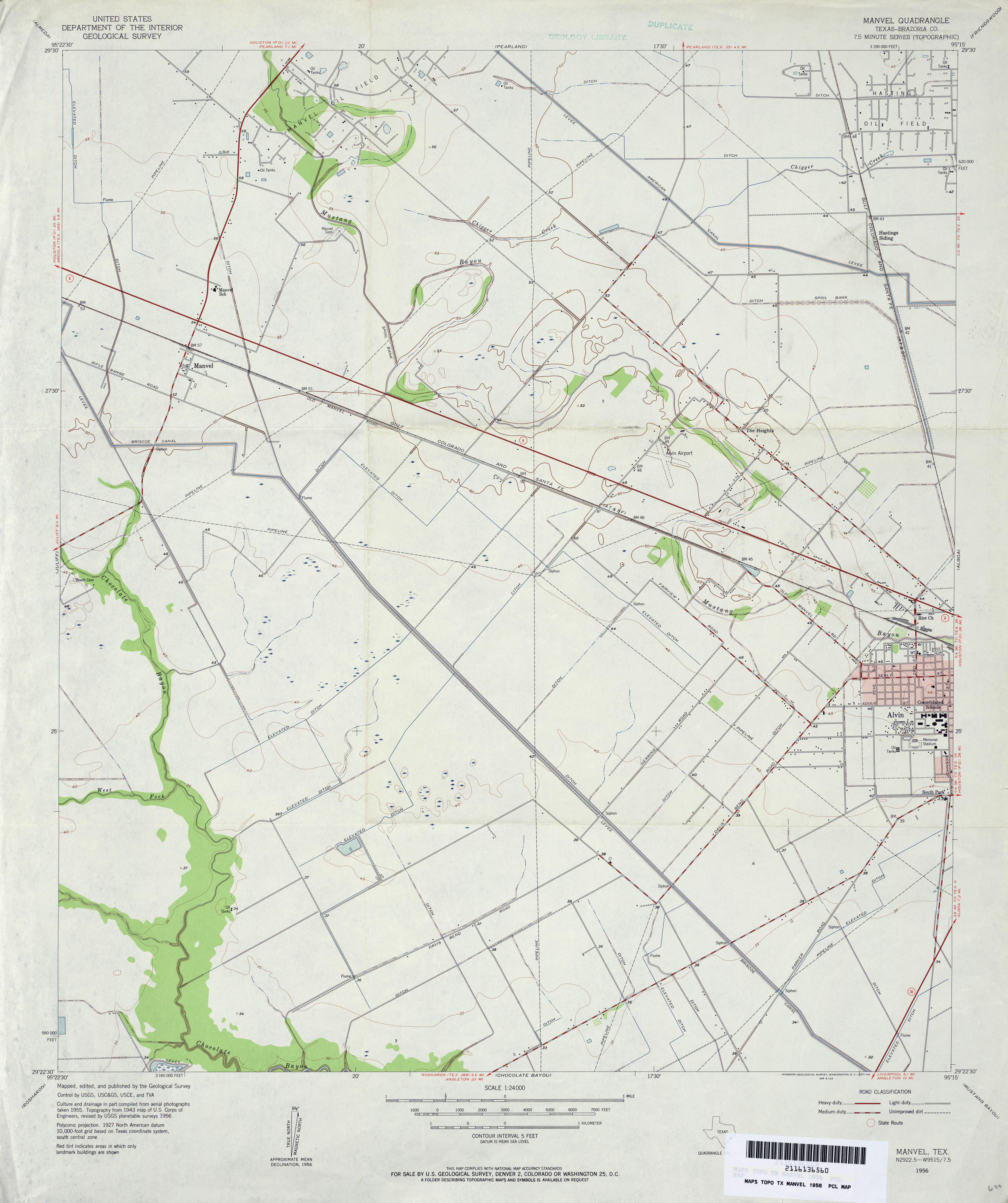
- Manvel (Brazoria County) 1:24,000 1956 (2.8MB)
- Manvel (Brazoria County) 1:24,000 1969 (2.9MB)
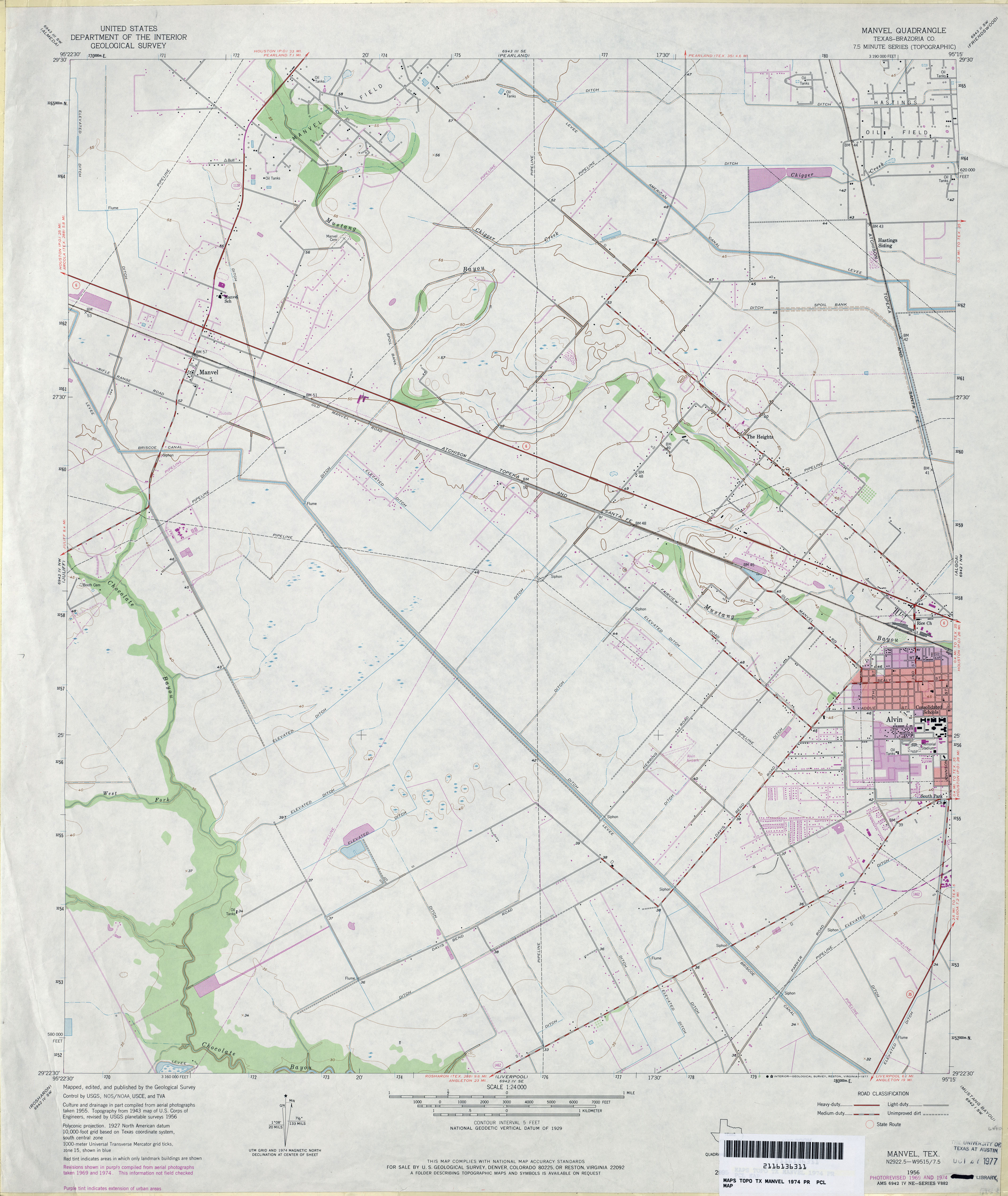
- Manvel (Brazoria County) 1:24,000 1974 (3.1MB)
- Manvel 1:24,000 2009 (17.1MB) [GeoPDF]
- Manvel 1:24,000 2013 (20.4MB) [GeoPDF]
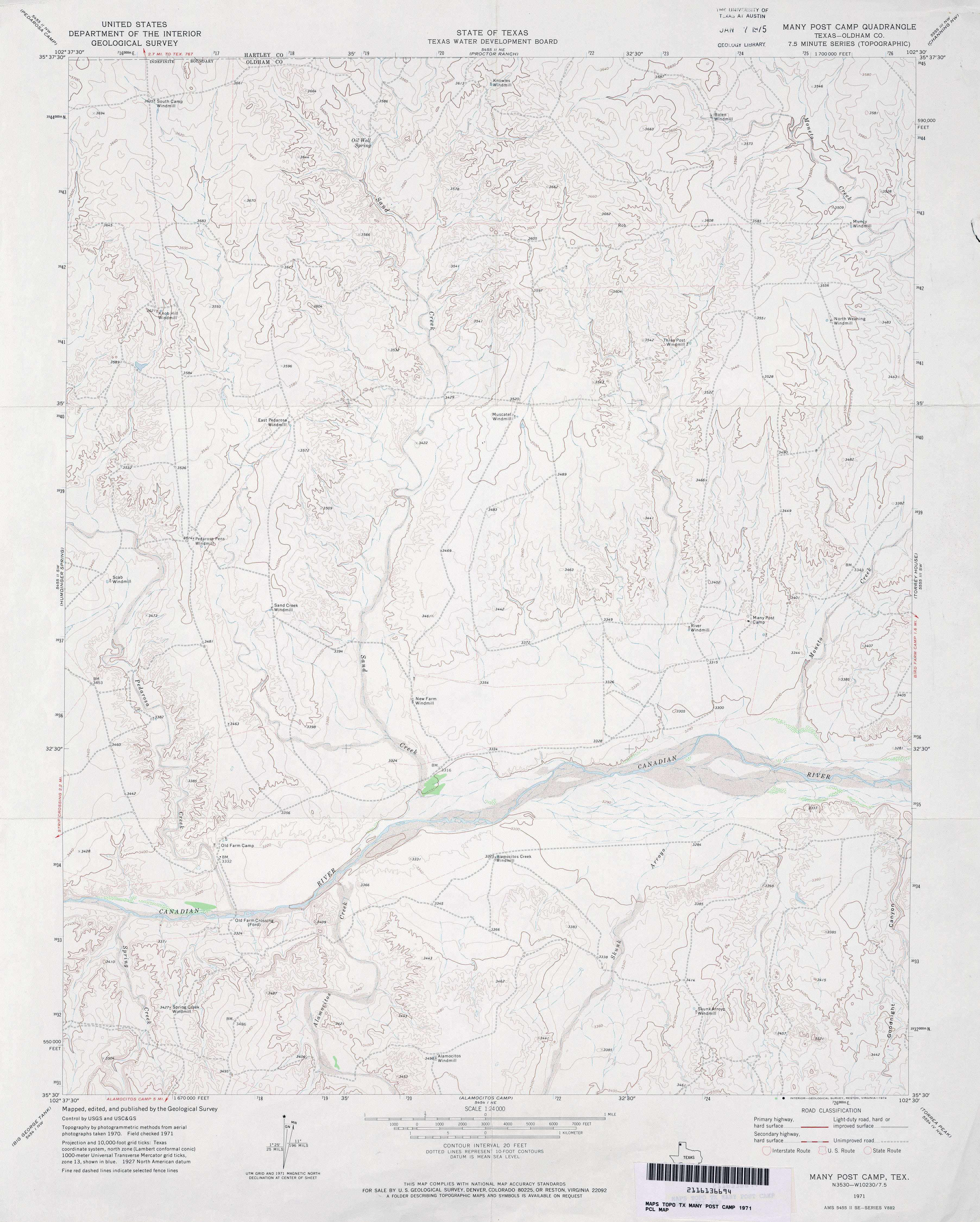
- Many Post Camp (Oldham County) 1:24,000 1971 (3.3MB)
- Many Post Camp 1:24,000 2012 (19.4MB) [GeoPDF]
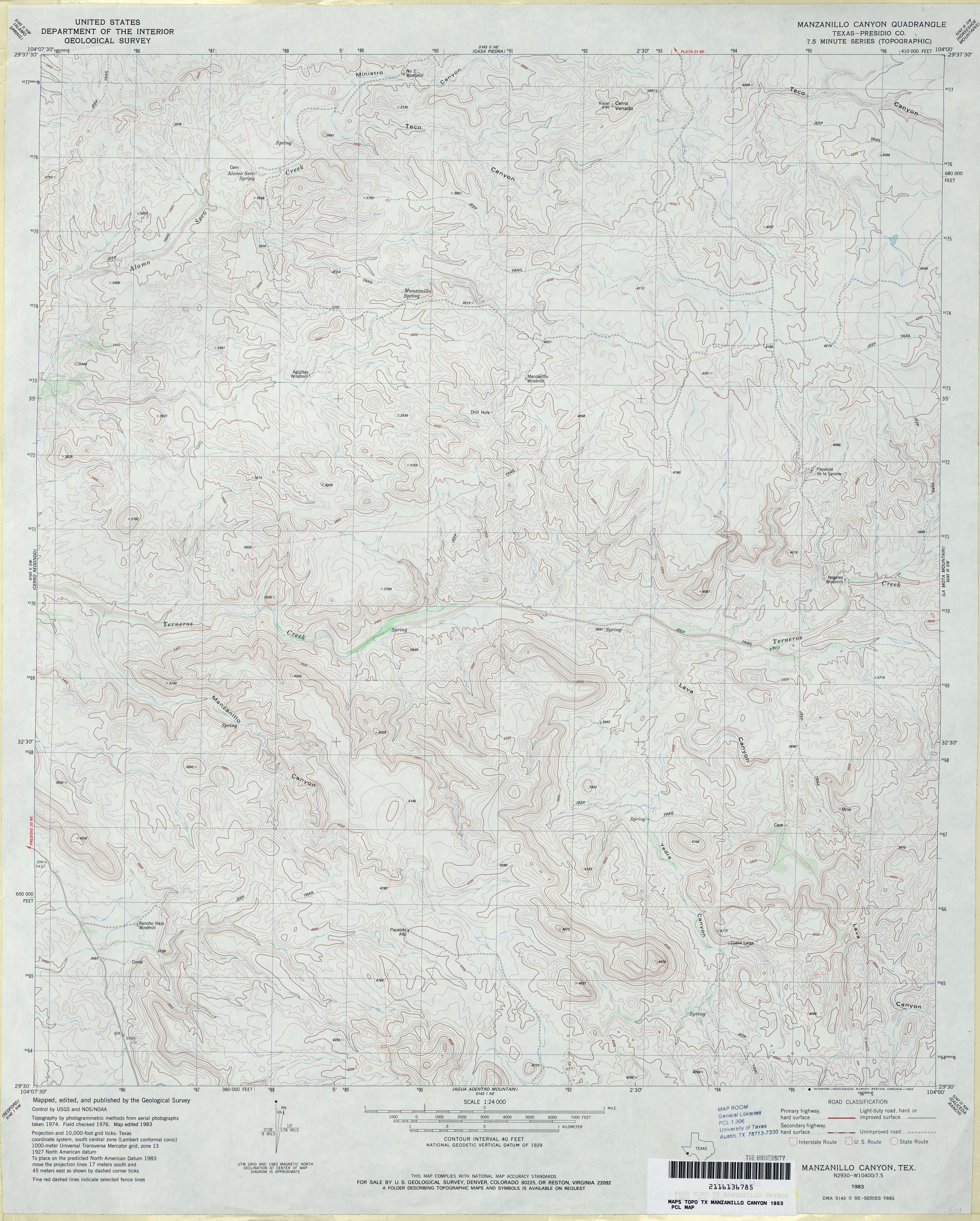
- Manzanillo Canyon (Presidio County) 1:24,000 1983 (4.1MB)
- Manzanillo Canyon 1:24,000 2008 (17.9MB) [GeoPDF]
- Manzanillo Canyon 1:24,000 2012 (22.8MB) [GeoPDF]
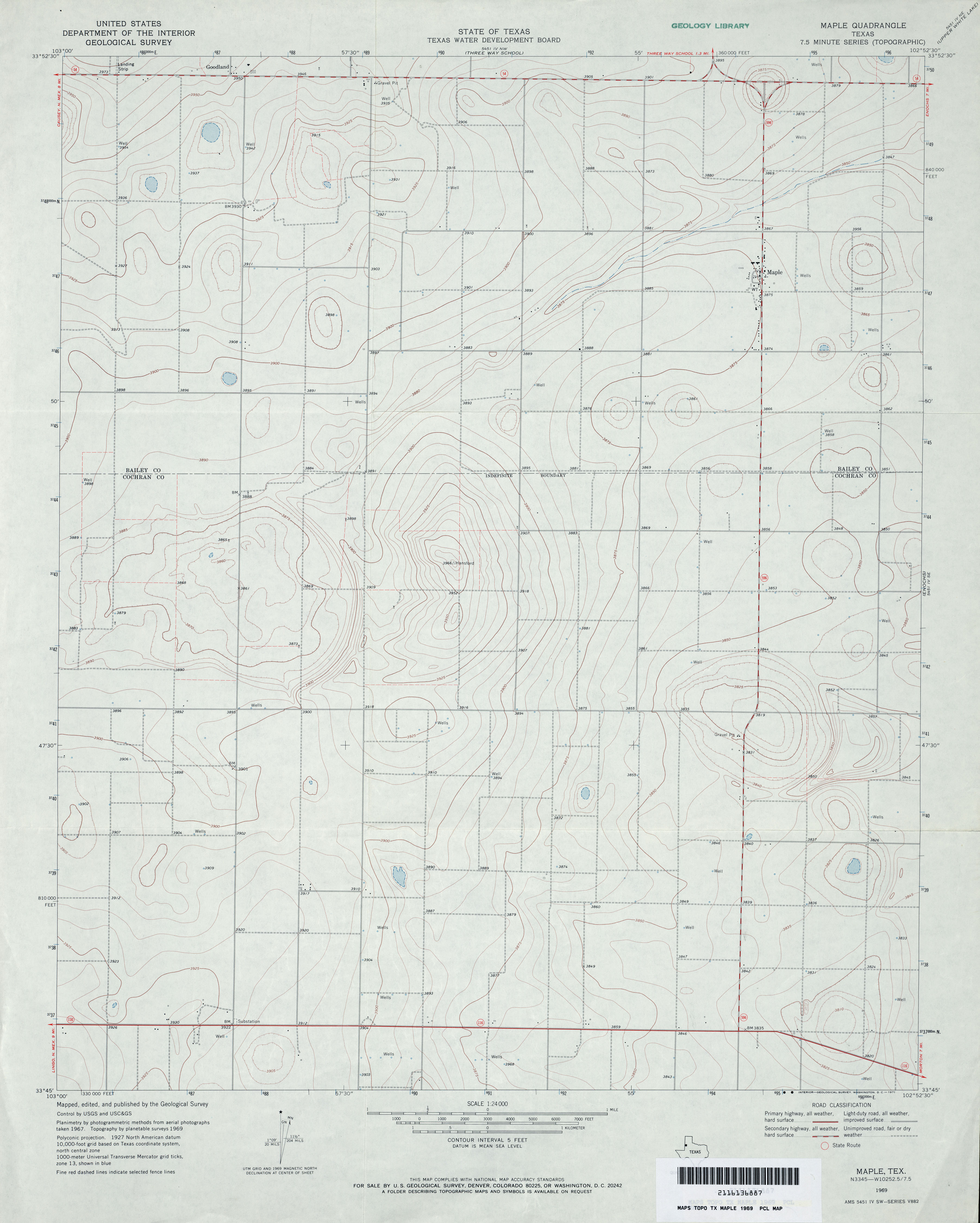
- Maple 1:24,000 1969 (2.5MB)
- Maple 1:24,000 2008 (9.1MB) [GeoPDF]
- Maple 1:24,000 2012 (14.2MB) [GeoPDF]
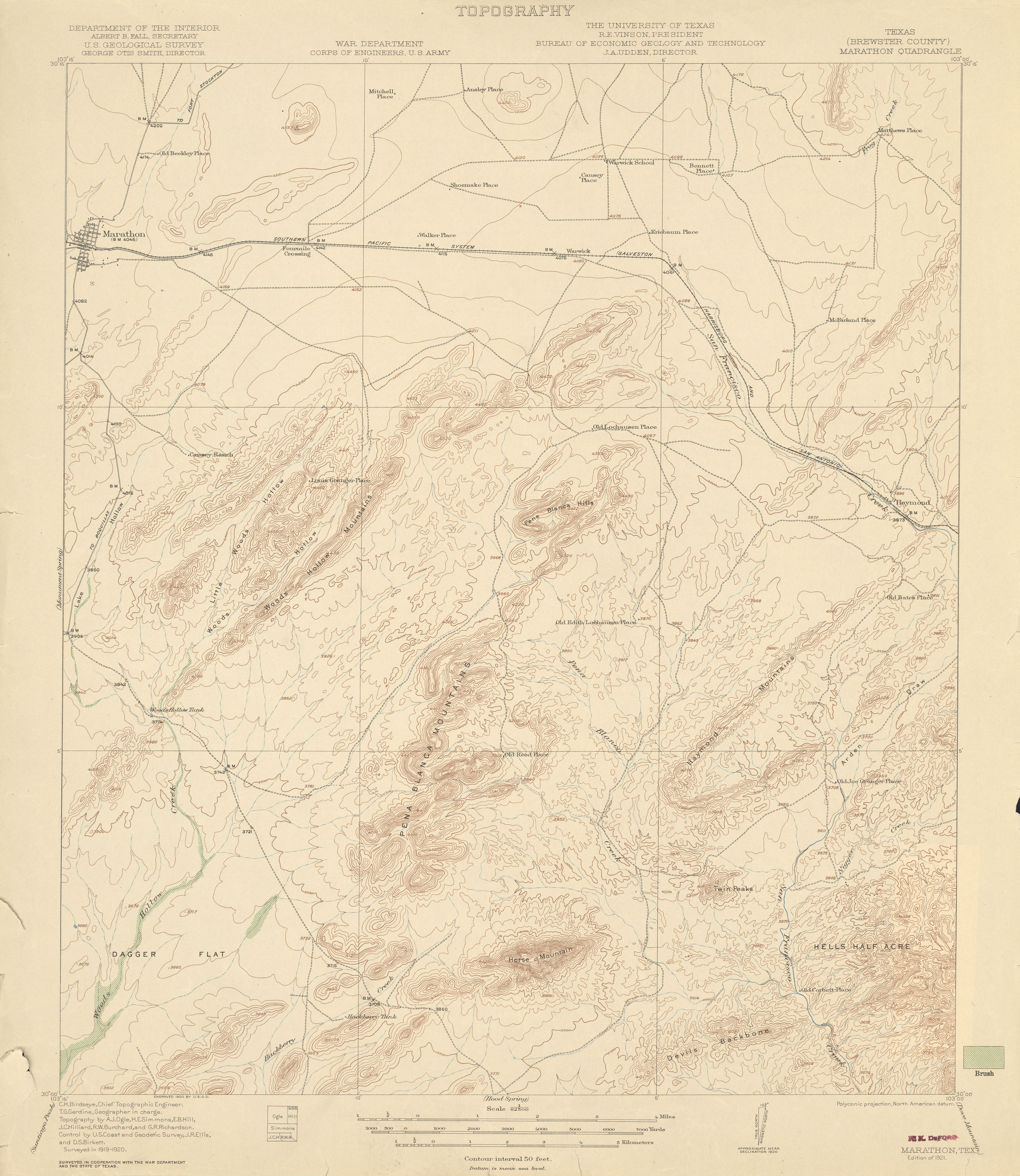
- Marathon (Brewster County)1:62,500 1920 (2.9 MB)
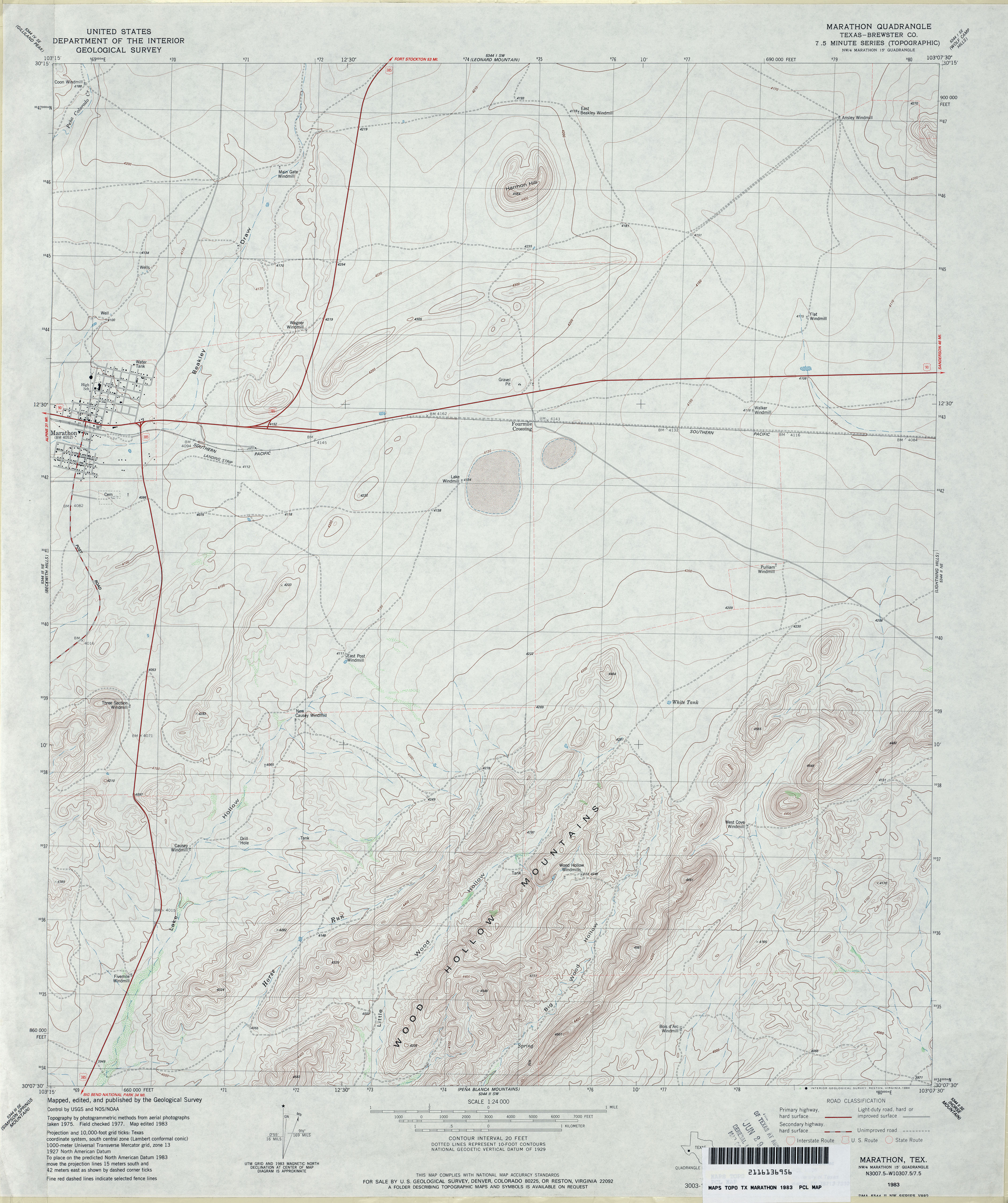
- Marathon (Brewster County) 1:24,000 1983 (3.7MB)
- Marathon 1:24,000 2008 (21.9MB) [GeoPDF]
- Marathon 1:24,000 2012 (25.4MB) [GeoPDF]
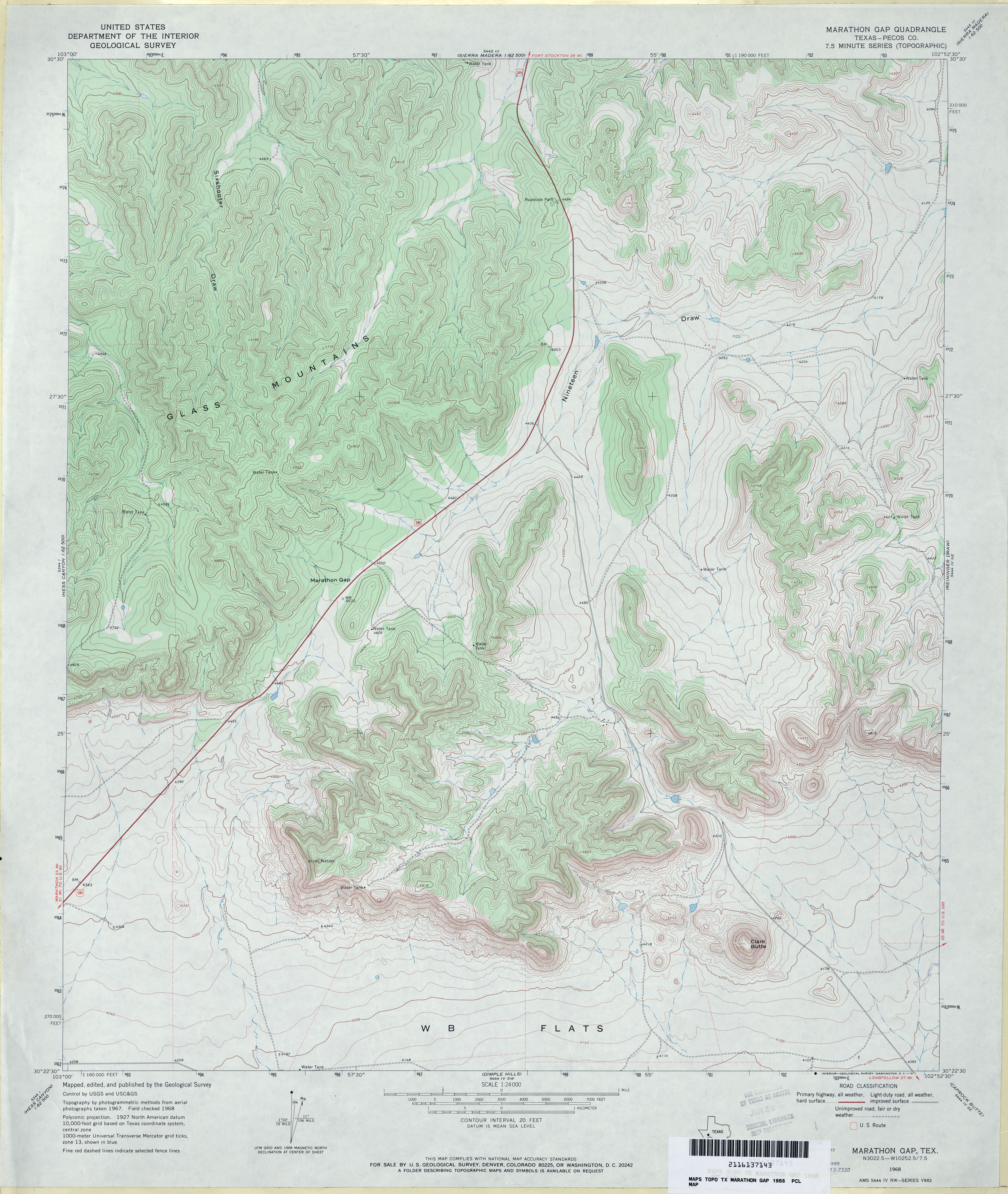
- Marathon Gap (Pecos County) 1:24,000 1968 (4.4MB)
- Marathon Gap 1:24,000 2008 (27.1MB) [GeoPDF]
- Marathon Gap 1:24,000 2012 (31.4MB) [GeoPDF]
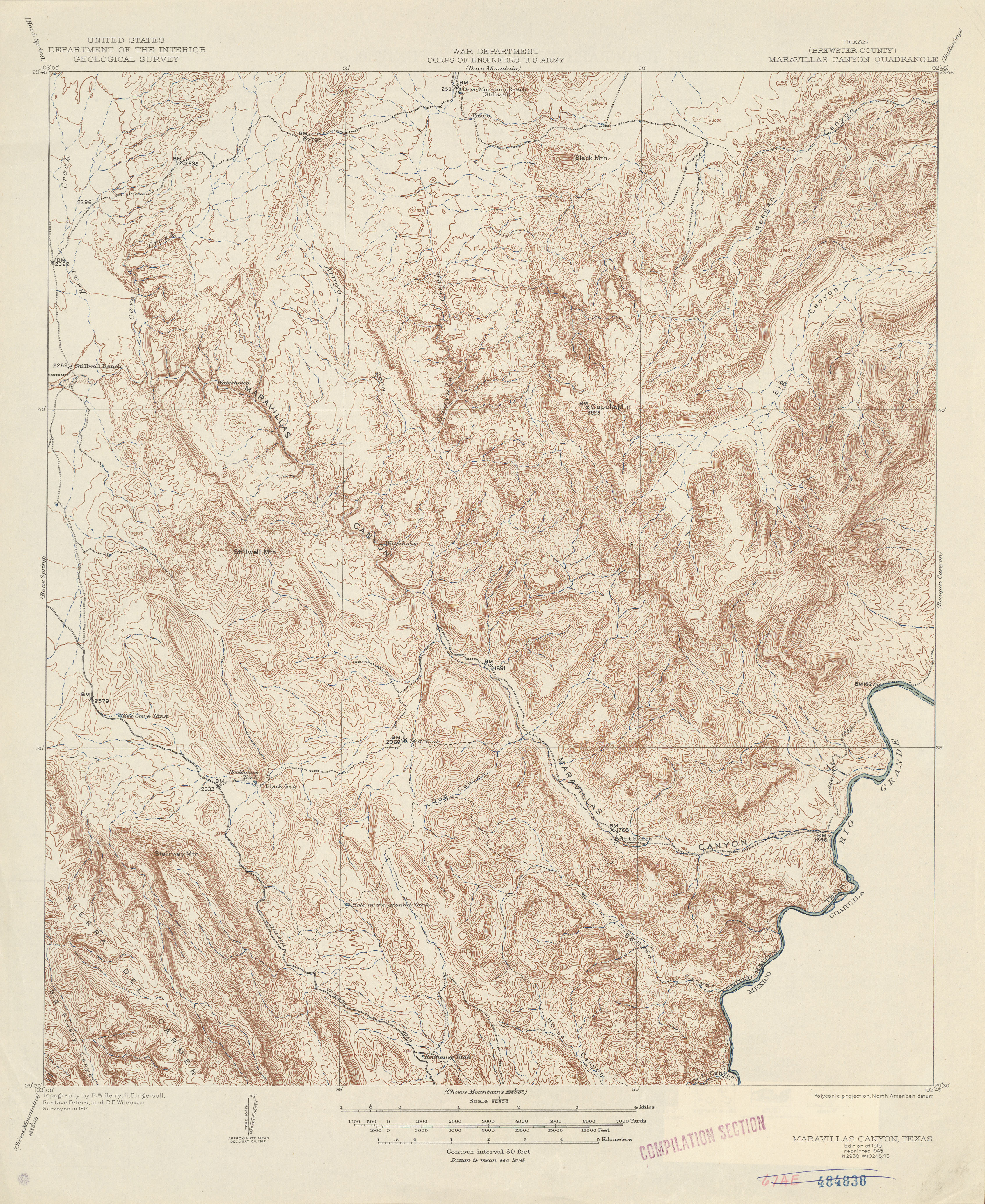
- Maravillas Canyon (Brewster County) 1:62,500 1917 (5.0 MB)
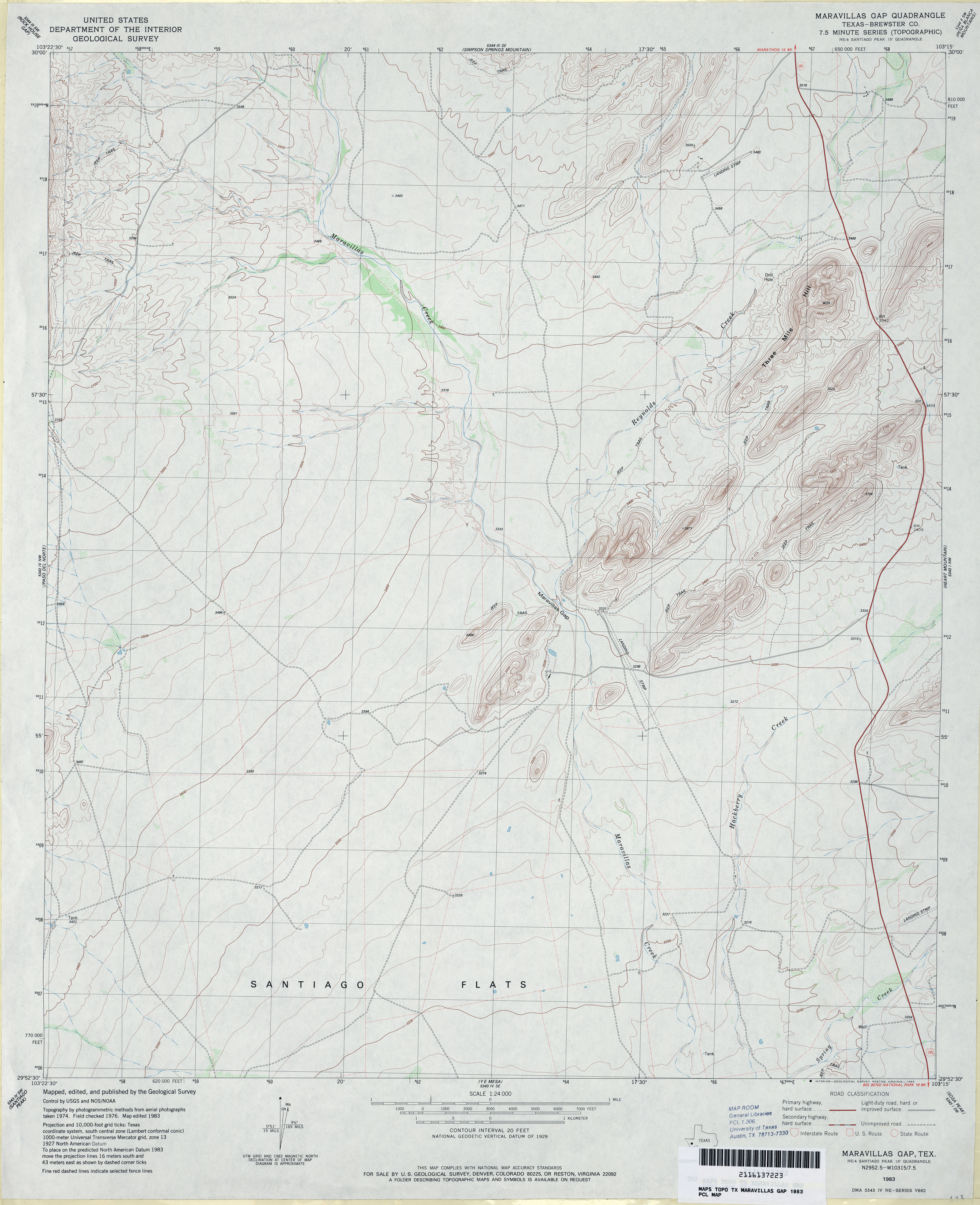
- Maravillas Gap (Brewster County) 1:24,000 1983 (3.3MB)
- Maravillas Gap 1:24,000 2008 (23.8MB) [GeoPDF]
- Maravillas Gap 1:24,000 2012 (26.2MB) [GeoPDF]
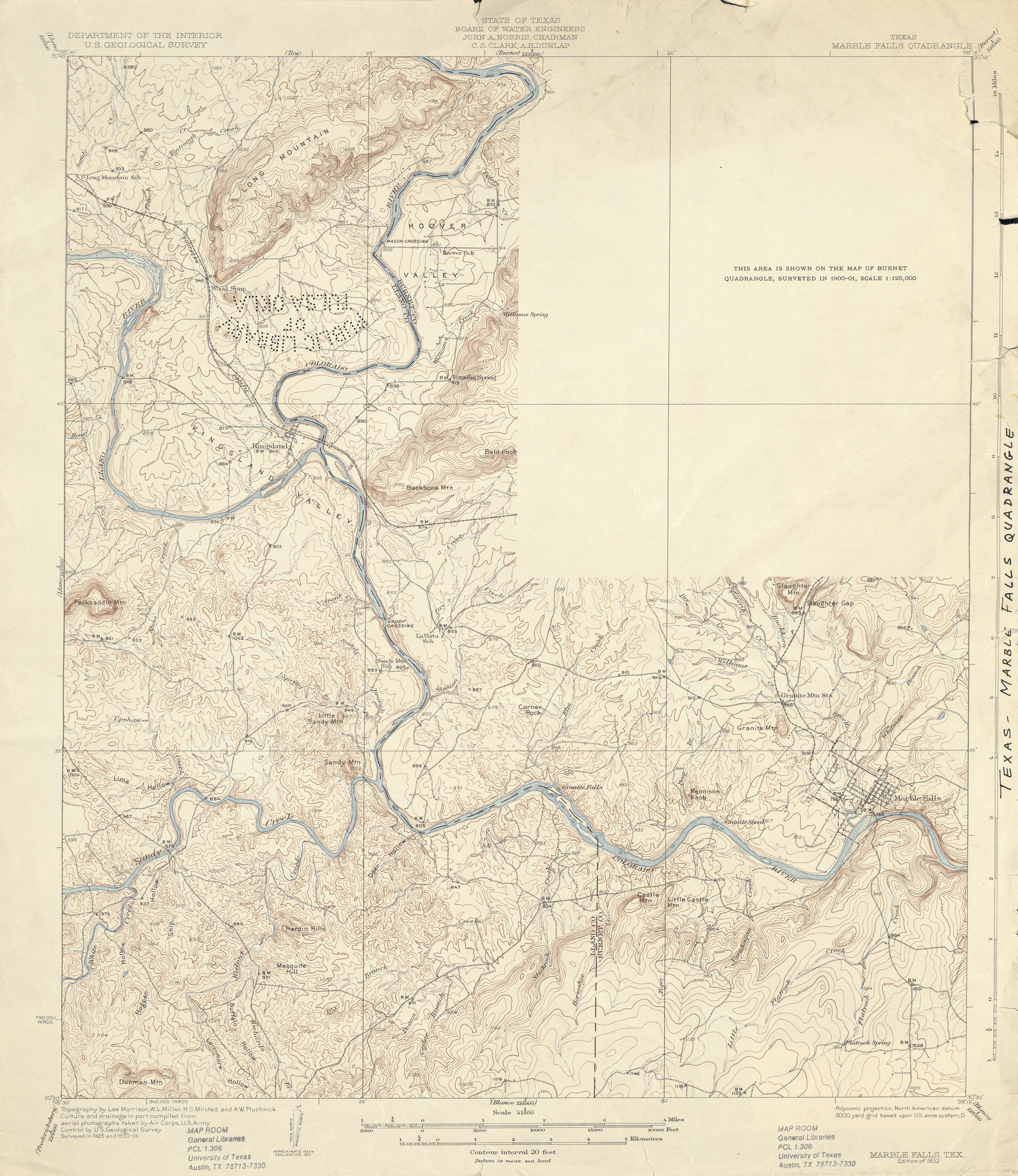
- Marble Falls 1:62,500 1925 (2.6 MB)
- Marble Falls 1:62,500 1931 (3.5 MB)
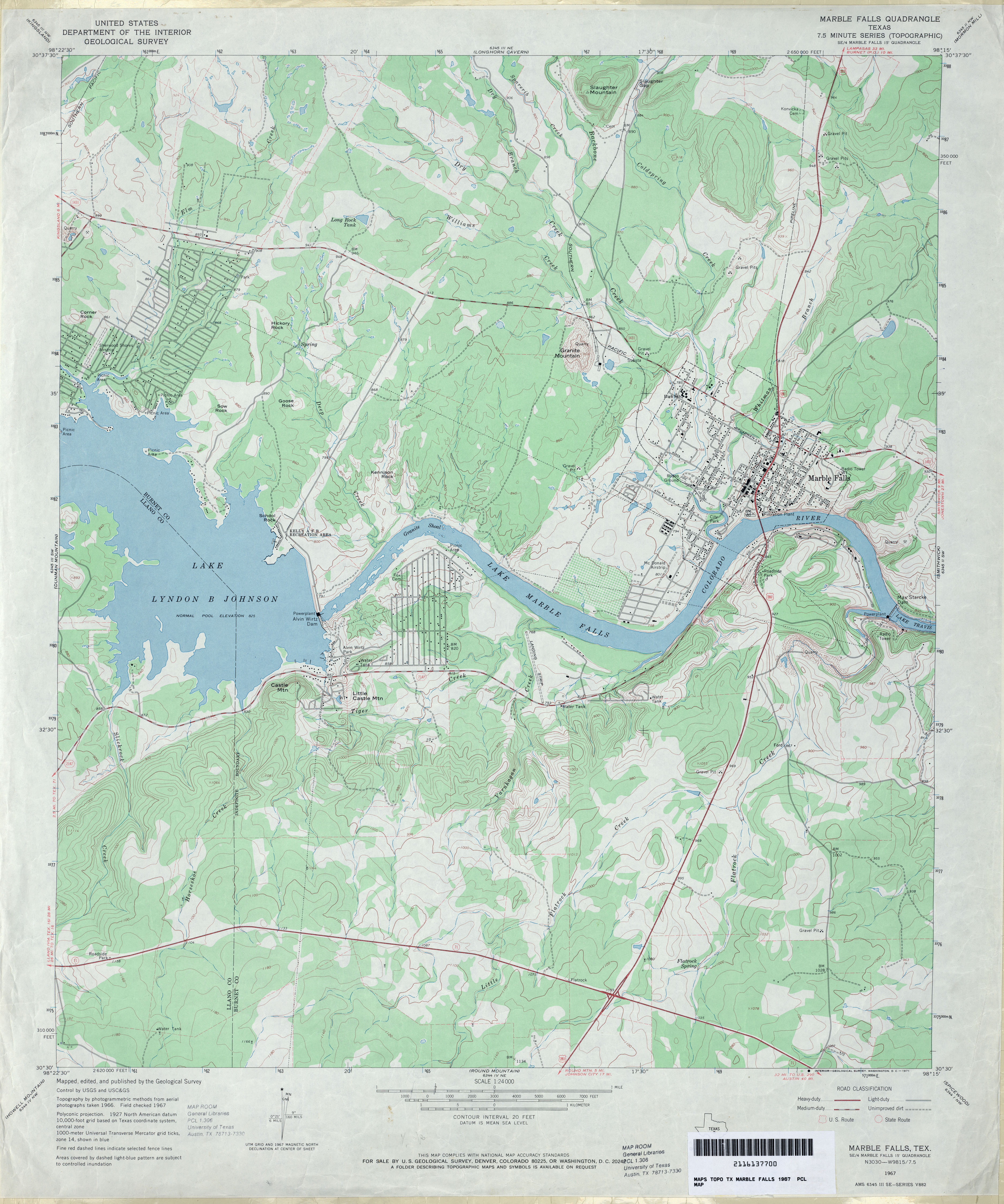
- Marble Falls 1:24,000 1967 (3.7MB)
- Marble Falls 1:24,000 2008 (18.2MB) [GeoPDF]
- Marble Falls 1:24,000 2012 (26.7MB) [GeoPDF]
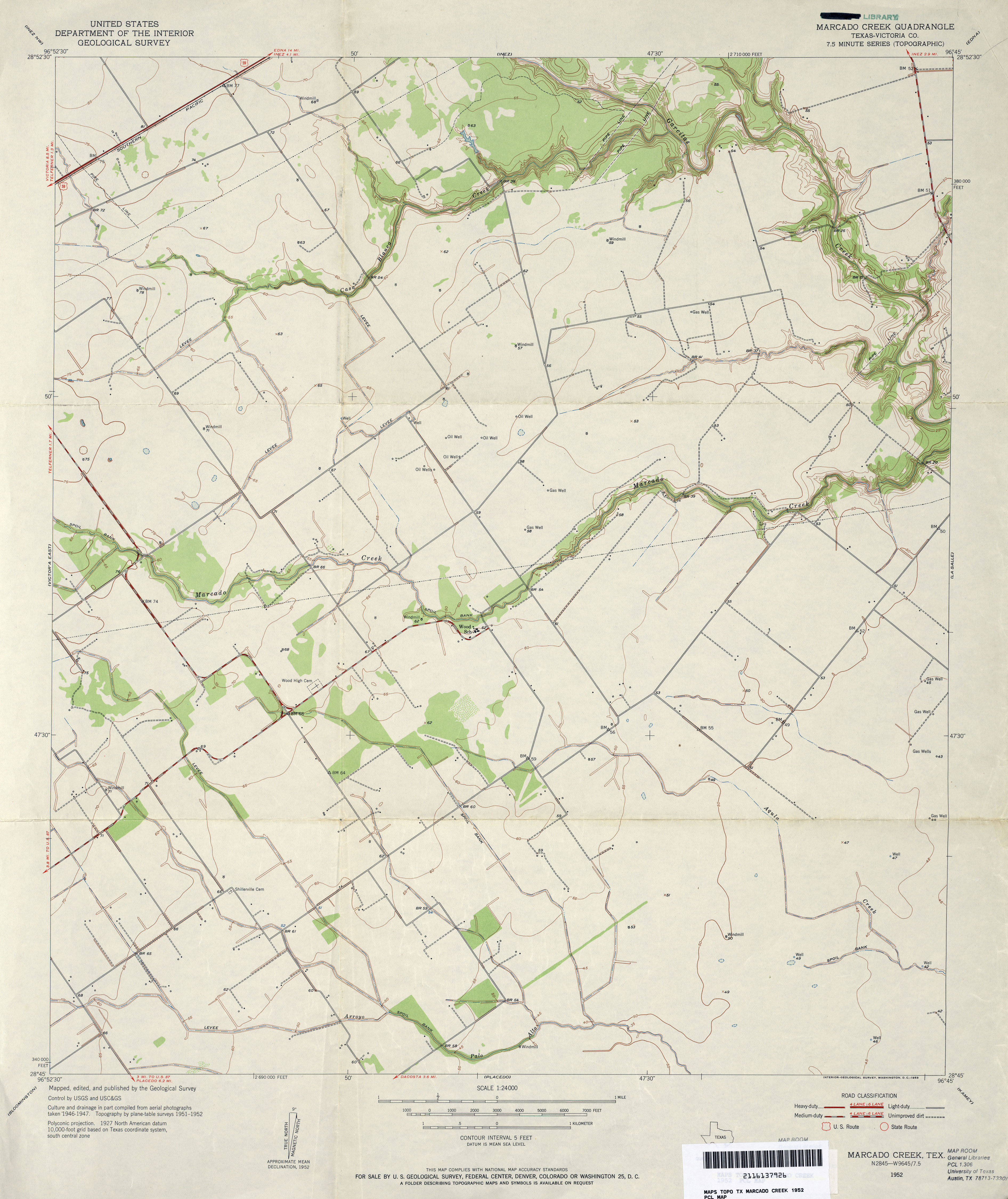
- Marcado Creek (Victoria County) 1:24,000 1952 (3MB)
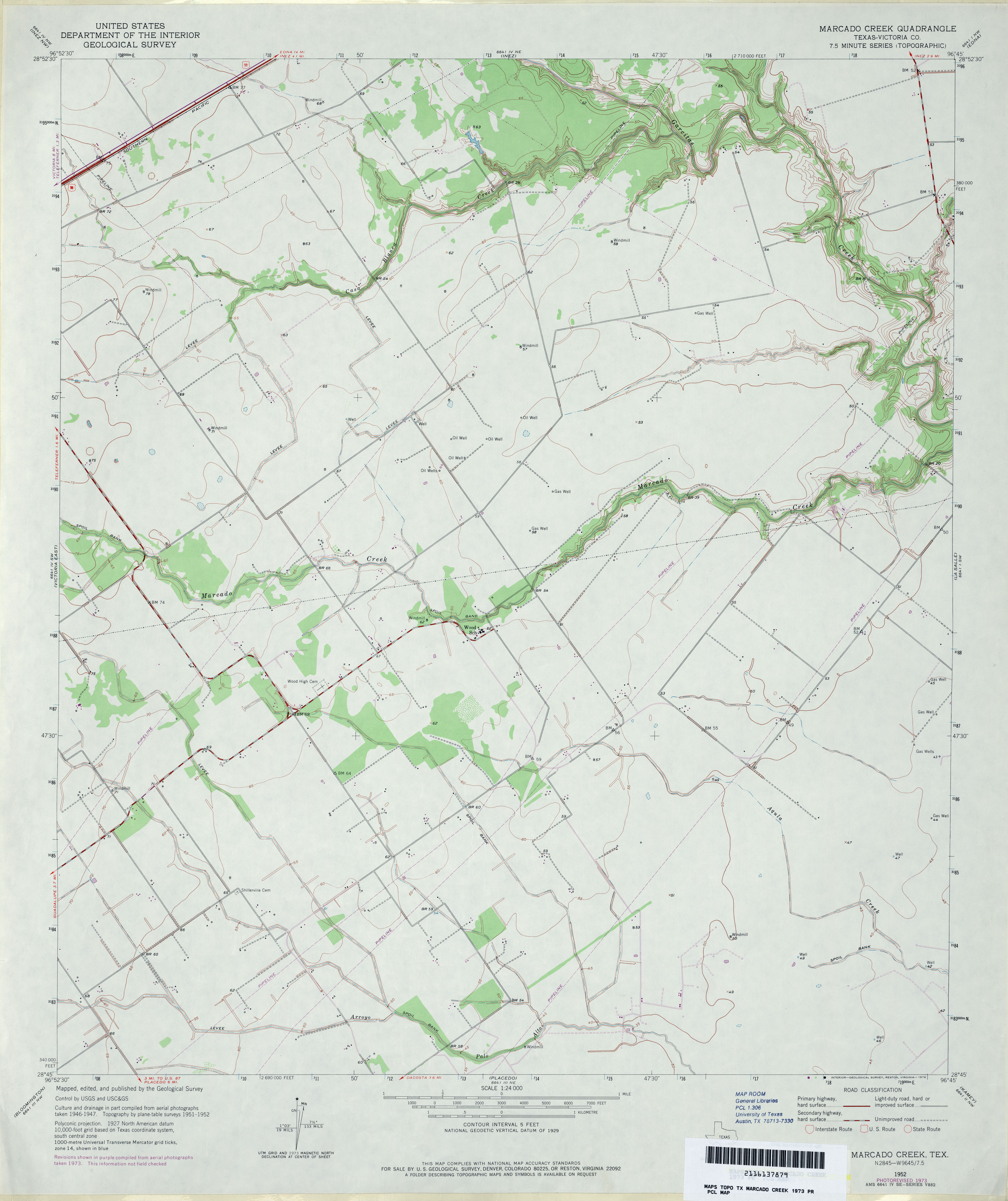
- Marcado Creek (Victoria County) 1:24,000 1973 (2.8MB)
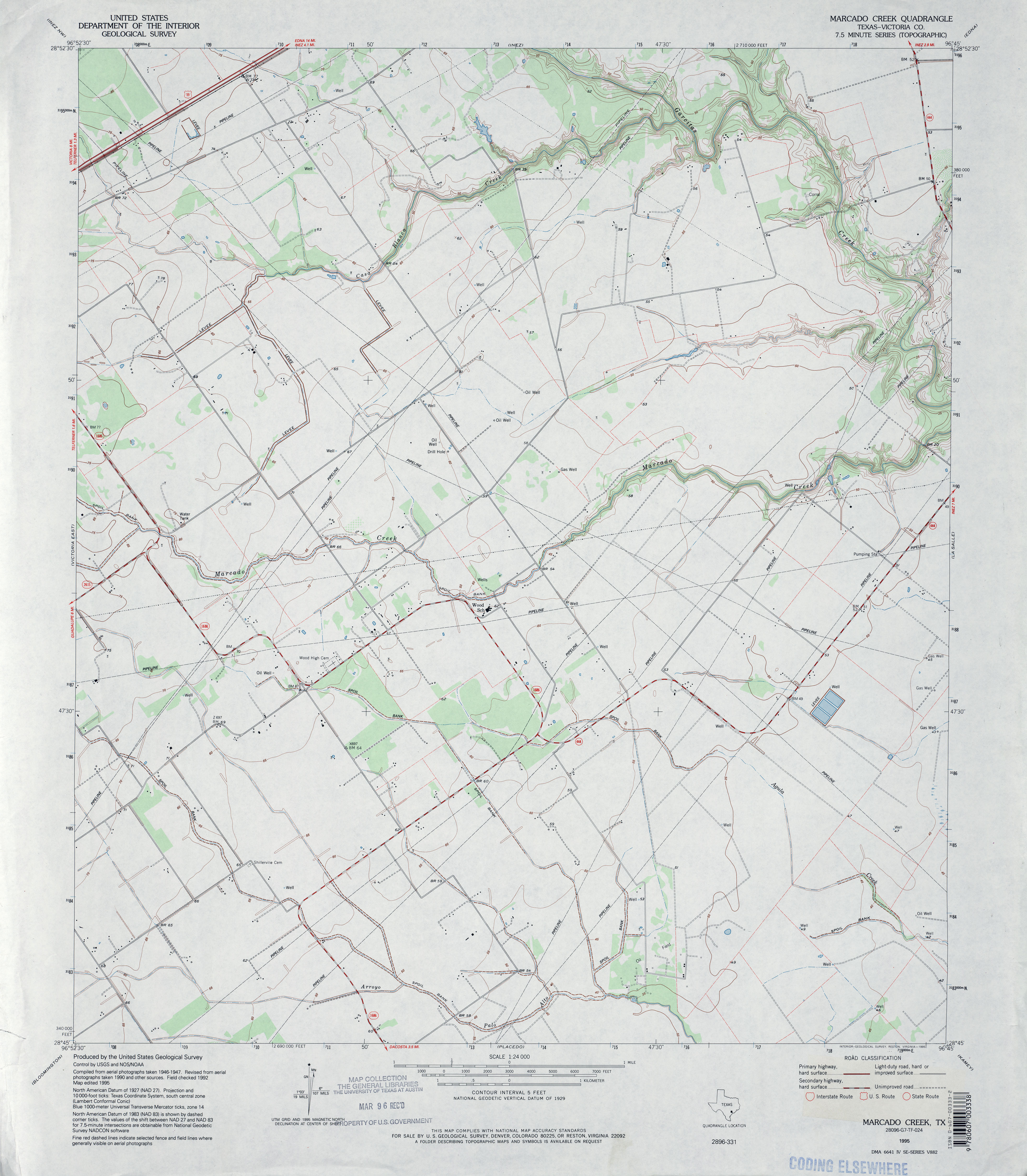
- Marcado Creek (Victoria County) 1:24,000 1995 (3.3MB)
- Marcado Creek 1:24,000 2008 (10.3MB) [GeoPDF]
- Marcado Creek 1:24,000 2013 (17.9MB) [GeoPDF]
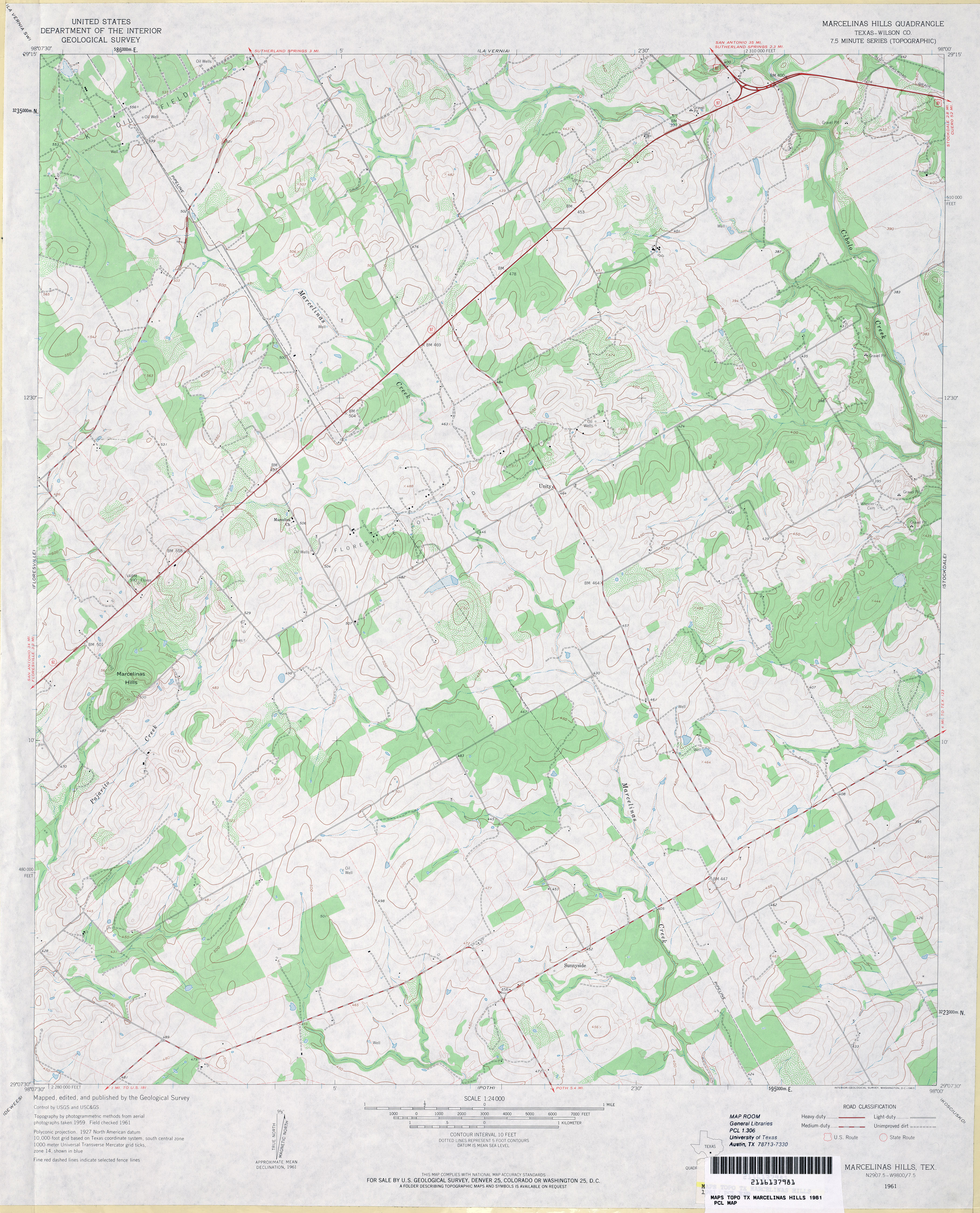
- Marcelinas Hills (Wilson County) 1:24,000 1961 (3.8MB)
- Marcelinas Hills 1:24,000 2008 (12.3MB) [GeoPDF]
- Marcelinas Hills 1:24,000 2013 (21MB) [GeoPDF]
- Marfa 1:125,000 1893 (3.6 MB)
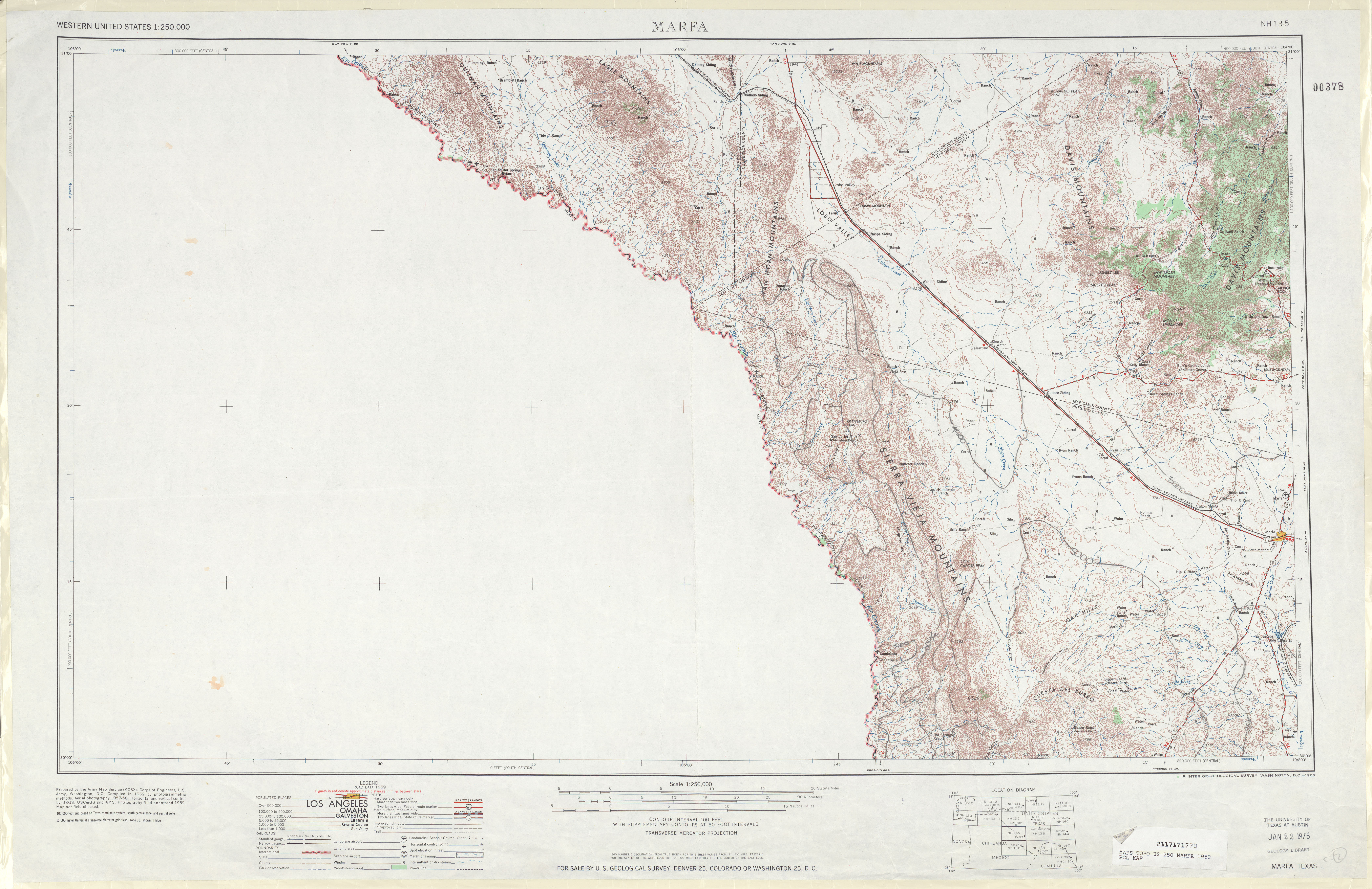
- Marfa 1:250,000 1959 (5.9MB)
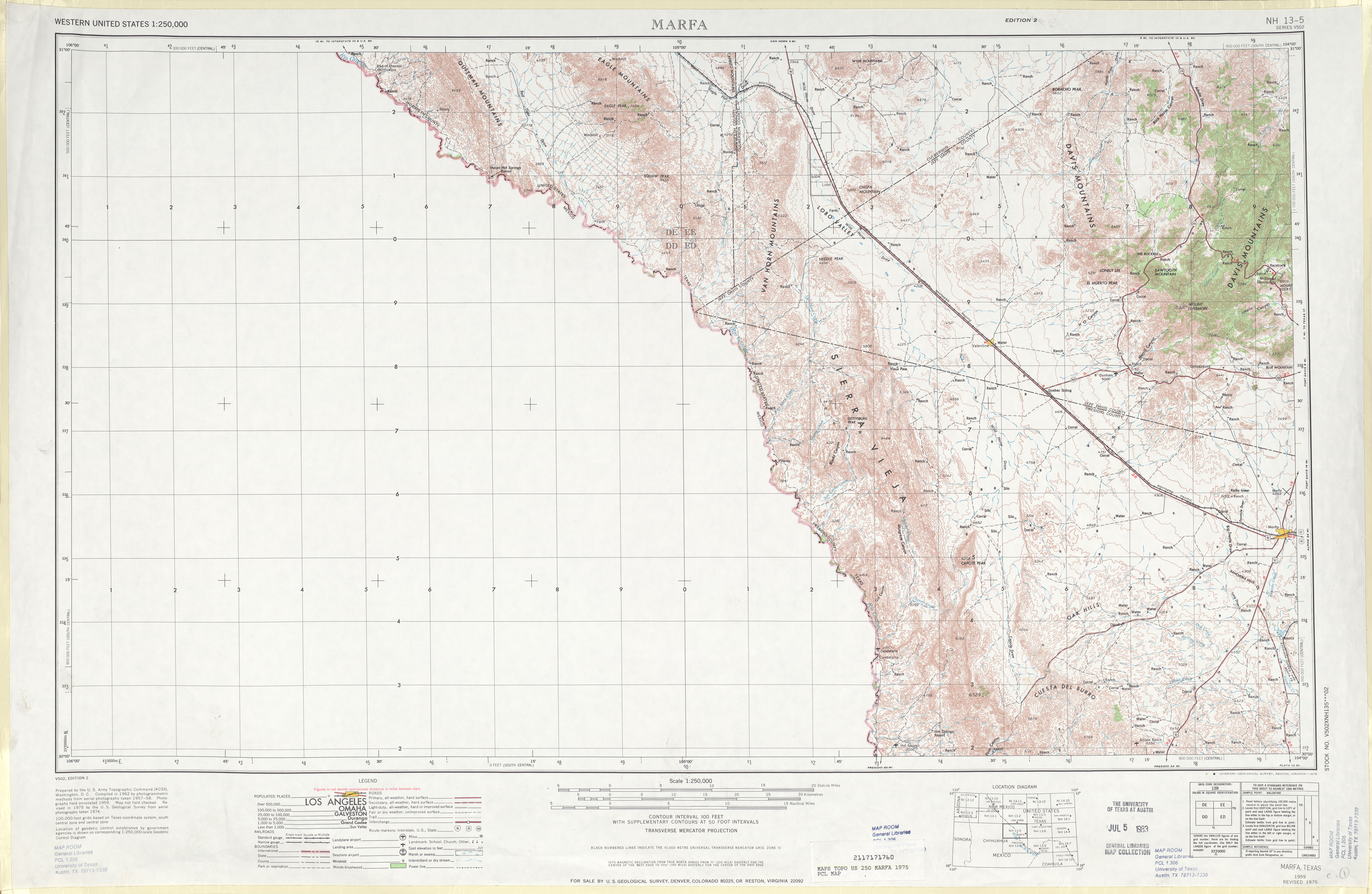
- Marfa 1:250,000 1975 (5.9MB)
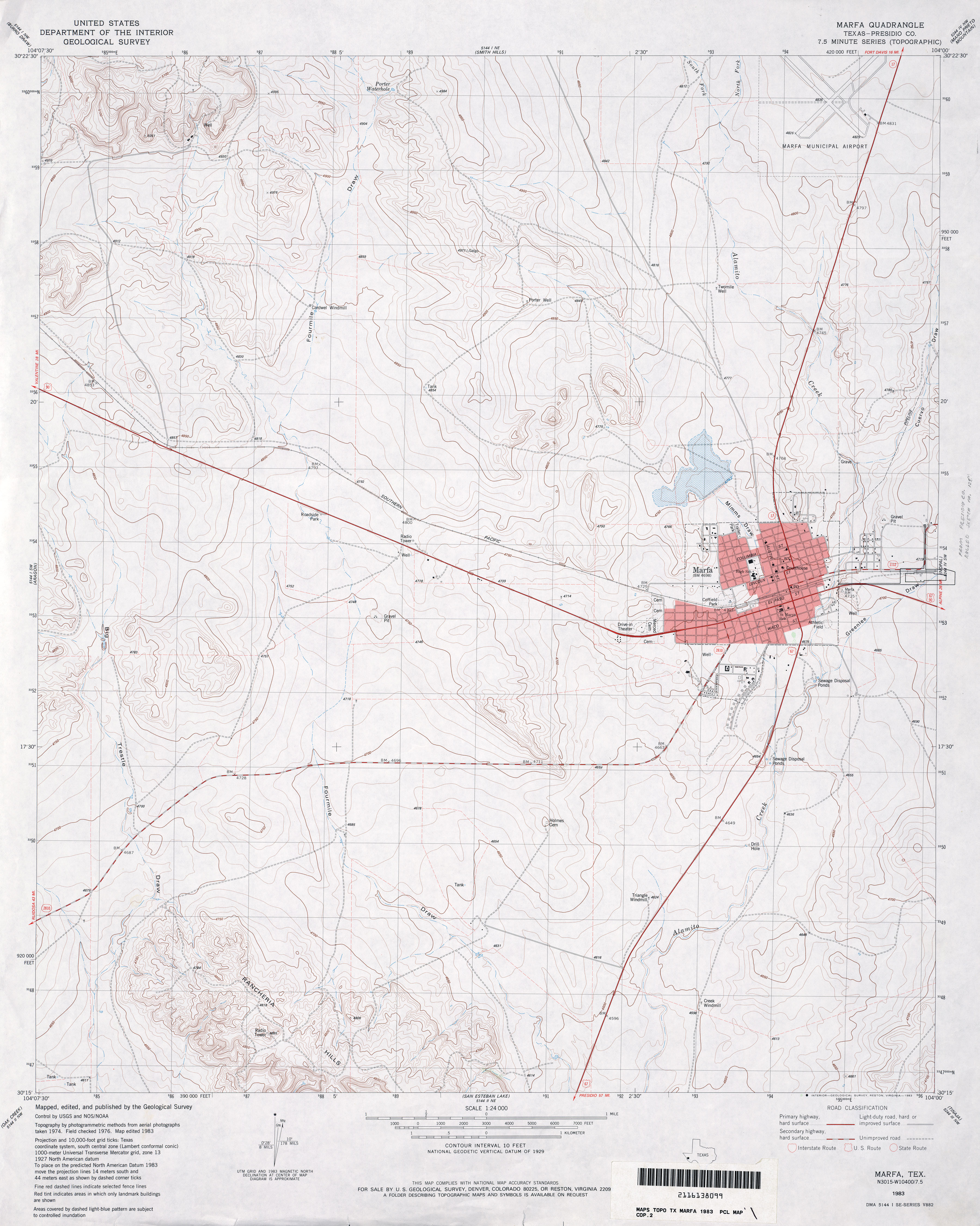
- Marfa (Presidio County) 1:24,000 1983 (3.4MB)
- Marfa 1:24,000 2008 (11.6MB) [GeoPDF]
- Marfa 1:24,000 2012 (18.9MB) [GeoPDF]
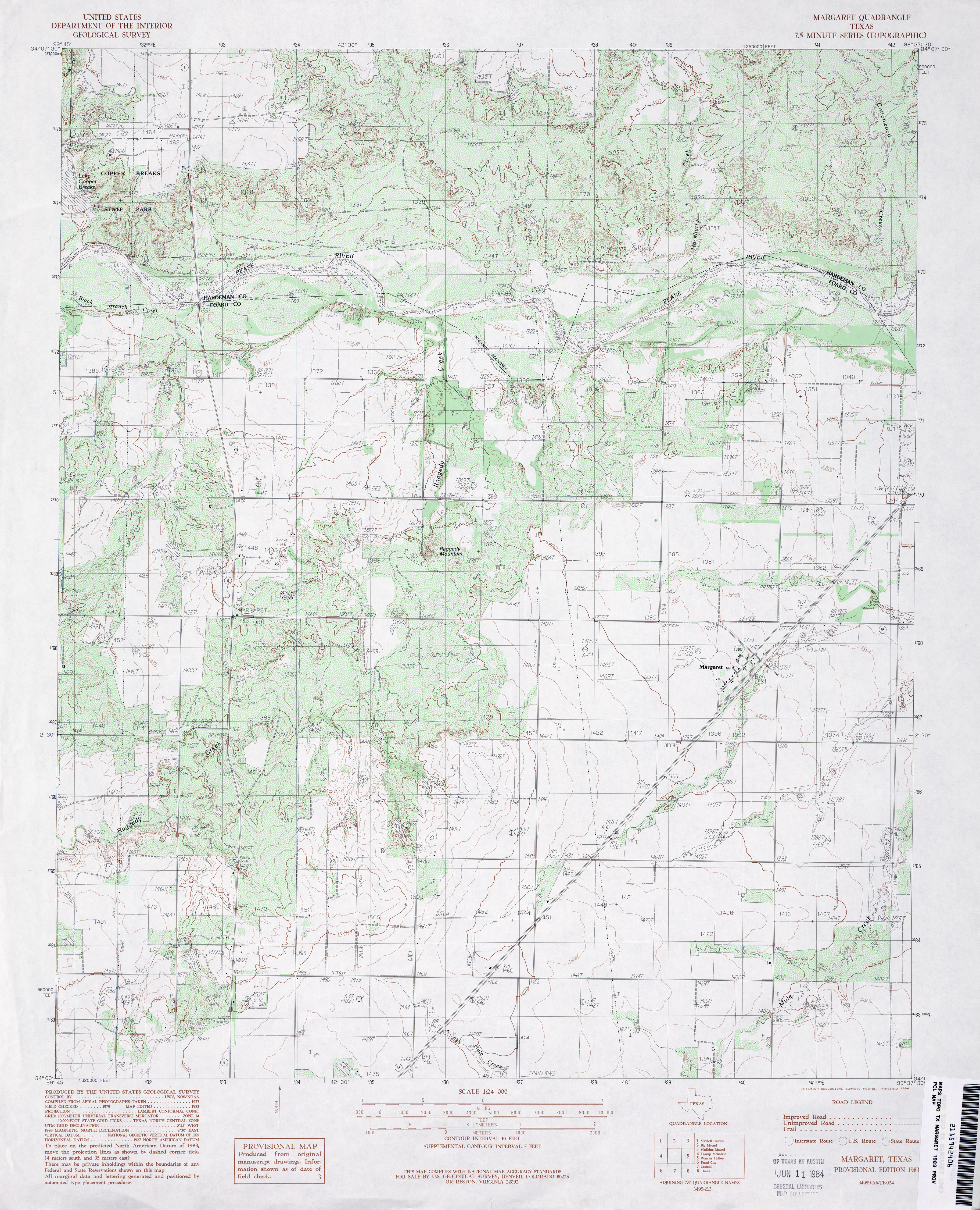
- Margaret 1:24,000 1983 (4.3MB)
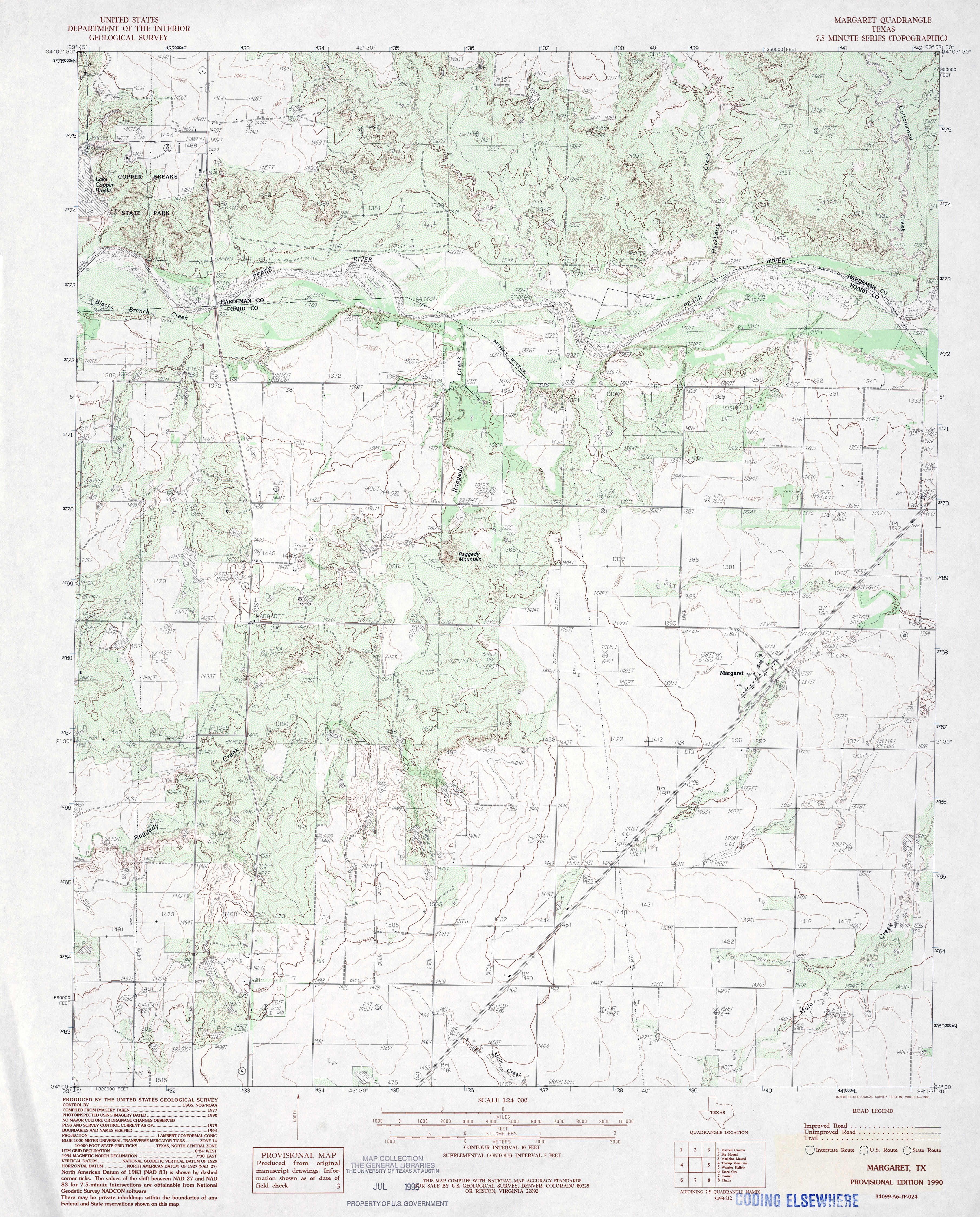
- Margaret 1:24,000 1990 (4.4MB)
- Margaret 1:24,000 2008 (13.1MB) [GeoPDF]
- Margaret 1:24,000 2012 (20.2MB) [GeoPDF]
- Margie (Leon County) 1:24,000 1964 (4.4MB)
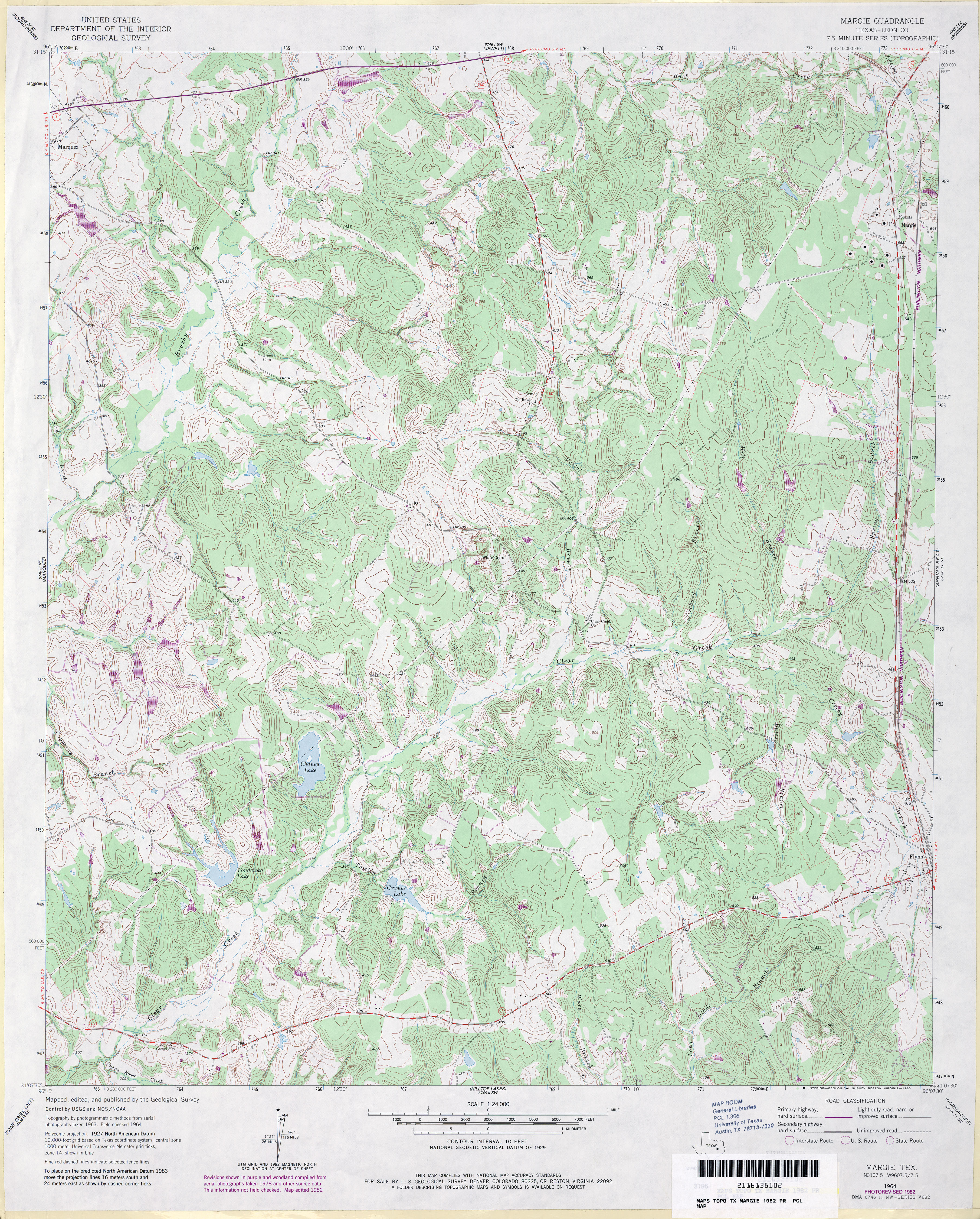
- Margie (Leon County) 1:24,000 1982 (5.1MB)
- Margie 1:24,000 2009 (20.5MB) [GeoPDF]
- Margie 1:24,000 2013 (25.3MB) [GeoPDF]
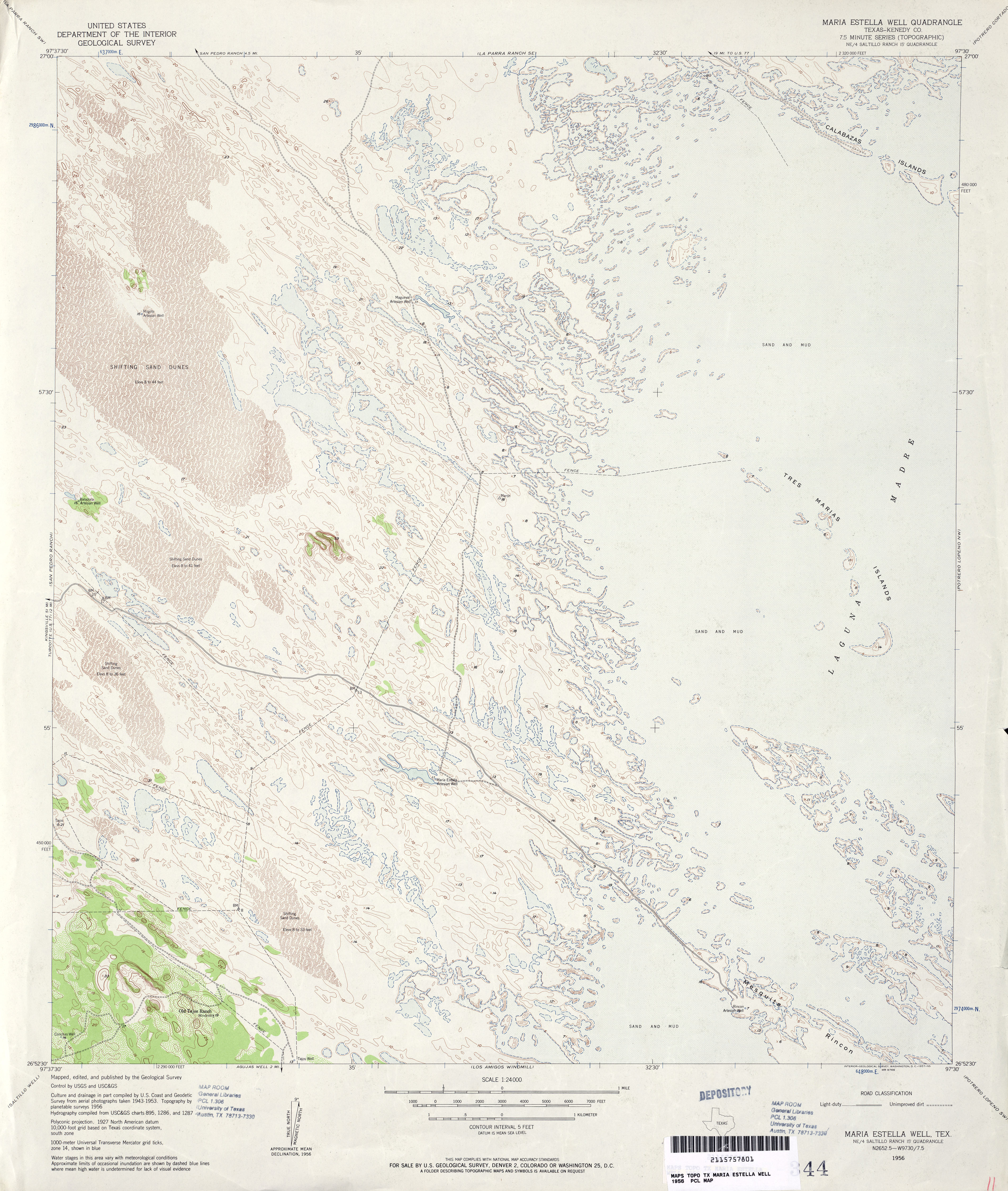
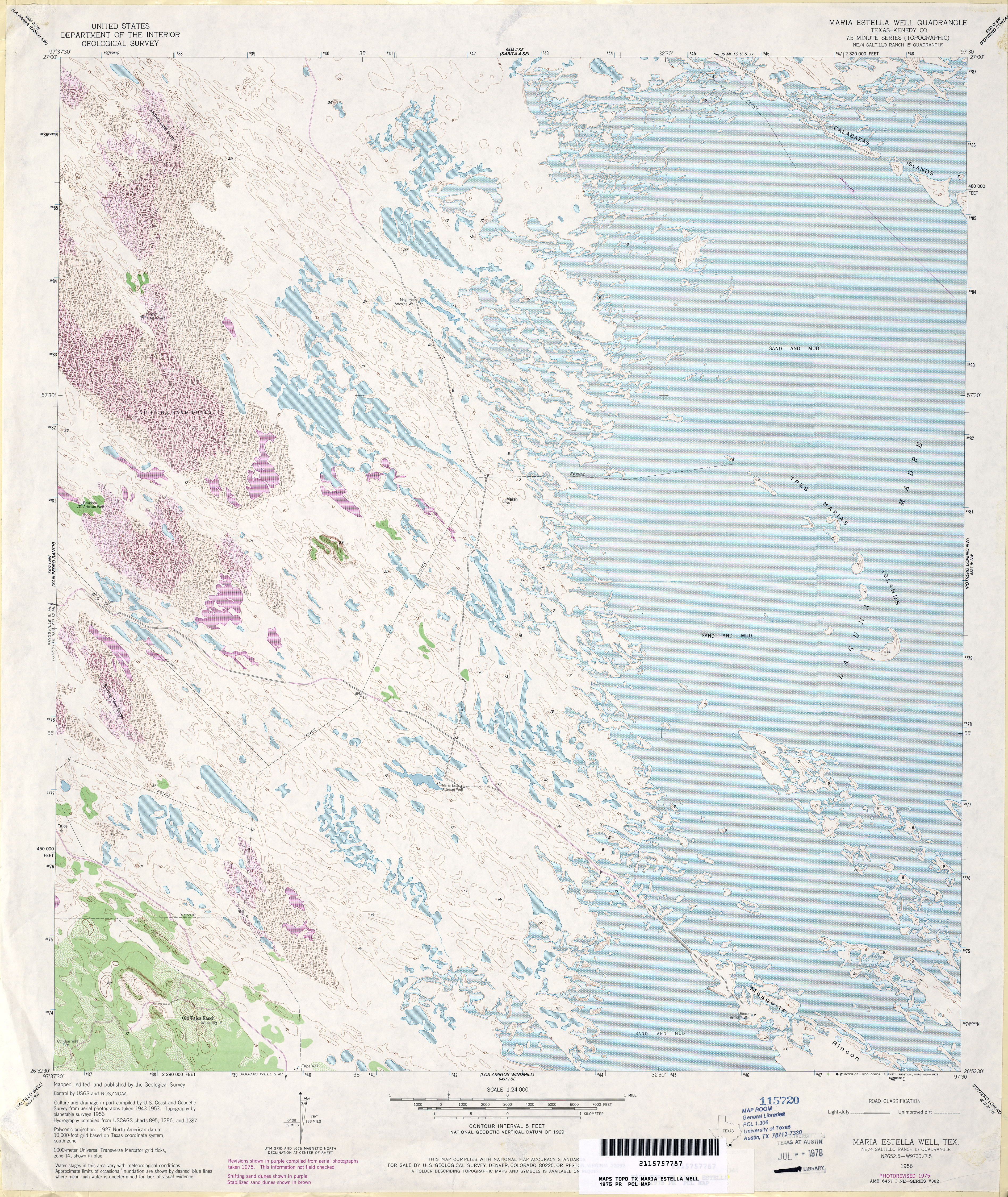
- Maria Estella Well (Kenedy County) 1:24,000 1956 (4.3MB)
- Maria Estella Well (Kenedy County) 1:24,000 1975 (5.9MB)
- Maria Estella Well 1:24,000 2009 (27.3MB) [GeoPDF]
- Maria Estella Well 1:24,000 2013 (19.5MB) [GeoPDF]
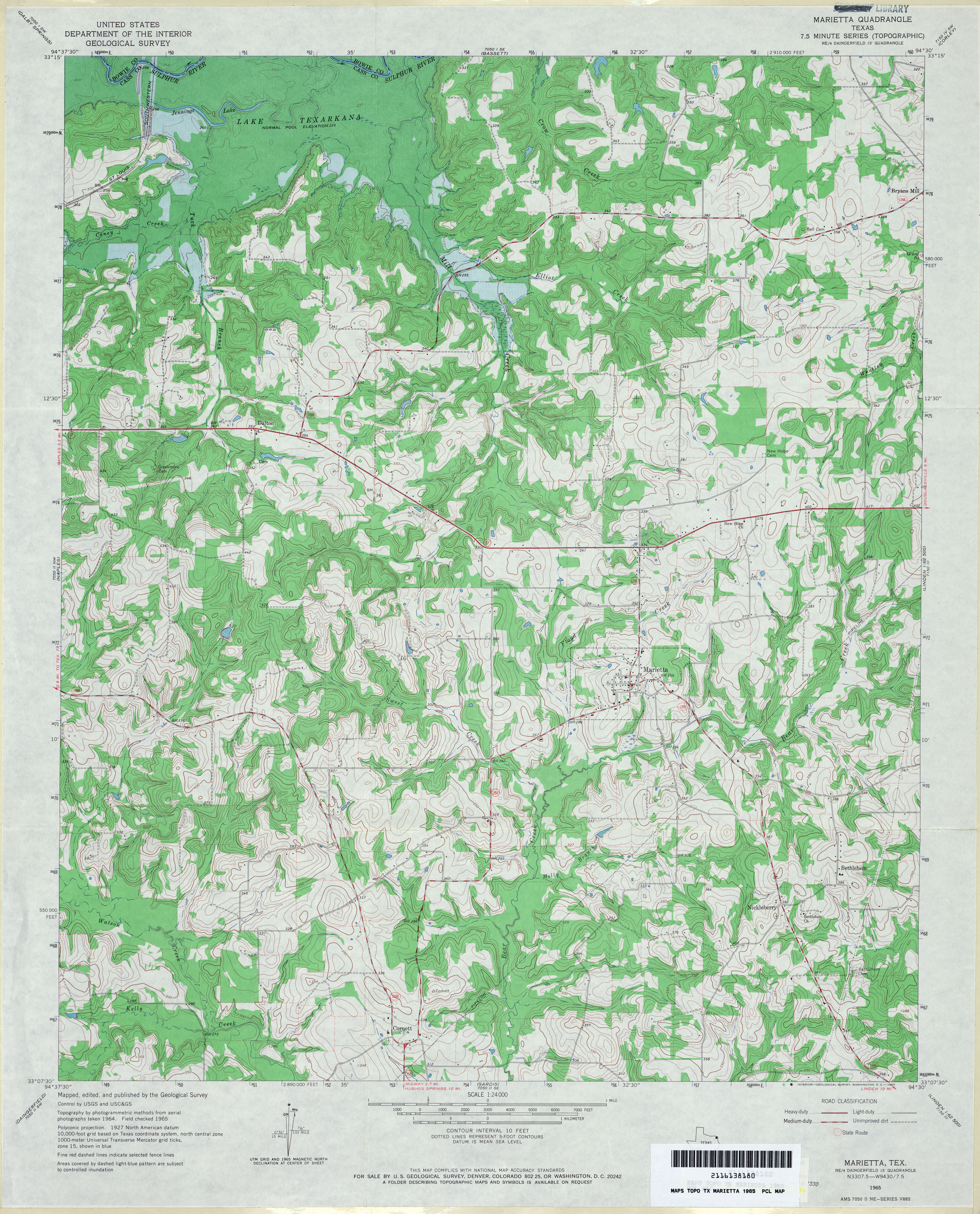
- Marietta 1:24,000 1965 (4.7MB)
- Marietta 1:24,000 1976 (4.9MB)
- Marietta 1:24,000 2009 (17.4MB) [GeoPDF]
- Marietta 1:24,000 2013 (23MB) [GeoPDF]
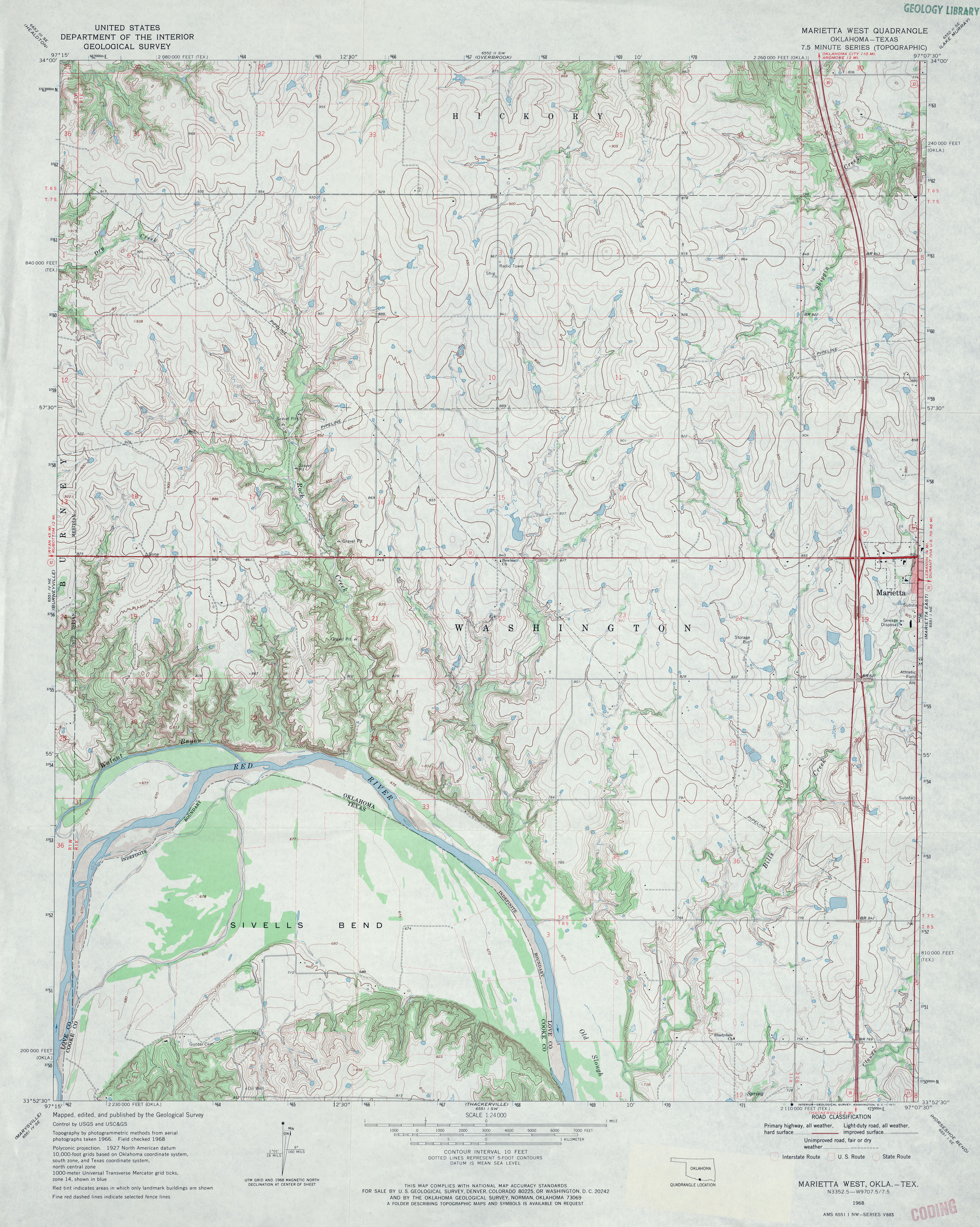
- Marietta West 1:24,000 1968 (4.2MB)
- Marietta West 1:24,000 2008 (14.1MB) [GeoPDF]
- Marietta West 1:24,000 2013 (18.5MB) [GeoPDF]
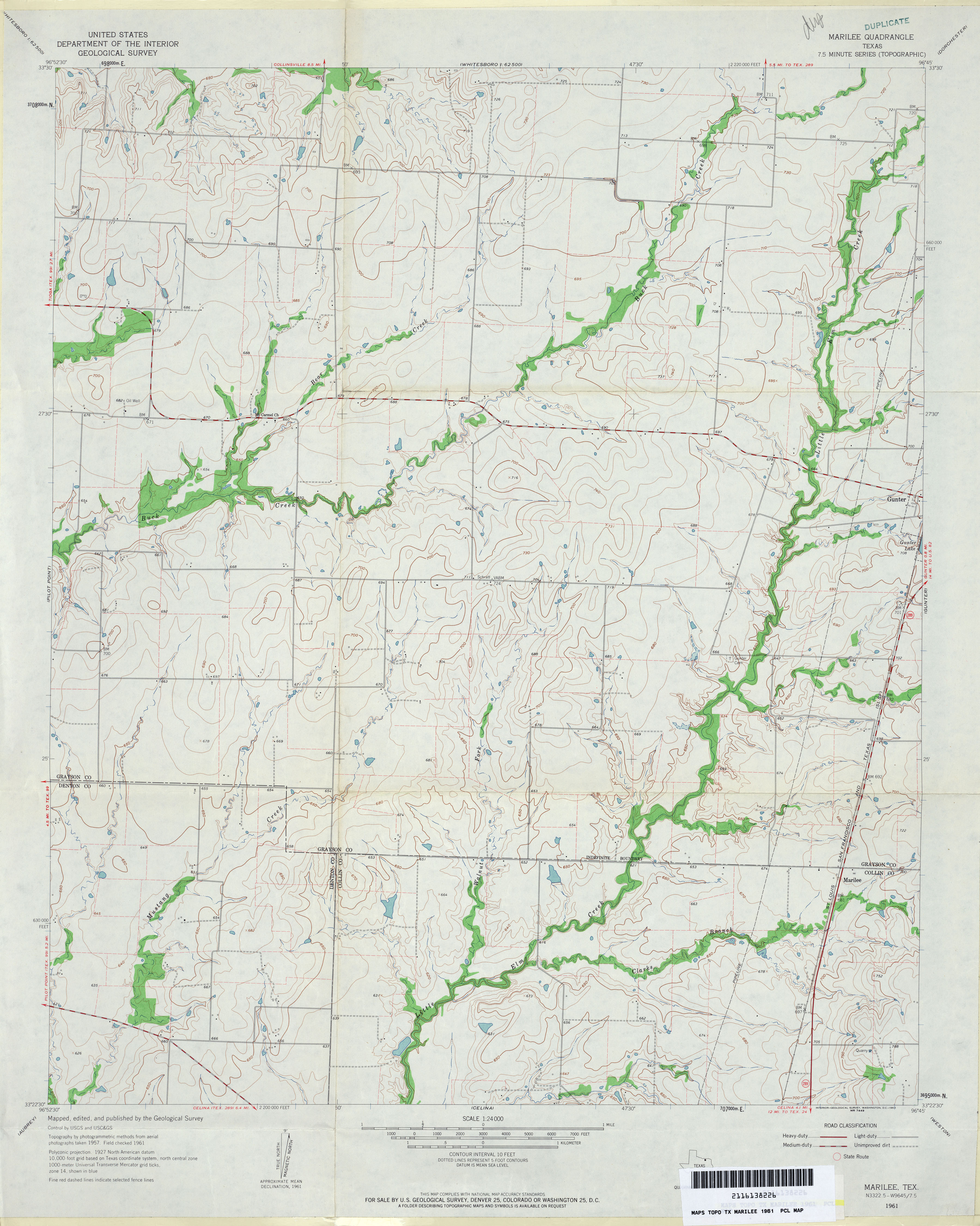
- Marilee 1:24,000 1961 (3.3MB)
- Marilee 1:24,000 2008 (10.8MB) [GeoPDF]
- Marilee 1:24,000 2013 (16.5MB) [GeoPDF]
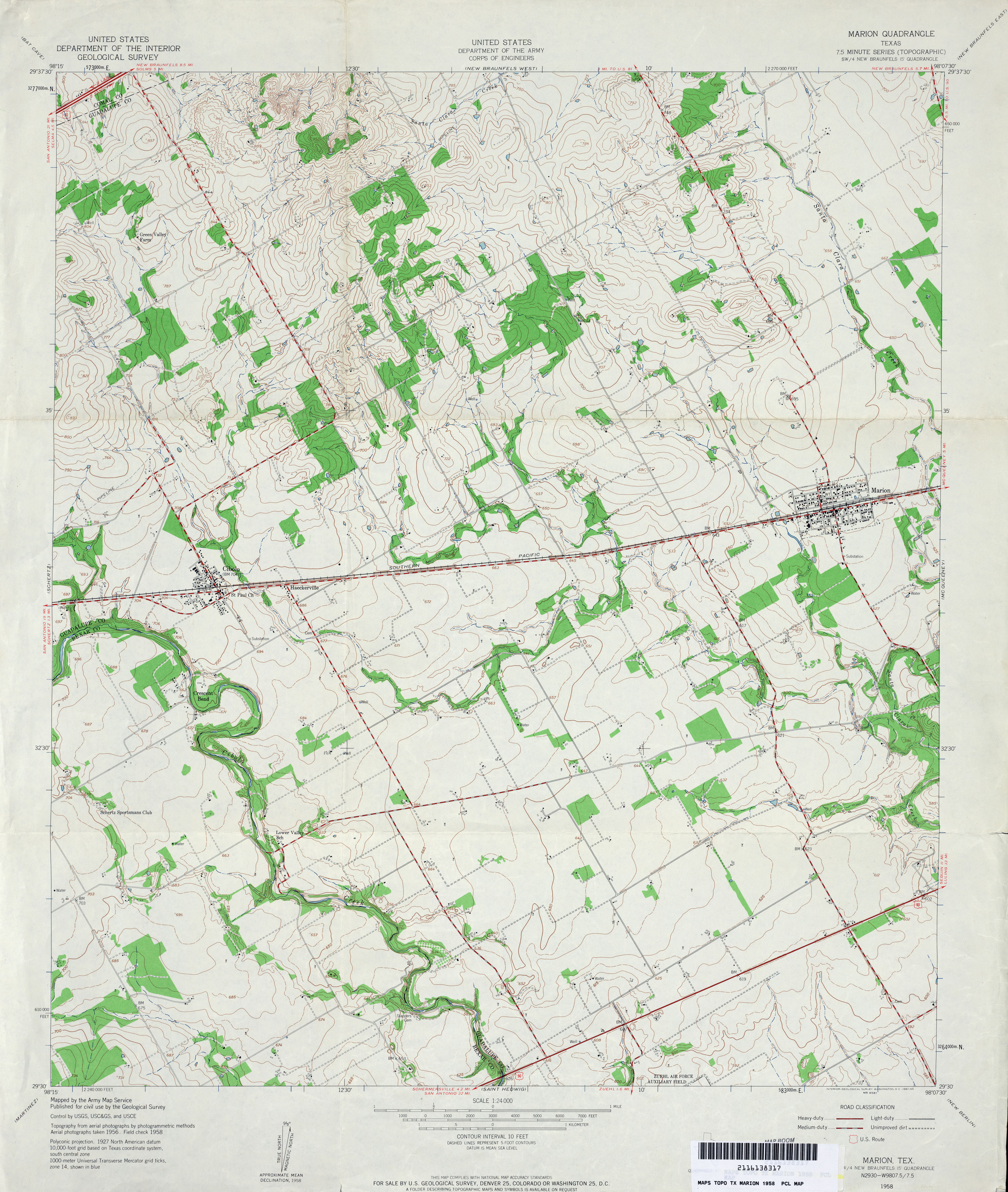
- Marion 1:24,000 1958 (3.9MB)
- Marion 1:24,000 1973 (4.3MB)
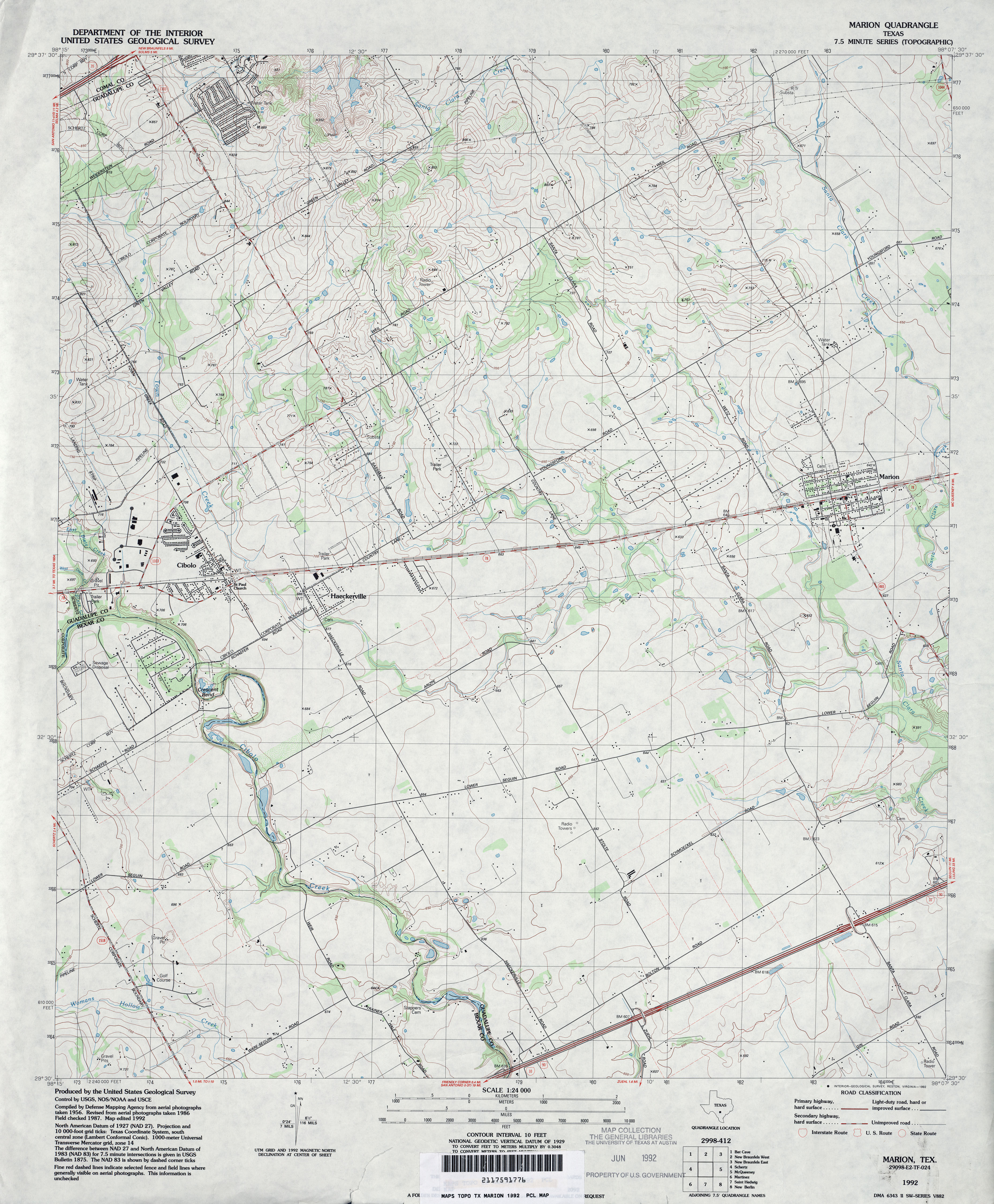
- Marion 1:24,000 1992 (4MB)
- Marion 1:24,000 2008 (12.7MB) [GeoPDF]
- Marion 1:24,000 2013 (20.8MB) [GeoPDF]
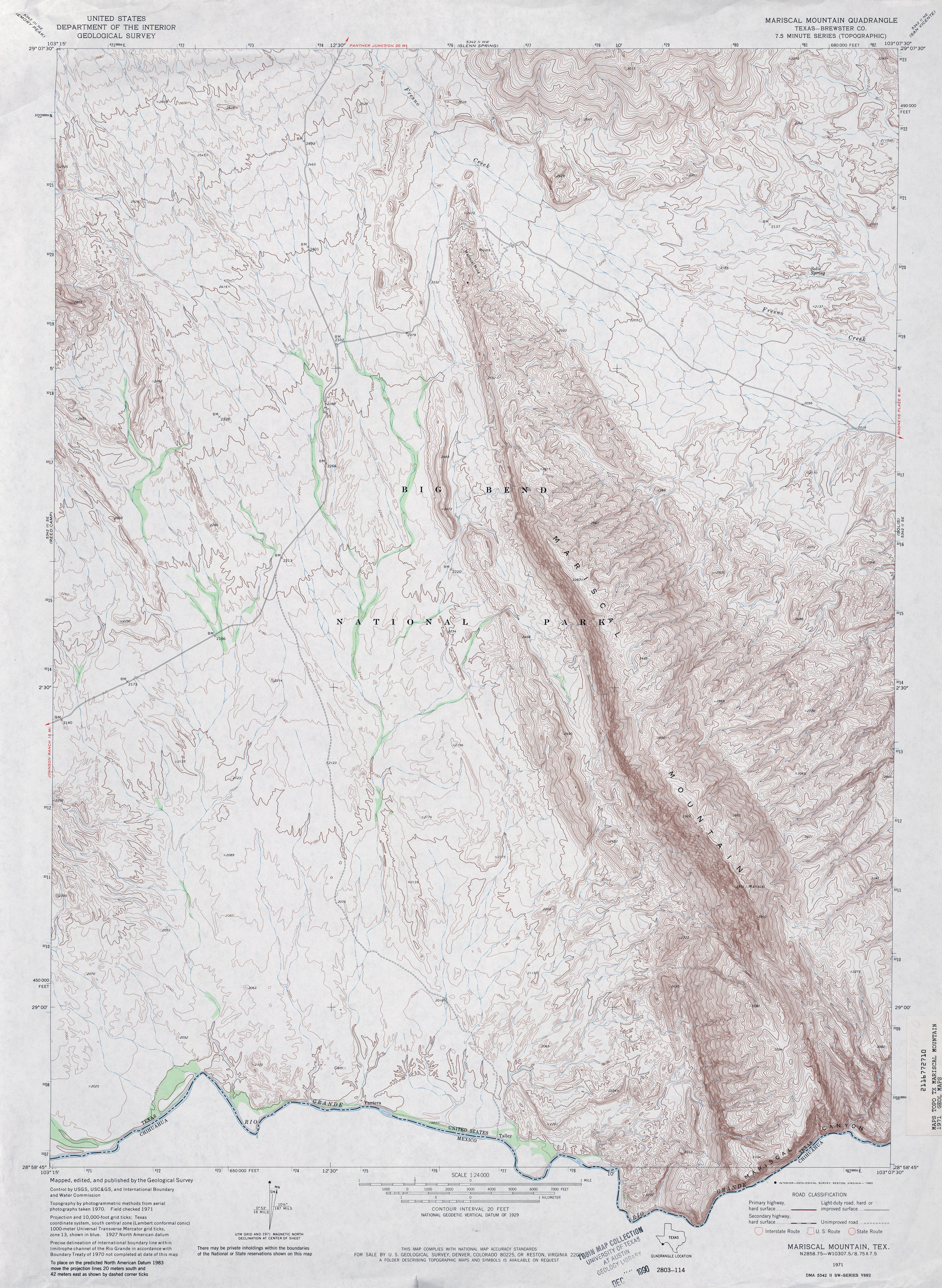
- Mariscal Mountain (Brewster County) 1:24,000 1971 (4.5MB)
- Mariscal Mountain 1:24,000 2010 (21.0MB) [GeoPDF]
- Mariscal Mountain 1:24,000 2012 (25.5MB) [GeoPDF]
- Mariscal Mountain OE S 1:24,000 2008 (21.3MB) [GeoPDF]
- Mariscal Mountain OE S 1:24,000 2012 (14.3MB) [GeoPDF]
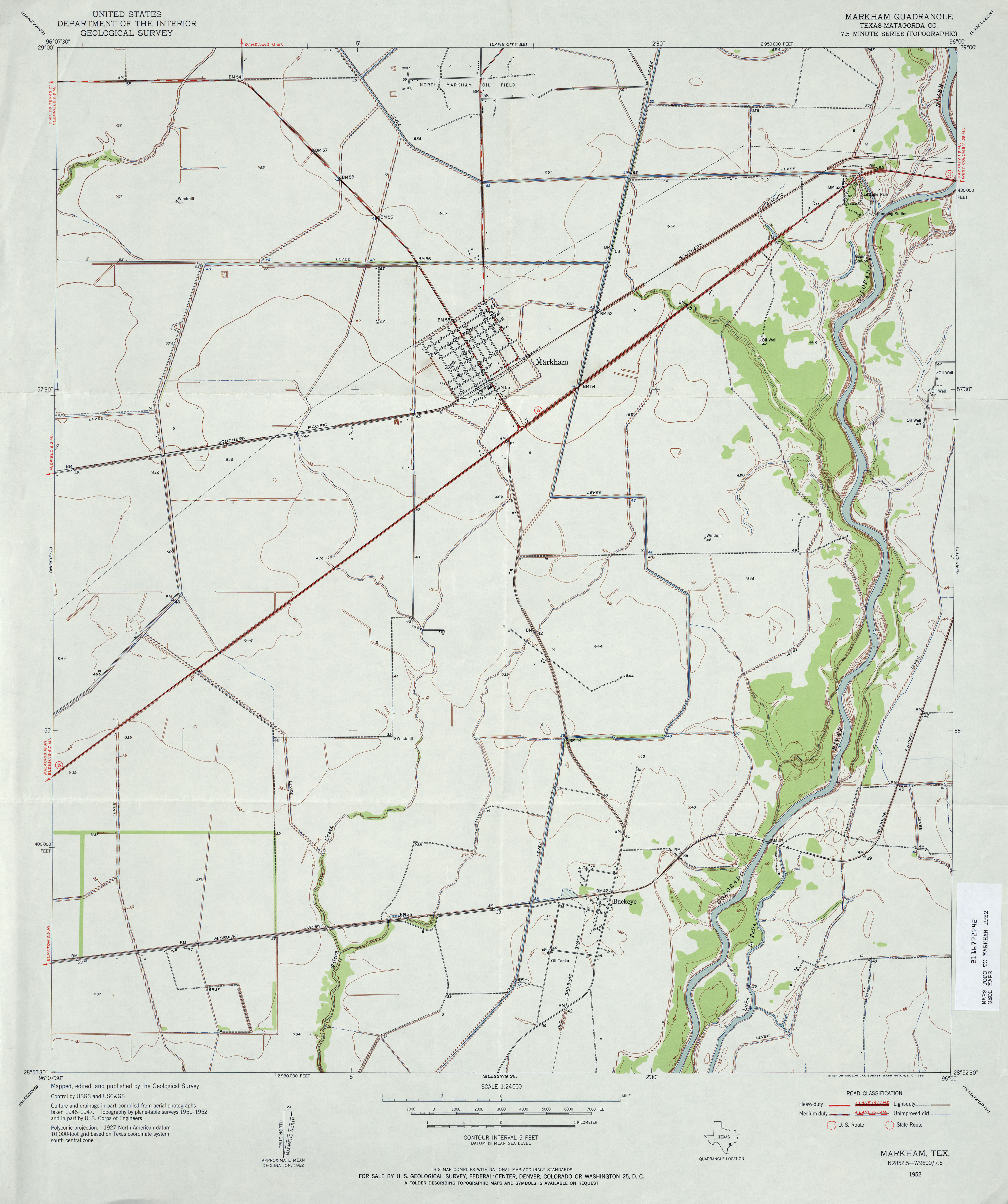
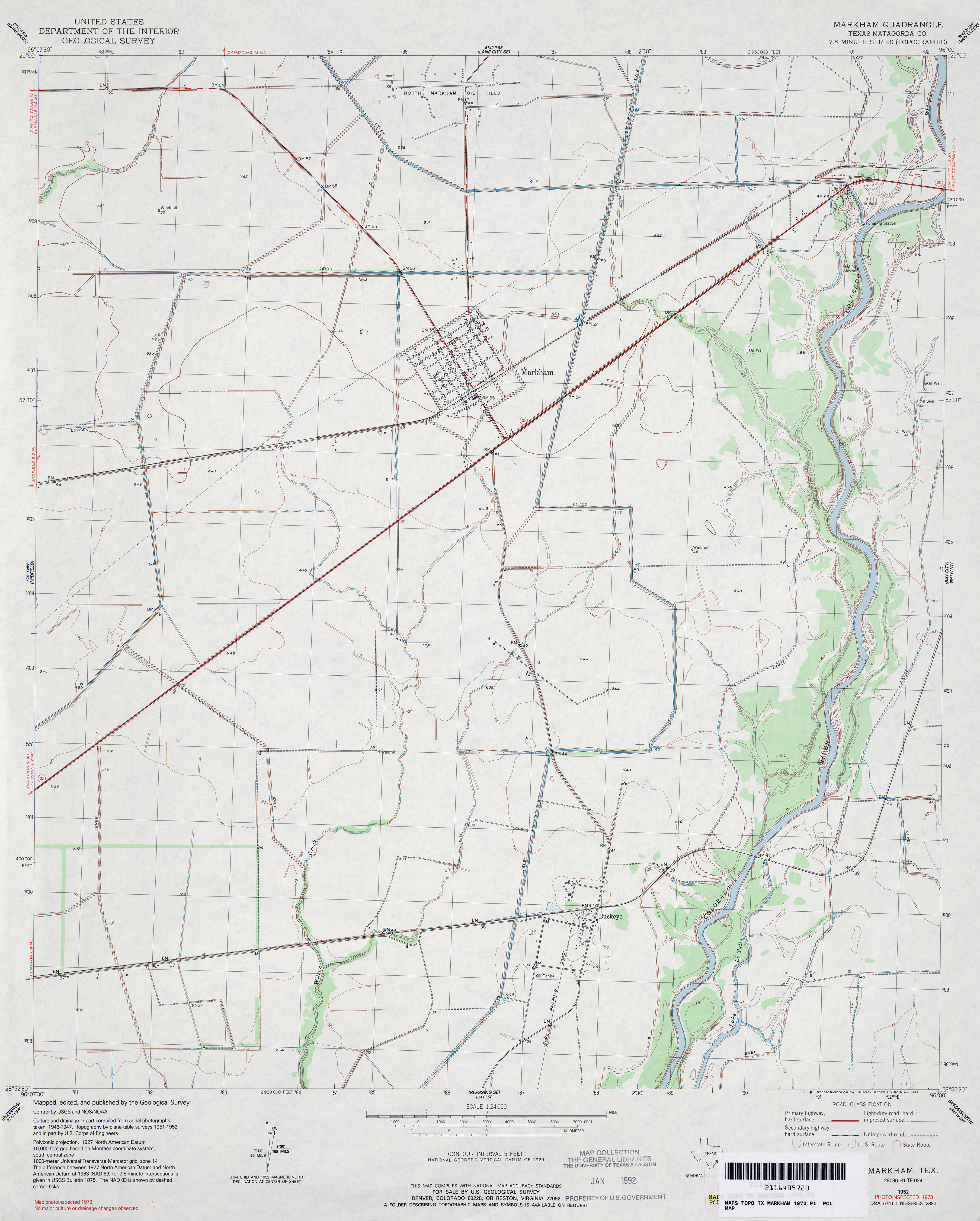
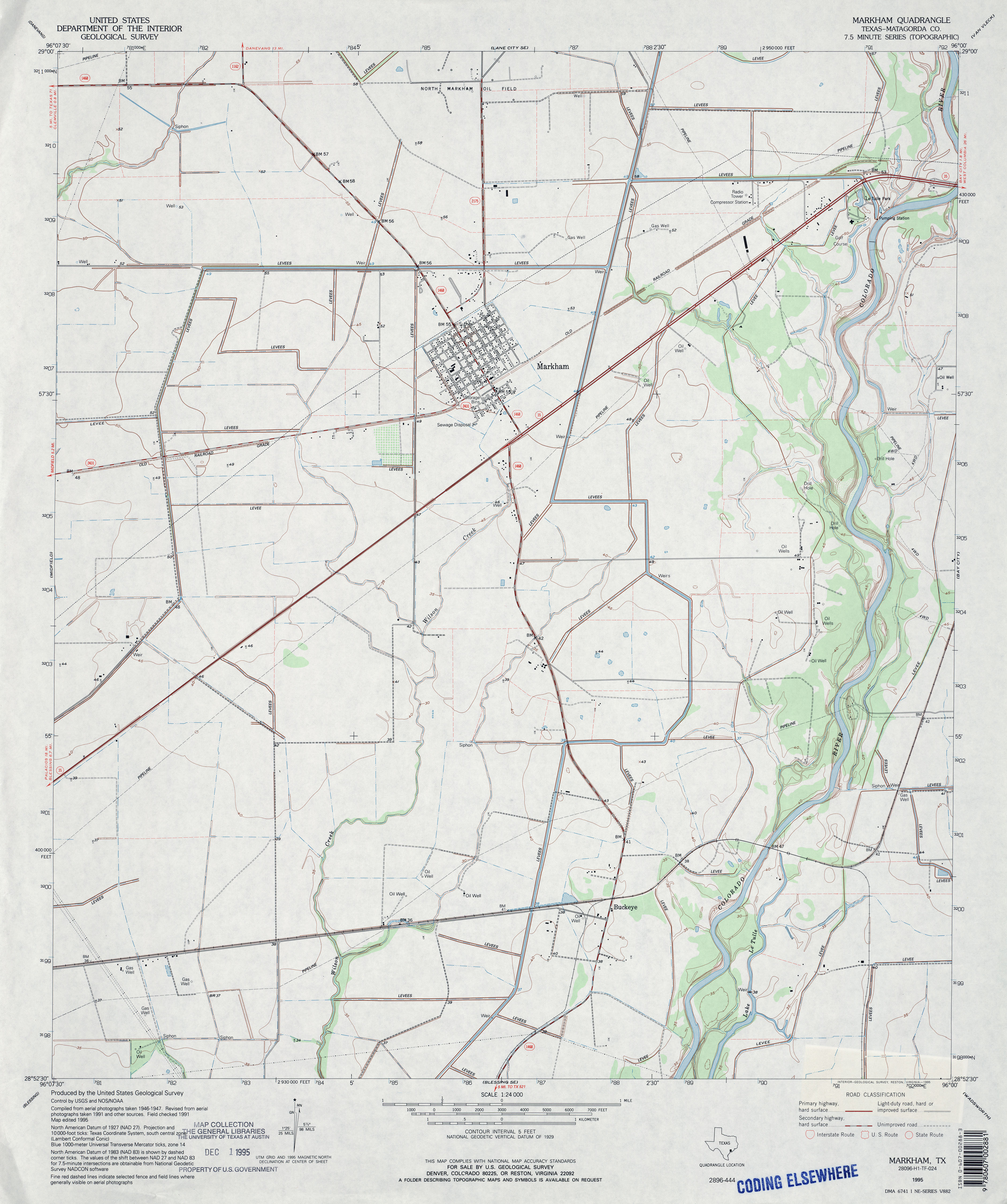
- Markham (Matagorda County) 1:24,000 1952 (2.9MB)
- Markham (Matagorda County) 1:24,000 1973 (3MB)
- Markham (Matagorda County) 1:24,000 1995 (3.1MB)
- Markham 1:24,000 2008 (10.2MB) [GeoPDF]
- Markham 1:24,000 2013 (18.4MB) [GeoPDF]
- Markley 1:24,000 1964 (4.6MB)
- Markley 1:24,000 1981 (4.4MB)
- Markley 1:24,000 2008 (17.9MB) [GeoPDF]
- Markley 1:24,000 2012 (21.6MB) [GeoPDF]
- Marlboro Canyon (Upton County) 1:24,000 1971 (2.8MB)
- Marlboro Canyon 1:24,000 2008 (20.8MB) [GeoPDF]
- Marlboro Canyon 1:24,000 2012 (24.7MB) [GeoPDF]
- Marlboro Canyon SE (Upton County) 1:24,000 1971 (3.6MB)
- Marlboro Canyon SE 1:24,000 2008 (17.7MB) [GeoPDF]
- Marlboro Canyon SE 1:24,000 2012 (23.7MB) [GeoPDF]
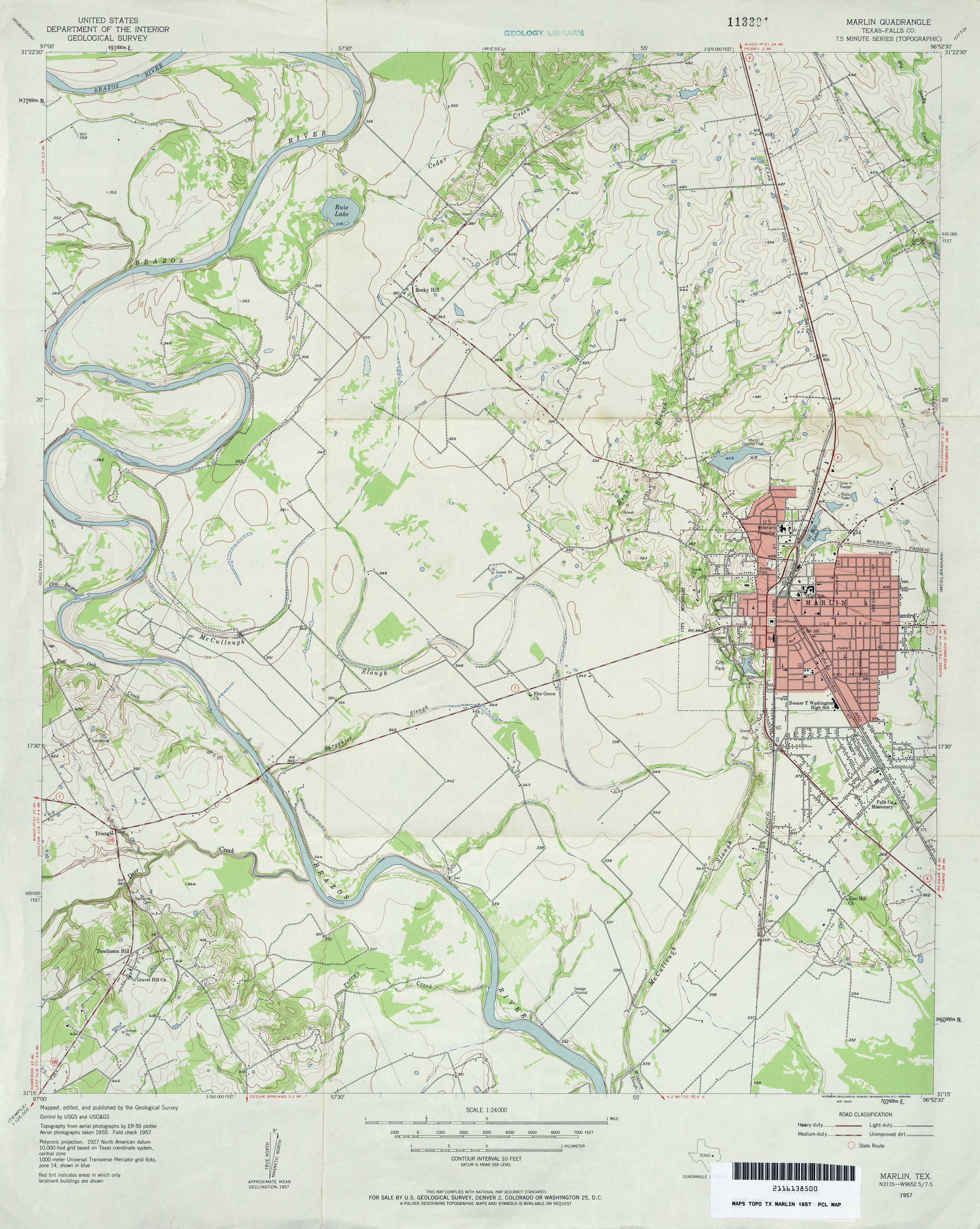
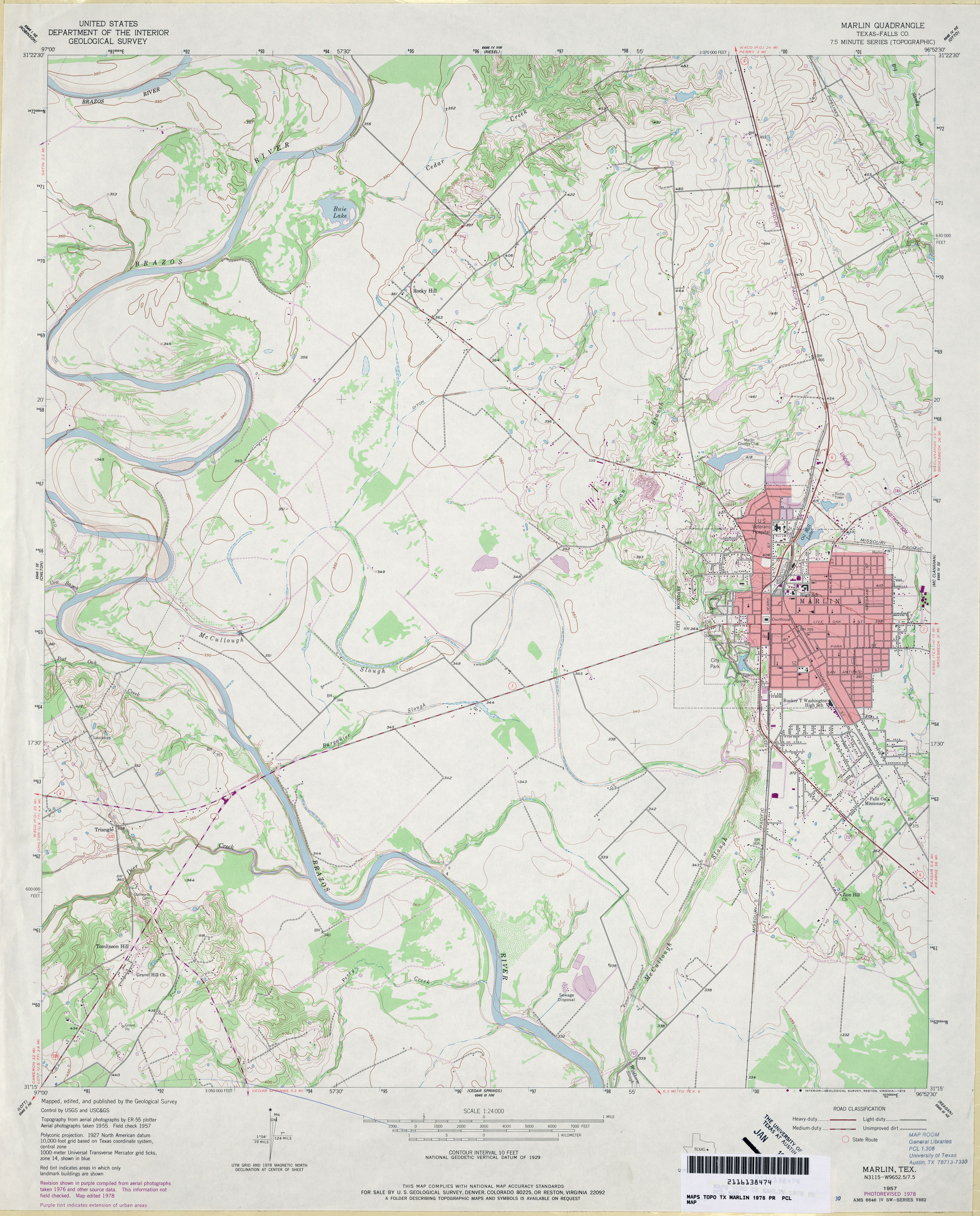
- Marlin (Falls County) 1:24,000 1957 (3.6MB)
- Marlin (Falls County) 1:24,000 1978 (3.6MB)
- Marlin 1:24,000 2008 (12.7MB) [GeoPDF]
- Marlin 1:24,000 2013 (19.4MB) [GeoPDF]
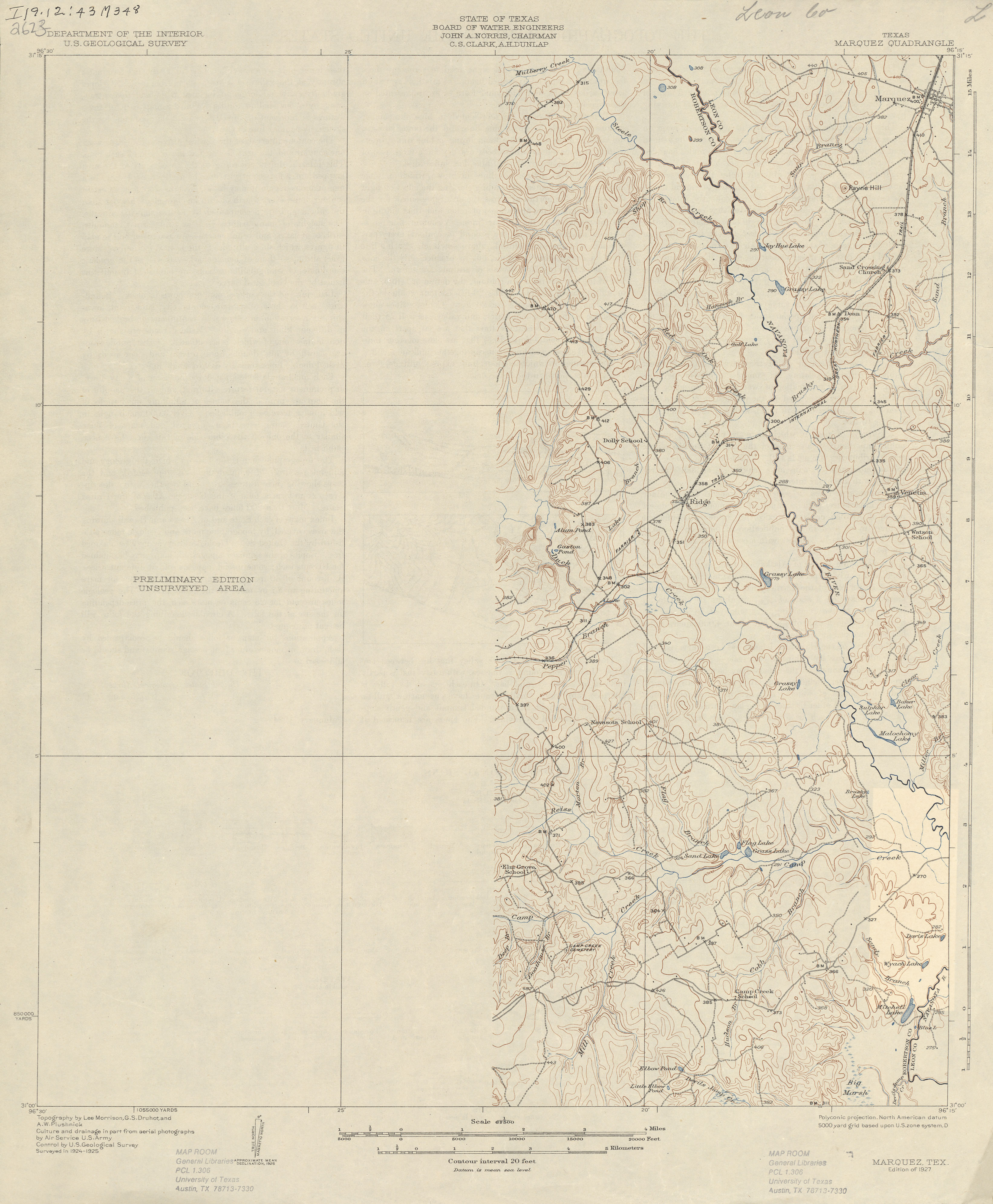
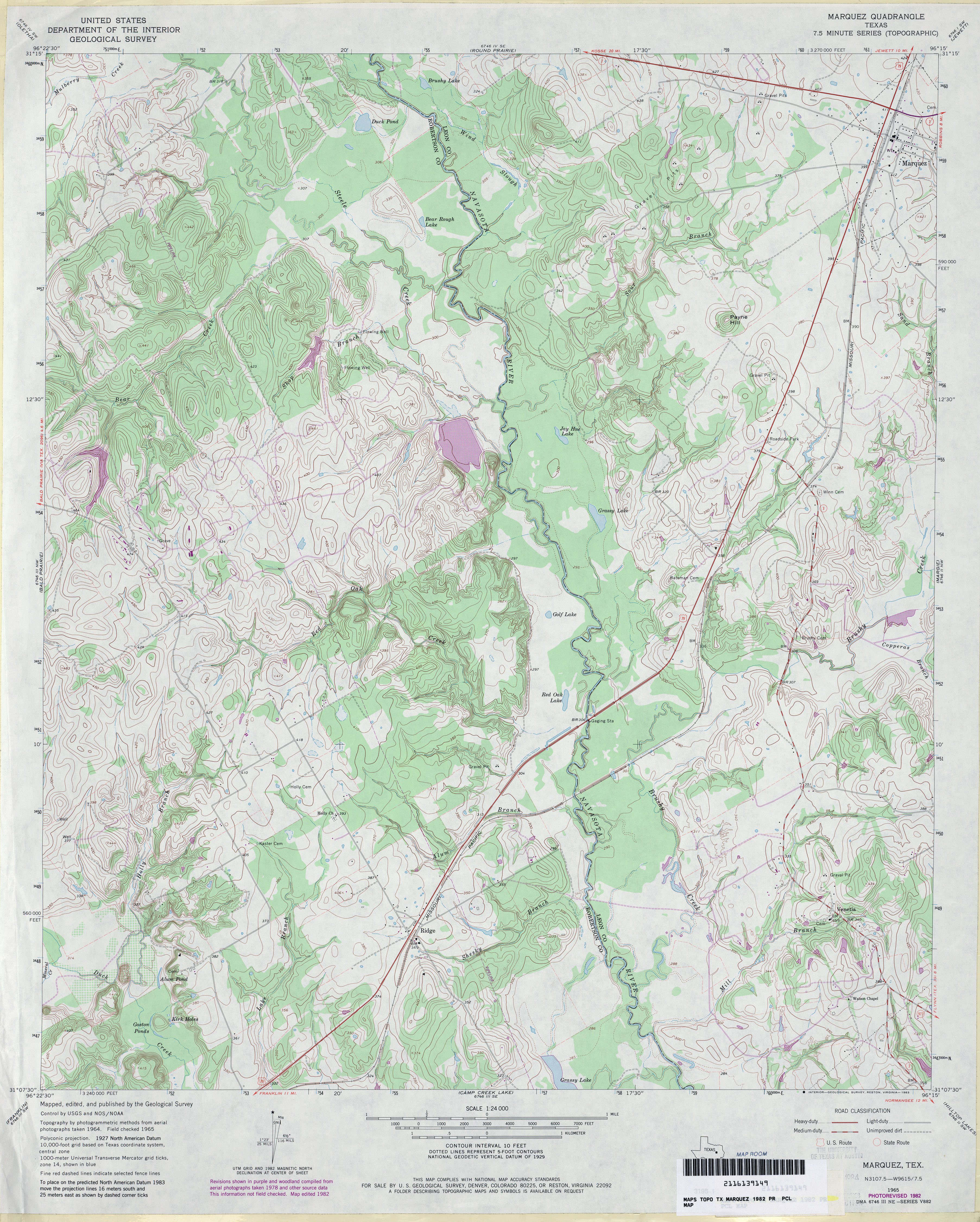
- Marquez 1:62,500 1925 (2.4 MB)
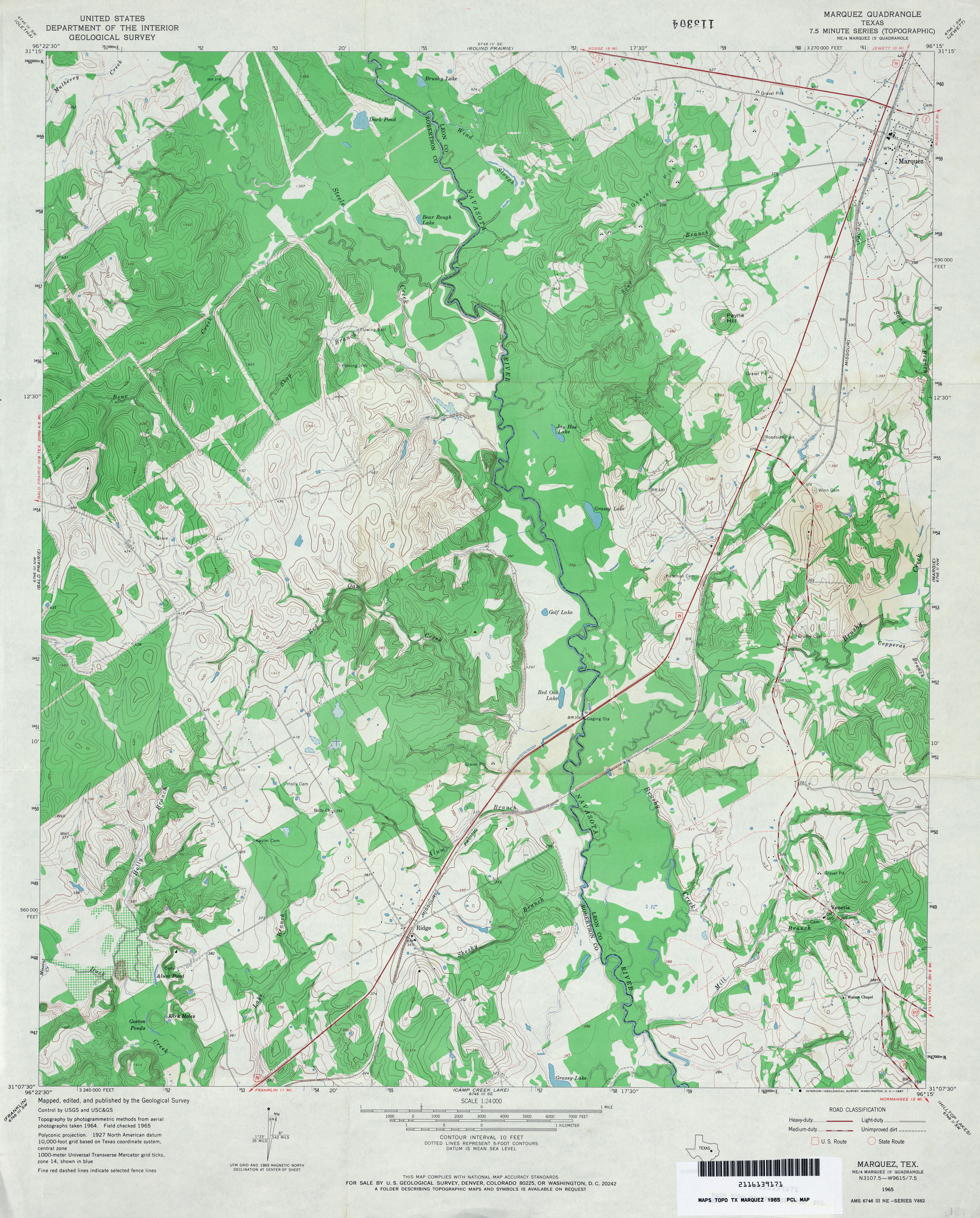
- Marquez 1:24,000 1965 (4.3MB)
- Marquez 1:24,000 1982 (4.5MB)
- Marquez 1:24,000 2008 (18.6MB) [GeoPDF]
- Marquez 1:24,000 2013 (23.3MB) [GeoPDF]
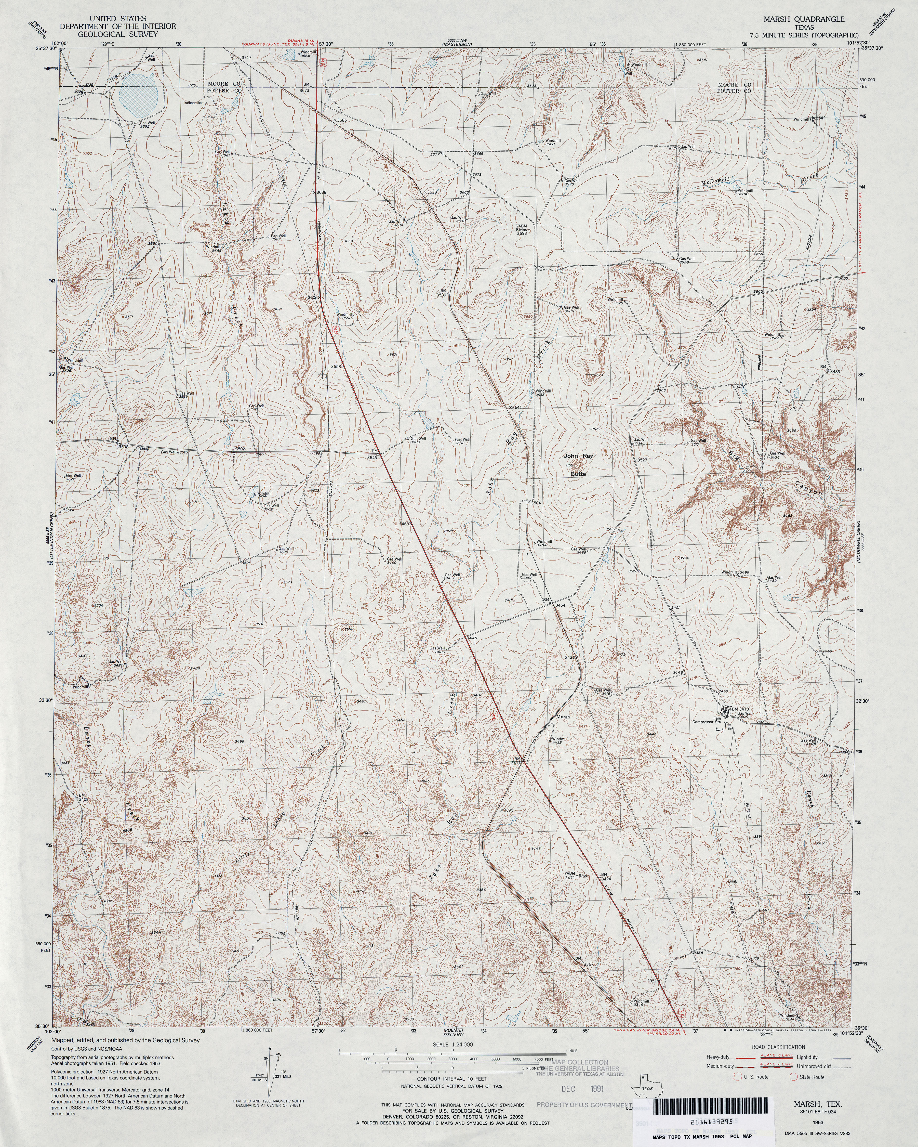
- Marsh 1:24,000 1953 (5.2MB)
- Marsh 1:24,000 2008 (17.3MB) [GeoPDF]
- Marsh 1:24,000 2012 (21.6MB) [GeoPDF]
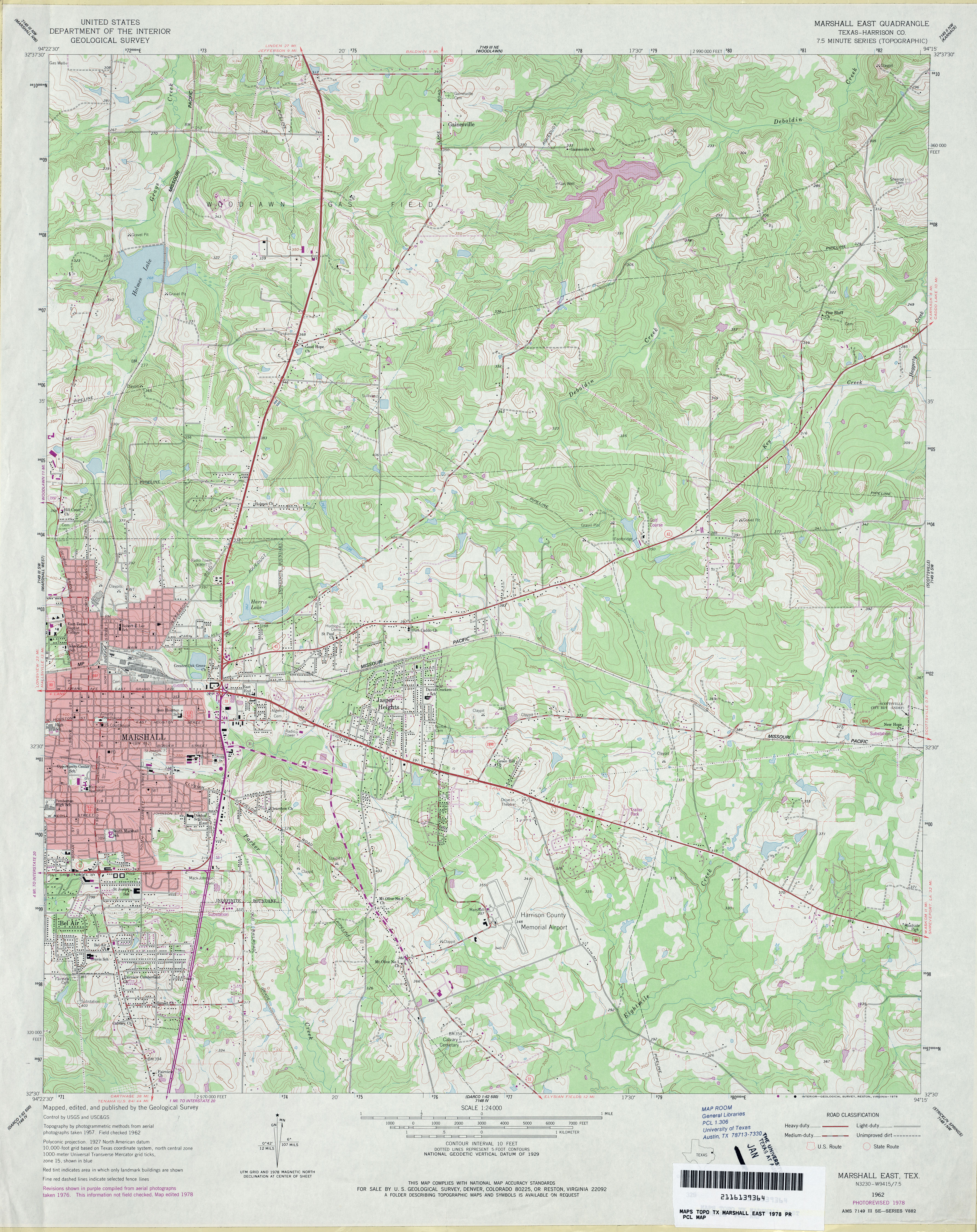
- Marshall East (Harrison County) 1:24,000 1962 (4.7MB)
- Marshall East (Harrison County) 1:24,000 1978 (4.7MB)
- Marshall East 1:24,000 2008 (22.8MB) [GeoPDF]
- Marshall East 1:24,000 2013 (25.3MB) [GeoPDF]
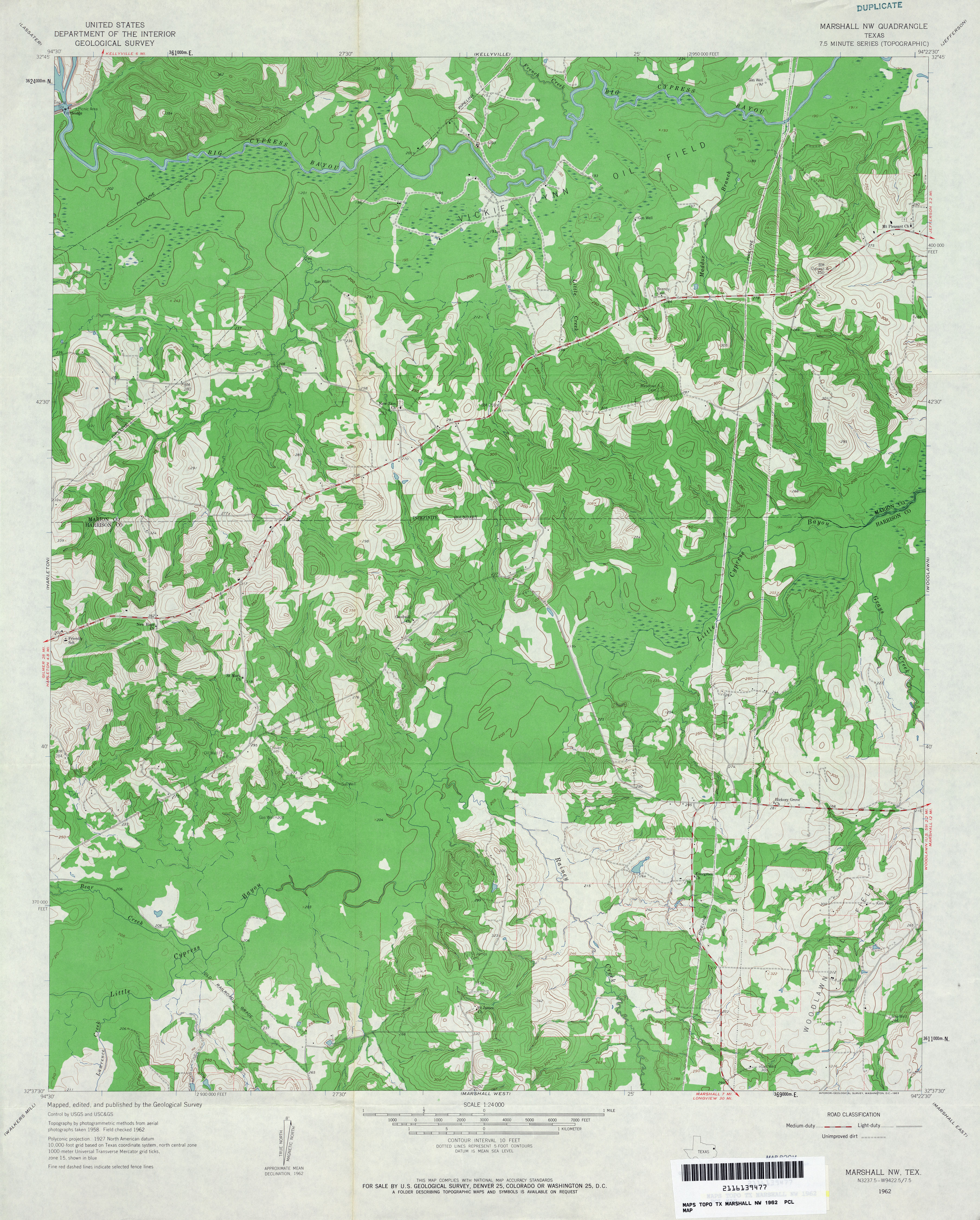
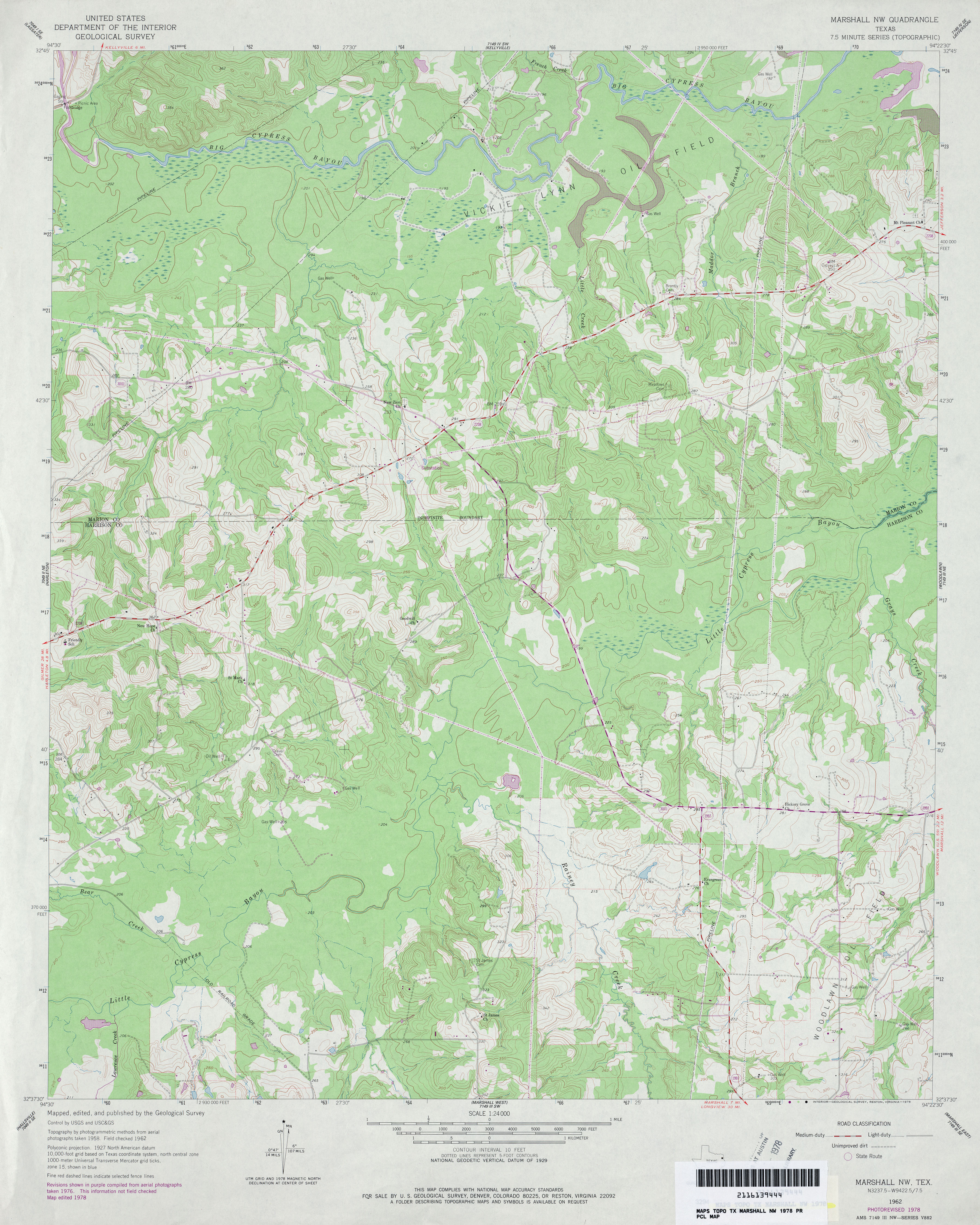
- Marshall NW 1:24,000 1962 (4.2MB)
- Marshall NW 1:24,000 1978 (4MB)
- Marshall NW 1:24,000 2009 (21.7MB) [GeoPDF]
- Marshall NW 1:24,000 2013 (22.3MB) [GeoPDF]
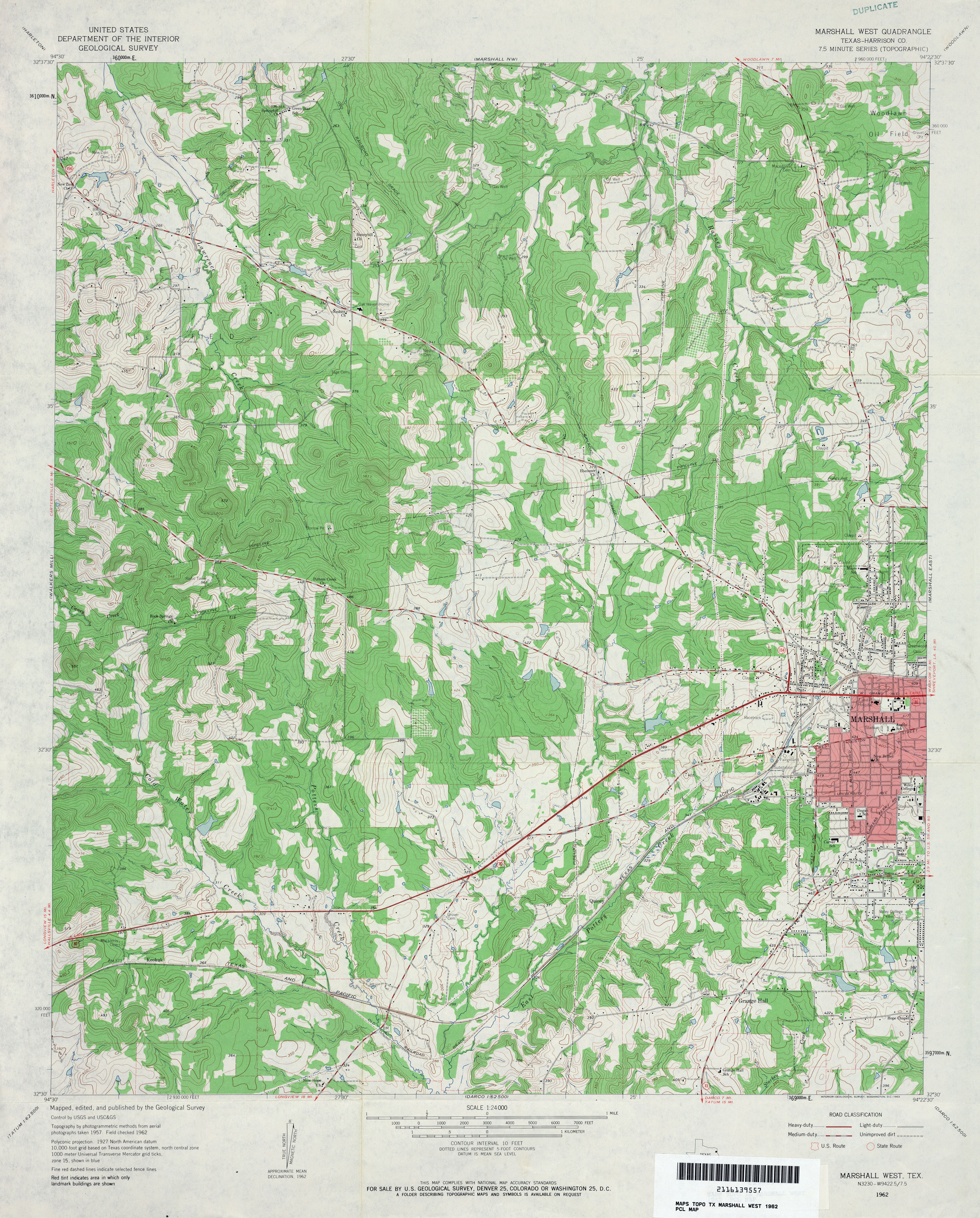
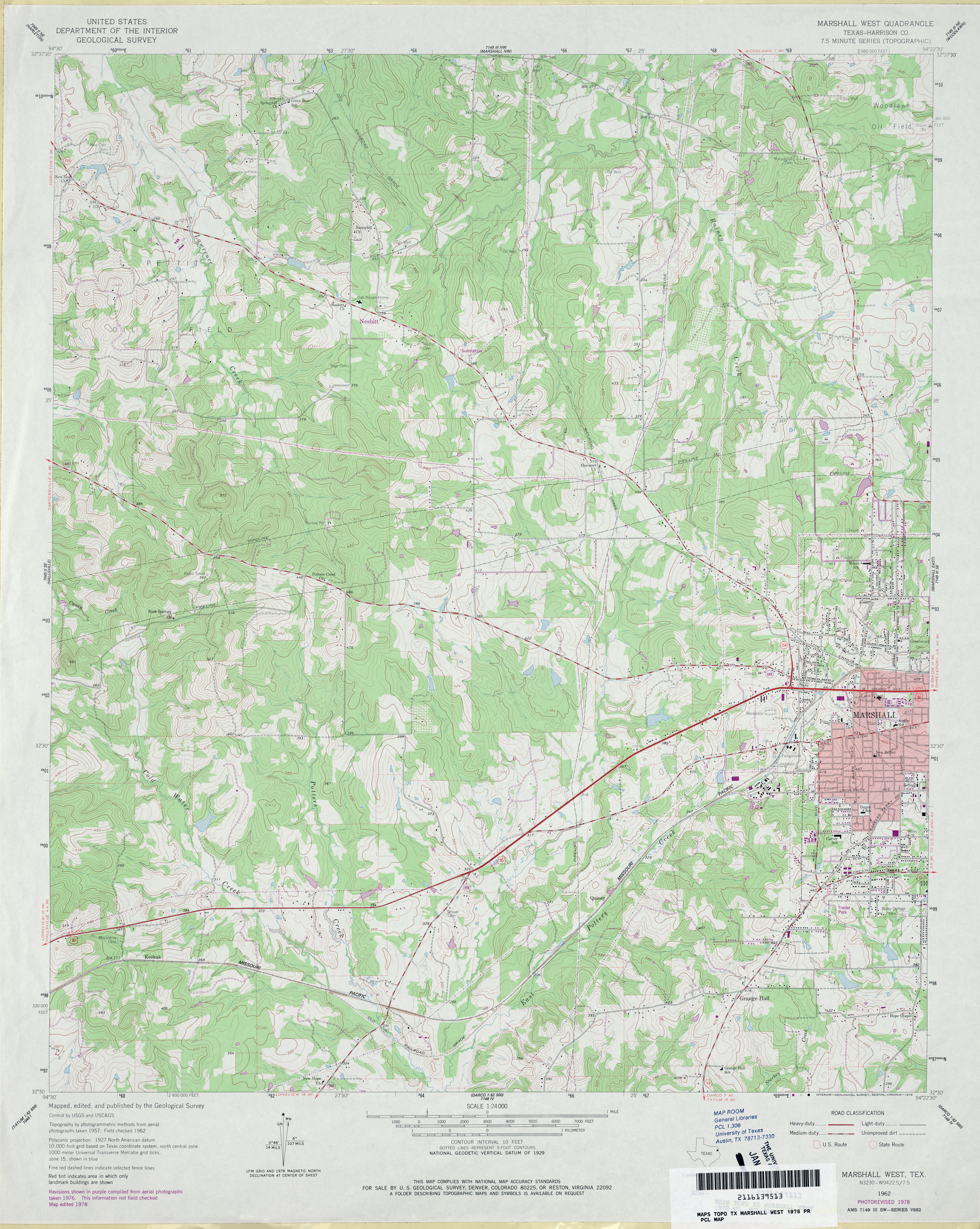
- Marshall West (Harrison County) 1:24,000 1962 (4.7MB)
- Marshall West (Harrison County) 1:24,000 1978 (4.5MB)
- Marshall West 1:24,000 2008 (22.2MB) [GeoPDF]
- Marshall West 1:24,000 2013 (24MB) [GeoPDF]
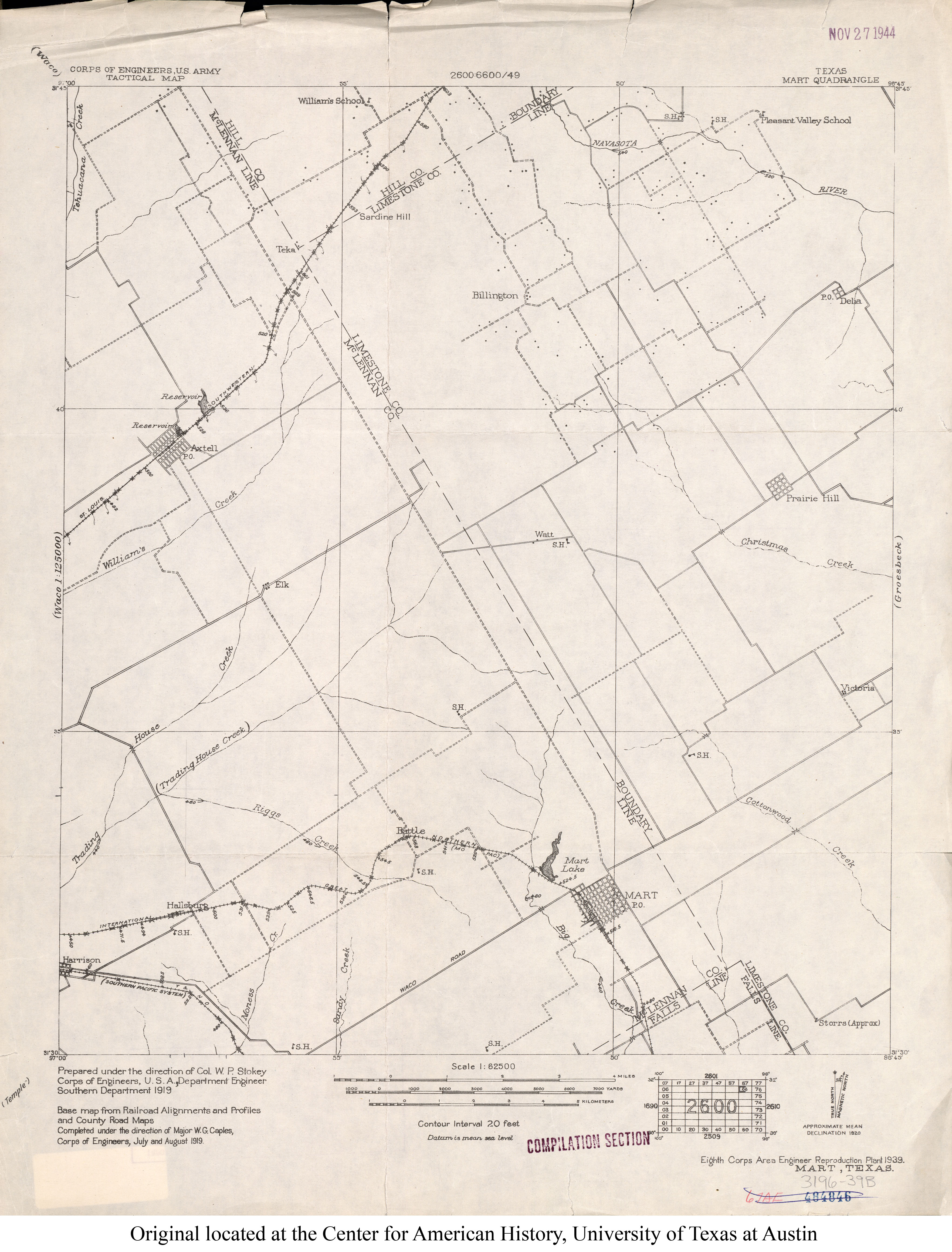
- Mart 1:62,500 1919 (2.4MB)
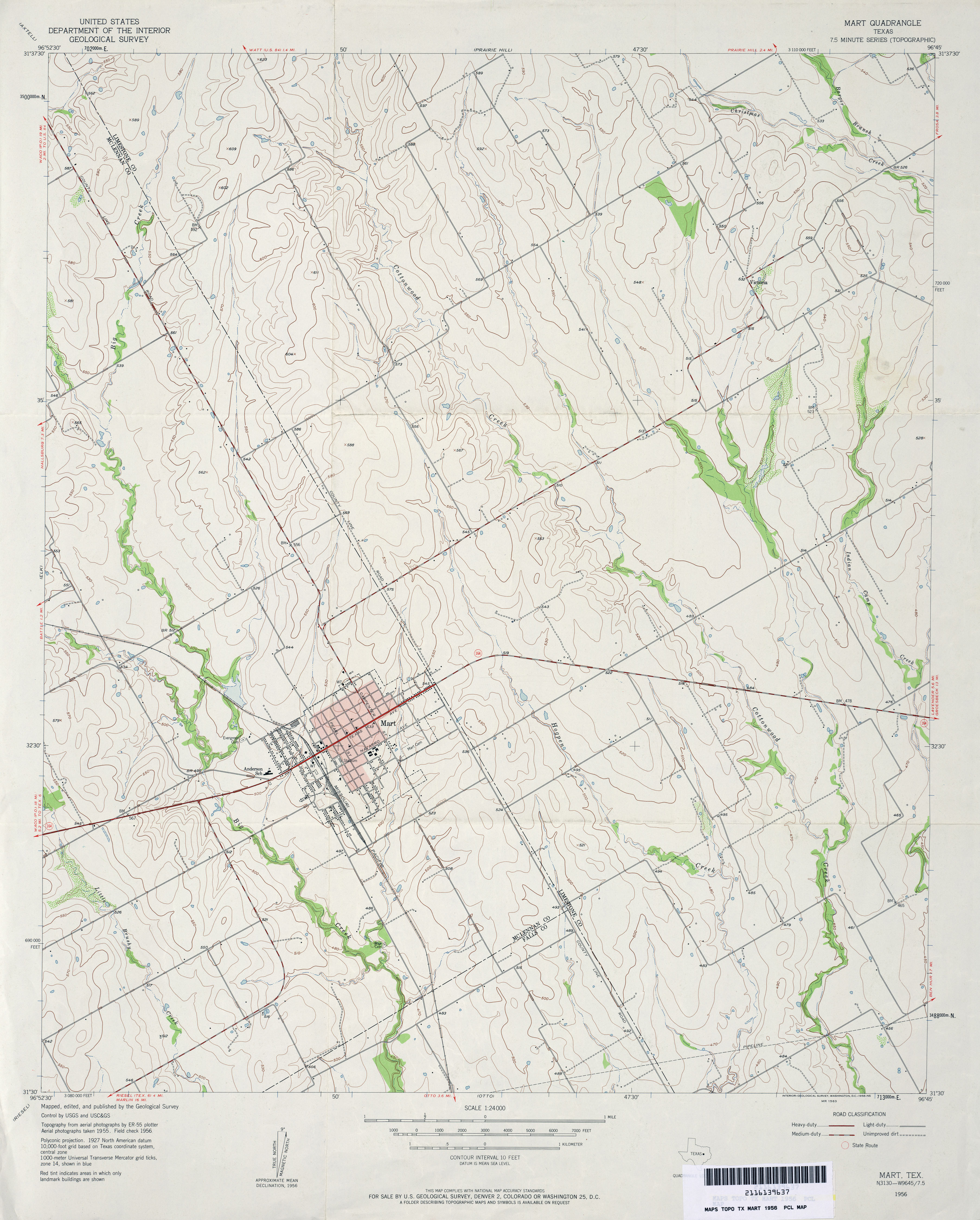
- Mart 1:24,000 1956 (3.3MB)
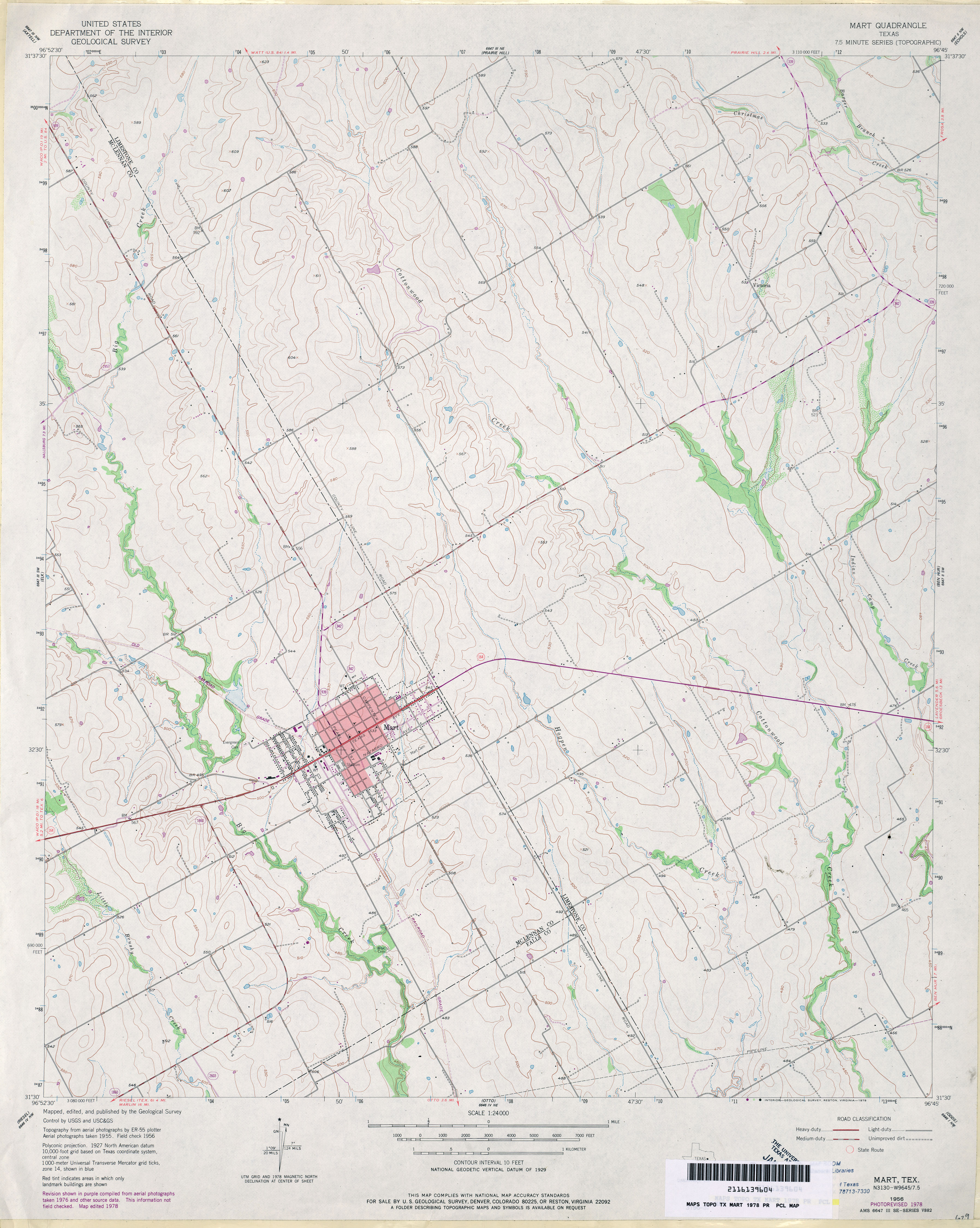
- Mart 1:24,000 1978 (3.4MB)
- Mart 1:24,000 2008 (11.0MB) [GeoPDF]
- Mart 1:24,000 2013 (18.8MB) [GeoPDF]
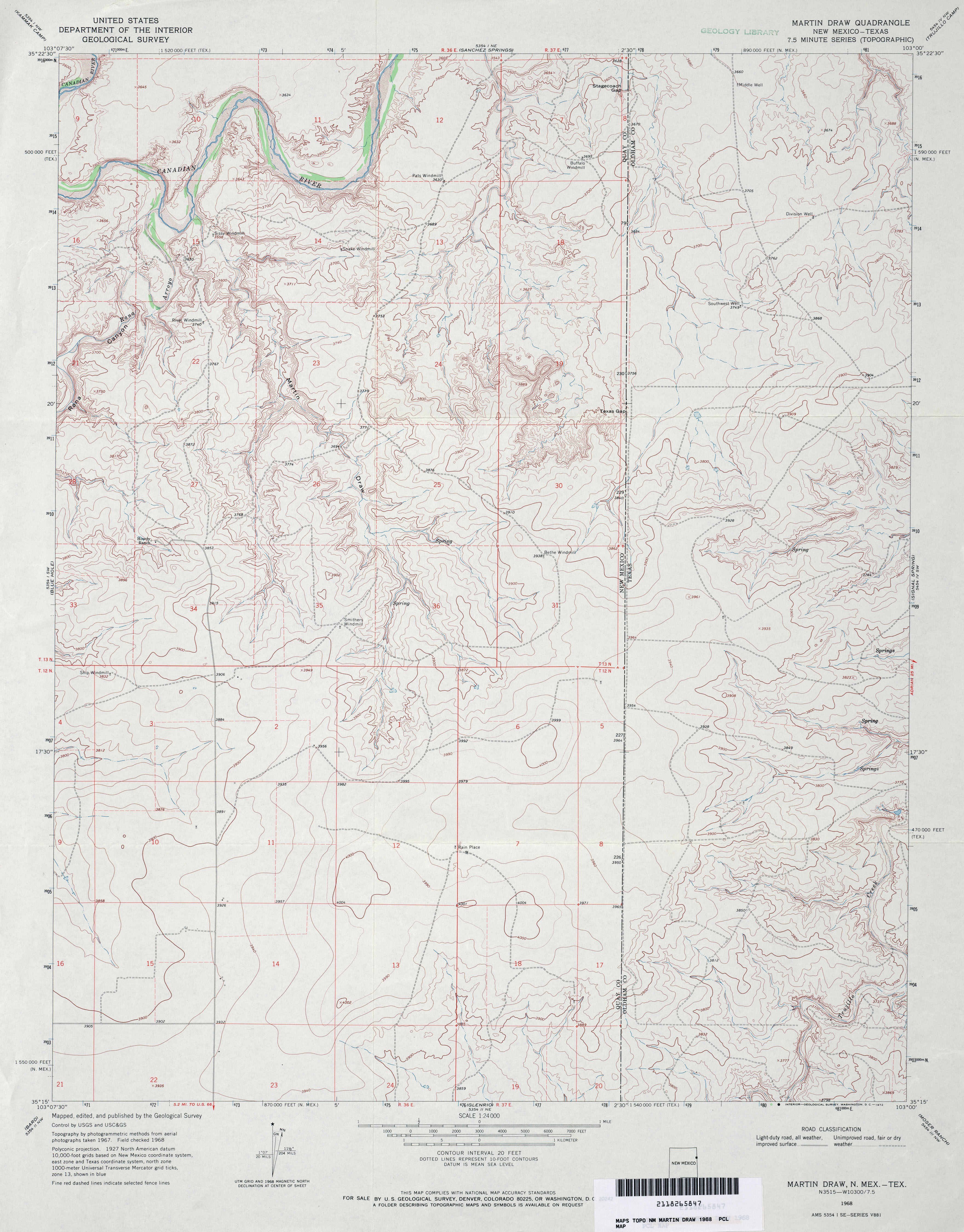
- Martin Draw 1:24,000 1968 (3.5MB)
- Martin Draw [New Mexico, Texas] 1:24,000 2009 (22.2MB) [GeoPDF]
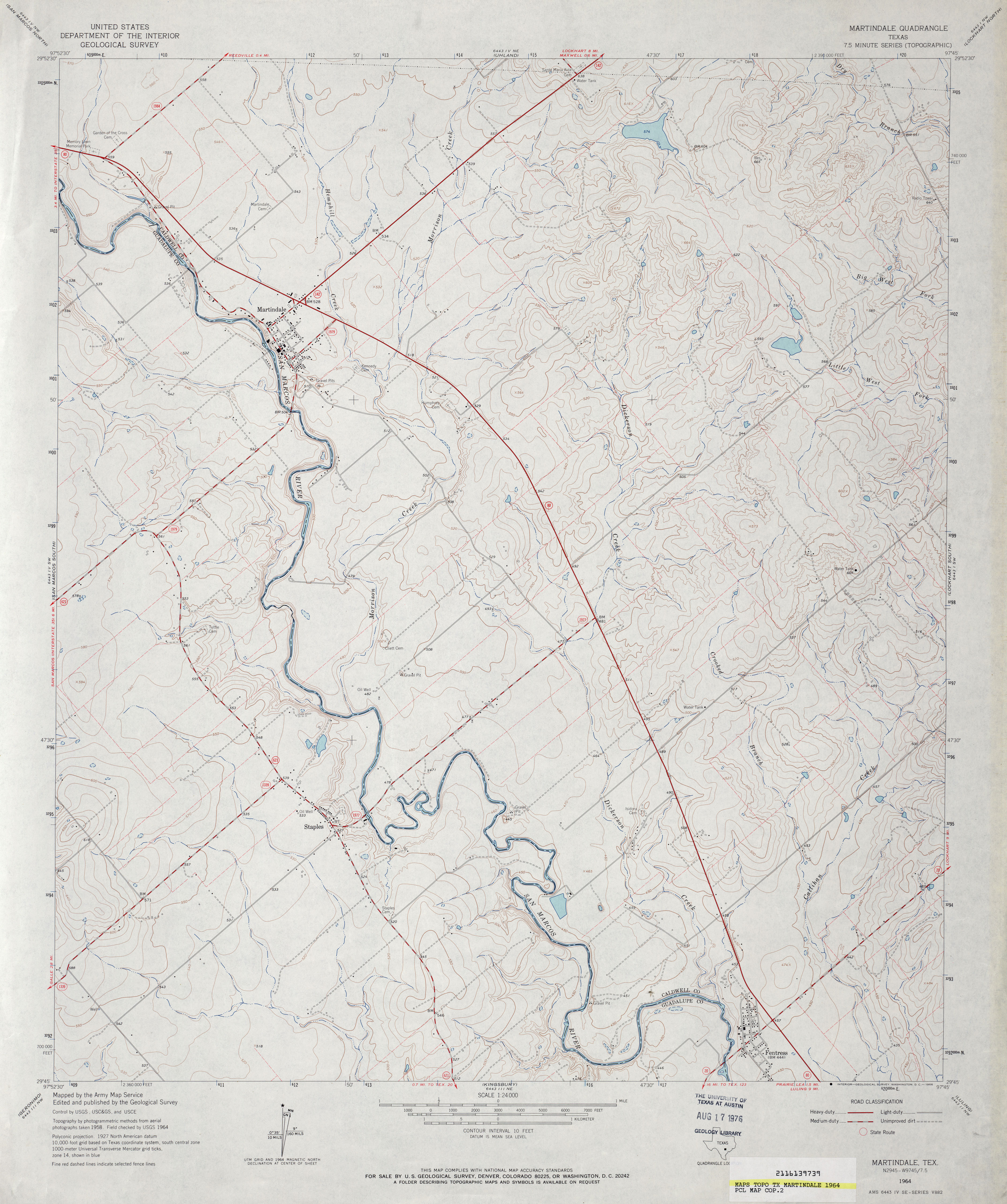
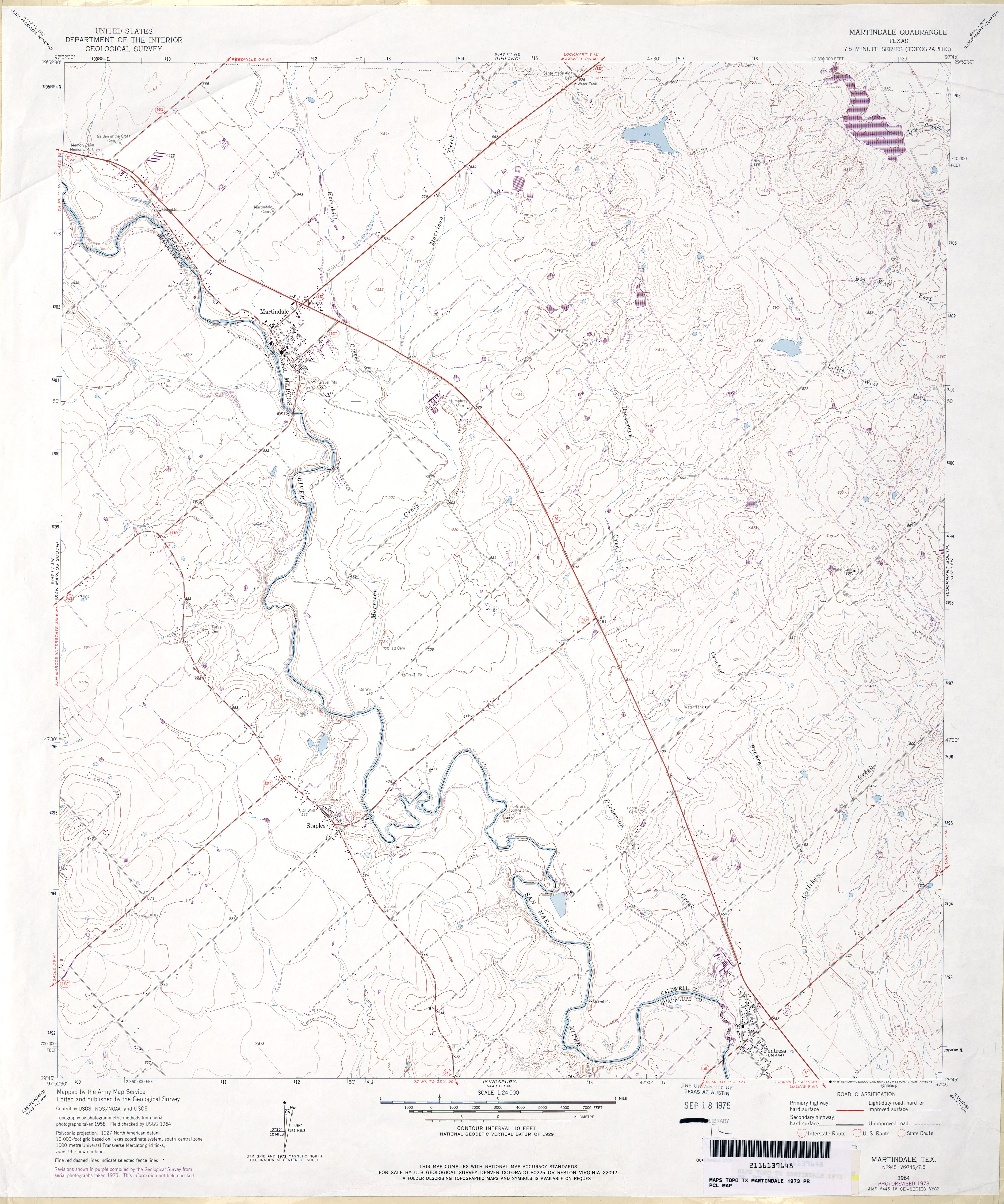
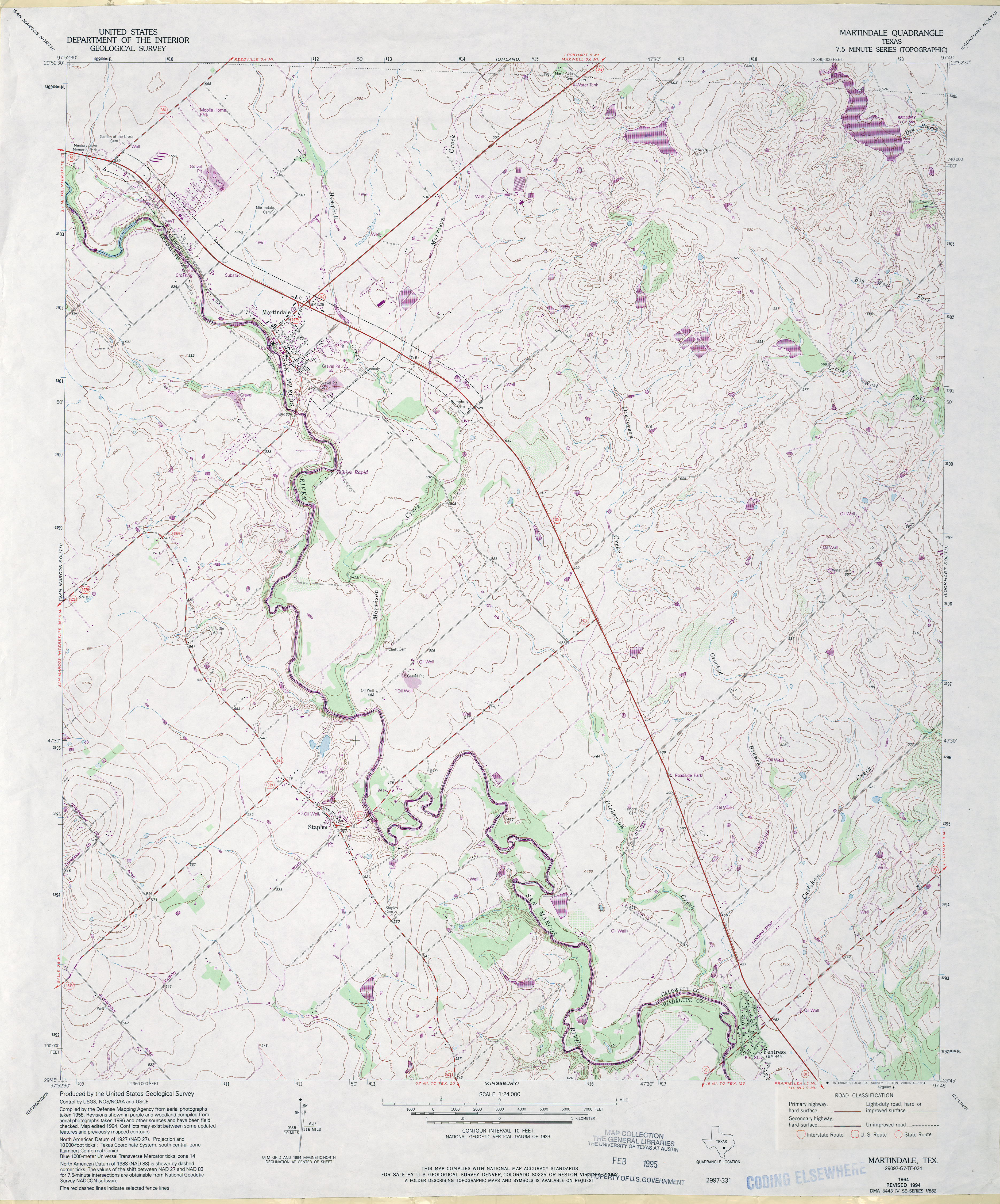
- Martindale 1:24,000 1964 (3.6MB)
- Martindale 1:24,000 1973 (3.5MB)
- Martindale 1:24,000 1994 (4.1MB)
- Martindale 1:24,000 2008 (11.6MB) [GeoPDF]
- Martindale 1:24,000 2013 (21.9MB) [GeoPDF]
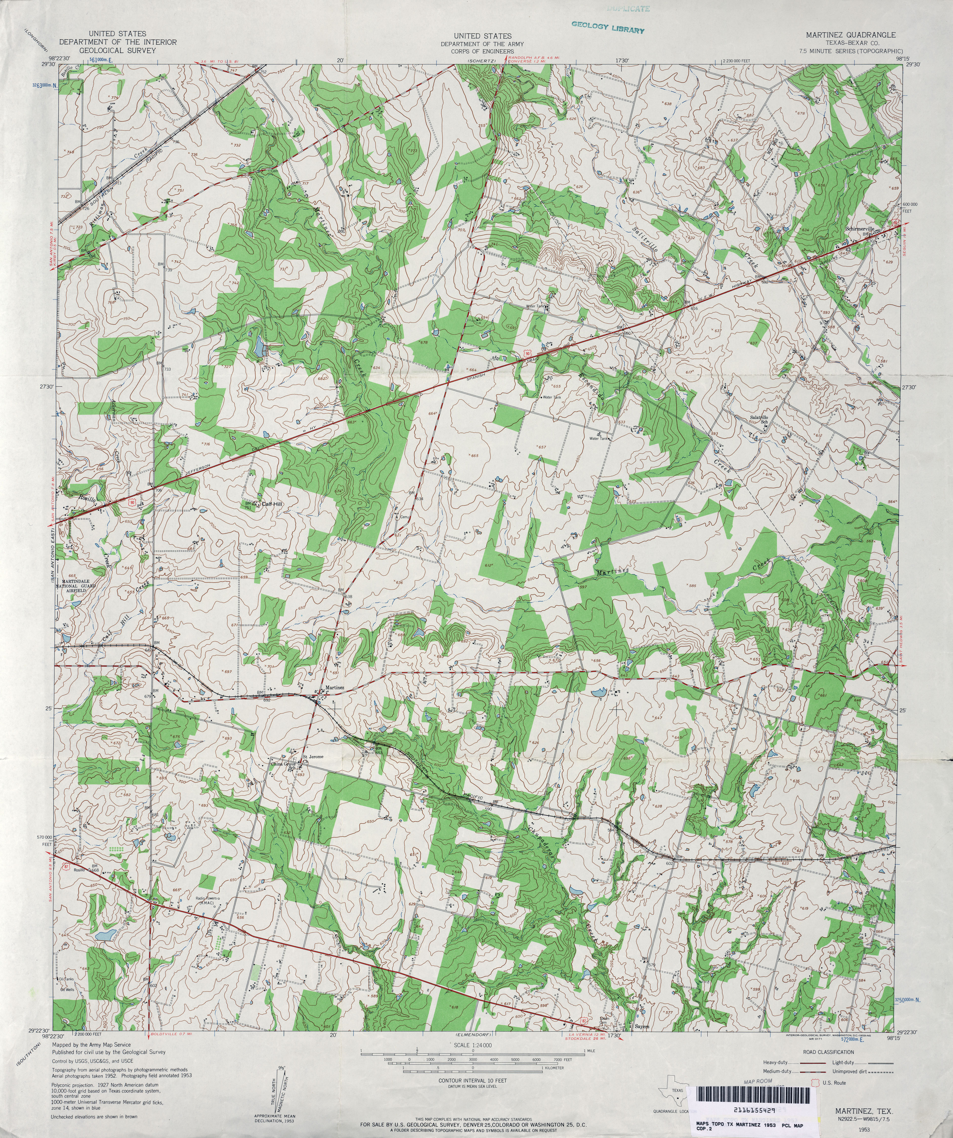
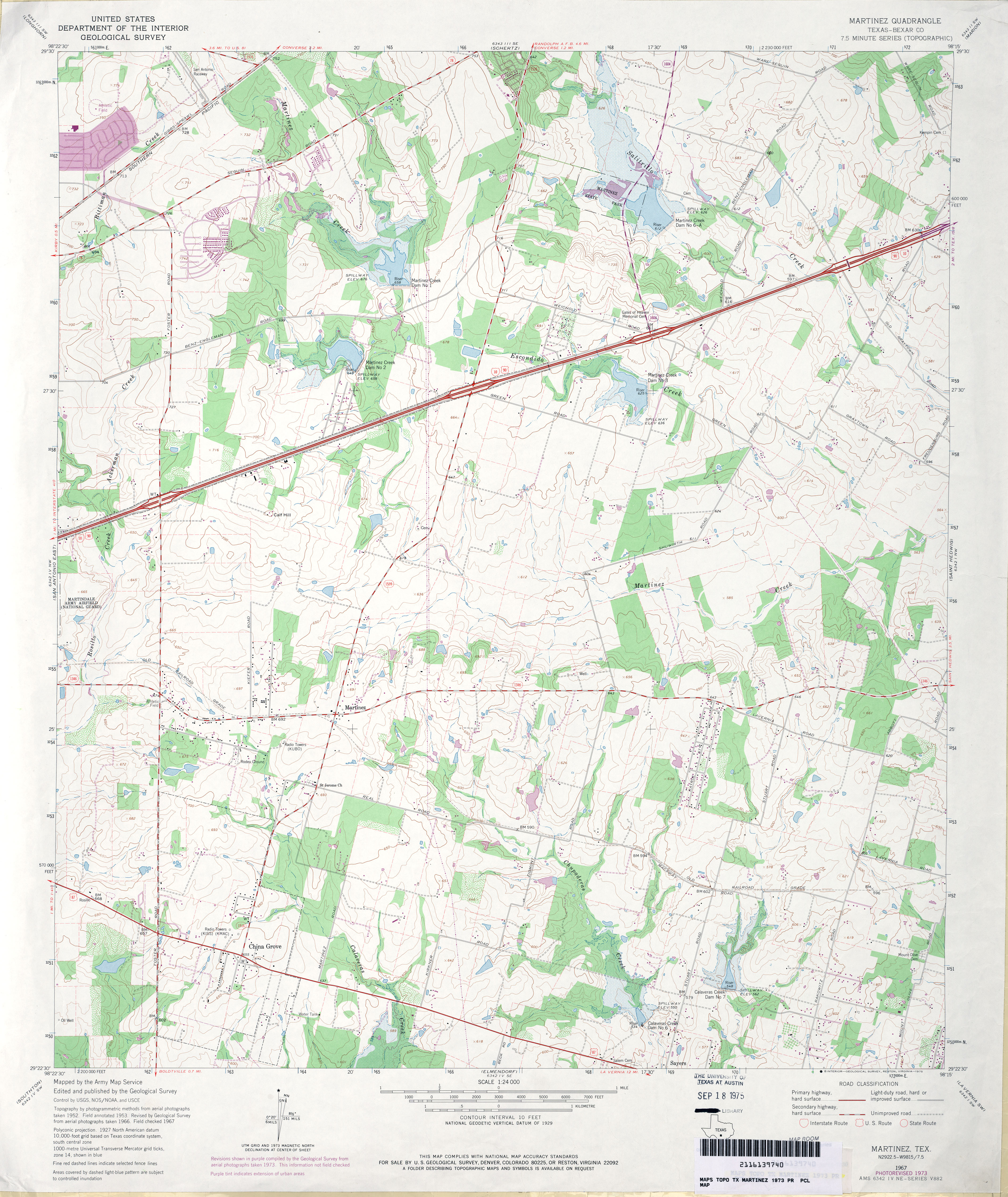
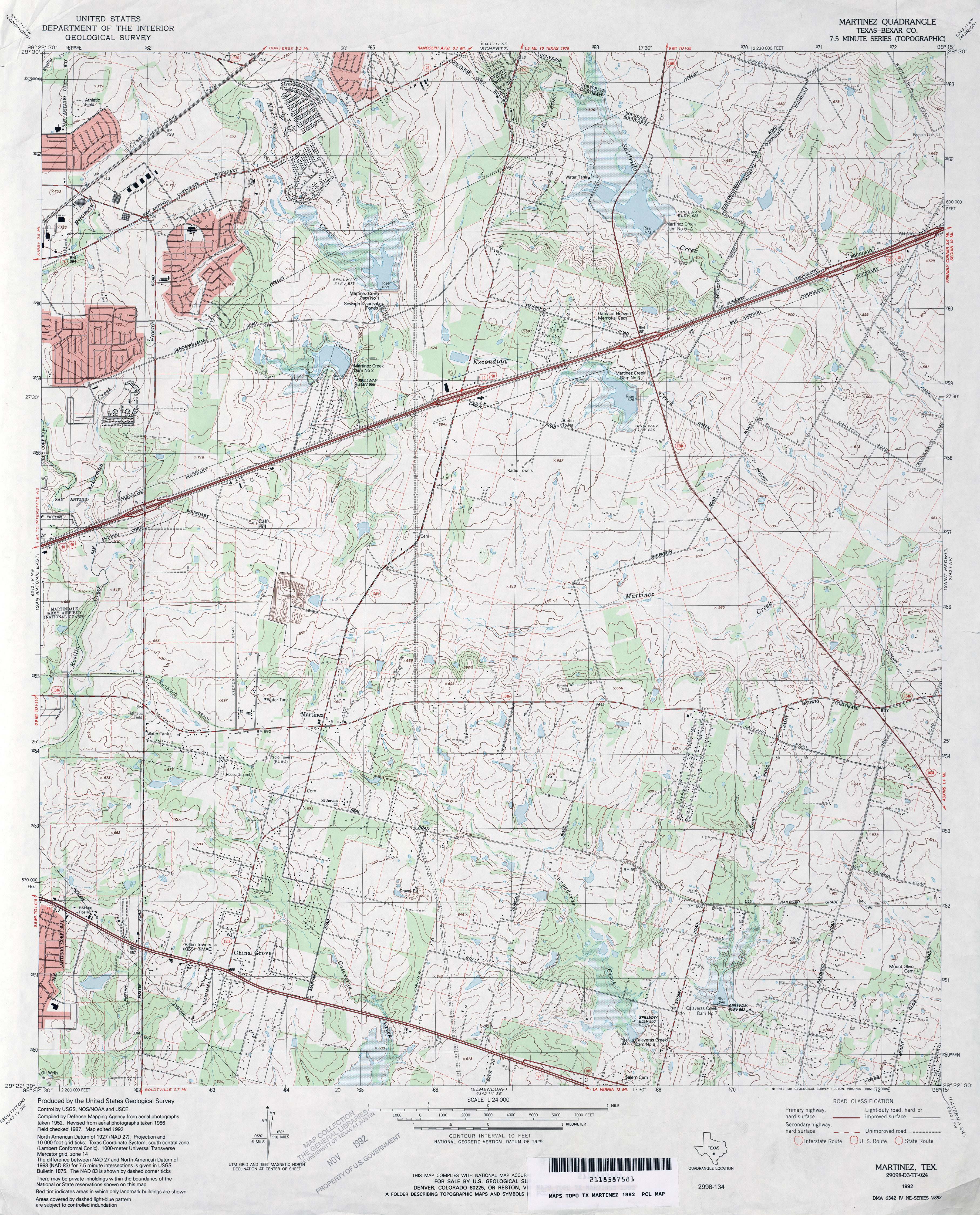
- Martinez (Bexar County) 1:24,000 1953 (4.3MB)
- Martinez (Bexar County) 1:24,000 1967 (3.9MB)
- Martinez (Bexar County) 1:24,000 1973 (4MB)
- Martinez (Bexar County) 1:24,000 1992 (4.7MB)
- Martinez 1:24,000 2008 (15.1MB) [GeoPDF]
- Martinez 1:24,000 2013 (21.8MB) [GeoPDF]
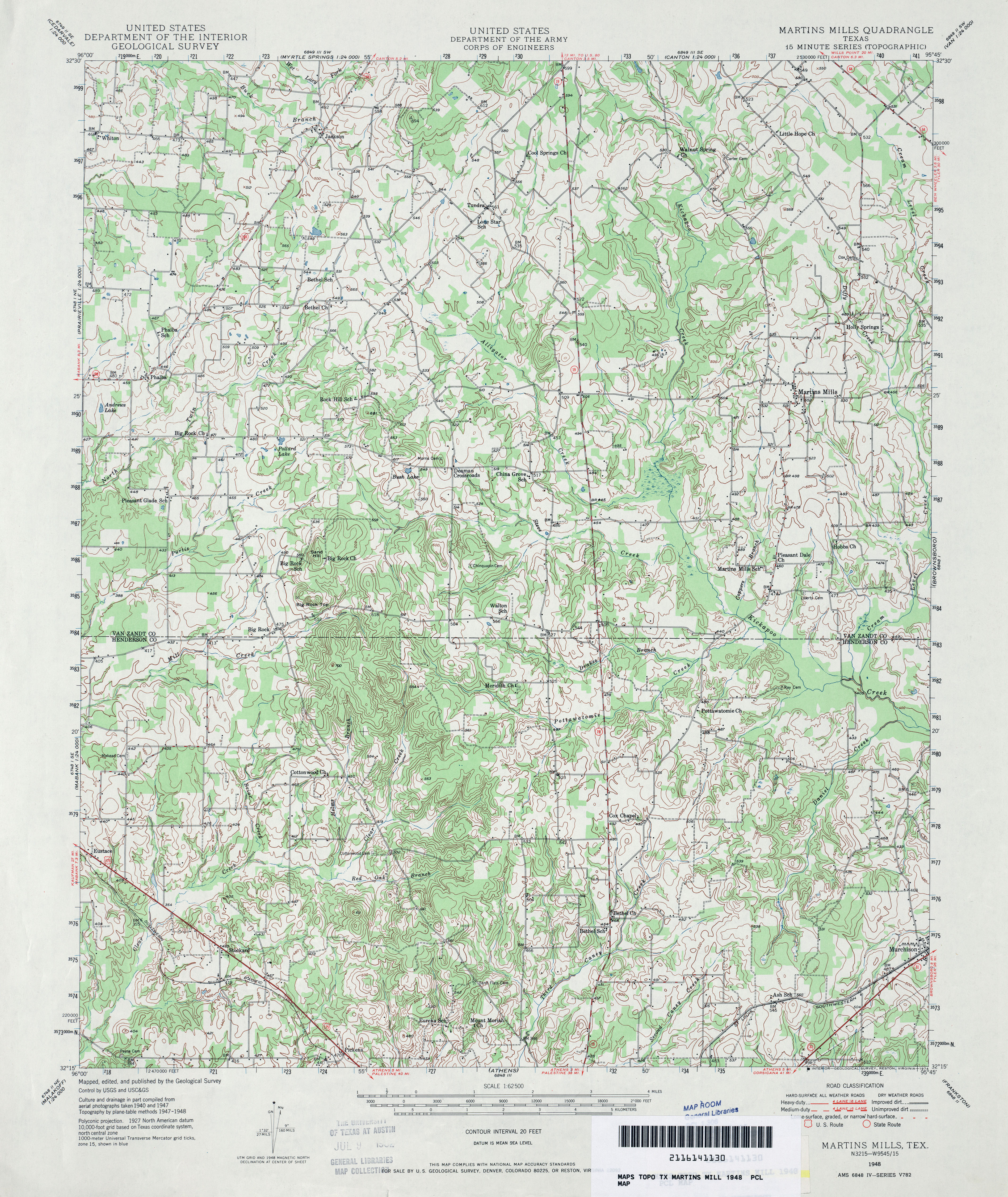
- Martins Mill 1:62,500 1948 (5MB) U.S. Department of the Army Corps of Engineers
- Martins Mill (Van Zandt County) 1:24,000 1984 (4.4MB)
- Martins Mill 1:24,000 2008 (18.5MB) [GeoPDF]
- Martins Mill 1:24,000 2013 (22MB) [GeoPDF]
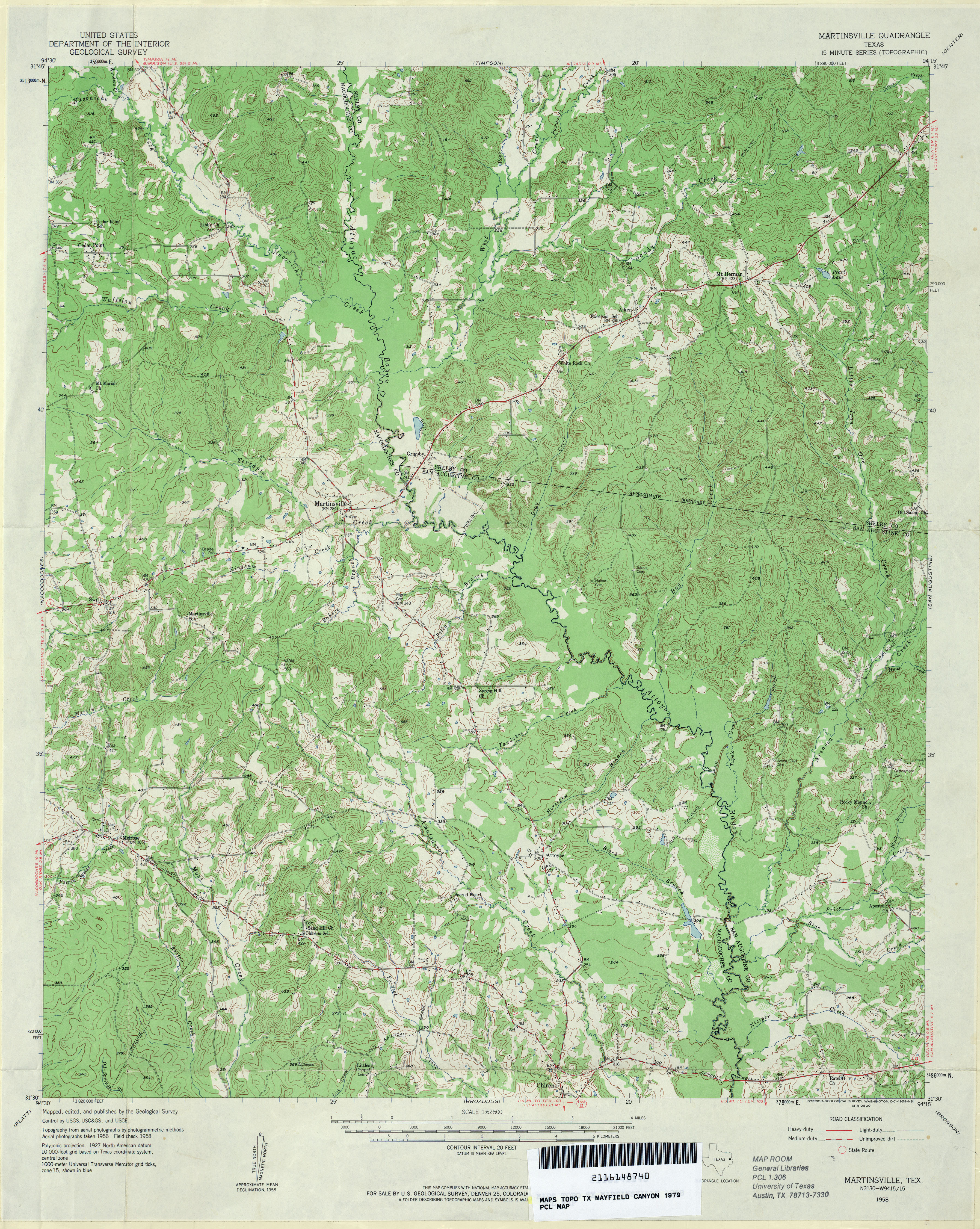
- Martinsville 1:62,500 1958 (5.1MB)
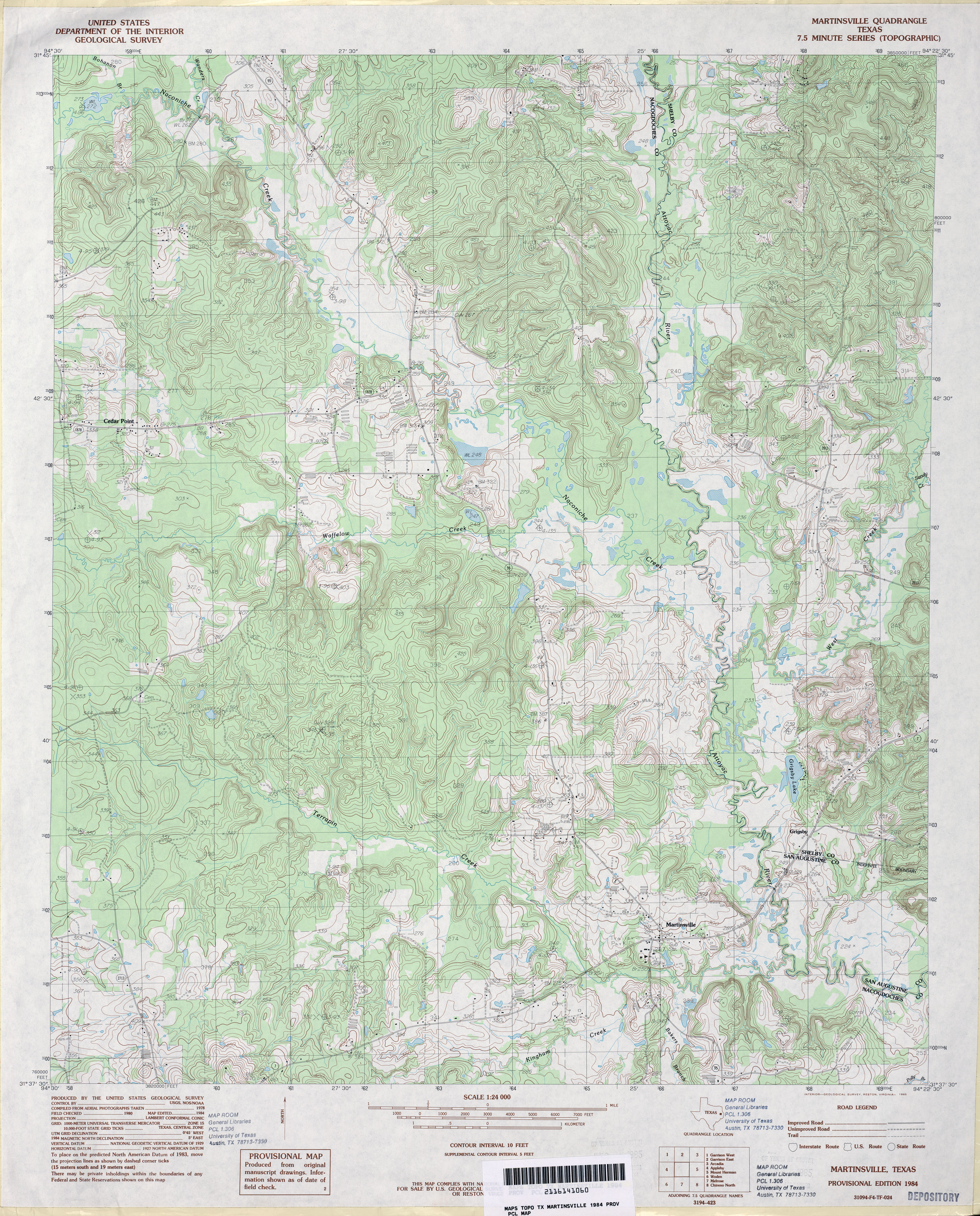
- Martinsville 1:24,000 1984 (5.2MB)
- Martinsville 1:24,000 2009 (21.2MB) [GeoPDF]
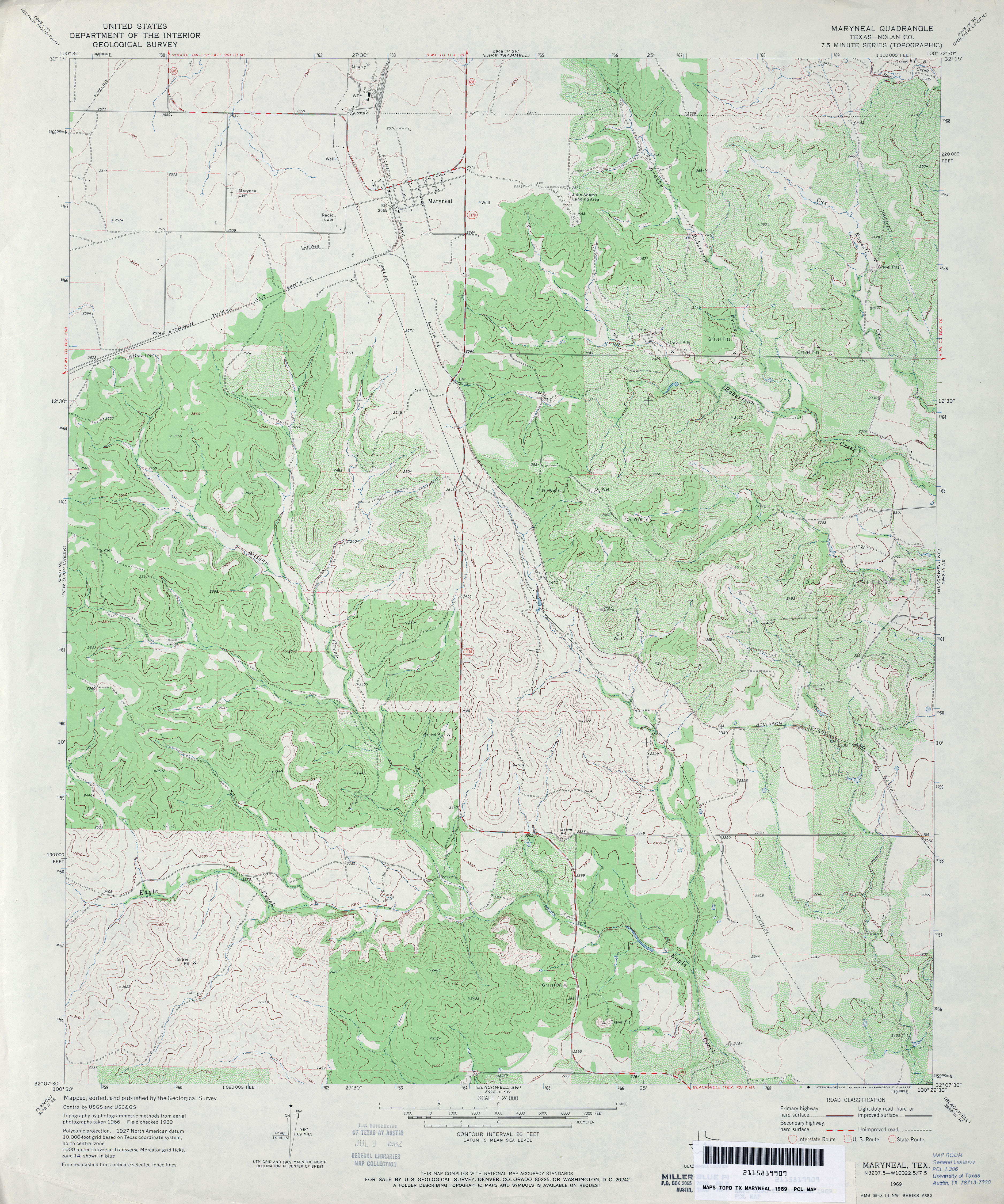
- Maryneal (Nolan County) 1:24,000 1969 (4.1MB)
- Maryneal 1:24,000 2008 (17.1MB) [GeoPDF]
- Maryneal 1:24,000 2012 (25.9MB) [GeoPDF]
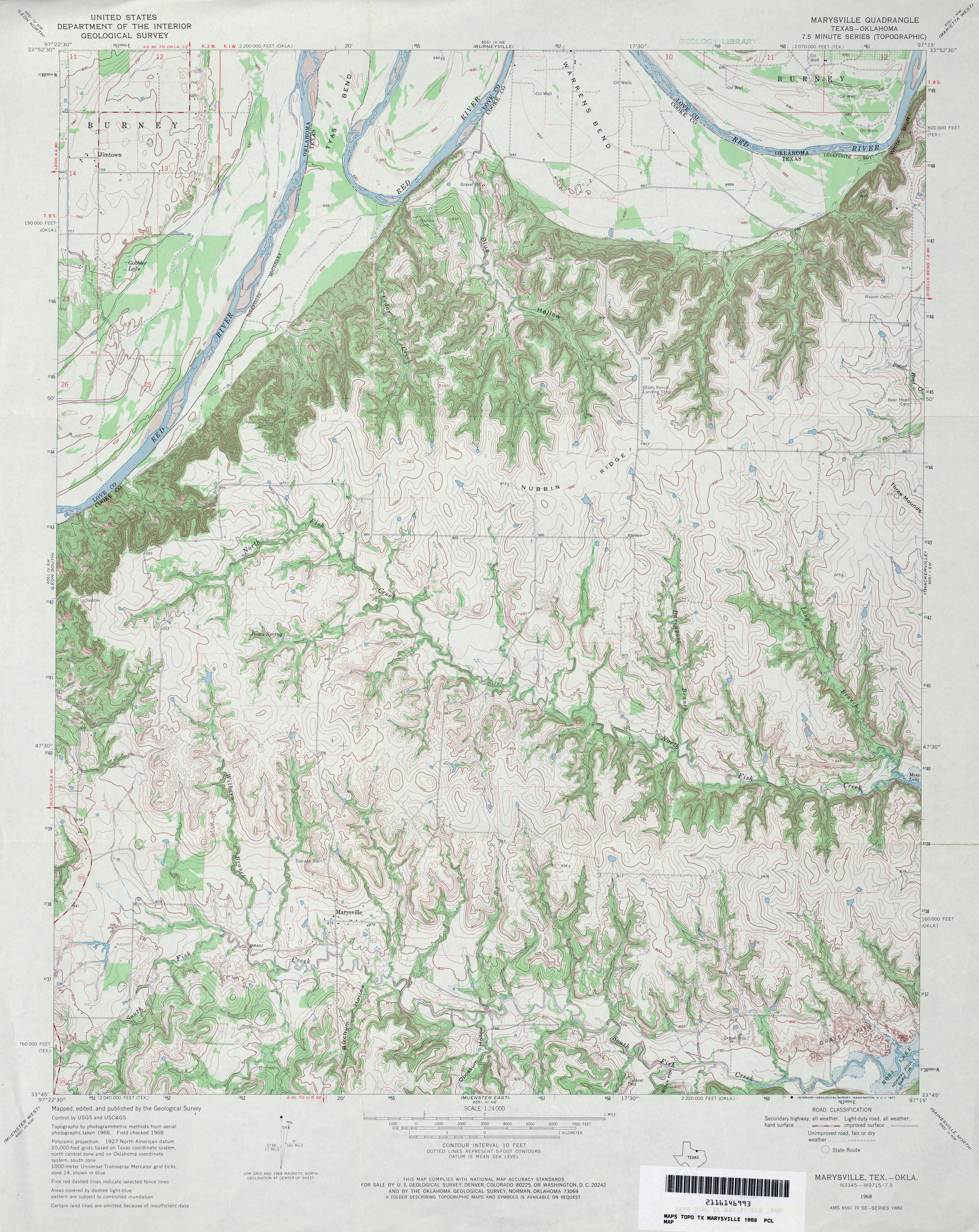
- Marysville 1:24,000 1968 (4.8MB)
- Marysville 1:24,000 1979 (5MB)
- Marysville 1:24,000 2008 (15.8MB) [GeoPDF]
- Marysville 1:24,000 2013 (21.7MB) [GeoPDF]
- Martinsville 1:24,000 2013 (25.8MB) [GeoPDF]
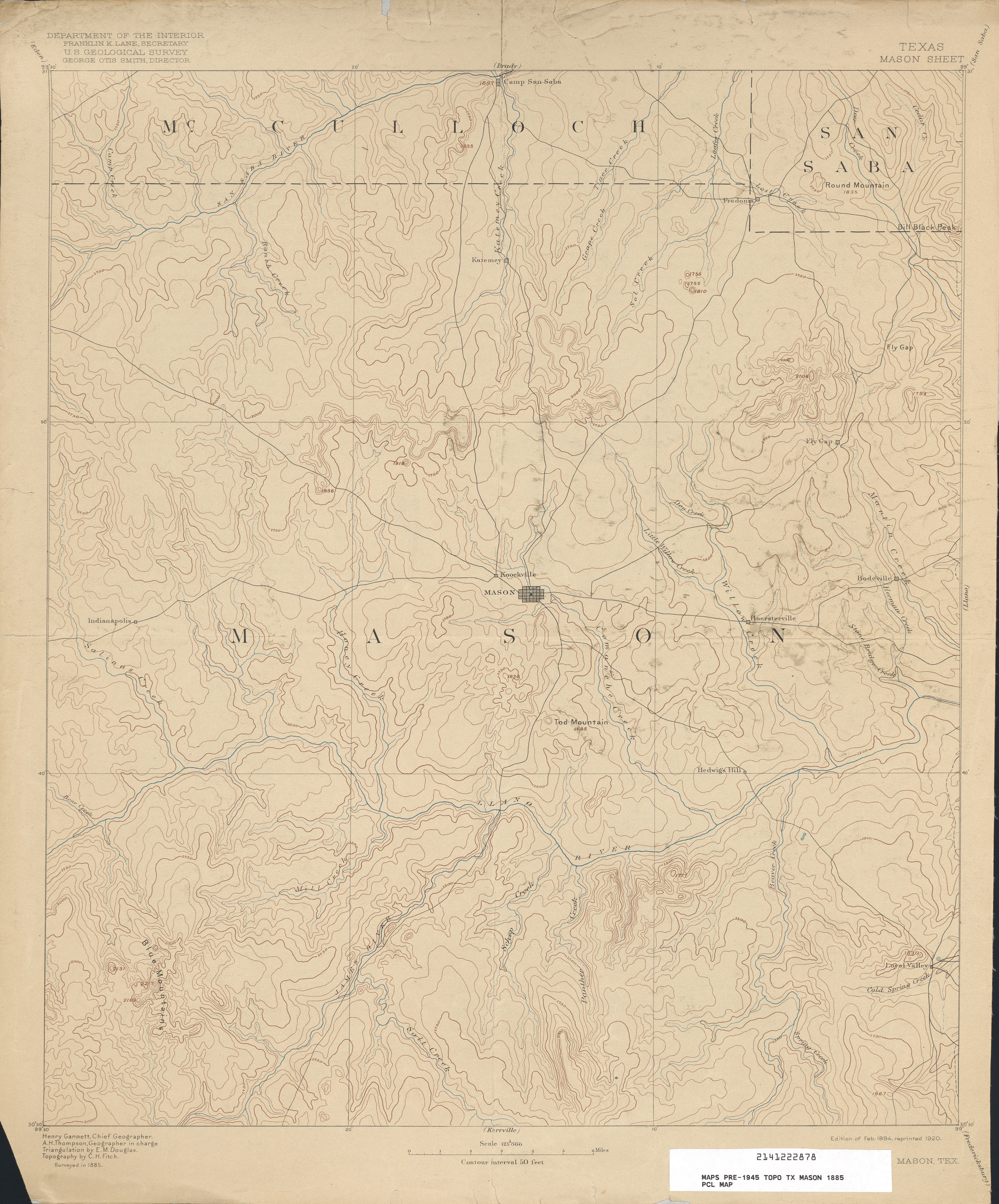
- Mason 1:125,000 1885 (2.7 MB)
- Mason (Mason County) 1:24,000 1967 (3.8MB)
- Mason (Mason County) 1:24,000 1979 (4.2MB)
- Mason 1:24,000 2008 (21.8MB) [GeoPDF]
- Mason 1:24,000 2012 (25.3MB) [GeoPDF]
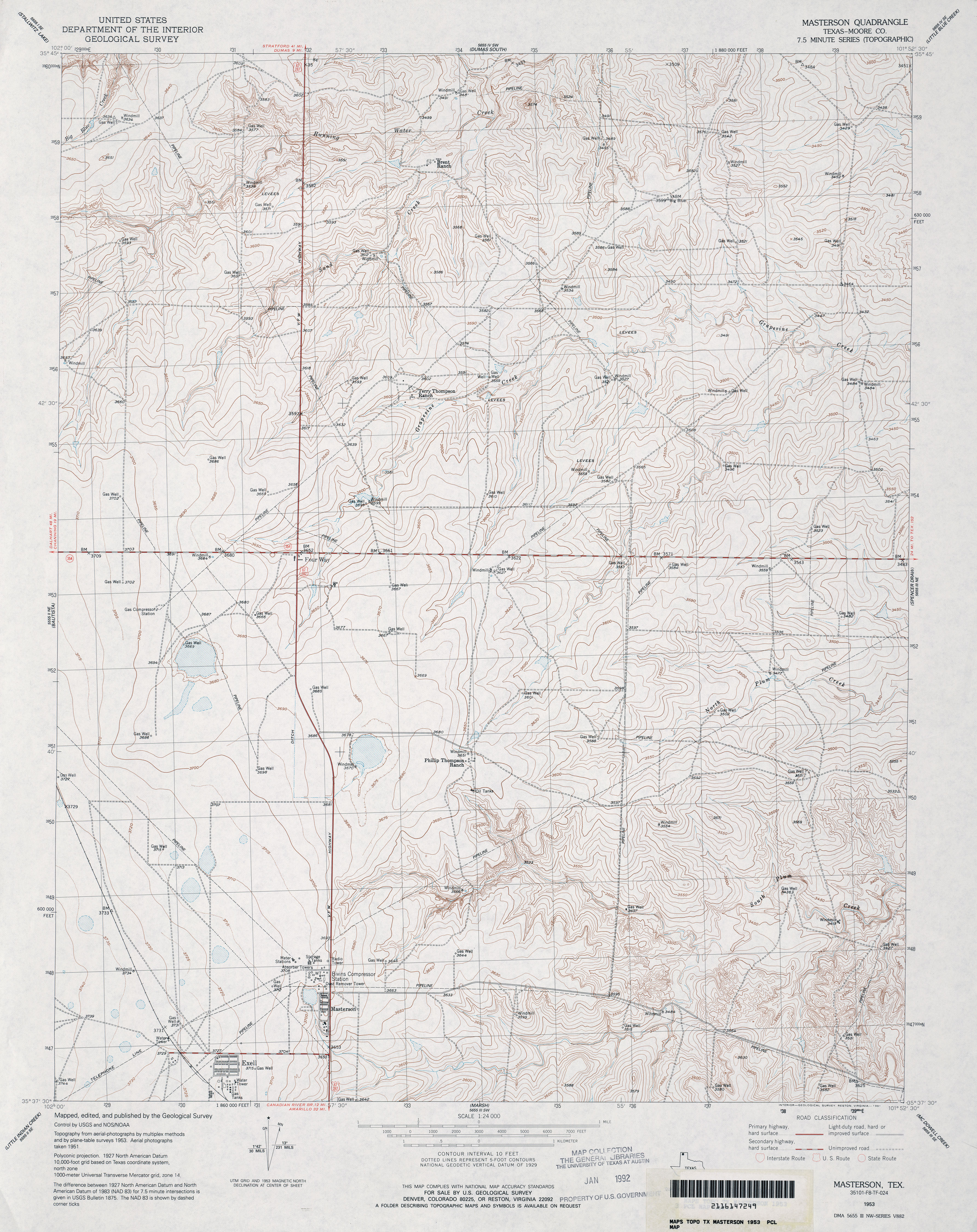
- Masterson (Moore County) 1:24,000 1953 (4.3MB)
- Masterson 1:24,000 2008 (13.2MB) [GeoPDF]
- Masterson 1:24,000 2012 (17.4MB) [GeoPDF]
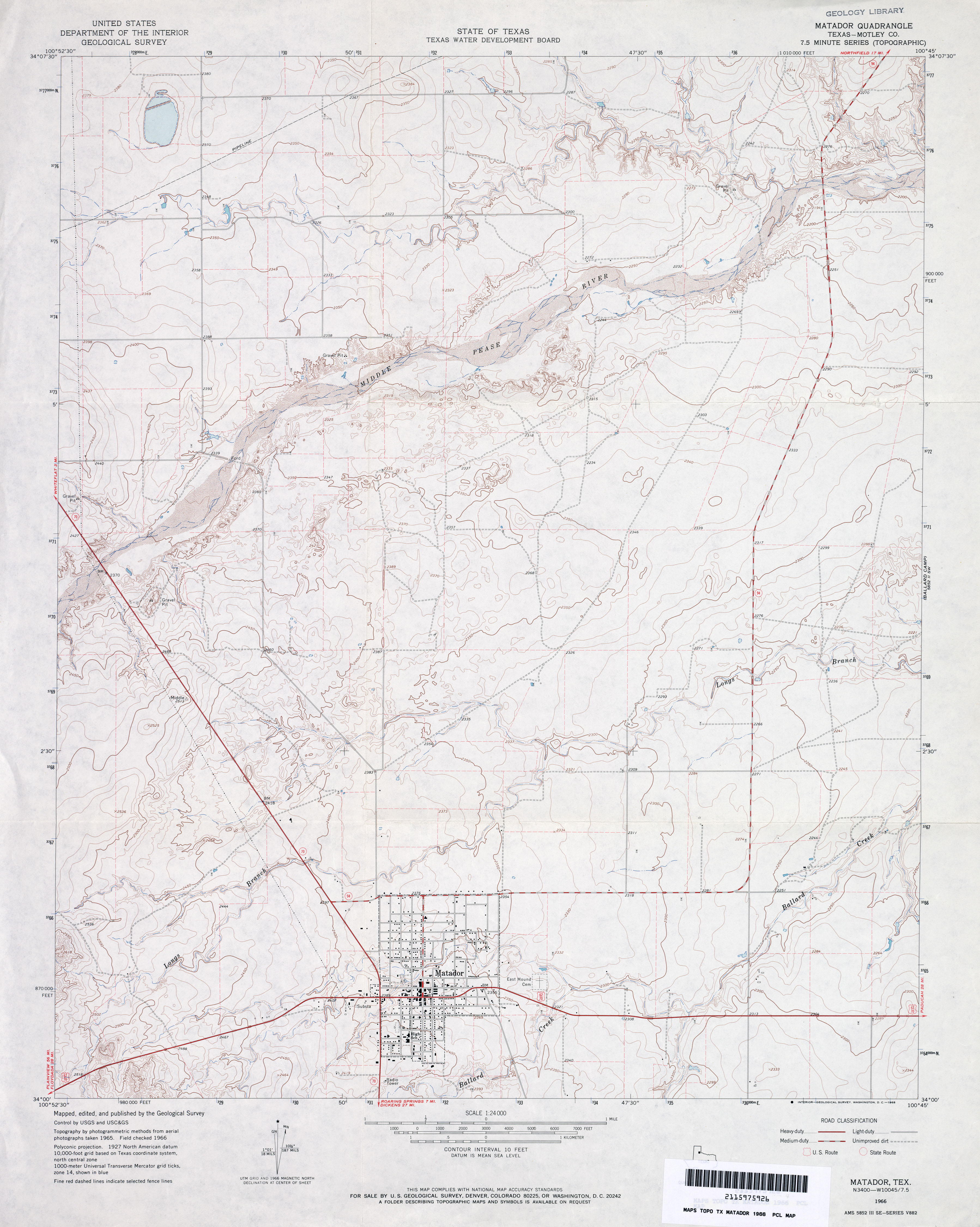
- Matador (Motley County) 1:24,000 1966 (3.2MB)
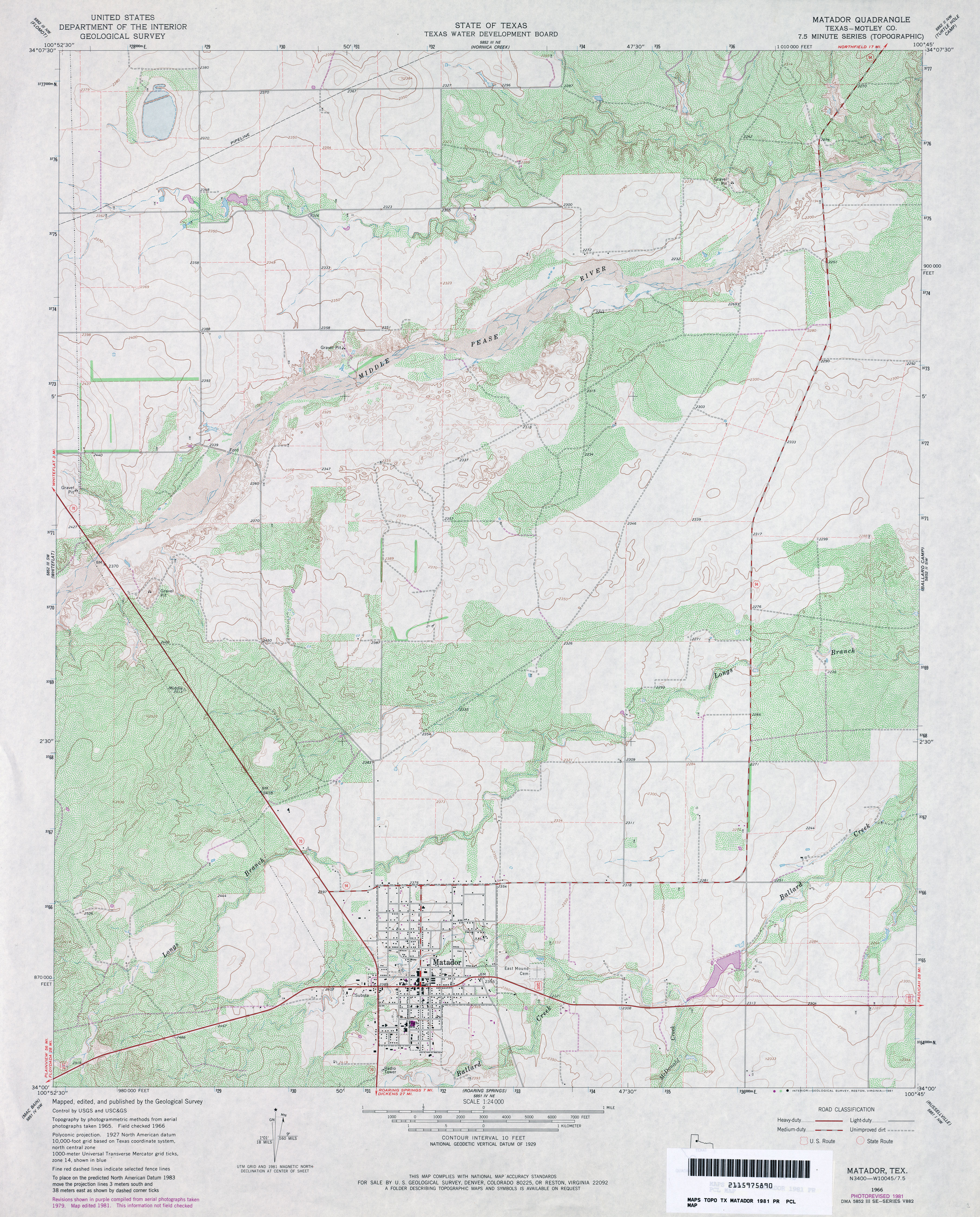
- Matador (Motley County) 1:24,000 1981 (4.2MB)
- Matador 1:24,000 2008 (12.2MB) [GeoPDF]
- Matador 1:24,000 2012 (18.9MB) [GeoPDF]
- Matagorda 1:125,000 1913 (6.4MB) U.S. Army. Corps of Engineers. Progressive Military Map
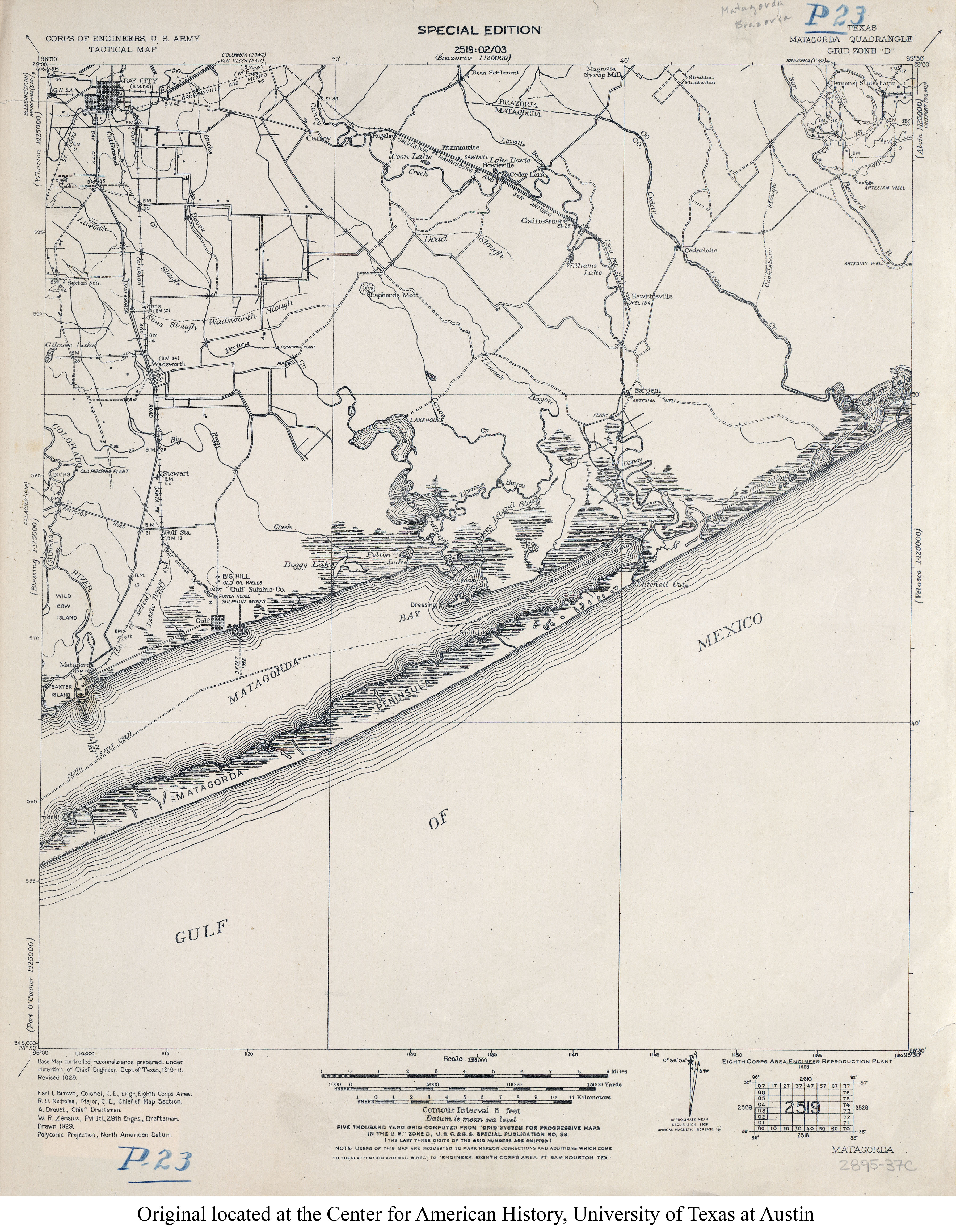
- Matagorda 1:125,000 1929 (3.3MB) U.S. Army. Corps of Engineers. Tactical Map
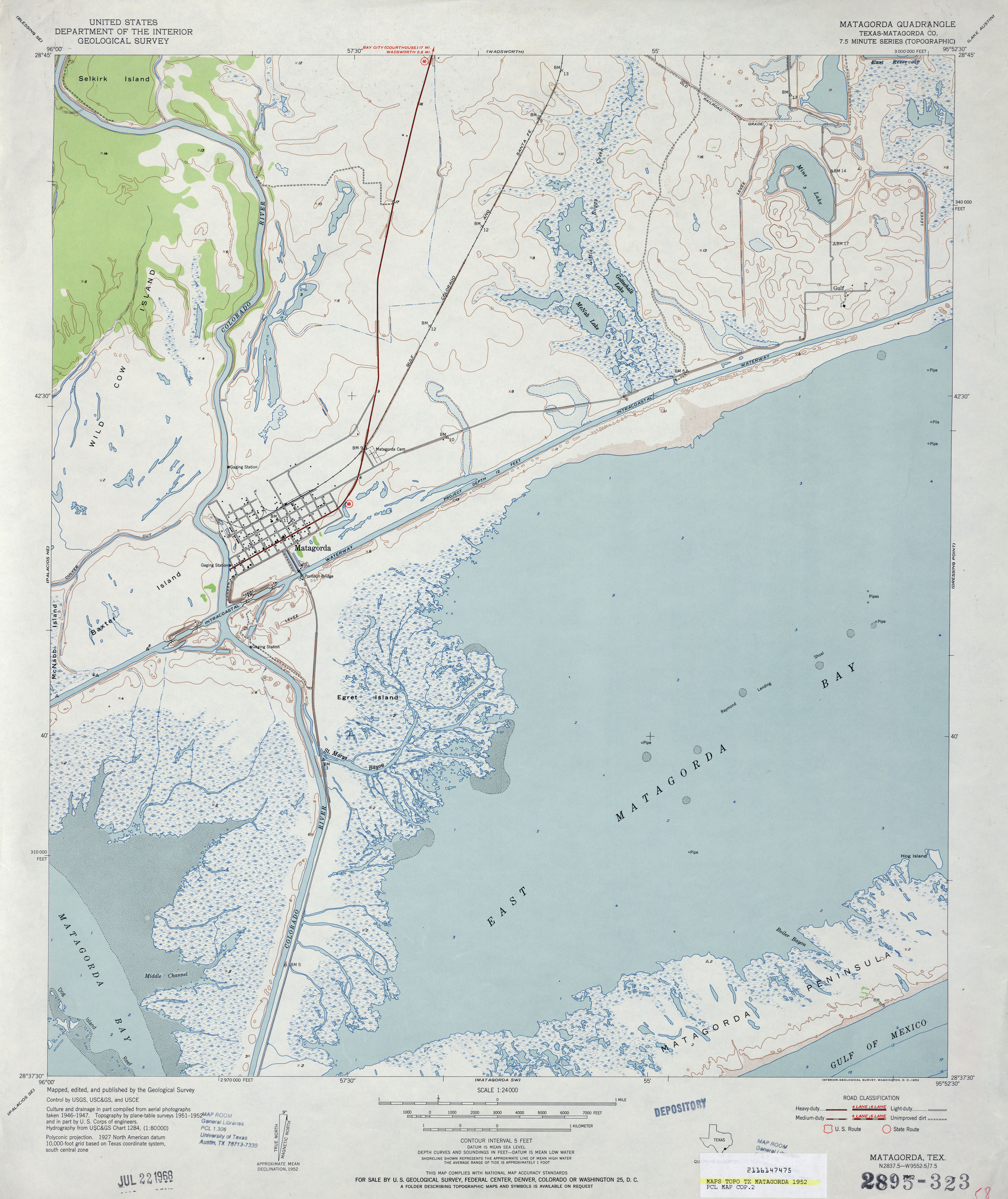
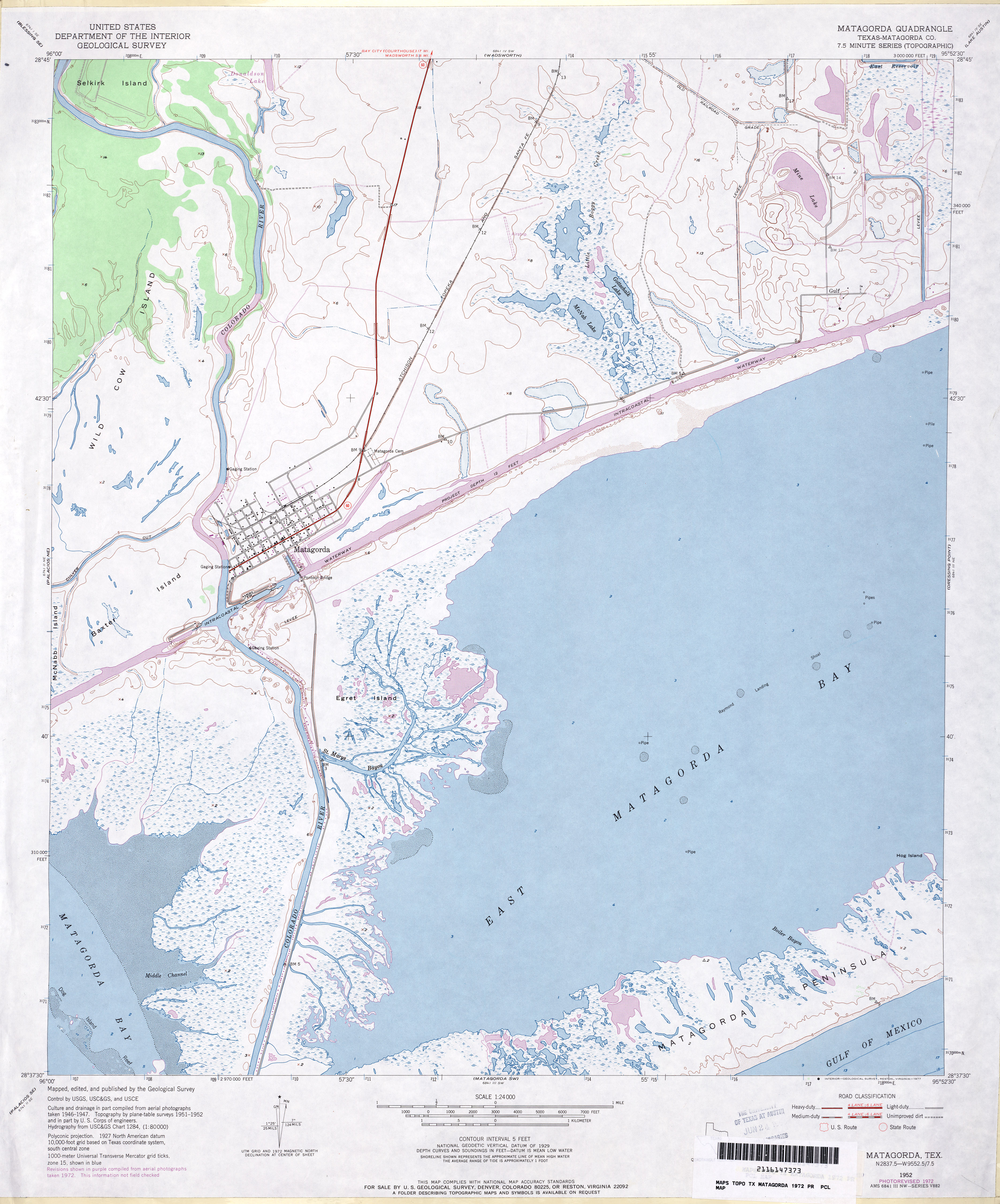
- Matagorda (Matagorda County) 1:24,000 1952 (3.4MB)
- Matagorda (Matagorda County) 1:24,000 1972 (3.5MB)
- Matagorda 1:24,000 2008 (12.1MB) [GeoPDF]
- Matagorda 1:24,000 2013 (17.3MB) [GeoPDF]
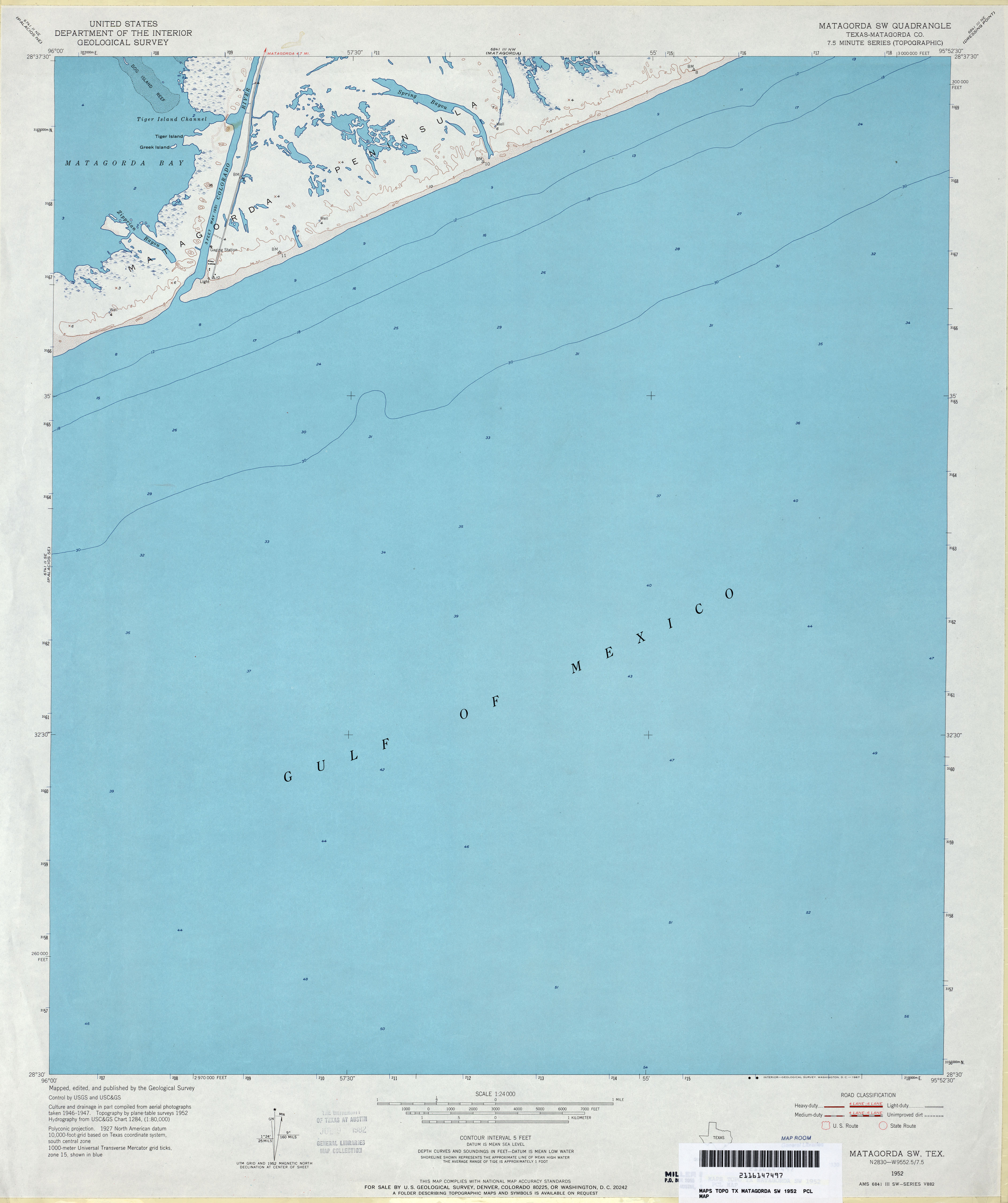
- Matagorda SW (Matagorda County) 1:24,000 1952 (2MB)
- Matagorda SW 1:24,000 2008 (10.9MB) [GeoPDF]
- Matagorda SW 1:24,000 2013 (13.8MB) [GeoPDF]
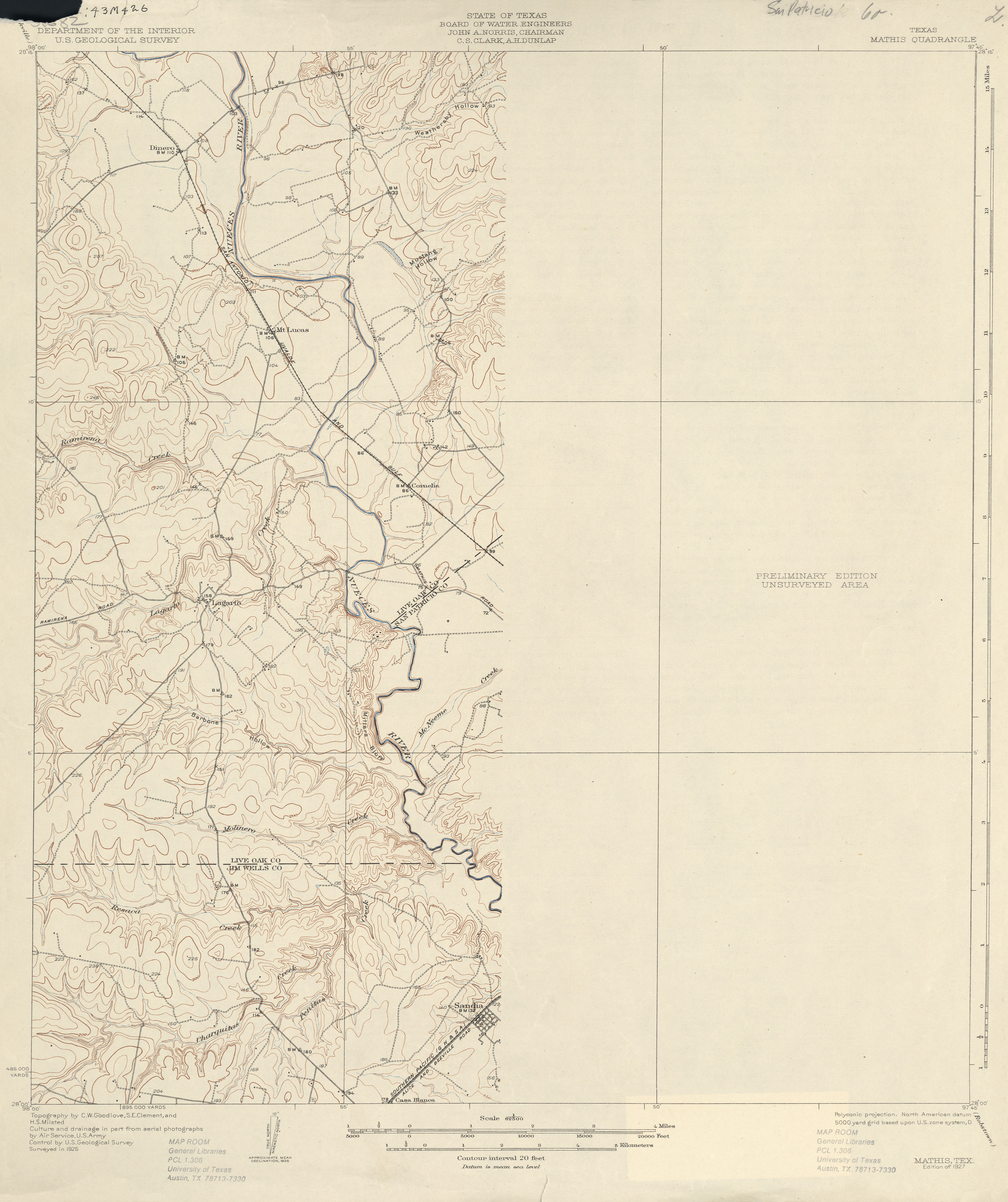
- Mathis 1:62,500 1925 (2.2 MB)
- Mathis 1:62,500 1954 (4.6MB)
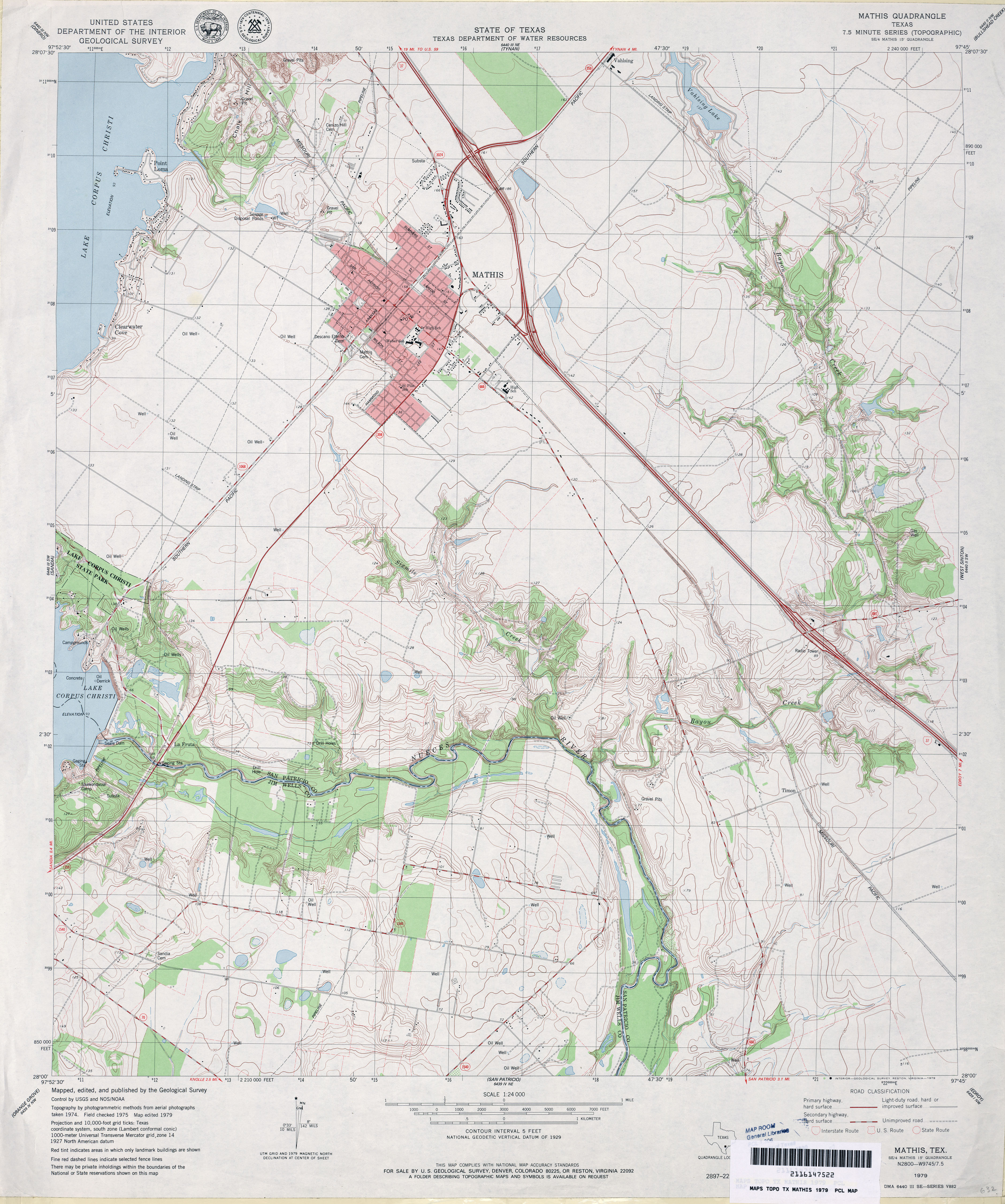
- Mathis 1:24,000 1979 (4.1MB)
- Mathis 1:24,000 2009 (13.5MB) [GeoPDF]
- Mathis 1:24,000 2013 (19.8MB) [GeoPDF]
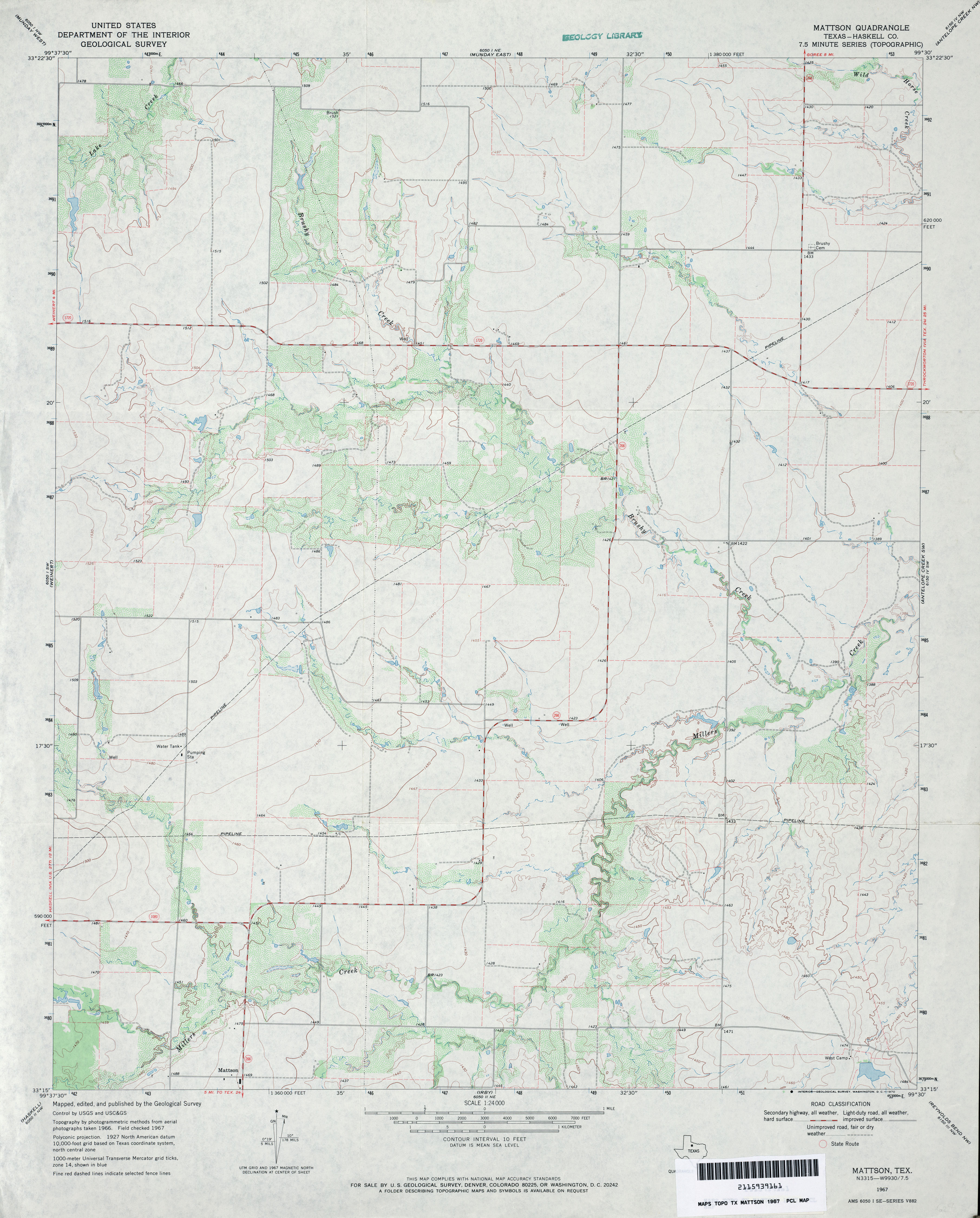
- Mattson (Haskell County) 1:24,000 1967 (3.1MB)
- Mattson 1:24,000 2008 (10.5MB) [GeoPDF]
- Mattson 1:24,000 2012 (16.5MB) [GeoPDF]
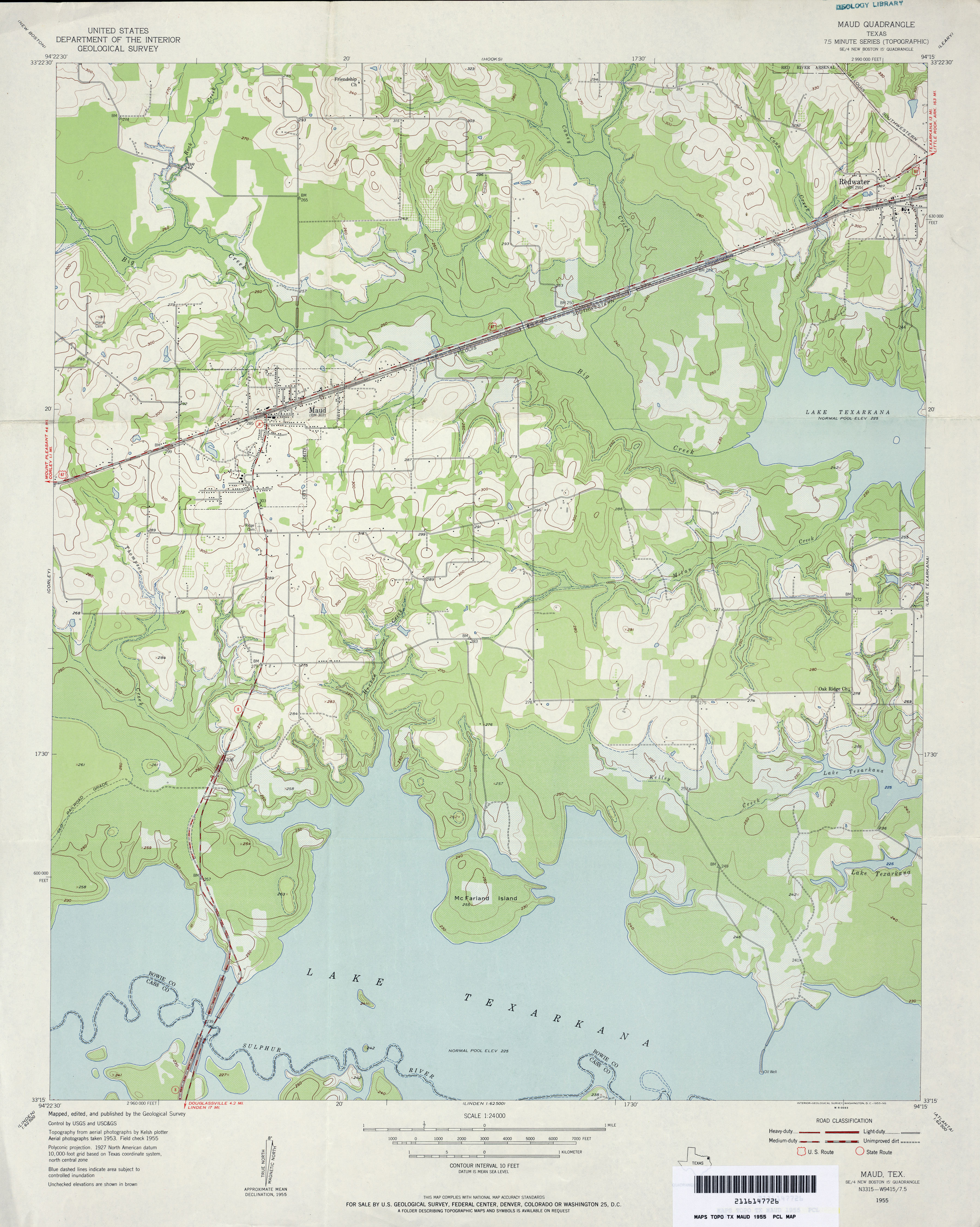
- Maud 1:24,000 1955 (3.3MB)
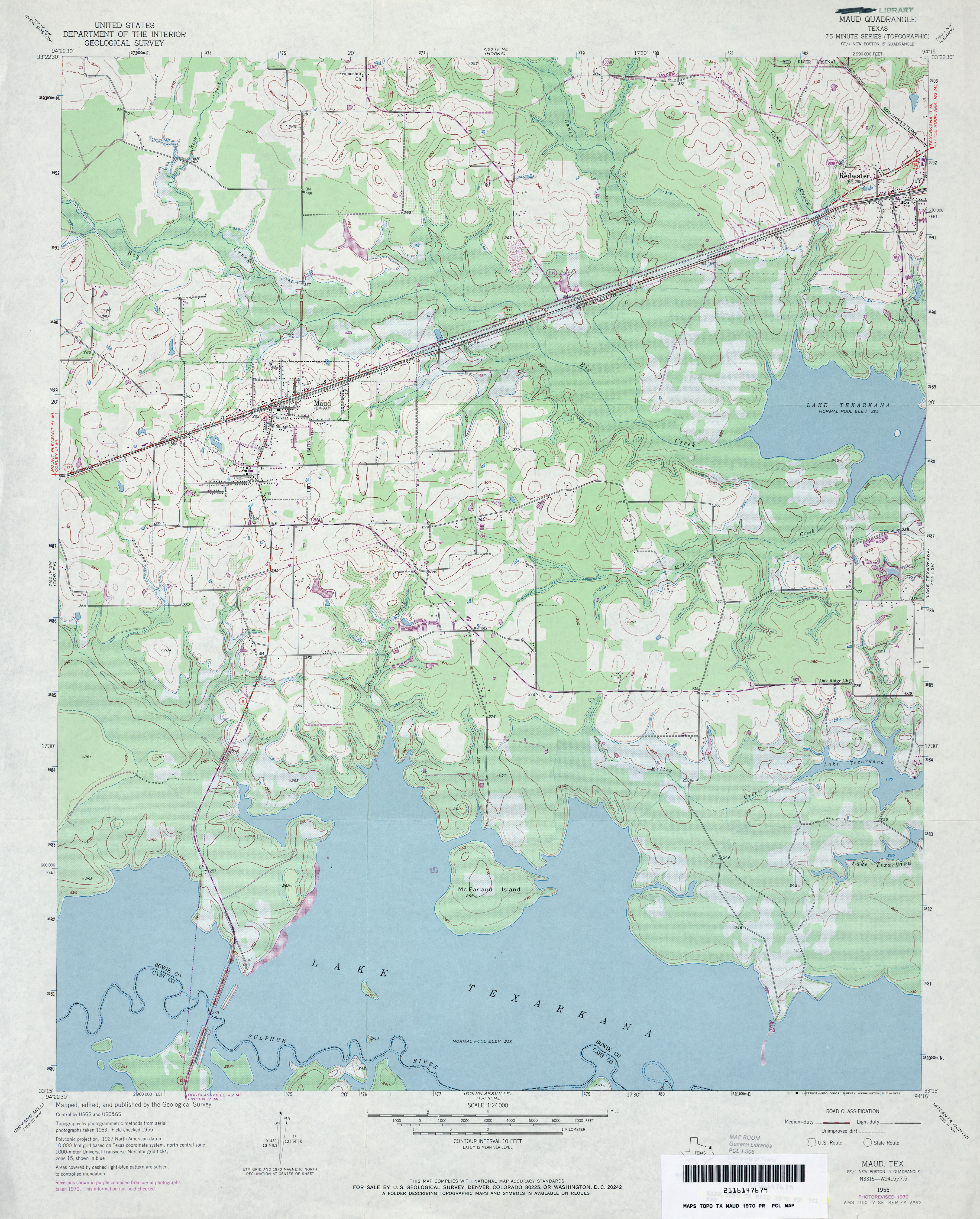
- Maud 1:24,000 1970 (3.8MB)
- Maud 1:24,000 2009 (16.3MB) [GeoPDF]
- Maud 1:24,000 2013 (22MB) [GeoPDF]
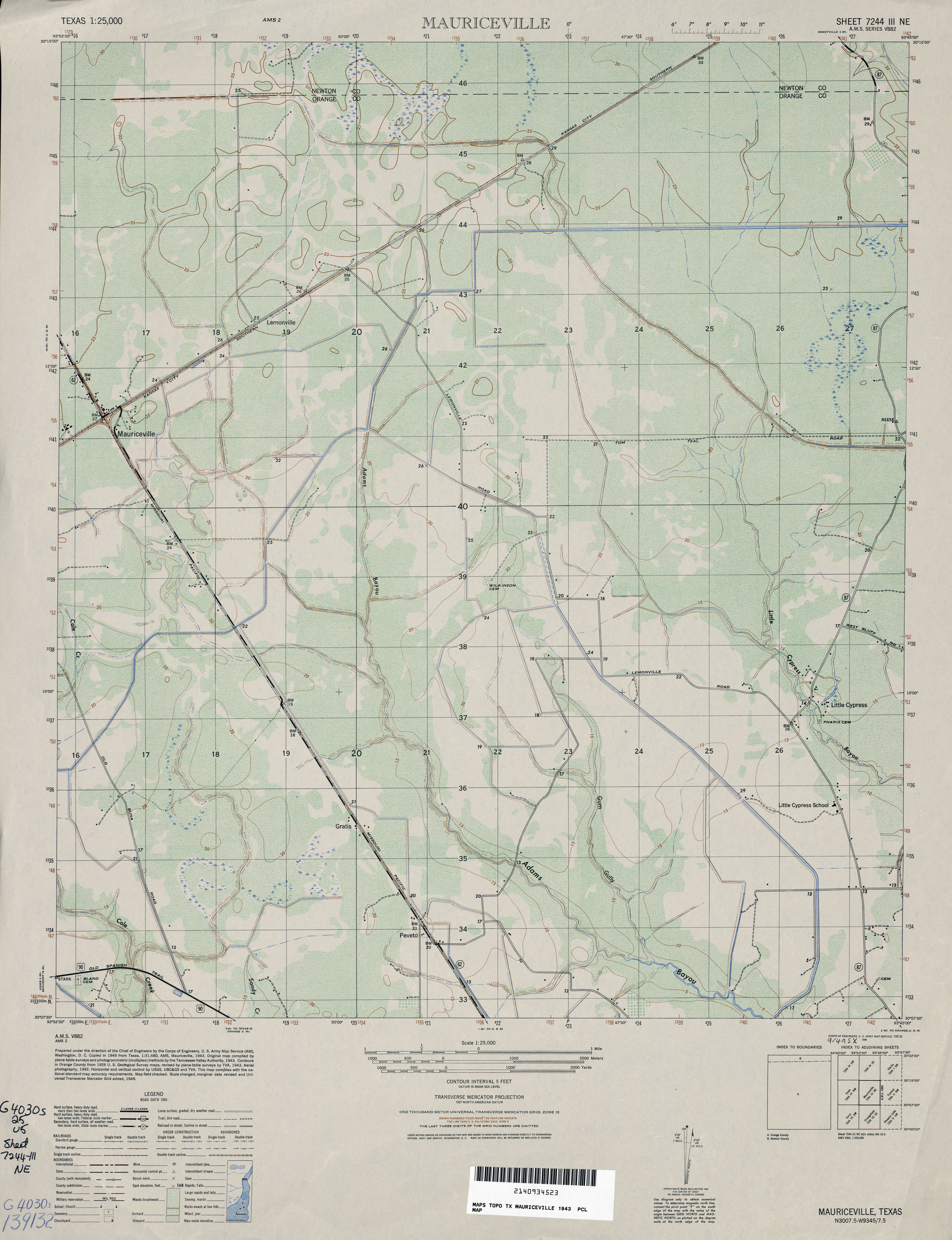
- Mauriceville 1:25,000 1943 (4MB) U.S. Army Map Service, Series V882
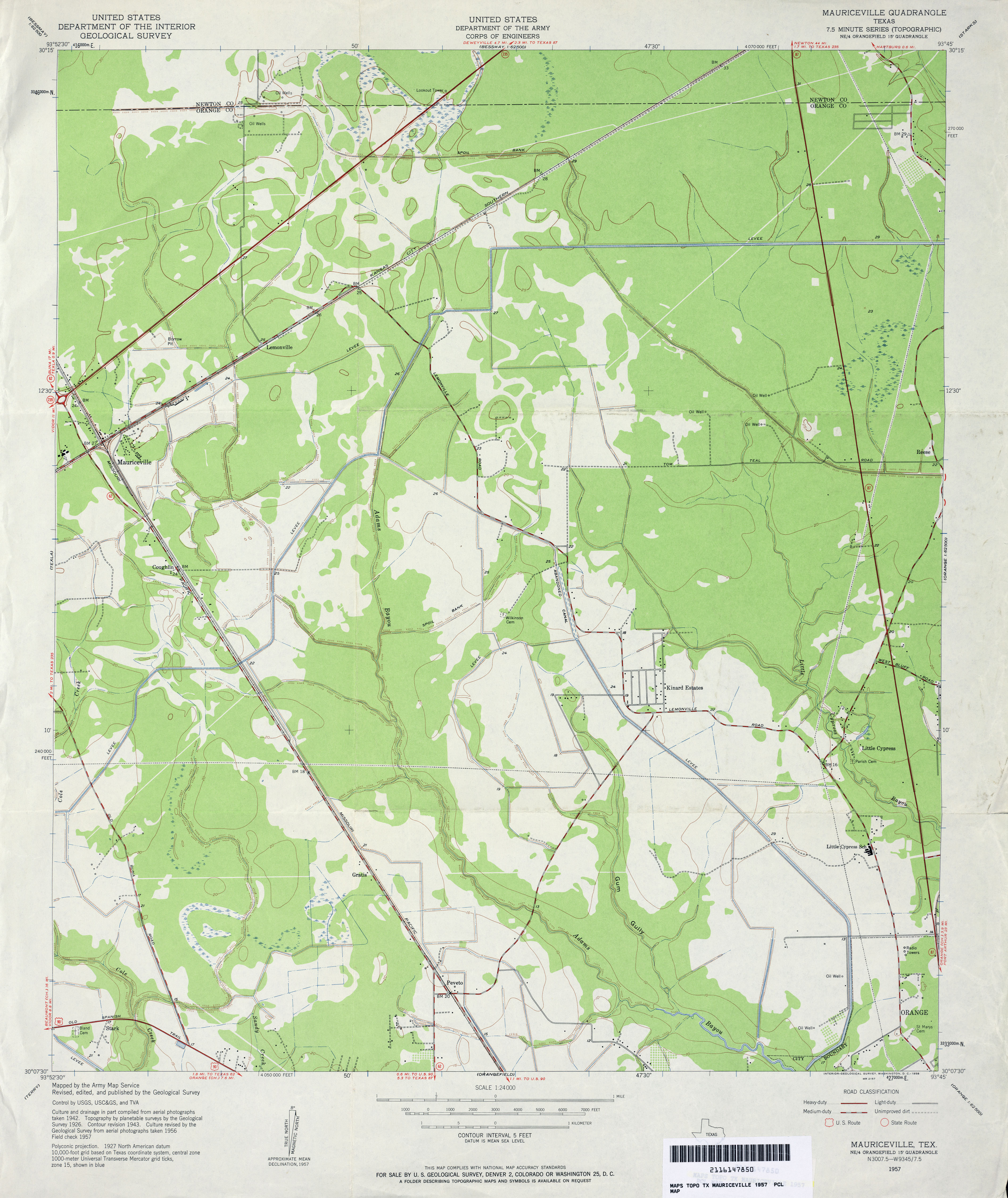
- Mauriceville 1:24,000 1957 (3.2MB) U.S. Department of the Army Corps of Engineers
- Mauriceville 1:24,000 1970 (3.3MB) U.S. Department of the Army Corps of Engineers
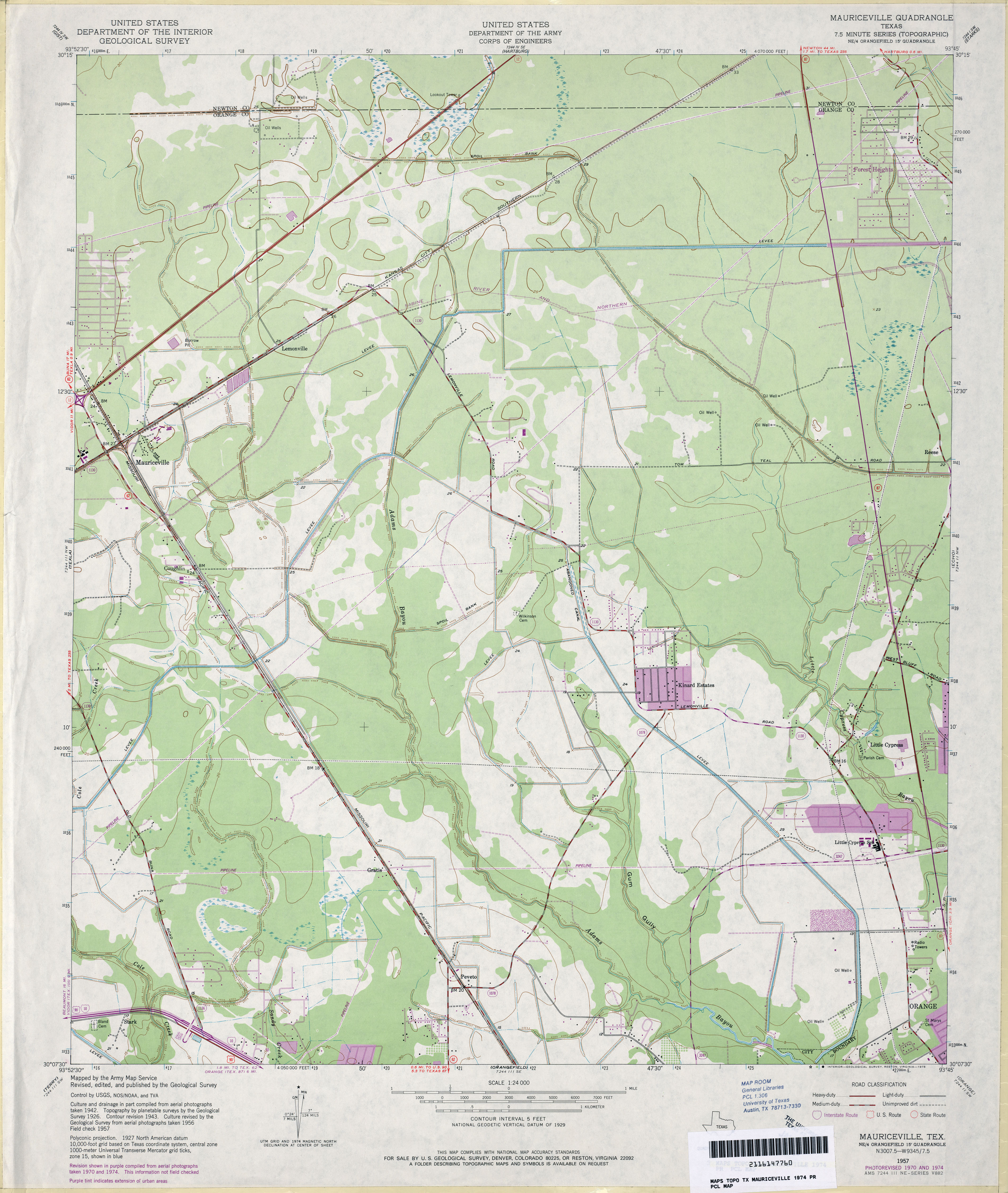
- Mauriceville 1:24,000 1974 (3.3MB) U.S. Department of the Army Corps of Engineers
- Mauriceville 1:24,000 2009 (21.3MB) [GeoPDF]
- Mauriceville 1:24,000 2012 (22MB) [GeoPDF]
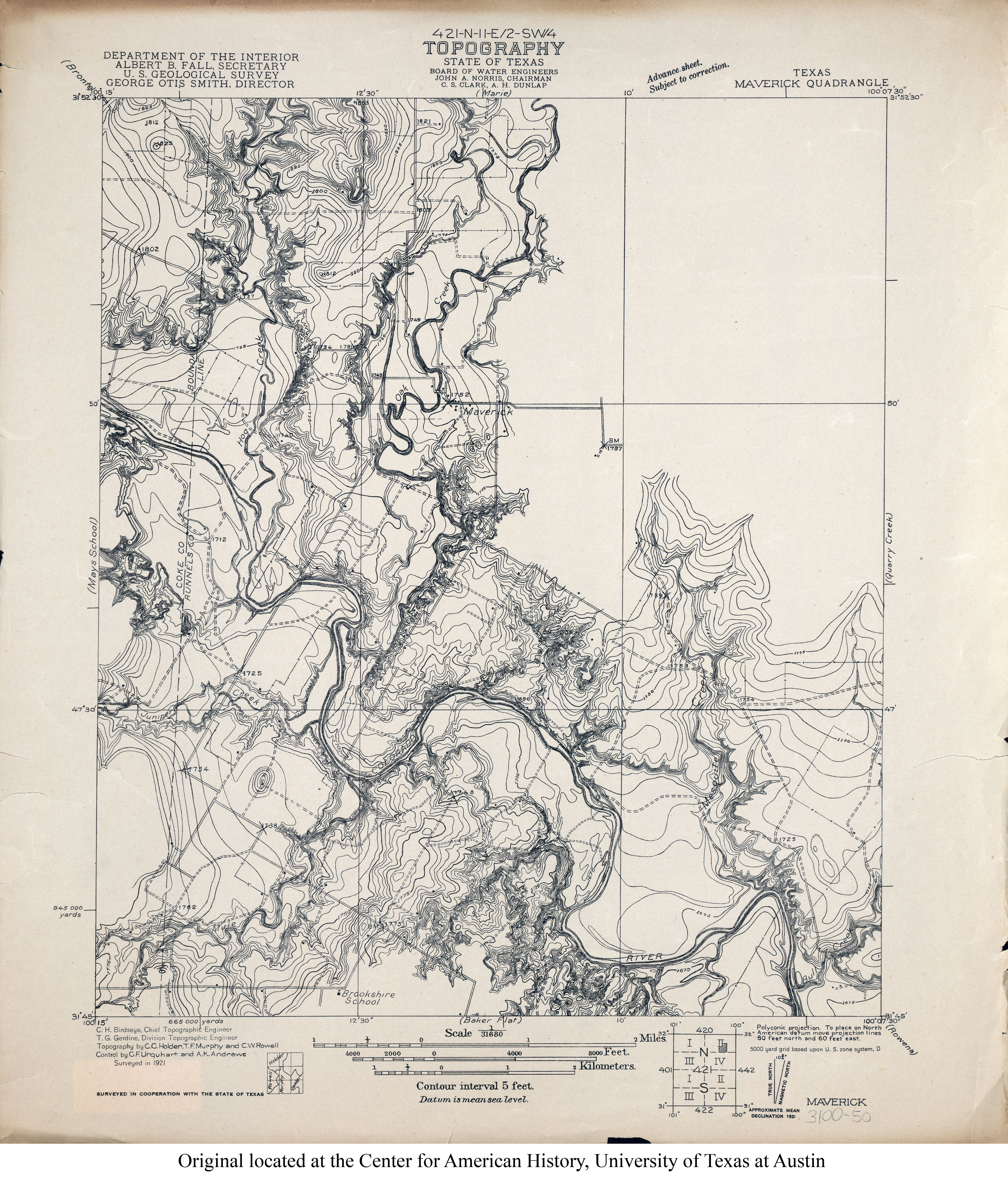
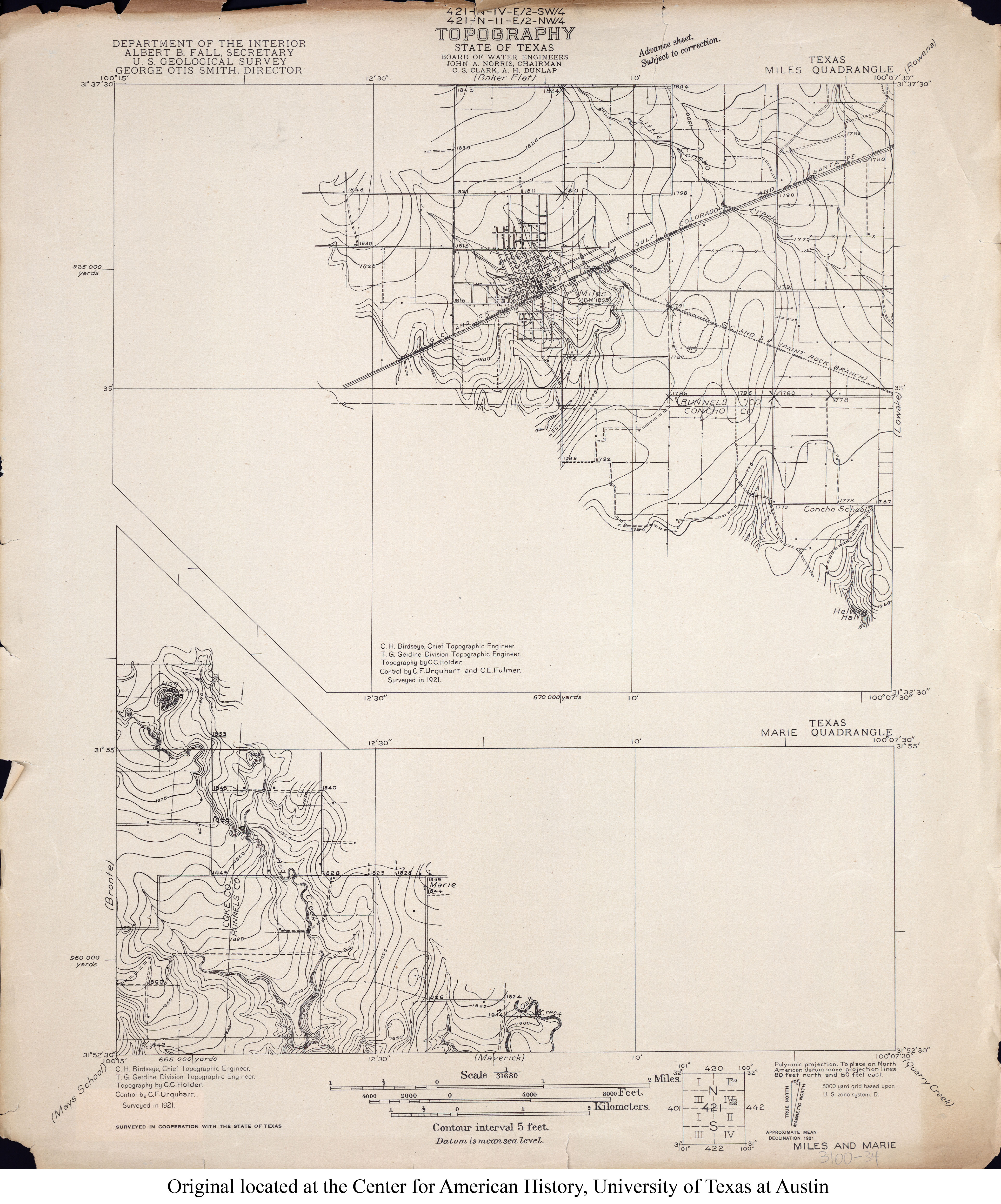
- Maverick 1:31,680 1921 (4.2MB)
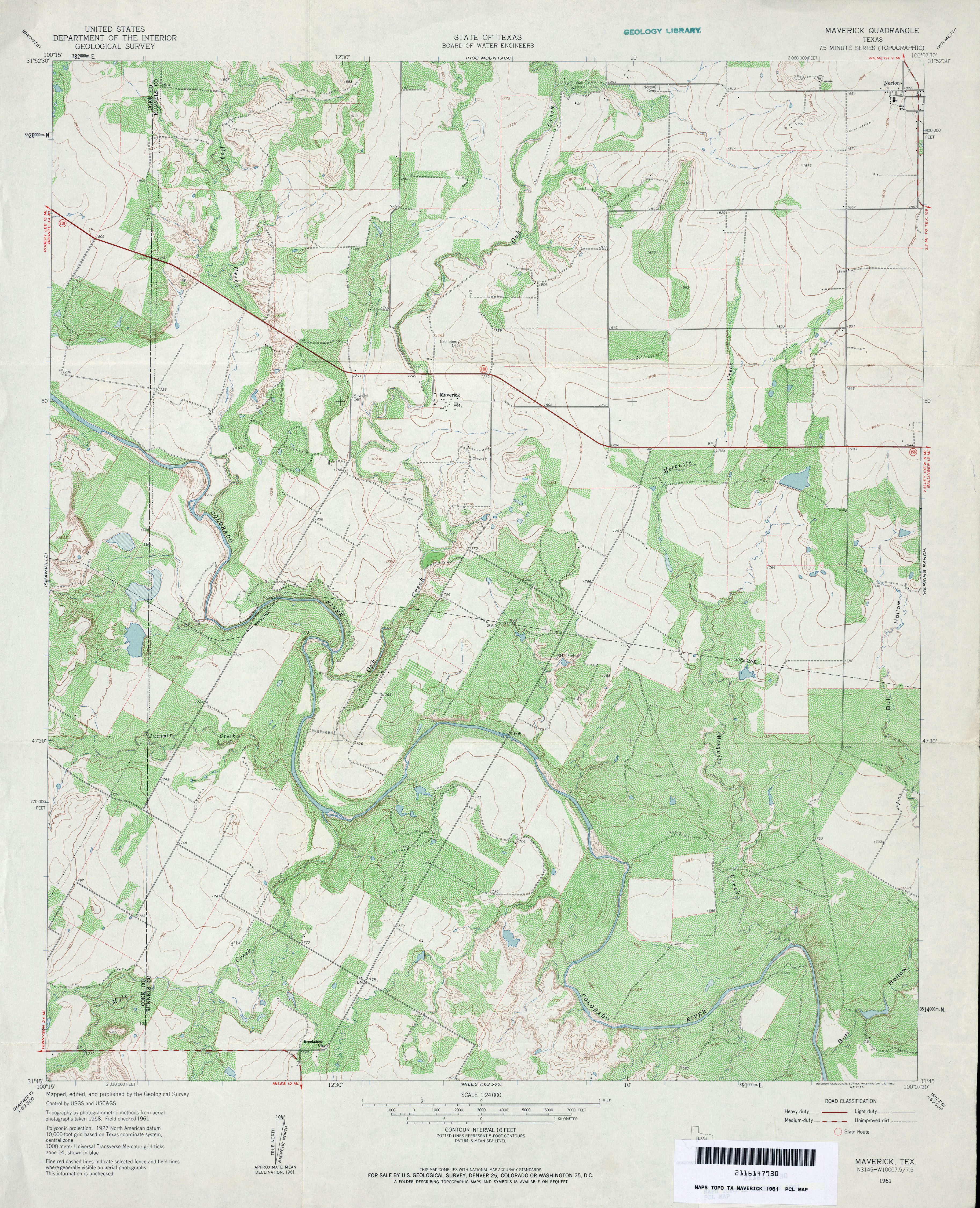
- Maverick 1:24,000 1961 (4.5MB)
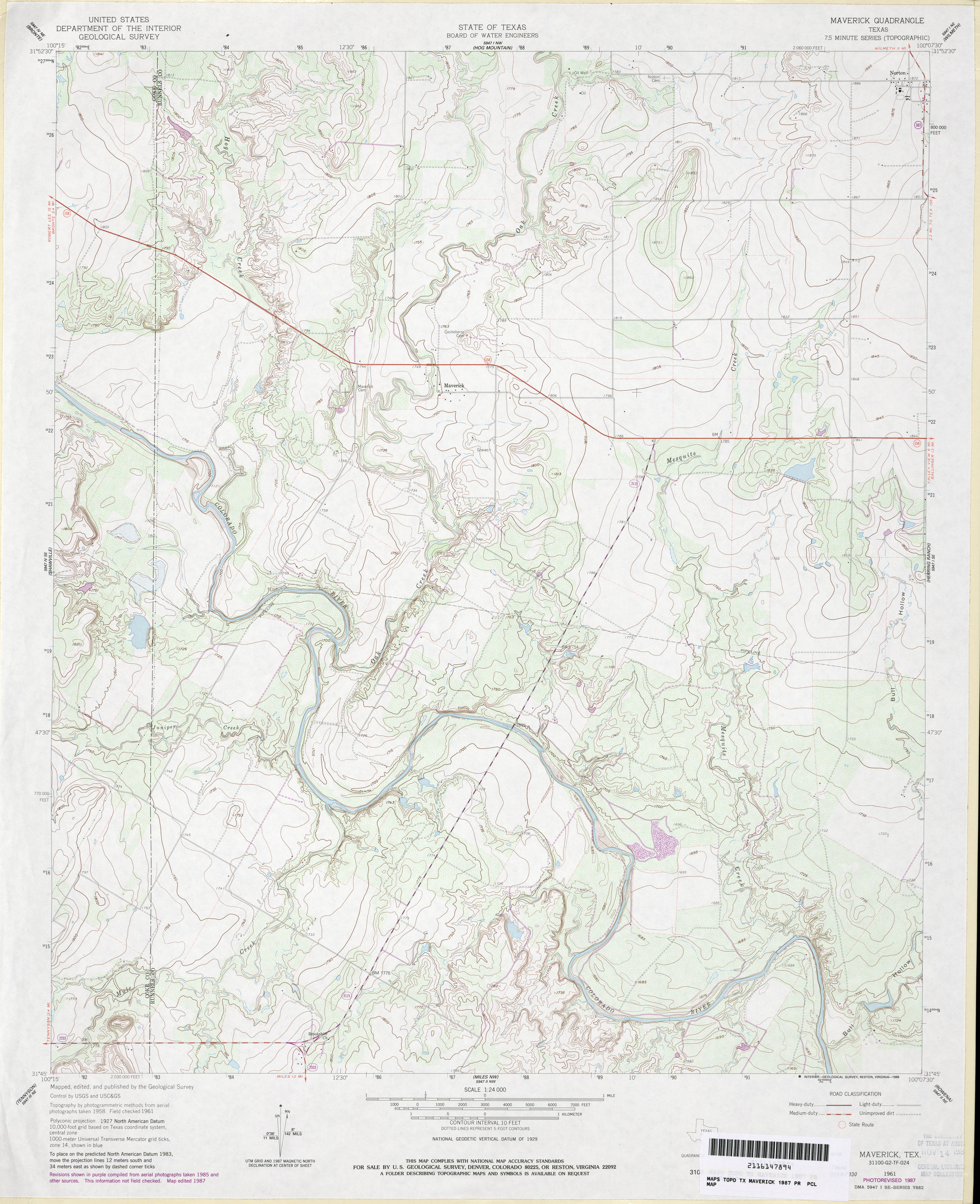
- Maverick 1:24,000 1987 (3.6MB)
- Maverick 1:24,000 2008 (17.4MB) [GeoPDF]
- Maverick 1:24,000 2012 (22.2MB) [GeoPDF]
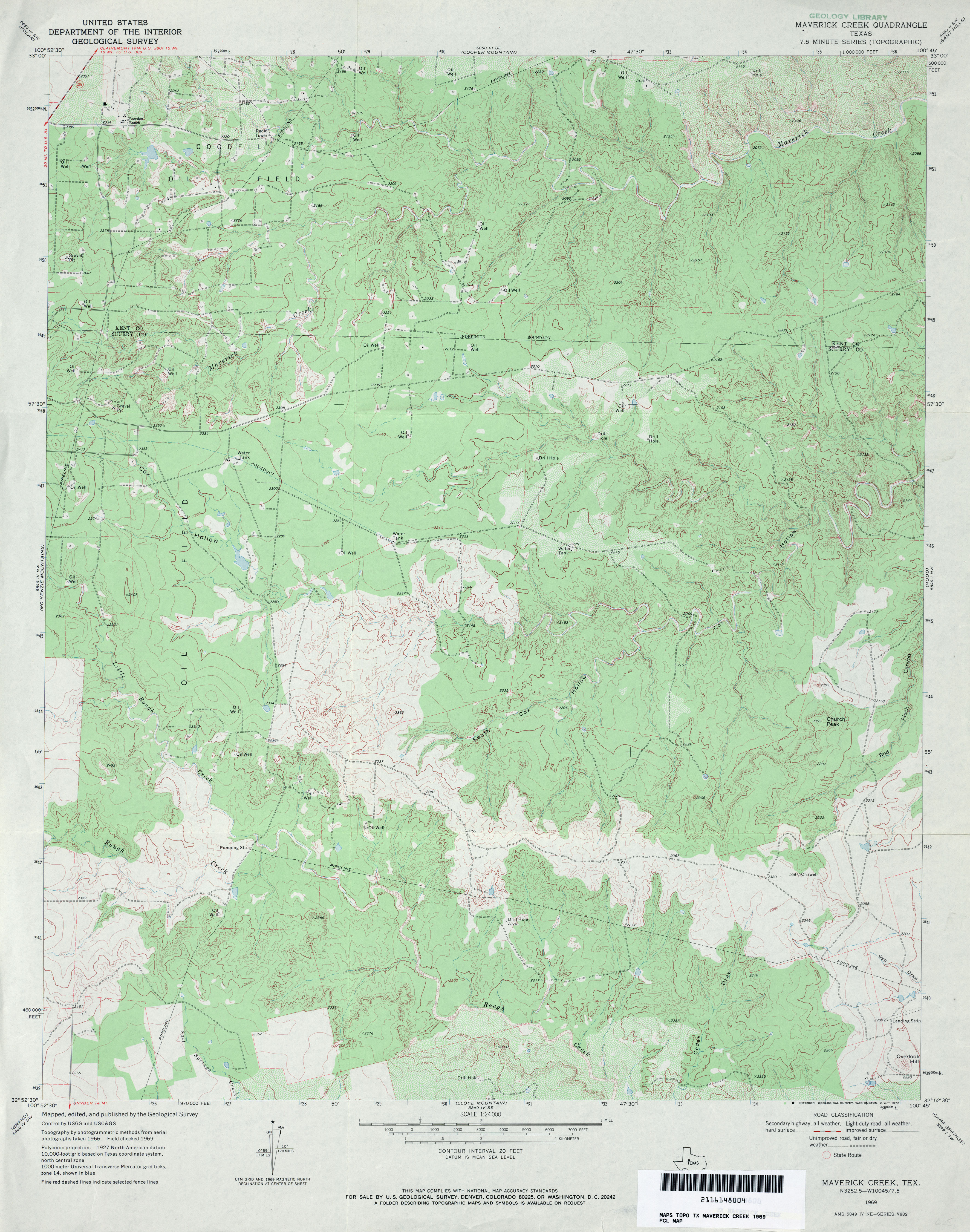
- Maverick Creek 1:24,000 1969 (3.9MB)
- Maverick Creek 1:24,000 2008 (19.8MB) [GeoPDF]
- Maverick Creek 1:24,000 2012 (26.9MB) [GeoPDF]
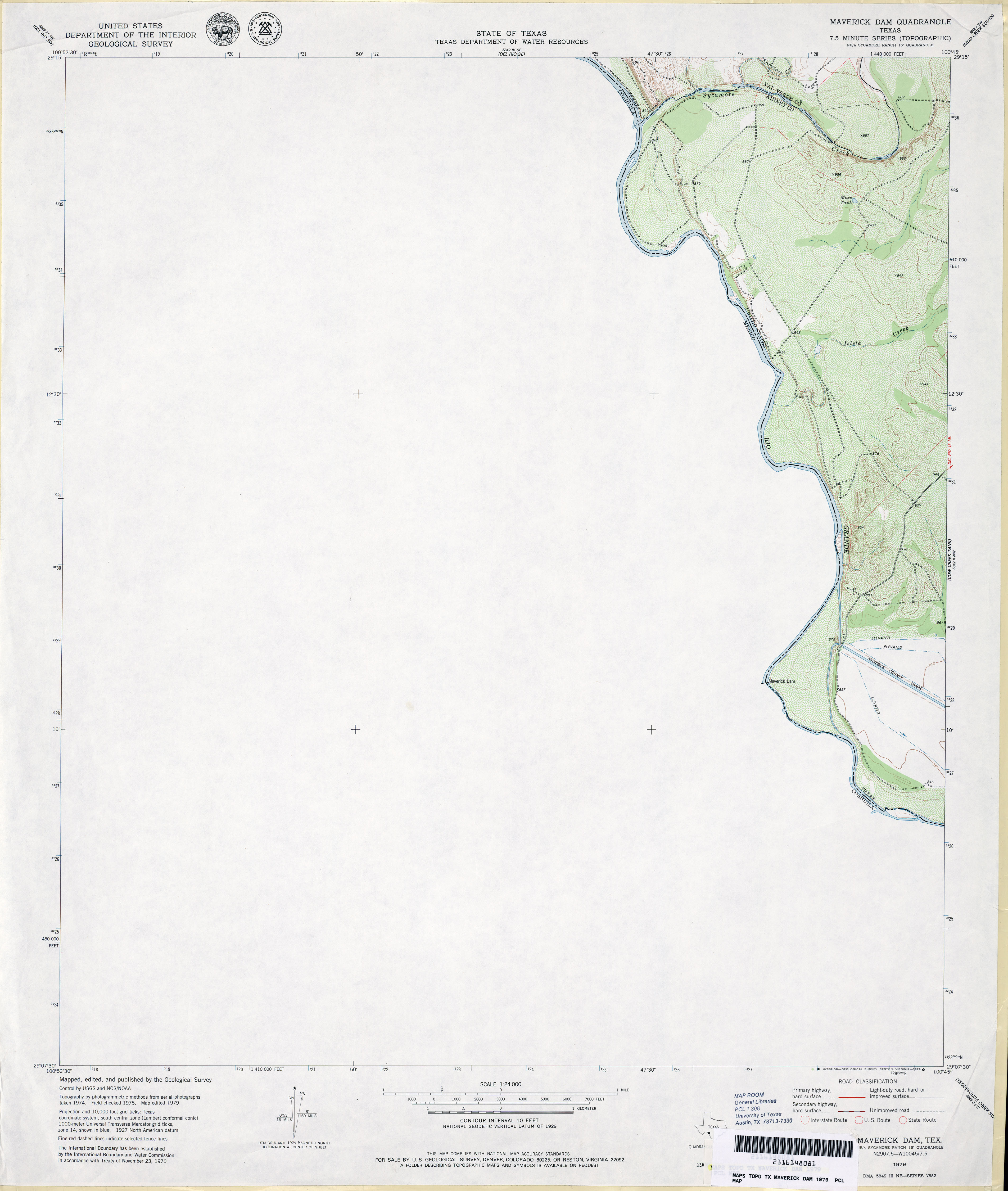
- Maverick Dam 1:24,000 1979 (2.1MB)
- Maverick Dam 1:24,000 2008 (22.2MB) [GeoPDF]
- Maverick Dam 1:24,000 2013 (16.5MB) [GeoPDF]
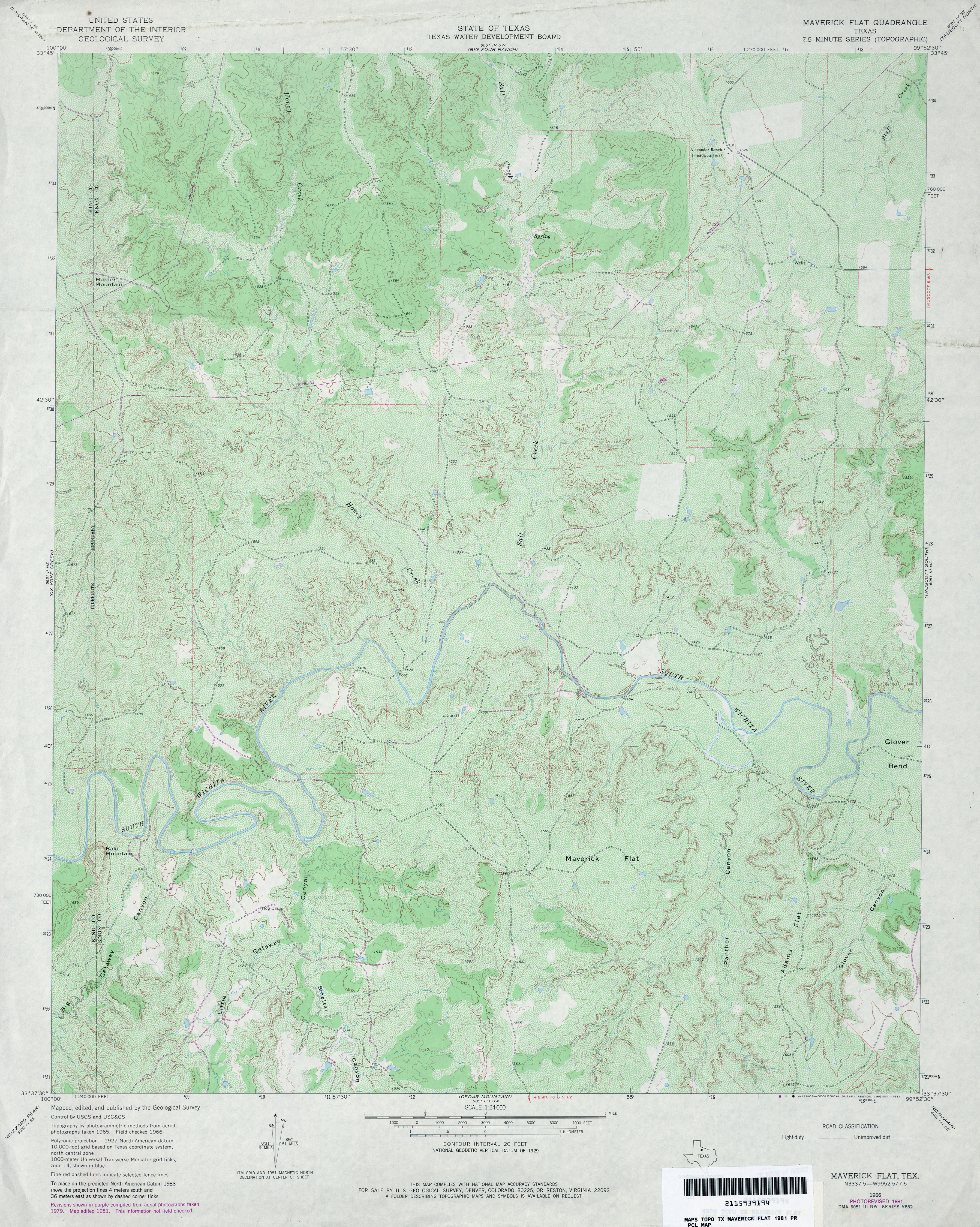
- Maverick Flat 1:24,000 1966 (4MB)
- Maverick Flat 1:24,000 1981 (5.1MB)
- Maverick Flat 1:24,000 2008 (21.4MB) [GeoPDF]
- Maverick Flat 1:24,000 2012 (28.6MB) [GeoPDF]
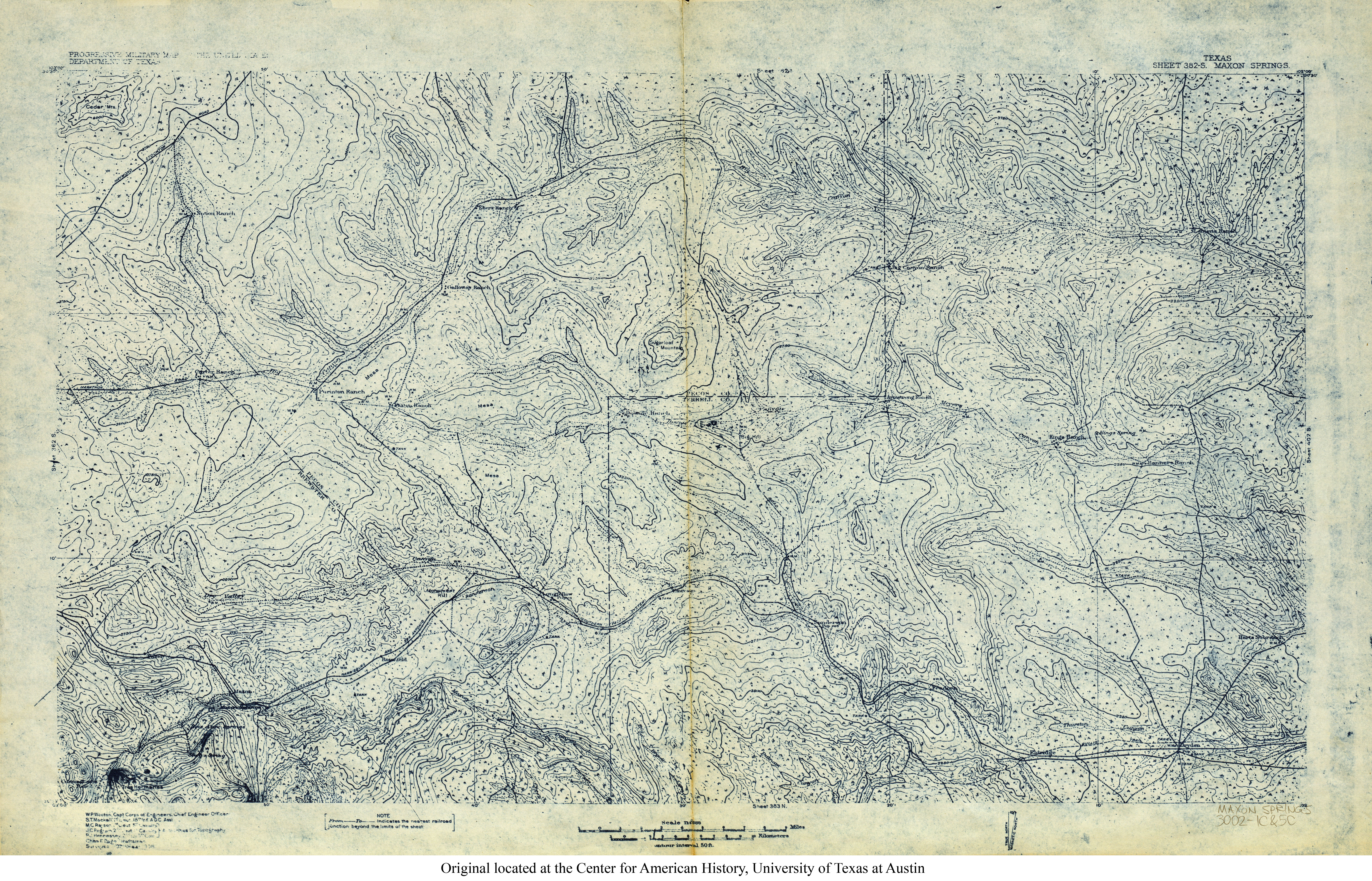
- Maxon Springs 1:125,000 1928 (9.2MB) U.S. Army. Corps of Engineers. Progressive Military Map
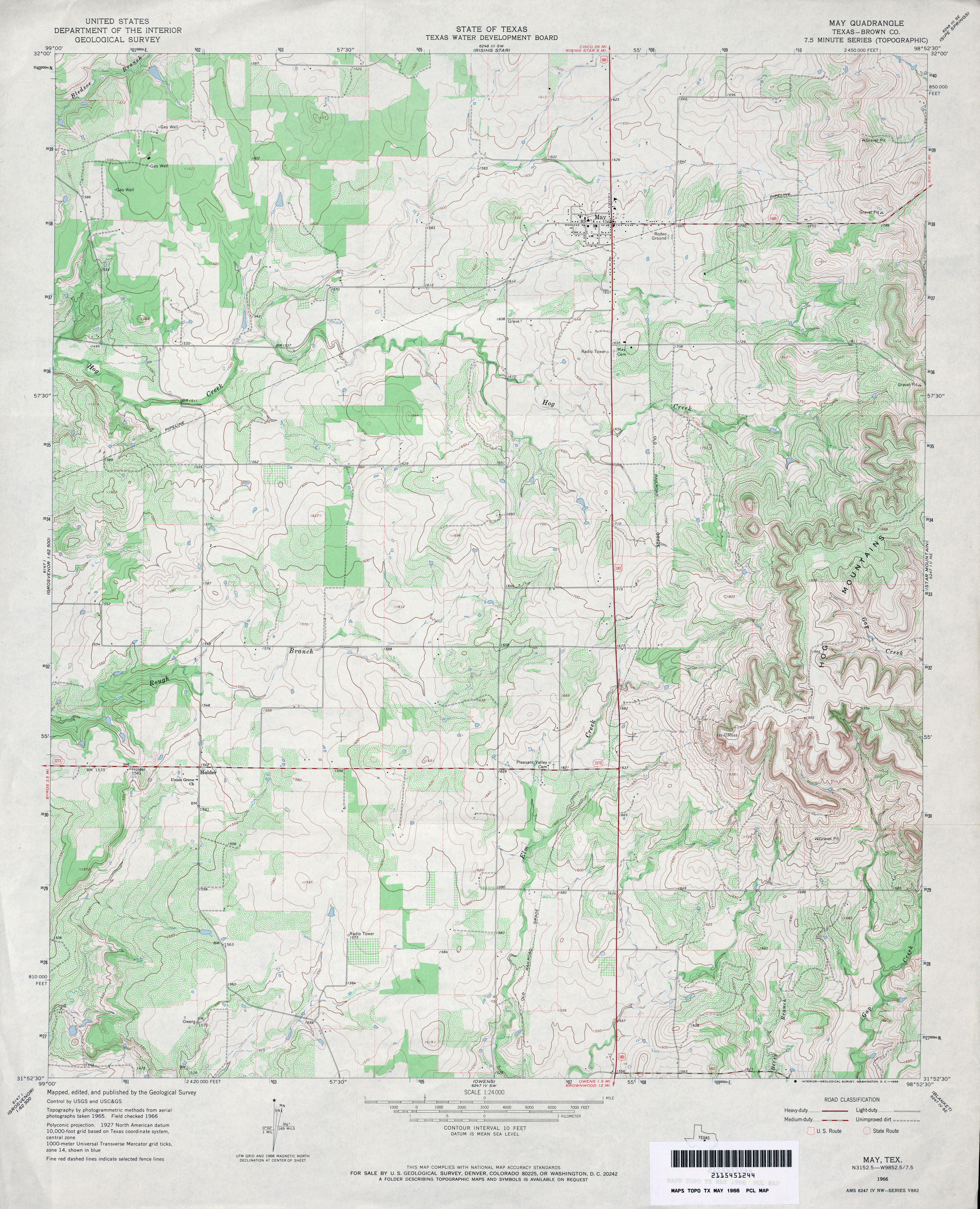
- May (Brown County) 1:24,000 1966 (4.2MB)
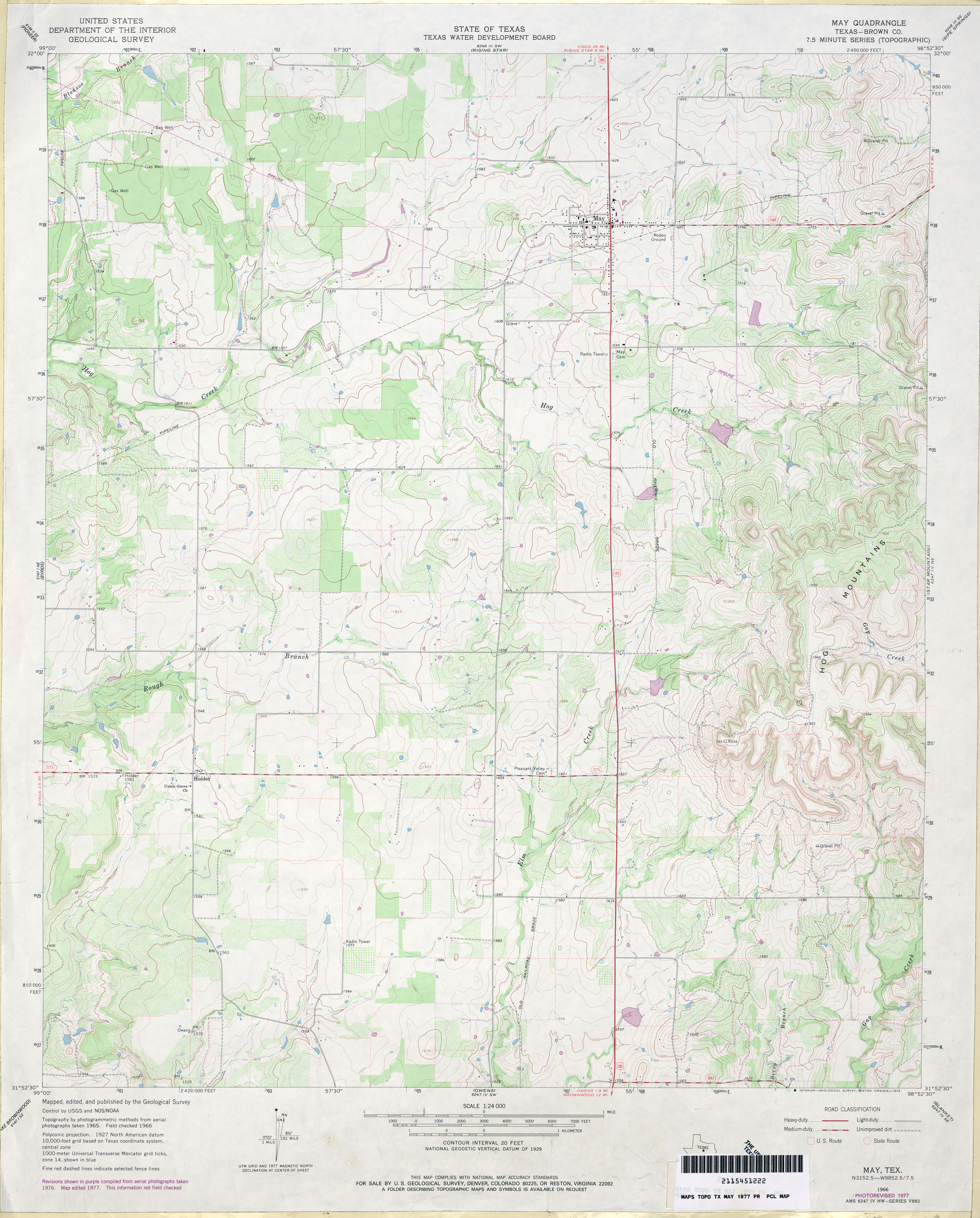
- May (Brown County) 1:24,000 1977 (3.9MB)
- May 1:24,000 2008 (16.6MB) [GeoPDF]
- May 1:24,000 2012 (20.8MB) [GeoPDF]
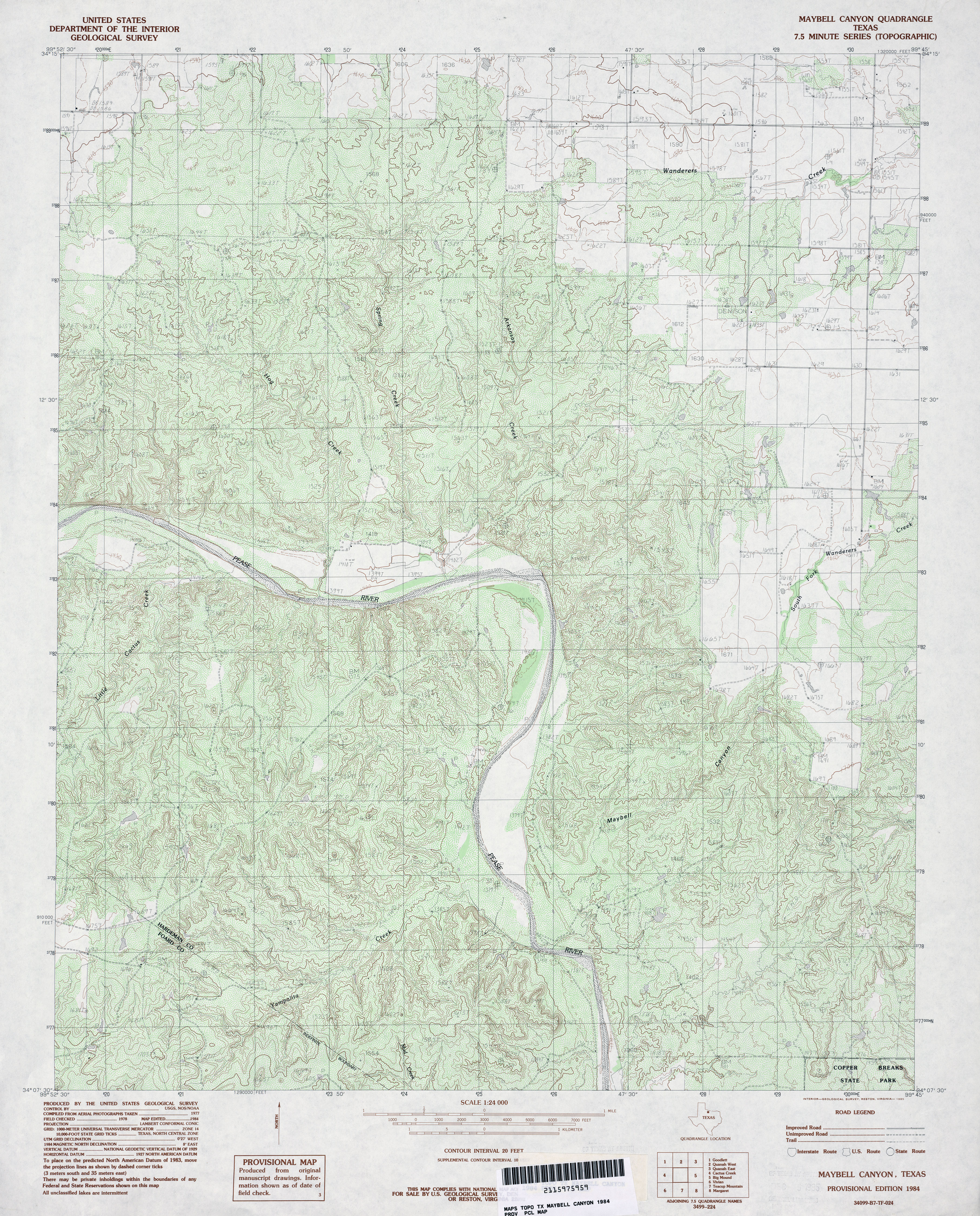
- Maybell Canyon 1:24,000 1984 (5.4MB)
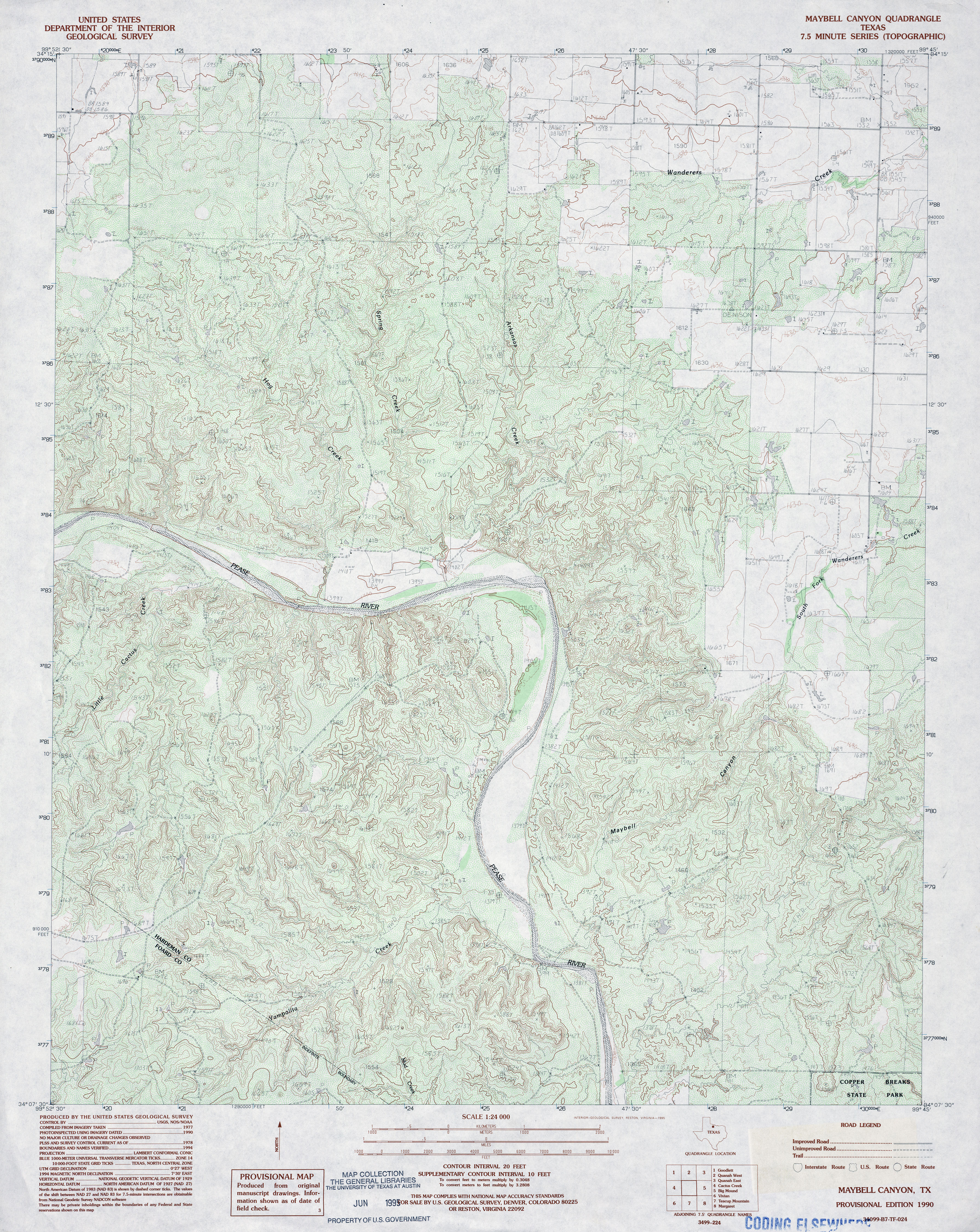
- Maybell Canyon 1:24,000 1990 (5.2MB)
- Maybell Canyon 1:24,000 2008 (23.0MB) [GeoPDF]
- Maybell Canyon 1:24,000 2012 (27.7MB) [GeoPDF]
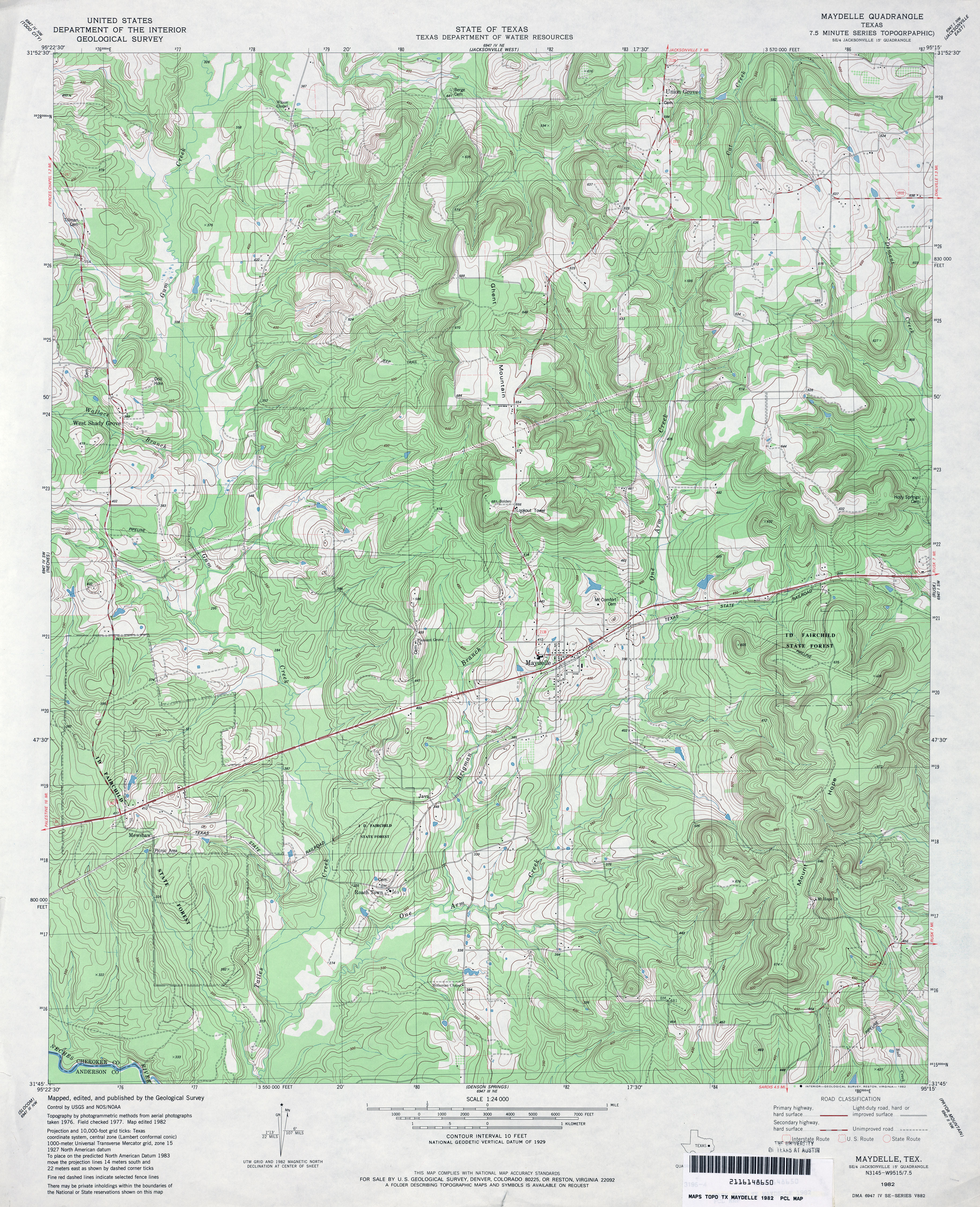
- Maydelle 1:24,000 1982 (5.4MB)
- Maydelle 1:24,000 2009 (23.7MB) [GeoPDF]
- Maydelle 1:24,000 2013 (26.6MB) [GeoPDF]
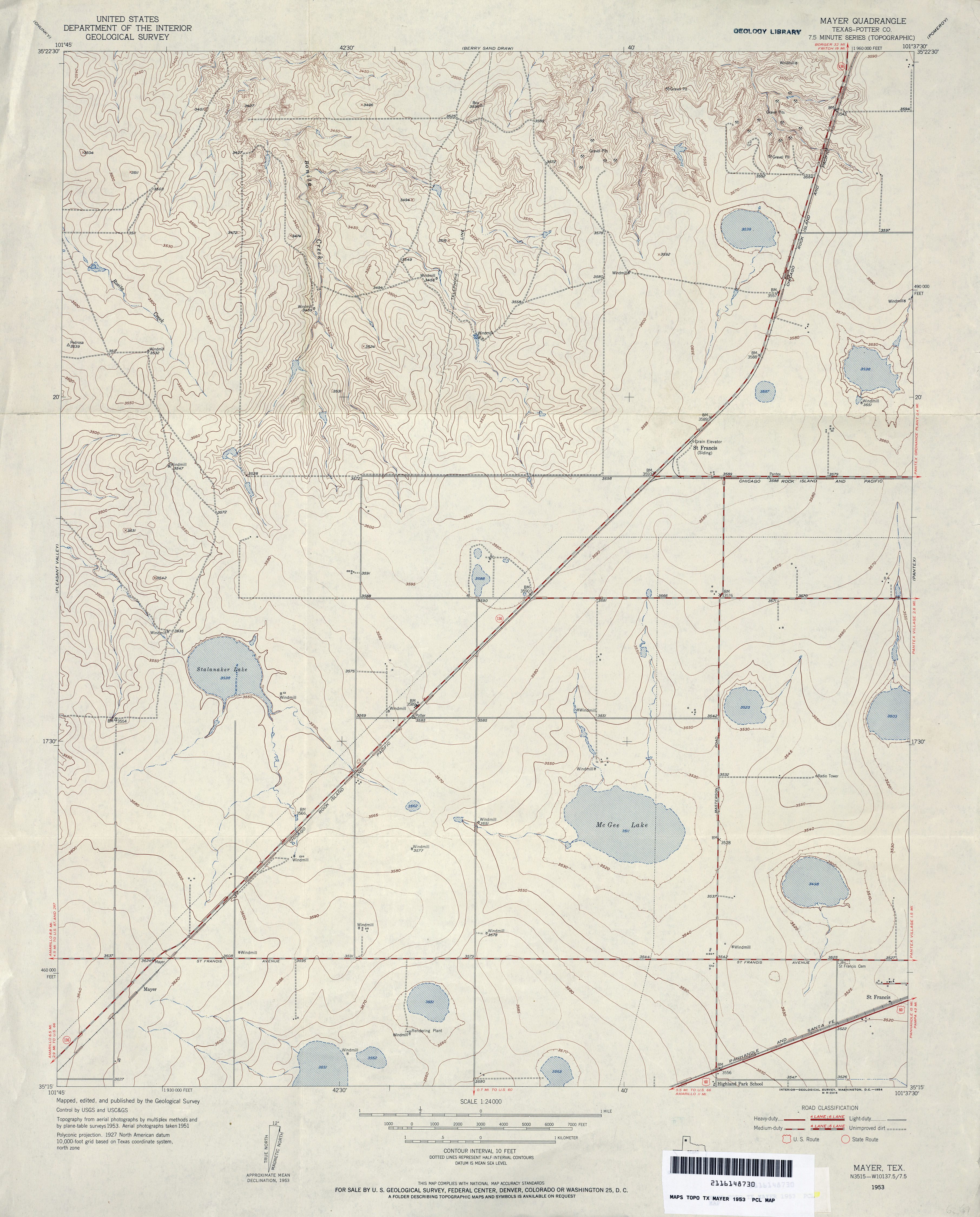
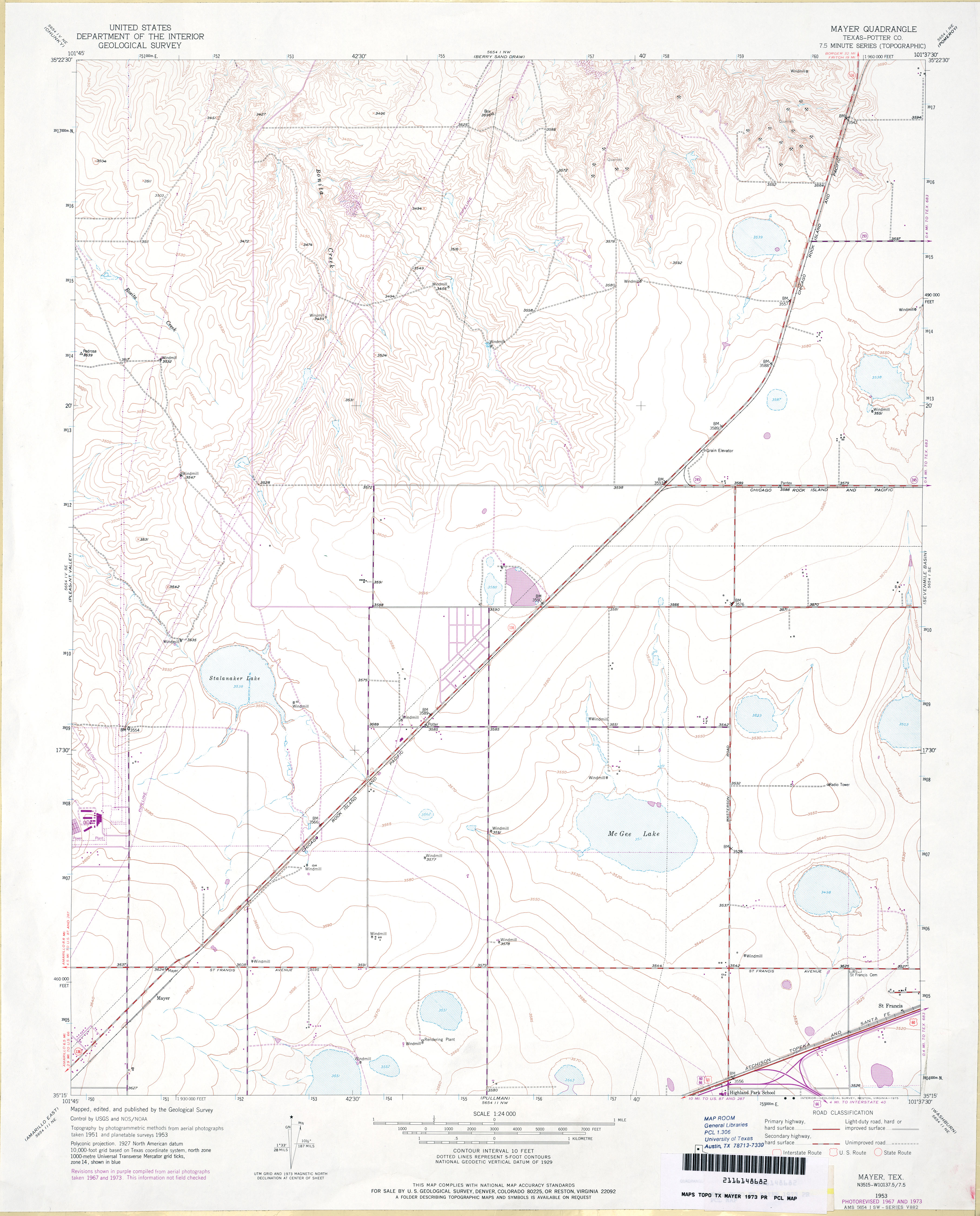
- Mayer (Potter County) 1:24,000 1953 (3.5MB)
- Mayer (Potter County) 1:24,000 1967 (3.5MB)
- Mayer (Potter County) 1:24,000 1973 (2.9MB)
- Mayer 1:24,000 2008 (10.6MB) [GeoPDF]
- Mayer 1:24,000 2012 (15.7MB) [GeoPDF]
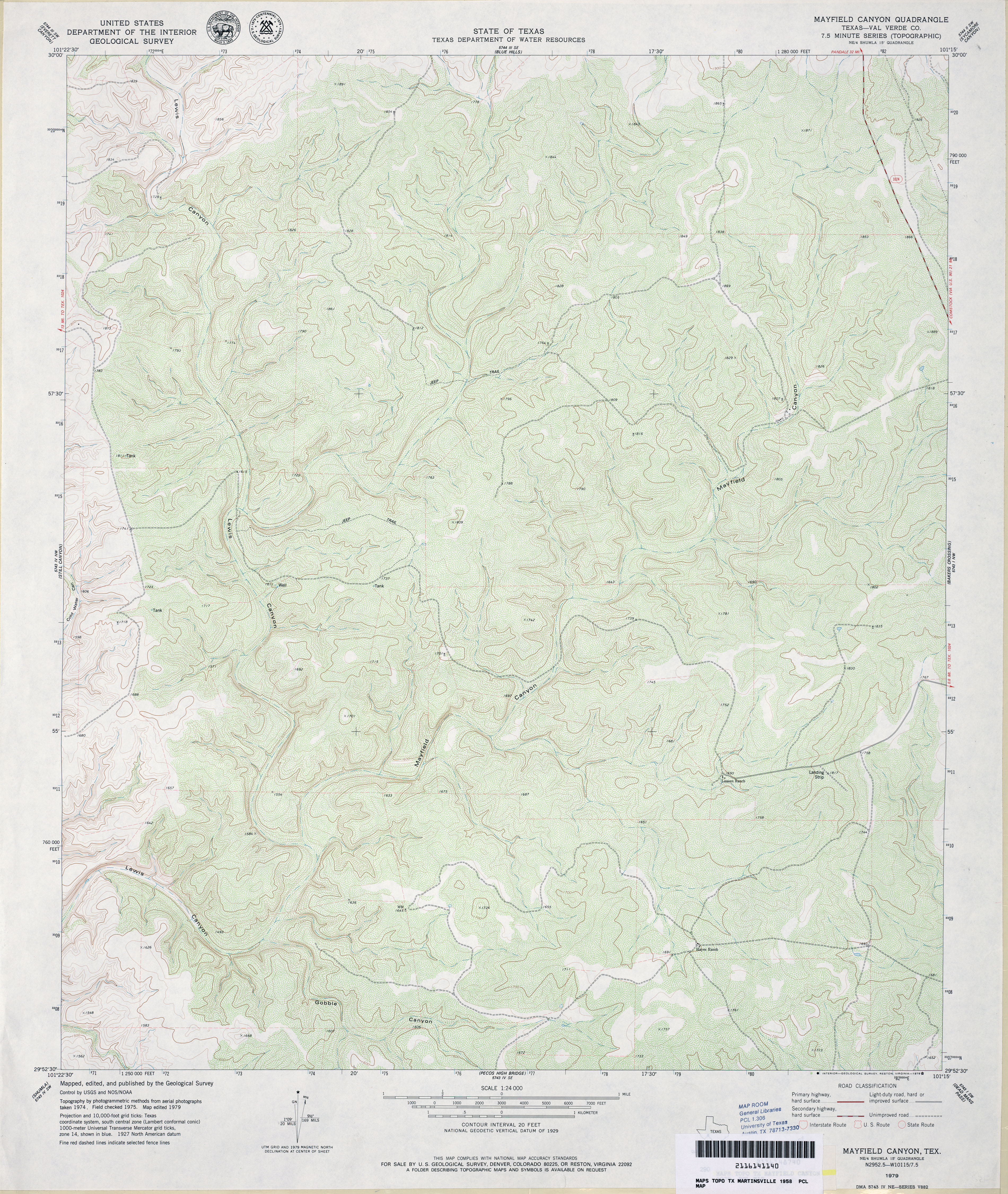
- Mayfield Canyon (Val Verde County) 1:24,000 1979 (4.9MB)
- Mayfield Canyon 1:24,000 2008 (21.4MB) [GeoPDF]
- Mayfield Canyon 1:24,000 2013 (33.2MB) [GeoPDF]
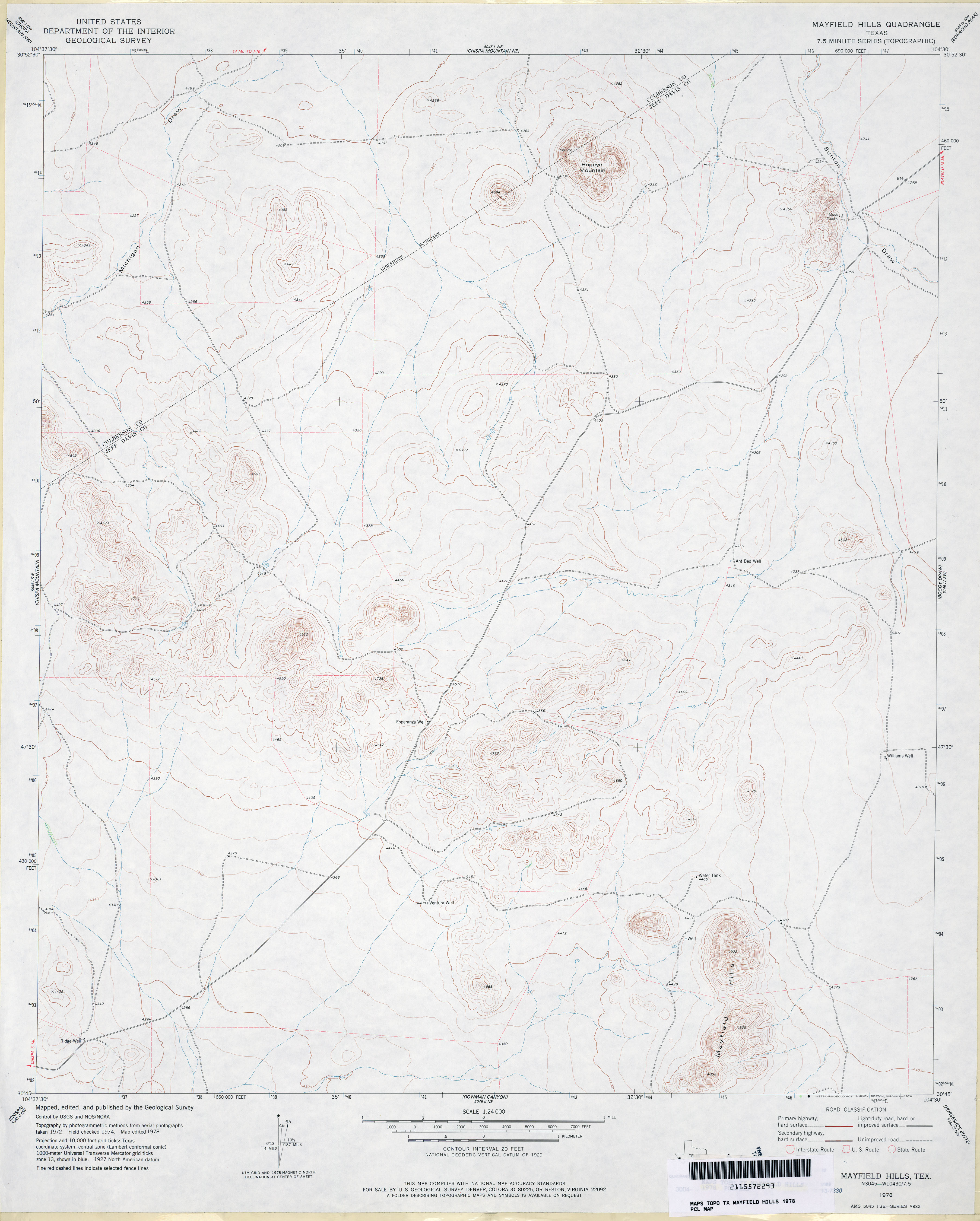
- Mayfield Hills 1:24,000 1978 (2.7MB)
- Mayfield Hills 1:24,000 2008 (20.5MB) [GeoPDF]
- Mayfield Hills 1:24,000 2012 (20.6MB) [GeoPDF]
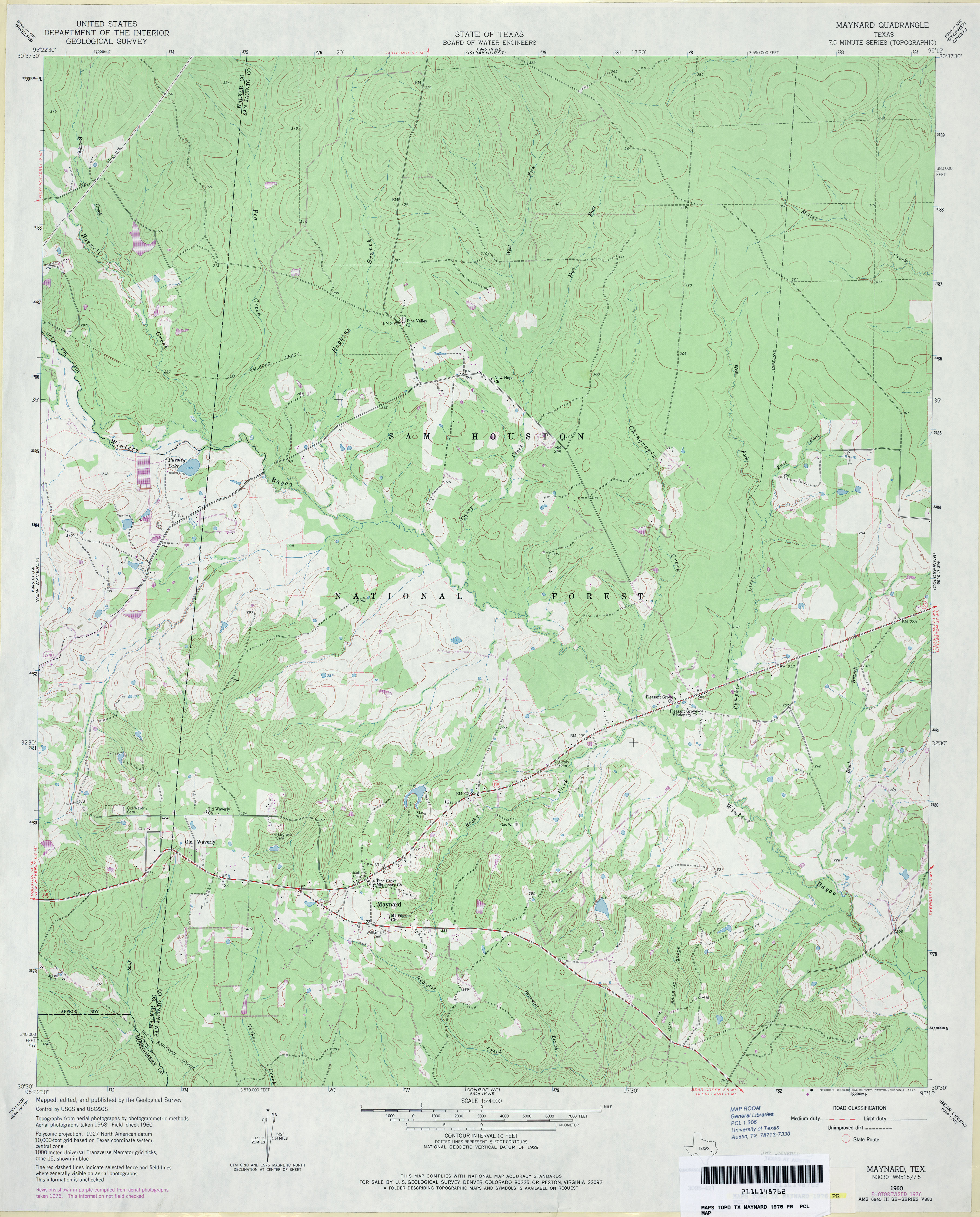
- Maynard 1:24,000 1960 (4.3MB)
- Maynard 1:24,000 1976 (3.8MB)
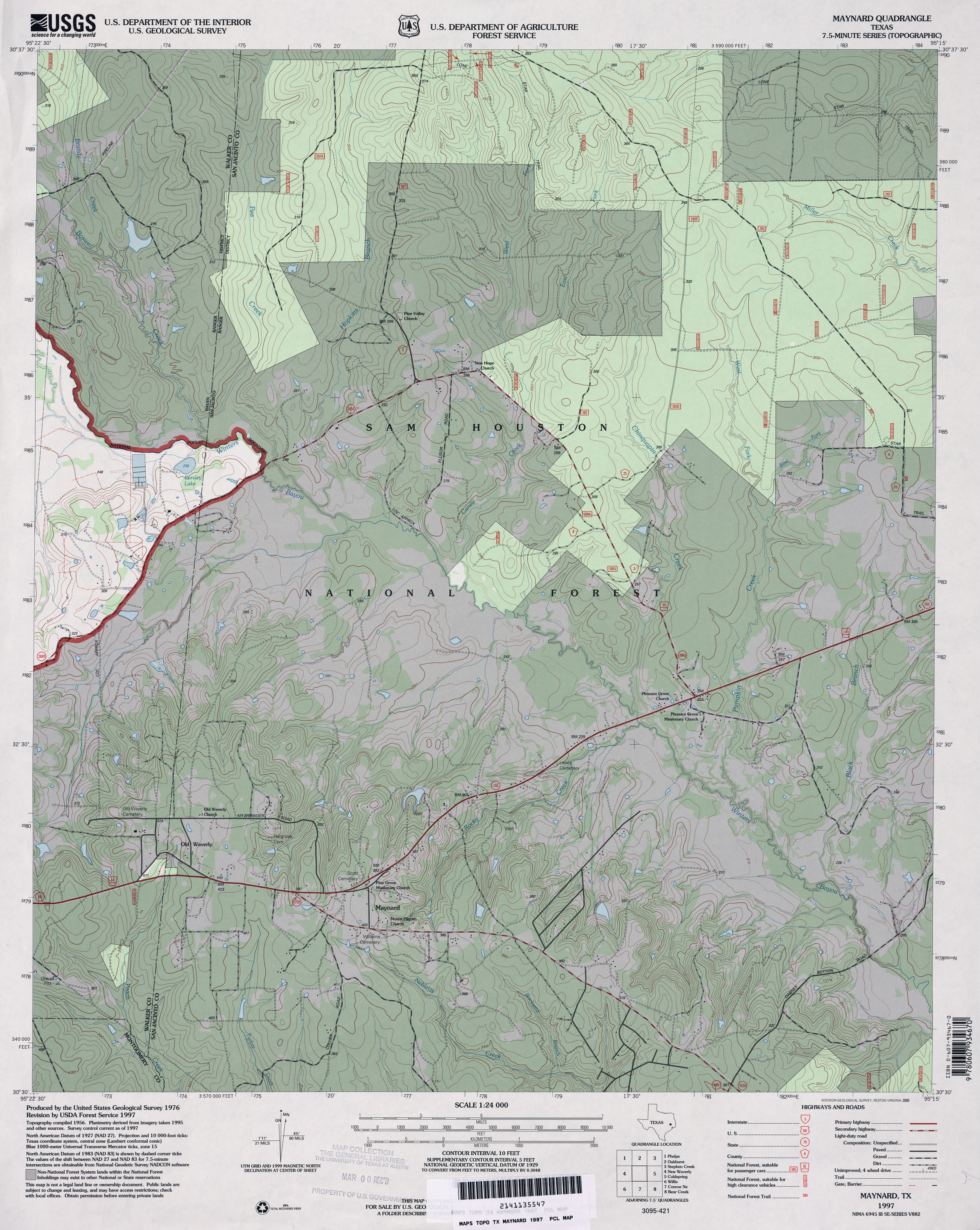
- Maynard 1:24,000 1997 (4.5MB)
- Maynard 1:24,000 2009 (24.0MB) [GeoPDF]
- Maynard 1:24,000 2013 (22.5MB) [GeoPDF]
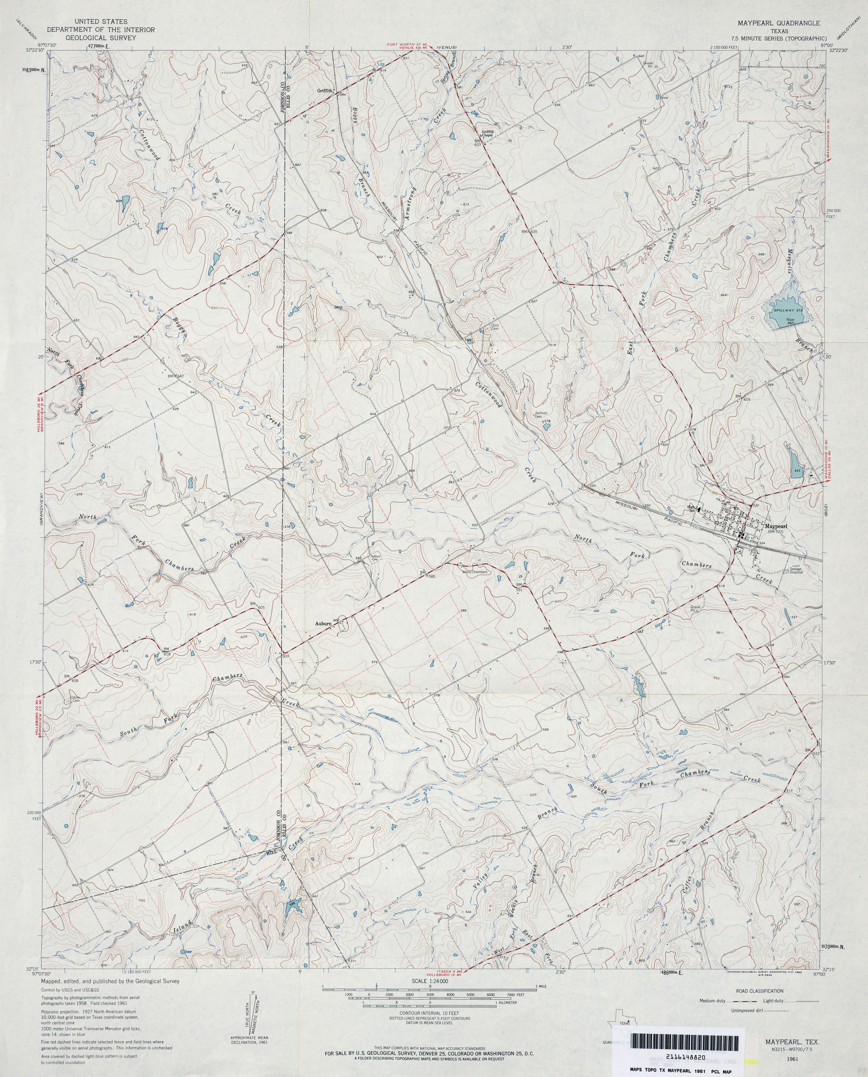
- Maypearl 1:24,000 1961 (3.5MB)
- Maypearl 1:24,000 1978 (4.1MB)
- Maypearl 1:24,000 2008 ( 14.3MB) [GeoPDF]
- Maypearl 1:24,000 2012 (20MB) [GeoPDF]
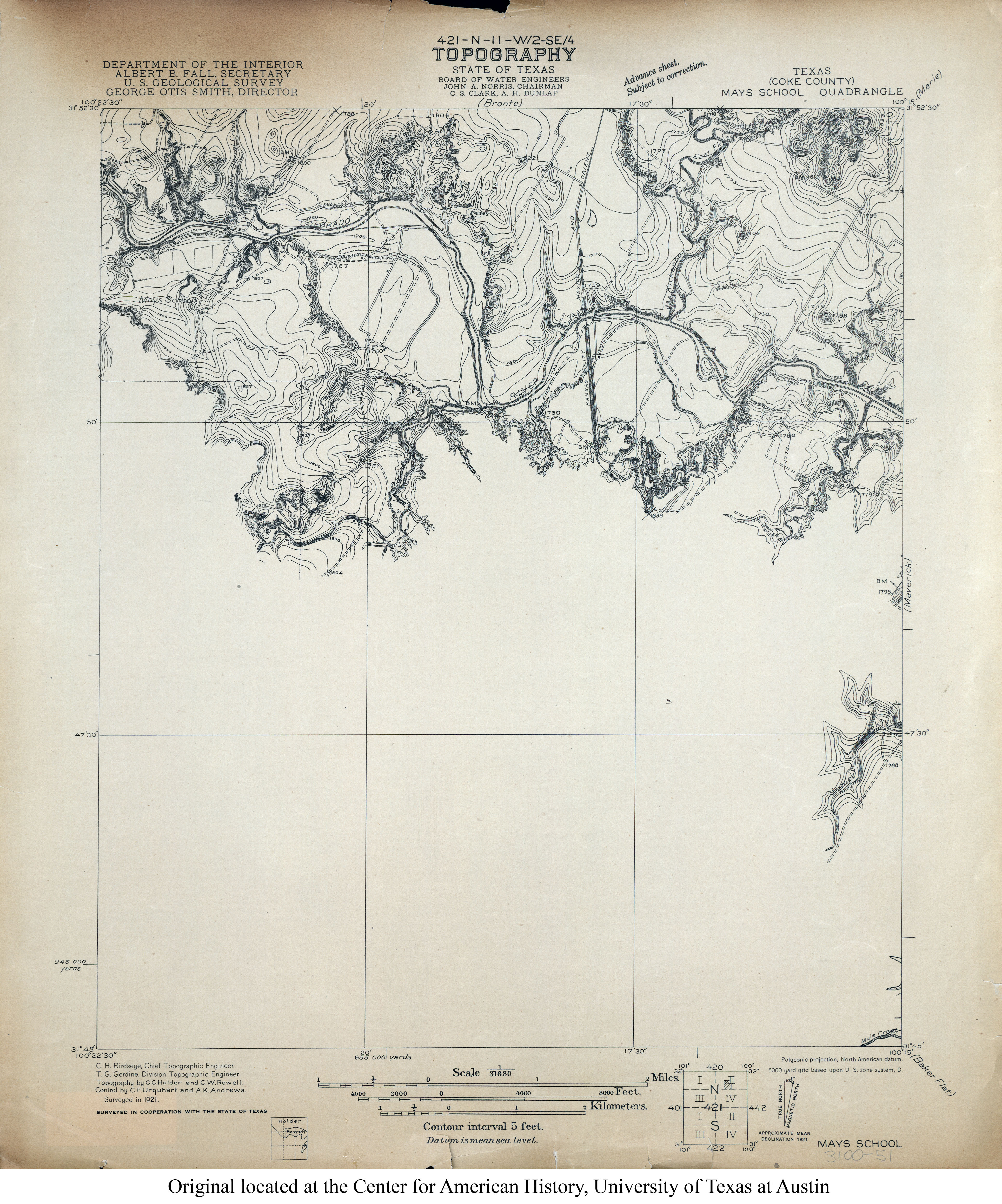
- Mays School (Coke County) 1:31,680 1921 (3.5MB)
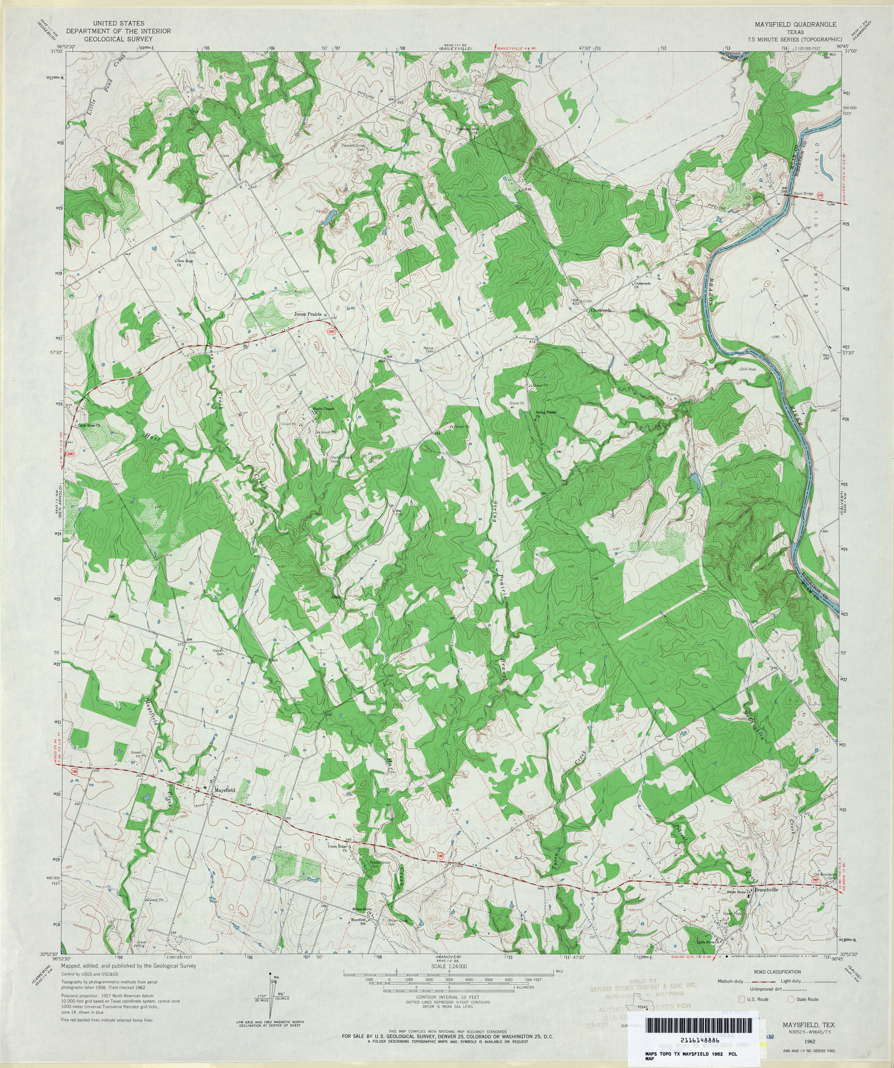
- Maysfield 1:24,000 1962 (4.1MB)
- Maysfield 1:24,000 1989 (4.3MB)
- Maysfield 1:24,000 2008 (15.4MB) [GeoPDF]
- Maysfield 1:24,000 2013 (23.1MB) [GeoPDF]
- McAdoo 1:24,000 1966 (3.2MB)
- McAdoo 1:24,000 2008 (10.1MB) [GeoPDF]
- McAdoo 1:24,000 2012 (17.8MB) [GeoPDF]
- McAllen 1:250,000 1949 (6.3MB)
- McAllen 1:250,000 1956 (4.9MB)
- McAllen 1:250,000 1983 (8.1MB)
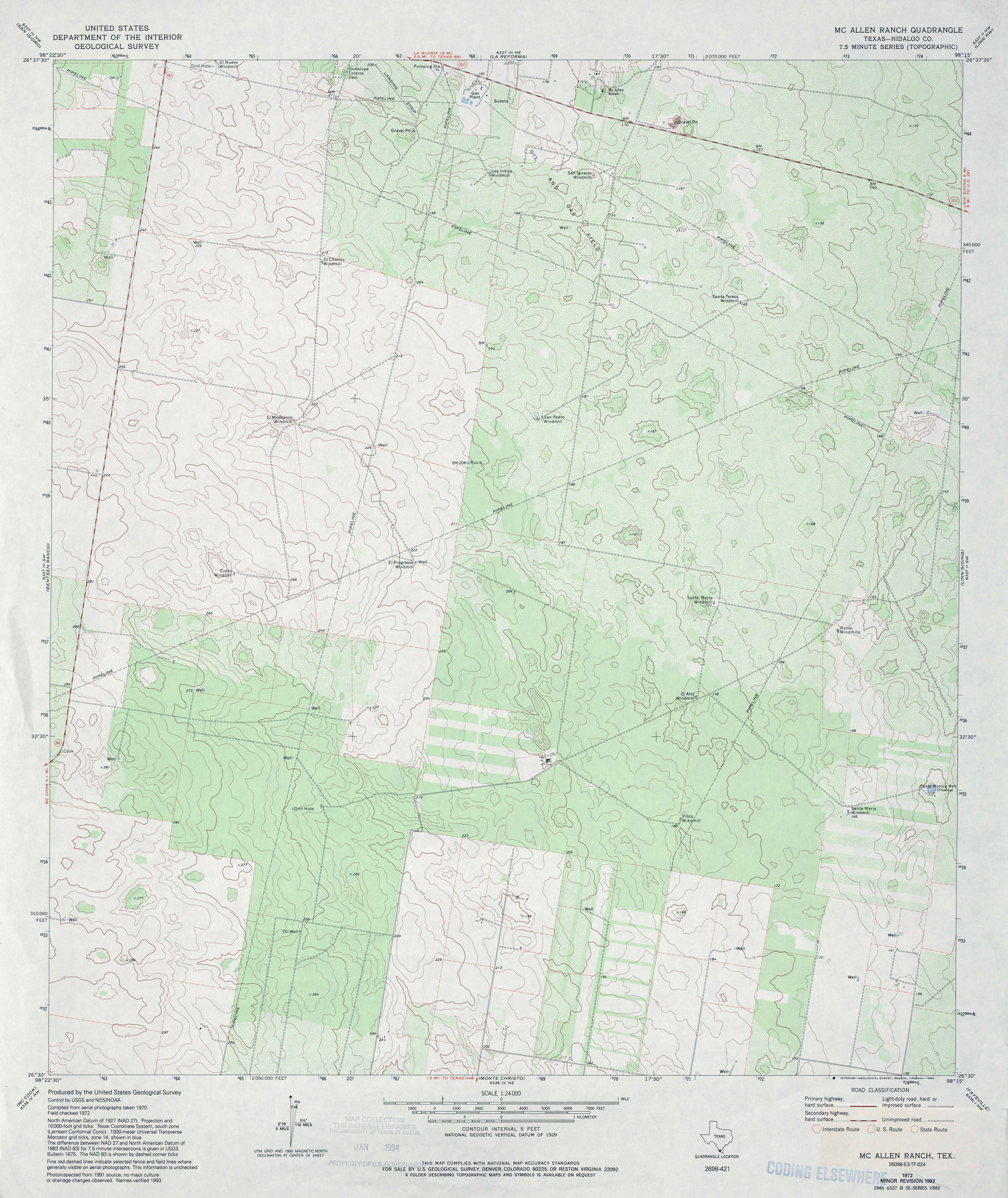
- McAllen Ranch (Hidalgo County) 1:24,000 1972 (3.8MB)
- McAllen Ranch (Hidalgo County) 1:24,000 1993 (3.6MB)
- McAllen Ranch 1:24,000 2009 (20.1MB) [GeoPDF]
- McAllen Ranch 1:24,000 2012 (23.2MB) [GeoPDF]
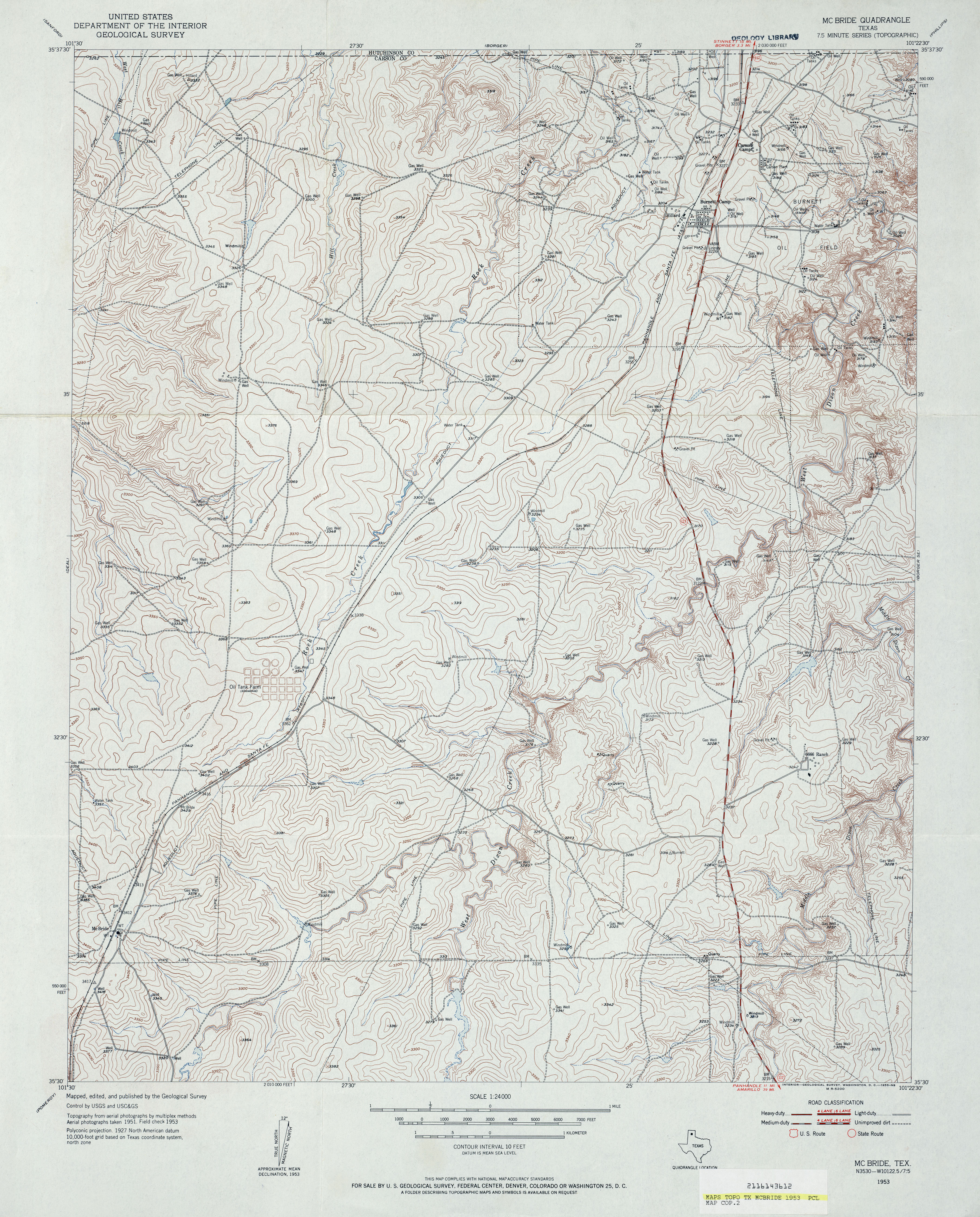
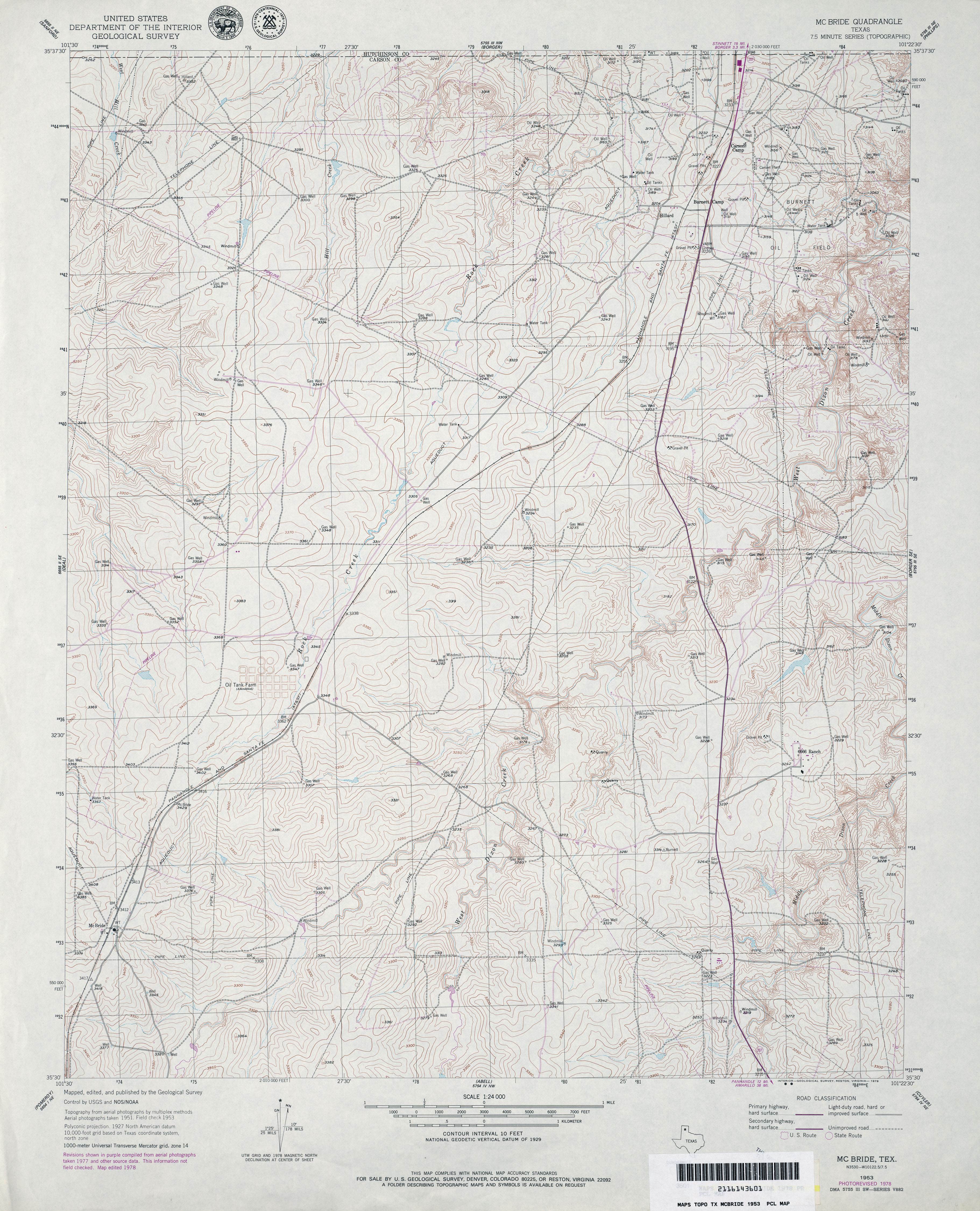
- McBride 1:24,000 1953 (4.8MB)
- McBride 1:24,000 1978 (4.5MB)
- McBride 1:24,000 2008 (9.2MB) [GeoPDF]
- McBride 1:24,000 2012 (17MB) [GeoPDF]
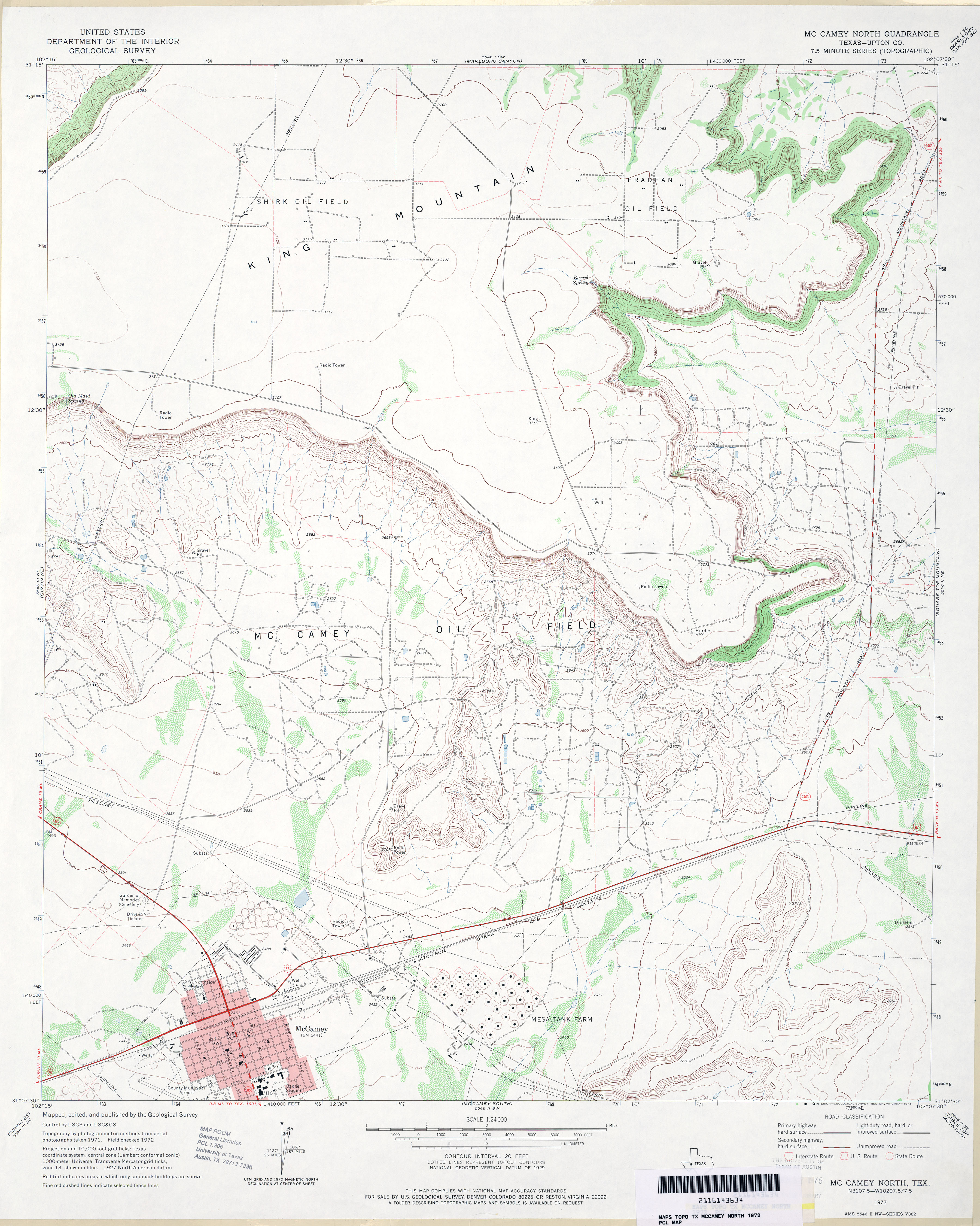
- McCamey North (Upton County) 1:24,000 1972 (3.3MB)
- McCamey North 1:24,000 2008 (21.2MB) [GeoPDF]
- McCamey North 1:24,000 2012 (26MB) [GeoPDF]
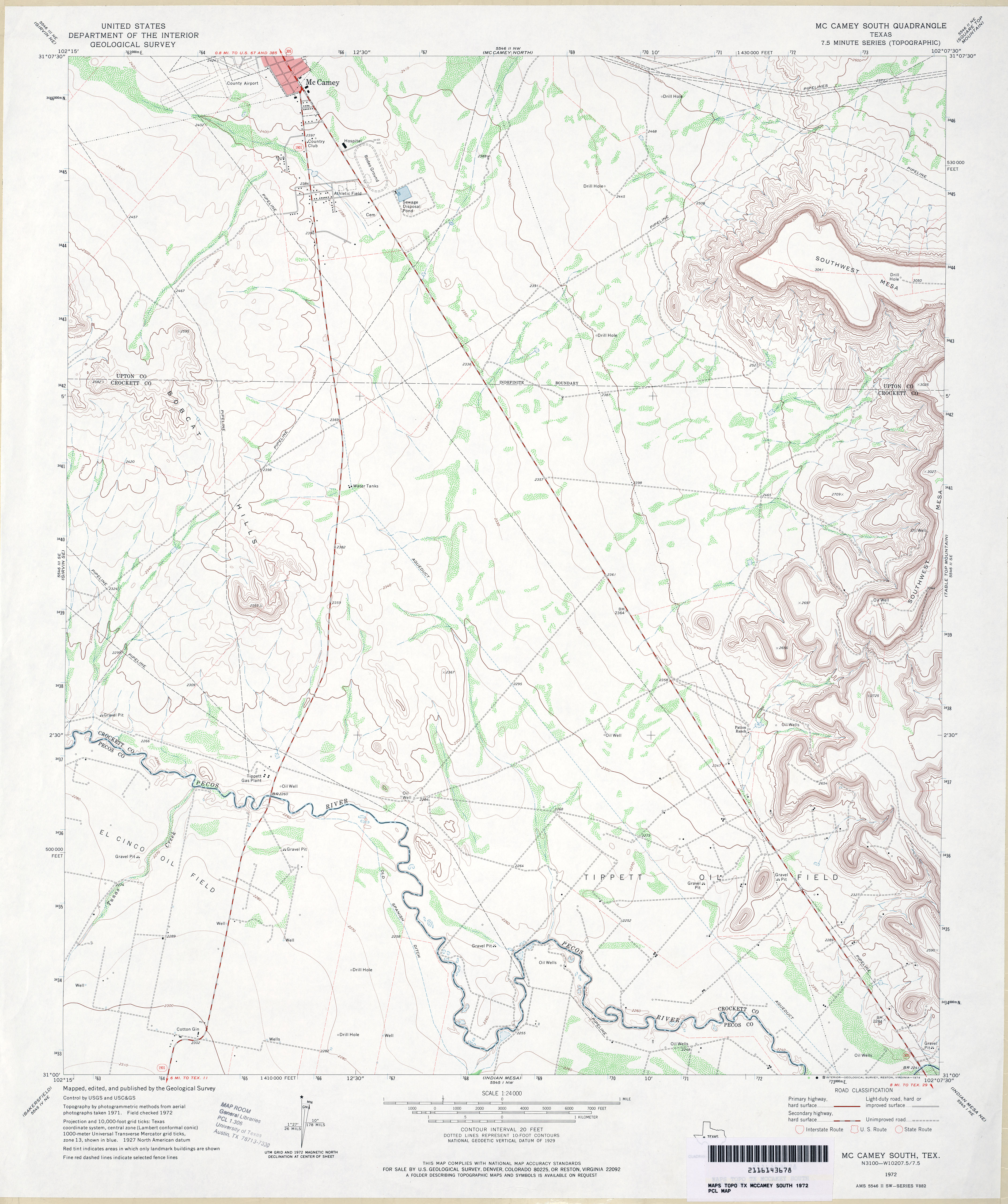
- McCamey South 1:24,000 1972 (3.4MB)
- McCamey South 1:24,000 2008 (20.2MB) [GeoPDF]
- McCamey South 1:24,000 2013 (26.5MB) [GeoPDF]
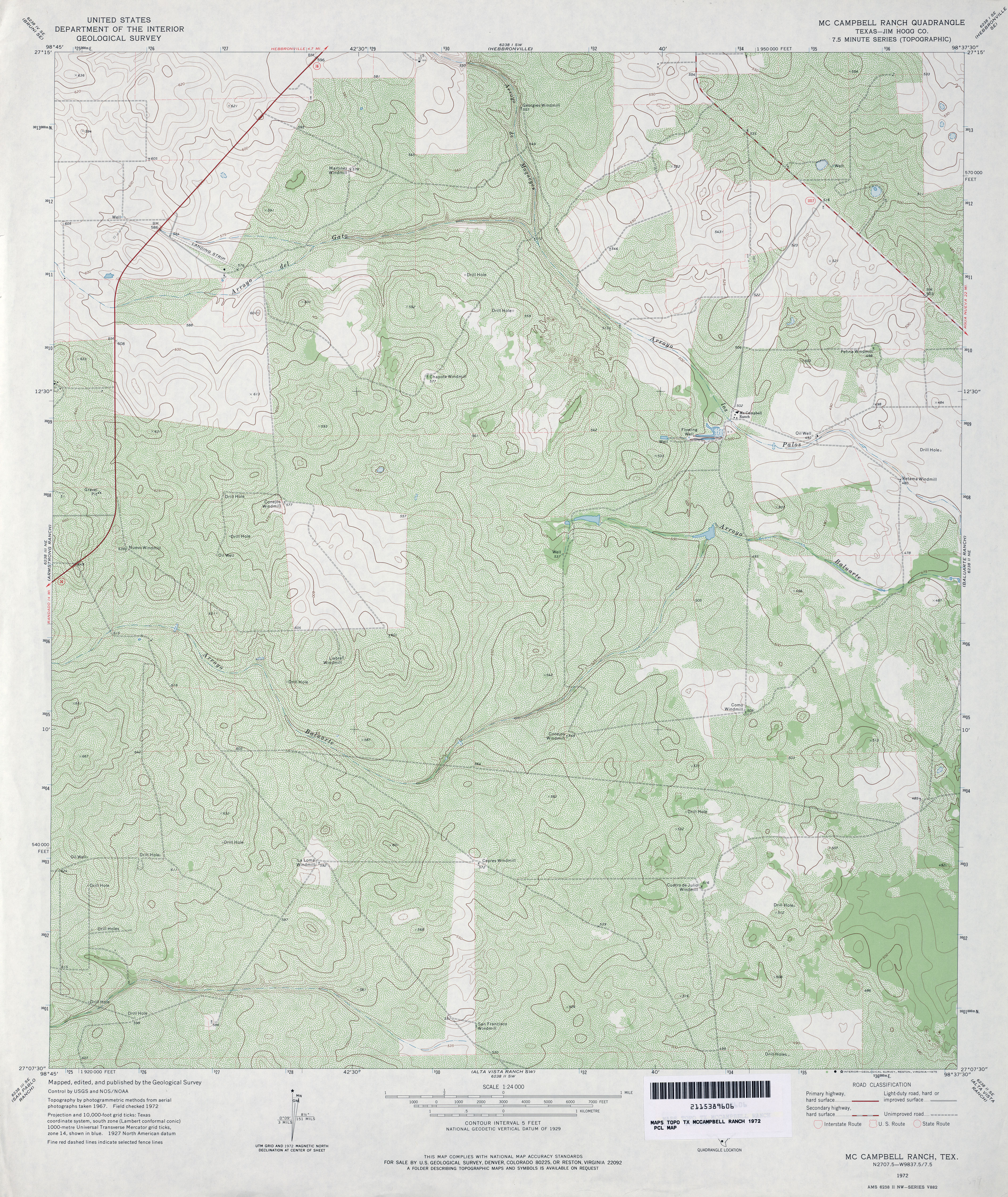
- McCampbell Ranch (Jim Hogg County) 1:24,000 1972 (5.2MB)
- McCampbell Ranch 1:24,000 2008 (16.7MB) [GeoPDF]
- McCampbell Ranch 1:24,000 2013 (21.2MB) [GeoPDF]
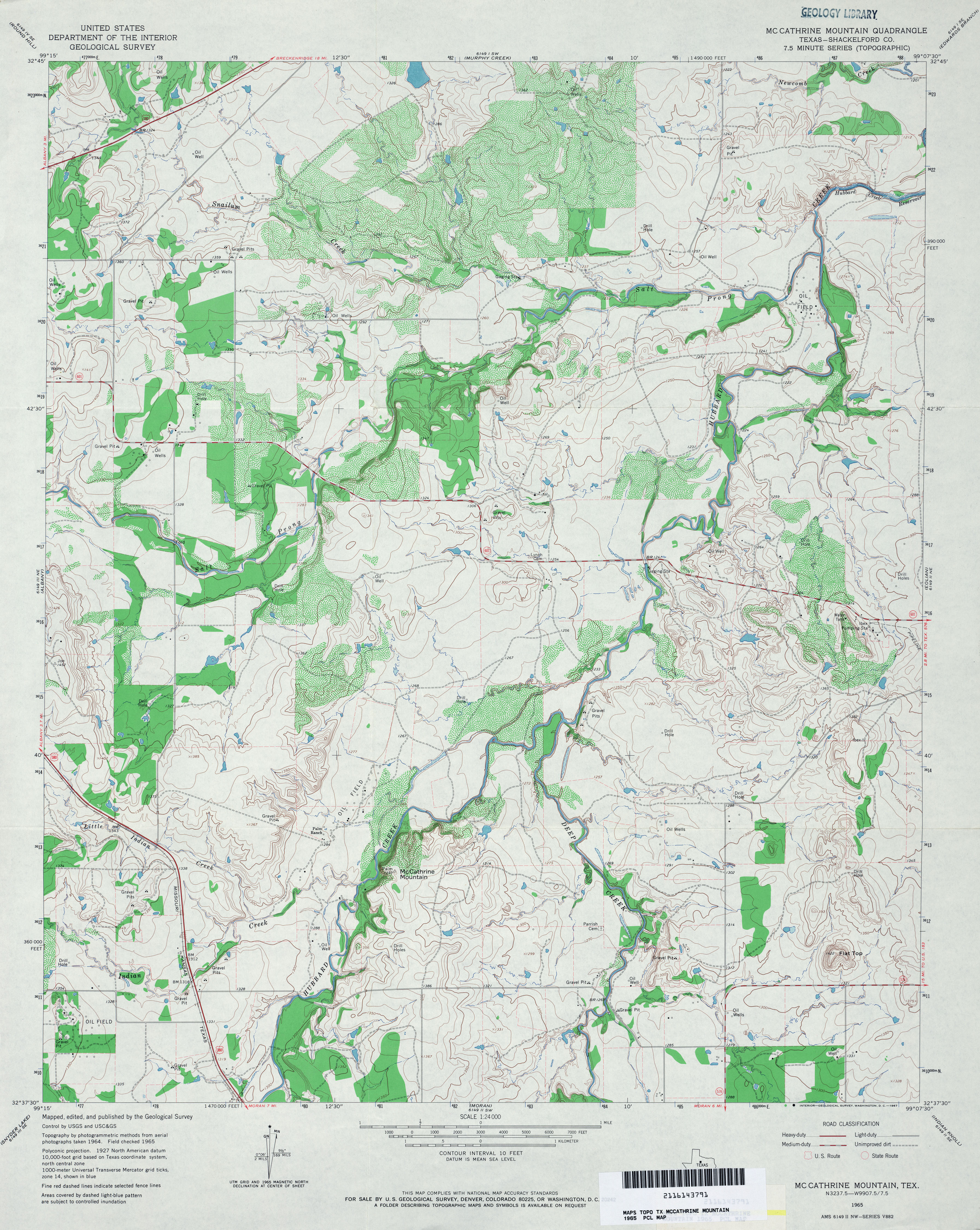
- McCathrine Mountain (Shackelford County) 1:24,000 1965 (4.3MB)
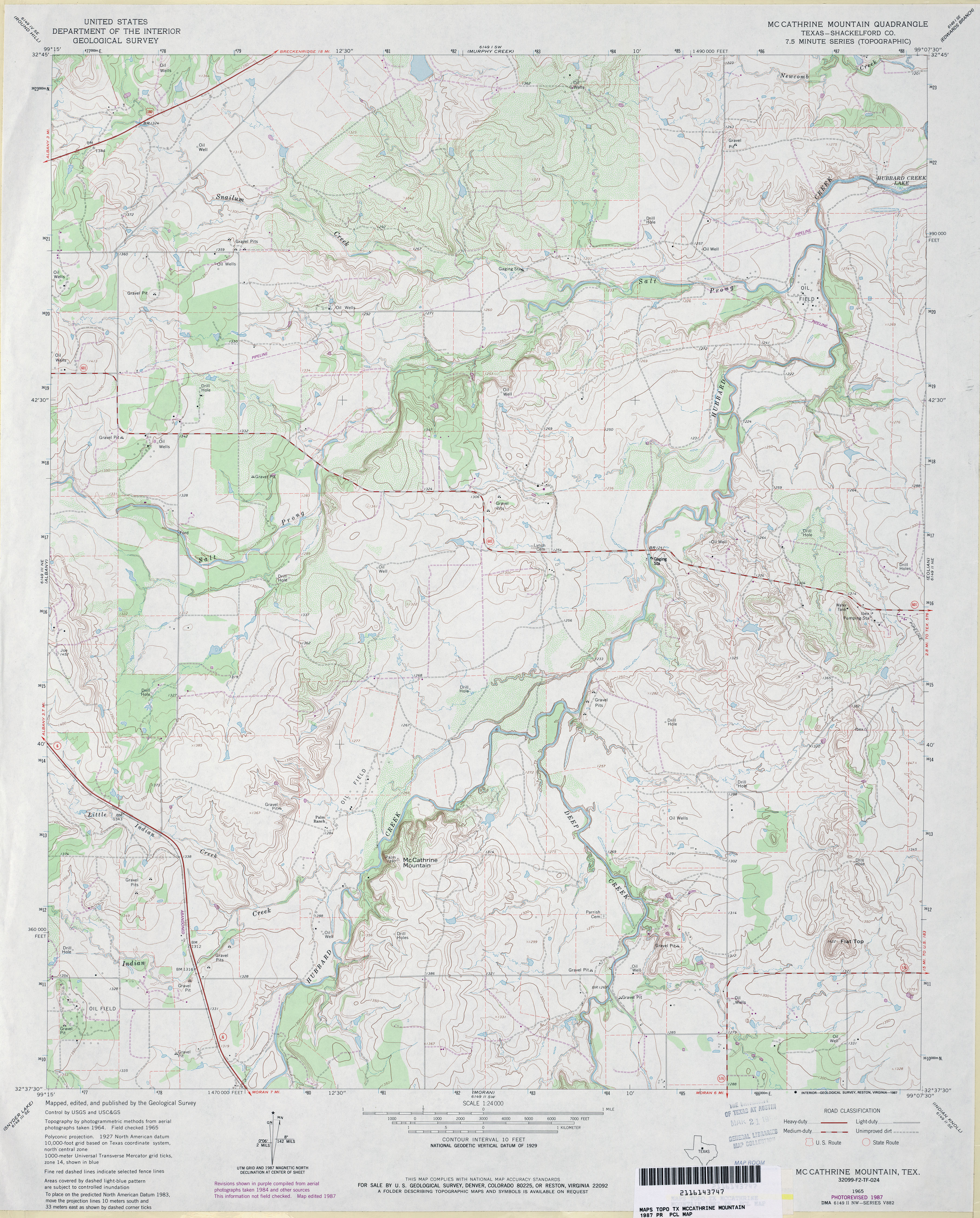
- McCathrine Mountain (Shackelford County) 1:24,000 1987 (4MB)
- McCathrine Mountain 1:24,000 2008 (14.3MB) [GeoPDF]
- McCathrine Mountain 1:24,000 2012 (21.9MB) [GeoPDF]
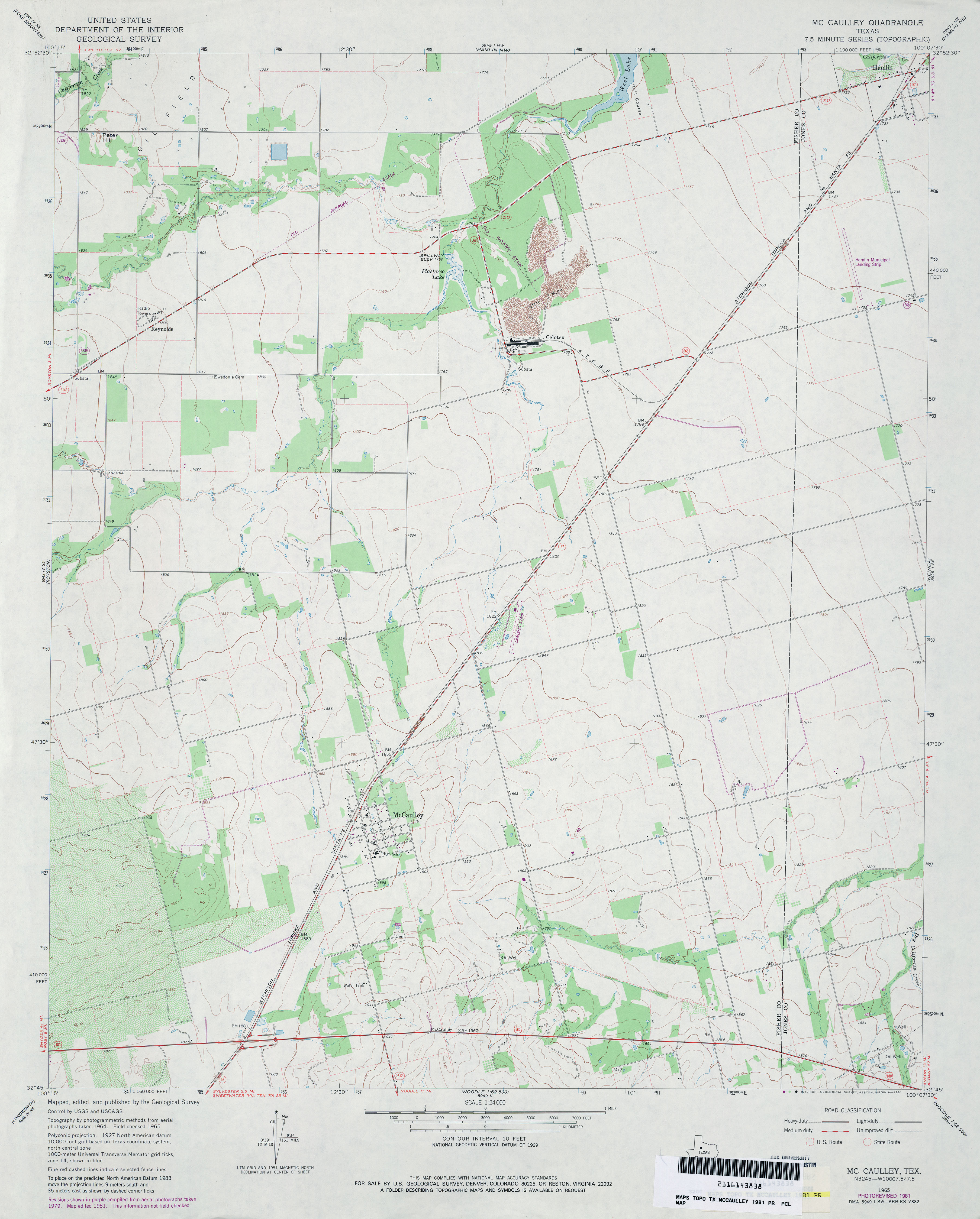
- McCaulley 1:24,000 1965 (3.1MB)
- McCaulley 1:24,000 1981 (2.8MB)
- McCaulley 1:24,000 2008 (10.3MB) [GeoPDF]
- McCaulley 1:24,000 2012 (17.1MB) [GeoPDF]
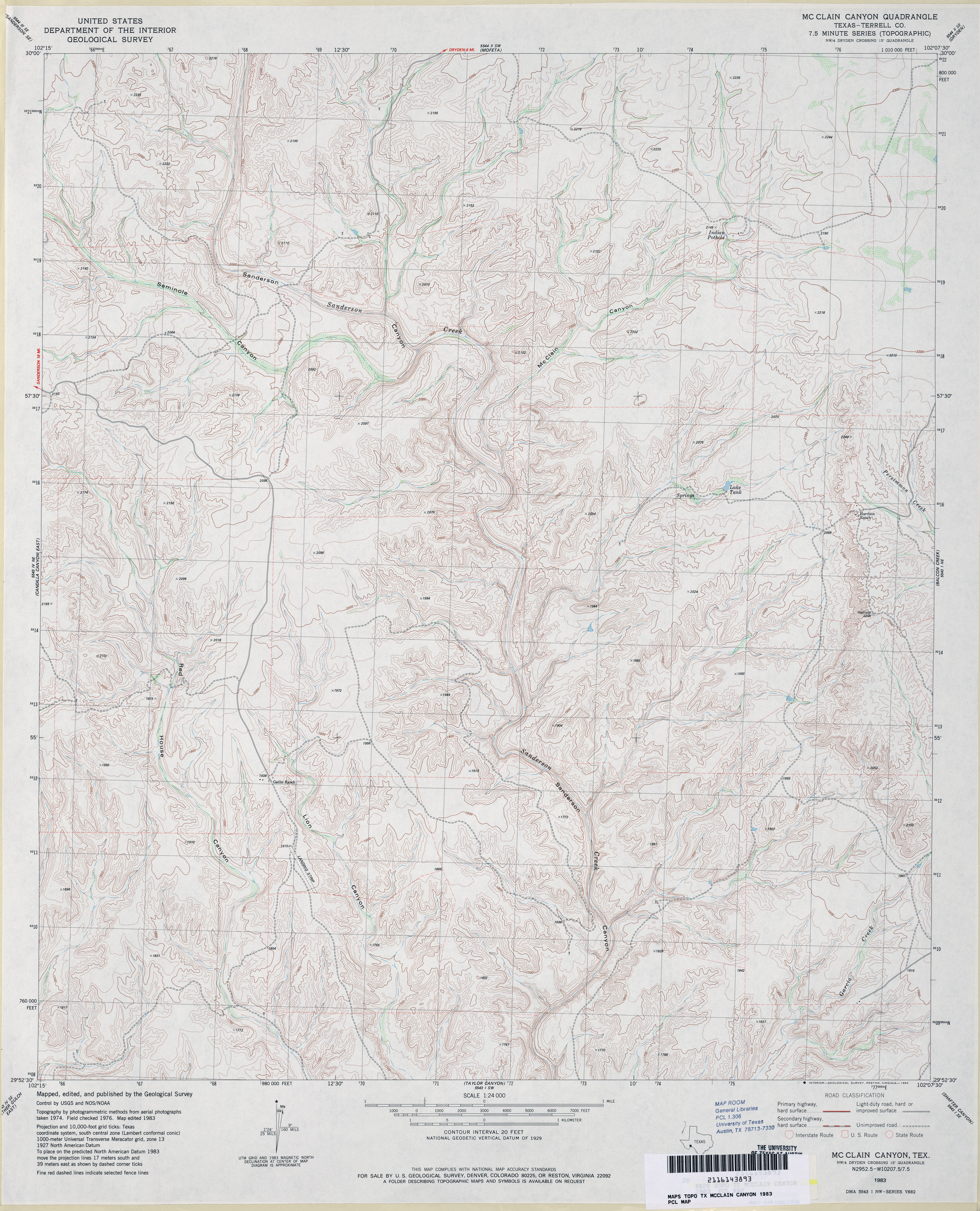
- McClain Canyon (Terrell County) 1:24,000 1983 (4.6MB)
- McClain Canyon 1:24,000 2008 (19.1MB) [GeoPDF]
- McClain Canyon 1:24,000 2013 (28.2MB) [GeoPDF]
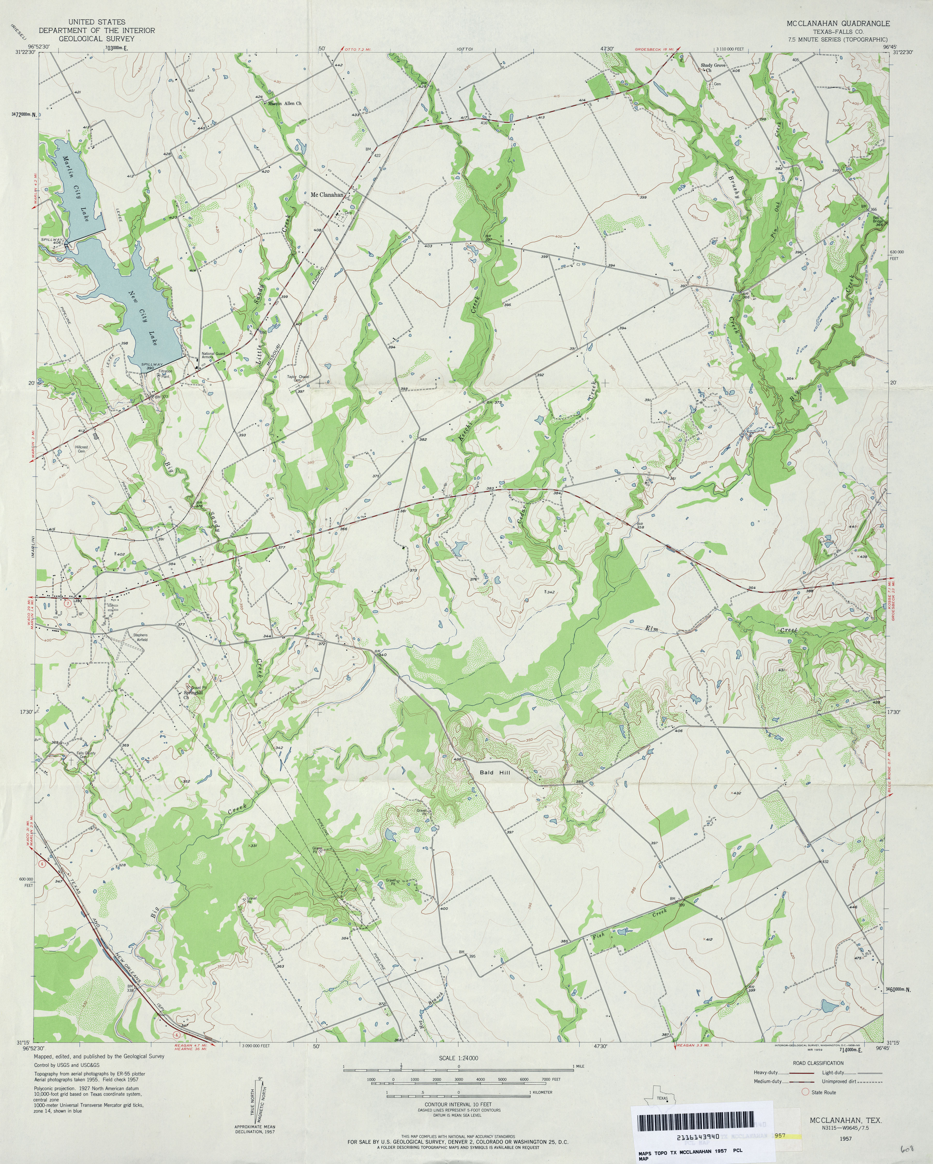
- McClanahan (Falls County) 1:24,000 1957 (3.1MB)
- McClanahan (Falls County) 1:24,000 1978 (3.3MB)
- McClanahan 1:24,000 2008 (12.5MB) [GeoPDF]
- McClanahan 1:24,000 2013 (20.3MB) [GeoPDF]
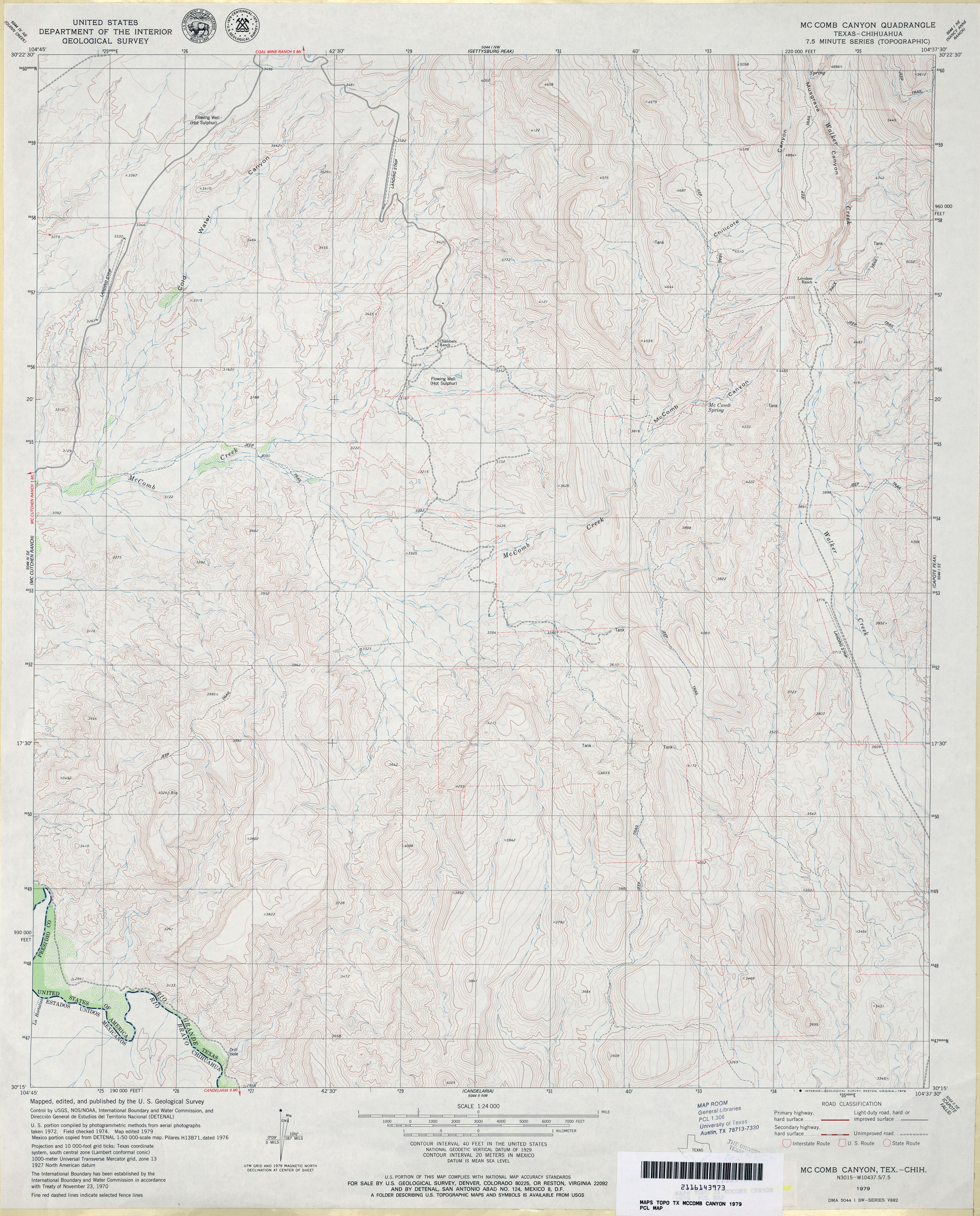
- McComb Canyon 1:24,000 1979 (4.2MB)
- McComb Canyon 1:24,000 2008 (17.9MB) [GeoPDF]
- McComb Canyon 1:24,000 2012 (23.9MB) [GeoPDF]
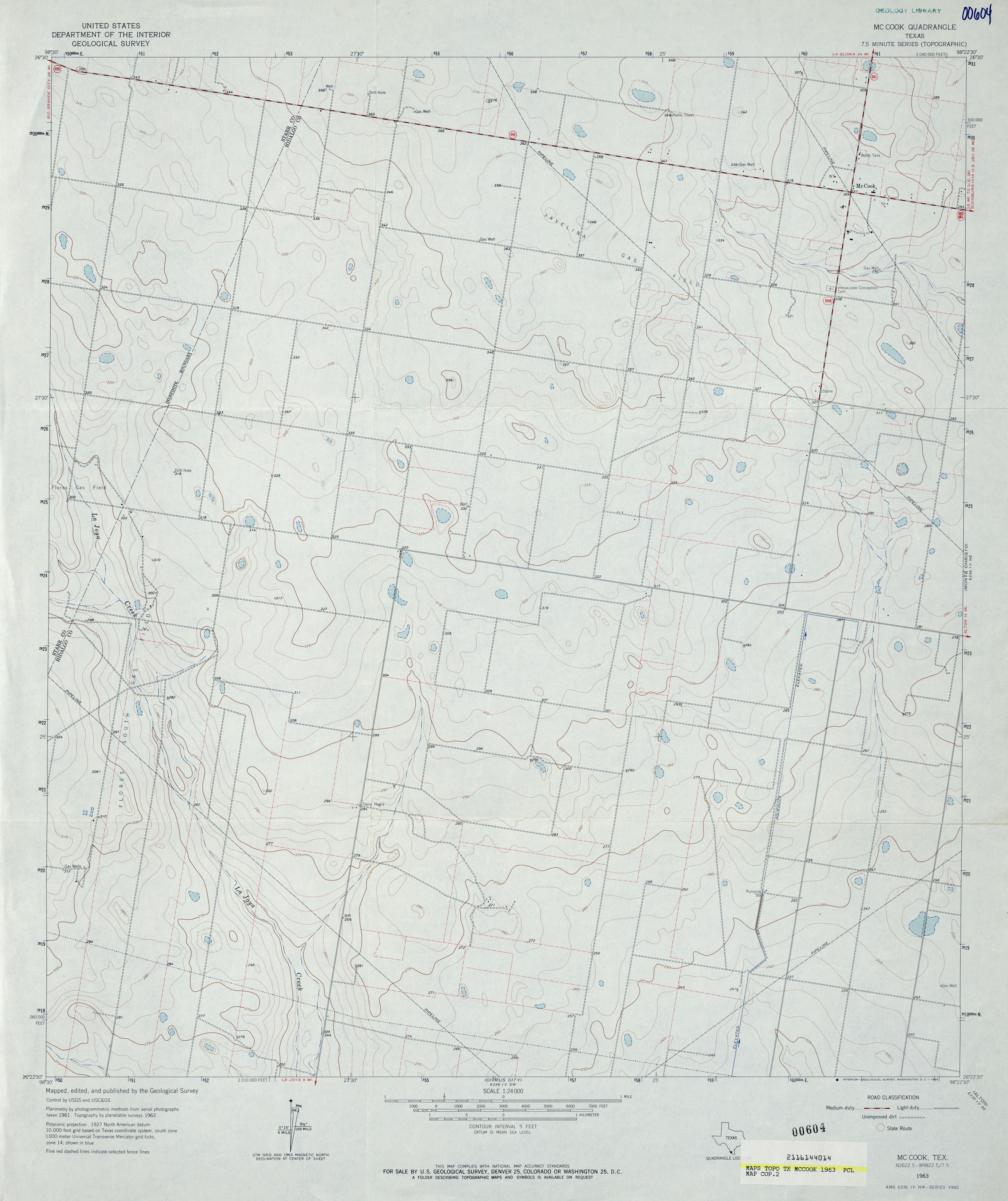
- McCook 1:24,000 1963 (3.2MB)
- McCook 1:24,000 2009 (14.3MB) [GeoPDF]
- McCook 1:24,000 2012 (18.8MB) [GeoPDF]
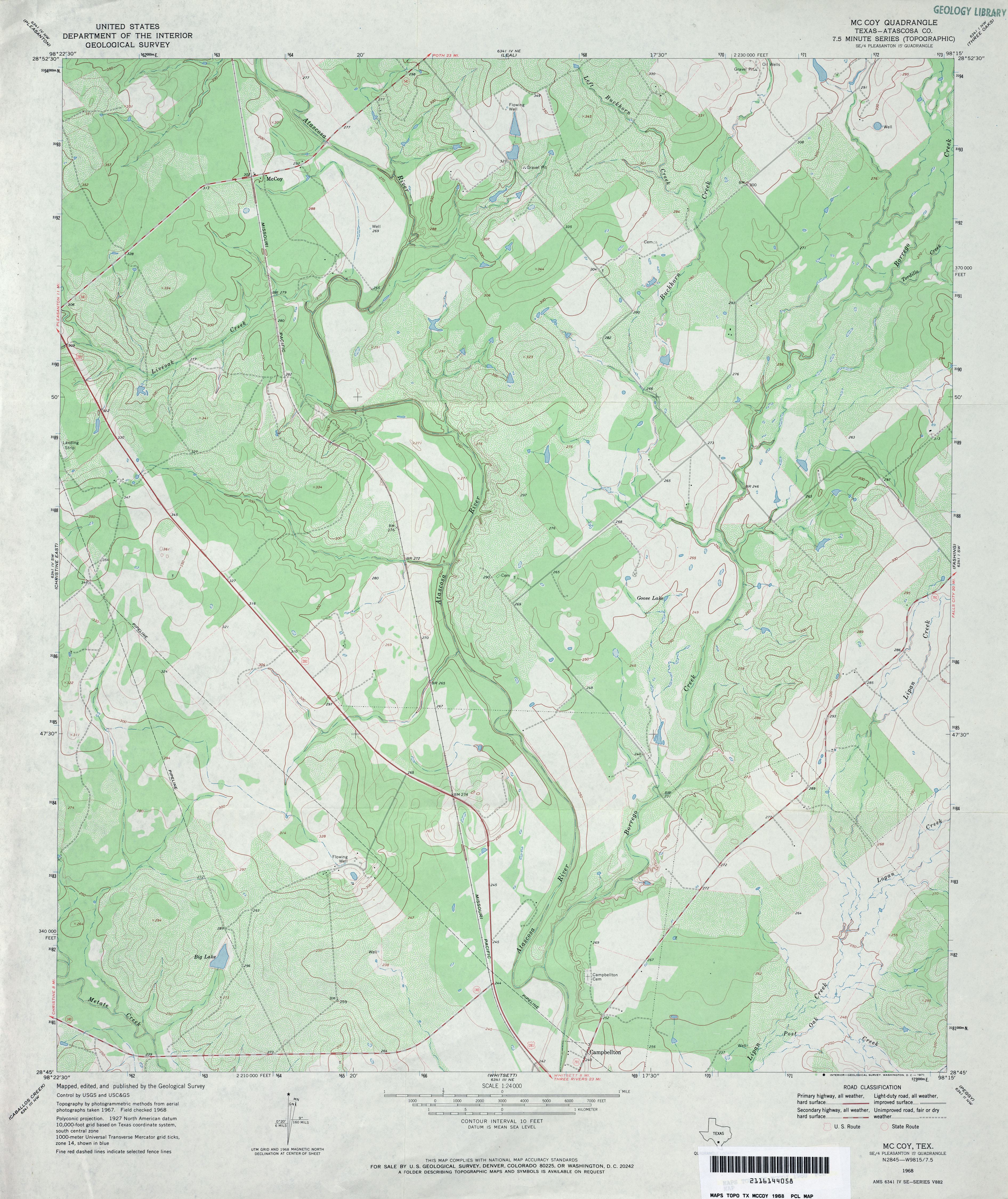
- McCoy (Atascosa County) 1:24,000 1968 (4MB)
- McCoy (Atascosa County) 1:24,000 1985 (4.3MB)
- McCoy 1:24,000 2008 (16.4MB) [GeoPDF]
- McCoy 1:24,000 2012 (23.8MB) [GeoPDF]
- McCutchen Ranch 1:24,000 1979 (3.2MB)
- McCutchen Ranch 1:24,000 2008 (19.1MB) [GeoPDF]
- McCutchen Ranch 1:24,000 2012 (19.3MB) [GeoPDF]
- McDade 1:24,000 1982 (4.5MB)
- McDade 1:24,000 2008 (15.1MB) [GeoPDF]
- McDade 1:24,000 2012 (26.3MB) [GeoPDF]
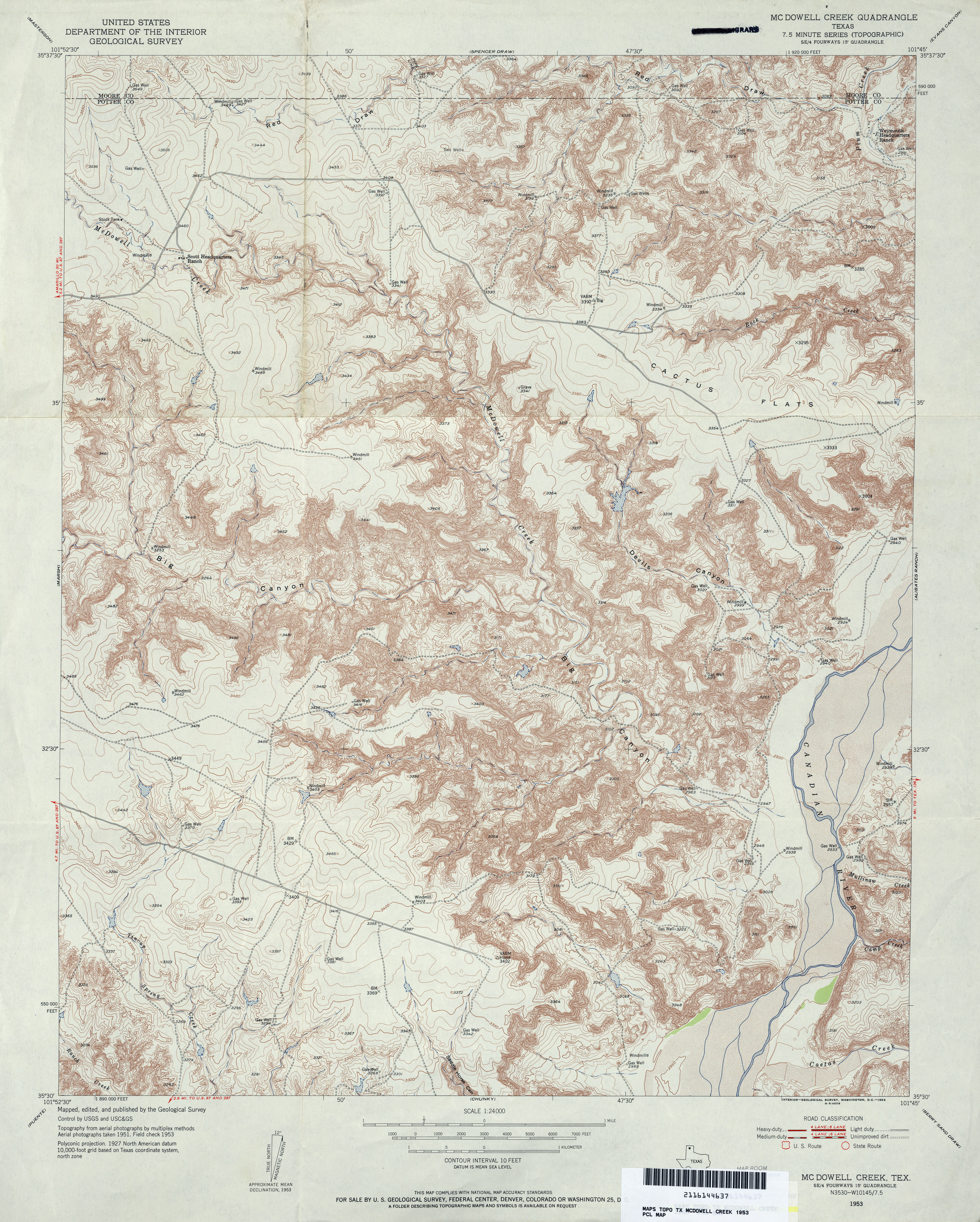
- McDowell Creek 1:24,000 1953 (5.6MB)
- McDowell Creek 1:24,000 1970 (4.7MB)
- Mcdowell Creek 1:24,000 2008 (19.0MB) [GeoPDF]
- McDowell Creek 1:24,000 2012 (26MB) [GeoPDF]
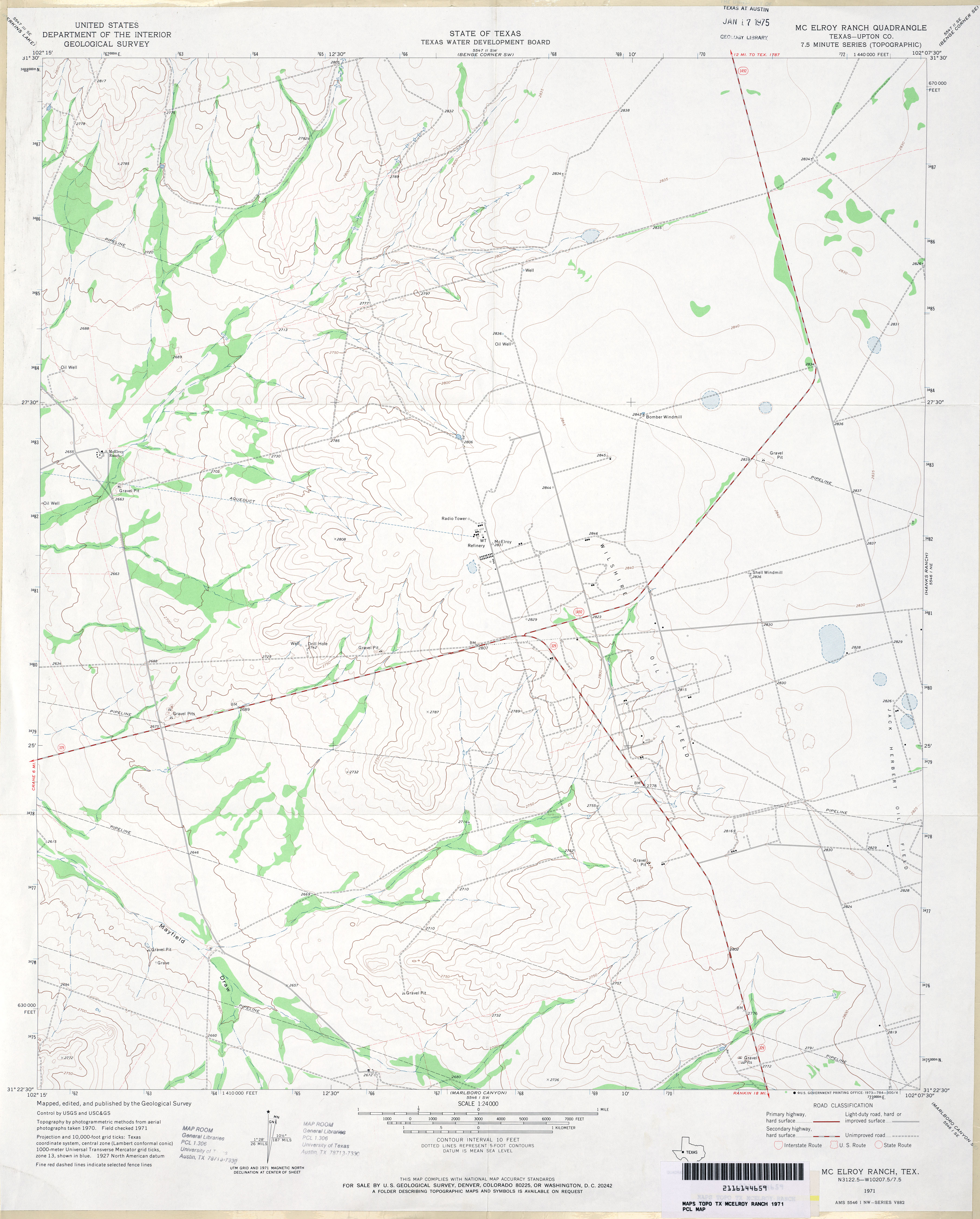
- McElroy Ranch (Upton County) 1:24,000 1971 (2.7MB)
- McElroy Ranch 1:24,000 2008 (18.0MB) [GeoPDF]
- McElroy Ranch 1:24,000 2012 (21.5MB) [GeoPDF]
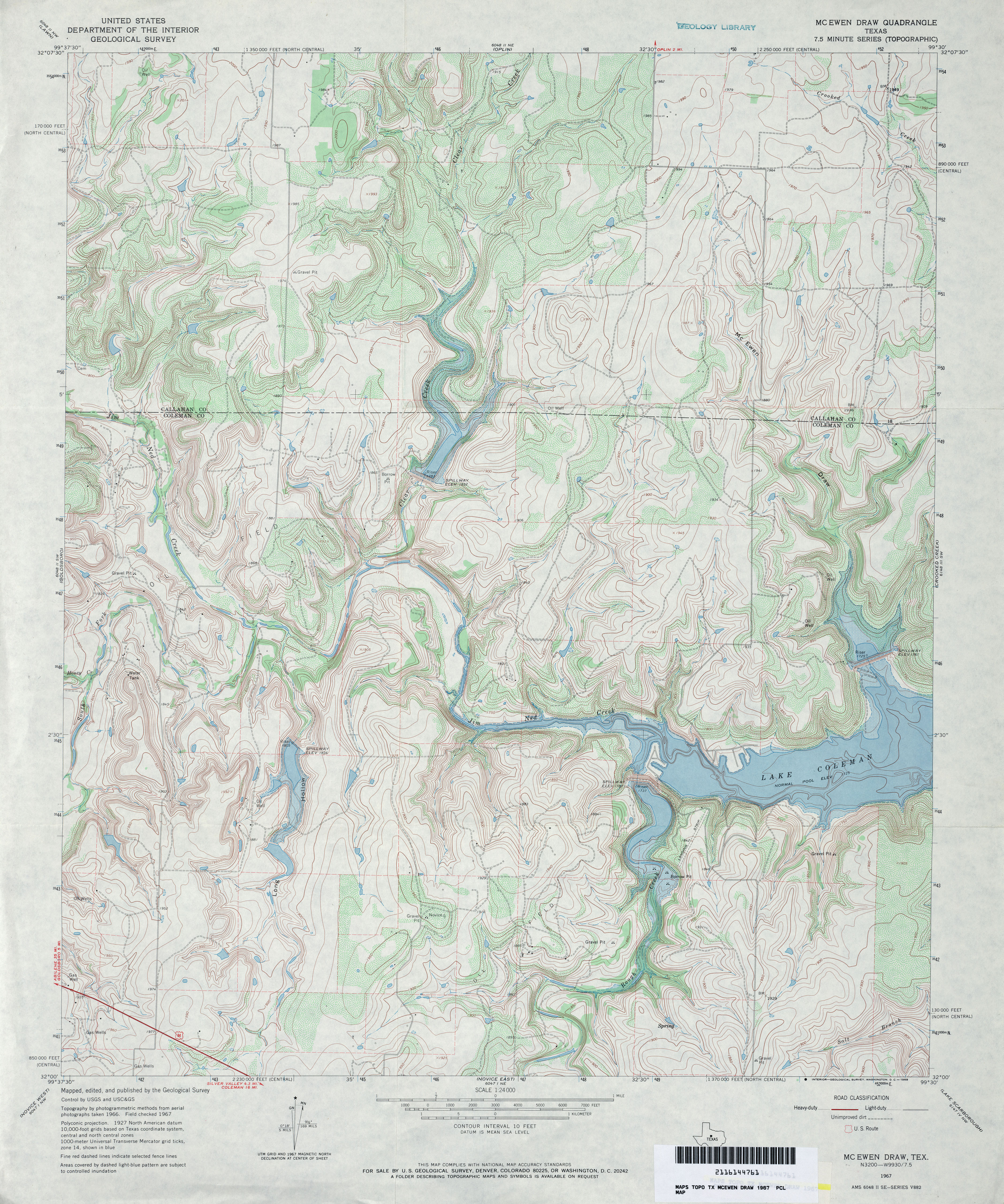
- McEwen Draw 1:24,000 1967 (5MB)
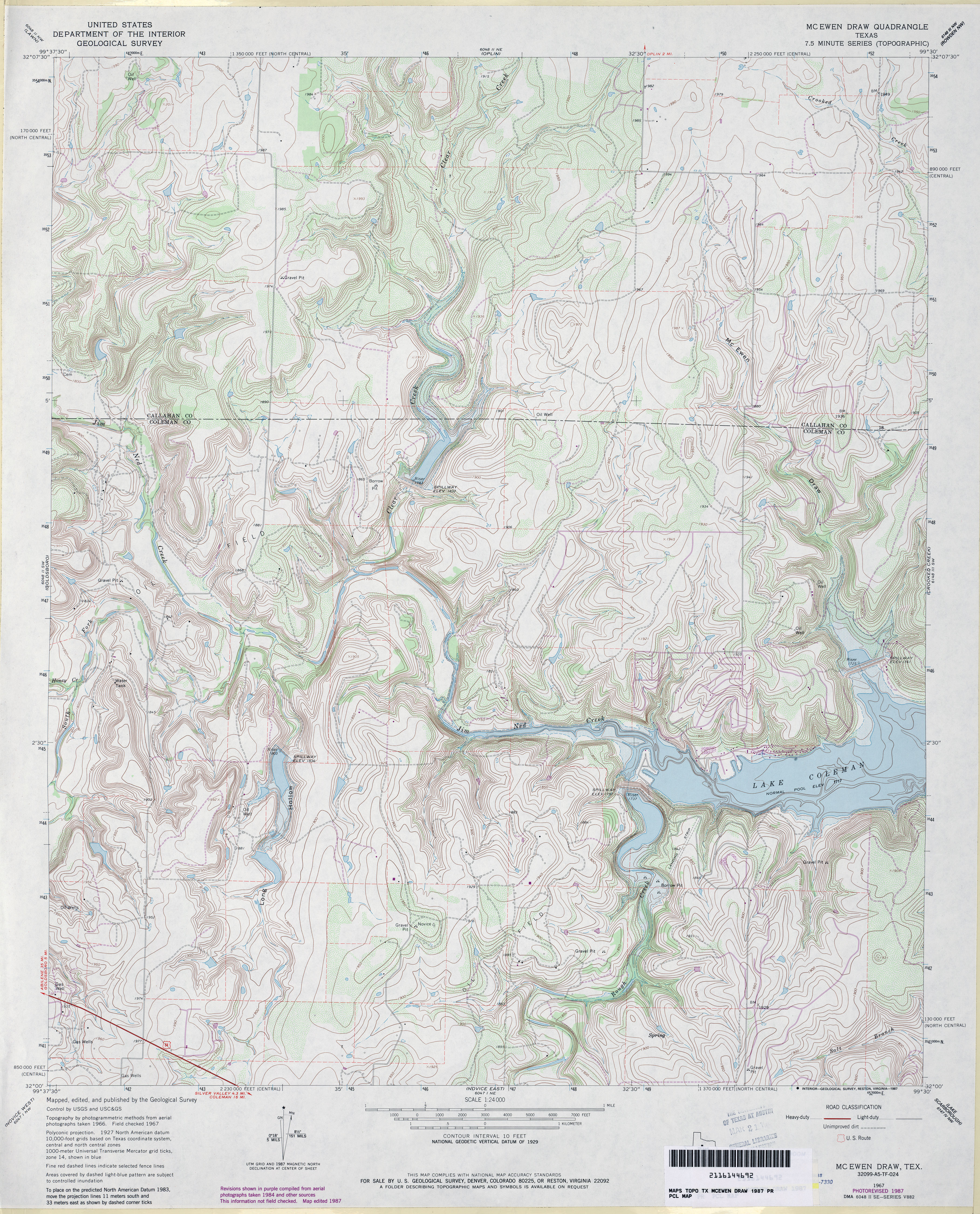
- McEwen Draw 1:24,000 1987 (5.1MB)
- McEwen Draw 1:24,000 2008 (15.2MB) [GeoPDF]
- McEwen Draw 1:24,000 2012 (23.2MB) [GeoPDF]
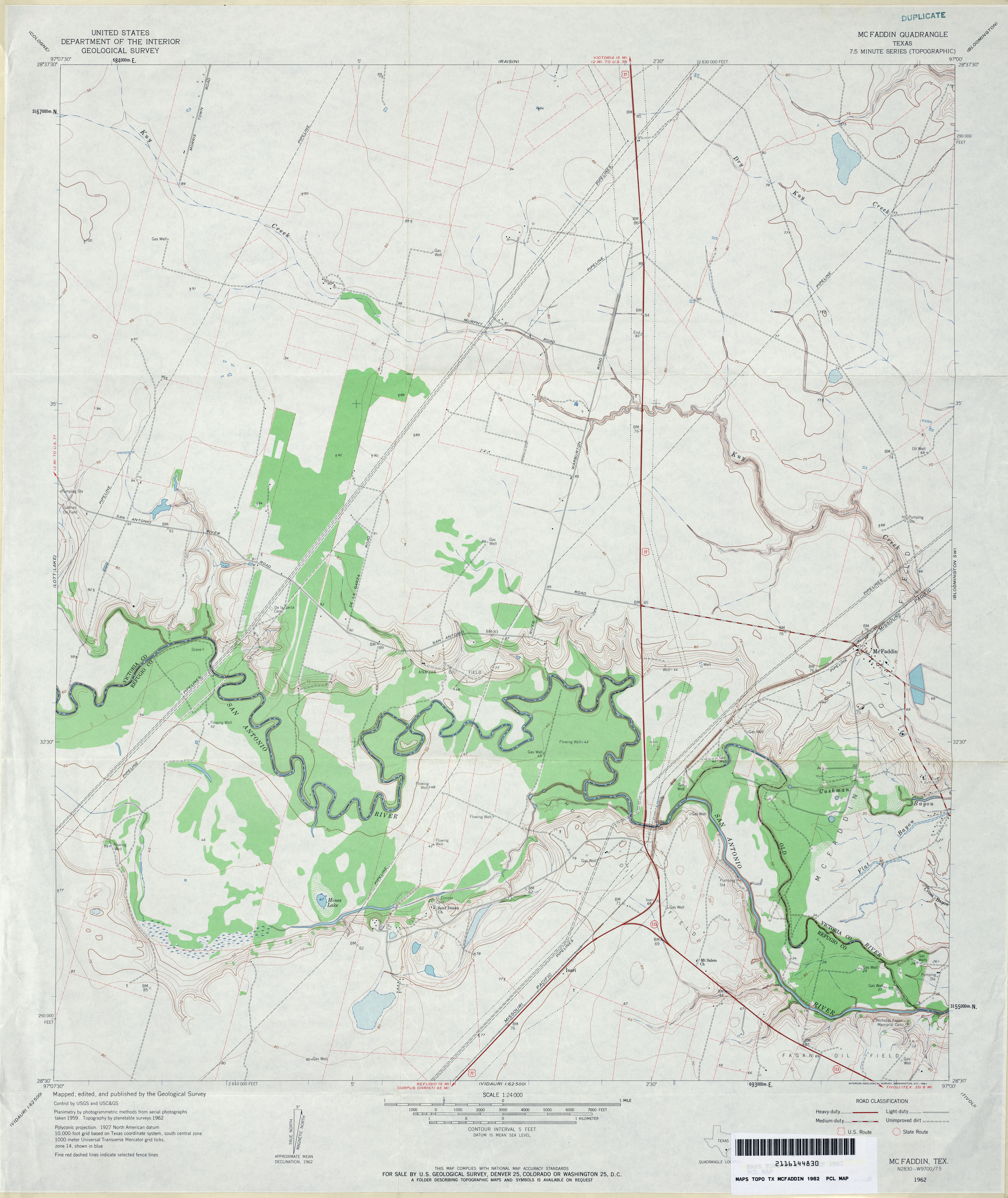
- McFaddin 1:24,000 1962 (3.1MB)
- McFaddin 1:24,000 1987 (3.2MB)
- McFaddin 1:24,000 2009 (13.0MB) [GeoPDF]
- McFaddin 1:24,000 2013 (19.3MB) [GeoPDF]
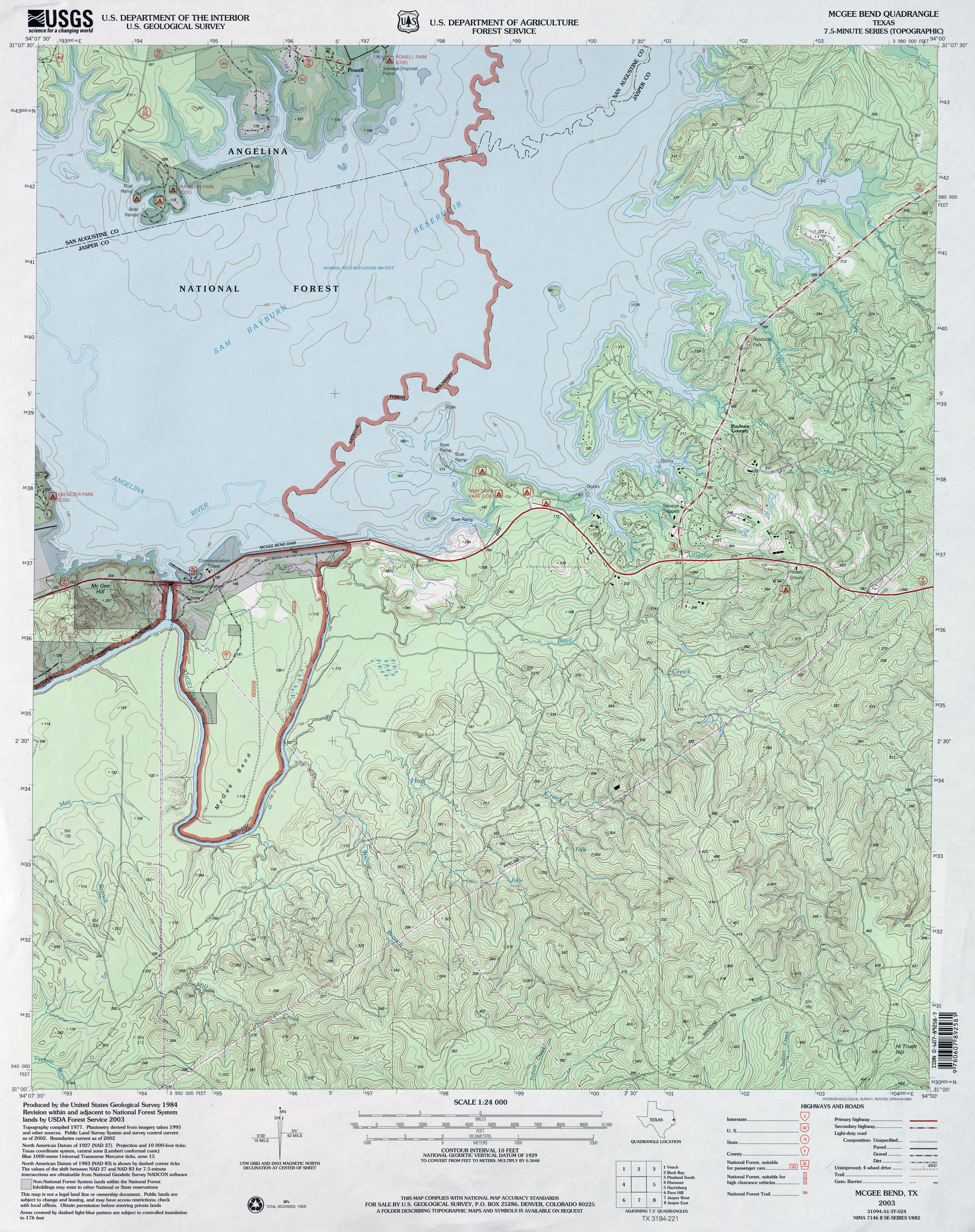
- McGee Bend 1:62,500 1958 (4.1MB)
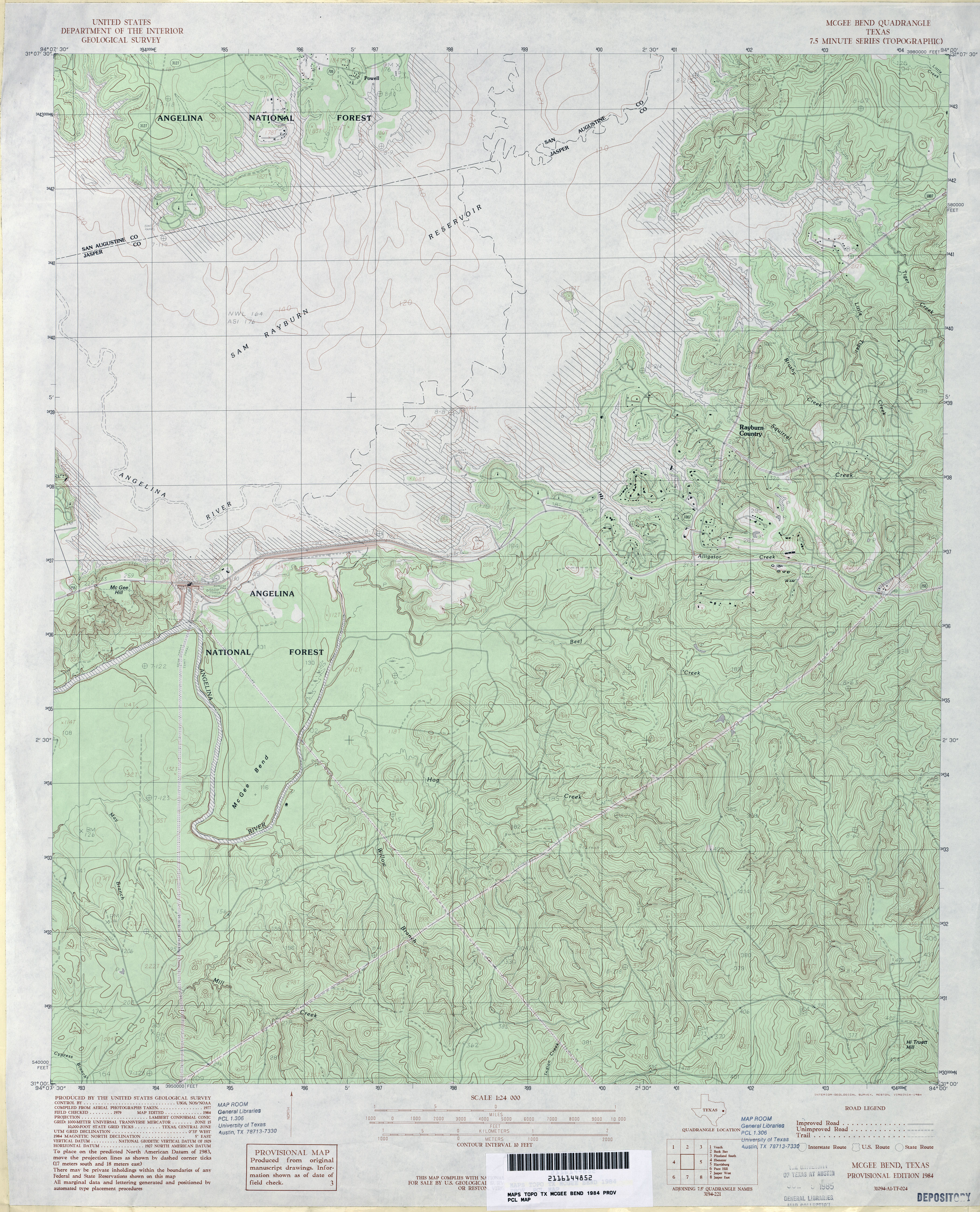
- McGee Bend 1:24,000 1984 (4.5MB)
- McGee Bend 1:24,000 2003 (4.9MB)
- McGee Bend 1:24,000 2008 (2.8MB) Texas Natural Resources Information System (TNRIS). [pdf]
- McGee Bend 1:24,000 2008 (23.4MB) [GeoPDF]
- McGee Bend 1:24,000 2013 (26.3MB) [GeoPDF]
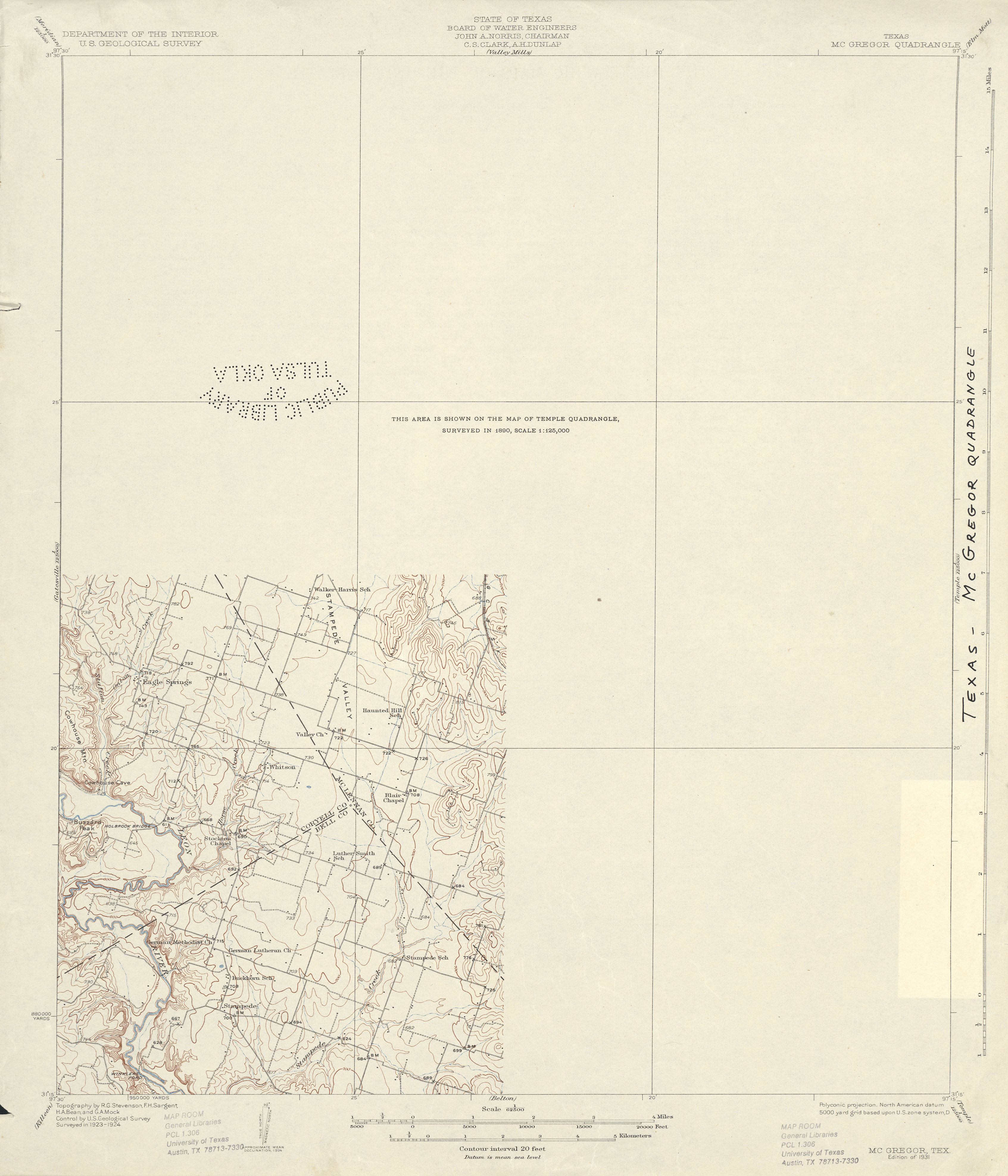
- McGregor 1:62,500 1924 (1.8 MB)
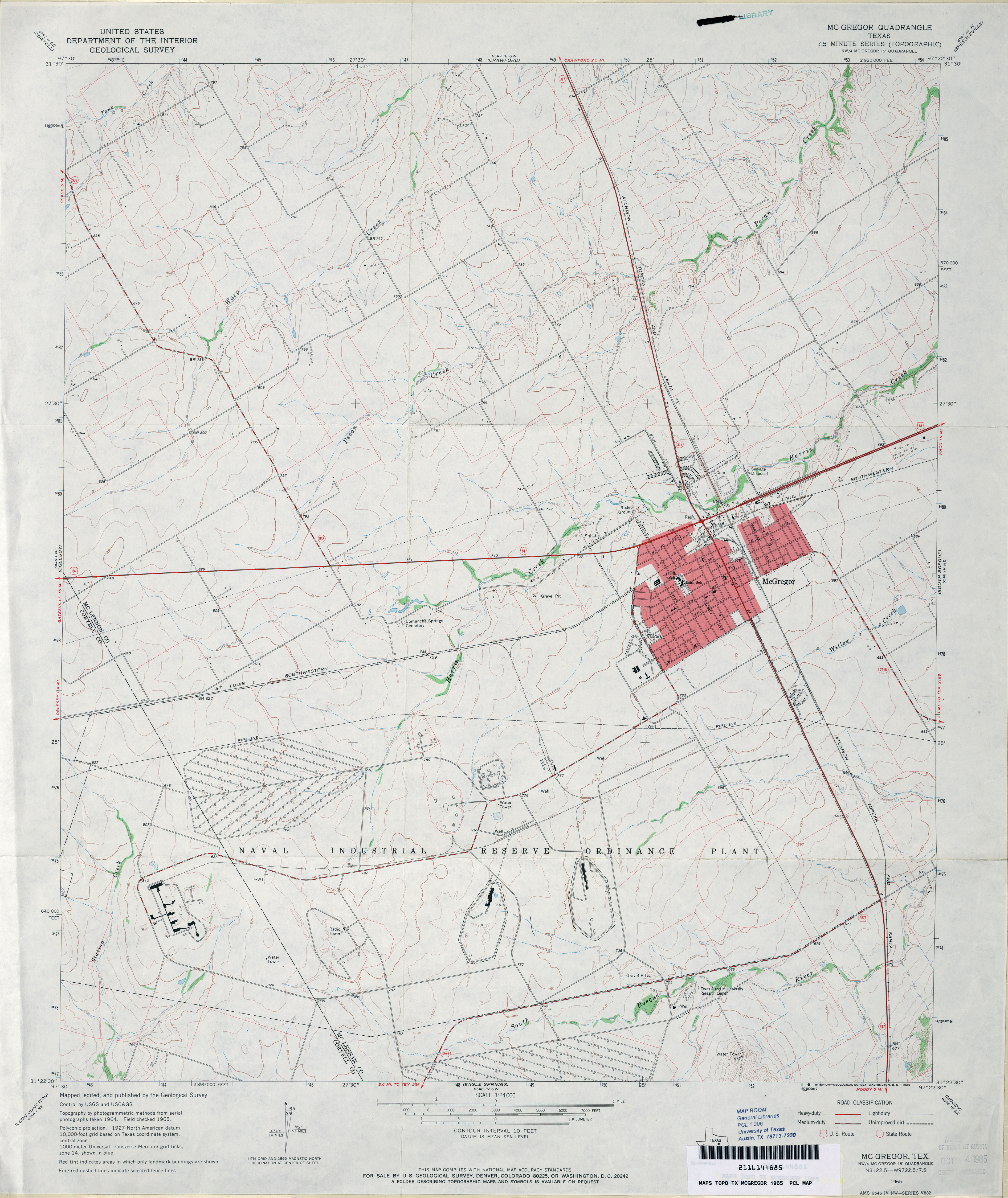
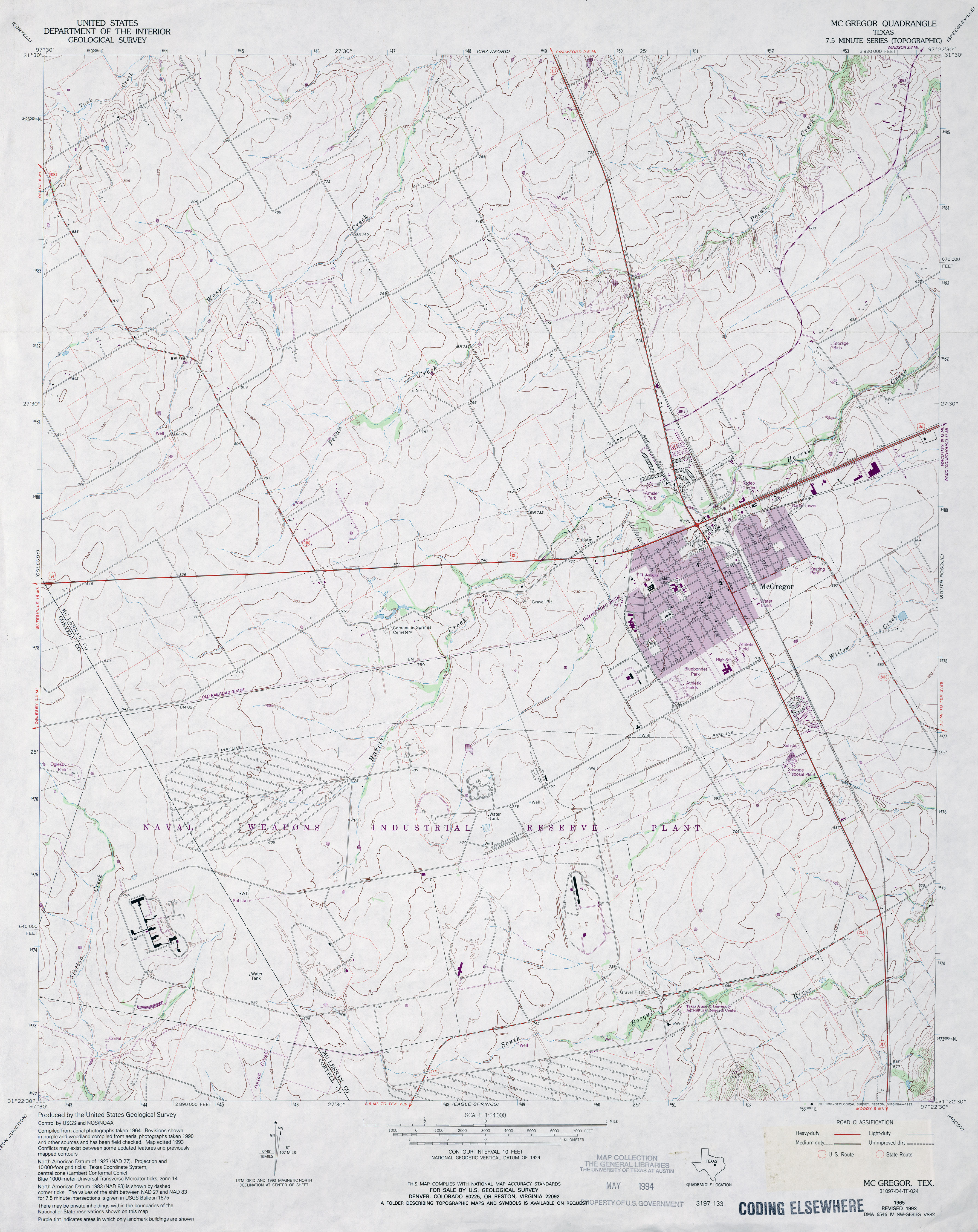
- McGregor 1:24,000 1965 (3.2MB)
- McGregor 1:24,000 1993 (3.5MB)
- McGregor 1:24,000 2008 (11.3MB) [GeoPDF]
- McGregor 1:24,000 2012 (16.8MB) [GeoPDF]
- McKegan Draw 1:24,000 1963 (4.5MB)
- McKegan Draw 1:24,000 2008 (22.4MB) [GeoPDF]
- McKegan Draw 1:24,000 2012 (31.4MB) [GeoPDF]
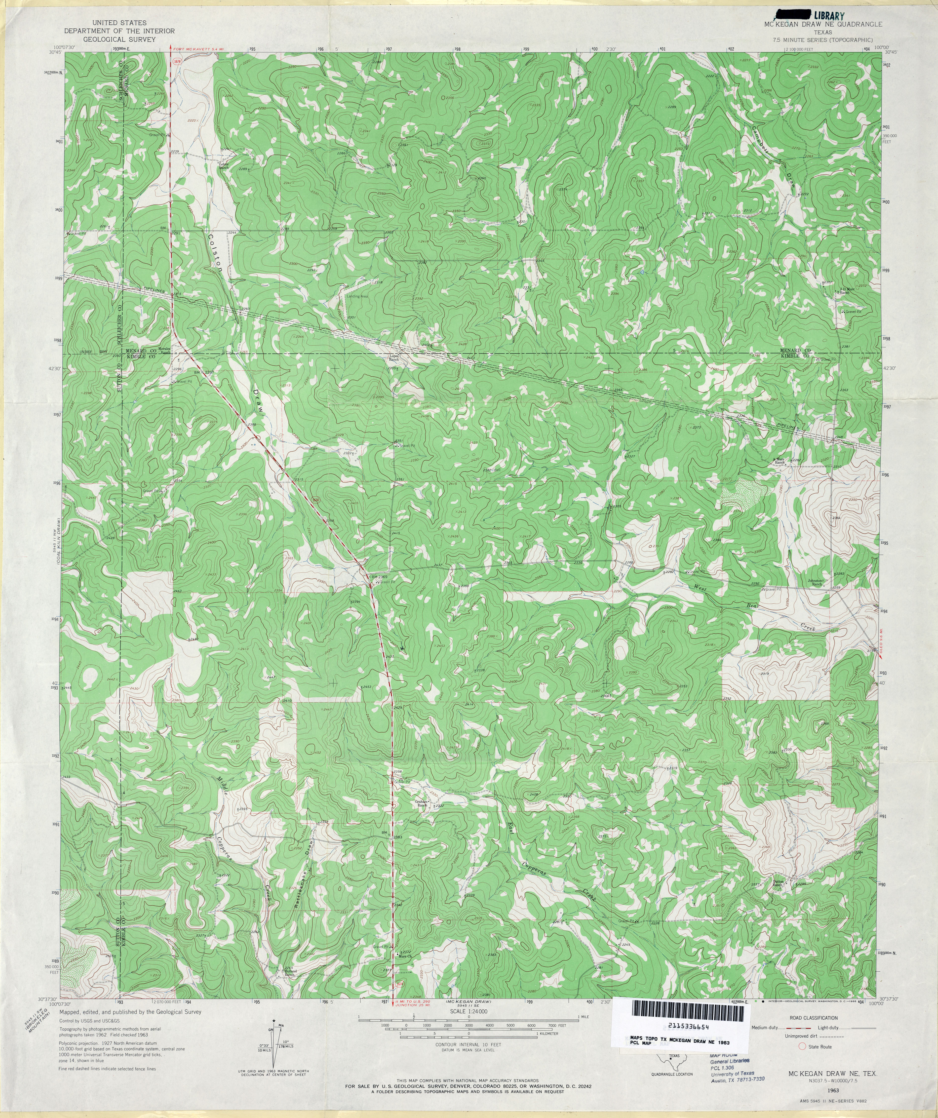
- McKegan Draw NE 1:24,000 1963 (4.1MB)
- McKegan Draw NE 1:24,000 2008 (24.2MB) [GeoPDF]
- McKegan Draw NE 1:24,000 2012 (31.2MB) [GeoPDF]
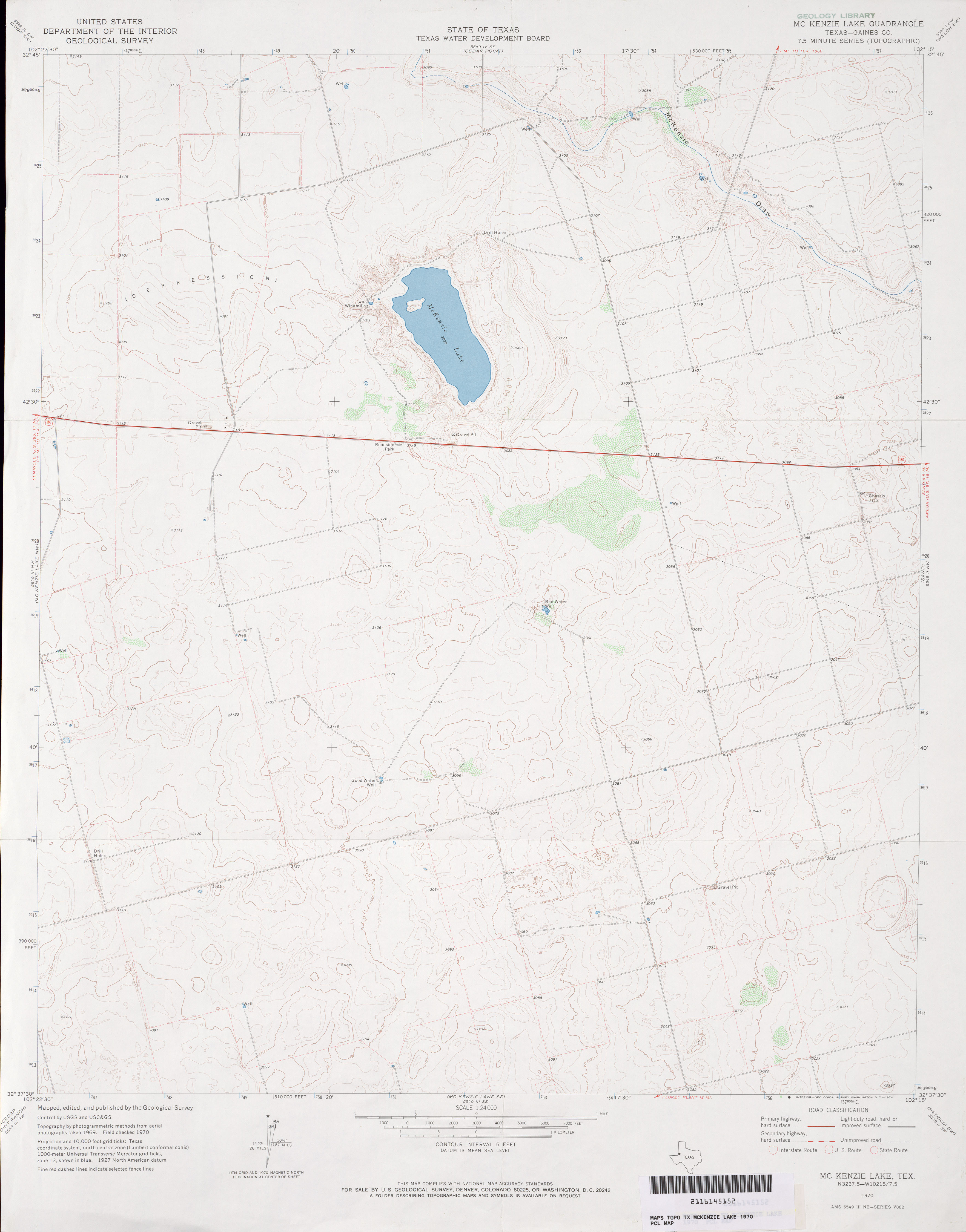
- McKenzie Lake (Gaines County) 1:24,000 1970 (2.2MB)
- McKenzie Lake 1:24,000 2008 (9.8MB) [GeoPDF]
- McKenzie Lake 1:24,000 2012 (16.2MB) [GeoPDF]
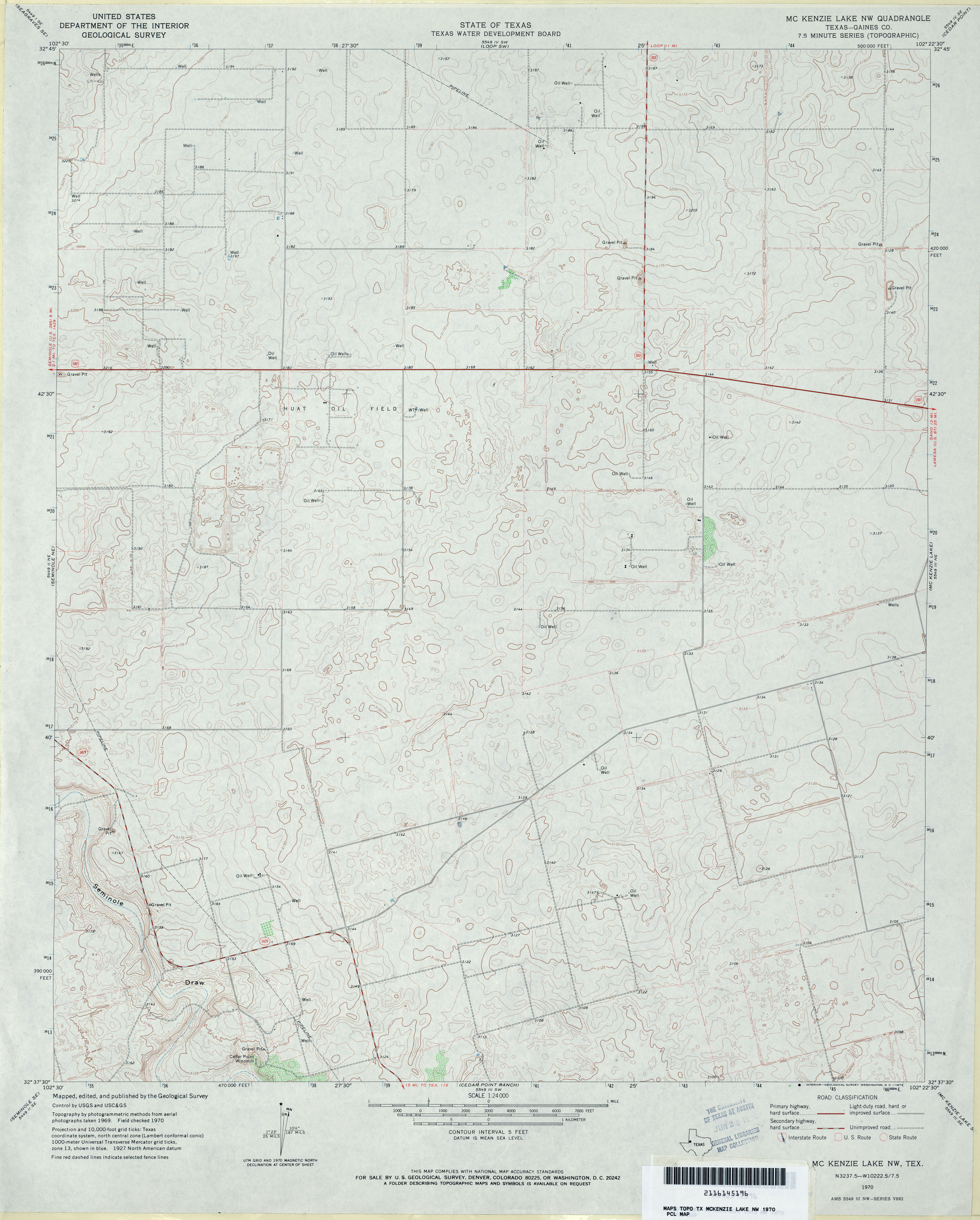
- McKenzie Lake NW (Gaines County) 1:24,000 1970 (3.1MB)
- McKenzie Lake NW 1:24,000 2008 (10.2MB) [GeoPDF]
- McKenzie Lake NW 1:24,000 2012 (15.1MB) [GeoPDF]
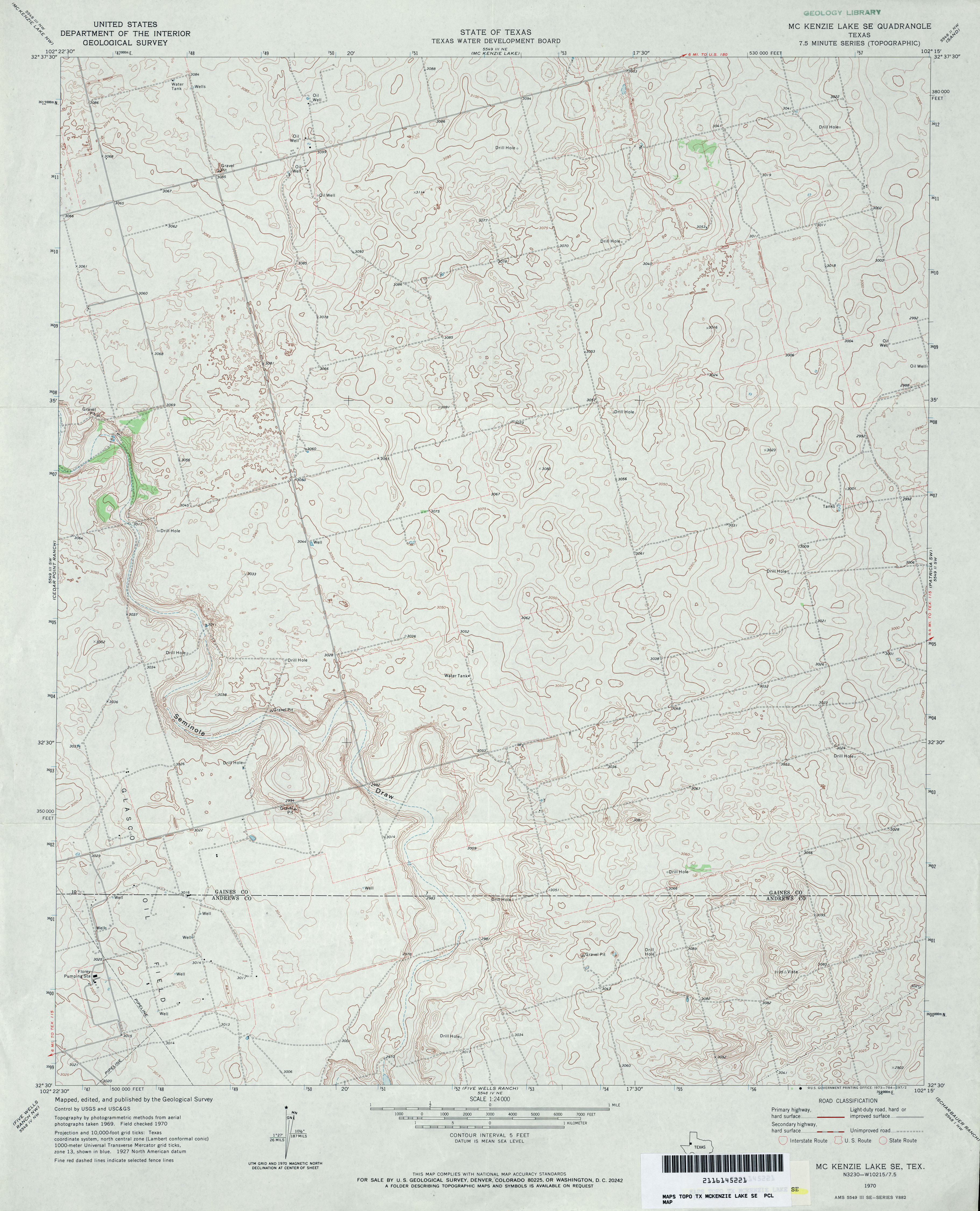
- McKenzie Lake SE 1:24,000 1970 (3.6MB)
- McKenzie Lake SE 1:24,000 2008 (10.6MB) [GeoPDF]
- McKenzie Lake SE 1:24,000 2012 (15.6MB) [GeoPDF]
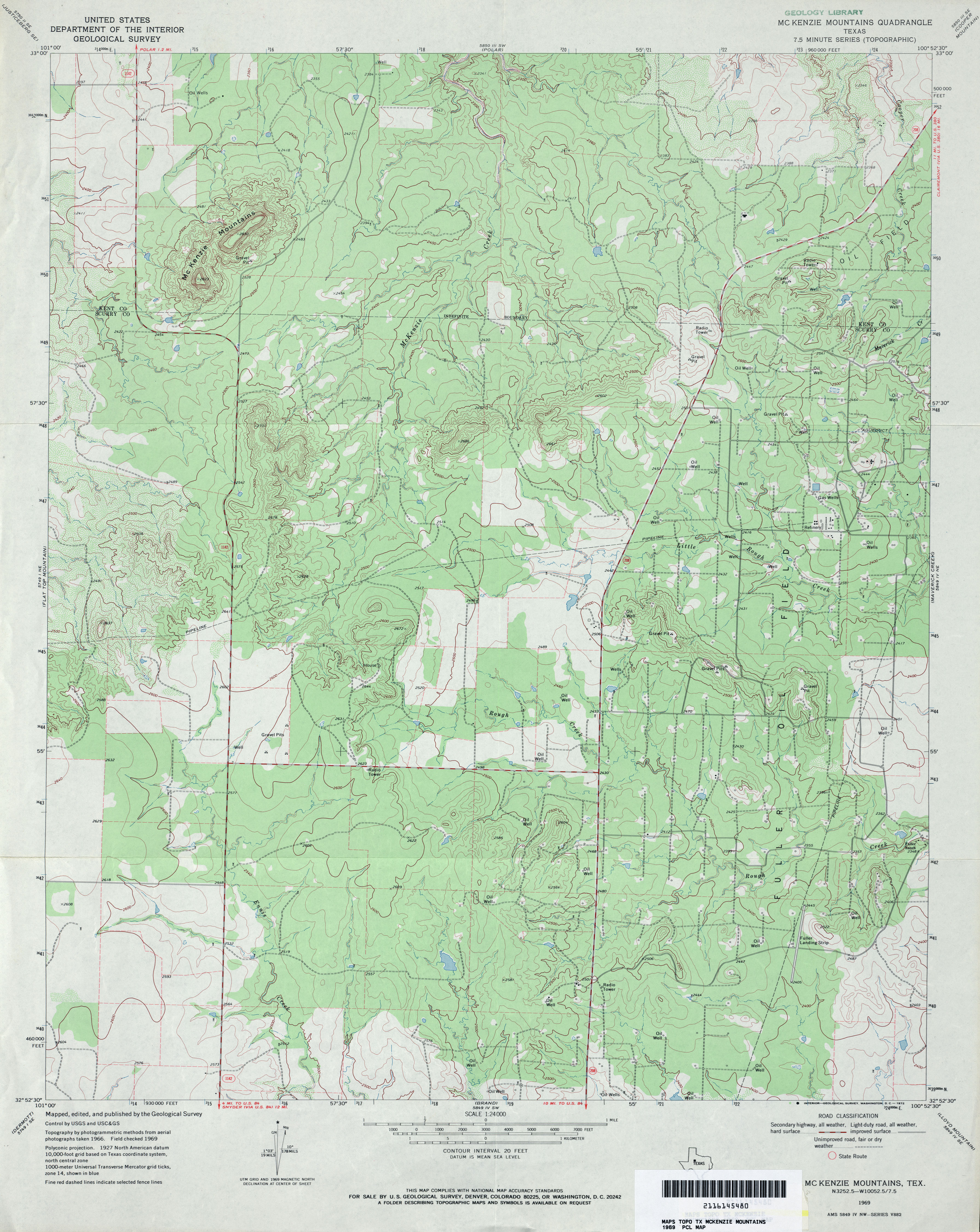
- McKenzie Mountains 1:24,000 1969 (3.8MB)
- McKenzie Mountains 1:24,000 2008 (17.0MB) [GeoPDF]
- McKenzie Mountains 1:24,000 2012 (25.4MB) [GeoPDF]
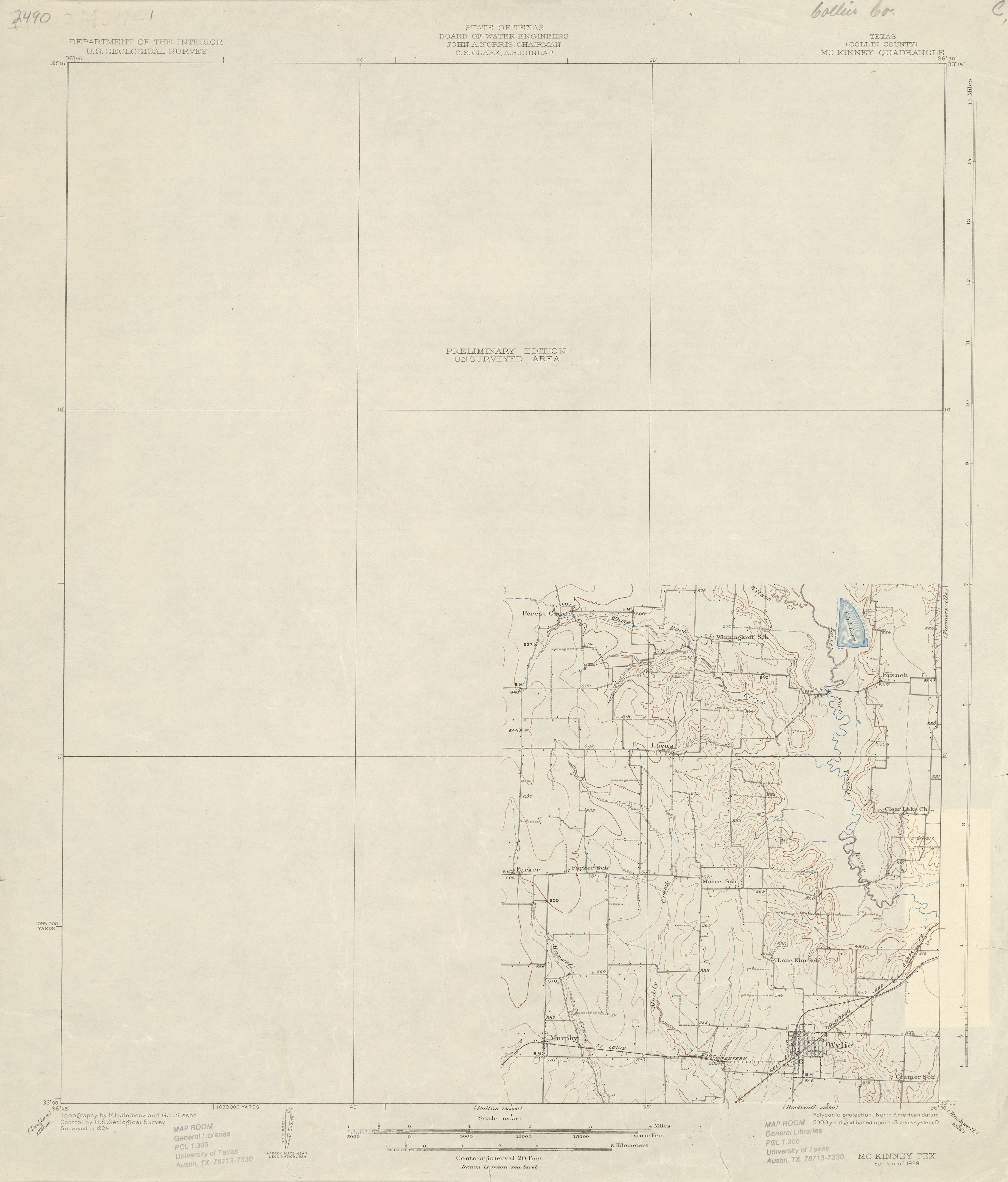
- McKinney (Collin County) 1:62,500 1924 (1.6 MB)
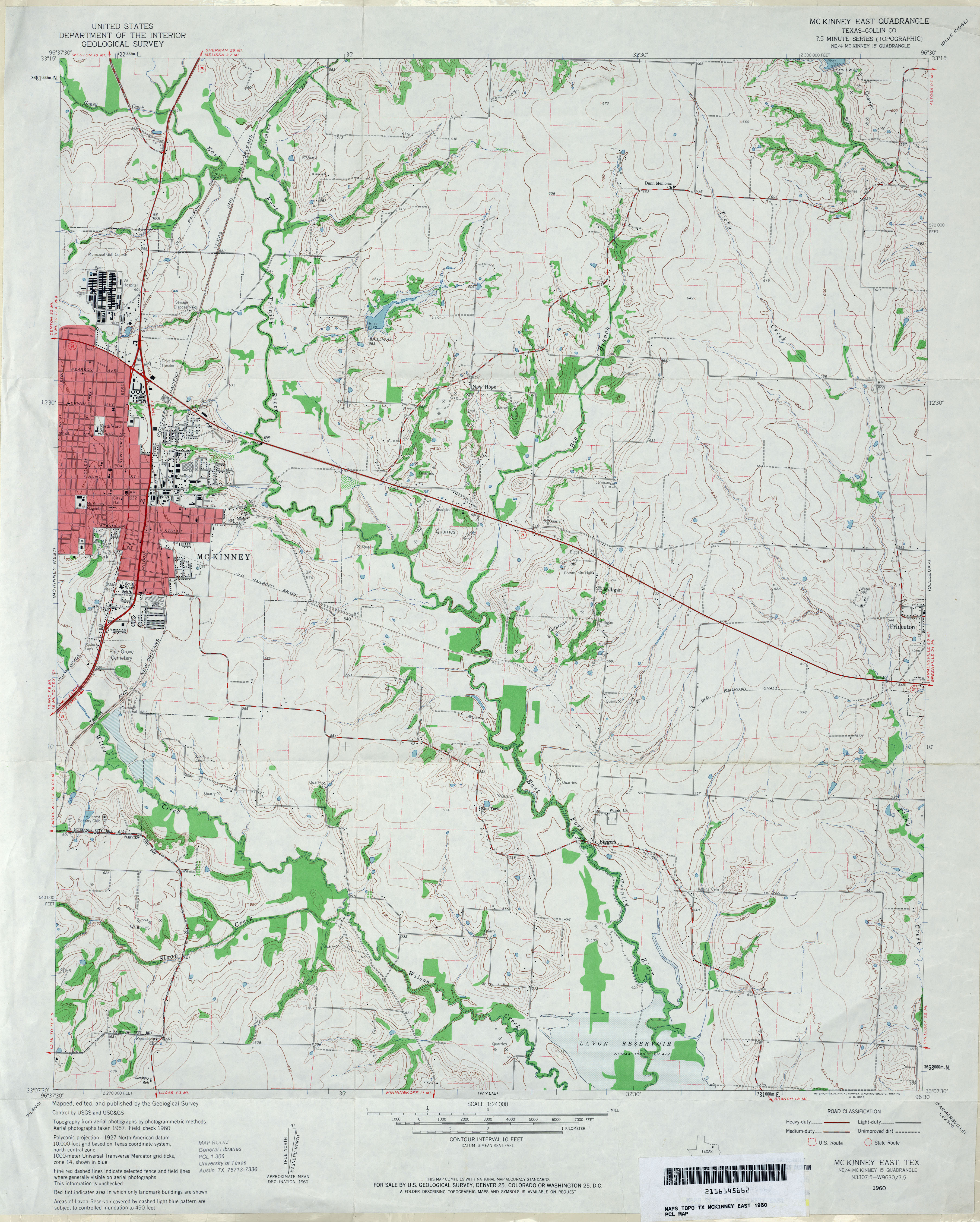
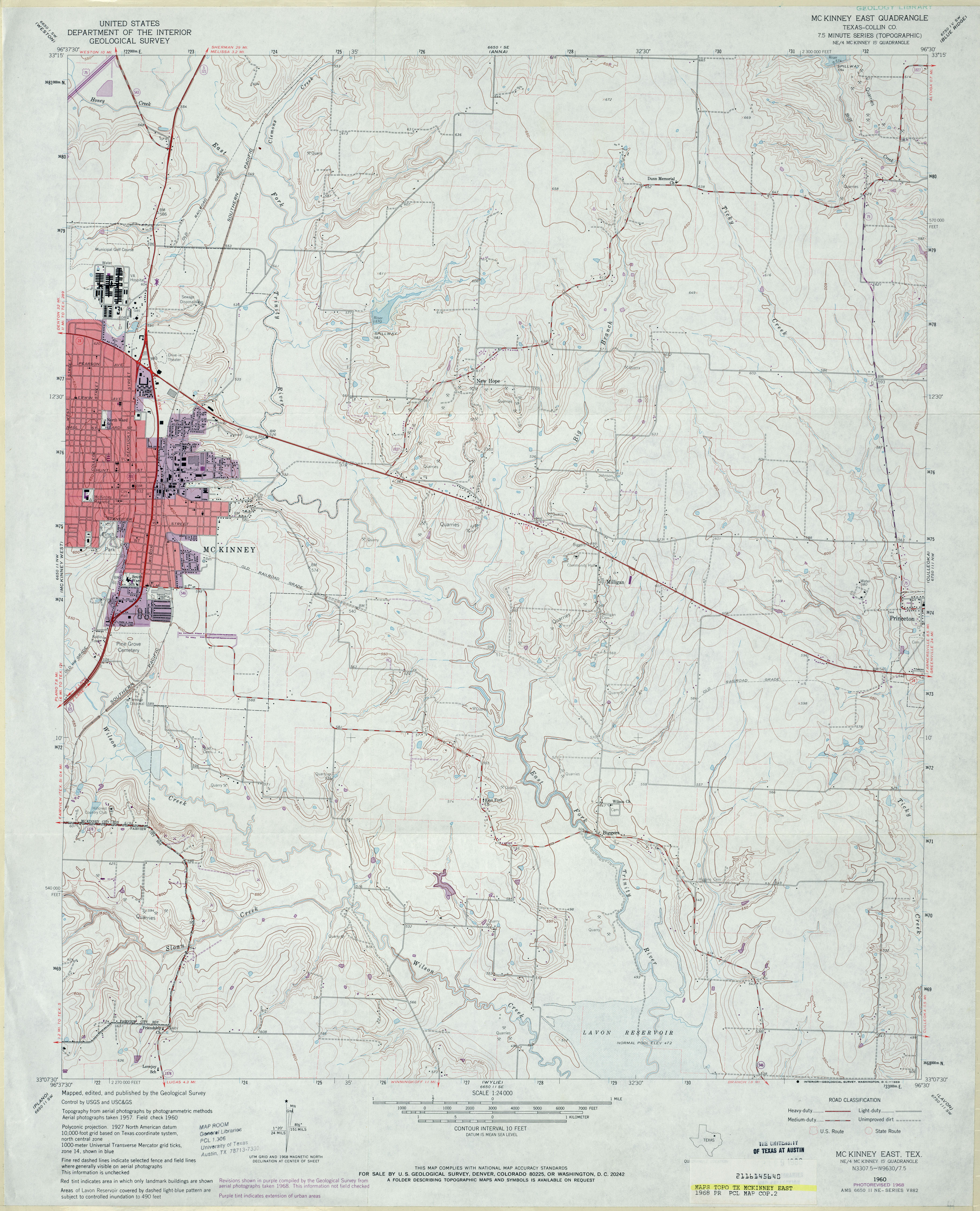
- McKinney East (Collin County) 1:24,000 1960 (3.6MB)
- McKinney East (Collin County) 1:24,000 1968 (3.6MB)
- McKinney East 1:24,000 2008 (14.7MB) [GeoPDF]
- McKinney East 1:24,000 2013 (20.5MB) [GeoPDF]
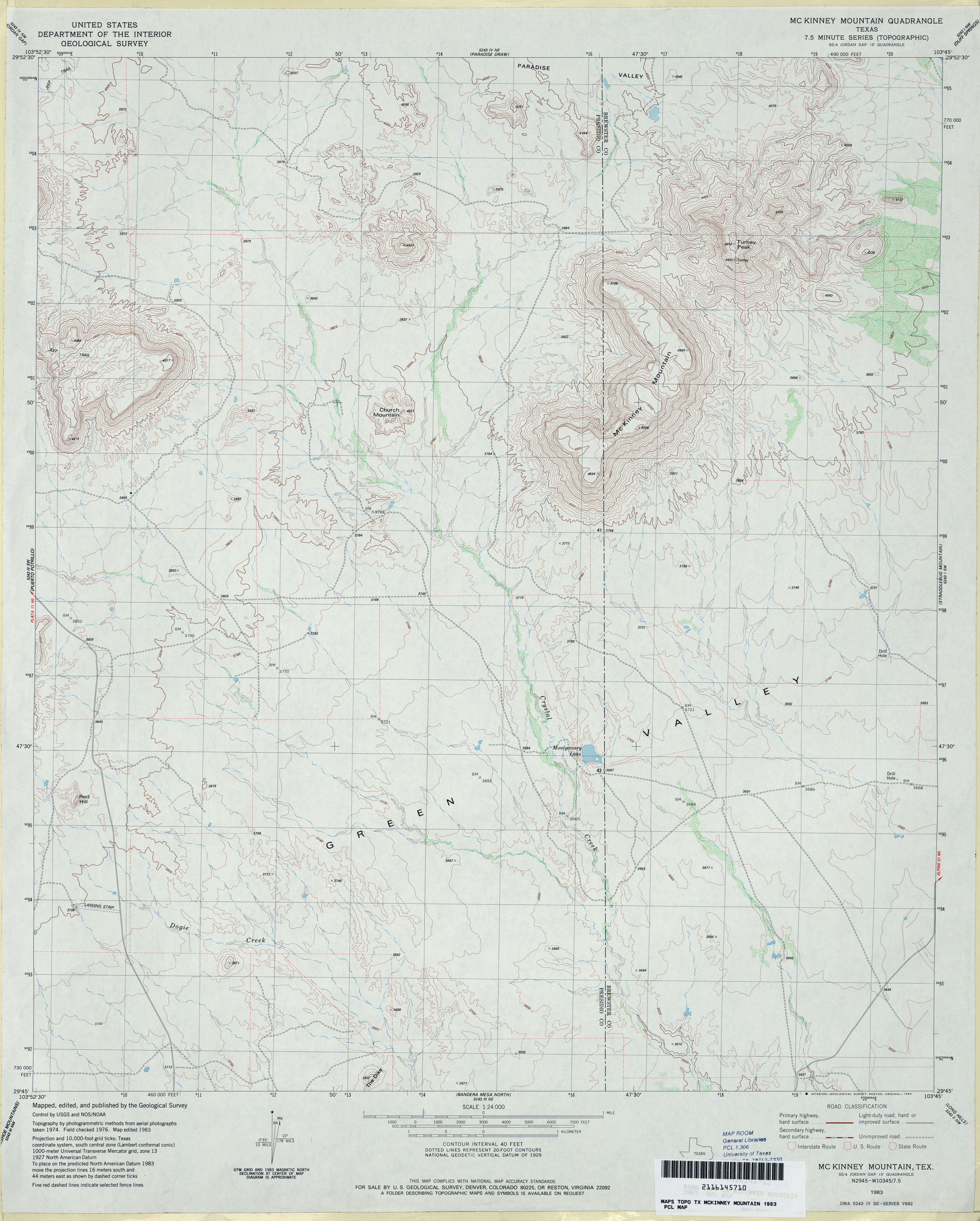
- McKinney Mountain 1:24,000 1983 (3.4MB)
- McKinney Mountain 1:24,000 2008 (19.1MB) [GeoPDF]
- McKinney Mountain 1:24,000 2012 (22.9MB) [GeoPDF]
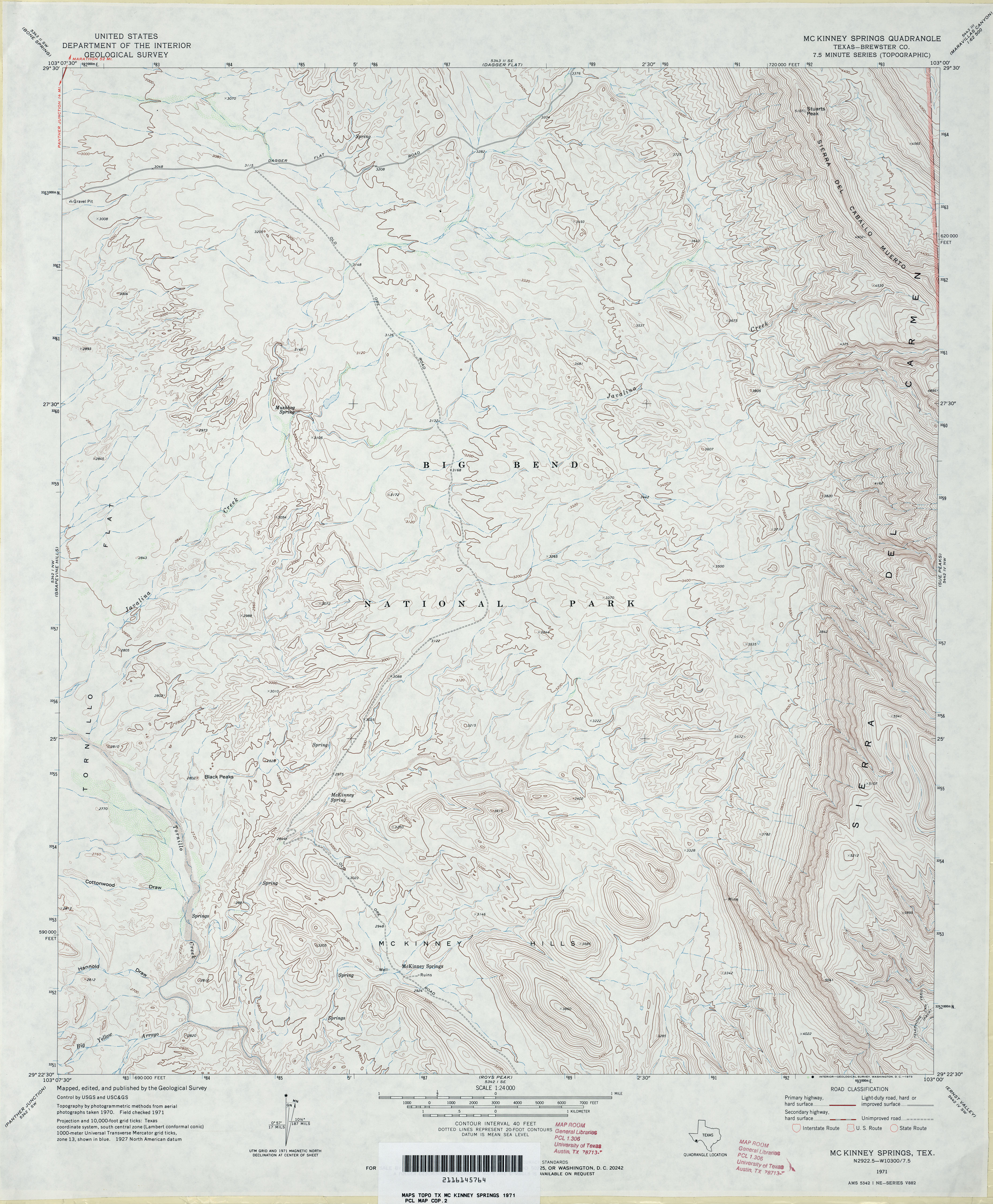
- McKinney Springs (Brewster County) 1:24,000 1971 (4MB)
- McKinney Springs 1:24,000 2008 (26.2MB) [GeoPDF]
- McKinney Springs 1:24,000 2012 (26.5MB) [GeoPDF]
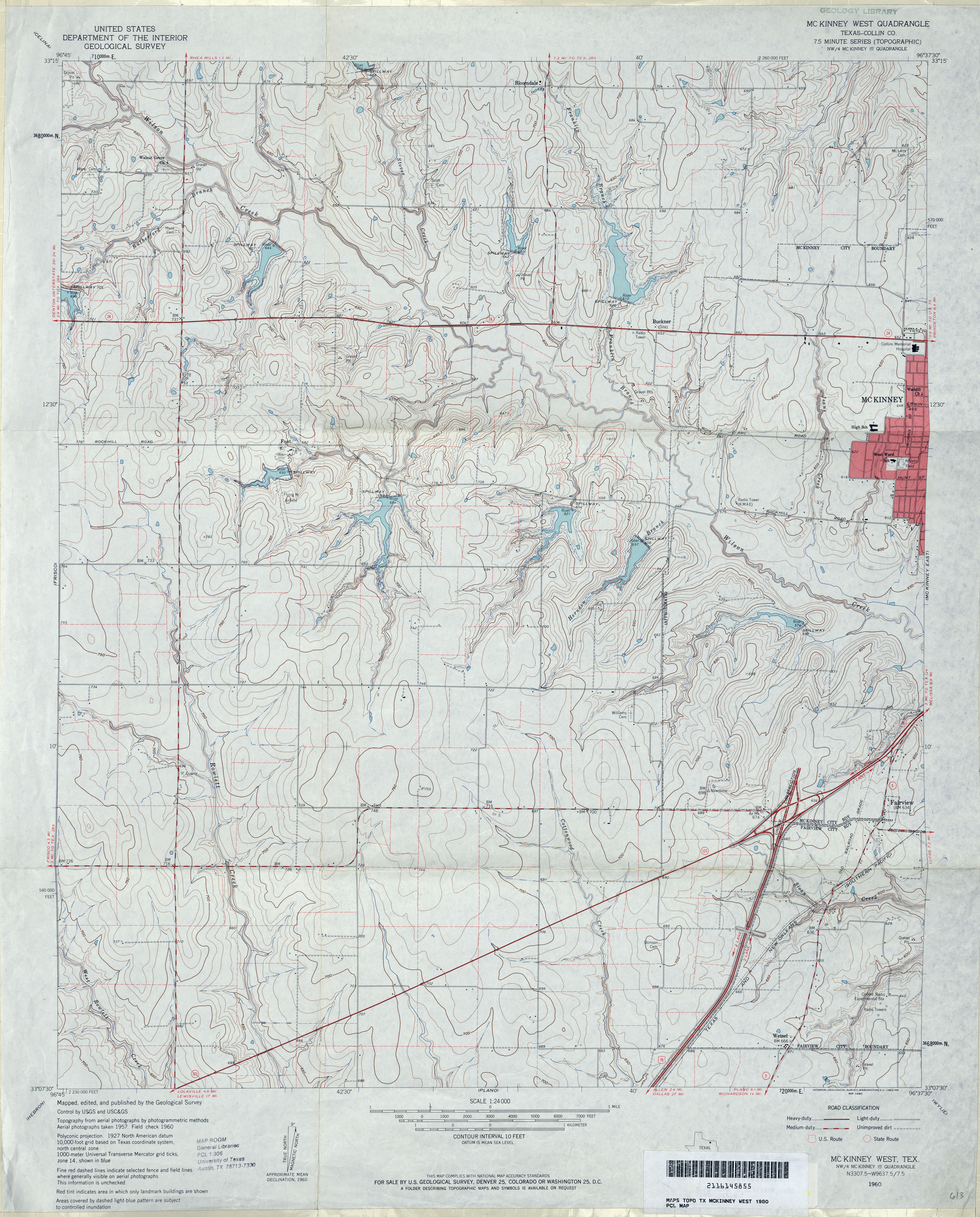
- McKinney West (Collin County) 1:24,000 1960 (4MB)
- McKinney West (Collin County) 1:24,000 1968 (3.8MB)
- McKinney West 1:24,000 2008 (17.4MB) [GeoPDF]
- McKinney West 1:24,000 2013 (23.5MB) [GeoPDF]
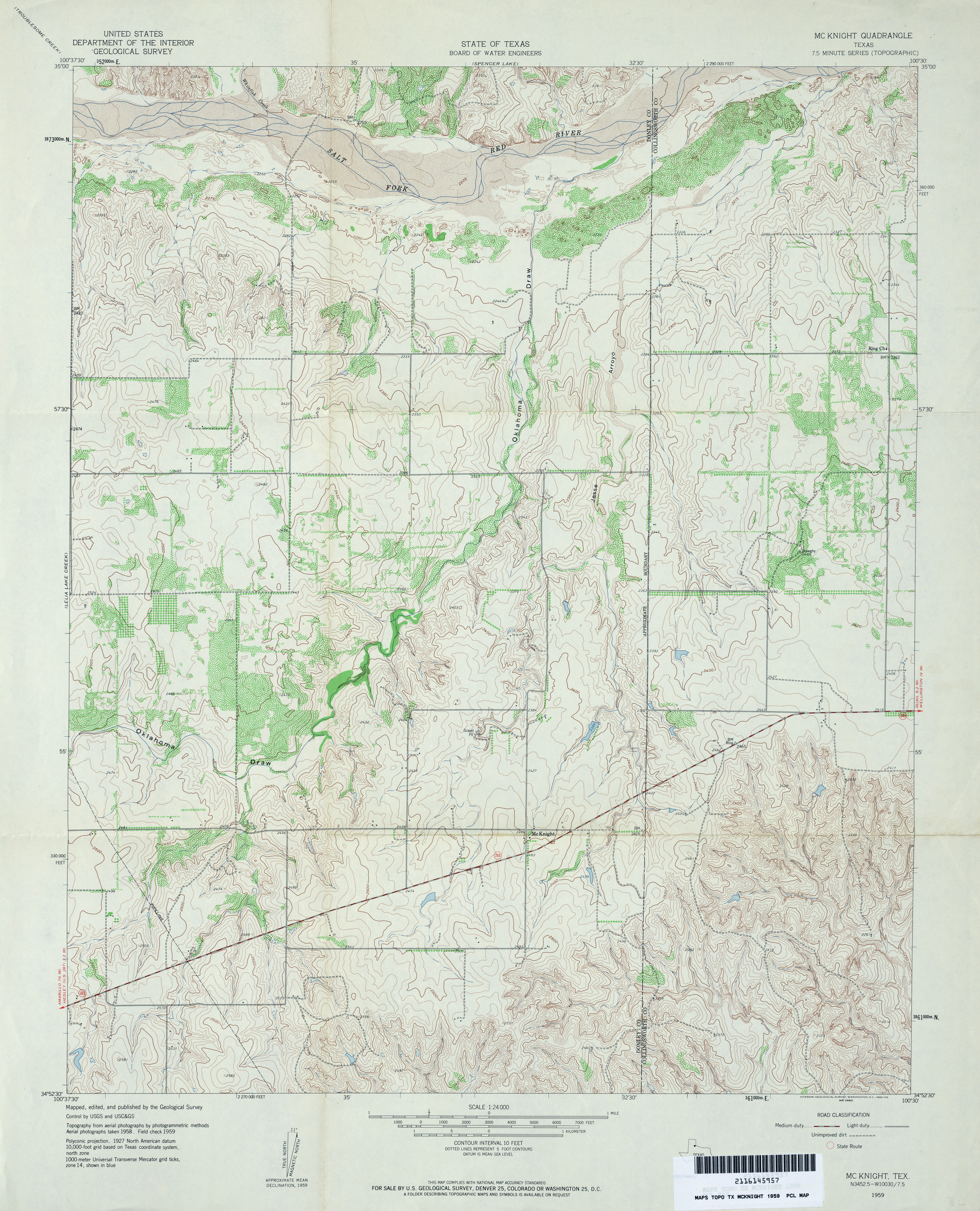
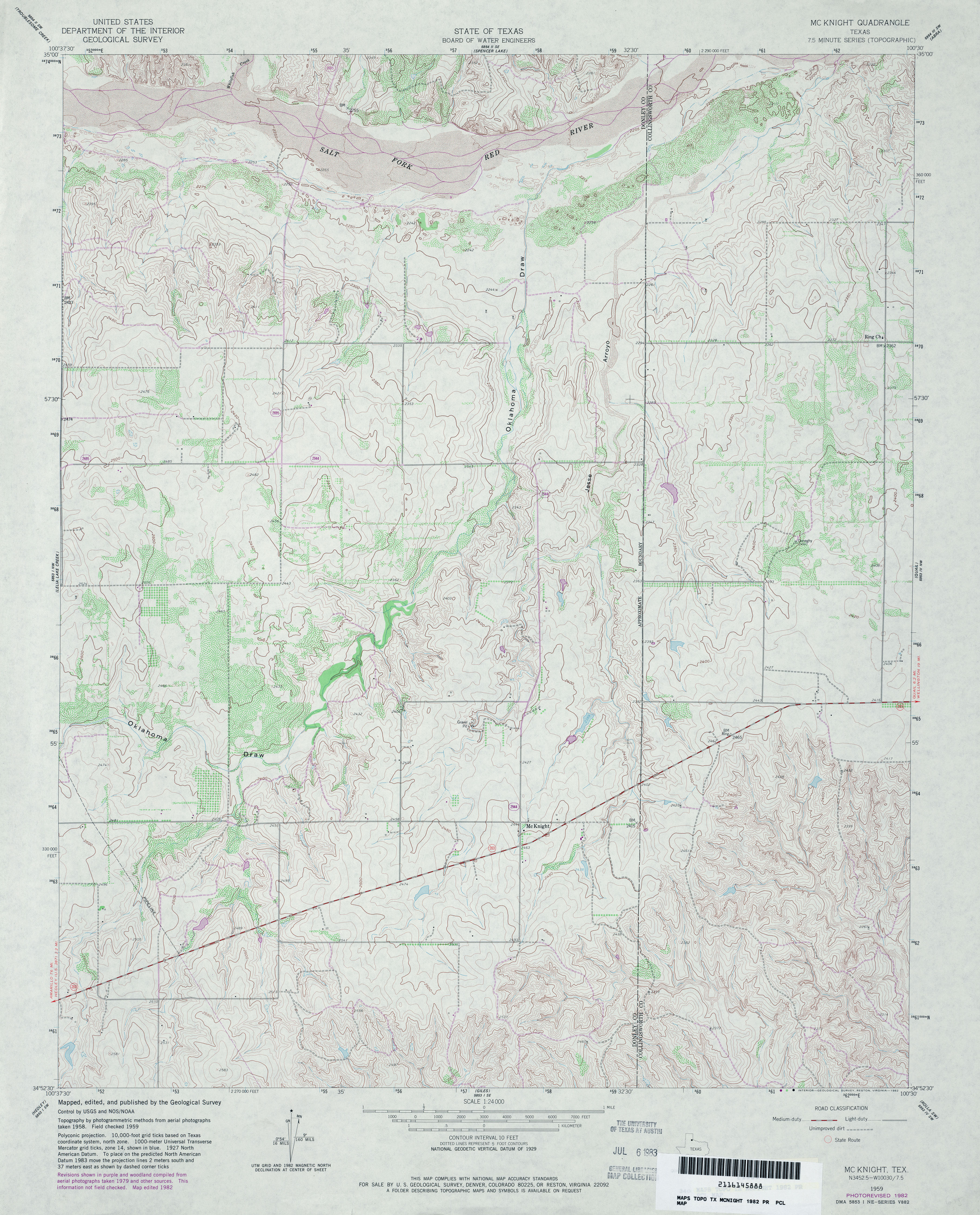
- McKnight 1:24,000 1959 (4.4MB)
- McKnight 1:24,000 1982 (4.3MB)
- Mcknight 1:24,000 2008 (14.6MB) [GeoPDF]
- McKnight 1:24,000 2012 (21.3MB) [GeoPDF]
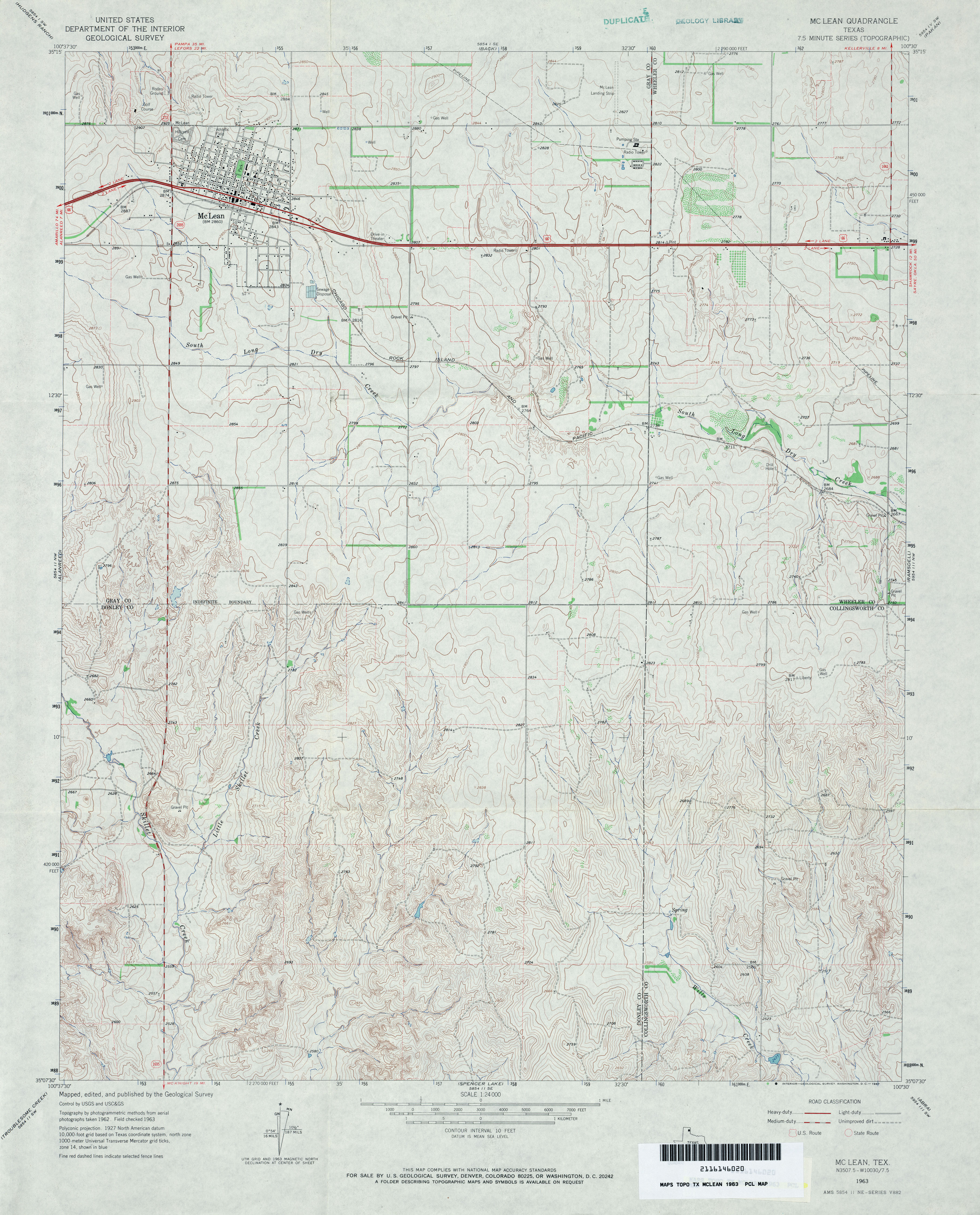
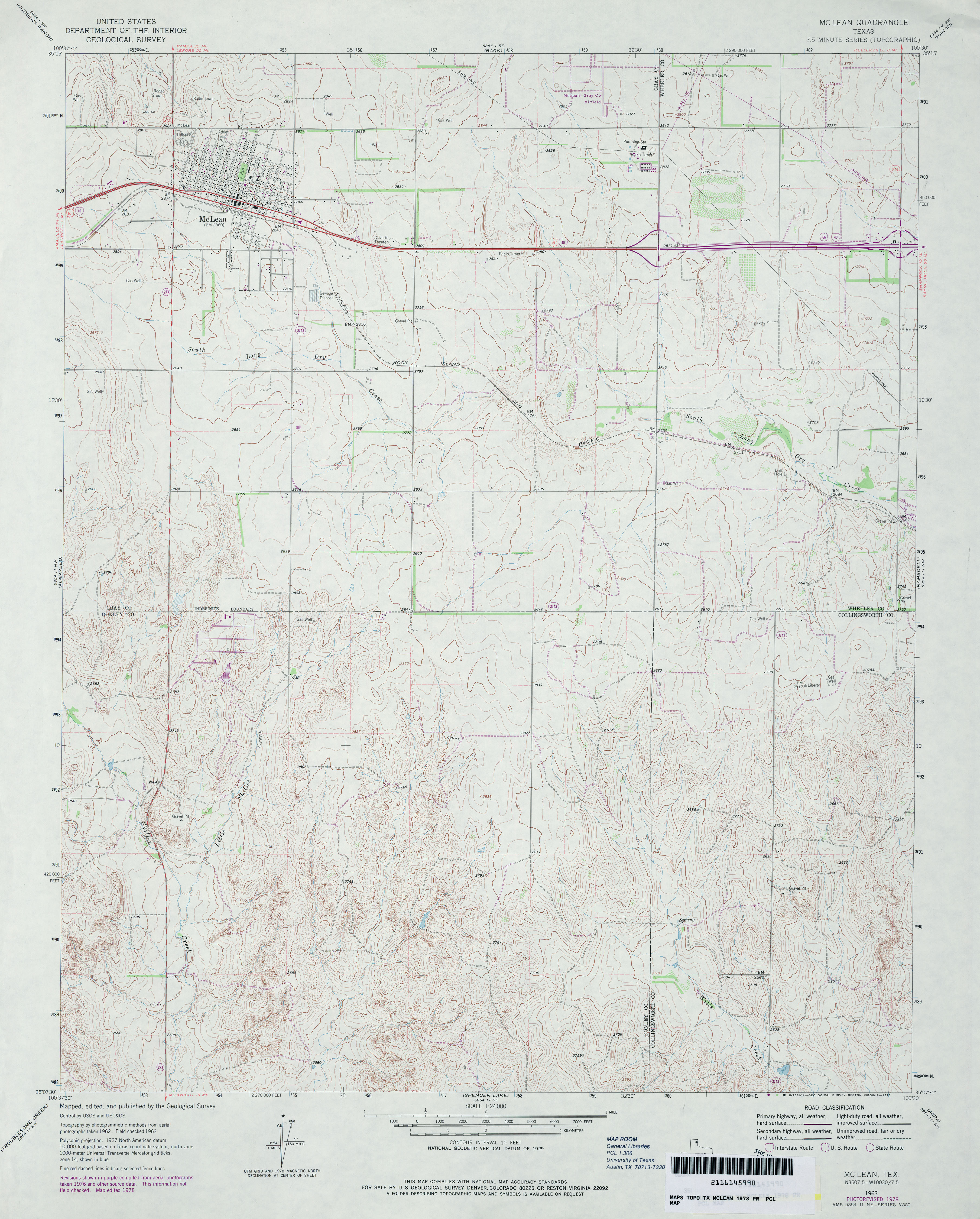
- McLean 1:24,000 1963 (3.8MB)
- McLean 1:24,000 1978 (3.7MB)
- McLean 1:24,000 2008 (12.6MB) [GeoPDF]
- McLean 1:24,000 2012 (19.1MB) [GeoPDF]
- McLeod 1:24,000 1962 (3.8MB)
- McLeod 1:24,000 2009 (24.2MB) [GeoPDF]
- McLeod 1:24,000 2013 (23.2MB) [GeoPDF]
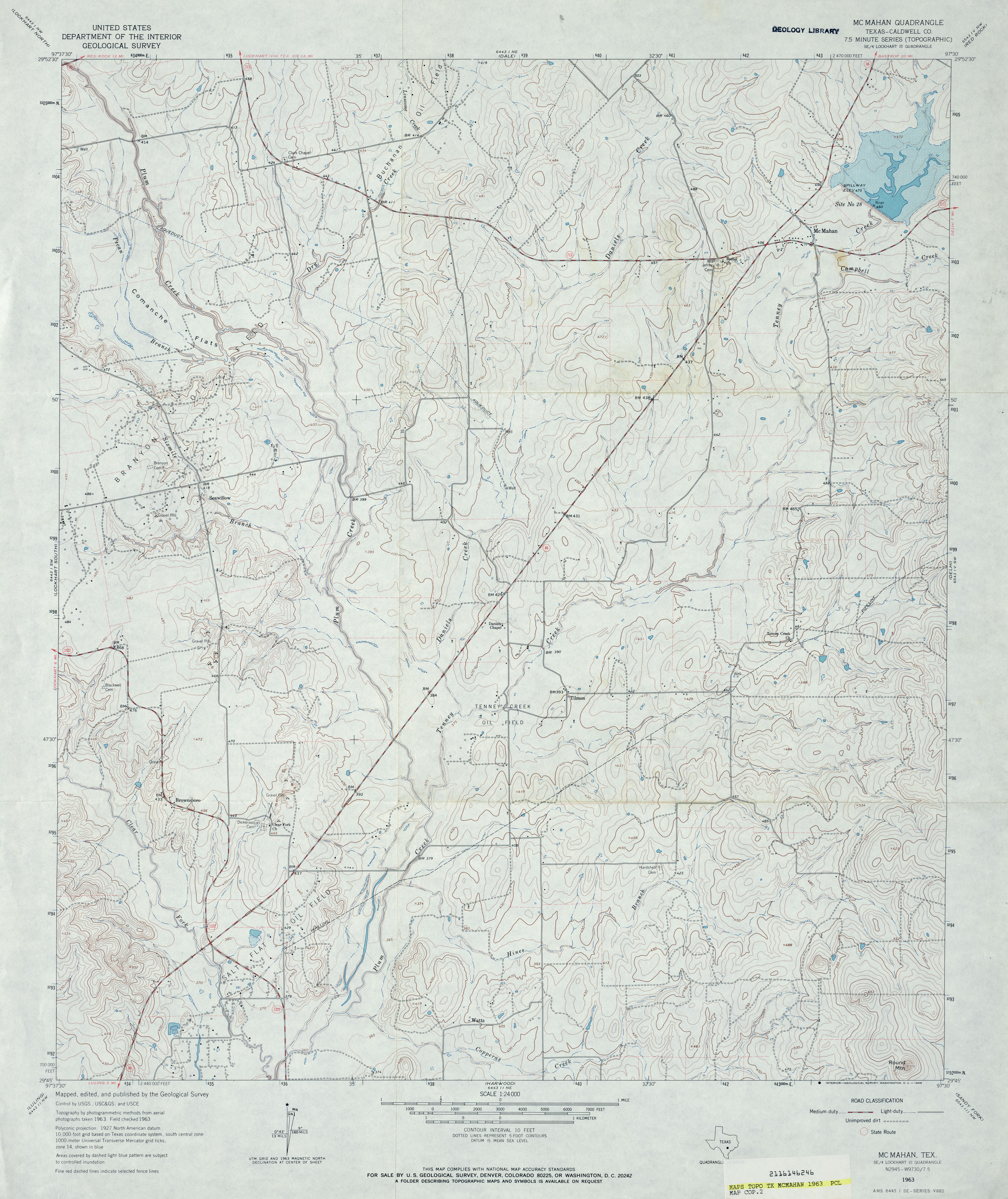
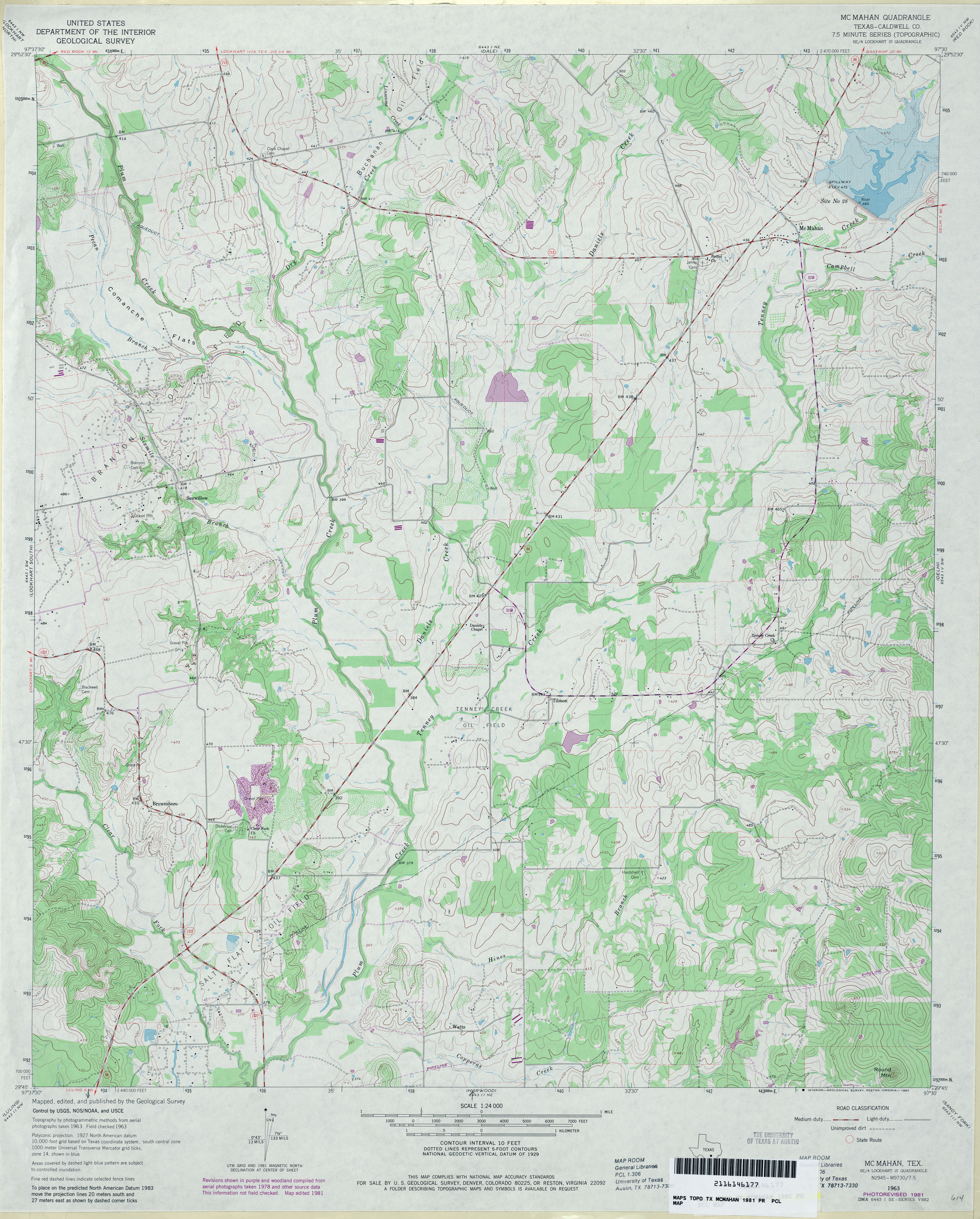
- McMahan (Caldwell County) 1:24,000 1963 (3.9MB)
- McMahan (Caldwell County) 1:24,000 1981 (4.1MB)
- McMahan 1:24,000 2008 (14.1MB) [GeoPDF]
- McMahan 1:24,000 2013 (23.2MB) [GeoPDF]
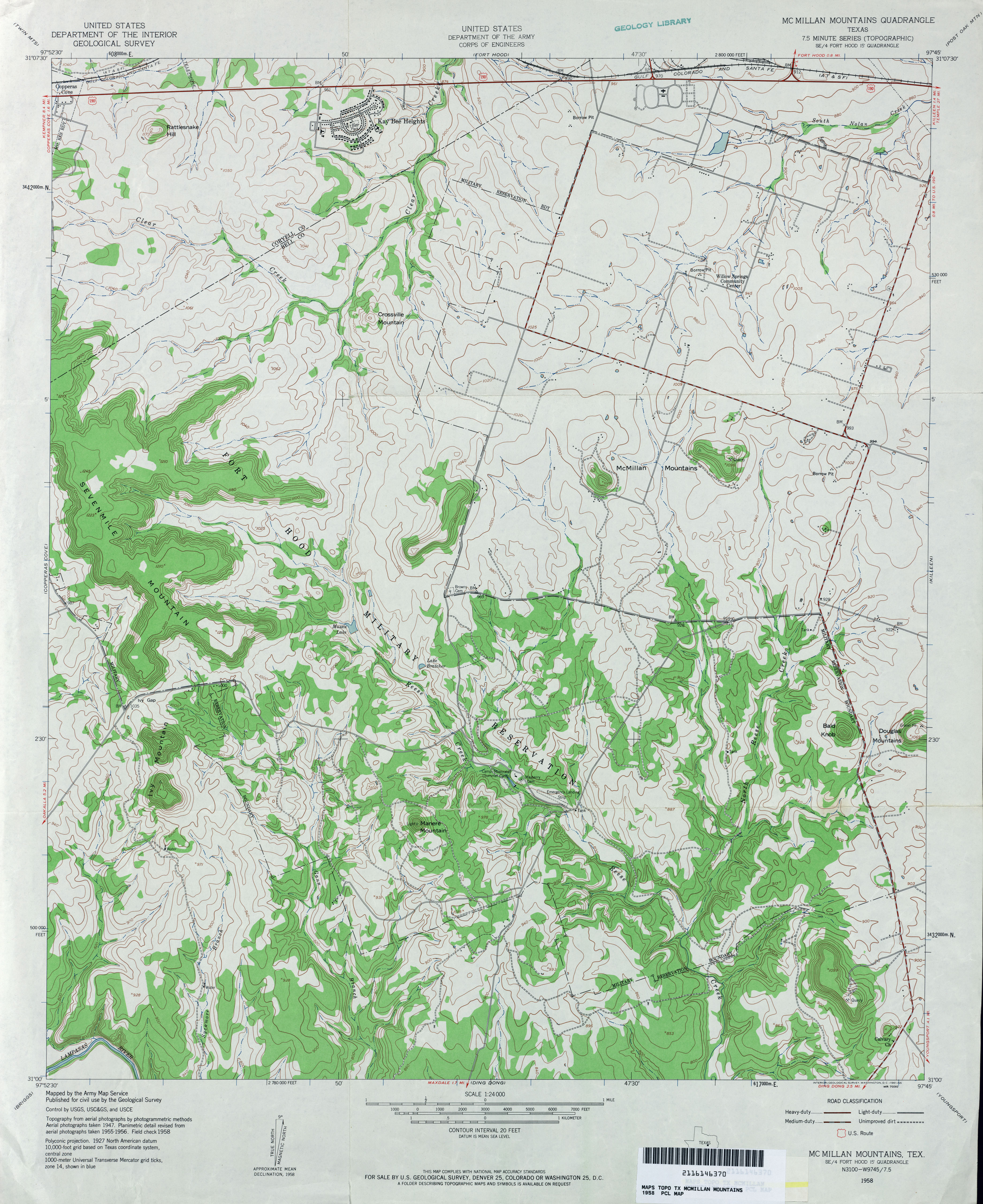
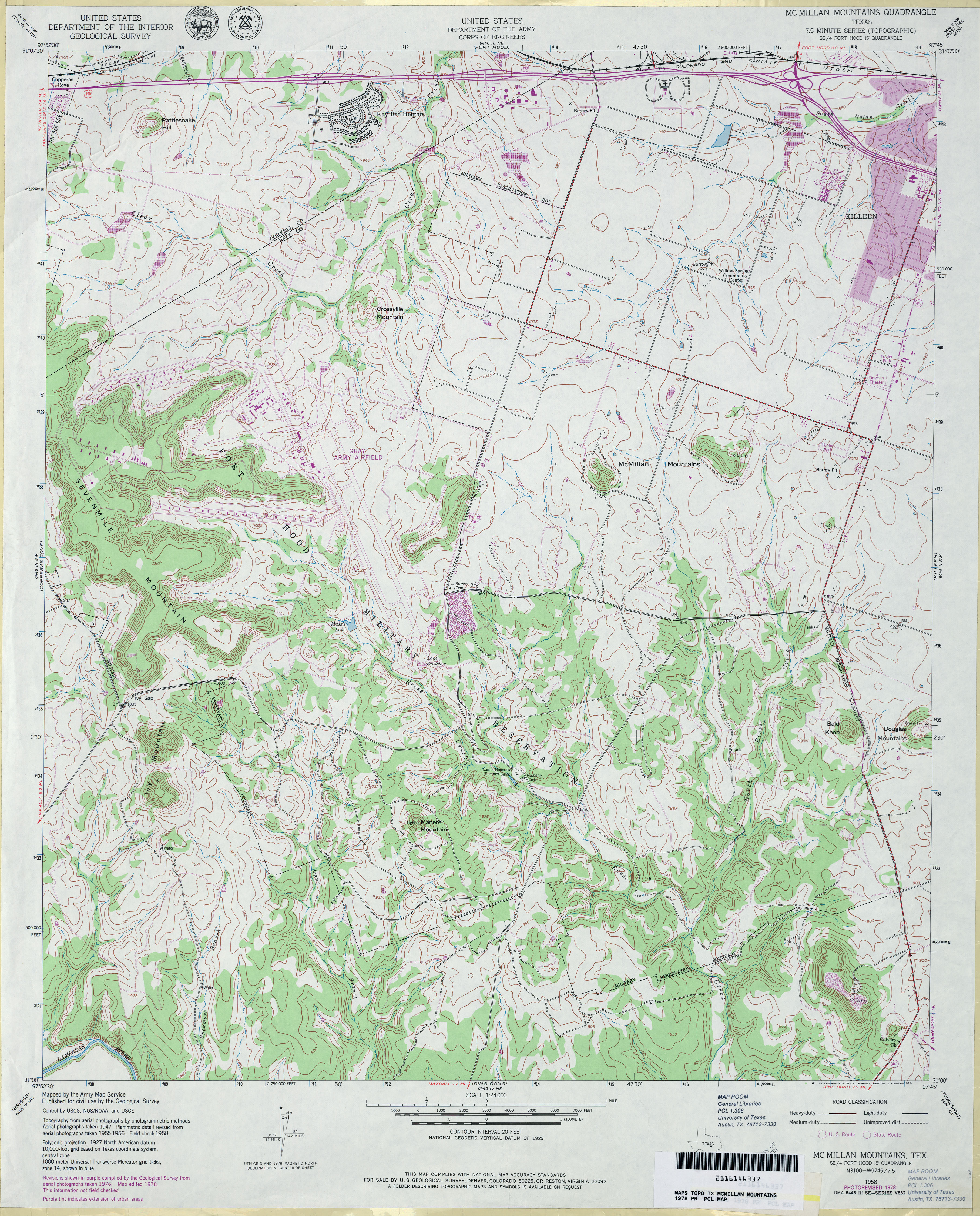
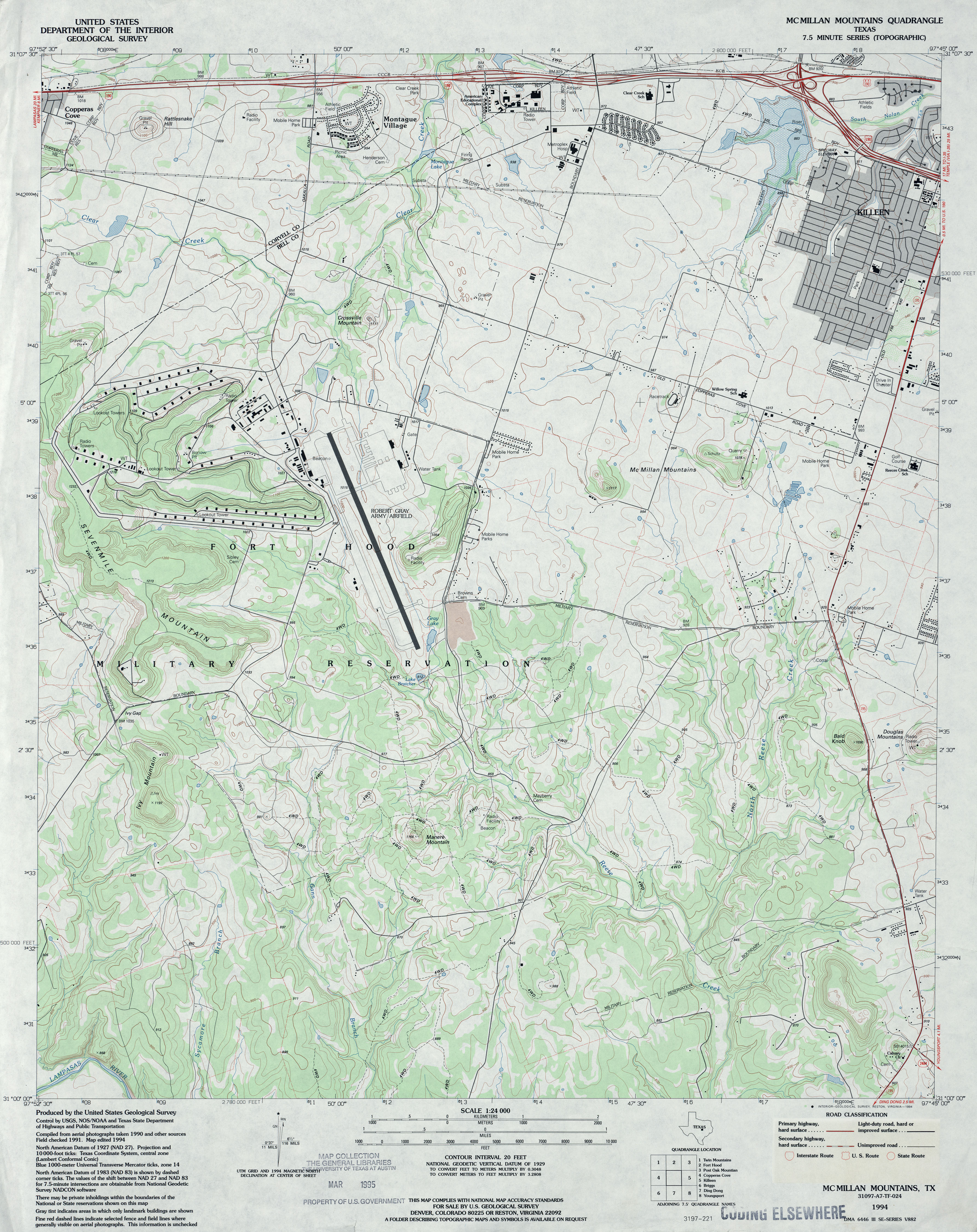
- McMillan Mountains 1:24,000 1958 (3.8MB) U.S. Department of the Army Corps of Engineers
- McMillan Mountains 1:24,000 1978 (4.4MB) U.S. Department of the Army Corps of Engineers
- McMillan Mountains 1:24,000 1994 (3.9MB)
- Mcmillan Mountains 1:24,000 2008 (18.6MB) [GeoPDF]
- McMillan Mountains 1:24,000 2012 (25.2MB) [GeoPDF]
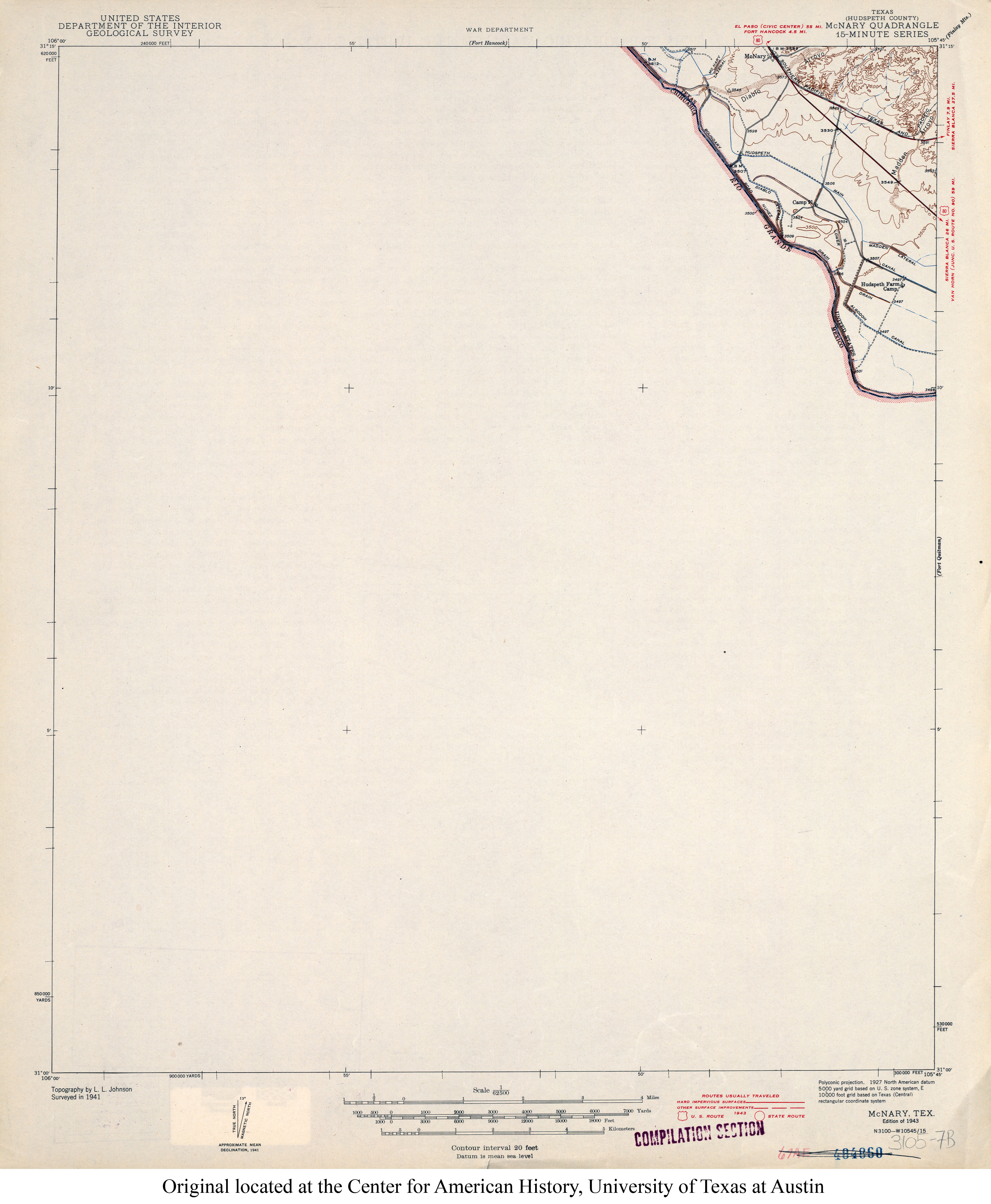
- McNary (Hudspeth County) 1:62,500 1941 (2.4MB)
- McNary (Hudspeth County) 1:24,000 1972 (1.9MB)
- McNary 1:24,000 2008 (20.5MB) [GeoPDF]
- McNary 1:24,000 2013 (16MB) [GeoPDF]
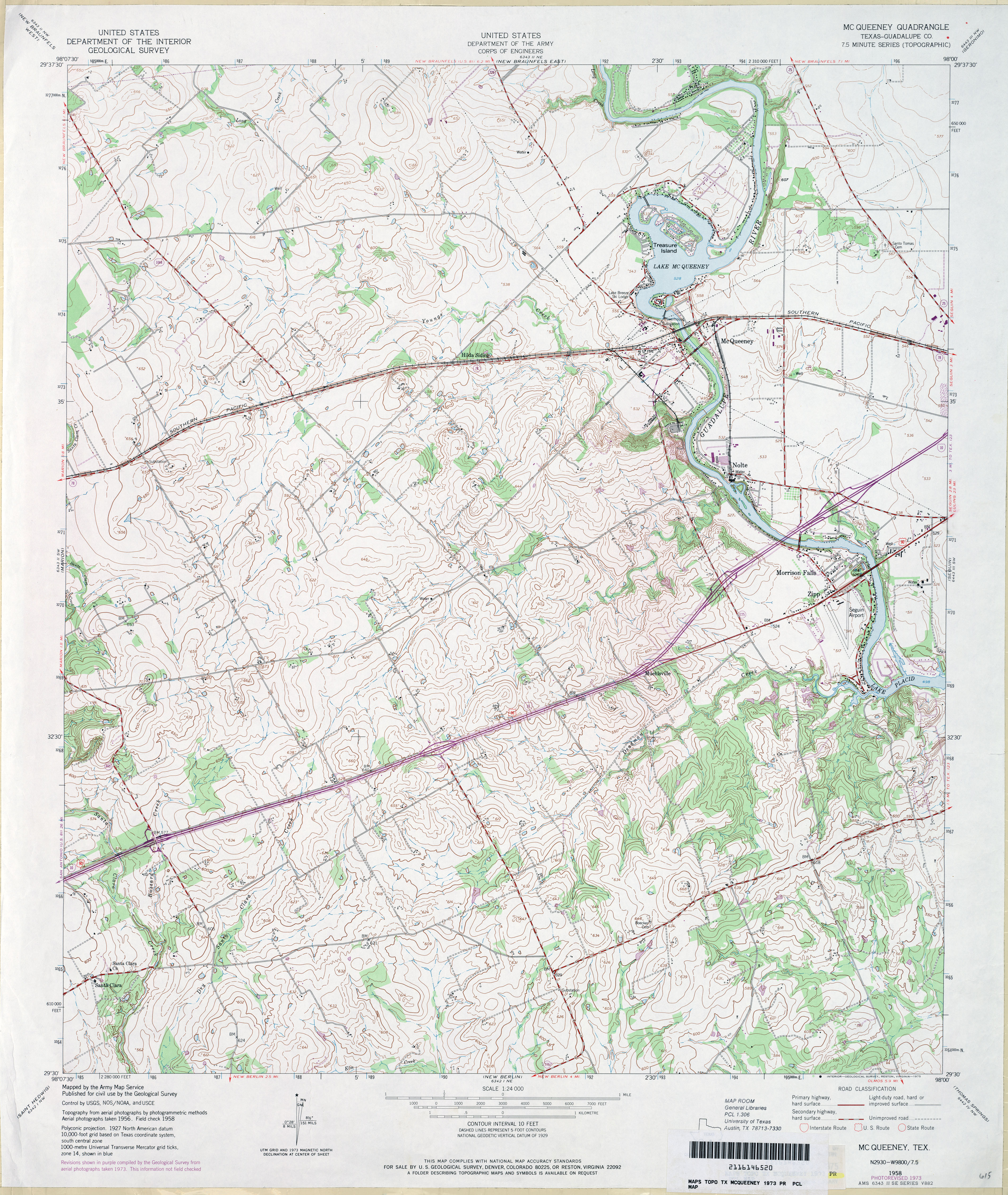
- McQueeney (Guadalupe County) 1:24,000 1958 (4.2MB) U.S. Department of the Army Corps of Engineers
- McQueeney (Guadalupe County) 1:24,000 1973 (4.2MB) U.S. Department of the Army Corps of Engineers
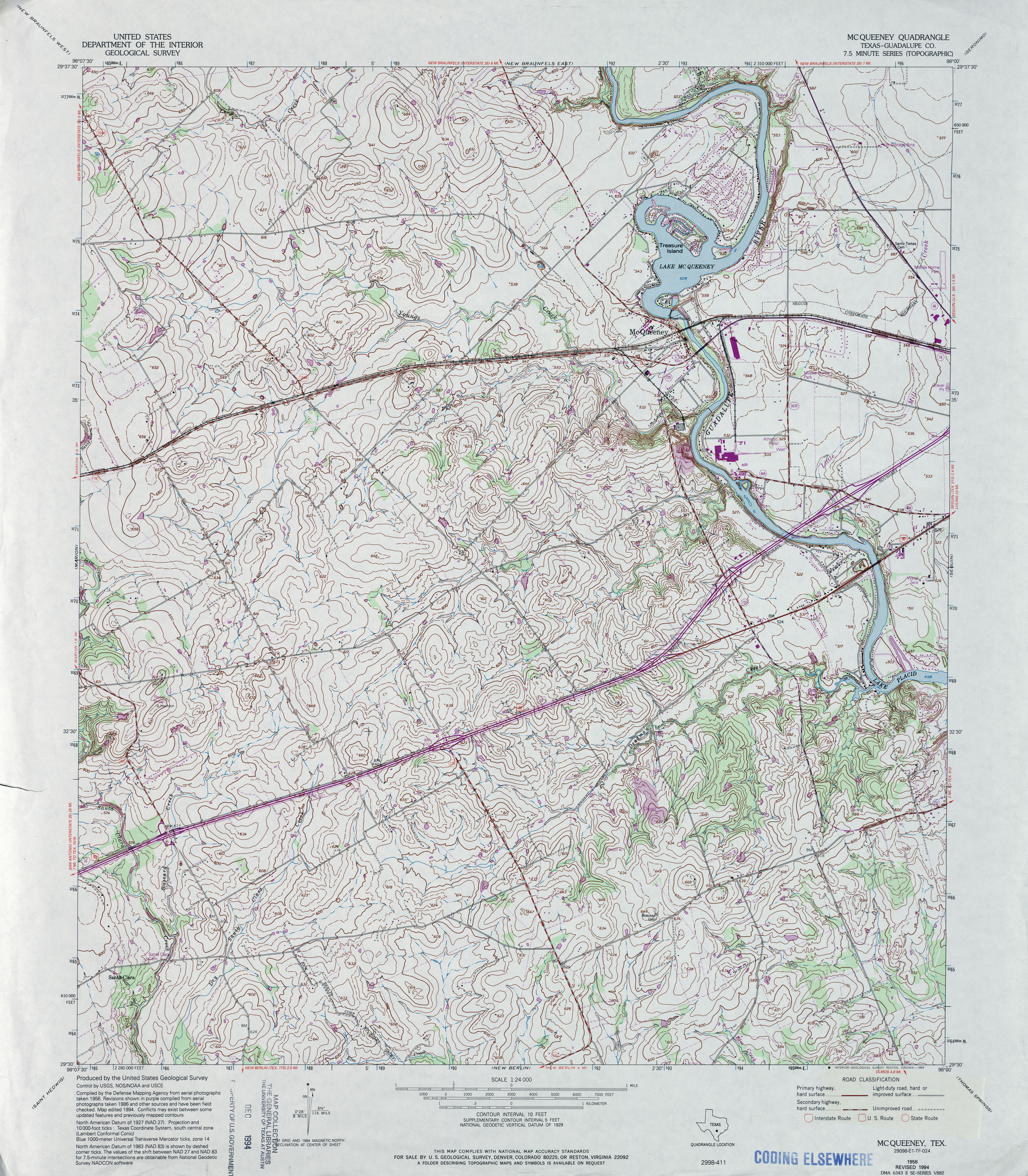
- McQueeney (Guadalupe County) 1:24,000 1994 (5.3MB)
- McQueeney 1:24,000 2008 (14.0MB) [GeoPDF]
- McQuenney 1:24,000 2013 (21.4MB) [GeoPDF]
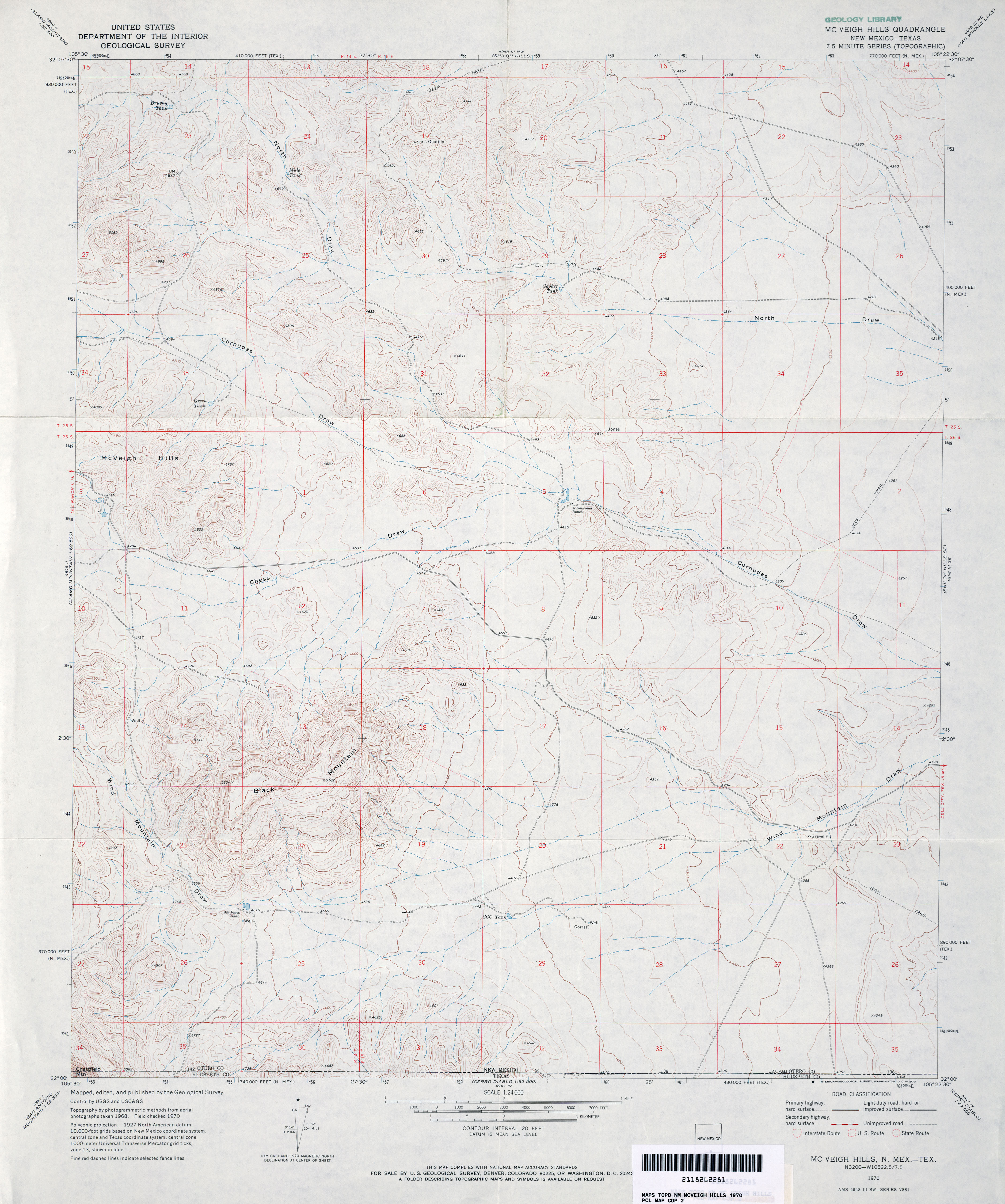
- McVeigh Hills 1:24,000 1970 (3.4MB)
- McVeigh Hills [New Mexico, Texas] 1:24,000 2009 (20.5MB) [GeoPDF]
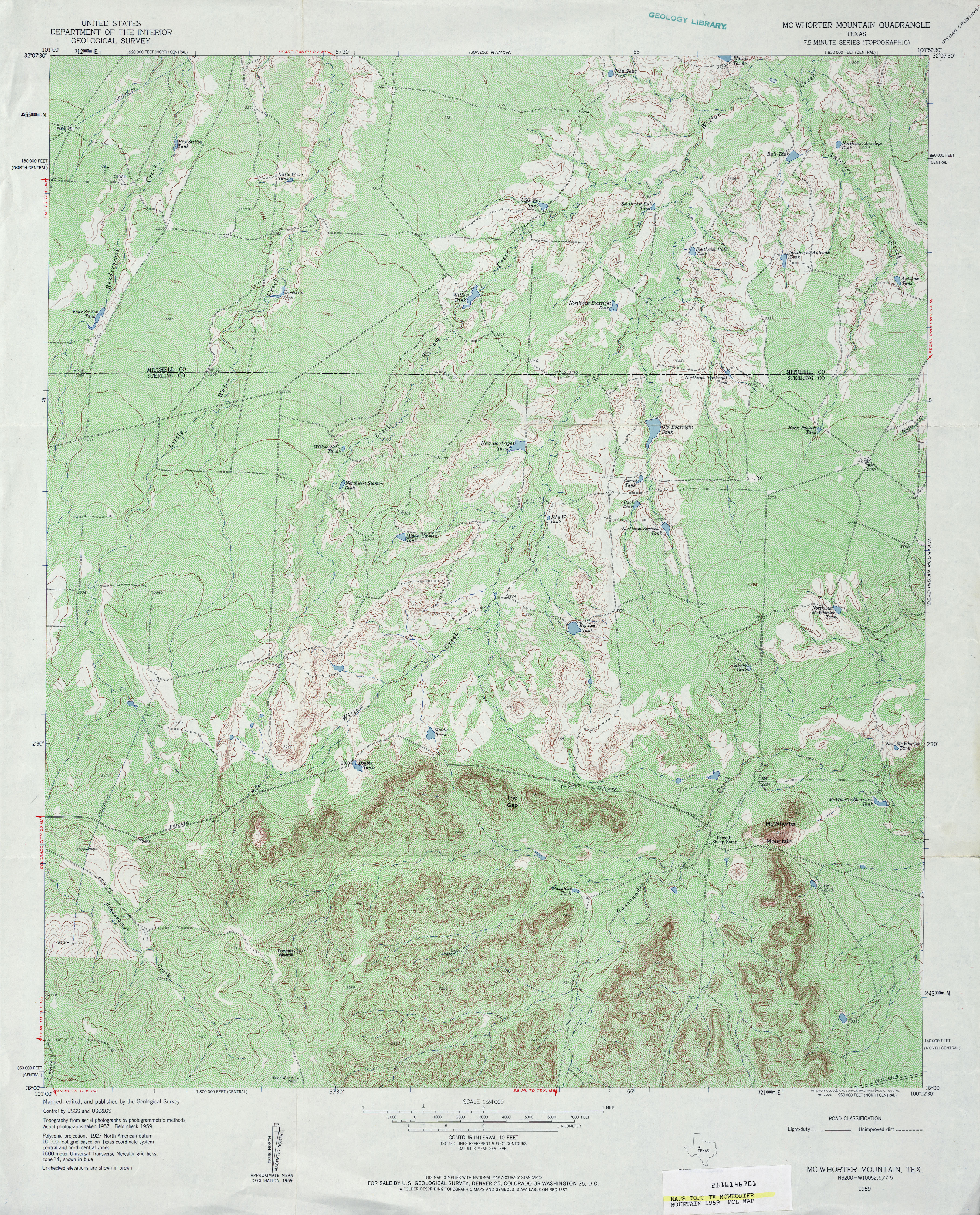
- McWhorter Mountain 1:24,000 1959 (6.2MB)
- McWhorter Mountain 1:24,000 2008 (18.8MB) [GeoPDF]
- McWhorter Mountain 1:24,000 2012 (26.9MB) [GeoPDF]
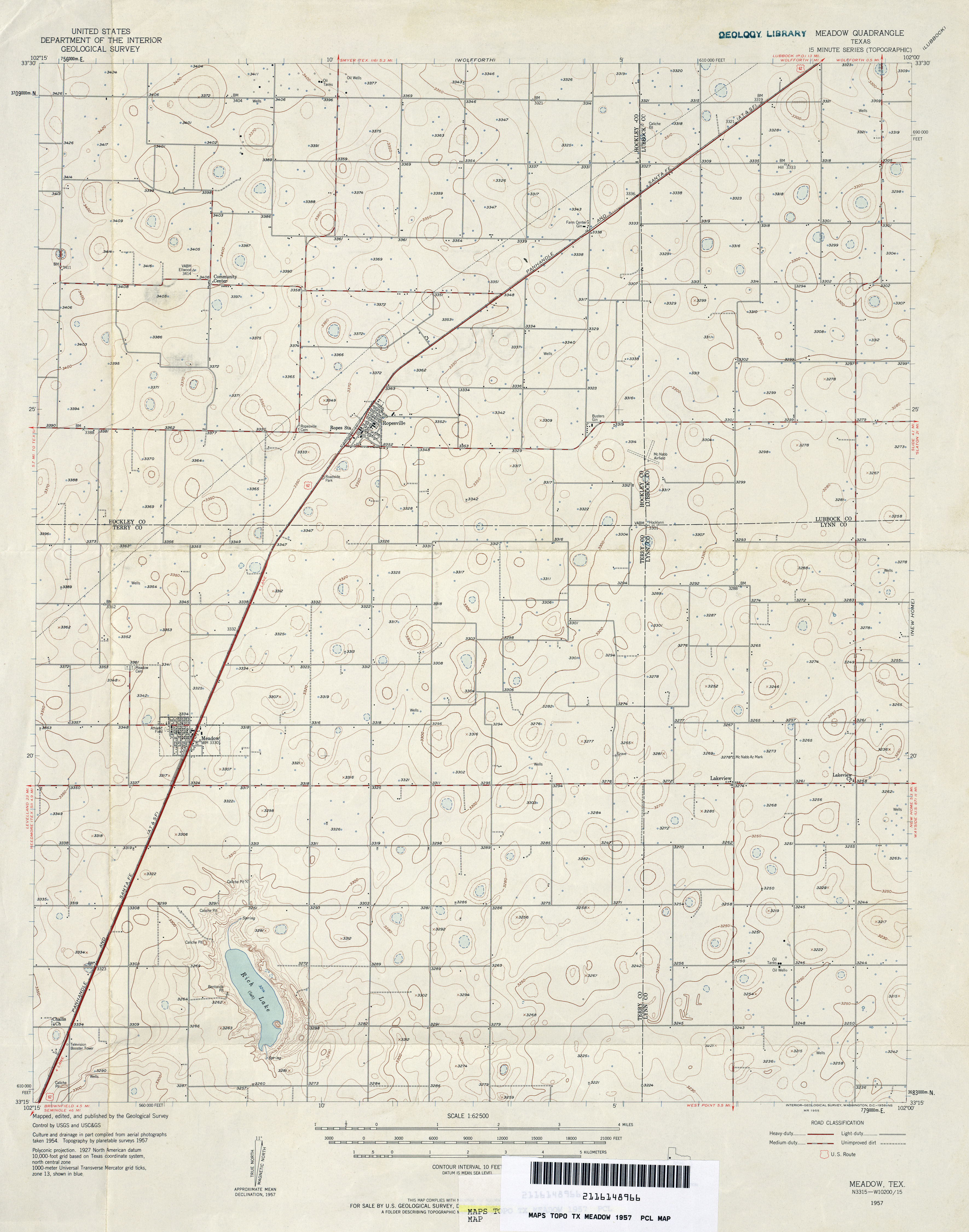
- Meadow 1:62,500 1957 (3MB)
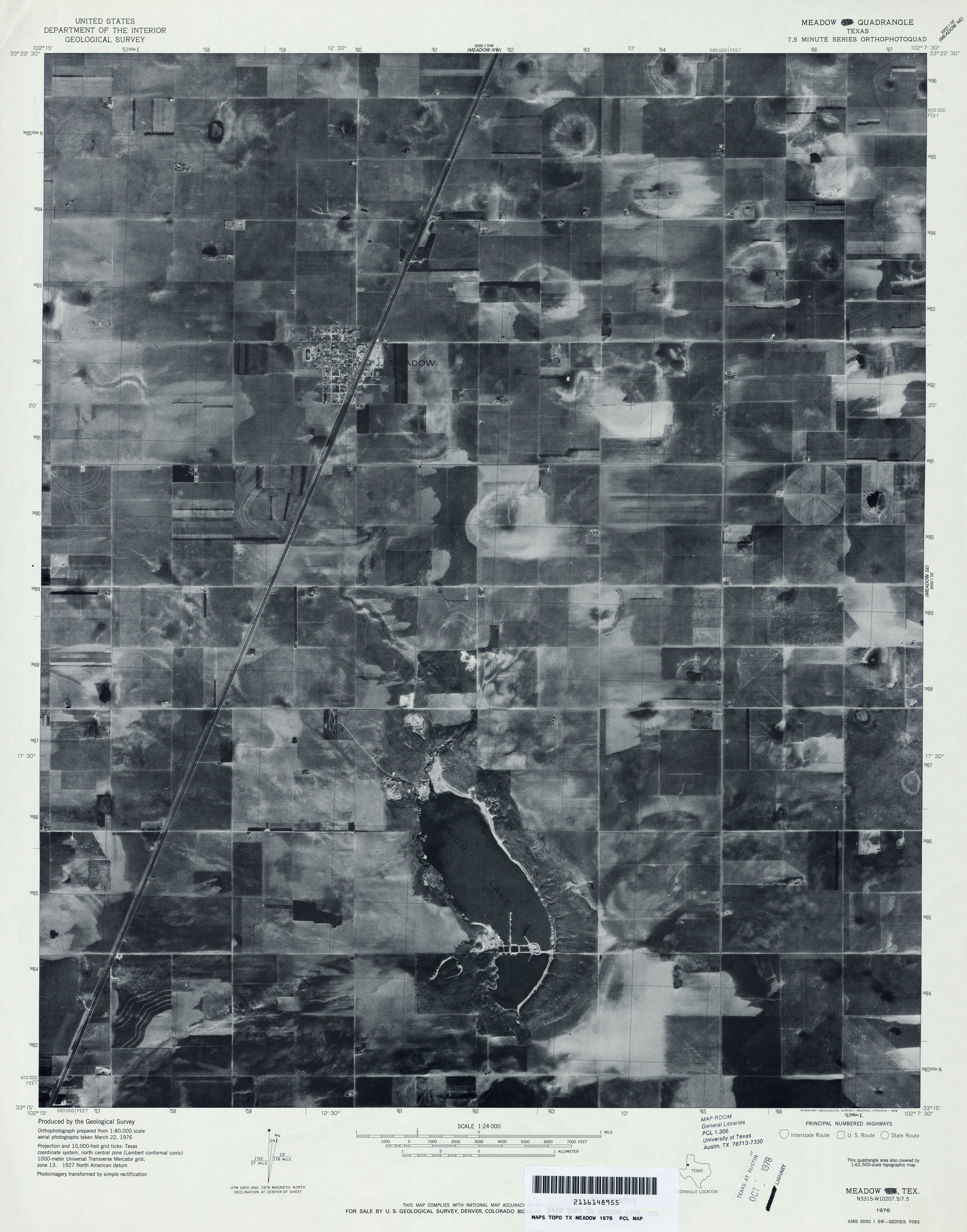
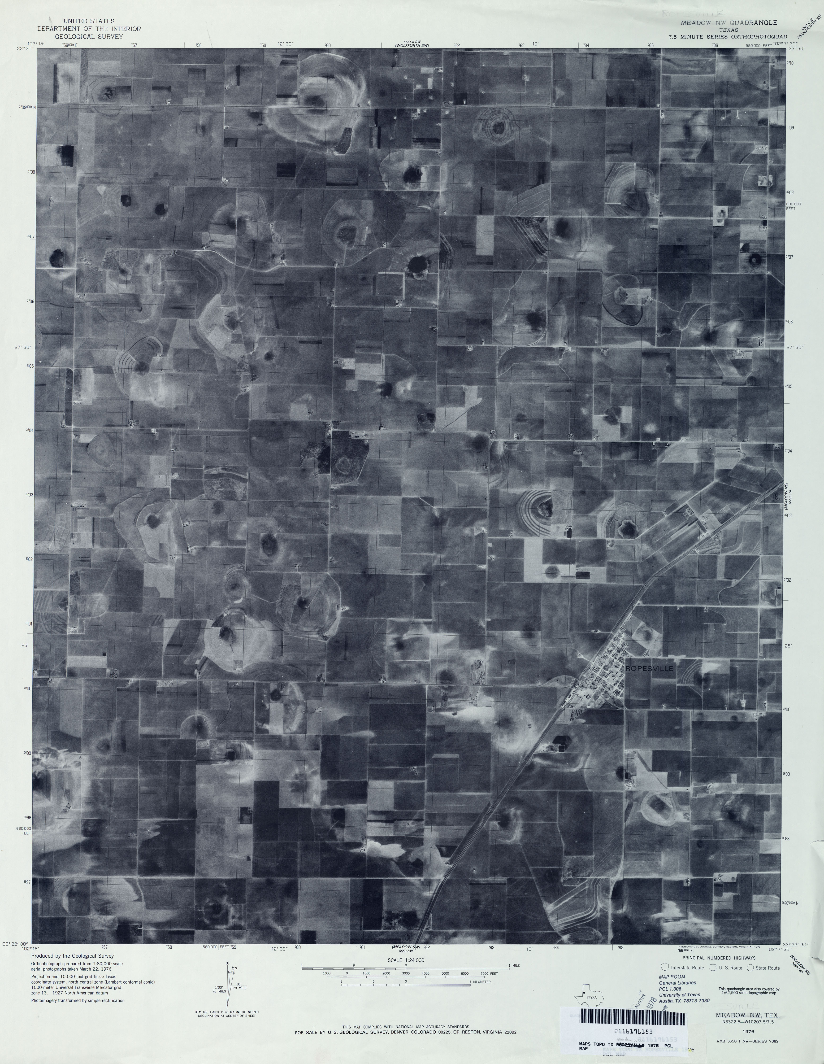
- Meadow 1:24,000 1976 (2.5MB) 7.5 Minute Series Orthophotoquad
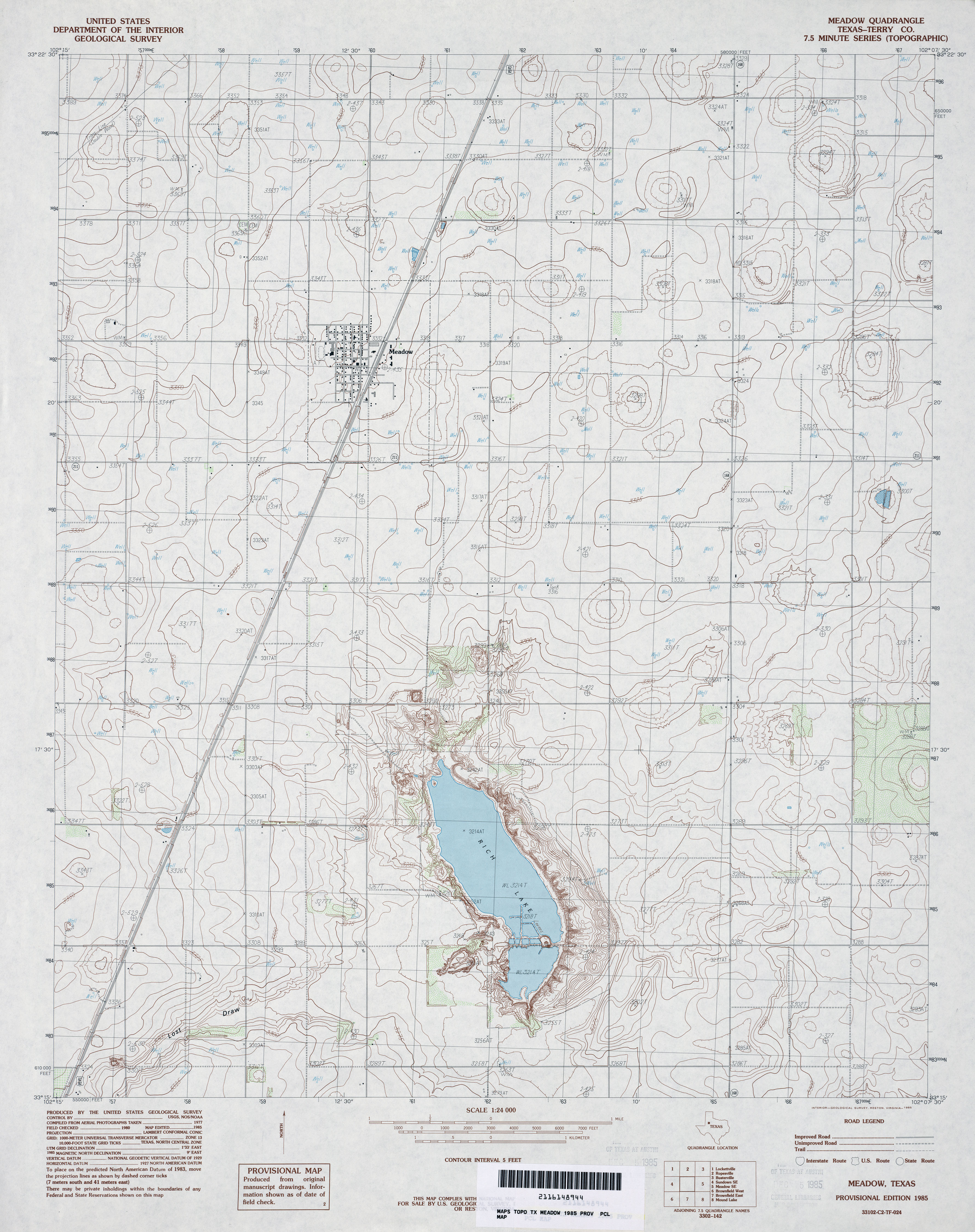
- Meadow (Terry County) 1:24,000 1985 (3.4MB)
- Meadow 1:24,000 2008 (10.0MB) [GeoPDF]
- Meadow 1:24,000 2012 (15.3MB) [GeoPDF]
- Meadow NW 1:24,000 1976 (2.4MB) 7.5 Minute Series Orthophotoquad
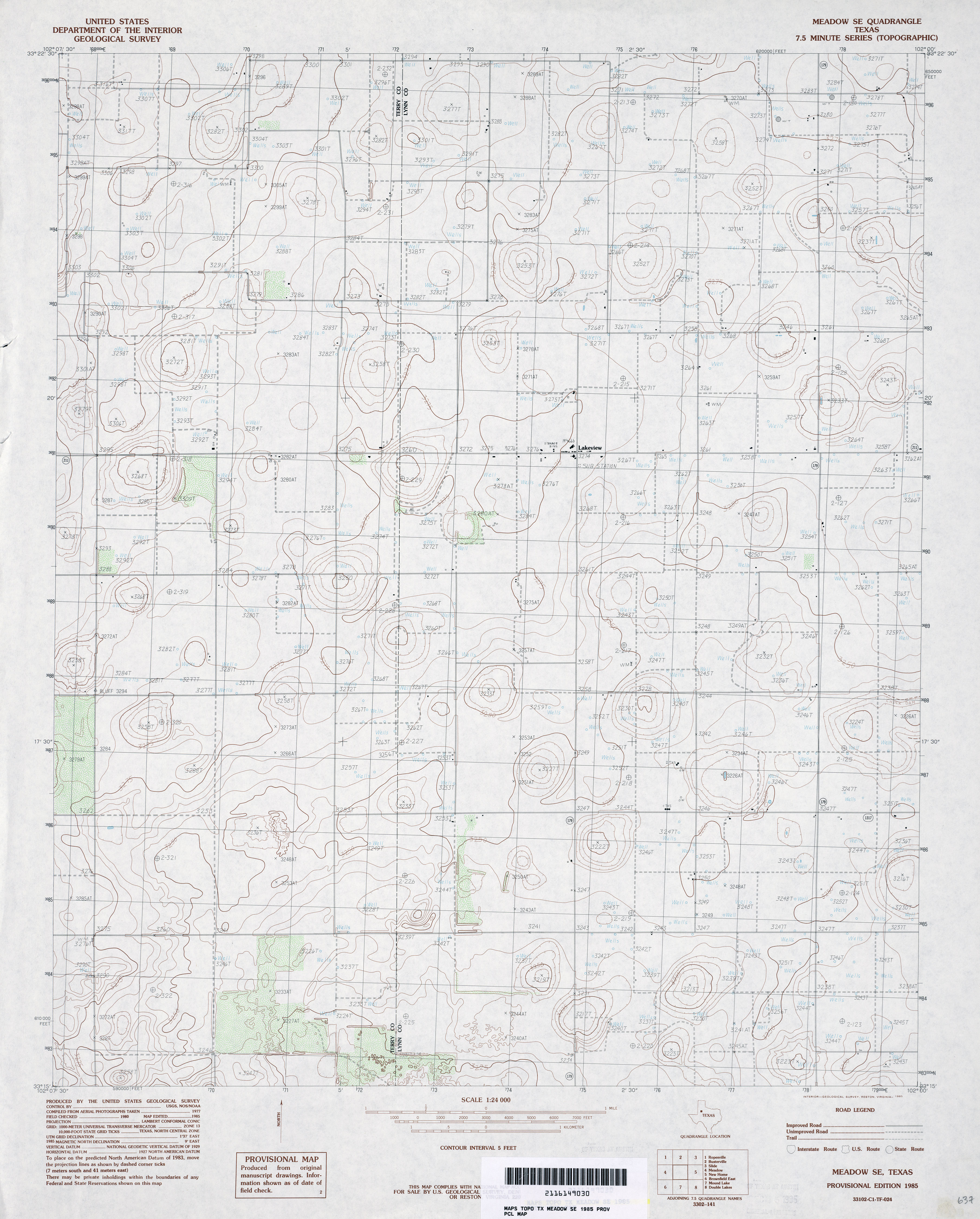
- Meadow SE 1:24,000 1976 (2.6MB) 7.5 Minute Series Orthophotoquad
- Meadow SE 1:24,000 1985 (3.2MB)
- Meadow SE 1:24,000 2008 (10.1MB) [GeoPDF]
- Meadow SE 1:24,000 2012 (15.4MB) [GeoPDF]
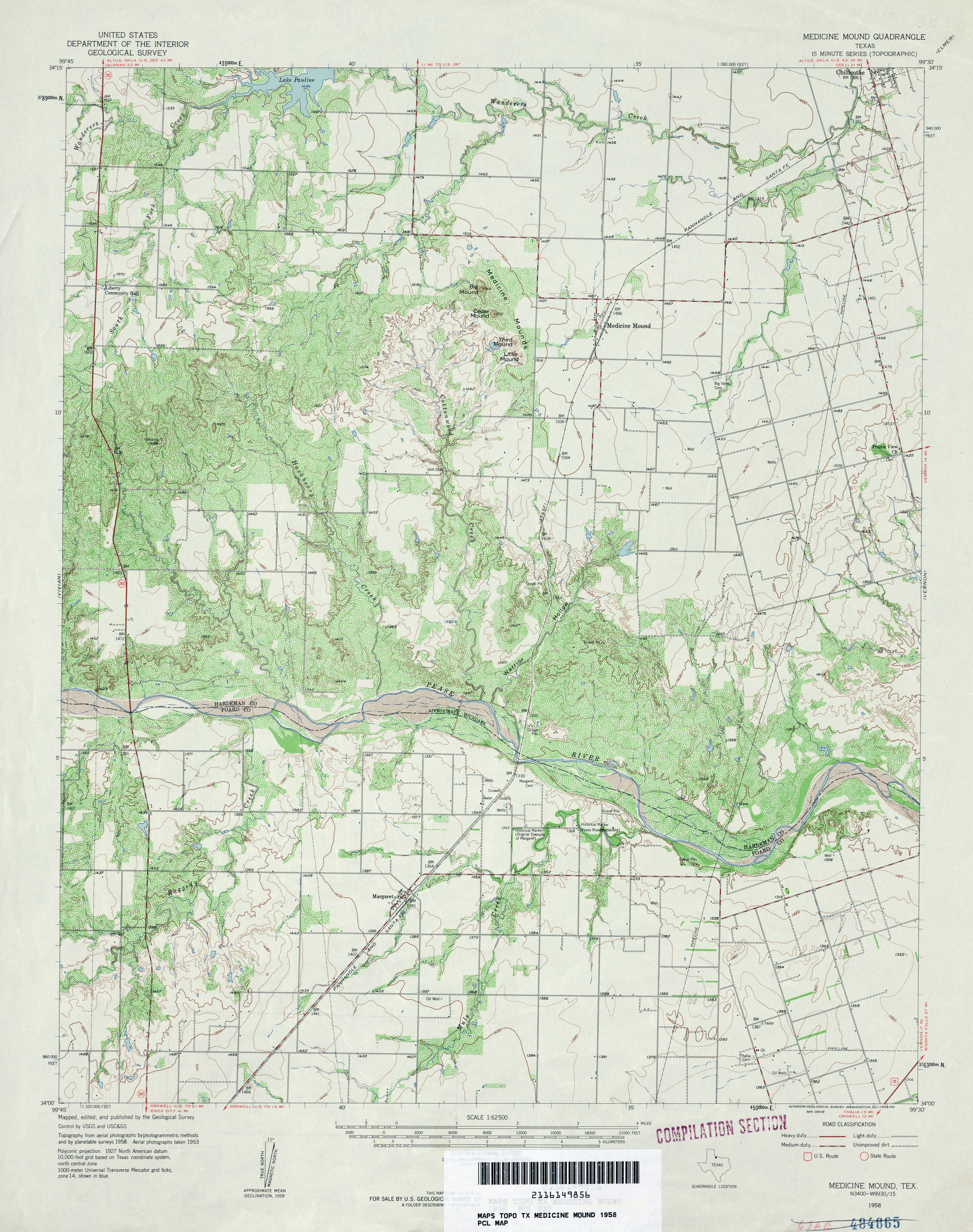
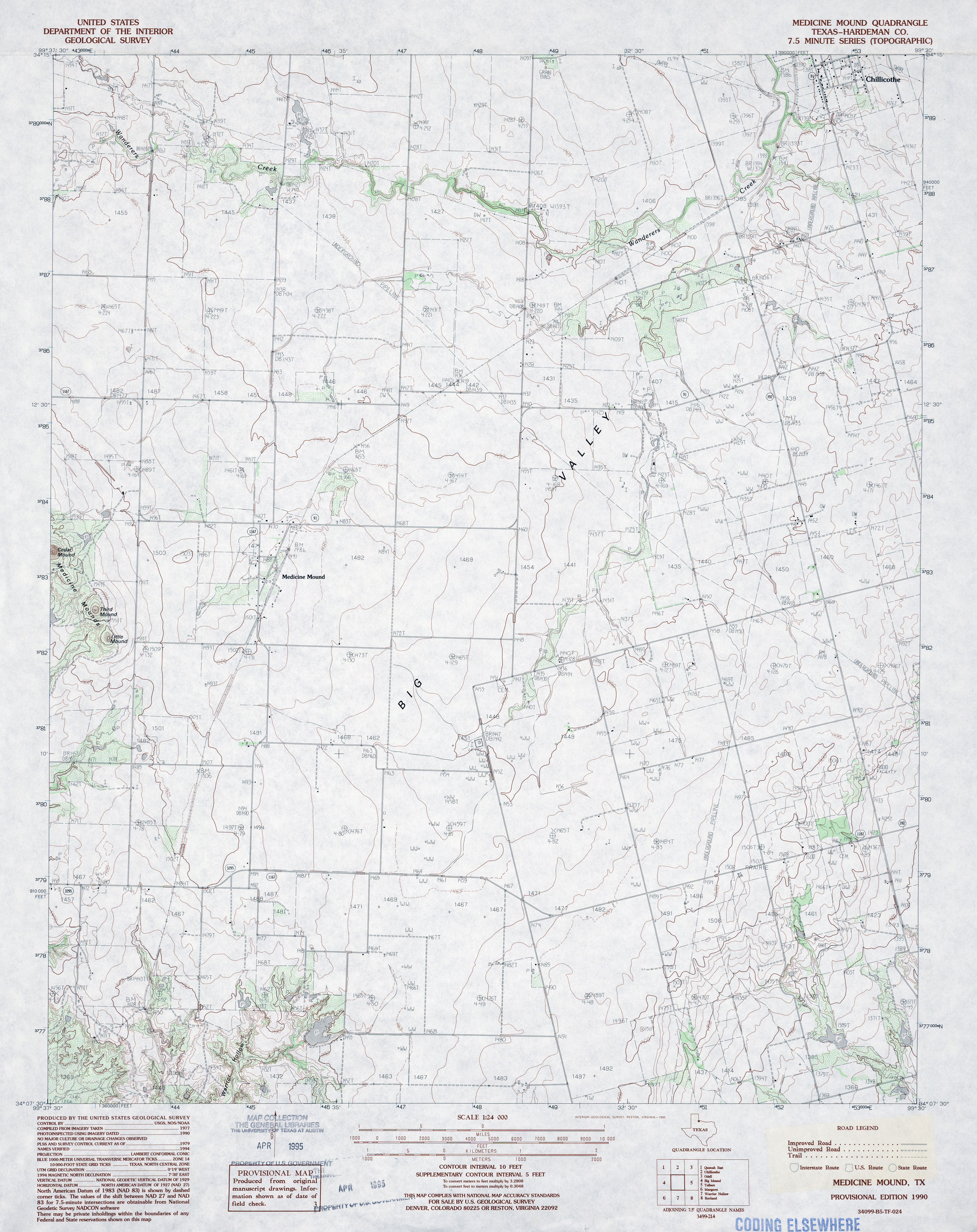
- Medicine Mound 1:62,500 1958 (4.3MB)
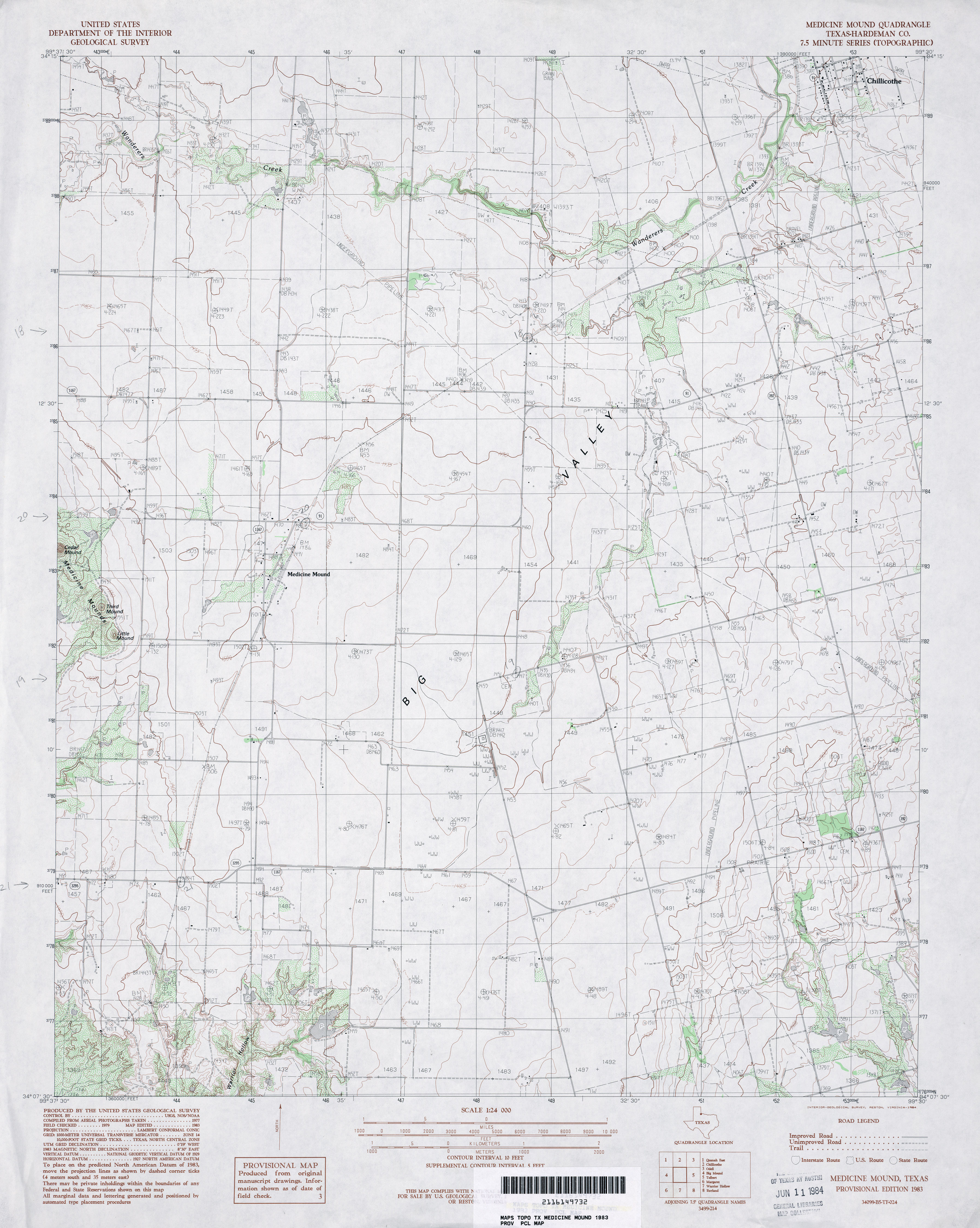
- Medicine Mound (Hardeman County) 1:24,000 1983 (3.1MB)
- Medicine Mound (Hardeman County) 1:24,000 1990 (3.4MB)
- Medicine Mound 1:24,000 2008 (8.8MB) [GeoPDF]
- Medicine Mound 1:24,000 2012 (15.9MB) [GeoPDF]
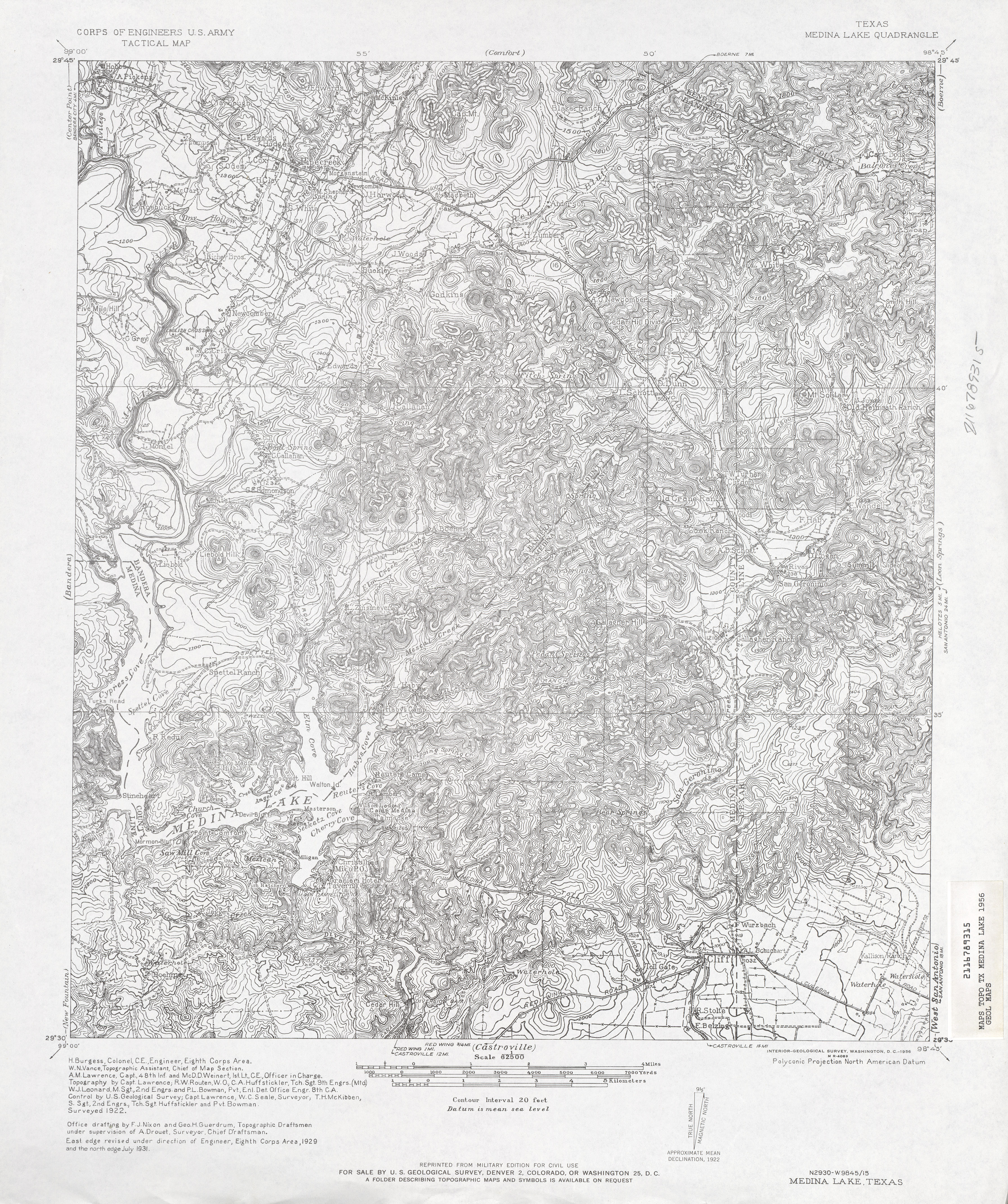
- Medina Lake 1:62,500 1931 (5.9 MB) U.S. Army. Corps of Engineers. Tactical Map
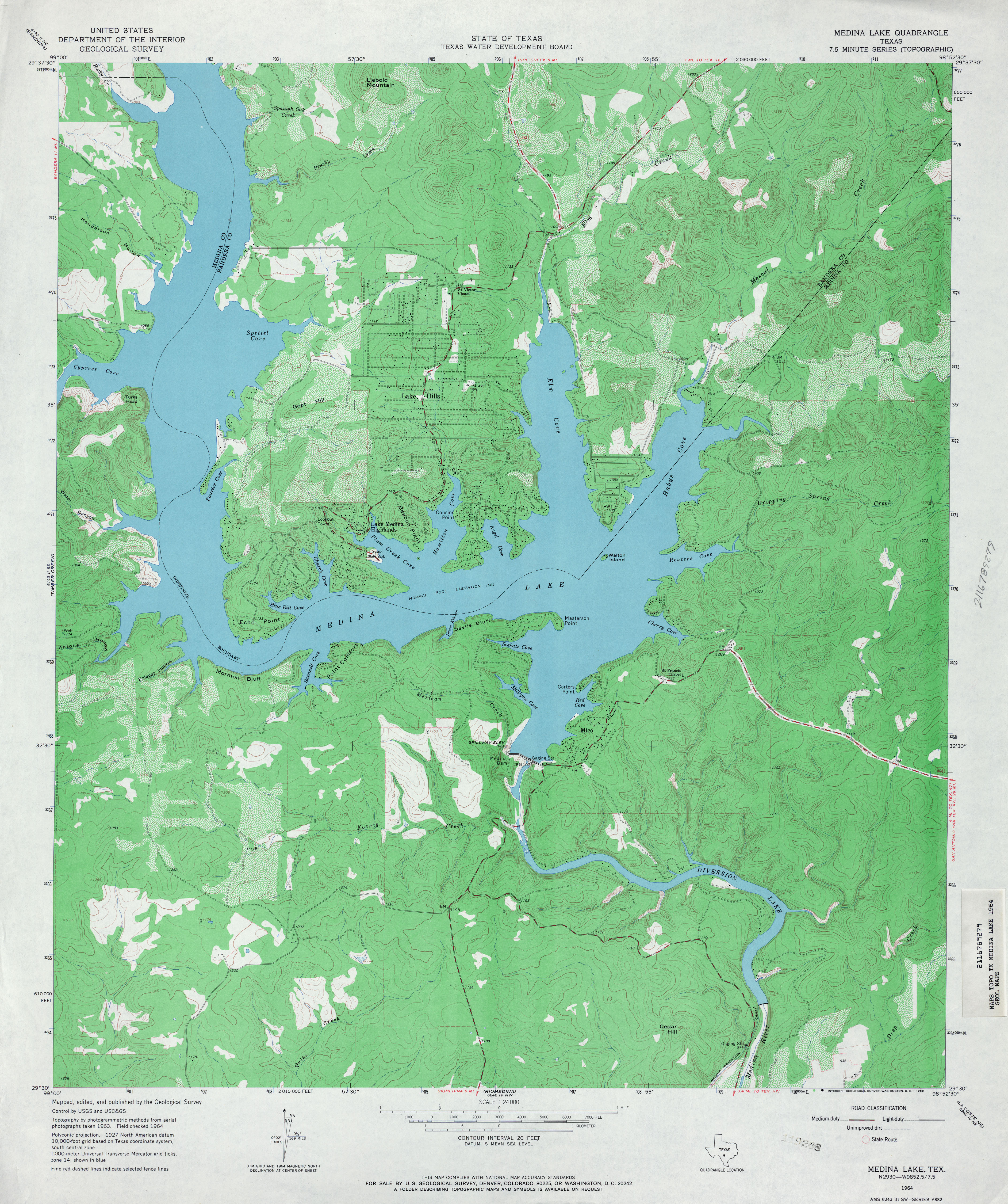
- Medina Lake 1:24,000 1964 (4.3MB)
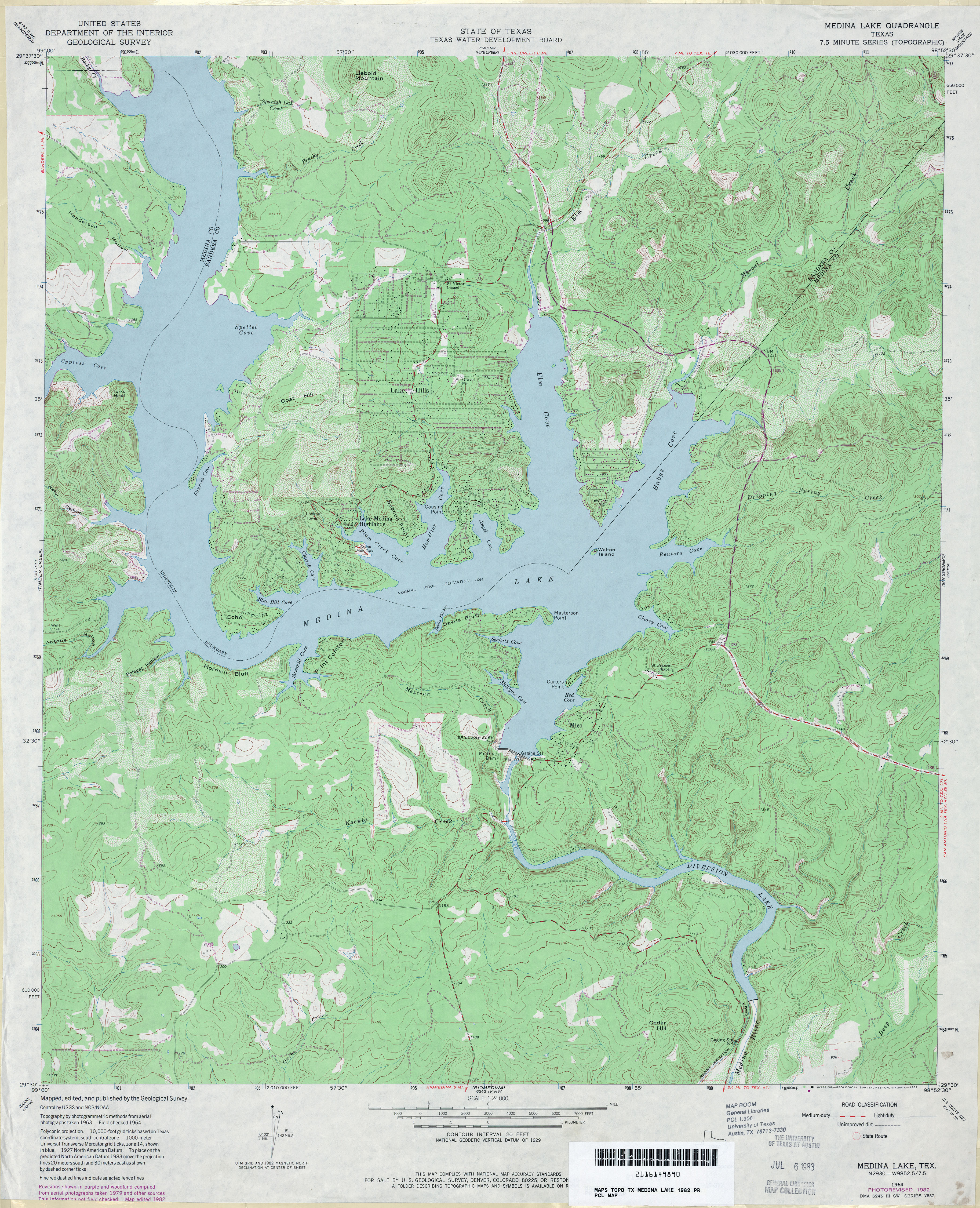
- Medina Lake 1:24,000 1982 (4.8MB)
- Medina Lake 1:24,000 2008 (20.4MB) [GeoPDF]
- Medina Lake 1:24,000 2013 (26MB) [GeoPDF]
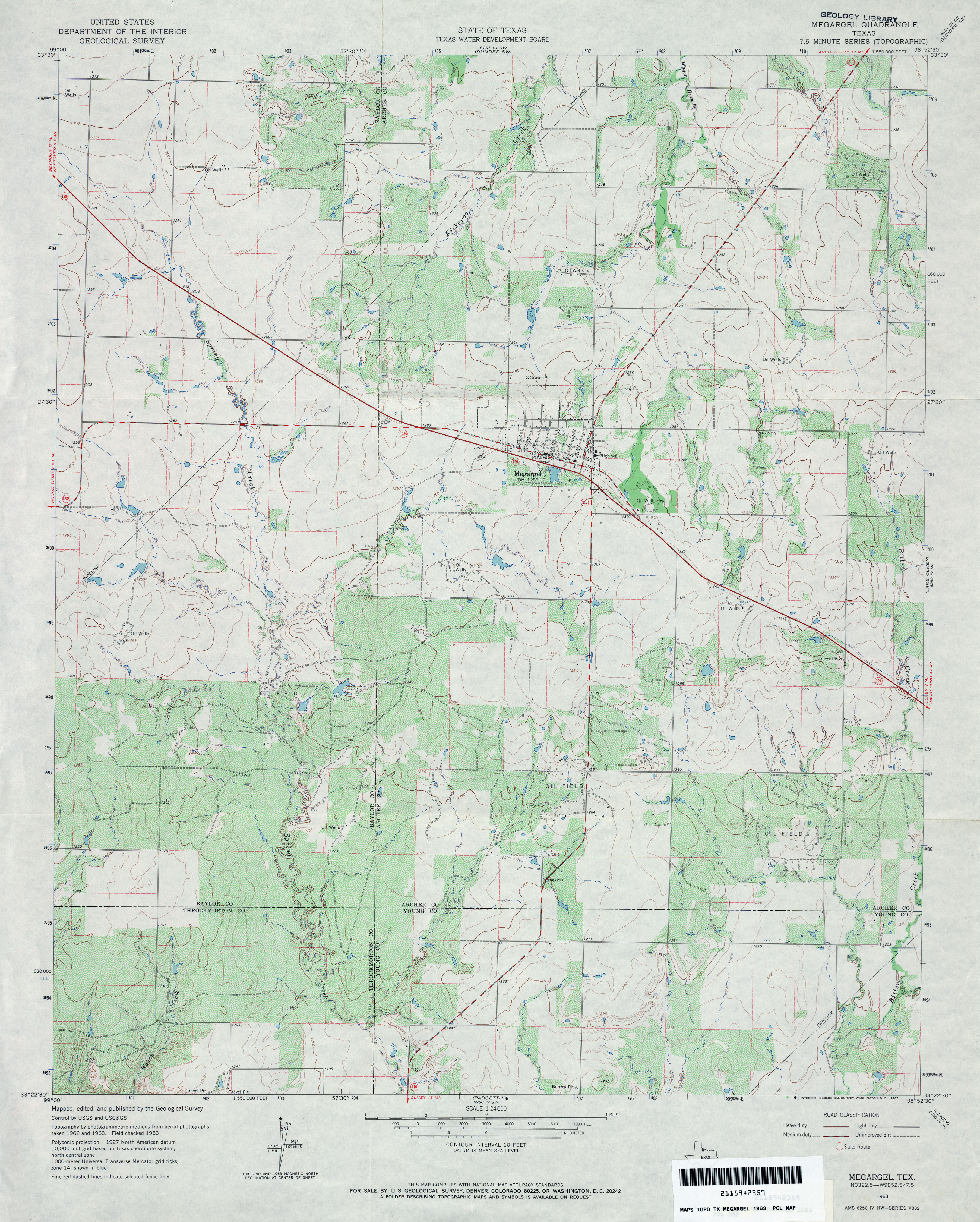
- Megargel 1:24,000 1963 (4.2MB)
- Megargel 1:24,000 2008 (11.9MB) [GeoPDF]
- Megargel 1:24,000 2012 (17.9MB) [GeoPDF]
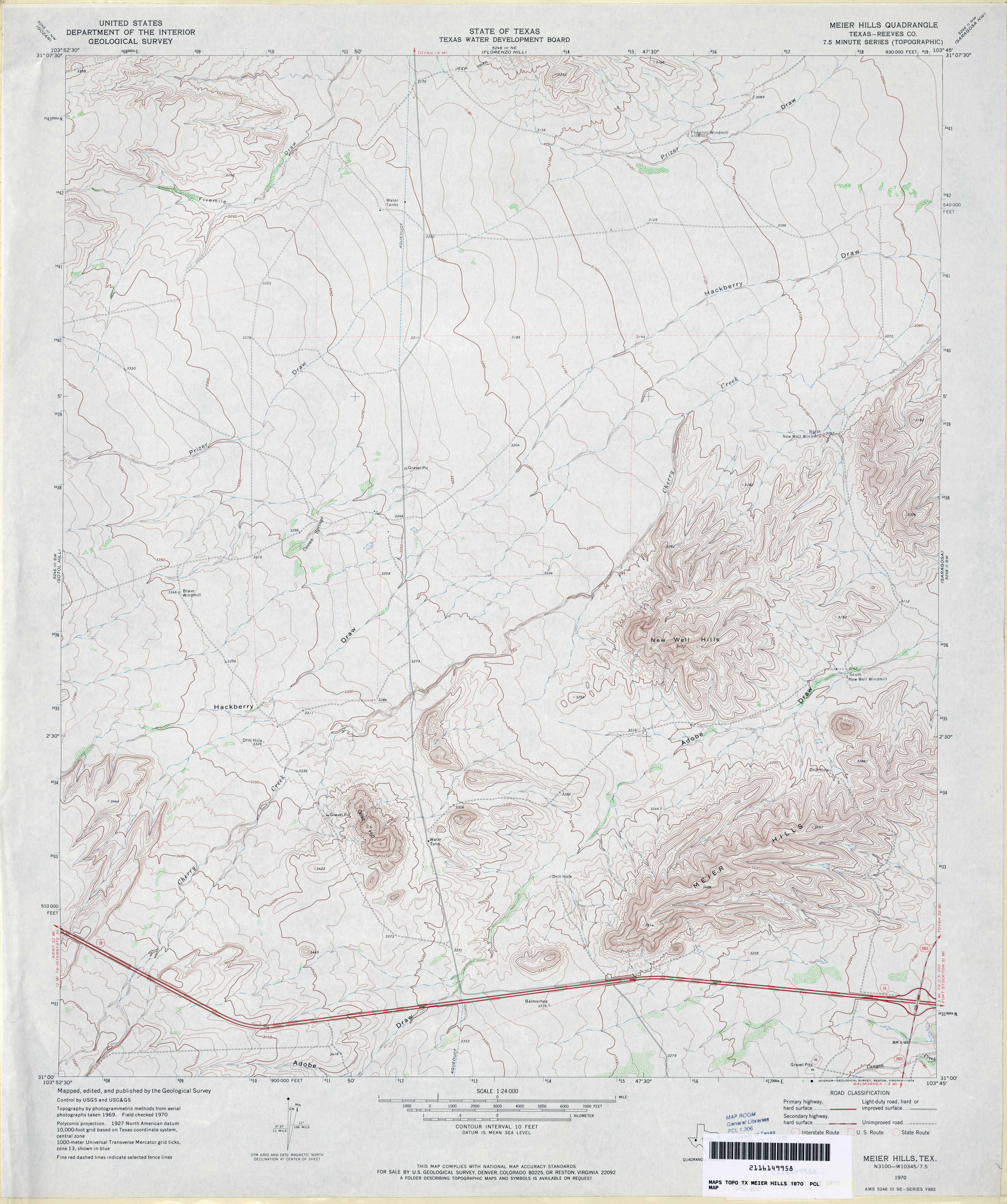
- Meier Hills (Reeves County) 1:24,000 1970 (3.5MB)
- Meier Hills 1:24,000 2008 (16.1MB) [GeoPDF]
- Meier Hills 1:24,000 2012 (21.2MB) [GeoPDF]
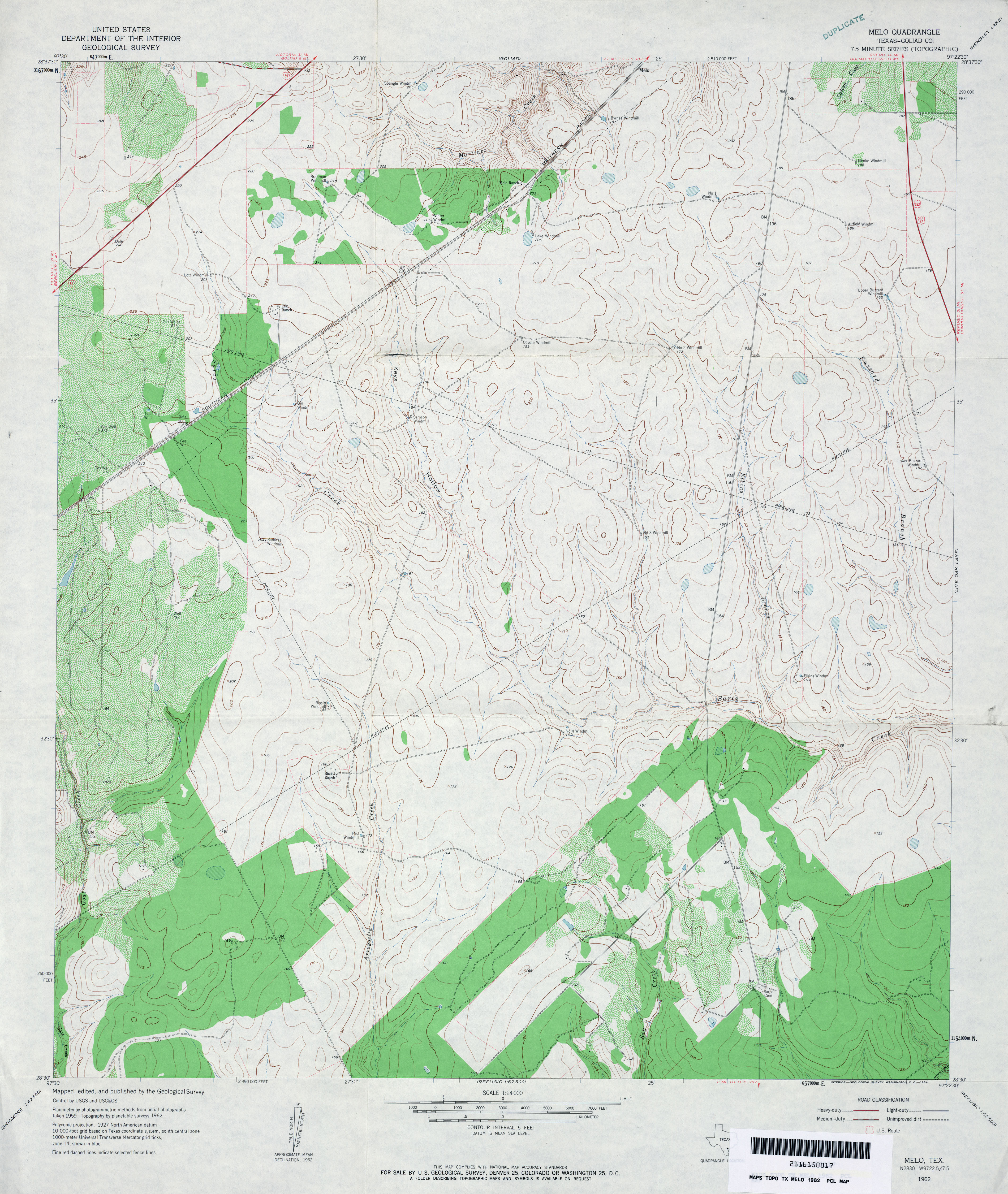
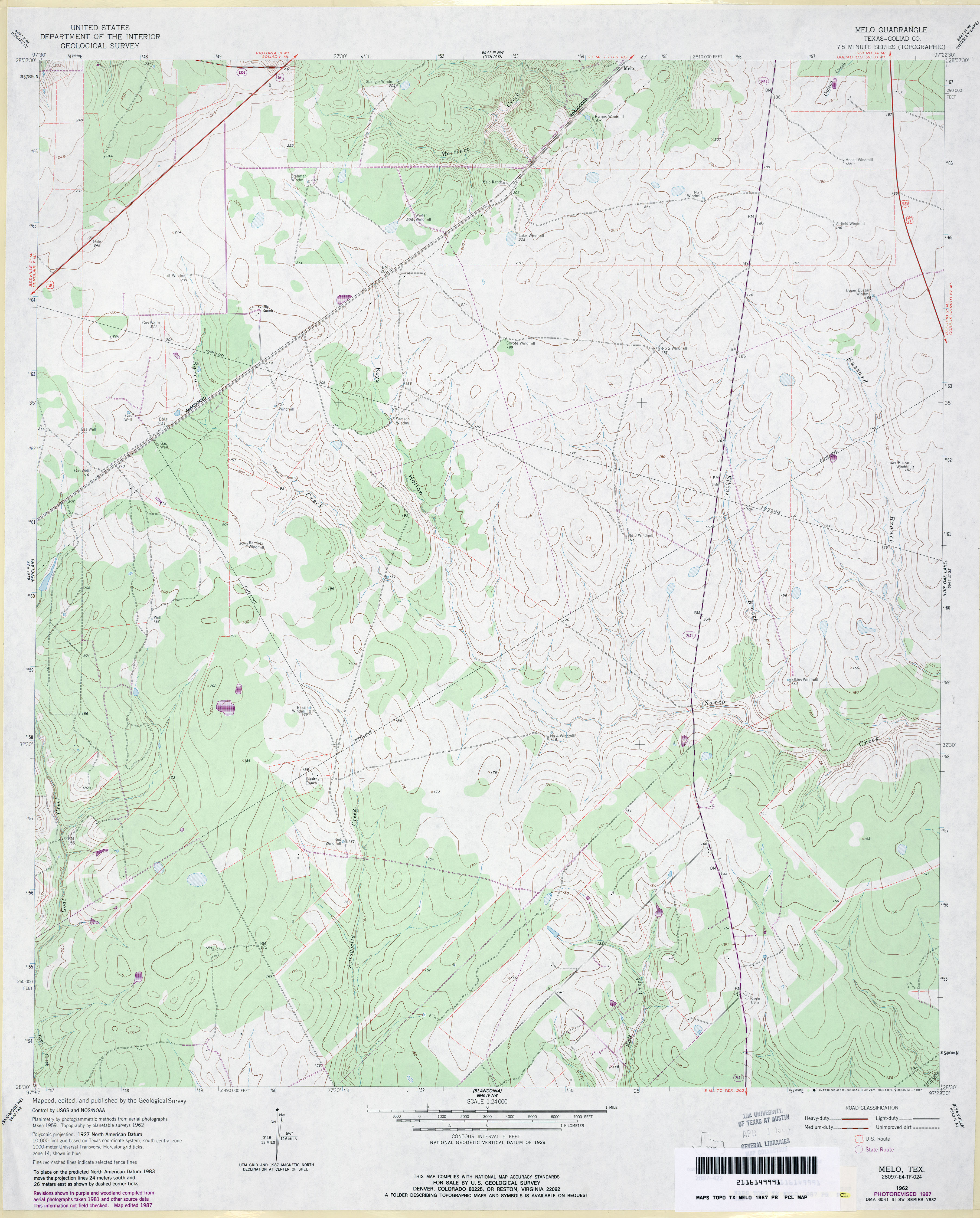
- Melo (Goliad County) 1:24,000 1962 (3.8MB)
- Melo (Goliad County) 1:24,000 1987 (3.4MB)
- Melo 1:24,000 2009 (14.5MB) [GeoPDF]
- Melo 1:24,000 2013 (21.9MB) [GeoPDF]
- Melrose (Nacogdoches County) 1:24,000 1984 (5.6MB)
- Melrose 1:24,000 2008 (2.8MB) Texas Natural Resources Information System (TNRIS). [pdf]
- Melrose 1:24,000 2009 (22.9MB) [GeoPDF]
- Melrose 1:24,000 2013 (26.5MB) [GeoPDF]
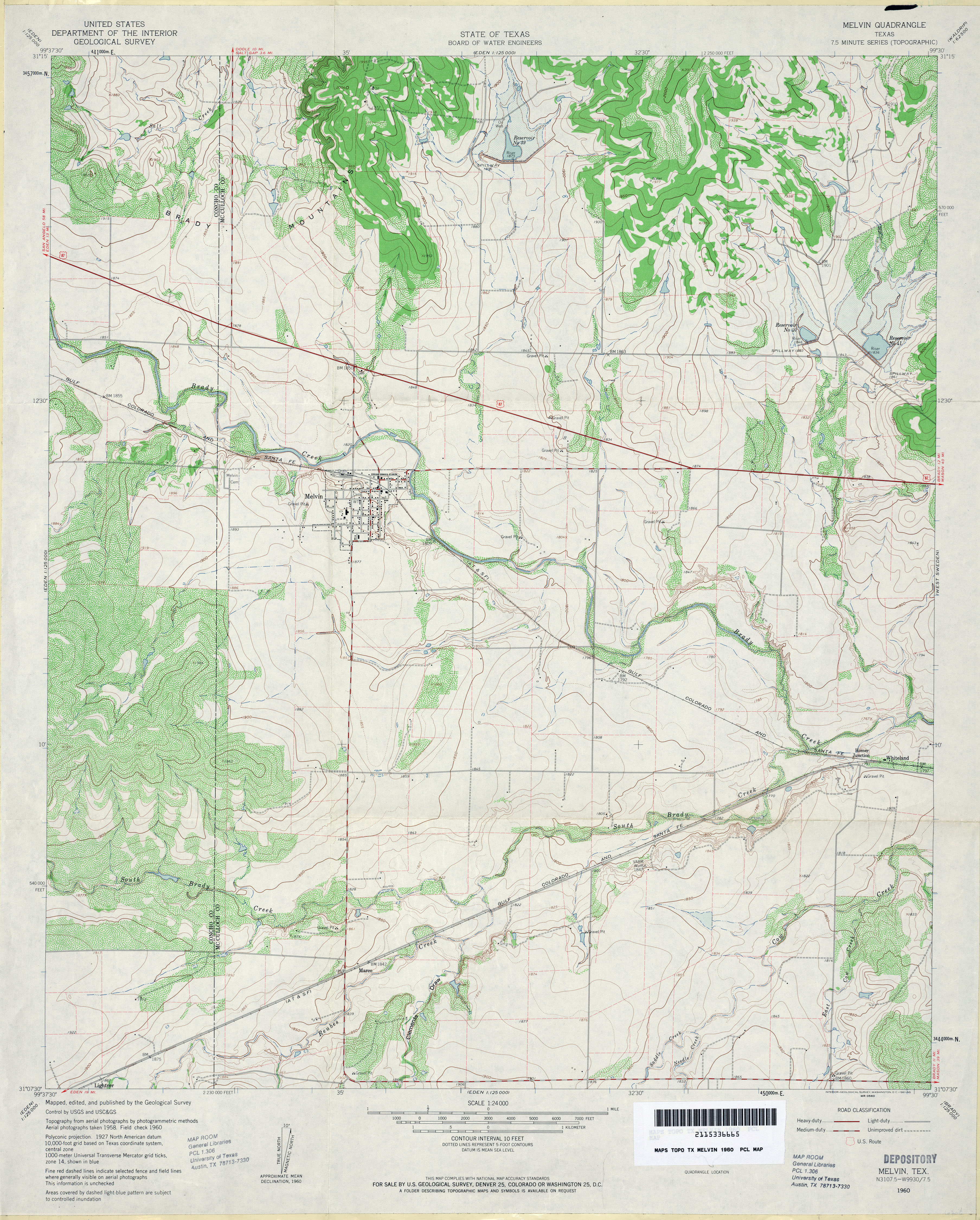
- Melvin 1:24,000 1960 (4.1MB)
- Melvin 1:24,000 2008 (16.0MB) [GeoPDF]
- Melvin 1:24,000 2013 (20MB) [GeoPDF]
- Memphis 1:62,500 1961 (4.3MB)
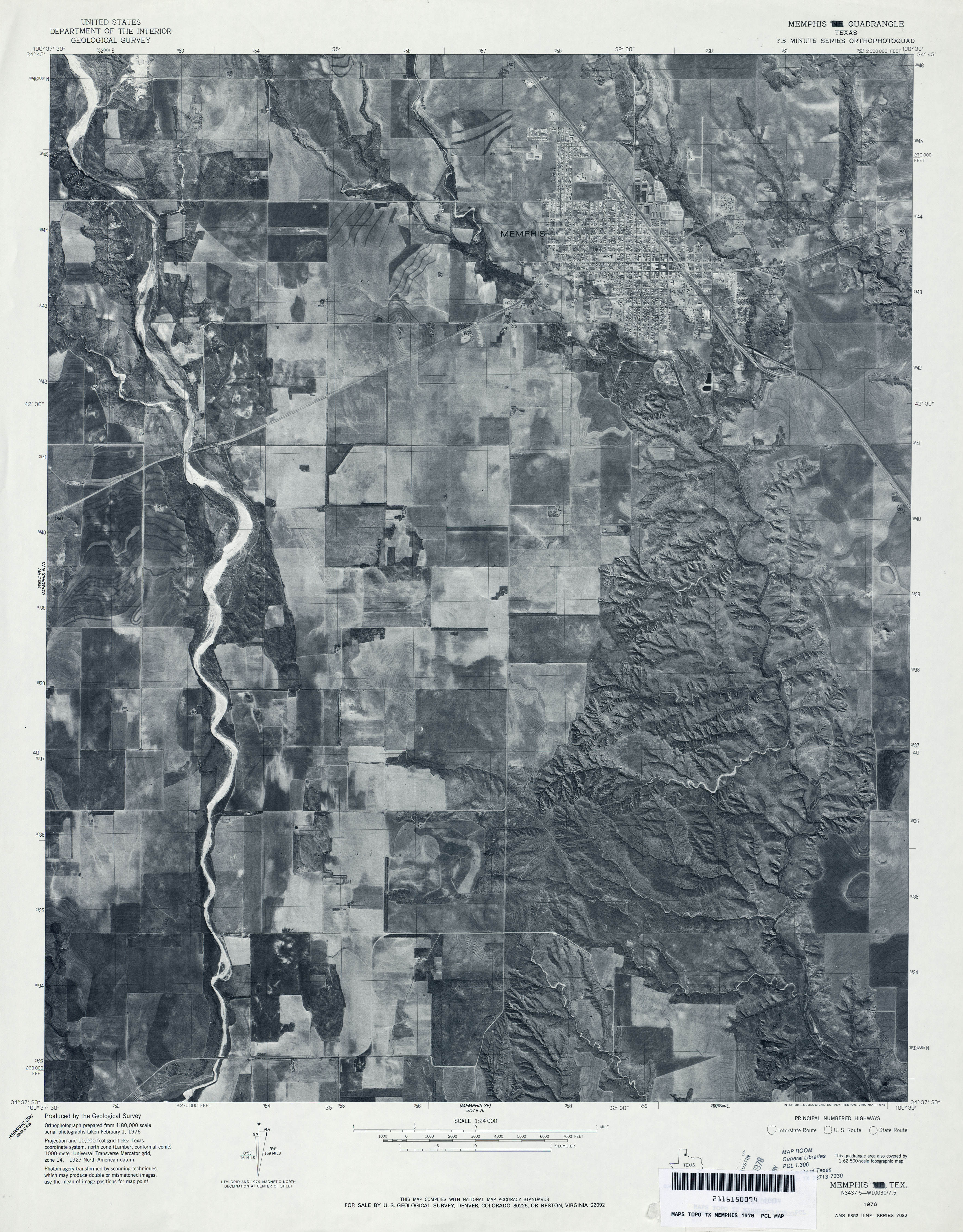
- Memphis 1:24,000 1976 (3.1MB) 7.5 Minute Series Orthophotoquad
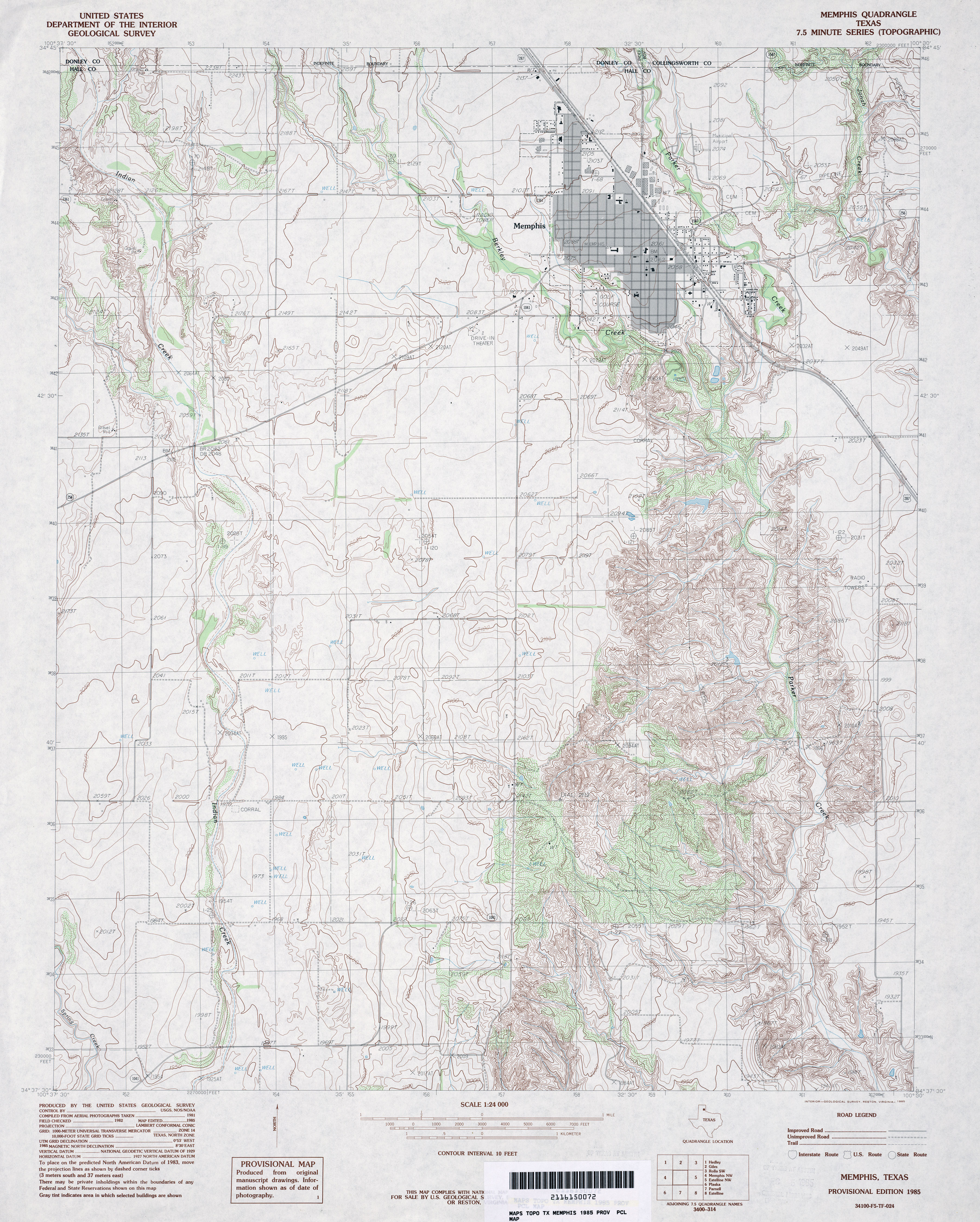
- Memphis 1:24,000 1985 (4.4MB)
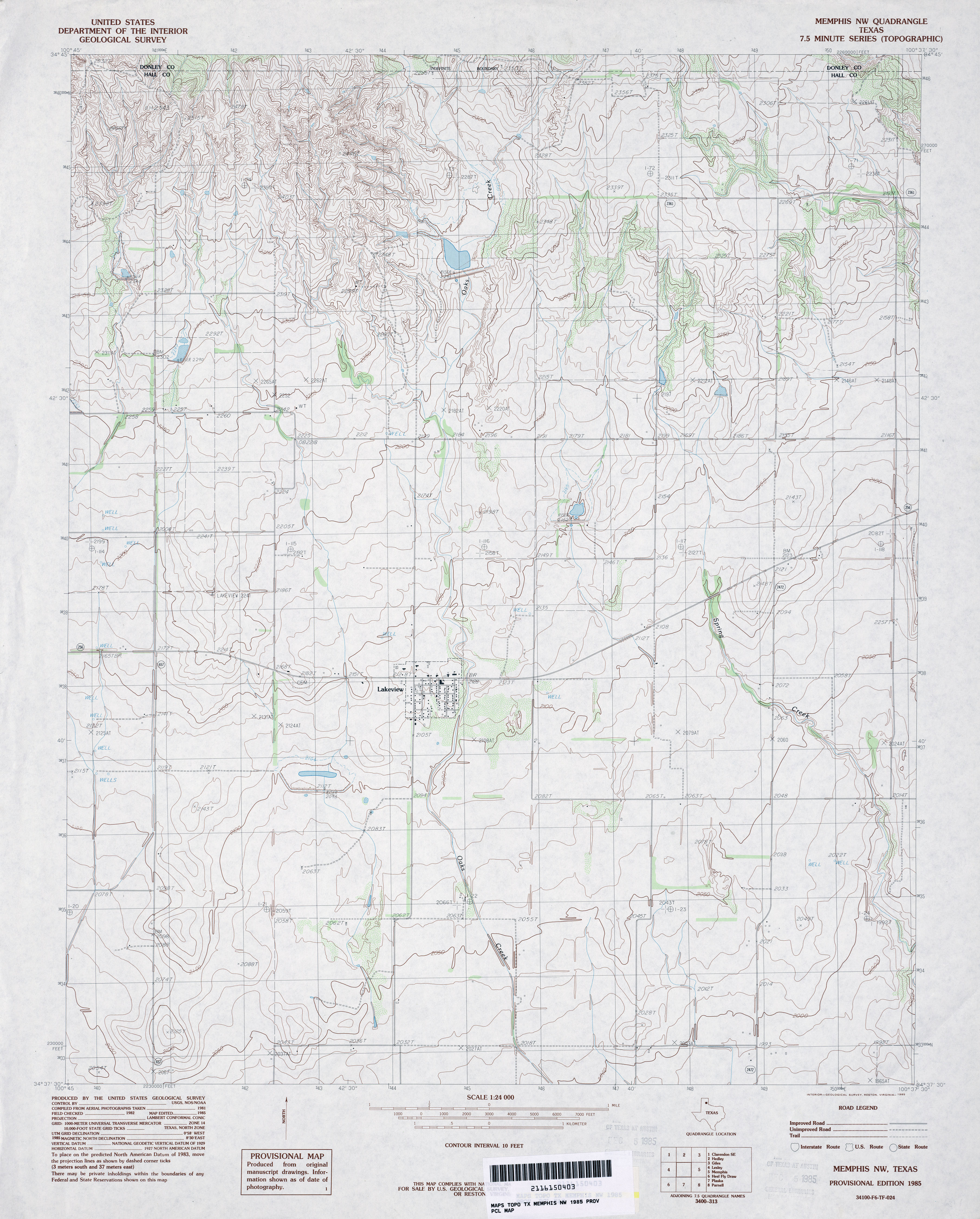
- Memphis 1:24,000 2008 (13.5MB) [GeoPDF]
- Memphis 1:24,000 2012 (20.3MB) [GeoPDF]
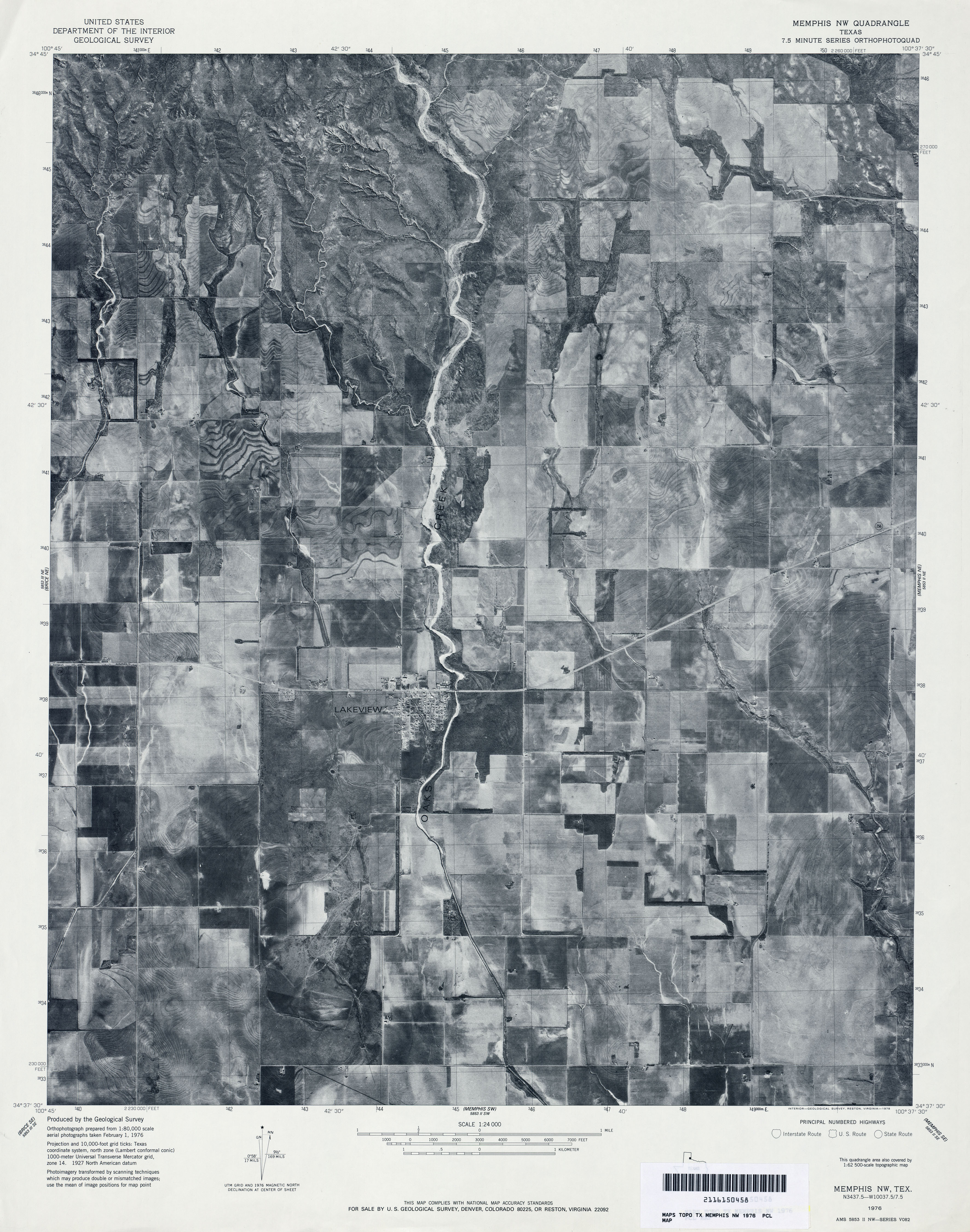
- Memphis NW 1:24,000 1976 (3.1MB) 7.5 Minute Series Orthophotoquad
- Memphis NW 1:24,000 1985 (3.5MB)
- Memphis NW 1:24,000 2008 (11.0MB) [GeoPDF]
- Memphis NW 1:24,000 2012 (18.6MB) [GeoPDF]
- Memphis SW 1:24,000 1976 (3.1MB) 7.5 Minute Series Orthophotoquad
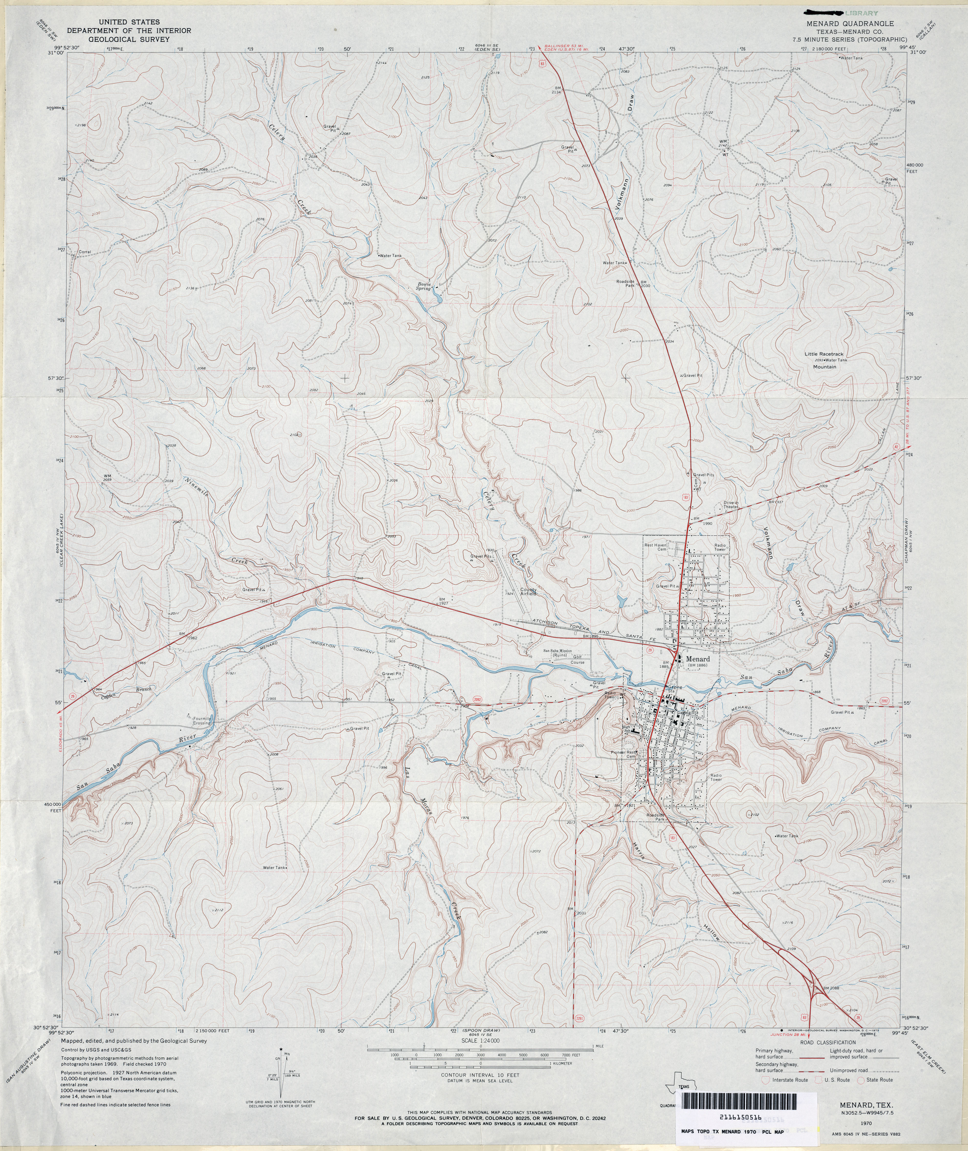
- Menard (Menard County) 1:24,000 1970 (3.5MB)
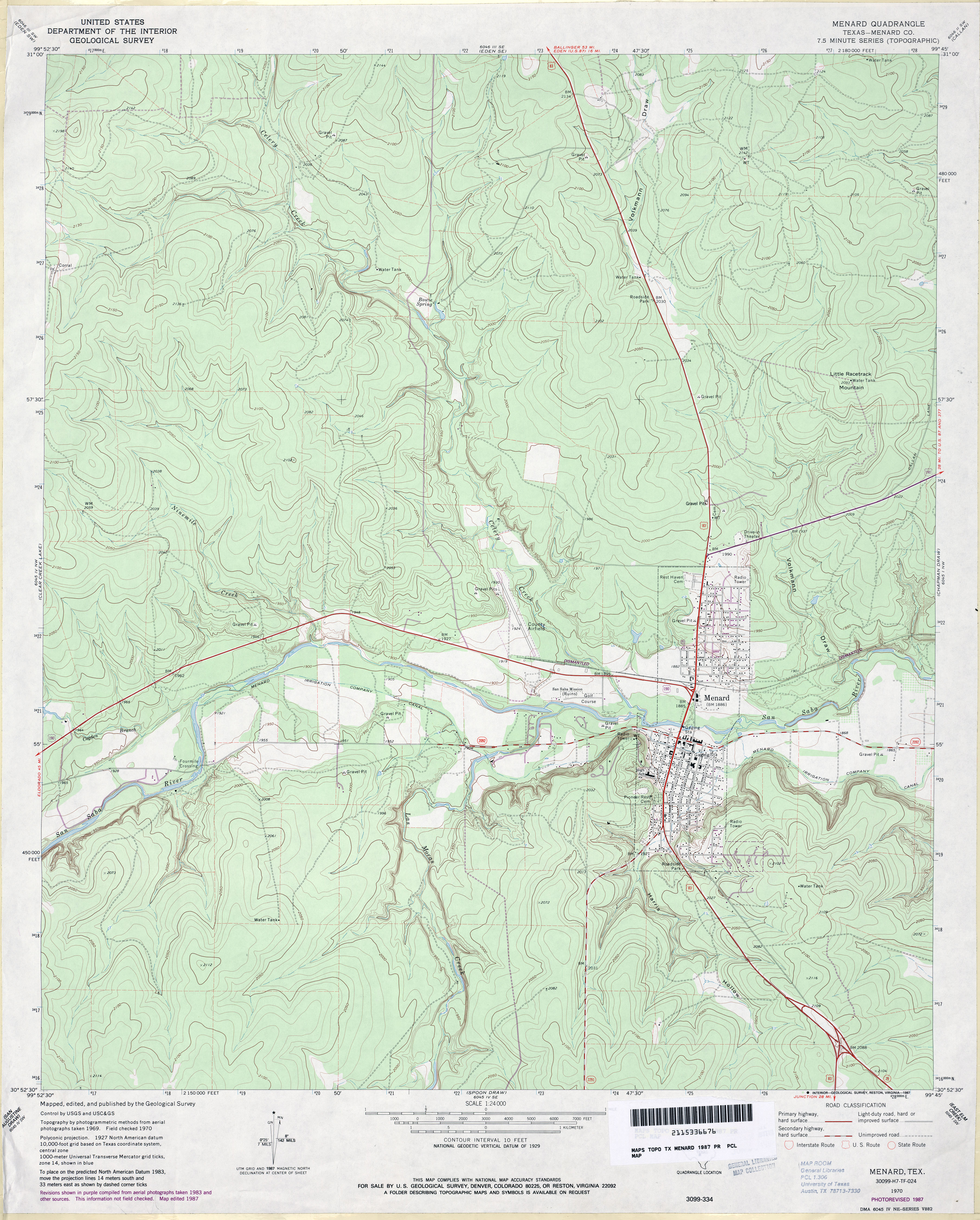
- Menard (Menard County) 1:24,000 1987 (3.9MB)
- Menard 1:24,000 2008 (24MB) [GeoPDF]
- Menard 1:24,000 2012 (27.2MB) [GeoPDF]
- Mendota (Hemphill County) 1:24,000 1967 (4.5MB)
- Mendota 1:24,000 2008 (14.2MB) [GeoPDF]
- Mendota 1:24,000 2012 (19.4MB) [GeoPDF]
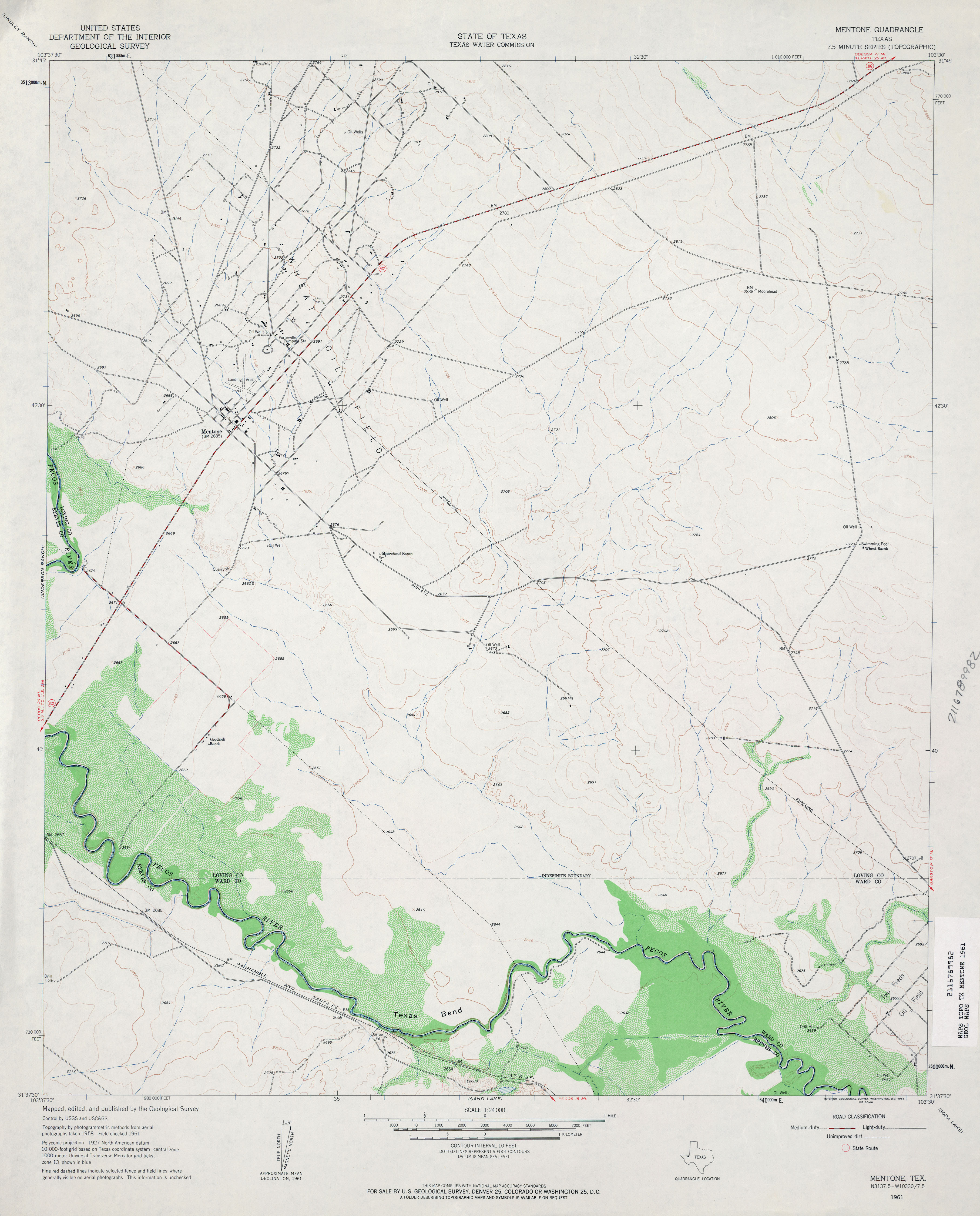
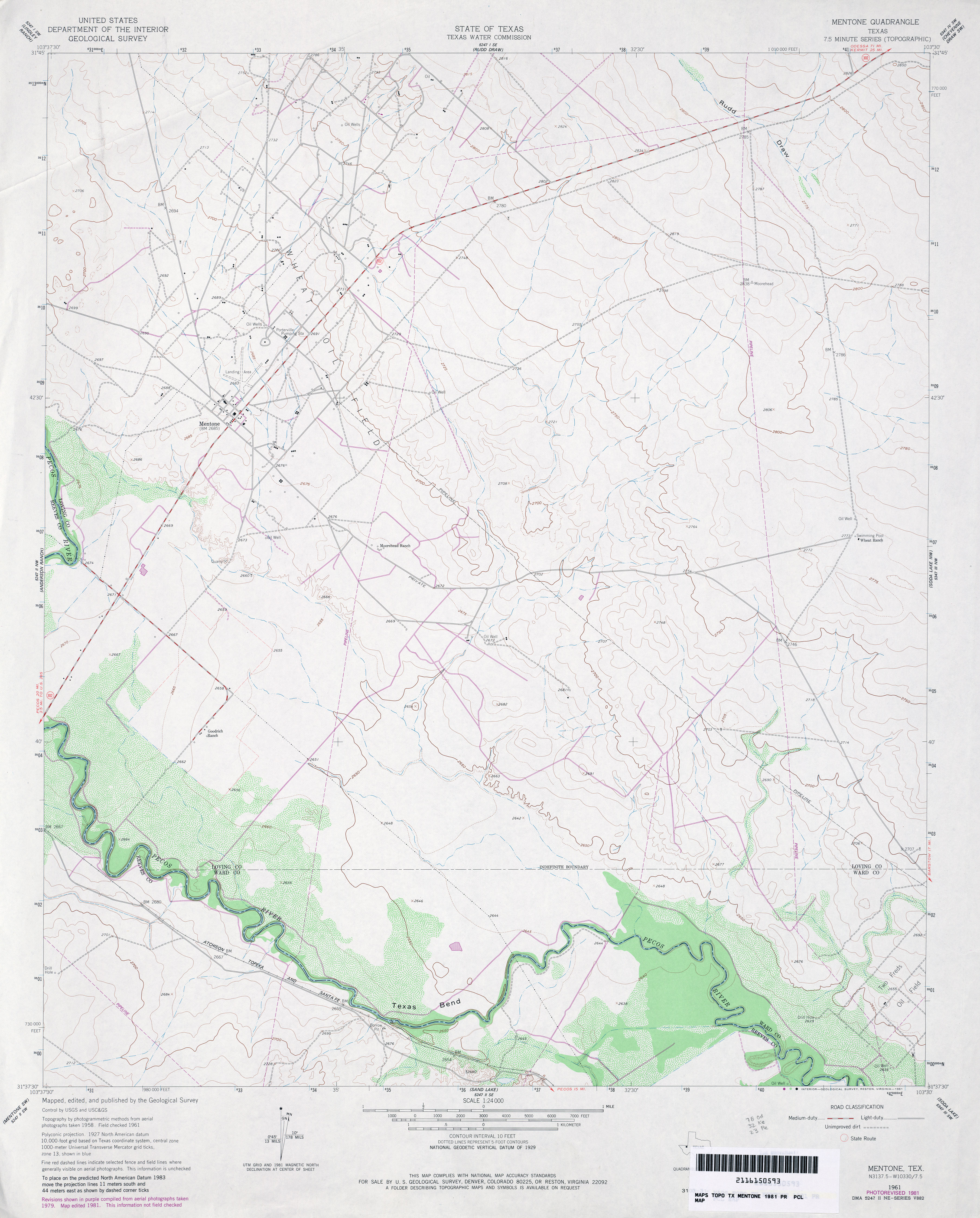
- Mentone 1:24,000 1961 (2.8MB)
- Mentone 1:24,000 1981 (3.1MB)
- Mentone 1:24,000 2008 (20.7MB) [GeoPDF]
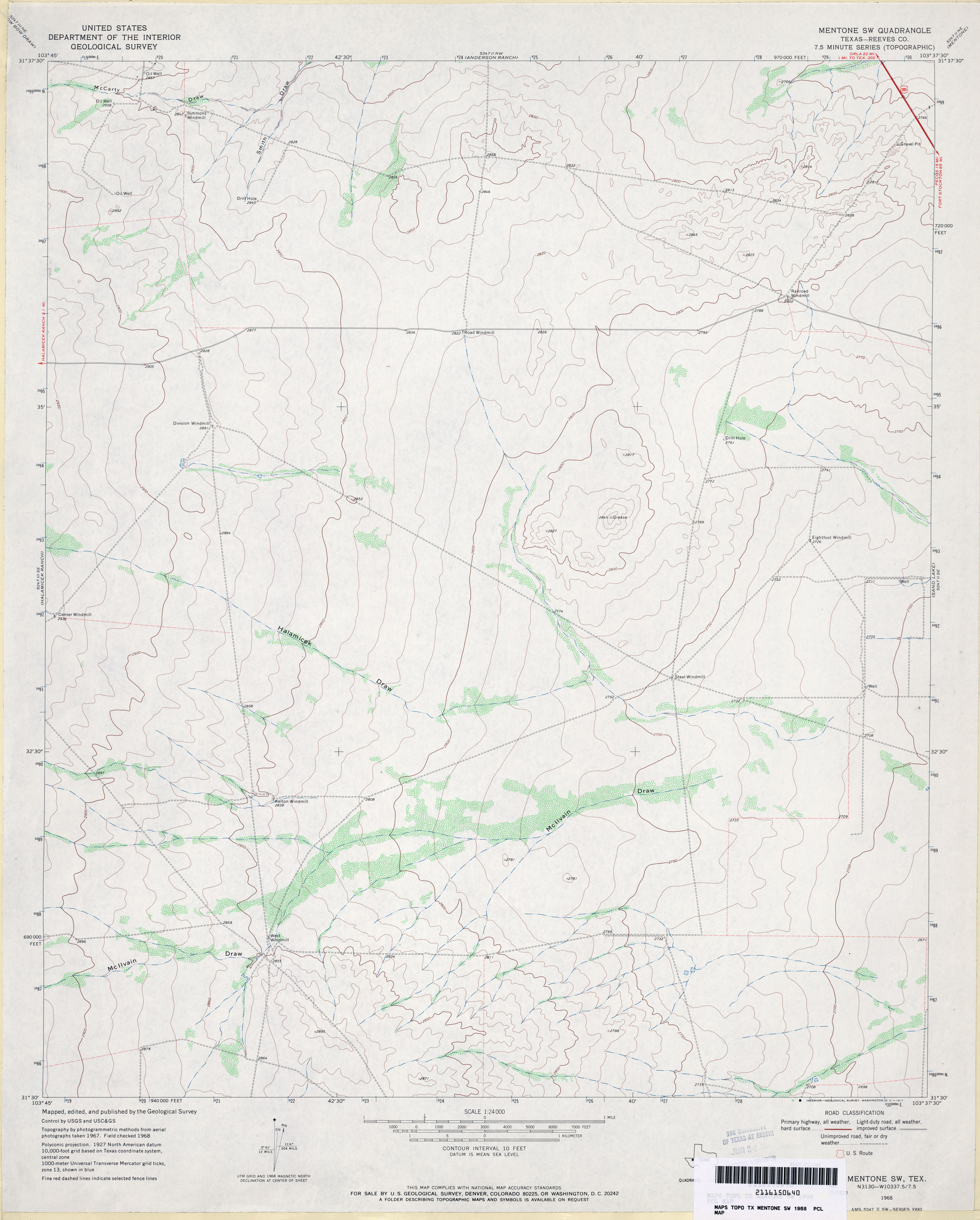
- Mentone SW (Reeves County) 1:24,000 1968 (2.6MB)
- Mentone SW 1:24,000 2008 (19.4MB) [GeoPDF]
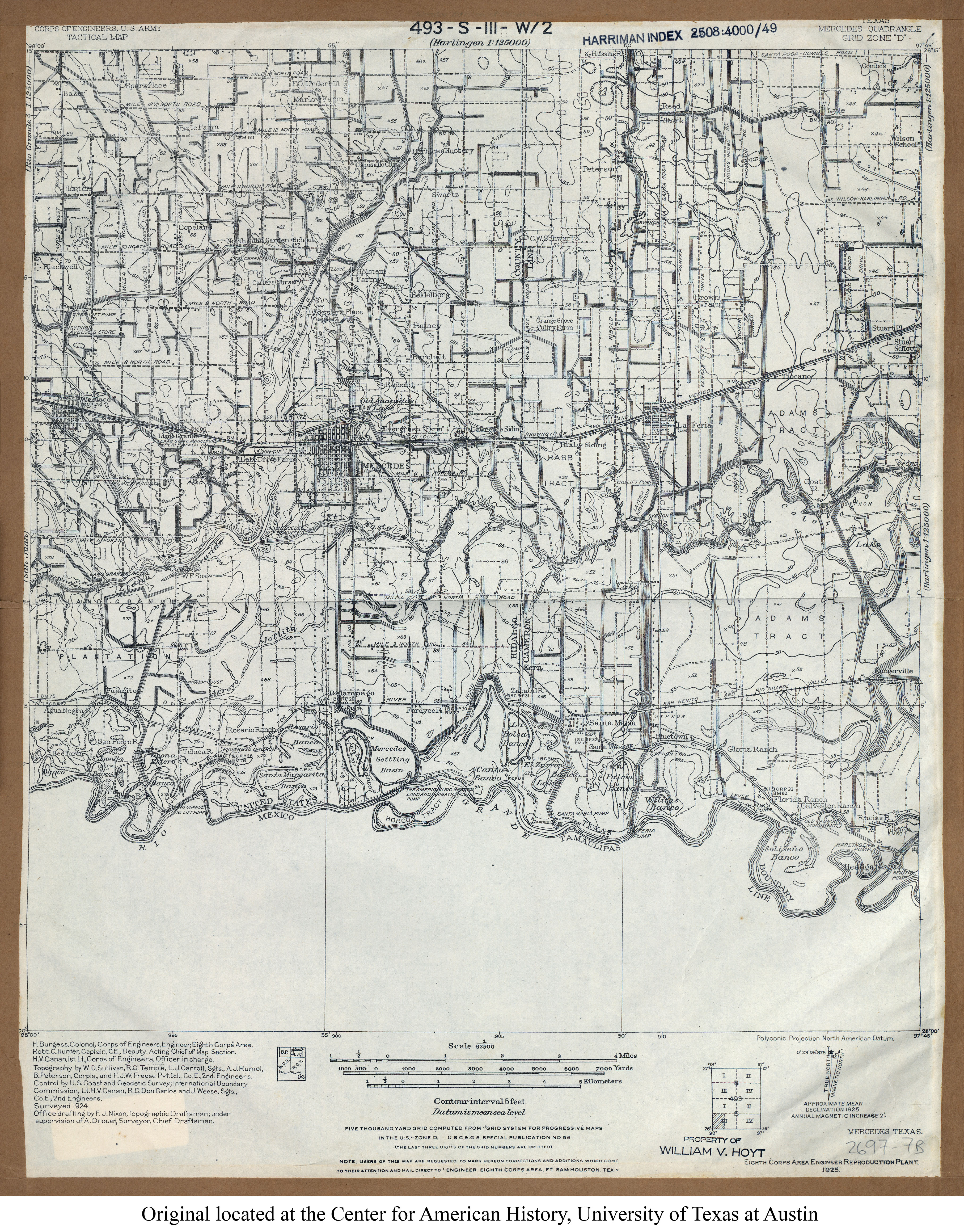
- Mercedes 1:62,500 1924 (4.7MB) U.S. Army. Corps of Engineers. Tactical Map
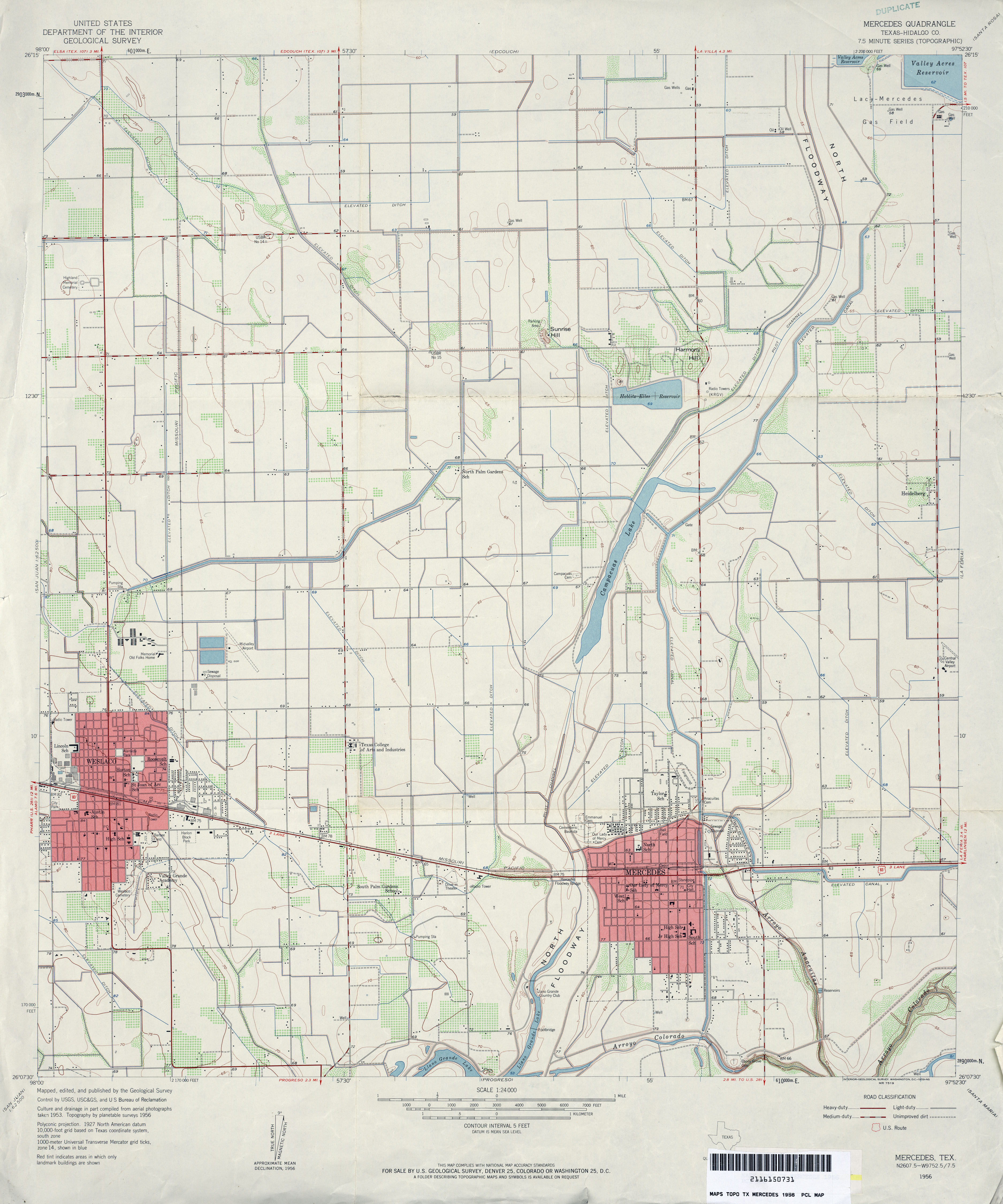
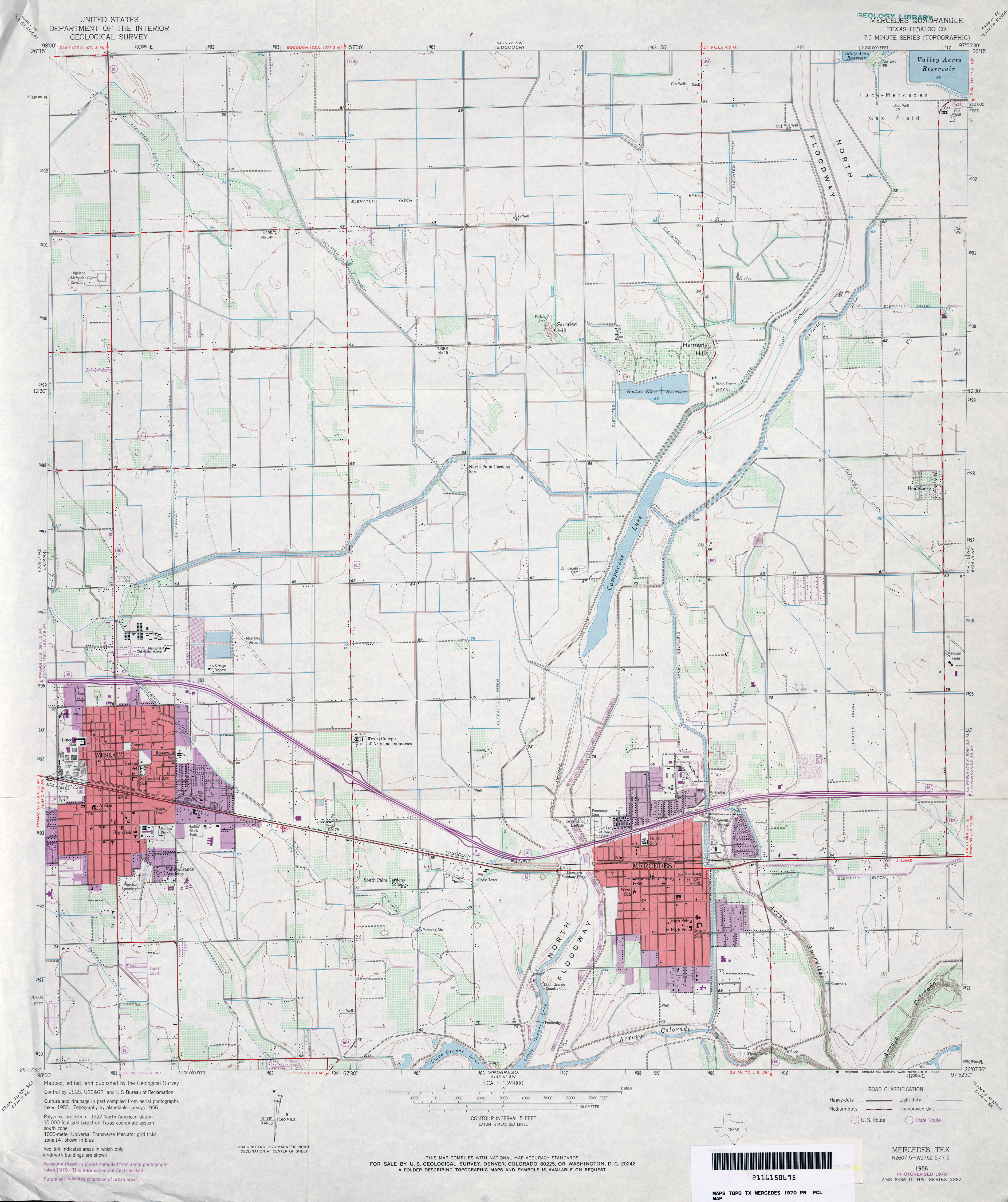
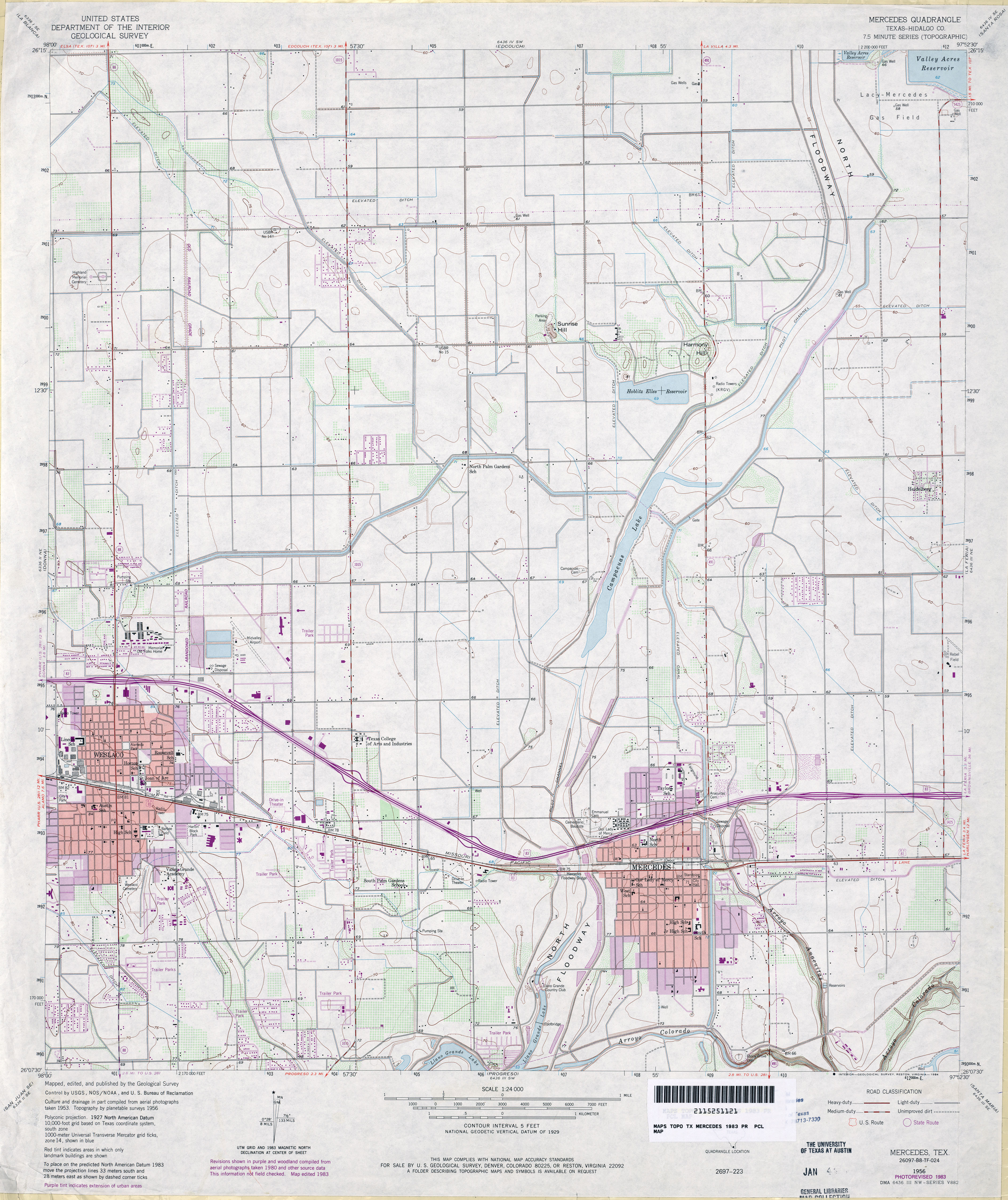
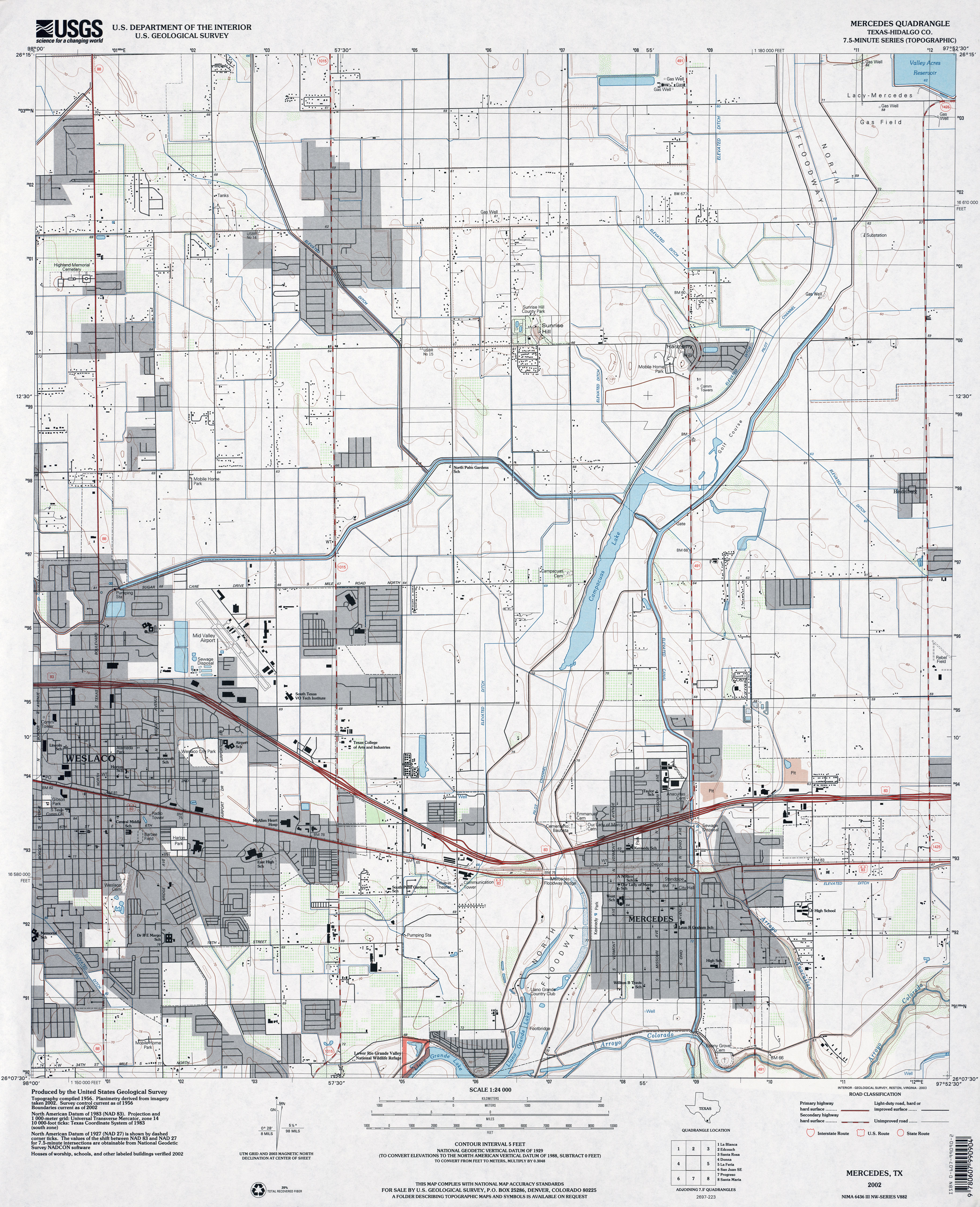
- Mercedes (Hidalgo County) 1:24,000 1956 (3.2MB)
- Mercedes (Hidalgo County) 1:24,000 1970 (3.3MB)
- Mercedes (Hidalgo County) 1:24,000 1983 (3.8MB)
- Mercedes (Hidalgo County) 1:24,000 2002 (3.6MB)
- Mercedes 1:24,000 2008 (18.0MB) [GeoPDF]
- Mercedes 1:24,000 2013 (20.6MB) [GeoPDF]
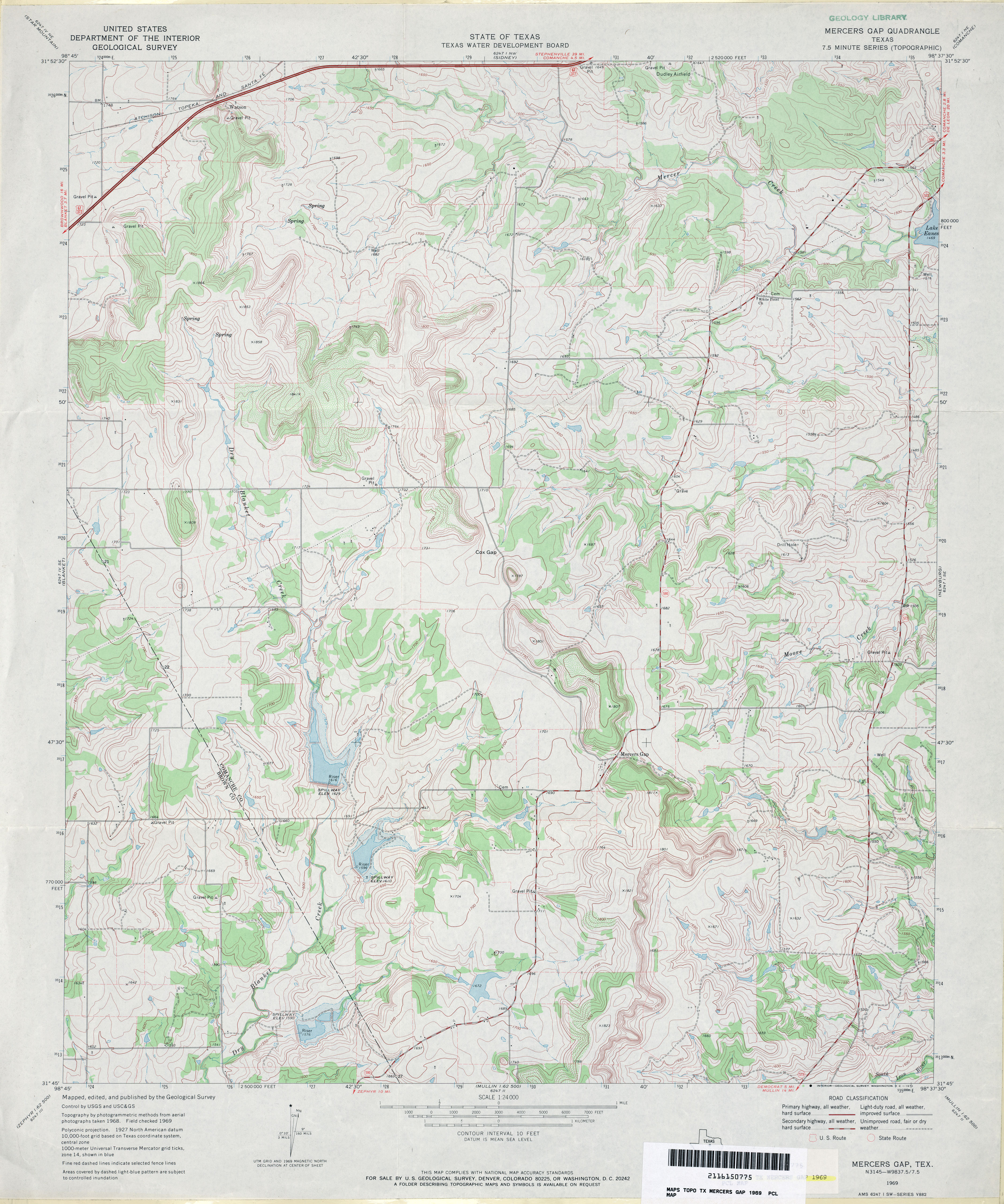
- Mercers Gap 1:24,000 1969 (4.1MB)
- Mercers Gap 1:24,000 2008 (14.9MB) [GeoPDF]
- Mercers Gap 1:24,000 2012 (20.8MB) [GeoPDF]
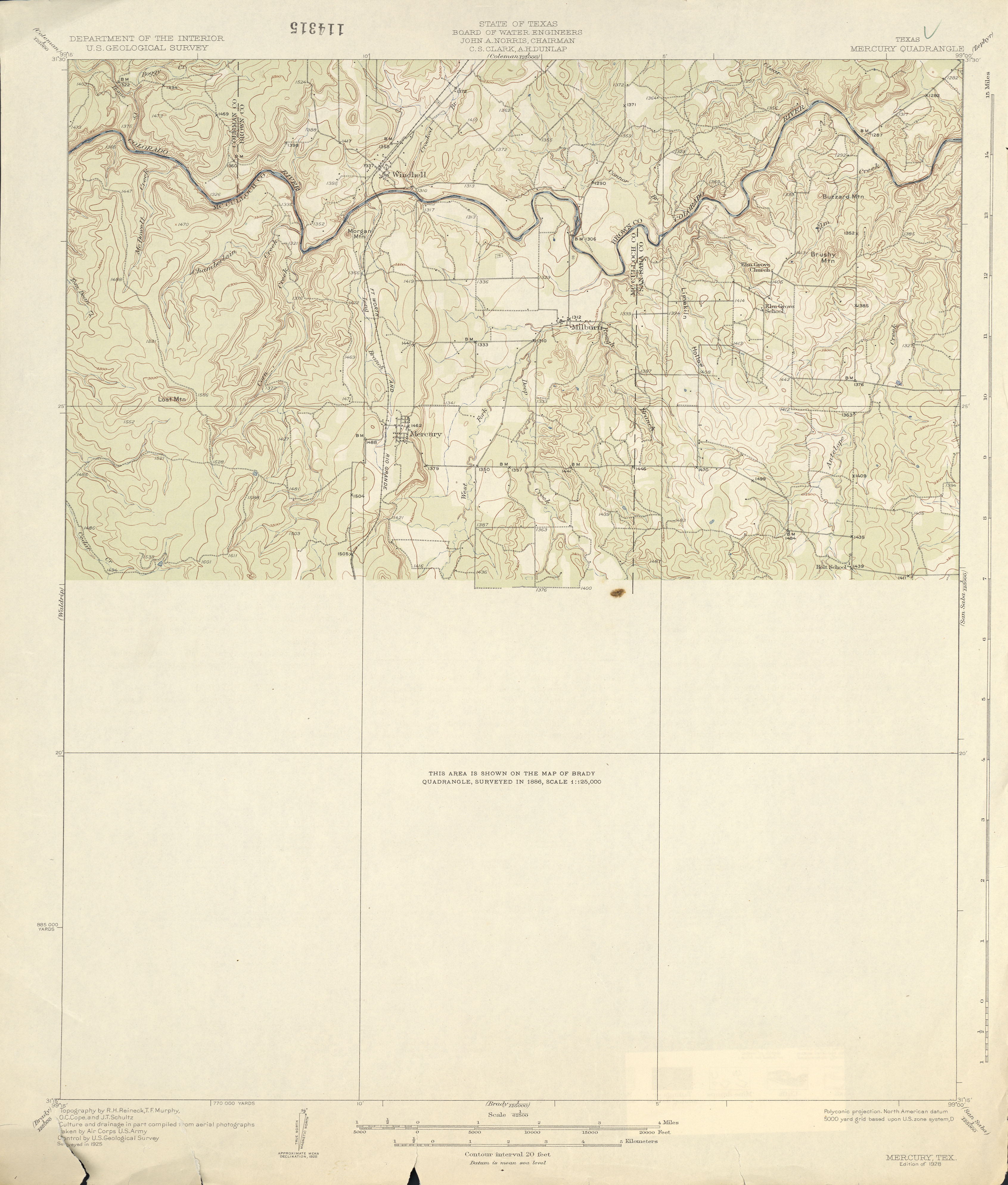
- Mercury 1:62,500 1925 (2.4 MB)
- Mercury 1:62,500 1950 (4.4MB)
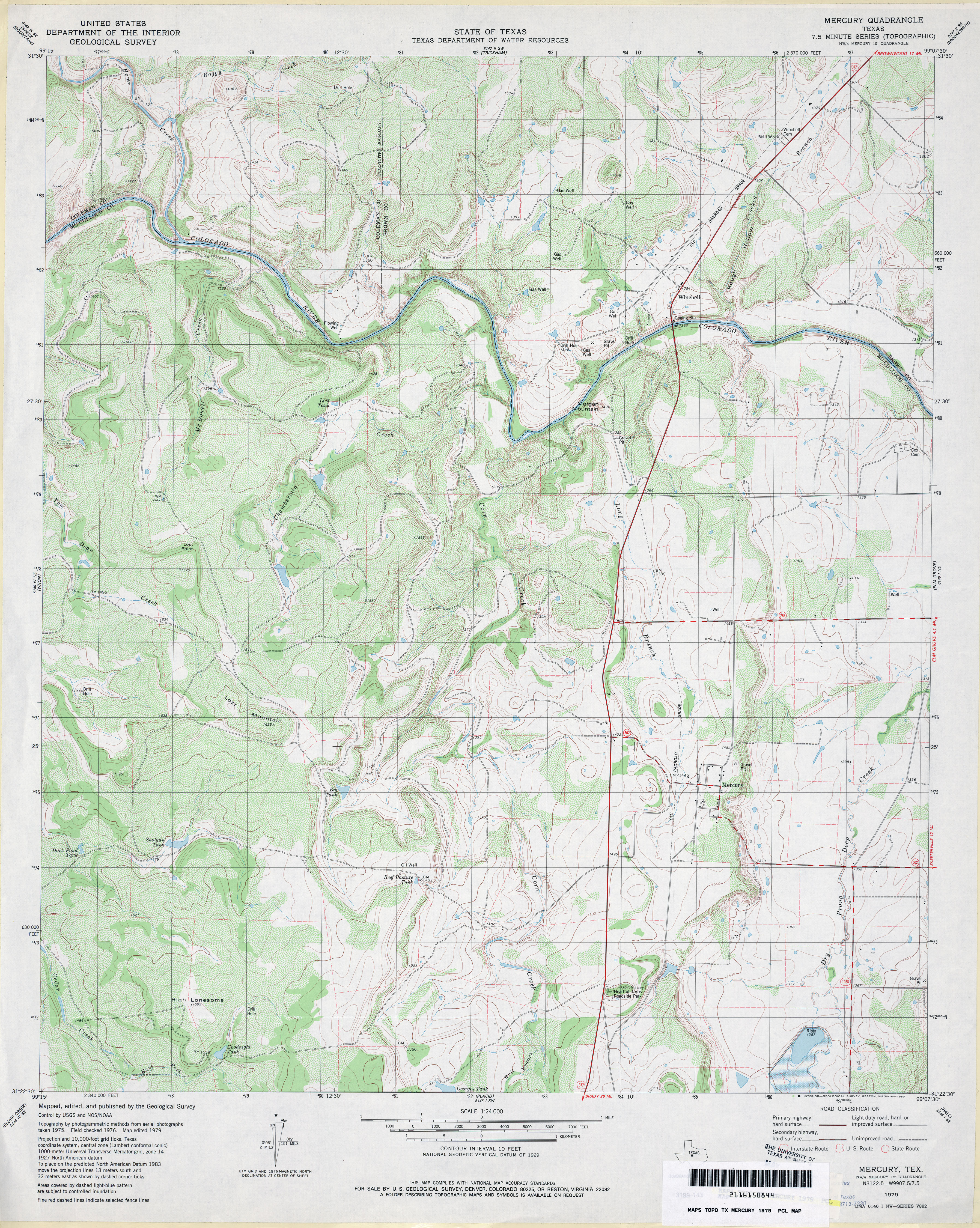
- Mercury 1:24,000 1979 (4.8MB)
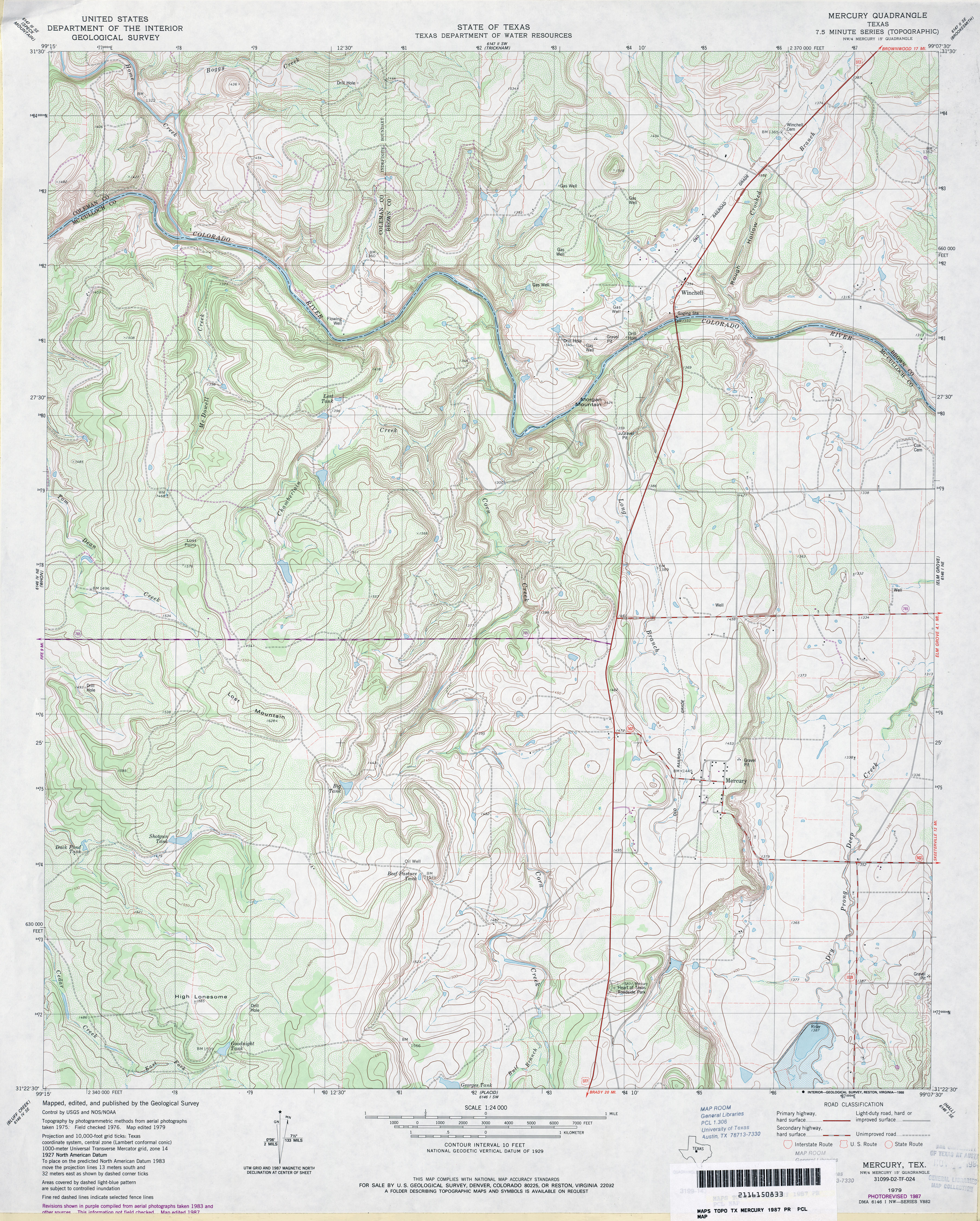
- Mercury 1:24,000 1987 (4.8MB)
- Mercury 1:24,000 2008 (21.9MB) [GeoPDF]
- Mercury 1:24,000 2013 (26.1MB) [GeoPDF]
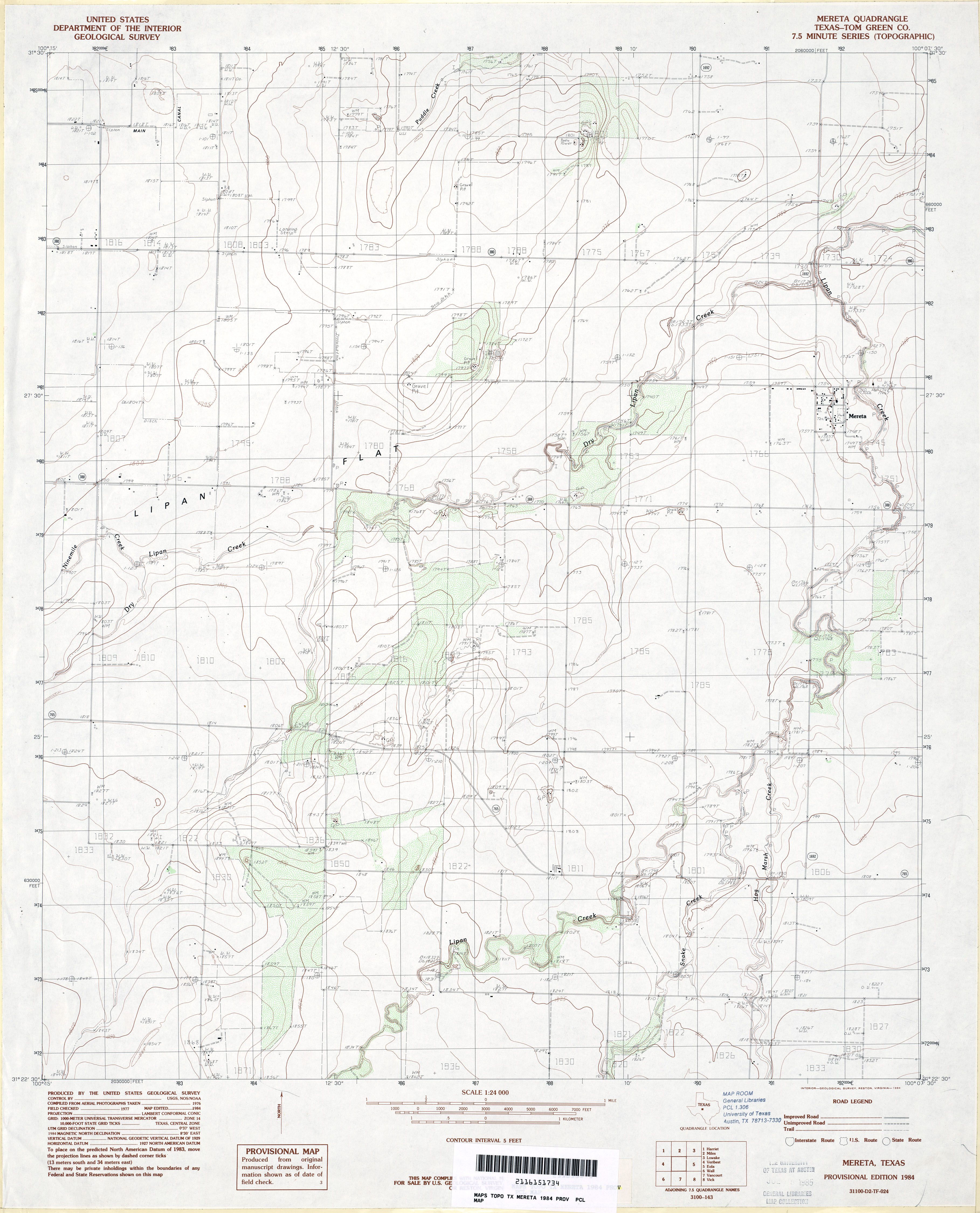
- Mereta (Tom Green County) 1:24,000 1984 (3MB)
- Mereta 1:24,000 2008 (11.8MB) [GeoPDF]
- Mereta 1:24,000 2012 (17.7MB) [GeoPDF]
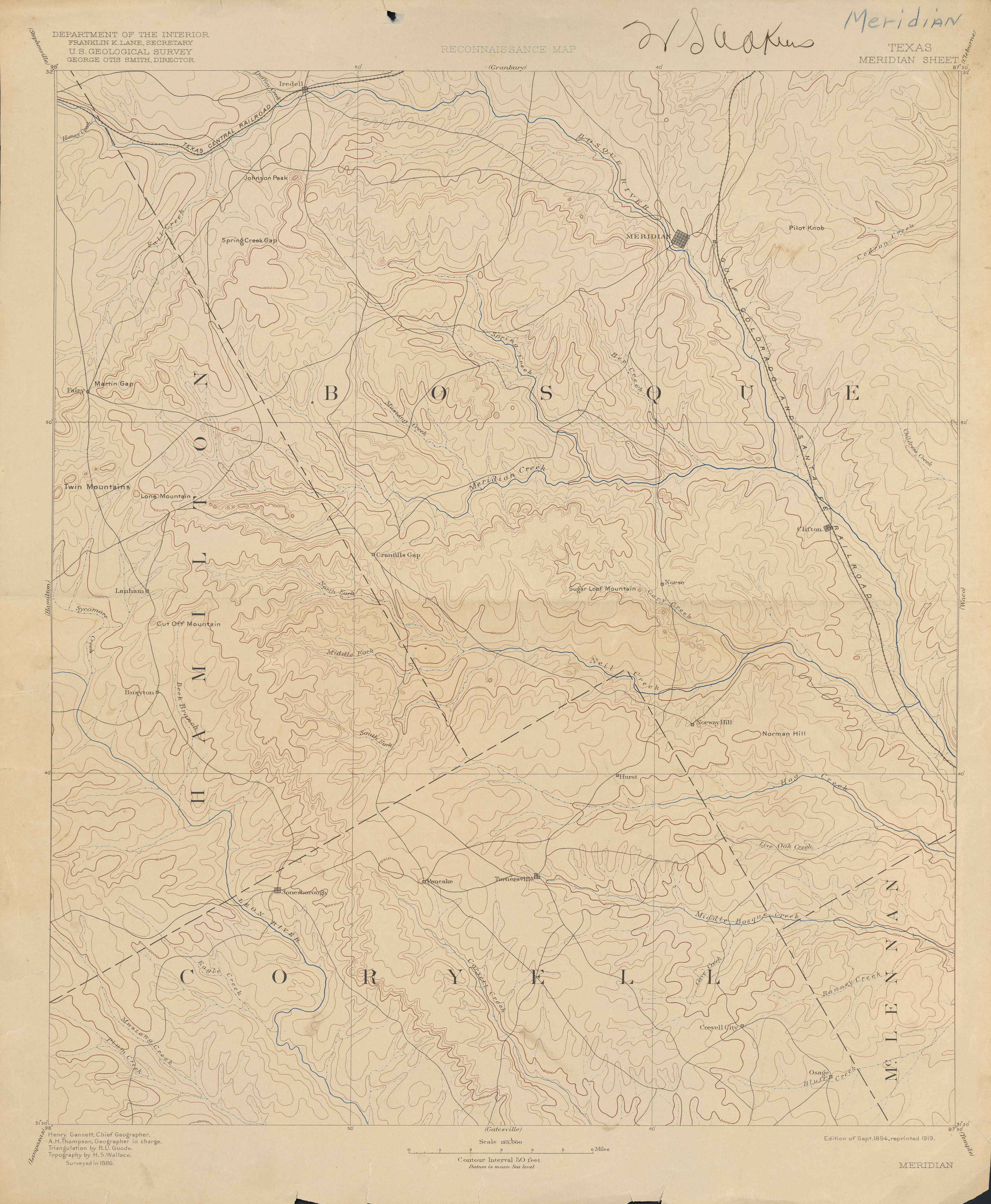
- Meridian 1:125,000 1886 (2.7 MB) W.S. Adkins Collection
- Meridian 1:125,000 1918 (4.2MB)
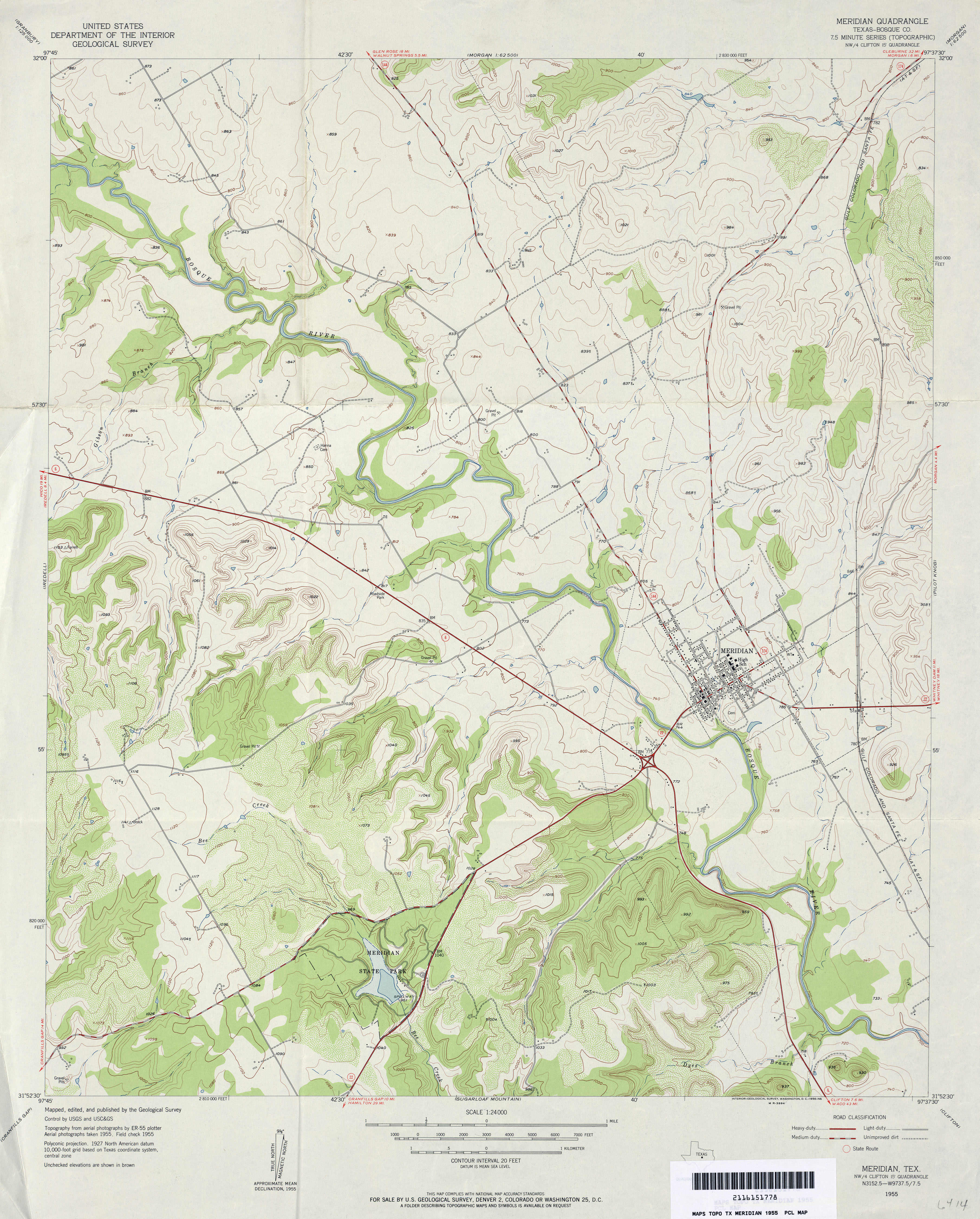
- Meridian (Bosque County) 1:24,000 1955 (3.7MB)
- Meridian (Bosque County) 1:24,000 1979 (4.5MB)
- Meridian 1:24,000 2008 (16.9MB) [GeoPDF]
- Meridian 1:24,000 2012 (21.2MB) [GeoPDF]
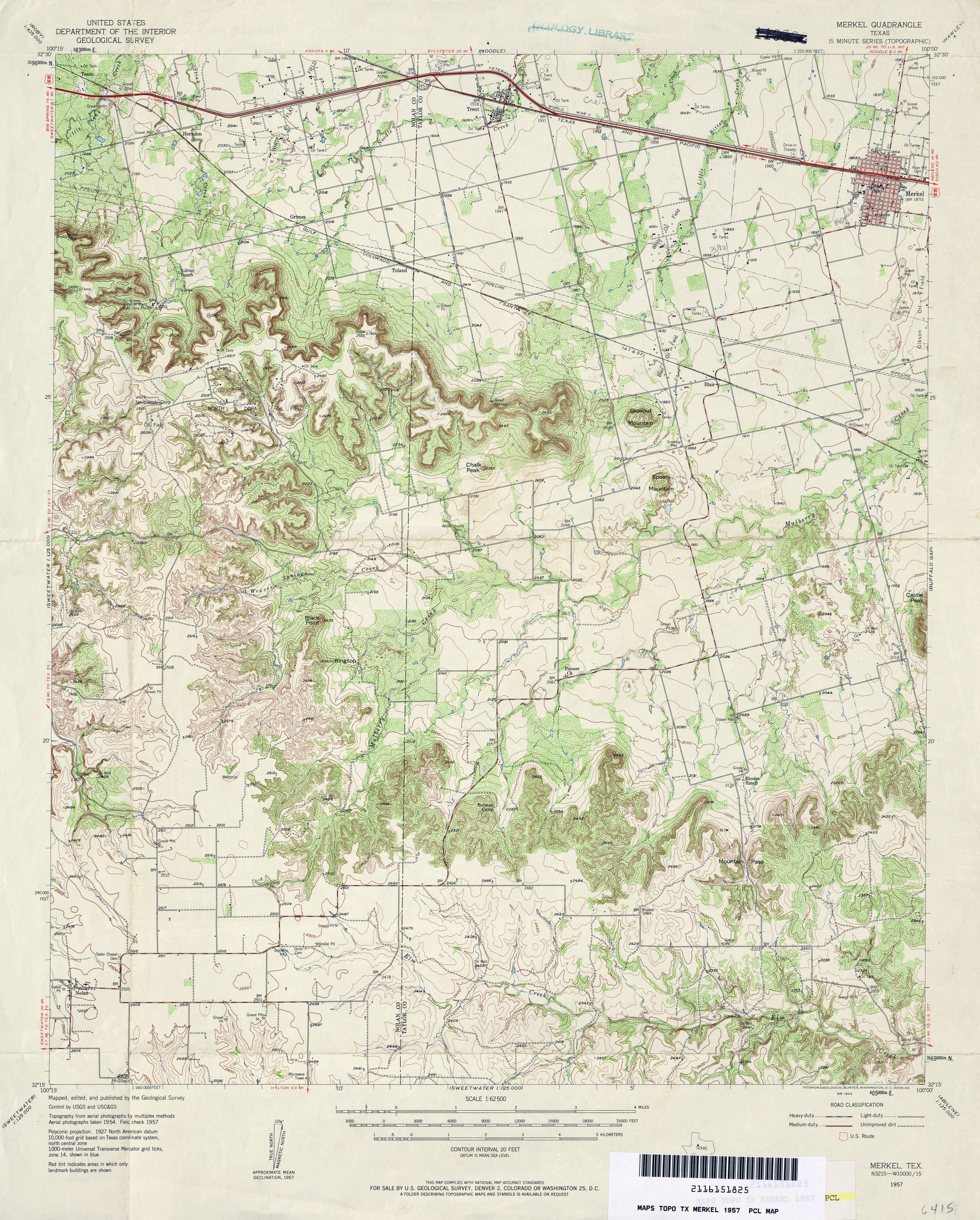
- Merkel 1:62,500 1957 (5.1MB)
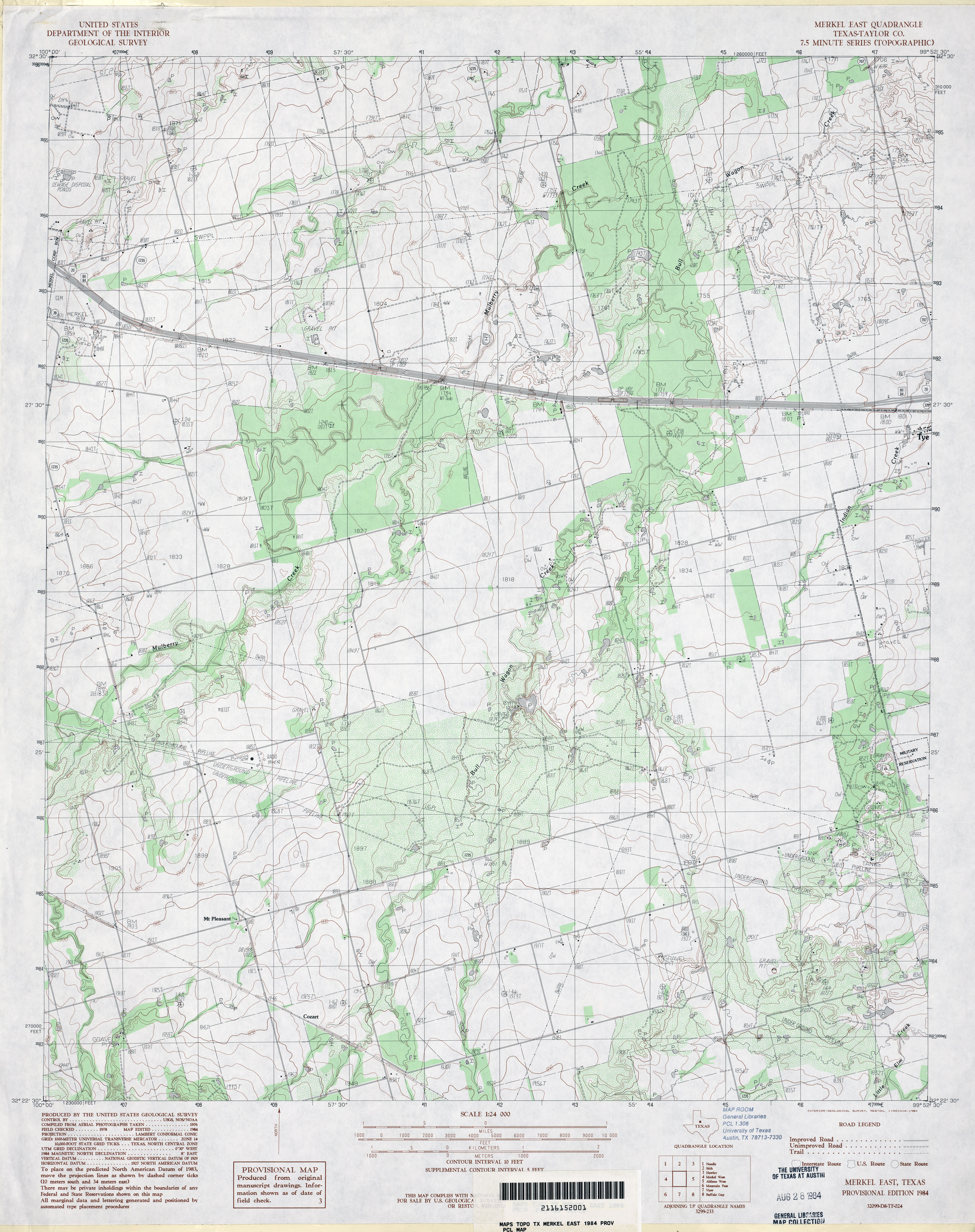
- Merkel East (Taylor County) 1:24,000 1984 (3.8MB)
- Merkel East 1:24,000 2008 (12.9MB) [GeoPDF]
- Merkel East 1:24,000 2012 (19.1MB) [GeoPDF]
- Merkel West (Taylor County) 1:24,000 1984 (3.9MB)
- Merkel West 1:24,000 2008 (13.2MB) [GeoPDF]
- Merkel West 1:24,000 2012 (20.4MB) [GeoPDF]
- Merrick (Martin County) 1:24,000 1966 (3.3MB)
- Merrick 1:24,000 2008 (15.1MB) [GeoPDF]
- Merrick 1:24,000 2012 (17.2MB) [GeoPDF]
- Merryville 1:24,000 1959 (4.9MB)
- Merryville North 1:24,000 1984 (4MB)
- Merryville North 1:24,000 2012 (26.9MB) [GeoPDF]
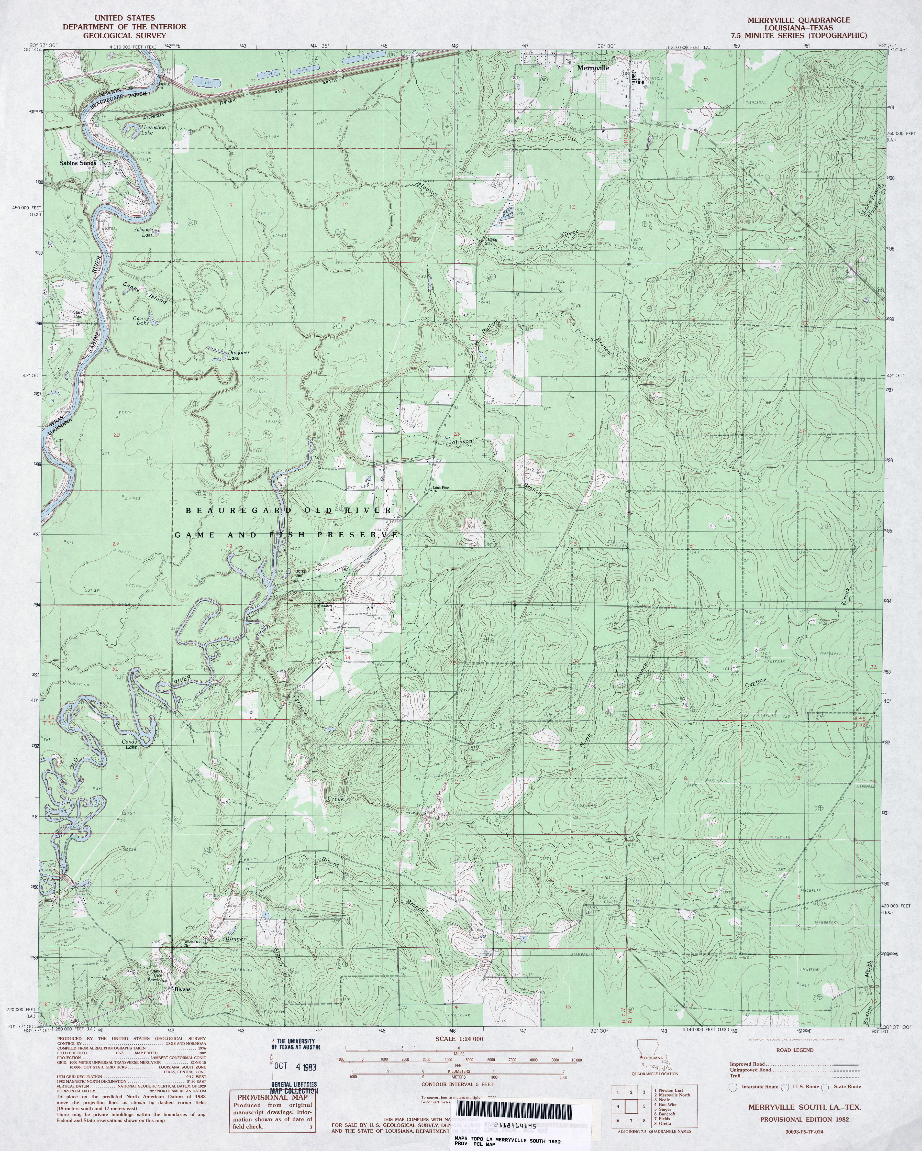
- Merryville South 1:24,000 1982 (4.2MB)
- Merryville South 1:24,000 2009 (34.2MB) [GeoPDF]
- Merryville South 1:24,000 2012 (26.1MB) [GeoPDF]
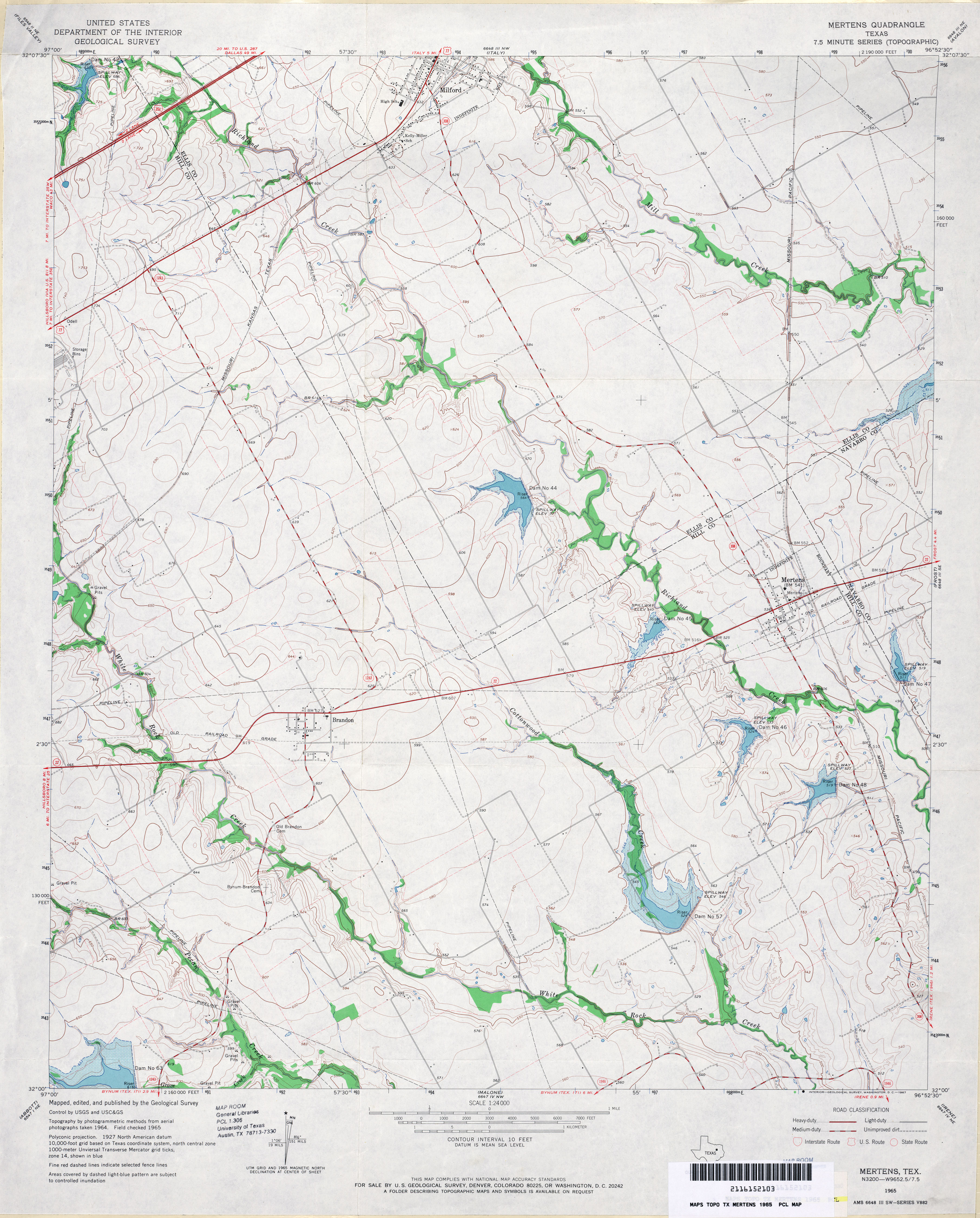
- Mertens 1:24,000 1965 (3.5MB)
- Mertens 1:24,000 2008 (12.2MB) [GeoPDF]
- Mertens 1:24,000 2012 (17.7MB) [GeoPDF]
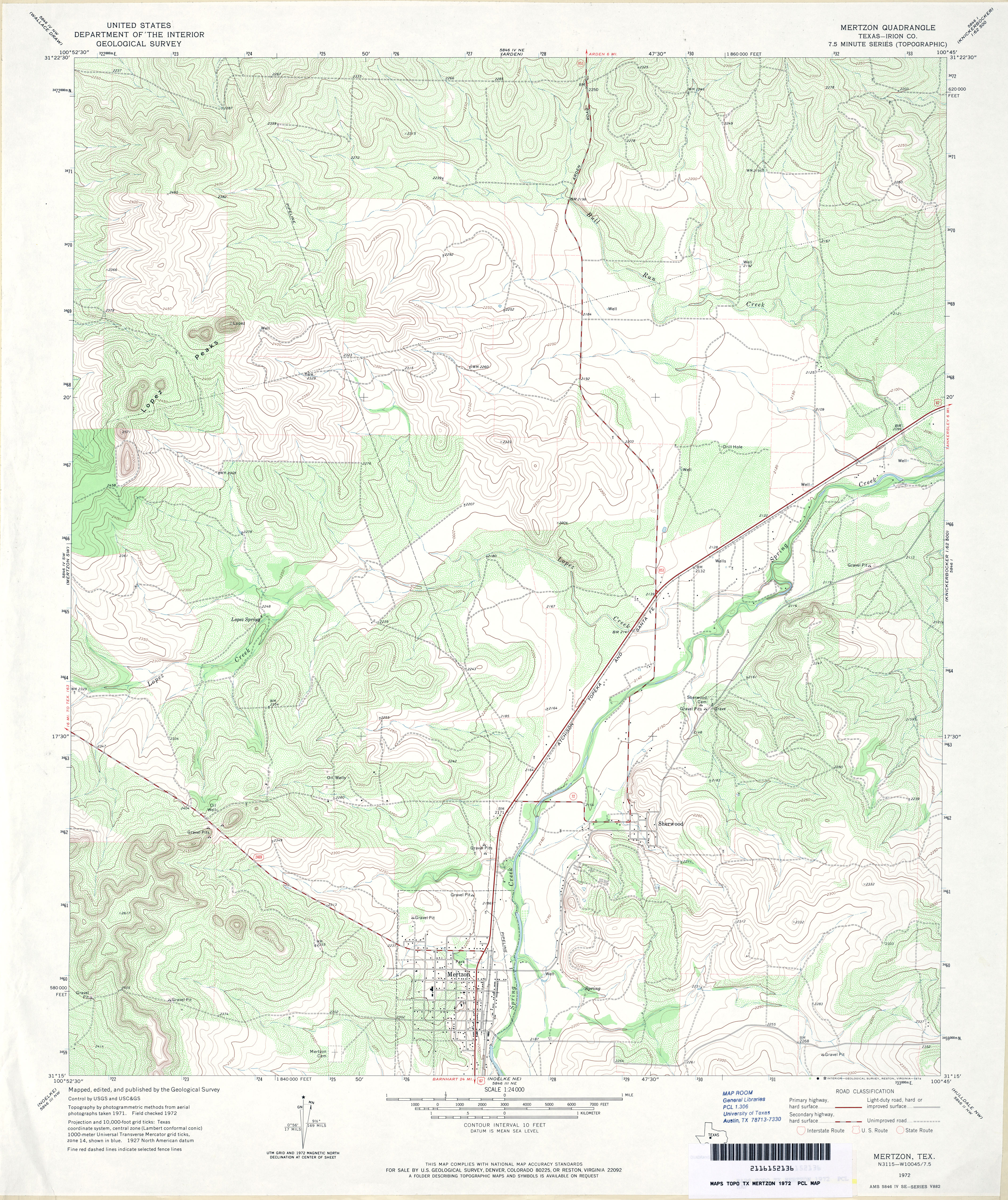
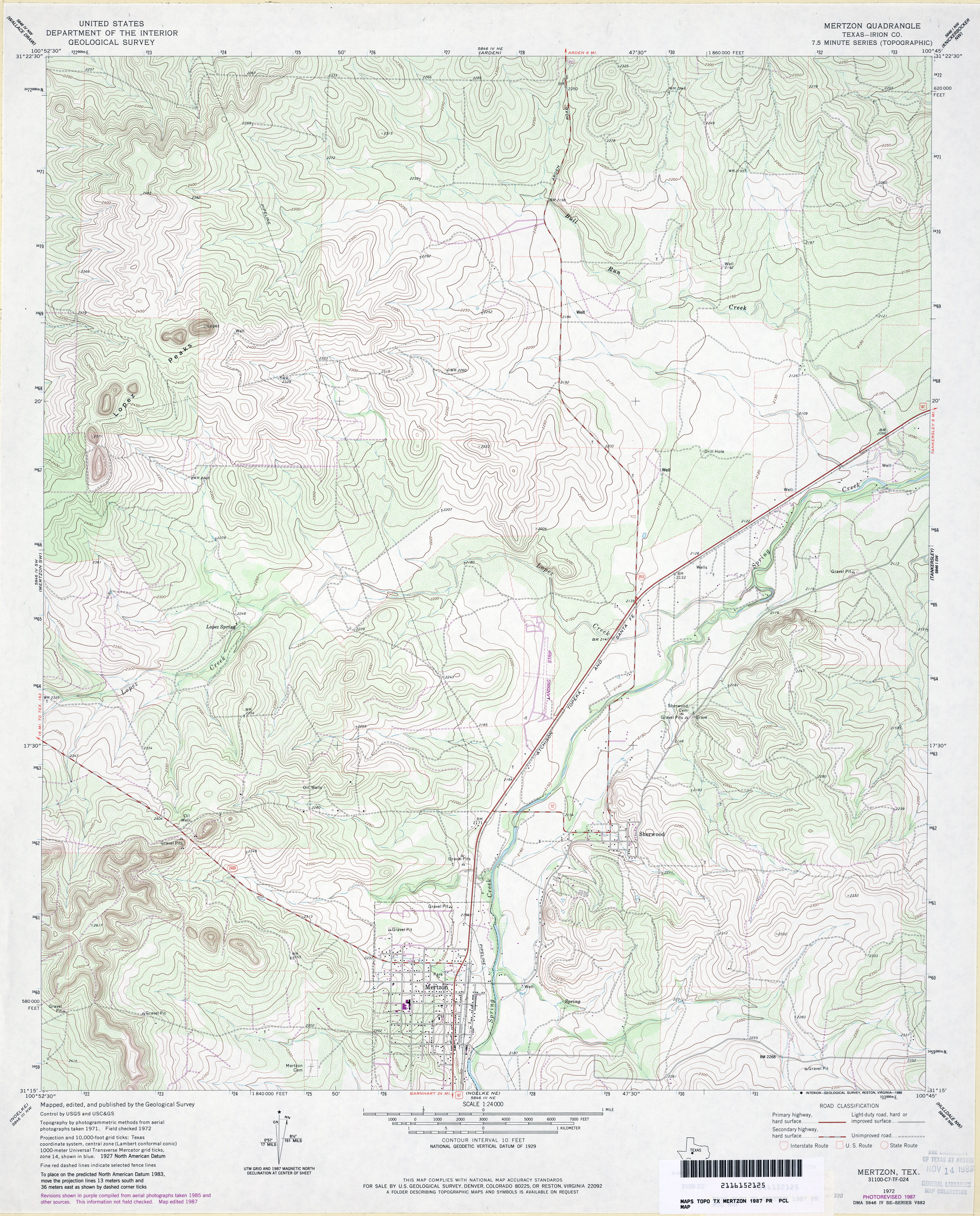
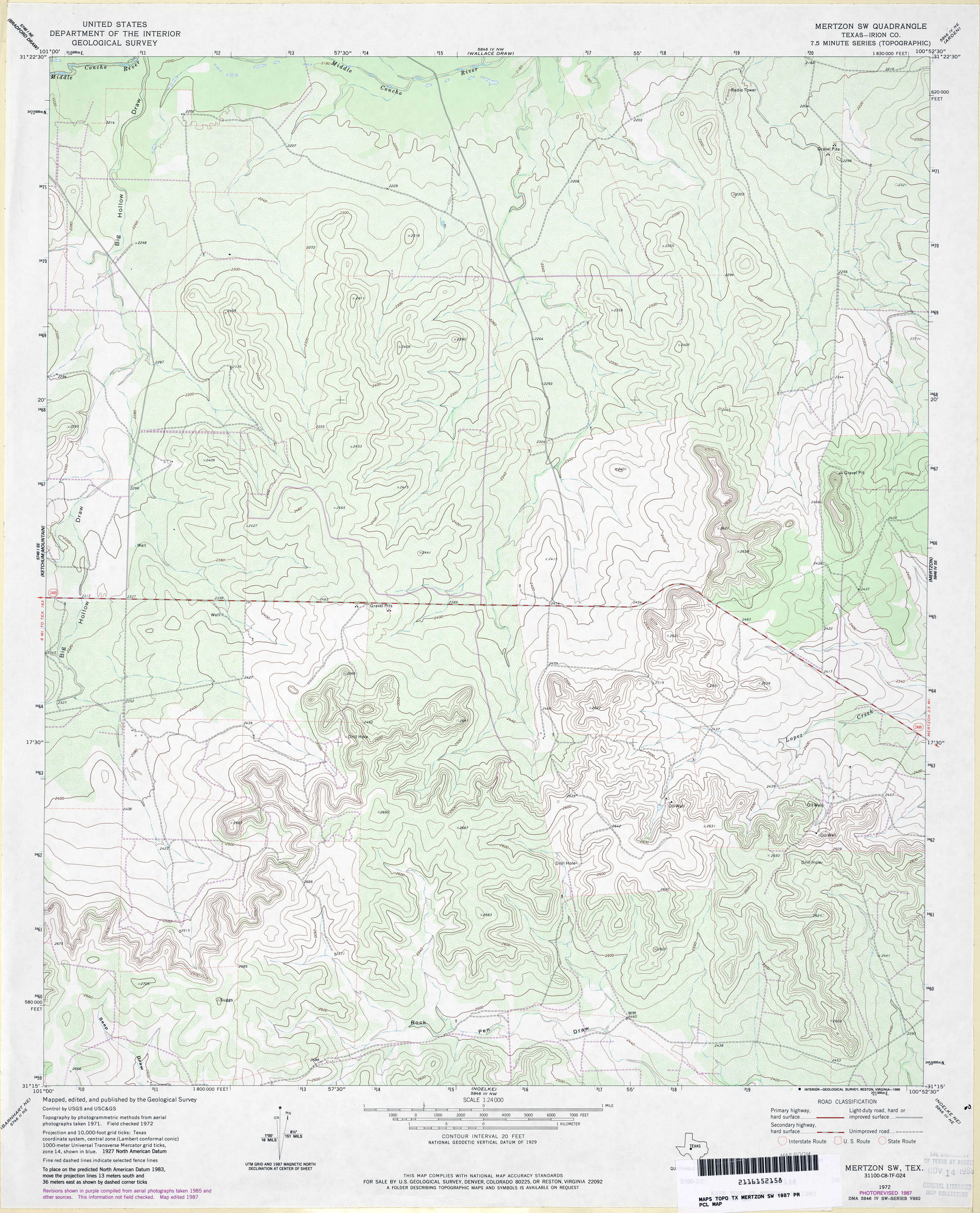
- Mertzon (Irion County) 1:24,000 1972 (4.8MB)
- Mertzon (Irion County) 1:24,000 1987 (4.6MB)
- Mertzon 1:24,000 2008 (24.3MB) [GeoPDF]
- Mertzon 1:24,000 2013 (28.7MB) [GeoPDF]
- Mertzon SW (Irion County) 1:24,000 1972 (5MB)
- Mertzon SW (Irion County) 1:24,000 1987 (4.1MB)
- Mertzon SW 1:24,000 2008 (25.4MB) [GeoPDF]
- Mertzon SW 1:24,000 2012 (28.7MB) [GeoPDF]
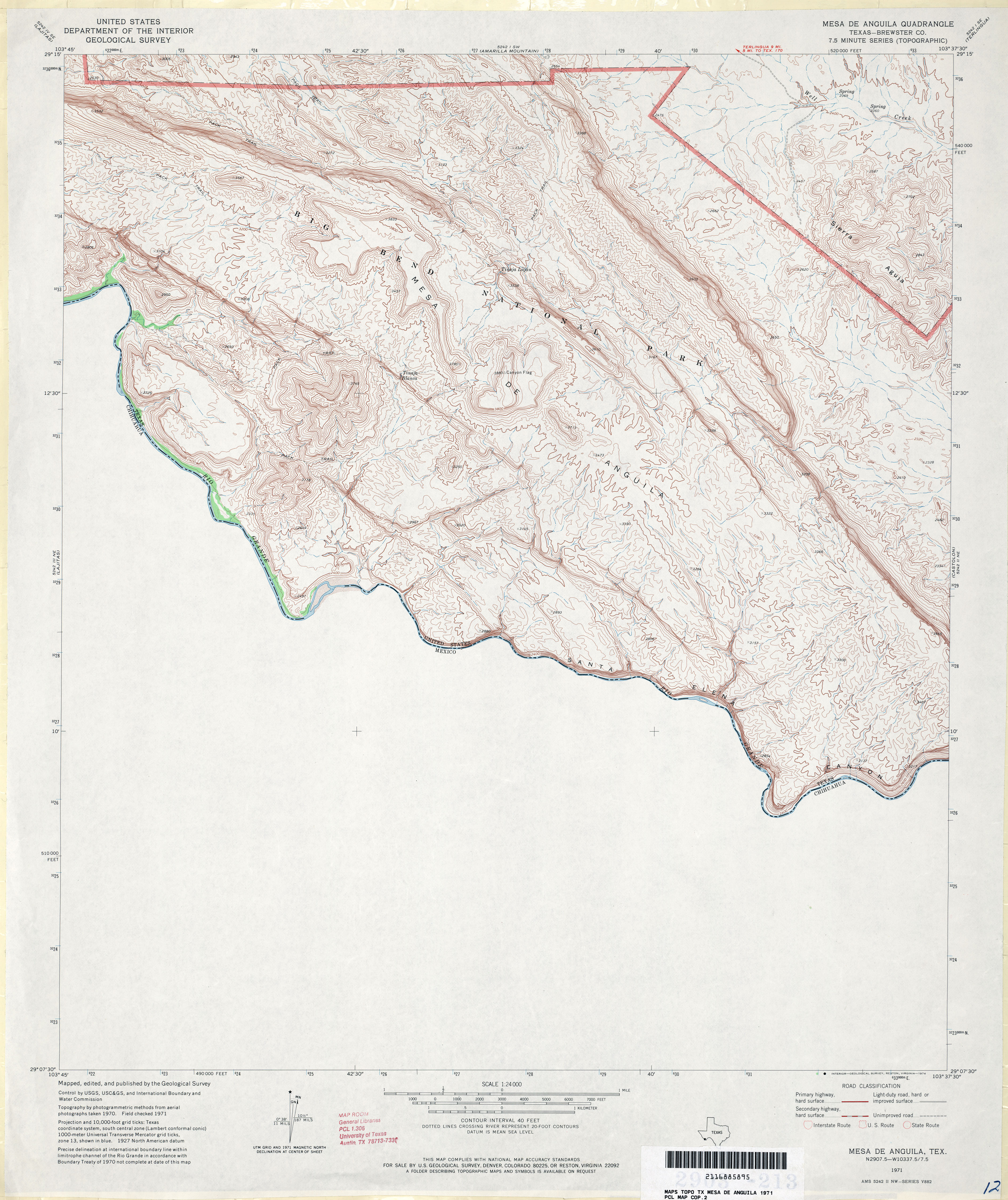
- Mesa de Anguila (Brewster County) 1:24,000 1971 (3.9MB)
- Mesa de Anguila 1:24,000 2008 (23.8MB) [GeoPDF]
- Mesa De anguila 1:24,000 2012 (25.1MB) [GeoPDF]
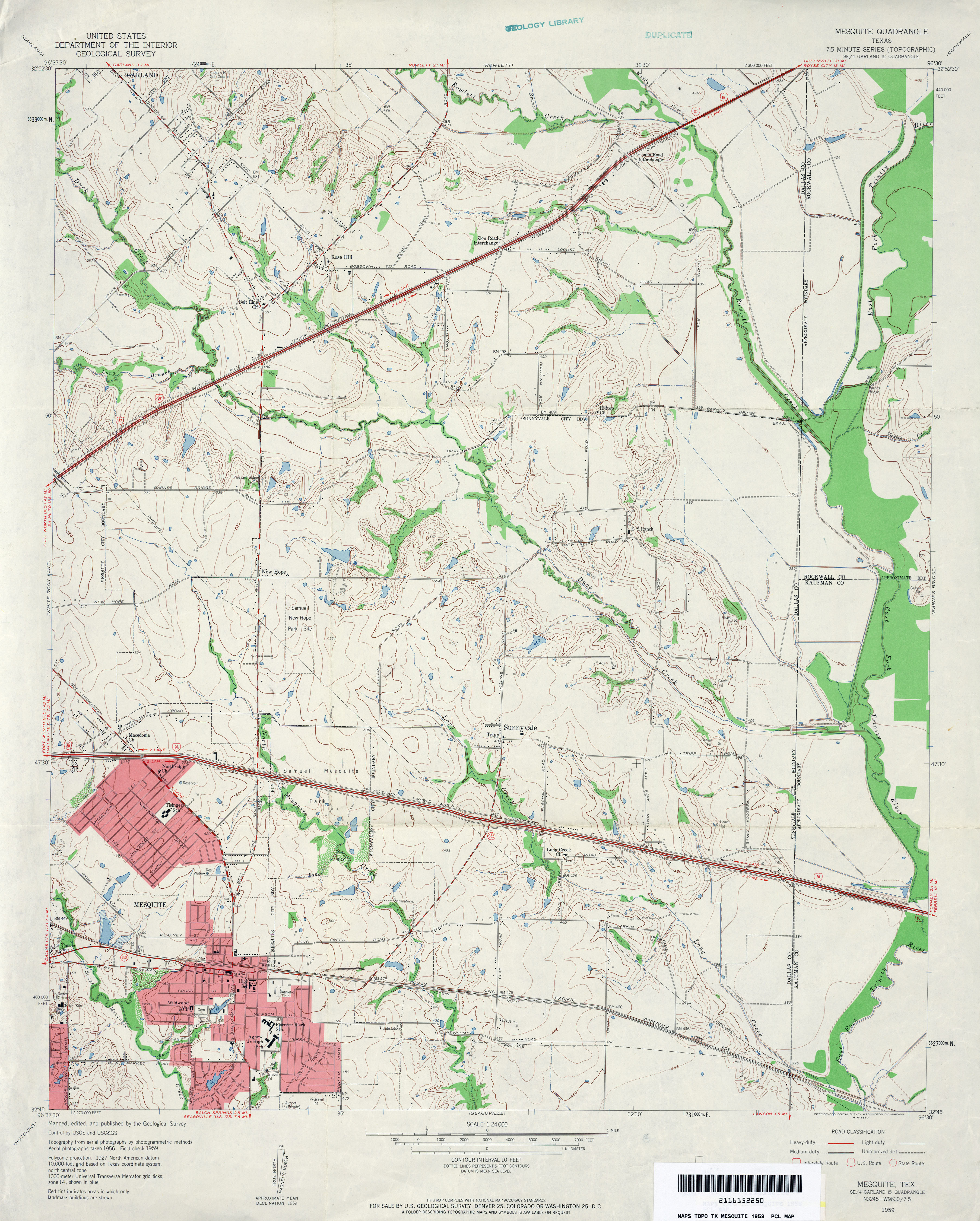
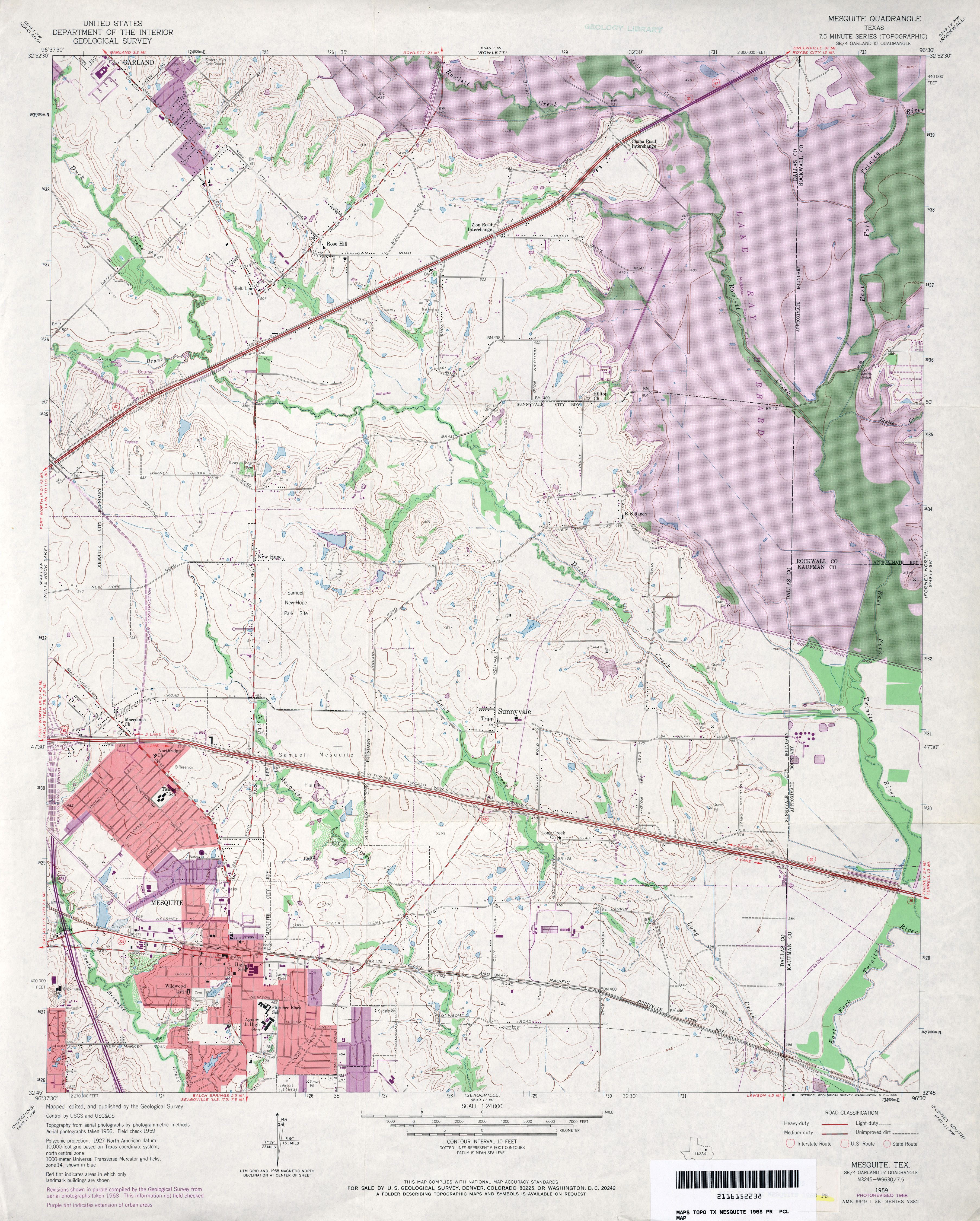
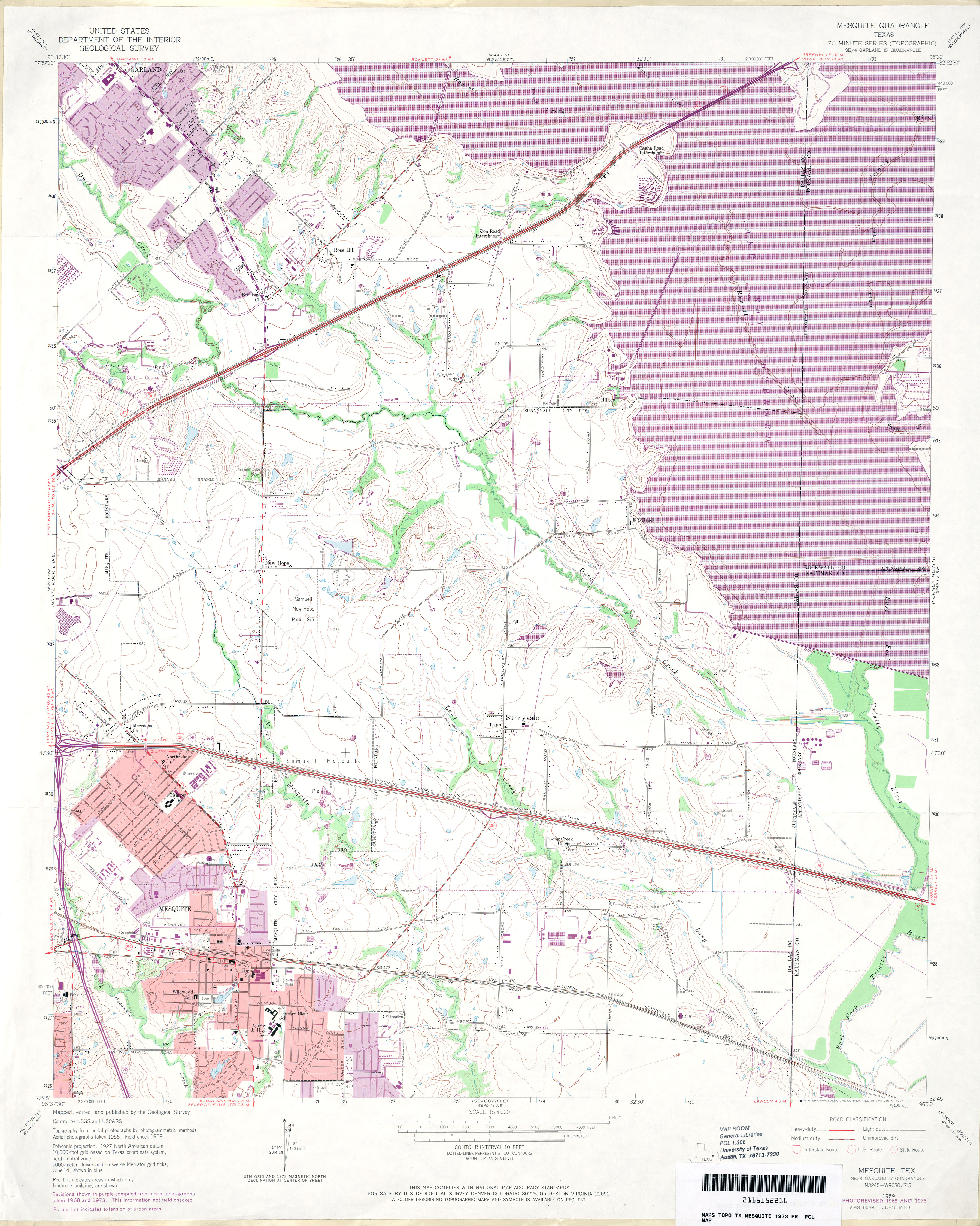
- Mesquite 1:24,000 1959 (3.8MB)
- Mesquite 1:24,000 1968 (4.7MB)
- Mesquite 1:24,000 1973 (4.5MB)
- Mesquite 1:24,000 1995 (4.3MB)
- Mesquite 1:24,000 2012 (23.2MB) [GeoPDF]
- Mesquite Bay 1:24,000 1952 (3.2MB)
- Mesquite Bay 1:24,000 1973 (3.2MB)
- Mesquite Bay 1:24,000 2008 (7.4MB) Texas Natural Resources Information System (TNRIS). [pdf]
- Mesquite Bay 1:24,000 2008 (10.6MB) [GeoPDF]
- Mesquite Bay 1:24,000 2013 (18.5MB) [GeoPDF]
- Mesquite Spring 1:24,000 1972 (4.1MB)
- Mesquite Spring 1:24,000 2008 (25.1MB) [GeoPDF]
- Mesquite Spring 1:24,000 2012 (25.8MB) [GeoPDF]
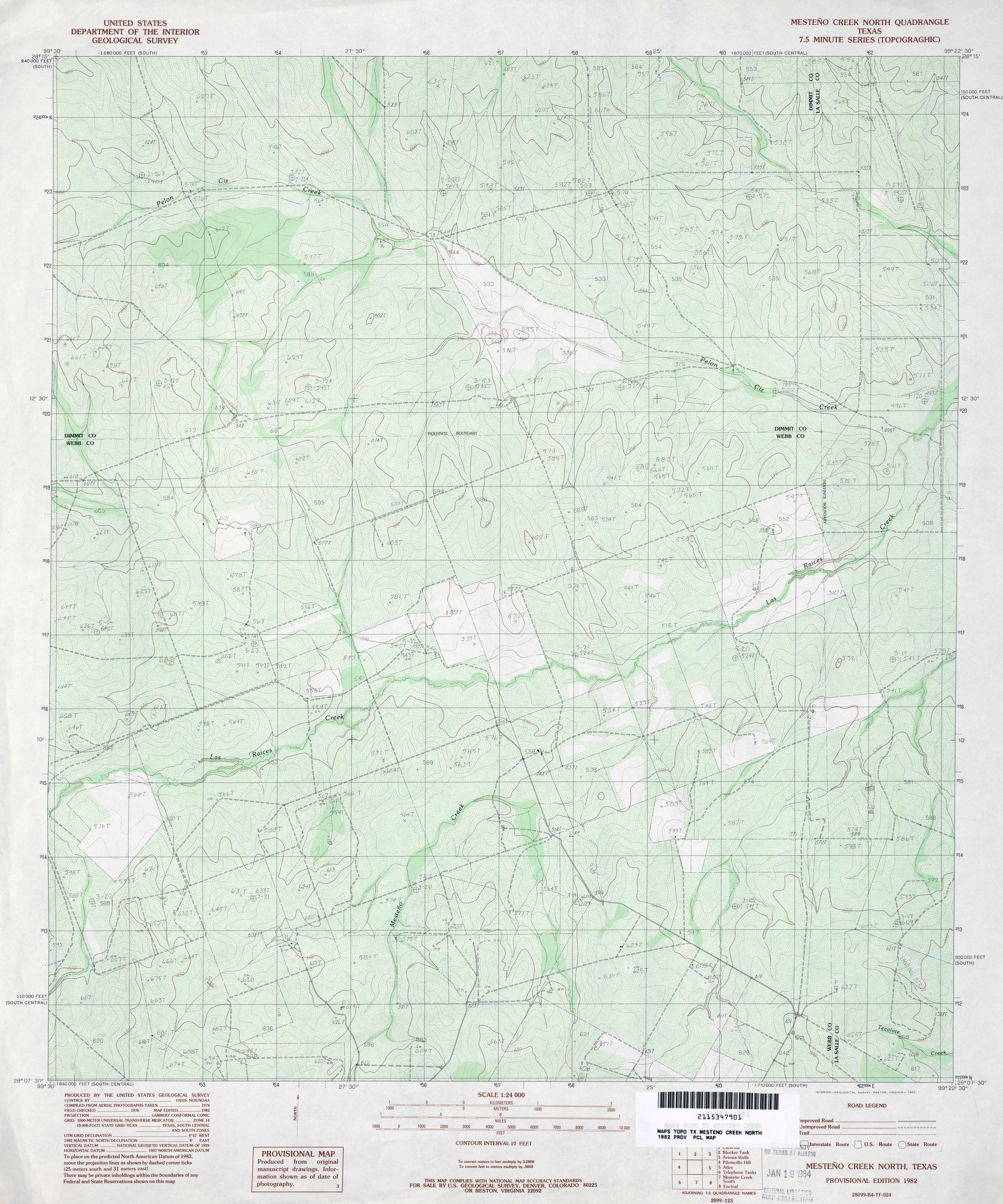
- Mesteno Creek North 1:24,000 1982 (4.6MB)
- Mesteno Creek North 1:24,000 2008 (18.1MB) [GeoPDF]
- Mesteno Creek North 1:24,000 2013 (24.6MB) [GeoPDF]
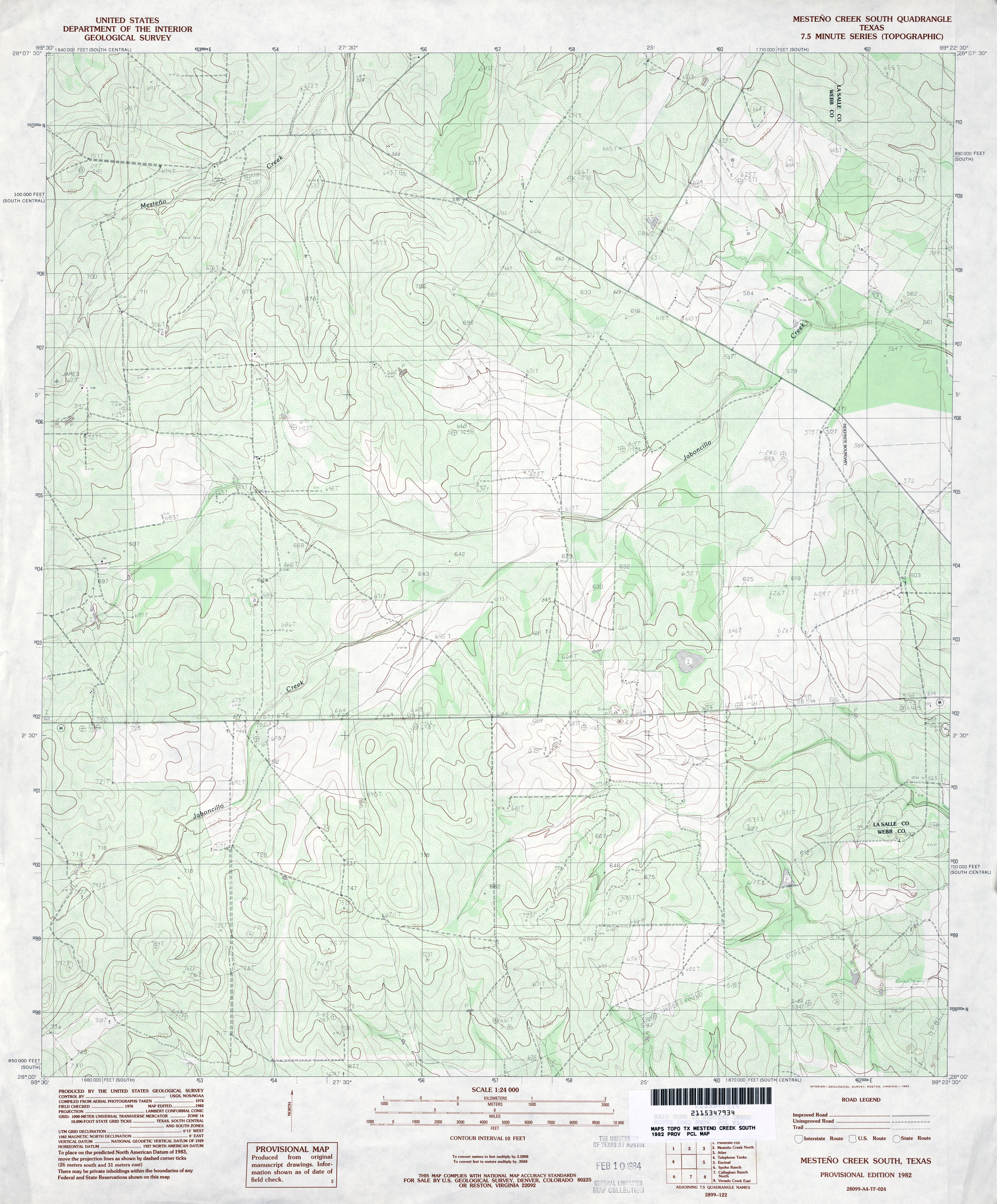
- Mesteno Creek South 1:24,000 1982 (4.3MB)
- Mesteno Creek South 1:24,000 2008 (17.7MB) [GeoPDF]
- Mesteno Creek South 1:24,000 2013 (25.2MB) [GeoPDF]
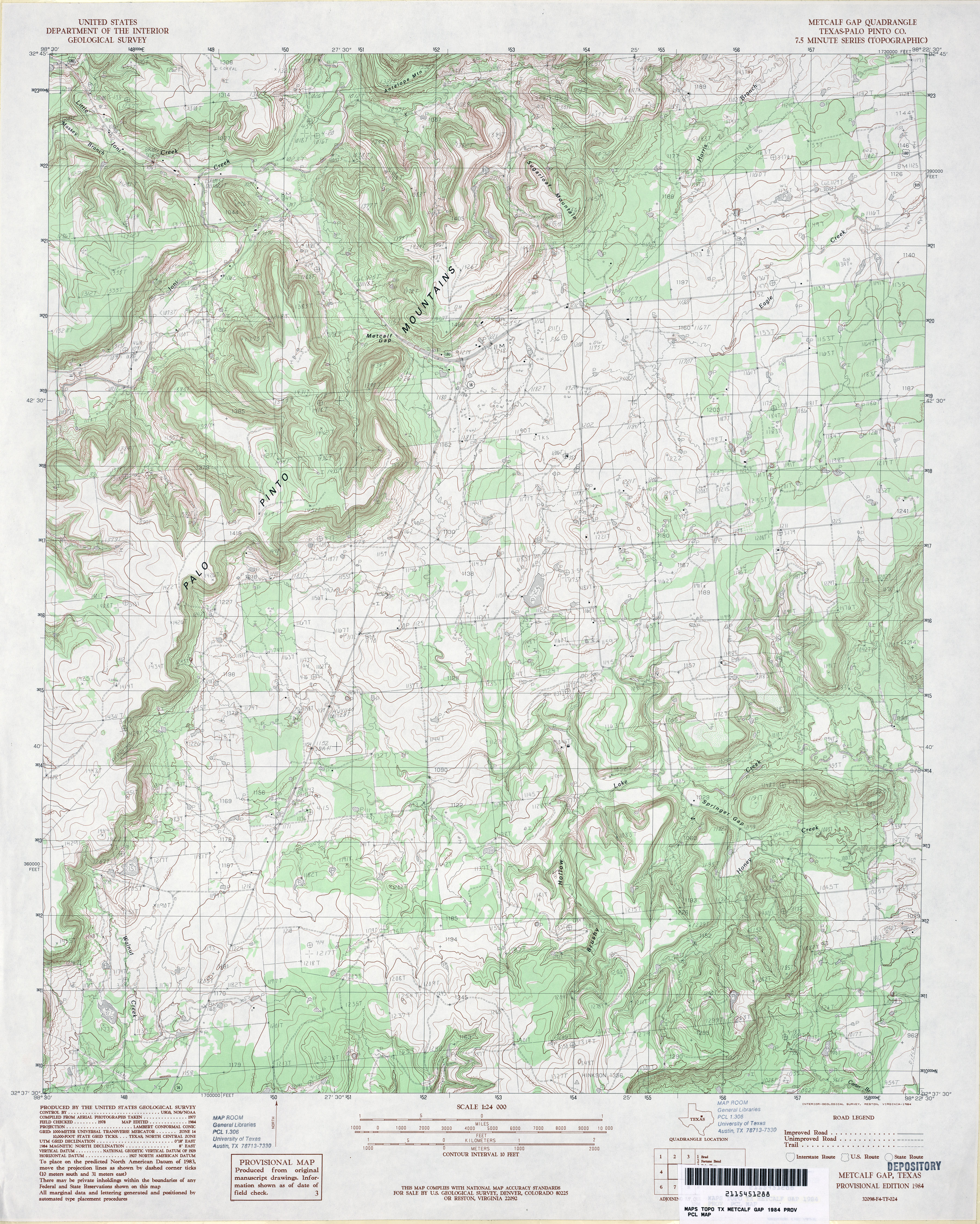
- Metcalf Gap (Palo Pinto County) 1:24,000 1984 (4.9MB)
- Metcalf Gap 1:24,000 2008 (18.8MB) [GeoPDF]
- Metcalf Gap 1:24,000 2012 (23.3MB) [GeoPDF]
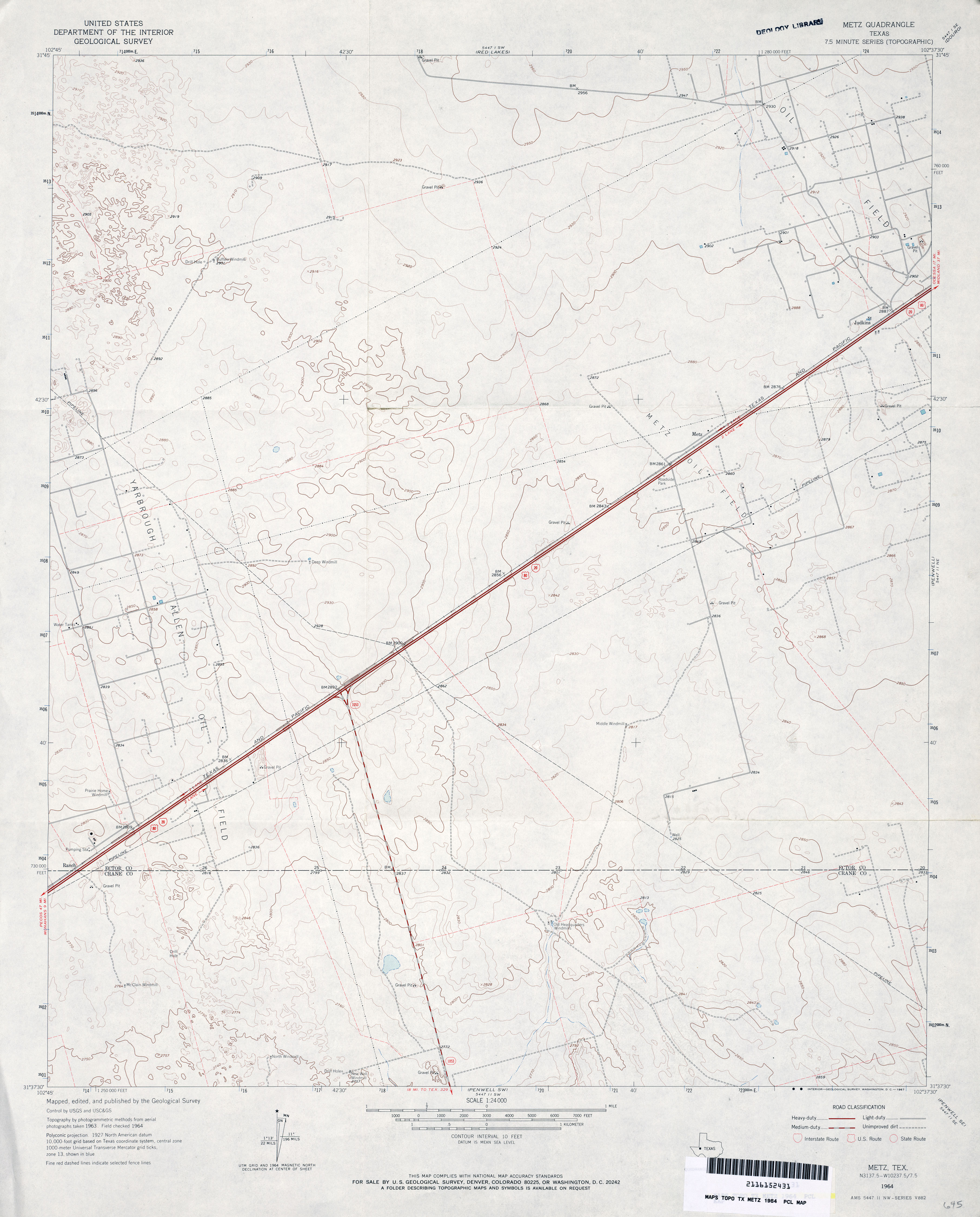
- Metz 1:24,000 1964 (2.7MB)
- Metz 1:24,000 1981 (2.8MB)
- Metz 1:24,000 2008 (21.5MB) [GeoPDF]
- Metz 1:24,000 2013 (23.8MB) [GeoPDF]
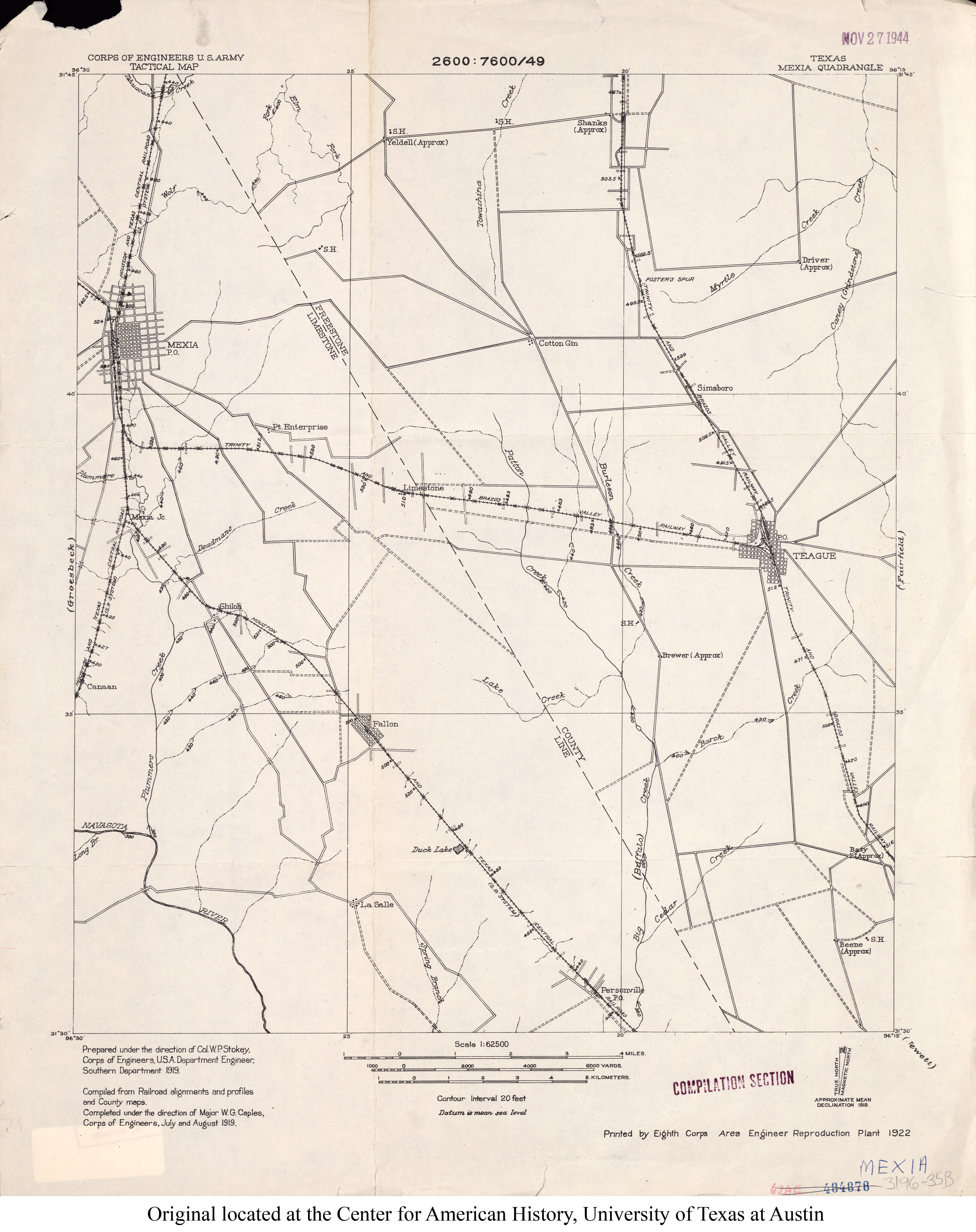
- Mexia 1:62,500 1919 (2.4MB)
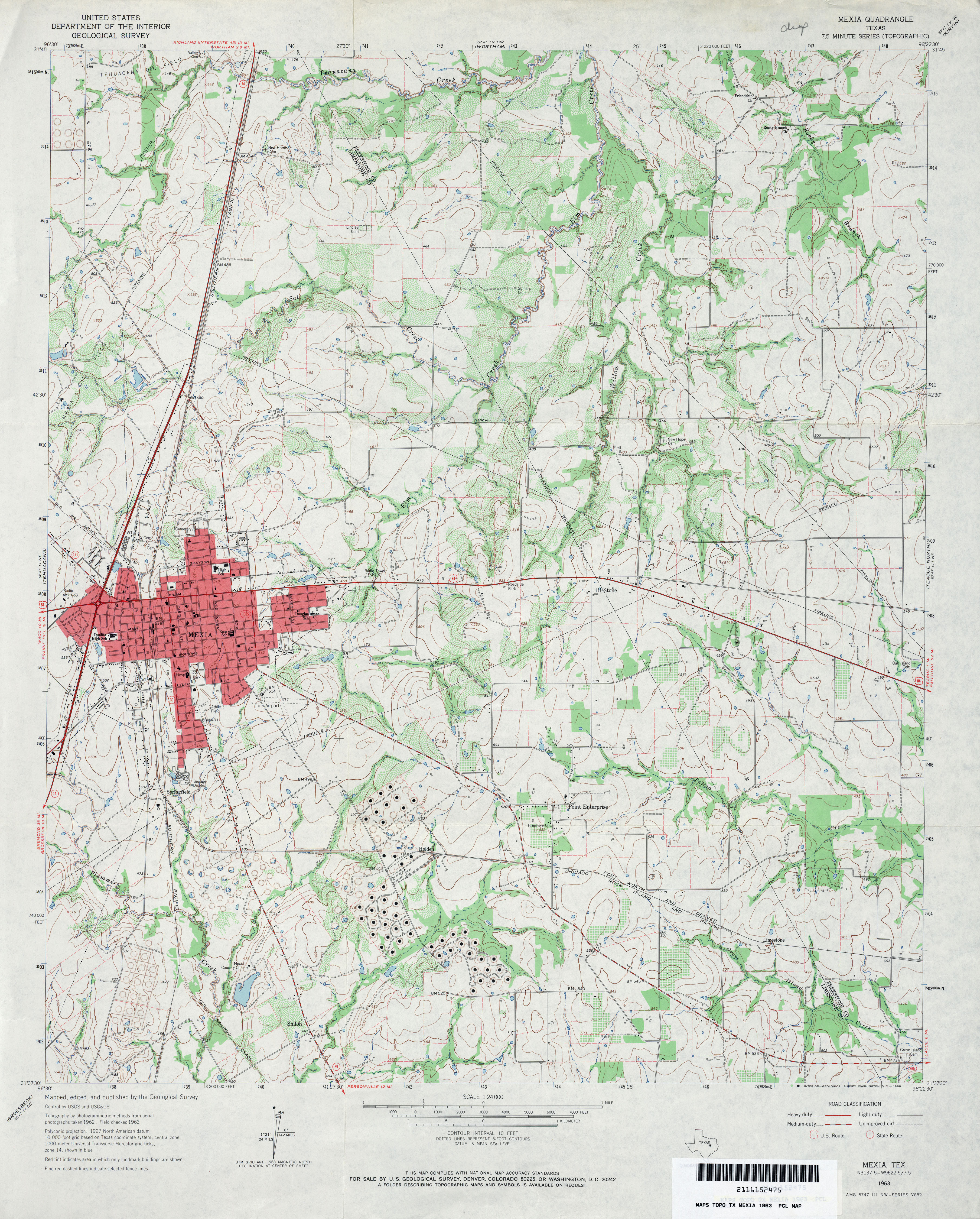
- Mexia 1:24,000 1963 (4.3MB)
- Mexia 1:24,000 1982 (4.2MB)
- Mexia 1:24,000 2008 (17.4MB) [GeoPDF]
- Mexia 1:24,000 2013 (23.6MB) [GeoPDF]
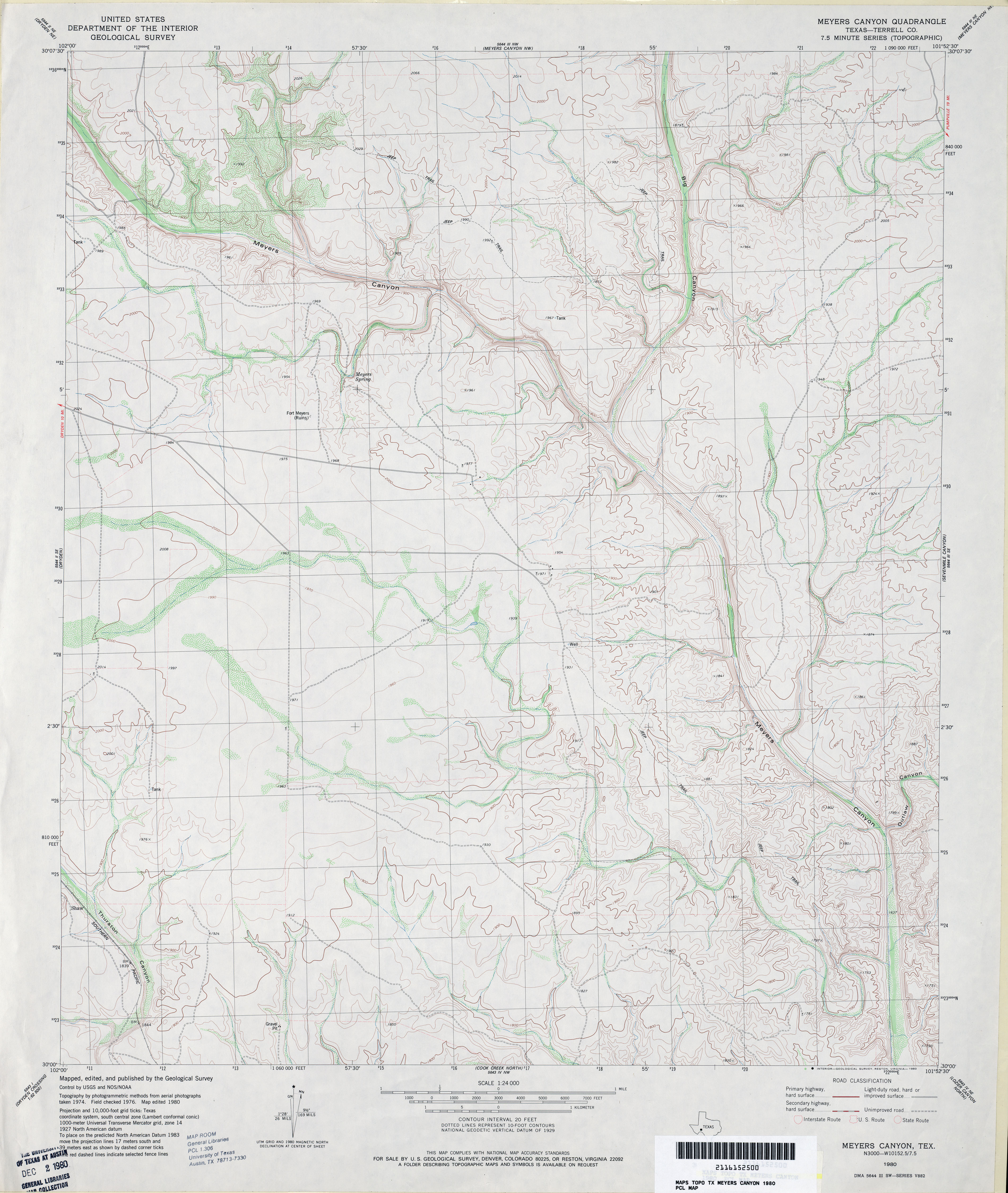
- Meyers Canyon (Terrell County) 1:24,000 1980 (3.6MB)
- Meyers Canyon 1:24,000 2008 (23.2MB) [GeoPDF]
- Meyers Canyon 1:24,000 2012 (28MB) [GeoPDF]
- Meyers Canyon NE 1:24,000 1980 (3.4MB)
- Meyers Canyon NE 1:24,000 2008 (22.1MB) [GeoPDF]
- Meyers Canyon NE 1:24,000 2012 (30.1MB) [GeoPDF]
- Meyers Canyon NW (Terrell County) 1:24,000 1980 (4MB)
- Meyers Canyon NW 1:24,000 2008 (24.5MB) [GeoPDF]
- Meyers Canyon NW 1:24,000 2012 (31.1MB) [GeoPDF]
- Meyersville 1:24,000 1963 (3.9MB)
- Meyersville 1:24,000 1987 (3.8MB)
- Meyersville 1:24,000 2009 (14.2MB) [GeoPDF]
- Meyersville 1:24,000 2013 (26.2MB) [GeoPDF]
- Miami (Roberts County) 1:24,000 1972 (4.5MB)
- Miami 1:24,000 2008 (13.8MB) [GeoPDF]
- Miami 1:24,000 2012 (18.4MB) [GeoPDF]
- Mickey Draw East (Hudspeth County) 1:24,000 1984 (3.6MB)
- Mickey Draw East 1:24,000 2008 (18.7MB) [GeoPDF]
- Mickey Draw East 1:24,000 2012 (21.7MB) [GeoPDF]
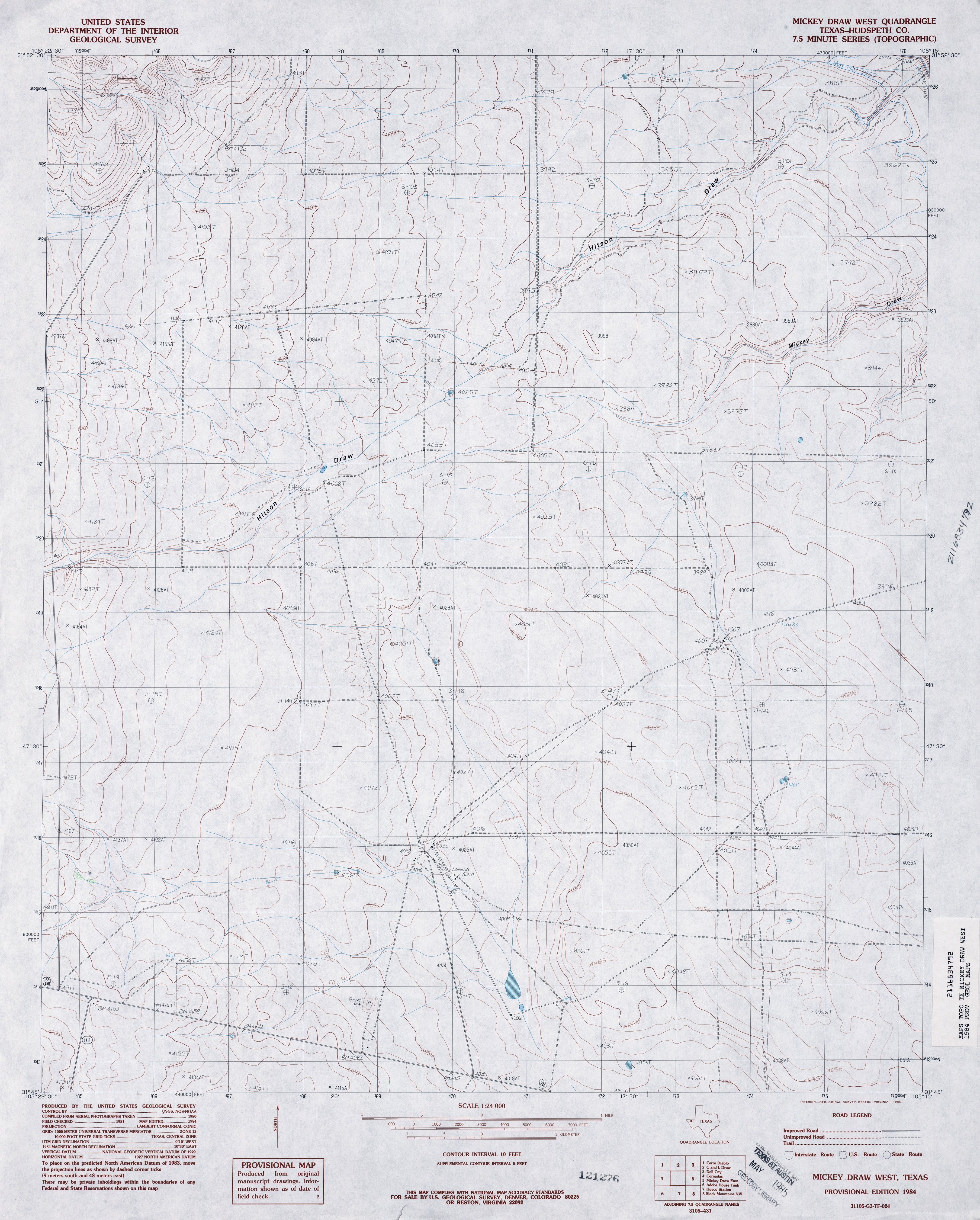
- Mickey Draw West (Hudspeth County) 1:24,000 1984 (3.5MB)
- Mickey Draw West 1:24,000 2008 (17.6MB) [GeoPDF]
- Mickey Draw West 1:24,000 2013 (22.4MB) [GeoPDF]
- Middle Creek (Garza County) 1:24,000 1969 (3.7MB)
- Middle Creek 1:24,000 2008 (17.4MB) [GeoPDF]
- Middle Creek 1:24,000 2012 (24.4MB) [GeoPDF]
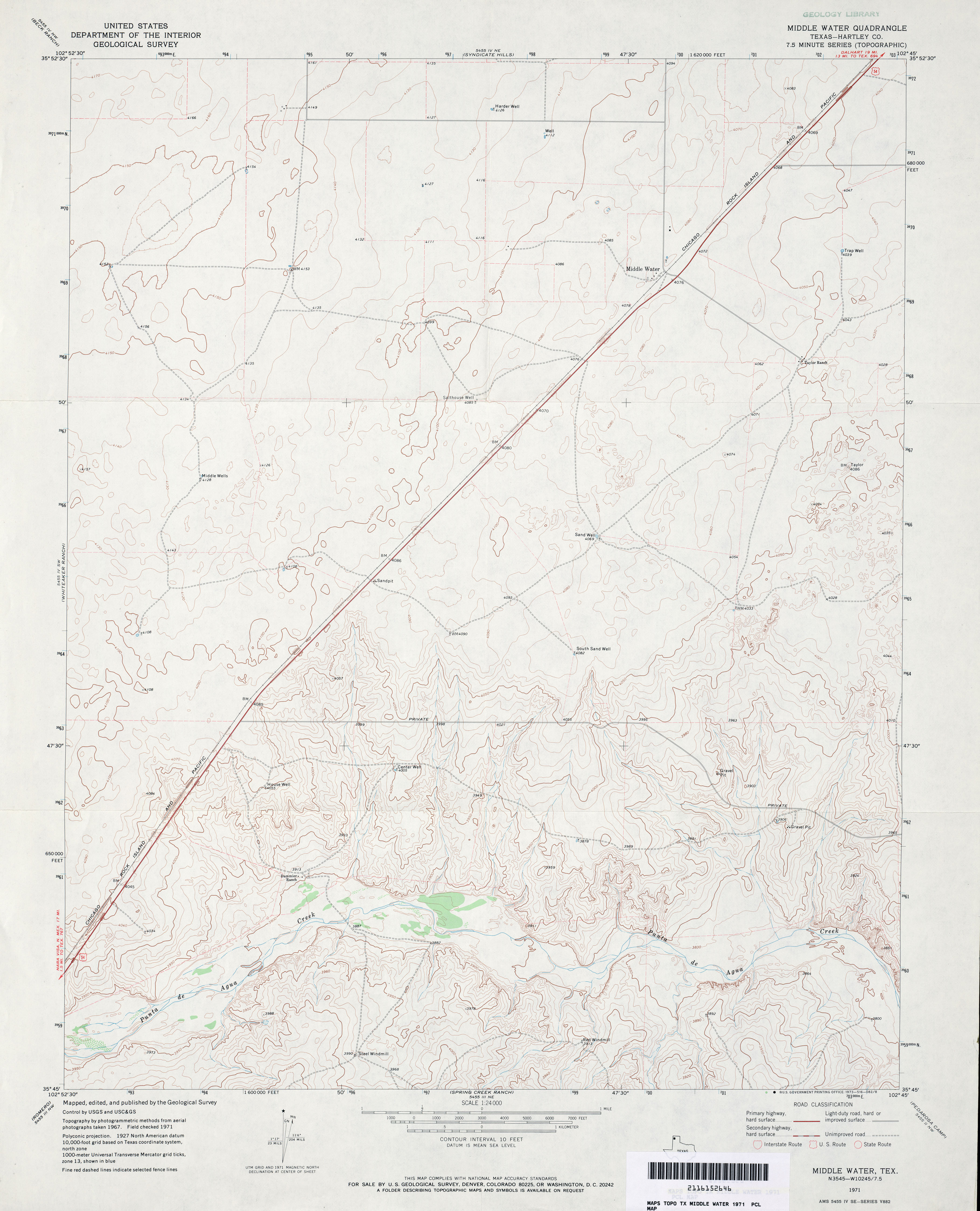
- Middle Water (Hartley County) 1:24,000 1971 (3MB)
- Middle Water 1:24,000 2008 (10.6MB) [GeoPDF]
- Middle Water 1:24,000 2012 (16.8MB) [GeoPDF]
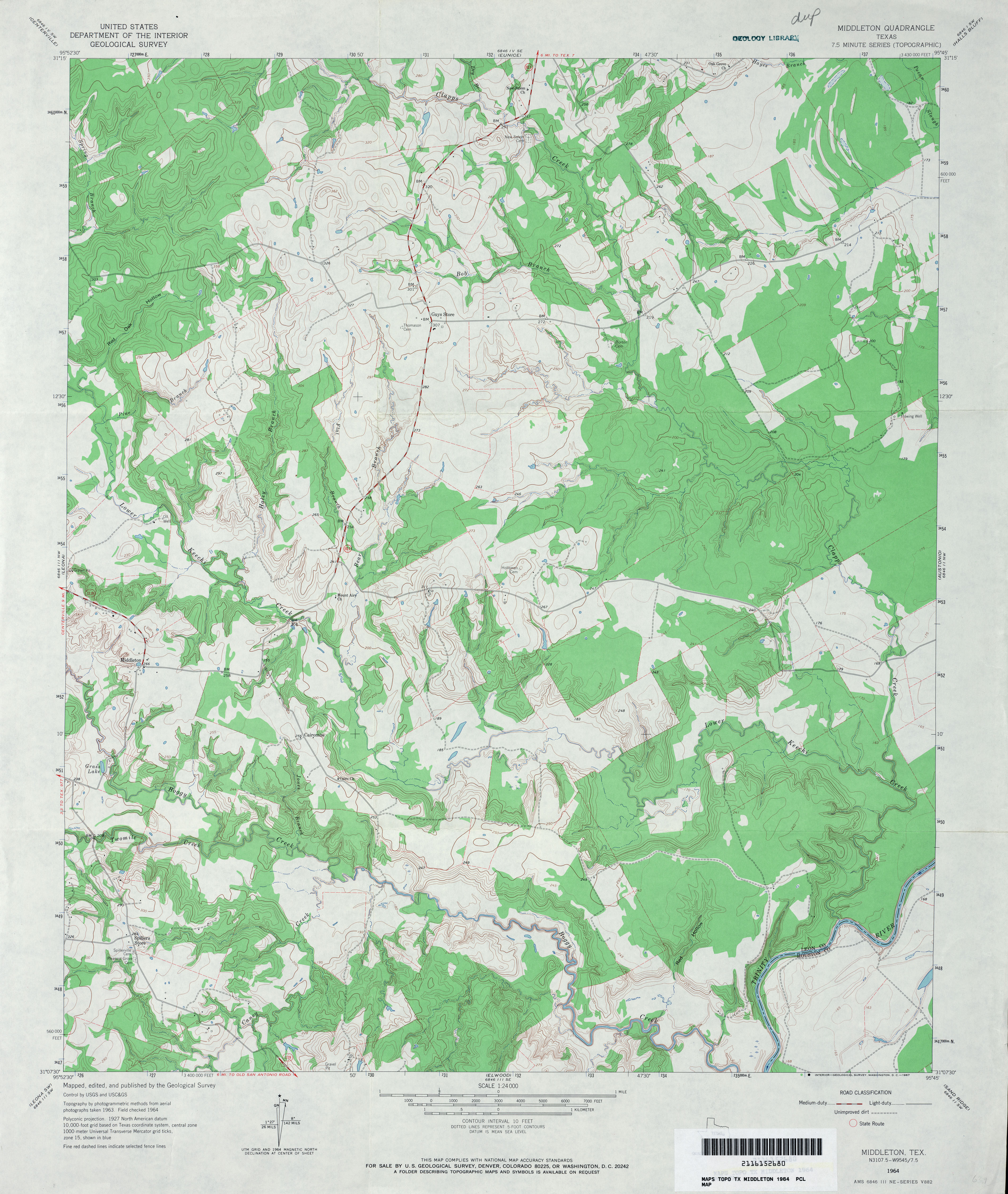
- Middleton 1:24,000 1964 (4MB)
- Middleton 1:24,000 1972 (3.5MB)
- Middleton 1:24,000 2009 (20.3MB) [GeoPDF]
- Middleton 1:24,000 2013 (22.5MB) [GeoPDF]
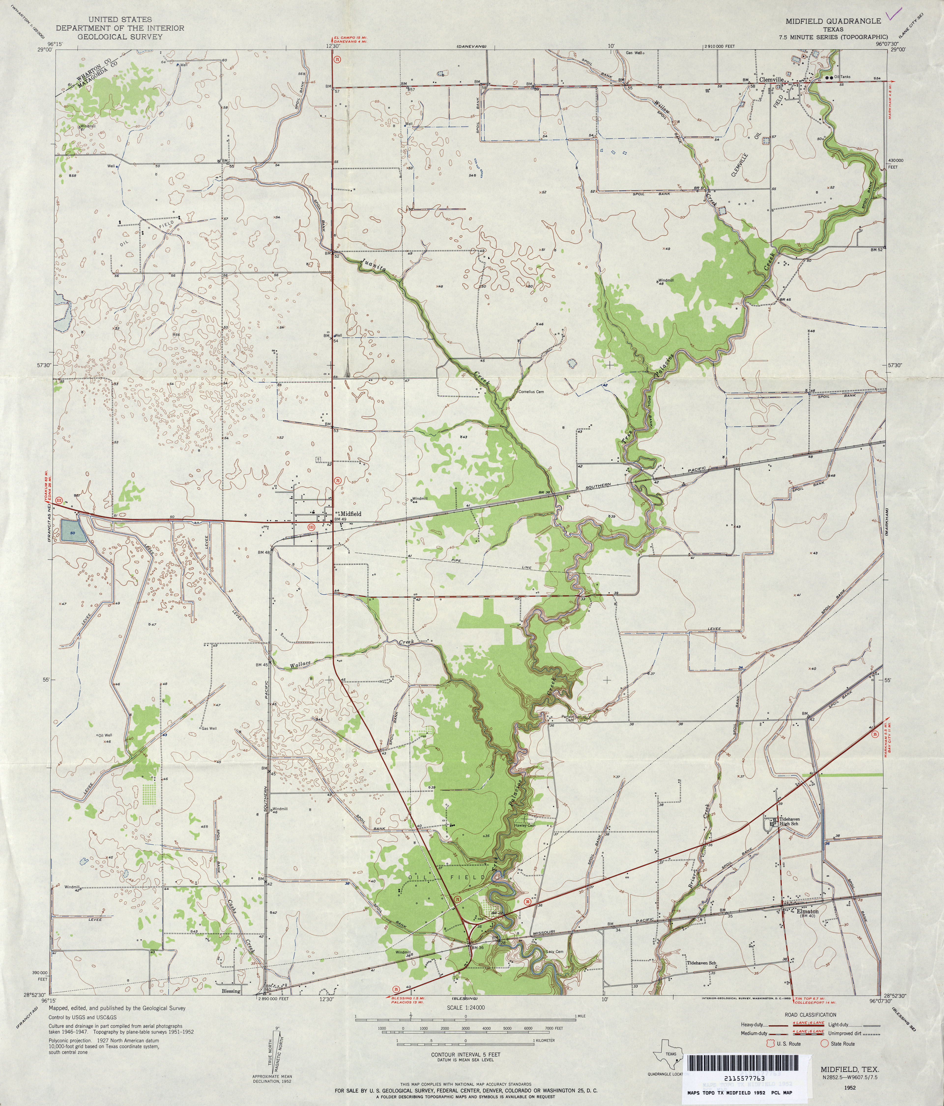
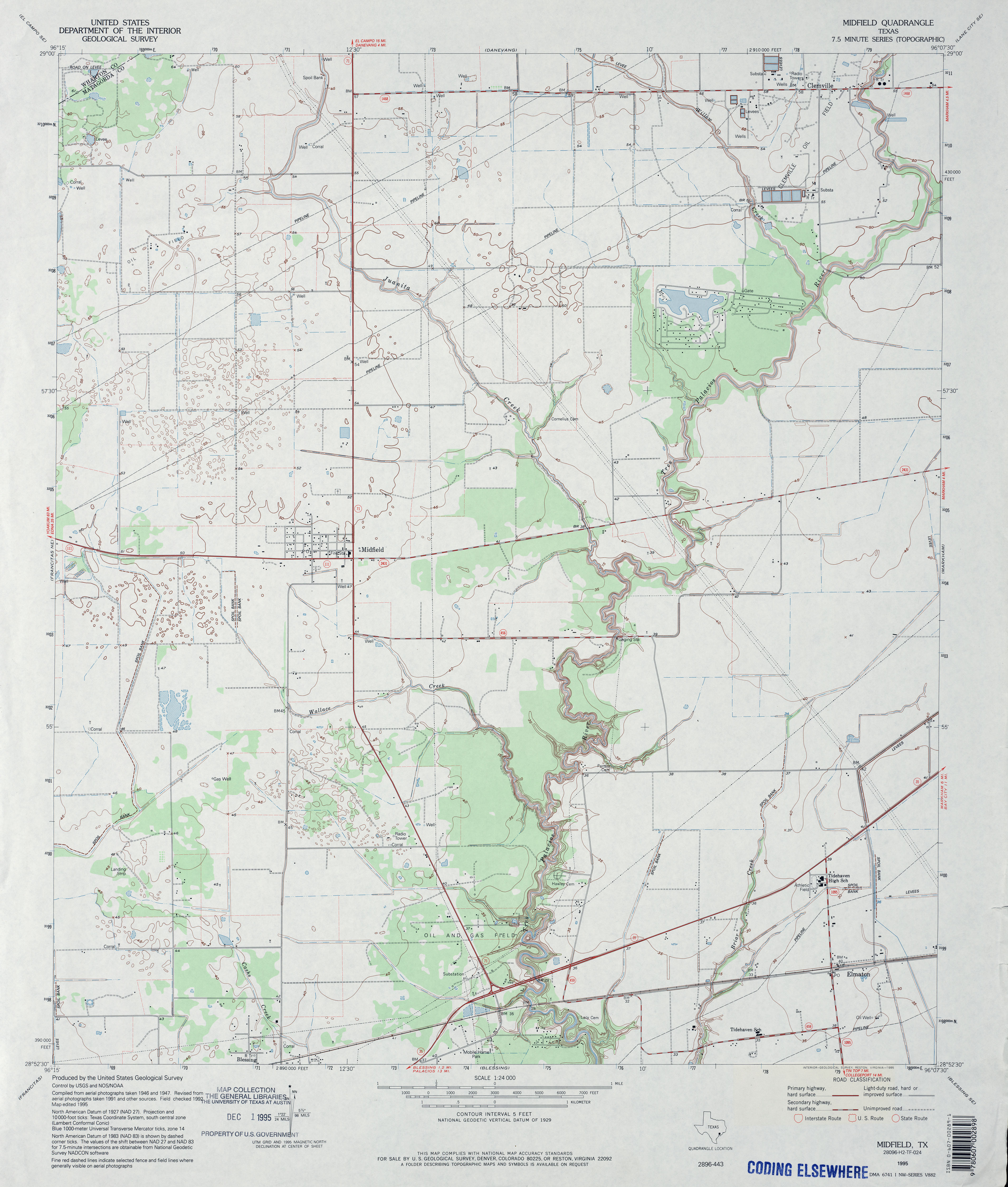
- Midfield 1:24,000 1952 (3.2MB)
- Midfield 1:24,000 1973 (2.8MB)
- Midfield 1:24,000 1995 (3.2MB)
- Midfield 1:24,000 2008 (11.5MB) [GeoPDF]
- Midfield 1:24,000 2013 (19.2MB) [GeoPDF]
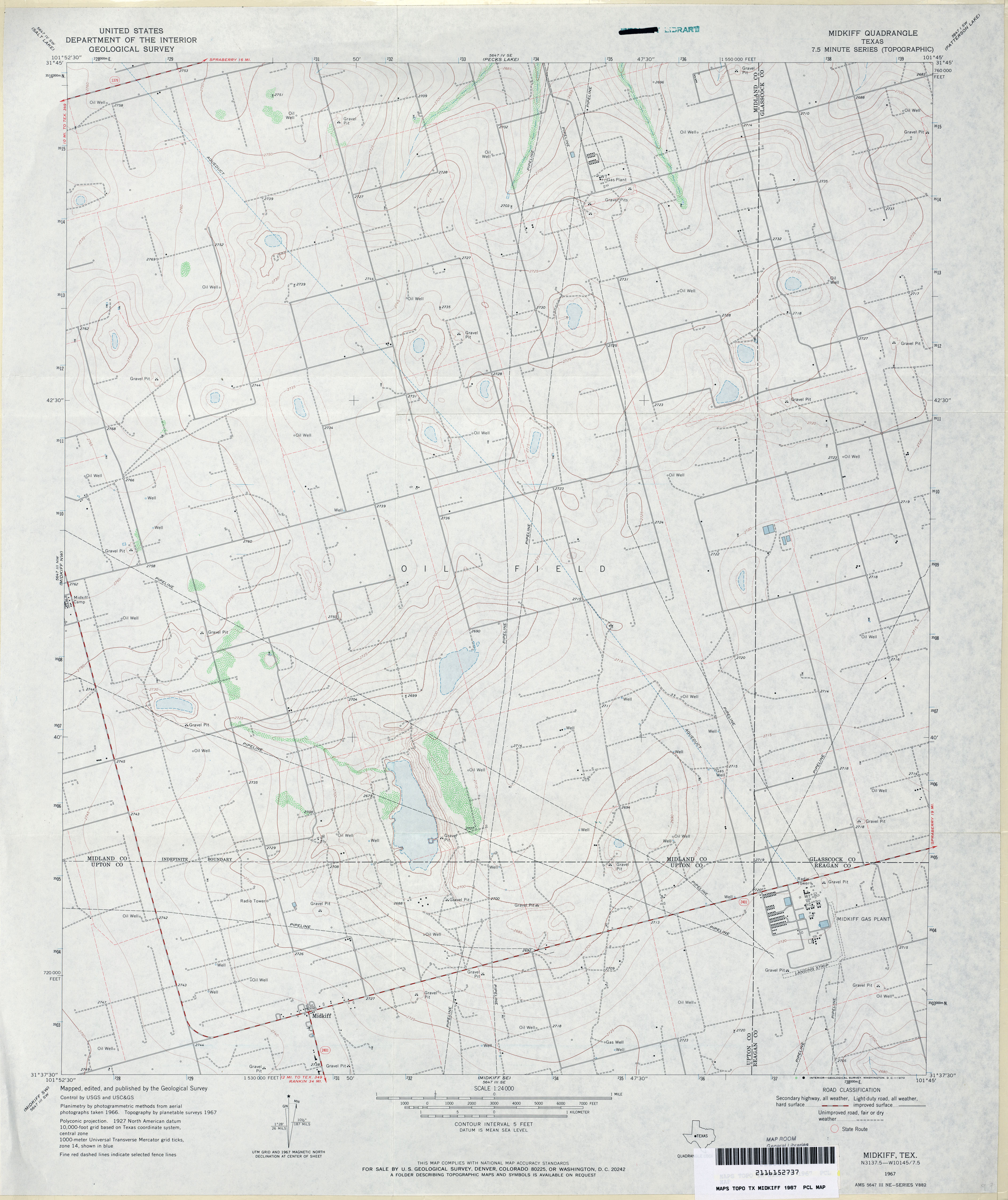
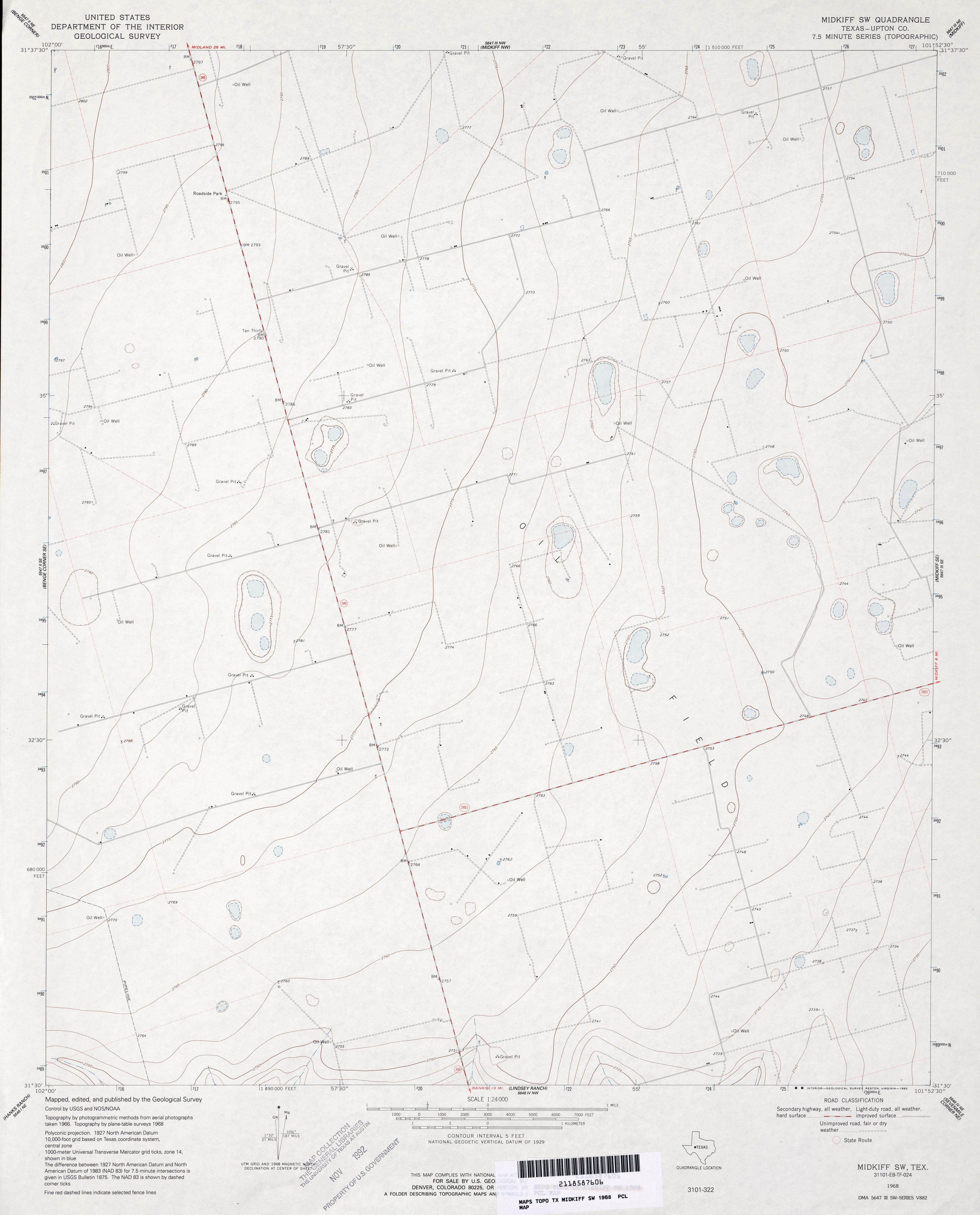
- Midkiff 1:24,000 1967 (3MB)
- Midkiff 1:24,000 2008 (19.7MB) [GeoPDF]
- Midkiff 1:24,000 2013 (24.6MB) [GeoPDF]
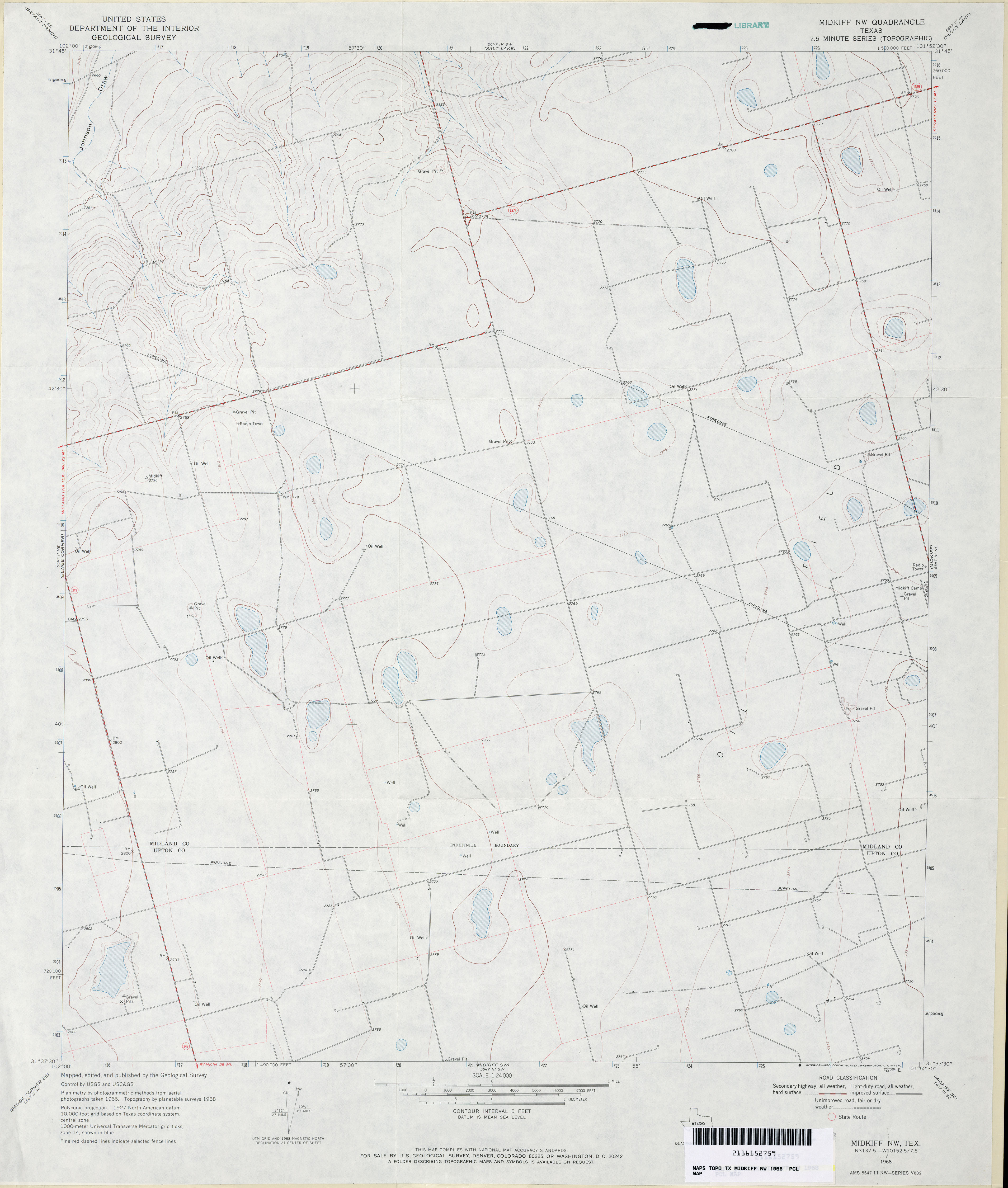
- Midkiff NW 1:24,000 1968 (2.5MB)
- Midkiff NW 1:24,000 2008 (19.5MB) [GeoPDF]
- Midkiff NW 1:24,000 2013 (24.7MB) [GeoPDF]
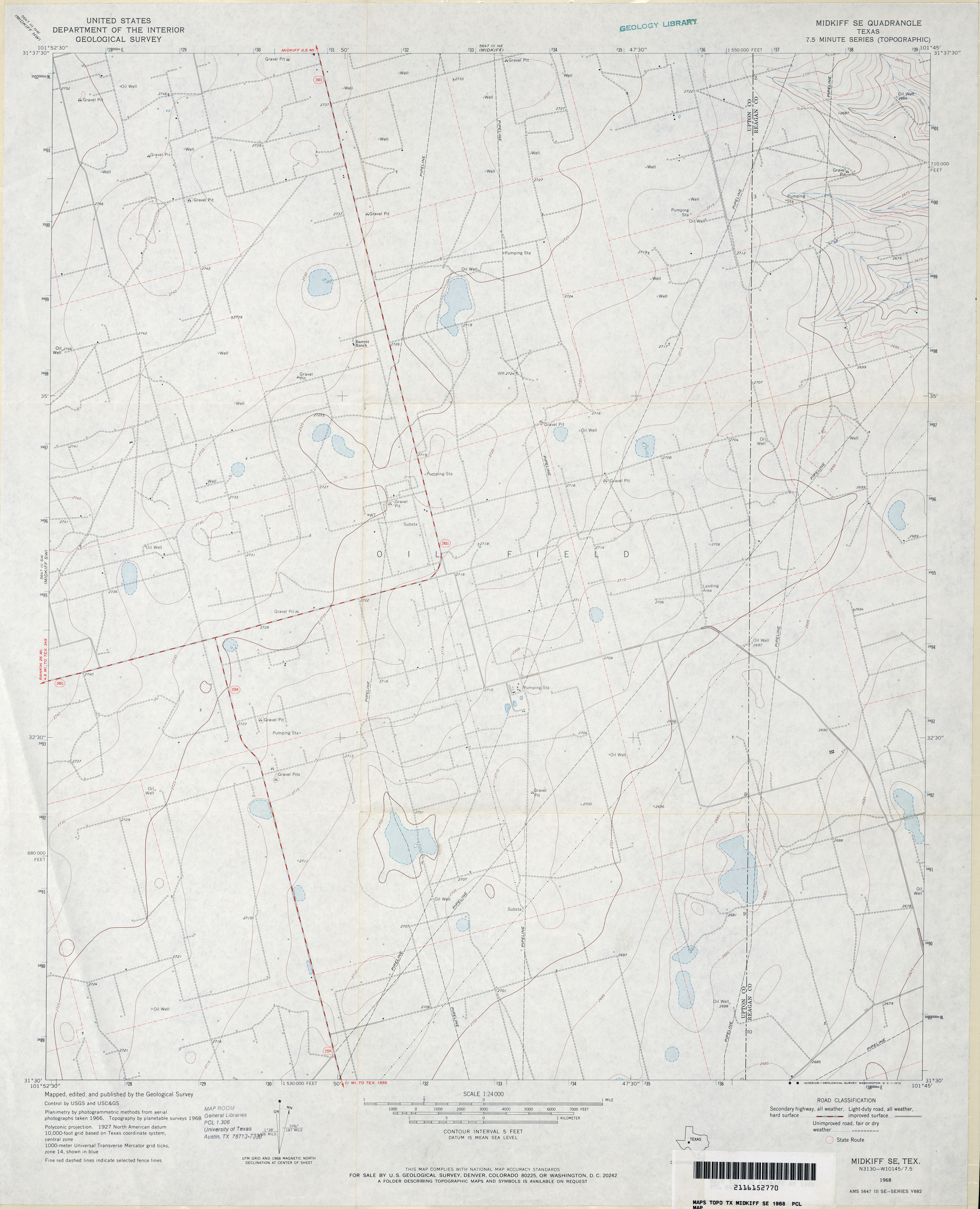
- Midkiff SE 1:24,000 1968 (2.6MB)
- Midkiff SE 1:24,000 2008 (19.3MB) [GeoPDF]
- Midkiff SE 1:24,000 2012 (24.2MB) [GeoPDF]
- Midkiff SW (Upton County) 1:24,000 1968 (2.2MB)
- Midkiff SW 1:24,000 2008 (19.7MB) [GeoPDF]
- Midkiff SW 1:24,000 2012 (25.5MB) [GeoPDF]
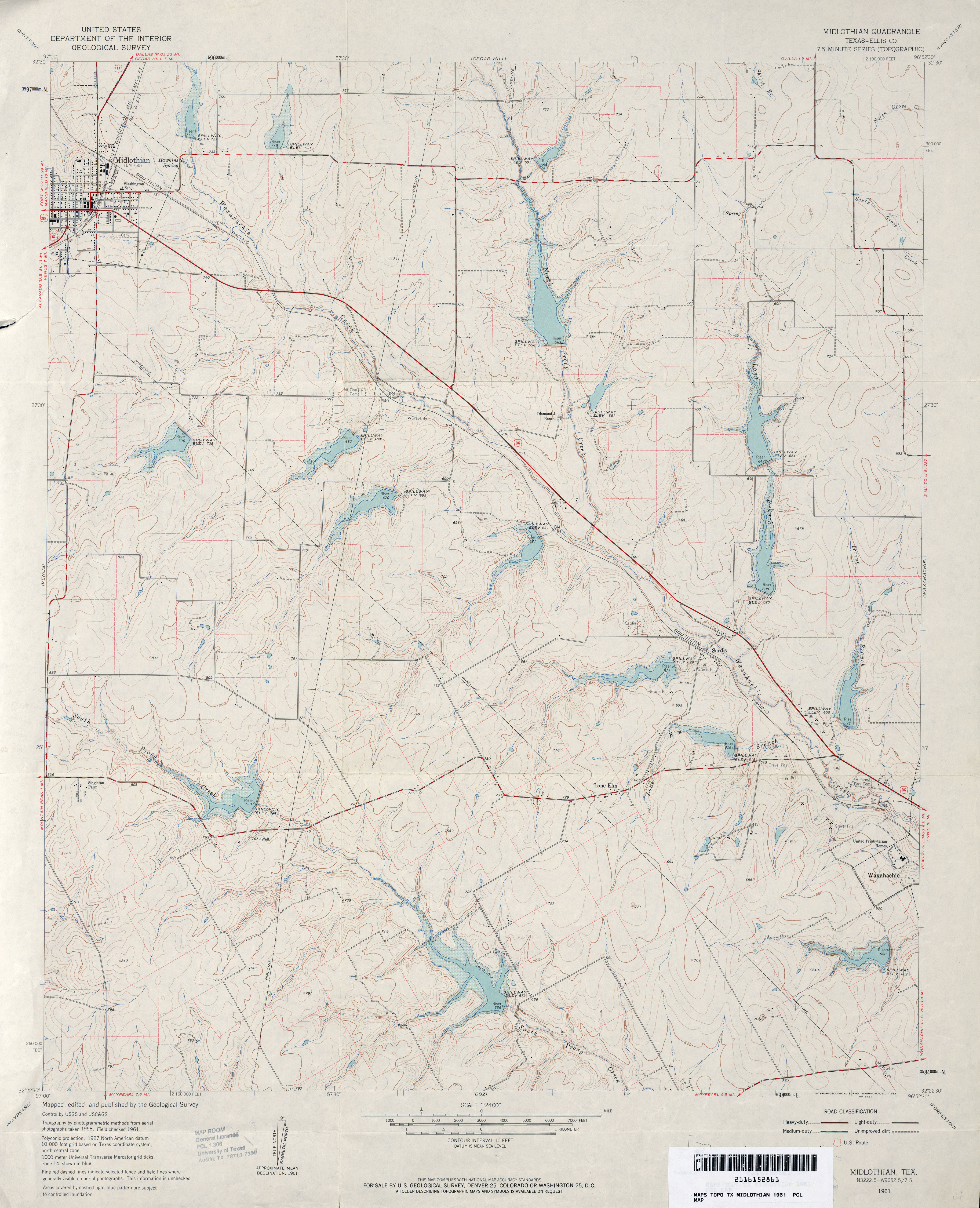
- Midlothian (Ellis County) 1:24,000 1961 (3.6MB)
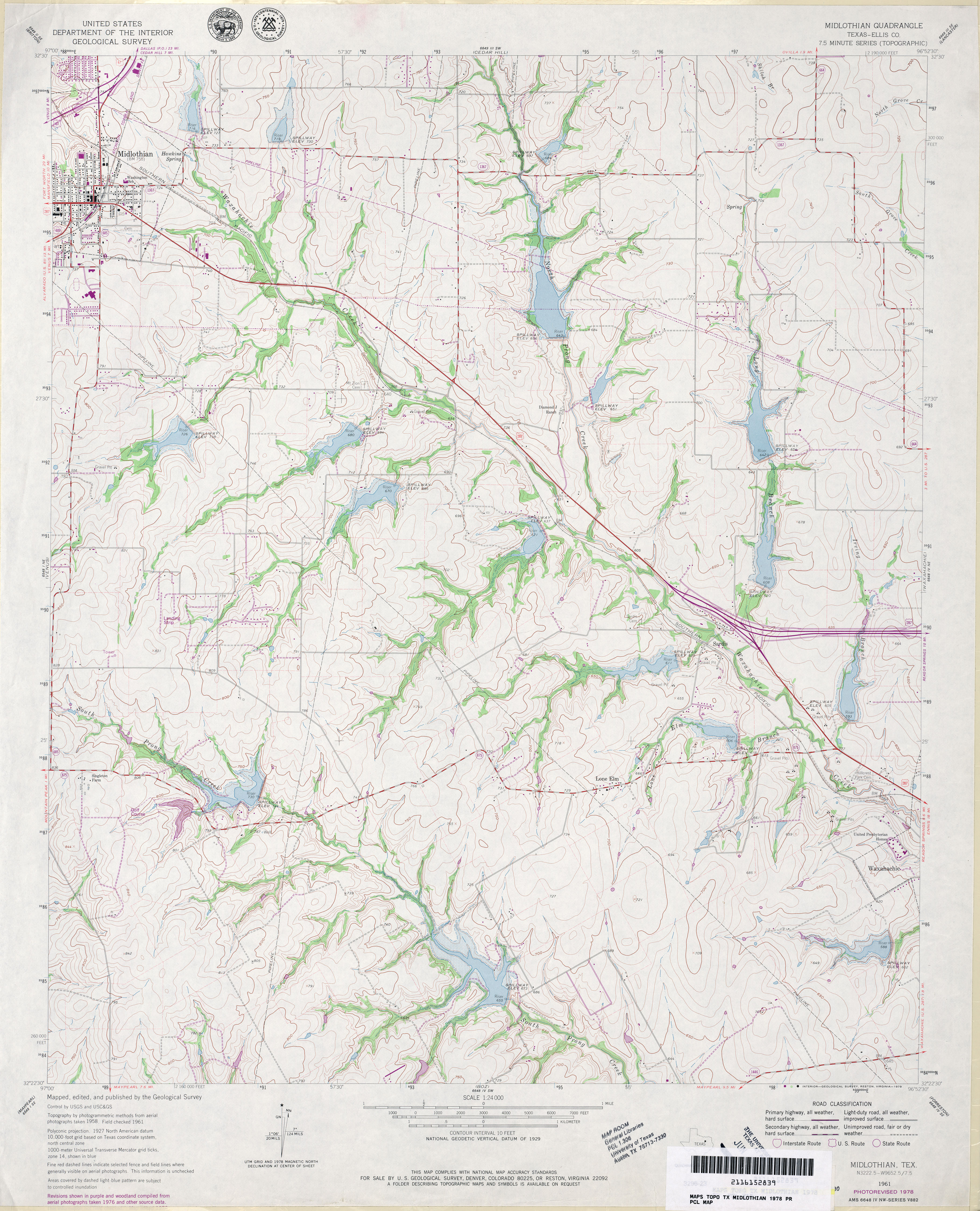
- Midlothian (Ellis County) 1:24,000 1978 (4.1MB)
- Midlothian 1:24,000 2008 (15.7MB) [GeoPDF]
- Midlothian 1:24,000 2012 (20MB) [GeoPDF]
- Midway 1:24,000 1963 (4.9MB)
- Midway 1:24,000 2009 (14.1MB) [GeoPDF]
- Midway 1:24,000 2013 (21.5MB) [GeoPDF]
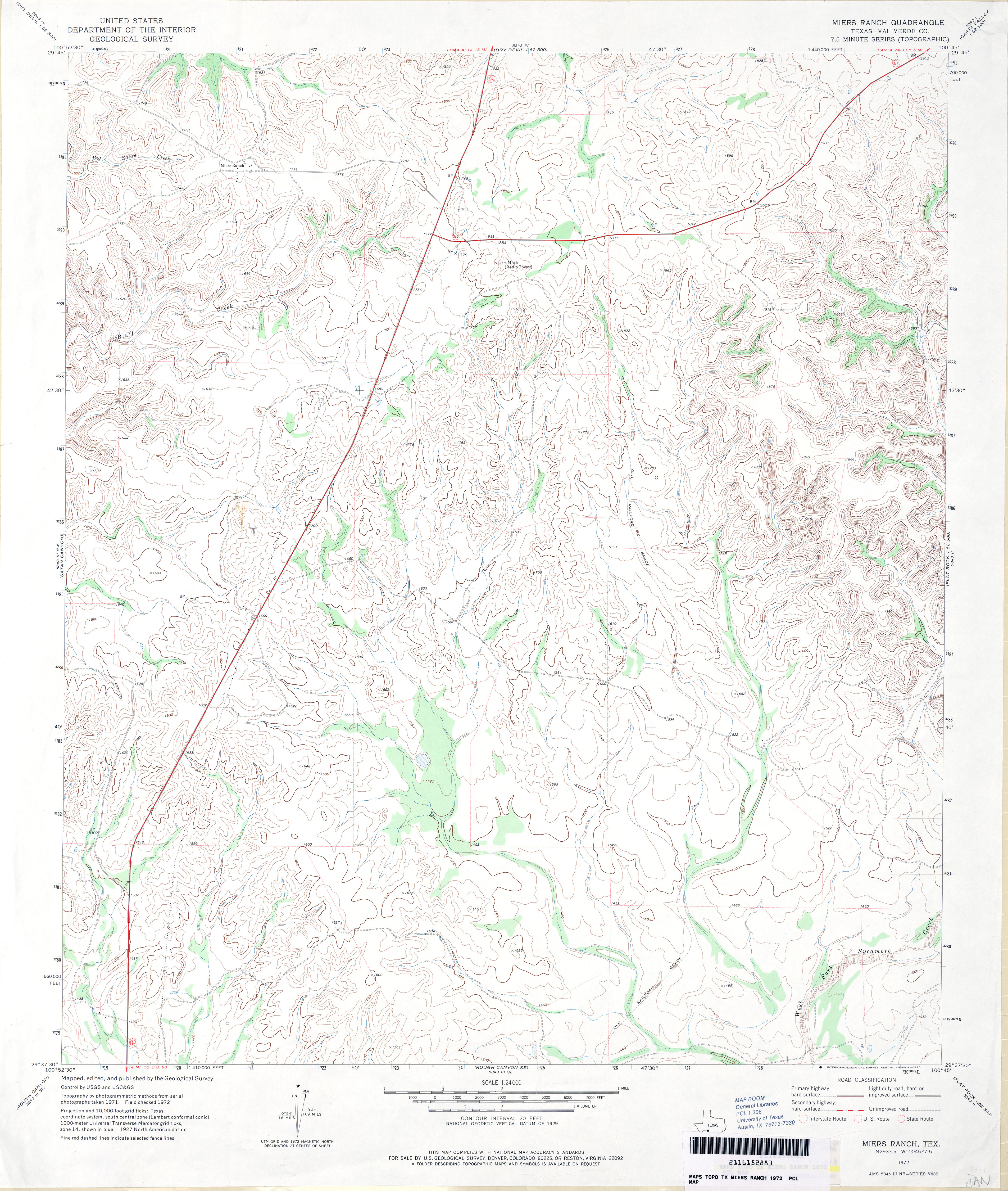
- Miers Ranch (Val Verde County) 1:24,000 1972 (4MB)
- Miers Ranch 1:24,000 2008 (23.6MB) [GeoPDF]
- Miers Ranch 1:24,000 2012 (32.6MB) [GeoPDF]
- Miguel 1:125,000 1918 (4.5MB) U.S. Army. Corps of Engineers. Tactical Map
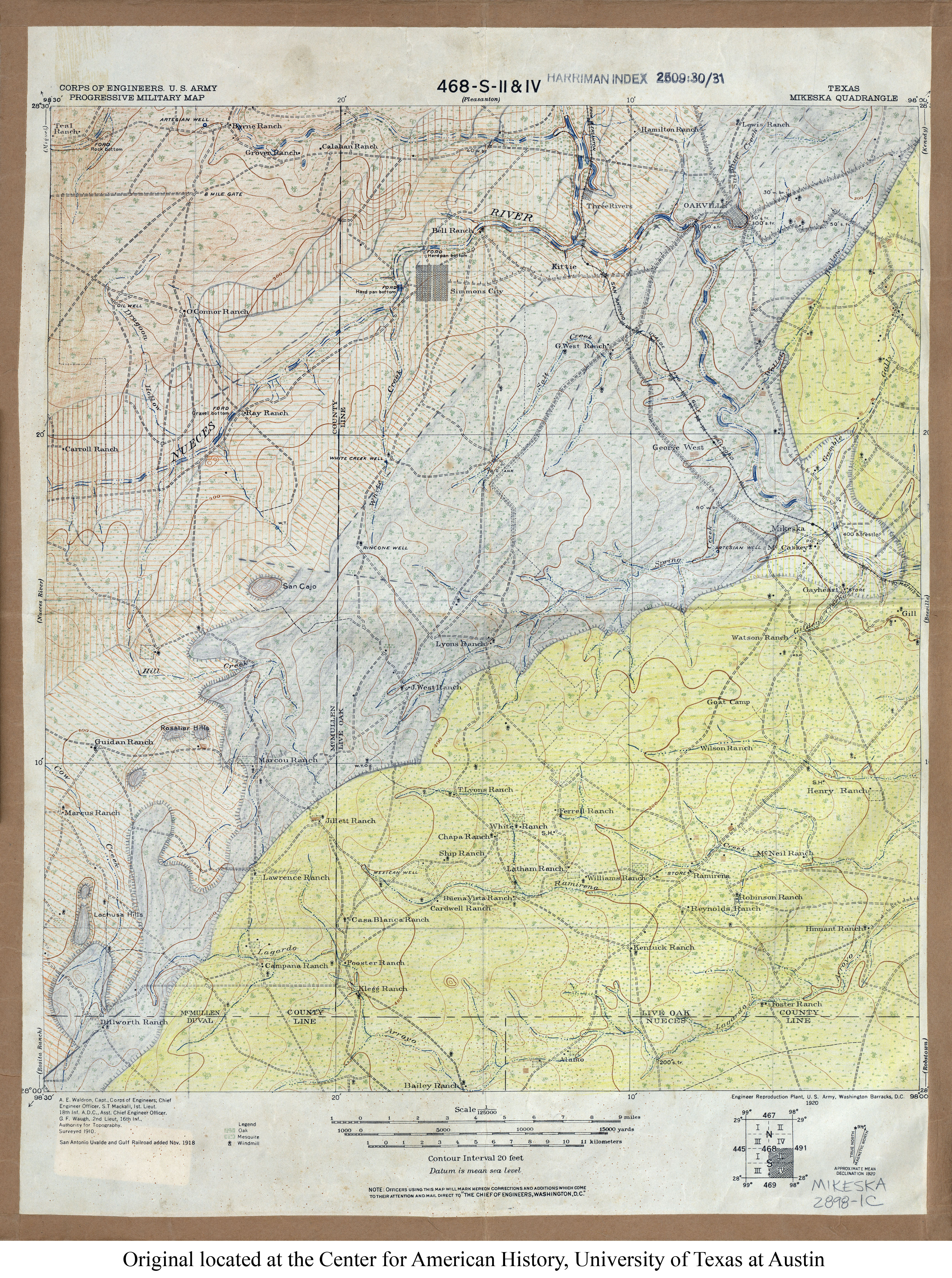
- Mikeska 1:125,000 1918 (4.9MB) U.S. Army. Corps of Engineers. Progressive Military Map
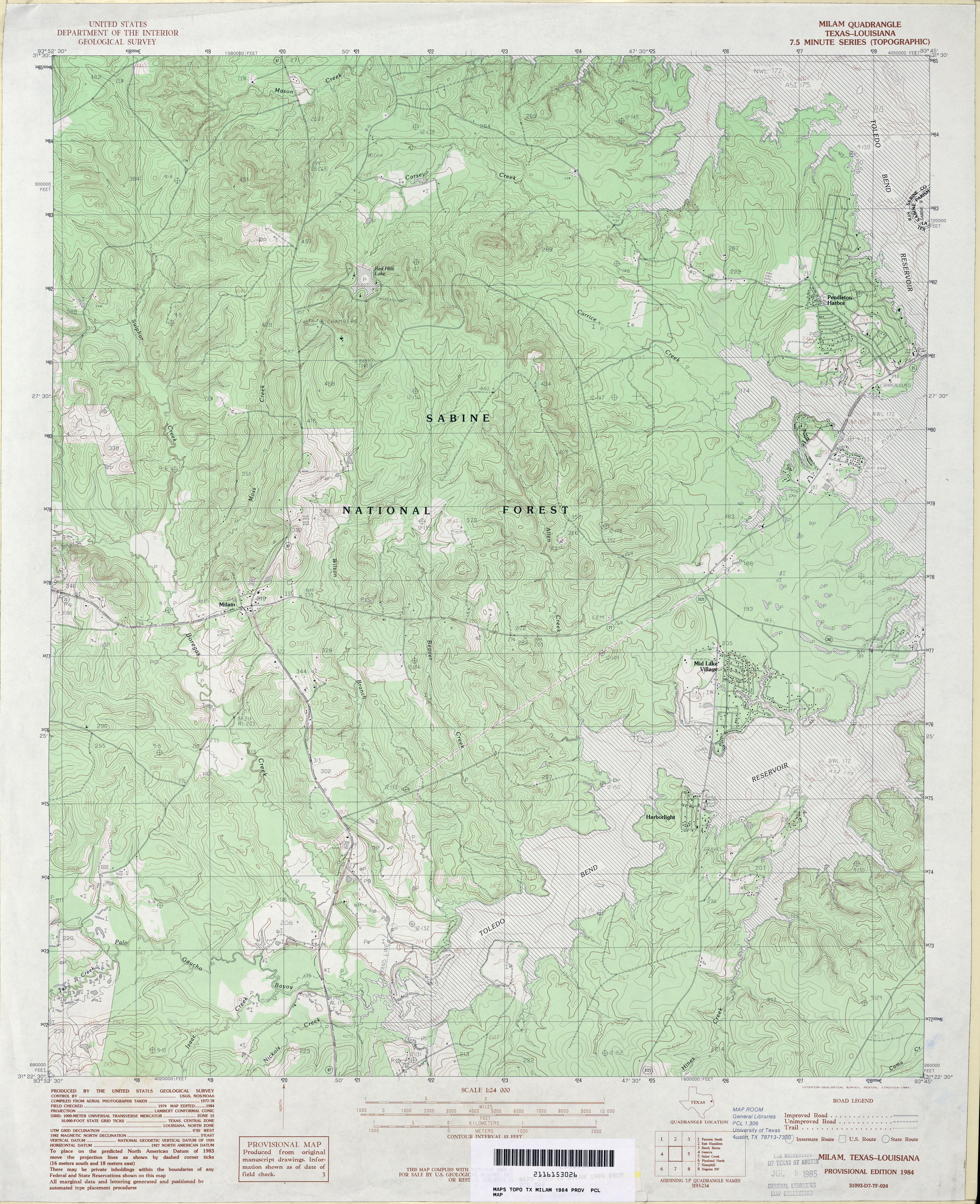
- Milam 1:24,000 1984 (5.2MB)
- Milam 1:24,000 2003 (6MB)
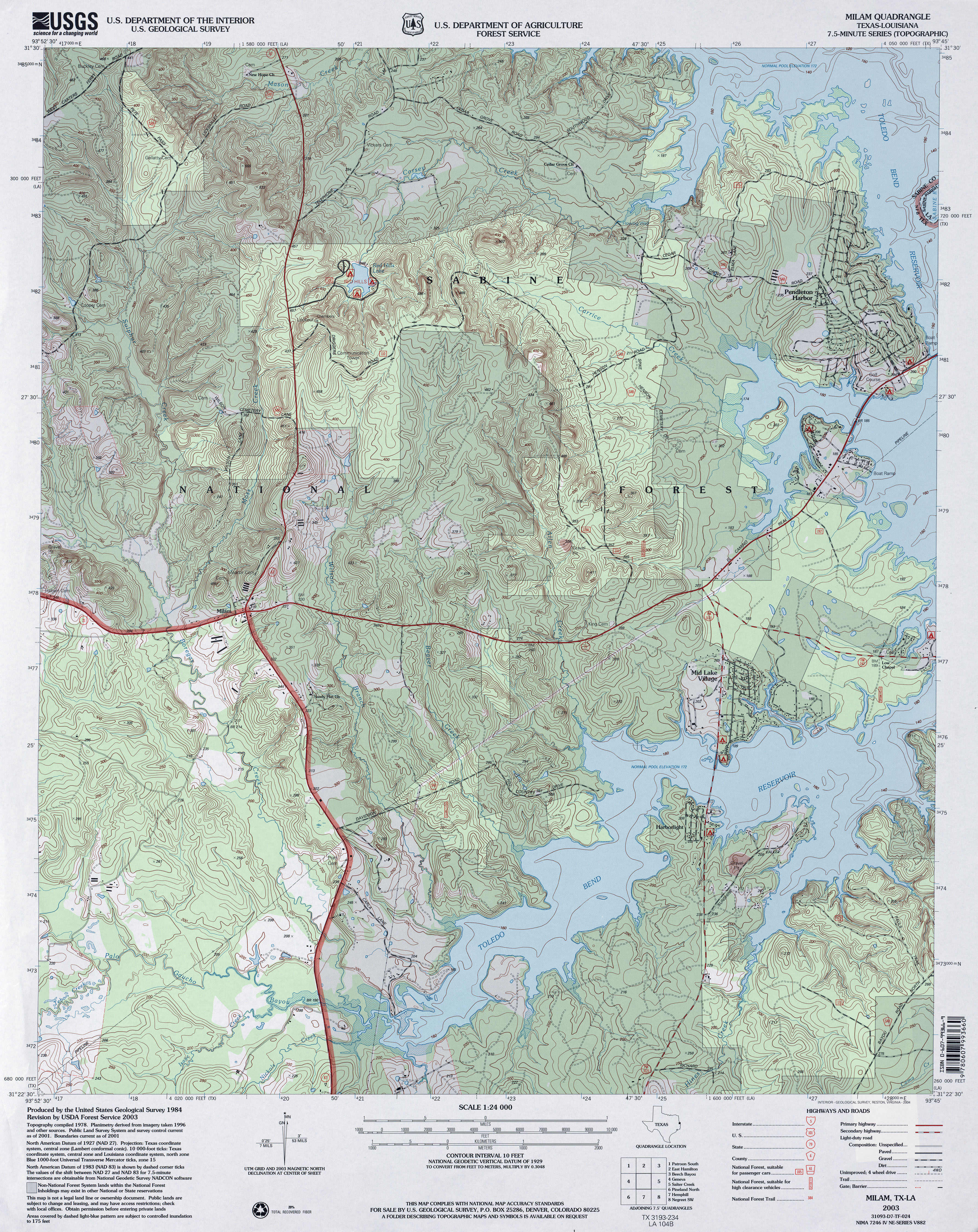
- Milam 1:24,000 2008 (25.1MB) [GeoPDF]
- Milam 1:24,000 2012 (26.8MB) [GeoPDF]
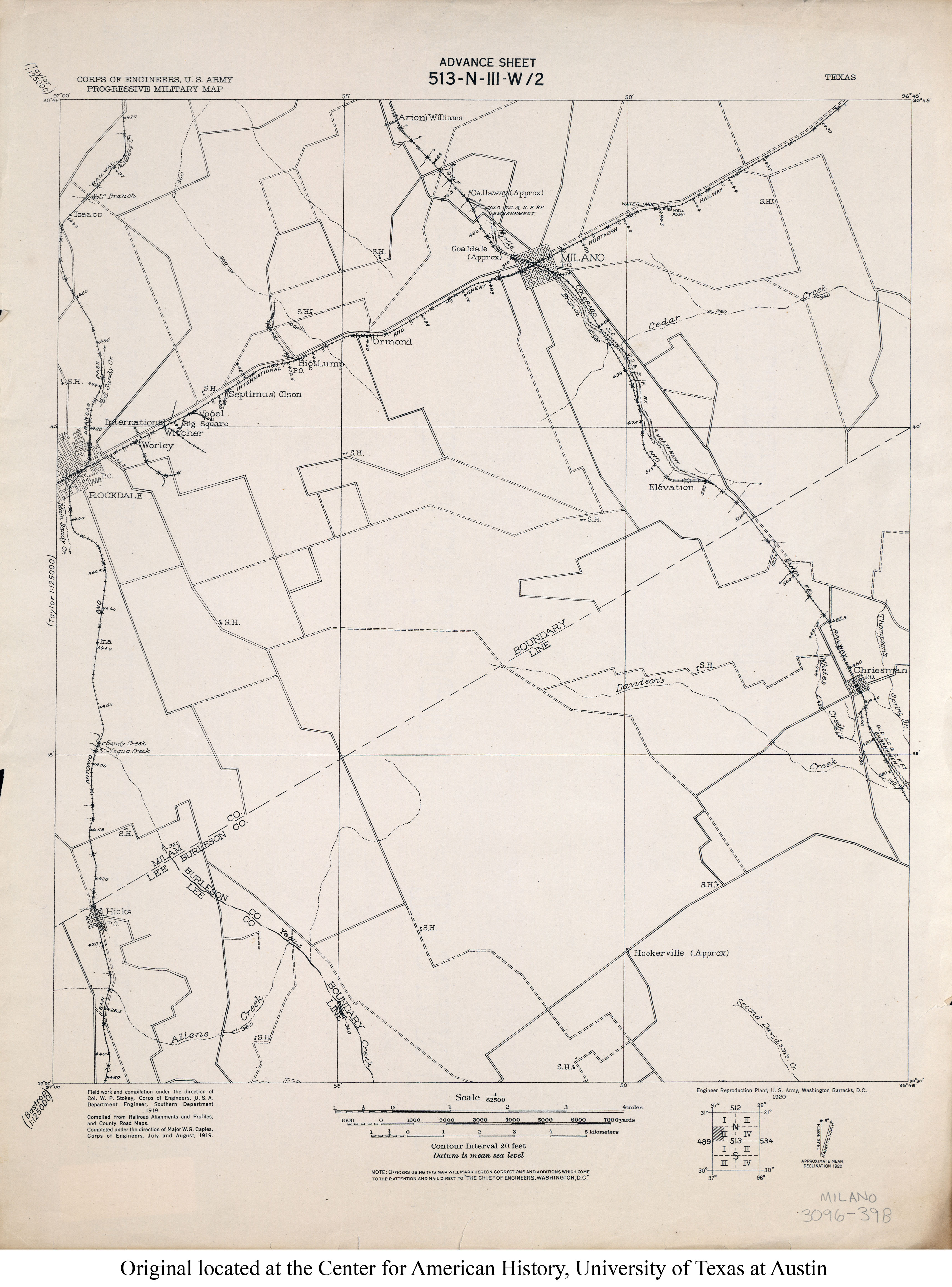
- Milano 1:62,500 1919 (2.3MB)
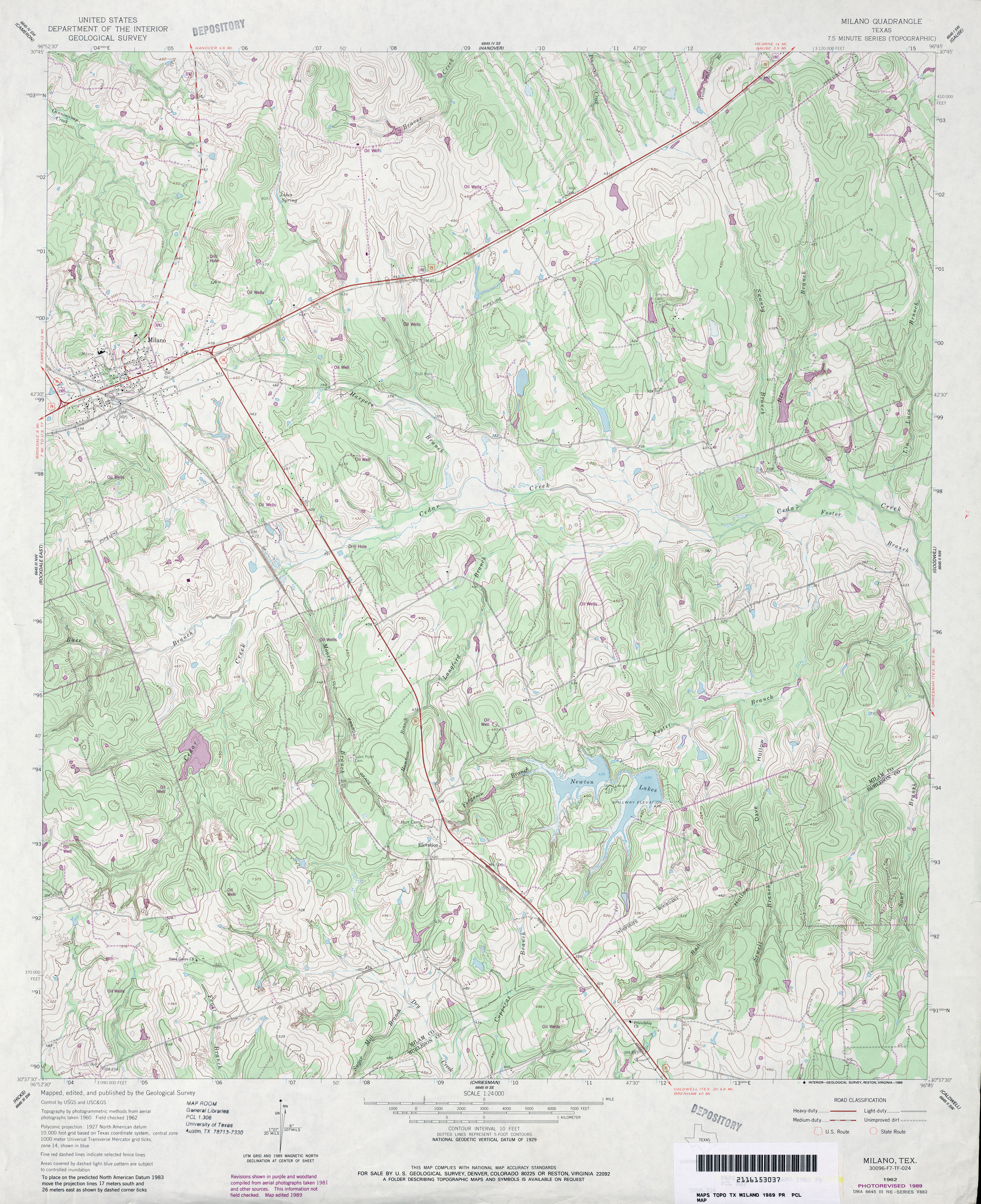
- Milano 1:24,000 1962 (5MB)
- Milano 1:24,000 1989 (4.8MB)
- Milano 1:24,000 2008 (17.2MB) [GeoPDF]
- Milano 1:24,000 2013 (25.3MB) [GeoPDF]
- Miles 1:31,680 1921 (3.1MB)
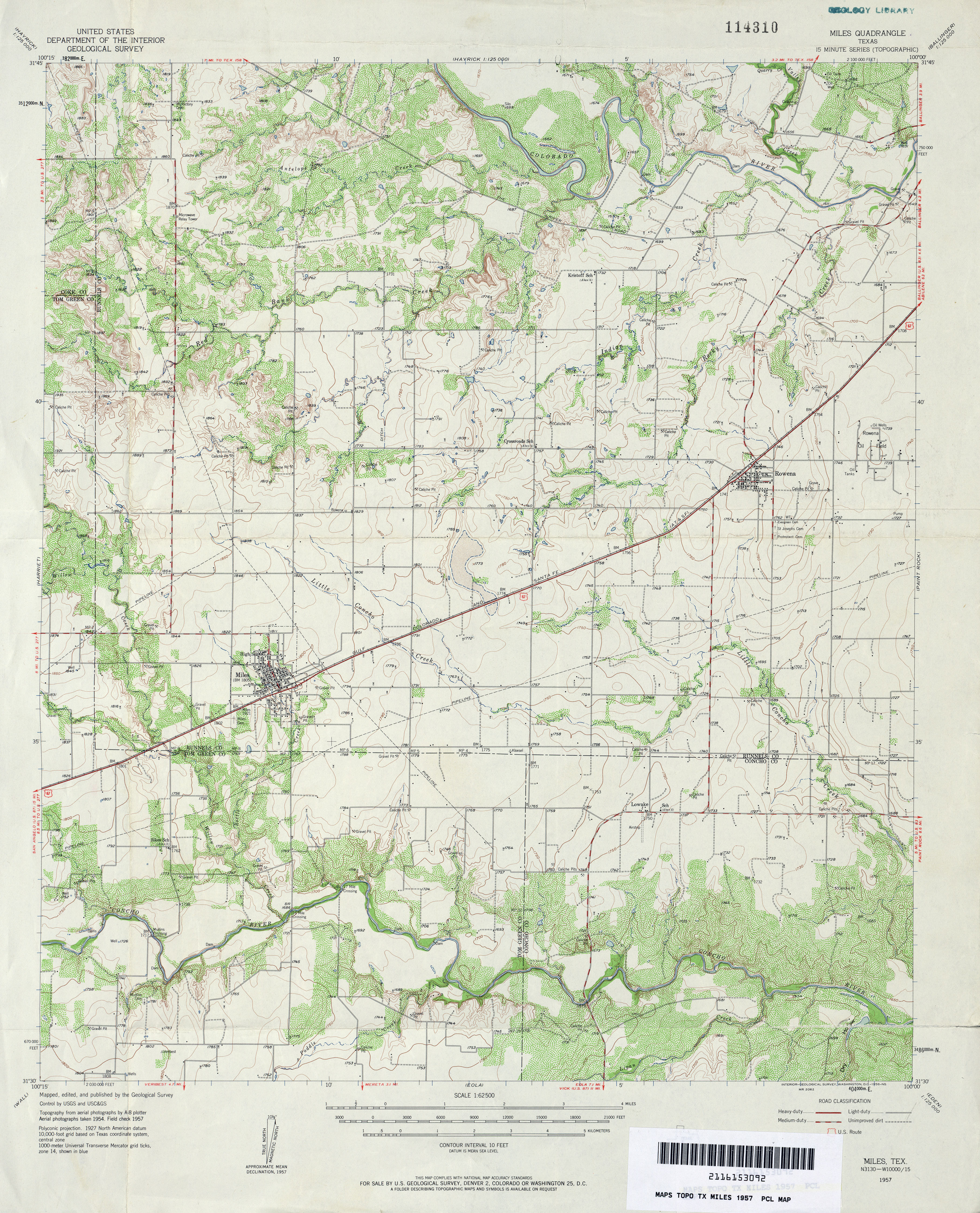
- Miles 1:62,500 1957 (4.7MB)
- Miles 1:24,000 1984 (4.1MB)
- Miles 1:24,000 2008 (14.8MB) [GeoPDF]
- Miles 1:24,000 2012 (20.4MB) [GeoPDF]
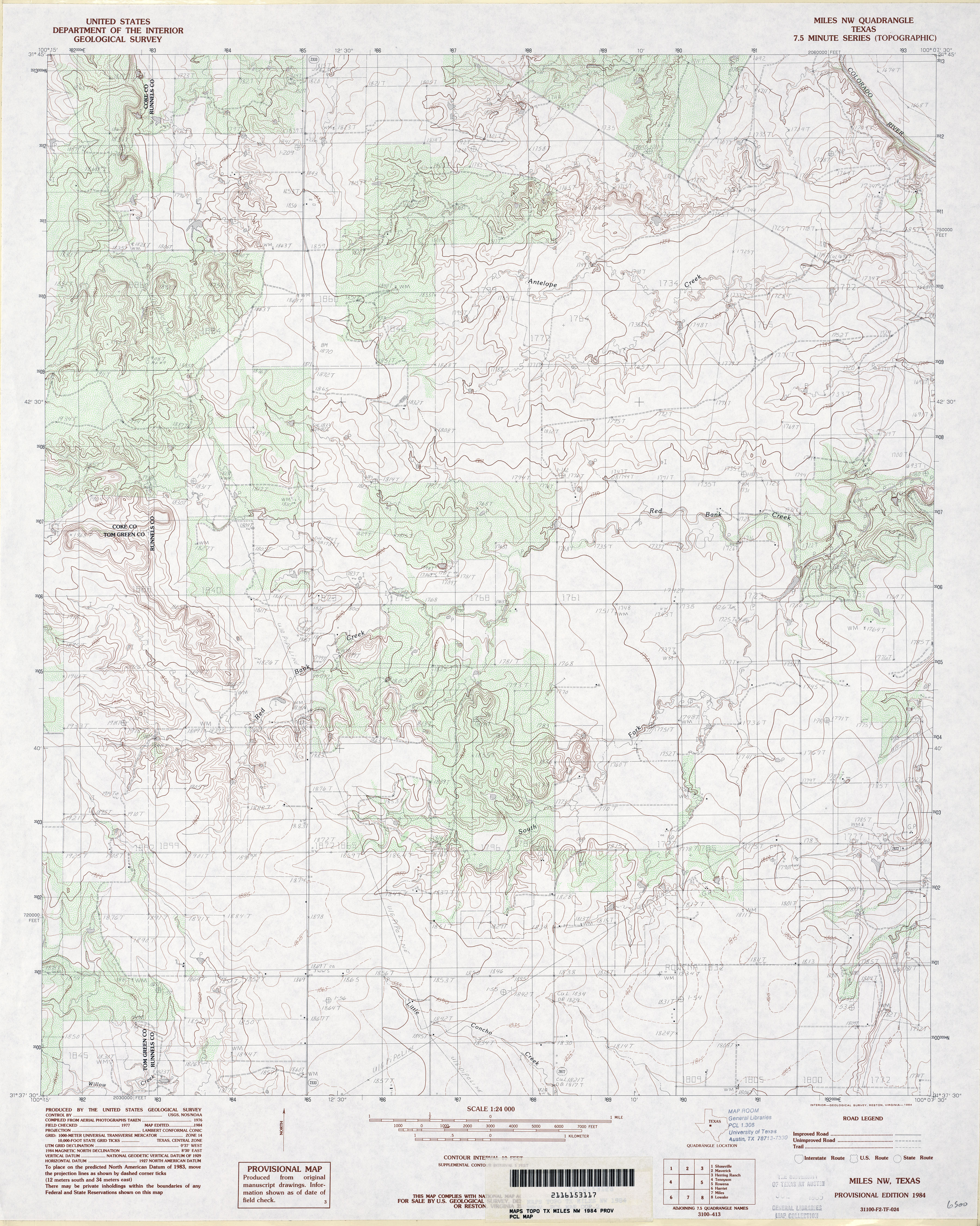
- Miles NW 1:24,000 1984 (4.3MB)
- Miles NW 1:24,000 2008 (16.5MB) [GeoPDF]
- Miles NW 1:24,000 2013 (22.1MB) [GeoPDF]
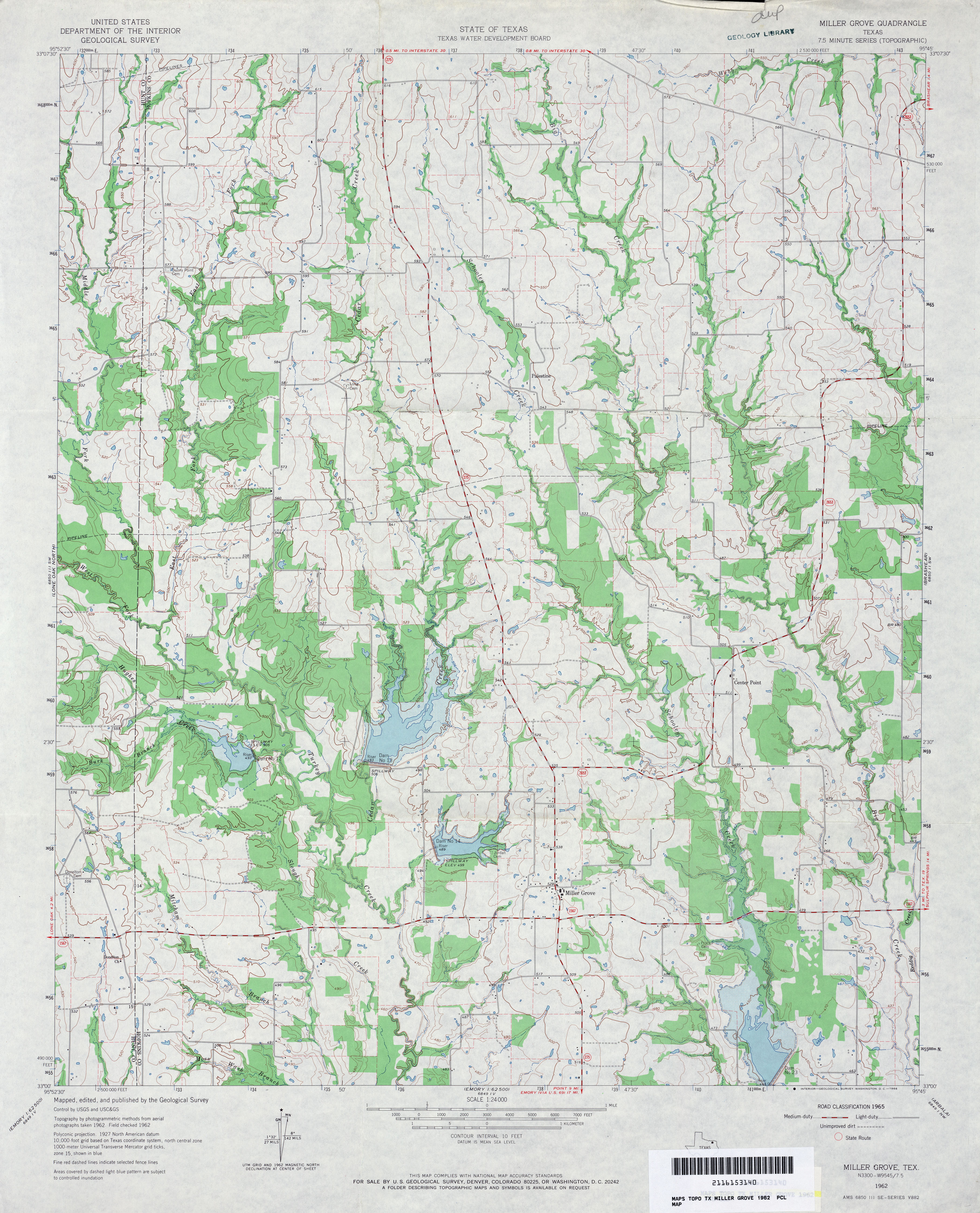
- Miller Grove 1:24,000 1962 (3.9MB)
- Miller Grove 1:24,000 2009 (16.9MB) [GeoPDF]
- Miller Grove 1:24,000 2012 (21.3MB) [GeoPDF]
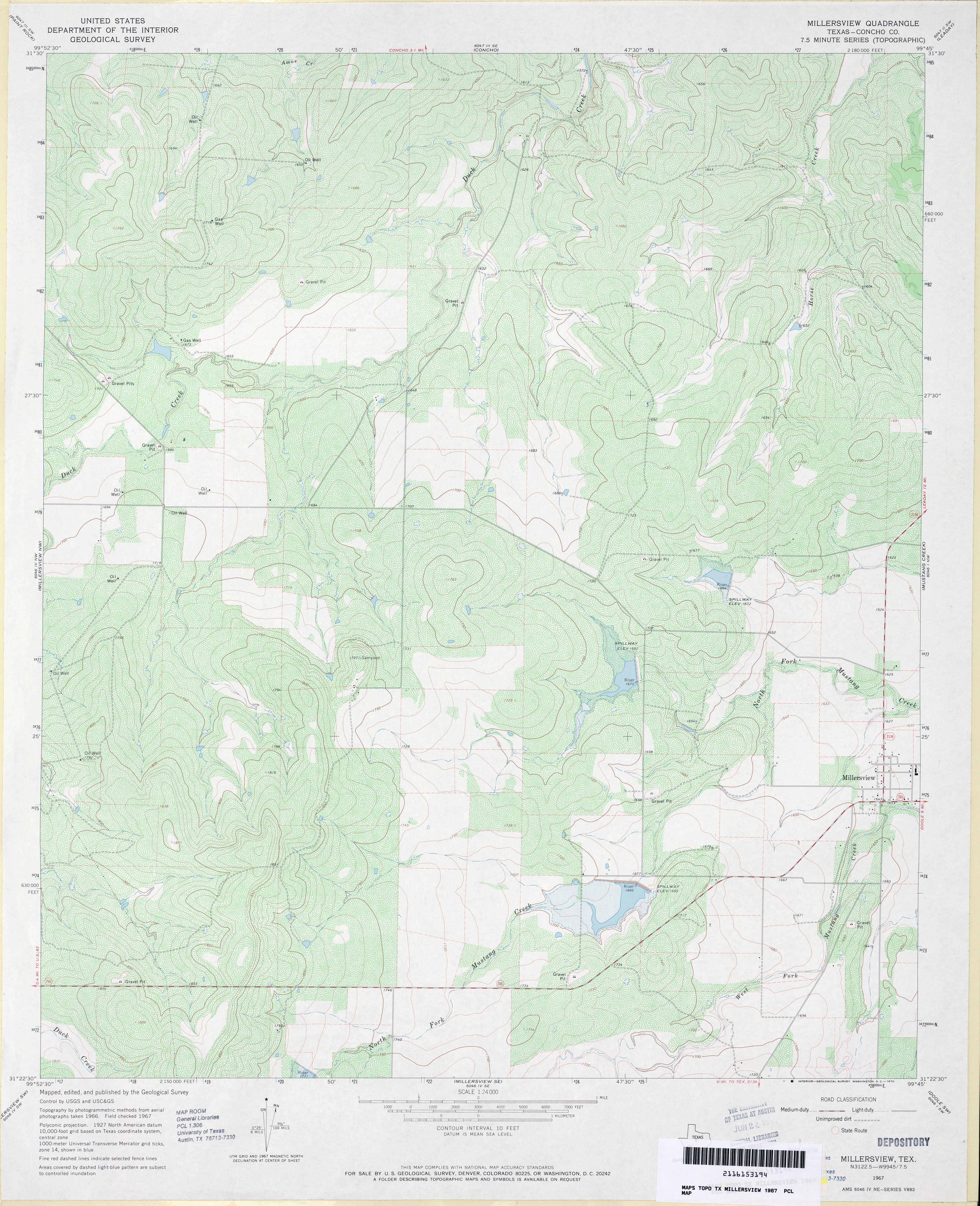
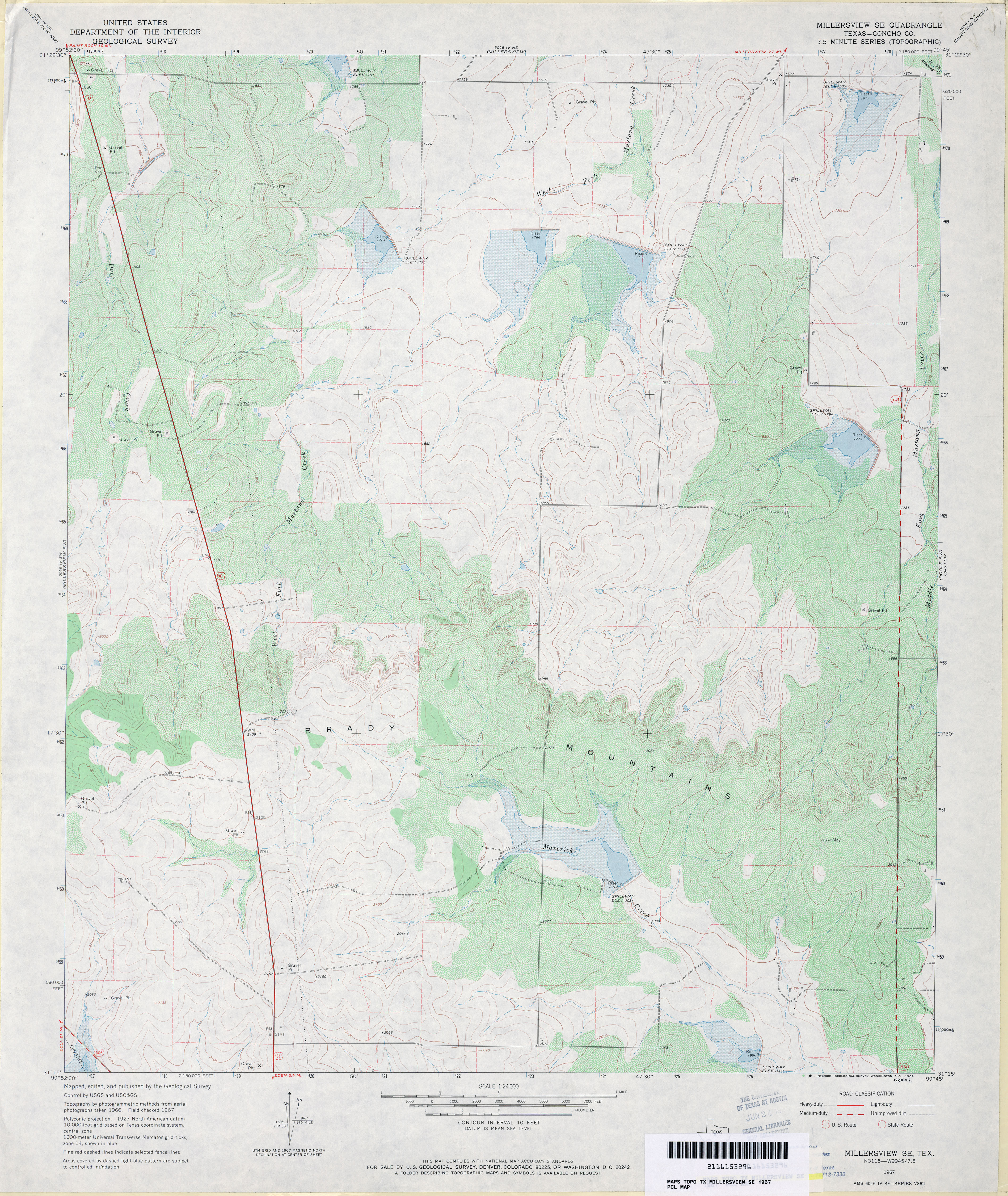
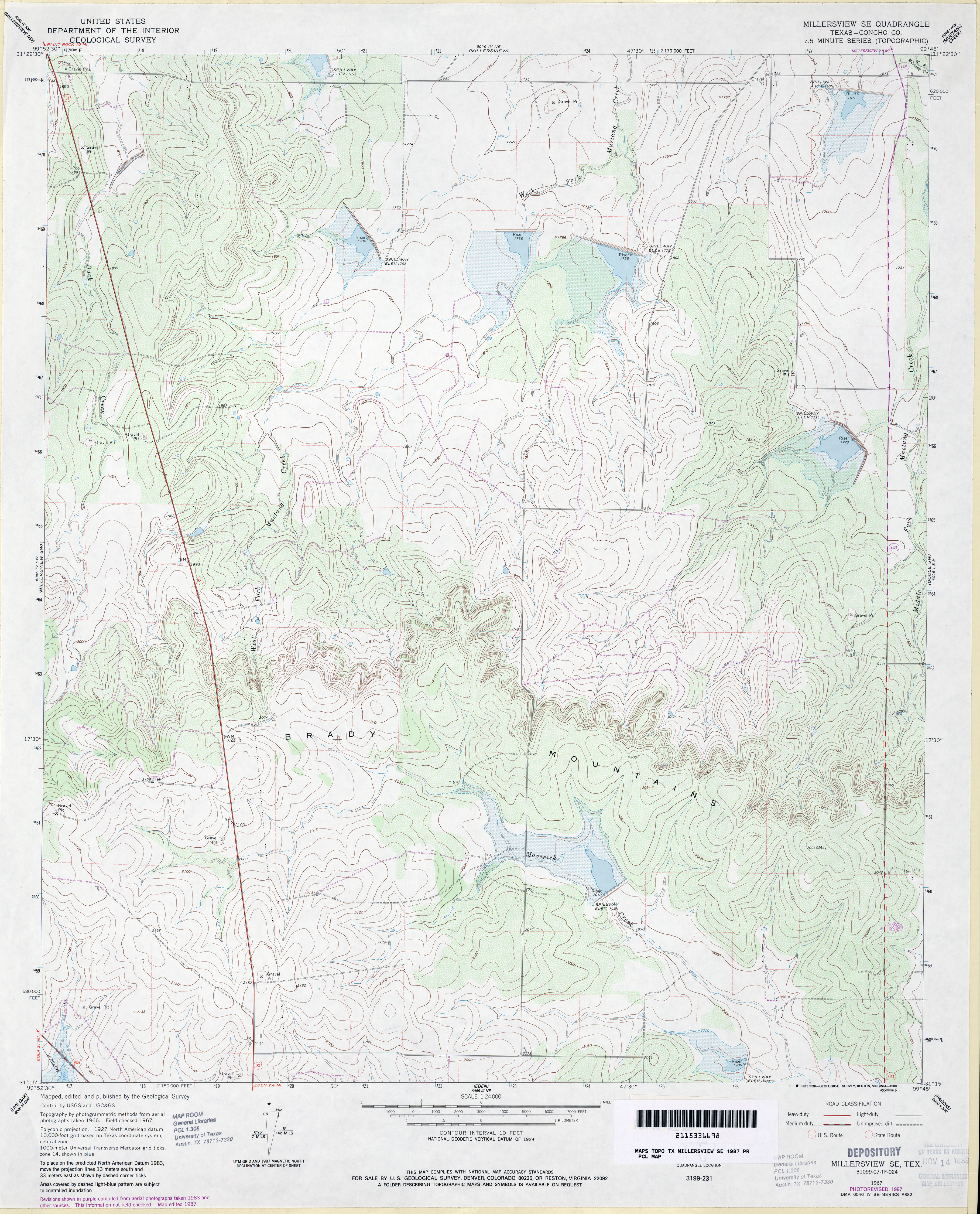
- Millersview (Concho County) 1:24,000 1967 (4.7MB)
- Millersview 1:24,000 2008 (17.7MB) [GeoPDF]
- Millersview 1:24,000 2013 (21.4MB) [GeoPDF]
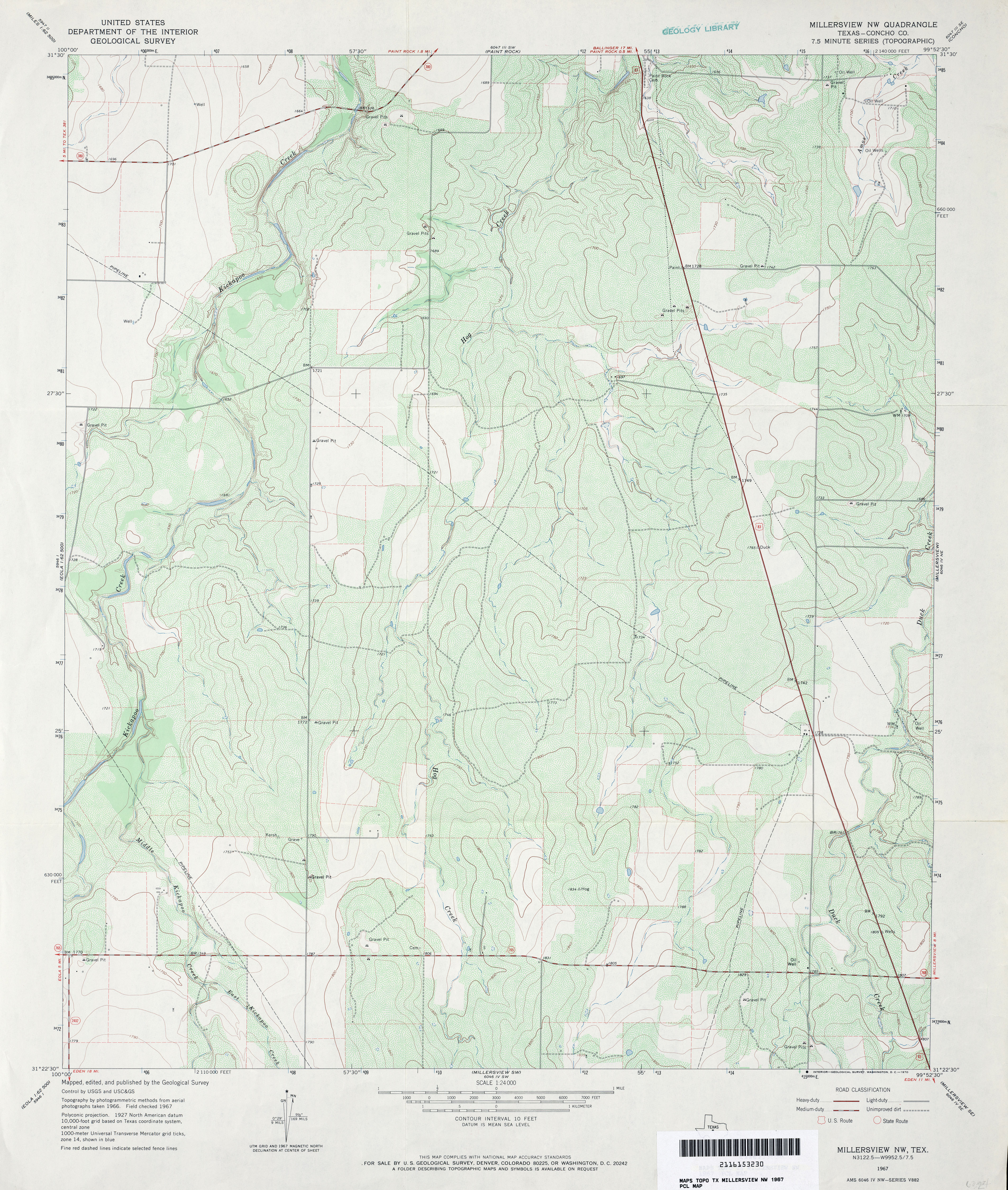
- Millersview NW (Concho County) 1:24,000 1967 (4.1MB)
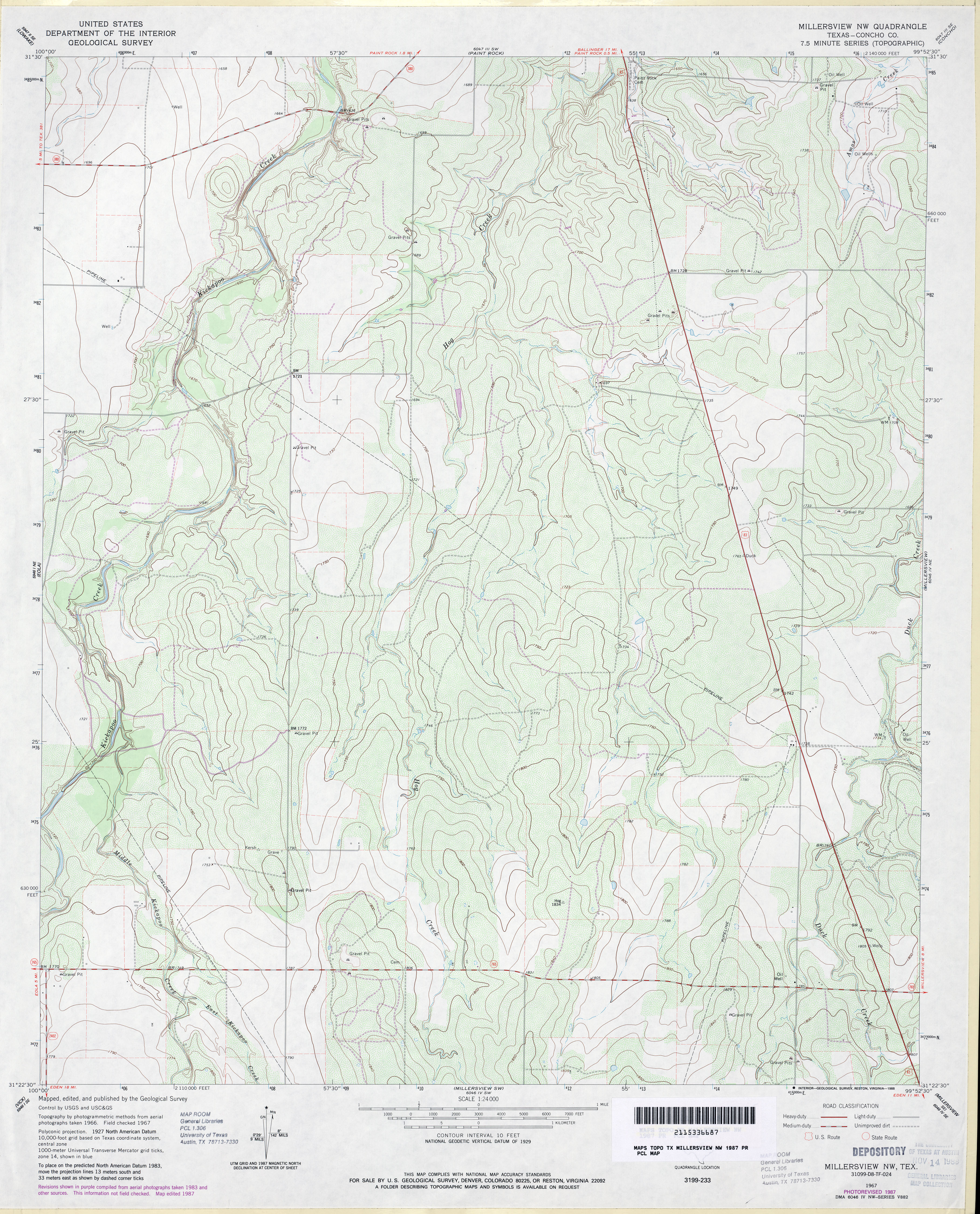
- Millersview NW (Concho County) 1:24,000 1987 (4MB)
- Millersview NW 1:24,000 2008 (18.5MB) [GeoPDF]
- Millersview NW 1:24,000 2012 (22.9MB) [GeoPDF]
- Millersview SE (Concho County) 1:24,000 1967 (4.1MB)
- Millersview SE (Concho County) 1:24,000 1987 (4.1MB)
- Millersview SE 1:24,000 2008 (20.3MB) [GeoPDF]
- Millersview SE 1:24,000 2013 (24.1MB) [GeoPDF]
- Millersview SW (Concho County) 1:24,000 1967 (4.2MB)
- Millersview SW 1:24,000 2008 (20.3MB) [GeoPDF]
- Millersview SW 1:24,000 2012 (25.1MB) [GeoPDF]
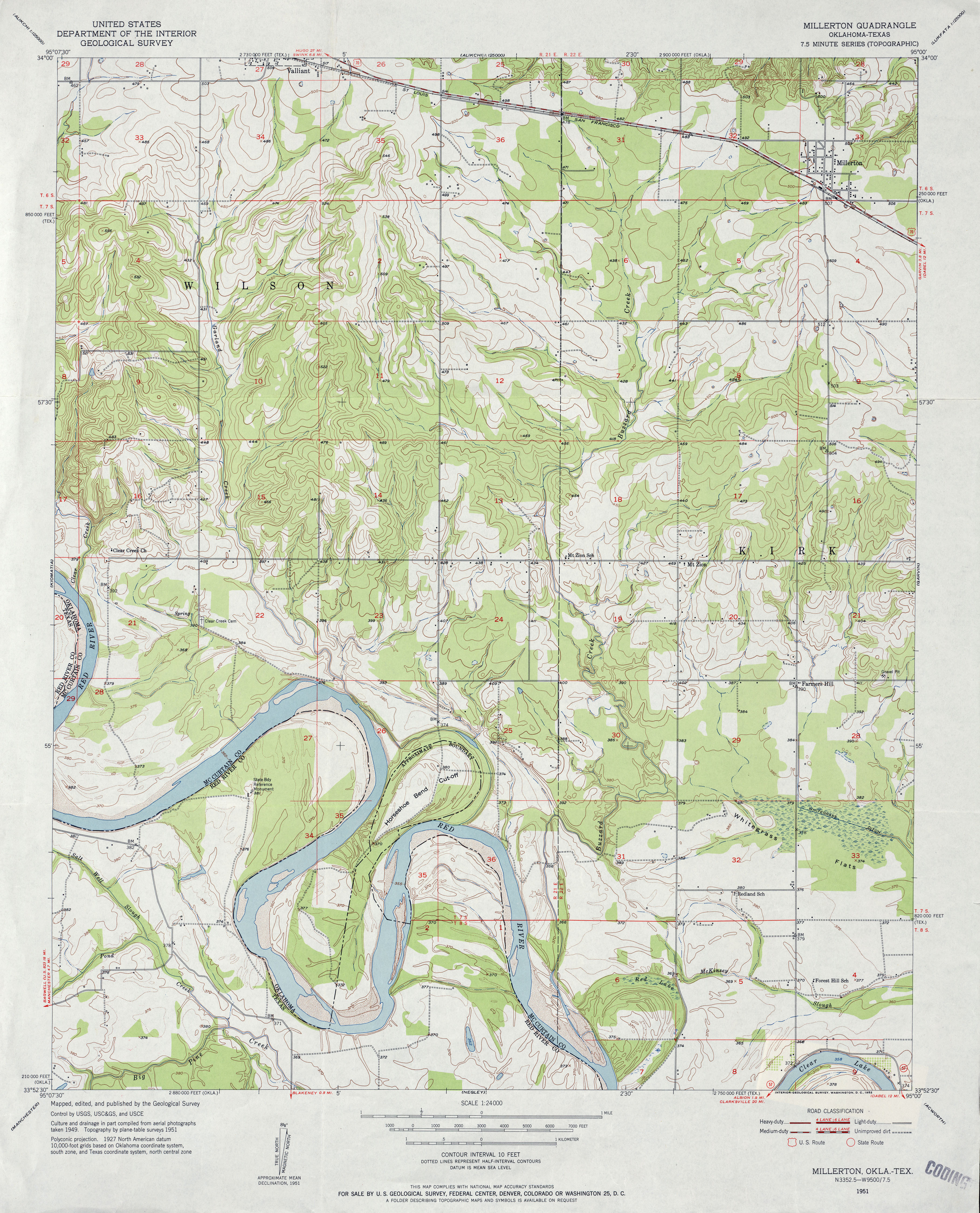
- Millerton 1:24,000 1951 (4.2MB)
- Millerton 1:24,000 2008 (16.3MB) [GeoPDF]
- Millerton 1:24,000 2012 (25.2MB) [GeoPDF]
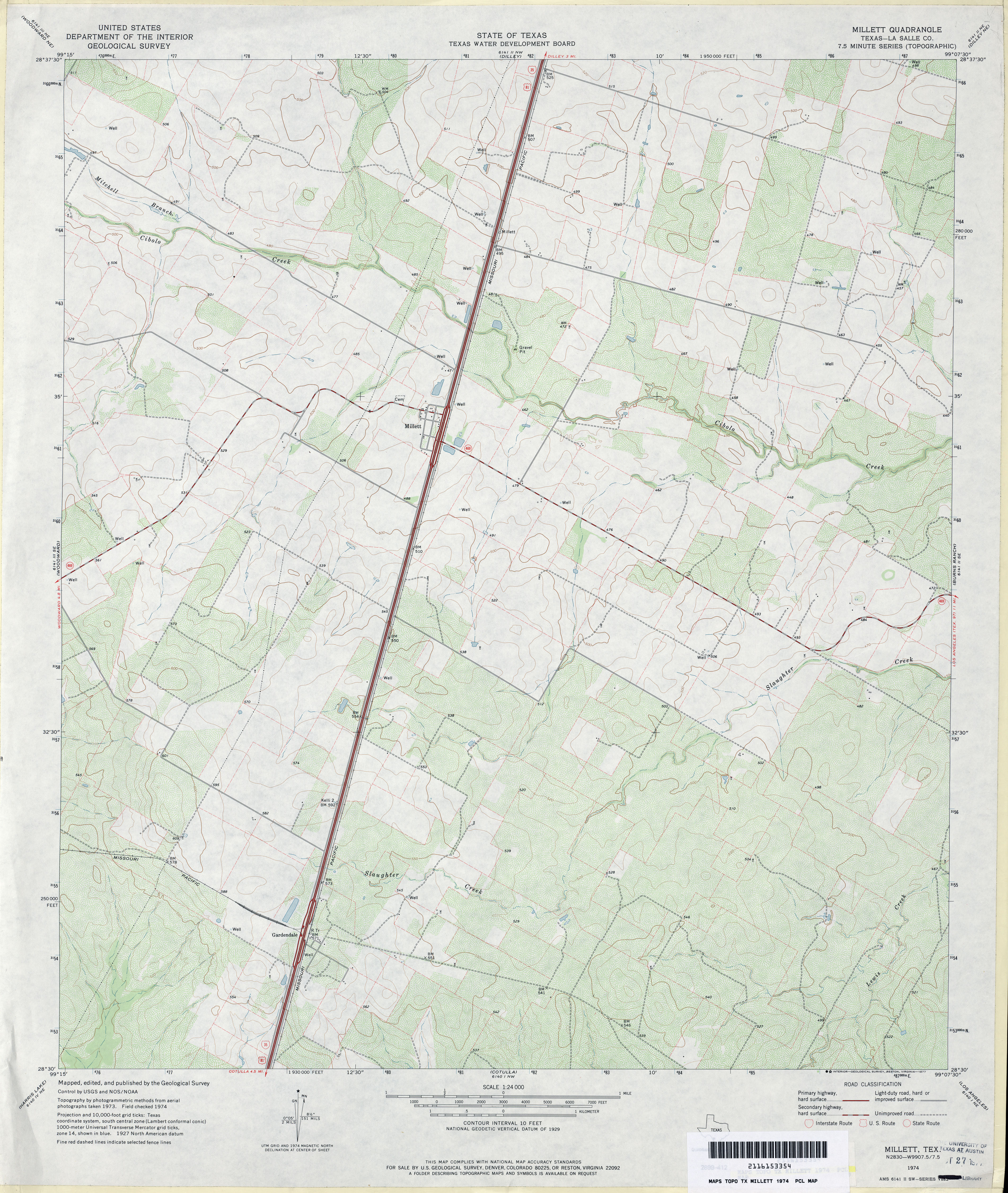
- Millett (La Salle County) 1:24,000 1974 (3.7MB)
- Millett 1:24,000 2008 (15.5MB) [GeoPDF]
- Millett 1:24,000 2013 (21.7MB) [GeoPDF]
- Millican 1:31,680 1910 (3.5 MB)
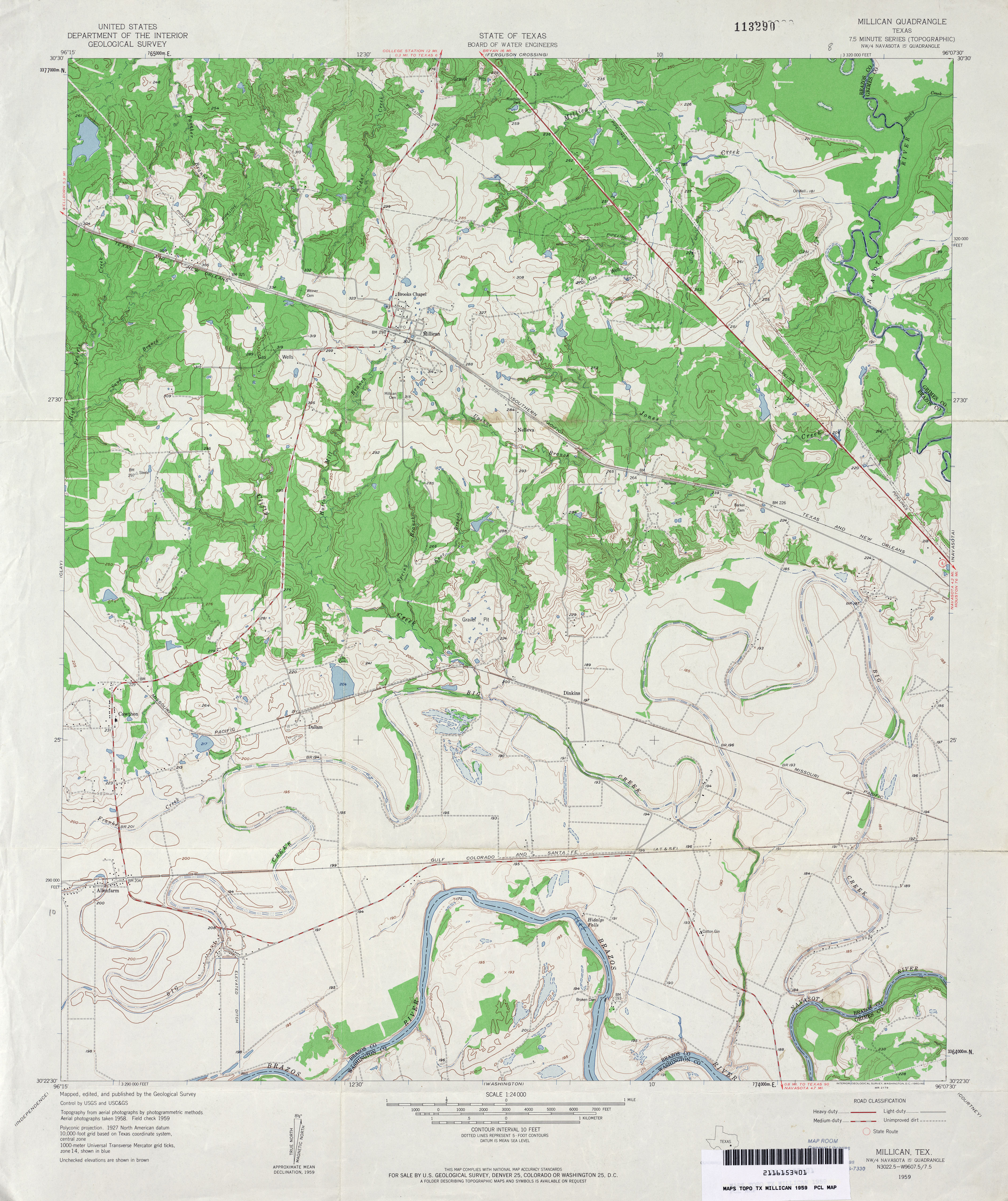
- Millican 1:24,000 1959 (4MB)
- Millican 1:24,000 1980 (3.5MB)
- Millican 1:24,000 2008 (13.0MB) [GeoPDF]
- Millican 1:24,000 2013 (22.2MB) [GeoPDF]
- Millican Mountains (Coke County) 1:24,000 1962 (6.5MB)
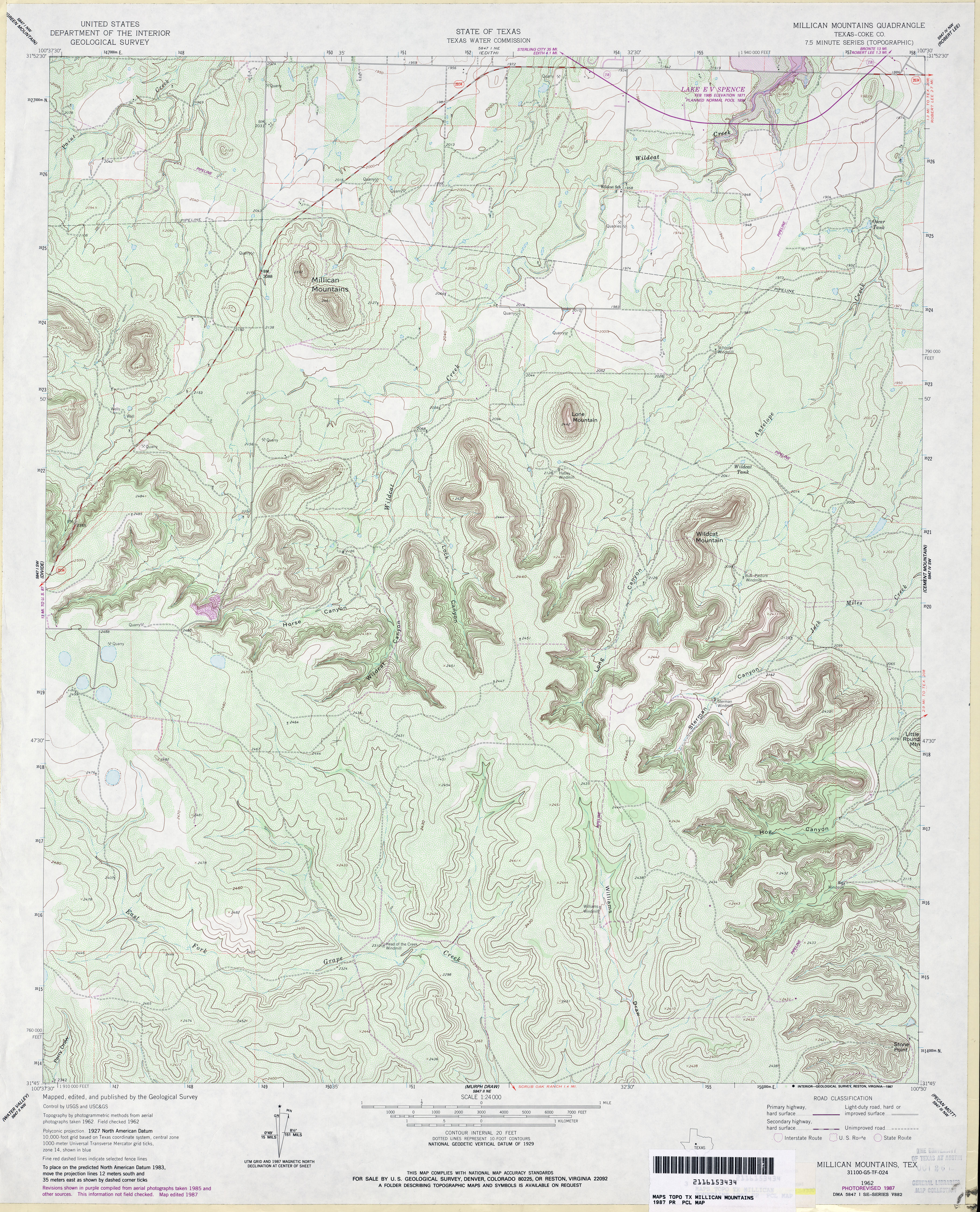
- Millican Mountains (Coke County) 1:24,000 1987 (5.2MB)
- Millican Mountains 1:24,000 2008 (22.4MB) [GeoPDF]
- Millican Mountains 1:24,000 2012 (27.4MB) [GeoPDF]
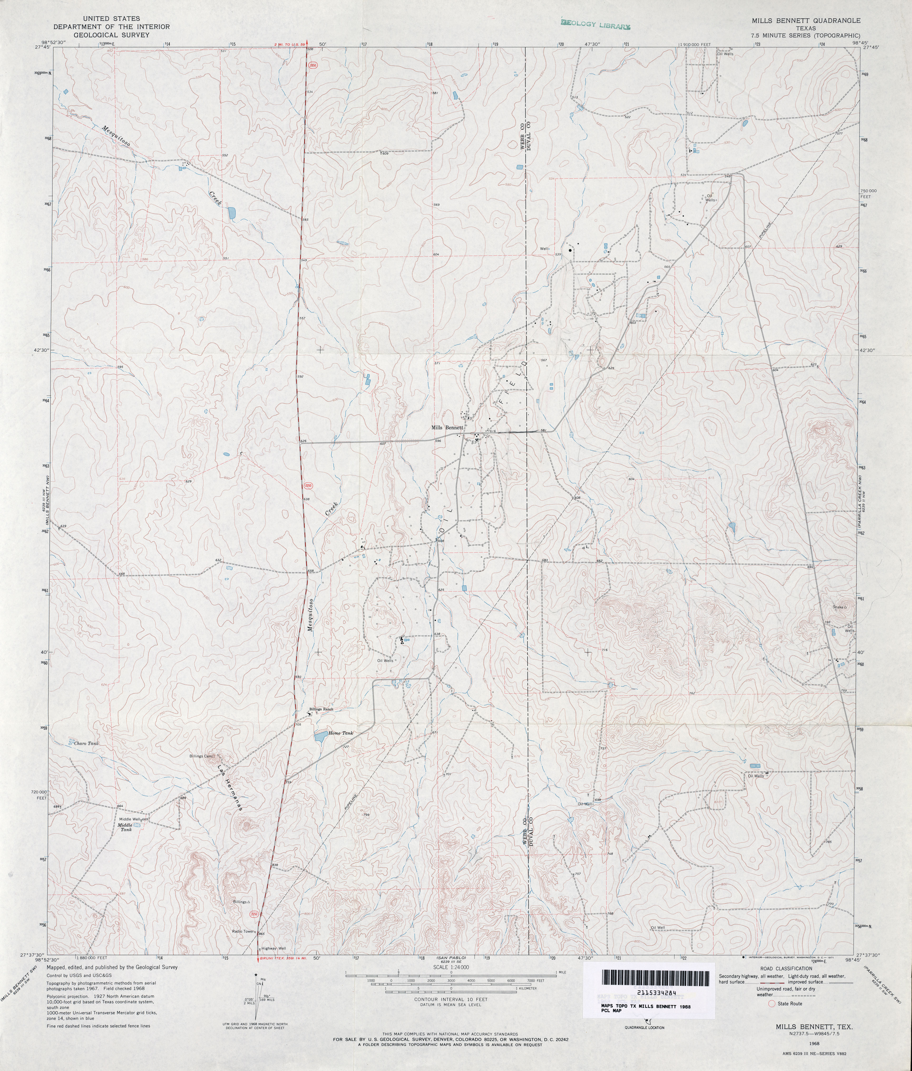
- Mills Bennett 1:24,000 1968 (3MB)
- Mills Bennett 1:24,000 2008 (20.3MB) [GeoPDF]
- Mills Bennett 1:24,000 2013 (25.5MB) [GeoPDF]
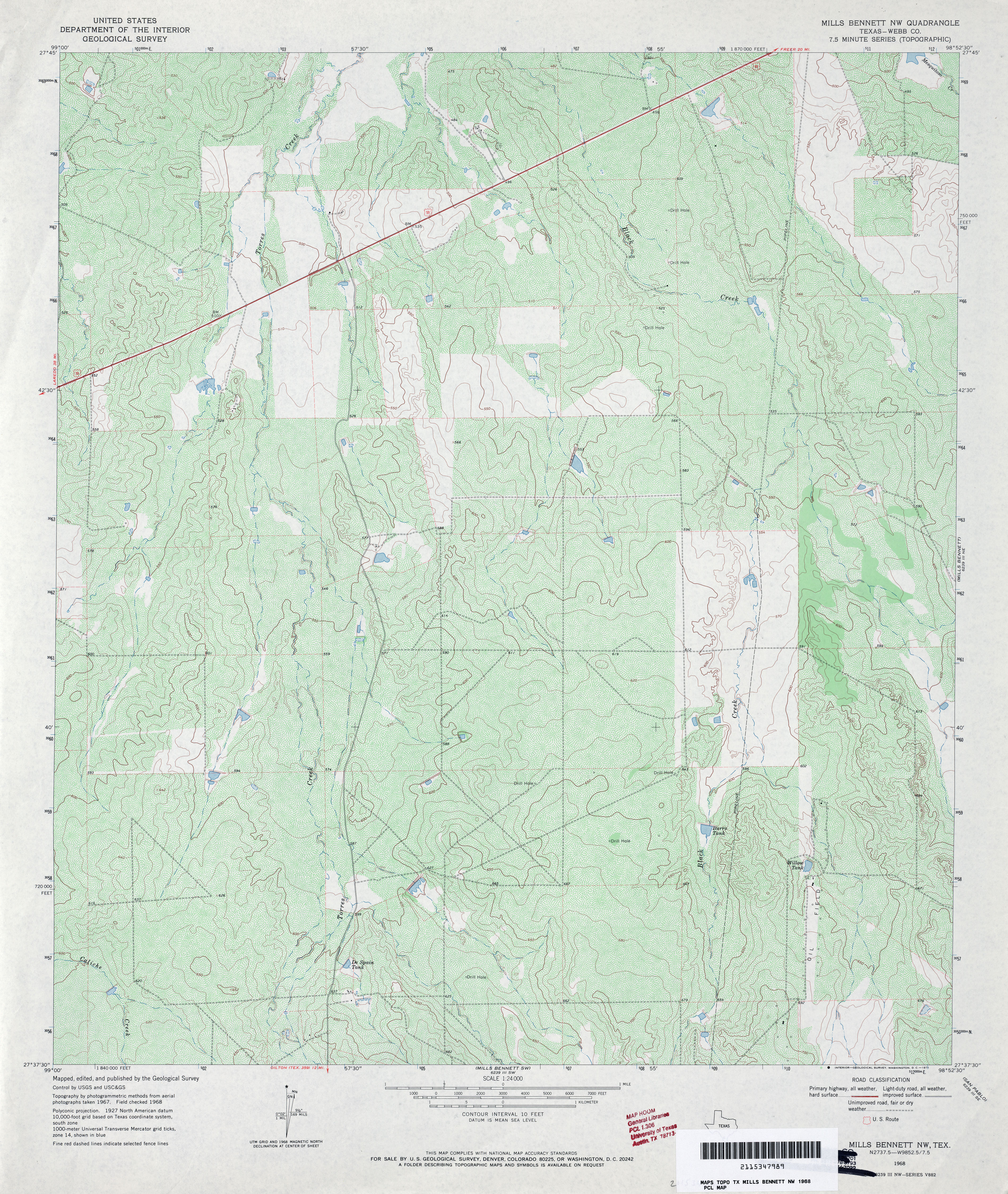
- Mills Bennett NW (Webb County) 1:24,000 1968 (5.1MB)
- Mills Bennett NW 1:24,000 2008 (19.6MB) [GeoPDF]
- Mills Bennett NW 1:24,000 2013 (27.2MB) [GeoPDF]
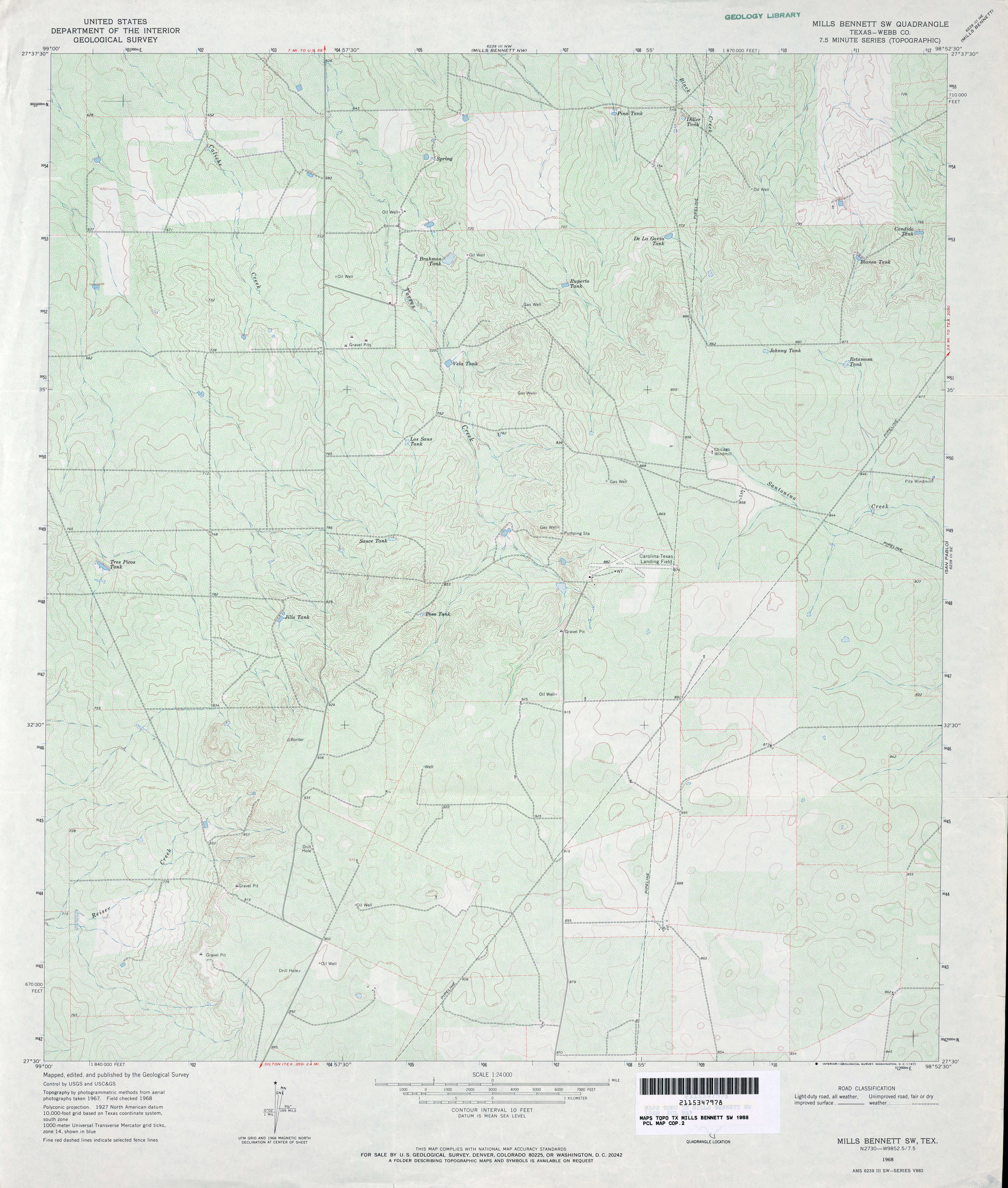
- Mills Bennett SW (Webb County) 1:24,000 1968 (4MB)
- Mills Bennett SW 1:24,000 2008 (18.5MB) [GeoPDF]
- Mills Bennett SW 1:24,000 2013 (26.1MB) [GeoPDF]
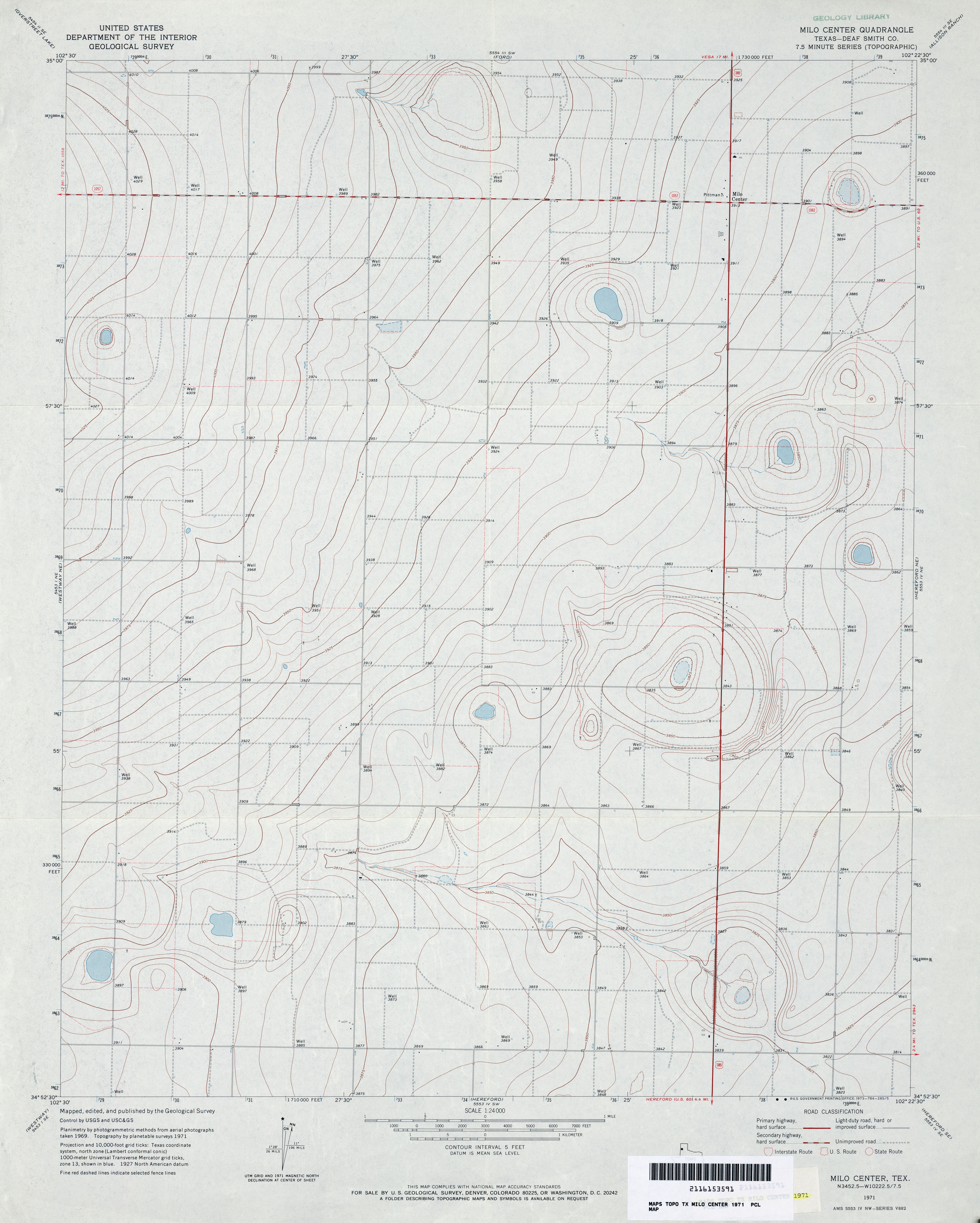
- Milo Center (Deaf Smith County) 1:24,000 1971 (2.9MB)
- Milo Center 1:24,000 2008 (9.6MB) [GeoPDF]
- Milo Center 1:24,000 2012 (13.3MB) [GeoPDF]
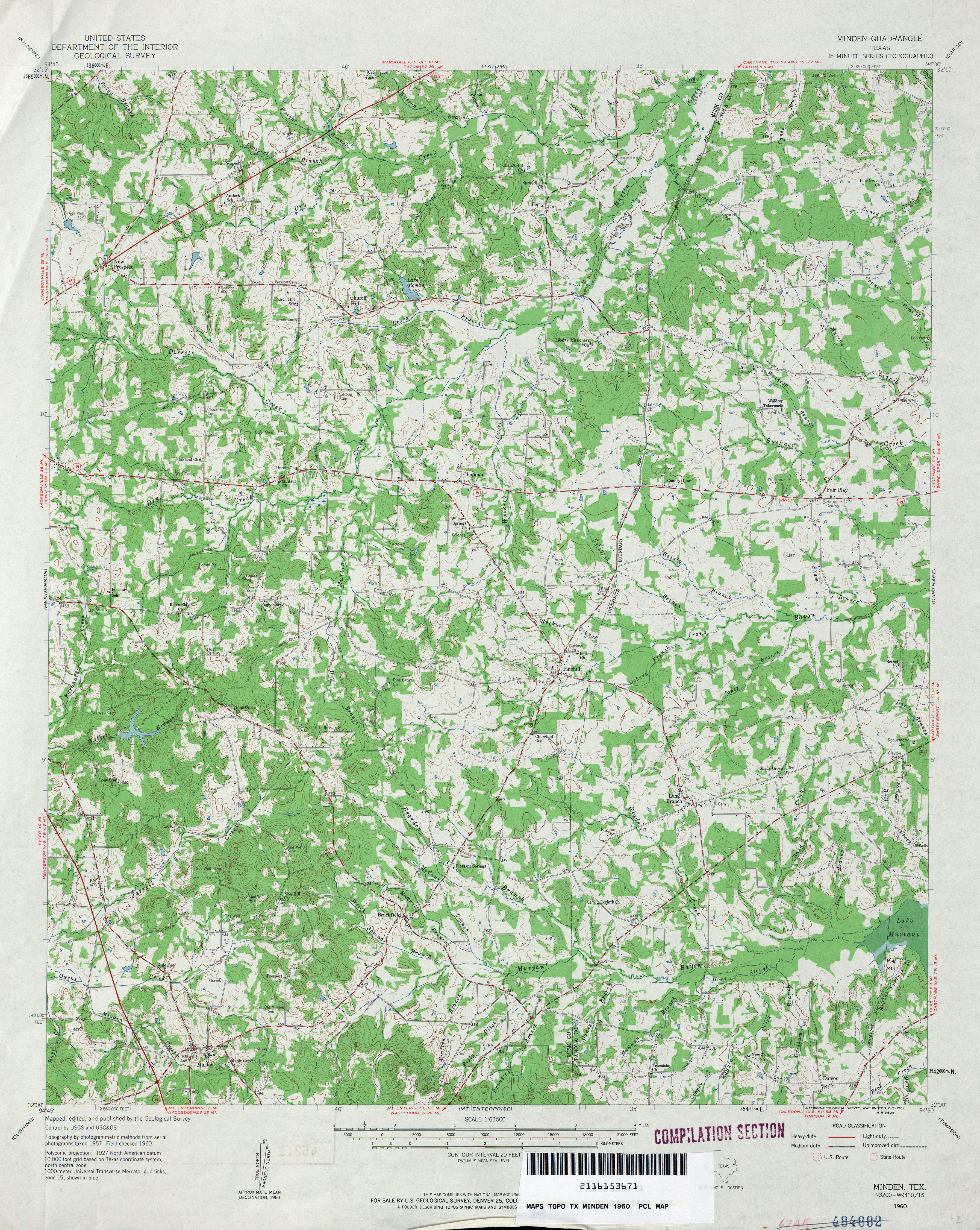
- Minden 1:62,500 1960 (4.9MB)
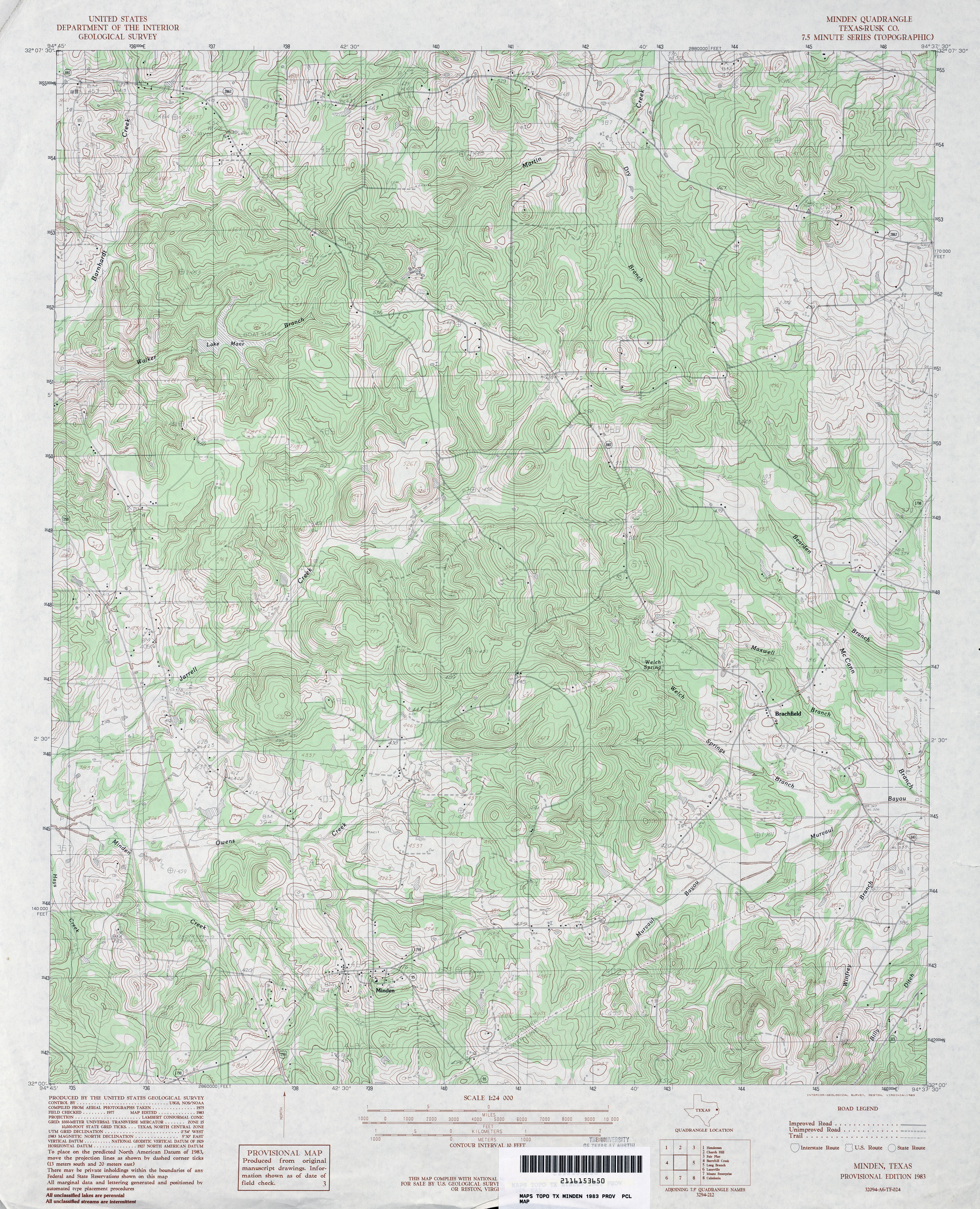
- Minden (Rusk County) 1:24,000 1983 (5.3MB)
- Minden 1:24,000 2009 (21.4MB) [GeoPDF]
- Minden 1:24,000 2013 (25.2MB) [GeoPDF]
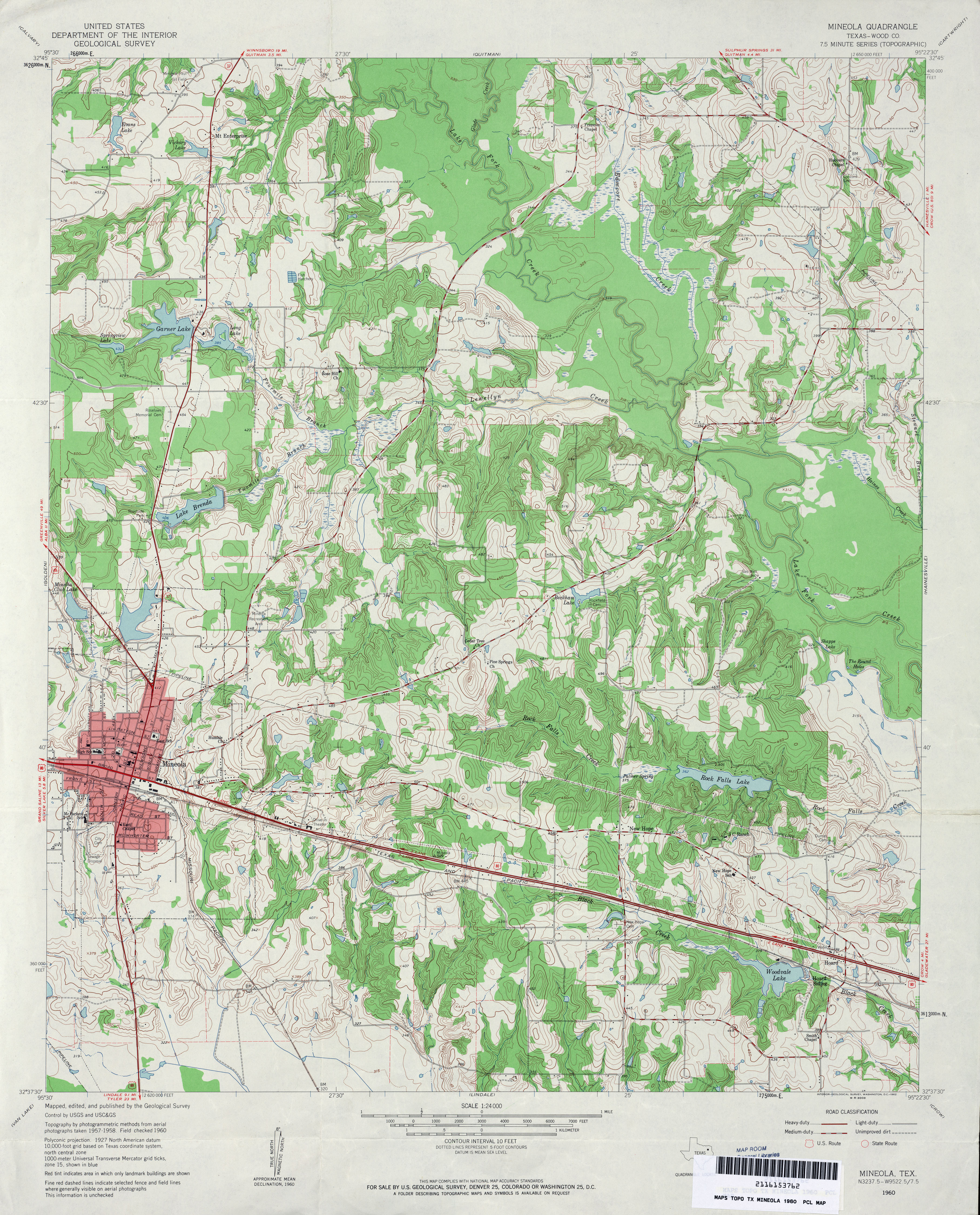
- Mineola (Wood County) 1:24,000 1960 (4.7MB)
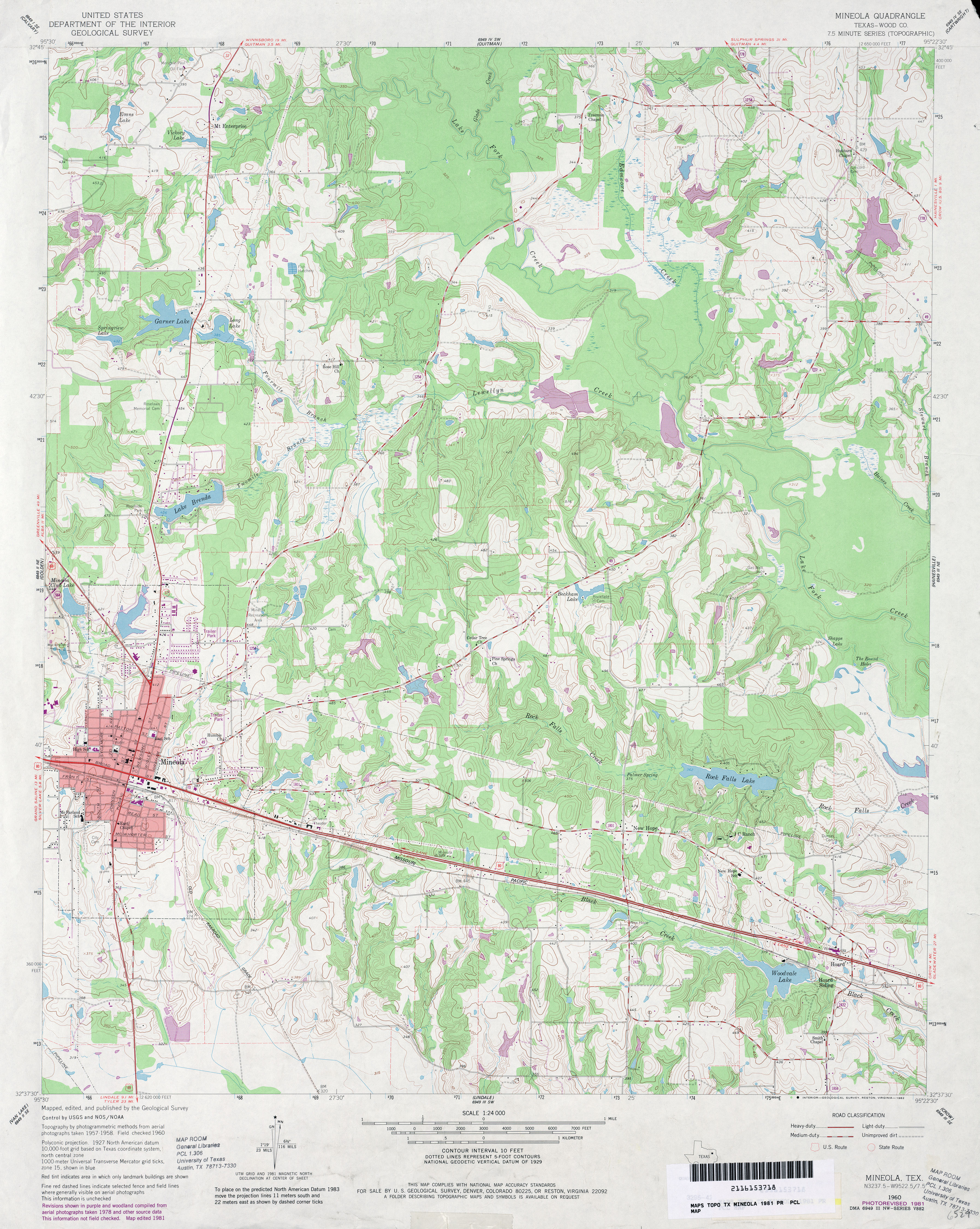
- Mineola (Wood County) 1:24,000 1981 (4.4MB)
- Mineola 1:24,000 2009 (21.4MB) [GeoPDF]
- Mineola 1:24,000 2012 (25.6MB) [GeoPDF]
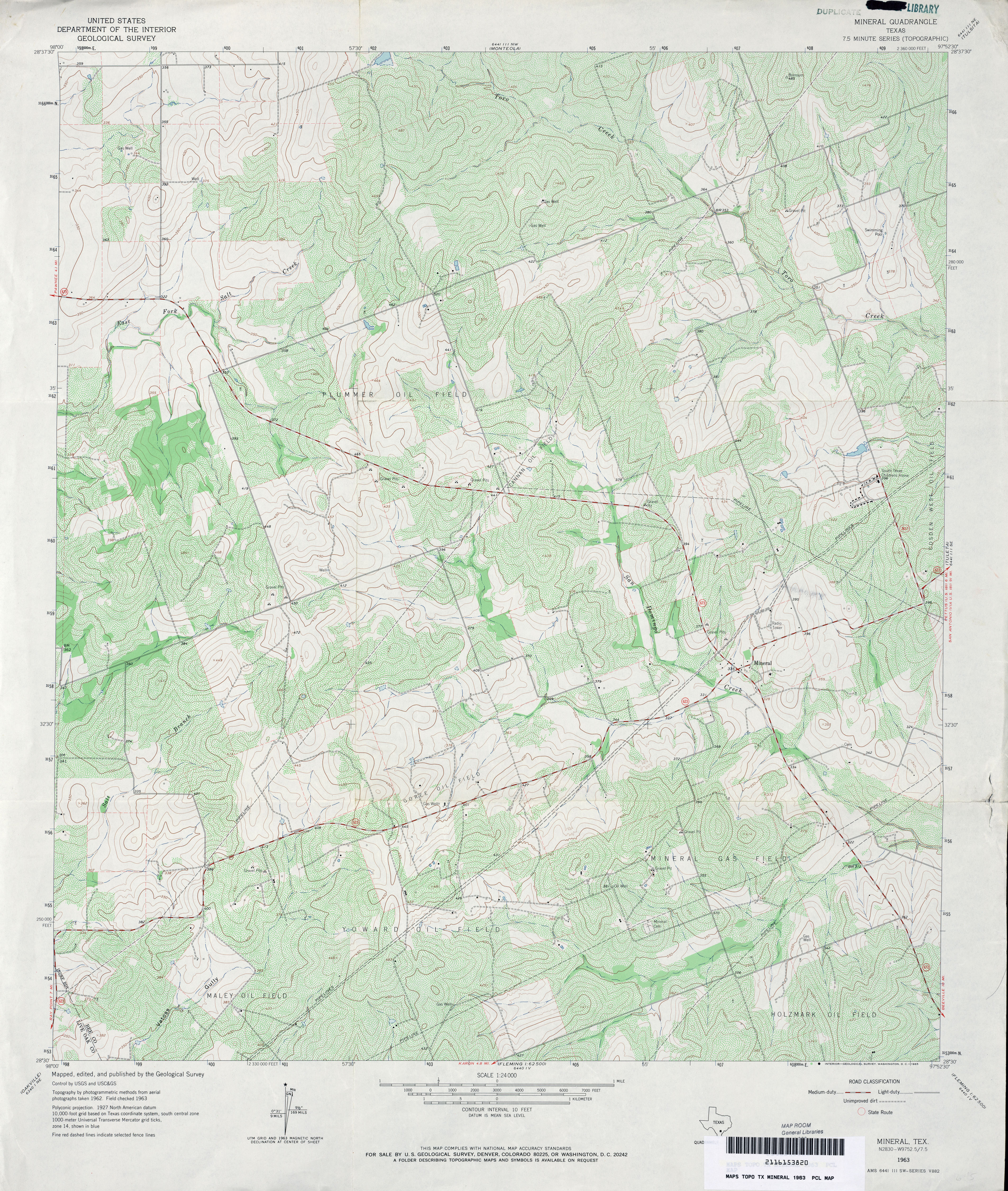
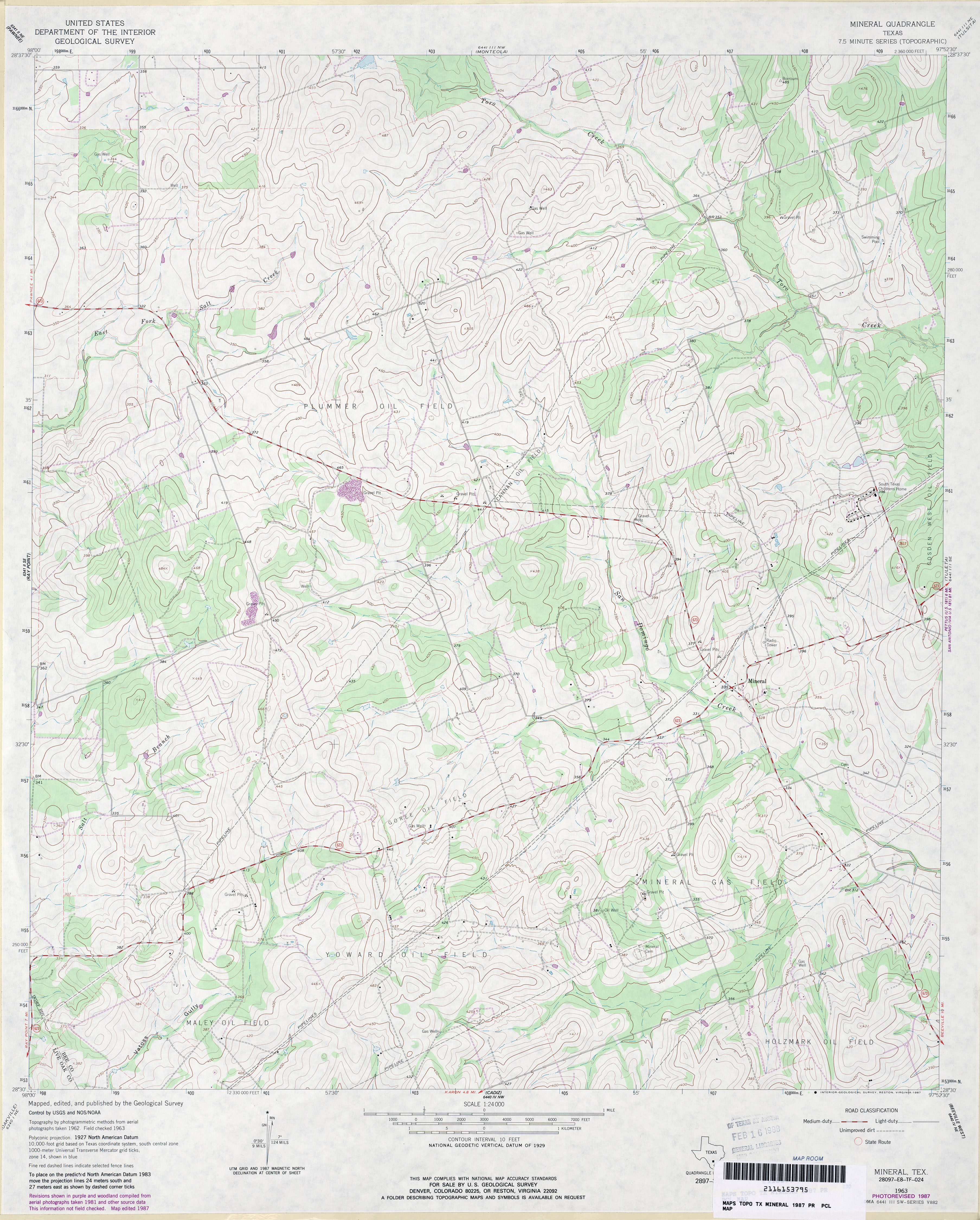
- Mineral 1:24,000 1963 (5MB)
- Mineral 1:24,000 1987 (4MB)
- Mineral 1:24,000 2008 (14.7MB) [GeoPDF]
- Mineral 1:24,000 2013 (21.7MB) [GeoPDF]
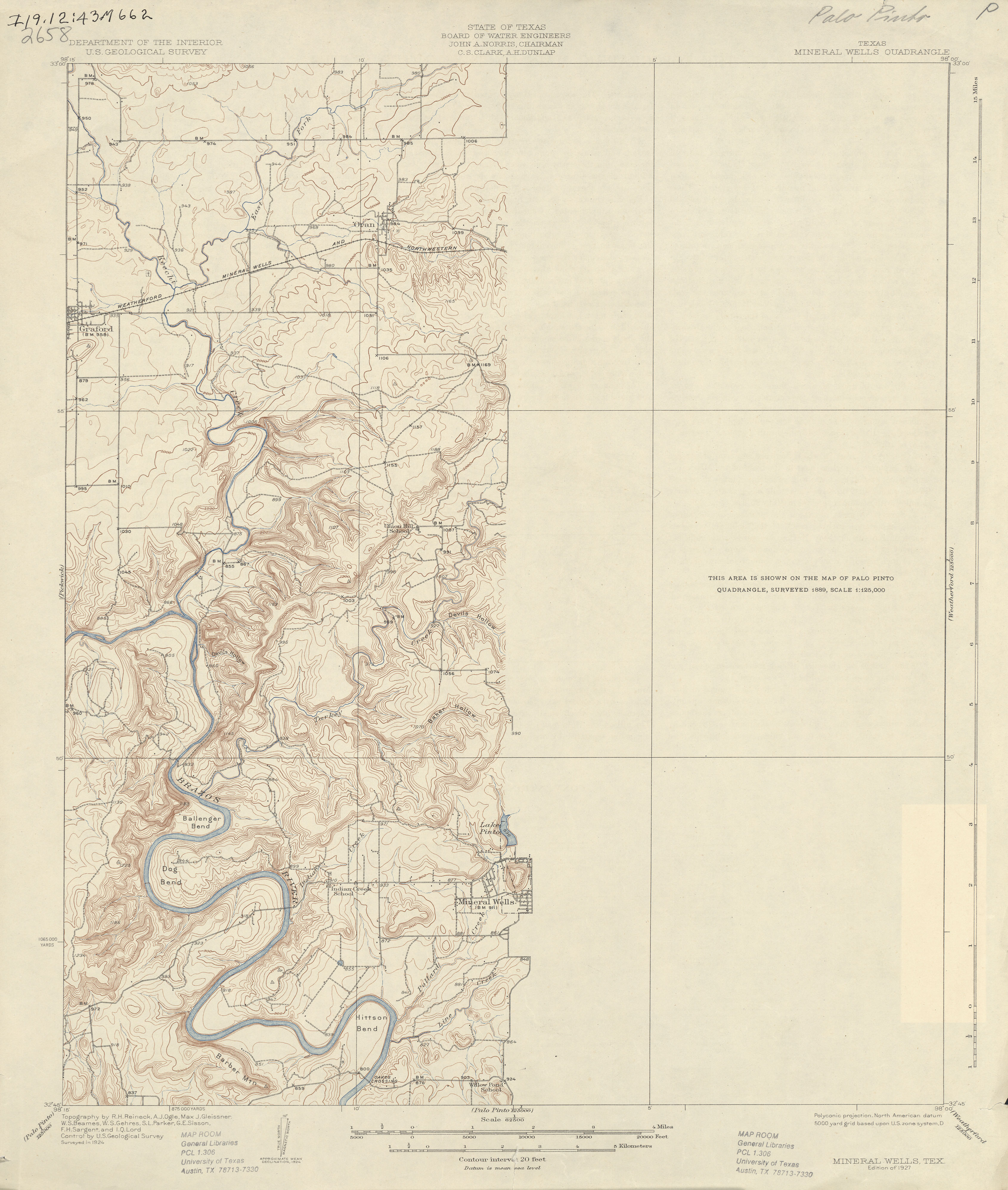
- Mineral Wells 1:62,500 1924 (2.5 MB)
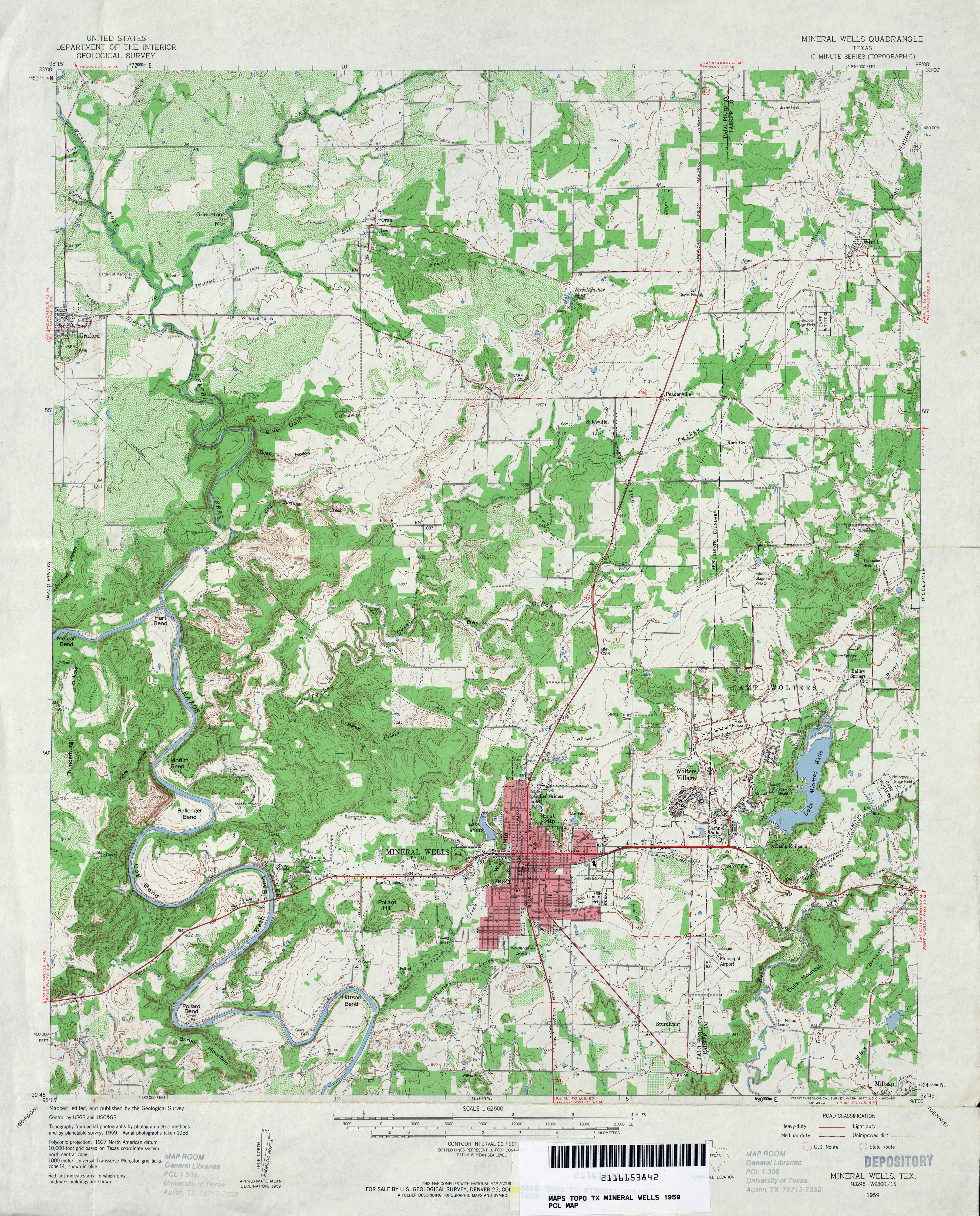
- Mineral Wells 1:62,500 1959 (5.1MB)
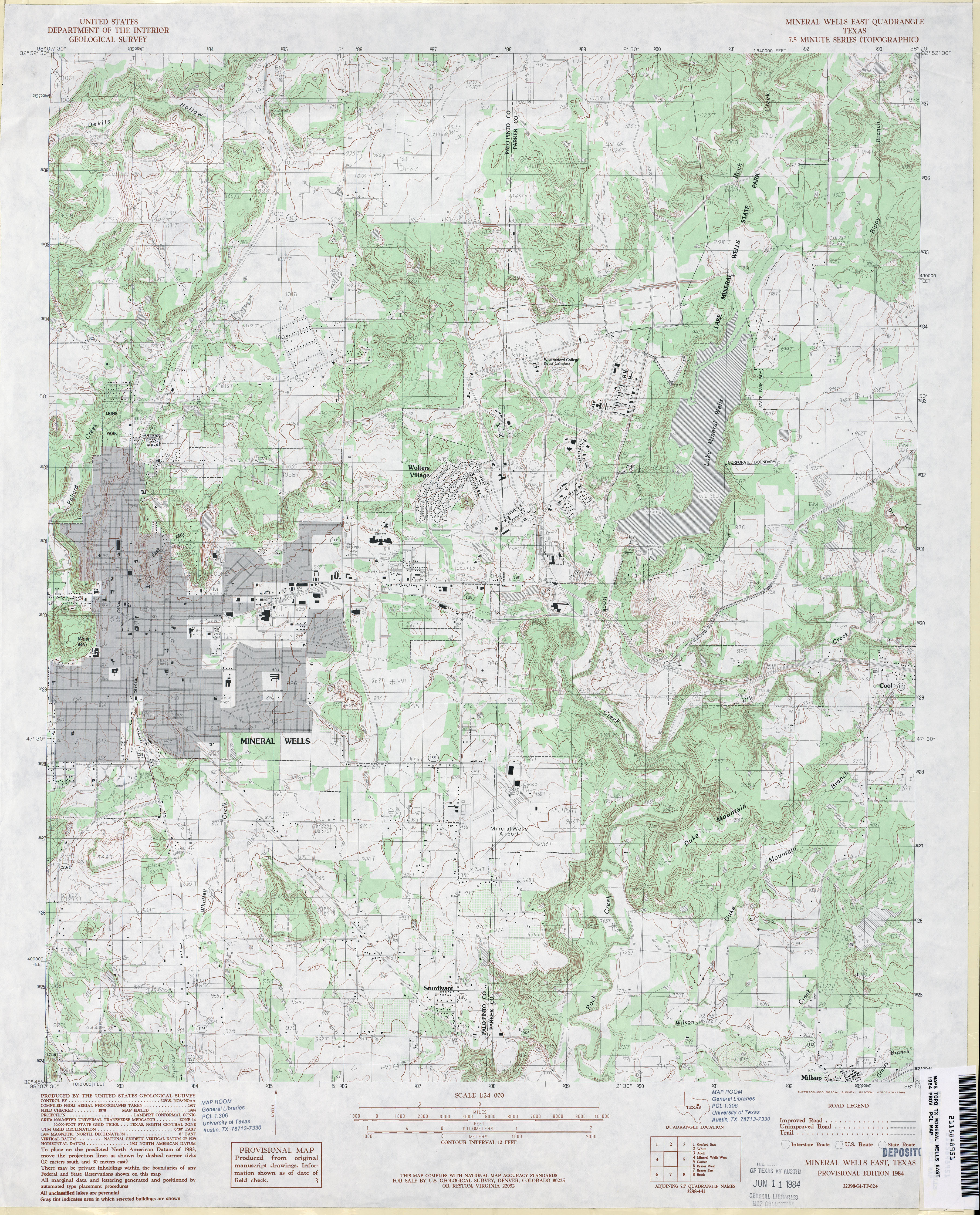
- Mineral Wells East 1:24,000 1984 (4.6MB)
- Mineral Wells East 1:24,000 2008 (19.3MB) [GeoPDF]
- Mineral Wells East 1:24,000 2012 (23.3MB) [GeoPDF]
- Mineral Wells West (Palo Pinto County) 1:24,000 1984 (5.5MB)
- Mineral Wells West 1:24,000 2008 (20.1MB) [GeoPDF]
- Mineral Wells West 1:24,000 2012 (23.9MB) [GeoPDF]
- Minter 1:24,000 1963 (3.2MB)
- Minter 1:24,000 2009 (13.8MB) [GeoPDF]
- Minter 1:24,000 2012 (20.9MB) [GeoPDF]
- Mirando City (Webb County) 1:24,000 1980 (4.6MB)
- Mirando City 1:24,000 2008 (18.8MB) [GeoPDF]
- Mirando City 1:24,000 2013 (27.5MB) [GeoPDF]
- Mirasol Creek 1:24,000 1969 (4.5MB)
- Mirasol Creek 1:24,000 2008 (20.2MB) [GeoPDF]
- Mirasol Creek 1:24,000 2012 (24.4MB) [GeoPDF]
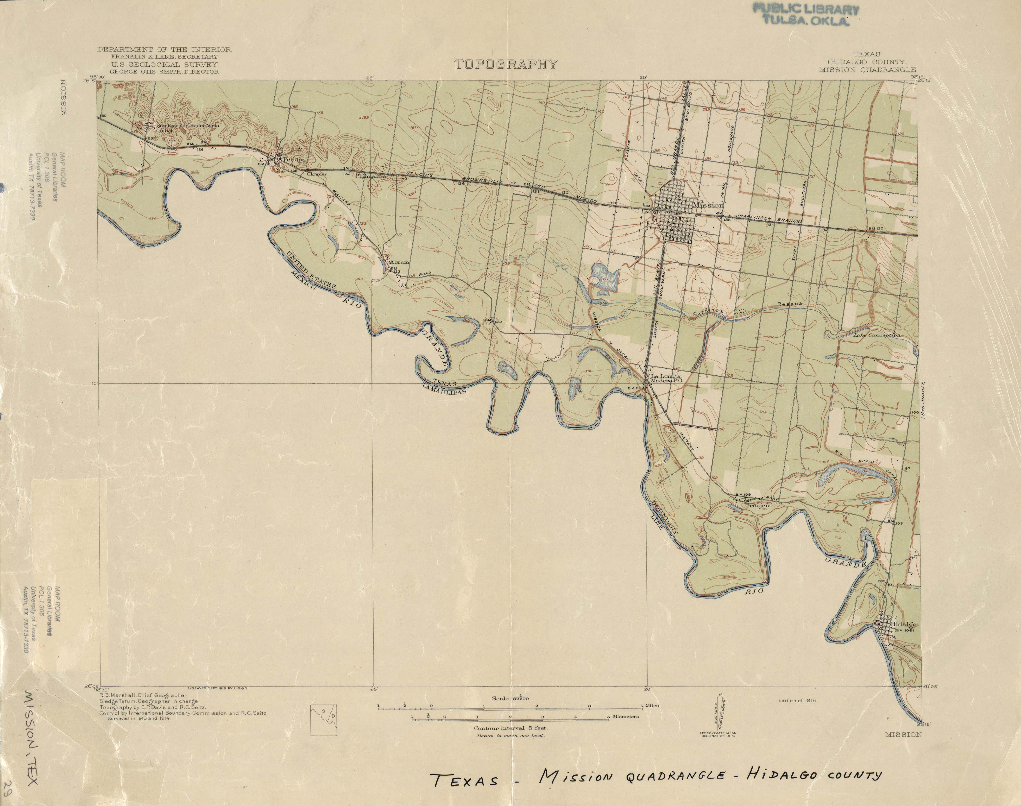
- Mission (Hidalgo County) 1:62,500 1914 (1.7 MB)
- Mission (Hidalgo County) 1:24,000 1963 (3.7MB)
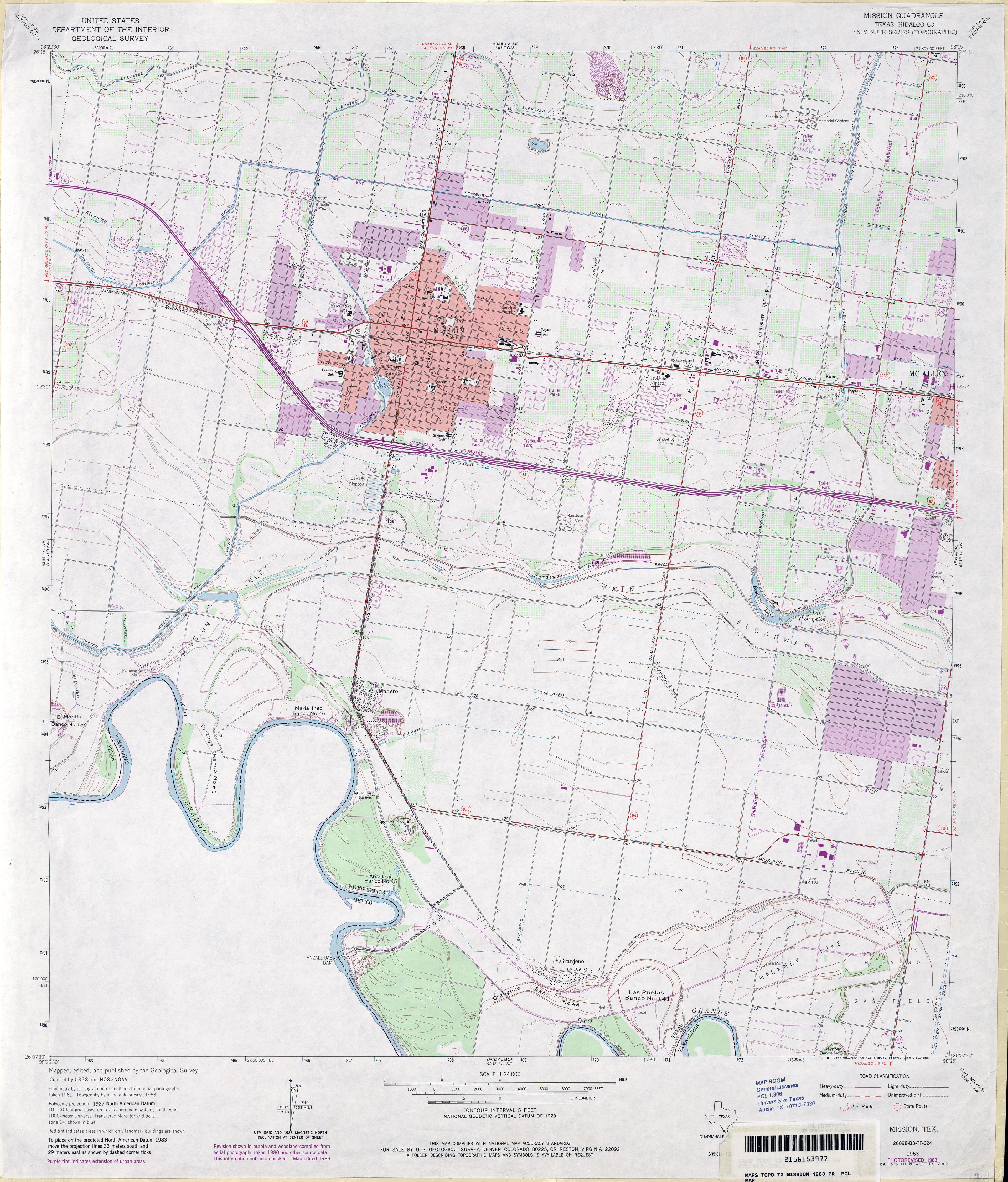
- Mission (Hidalgo County) 1:24,000 1983 (3.8MB)
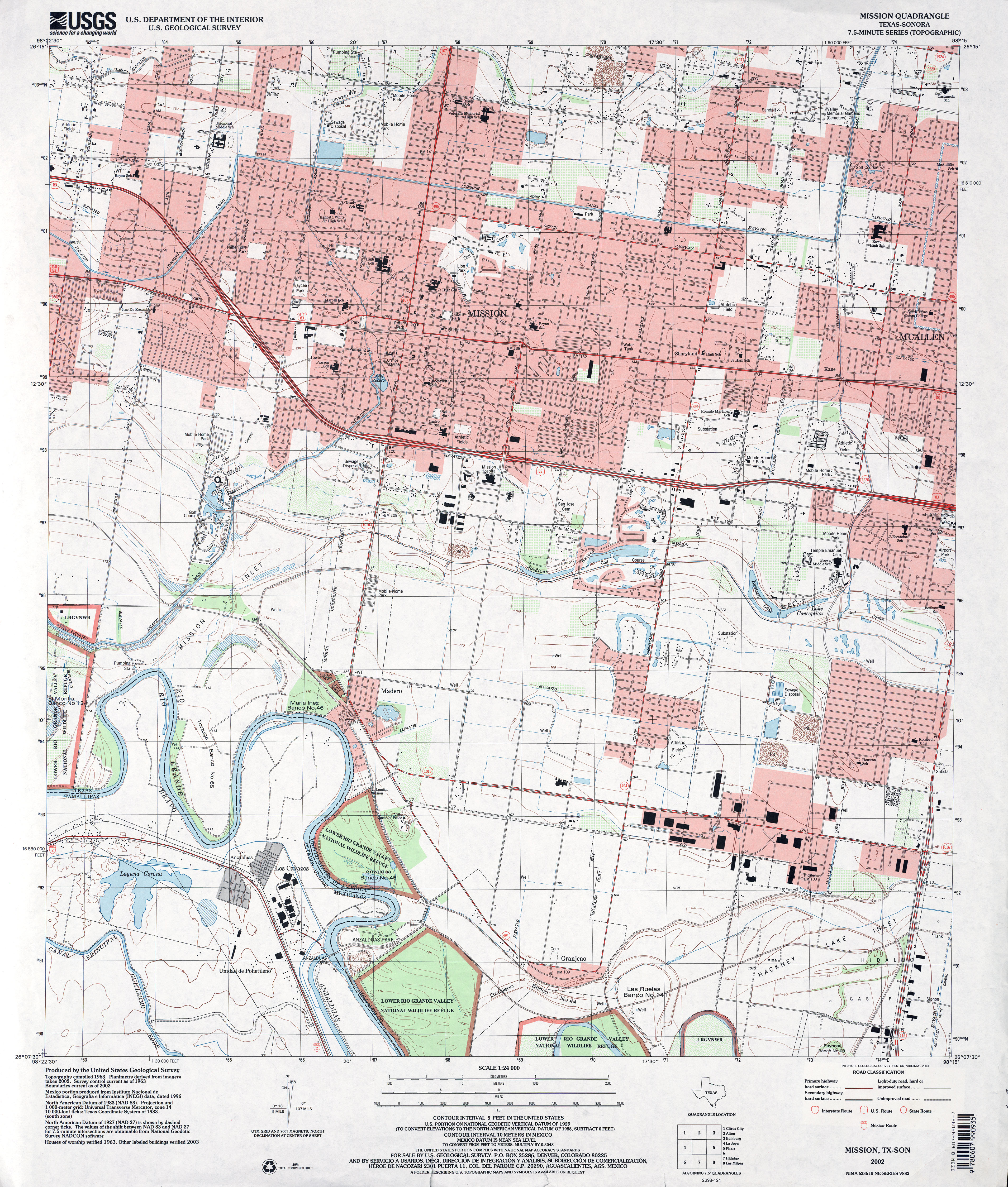
- Mission 1:24,000 2002 (4.6MB)
- Mission 1:24,000 2009 (23.2MB) [GeoPDF]
- Mission 1:24,000 2013 (24.8MB) [GeoPDF]
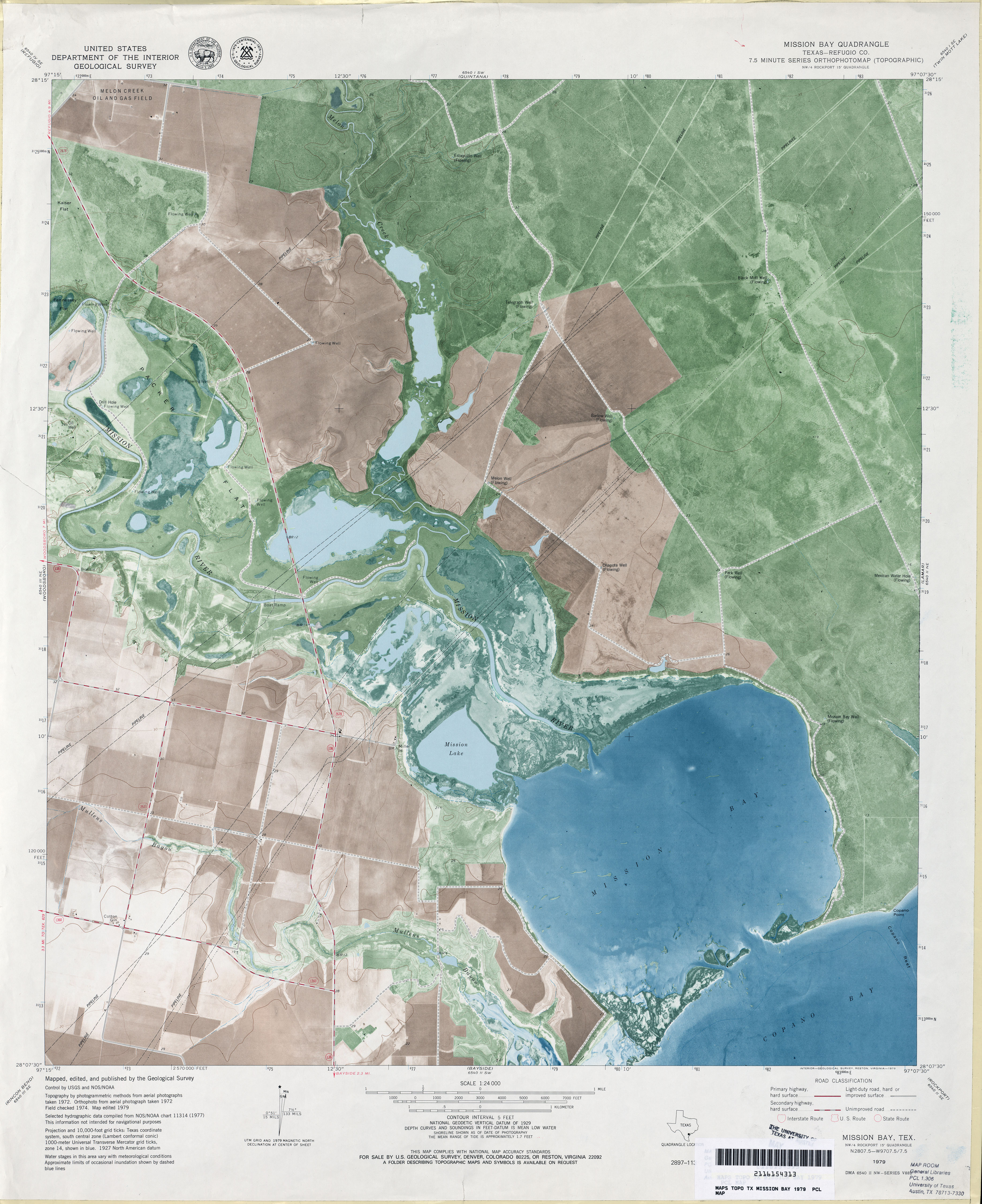
- Mission Bay (Refugio County) 1:24,000 1979 (3.1MB) 7.5 Minute Series Orthophotomap
- Mission Bay 1:24,000 2009 (10.4MB) [GeoPDF]
- Mission Bay 1:24,000 2013 (17.7MB) [GeoPDF]
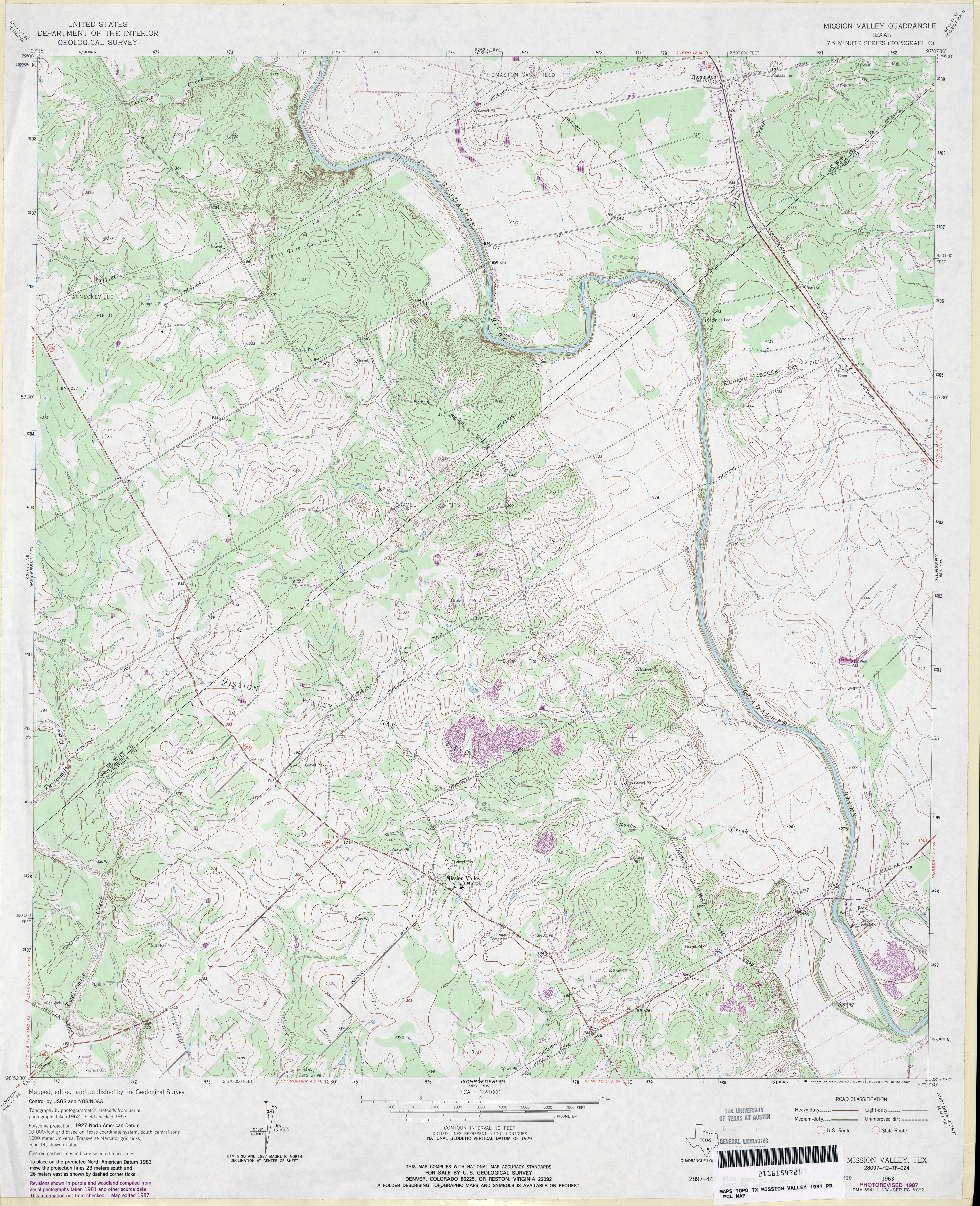
- Mission Valley 1:24,000 1963 (4.4MB)
- Mission Valley 1:24,000 1987 (4.3MB)
- Mission Valley 1:24,000 2009 (15.4MB) [GeoPDF]
- Mission Valley 1:24,000 2013 (26.9MB) [GeoPDF]
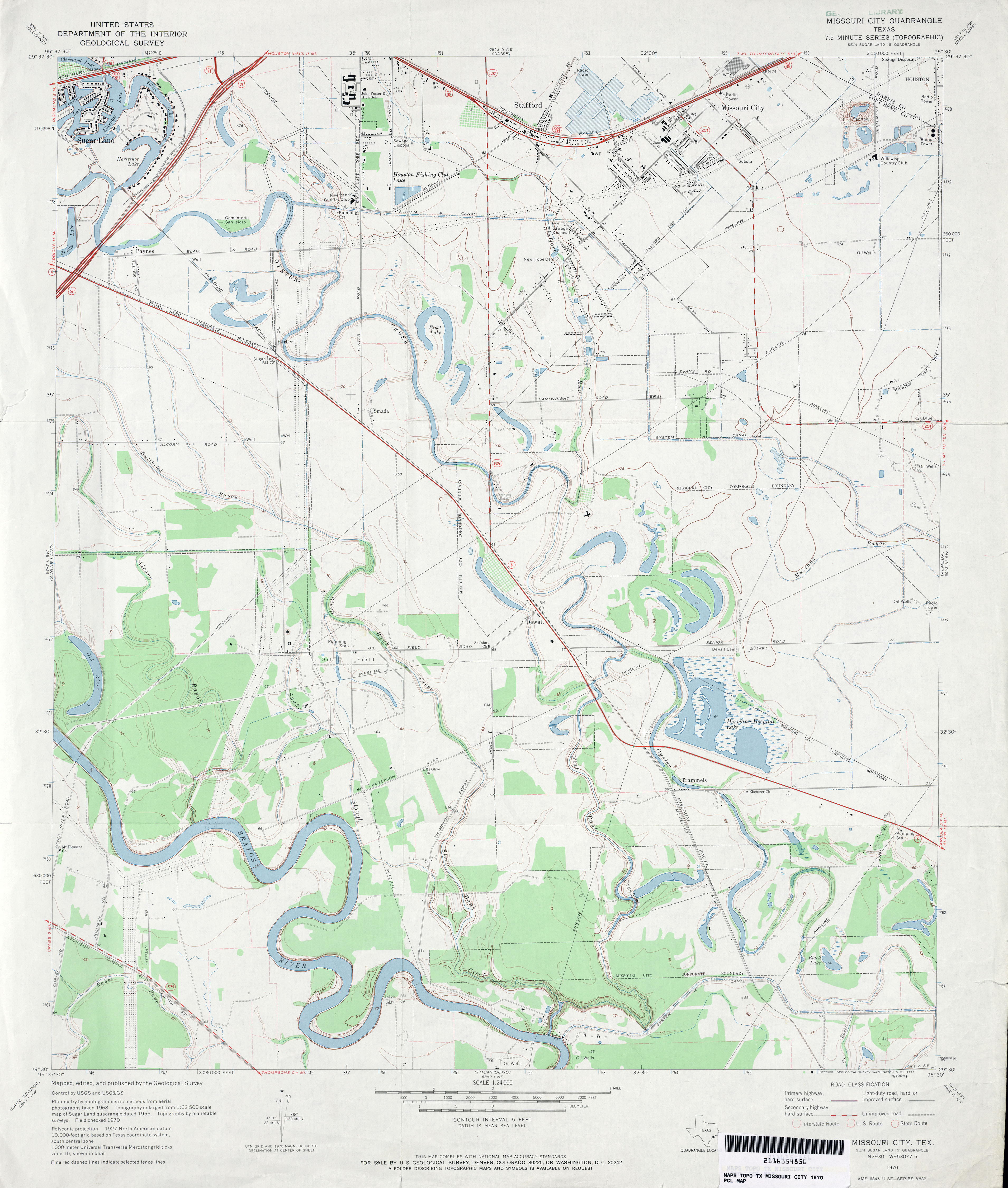
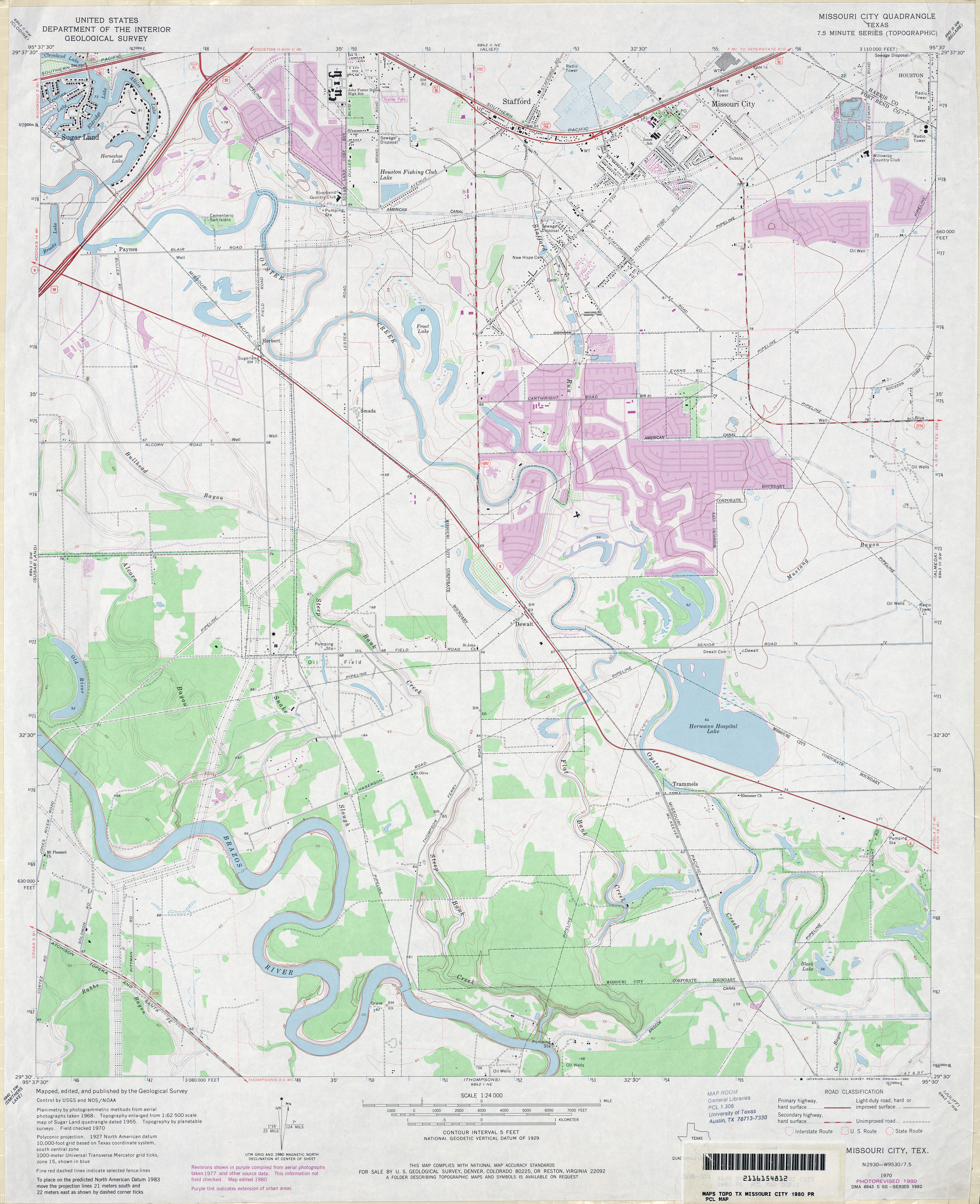
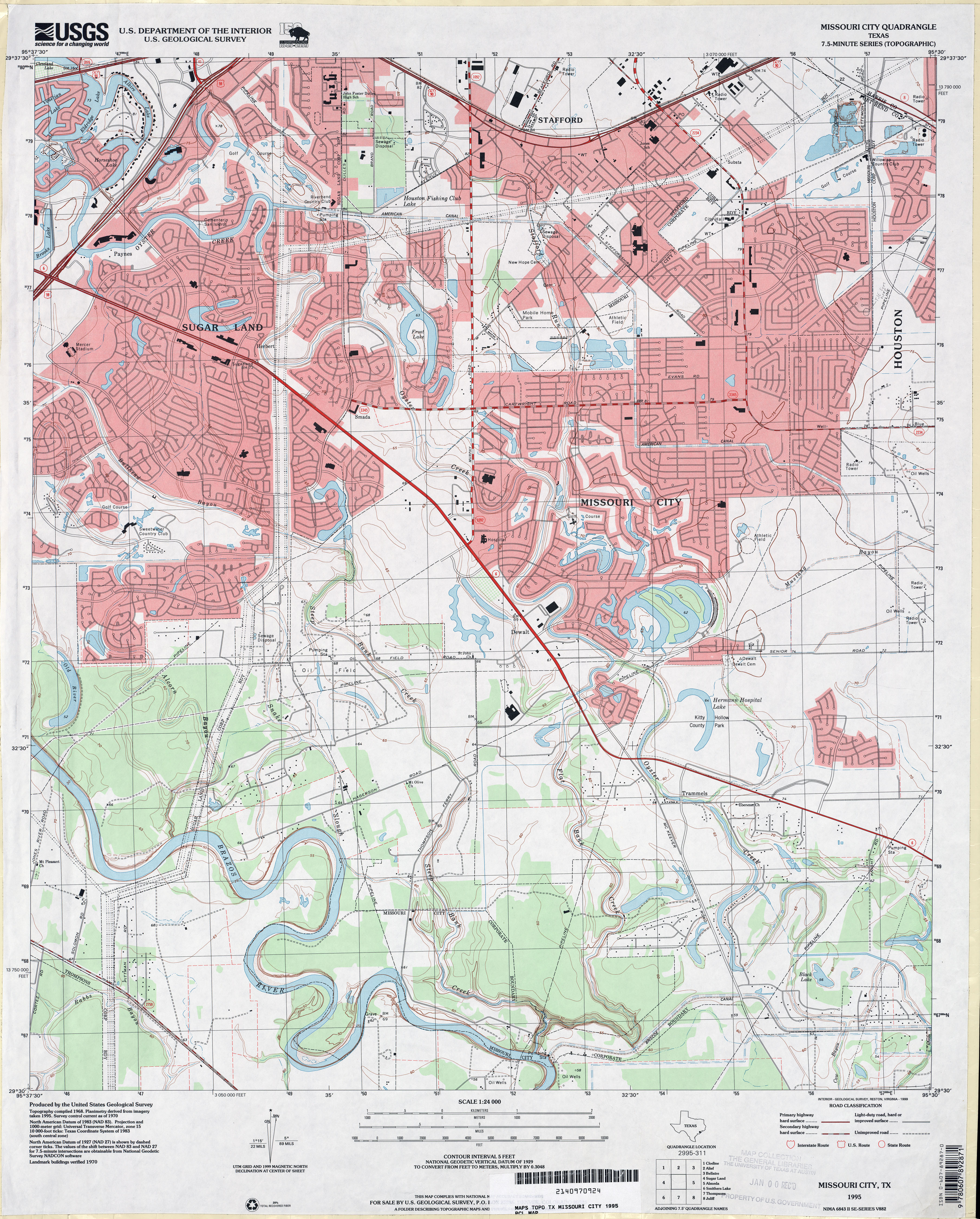
- Missouri City 1:24,000 1970 (3.3MB)
- Missouri City 1:24,000 1980 (3.5MB)
- Missouri City 1:24,000 1995 (4.5MB)
- Missouri City 1:24,000 2009 (22.3MB) [GeoPDF]
- Missouri City 1:24,000 2013 (24.4MB) [GeoPDF]
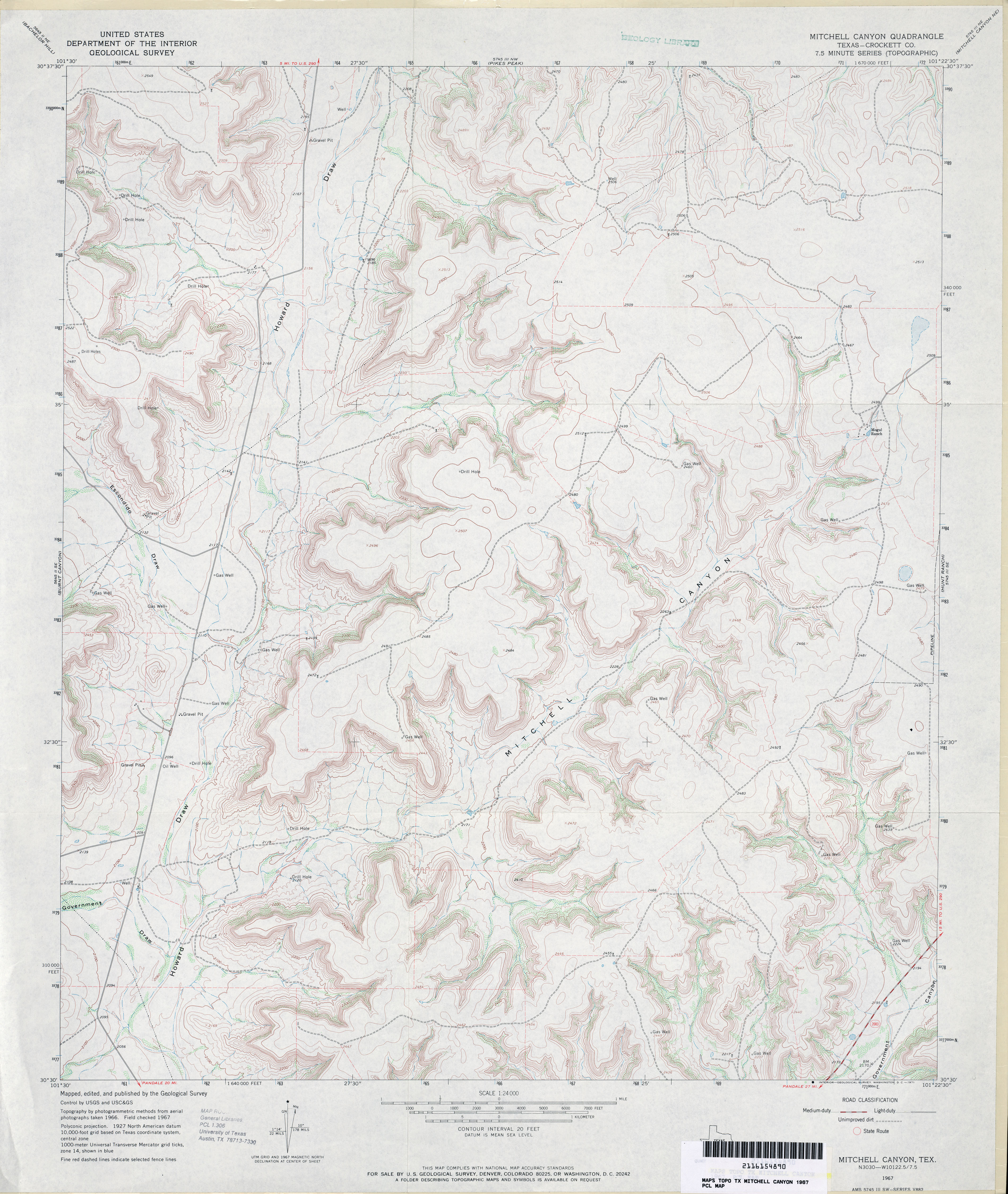
- Mitchell Canyon (Crockett County) 1:24,000 1967 (3.9MB)
- Mitchell Canyon 1:24,000 2008 (22.5MB) [GeoPDF]
- Mitchell Canyon 1:24,000 2012 (33.8MB) [GeoPDF]
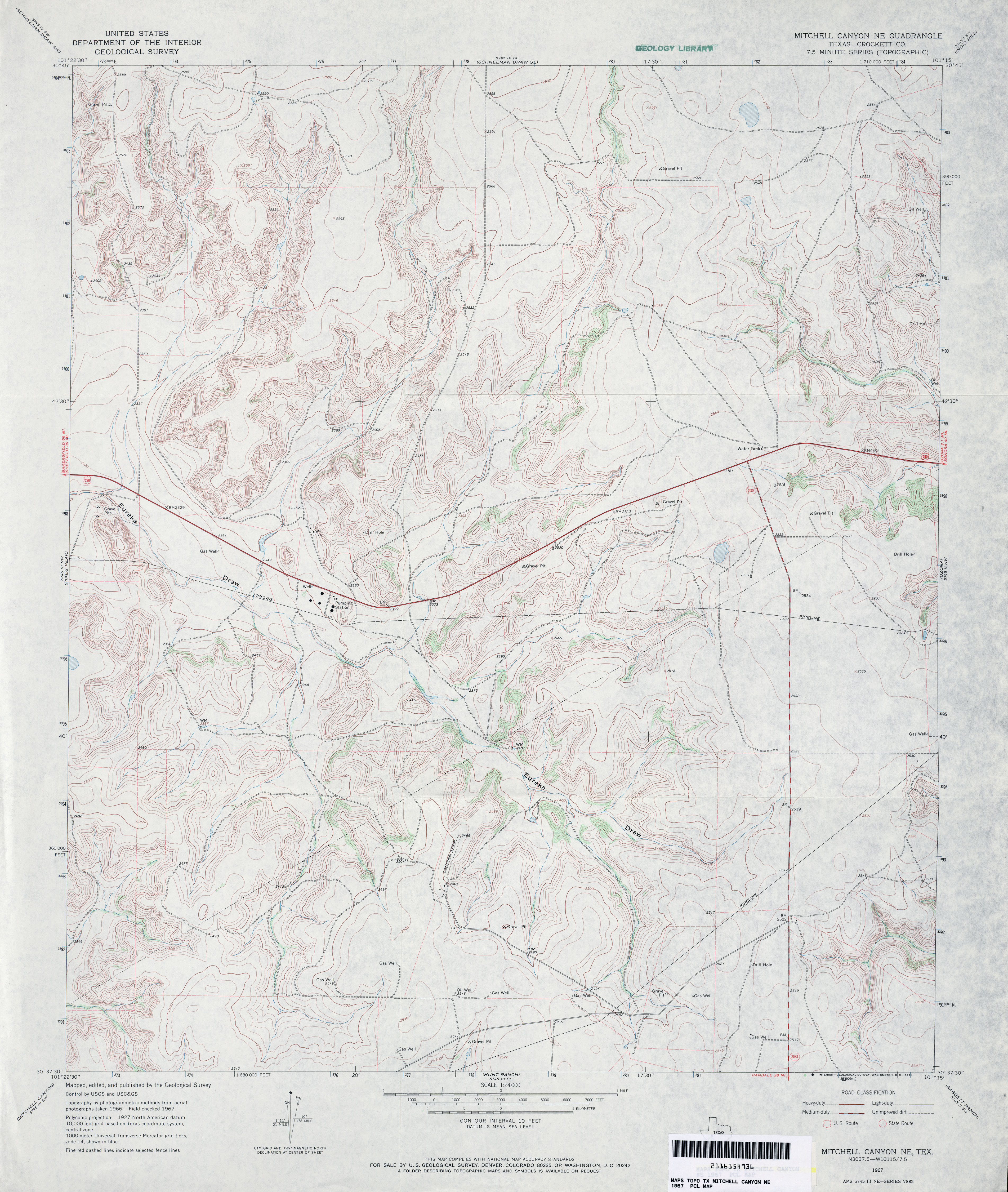
- Mitchell Canyon NE (Crockett County) 1:24,000 1967 (4MB)
- Mitchell Canyon NE (Crockett County) 1:24,000 1979 (3.6MB)
- Mitchell Canyon NE 1:24,000 2008 (25.9MB) [GeoPDF]
- Mitchell Canyon NE 1:24,000 2012 (31.6MB) [GeoPDF]
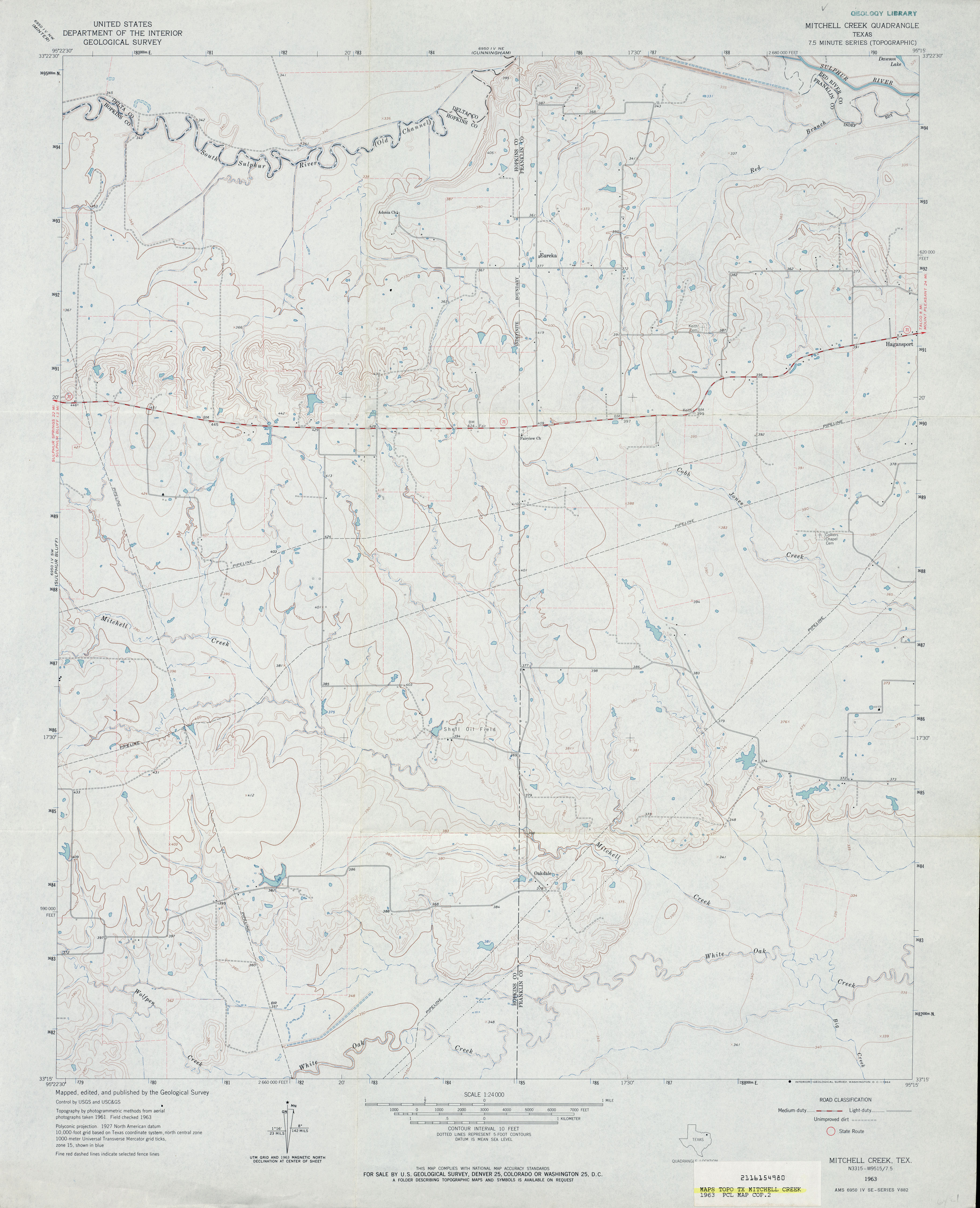
- Mitchell Creek 1:24,000 1963 (3MB)
- Mitchell Creek 1:24,000 2009 (15.0MB) [GeoPDF]
- Mitchell Creek 1:24,000 2013 (20.8MB) [GeoPDF]
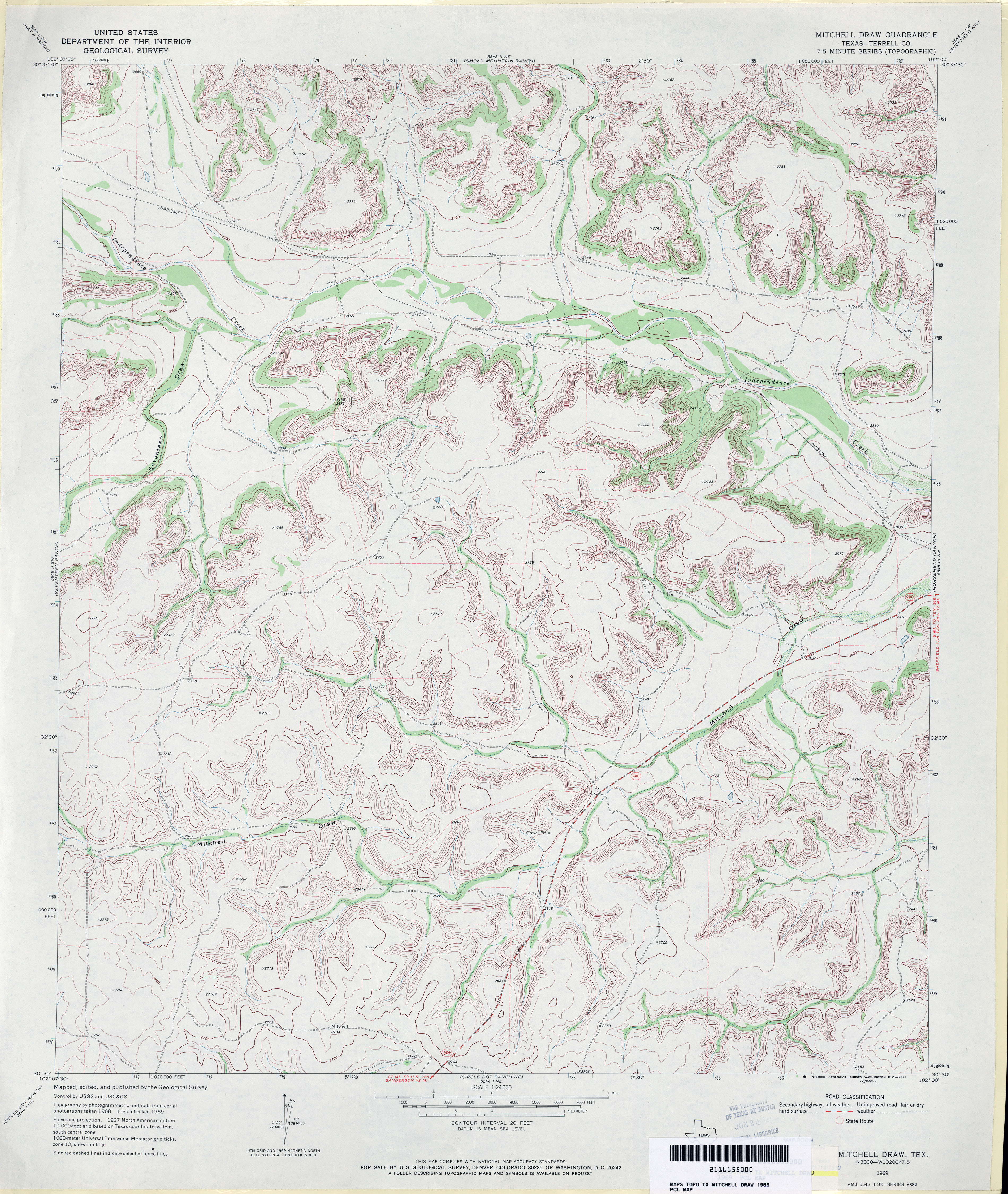
- Mitchell Draw (Terrell County) 1:24,000 1969 (4.4MB)
- Mitchell Draw 1:24,000 2008 (22.9MB) [GeoPDF]
- Mitchell Draw 1:24,000 2012 (28.1MB) [GeoPDF]
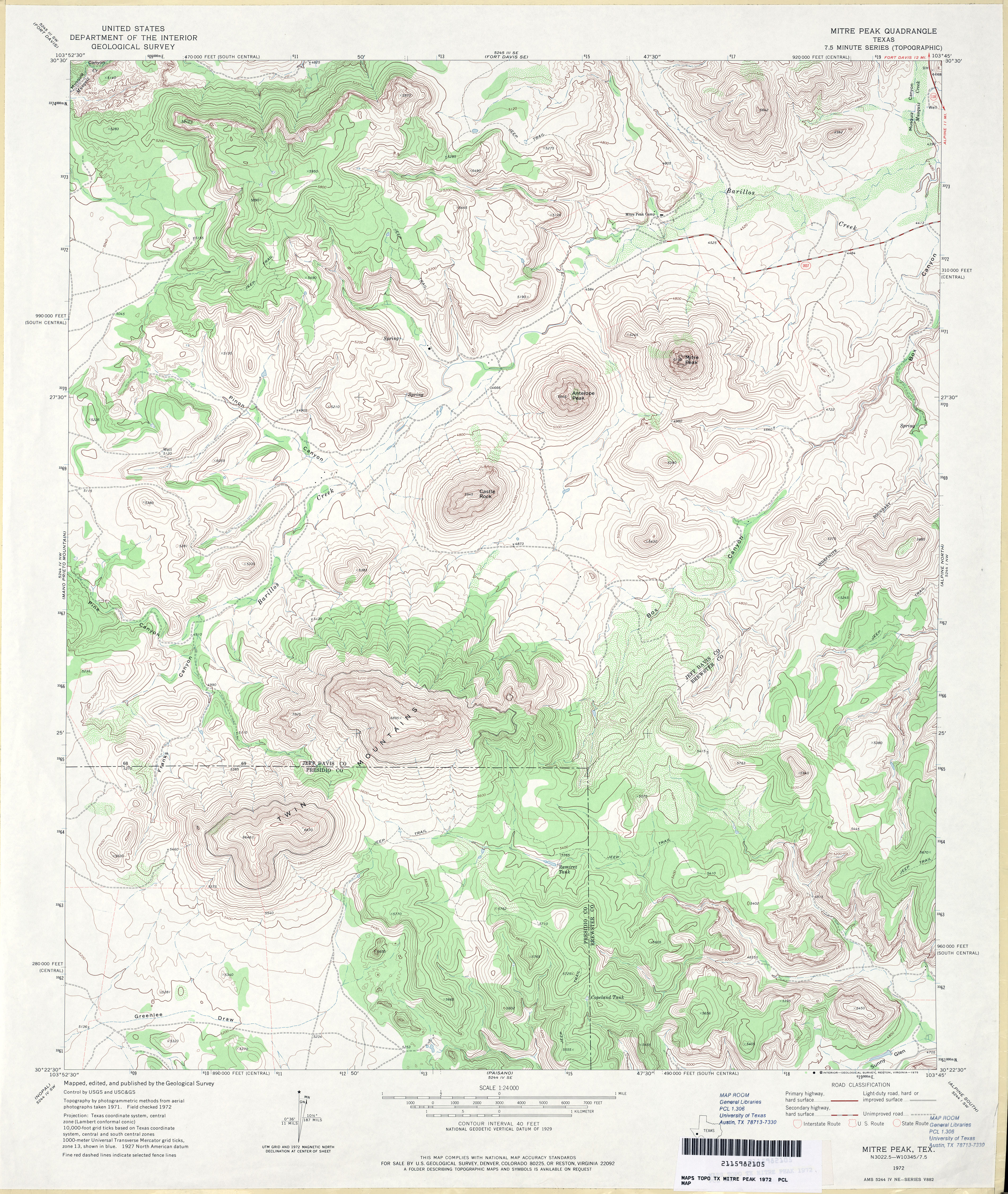
- Mitre Peak 1:24,000 1972 (5MB)
- Mitre Peak 1:24,000 2008 (18.9MB) [GeoPDF]
- Mitre Peak 1:24,000 2012 (24.3MB) [GeoPDF]
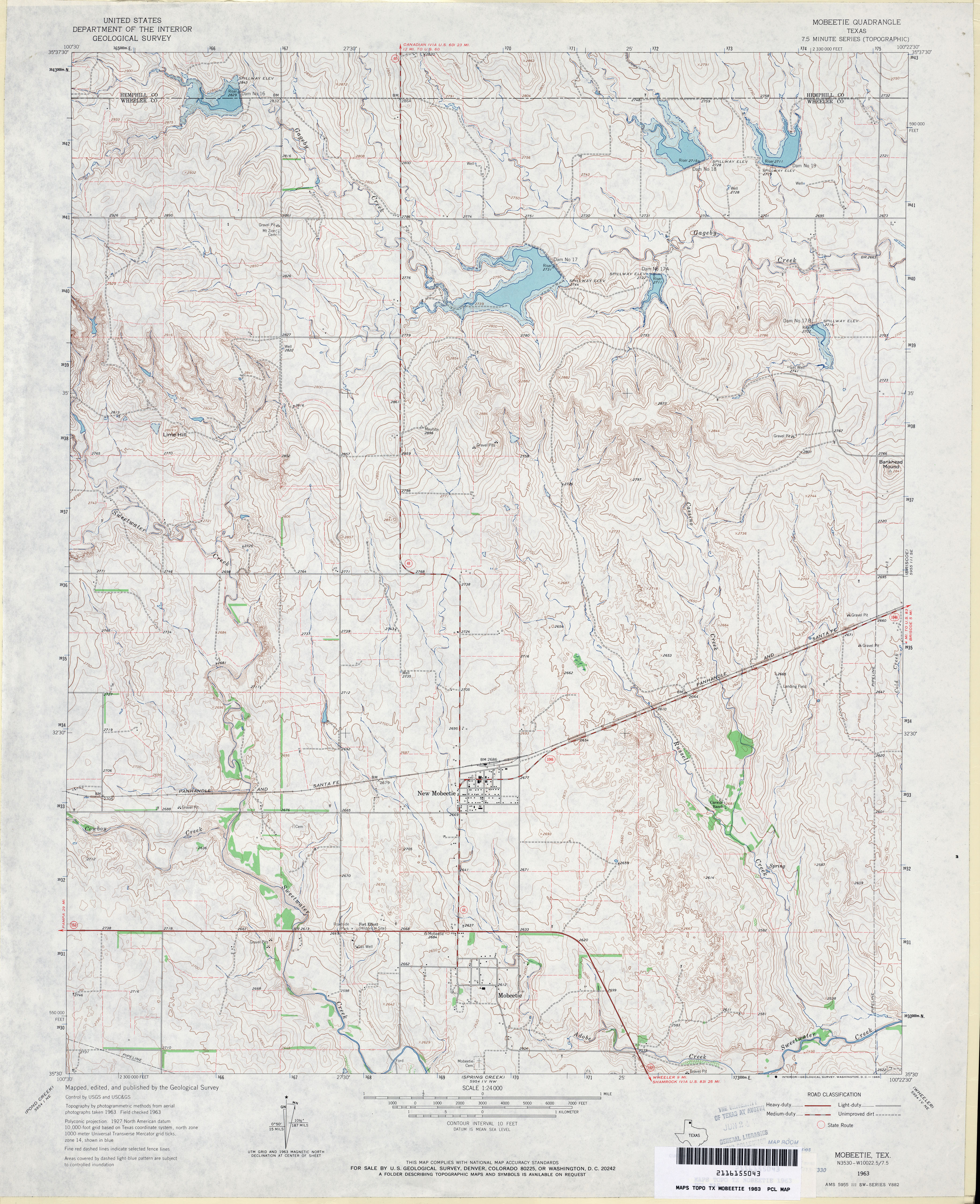
- Mobeetie 1:24,000 1963 (4.2MB)
- Mobeetie 1:24,000 2008 (11.9MB) [GeoPDF]
- Mobeetie 1:24,000 2012 (17.1MB) [GeoPDF]
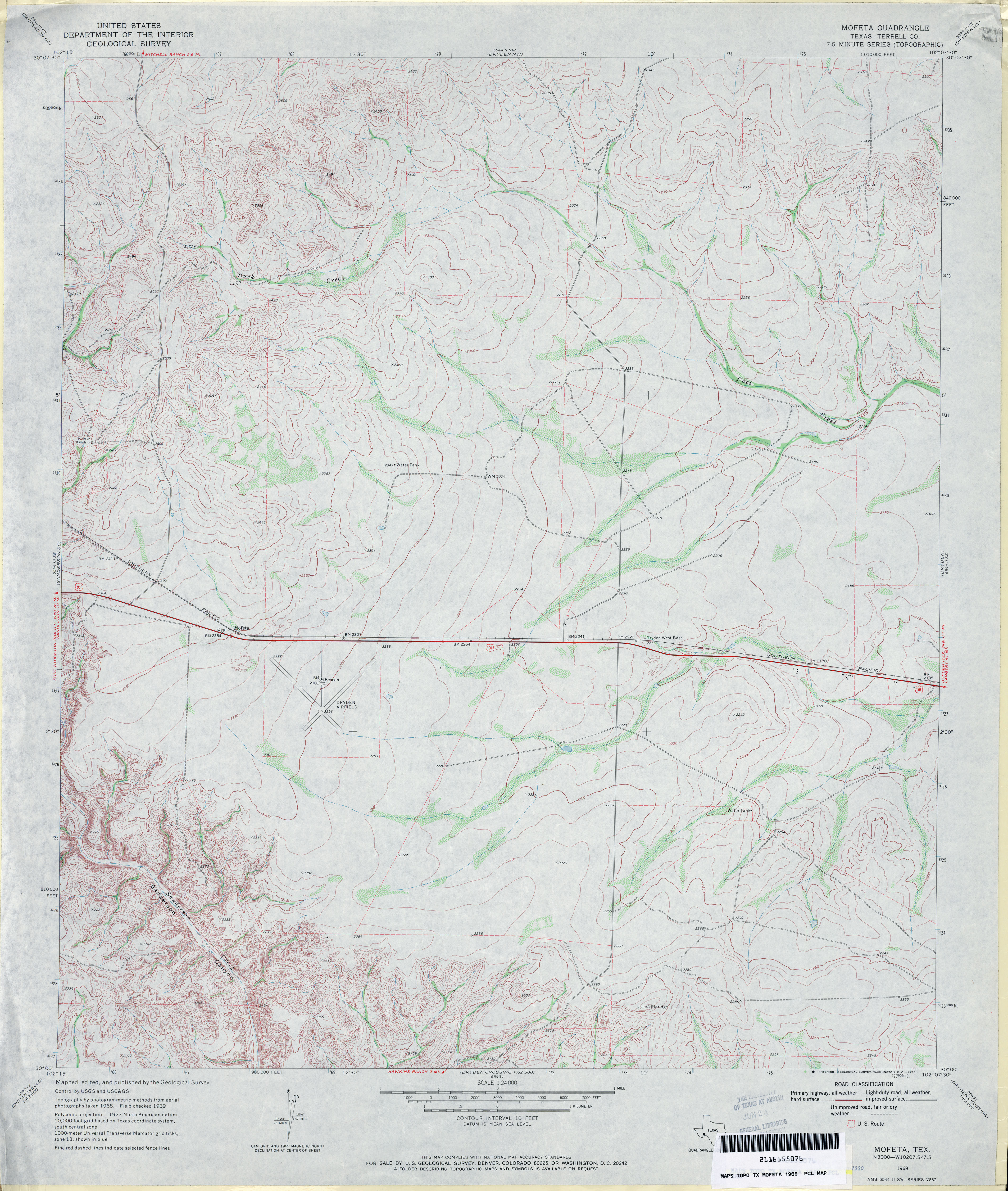
- Mofeta (Terrell County) 1:24,000 1969 (3.9MB)
- Mofeta 1:24,000 2008 (19.4MB) [GeoPDF]
- Mofeta 1:24,000 2012 (27.9MB) [GeoPDF]
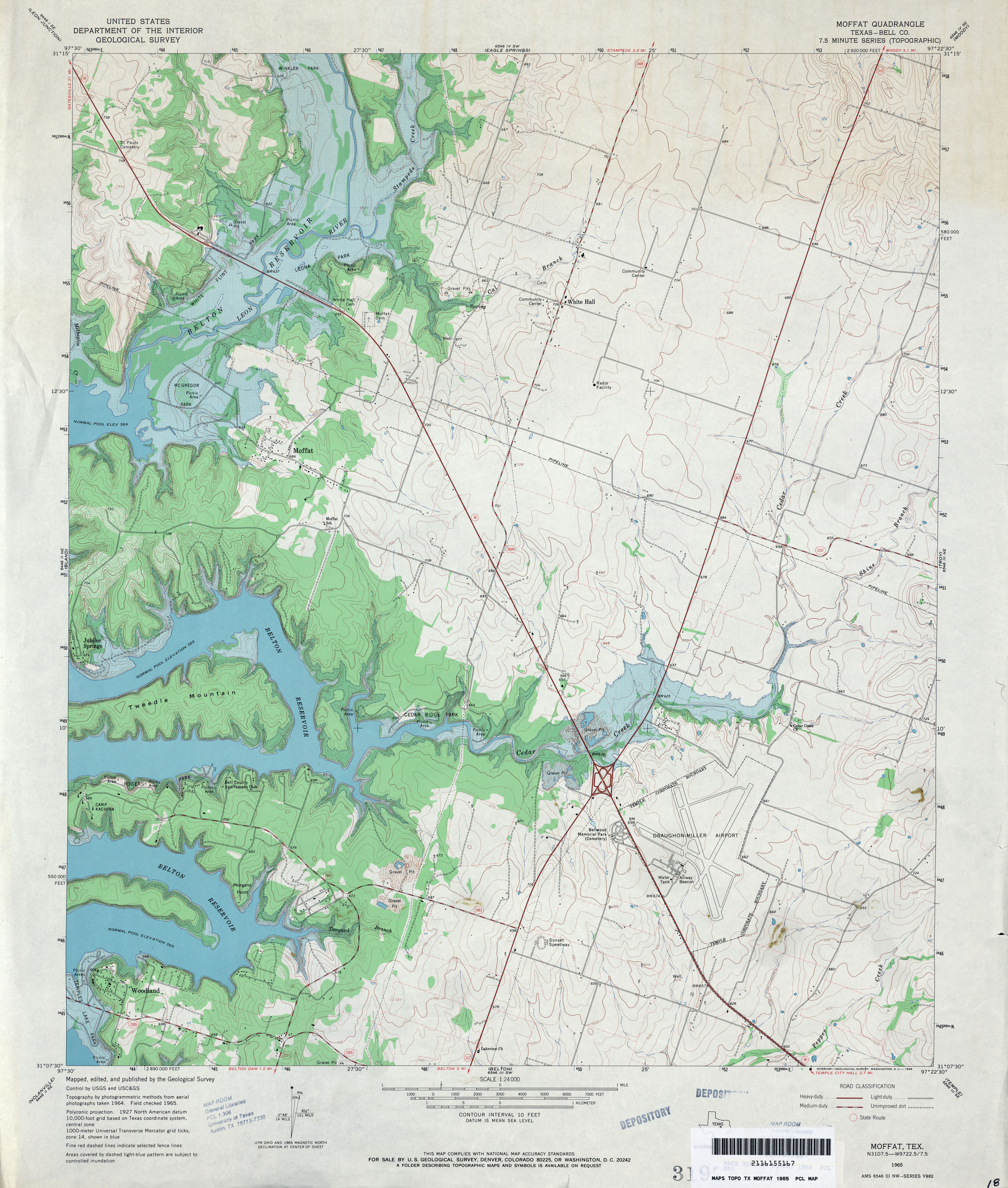
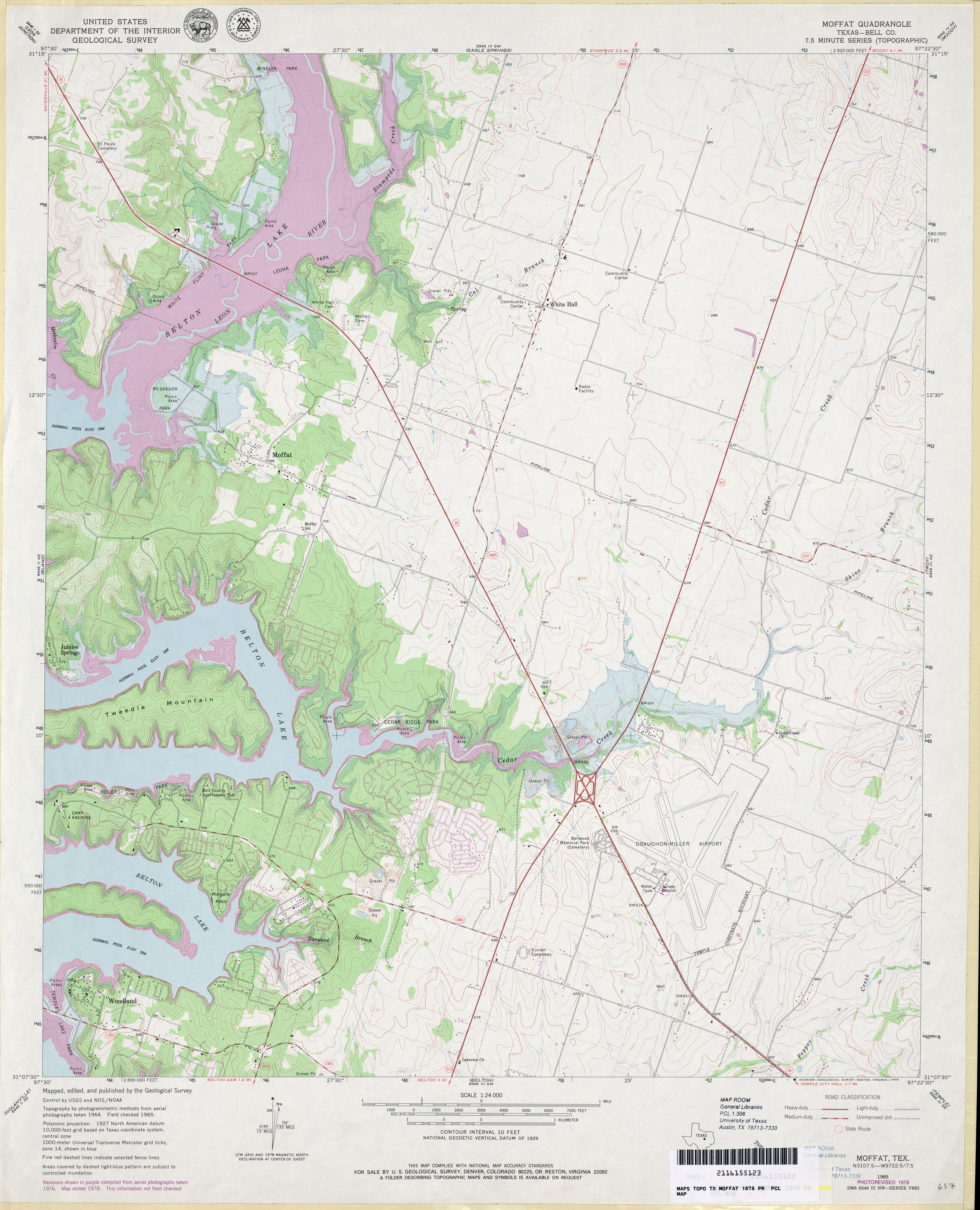
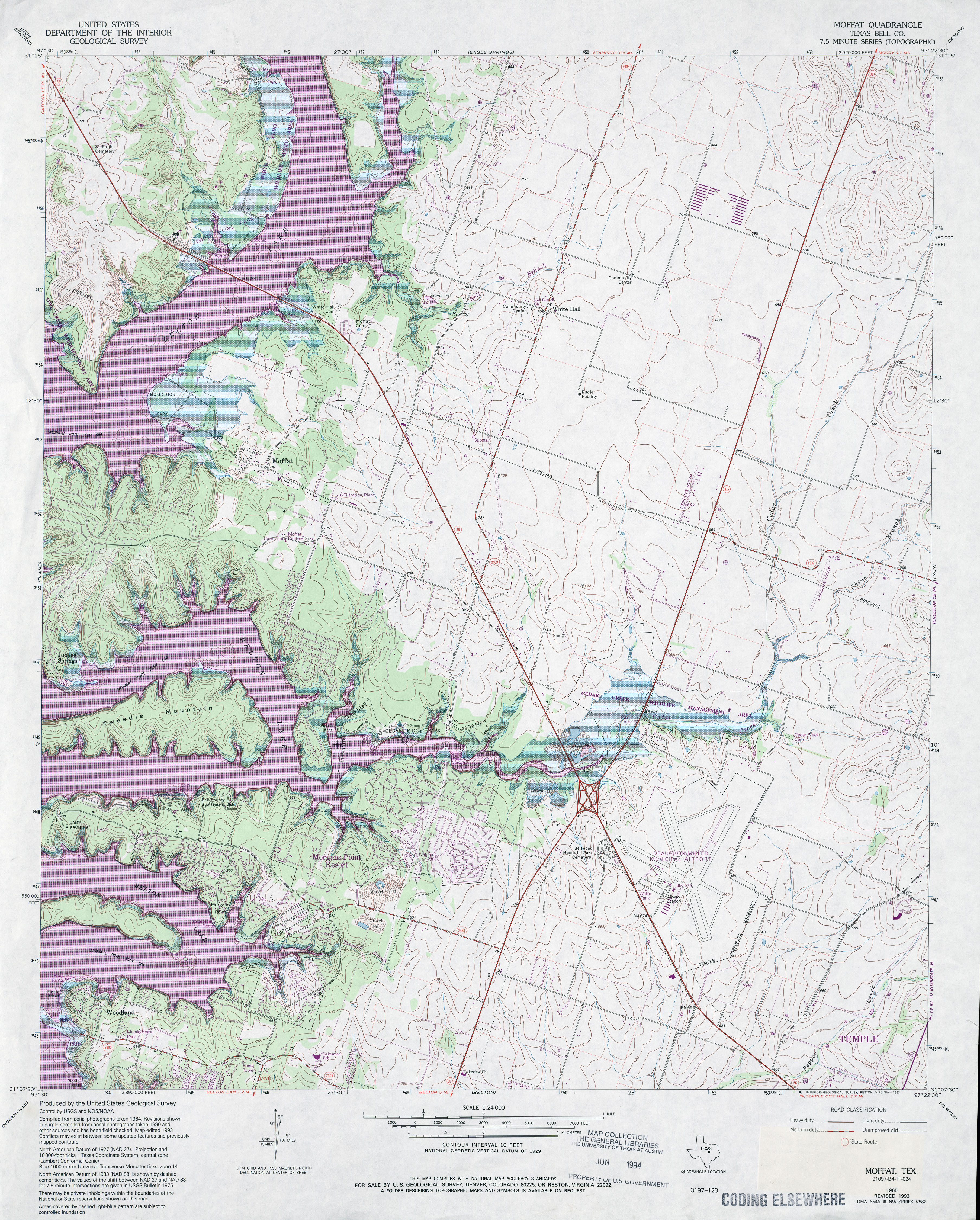
- Moffat (Bell County) 1:24,000 1965 (4.1MB)
- Moffat (Bell County) 1:24,000 1978 (4MB)
- Moffat (Bell County) 1:24,000 1993 (5.2MB)
- Moffat 1:24,000 2008 (15.6MB) [GeoPDF]
- Moffat 1:24,000 2012 (21.3MB) [GeoPDF]
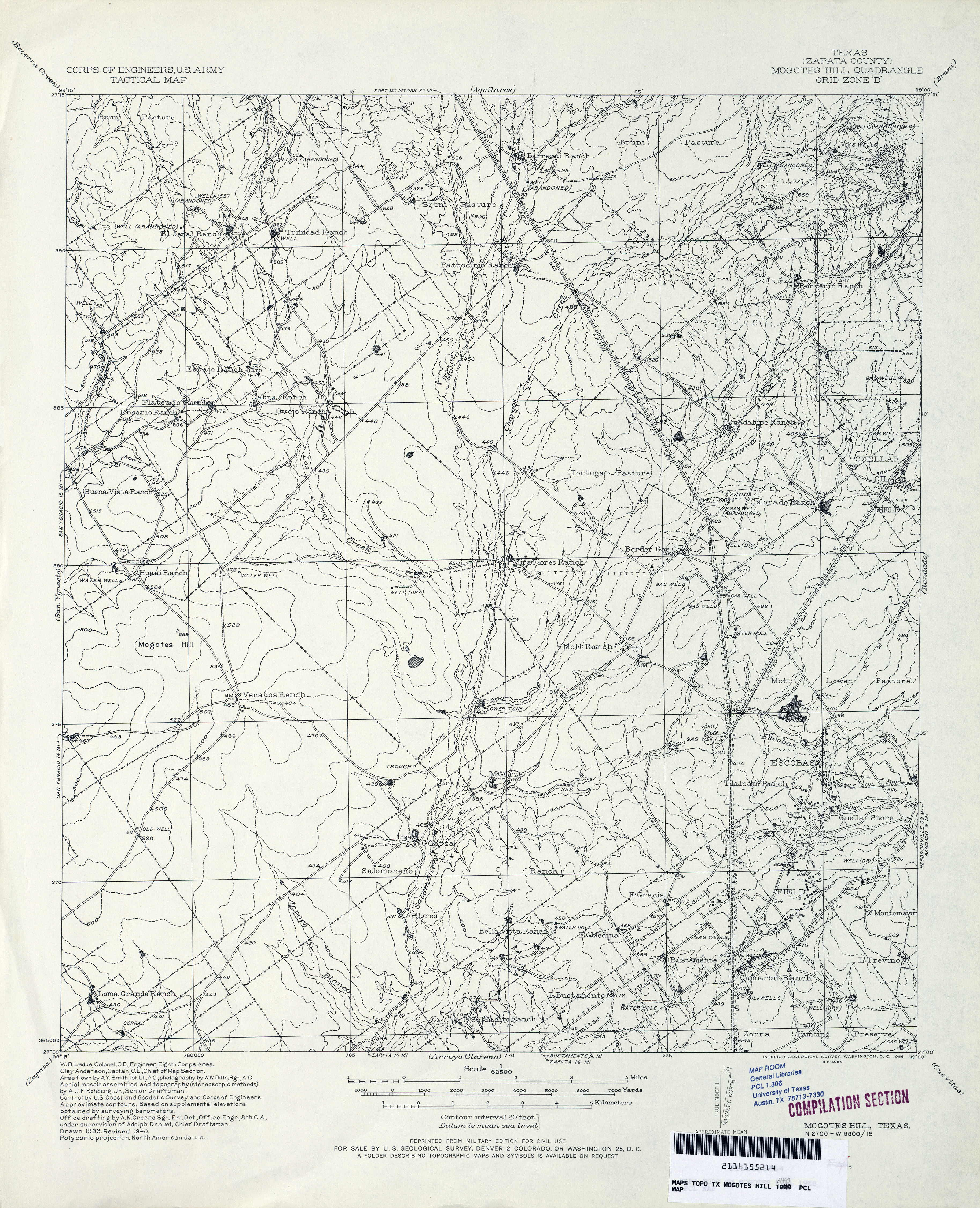
- Mogotes Hill (Zapata County) 1:62,500 1940 (3.9 MB) U.S. Army. Corps of Engineers Tactical Map
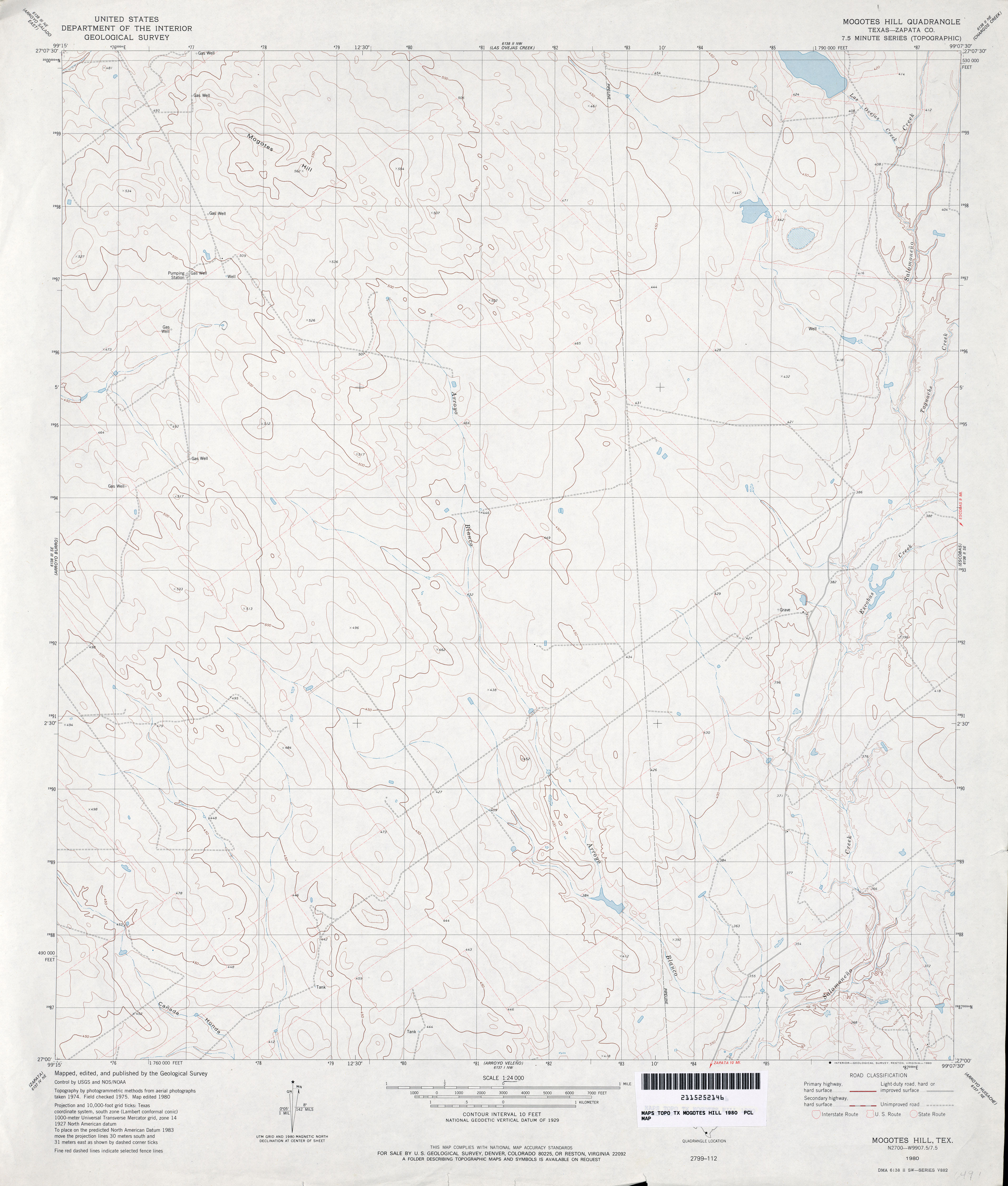
- Mogotes Hill (Zapata County) 1:24,000 1980 (3MB)
- Mogotes Hill 1:24,000 2008 (21.2MB) [GeoPDF]
- Mogotes Hill 1:24,000 2013 (24.3MB) [GeoPDF]
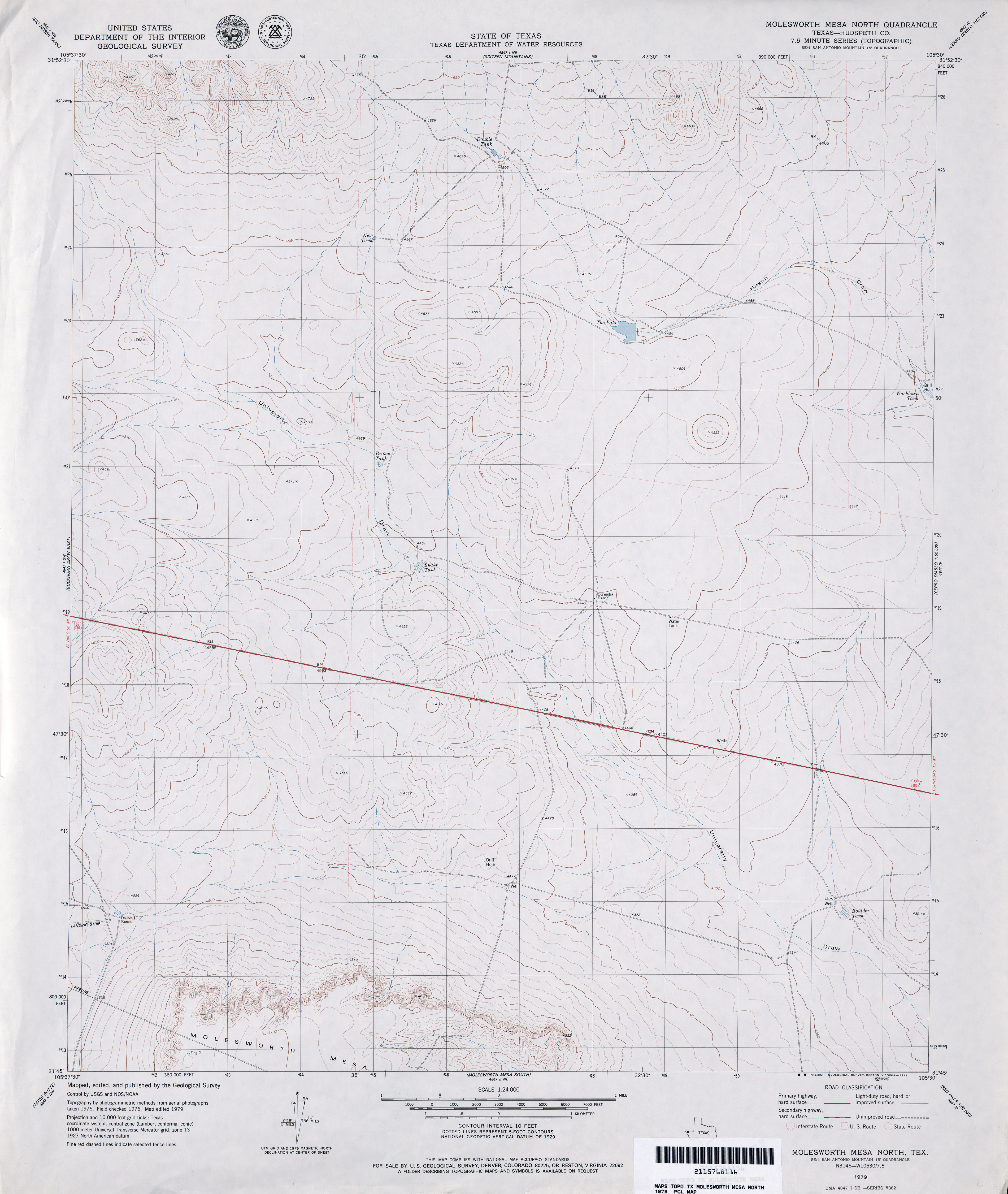
- Molesworth Mesa North (Hudspeth County) 1:24,000 1979 (2.7MB)
- Molesworth Mesa North 1:24,000 2008 (15.4MB) [GeoPDF]
- Molesworth Mesa North 1:24,000 2012 (22.1MB) [GeoPDF]
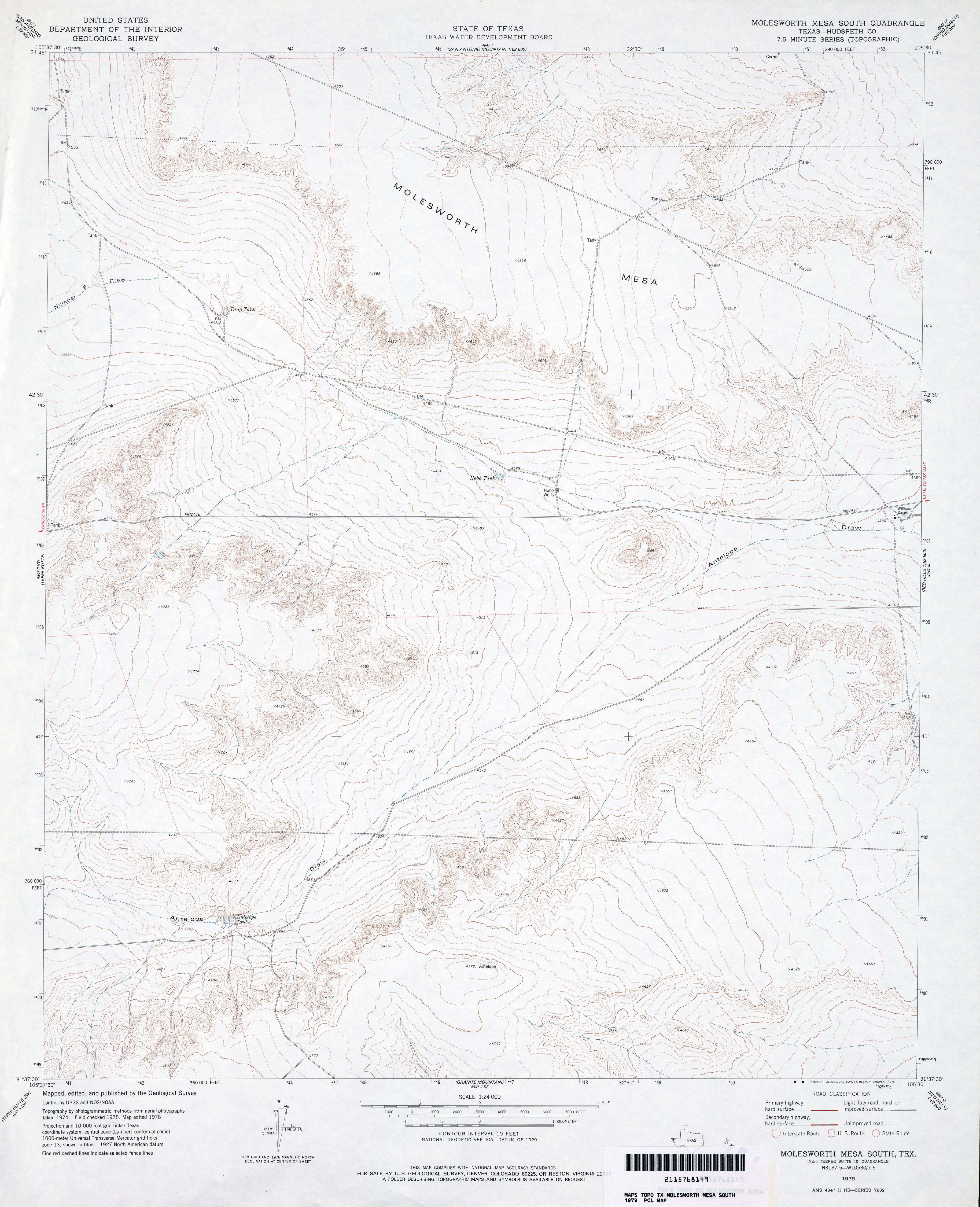
- Molesworth Mesa South (Hudspeth County) 1:24,000 1978 (3.2MB)
- Molesworth Mesa South 1:24,000 2008 (16.8MB) [GeoPDF]
- Molesworth Mesa South 1:24,000 2012 (23.6MB) [GeoPDF]
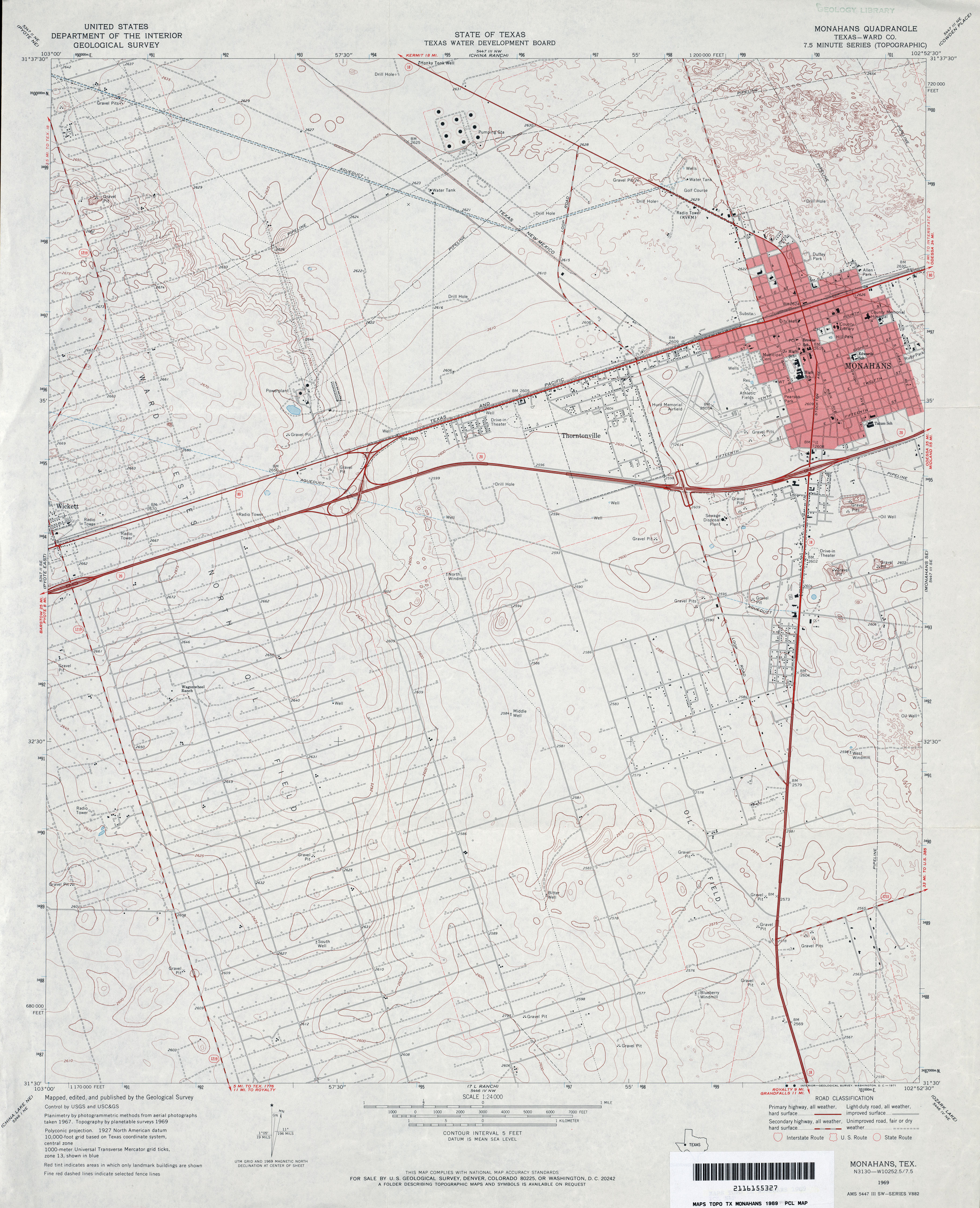
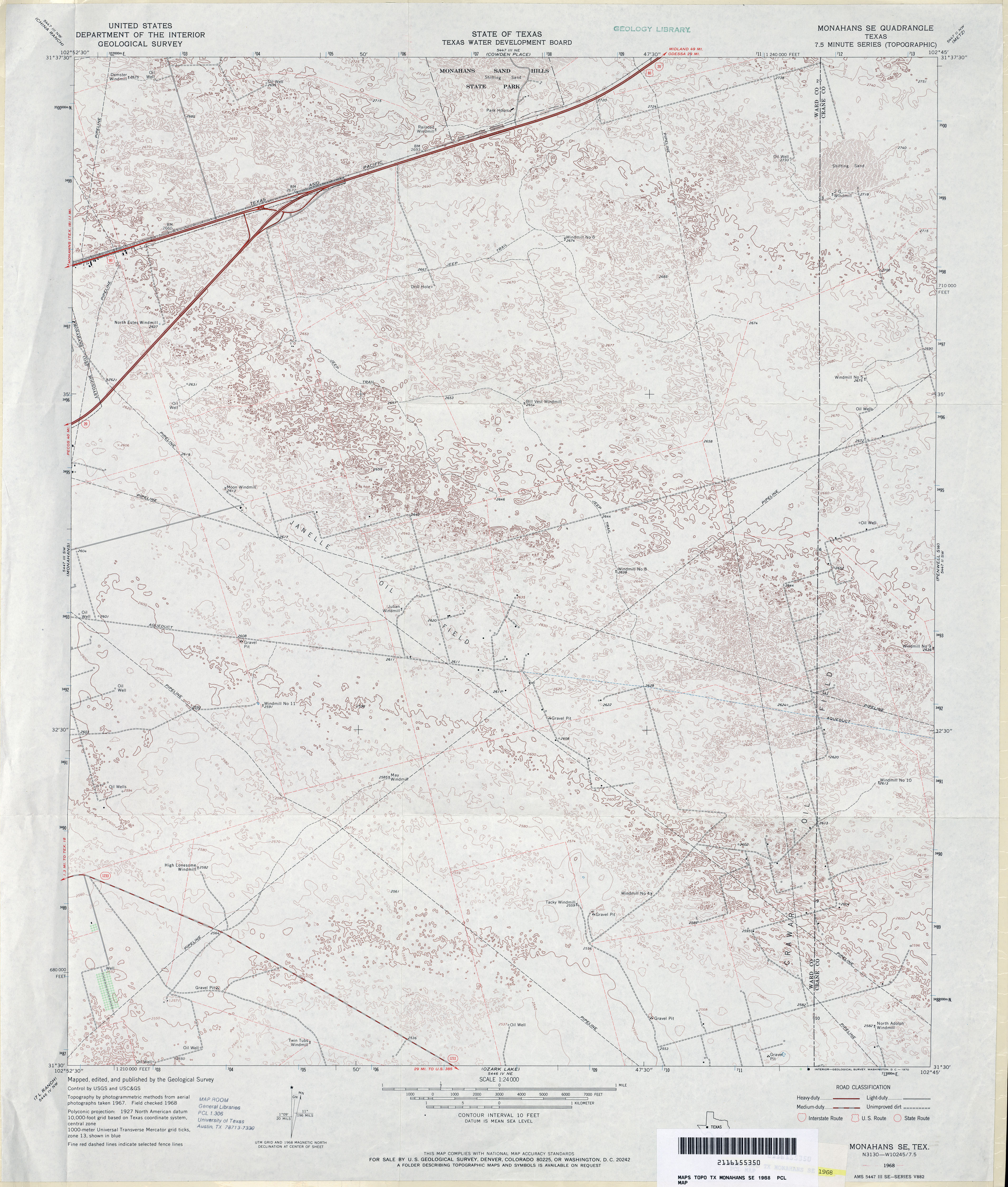
- Monahans (Ward County) 1:24,000 1969 (3.6MB)
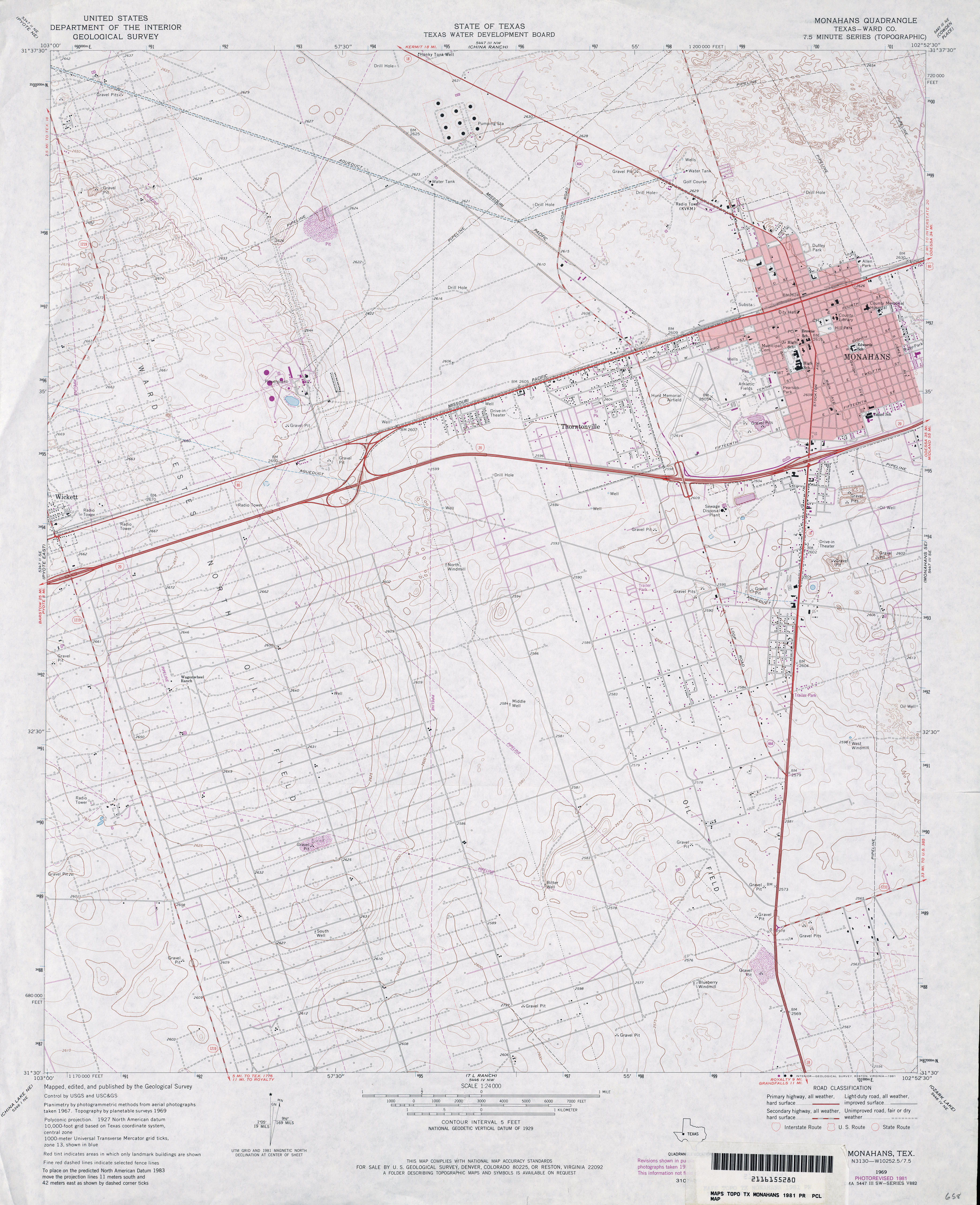
- Monahans (Ward County) 1:24,000 1981 (3.6MB)
- Monahans 1:24,000 2008 (23.8MB) [GeoPDF]
- Monahans 1:24,000 2012 (24.2MB) [GeoPDF]
- Monahans SE 1:24,000 1968 (4MB)
- Monahans SE 1:24,000 2008 (23.8MB) [GeoPDF]
- Monahans SE 1:24,000 2012 (25.3MB) [GeoPDF]
- Monkstown 1:24,000 1980 (3.2MB)
- Monkstown 1:24,000 2008 (15.4MB) [GeoPDF]
- Monkstown 1:24,000 2013 (19.9MB) [GeoPDF]
- Monroe City 1:25,000 1948 (2.6MB) U.S. Army Map Service, Series V882
- Monroe City (Chambers County) 1:24,000 1961 (2.8MB)
- Monroe City (Chambers County) 1:24,000 1974 (2.7MB)
- Monroe City (Chambers County) 1:24,000 1994 (2.6MB)
- Monroe City 1:24,000 2009 (15.5MB) [GeoPDF]
- Monroe City 1:24,000 2013 (15.9MB) [GeoPDF]
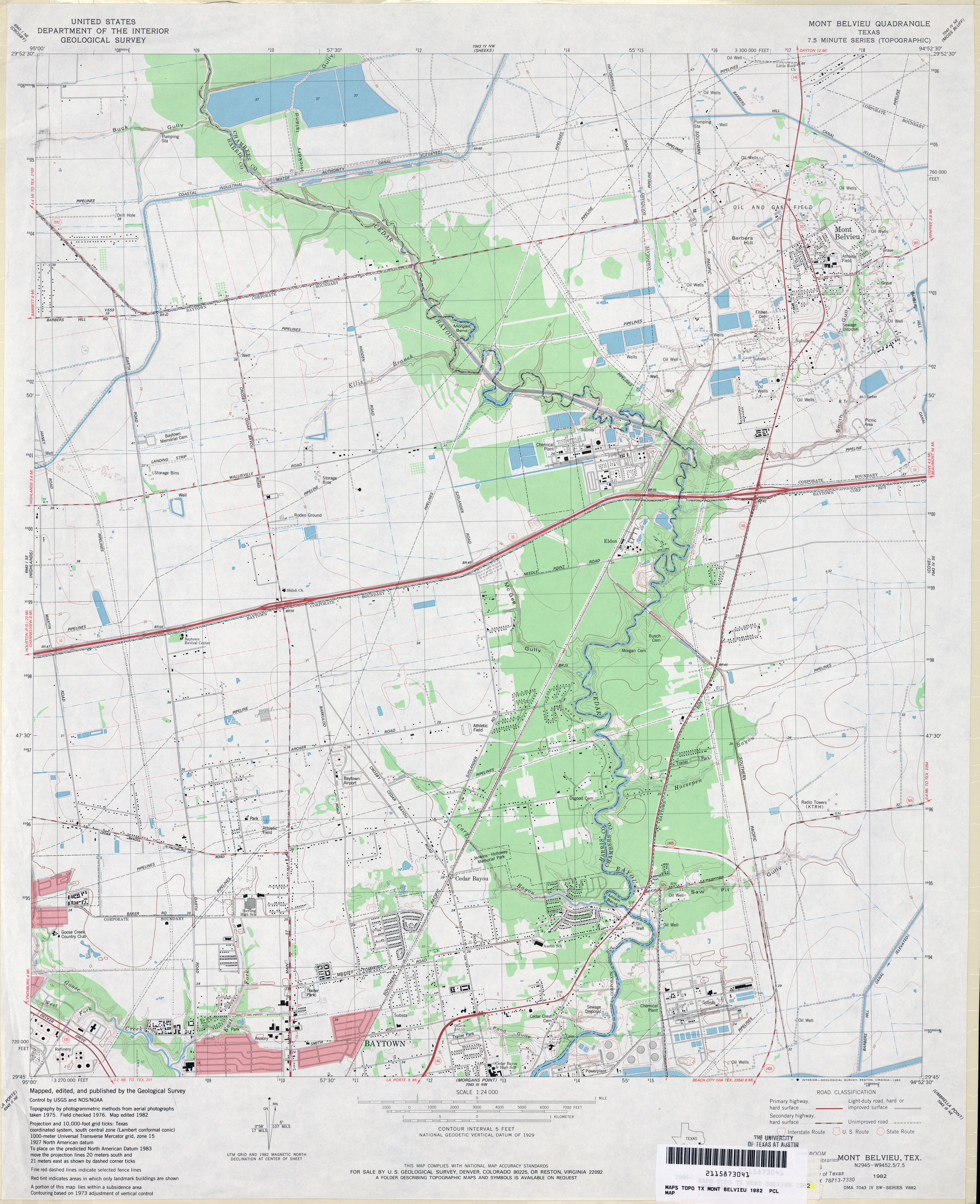
- Mont Belvieu 1:24,000 1961 (3.4MB)
- Mont Belvieu 1:24,000 1969 (3.2MB)
- Mont Belvieu 1:24,000 1982 (3.6MB)
- Mont Belvieu 1:24,000 1994 (3.8MB)
- Mont Belvieu 1:24,000 2009 (20.1MB) [GeoPDF]
- Mont Belvieu 1:24,000 2013 (21.6MB) [GeoPDF]
- Montague 1:125,000 1904 (3.6 MB)
- Montague (Montague County) 1:24,000 1961 (4.4MB)
- Montague 1:24,000 2008 (16.5MB) [GeoPDF]
- Montague 1:24,000 2013 (21.6MB) [GeoPDF]
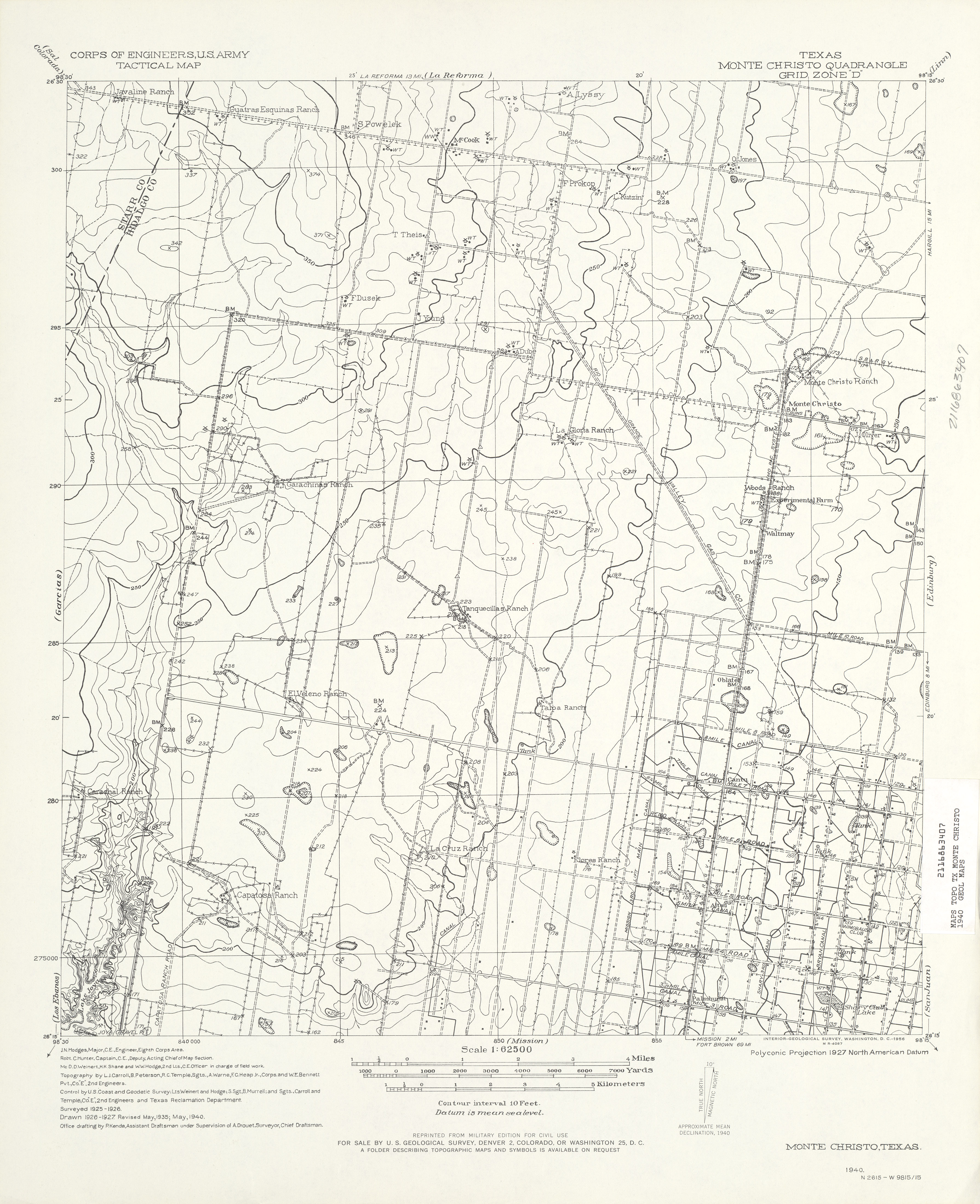
- Monte Christo 1:62,500 1940 (3.6 MB) U.S. Army. Corps of Engineers. Tactical Map
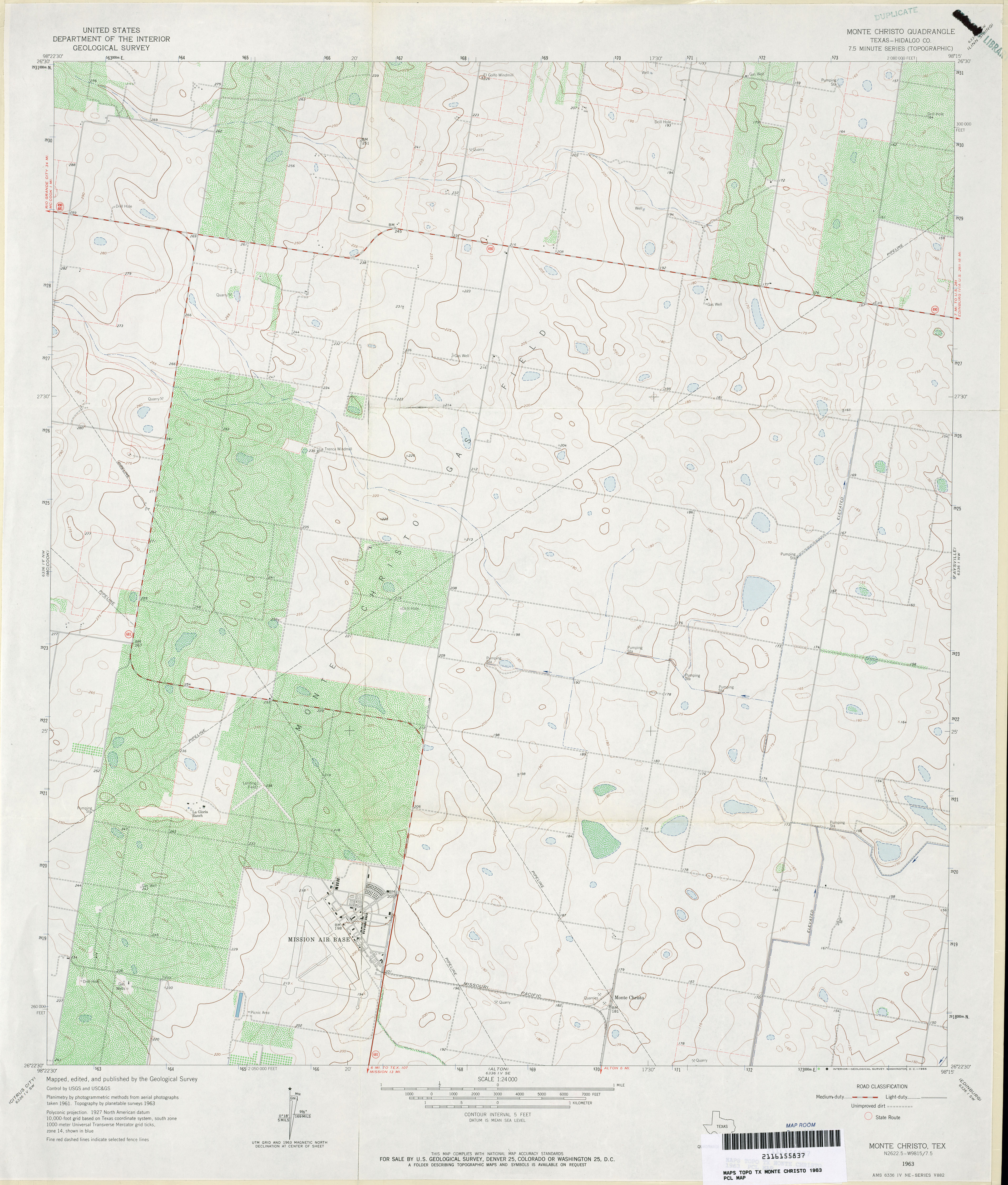
- Monte Christo (Hidalgo County) 1:24,000 1963 (3.5MB)
- Monte Christo (Hidalgo County) 1:24,000 1980 (3.5MB)
- Monte Christo 1:24,000 2009 (13.4MB) [GeoPDF]
- Monte Christo 1:24,000 2012 (17.9MB) [GeoPDF]
- Montell 1:24,000 1973 (4.5MB)
- Montell 1:24,000 2008 (23.5MB) [GeoPDF]
- Montell 1:24,000 2013 (29.9MB) [GeoPDF]
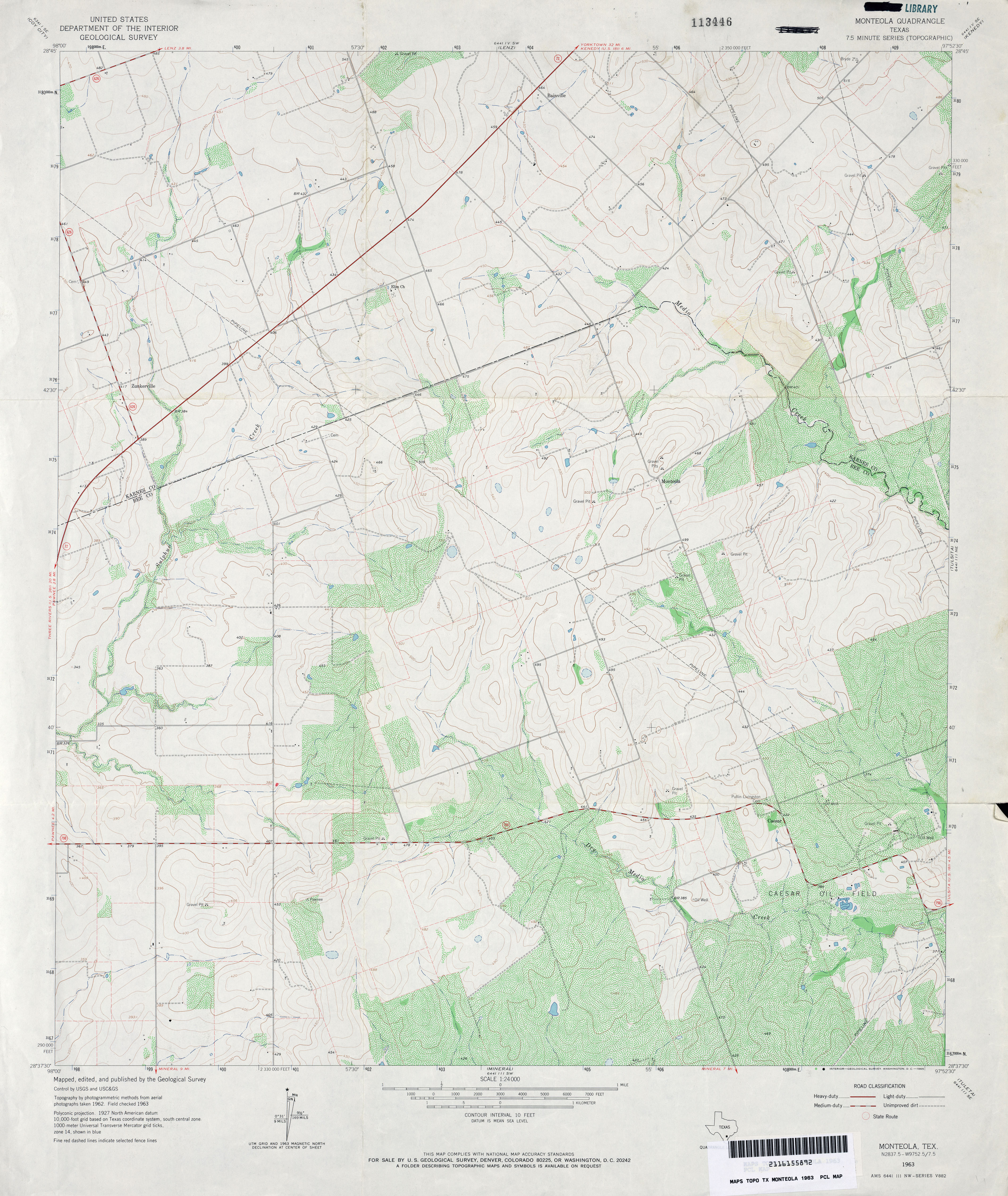
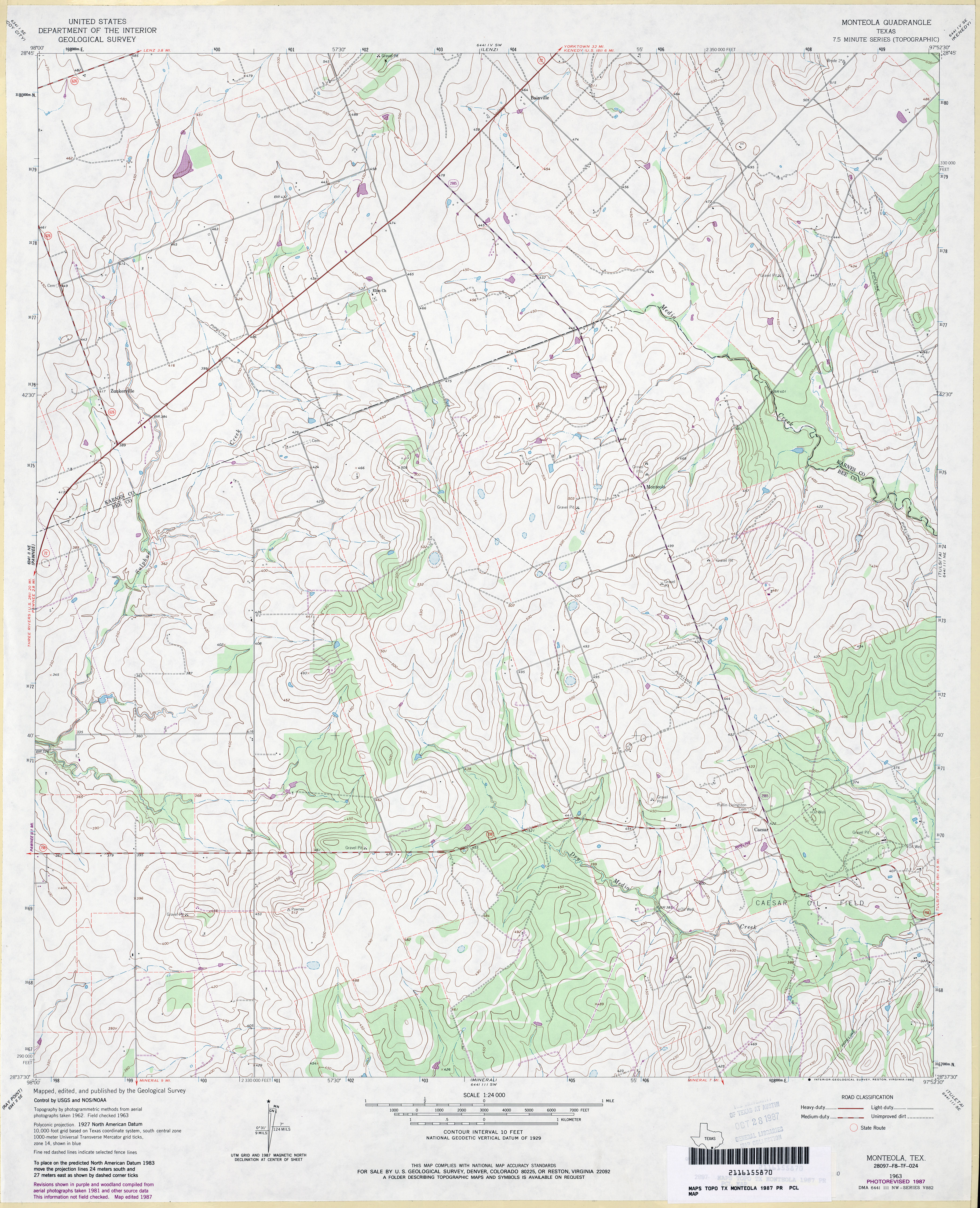
- Monteola 1:24,000 1963 (3.9MB)
- Monteola 1:24,000 1987 (4MB)
- Monteola 1:24,000 2008 (12.4MB) [GeoPDF]
- Monteola 1:24,000 2013 (19.6MB) [GeoPDF]
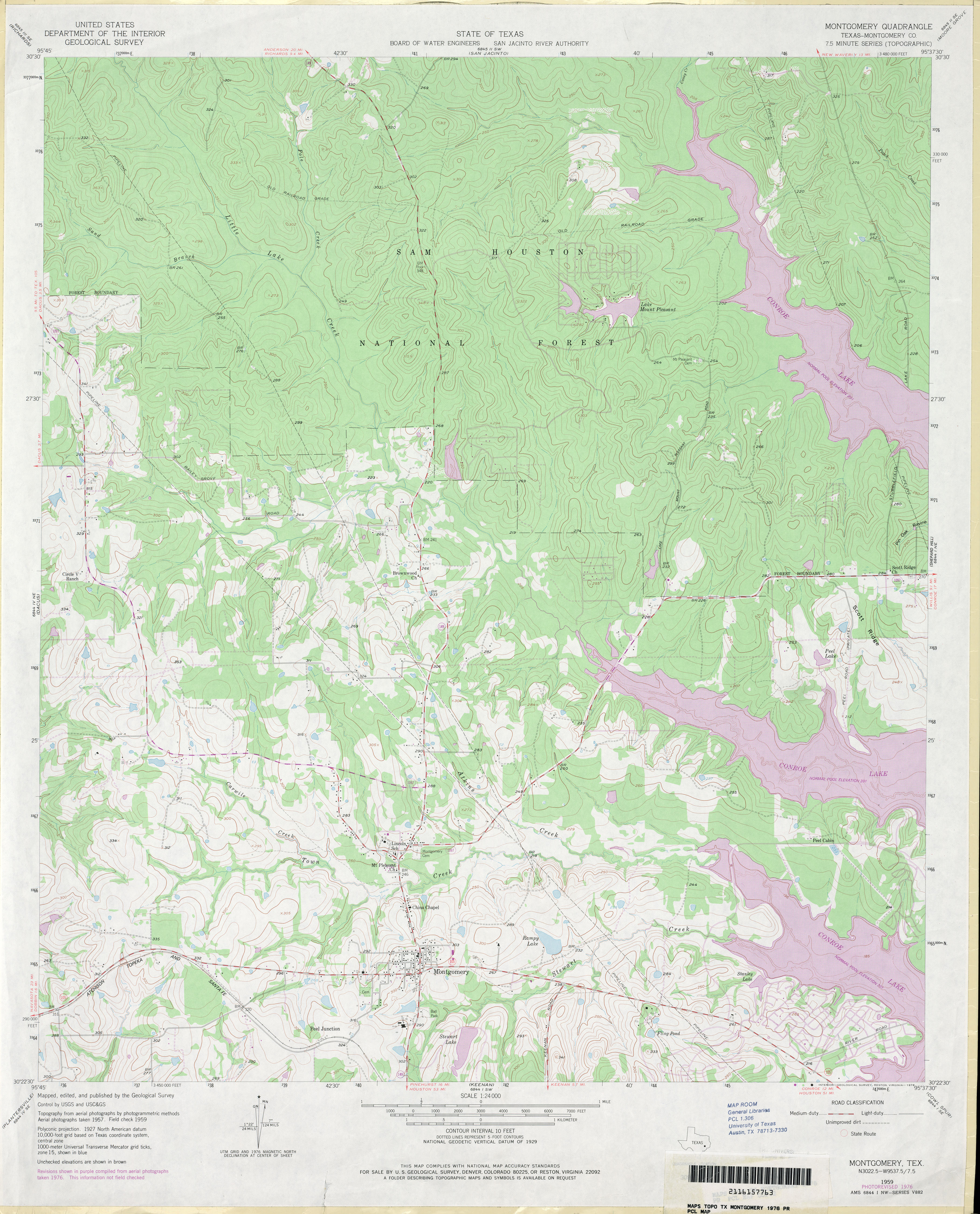
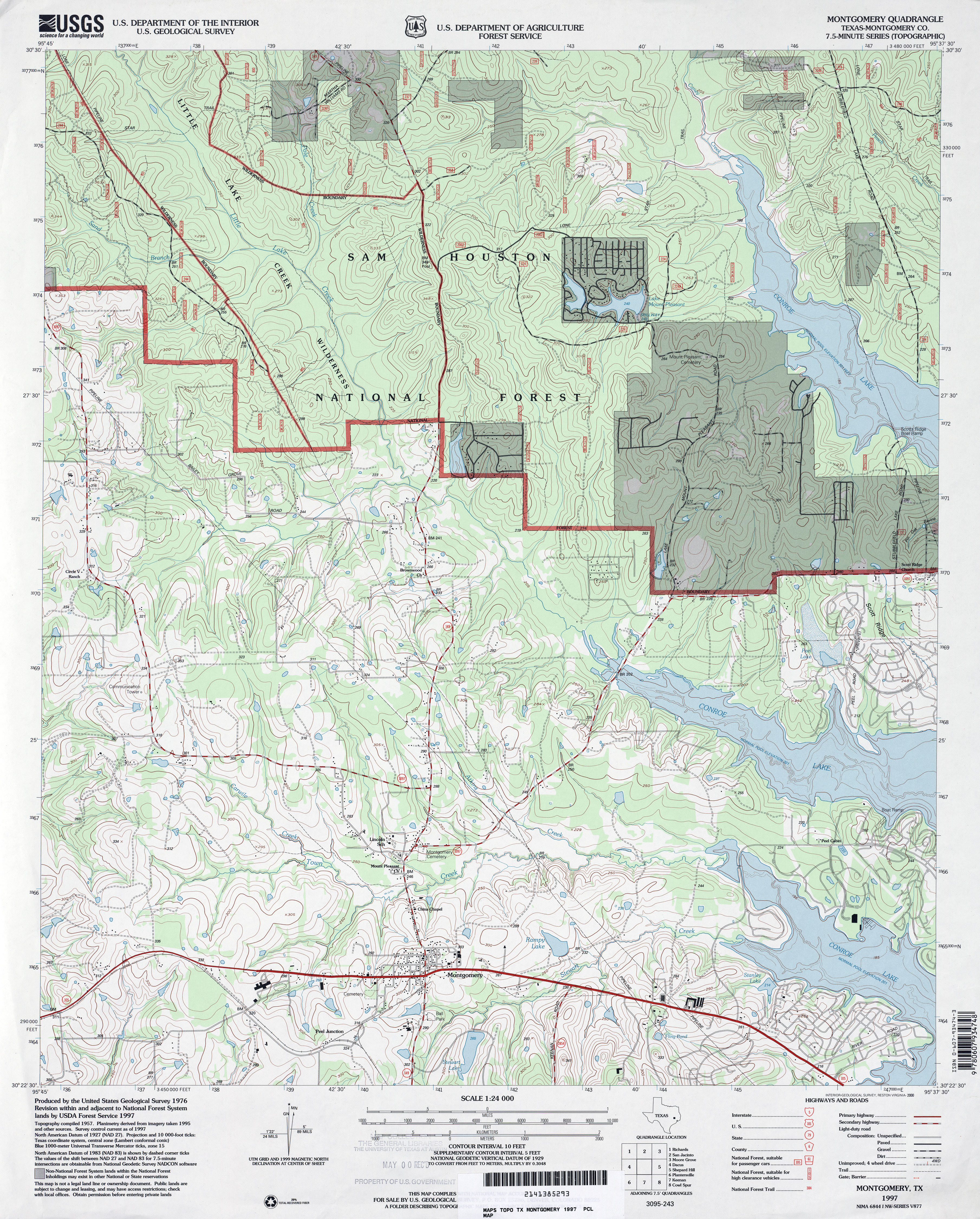
- Montgomery (Montgomery County) 1:24,000 1976 (4MB)
- Montgomery (Montgomery County) 1:24,000 1997 (5MB)
- Montgomery 1:24,000 2009 (23.3MB) [GeoPDF]
- Montgomery 1:24,000 2013 (21.7MB) [GeoPDF]
- Monticello 1:24,000 1965 (4.5MB)
- Monticello 1:24,000 2009 (MB) [GeoPDF]
- Monticello 1:24,000 2013 (23MB) [GeoPDF]
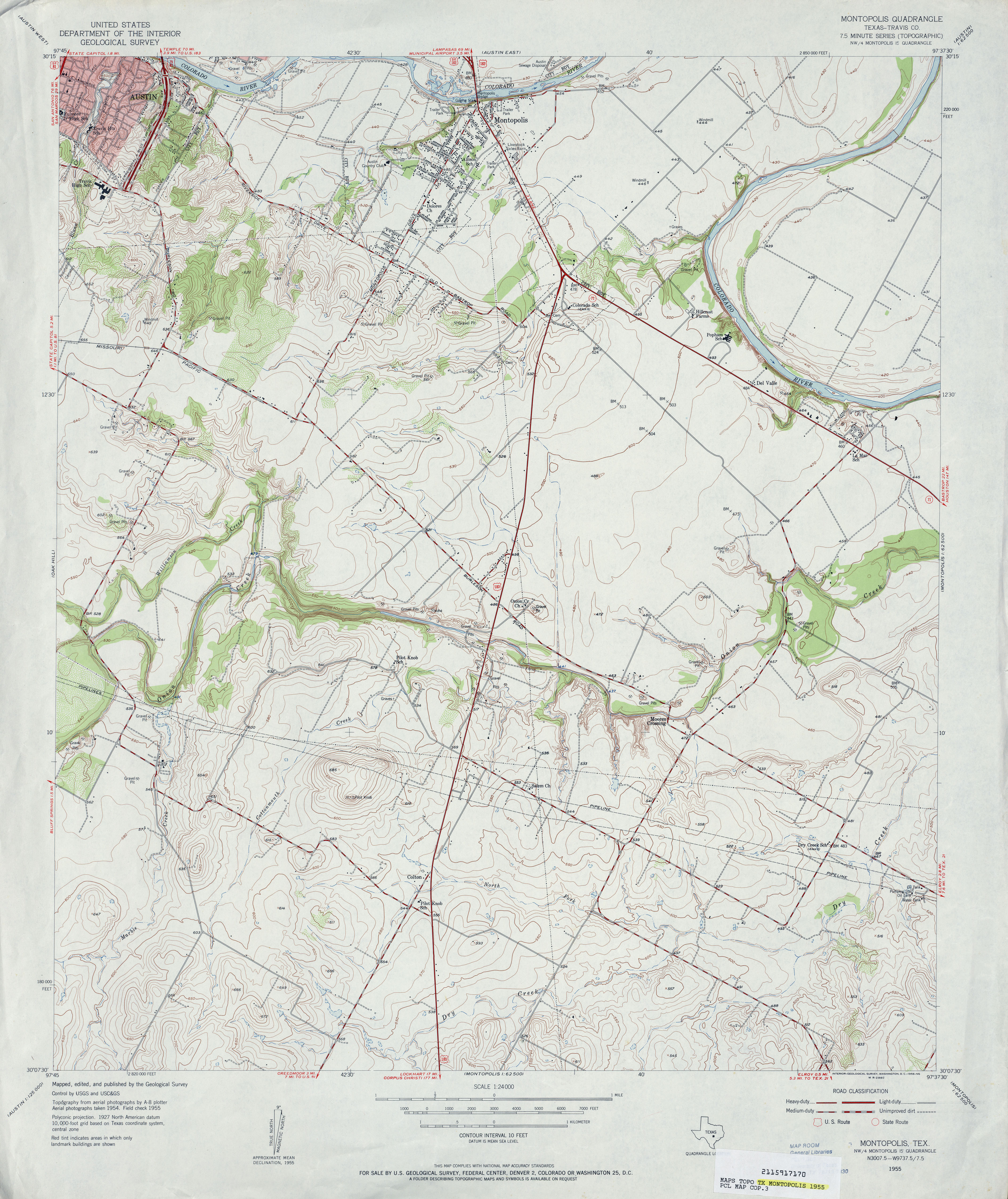
- Montopolis (Travis County) 1:24,000 1955 (4.1MB)
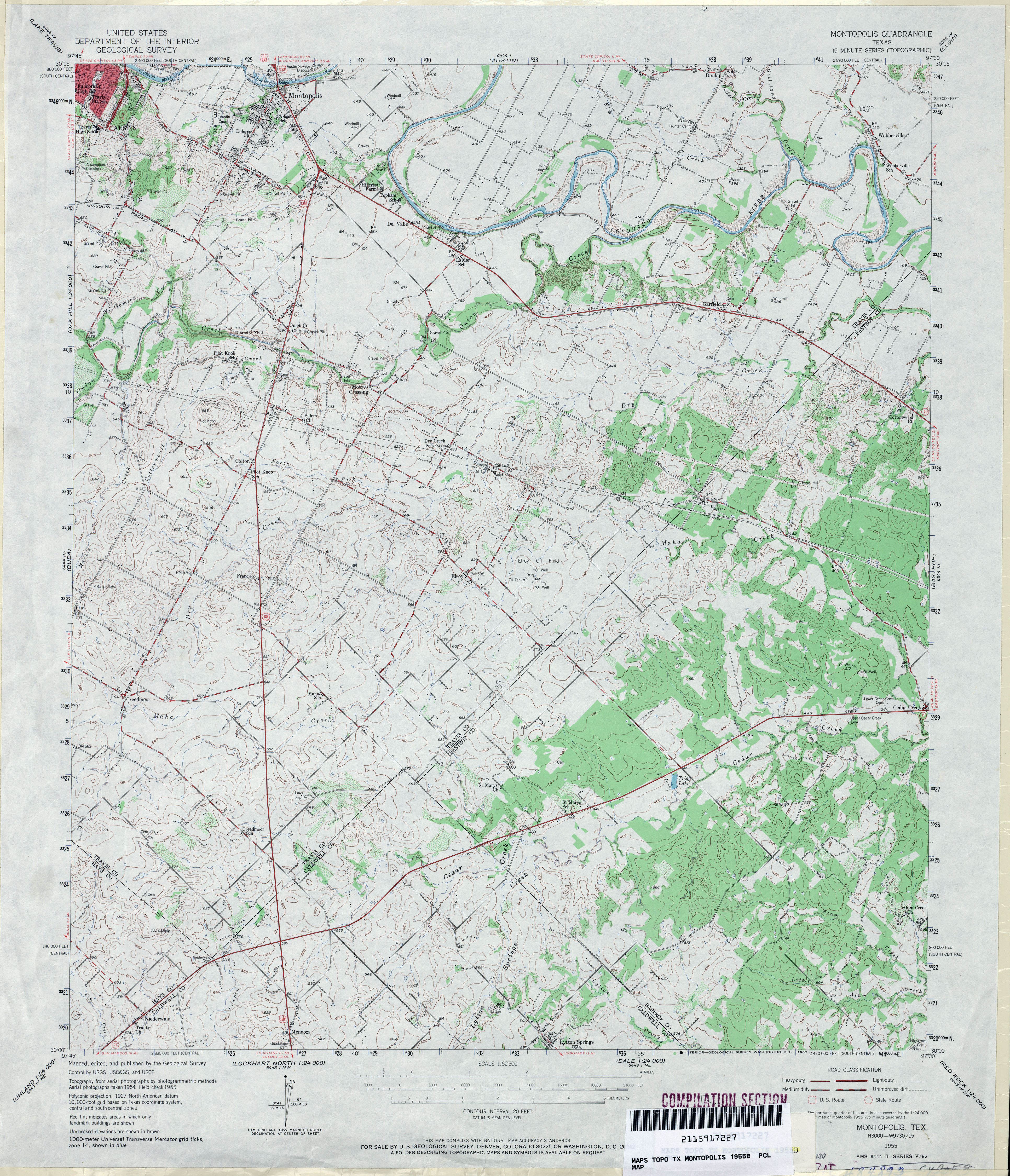
- Montopolis 1:62,500 1955 (4.7MB)
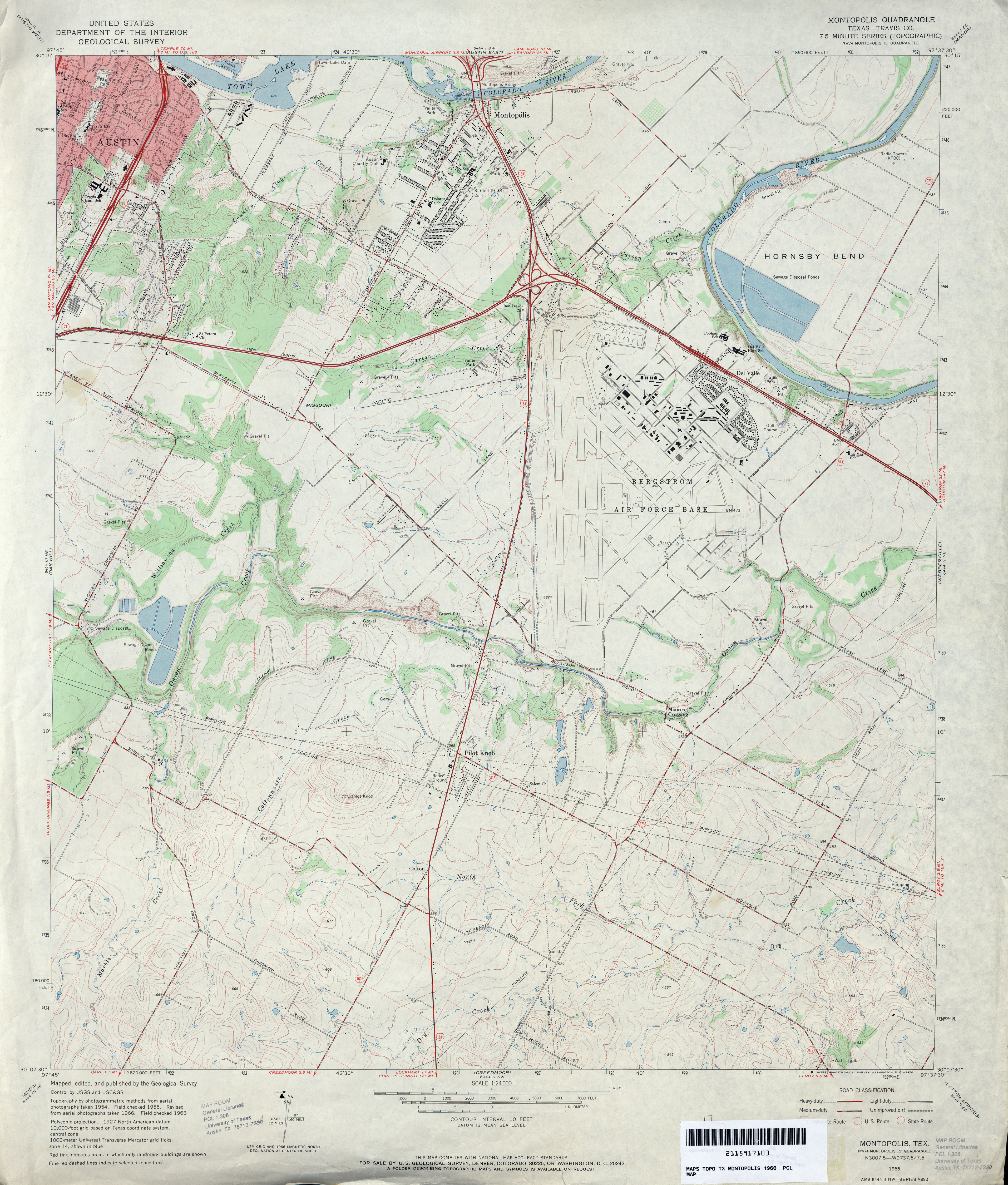
- Montopolis (Travis County) 1:24,000 1966 (4.1MB)
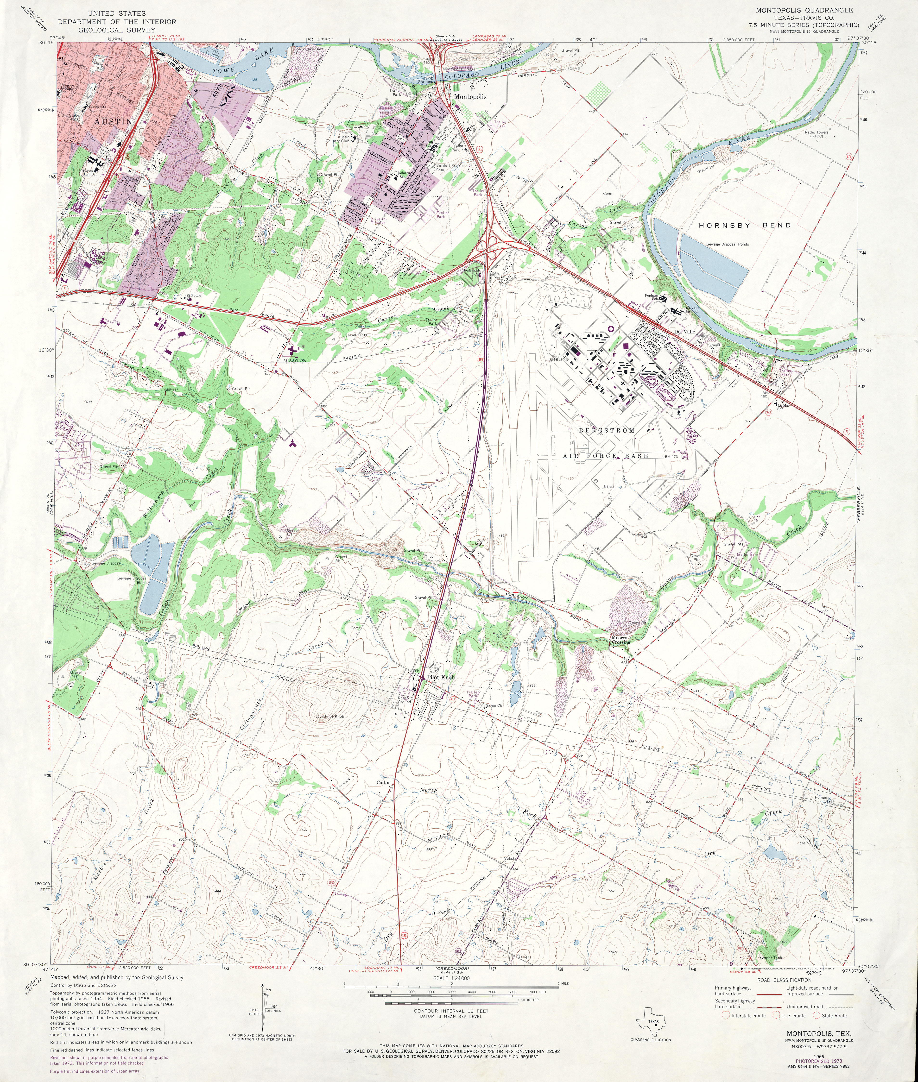
- Montopolis (Travis County) 1:24,000 1973 (4.2MB)
- Montopolis (Travis County) 1:24,000 1988 (4.9MB)
- Montopolis 1:24,000 2008 (15.0MB) [GeoPDF]
- Montopolis 1:24,000 2013 (24.8MB) [GeoPDF]
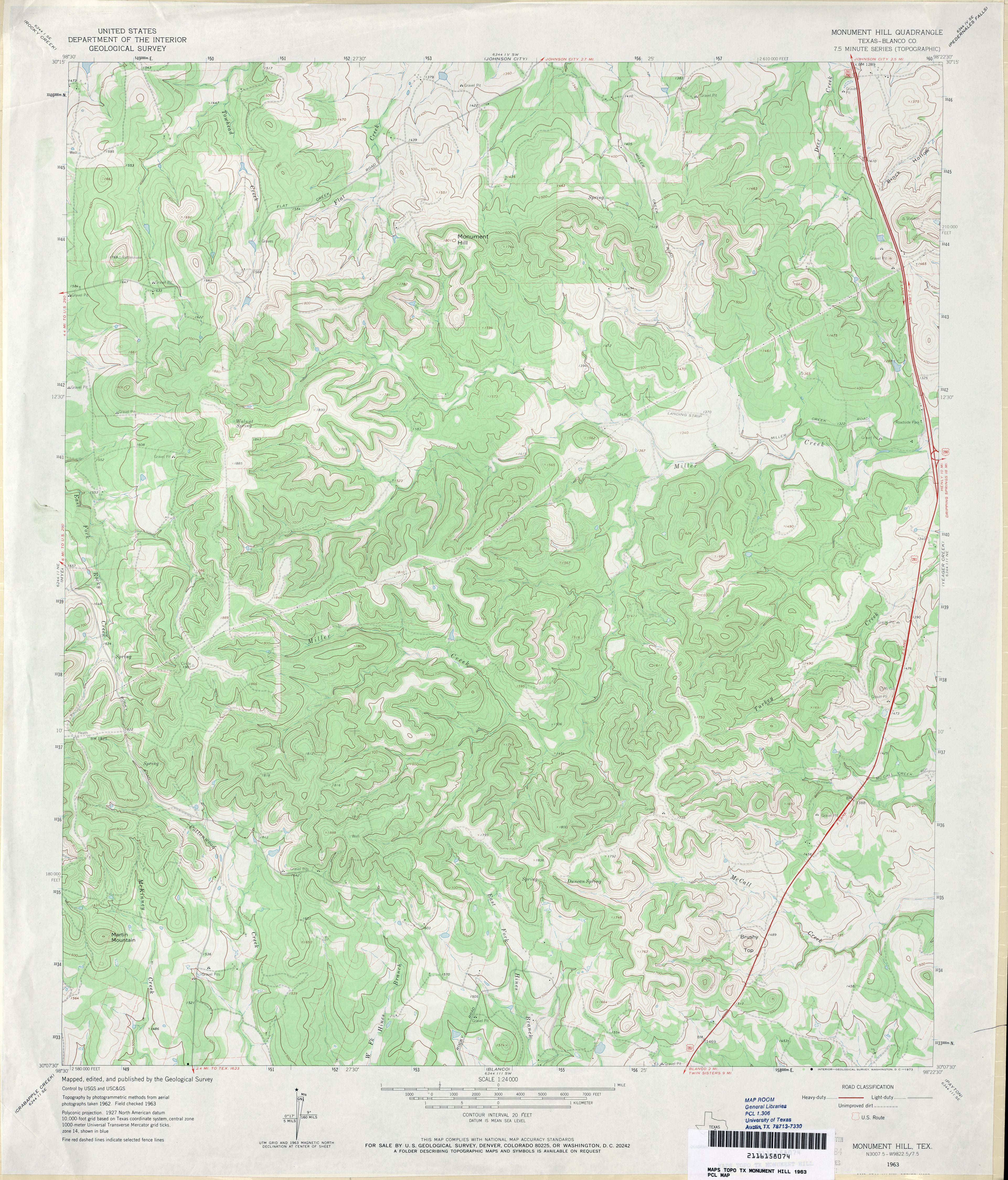
- Monument Hill (Blanco County) 1:24,000 1963 (4.3MB)
- Monument Hill 1:24,000 2008 (20MB) [GeoPDF]
- Monument Hill 1:24,000 2012 (27.2MB) [GeoPDF]
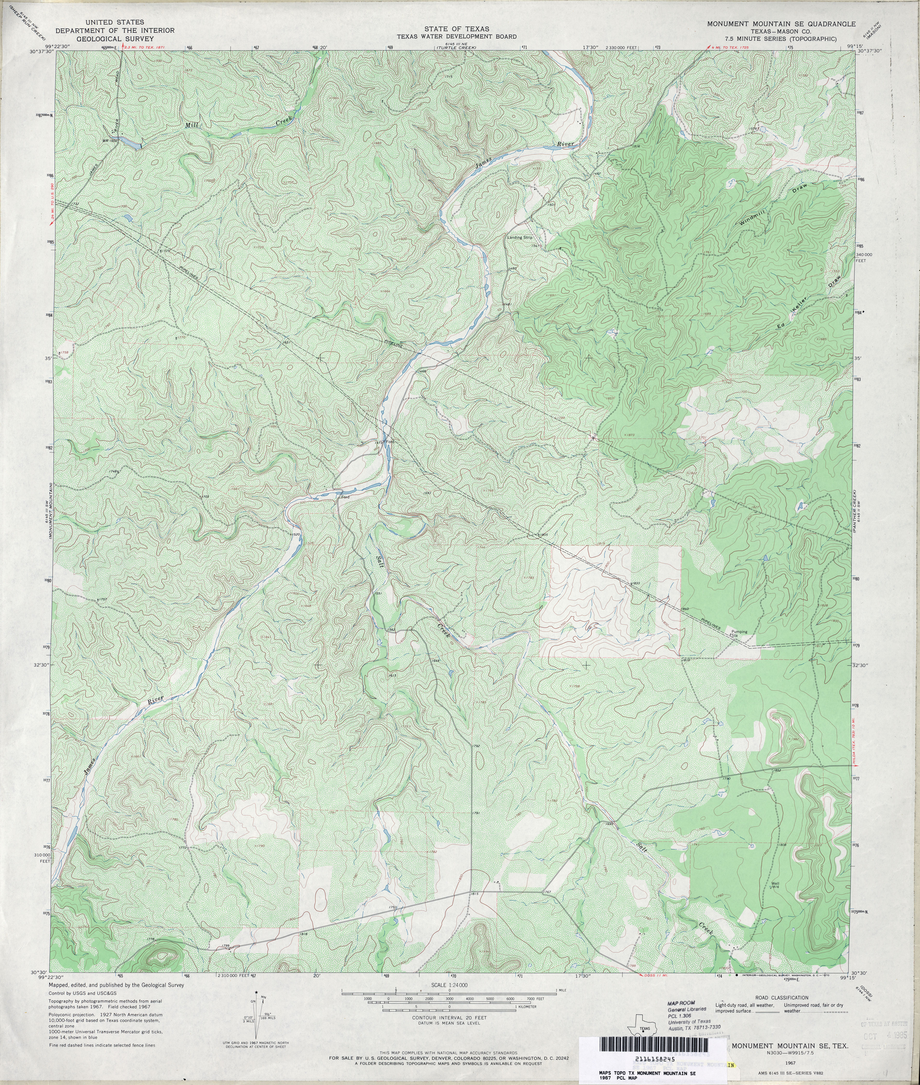
- Monument Mountain 1:24,000 1968 (4.8MB)
- Monument Mountain 1:24,000 2008 (20.5MB) [GeoPDF]
- Monument Mountain 1:24,000 2012 (29MB) [GeoPDF]
- Monument Mountain SE (Mason County) 1:24,000 1967 (5.3MB)
- Monument Mountain SE 1:24,000 2008 (21.5MB) [GeoPDF]
- Monument Mountain SE 1:24,000 2012 (29.2MB) [GeoPDF]
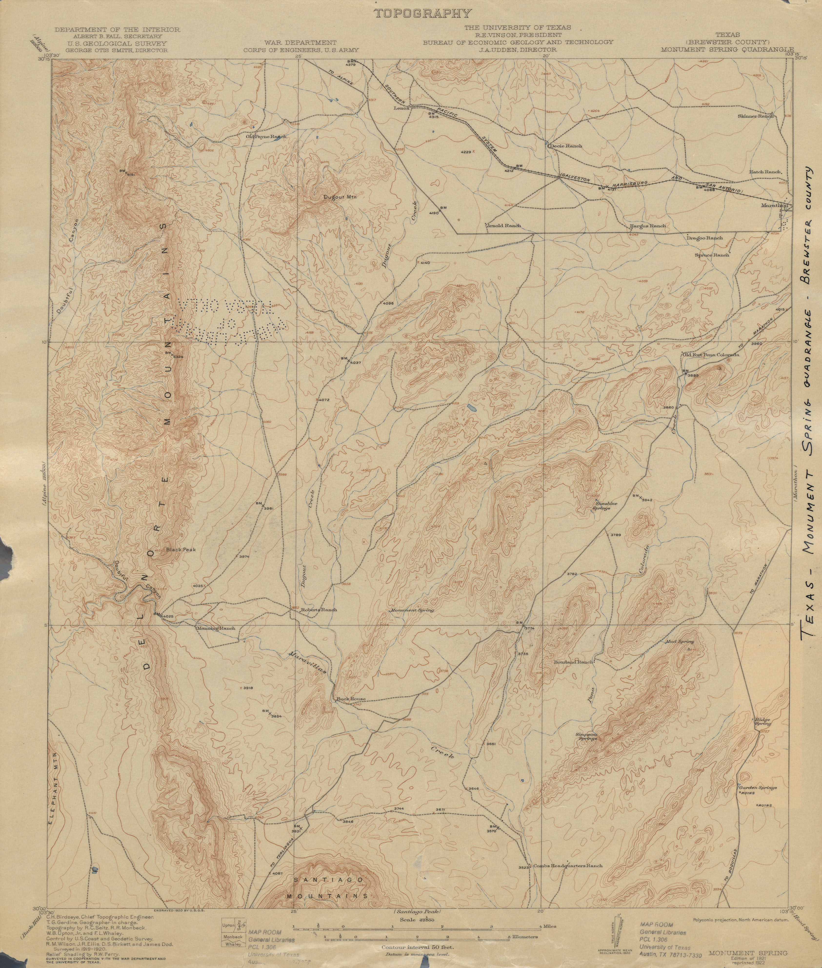
- Monument Spring (Brewster County) 1:62,500 1920 (2.8 MB)
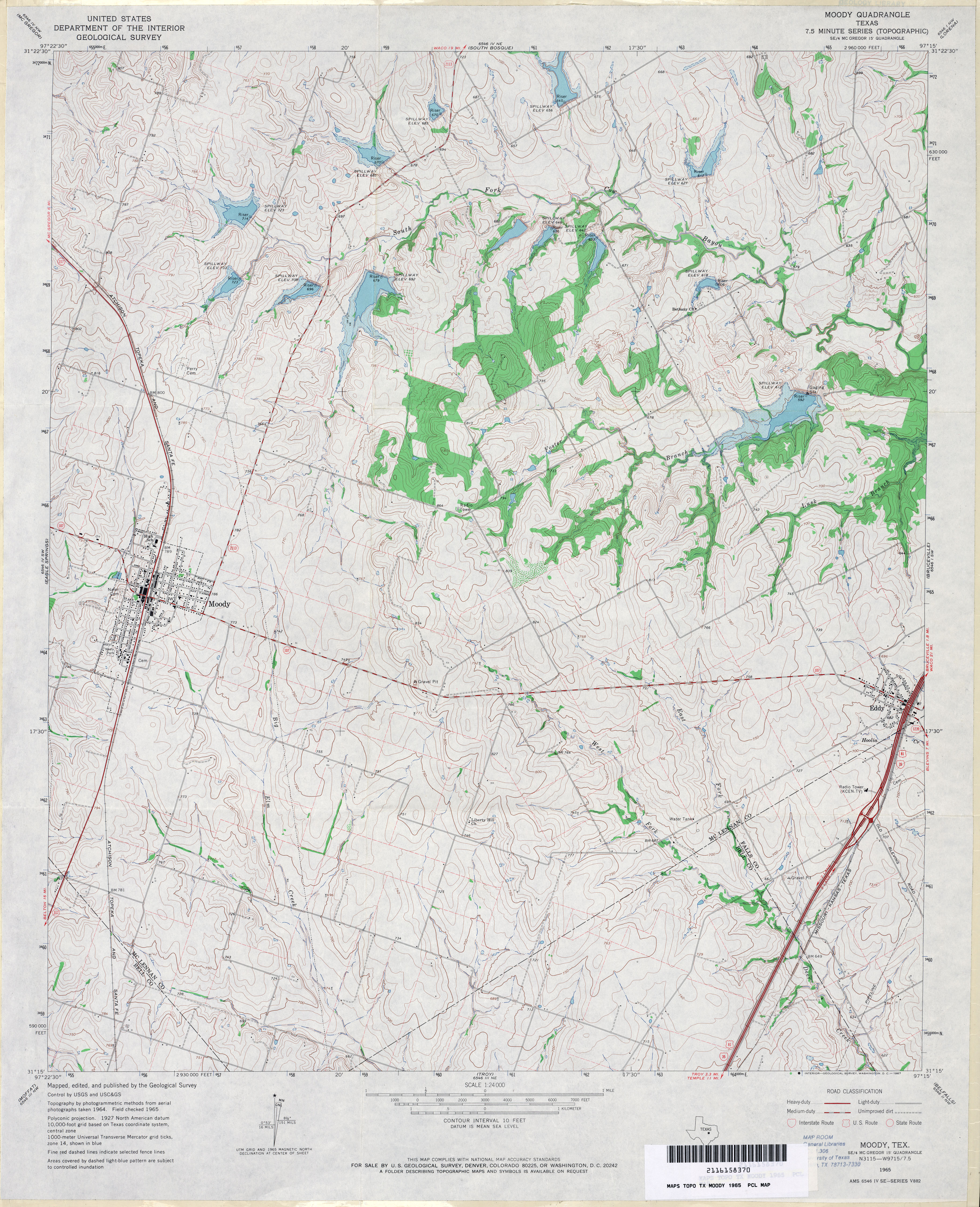
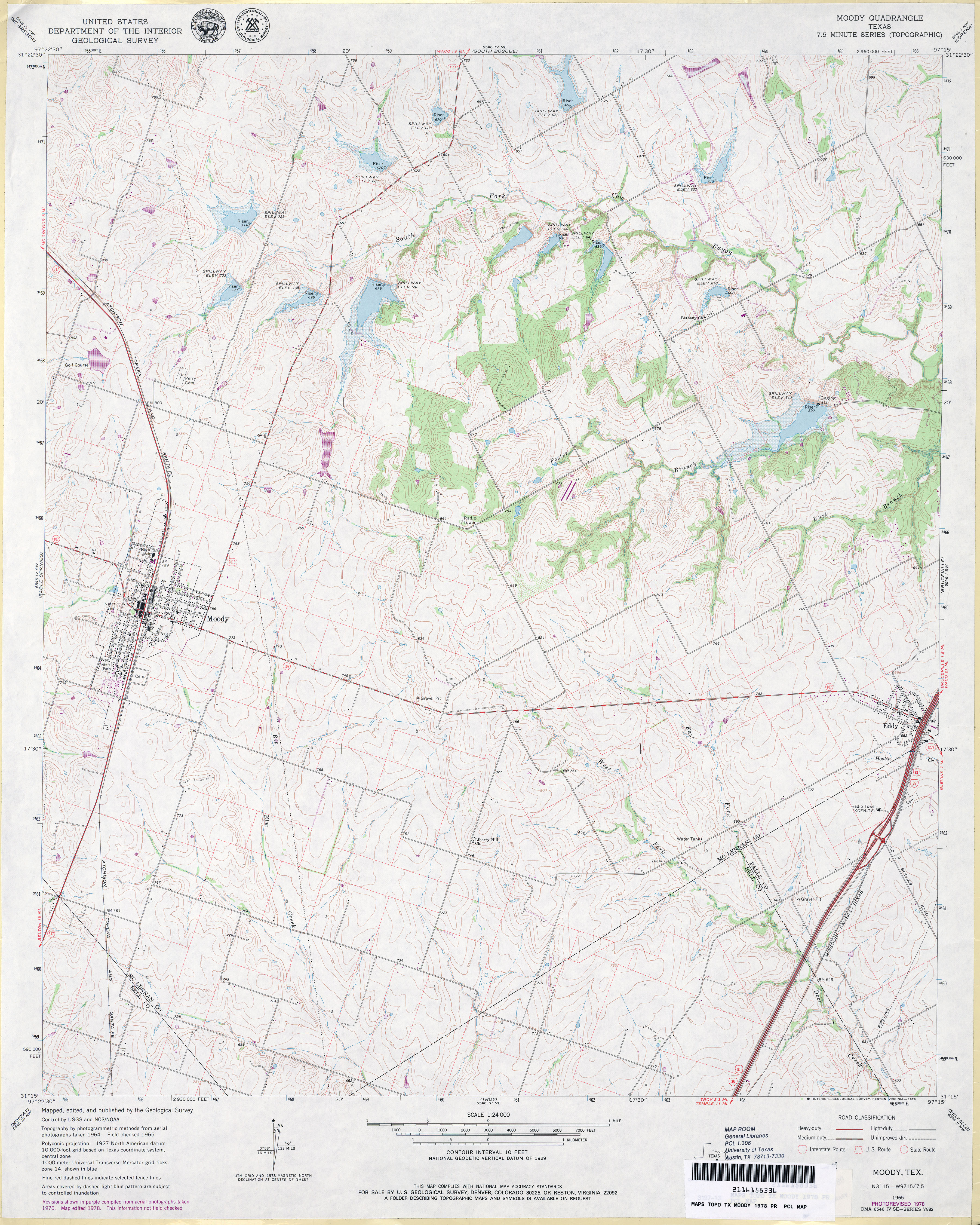
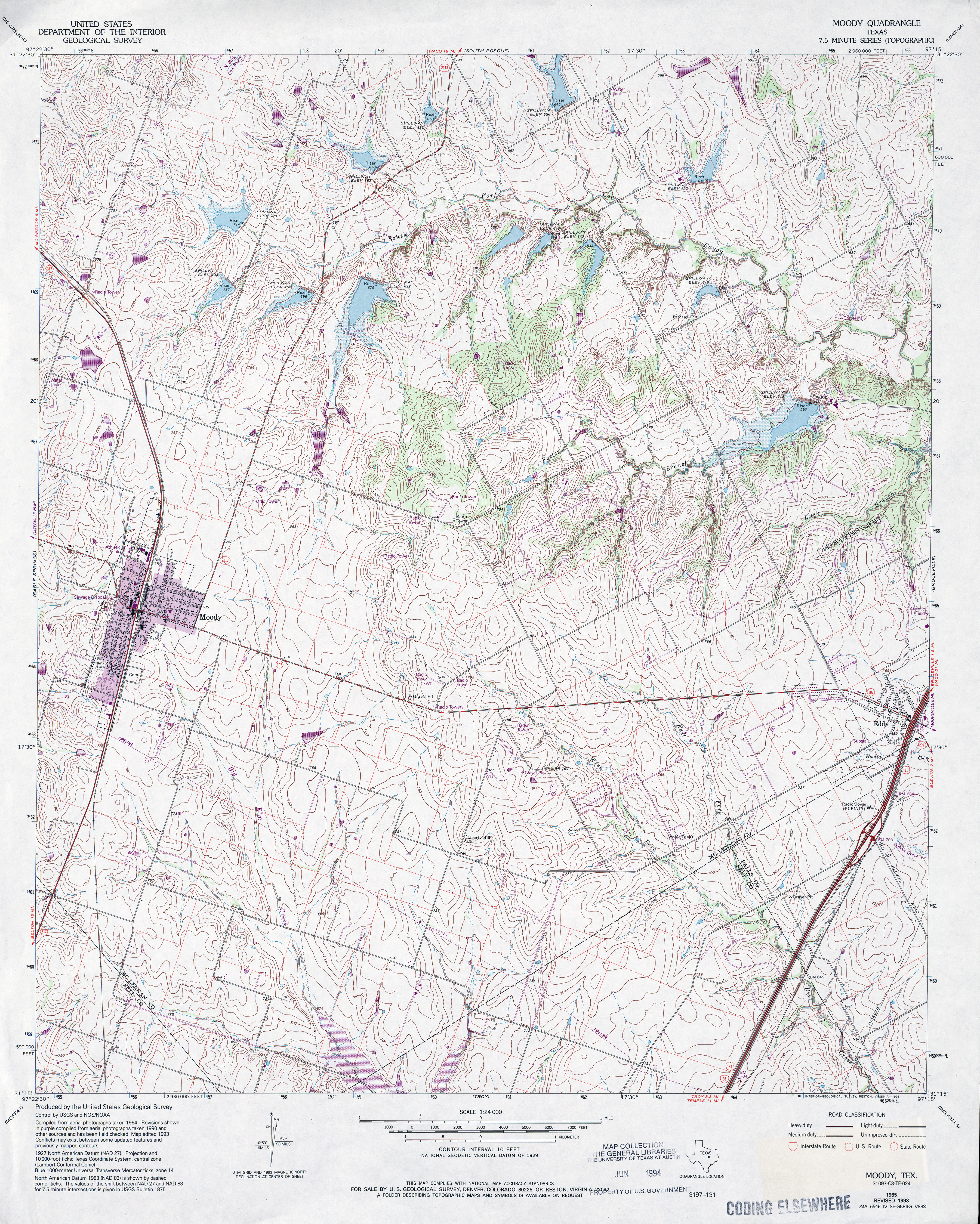
- Moody 1:24,000 1965 (4.4MB)
- Moody 1:24,000 1978 (4.3MB)
- Moody 1:24,000 1993 (5.4MB)
- Moody 1:24,000 2008 (15.0MB) [GeoPDF]
- Moody 1:24,000 2012 (20.8MB) [GeoPDF]
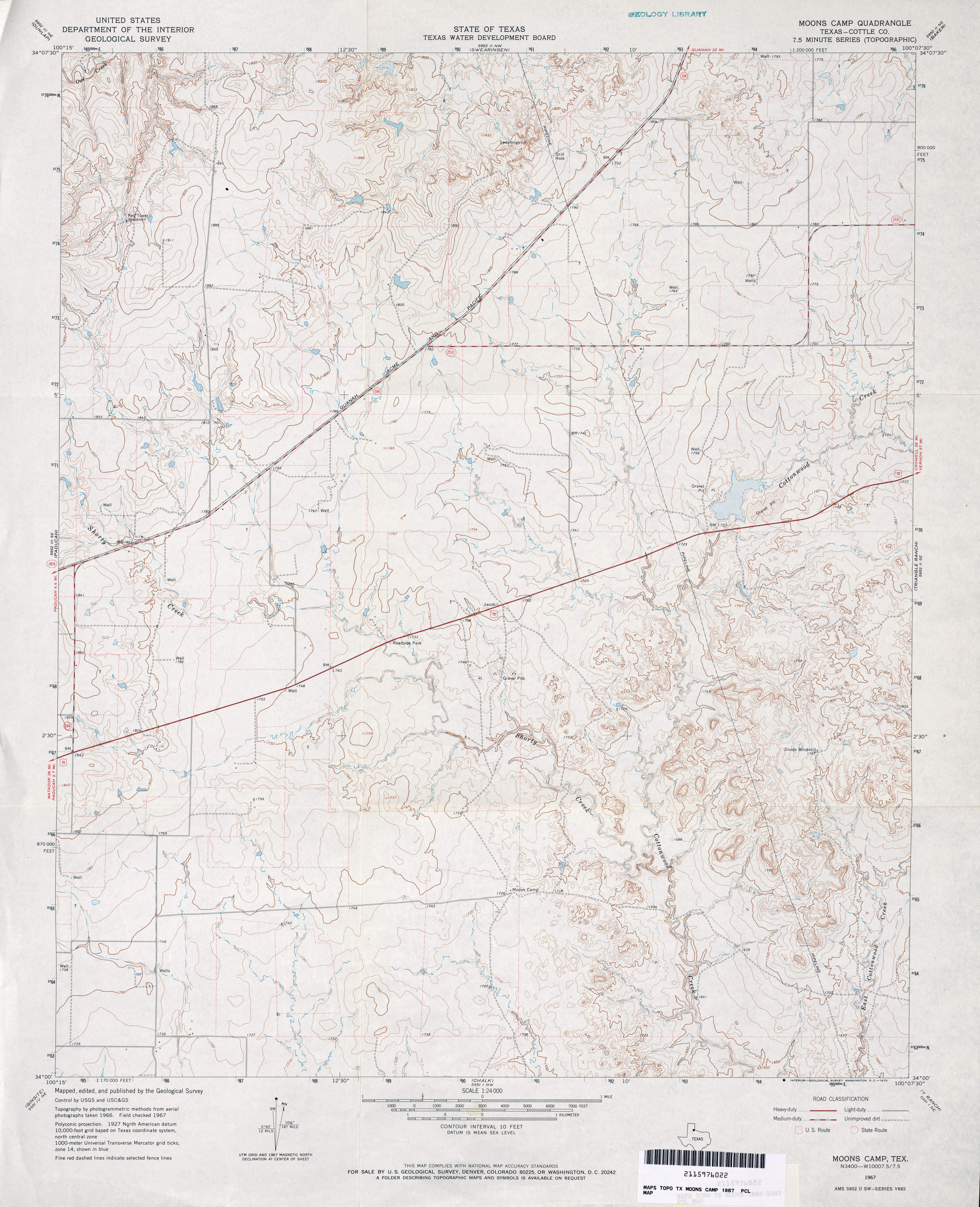
- Moons Camp (Cottle County) 1:24,000 1967 (3.8MB)
- Moons Camp (Cottle County) 1:24,000 1981 (4.5MB)
- Moons Camp 1:24,000 2008 (12.4MB) [GeoPDF]
- Moons Camp 1:24,000 2012 (18.5MB) [GeoPDF]
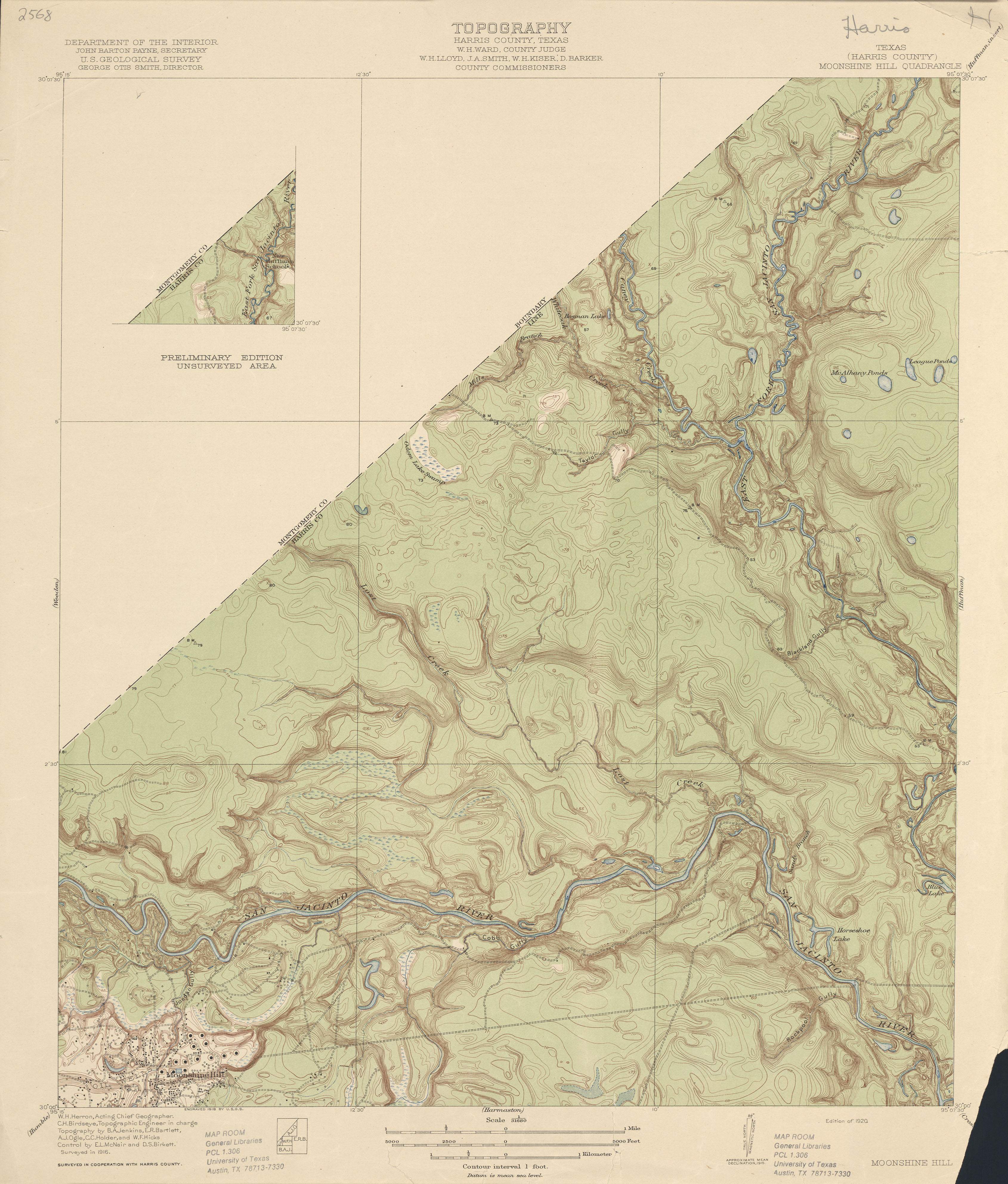
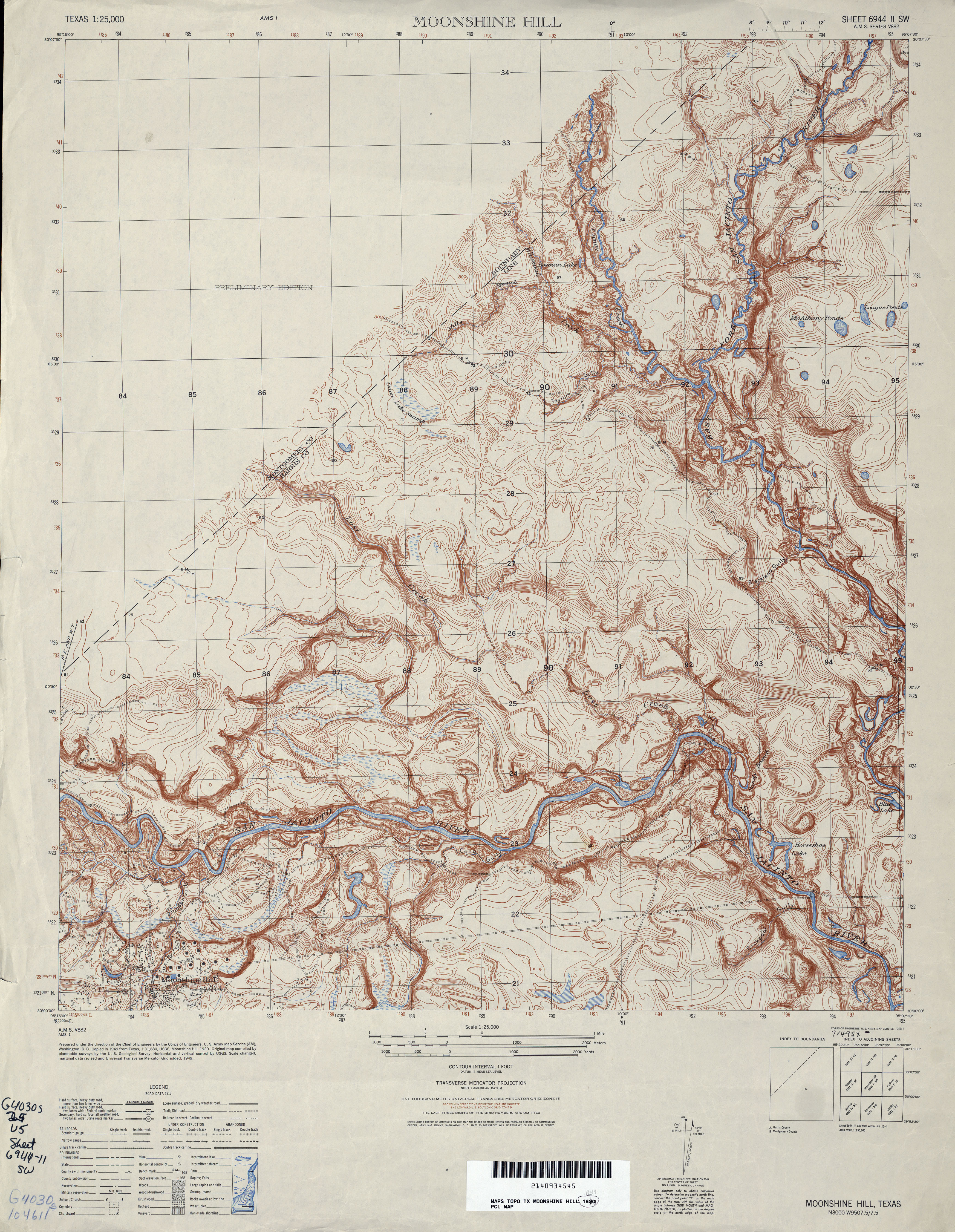
- Moonshine Hill (Harris County) 1:31,680 1916 (3.1 MB)
- Moonshine Hill 1:25,000 1949 (4.7MB) U.S. Army Map Service, Series V882
- Moonshine Hill 1:24,000 1961 (3.5MB)
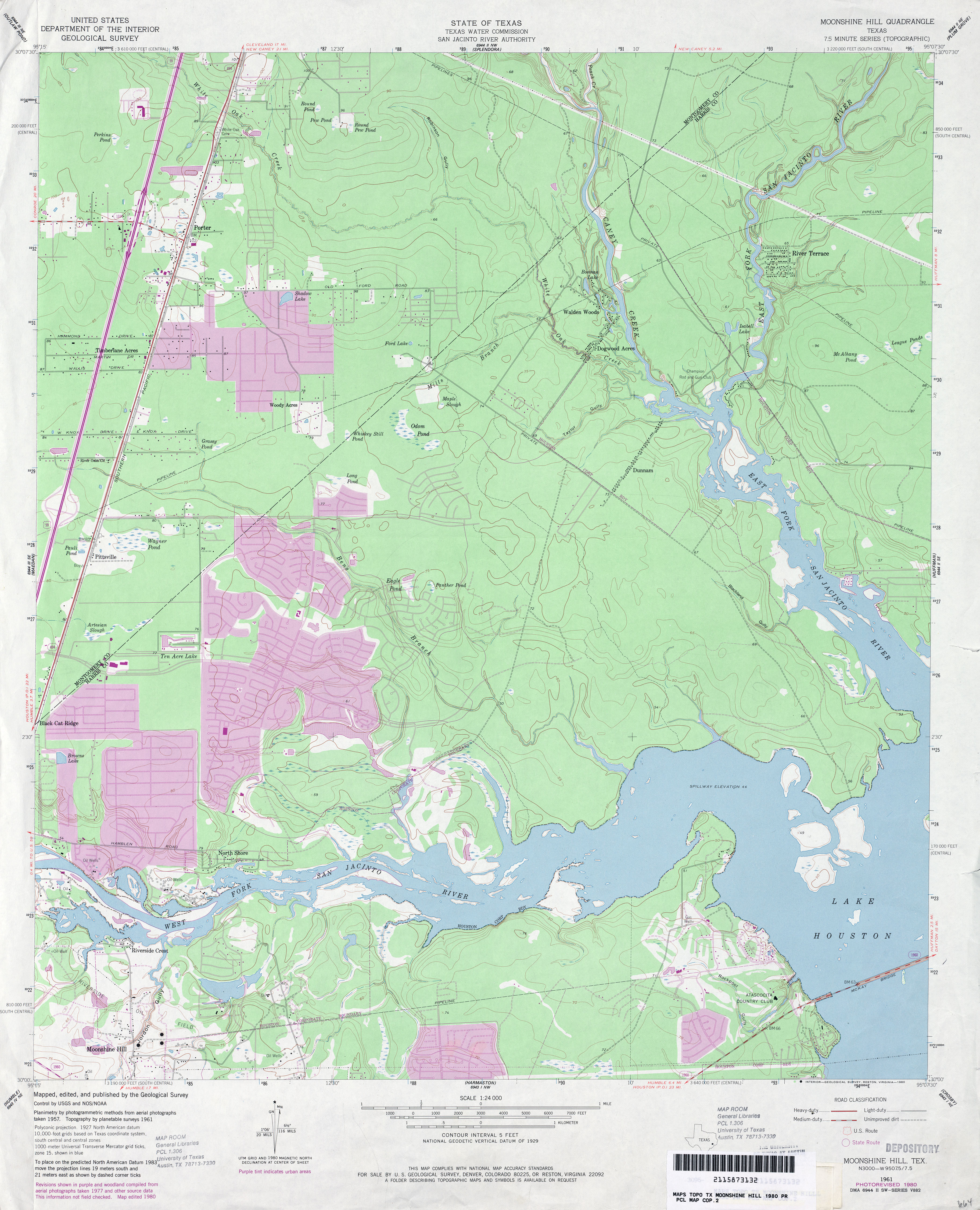
- Moonshine Hill 1:24,000 1980 (3.7MB)
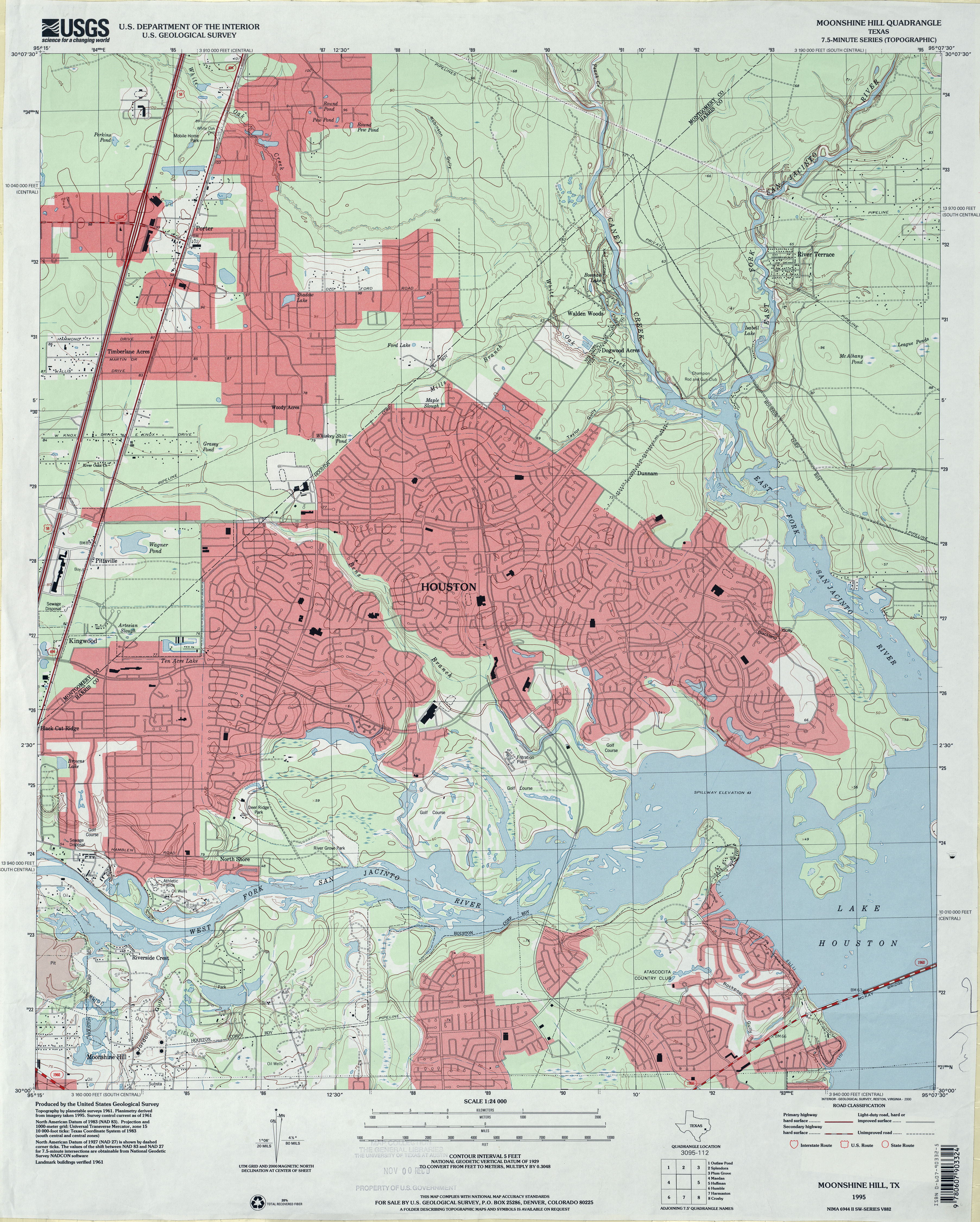
- Moonshine Hill 1:24,000 1995 (4.3MB)
- Moonshine Hill 1:24,000 2009 (24.7MB) [GeoPDF]
- Moonshine Hill 1:24,000 2013 (26.3MB) [GeoPDF]
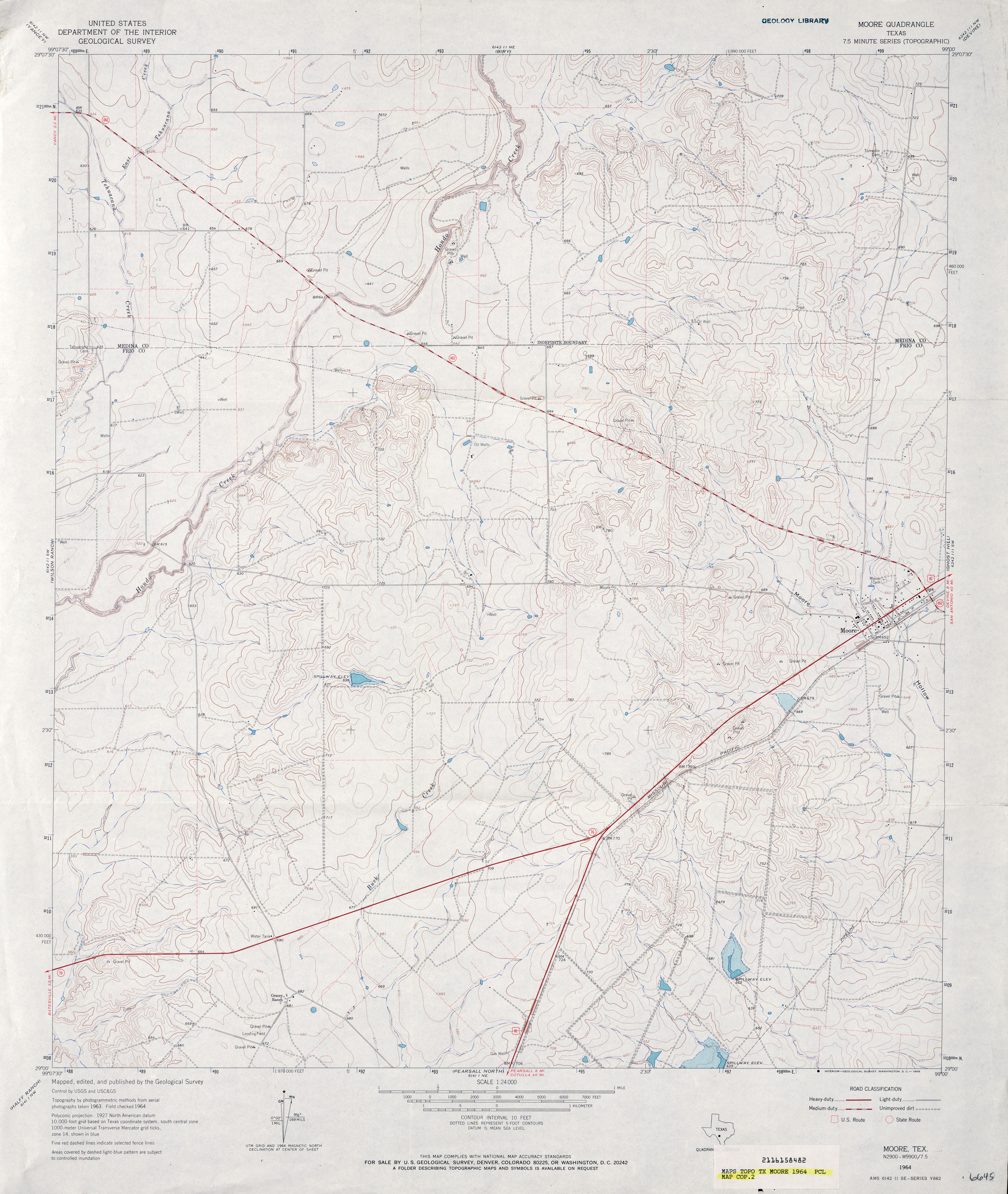
- Moore 1:24,000 1964 (3.8MB)
- Moore 1:24,000 1982 (5.1MB)
- Moore 1:24,000 2008 (16.6MB) [GeoPDF]
- Moore 1:24,000 2012 (24.4MB) [GeoPDF]
- Moore Grove 1:24,000 1959 (4.5MB)
- Moore Grove 1:24,000 1976 (4.4MB)
- Moore Grove 1:24,000 1997 (5.2MB)
- Moore Grove 1:24,000 2009 (25.1MB) [GeoPDF]
- Moore Grove 1:24,000 2013 (21.6MB) [GeoPDF]
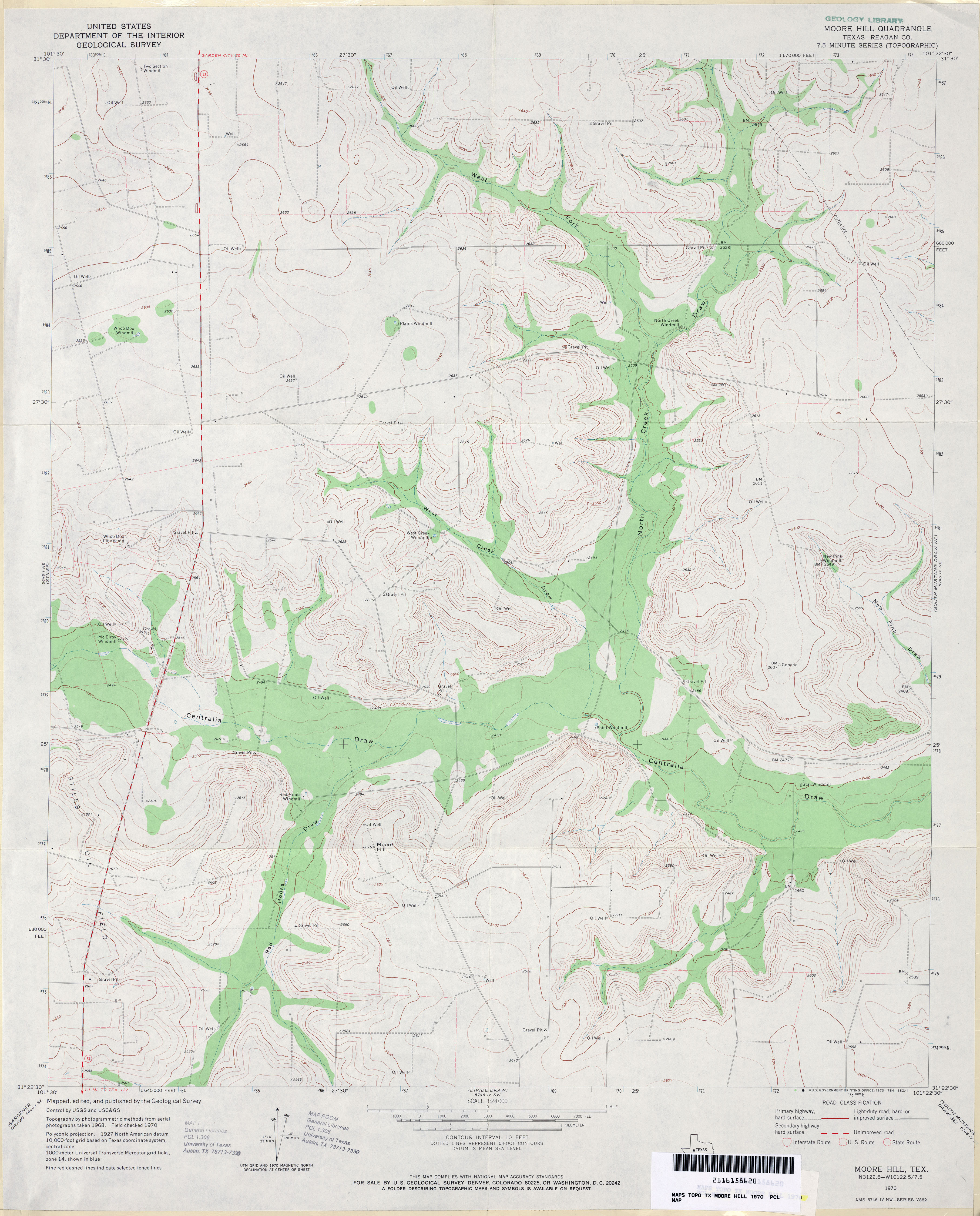
- Moore Hill (Reagan County) 1:24,000 1970 (3.4MB)
- Moore Hill 1:24,000 2008 (20.5MB) [GeoPDF]
- Moore Hill 1:24,000 2012 (25.9MB) [GeoPDF]
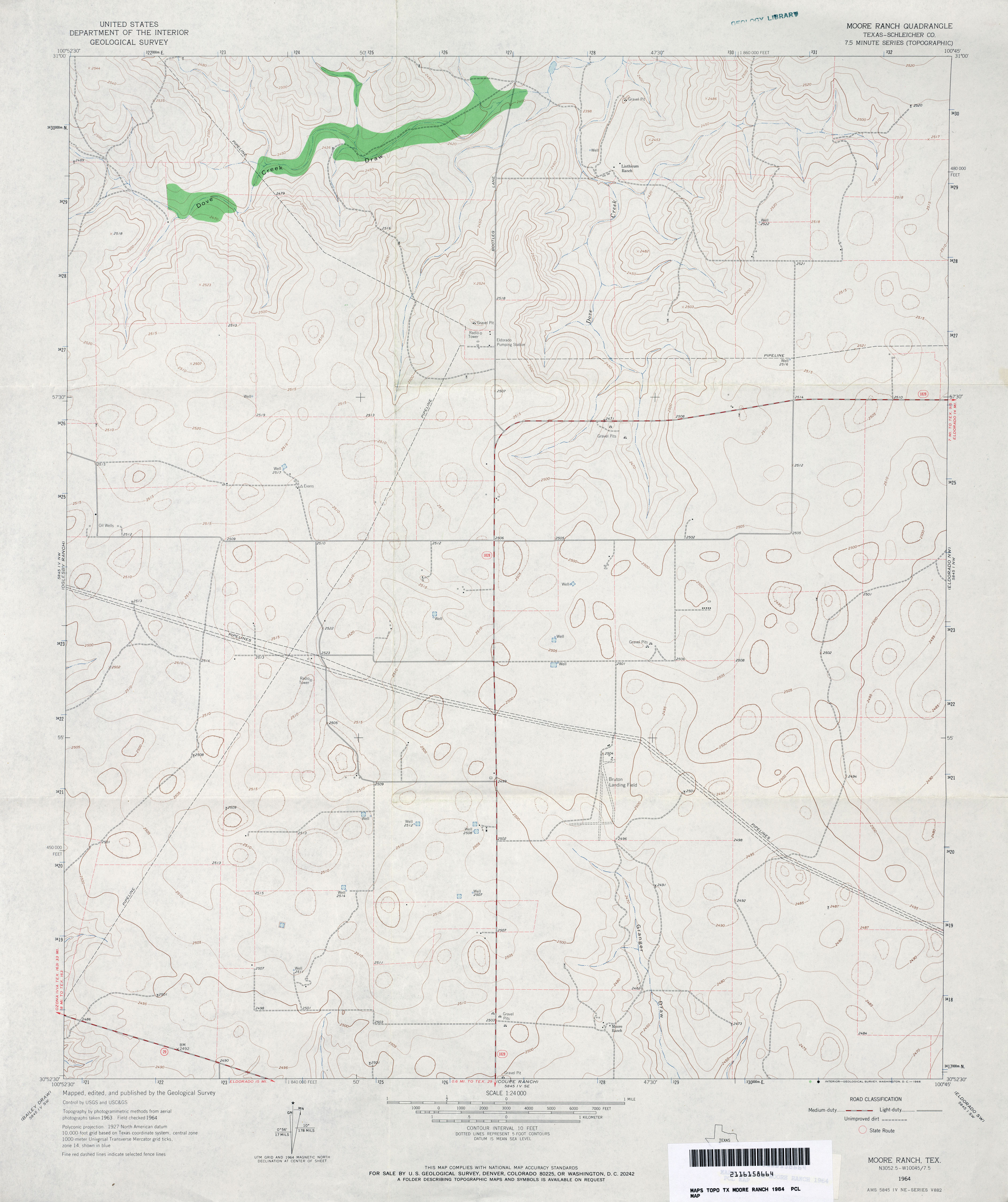
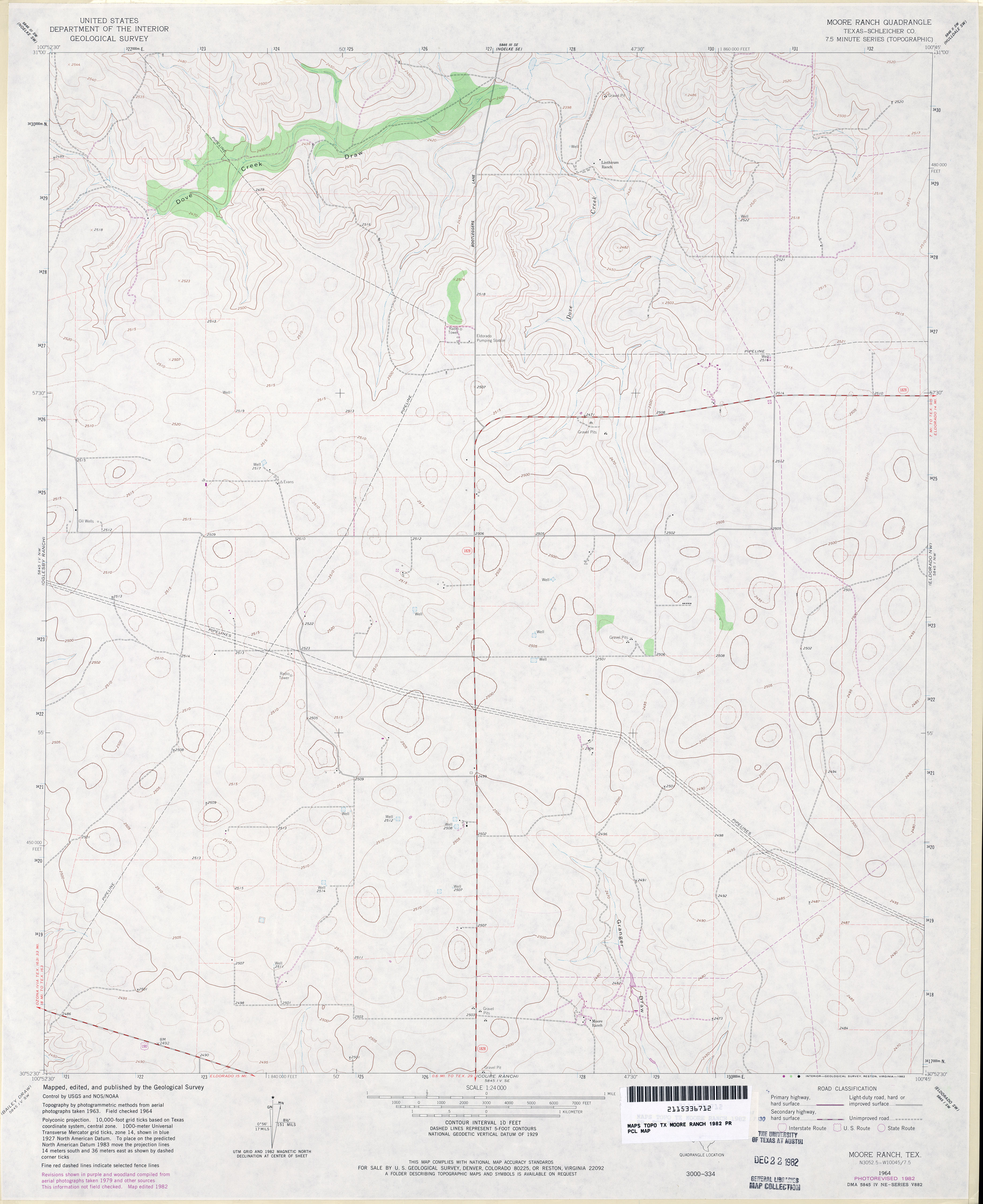
- Moore Ranch (Schleicher County) 1:24,000 1964 (2.9MB)
- Moore Ranch (Schleicher County) 1:24,000 1982 (2.8MB)
- Moore Ranch 1:24,000 2008 (15.4MB) [GeoPDF]
- Moore Ranch 1:24,000 2012 (22.5MB) [GeoPDF]
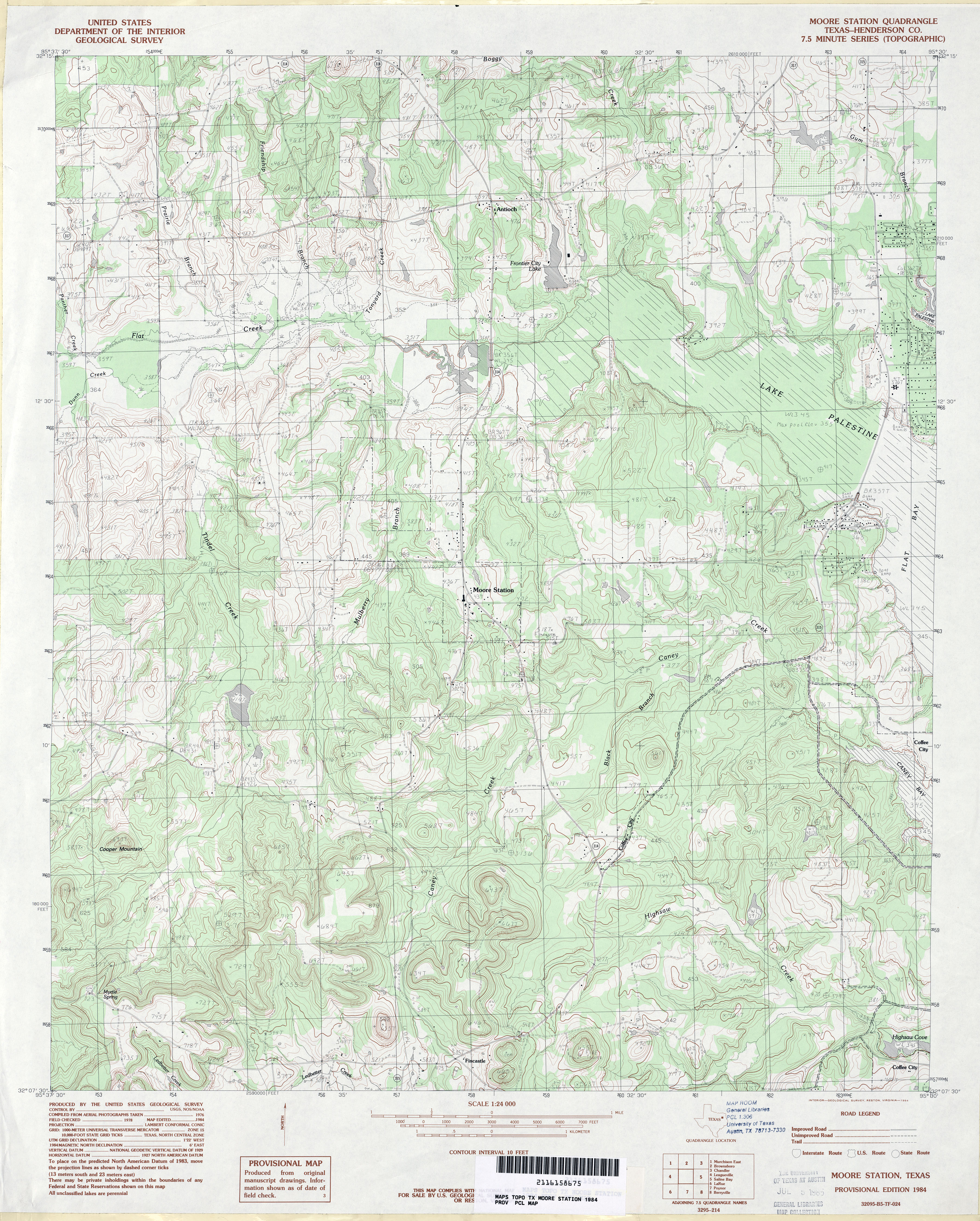
- Moore Station (Henderson County) 1:24,000 1984 (4.8MB)
- Moore Station 1:24,000 2009 (22.6MB) [GeoPDF]
- Moore Station 1:24,000 2013 (25.4MB) [GeoPDF]
- Morales 1:24,000 1964 (3.6MB)
- Morales 1:24,000 1981 (3.5MB)
- Morales 1:24,000 2009 (16.8MB) [GeoPDF]
- Morales 1:24,000 2013 (25.6MB) [GeoPDF]
- Moran 1:24,000 1965 (4MB)
- Moran 1:24,000 2008 (15.0MB) [GeoPDF]
- Moran 1:24,000 2012 (22.5MB) [GeoPDF]
- Moran Ranch 1:24,000 1963 (2.4MB)
- Moran Ranch 1:24,000 2008 (10.0MB) [GeoPDF]
- Moran Ranch 1:24,000 2012 (14.3MB) [GeoPDF]
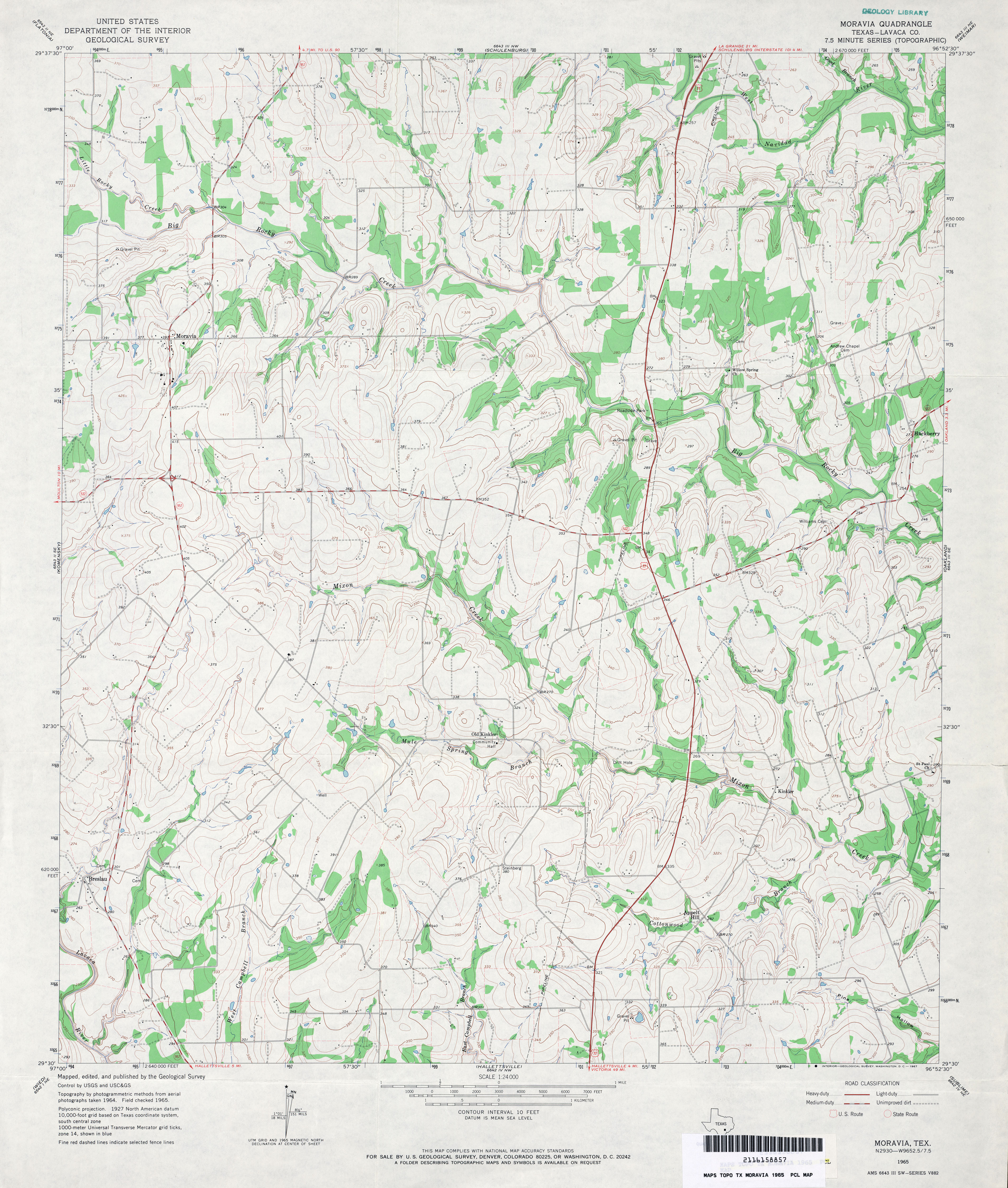
- Moravia (Lavaca County) 1:24,000 1965 (4MB)
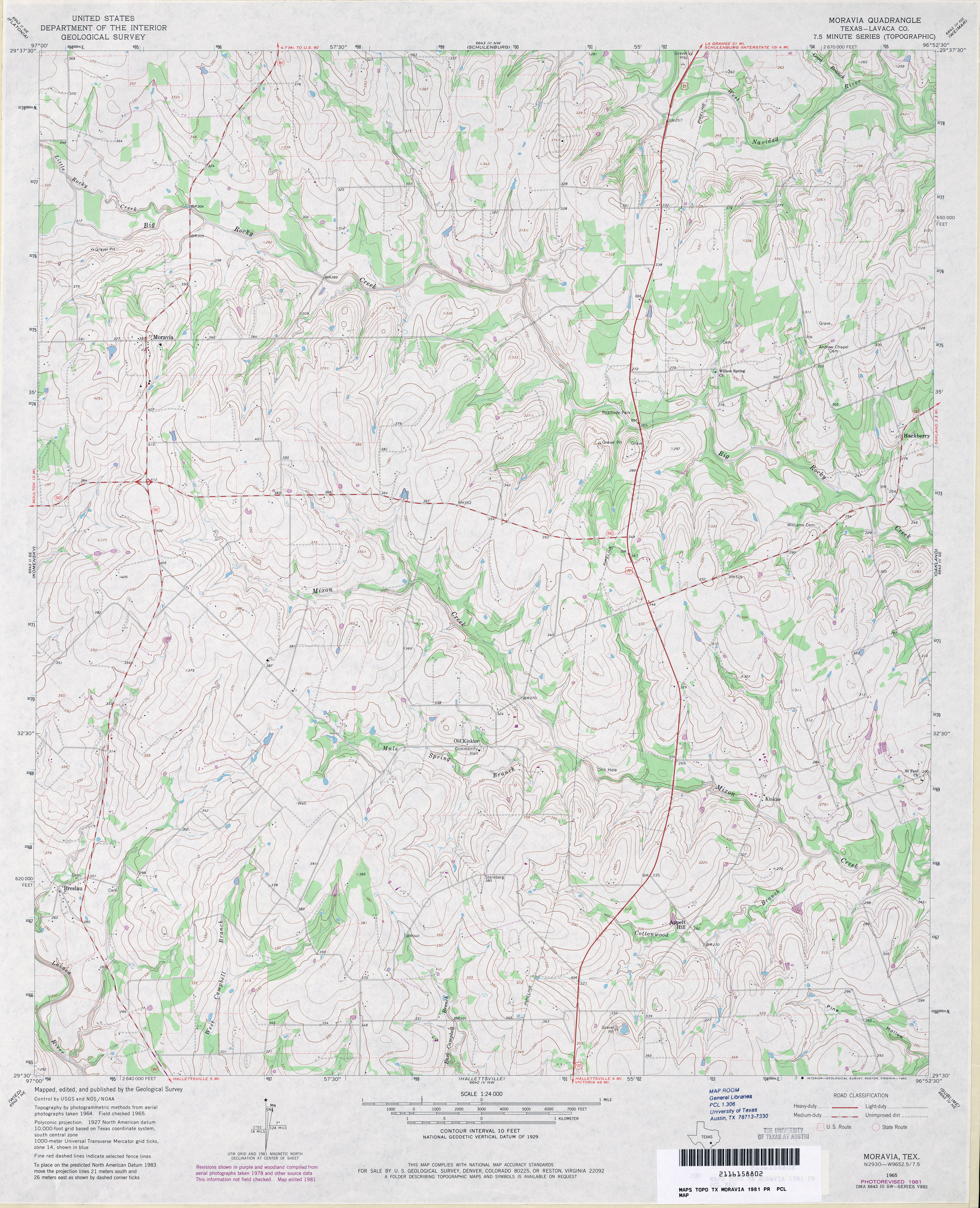
- Moravia (Lavaca County) 1:24,000 1981 (4.4MB)
- Moravia 1:24,000 2008 (12.7MB) [GeoPDF]
- Moravia 1:24,000 2013 (21.1MB) [GeoPDF]
- Morgan 1:62,000 1924 (2.0 MB)
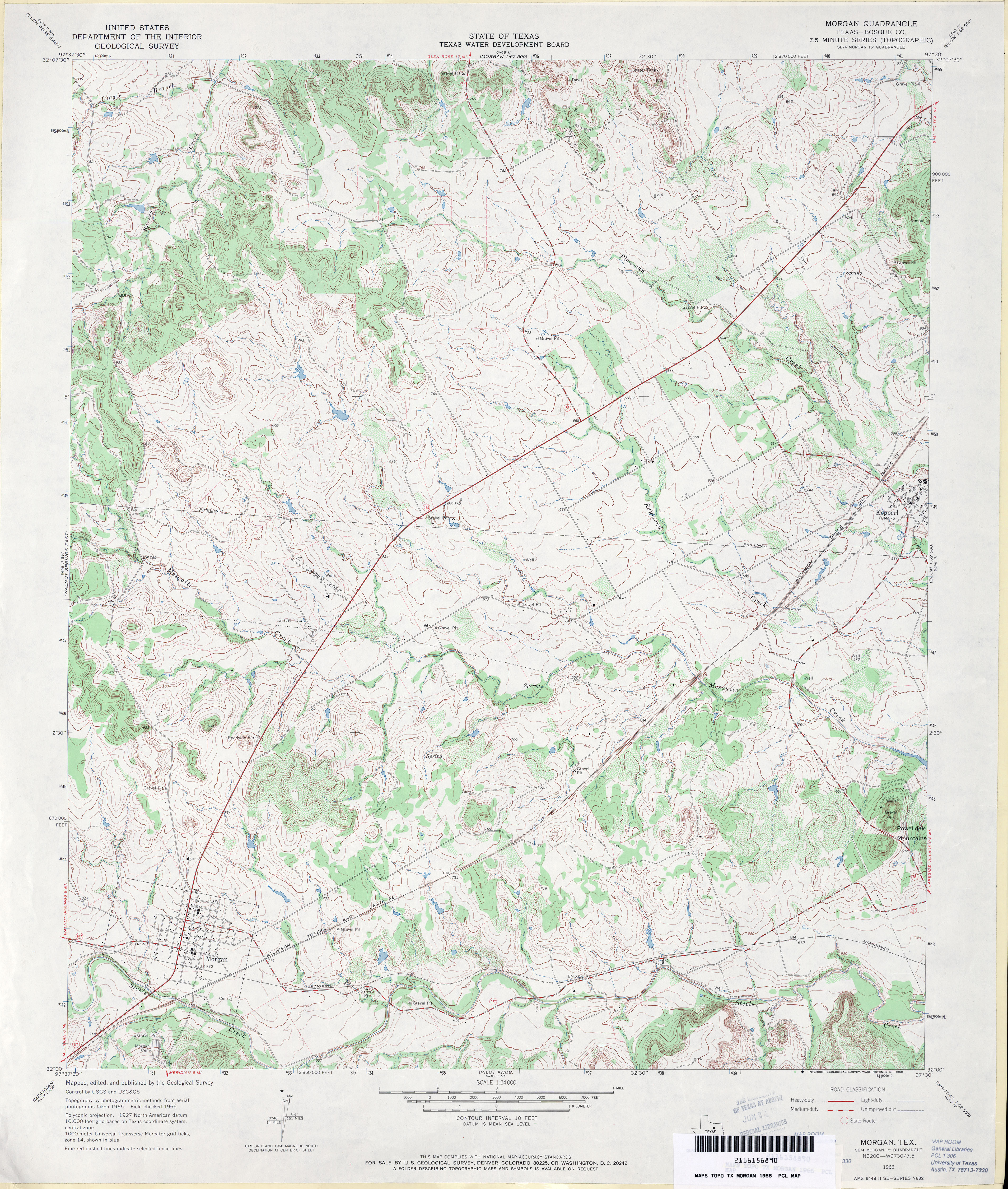
- Morgan (Bosque County) 1:24,000 1966 (4.7MB)
- Morgan 1:50,000 1967 (4.3MB) U.S. Army Map Service, Series V782
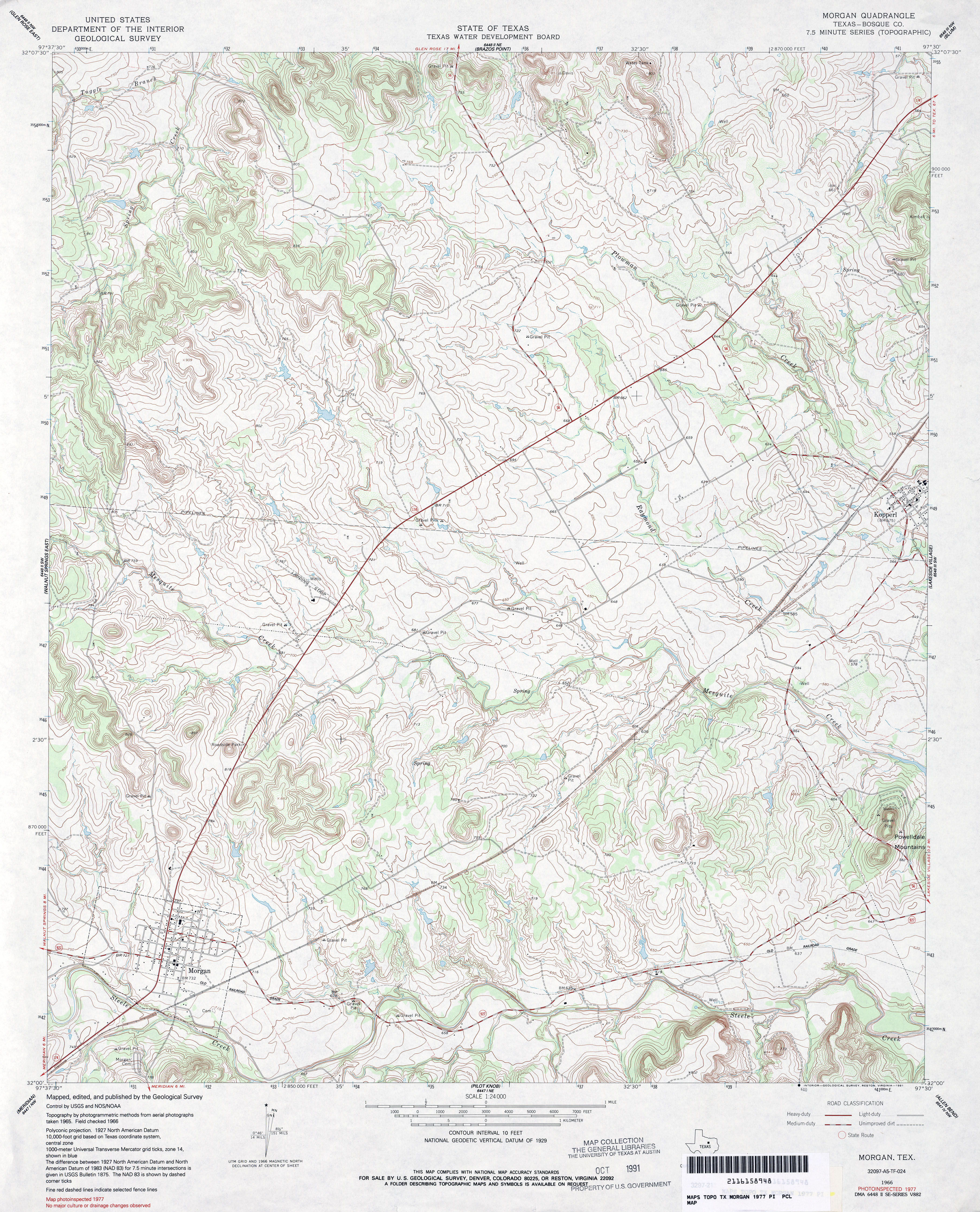
- Morgan (Bosque County) 1:24,000 1977 (5.3MB)
- Morgan 1:24,000 2008 (16.6MB) [GeoPDF]
- Morgan 1:24,000 2012 (22.7MB) [GeoPDF]
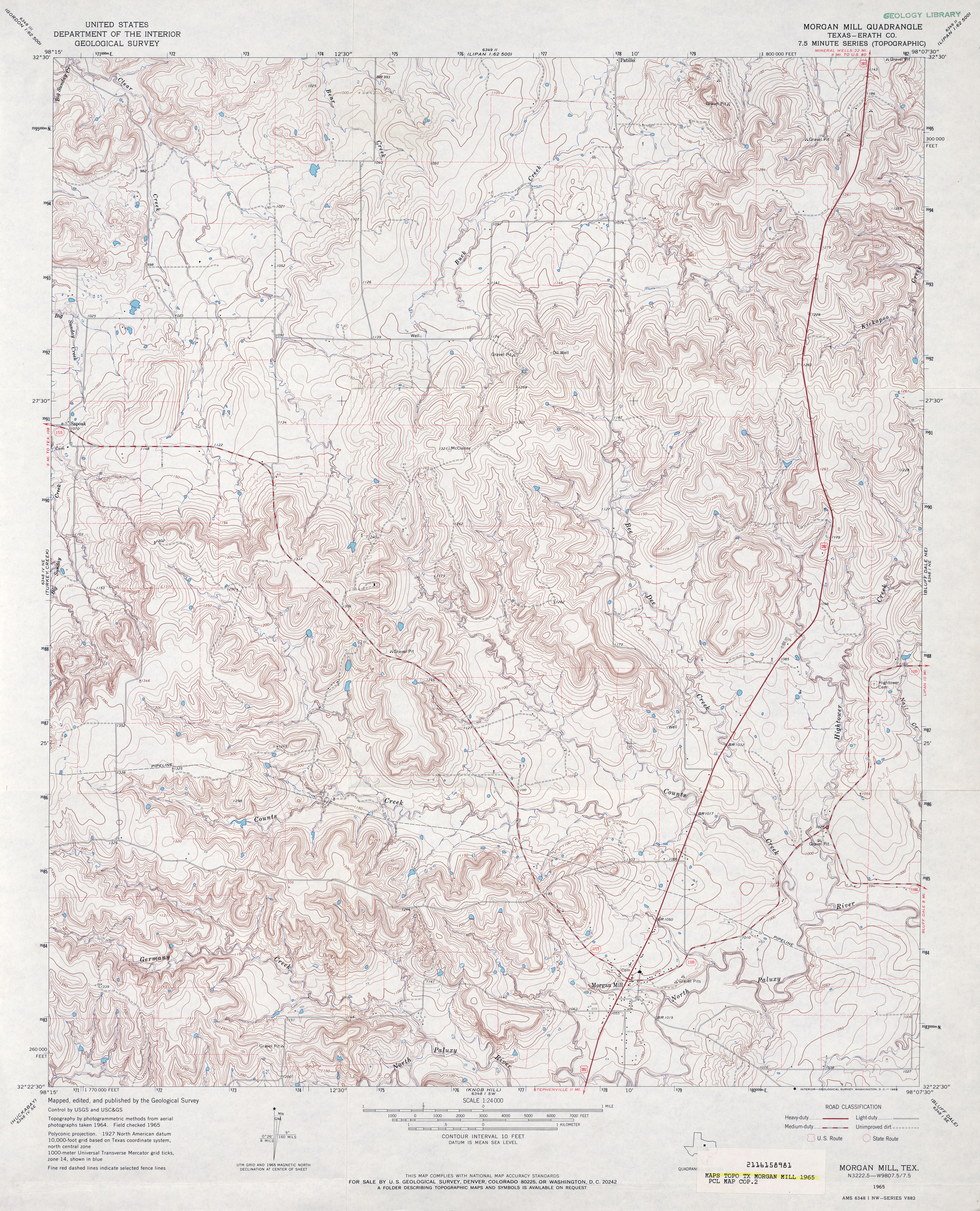
- Morgan Mill (Erath County) 1:24,000 1965 (5.3MB)
- Morgan Mill 1:24,000 2008 (18.6MB) [GeoPDF]
- Morgan Mill 1:24,000 2012 (23MB) [GeoPDF]
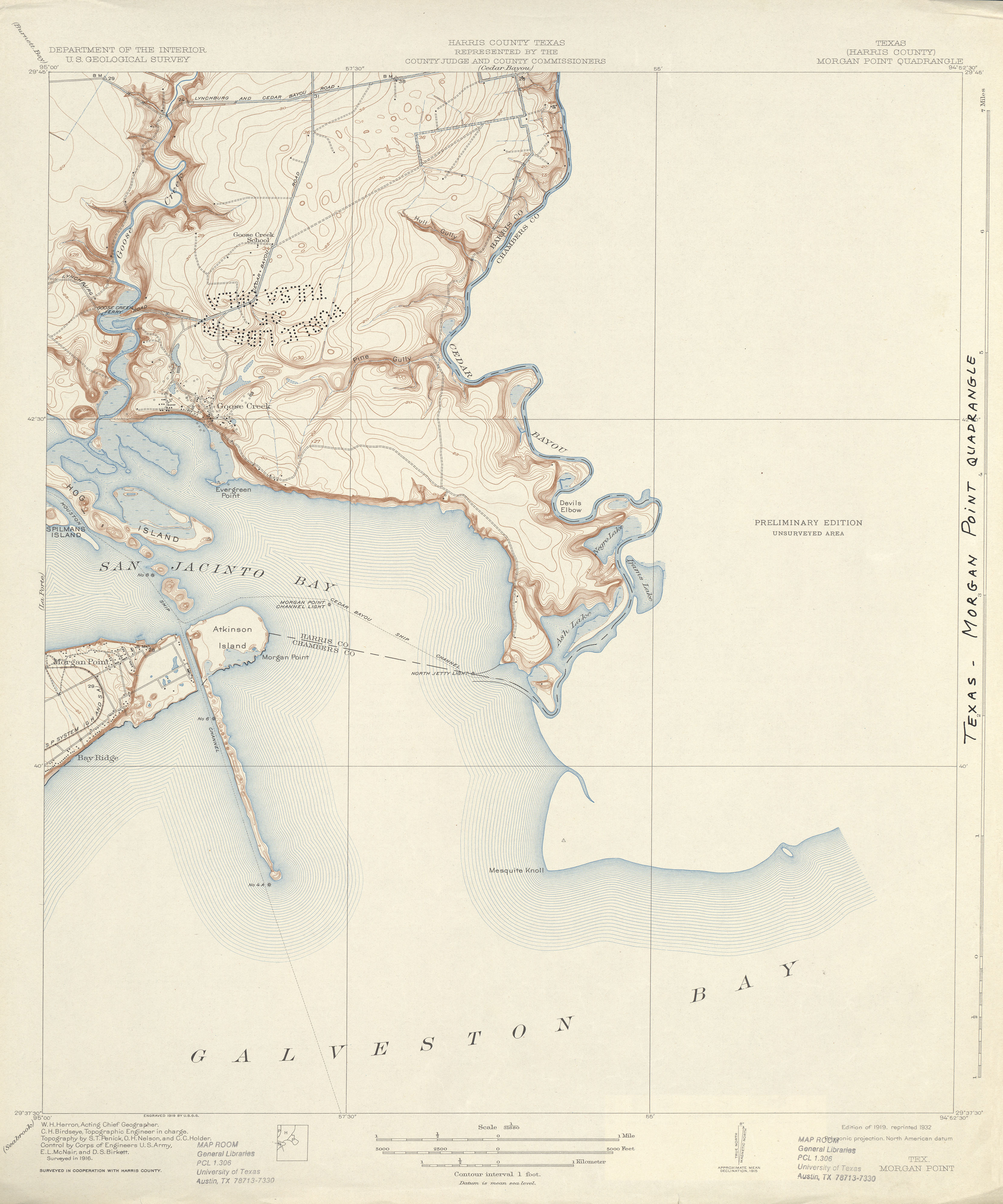
- Morgan Point (Harris County) 1:31,680 1916 (2.6 MB)
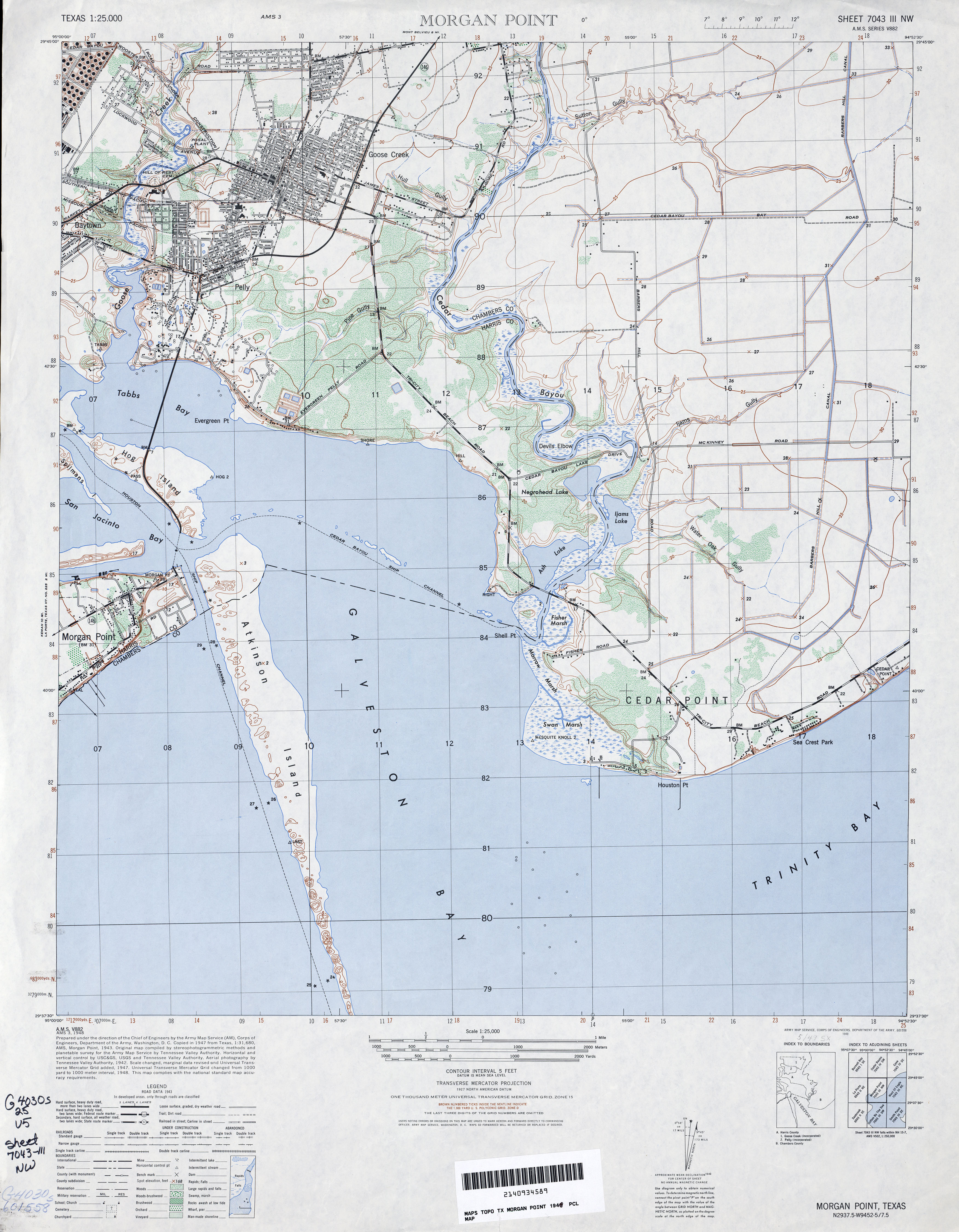
- Morgans Point 1:25,000 1948 (3.7MB) U.S. Army Map Service, Series V882
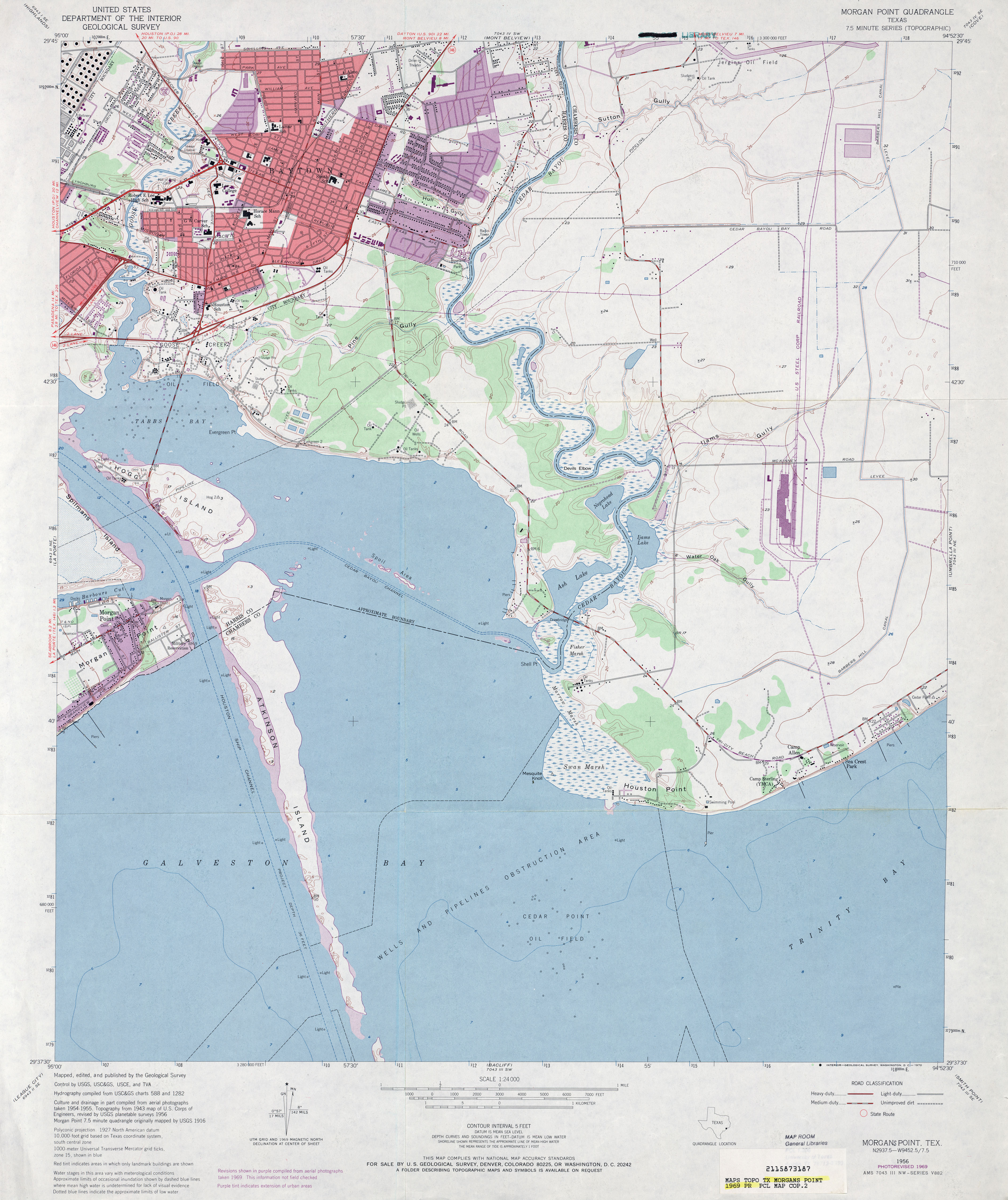
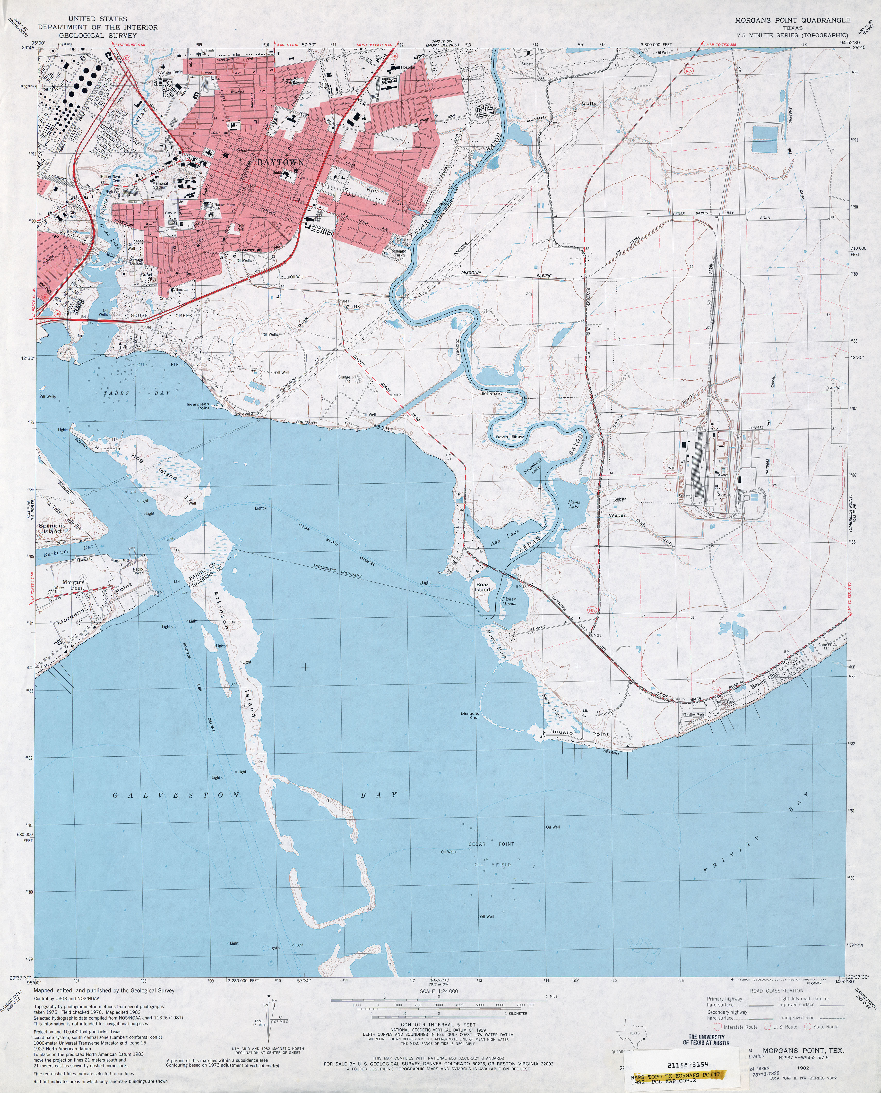
- Morgans Point 1:24,000 1956 (3.2MB)
- Morgans Point 1:24,000 1969 (3.4MB)
- Morgans Point 1:24,000 1982 (3.4MB)
- Morgans Point 1:24,000 1993 (3.6MB)
- Morgans Point 1:24,000 1995 (3.5MB)
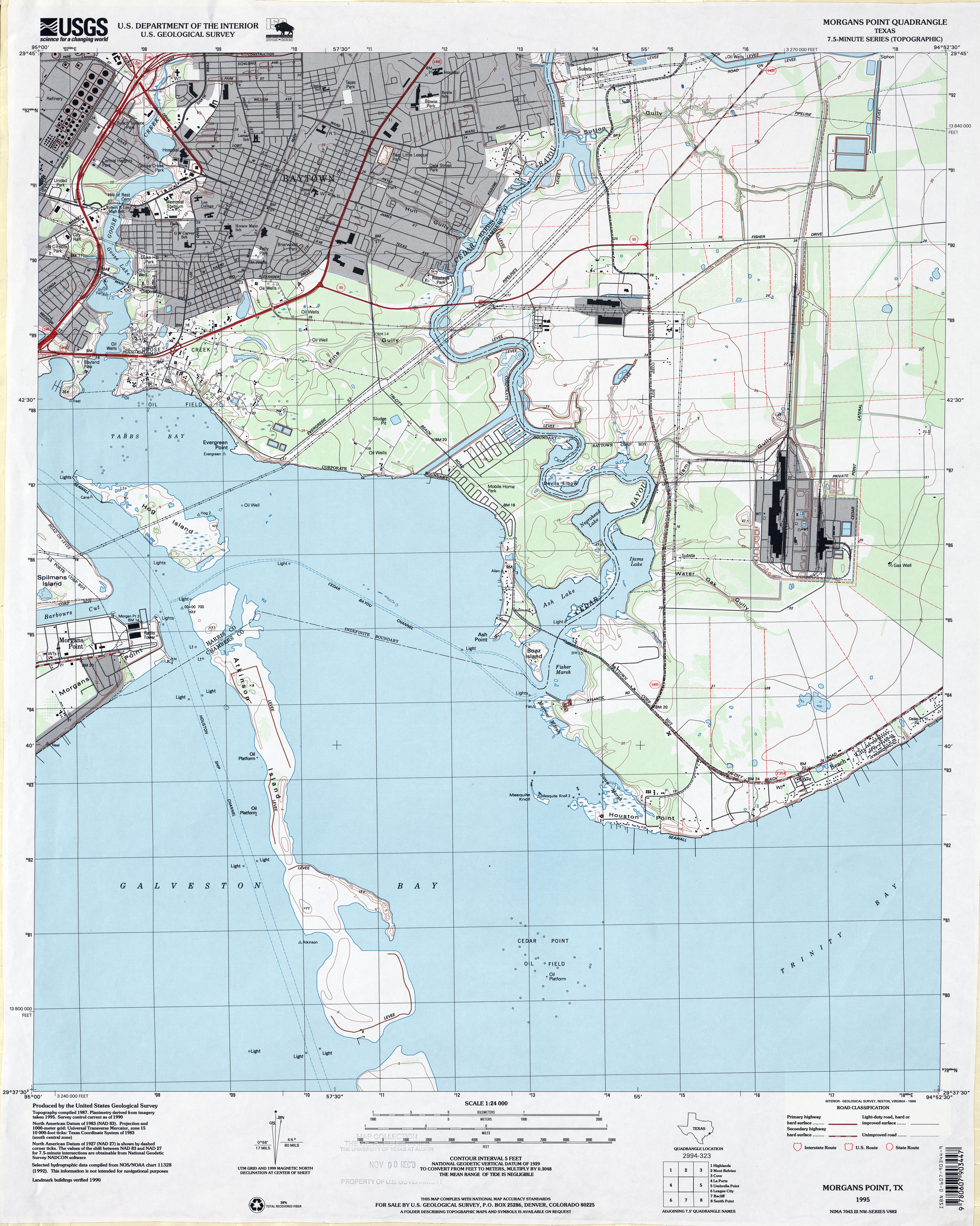
- Morgans Point 1:24,000 2009 (15.9MB) [GeoPDF]
- Morgans Point 1:24,000 2013 (19.4MB) [GeoPDF]
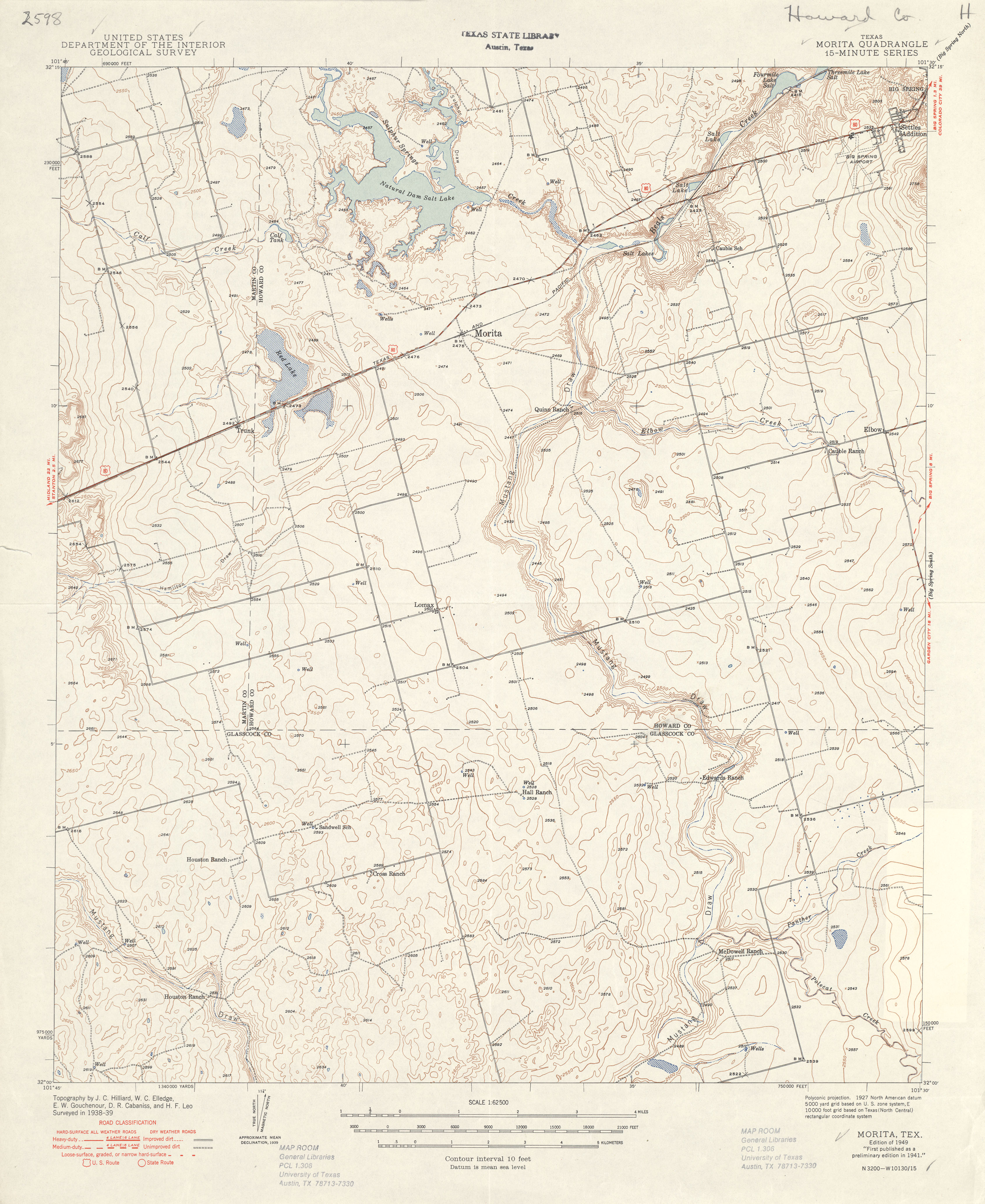
- Morita 1:62,500 1939 (3.1 MB)
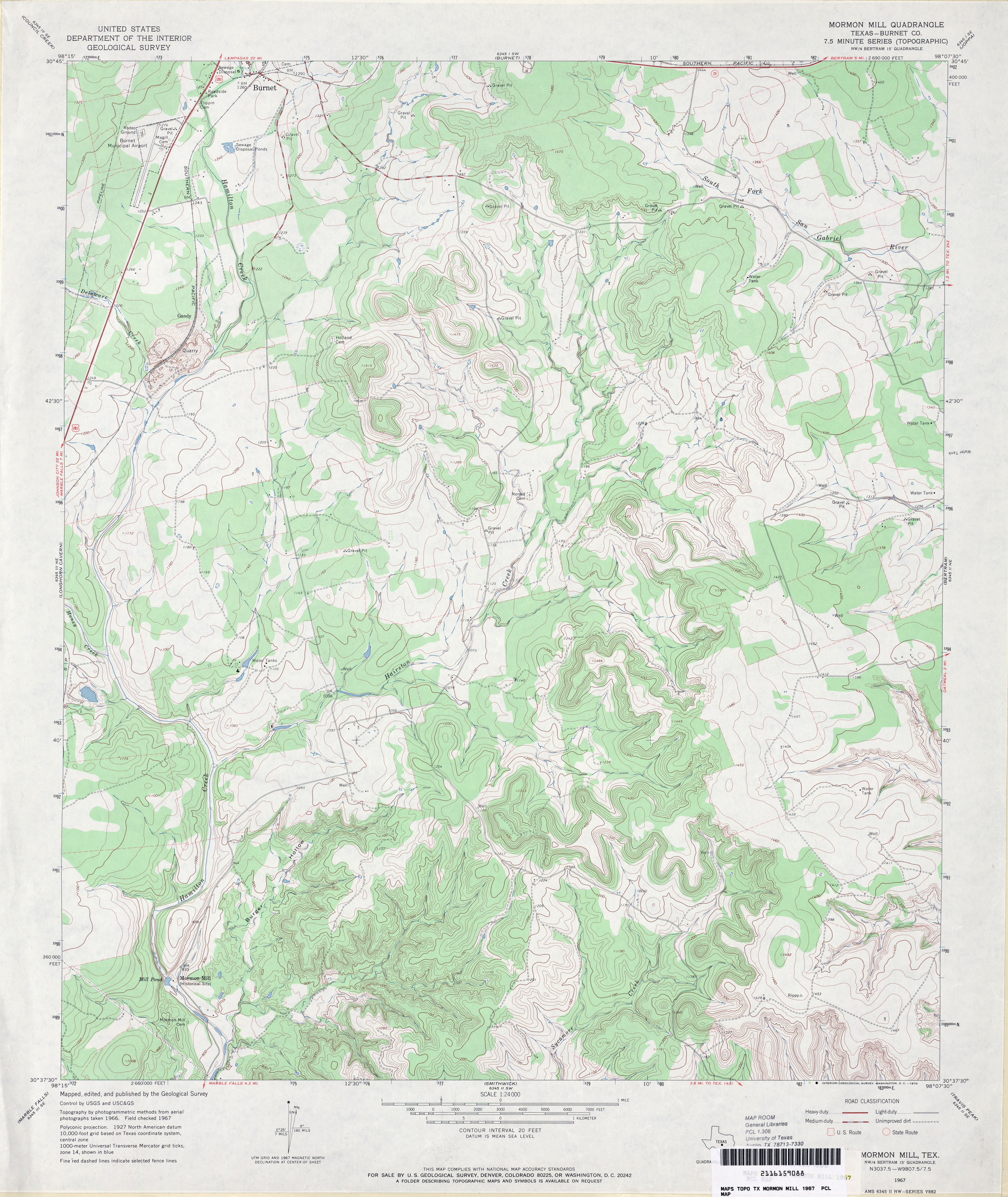
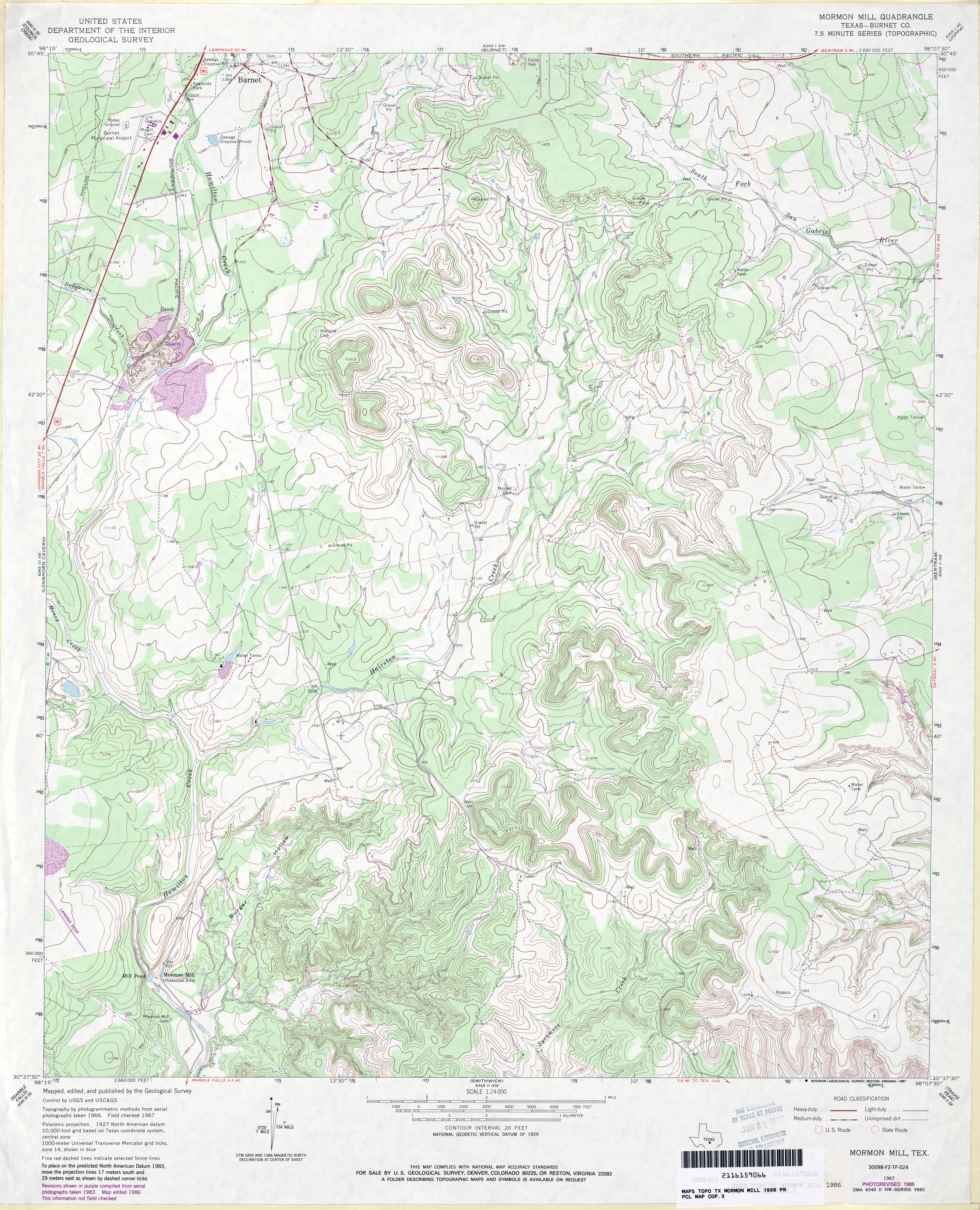
- Mormon Mill (Burnet County) 1:24,000 1967 (4.1MB)
- Mormon Mill (Burnet County) 1:24,000 1986 (4.5MB)
- Mormon Mill 1:24,000 2008 (18.7MB) [GeoPDF]
- Mormon Mill 1:24,000 2012 (26.4MB) [GeoPDF]
- Morris Ranch 1:24,000 1964 (4.4MB)
- Morris Ranch 1:24,000 2008 (18.2MB) [GeoPDF]
- Morris Ranch 1:24,000 2012 (24.9MB) [GeoPDF]
- Morse 1:24,000 1974 (3.4MB)
- Morse 1:24,000 2008 (8.5MB) [GeoPDF]
- Morse 1:24,000 2012 (15.7MB) [GeoPDF]
- Morse SE 1:24,000 1974 (2.6MB)
- Morse SE 1:24,000 2008 (7.0MB) [GeoPDF]
- Morse SE 1:24,000 2012 (14.9MB) [GeoPDF]
- Morton (Cochran County) 1:24,000 1971 (3.1MB)
- Morton 1:24,000 2008 (10.5MB) [GeoPDF]
- Morton 1:24,000 2012 (15.2MB) [GeoPDF]
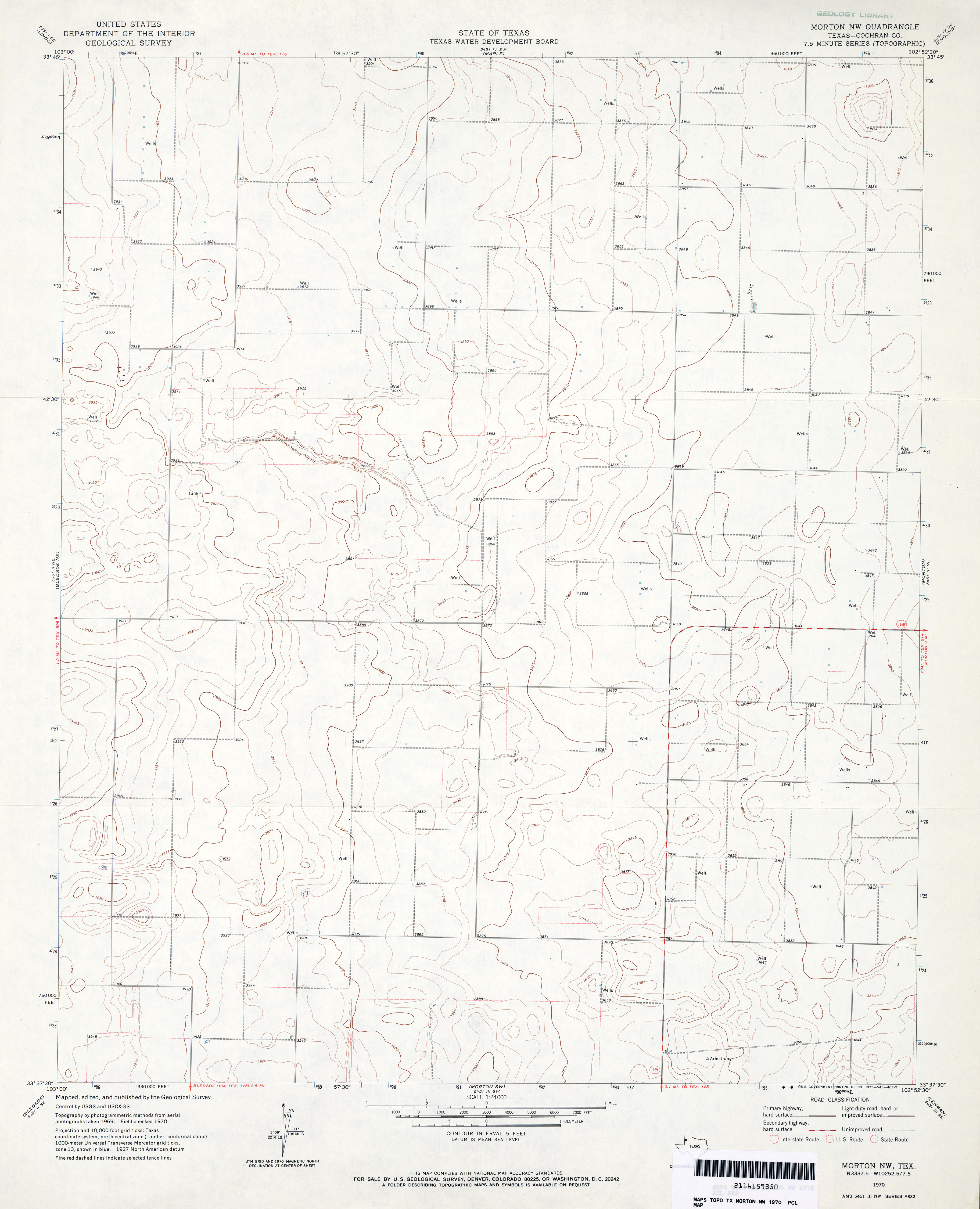
- Morton NW (Cochran County) 1:24,000 1970 (2.5MB)
- Morton NW 1:24,000 2008 (8.8MB) [GeoPDF]
- Morton NW 1:24,000 2012 (14.5MB) [GeoPDF]
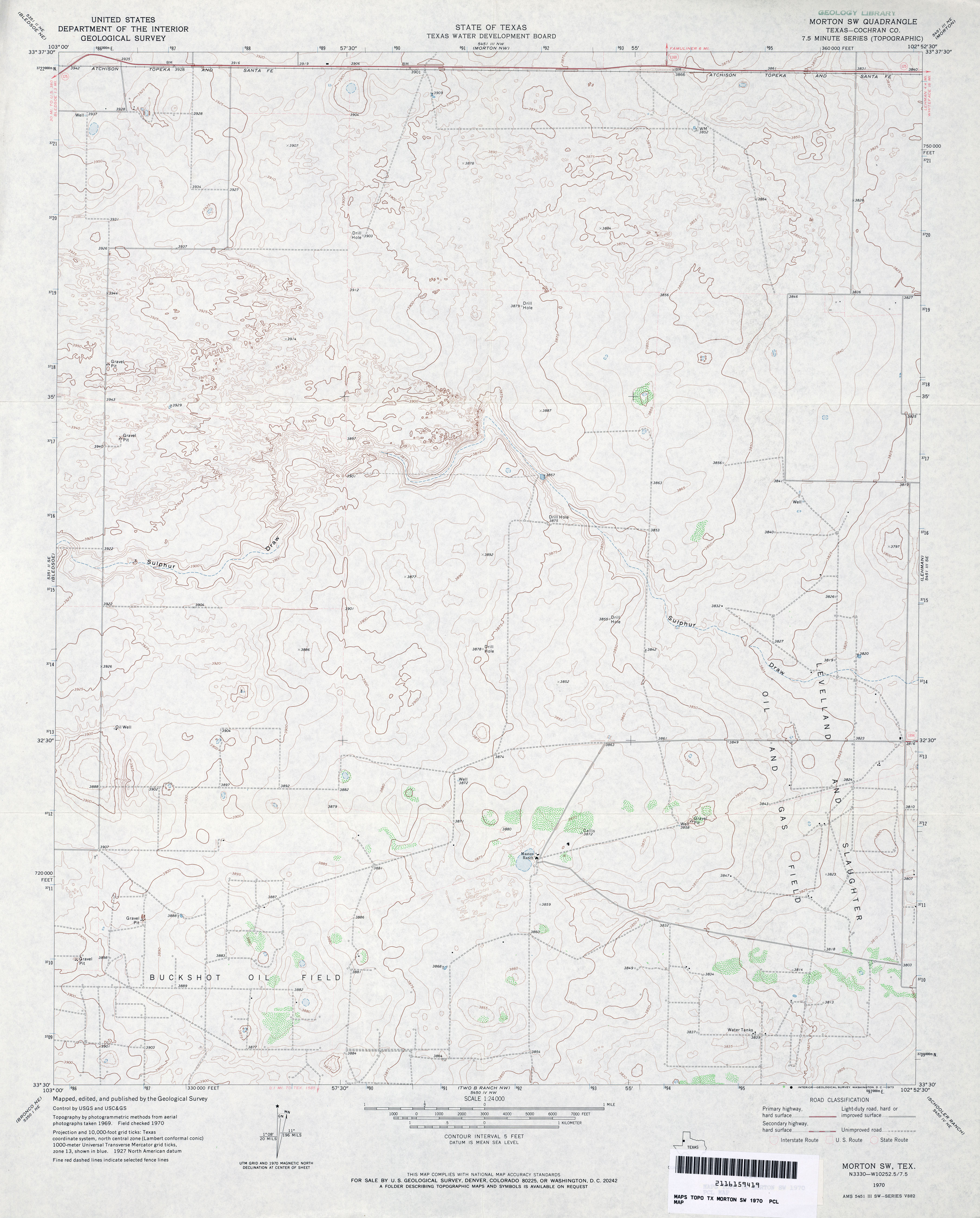
- Morton SW (Cochran County) 1:24,000 1970 (3.1MB)
- Morton SW 1:24,000 2008 (13.6MB) [GeoPDF]
- Morton SW 1:24,000 2012 (17.3MB) [GeoPDF]
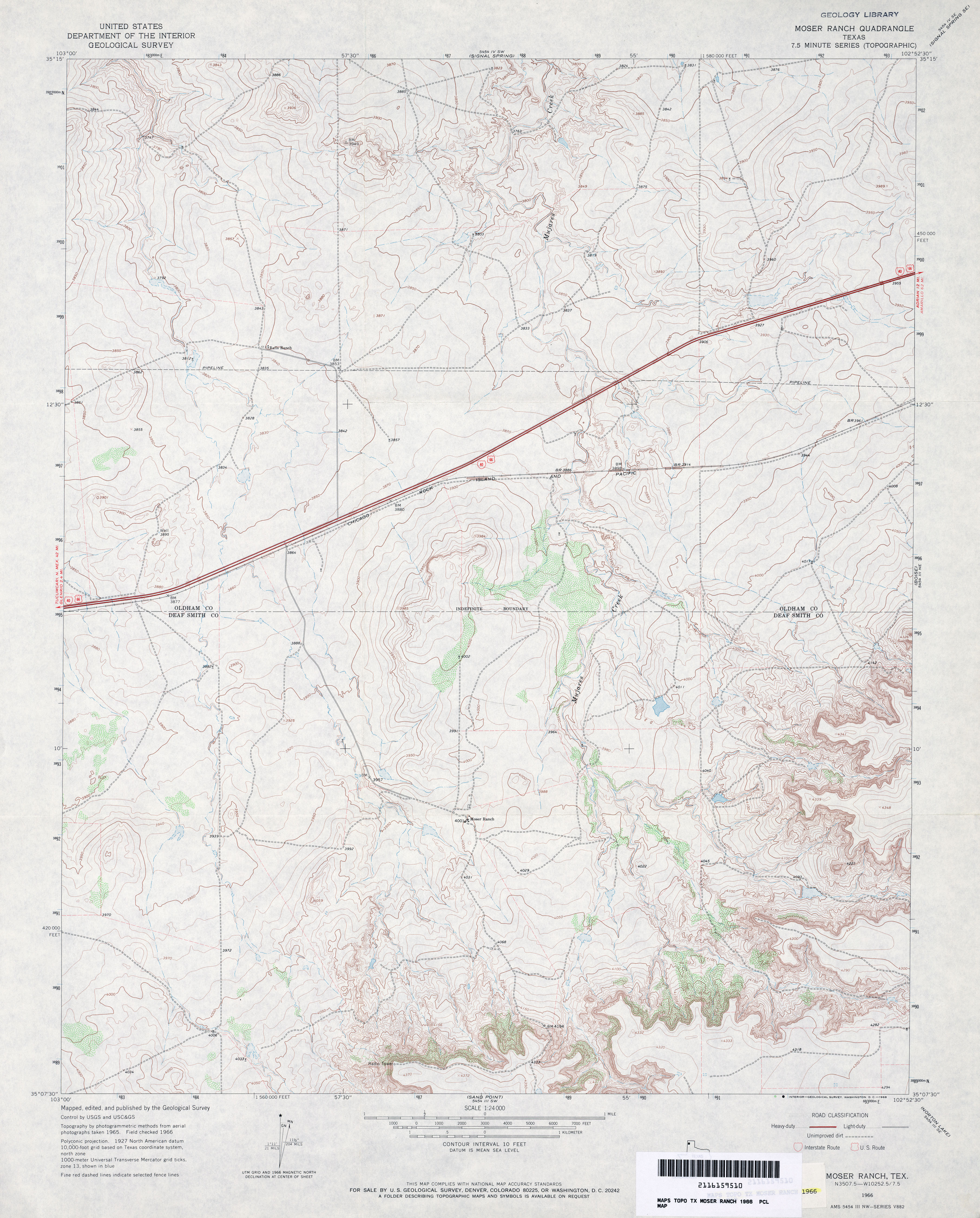
- Moser Ranch 1:24,000 1966 (3.7MB)
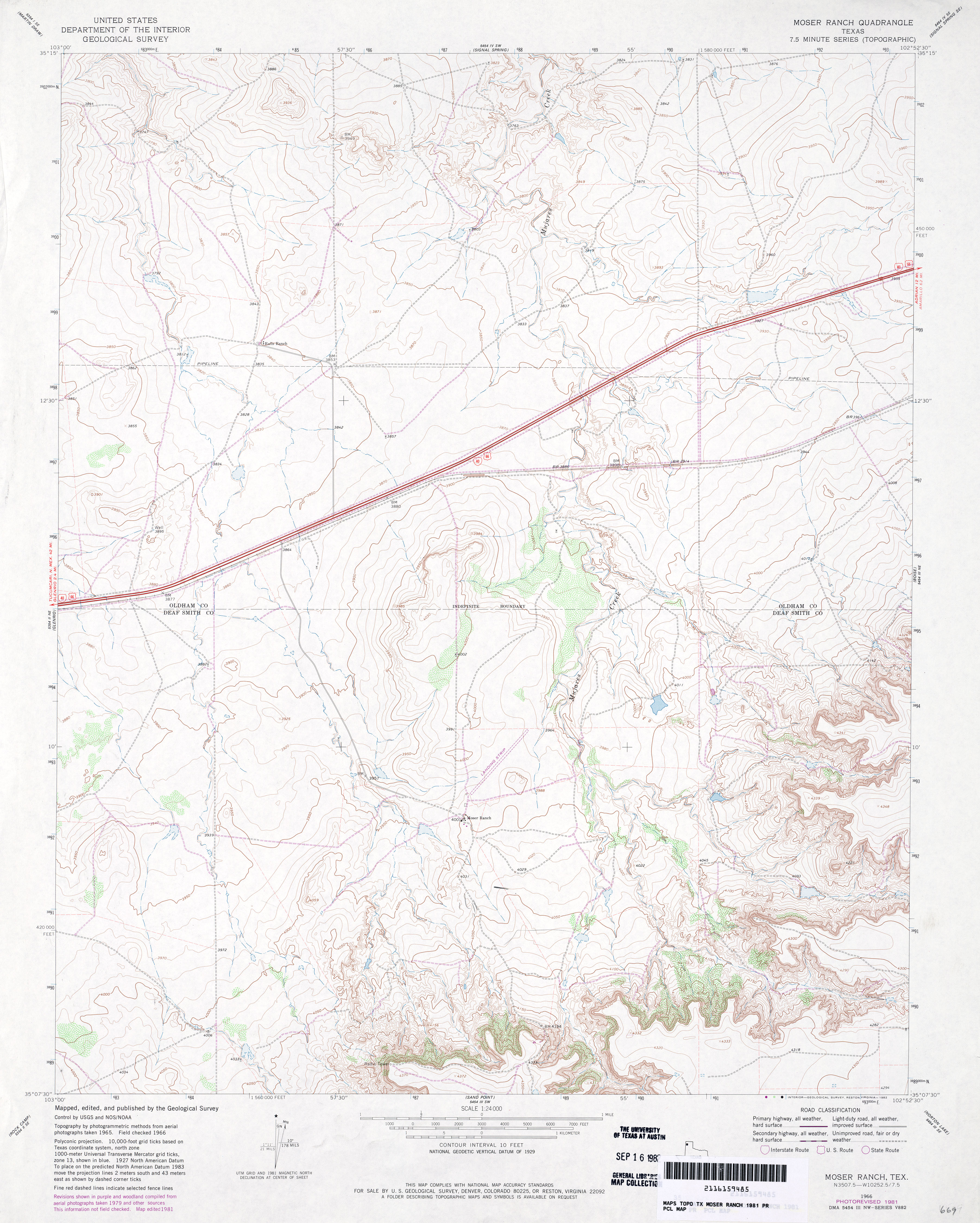
- Moser Ranch 1:24,000 1981 (3.7MB)
- Moser Ranch 1:24,000 2008 (14.7MB) [GeoPDF]
- Moser Ranch 1:24,000 2012 (17.2MB) [GeoPDF]
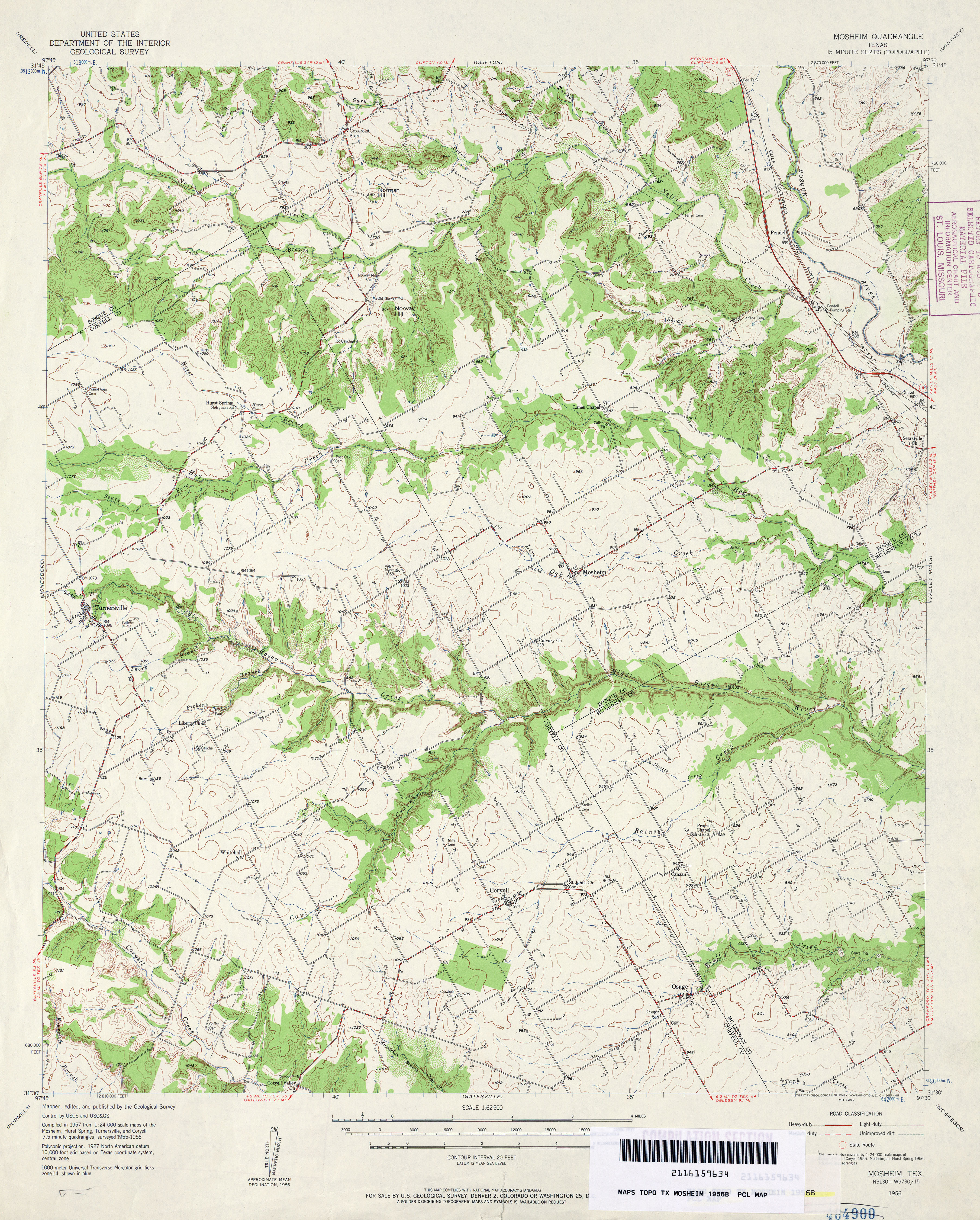
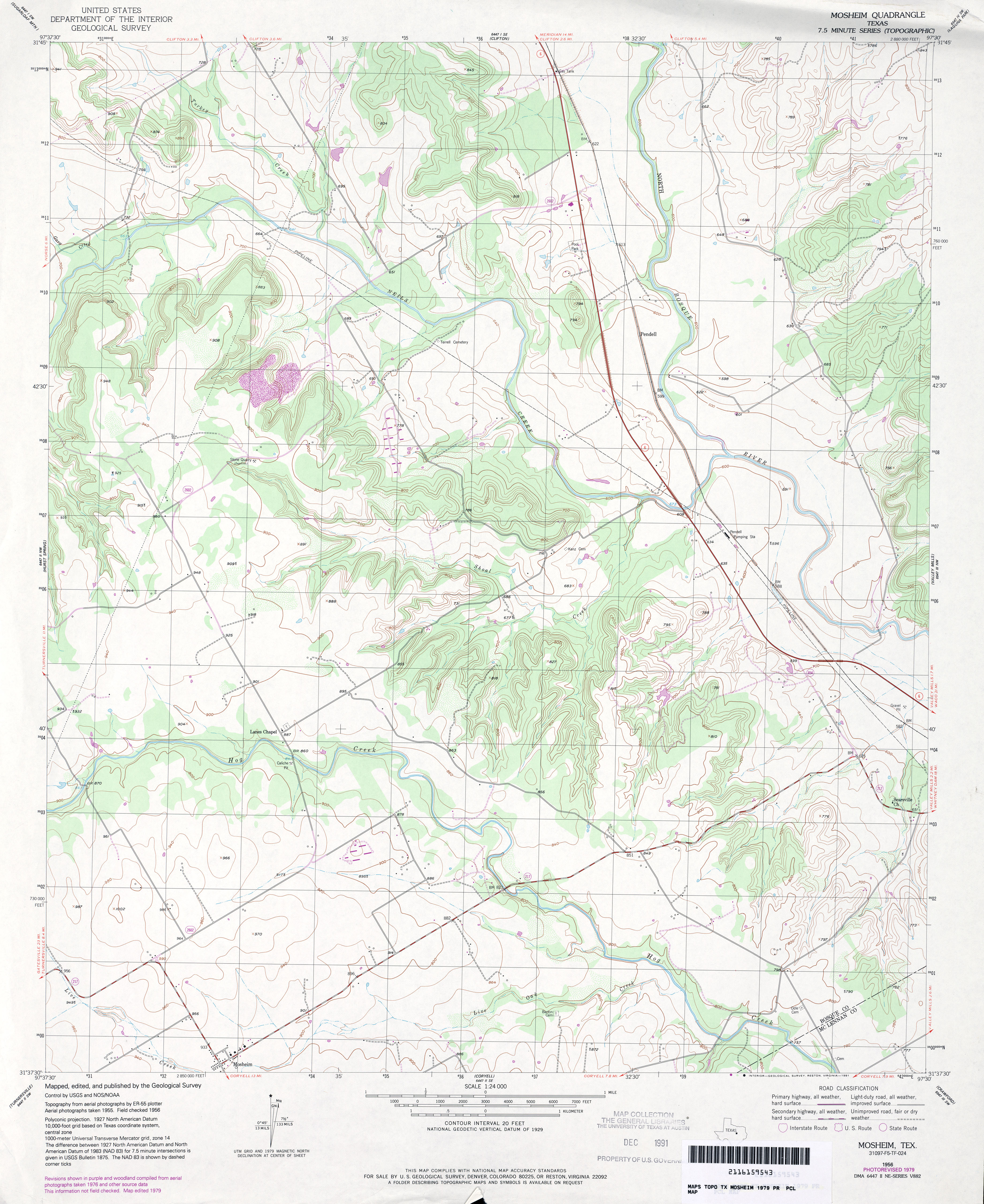
- Mosheim 1:24,000 1956 (3.6MB)
- Mosheim 1:62,500 1956 (4.8MB)
- Mosheim 1:24,000 1979 (3.8MB)
- Mosheim 1:24,000 2008 (16.0MB) [GeoPDF]
- Mosheim 1:24,000 2012 (21.7MB) [GeoPDF]
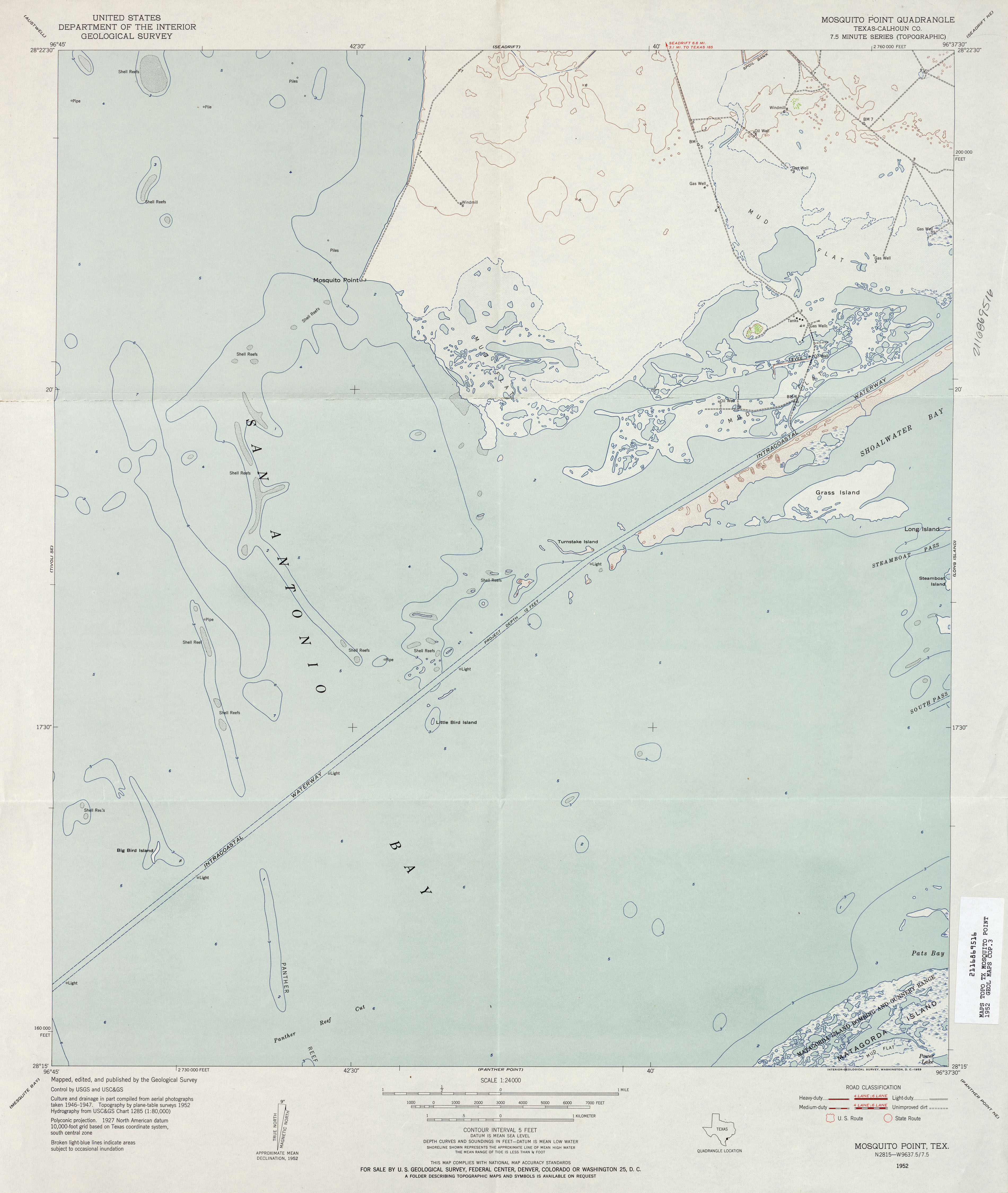
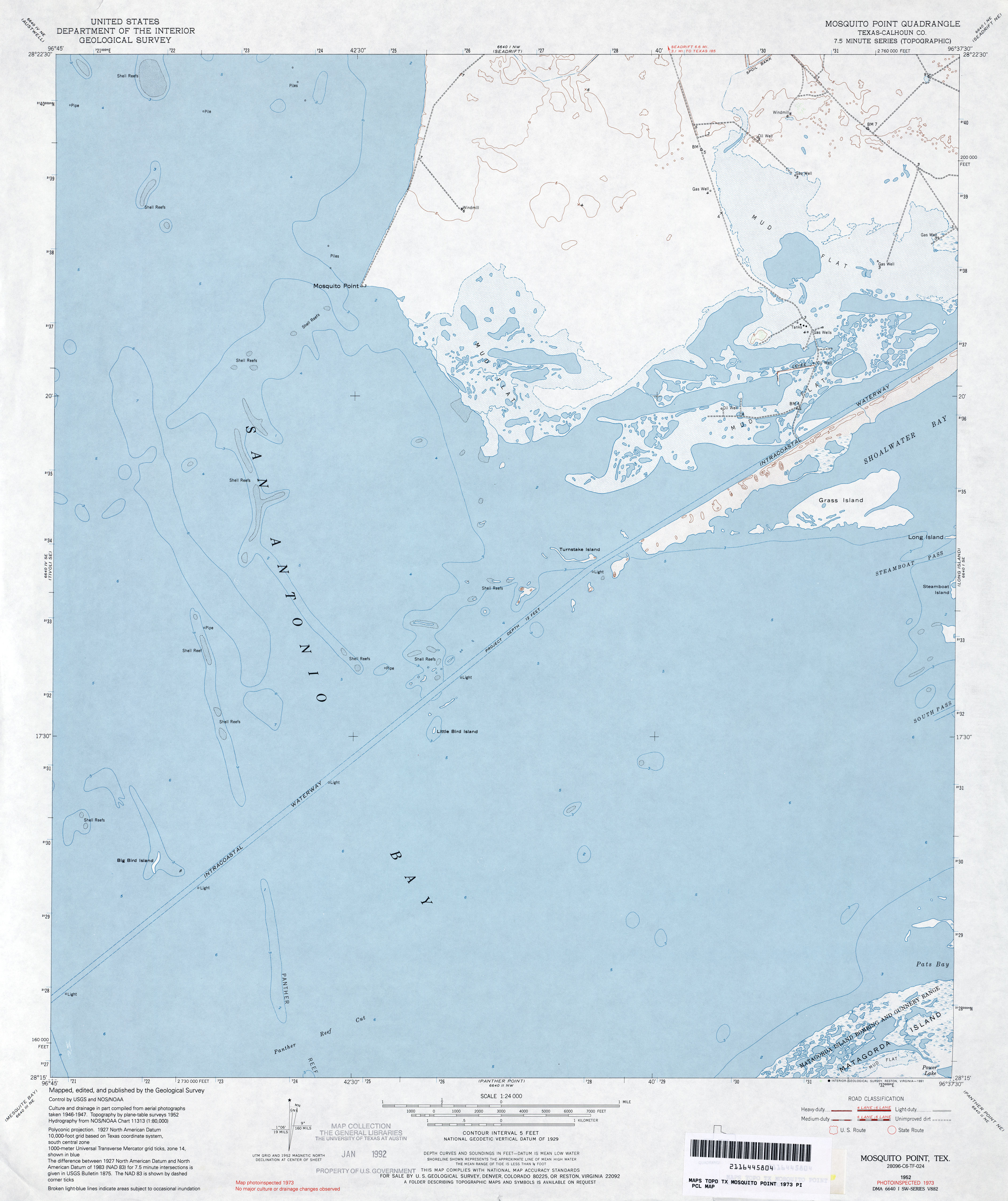
- Mosquito Point (Calhoun County) 1:24,000 1952 (2.3MB)
- Mosquito Point (Calhoun County) 1:24,000 1973 (2.6MB)
- Mosquito Point 1:24,000 2008 (8.3MB) [GeoPDF]
- Mosquito Point 1:24,000 2013 (19.7MB) [GeoPDF]
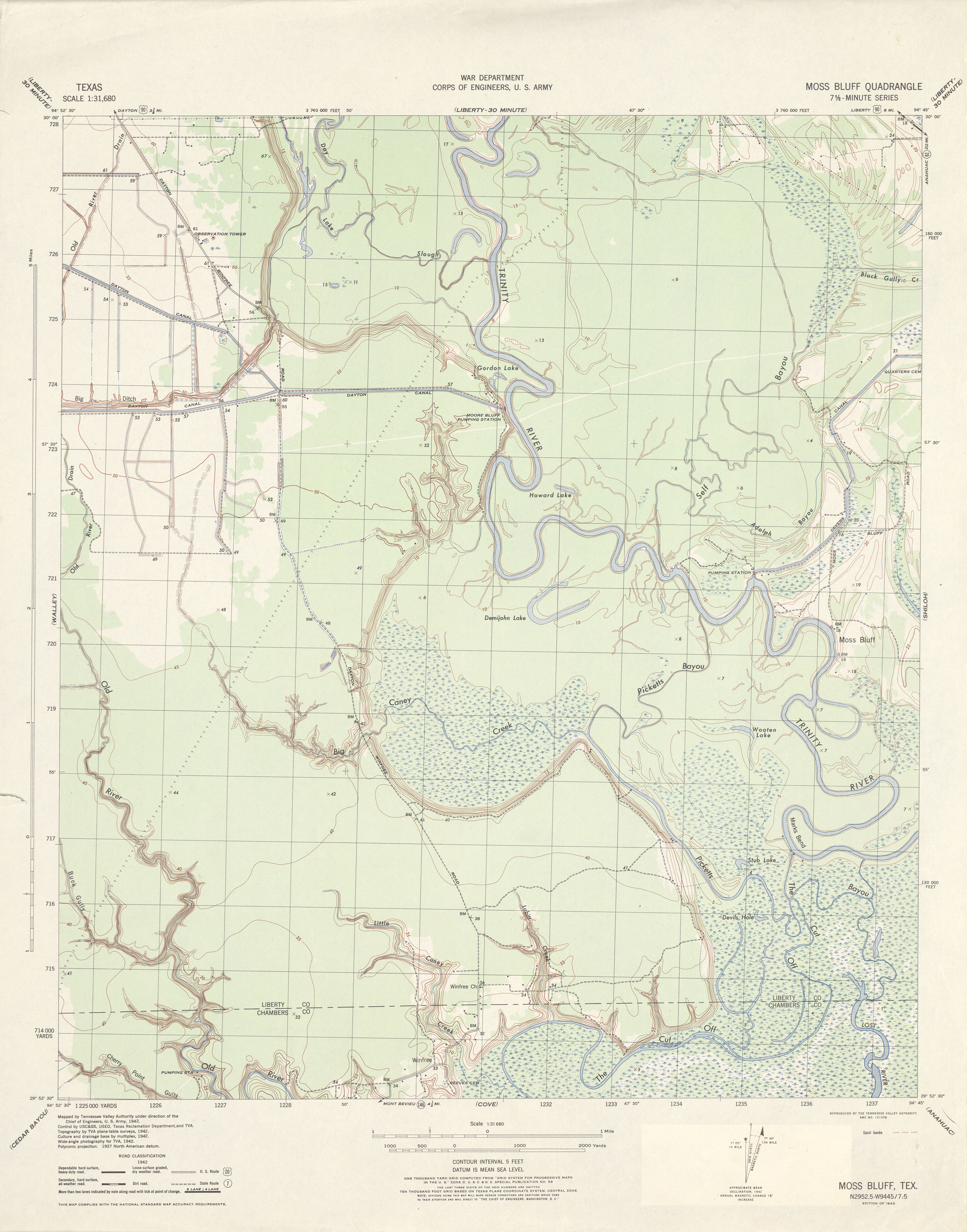
- Moss Bluff 1:31,680 1942 (2.9 MB) Tennessee Valley Authority
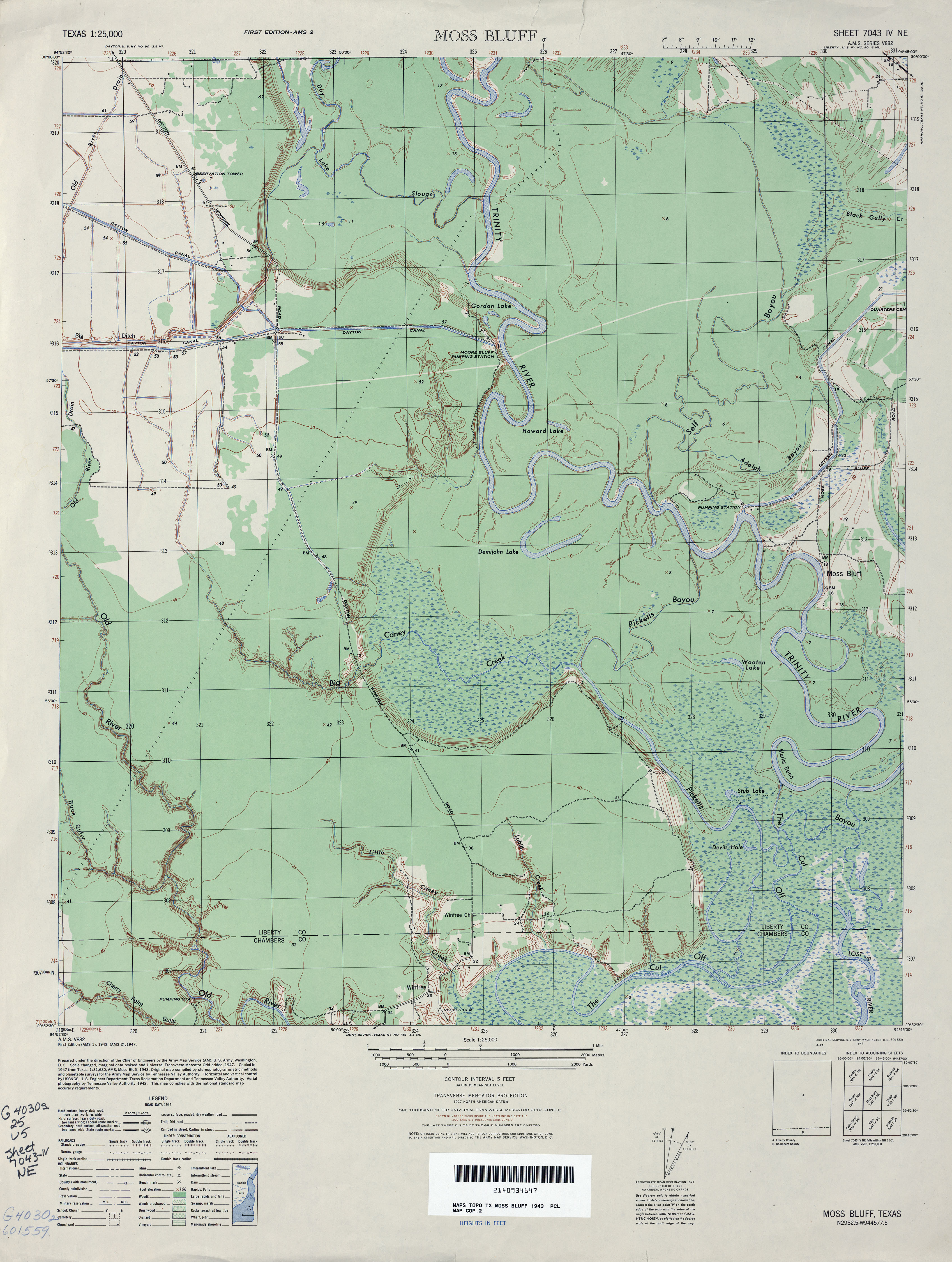
- Moss Bluff 1:25,000 1943 (3.3MB) U.S. Army Map Service, Series V882
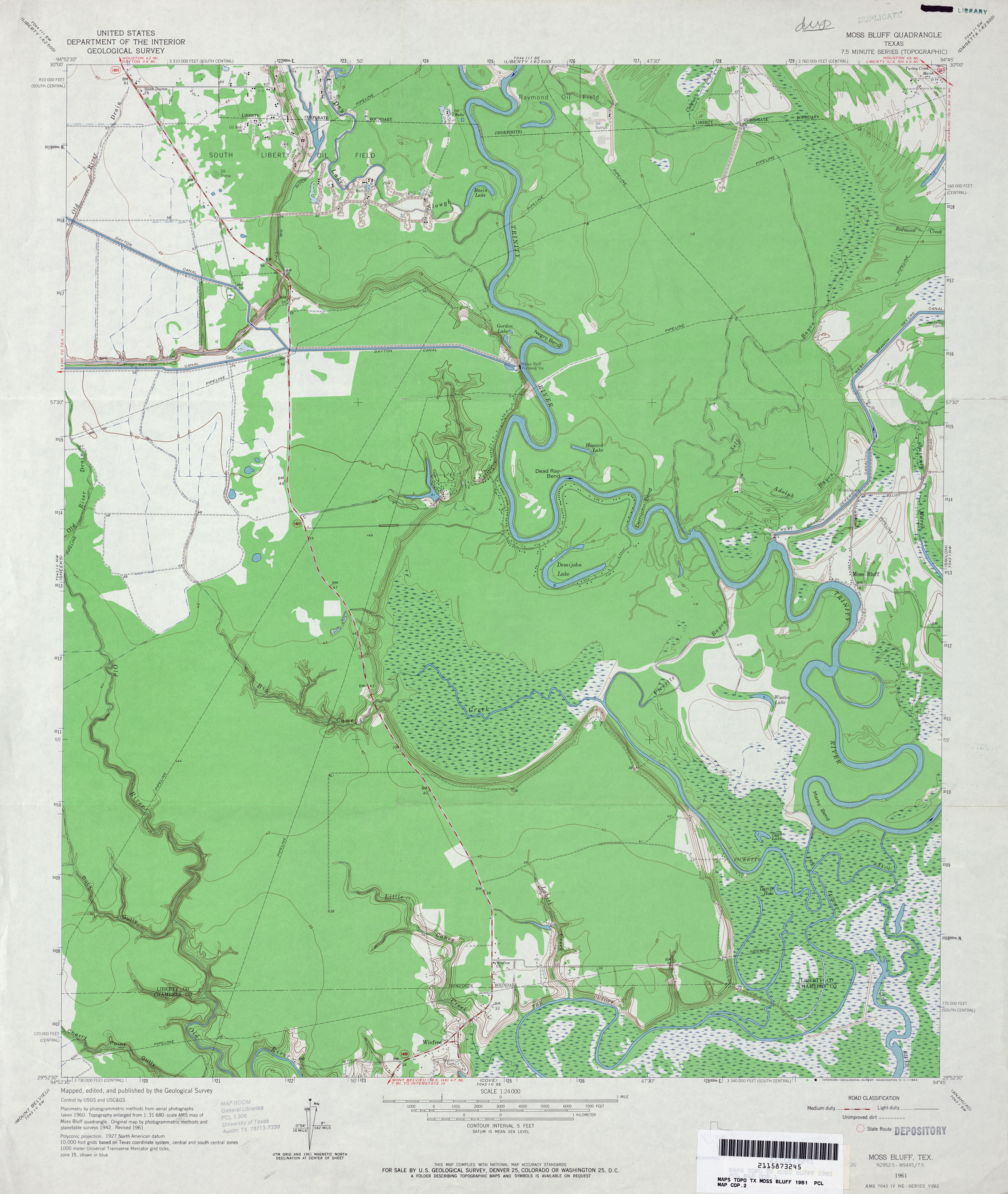
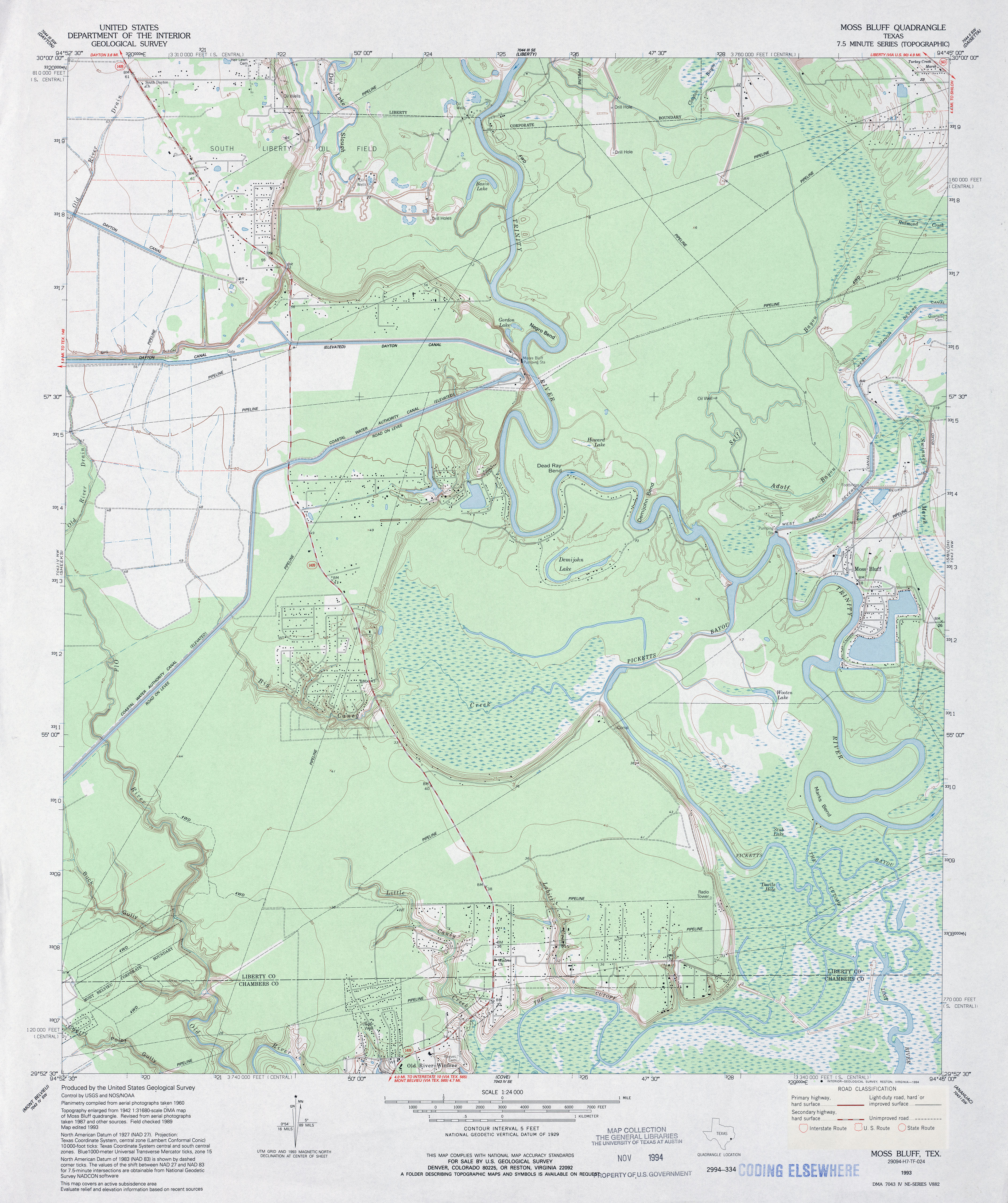
- Moss Bluff 1:24,000 1961 (3.6MB)
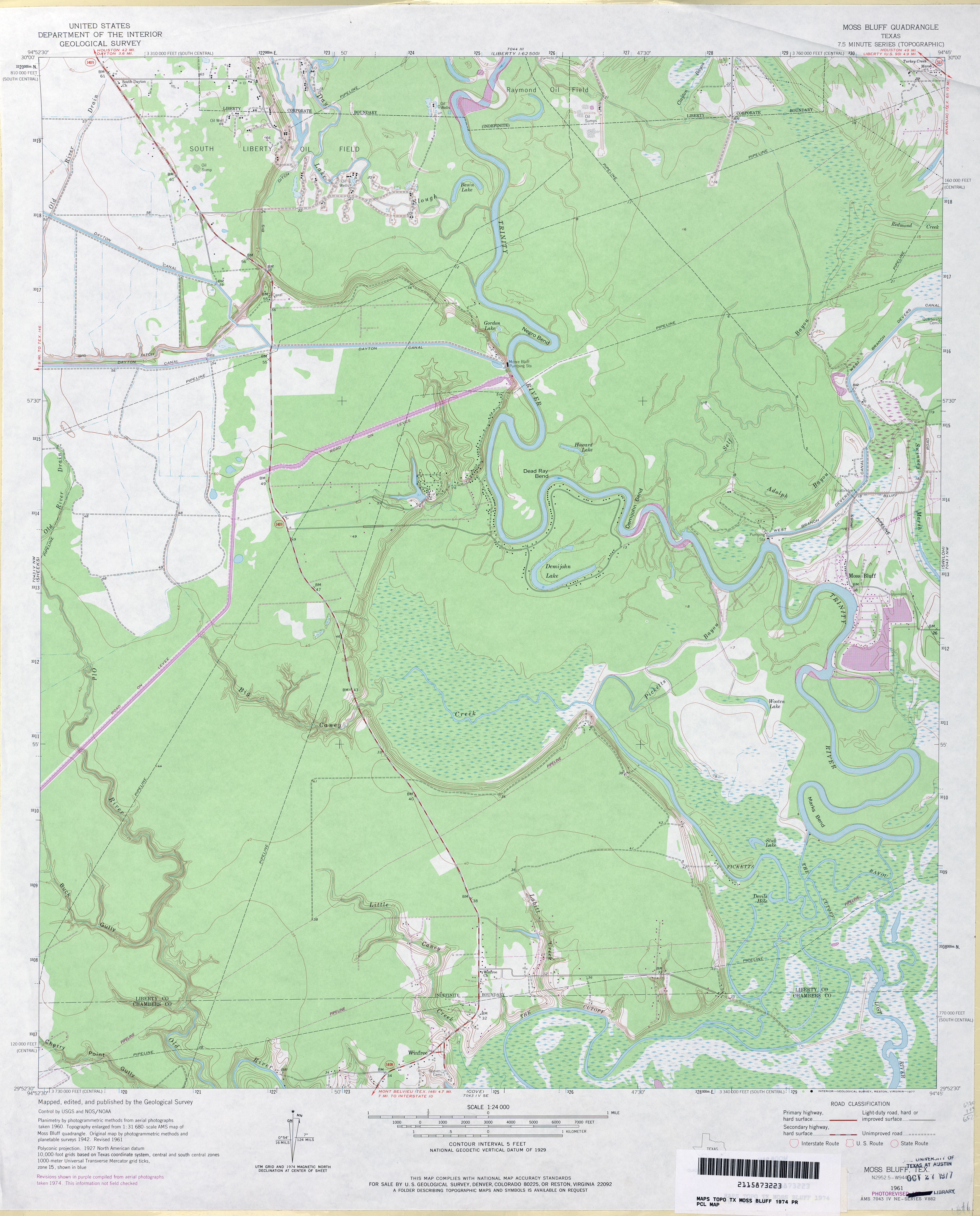
- Moss Bluff 1:24,000 1974 (3.5MB)
- Moss Bluff 1:24,000 1993 (4MB)
- Moss Bluff 1:24,000 2009 (23.6MB) [GeoPDF]
- Moss Bluff 1:24,000 2013 (21.4MB) [GeoPDF]
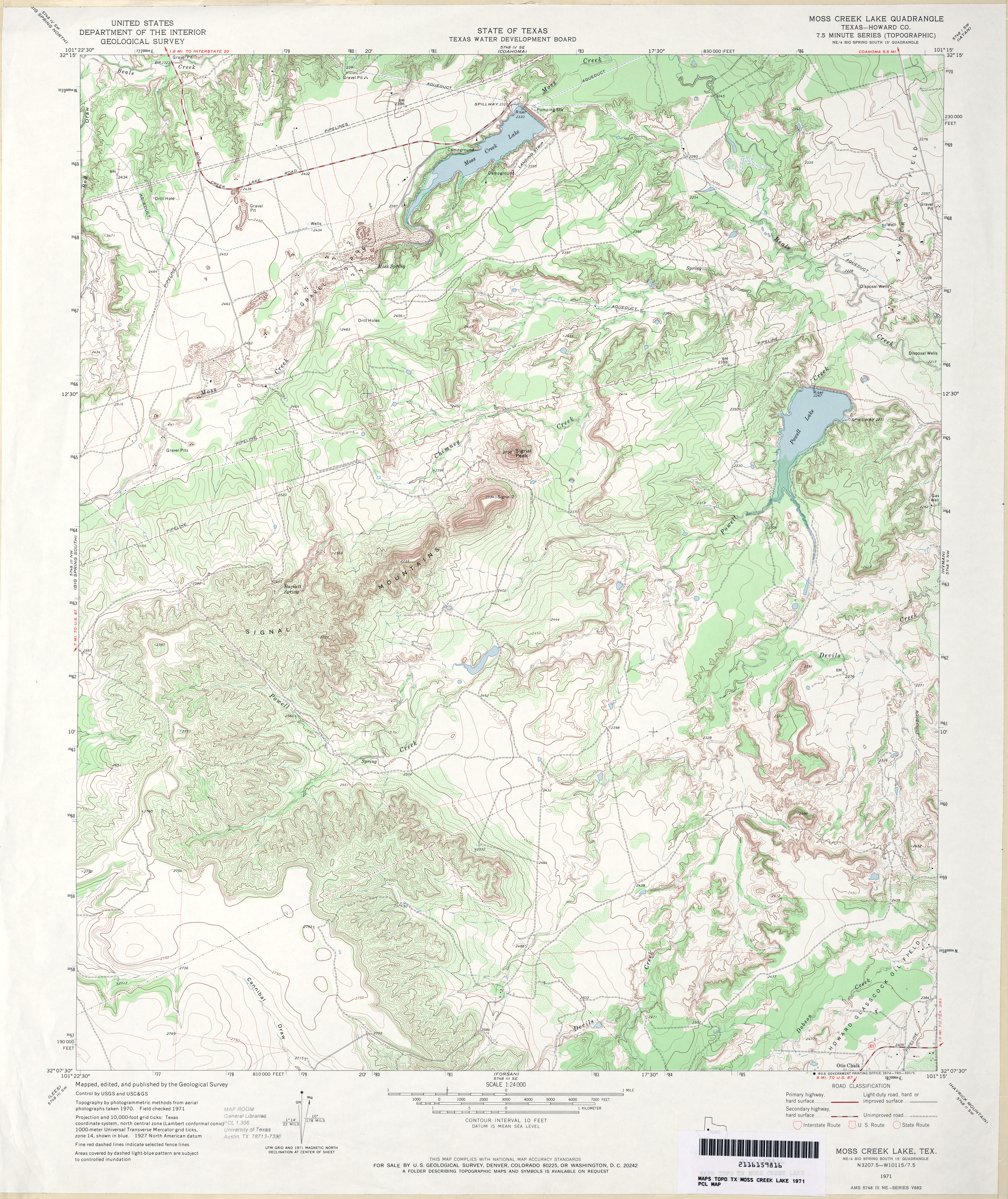
- Moss Creek Lake (Howard County) 1:24,000 1971 (5MB)
- Moss Creek Lake 1:24,000 2008 (20.9MB) [GeoPDF]
- Moss Creek Lake 1:24,000 2012 (31.3MB) [GeoPDF]
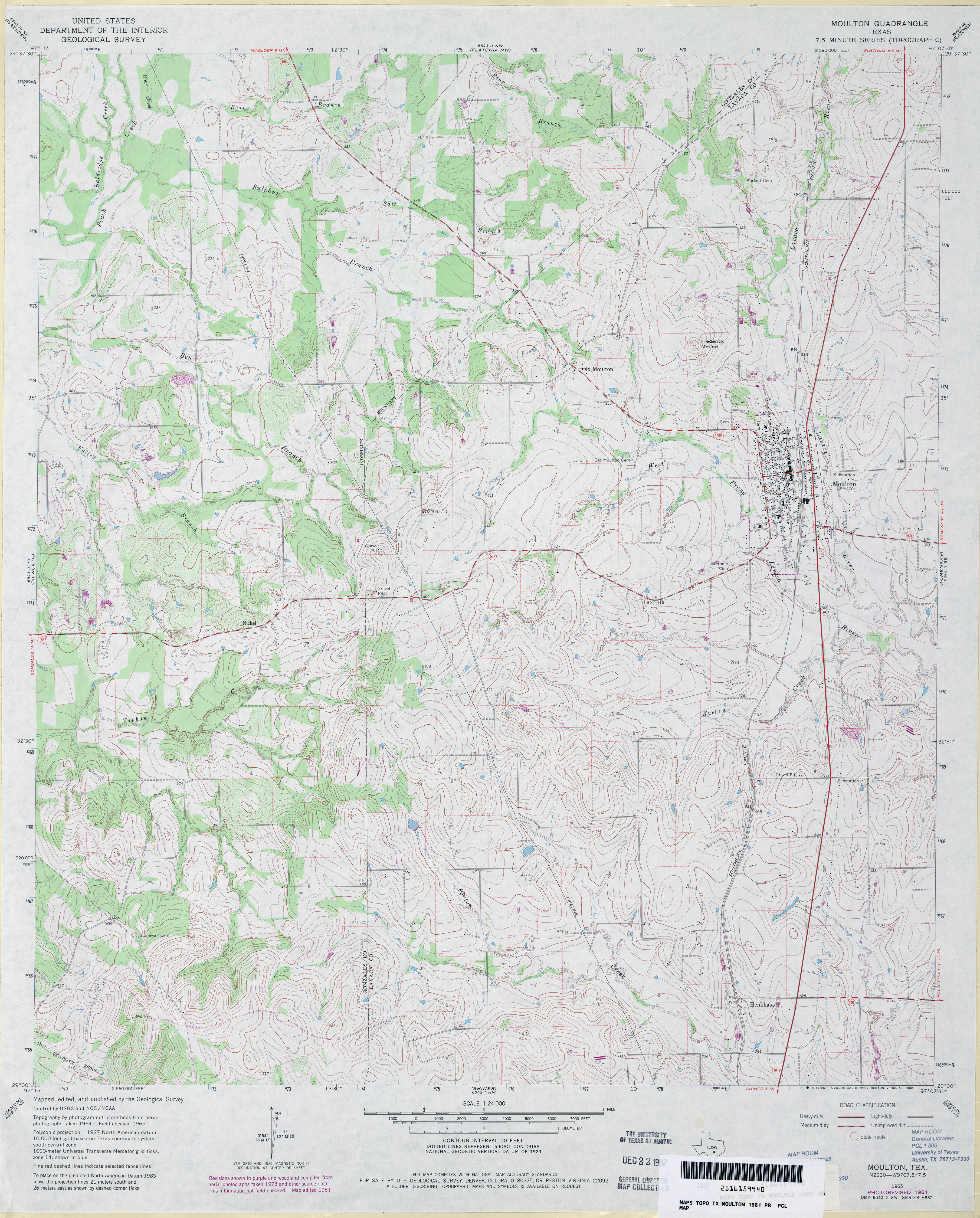
- Moulton 1:24,000 1965 (4.5MB)
- Moulton 1:24,000 1981 (4.4MB)
- Moulton 1:24,000 2008 (14.1MB) [GeoPDF]
- Moulton 1:24,000 2013 (23.7MB) [GeoPDF]
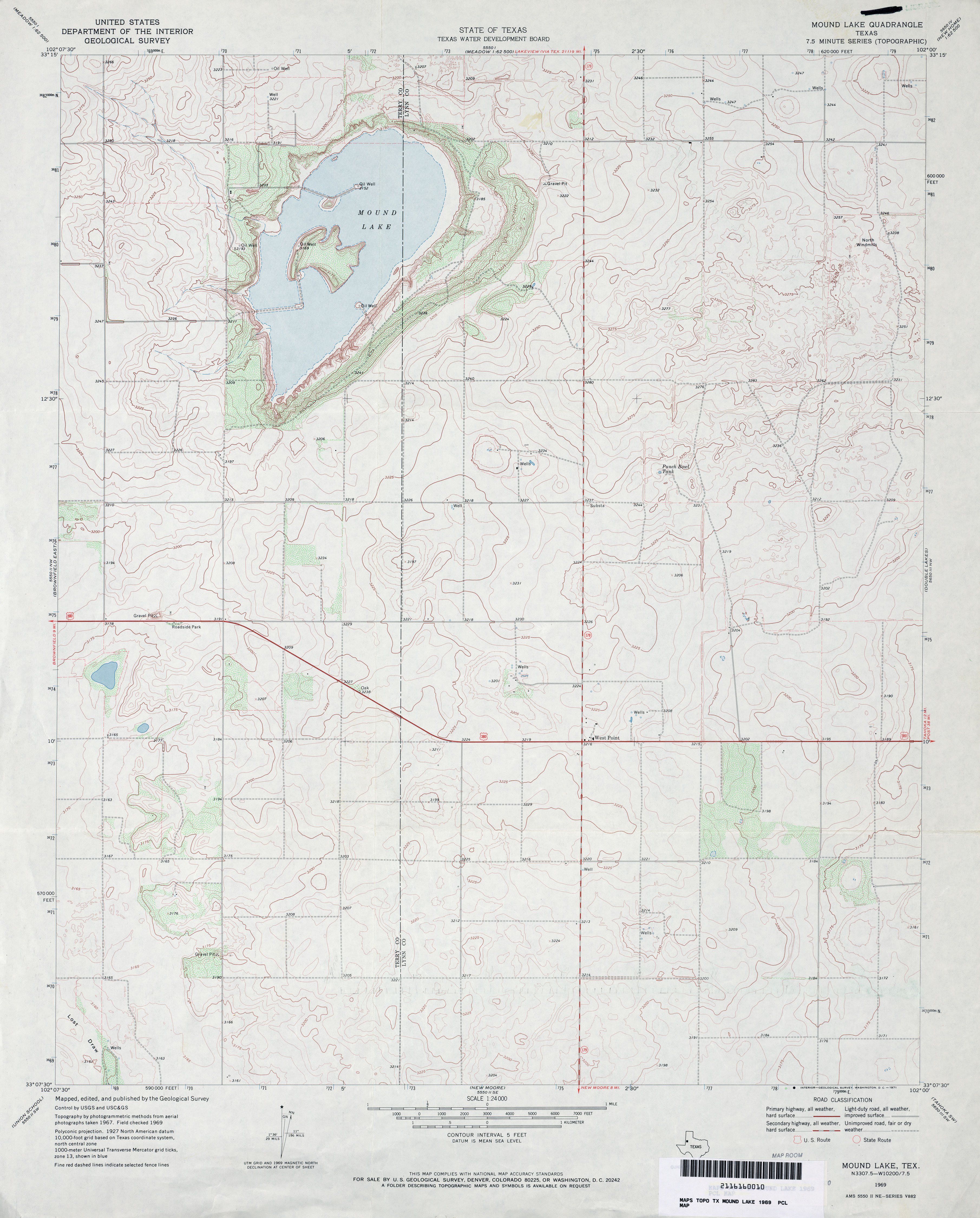
- Mound Lake 1:24,000 1969 (3.2MB)
- Mound Lake 1:24,000 2008 (10.6MB) [GeoPDF]
- Mound Lake 1:24,000 2012 (16.7MB) [GeoPDF]
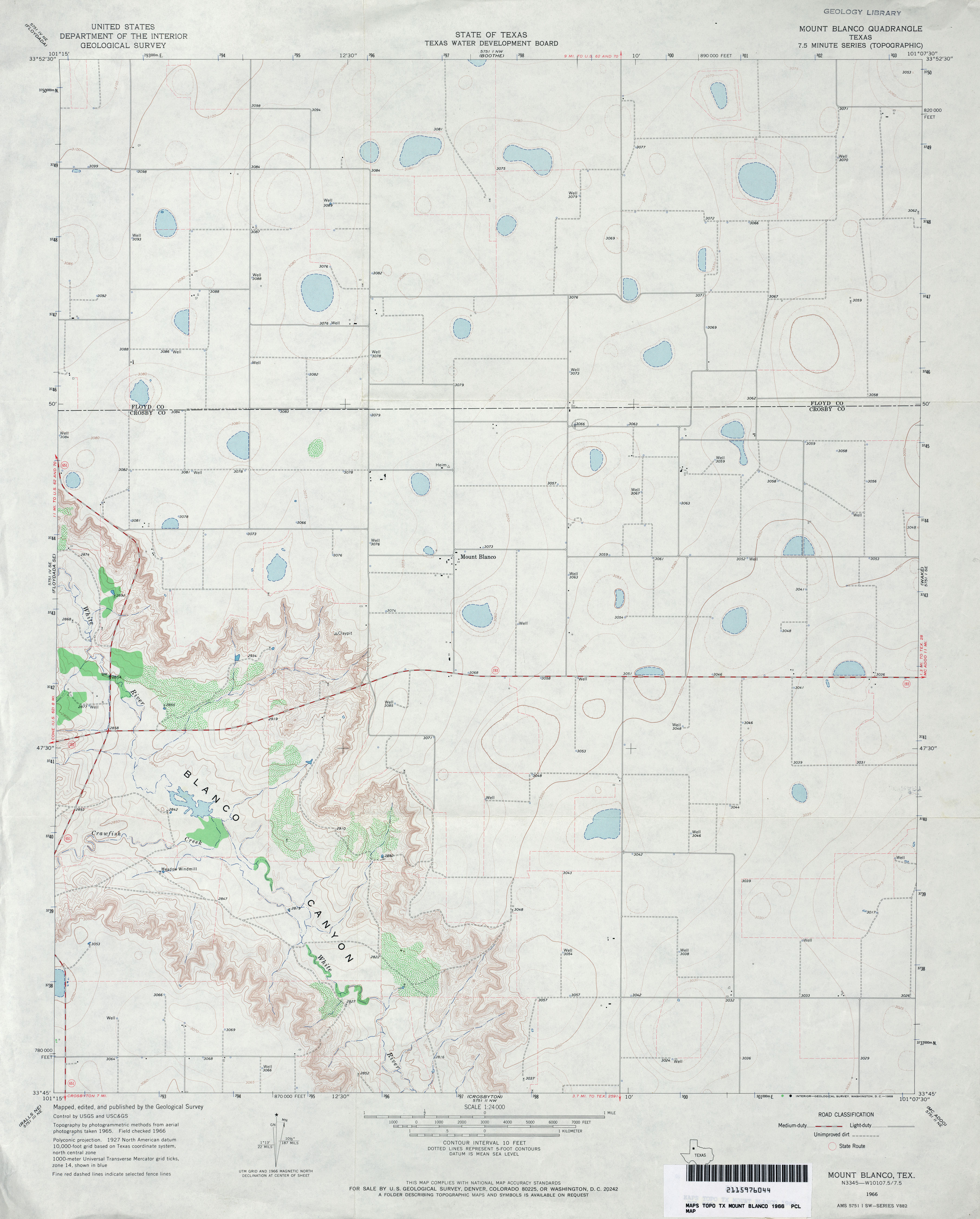
- Mount Blanco 1:24,000 1966 (2.7MB)
- Mount Blanco 1:24,000 2008 (10.2MB) [GeoPDF]
- Mount Blanco 1:24,000 2012 (16.6MB) [GeoPDF]
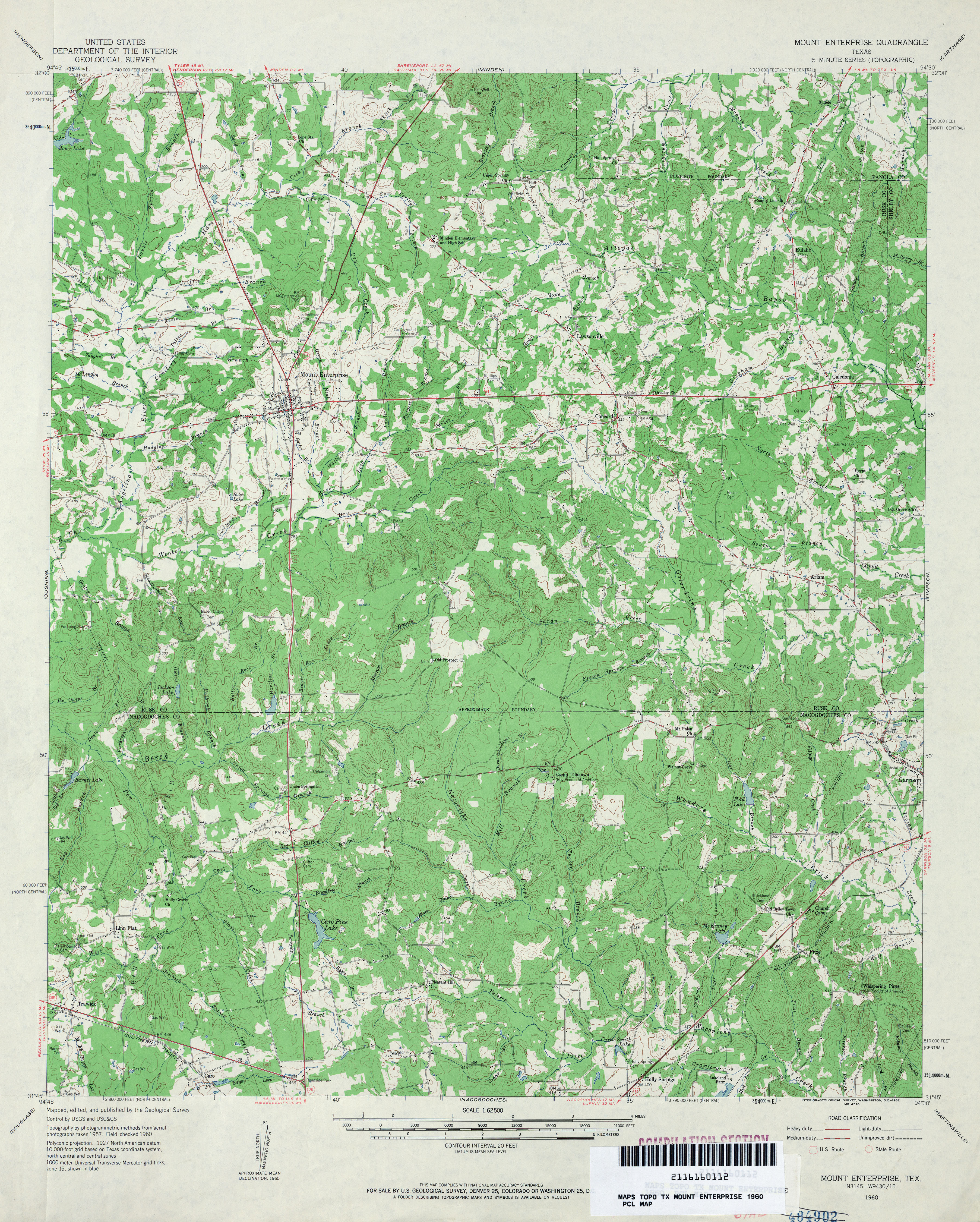
- Mount Enterprise 1:62,500 1960 (5.1MB)
- Mount Enterprise (Rusk County) 1:24,000 1984 (5.5MB)
- Mount Enterprise 1:24,000 2009 (22.3MB) [GeoPDF]
- Mount Enterprise 1:24,000 2013 (25.8MB) [GeoPDF]
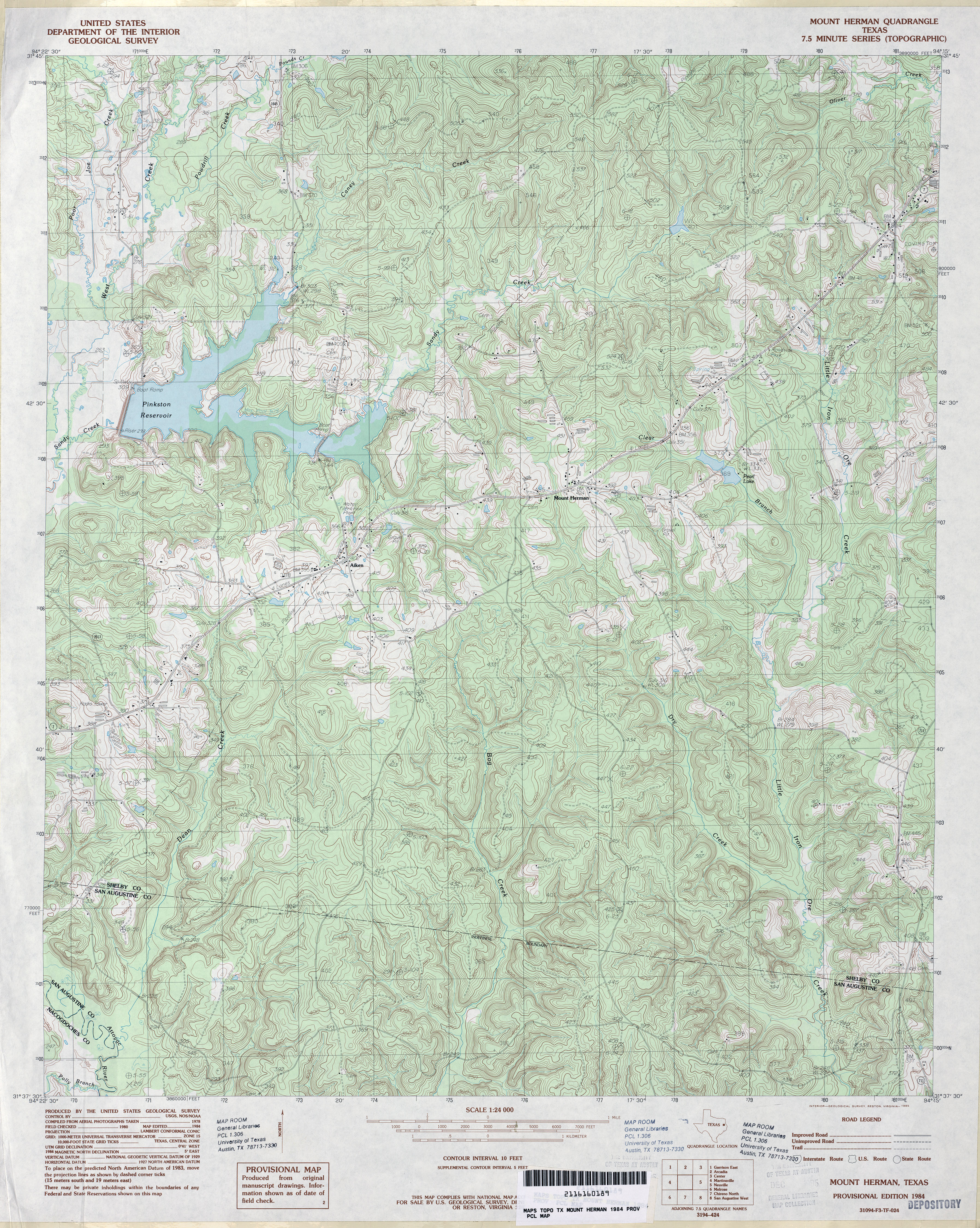
- Mount Herman 1:24,000 1984 (5.8MB)
- Mount Herman 1:24,000 2009 (23.8MB) [GeoPDF]
- Mount Herman 1:24,000 2013 (27.1MB) [GeoPDF]
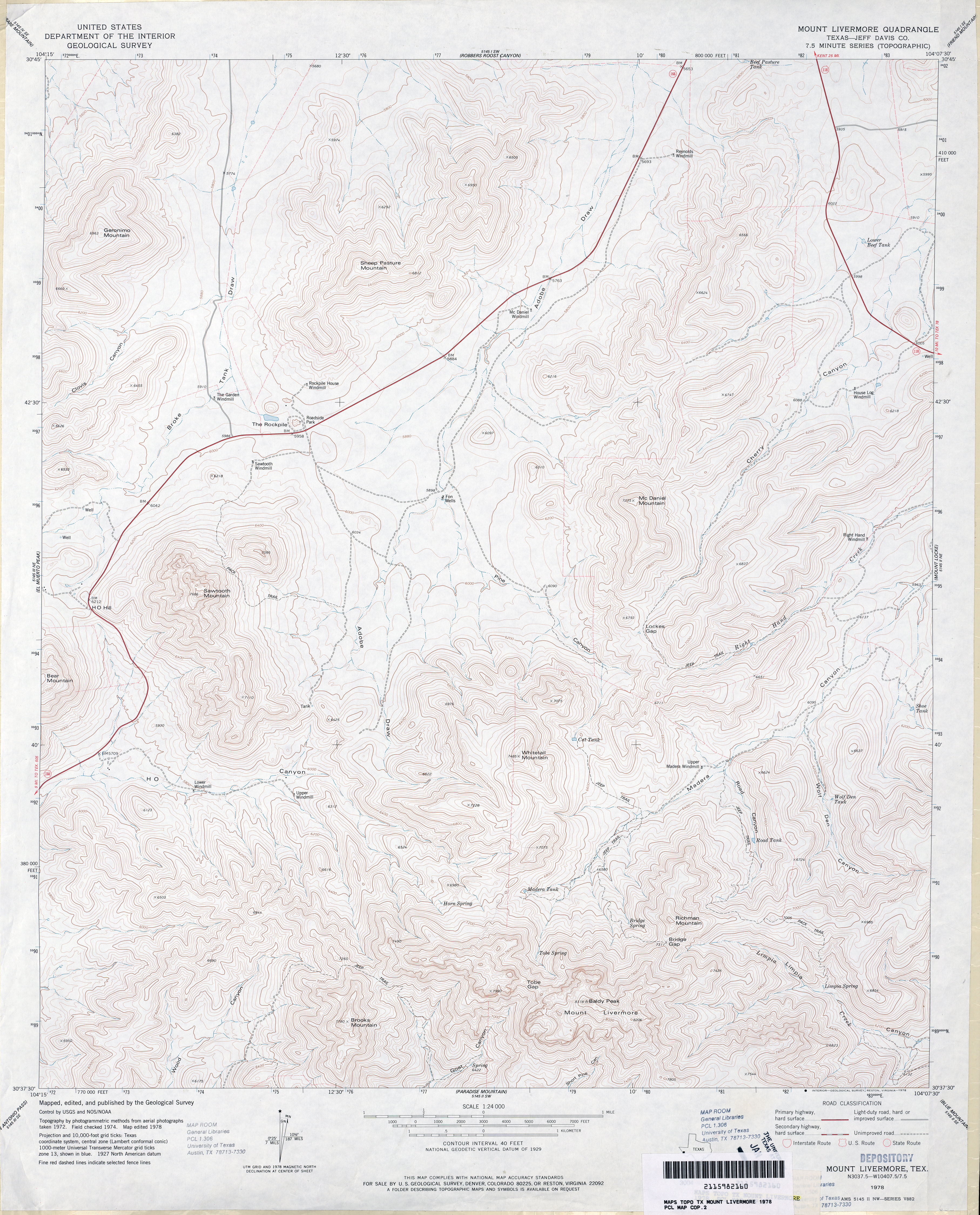
- Mount Livermore (Jeff Davis County) 1:24,000 1978 (4.4MB)
- Mount Livermore 1:24,000 2008 (23.2MB) [GeoPDF]
- Mount Livermore 1:24,000 2012 (27.2MB) [GeoPDF]
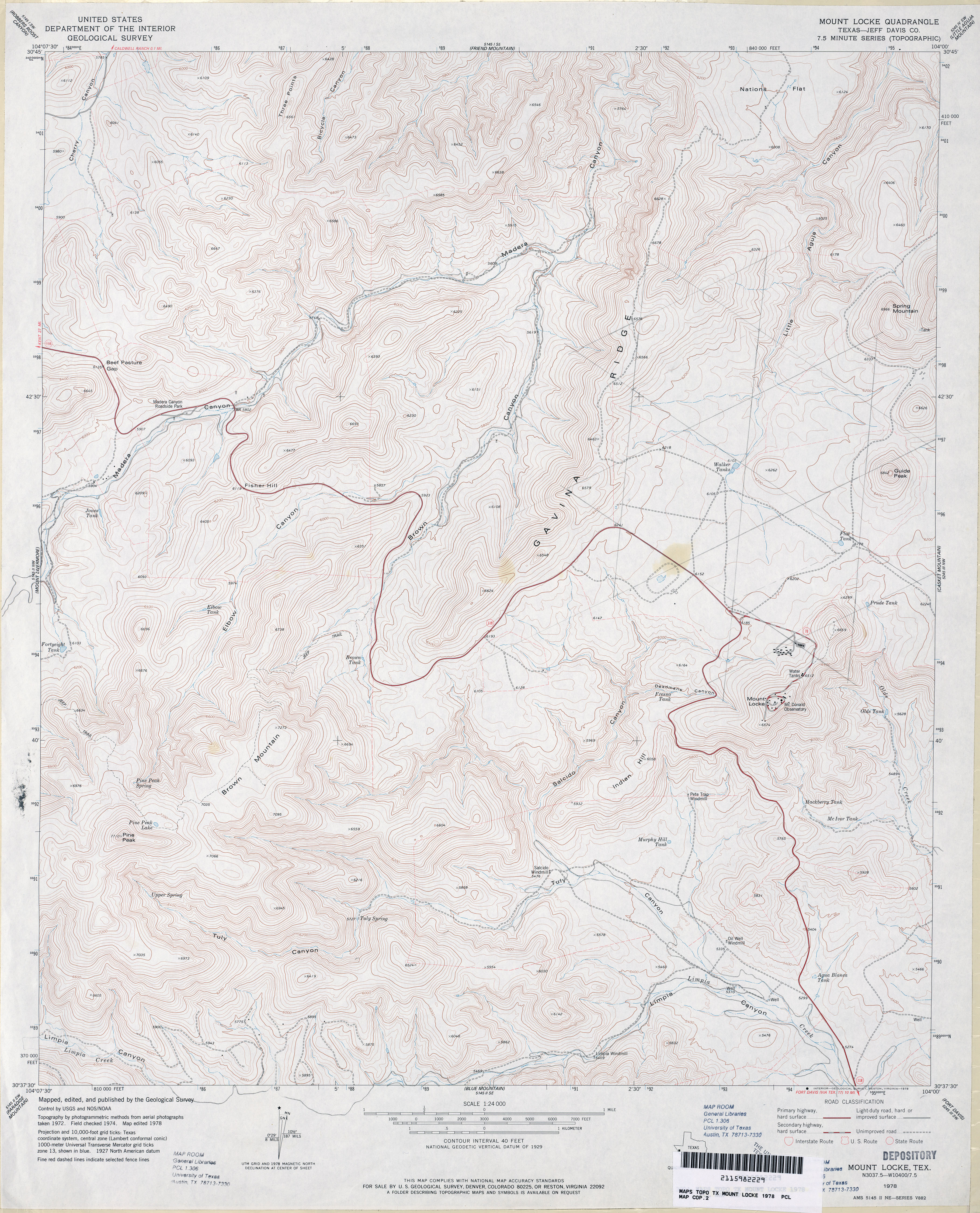
- Mount Locke (Jeff Davis County) 1:24,000 1978 (4.7MB)
- Mount Locke 1:24,000 2008 (22.1MB) [GeoPDF]
- Mount Locke 1:24,000 2012 (25.5MB) [GeoPDF]
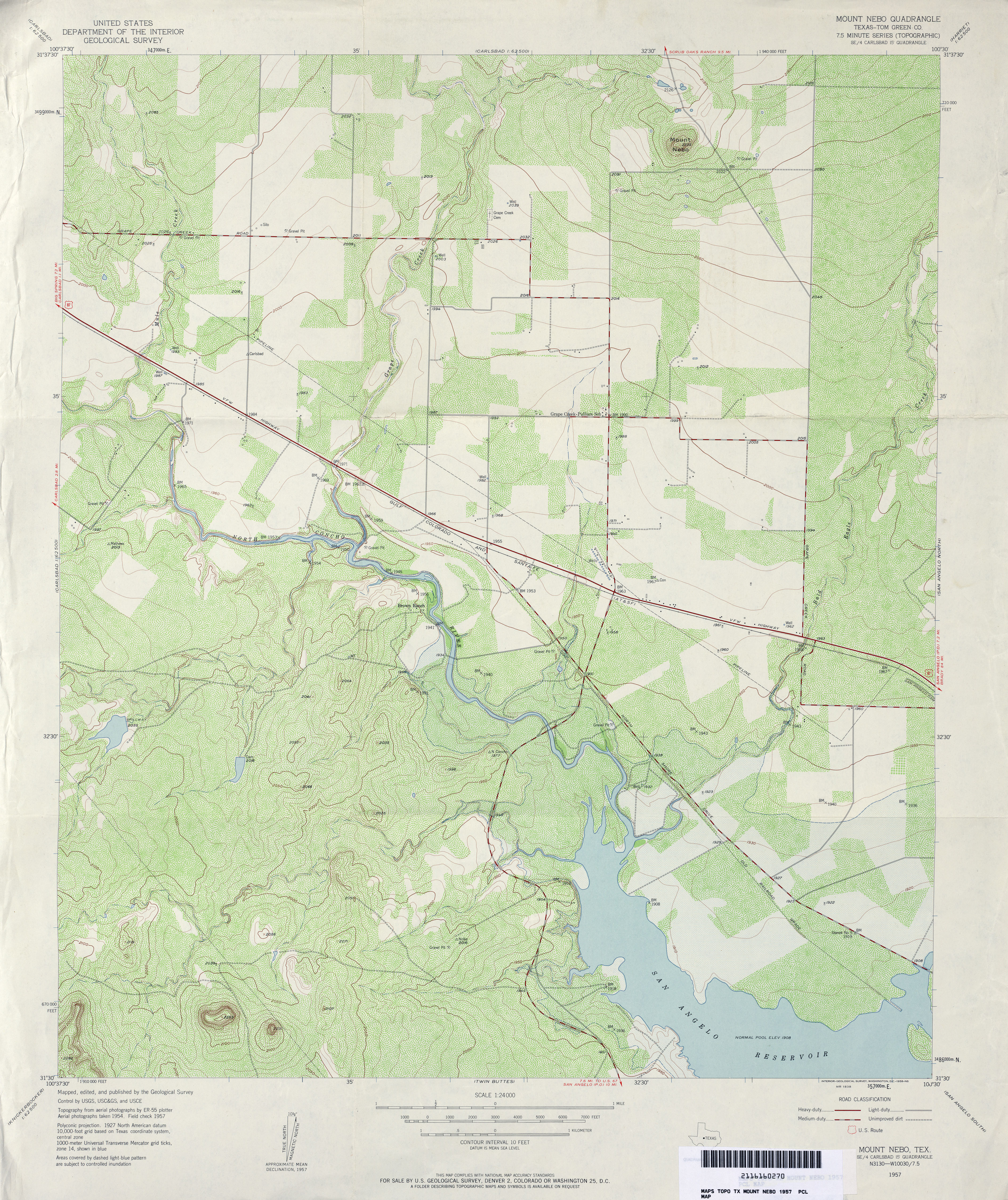
- Mount Nebo (Tom Green County) 1:24,000 1957 (4.8MB)
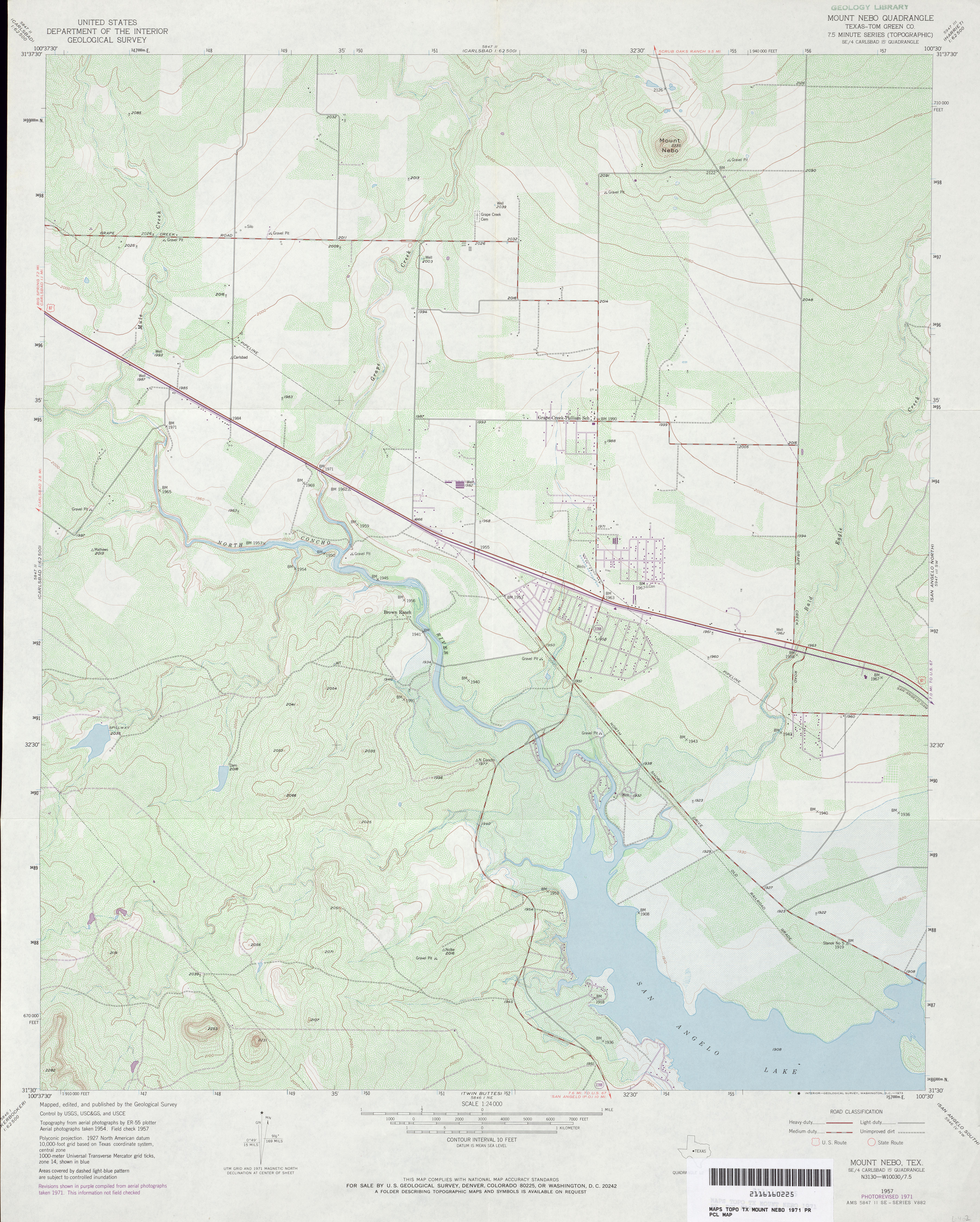
- Mount Nebo (Tom Green County) 1:24,000 1971 (3.5MB)
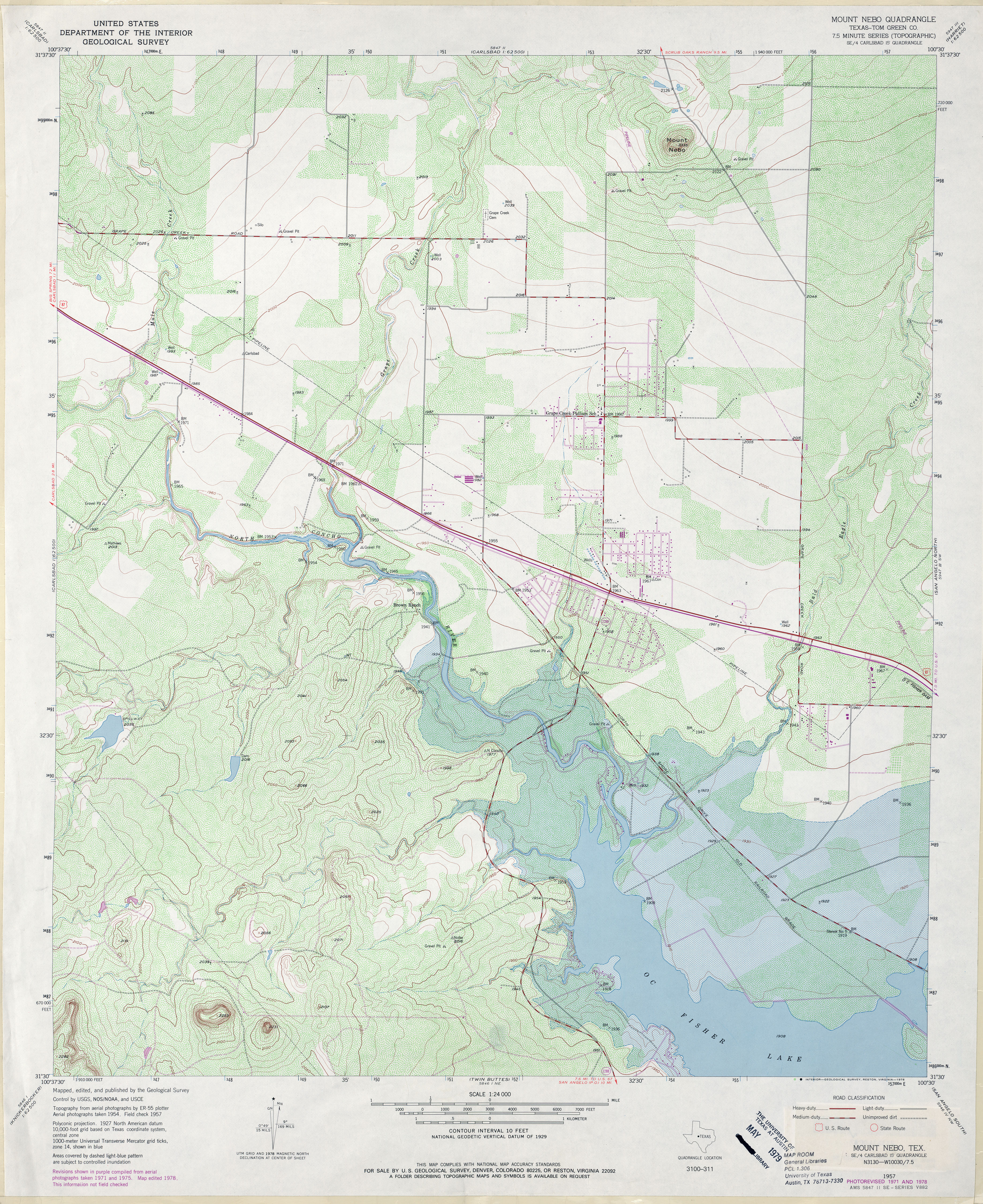
- Mount Nebo (Tom Green County) 1:24,000 1978 (5.1MB)
- Mount Nebo 1:24,000 2008 (19.2MB) [GeoPDF]
- Mount Nebo 1:24,000 2012 (24.4MB) [GeoPDF]
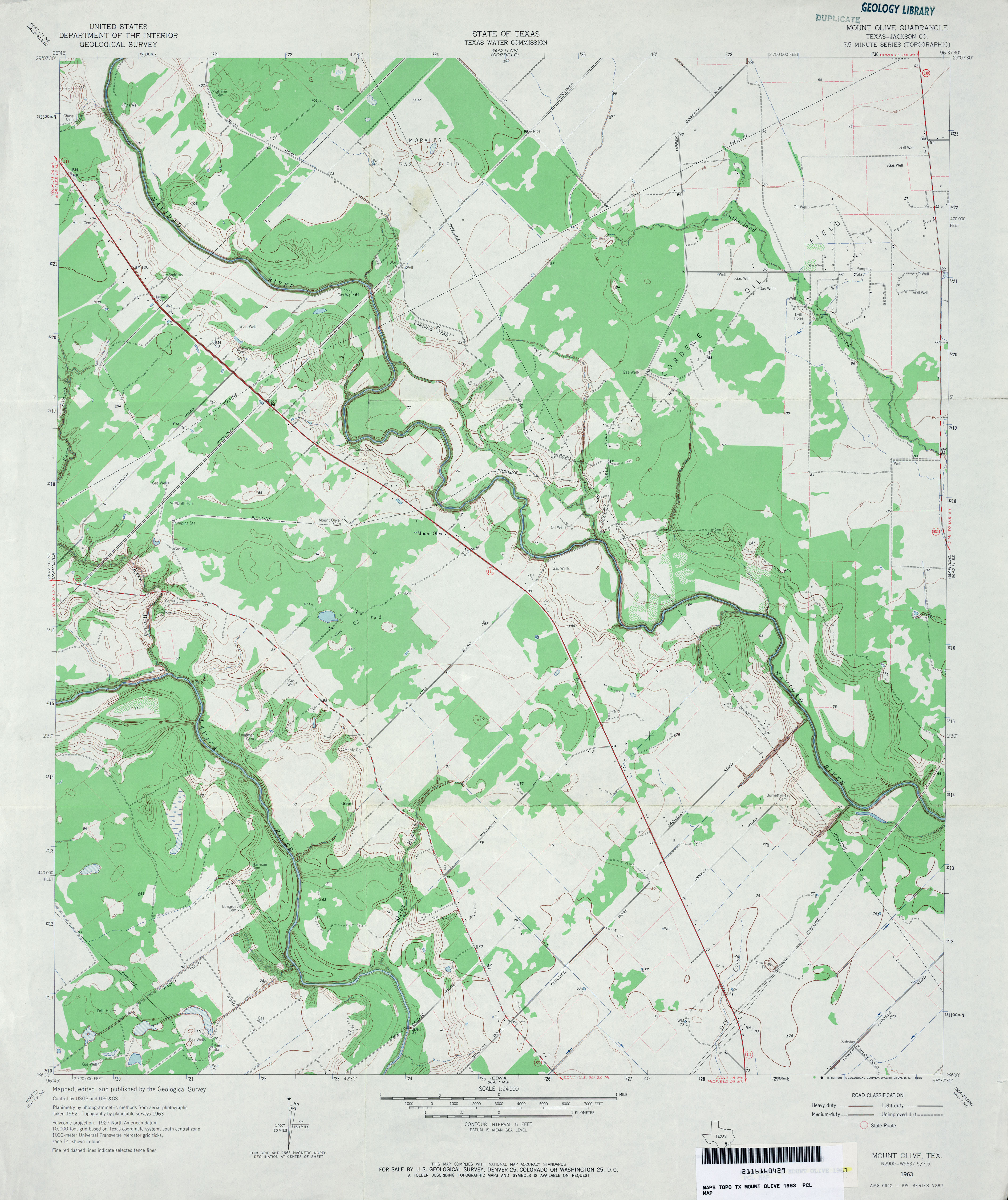
- Mount Olive (Jackson County) 1:24,000 1963 (3.3MB)
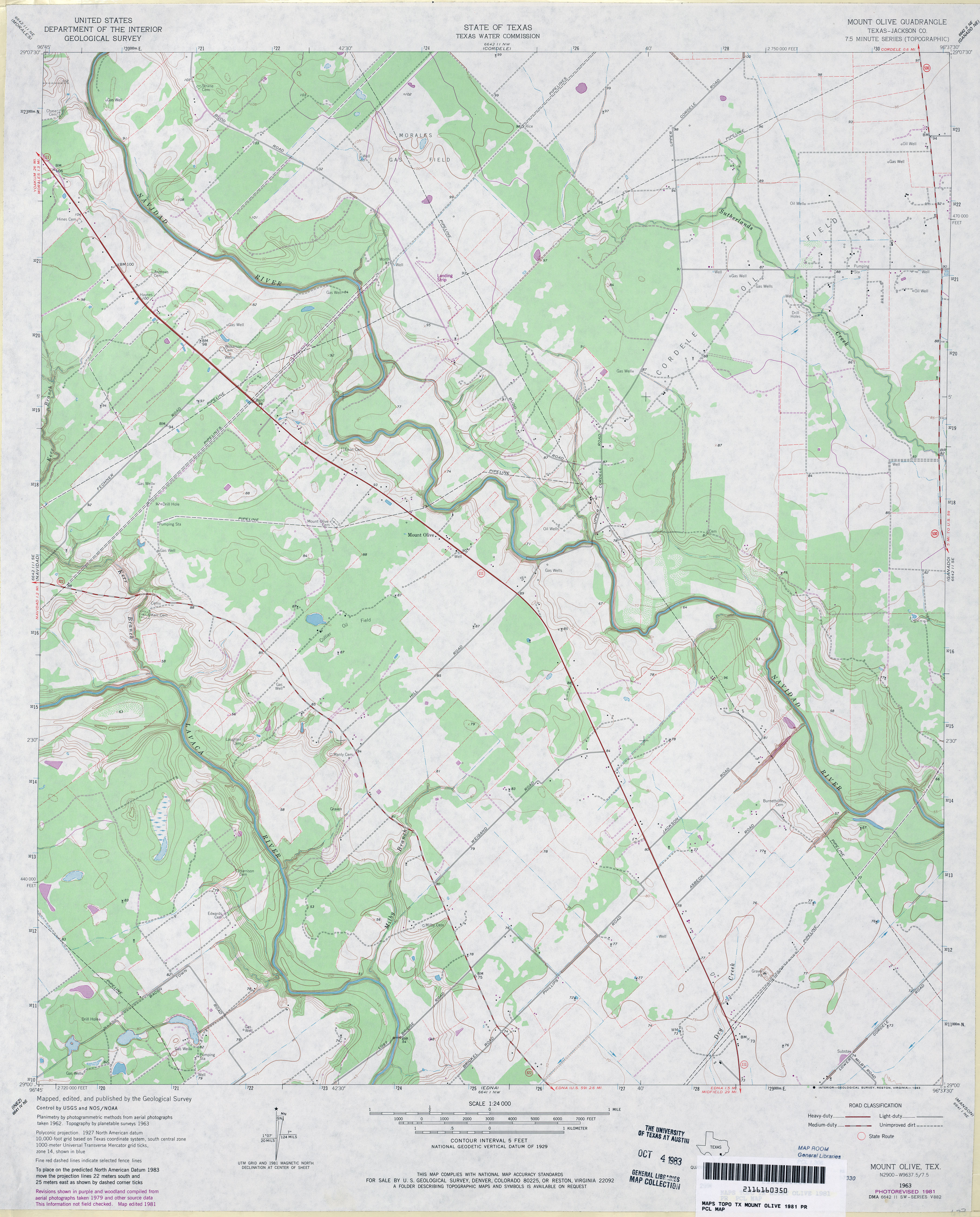
- Mount Olive (Jackson County) 1:24,000 1981 (3.5MB)
- Mount Olive 1:24,000 2013 (22.4MB) [GeoPDF]
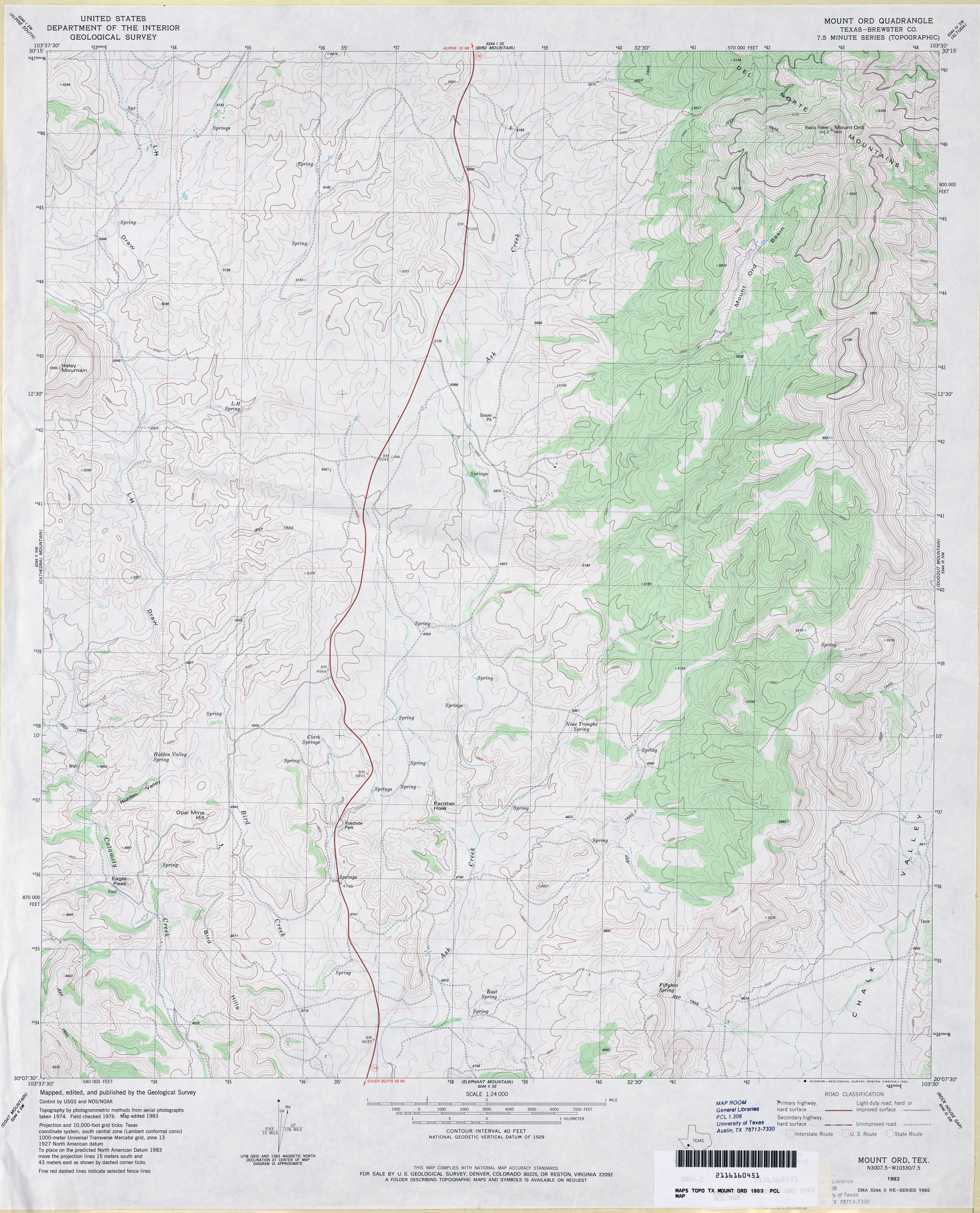
- Mount Ord (Brewster County) 1:24,000 1983 (3.9MB)
- Mount Ord 1:24,000 2008 (19.1MB) [GeoPDF]
- Mount Ord 1:24,000 2012 (21.3MB) [GeoPDF]
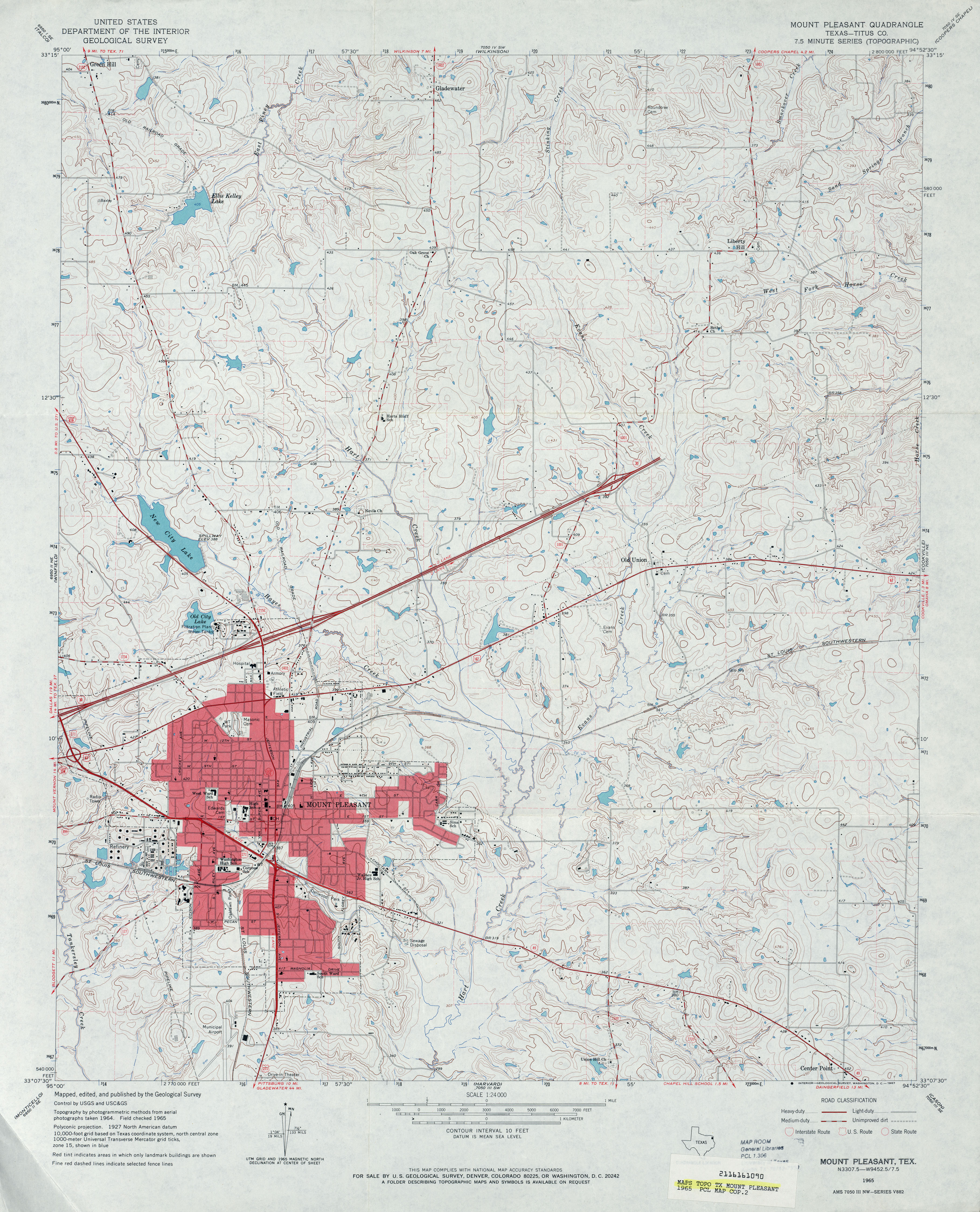
- Mount Pleasant (Titus County) 1:24,000 1965 (4.3MB)
- Mount Pleasant (Titus County) 1:24,000 1980 (4.8MB)
- Mount Pleasant 1:24,000 2009 (19.1MB) [GeoPDF]
- Mount Pleasant 1:24,000 2013 (23.4MB) [GeoPDF]
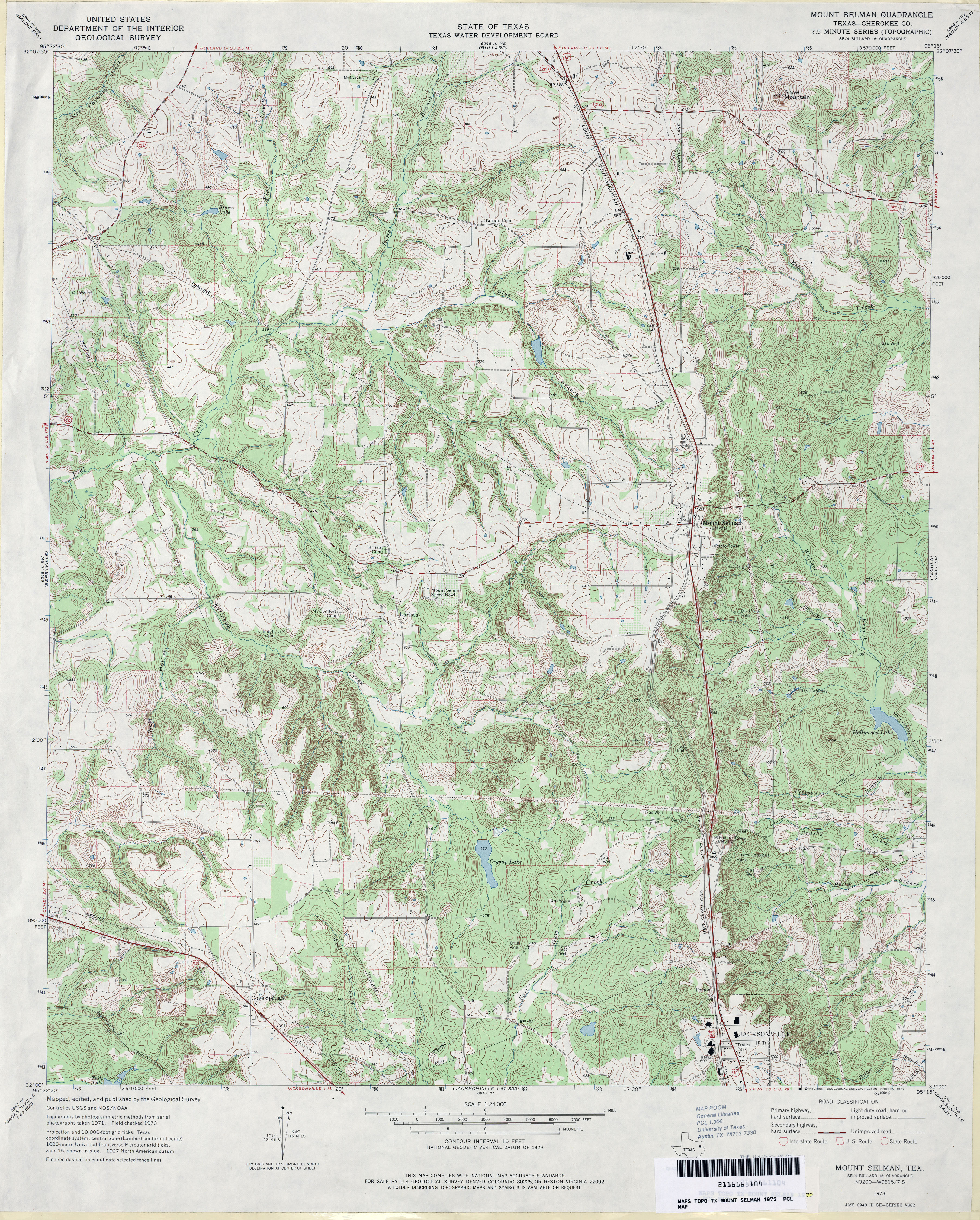
- Mount Selman (Cherokee County) 1:24,000 1973 (5.6MB)
- Mount Selman 1:24,000 2009 (22.8MB) [GeoPDF]
- Mount Selman 1:24,000 2012 (26MB) [GeoPDF]
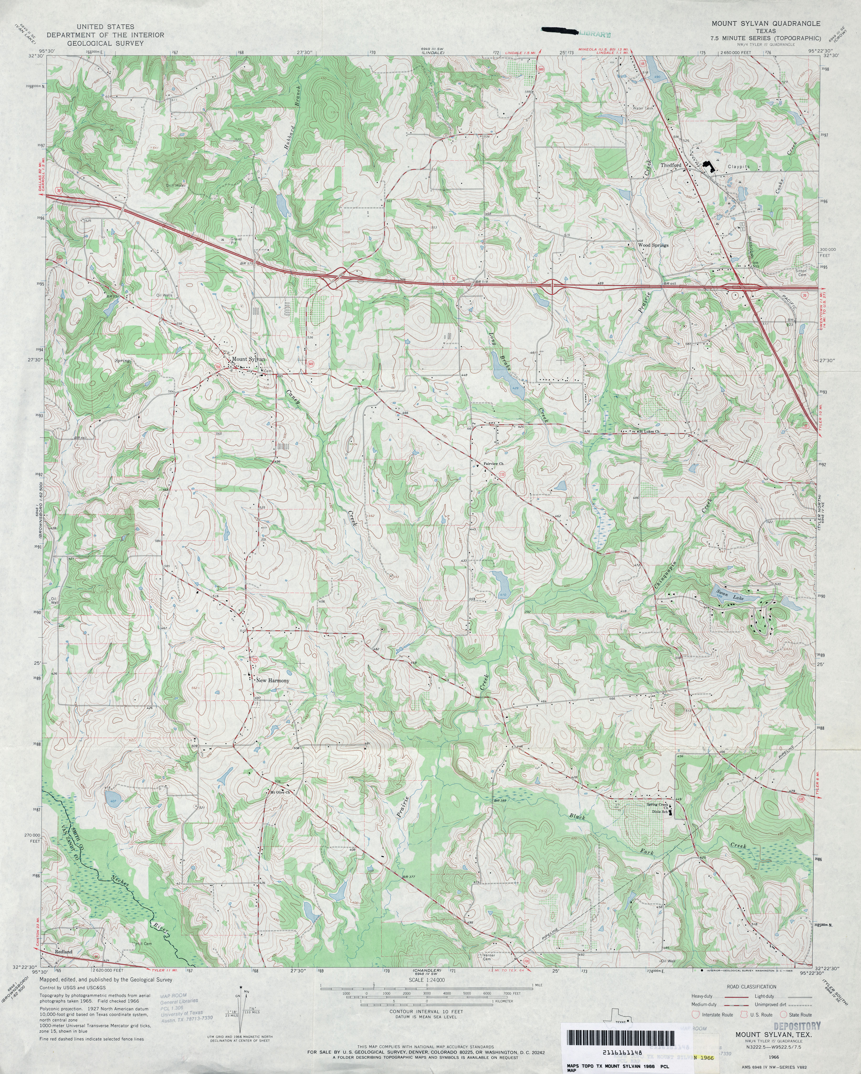
- Mount Sylvan 1:24,000 1966 (4.2MB)
- Mount Sylvan 1:24,000 1973 (4.2MB)
- Mount Sylvan 1:24,000 2008 (20.9MB) [GeoPDF]
- Mount Sylvan 1:24,000 2012 (24.1MB) [GeoPDF]
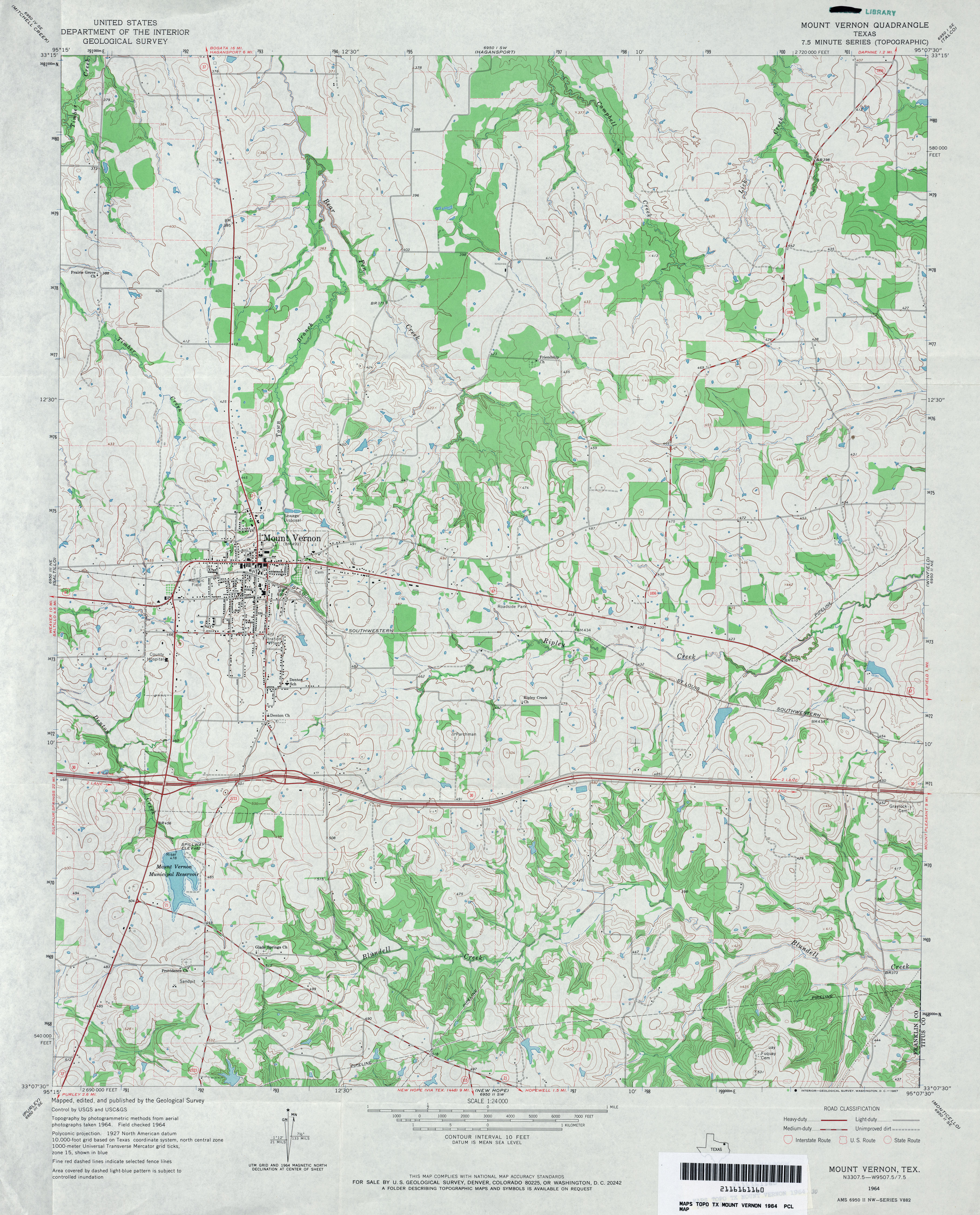
- Mount Vernon 1:24,000 1964 (4.2MB)
- Mount Vernon 1:24,000 2009 (18.0MB) [GeoPDF]
- Mount Vernon 1:24,000 2013 (21.1MB) [GeoPDF]
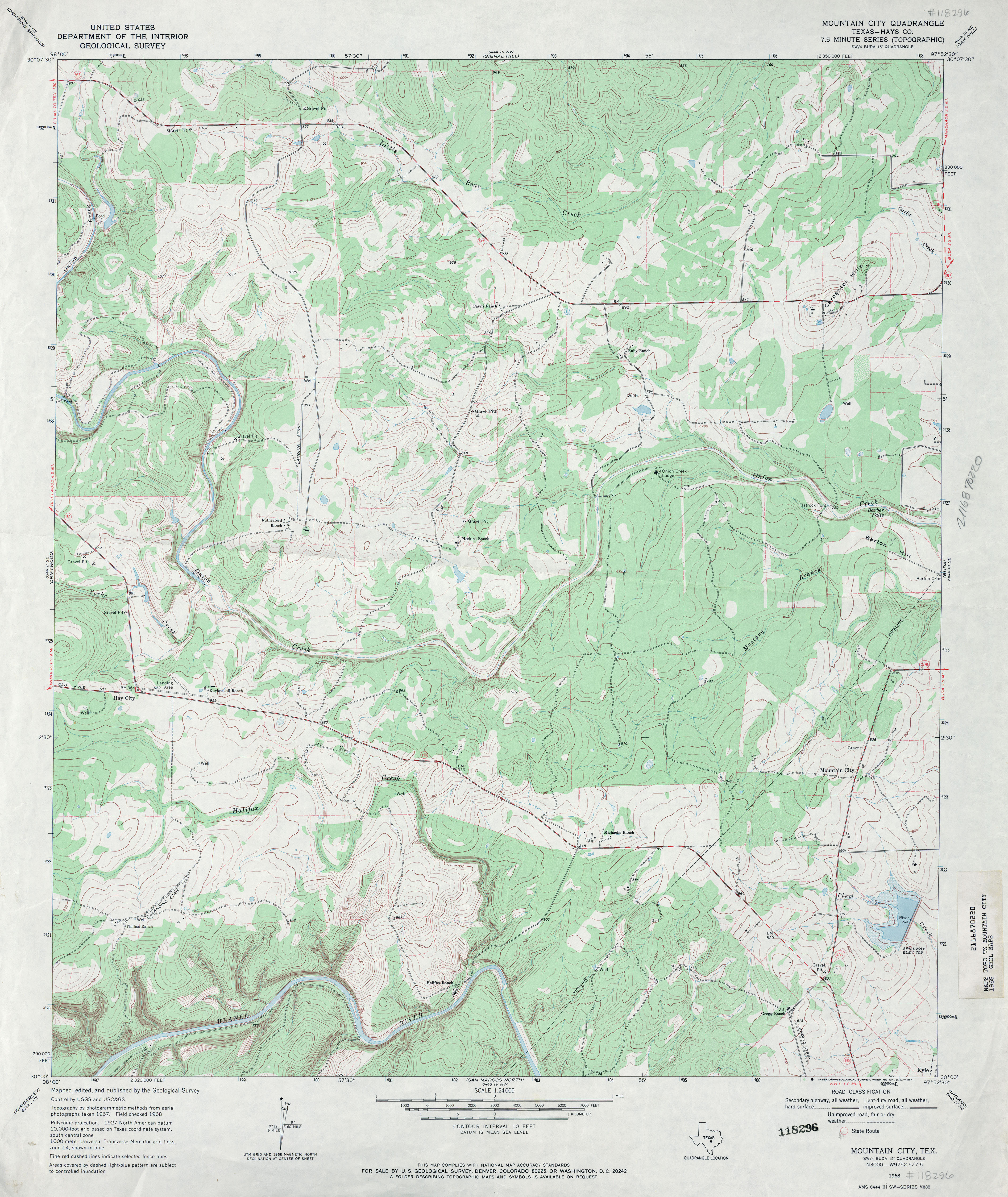
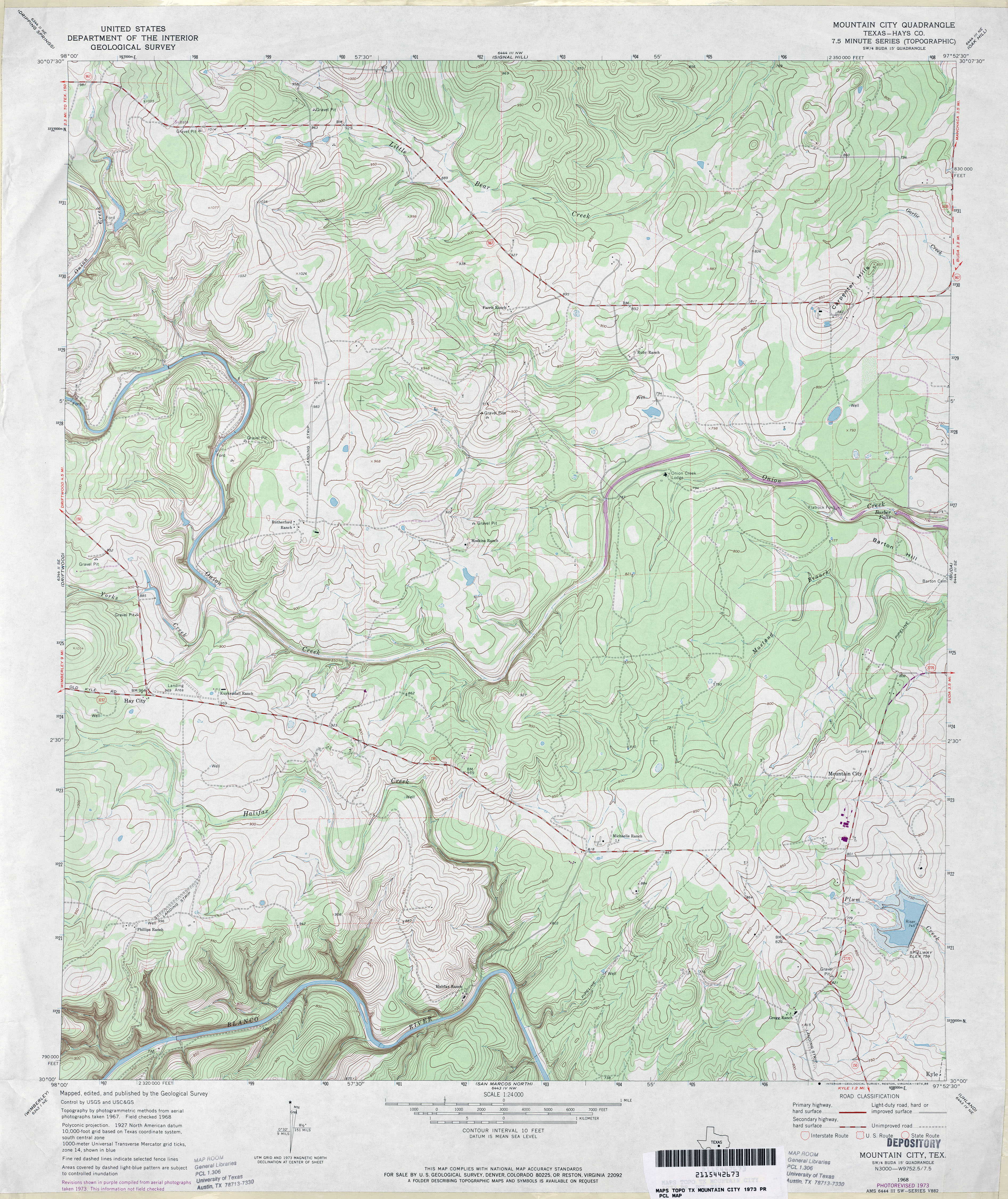
- Mountain City (Hays County) 1:24,000 1968 (4.2MB)
- Mountain City (Hays County) 1:24,000 1973 (4.8MB)
- Mountain City (Hays County) 1:24,000 1994 (4.8MB)
- Mountain City 1:24,000 2013 (26.1MB) [GeoPDF]
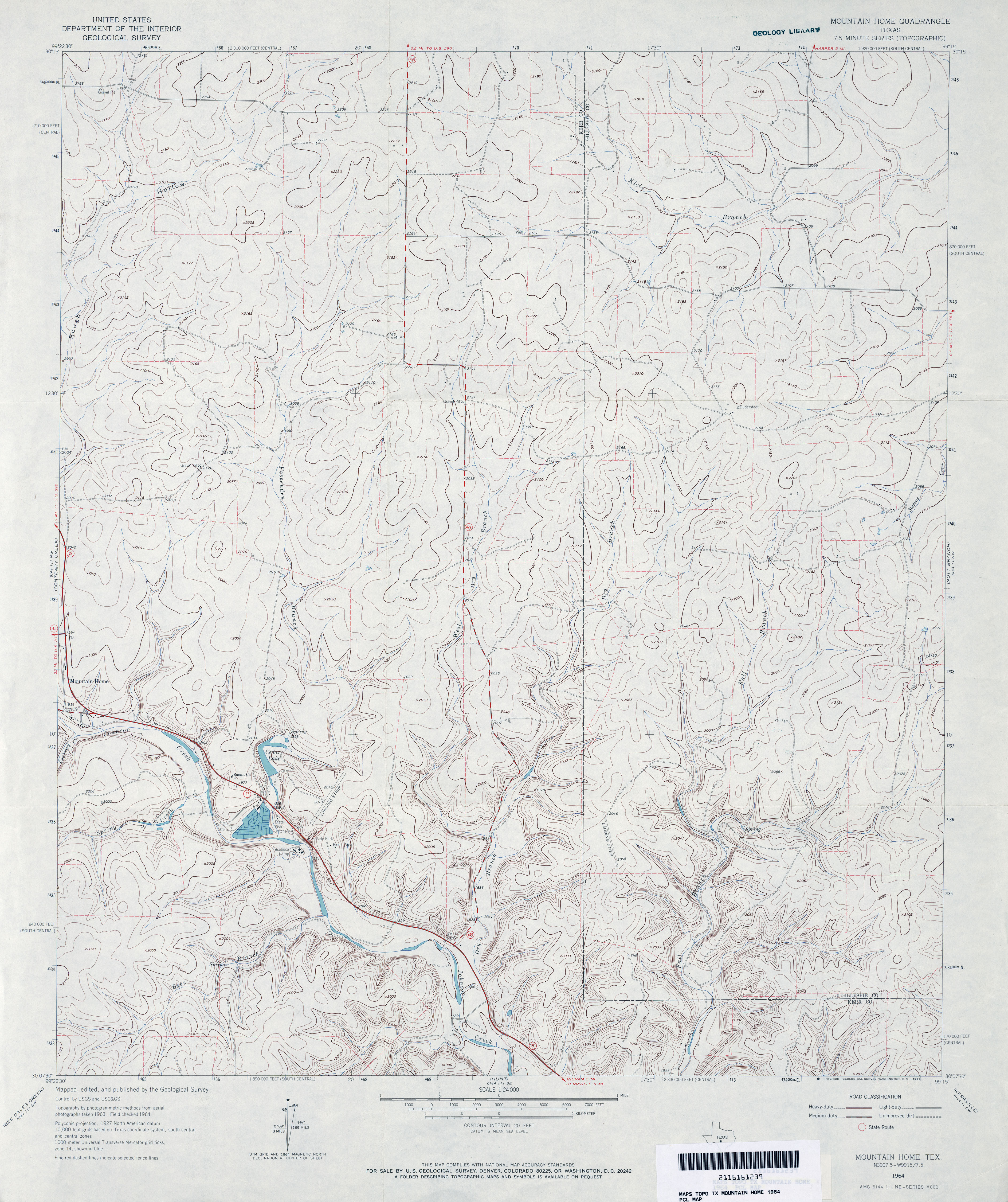
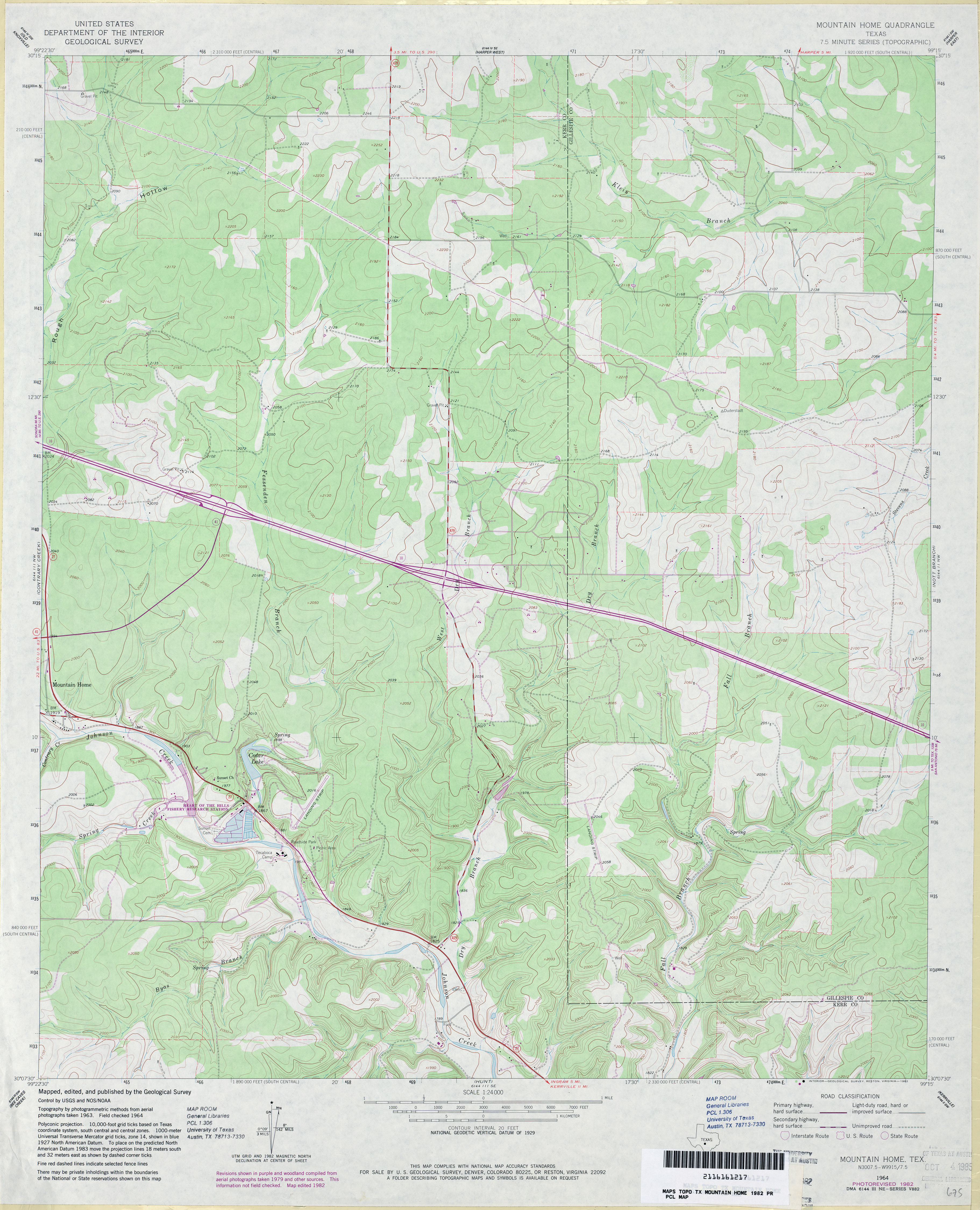
- Mountain Home 1:24,000 1964 (3.8MB)
- Mountain Home 1:24,000 1982 (3.8MB)
- Mountain Home 1:24,000 2008 (19.0MB) [GeoPDF]
- Mountain Home 1:24,000 2012 (27.4MB) [GeoPDF]
- Mountain Pass (Taylor County) 1:24,000 1984 (4.5MB)
- Mountain Pass 1:24,000 2008 (19.4MB) [GeoPDF]
- Mountain Pass 1:24,000 2012 (25.6MB) [GeoPDF]
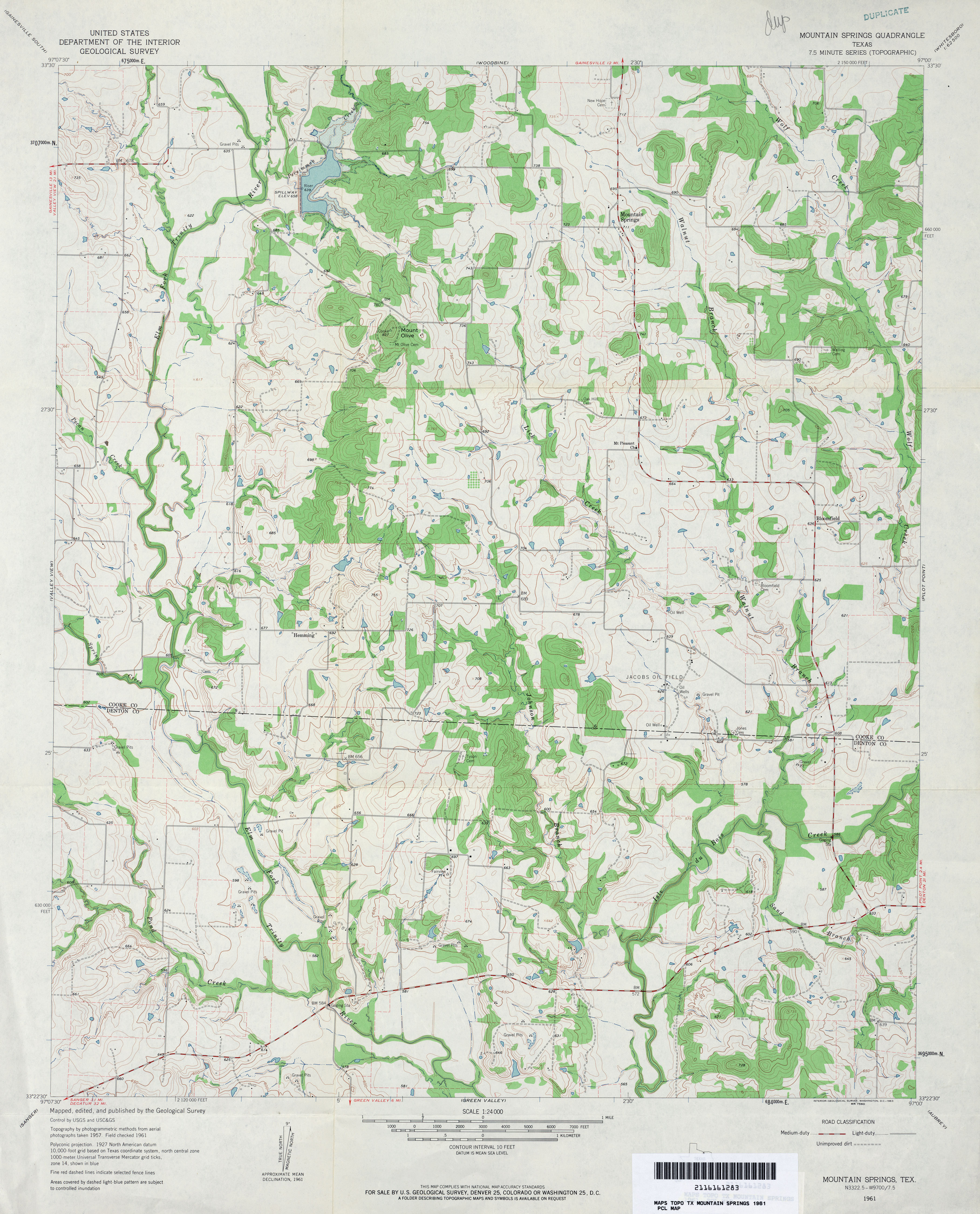
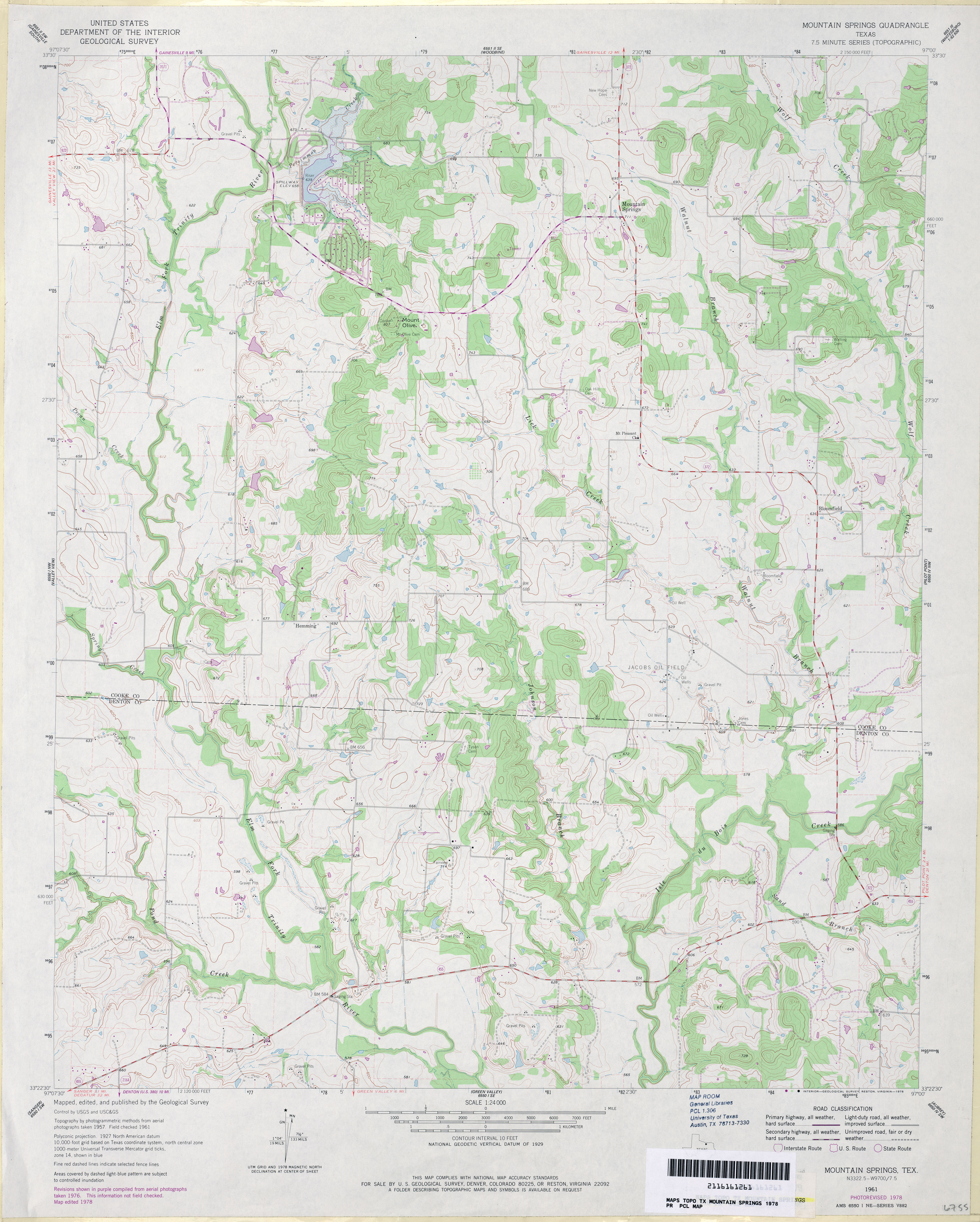
- Mountain Springs 1:24,000 1961 (3.8MB)
- Mountain Springs 1:24,000 1978 (3.7MB)
- Mountain Springs 1:24,000 2008 (11.0MB) [GeoPDF]
- Mountain Springs 1:24,000 2013 (18.2MB) [GeoPDF]
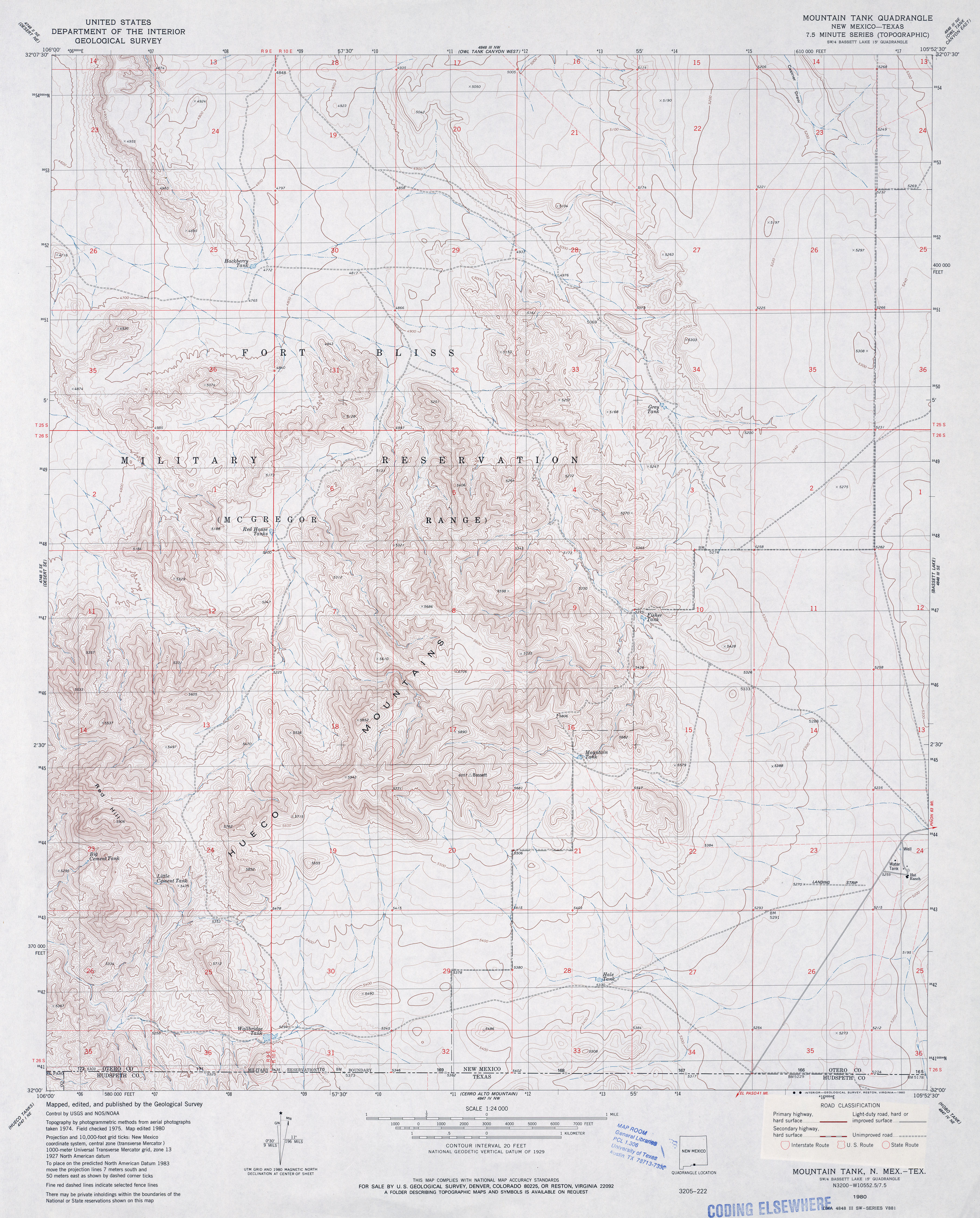
- Mountain Tank 1:24,000 1980 (4.3MB)
- Mountain Tank [New Mexico, Texas] 1:24,000 2009 (24.8MB) [GeoPDF]
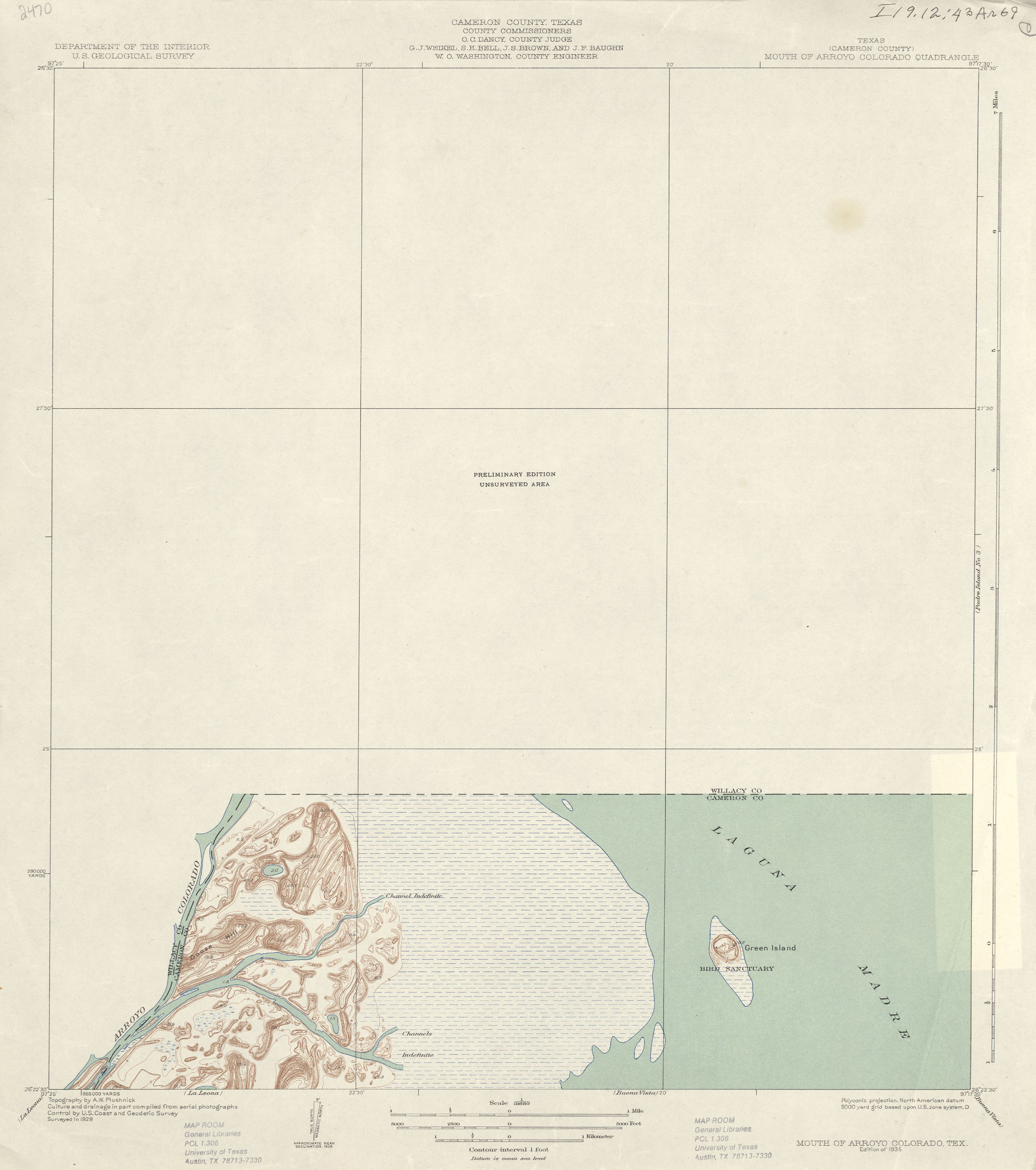
- Mouth of Arroyo Colorado 1:31,680 1929 (1.1 MB)
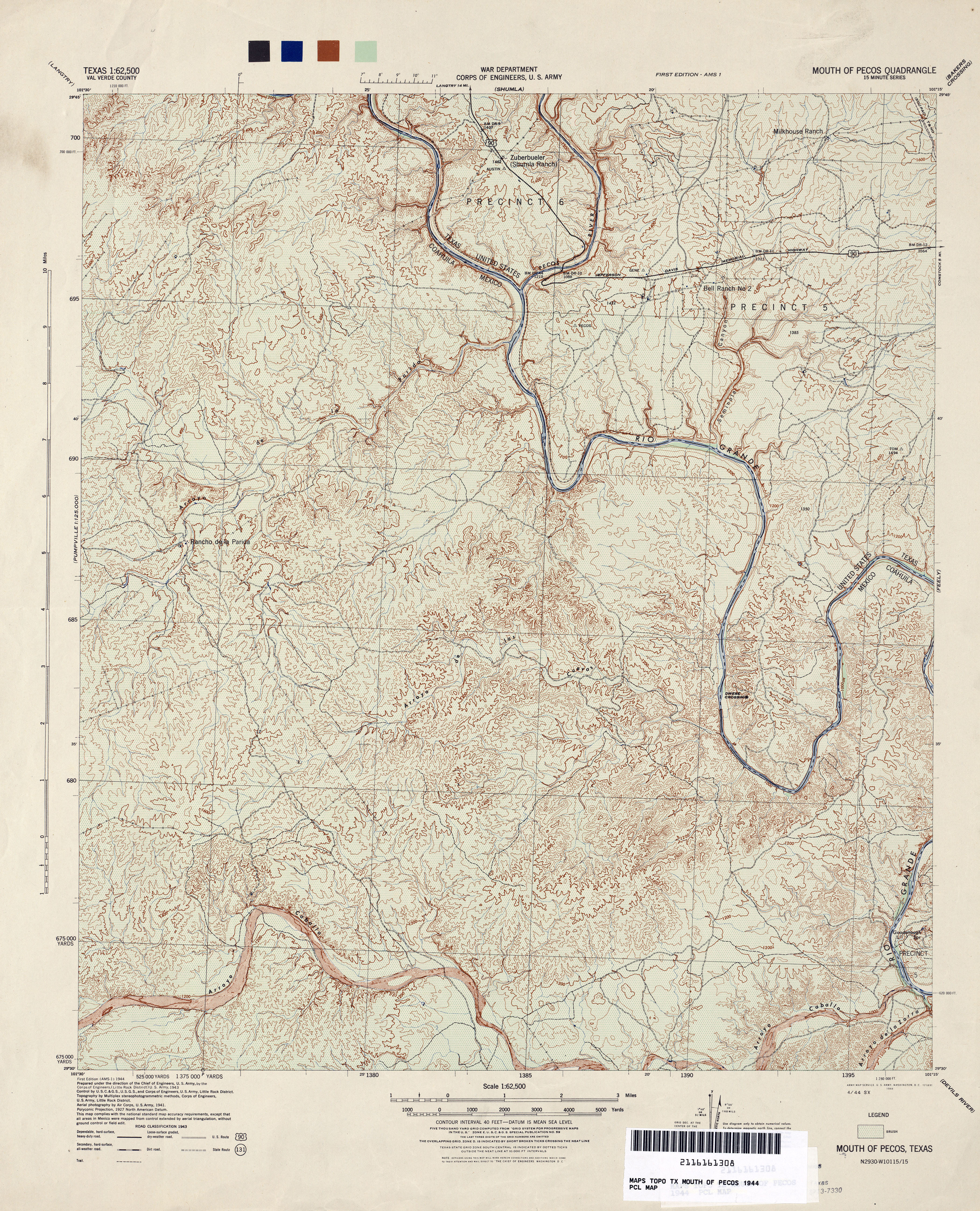
- Mouth of Pecos 1:62,500 1944 (6.2MB) U.S. War Department, Army Corps of Engineers
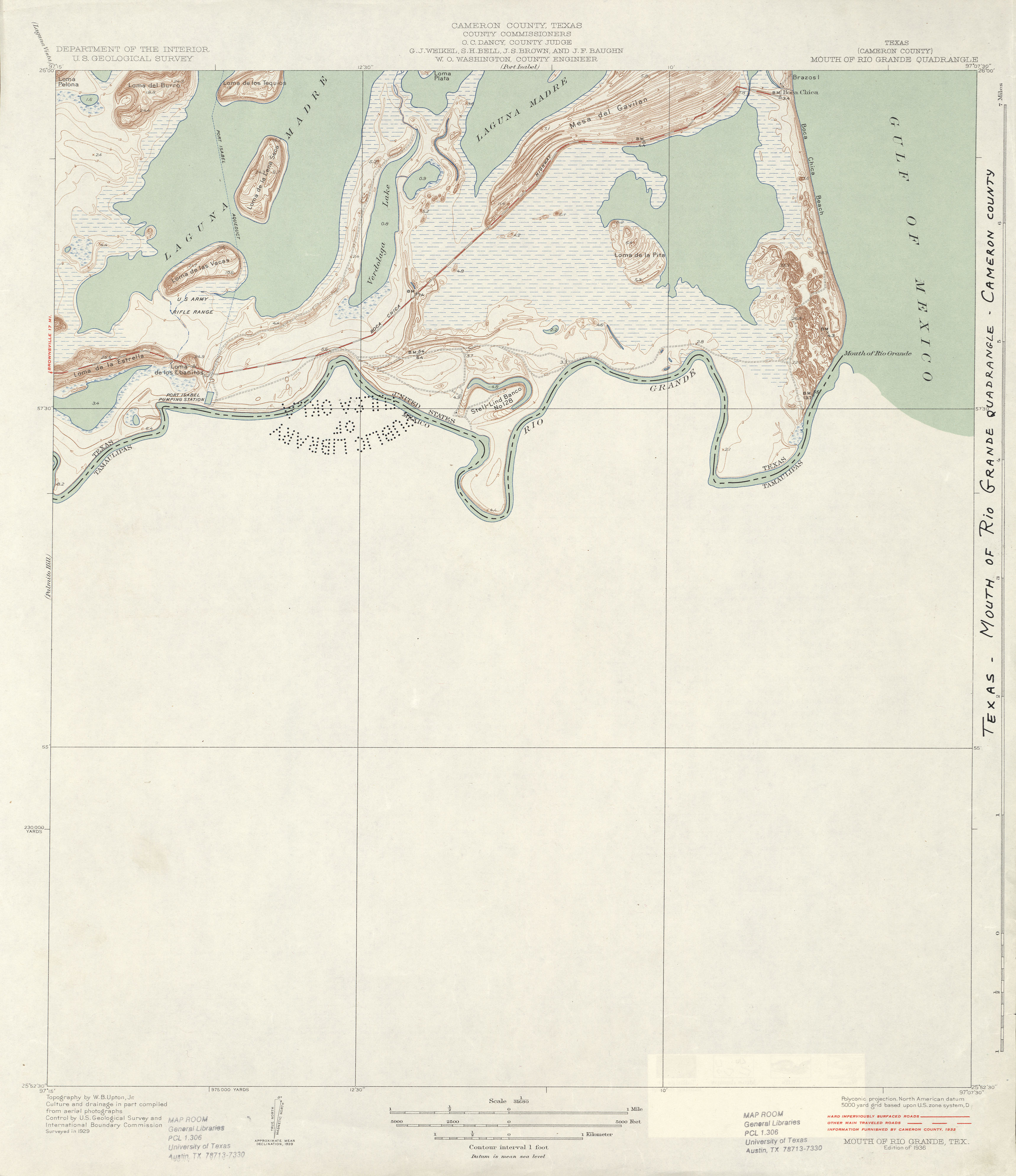
- Mouth of Rio Grande (Cameron County) 1:31,680 1929 survey, 1932 overprint (2.0 MB)
- Mouth of Rio Grande (Cameron County) 1:24,000 1955 (2.1MB)
- Mouth of Rio Grande (Cameron County) 1:62,500 1955 (2.1MB)
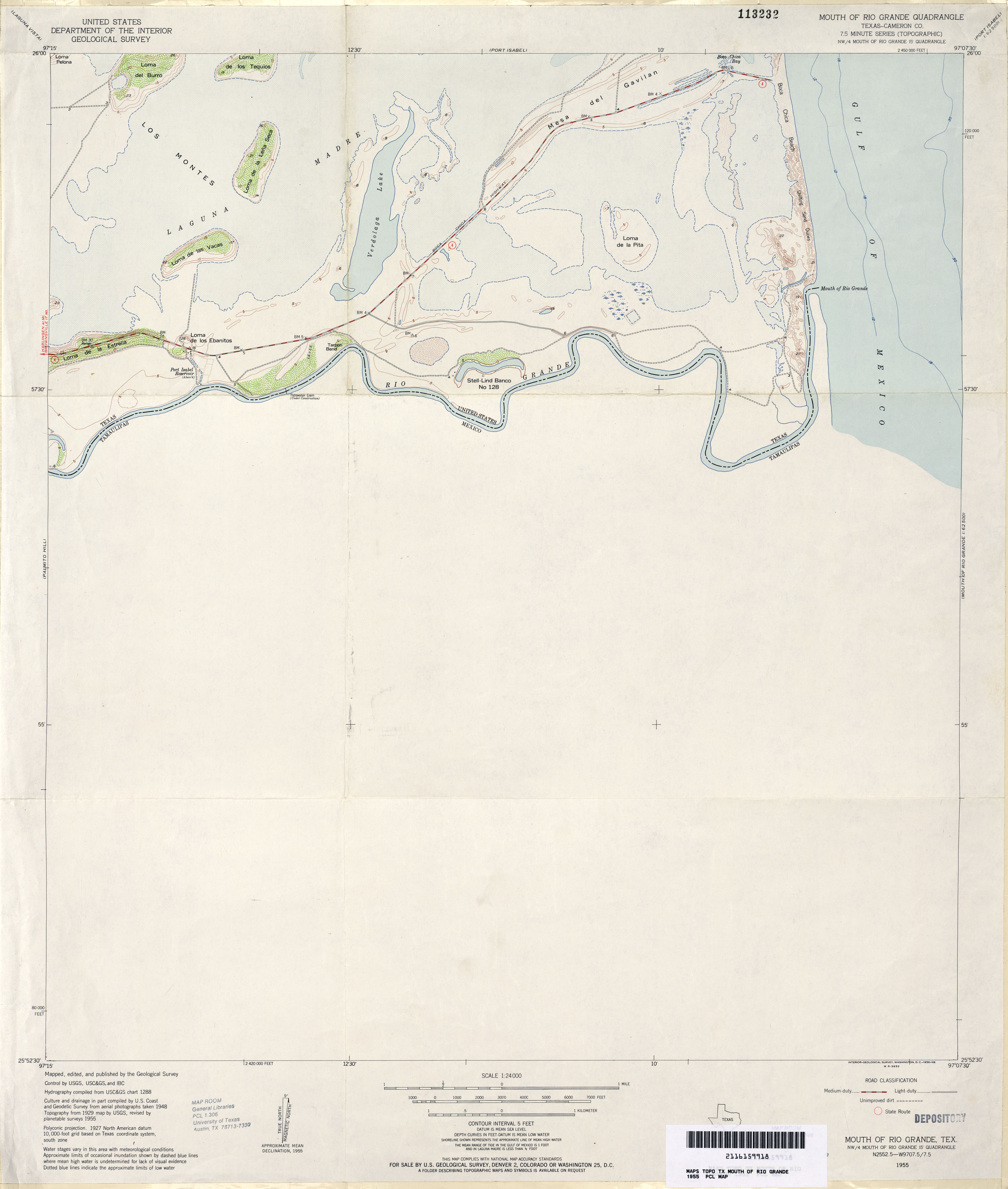
- Mouth of Rio Grande (Cameron County) 1:24,000 1970 (2.7MB)
- Mouth of Rio Grande 1:24,000 2009 (19.6MB) [GeoPDF]
- Mouth of Rio Grande 1:24,000 2012 (10.6MB) [GeoPDF]
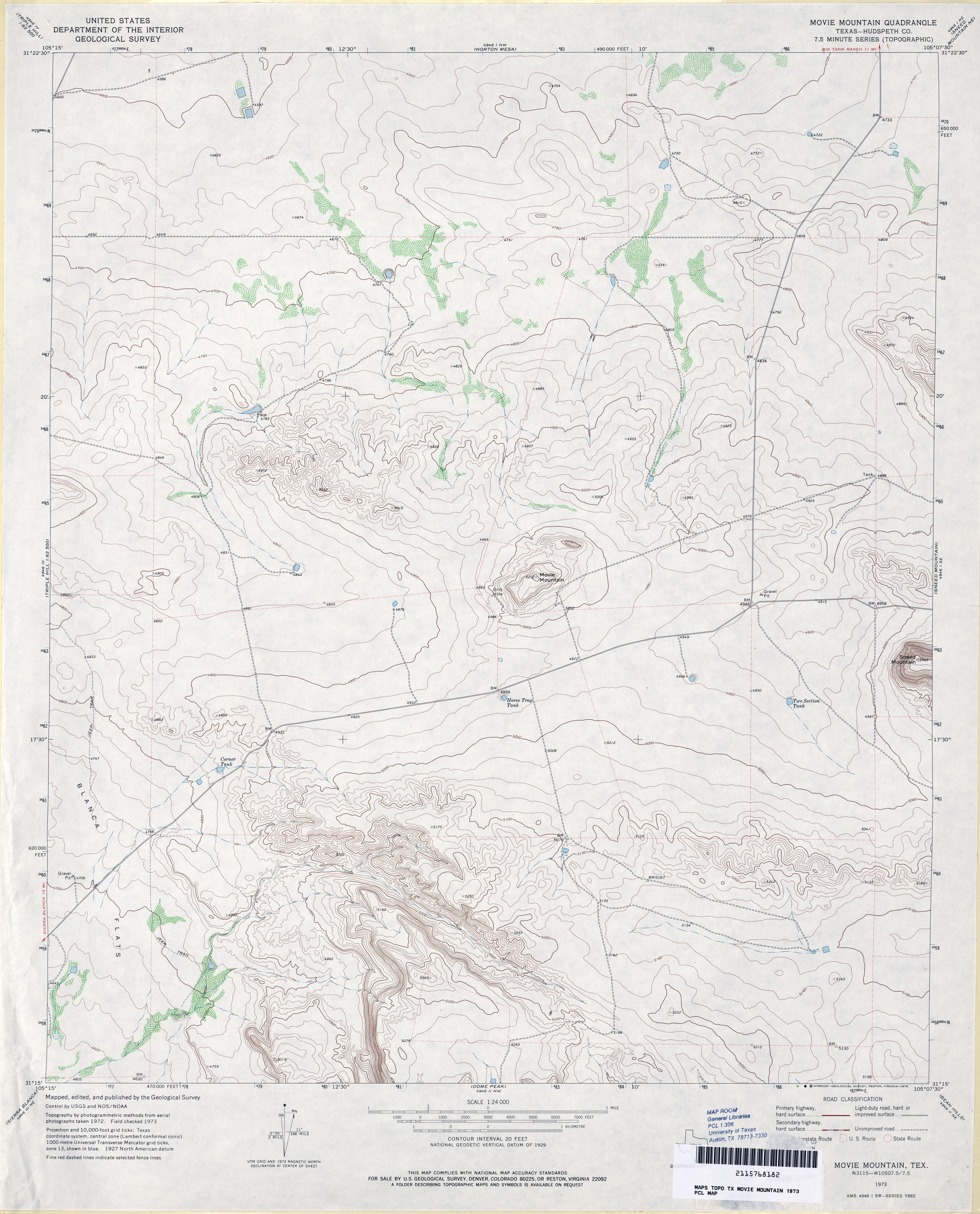
- Movie Mountain (Hudspeth County) 1:24,000 1973 (3.1MB)
- Movie Mountain 1:24,000 2008 (18.9MB) [GeoPDF]
- Movie Mountain 1:24,000 2012 (22.9MB) [GeoPDF]
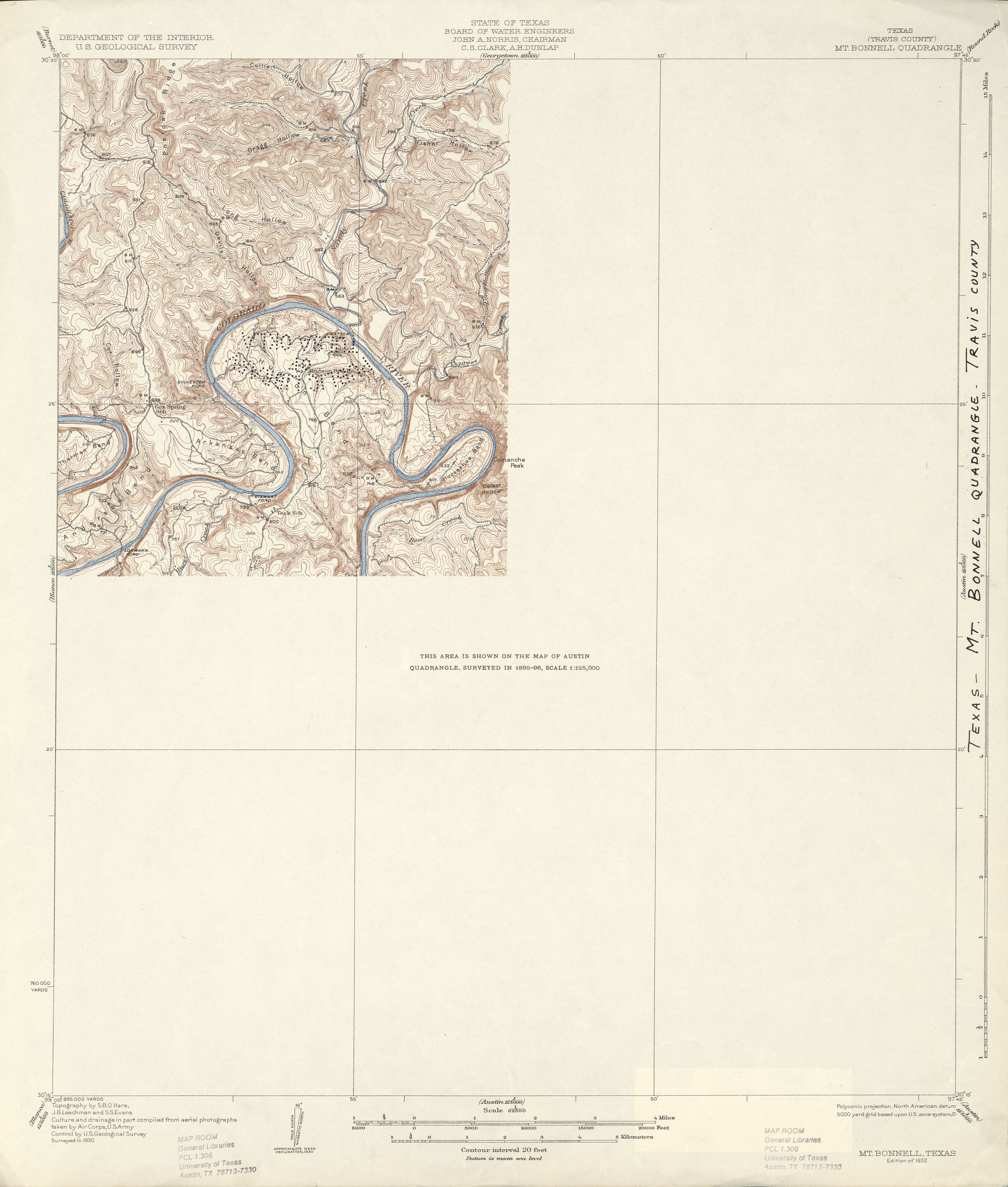
- Mt. Bonnell (Travis County) 1:62,500 1930 (2.4 MB)
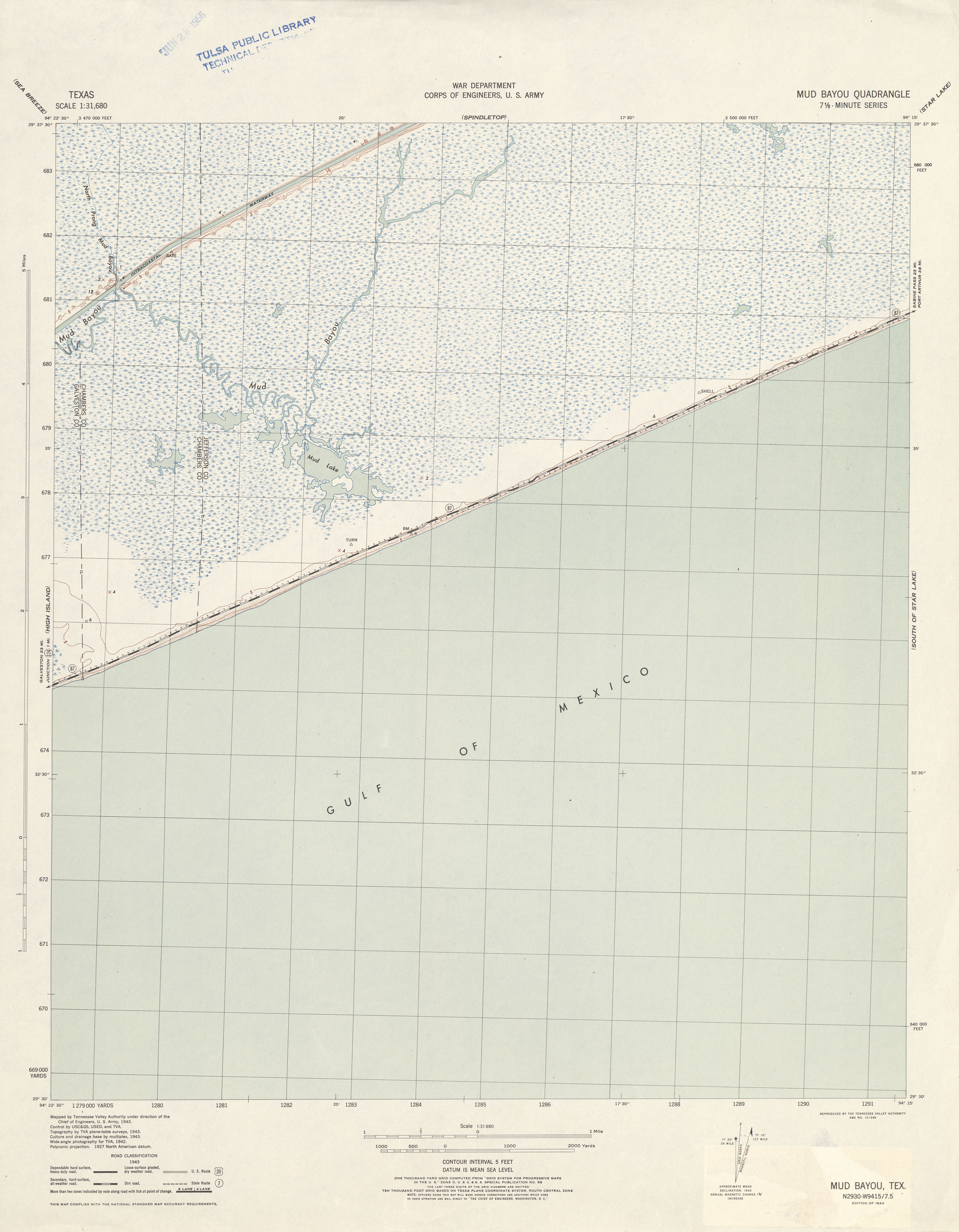
- Mud Bayou 1:31,680 1943 (2.4 MB) Tennessee Valley Authority
- Mud Creek North 1:24,000 1978 (4.1MB)
- Mud Creek North 1:24,000 2008 (26.3MB) [GeoPDF]
- Mud Creek North 1:24,000 2012 (30.4MB) [GeoPDF]
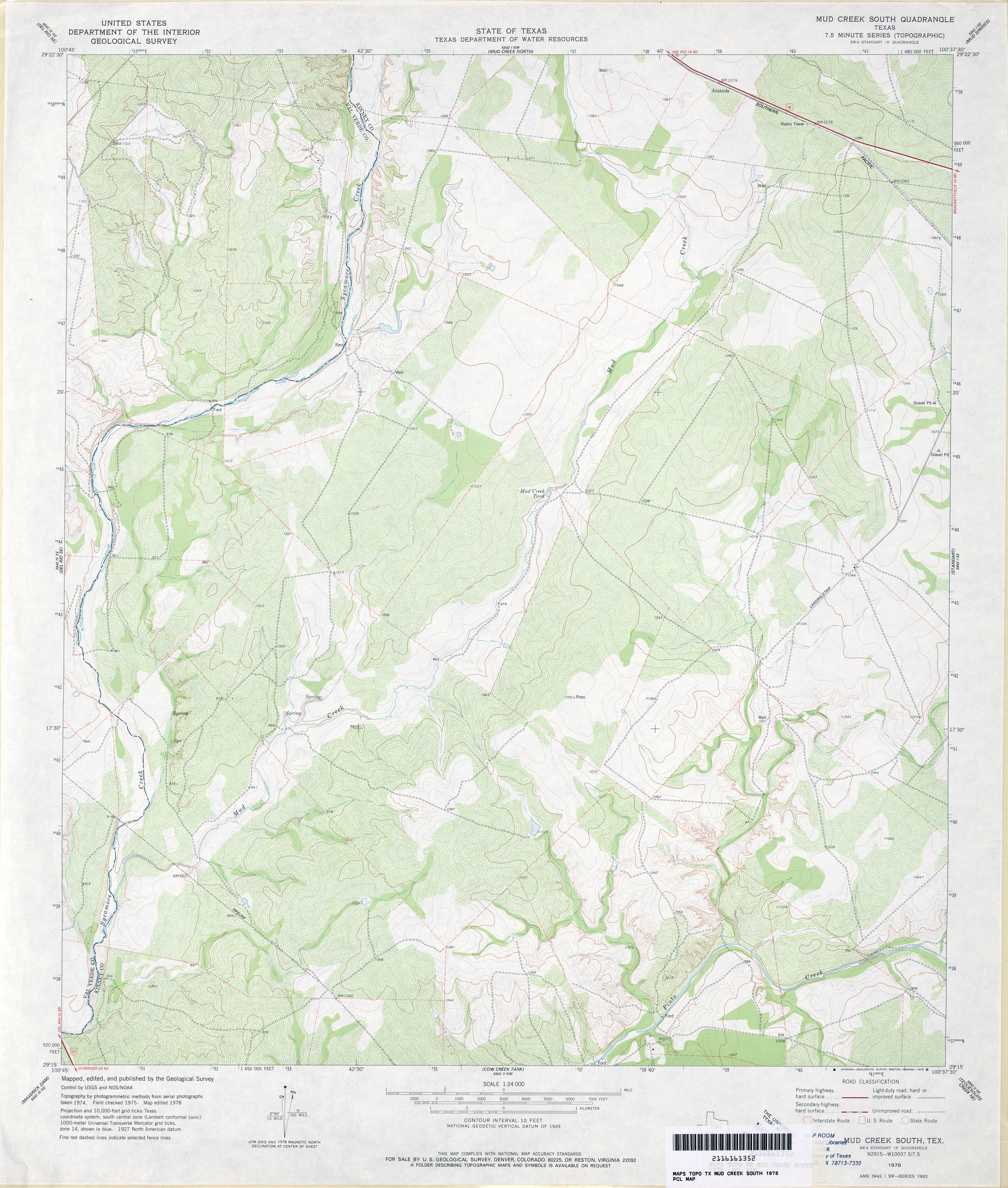
- Mud Creek South 1:24,000 1978 (4.5MB)
- Mud Creek South 1:24,000 2008 (23.0MB) [GeoPDF]
- Mud Creek South 1:24,000 2012 (31.3MB) [GeoPDF]
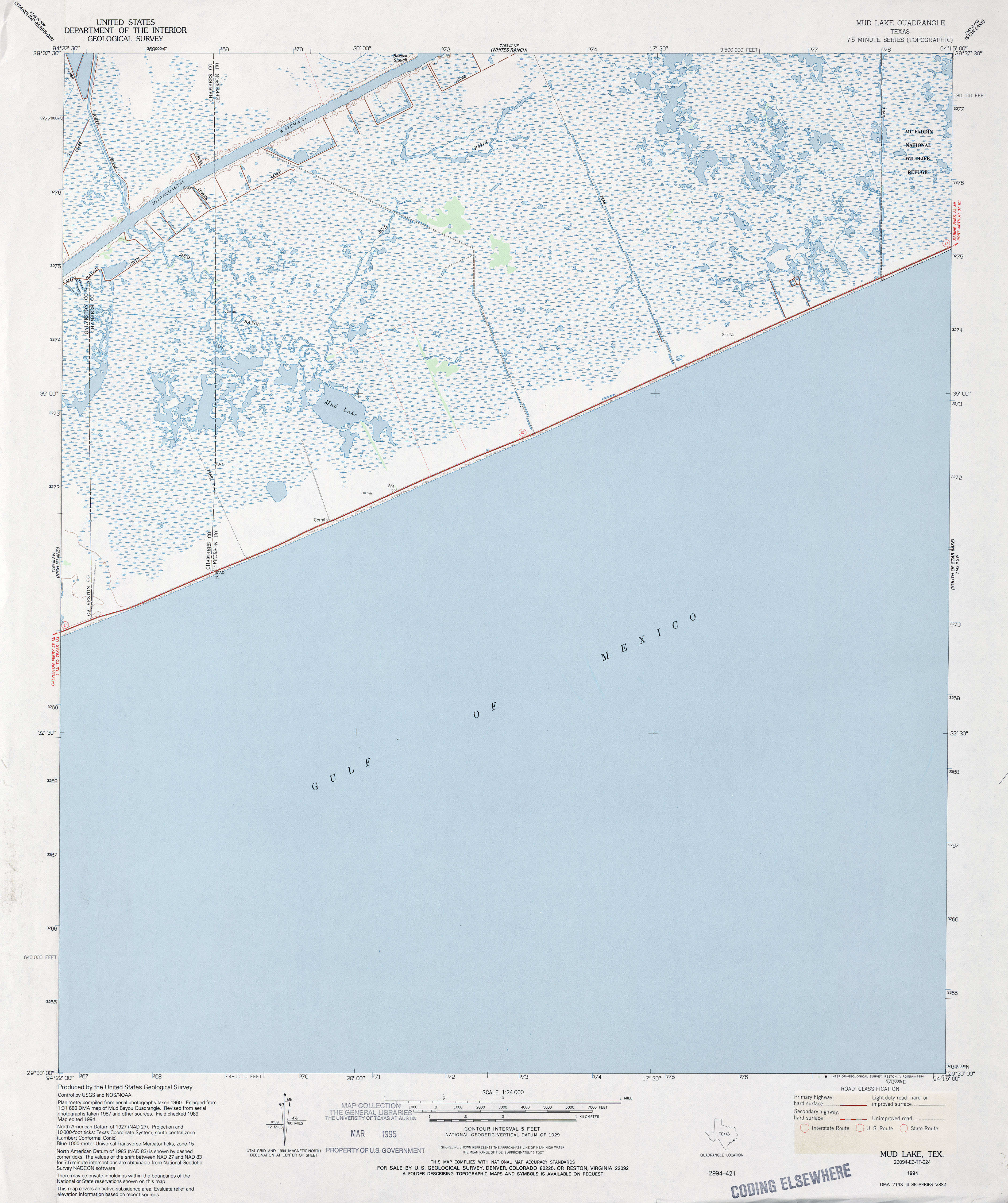
- Mud Lake 1:24,000 1961 (3.1MB)
- Mud Lake 1:24,000 1974 (3.2MB)
- Mud Lake 1:24,000 1994 (3.4MB)
- Mud Lake 1:24,000 2008 (516KB) Texas Natural Resources Information System (TNRIS). [pdf]
- Mud Lake 1:24,000 2009 (8.4MB) [GeoPDF]
- Mud Lake 1:24,000 2013 (15.8MB) [GeoPDF]
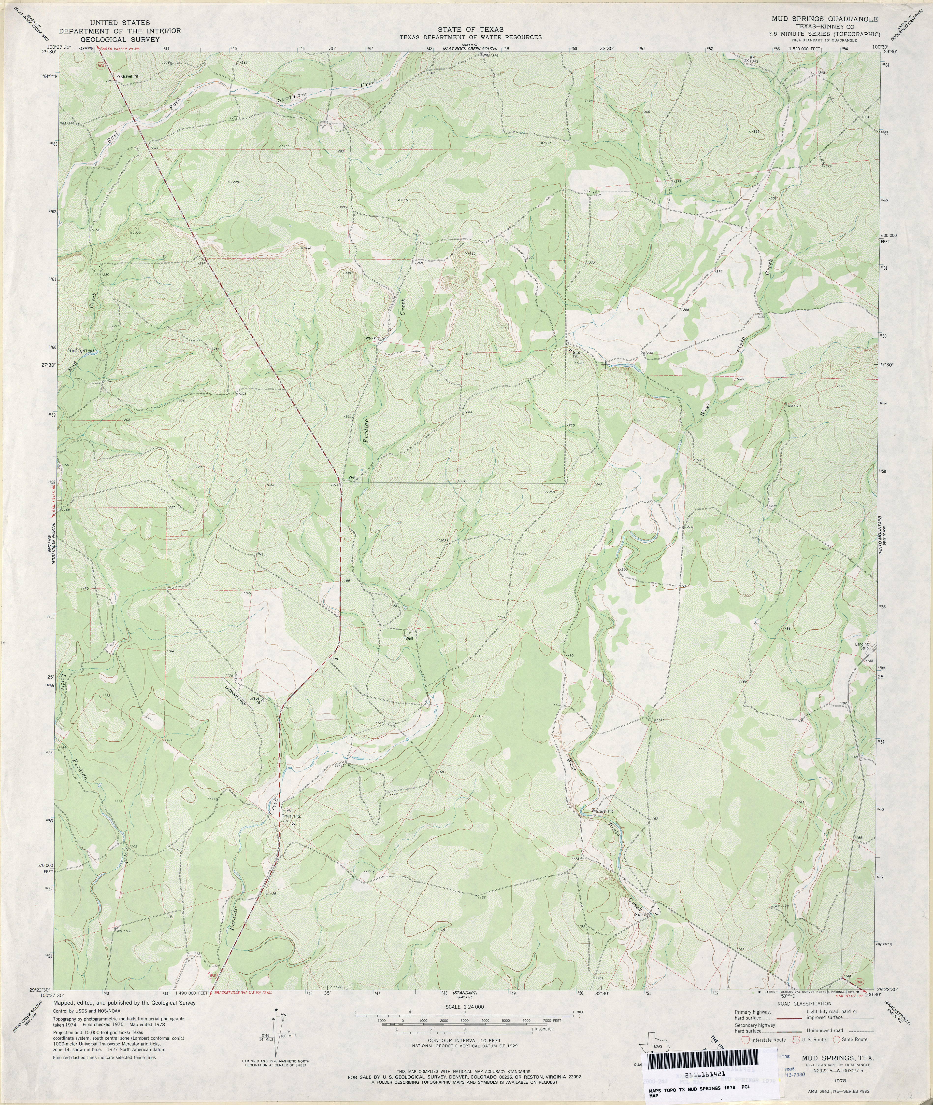
- Mud Springs (Kinney County) 1:24,000 1978 (4MB)
- Mud Springs 1:24,000 2008 (22.1MB) [GeoPDF]
- Mud Springs 1:24,000 2013 (30.3MB) [GeoPDF]
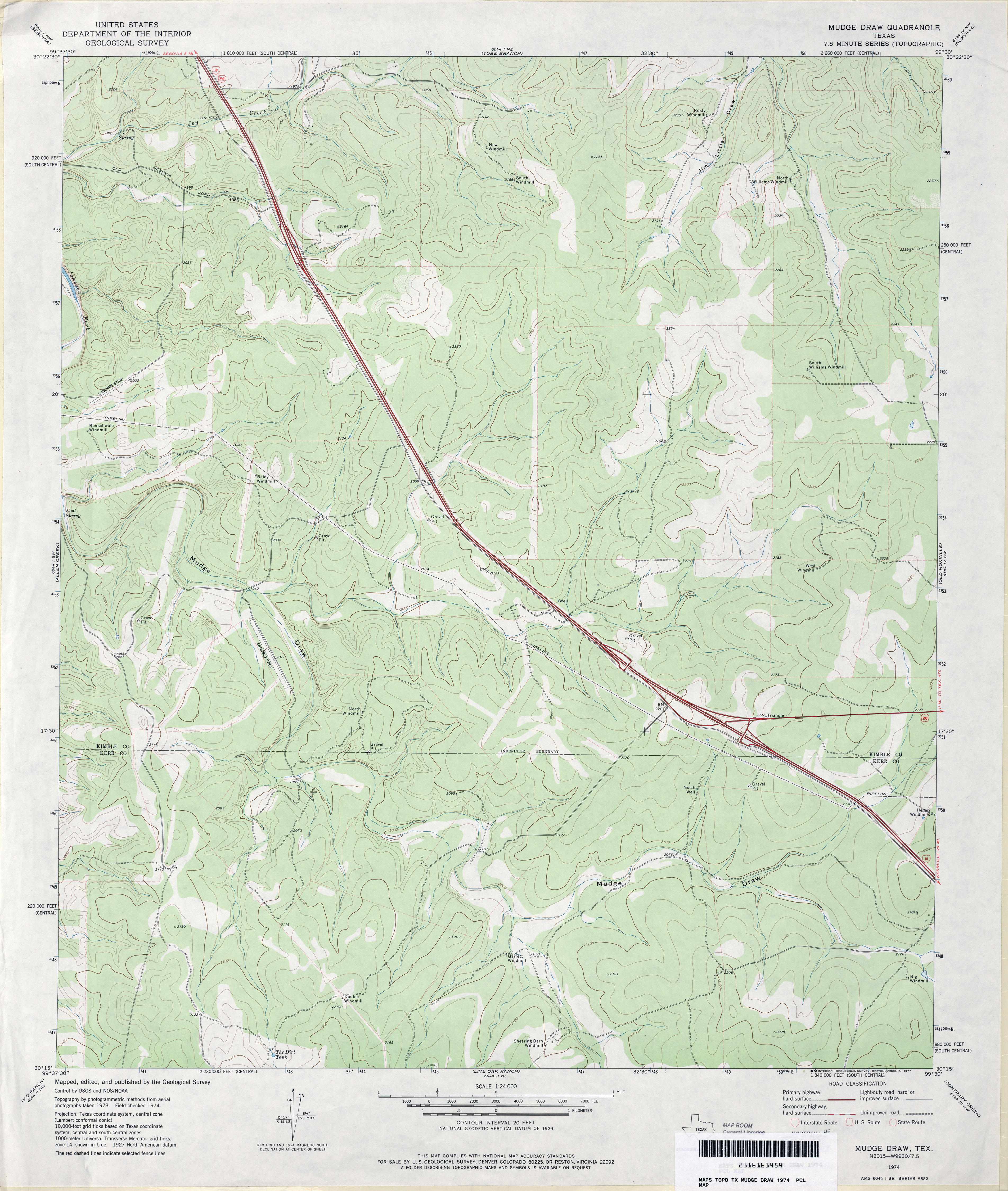
- Mudge Draw 1:24,000 1974 (3.5MB)
- Mudge Draw 1:24,000 2008 (21.5MB) [GeoPDF]
- Mudge Draw 1:24,000 2012 (30MB) [GeoPDF]
- Muenster East (Cooke County) 1:24,000 1961 (3.9MB)
- Muenster East (Cooke County) 1:24,000 1978 (4.4MB)
- Muenster East 1:24,000 2008 (11.1MB) [GeoPDF]
- Muenster East 1:24,000 2013 (16.7MB) [GeoPDF]
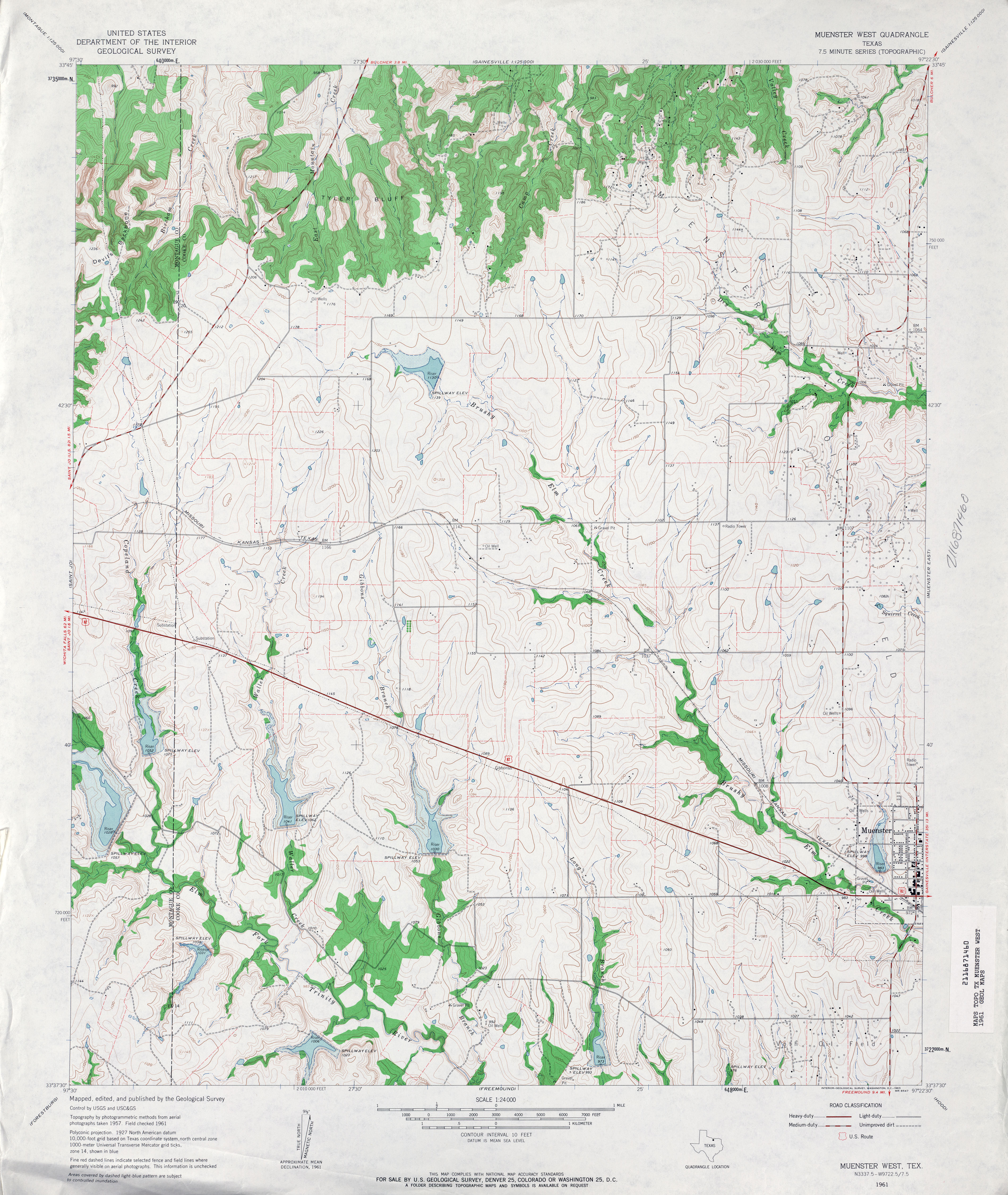
- Muenster West 1:24,000 1961 (4.2MB)
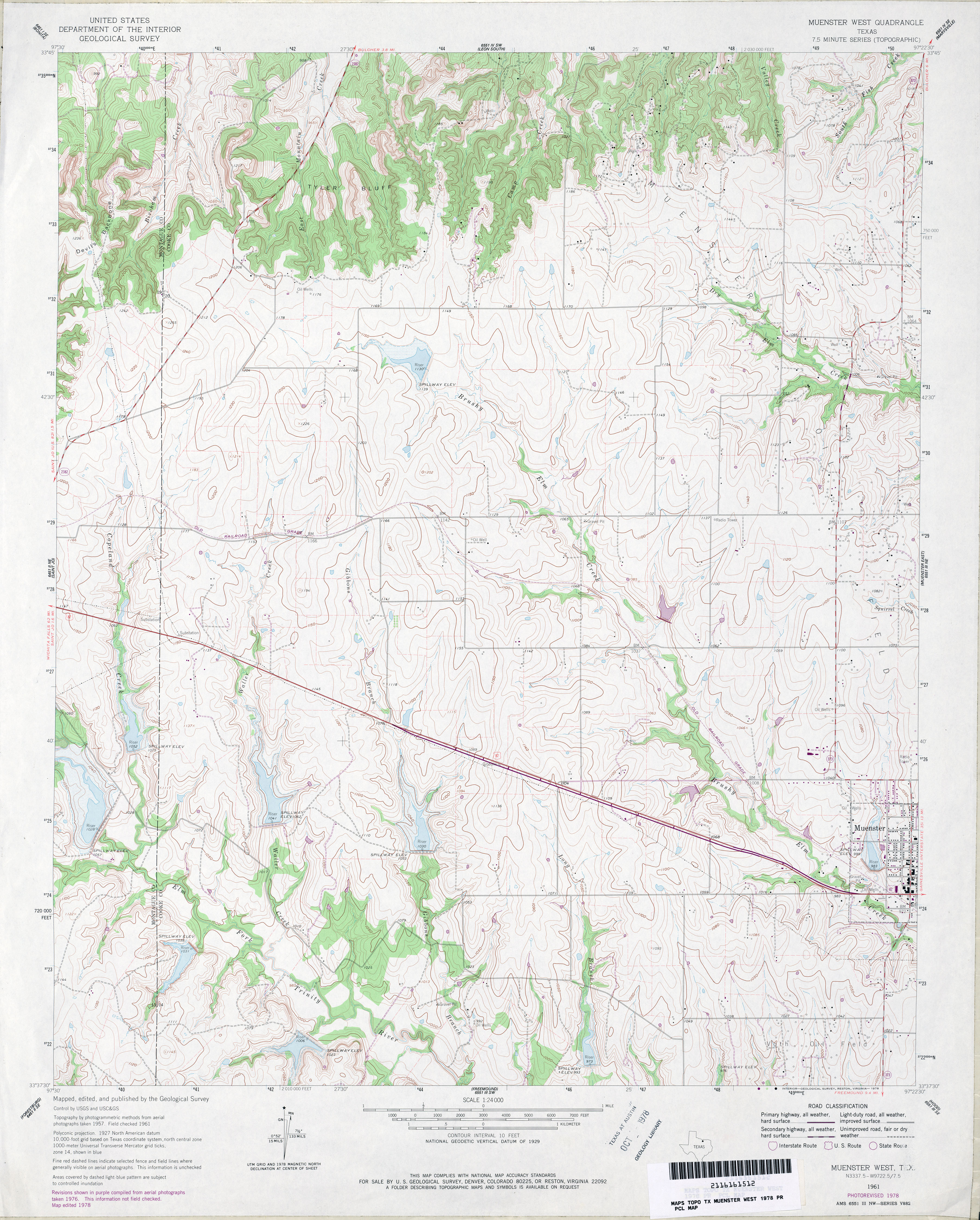
- Muenster West 1:24,000 1978 (4.3MB)
- Muenster West 1:24,000 2008 (12.4MB) [GeoPDF]
- Muenster West 1:24,000 2013 (17.4MB) [GeoPDF]
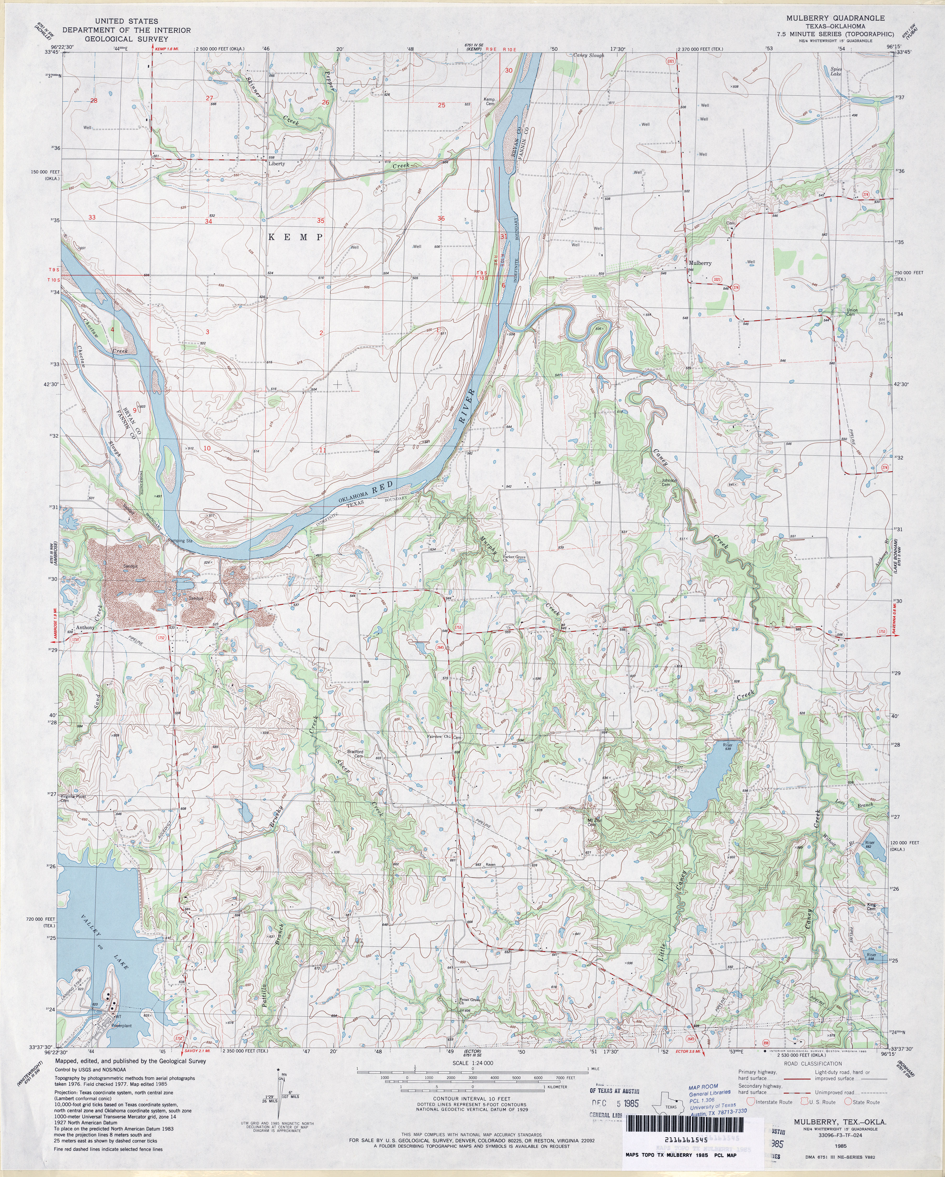
- Mulberry 1:24,000 1985 (4.1MB)
- Mulberry 1:24,000 2008 (12.9MB) [GeoPDF]
- Mulberry 1:24,000 2013 (21.1MB) [GeoPDF]
- Muldoon (Fayette County) 1:24,000 1965 (4.4MB)
- Muldoon 1:24,000 2008 (17.8MB) [GeoPDF]
- Muldoon 1:24,000 2013 (26.2MB) [GeoPDF]
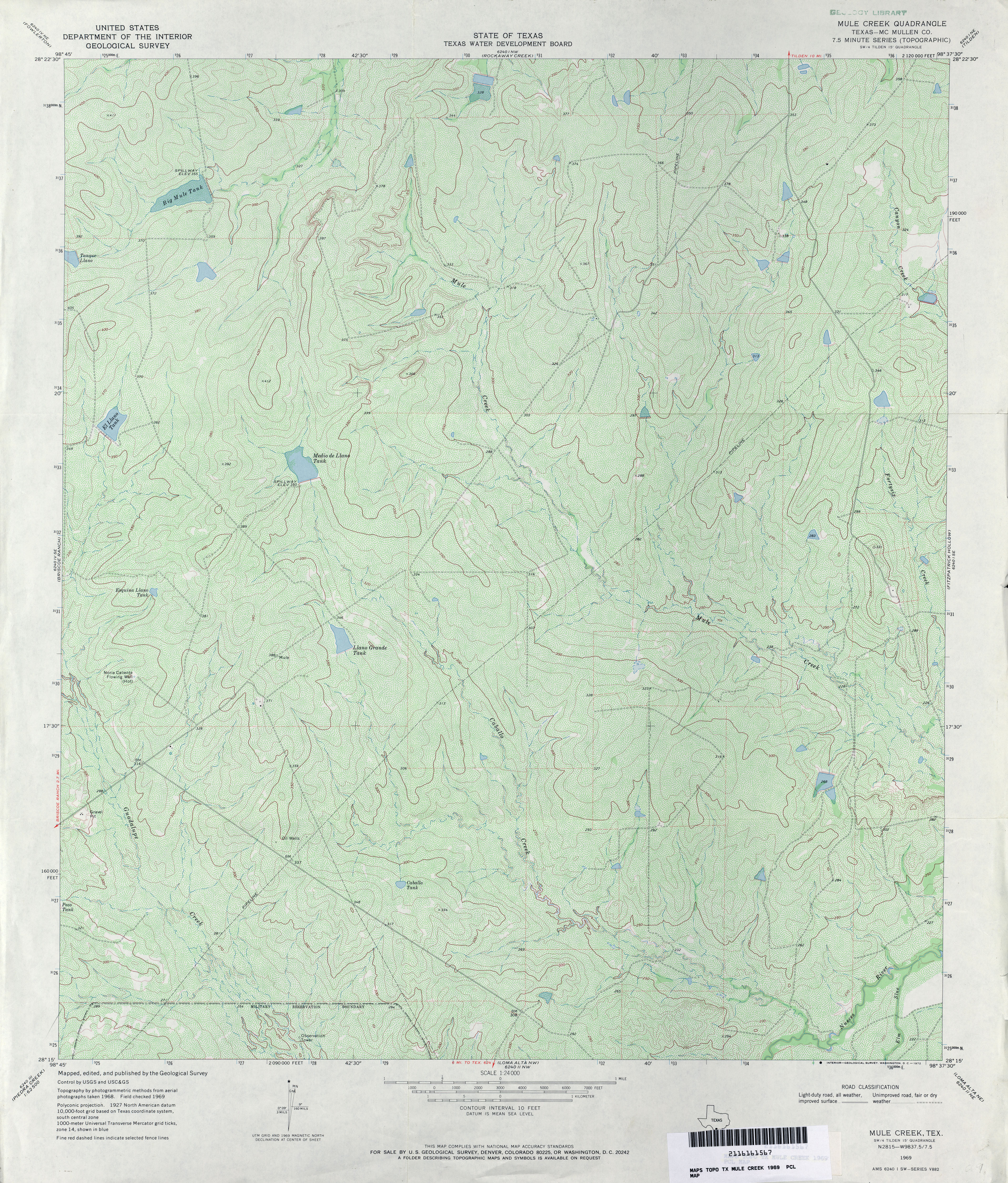
- Mule Creek (McMullen County) 1:24,000 1969 (5.4MB)
- Mule Creek 1:24,000 2008 (20.1MB) [GeoPDF]
- Mule Creek 1:24,000 2013 (24.9MB) [GeoPDF]
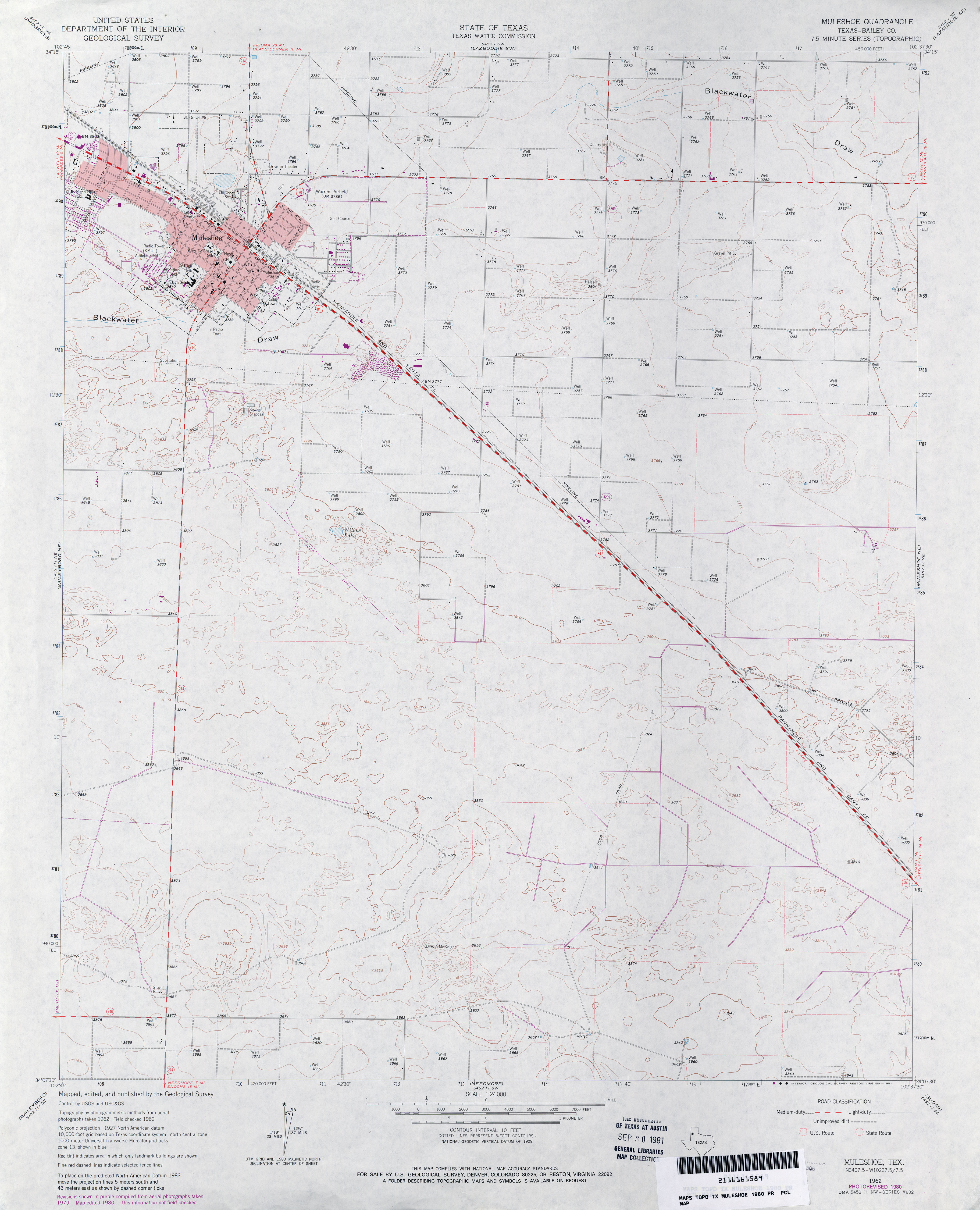
- Muleshoe (Bailey County) 1:24,000 1962 (2.8MB)
- Muleshoe (Bailey County) 1:24,000 1980 (2.9MB)
- Muleshoe 1:24,000 2008 (12.3MB) [GeoPDF]
- Muleshoe 1:24,000 2012 (15.9MB) [GeoPDF]
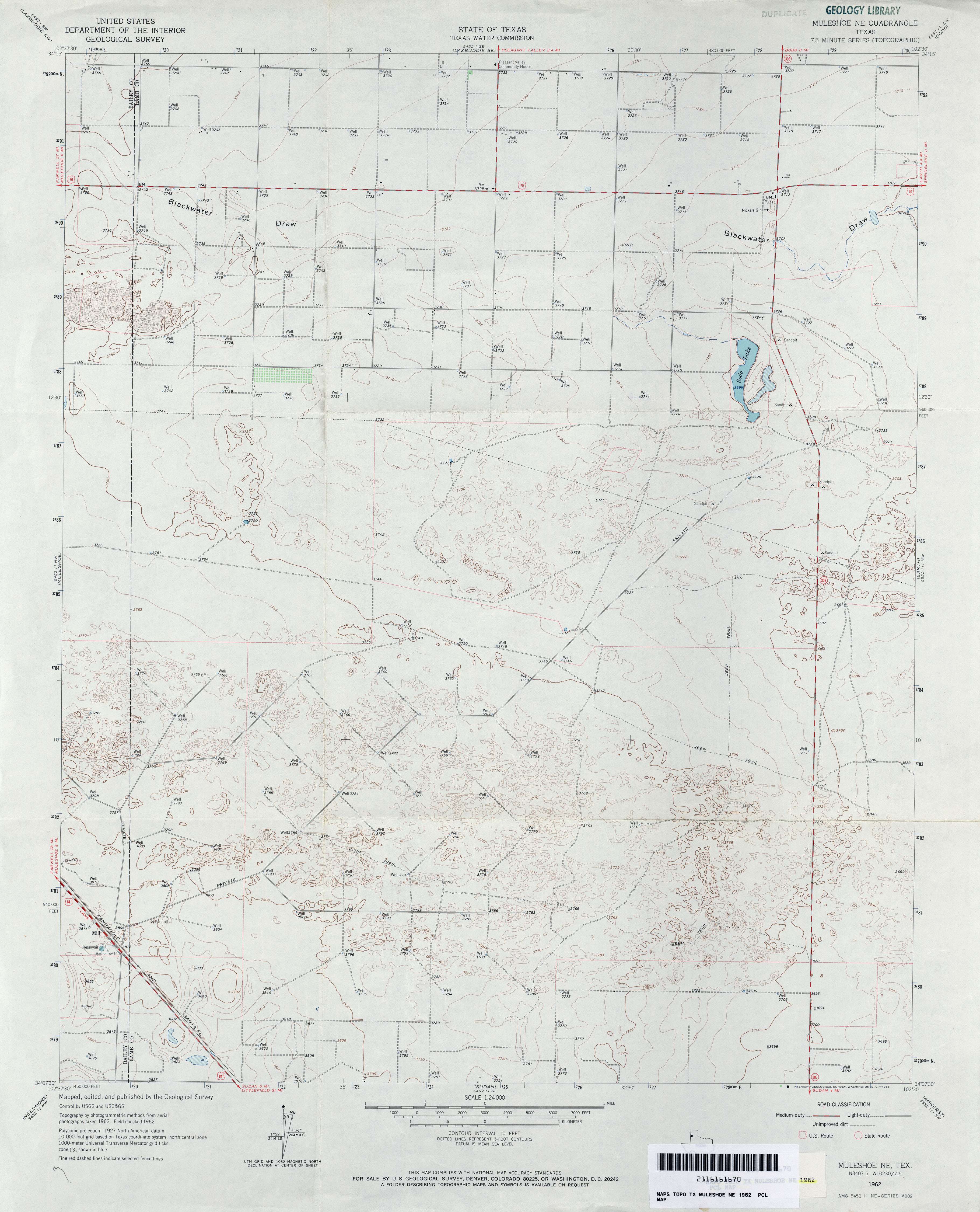
- Muleshoe NE 1:24,000 1962 (2.9MB)
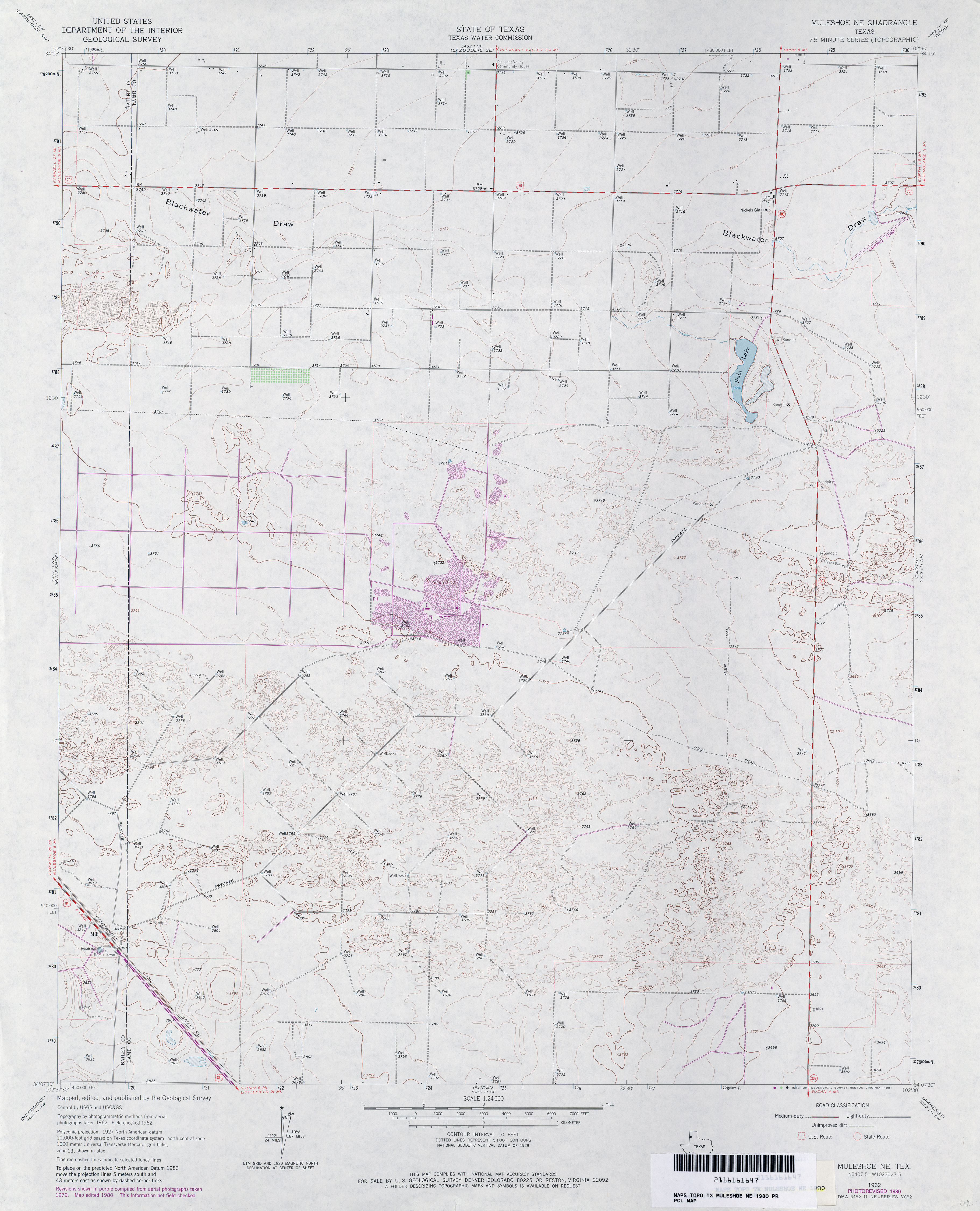
- Muleshoe NE 1:24,000 1980 (3.1MB)
- Muleshoe NE 1:24,000 2008 (12.4MB) [GeoPDF]
- Muleshoe NE 1:24,000 2012 (15MB) [GeoPDF]
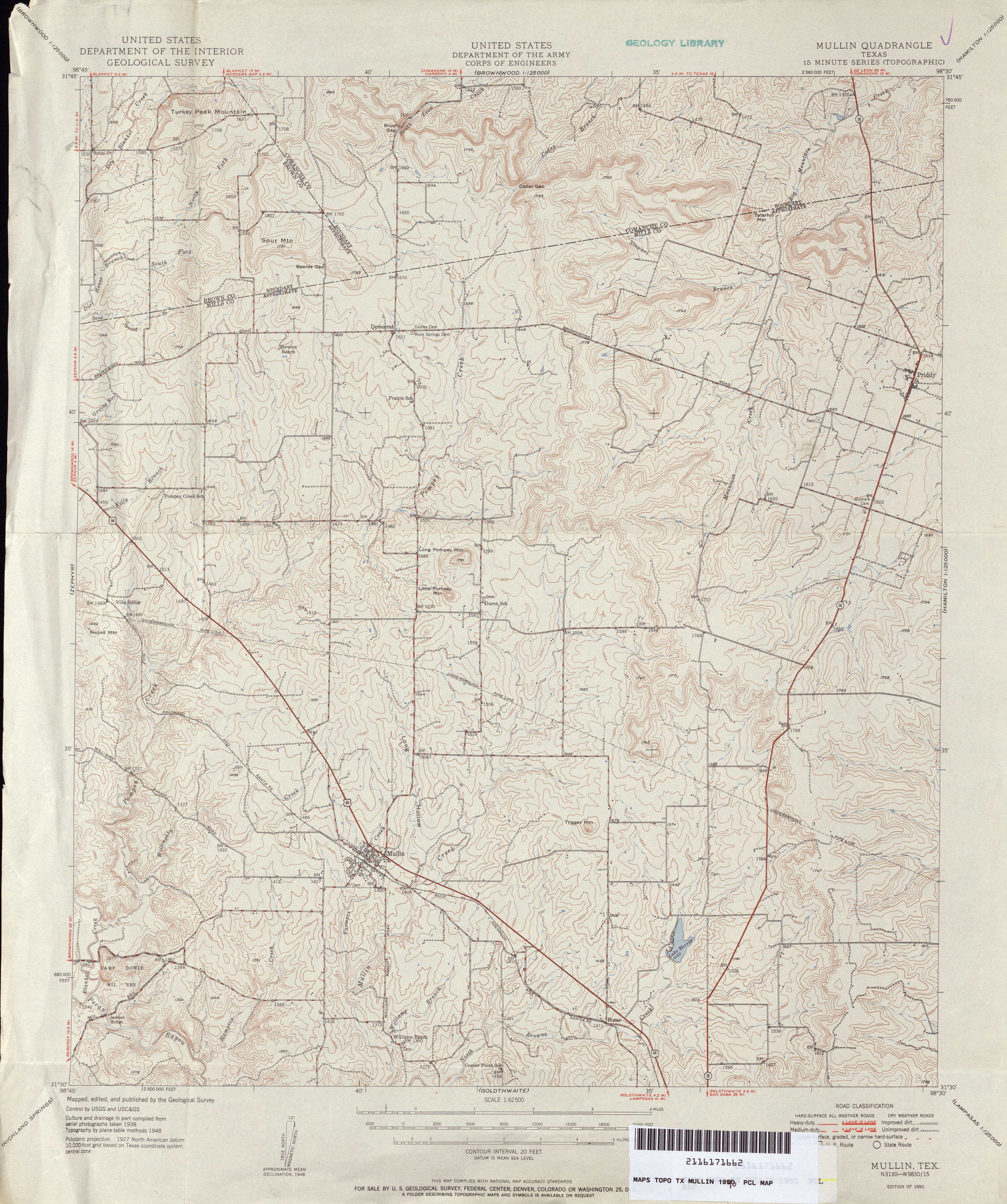
- Mullin (Mills County) 1:62,500 1925 (1.8 MB)
- Mullin 1:62,500 1948 (4MB) U.S. Department of the Army Corps of Engineers
- Mullin 1:50,000 1948 (5.7MB) U.S. Army Map Service, Series V782
- Mullin (Mills County) 1:24,000 1980 (4.2MB)
- Mullin 1:24,000 2008 (15.9MB) [GeoPDF]
- Mullin 1:24,000 2013 (22.9MB) [GeoPDF]
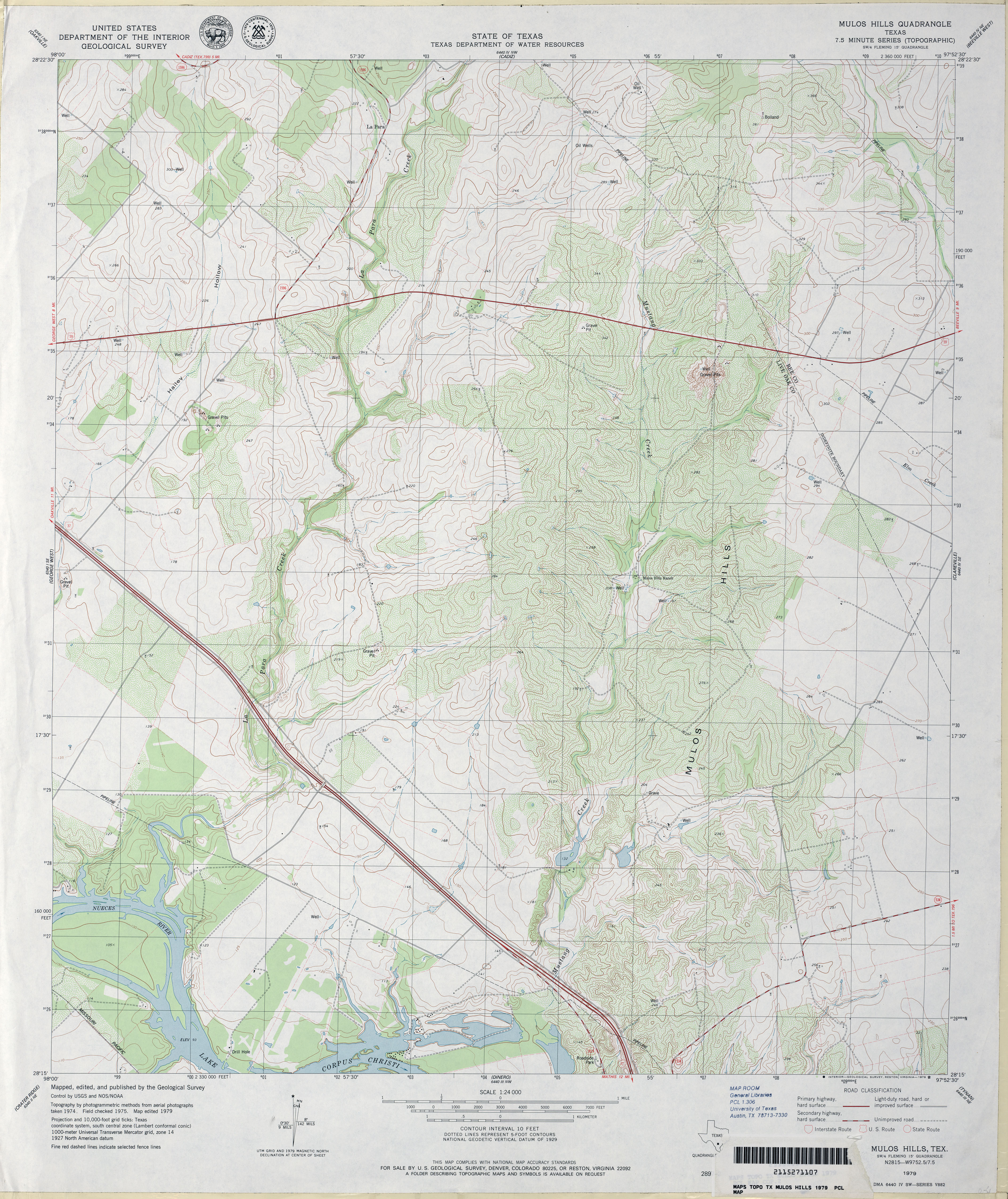
- Mulos Hills 1:24,000 1979 (4.4MB)
- Mulos Hills 1:24,000 2009 (13.4MB) [GeoPDF]
- Mulos Hills 1:24,000 2013 (20.9MB) [GeoPDF]
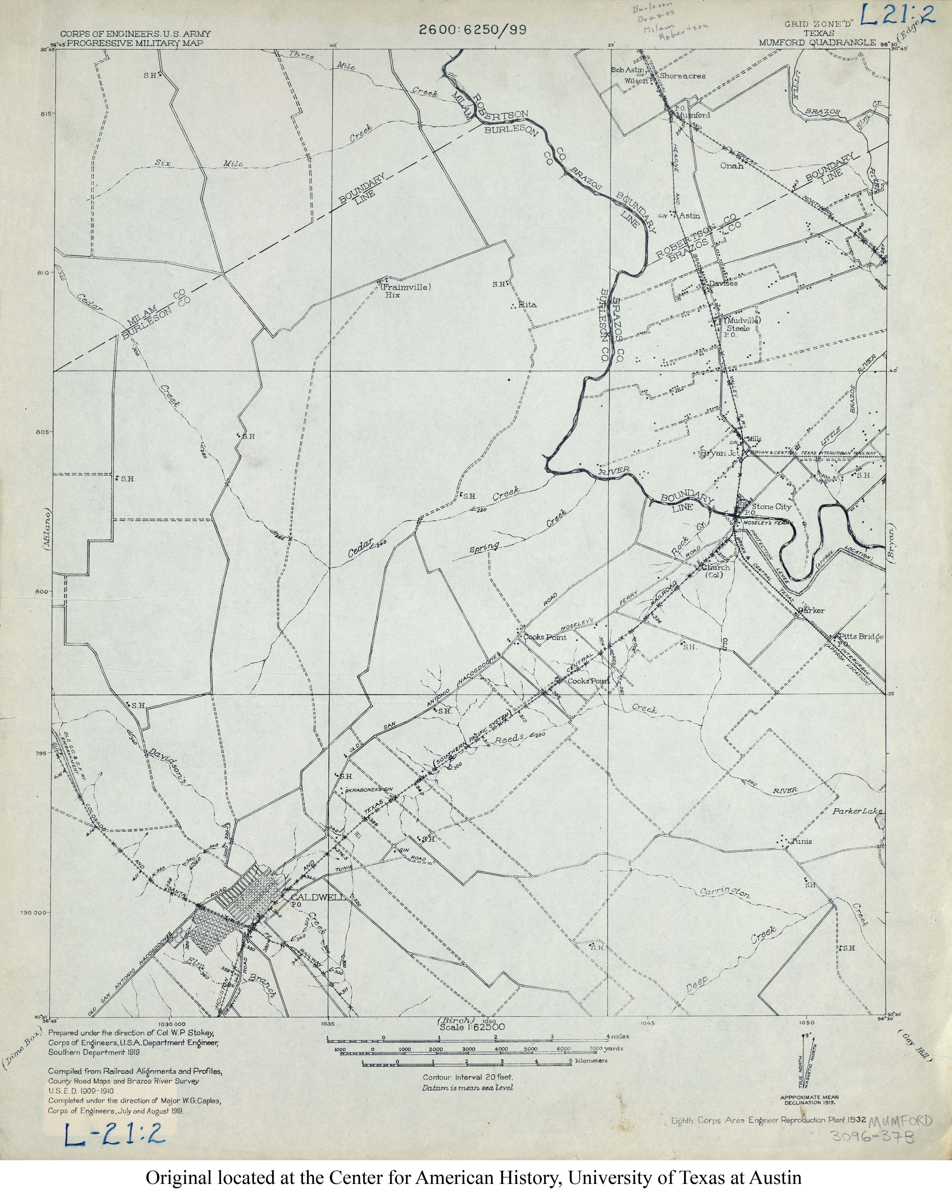
- Mumford 1:62,500 1919 (3.1MB) U.S. Army. Corps of Engineers. Progressive Military Map
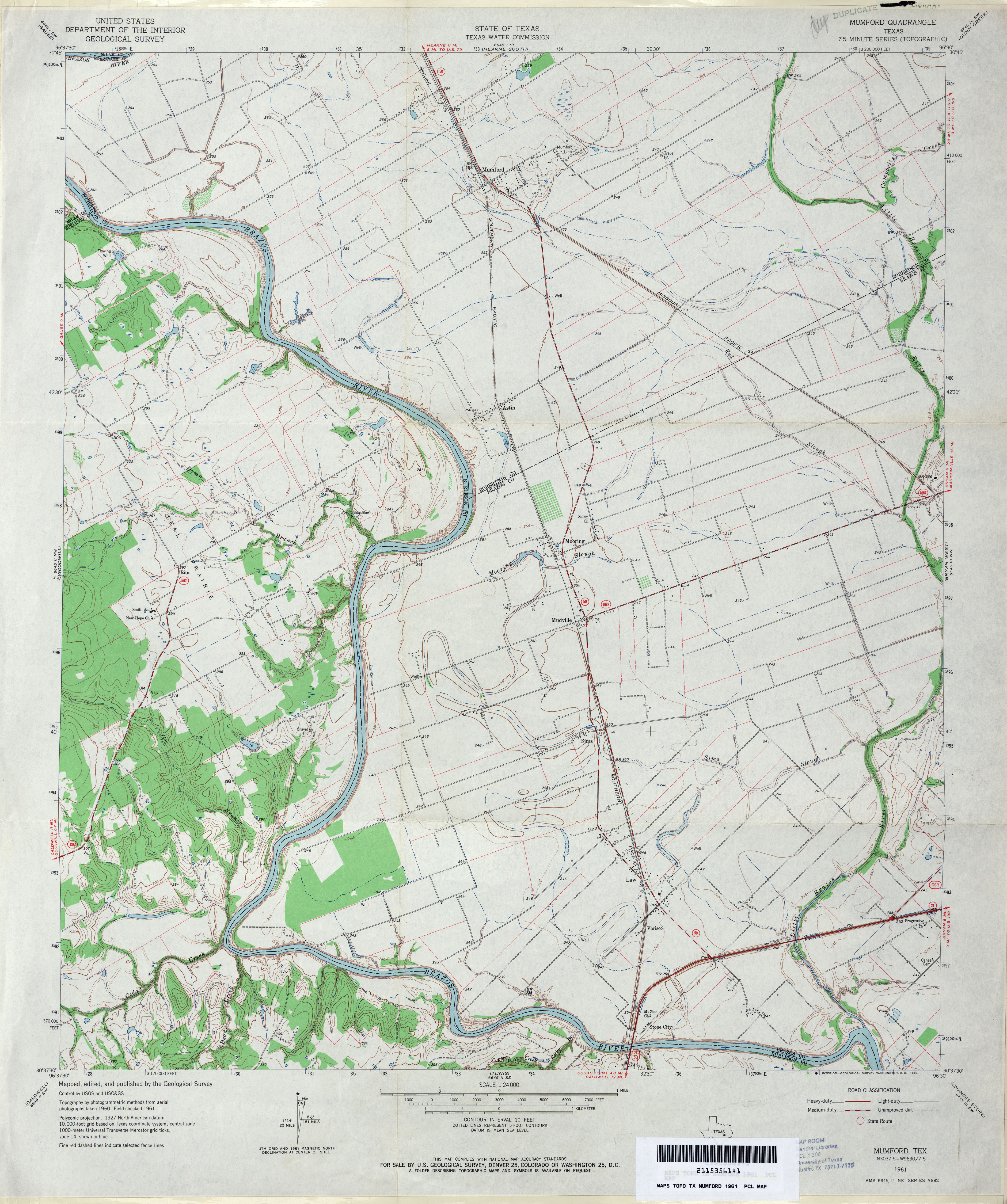
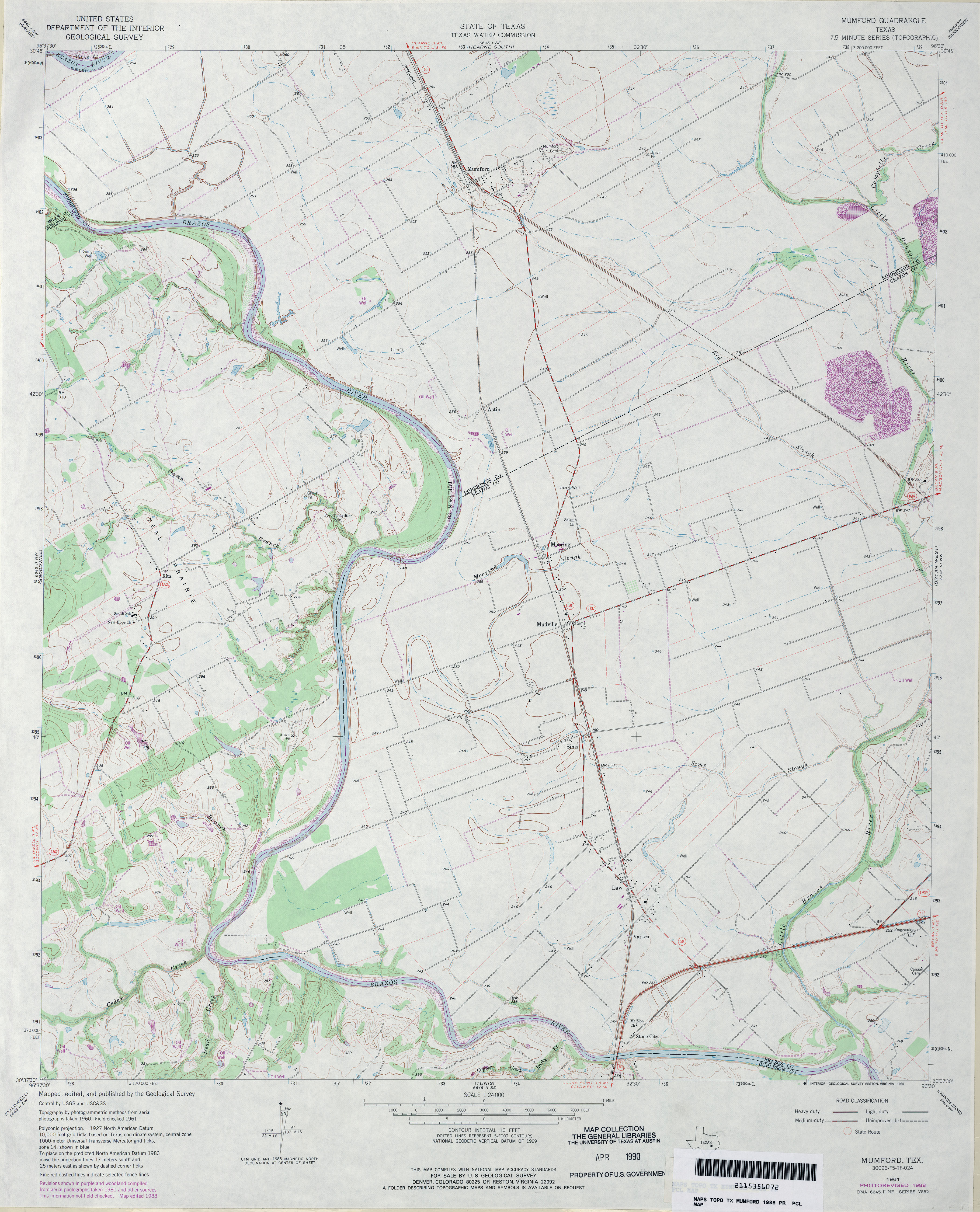
- Mumford 1:24,000 1961 (3.9MB)
- Mumford 1:24,000 1988 (3.6MB)
- Mumford 1:24,000 2008 (11.7MB) [GeoPDF]
- Mumford 1:24,000 2013 (20.5MB) [GeoPDF]
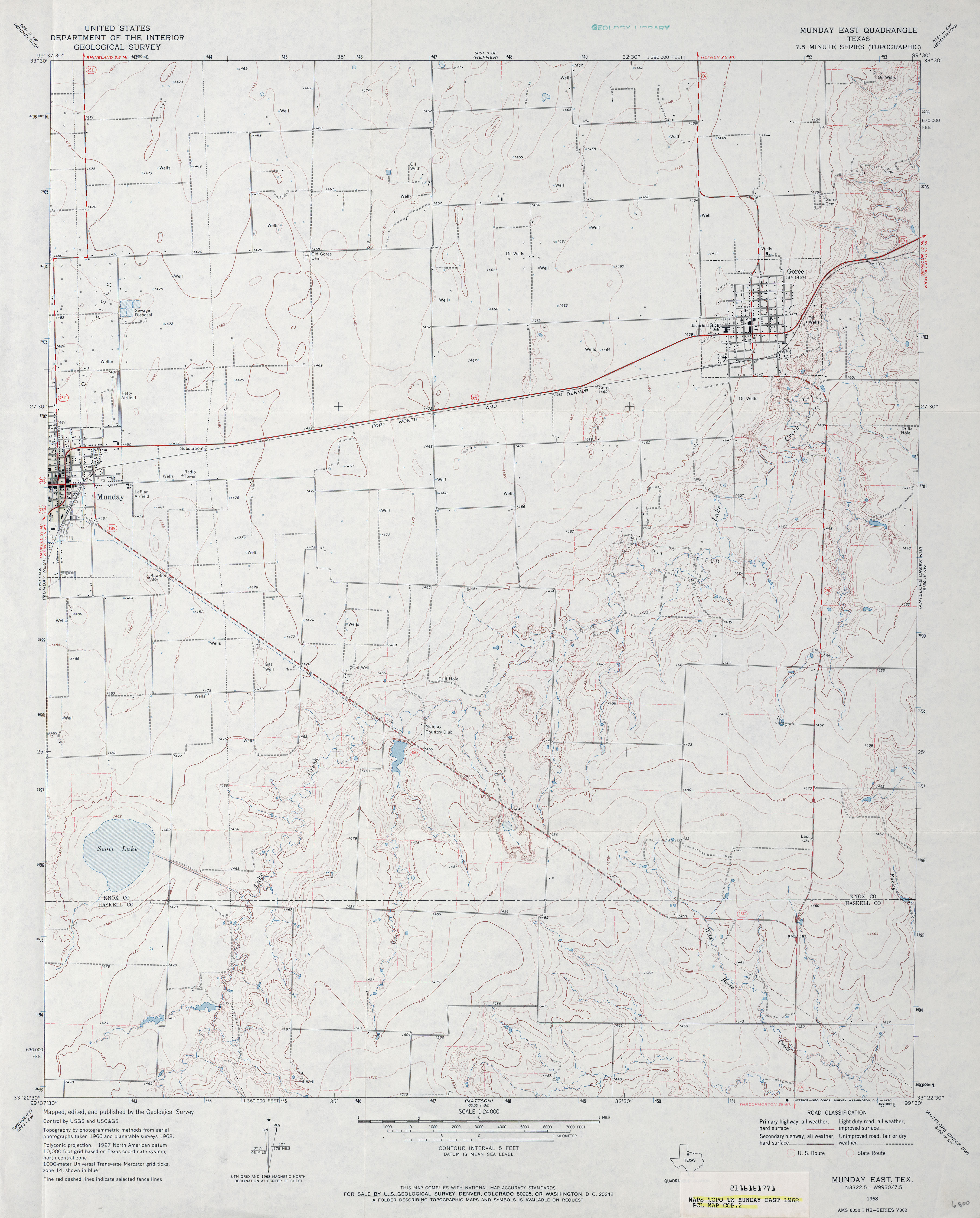
- Munday East 1:24,000 1968 (3.1MB)
- Munday East 1:24,000 2008 (10.4MB) [GeoPDF]
- Munday East 1:24,000 2012 (15.4MB) [GeoPDF]
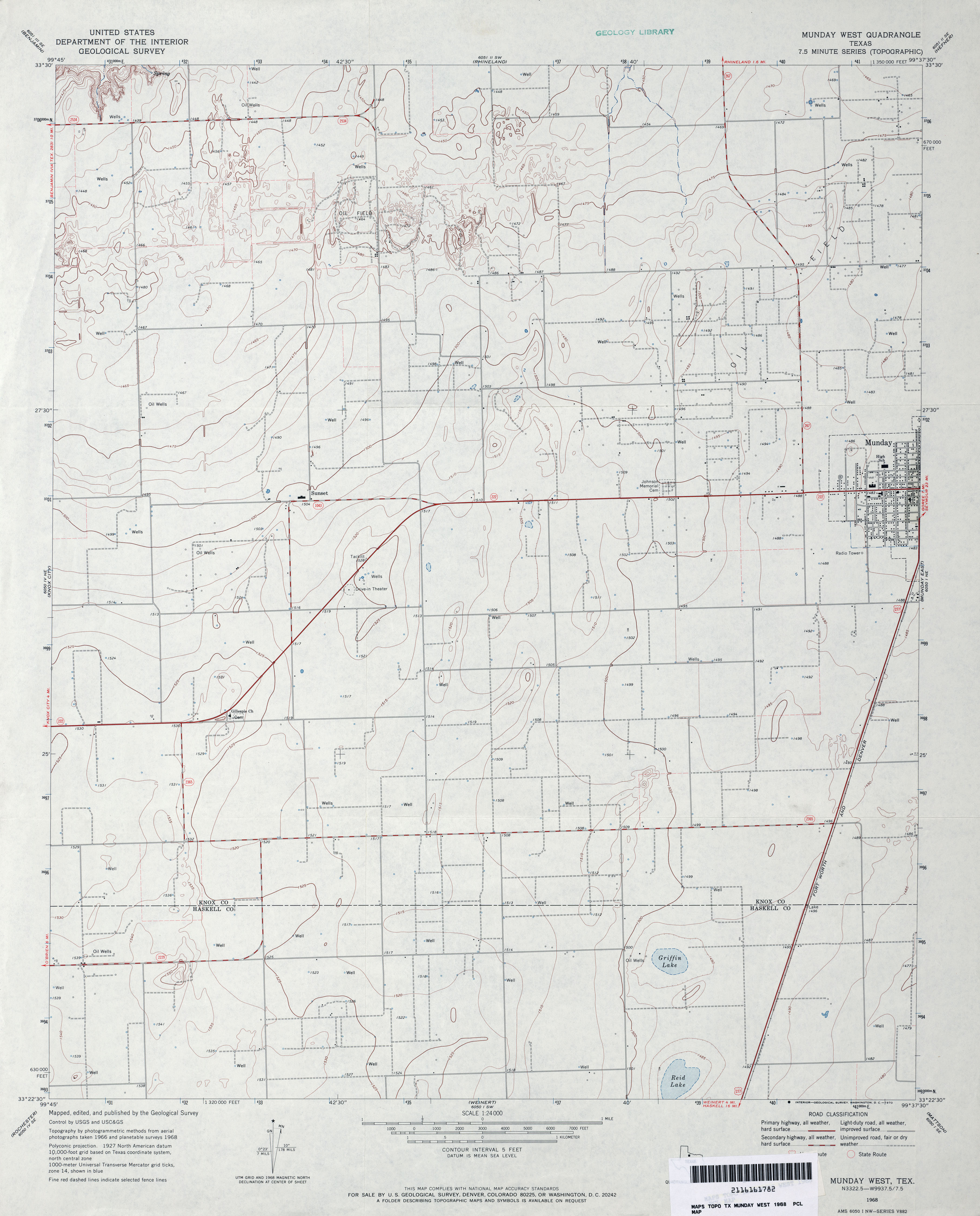
- Munday West 1:24,000 1968 (2.8MB)
- Munday West 1:24,000 2008 (9.4MB) [GeoPDF]
- Munday West 1:24,000 2013 (14.3MB) [GeoPDF]
- Murchison East 1:24,000 1984 (4.4MB)
- Murchinson East 1:24,000 2009 (20.1MB) [GeoPDF]
- Murchison East 1:24,000 2013 (23.3MB) [GeoPDF]
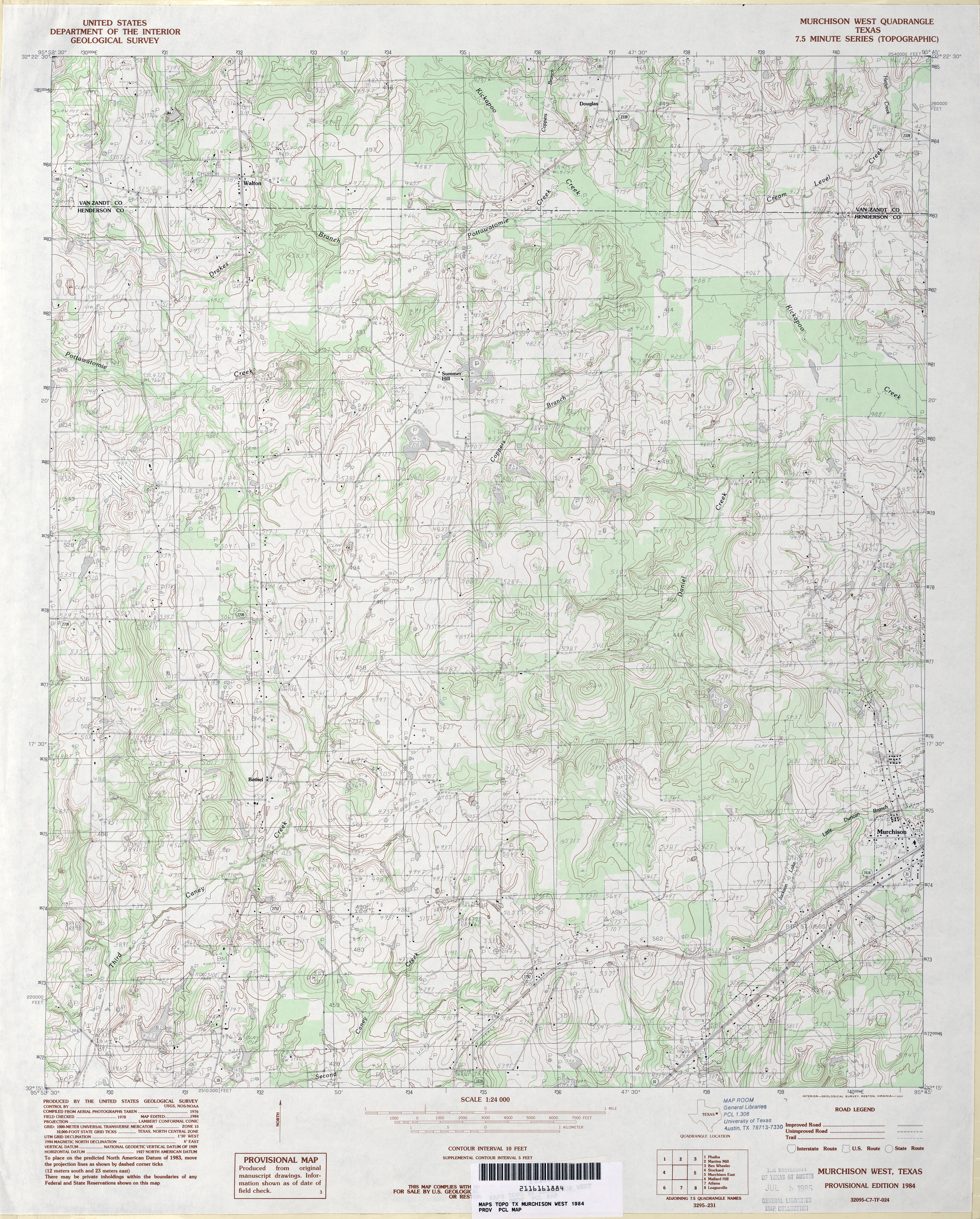
- Murchison West 1:24,000 1984 (4.8MB)
- Murchison West 1:24,000 2009 (19.7MB) [GeoPDF]
- Murchison West 1:24,000 2013 (23.1MB) [GeoPDF]
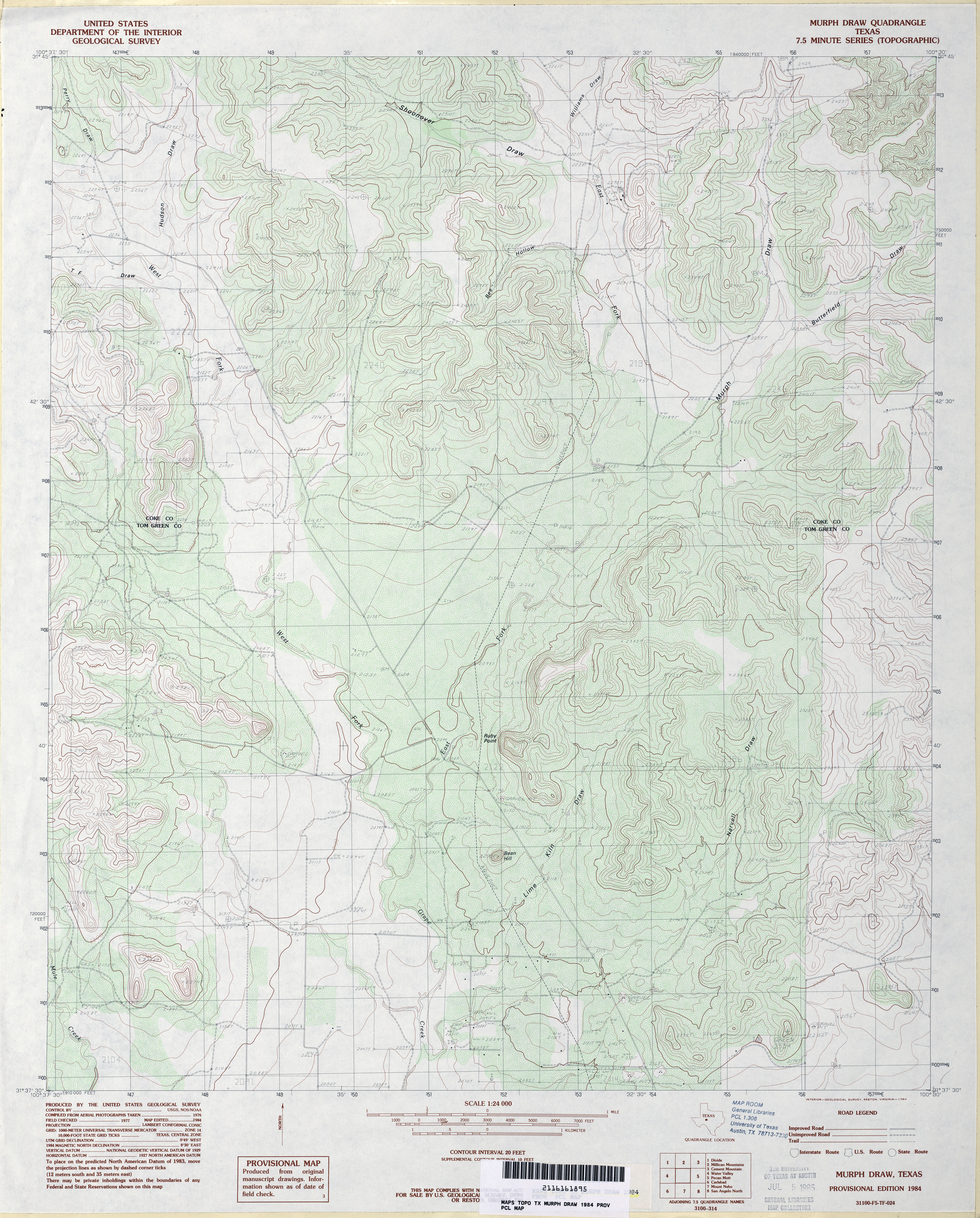
- Murph Draw 1:24,000 1984 (4.7MB)
- Murph Draw 1:24,000 2008 (22.3MB) [GeoPDF]
- Murph Draw 1:24,000 2012 (27.9MB) [GeoPDF]
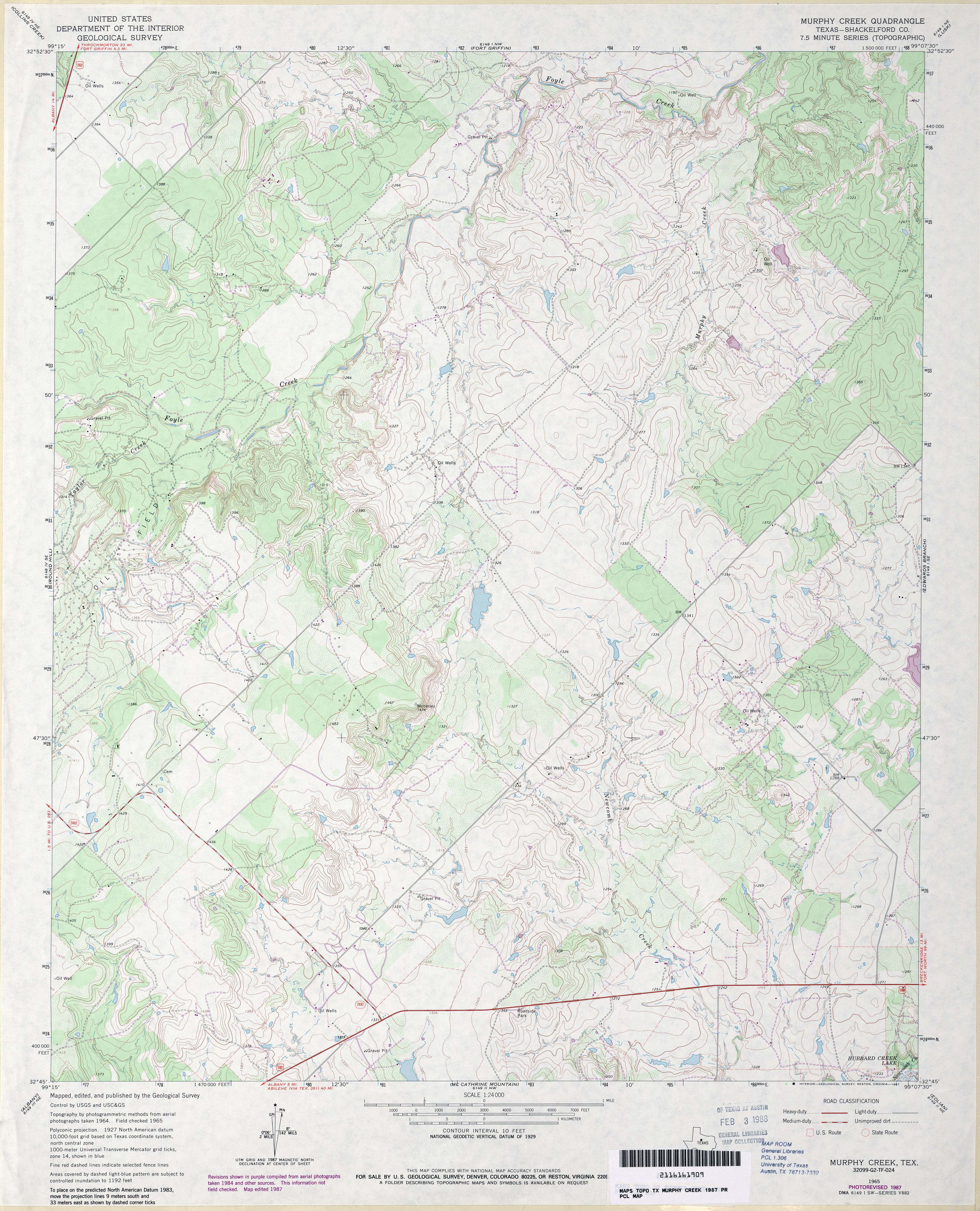
- Murphy Creek (Shackelford County) 1:24,000 1965 (4.7MB)
- Murphy Creek (Shackelford County) 1:24,000 1987 (4.2MB)
- Murphy Creek 1:24,000 2008 (13.6MB) [GeoPDF]
- Murphy Creek 1:24,000 2012 (20.1MB) [GeoPDF]
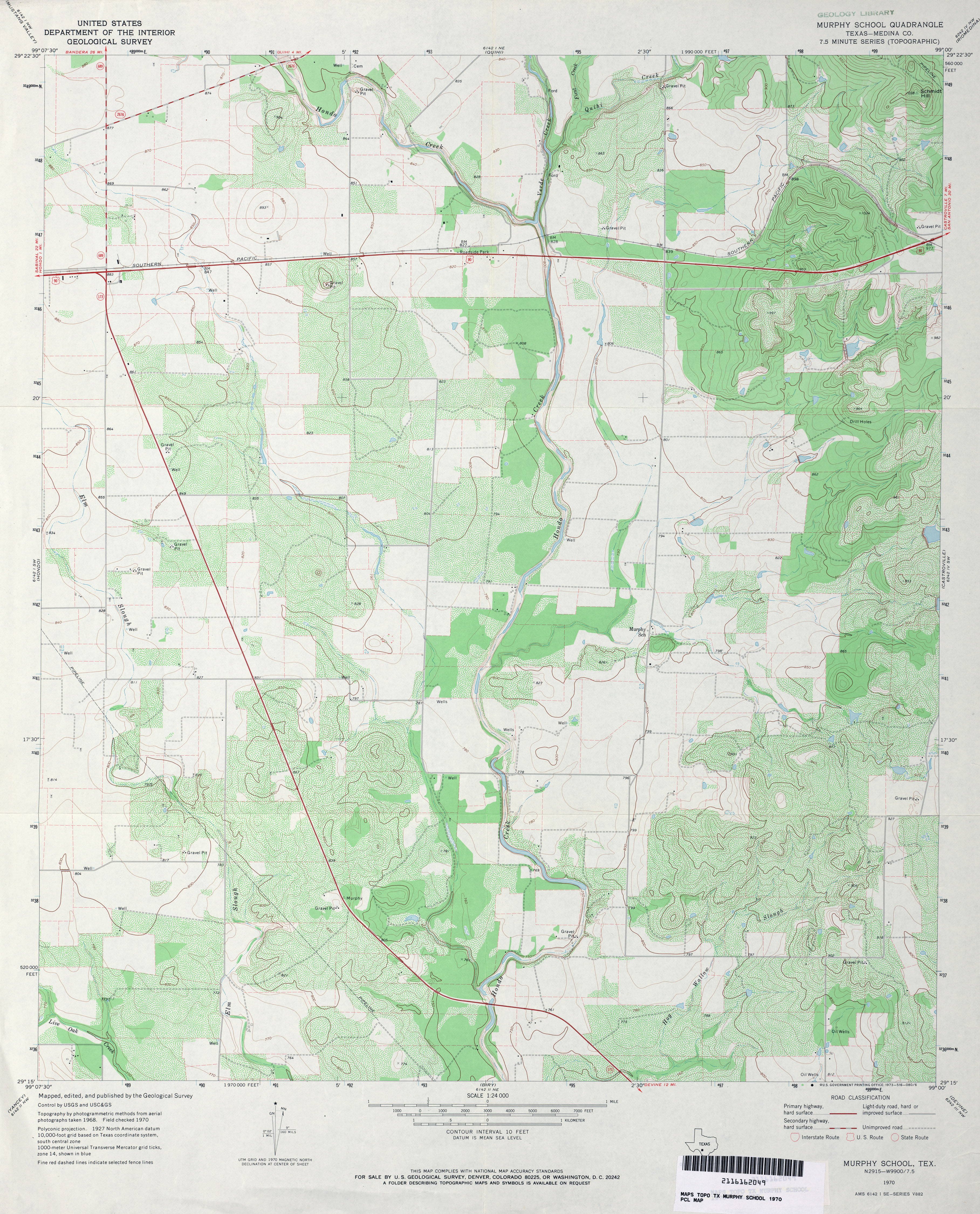
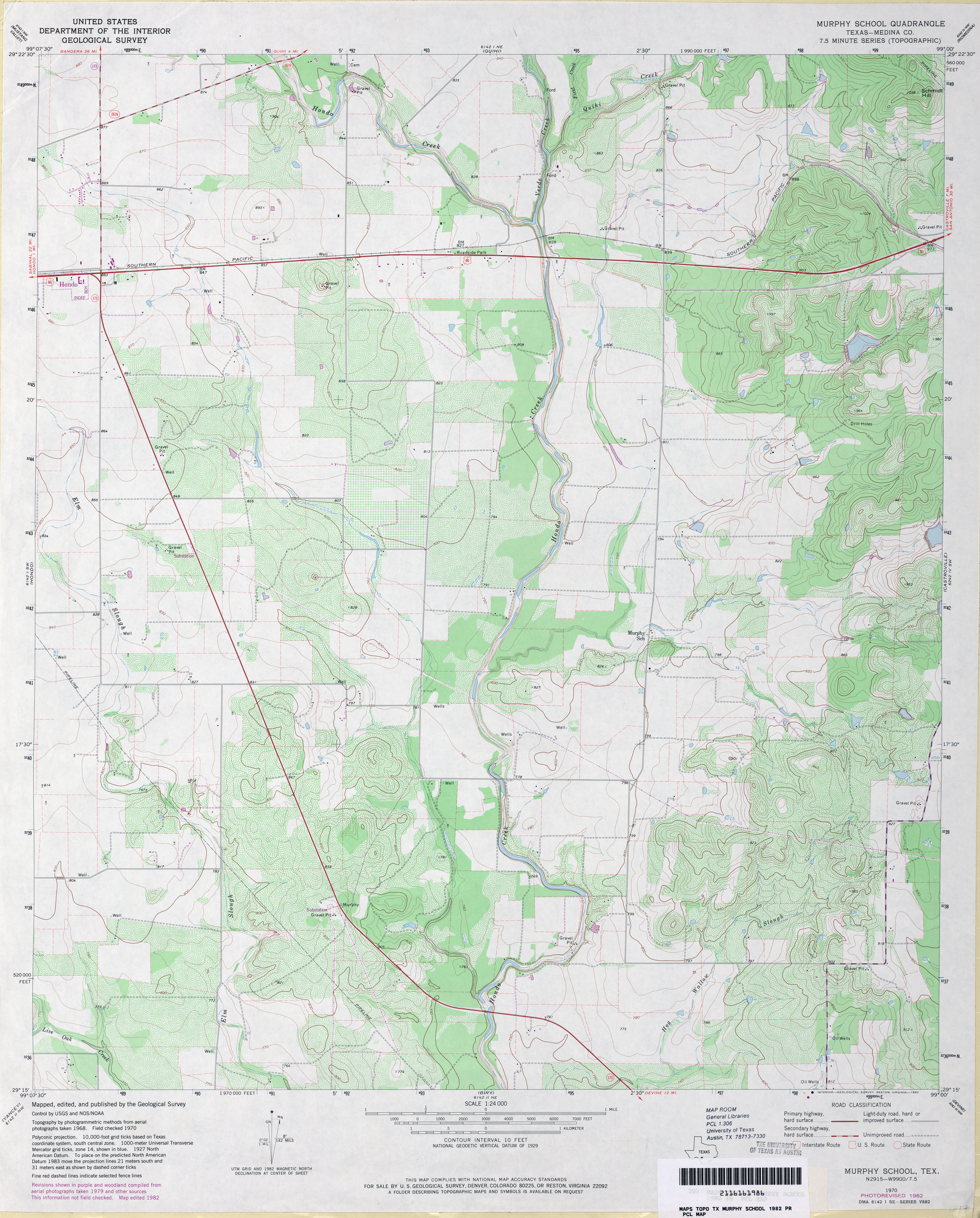
- Murphy School (Medina County) 1:24,000 1970 (4.2MB)
- Murphy School (Medina County) 1:24,000 1982 (4MB)
- Murphy School 1:24,000 2008 (14.9MB) [GeoPDF]
- Murphy School 1:24,000 2013 (21.6MB) [GeoPDF]
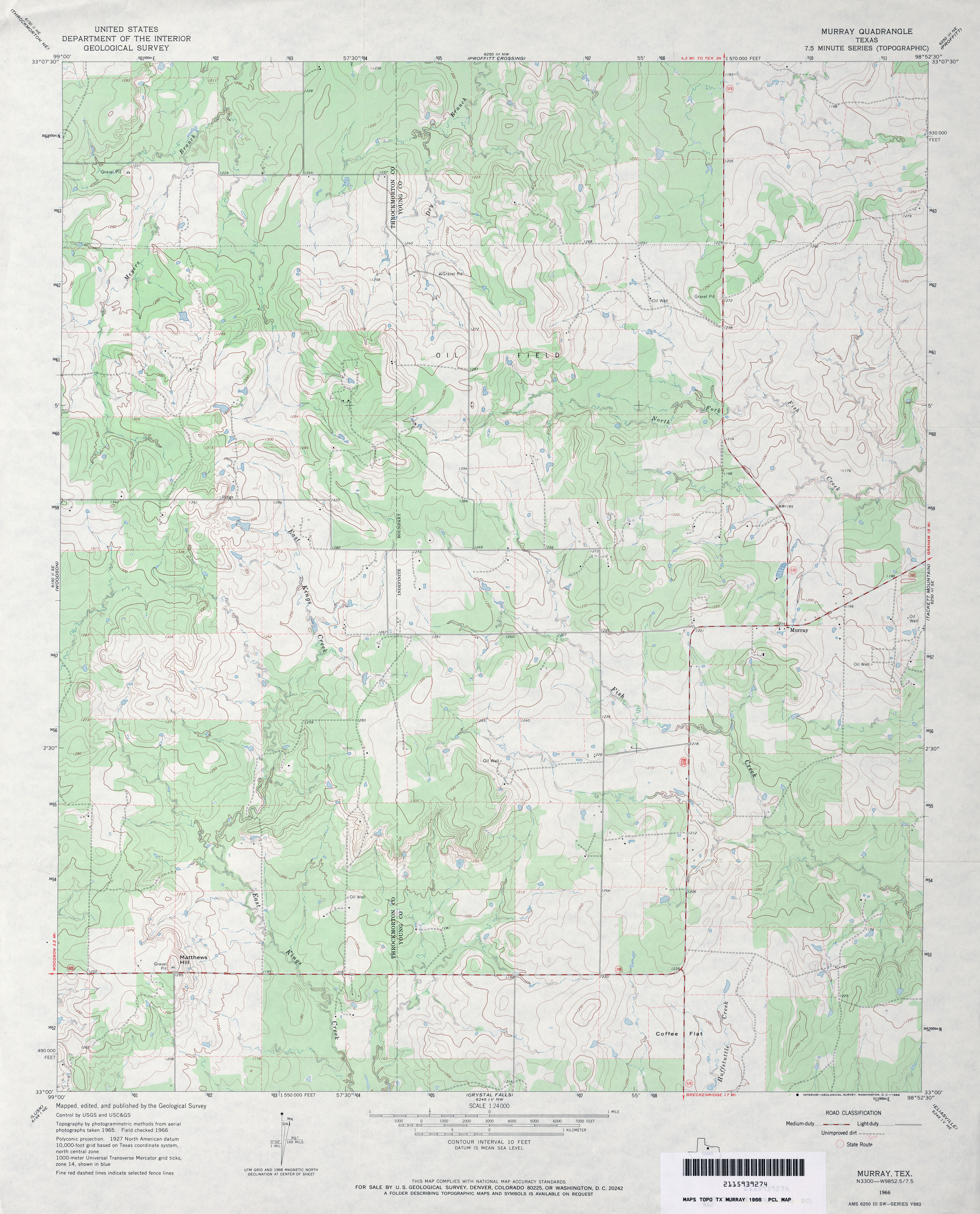
- Murray 1:24,000 1966 (3.4MB)
- Murray 1:50,000 1979 (3.7MB) U.S. Defense Mapping Agency, Edition 2-DMA, Series V782
- Murray 1:24,000 1981 (3.3MB)
- Murray 1:24,000 2008 (17.3MB) [GeoPDF]
- Murray 1:24,000 2012 (21.7MB) [GeoPDF]
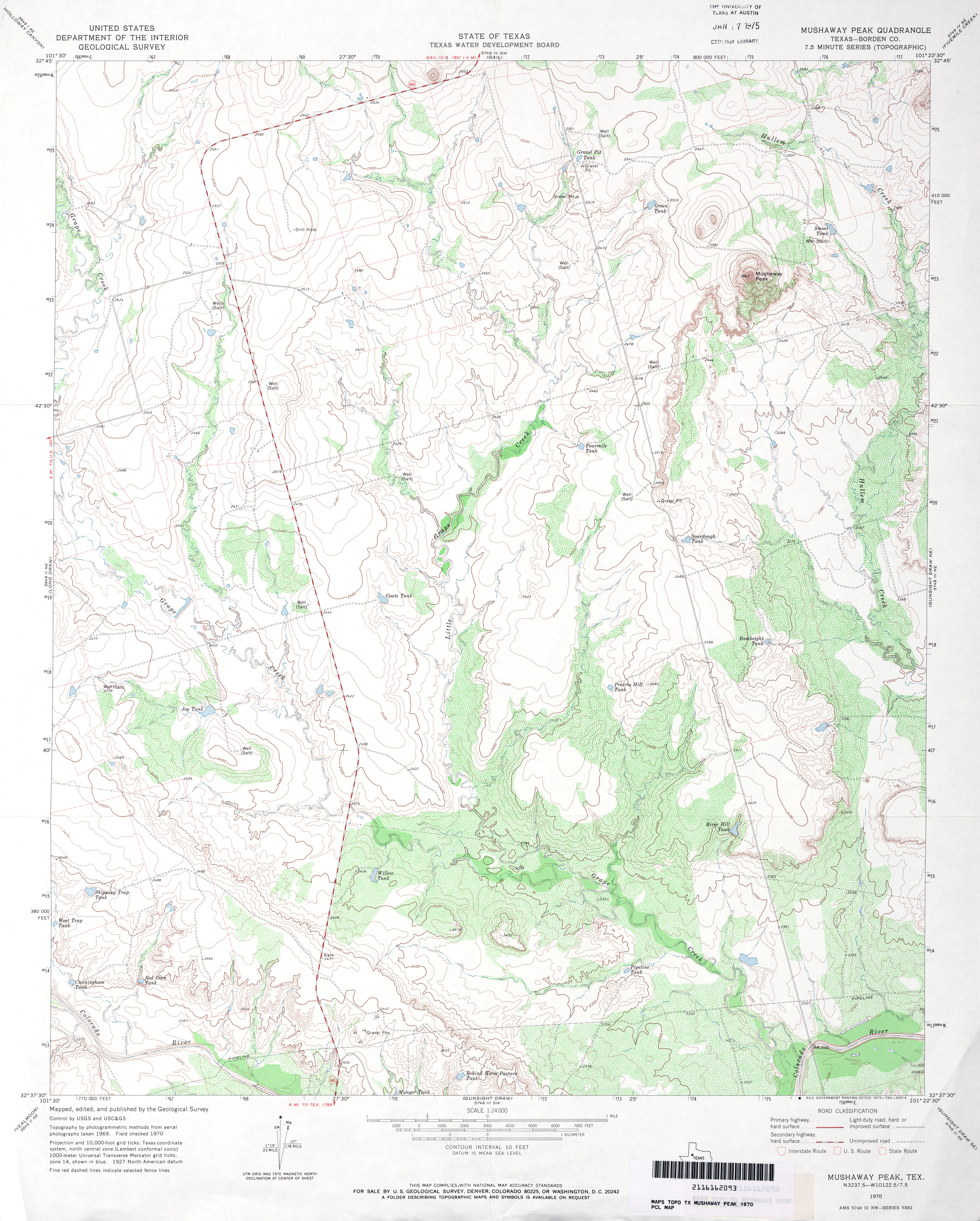
- Mushaway Peak (Borden County) 1:24,000 1970 (4.2MB)
- Mushaway Peak 1:24,000 2008 (15.9MB) [GeoPDF]
- Mushaway Peak 1:24,000 2012 (22.9MB) [GeoPDF]
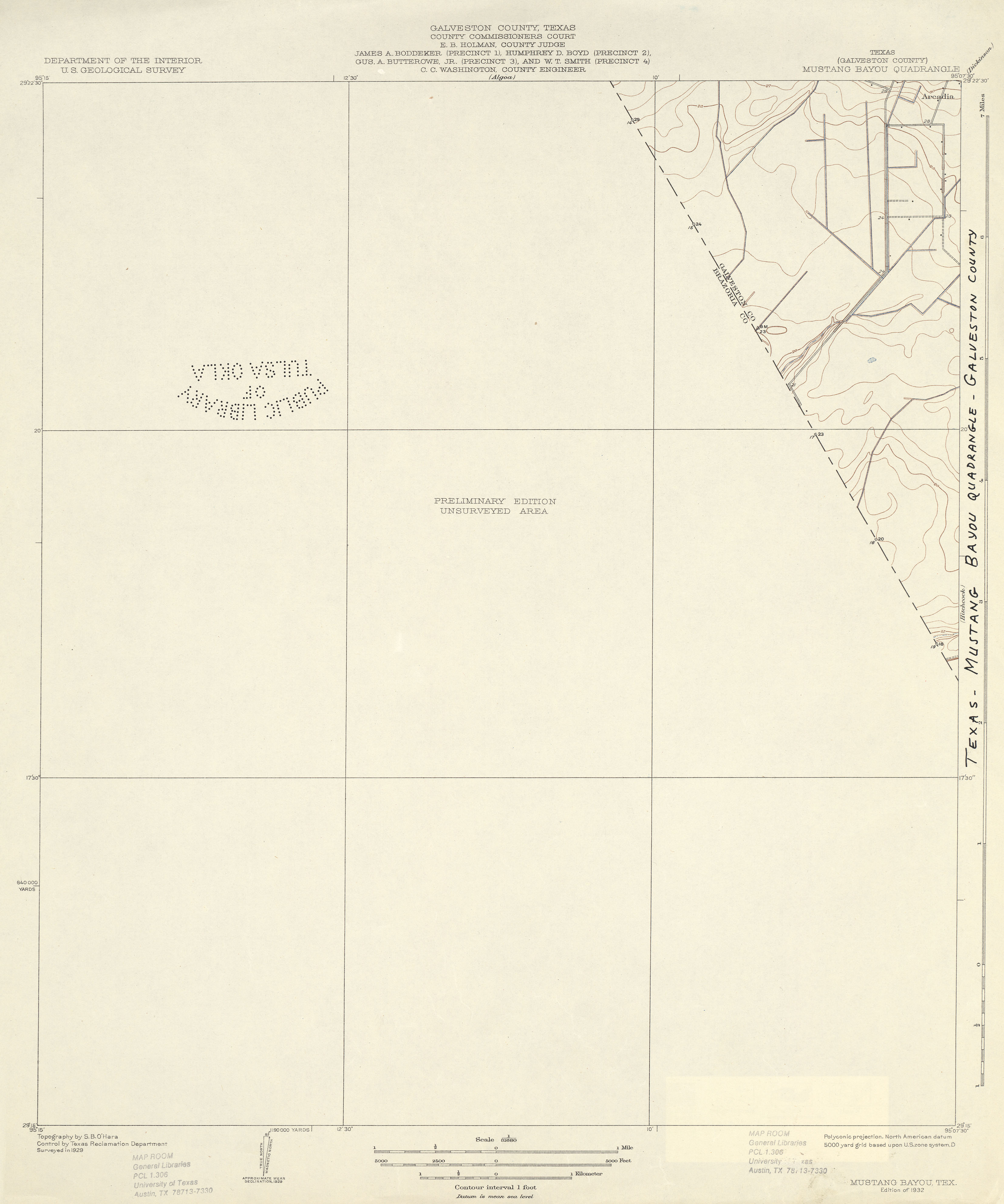
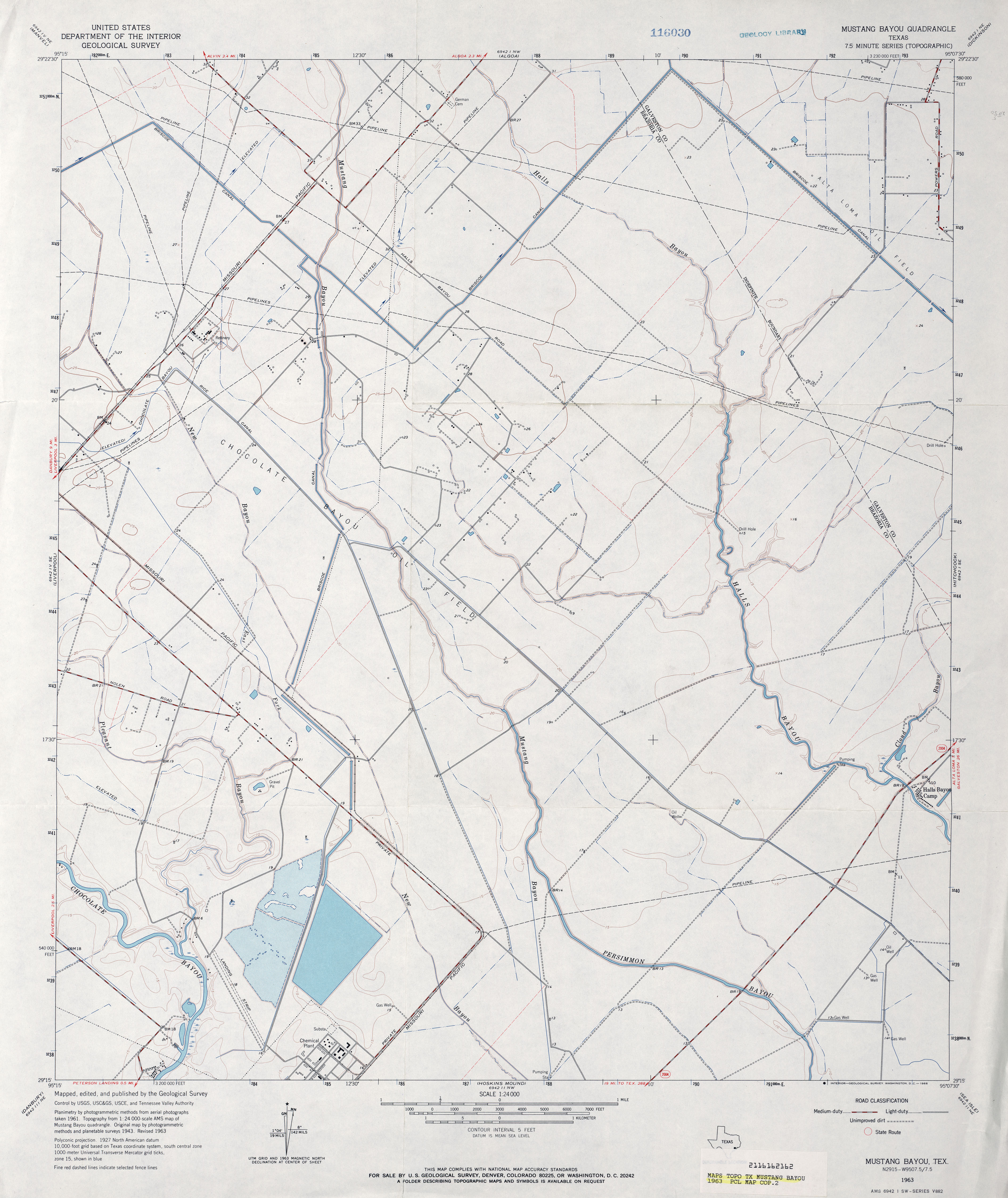
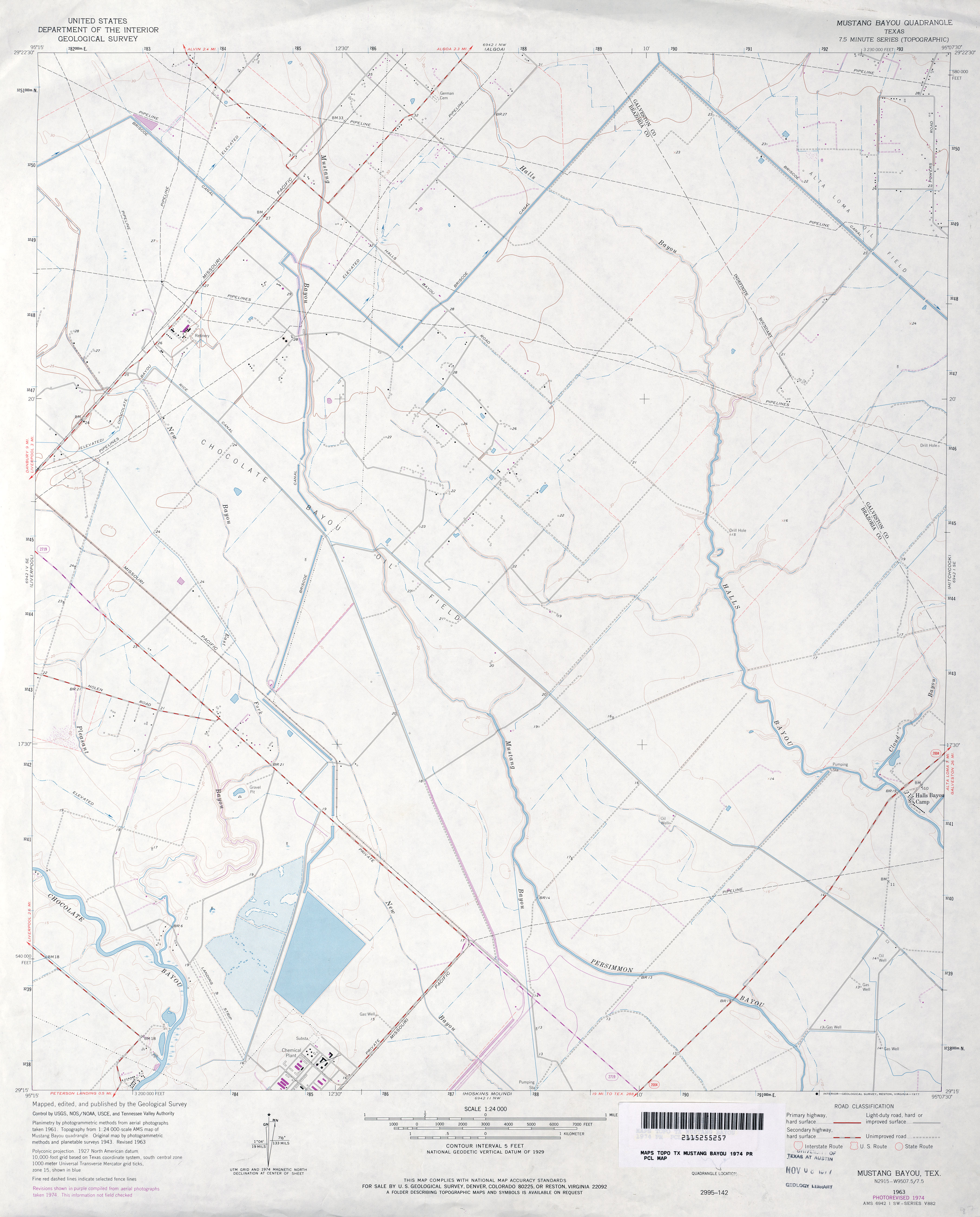
- Mustang Bayou (Galveston County) 1:31,680 1929 (1.4 MB)
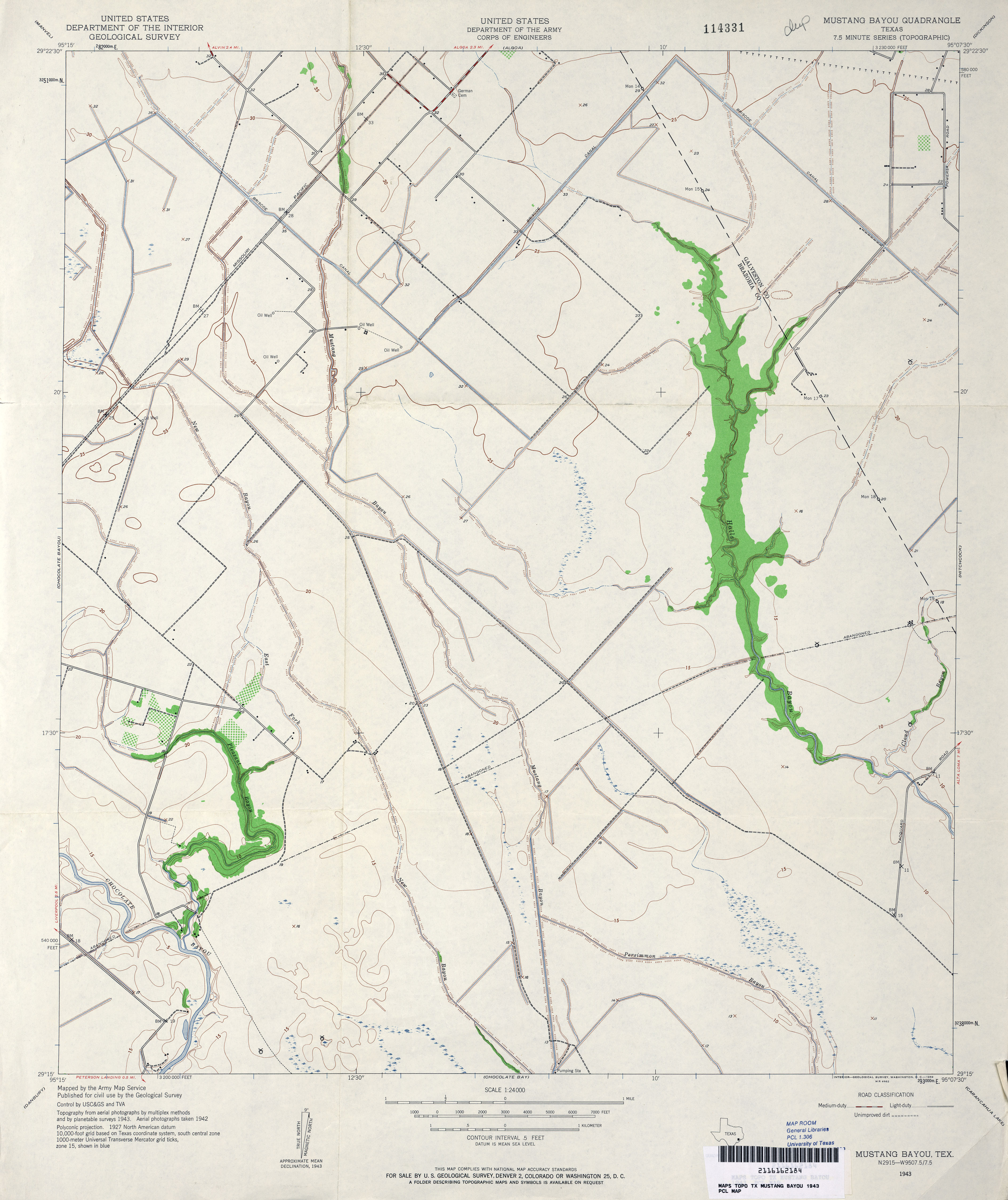
- Mustang Bayou 1:24,000 1943 (3MB) U.S. Department of the Army Corps of Engineers
- Mustang Bayou 1:24,000 1963 (3MB)
- Mustang Bayou 1:24,000 1974 (2.7MB)
- Mustang Bayou 1:24,000 2008 (860KB) Texas Natural Resources Information System (TNRIS). [pdf]
- Mustang Bayou 1:24,000 2009 (16.4MB) [GeoPDF]
- Mustang Bayou 1:24,000 2013 (17.7MB) [GeoPDF]
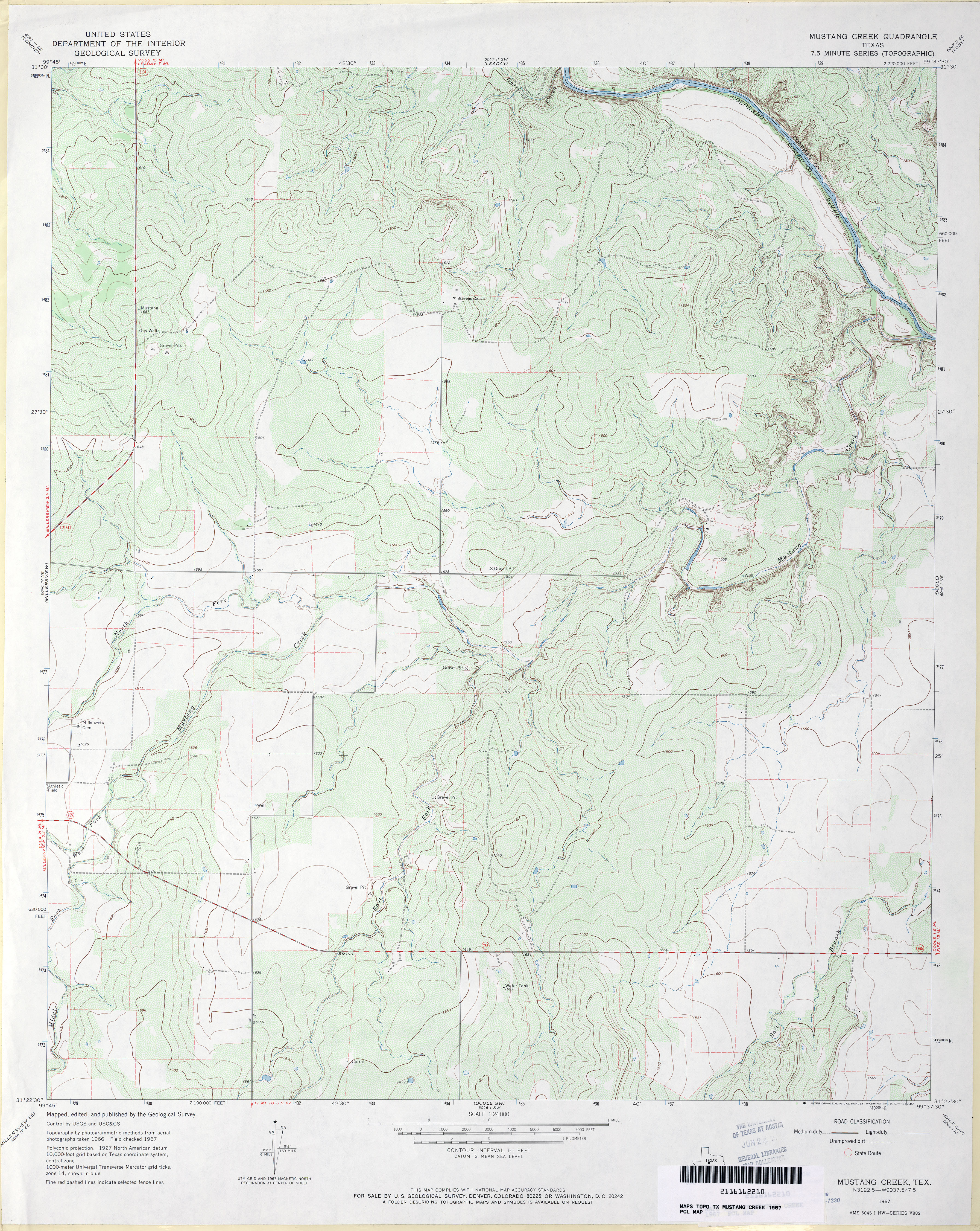
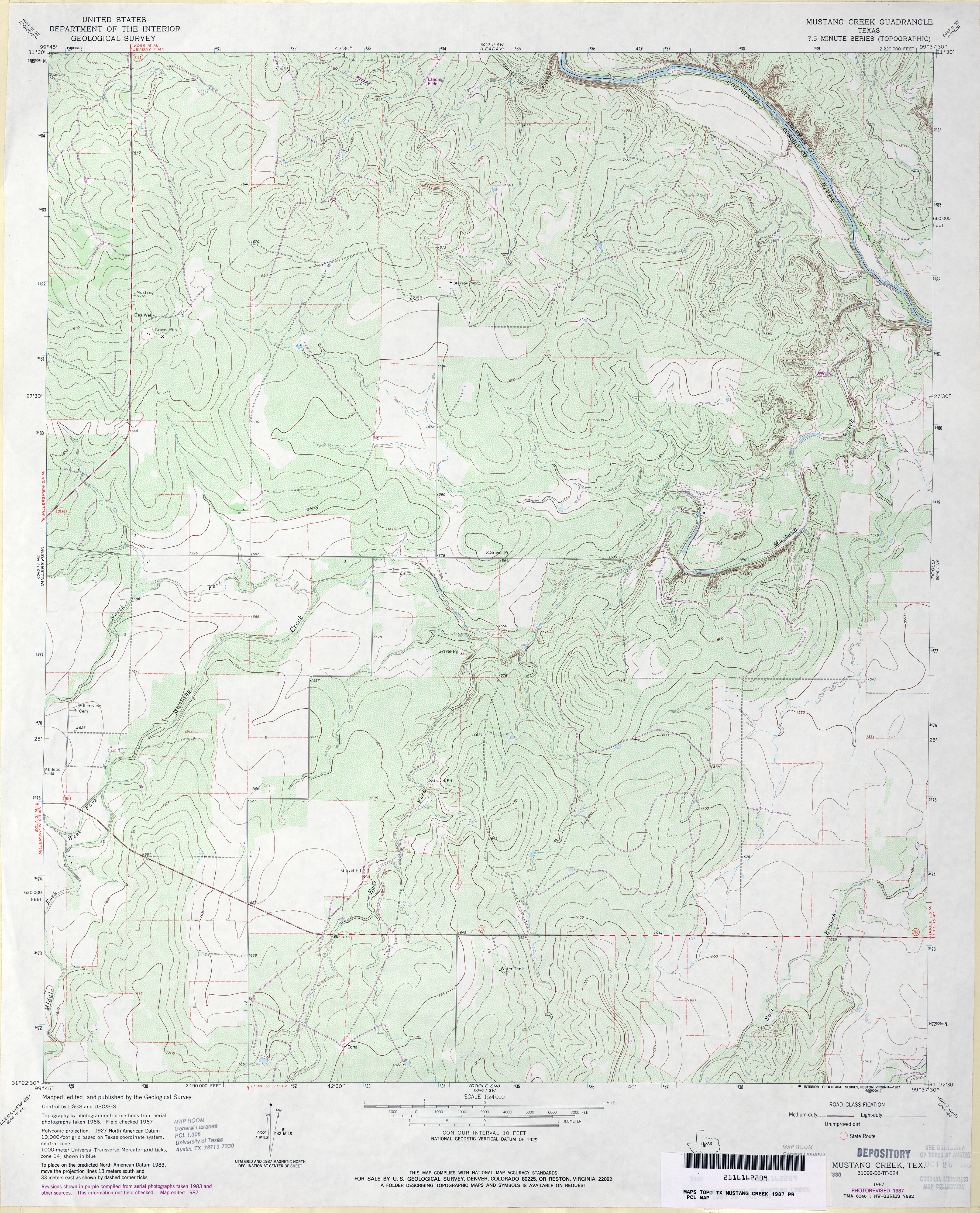
- Mustang Creek 1:24,000 1967 (4.3MB)
- Mustang Creek 1:24,000 1987 (4.5MB)
- Mustang Creek 1:24,000 2008 (19.3MB) [GeoPDF]
- Mustang Creek 1:24,000 2013 (22.2MB) [GeoPDF]
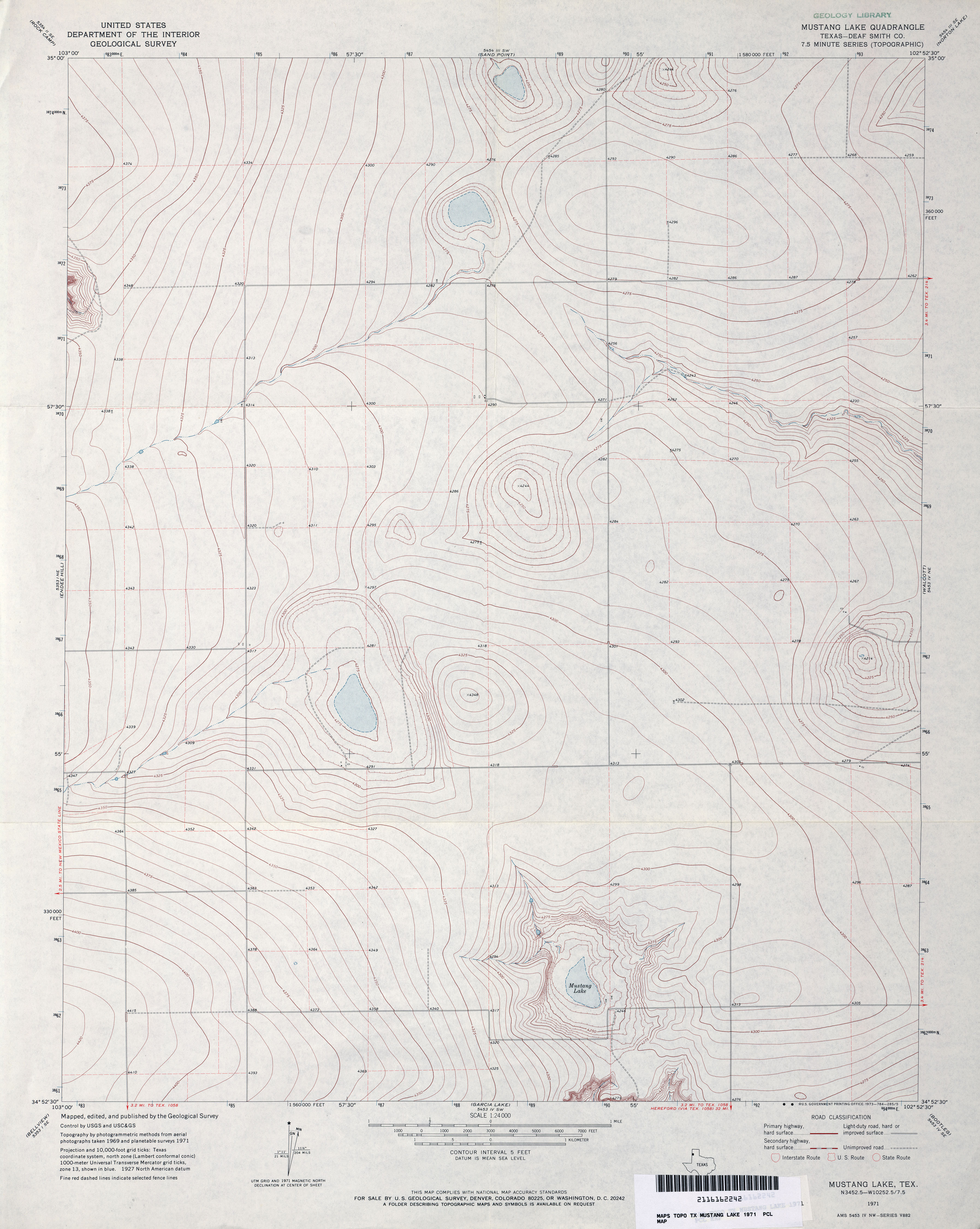
- Mustang Lake (Deaf Smith County) 1:24,000 1971 (2.9MB)
- Mustang Lake 1:24,000 2008 (8.5MB) [GeoPDF]
- Mustang Lake 1:24,000 2012 (12.1MB) [GeoPDF]
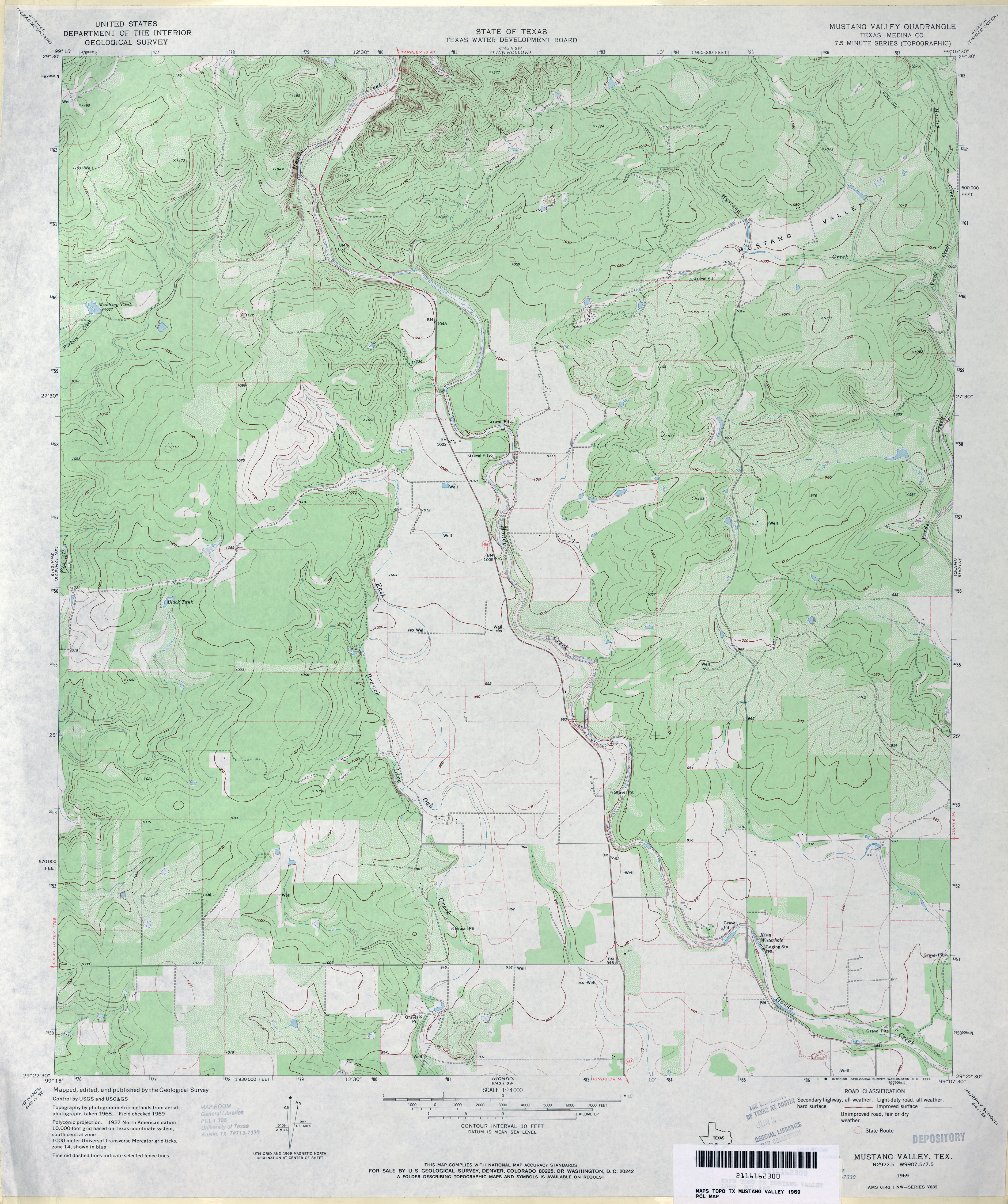
- Mustang Valley (Medina County) 1:24,000 1969 (3.9MB)
- Mustang Valley 1:24,000 2008 (16.6MB) [GeoPDF]
- Mustang Valley 1:24,000 2012 (23.6MB) [GeoPDF]
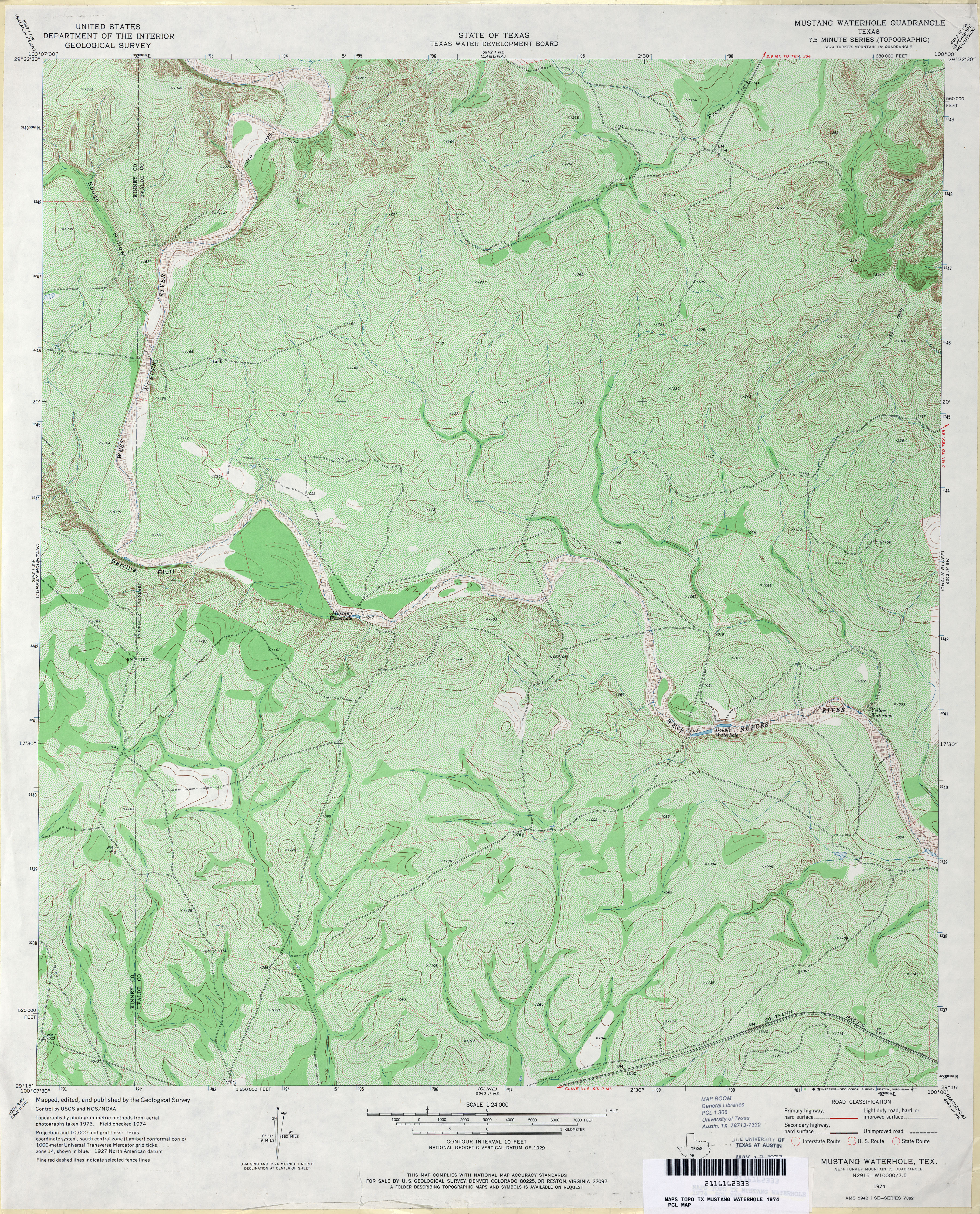
- Mustang Waterhole 1:24,000 1974 (6.5MB)
- Mustang Waterhole 1:24,000 2008 (19.6MB) [GeoPDF]
- Mustang Waterhole 1:24,000 2013 (29.7MB) [GeoPDF]
- Mykawa (Harris County) 1:31,680 1915 (1.7 MB)
- Mykawa 1:25,000 1947 (2.7MB) U.S. Army Map Service, Series V882
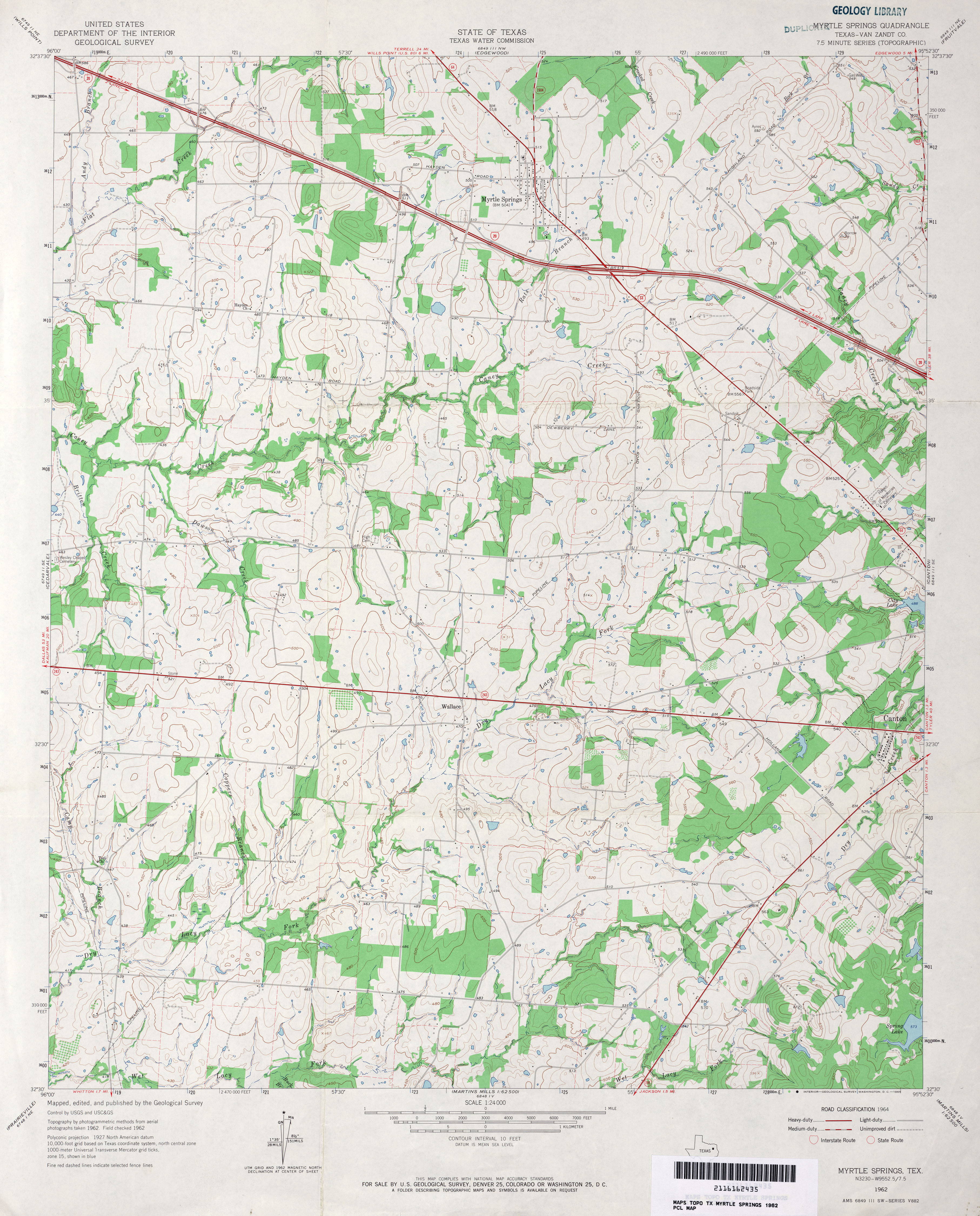
- Myrtle Springs (Van Zandt County) 1:24,000 1962 (3.9MB)
- Myrtle Springs (Van Zandt County) 1:24,000 1981 (4.2MB)
- Myrtle Springs 1:24,000 2009 (18.5MB) [GeoPDF]
- Myrtle Springs 1:24,000 2012 (21.5MB) [GeoPDF]
Return to the top