Perry-Castañeda Library
Map Collection
Texas Topographic Maps
Maps in this online collection are from the Perry-Castañeda Library, Walter Geology Library and Dolph Briscoe Center for American History at the University of Texas at Austin as well as the Texas State Library. All maps on this site were published by the U.S. Geological Survey unless otherwise noted and are in the public domain. The date given for each map is the date of latest survey. The Geographic Names Information System allows searches of geographic names to determine which map sheets they appear on. Indexes are available for Texas - East and Texas - West for the 1:24,000 map series. Maps published prior to 1923 are on the Texas Historical Topographic Map Index. More information about these maps is available on the Topographic Maps Home Page. Note: To fully view the GeoPDF files use Adobe Reader as your default PDF viewer or download the files and open them within Adobe Reader.
A, B, C, D, E, F, G, H, I, J, K, L, M, N, O, P, Q, R, S, T, U, V, W, X, Y, Z
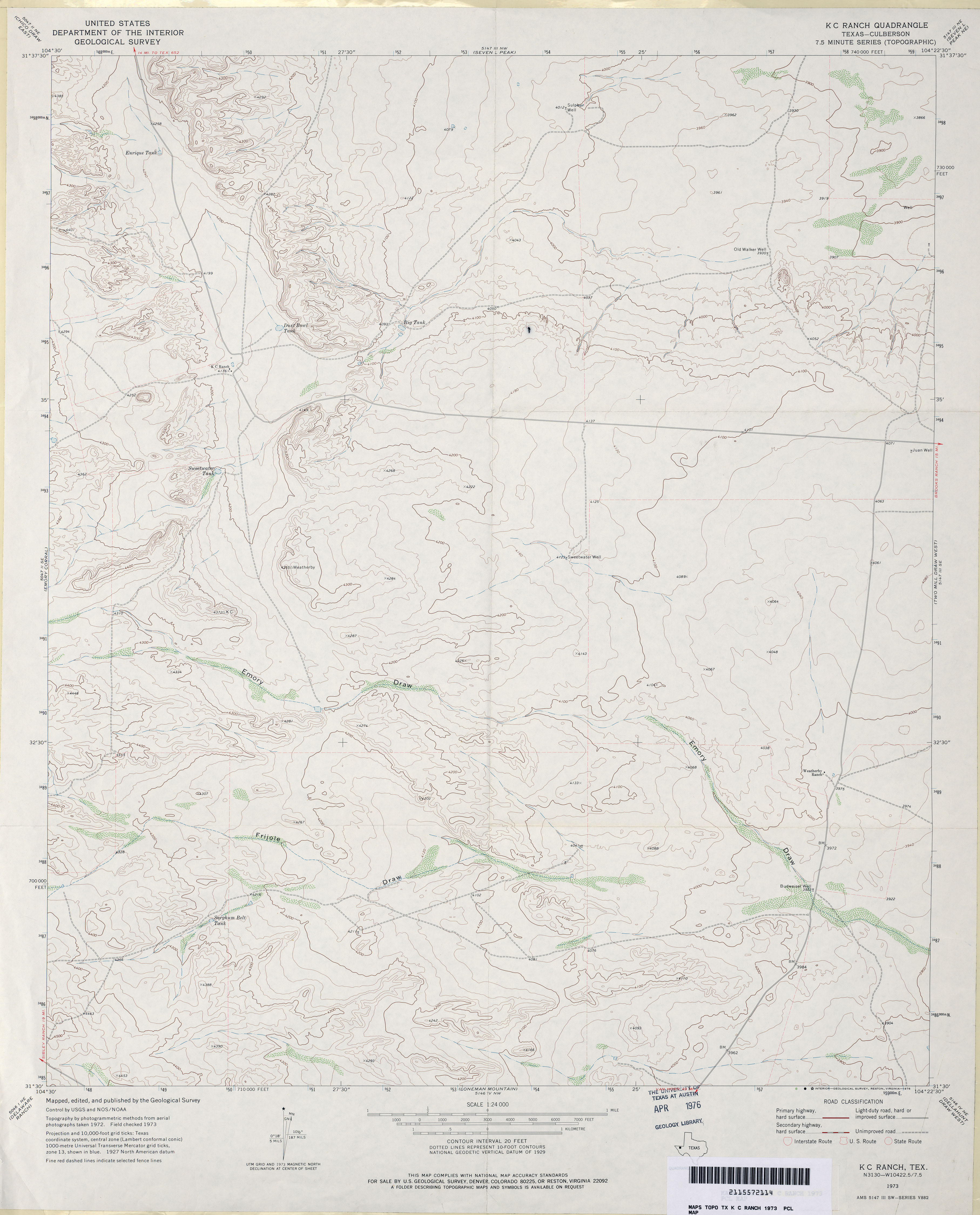
- K C Ranch (Culberson County) 1:24,000 1973 (2.9MB)
- K C Ranch 1:24,000 2008 (22.8MB) [GeoPDF]
- K C Ranch 1:24,000 2012 (23.9MB) [GeoPDF]
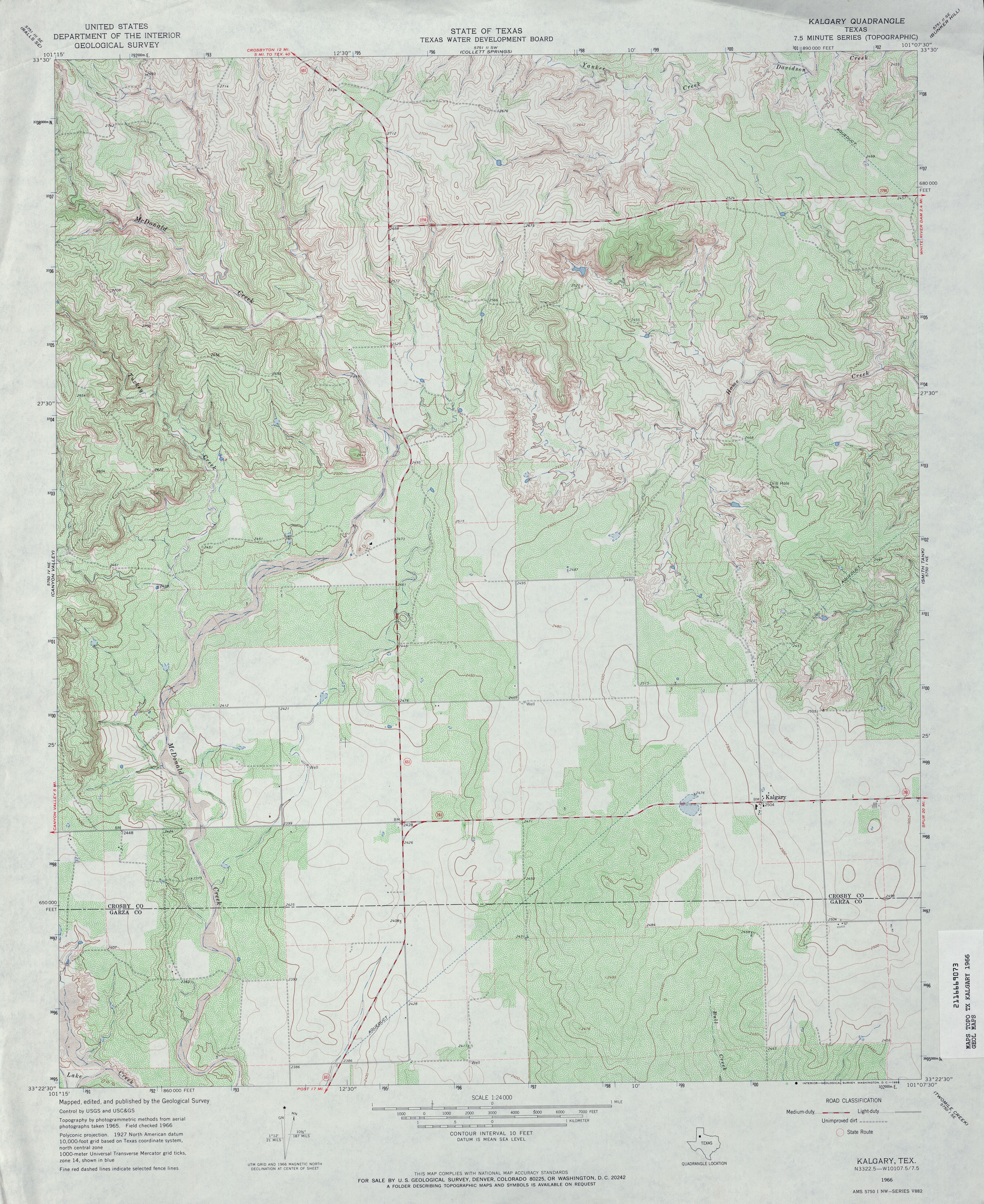
- Kalgary 1:24,000 1966 (4.7MB)
- Kalgary 1:24,000 2008 (16.7MB) [GeoPDF]
- Kalgary 1:24,000 2012 (21.8MB) [GeoPDF]
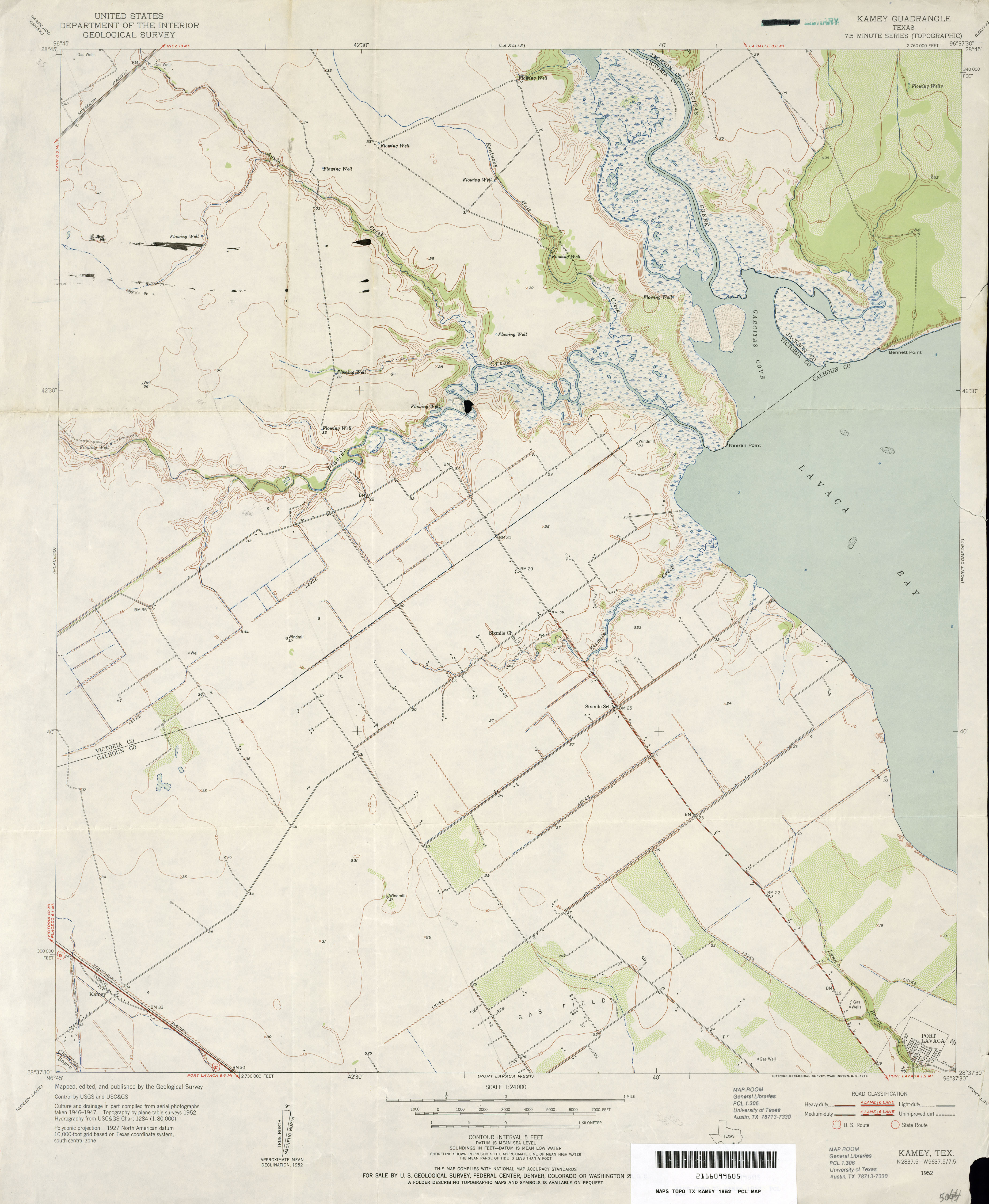
- Kamey 1:24,000 1952 (2.8MB)
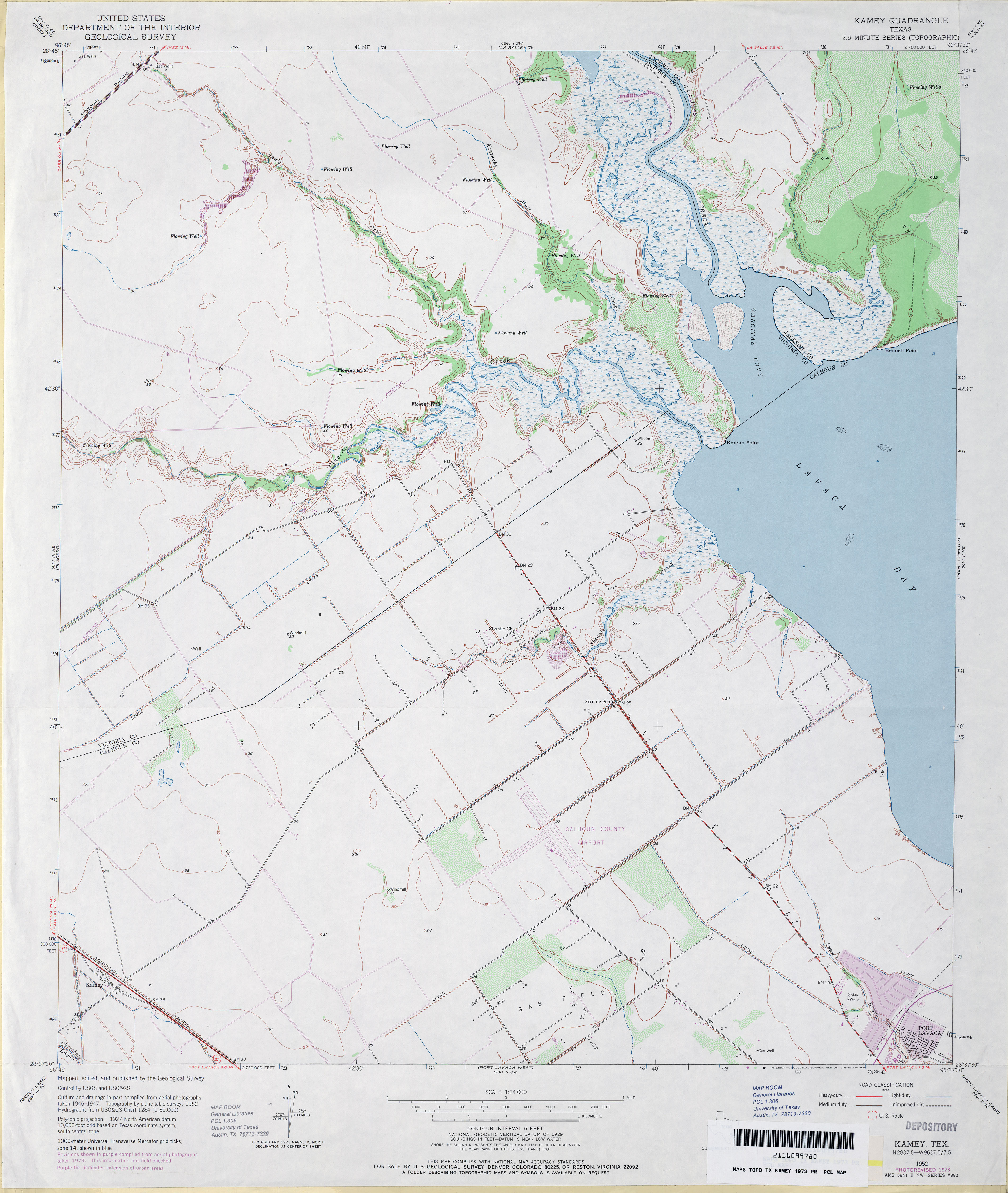
- Kamey 1:24,000 1973 (3.2MB)
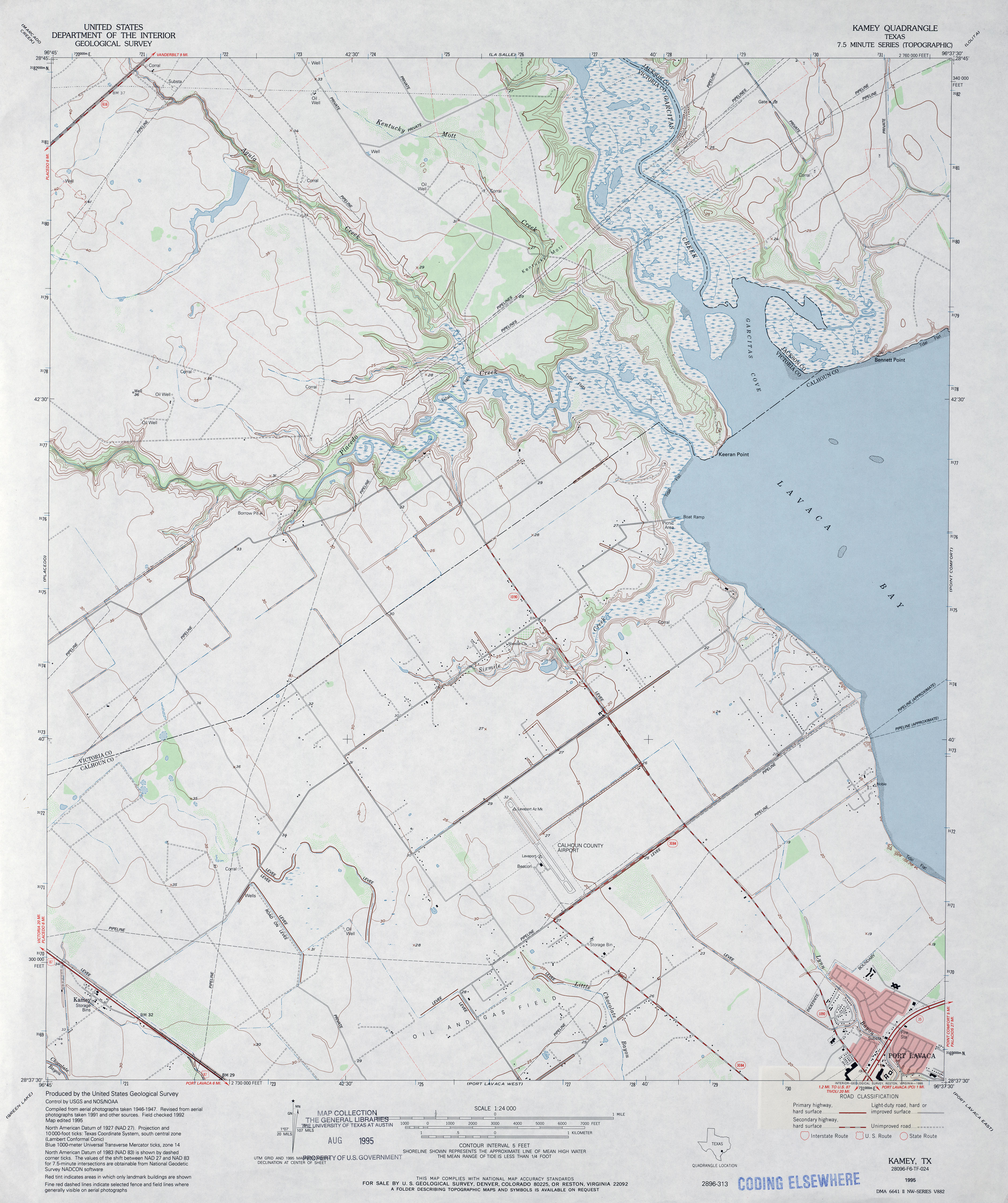
- Kamey 1:24,000 1995 (3.4MB)
- Kamey 1:24,000 2008 (11.7MB) [GeoPDF]
- Kamey 1:24,000 2013 (18.5MB) [GeoPDF]
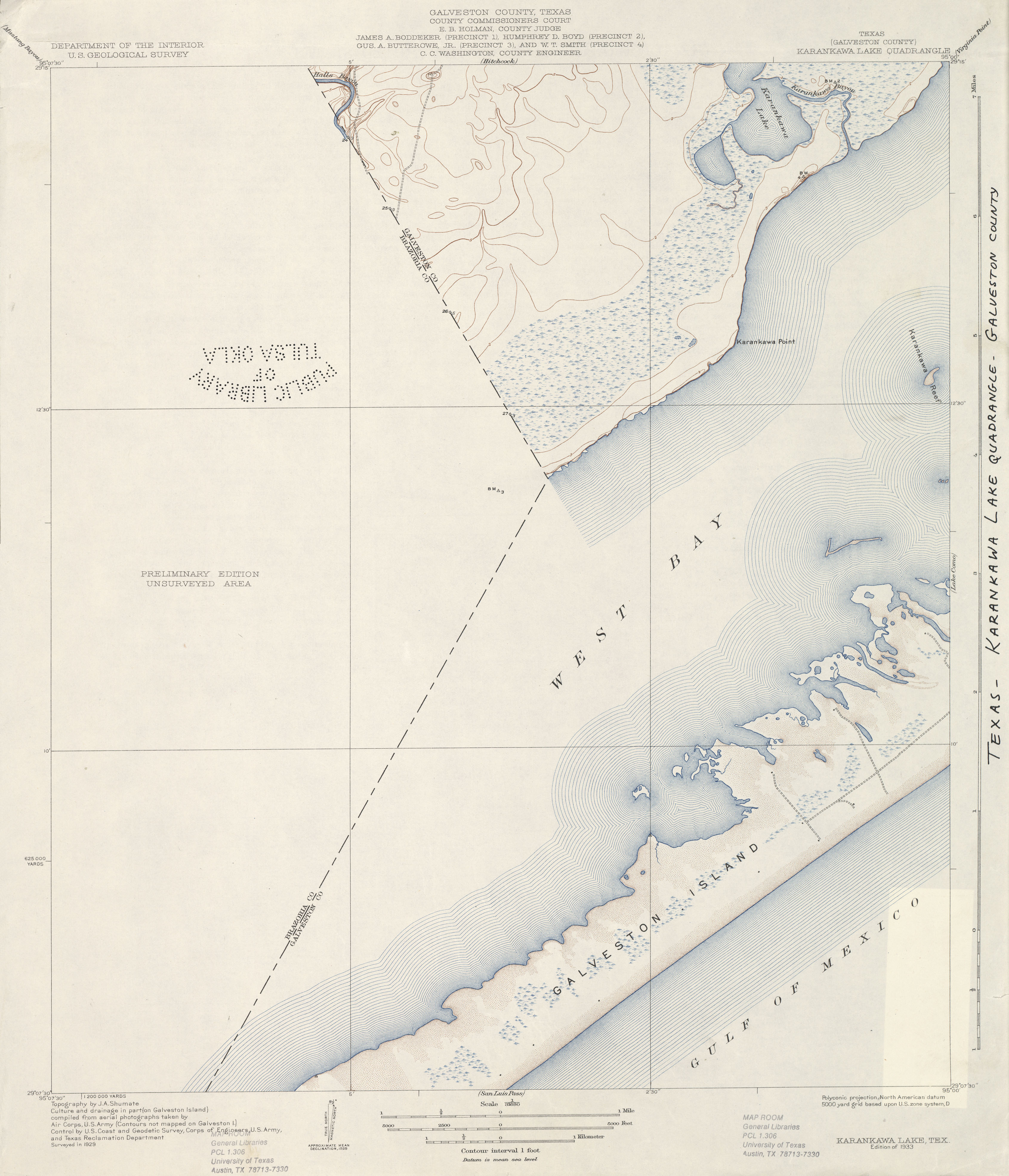
- Karankawa Lake (Galveston County) 1:31,680 1929 (2.3 MB)
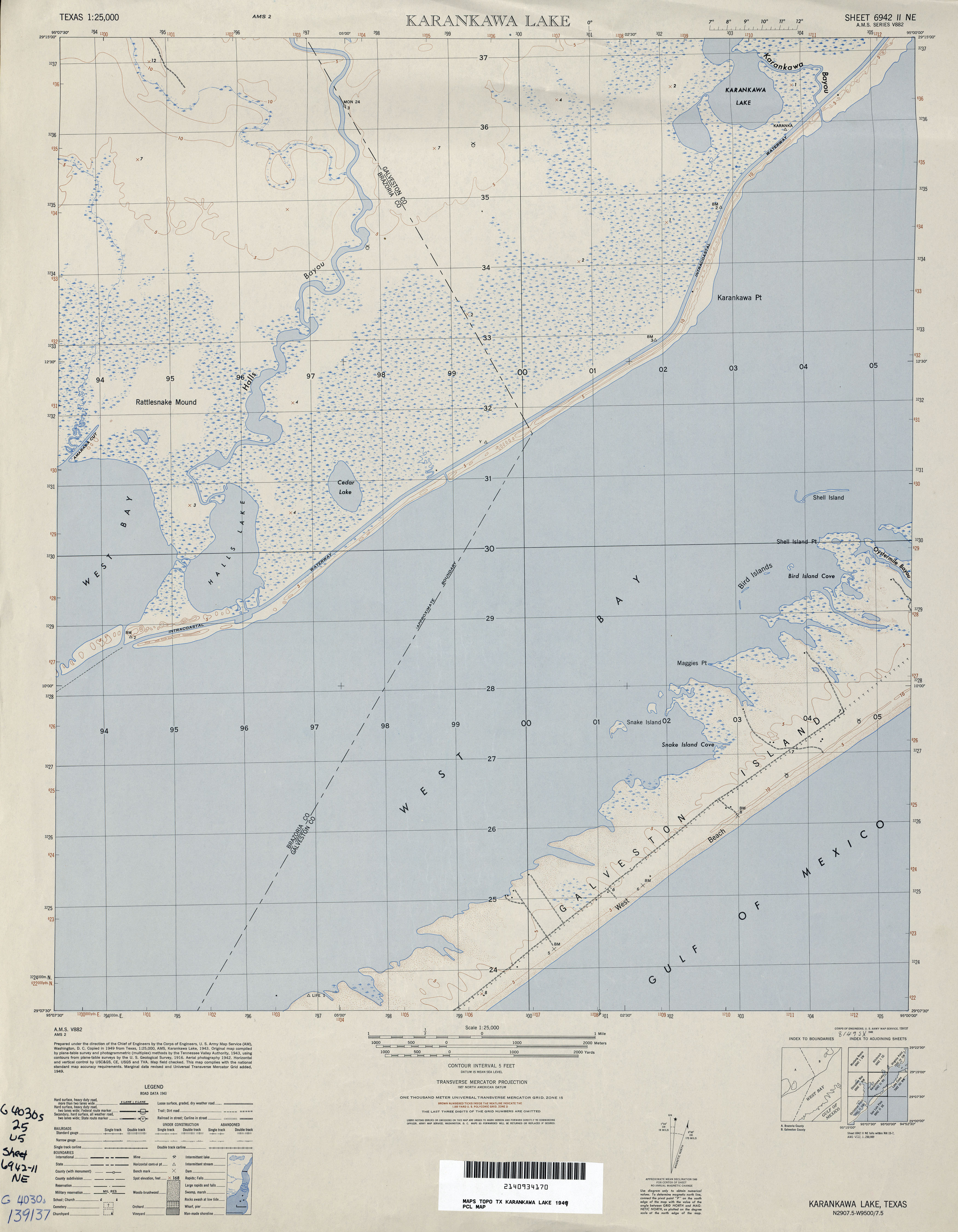
- Karankawa Lake 1:25,000 1949 (2.8MB) U.S. Army Mapping Service, Series V882.
- Karnack 1:24,000 1962 (4.4MB)
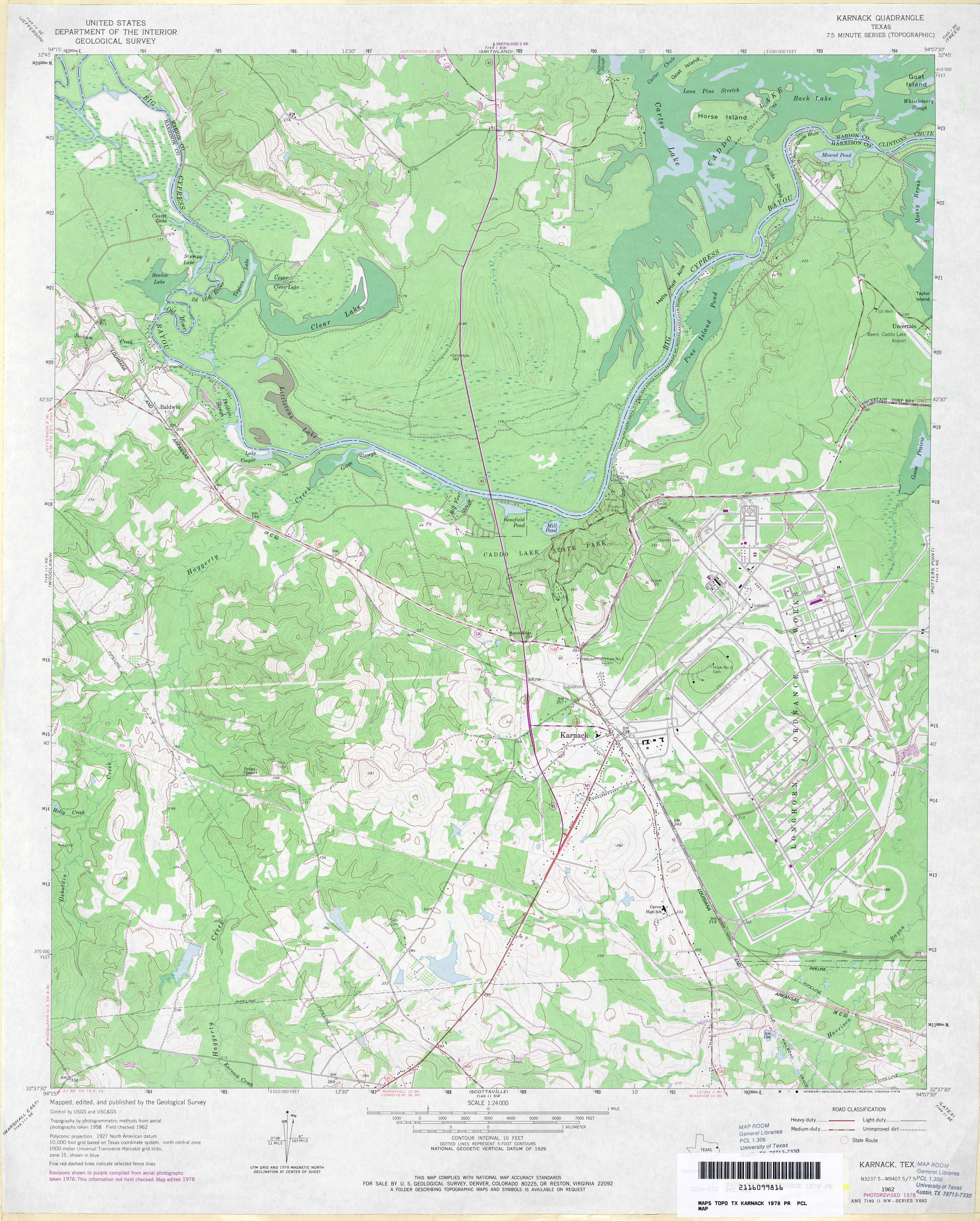
- Karnack 1:24,000 1978 (4.1MB)
- Karnack 1:24,000 2009 (22.8MB) [GeoPDF]
- Karnack 1:24,000 2013 (24.4MB) [GeoPDF]
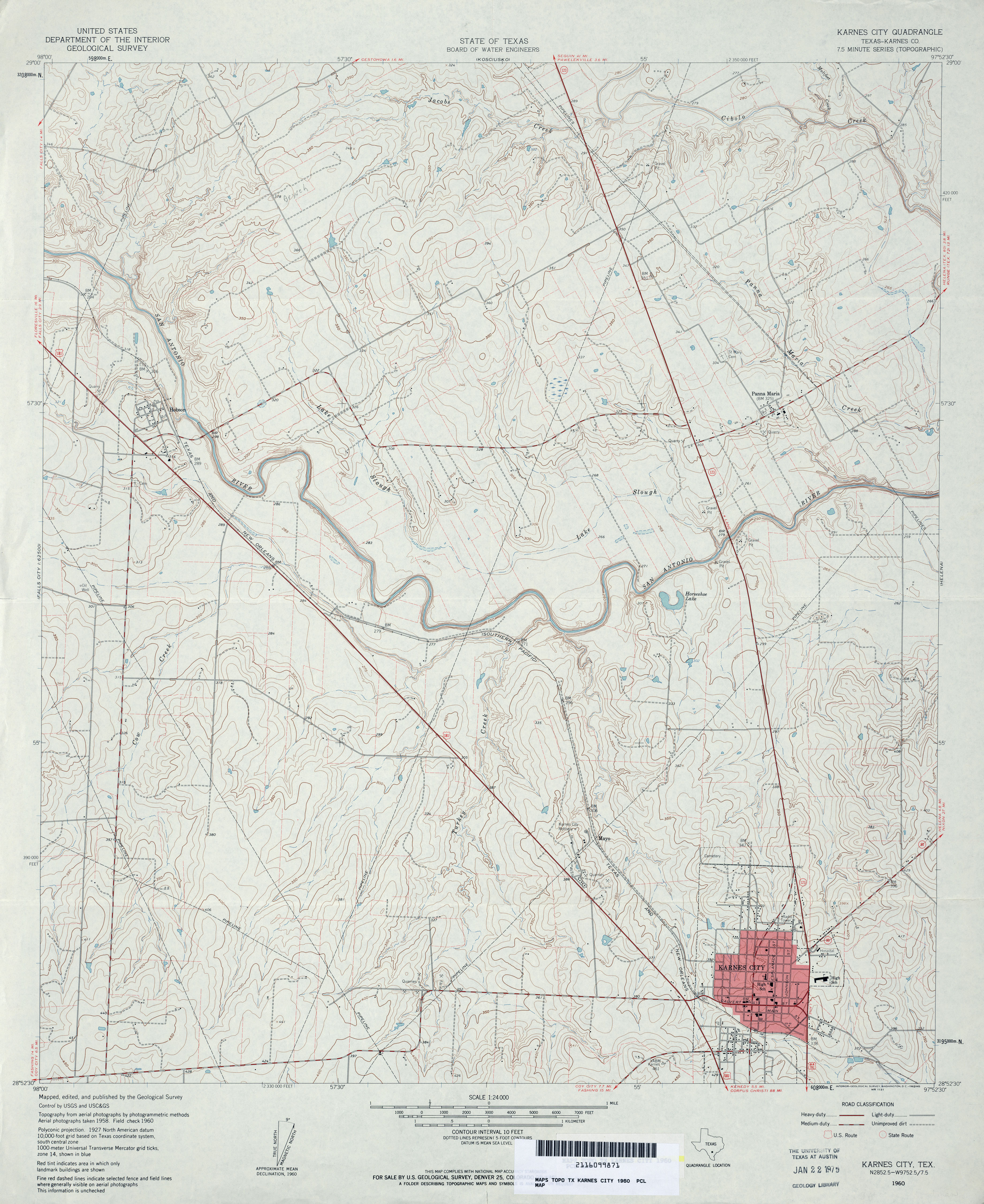
- Karnes City (Karnes County) 1:24,000 1960 (4.1MB)
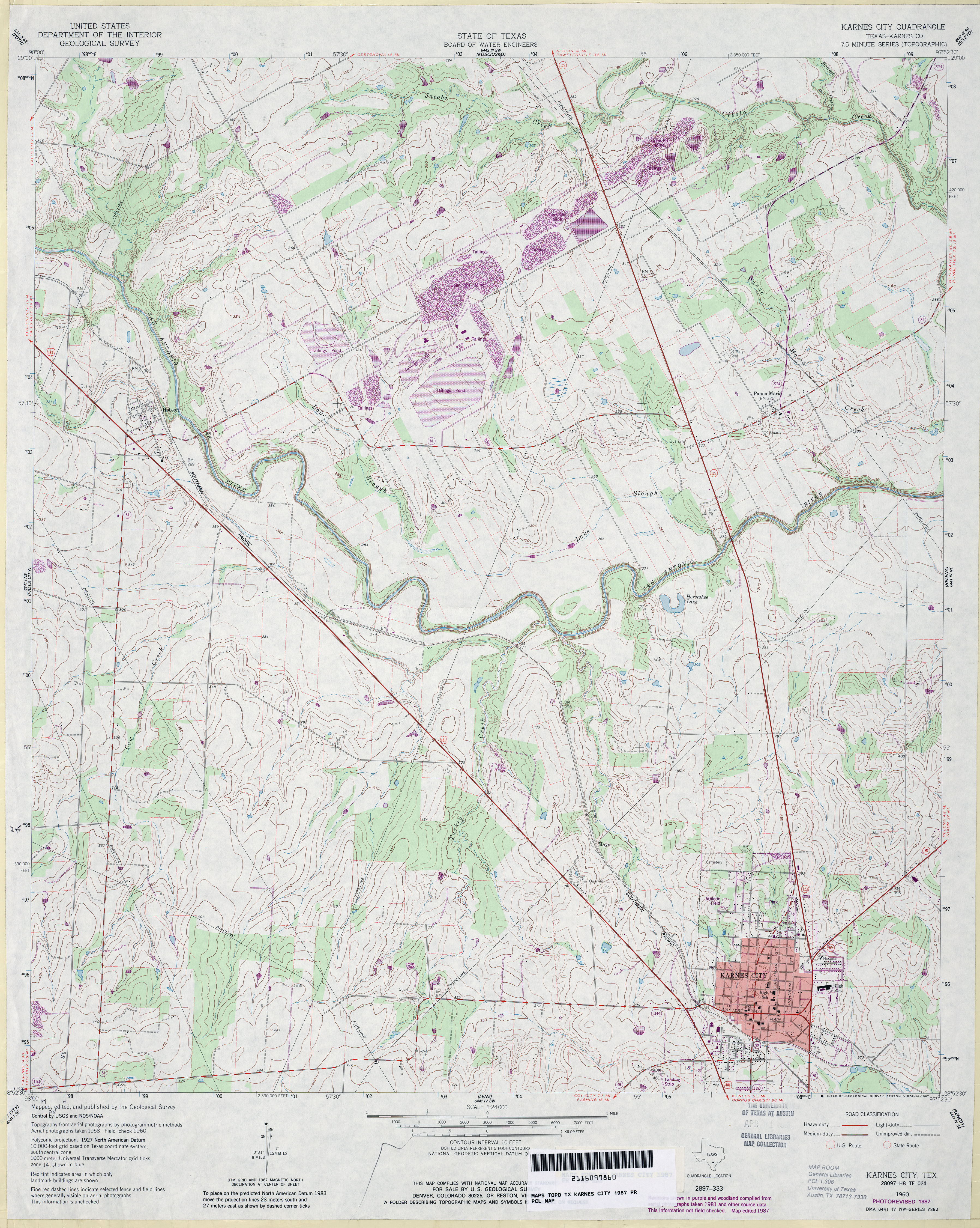
- Karnes City (Karnes County) 1:24,000 1987 (4.5MB)
- Karnes City 1:24,000 2008 (14.1MB) [GeoPDF]
- Karnes City 1:24,000 2013 (22.7MB) [GeoPDF]
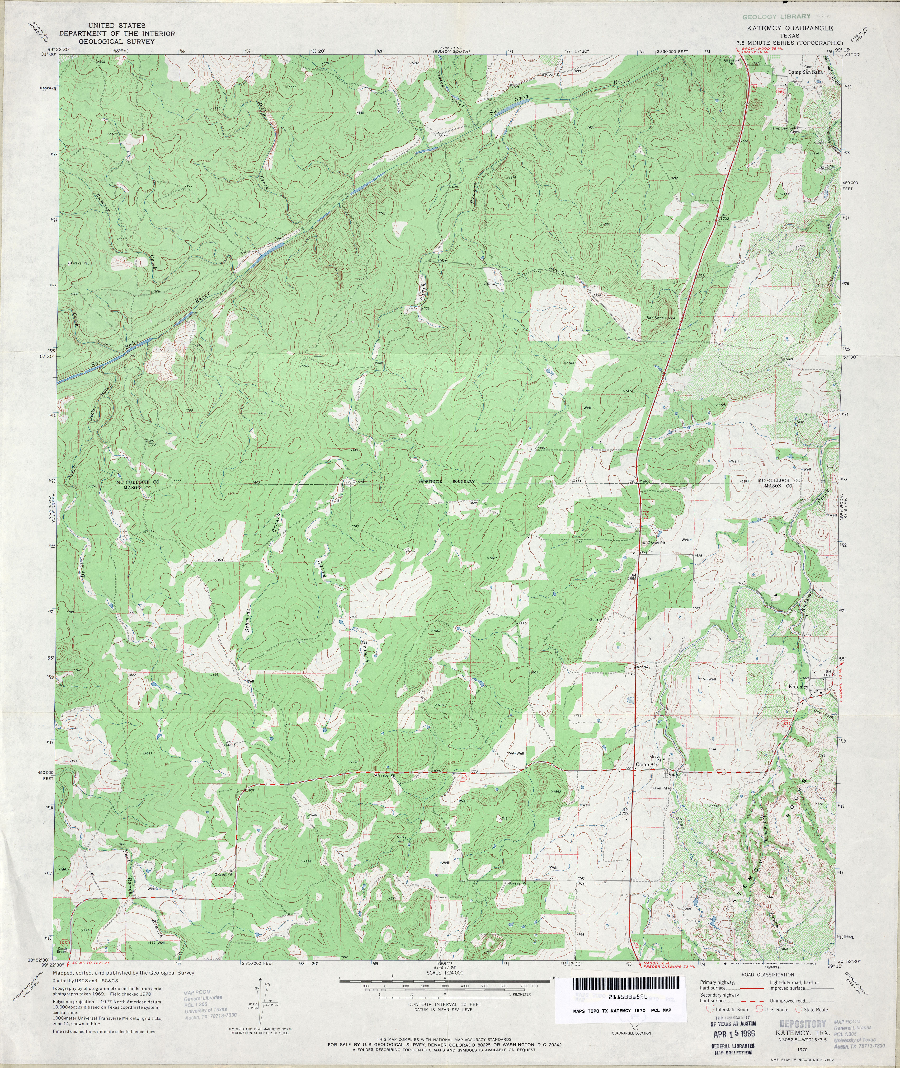
- Katemcy 1:24,000 1970 (4.5MB)
- Katemcy 1:24,000 2008 (24.5MB) [GeoPDF]
- Katemcy 1:24,000 2012 (25.3MB) [GeoPDF]
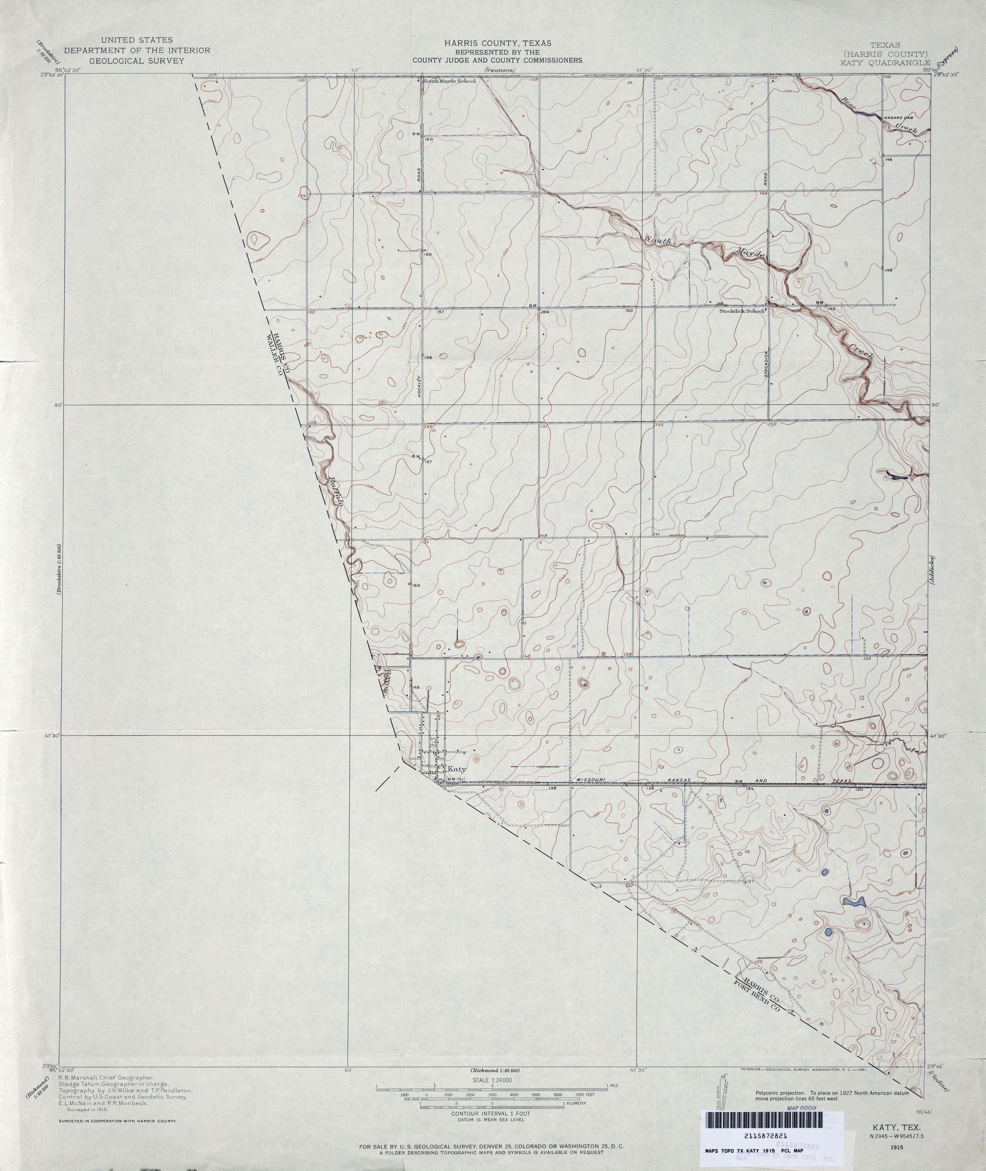
- Katy (Harris County) 1:31,680 1915 (1.6 MB)
- Katy (Harris County) 1:24,000 1915 (2.6MB)
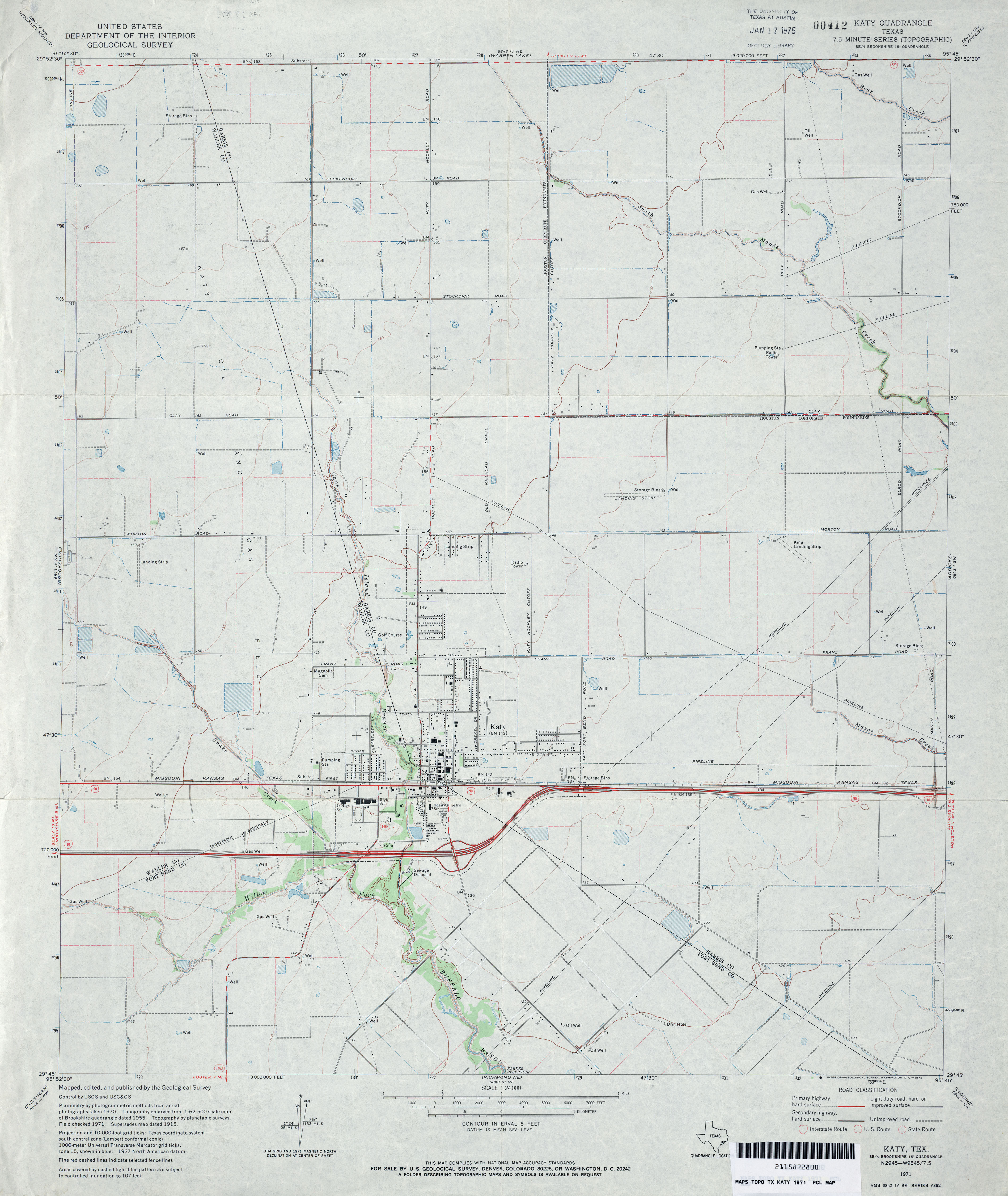
- Katy 1:24,000 1971 (3MB)
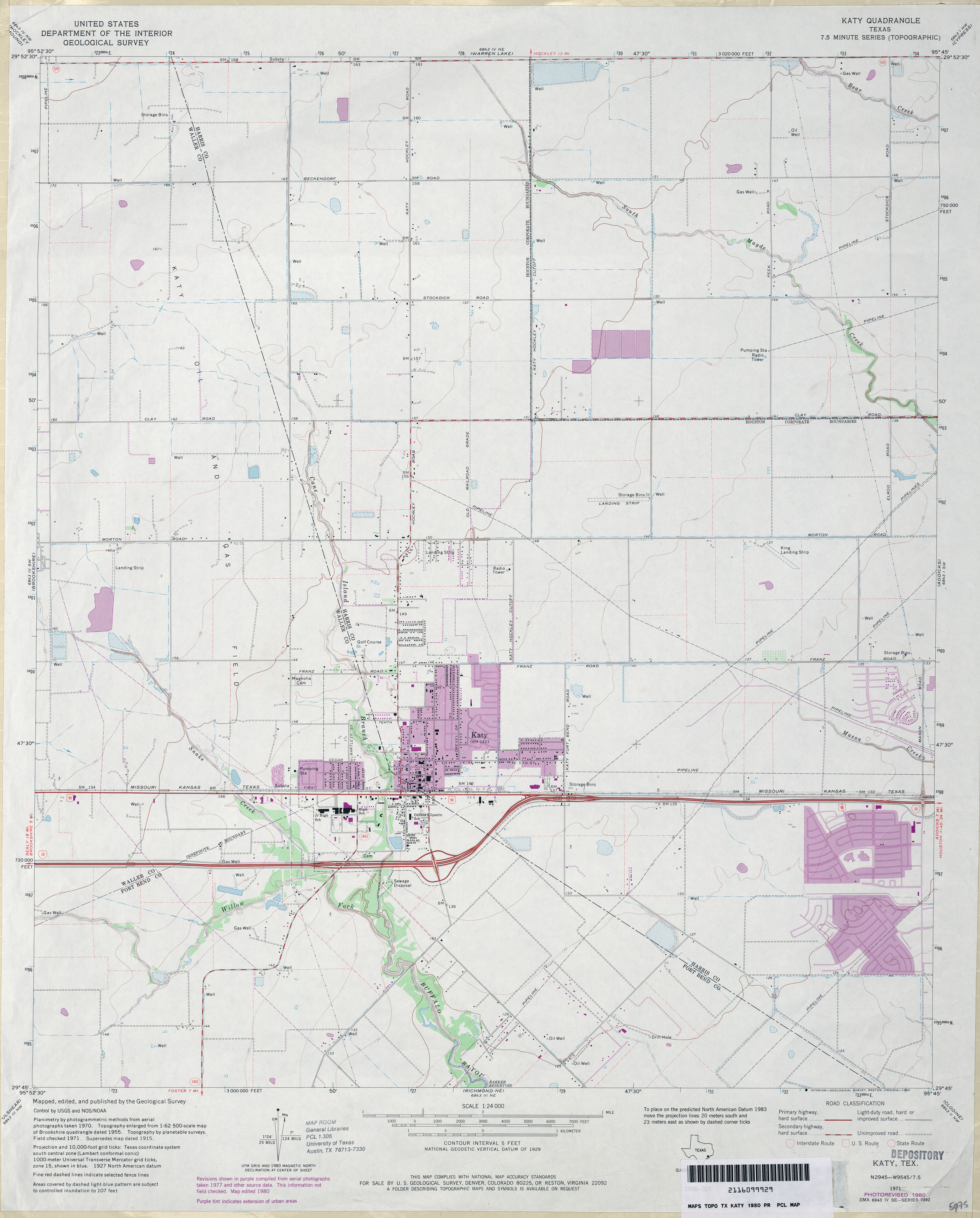
- Katy 1:24,000 1980 (2.7MB)
- Katy 1:24,000 2009 (18.1MB) [GeoPDF]
- Katy 1:24,000 2013 (21.8MB) [GeoPDF]
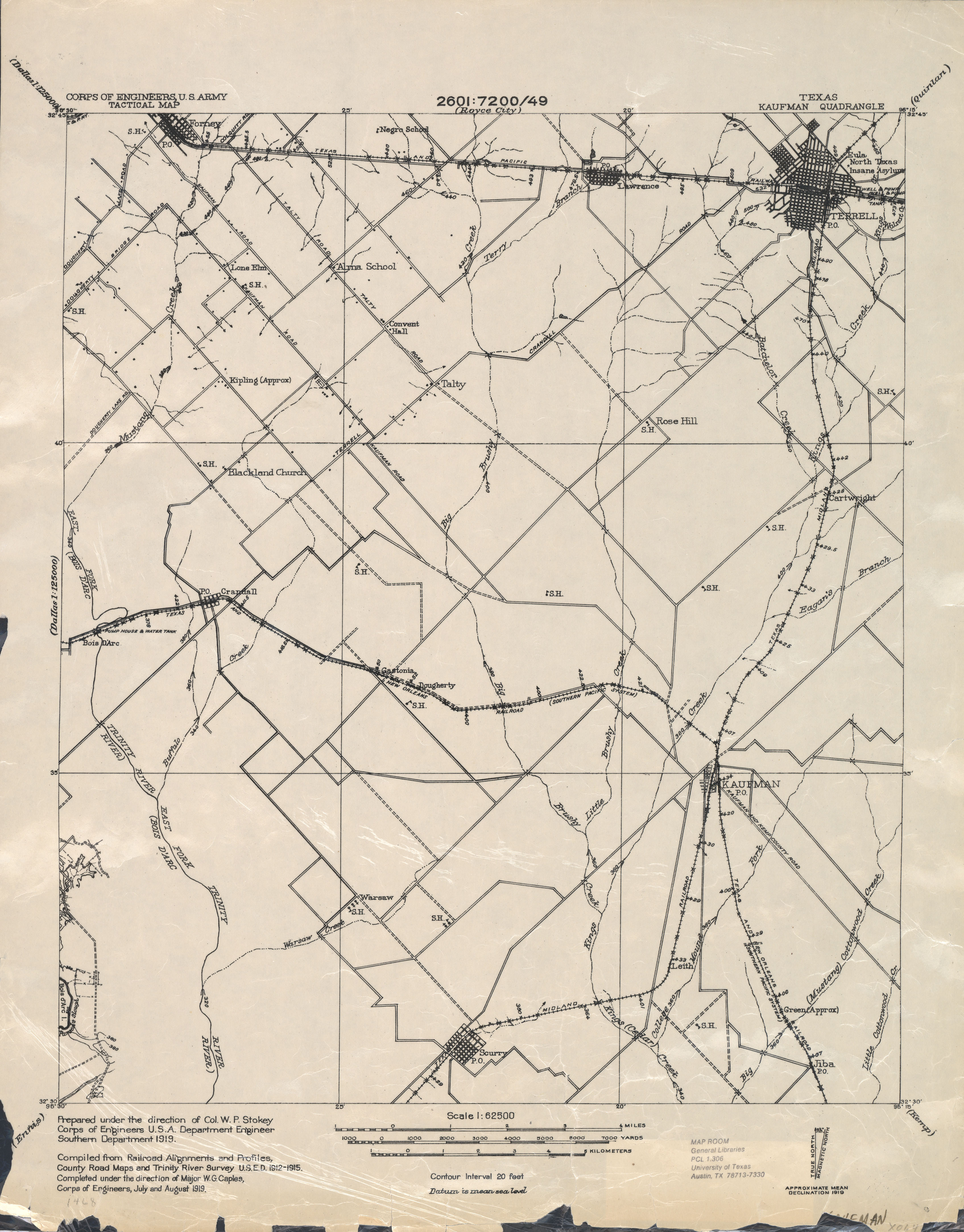
- Kaufman1:62,500 1919 (2.1 MB) U.S. Army. Corps of Engineers. Tactical Map
- Kaufman (Kaufman County) 1:24,000 1963 (3.7MB)
- Kaufman 1:24,000 2009 (16.0MB) [GeoPDF]
- Kaufman 1:24,000 2012 (20.8MB) [GeoPDF]
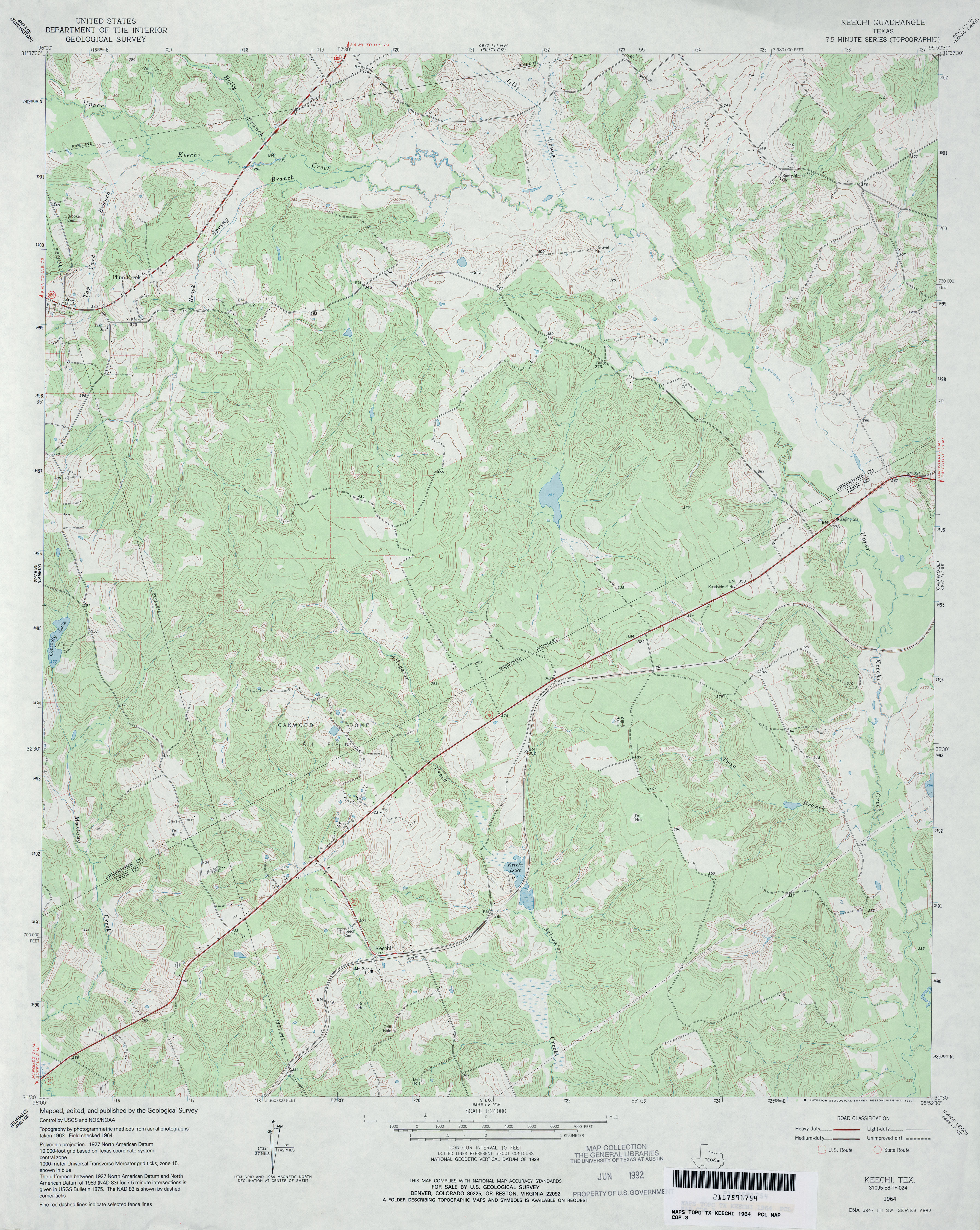
- Keechi 1:24,000 1964 (4.4MB)
- Keechi 1:24,000 2009 (21.1MB) [GeoPDF]
- Keechi 1:24,000 2013 (25.6MB) [GeoPDF]
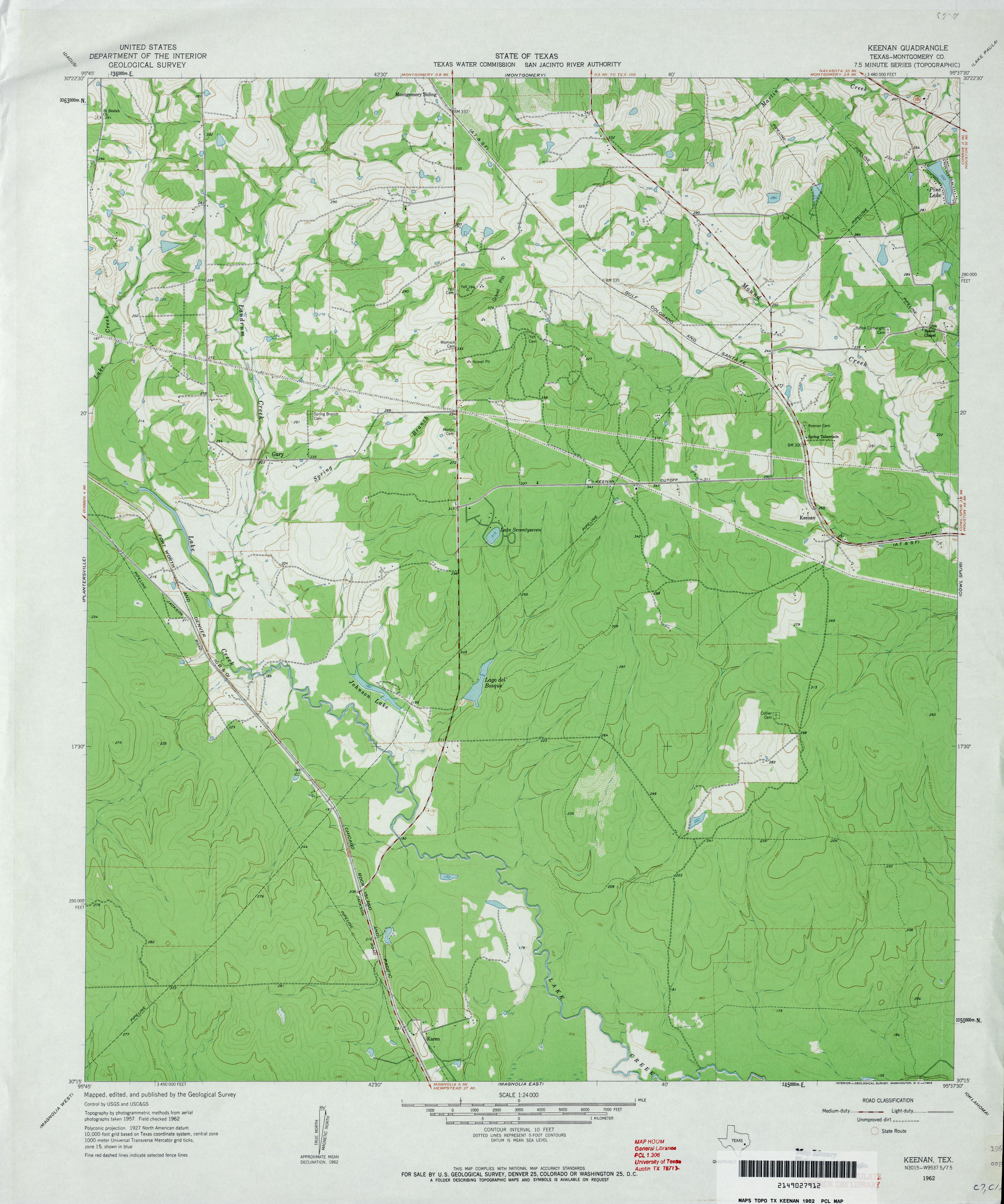
- Keenan (Montgomery County) 1:24,000 1962 (3.1MB)
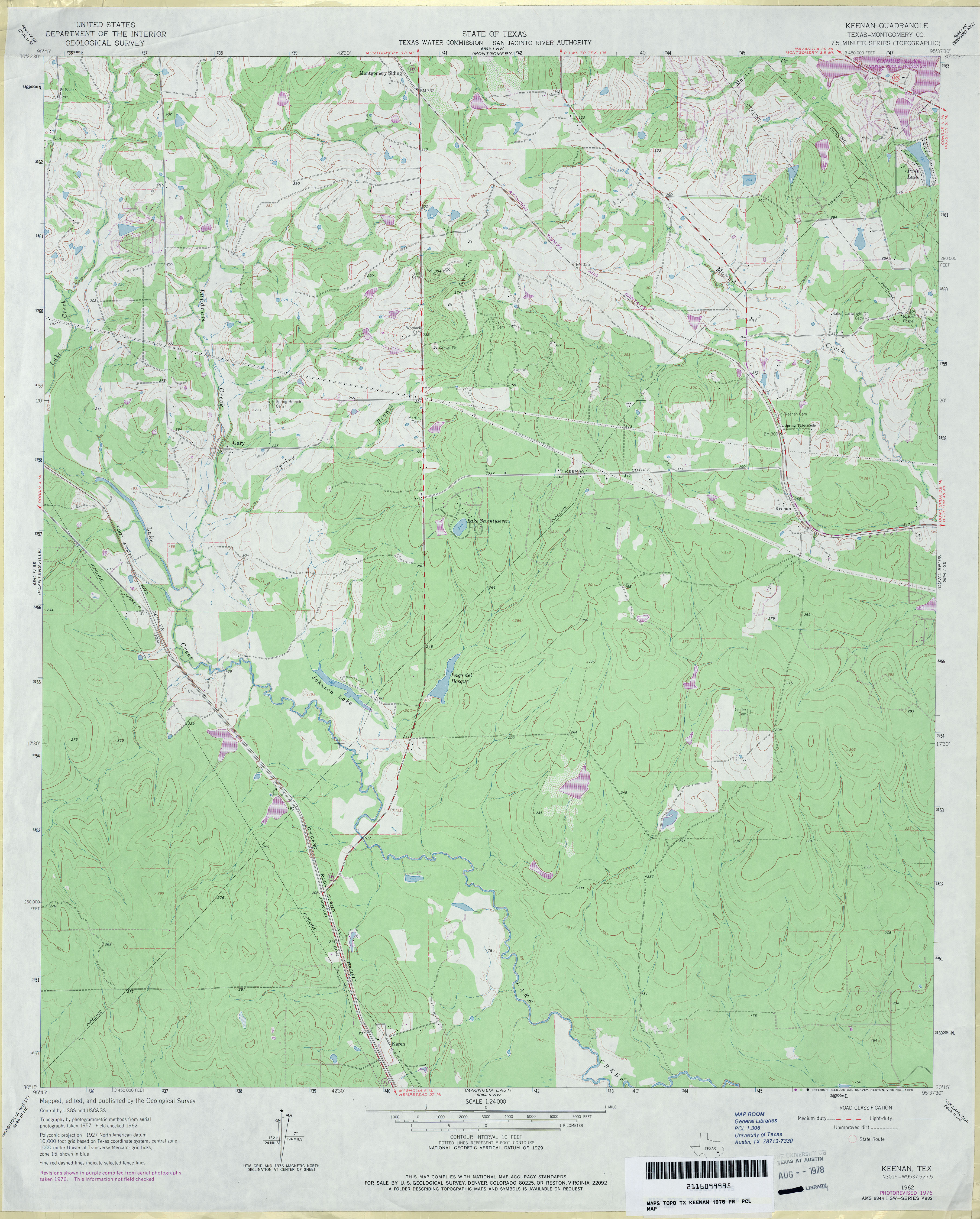
- Keenan (Montgomery County) 1:24,000 1976 (3.7MB)
- Keenan 1:24,000 2009 (23.9MB)
- Keenan 1:24,000 2013 (22.2MB) [GeoPDF]
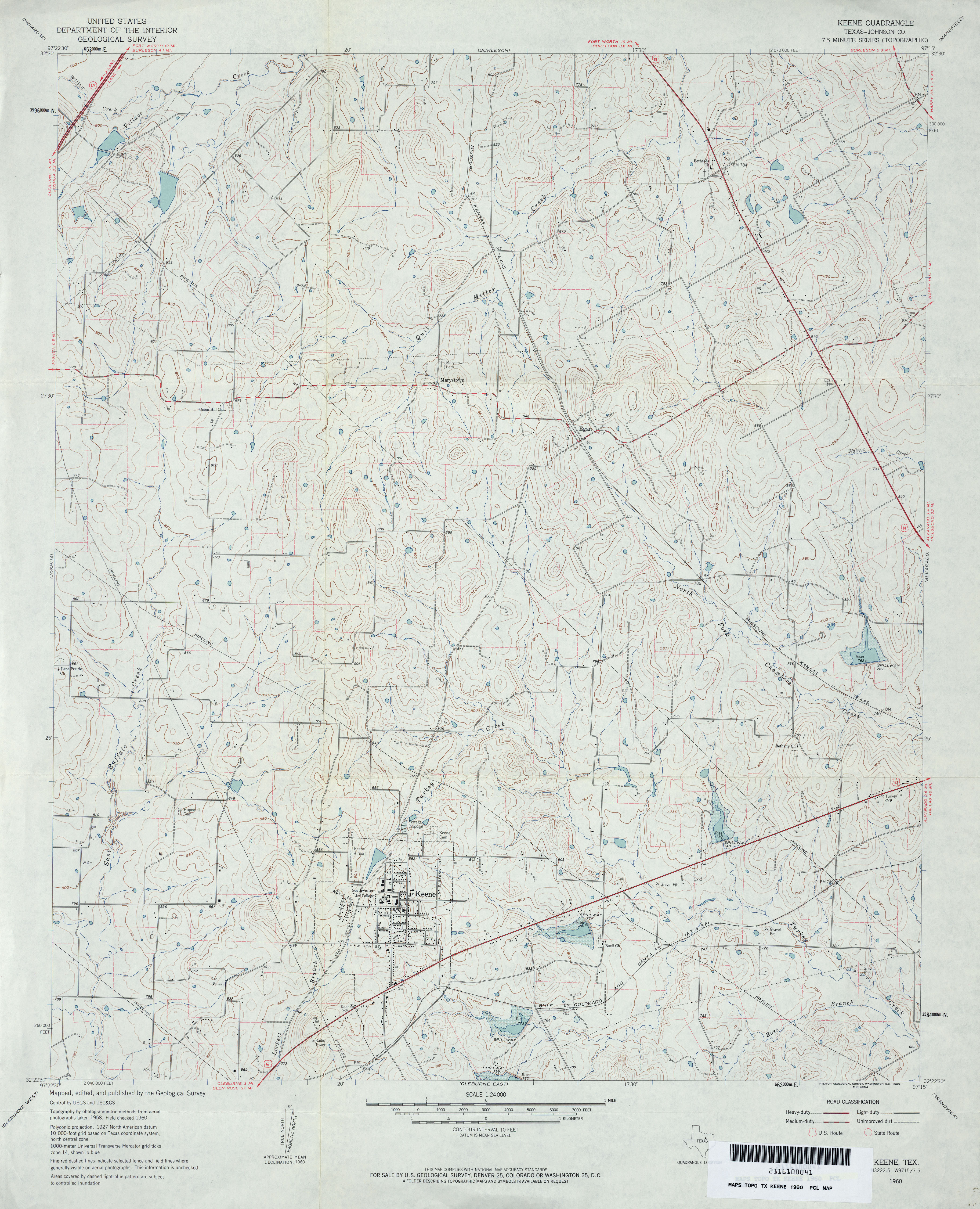
- Keene (Johnson County) 1:24,000 1960 (3.9MB)
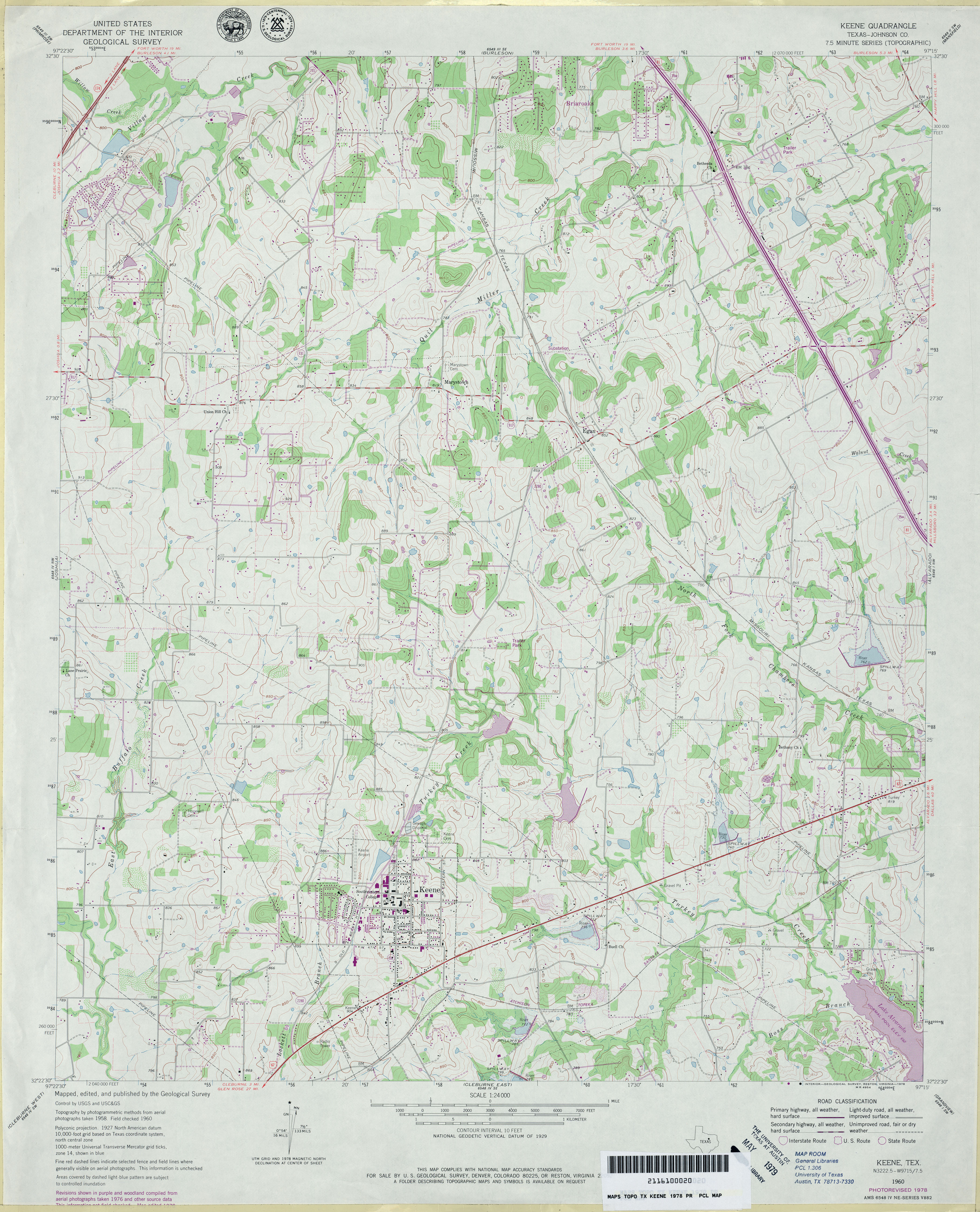
- Keene (Johnson County) 1:24,000 1978 (4.1MB)
- Keene 1:24,000 2008 (17.9MB) [GeoPDF]
- Keene 1:24,000 2012 (23MB) [GeoPDF]
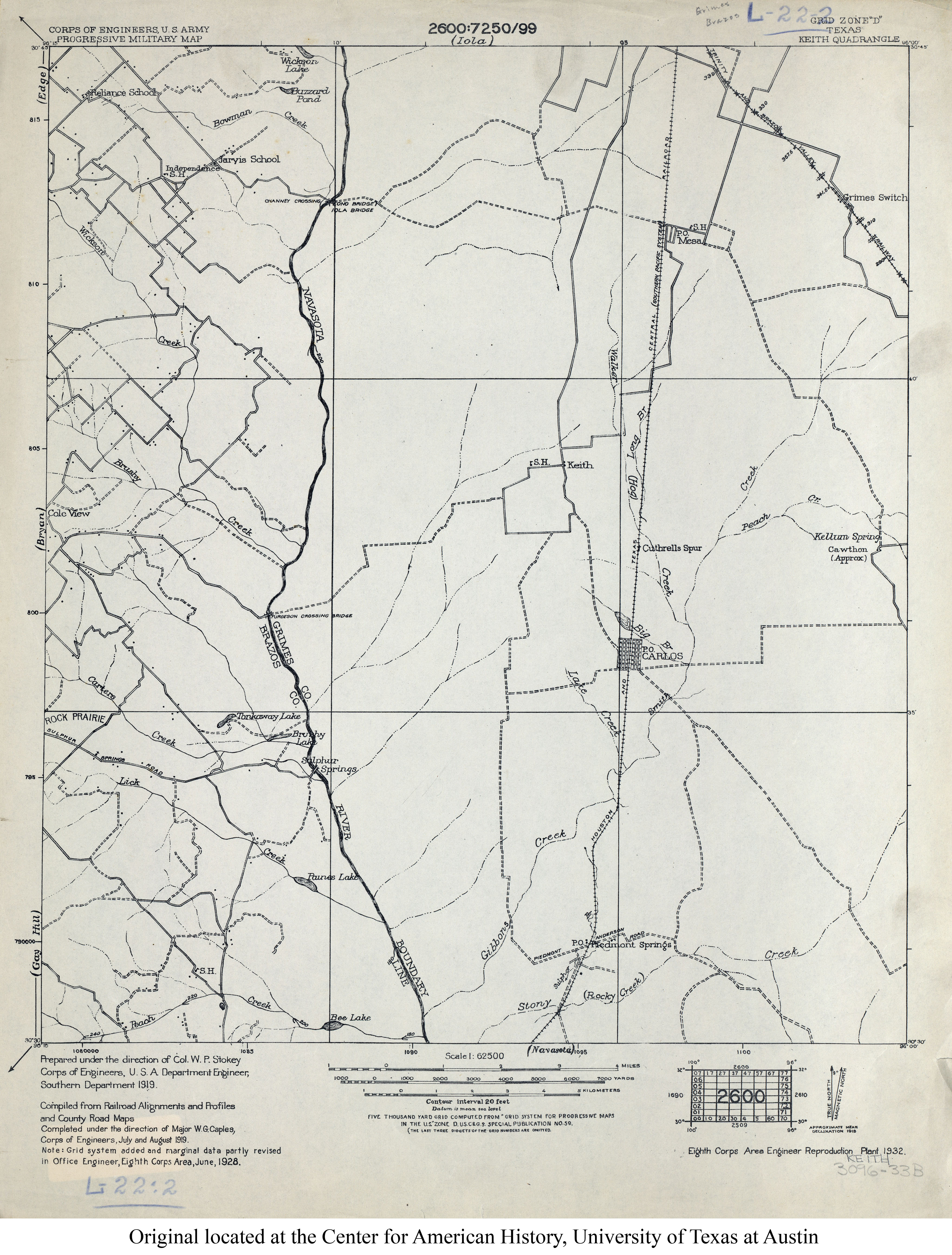
- Keith 1:62,500 1928 (2.7MB) U.S. Army. Corps of Engineers. Progressive Military Map
- Keith (Grimes County) 1:24,000 1962 (4MB)
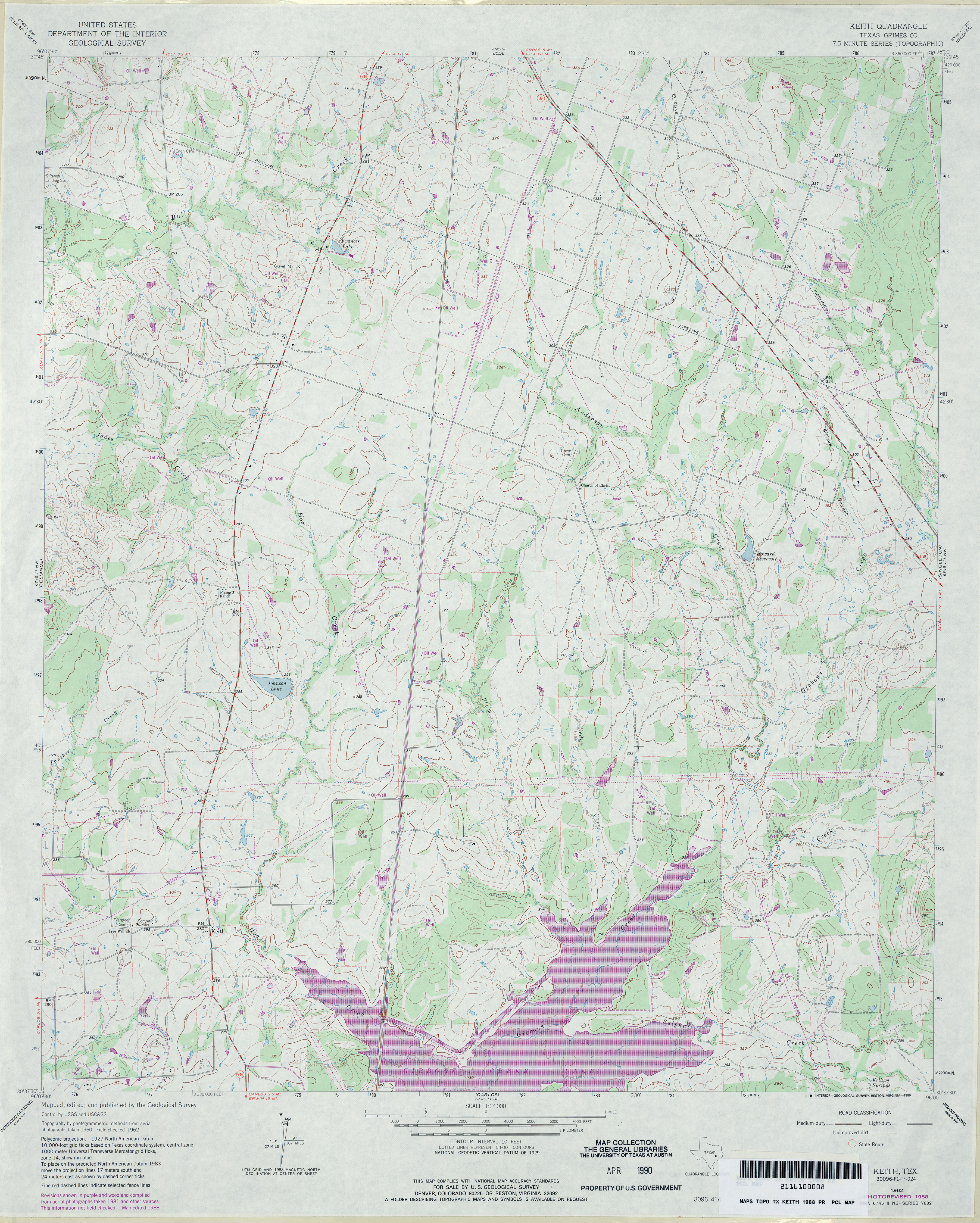
- Keith (Grimes County) 1:24,000 1988 (4.2MB)
- Keith 1:24,000 2009 (14.4MB) [GeoPDF]
- Keith 1:24,000 2013 (22.8MB) [GeoPDF]
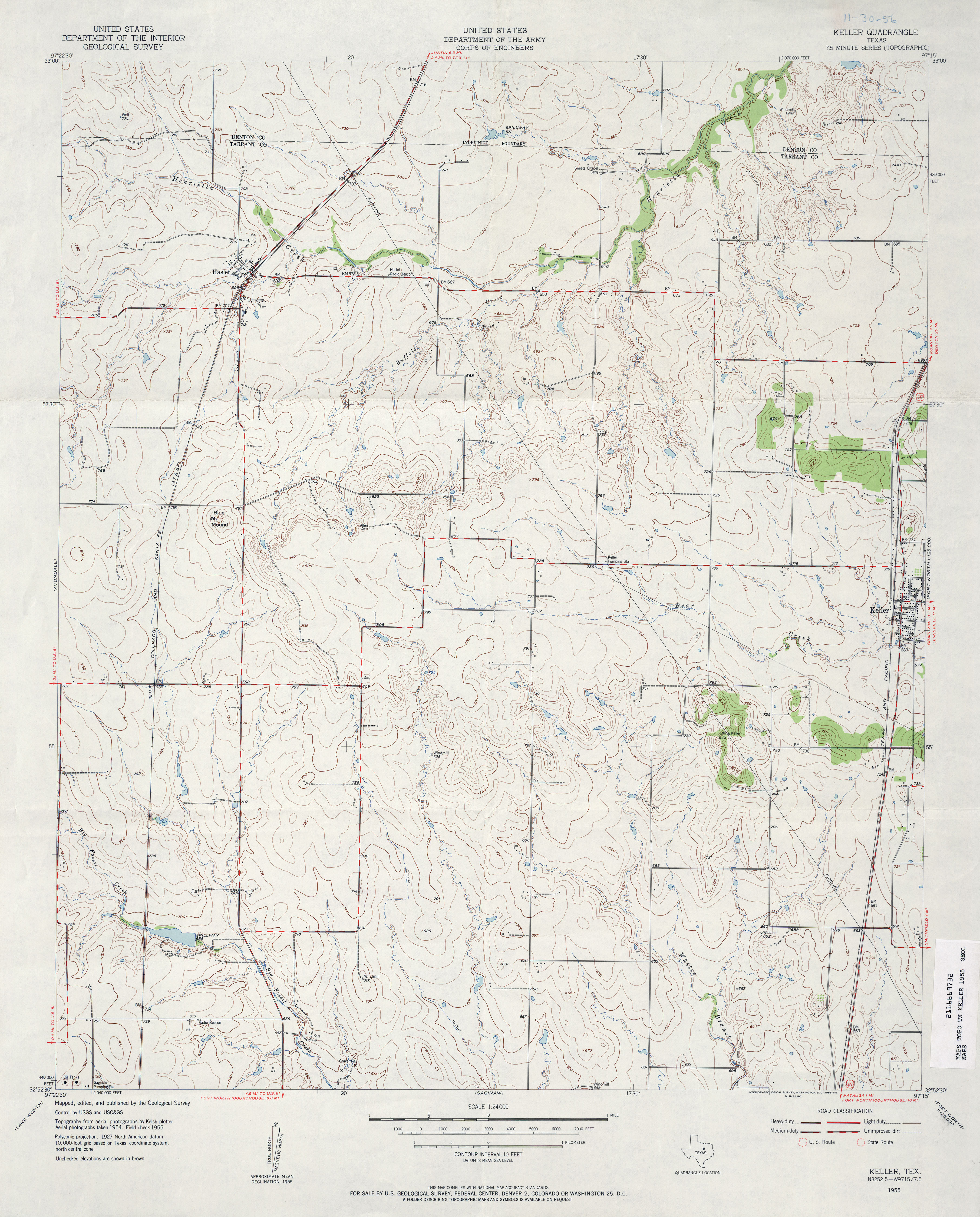
- Keller 1:24,000 1955 (3.6MB)
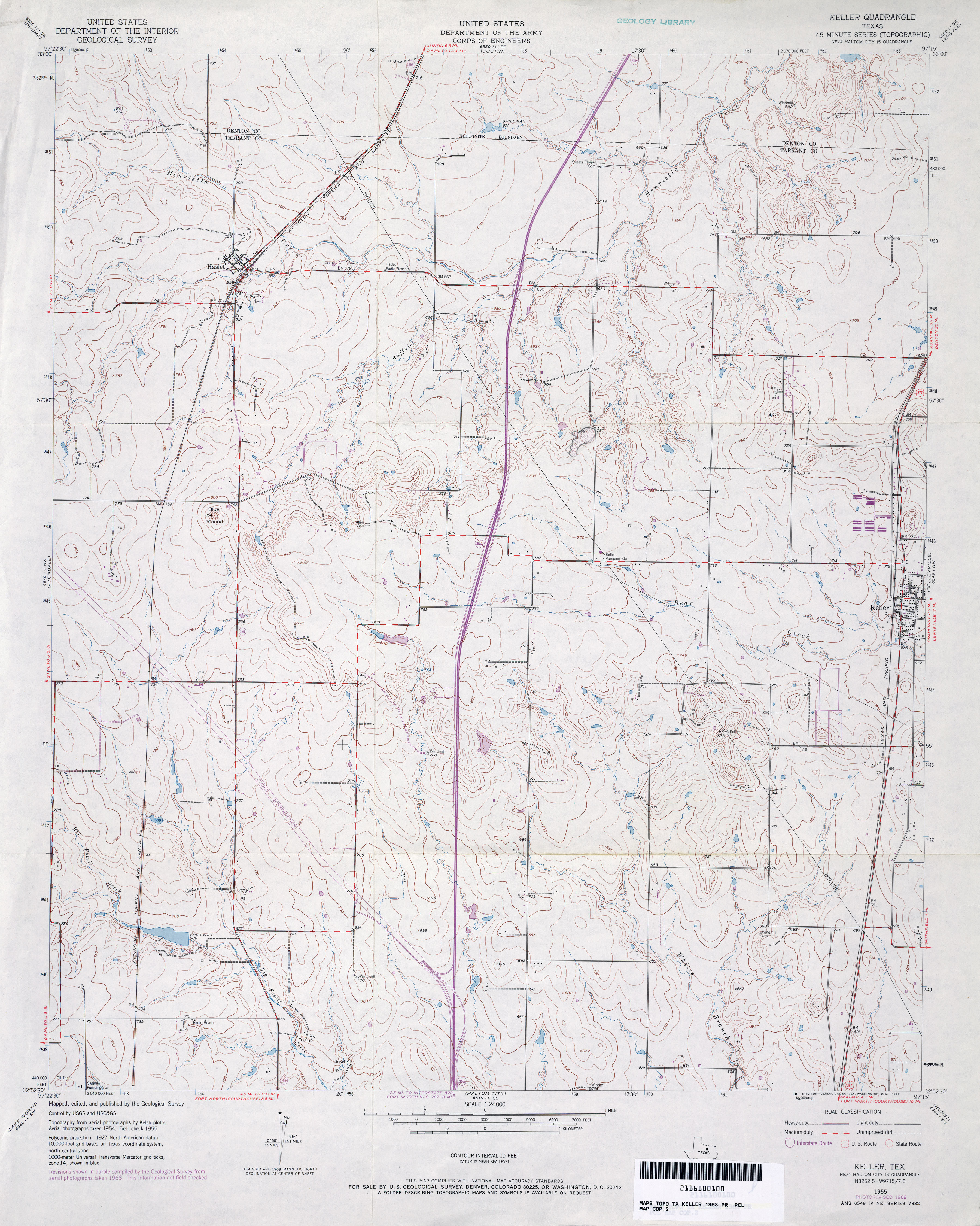
- Keller 1:24,000 1968 (3.7MB)
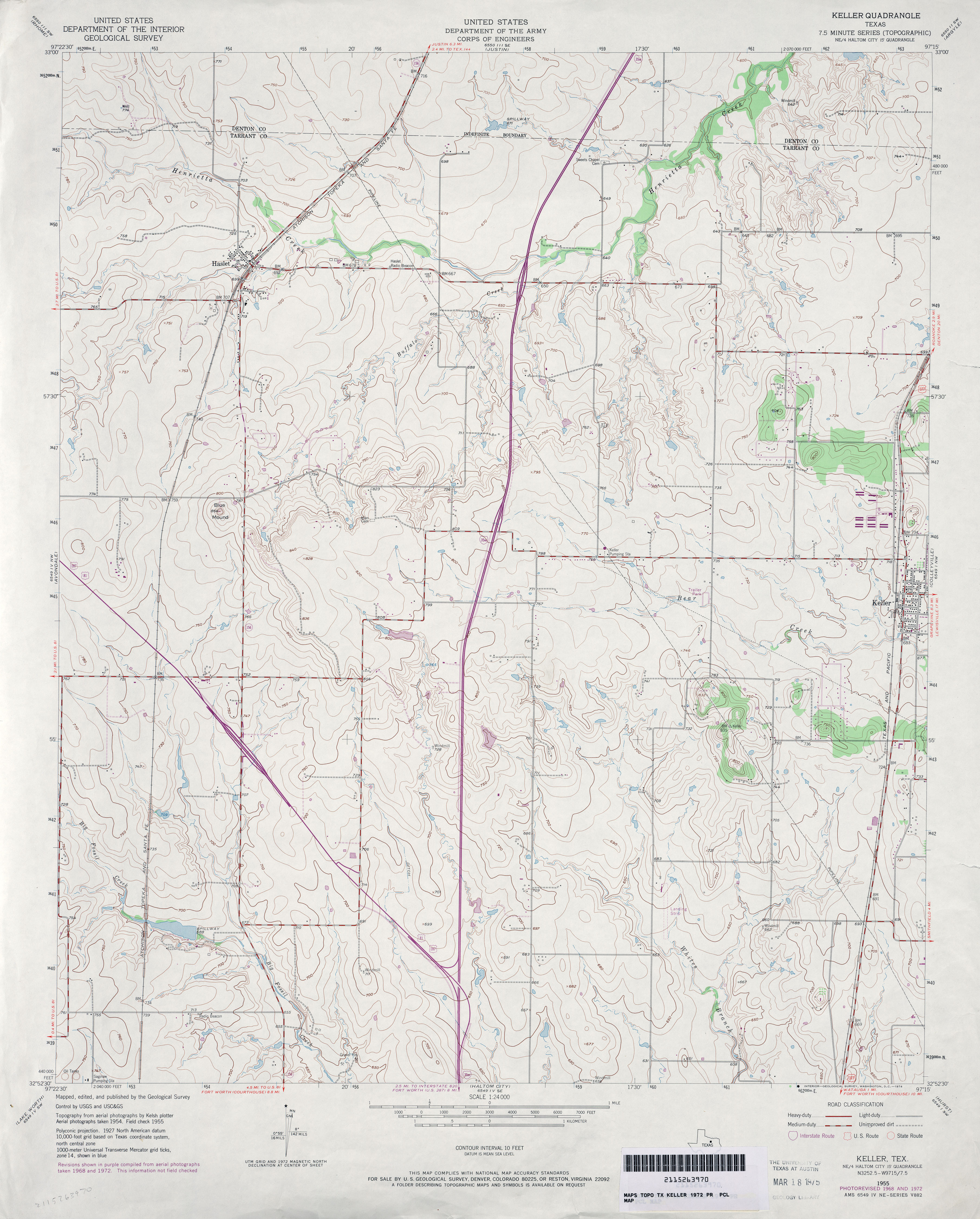
- Keller 1:24,000 1972 (3.5MB)
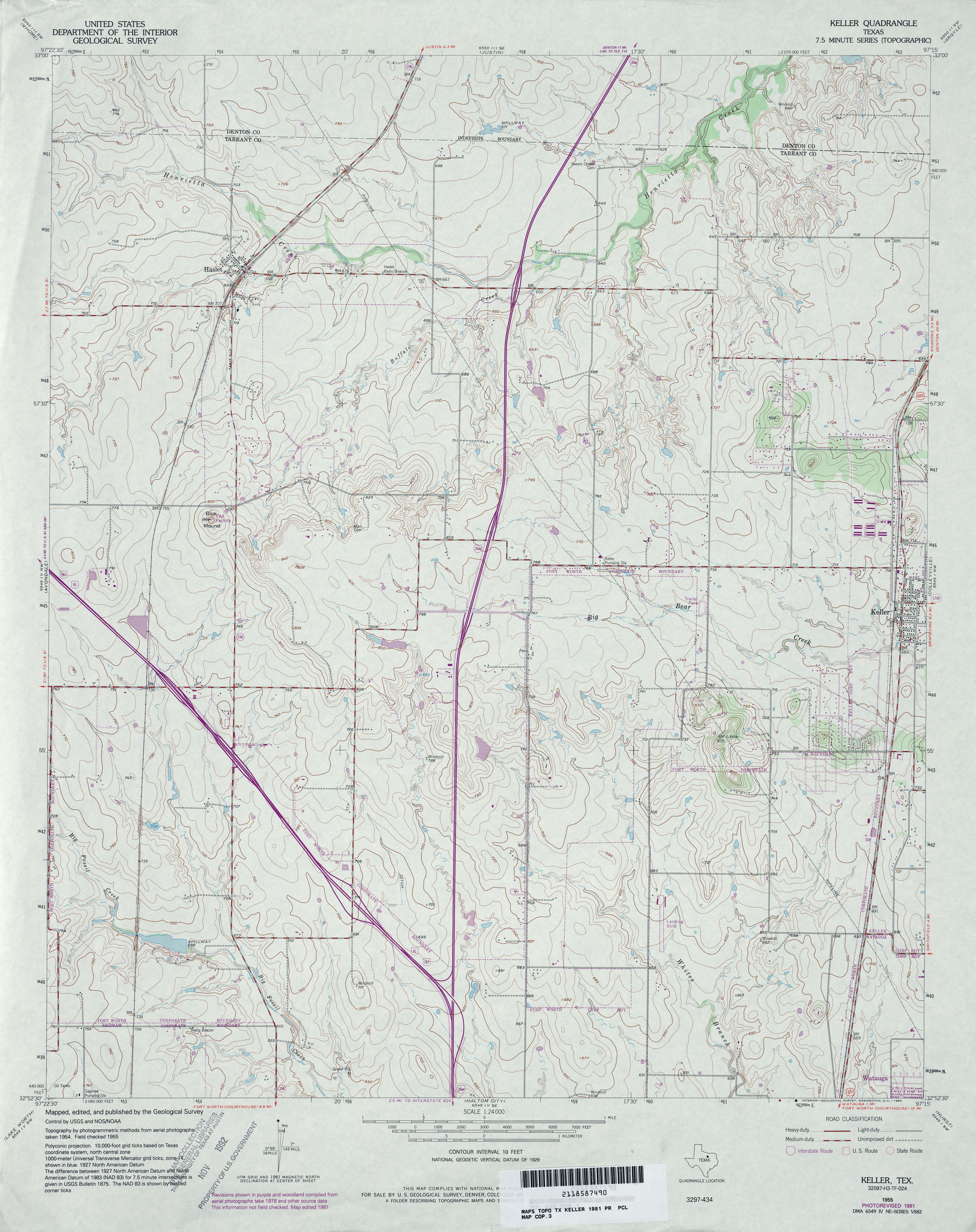
- Keller 1:24,000 1981 (3.8MB)
- Keller 1:24,000 2008 (15.9MB) [GeoPDF]
- Keller 1:24,000 2012 (21.3MB) [GeoPDF]
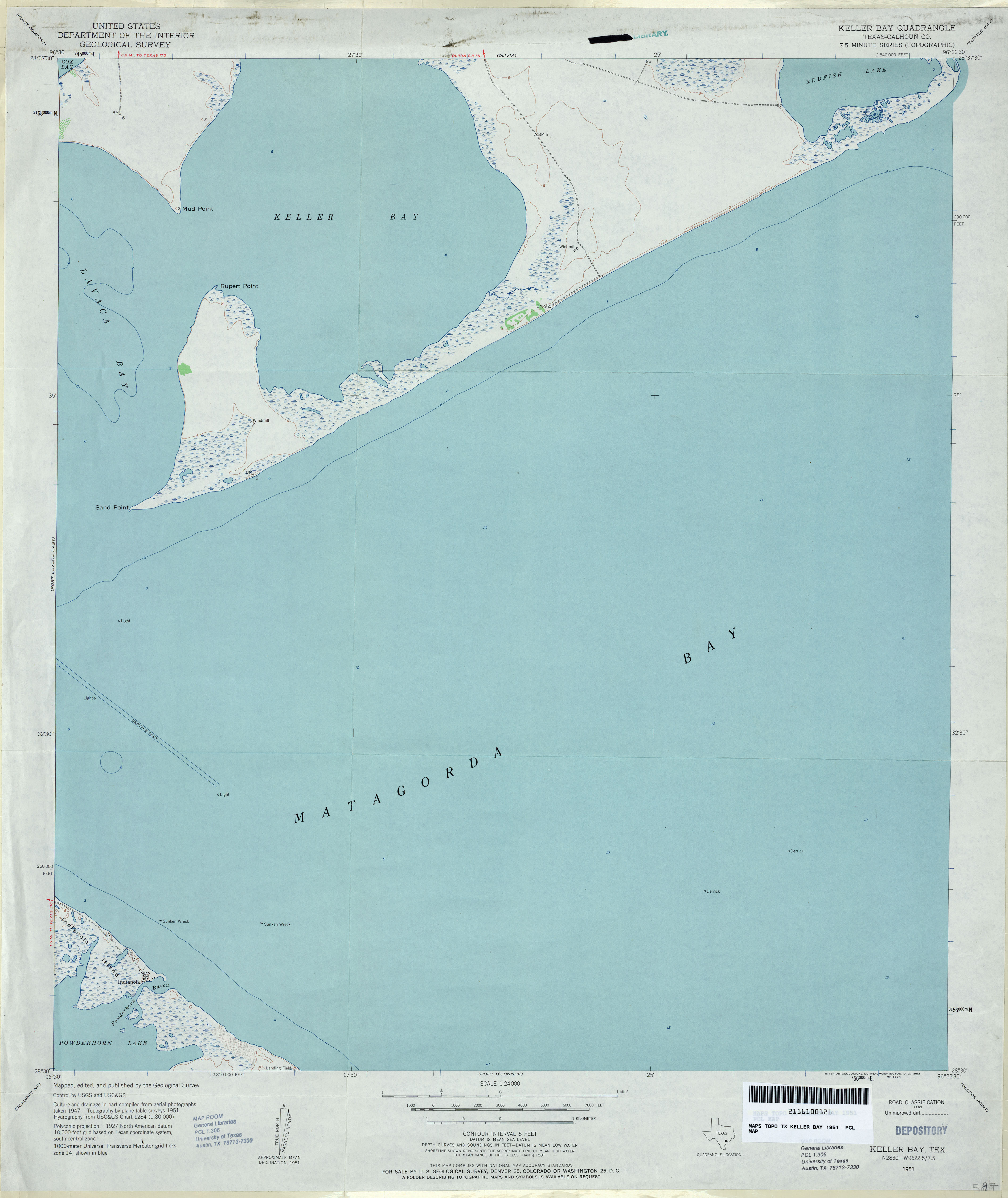
- Keller Bay (Calhoun County) 1:24,000 1951 (2.2MB)
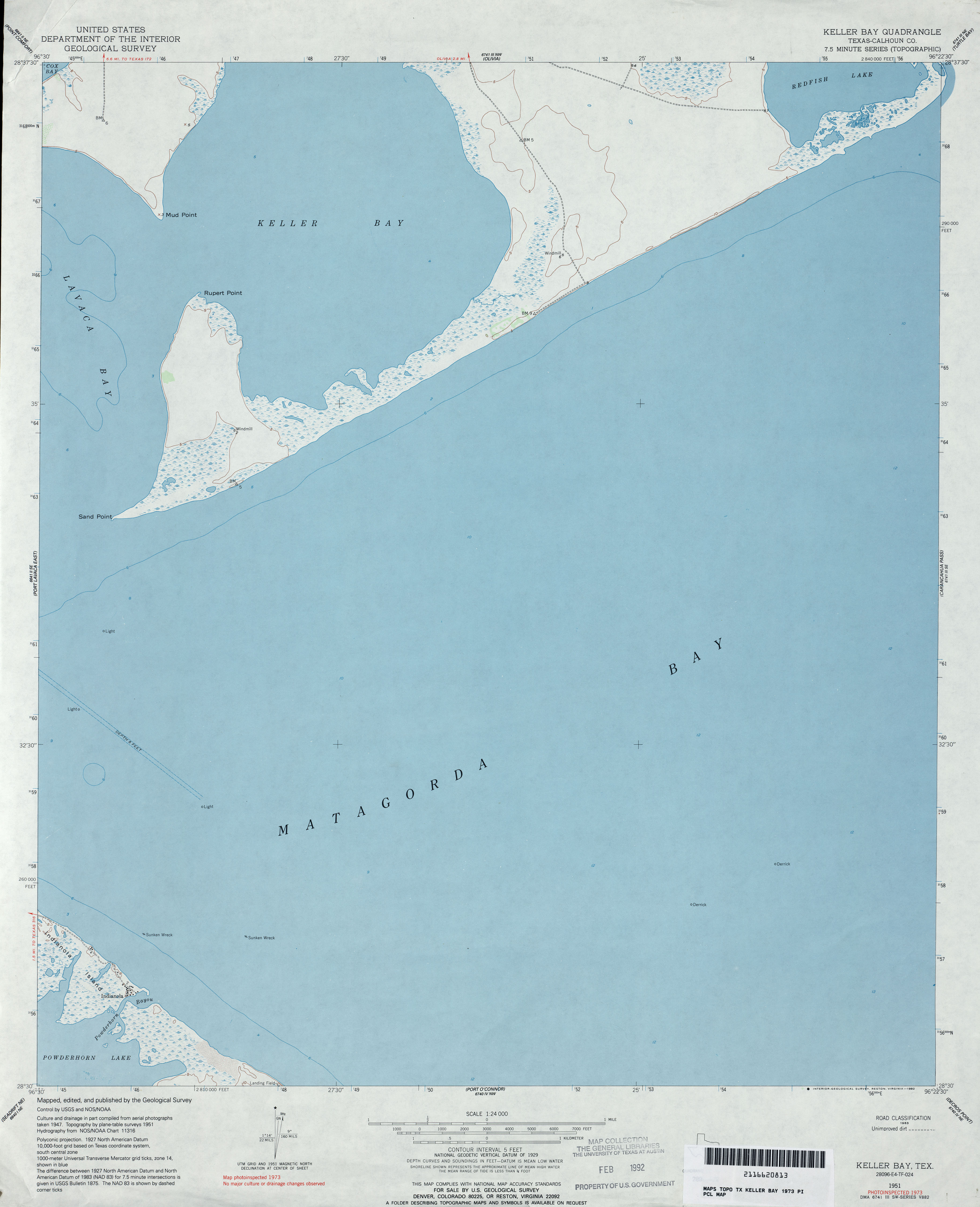
- Keller Bay (Calhoun County) 1:24,000 1973 (2MB)
- Keller Bay 1:24,000 2008 (9.3MB) [GeoPDF]
- Keller Bay 1:24,000 2013 (16.5MB) [GeoPDF]
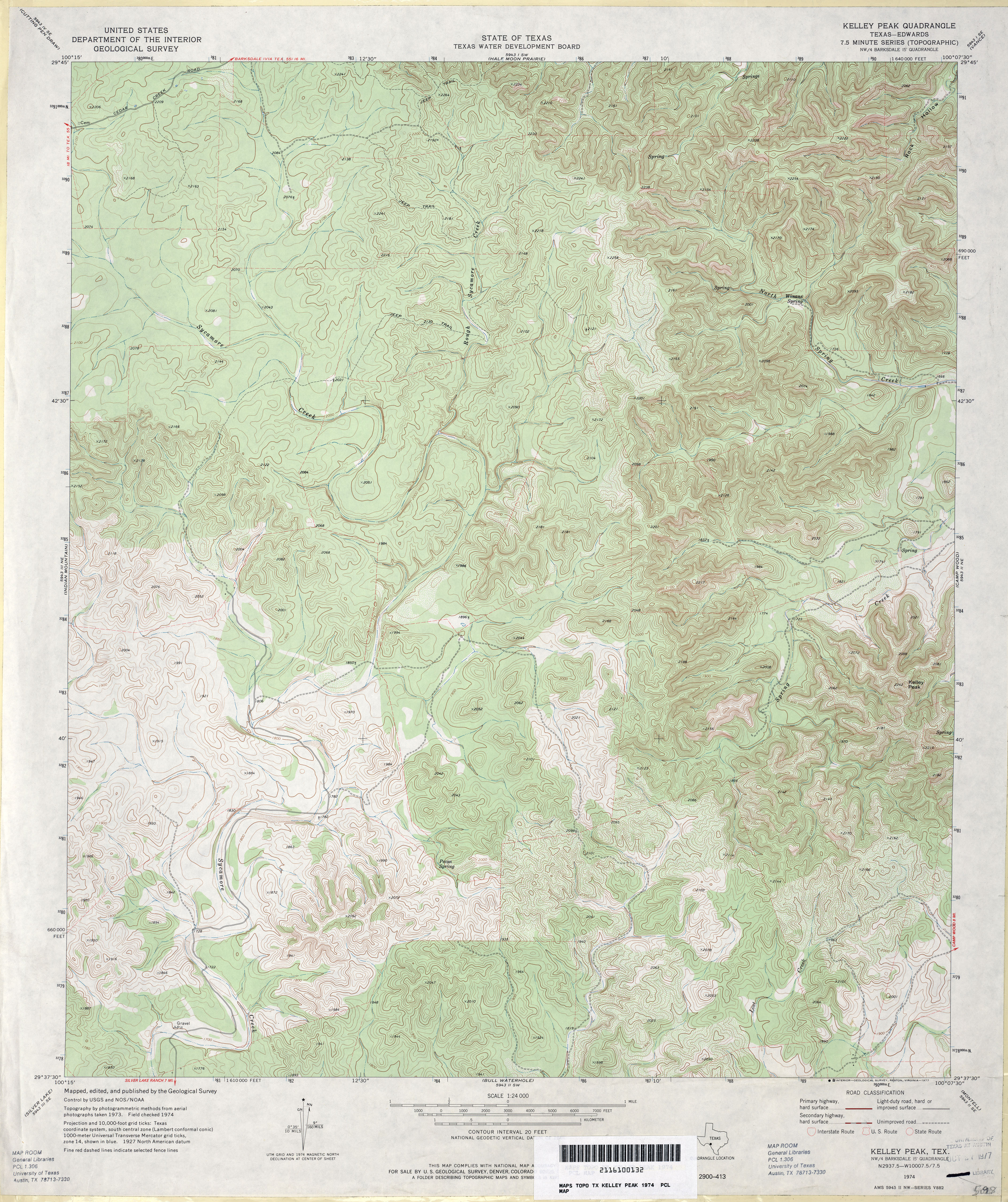
- Kelley Peak (Edwards County) 1:24,000 1974 (5.3MB)
- Kelley Peak 1:24,000 2008 (26.1MB) [GeoPDF]
- Kelley Peak 1:24,000 2012 (33.3MB) [GeoPDF]
- Kelleyville (Marion County) 1:24,000 1962 (4.9MB)
- Kellyville 1:24,000 2009 (22.6MB) [GeoPDF]
- Kellyville 1:24,000 2013 (23.1MB) [GeoPDF]
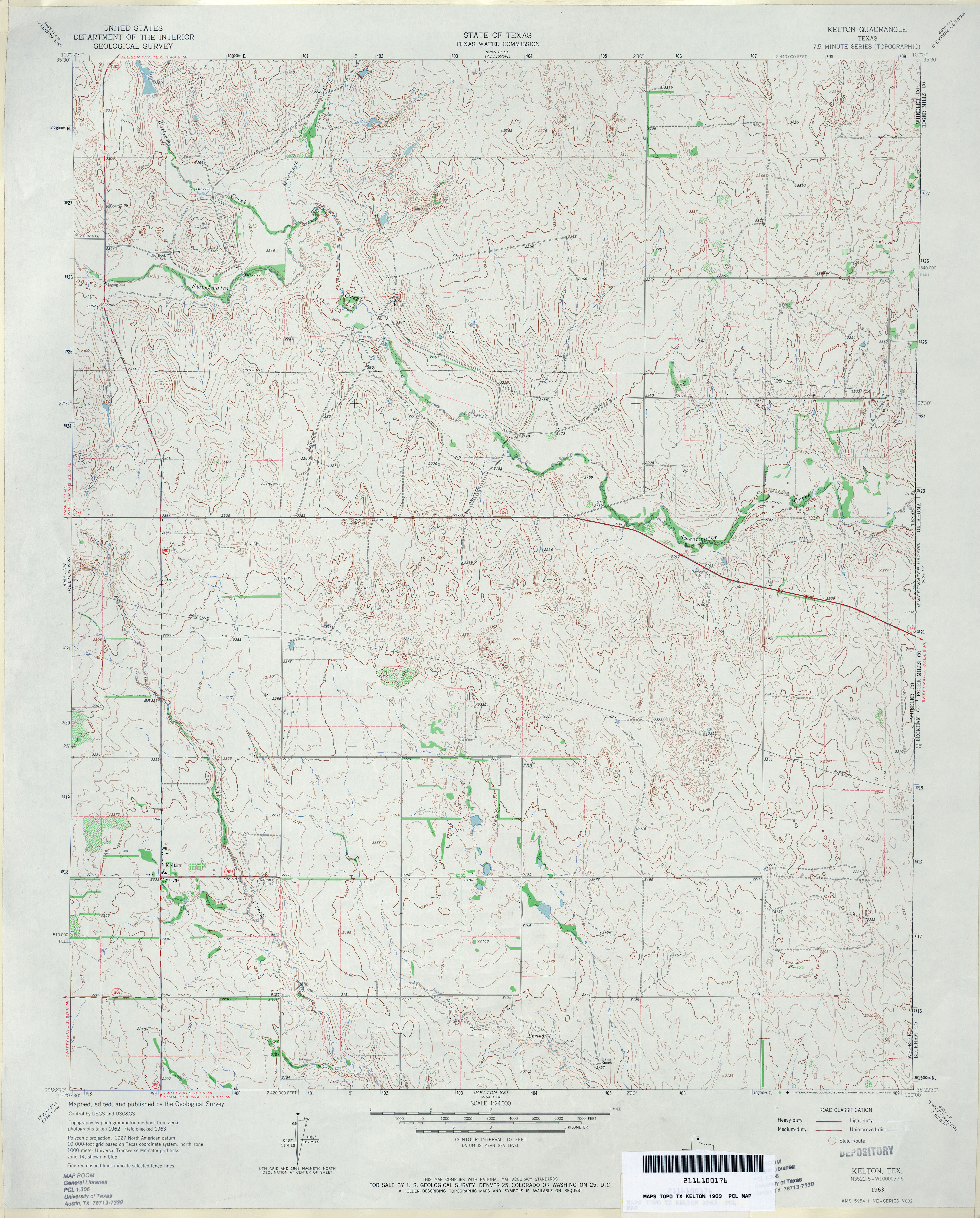
- Kelton 1:24,000 1963 (3.9MB)
- Kelton 1:24,000 2008 (13.4MB) [GeoPDF]
- Kelton 1:24,000 2012 (17.7MB) [GeoPDF]
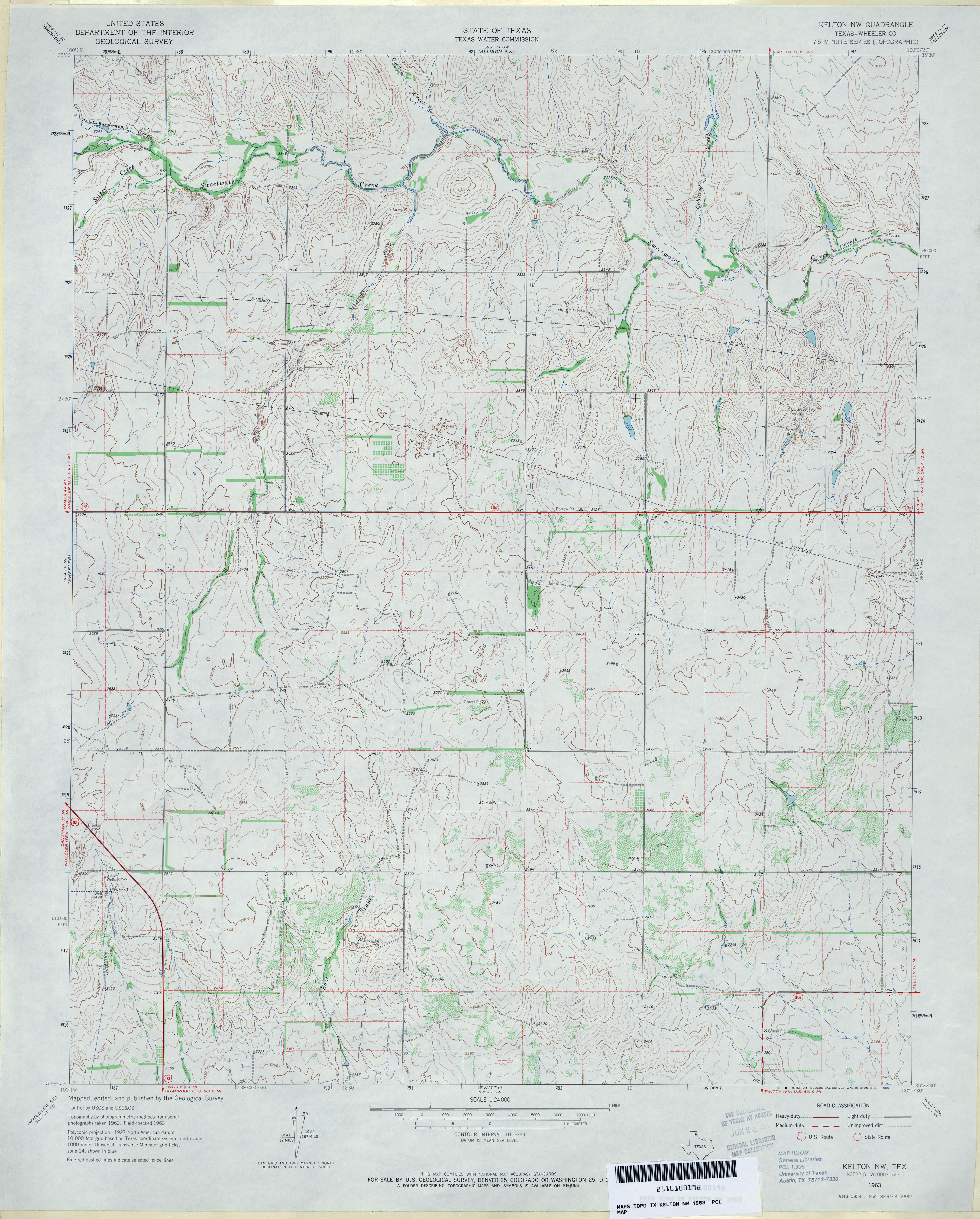
- Kelton NW (Wheeler County) 1:24,000 1963 (3.8MB)
- Kelton NW 1:24,000 2008 (13.0MB) [GeoPDF]
- Kelton NW 1:24,000 2012 (17.4MB) [GeoPDF]
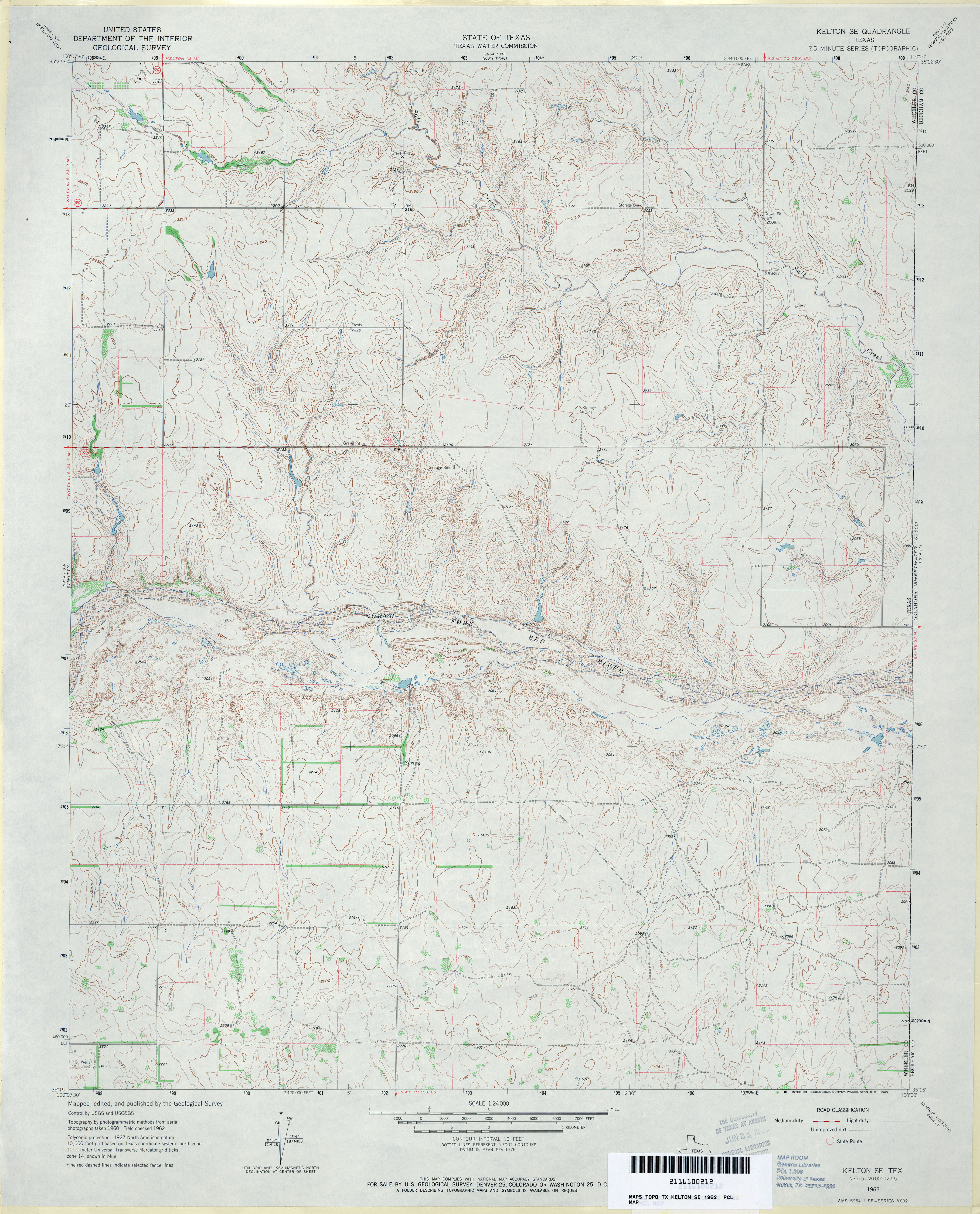
- Kelton SE 1:24,000 1963 (4MB)
- Kelton SE 1:24,000 2008 (13.3MB) [GeoPDF]
- Kelton SE 1:24,000 2012 (18MB) [GeoPDF]
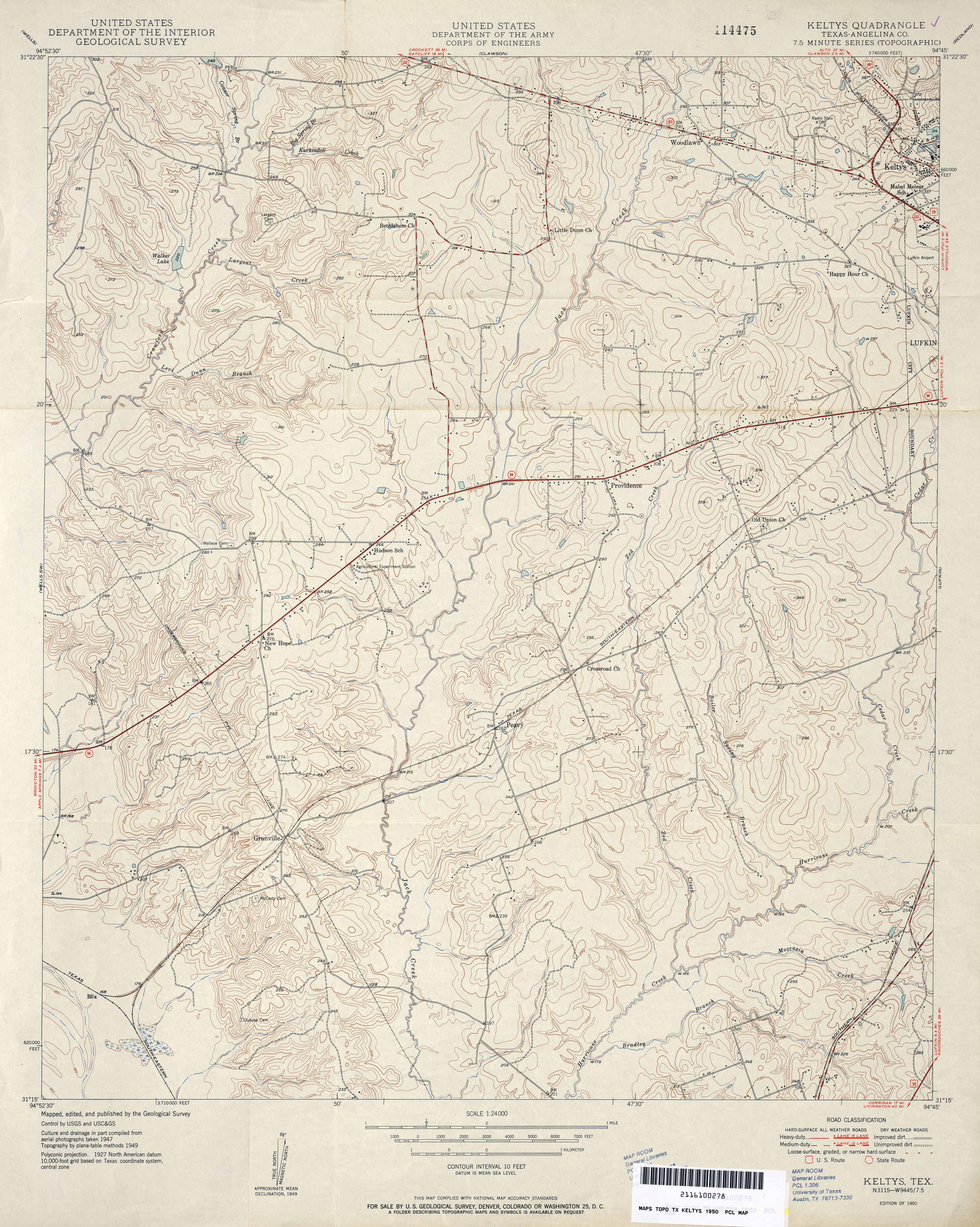
- Keltys (Angelina County) 1:24,000 1950 (4.4MB)
- Keltys (Angelina County) 1:24,000 1980 (4.1MB)
- Keltys 1:24,000 2008 (2MB) Texas Natural Resources Information System (TNRIS). [pdf]
- Keltys 1:24,000 2009 (23.8MB) [GeoPDF]
- Keltys 1:24,000 2013 (25.7MB) [GeoPDF]
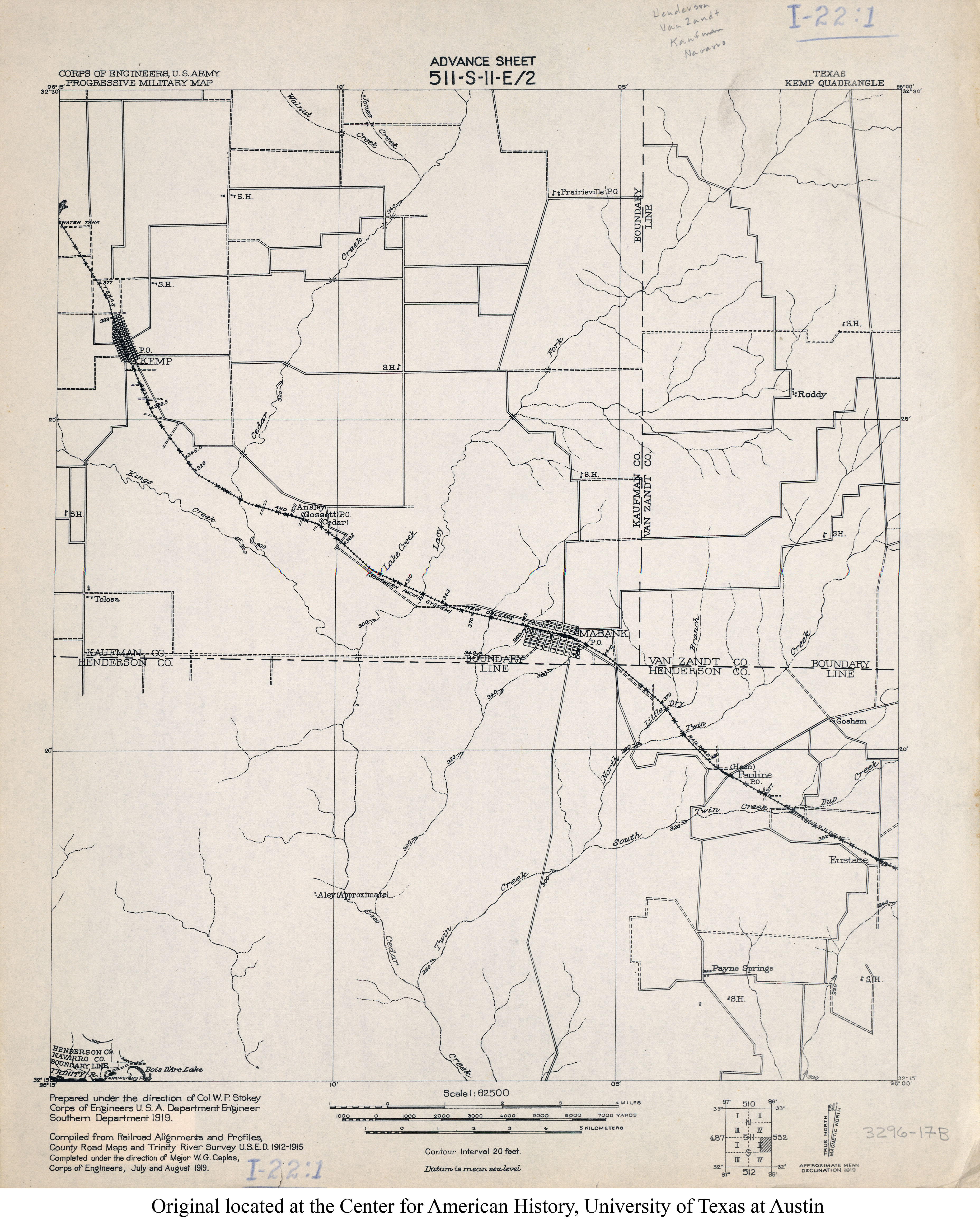
- Kemp 1:62,500 1919 (2.9MB)
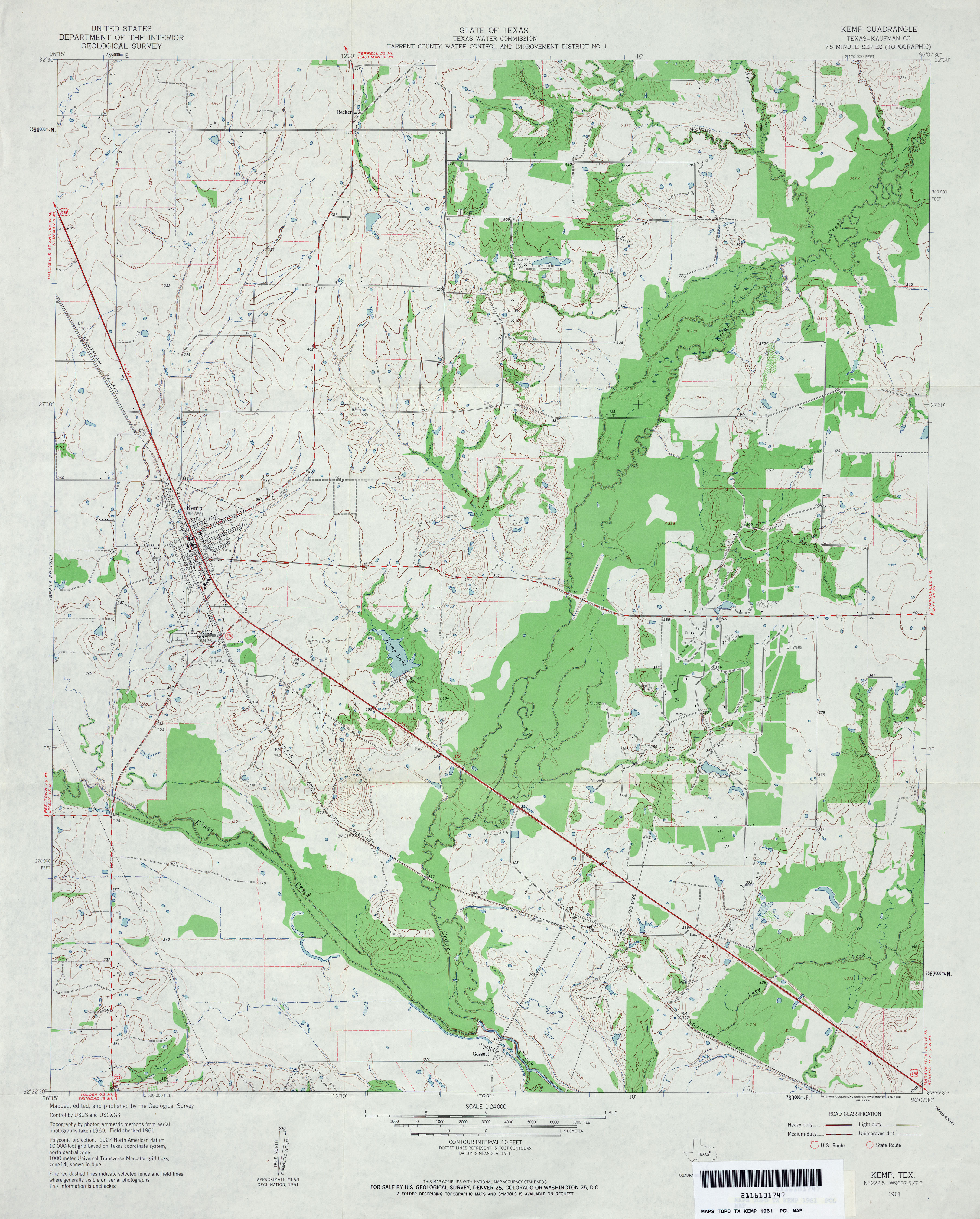
- Kemp (Kaufman County) 1:24,000 1961 (3.7MB)
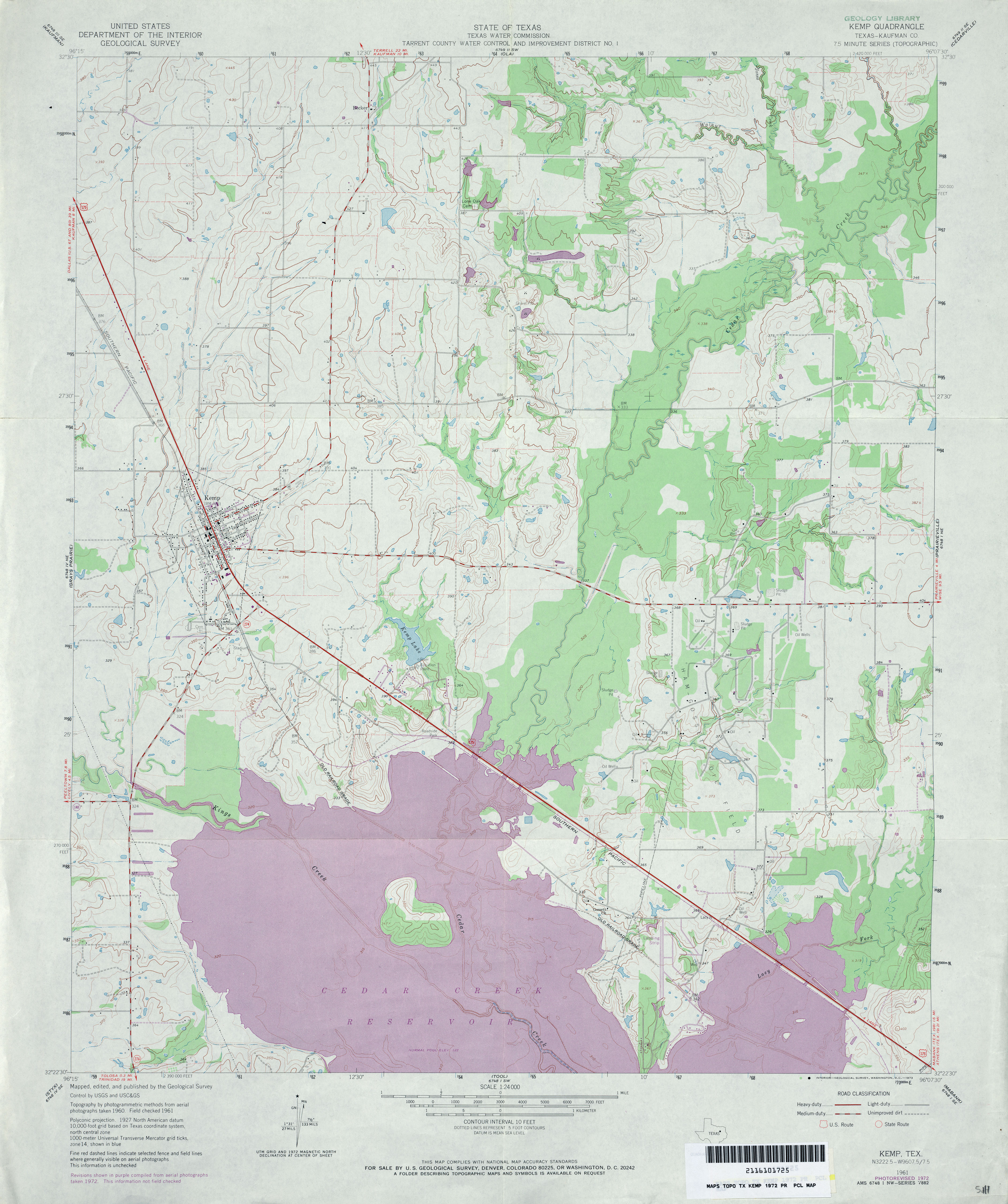
- Kemp (Kaufman County) 1:24,000 1972 (4.2MB)
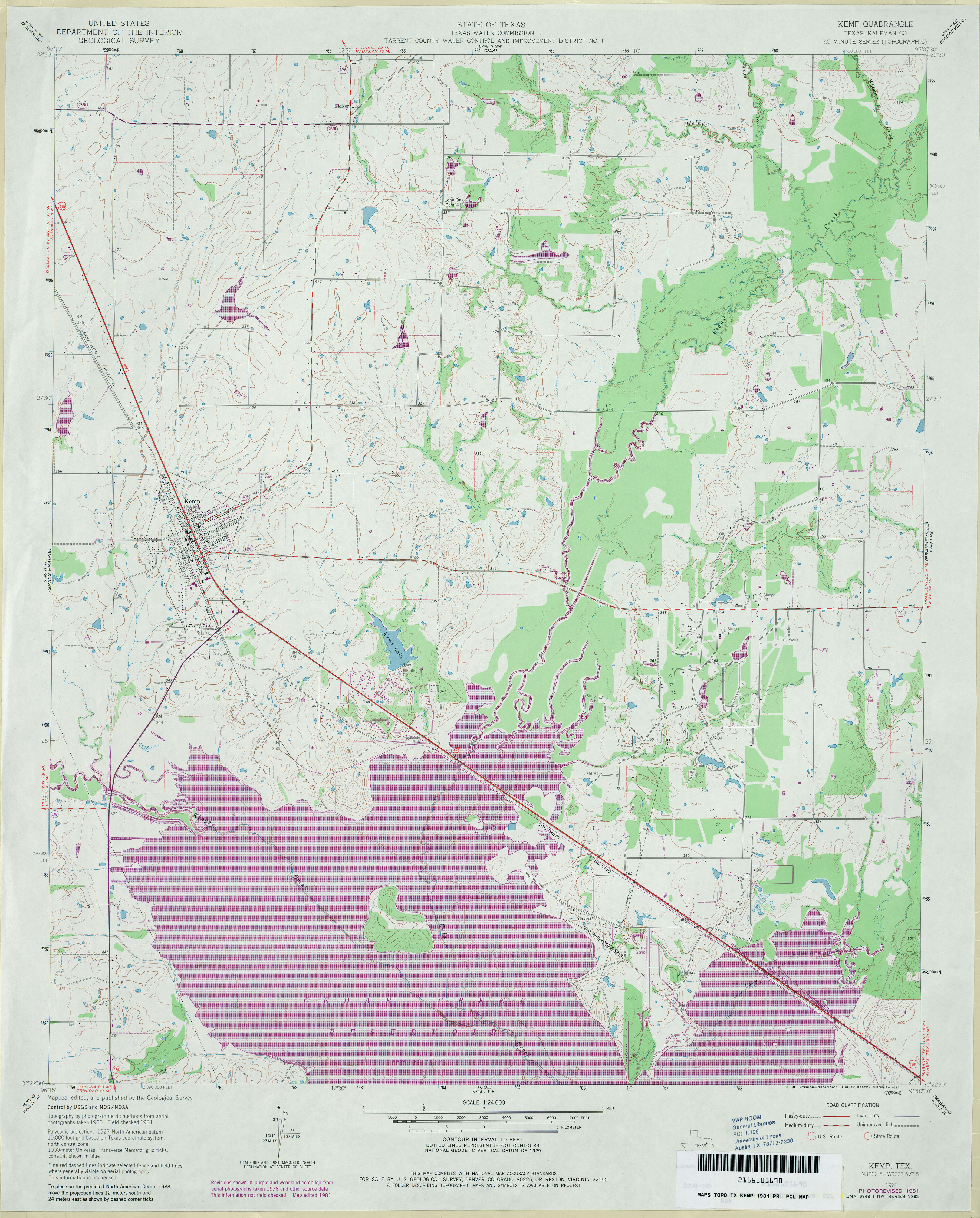
- Kemp (Kaufman County) 1:24,000 1981 (4.3MB)
- Kemp 1:24,000 2013 (22.2MB) [GeoPDF]
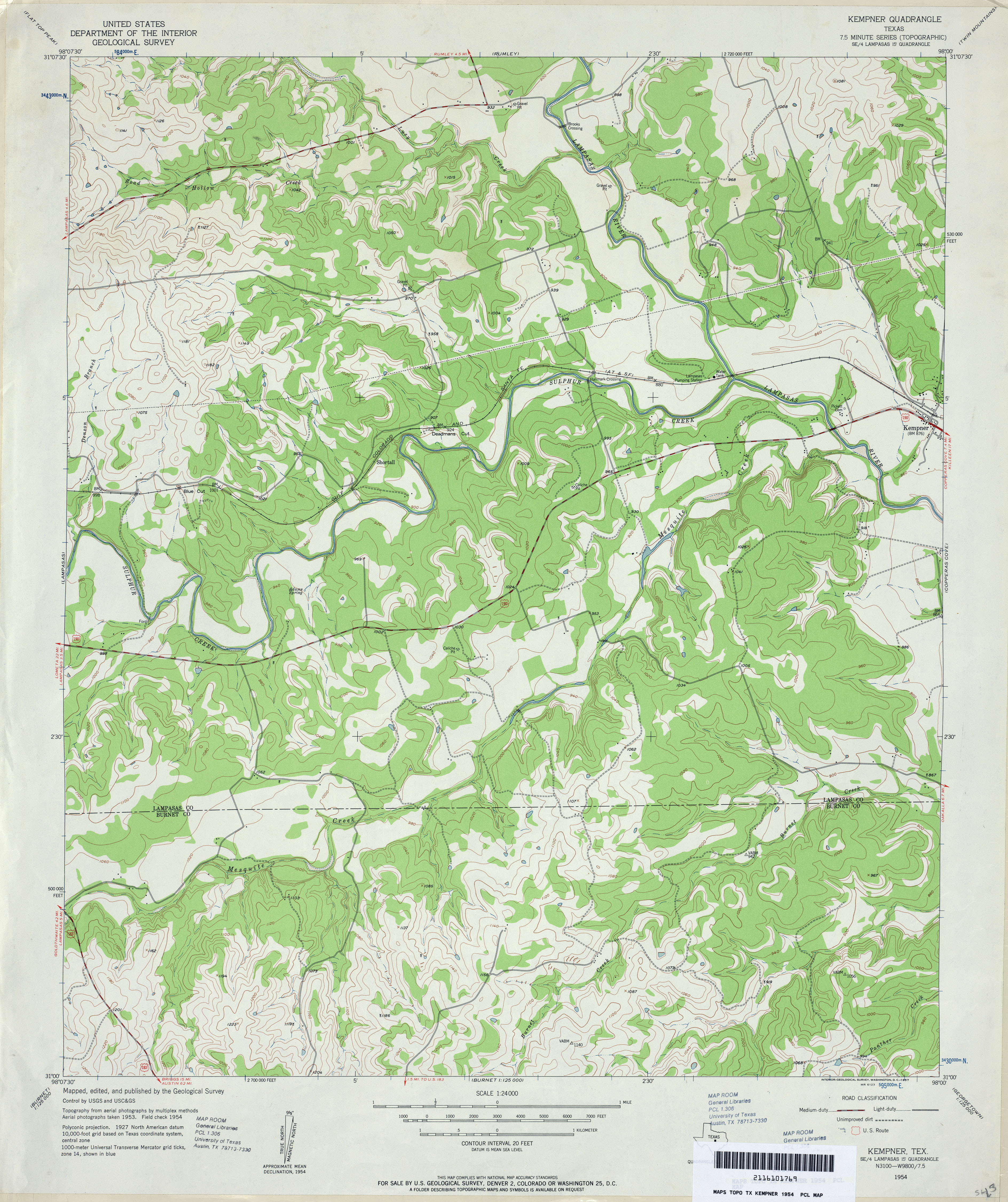
- Kempner 1:24,000 1954 (3.9MB)
- Kempner 1:24,000 2008 (20.3MB) [GeoPDF]
- Kempner 1:24,000 2013 (25.4MB) [GeoPDF]
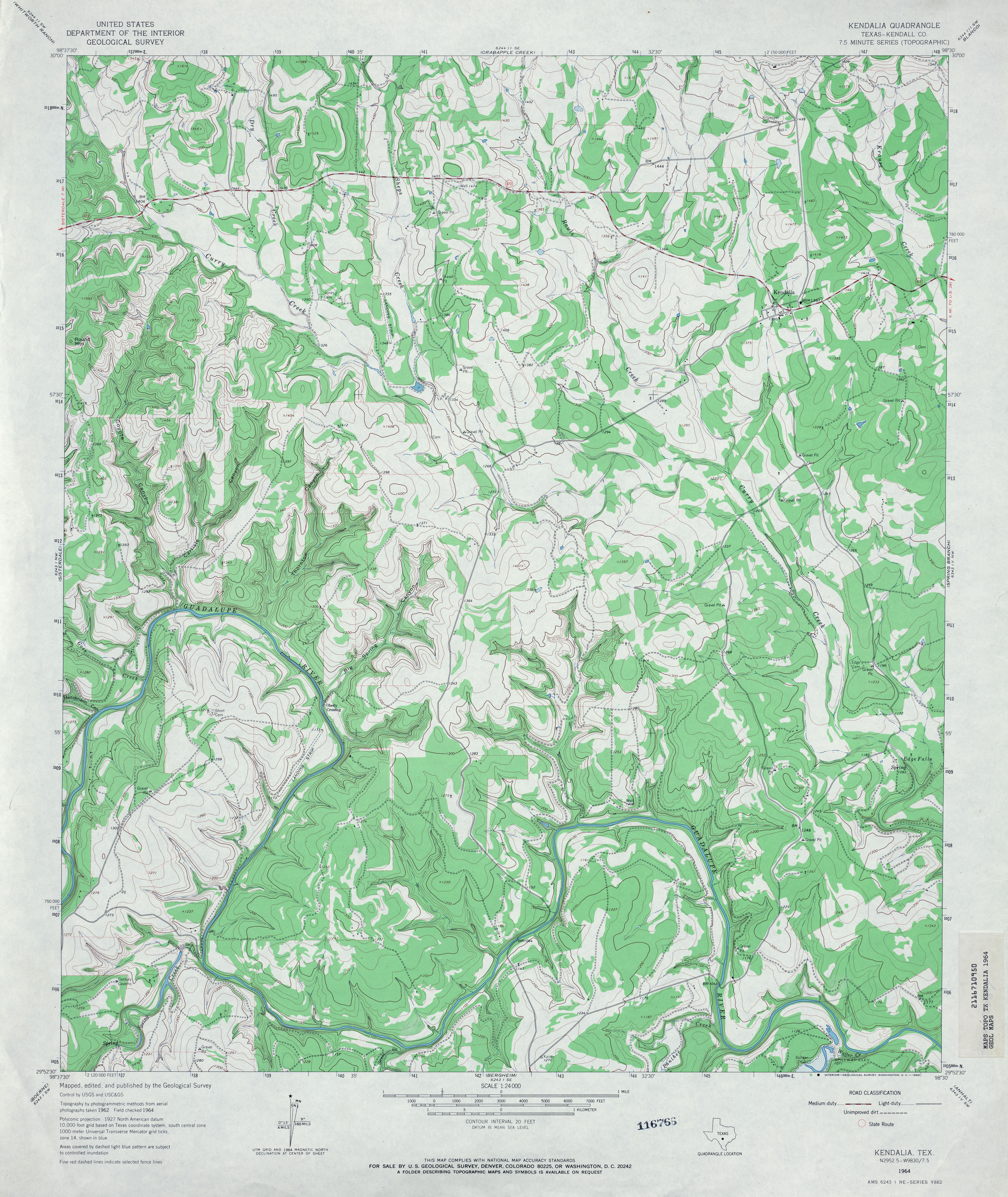
- Kendalia (Kendall County) 1:24,000 1964 (4.4MB)
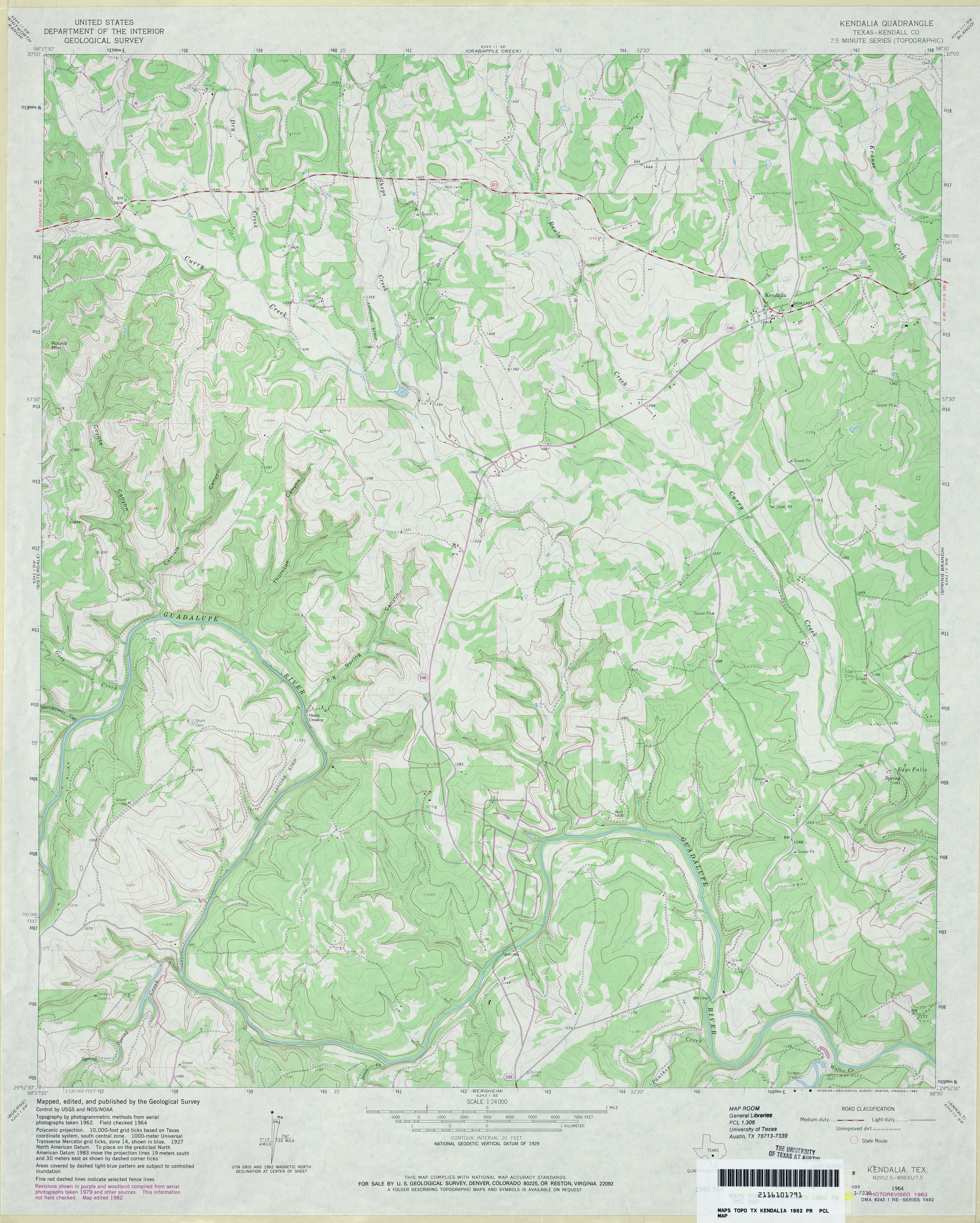
- Kendalia (Kendall County) 1:24,000 1982 (3.9MB)
- Kendalia 1:24,000 2008 (20.1MB) [GeoPDF]
- Kendalia 1:24,000 2013 (26.1MB) [GeoPDF]
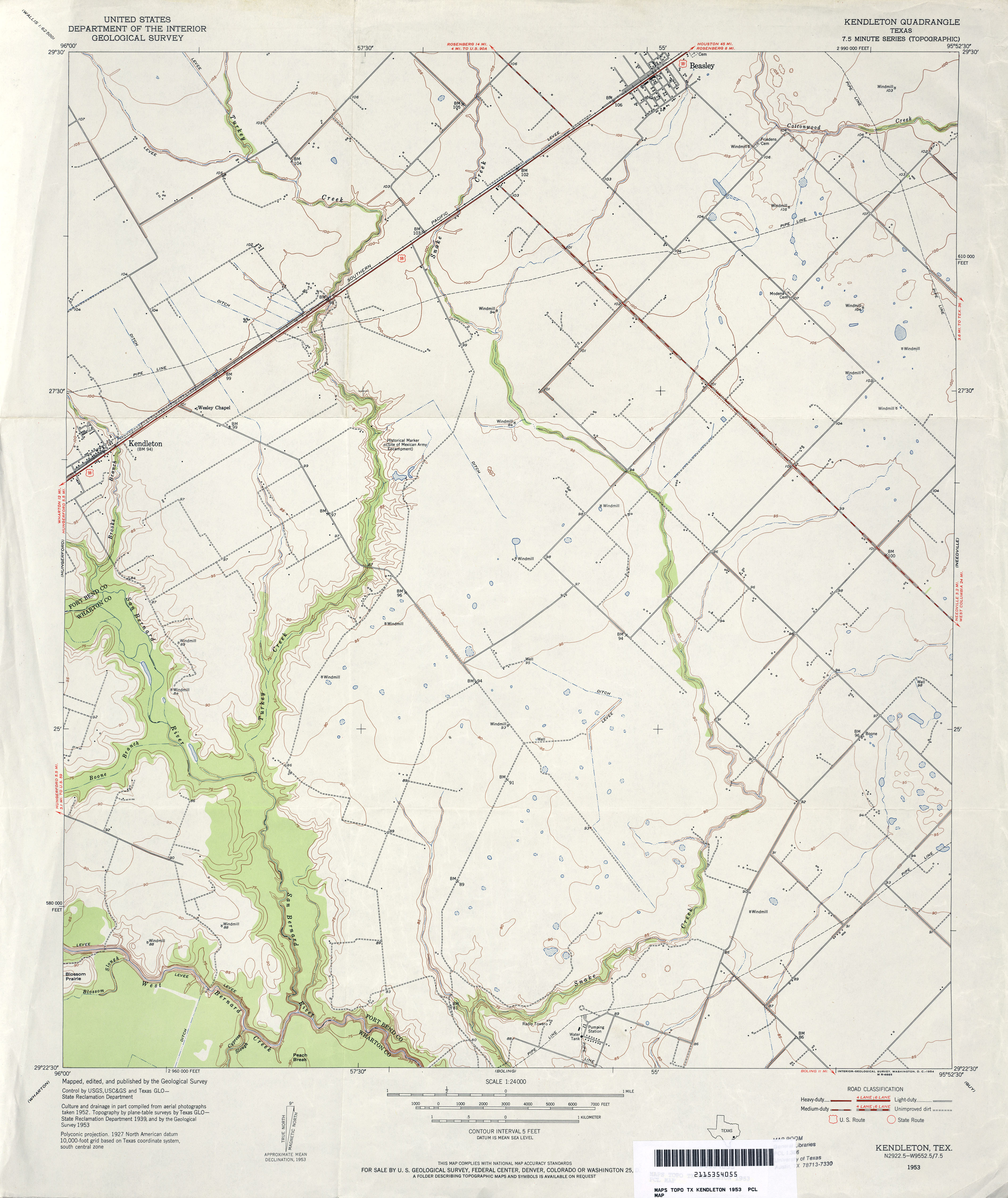
- Kendleton 1:24,000 1953 (3MB)
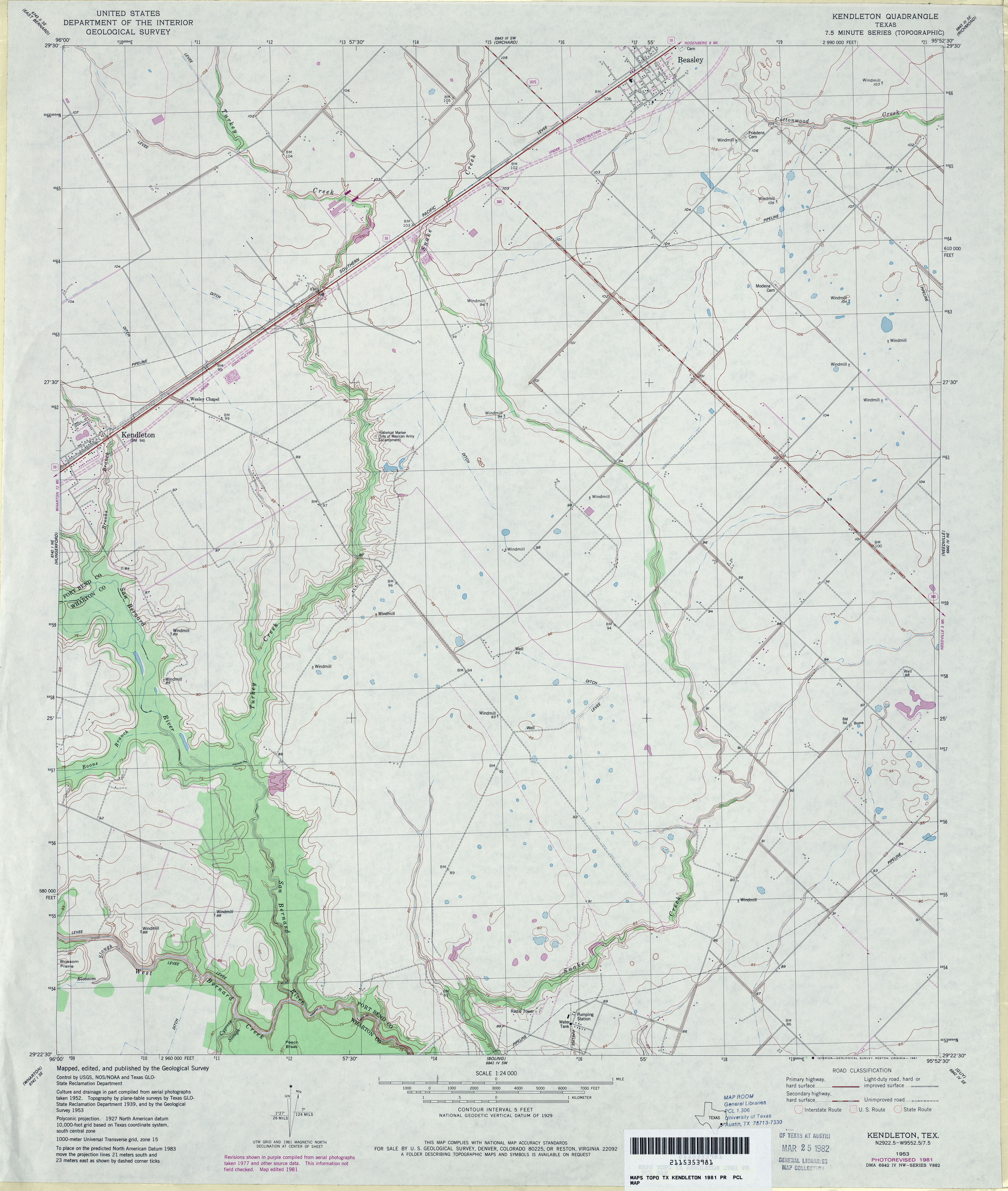
- Kendleton 1:24,000 1981 (3.2MB)
- Kendleton 1:24,000 2009 (13.7MB) [GeoPDF]
- Kendleton 1:24,000 2013 (16.8MB) [GeoPDF]
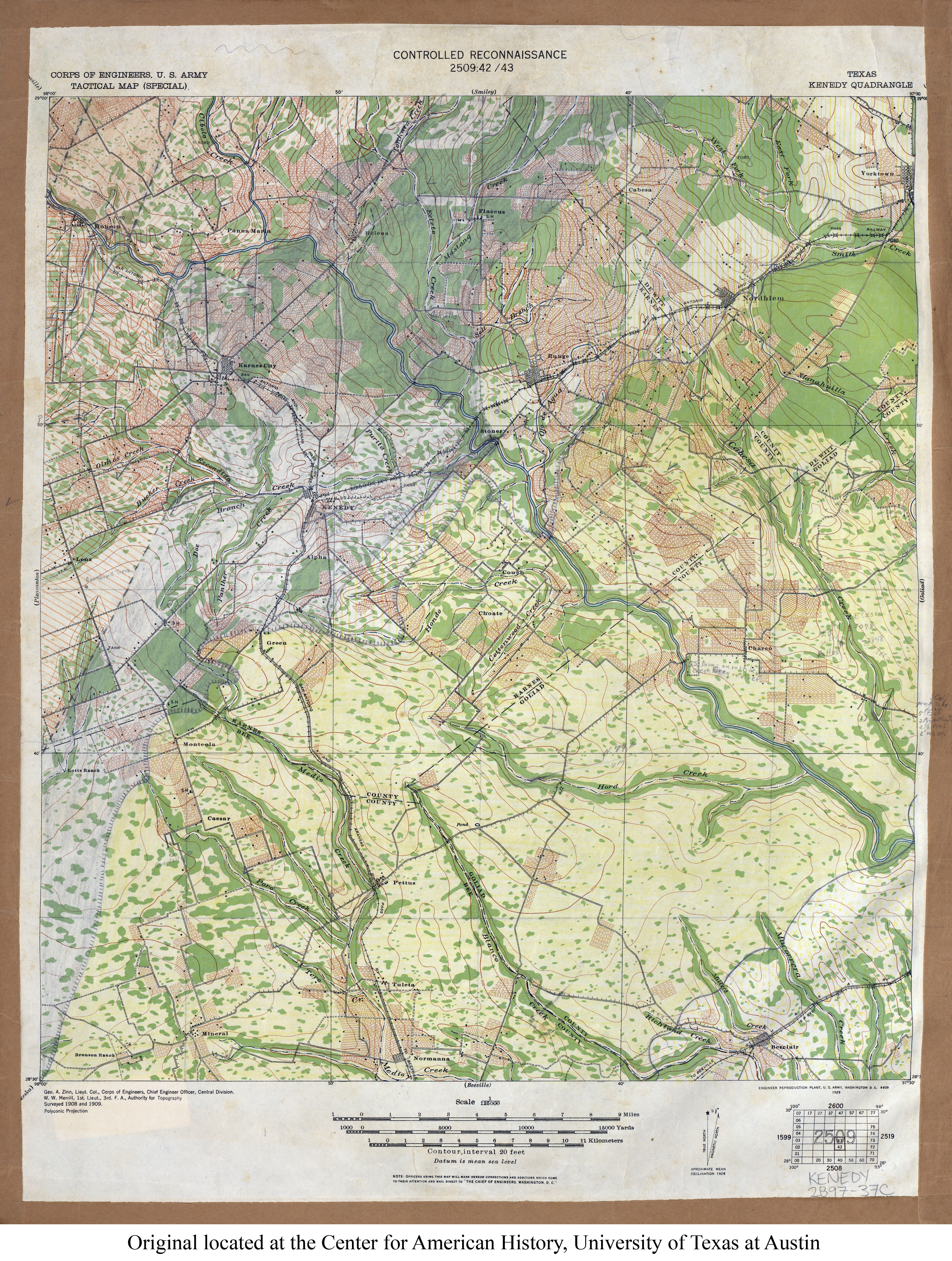
- Kenedy 1:125,000 1909 (5.2MB) U.S. Army. Corps of Engineers. Tactical Map (Special)
- Kenedy (Karnes County) 1:24,000 1961 (4.4MB)
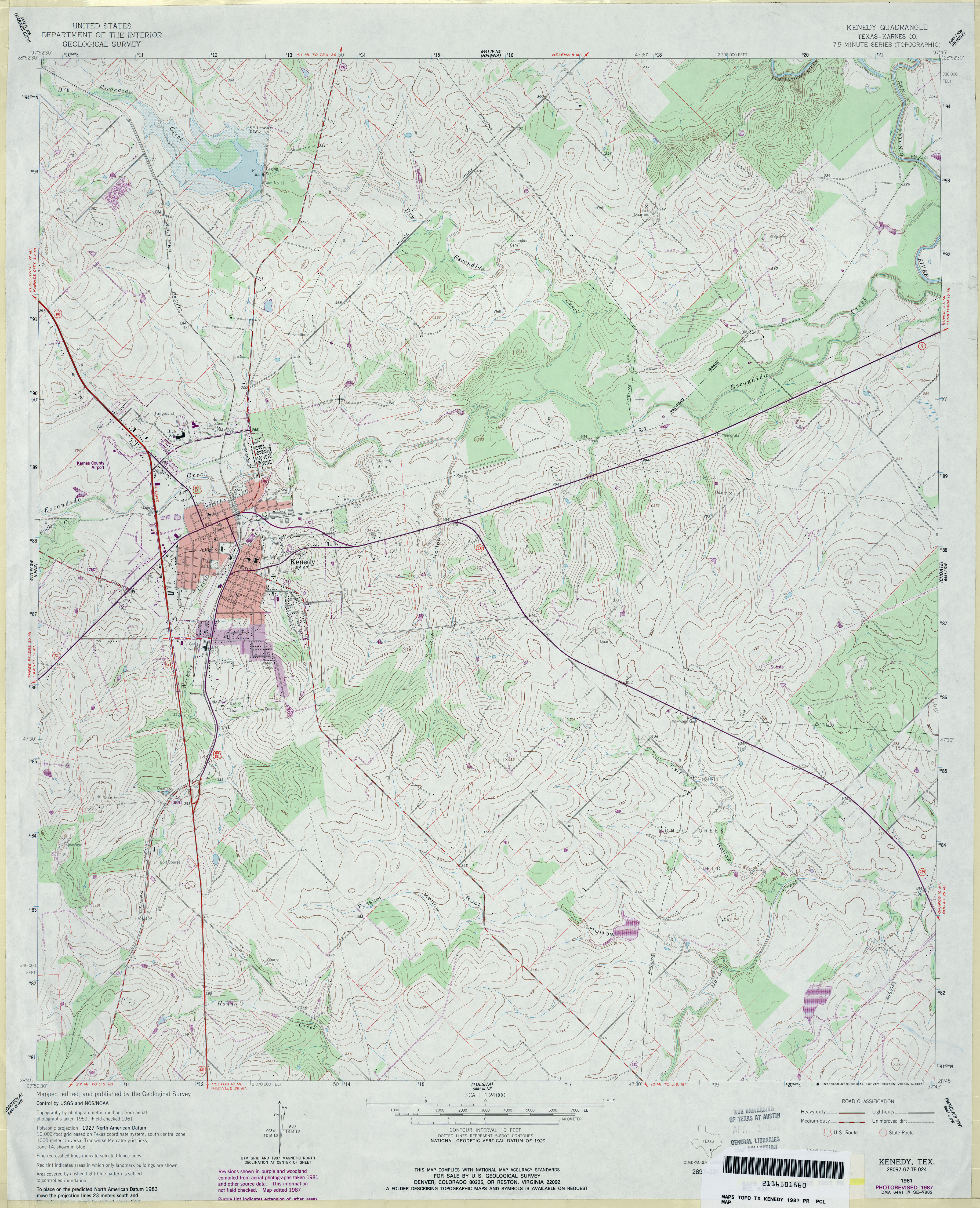
- Kenedy (Karnes County) 1:24,000 1987 (4.3MB)
- Kenedy 1:24,000 2008 (15.4MB) [GeoPDF]
- Kenedy 1:24,000 2013 (23.7MB) [GeoPDF]
- Kennard 1:24,000 1951 (3.7MB)
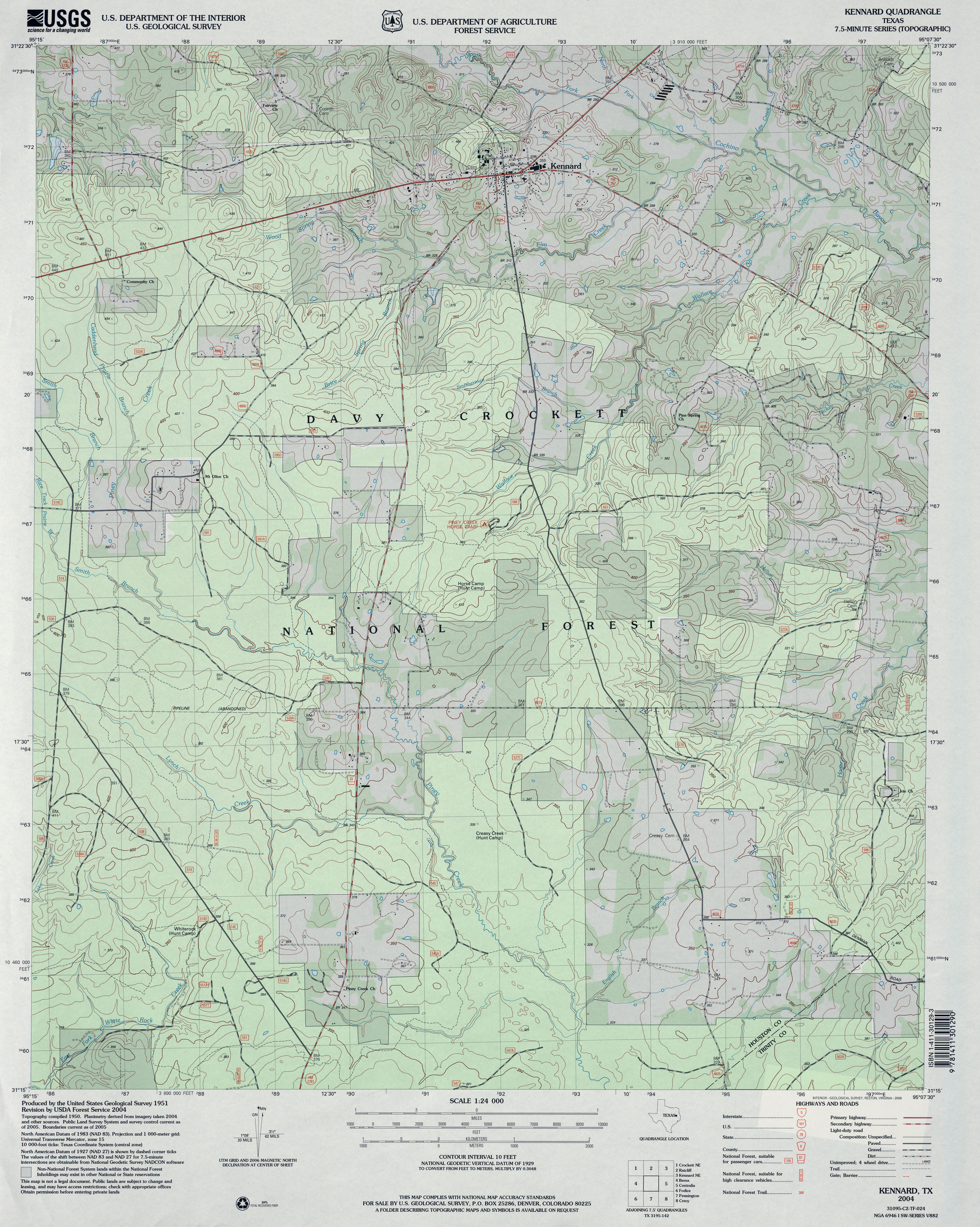
- Kennard 1:24,000 2004 (4.3MB)
- Kennard 1:24,000 2009 (23.3MB) [GeoPDF]
- Kennard 1:24,000 2013 (25.1MB) [GeoPDF]
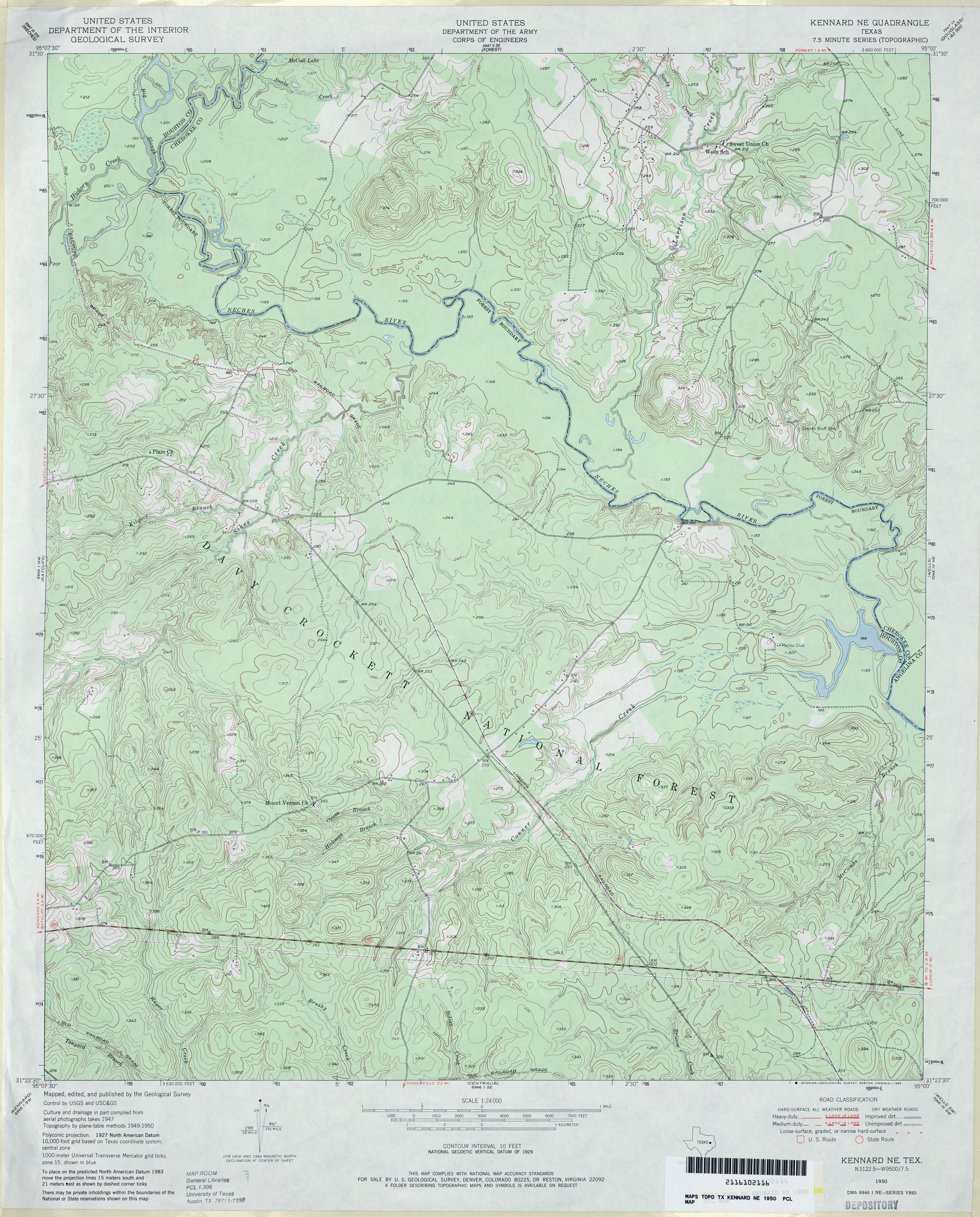
- Kennard NE 1:24,000 1950 (4.2MB)
- Kennard NE 1:24,000 2004 (4.8MB)
- Kennard NE 1:24,000 2009 (25.0MB) [GeoPDF]
- Kennard NE 1:24,000 2013 (26.6MB) [GeoPDF]
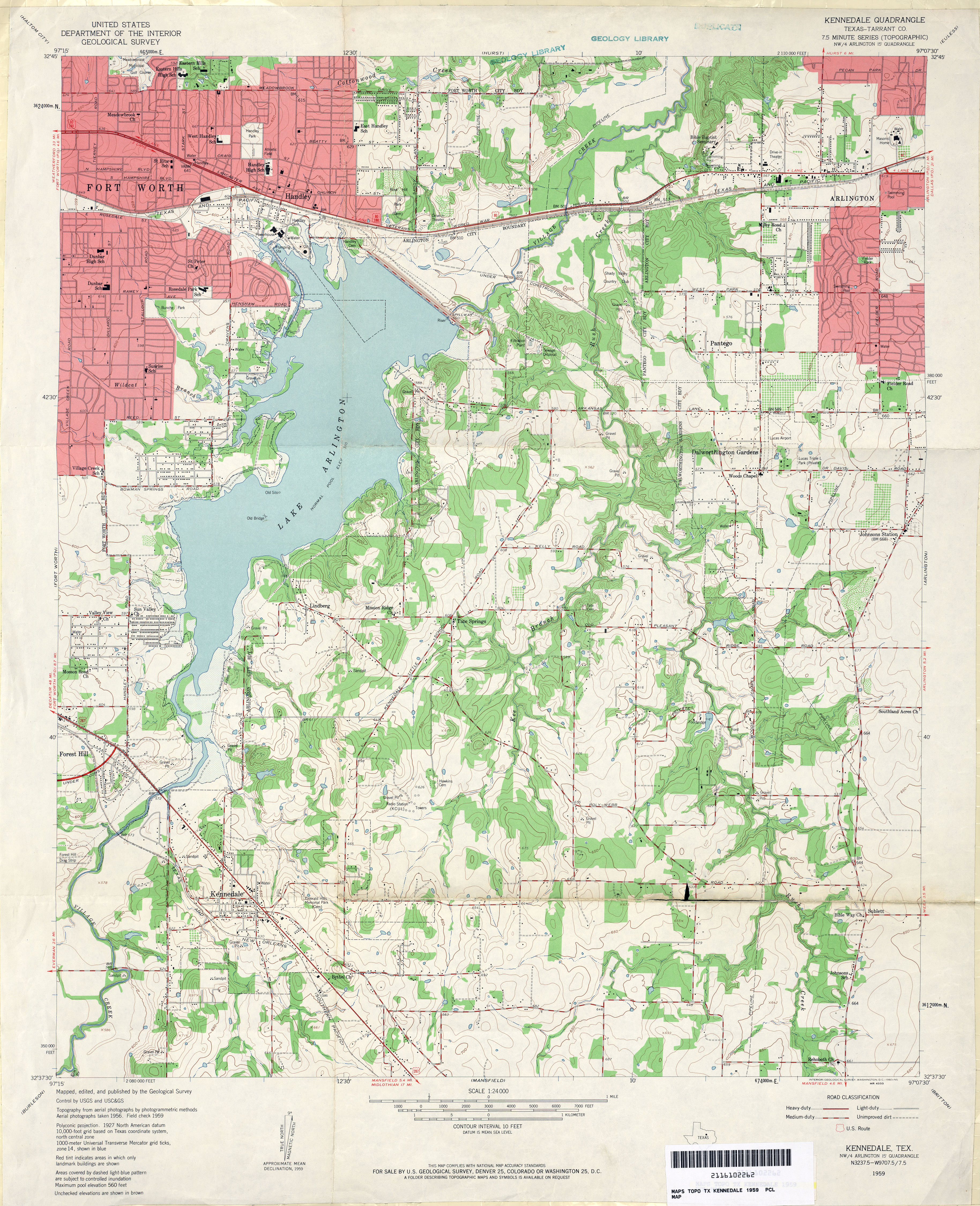
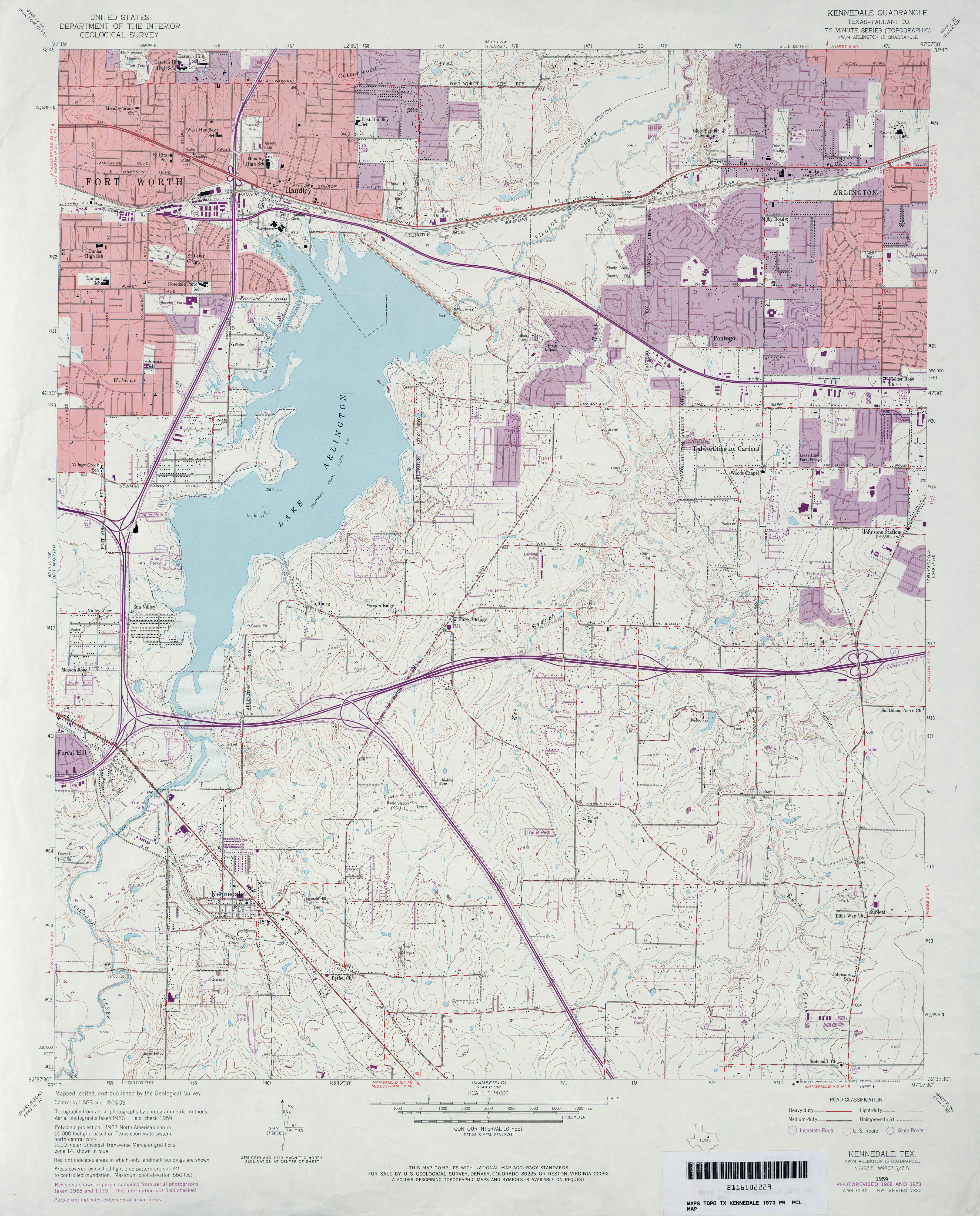
- Kennedale (Tarrant County) 1:24,000 1959 (4.3MB)
- Kennedale (Tarrant County) 1:24,000 1968 (4.2MB)
- Kennedale (Tarrant County) 1:24,000 1973 (4.1MB)
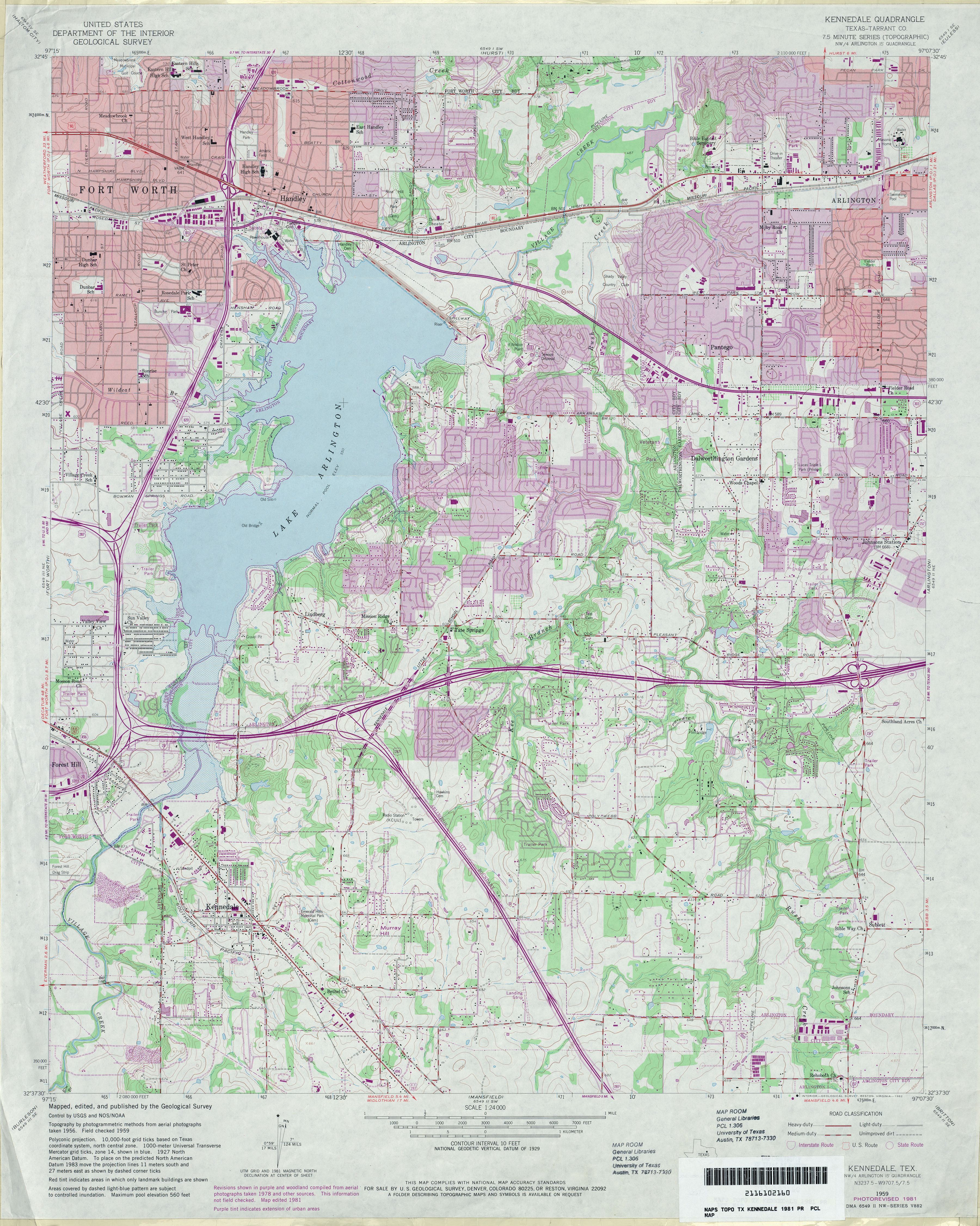
- Kennedale (Tarrant County) 1:24,000 1981 (4.7MB)
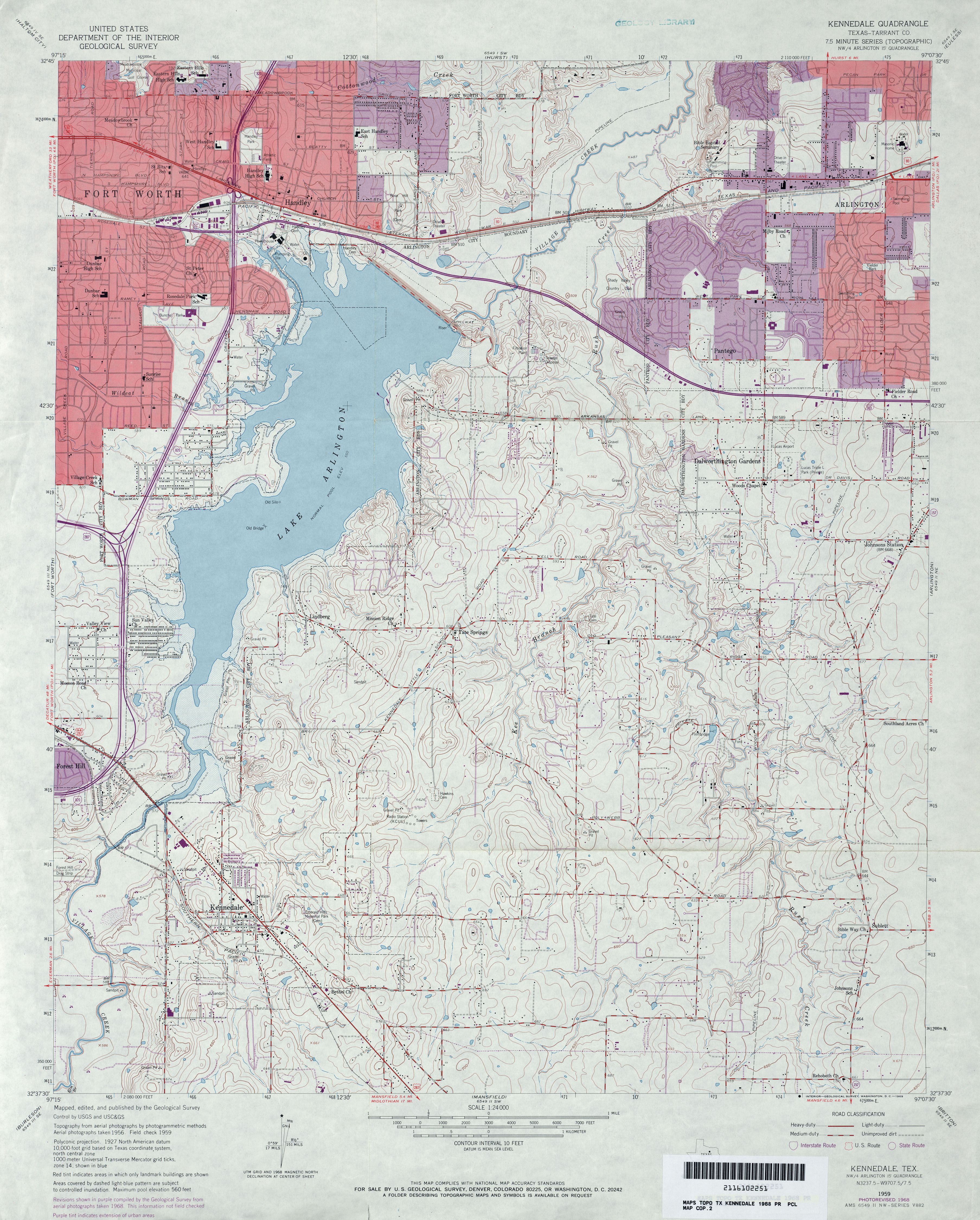
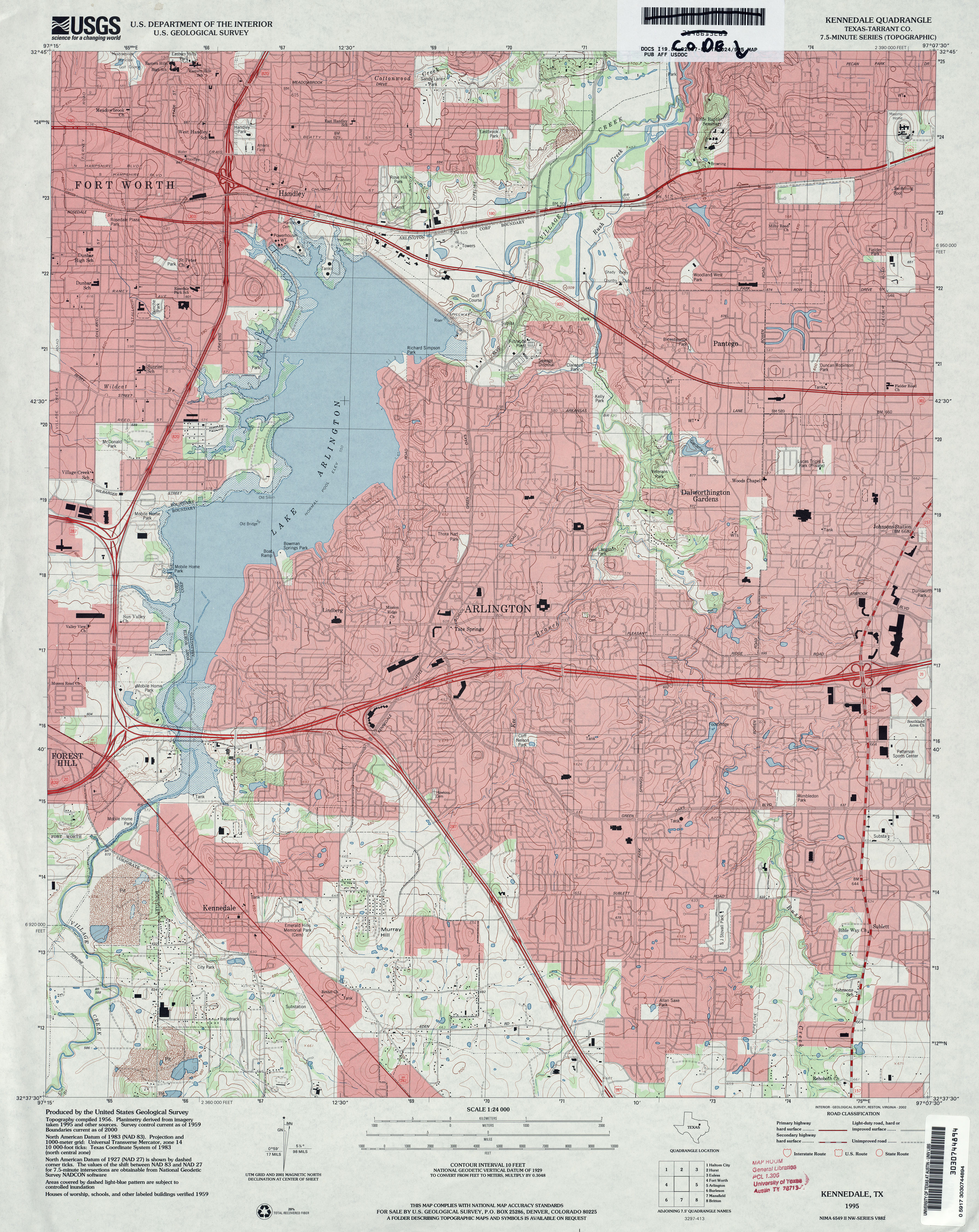
- Kennedale (Tarrant County) 1:24,000 1995 (4.7MB)
- Kennedale 1:24,000 2008 (21.9MB) [GeoPDF]
- Kennedale 1:24,000 2012 (26.2MB) [GeoPDF]
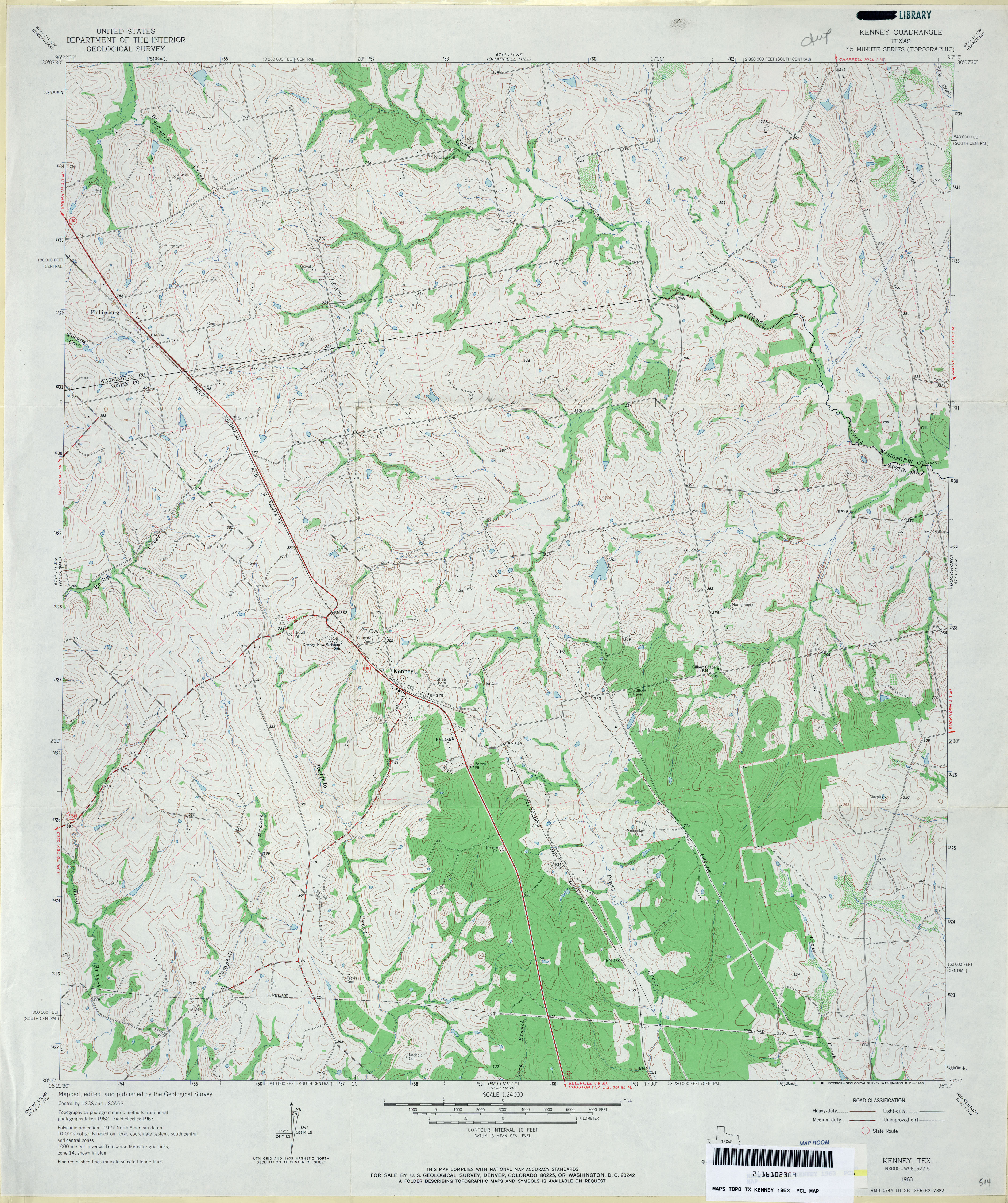
- Kenney 1:24,000 1963 (4.4MB)
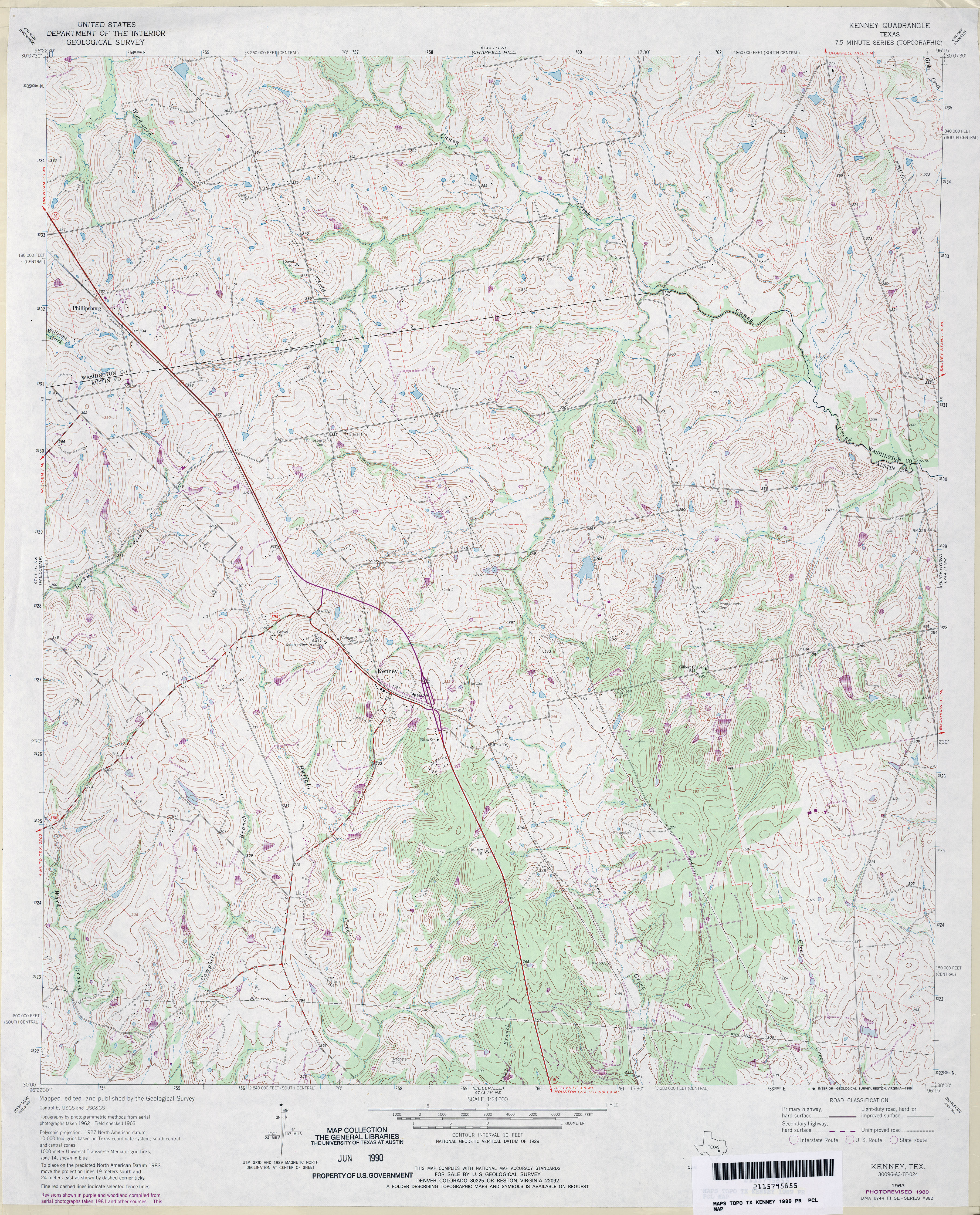
- Kenney 1:24,000 1989 (5.3MB)
- Kenney 1:24,000 2008 (13.8MB) [GeoPDF]
- Kenney 1:24,000 2013 (22.5MB) [GeoPDF]
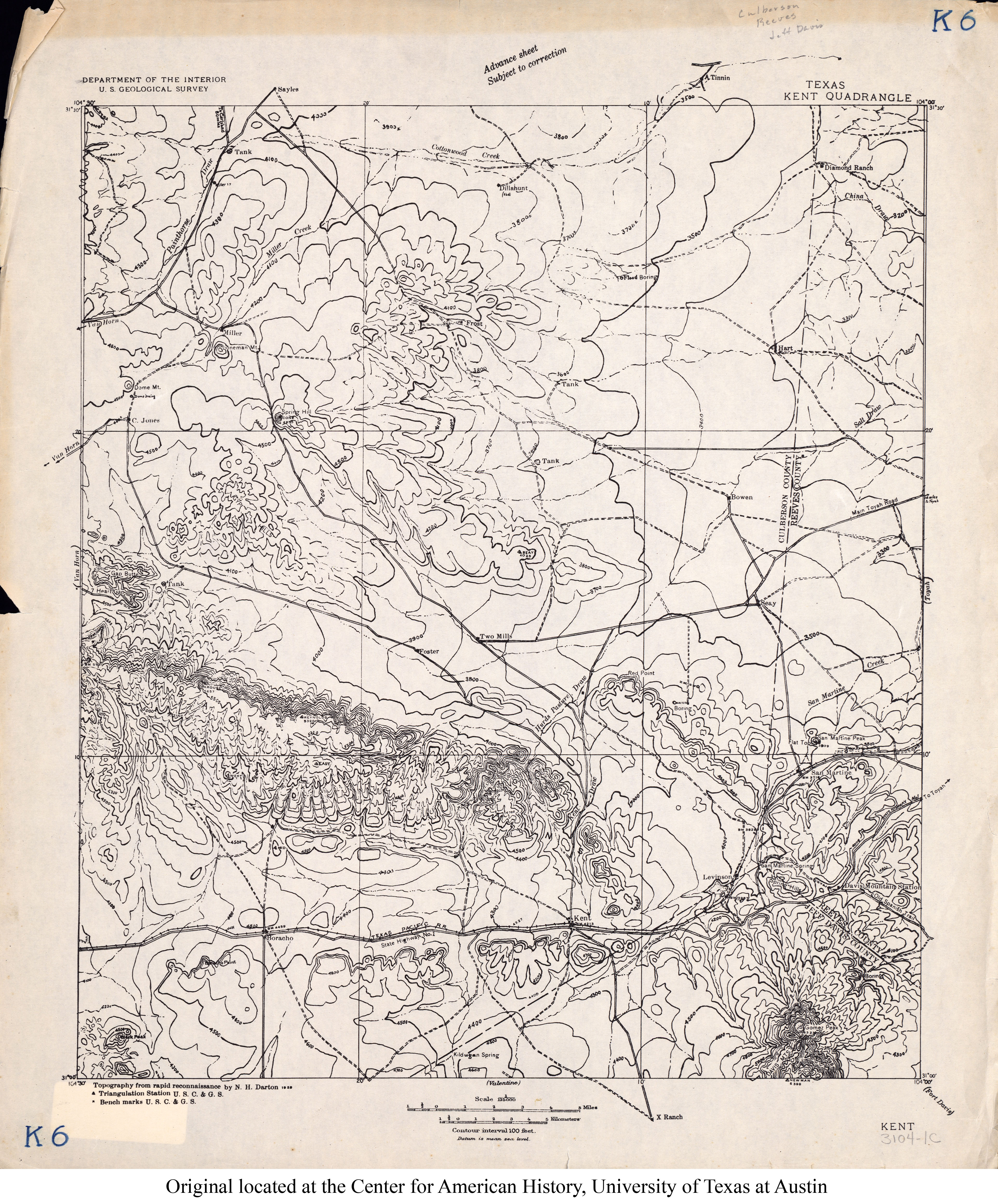
- Kent 1:125,000 1928 (3.7MB)
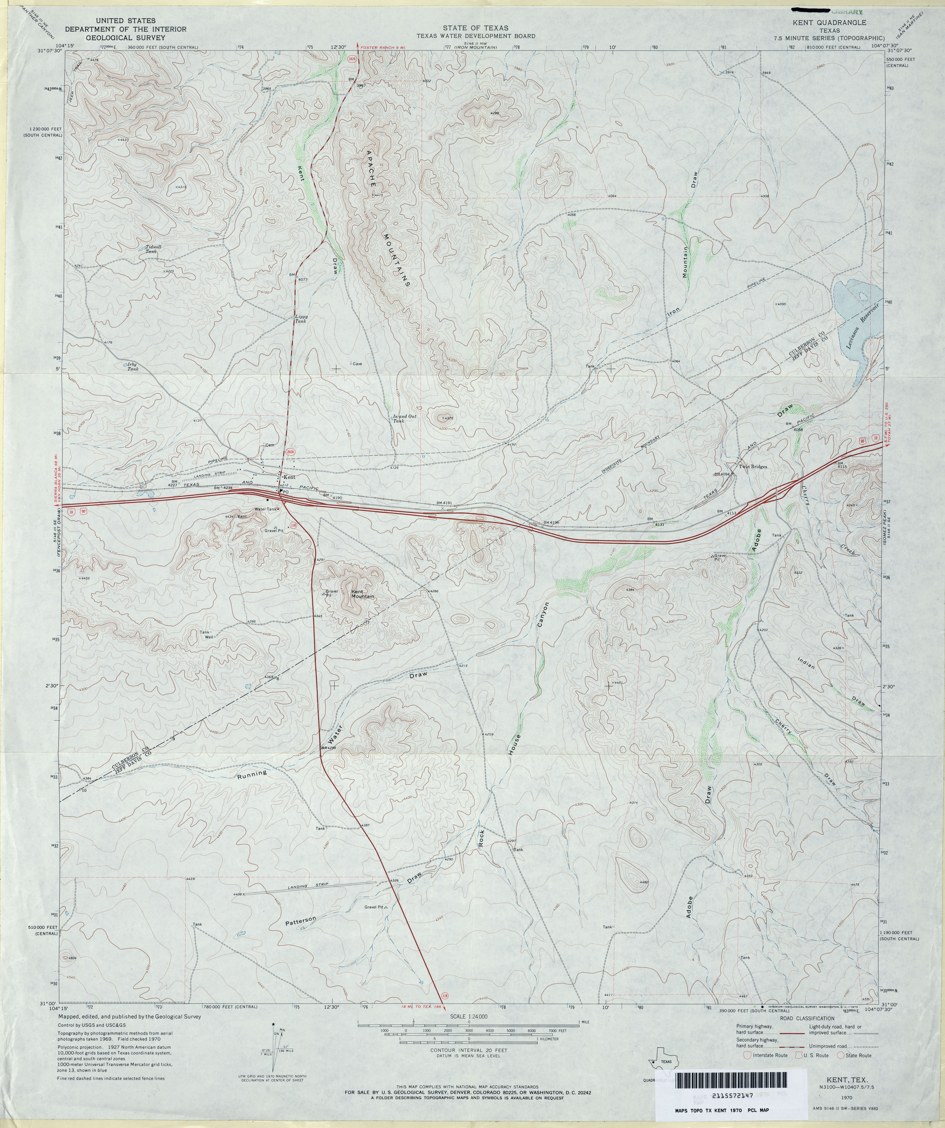
- Kent 1:24,000 1970 (3.4MB)
- Kent 1:24,000 2008 (22.0MB) [GeoPDF]
- Kent 1:24,000 2012 (23.7MB) [GeoPDF]
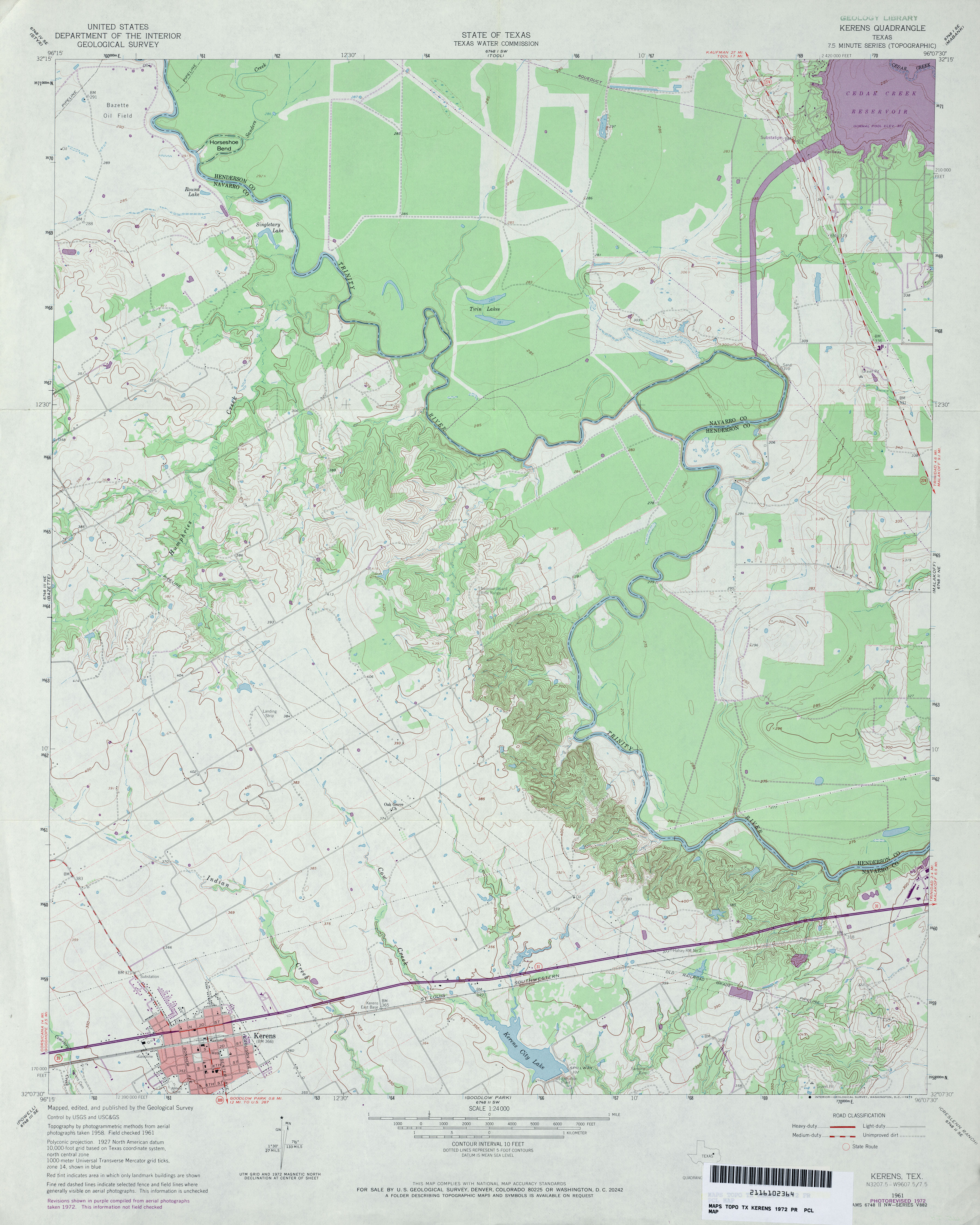
- Kerens 1:24,000 1961 (3.6MB)
- Kerens 1:24,000 1972 (3.6MB)
- Kerens 1:24,000 1981 (3.7MB)
- Kerens 1:24,000 2008 (16.0MB) [GeoPDF]
- Kerens 1:24,000 2012 (23.1MB) [GeoPDF]
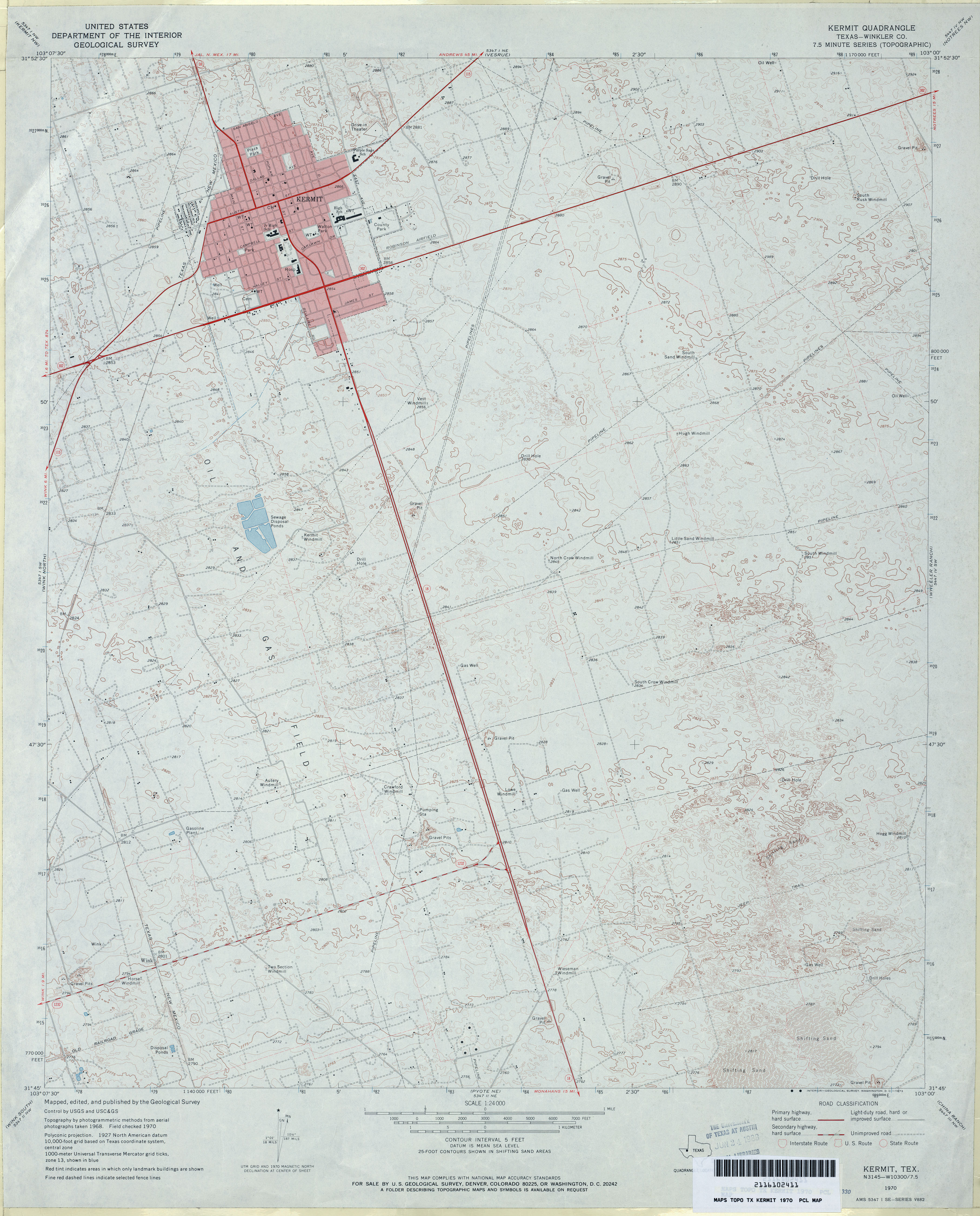
- Kermit (Winkler County) 1:24,000 1970 (3.7MB)
- Kermit 1:24,000 2008 (21.6MB) [GeoPDF]
- Kermit 1:24,000 2012 (21.7MB) [GeoPDF]
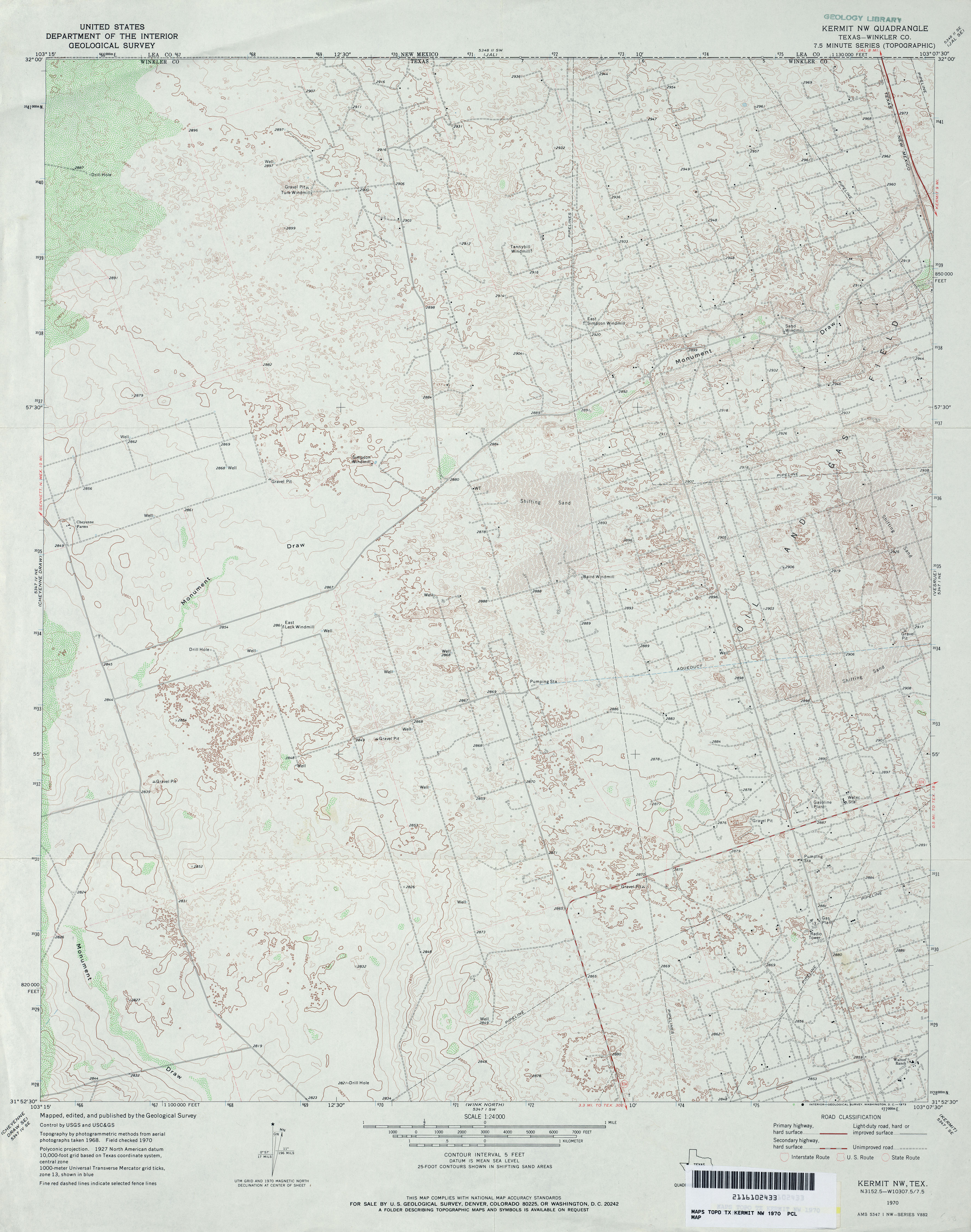
- Kermit NW (Winkler County) 1:24,000 1970 (3.8MB)
- Kermit NW 1:24,000 2008 (25.5MB) [GeoPDF]
- Kermit NW 1:24,000 2012 (28.2MB) [GeoPDF]
- Kerrick 1:24,000 1964 (2.8MB)
- Kerrick 1:24,000 1998 (3.7MB)
- Kerrick 1:24,000 2012 (14.7MB) [GeoPDF]
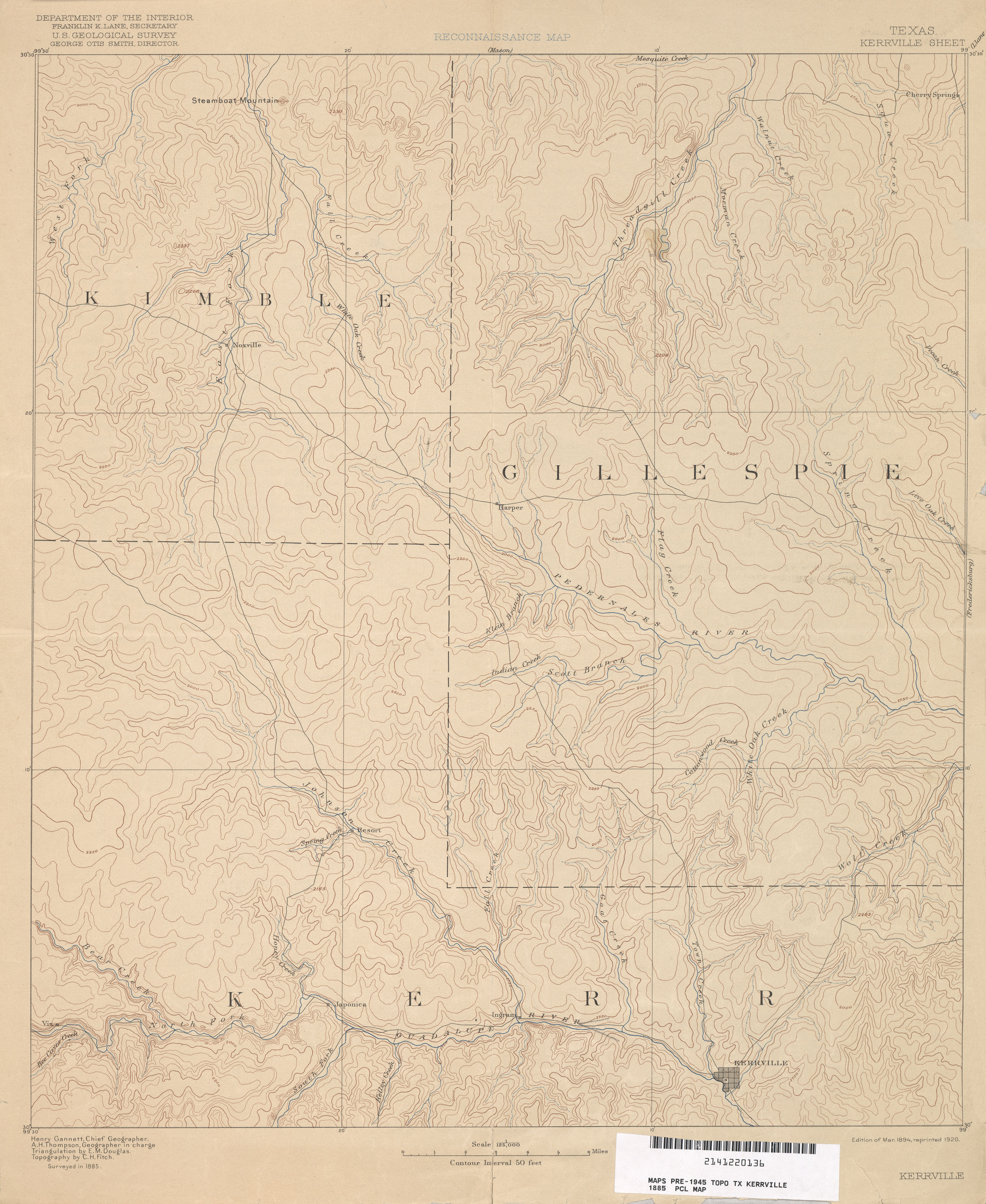
- Kerrville 1:125,000 1885 (2.5 MB)
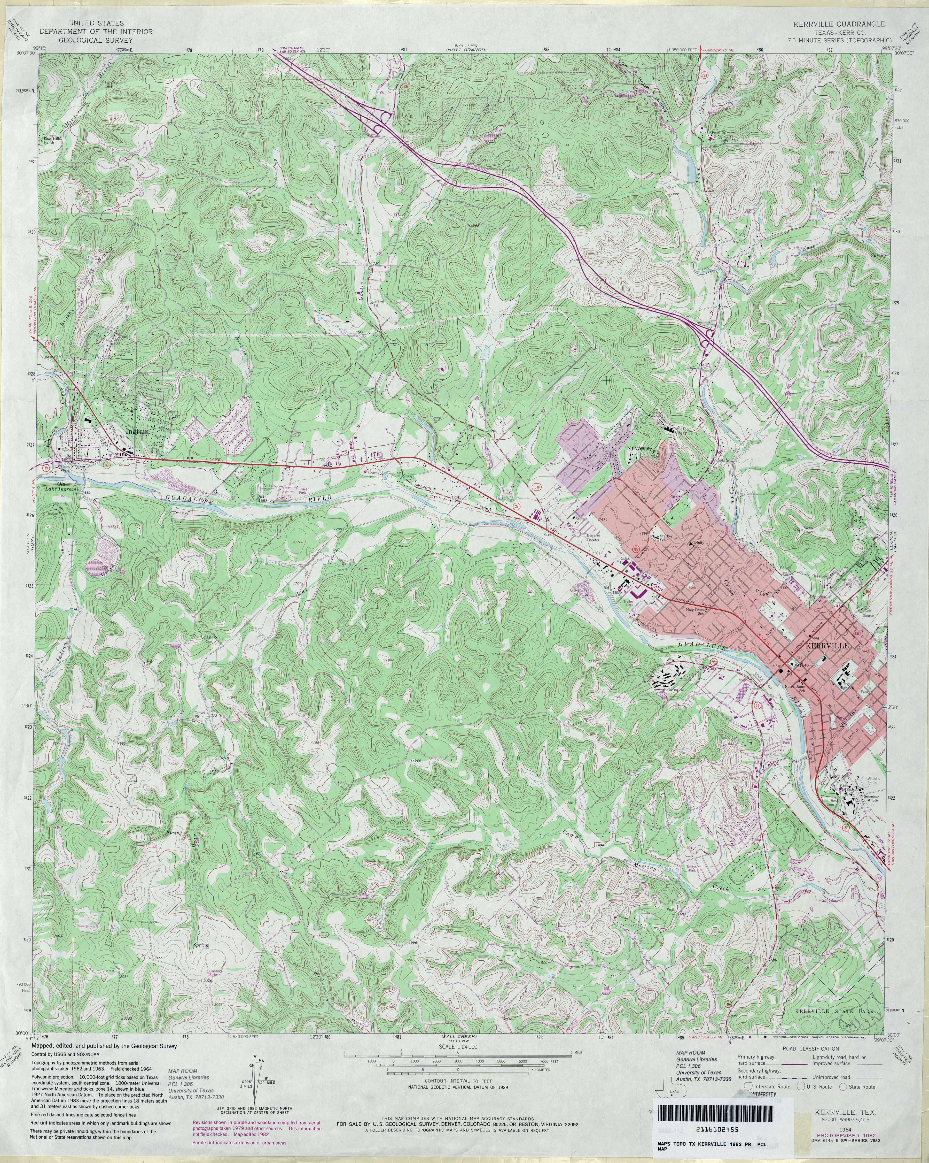
- Kerrville (Kerr County) 1:24,000 1964 (4.7MB)
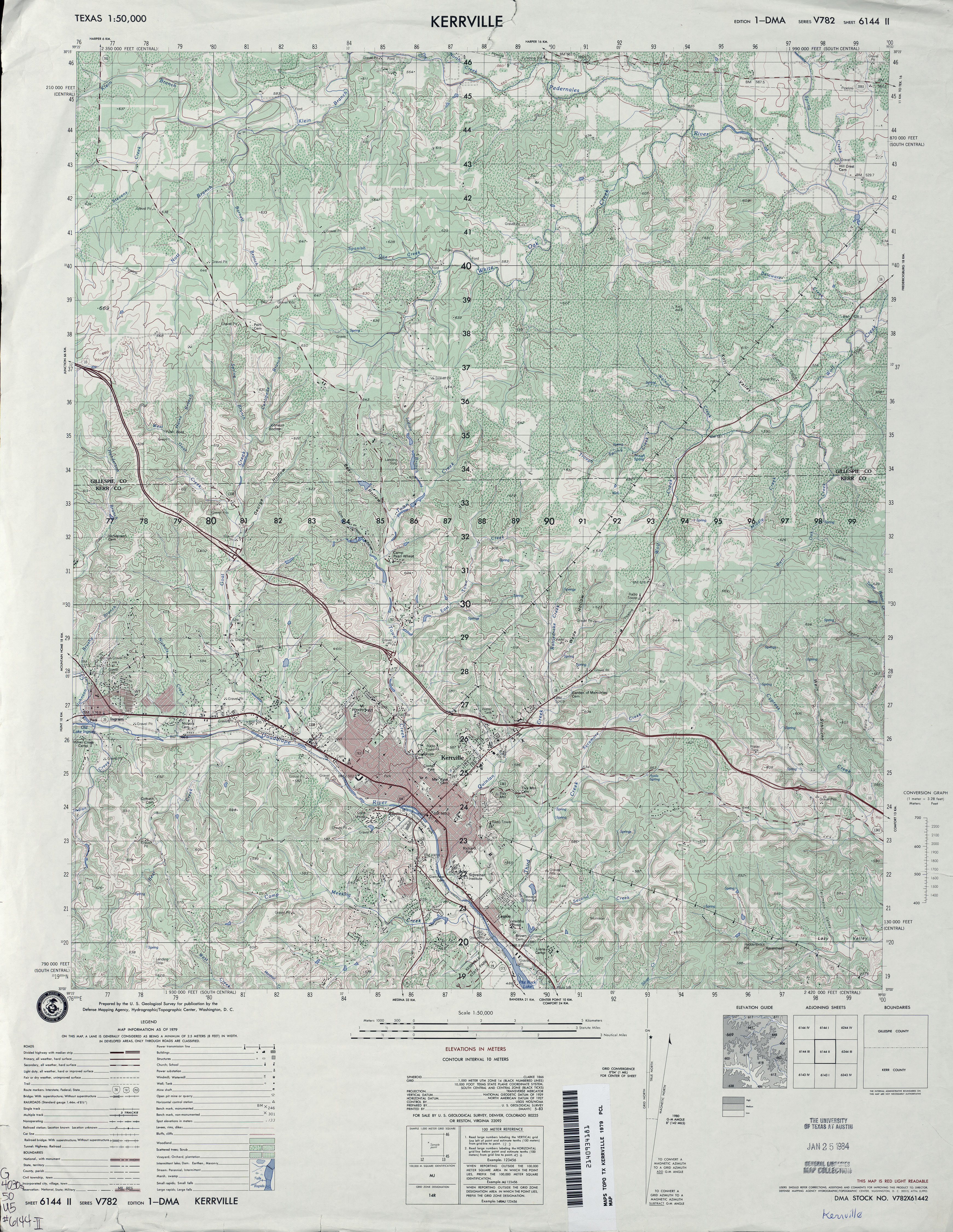
- Kerrville 1:50,000 1979 (5.2MB) U.S. Defense Mapping Agency, Series V782.
- Kerrville (Kerr County) 1:24,000 1982 (5.4MB)
- Kerrville 1:24,000 2008 (22.3MB) [GeoPDF]
- Kerrville 1:24,000 2012 (30.6MB) [GeoPDF]
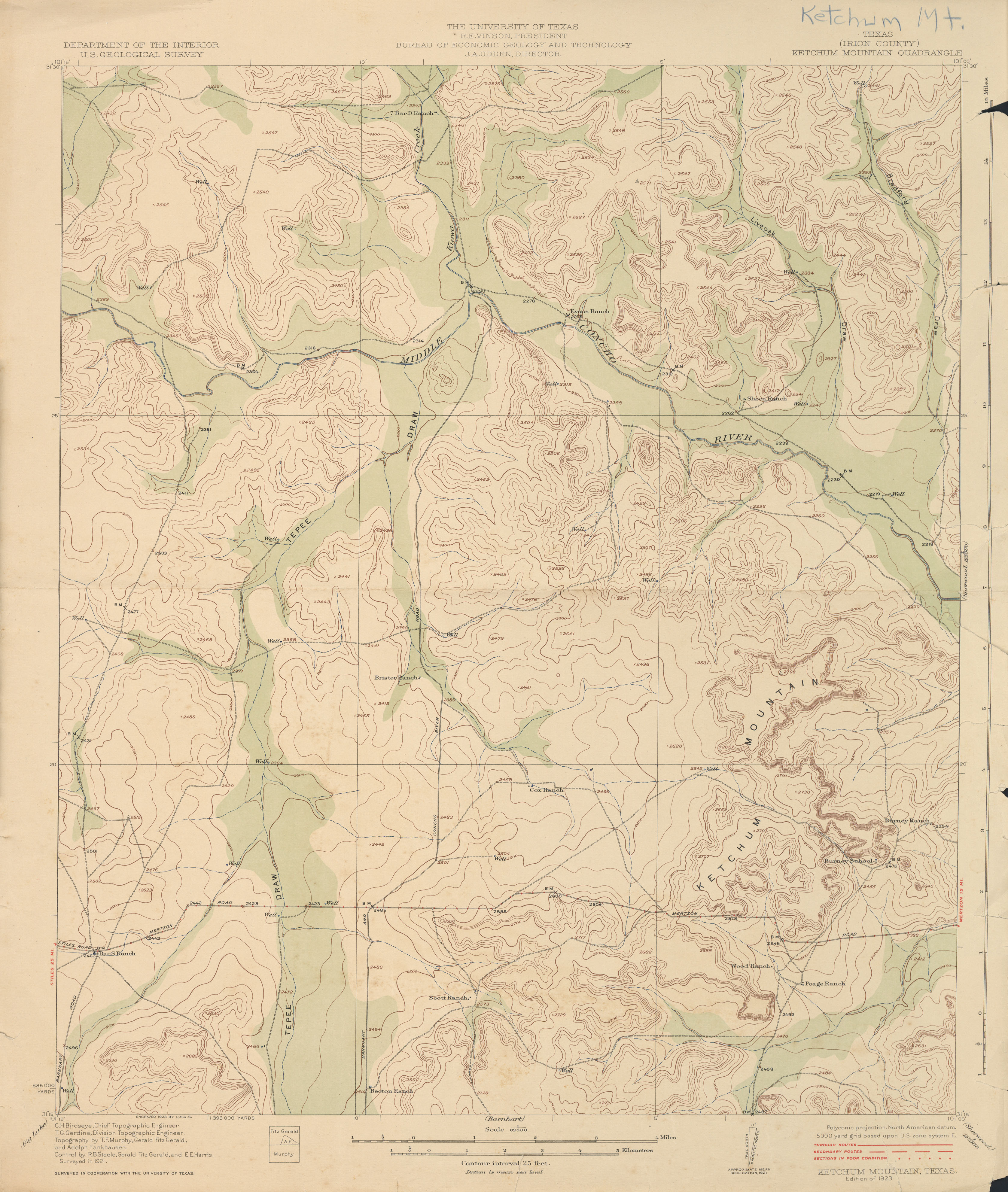
- Ketchum Mountain (Irion County) 1:62,500 1921 (2.6 MB)
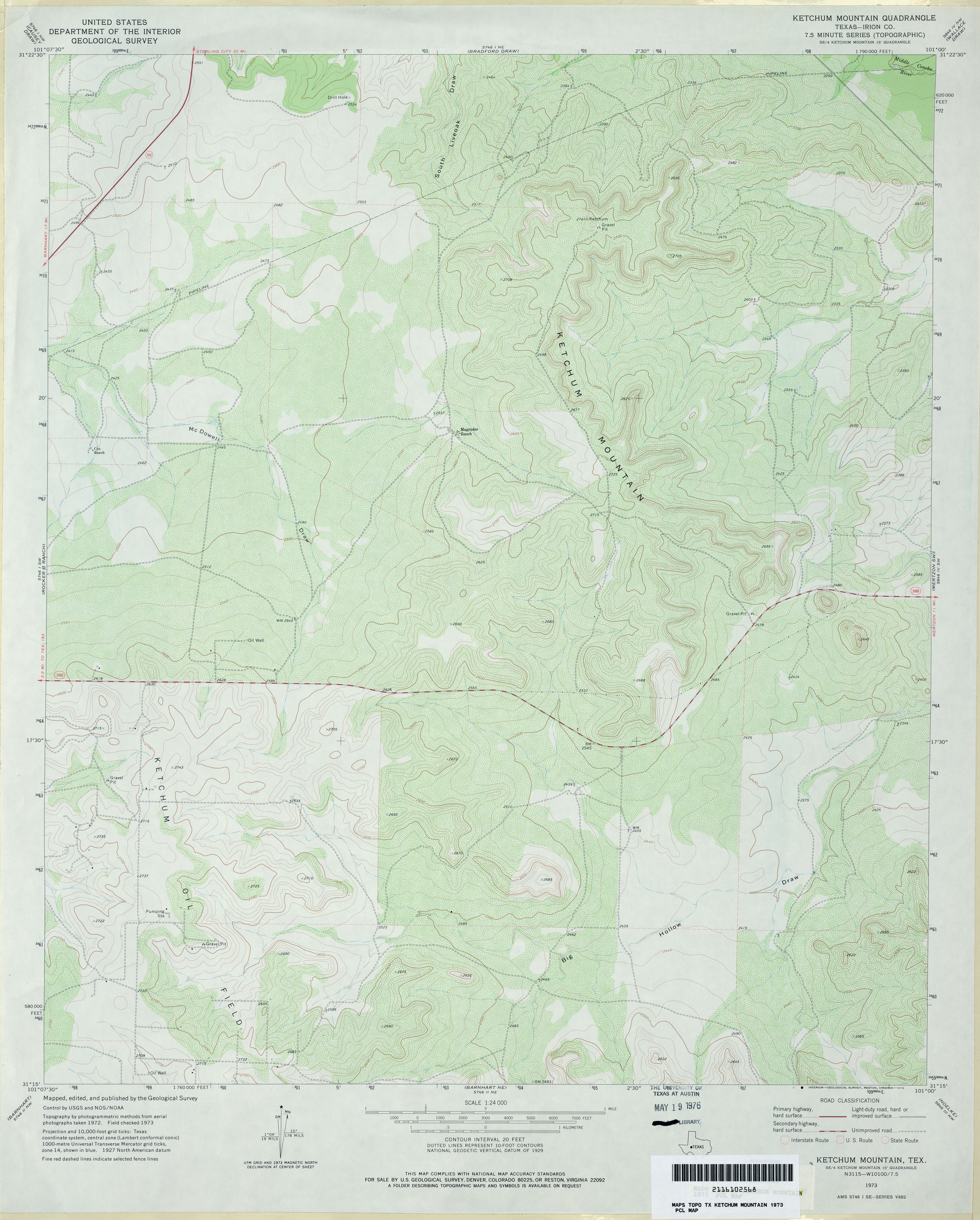
- Ketchum Mountain (Irion County) 1:24,000 1973 (3.9MB)
- Ketchum Mountain 1:24,000 2008 (26.8MB) [GeoPDF]
- Ketchum Mountain 1:24,000 2012 (30.3MB) [GeoPDF]
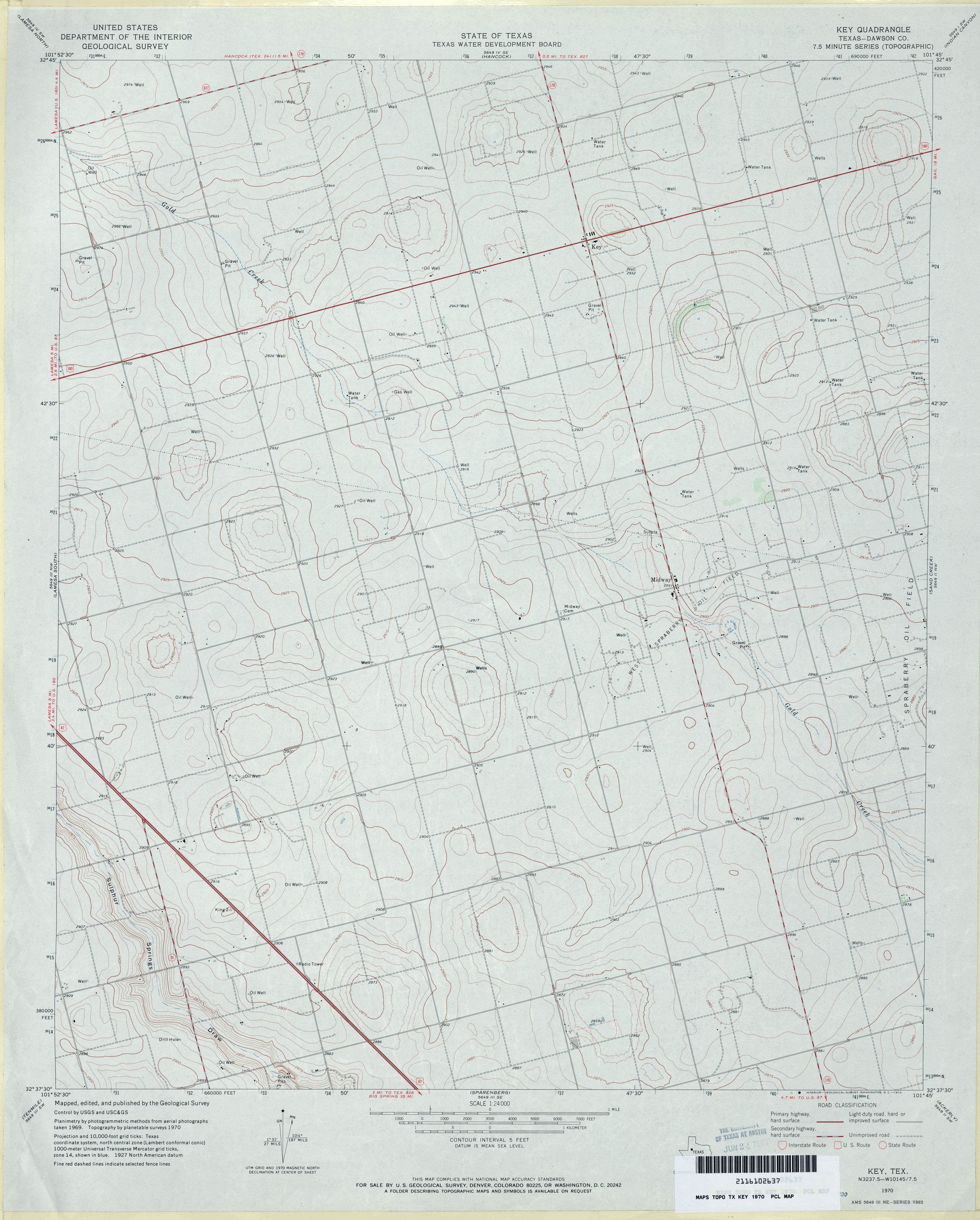
- Key (Dawson County) 1:24,000 1970 (3MB)
- Key 1:24,000 2008 (12.3MB) [GeoPDF]
- Key 1:24,000 2012 (17.5MB) [GeoPDF]
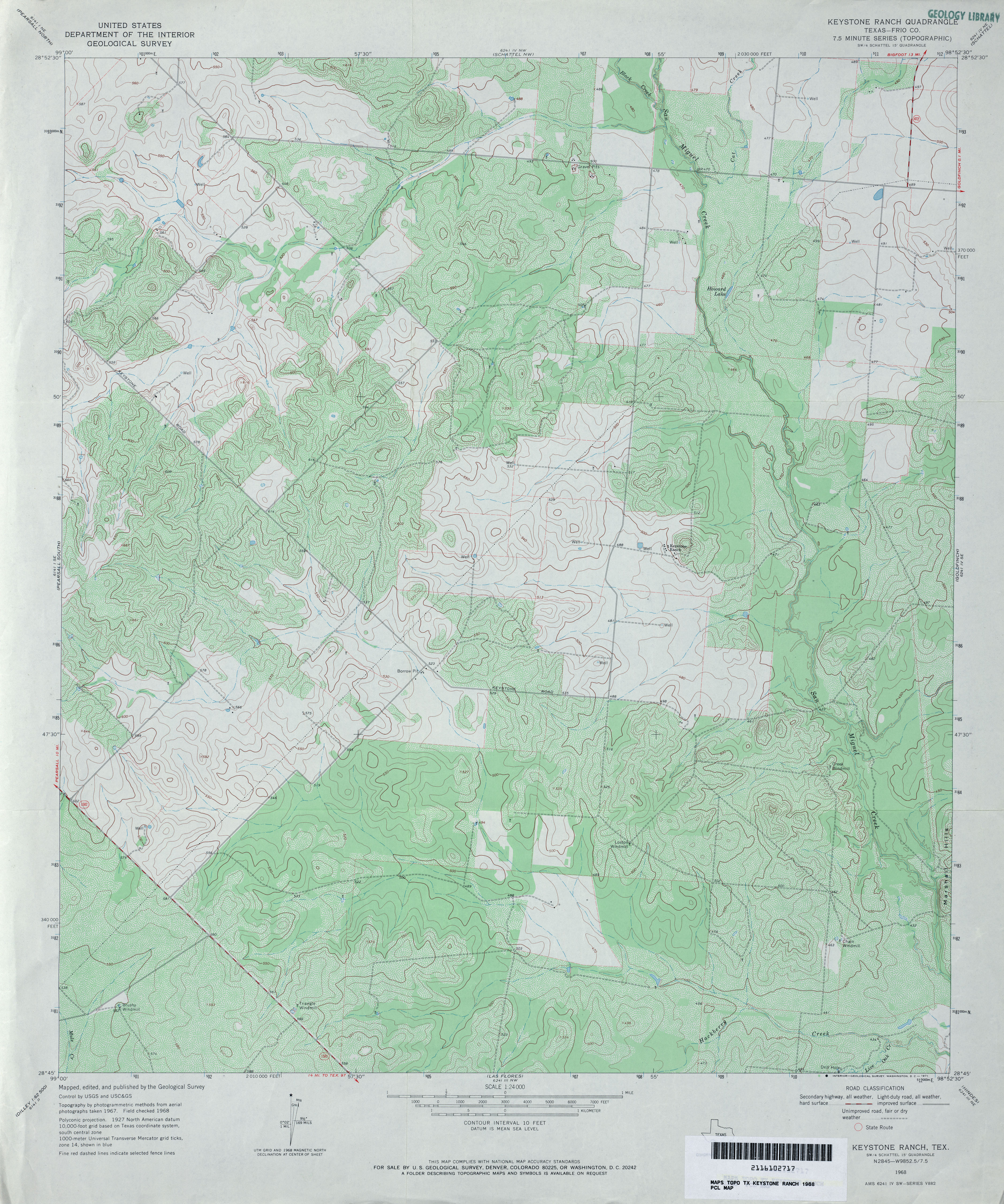
- Keystone Ranch (Frio County) 1:24,000 1968 (4.3MB)
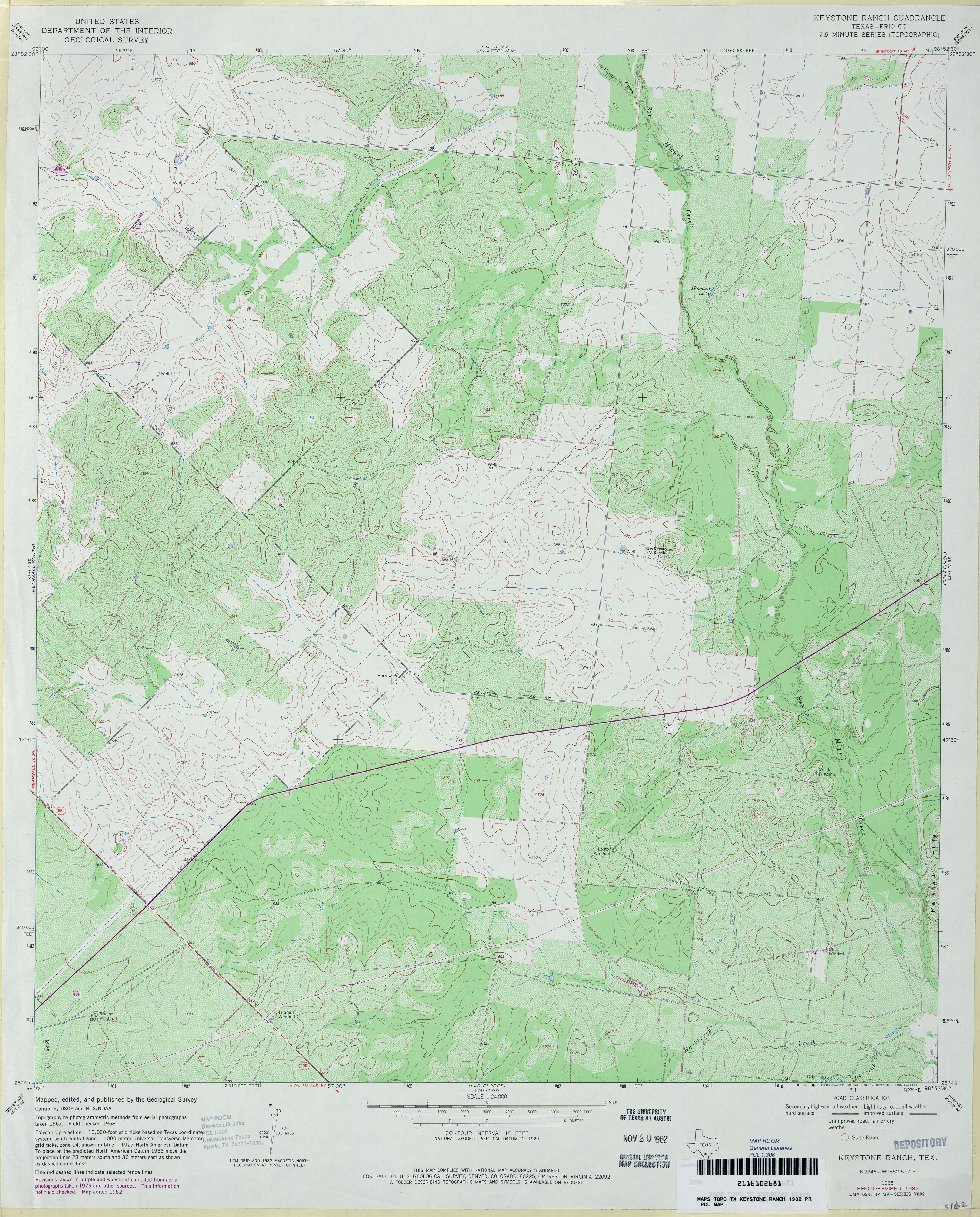
- Keystone Ranch (Frio County) 1:24,000 1982 (4.8MB)
- Keystone Ranch 1:24,000 2008 (16.7MB) [GeoPDF]
- Keystone Ranch 1:24,000 2012 (22.6MB) [GeoPDF]
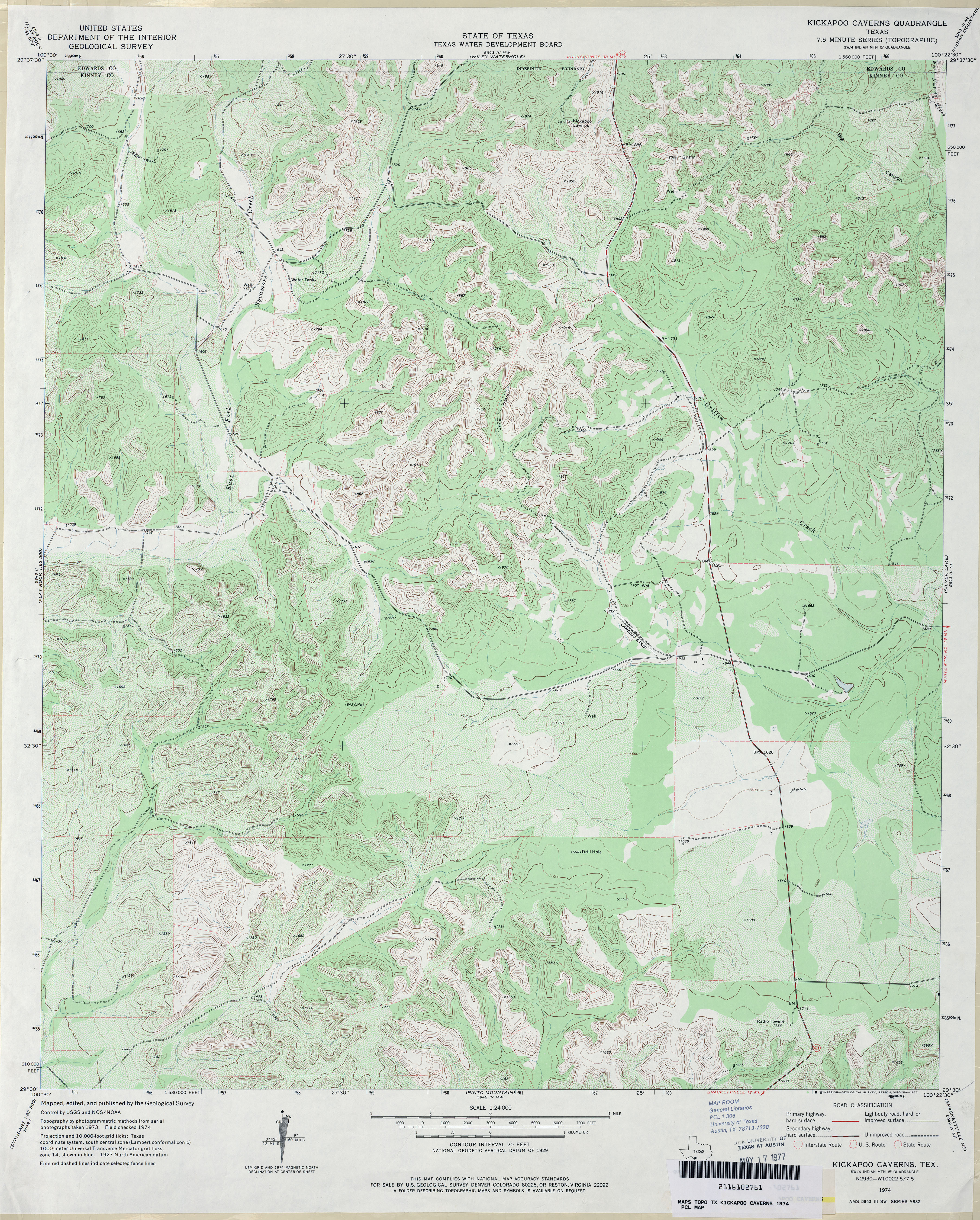
- Kickapoo Caverns 1:24,000 1974 (4.8MB)
- Kickapoo Caverns 1:24,000 2008 (25.7MB) [GeoPDF]
- Kickapoo Caverns 1:24,000 2013 (33.5MB) [GeoPDF]
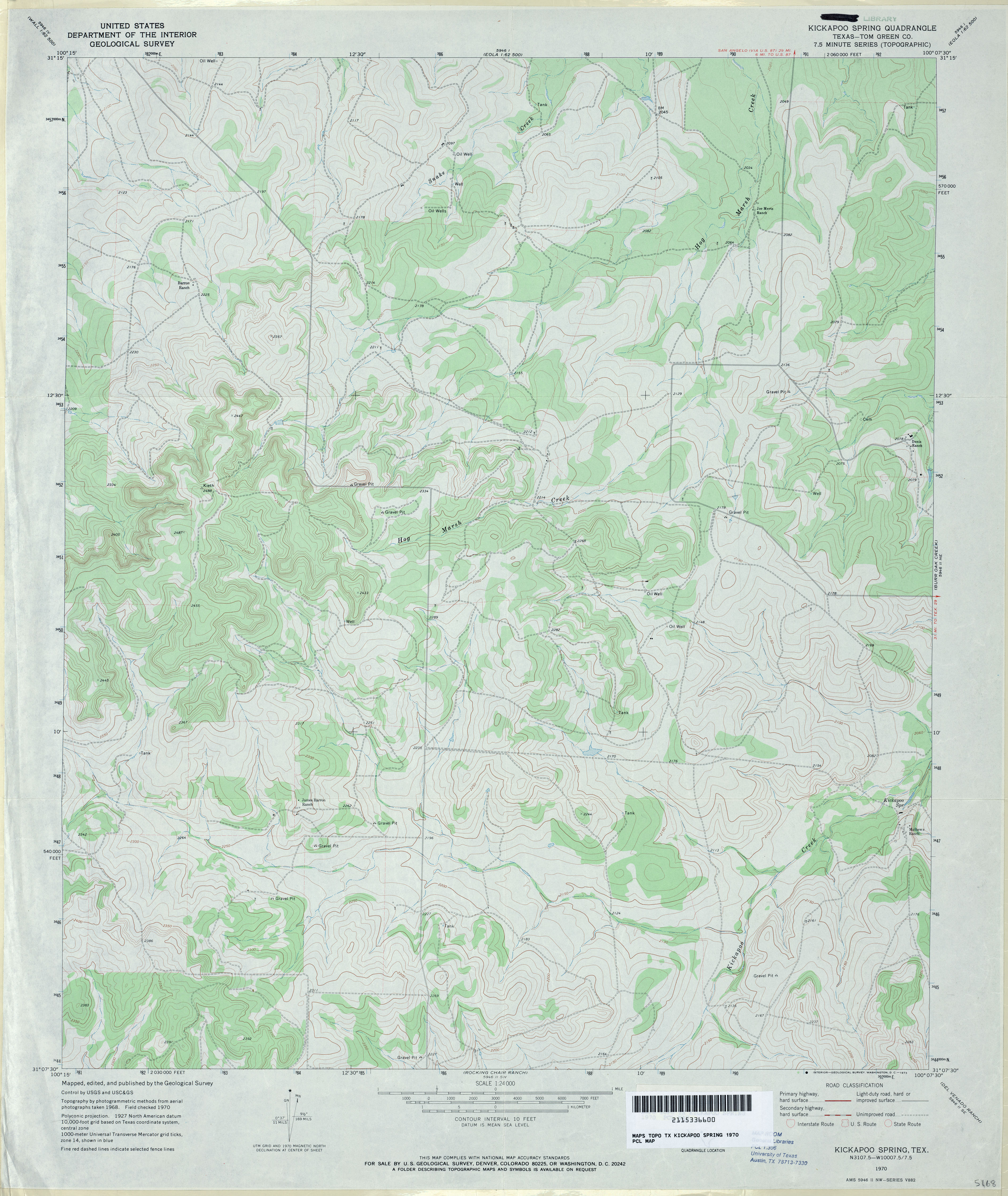
- Kickapoo Spring (Tom Green County) 1:24,000 1970 (3.7MB)
- Kickapoo Spring 1:24,000 2008 (21.1MB) [GeoPDF]
- Kickapoo Spring 1:24,000 2012 (26.6MB) [GeoPDF]
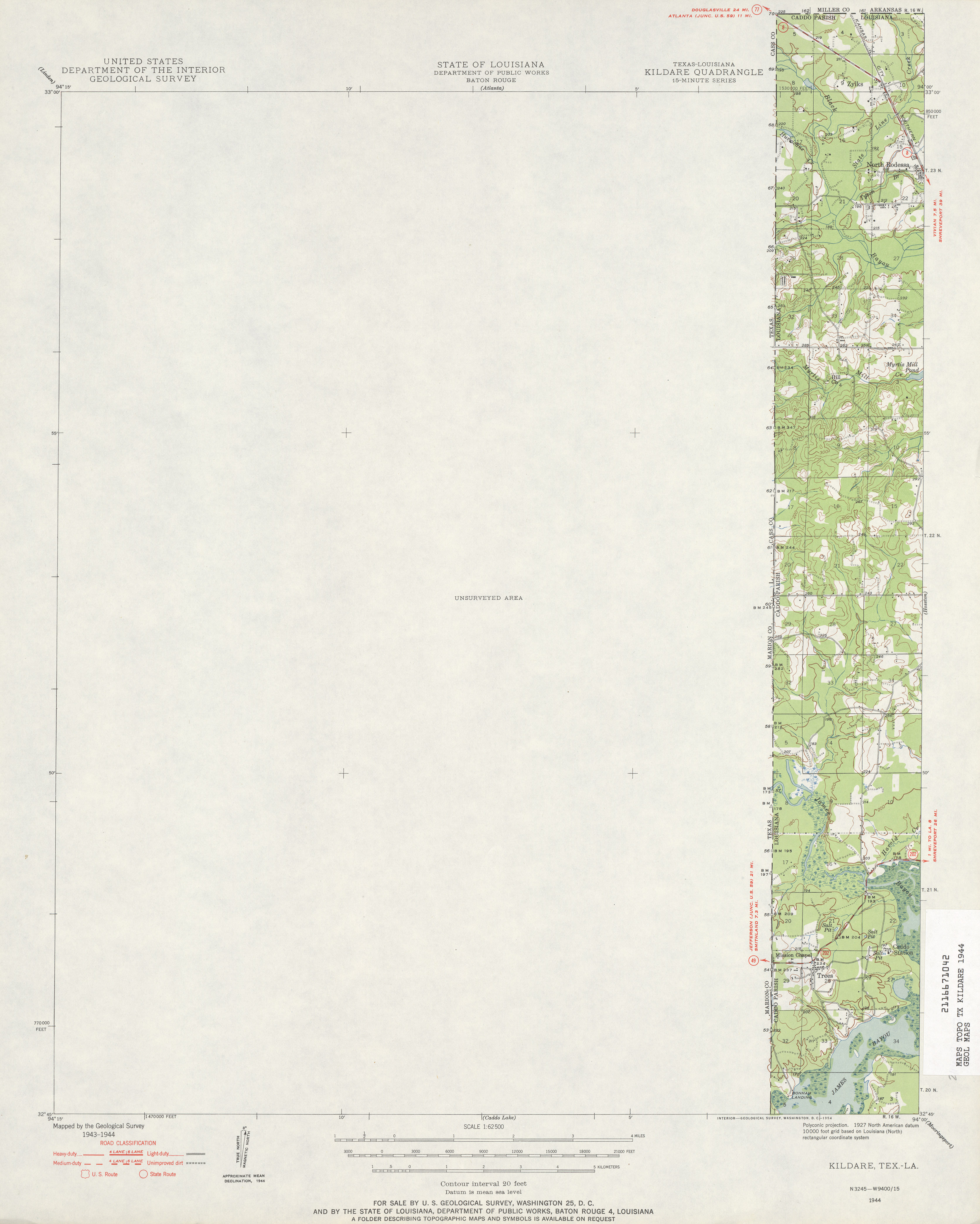
- Kildare 1:62,500 1944 (2.3 MB)
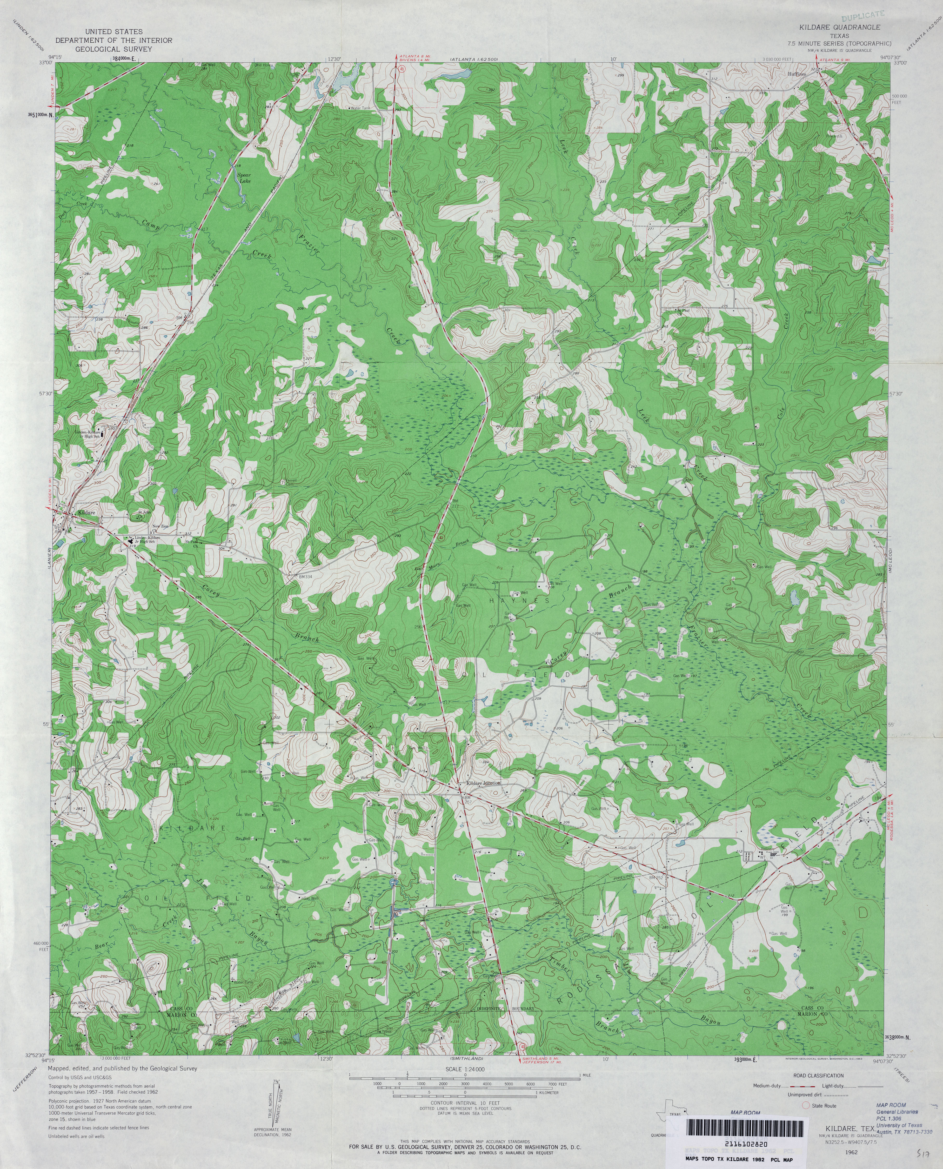
- Kildare 1:24,000 1962 (4.1MB)
- Kildare 1:24,000 2009 (22.6MB) [GeoPDF]
- Kildare 1:24,000 2013 (23.1MB) [GeoPDF]
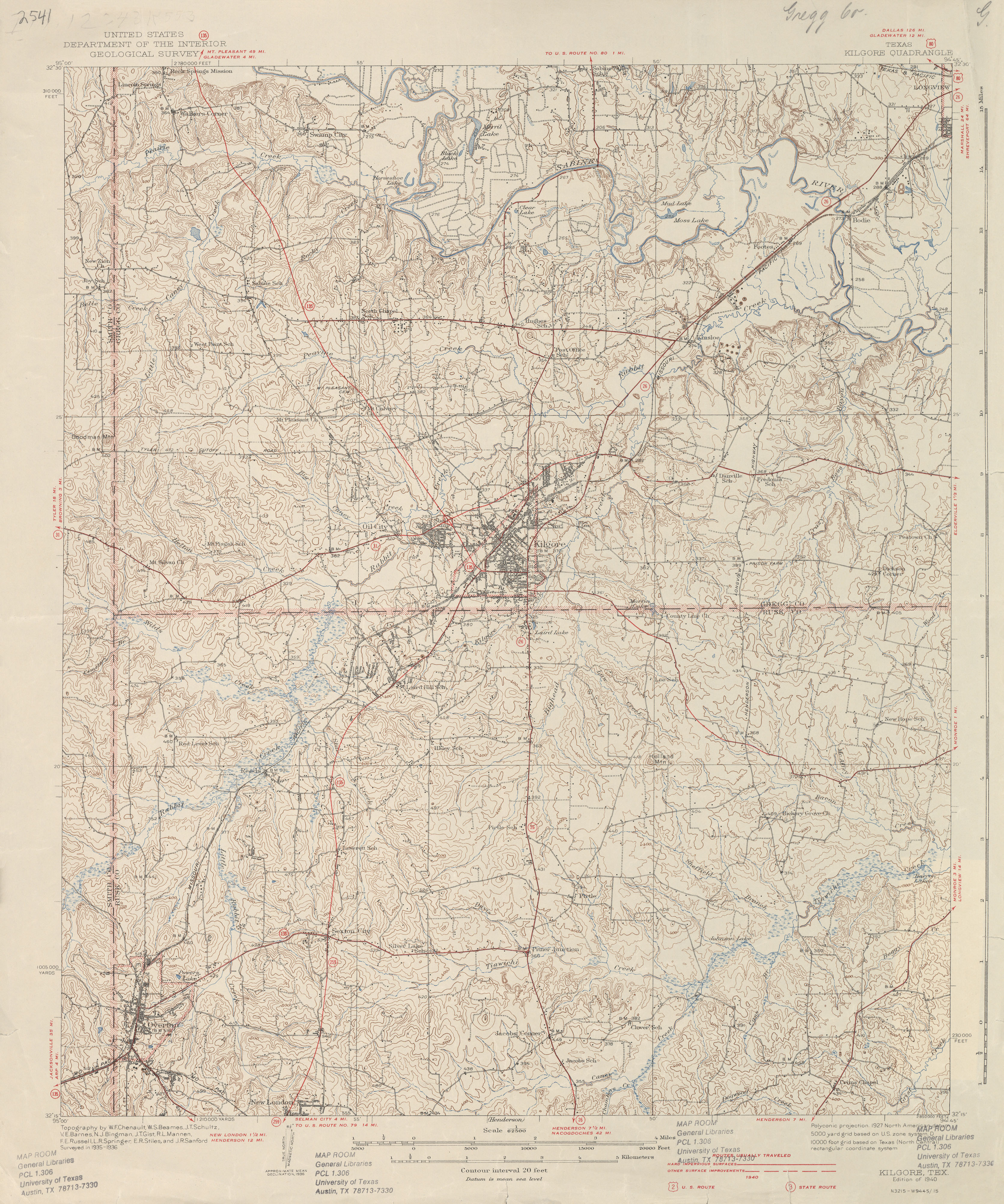
- Kilgore 1:62,500 1936 survey, 1940 overprint (3.8 MB)
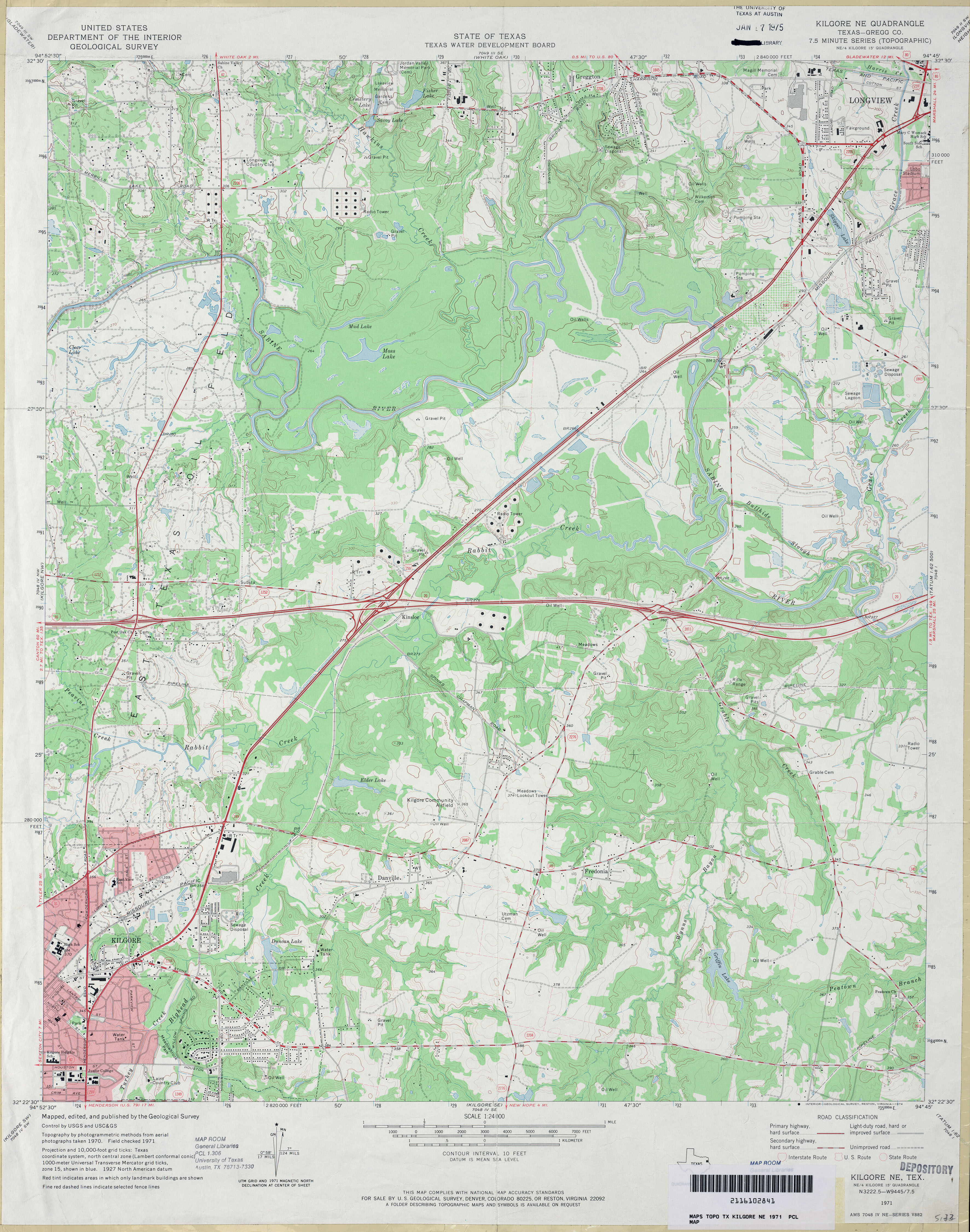
- Kilgore NE (Gregg County) 1:24,000 1971 (4.2MB)
- Kilgore NE 1:24,000 2008 (22.7MB) [GeoPDF]
- Kilgore NE 1:24,000 2013 (25.3MB) [GeoPDF]
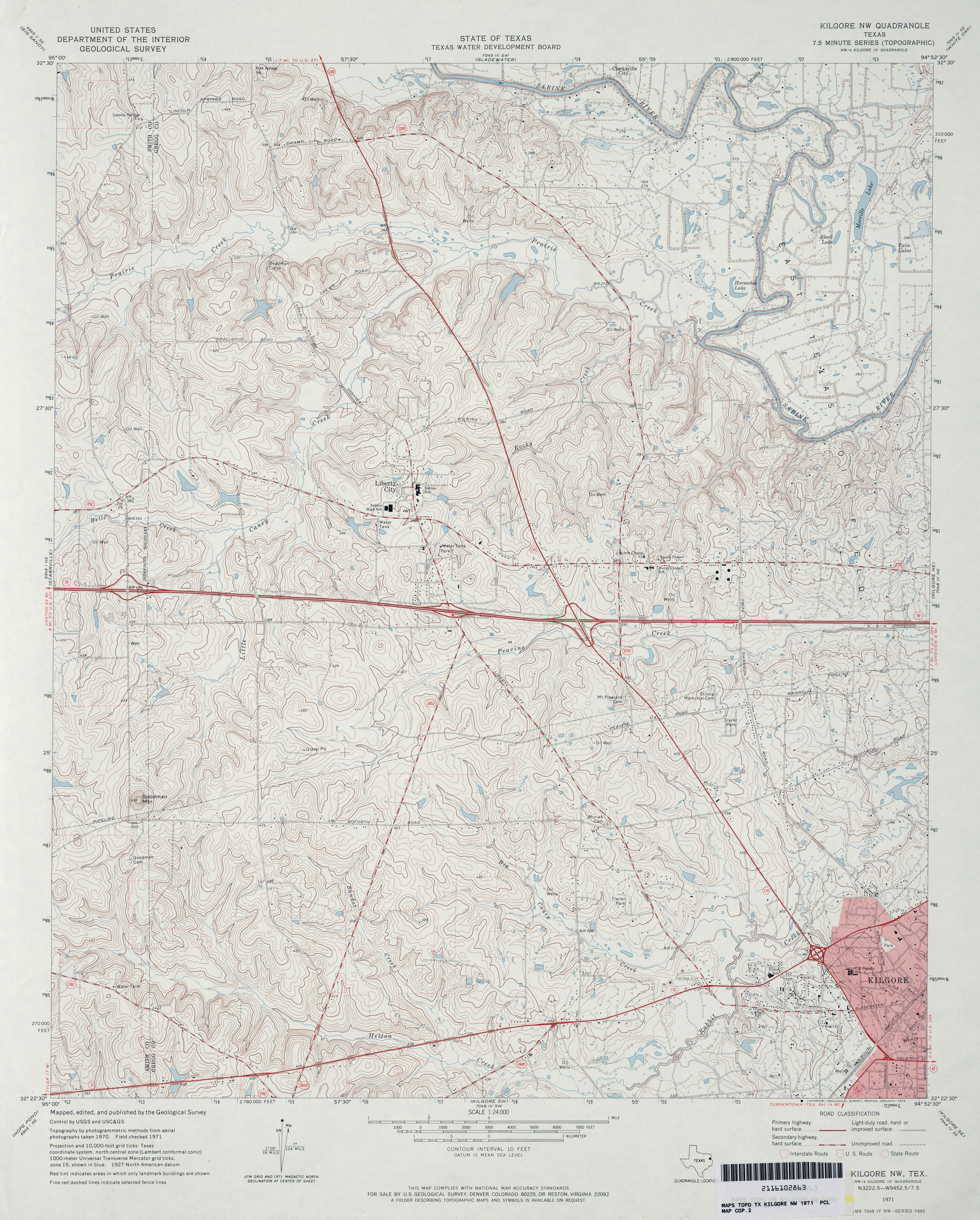
- Kilgore NW 1:24,000 1971 (4.9MB)
- Kilgore NW 1:24,000 2008 (22.8MB) [GeoPDF]
- Kilgore NW 1:24,000 2013 (26.1MB) [GeoPDF]
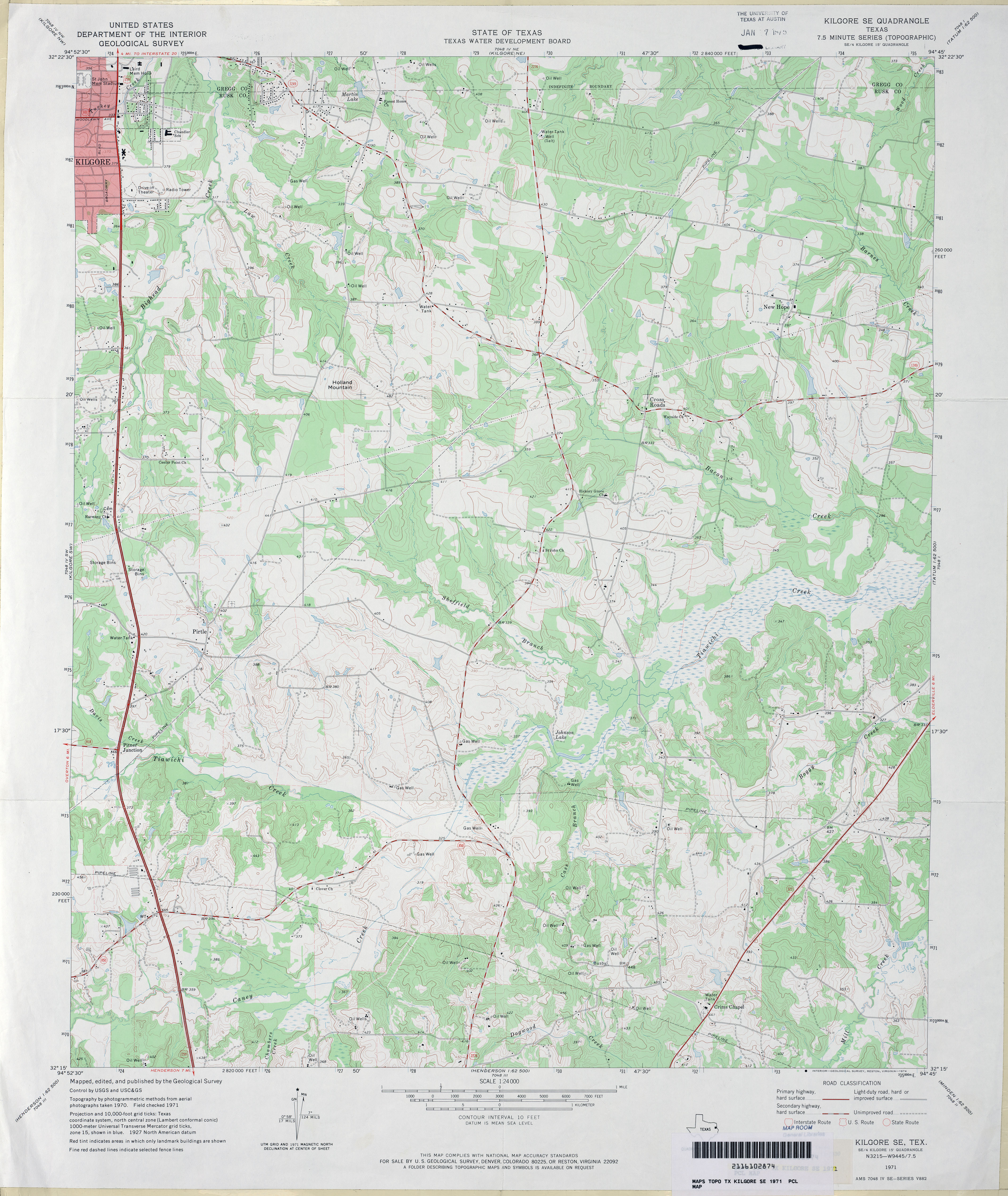
- Kilgore SE 1:24,000 1971 (3.8MB)
- Kilgore SE 1:24,000 2009 (21.4MB) [GeoPDF]
- Kilgore SE 1:24,000 2013 (24.7MB) [GeoPDF]
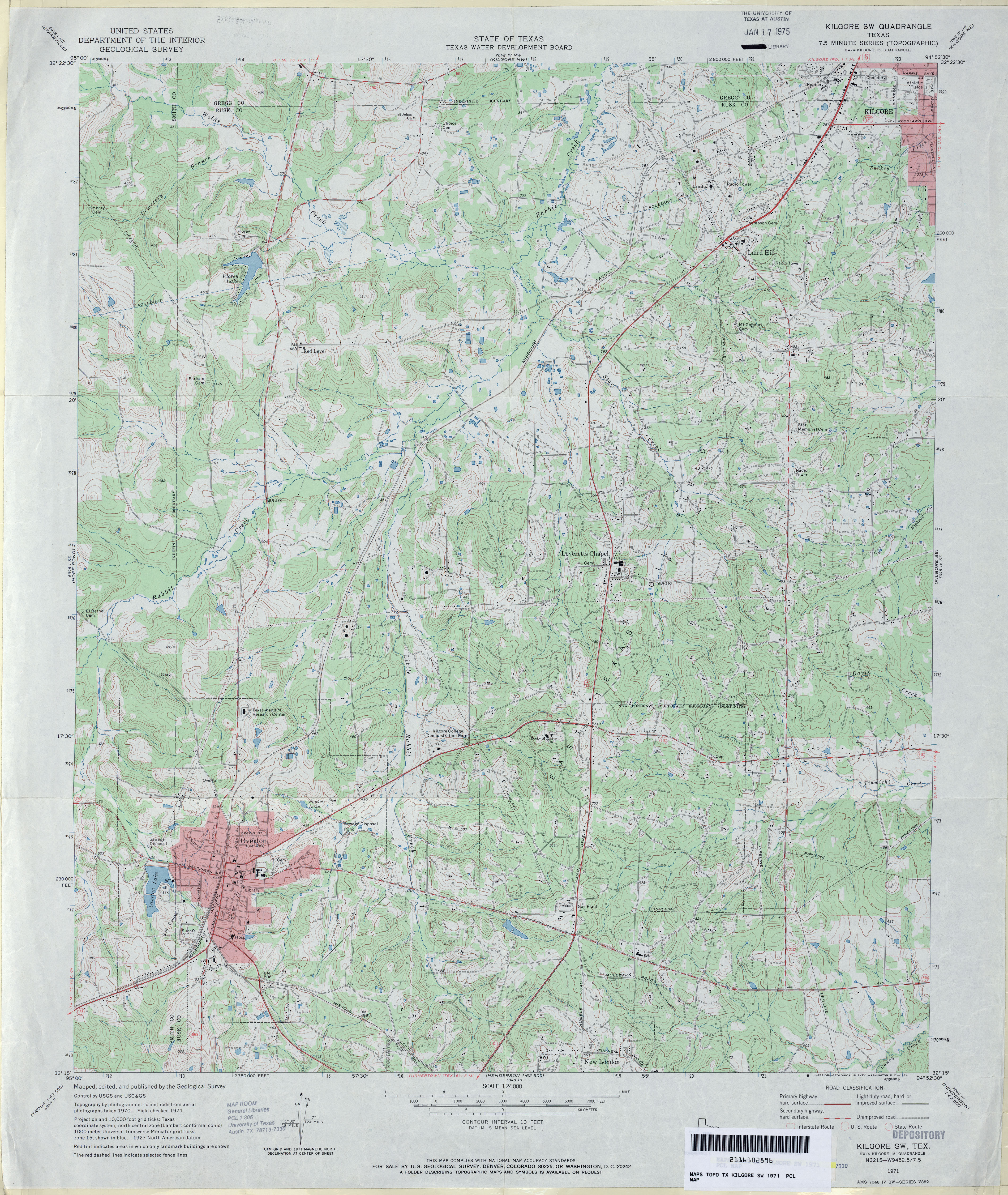
- Kilgore SW 1:24,000 1971 (4.9MB)
- Kilgore SW 1:24,000 2009 (23.1MB) [GeoPDF]
- Kilgore SW 1:24,000 2013 (26.2MB) [GeoPDF]
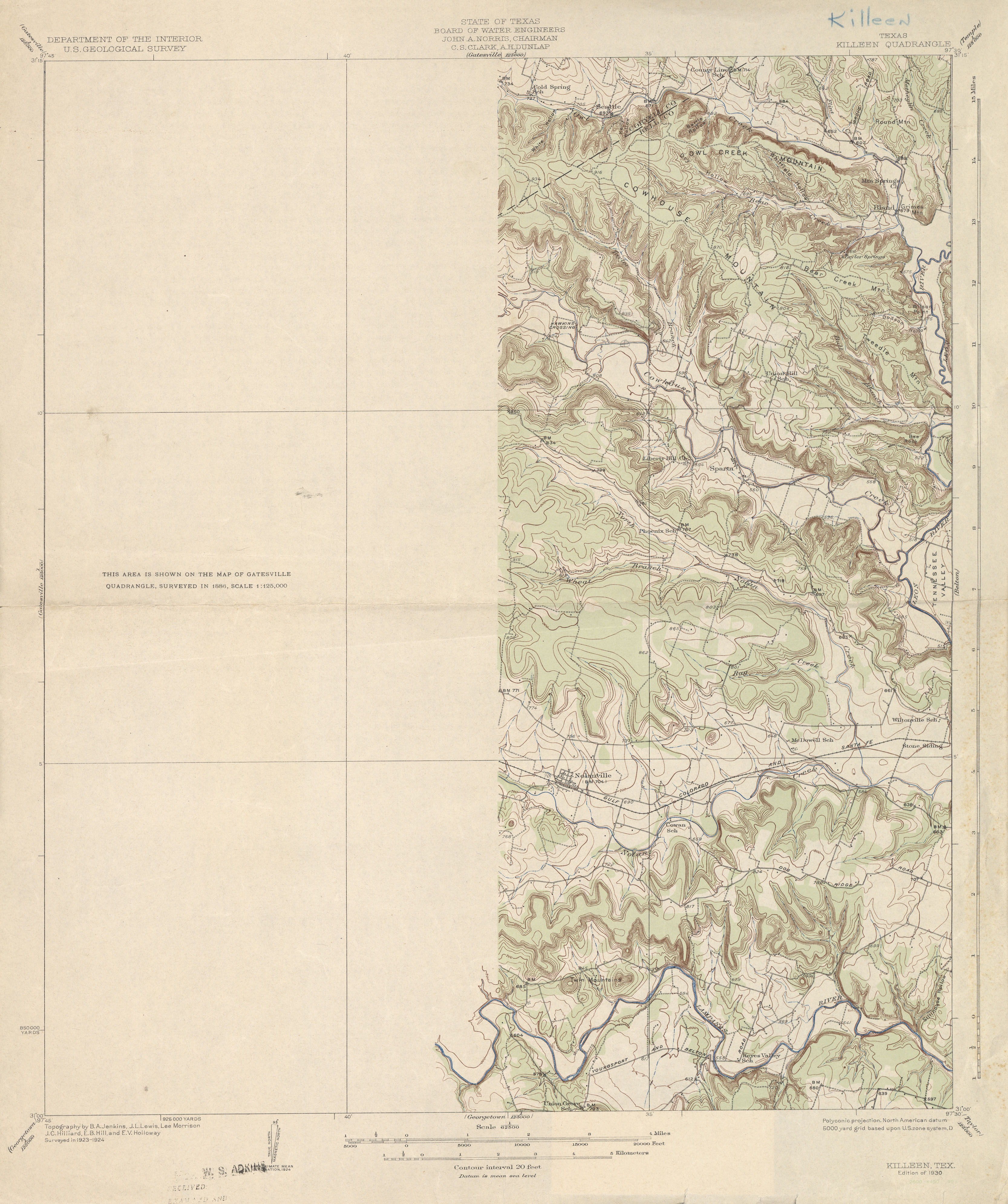
- Killeen 1:62,500 1924 (2.6 MB)
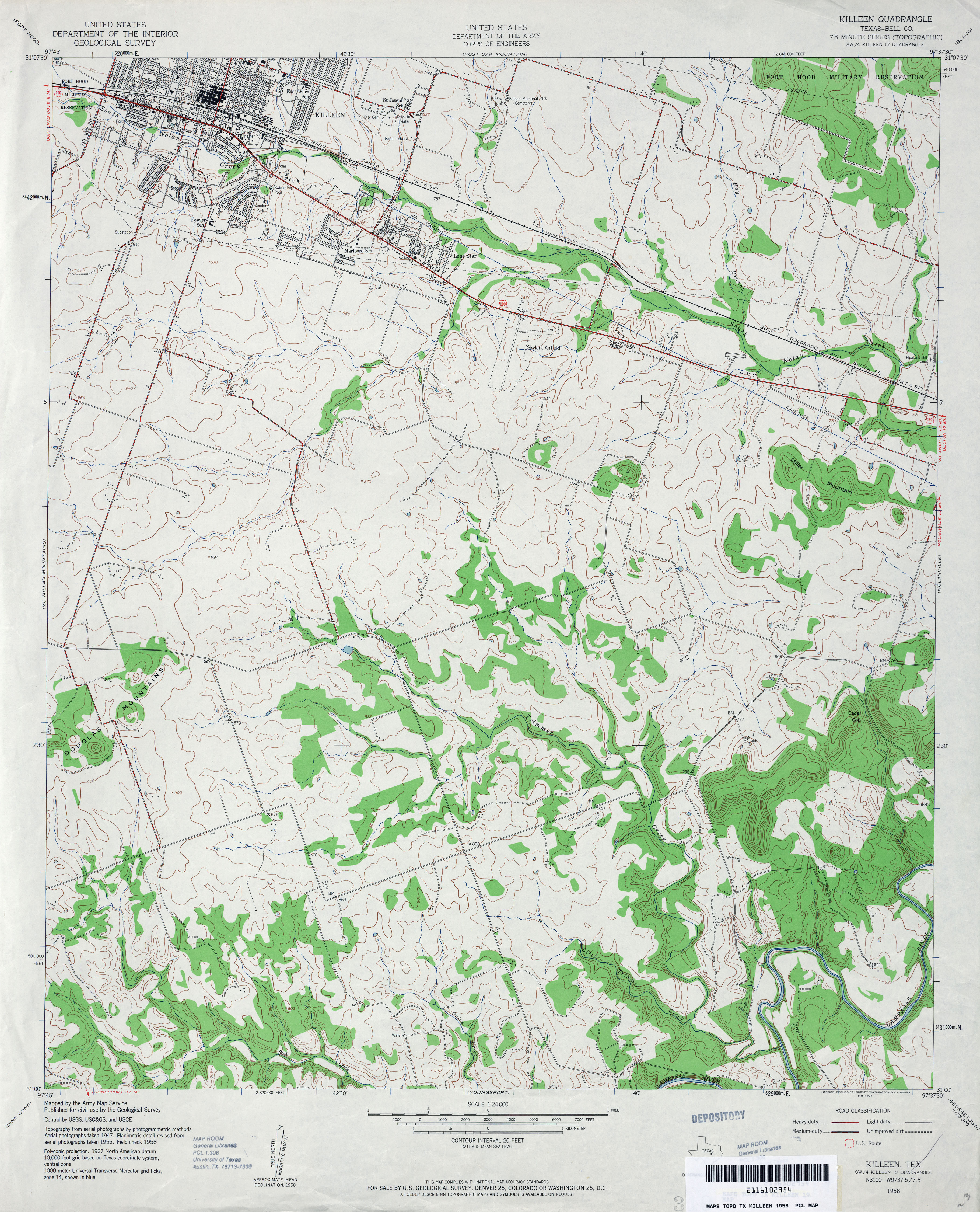
- Killeen (Bell County) 1:24,000 1958 (4MB)
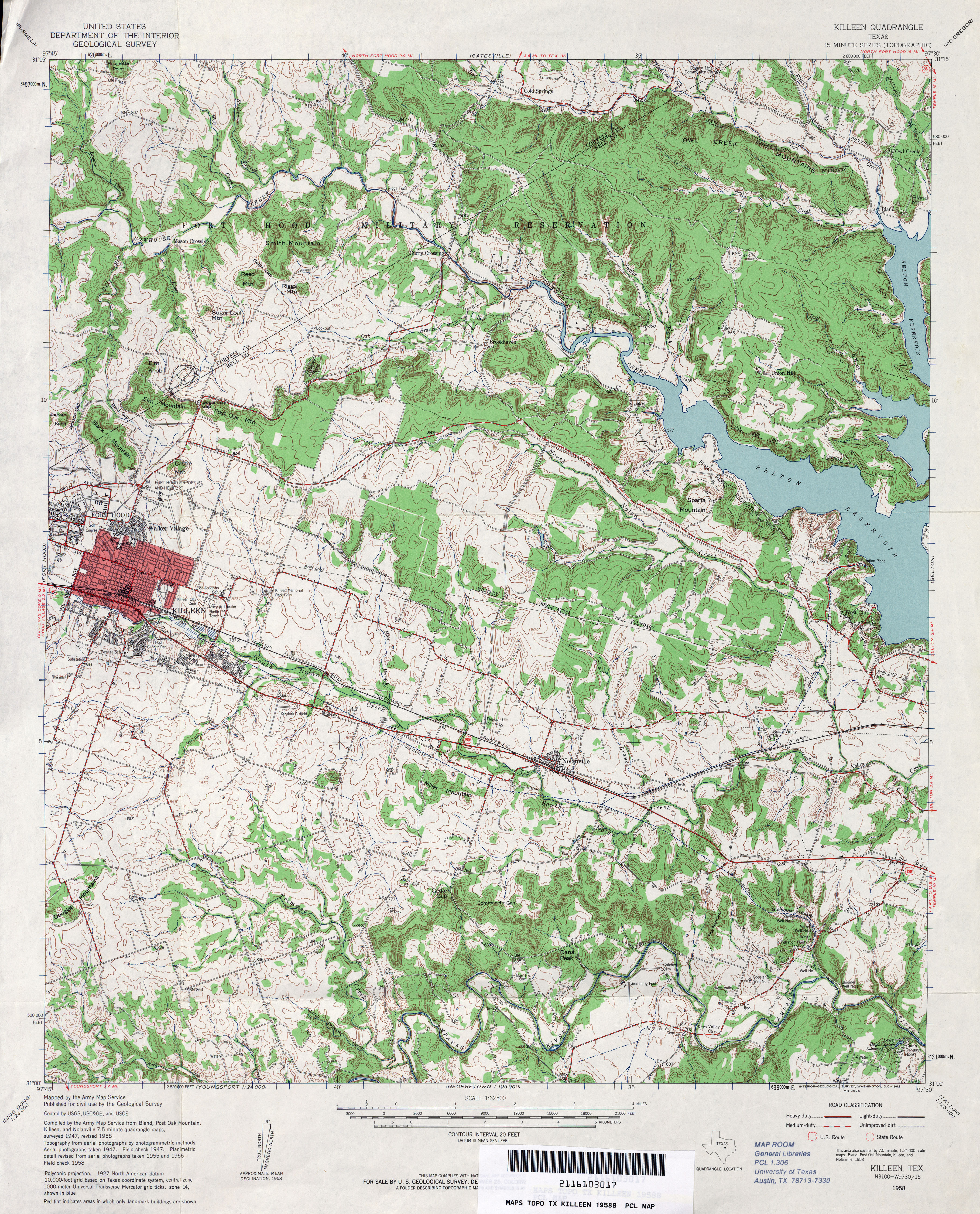
- Killeen 1:62,500 1958 (5.8MB)
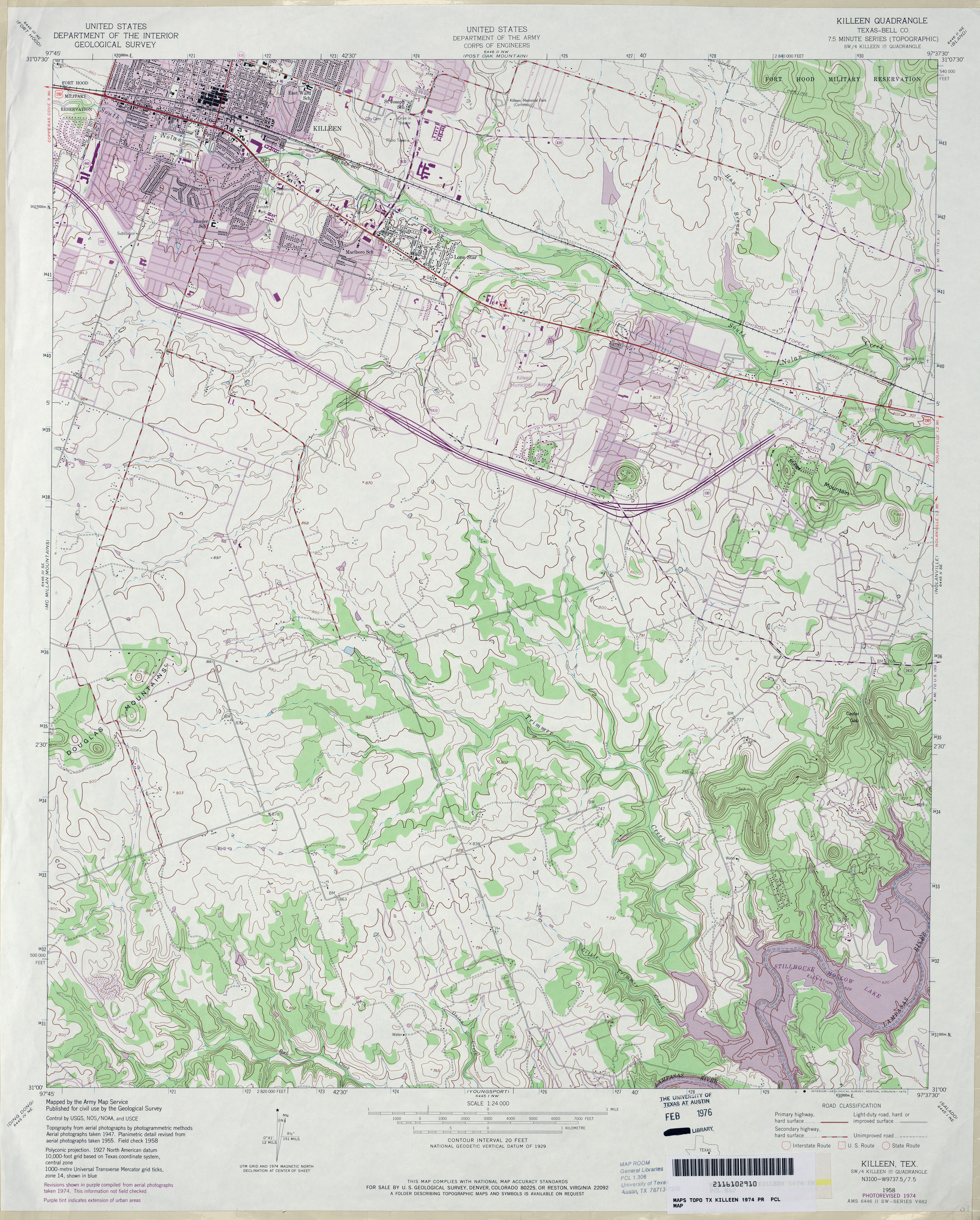
- Killeen (Bell County) 1:24,000 1974 (4.5MB)
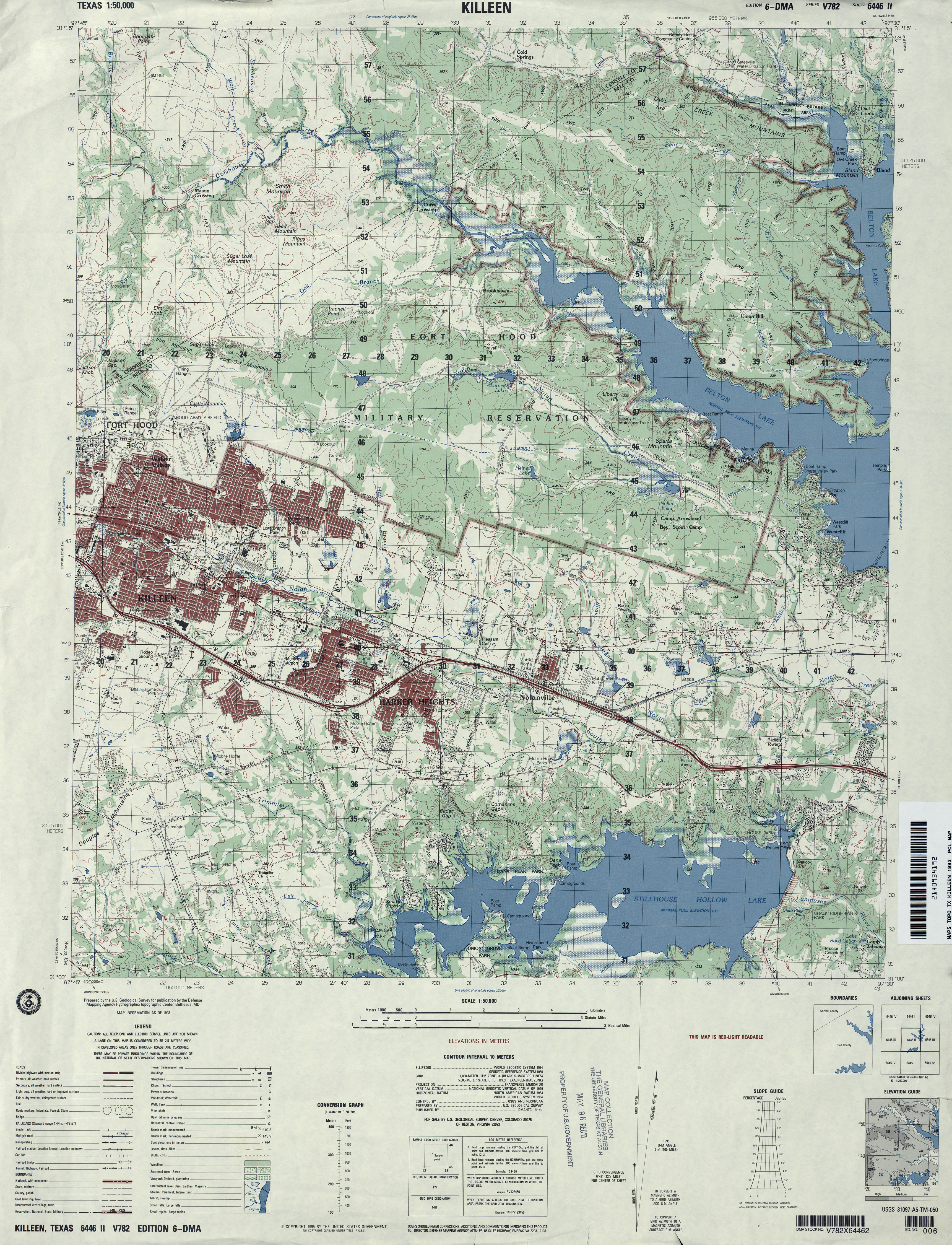
- Killeen 1:50,000 1993 (4.7MB) U.S. Defense Mapping Agency, Series V782.
- Killeen (Bell County) 1:24,000 1995 (4.1MB)
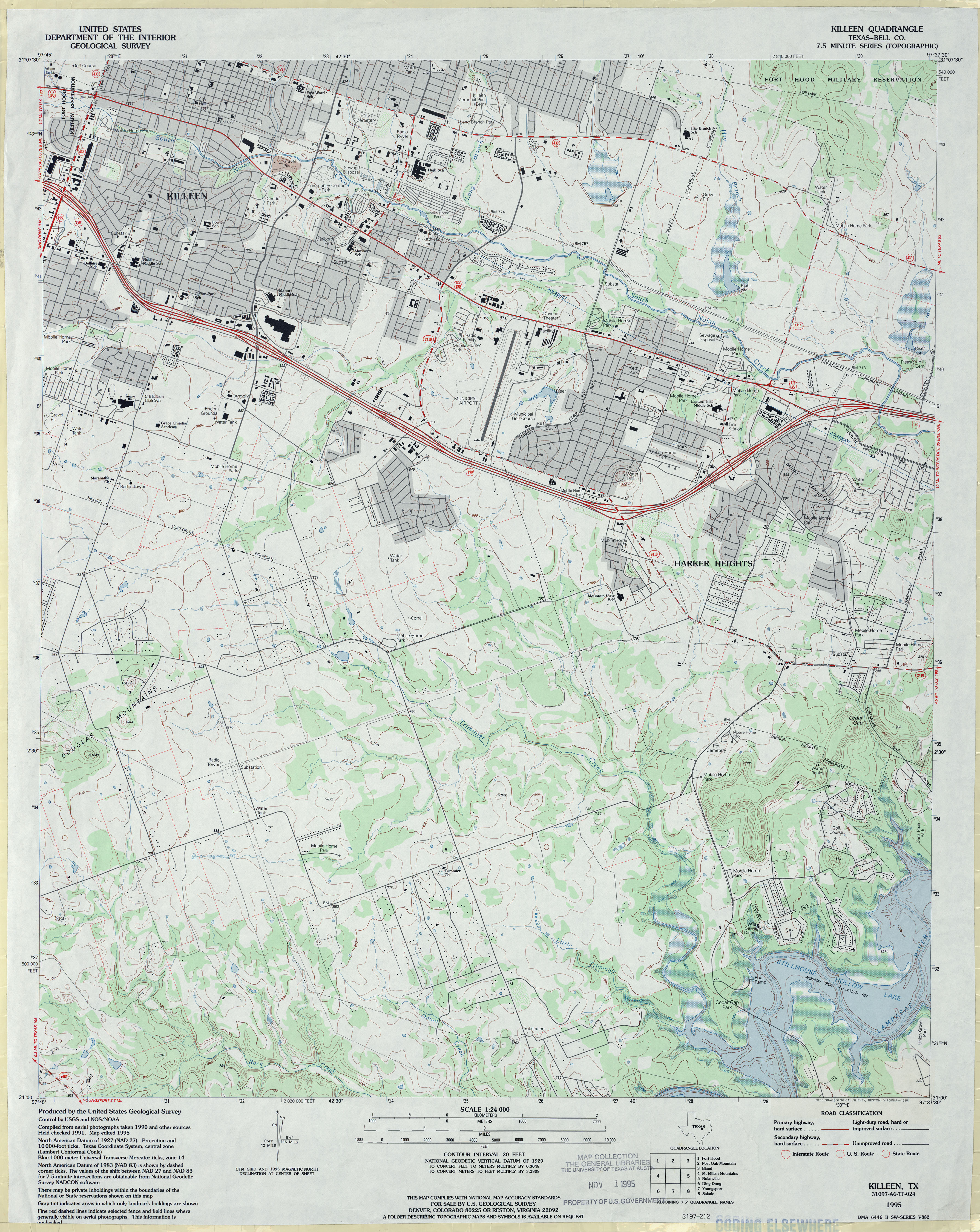
- Killeen 1:24,000 2008 (18.4MB) [GeoPDF]
- Killeen 1:24,000 2012 (26MB) [GeoPDF]
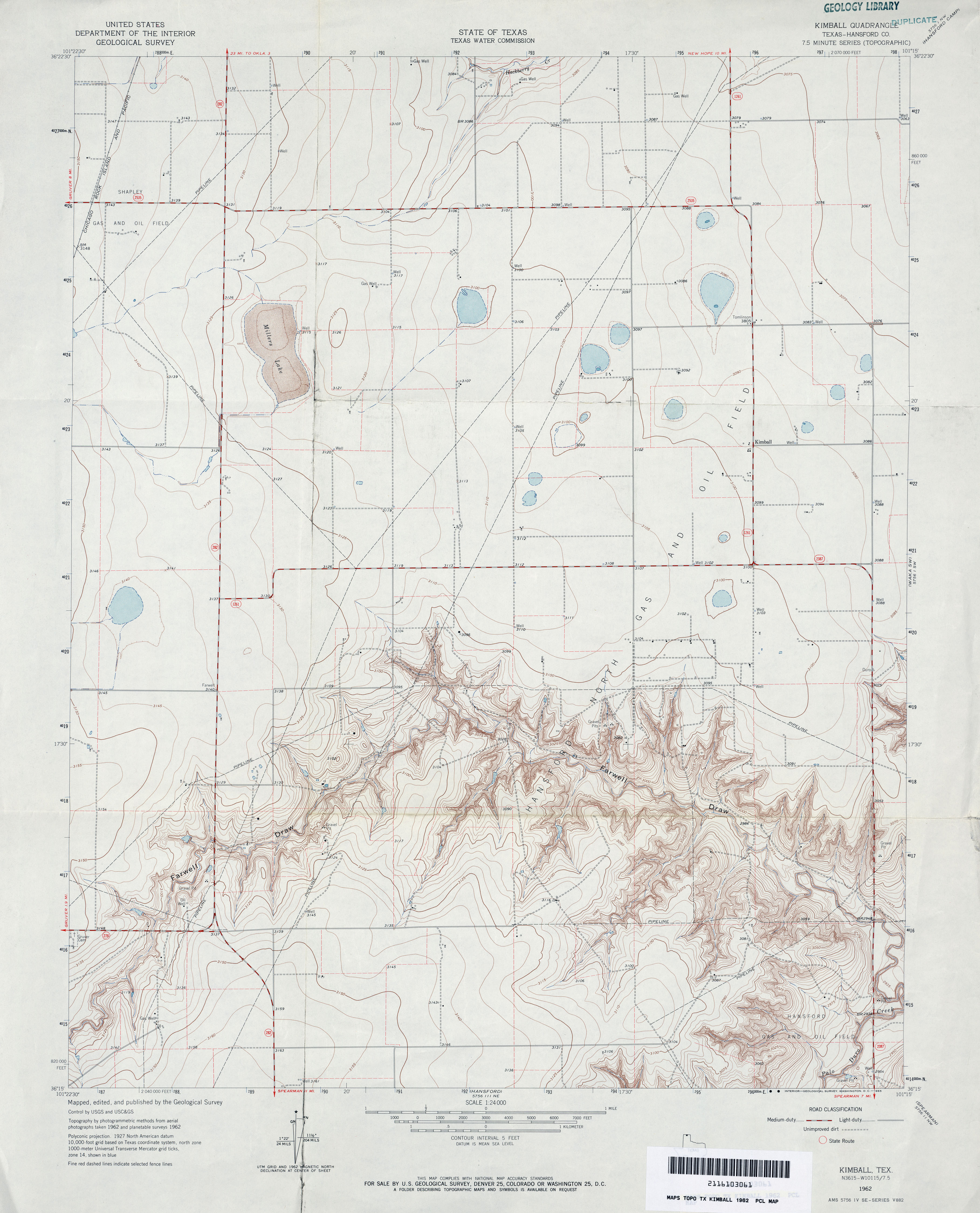
- Kimball (Hansford County) 1:24,000 1962 (3.2MB)
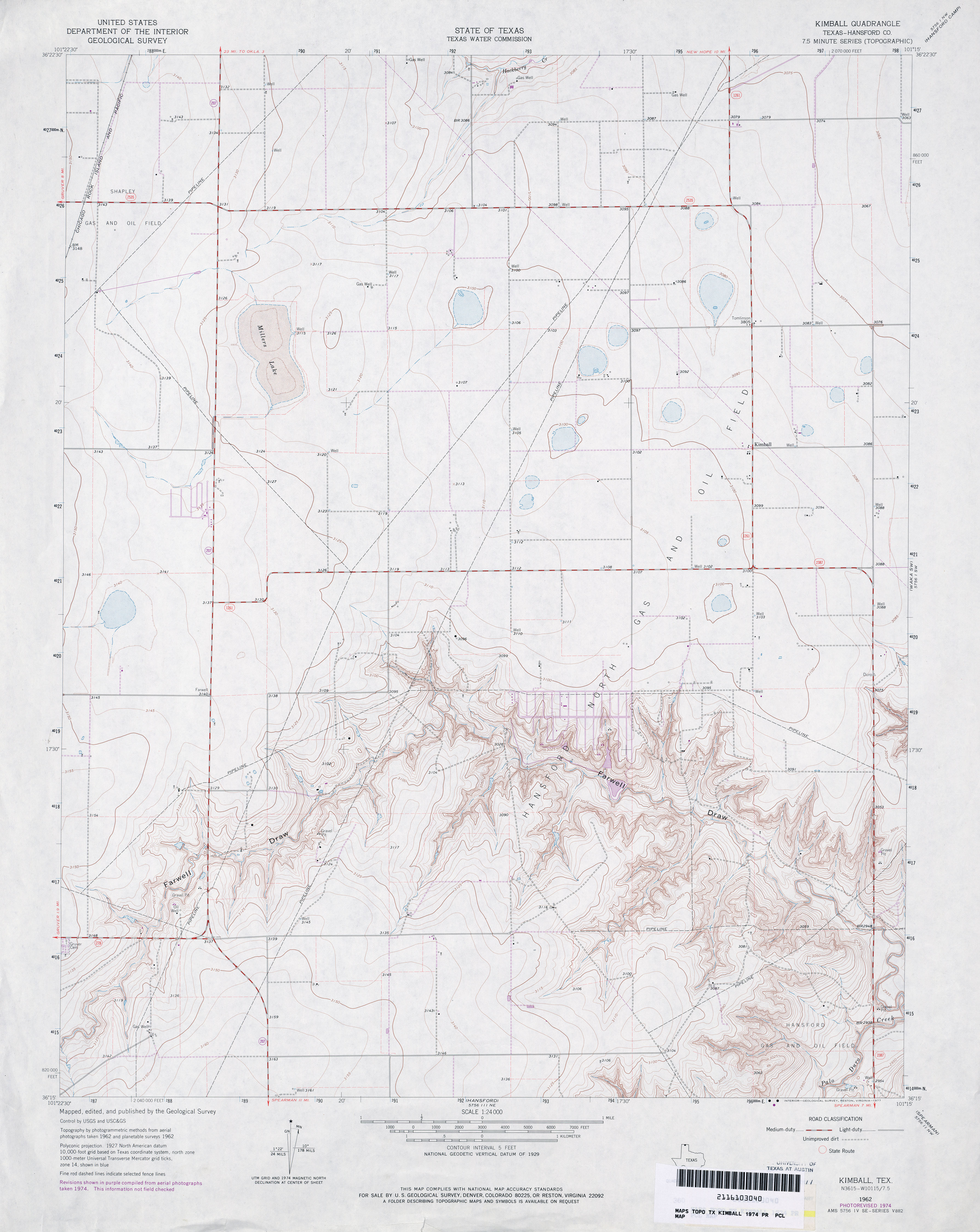
- Kimball (Hansford County) 1:24,000 1974 (2.9MB)
- Kimball 1:24,000 2008 (9.6MB) [GeoPDF]
- Kimball 1:24,000 2012 (15.6MB) [GeoPDF]
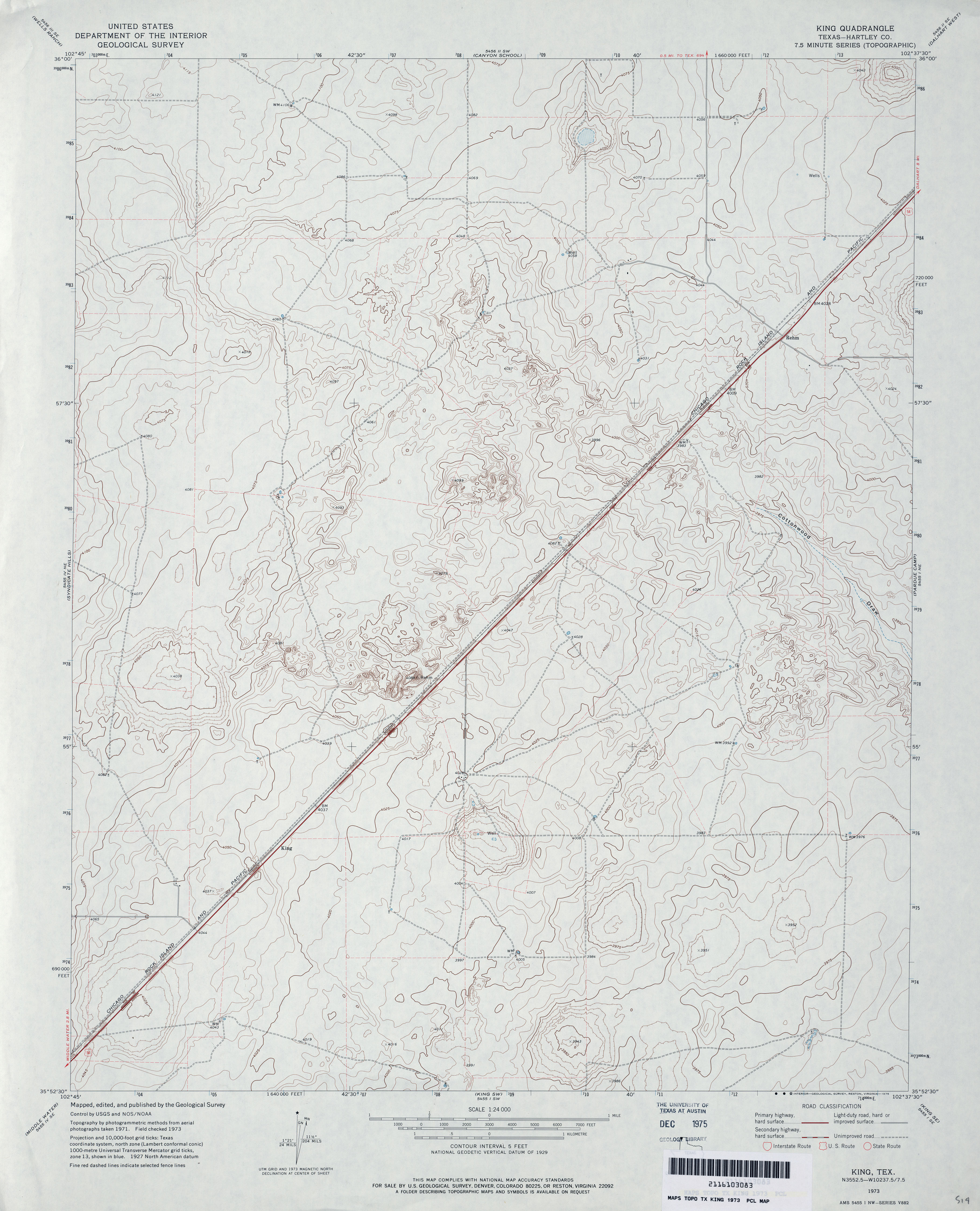
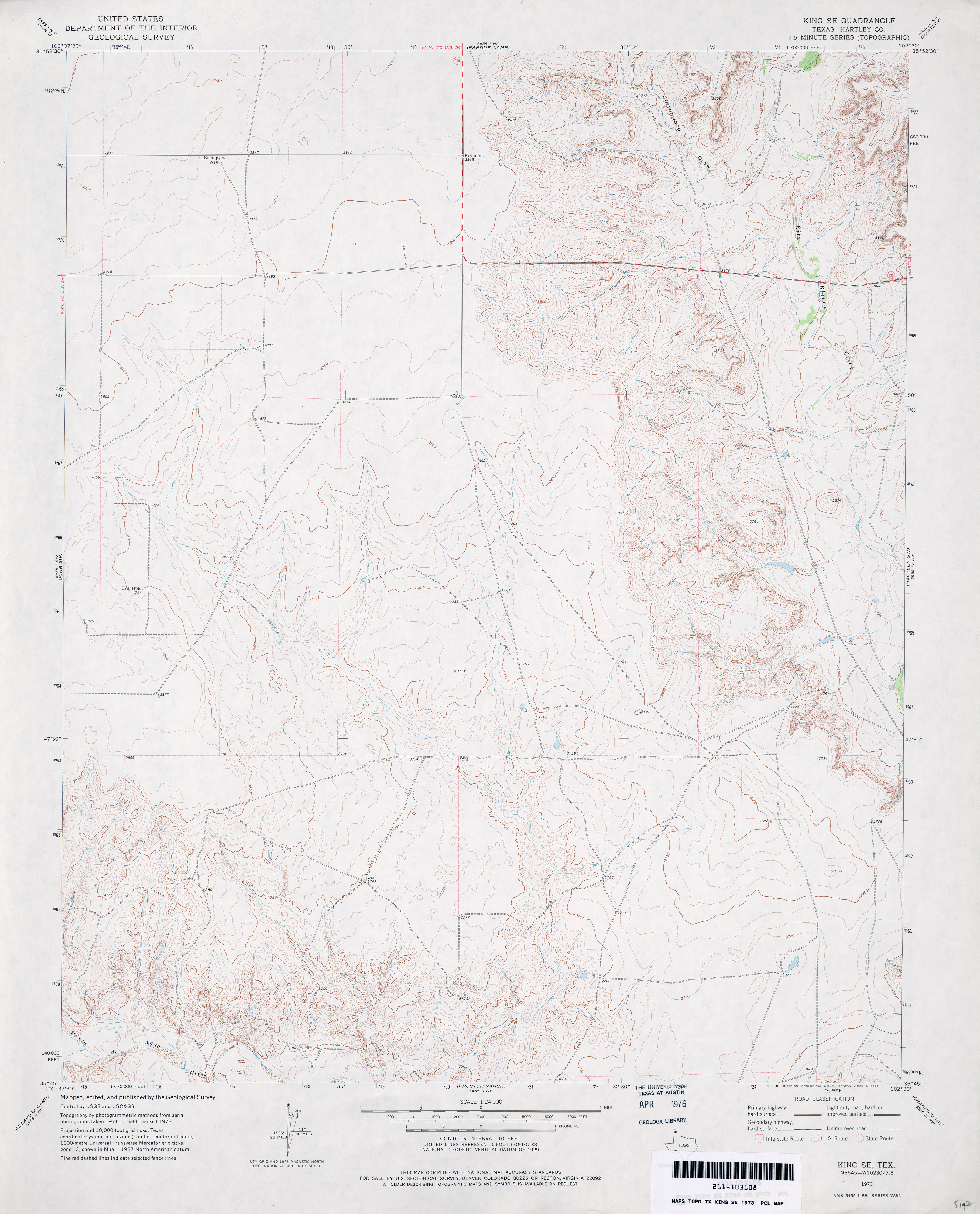
- King (Hartley County) 1:24,000 1973 (3.2MB)
- King 1:24,000 2008 (9.3MB) [GeoPDF]
- King 1:24,000 2012 (14.8MB) [GeoPDF]
- King SE (Hartley County) 1:24,000 1973 (3.2MB)
- King SE 1:24,000 2008 (9.3MB) [GeoPDF]
- King SE 1:24,000 2012 (17.6MB) [GeoPDF]
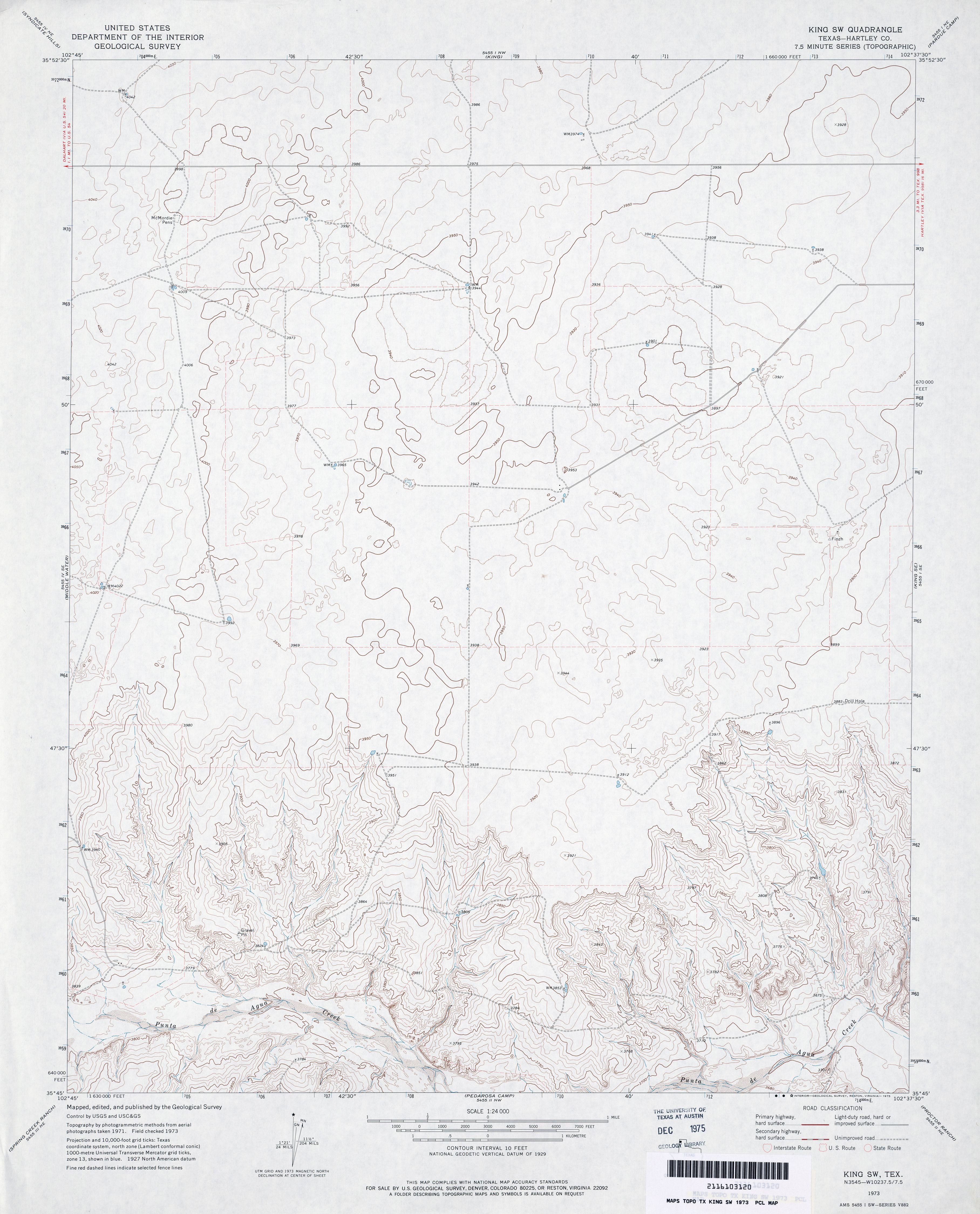
- King SW (Hartley County) 1:24,000 1973 (3.2MB)
- King SW 1:24,000 2008 (11.3MB) [GeoPDF]
- King SW 1:24,000 2012 (16.2MB) [GeoPDF]
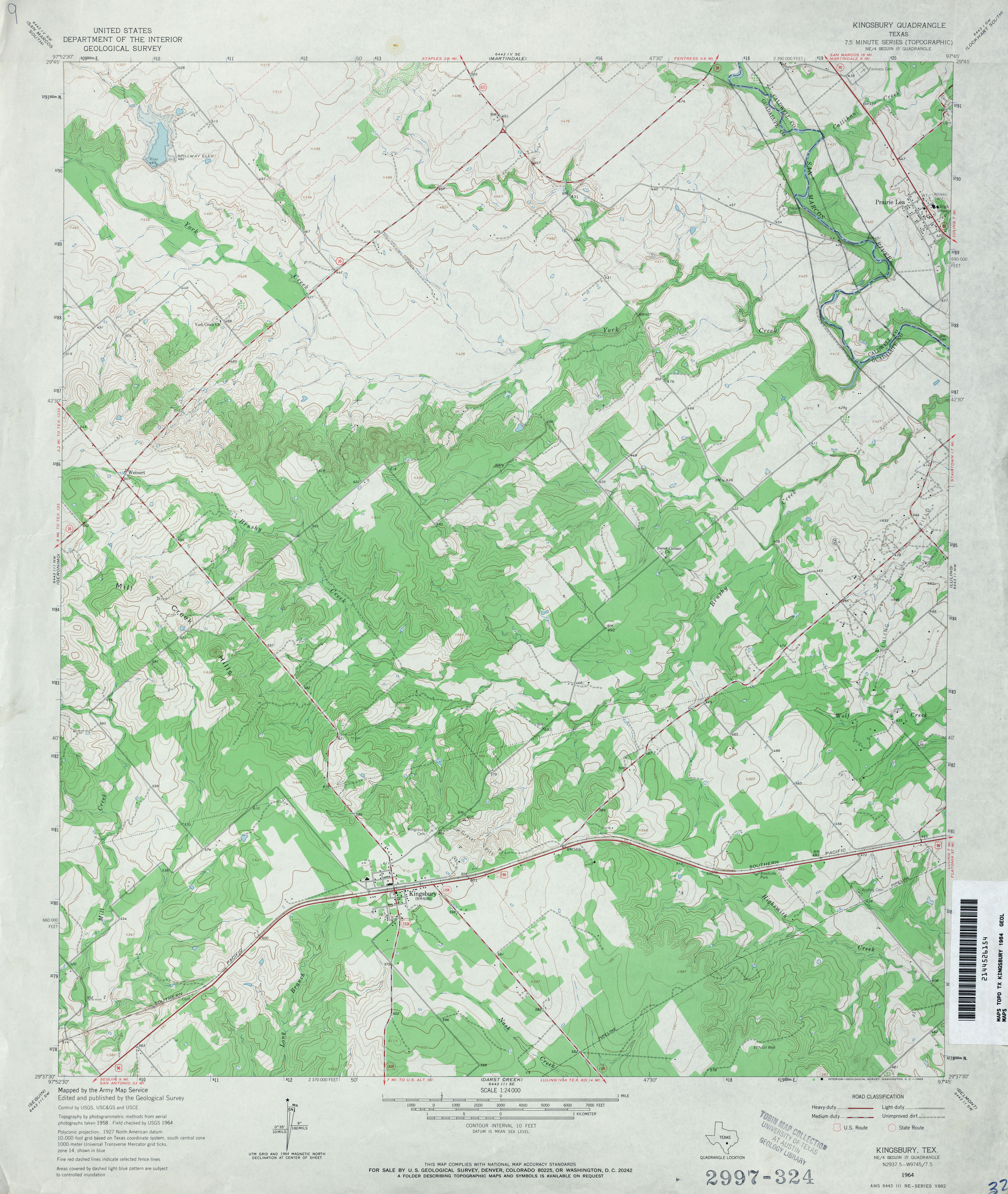
- Kingsbury 1:24,000 1964 (3.9MB)
- Kingsbury 1:24,000 1973 (4.1MB)
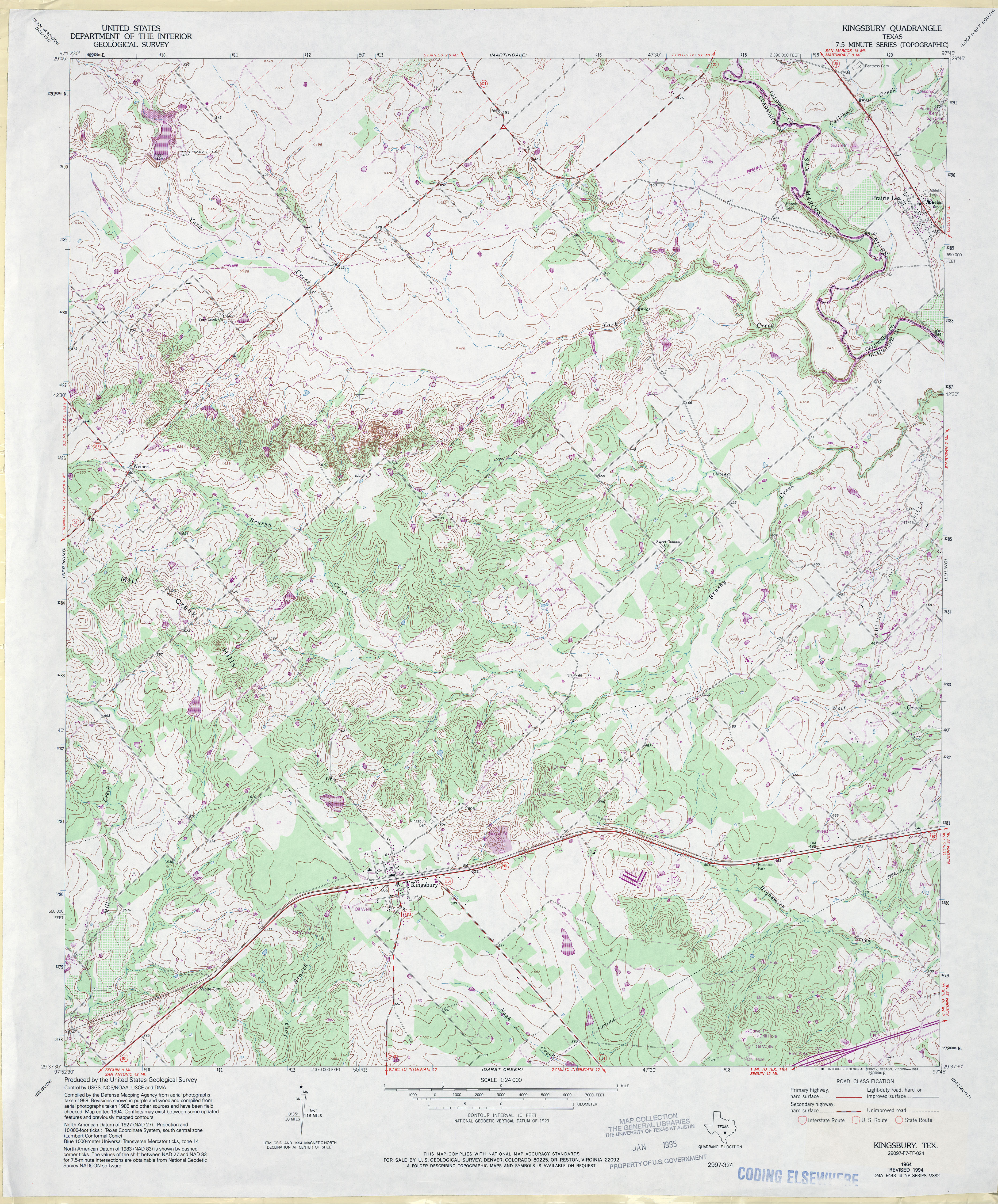
- Kingsbury 1:24,000 1994 (4.9MB)
- Kingsbury 1:24,000 2008 (13.8MB) [GeoPDF]
- Kingsbury 1:24,000 2013 (24MB) [GeoPDF]
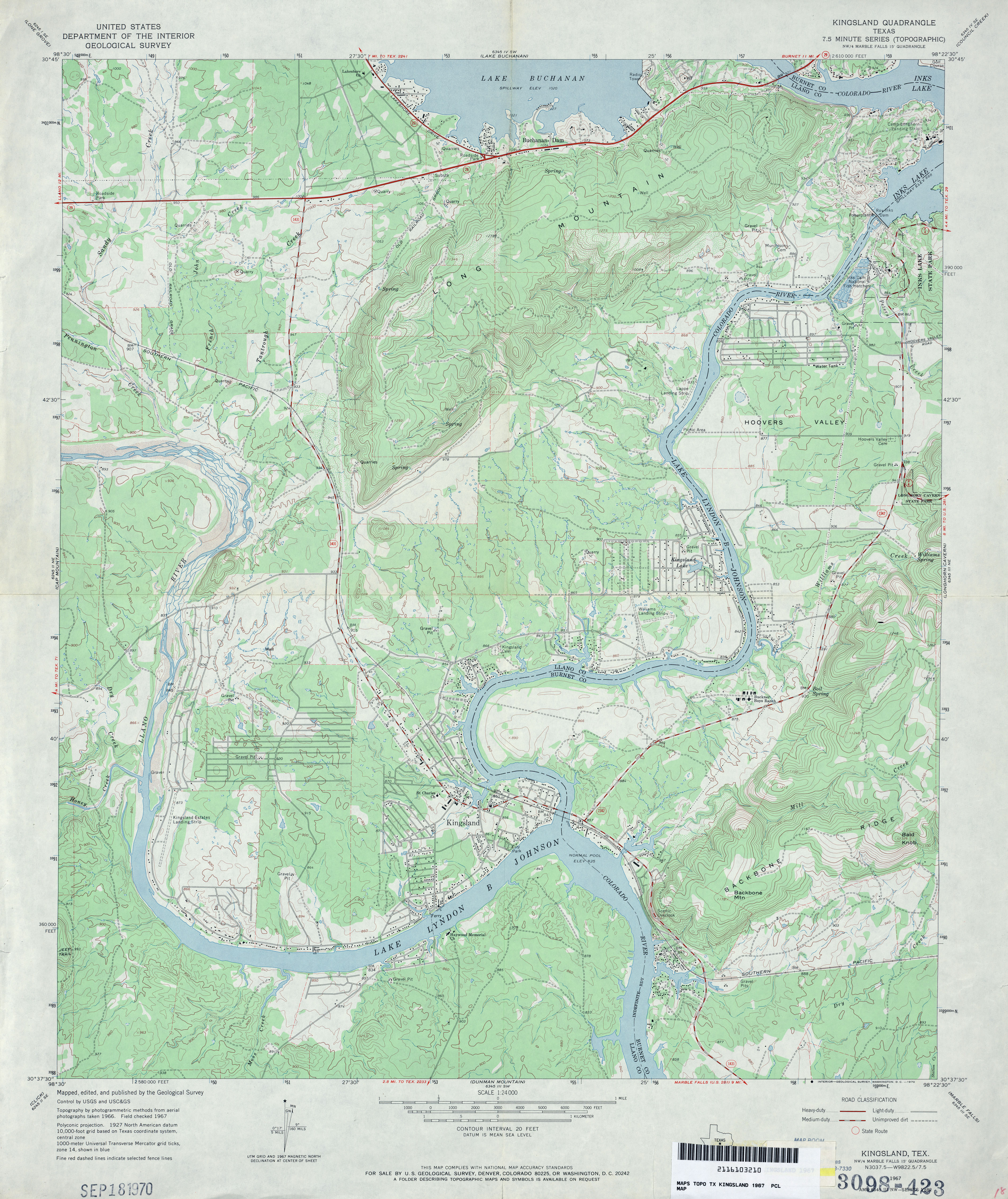
- Kingsland 1:24,000 1967 (4.3MB)
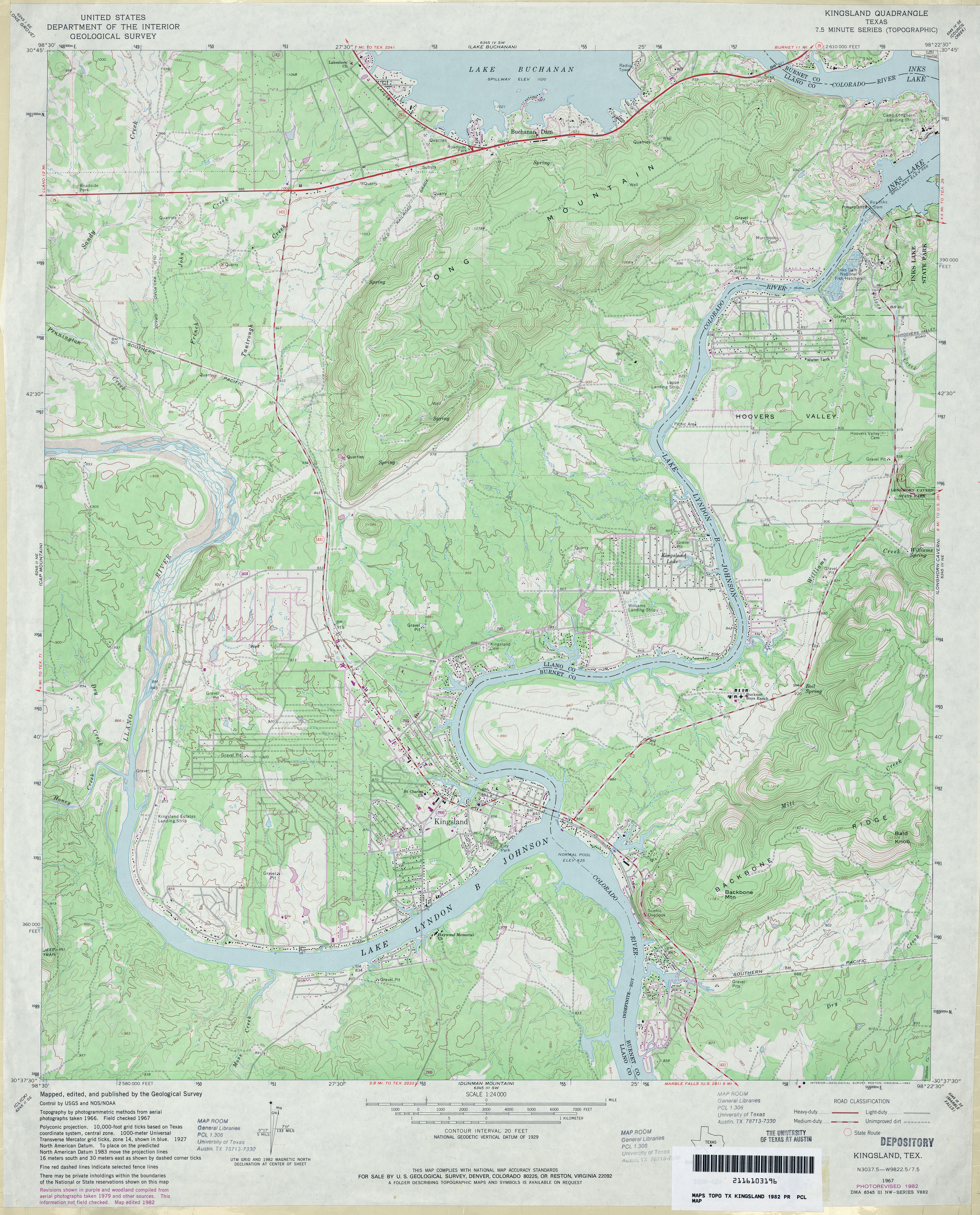
- Kingsland 1:24,000 1982 (4.5MB)
- Kingsland 1:24,000 2008 (20.4MB) [GeoPDF]
- Kingsland 1:24,000 2012 (26.7MB) [GeoPDF]
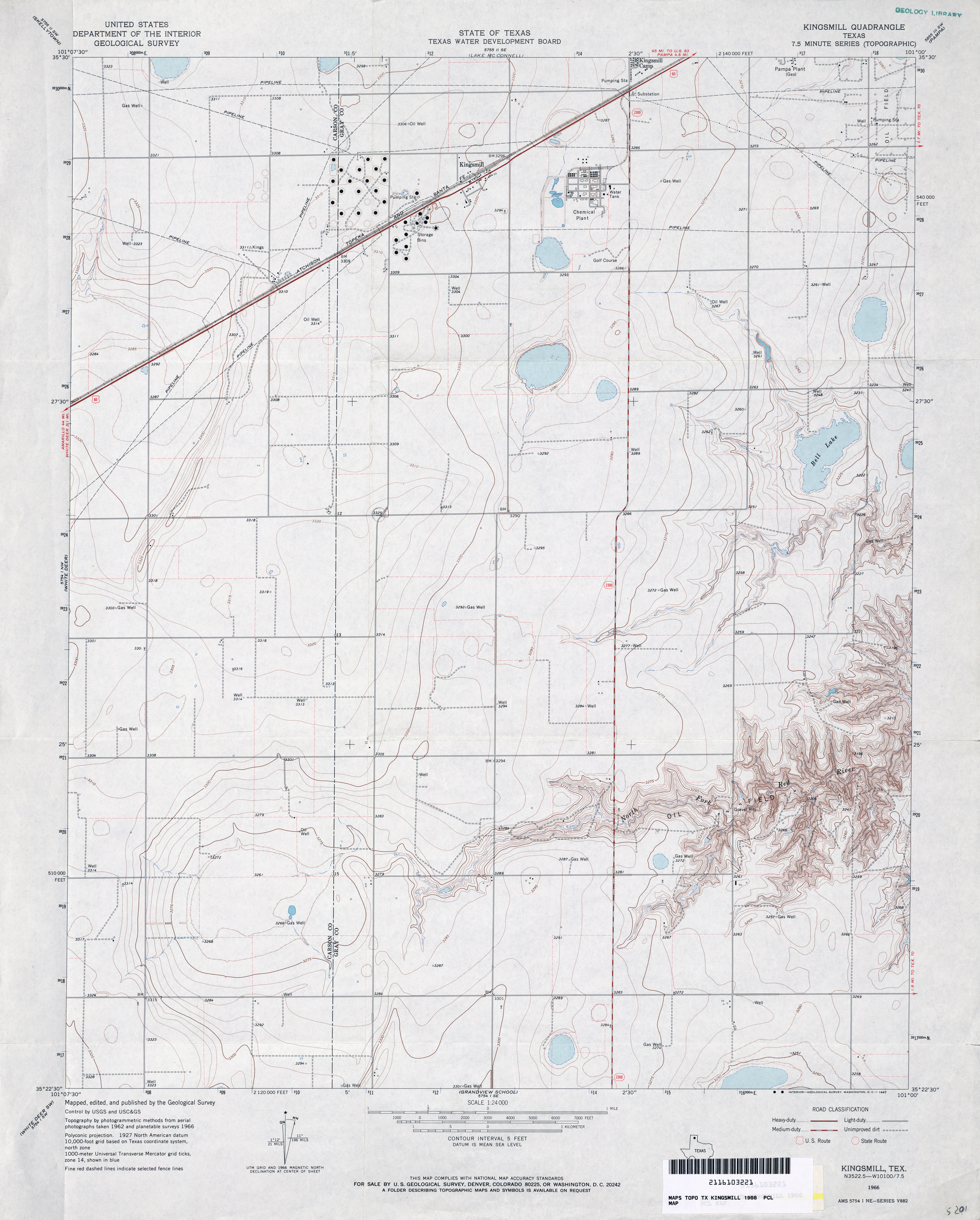
- Kingsmill 1:24,000 1966 (3MB)
- Kingsmill 1:24,000 2008 (9.5MB) [GeoPDF]
- Kingsmill 1:24,000 2012 (15.4MB) [GeoPDF]
- Kingston South [Oklahoma, Texas] 1:24,000 2008 (20.5MB) [GeoPDF]
- Kingston South [Oklahoma, Texas] 1:24,000 2013 (21.9MB) [GeoPDF]
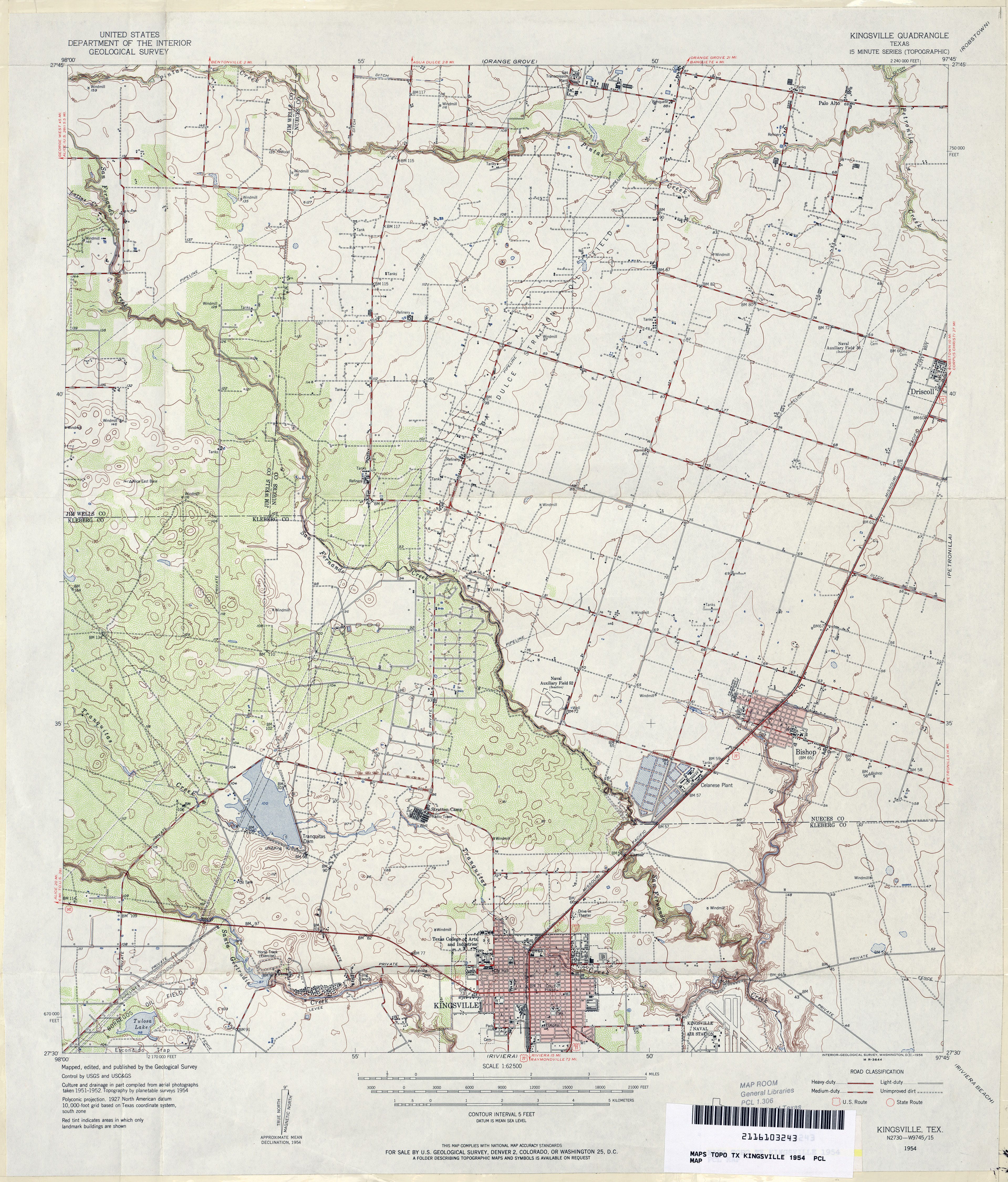
- Kingsville 1:62,500 1954 (4.4MB)
- Kingsville East 1:24,000 1979 (3.1MB)
- Kingsville East 1:24,000 2008 (11.7MB) [GeoPDF]
- Kingsville East 1:24,000 2013 (16.4MB) [GeoPDF]
- Kingsville NW 1:24,000 1979 (3MB)
- Kingsville NW 1:24,000 2008 (11.1MB) [GeoPDF]
- Kingsville NW 1:24,000 2013 (16.3MB) [GeoPDF]
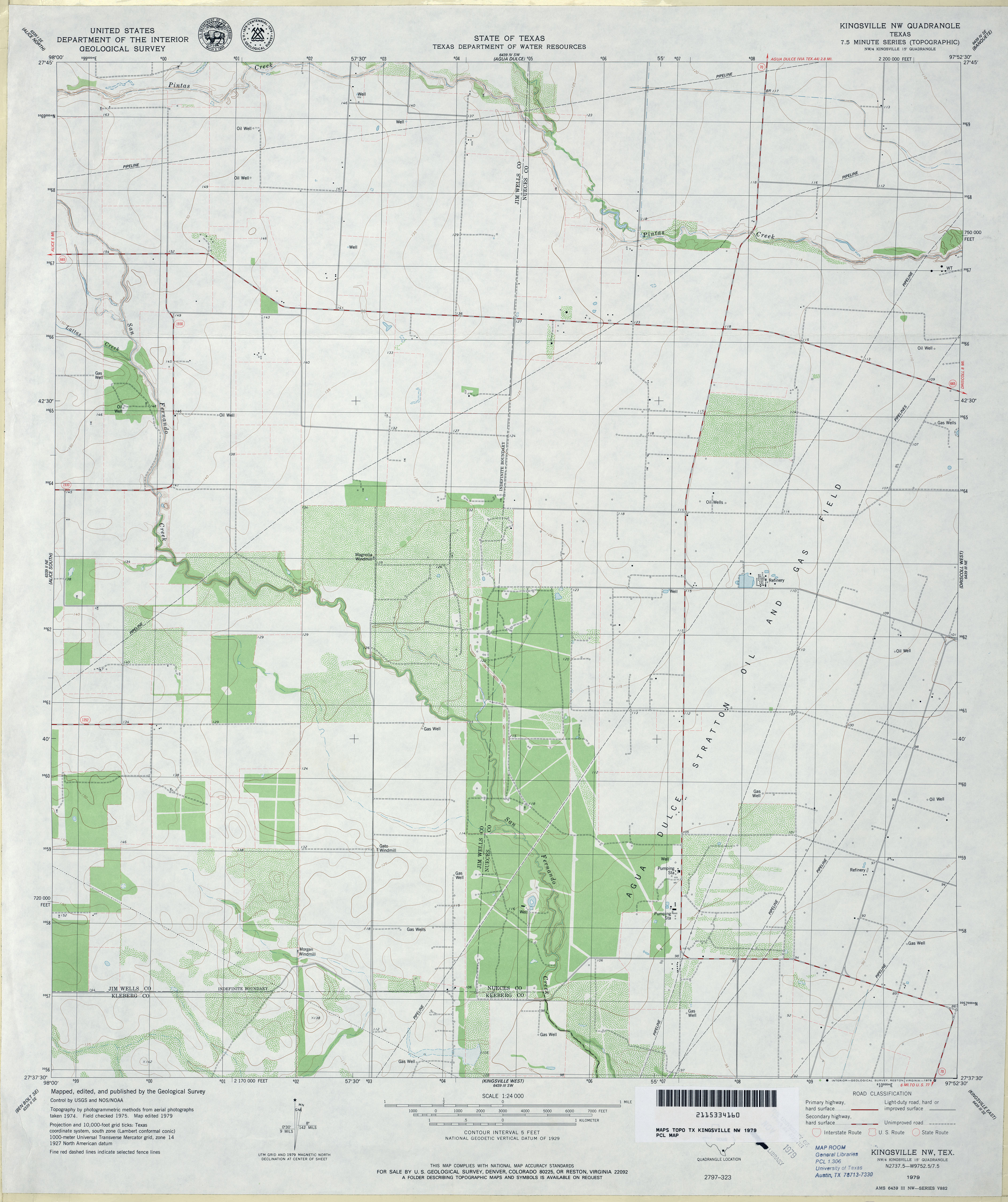
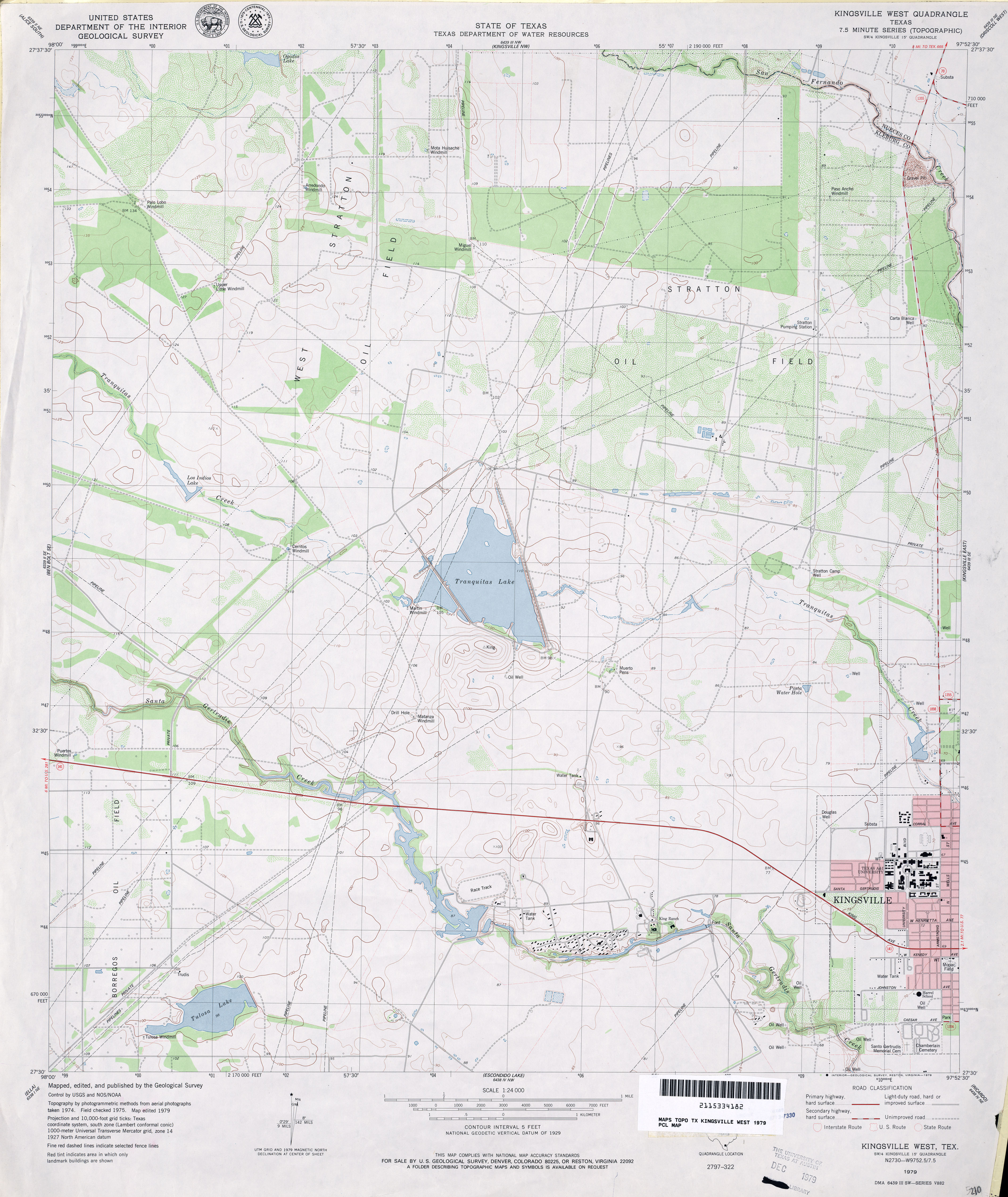
- Kingsville West 1:24,000 1979 (3.2MB)
- Kingsville West 1:24,000 2009 (15.8MB) [GeoPDF]
- Kingsville West 1:24,000 2013 (19.6MB) [GeoPDF]
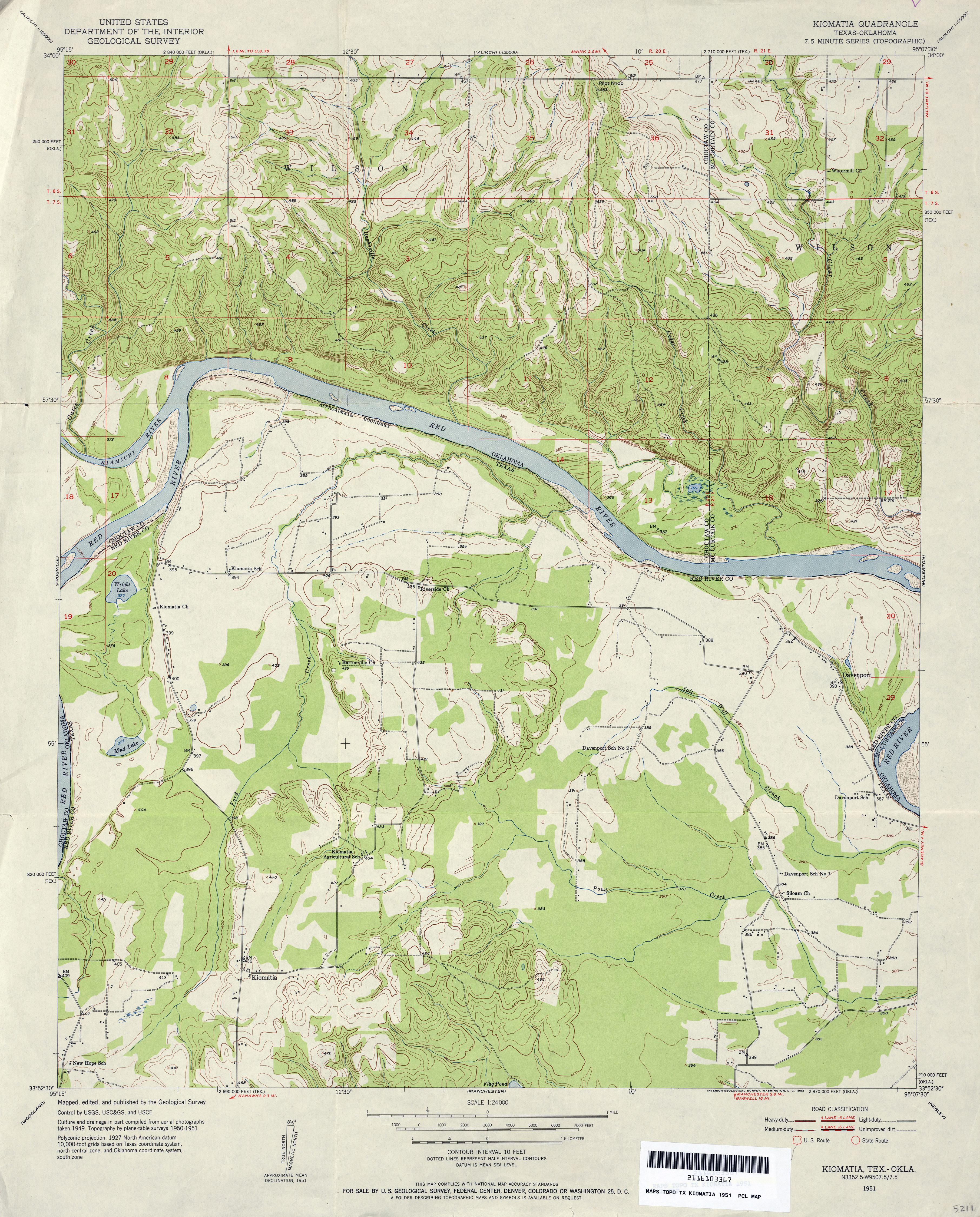
- Kiomatia 1:24,000 1951 (4.3MB)
- Kiomatia 1:24,000 2008 (19.0MB) [GeoPDF]
- Kiomatia 1:24,000 2013 (25.2MB) [GeoPDF]
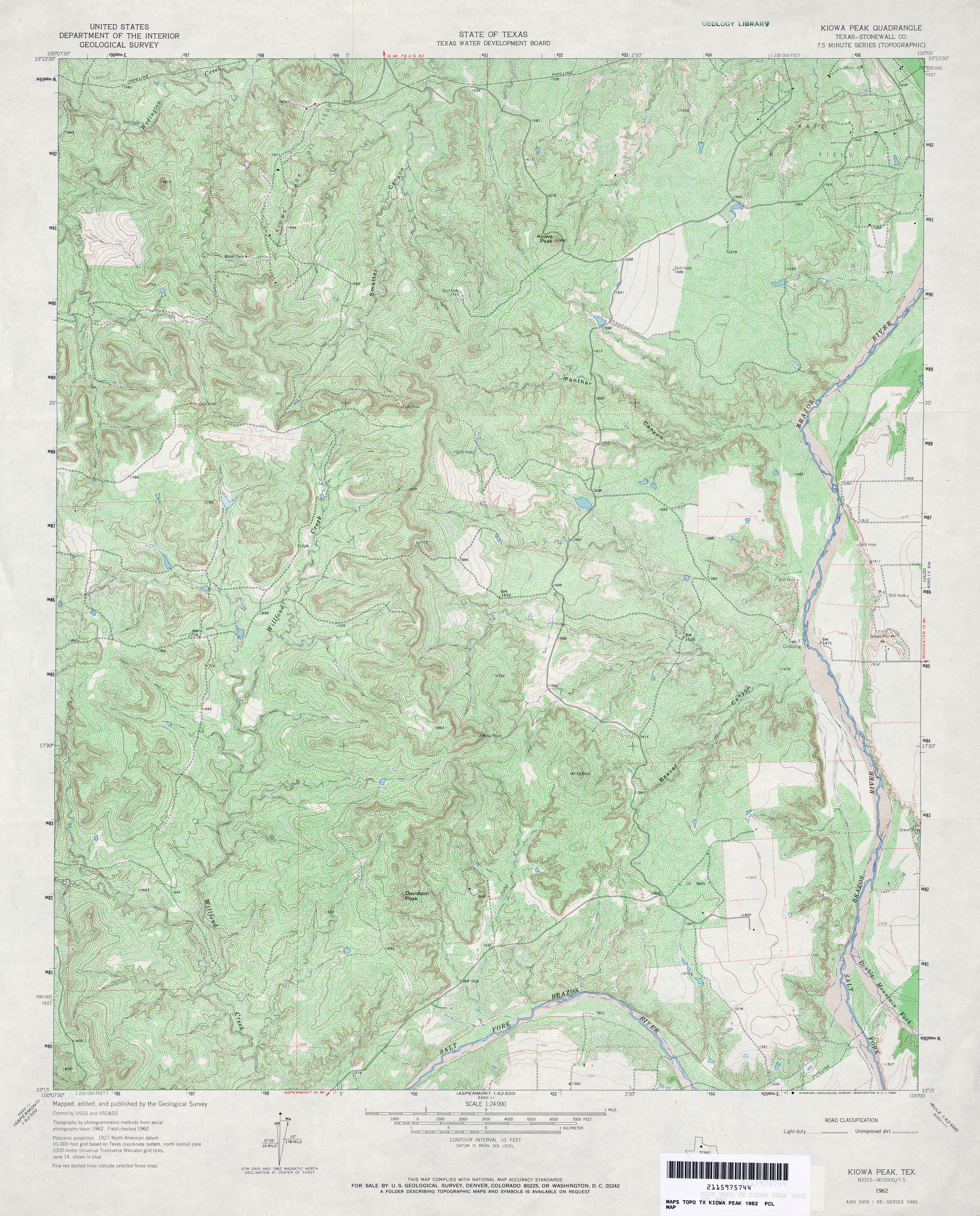
- Kiowa Peak (Stonewall County) 1:24,000 1962 (6.2MB)
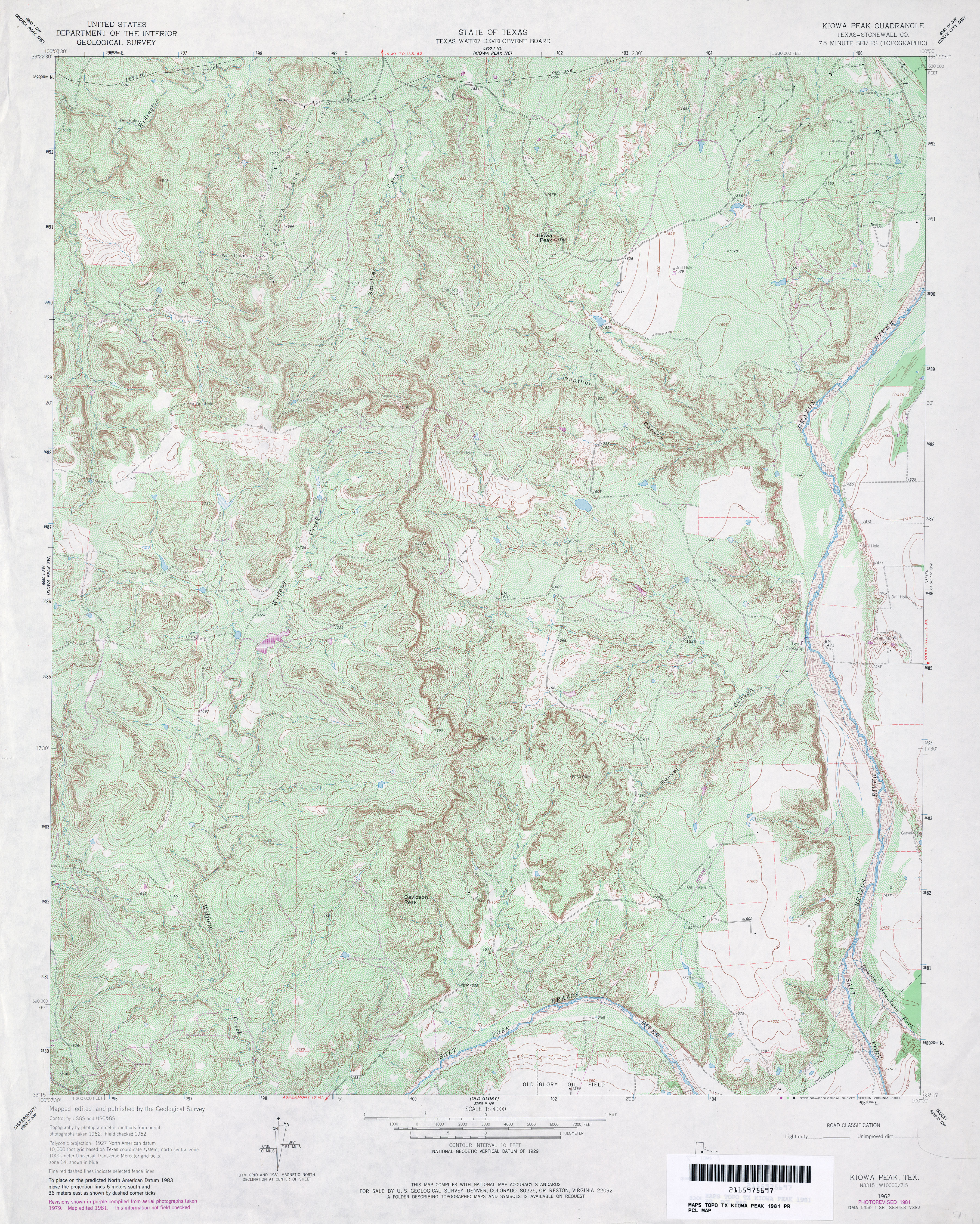
- Kiowa Peak (Stonewall County) 1:24,000 1981 (6.3MB)
- Kiowa Peak 1:24,000 2008 (21.5MB) [GeoPDF]
- Kiowa Peak 1:24,000 2012 (29.4MB) [GeoPDF]
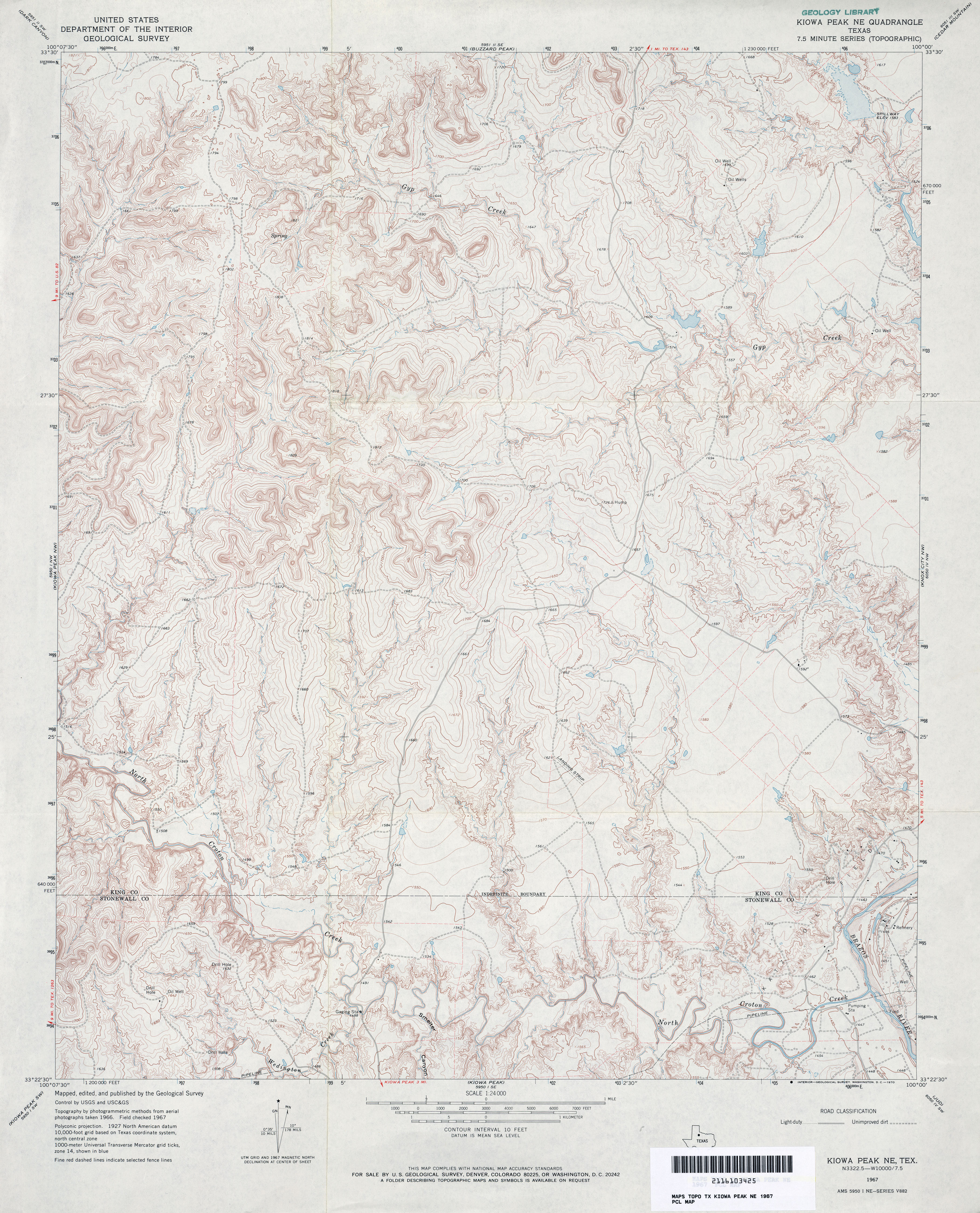
- Kiowa Peak NE 1:24,000 1967 (4.6MB)
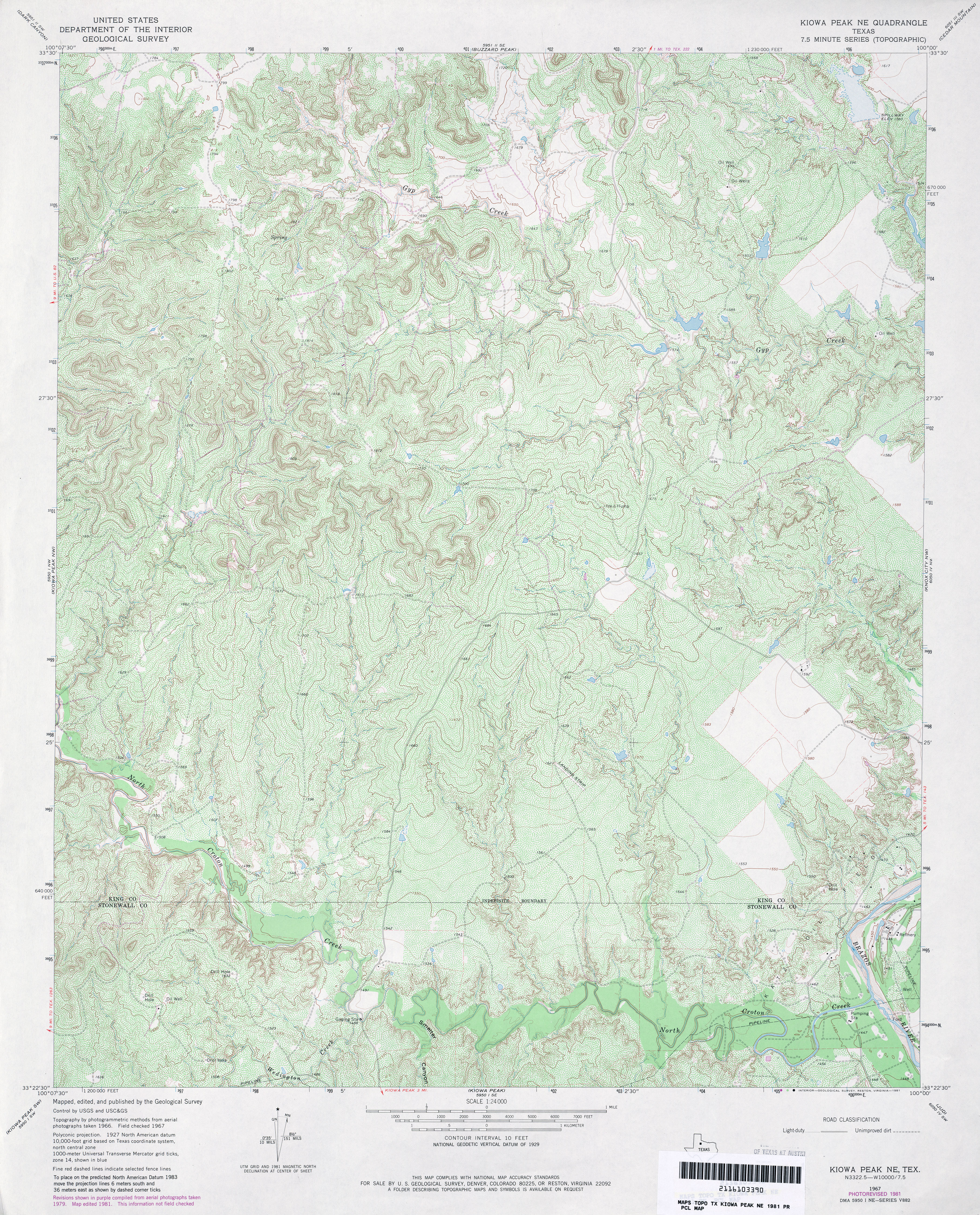
- Kiowa Peak NE 1:24,000 1981 (6.2MB)
- Kiowa Peak NE 1:24,000 2008 (20.8MB) [GeoPDF]
- Kiowa Peak NE 1:24,000 2012 (28.8MB) [GeoPDF]
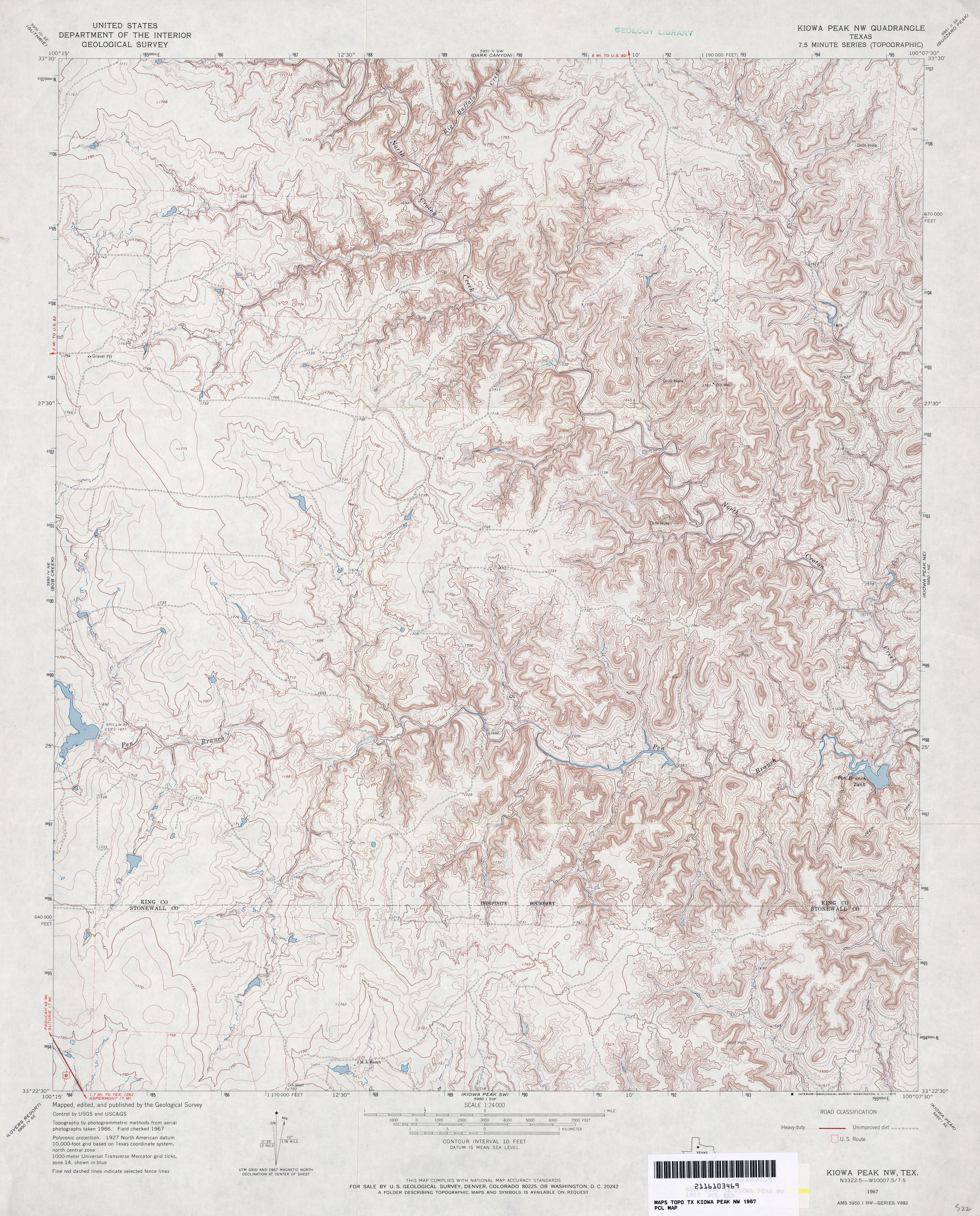
- Kiowa Peak NW 1:24,000 1967 (5.2MB)
- Kiowa Peak NW 1:24,000 1981 (6.8MB)
- Kiowa Peak NW 1:24,000 2008 (21.2MB) [GeoPDF]
- Kiowa Peak NW 1:24,000 2012 (29.1MB) [GeoPDF]
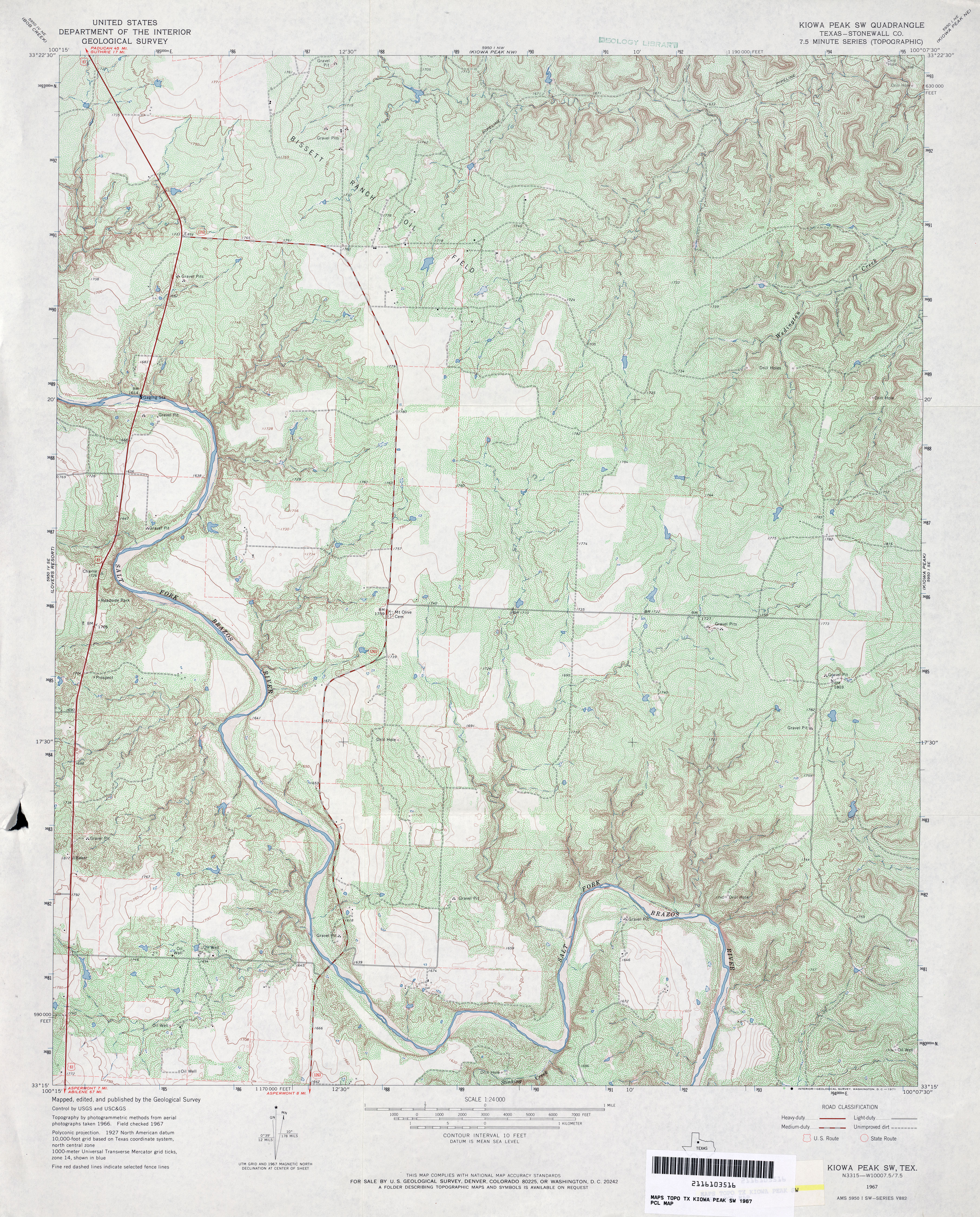
- Kiowa Peak SW (Stonewall County) 1:24,000 1967 (5.3MB)
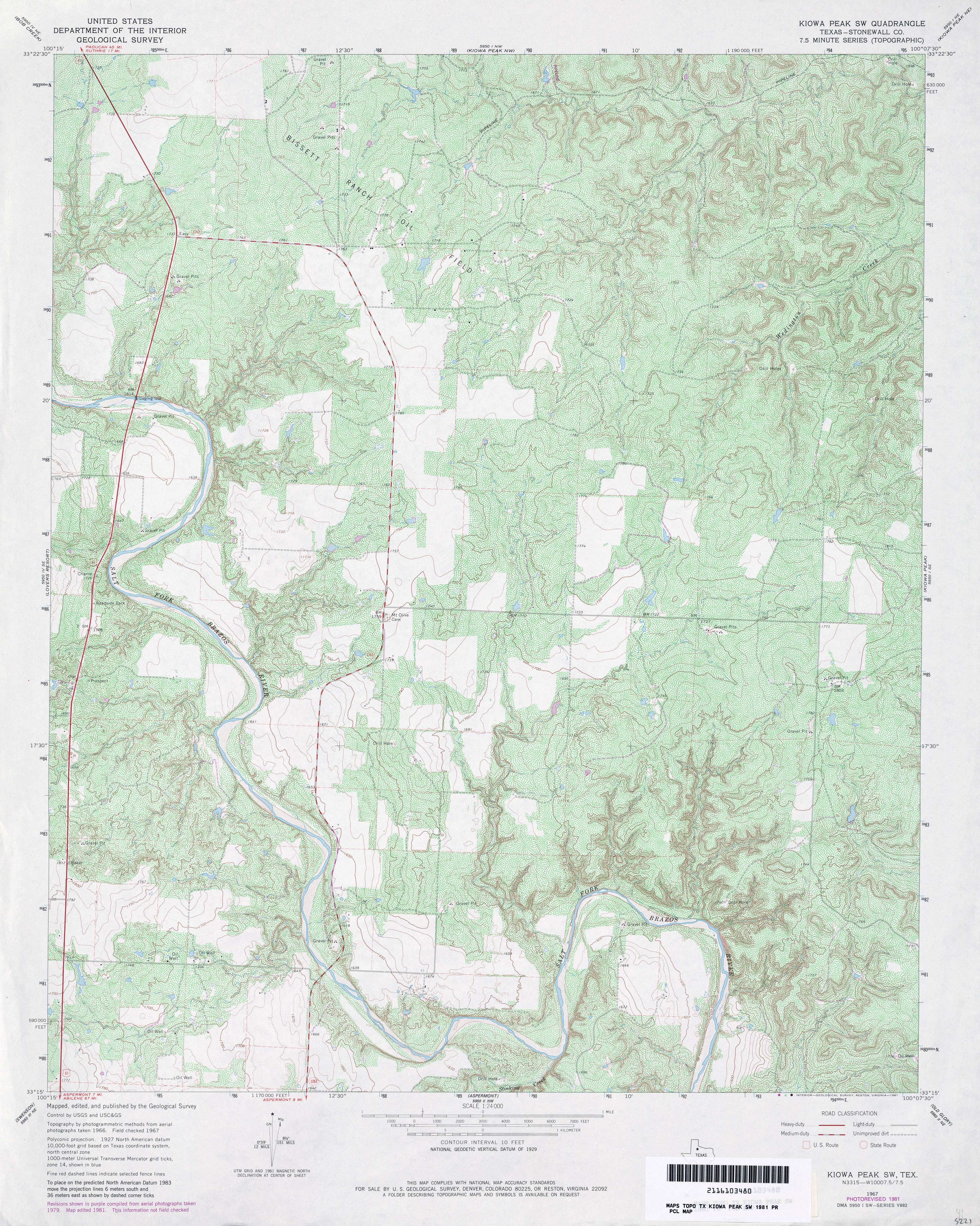
- Kiowa Peak SW (Stonewall County) 1:24,000 1981 (6.1MB)
- Kiowa Peak SW 1:24,000 2008 (19.0MB) [GeoPDF]
- Kiowa Peak SW 1:24,000 2012 (26.3MB) [GeoPDF]
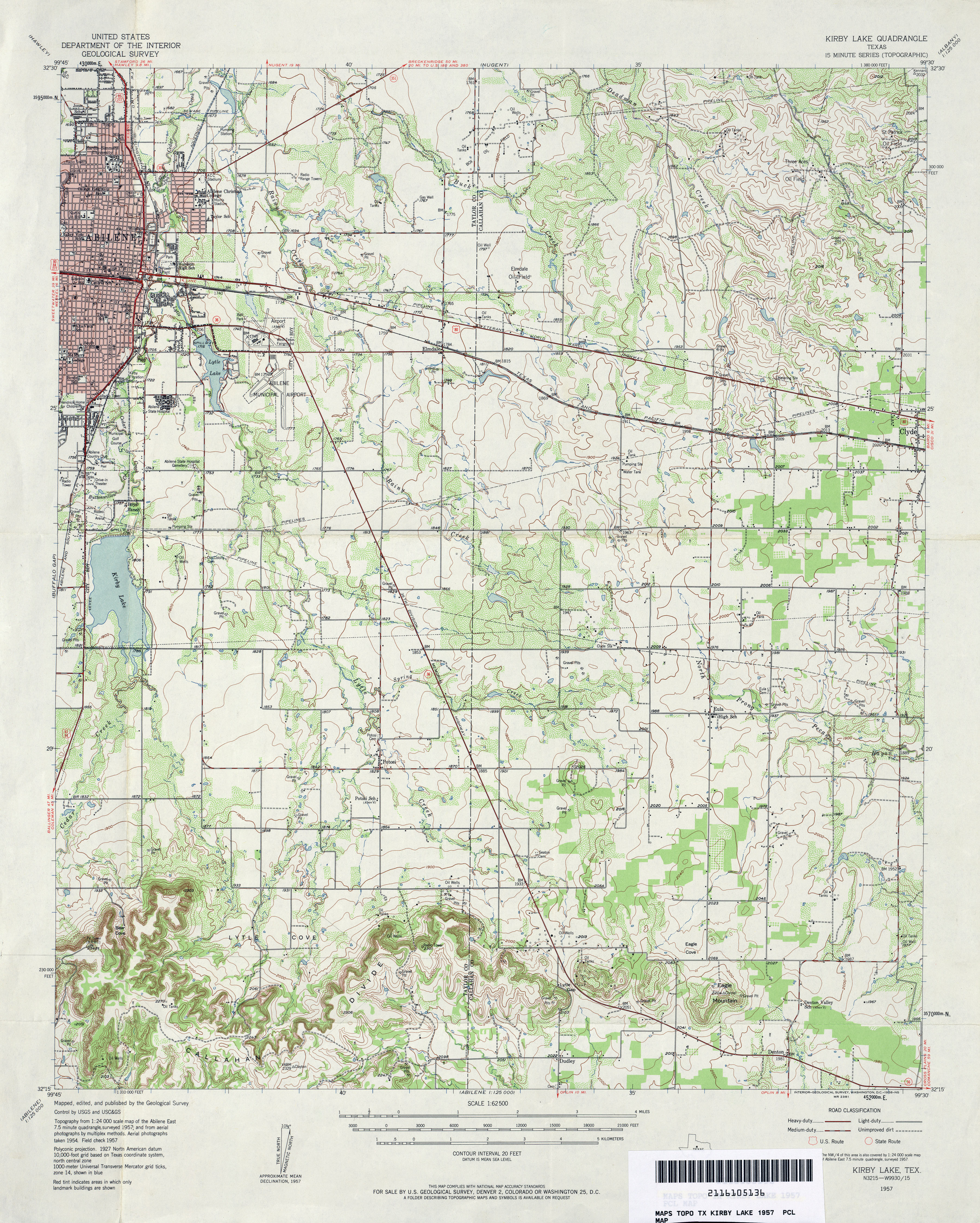
- Kirby Lake 1:62,500 1957 (4.7MB)
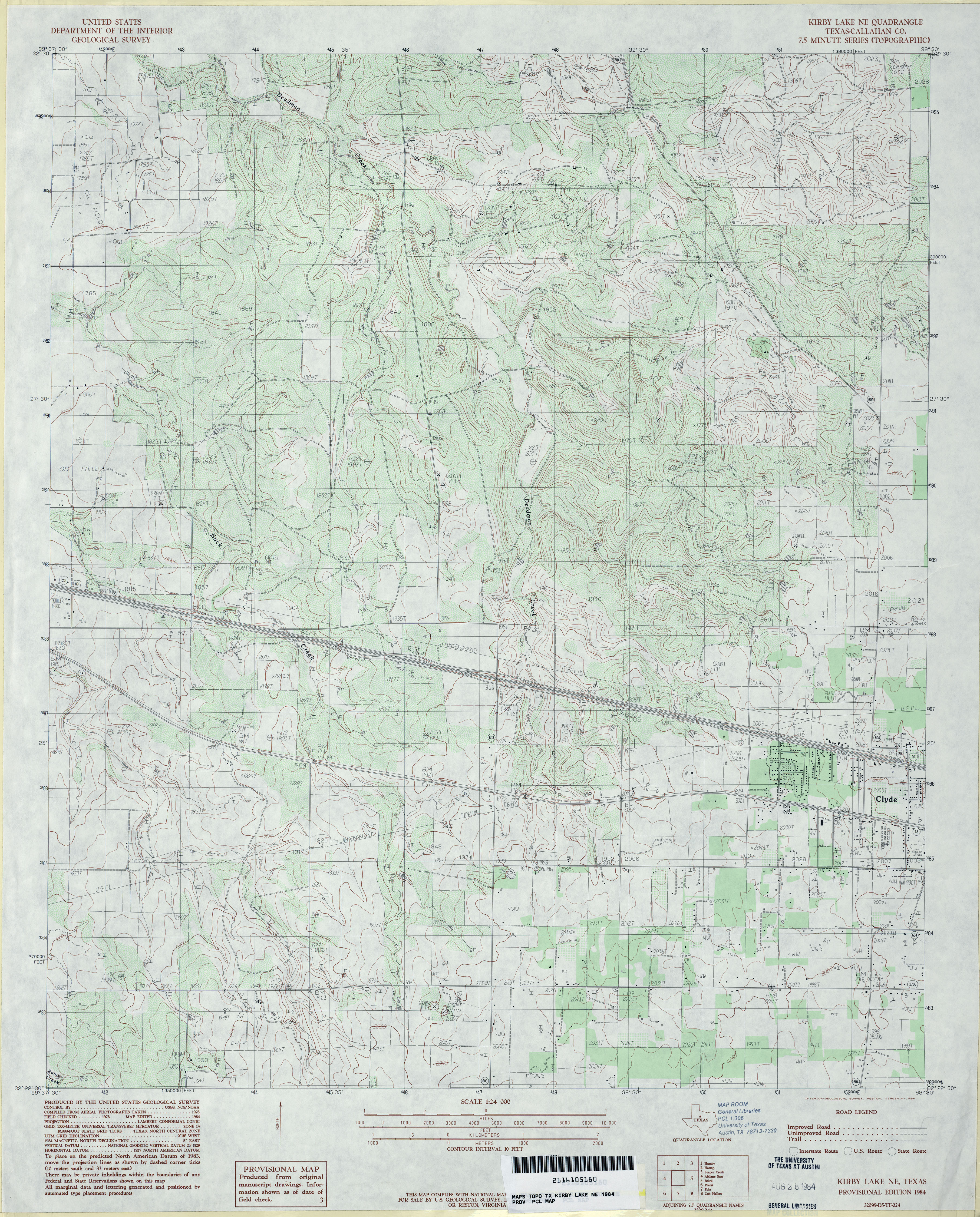
- Kirby Lake NE (Callahan County) 1:24,000 1984 (4.4MB)
- Kirby Lake NE 1:24,000 2008 (13.8MB) [GeoPDF]
- Kirby Lake NE 1:24,000 2012 (20.9MB) [GeoPDF]
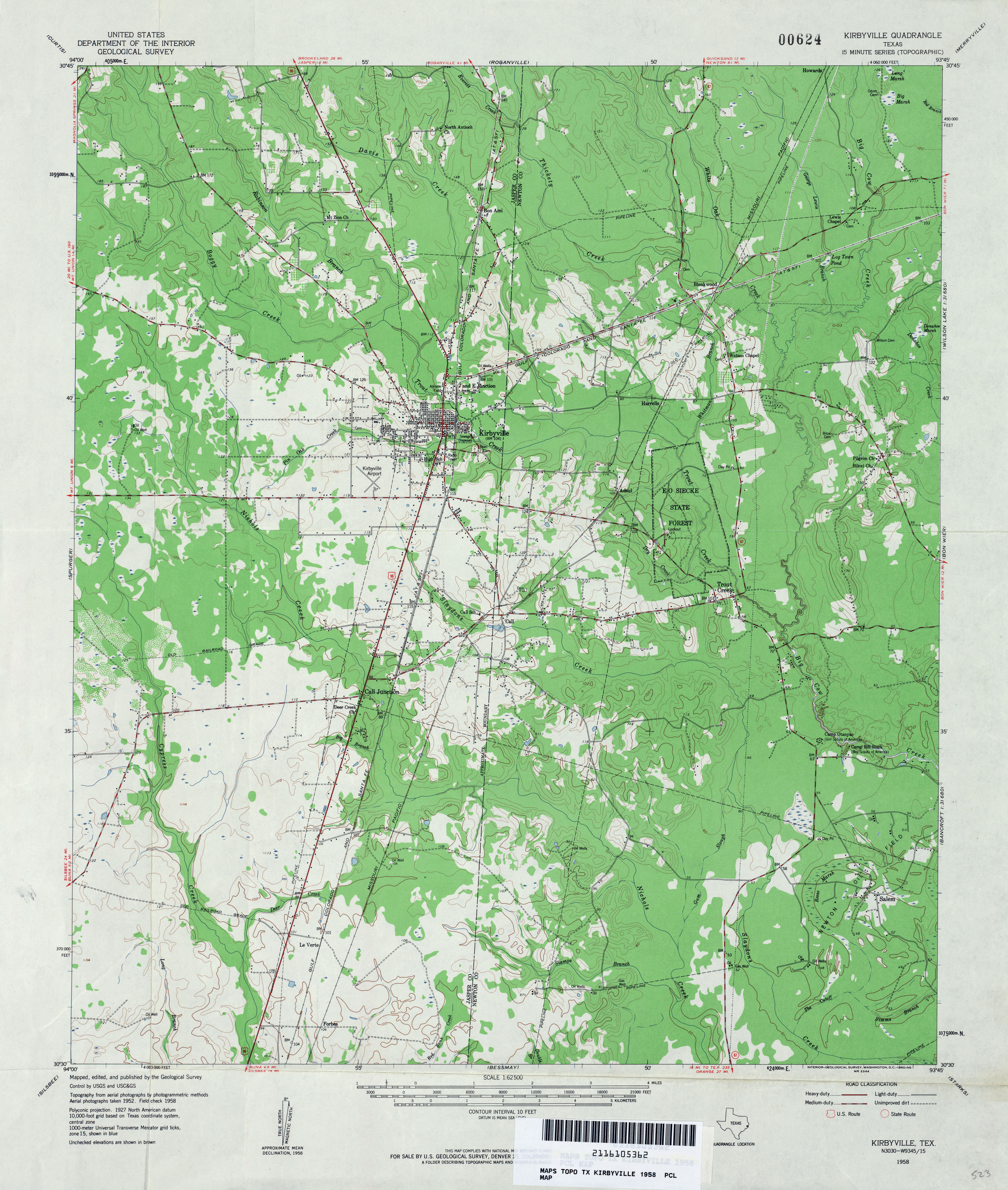
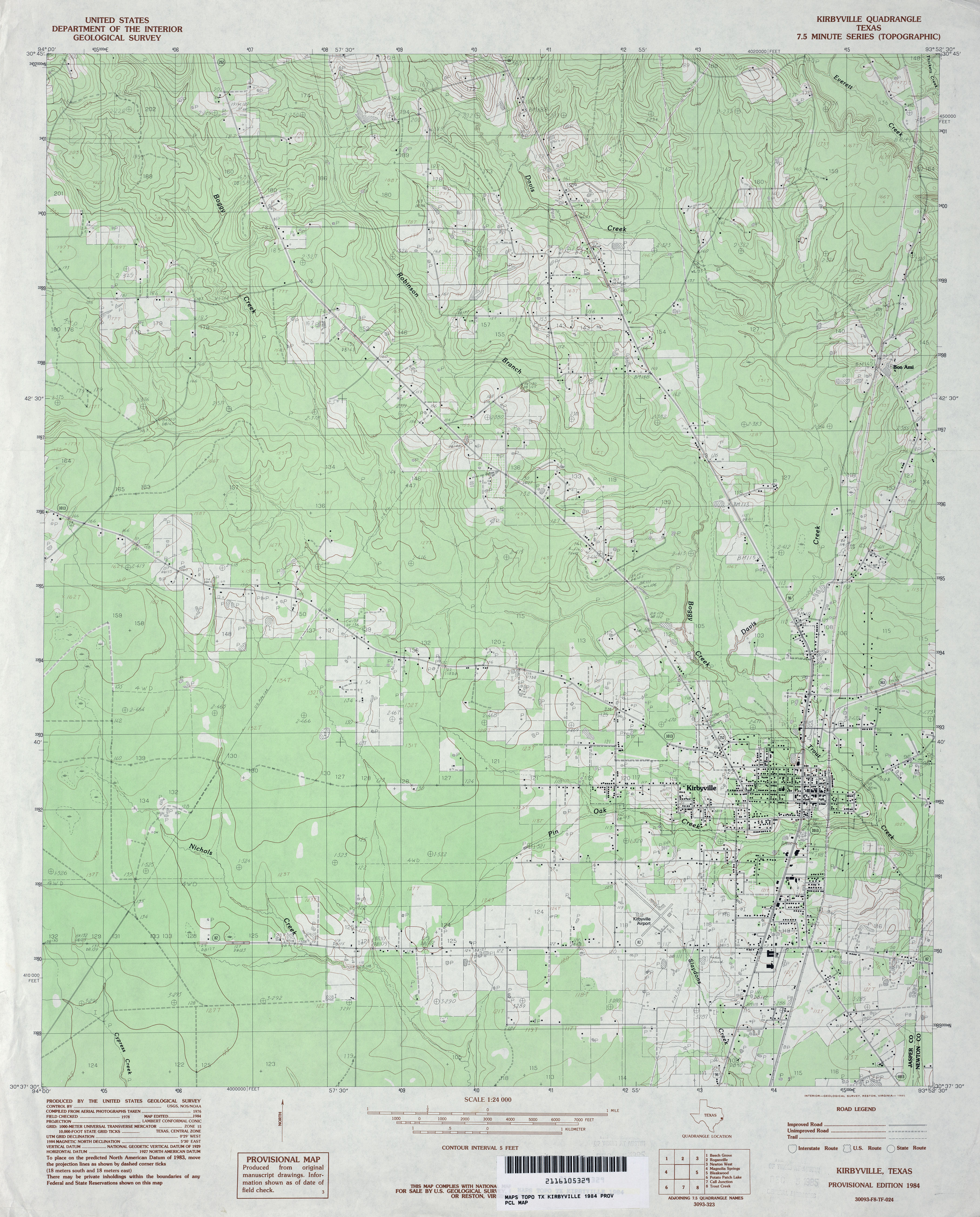
- Kirbyville 1:62,500 1958 (4MB)
- Kirbyville 1:24,000 1984 (3.8MB)
- Kirbyville 1:24,000 2009 (22.6MB) [GeoPDF]
- Kirbyville 1:24,000 2012 (21.7MB) [GeoPDF]
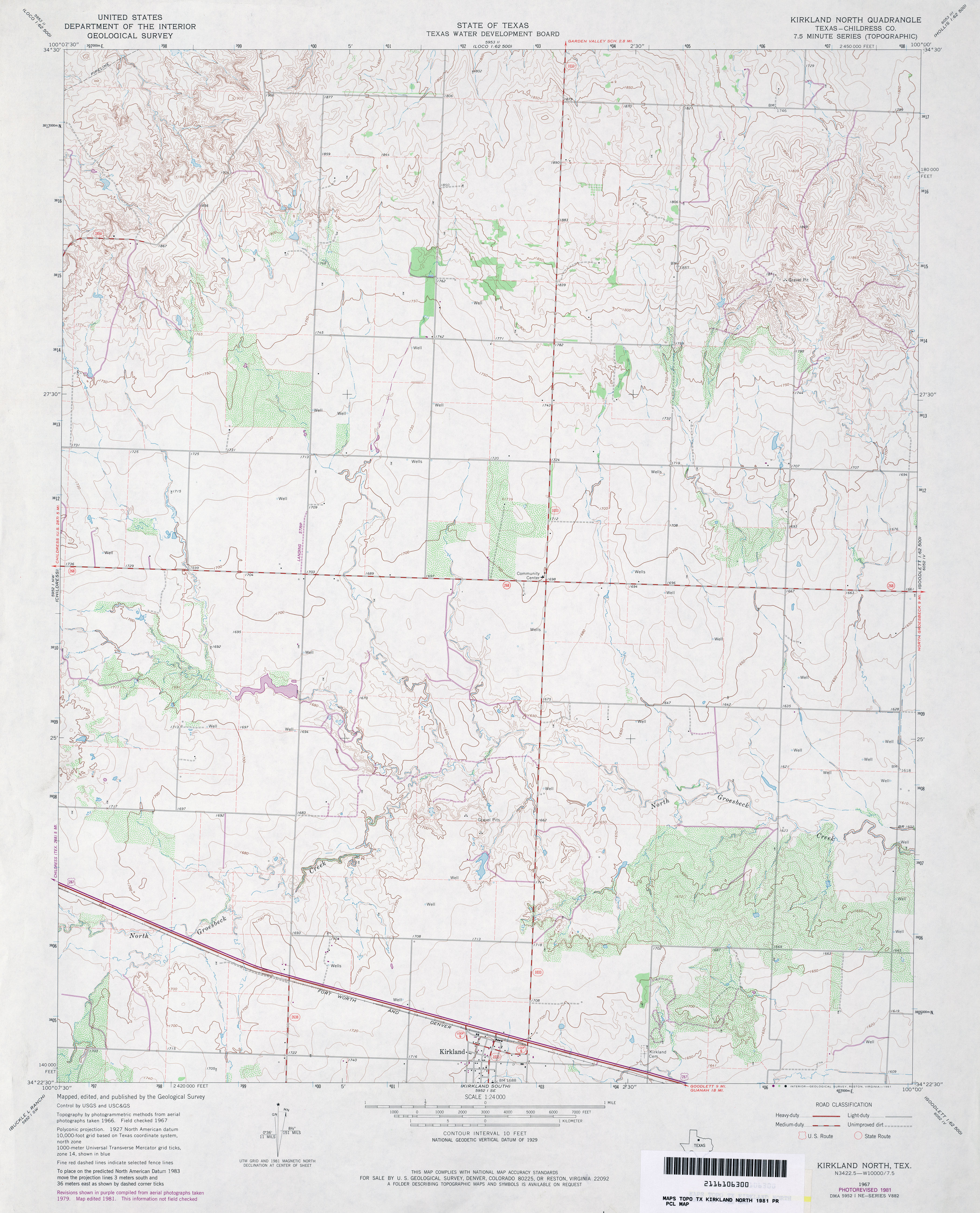
- Kirkland North (Childress County) 1:24,000 1967 (3.2MB)
- Kirkland North (Childress County) 1:24,000 1981 (3.5MB)
- Kirkland North 1:24,000 2008 (13.3MB) [GeoPDF]
- Kirkland North 1:24,000 2012 (18MB) [GeoPDF]
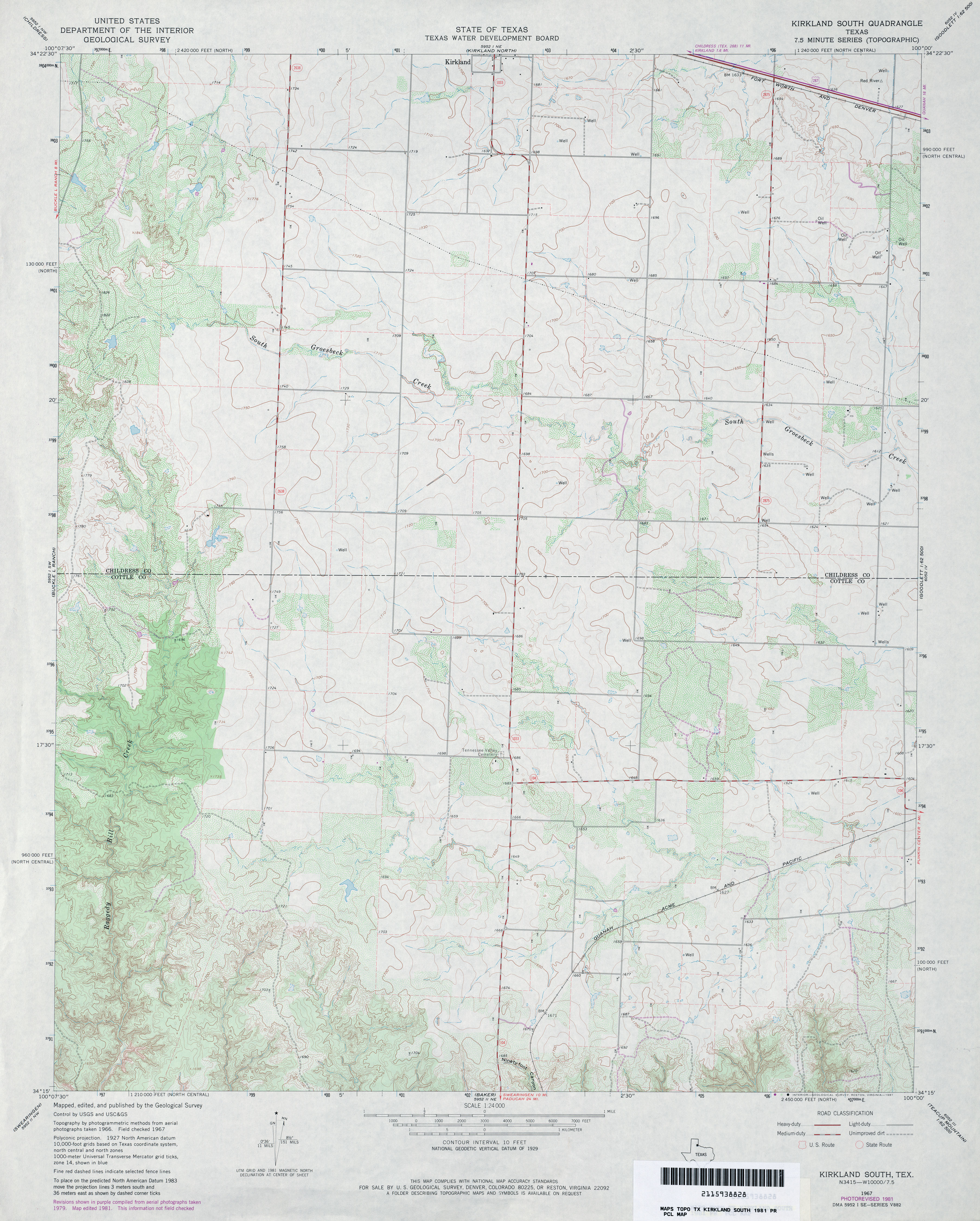
- Kirkland South 1:24,000 1967 (3.3MB)
- Kirkland South 1:24,000 1981 (3.5MB)
- Kirkland South 1:24,000 2008 (14.0MB) [GeoPDF]
- Kirkland South 1:24,000 2012 (19.6MB) [GeoPDF]
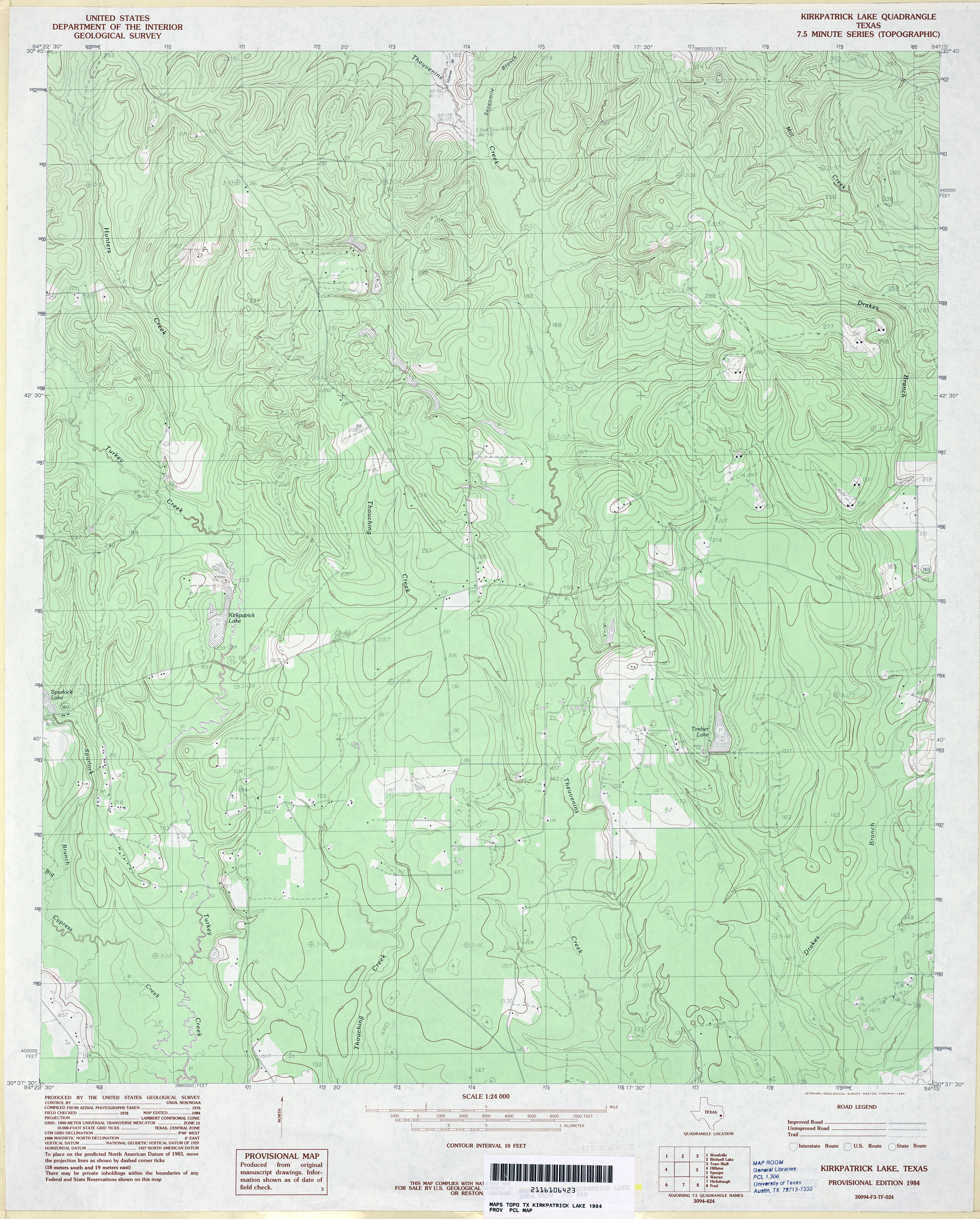
- Kirkpatrick Lake 1:24,000 1984 (4MB)
- Kirkpatrick Lake 1:24,000 2009 (24.0MB) [GeoPDF]
- Kirkpatrick Lake 1:24,000 2013 (25.2MB) [GeoPDF]
- Kirvin 1:24,000 1963 (4.2MB)
- Kirvin 1:24,000 1982 (3.9MB)
- Kirvin 1:24,000 2008 (18.4MB) [GeoPDF]
- Kirvin 1:24,000 2013 (22.9MB) [GeoPDF]
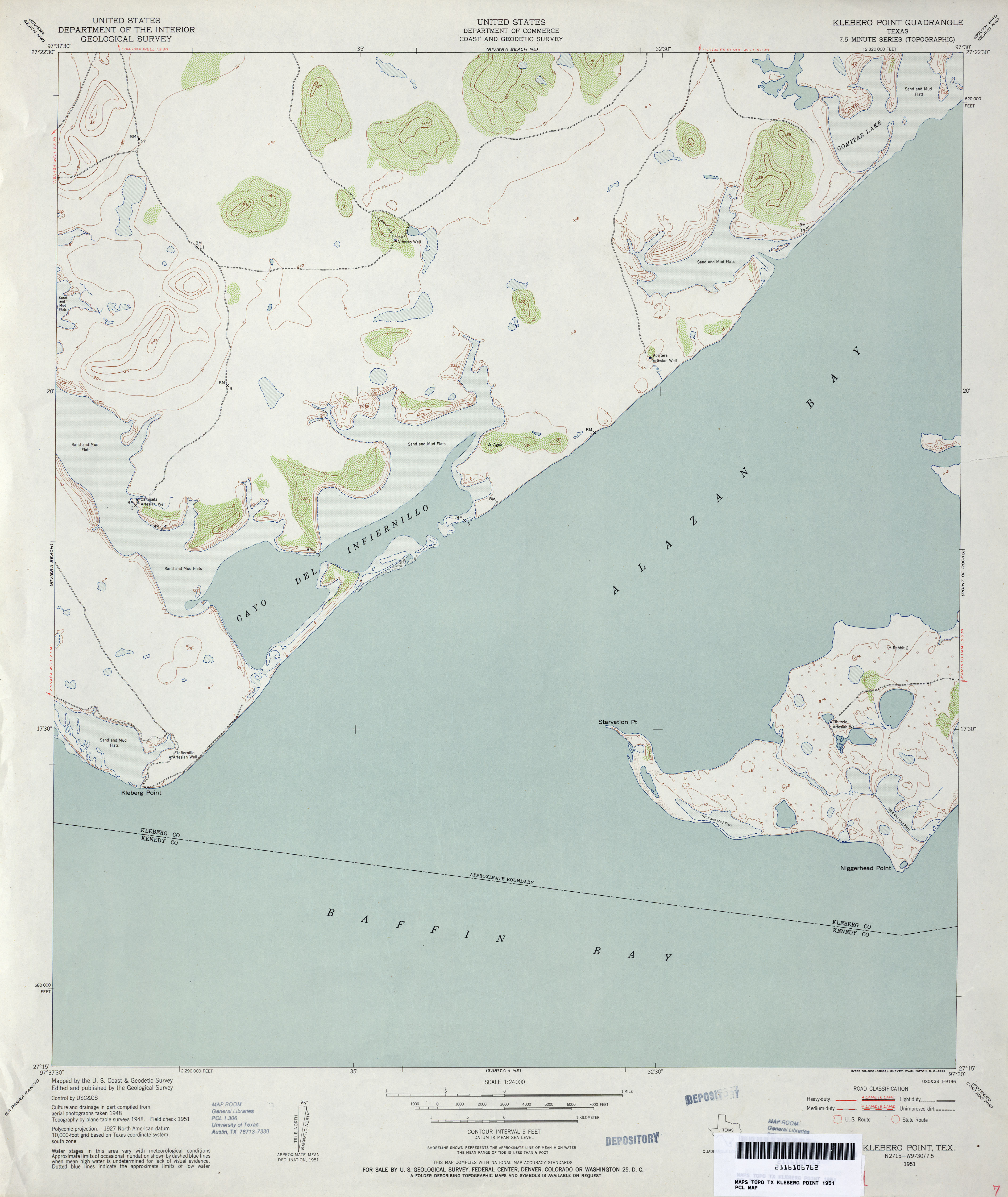
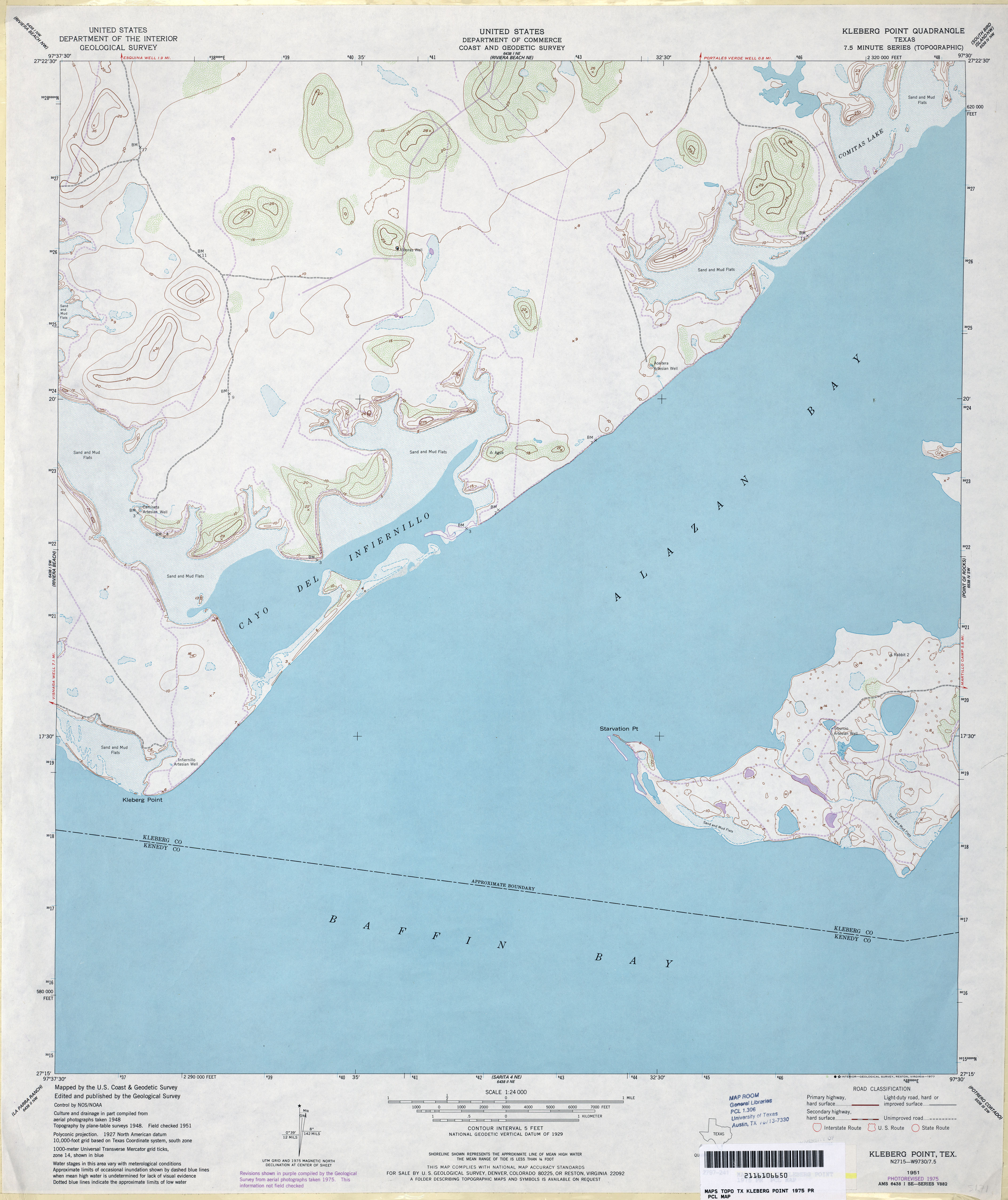
- Kleberg Point 1:24,000 1951 (2.6MB)
- Kleberg Point 1:24,000 1975 (2.6MB)
- Kleberg Point 1:24,000 2009 (17.4MB) [GeoPDF]
- Kleberg Point 1:24,000 2013 (16.4MB) [GeoPDF]
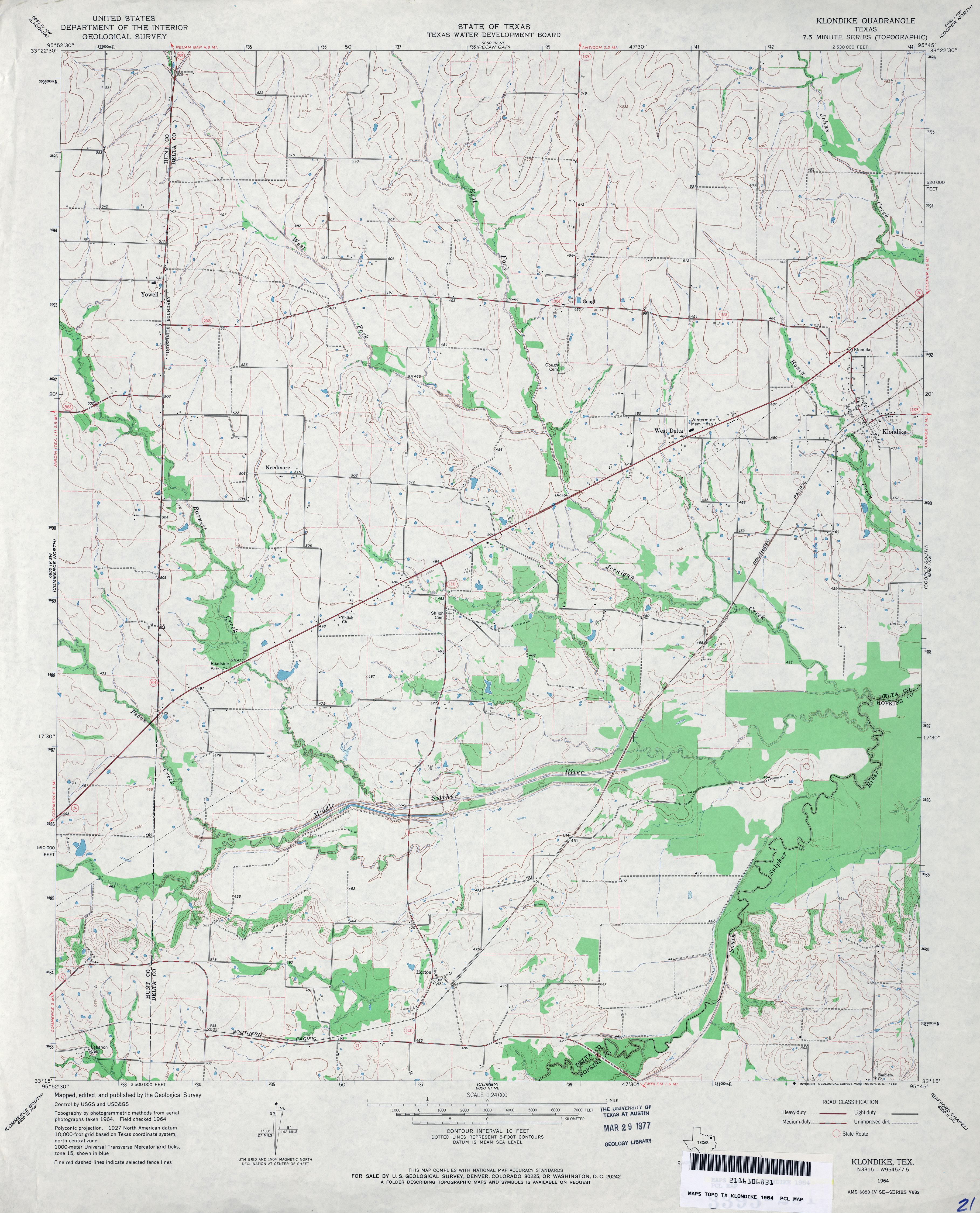
- Klondike 1:24,000 1964 (3.5MB)
- Klondike 1:24,000 2008 (15.2MB) [GeoPDF]
- Klondike 1:24,000 2013 (19.3MB) [GeoPDF]
- Knickerbocker 1:62,500 1957 (5.9MB)
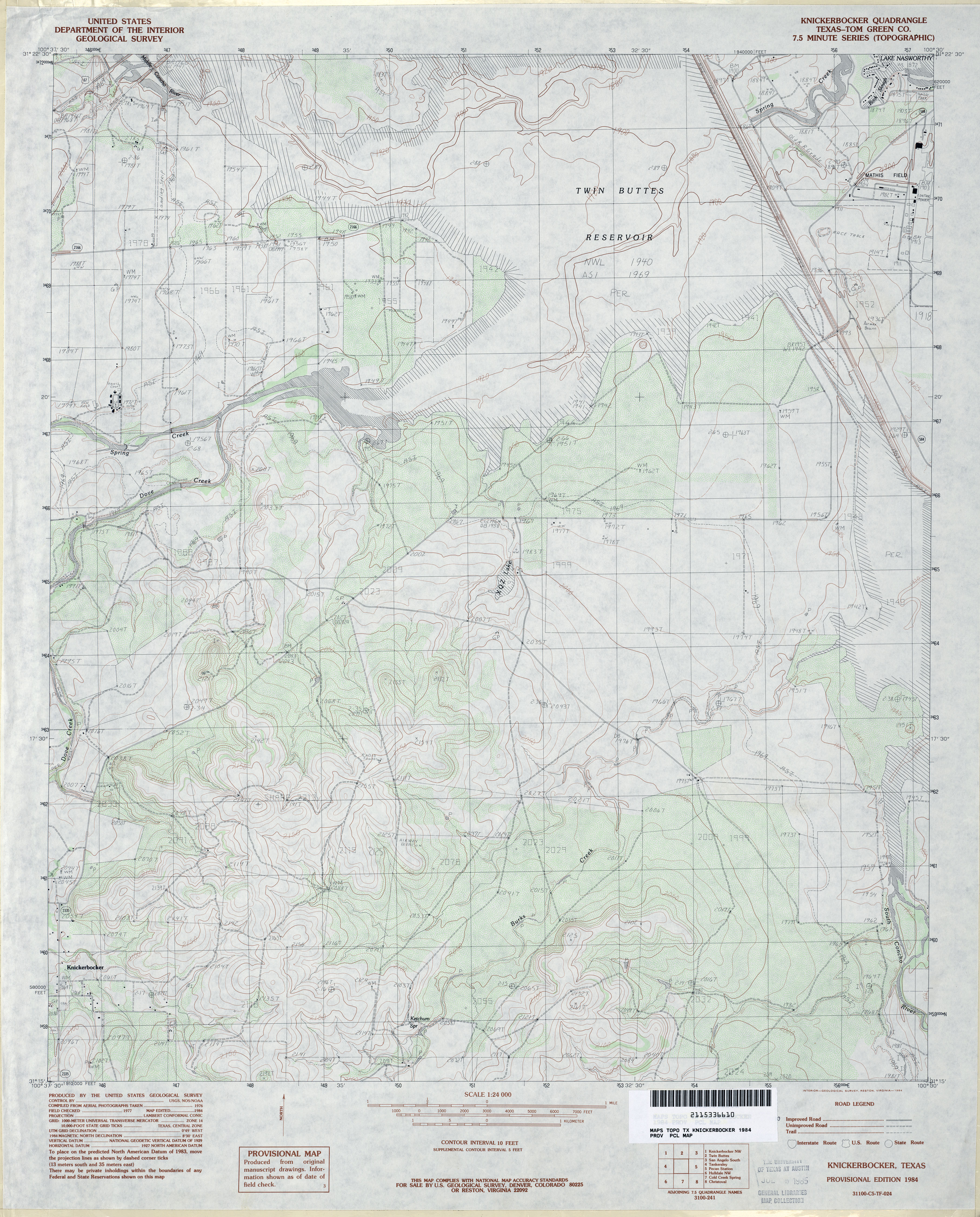
- Knickerbocker (Tom Green County) 1:24,000 1984 (3.9MB)
- Knickerbocker 1:24,000 2008 (19.6MB) [GeoPDF]
- Knickerbocker 1:24,000 2012 (24.6MB) [GeoPDF]
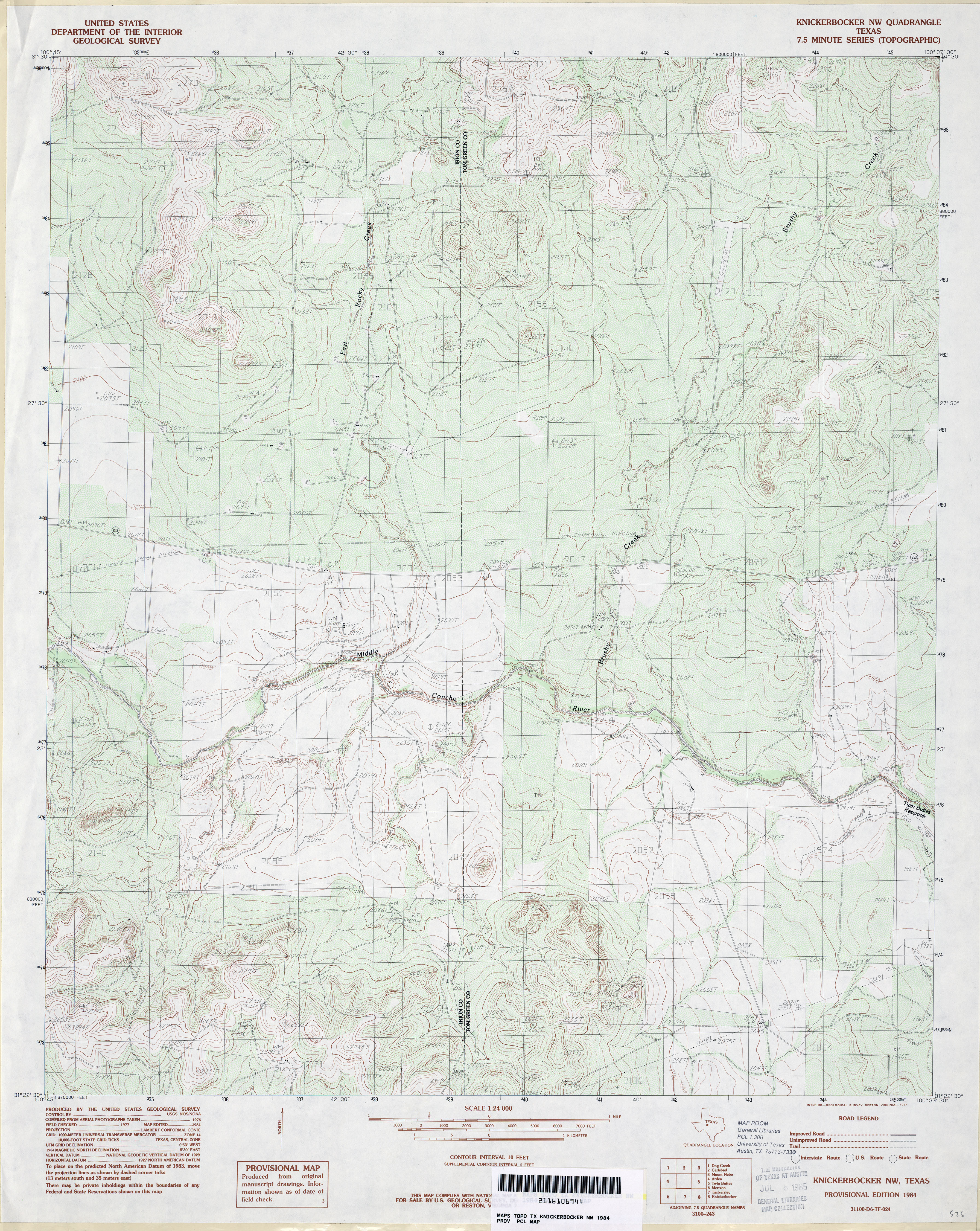
- Knickerbocker NW 1:24,000 1984 (4.6MB)
- Knickerbocker NW 1:24,000 2008 (21.5MB) [GeoPDF]
- Knickerbocker NW 1:24,000 2012 (26.6MB) [GeoPDF]
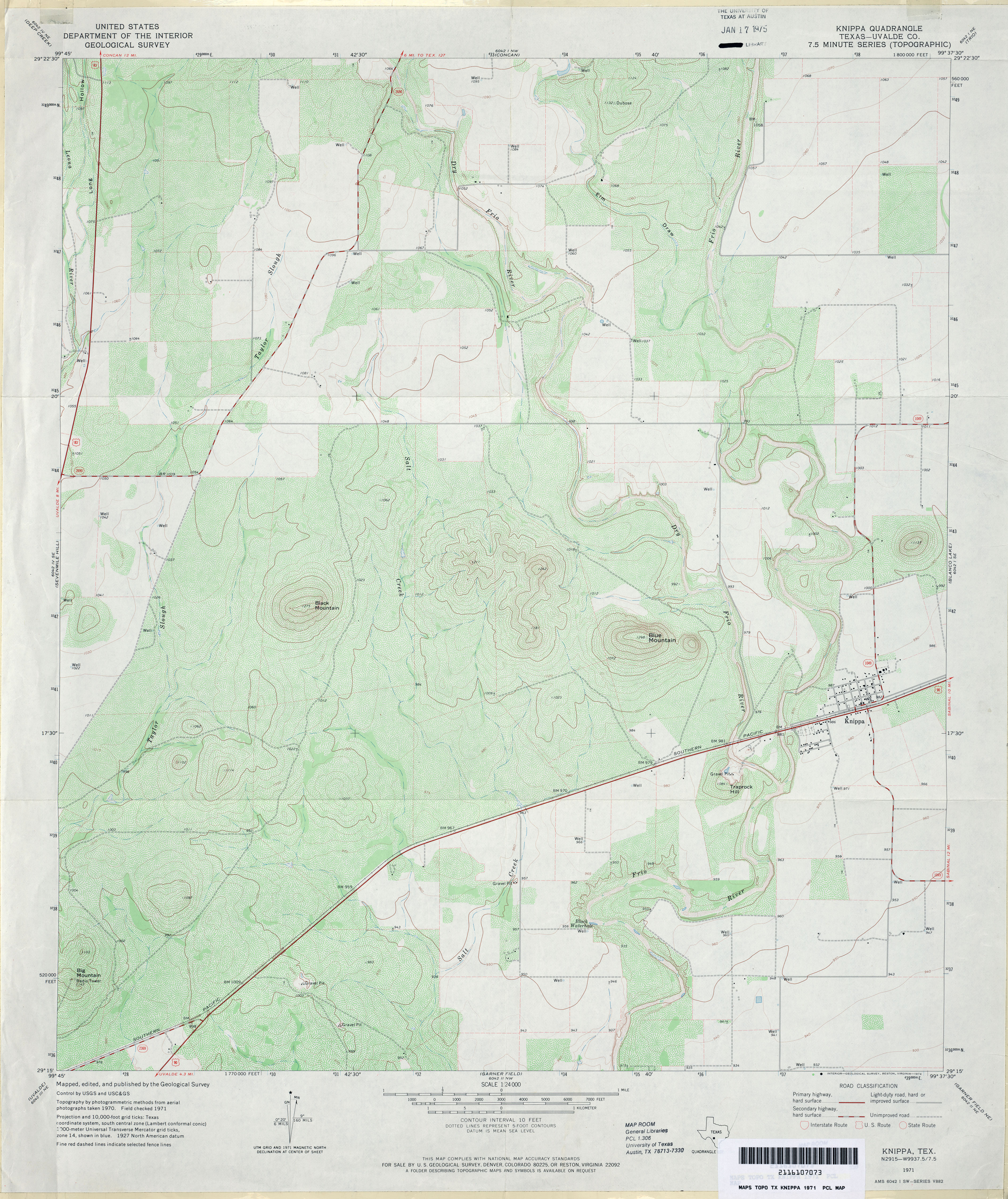
- Knippa (Uvalde County) 1:24,000 1971 (3.8MB)
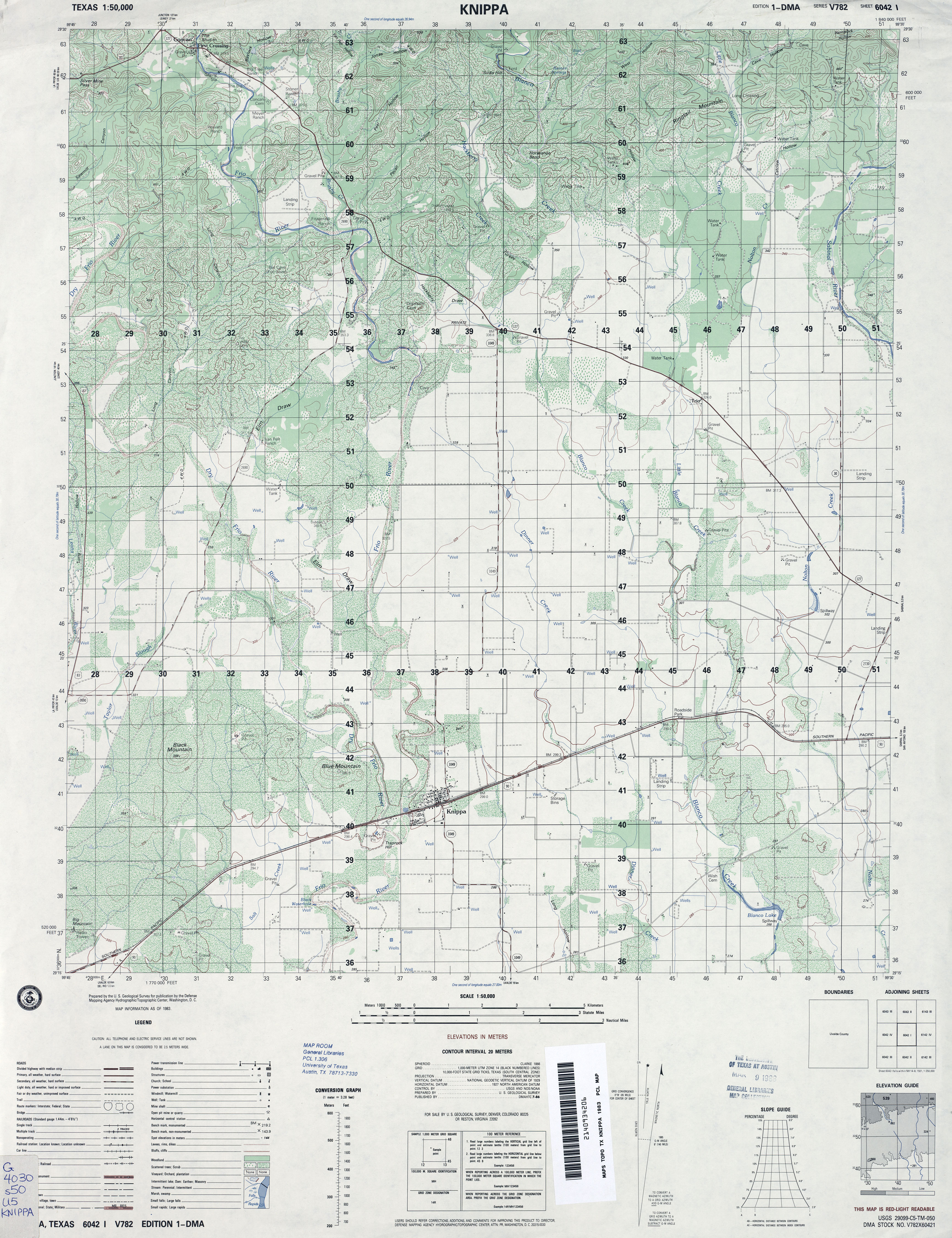
- Knippa 1:50,000 1983 (4.3MB) U.S. Defense Mapping Agency, Series V782.
- Knippa 1:24,000 2008 (20.1MB) [GeoPDF]
- Knippa 1:24,000 2012 (21.3MB) [GeoPDF]
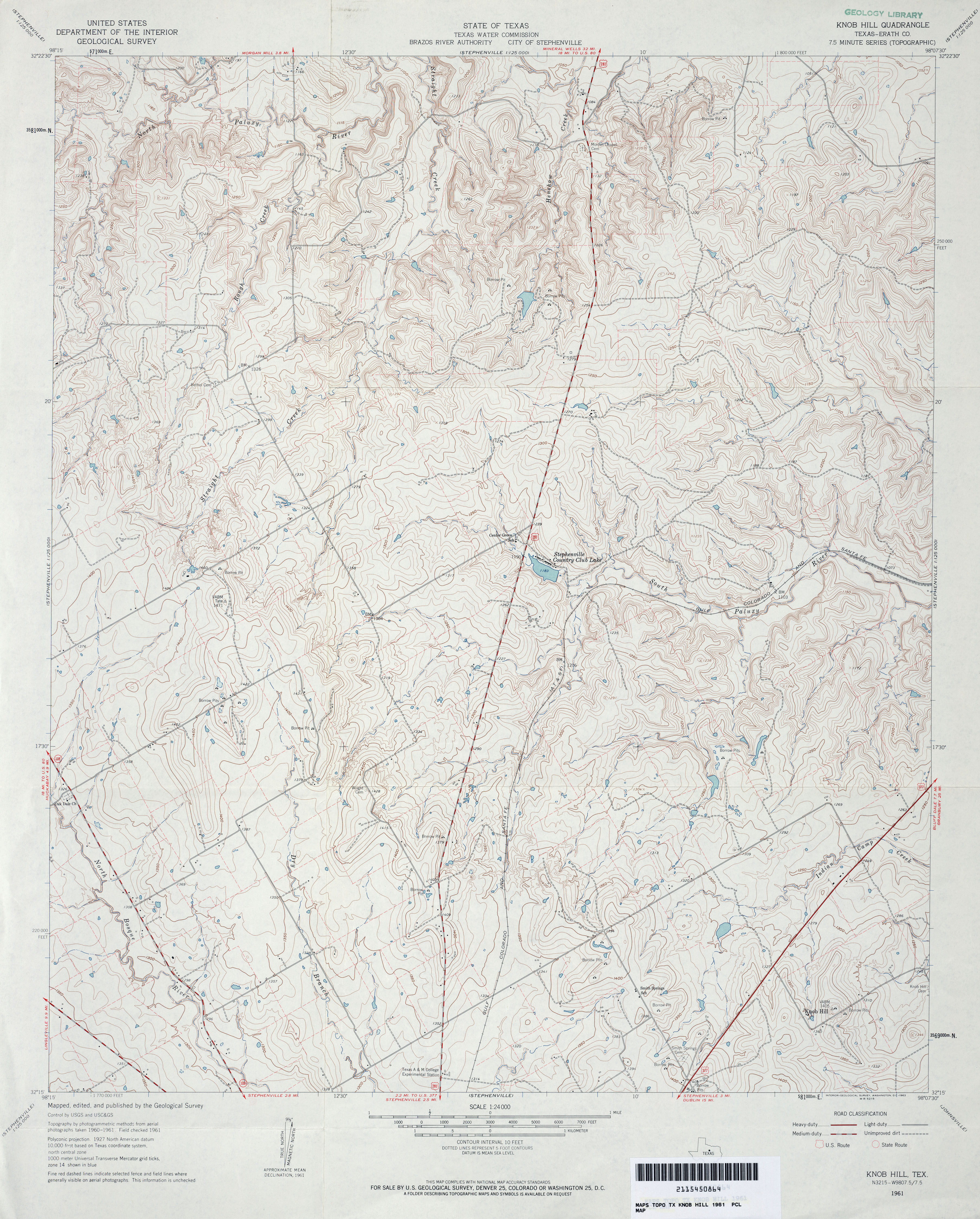
- Knob Hill (Erath County) 1:24,000 1961 (4.4MB)
- Knob Hill (Erath County) 1:24,000 1979 (4.2MB)
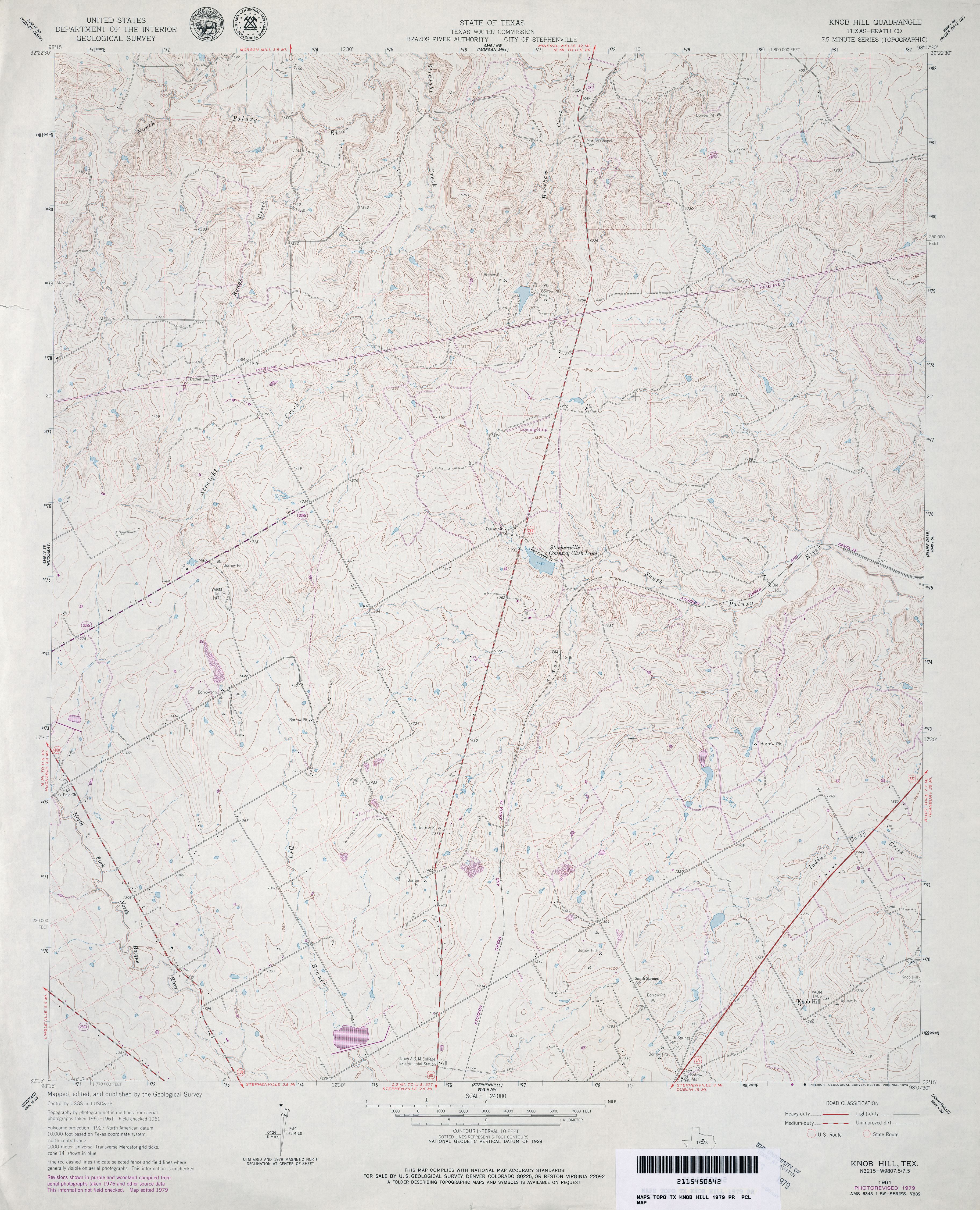
- Knob Hill 1:24,000 2008 (19.3MB) [GeoPDF]
- Knob Hill 1:24,000 2012 (23MB) [GeoPDF]
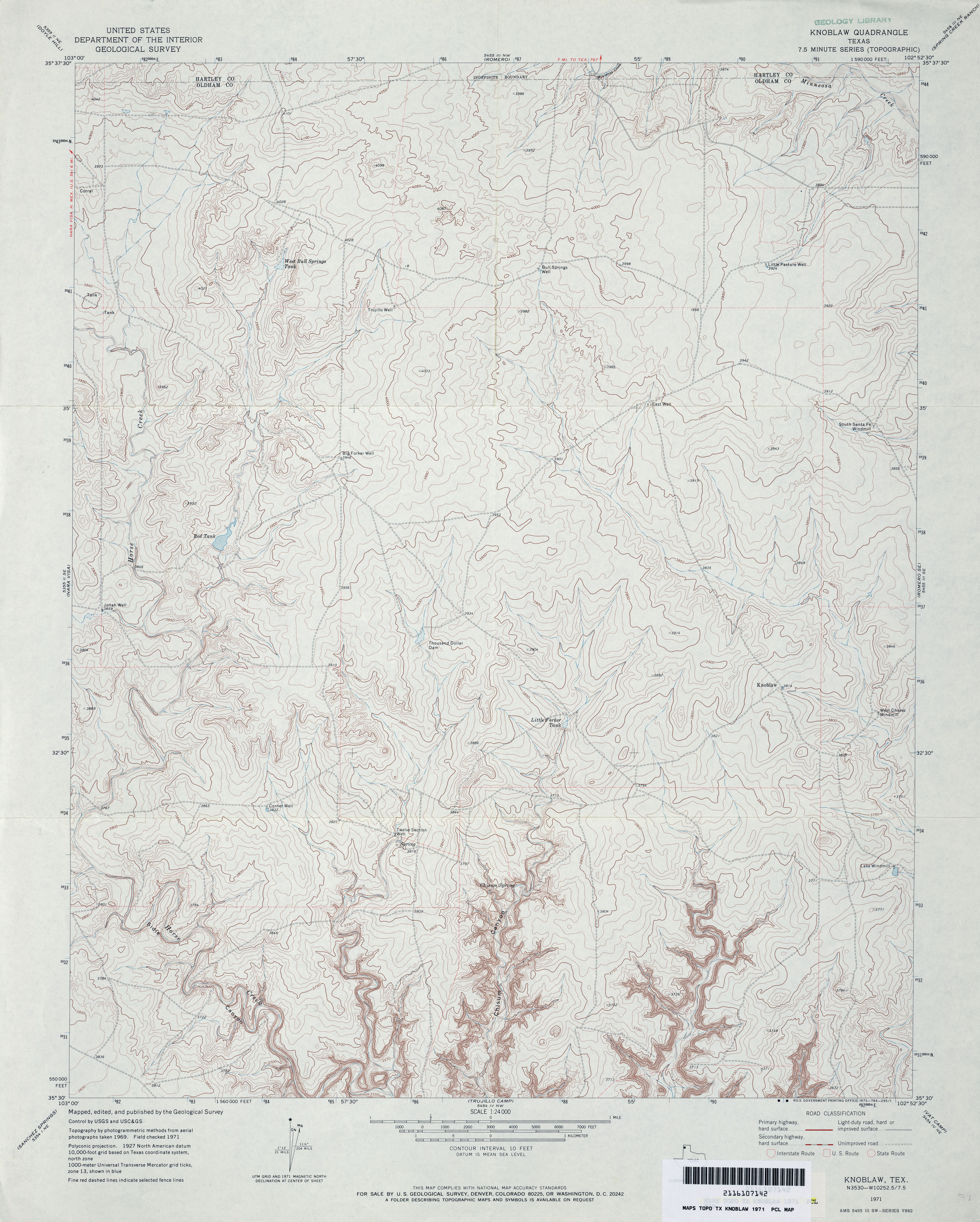
- Knoblaw 1:24,000 1971 (4MB)
- Knoblaw 1:24,000 2008 (10.1MB) [GeoPDF]
- Knoblaw 1:24,000 2012 (17.2MB) [GeoPDF]
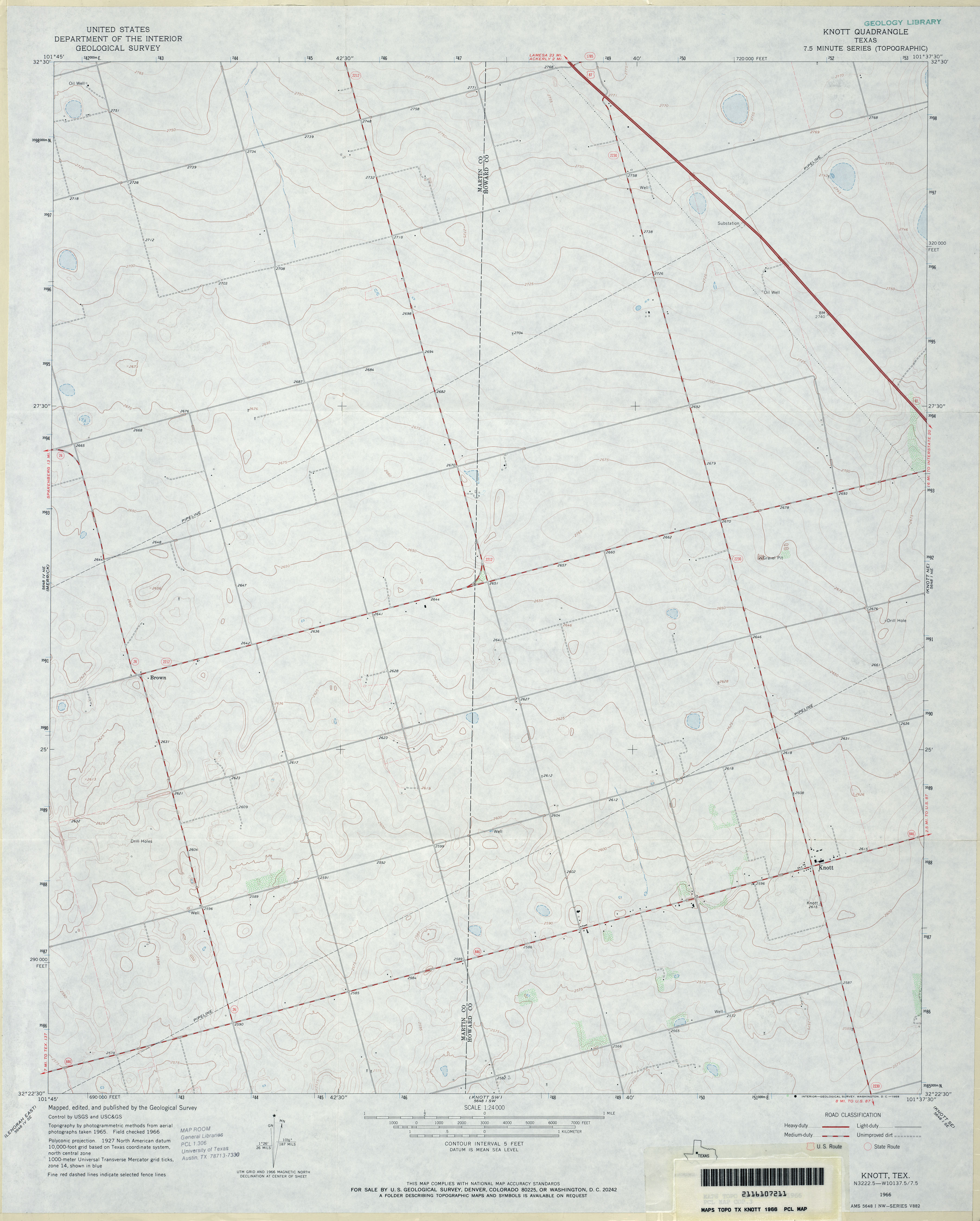
- Knott 1:24,000 1966 (2.5MB)
- Knott 1:24,000 2008 (10.5MB) [GeoPDF]
- Knott 1:24,000 2012 (17.8MB) [GeoPDF]
- Knott NE (Howard County) 1:24,000 1966 (3.5MB)
- Knott NE 1:24,000 2008 (10.3MB) [GeoPDF]
- Knott NE 1:24,000 2012 (18.3MB) [GeoPDF]
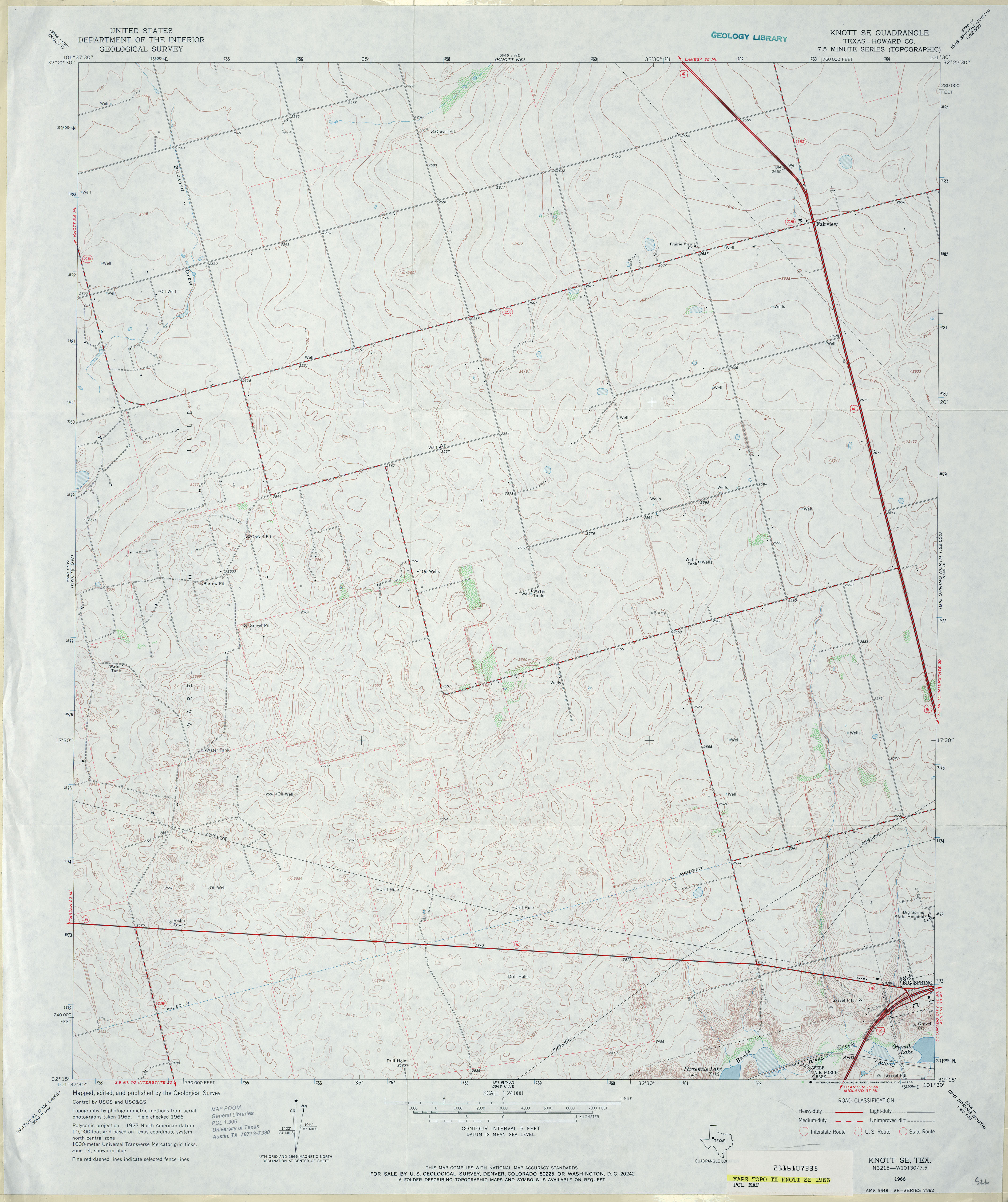
- Knott SE (Howard County) 1:24,000 1966 (3.2MB)
- Knott SE 1:24,000 2008 (10.6MB) [GeoPDF]
- Knott SE 1:24,000 2012 (20.5MB) [GeoPDF]
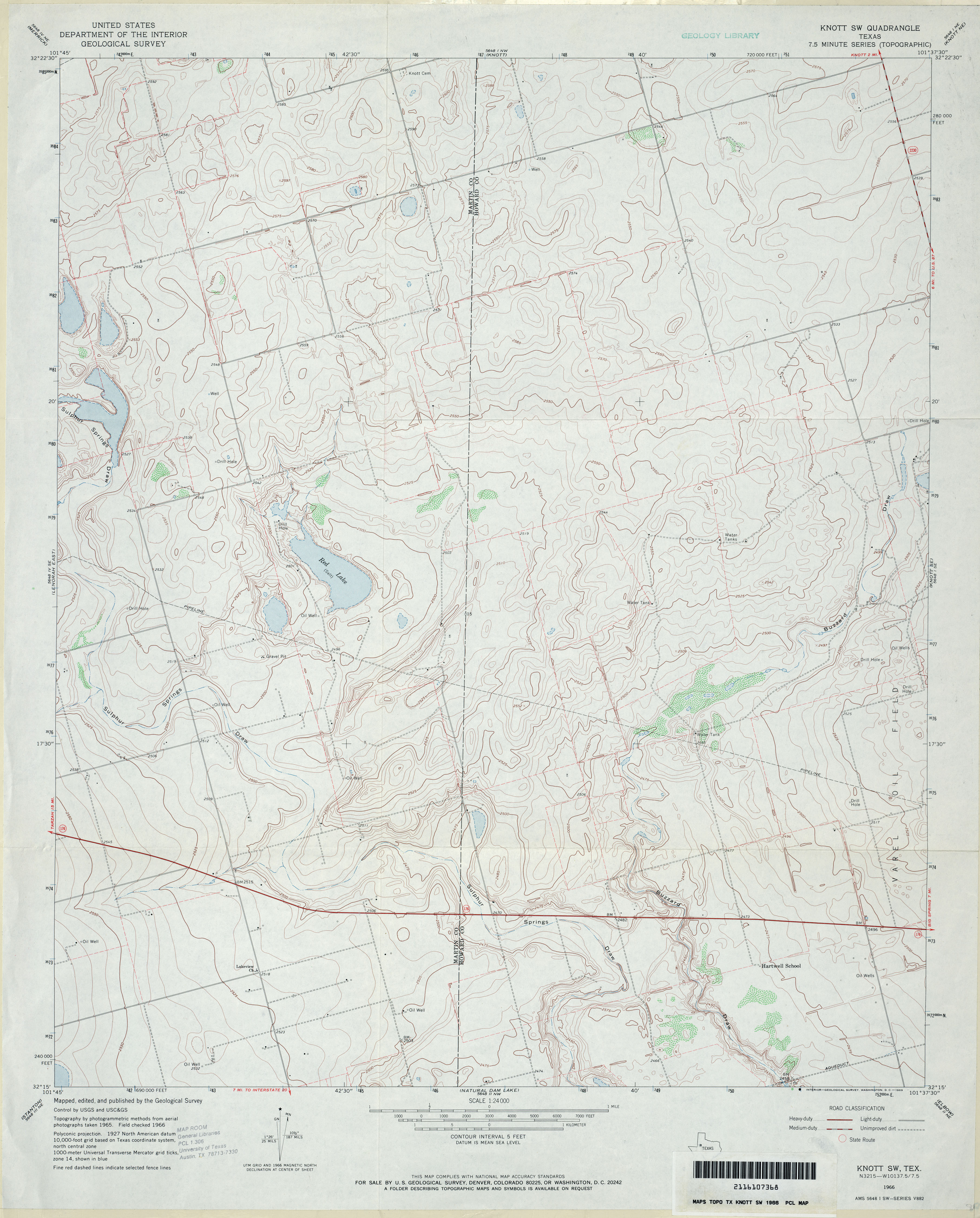
- Knott SW 1:24,000 1966 (3.3MB)
- Knott SW 1:24,000 2008 (13.2MB) [GeoPDF]
- Knott SW 1:24,000 2012 (19.5MB) [GeoPDF]
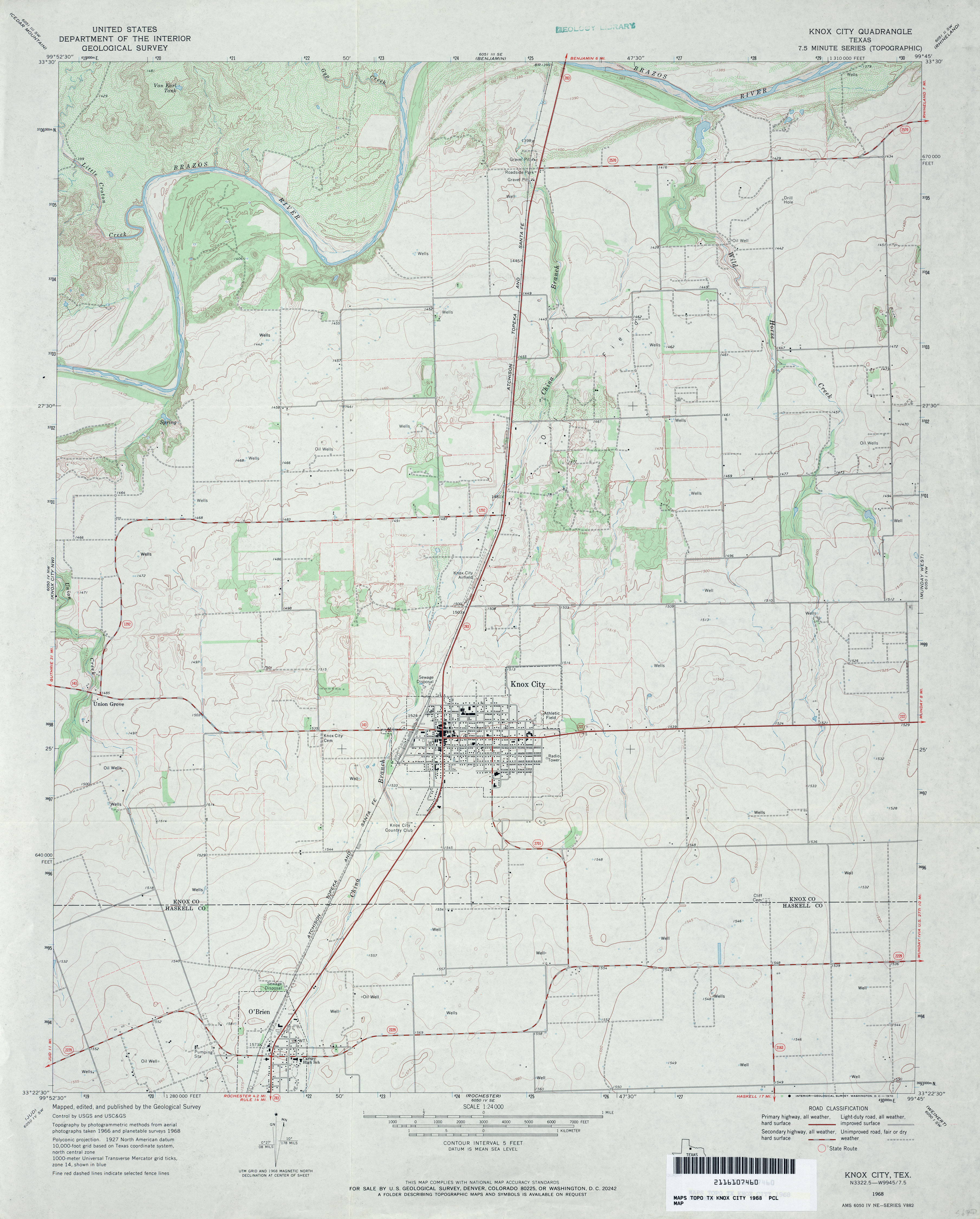
- Knox City 1:24,000 1968 (3.2MB)
- Knox City 1:24,000 2008 (11.2MB) [GeoPDF]
- Knox City 1:24,000 2013 (16.7MB) [GeoPDF]
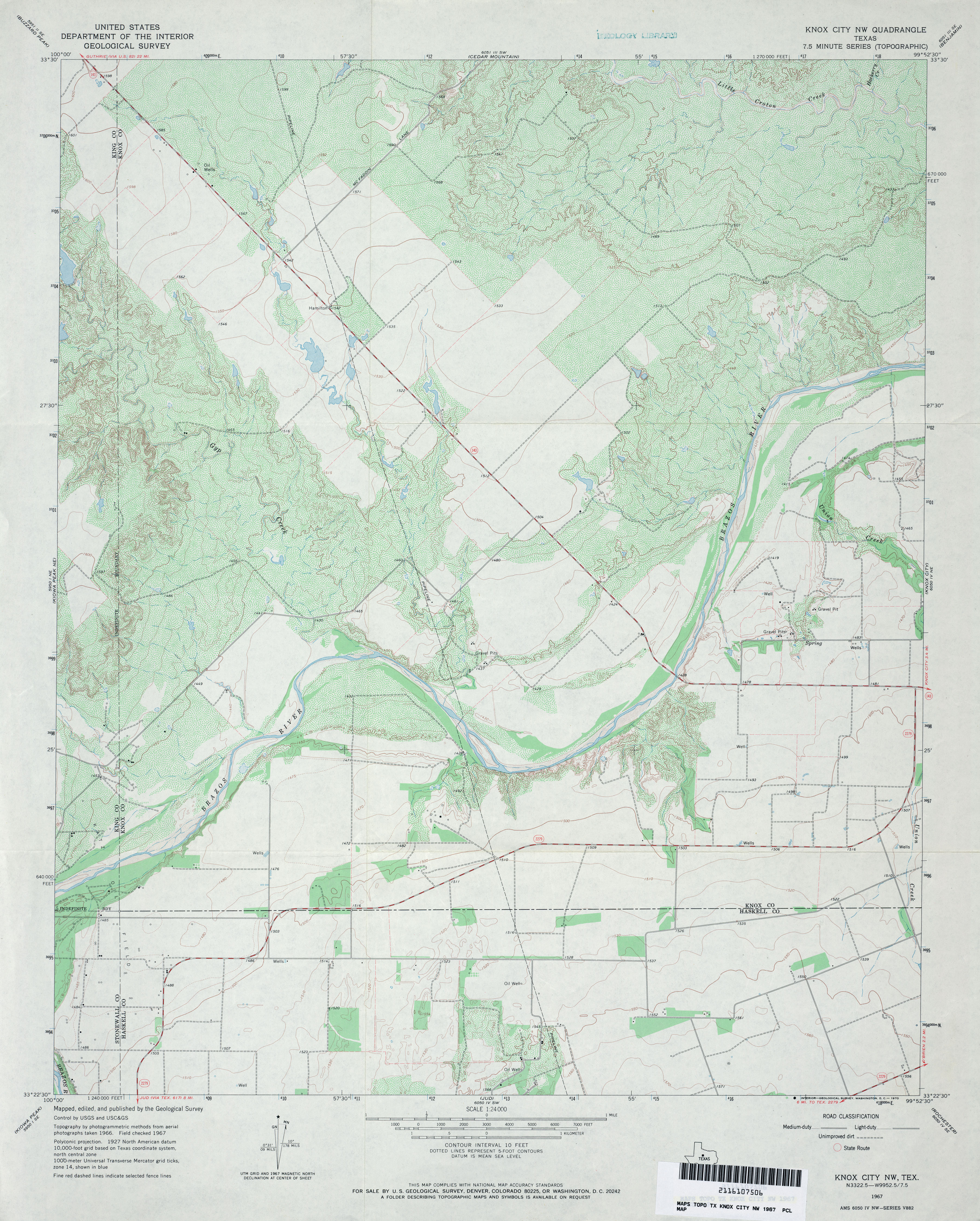
- Knox City NW 1:24,000 1967 (3.8MB)
- Knox City NW 1:24,000 2008 (13.8MB) [GeoPDF]
- Knox City NW 1:24,000 2013 (19.7MB) [GeoPDF]
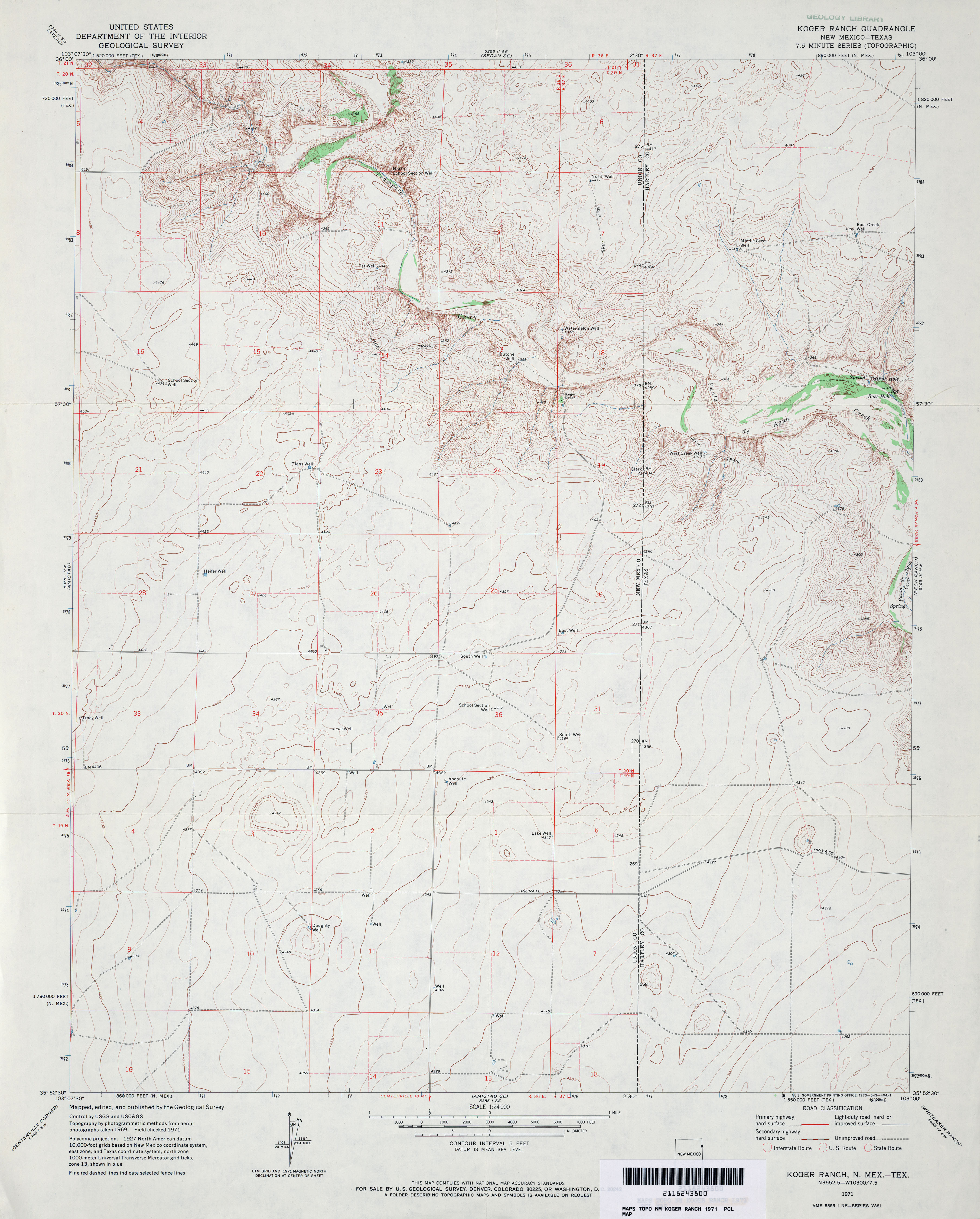
- Koger Ranch 1:24,000 1971 (3.3MB)
- Koger Ranch [New Mexico, Texas] 1:24,000 2009 (17.6MB) [GeoPDF]
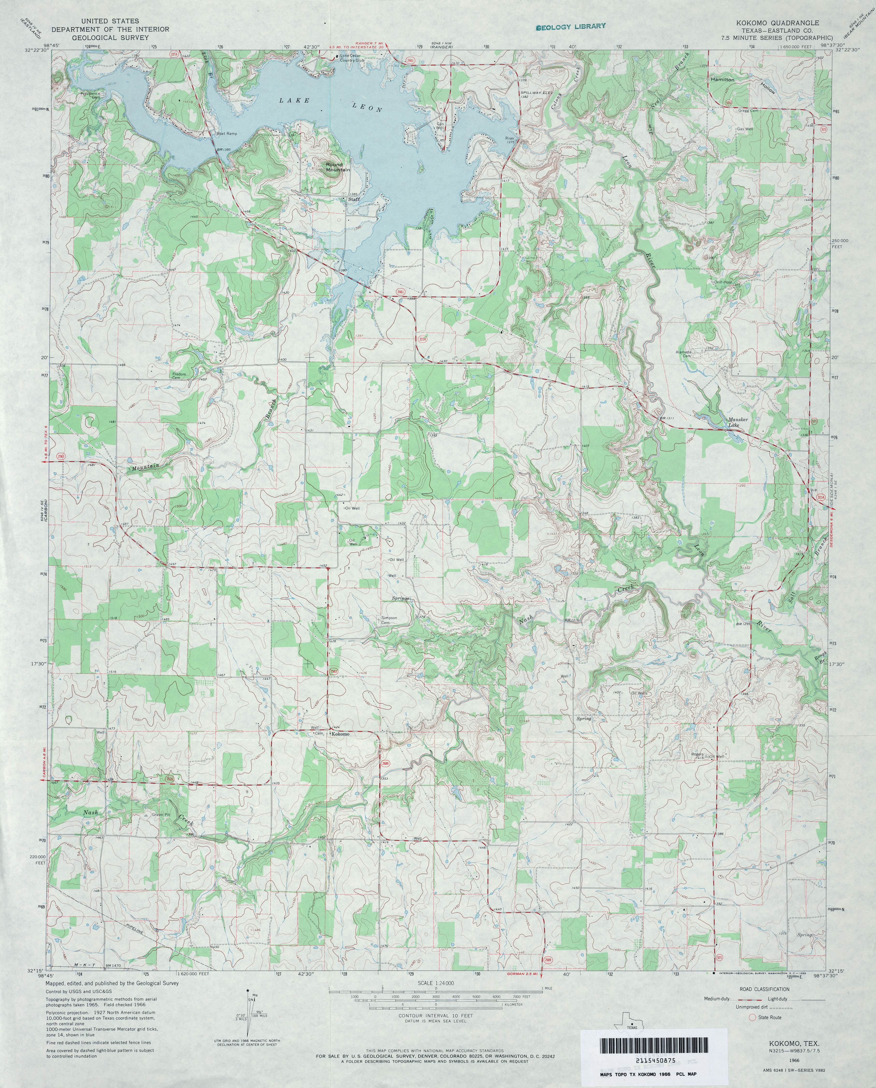
- Kokomo (Eastland County) 1:24,000 1966 (3.7MB)
- Kokomo 1:24,000 2008 (14.4MB) [GeoPDF]
- Kokomo 1:24,000 2012 (19.8MB) [GeoPDF]
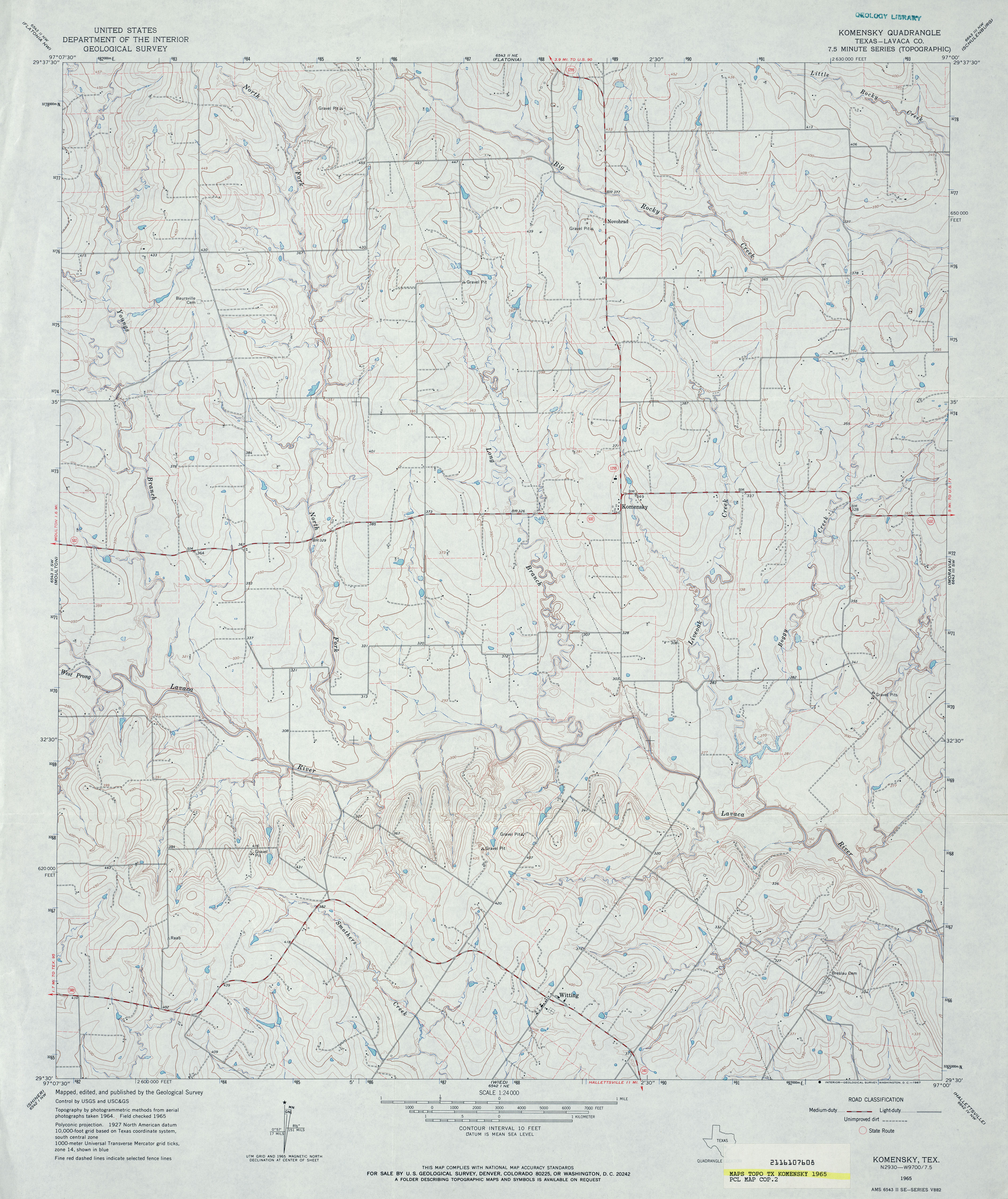
- Komensky (Lavaca County) 1:24,000 1965 (3.9MB)
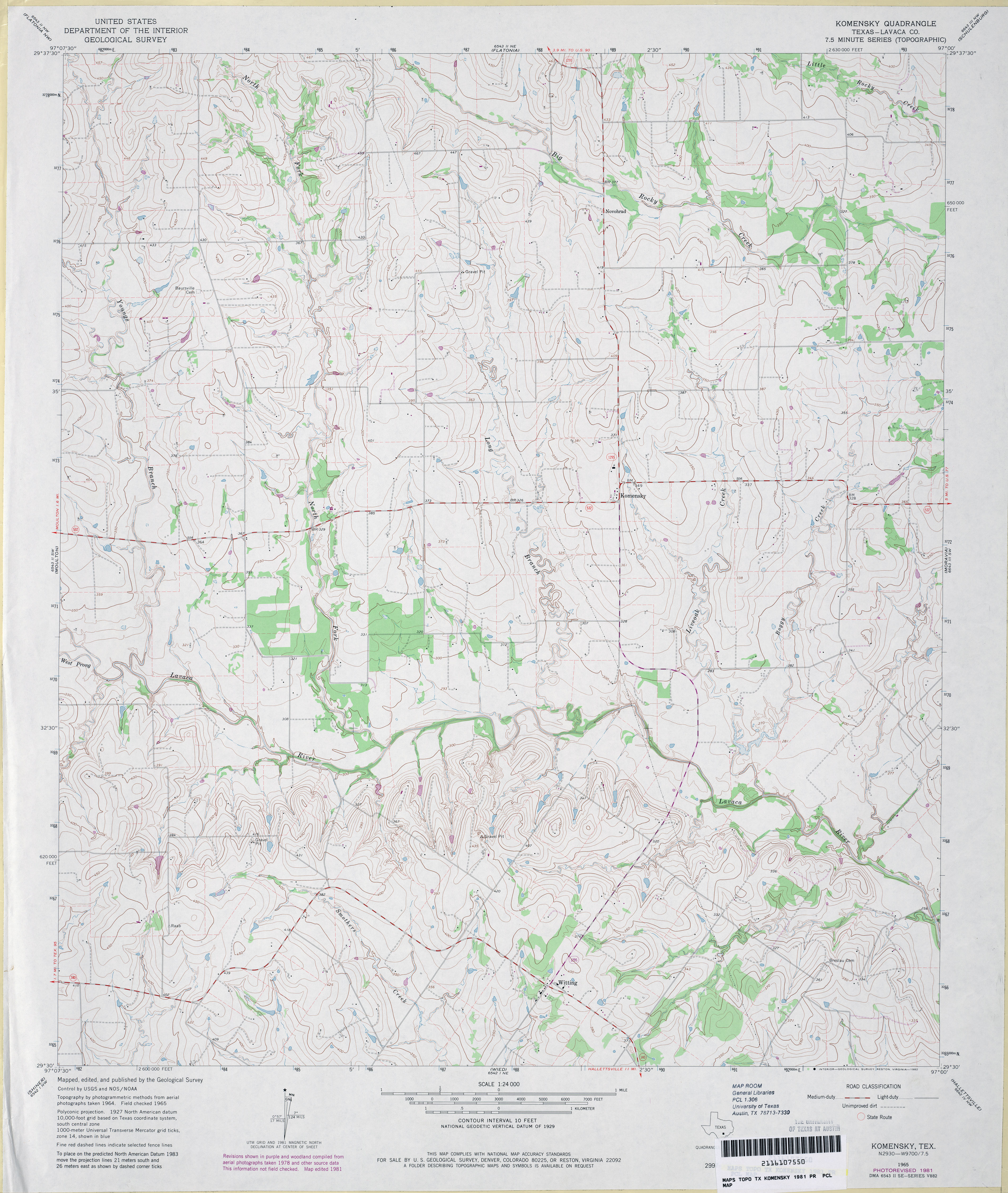
- Komensky (Lavaca County) 1:24,000 1981 (3.8MB)
- Komensky 1:24,000 2008 (11.8MB) [GeoPDF]
- Komensky 1:24,000 2013 (19.7MB) [GeoPDF]
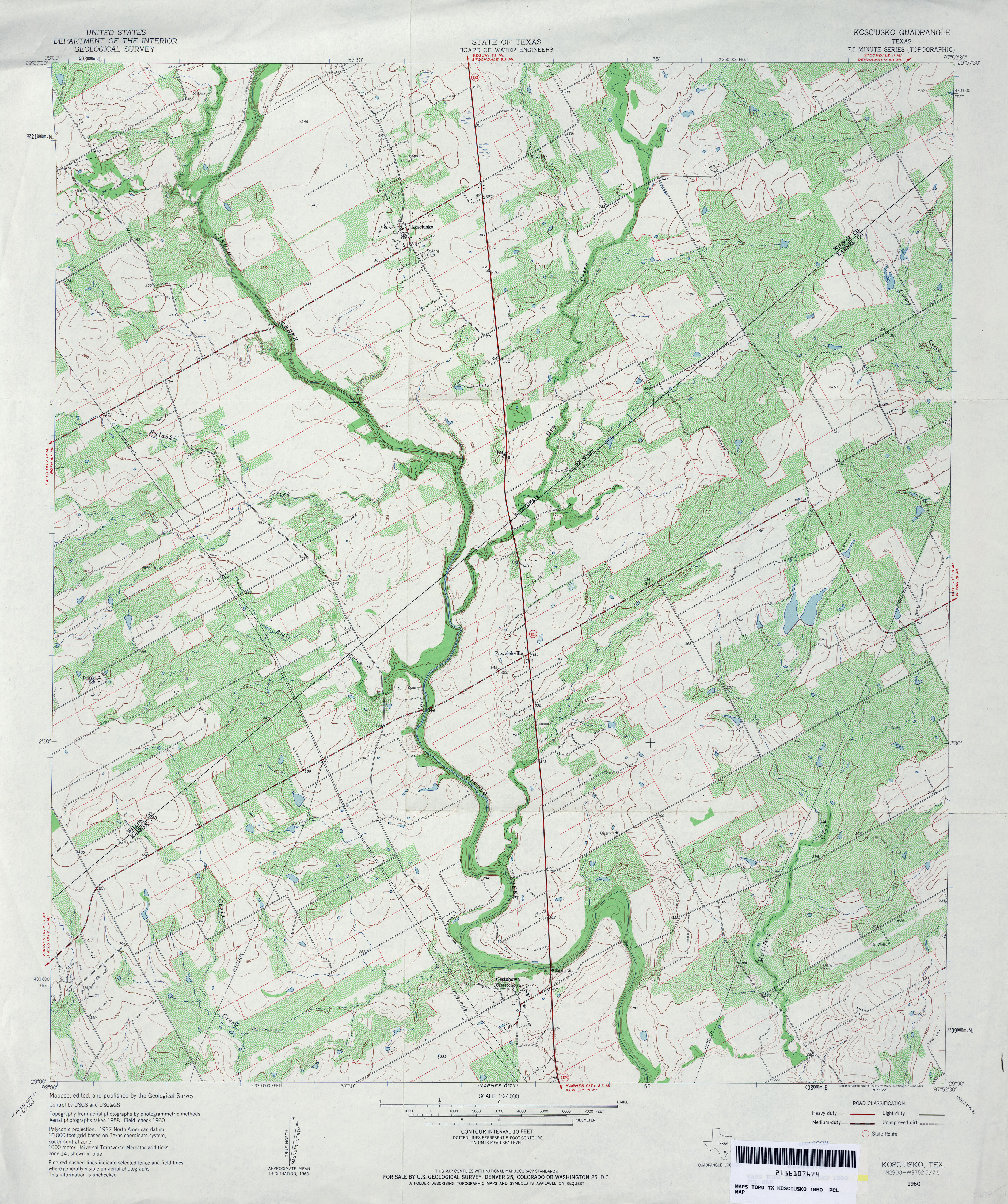
- Kosciusko 1:24,000 1960 (5MB)
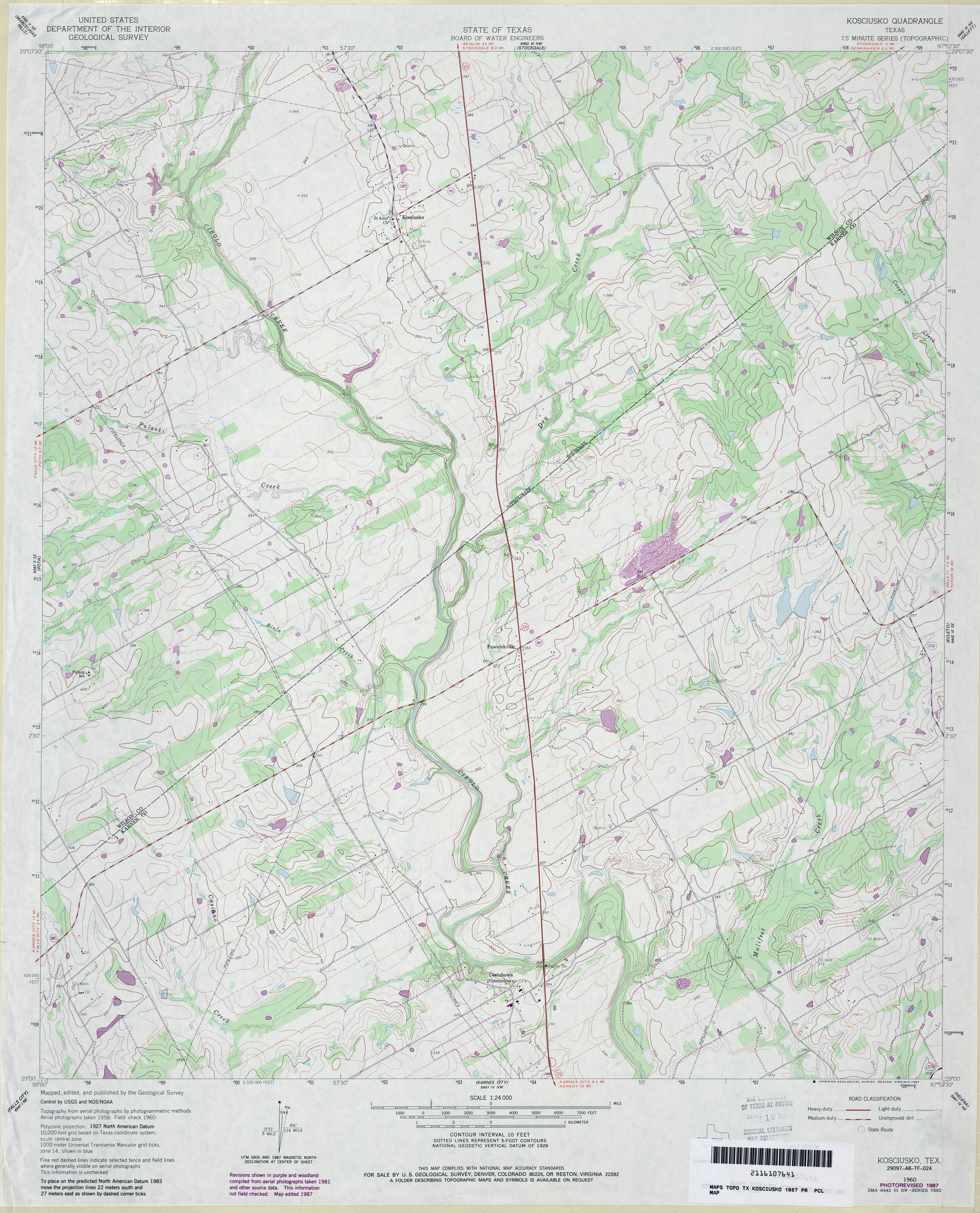
- Kosciusko 1:24,000 1987 (4MB)
- Kosciusko 1:24,000 2008 (13.3MB) [GeoPDF]
- Kosciusko 1:24,000 2013 (22.7MB) [GeoPDF]
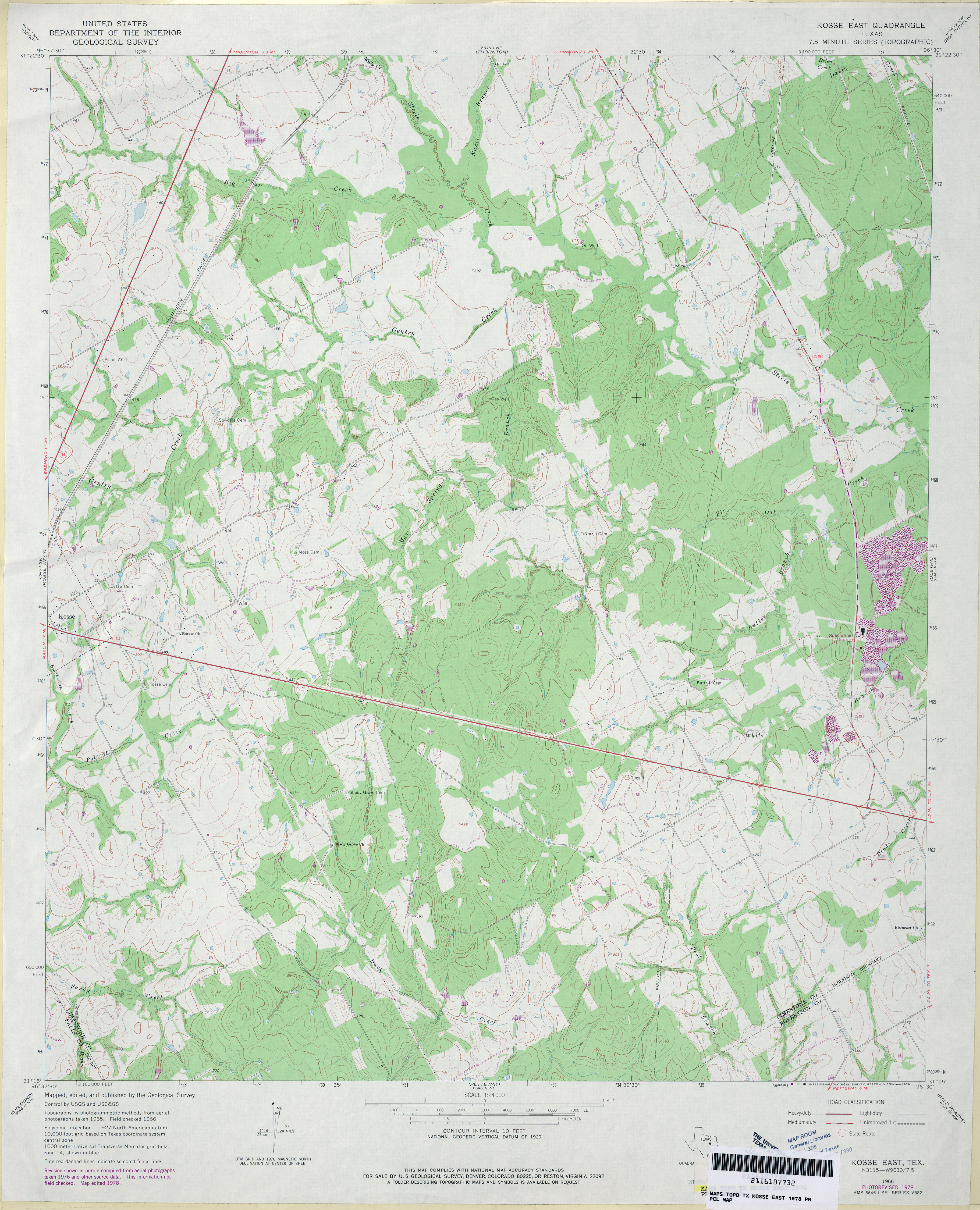
- Kosse East 1:24,000 1966 (3.4MB)
- Kosse East 1:24,000 1978 (3.8MB)
- Kosse East 1:24,000 2008 (18.0MB) [GeoPDF]
- Kosse East 1:24,000 2013 (22.2MB) [GeoPDF]
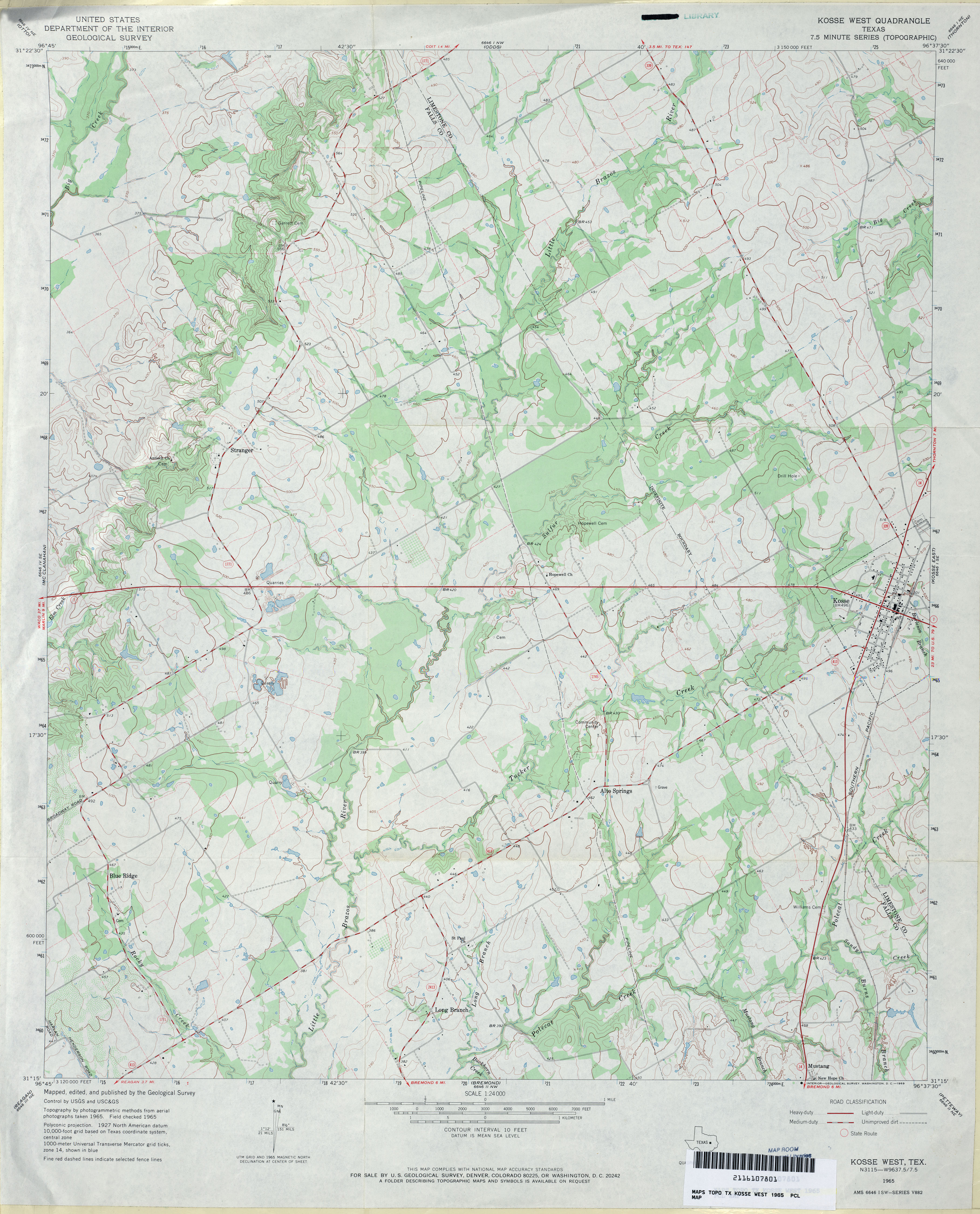
- Kosse West 1:24,000 1965 (3.6MB)
- Kosse West 1:24,000 2008 (18.0MB) [GeoPDF]
- Kosse West 1:24,000 2013 (21.9MB) [GeoPDF]
- Kountze (Hardin County) 1:62,500 1955 (3.7MB)
- Kountze North (Hardin County) 1:24,000 1984 (3.5MB)
- Kountze North 1:24,000 2009 (24.4MB) [GeoPDF]
- Kountze North 1:24,000 2013 (25.2MB) [GeoPDF]
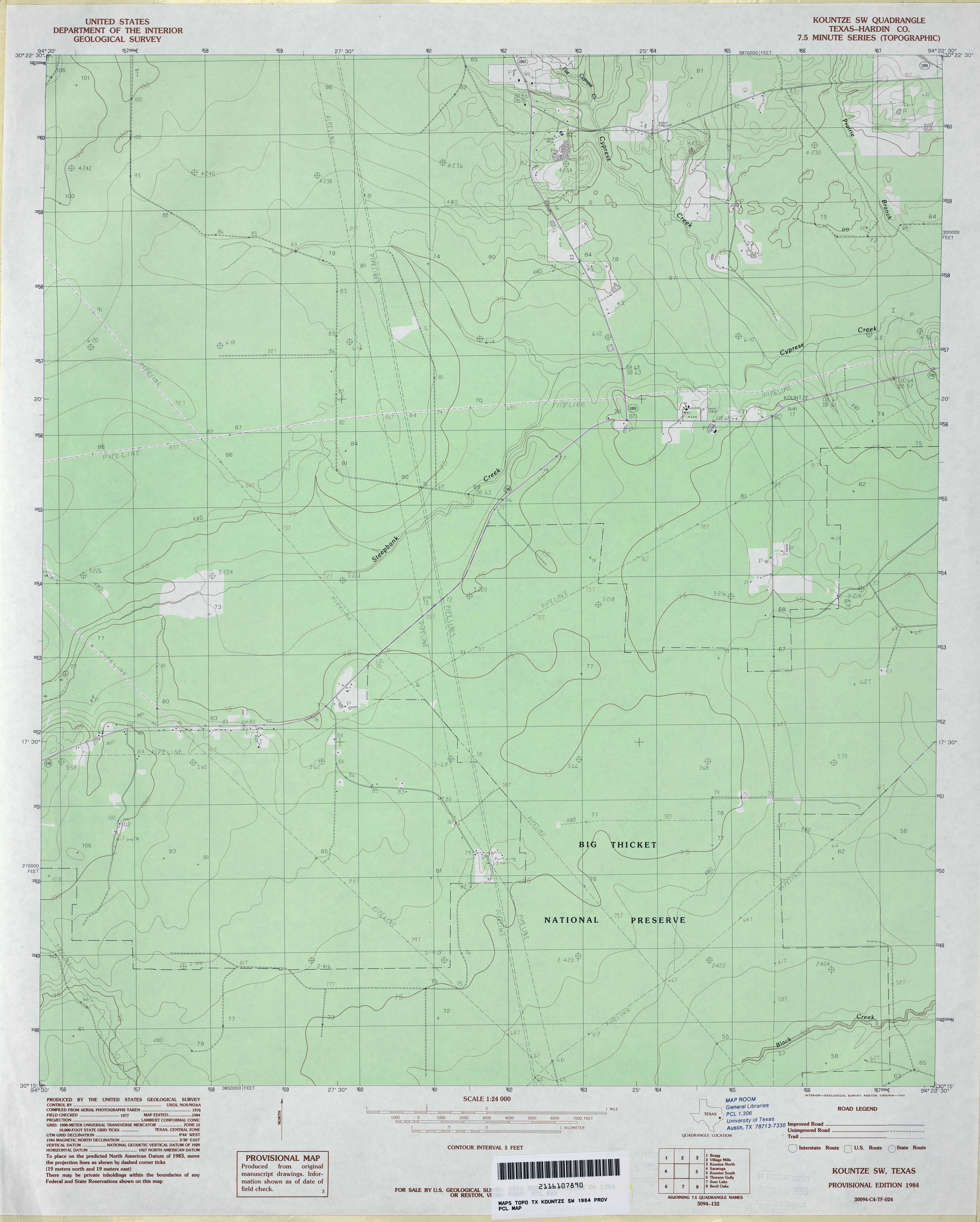
- Kountze South (Hardin County) 1:24,000 1984 (3.1MB)
- Kountze South 1:24,000 2009 (23.2MB) [GeoPDF]
- Kountze South 1:24,000 2013 (24.5MB) [GeoPDF]
- Kountze SW (Hardin County) 1:24,000 1984 (2.5MB)
- Kountze SW 1:24,000 2009 (24.0MB) [GeoPDF]
- Kountze SW 1:24,000 2013 (24.3MB) [GeoPDF]
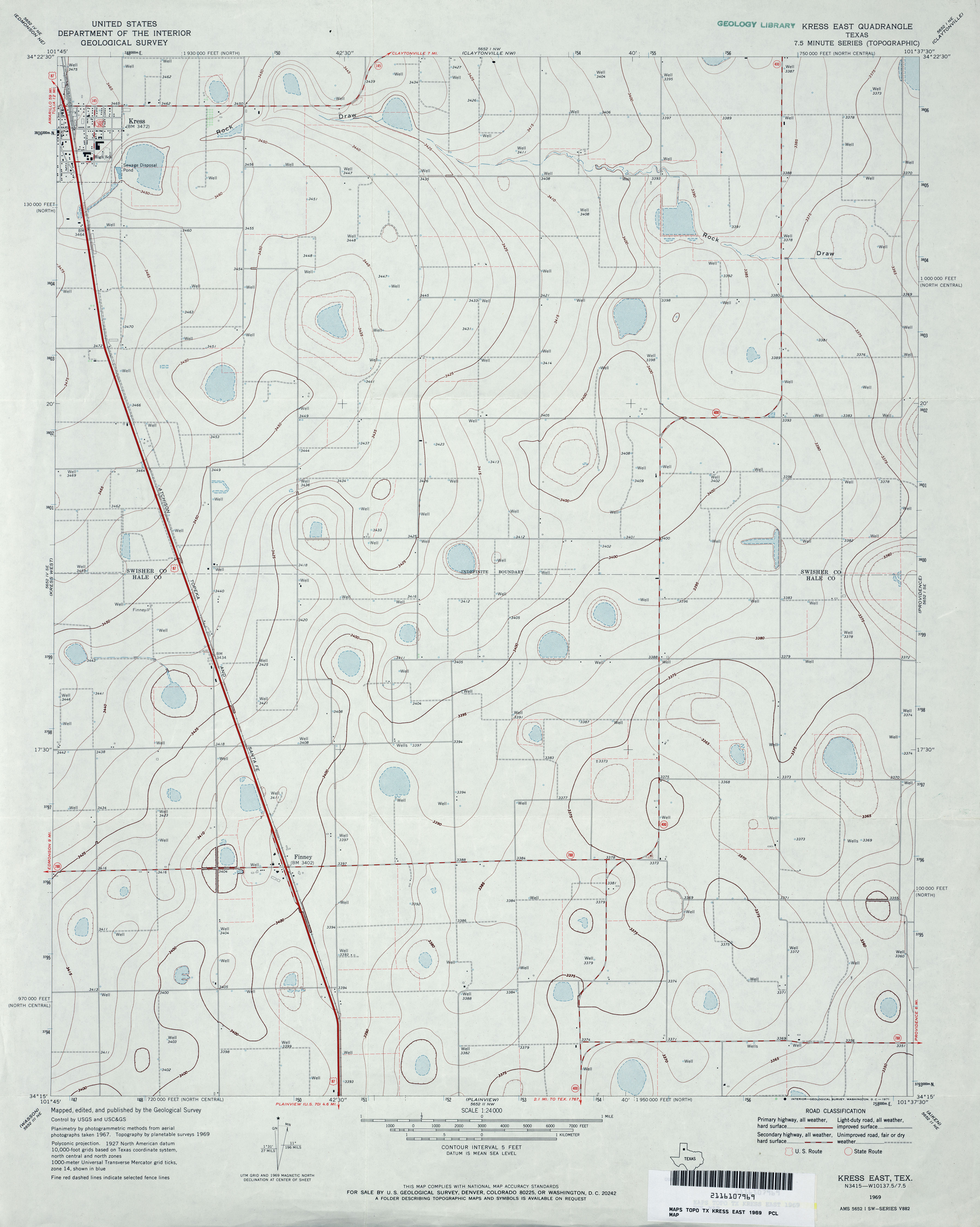
- Kress East 1:24,000 1969 (2.6MB)
- Kress East 1:24,000 2008 (10.5MB) [GeoPDF]
- Kress East 1:24,000 2012 (16.2MB) [GeoPDF]
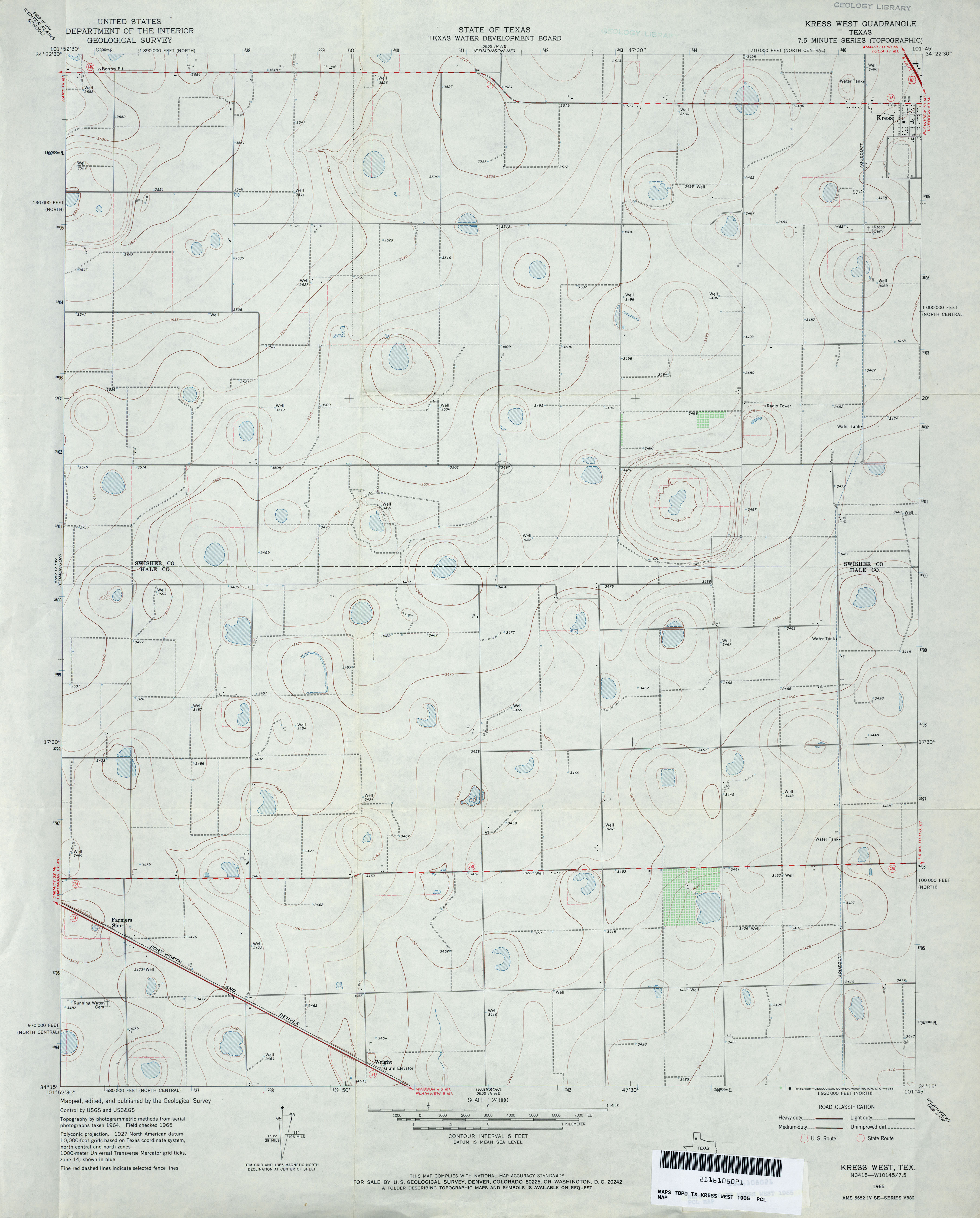
- Kress West 1:24,000 1965 (2.7MB)
- Kress West 1:24,000 2008 (11.3MB) [GeoPDF]
- Kress West 1:24,000 2012 (15.7MB) [GeoPDF]
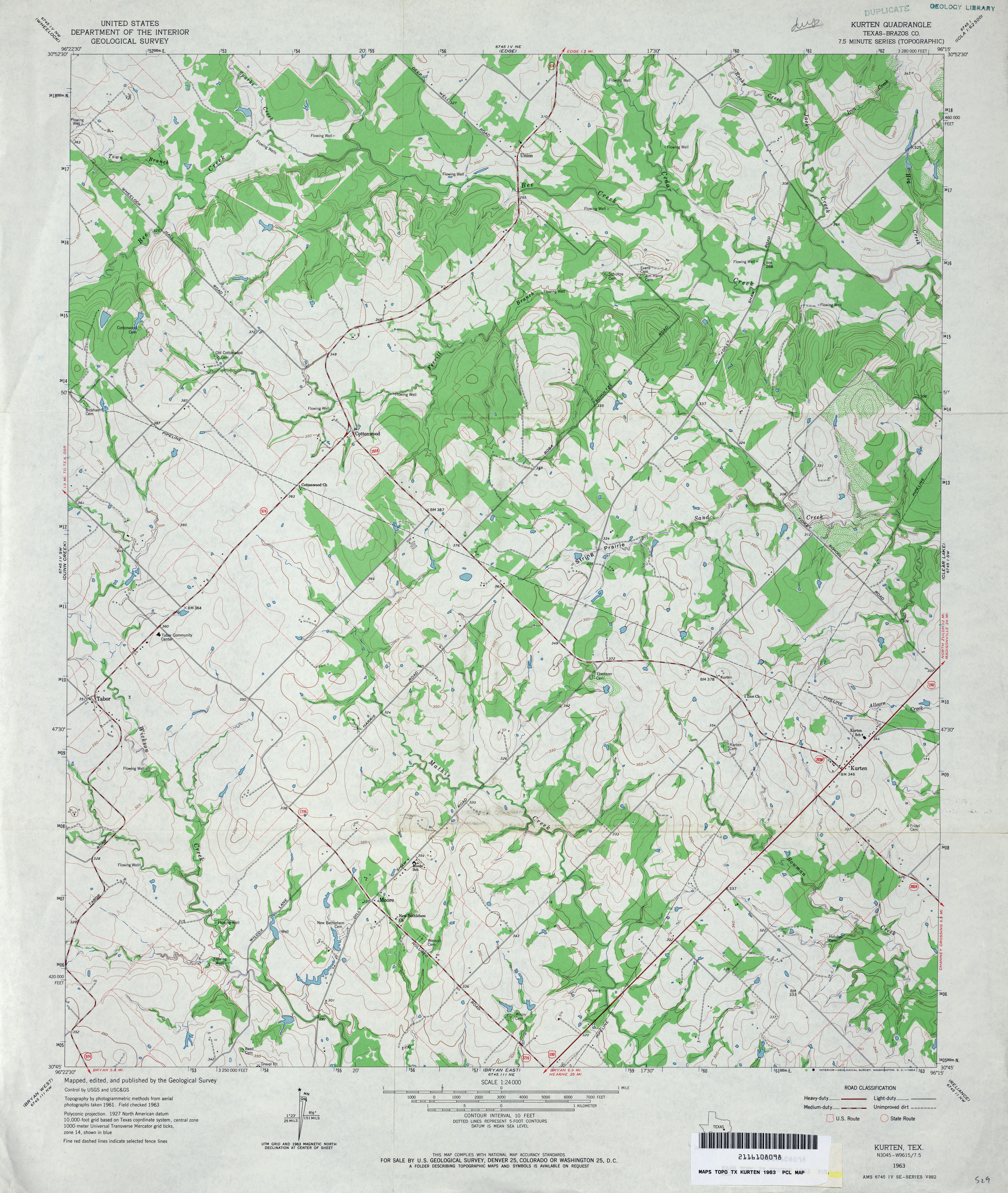
- Kurten (Brazos County) 1:24,000 1963 (4MB)
- Kurten (Brazos County) 1:24,000 1980 (3.4MB)
- Kurten 1:24,000 2008 (17.3MB) [GeoPDF]
- Kurten 1:24,000 2013 (22.4MB) [GeoPDF]
- Kyle Ranch (Loving County) 1:24,000 1969 (4.1MB)
- Kyle Ranch 1:24,000 2008 (20.8MB) [GeoPDF]
- Kyle Ranch 1:24,000 2012 (26.7MB) [GeoPDF]
Return to the top